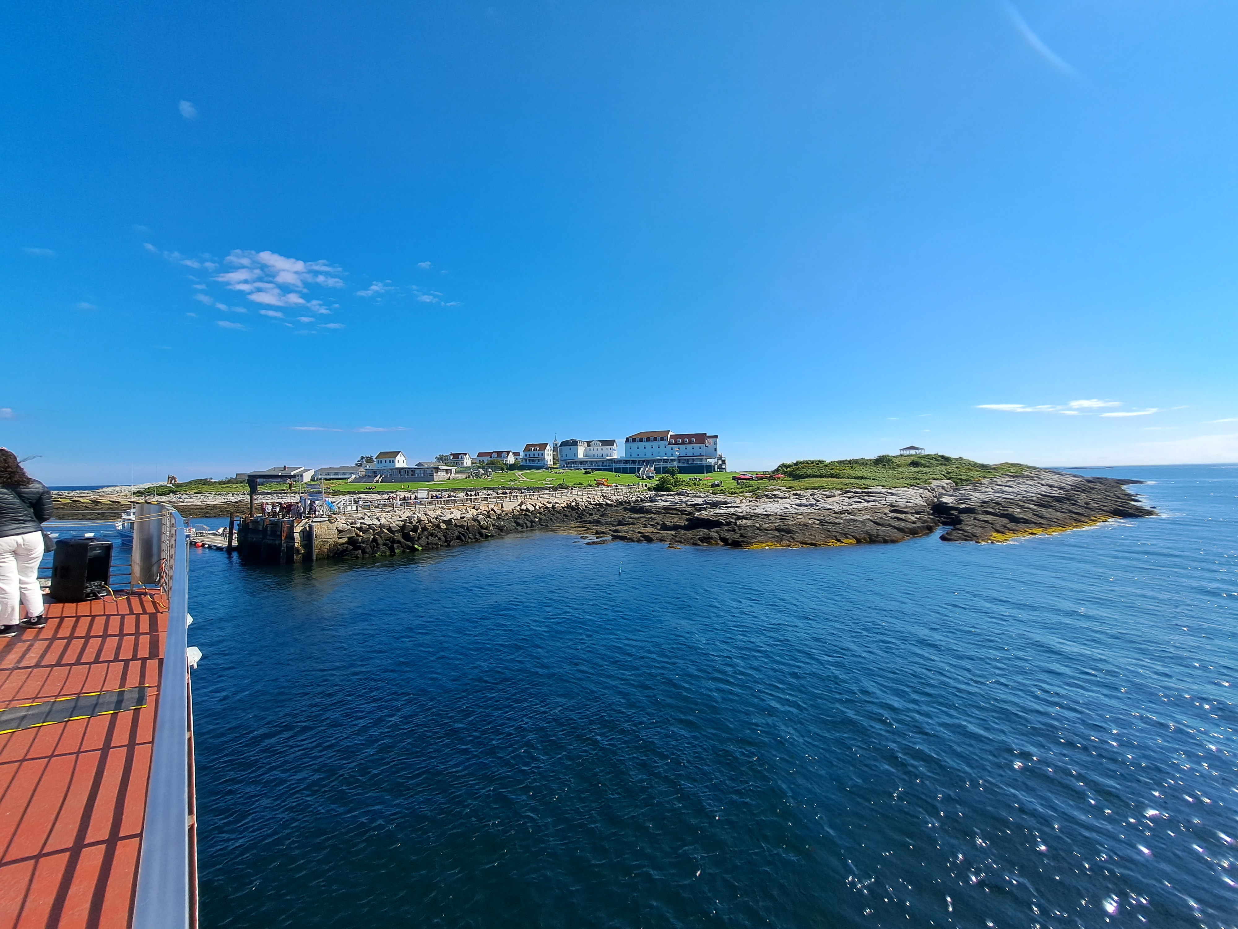
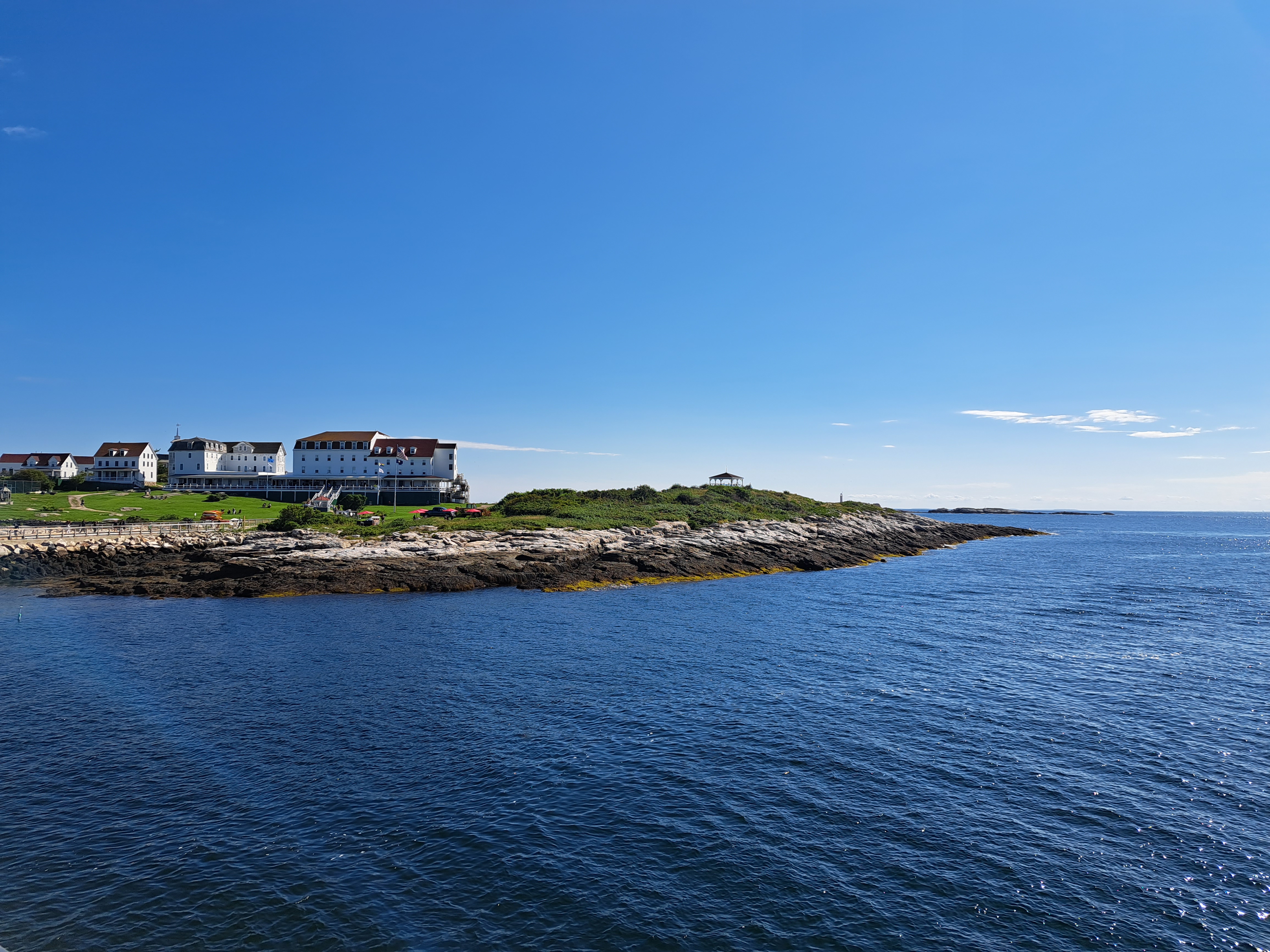
Approach to the Isles of Shoals, with most of them visible and Star Island the one with the while buildings, seen closer up below. Always a joy to get back out there, this year for the first time since before covid. 🙂
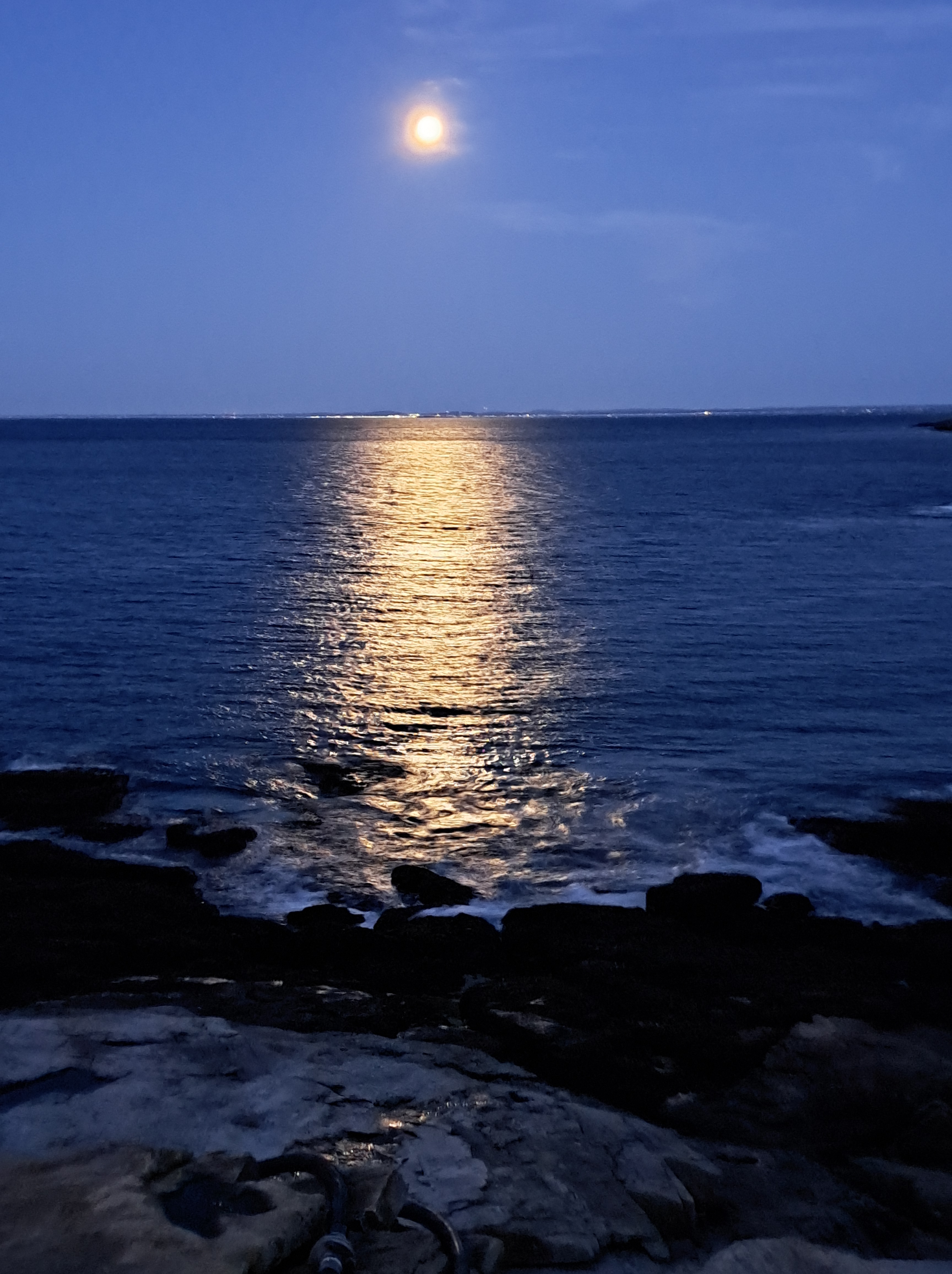
A blue moon is the second full moon in one month. This image (above) was taken at 5:27am on Thursday the 31st of August. The one below was taken at precisely 06:16:16 the same morning, and no I didn’t time it that way, I just happened to be up between “sits,” of which the first each day this week has begun at 5:45 and the last has ended a bit after 9pm – ideal at this time of year to view the setting and rising of both sun and moon when skies are clear. In all of the images in this post, you’ll find the full moon or the moon one day past full. All were taken either late in the evening / at night, or early in the morning, on the 30th and 31st of August, with a few also early on the 1st of September – yesterday, my last full day here on Star. Advantages to living (if only briefly) on a very small island include that it’s quite easy to watch both the sunrise and the sunset over the water, which means lovely reflections in the water and even possibly-nice panorama shots that show both the rising sun and setting moon, etc. In some of the latest-morning shots, you may need to enlarge the photo to see the moon still holding out low on the horizon even after the sun has risen above the water opposite it. This post celebrates these blessings on the day I’ll boat over the mainland then by various means convey myself back to Amsterdam, where I expect land early Sunday the 3rd and plunge directly into a full work week on the 4th. I’ll try to keep the daily posts going, I promise :-).
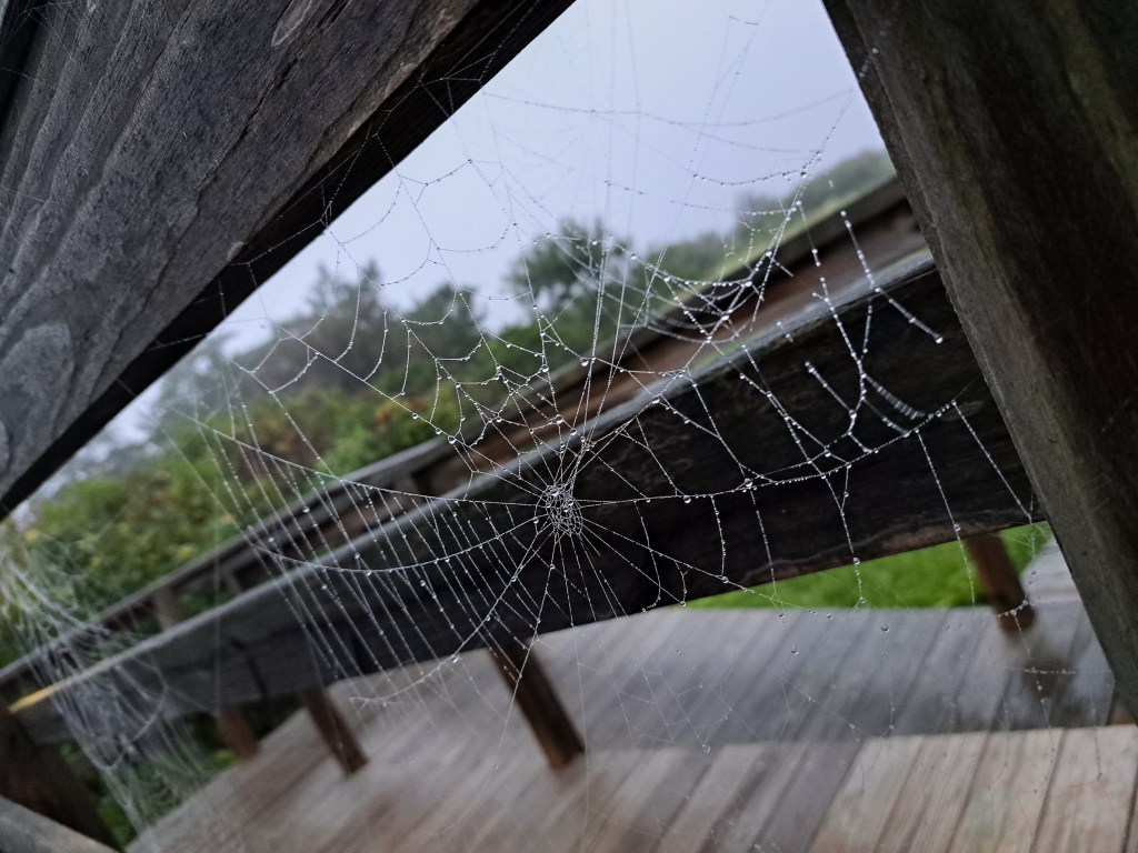
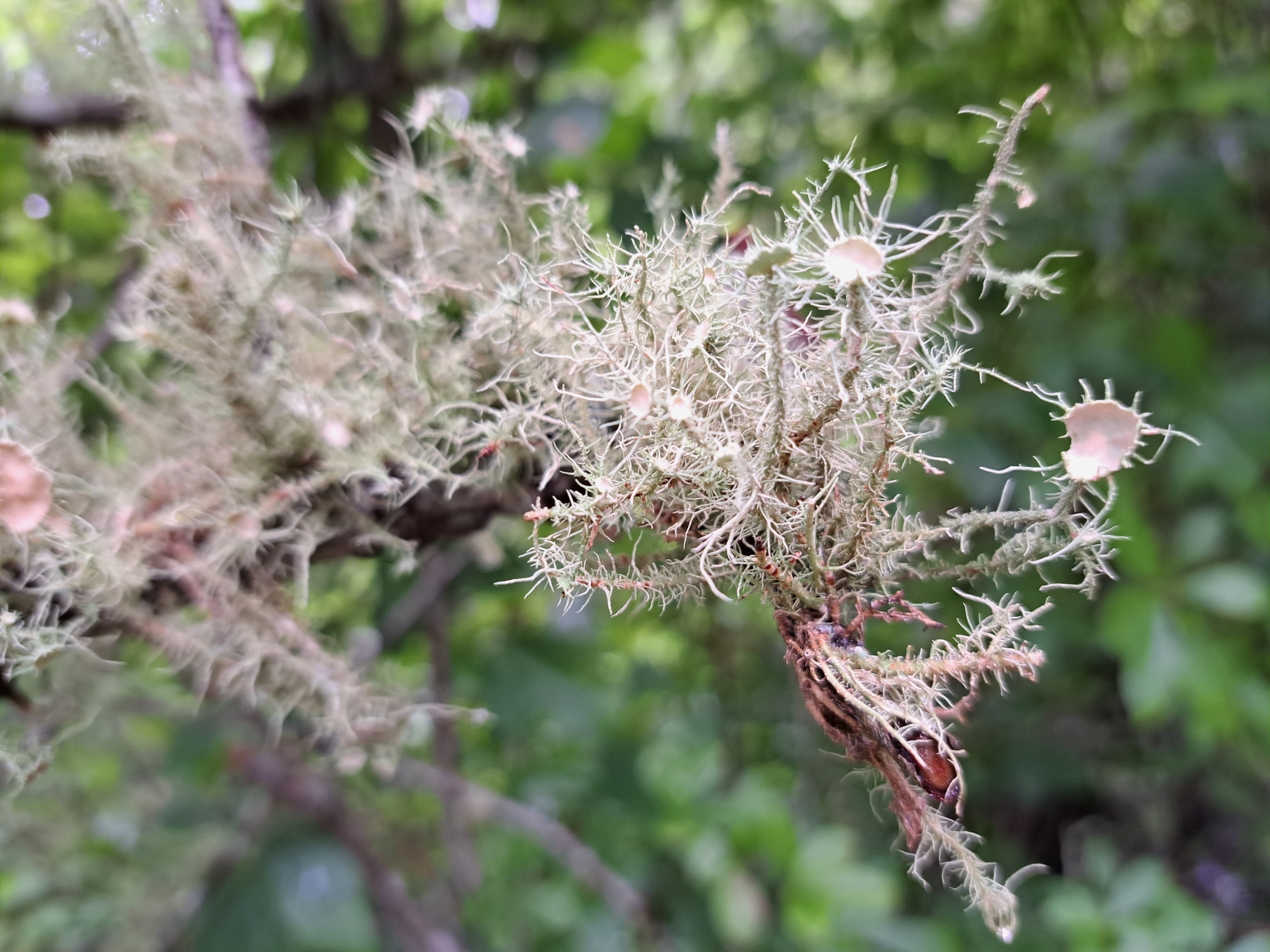
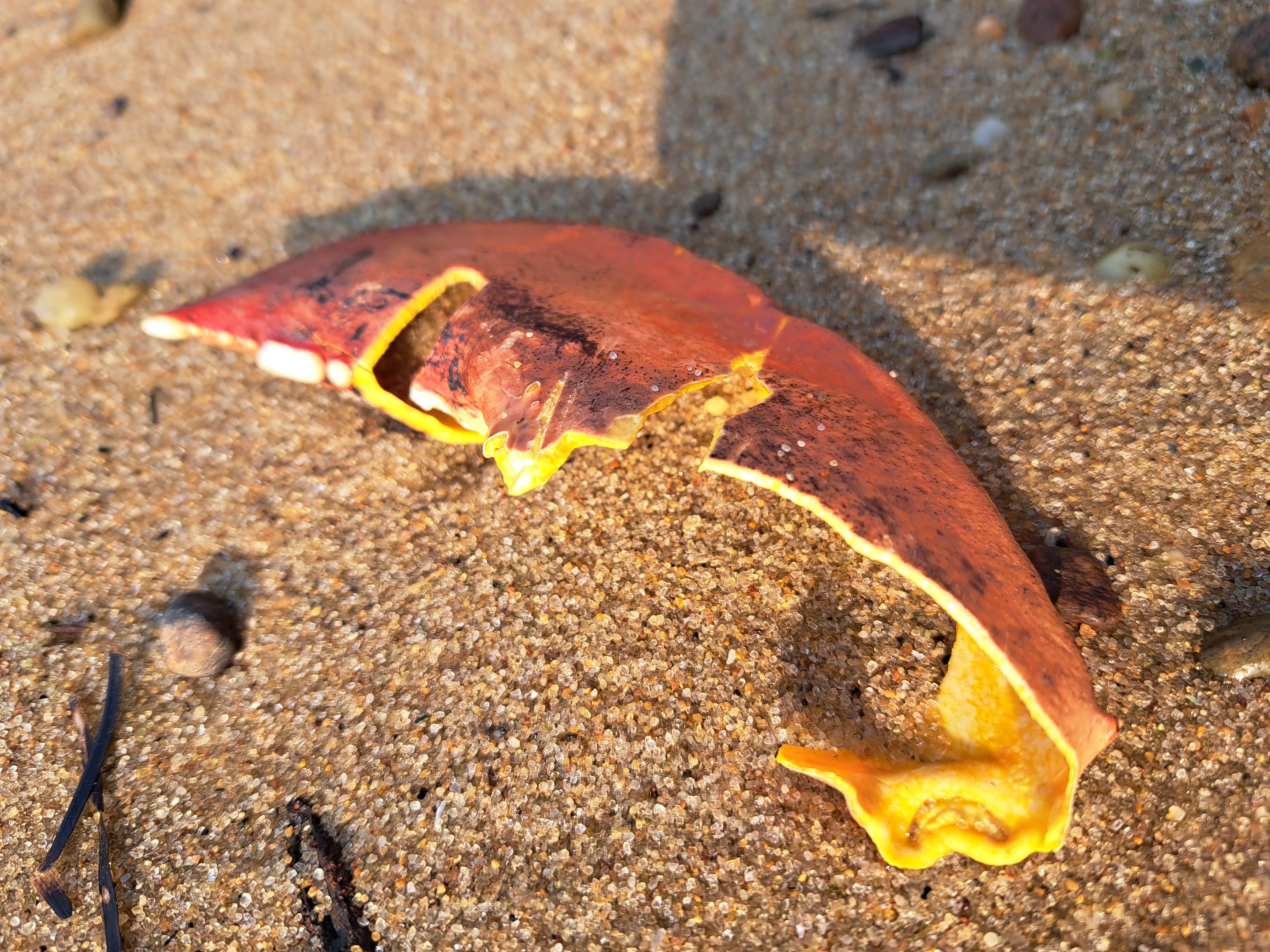
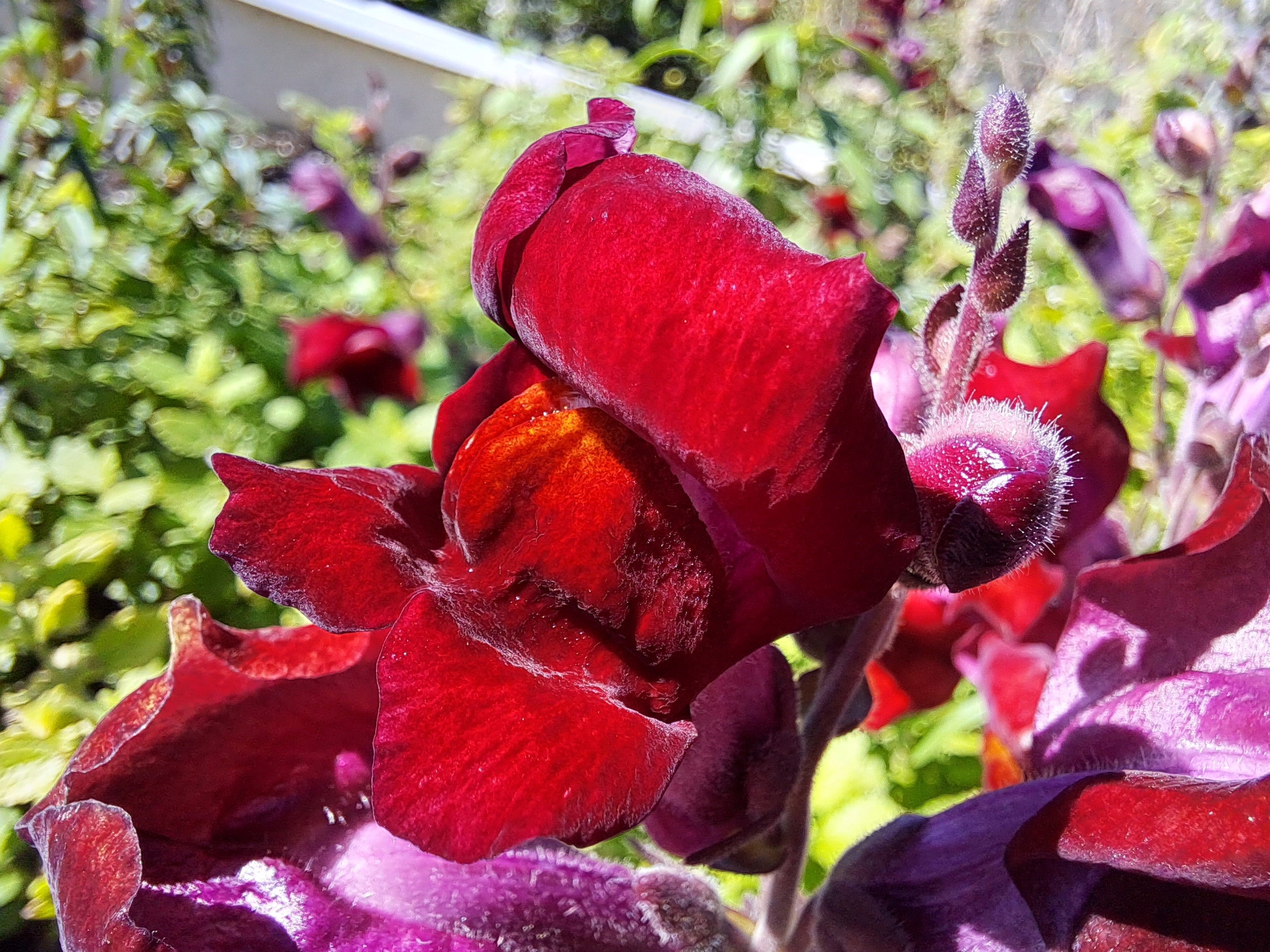
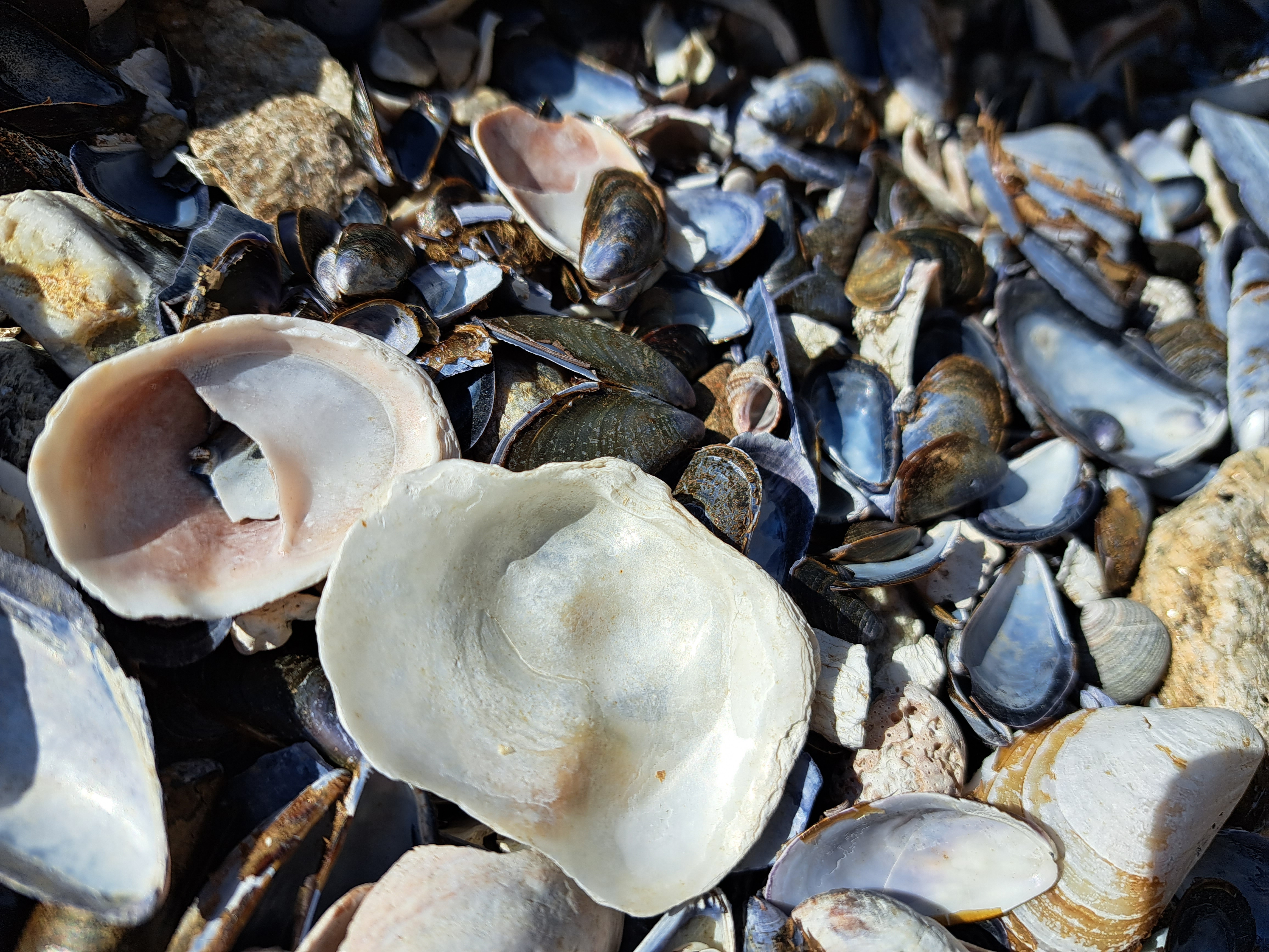
We’re back on Star Island, off the coast of New Hampshire, for a week of meditation retreat. As I’ve mentioned before, having this blog and its many categories spurs me to appreciate and notice things I otherwise might not. On past visits to Star, my gaze has turned heavily to the small (this post from 2014 is a good example); but this time, needing to photograph something for my Mountains series, I looked to the coast of NH and ME as seen behind Appledore Island, and … voila! :-).