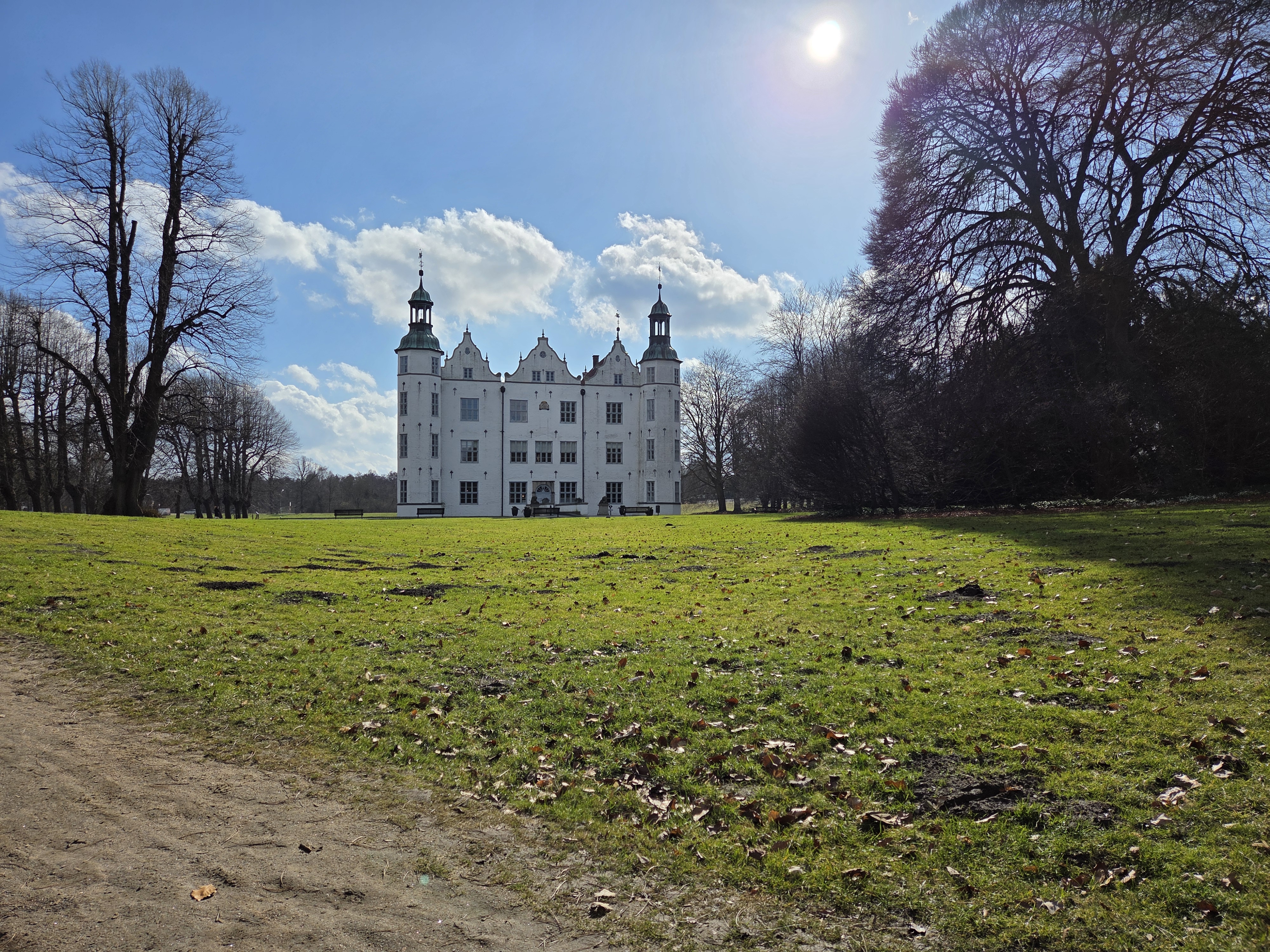
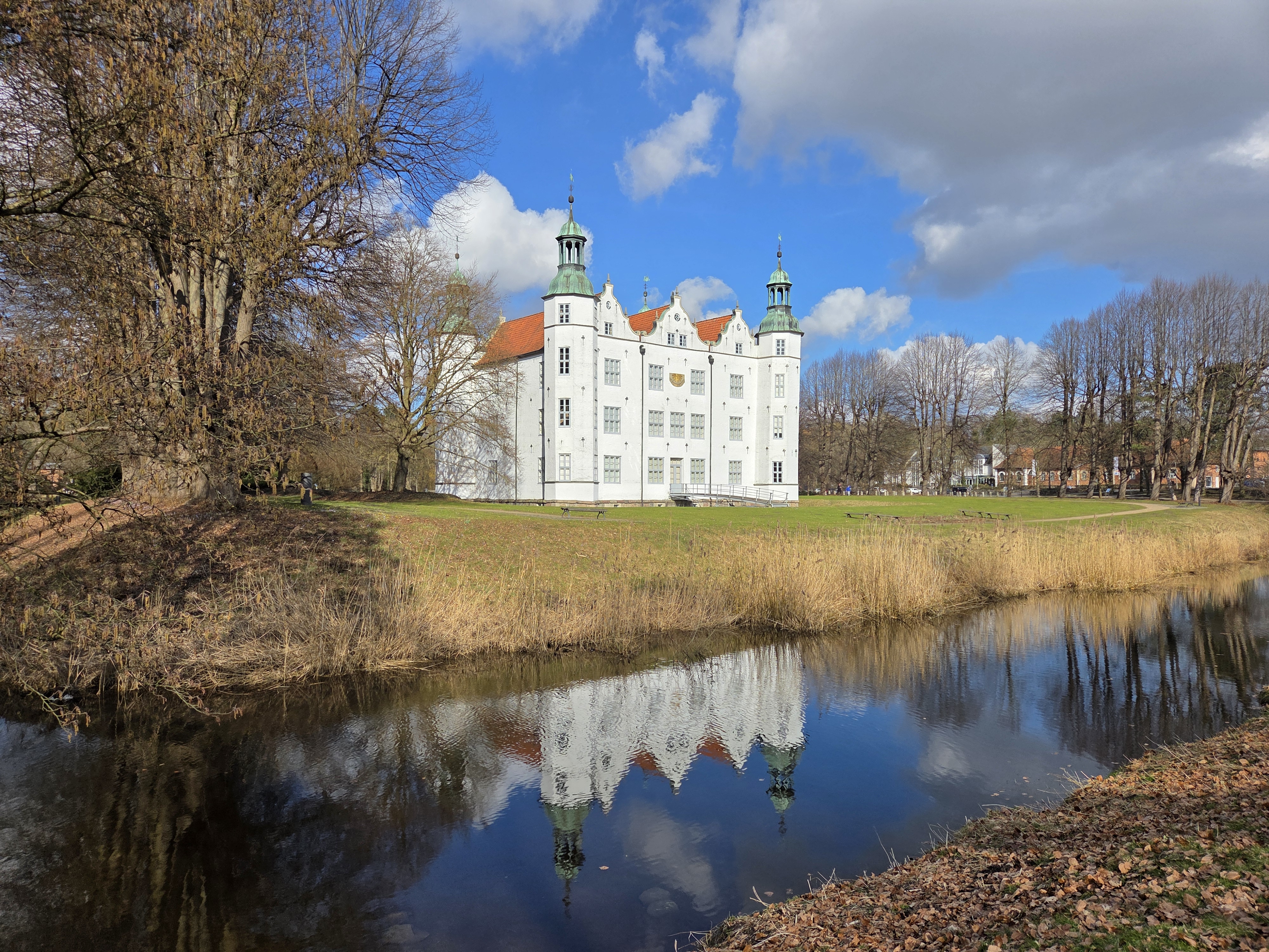
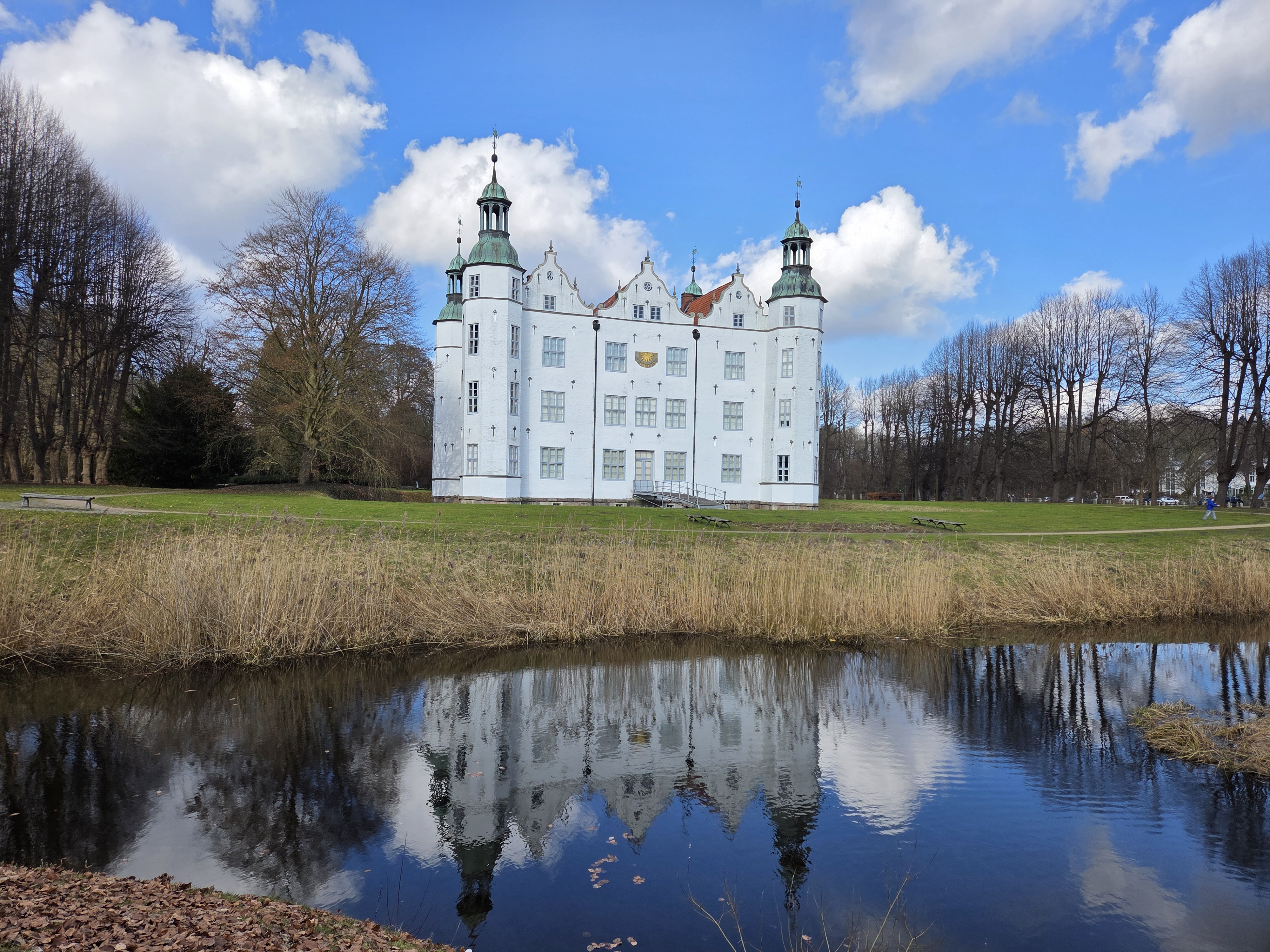
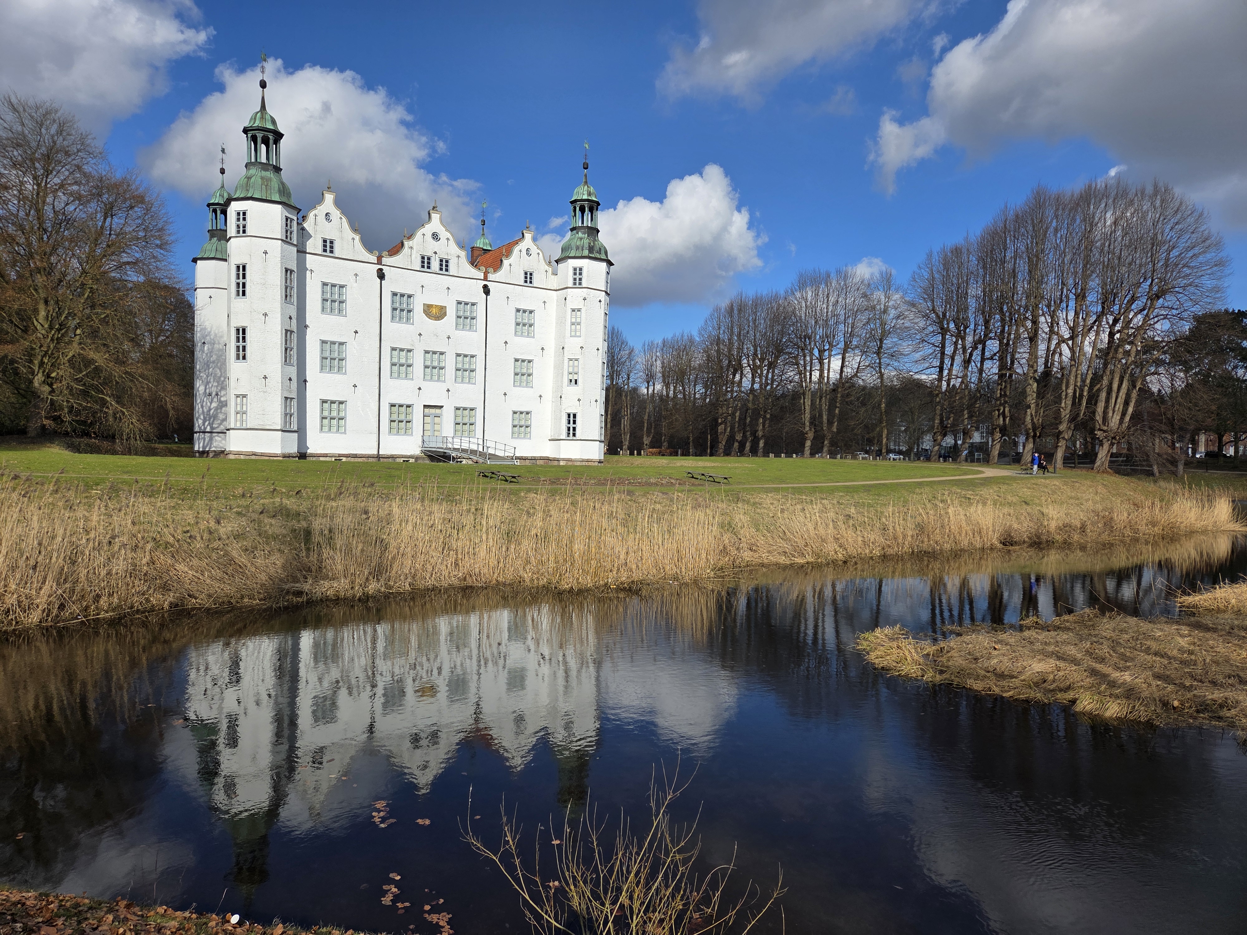
Latest
Ah, Royalty.84


Urban Entrances.184


County Views.184


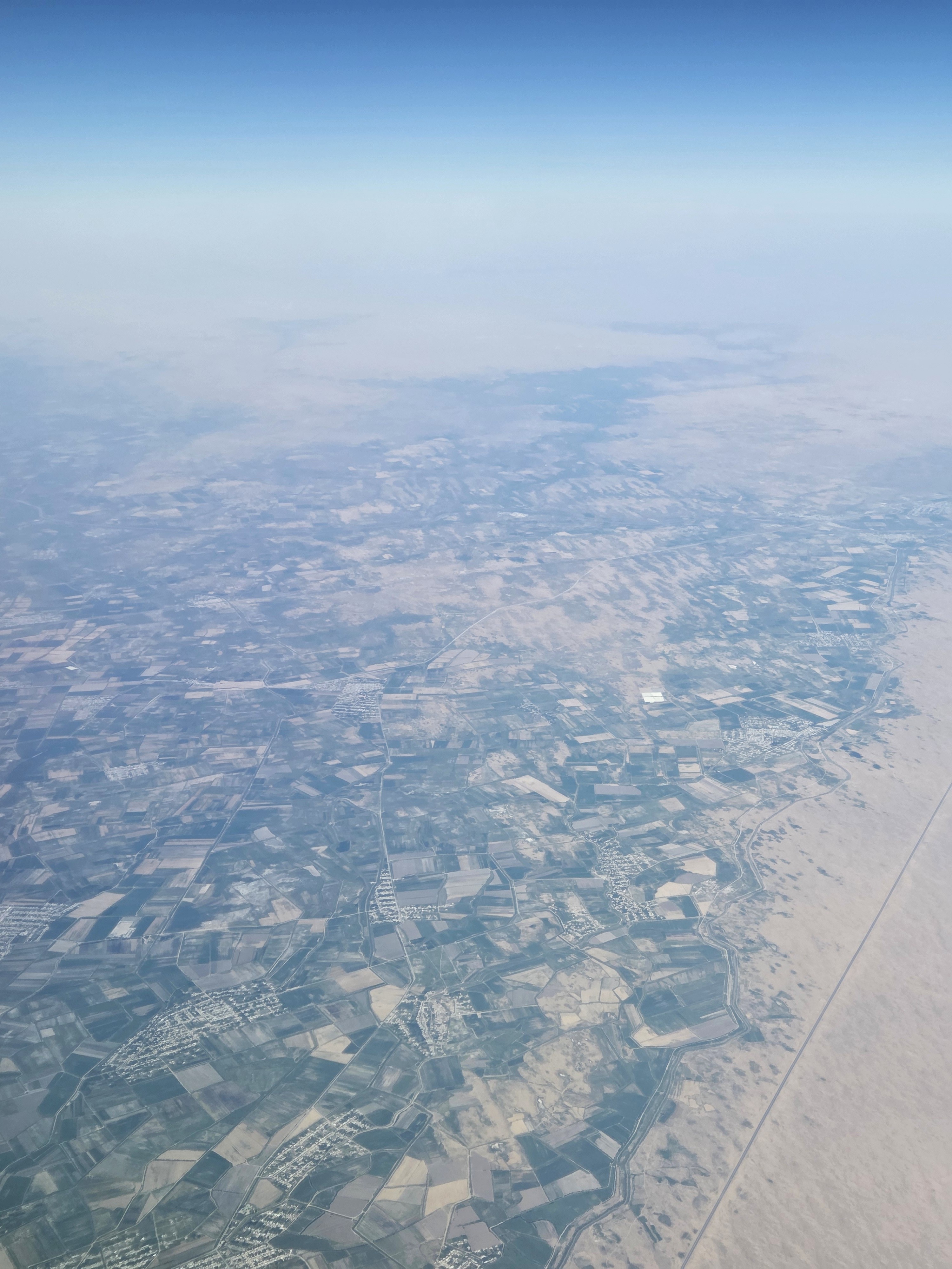
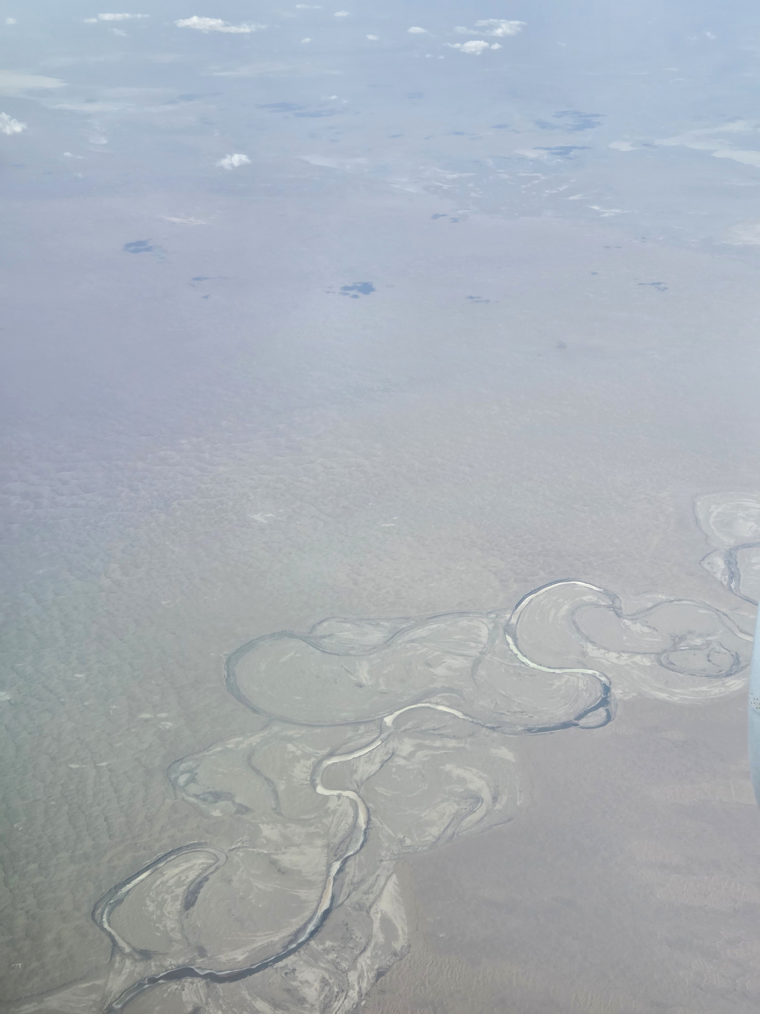
From the Air.105


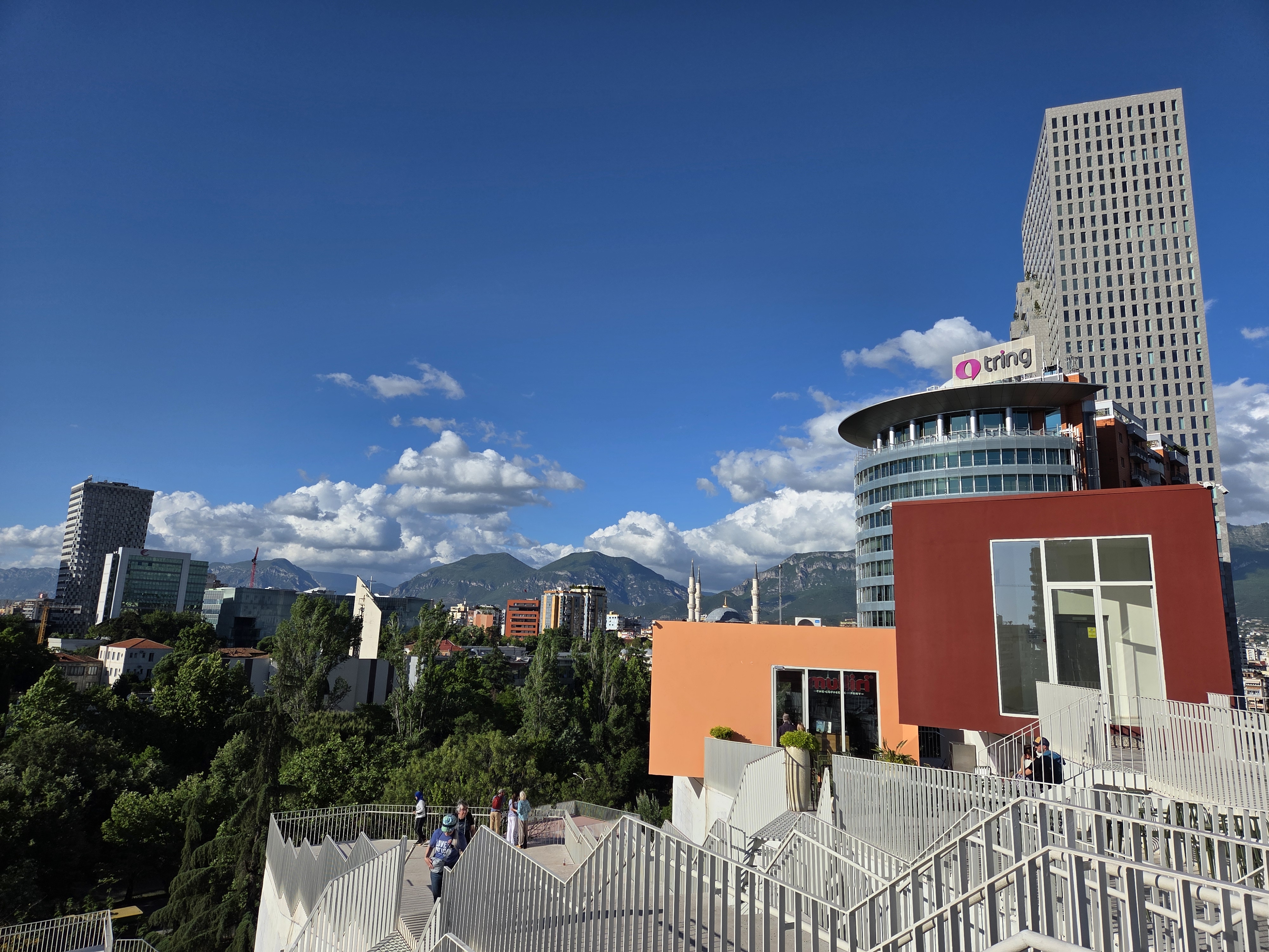
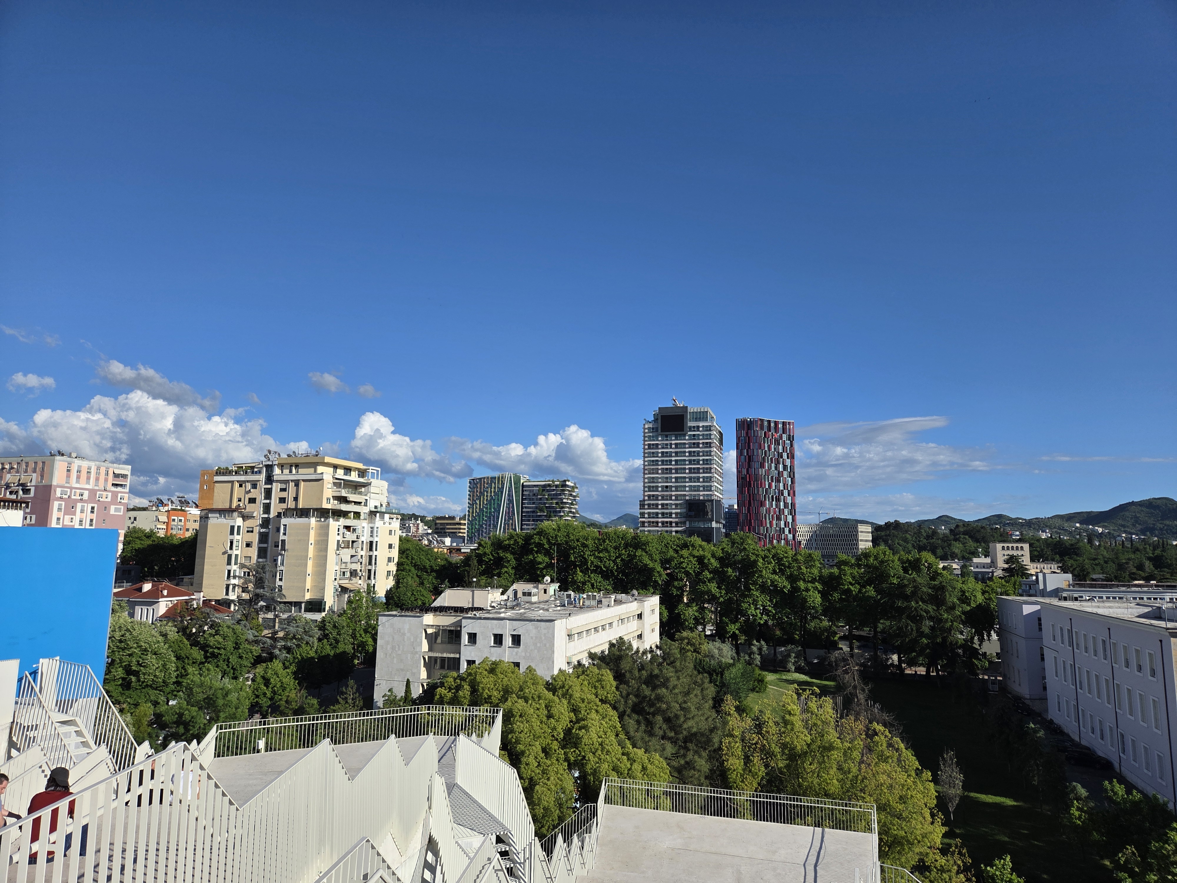
City Views.284


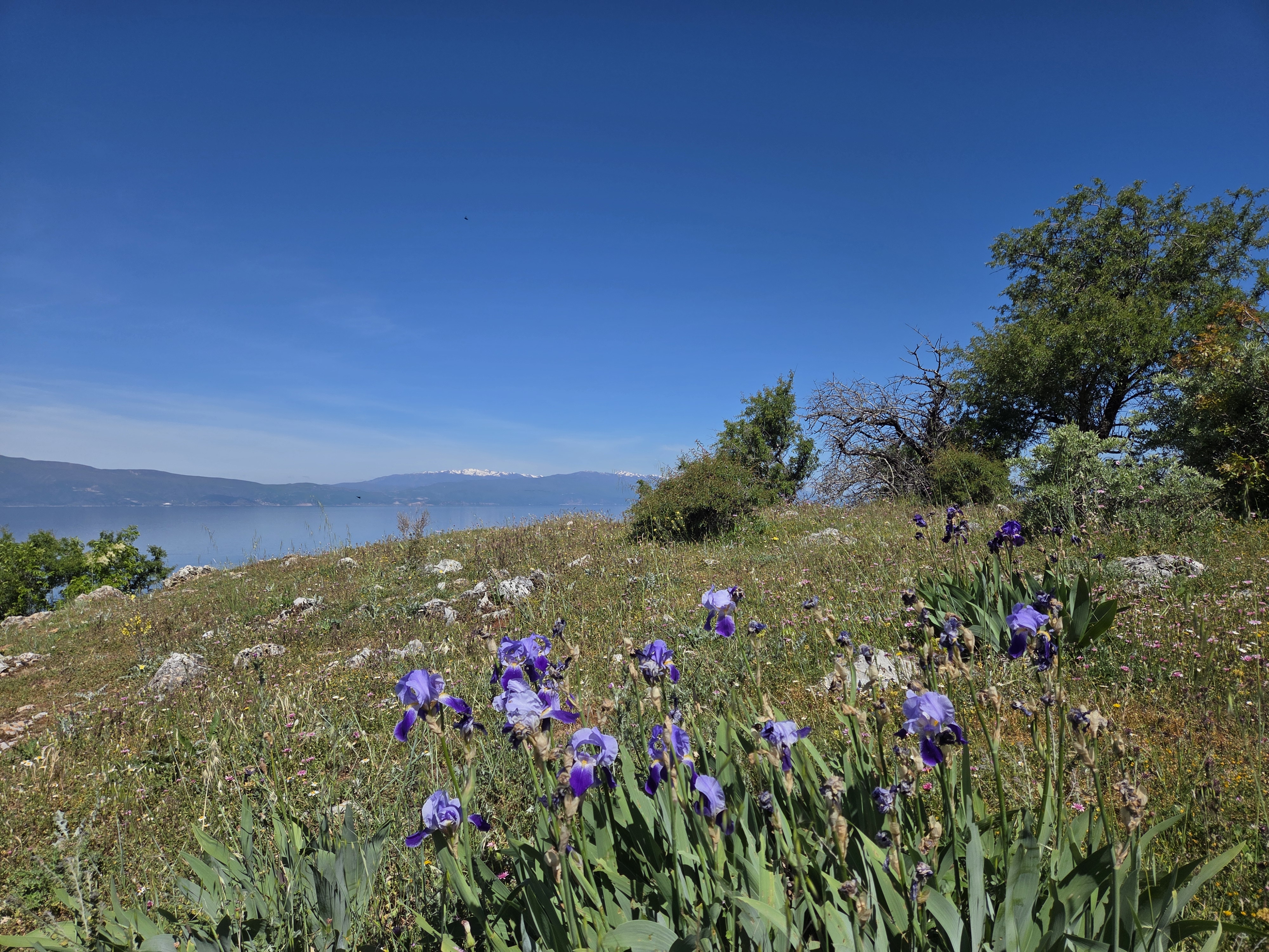
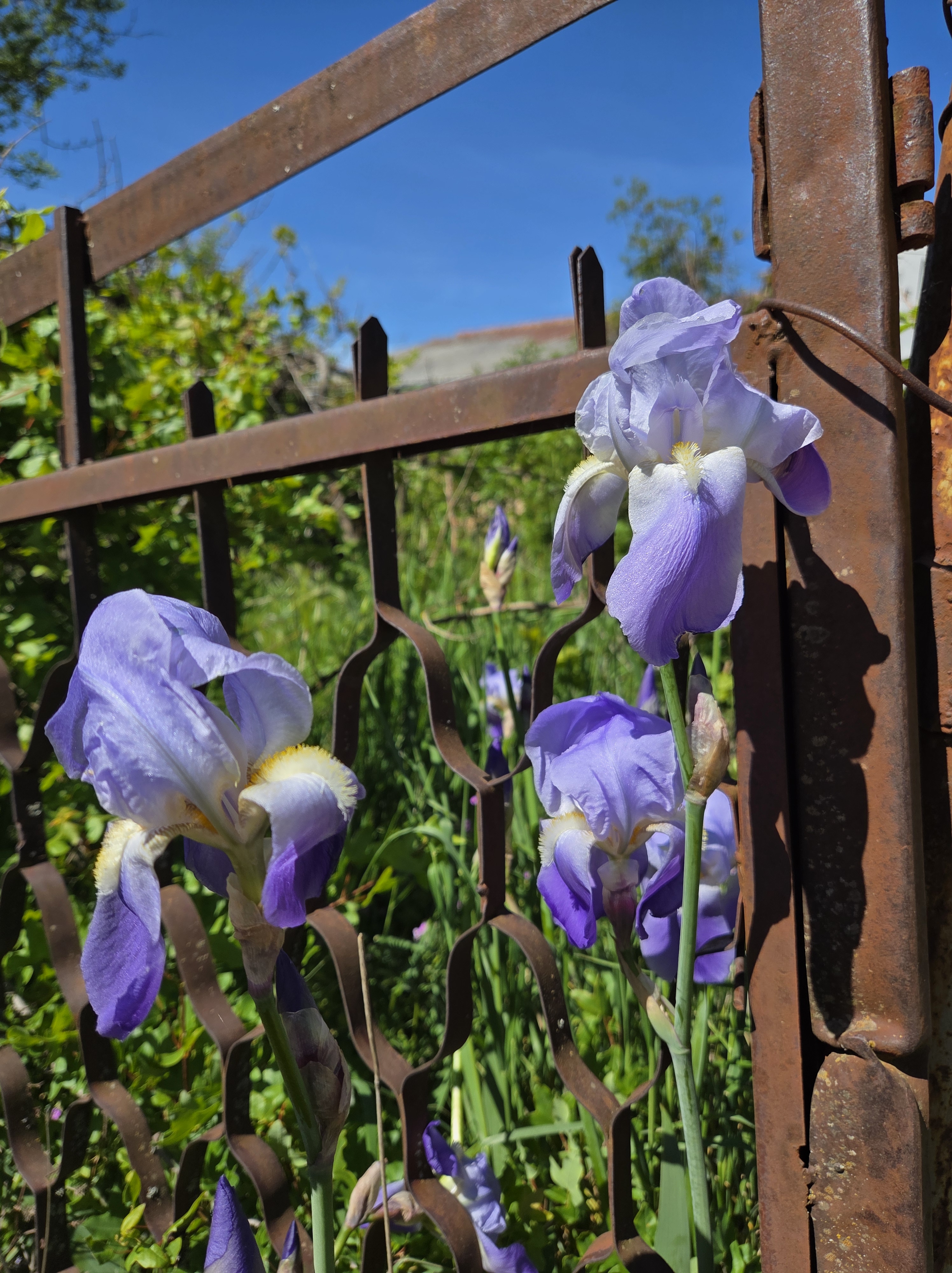
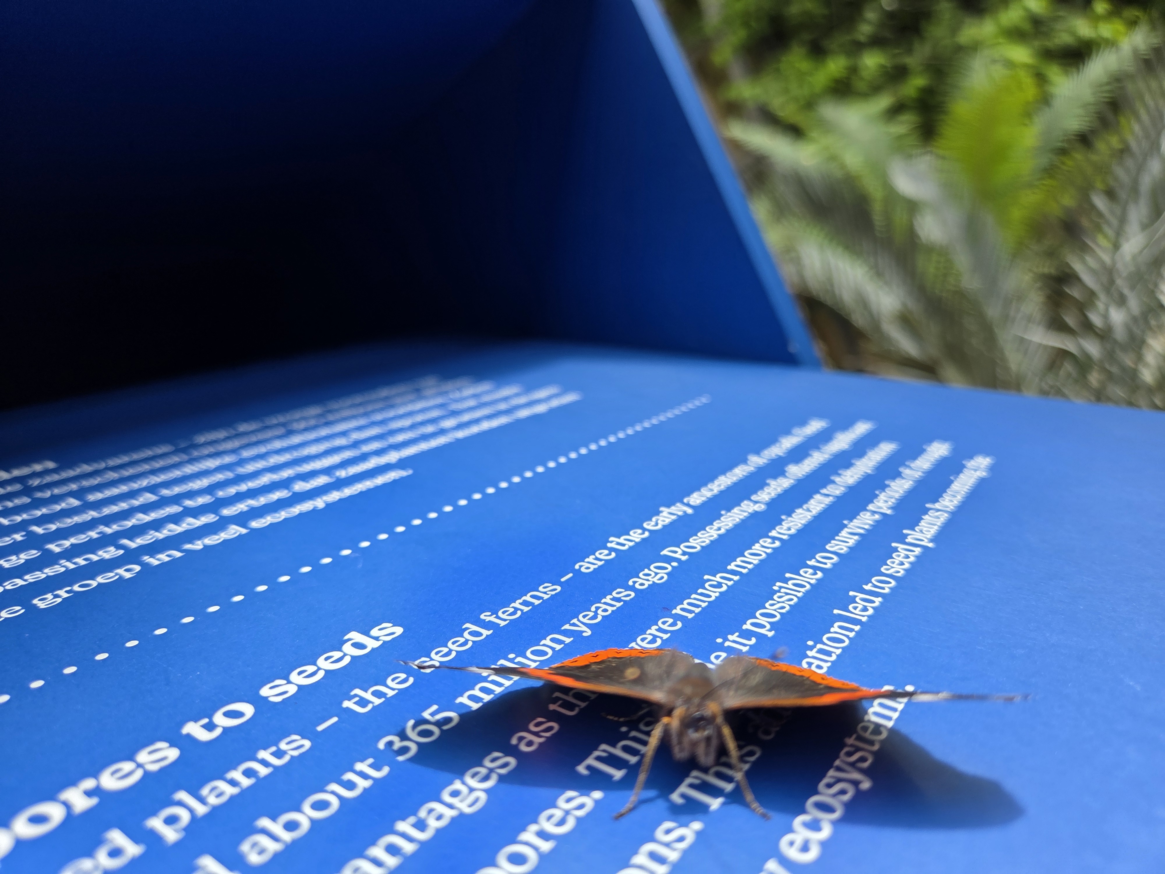
Small Wonders.304
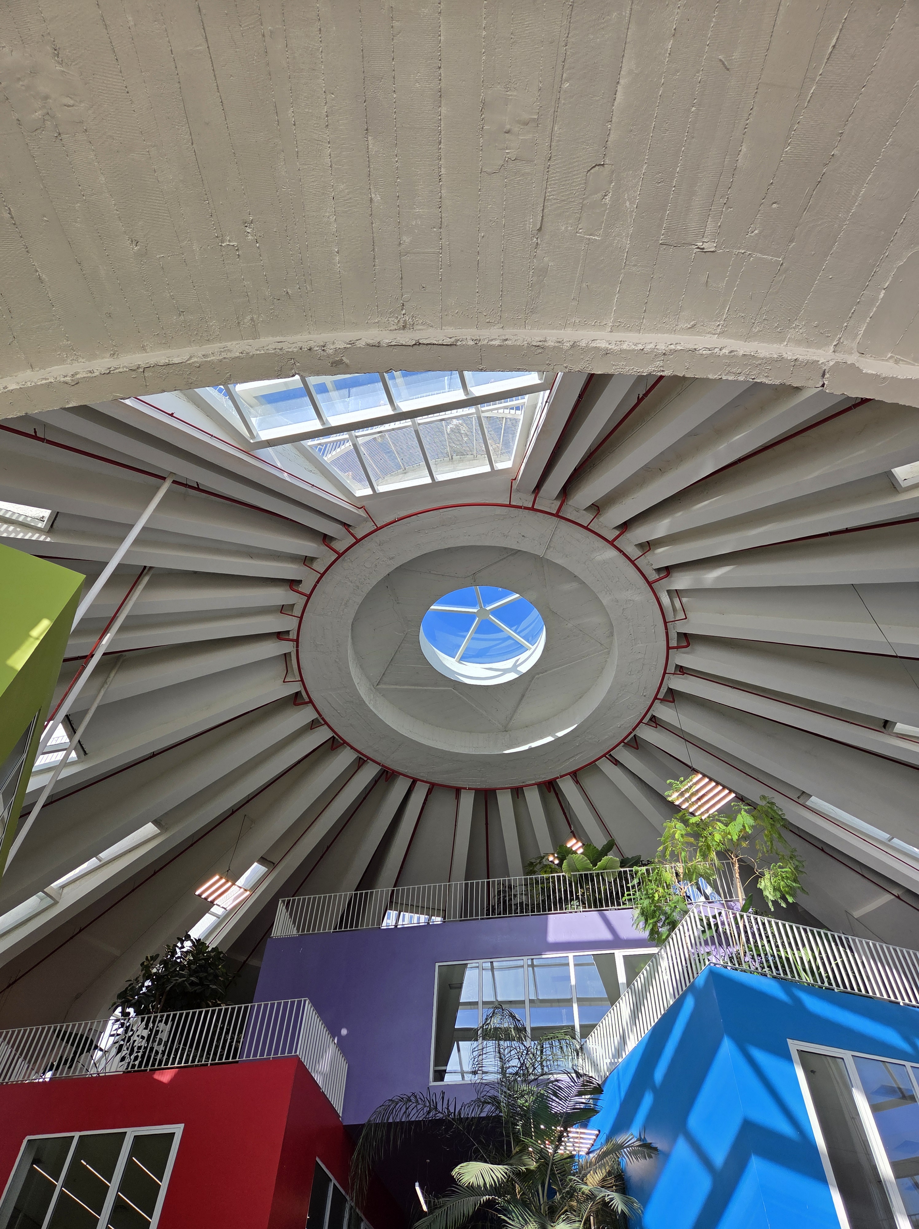
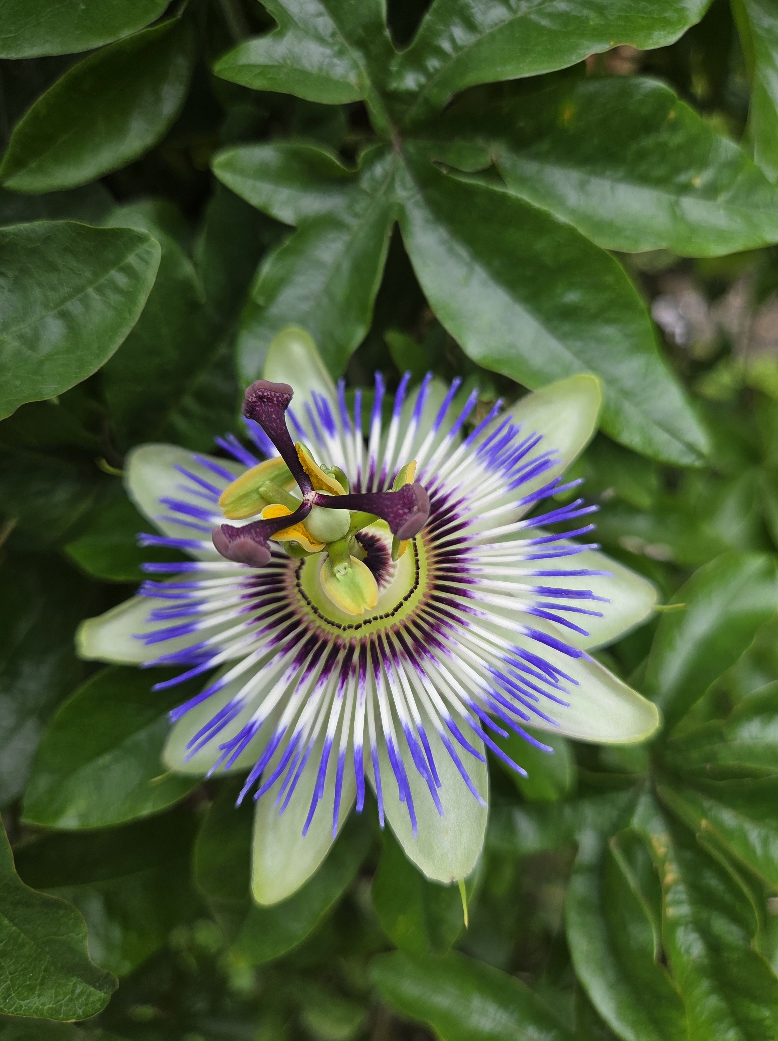
A workshop recently got me back into this newly-renovated, 1638-founded Amsterdam institution, of whose newly-remodeled greenhouses I recently shared one photo in another series. 10 (imaginary) bonus points to anyone who can guess which beloved institution in the immediate neighborhood of our office we’re showing you here. Hint: it’s one of the world’s oldest of such institutions, yet somehow never makes the cut for most of my visitors, when weighed against other even more famous Amsterdam institutions…


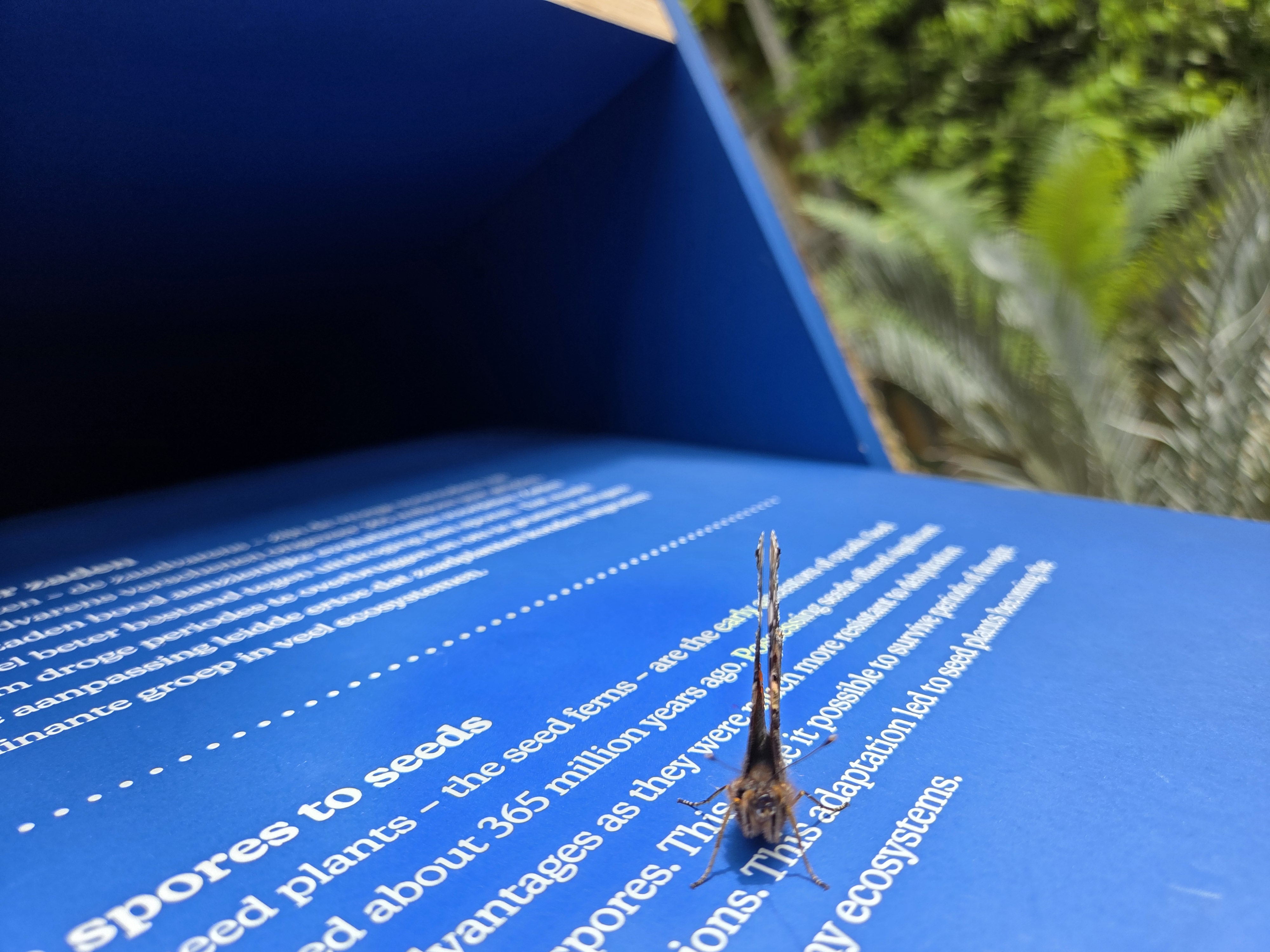
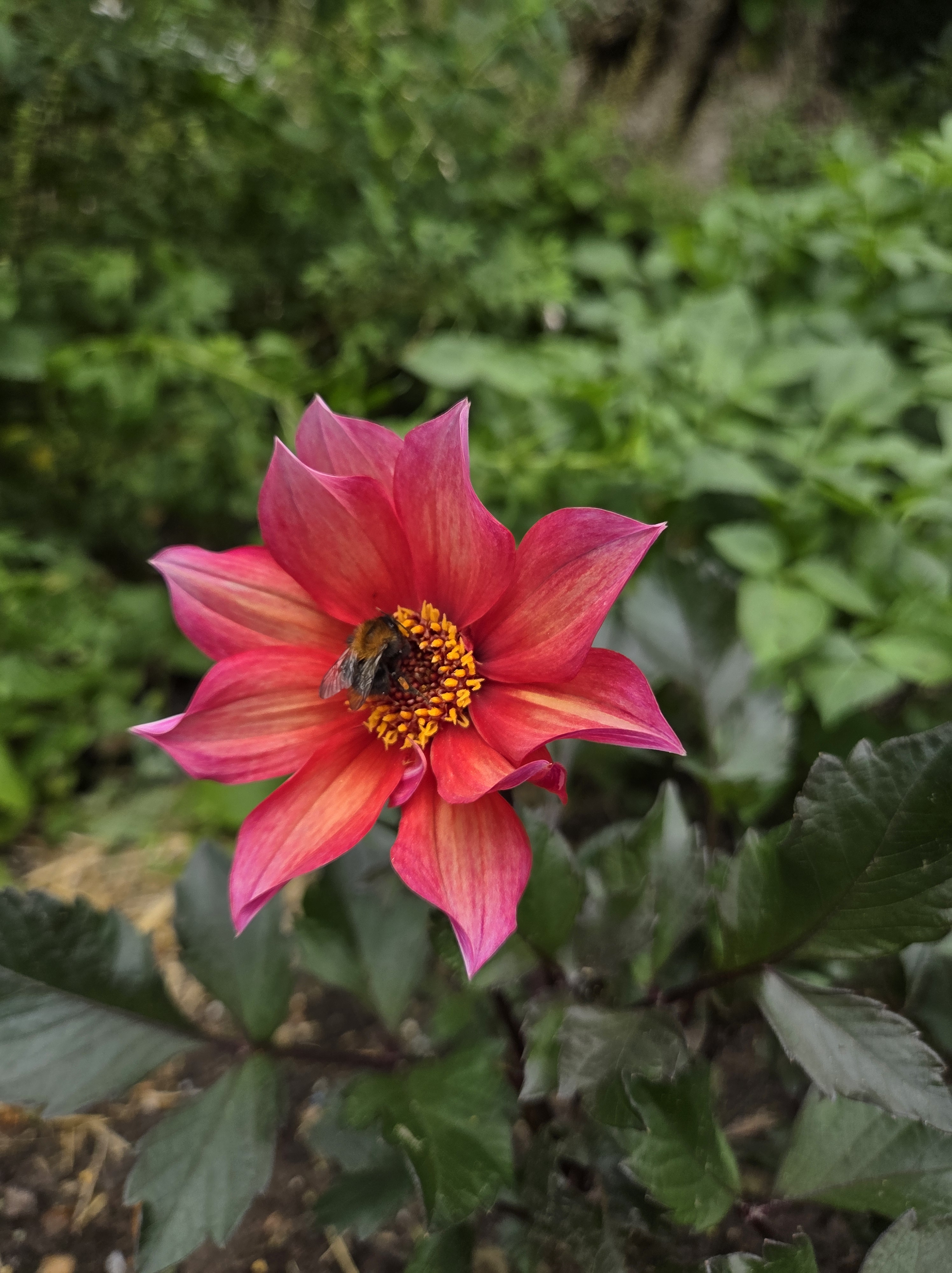

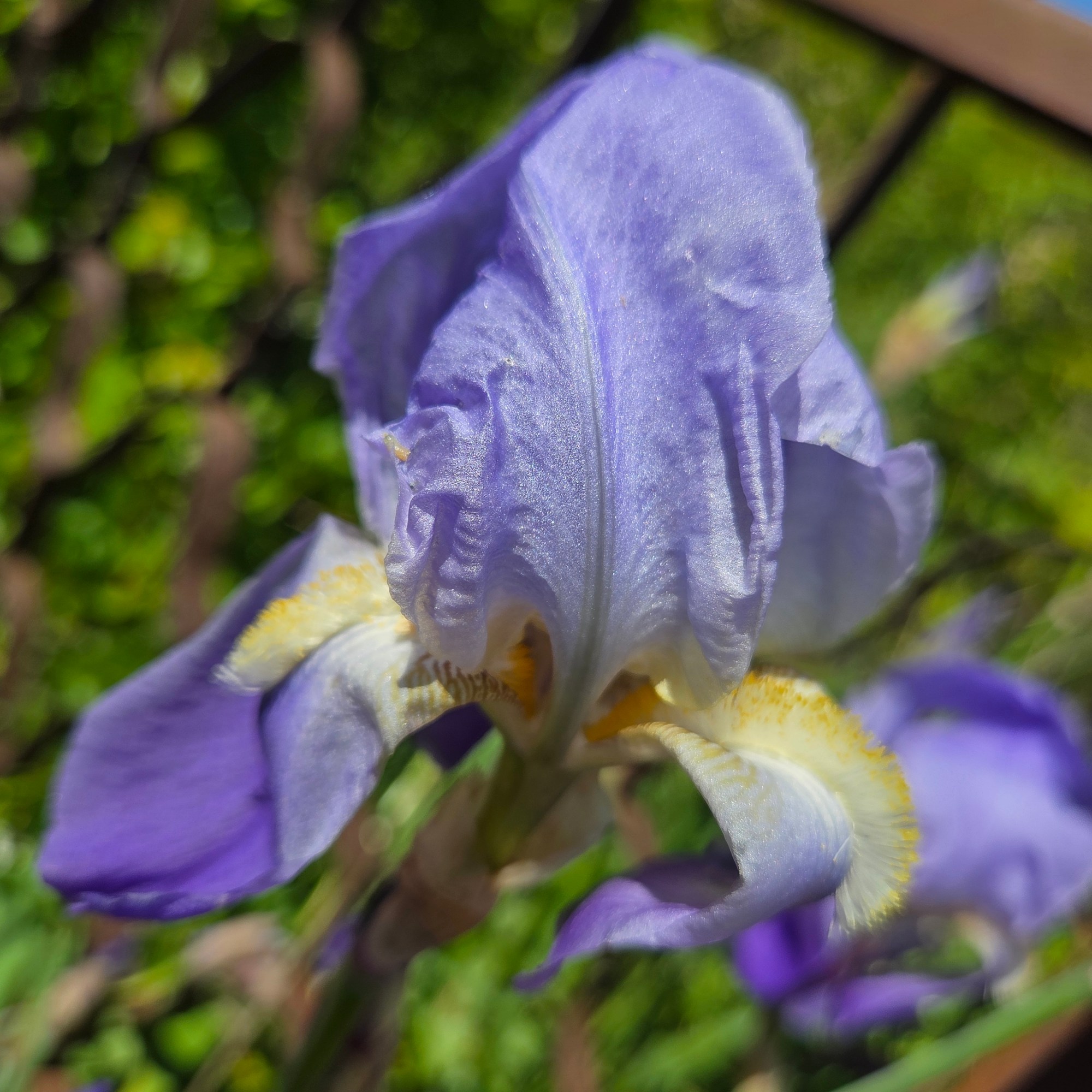
Small Wonders.303
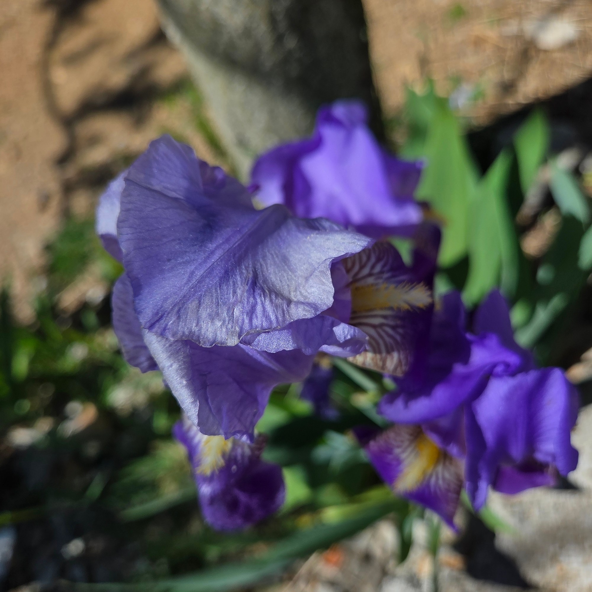
Small Wonders.302
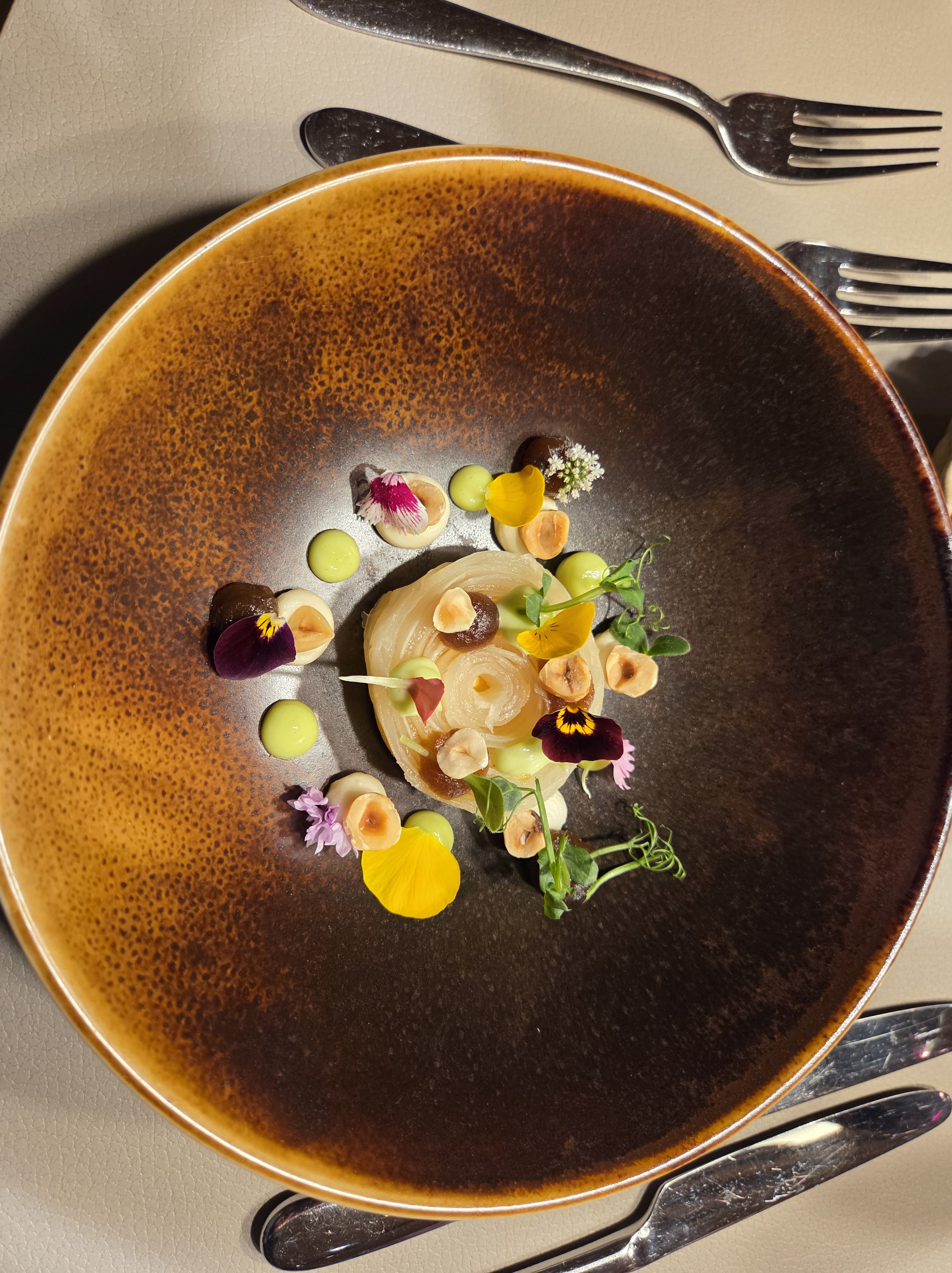
Eetbaare kleine wunderen, bij ons taaltafel aan het Regina Coeli Instituut, Februari van dit jaar. 🙂