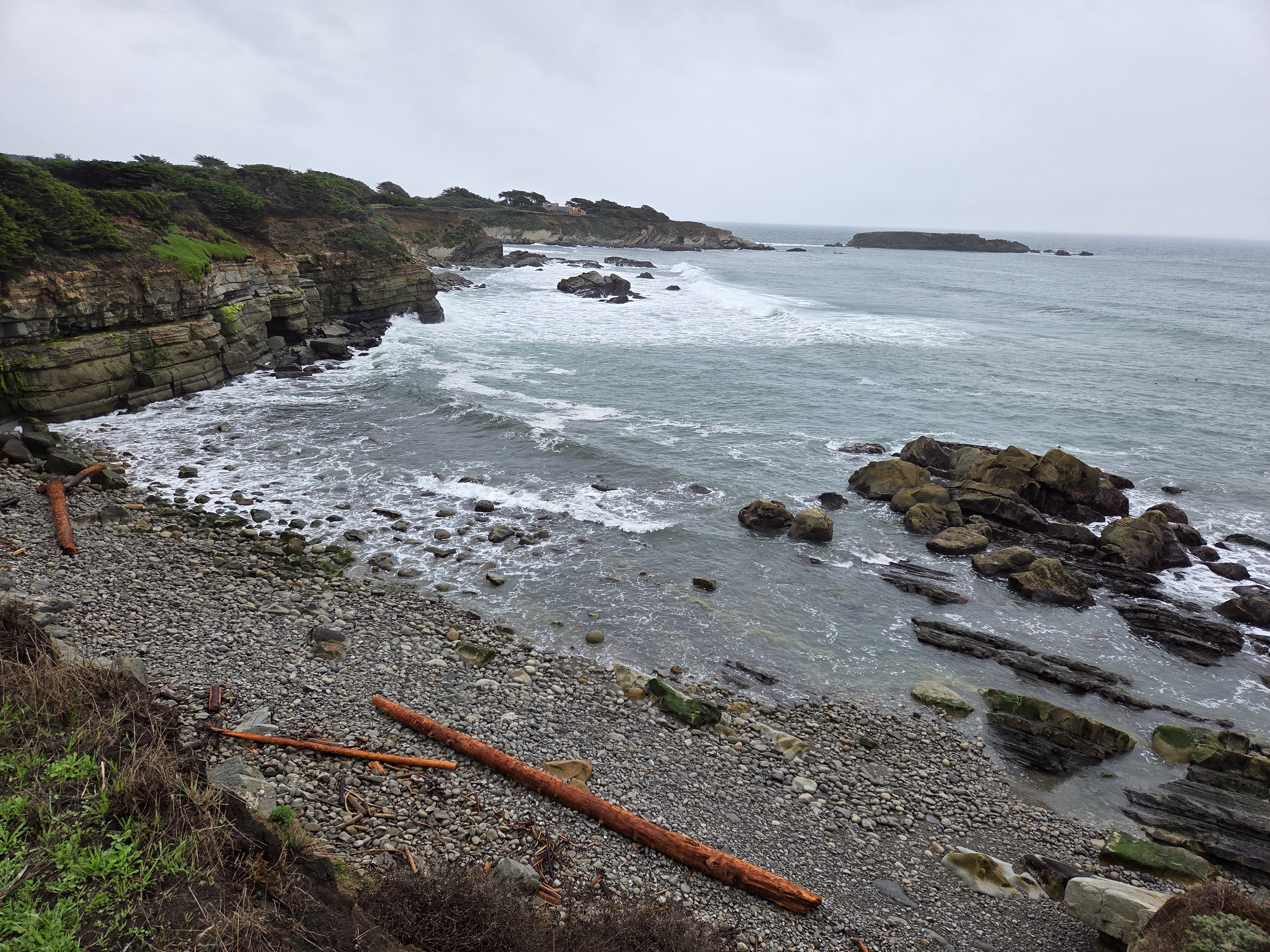
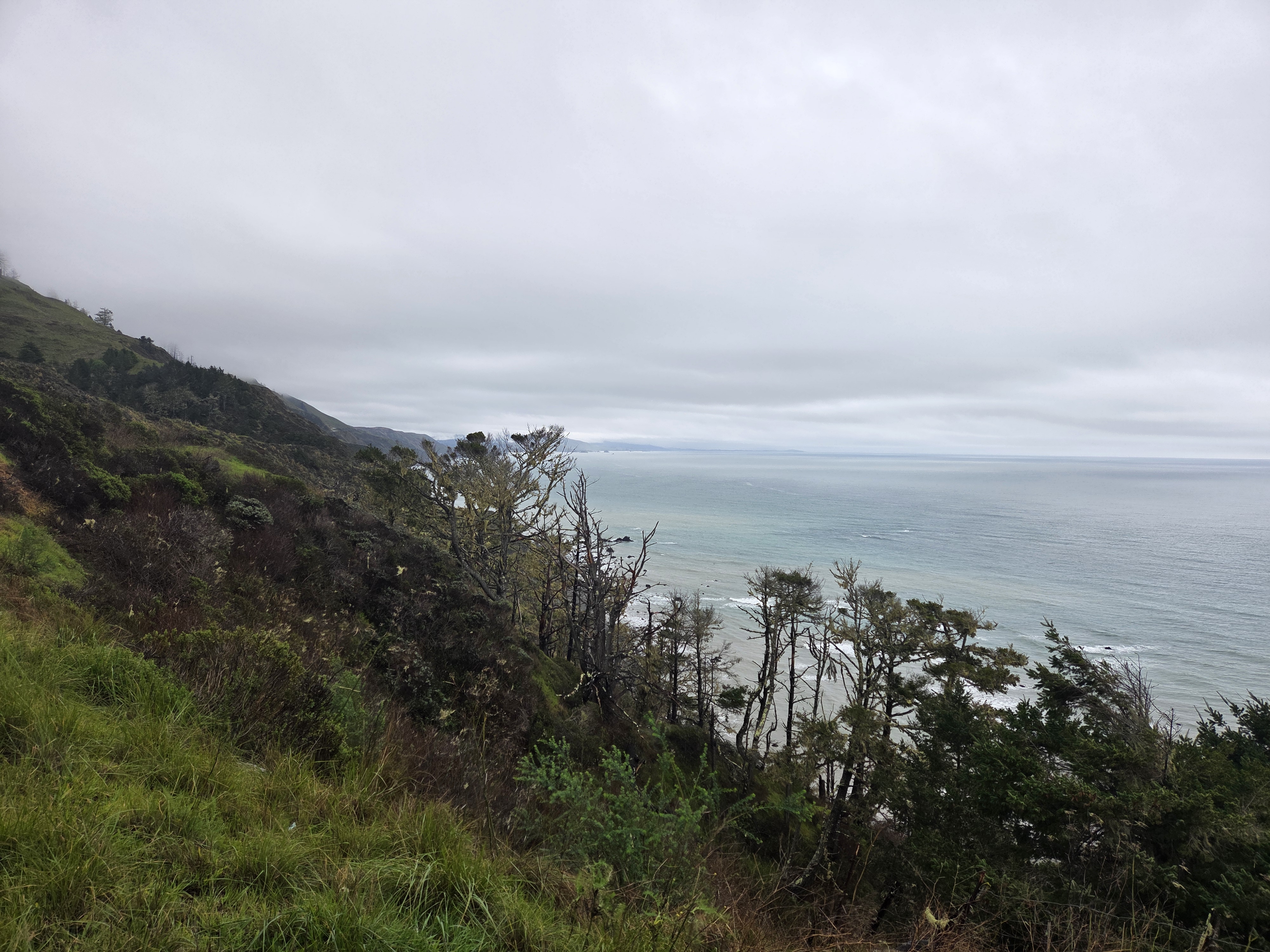
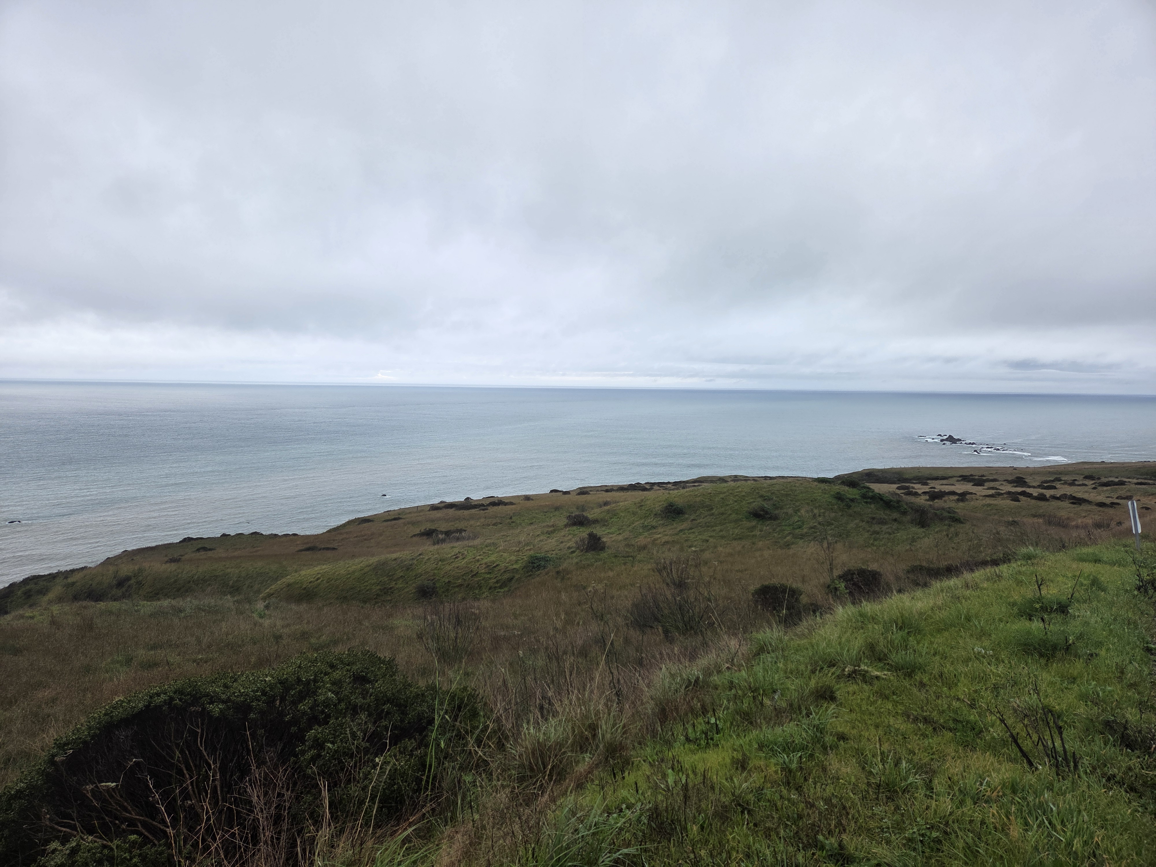
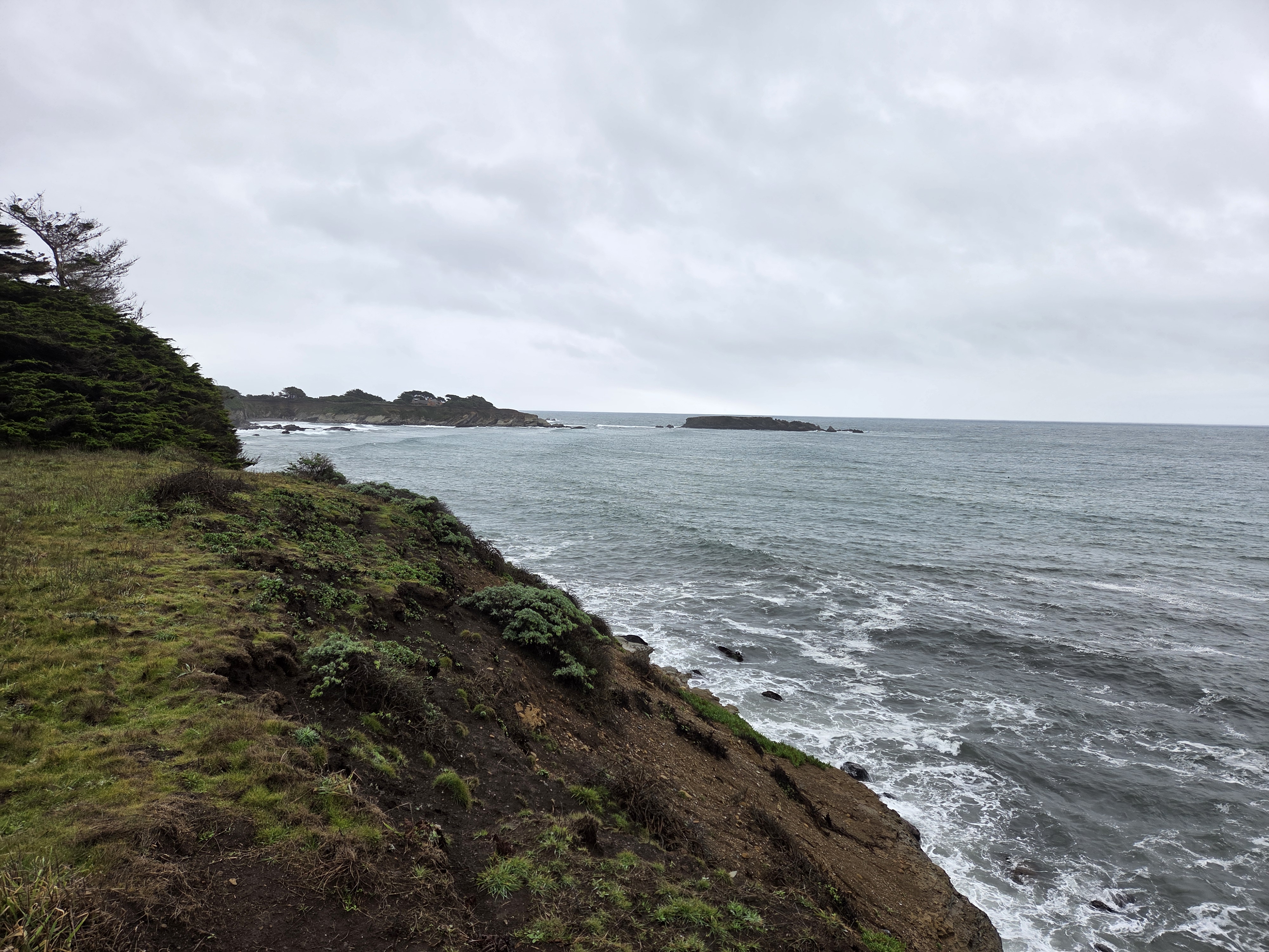
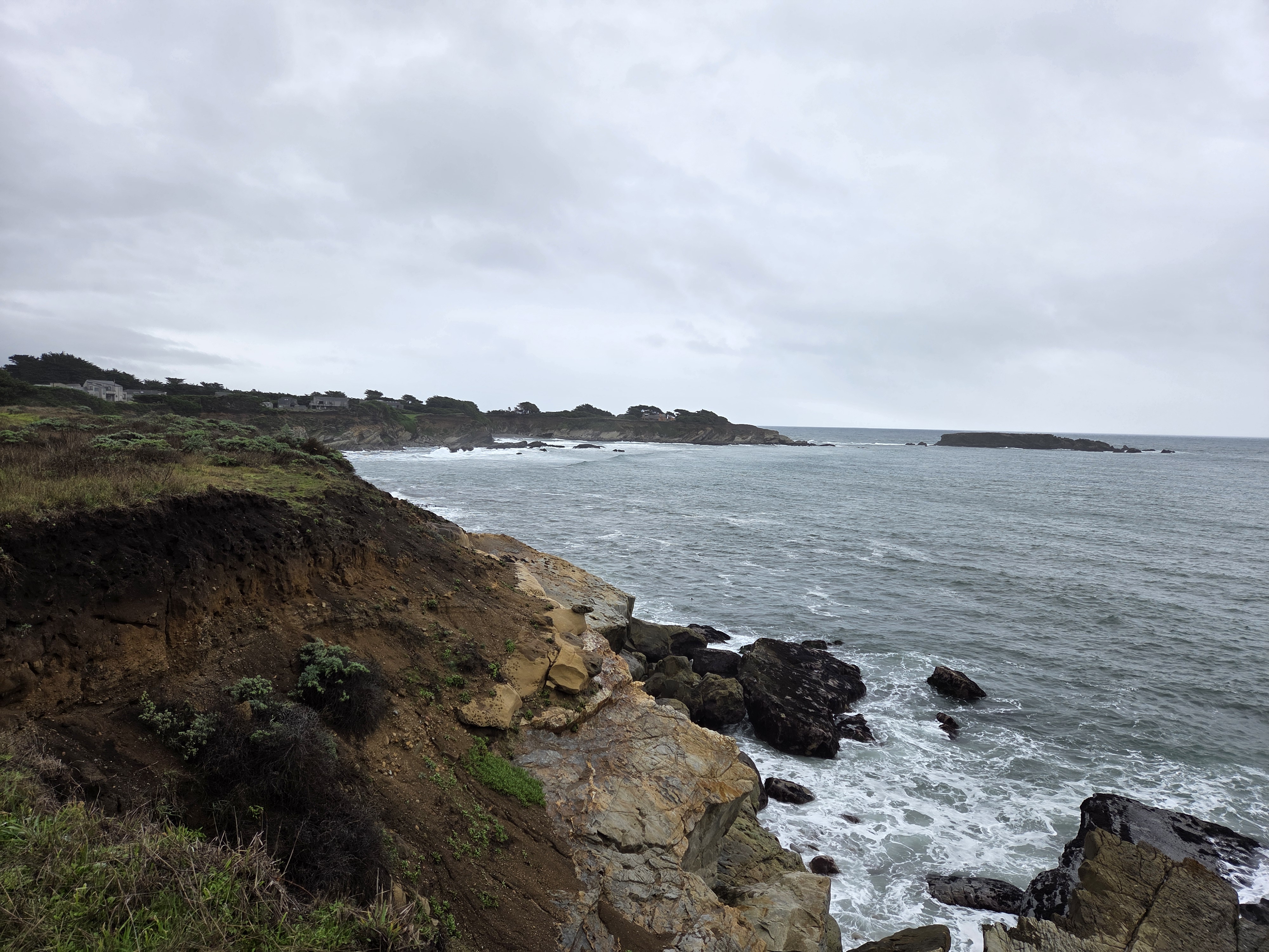
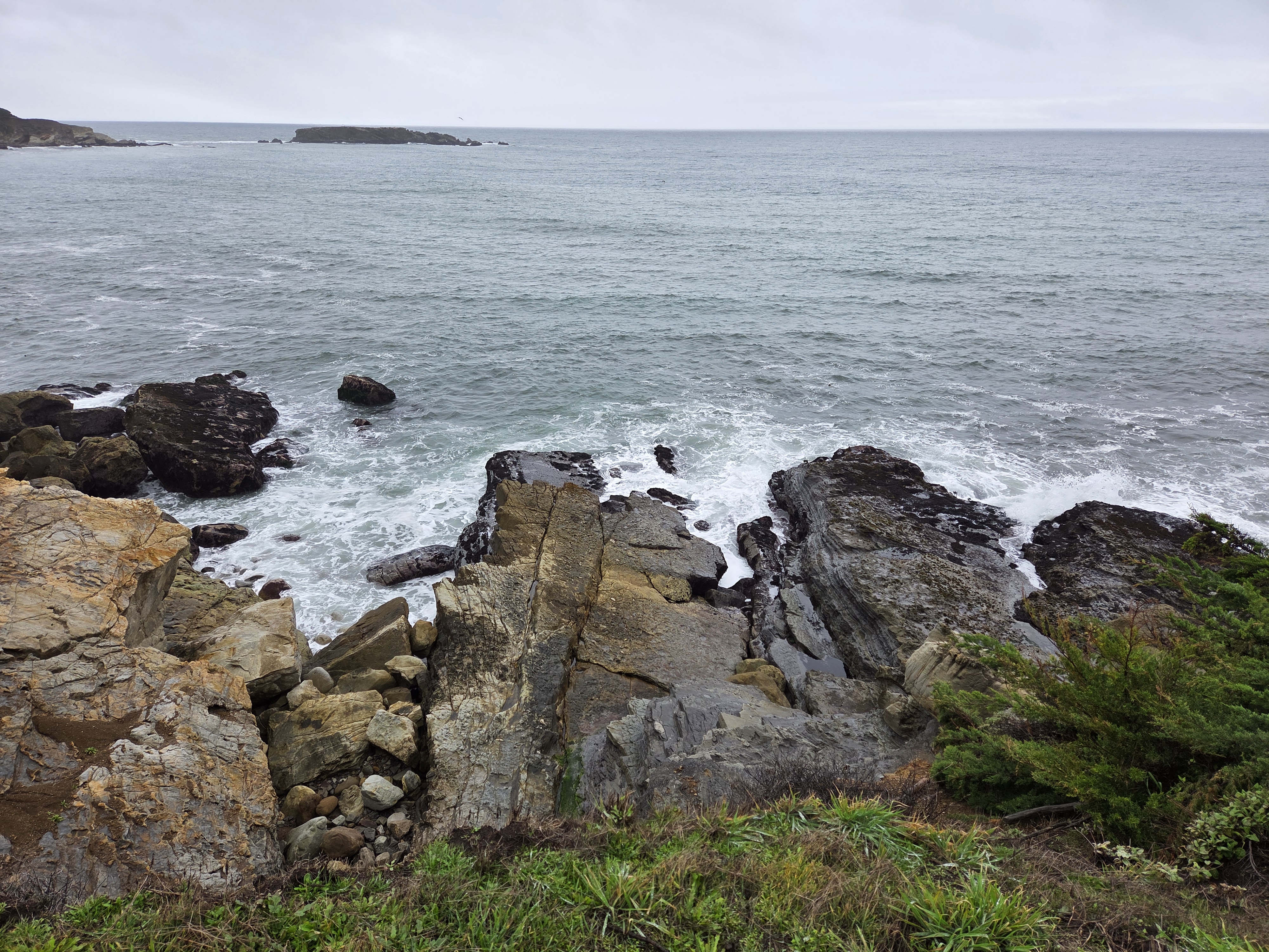
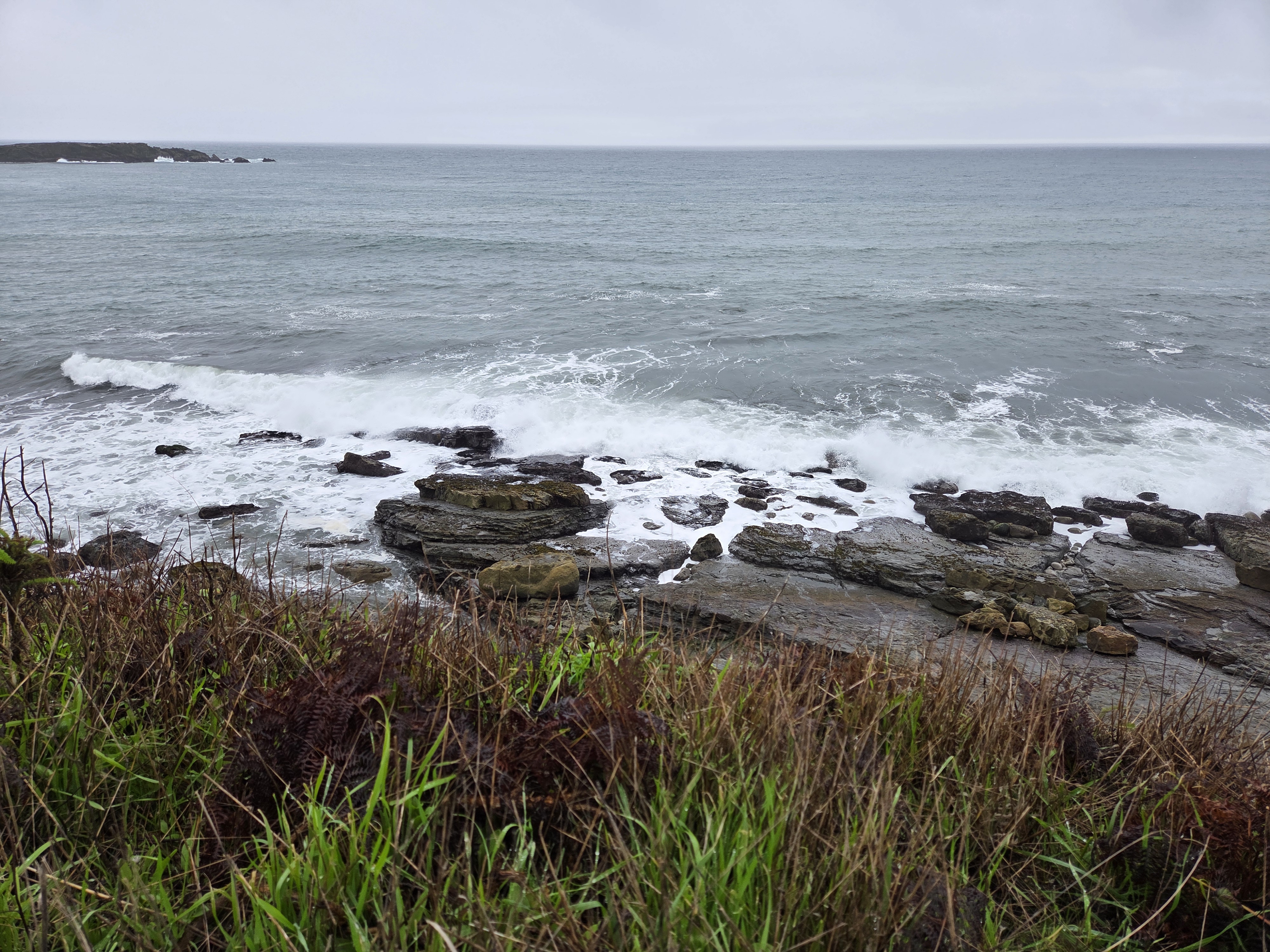
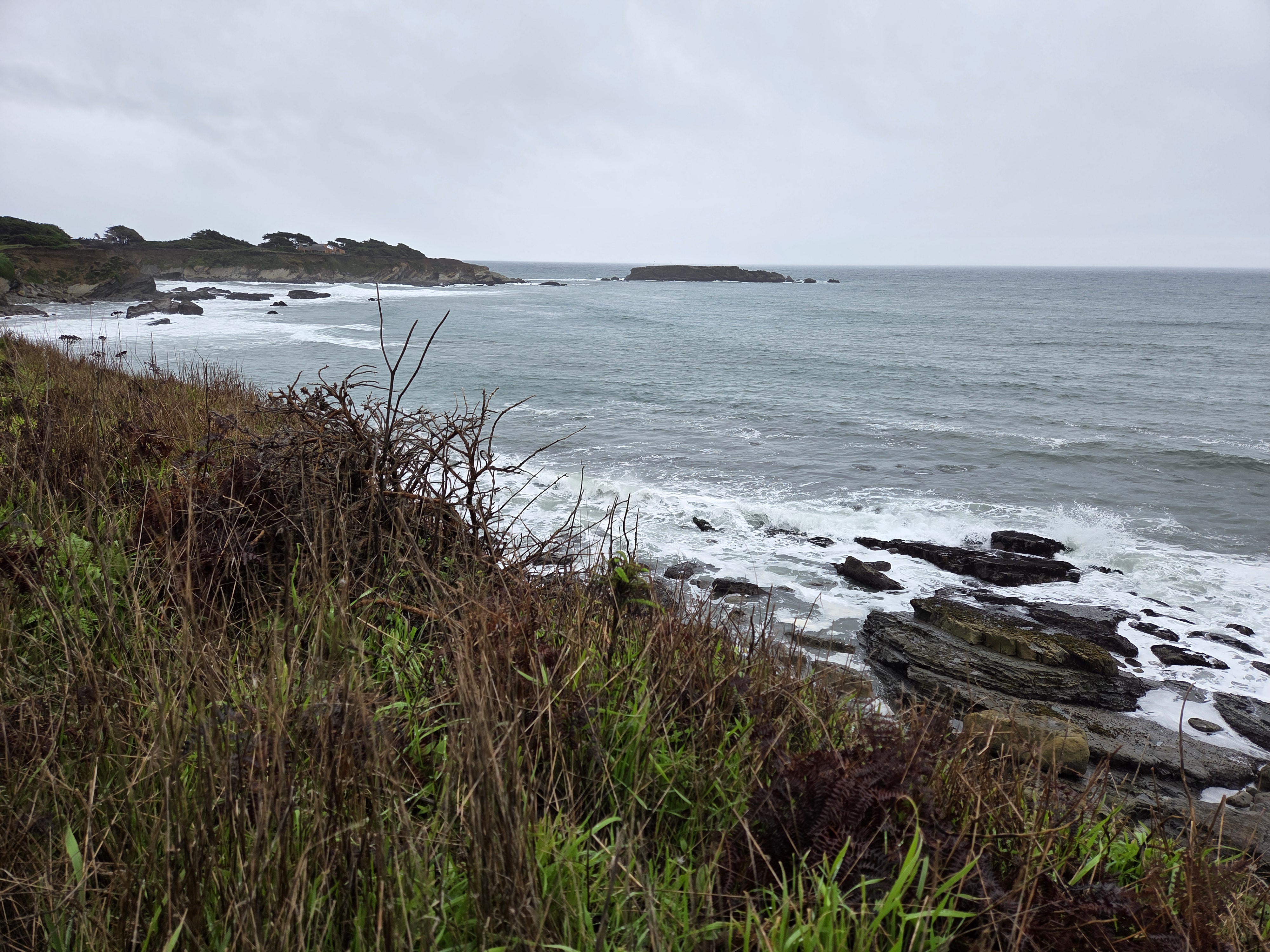
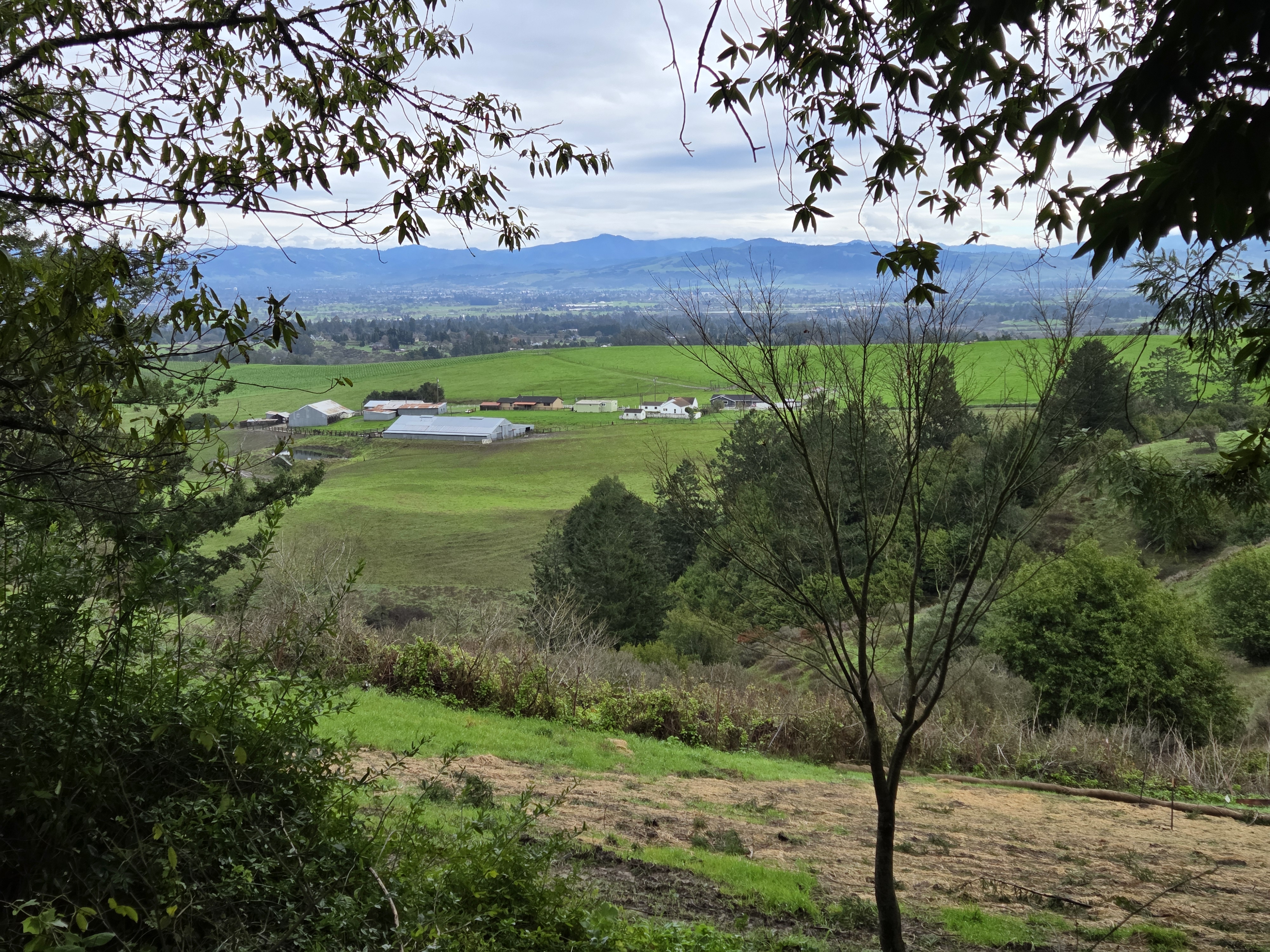
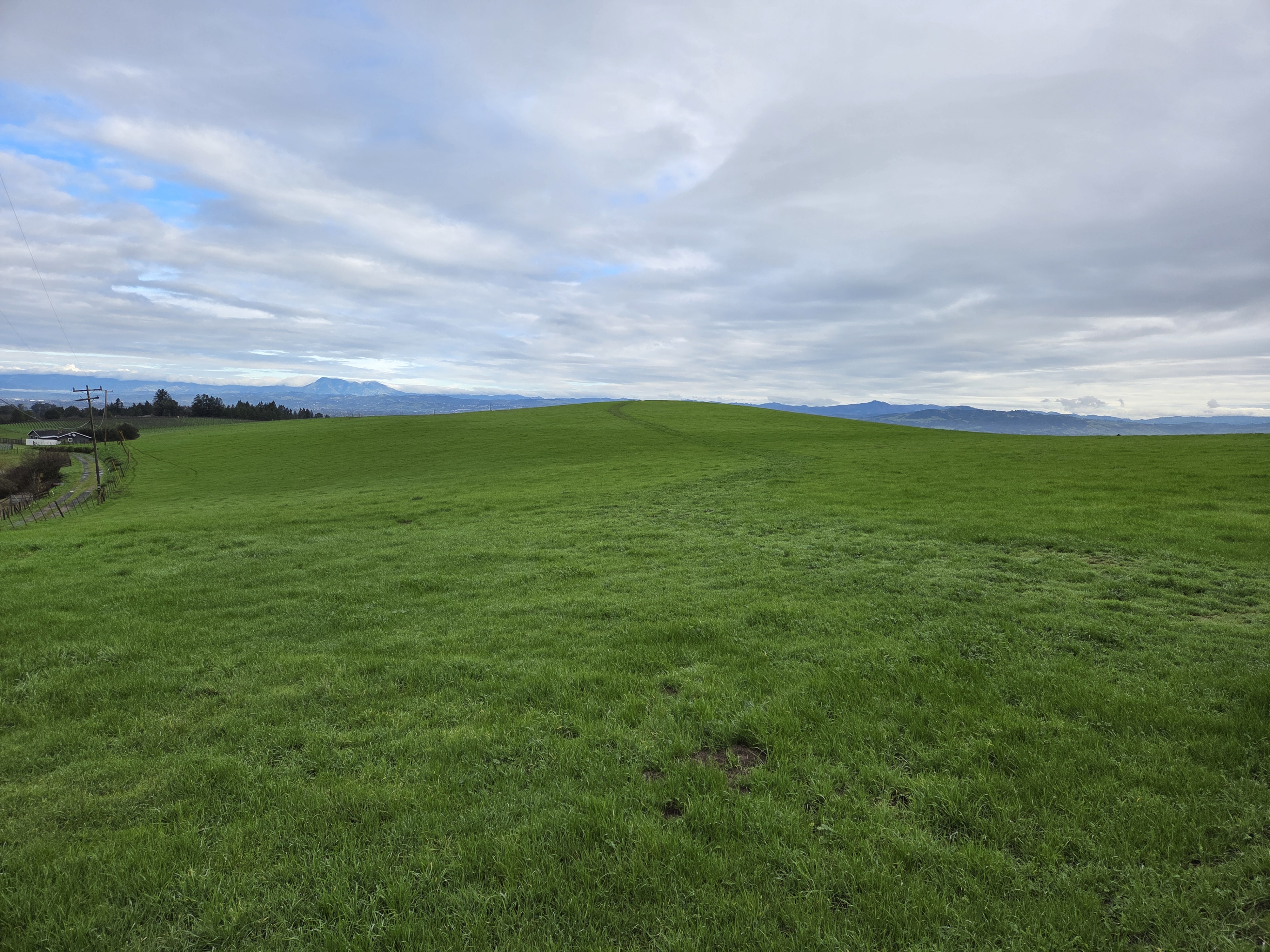
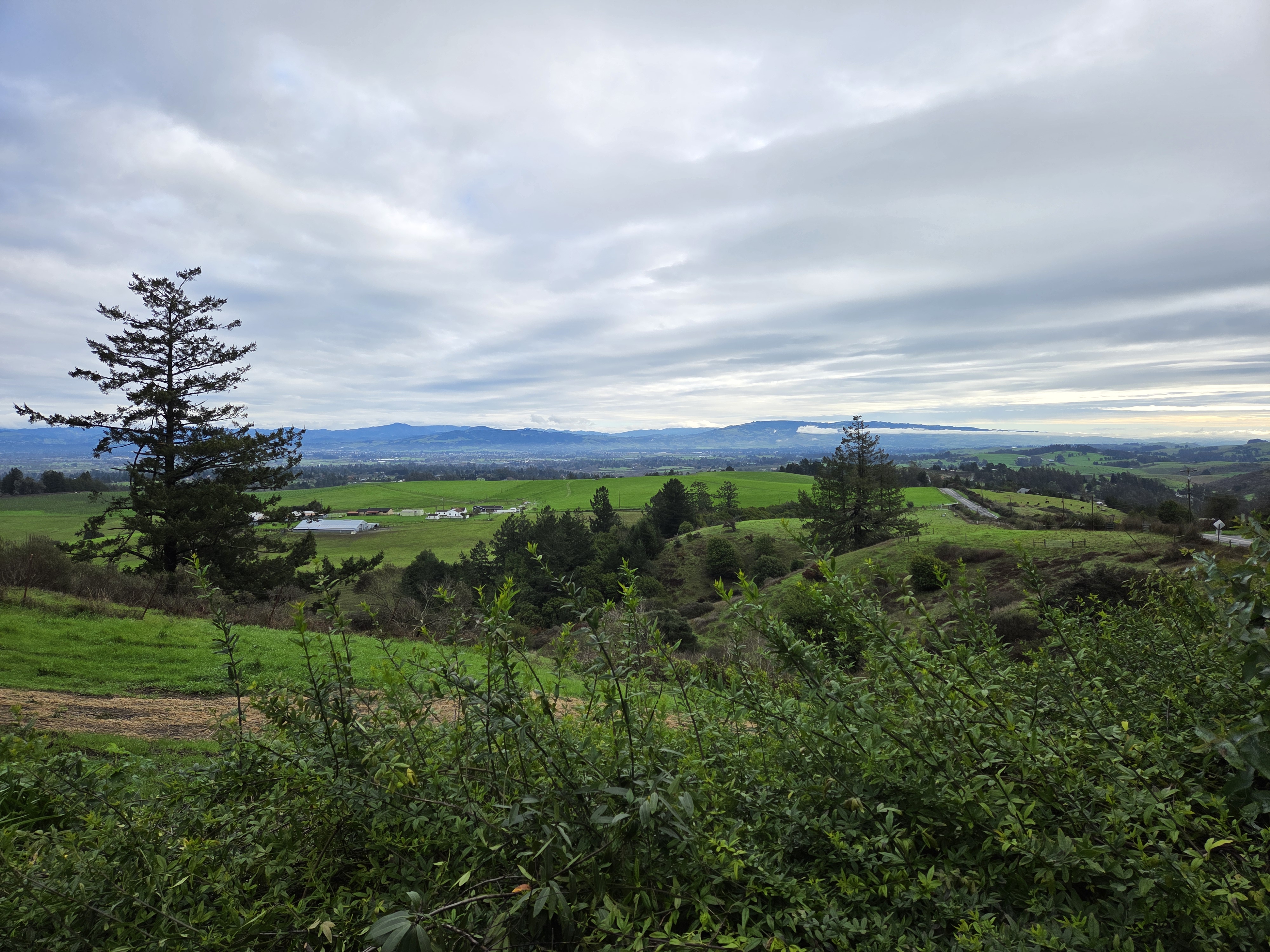
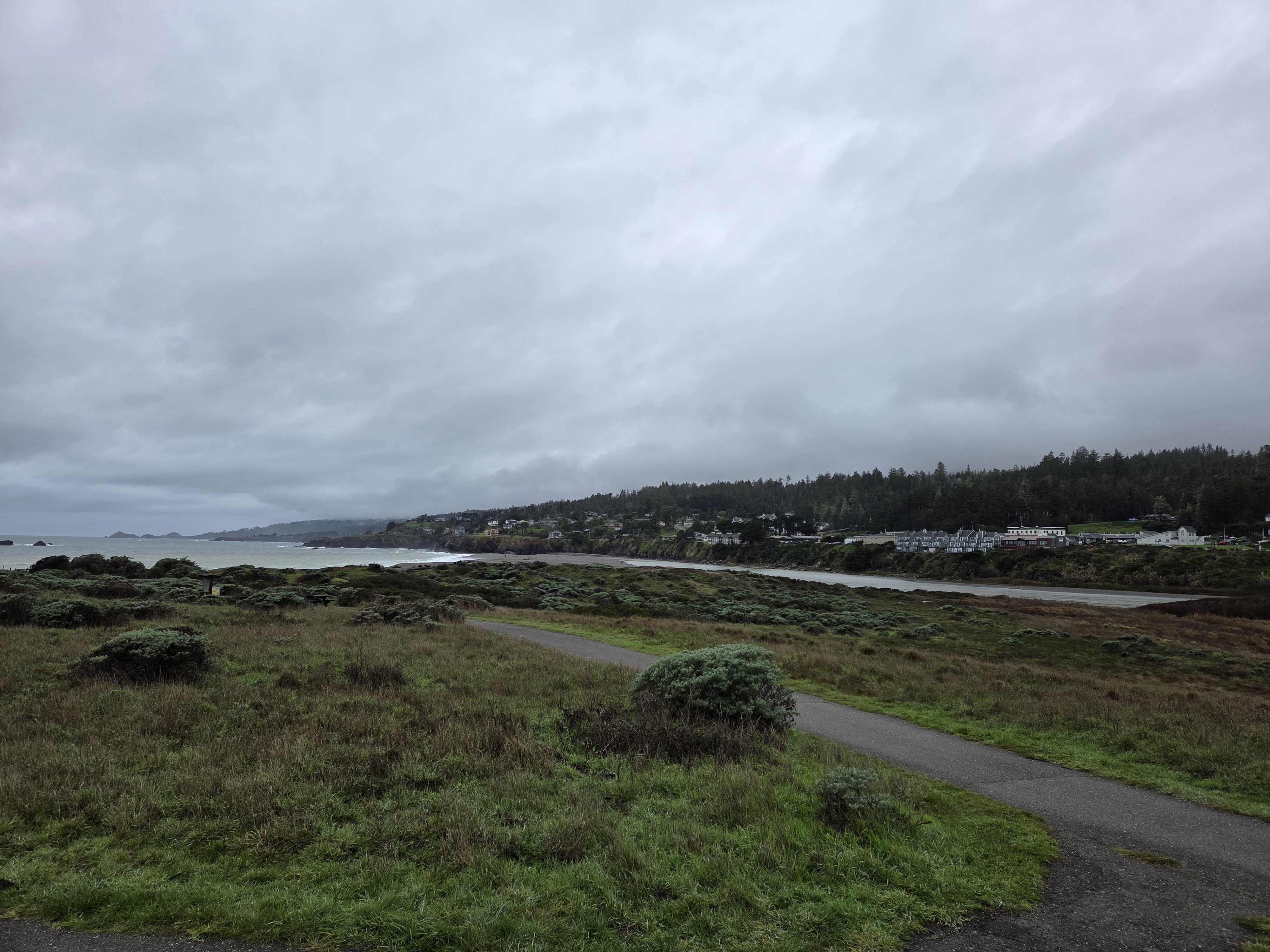
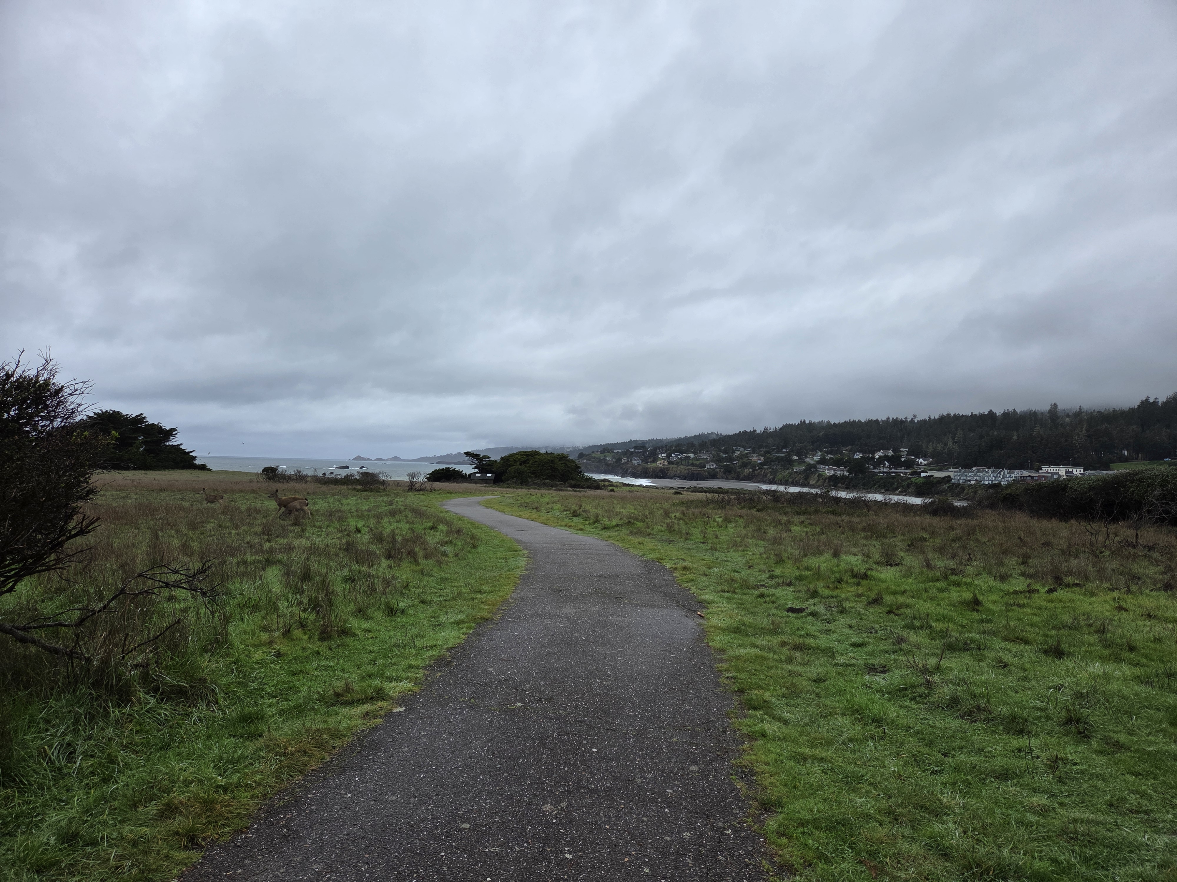
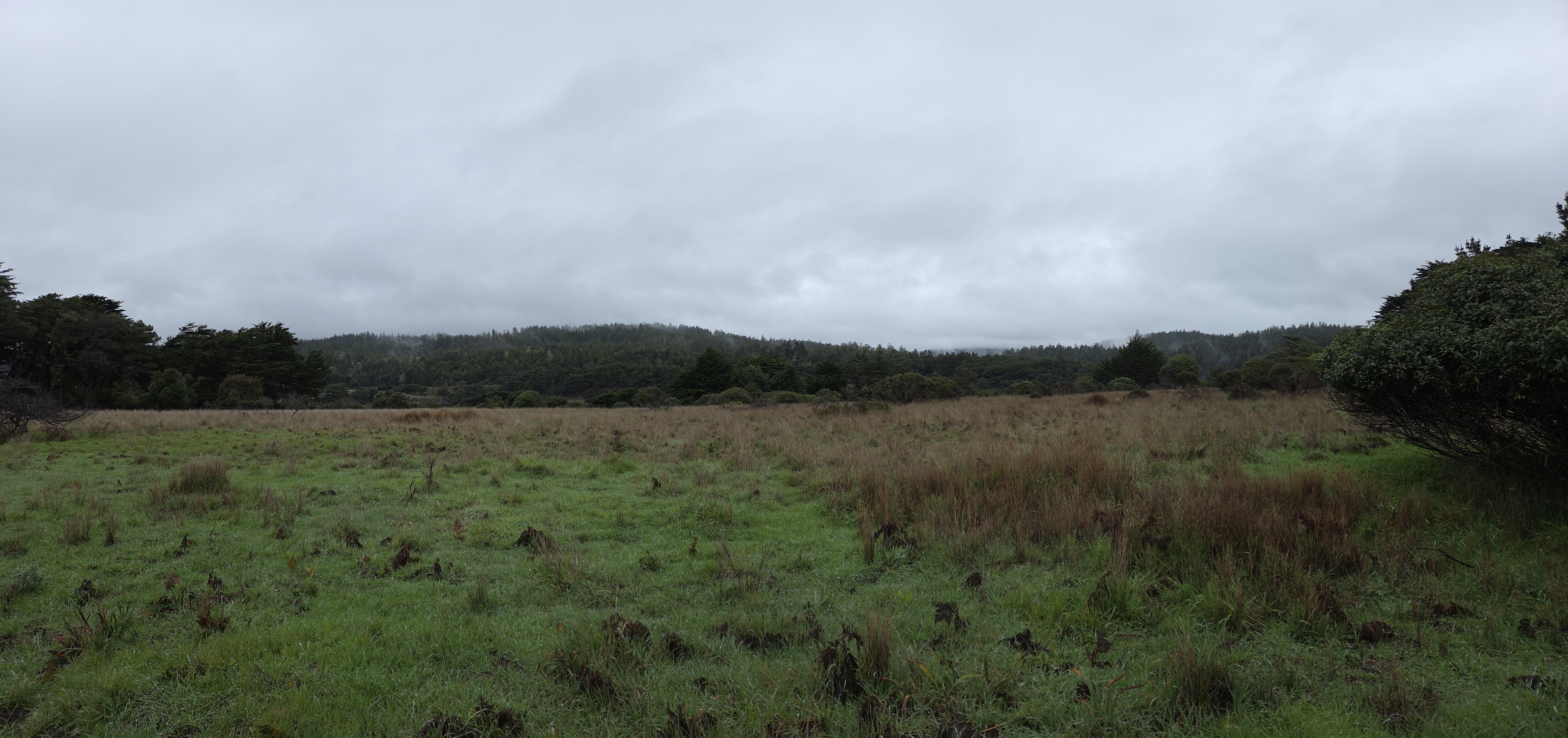
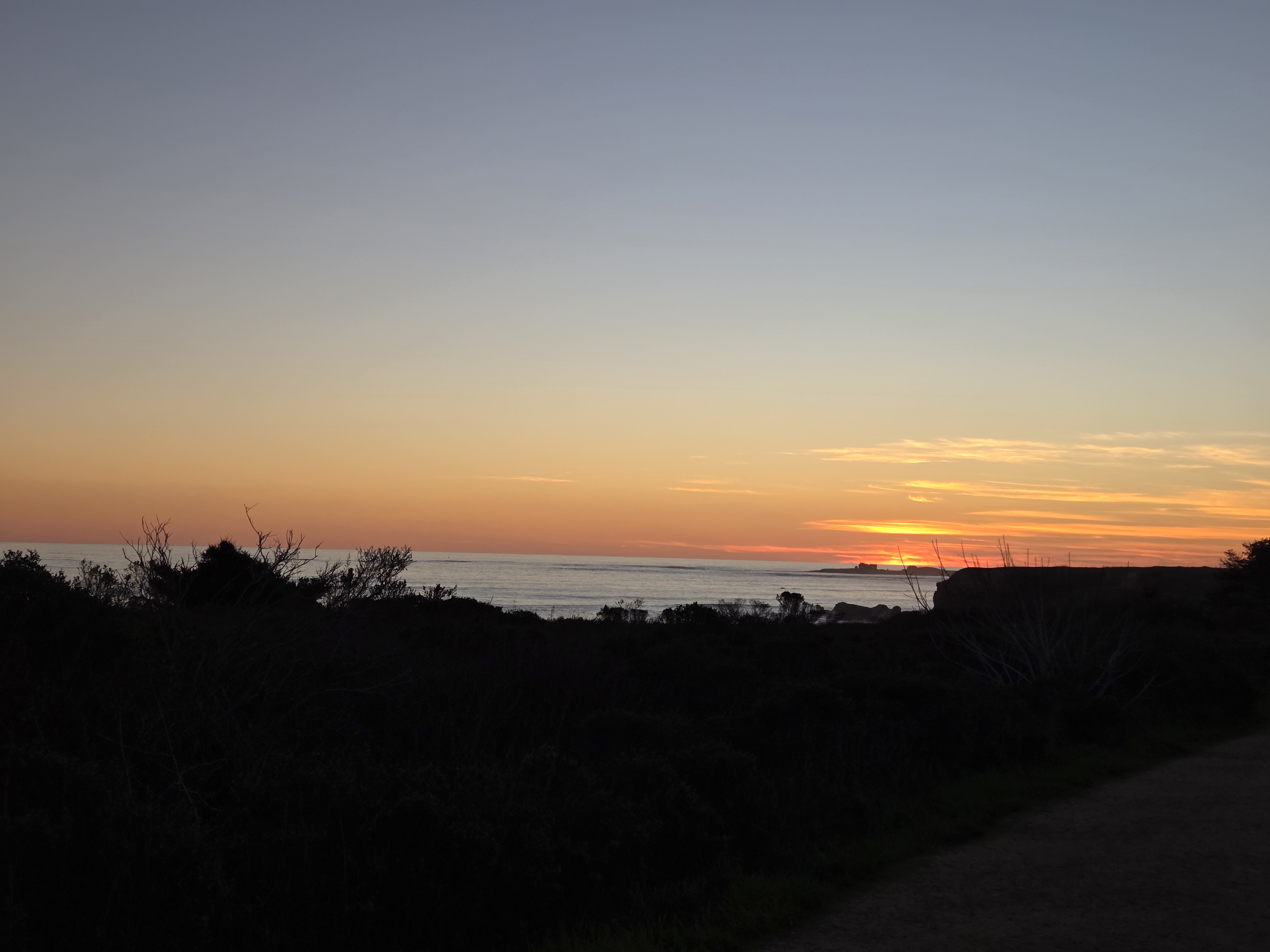
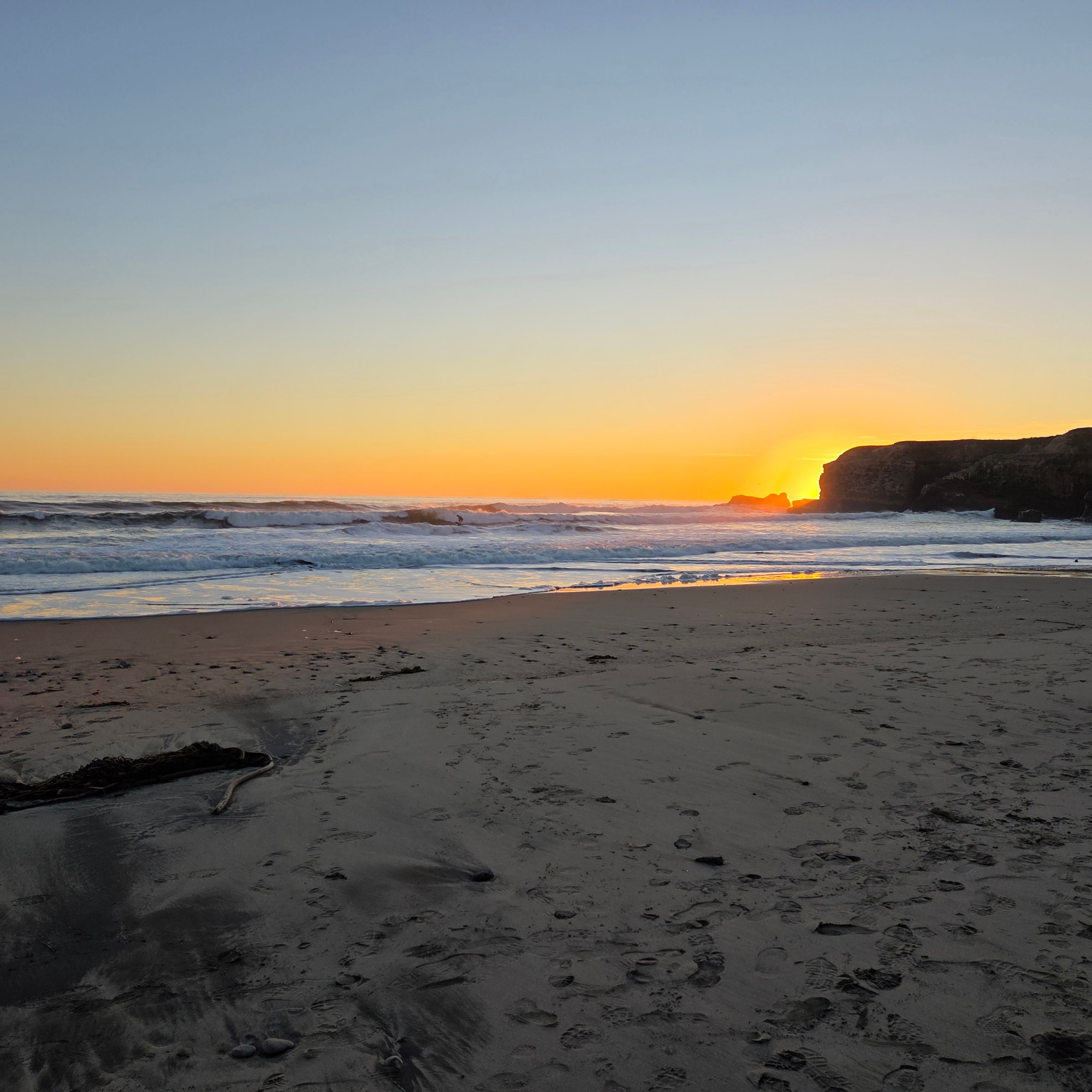
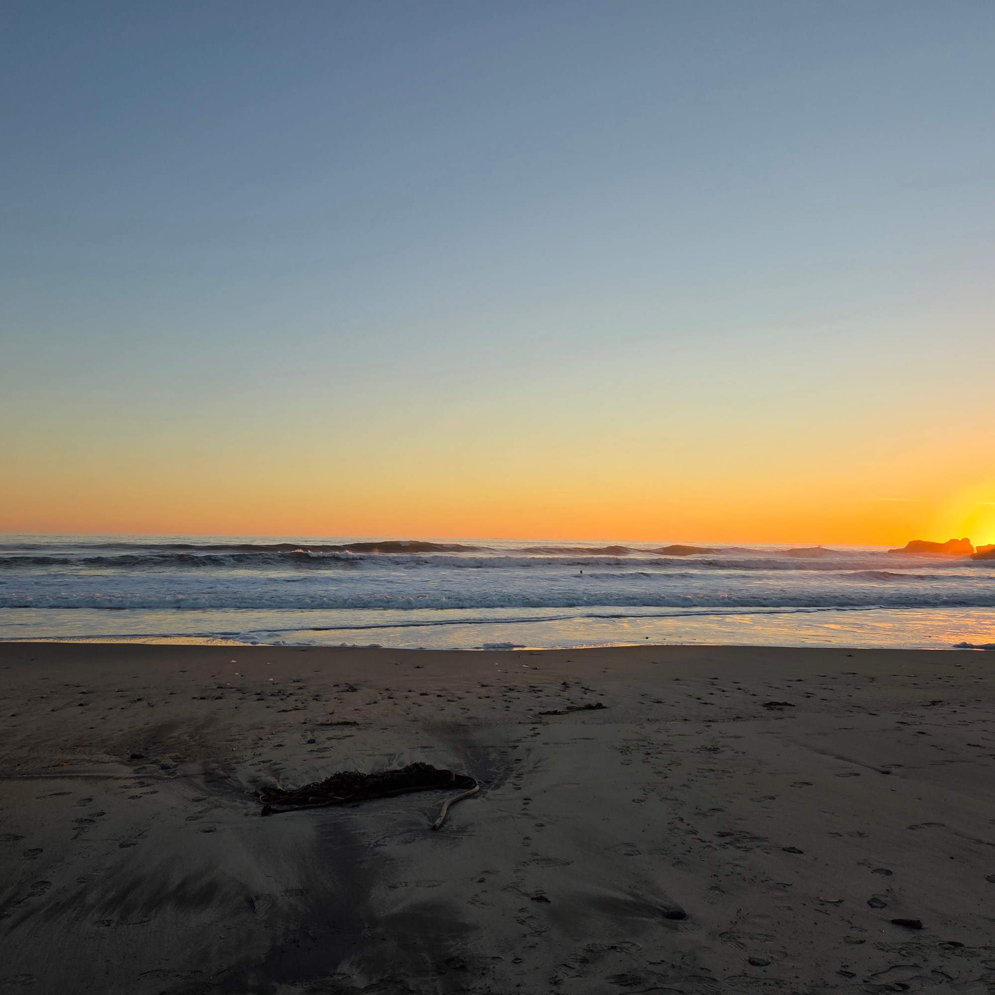
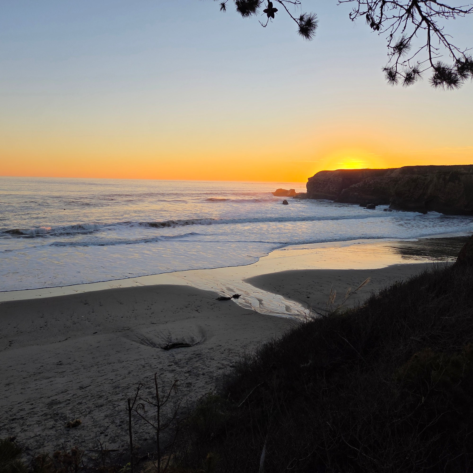
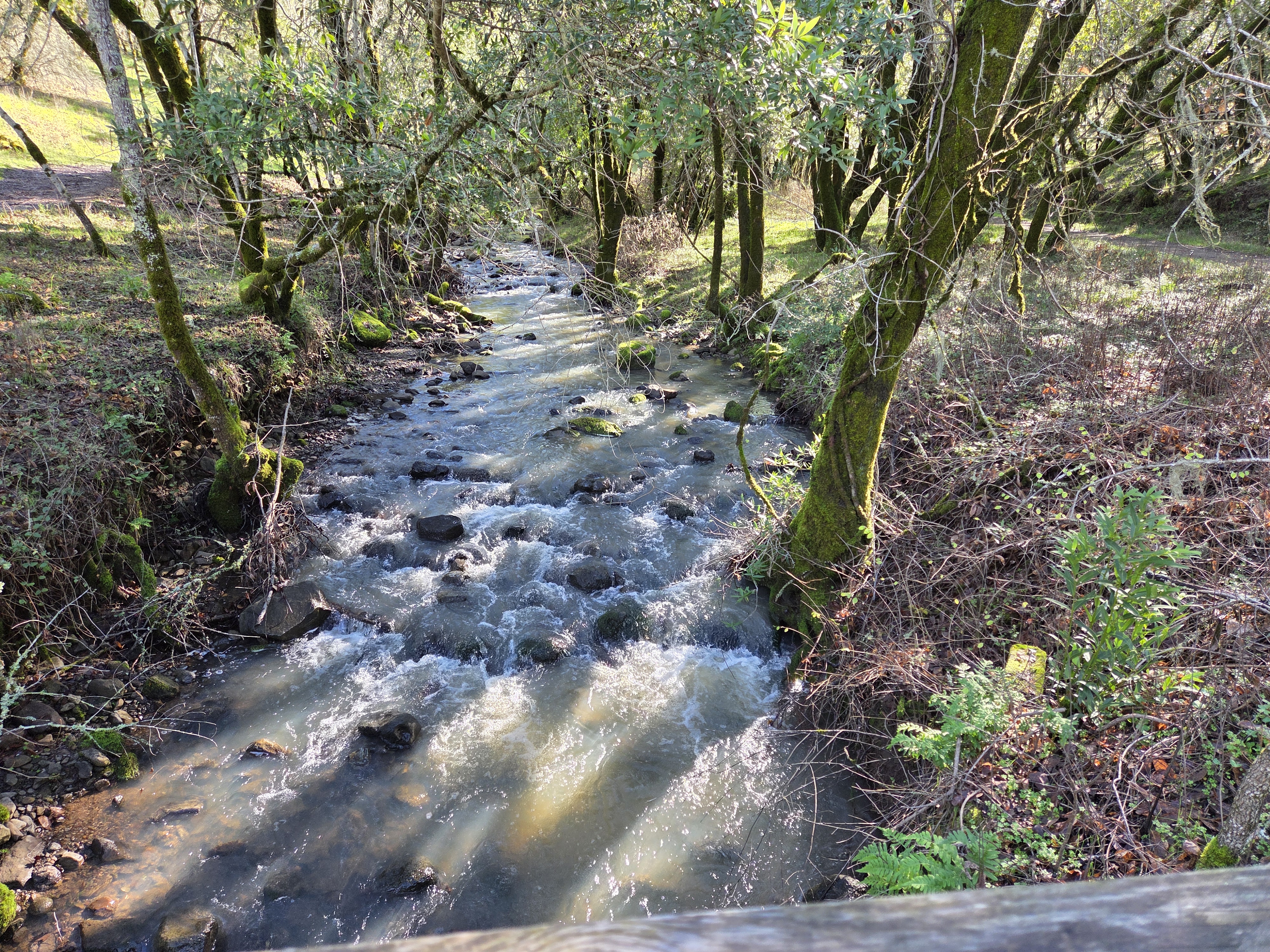
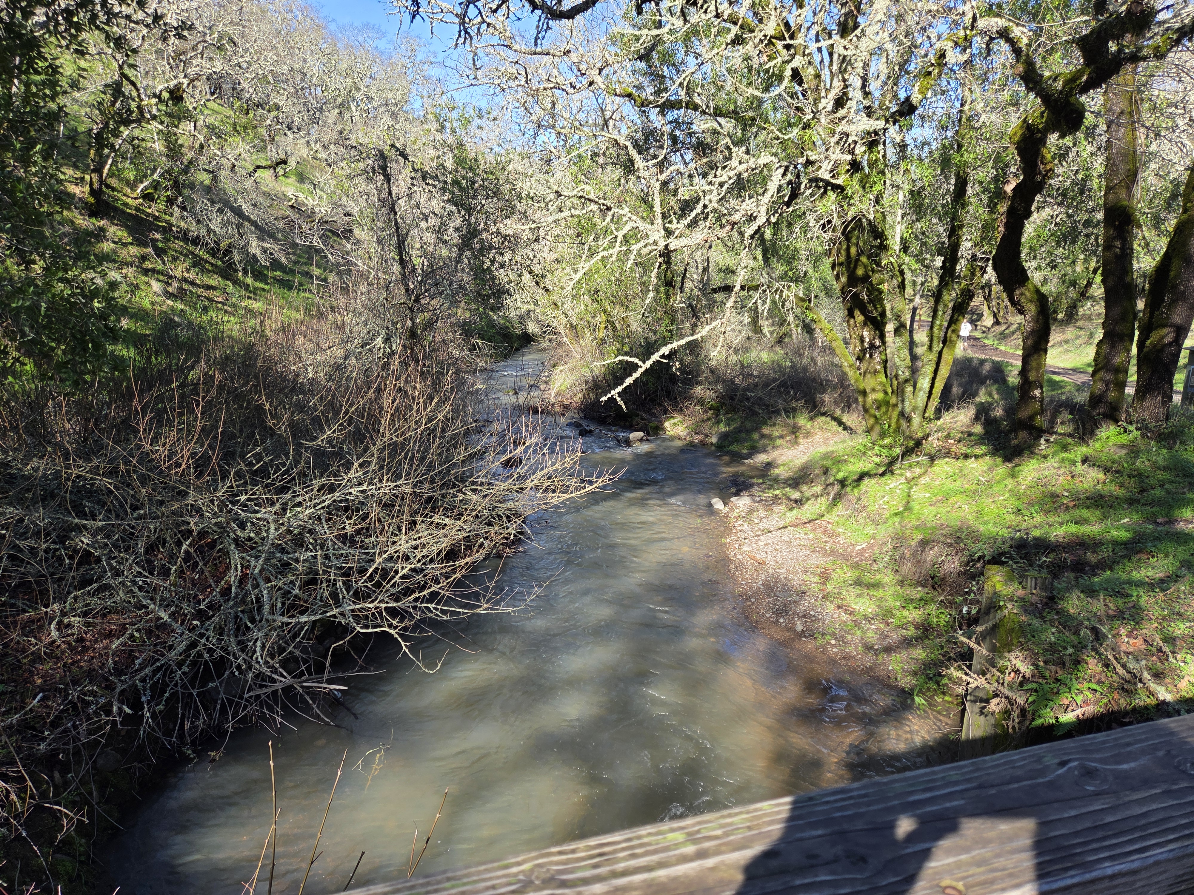
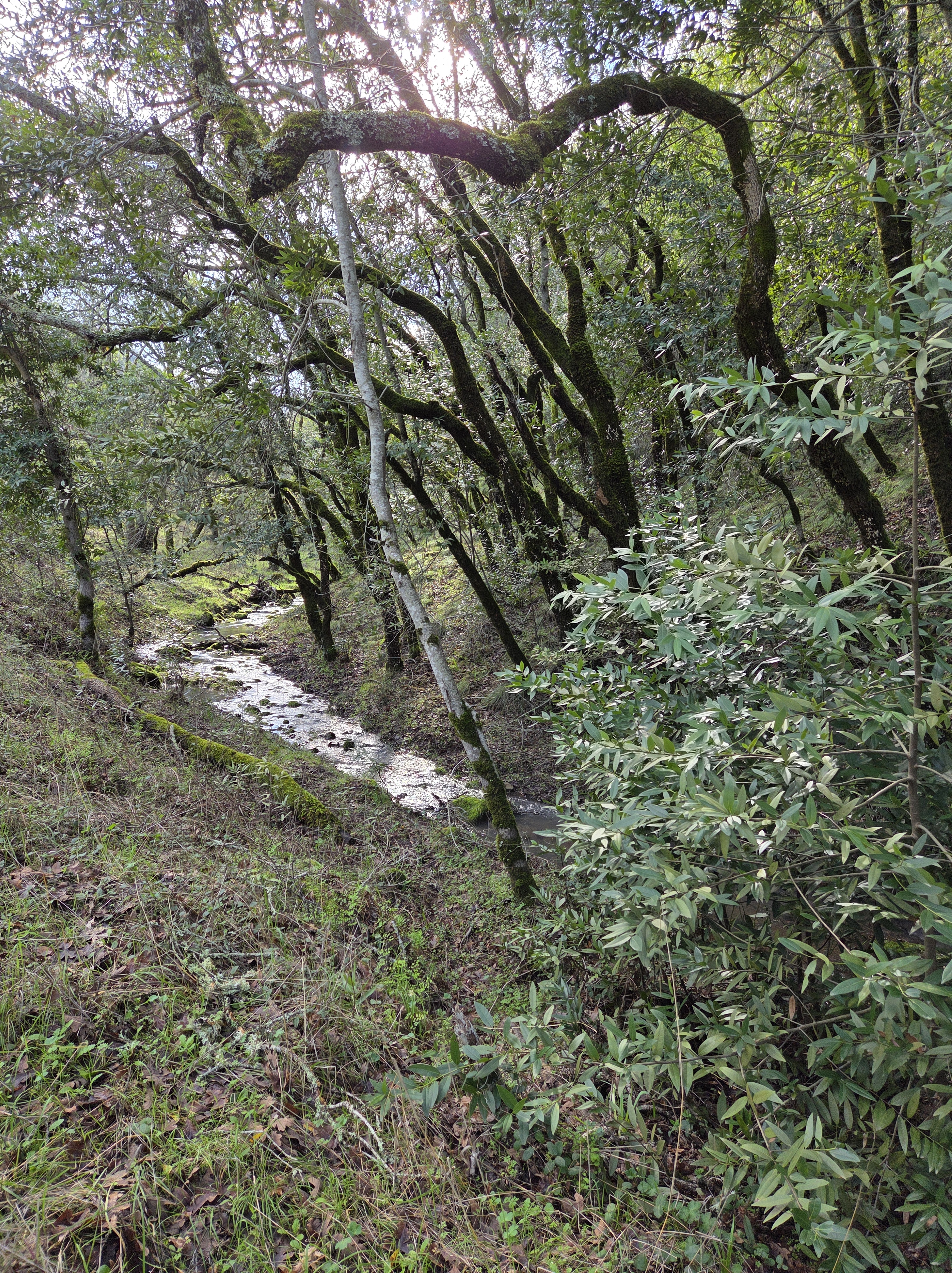
Though we’ve plenty of coastline here in NL, I don’t tend to get over to it often…and since I so rarely get to my deeply beloved CA coastline these days, I tend to overdo the images when I do get there, so … all of these were taken on the first day of this year in northernmost Sonoma County.
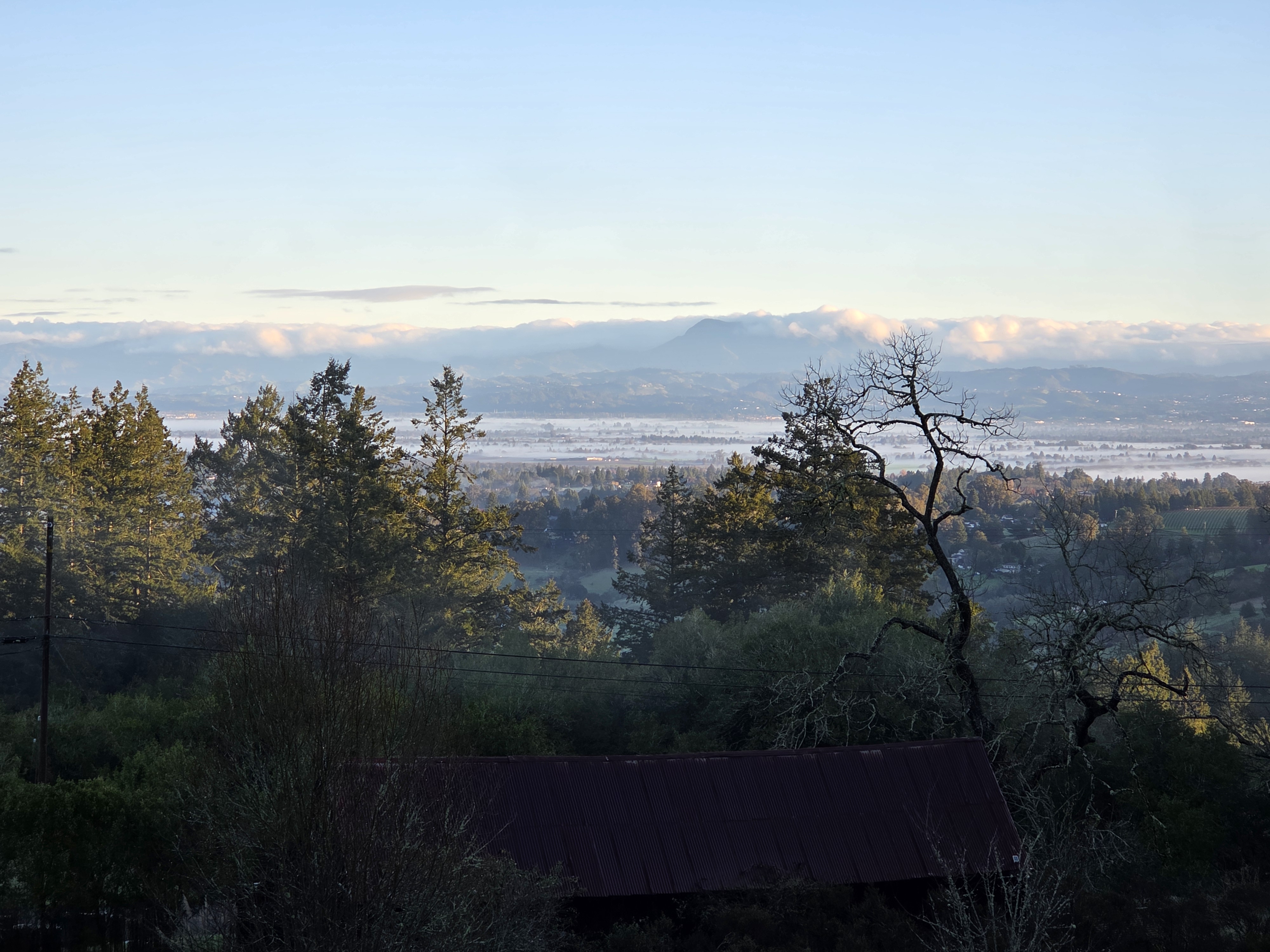
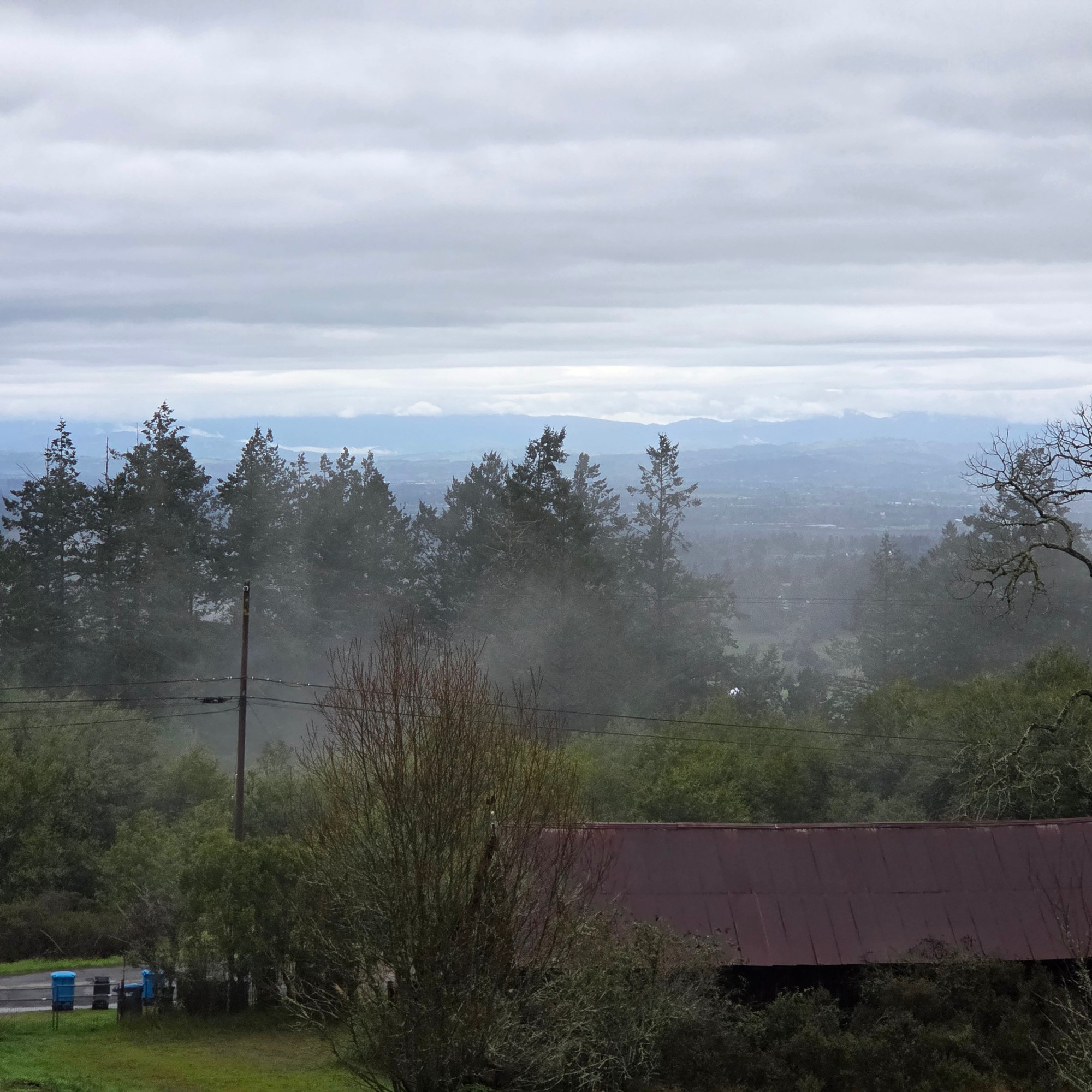
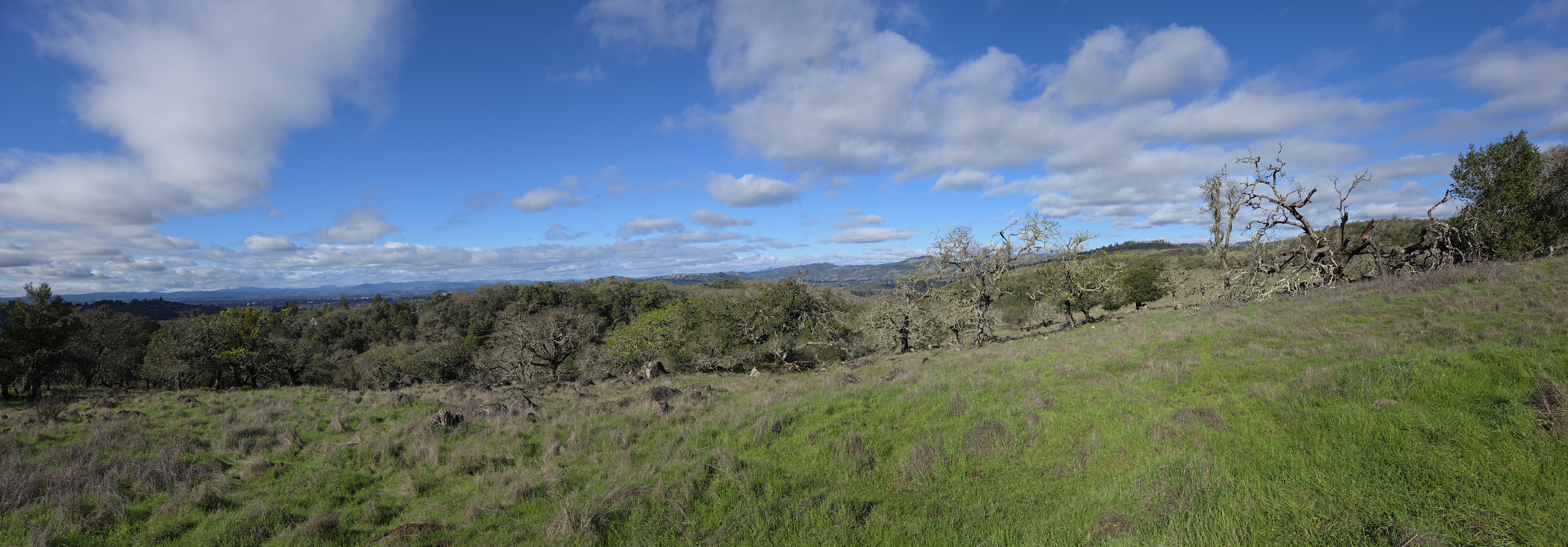
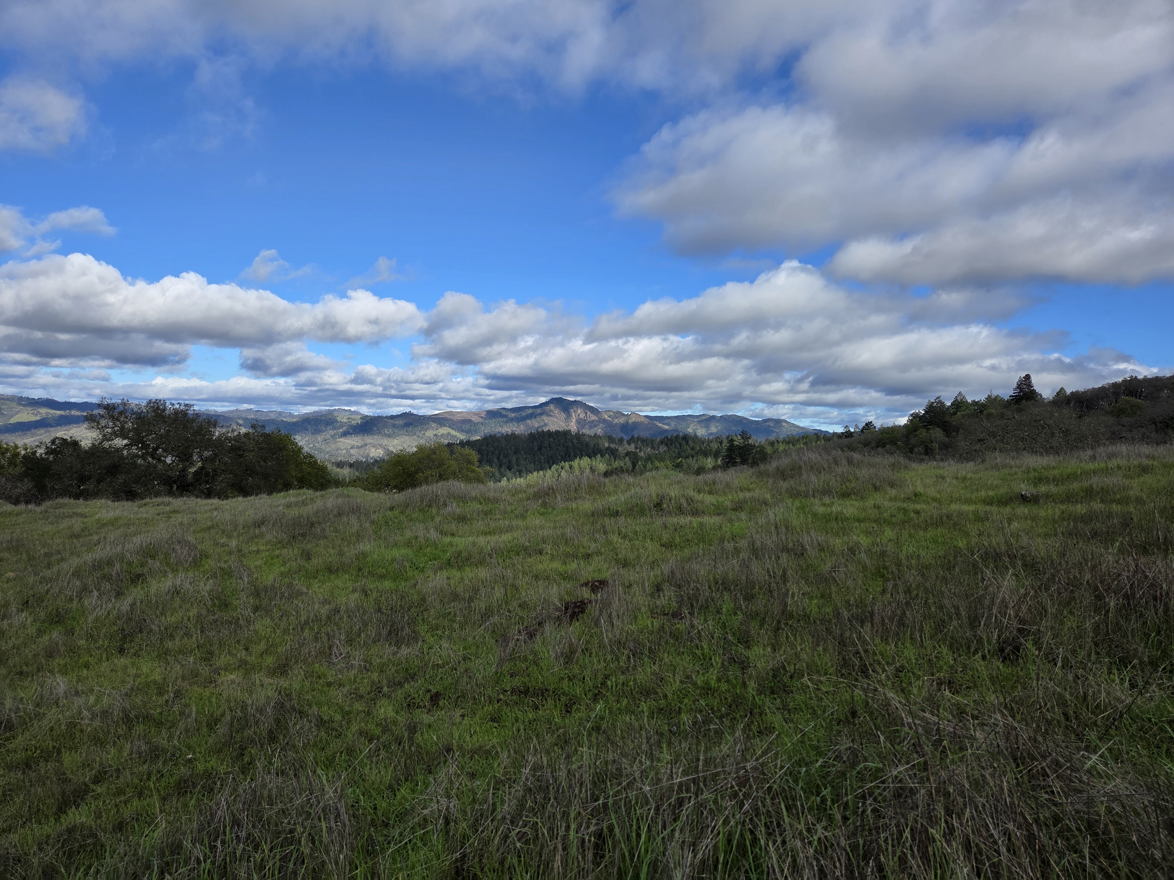
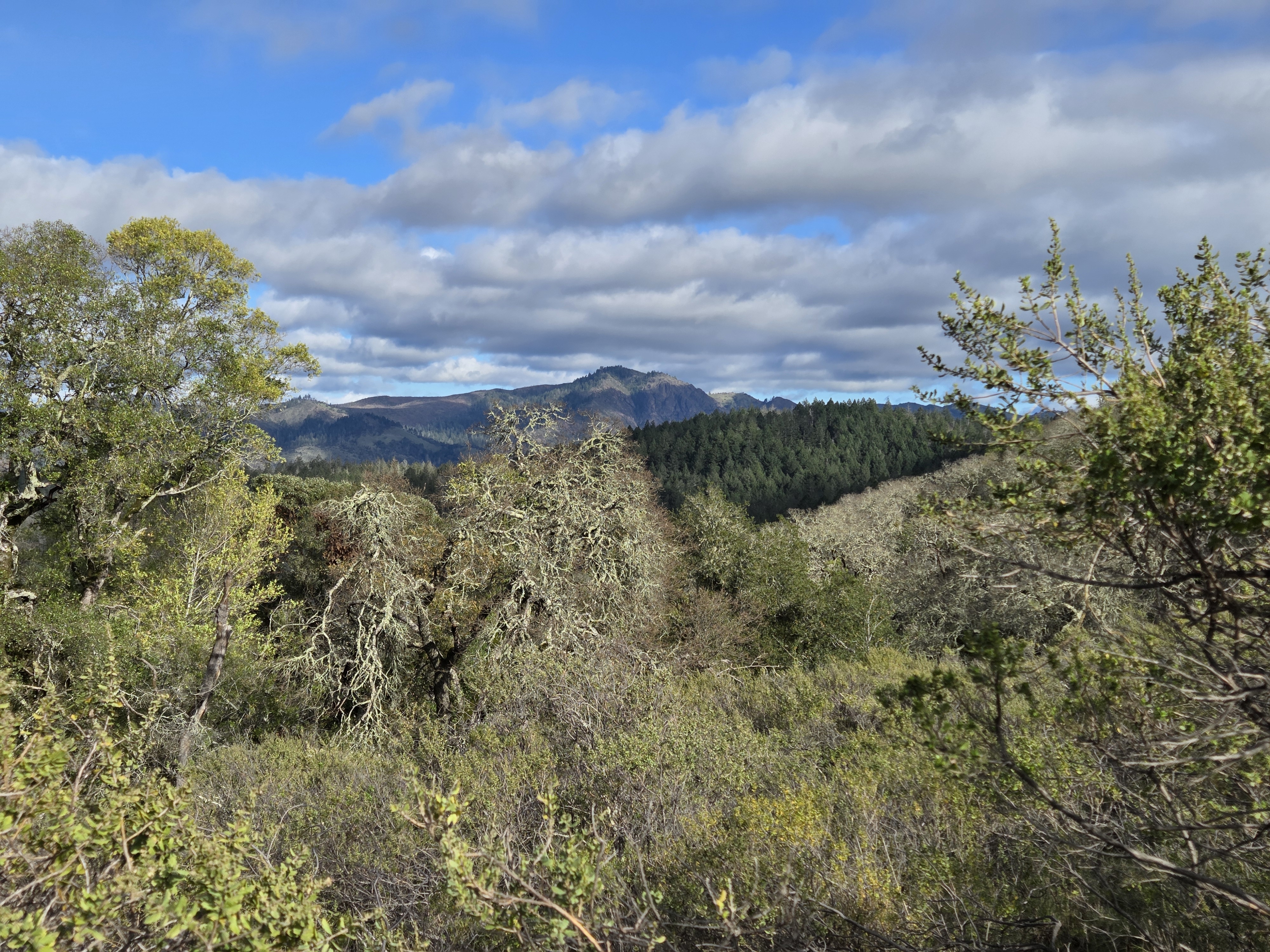
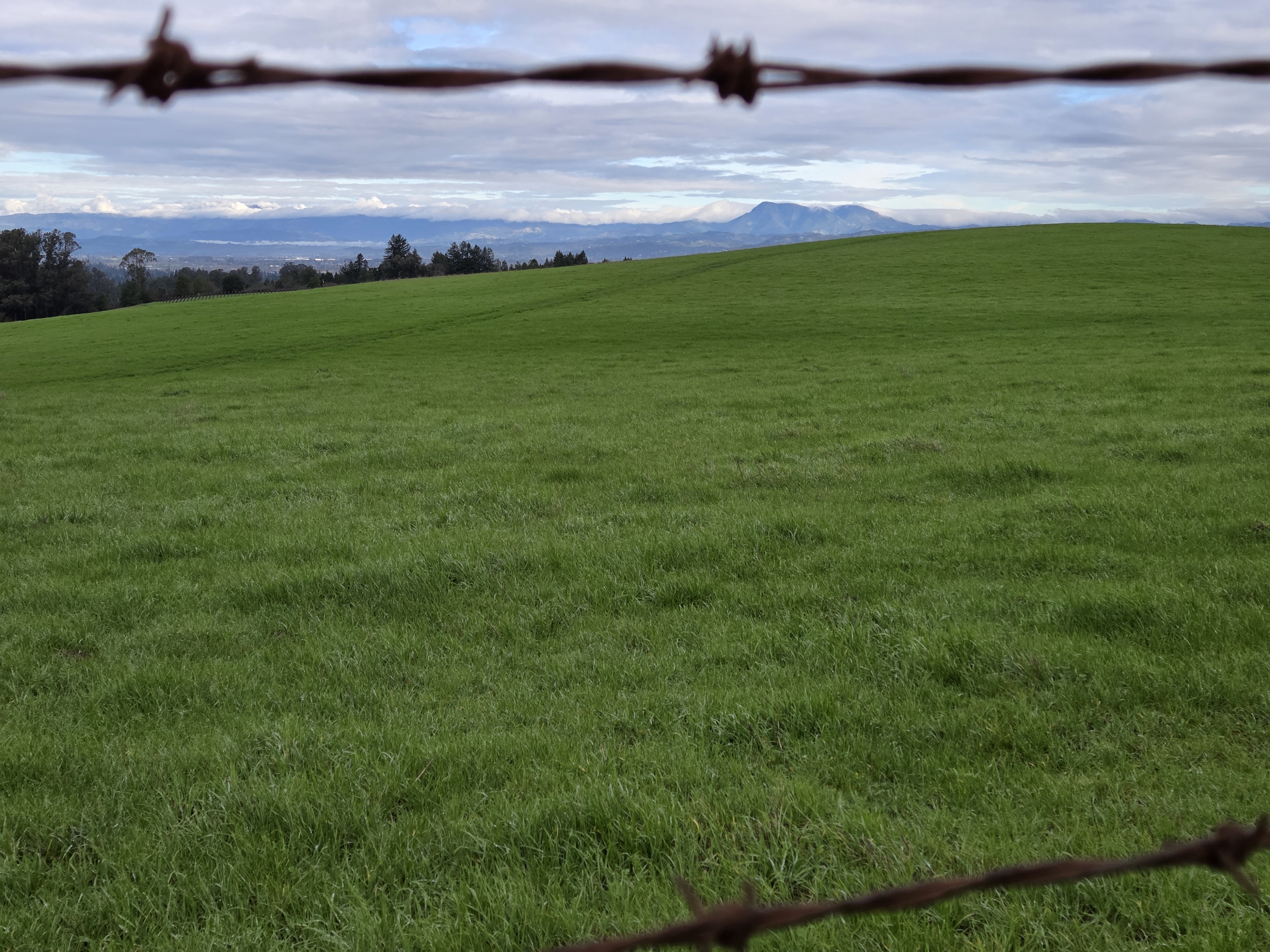
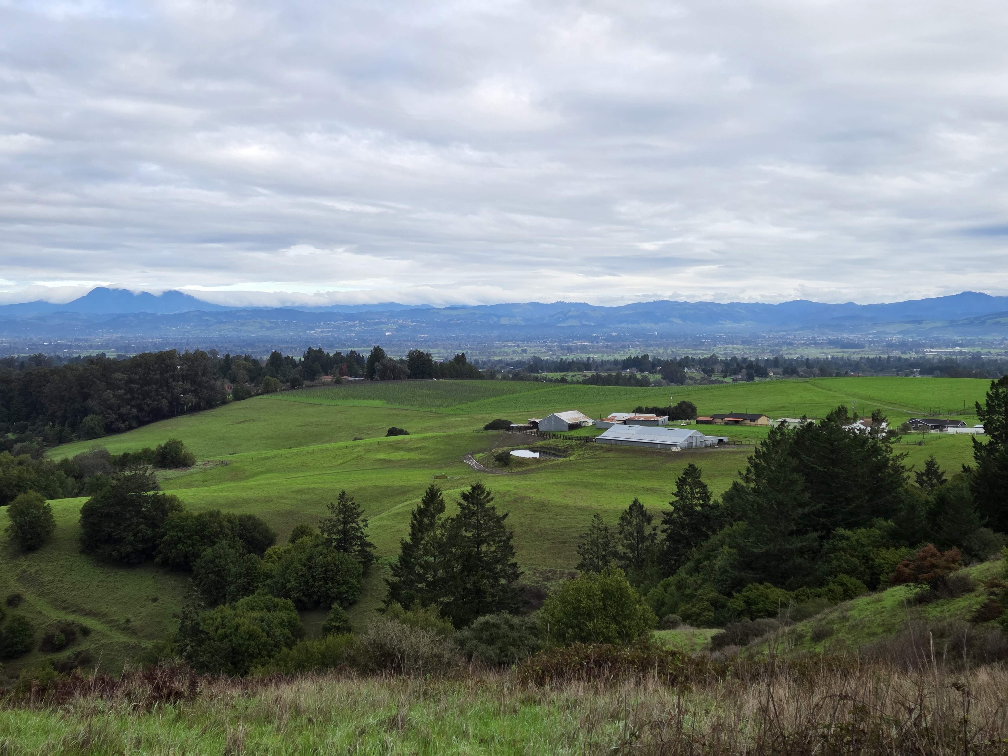
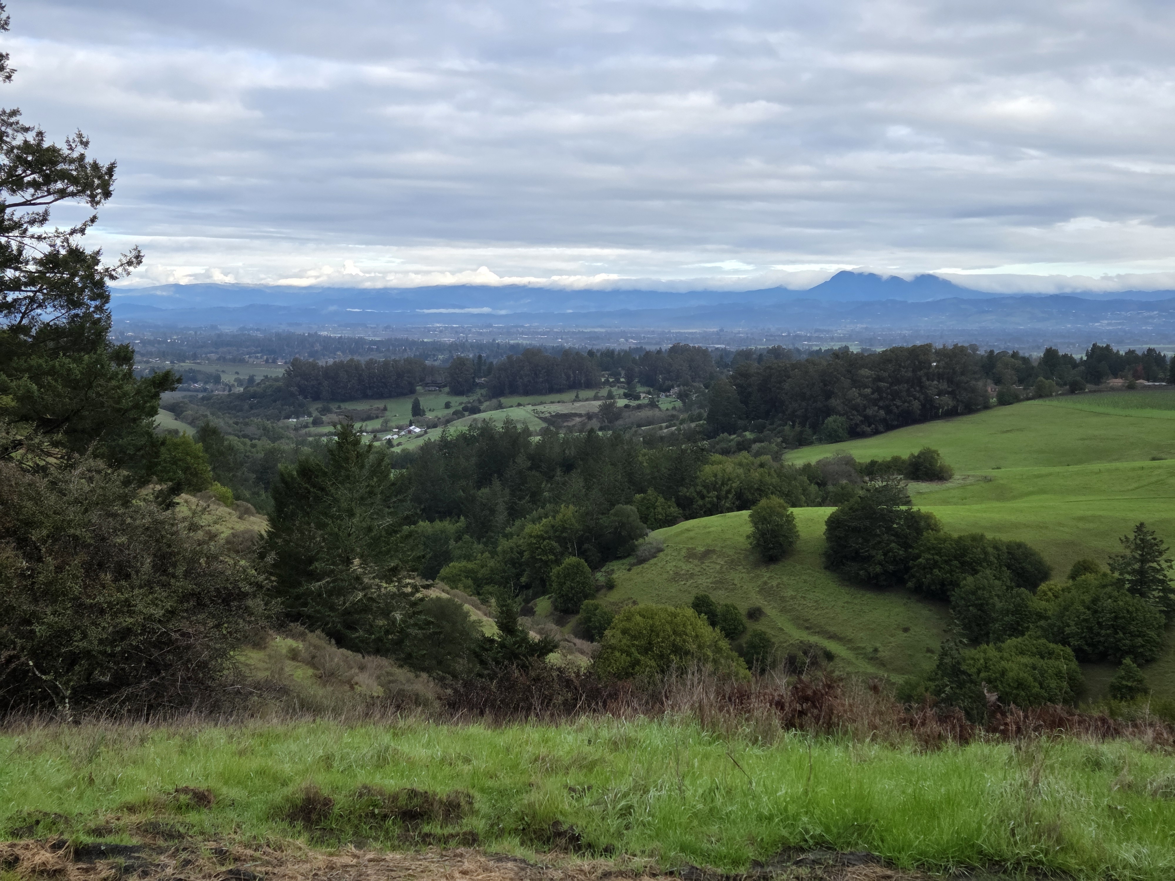
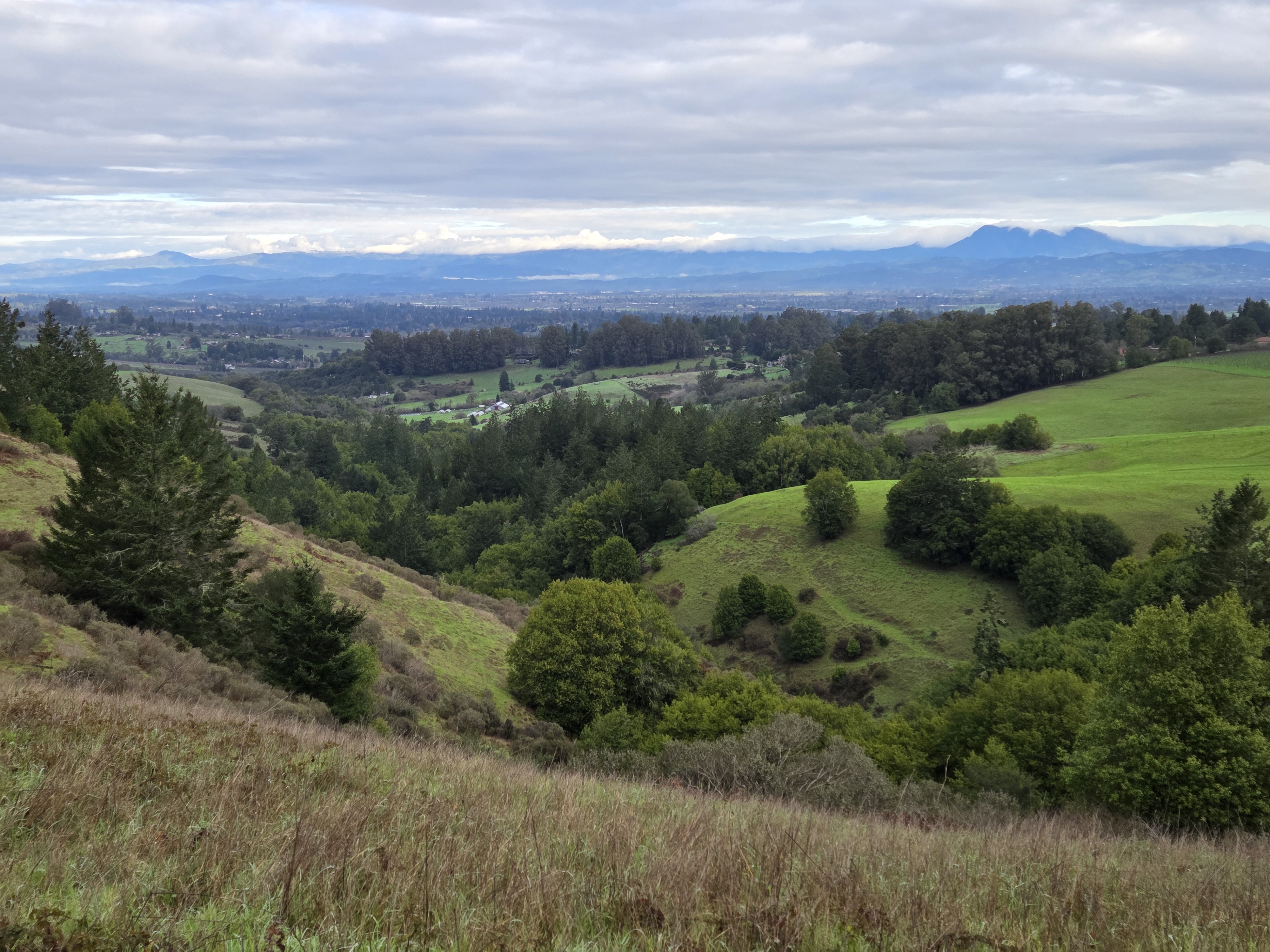
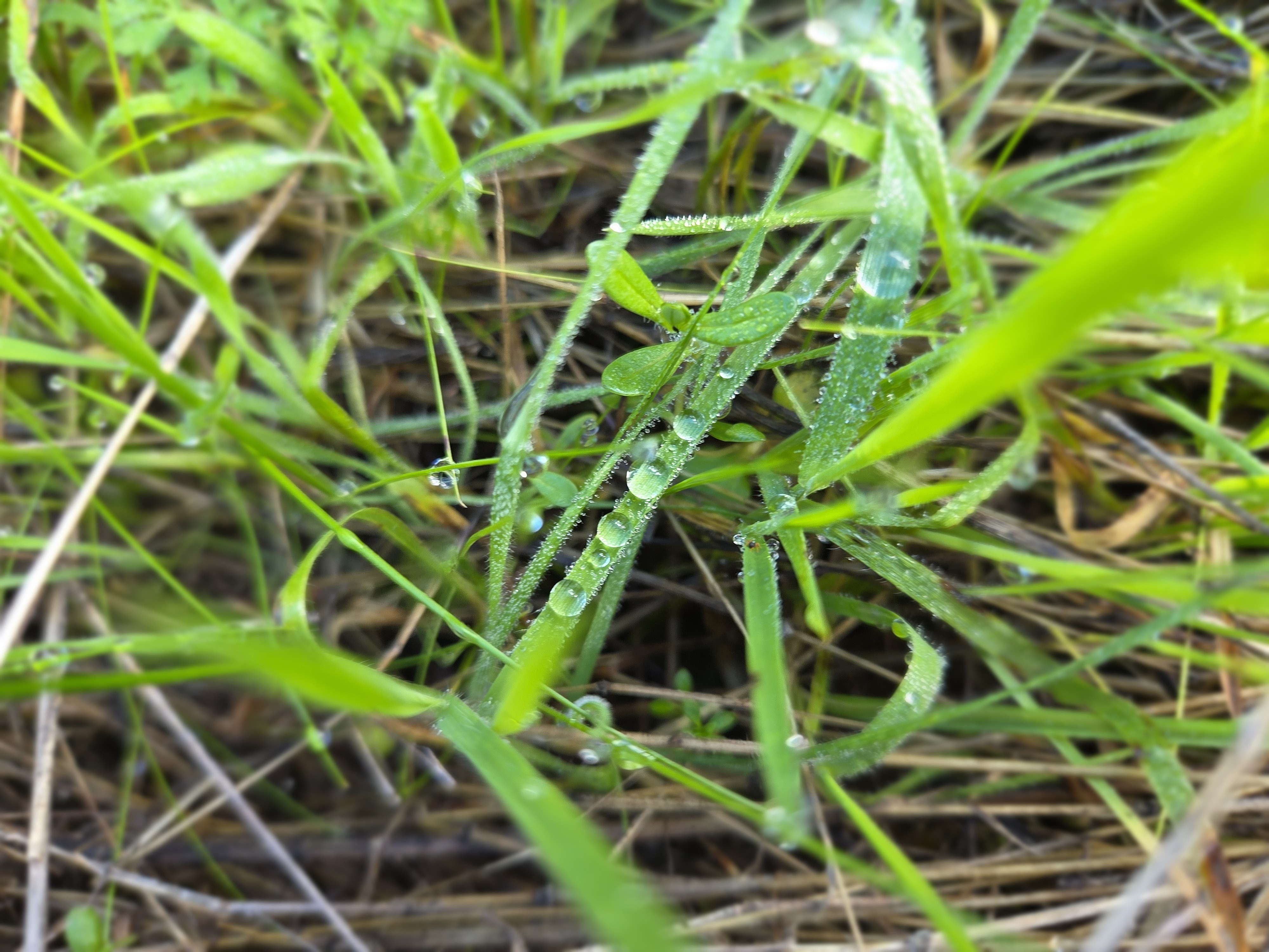
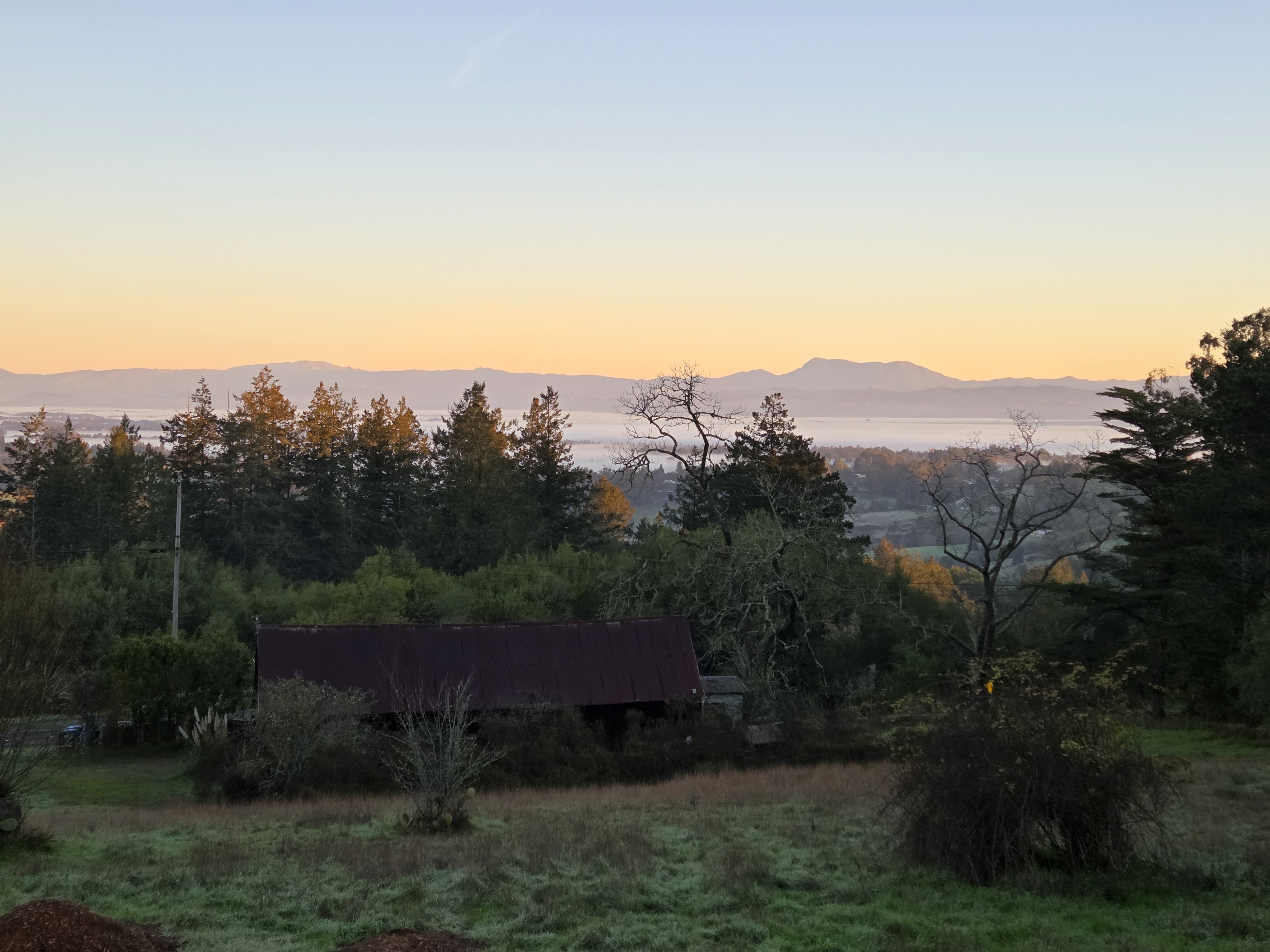
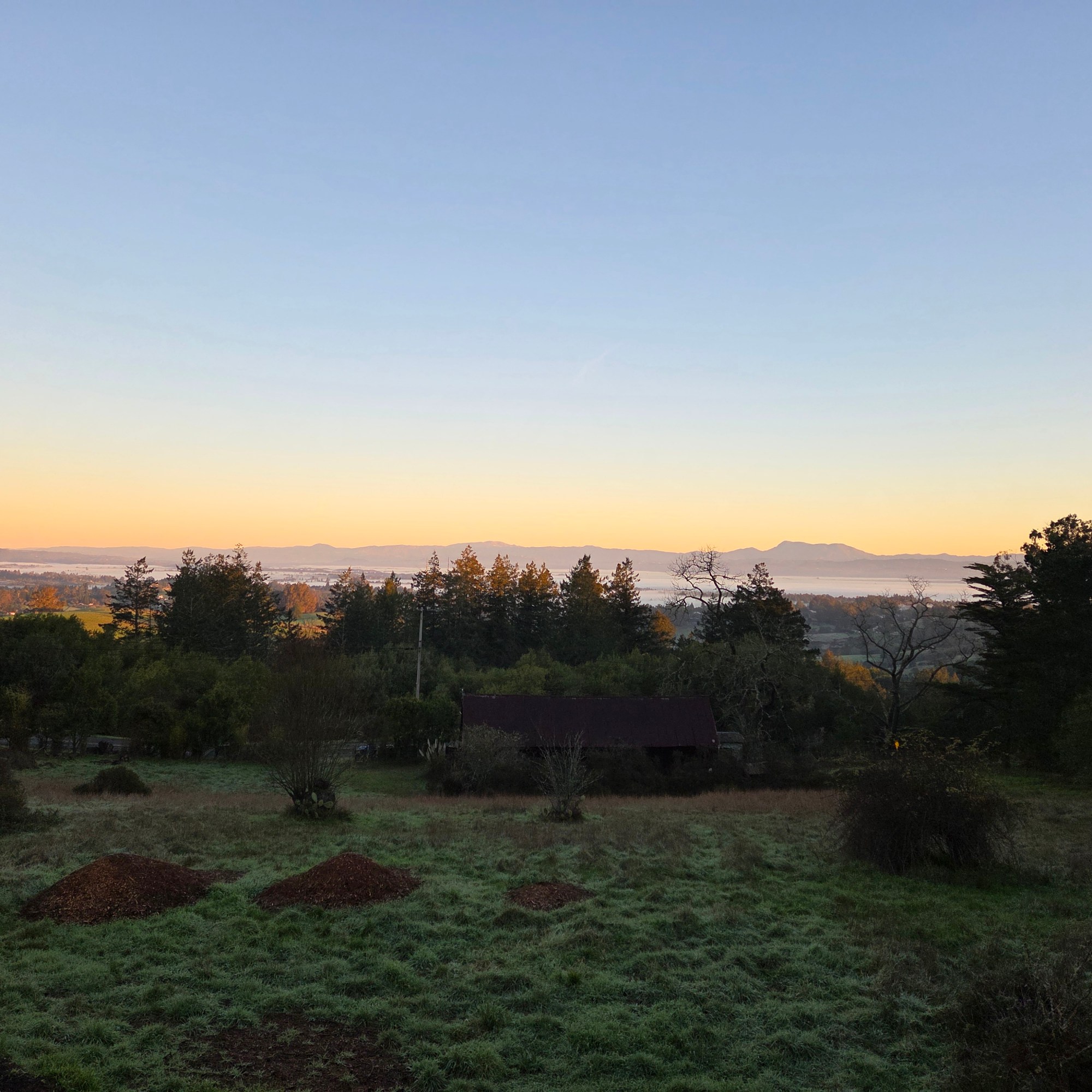
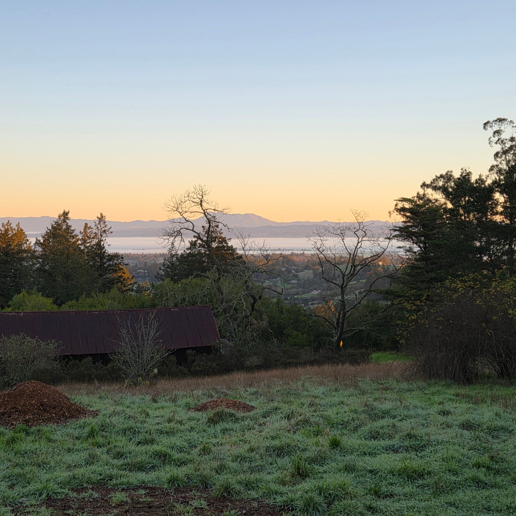
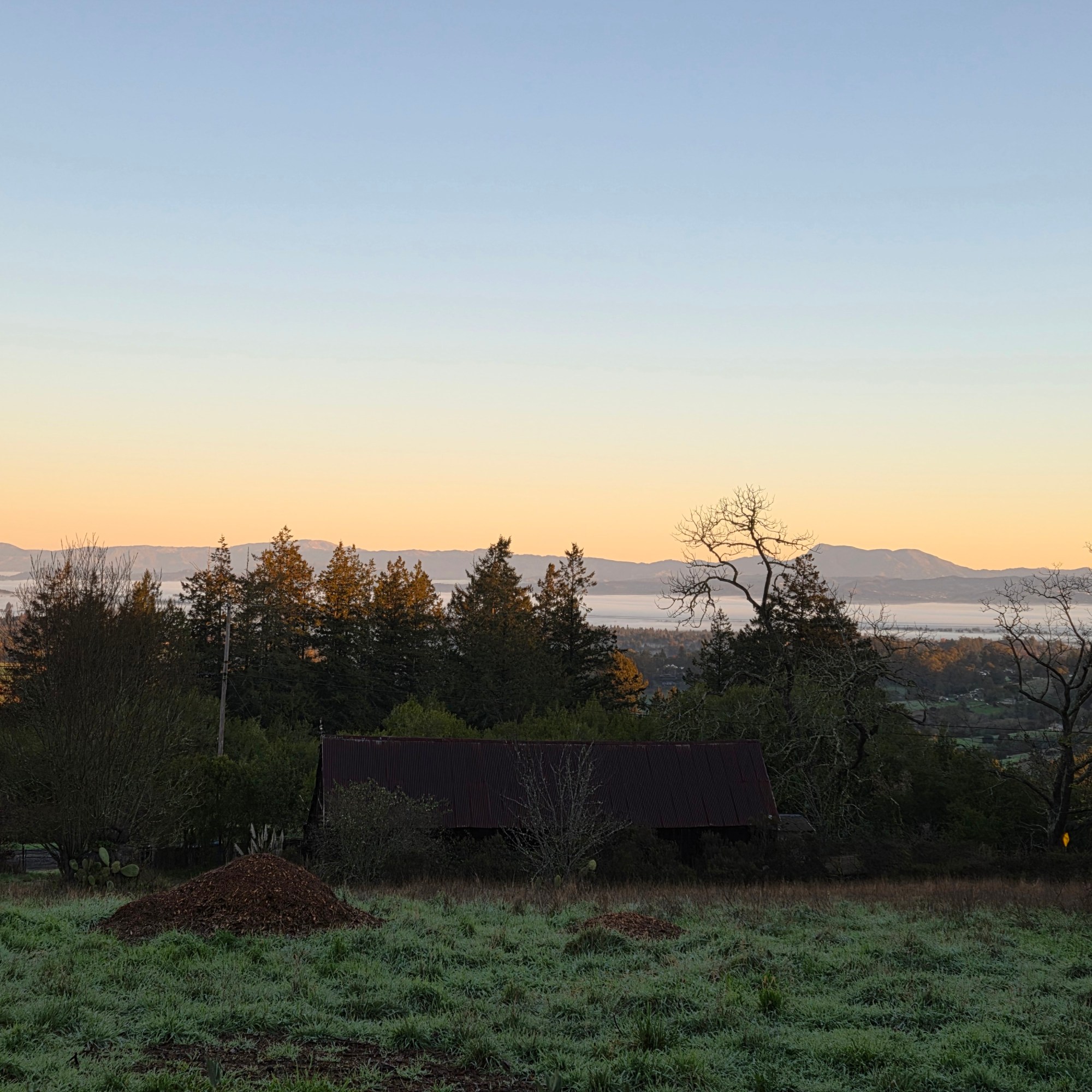
For some reason we call it clouds when it’s “in the sky” but mist or fog when it’s around ground level. Whatever we call it, here you see that essential source o’ life lying low in the valley and also up high partially blocking the view of good ol’ Mt St Helena :-).
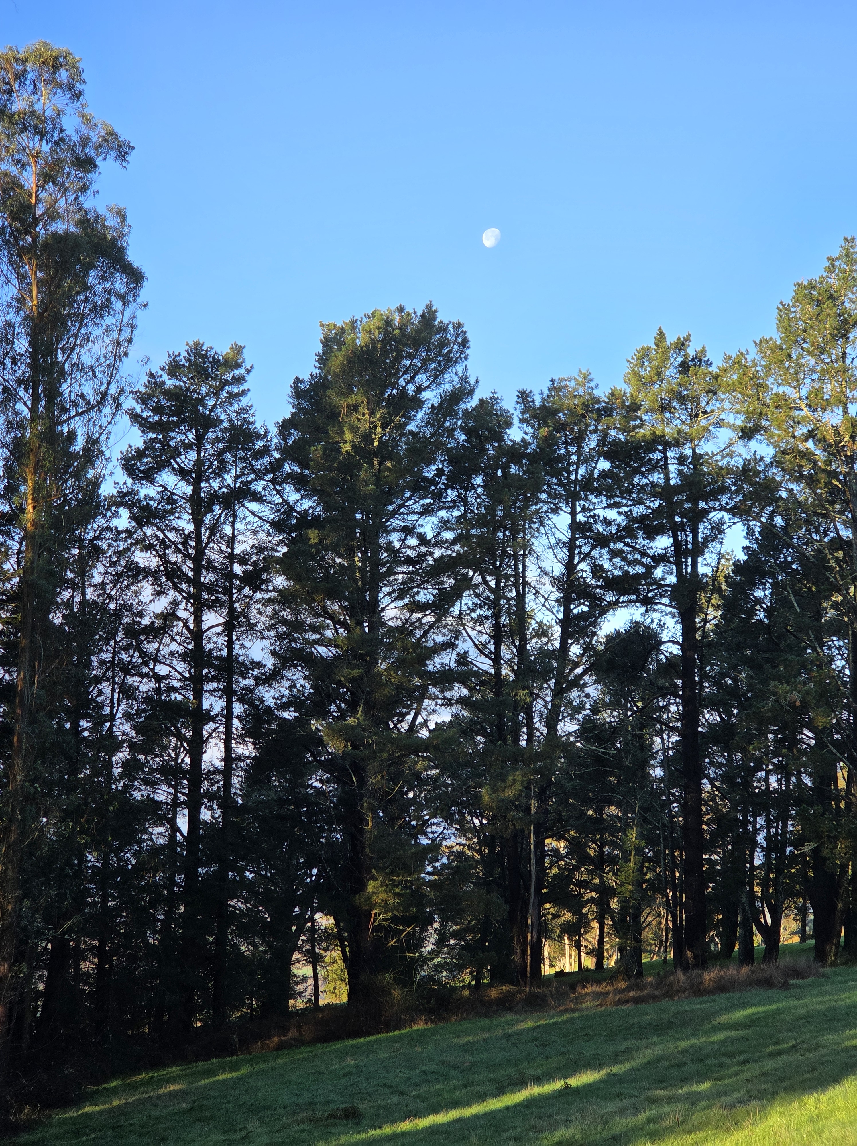
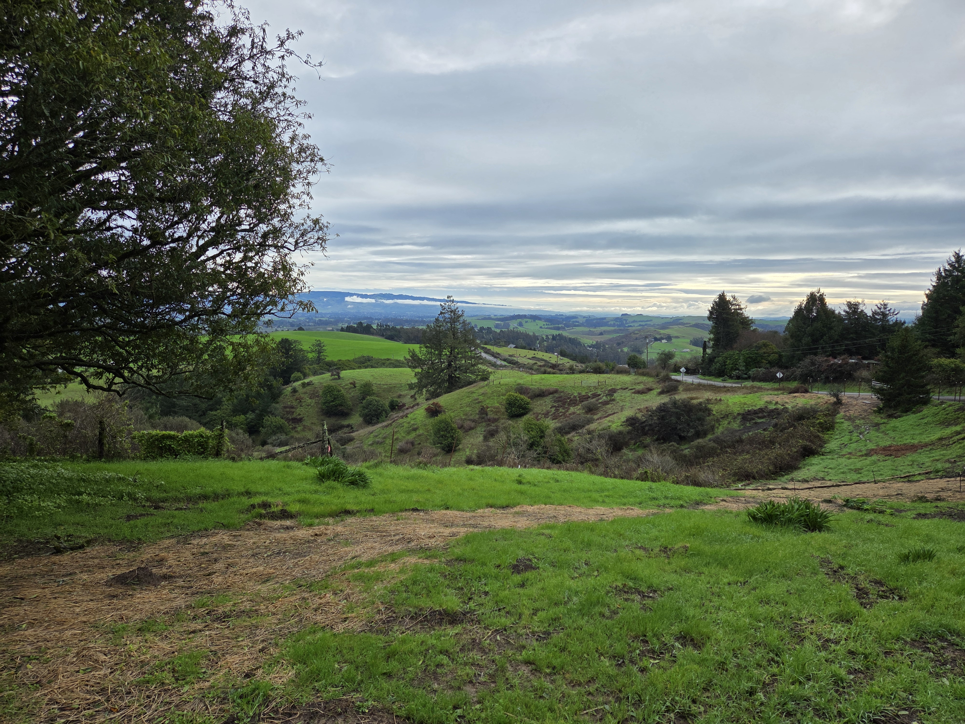
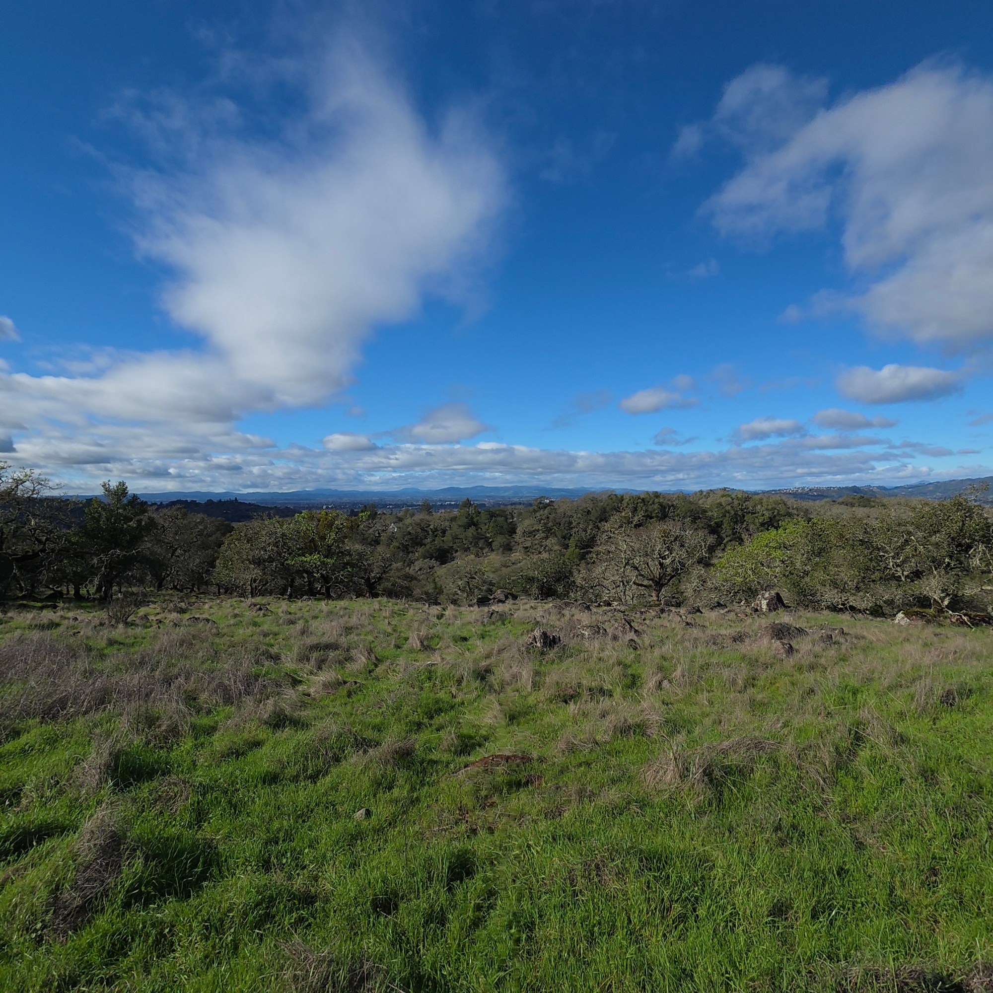
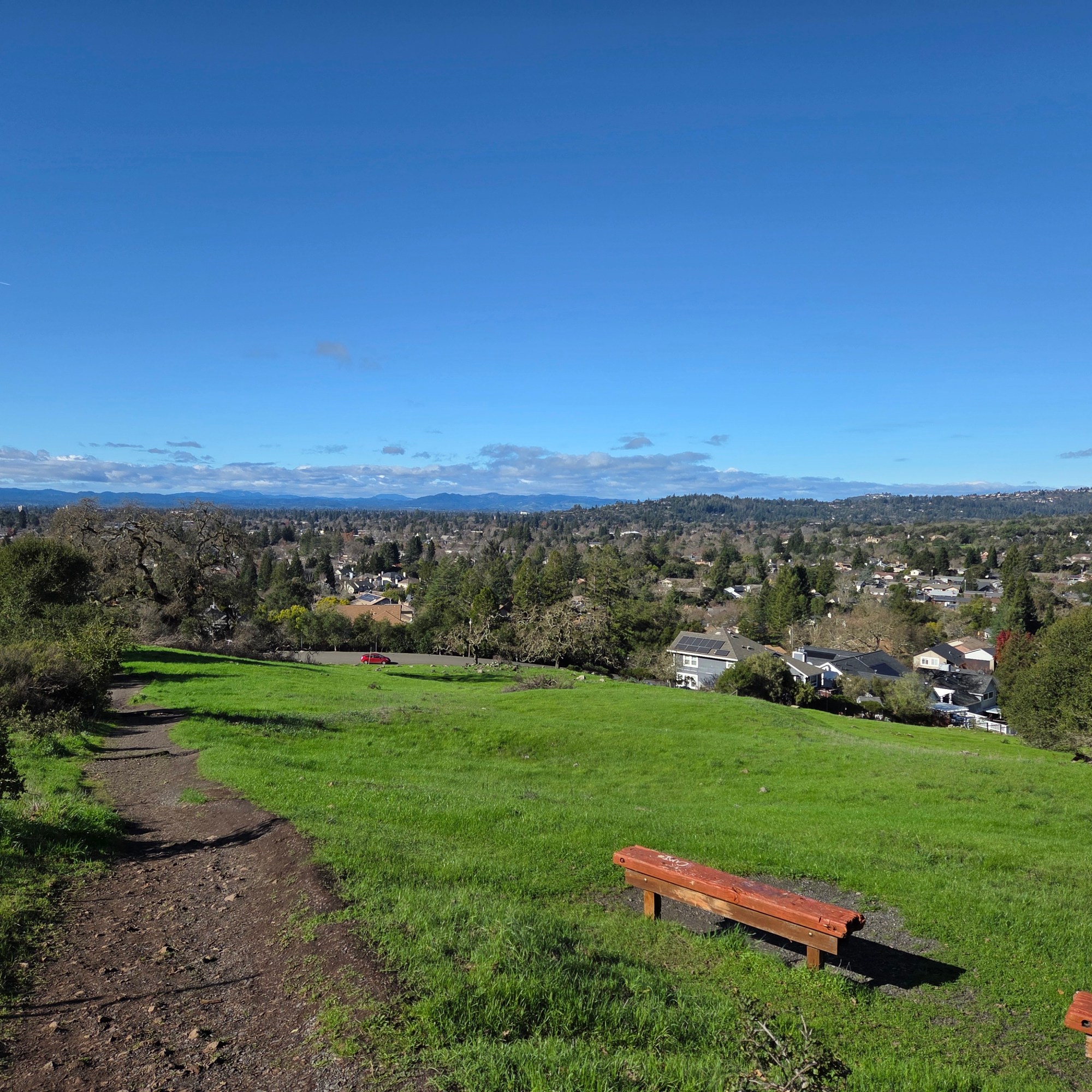
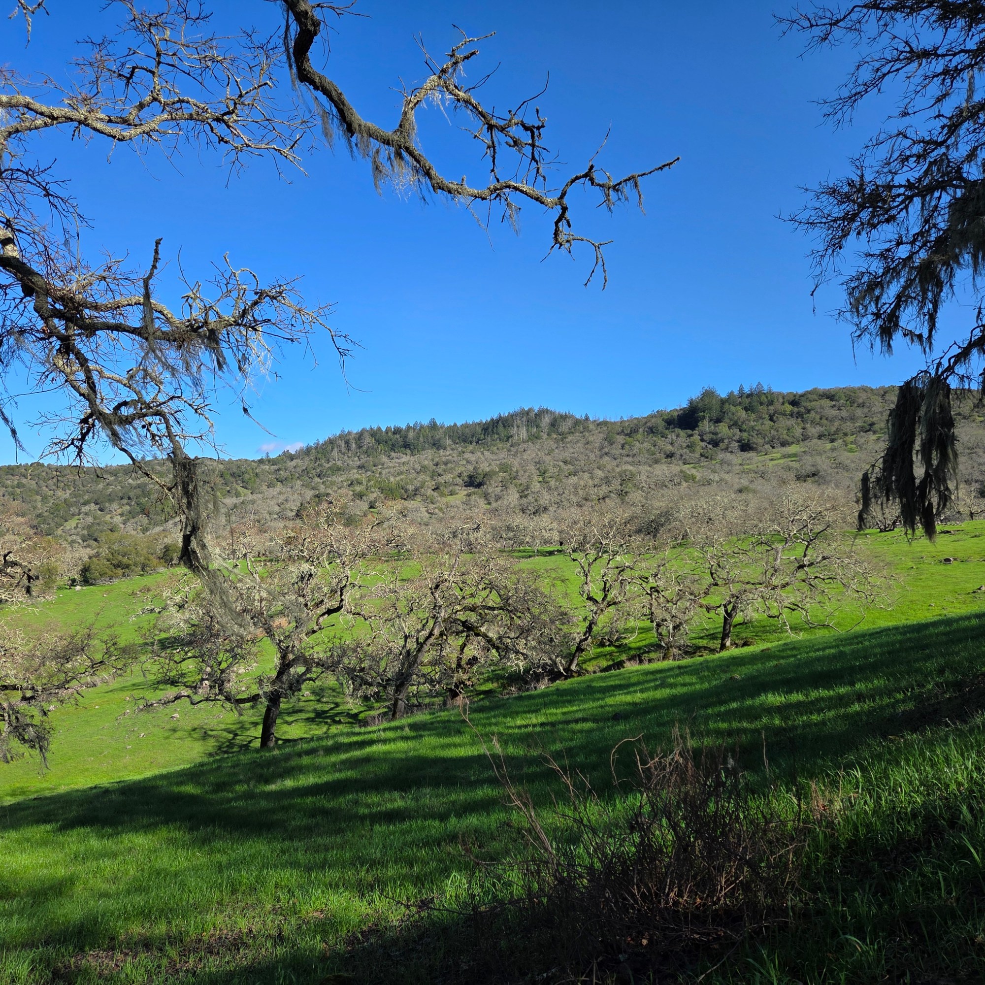
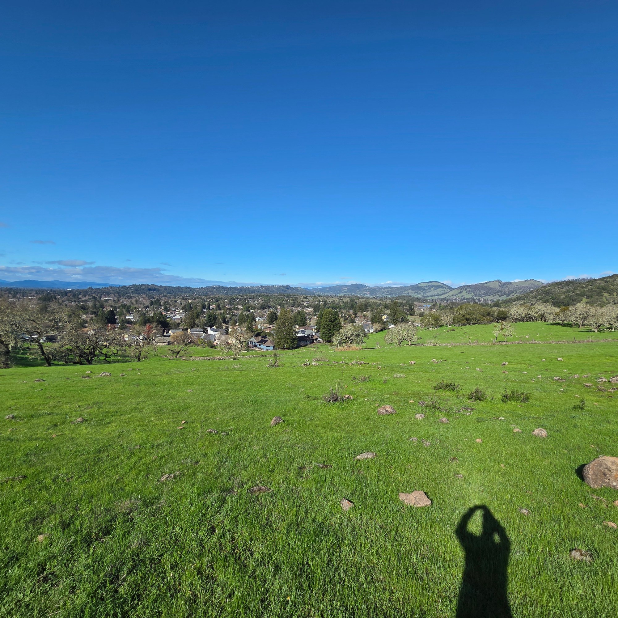
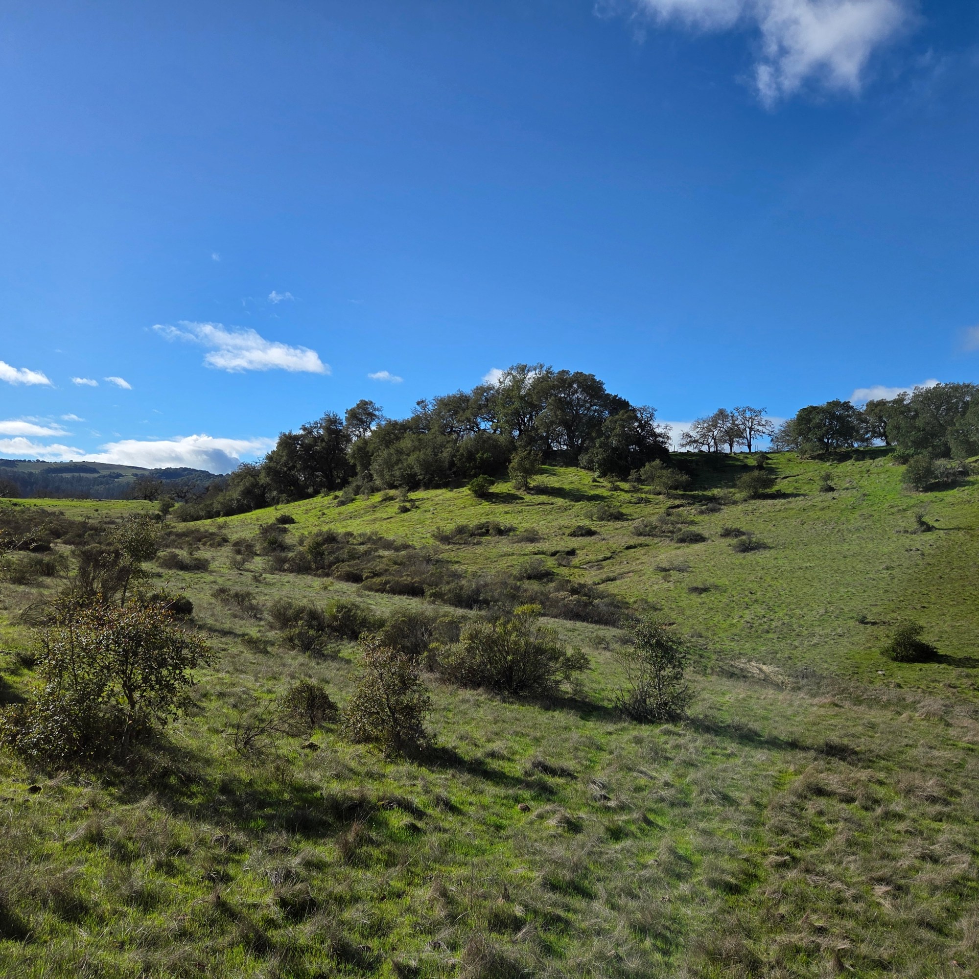
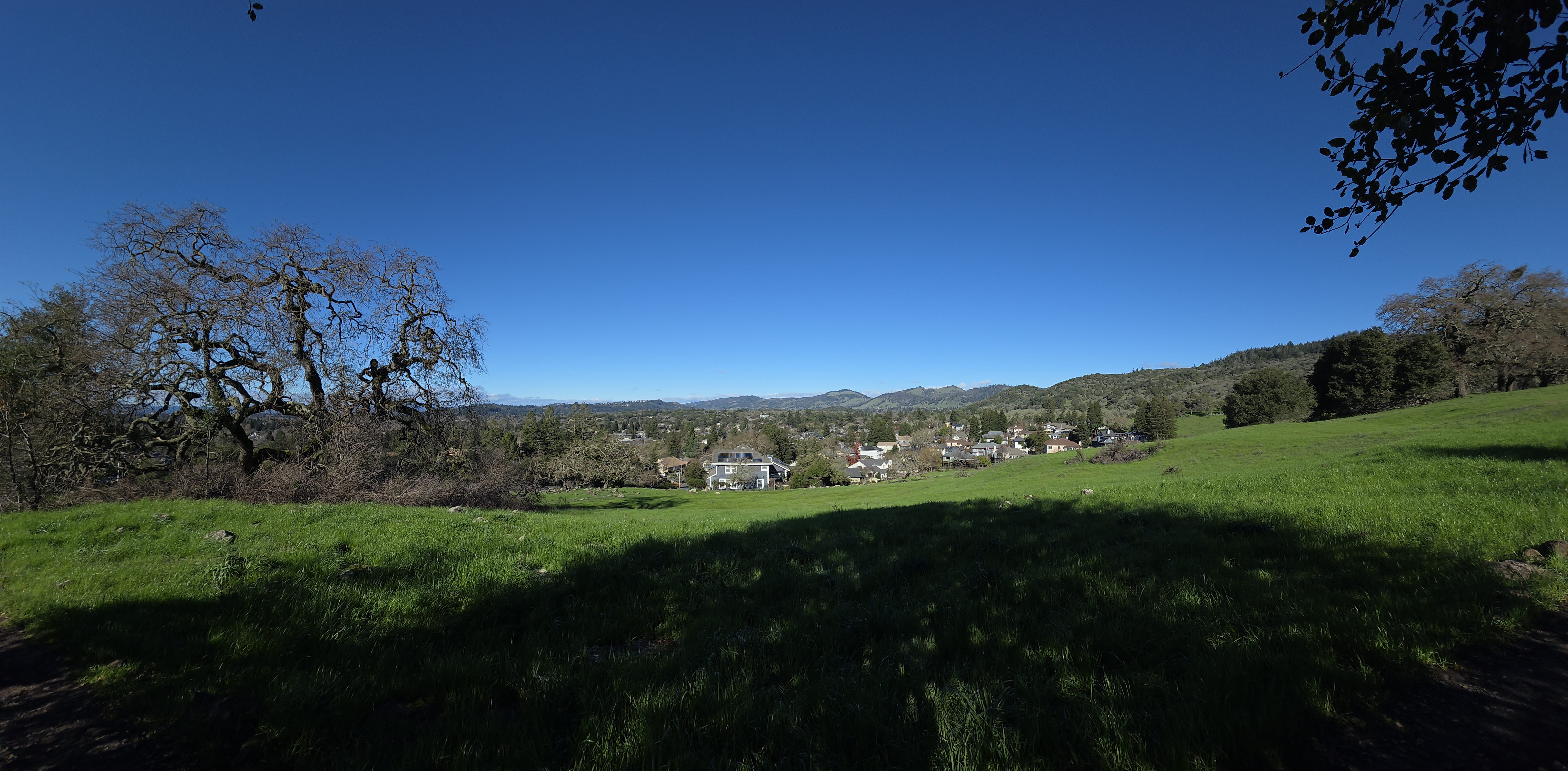
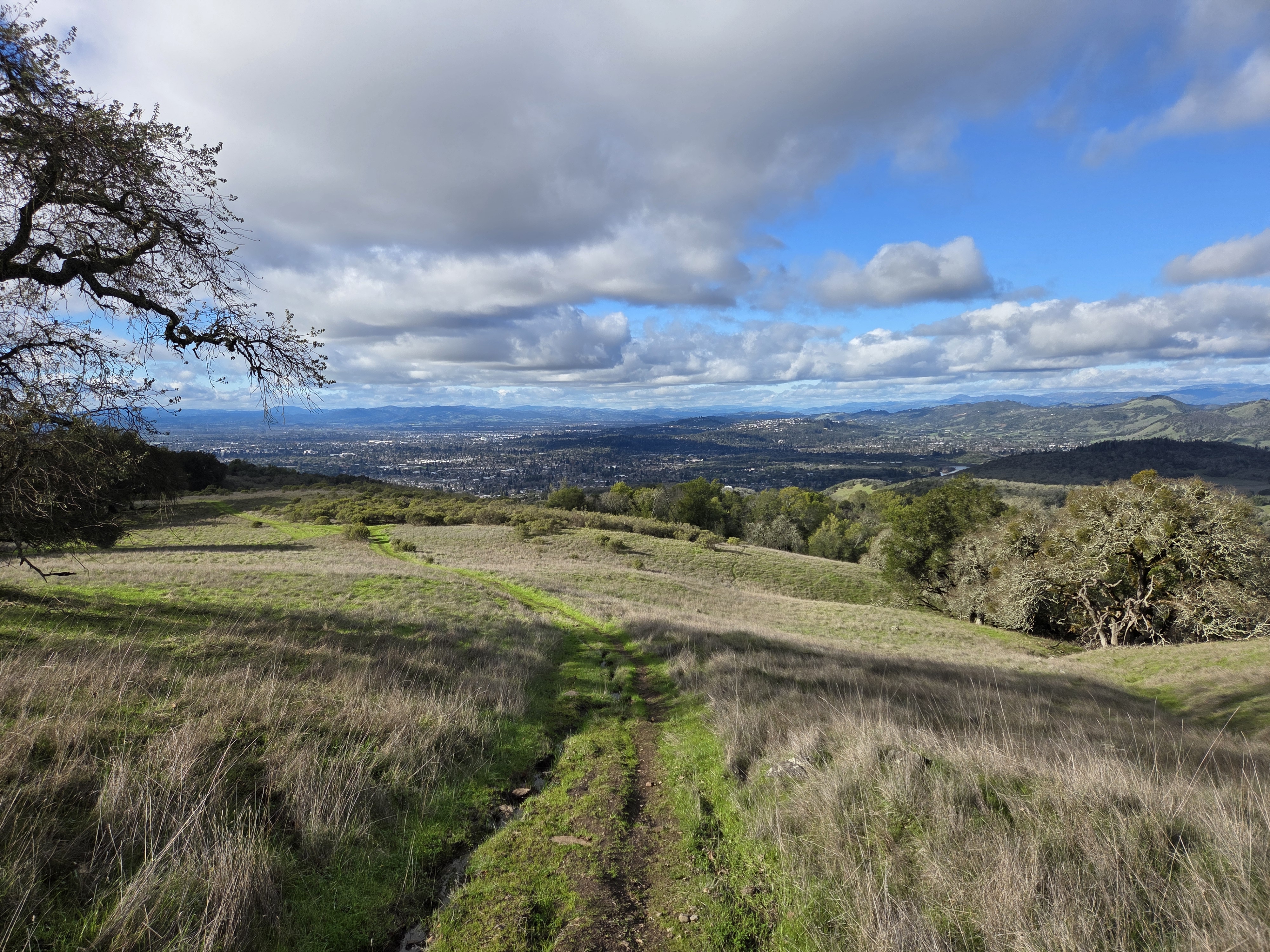
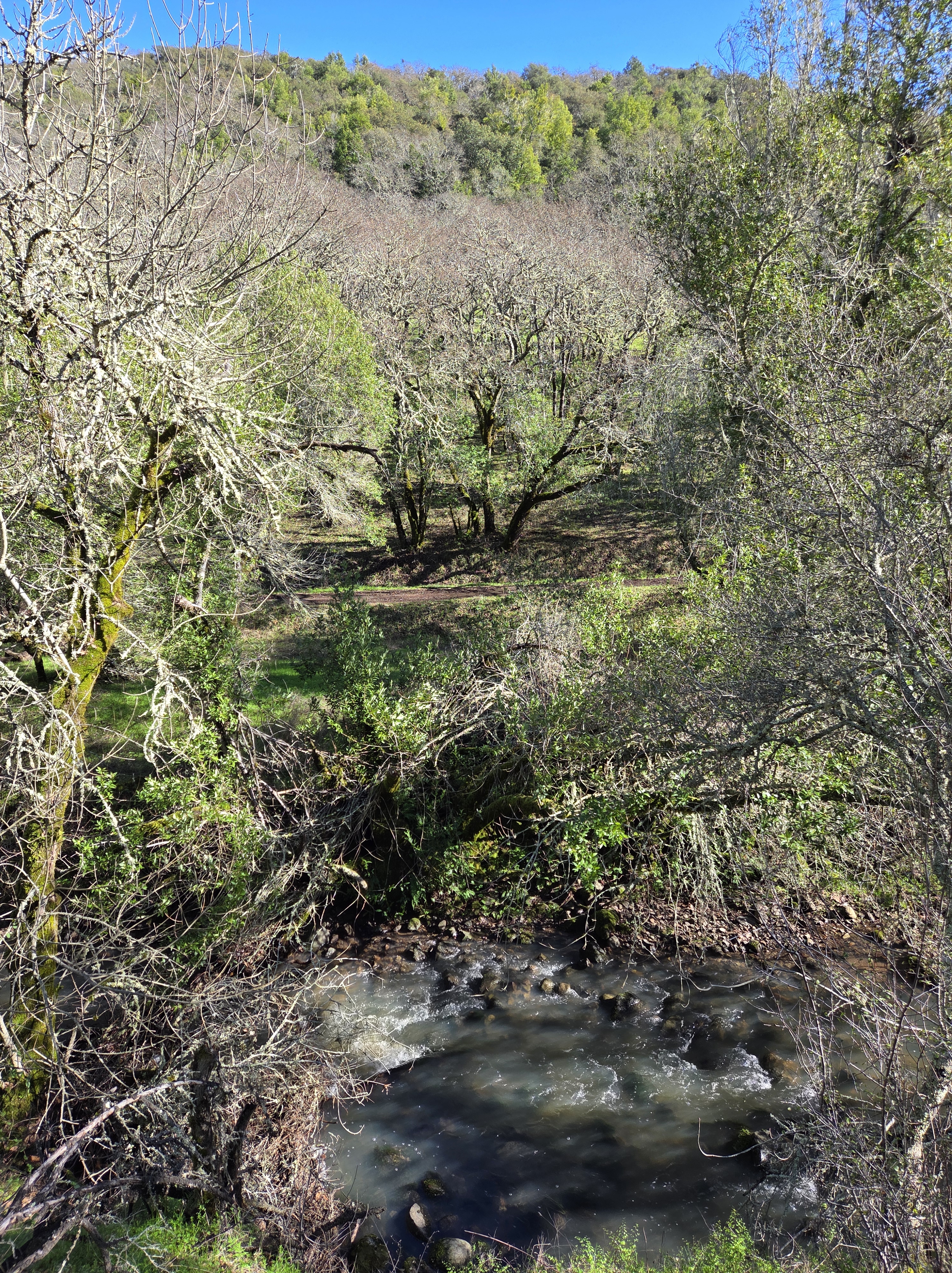
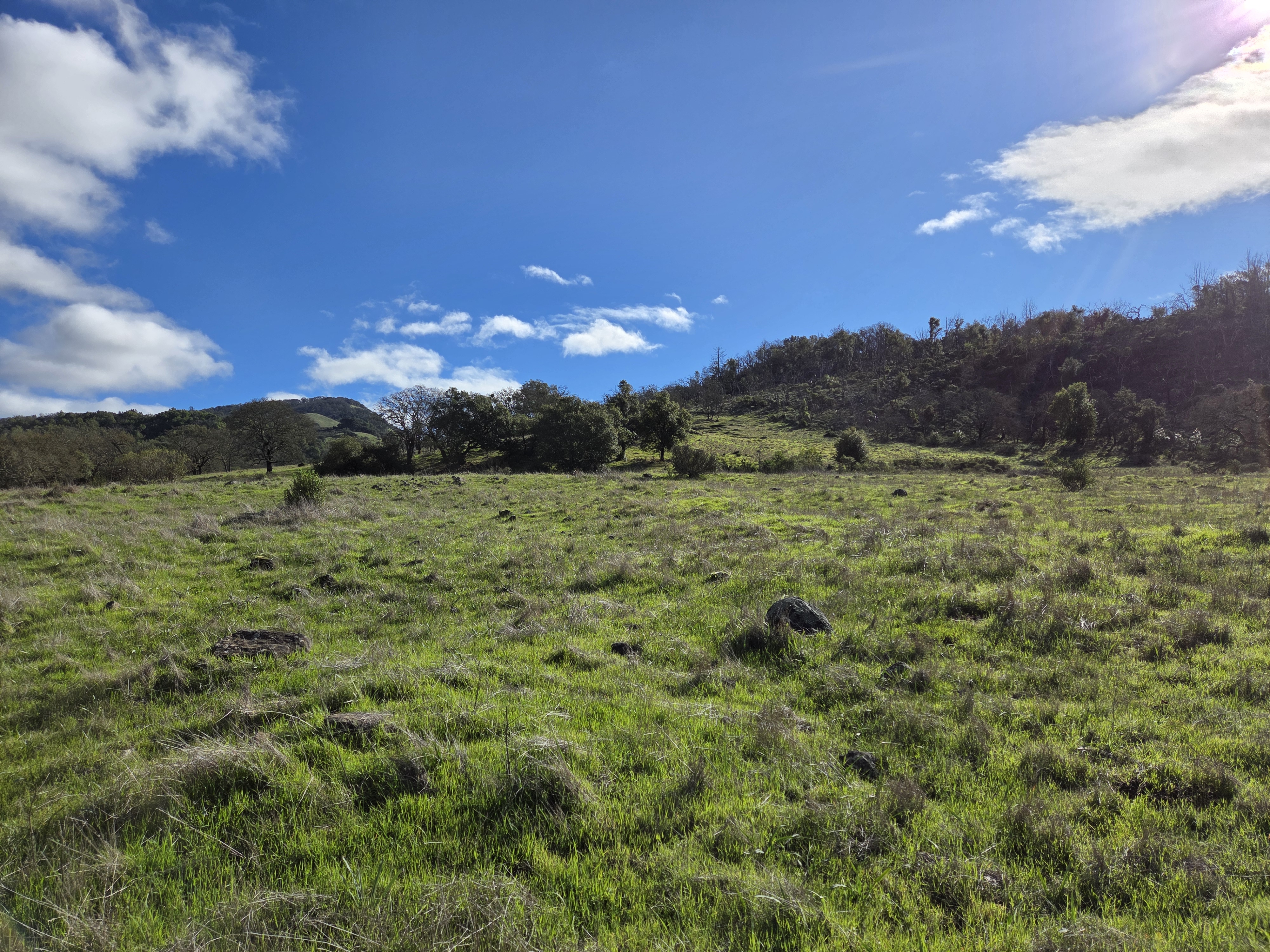
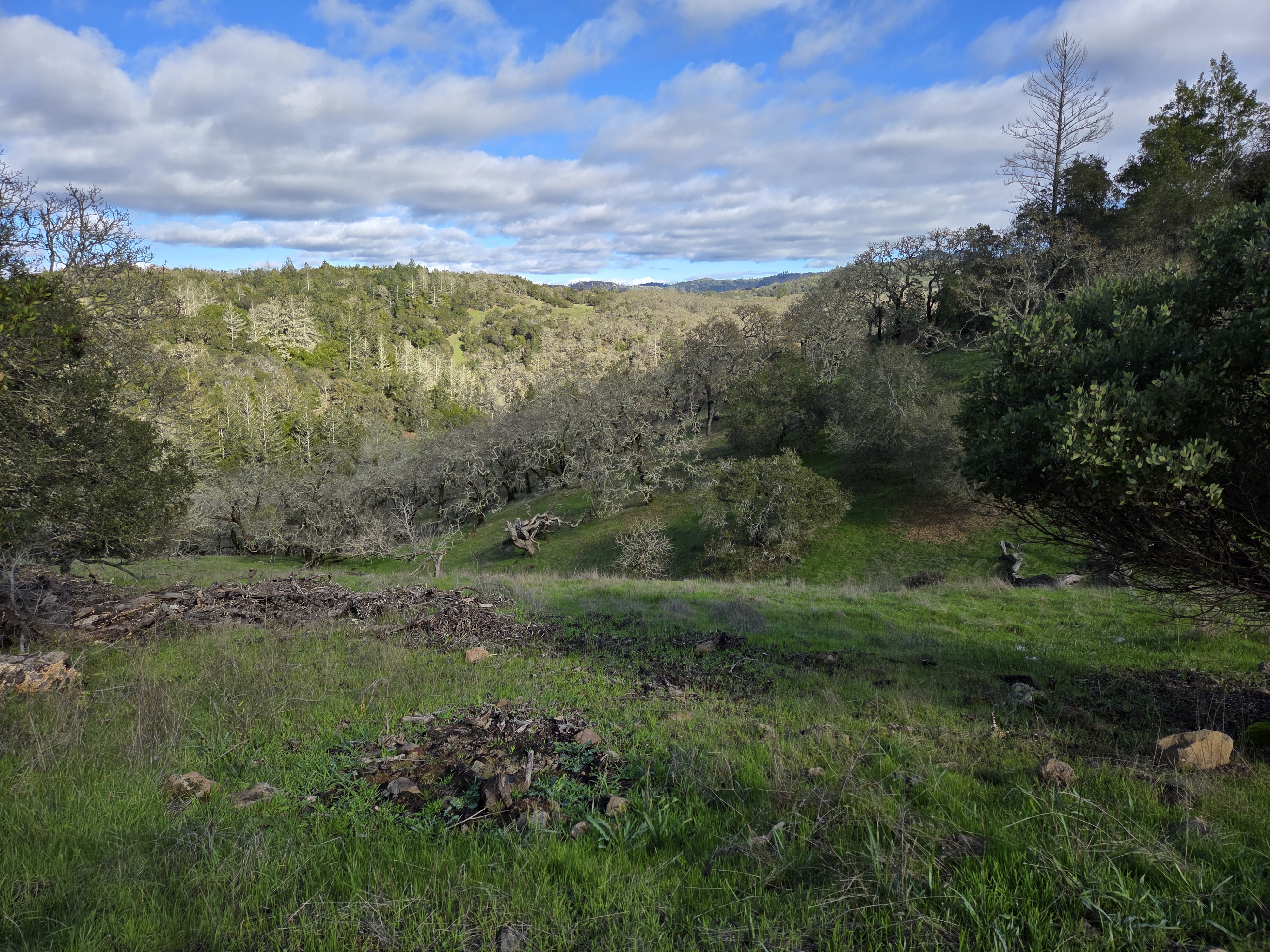
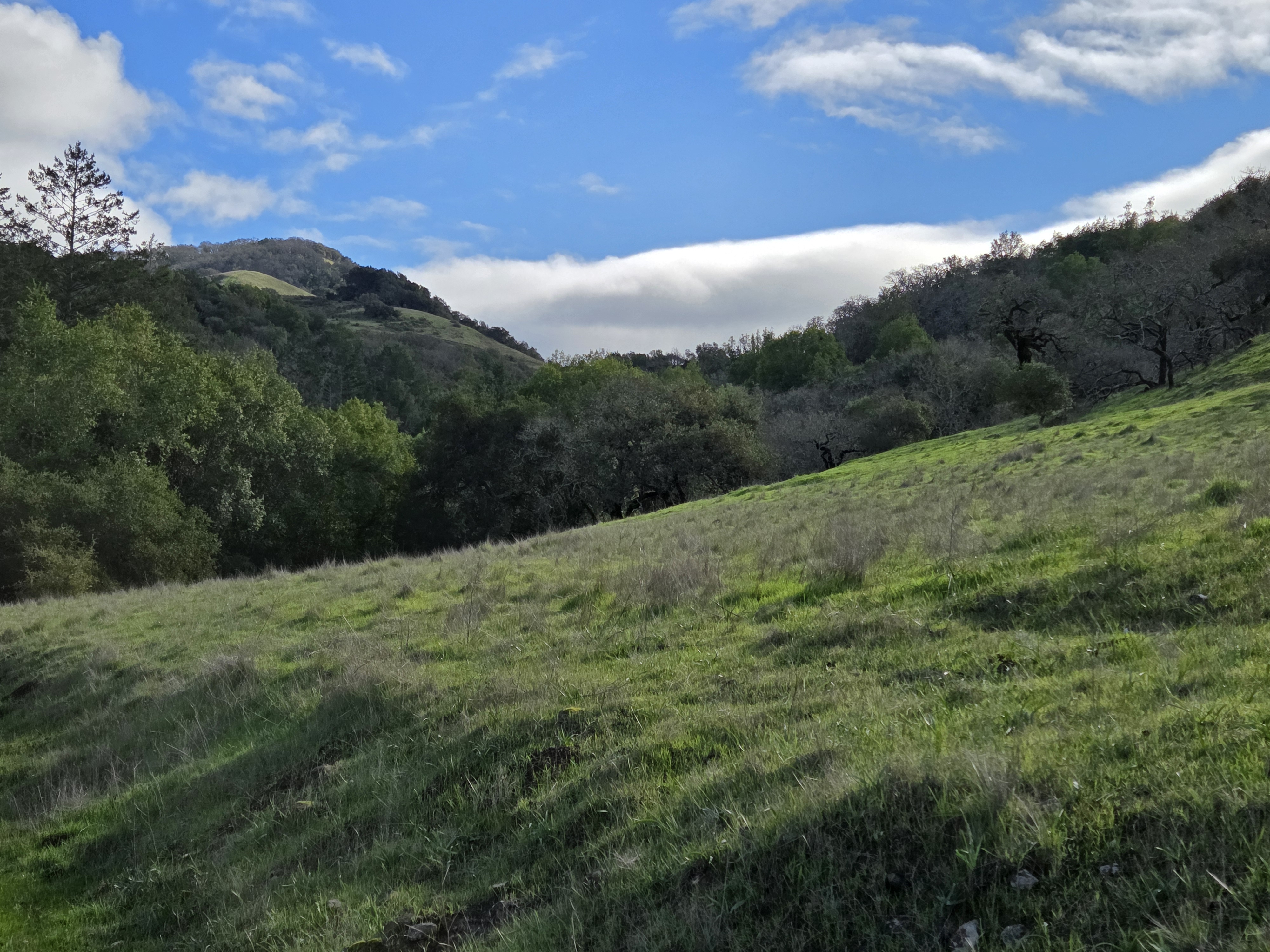
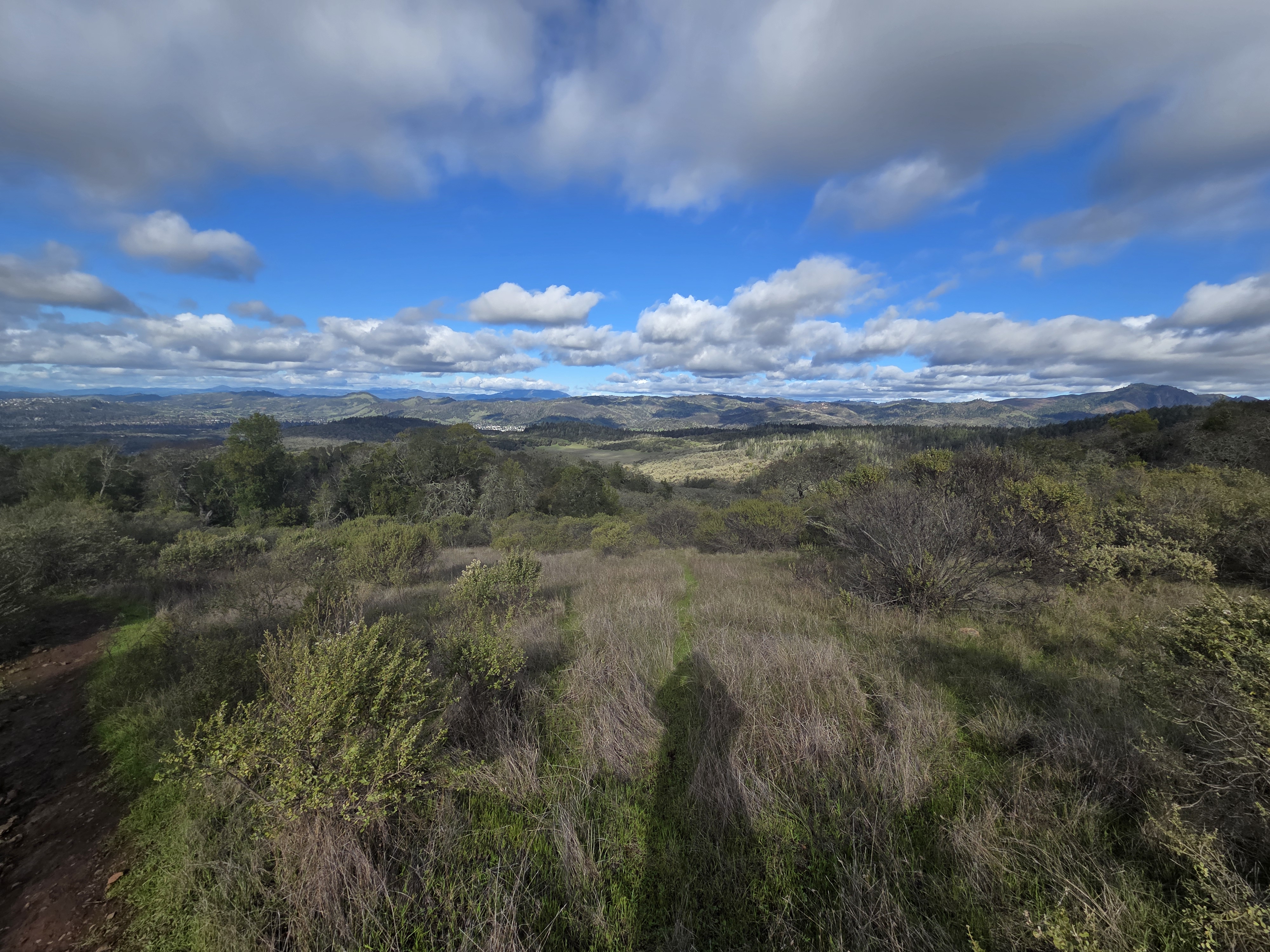
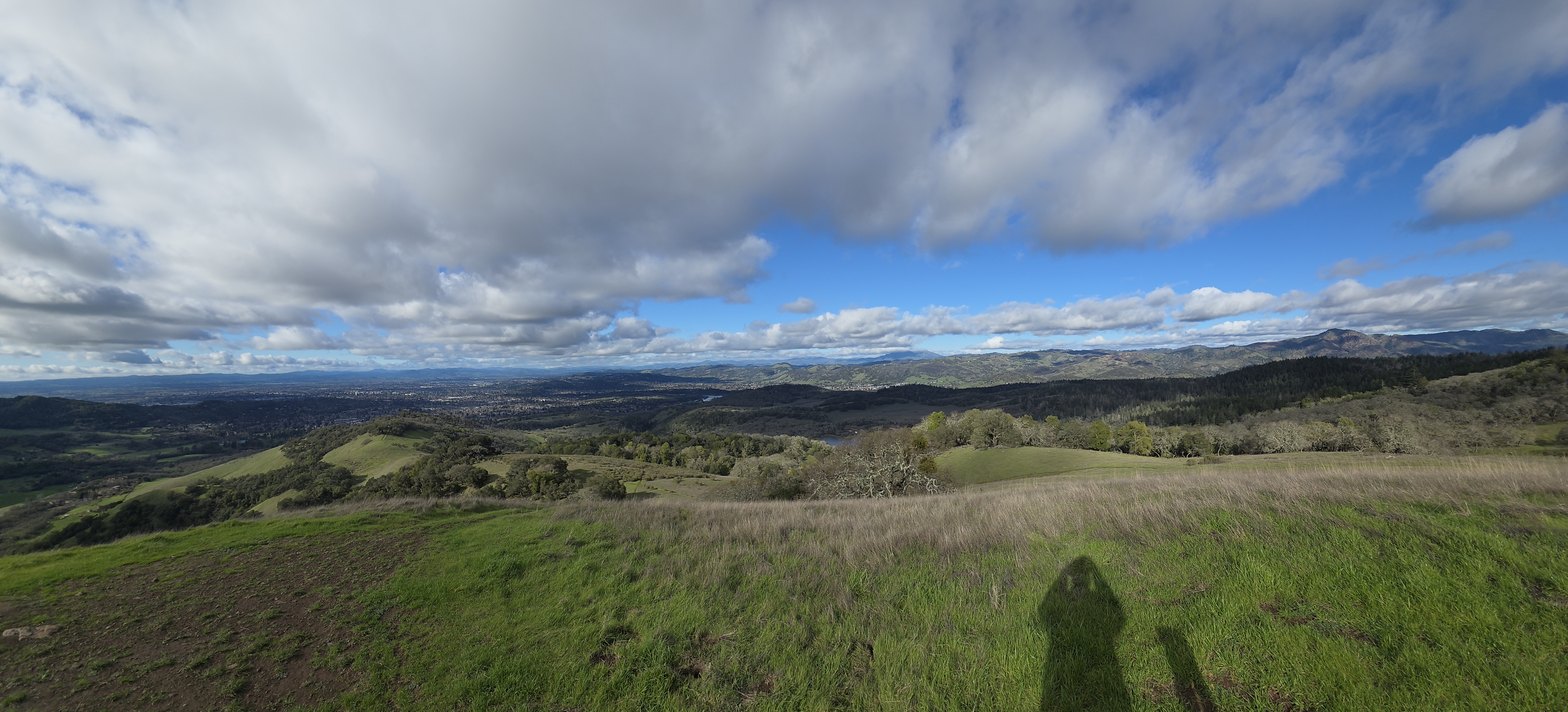
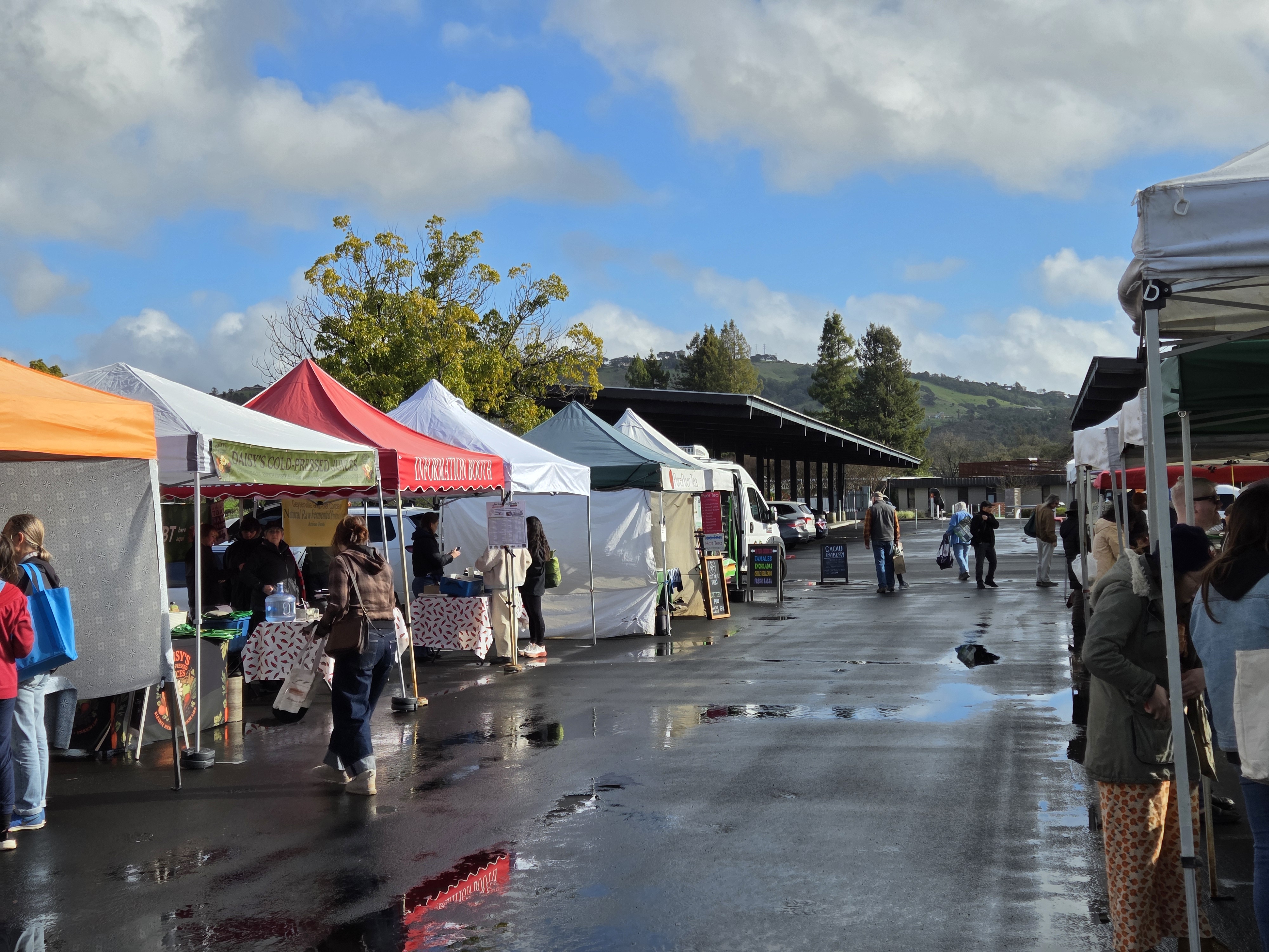
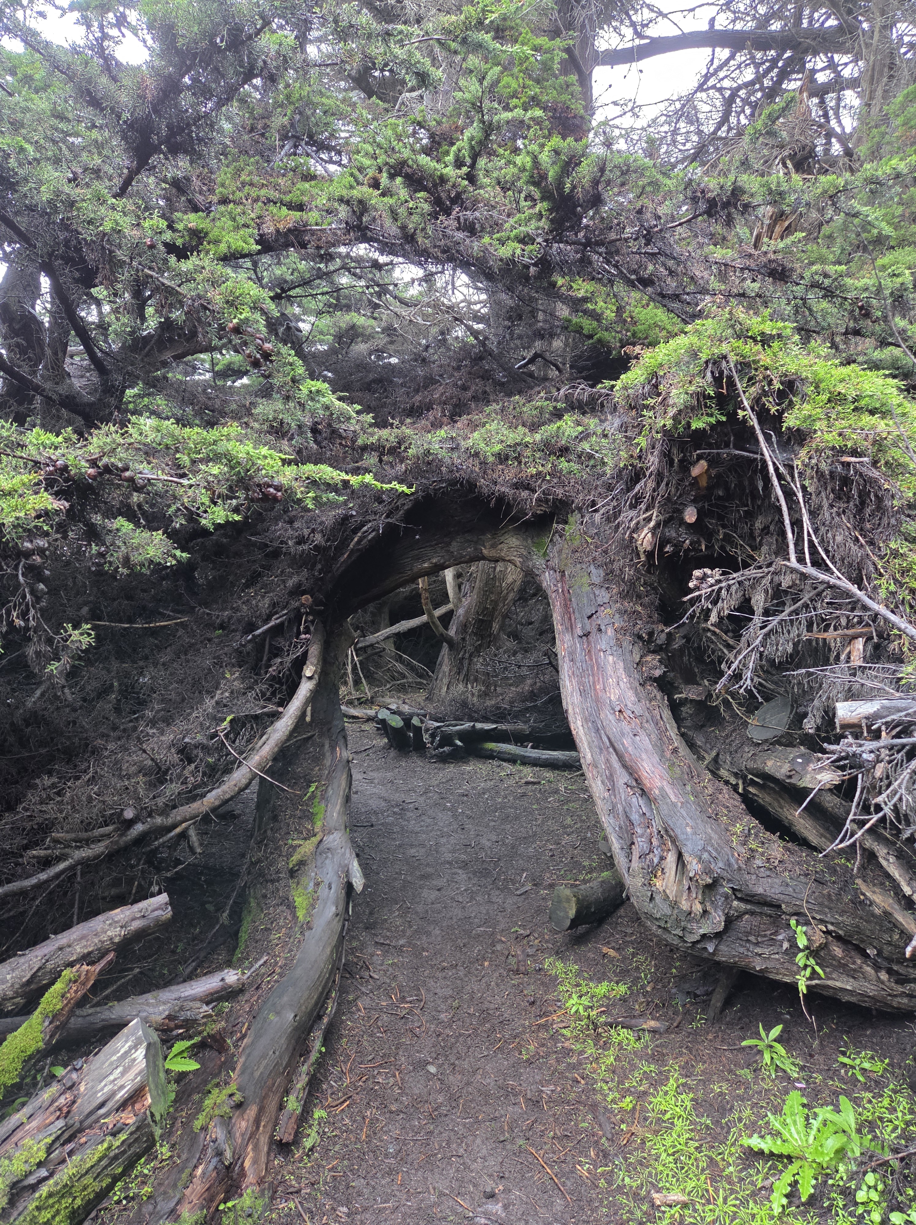
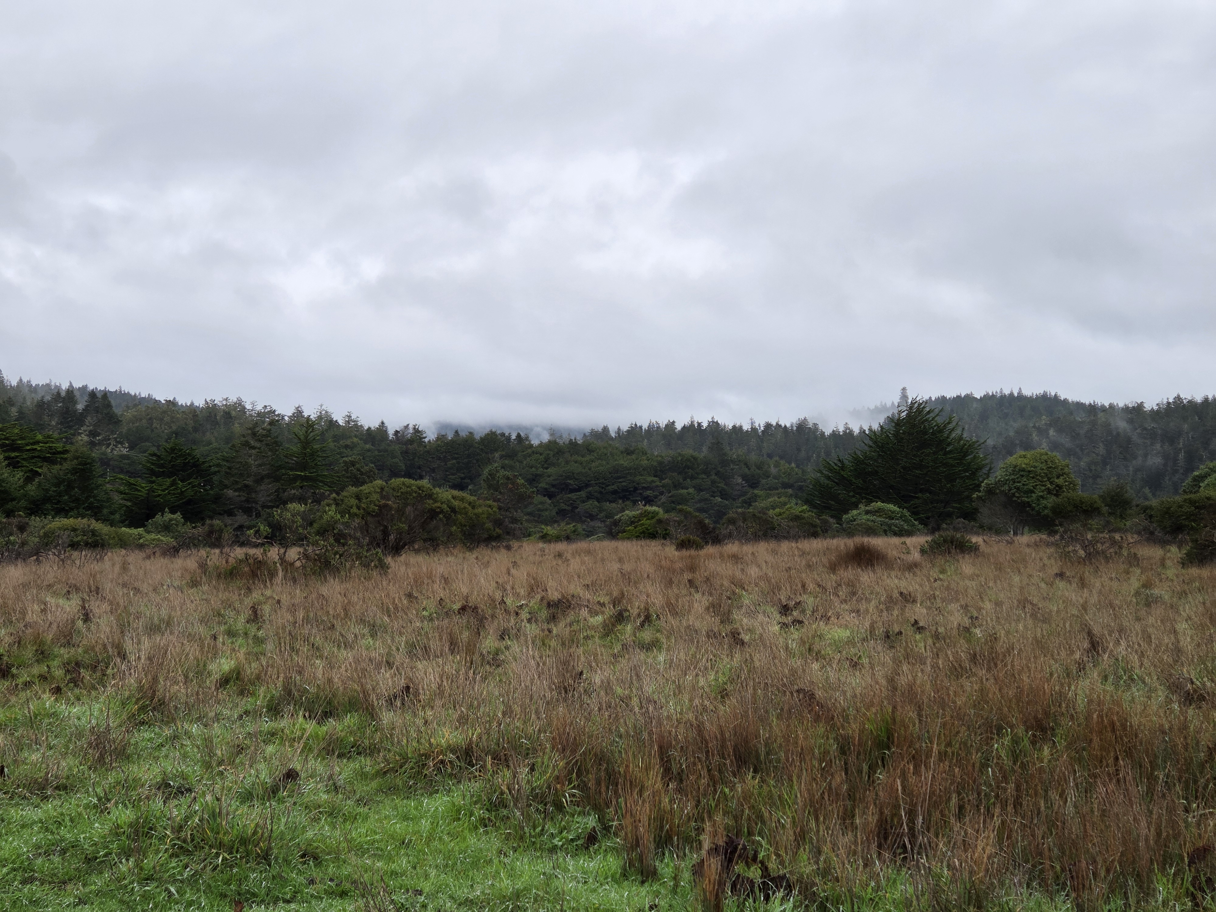
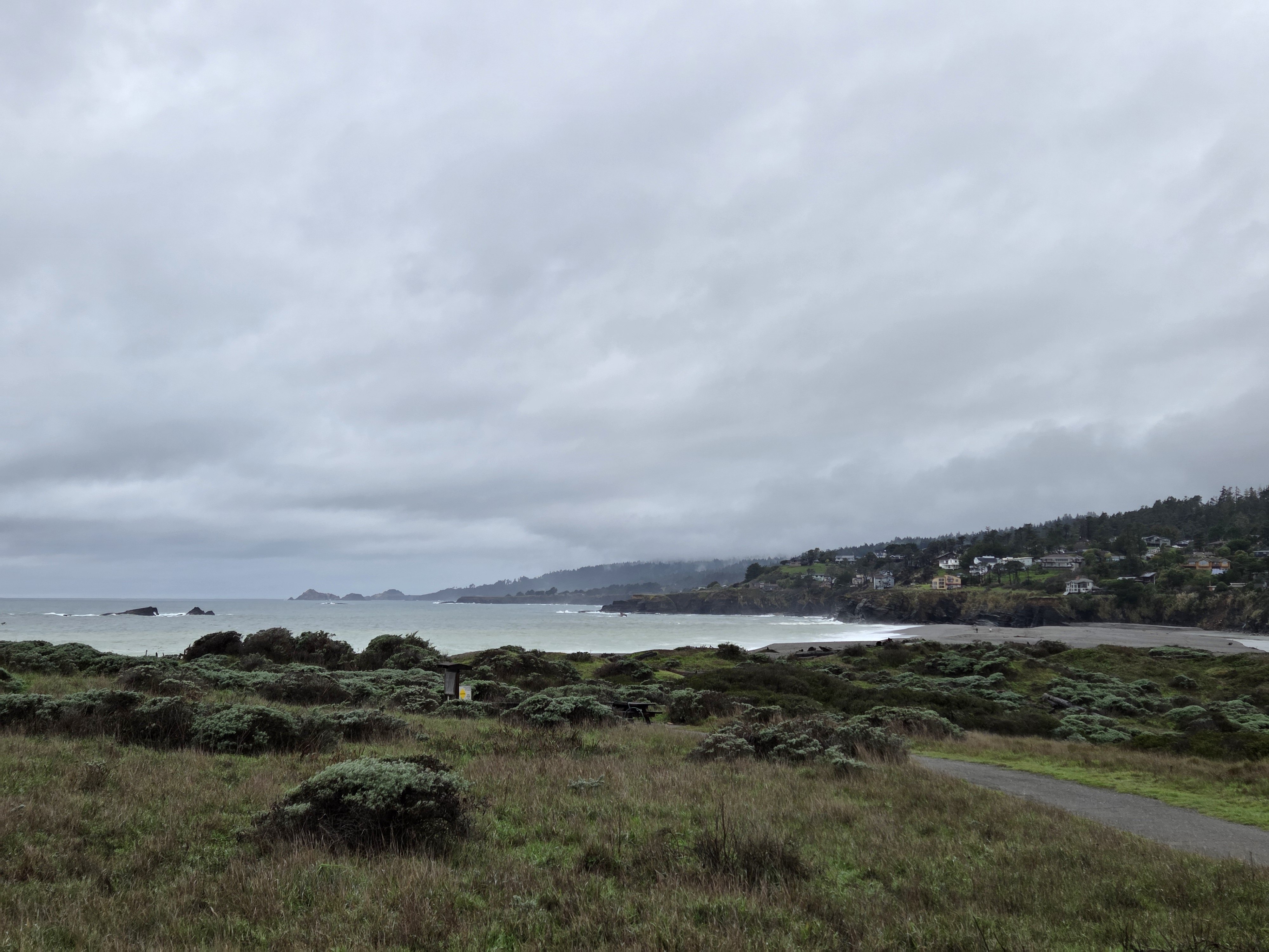
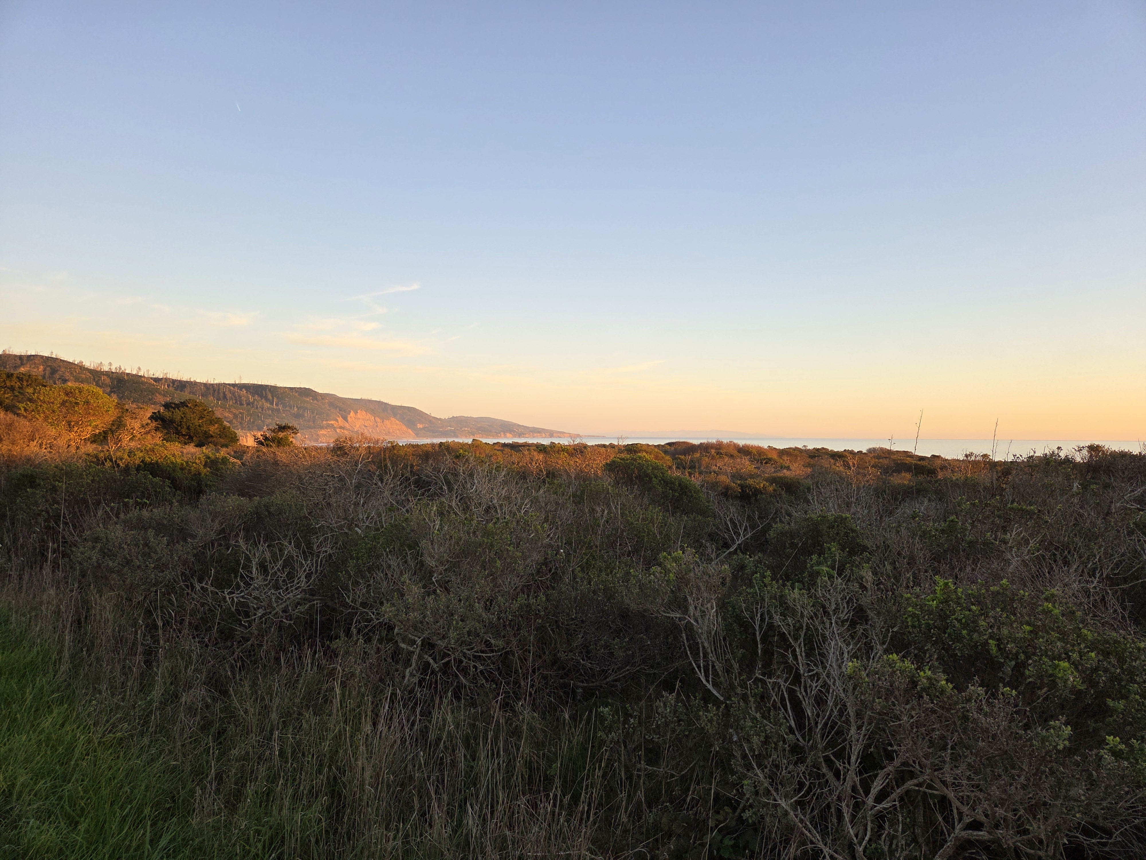
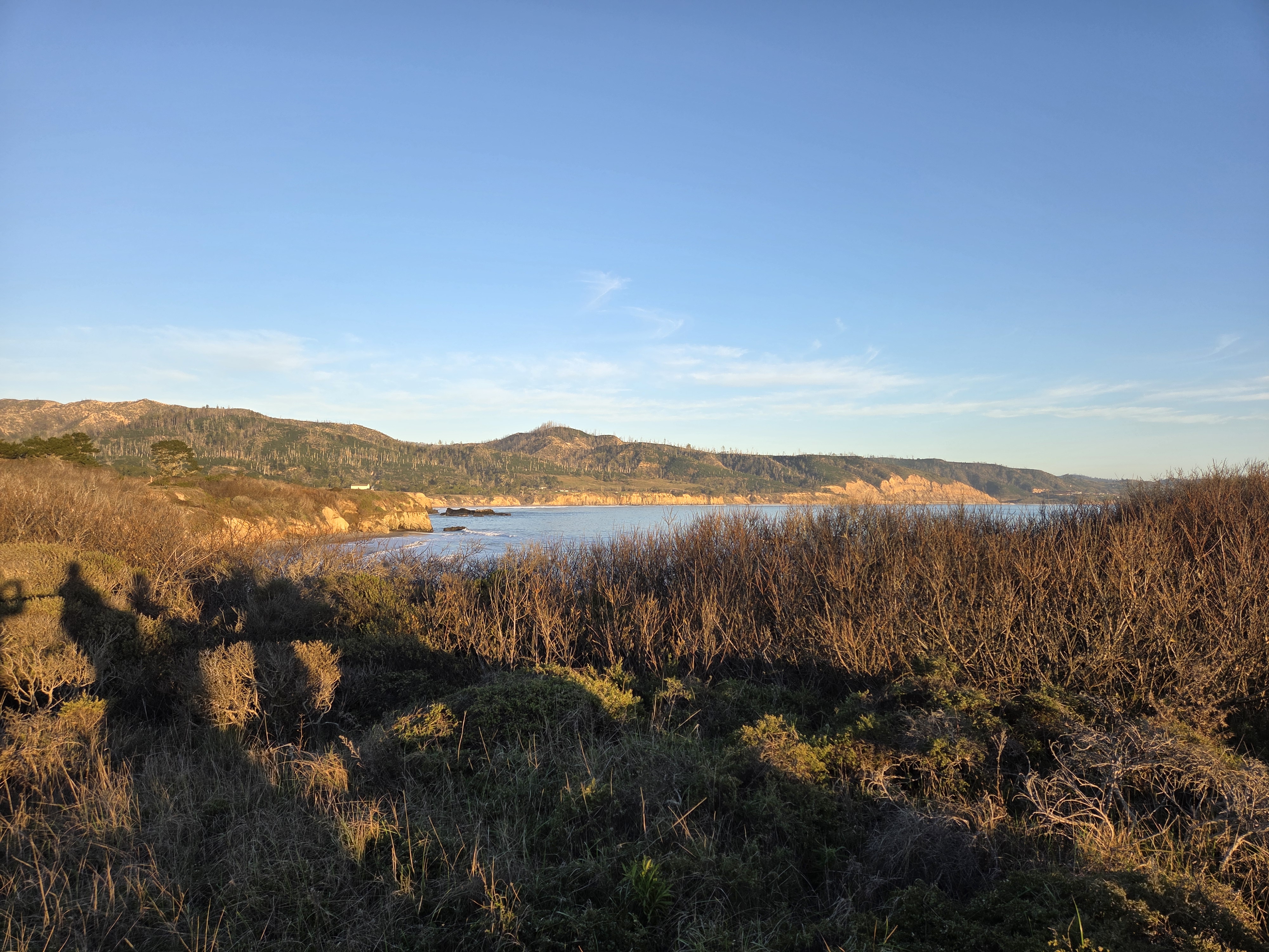
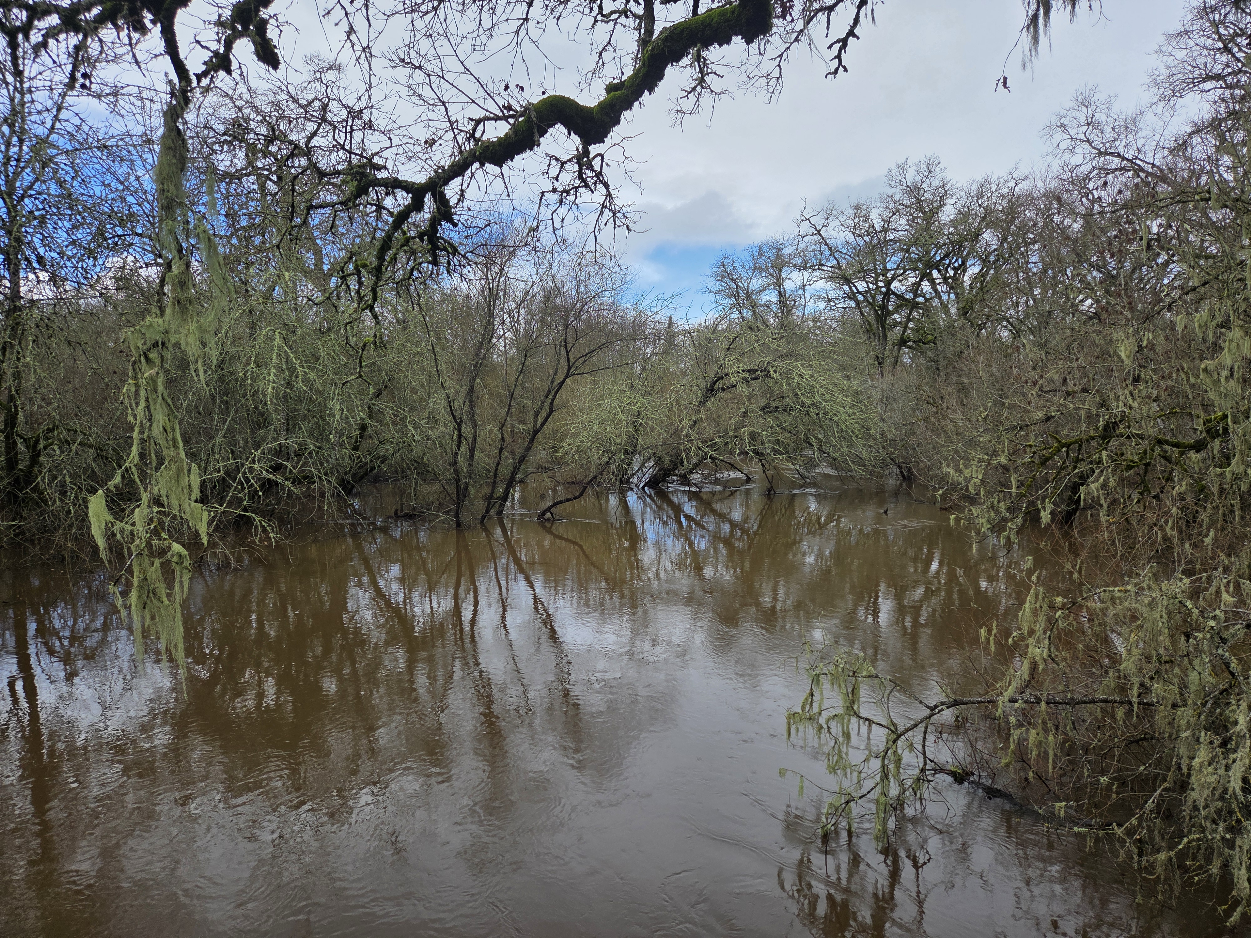
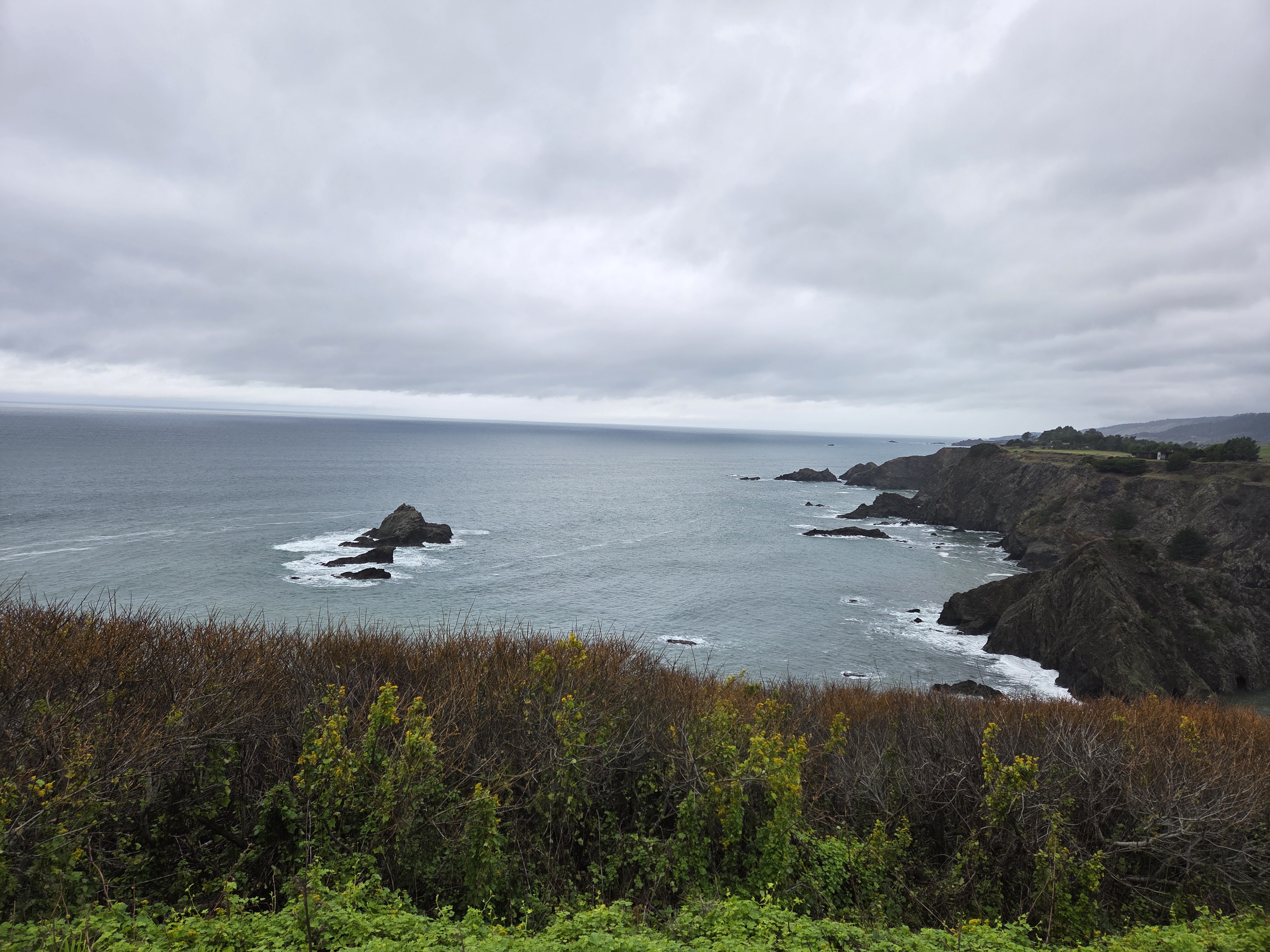
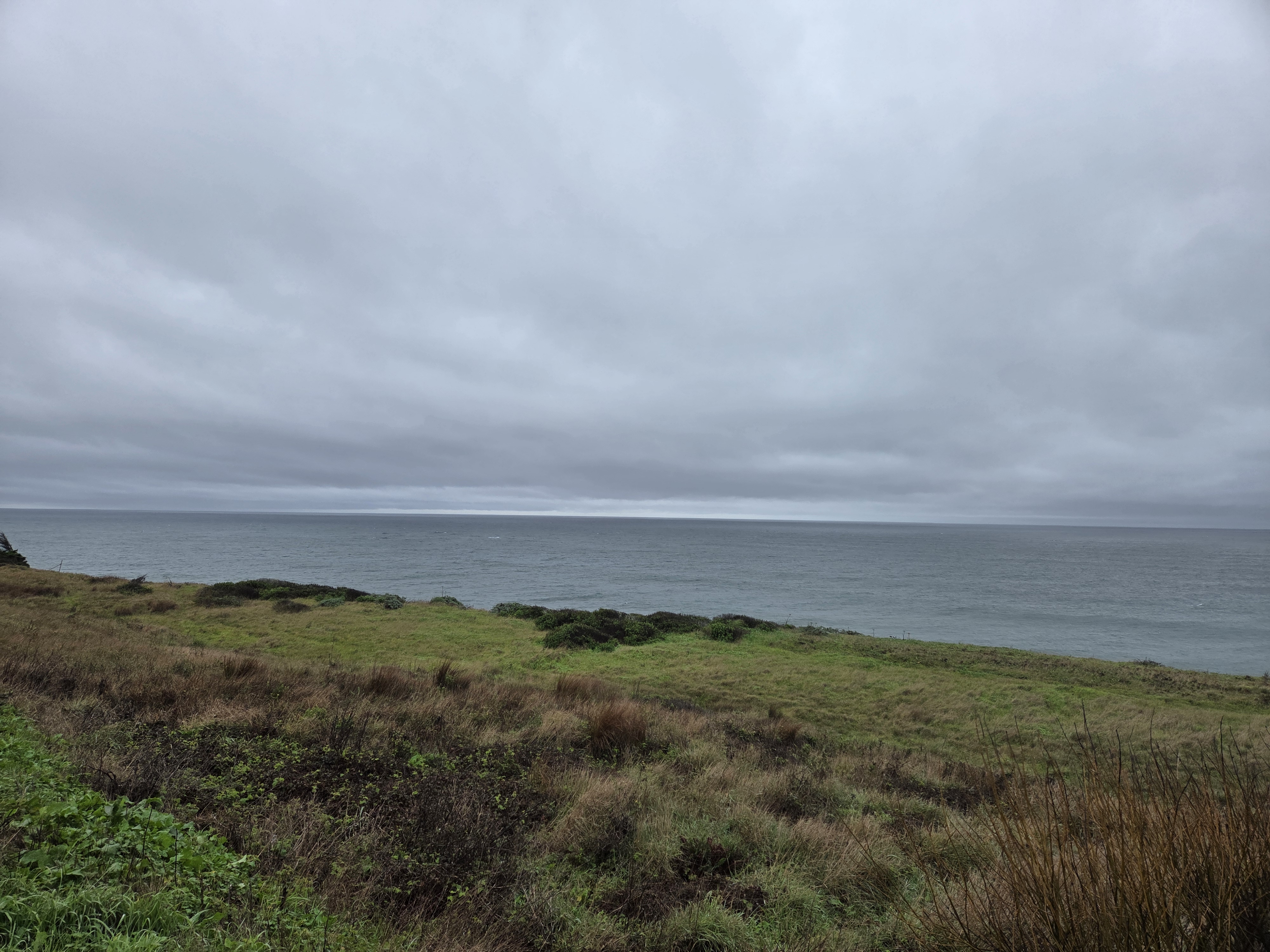
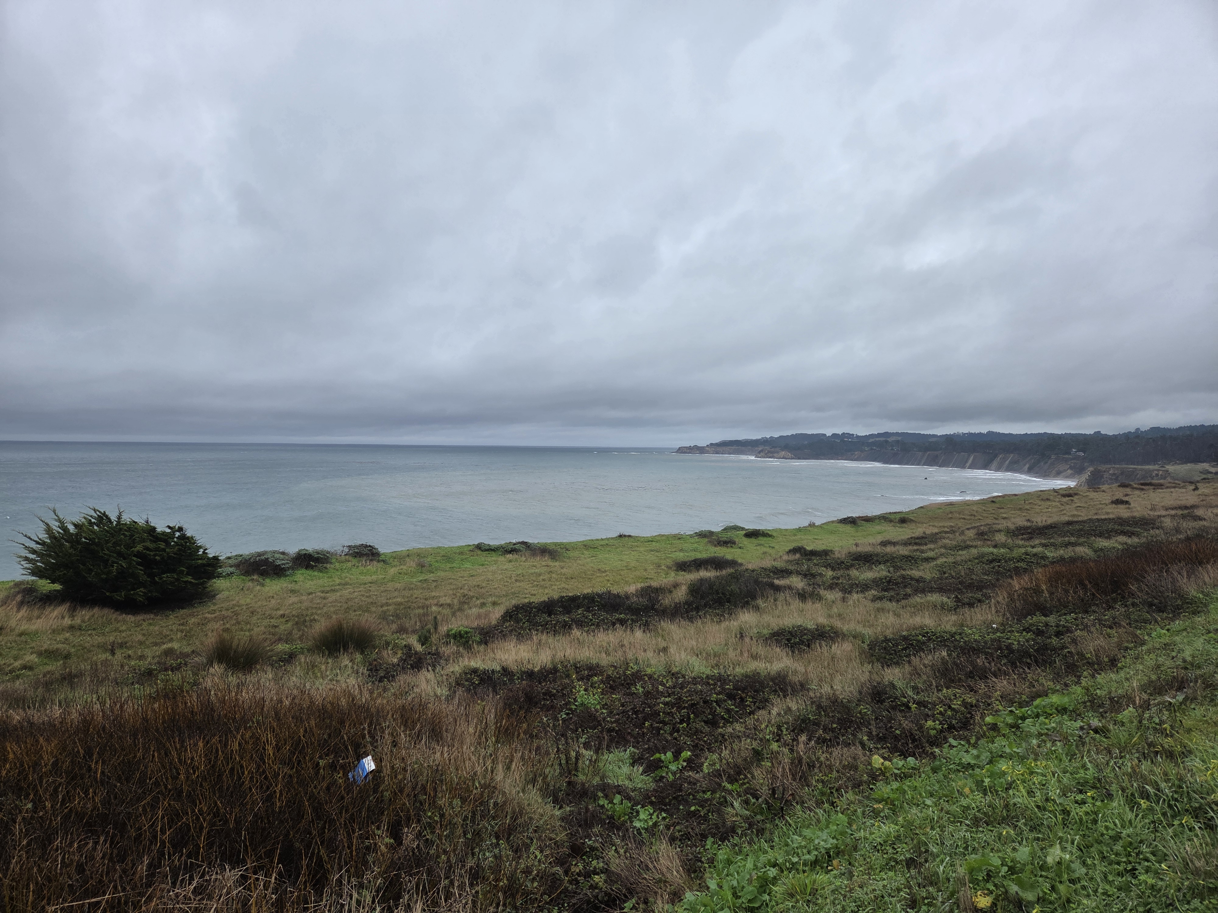
Something of a love letter to the Sonoma County landscapes that feel more like home to me than most other parts of this beautiful world where I’ve lived or visited. All from a walk in early January. Probably most easily seen in “view full site” mode, if you’re on a phone or tablet, since the gallery below carries quite a few photos.
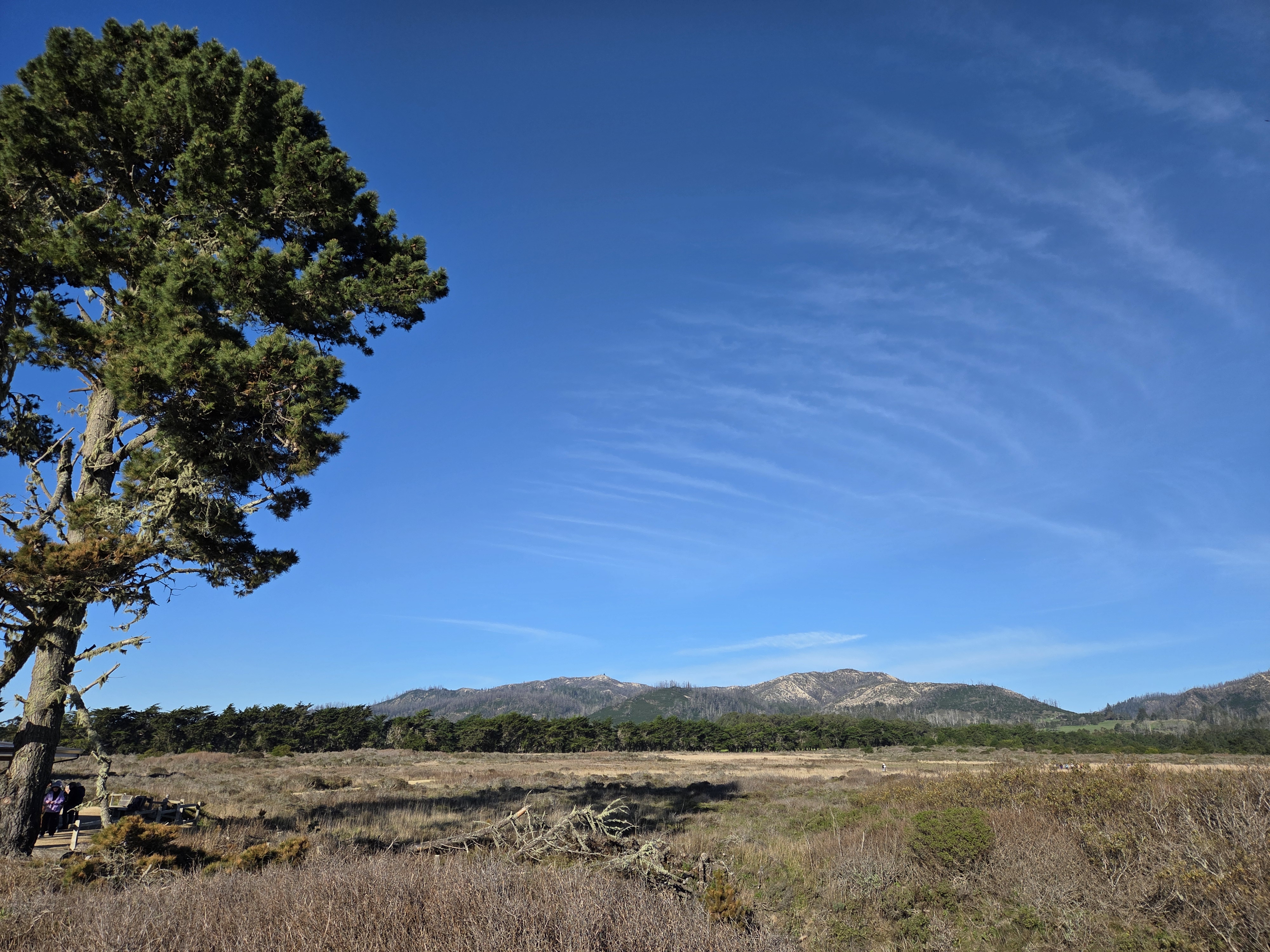
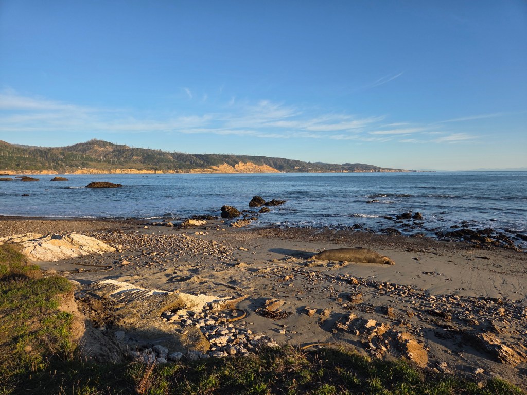
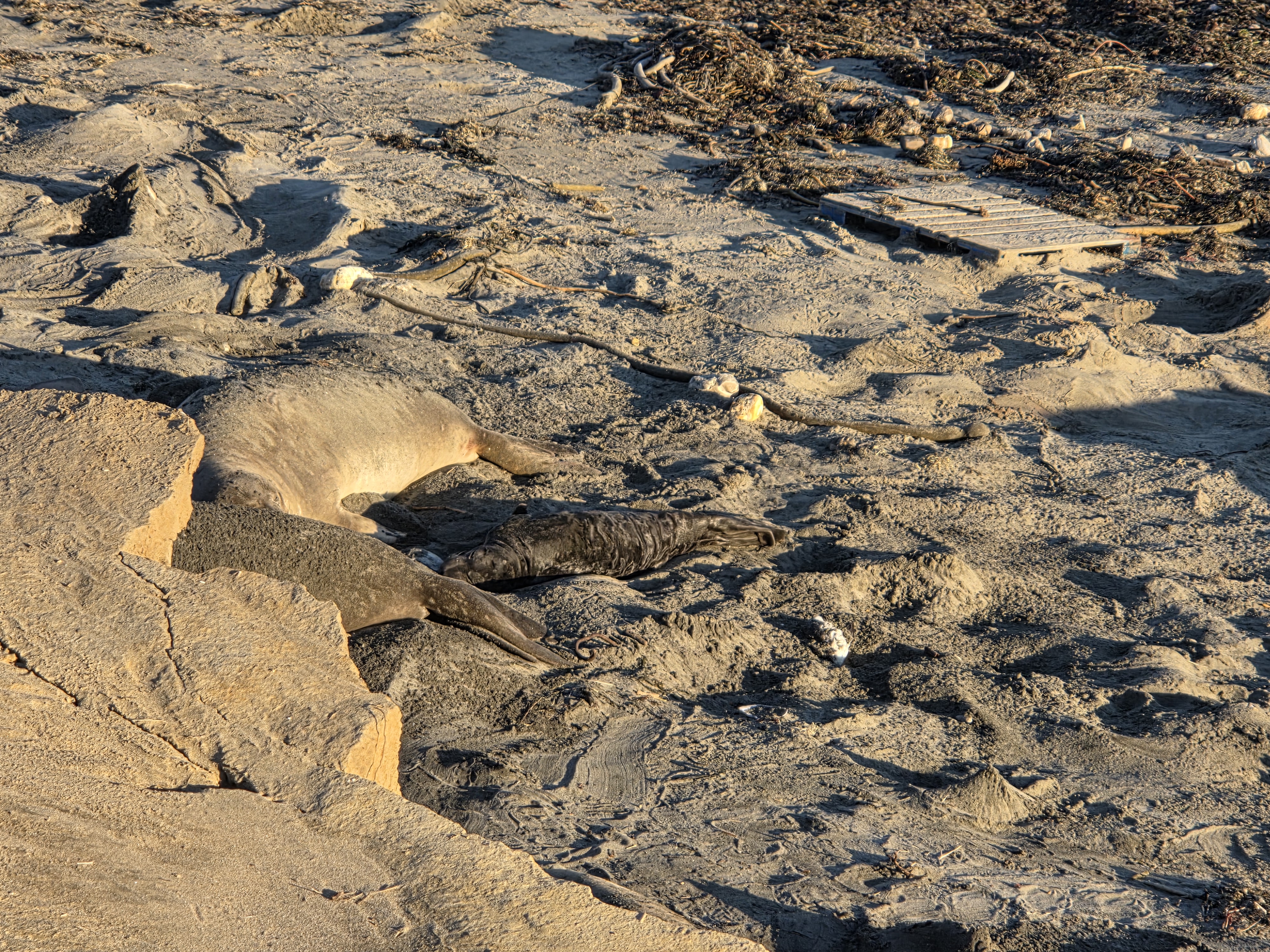
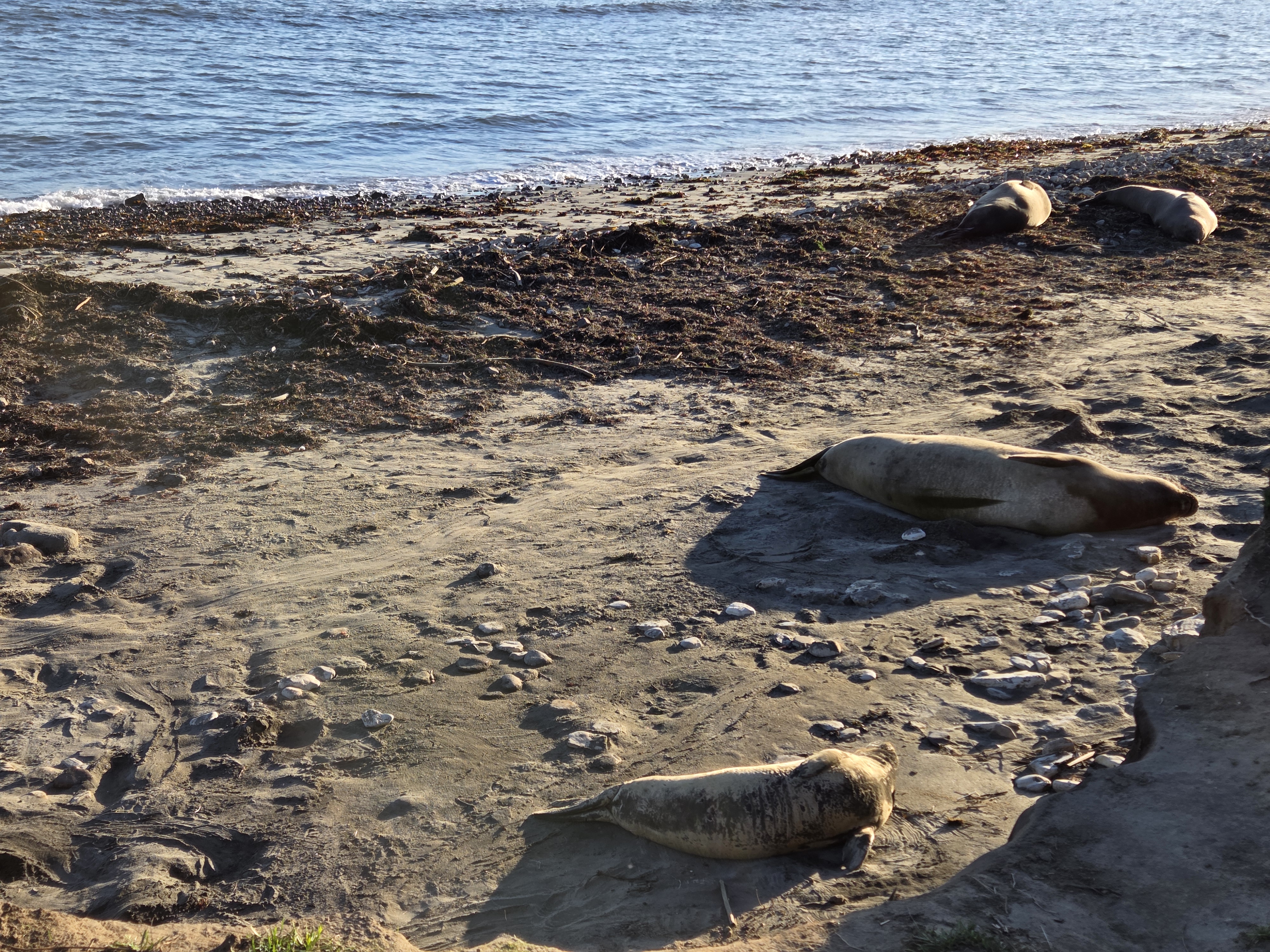
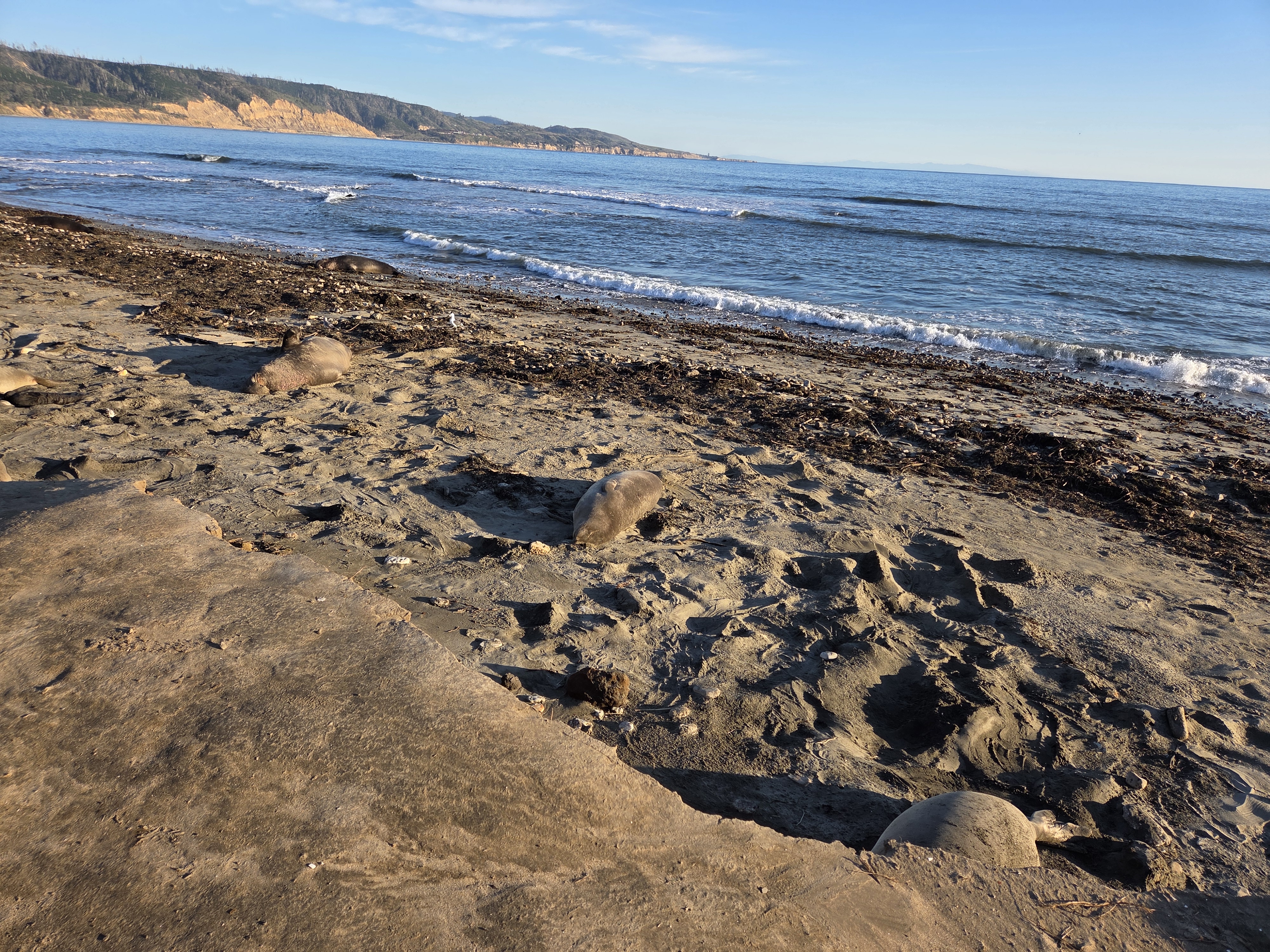
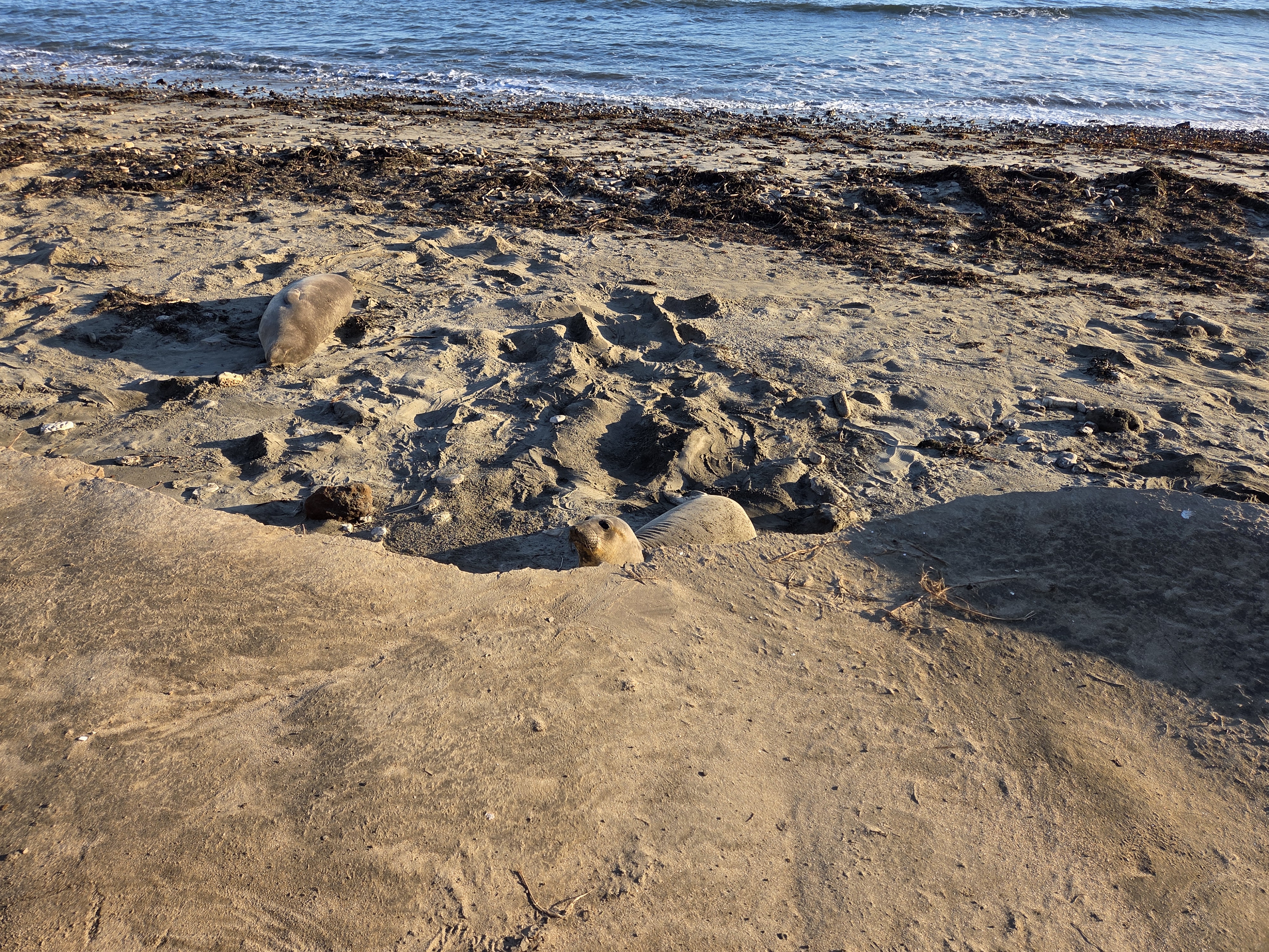
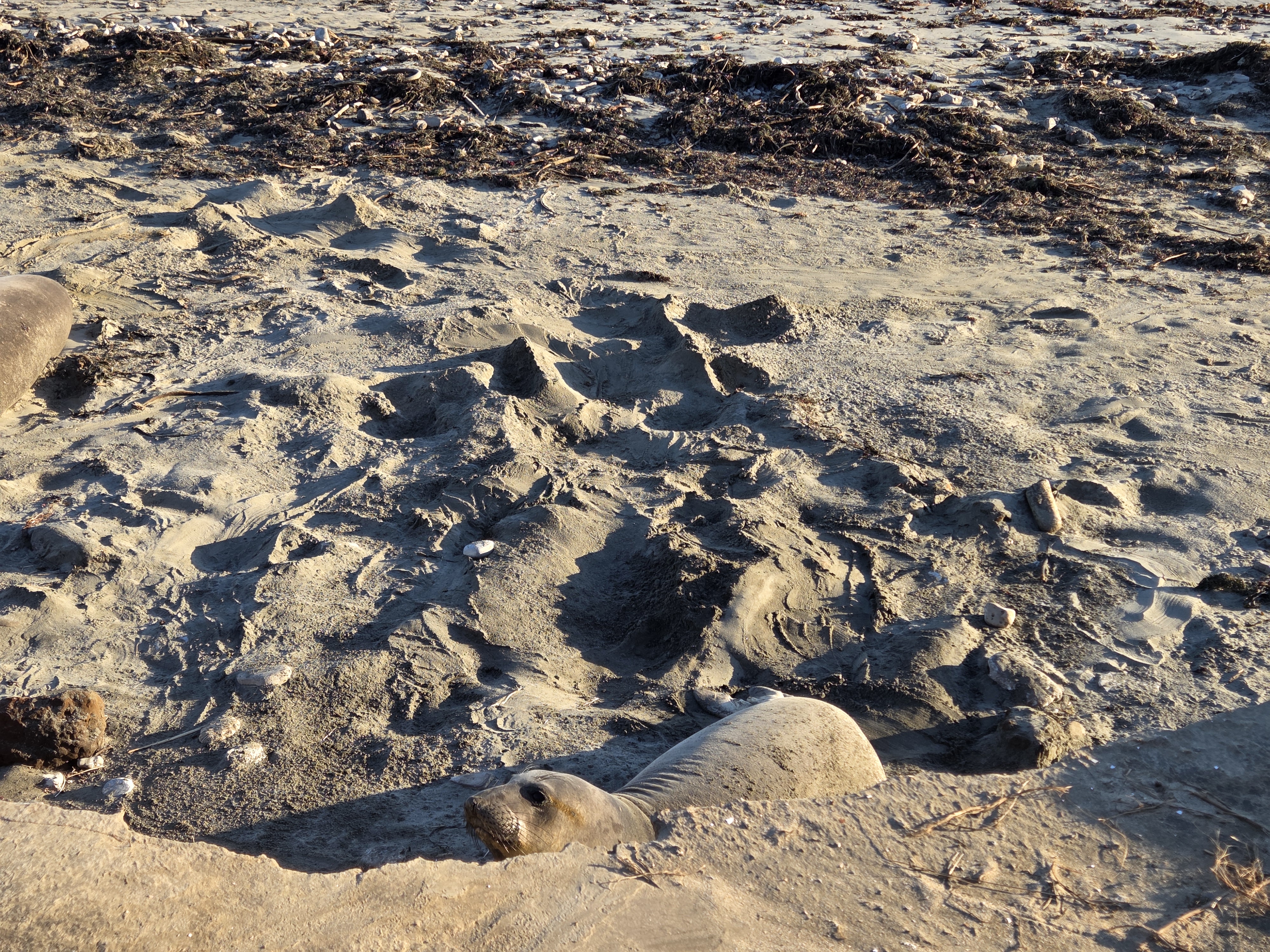
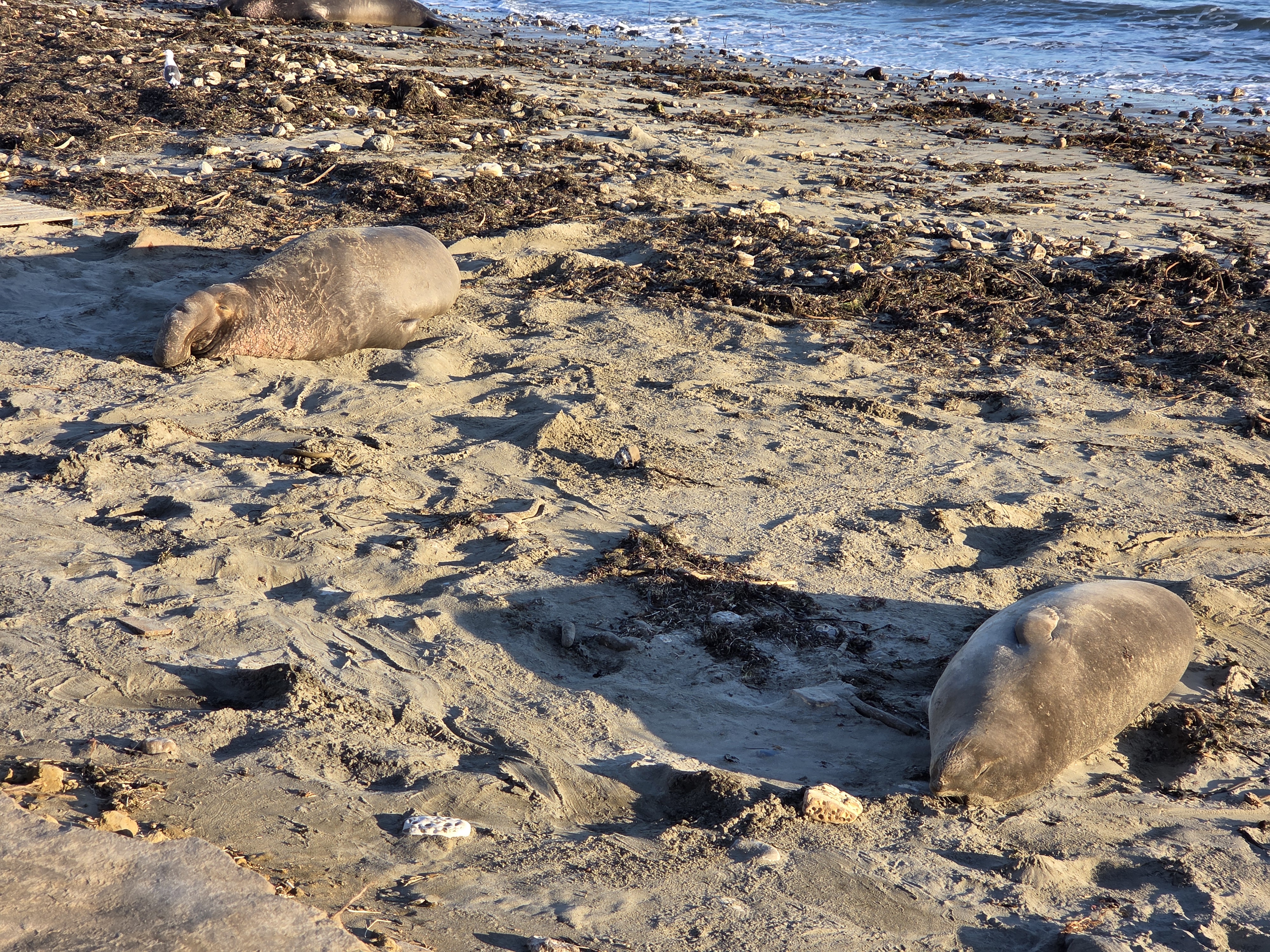
So now we’re back to my most recent visit to Año Nuevo State Park, which we showed you in one post from January. This time I’m including the video I took in which you can, if you wish, see a pretty newborn elephant seal pup with its mom: this was calving season.