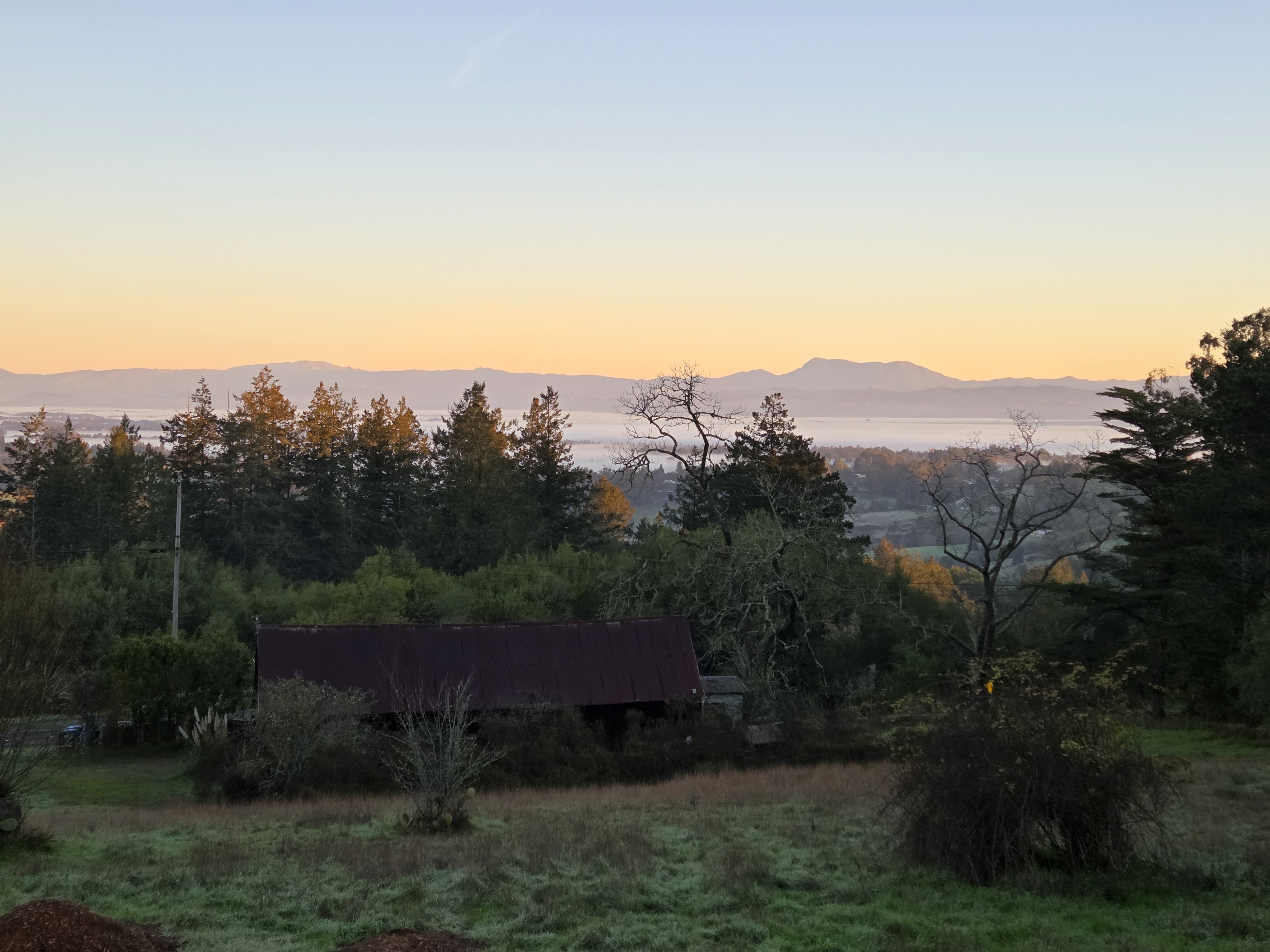
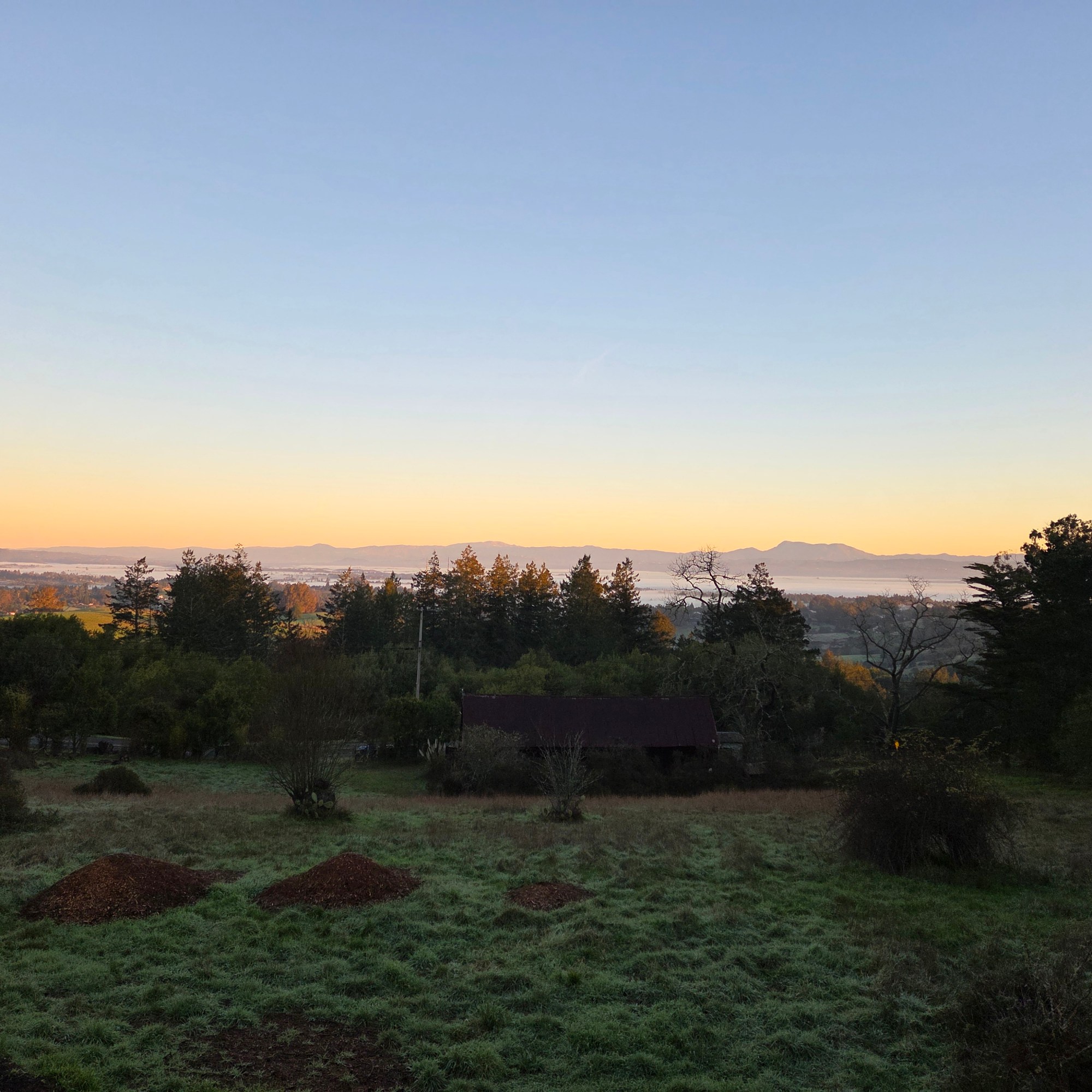
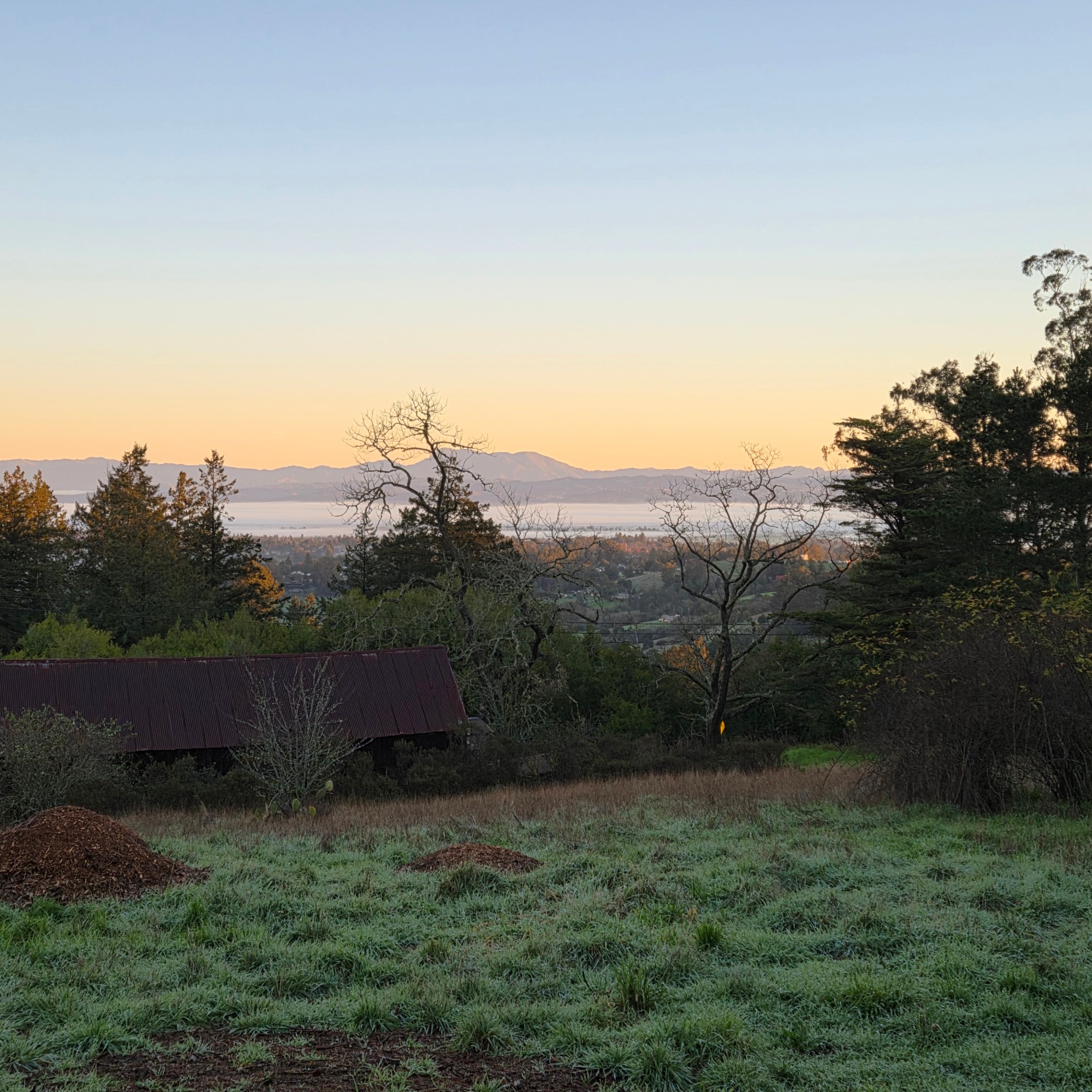
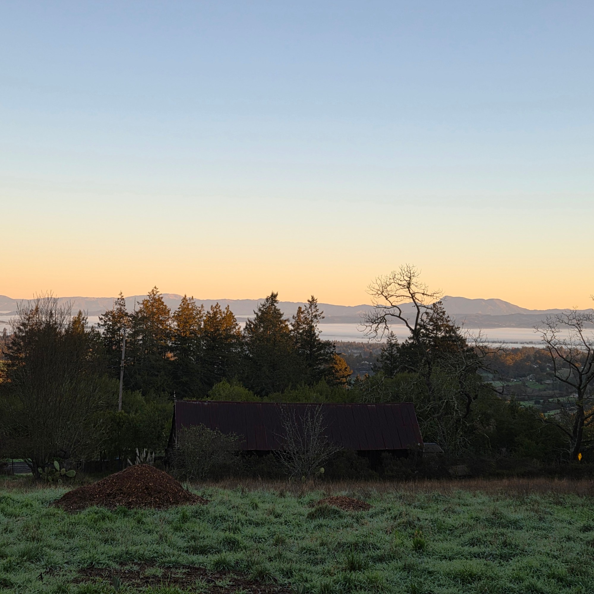
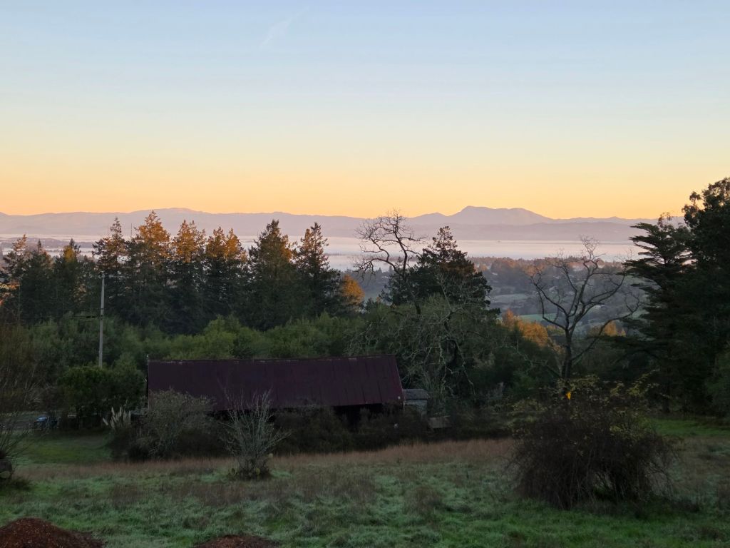
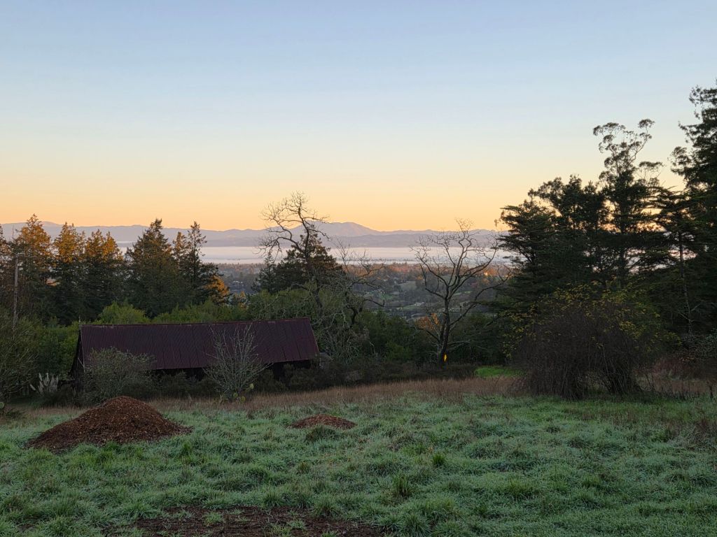
For some reason we call it clouds when it’s “in the sky” but mist or fog when it’s around ground level. Whatever we call it, here you see that essential source o’ life lying low in the valley and also up high partially blocking the view of good ol’ Mt St Helena :-).
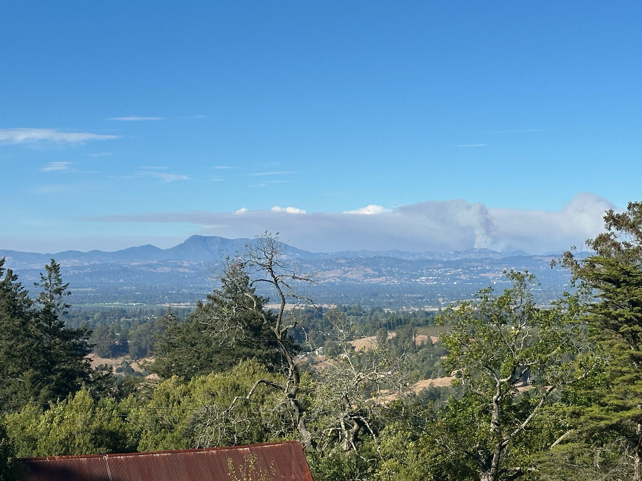
The Calfire site tells me that the Picket Fire started on August 21 and was 100% contained on the 7th of September. When my friend Howard sent me these photos of its smoke billowing near Mt Saint Helena on the 27th of August, he said residents in Santa Rosa could smell the smoke from it, but not in Sebastopol. I keep fingers crossed for a quiet rest of the fire season throughout North America, not only near my once and future home in SR ;-).
Turns out I did an even less thorough job of posting all my photos with images of Mt St Helena than I thought, a month or two ago. Good thing for this series, though, because I’ve really run through any other potentially-legit mountainous images (well, aside for a few from the air that I just posted or might still find…), so I might be able to keep this series in the rotation long enough to see something else I can call a mountain without too much embarrassment in time to re-stock with potential future entries. And if anyone wants to check the time stamps on these photos against past entries, do let me know if I’m inadvertently double-posting some of these images. I did a quick check myself and, no, it just seems I love to photograph this particular mountain, a lot.
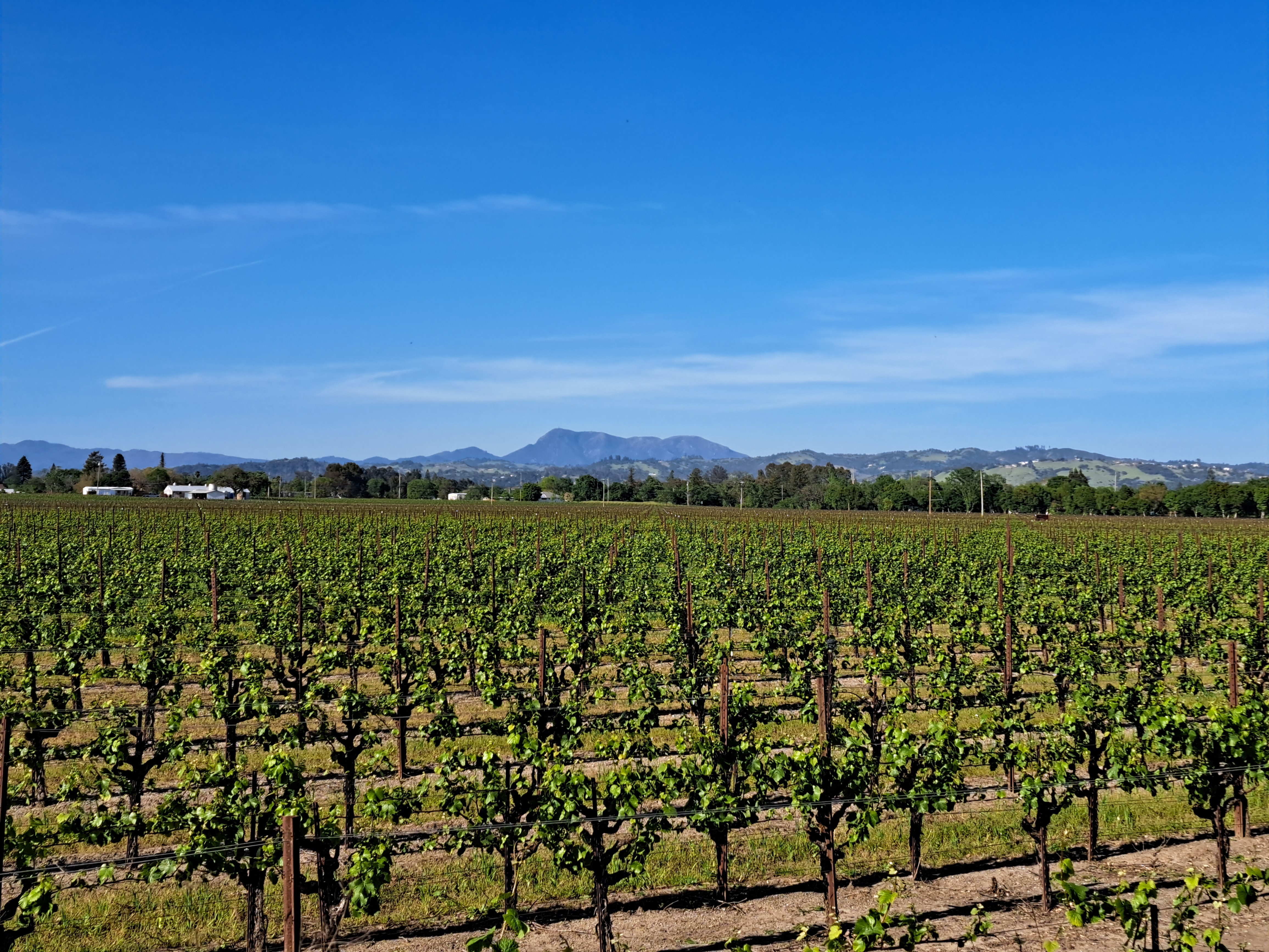
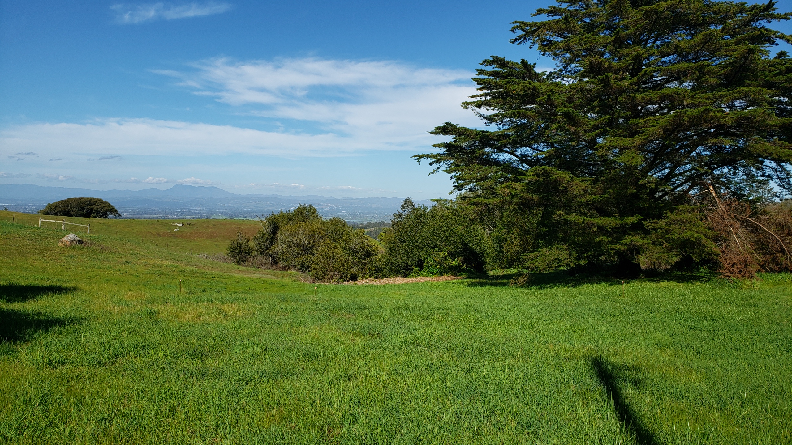
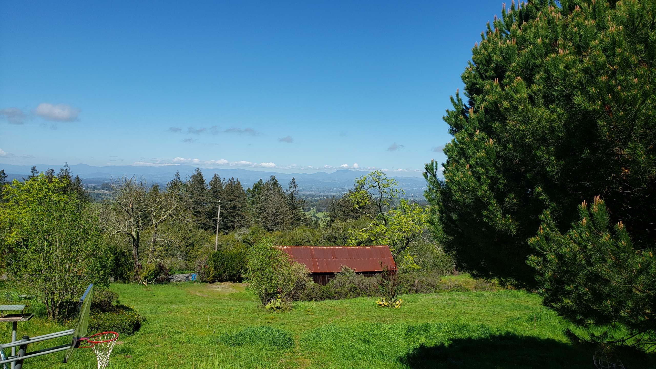
Sonoma County – turns out I didn’t manage to identify all the photos with Mt St Helena somewhere in them when I tried to put them all in one big post early last month. So herewith a few more images from the place that’s still the home of my heart 🙂
Definitely Mt St Helena top right corner – Mt Tam top left edge, and for anyone who doesn’t know the Bay Area, that’s the Bay Bridge connecting SF (left) to Oakland – Berkeley and the east bay then on to rest of the US. (That’s I-80, connecting from the GWB in NYC to the Bay Bridge right across the whole continent. Though, given how things are going in the US, one must consider that perhaps SF and the bay area might by next year prefer to not be so well connected to the rest of the US, which might make sense considering what so much of the rest of the US seems to think of our part of the country. Hmmm….any younger voters reading this who think there’s “no difference” between the two main choices you’ll have in November: please do not let the perfect be the enemy – and very possibly destroyer — of the good.)
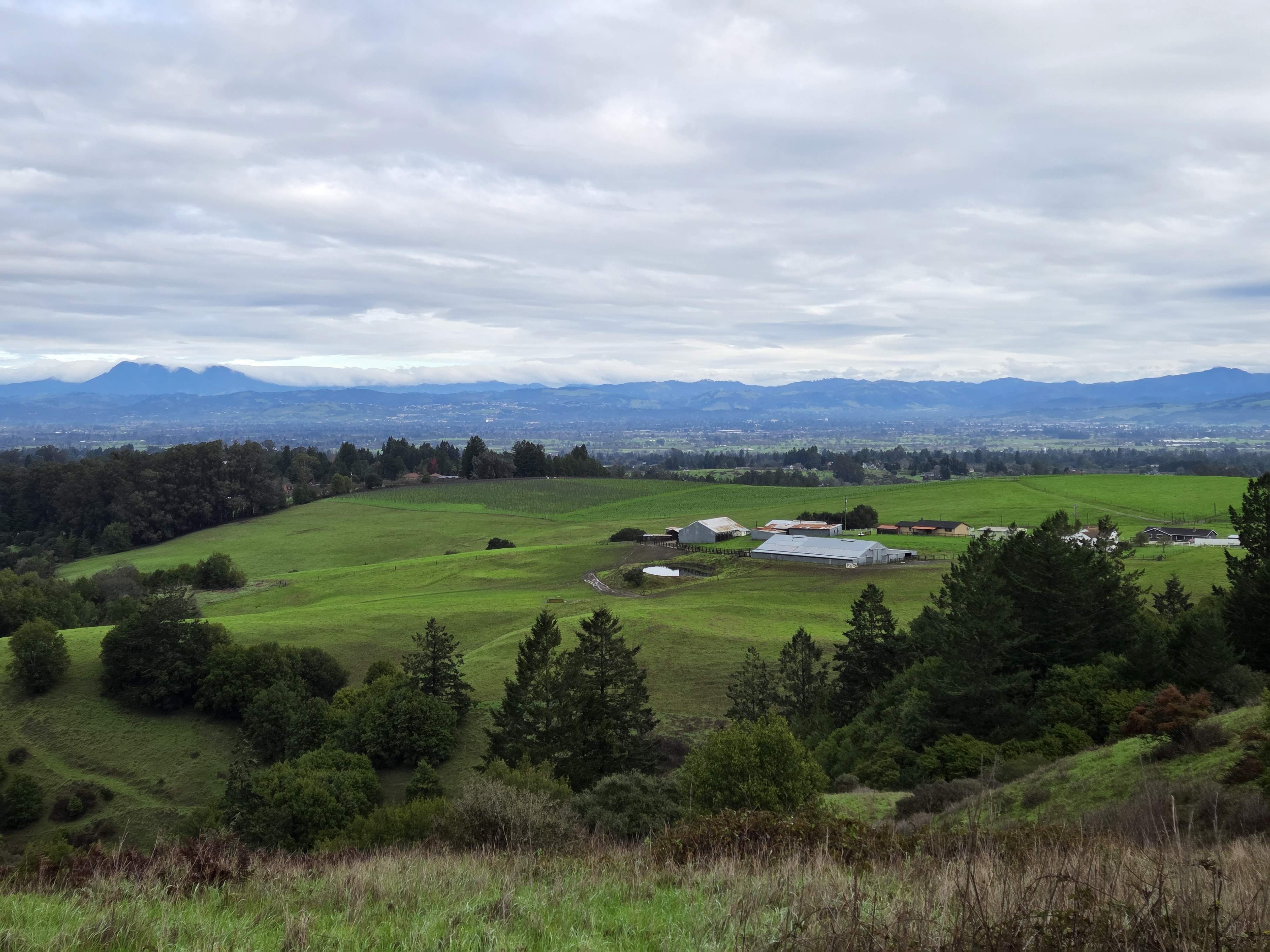
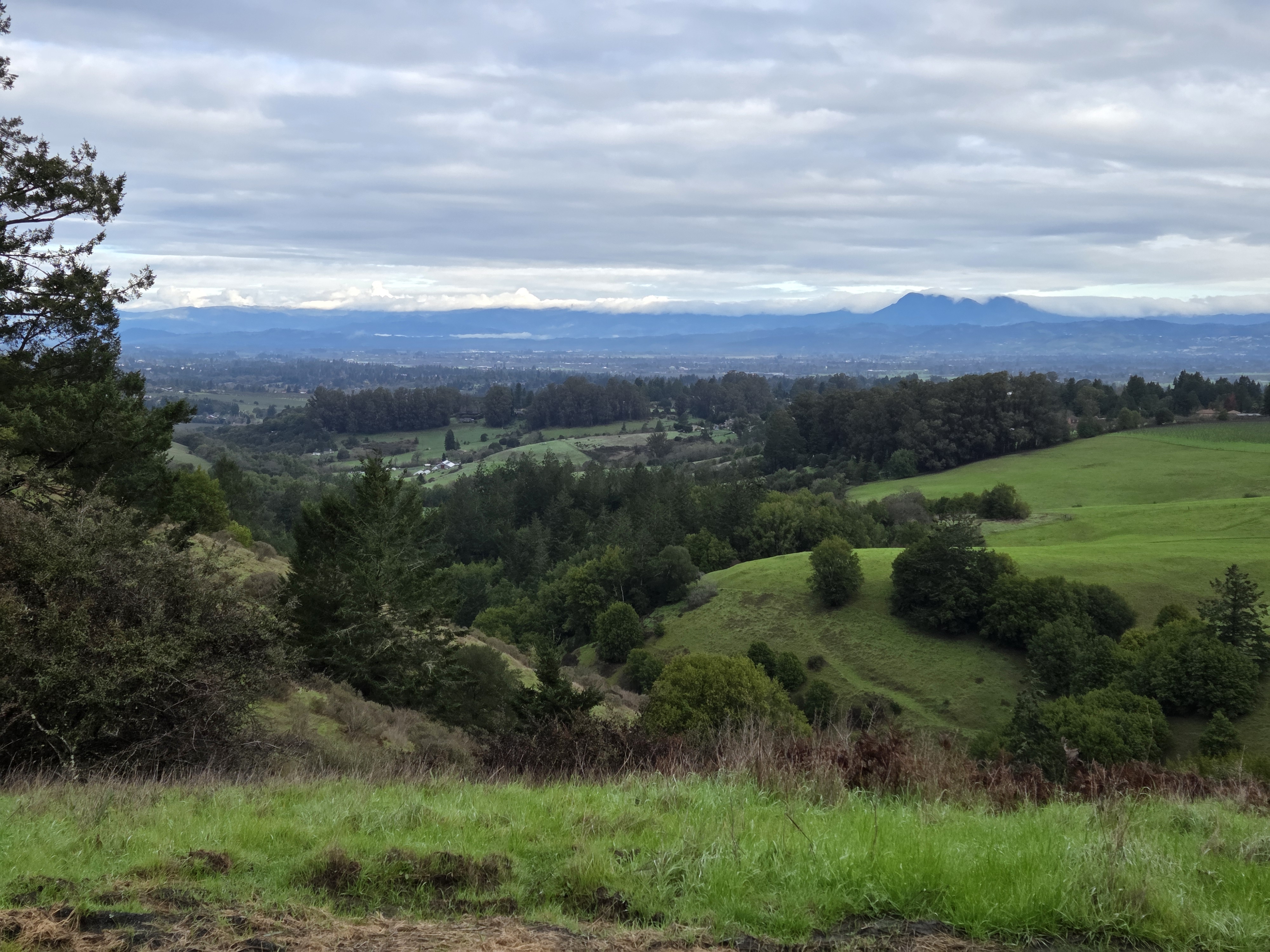
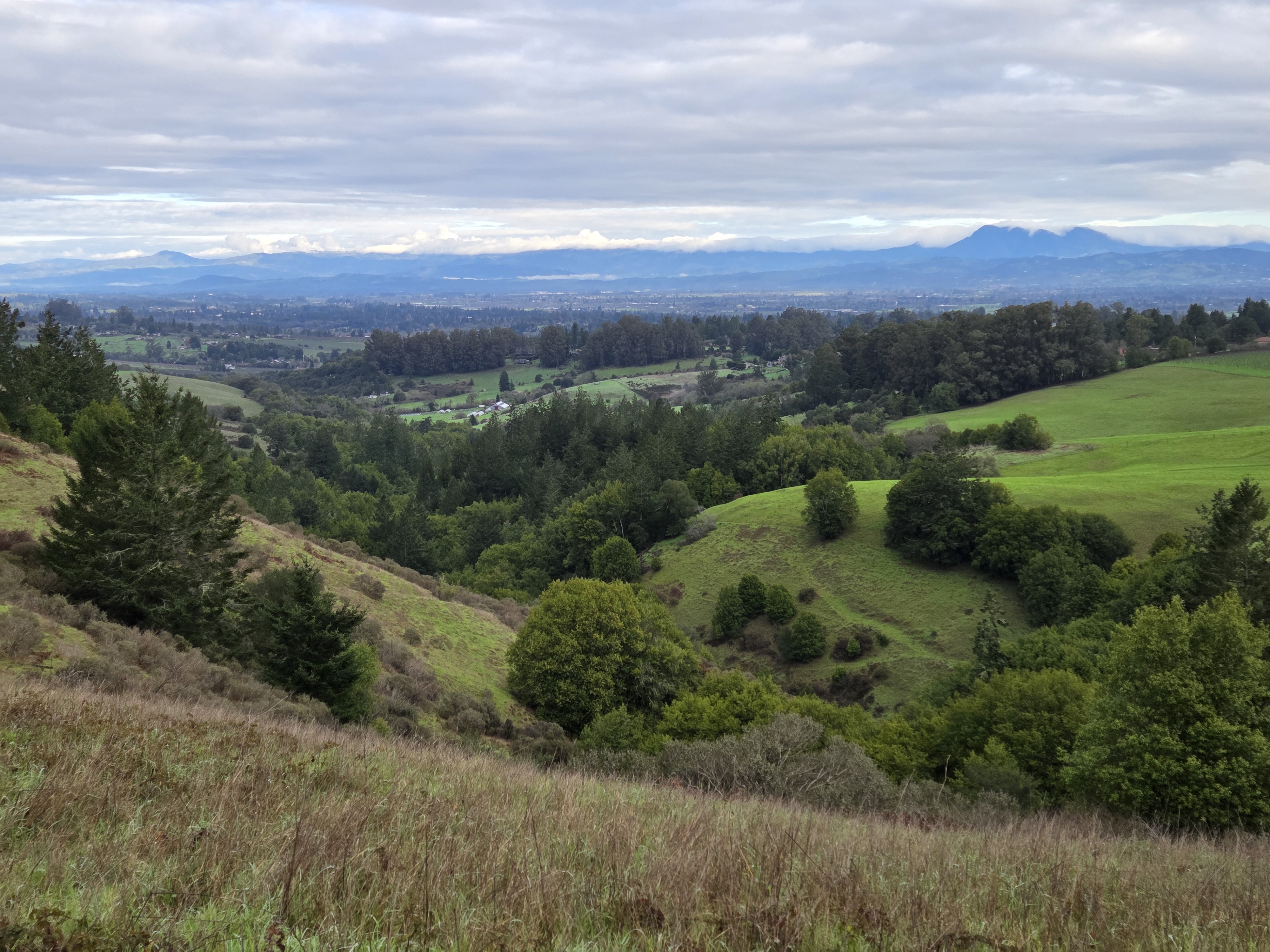
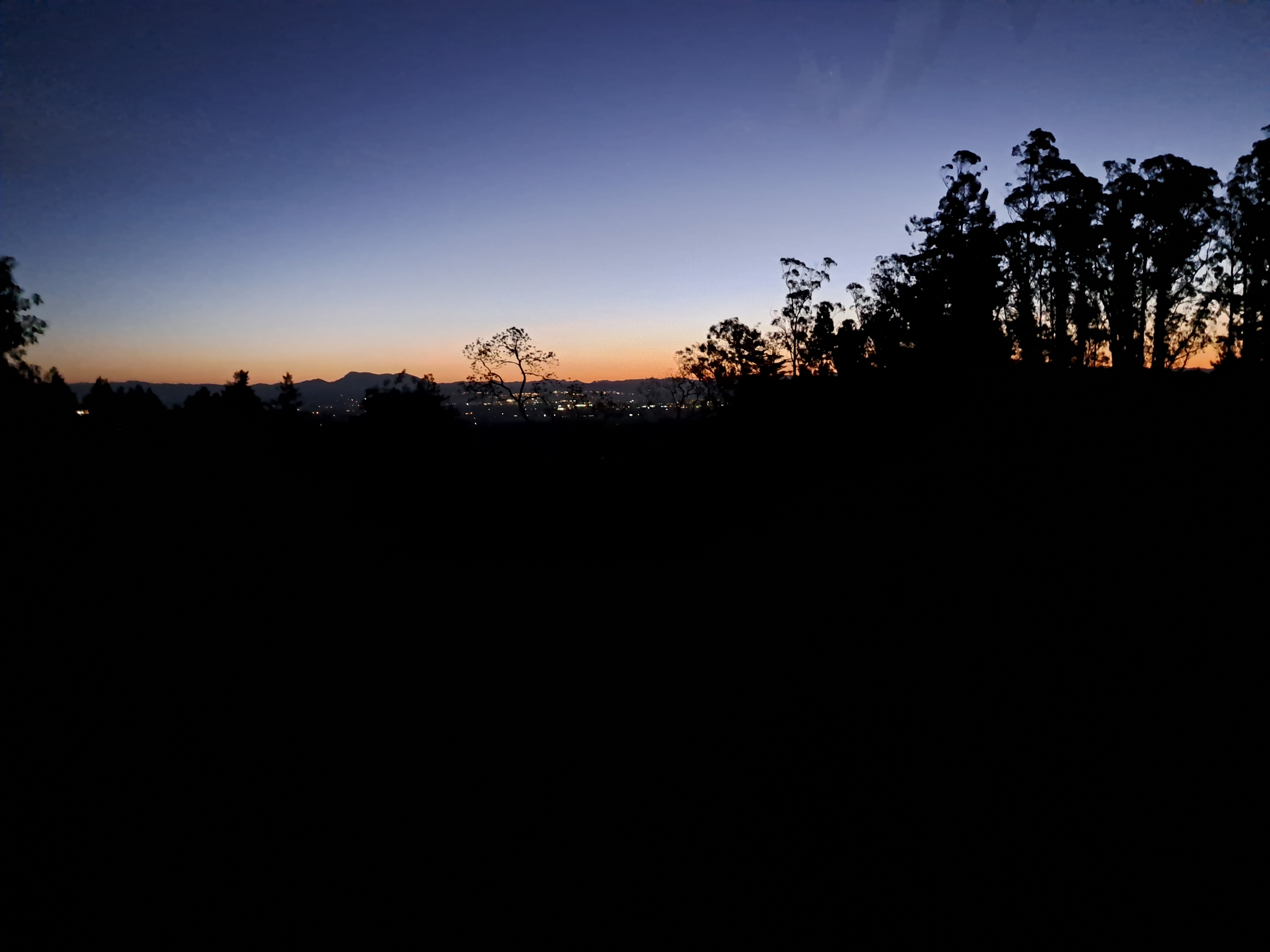
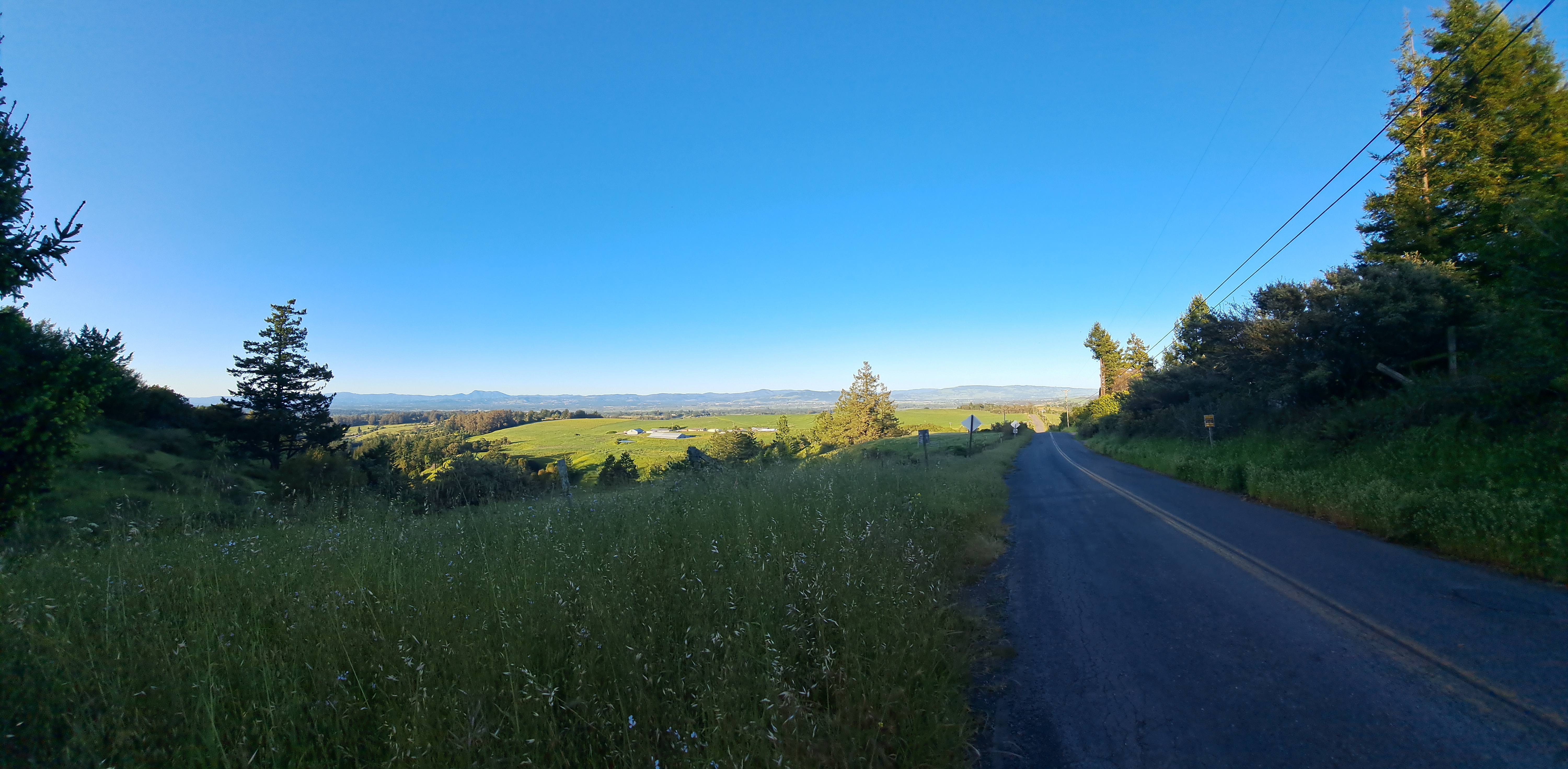
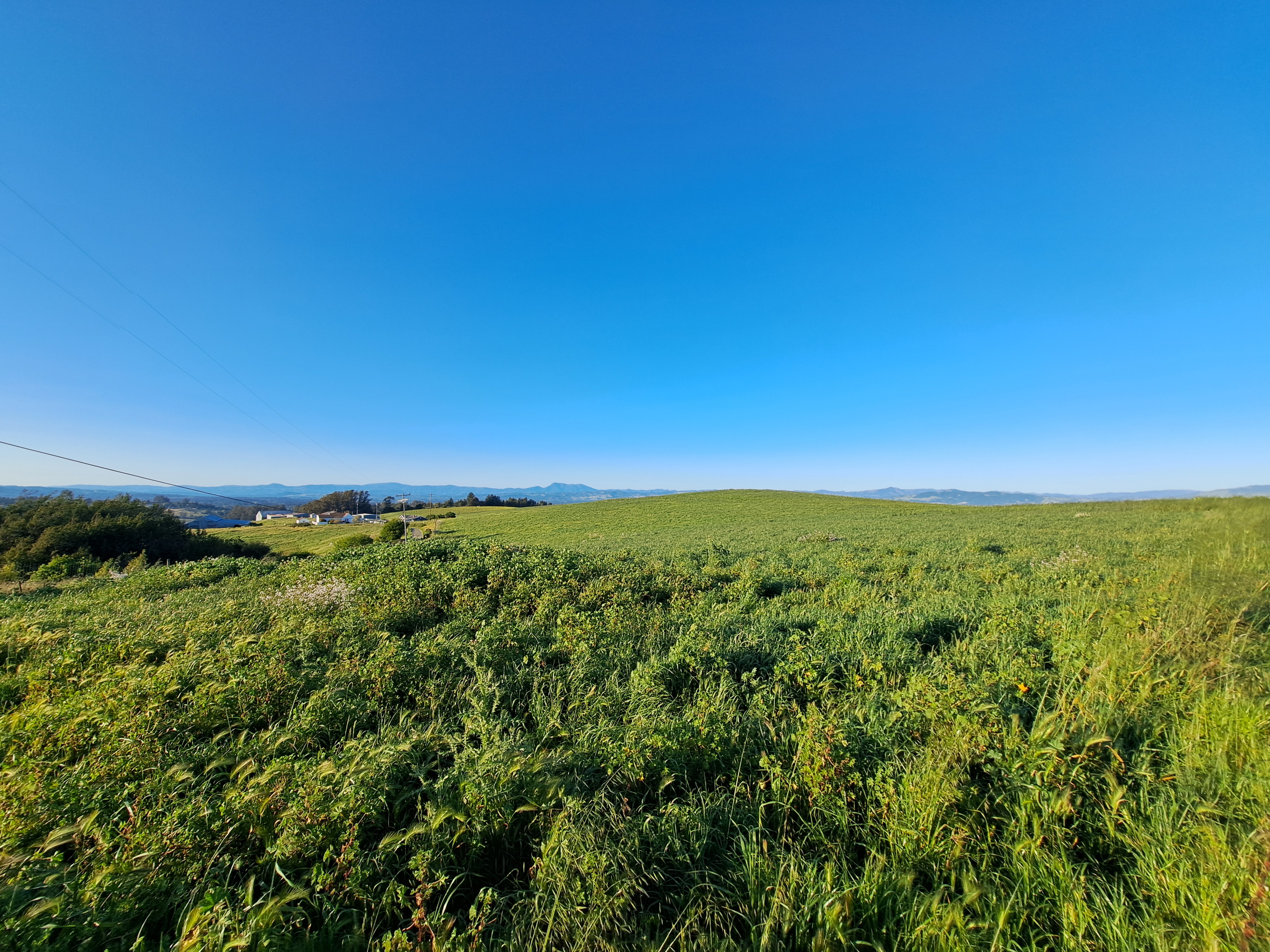
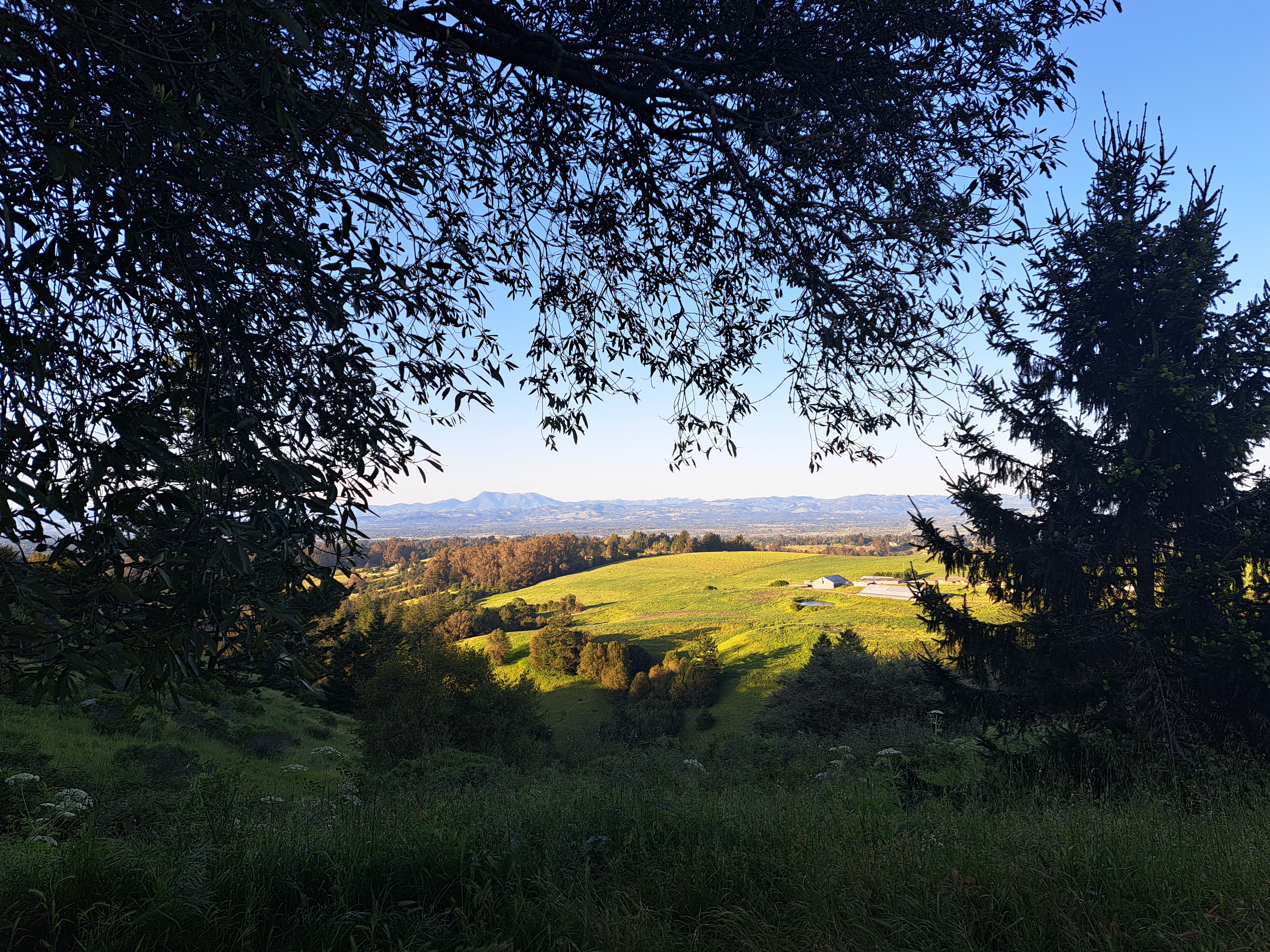
In this case, really one mountain – Mt St Helena. This mountain of volcanic origin has several peaks, the highest of which reaches 4,342 ft (1,323 m) in Sonoma County – other peaks are in Napa and Lake Counties. It’s also the highest peak in the bay area, which includes all the counties bordering SF Bay. You’ve seen it often before when I was still based in Santa Rosa, but I devoted more time to contemplating it on this last trip and am sharing my favorite photos of it in various moods and lights here. It’s easily recognizable and always fun to contemplate at all times of day, from many perspectives.
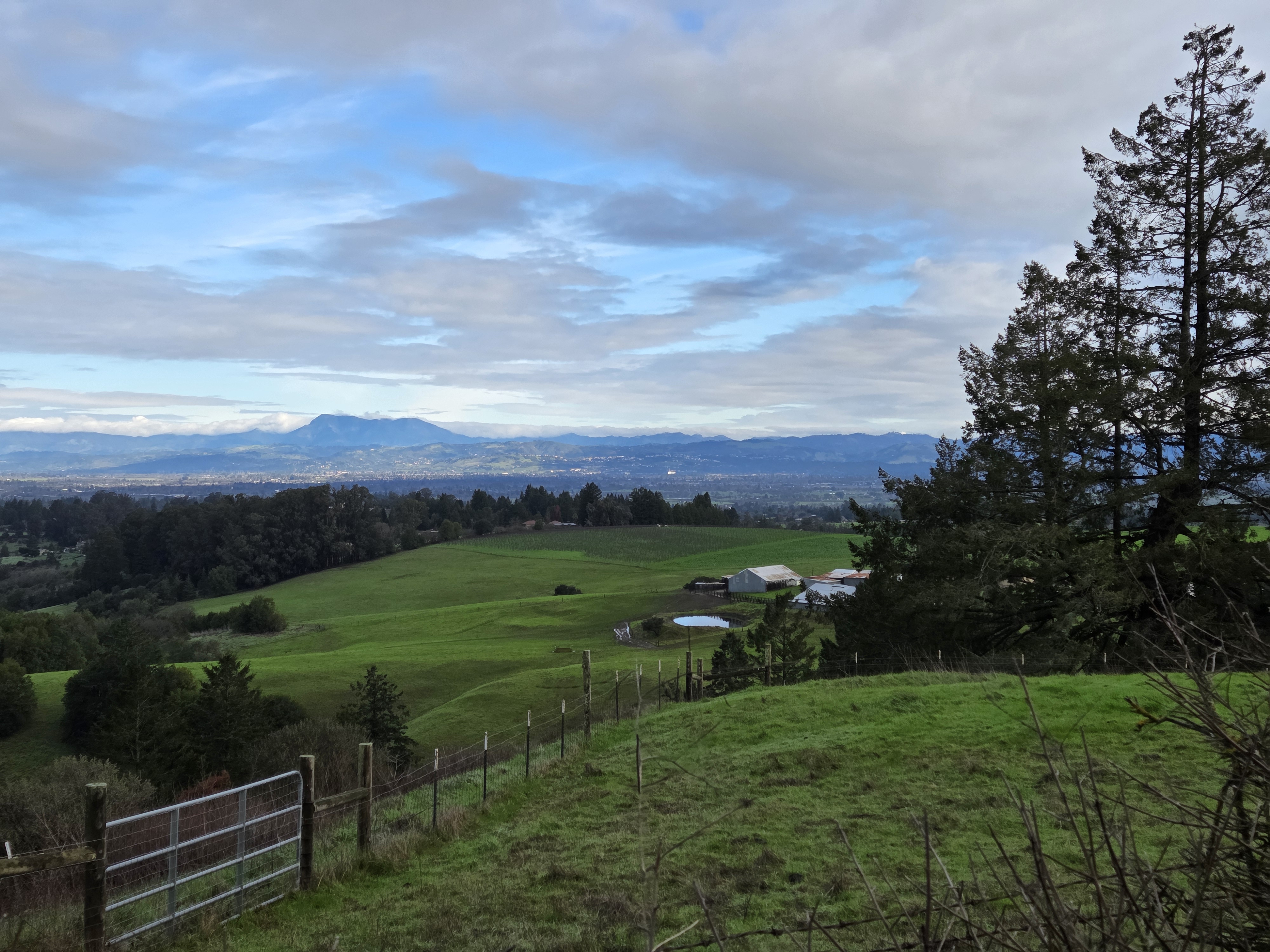
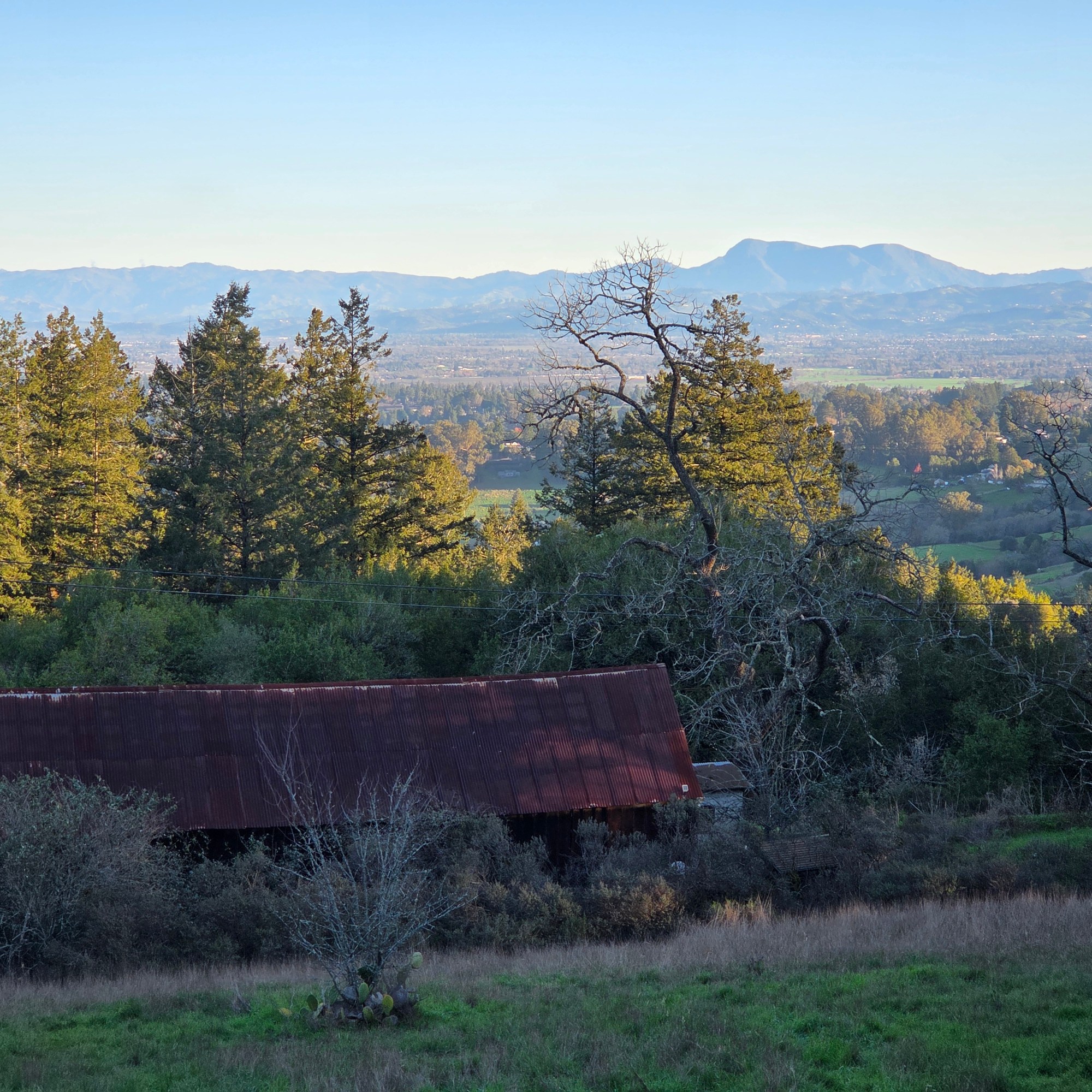
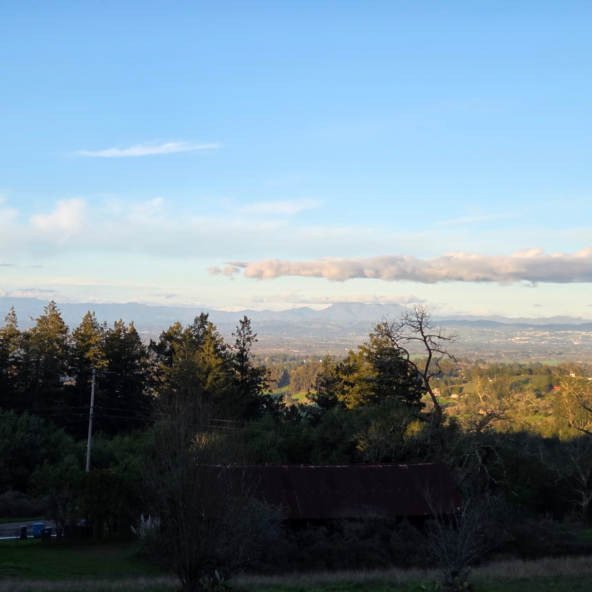
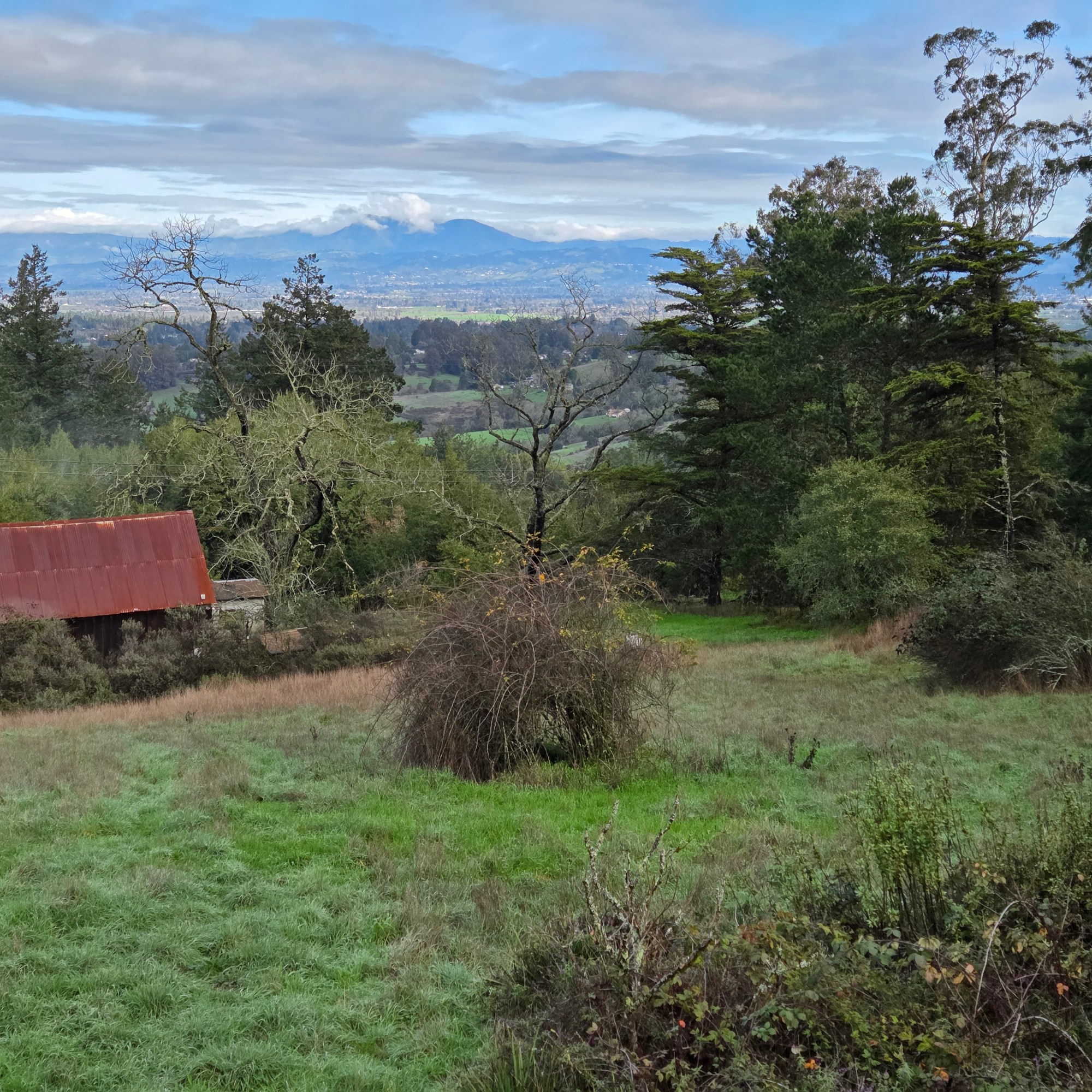

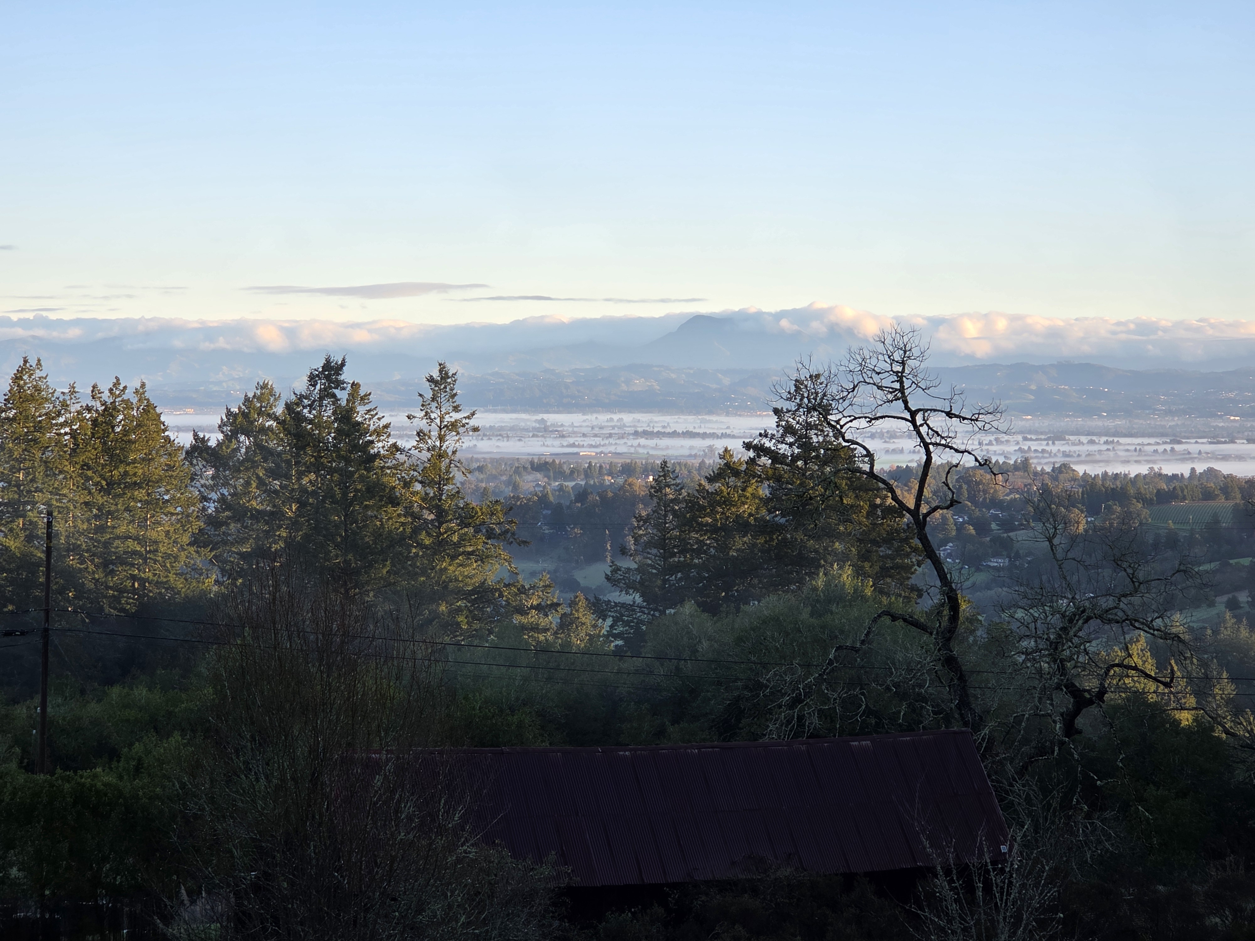
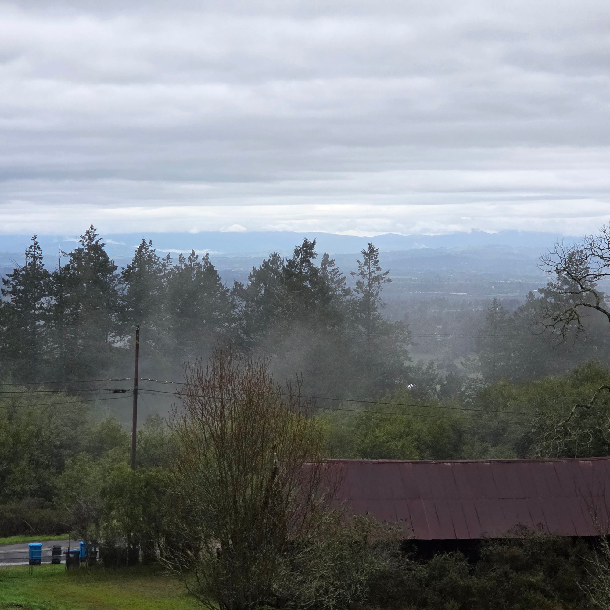
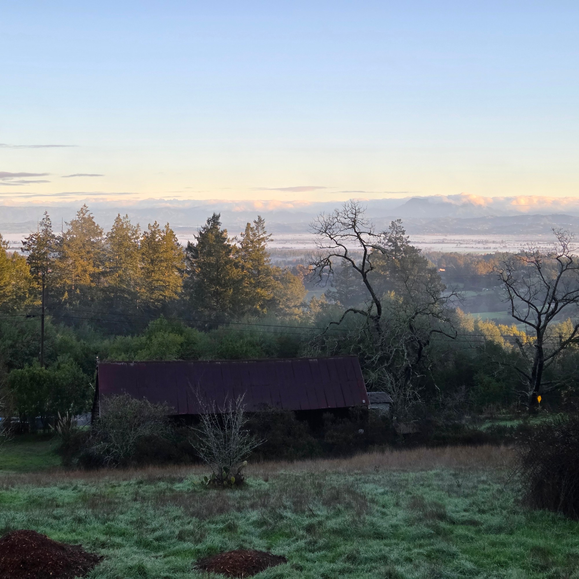
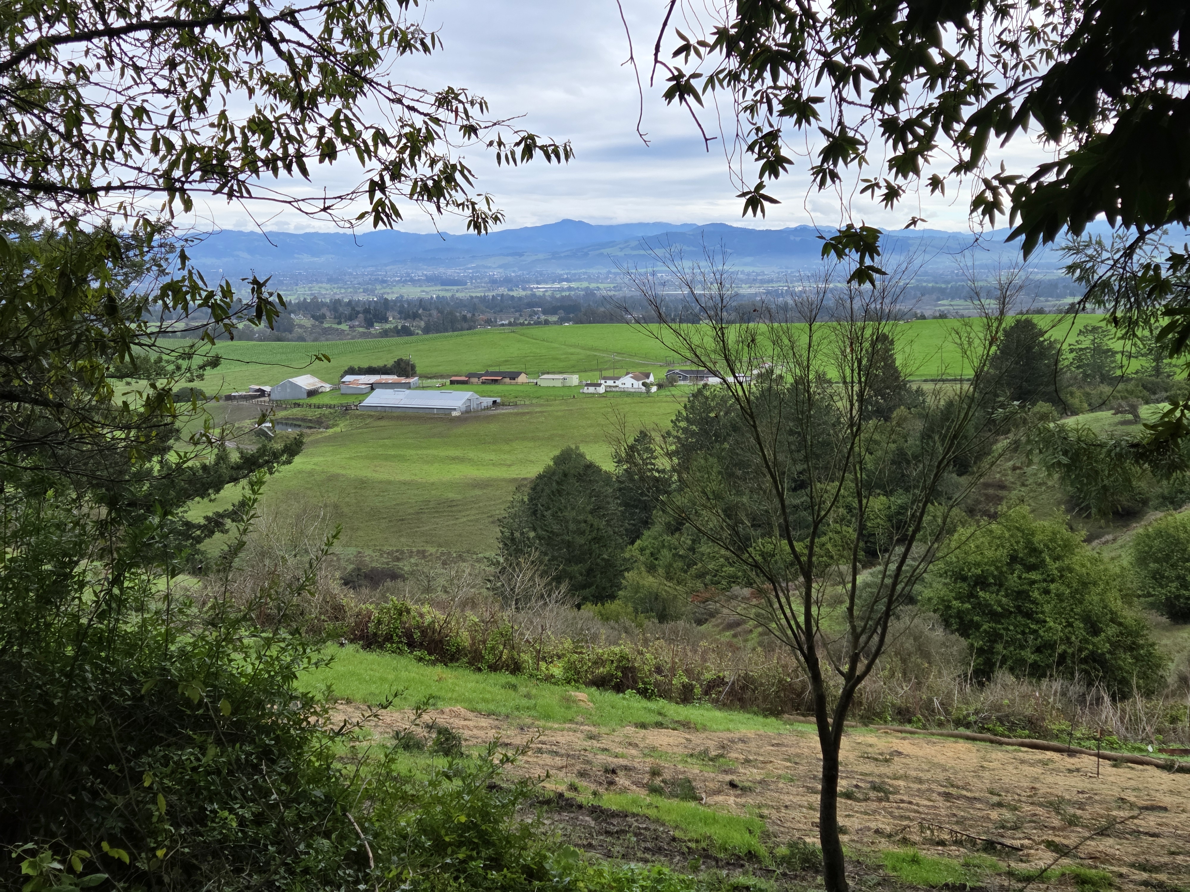
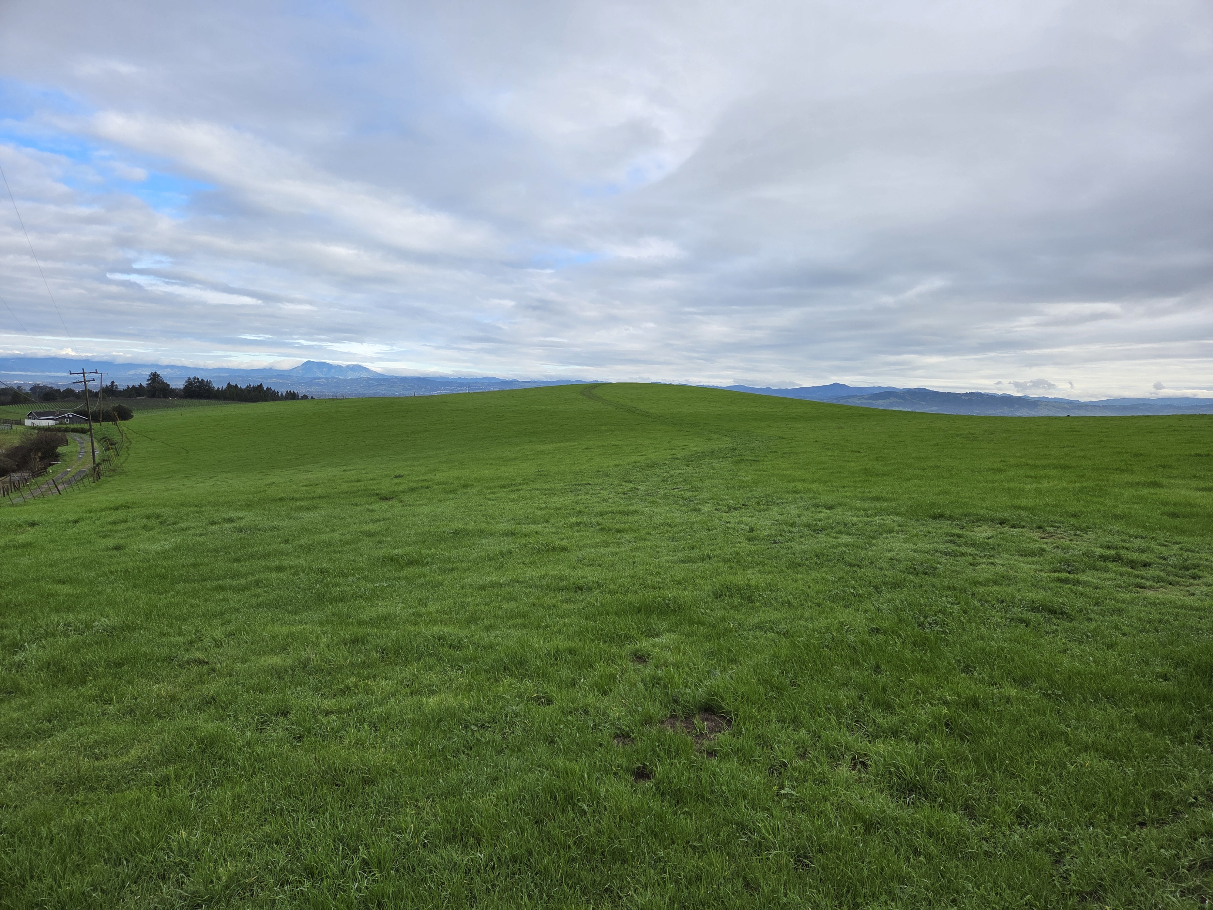
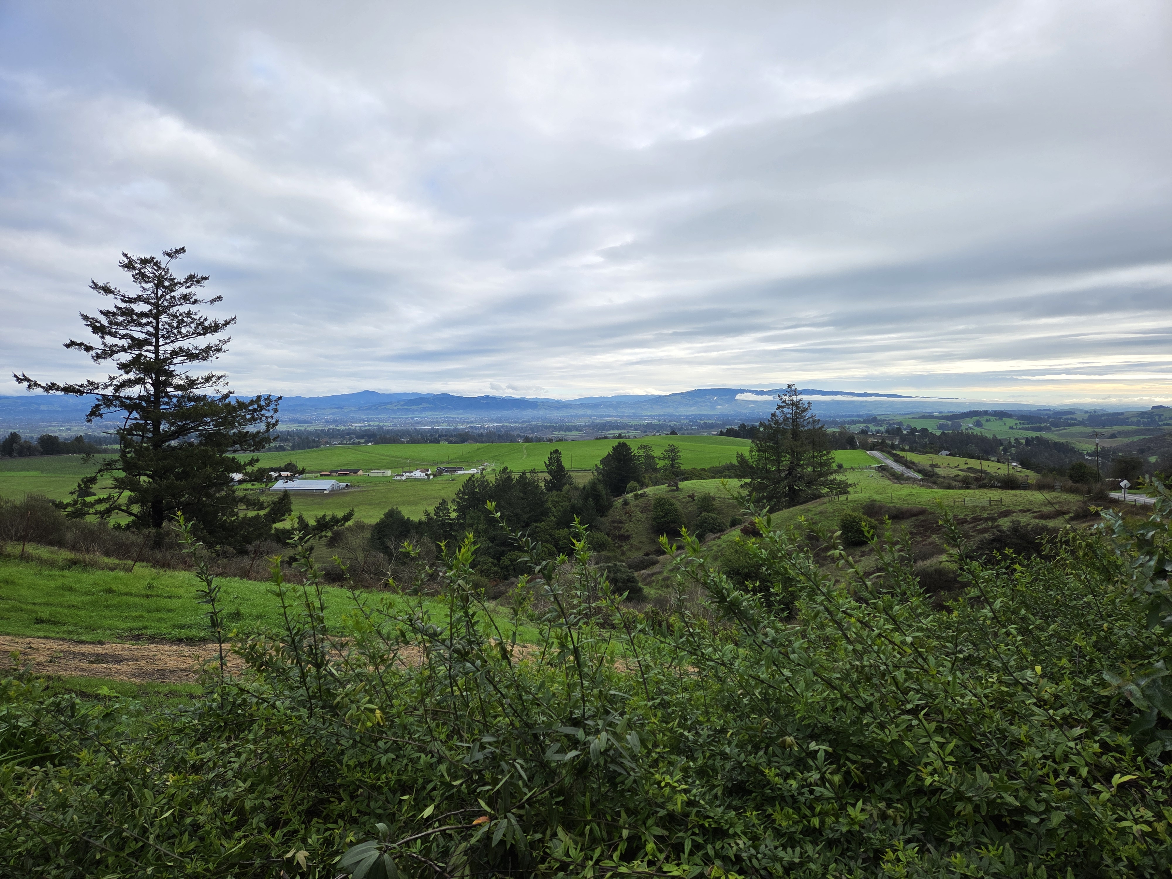
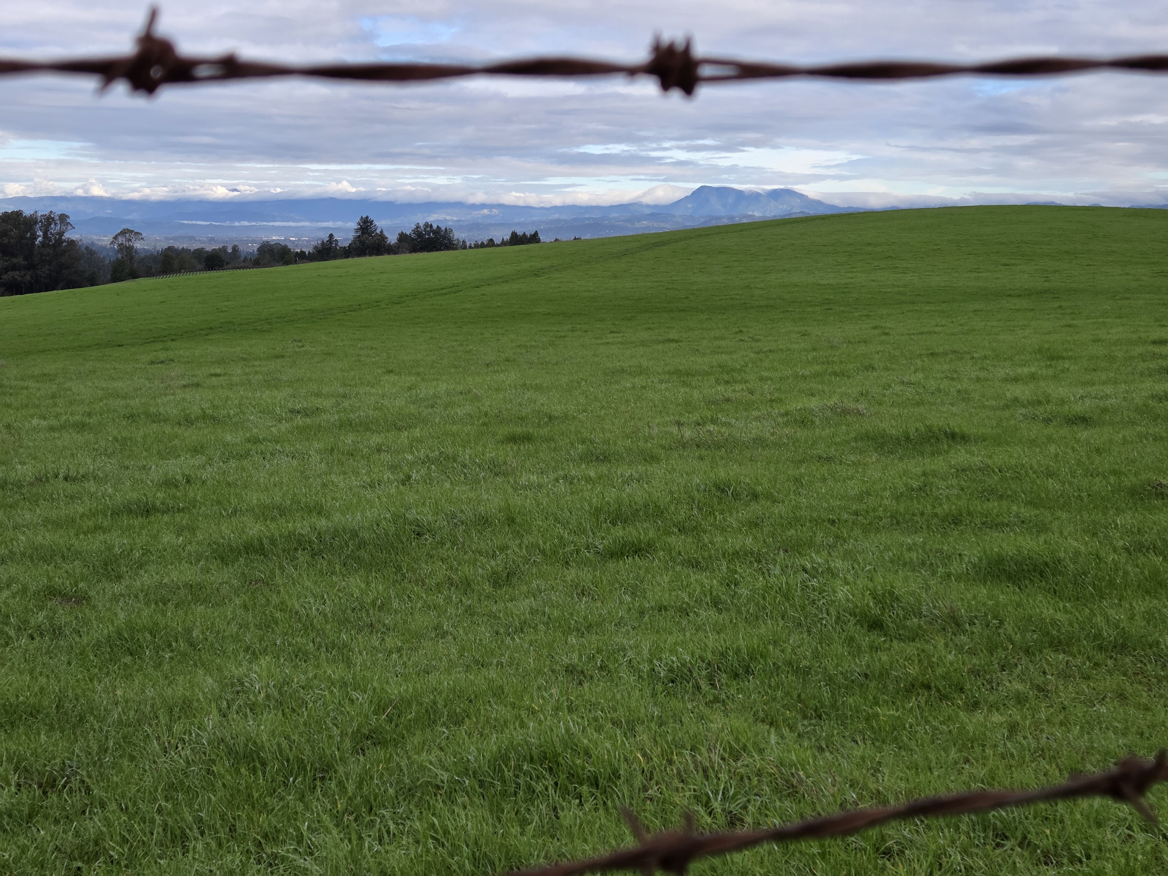







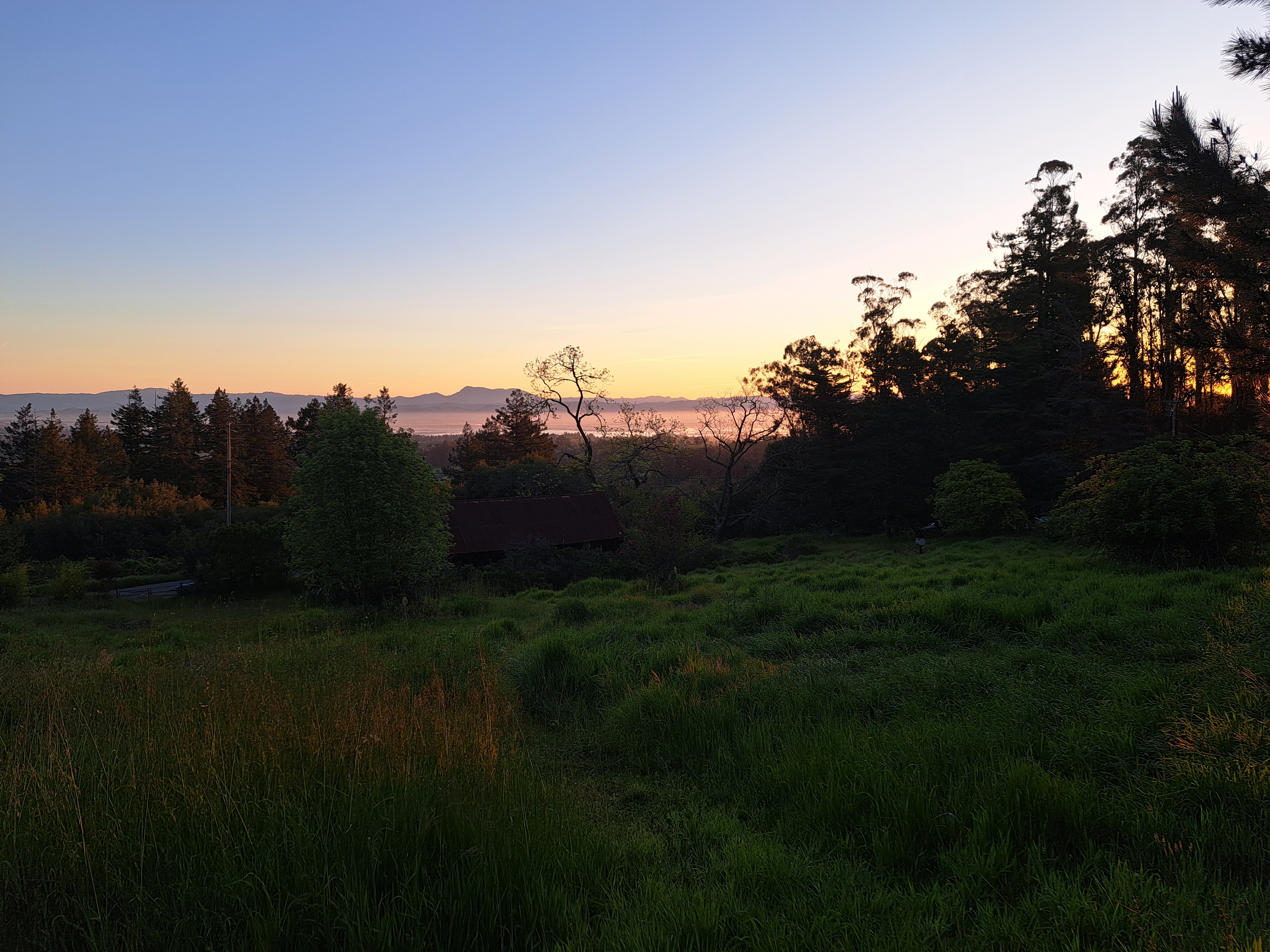 In this case, really one mountain – Mt St Helena. This mountain of volcanic origin has several peaks, the highest of which reaches 4,342 ft (1,323 m) in Sonoma County – other peaks are in Napa and Lake Counties. It’s also the highest peak in the bay area, which includes all the counties bordering SF Bay. You’ve seen it often before when I was still based in Santa Rosa, but I devoted more time to contemplating it on this last trip and am sharing my favorite photos of it in various moods and lights here. It’s easily recognizable and always fun to contemplate at all times of day, from many perspectives.