June 20, 2026 | Categories: Netherlands, North Holland & Amsterdam | Tags: amsterdam canals, Vondelpark | Leave a comment
June 20, 2026 | Categories: Netherlands, North Holland & Amsterdam | Tags: amsterdam canals, amsterdam churches | Leave a comment
June 15, 2026 | Categories: Netherlands, North Holland & Amsterdam | 2 Comments
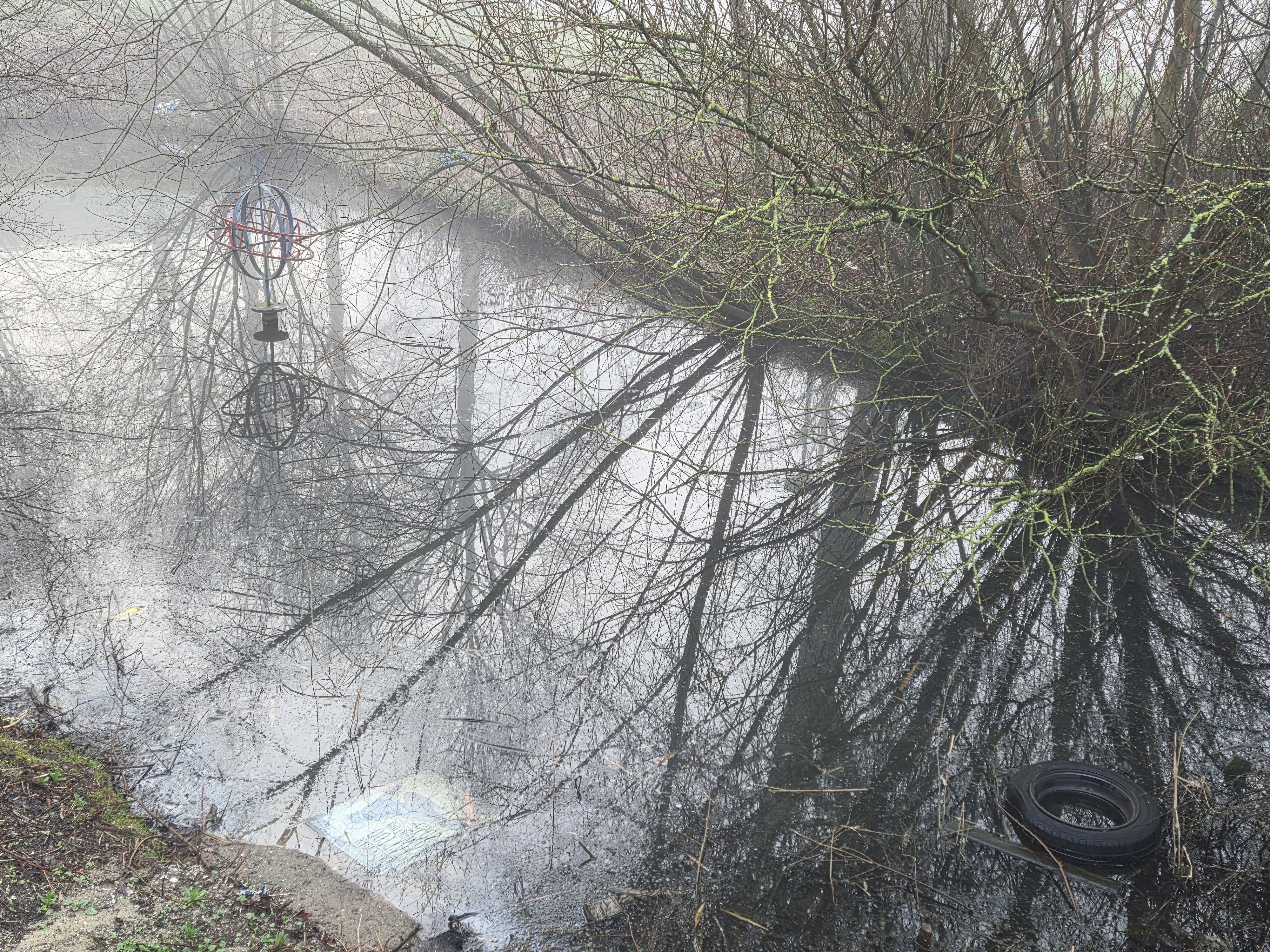
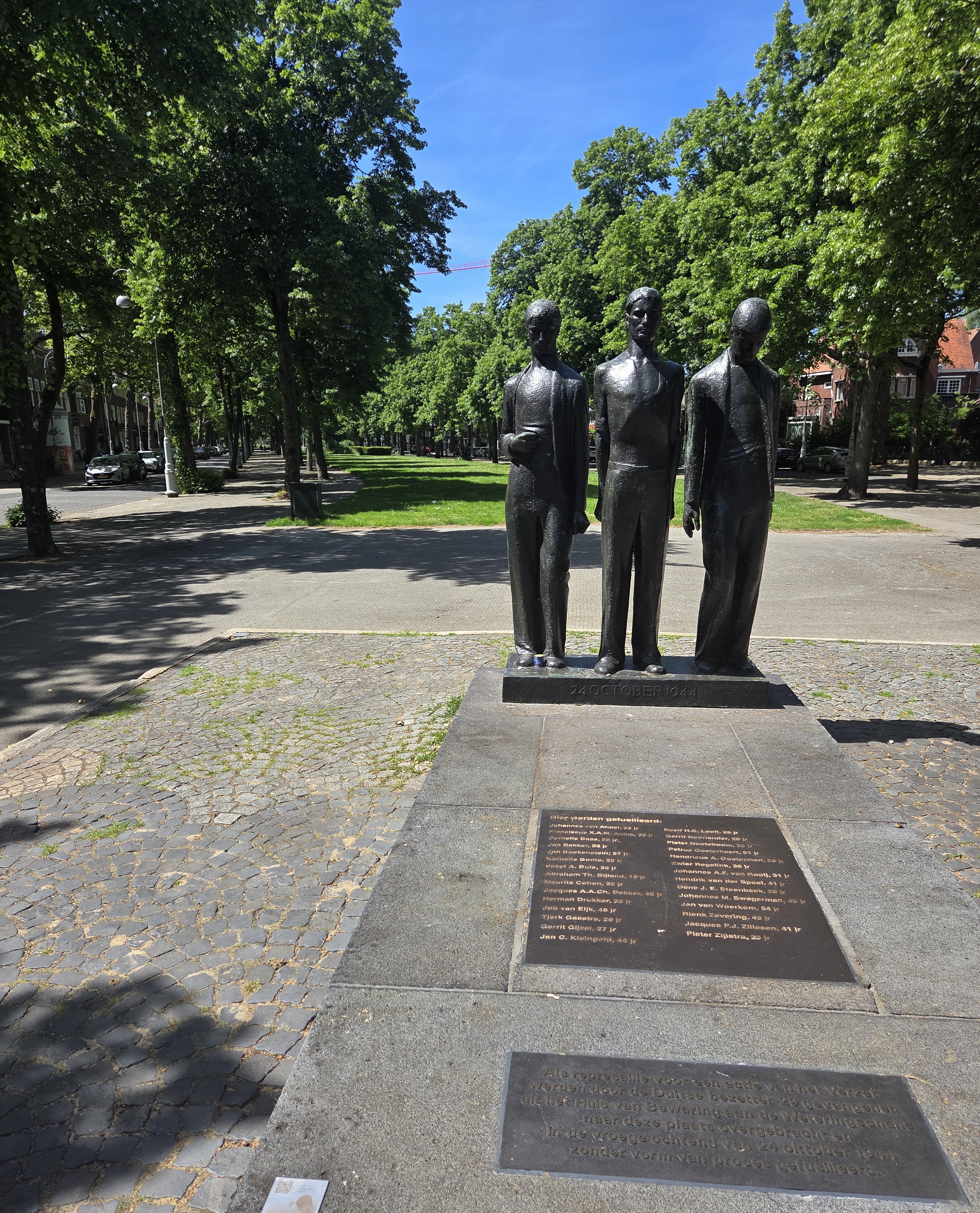
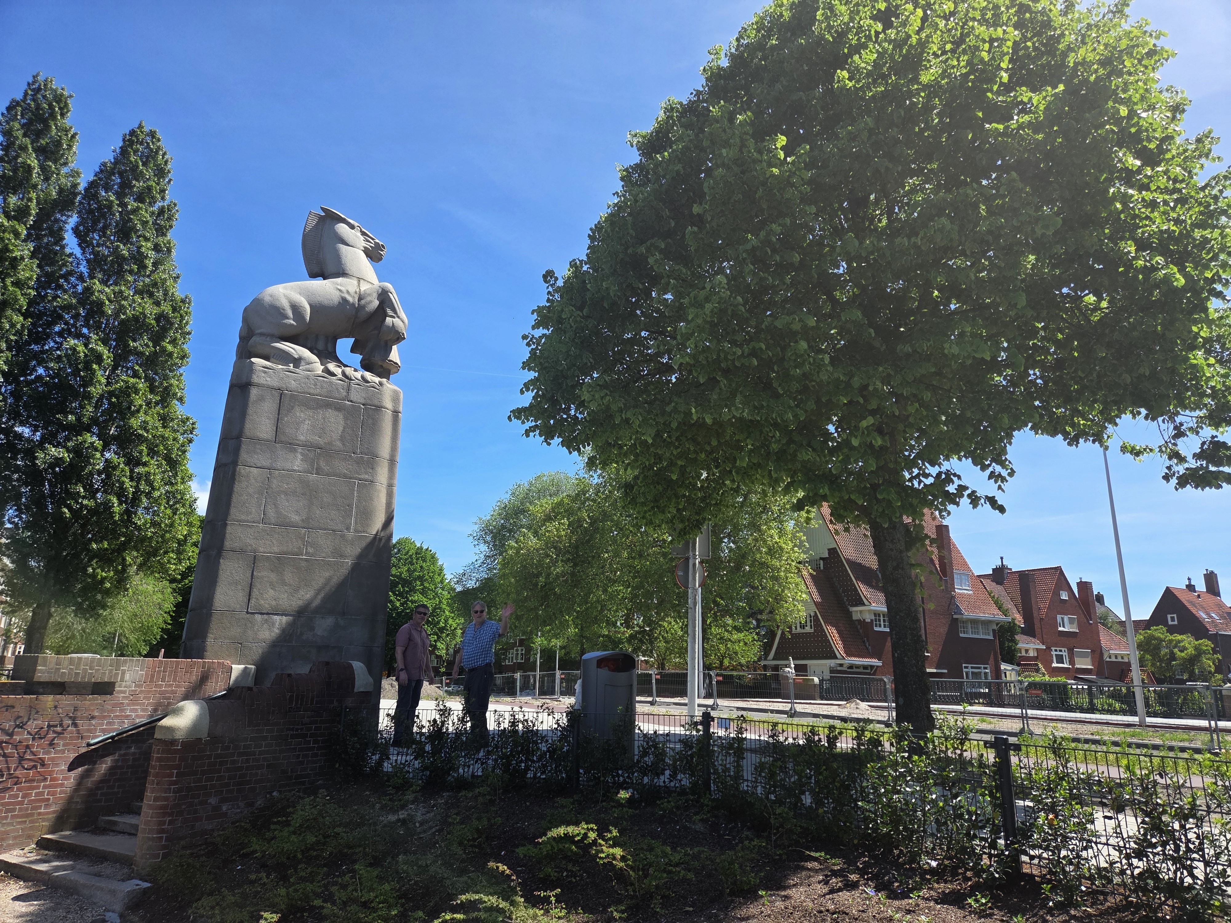
June 8, 2026 | Categories: Netherlands, North Holland & Amsterdam | Tags: amsterdam canals, Outdoor Sculpture, public art, sloterpark, Sloterplas | Leave a comment
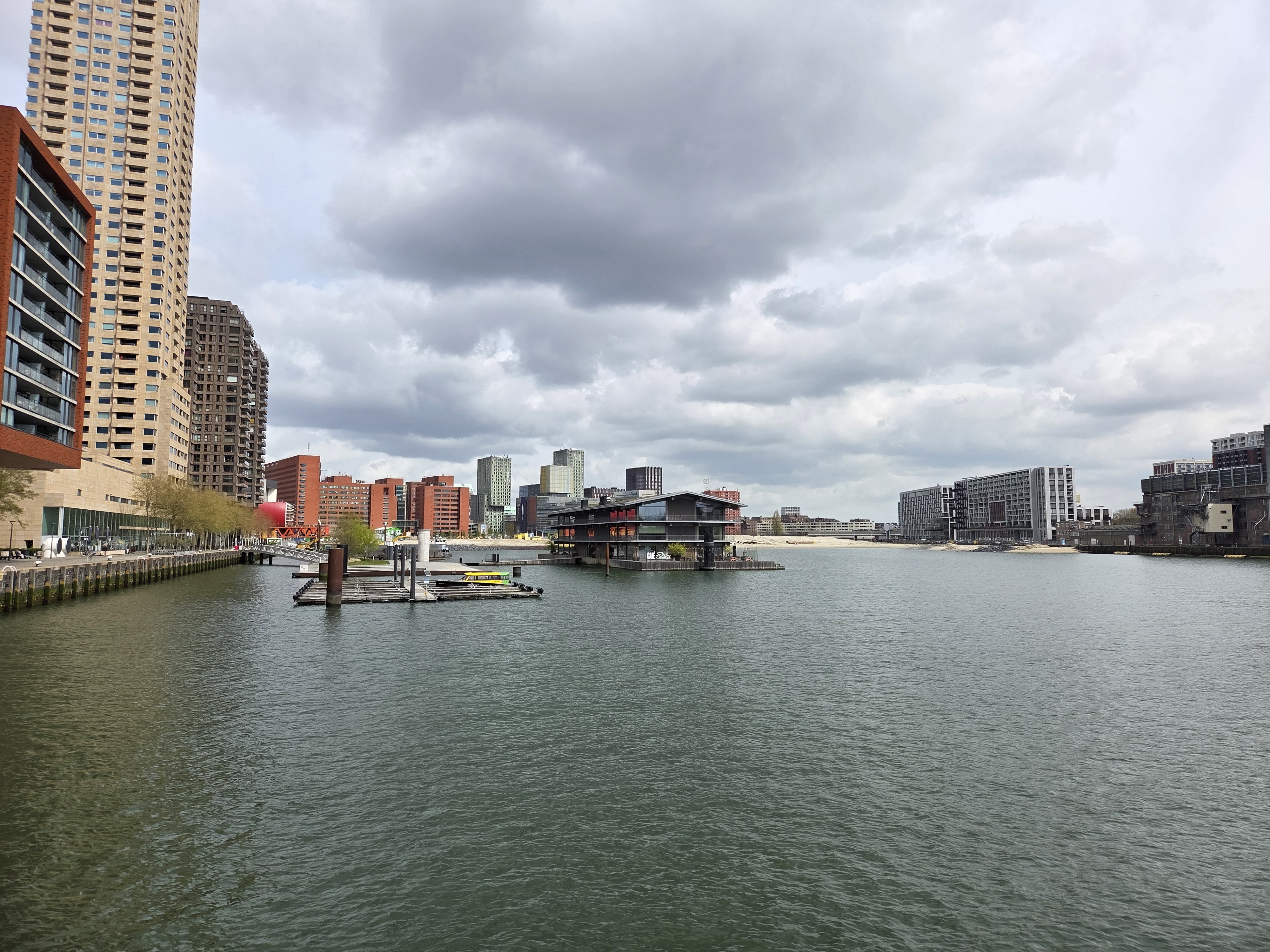
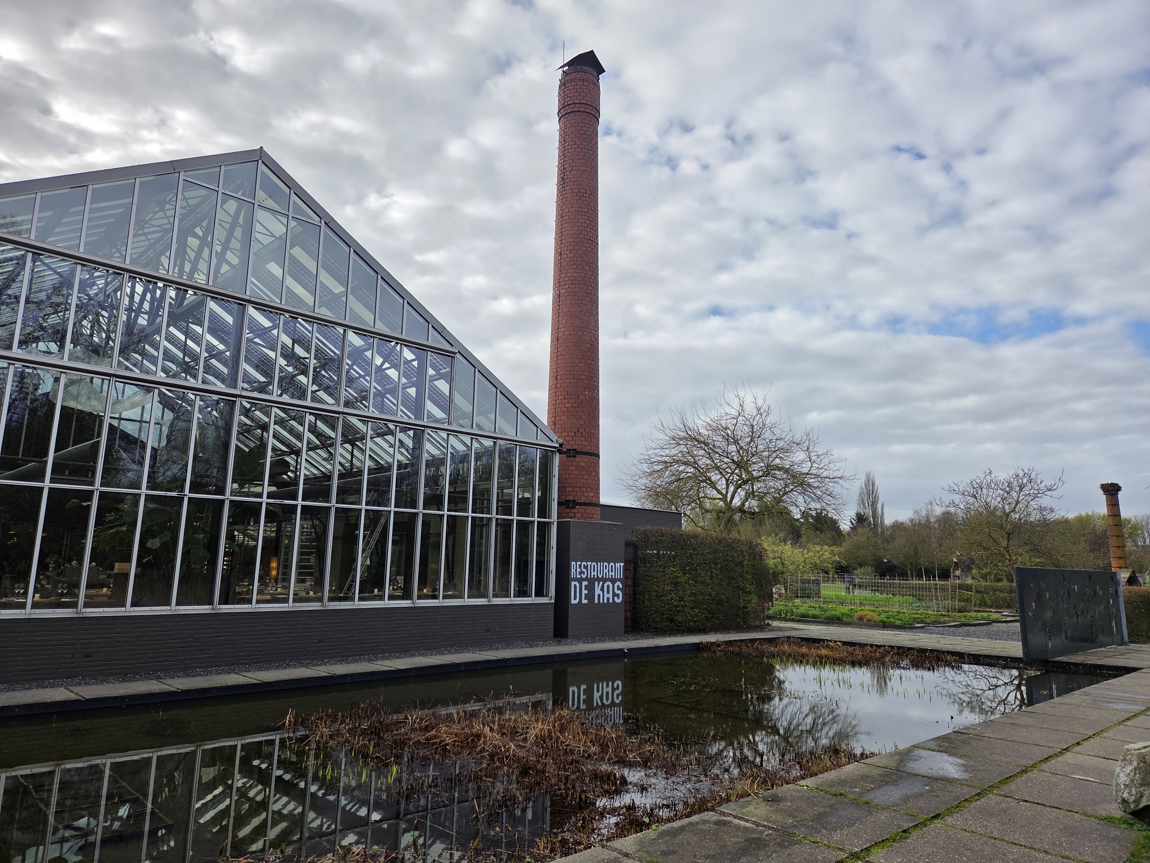
May 2, 2026 | Categories: Netherlands, North Holland & Amsterdam, Rotterdam, Zuid Holland | Leave a comment
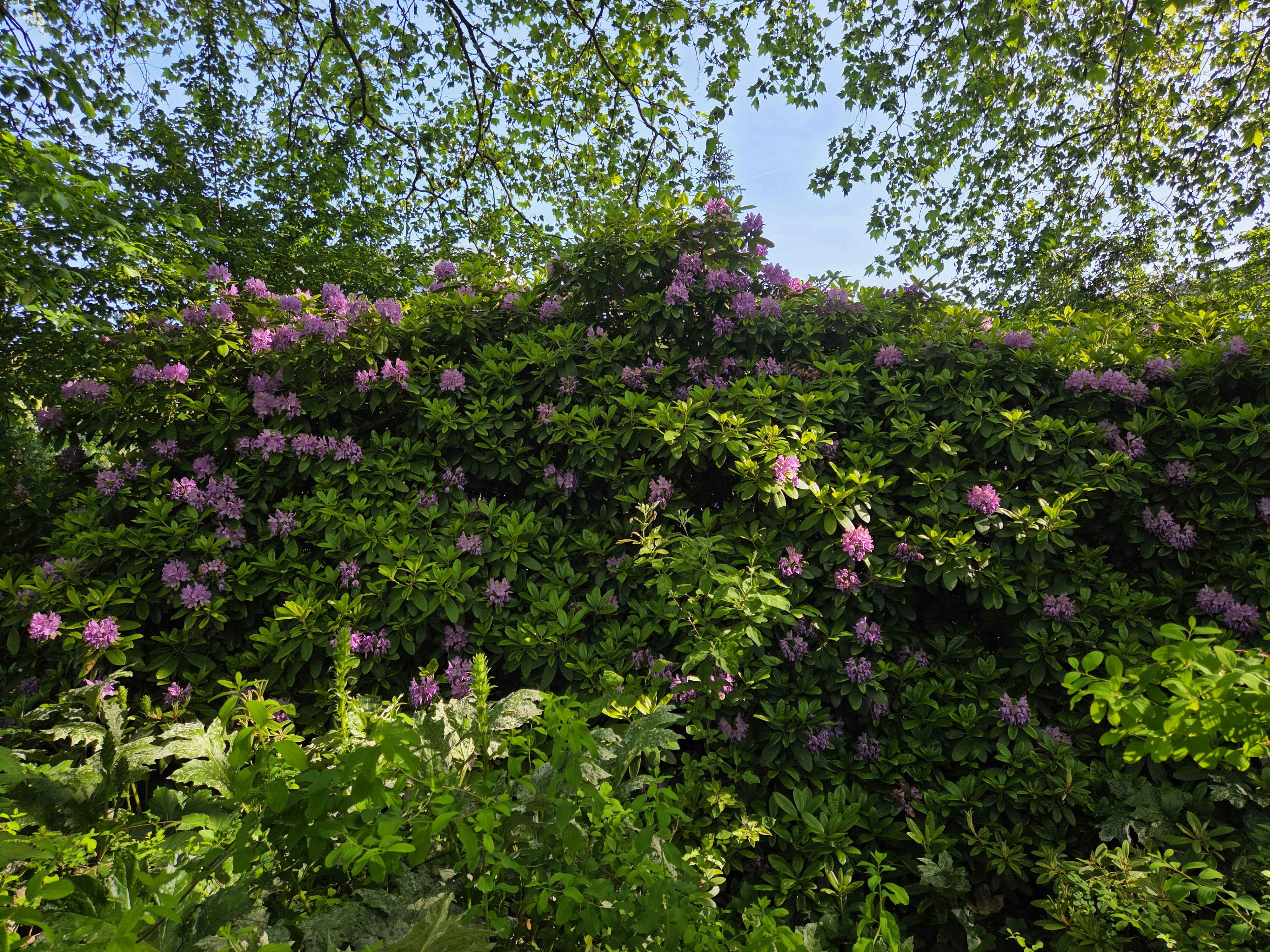
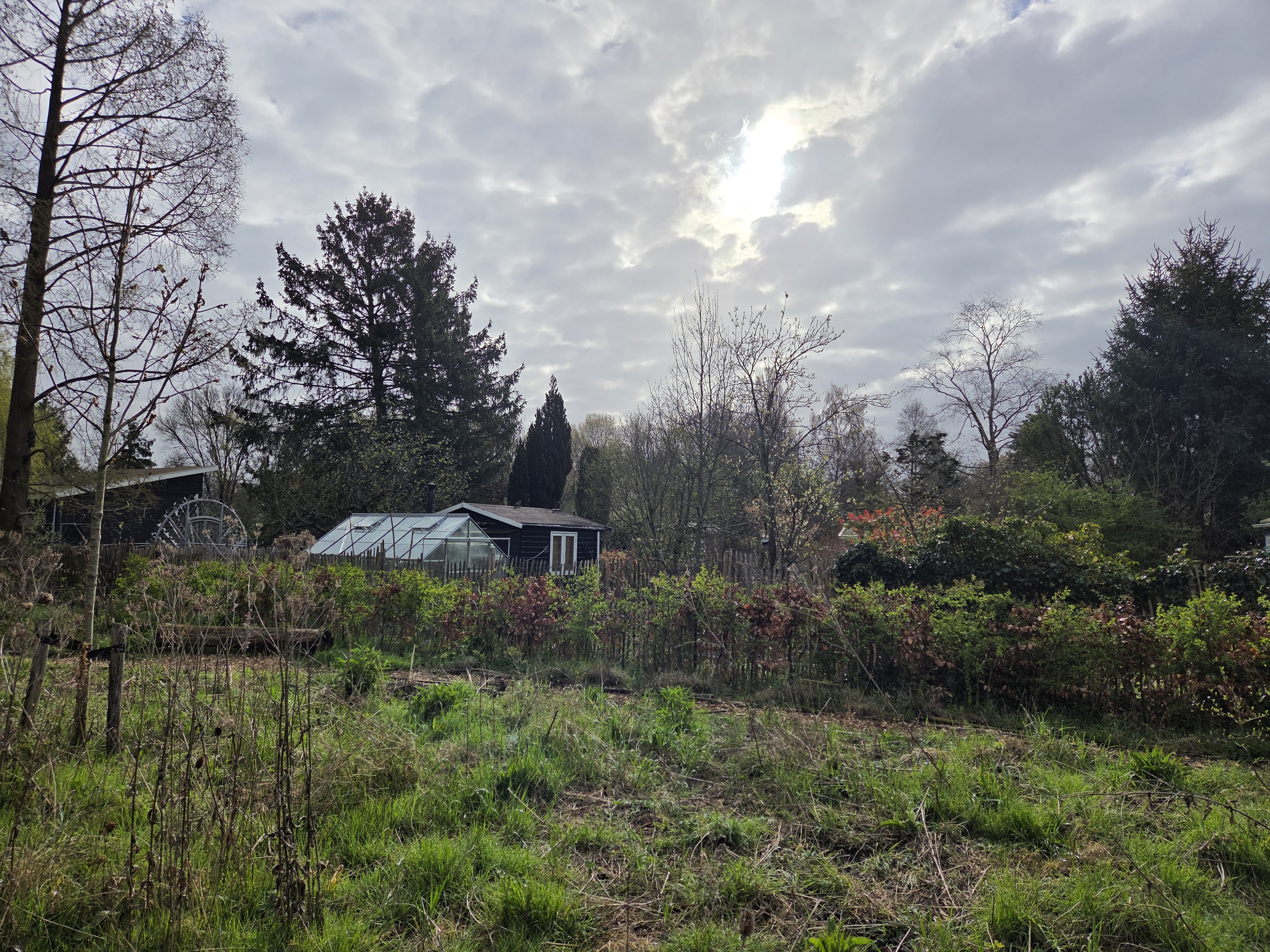
April 21, 2026 | Categories: Netherlands, North Holland & Amsterdam | Tags: amsterdam parks | Leave a comment
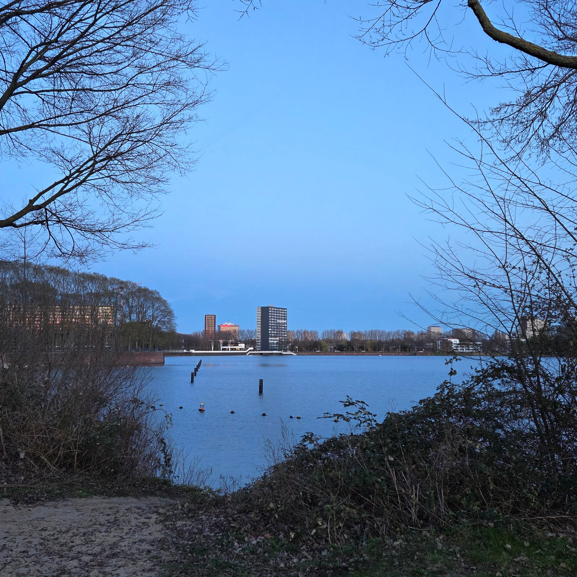
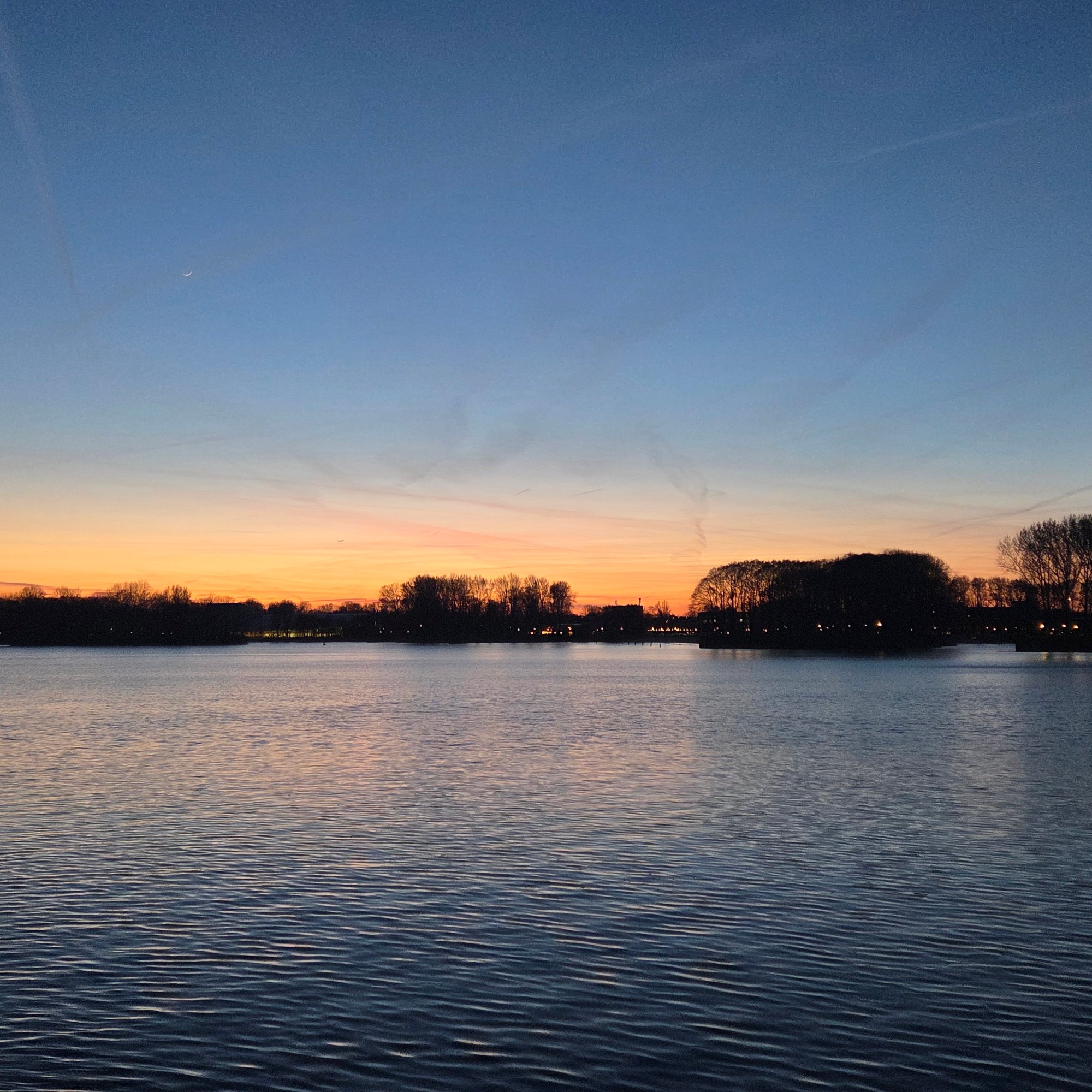
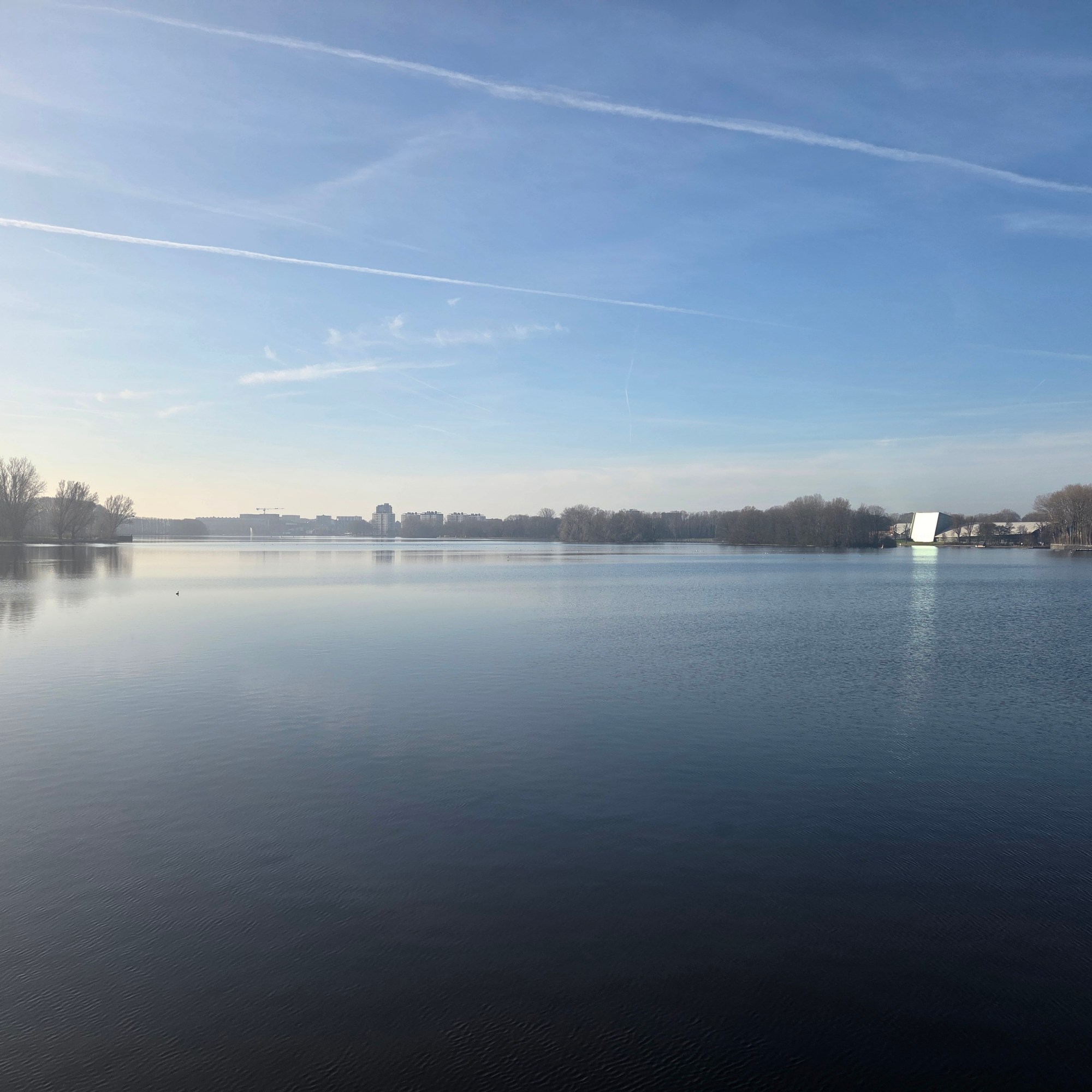
April 19, 2026 | Categories: Netherlands, North Holland & Amsterdam | Tags: amsterdam canals, sloterpark, Sloterplas | Leave a comment
April 18, 2026 | Categories: Netherlands, North Holland & Amsterdam | Tags: amsterdam canals, sloterpark | Leave a comment
April 12, 2026 | Categories: Netherlands, North Holland & Amsterdam | Tags: amsterdam canals, sloterpark, Sloterplas | Leave a comment
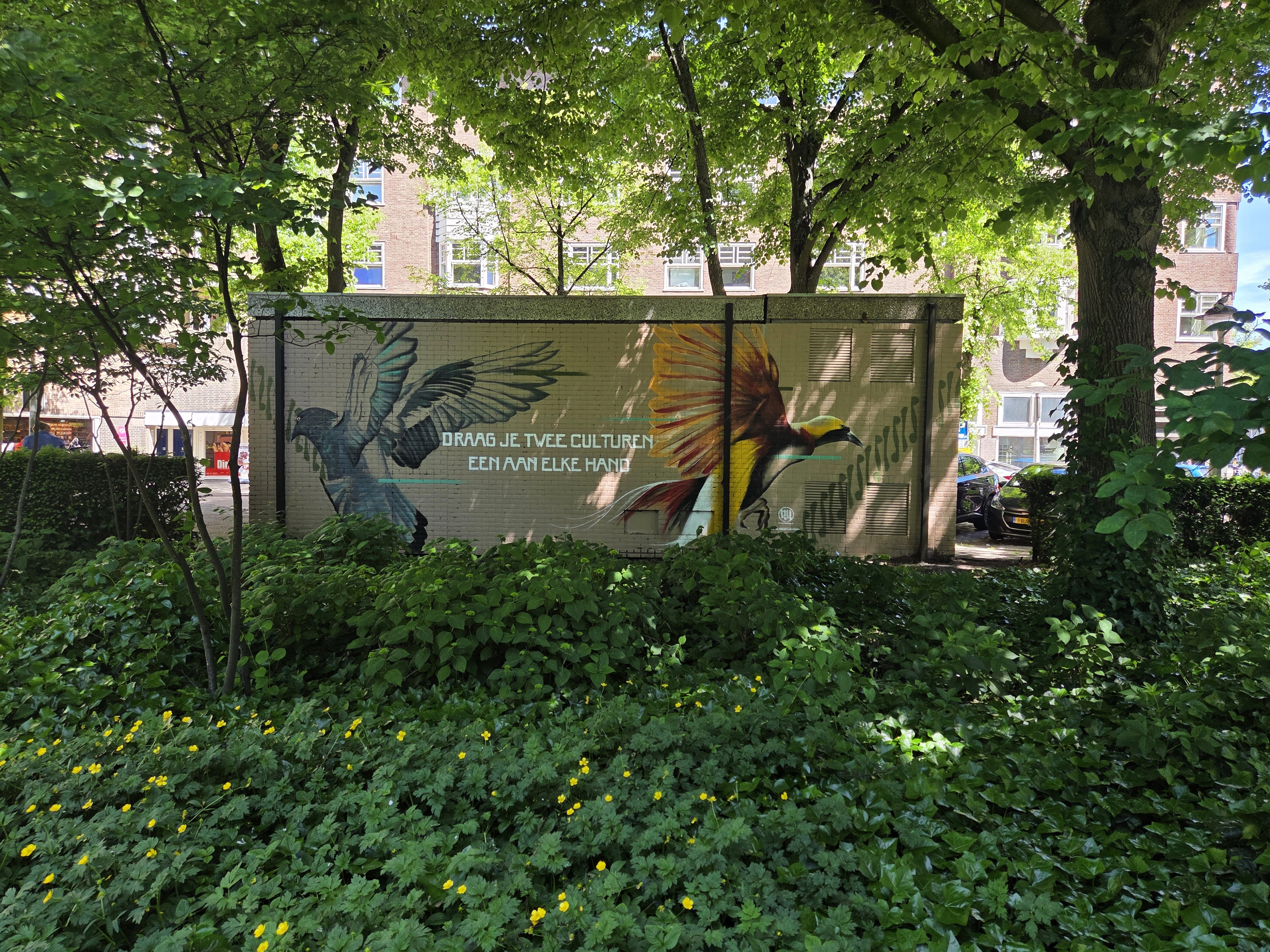
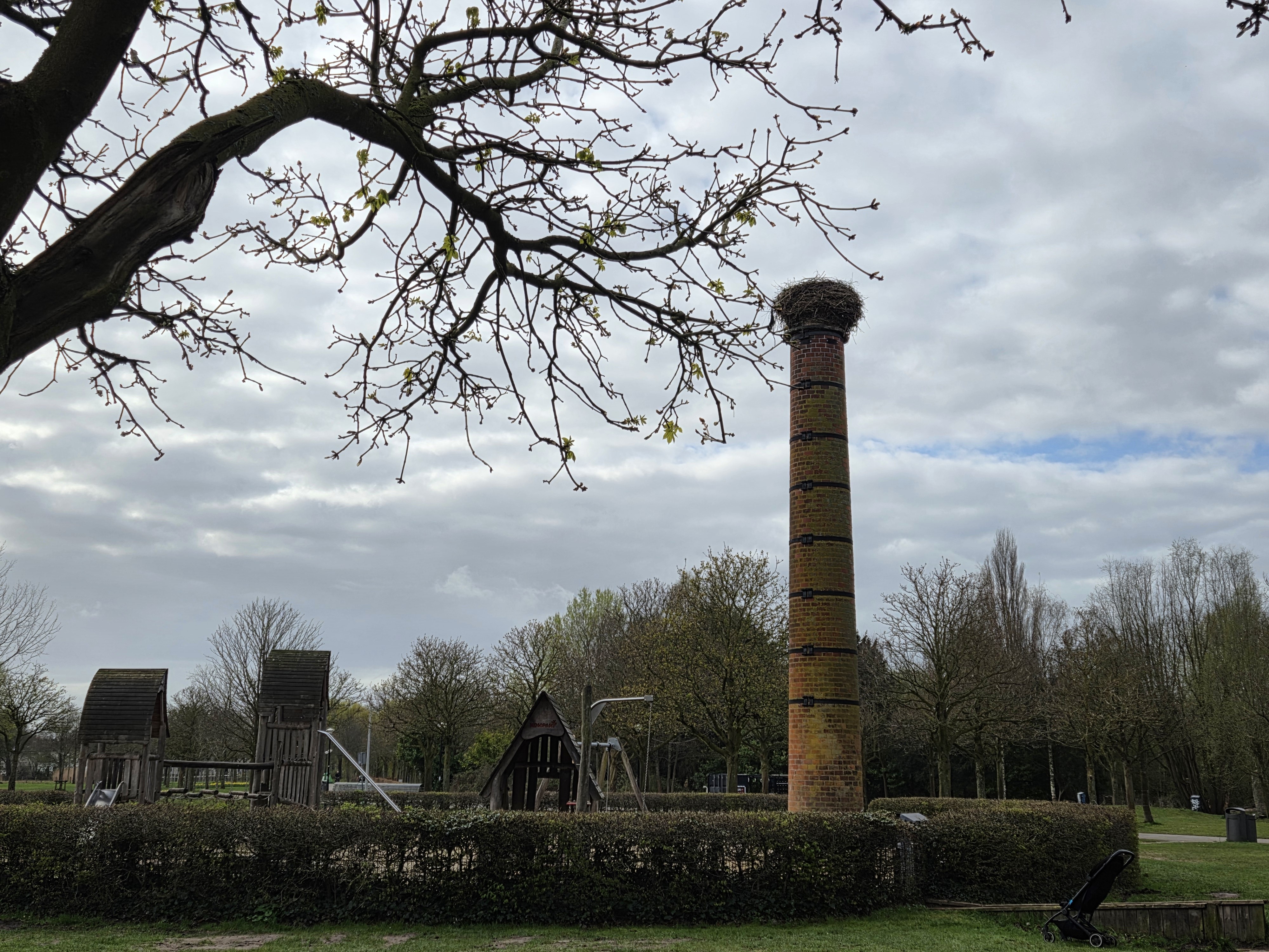
April 9, 2026 | Categories: Netherlands, North Holland & Amsterdam | Tags: amsterdam parks, storks | Leave a comment
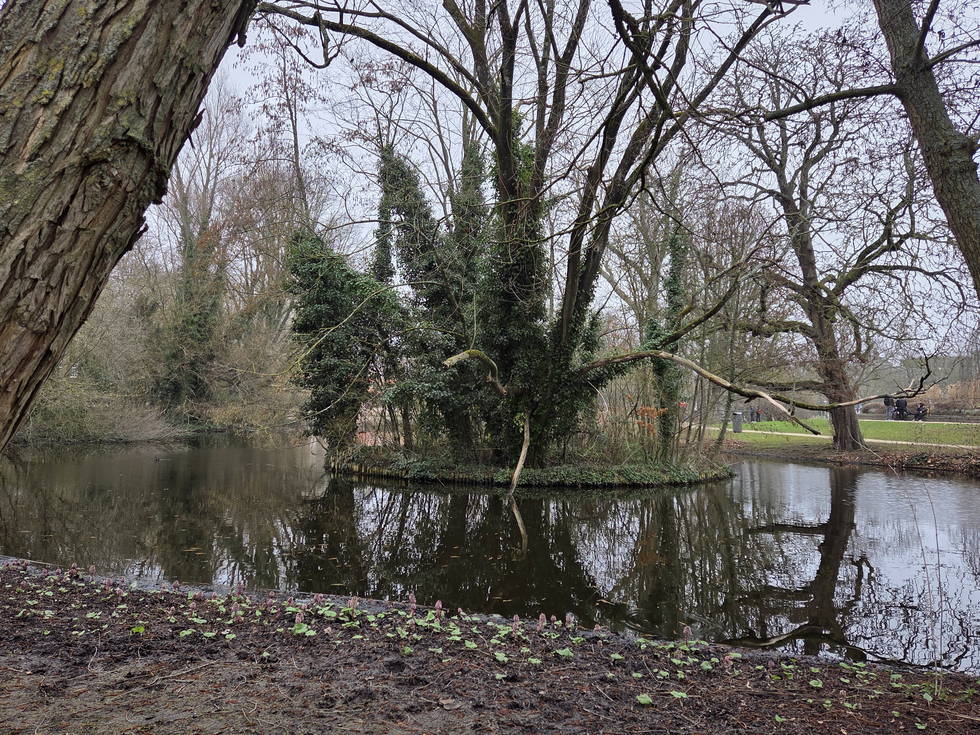
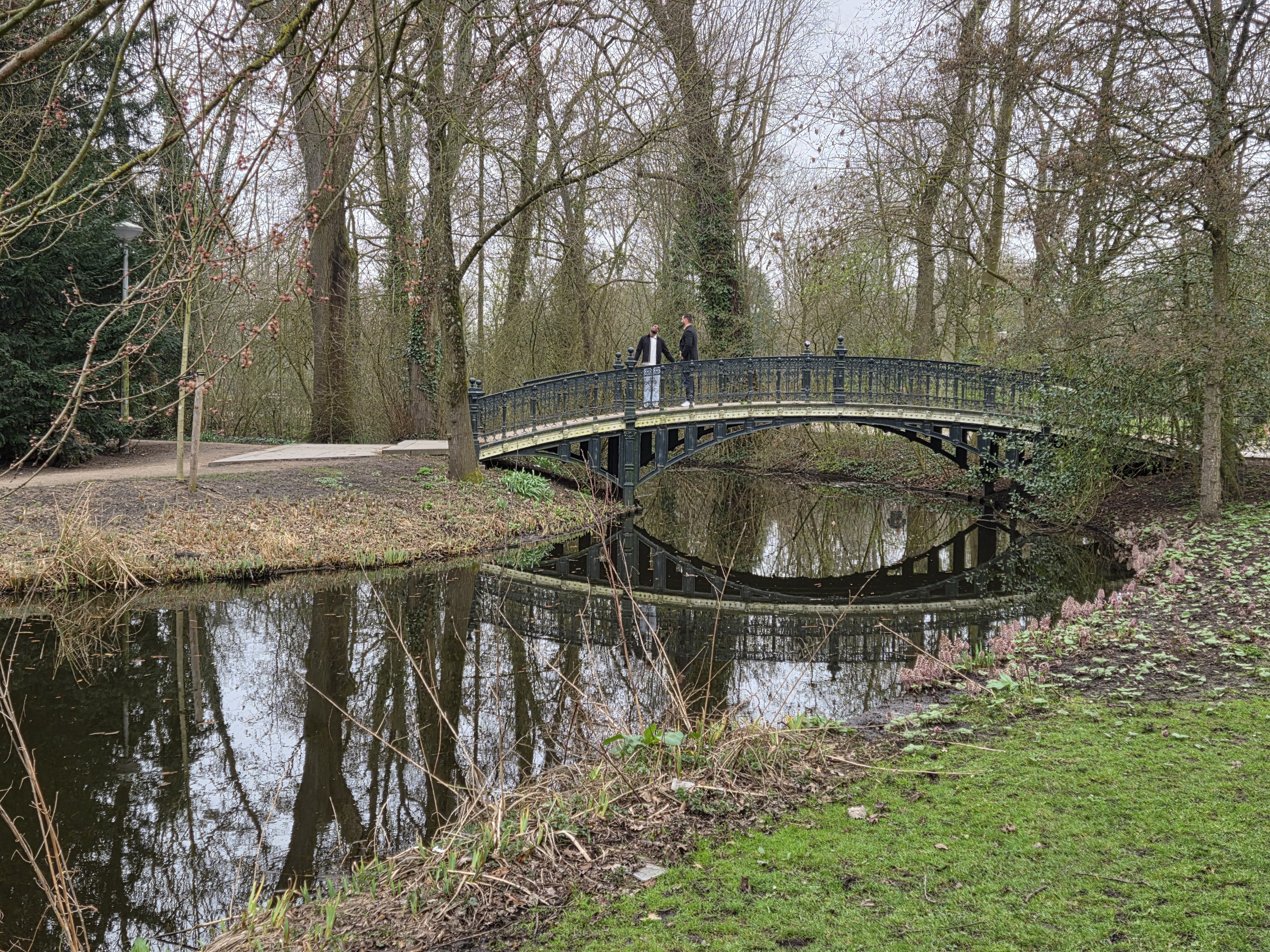
March 31, 2026 | Categories: Netherlands, North Holland & Amsterdam | Tags: Vondelpark | Leave a comment
March 30, 2026 | Categories: Netherlands, North Holland & Amsterdam | Tags: Vondelpark | Leave a comment
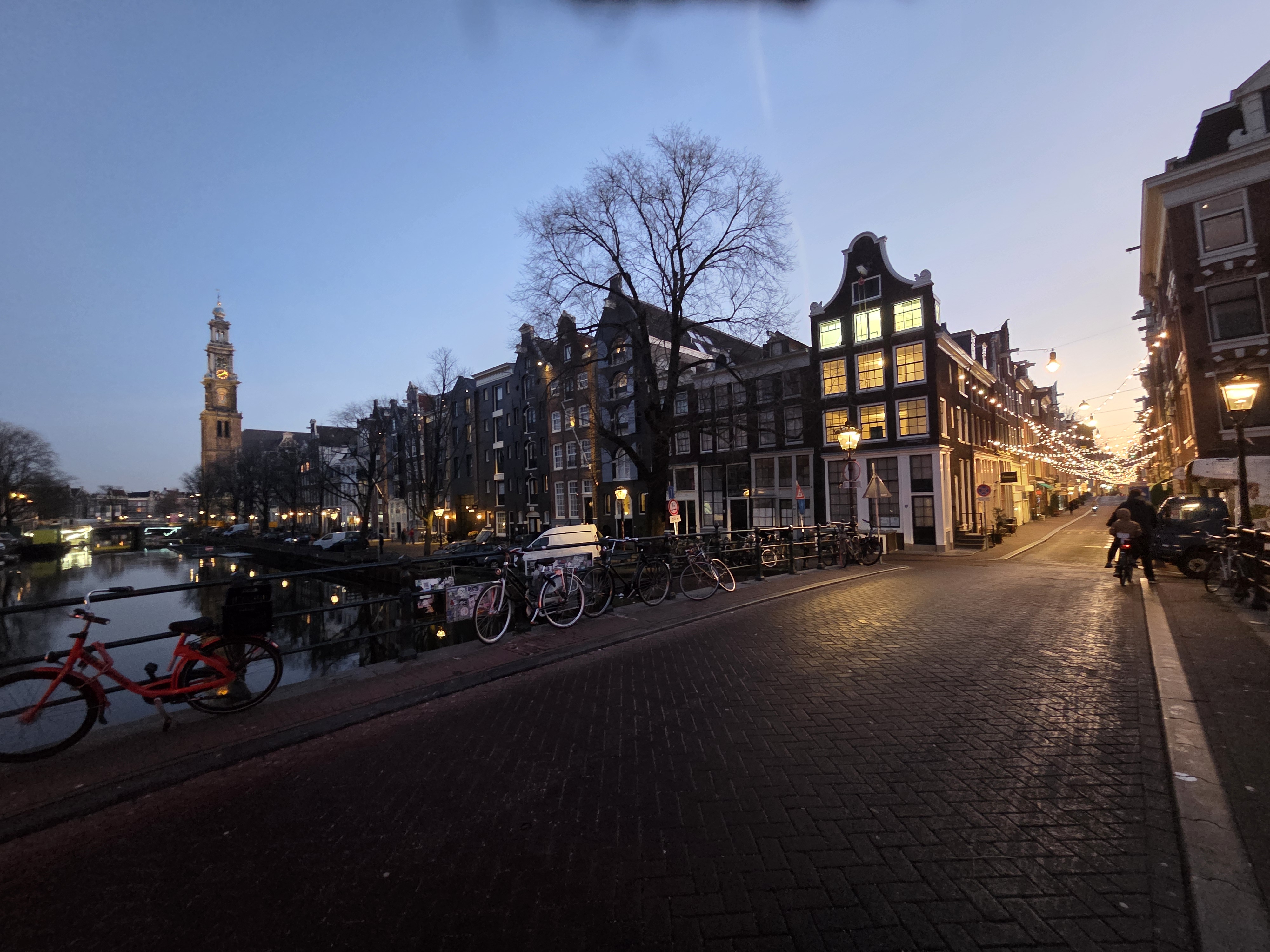
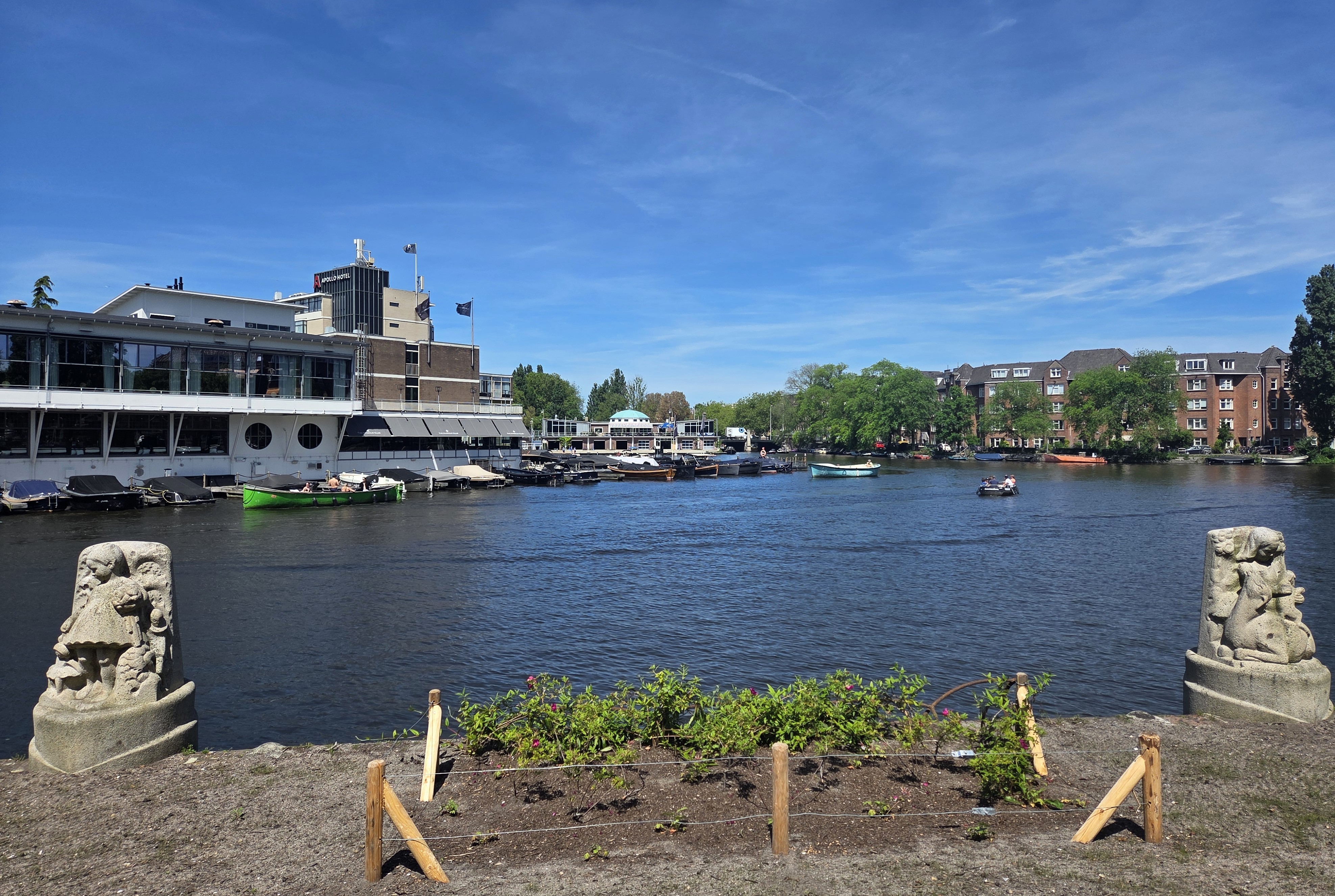
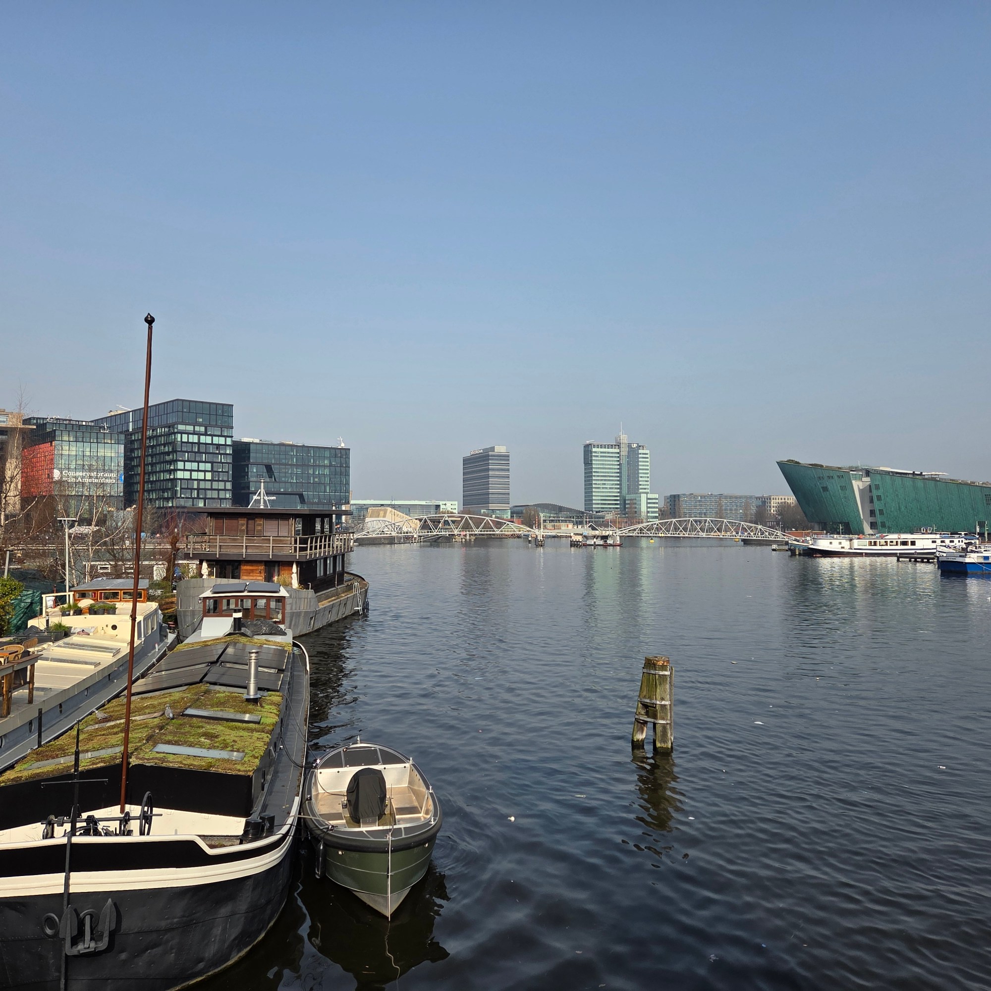
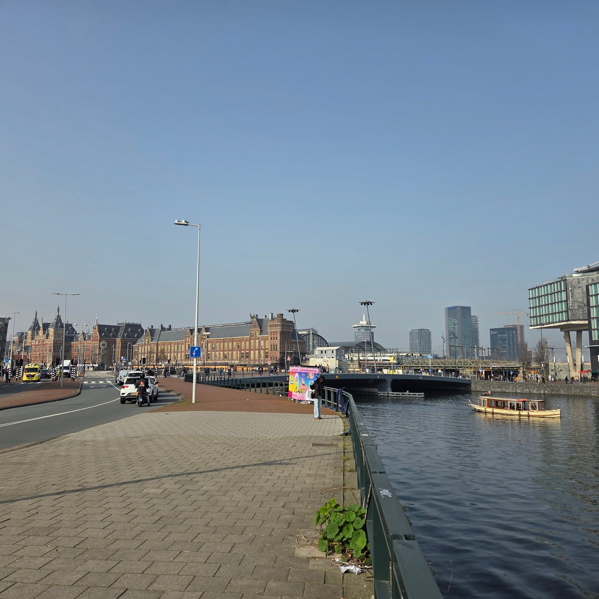
March 29, 2026 | Categories: Netherlands, North Holland & Amsterdam | Tags: amsterdam canals, amsterdam centraal train station | Leave a comment
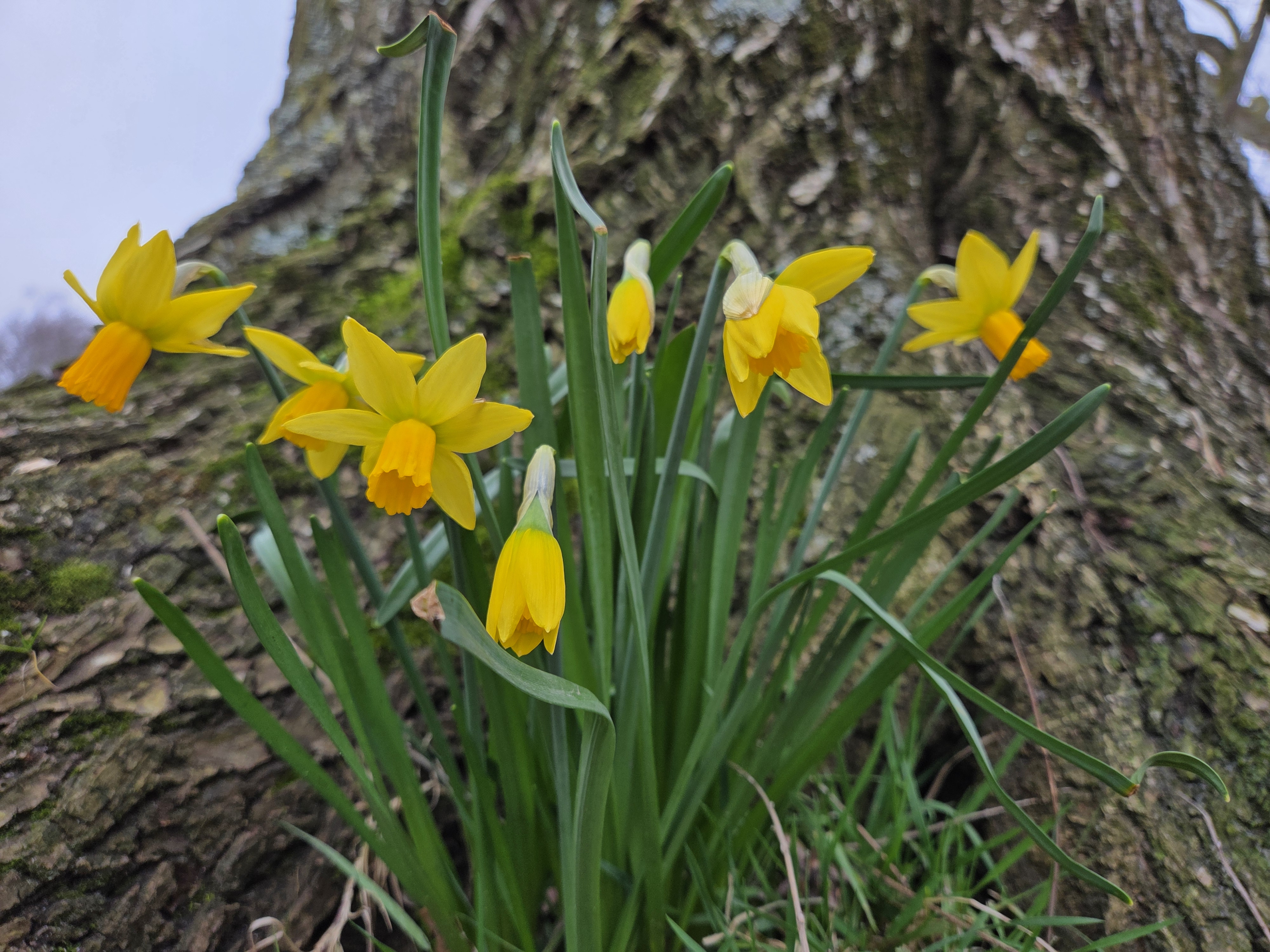
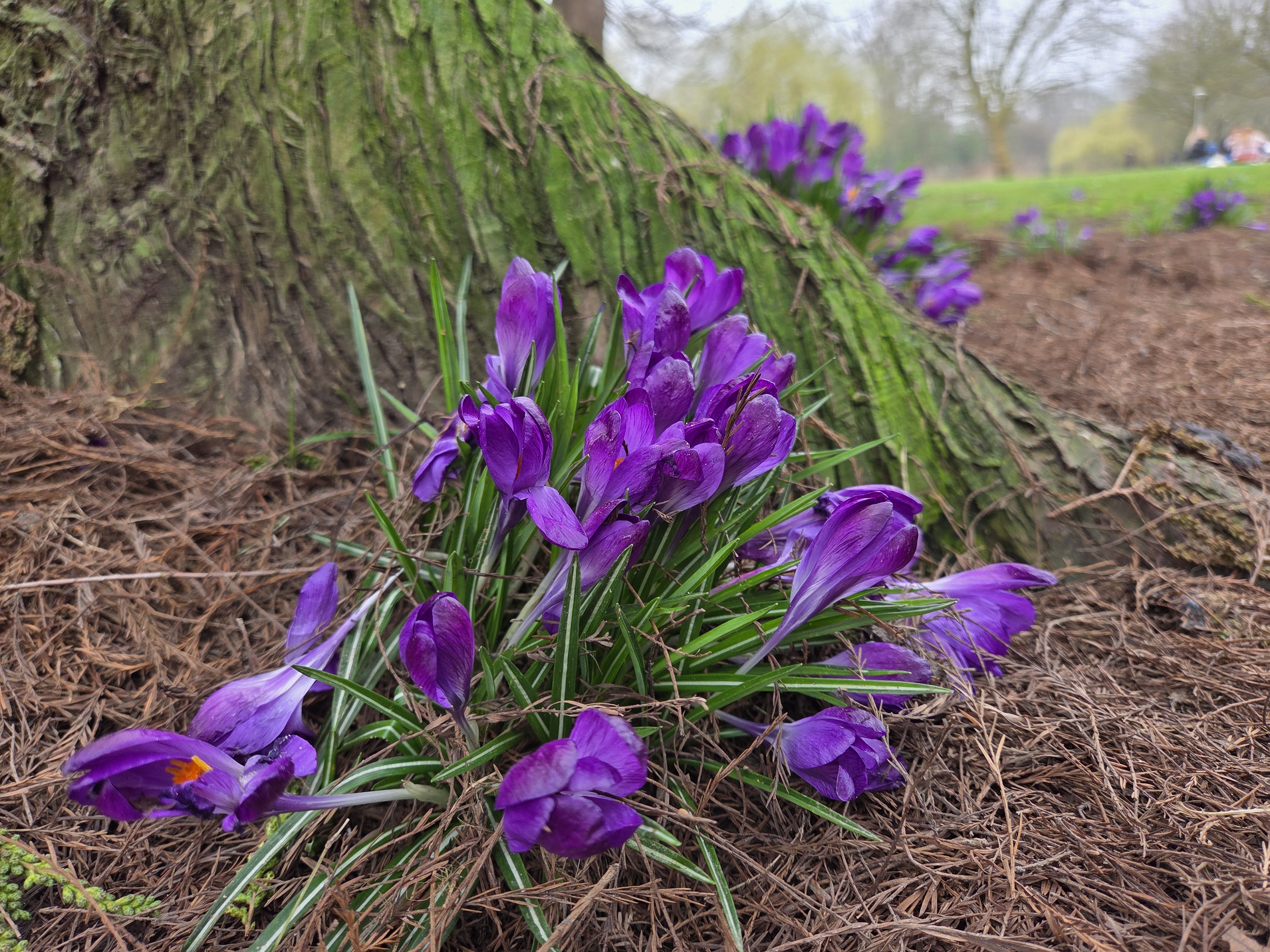
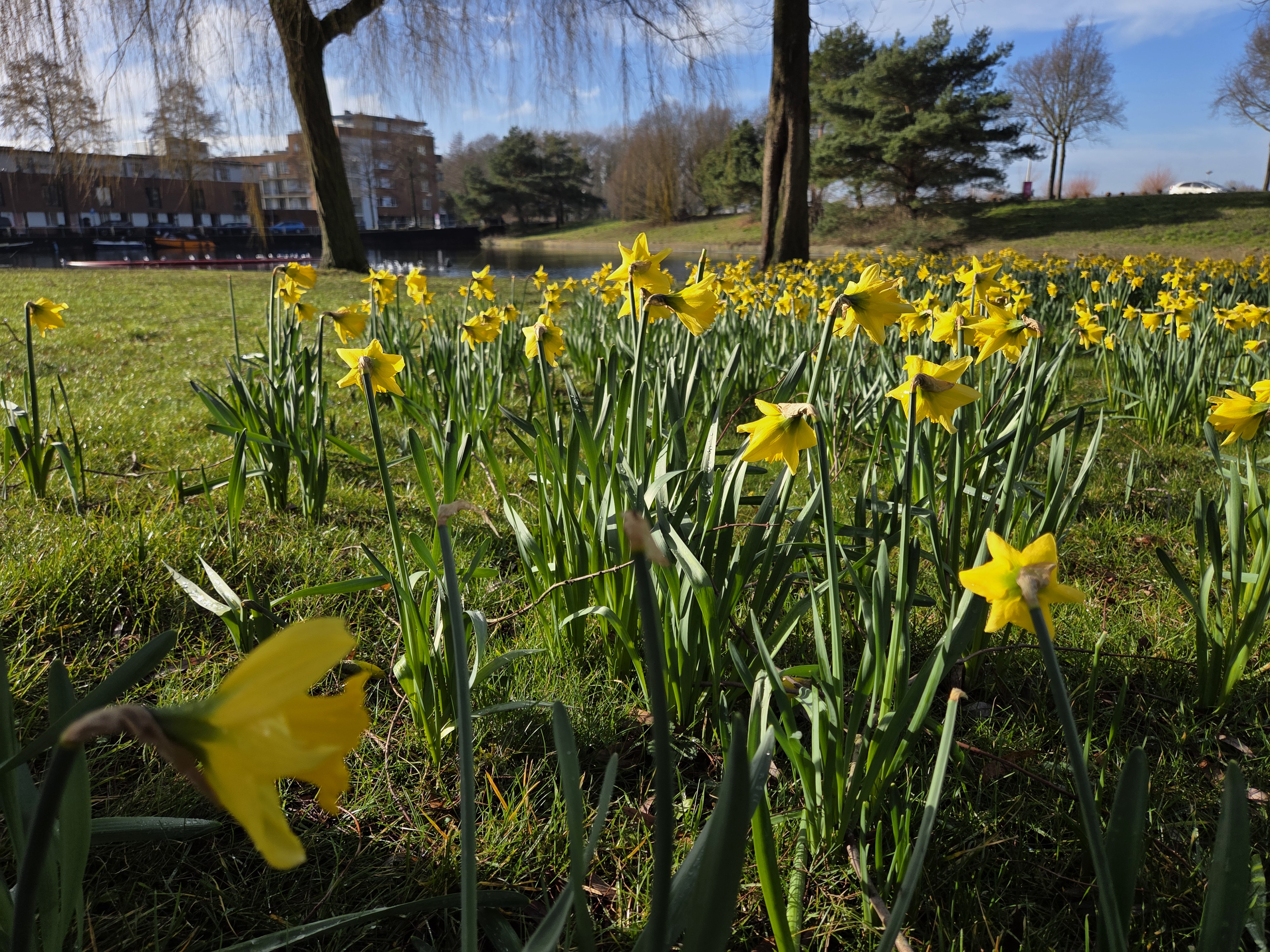
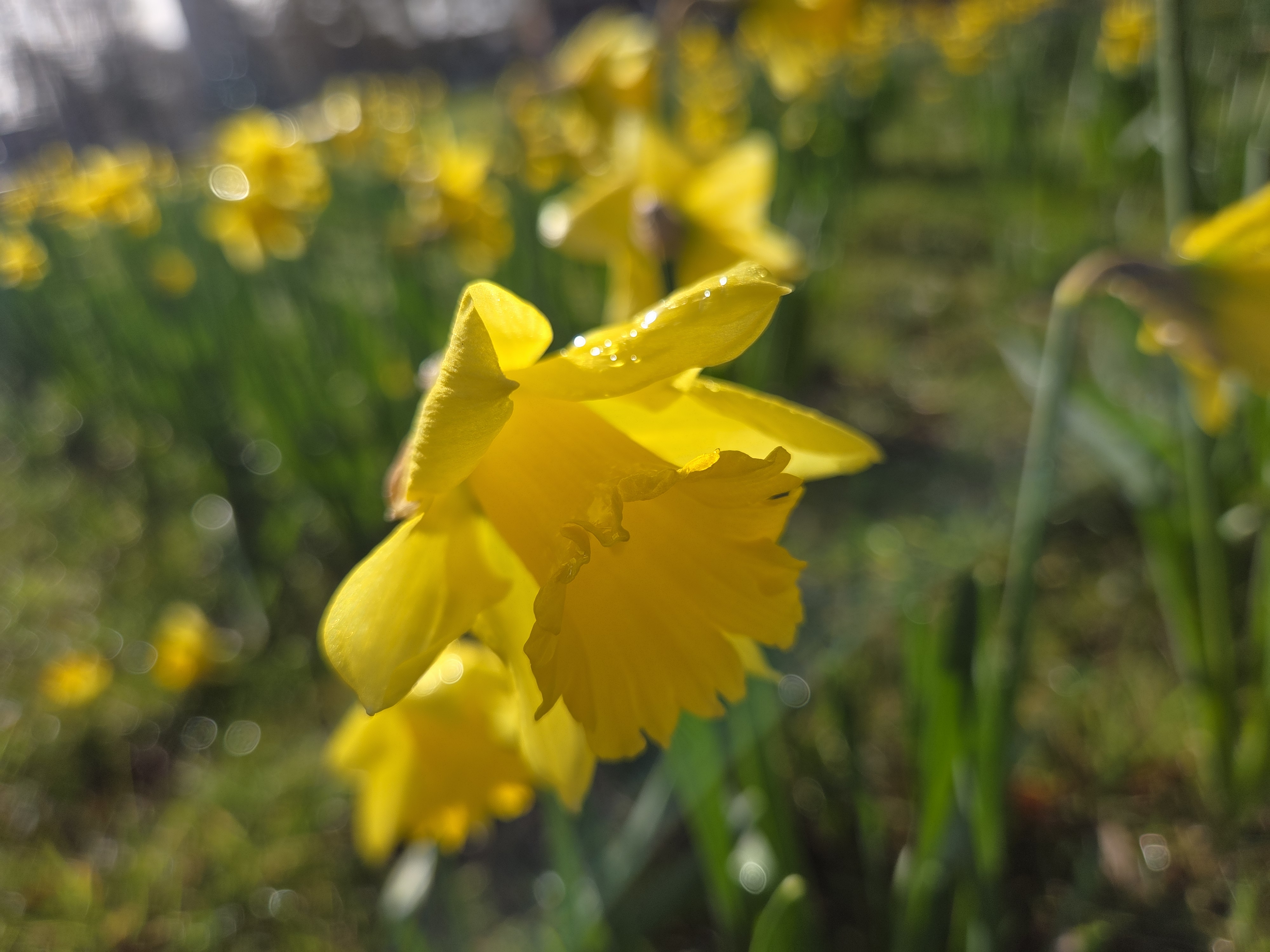
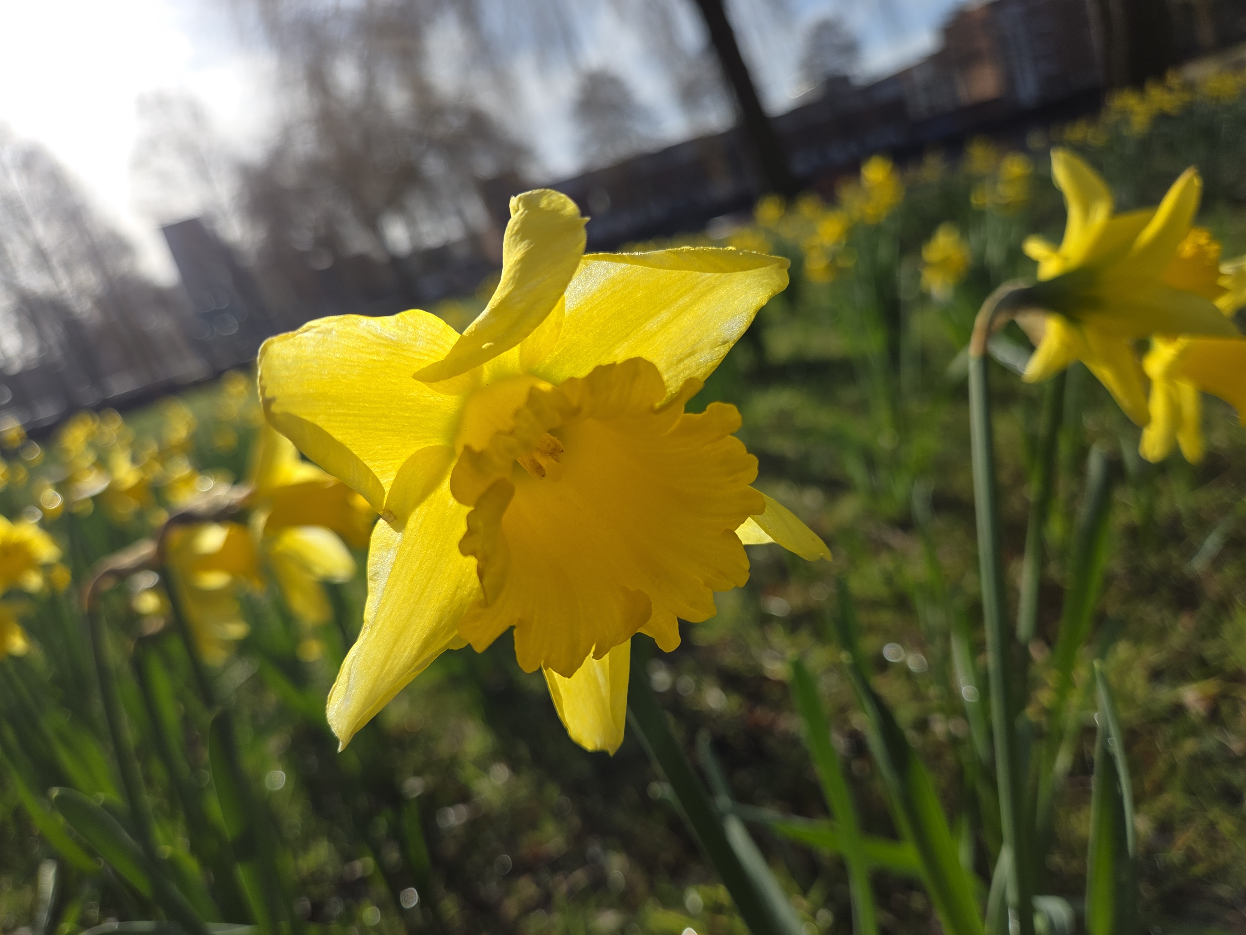
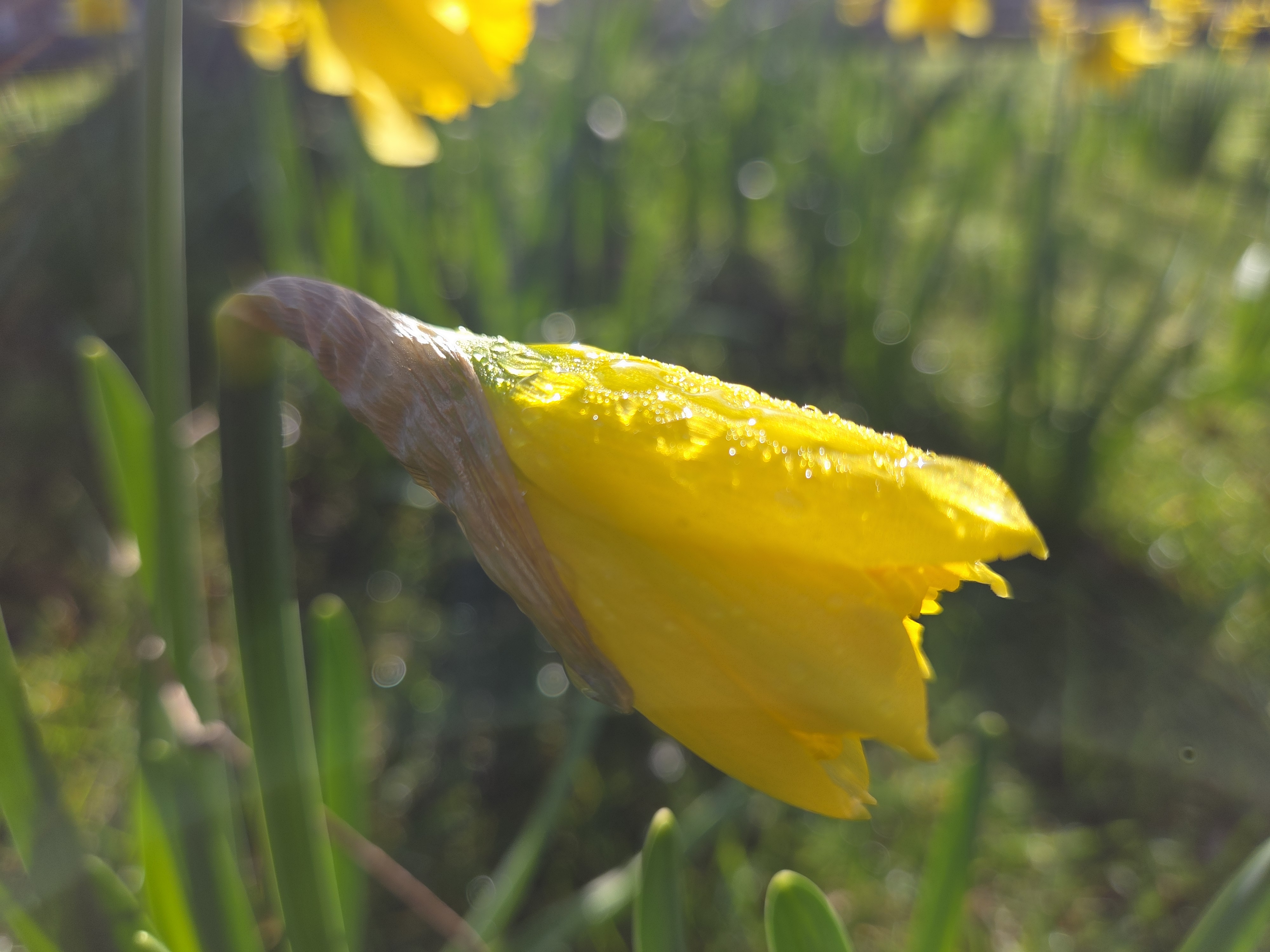
March 27, 2026 | Categories: Netherlands, North Holland & Amsterdam | Tags: daffodils, spring flowers, Vondelpark | Leave a comment
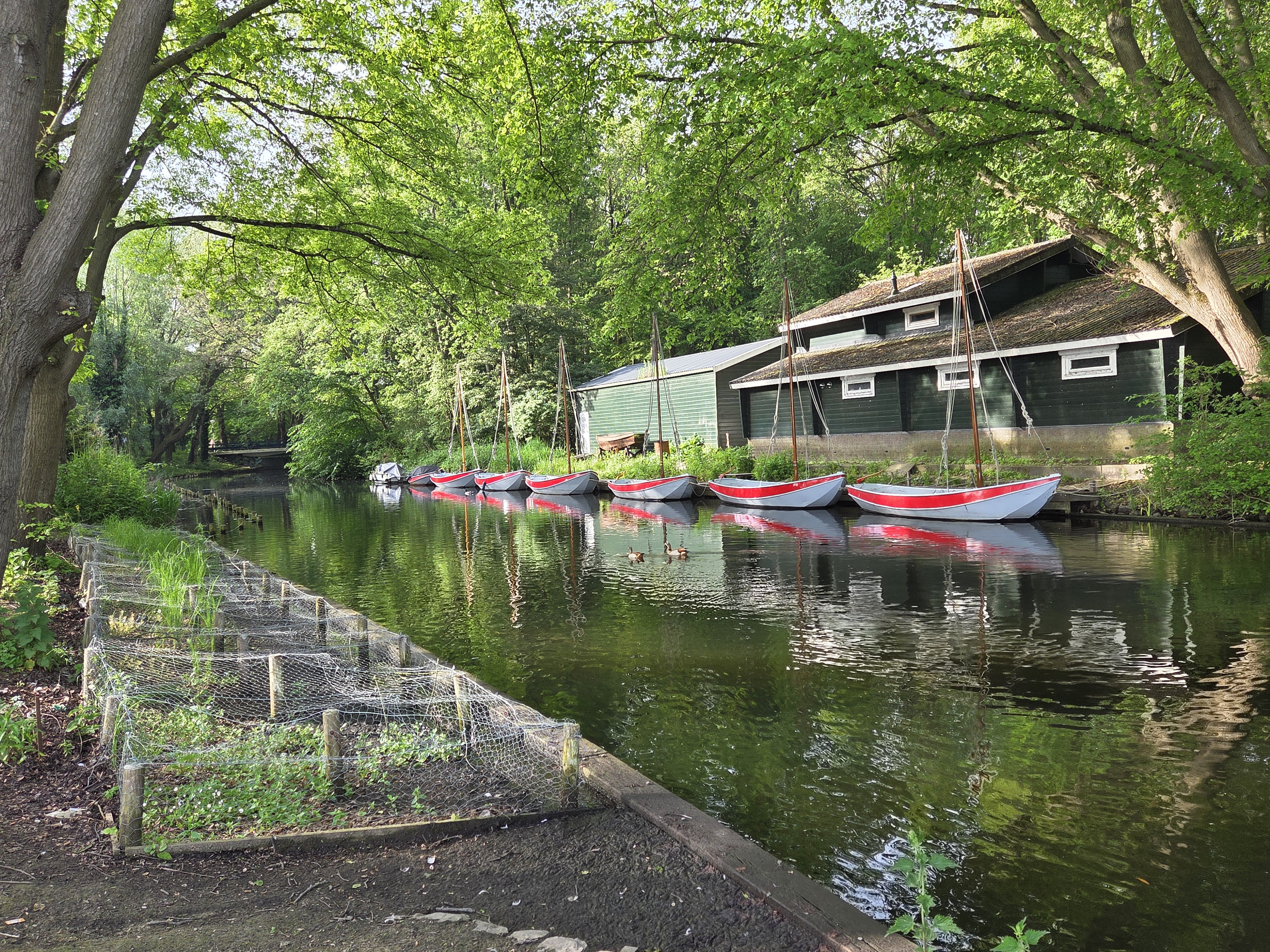
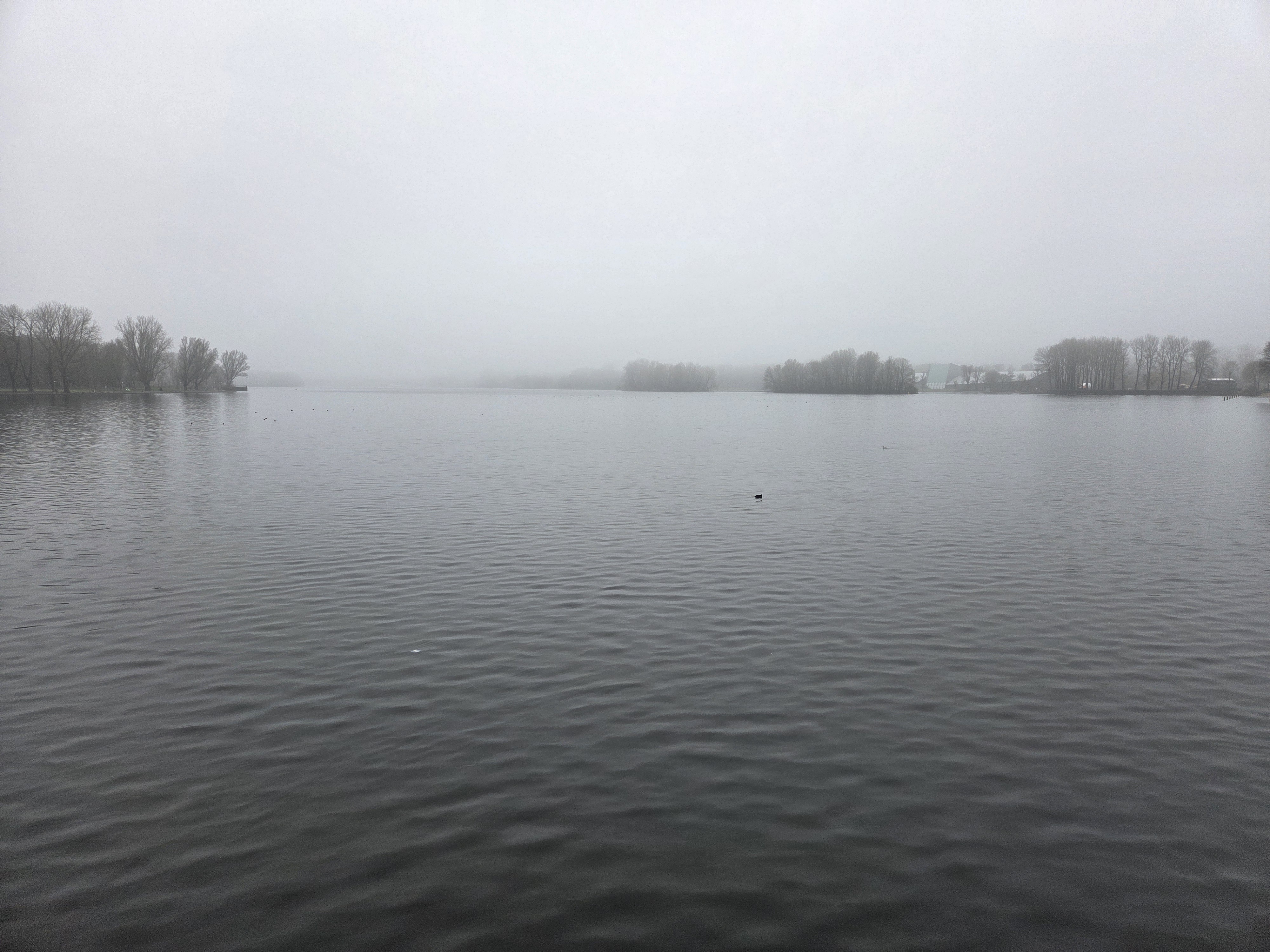
March 21, 2026 | Categories: Netherlands, North Holland & Amsterdam | Tags: amsterdam canals, Dutch Rivers & Canals, sloterpark, Sloterplas | Leave a comment
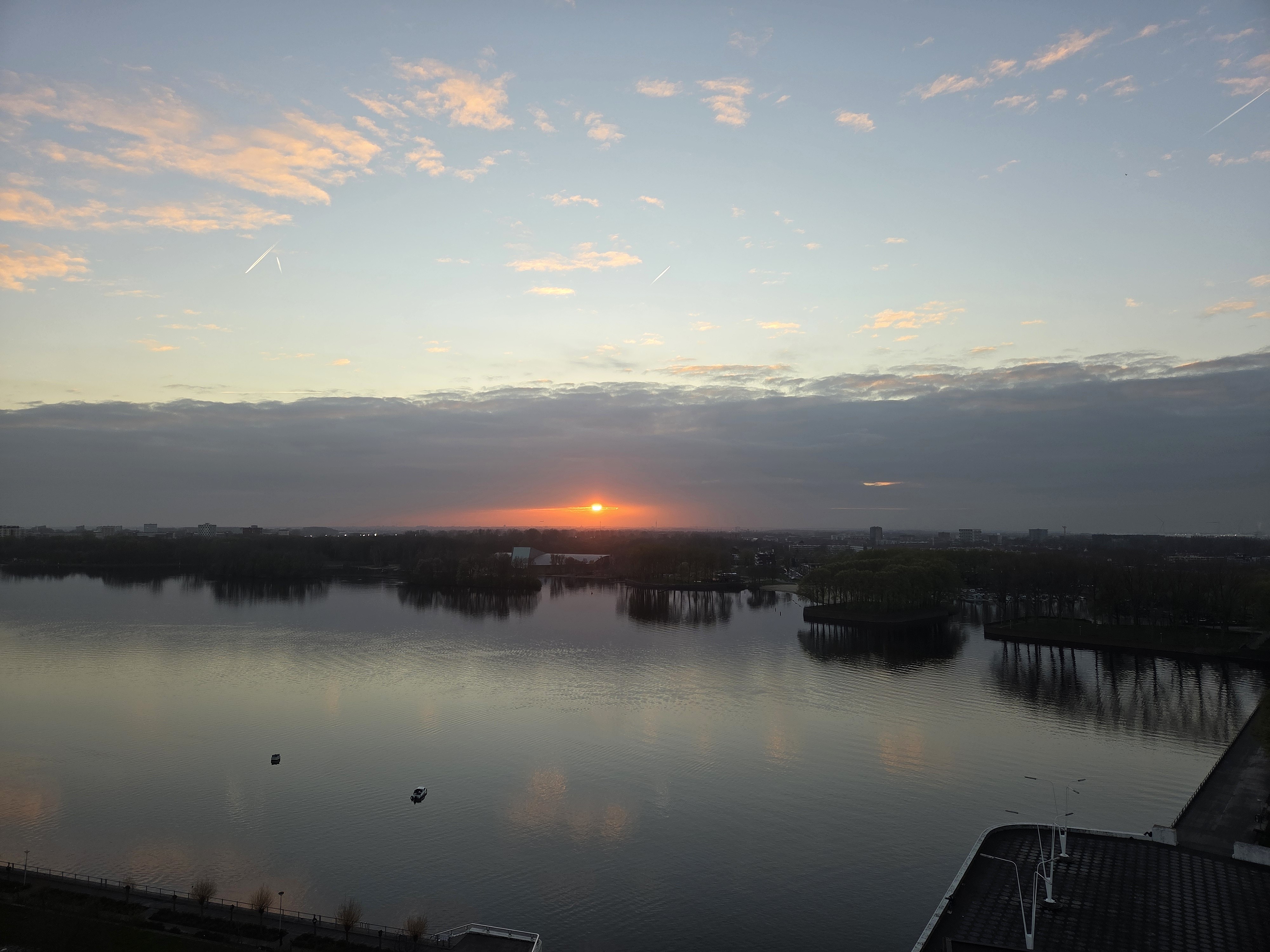
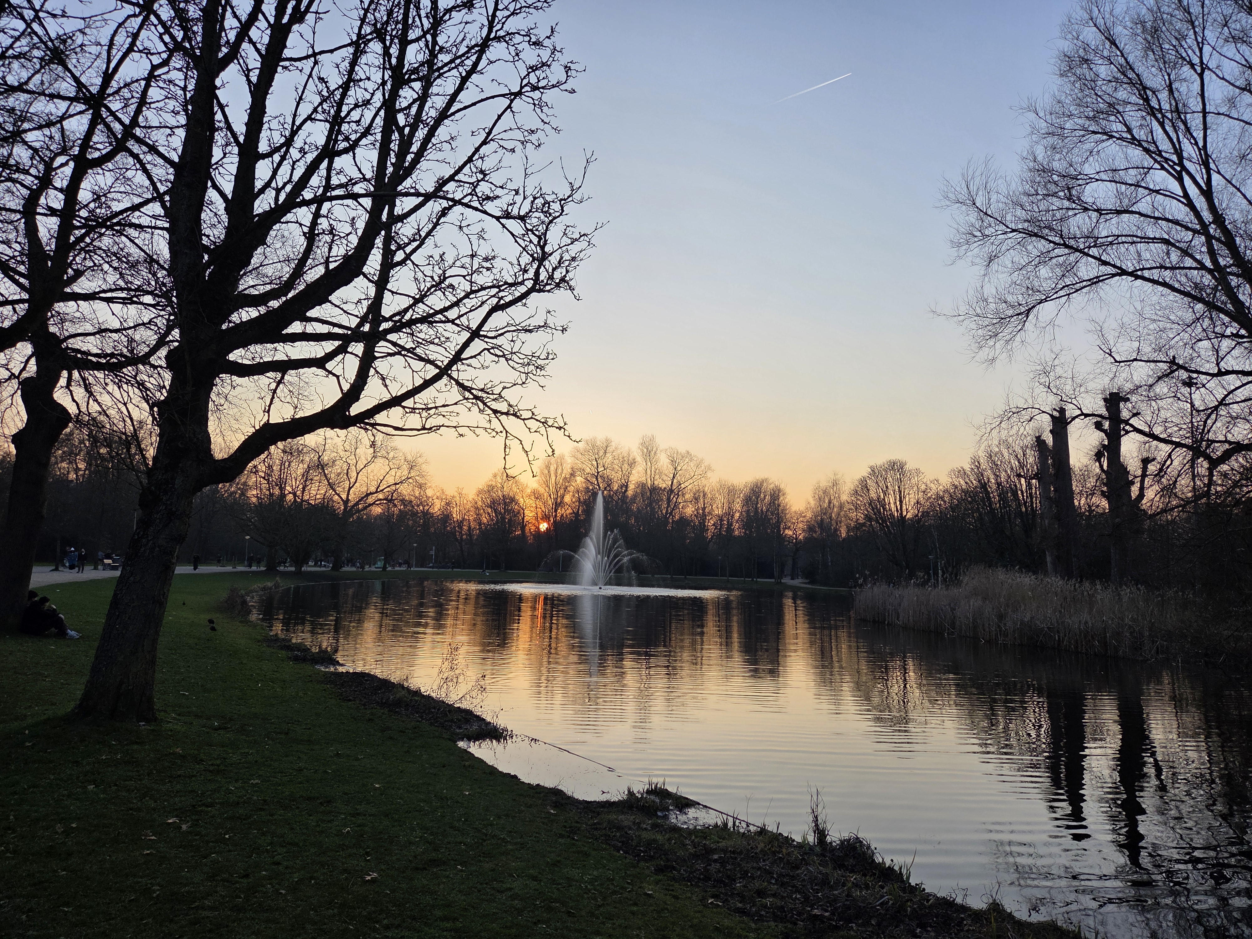
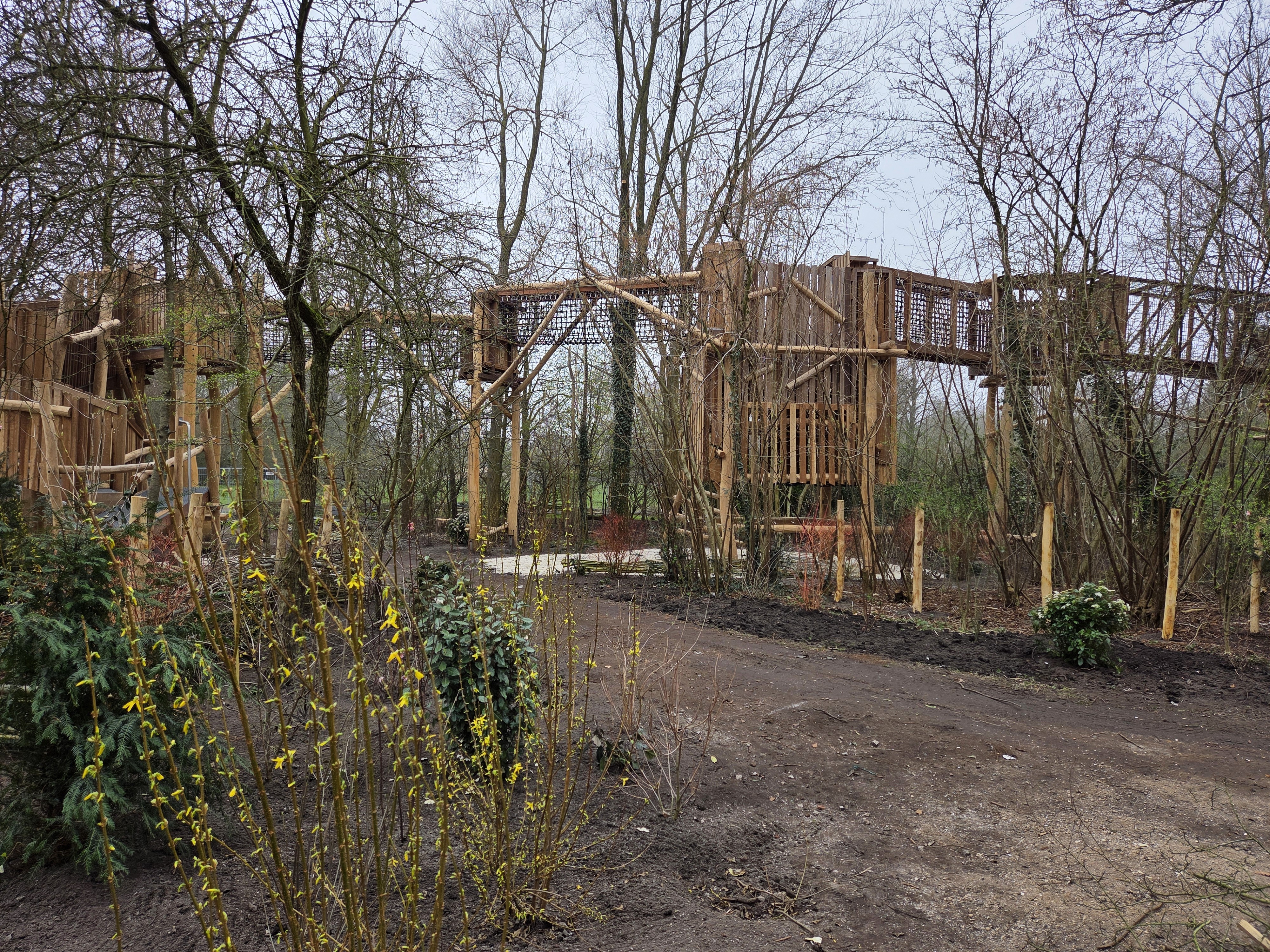
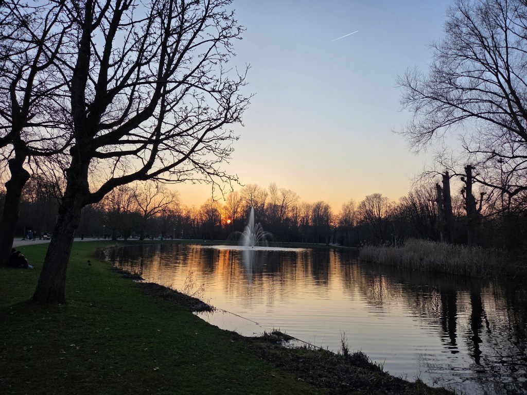 Setting sun as I biked home, and a new playground about to open, both in Vondelpark a earlier this month.