


County Views.130


Islands.48
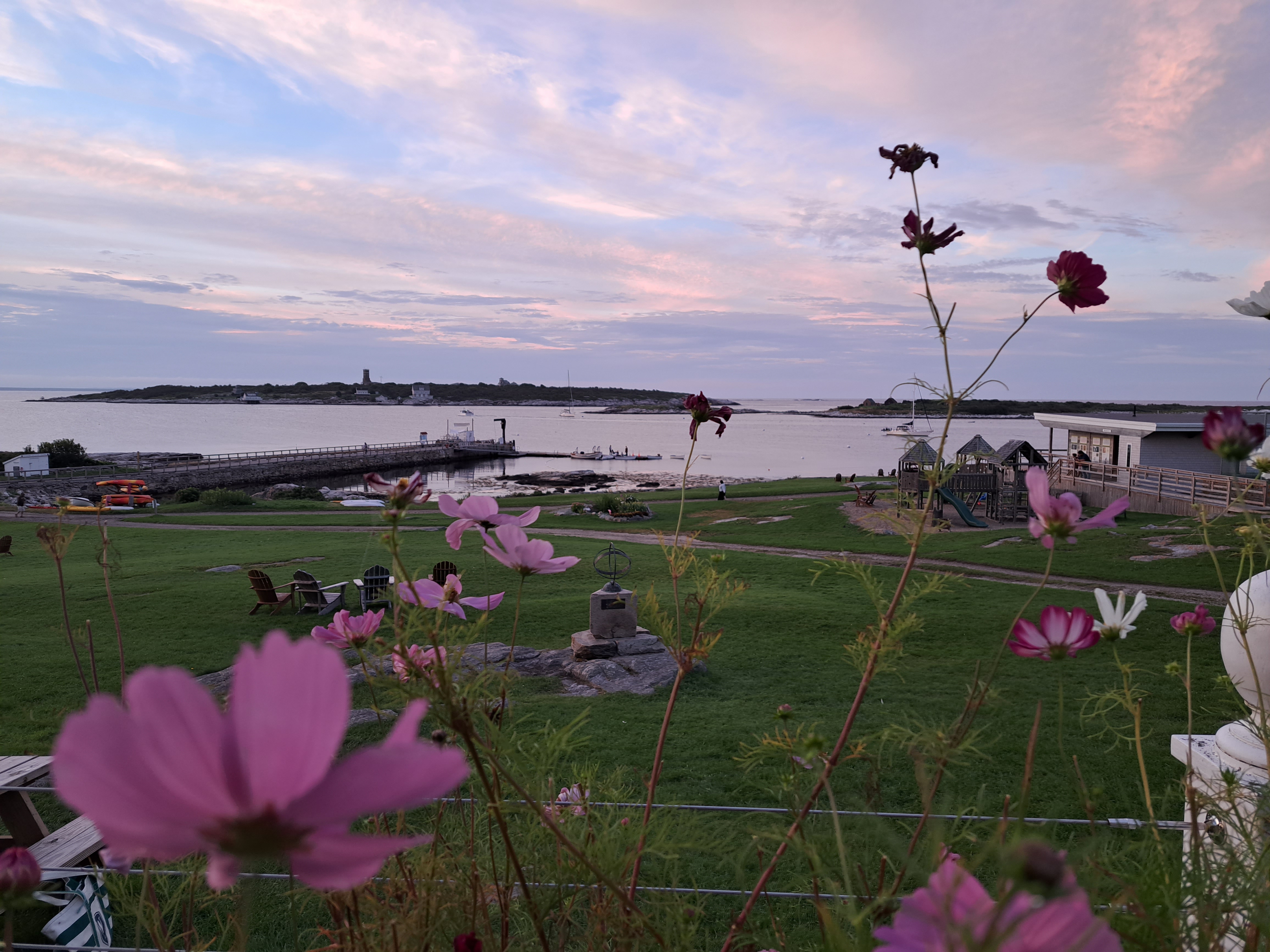
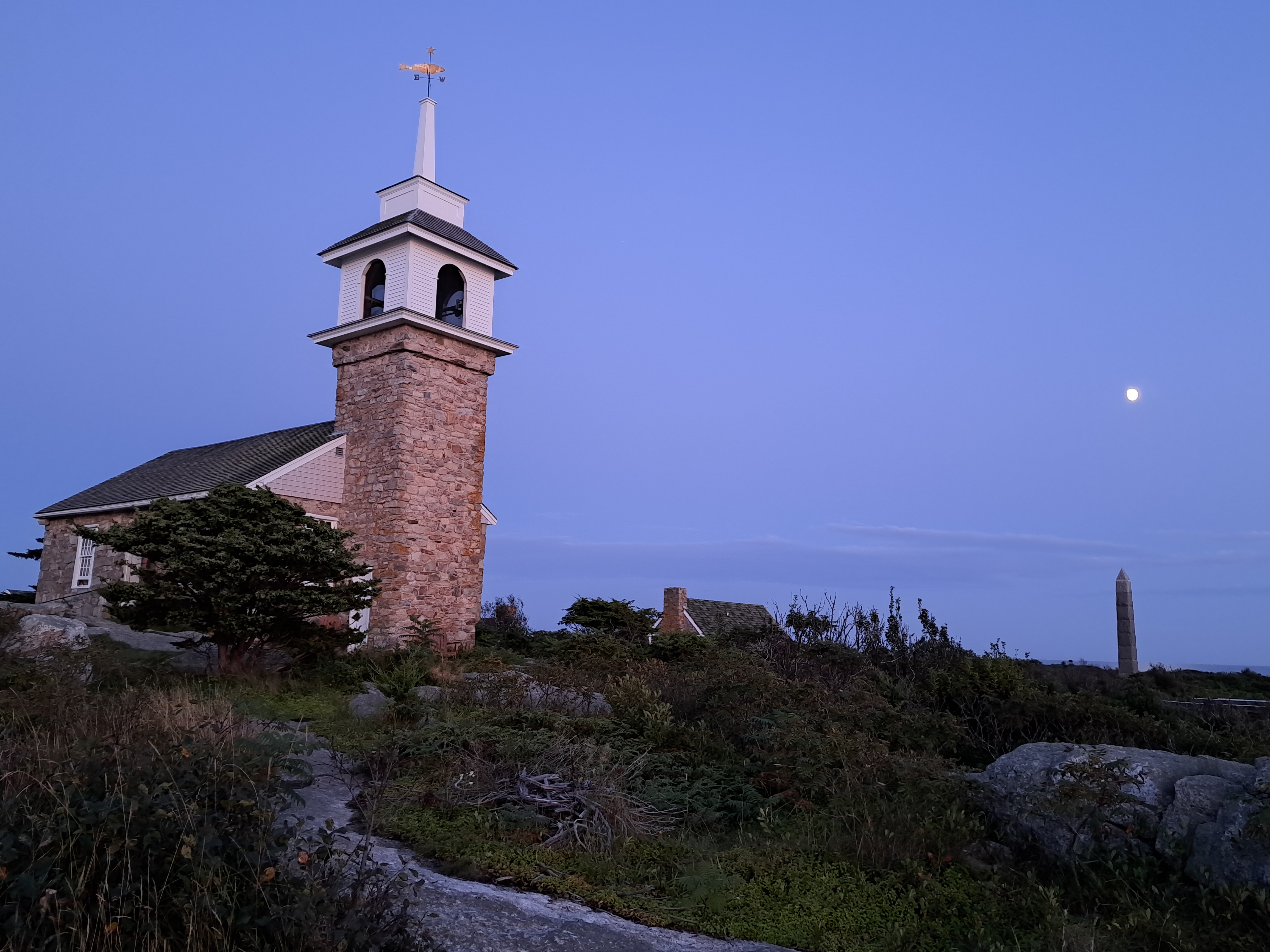


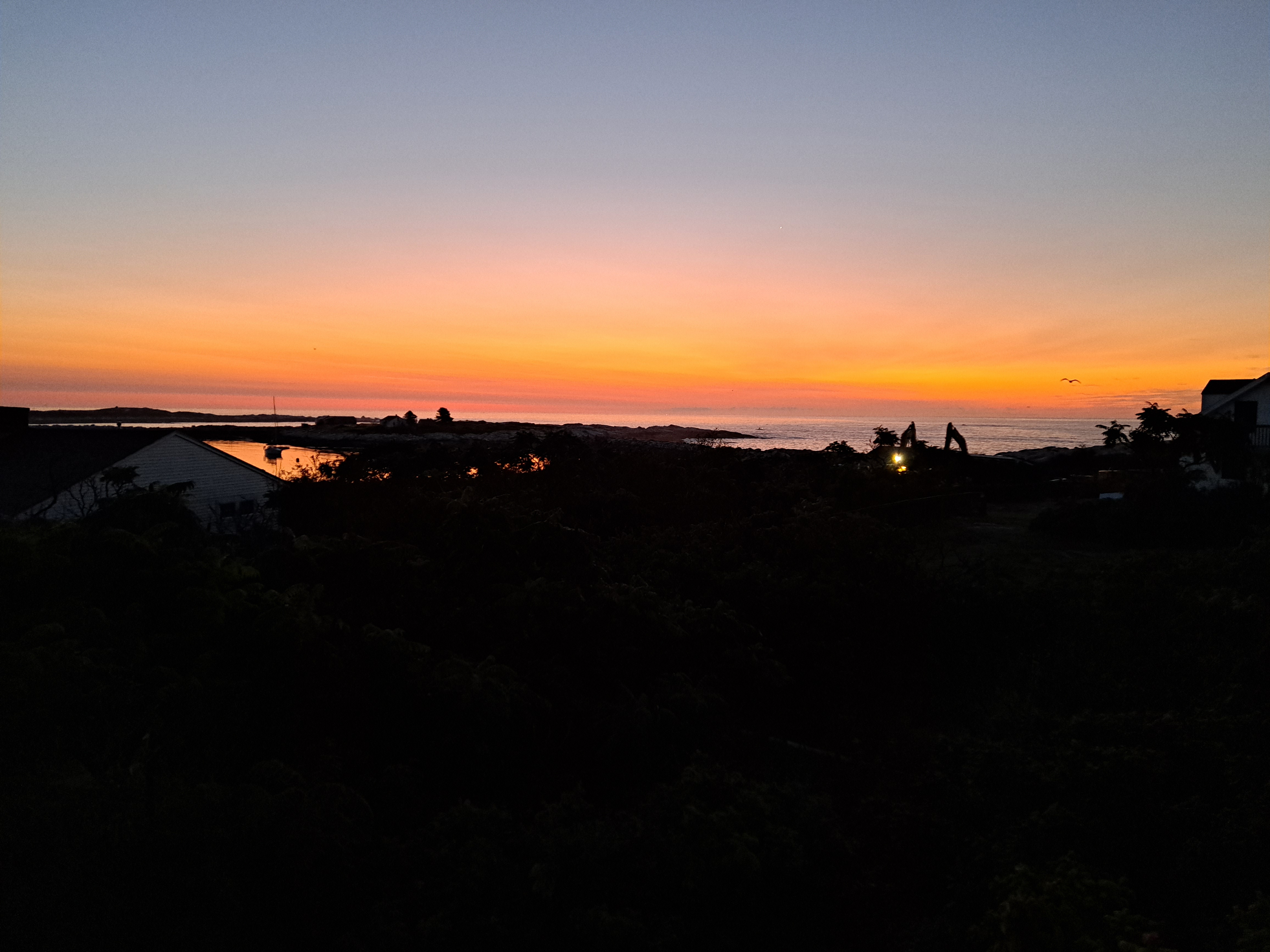
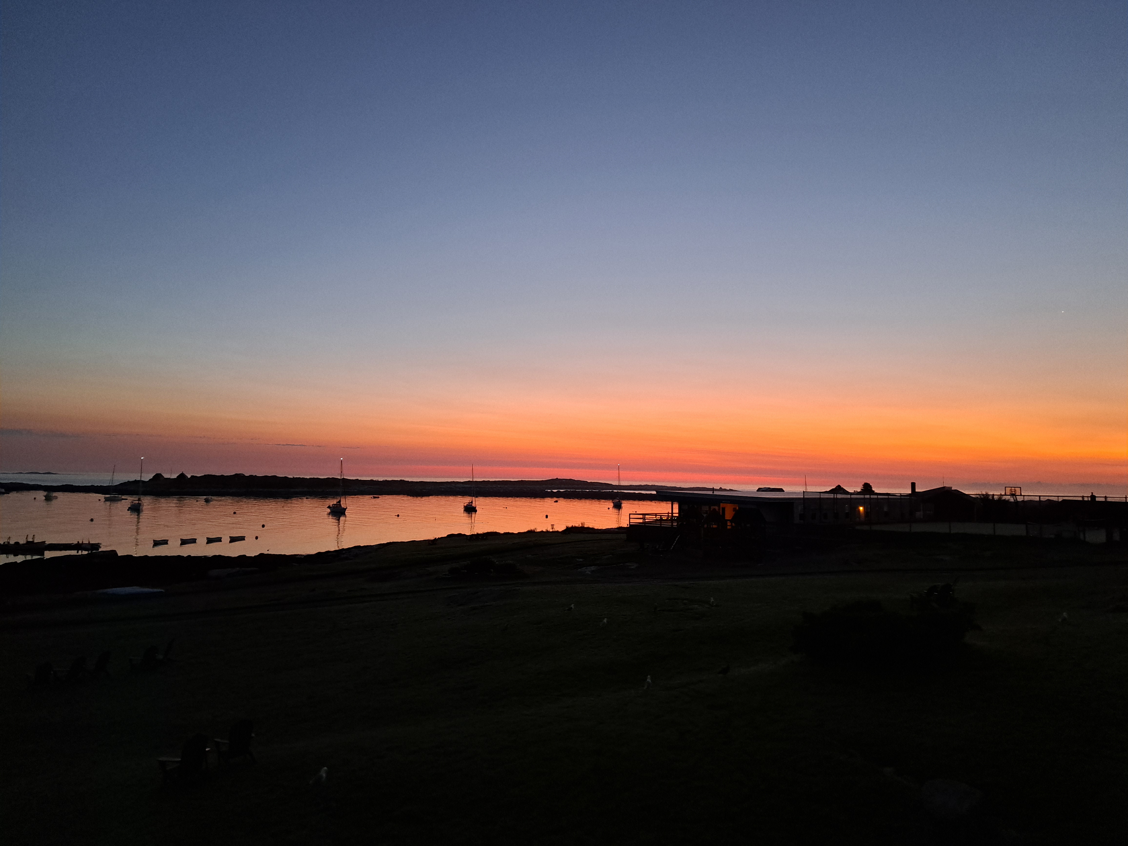
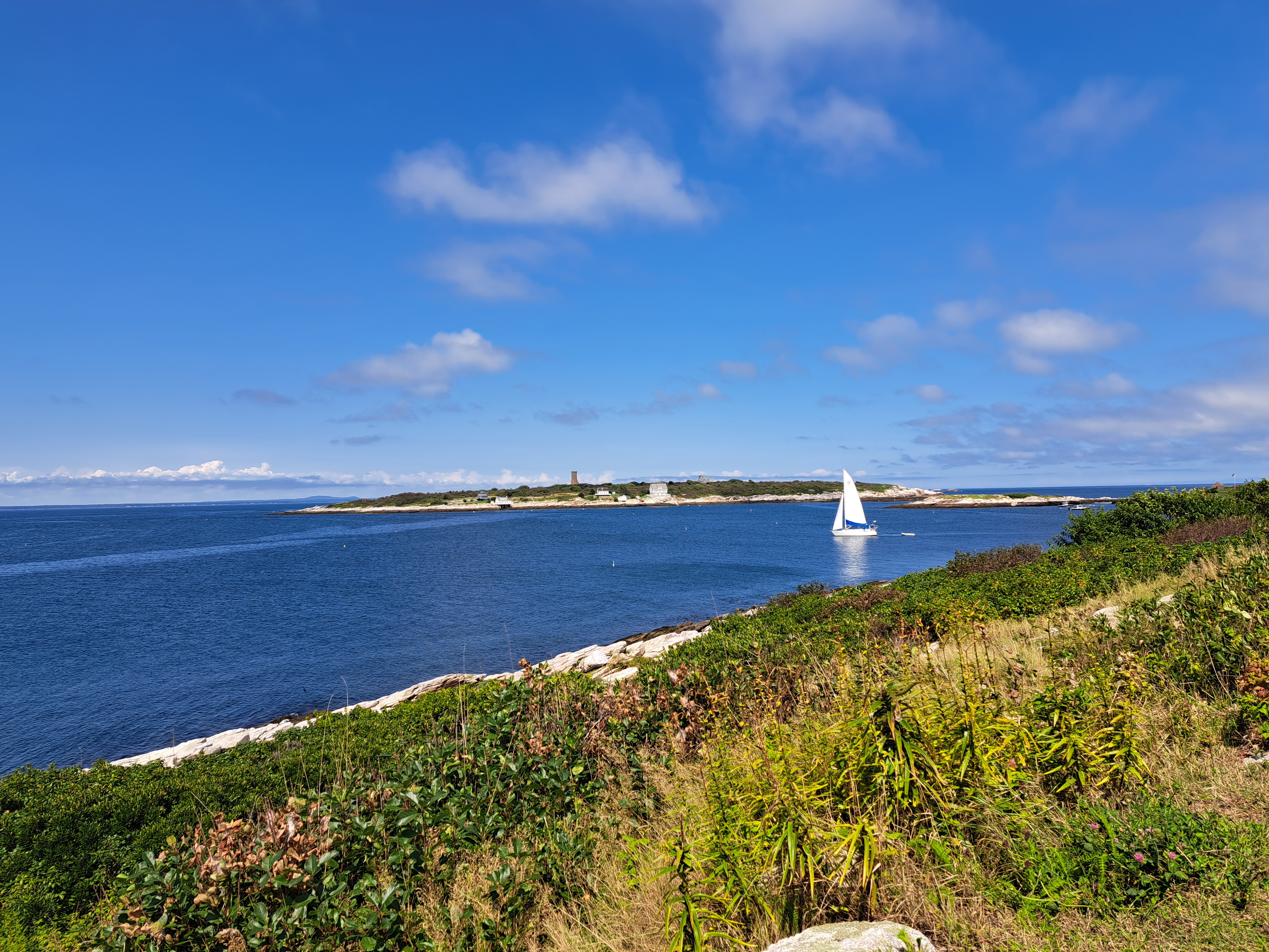
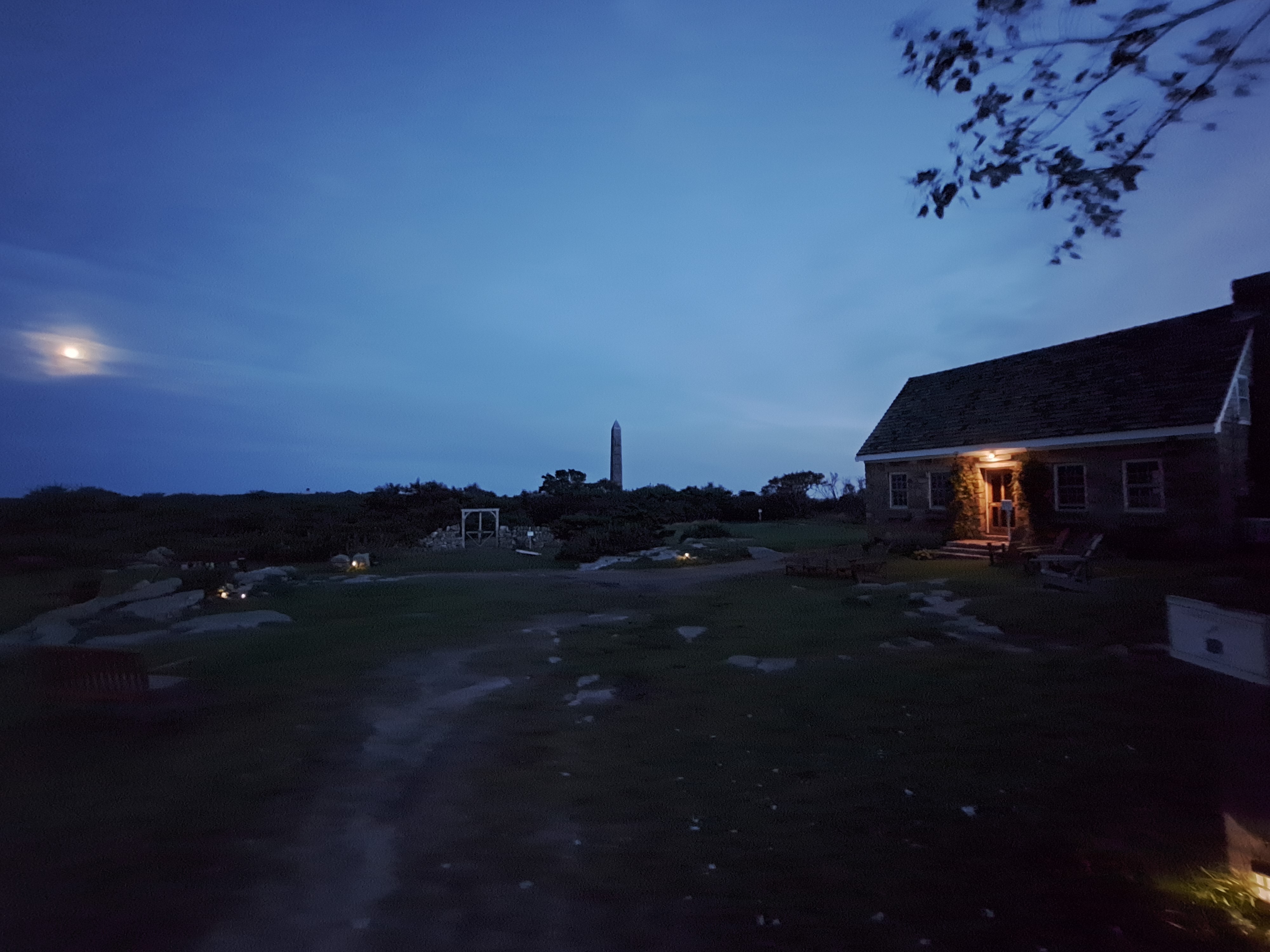
Last year, I proudly completed 367 days in a row of posting at least one entry on this blog per day on January 23rd while I was actually visiting our teams in Iraq, then took most of February and March off before resuming the daily-post pattern on March 29th, while I was in California on vacation. Today’s my 284th day in a row of at least one post per day since that resumption; it’s also the first weekend day in the new year, so I’ve decided to start posting larger, photo-heavier entries to wrap up any of the photos I took in 2023 that I’d still like to post. I suspect that I’ll find energy and time to keep up the daily posts until I’ve finished my stock of unposted but post-worthy photos from last year, and then take another break of undetermined length. Today’s entry is just about all the photos remaining from my restorative and beautiful week with my meditation group on Star Island, the last week of August last year. I’ve grouped some of the photos in galleries with a bit of a theme (above, rainier or foggier days; below, sunrises and sunsets), and then put the rest in a huge gallery that will shuffle the order randomly — all with the aim of sharing with you some that little island’s delightfully shifting energy, moods and views. Enjoy 🙂


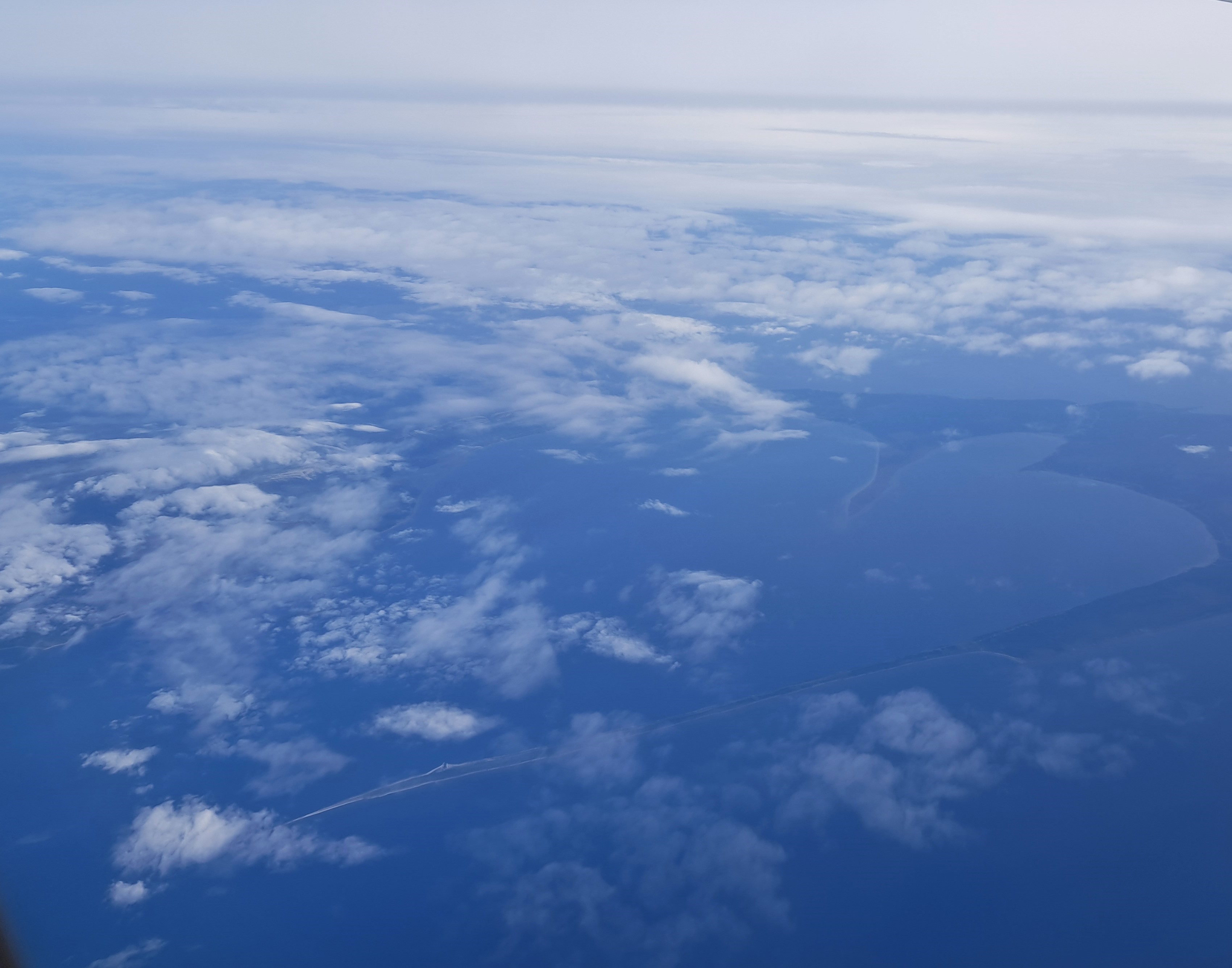
From The Air.37

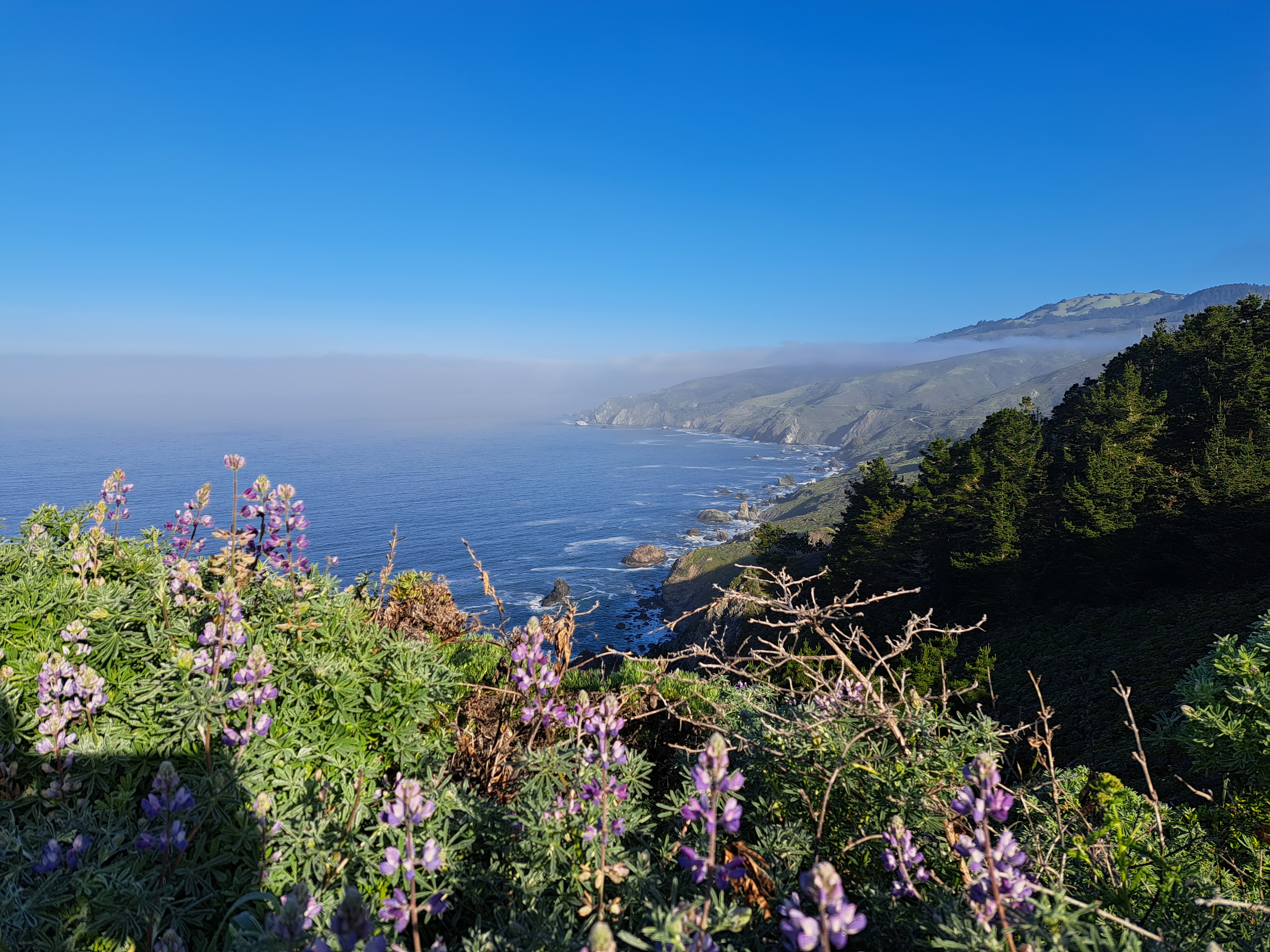
Coasting.86
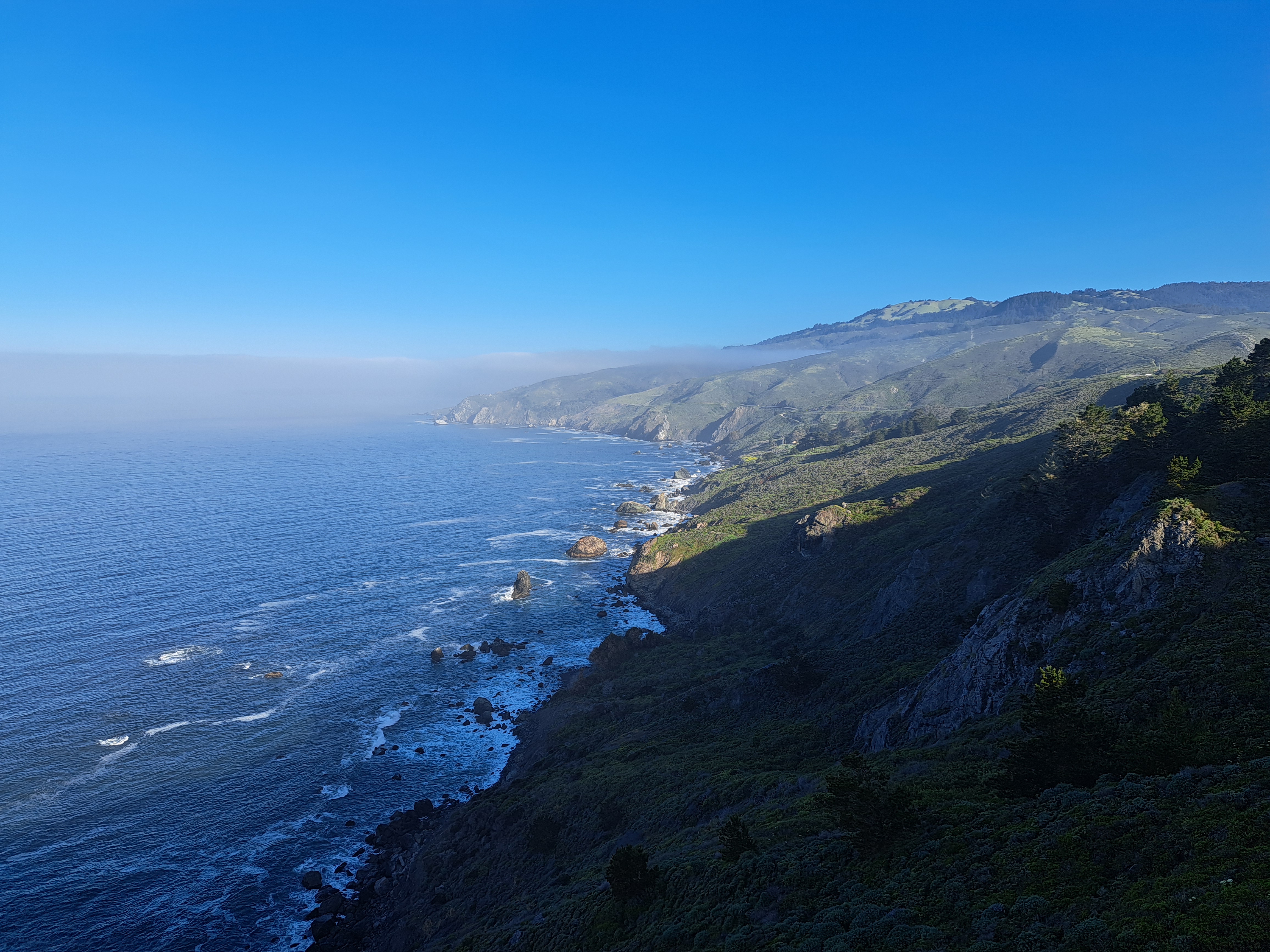
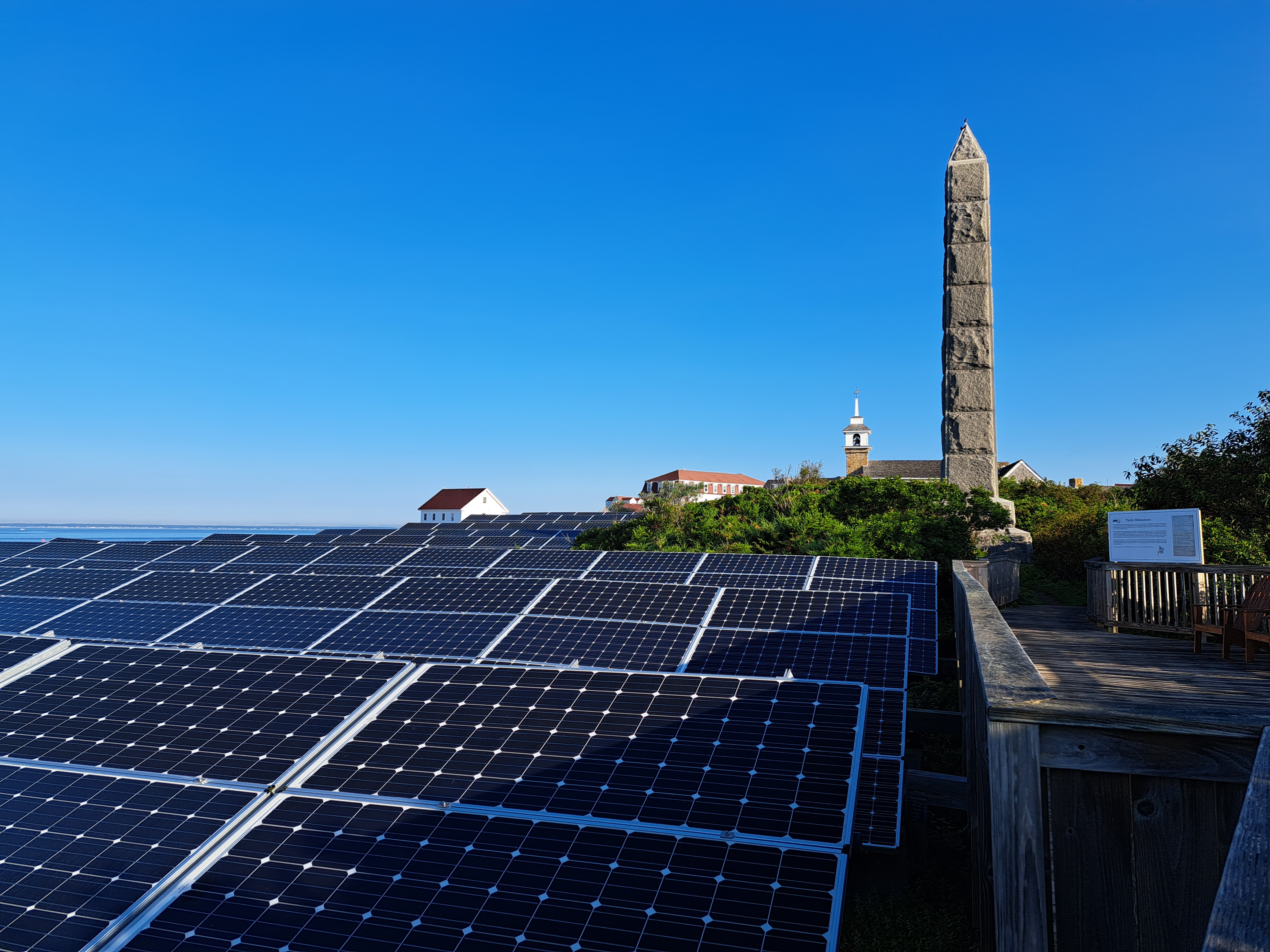
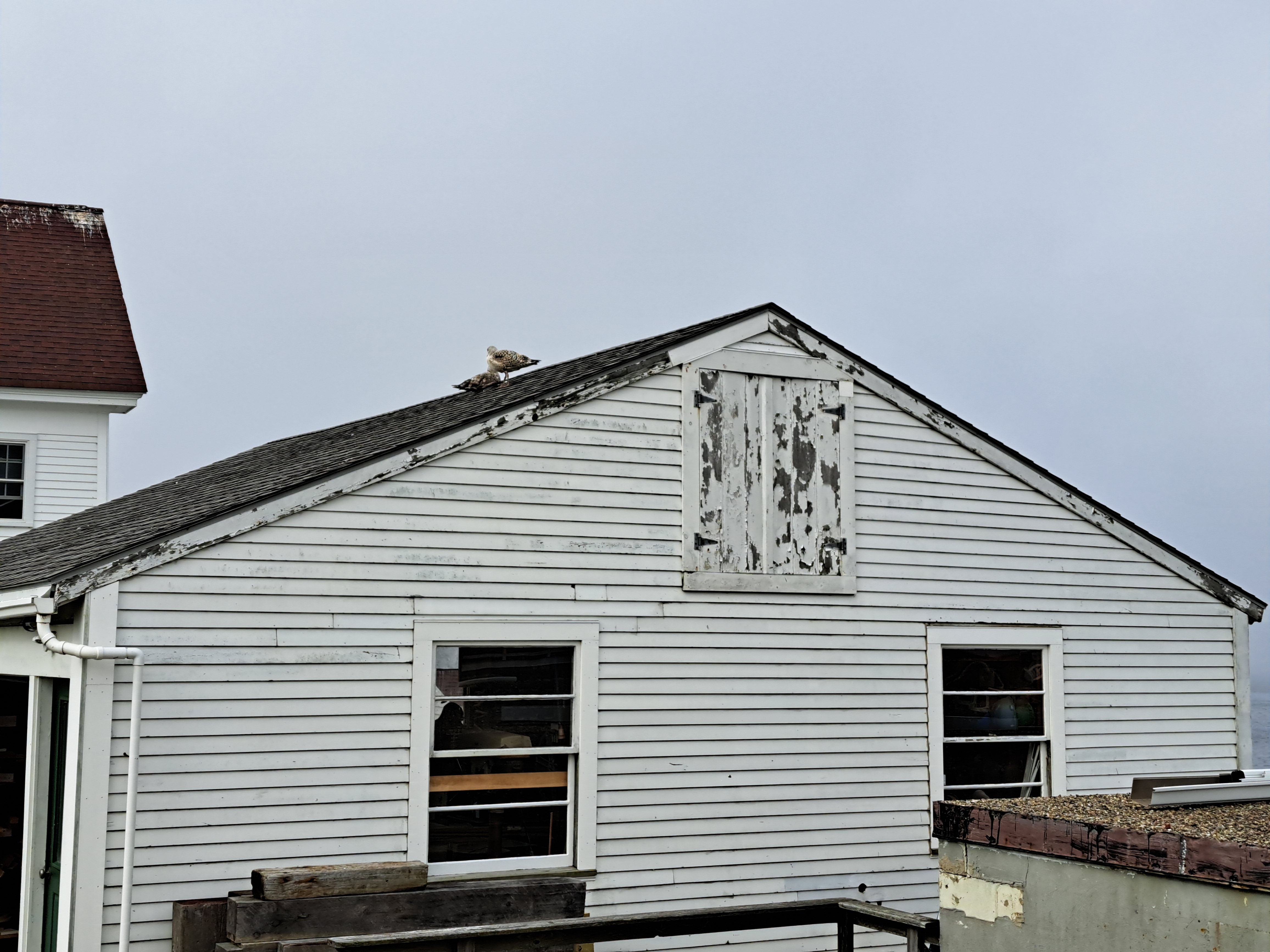
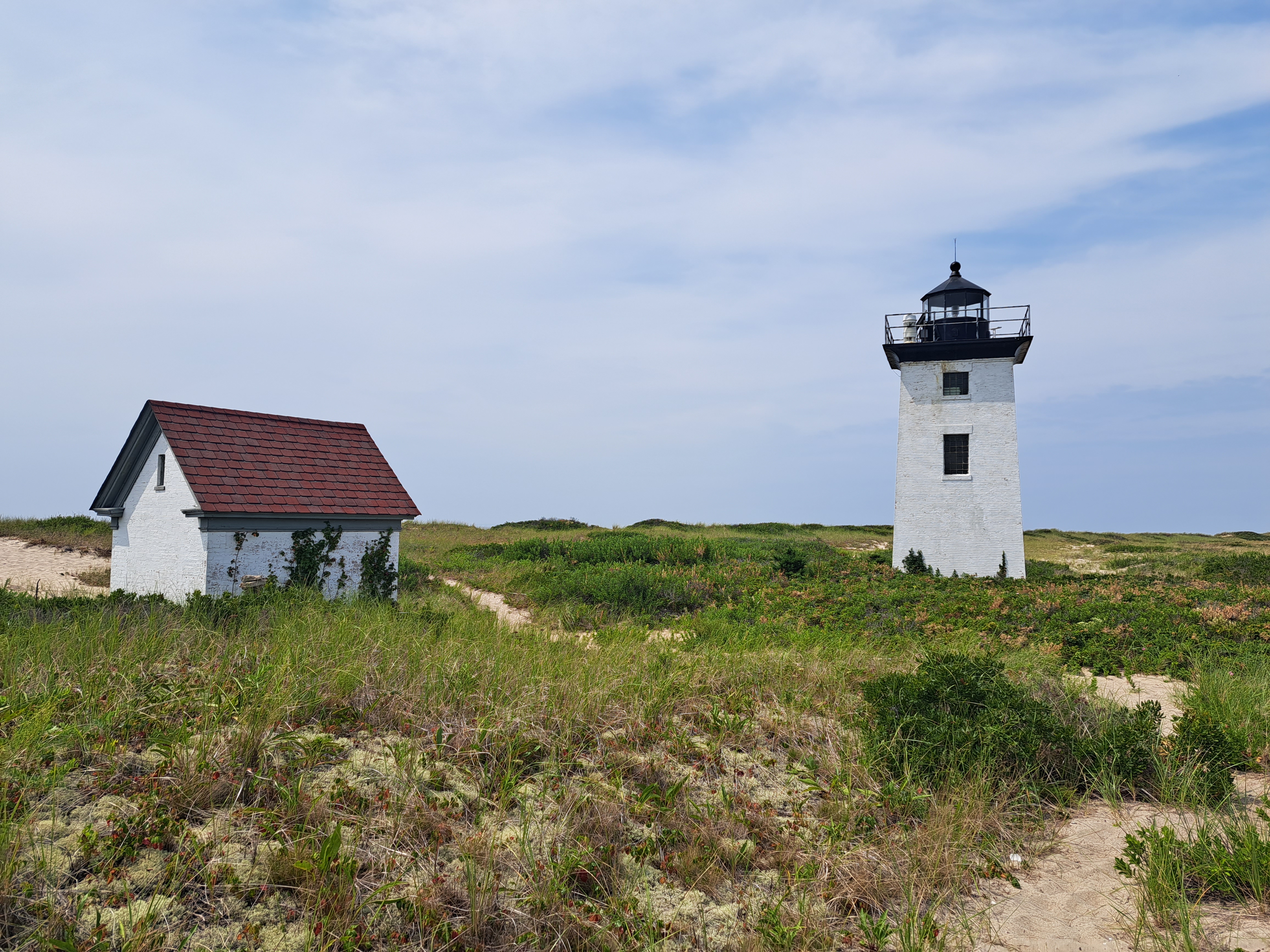 This weekend (with the shortest weekend days of the year for those of us here in the northern hemisphere – days also when many of my family and friends around the world are likely to be gathering in homes far and wide to enjoy each other’s company) seems a good moment to share my last coastal photos from that lovely August high-summer week in Provincetown, just before I hopped over to Star for the meditation week. Experienced readers will know already that the photos and gallery in this post will be viewed much better on a large screen. 😊


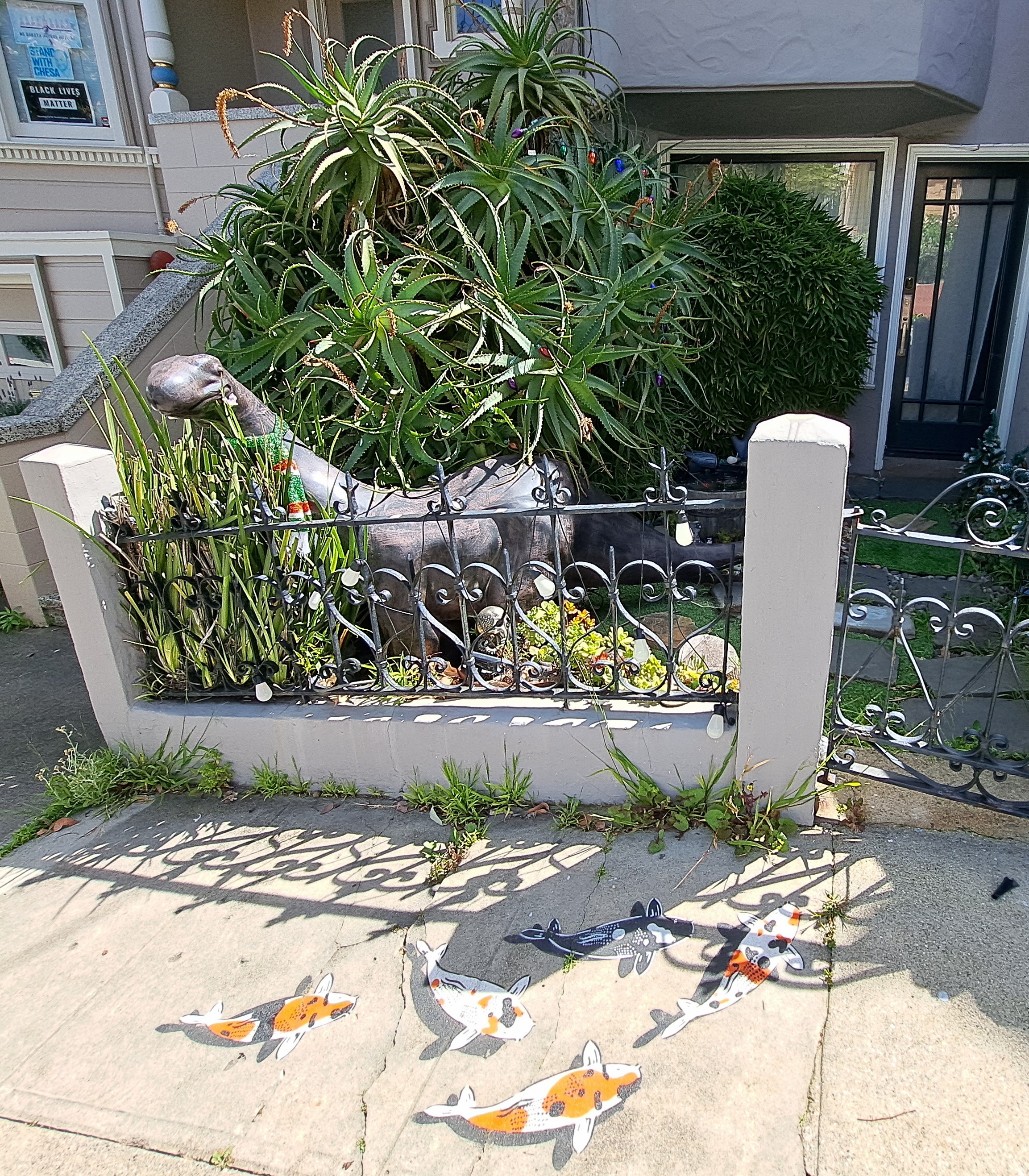
Village Views.66
Islands.45