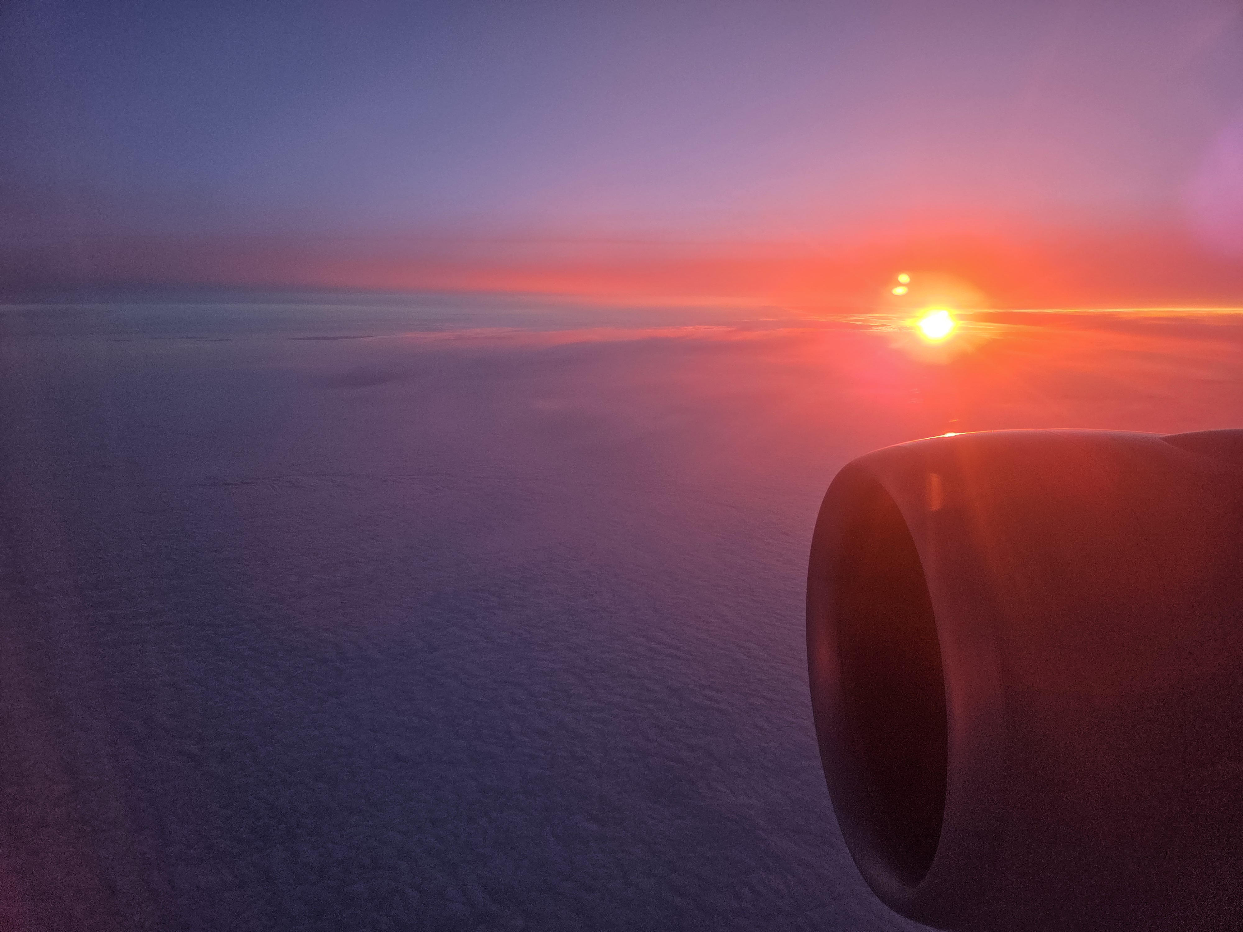
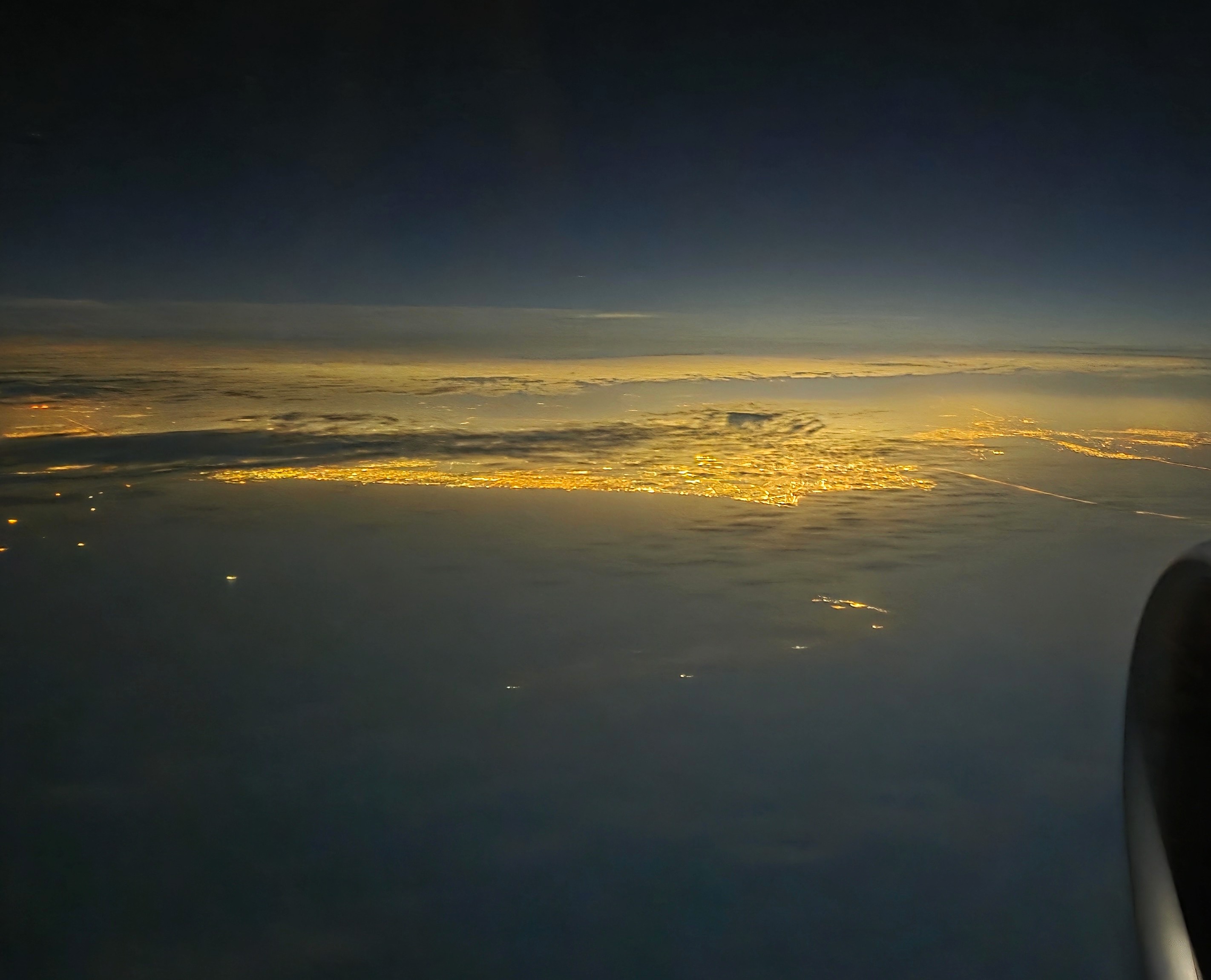
All from my December 4 flight A’dam – Doha en route to BD. As I recall, the sunset was over Iraq, and the city-lights shots below are at the top of the Persian Gulf, I remember thinking it was probably Kuwait City, but can’t be sure.
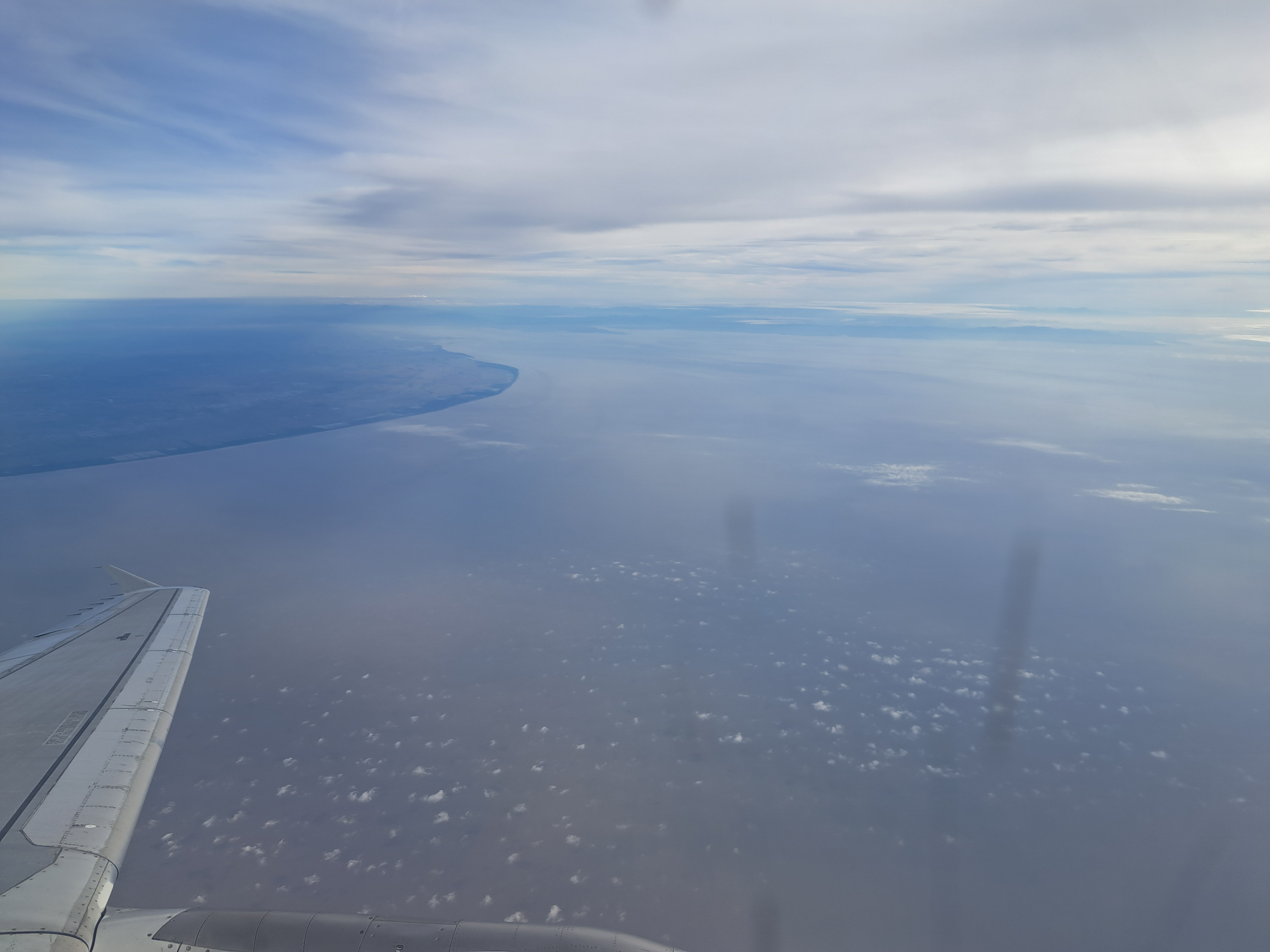
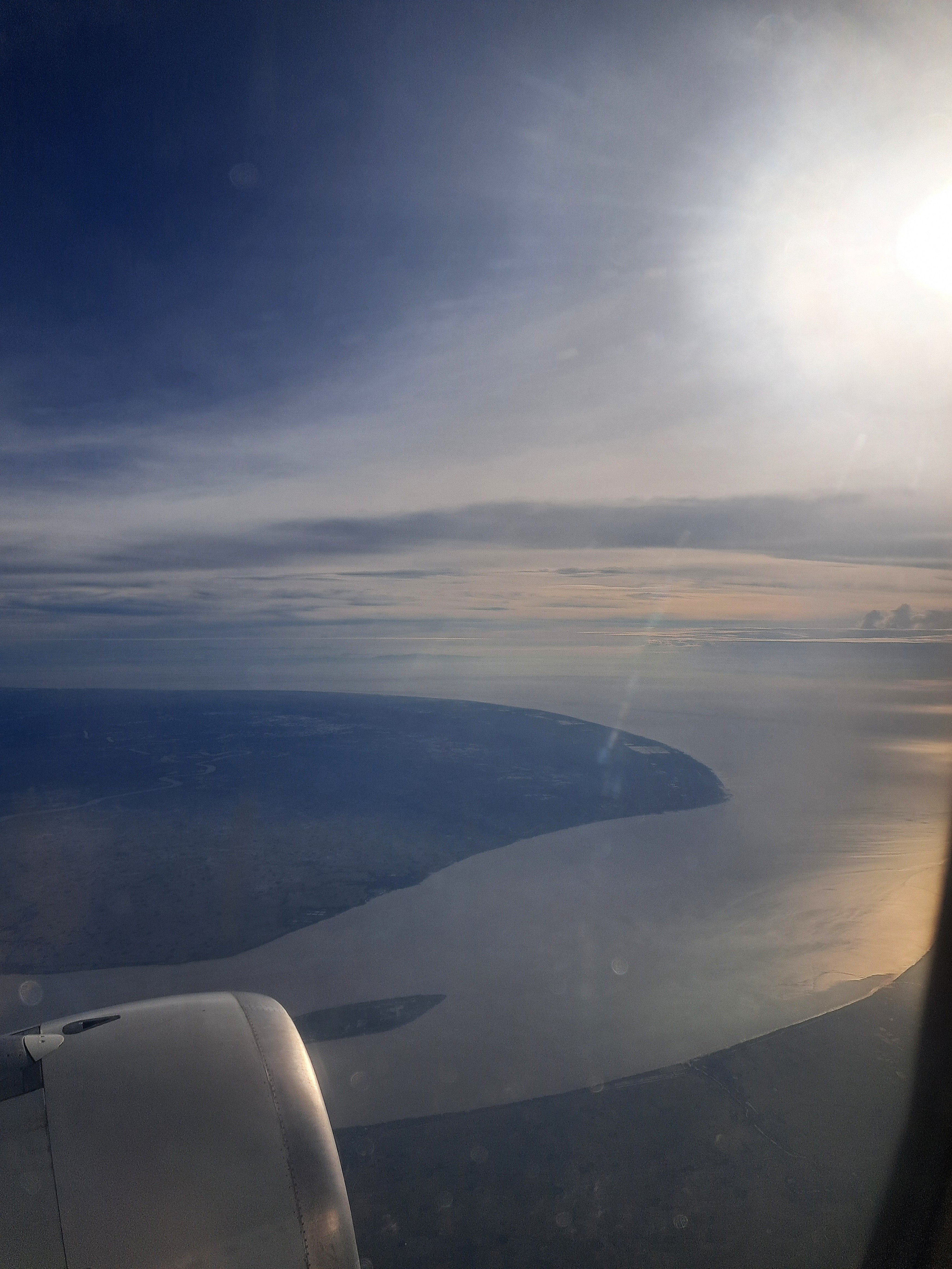
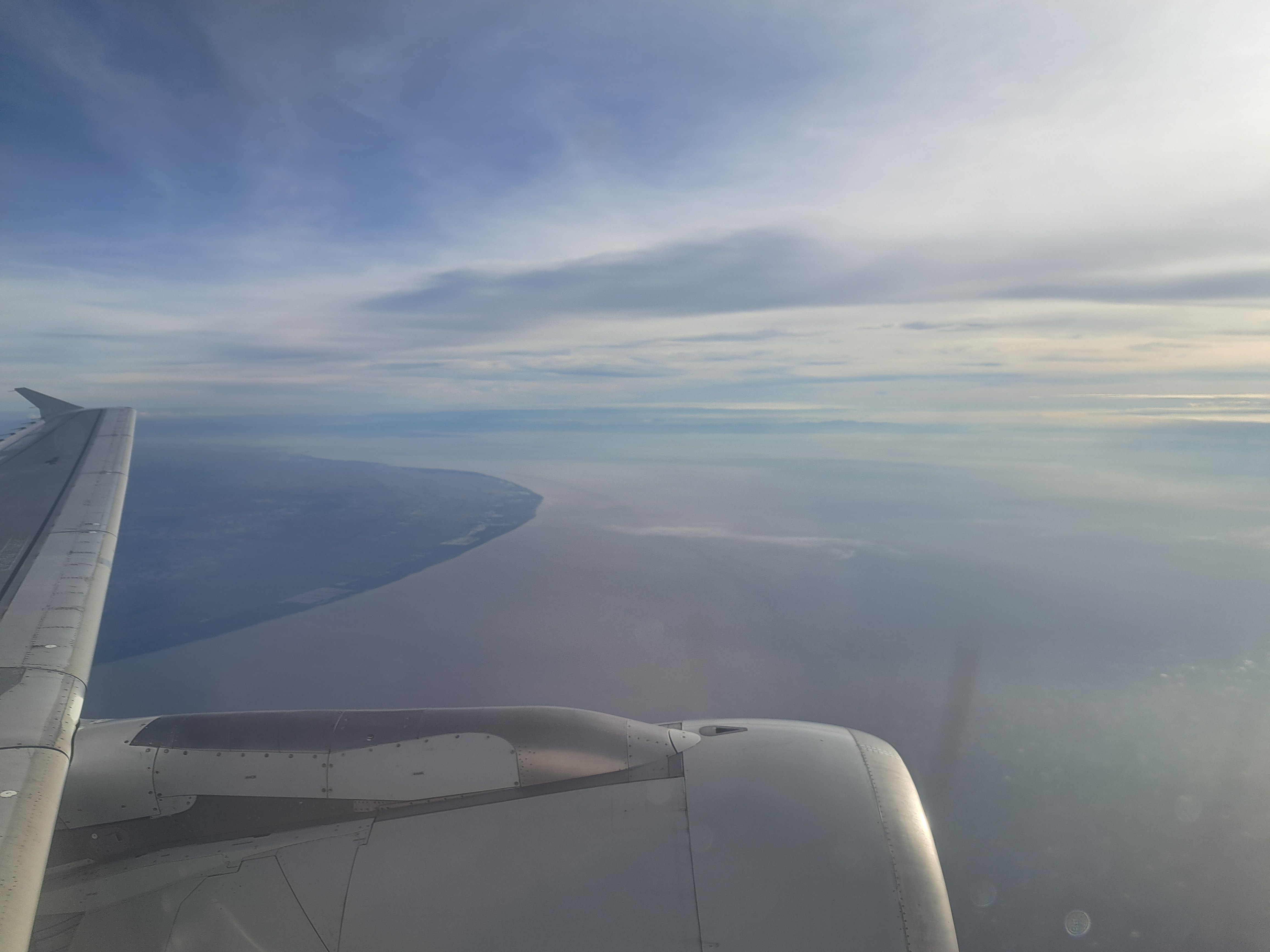
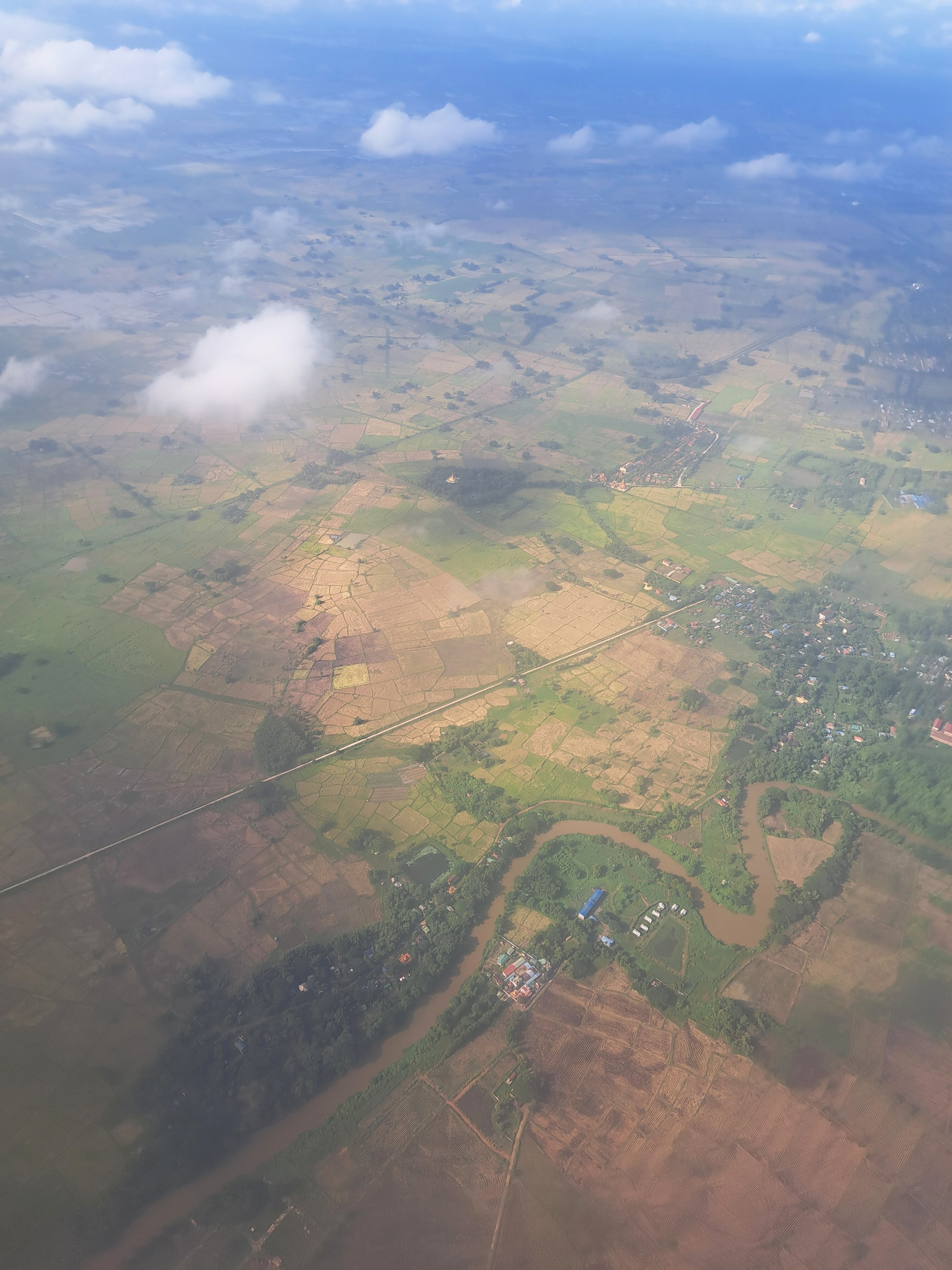
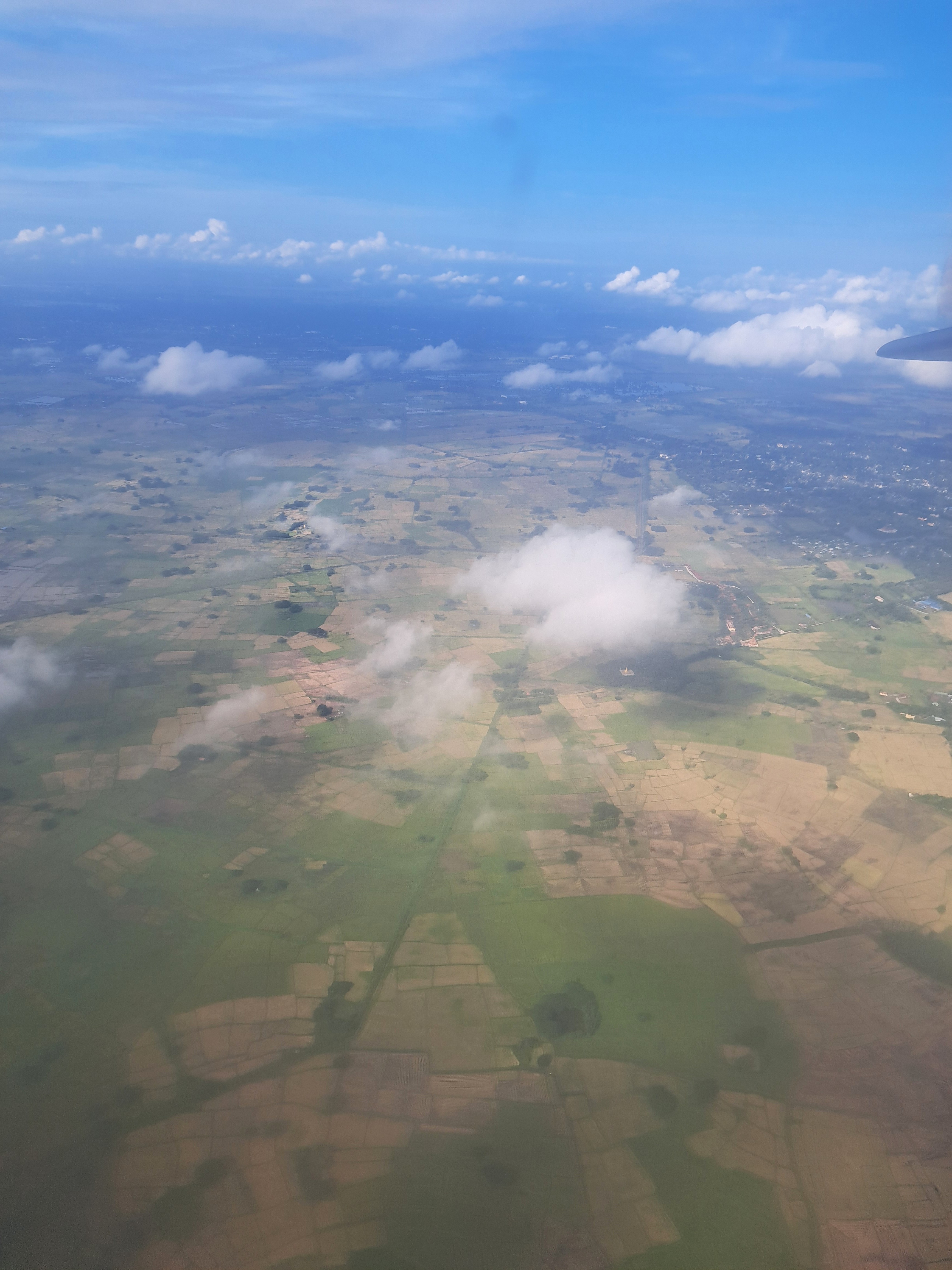
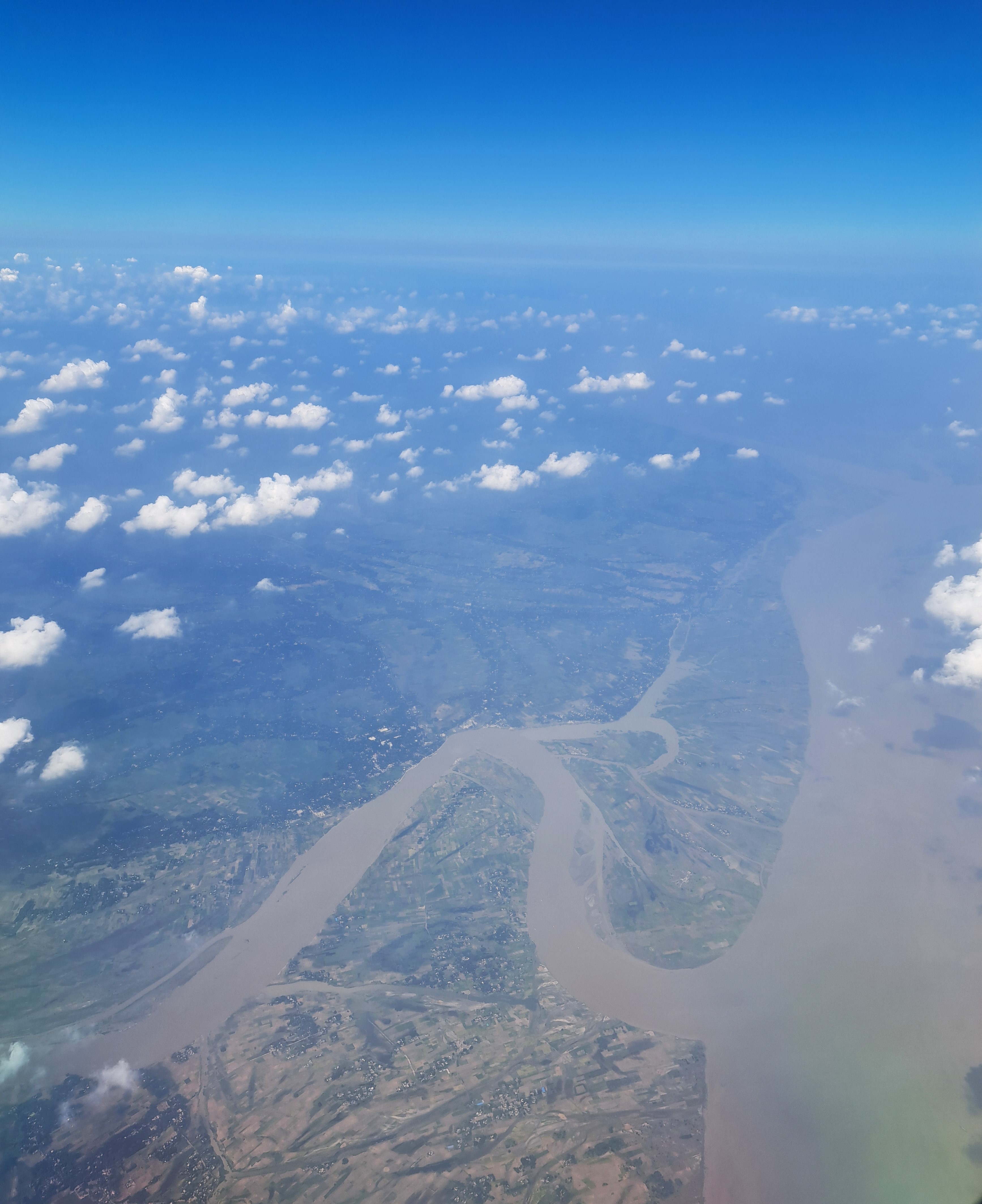
Final photos of the Ayeyarwaddy / Iriwaddy delta from last November’s RGN to BKK flight. Also shared a few in an earlier post. Apologies, again, for the blurry photos through a plane window.
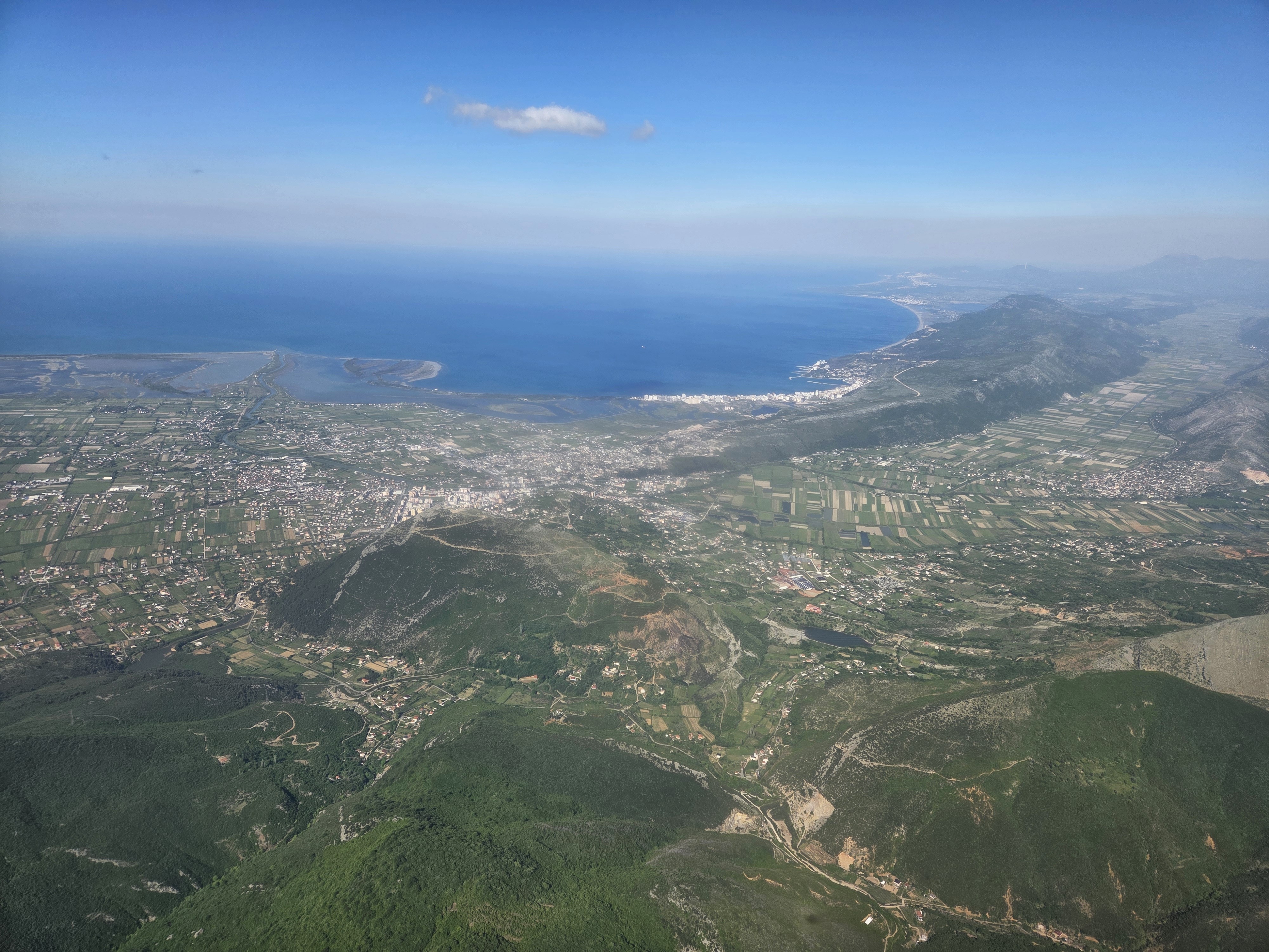
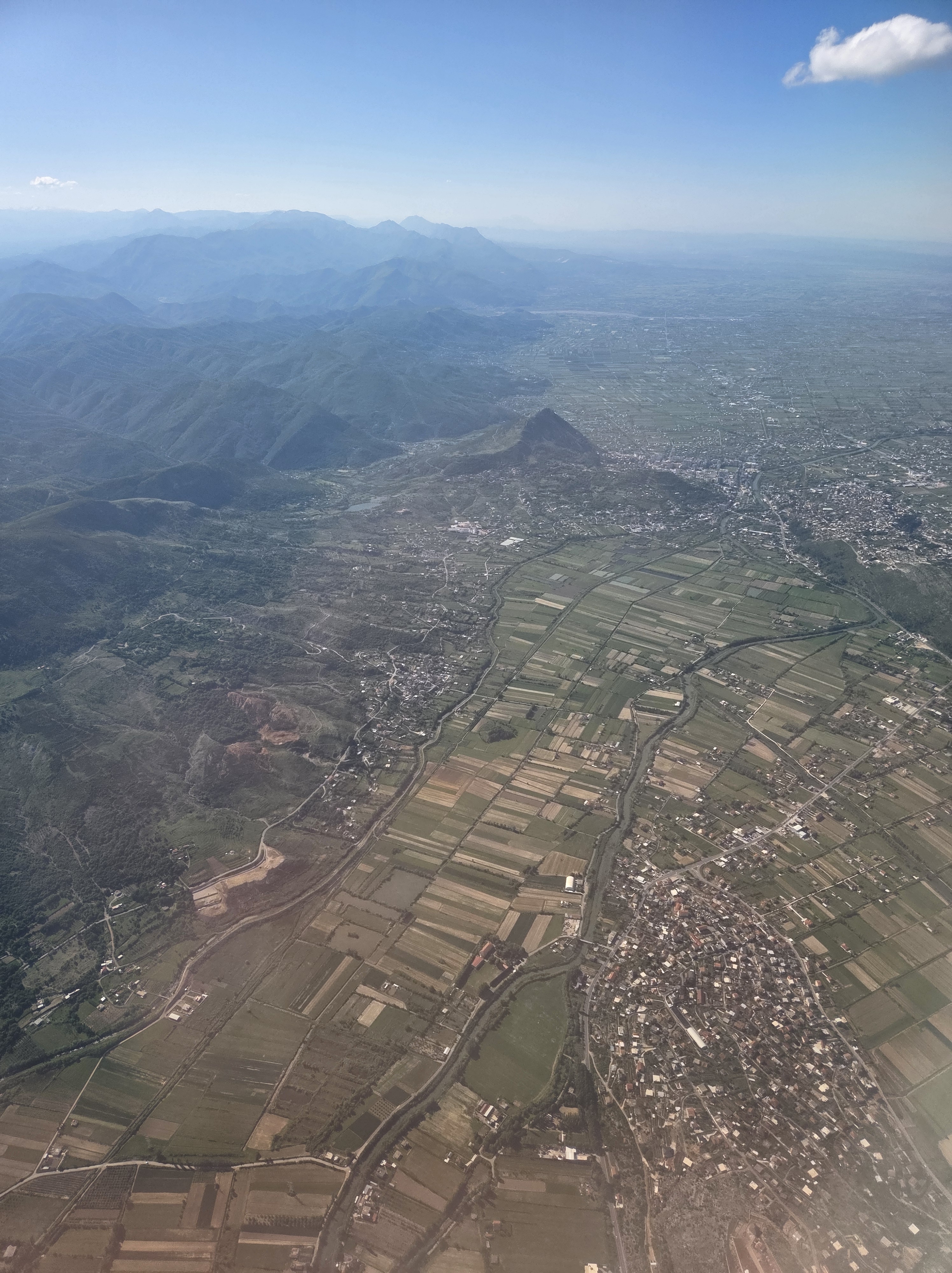
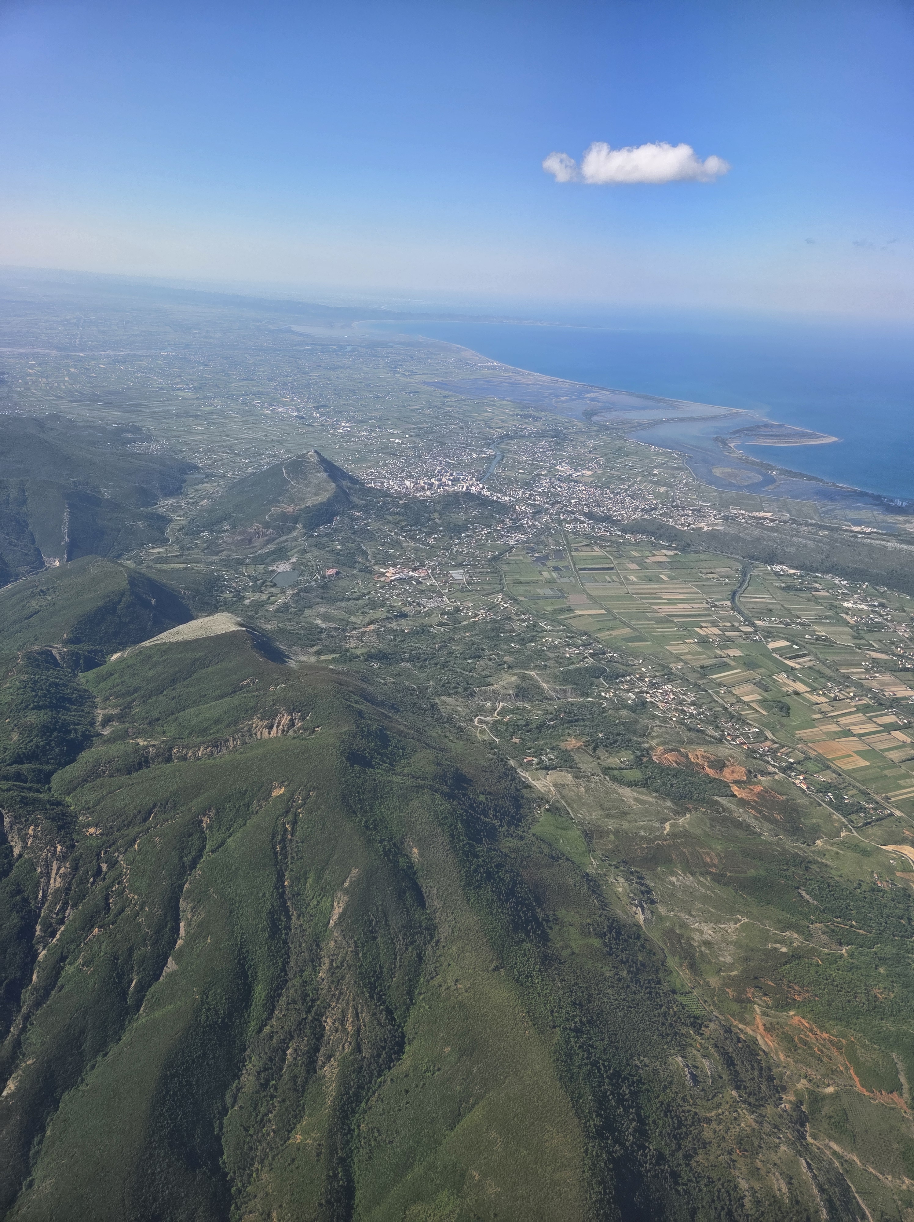
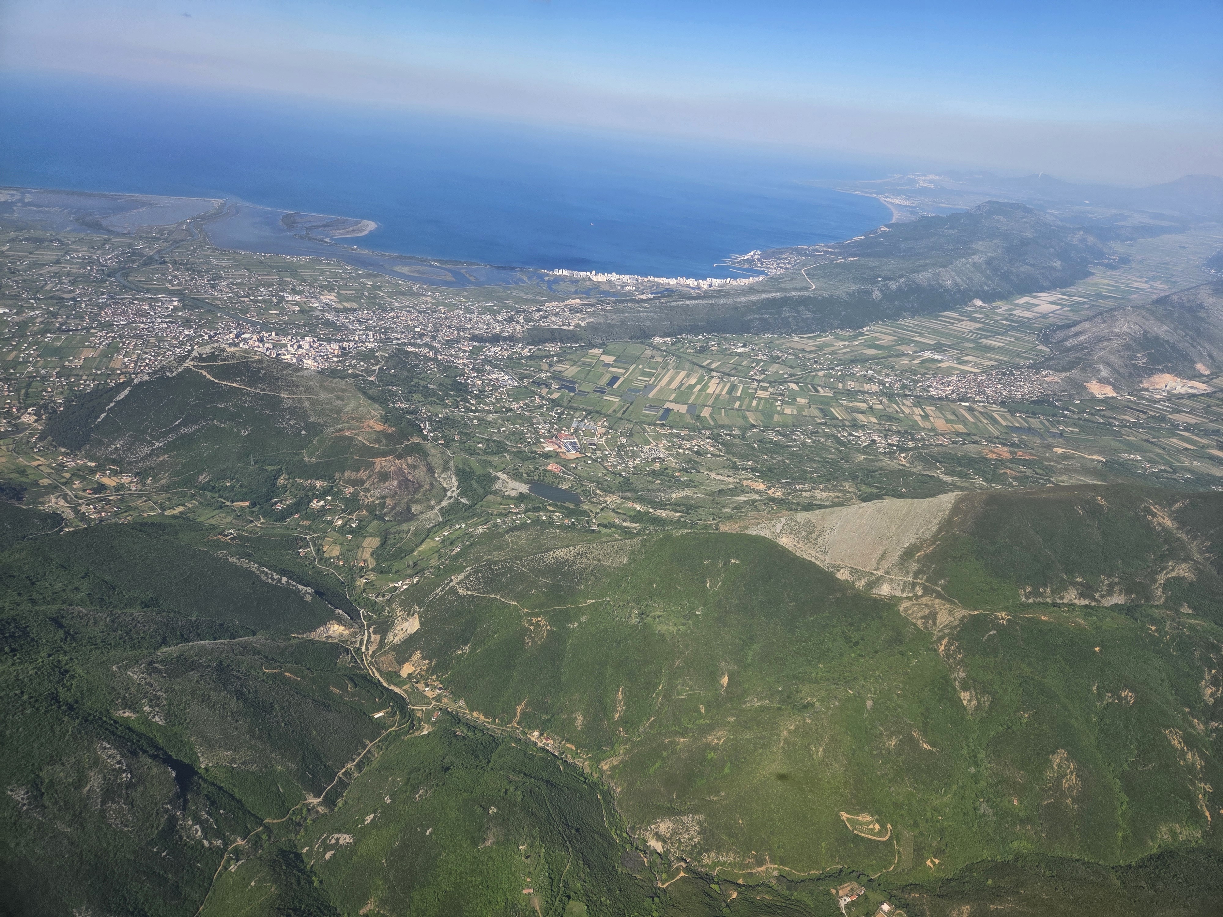
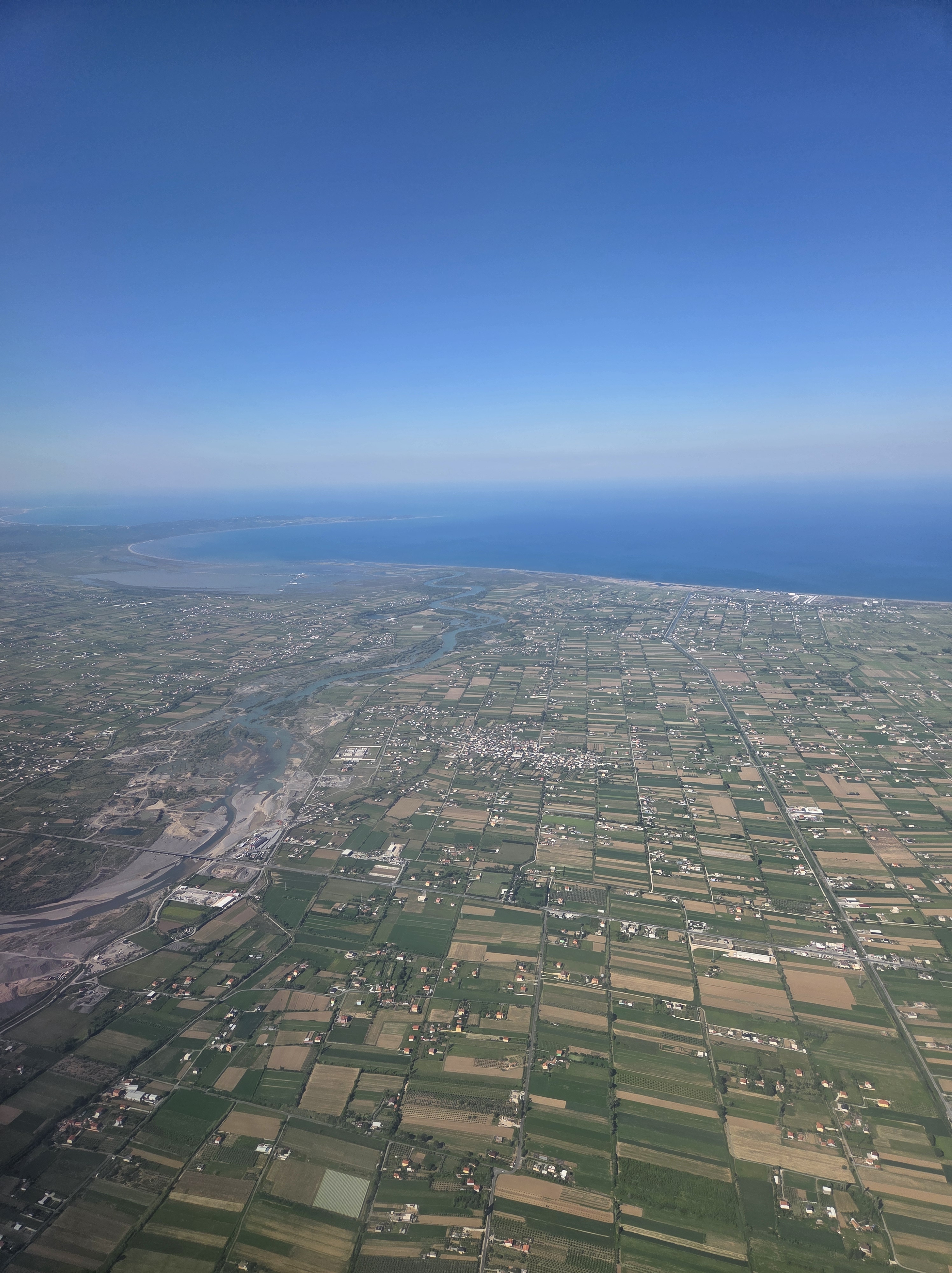
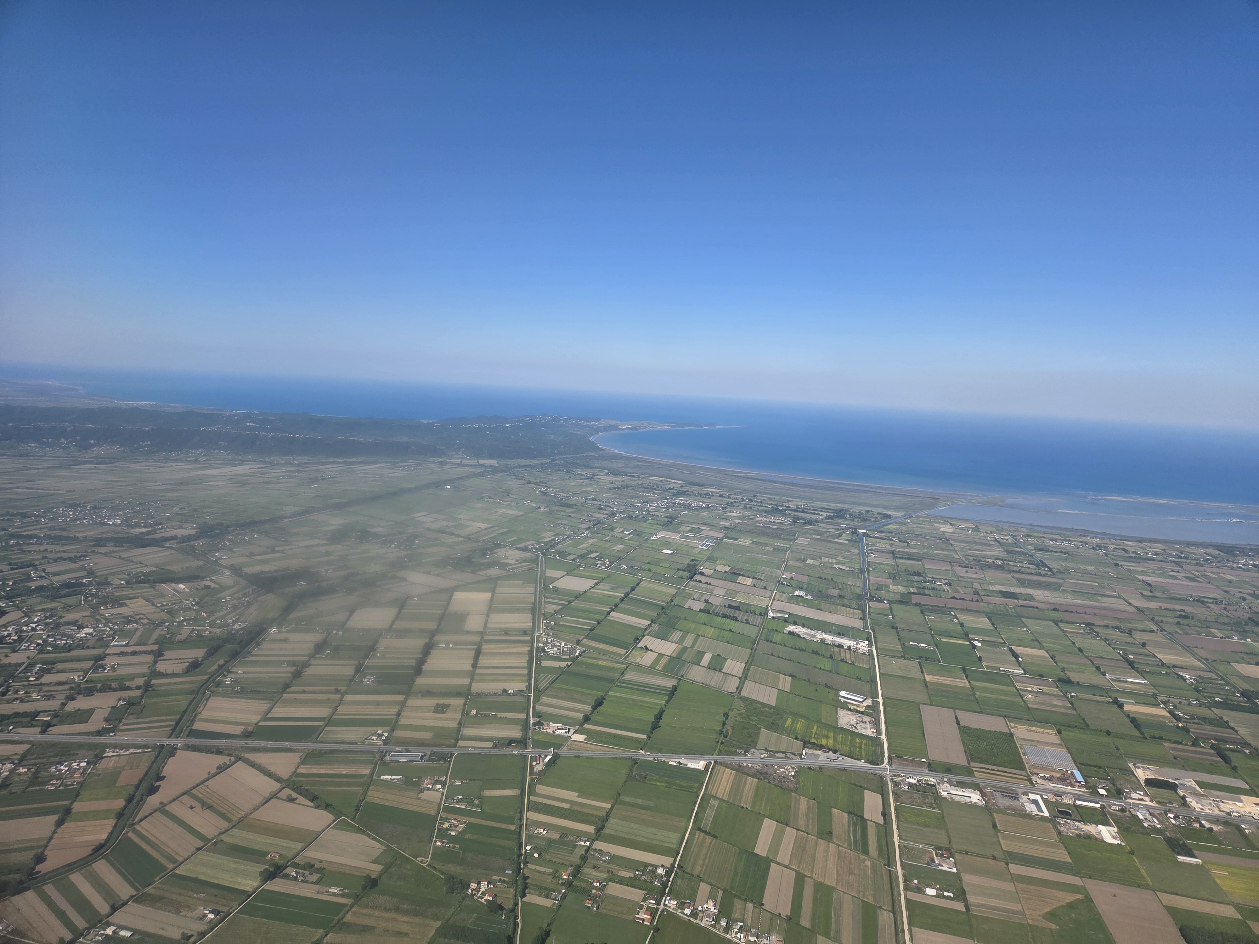
Shots as our plane approached Tirane 1-1/2 weeks ago, to begin our current vacation. With clear weather almost the entire flight, and a perfect window seat, my eyes were glued to the landcape the entire flight down from A’dam. Today we’ll head back up to spend three nights there before flying home: more to come later!
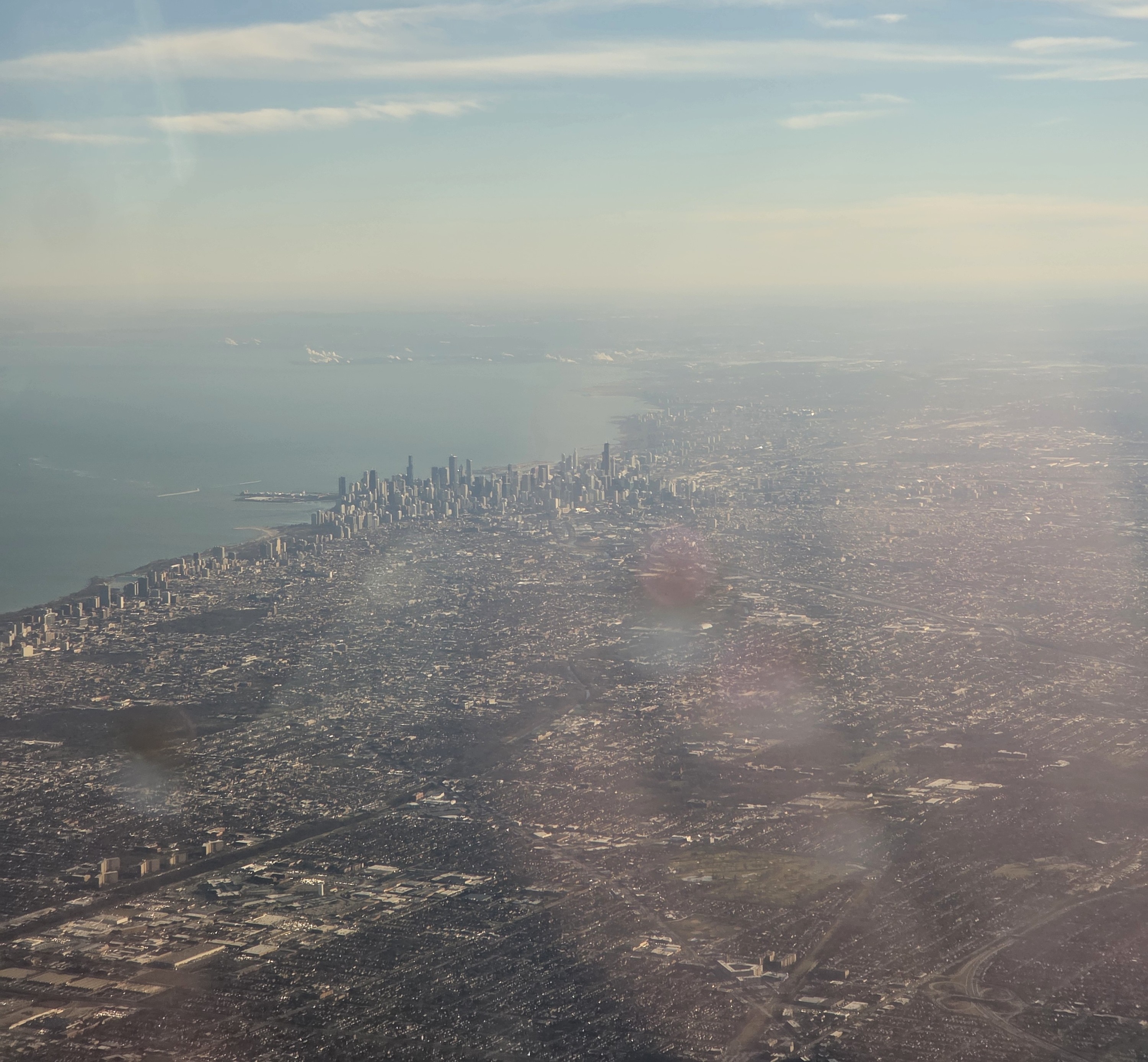
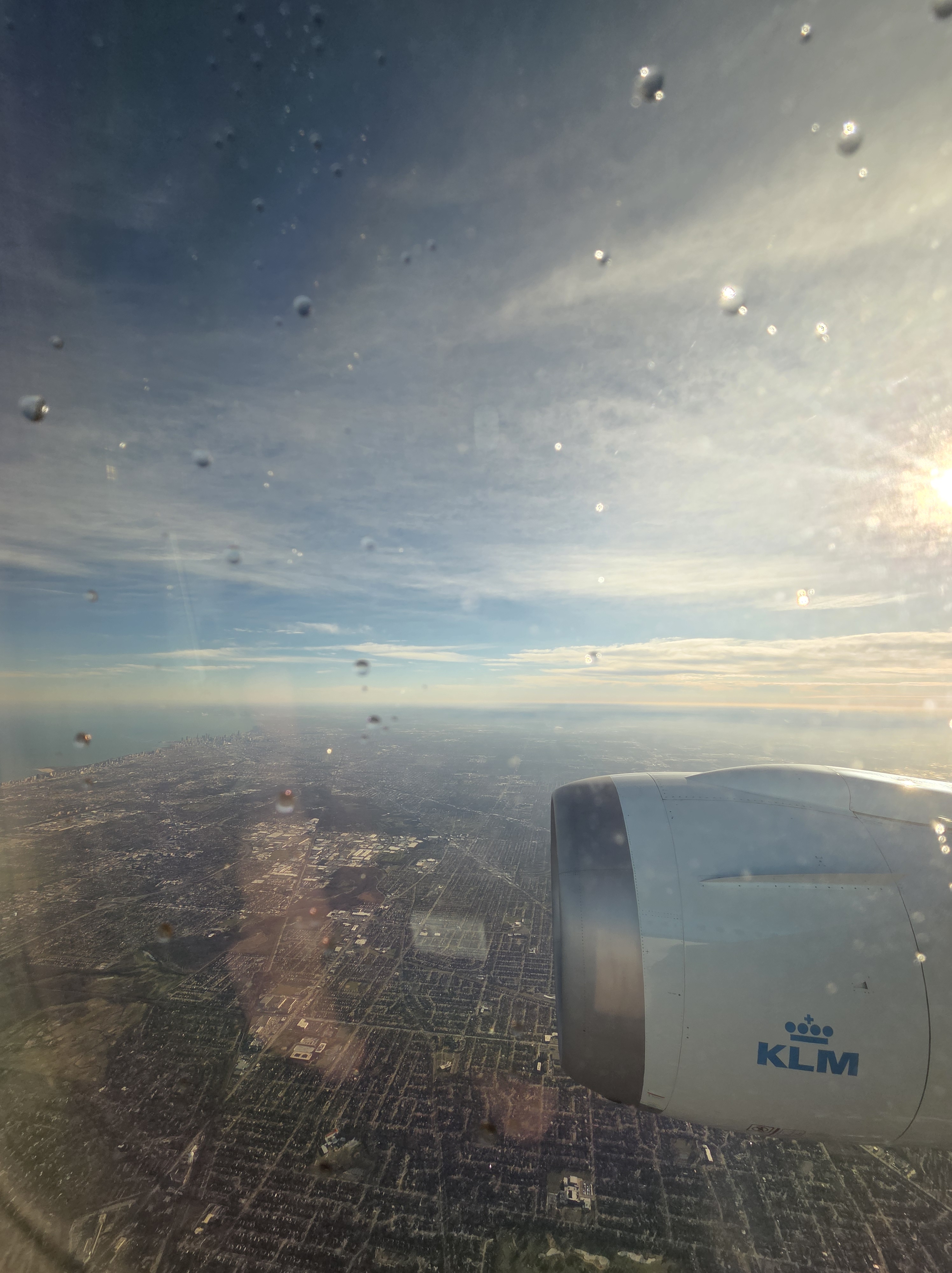
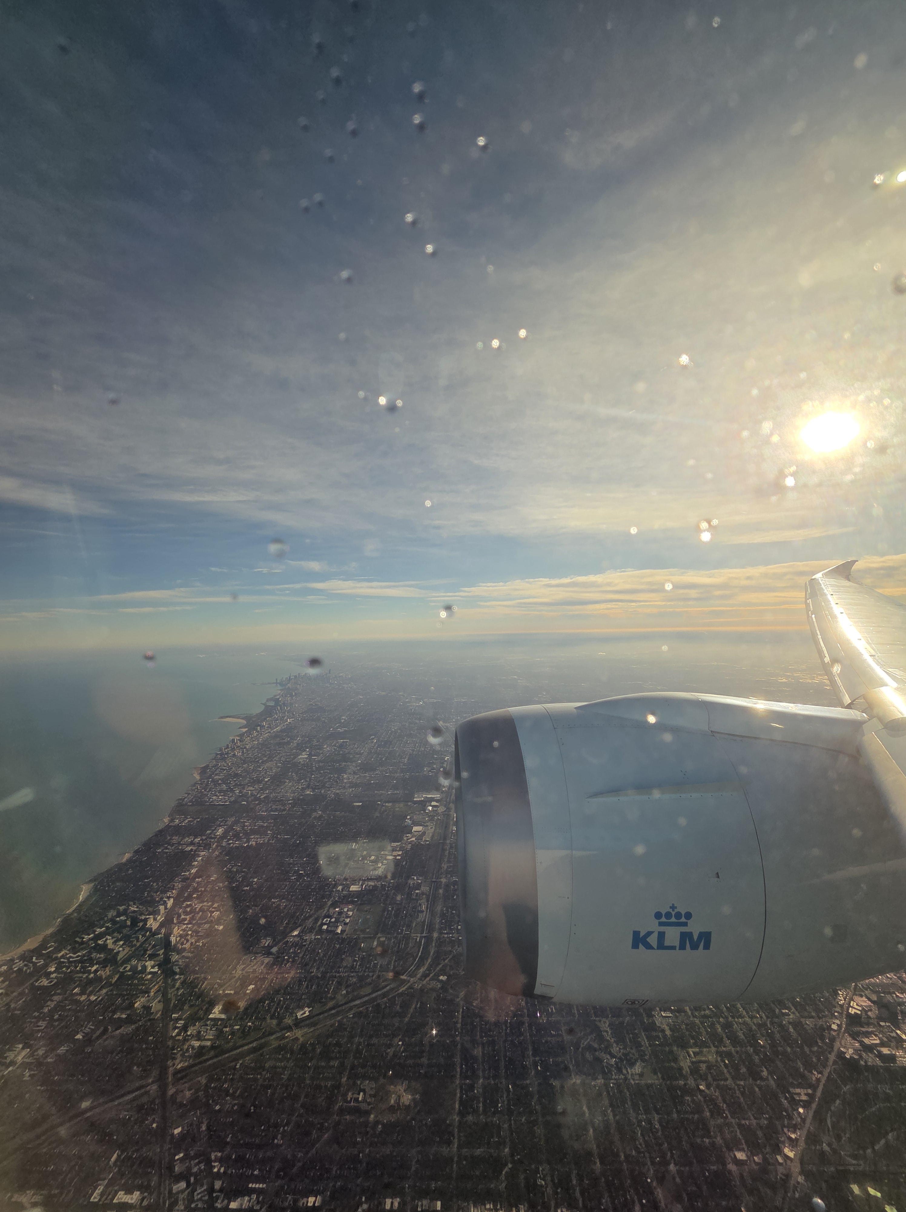
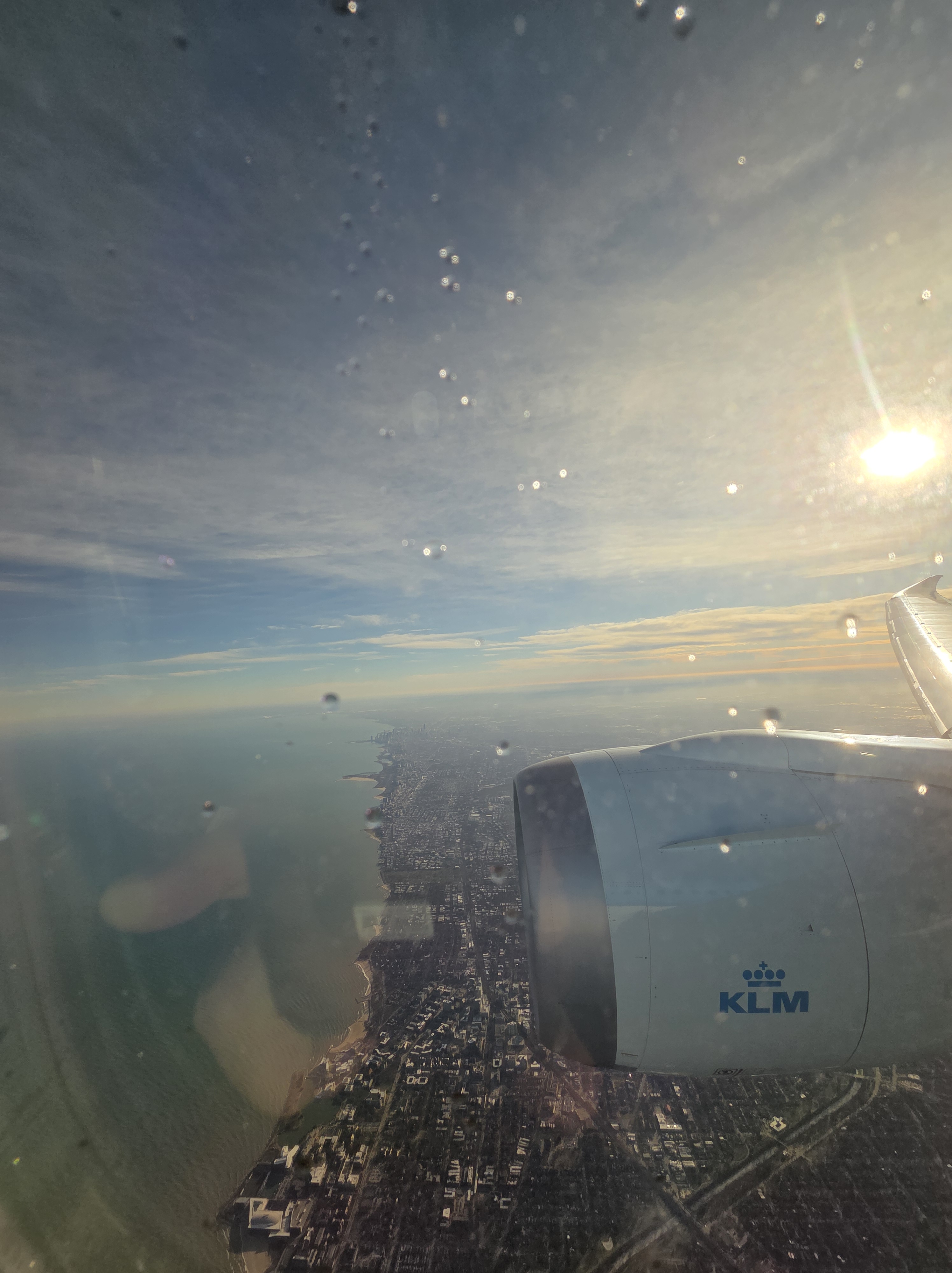
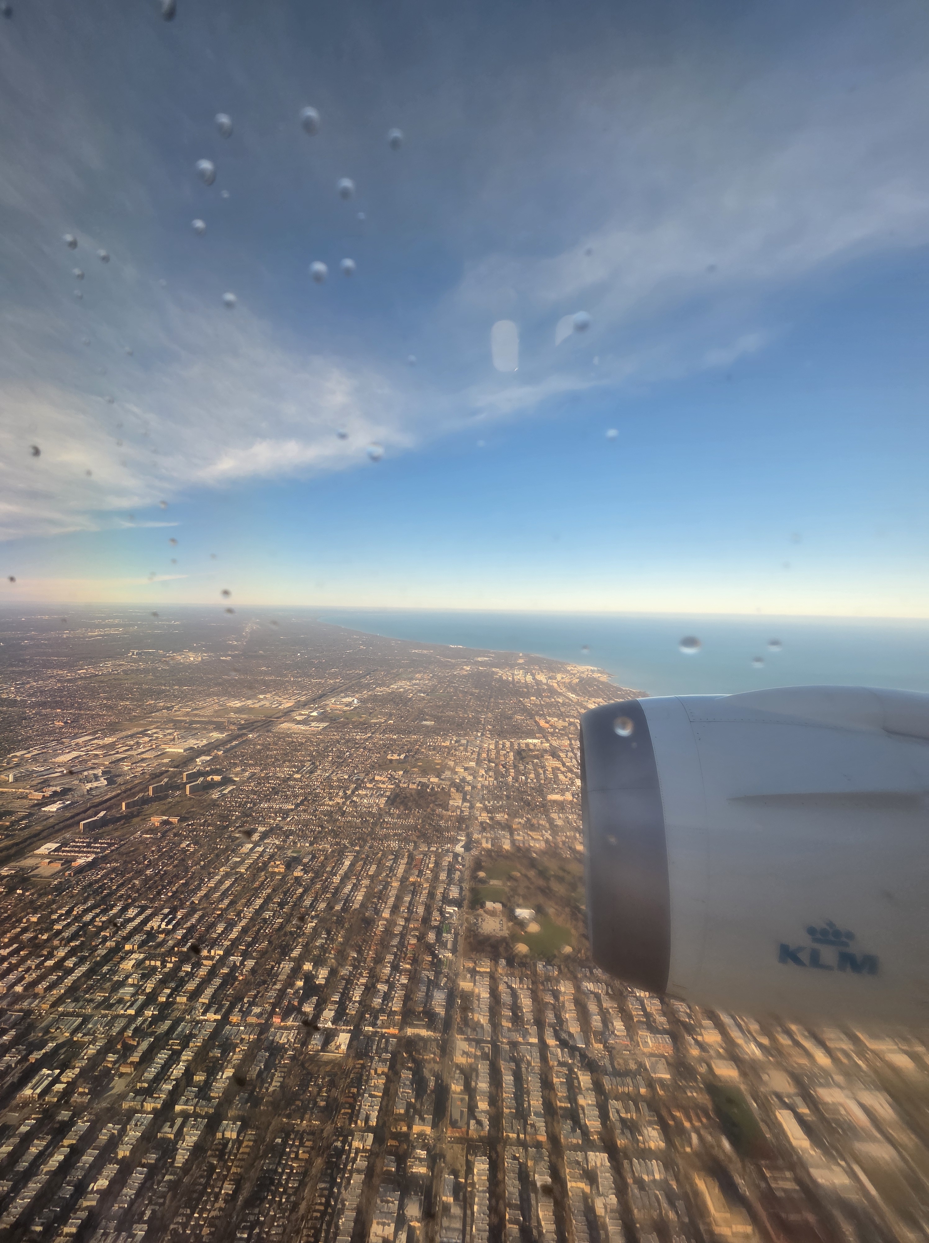
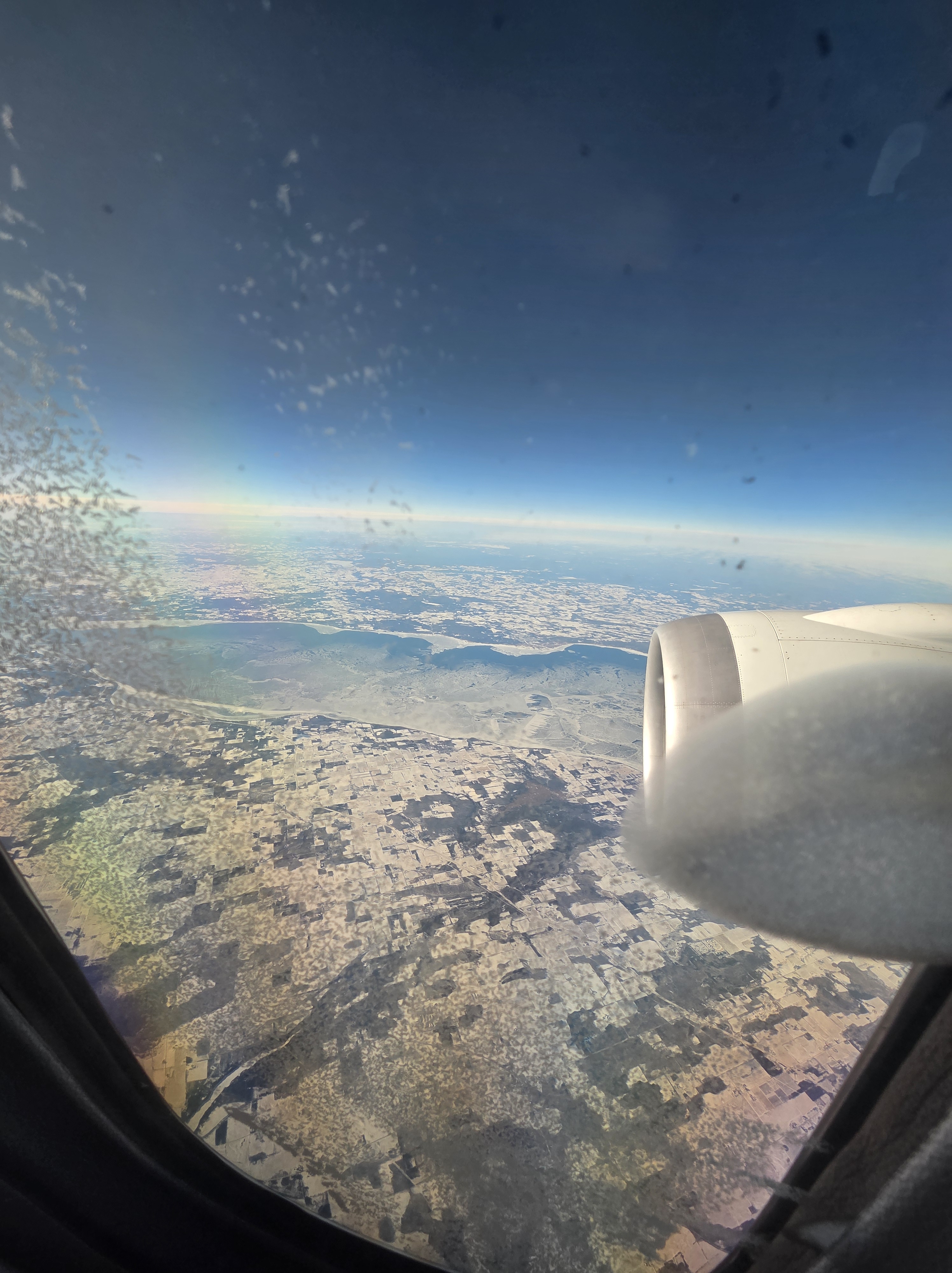
Chicago as our flight turned around and lined up for landing, back in December. Below right, 99% certain it’s Lake Winnebago on our way down. I also had a lovely view of Geneva Lake but couldn’t photograph it because the window was too iced over – in the shots you see below, that ice had melted as we descended and the sun won out :-).
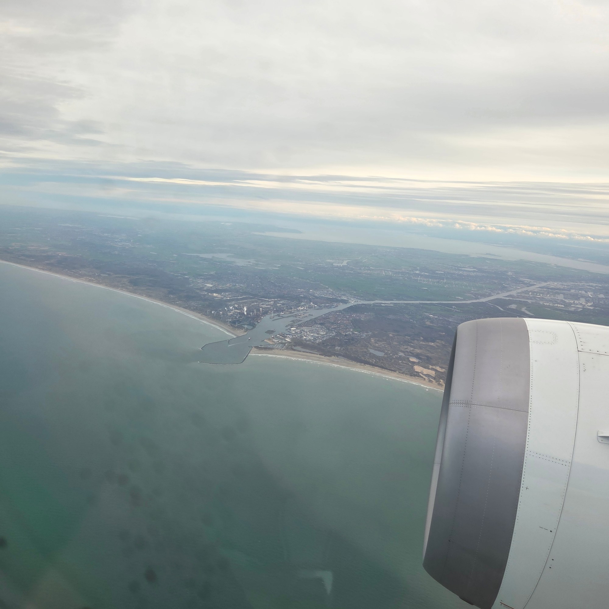
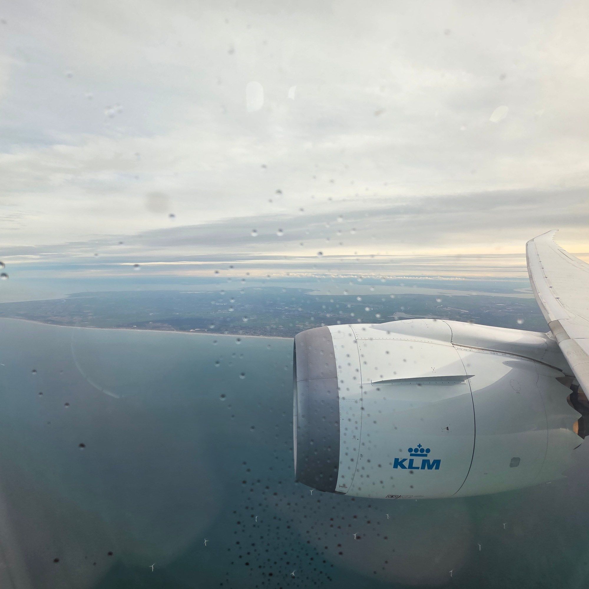
99% certain I’m showing you the city of Ijmuiden, a lot of North Holland (the province) including Amsterdam, the Markermeer & the Ijsselmeer, a lot of Flevoland (the province) and even bits of Overijssel & Friesland (the provinces)…what makes me 1% unsure is that, enlarge it as I try, I can’t really quite find Amsterdam landmarks that I recognize, which just goes to show how perspectives can change, or how much resolution one mobile phone’s camera can generate. These are all from shortly after takeoff for my December flight to ORD.
Oops, have to catch up a few series b/c I skipped them for a full rotation. I do love the Dutch countryside, whether seen from the air or a bike. Especially on a relatively clear and sunny day.
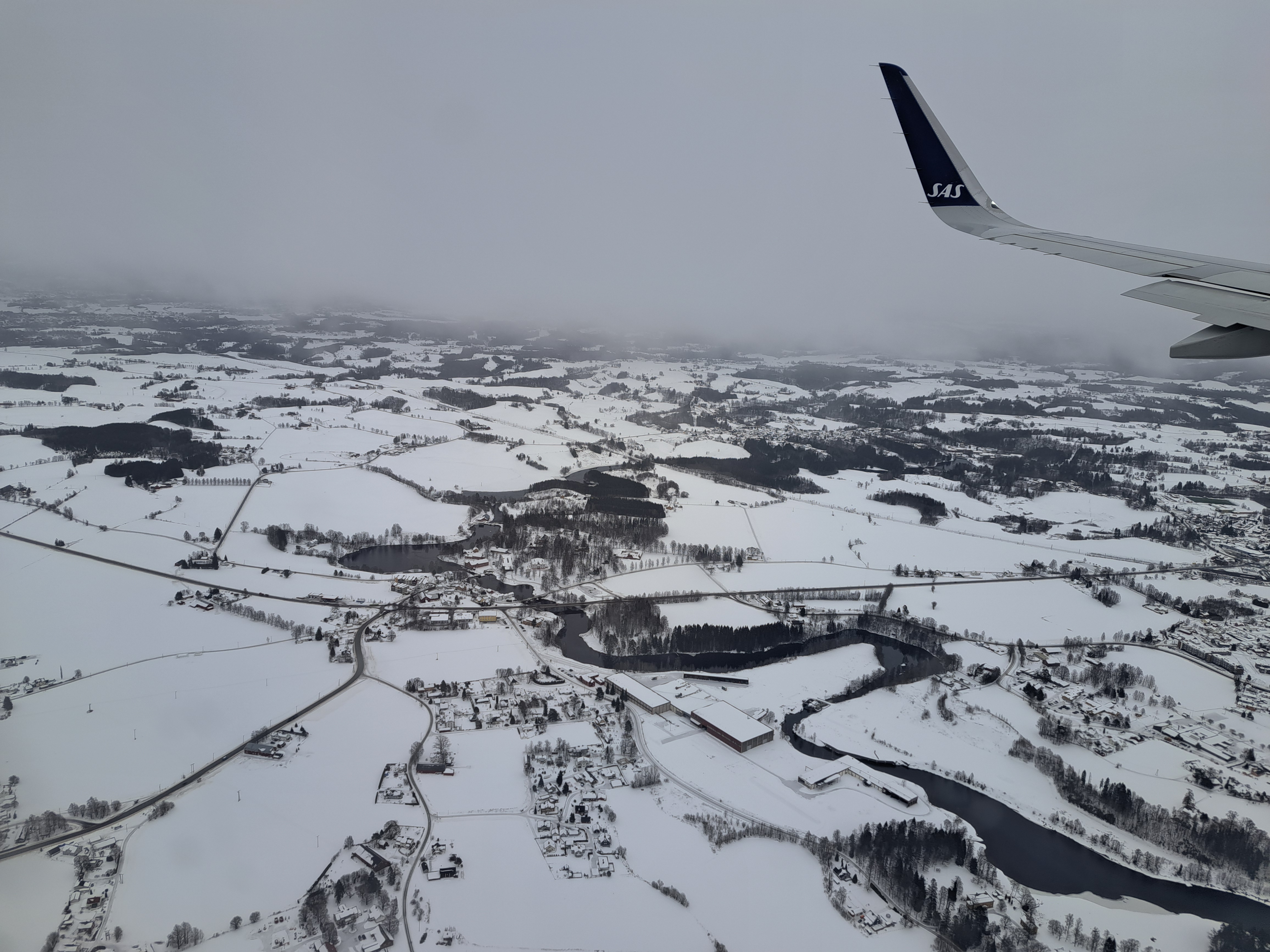
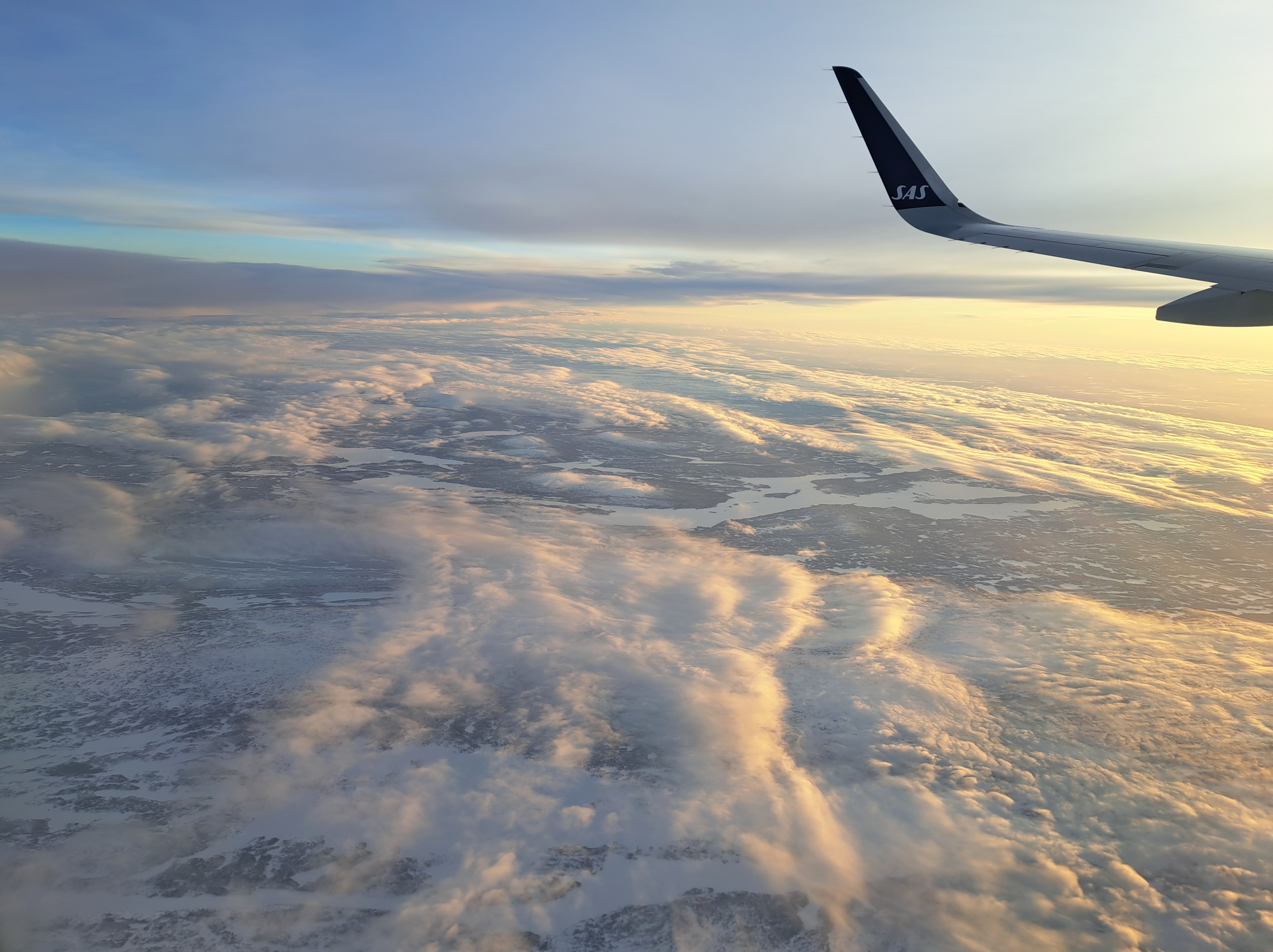
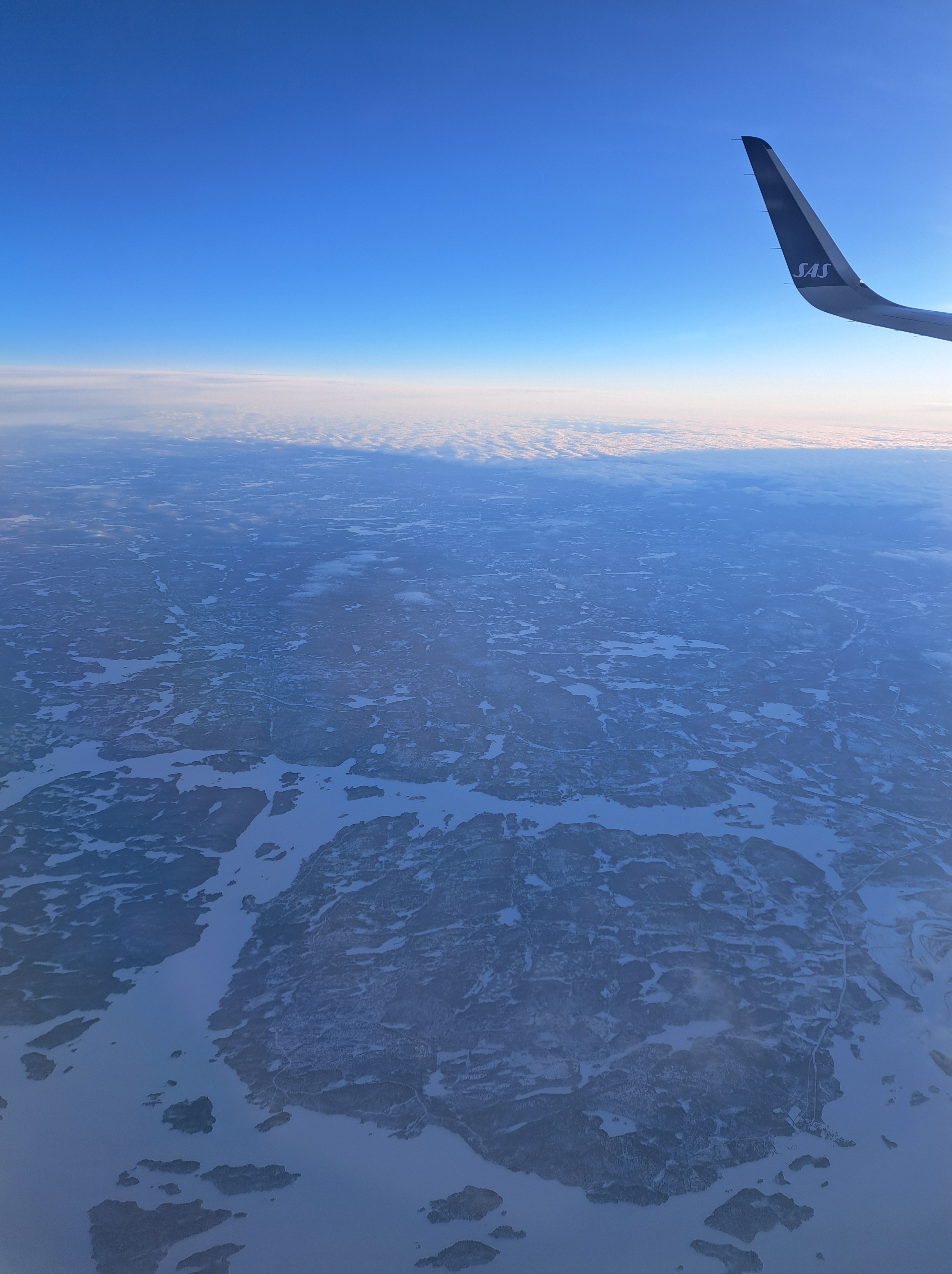
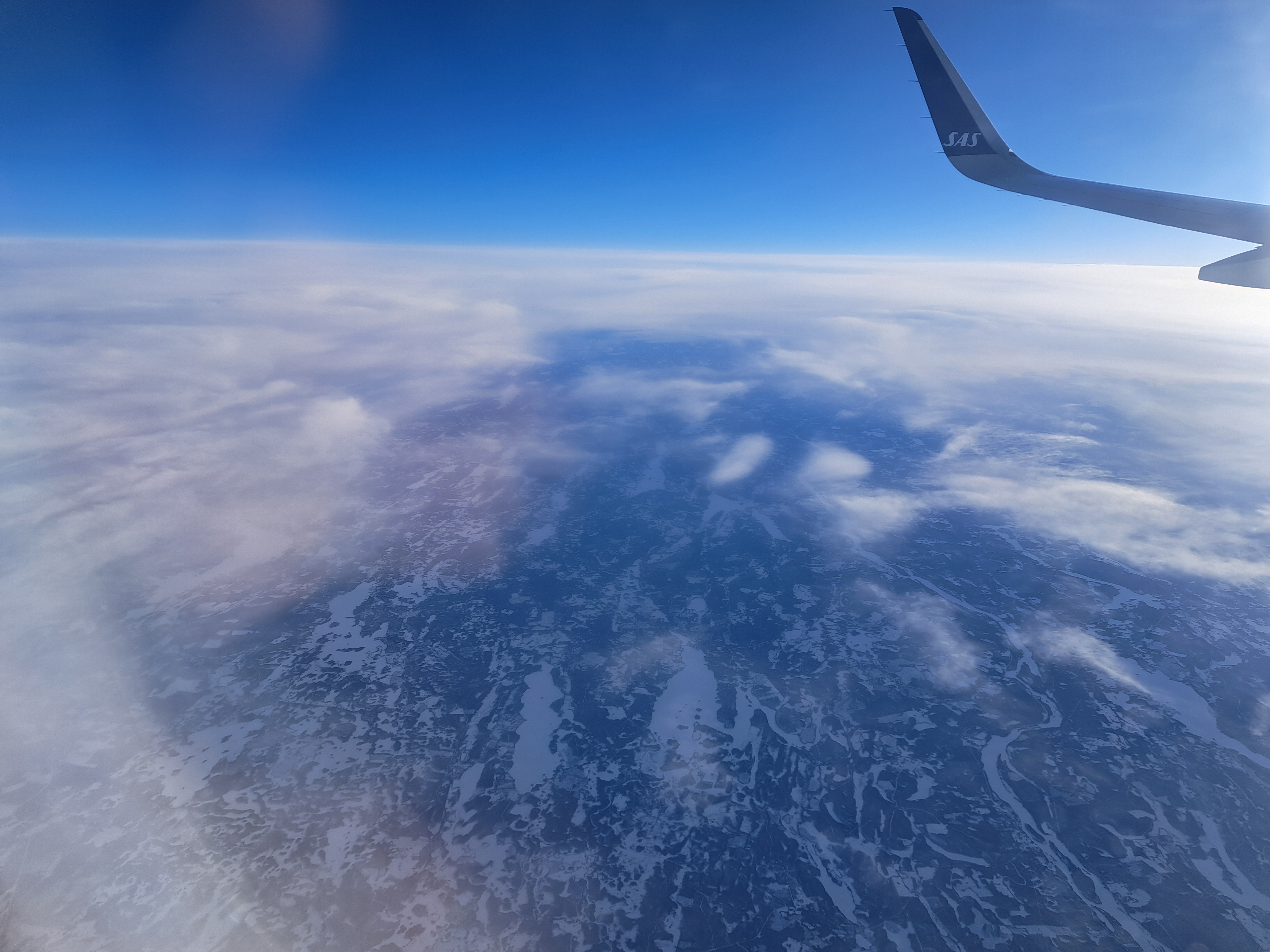
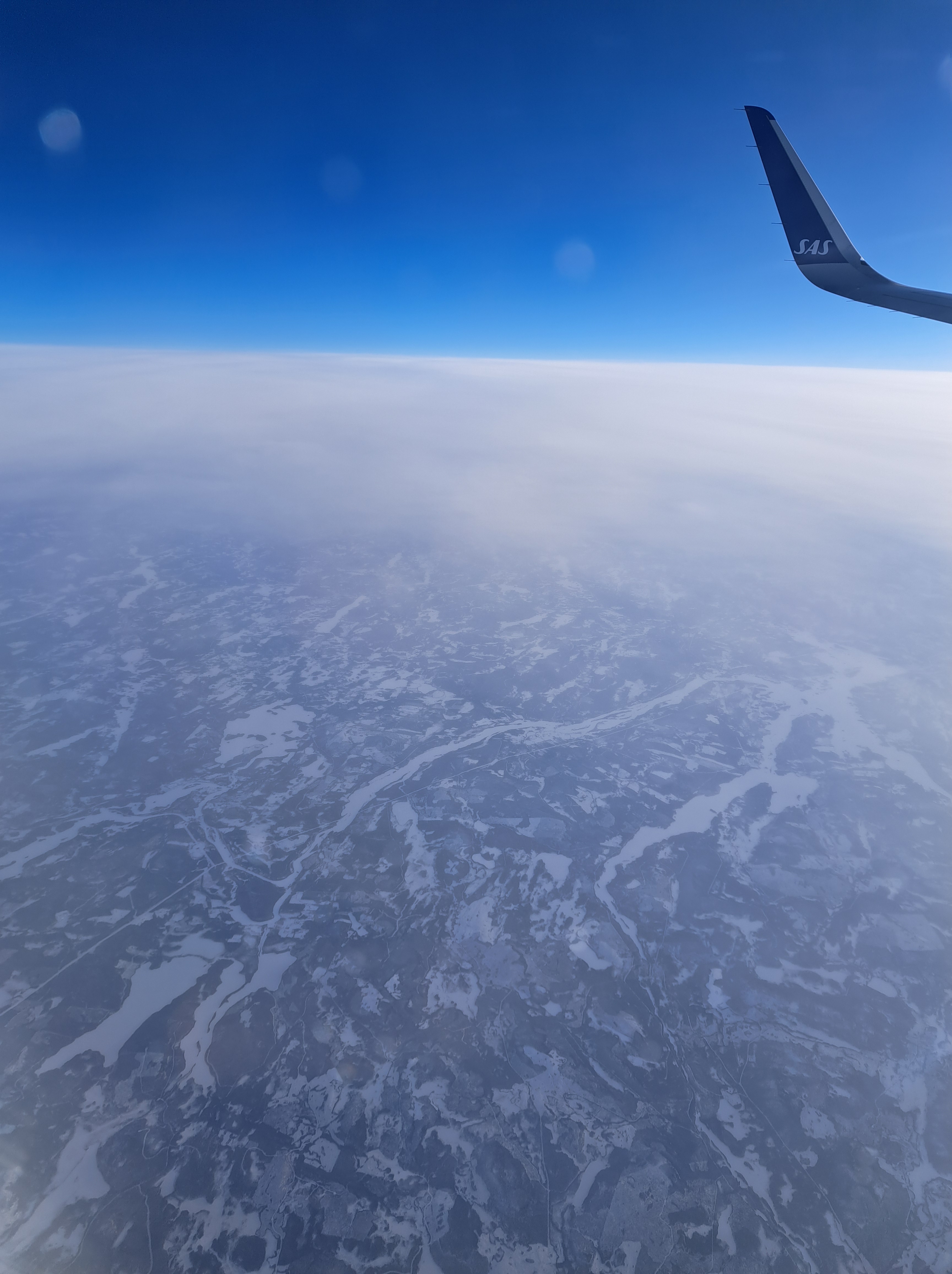
This post is my reminder to any of us sweating in northern summers that we wanted more sun, back when the days were short and snow blanketed the ground e.g. during our flight from Kirkenes down to Oslo back in January 🙂
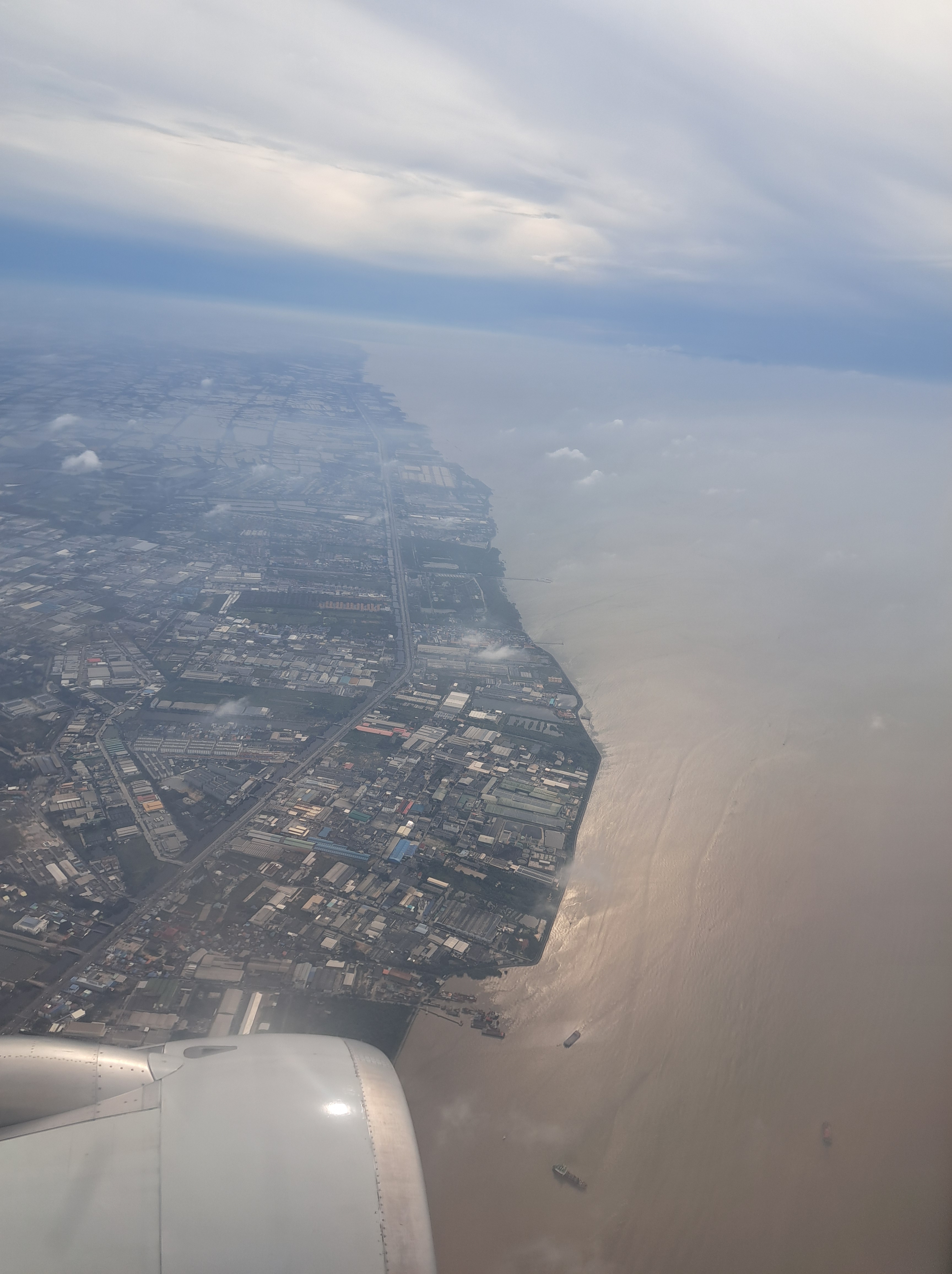
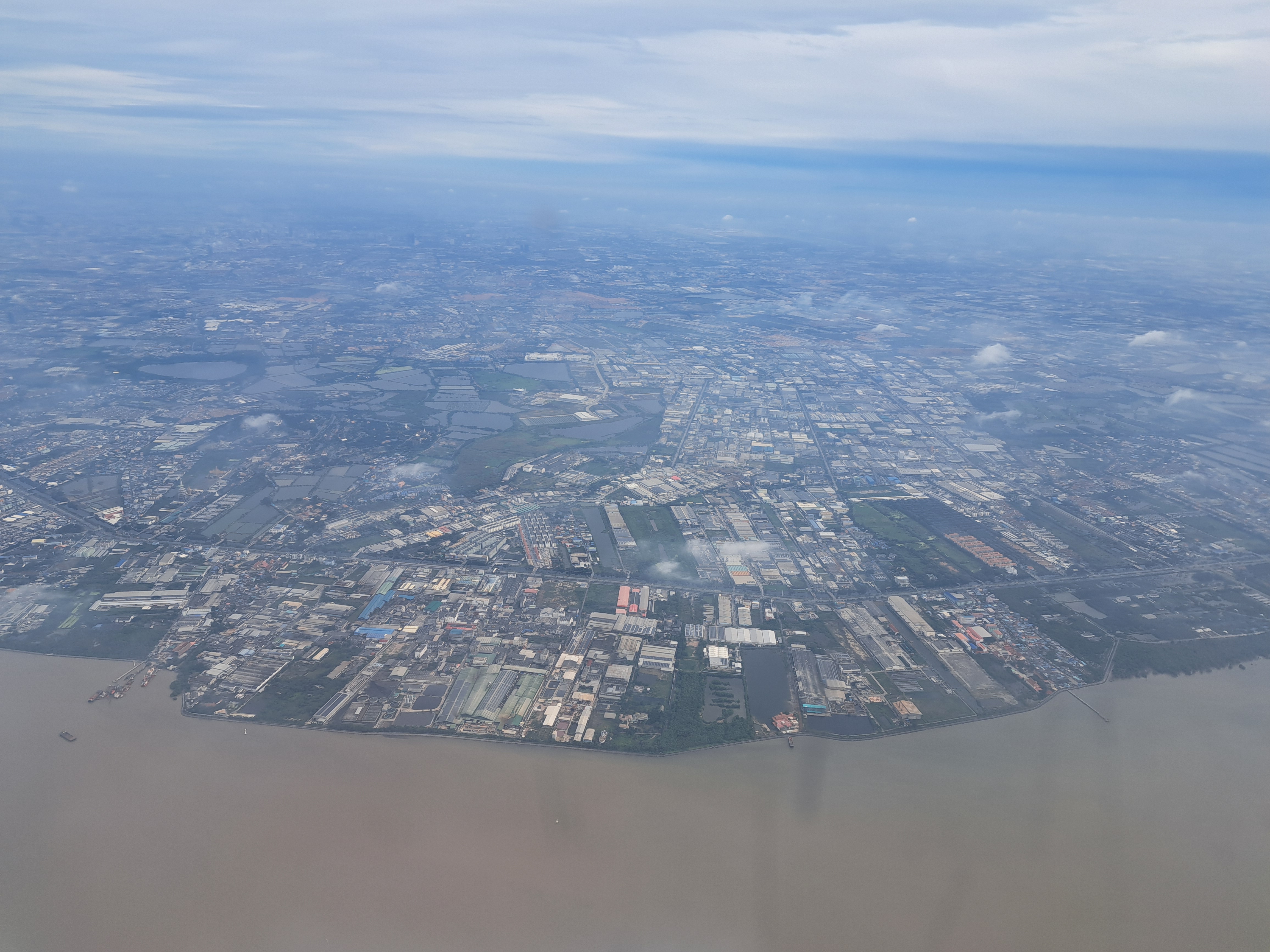
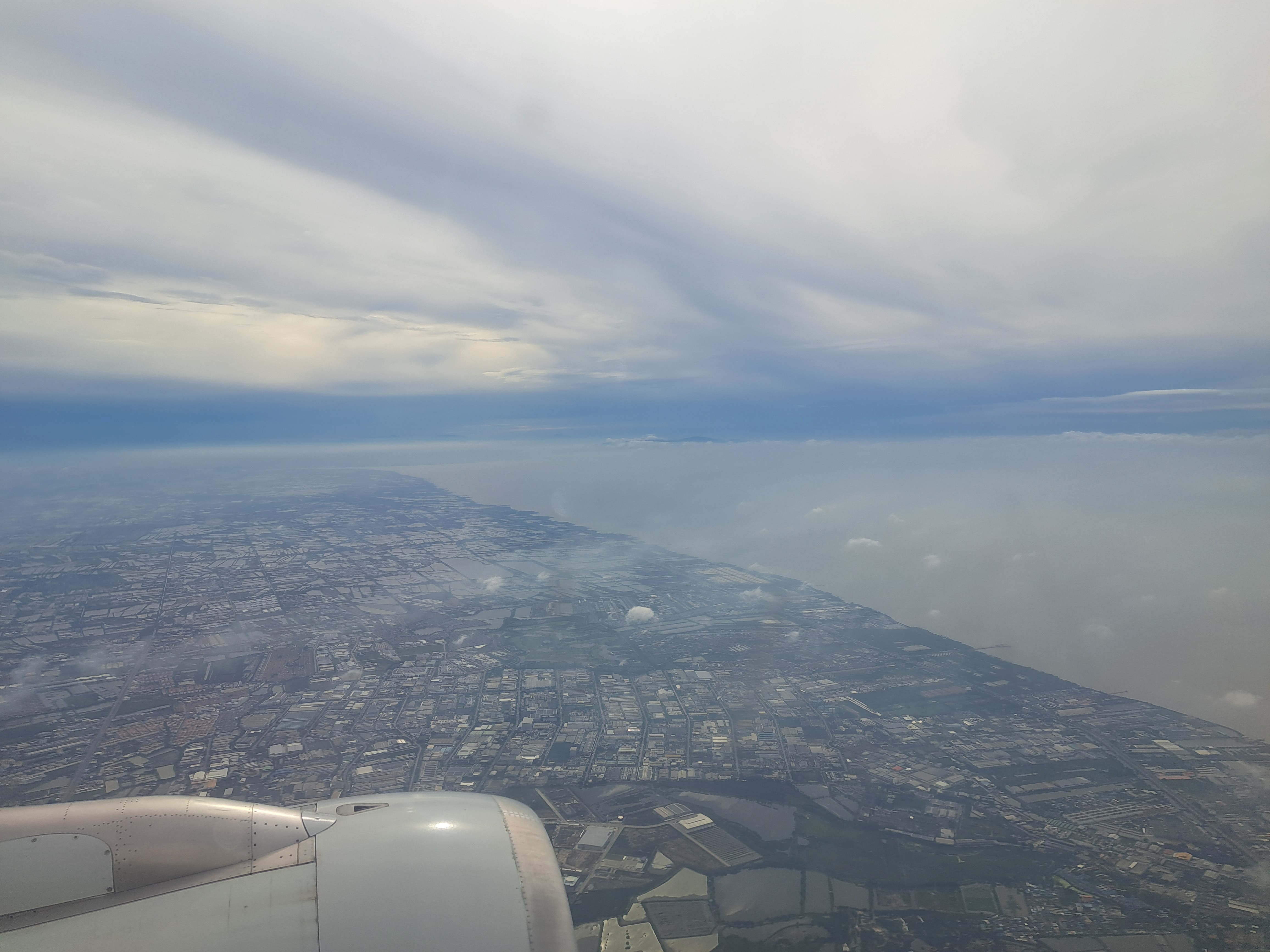
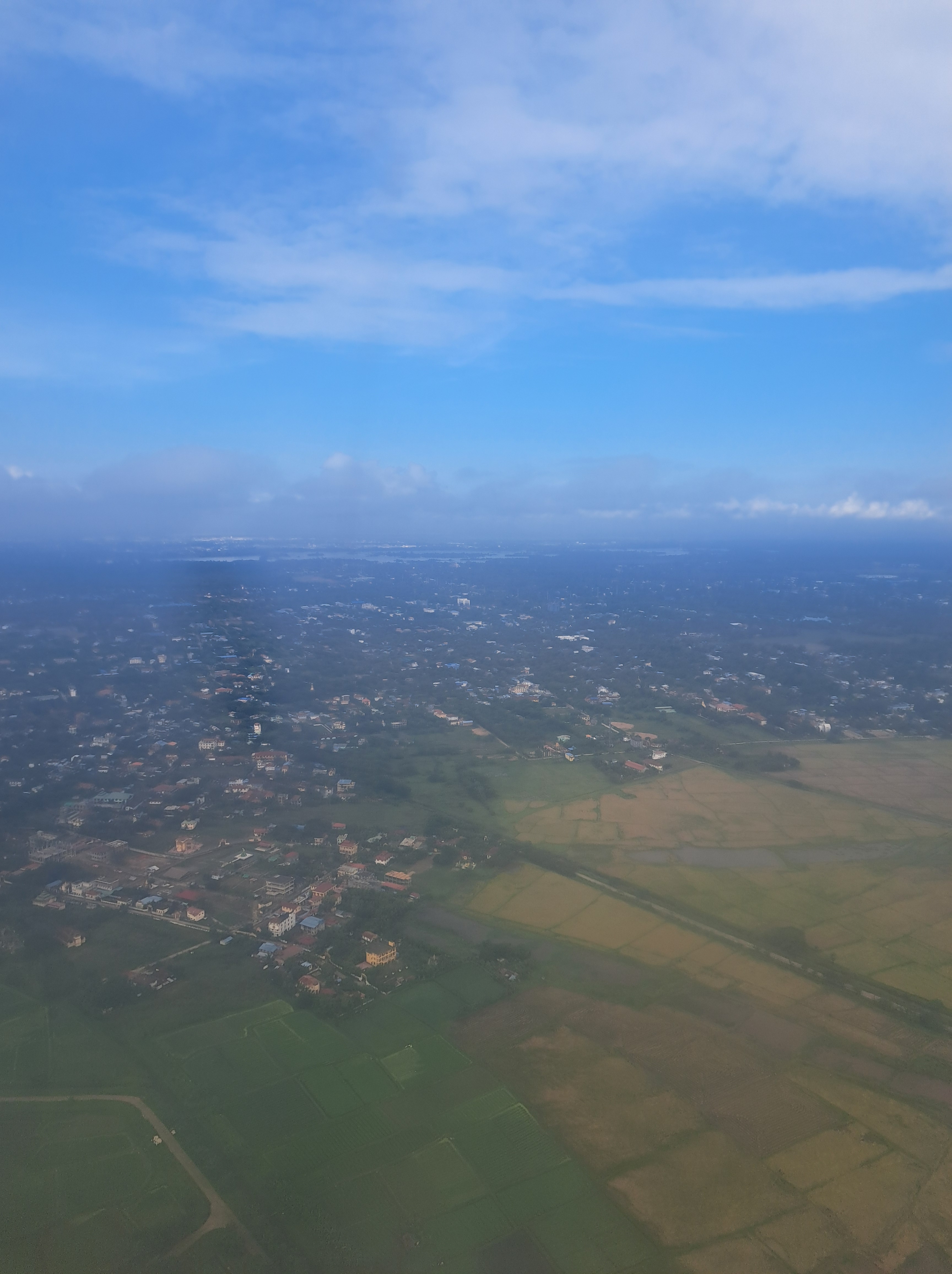
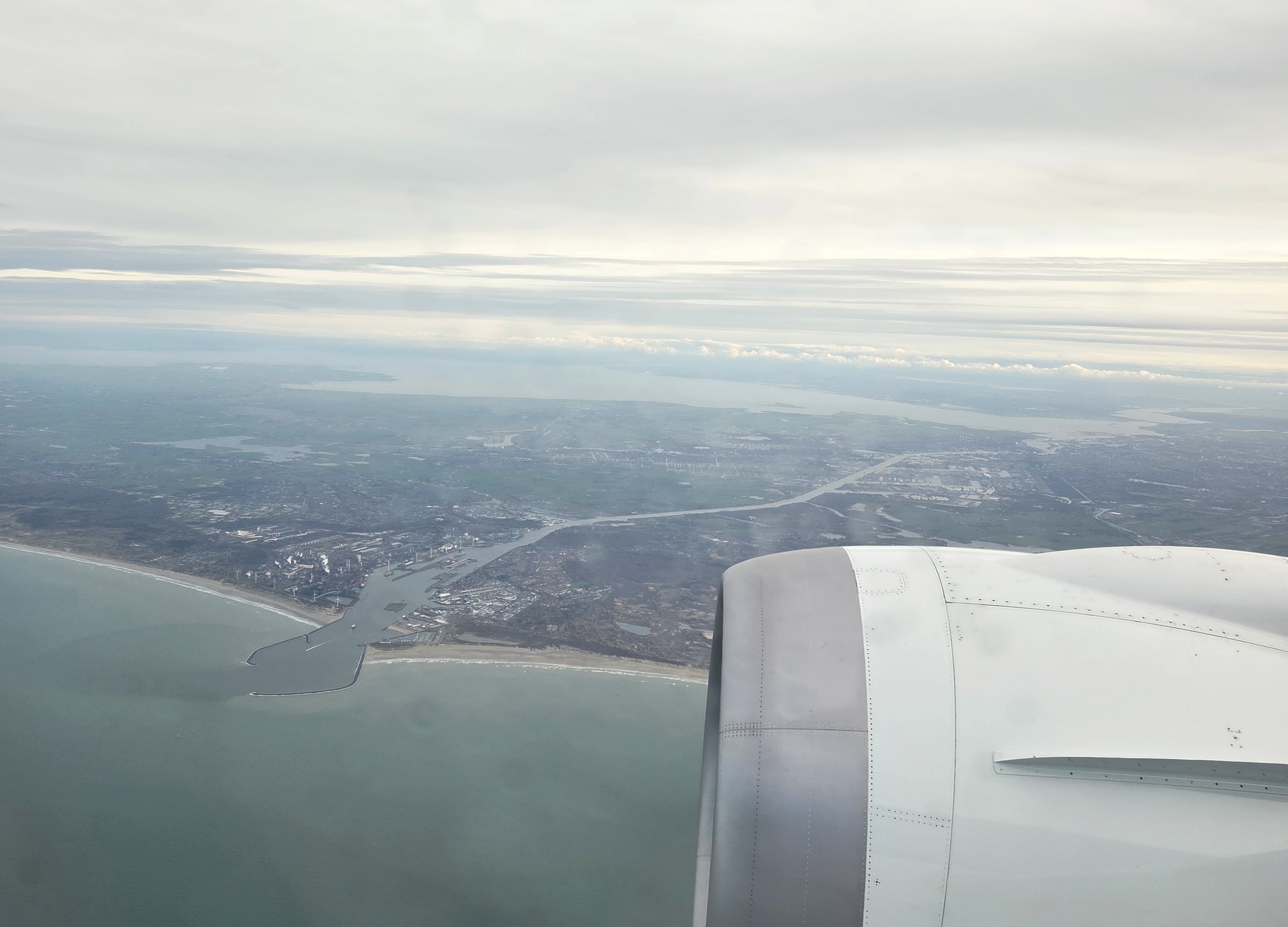
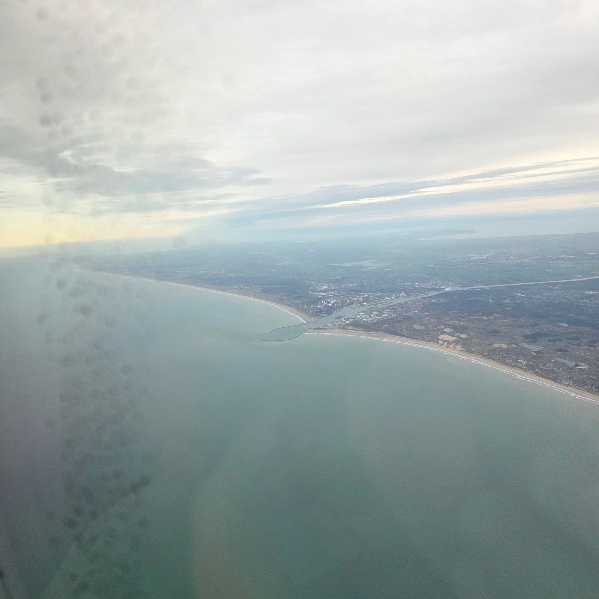
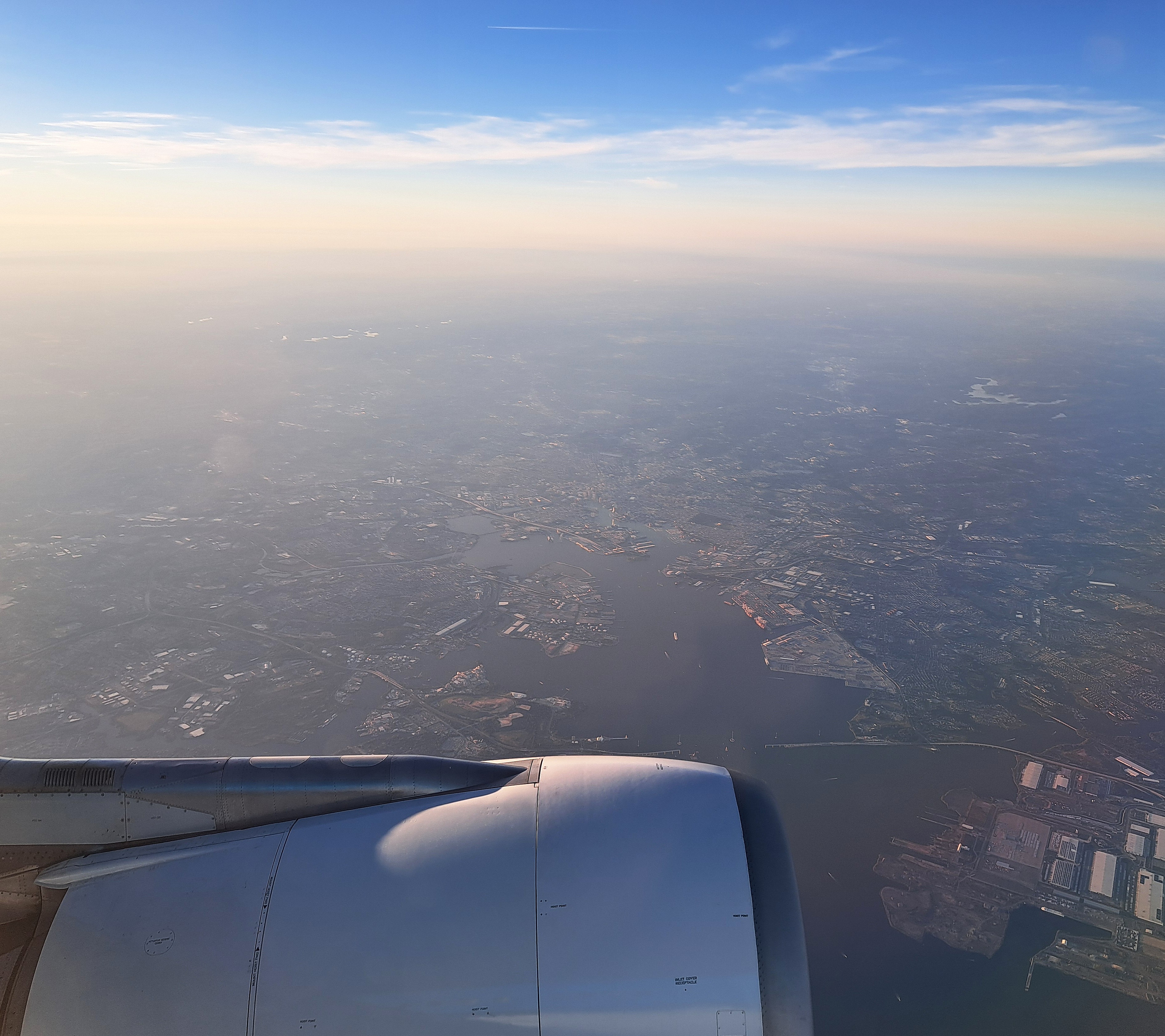
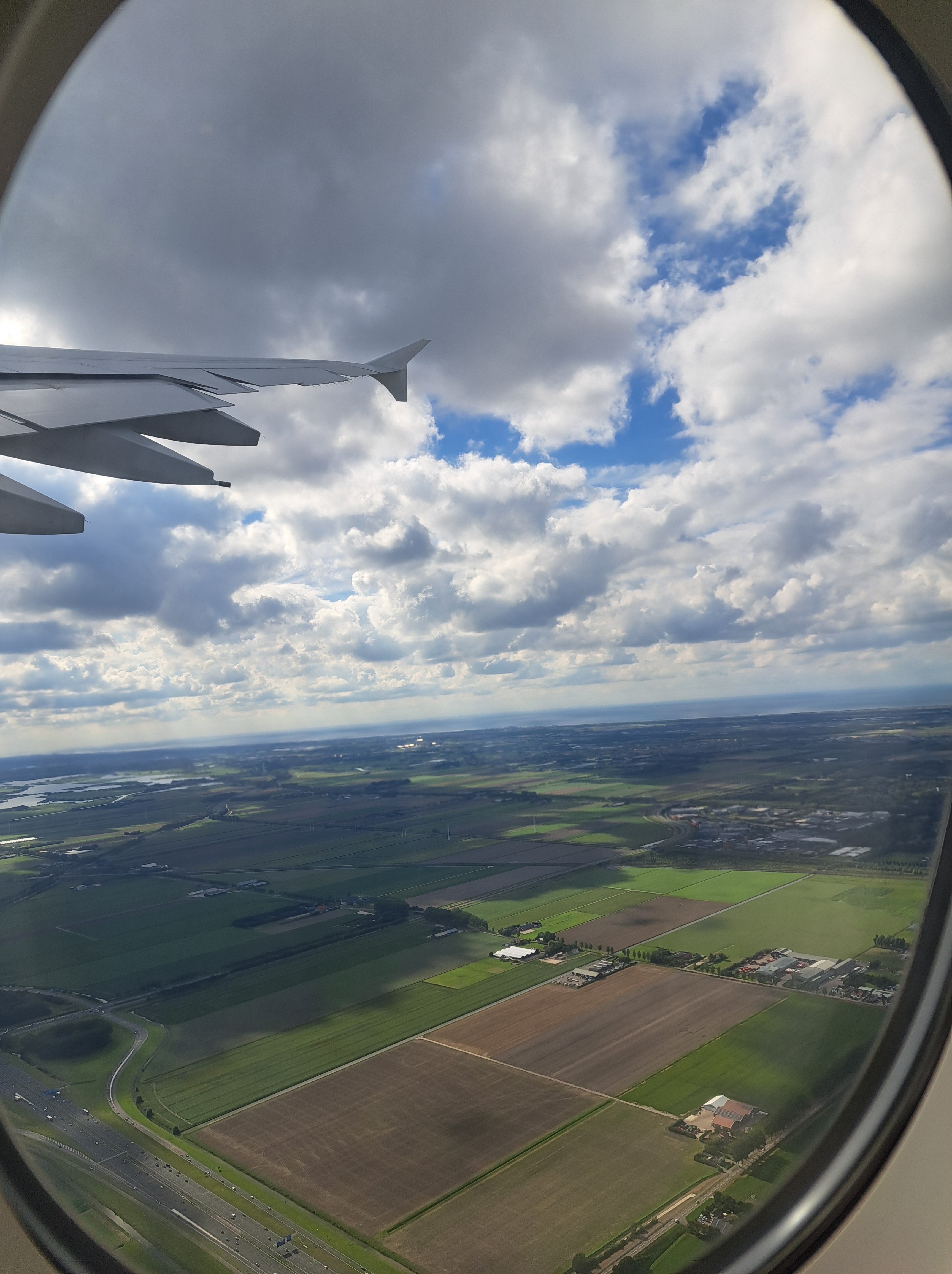
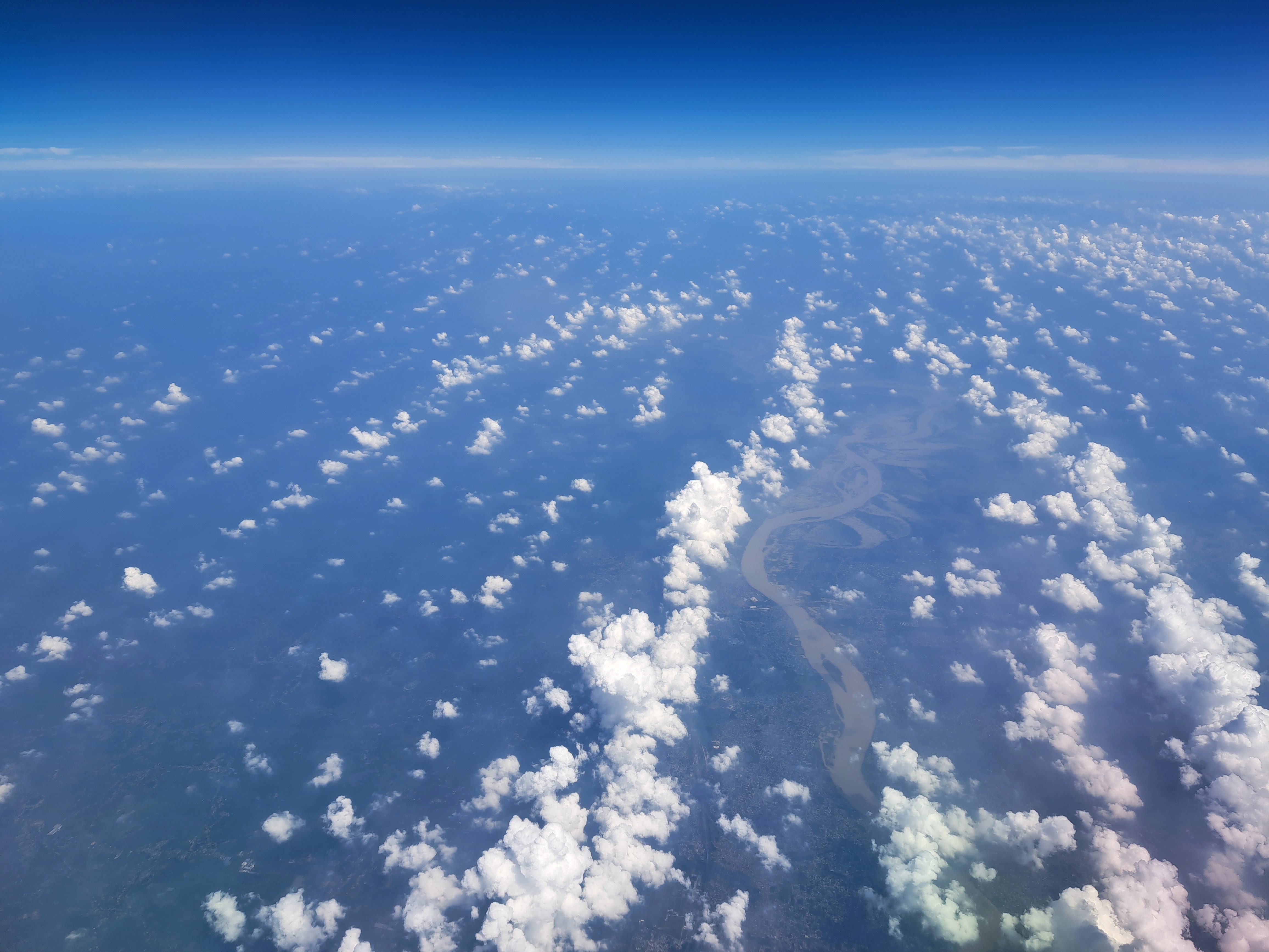
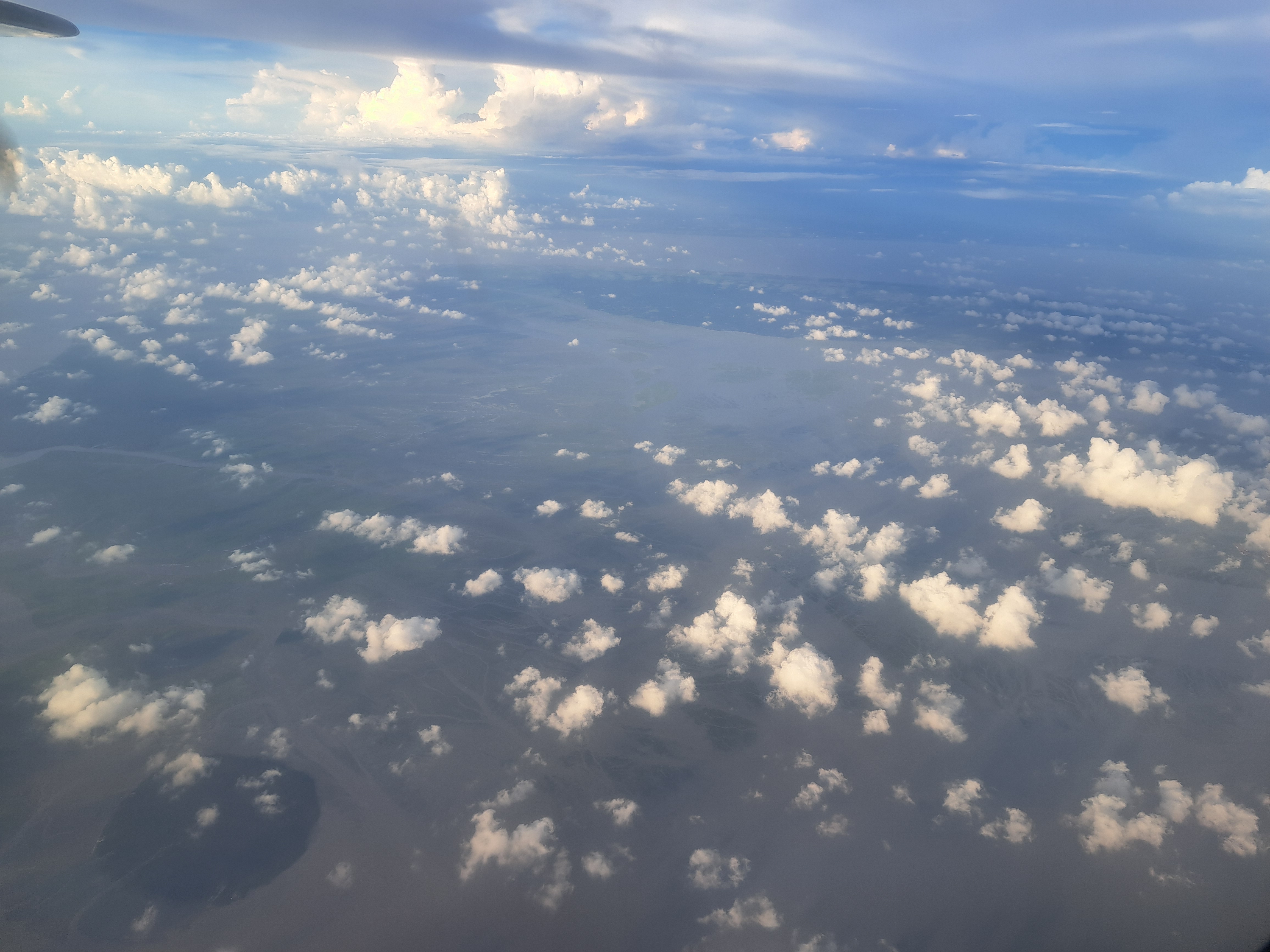
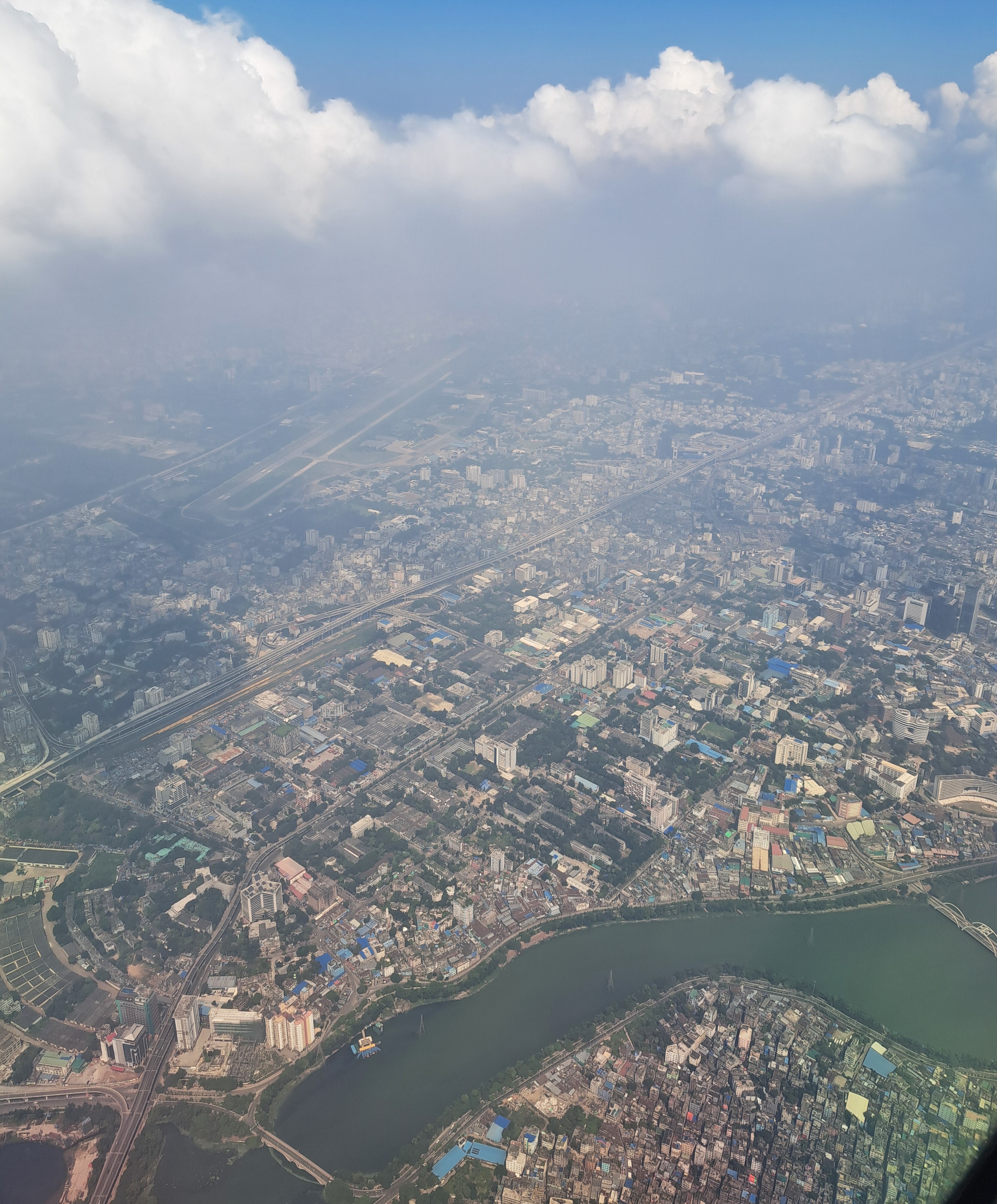
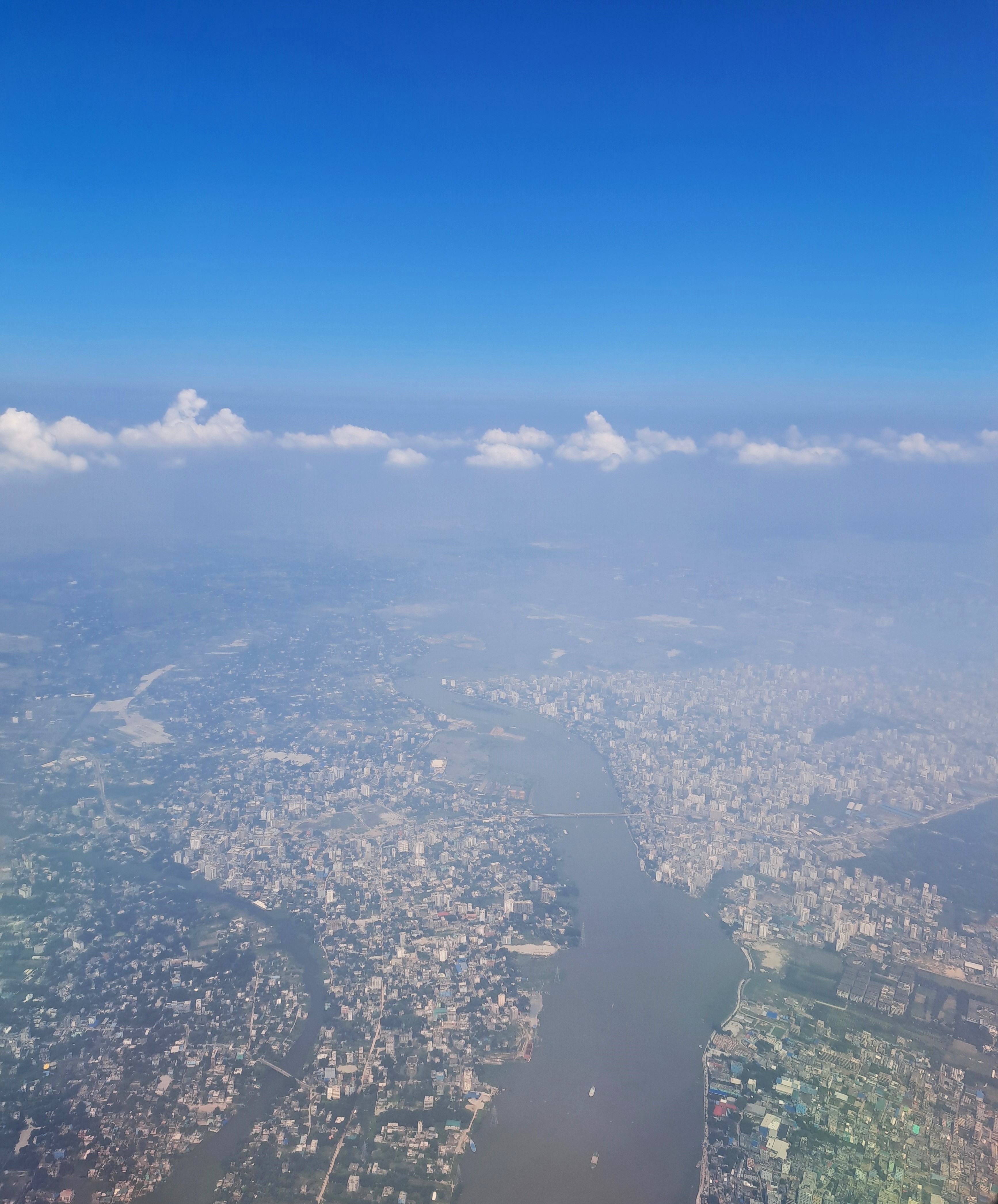
Above left, the fields of North Holland as our plane took off for my last trip by plane in September. Above right, the cities fields and rivers of Bangladesh south of Dhaka en route to Cox later the following day. Below, Dhaka from the air and other shots of rivers and countryside we flew over after taking off from Dhaka about 11 days later…