From the Air.46
Signs of the City.80
 Anyone curious about important episodes in the history of Ireland’s long colonization by England could start with the 1607 event commemorated in the banner at the top right of this photo, the flight of the earls. This is is the lovely town center of Donegal (which for purposes of blog categorization I’ve decided is a very small city). Below are all the other photos from Donegal town itself, including a stained glass window from a church next to the castle which I believe would have been the seat of one of the two earls who departed in that French ship in 1607. Donegal is the north-westernmost county in Ireland. Historically one of the “Ulster Plantation” counties, it was not among the six counties that since 1923 have been the Irish portion of that neighboring nation-state, the “United Kingdom of Great Britain and Northern Ireland.” This visit brought home for me just how very colonized Ireland was for how very long, beginning at a time when the European powers hadn’t (yet) gotten back to emulating the Romans and forcibly taking large-scale control of large territories far from home.


Coasting.90
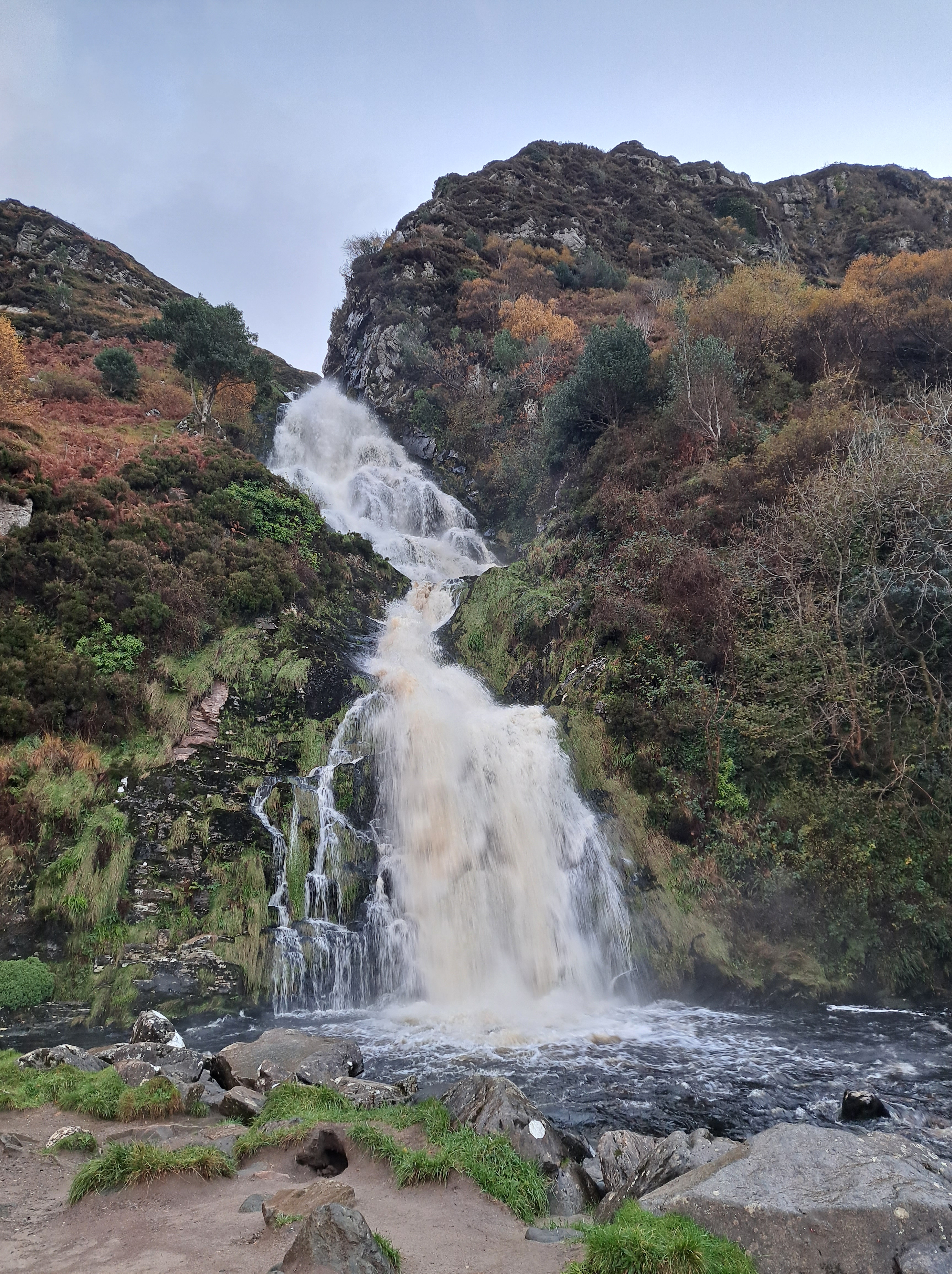

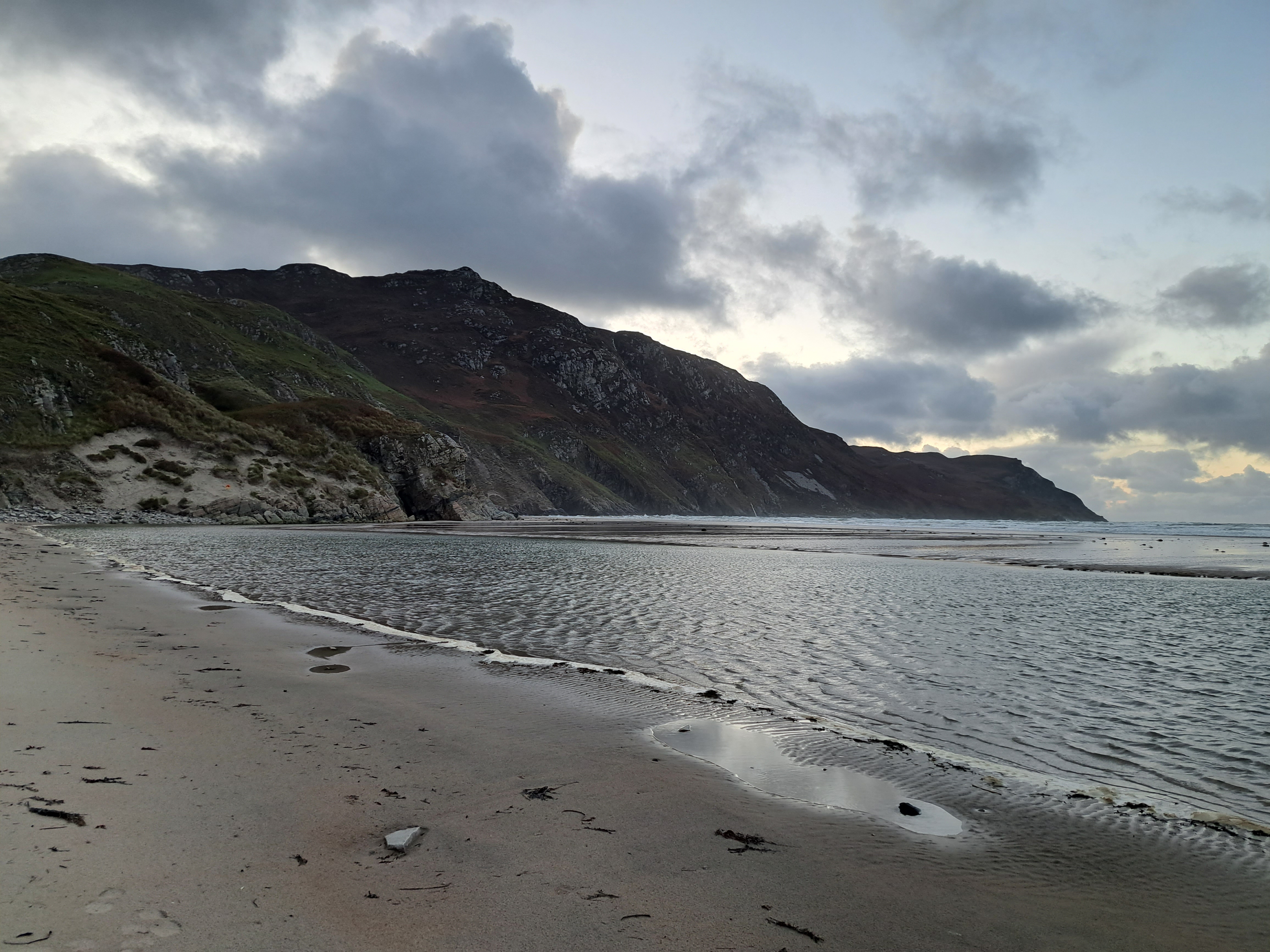
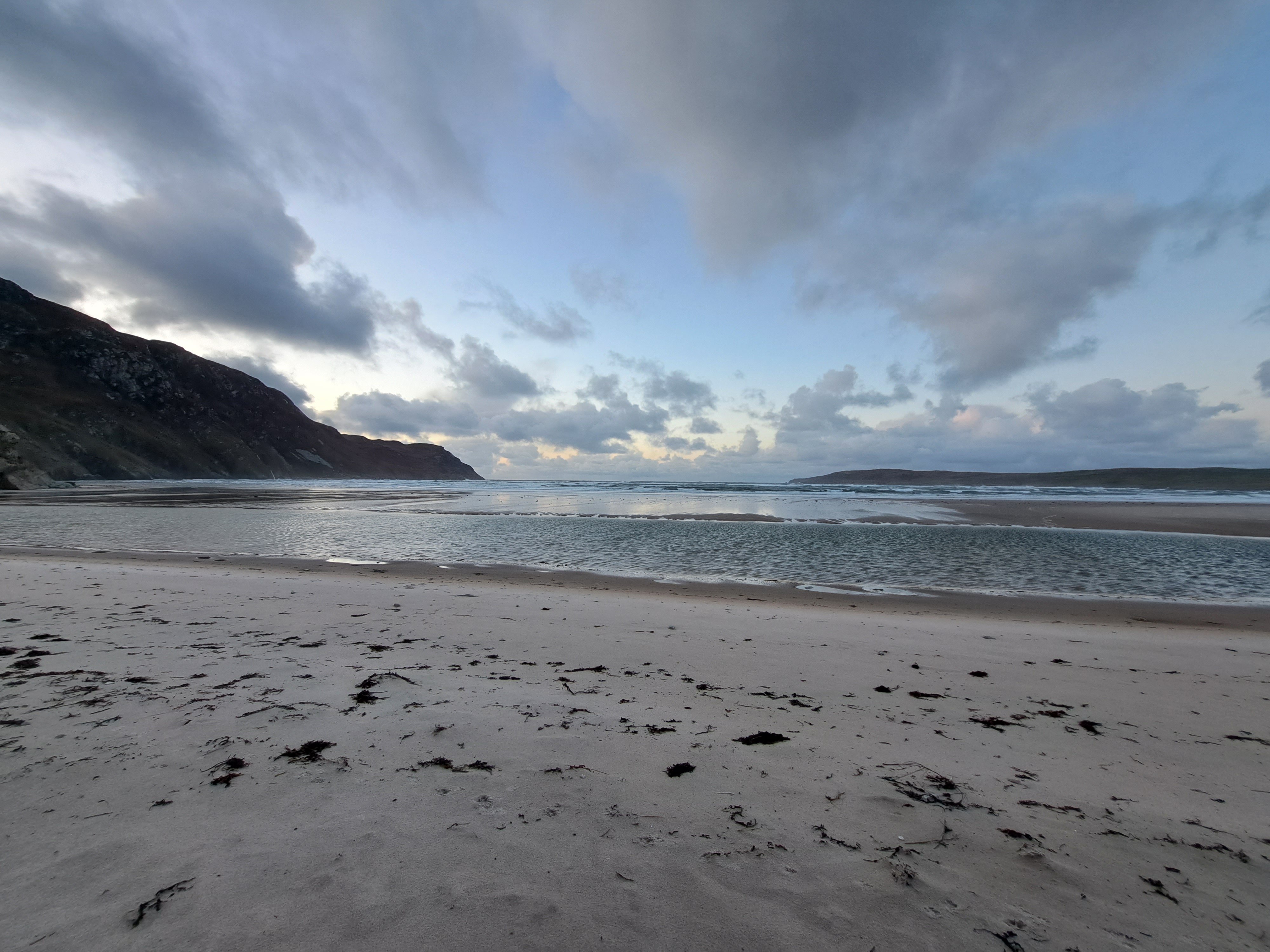
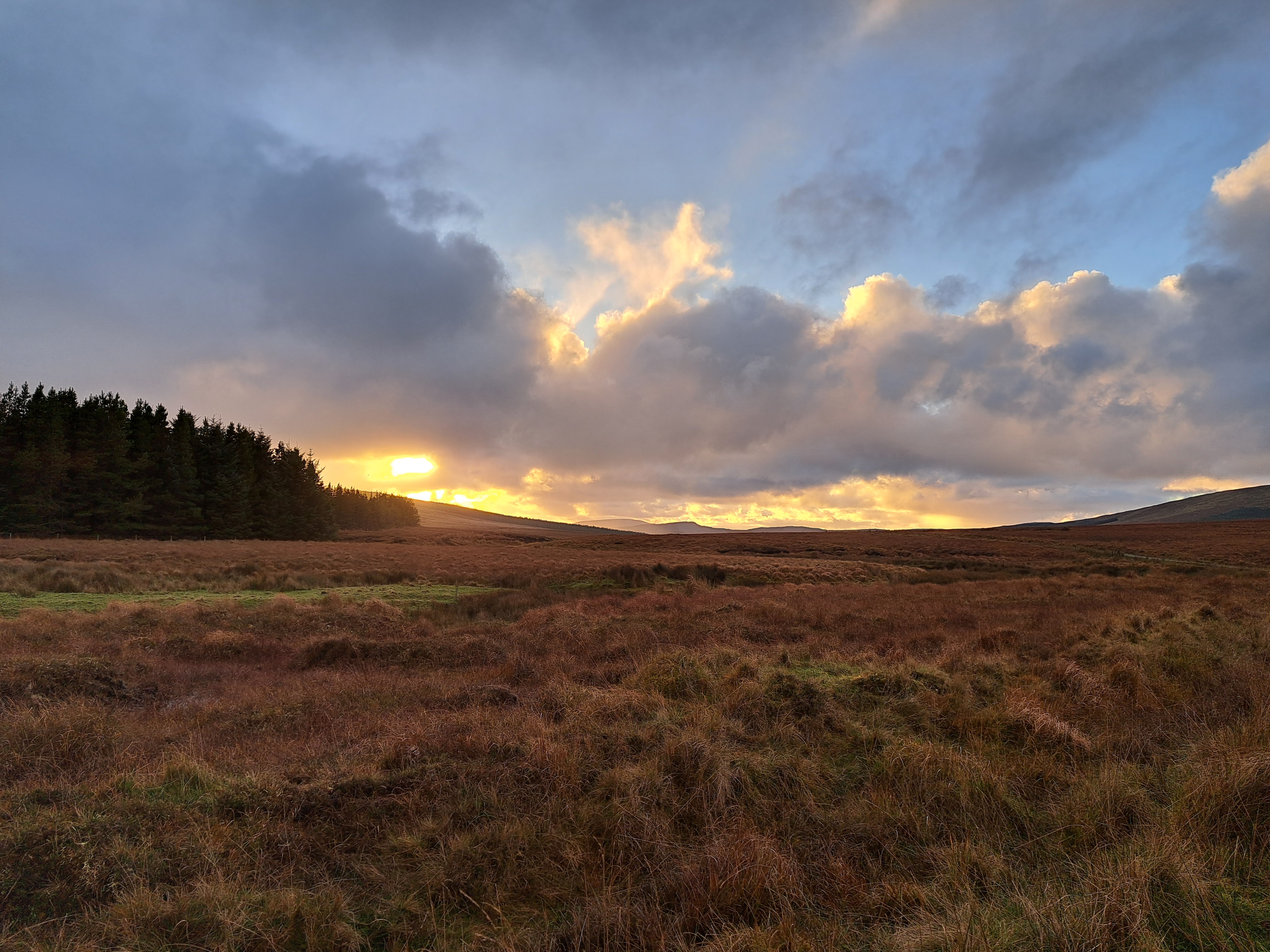
Assaranca (Eas a’ Ranca) Waterfall at the top; Maghera Beach at sundown just above; below a gallery with one or two shots from Glengesh Viewing Point and more of both the waterfall and the beach…and at the end, a late-afternoon-sun photos of the stunning back-road countryside we traveled through to get from Glengesh to Asaranca & Maghera.


Coasting.89
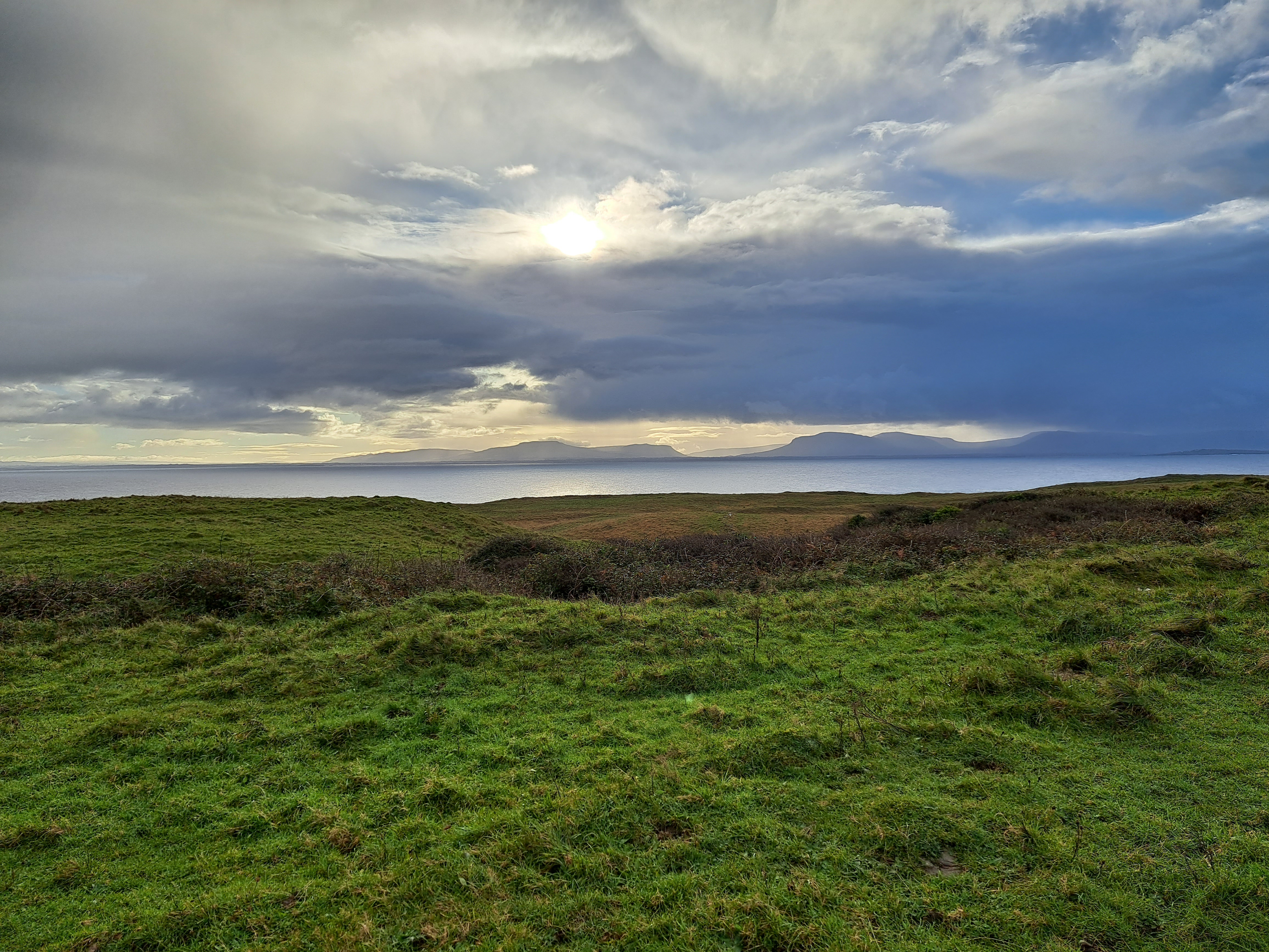
Yes, we’ve shown you this lighthouse in an earlier post :-). It’s St John’s Point Lighthouse, situated at the end of a long finger of a peninsula which drops south of the main arm of a wider and bigger peninsula which forms the north shore of a bay at the base of which sits the city of Donegal, aka Dún na nGall in Irish. To the south across the water from St John’s Point sits Mullaghmore, in County Sligo, and at the west end of the main stem of this particular part of Donegal rise the cliffs of Sliabh Liag. whose rainbow laden photos saw out 2023 on our blog.


Coasting.87
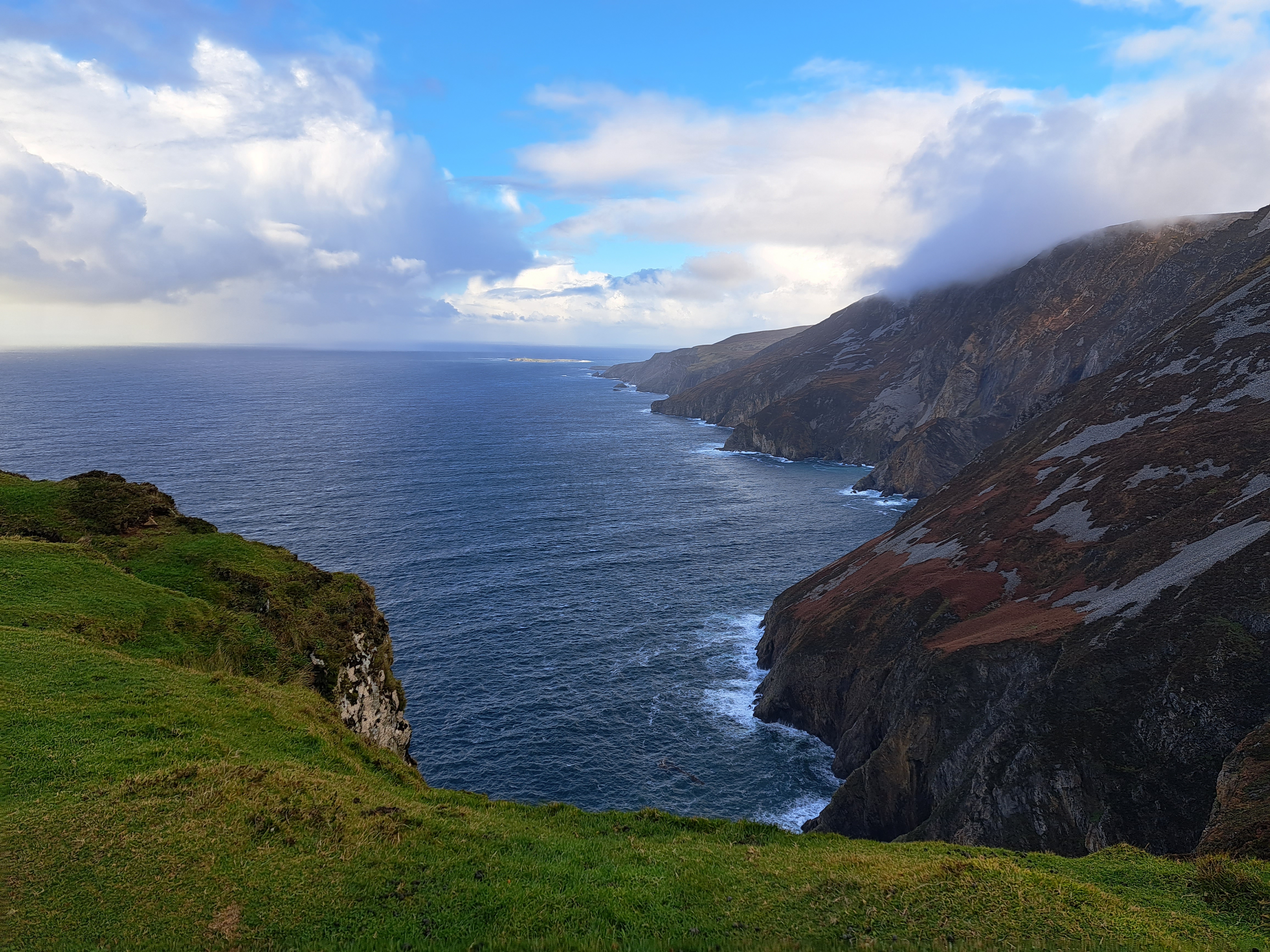
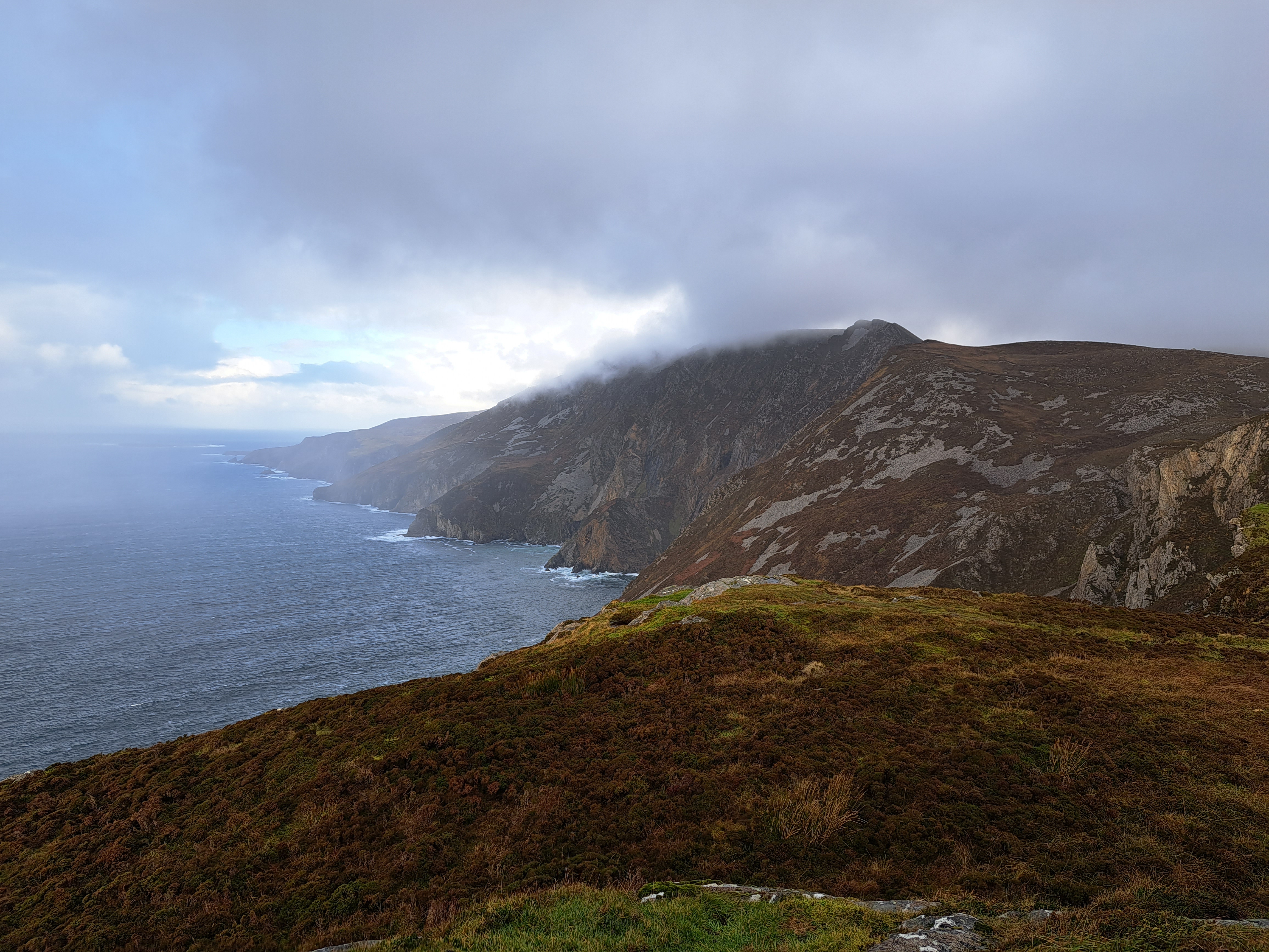
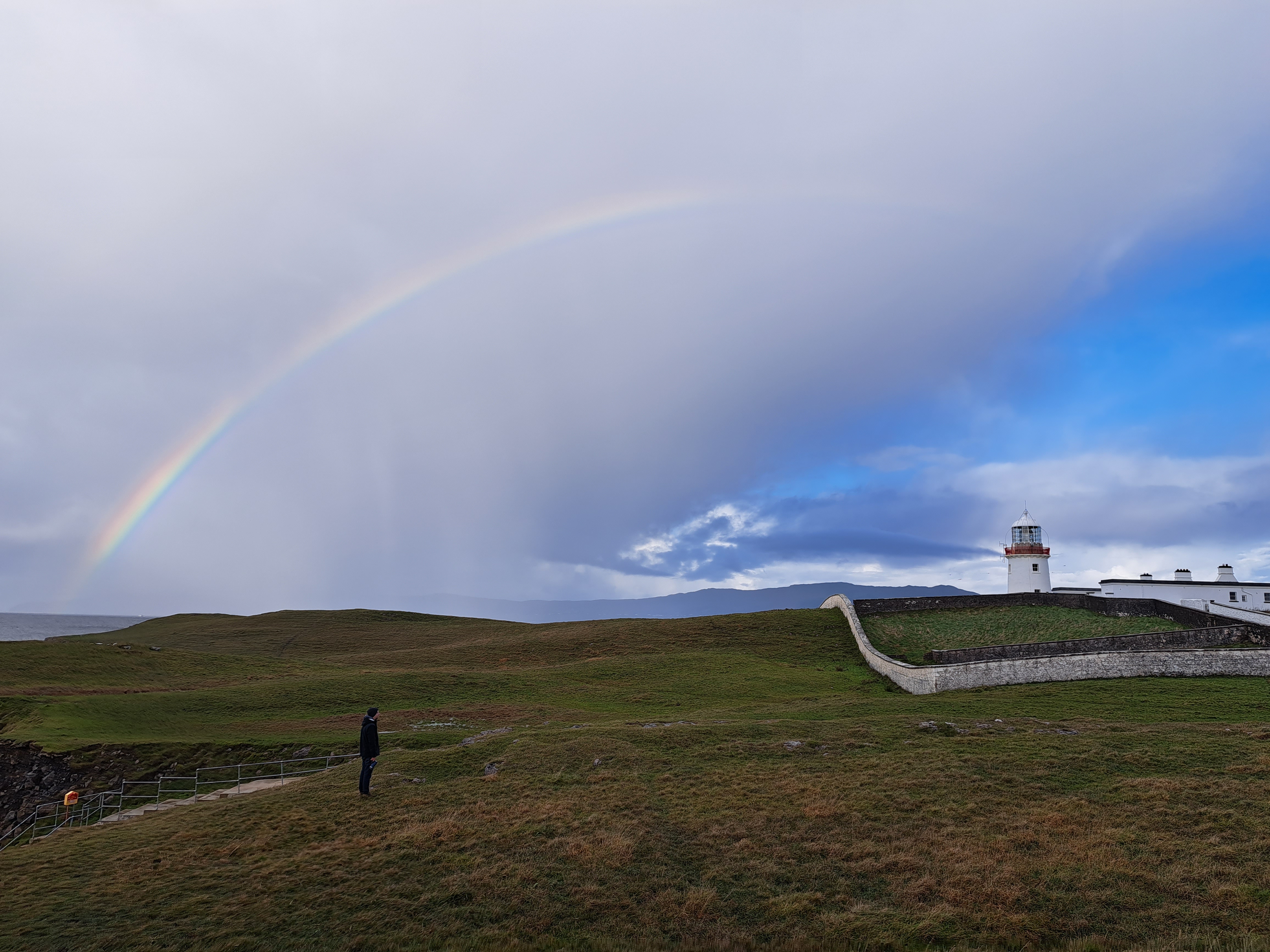
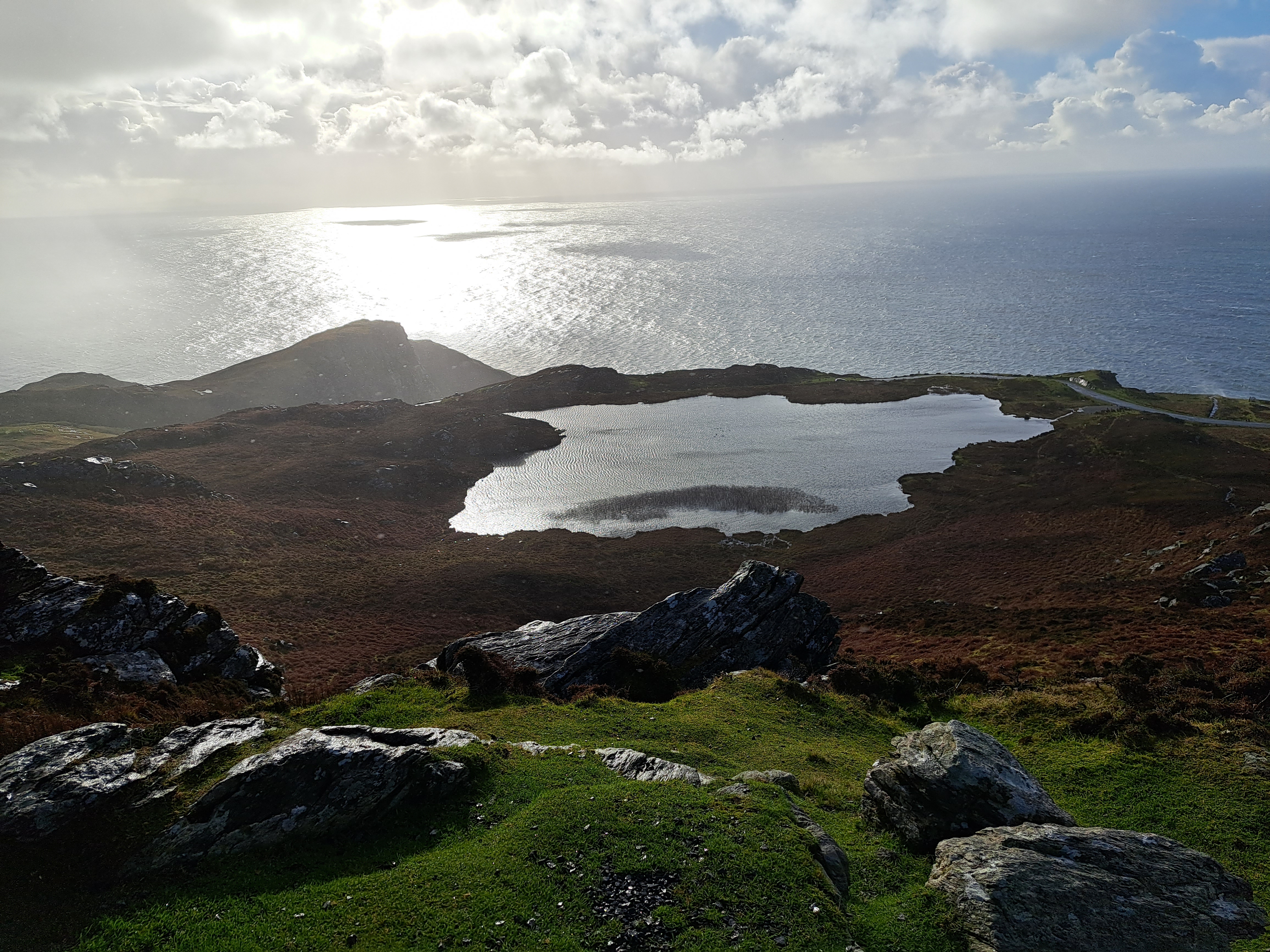
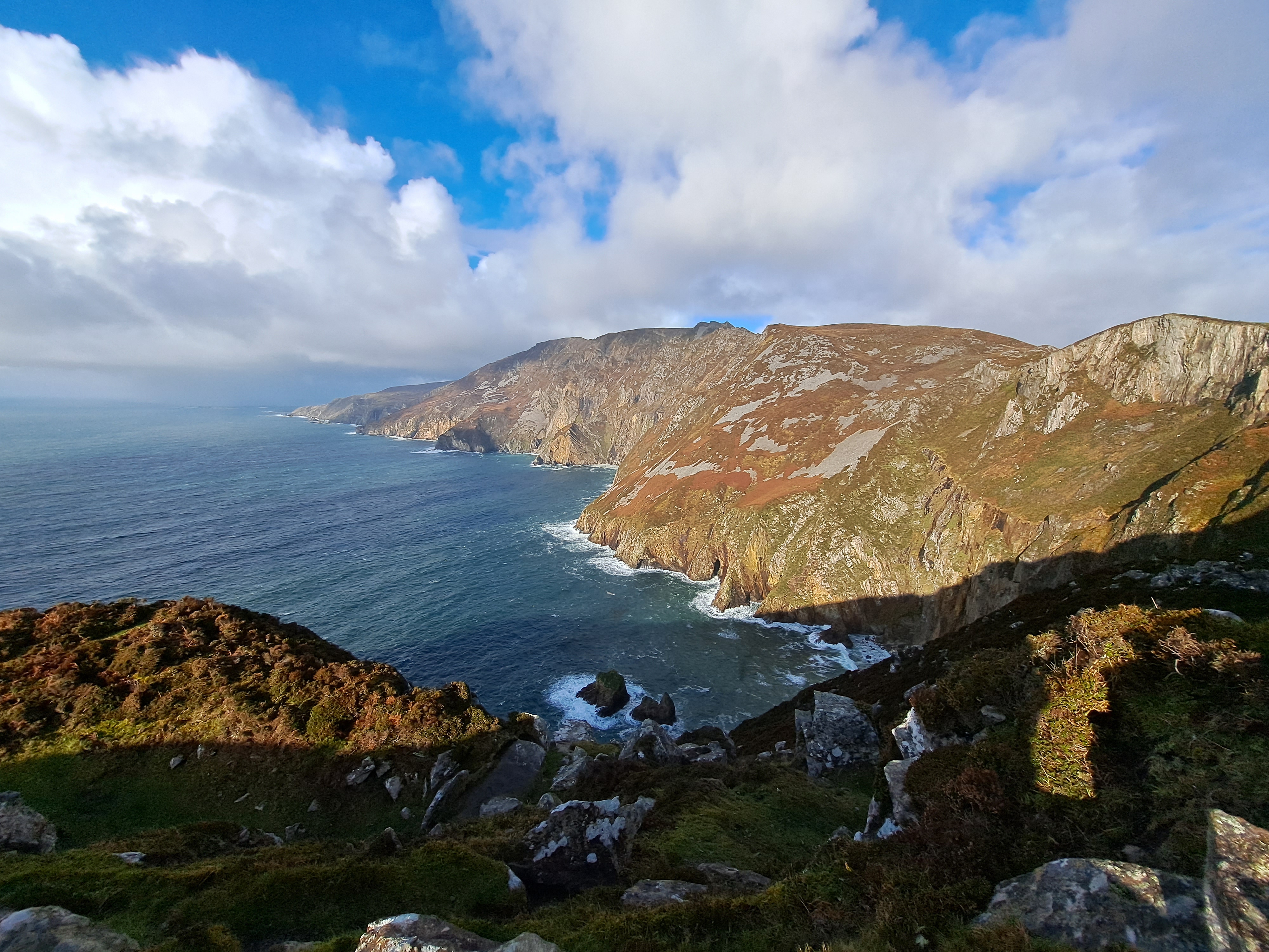
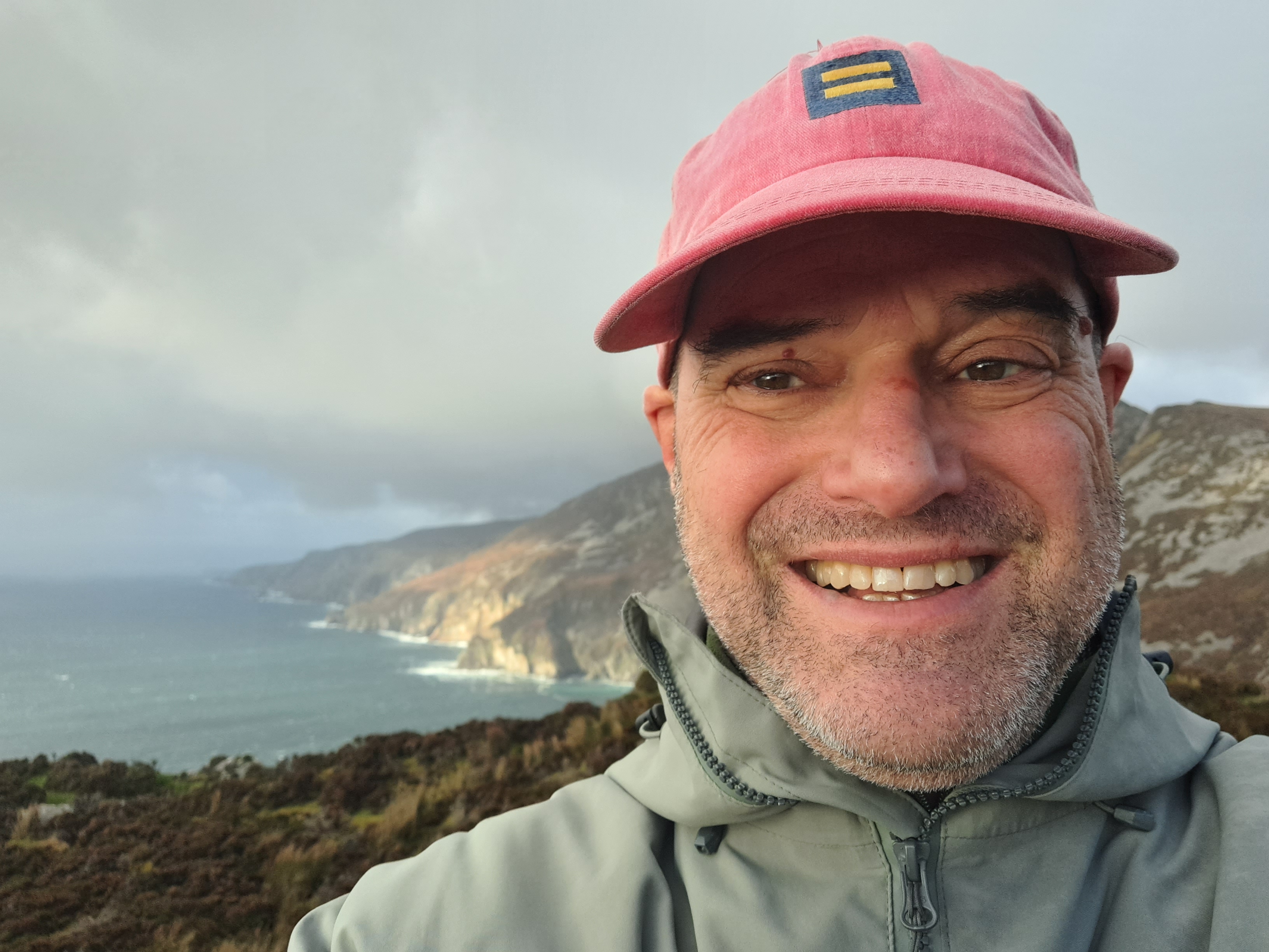
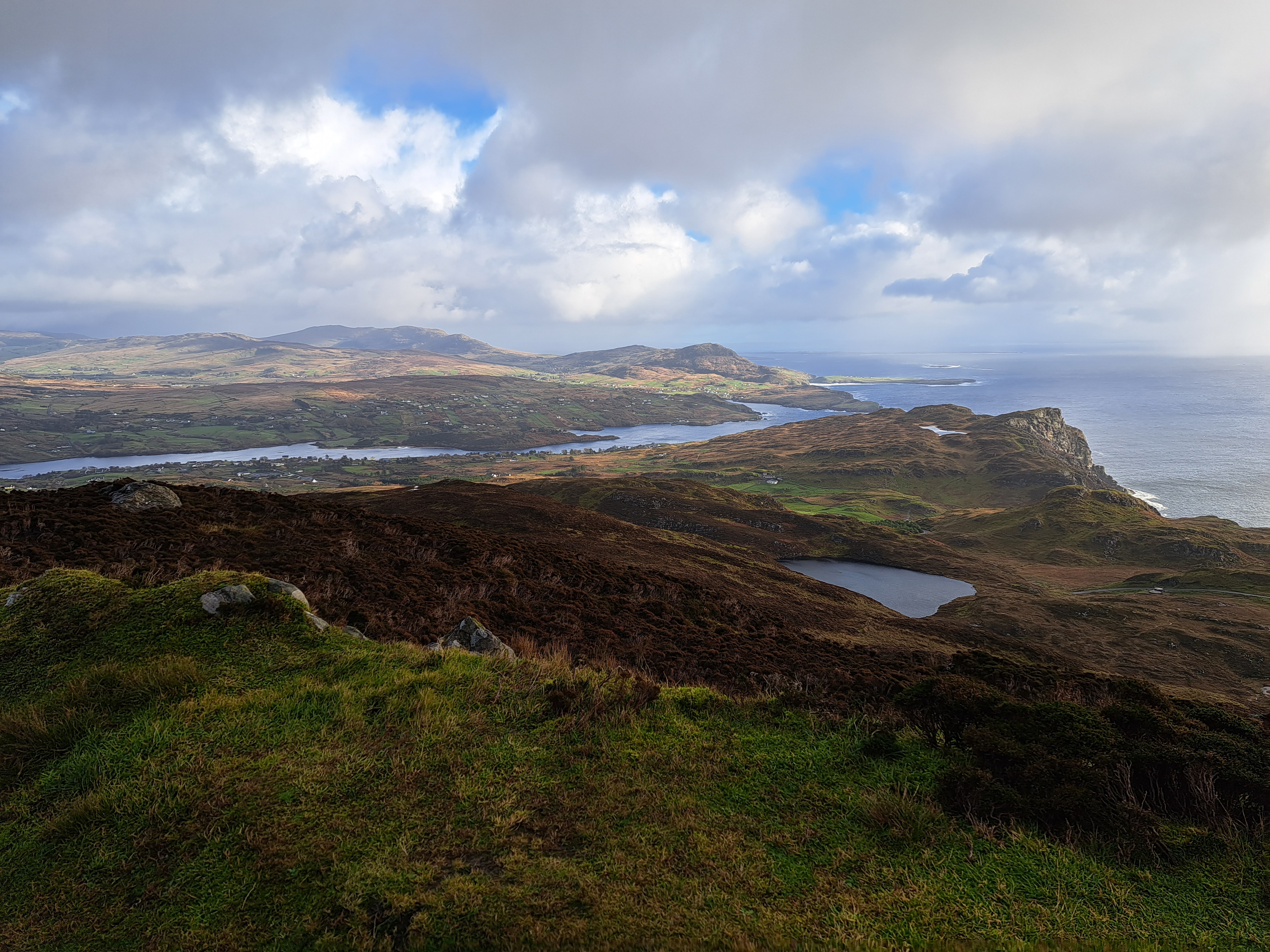
Here we are, already on the last day of 2023. So I’ve decided to throw a few more Irish rainbows and views of one of the most stunningly beautiful places I visited over the course of this year. To end the year on a high note, I’m sharing here any remaining photos of the Sliabh Liag cliffs in County Donegal. My guidebook tells me these are much higher than the more famous Cliffs of Moher, down in County Clare south of Galway. I’ve left many similar photos in the gallery below, so that you get a sense how colors and contrast on the cliffs and sea change as the clouds scuttle past in the – at times frighteningly strong – winds.


Coasting.85