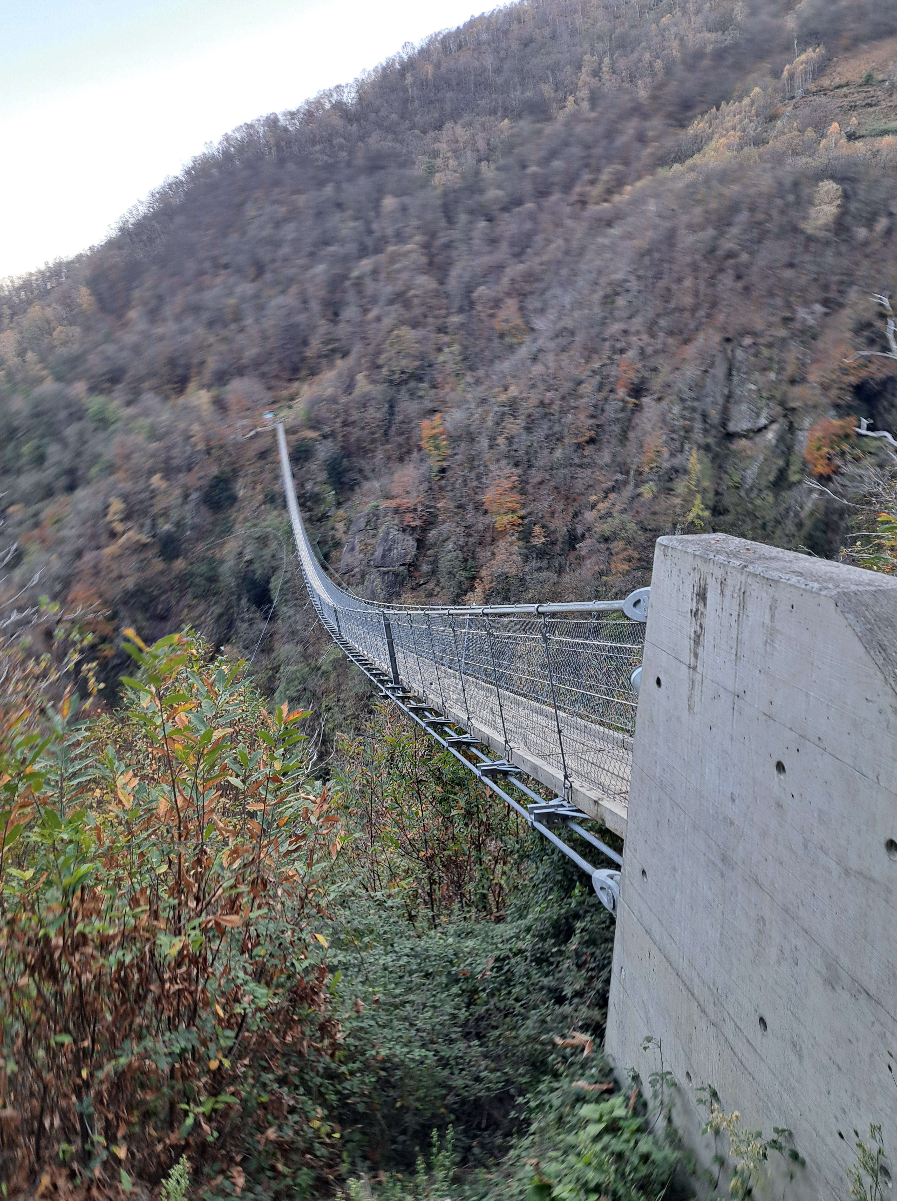
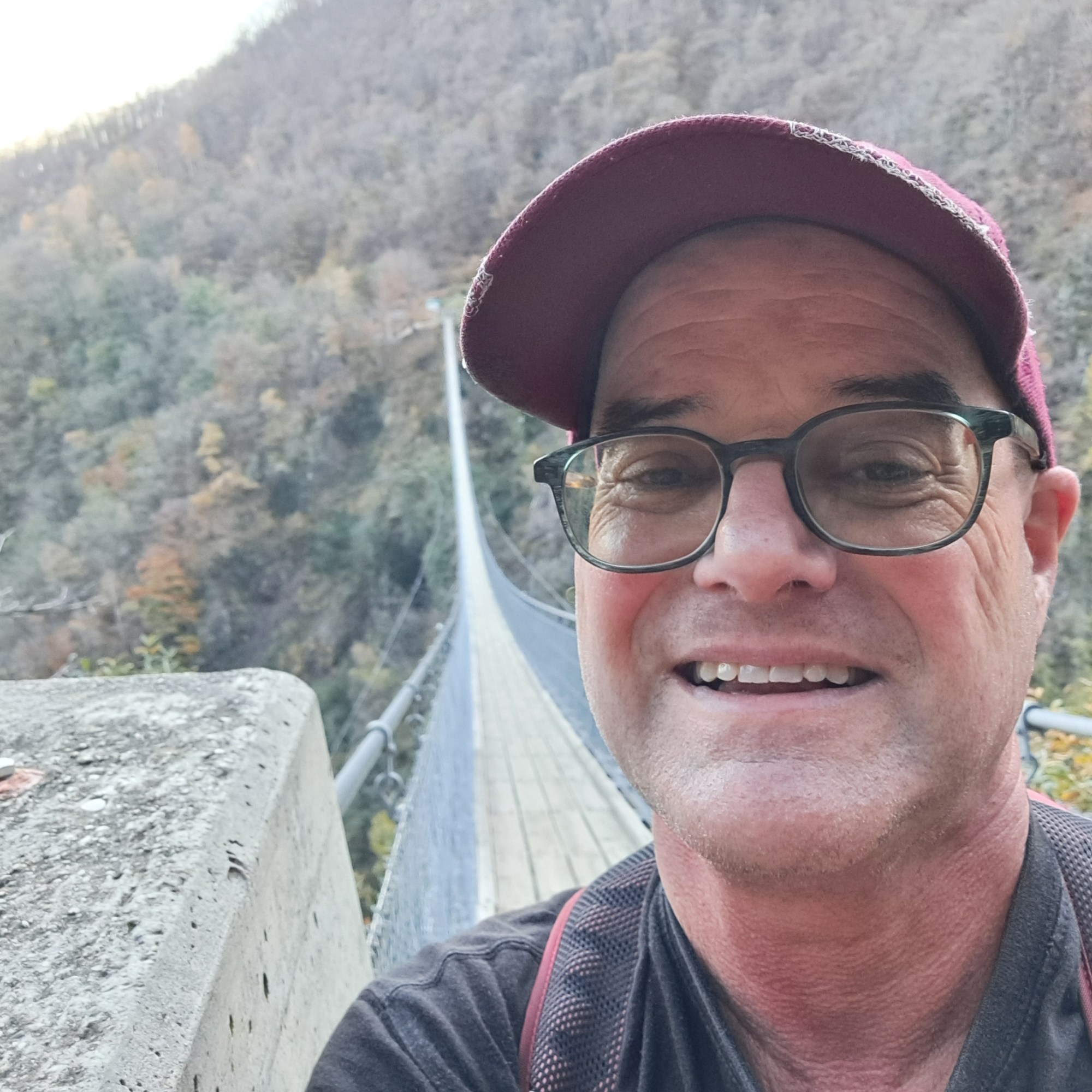
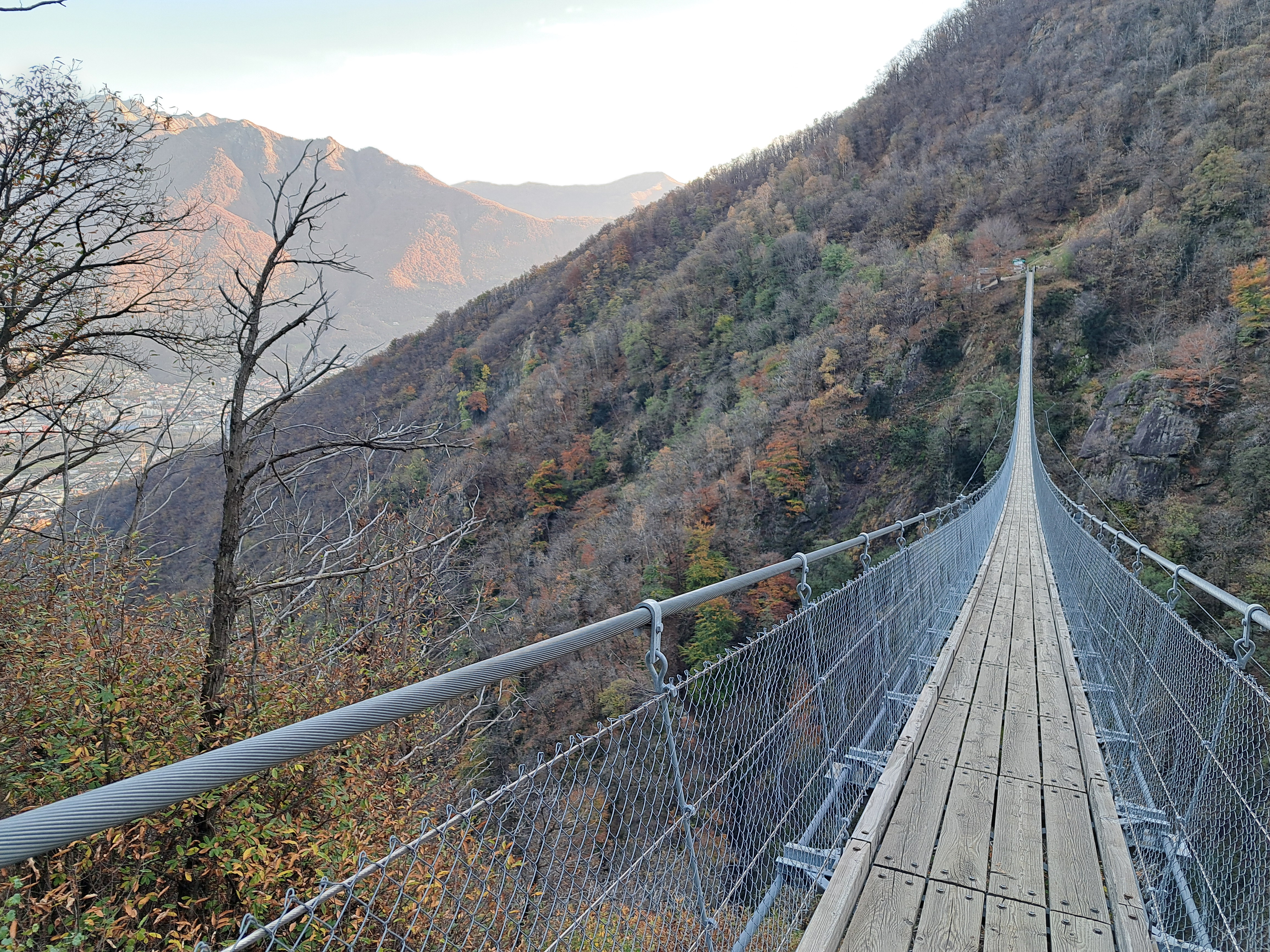
Last post of the Tibetan footbridge we’ve shown you previously, in the hills above Bellinzona. Anyone with trouble viewing the small circles below: tap or click on the individual photos to see them full size. 🙂
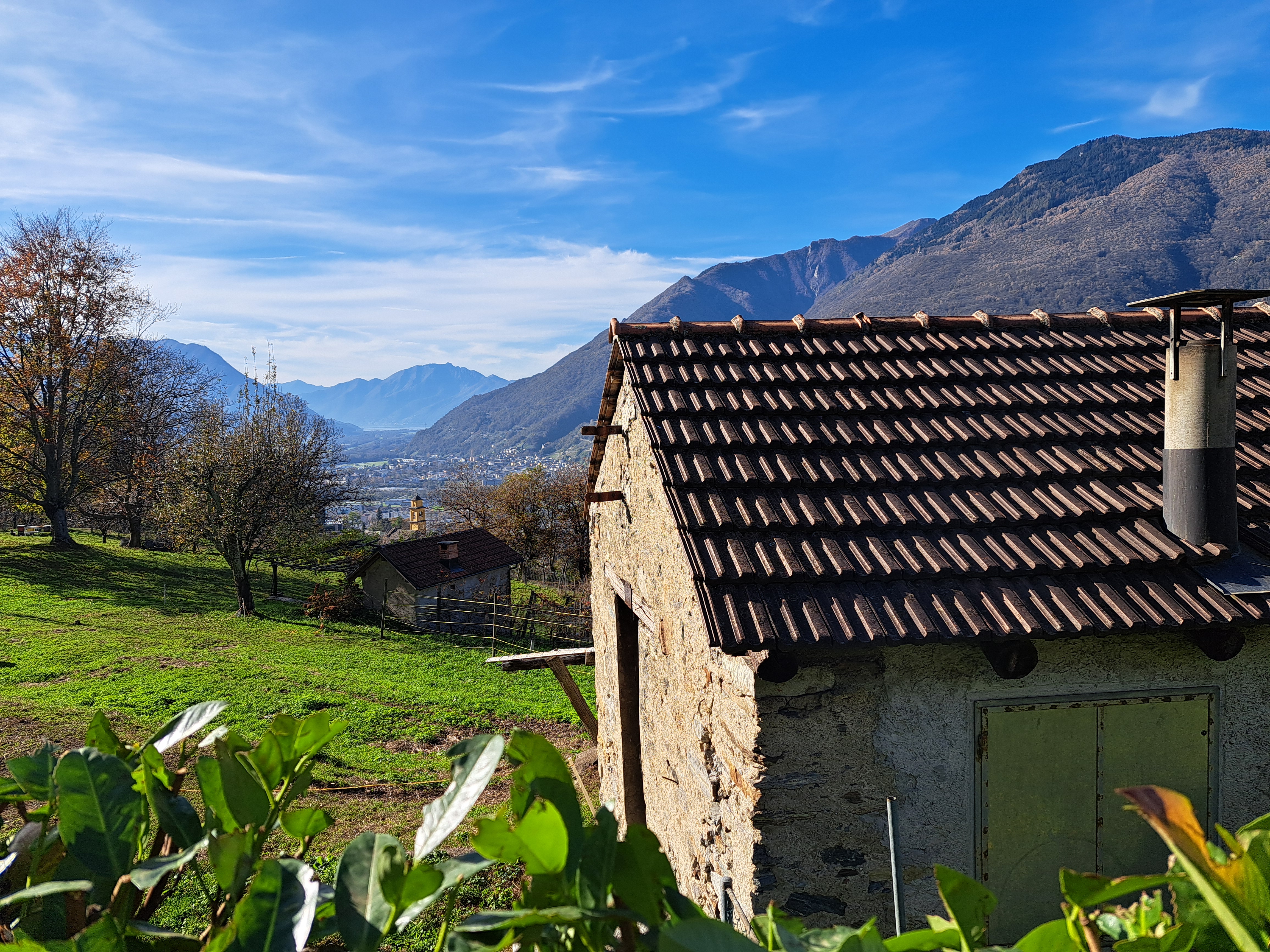
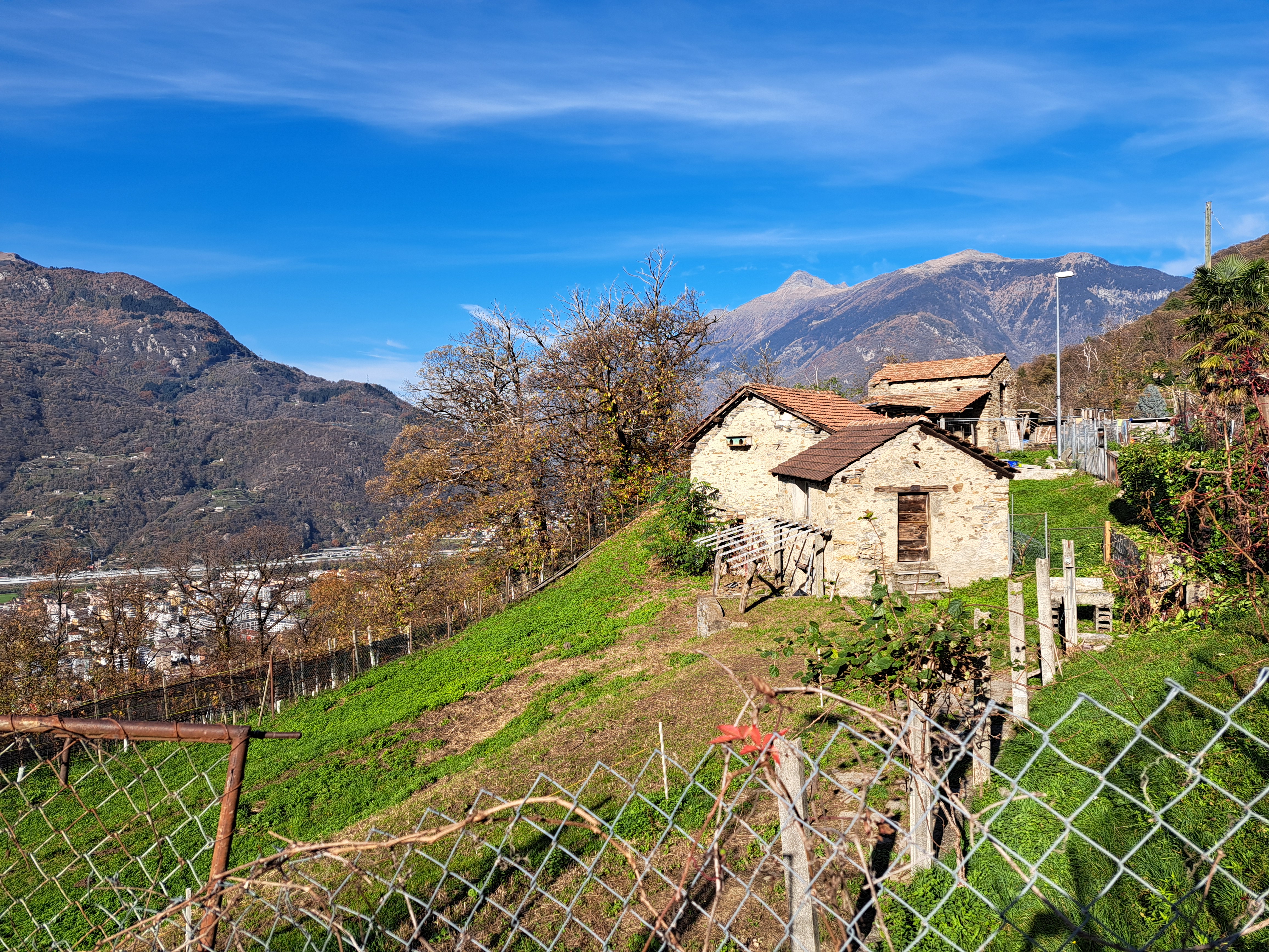
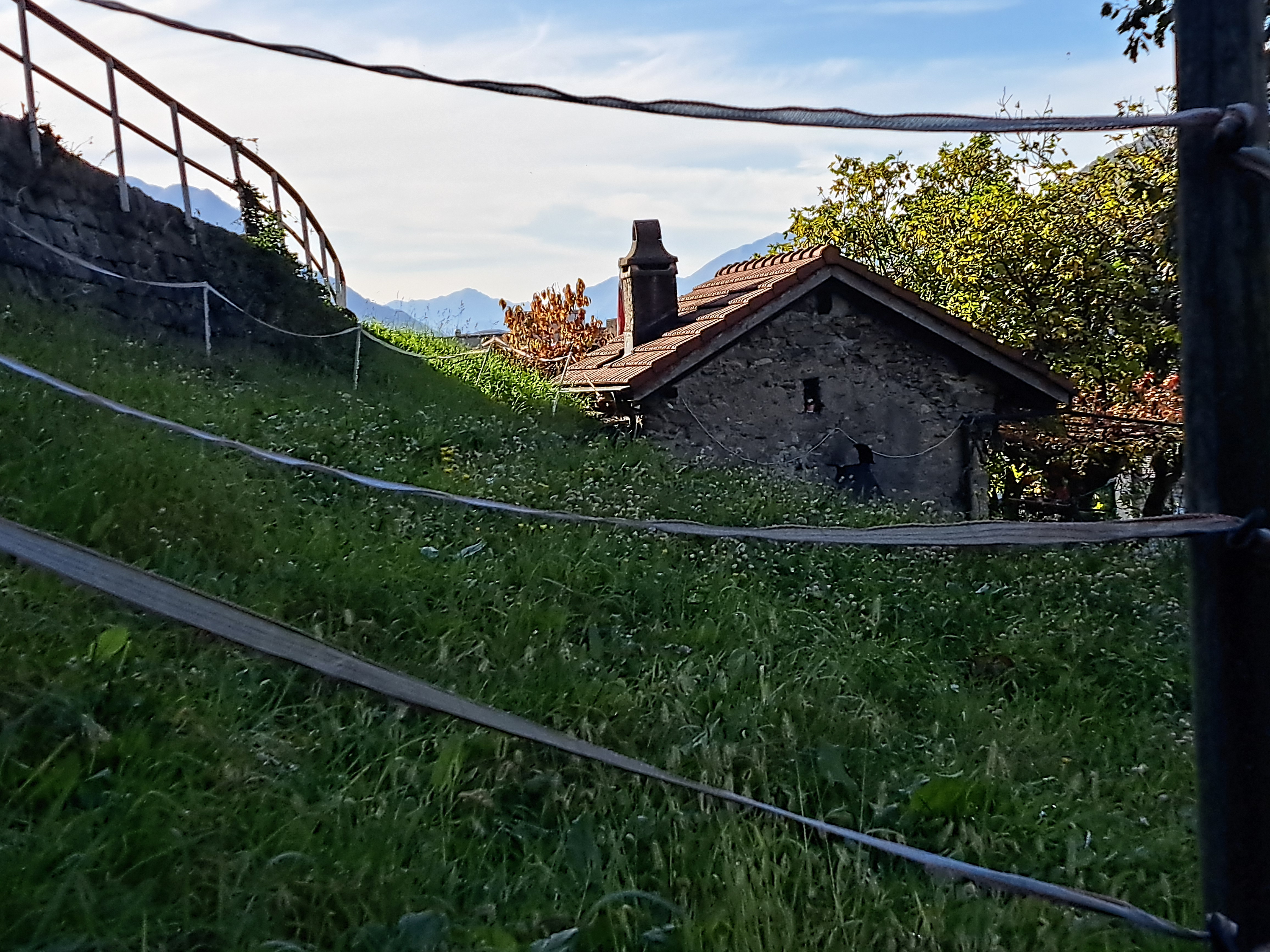
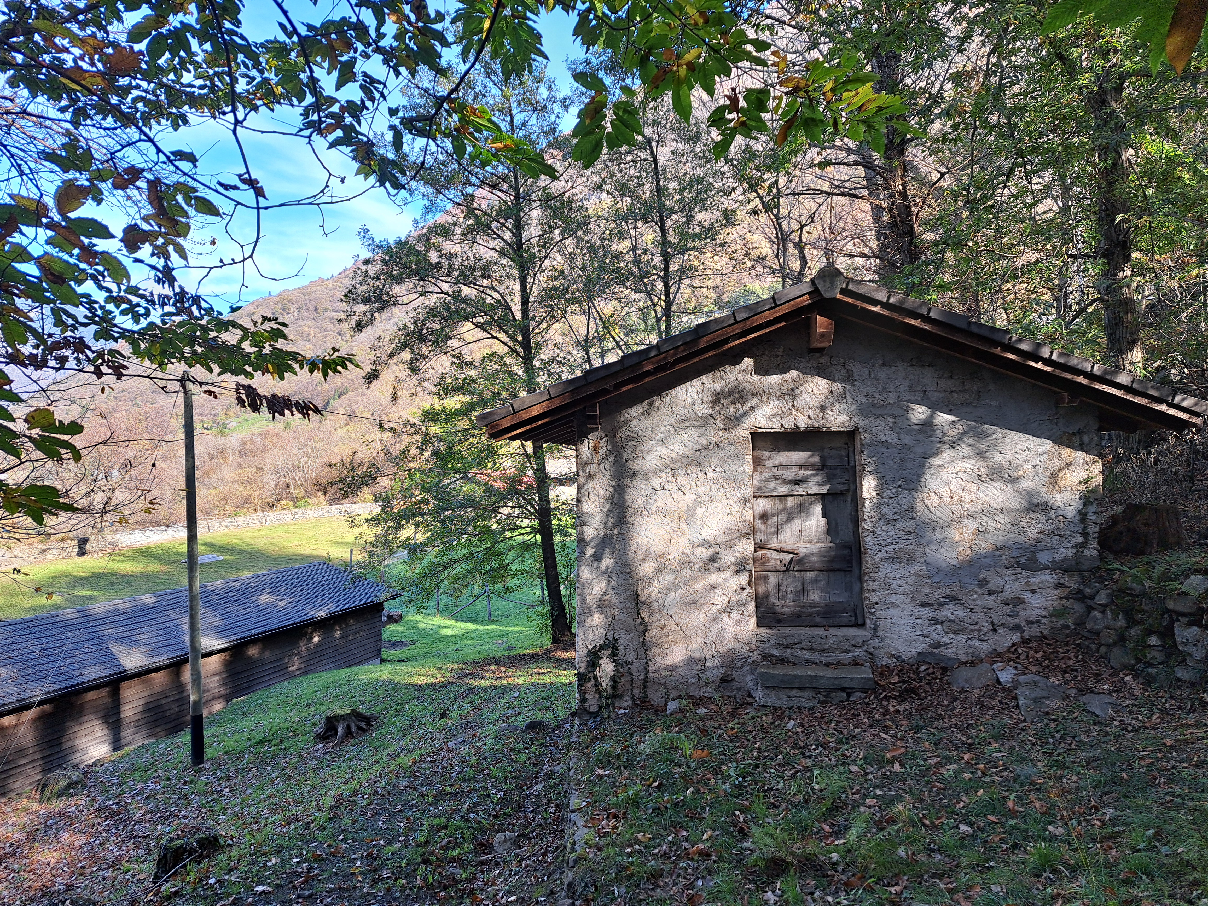
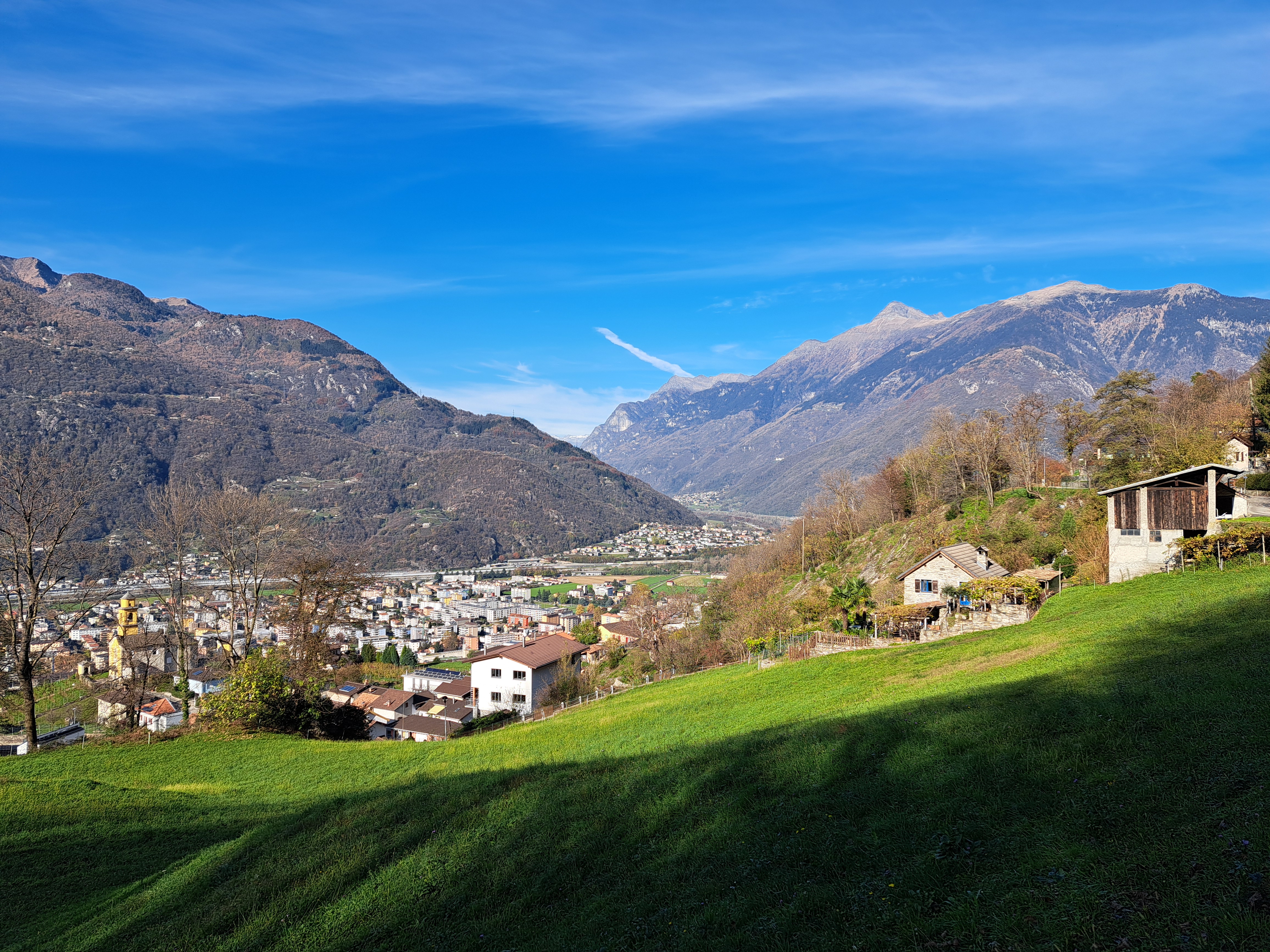
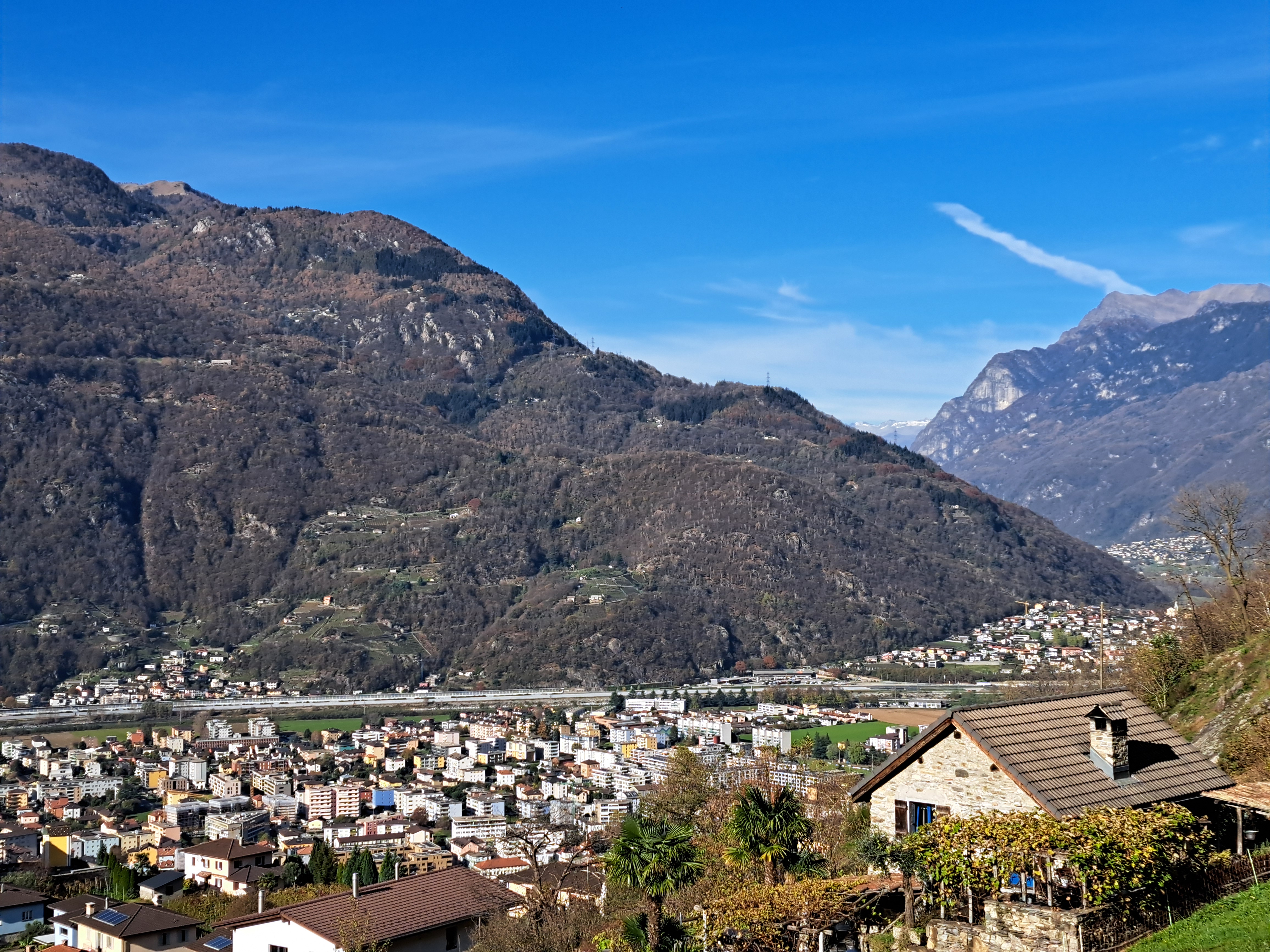
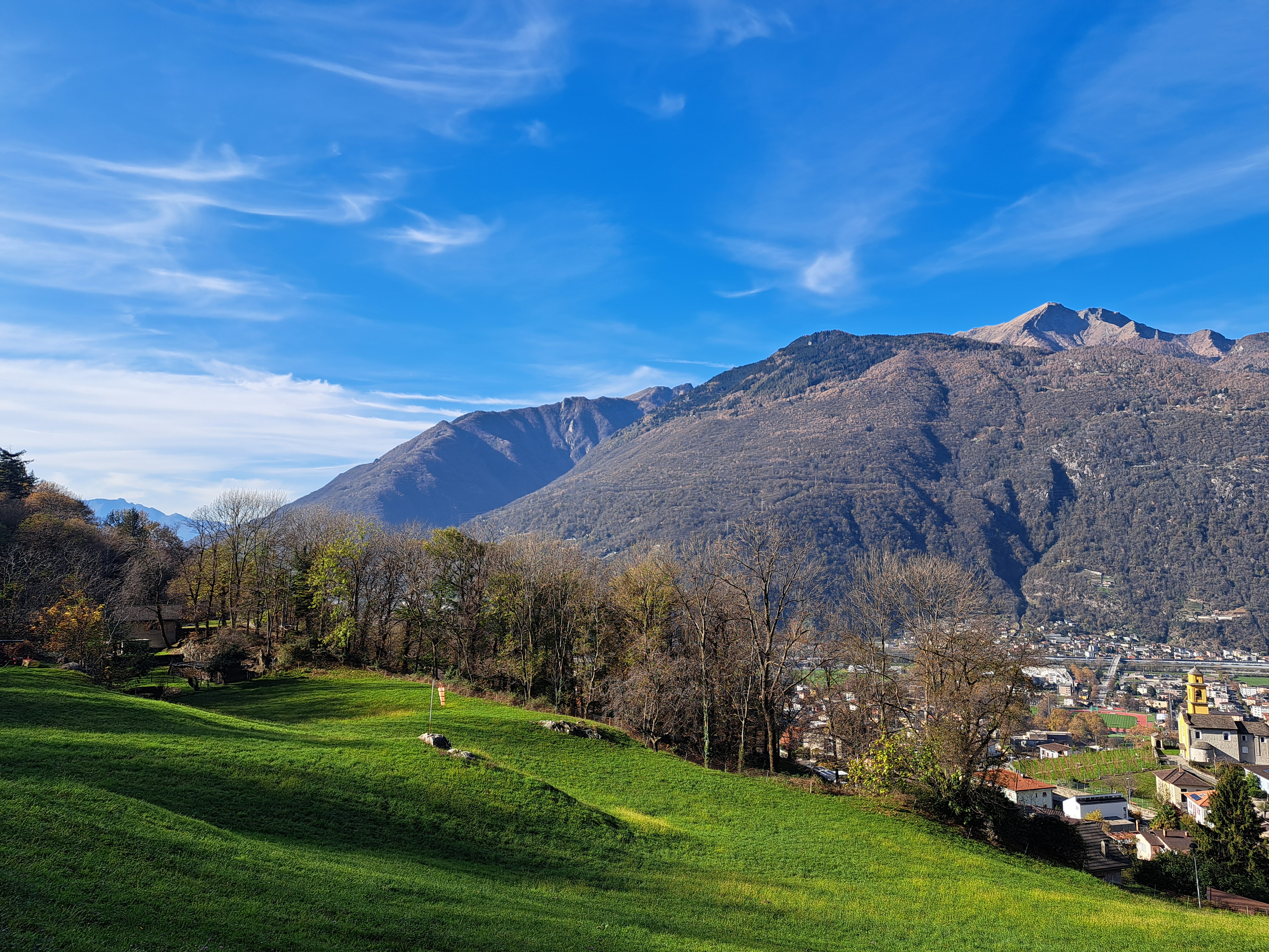
These are some of the lovely cottage gardens and semi-wild hillsides down which I walked and bushwhacked during my efforts to see all three of the proud castles of Bellinzona early last November, as we’ve described in a prior post or three :-).
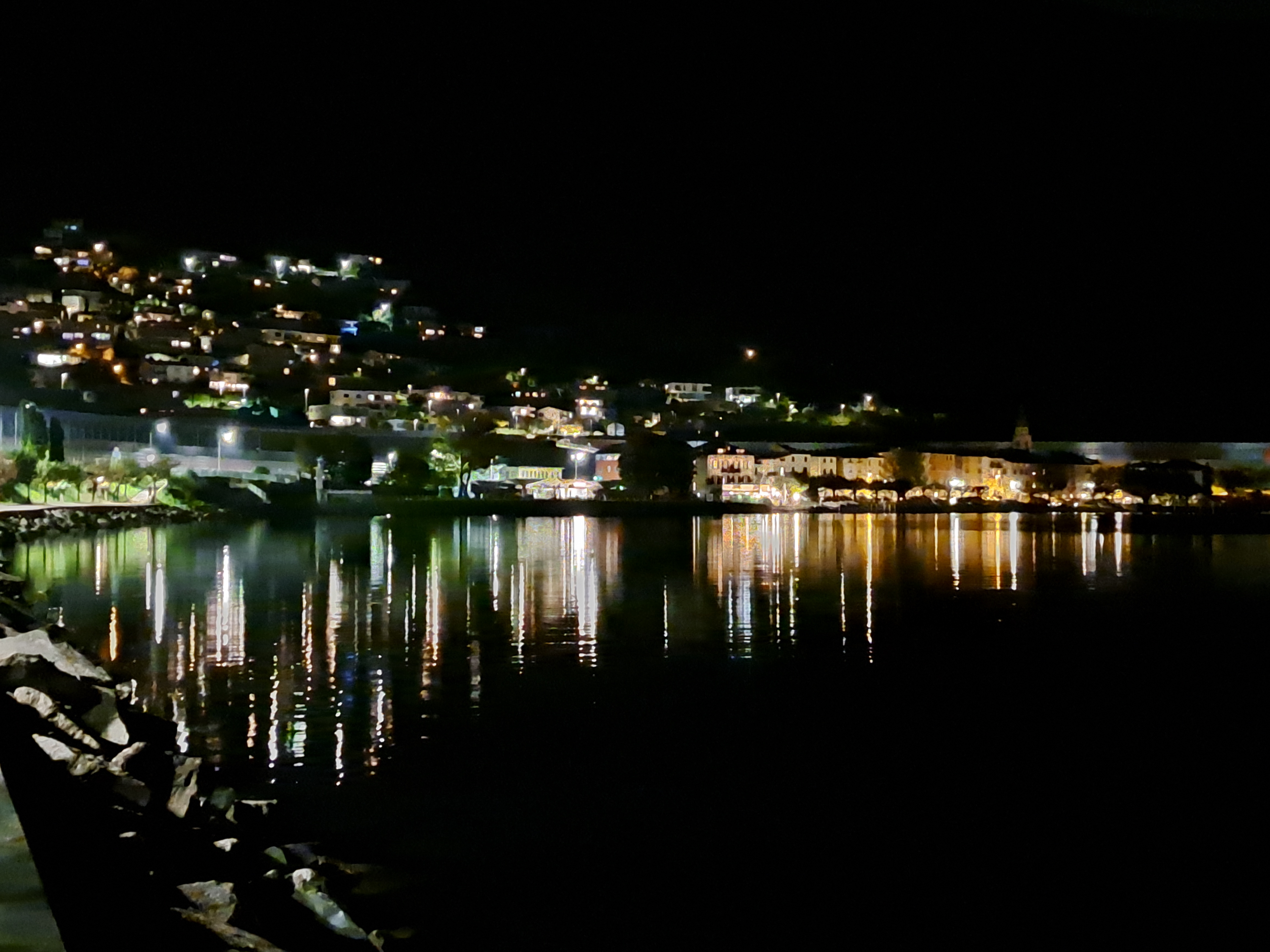
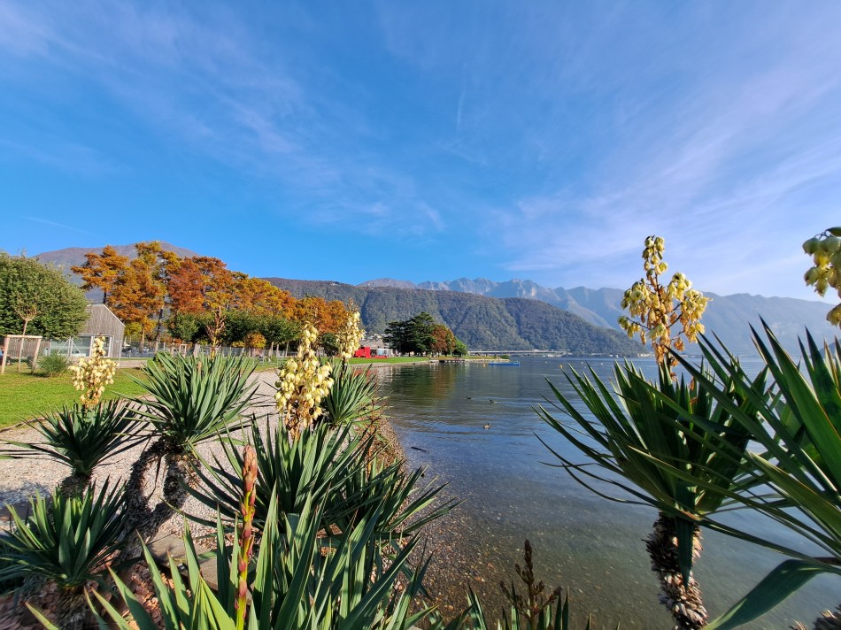
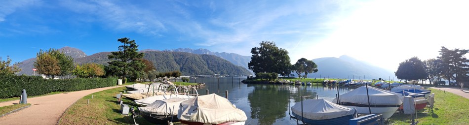
Bissone as I walked home across the bridges & causeway from the Melide train station. Below, both Bissone and some of the other towns along the more southern shores of Lake Lugano.
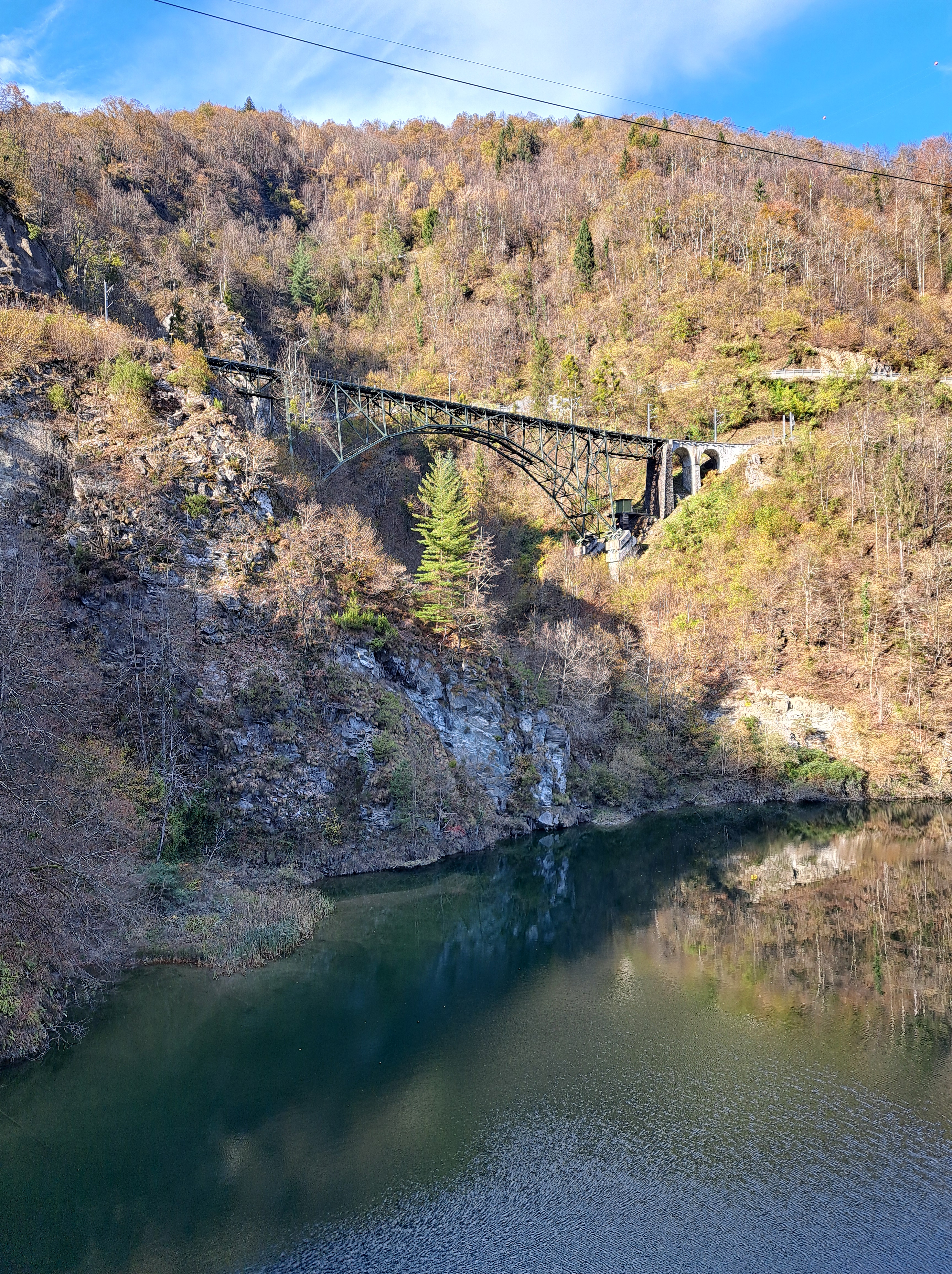
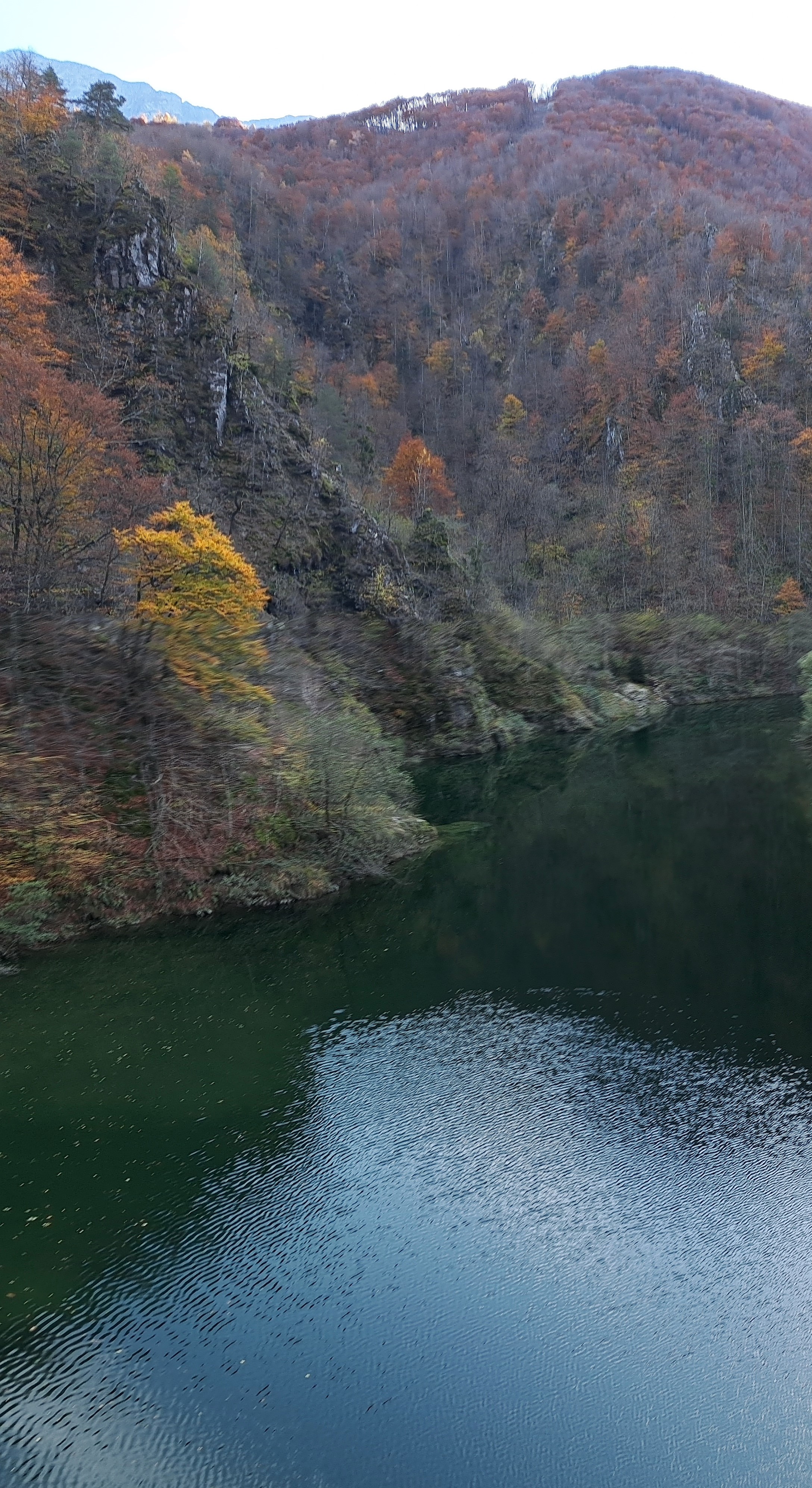
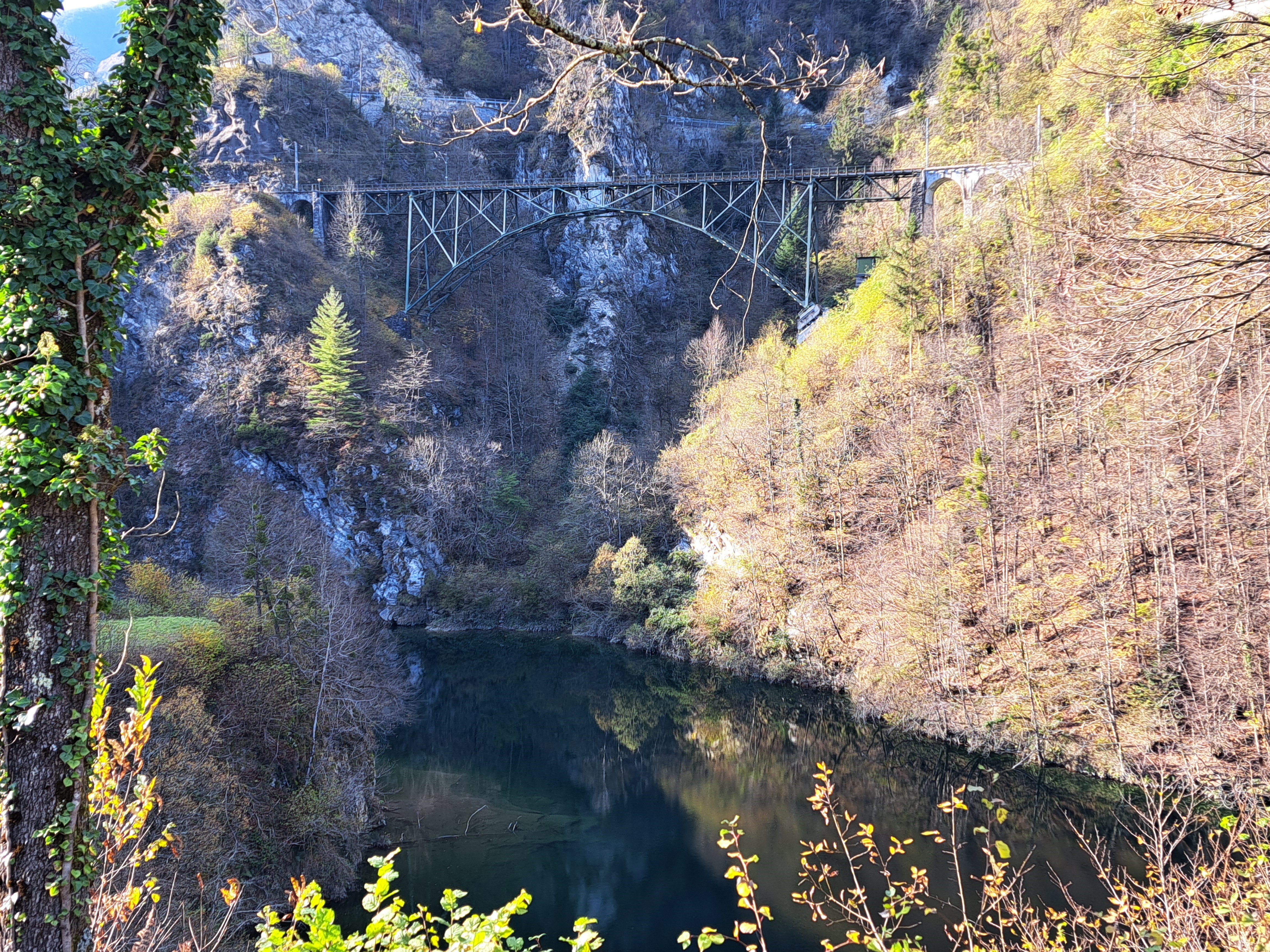
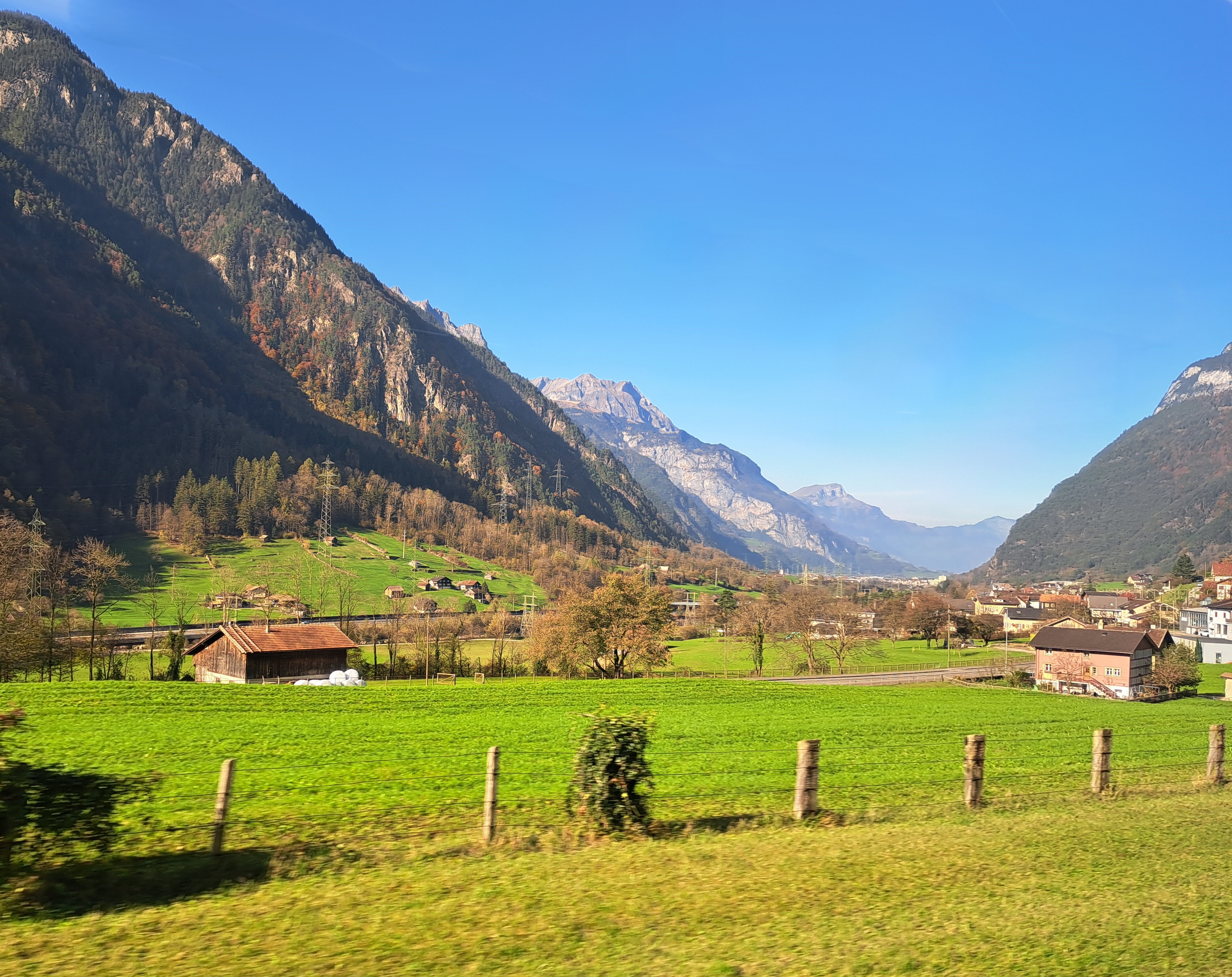
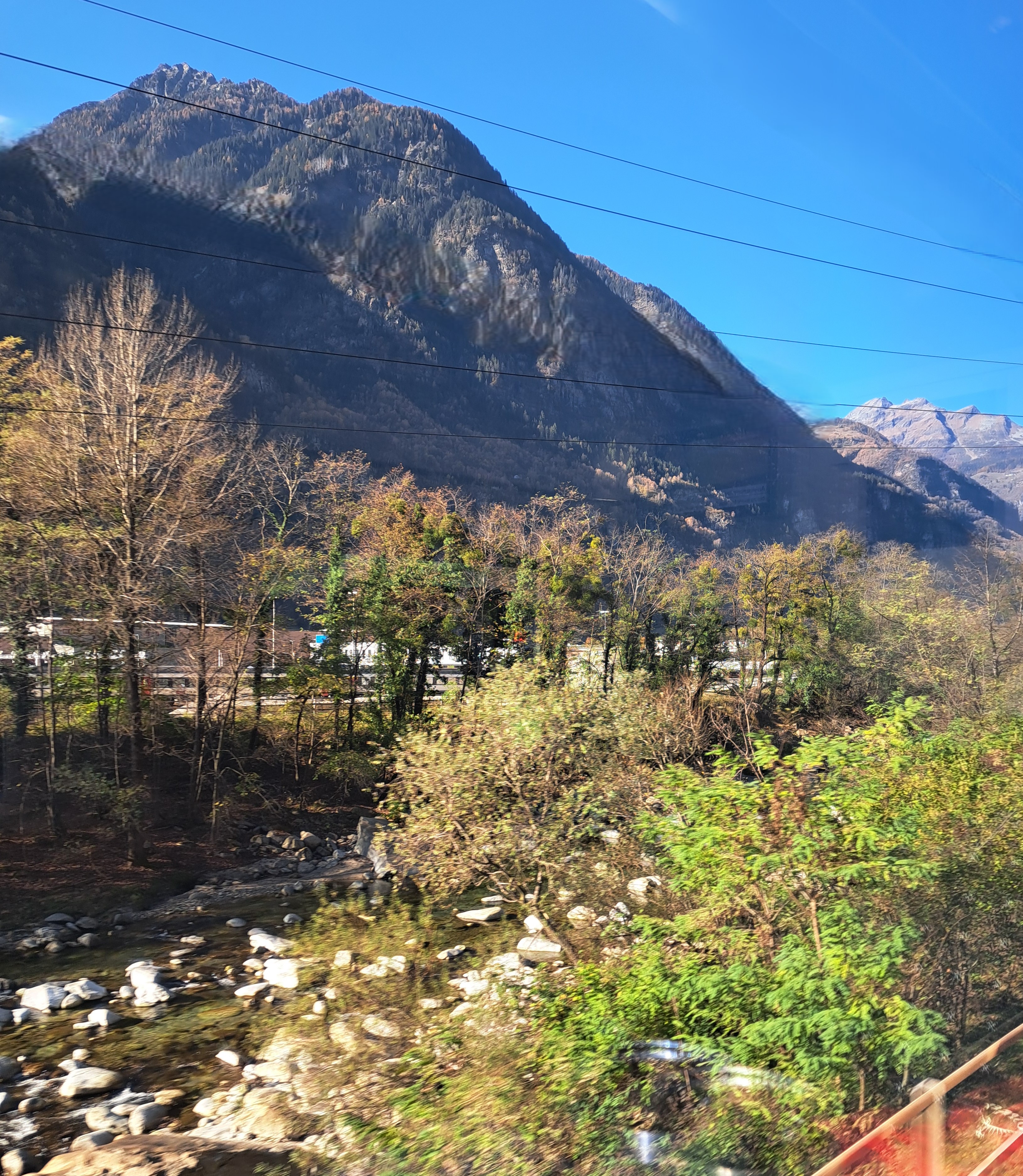
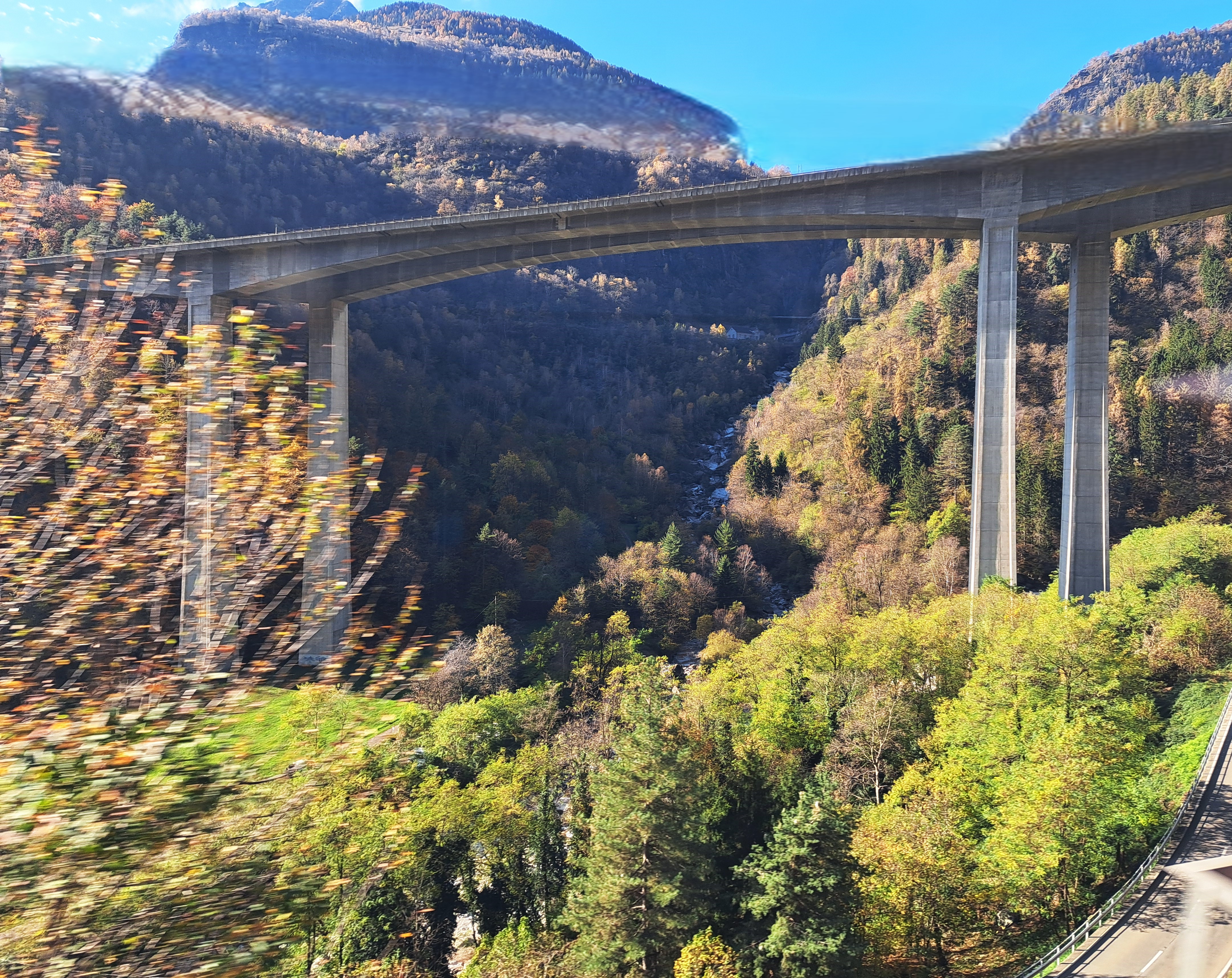
So after all that talk of Swiss history I thought I’d finally show you the few salvageable images I took while the train was heading north from Bellinzona to the Gotthard base tunnel en route to Zurich, the day after all those castle shots. I expect that highway bridge you see below is carrying traffic up to the car part of the same pass we were heading for, but can’t be certain. Sorry for any of the train-motion and window-blur effects that linger after my cropping and retouching.
Et voila, that Tibetan hanging bridge across a gorge in the hills northwest of Bellinzona (en route to Locarno) that I’ve been promising to show you for more than two months. There’ll be one or two more of this location, likely in a different series you can guess.
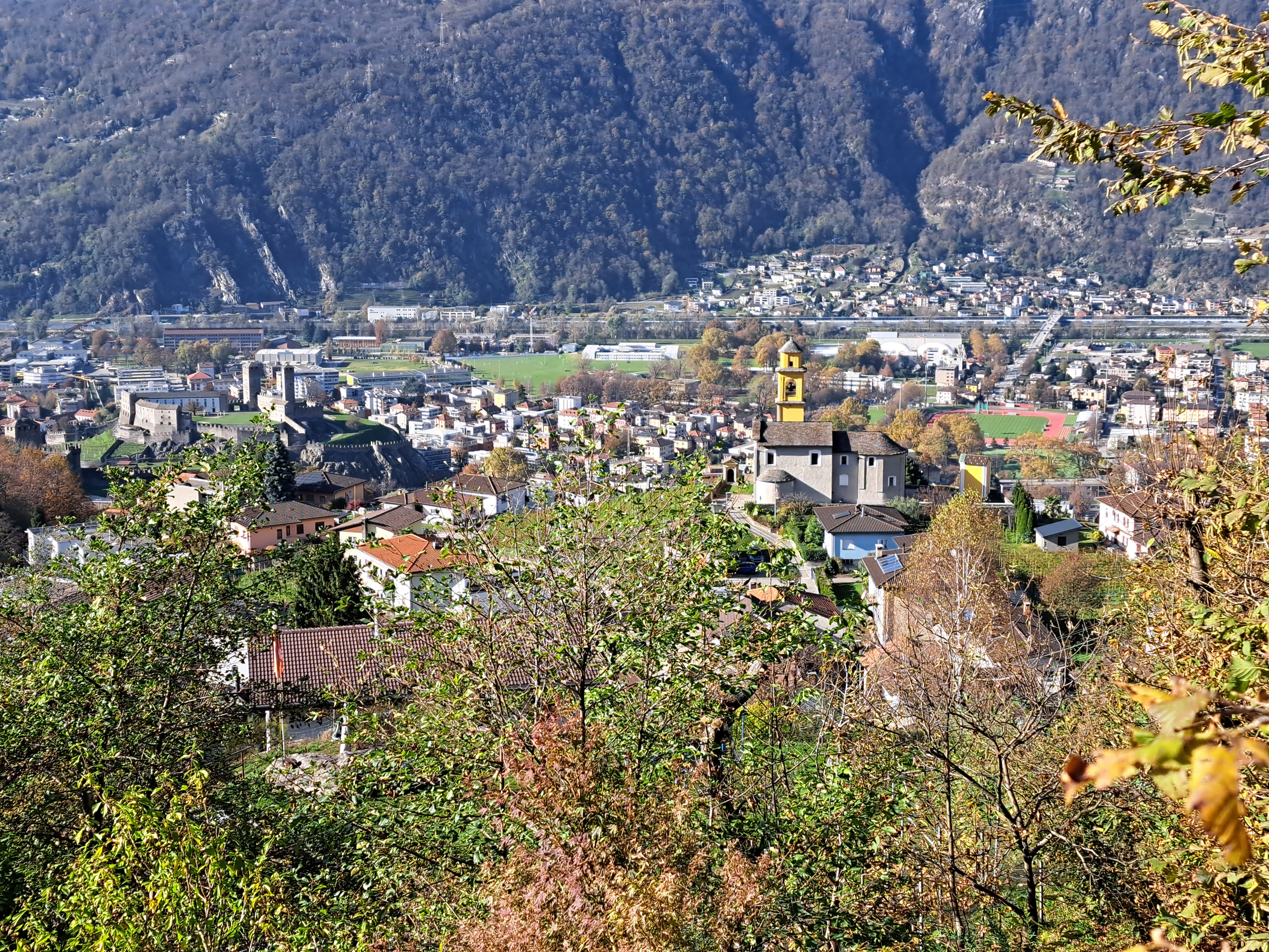
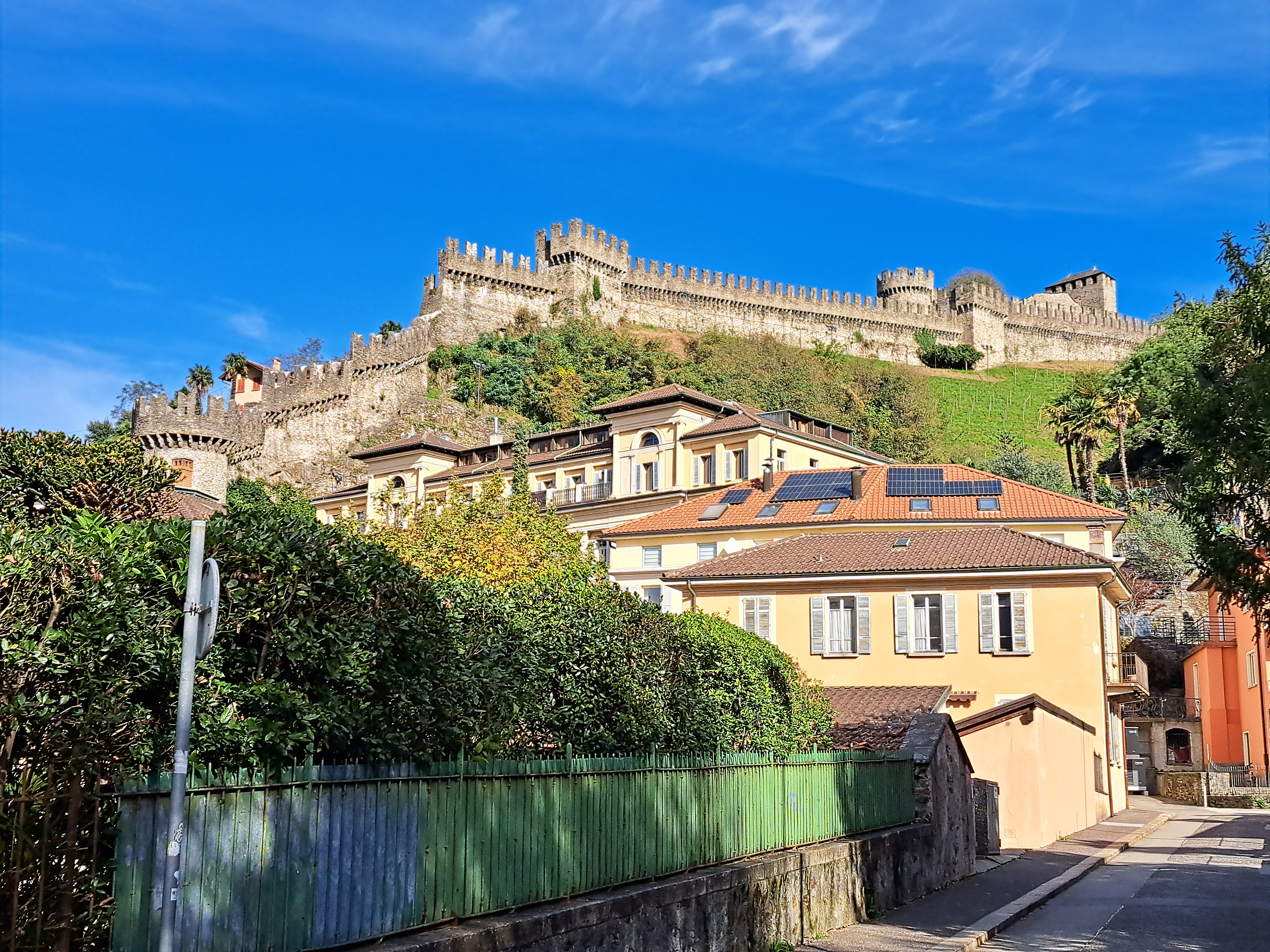
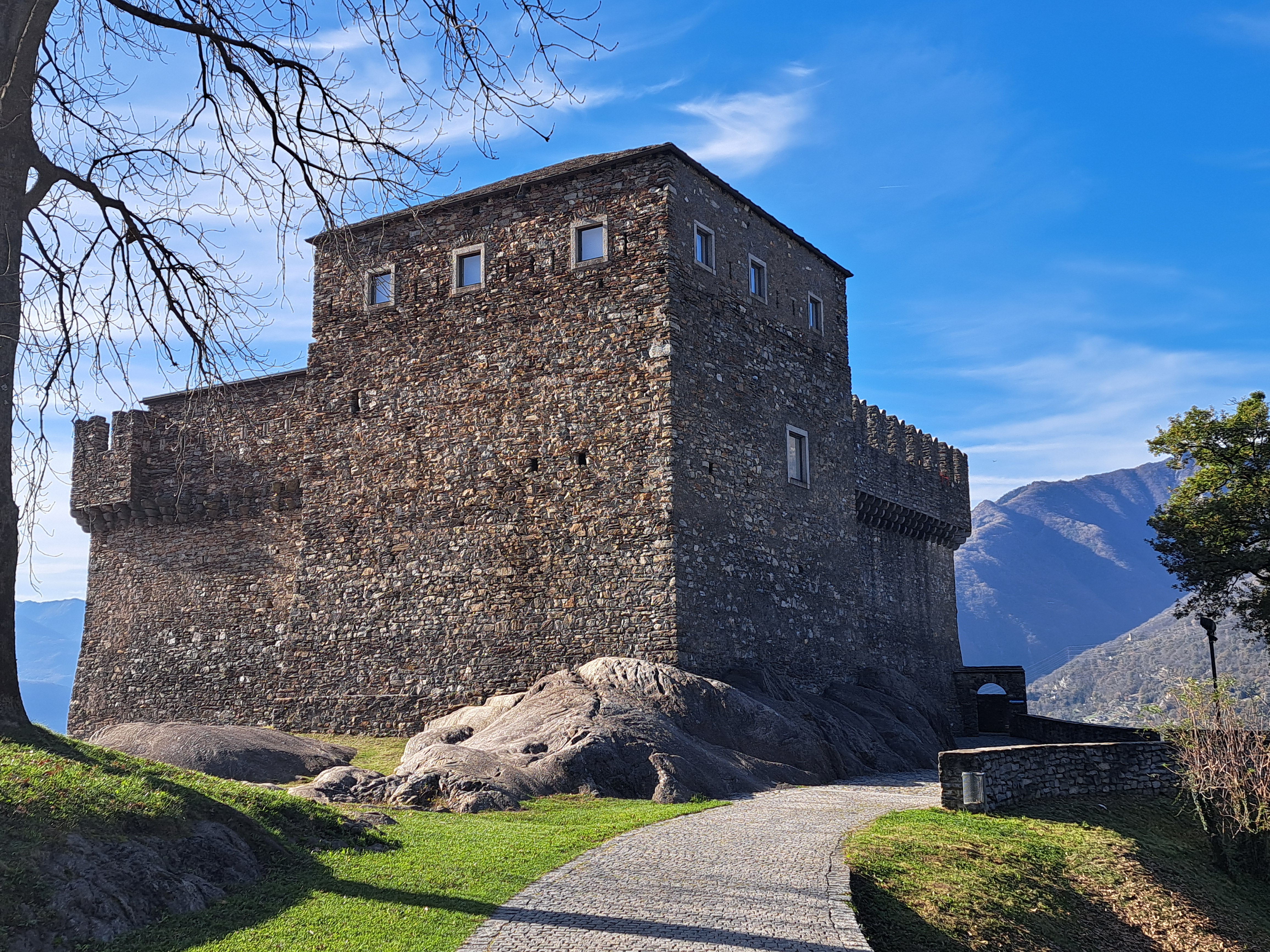
Welcome to Bellinzona, which is the capital of Ticino, Switzerland’s southernmost and only predominantly Italian-speaking canton. Its importance derives from its pivotal role in ensuring the Swiss Confederation took all this land south of the alps away from various Italian ducal cities which had claimed it.
Yes, it’s not coincidence that Switzerland has this large canton almost entirely south of the alps whose sole official language is Italian: three key central-Swiss cantons and founders of the Old Swiss Confederacy back in the 14-1500’s each built a castle strategically positioned to both protect the Gotthard pass – it’s north and east of the mountains on the far side just above and has since history began been the main pass through the alps – and to secure claim to the lands that are now Ticino. Turns out at one point they’d conquered land all the way down to Domodossola, which was the one place they were required to give back in the Peace of 1516. Who know the Swiss were once so expansionist?
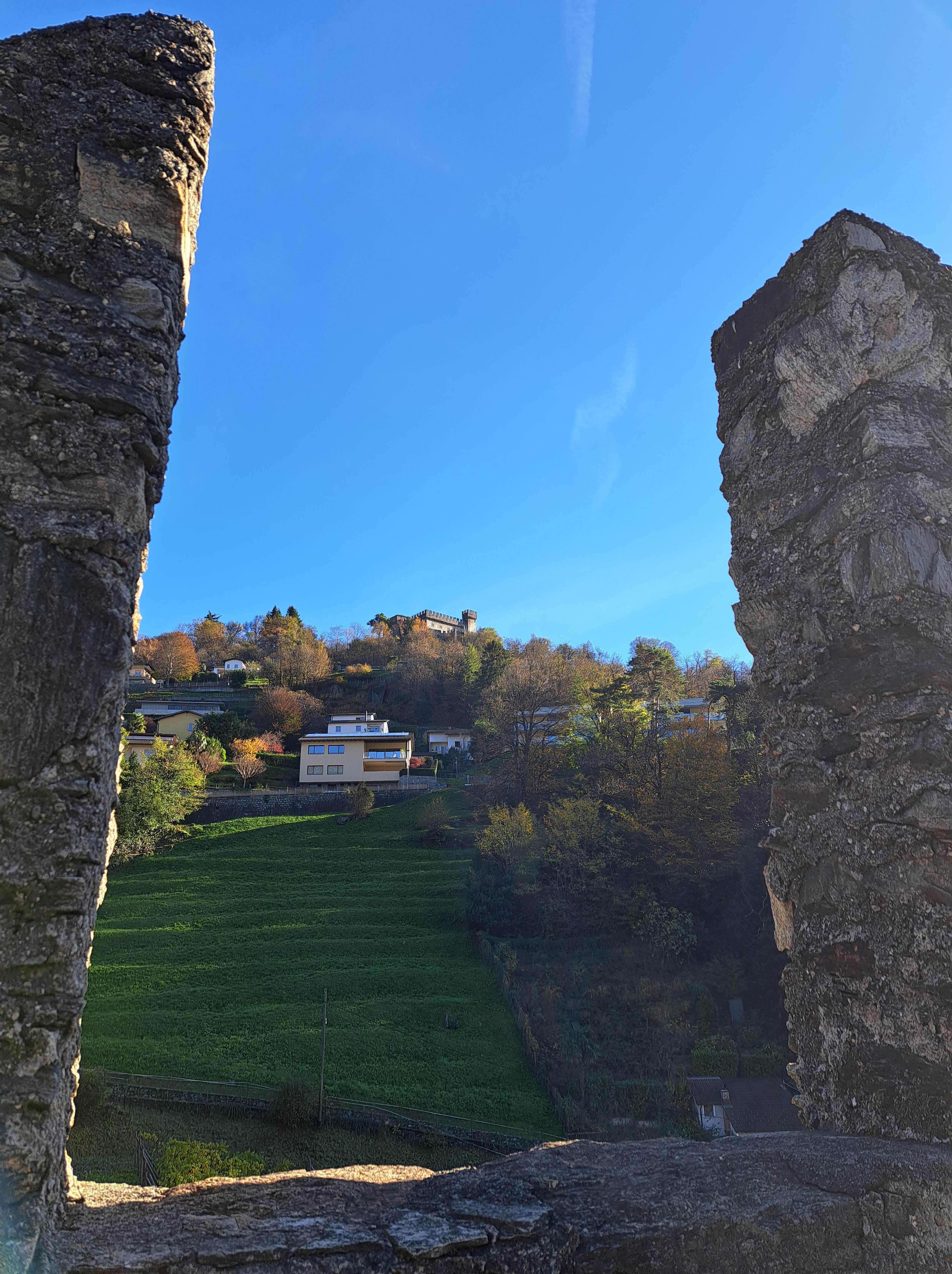
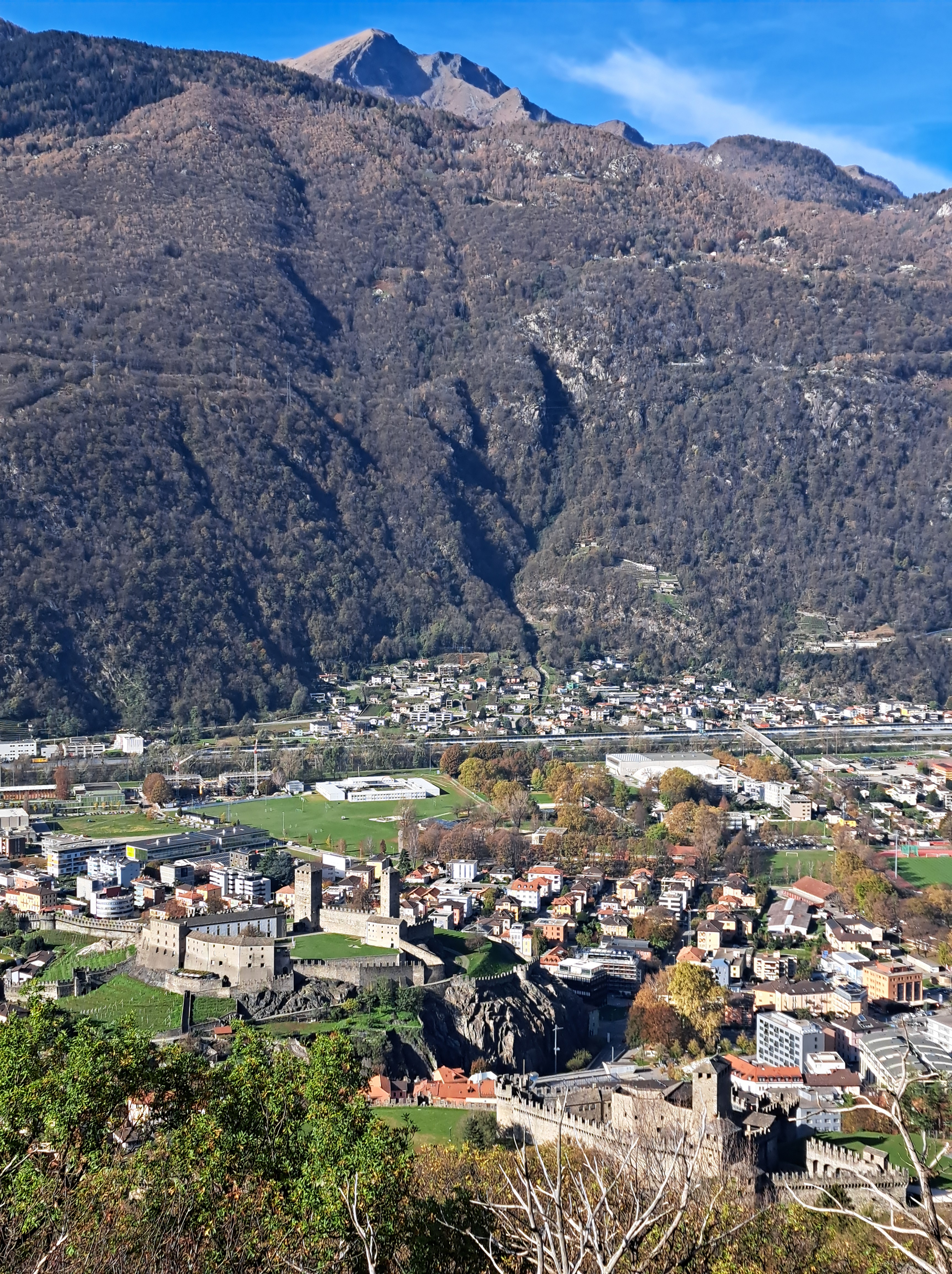
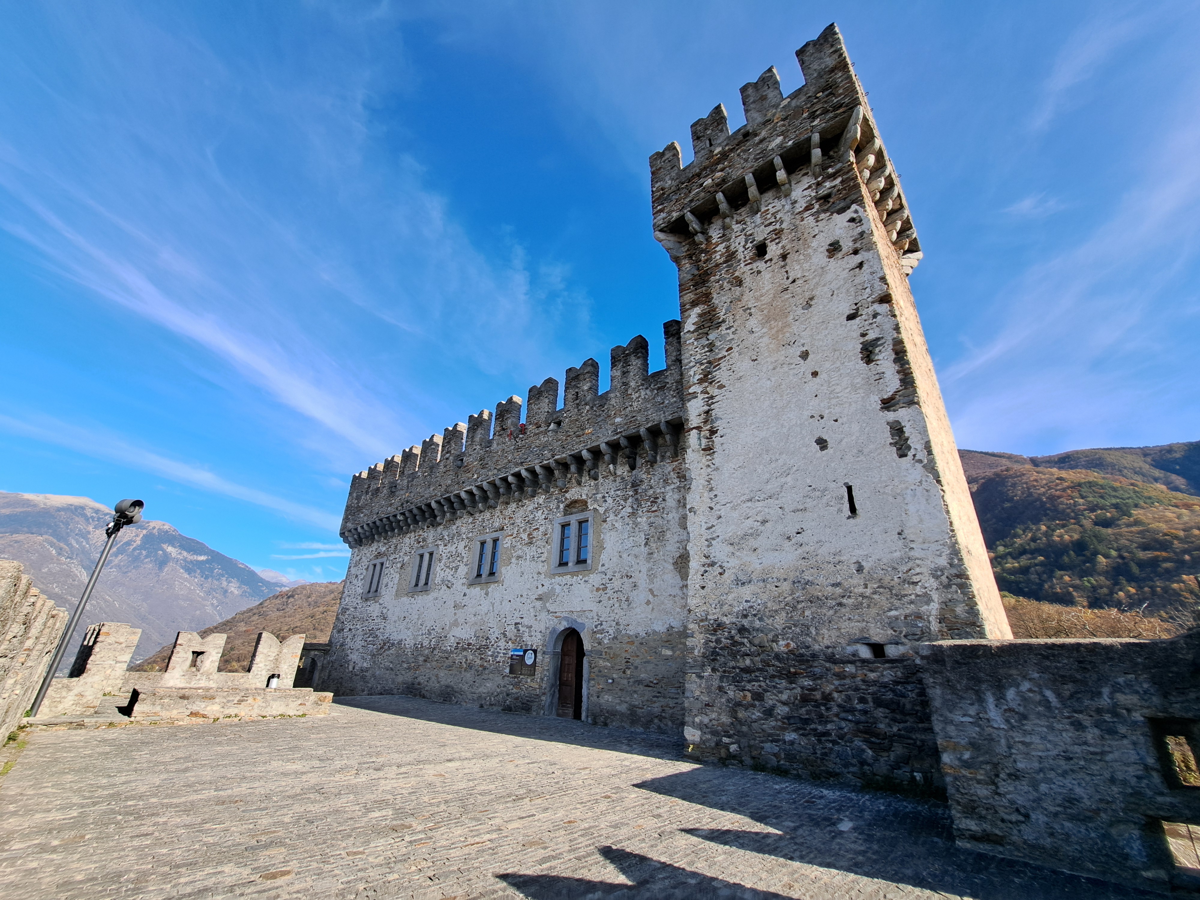
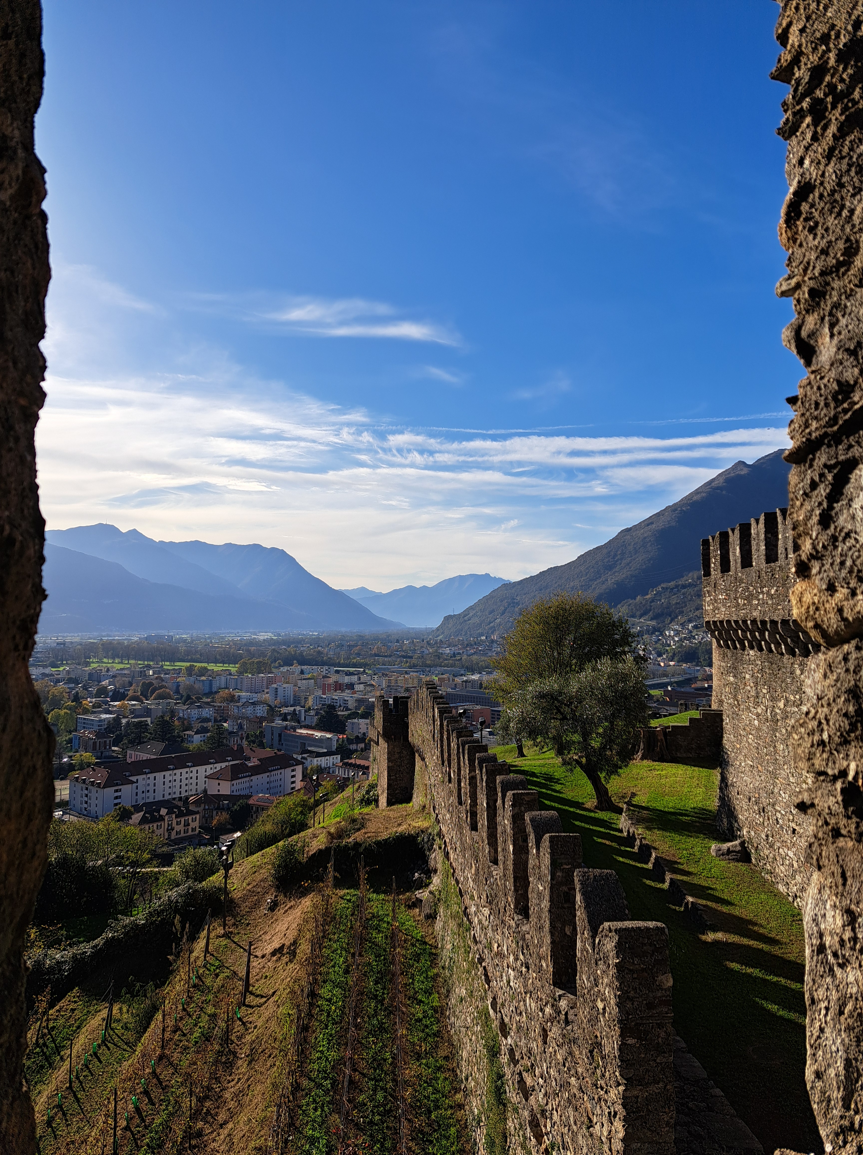
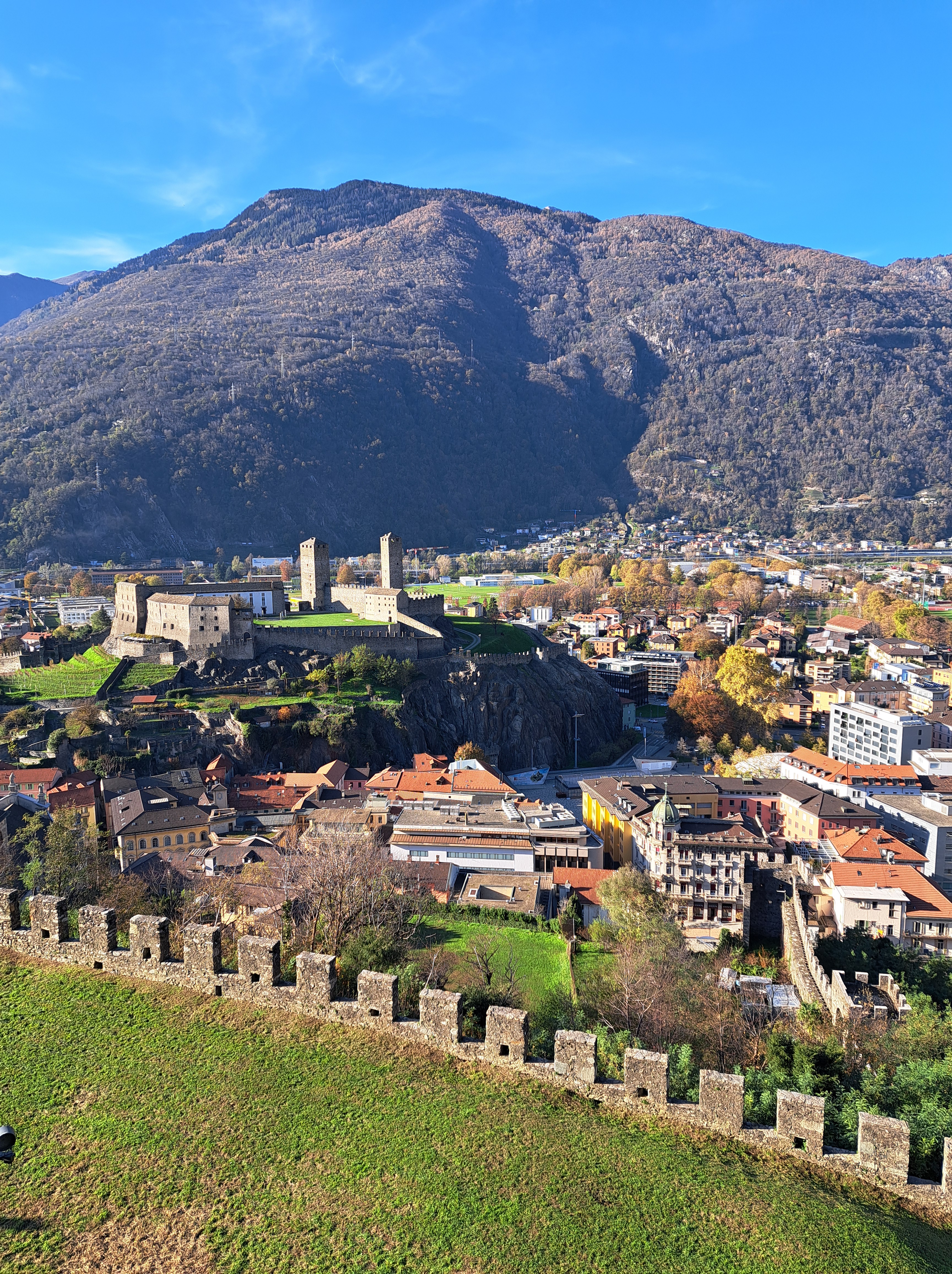
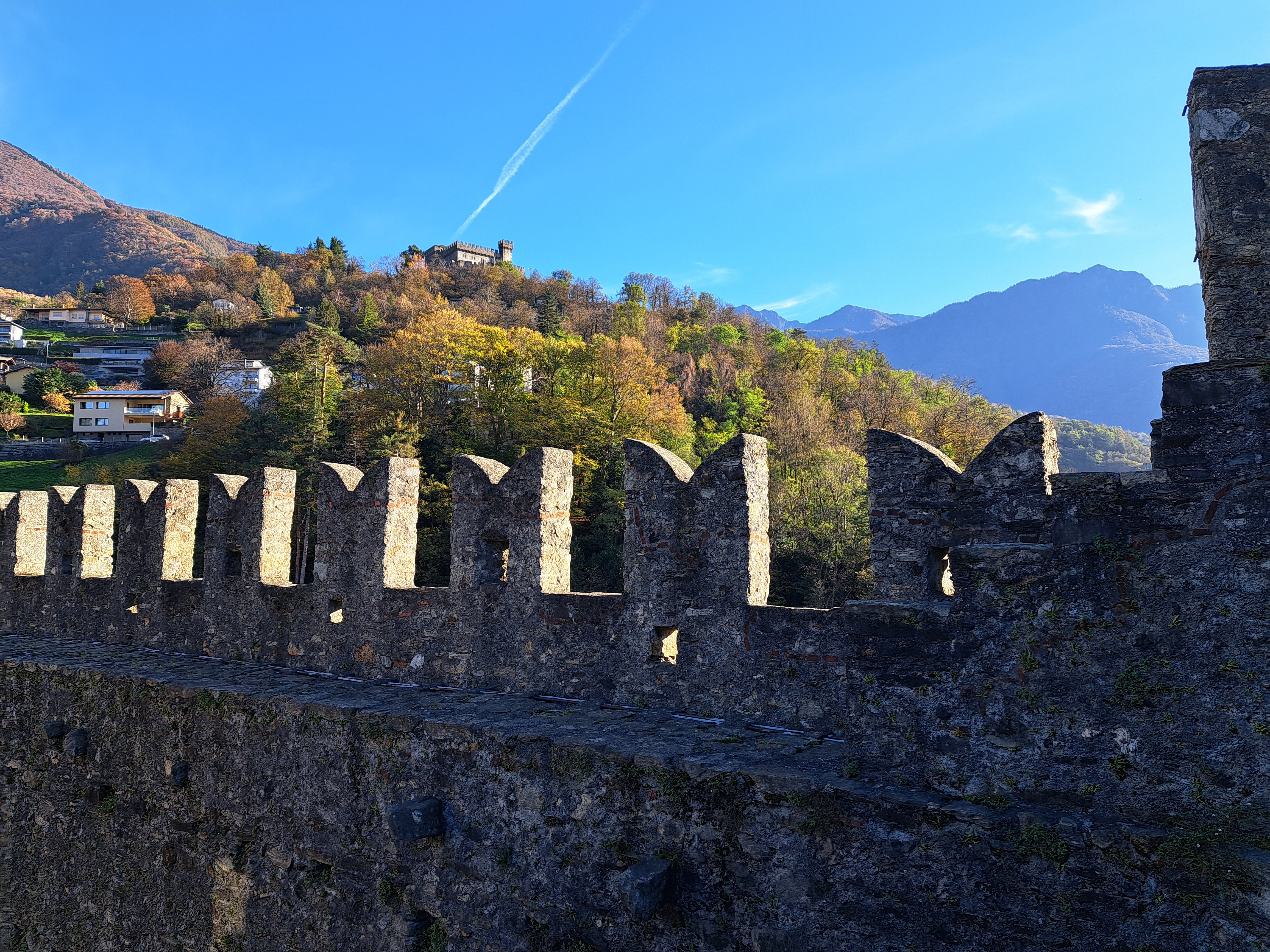
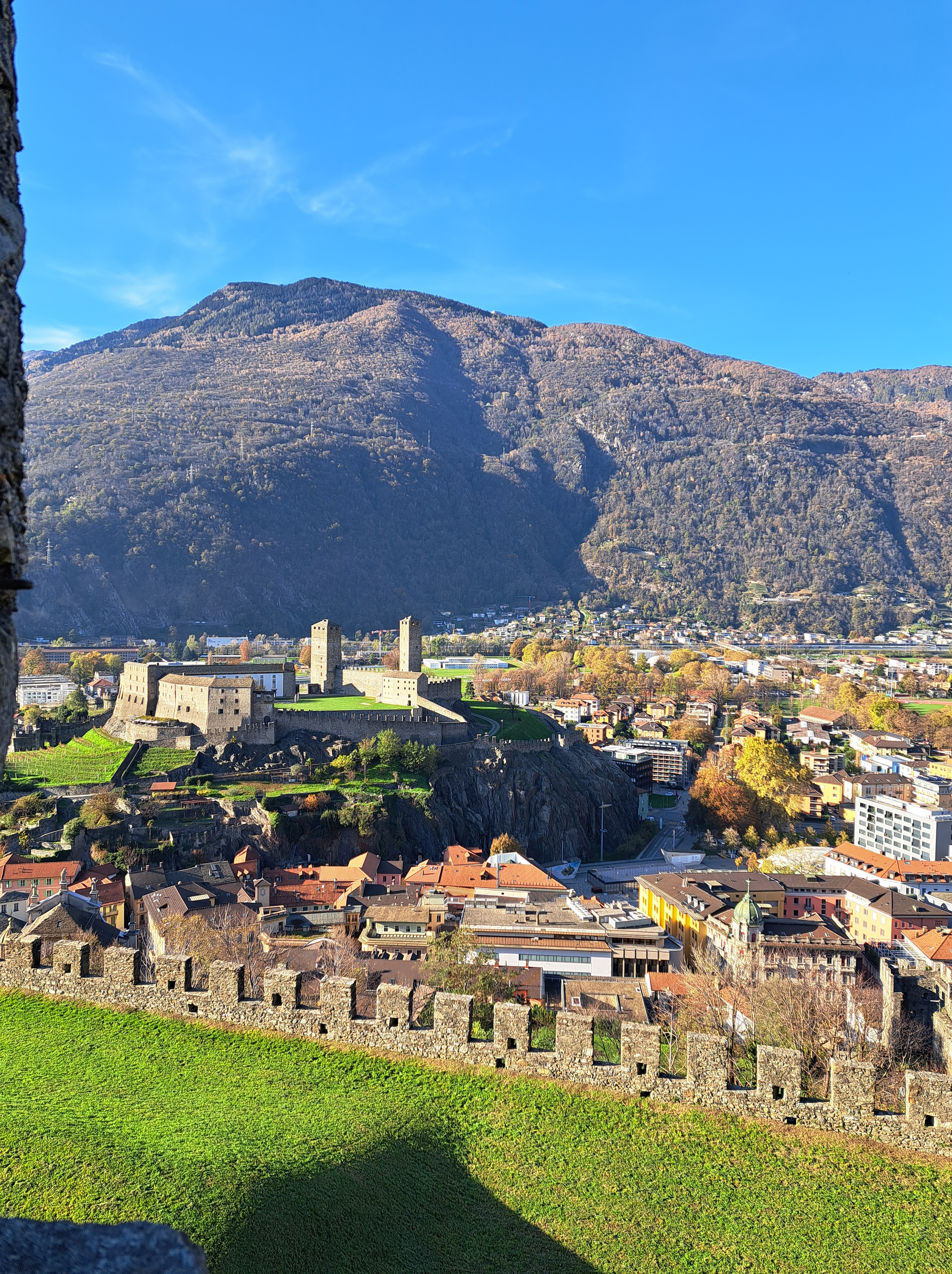
This photo immediately above shows you Castello di Sasso Corbaro at the top, seen through the crenelations on a turret of Castello di Montebello. We shared a glimpse of Sasso Corbaro in an earlier post, taken as I hiked up the other (western) side earlier this day, before walking and bushwhacking back down the east side to get to Montebello. (All of this was necessary because construction was blocking access to the main foot path from town up to this one.) The top picture shows you Castelgrande, the only one I didn’t get to, because after the bushwhacking etc. between these two castles, I chose the Tibetan hanging bridge at sunset instead, as noted in a prior post more than two months ago … in which I promised both to show & tell you more about Bellinzona (promise now fulfilled), and show you the Tibetan hanging bridge (promise still outstanding). The first photo in the gallery below should be showing you both Montebello (closer) and Castelgrande (farther) as seen from Sasso Corbaro. Enjoy these views of the most historically important of Ticino’s lovely cities.
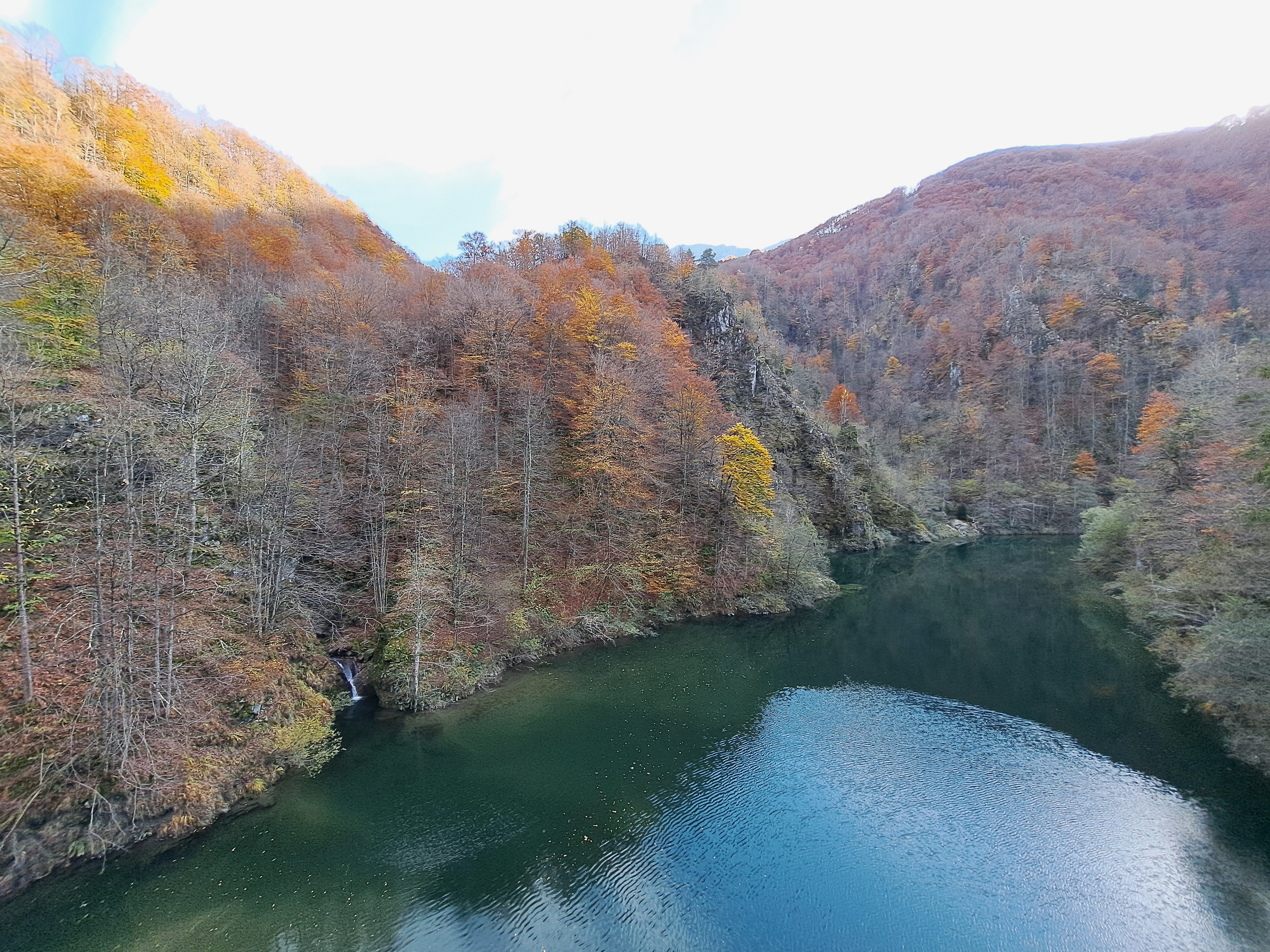
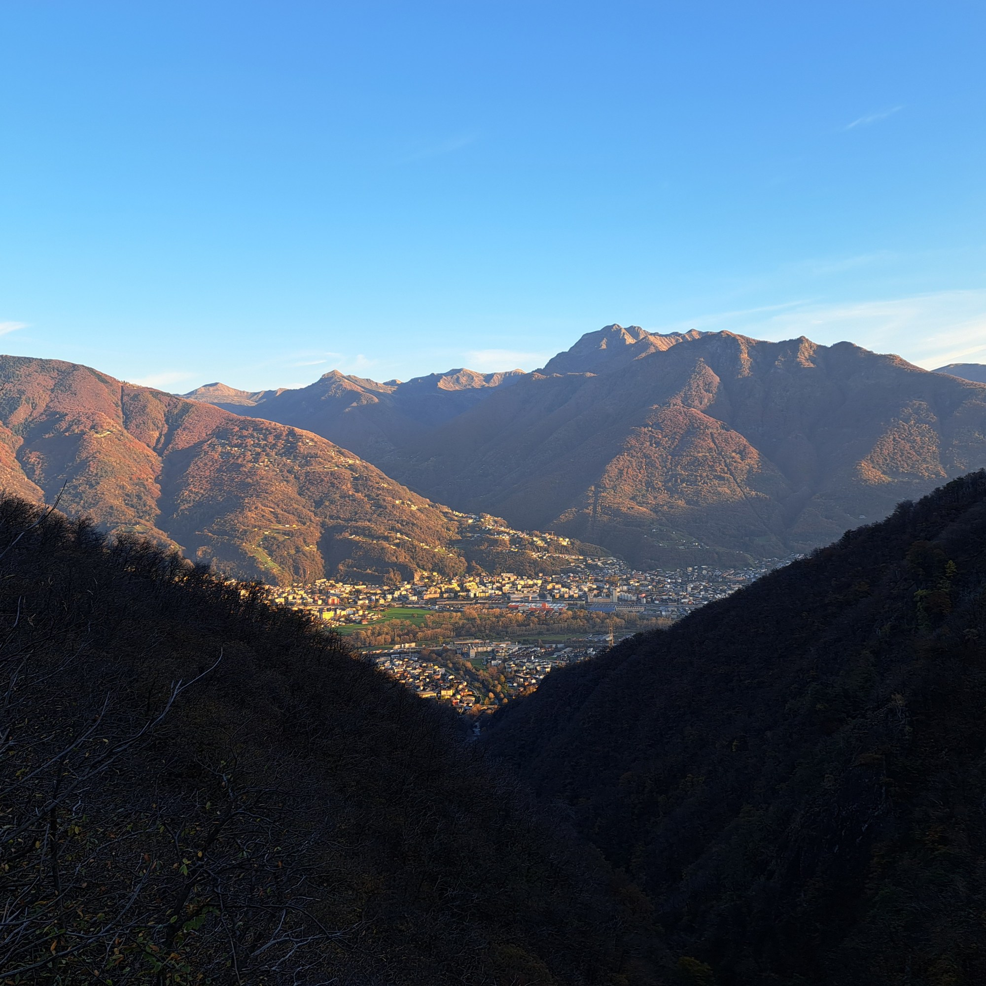
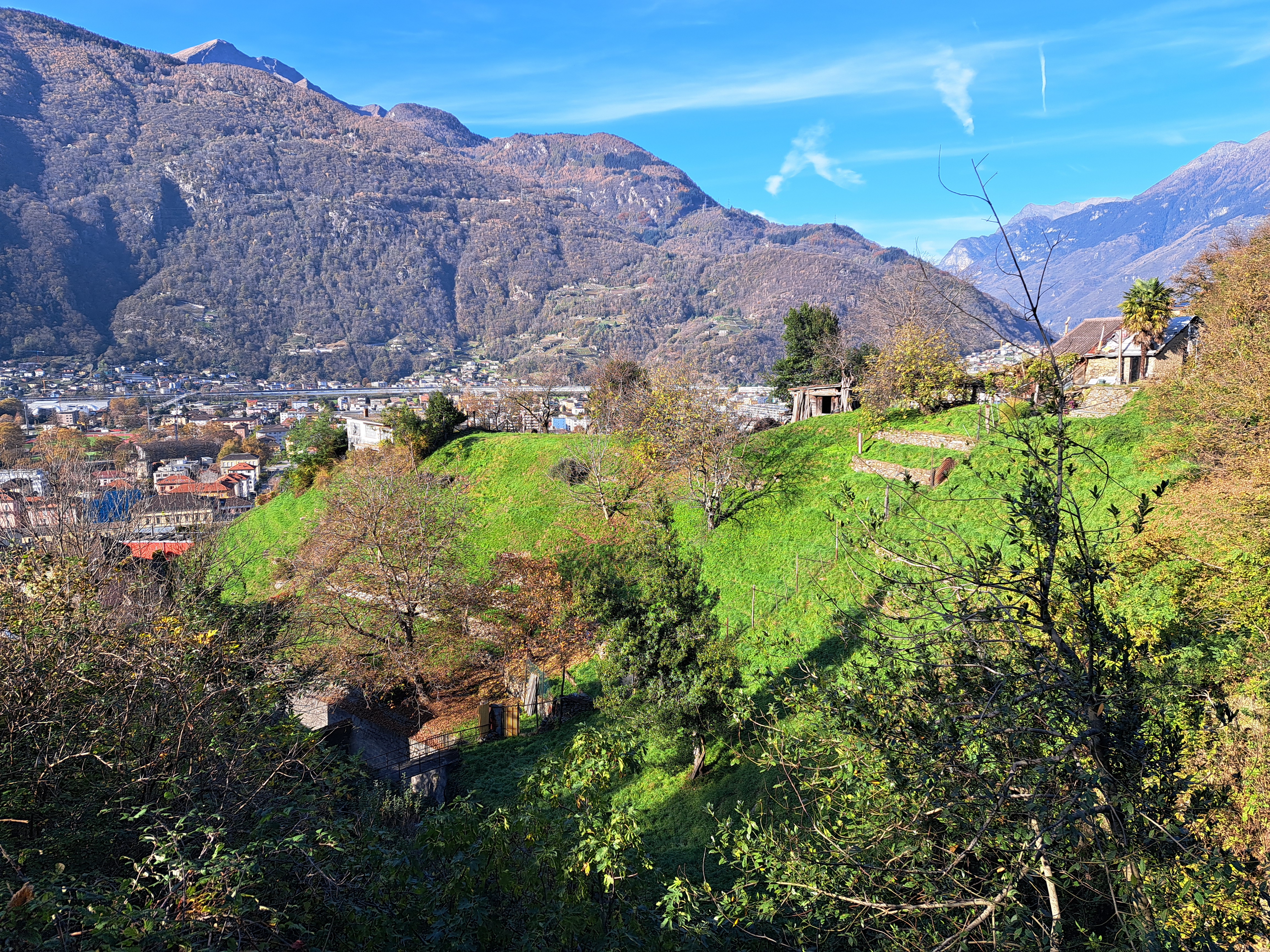
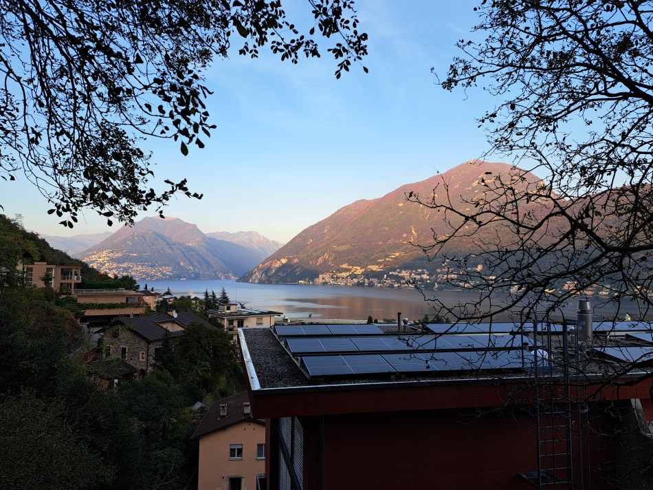
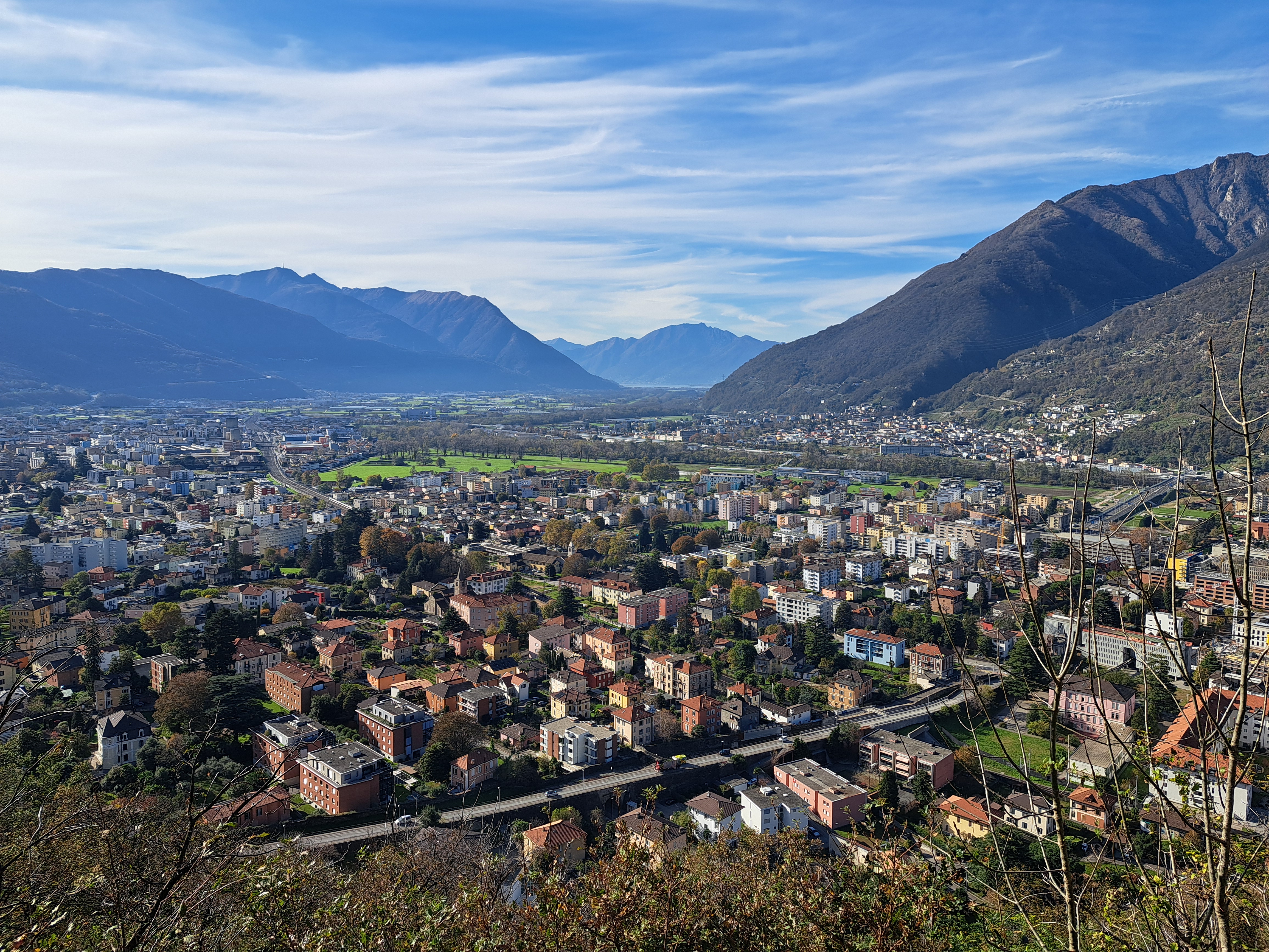
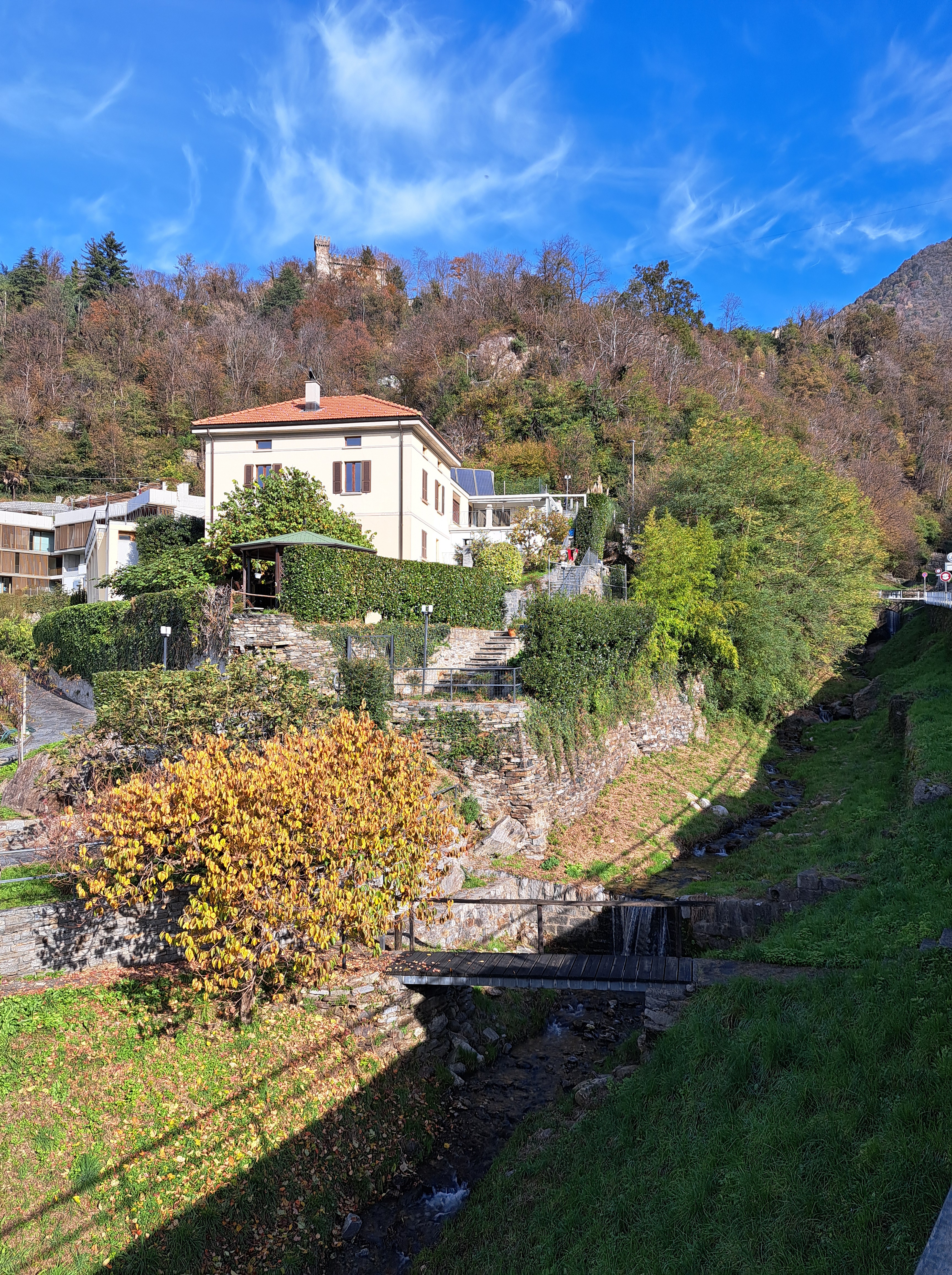
We’re in the hills above Bellinzona, walking toward Castello di Sasso Corbaro, which you can see at the top. It’s one of the three castles guarding three key passes into this valley which gives access to Lake Lugano, into which this stream above and below will flow. (More about all that, quite soon.) Below, you’re looking pretty much west to where you can just make out Lago Maggiore’s northeasternmost arm.
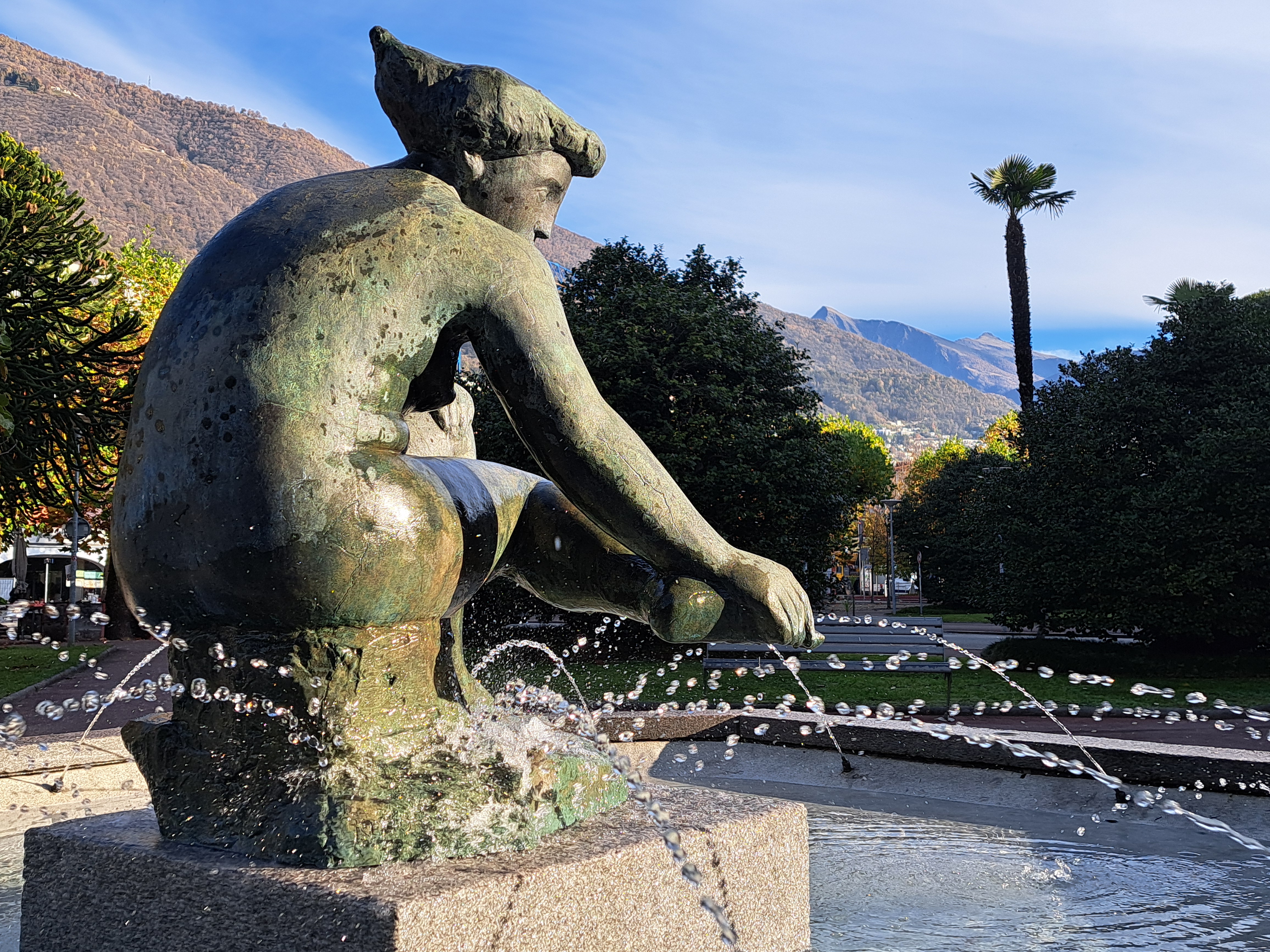
I was delighted enough with the way this photo captured the water from this downtown-Locarno fountain that I decided we’ll try yet another new series, and I’ve been pondering what to name it in the months since I first took this image. Living water? Moving water? It’s Alive? Almost went with the last, but it sounds too much like a horror film. Vote your pick below, if you wish. I did promise a few new things in this new year, and unlike a few politicians I’ve experienced, I tend to keep promises 🙂
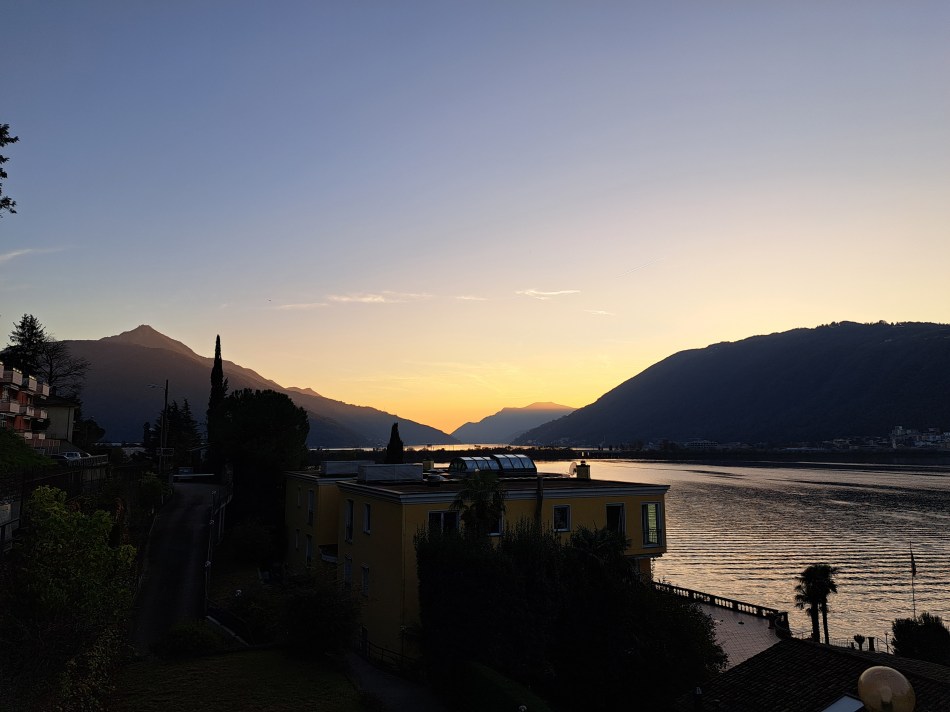
These are all from my first evening ‘living’ if only briefly in the village of Bissone on the southeastern shore of Lake Lugano. Curious about the Italian exclave, and noting that it was a short walk past the nearest grocery store where I’d be buying my dinner fixins and breakfast supplies, I walked on up the narrow road without decent sidewalk and caught these views, some of Campione d’Italia and others looking more south. In the gallery below is another image similar to the one above, which I’m sharing b/c it lets you better see the causeway that made overland travel possible between Melide and Bissone, early in the last century. John (and possibly others equally curious), you’ll be interested in the Wikipedia article on Campione and how it came to exist, and this arch, and the the boundary marker I showed in my last post from Campione.
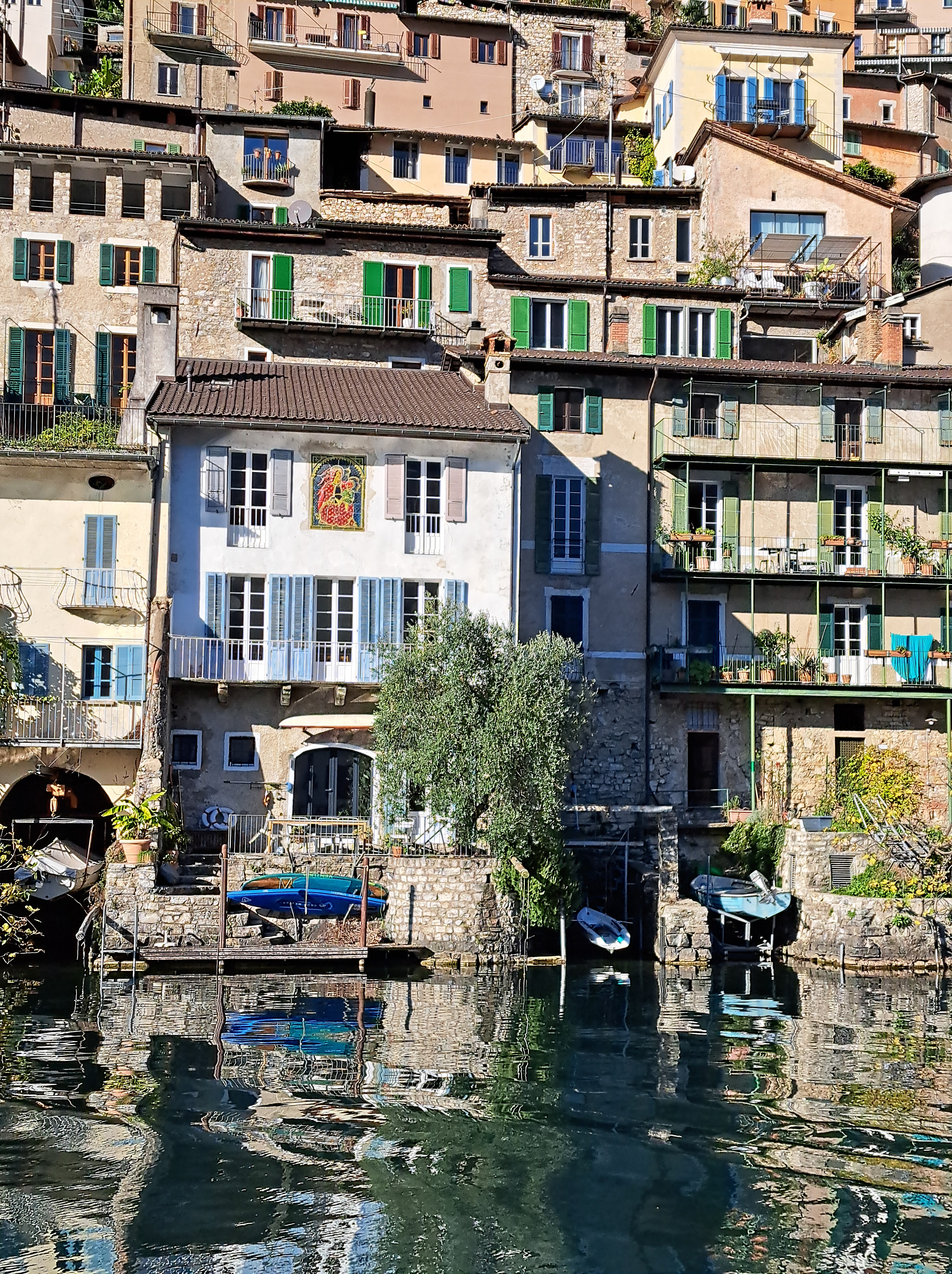
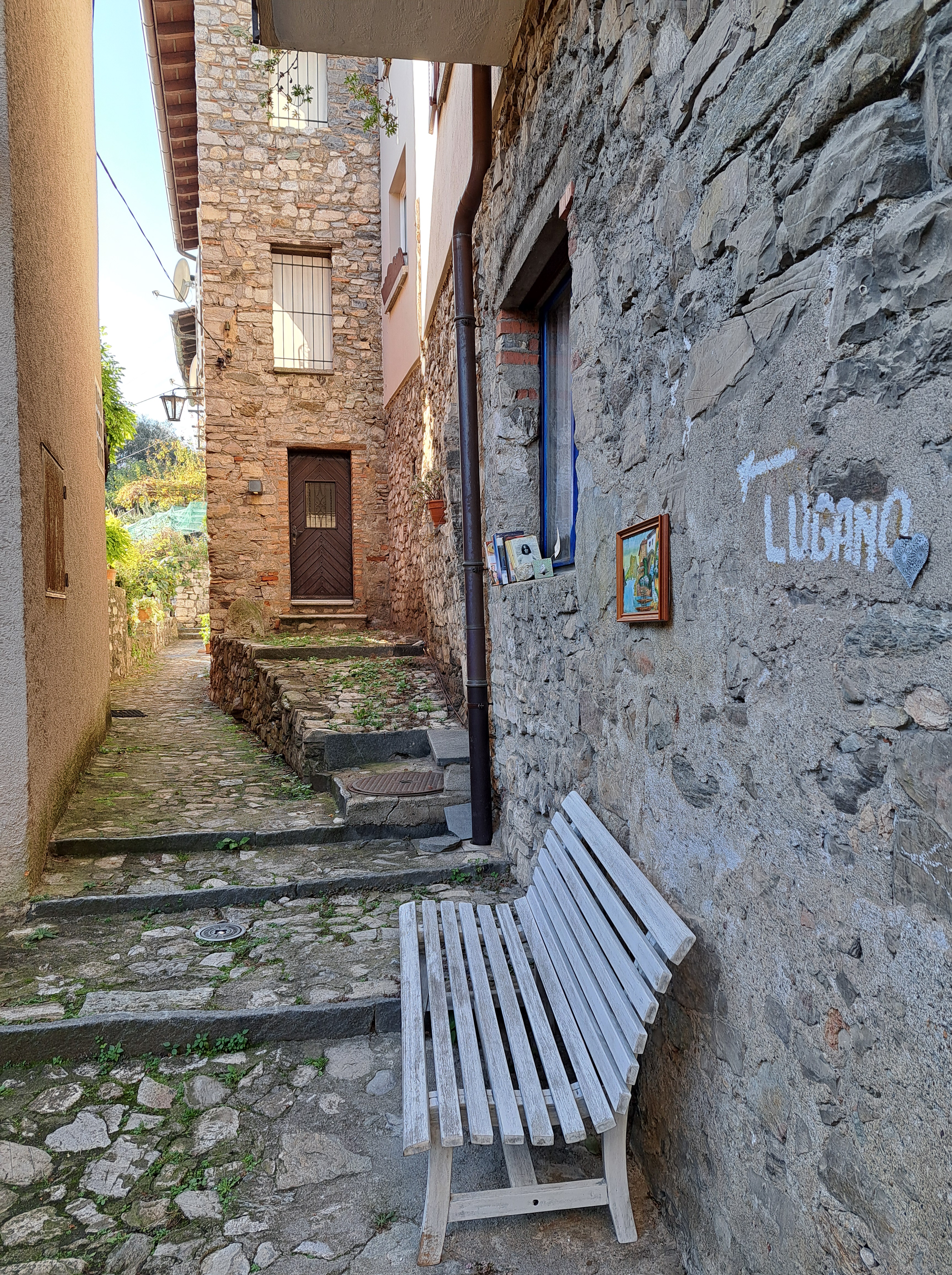
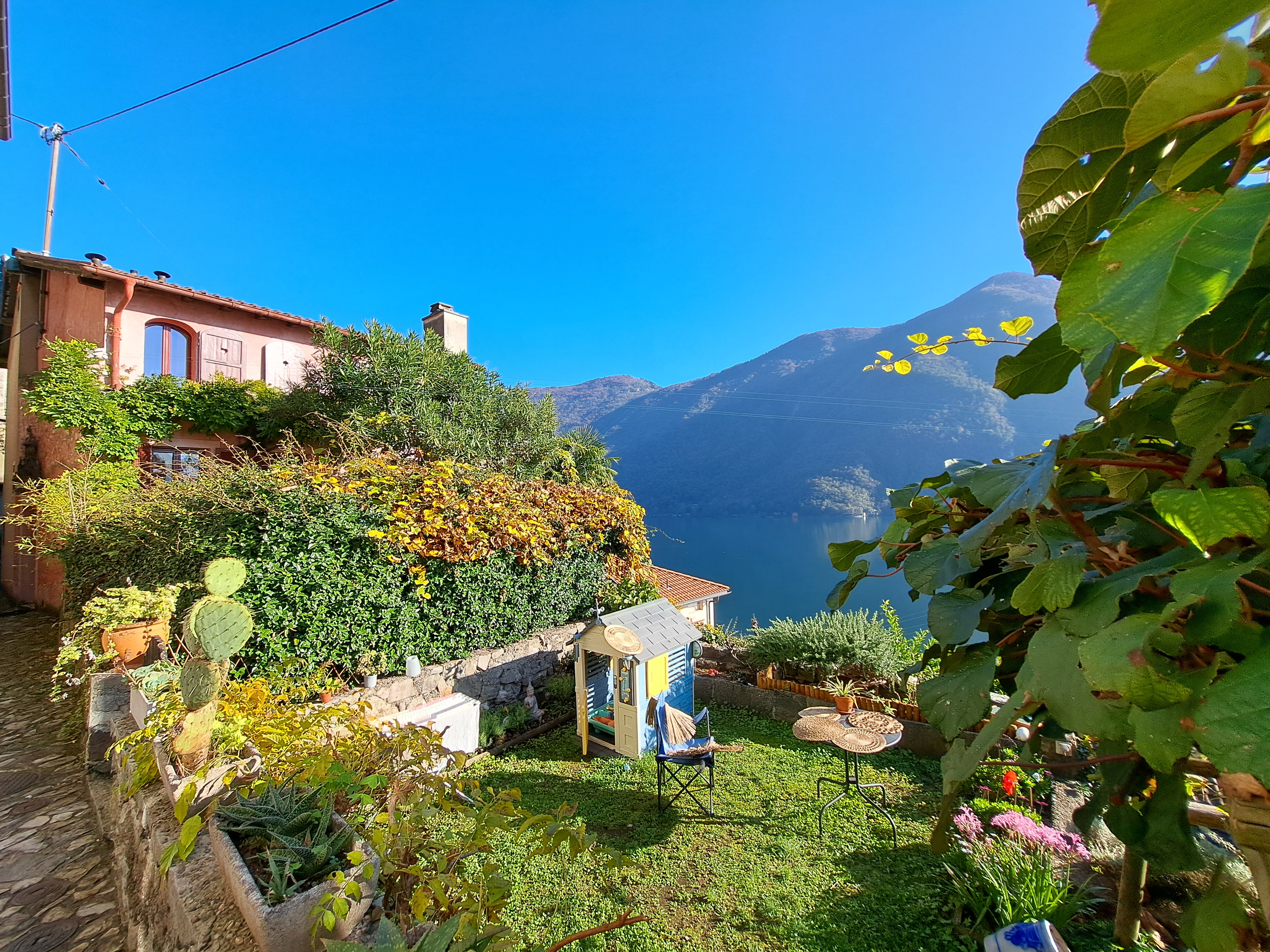
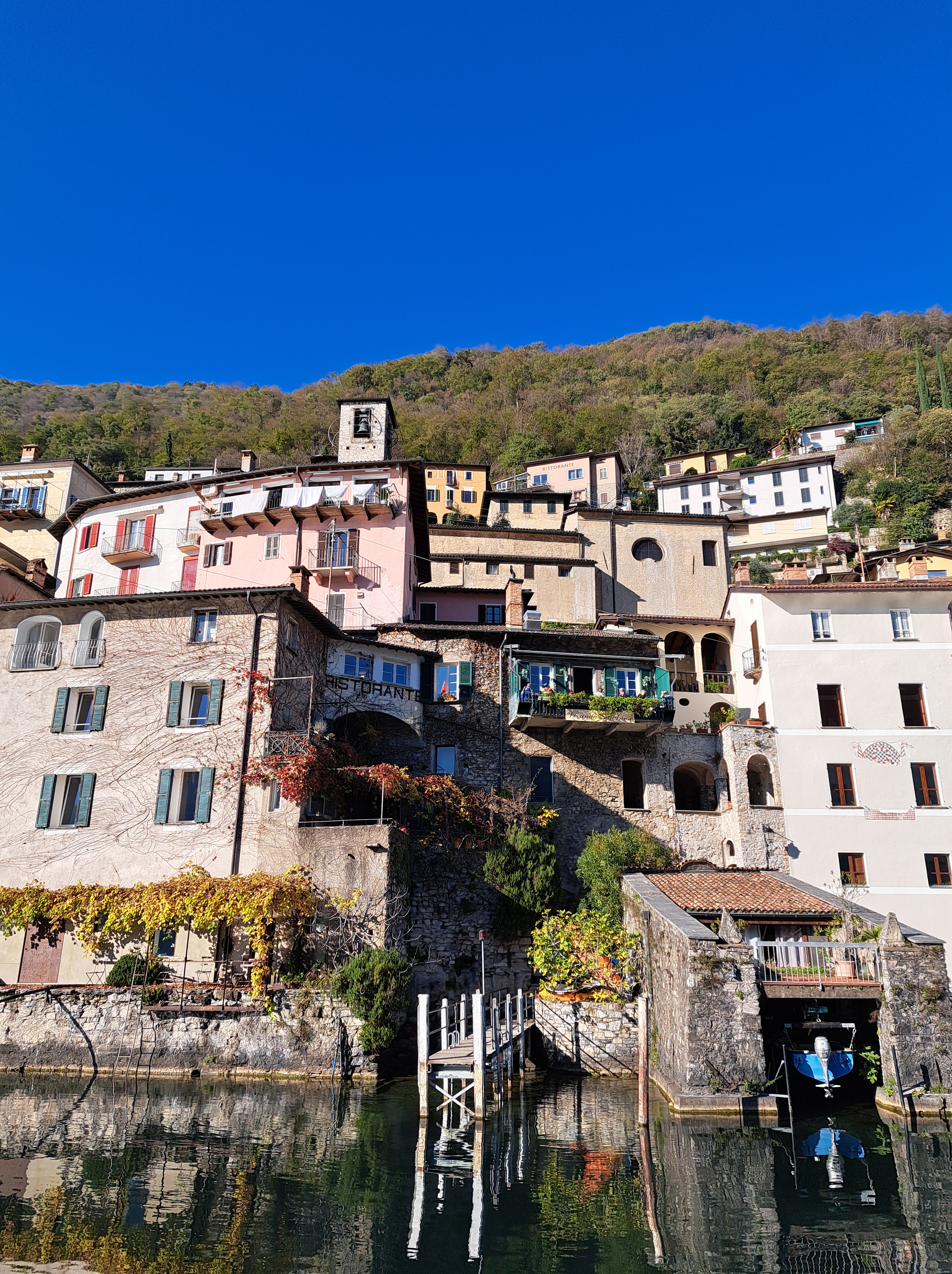
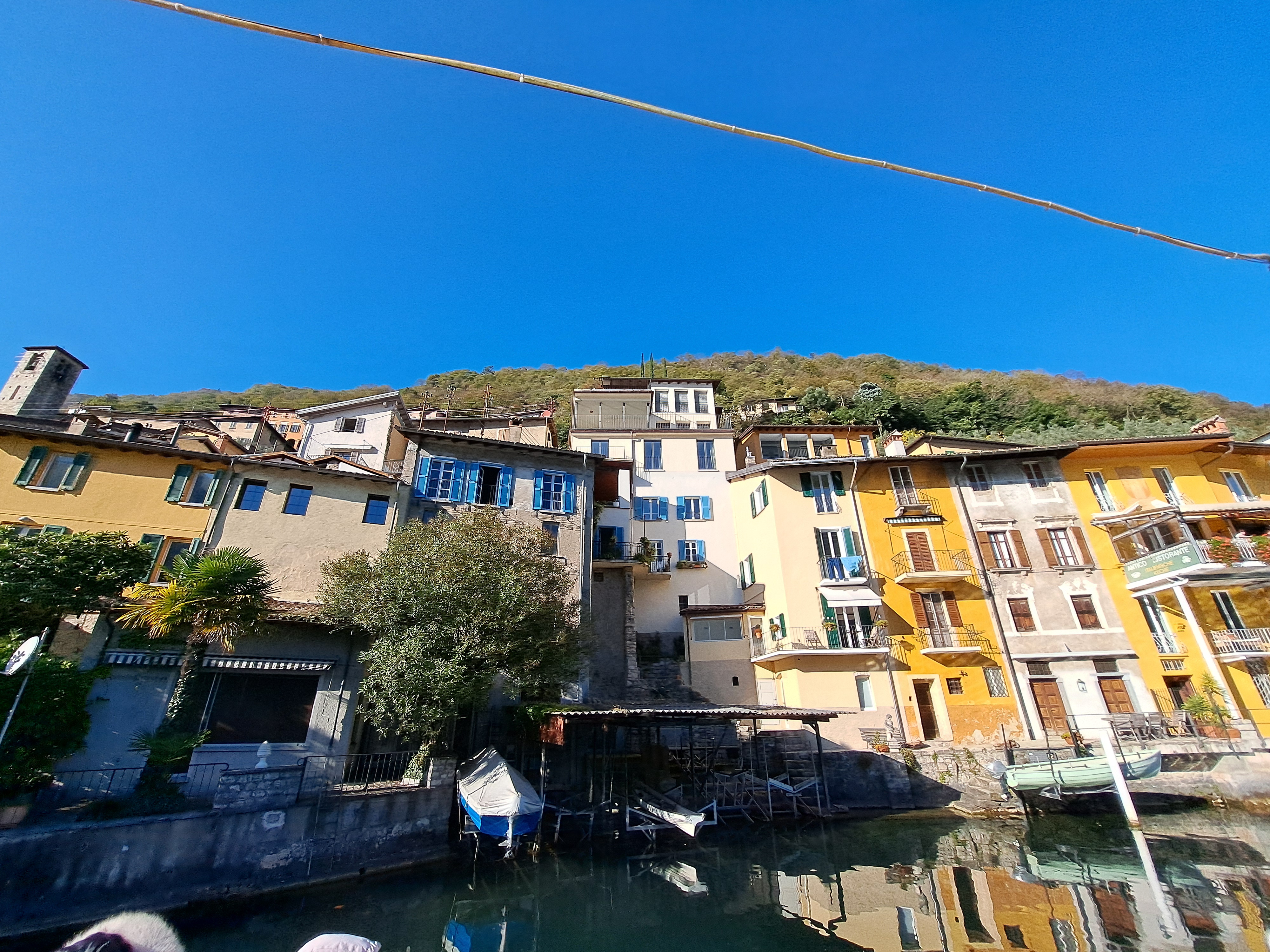
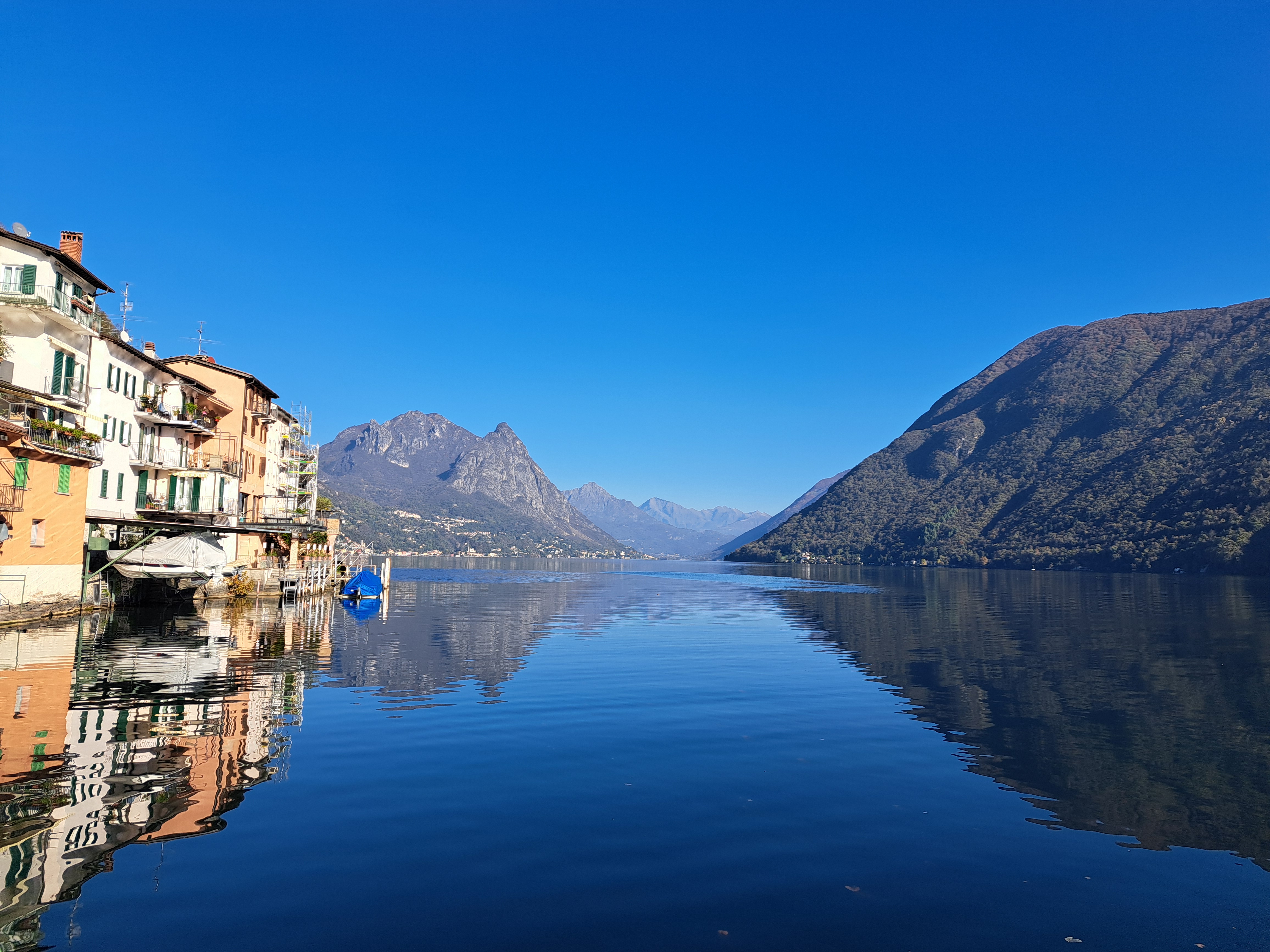
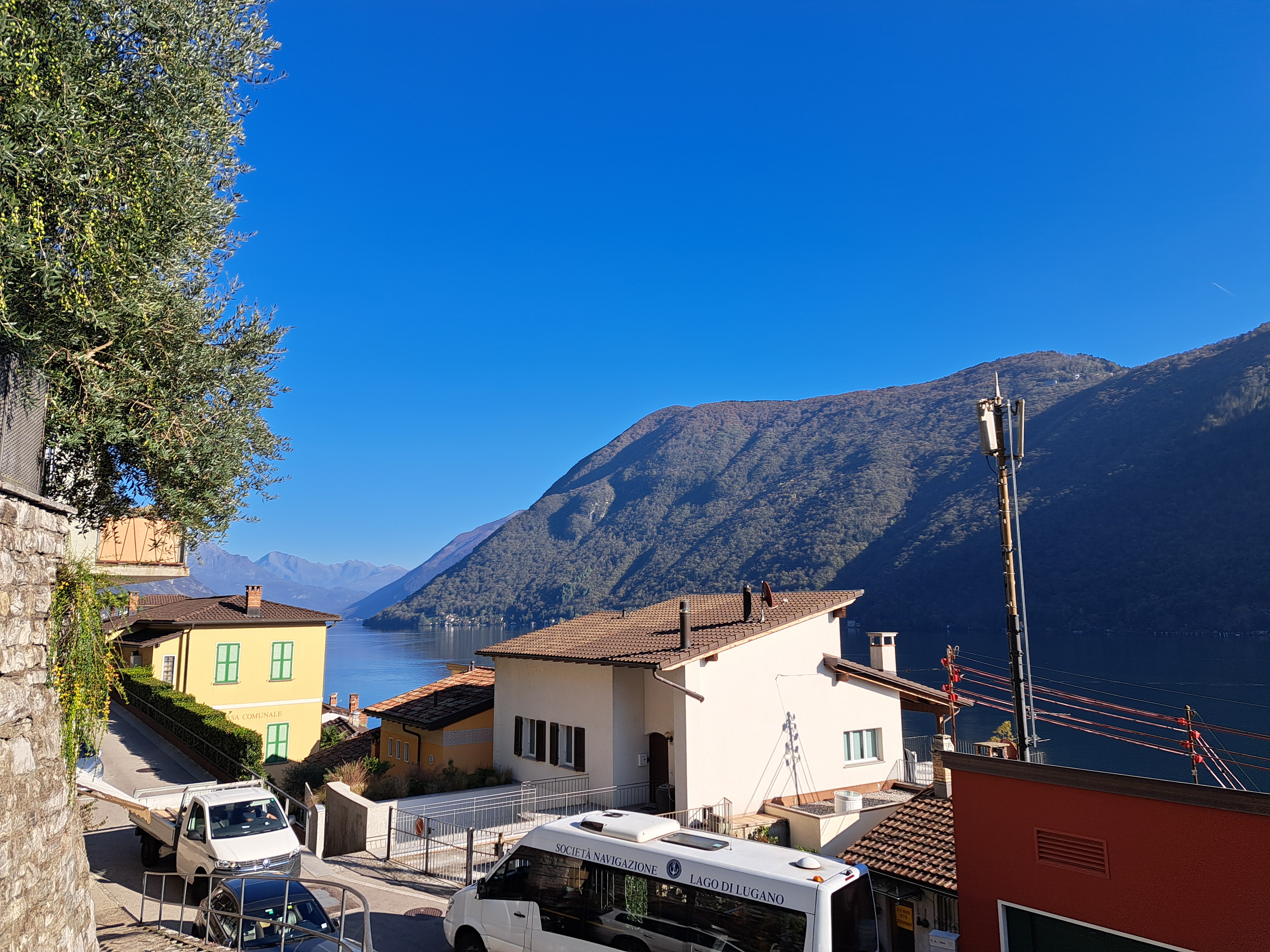
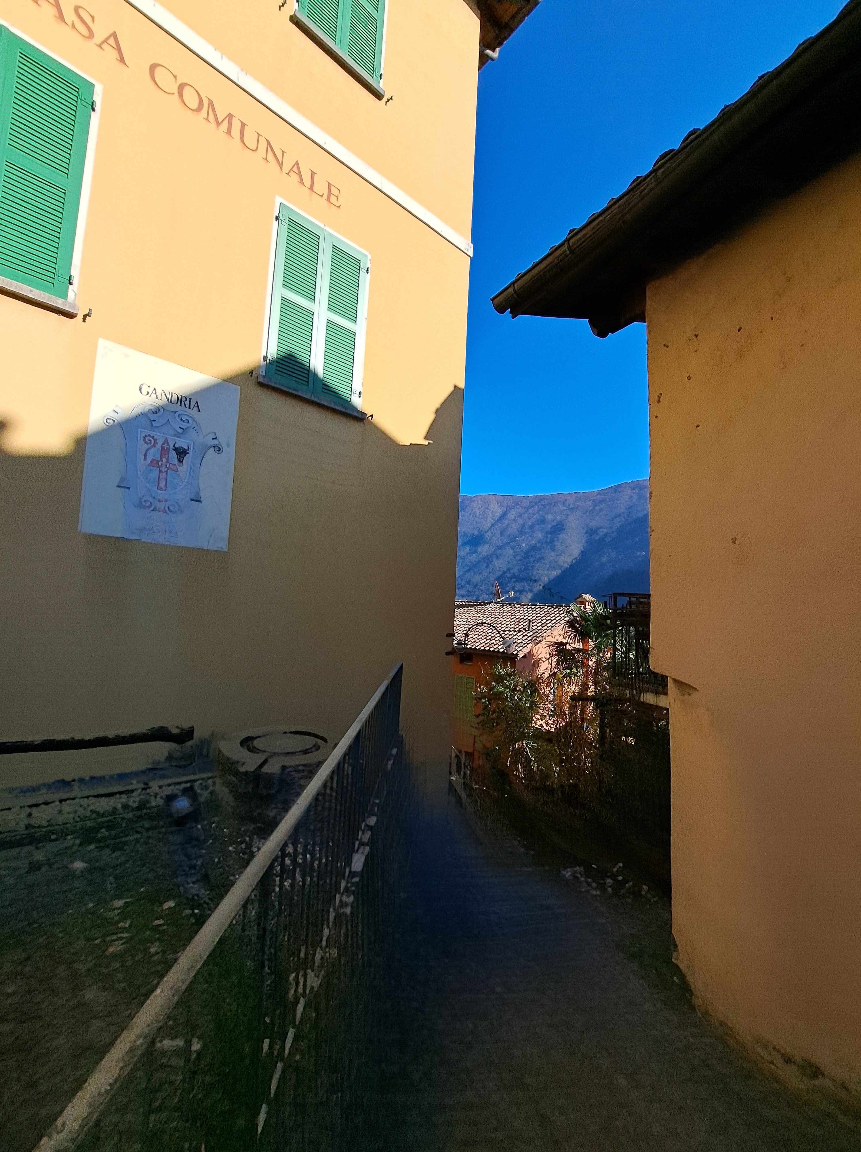
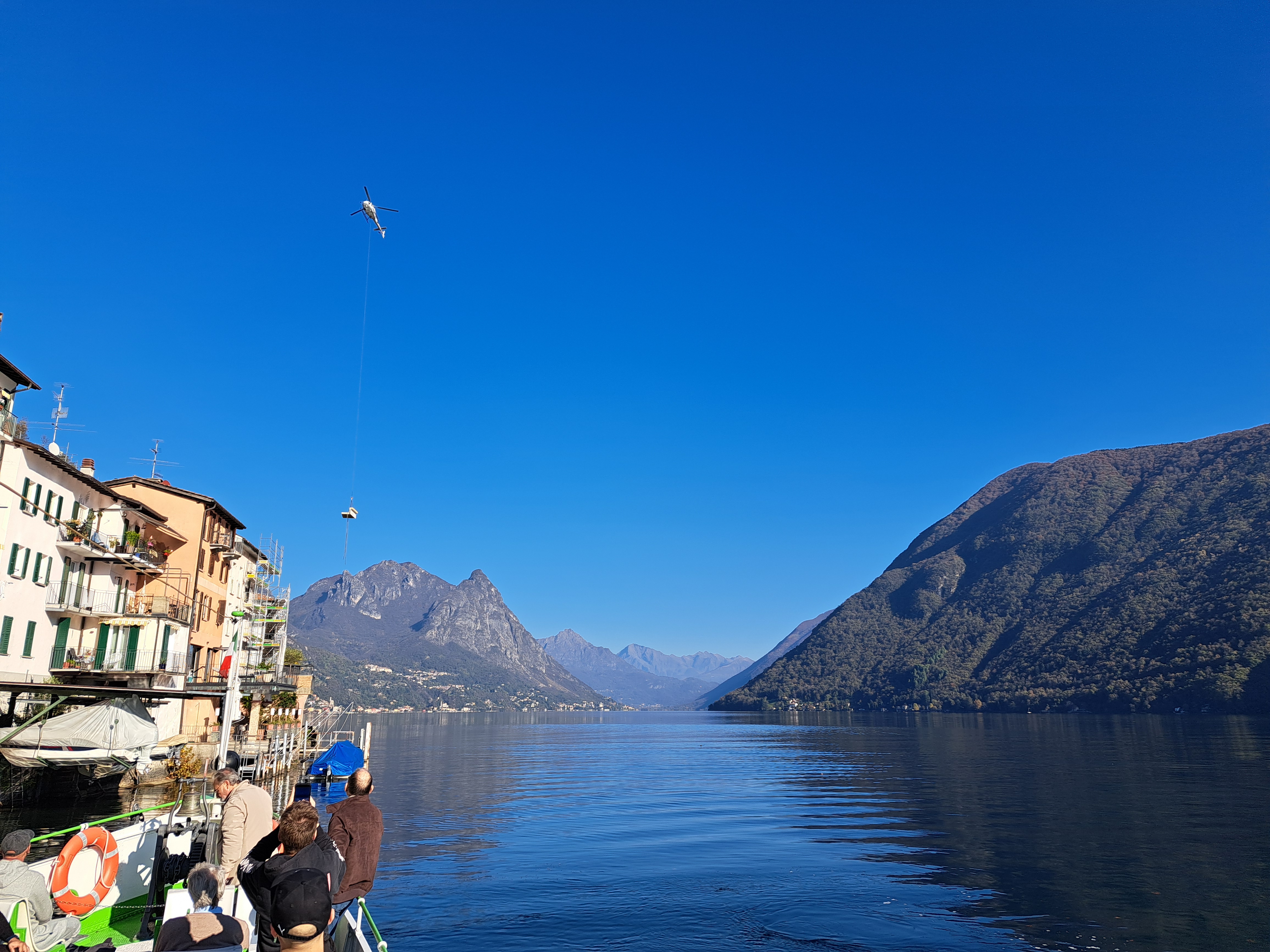
Gosh, I told you about my delighteful walk from the lovely town of Gandria back to Lugano in a prior post…but I haven’t shown you the town itself yet! Do note the way furniture is delivered, by carefully viewing the very last photo in the gallery below, just next to the photo of Gandria’s town hall aka Casa Communale.


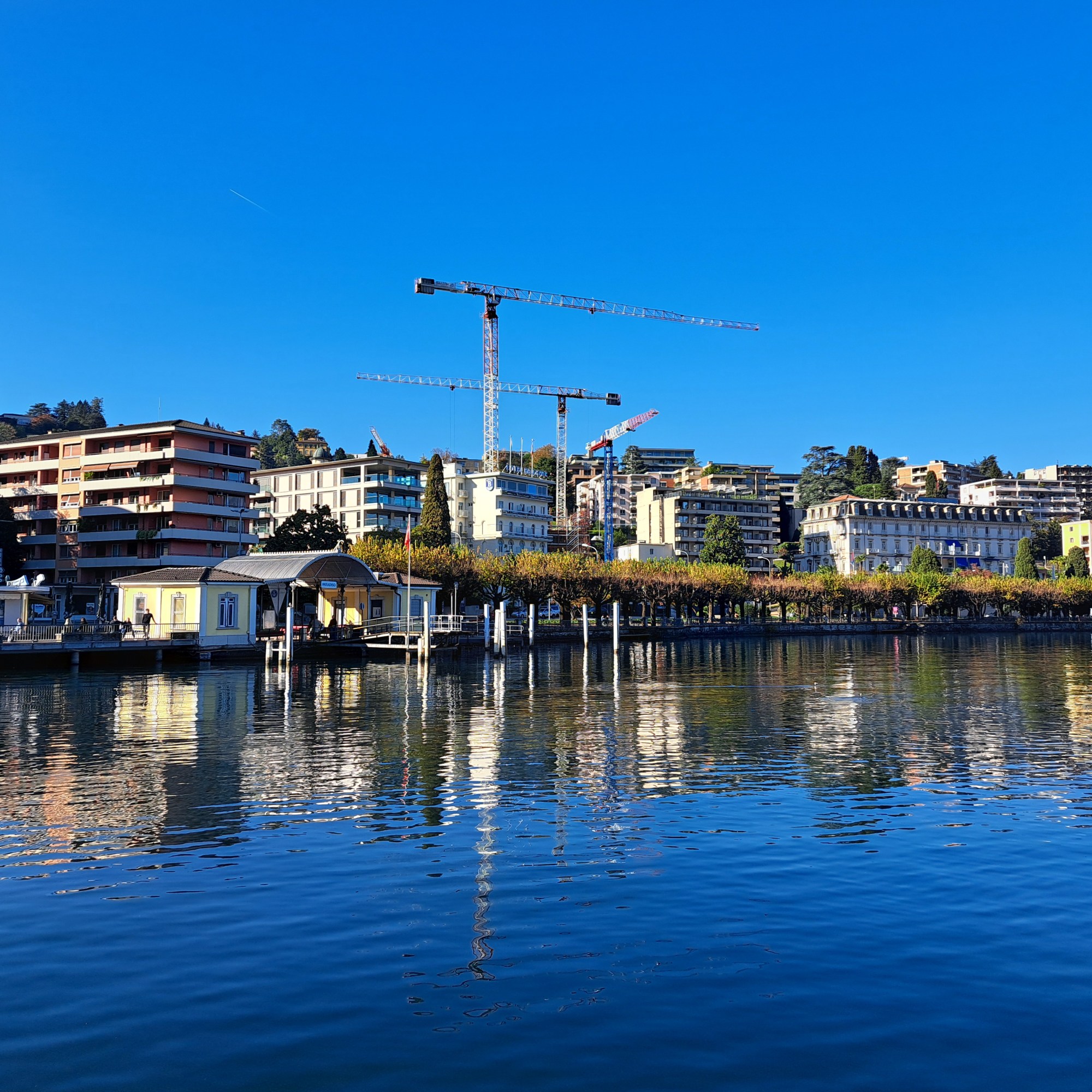


 These are all from my first evening ‘living’ if only briefly in the village of Bissone on the southeastern shore of Lake Lugano. Curious about the Italian exclave, and noting that it was a short walk past the nearest grocery store where I’d be buying my dinner fixins and breakfast supplies, I walked on up the narrow road without decent sidewalk and caught these views, some of Campione d’Italia and others looking more south. In the gallery below is another image similar to the one above, which I’m sharing b/c it lets you better see the causeway that made overland travel possible between Melide and Bissone, early in the last century. John (and possibly others equally curious), you’ll be interested in the Wikipedia article on Campione and how it came to exist, and this arch, and the the boundary marker I showed in my last post from Campione.