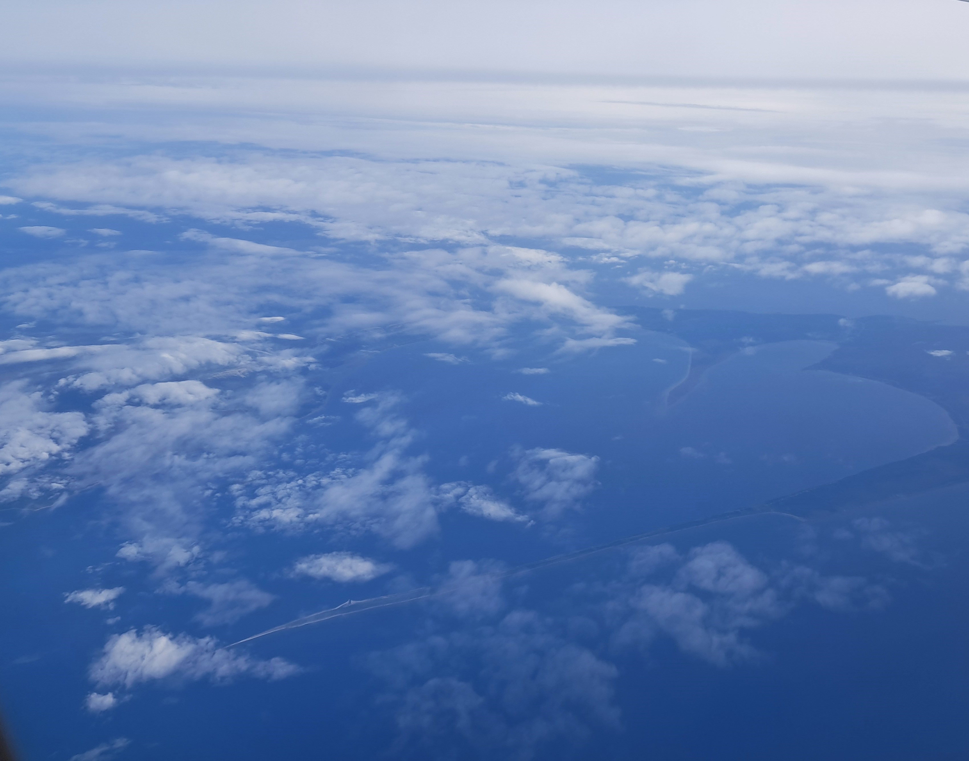
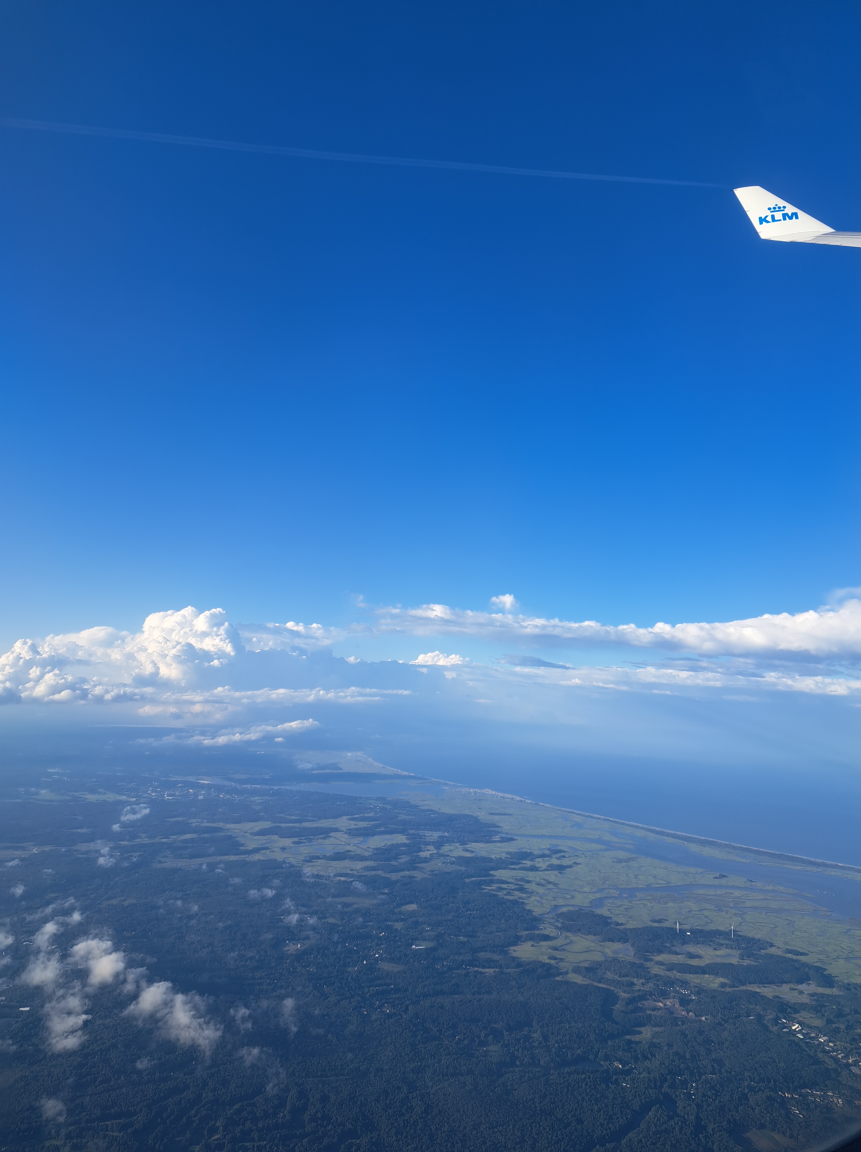
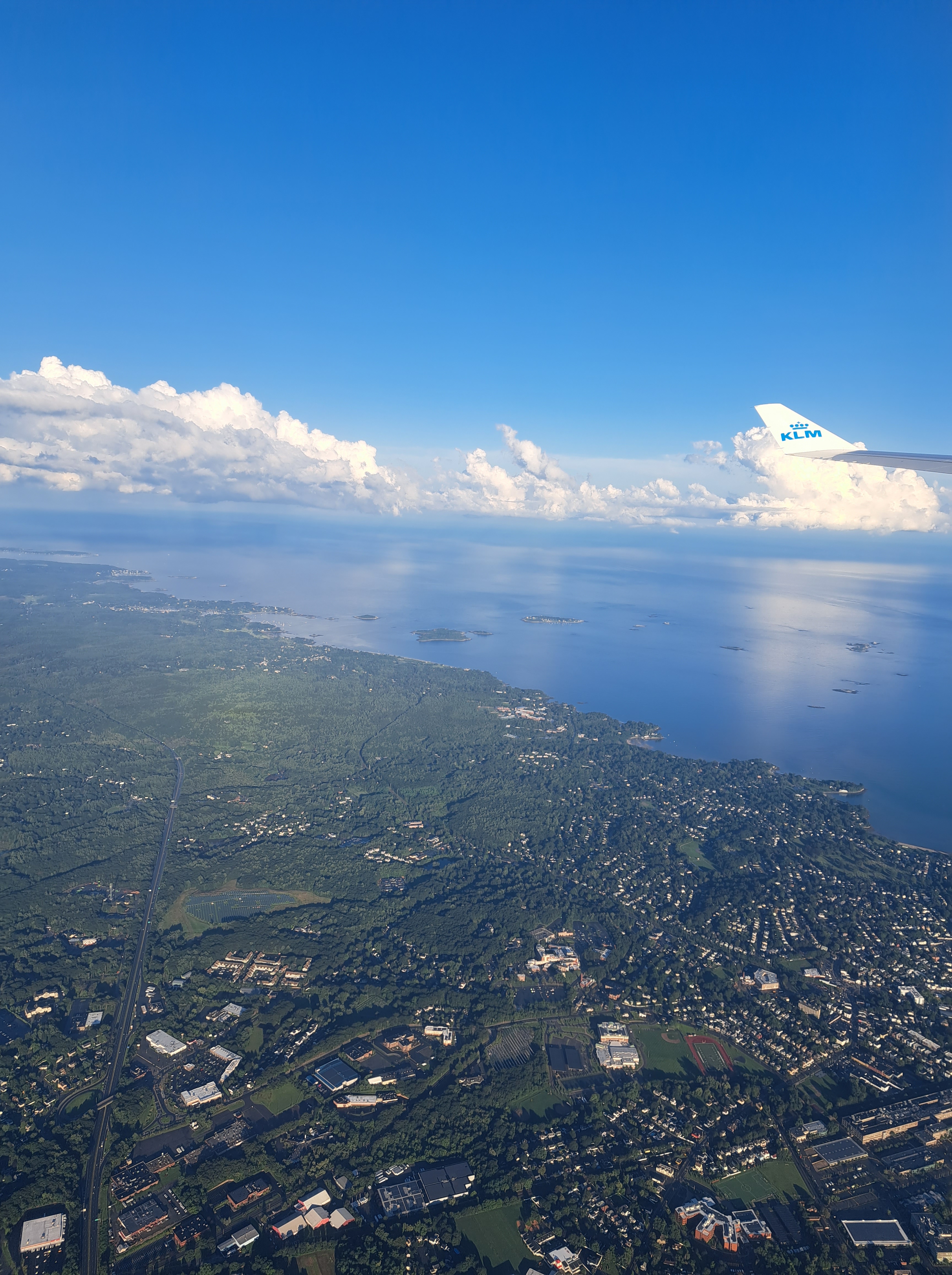
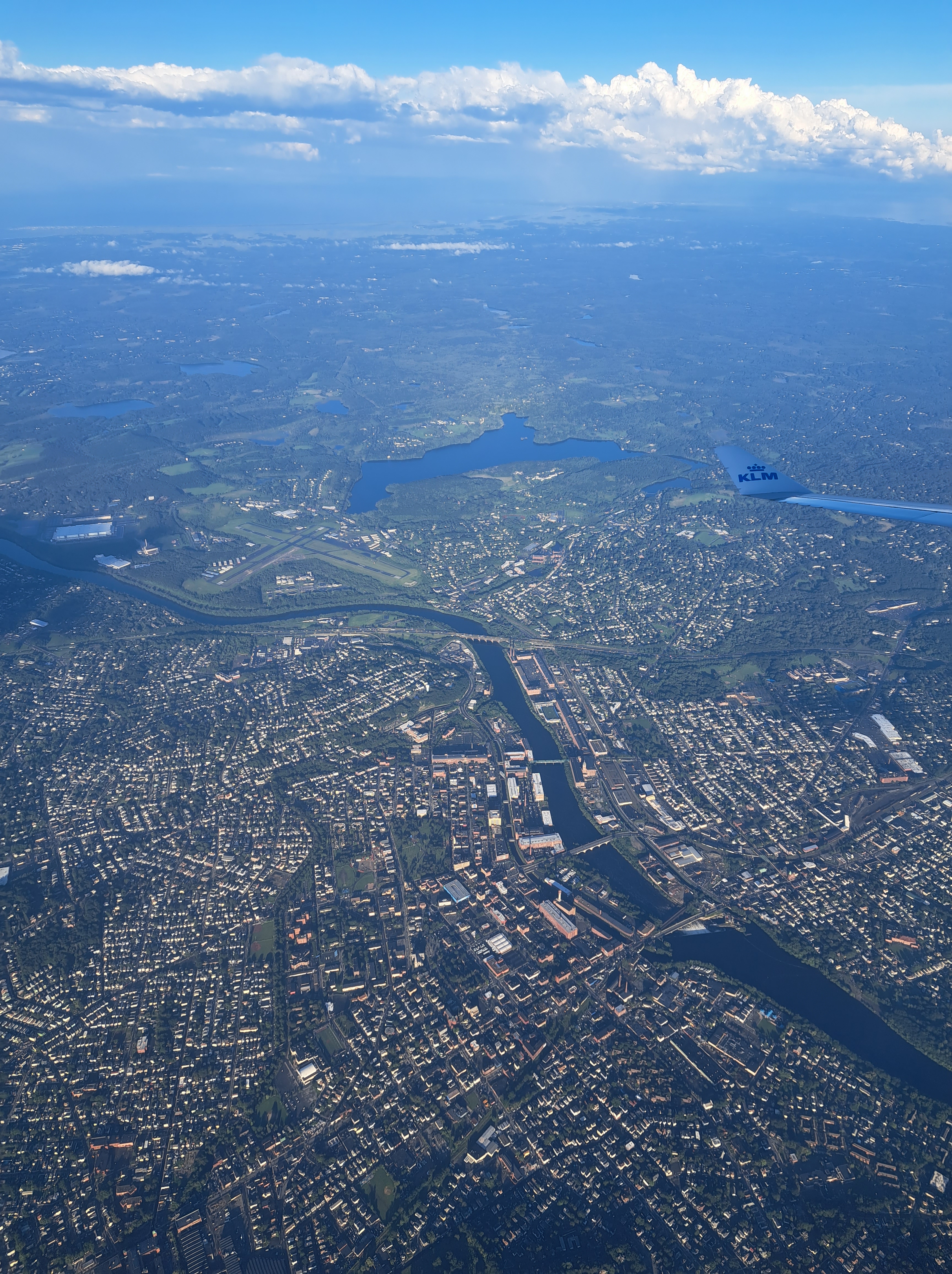
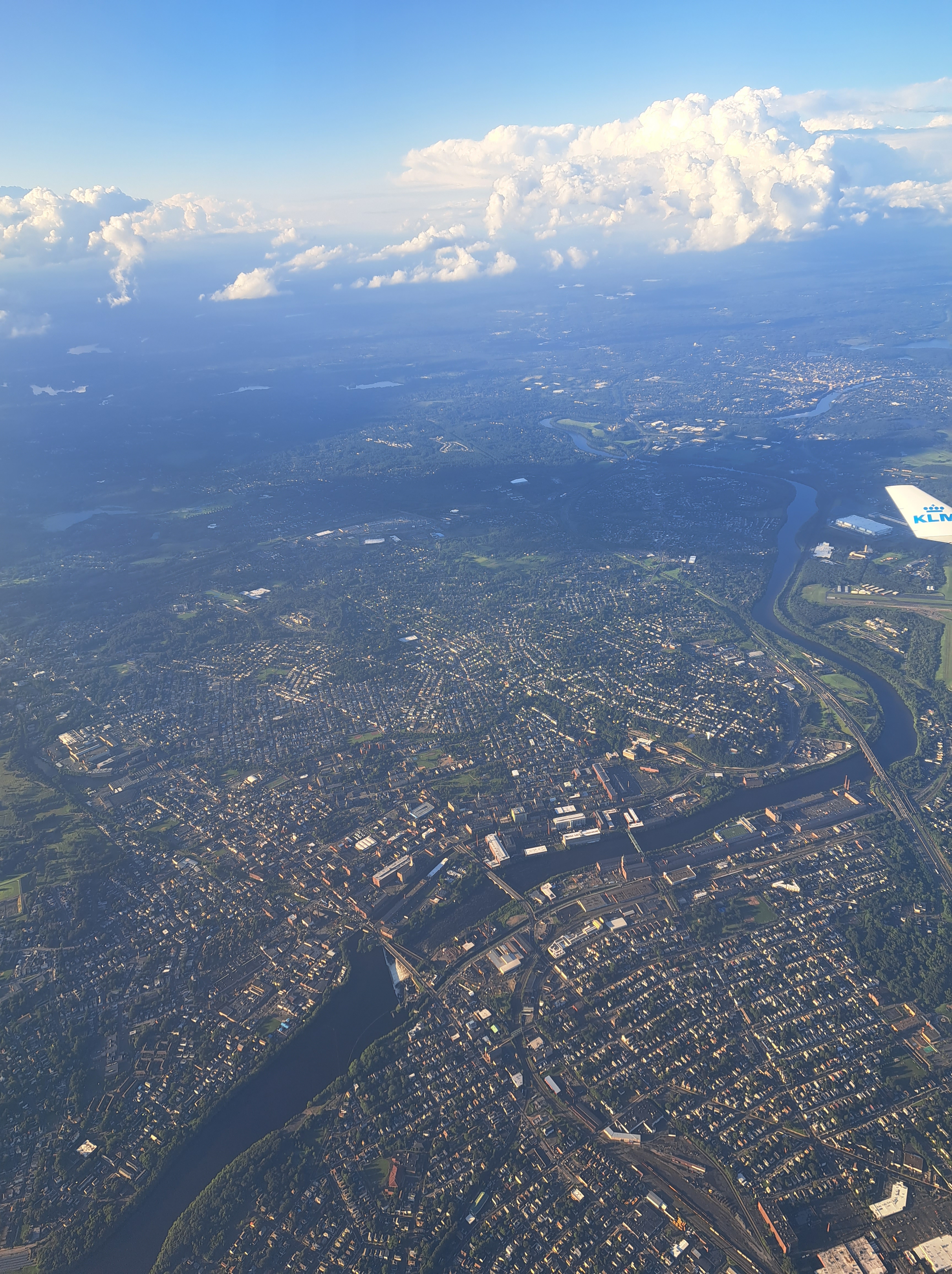
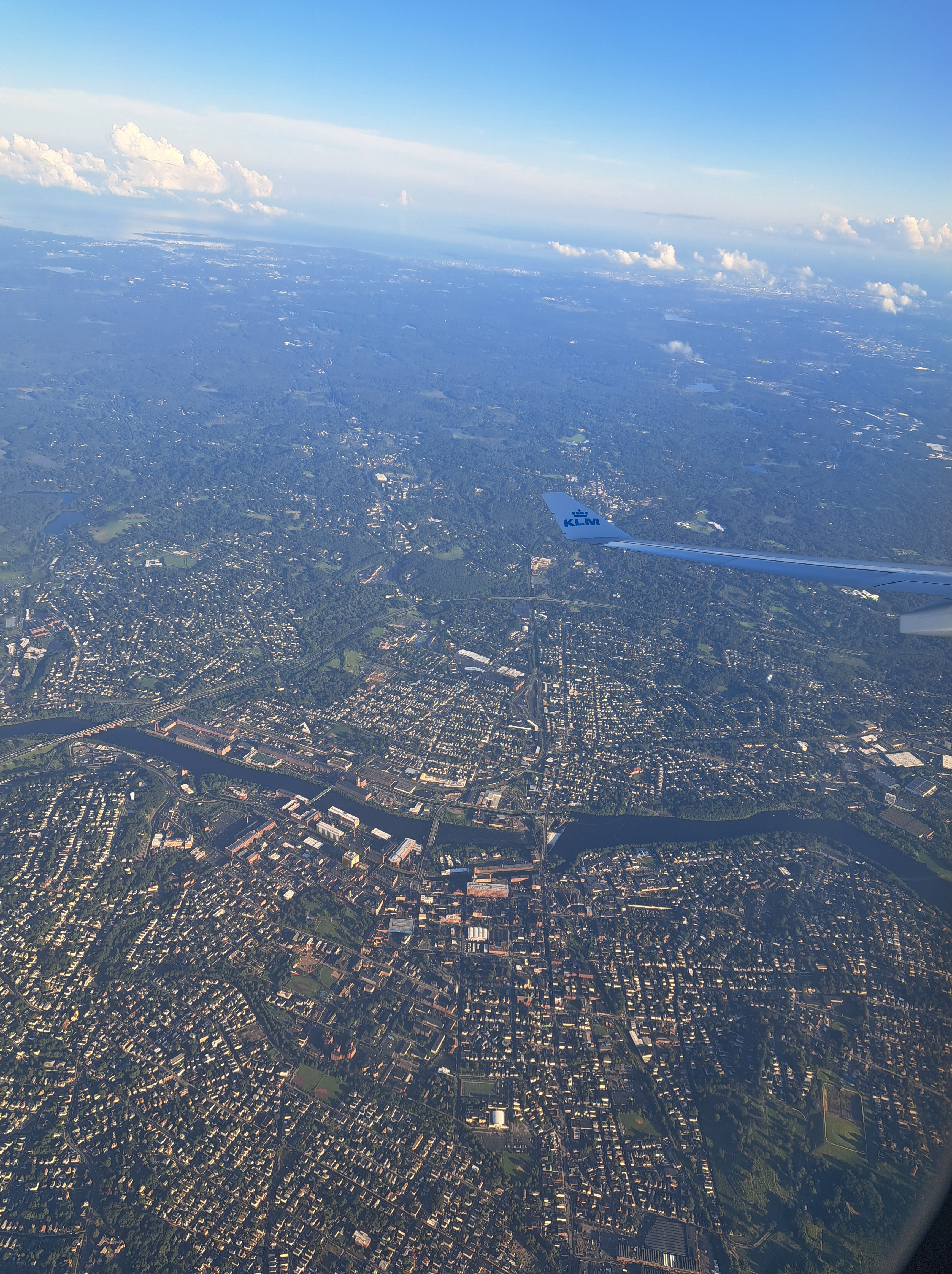
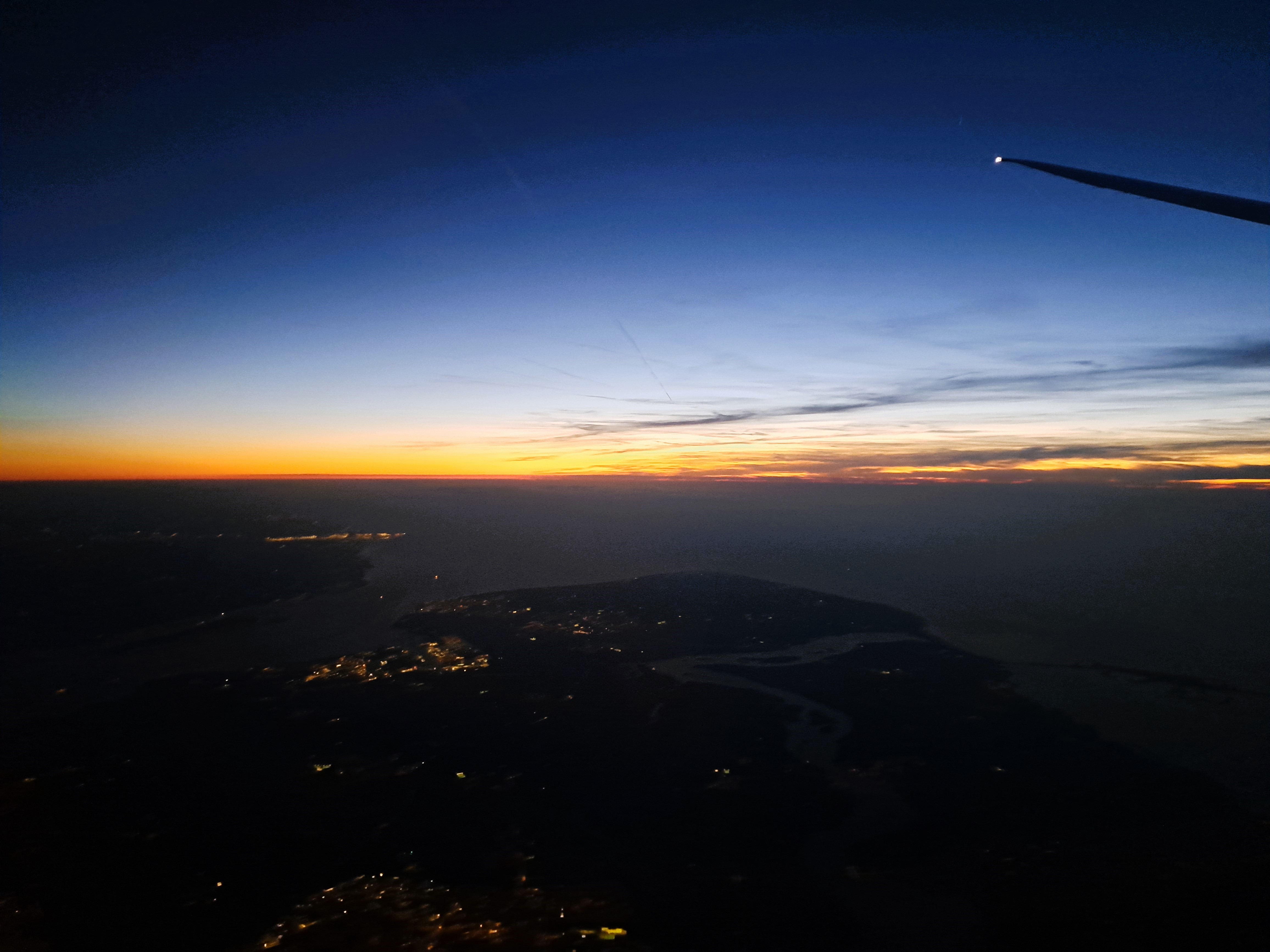
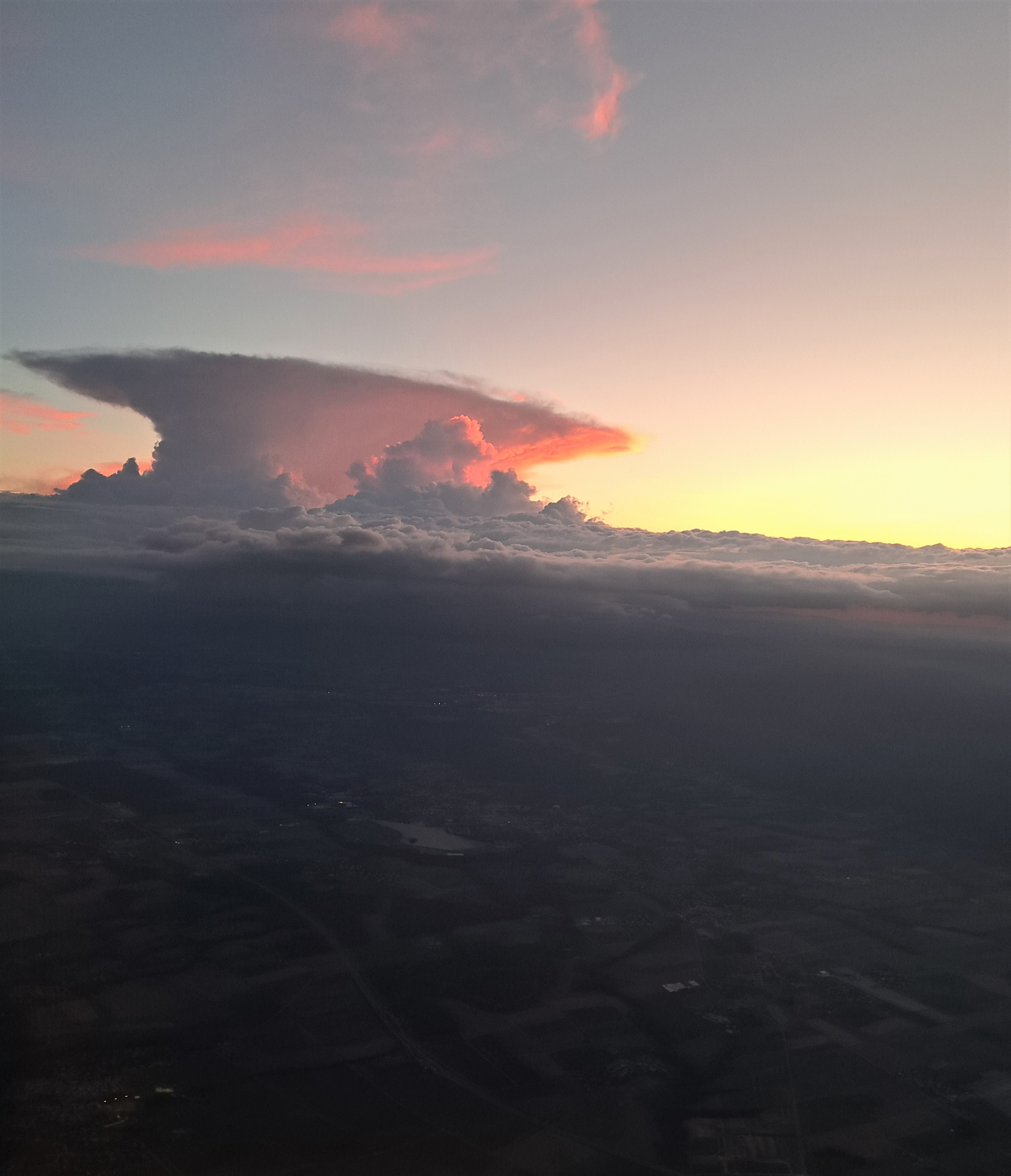
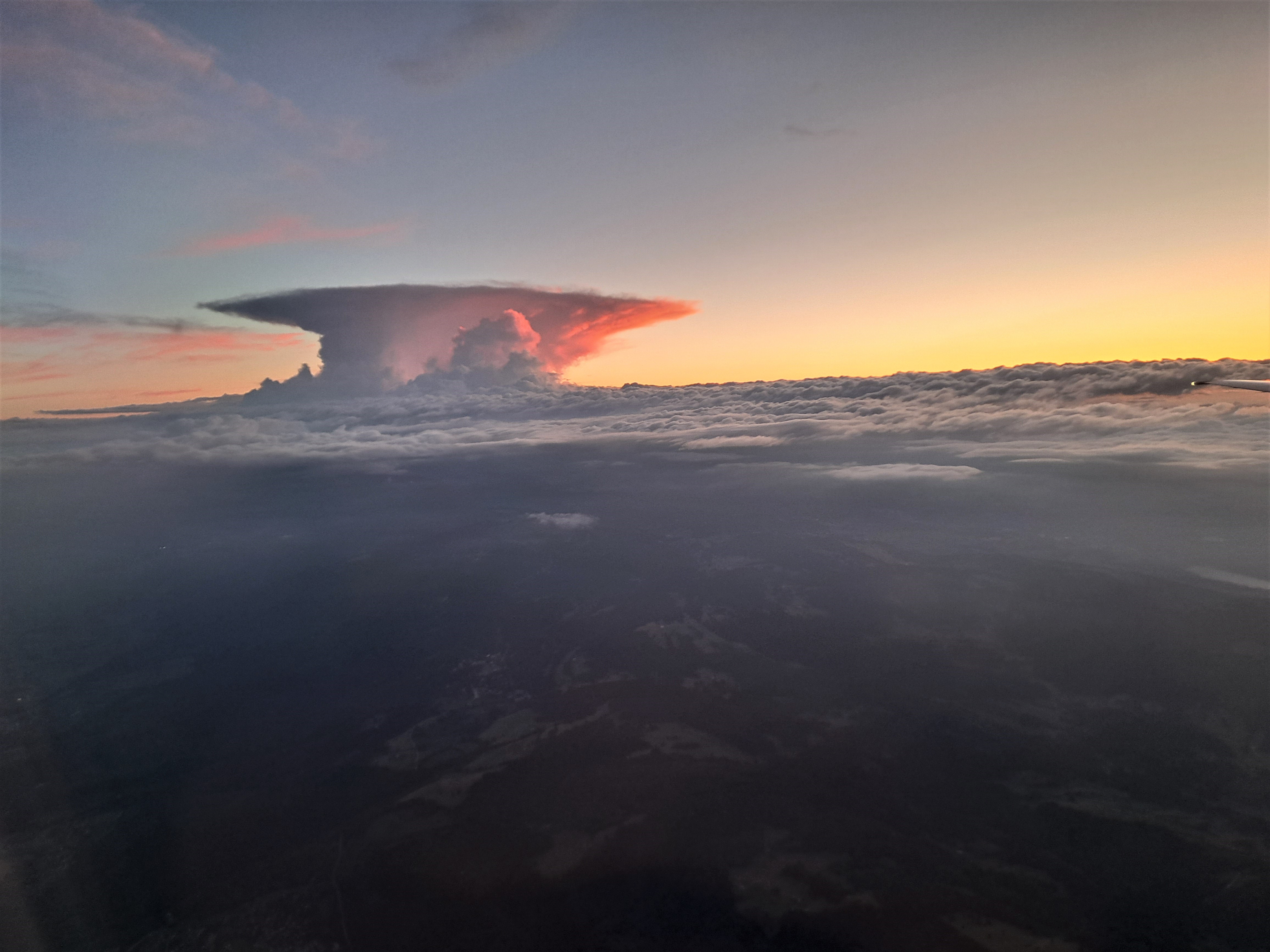
We’ll call these both Massachusetts, since I no longer recall what we might have been flying over when I took these last-remaining photos from the flight between A’dam and Boston late on the 18th of August.
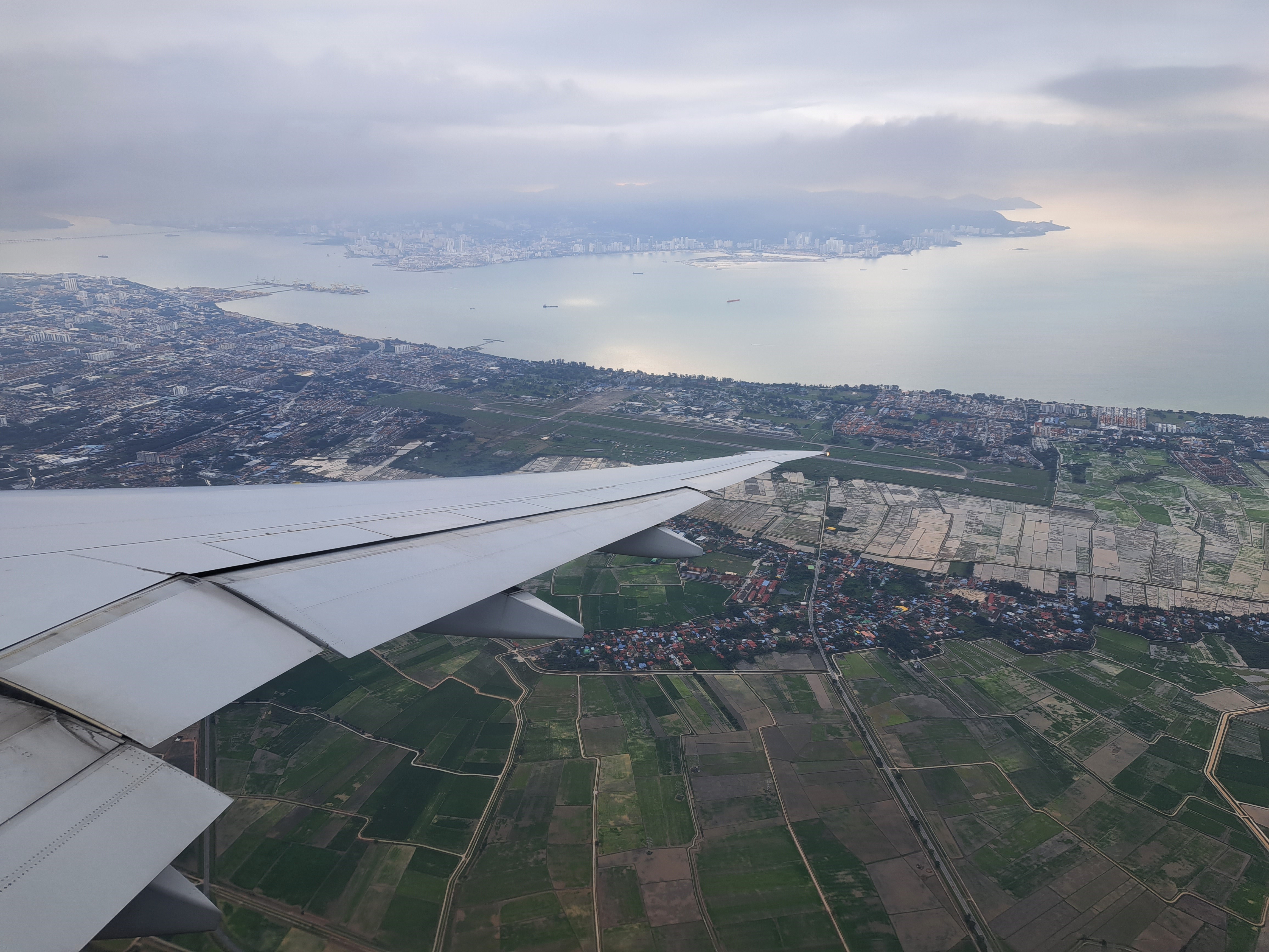
Penang Island from the mainland: above, as seen on 29th of November as we neared our landing; below, as seen during my flight from Kuala Lumpur to Yangon on the 6th of December.
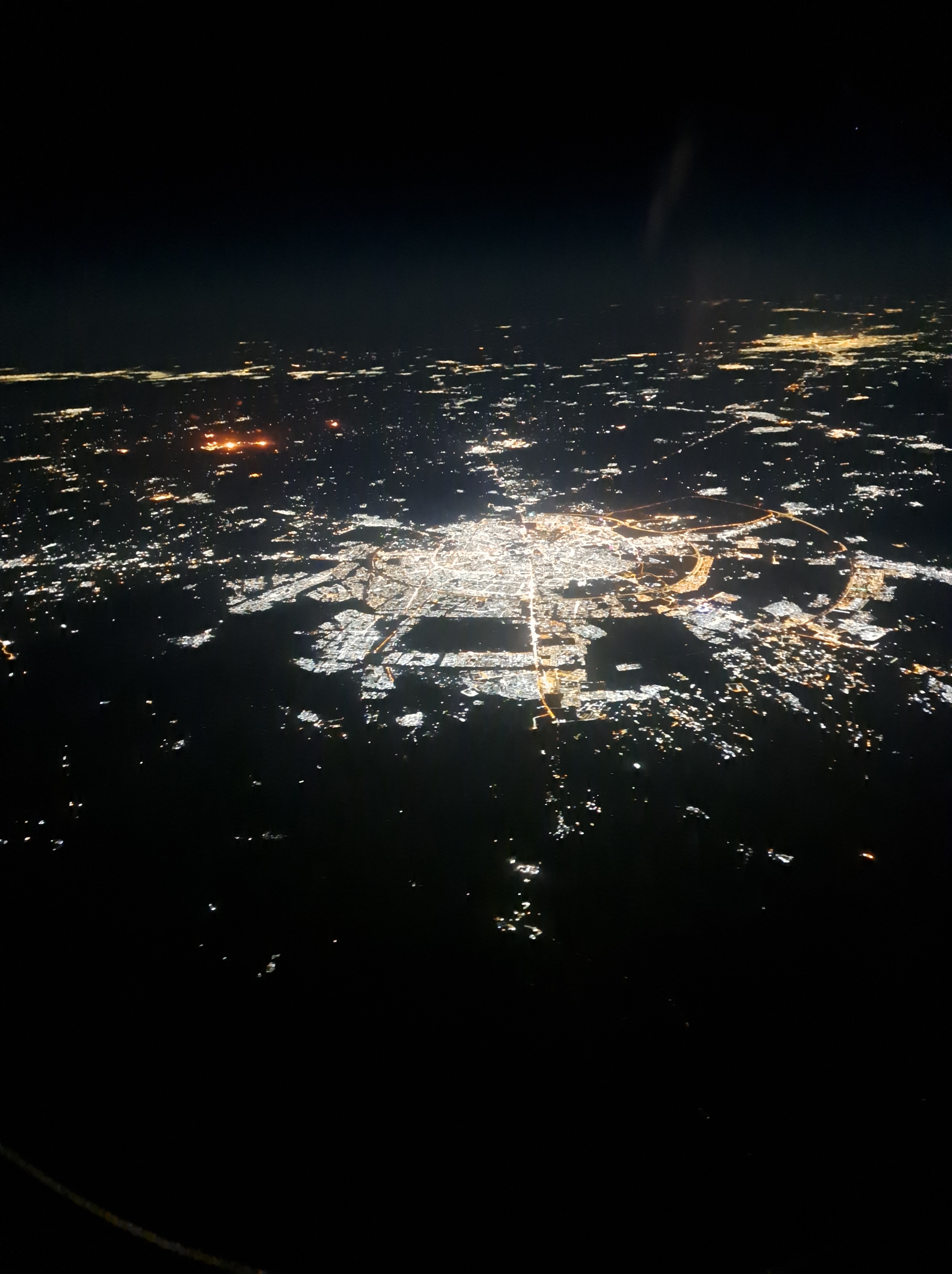
So last week I flew off for some visits to our project locations again, changing planes in Doha. This meant we flew over some parts of Iraq I’ve come to know a bit, and I’m reasonably confident that the city you see here by night is Erbil, though the in-flight map didn’t identify enough cities to confirm this hypothesis.
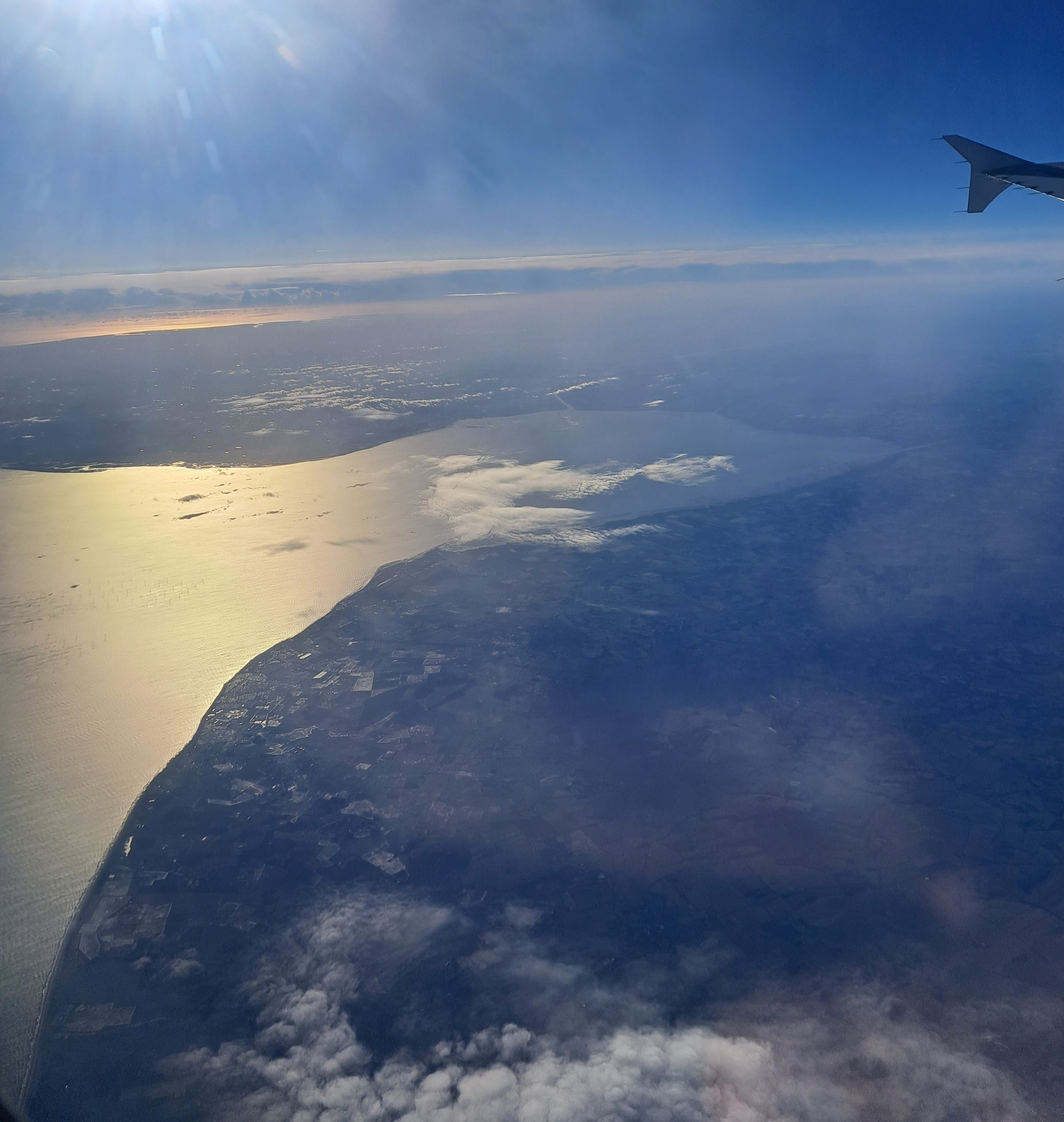
I do so love when I can look out the plane window and see something that exactly corresponds to the map. This is the little bay just north of Norfolk. It’s on a fairly straight line between Amsterdam and Dublin, so we flew right over it en route to Dublin last week. Might’ve done on the way back as well, but, well, clouds…
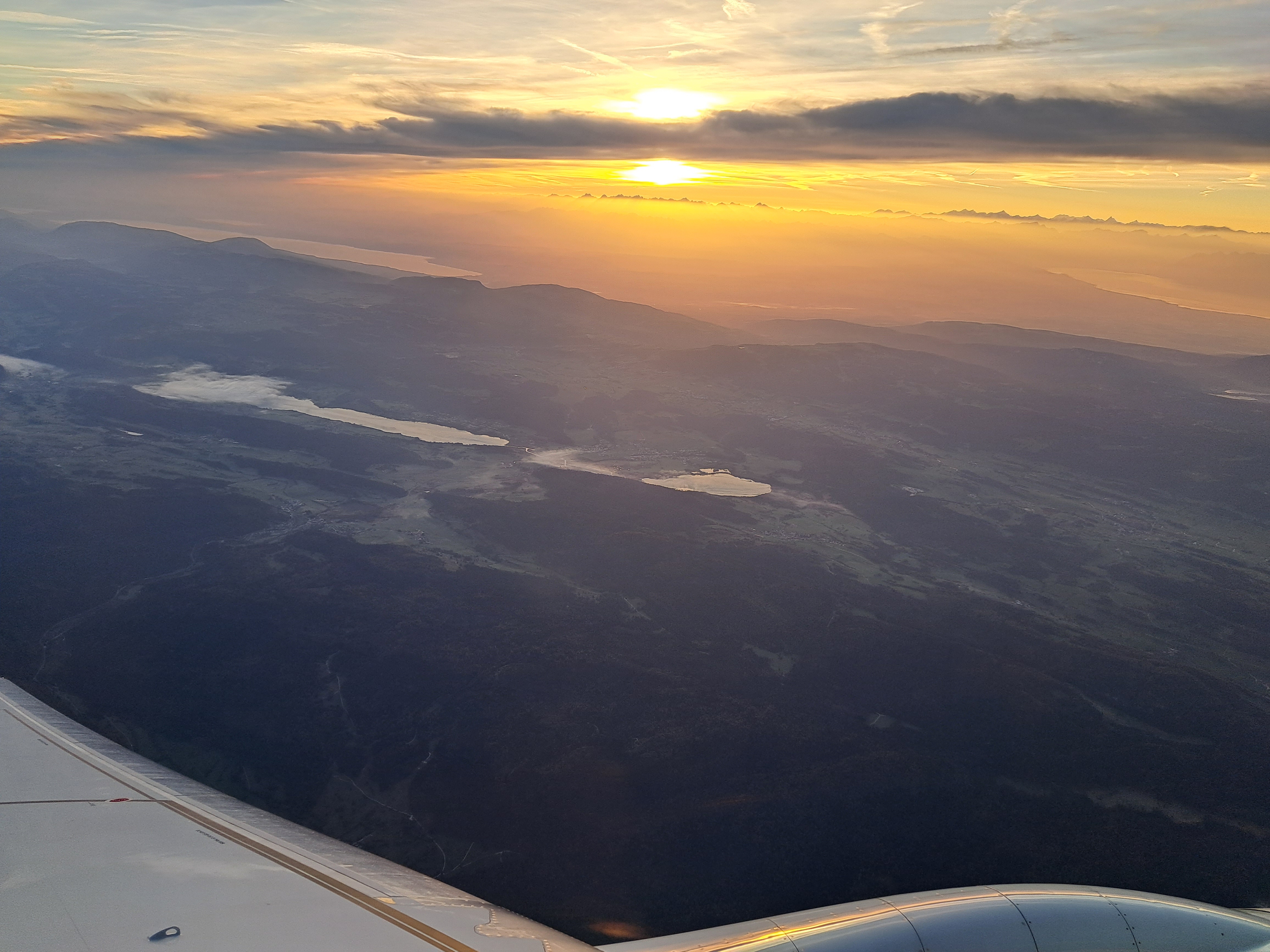
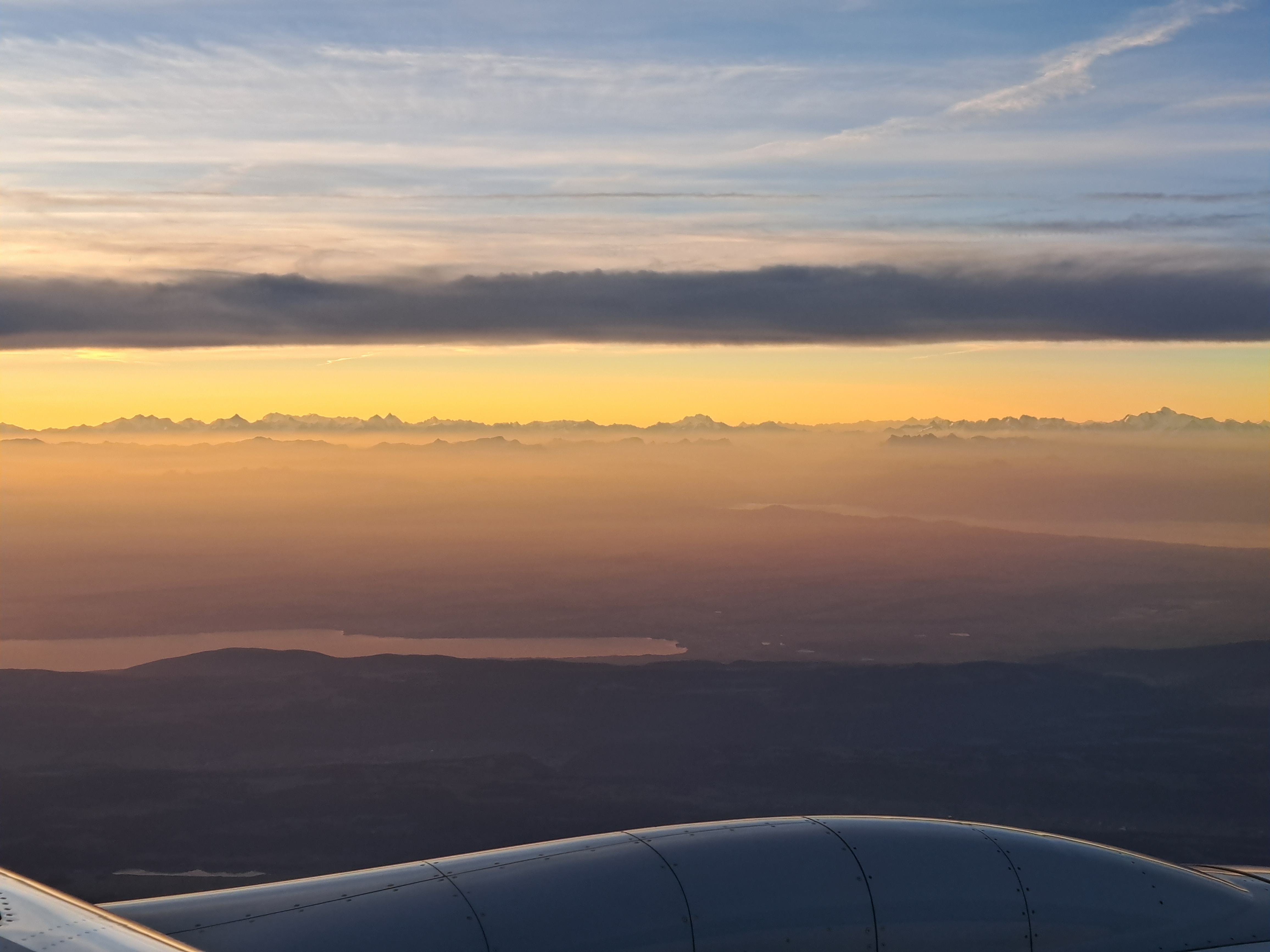
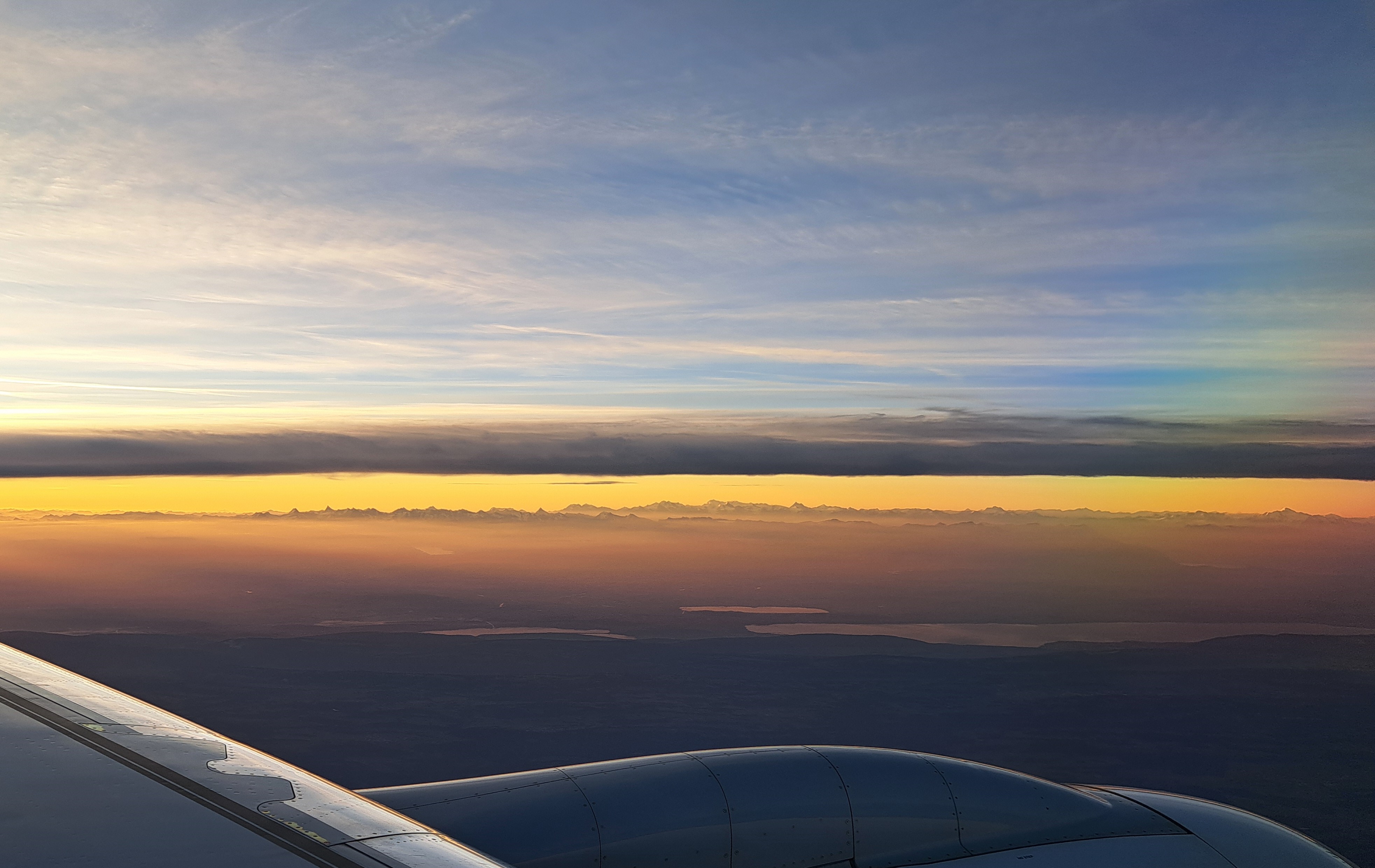
We’ve swung a bit southeast to fly in more on the south side of Lac Leman, so you’re seeing Lac Leman at the top right, and more of Lac Neuchatel at the top lef, with some little lakes in mountains in front of them.
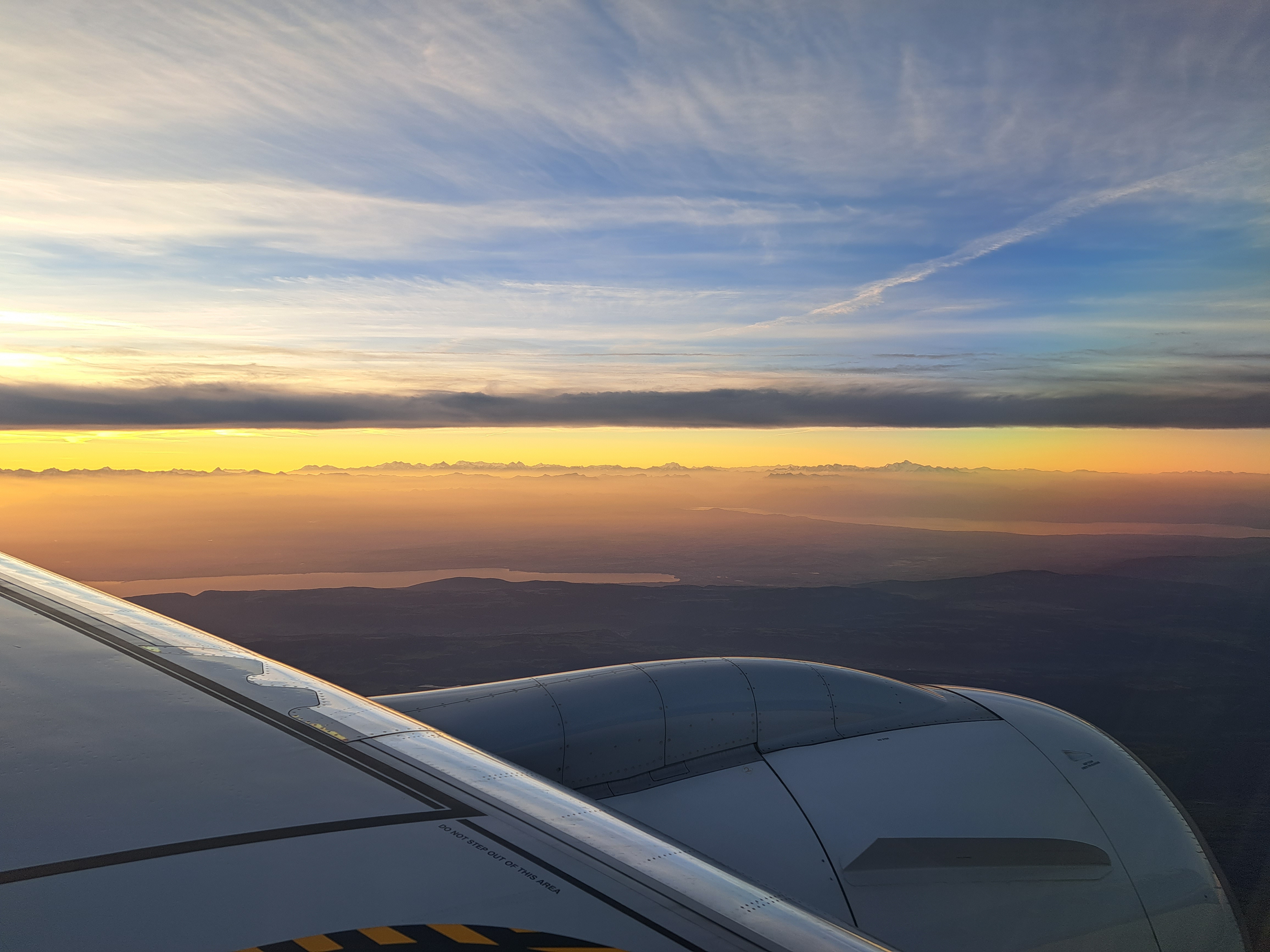
I knew I was seeing the southeastern end of Lac Neuchatel, which meant that curving lake in the distance was the eastern end of Lac Leman…and then I noticed a mountain rising noticeably higher than its neighbors and concluded it must be Mont Blanc. Took the close up below to convince myself. Was I wrong?
I’m calling this France because most of that September return trip happened over France. In October, they took us over more of Germany and approached from inland, whereas in the September journey we flew up the west coast of NL, as we’ve shown you in a past postor two…
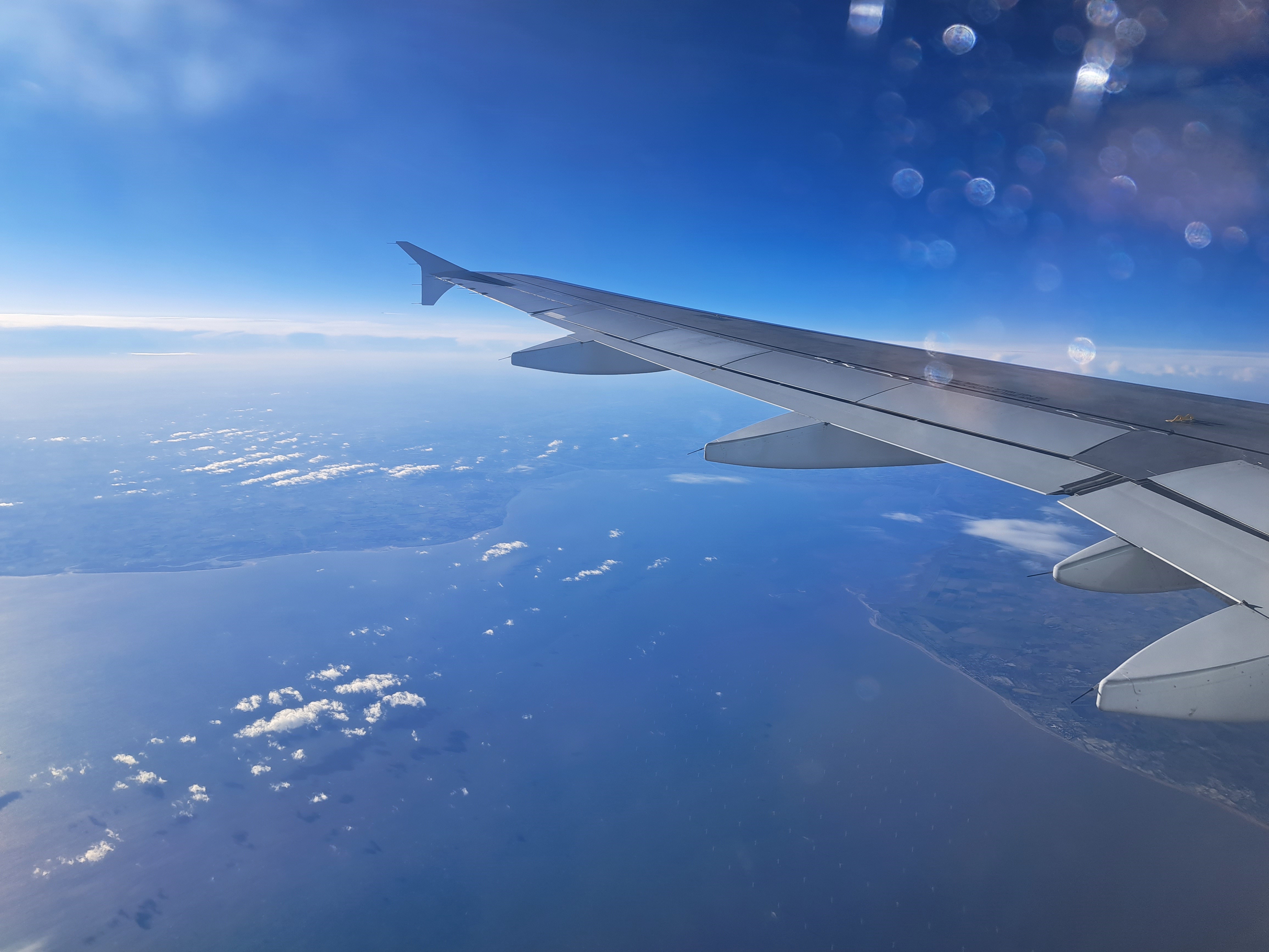
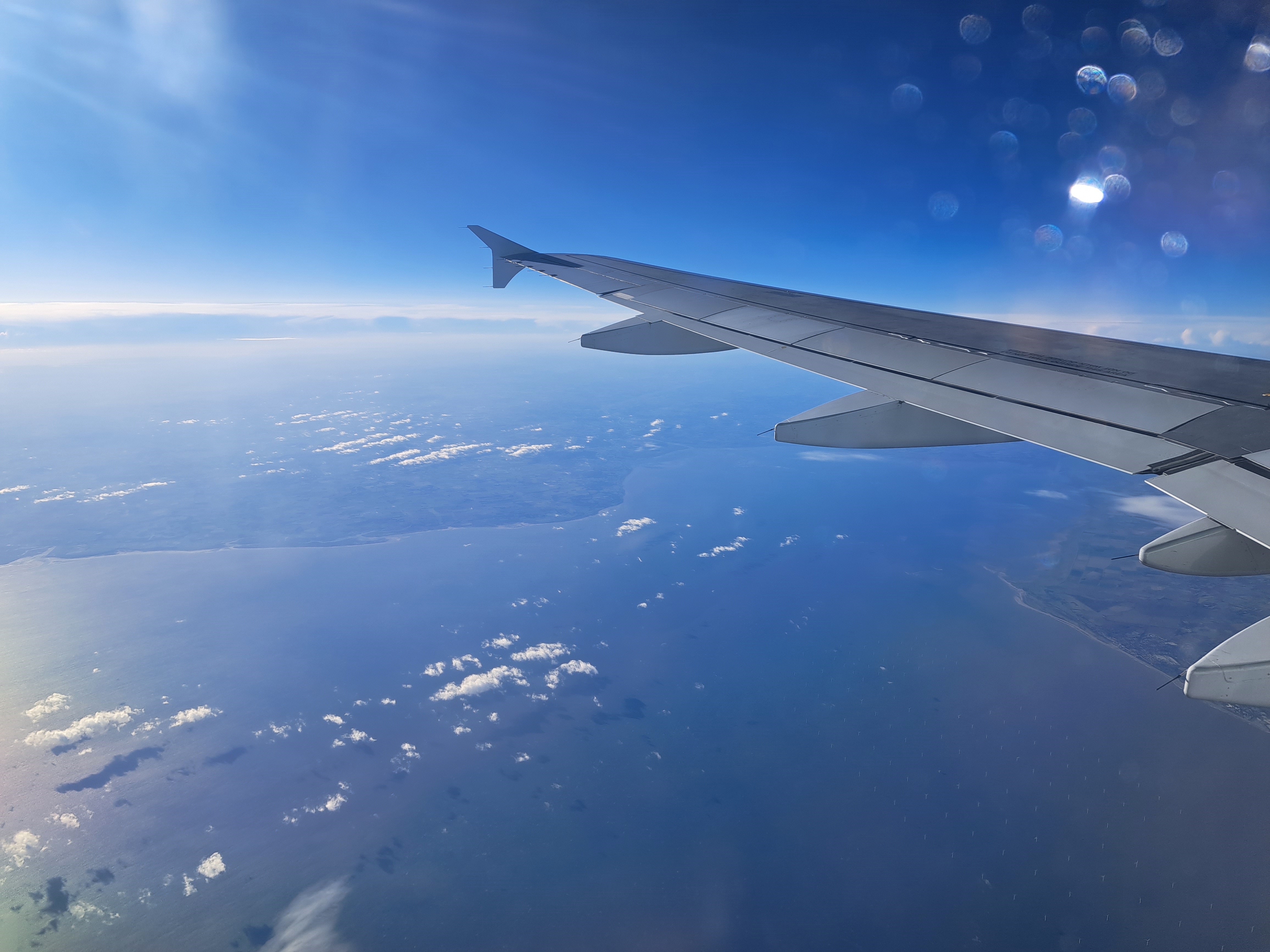
So after a very careful study of the map against this photo, I have concluded that I can at last legitimately add at least the category “Zeeland” to my blog, even though I’ve not yet been on the ground in Zeeland. (It’s now the only province in the Netherlands that I haven’t at least passed through in a train or car, and most I’ve now done some real activities such as overnights, culture, tennis, performances, museums, etc.) I’m confident that the land on the left is the beginning of Zeeland, as you head south, while the area on the far right under the wing-tip of the airplane is the end of Zuid Holland, just south of the port of Rotterdam which I showed you in a previous post from this flight back to A’dam from Geneva. If you also choose to study the map as I just did, you’ll no doubt agree that the image below, taken less than two minutes before the one above, shows the fingers of land just south, also in Zeeland – which, if you do study the map, you’ll notice is really a lot of peninsulas and islands between the various channels of water that represent the main end of what would be the delta of the Rhine, if the Dutch hadn’t been engineering it for centuries.
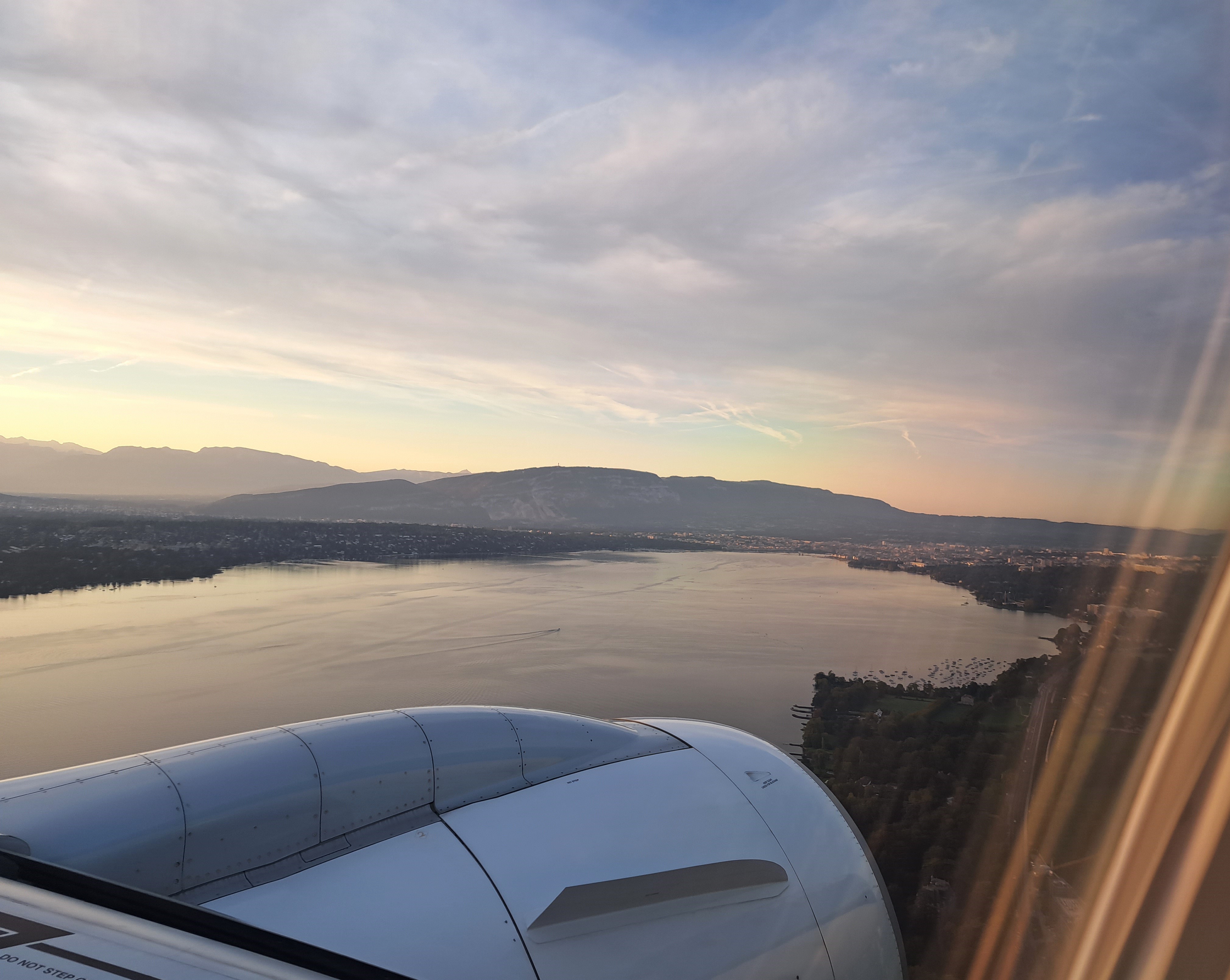
After taking off from Geneva’s airport two weeks ago, we followed the lake shore and then cut northwest and away from the lake, with a lovely view of this dramatic cloud formation for quite some time as the light on the land grew dimmer and dimmer, and the cloud colors more vibrant. Above, that’s the short of Lac Léman to the east of Geneva.