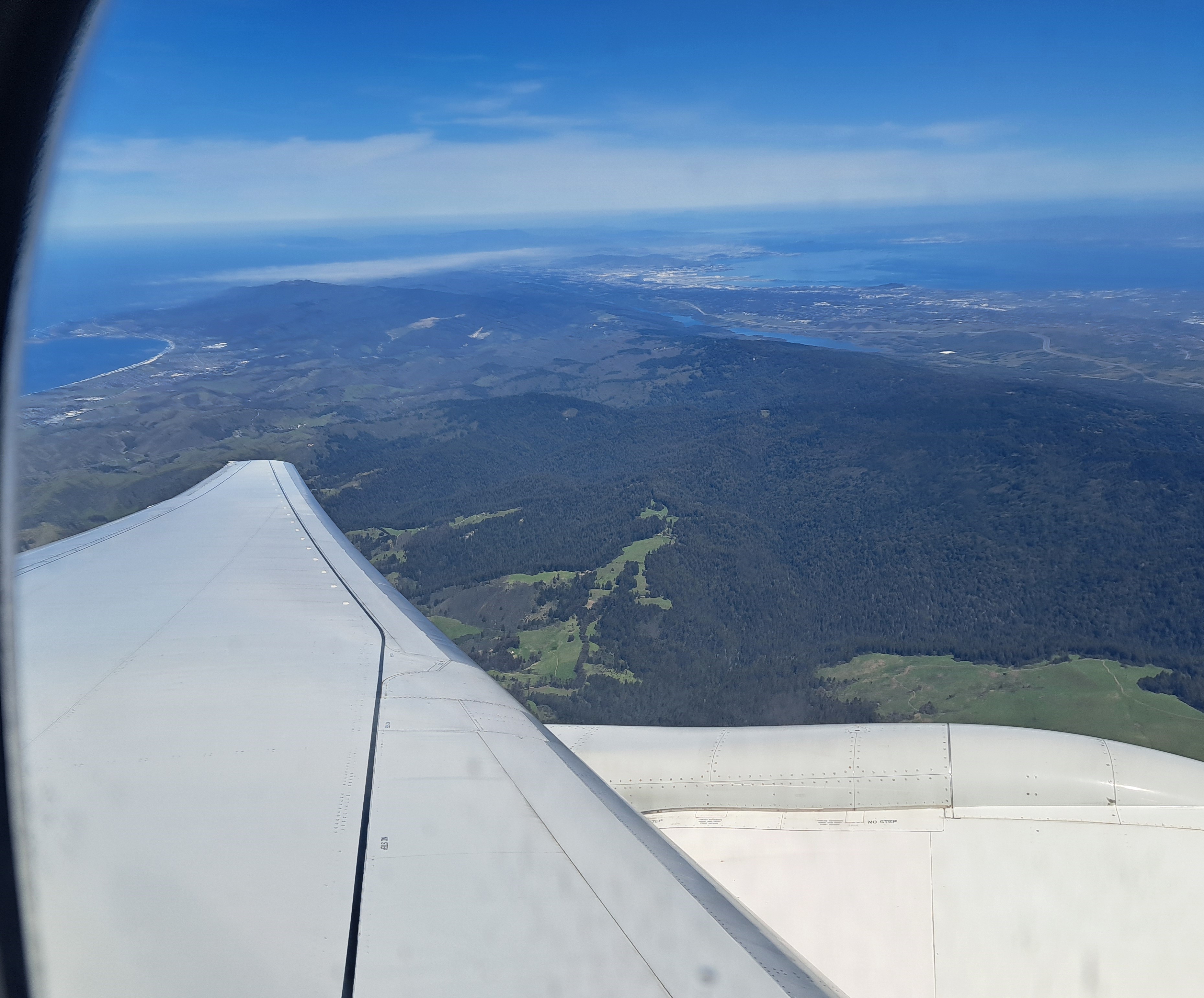
What you’re seeing here is a lot of Silicon Valley, and nearly all of the San Francisco Bay, the city of SF itself slightly visible in the hazy top left, Mt Diablo to the east, at the top right of the photo. This image – looking northeast as the plane banked – and the one below were taken in sequence. With apologies for the combination of window frame and airplane wing, I include as well the image below you since you can see the full width of the peninsula with SF at the top, Half Moon Bay (open Pacific) on the western side, and the bay to the east. The “silicon valley” of legend is pretty much the eastern side of the peninsula, along the bay down to the big city of San Jose which is south of the frame of either of these photos.


Leave a comment