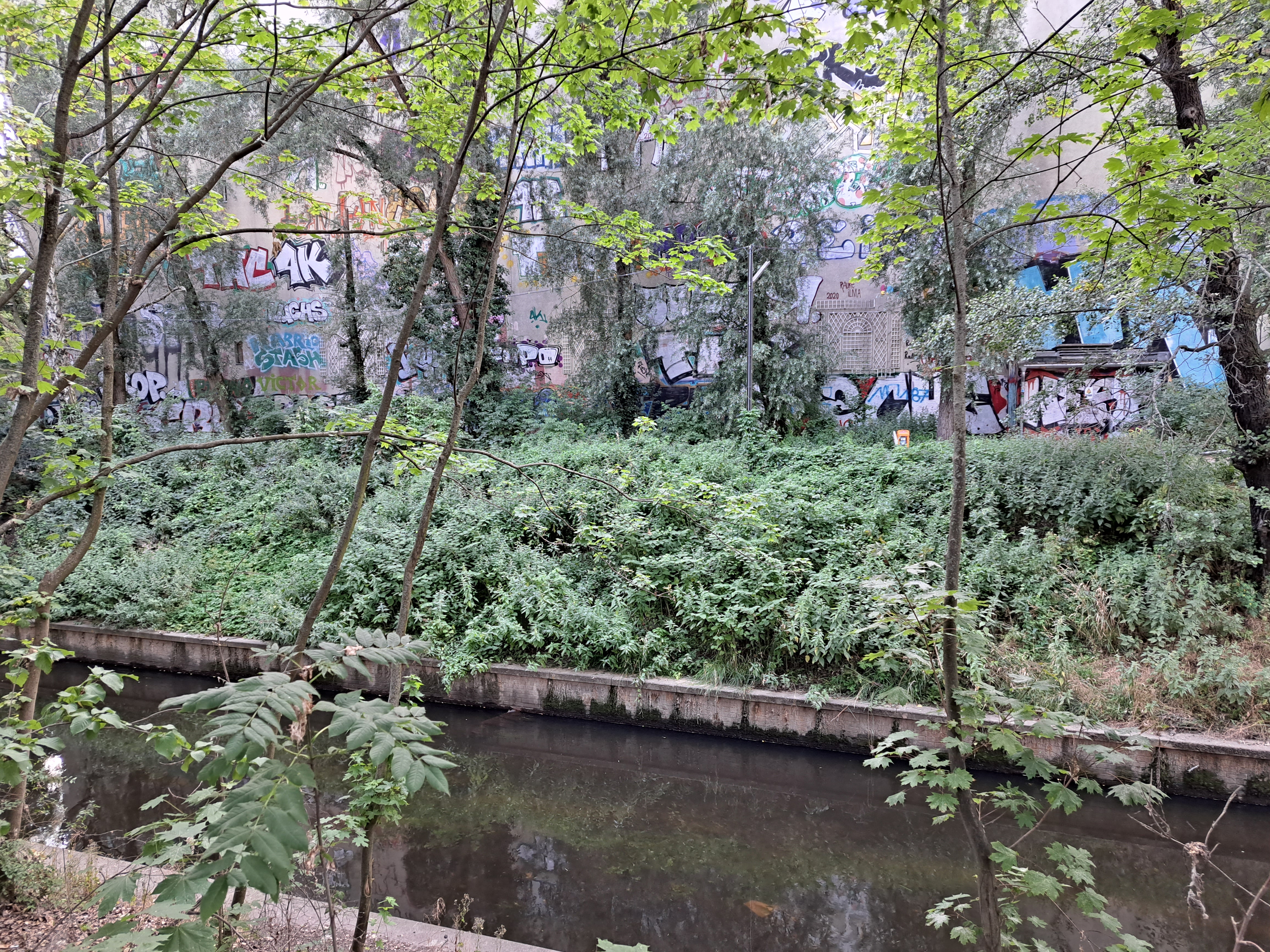
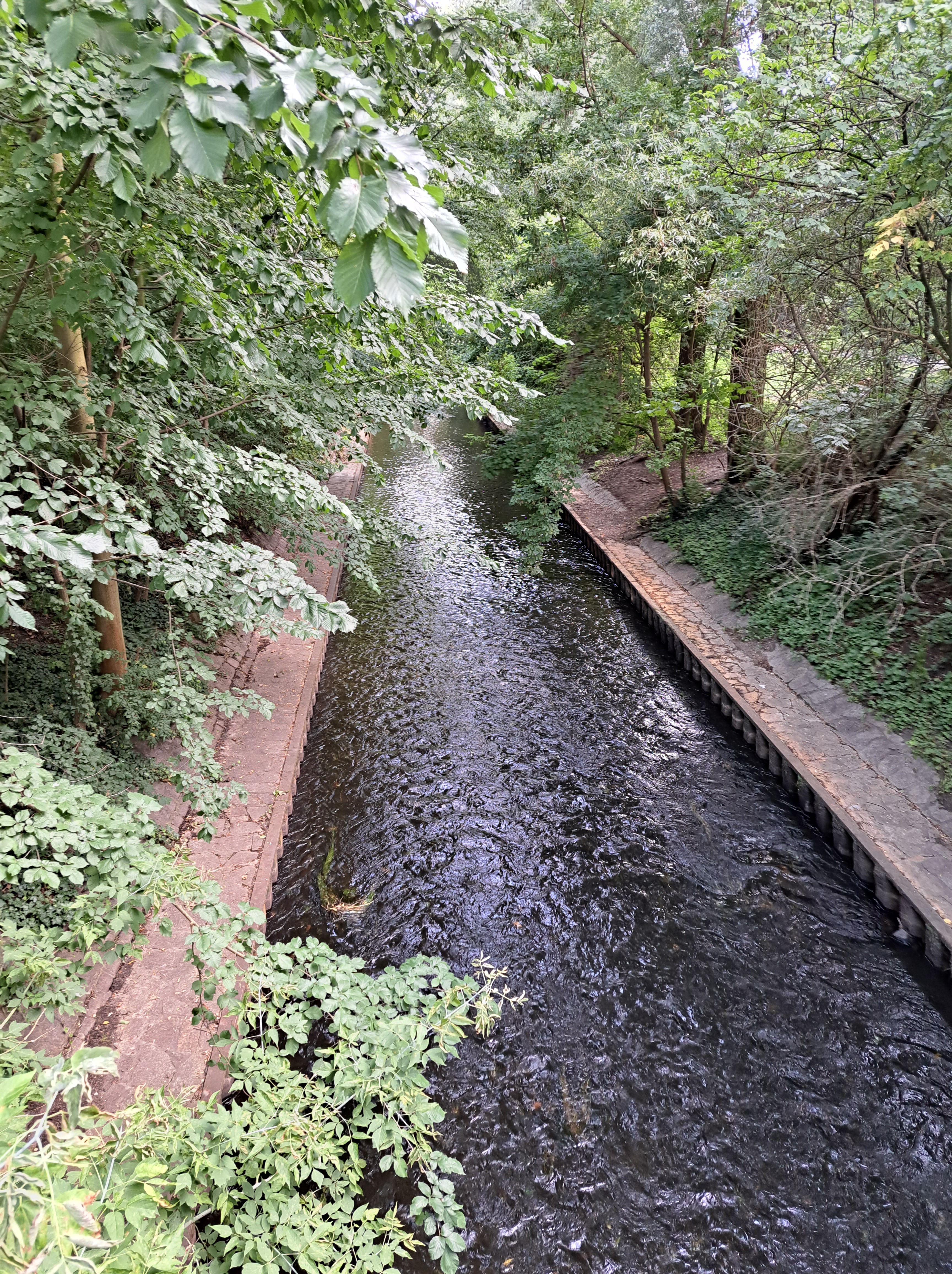
This is the Panke, a creek that originates in the town of Bernau north and east of Berlin then runs into Berlin’s main river (the Spree) via a canal near the center of the city, in the process passing more than once through the divided sectors of both city and country back in the day, I believe. This is for now our farewell photos of this lovely bit of the natural world in the heart of this great city, which we’ve also shown you in one previous post.
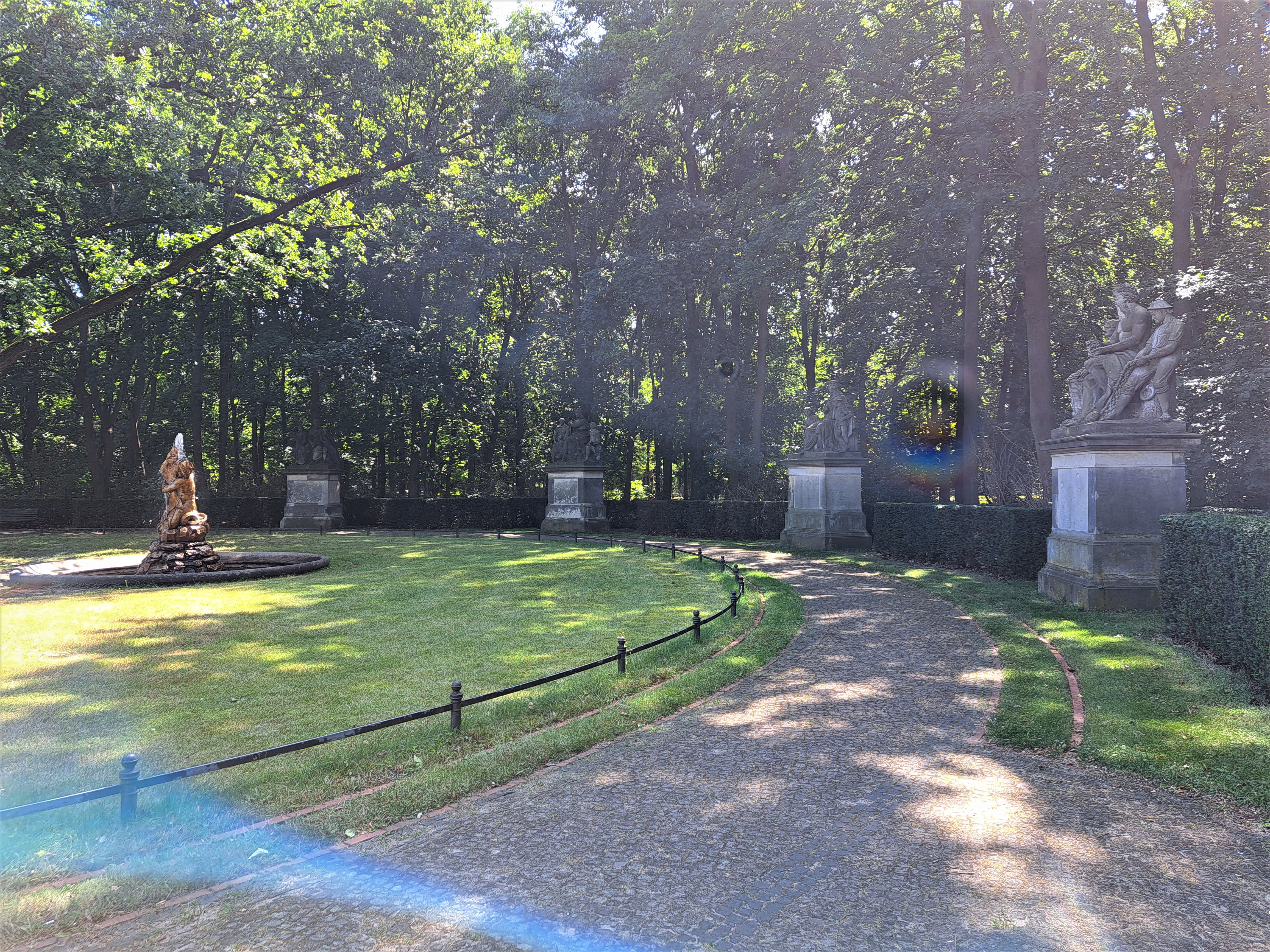
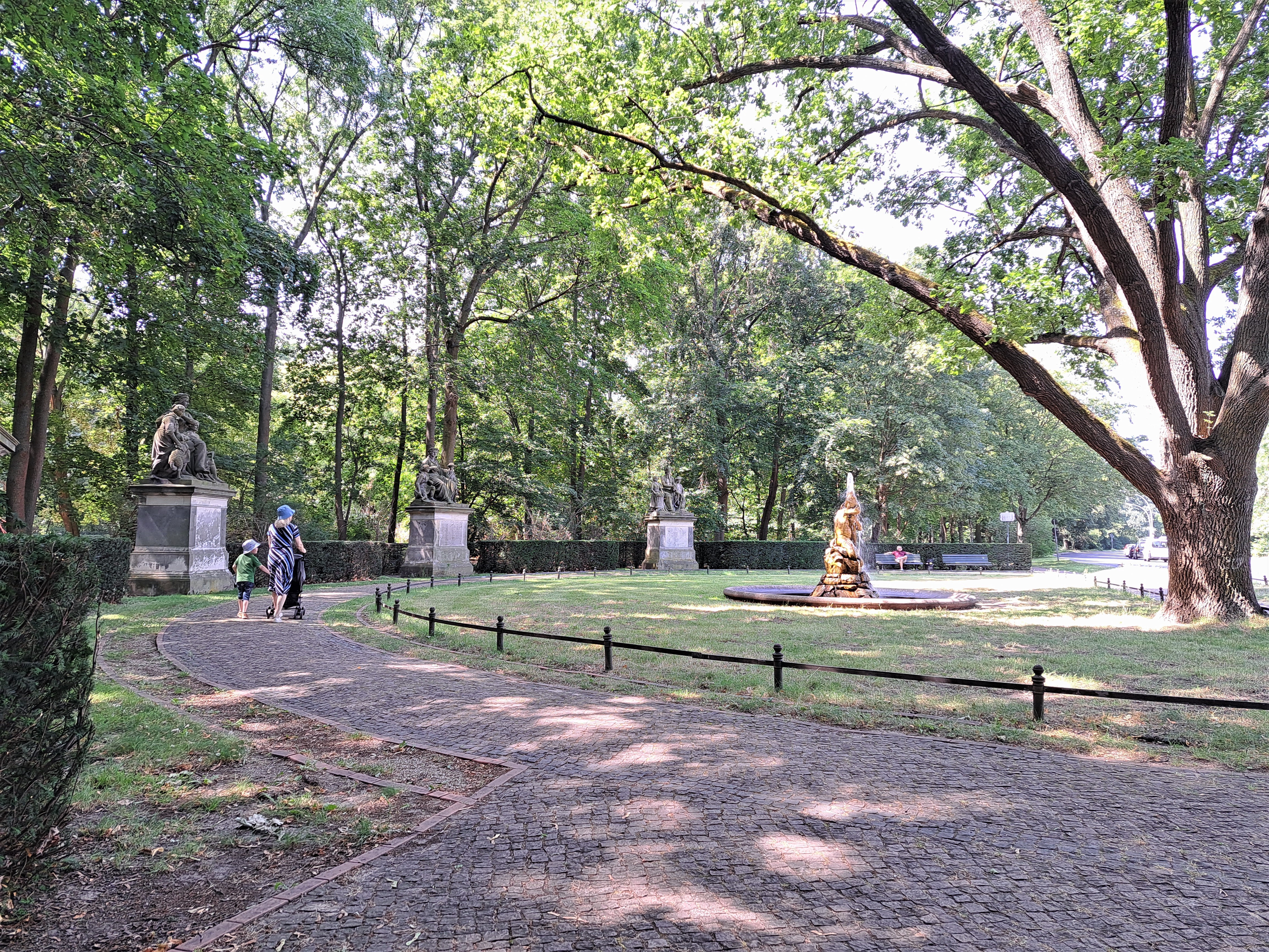
Großfürstenplatz & the Tritonbrunnen in Berlin’s lovely central Tiergarten park…for those of you viewing this in email or on small screen who thus don’t see the metadata categories and tags :-).
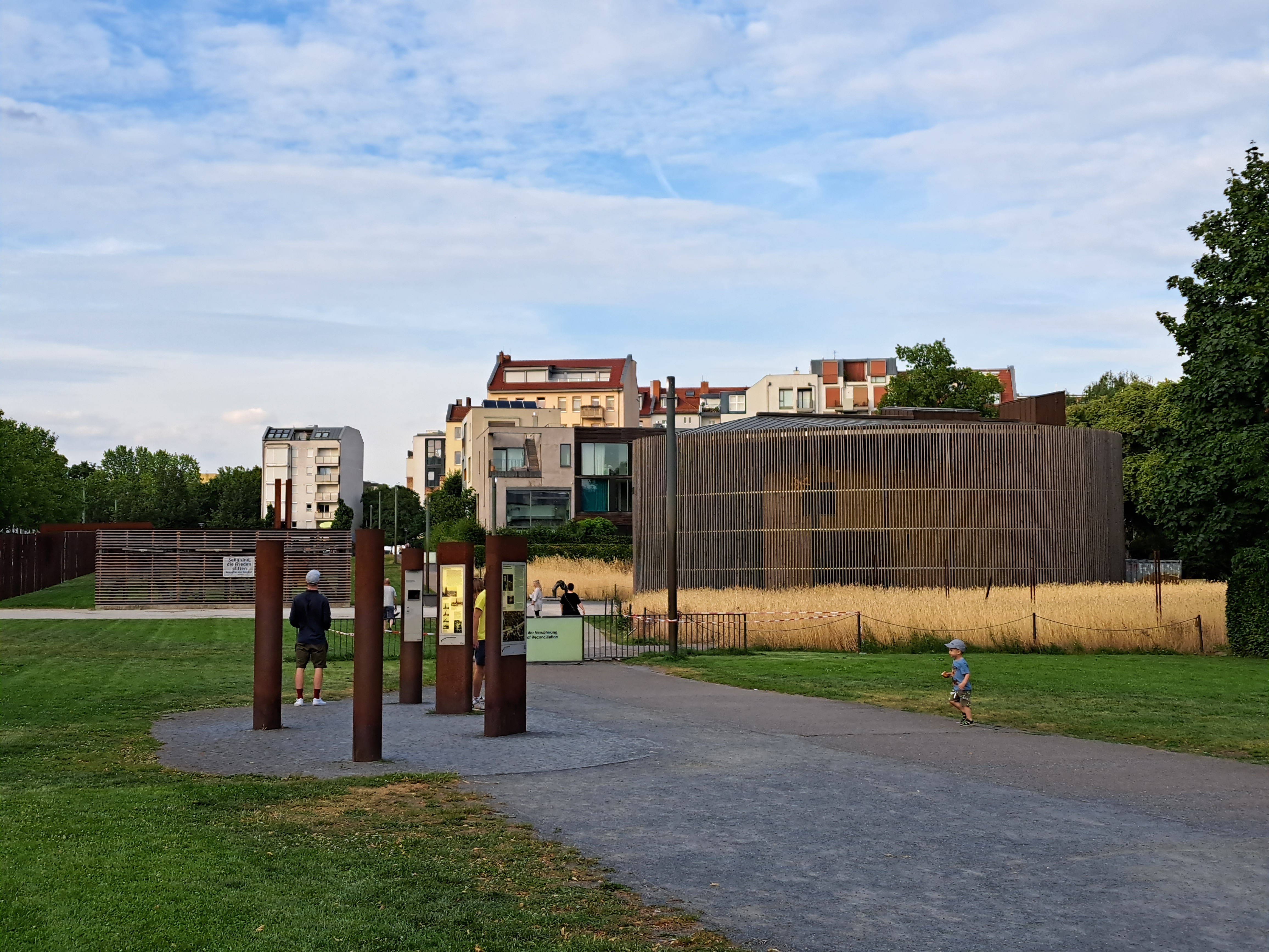
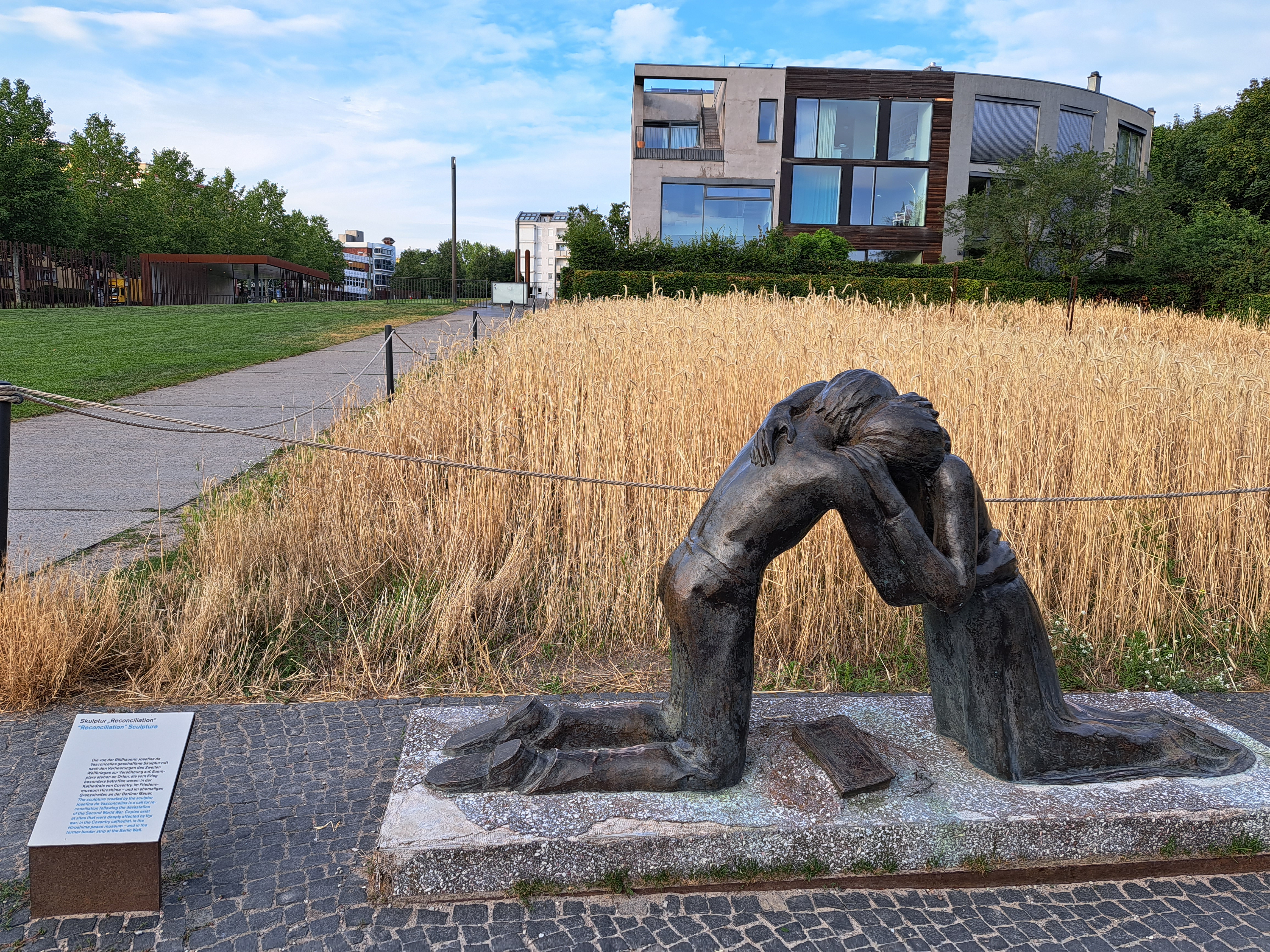
Returning to Berlin in July for those work meetings gave me a chance to visit neighborhoods where the city was once and is now no longer divided. Yes, I still cry when I walk past these places and remember my own crossings of that wall when it was really rather scary, because you knew armed border / wall guards were watching you. These photos are all from an evening walk in and around the Berlin Wall memorial park along Bernauer Strasse, one of the streets along which the wall itself once ran. The lovely murals in the gallery below were on an apartment building in what was then East Berlin…I’m fairly sure…my dear brother, for whose book on the period right after the wall was finally breached I will give an unabashed plug right here, might correct me if he sees fit.
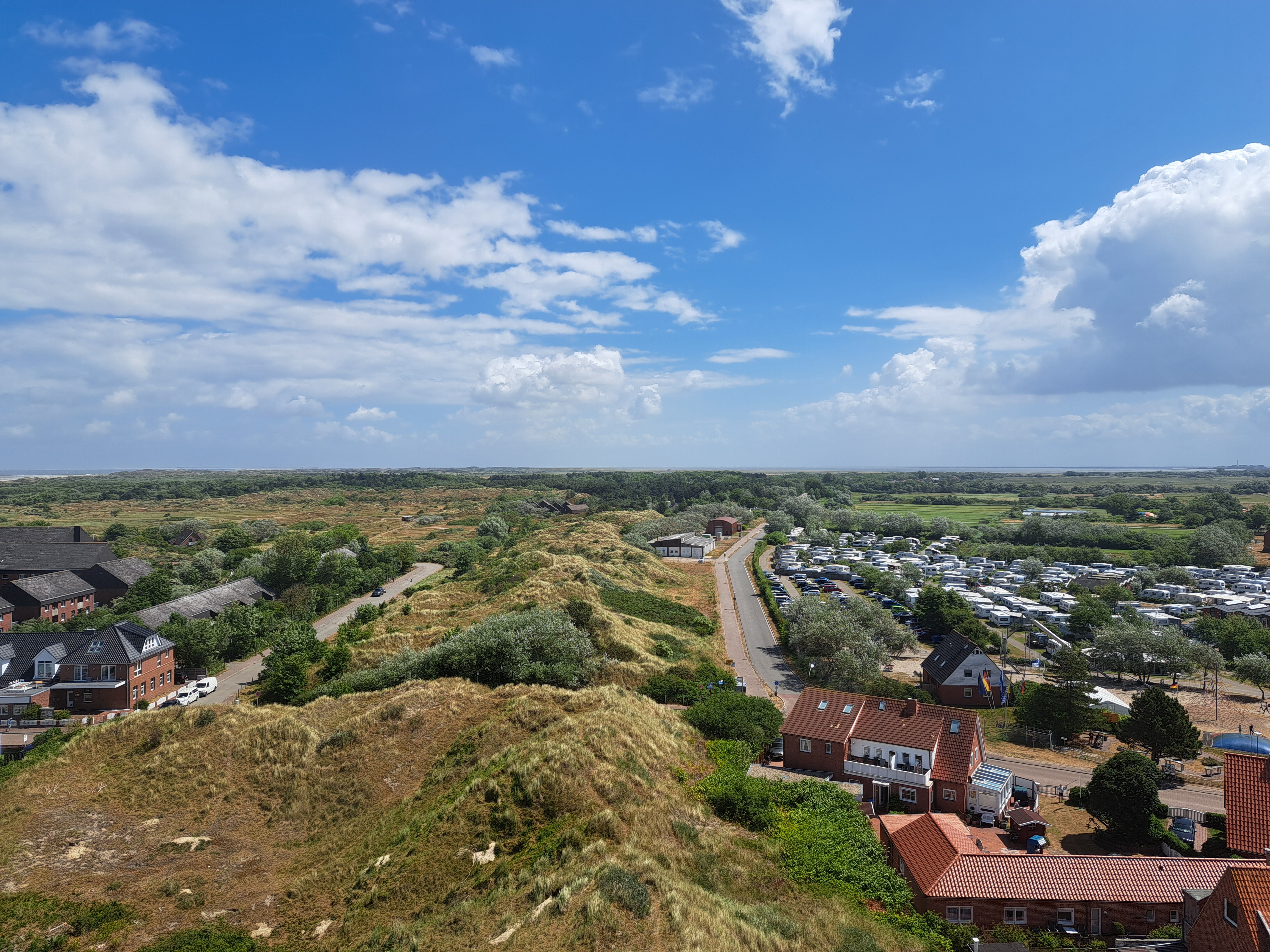
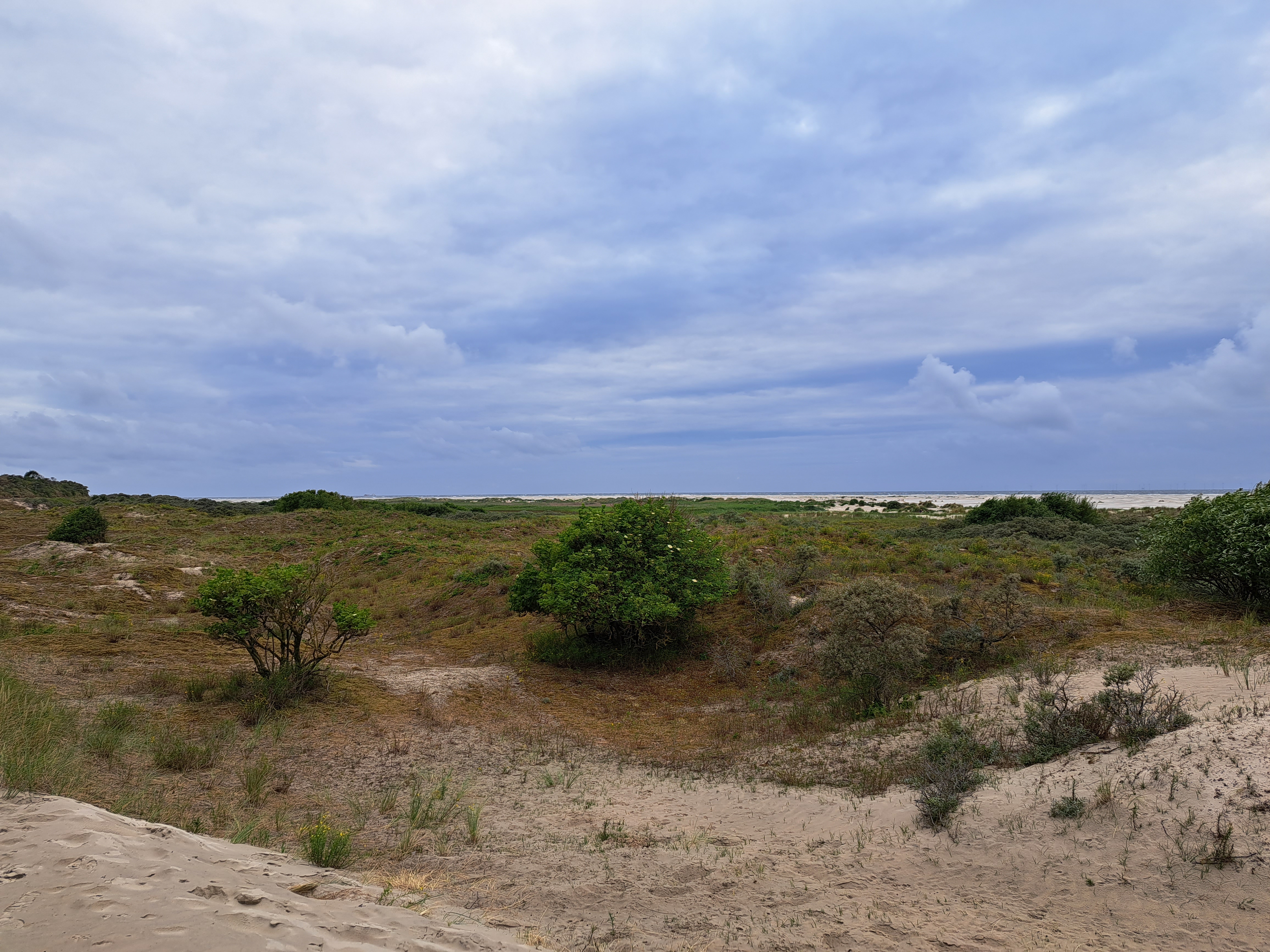
Being (back) on Star Island, with all its granite (check the links in the last post to see the difference, or wait for more to show up here), reminded me of Borkum, a very different kind of island than these granitic outcroppings here :-). Another of the photos I took when we climbed to the top of the old water tower.
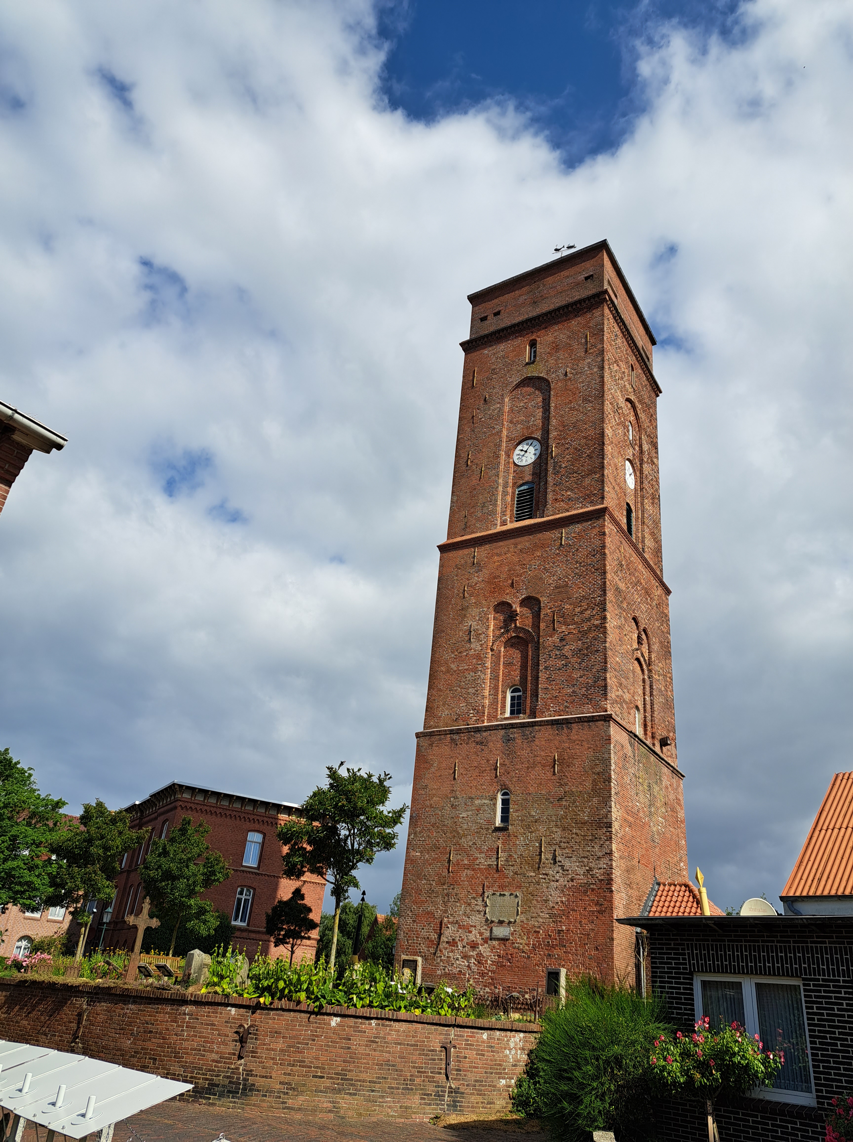
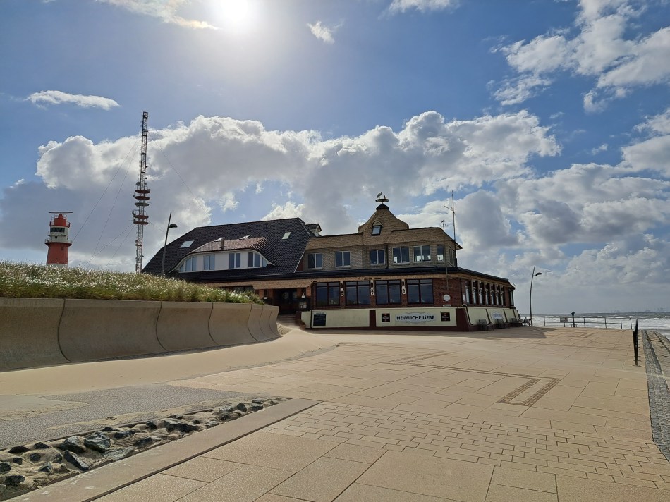
Above, Borkum’s Old Lighthouse with, confusingly, a graveyard in front of it…and below, the New Lighthouse as seen through the plants and gravestones of that same Old Lighthouse graveyard.
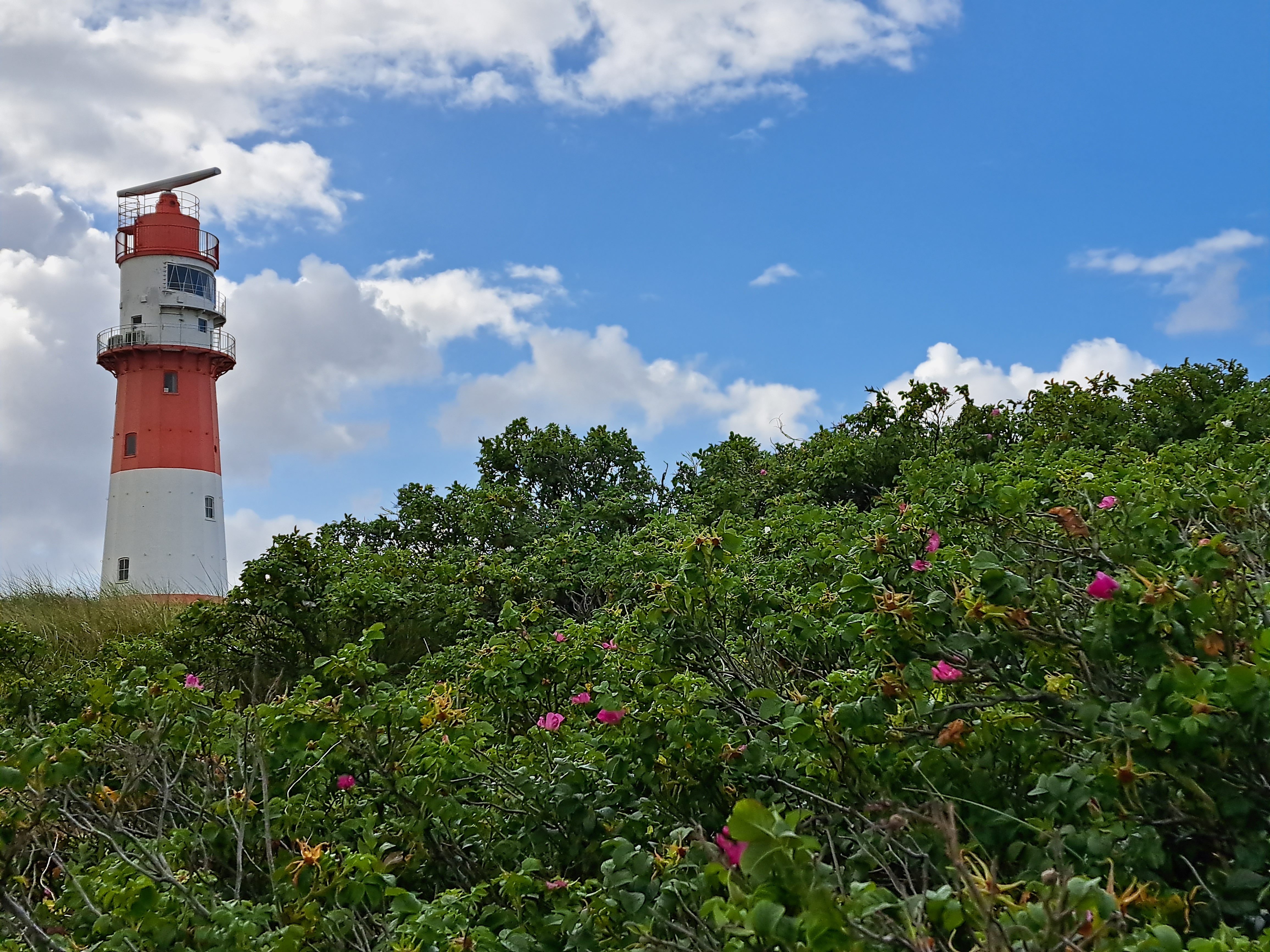
So obviously this particular Borkum lighthouse is newer than the one we’ve shown you before which is labeled on maps as “New Lighthouse.” The distinction is that this one -unlike the other two we saw in our short stay on Borkum – seems still to actually function as lighthouse and is thus locked away behind gates and all. We still haven’t actually shown you the original “old lighthouse,” but bear with us and we will :-).
Borkum’s ferry port (shown above as our ferry pulled away en route back to Emden) is on the more protected south side of the island, while its main town is on west end. The shot below was taken a few minutes later, heading west along the south side before turning due south to reach the mouth of Ems, where Emden is located.
More views from atop the spire of the Michelskirche in HH: above, looking south to the Elbe (the roof with many peaks is the dramatic and still new Elbphilharmonie building); below, looking north again to the Binnen and Aussenalster.
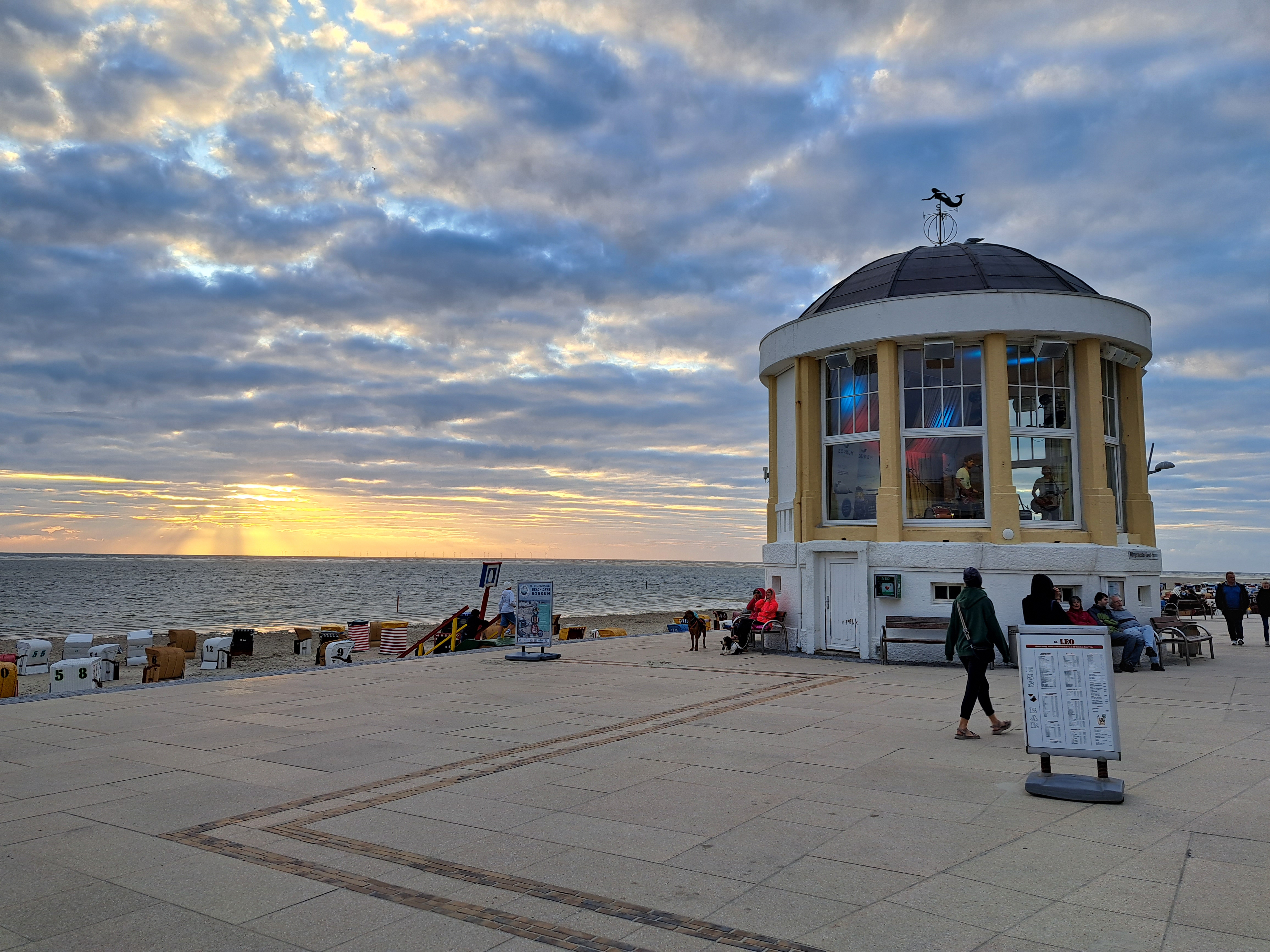
On our very blustery sand-blown morning on Borkum, we wandered past this remarkable building its lovely roof decoration :-). And yes, that’s a third Borkum lighthouse to the left, above. (Read through my past posts tagged “Borkum” for explanation if needed.) More of it in future posts.


 Returning to Berlin in July for those work meetings gave me a chance to visit neighborhoods where the city was once and is now no longer divided. Yes, I still cry when I walk past these places and remember my own crossings of that wall when it was really rather scary, because you knew armed border / wall guards were watching you. These photos are all from an evening walk in and around the Berlin Wall memorial park along Bernauer Strasse, one of the streets along which the wall itself once ran. The lovely murals in the gallery below were on an apartment building in what was then East Berlin…I’m fairly sure…my dear brother, for whose book on the period right after the wall was finally breached I will give an unabashed plug right here, might correct me if he sees fit.