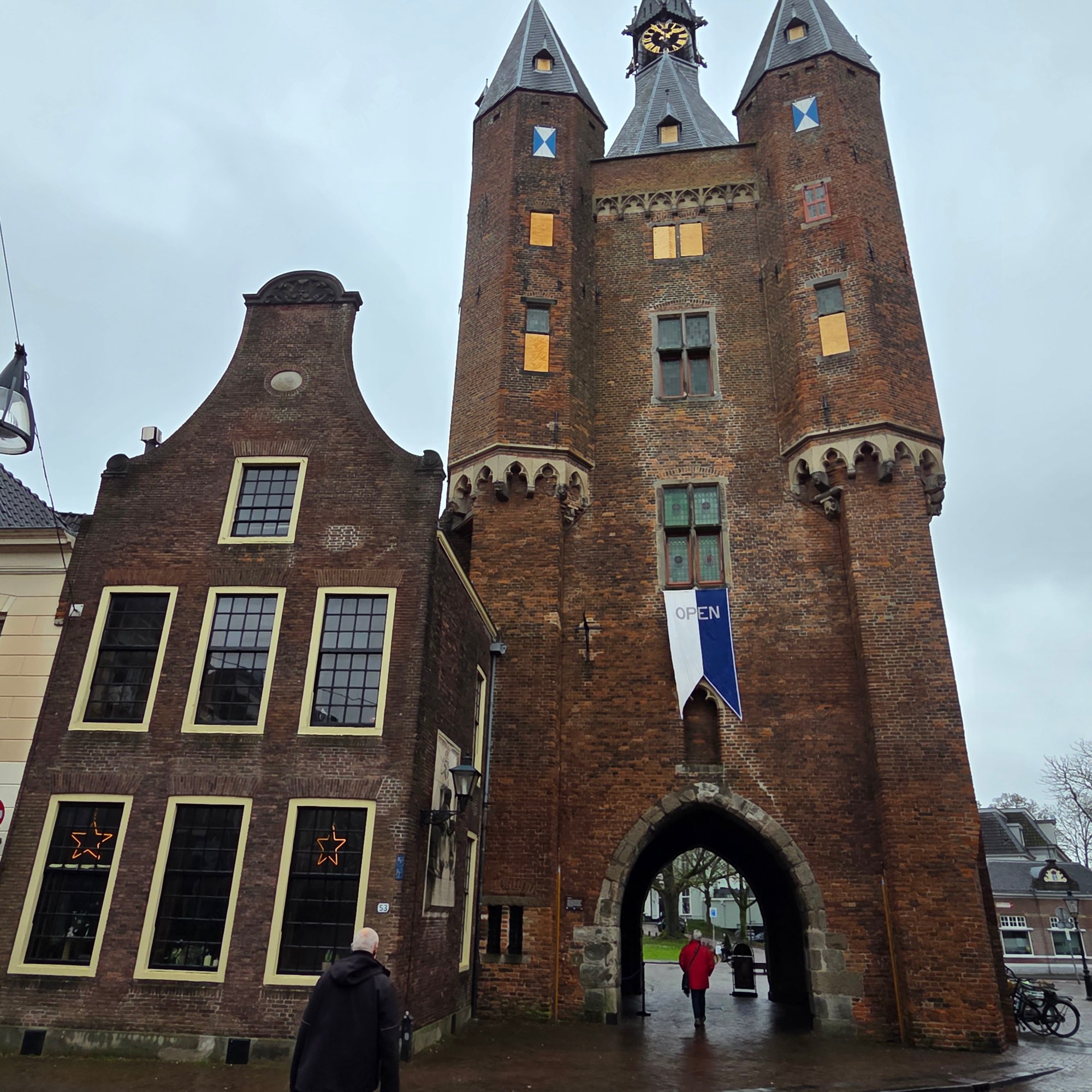
Zwolle is the capital of Overijssel Province here in NL, and I spent a (rather rainy) day & night there a few weeks ago in order to experience quite a magical concert by the combined Amsterdam Sinfonietta & Nederlands Kammerkoor which featured Faure’s Requiem, a Shostakovich Chamber Symphony, Part’s wonderful De Pacem Domine amongst other gems. Herewith a few “signs”-relevant Zwolle views, the first I’ve shown since a few posts in the summer of 2022 (!), the only other time I got out of the train in Zwolle. Spoiler alert: I’ve now been inside the unique modern addition featured in that link: something else to watch for in upcoming posts :-).
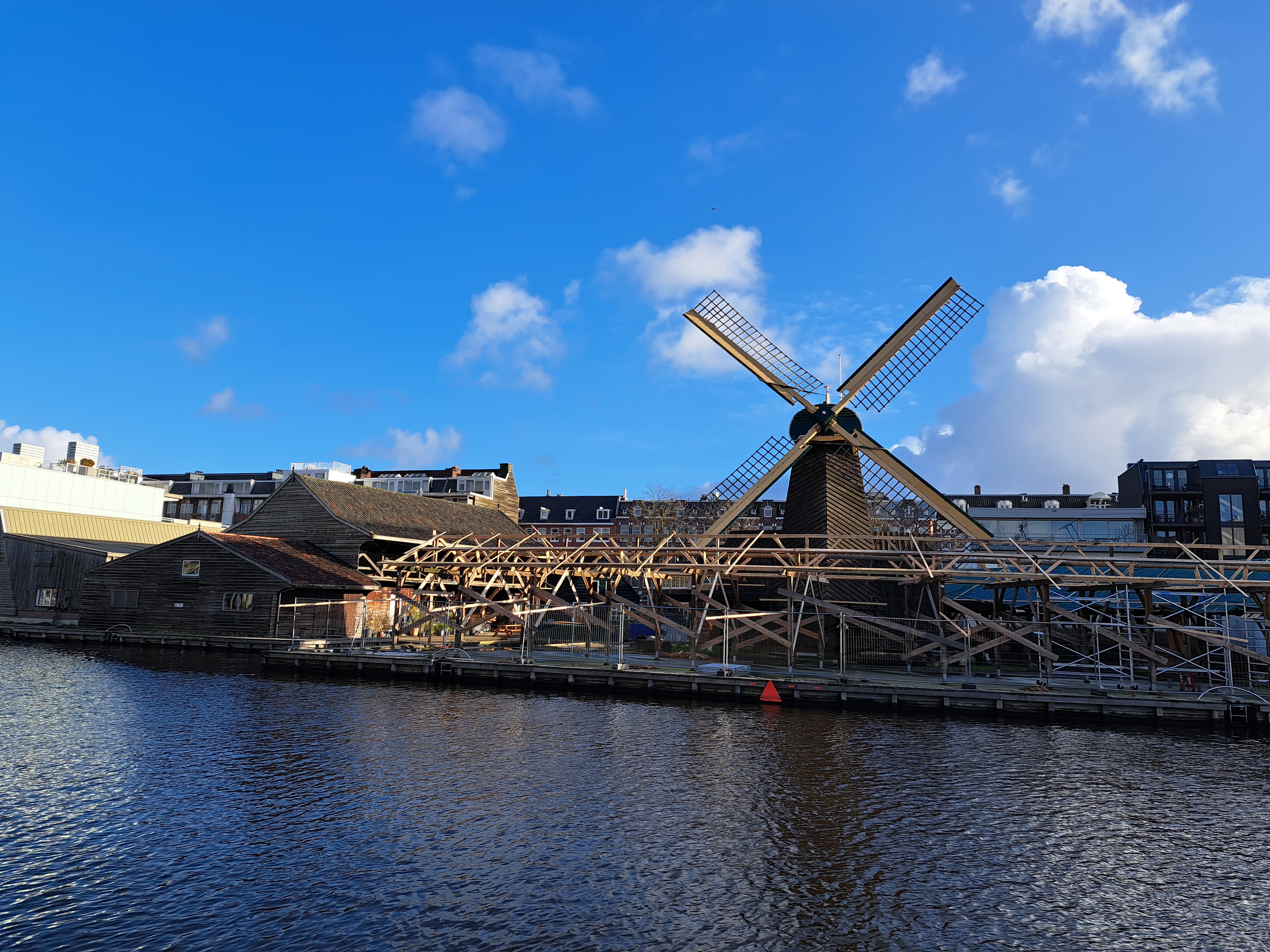
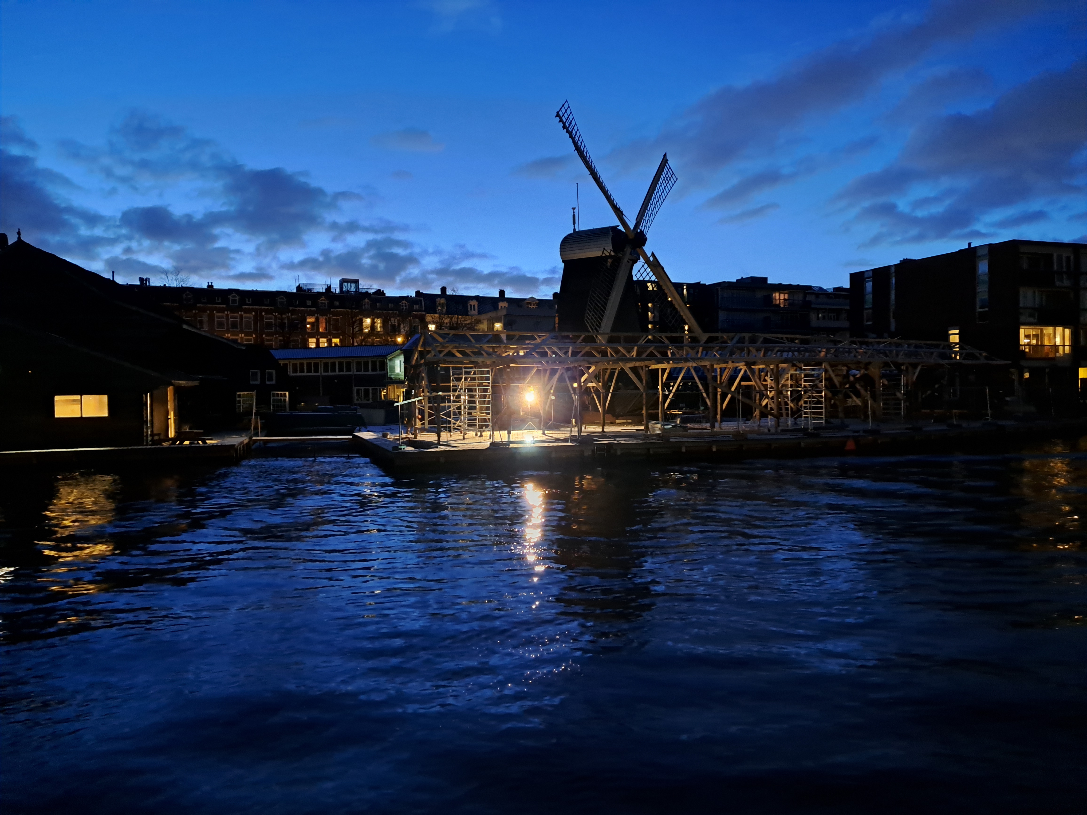
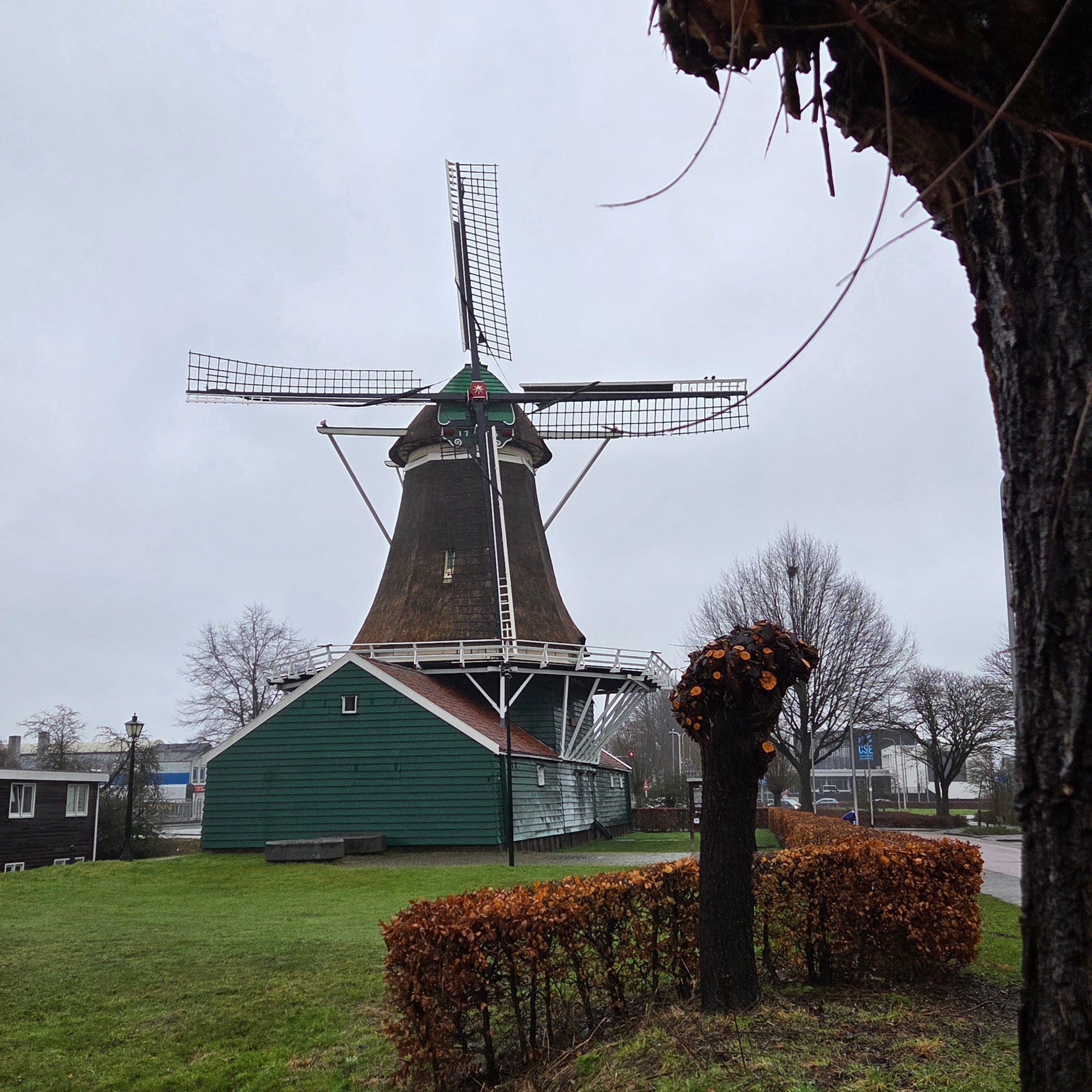
Taking this photo early last Saturday caused me to be late enough (= 3 minutes) for that morning’s yoga class that the teacher scowled at me a bit and I felt guilty. But the frost on the railing of this foot / bike bridge caught my attention as another possible image for the water series we launched yesterday. But though I’ve shown you this windmill and canal already twice before, I like how this image came out so much that I’ve decided to post it now as my first blog photo actually taken in 2025. The foot / bike bridge, as you might see from the photo, also descends a good meter or two from its southern to its northern side, and zig-zags a bit.
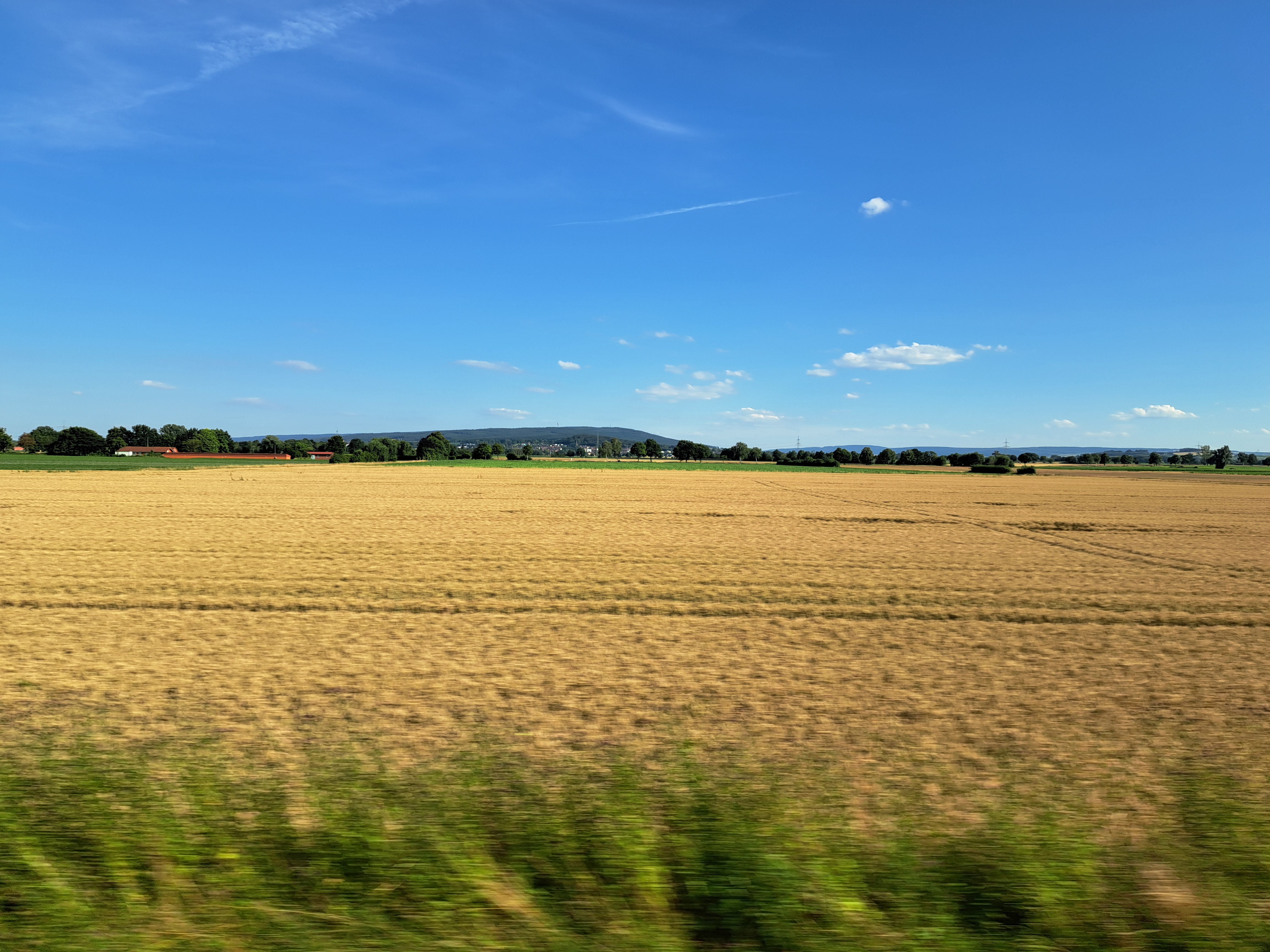
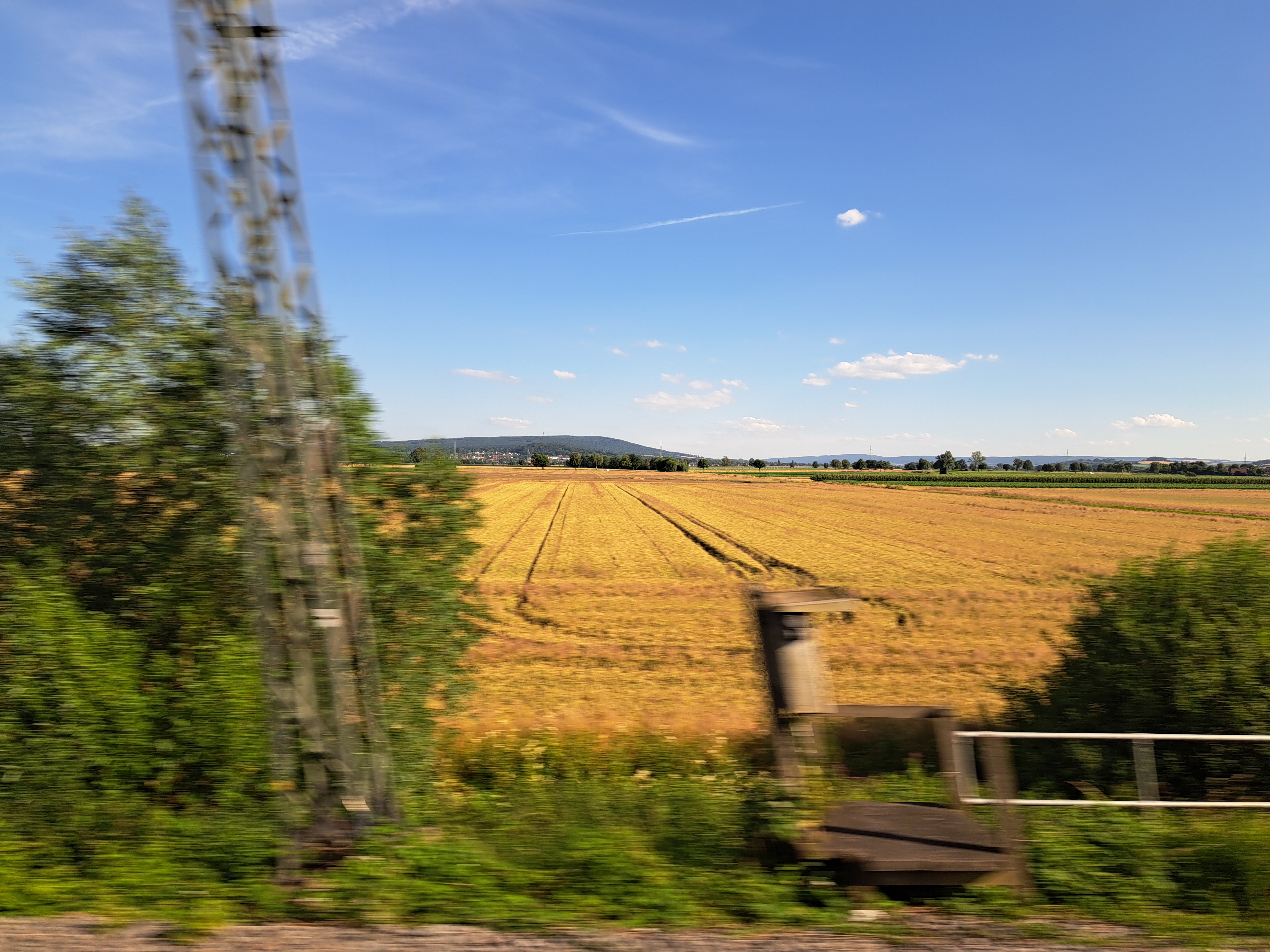
Certainly from a Dutch perspective, we can call that a mountain. All seen from the train between A’dam and Berlin when I returned in early July for a week of work. What I didn’t manage to photograph b/c it went by too fast and I wasn’t paying attention was a remarkable mountaintop memorial to Emperor Wilhlem in the interestingly-named Lower Saxony town of Porta Westfalica. I simply must get off the train there, some day…
This entry is perhaps my most robust plug thus far for any of my friends, relatives or other readers who might be considering a visit to the Netherlands and / or me to remember a very important and oft-overlooked fact: though small as nation-states go, the Netherlands is much, much more than just Amsterdam. At the risk of incurring his wrath should he recognize himself, I’ll cite the example of one dear young relative whose original plan for his first-ever NL (and Paul) visit had been to use a connecting flight situation to spend a few days here, plus a few days in Stockholm. As plans evolved, said same fabulous relative decided to stick with NL only, had what I believe to have been a lovely visit exploring many cities and towns in this lovely, bike-friendly and well-organized nation…and has now planned another NL-only return visit with significant ambitions again to explore further afield than the (indeed lovely) “capital” city of Amsterdam. (Capital because that’s what everyone says it is – not, as previously noted in these pages, because it’s the seat of either the State or the government.) The connection to this current post: these are all from the lovely village of Heusden, on the Maas (Meuse) river in Noord Brabant an hour’s bike ride from Den Bosch (‘s Hertogenbosch, formally). As noted last month, I had the pleasure of spending a work-week living here at a friend’s house due to some tourist-visitor-related house swapping arrangements. I first visited Heusden on Christmas day in 2021, and shared my first Heusden posts in January 2022. You’ve seen it off and on since then, but today and in a couple future posts, we’ll be sharing more of its lovely charm. And any future visitors please note: NL is chock-full of such lovely, explorable towns and villages surrounded by moats and boasting picturesque streets, windmills and shop signs…and magnificently bike-friendly infrastructure. Just sayin. (Insider tip: you can use this blog best to plan potential visits by being sure you’re in the “full view” mode, and then looking for the small-print “categories” and “tags” that do very definitely appear at the bottom of every single post here, and then simply tap / clicking – for example on this post – “Heusden” to pull up all past posts that I’ve tagged as from Heusden. :-))
Above, the piece of the southeastern coast of England, and below 15 minutes later with the Dutch coast dimly visible behind many offshore wind turbines. All from mid-May’s return to A’dam after the US weeks.
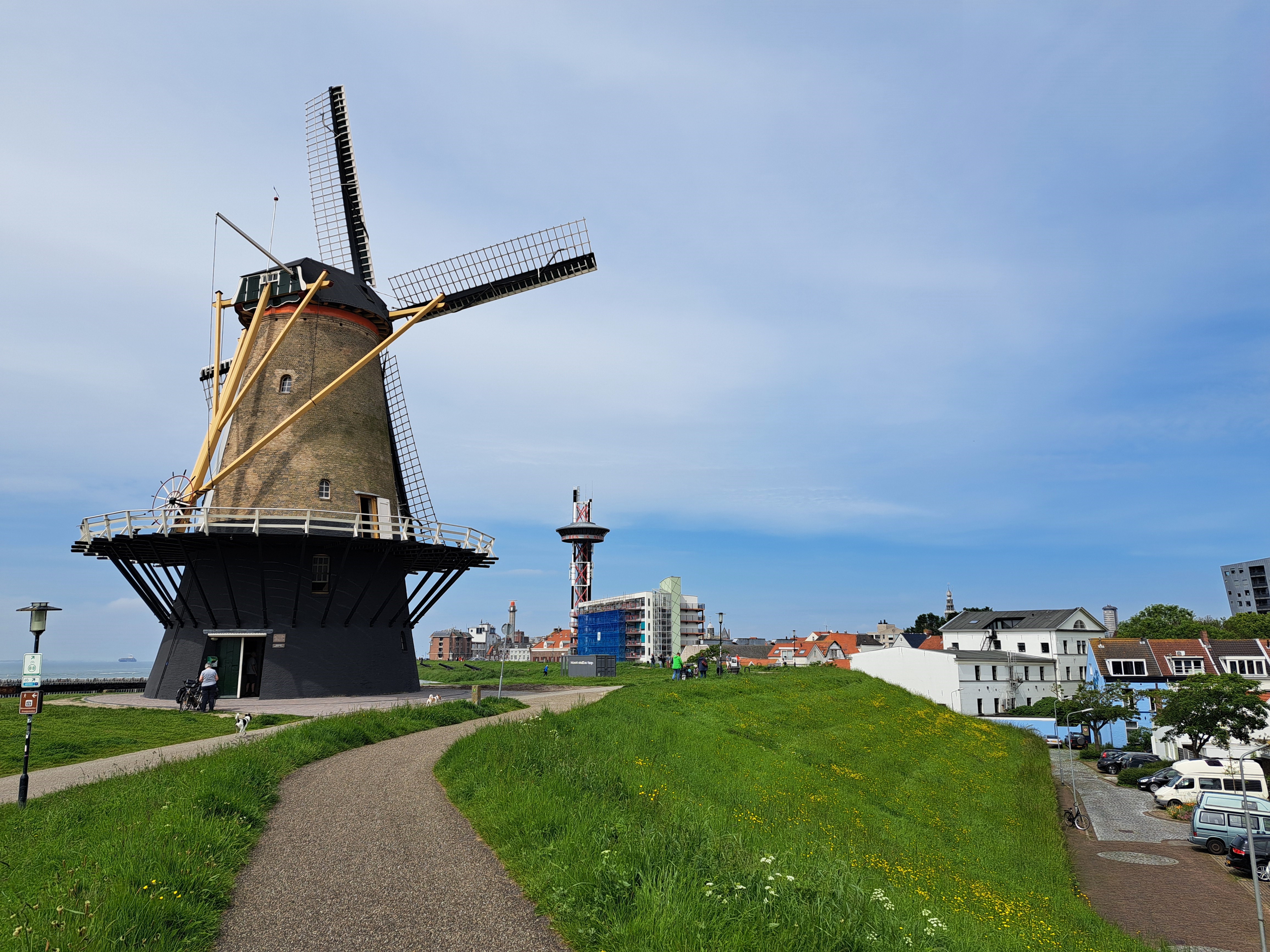
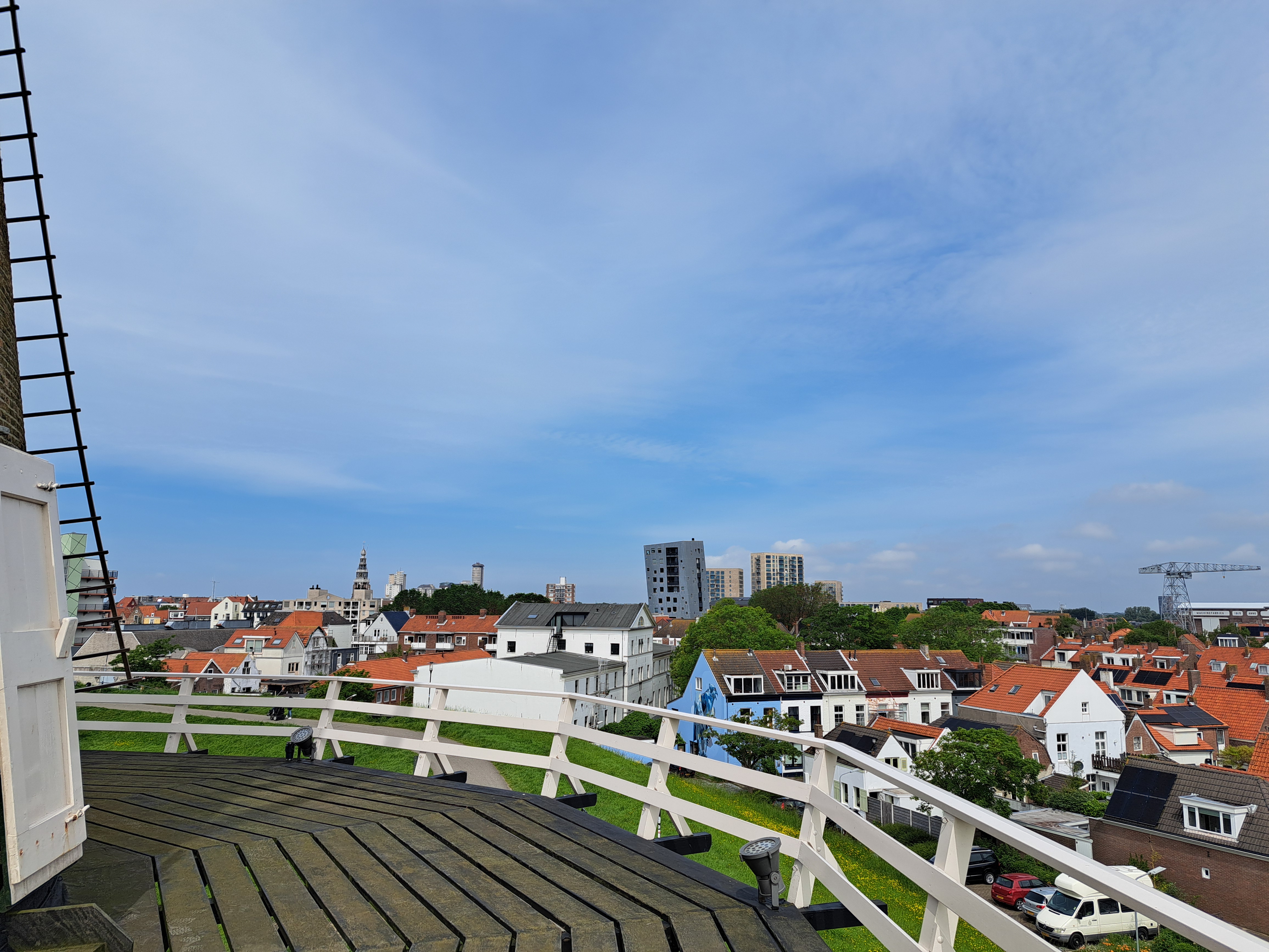
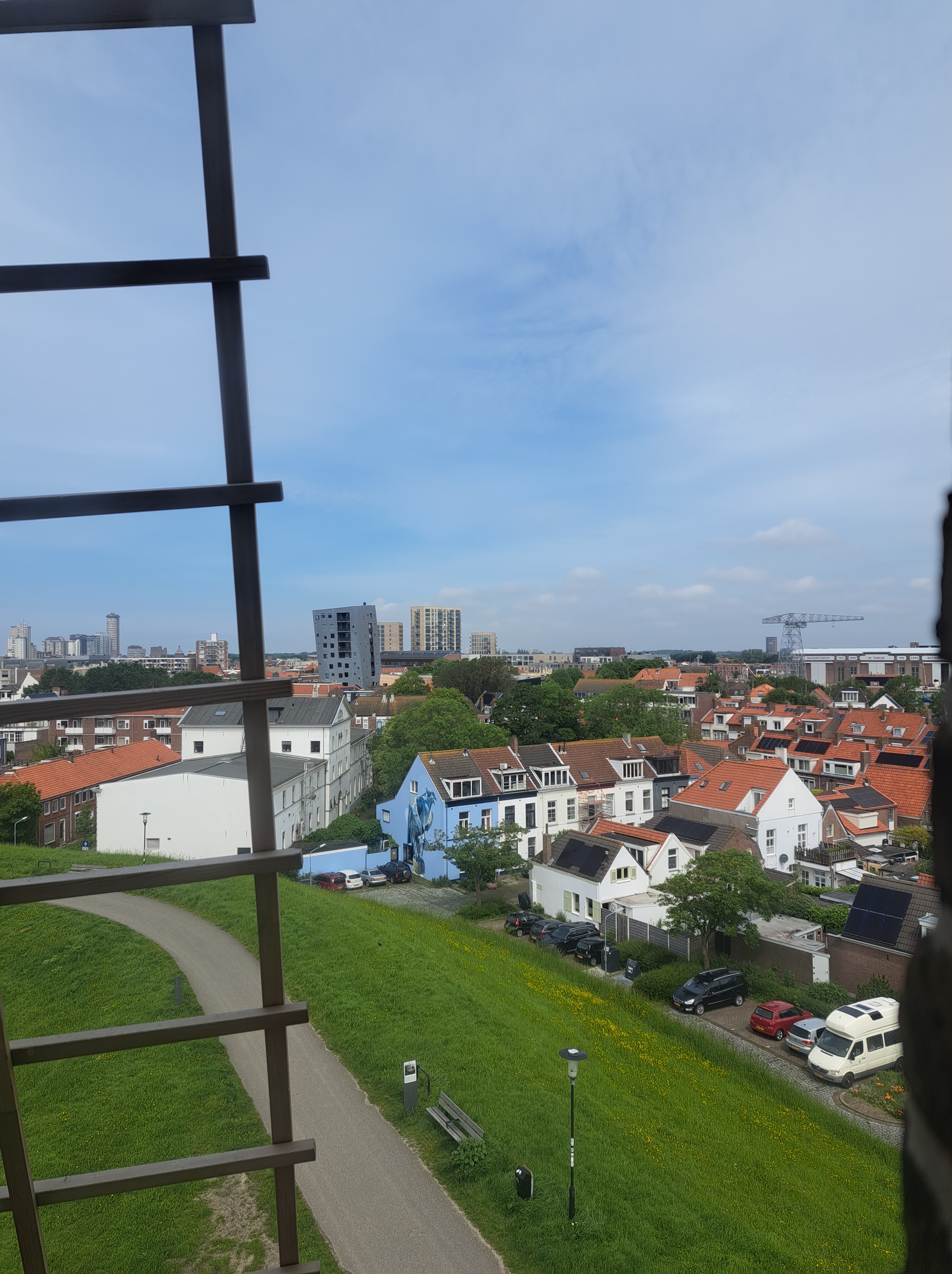
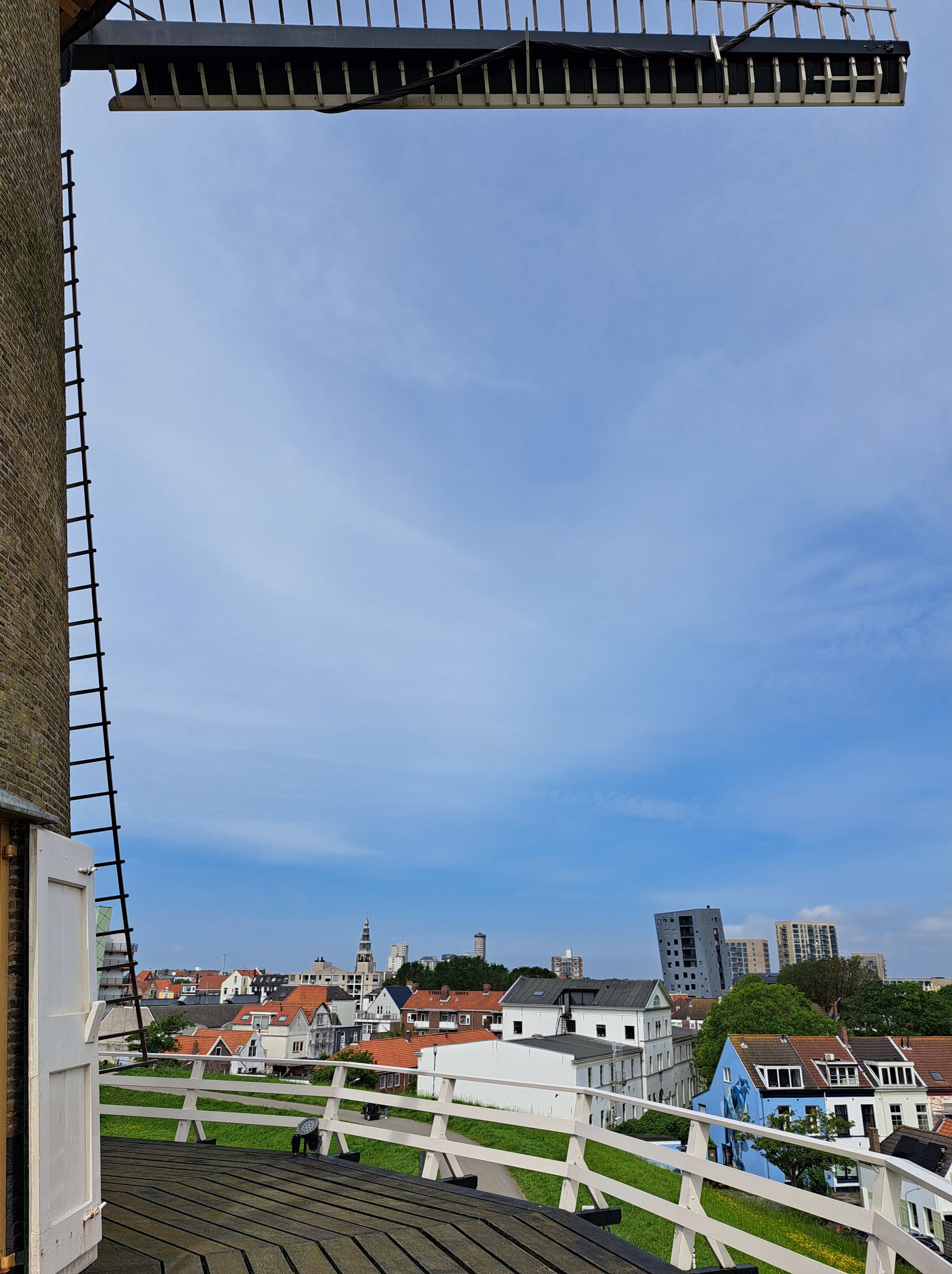
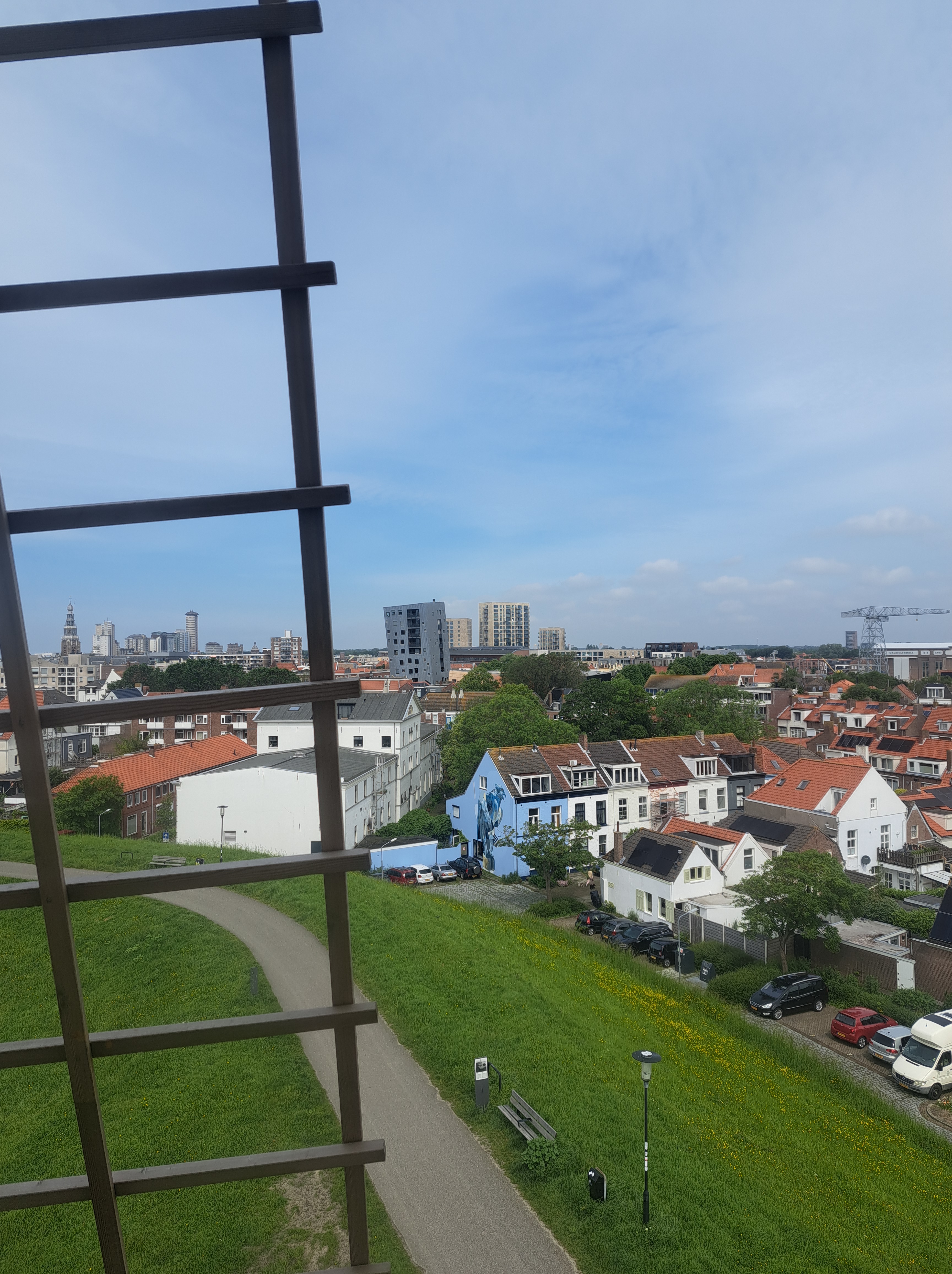
My dear cousin Sam, who’ll soon start featuring as an occasional guest photographer with us, asked what’s happened to my “Lake Living” series after viewing a recent post. As in, has it stopped being about lakes and started being about living on water. So herewith a few principles I’ve been working on for these “coasting” and “lake” categories. Because you might look at these photos and say “it’s not a coast, it’s a river.” Or you might look at the previous post that Sam questioned and say “that’s not a lake, it’s a bay!” But in our recent explorations here at smw, slt we’ve learned much more about water management & what what water connects to what other water, than we knew when first we got close enough to Zeeland to see the maeslantkering, which we featured in an earlier post.I’m proposing that a lake is a body of water that’s primarily fresh because it’s protected or cut off from the tidal flows that would come with extensive connection to an ocean. And that a “coast” is where a body of land that’s connected directly to a mainland-continent type landmass meets a body of water that’s close enough to the open ocean as to make nearly no difference. To whit,the city of Vlissingen, which is what you’re seeing here and which just happens to be the last stop for any train heading into the province of Zeeland from the rest of NL, is the only place south of the maeslantkering itself where the North Sea has free access to the interior of Zeeland. In other words, though Bergen Op Zoom – subject of that Lake Living post Sam queried may look on a map as though it connects by estuarial channels fairly directly to the North Sea, it in fact deliberately no longer does, due to all the massive water works NL did after the floods of the 1950s to build dams, dikes and the maeslantkering in order to protect as much of the interior as they could. If curious, please see a clear map in this link of all the many places where the North Sea’s access has been cut off by dikes and dams, which are now generally being upgraded to rise higher due to global warming and NL’s natural hope to remain an inhabited country despite American consumer’s addiction to gas-guzzling cars…and other carbon over-use issues. I’ll do one more explanation later on, when we get to the large body of water to the north and east of Amsterdam…which, until my visit two weeks ago to the castle so beautifully introduced in a recent post, I thought incorrectly was also salty & connected to the North Sea. But otherwise, assume these are my current working definitions of coast & lake…and ponder how global warming and Dutch ingenuity + determination give rise to interesting questions :-).
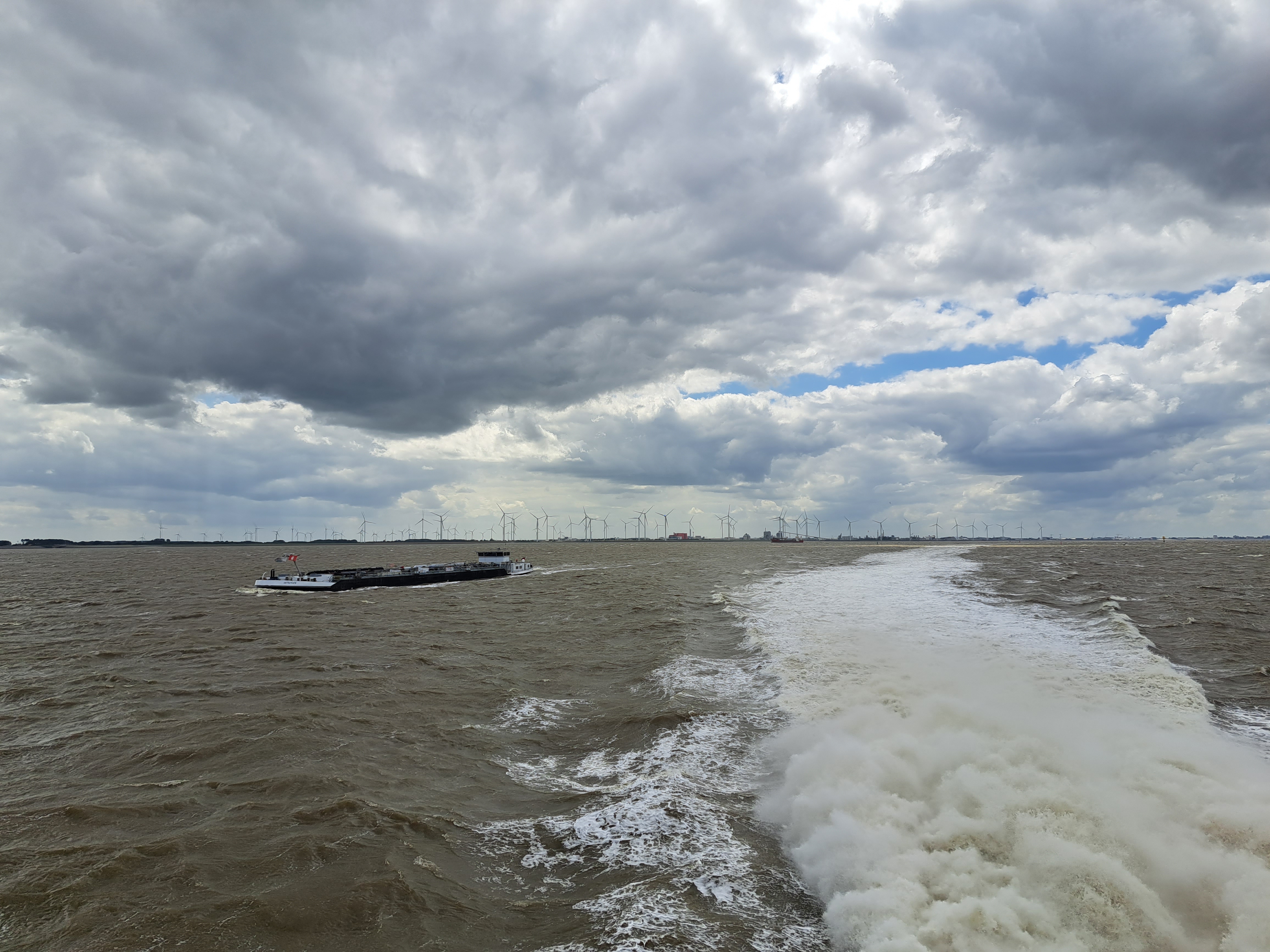
Last photo taken on the boat back from Borkum to Emden above, and first photo taken on the boat from Emden to Borkum below – both lookin at the wind farm on the NL side of the river. So many things one can do with coastlines, eh?
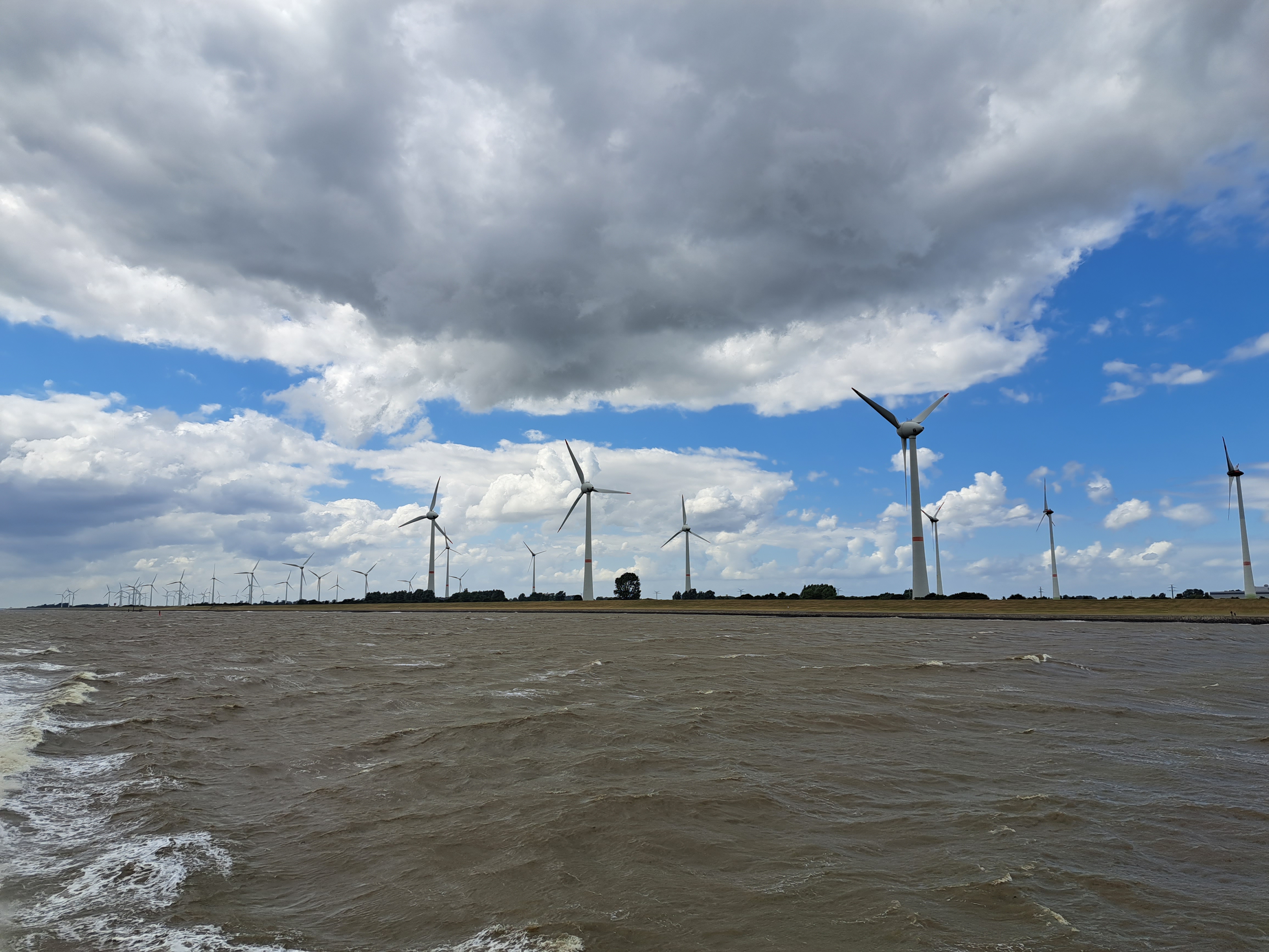
The past several entries all came from the island of Borkum itself (as we caught up with the sequence on this particular series). This shot shows the coast of Groningen province, on the west side of the Ems estuary, as our ferry approached the German down of Emden which is on the east side of the same estuary. Plenty ‘o such windmills all over the coastlines and off shore on both sides of this international border.


 This entry is perhaps my most robust plug thus far for any of my friends, relatives or other readers who might be considering a visit to the Netherlands and / or me to remember a very important and oft-overlooked fact: though small as nation-states go, the Netherlands is much, much more than just Amsterdam. At the risk of incurring his wrath should he recognize himself, I’ll cite the example of one dear young relative whose original plan for his first-ever NL (and Paul) visit had been to use a connecting flight situation to spend a few days here, plus a few days in Stockholm. As plans evolved, said same fabulous relative decided to stick with NL only, had what I believe to have been a lovely visit exploring many cities and towns in this lovely, bike-friendly and well-organized nation…and has now planned another NL-only return visit with significant ambitions again to explore further afield than the (indeed lovely) “capital” city of Amsterdam. (Capital because that’s what everyone says it is – not, as previously noted in these pages, because it’s the seat of either the State or the government.) The connection to this current post: these are all from the lovely village of Heusden, on the Maas (Meuse) river in Noord Brabant an hour’s bike ride from Den Bosch (‘s Hertogenbosch, formally). As noted last month, I had the pleasure of spending a work-week living here at a friend’s house due to some tourist-visitor-related house swapping arrangements. I first visited Heusden on Christmas day in 2021, and shared my first Heusden posts in January 2022. You’ve seen it off and on since then, but today and in a couple future posts, we’ll be sharing more of its lovely charm. And any future visitors please note: NL is chock-full of such lovely, explorable towns and villages surrounded by moats and boasting picturesque streets, windmills and shop signs…and magnificently bike-friendly infrastructure. Just sayin. (Insider tip: you can use this blog best to plan potential visits by being sure you’re in the “full view” mode, and then looking for the small-print “categories” and “tags” that do very definitely appear at the bottom of every single post here, and then simply tap / clicking – for example on this post – “Heusden” to pull up all past posts that I’ve tagged as from Heusden. :-))