City Views.145
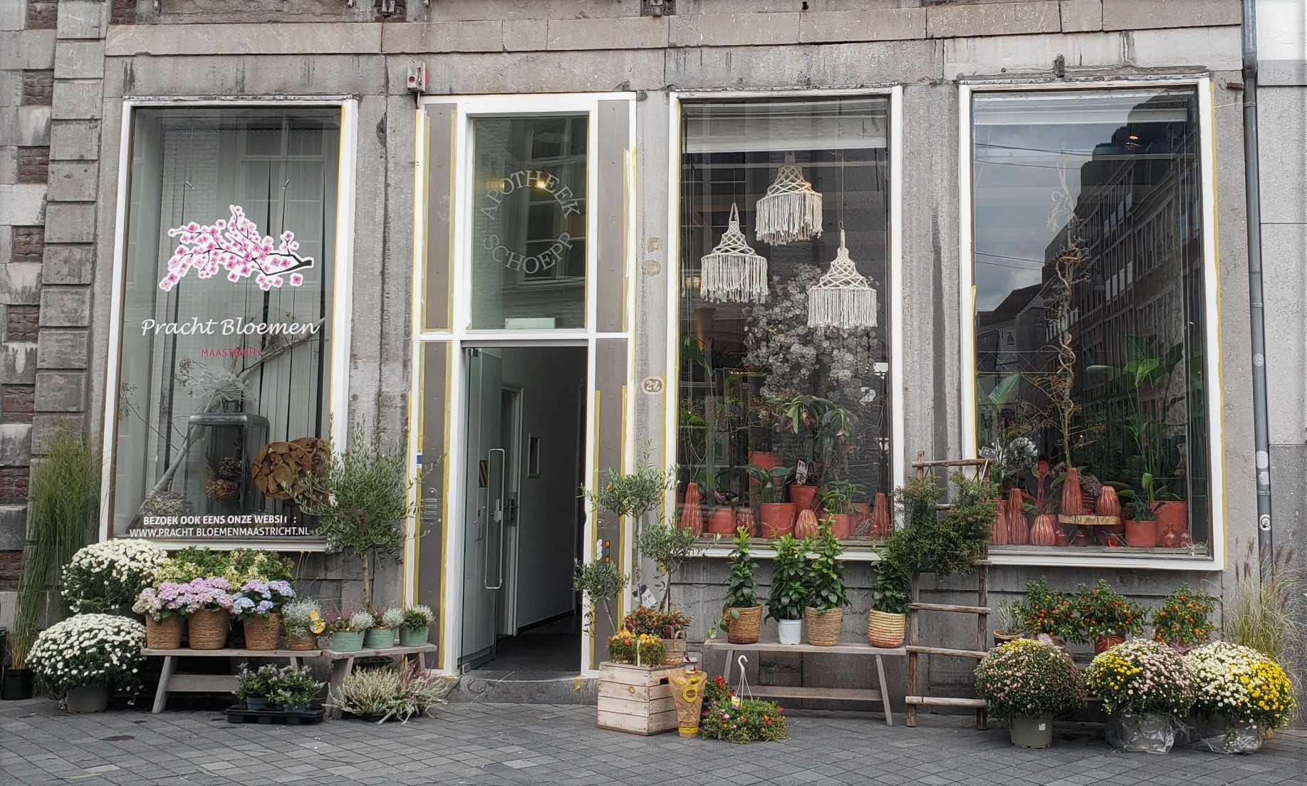
 Nearly all the remaining photos from my 24 hours in Maastricht a couple weeks ago. I’ve shown some of the city from above and afar in an earlier post, where I also shared a bit of history. These are all from walks with my friend Steve around the city, plus some photos of the paintings people have made over the past century or so on the walls of the extensive underground tunnel network beneath Maastricht and extending as well to the Belgian side of the border. (Yes, the tunnel system has been used over the centuries both for commercial smuggling and for resistance or escape during WWII.) These were formerly underground limestone mines or quarries, but are now a tourist attraction. In that earlier post I showed you a lot of Ft Sint Pieter, which sits above some portions of the tunnel system. During one French invasion, they tried to destroy the fort by setting an explosion under it, but they got the wrong location and only collapsed the cave on themselves, according to our tour guide.


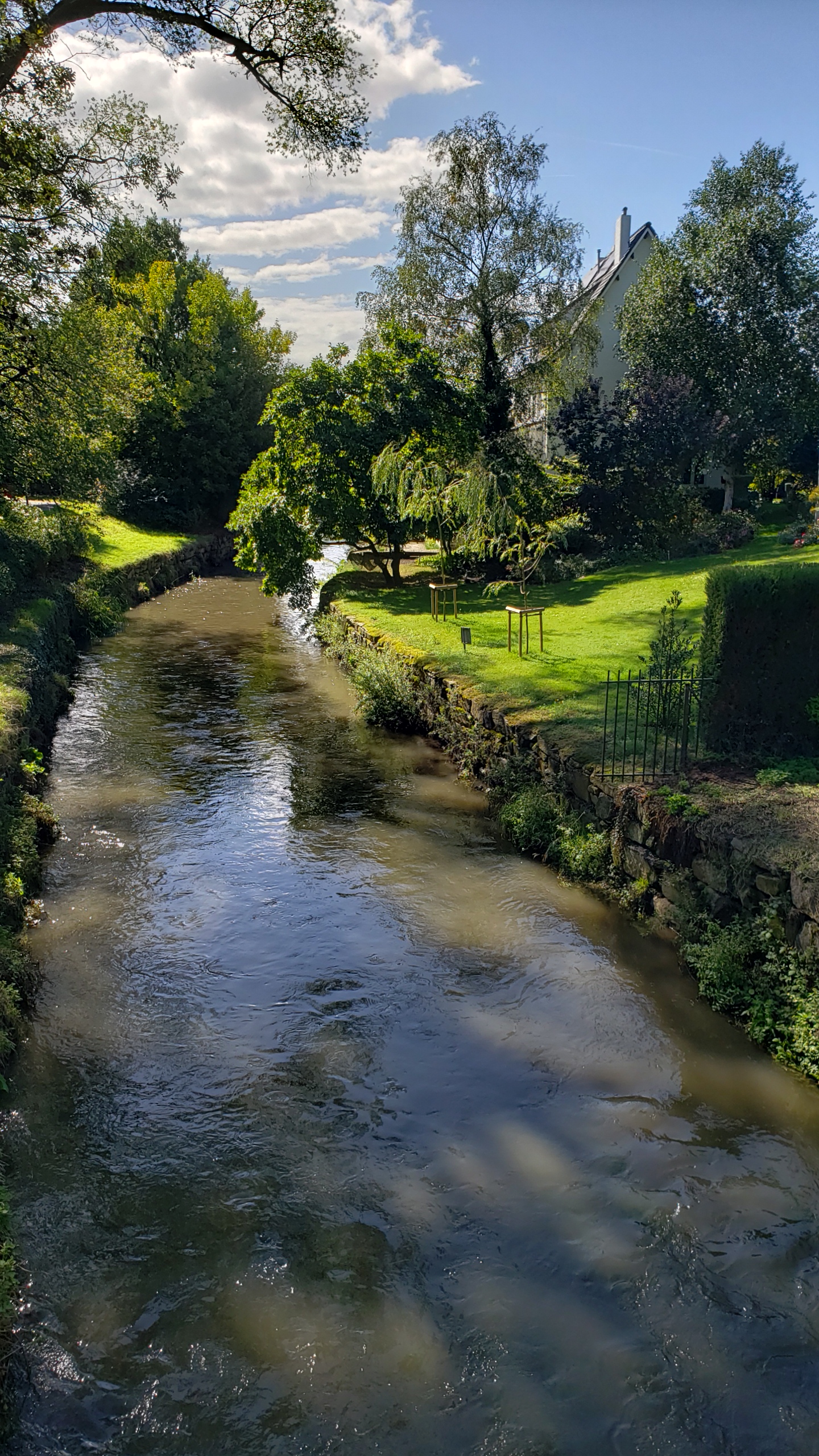
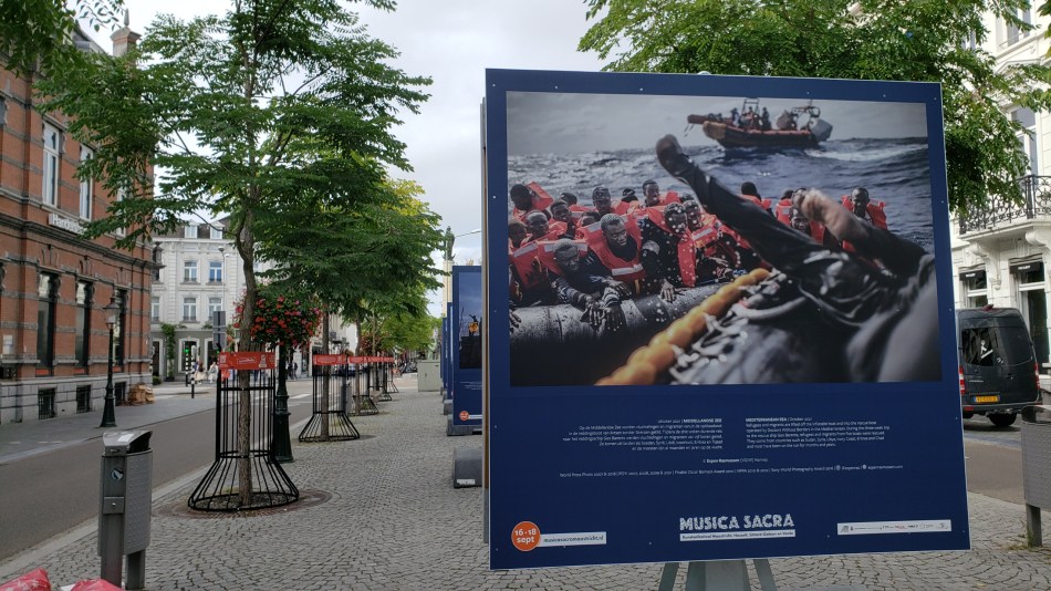
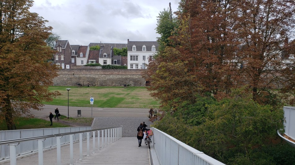
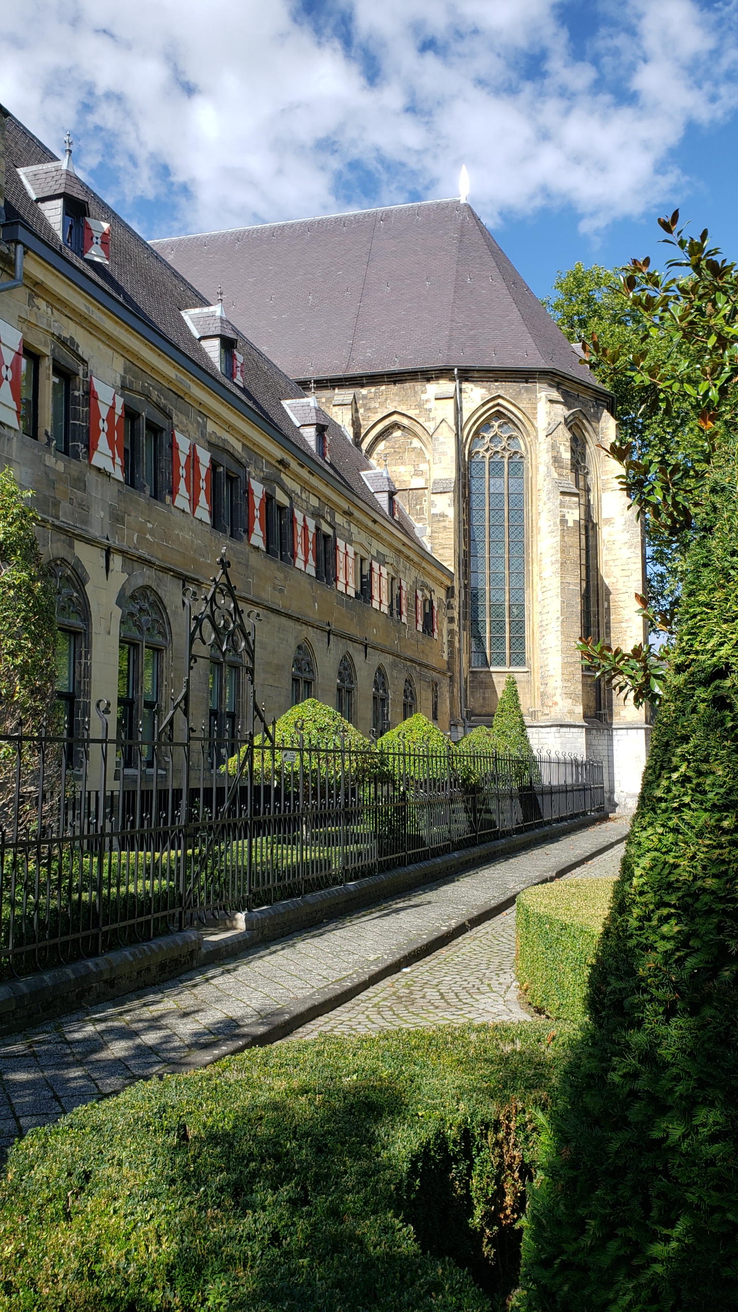
Also tucked into the gallery above is an image from inside that lovely hotel which we also showed you in another earlier Maastricht post, showing the stairs up to the restaurant from the lobby, all of which are within the soaring hall of the old cloister’s church. Remarkable place to have breakfast or a drink (the bar is at the back on the ground floor as you look at it) – thanks for the treat, Steve :-). Below: photo exhibit on my walk back to the train station about people on the move in the world, and I decided to photograph the one that shows one of MSF’s search and rescue boats at work. Below that, those city walks I keep mentioning :-), as seen from the foot and bike bridge over the Maas.
Urban Entrances.44

Urban Garden.113

City Views.143

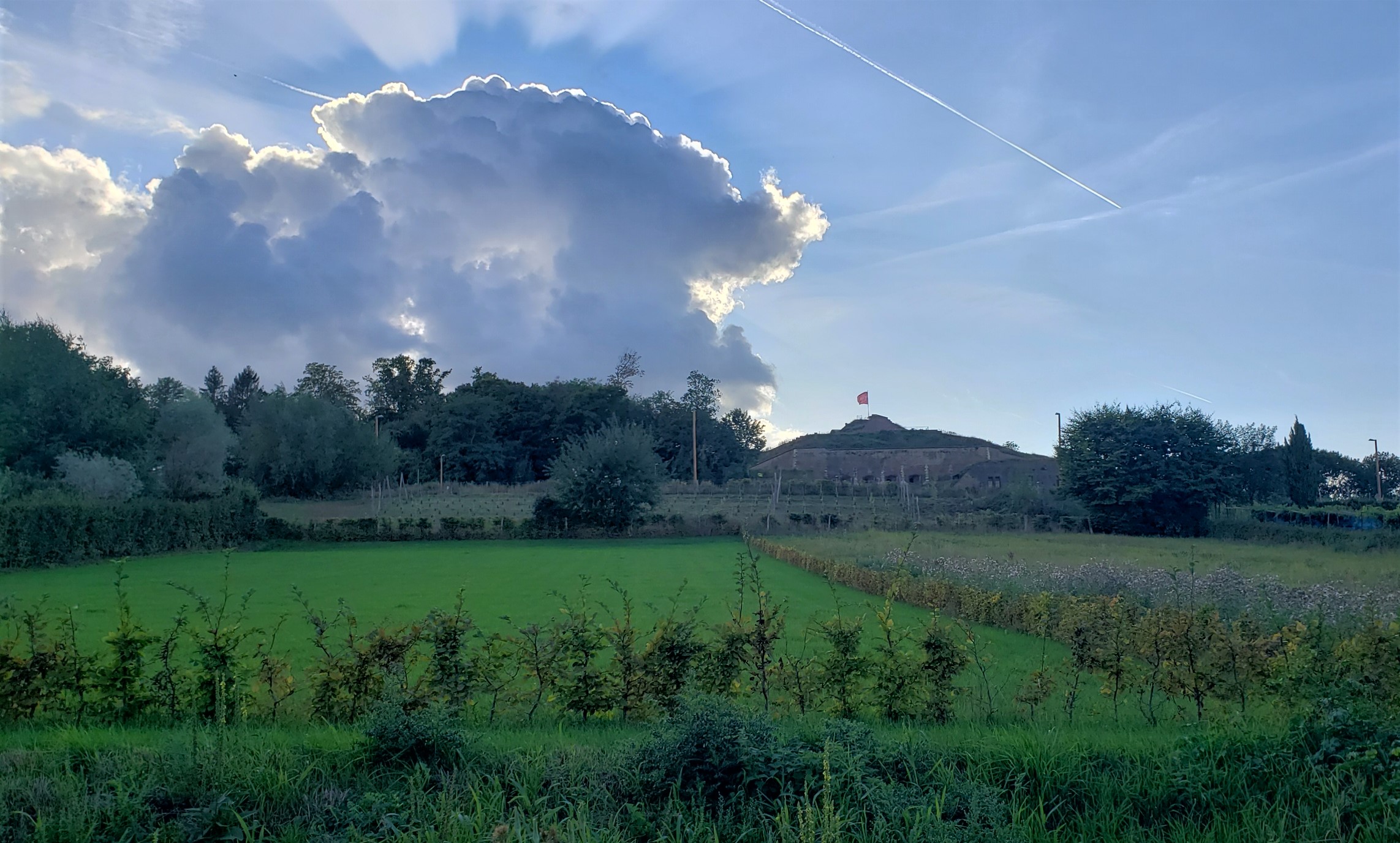
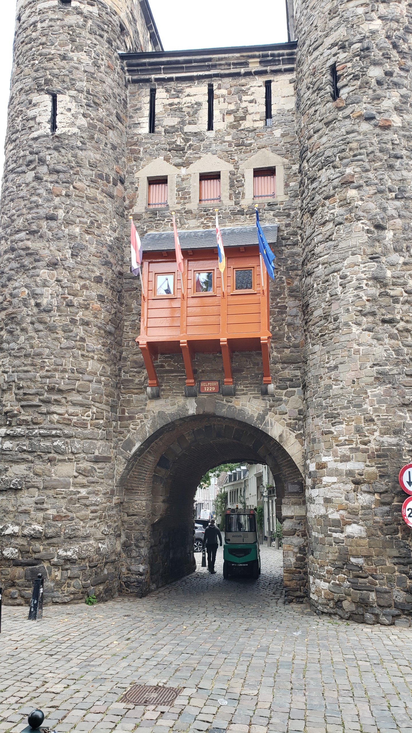
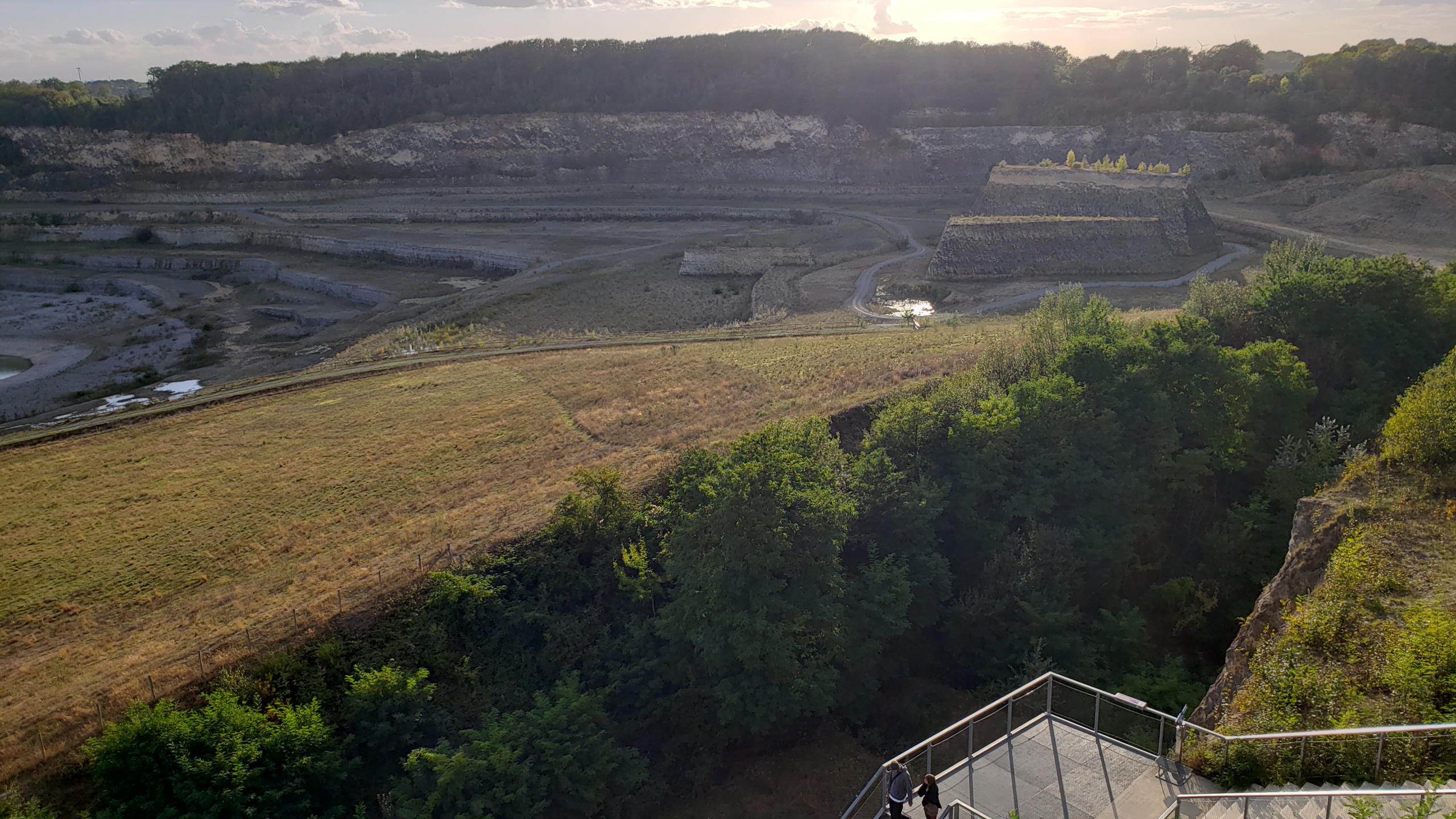
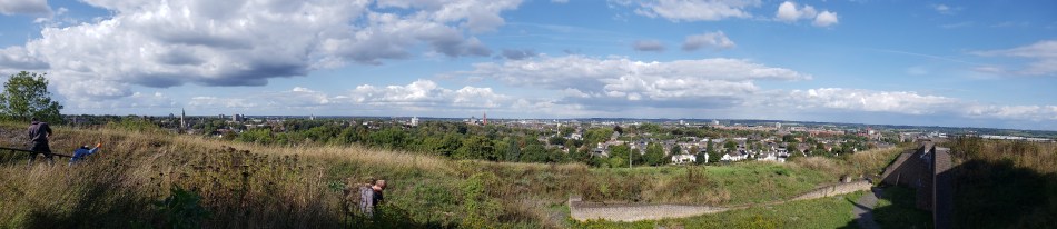
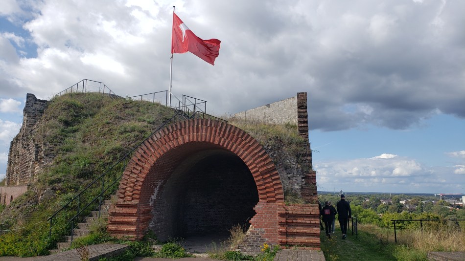
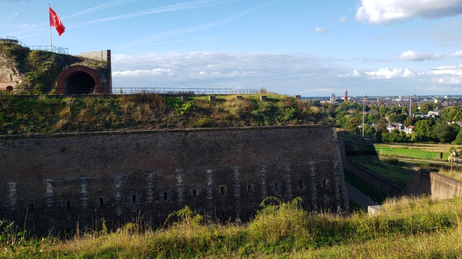 Maastricht means “Maas Crossing,” or Ford of the Meuse / Maas. All the photos in this post were taken in and around Fort Sint Pieter, built at the top of a hill to the west of the main city, getting fairly close to the Belgian border. (Locals seem to call it a mountain, but that’s all in the eye of the beholder.) Apparently invaders (usually the French) attacked Maastricht many times, and this fort was built into the top of the hill after the success of one invasion, which set up guns at the top of the hill and lobbed them over the then-current city walls. (As the city grew, new walls were built further out than the old walls which usually remained up. You’ve already seen both this fort and one gate still standing from a past incarnation of one such wall.) More recently, Maastricht is known for the Treaty on European Union (aka the Maastricht Treaty), signed here in 1992. Maybe they hoped this union thing means they’ll never have to fire up these cannons again, eh? 😊


Urban Garden.112

Urban Garden.111