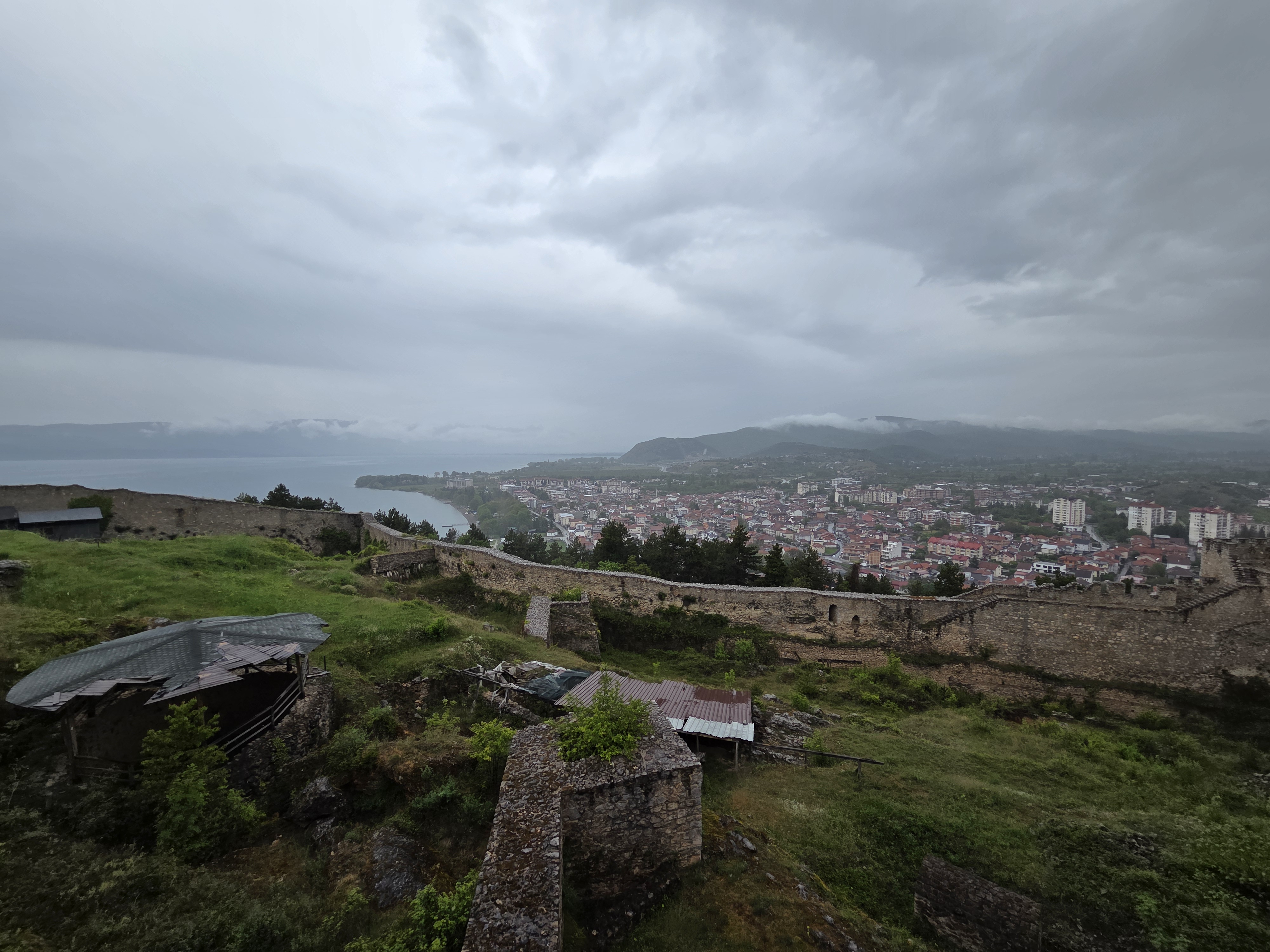
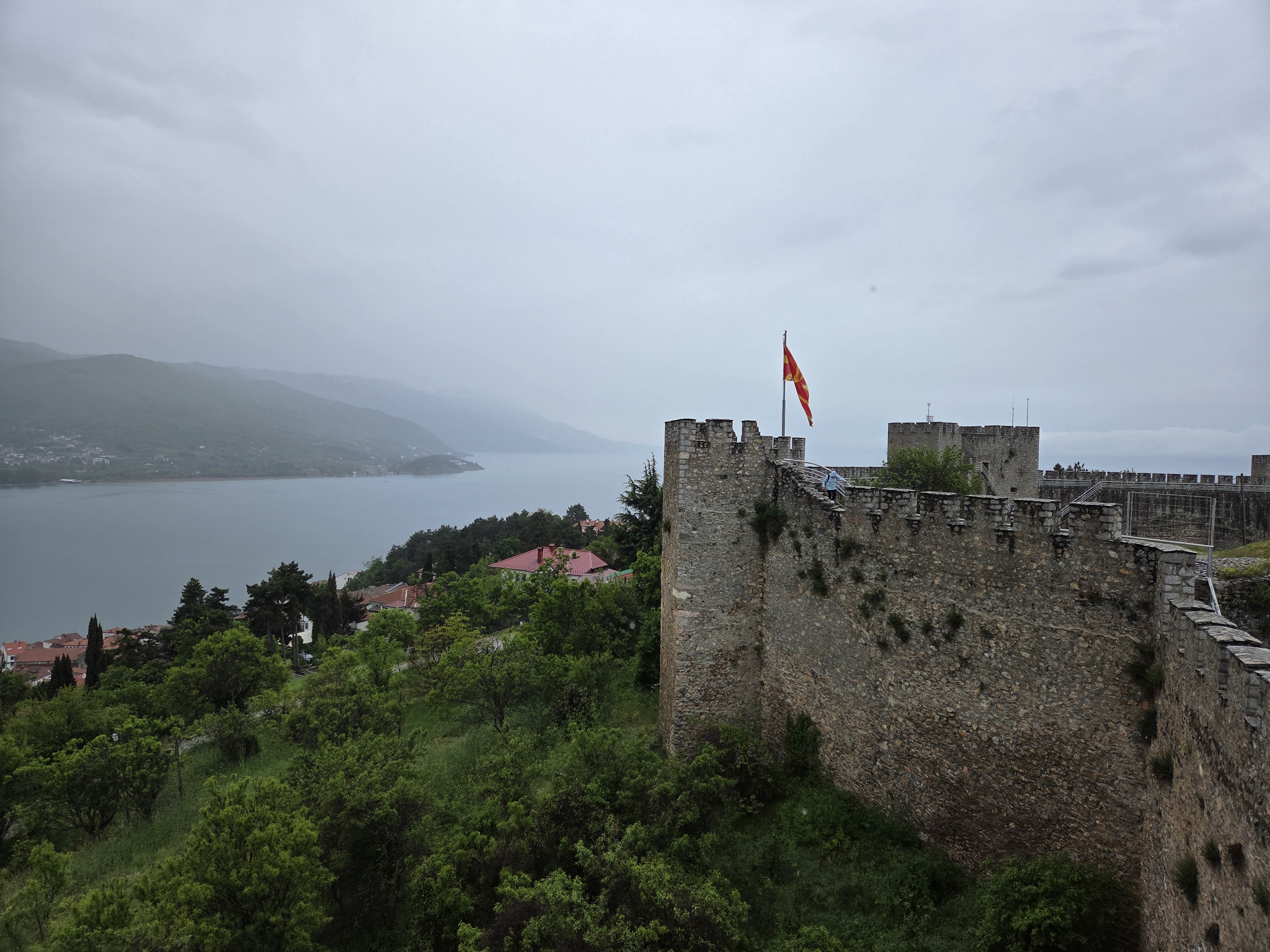
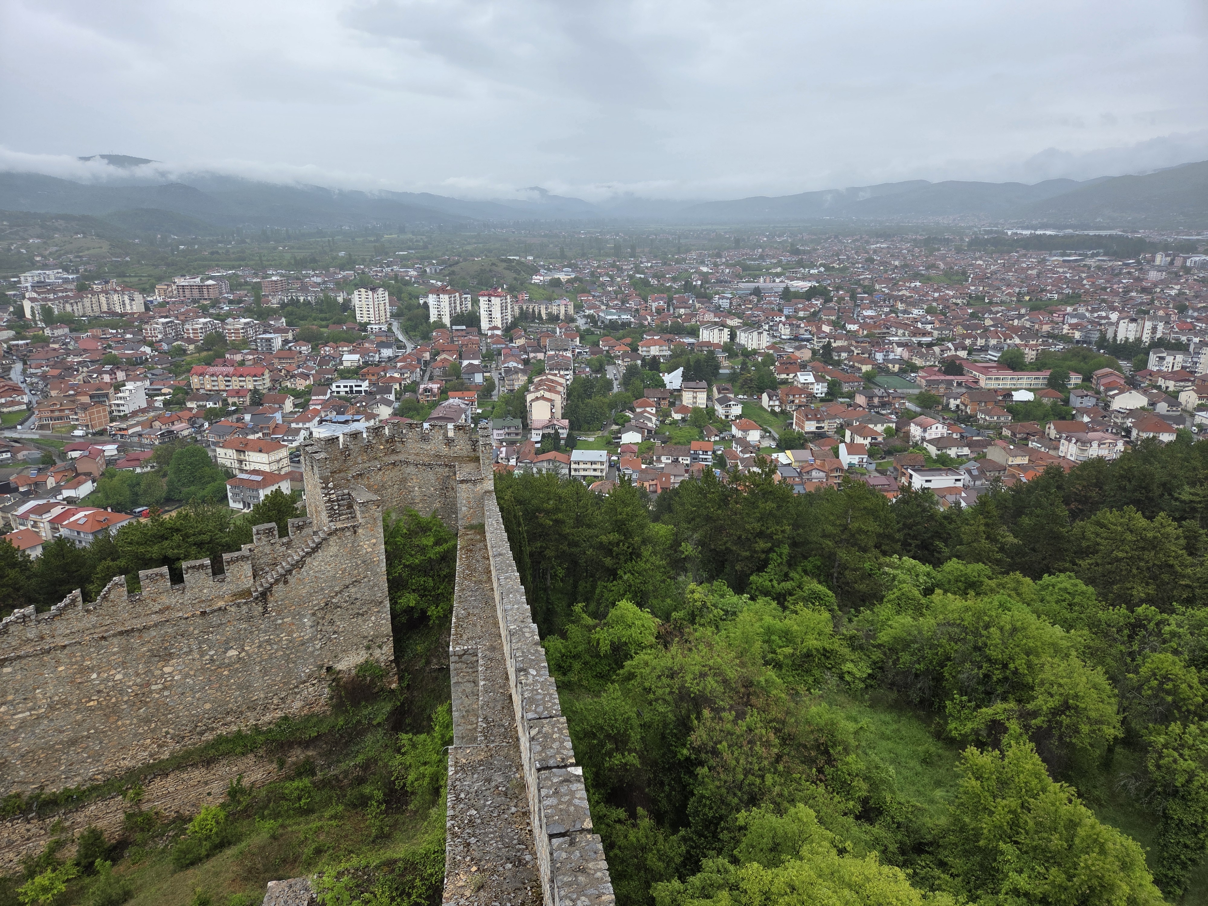
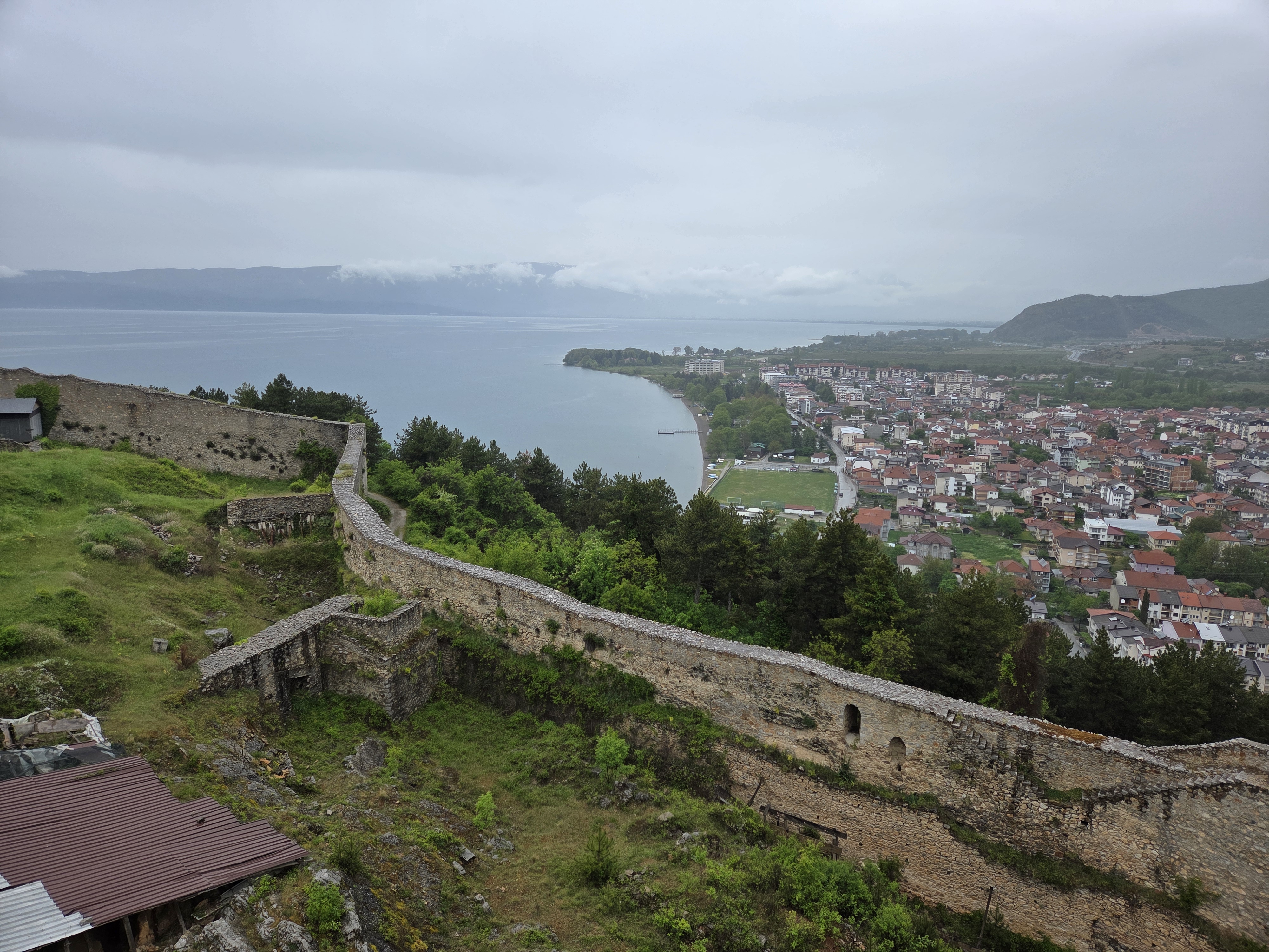
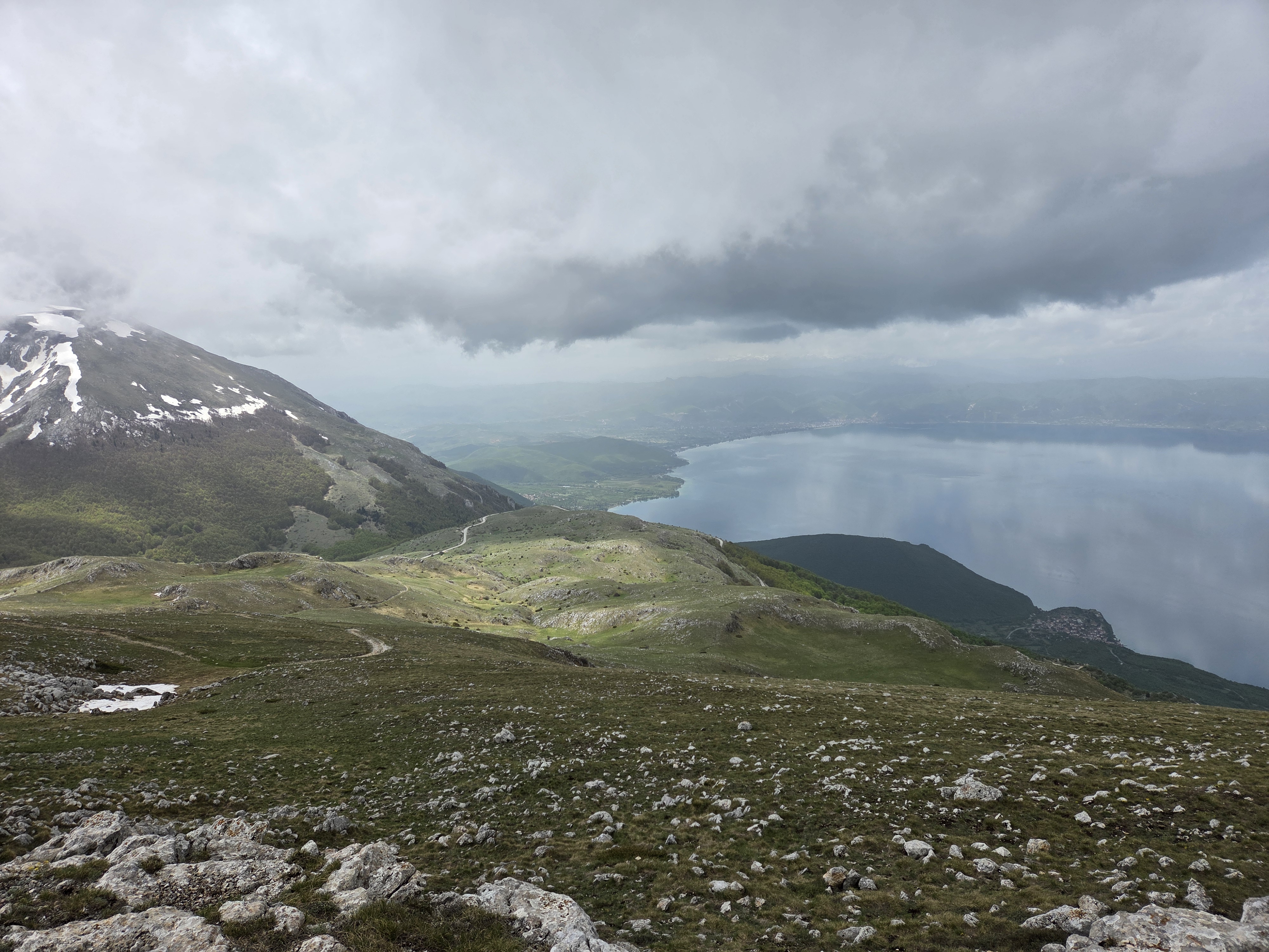
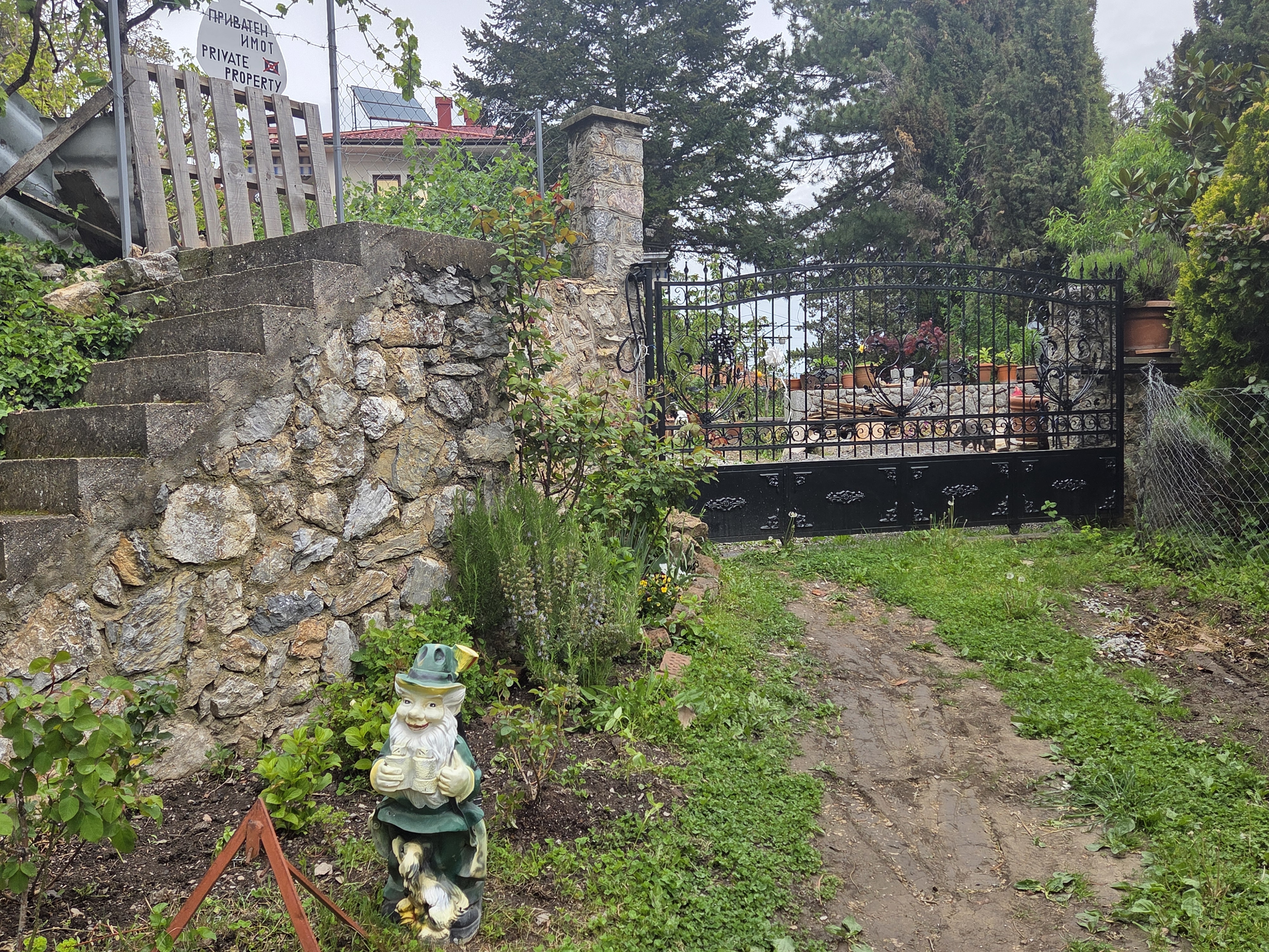
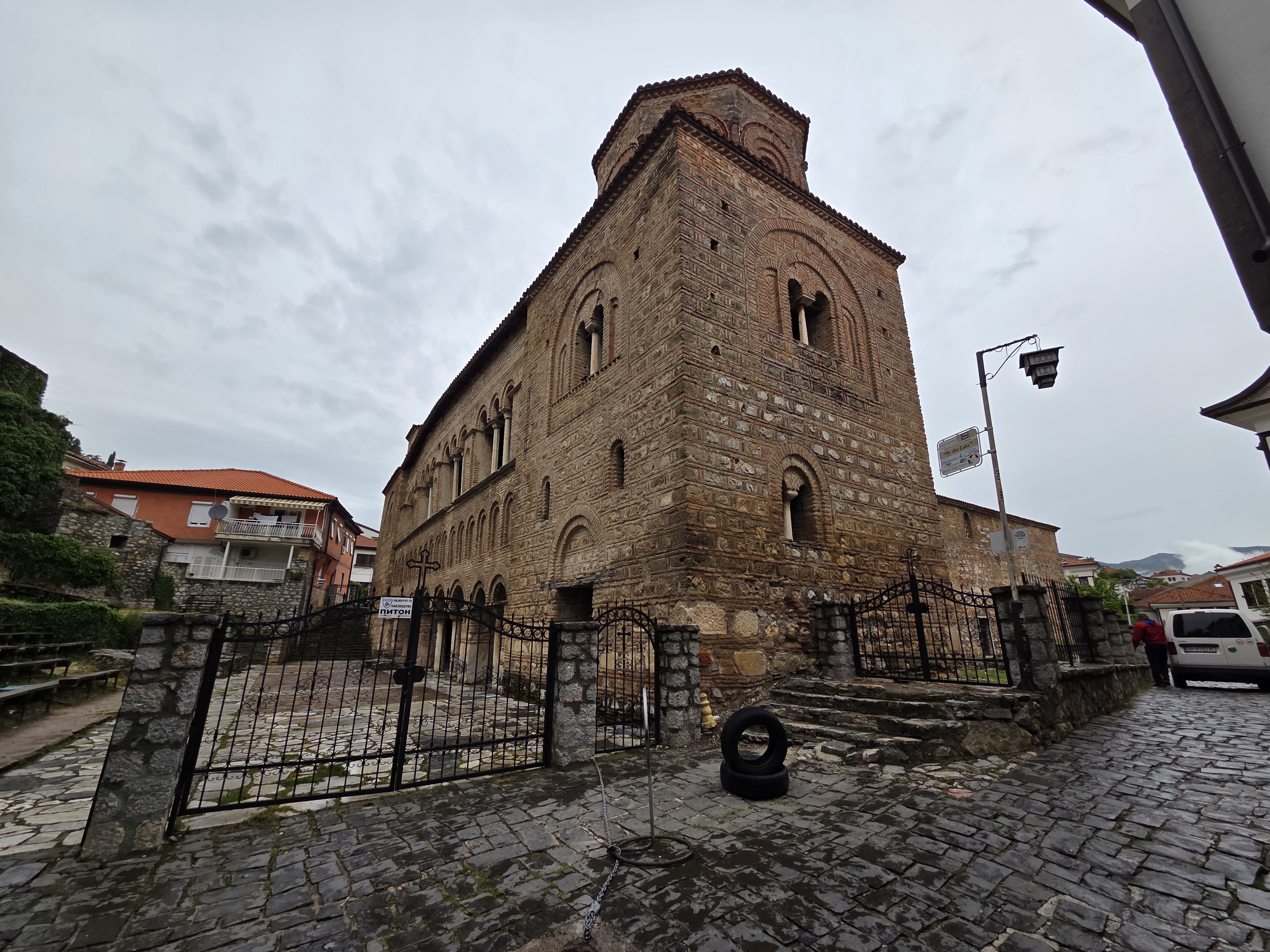
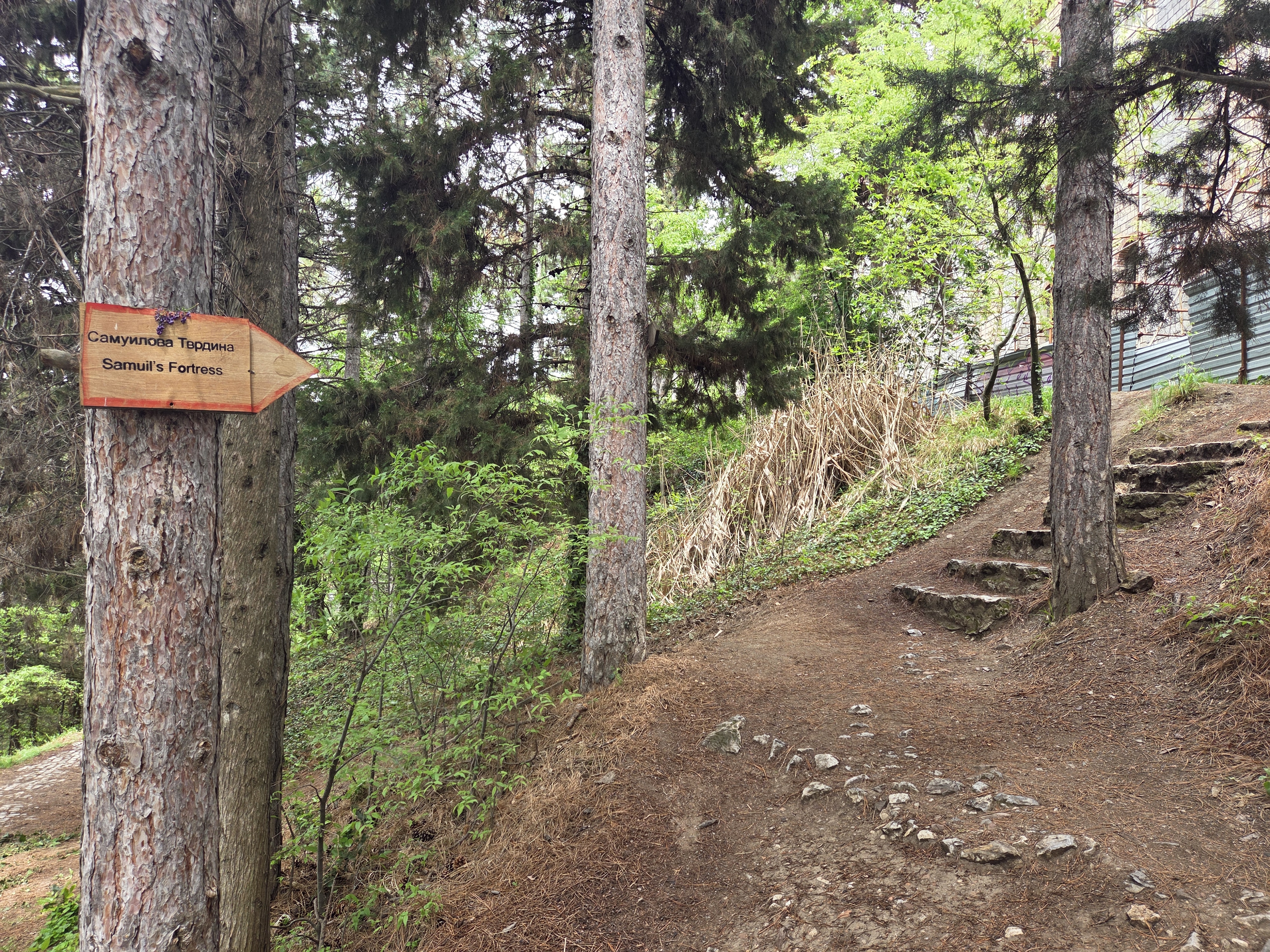
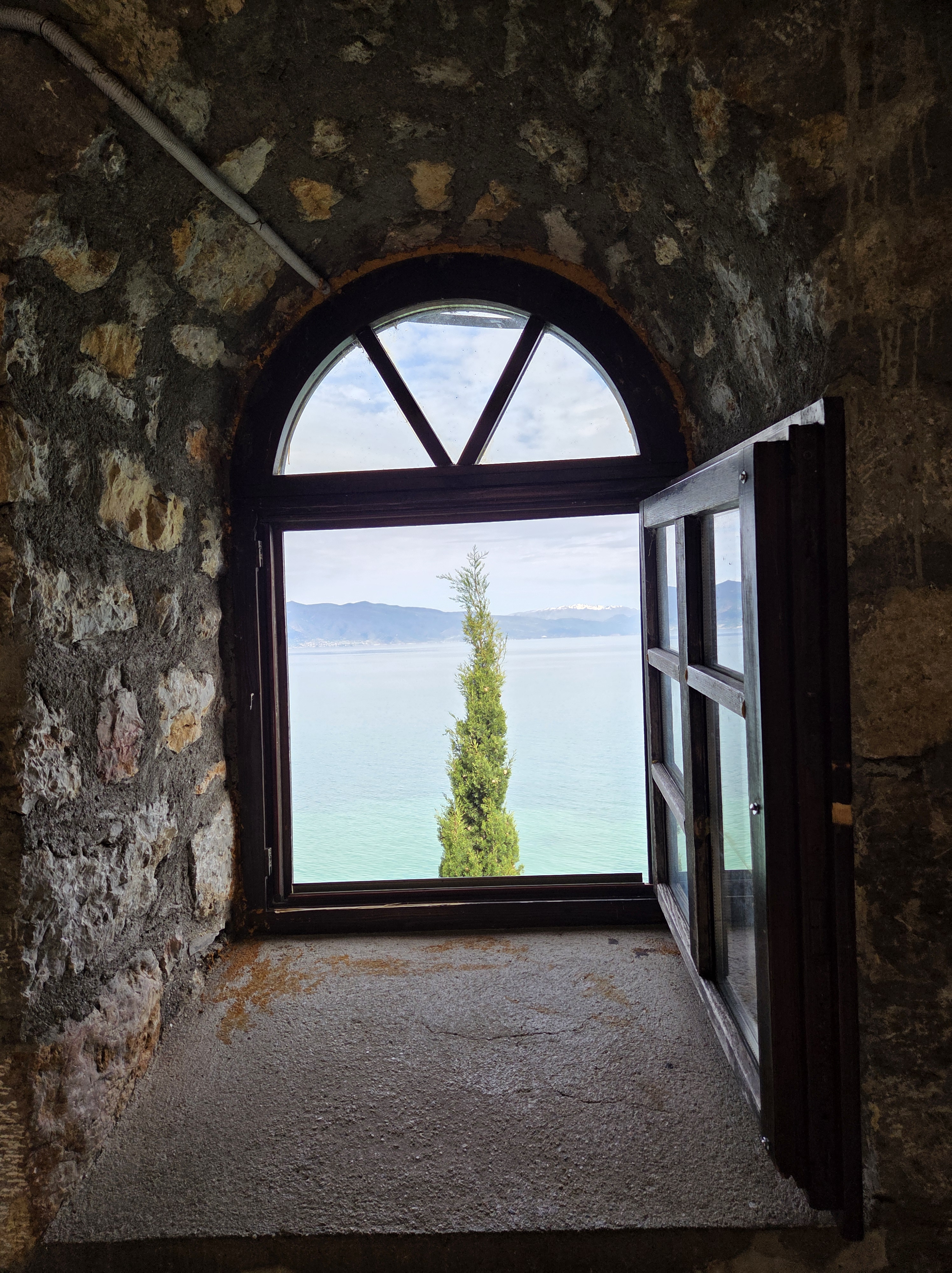
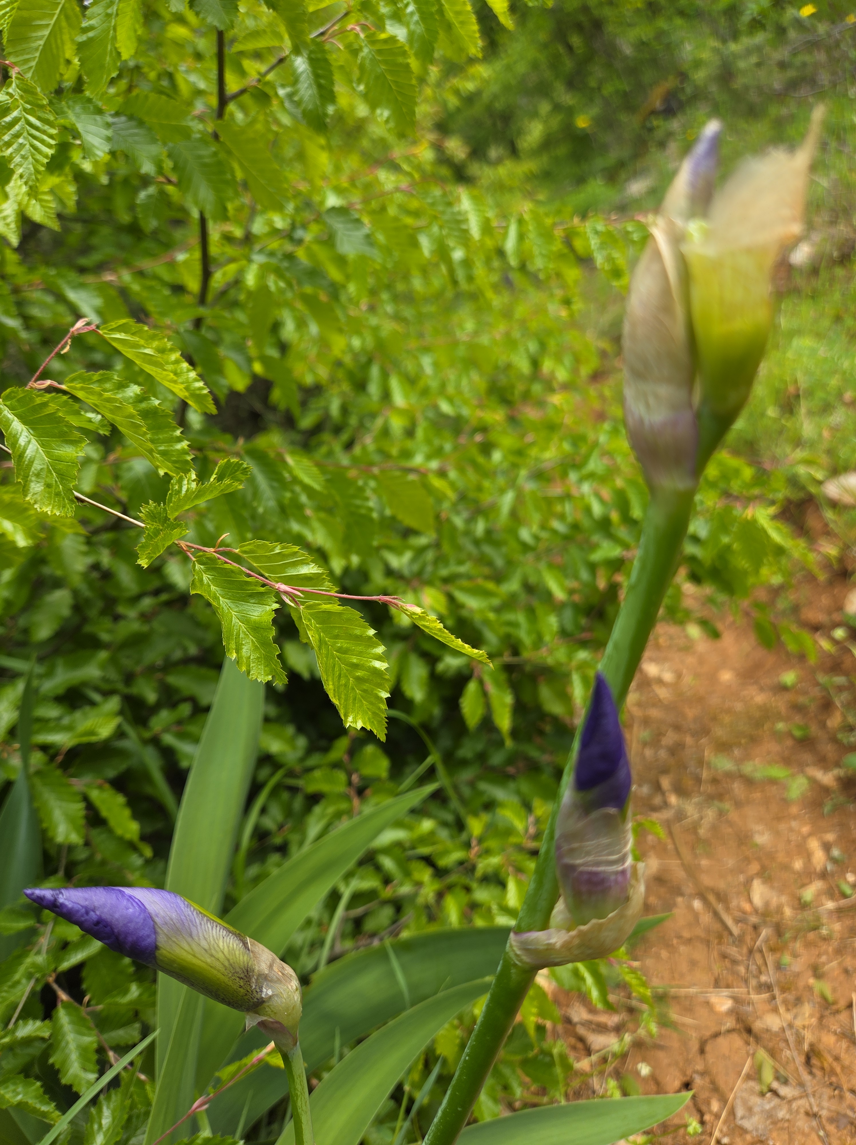
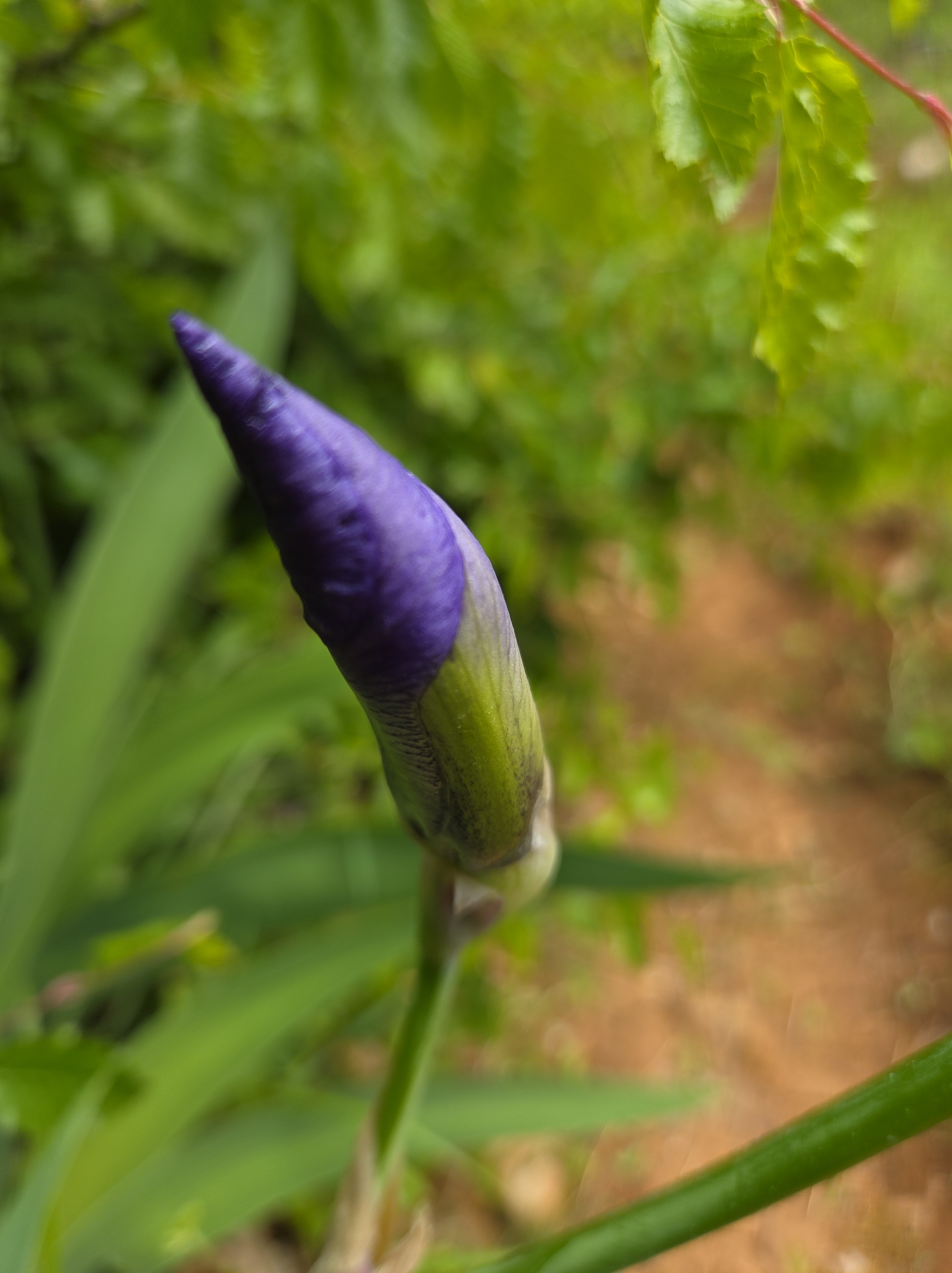
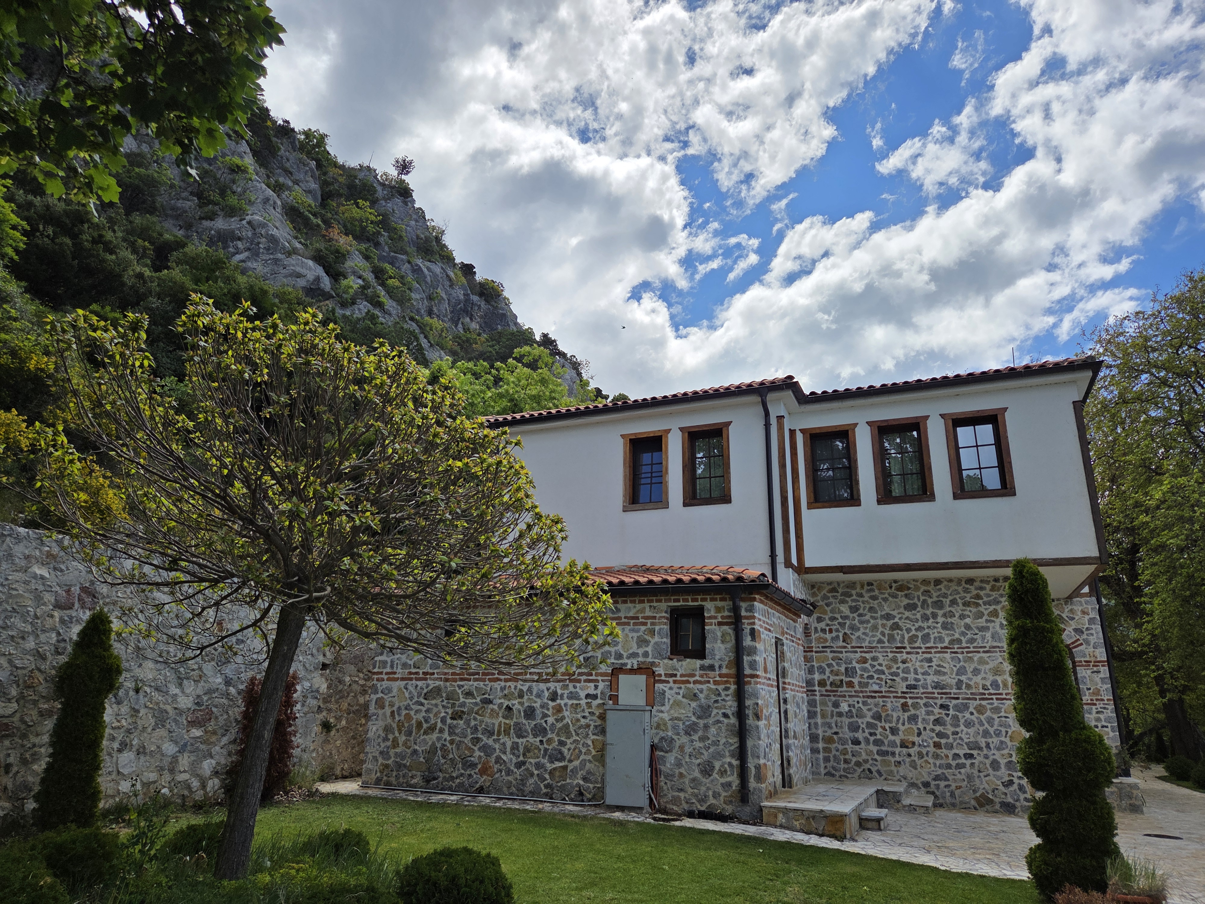
We’re back to Tsar Samuel’s Fortress, at the top of a lovely hill overlooking Ohrid City. The passage of time is evident in the nature of this building, and in the fact that it’s nearly two months since I first showed you this lovely location and well over a month since I returned to my regular work life in A’dam. The photos we showed in that prior post came from our first visit, when the fortress was closed. As you’ll see, on the day we could go in, the weather was a good deal moodier :-).
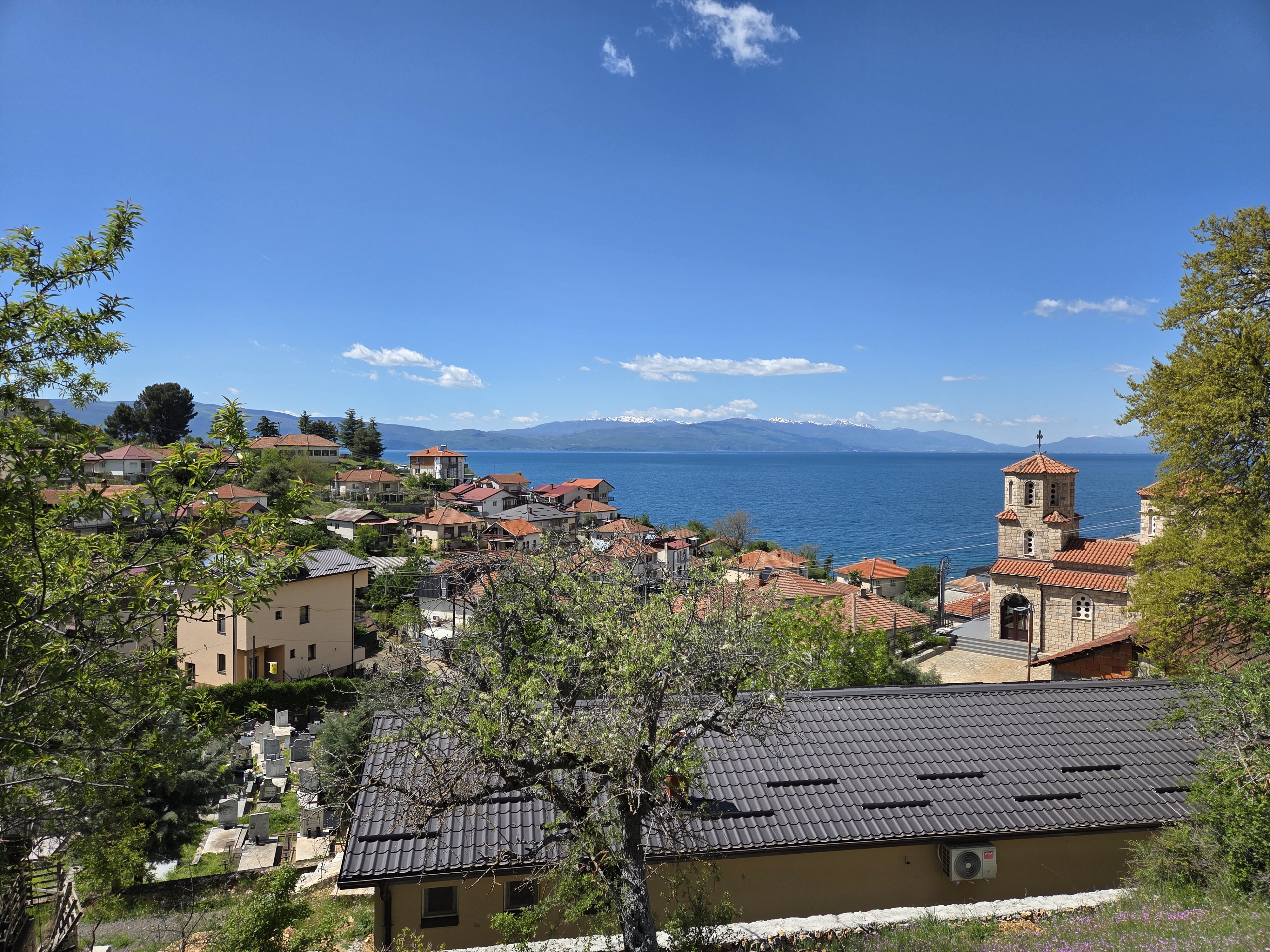
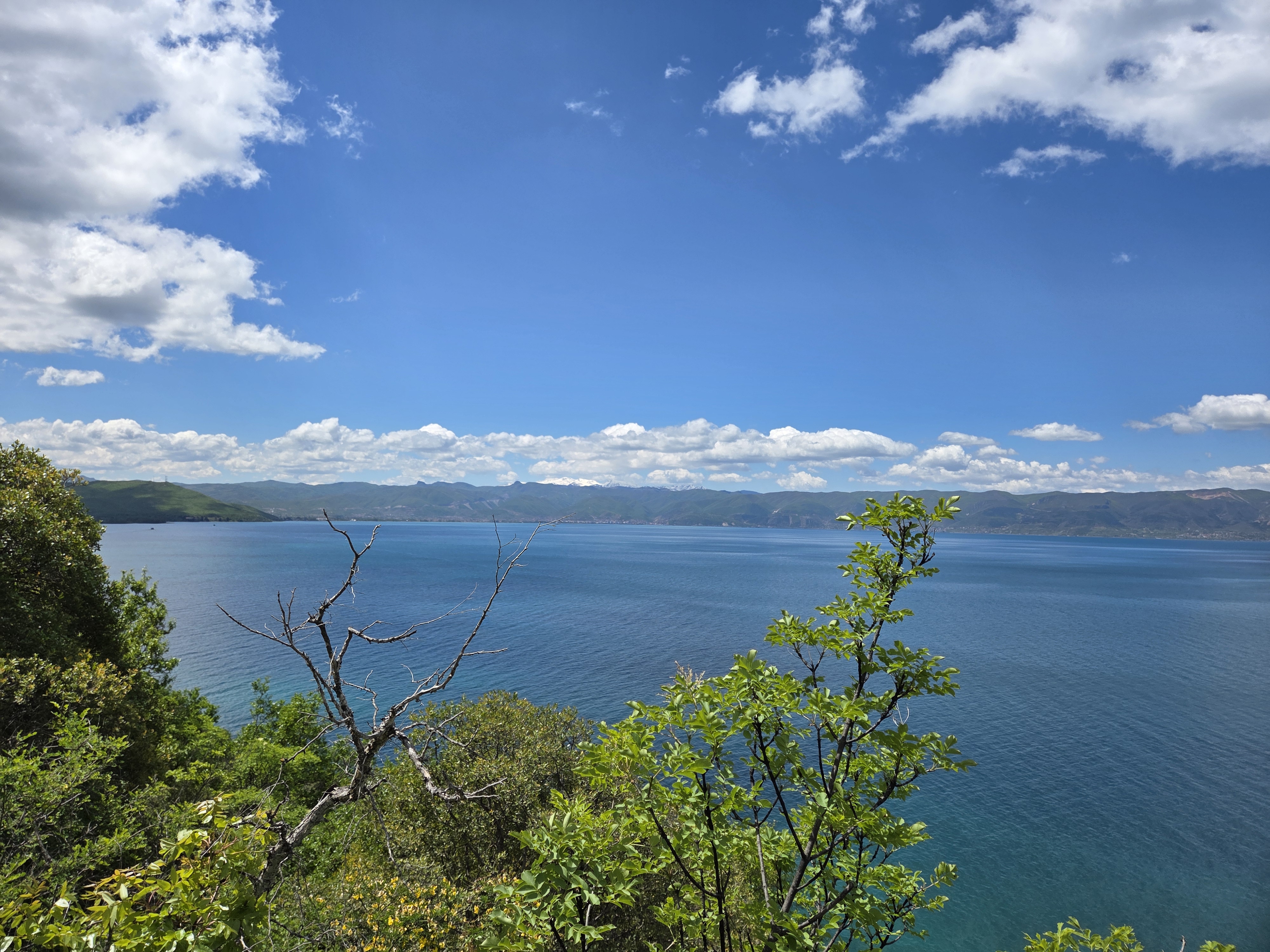
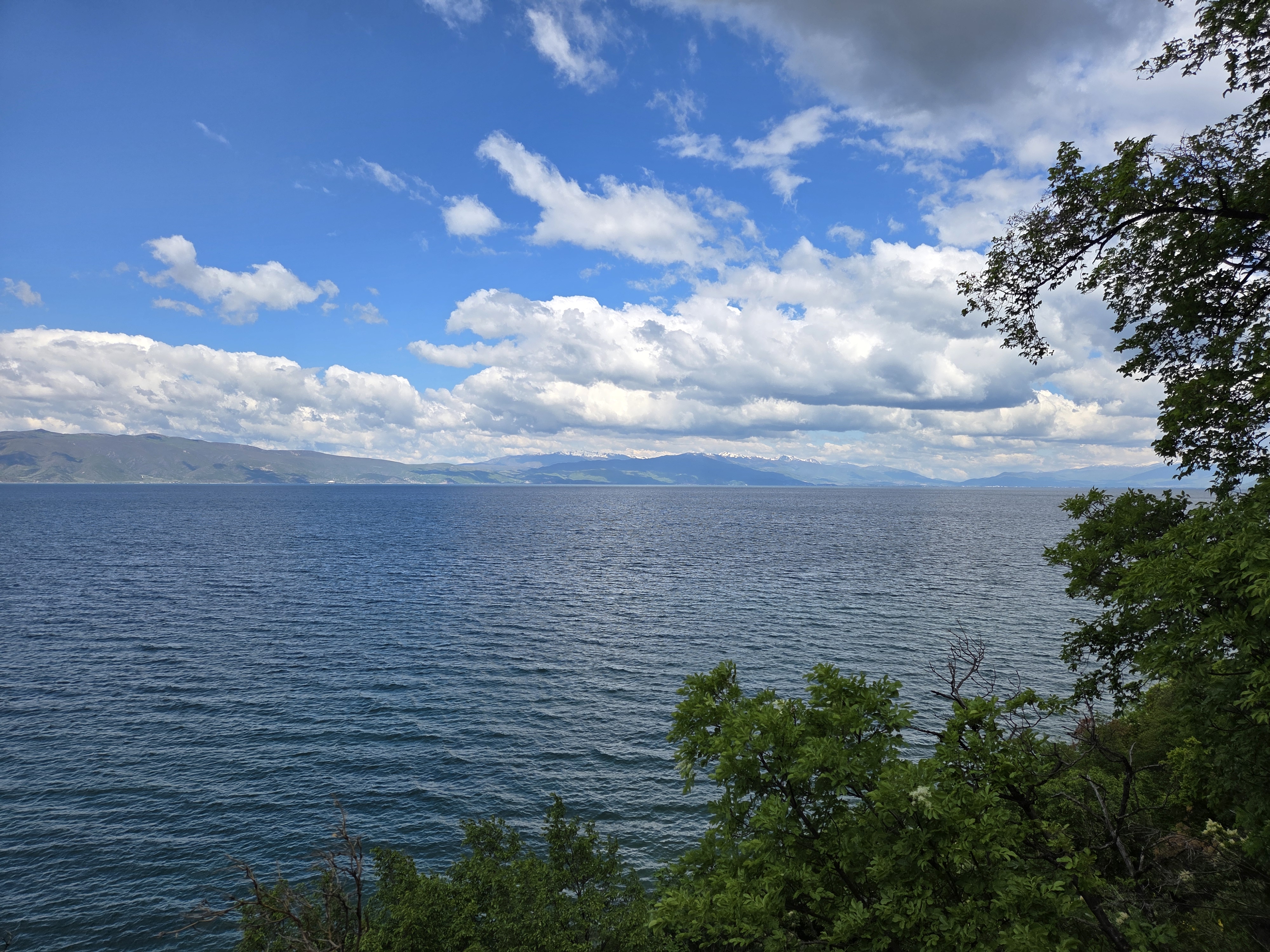
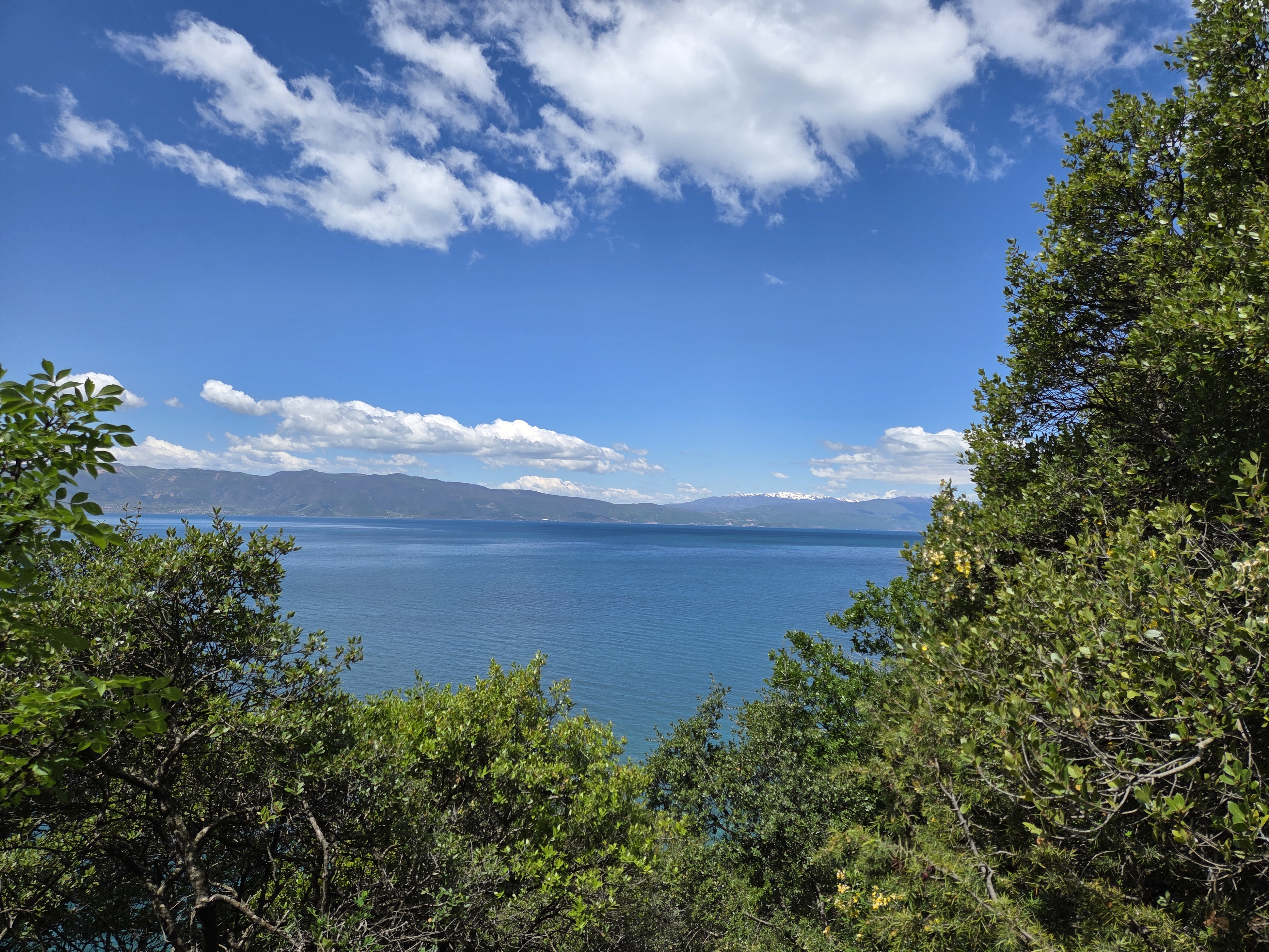
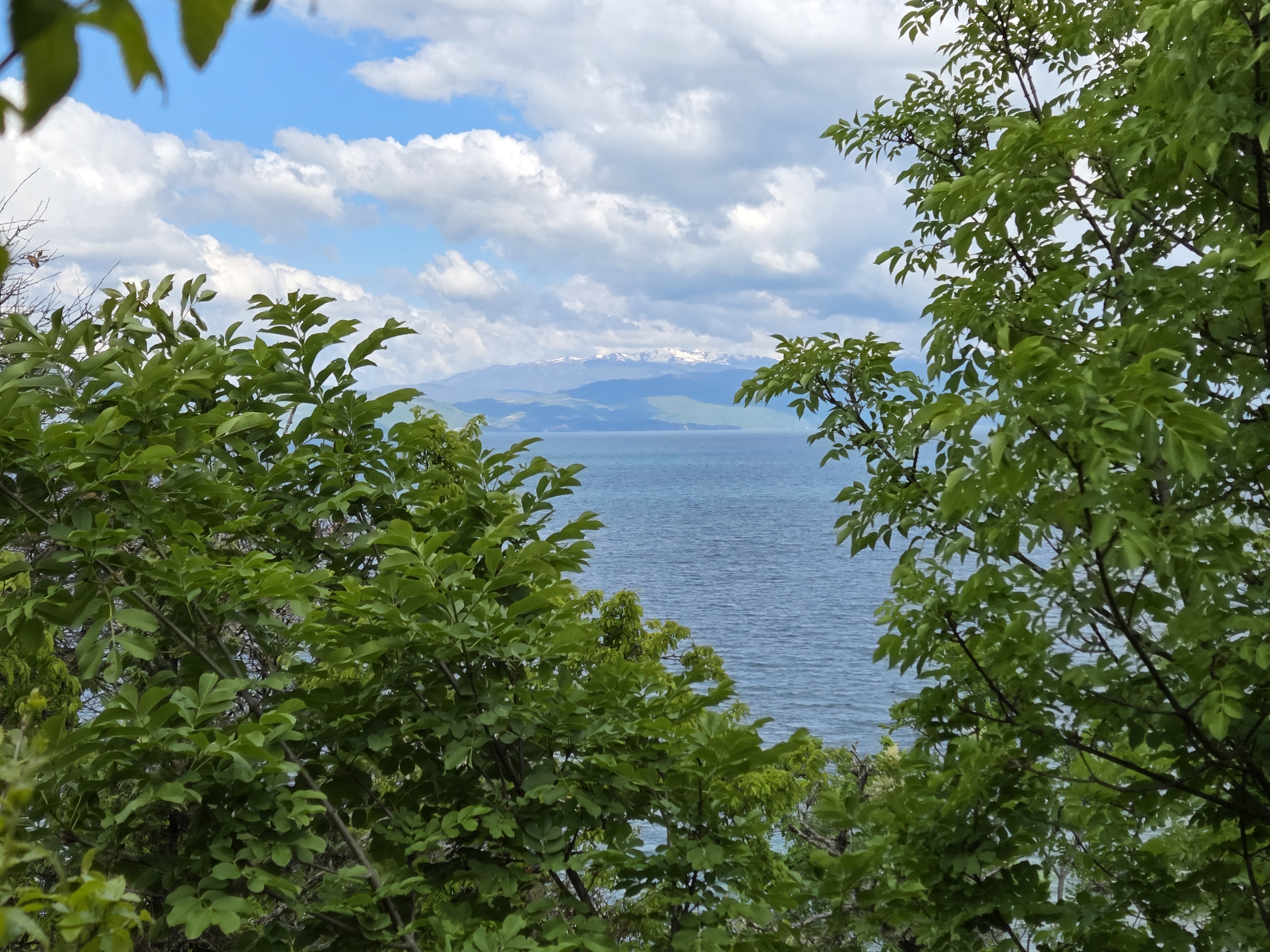
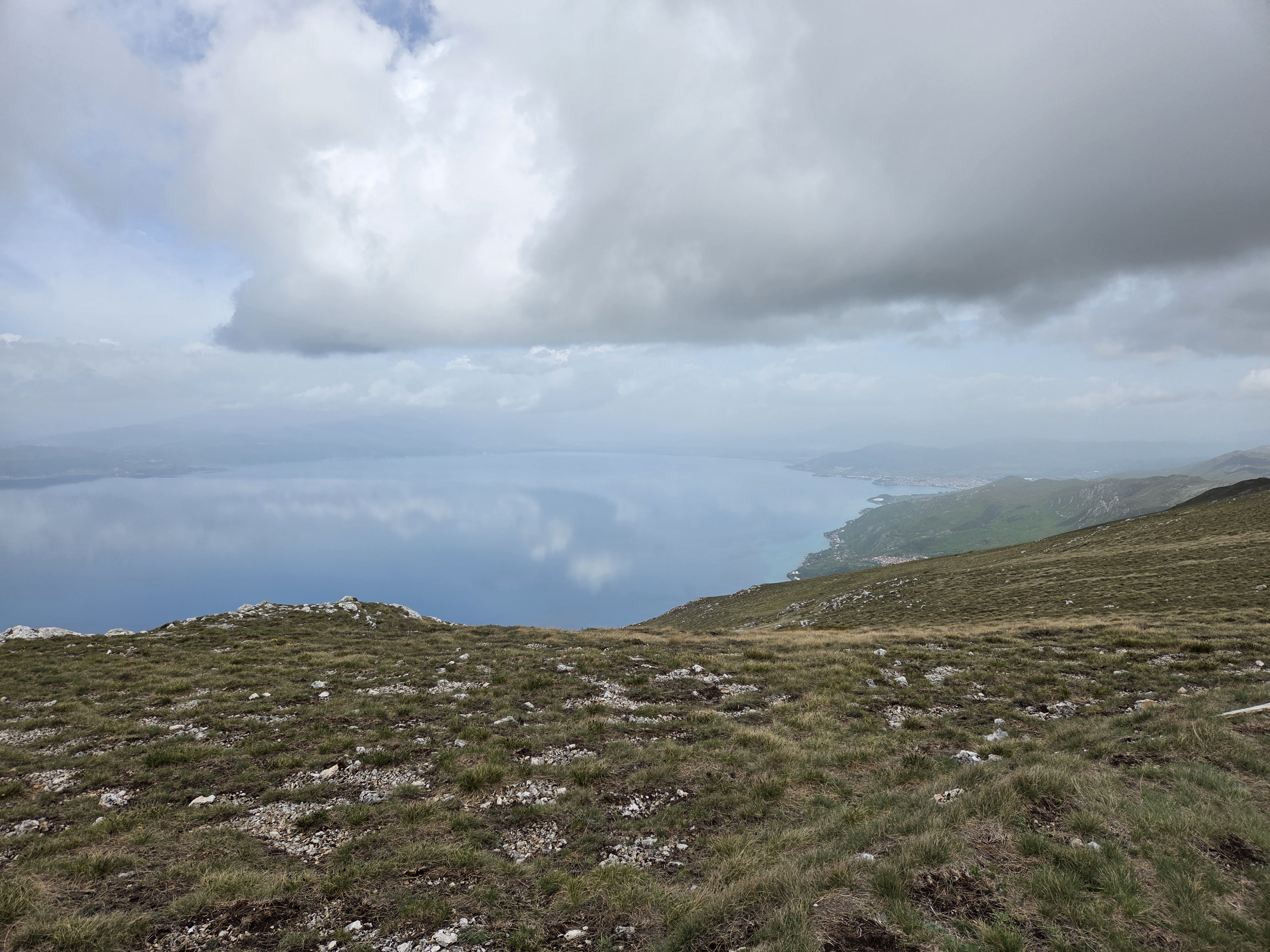
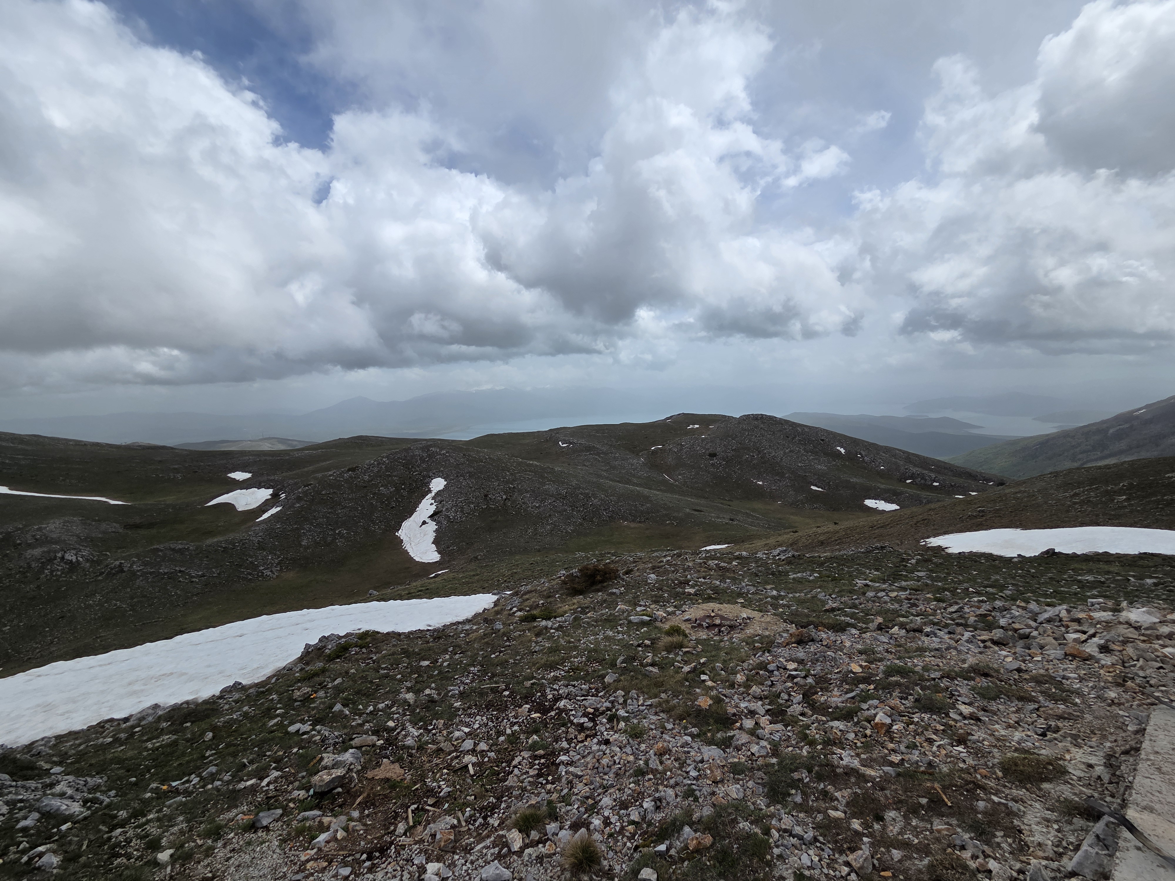
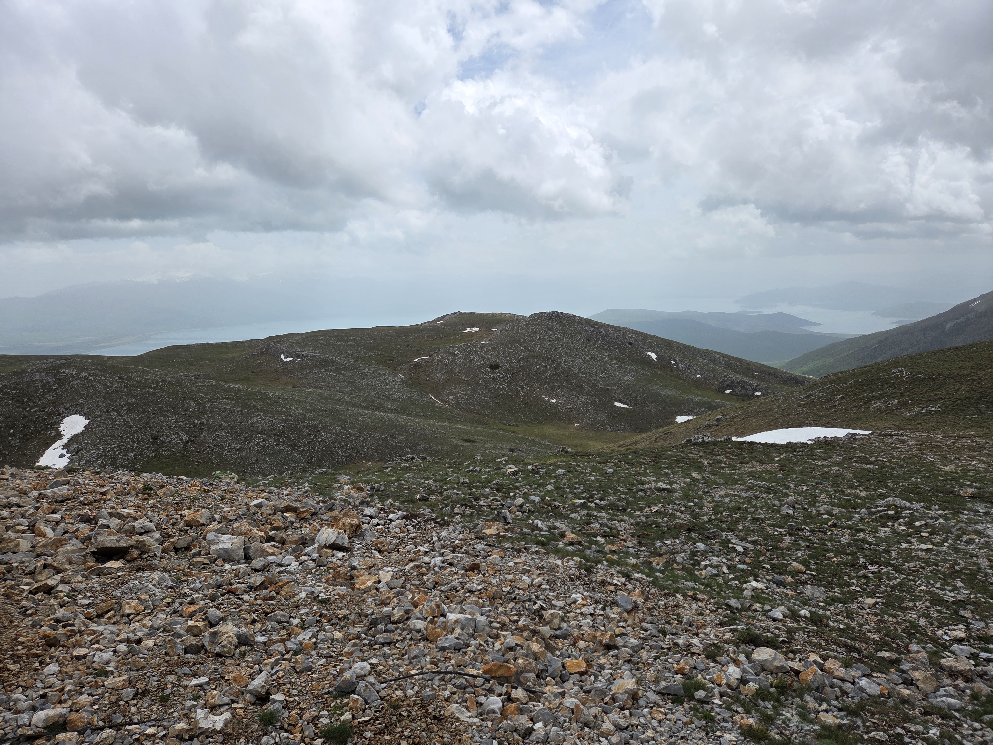
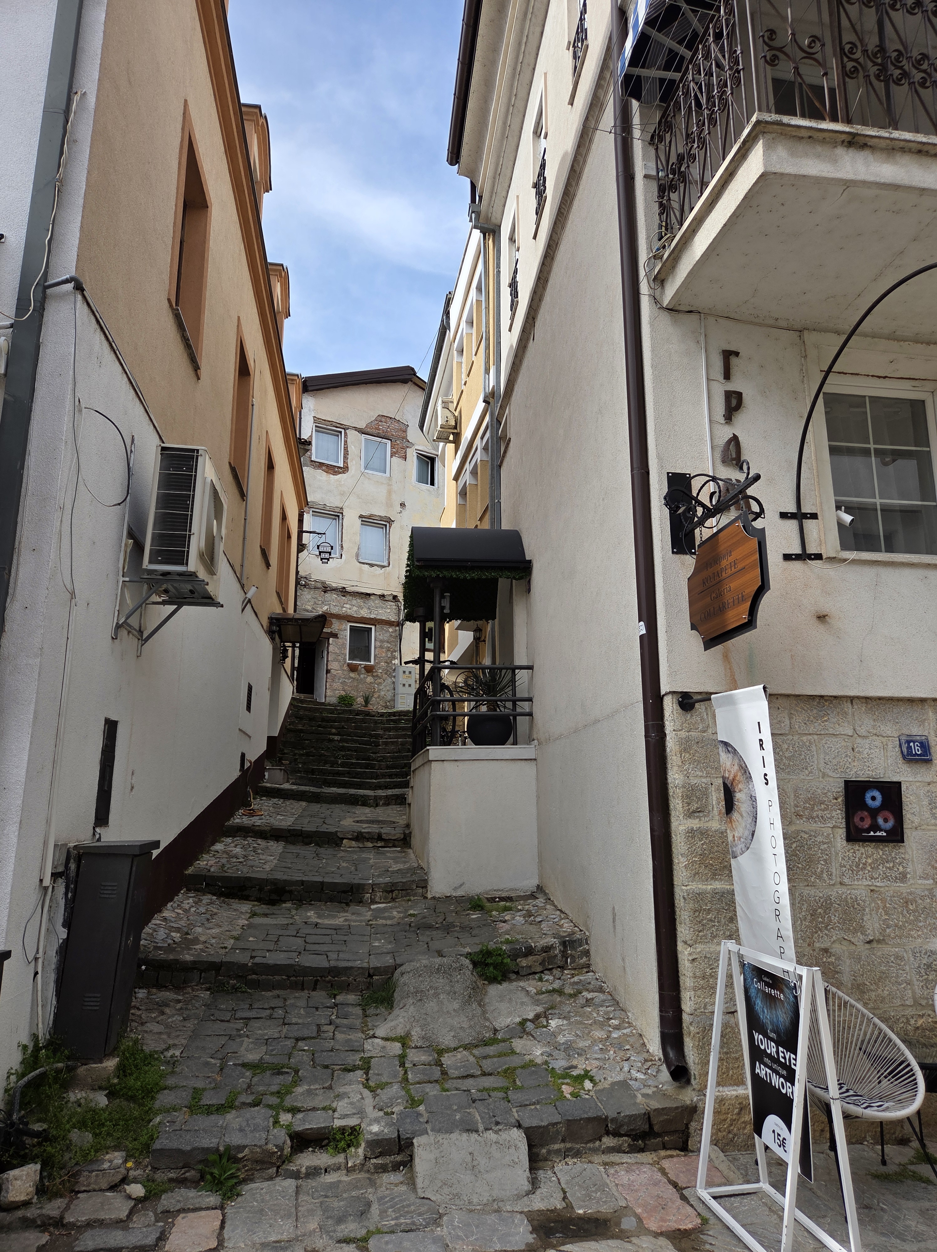
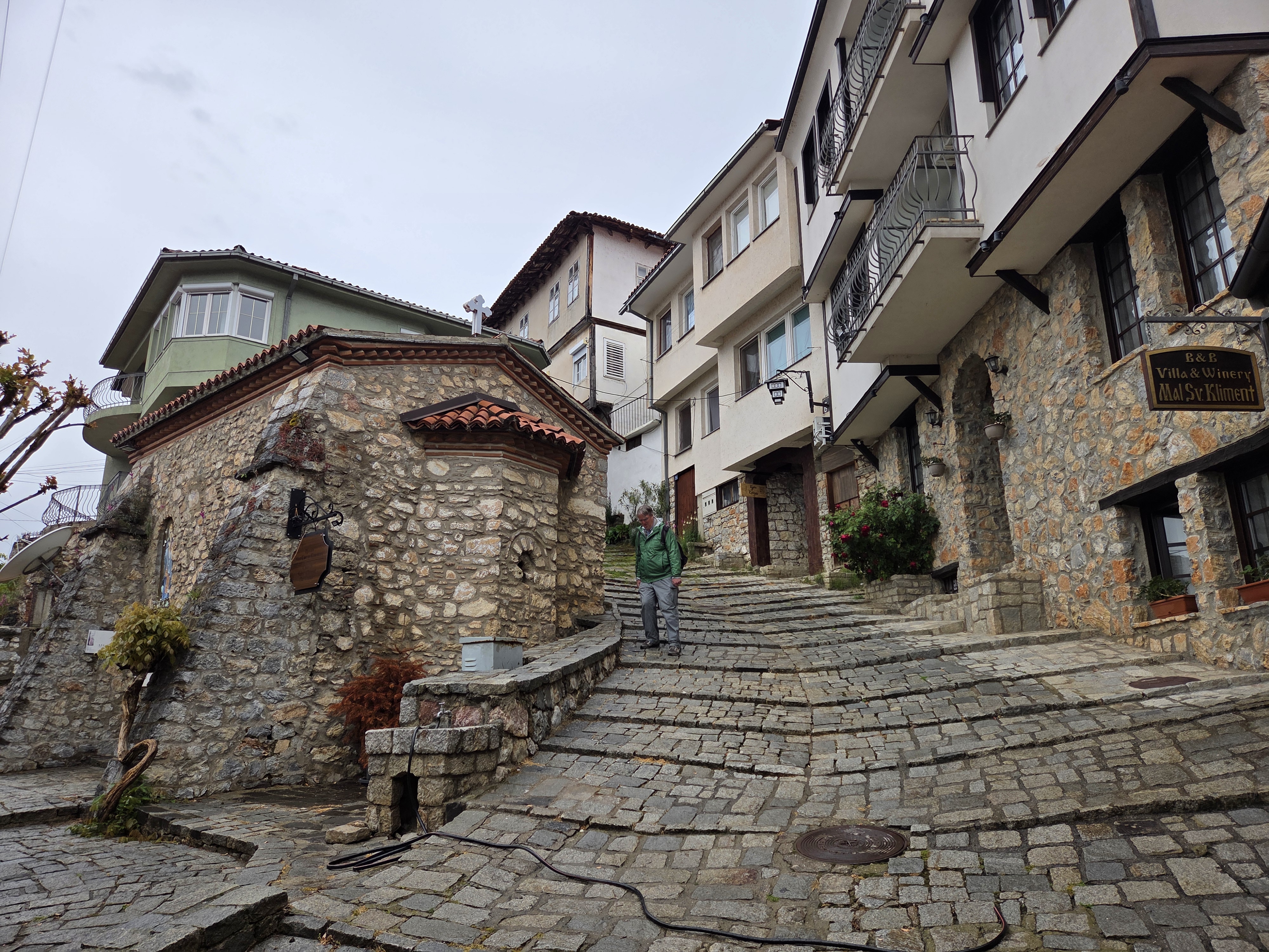
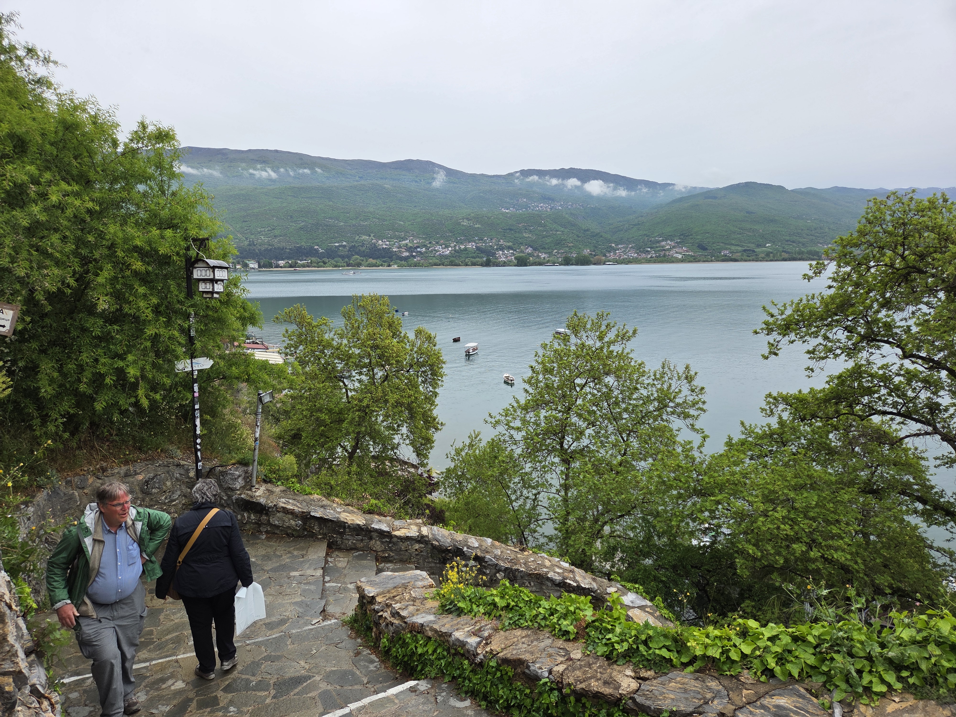
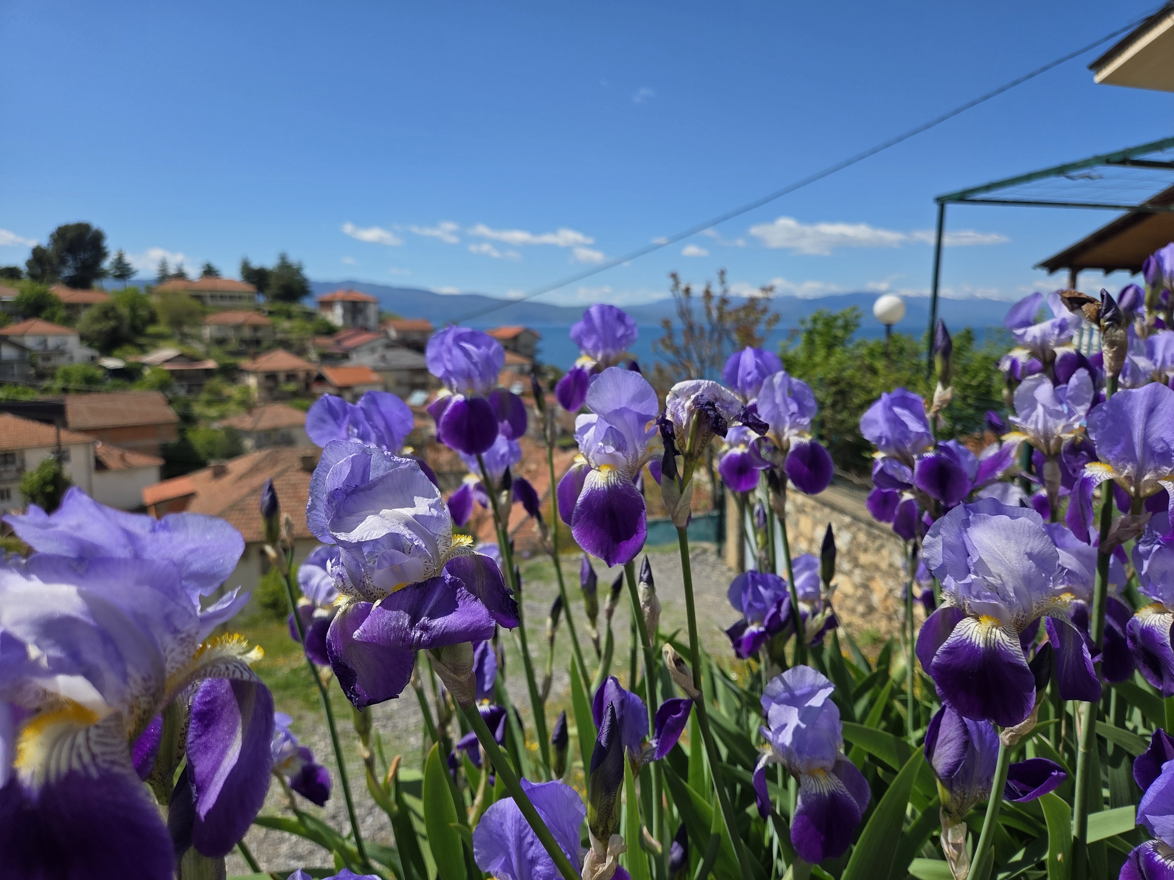
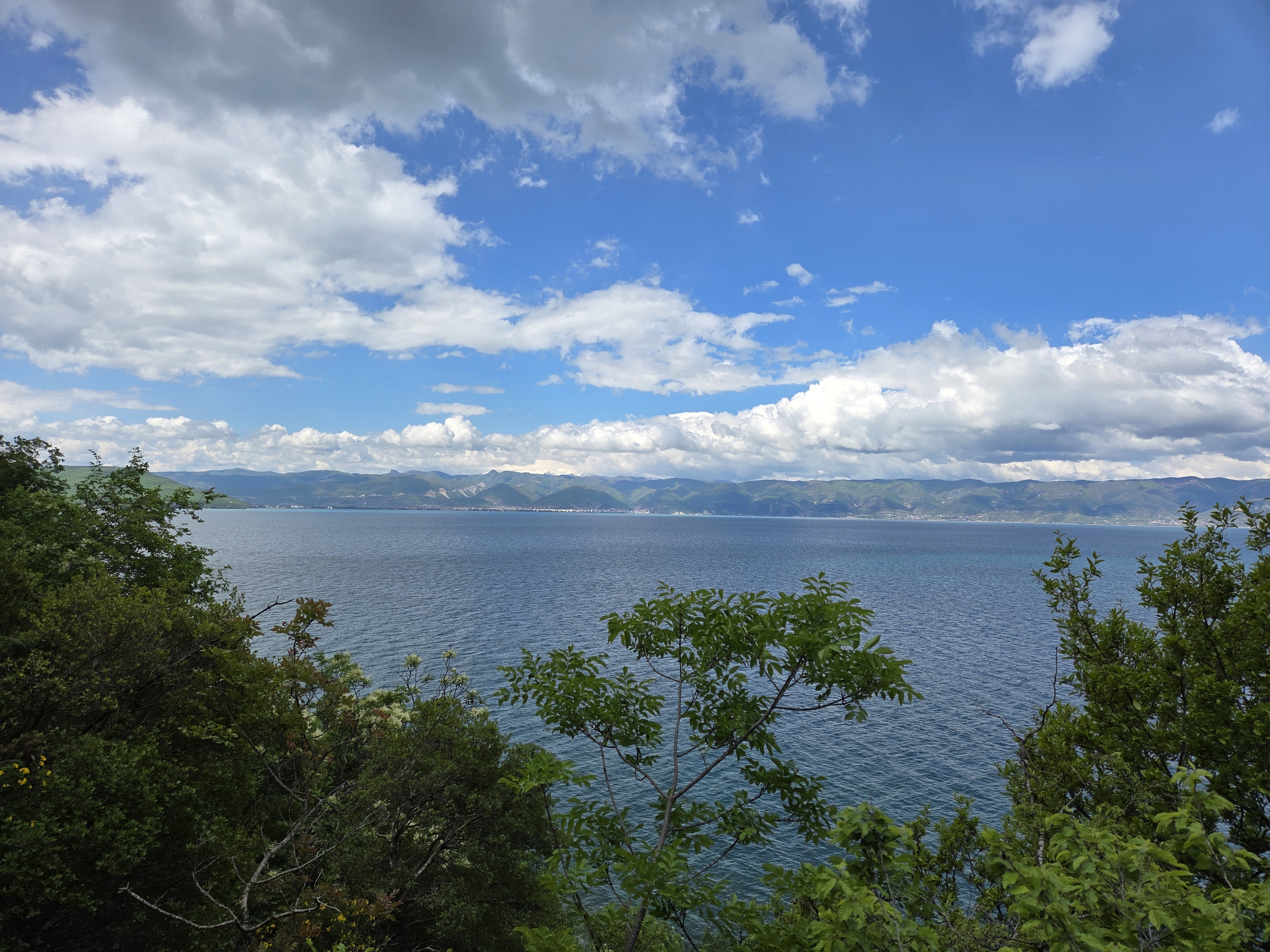
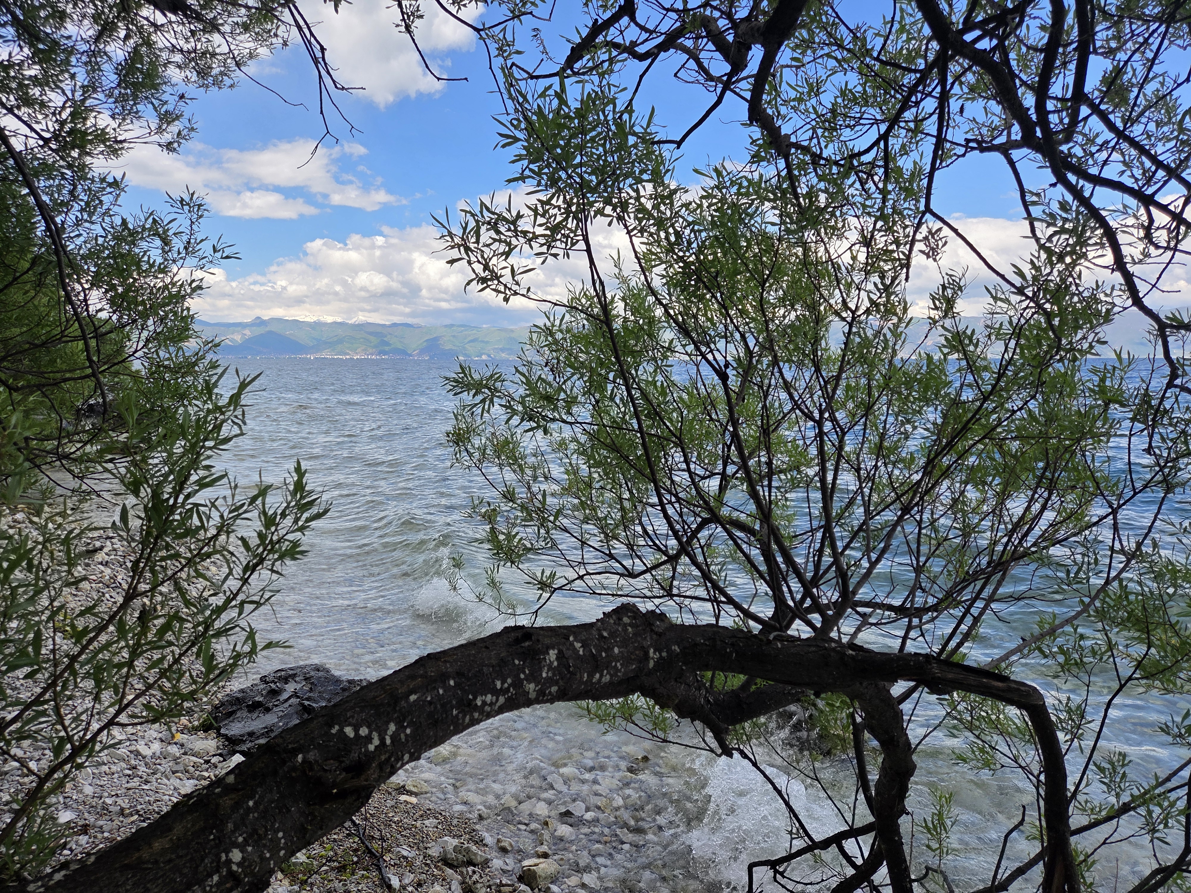
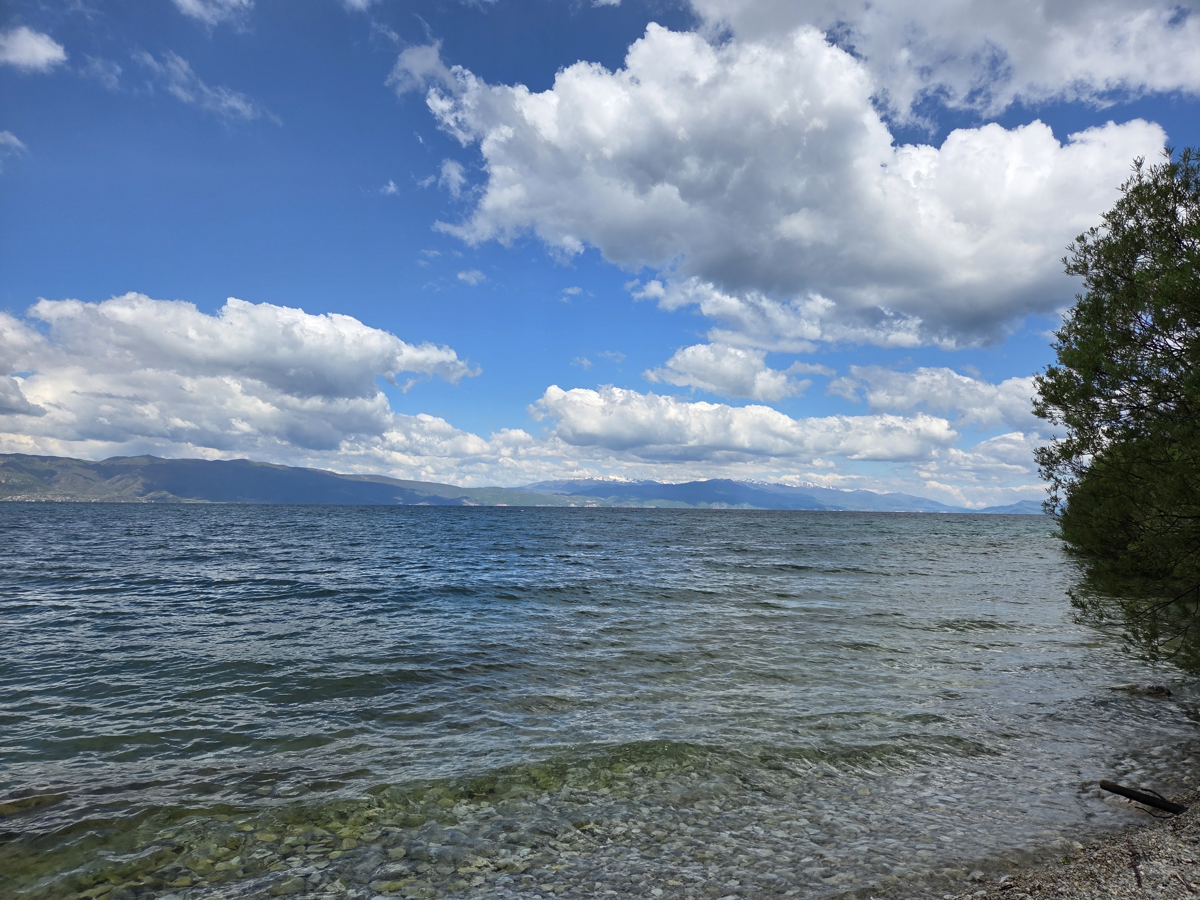
Here you’ve got it as vapor in the sky, solid on the ground and liquid down in the lake. Pretty amazing, H2O, really. And a correction: the whole mountain is Galicica. The peak behind me in the photo above is what’s called Magaro, a subset of Galicica. And in the gallery below, you’ll be seeing some of Lake Prespa as well as good ol’ Ohrid which we got to know better.
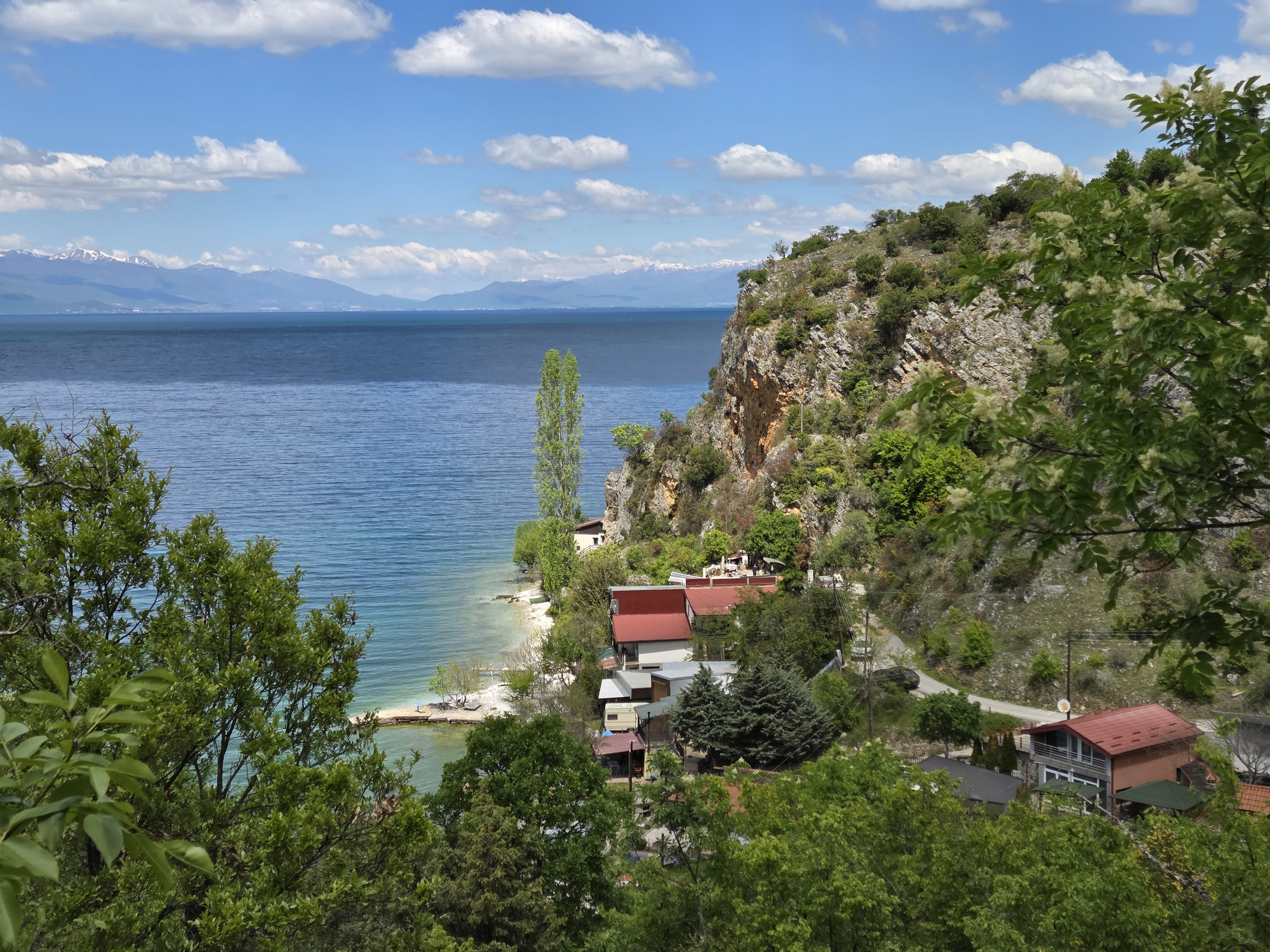
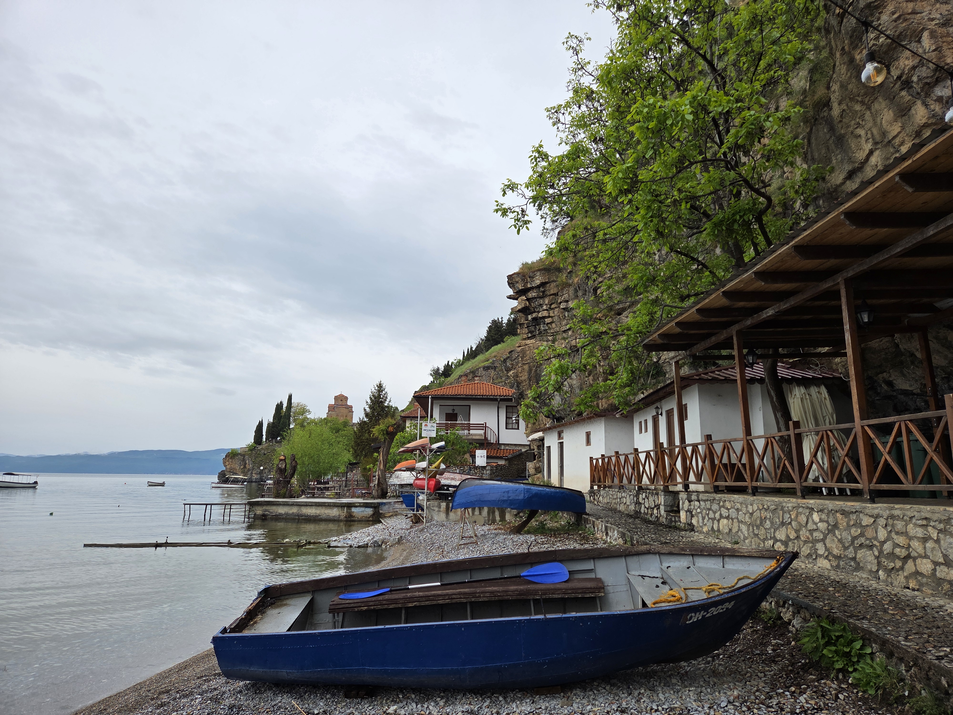
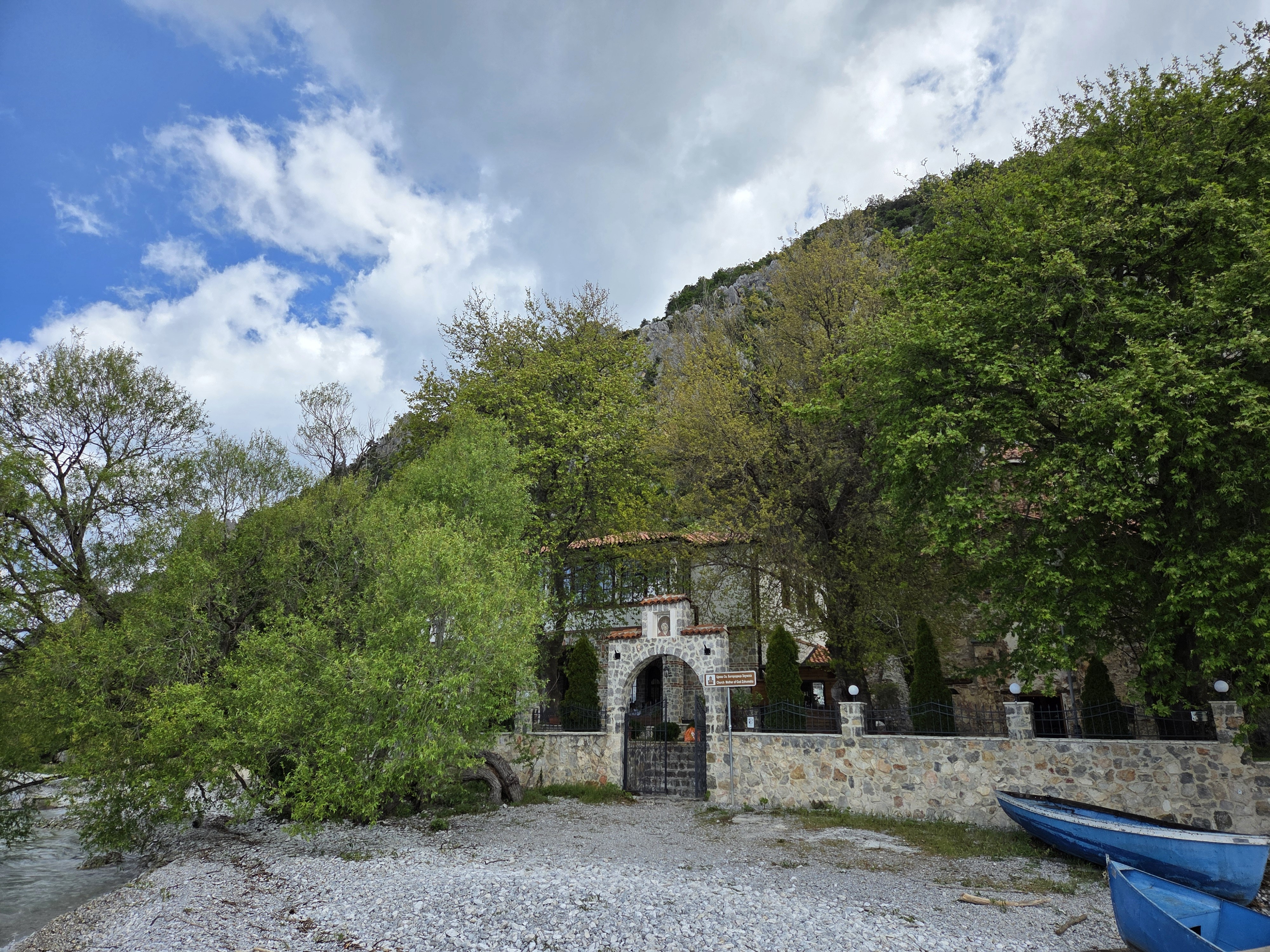
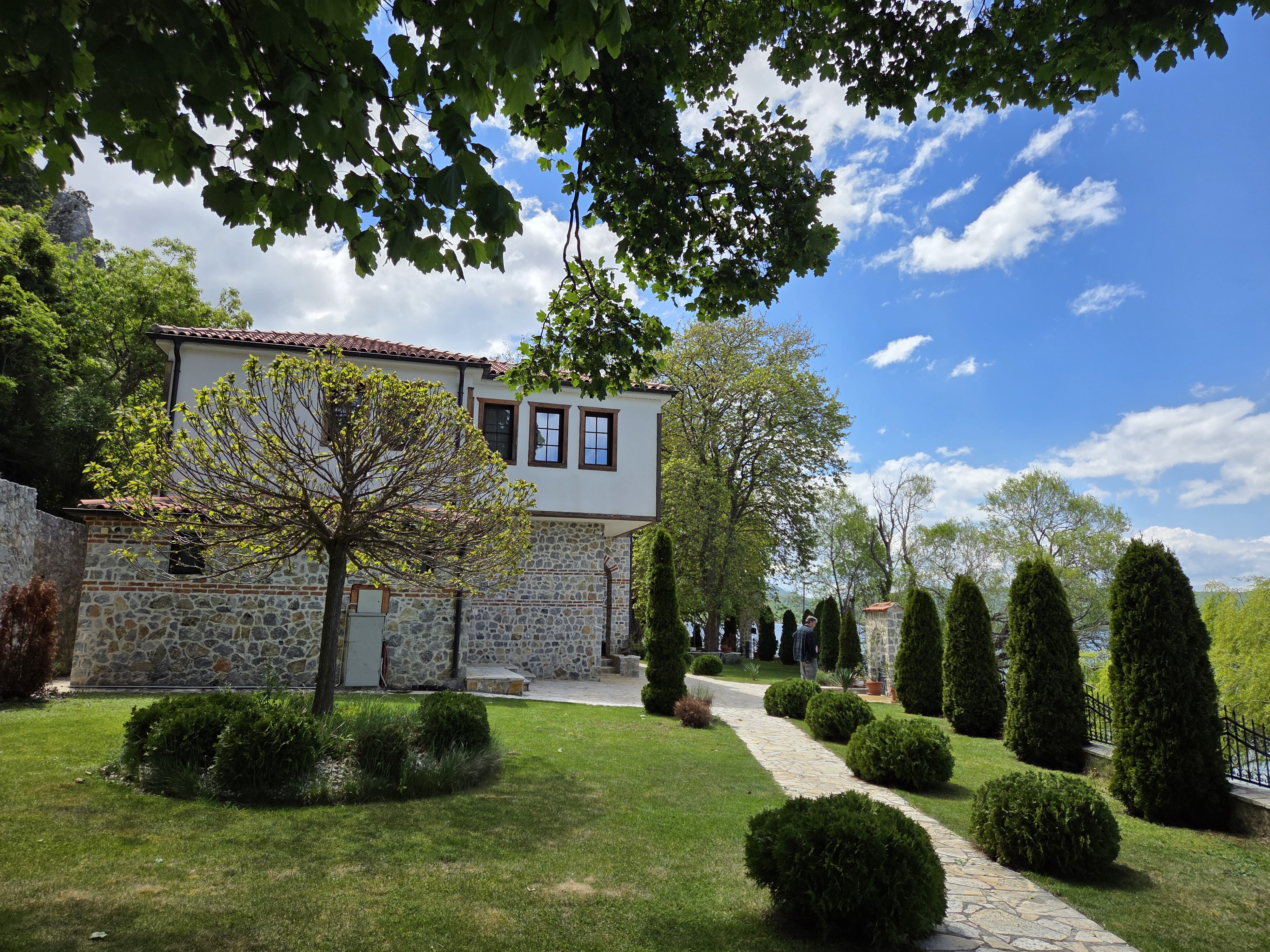
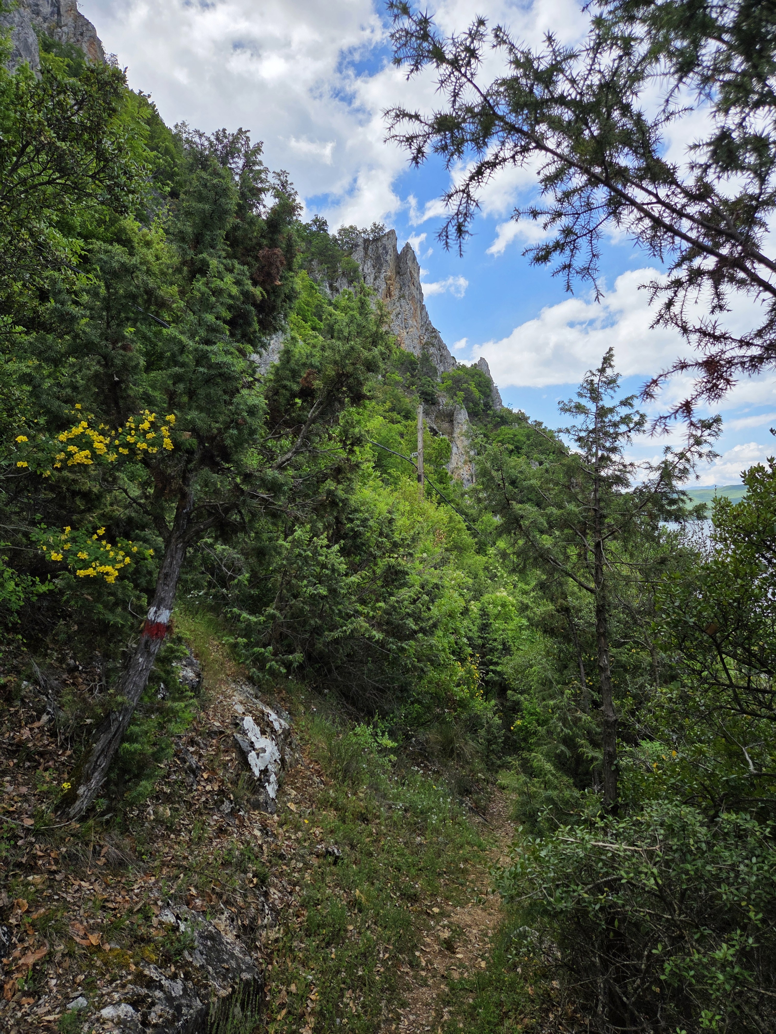
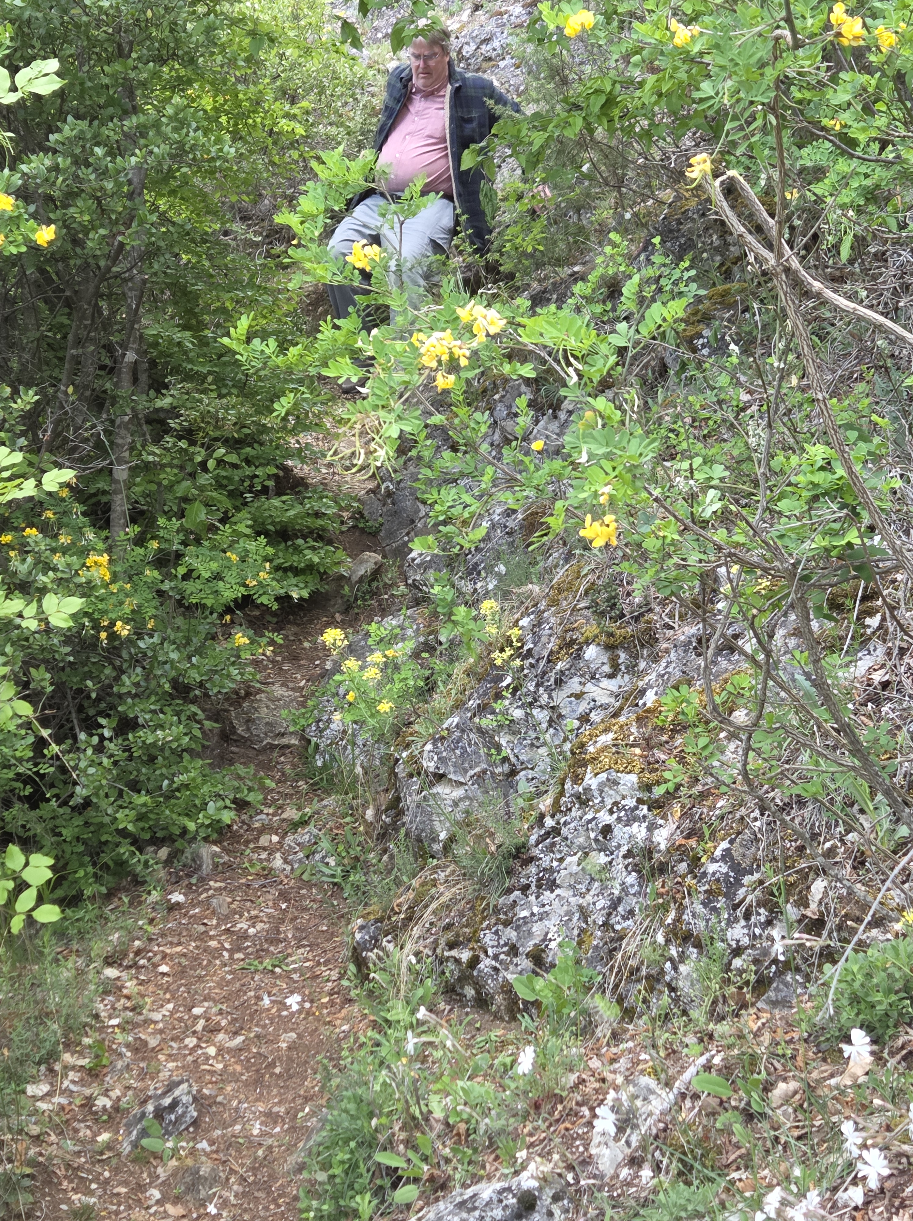
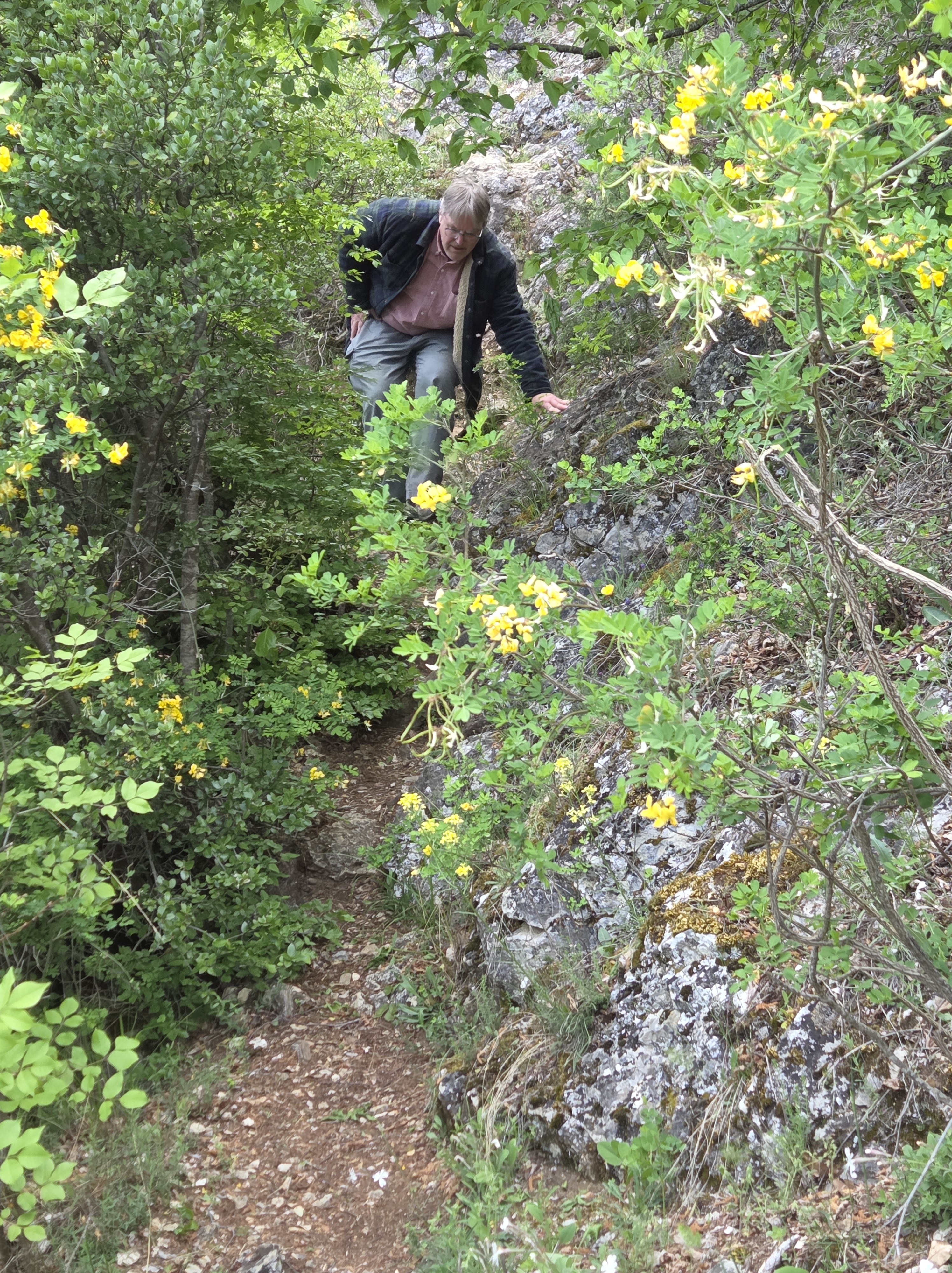
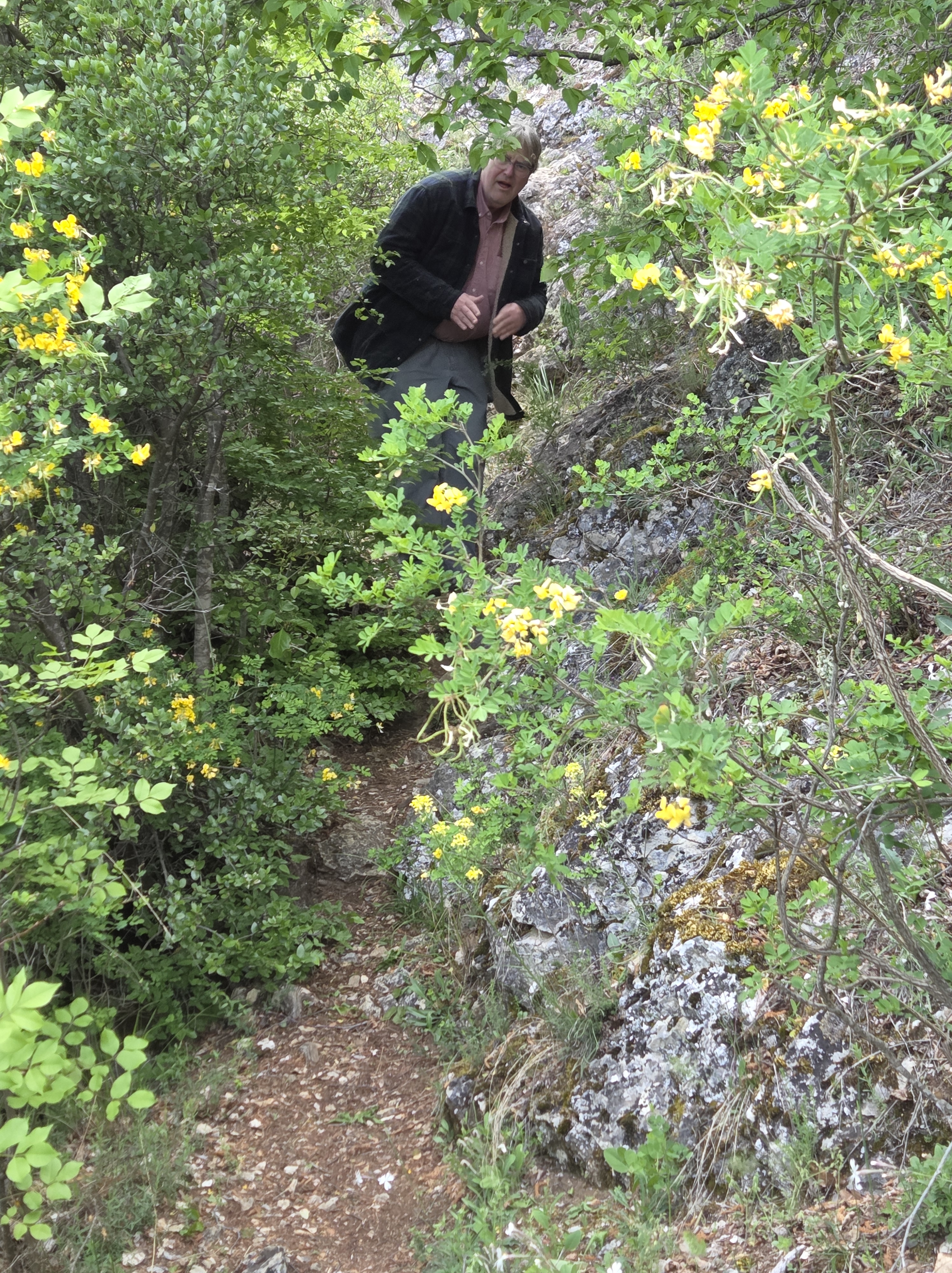
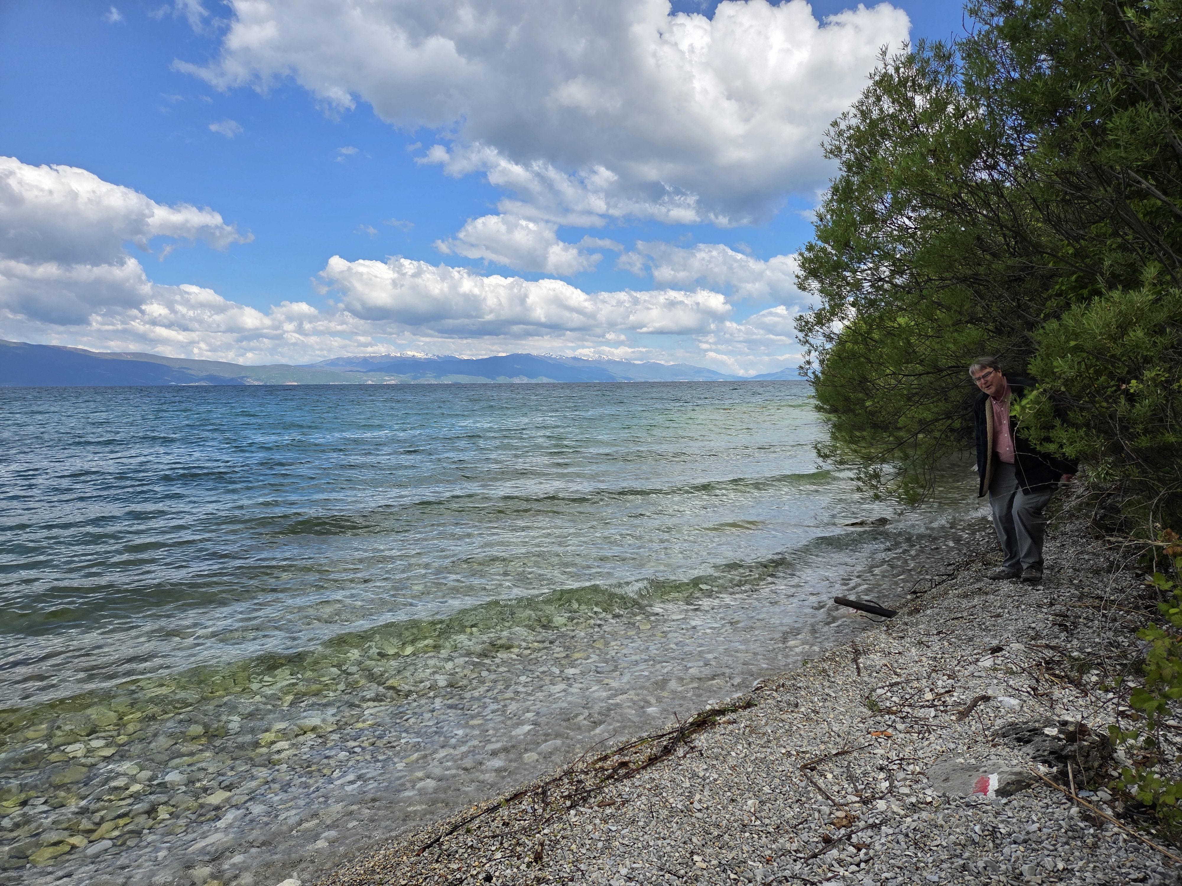
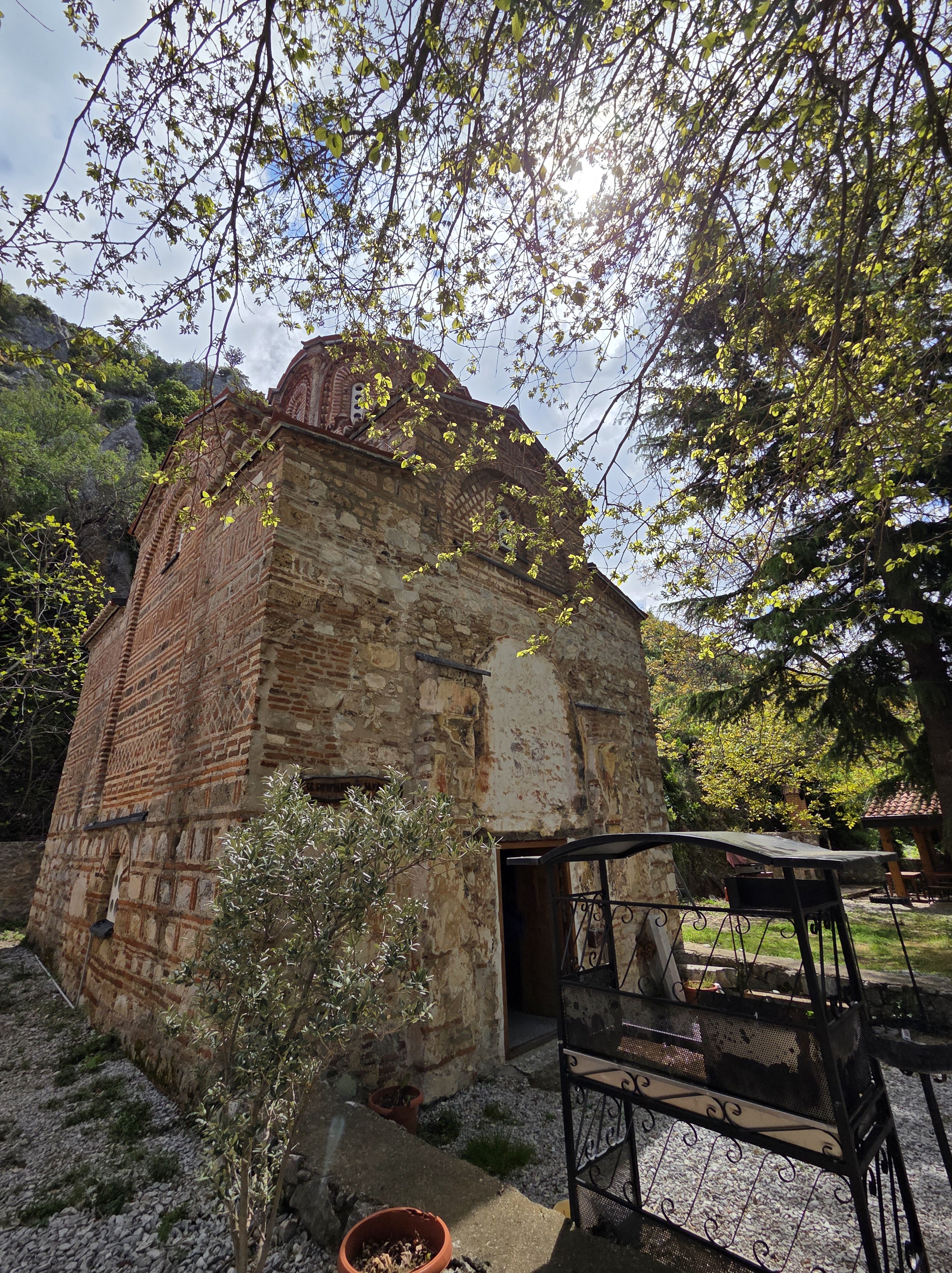
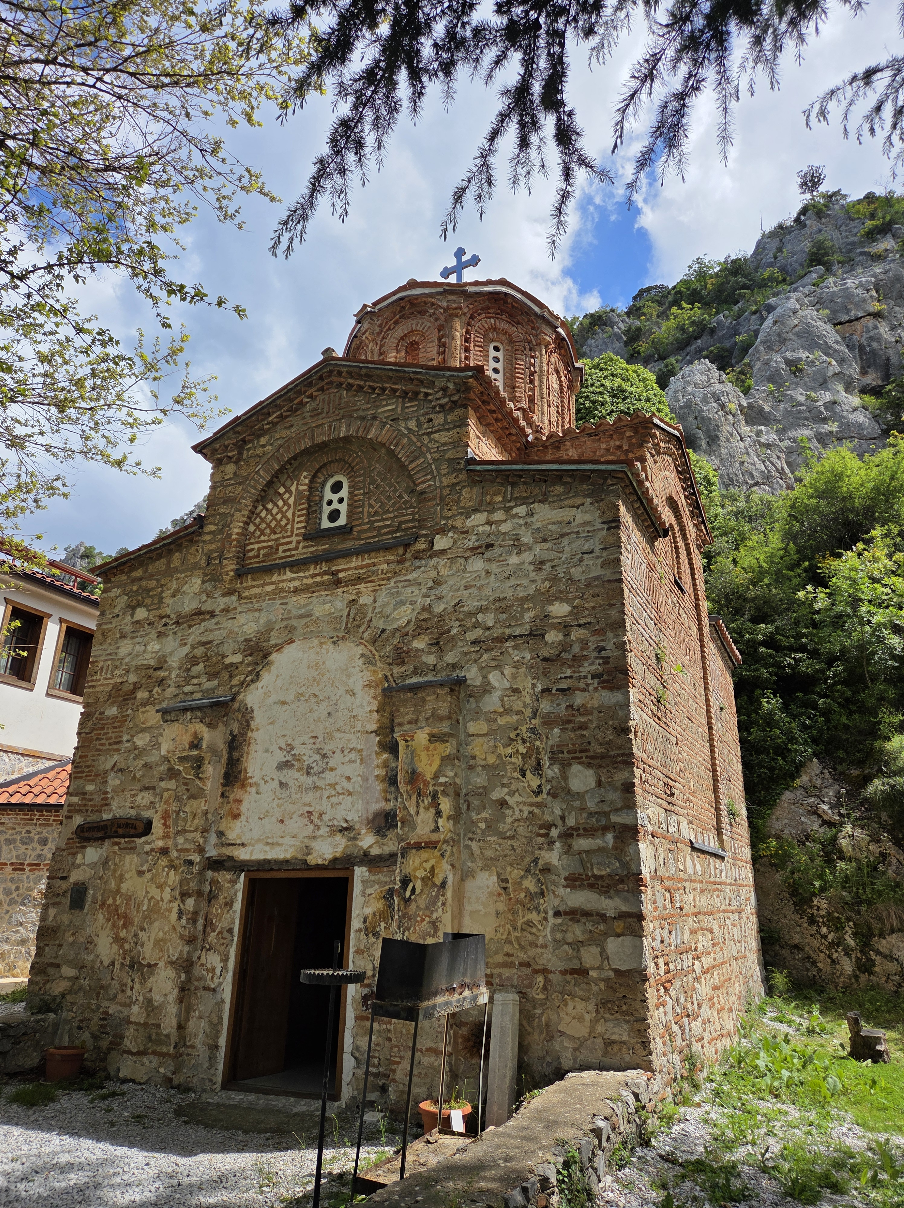
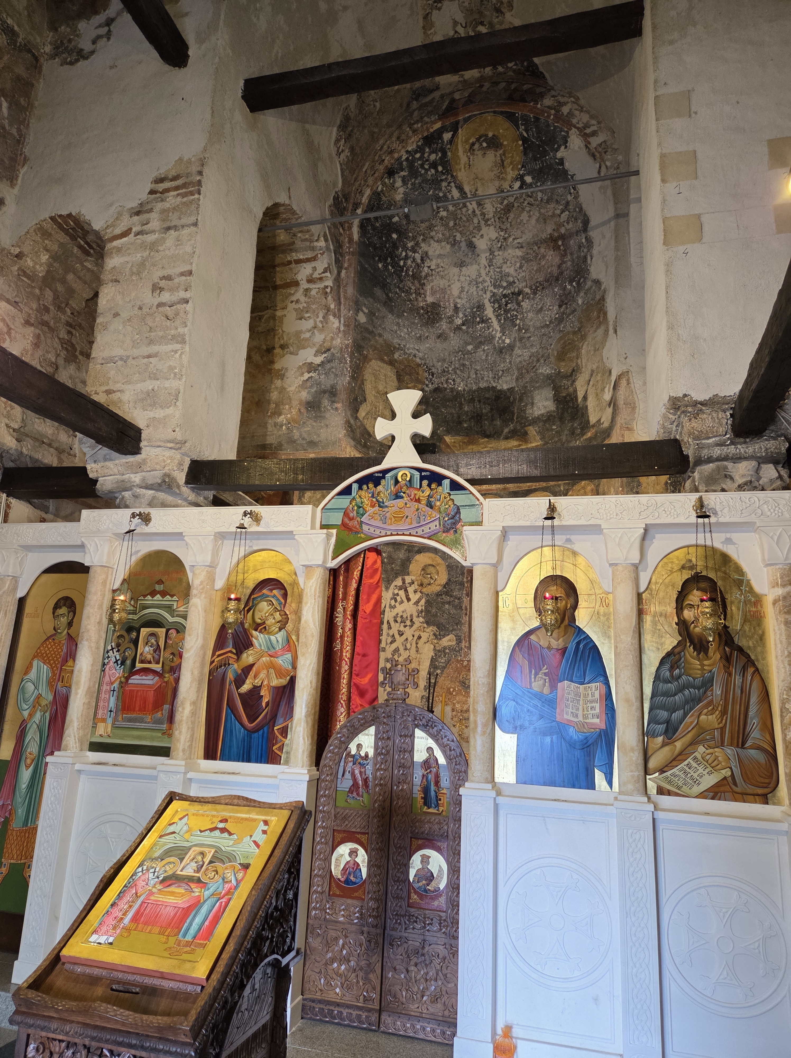
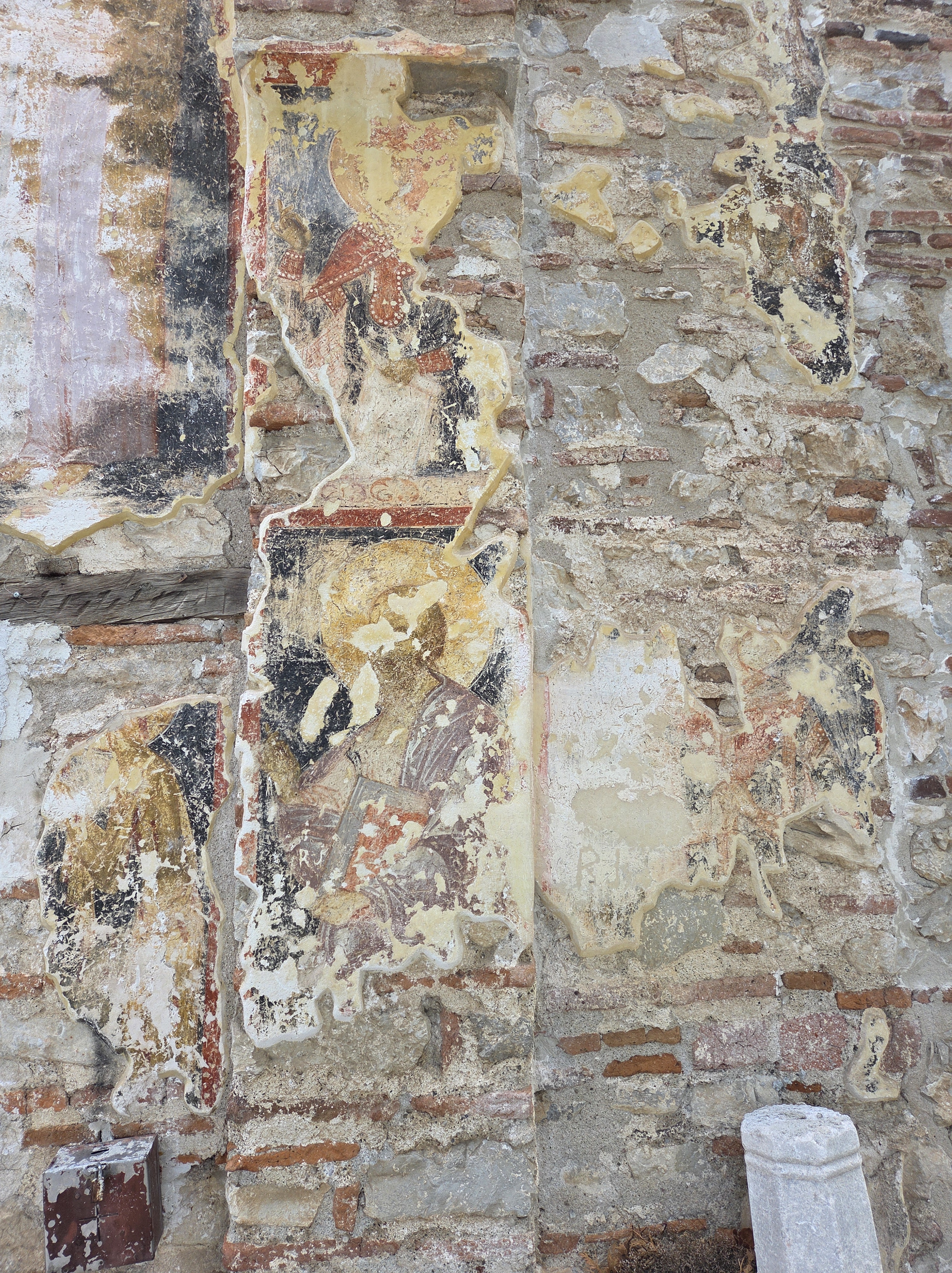
Only two ways to get to the Zahumska (or Zaum) monastery: by boat or foot over a fairly narrow footpath across steep terrain with stretches of lakeshore that are very narrow when the water is high – which it was when we talked the path two weeks ago, our first morning there.
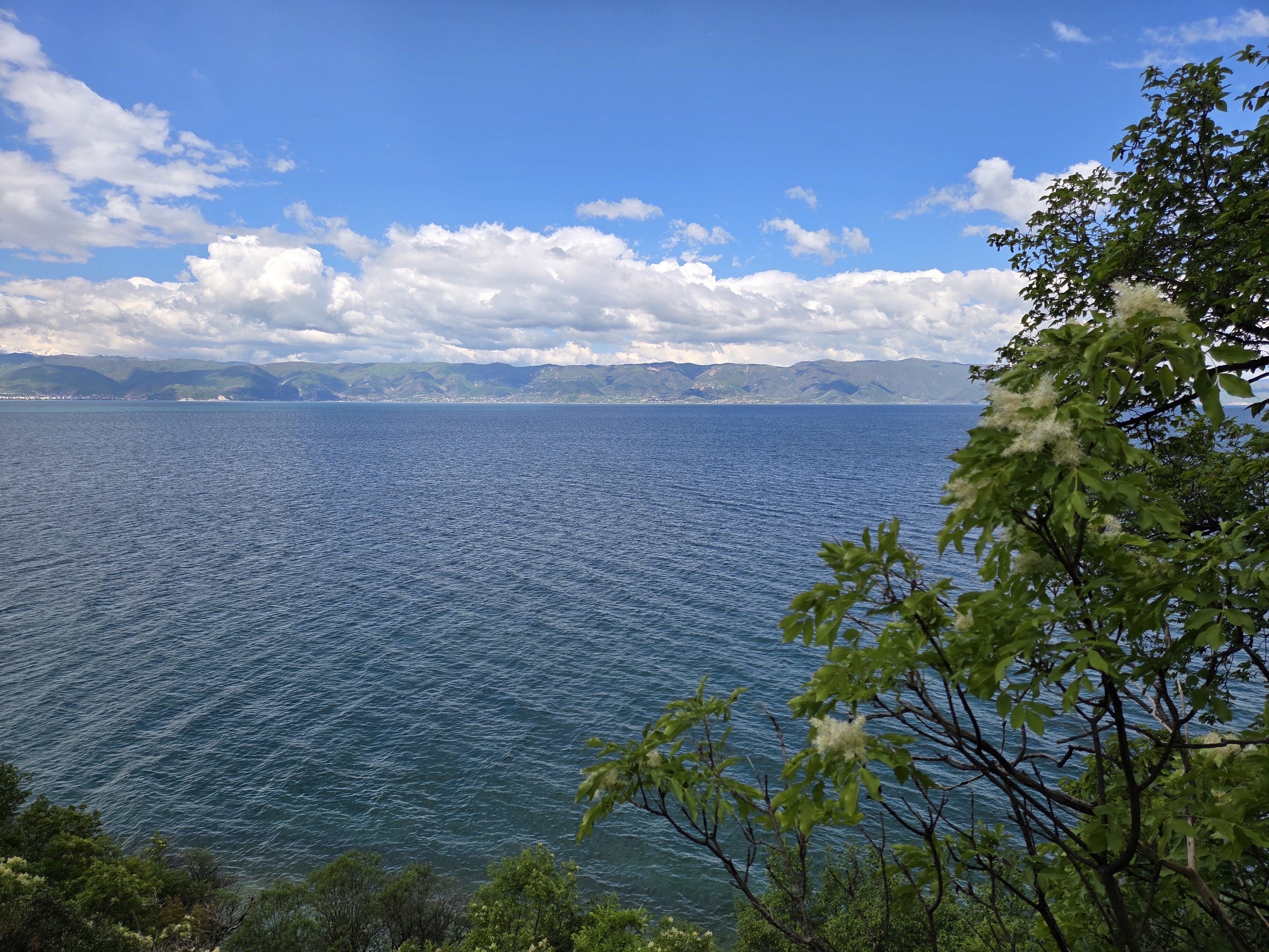
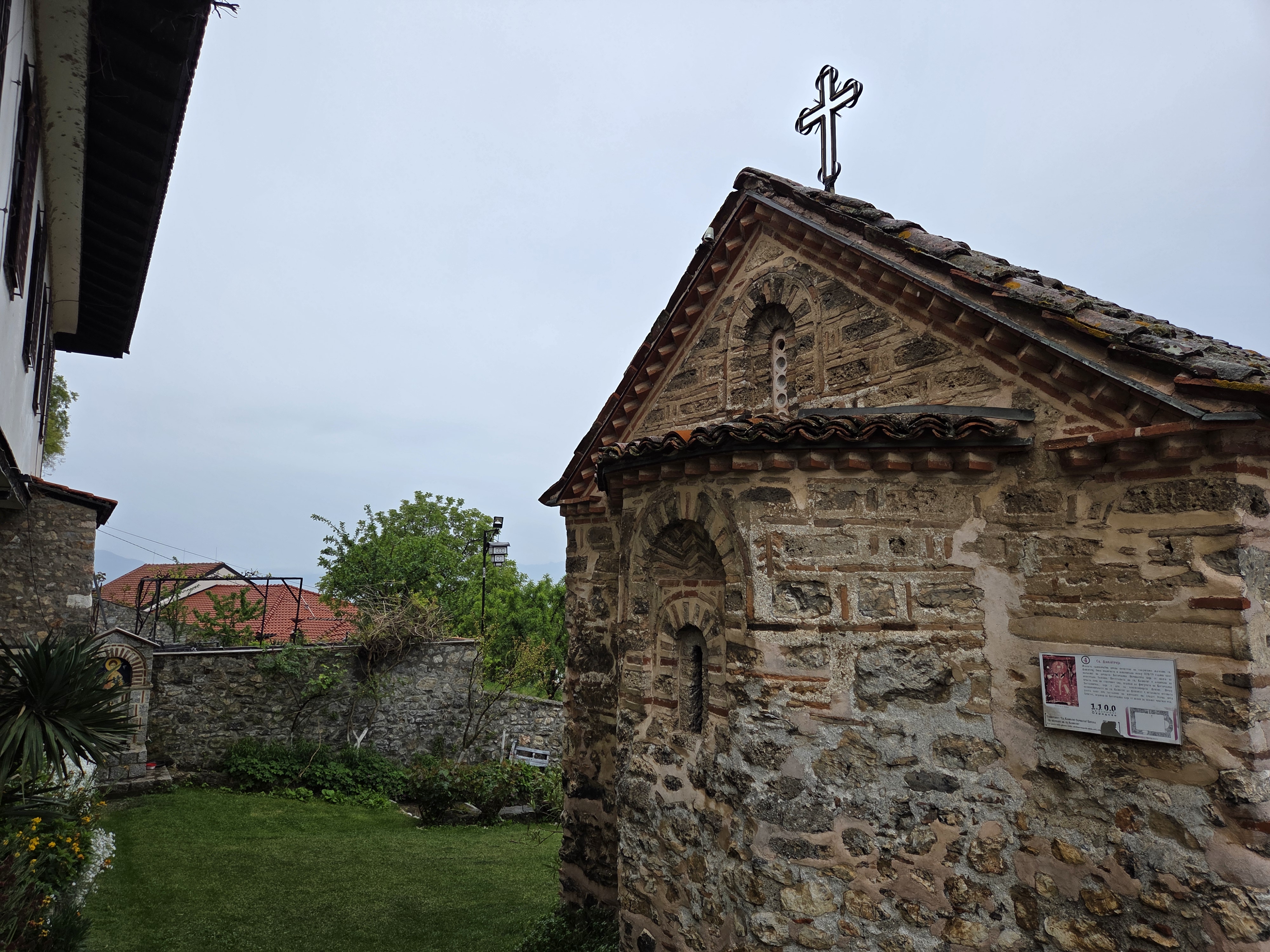
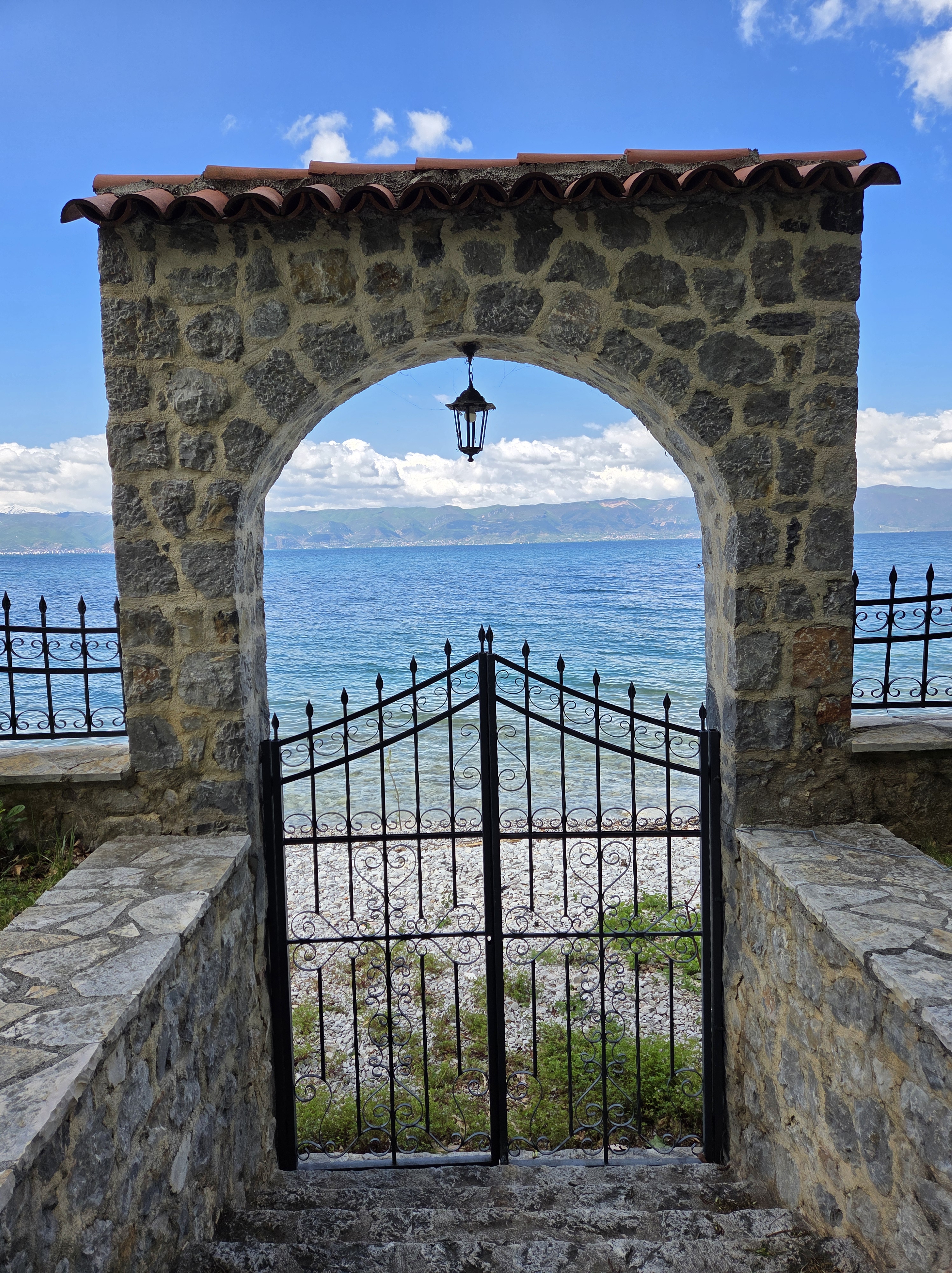
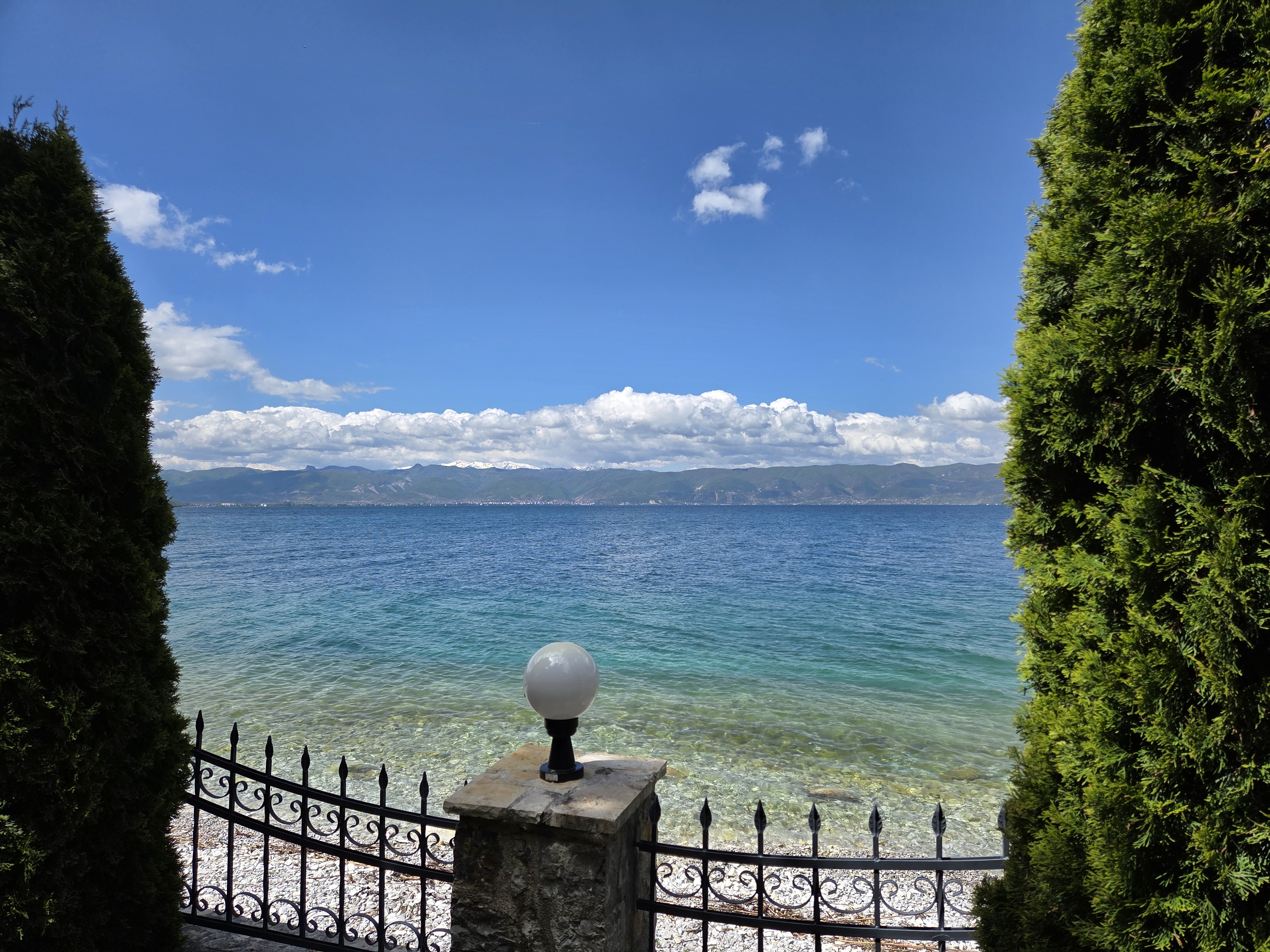
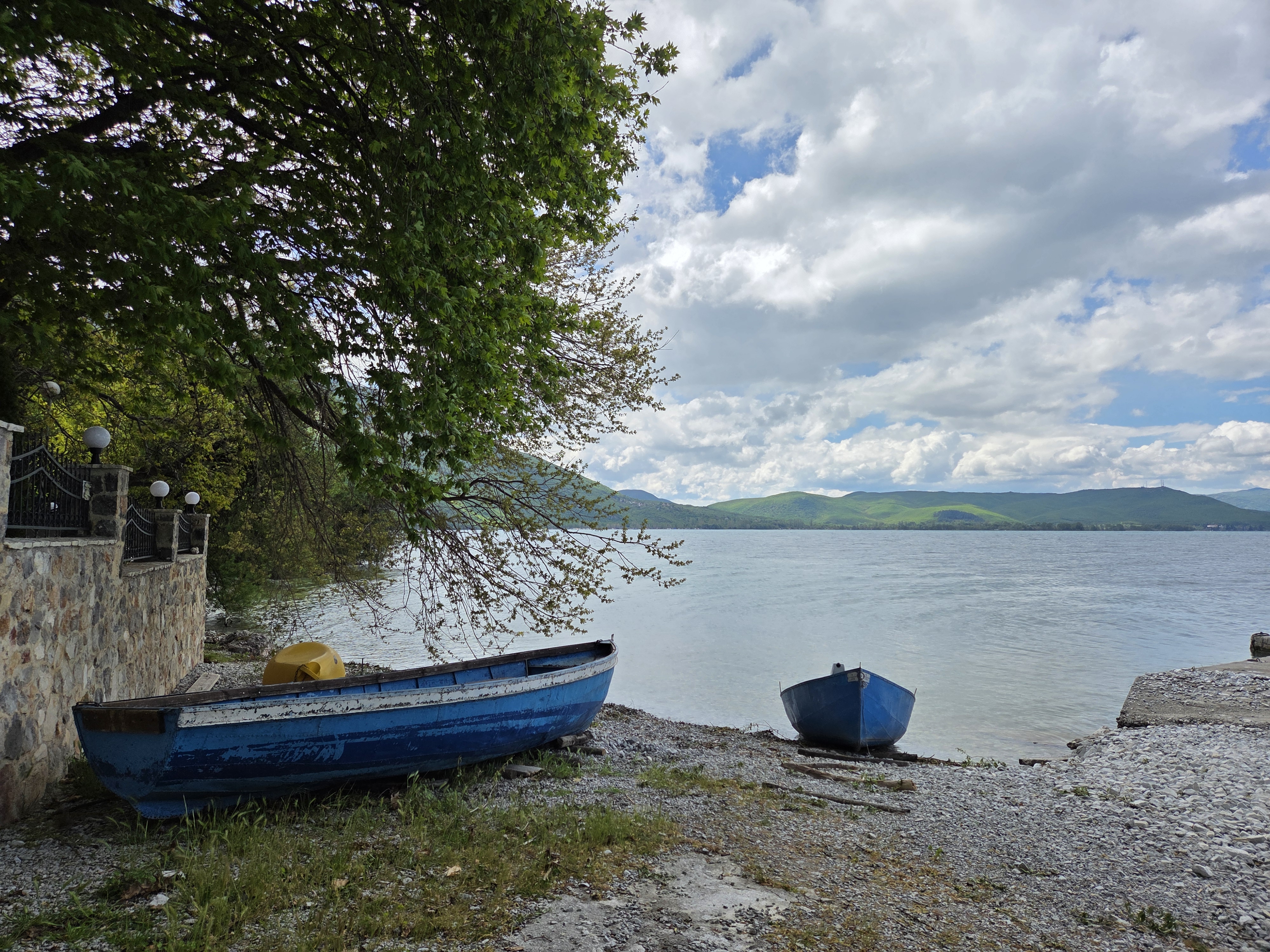
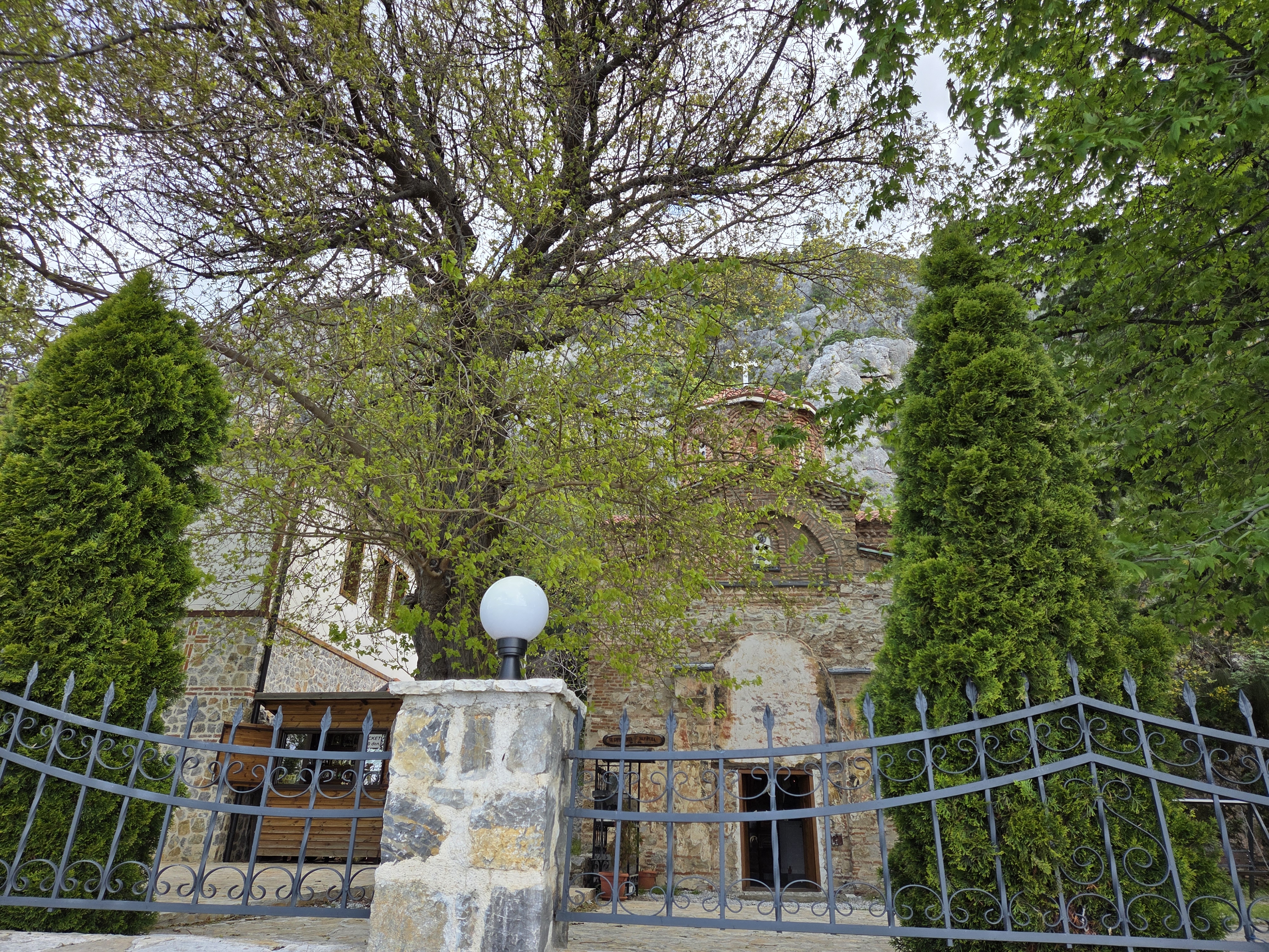
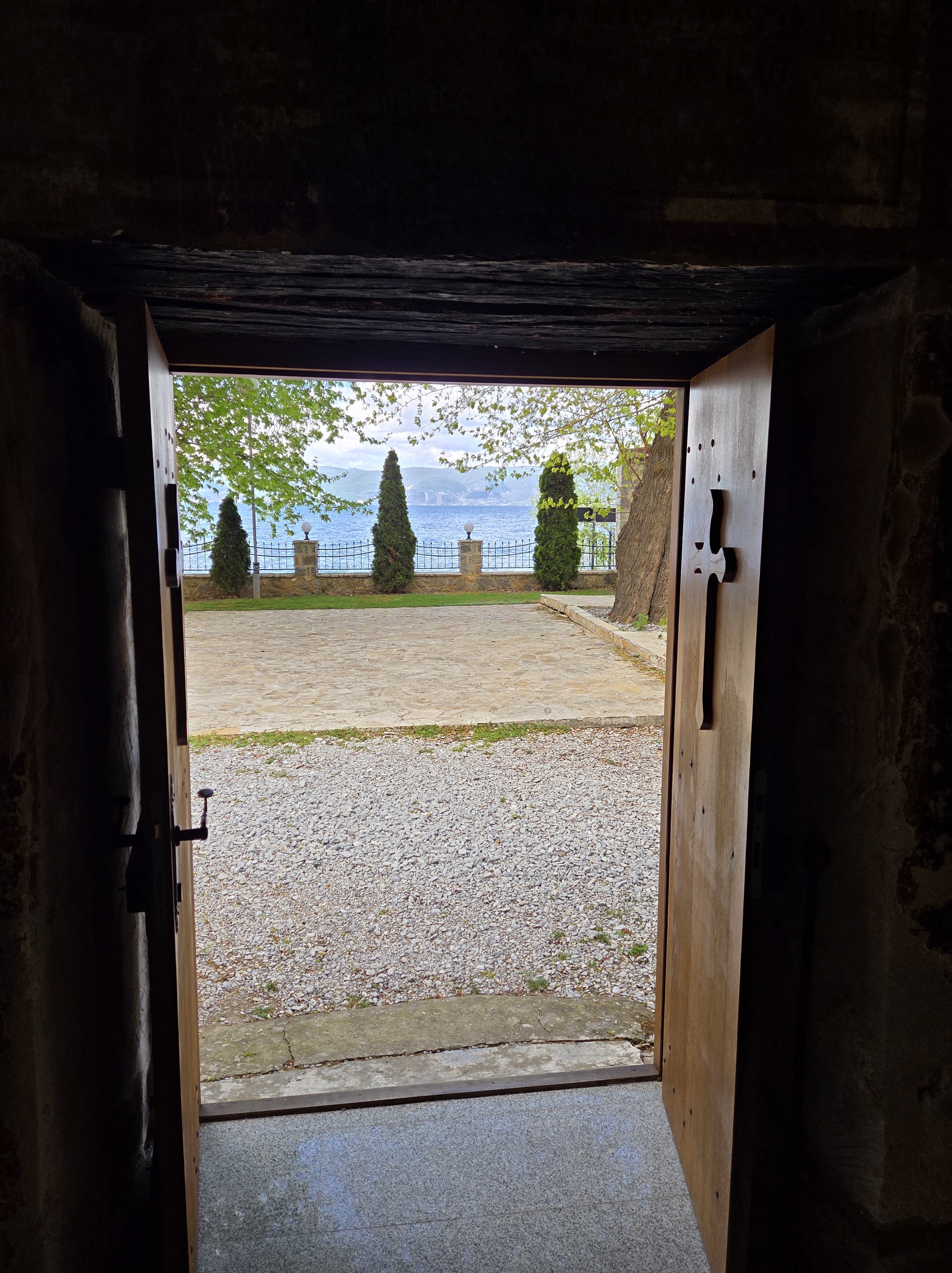
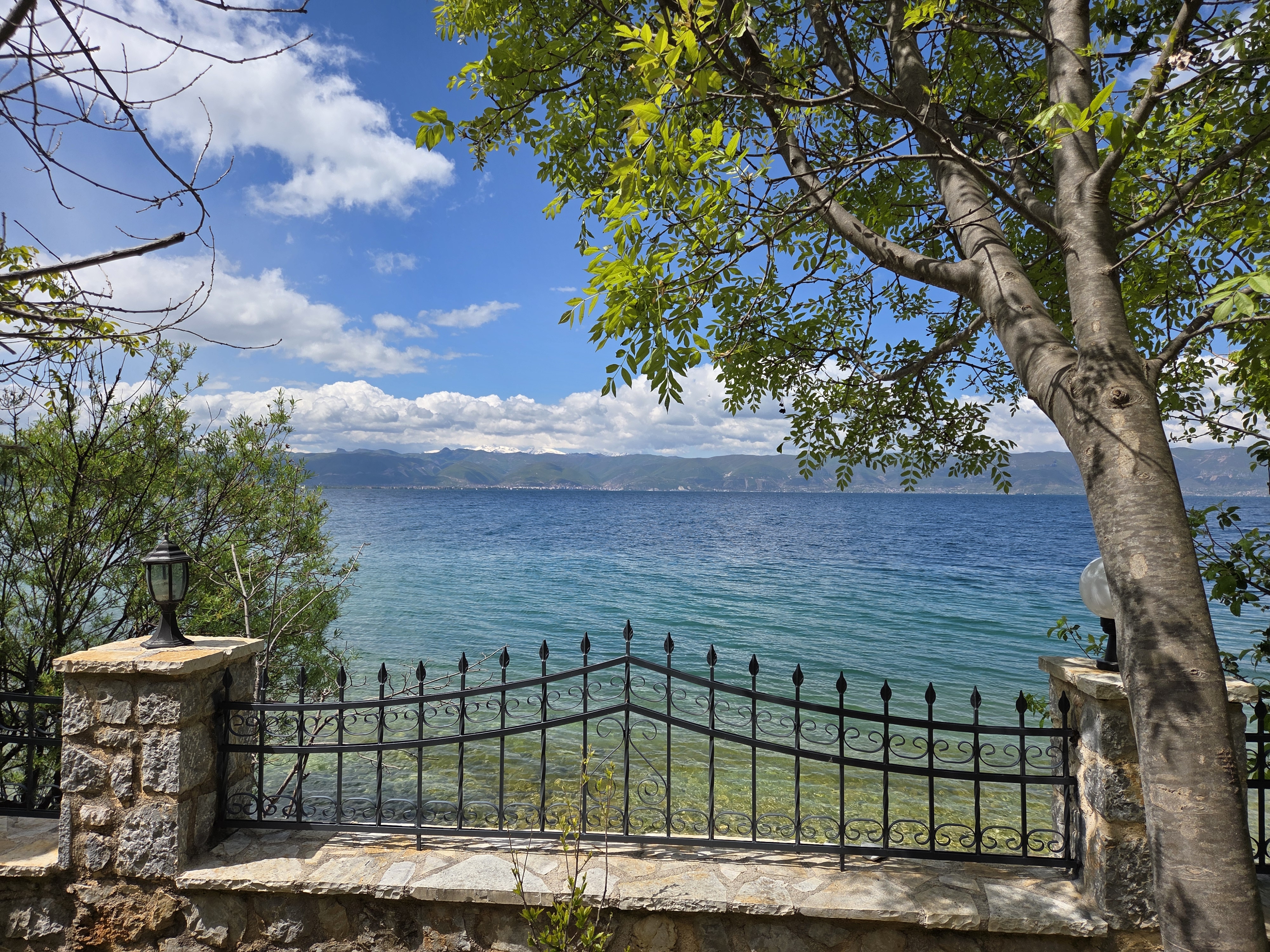
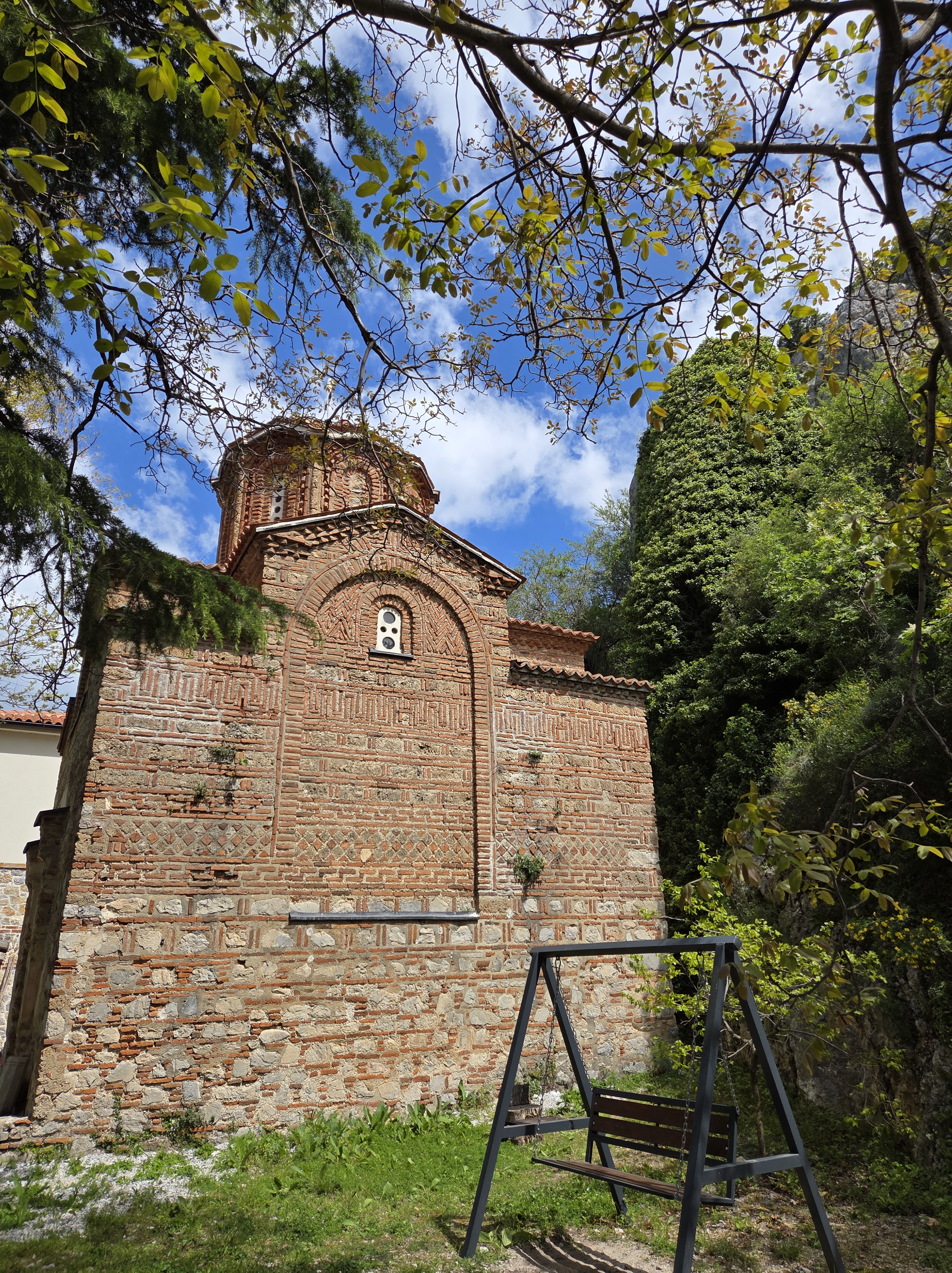
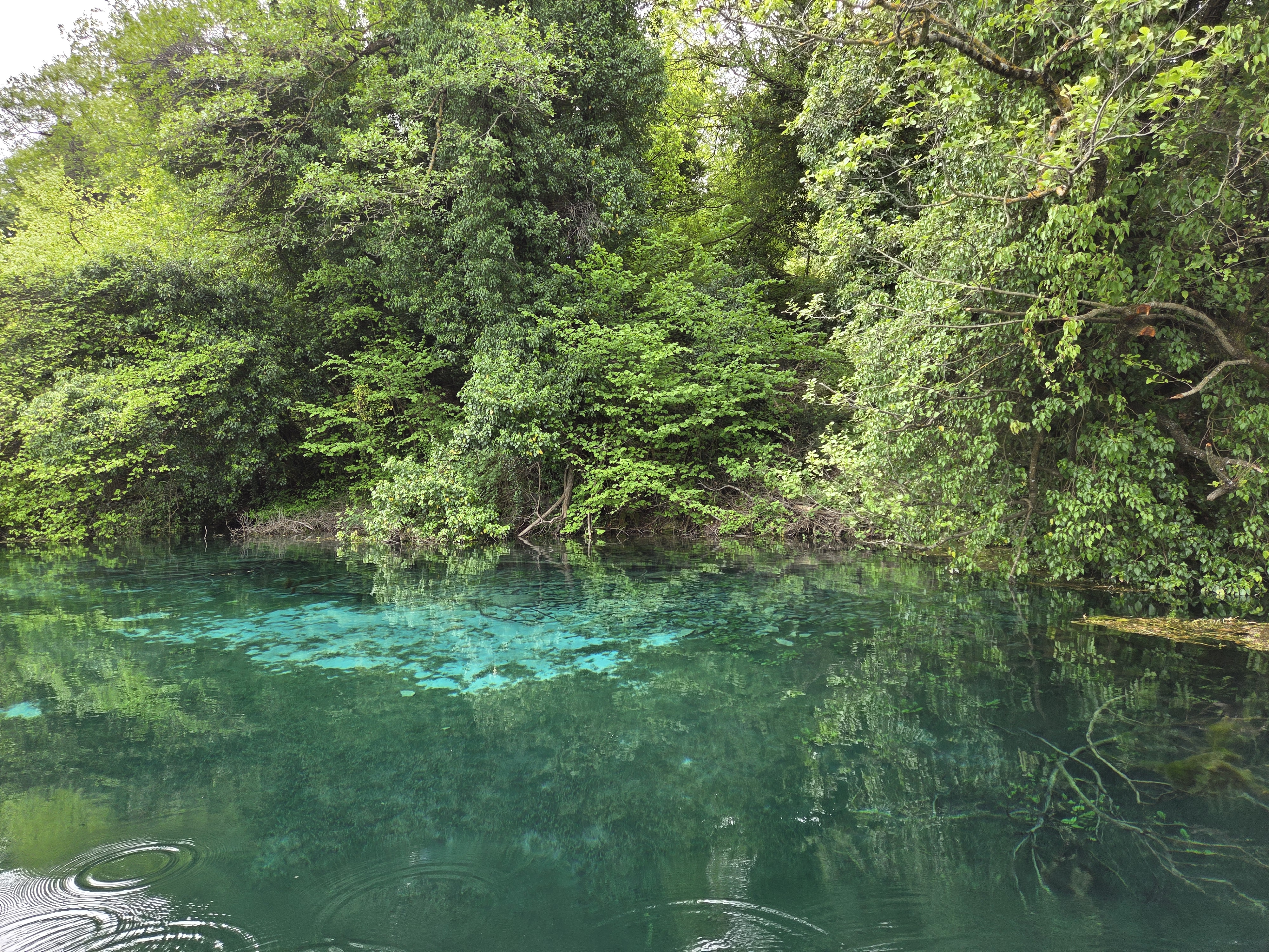
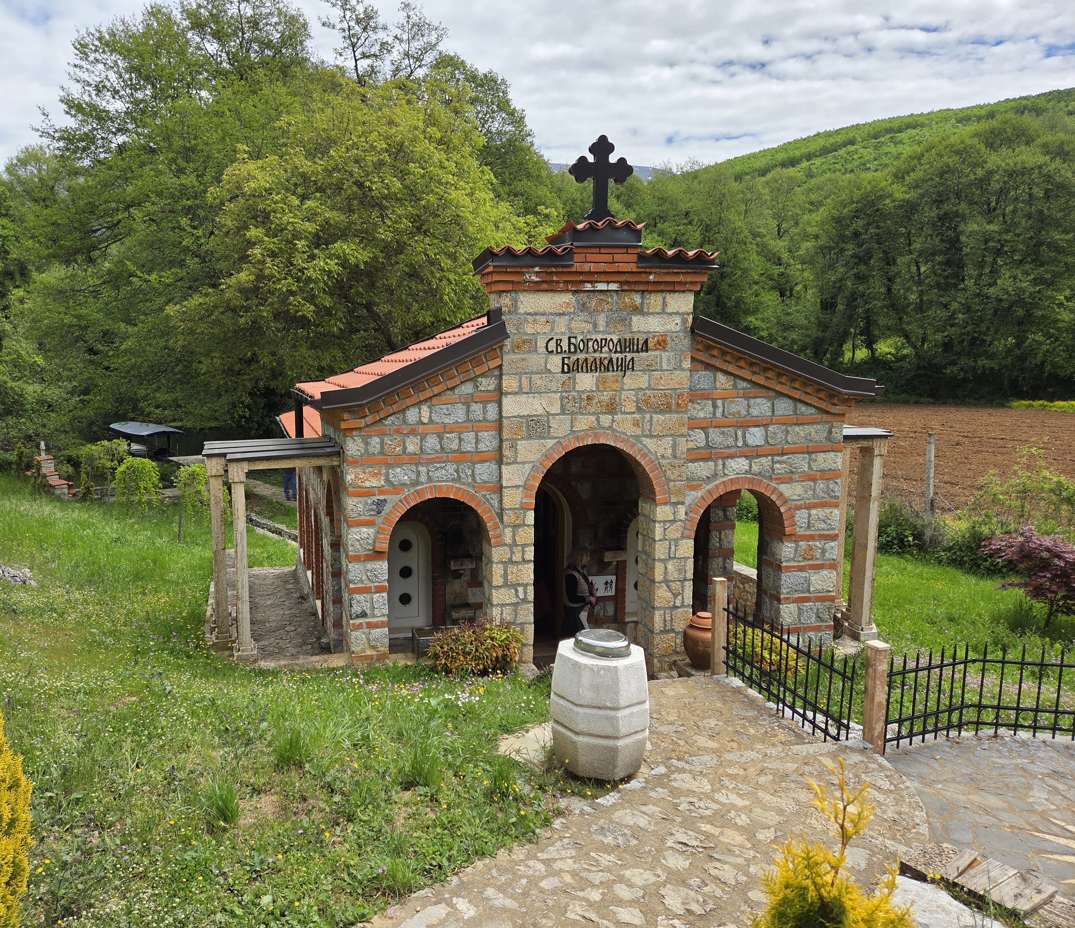
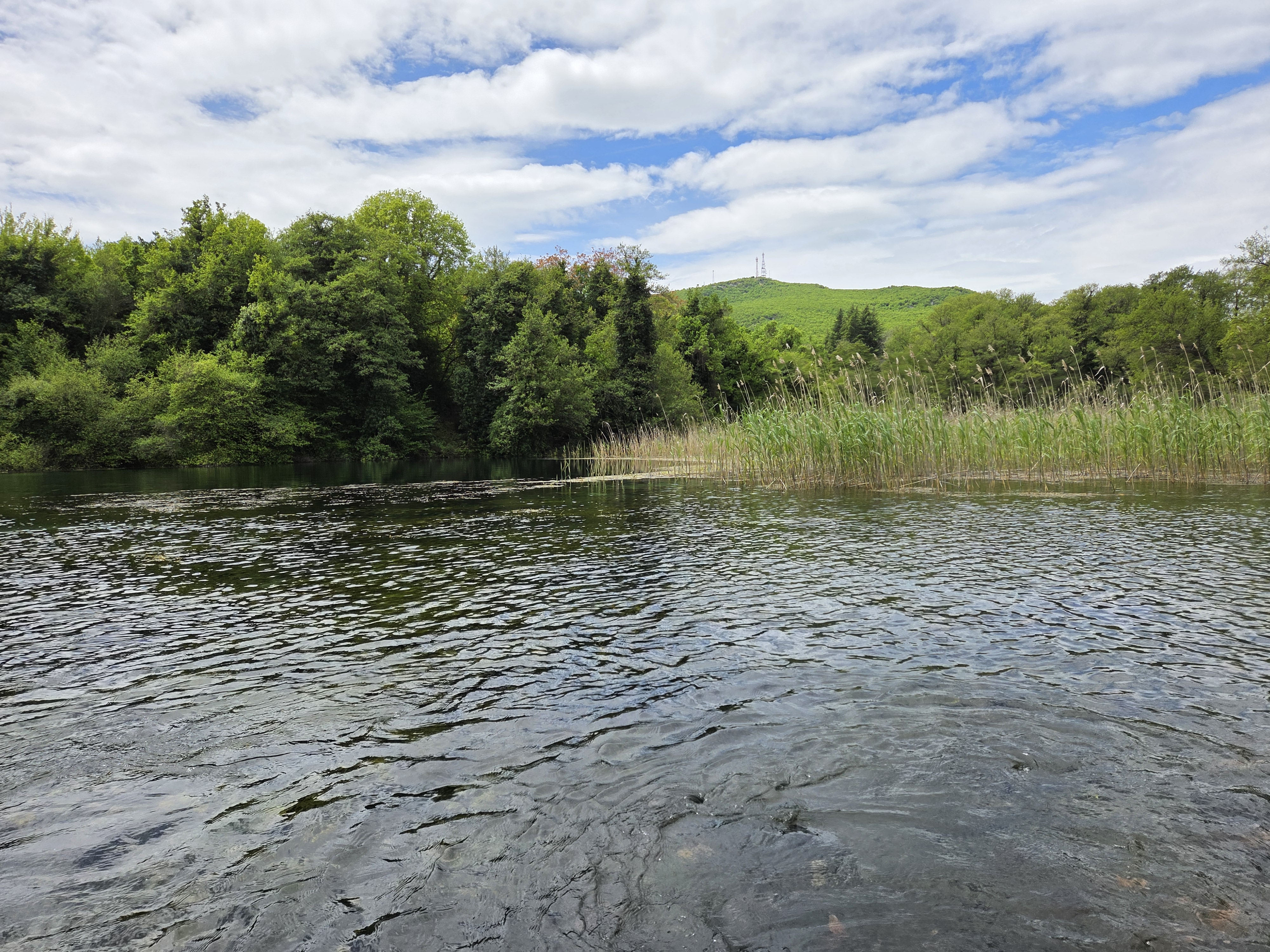
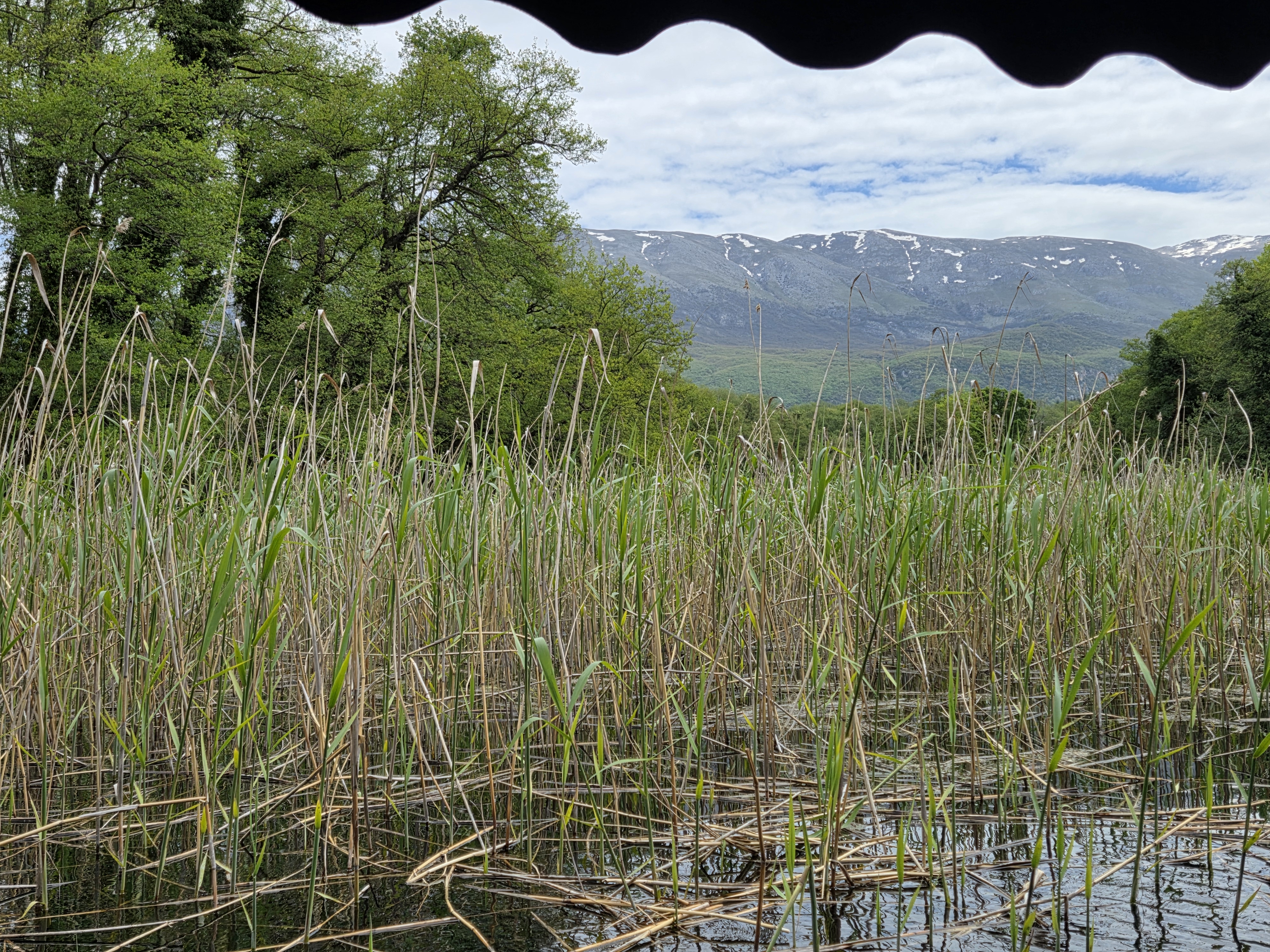
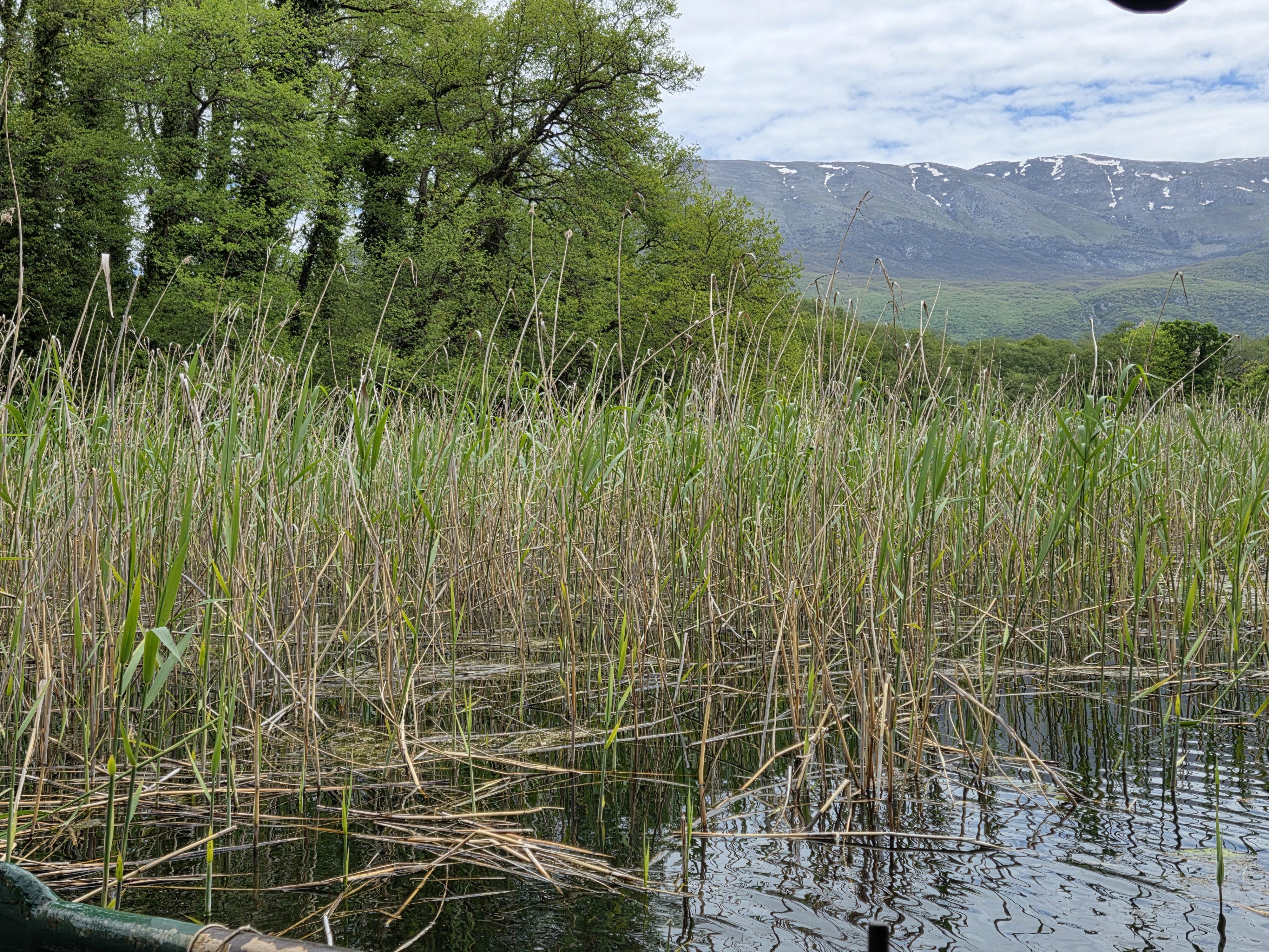
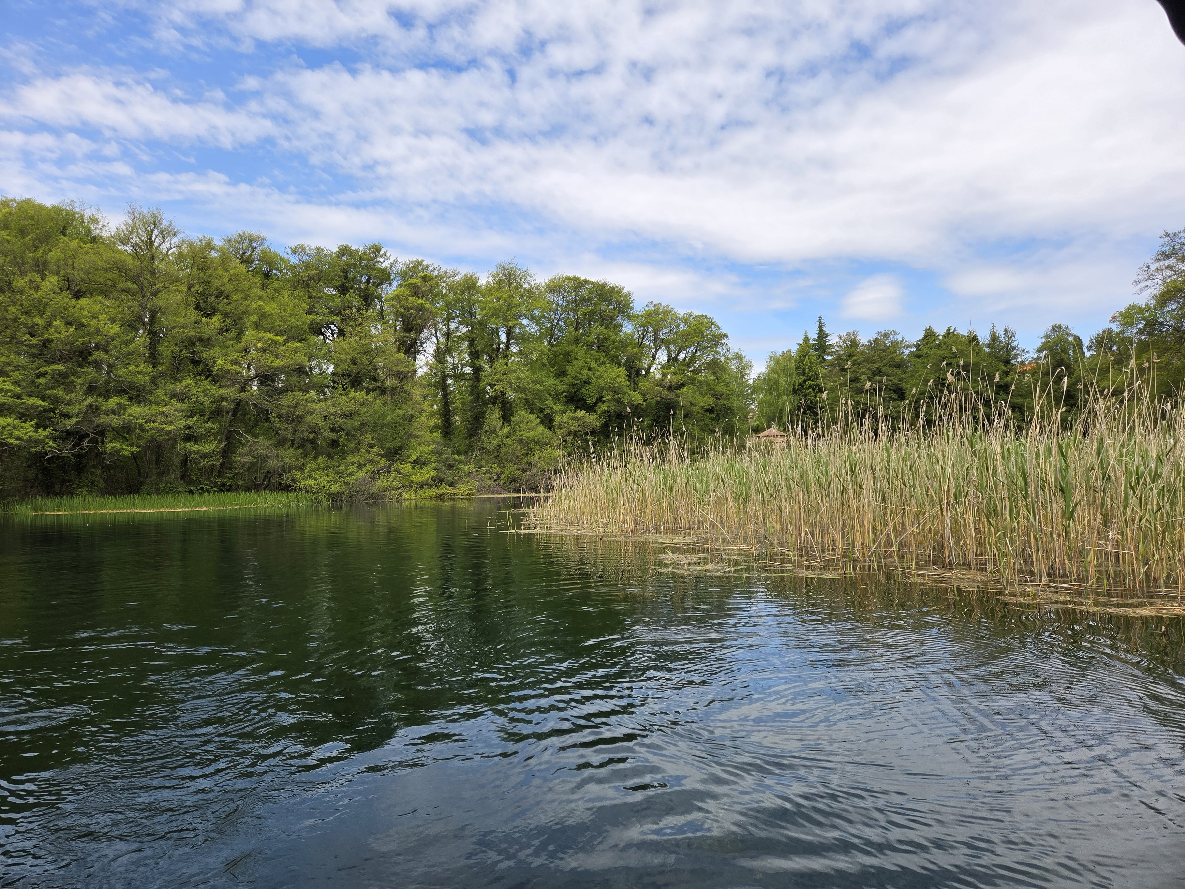
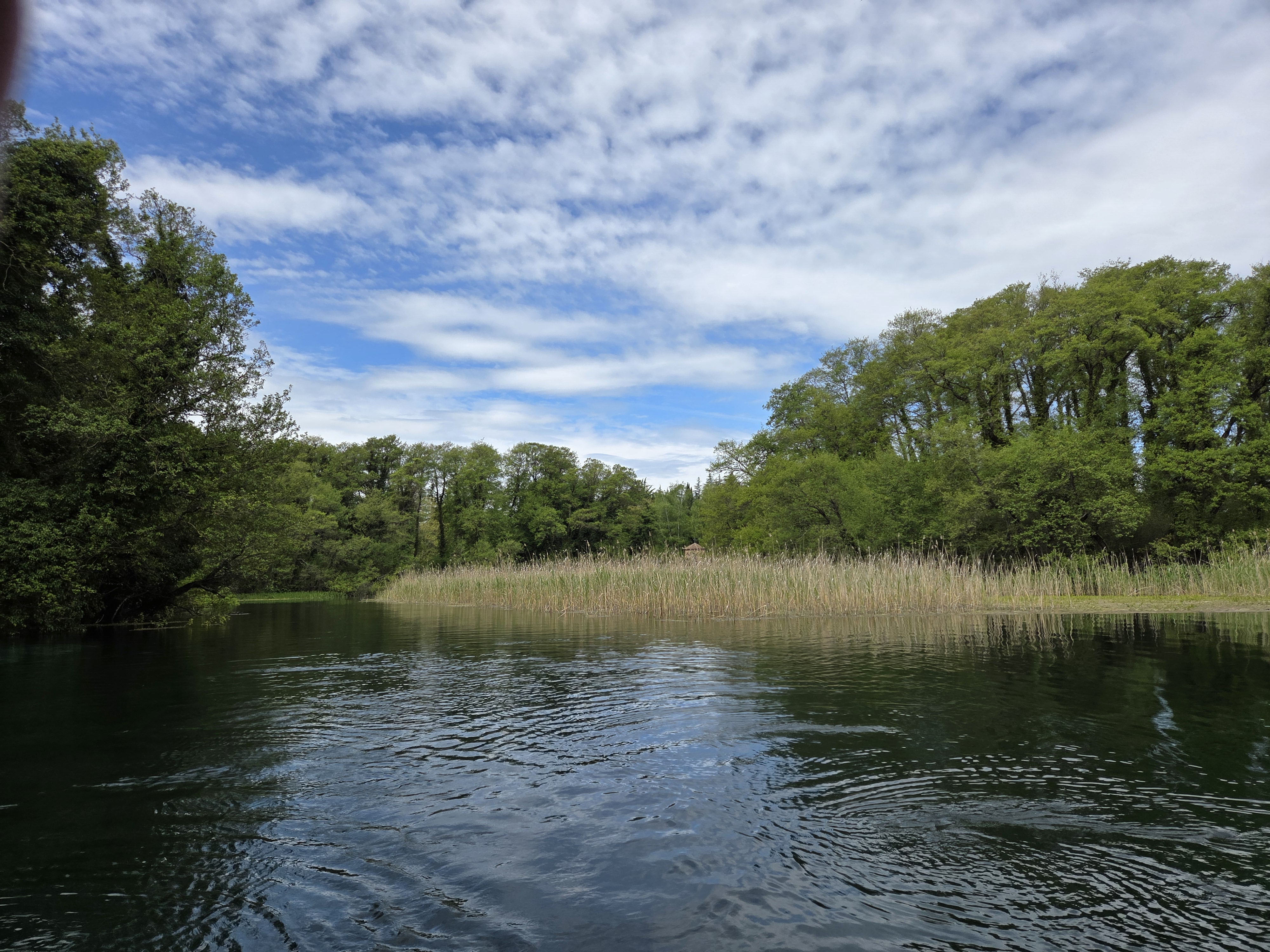
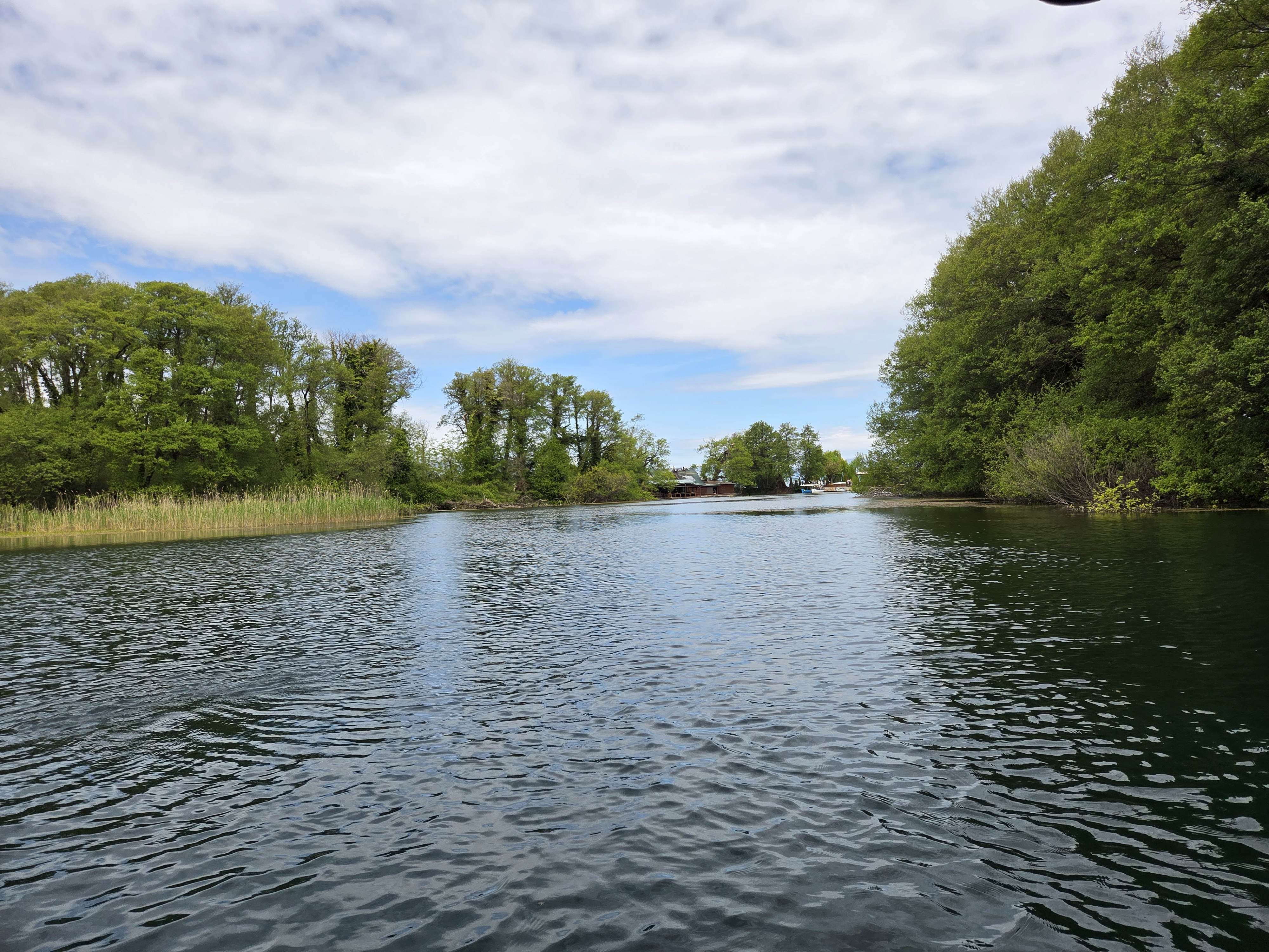
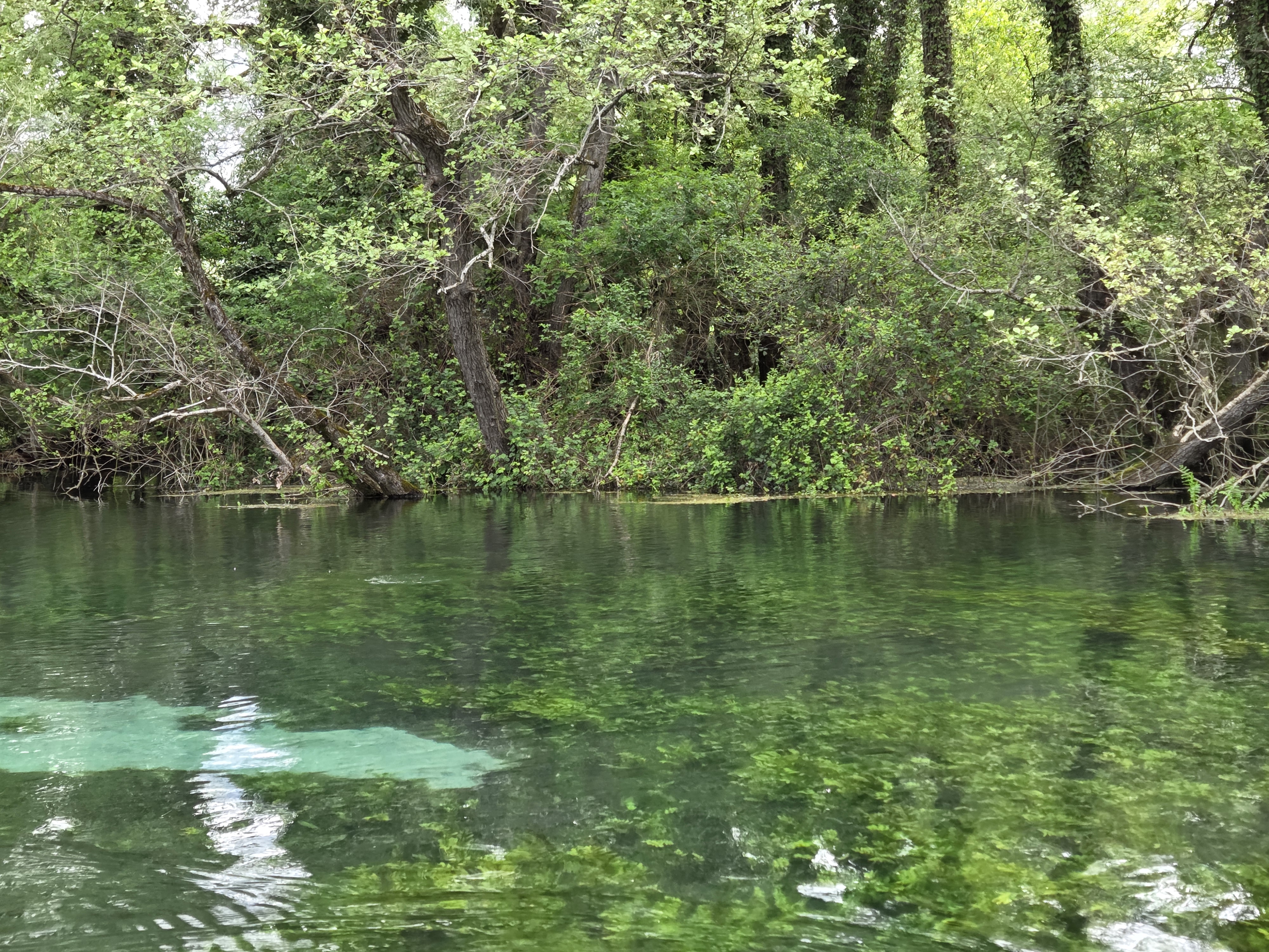
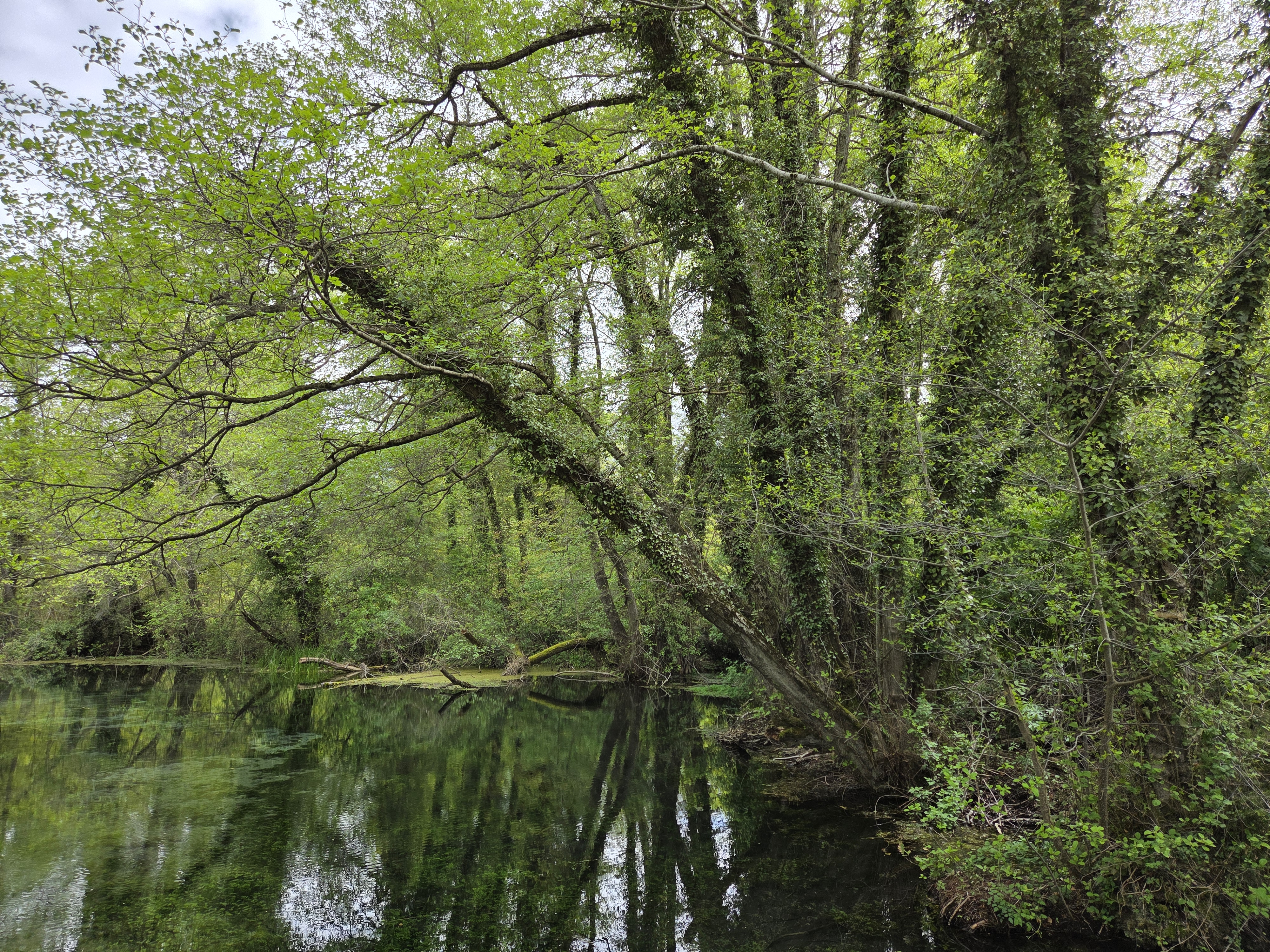
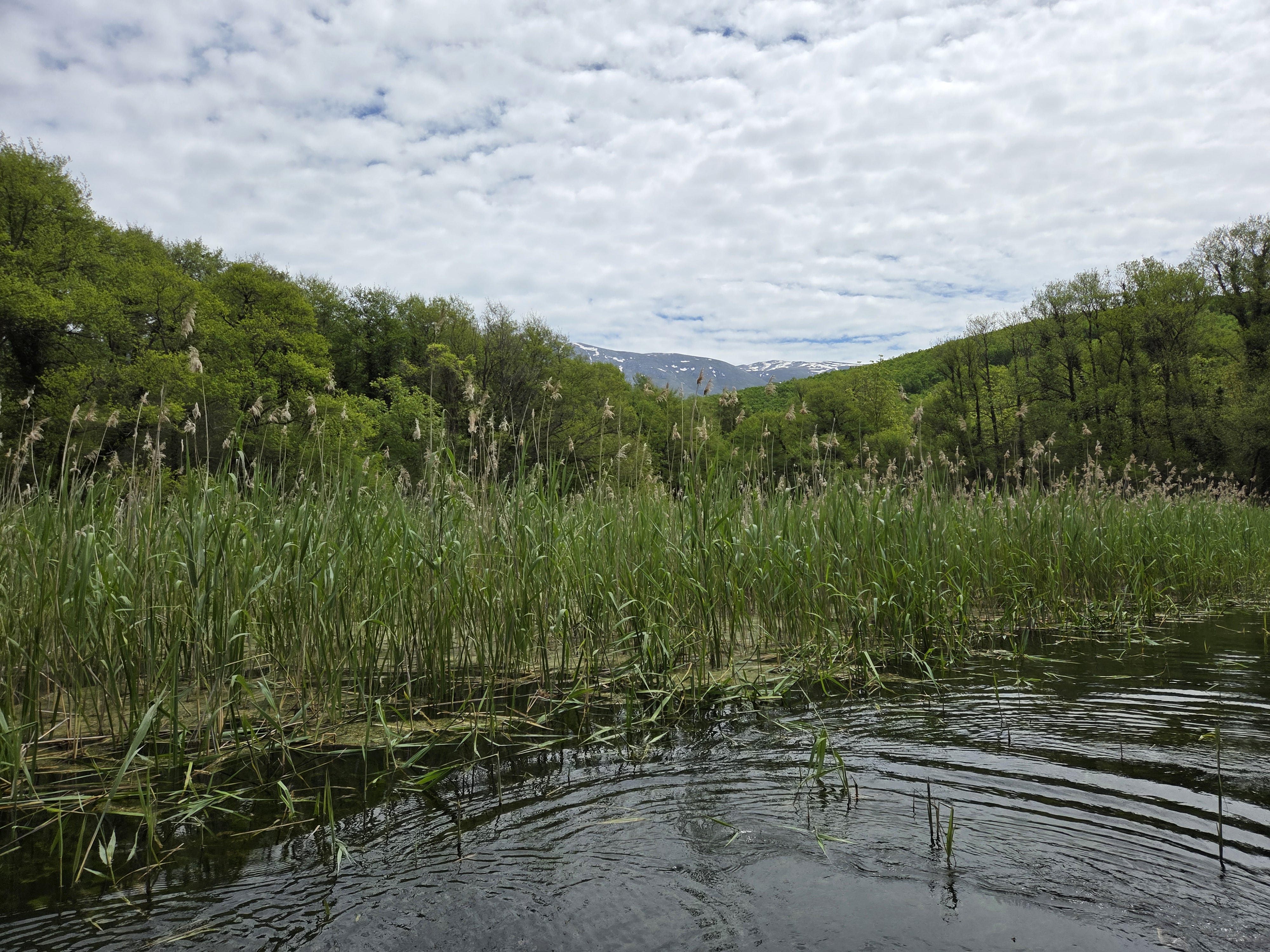
Though it’s beautiful and peaceful, this bit of water is actually carrying quite a bit of water downhill, from Lake Prespa on the south side of Mt Magaro, over to Lake Ohrid on the north side of Mt Magaro, via natural underground springs or rivers which emerge above ground in the place where you see this lovely chapel, first photo in the galler below. The others photos are all of the short (one km?) canal – lake – river that connects from the chapel to Lake Ohrid itself.