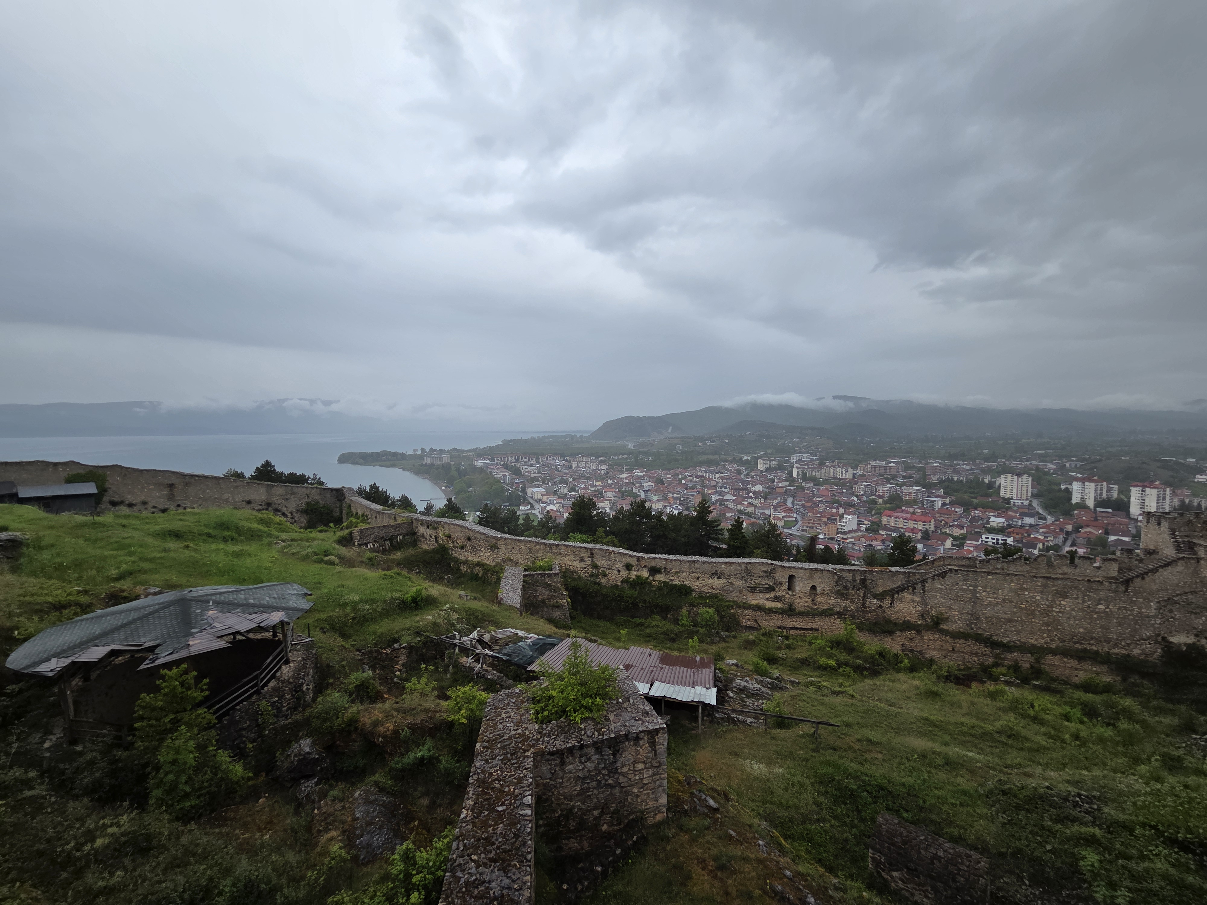
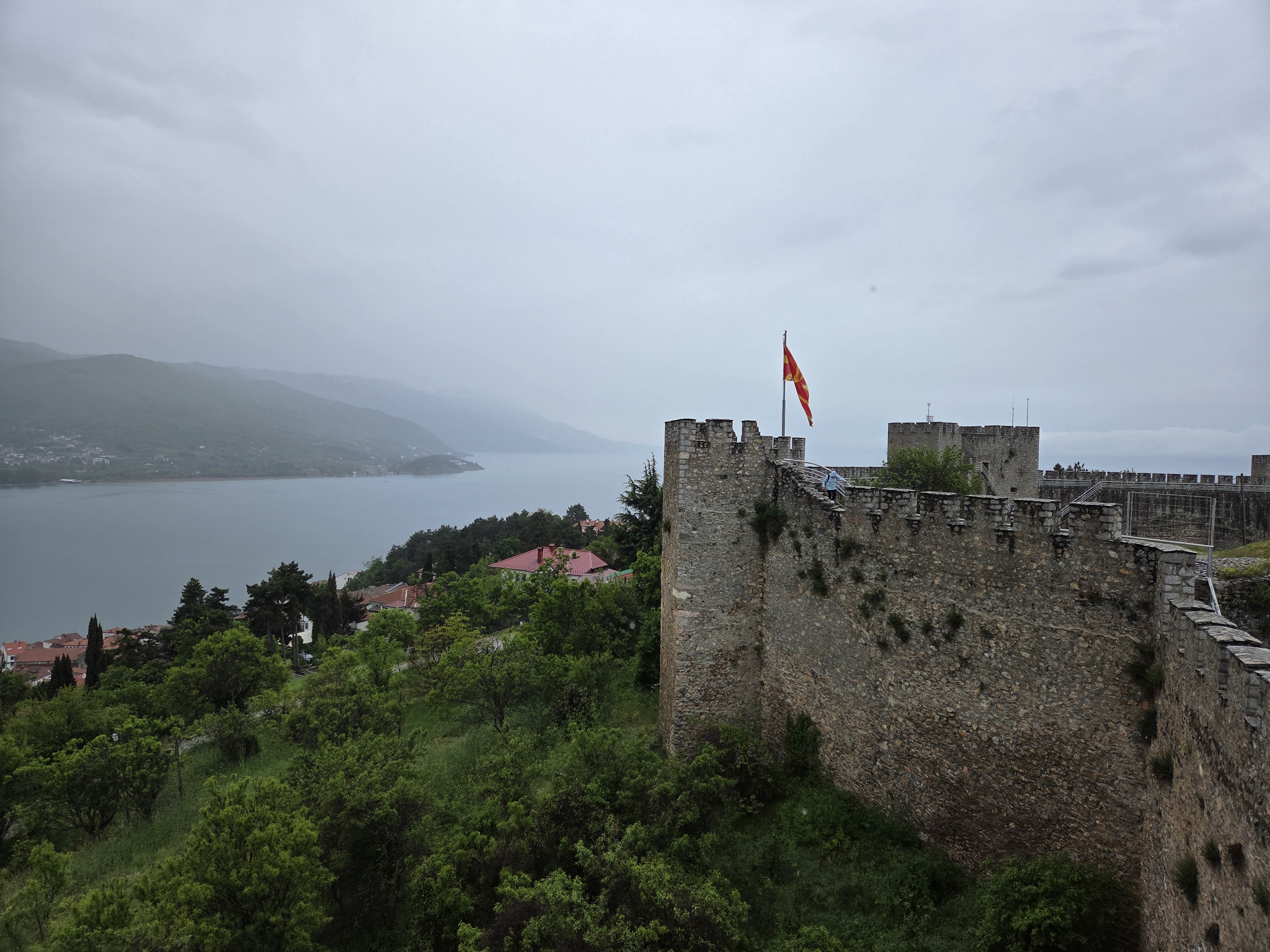
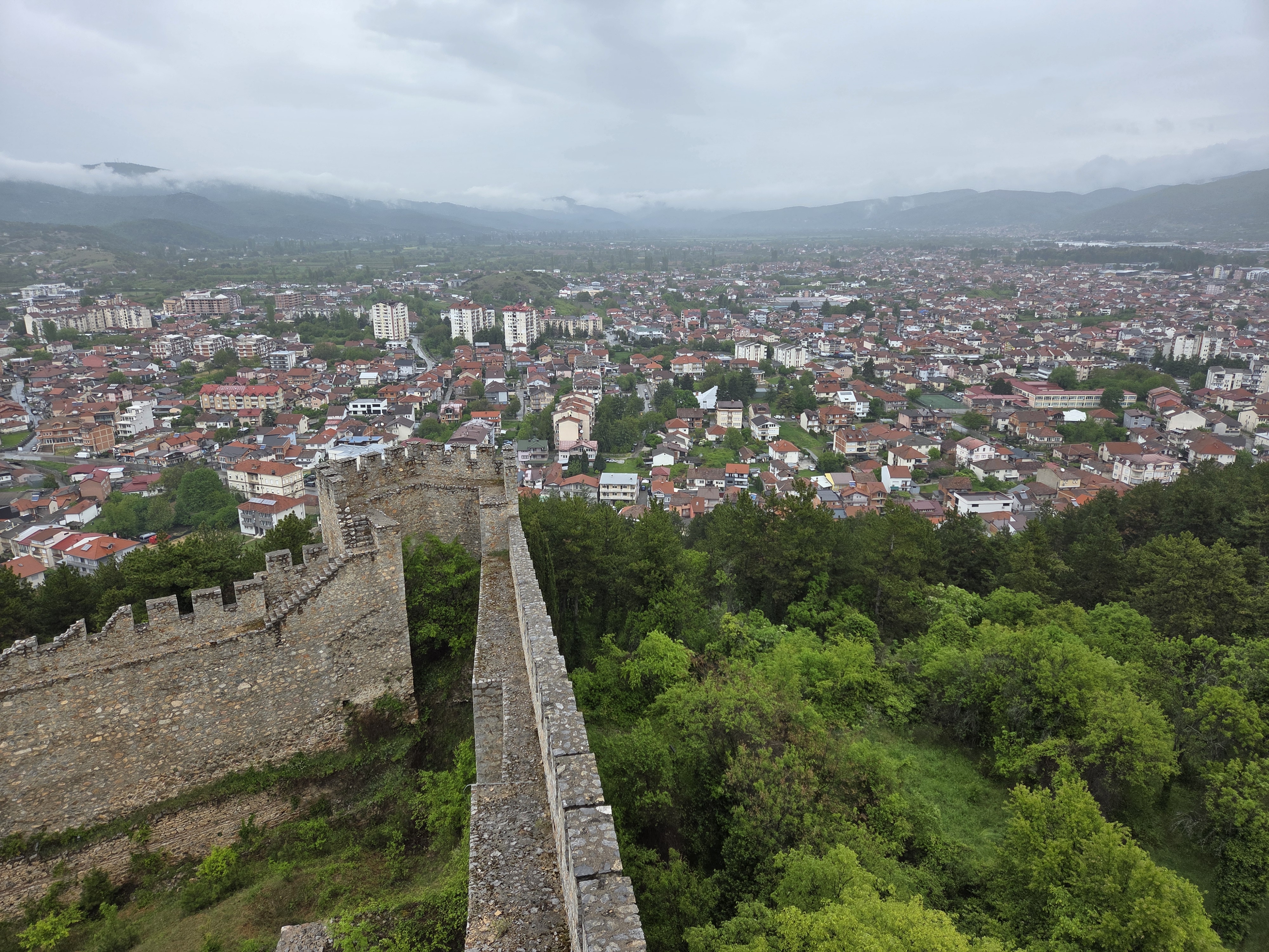
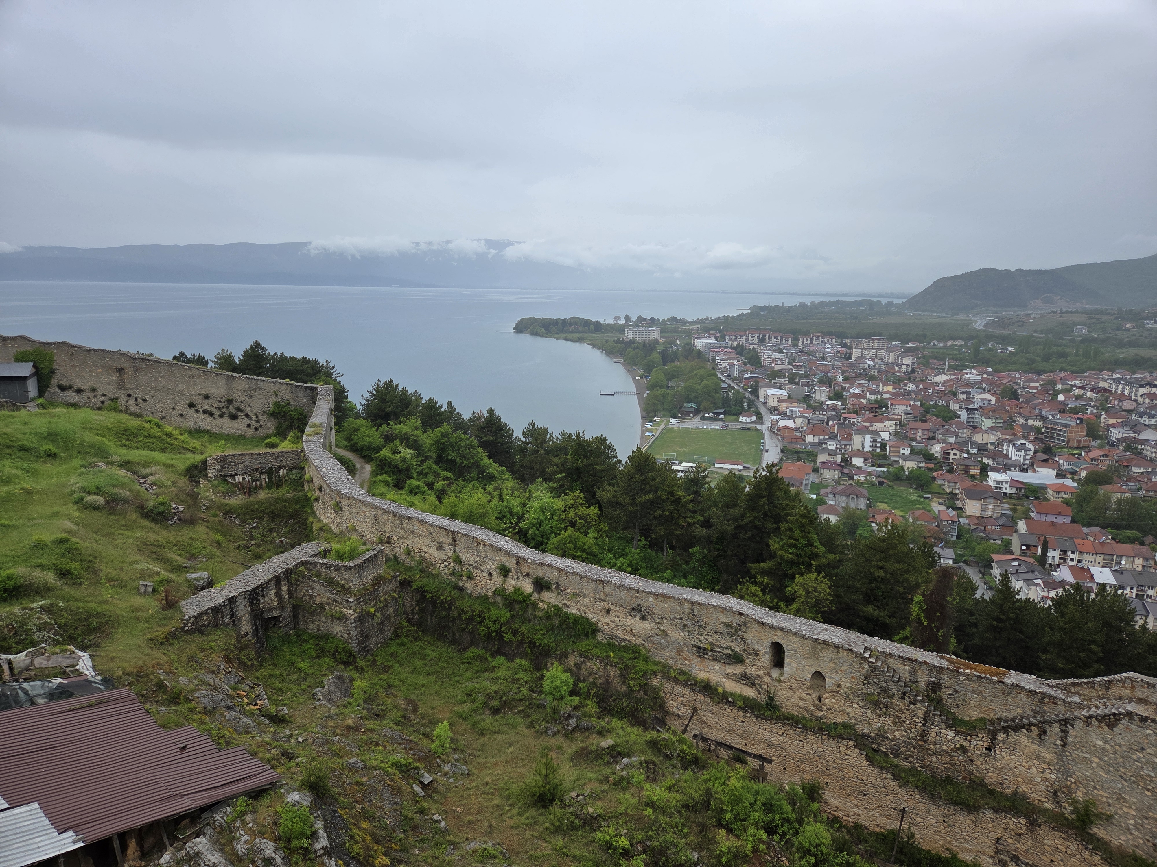
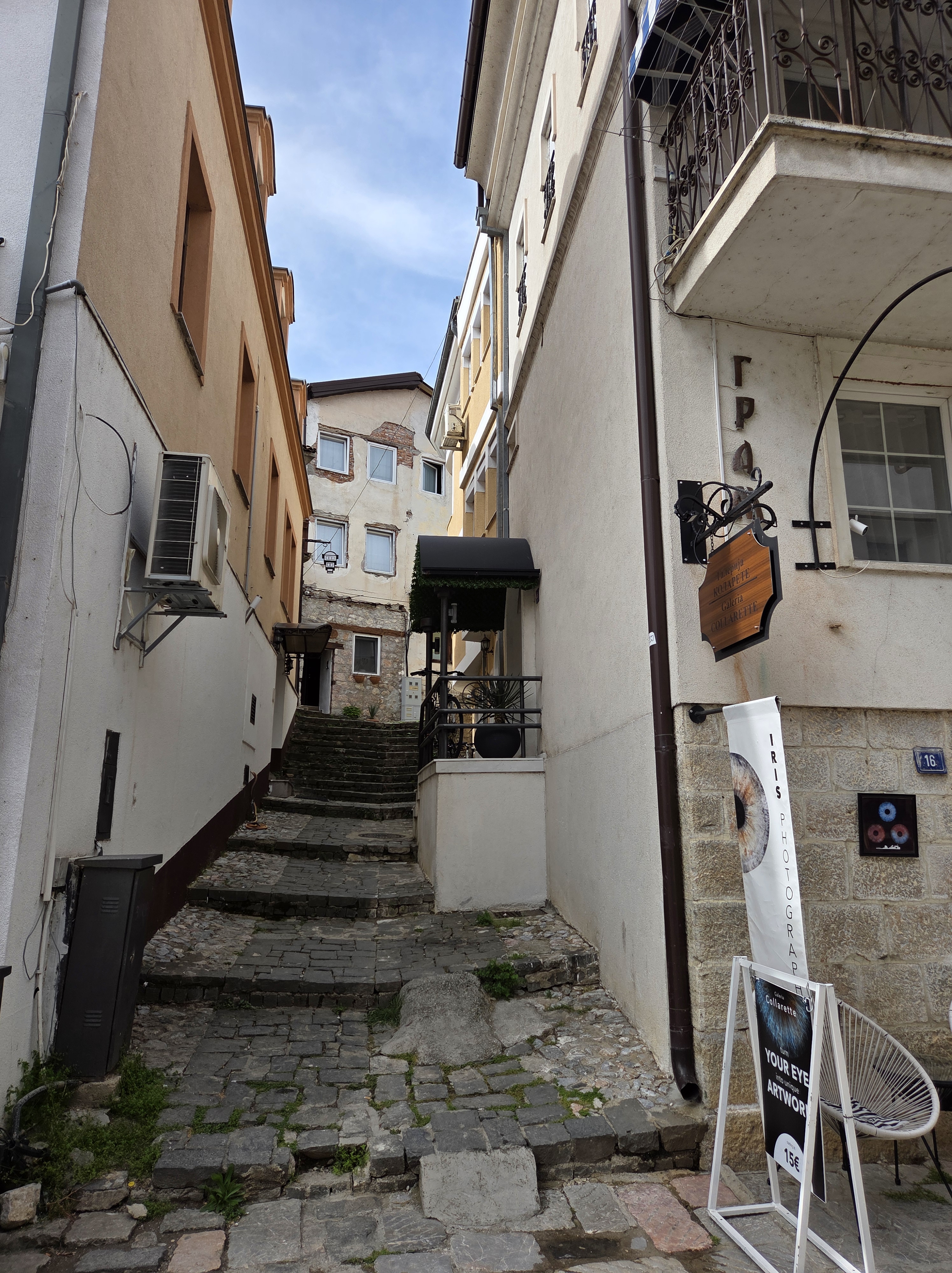
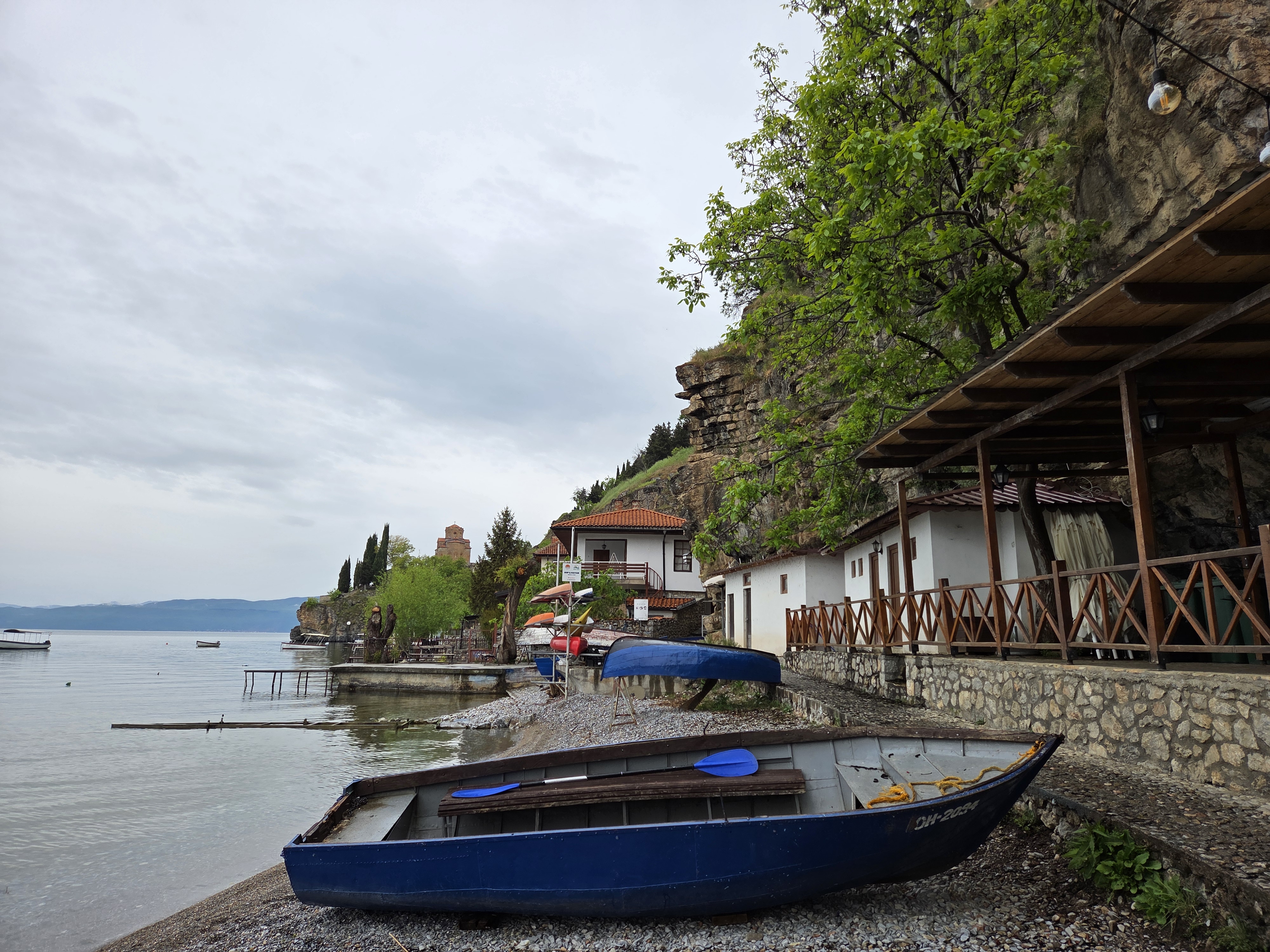
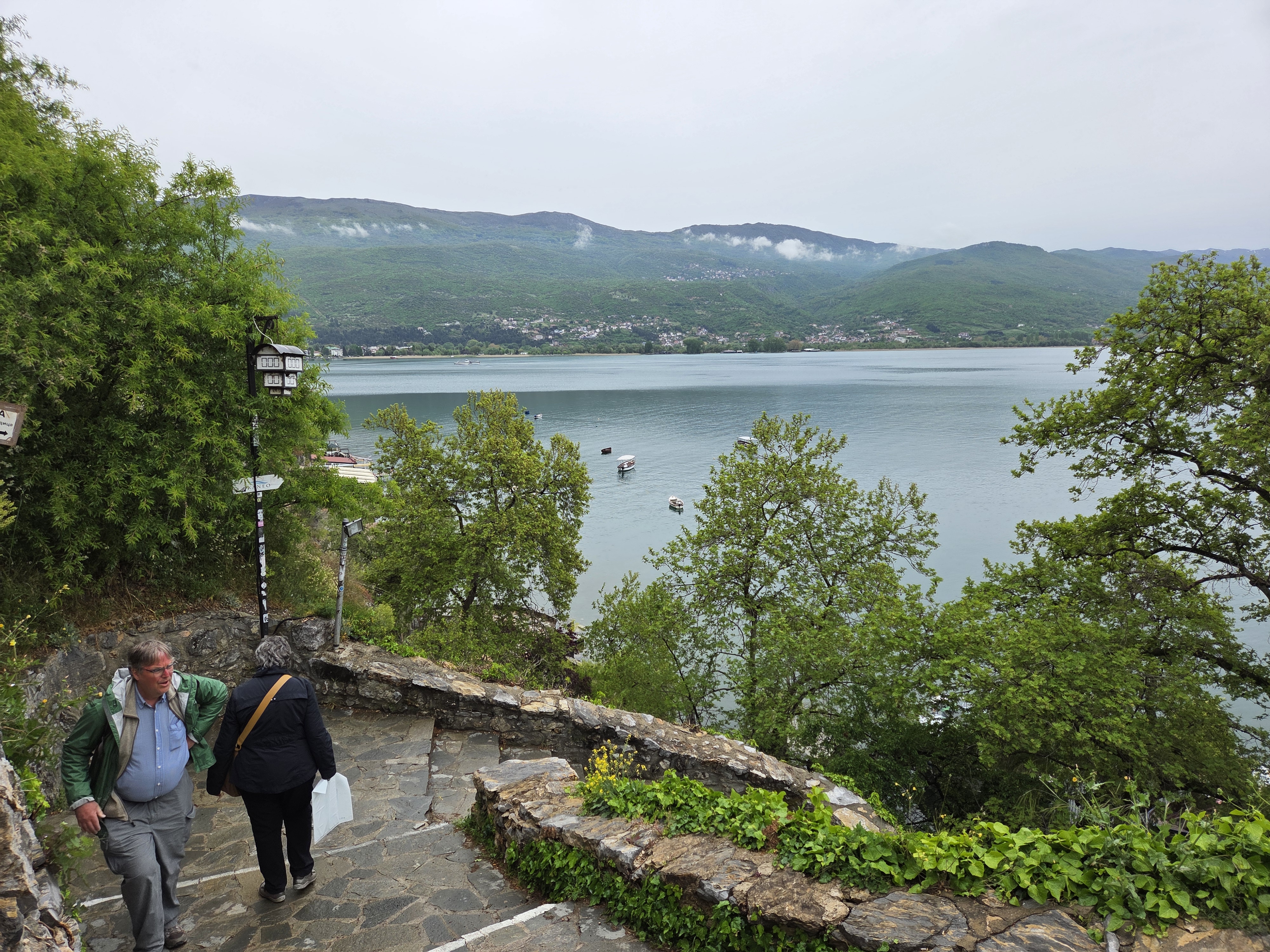
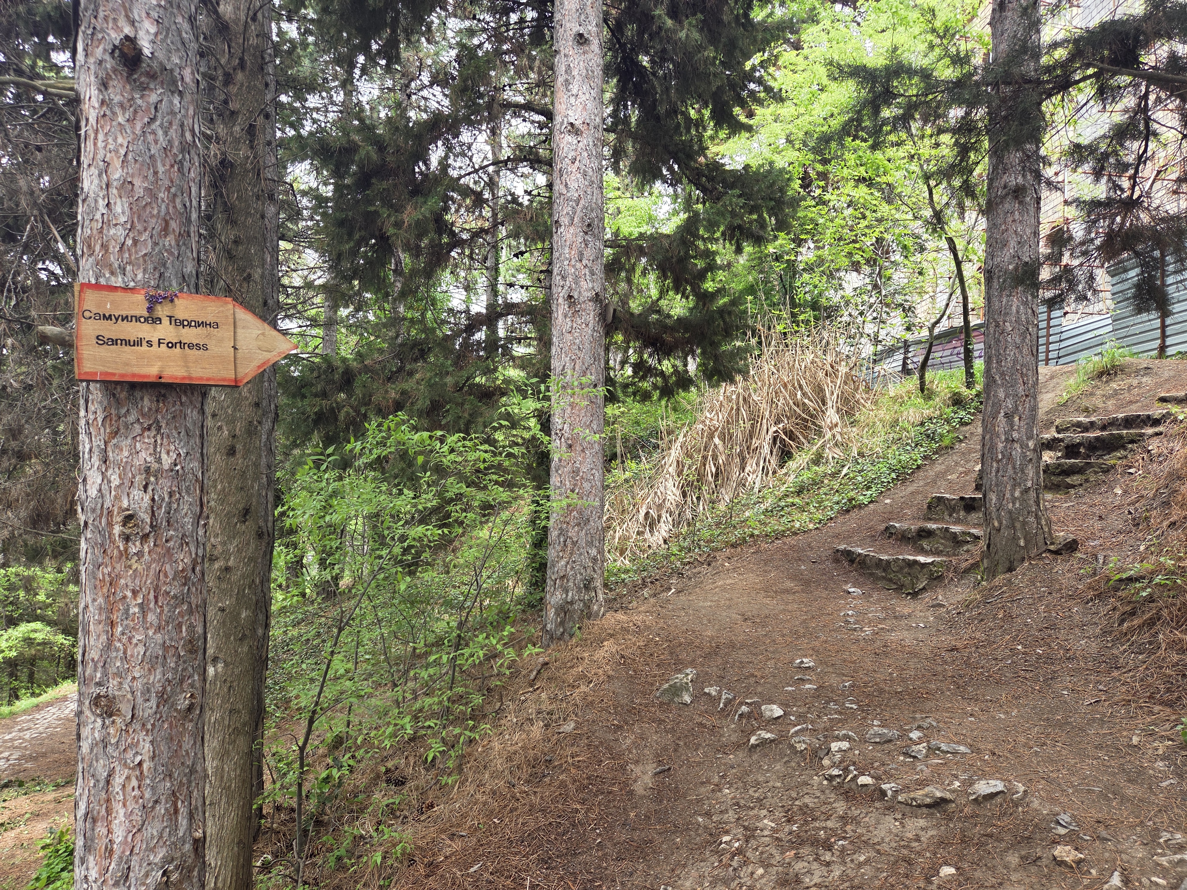
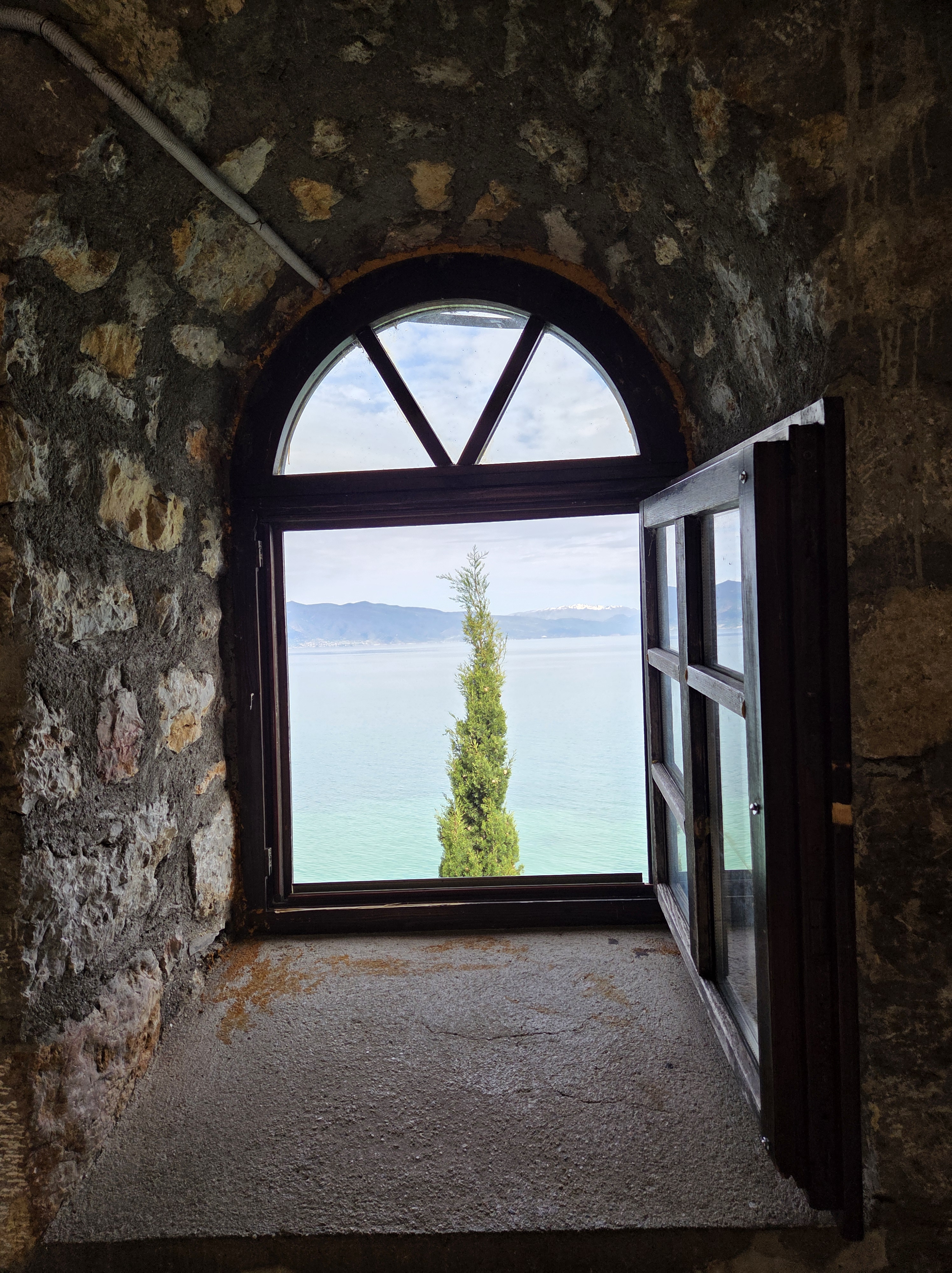
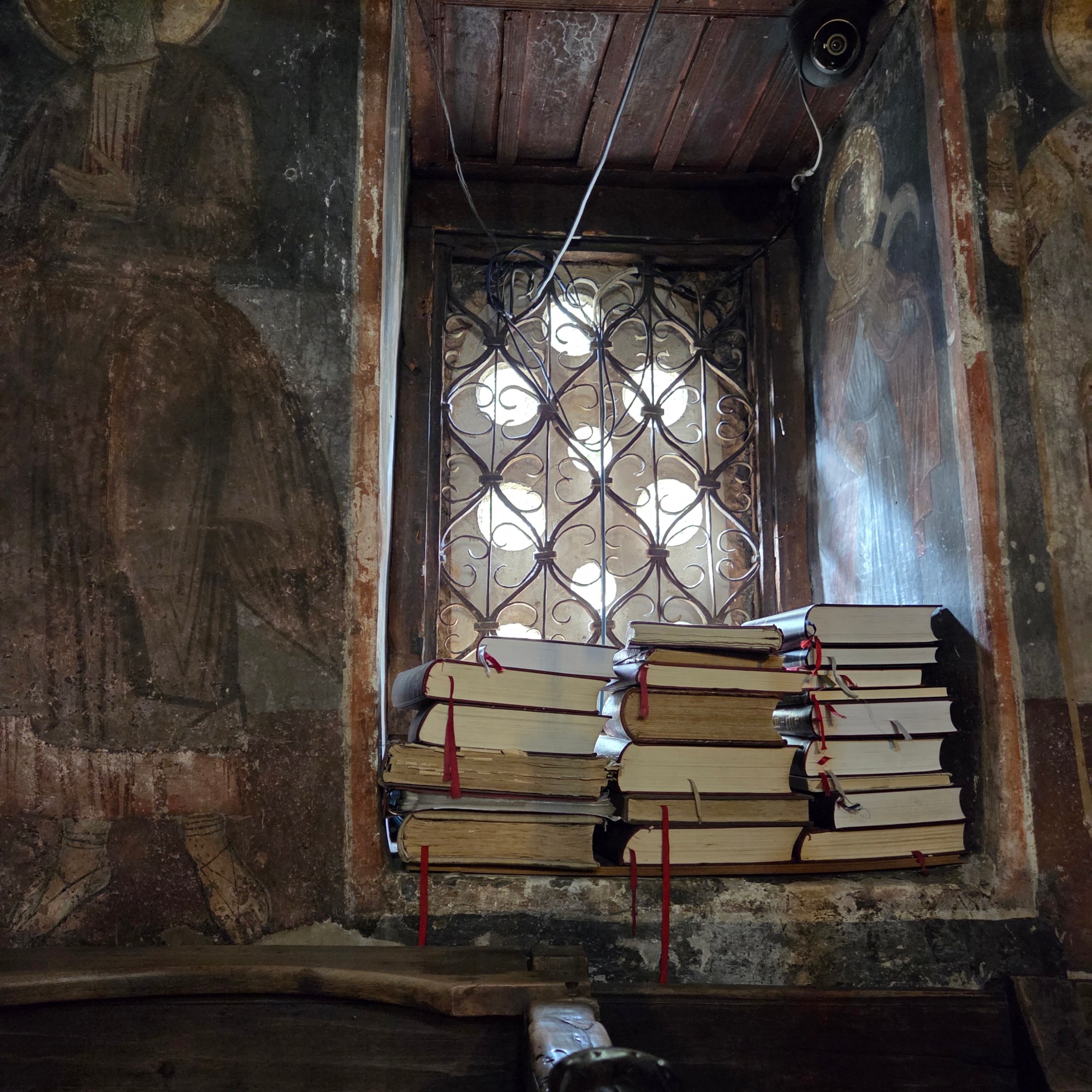
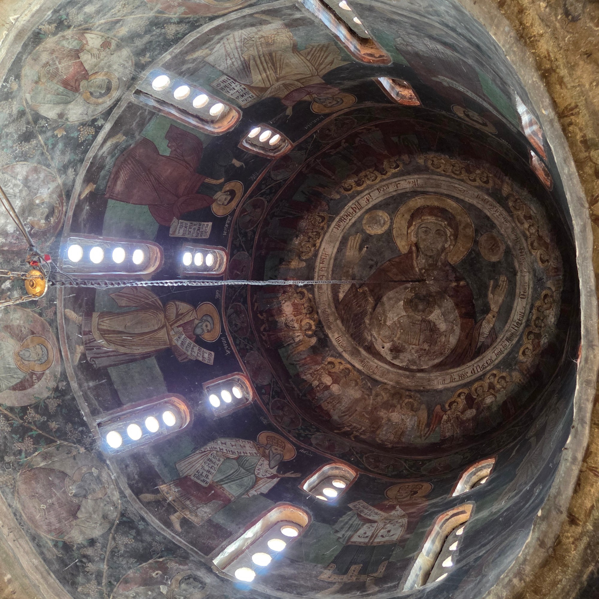
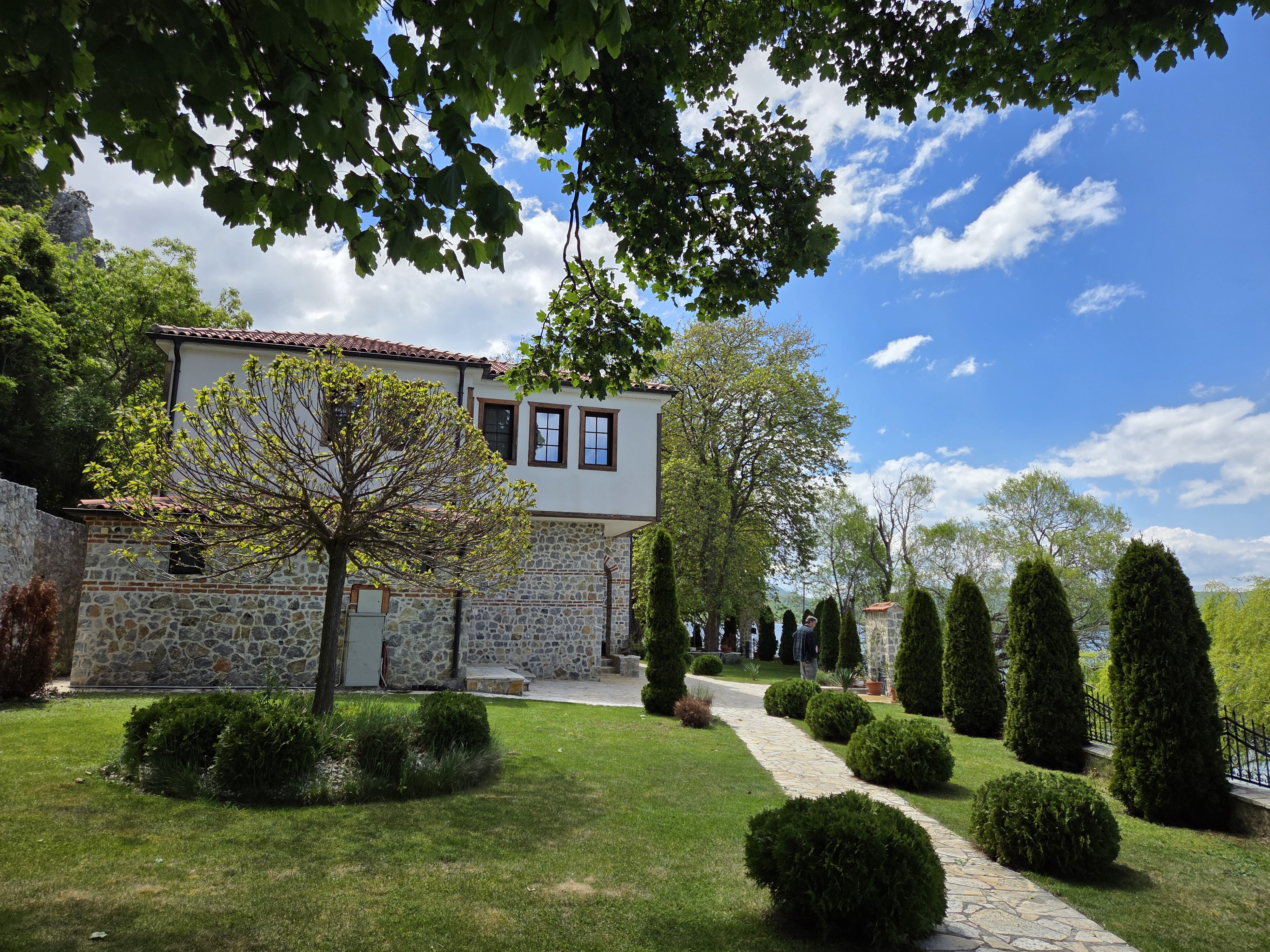
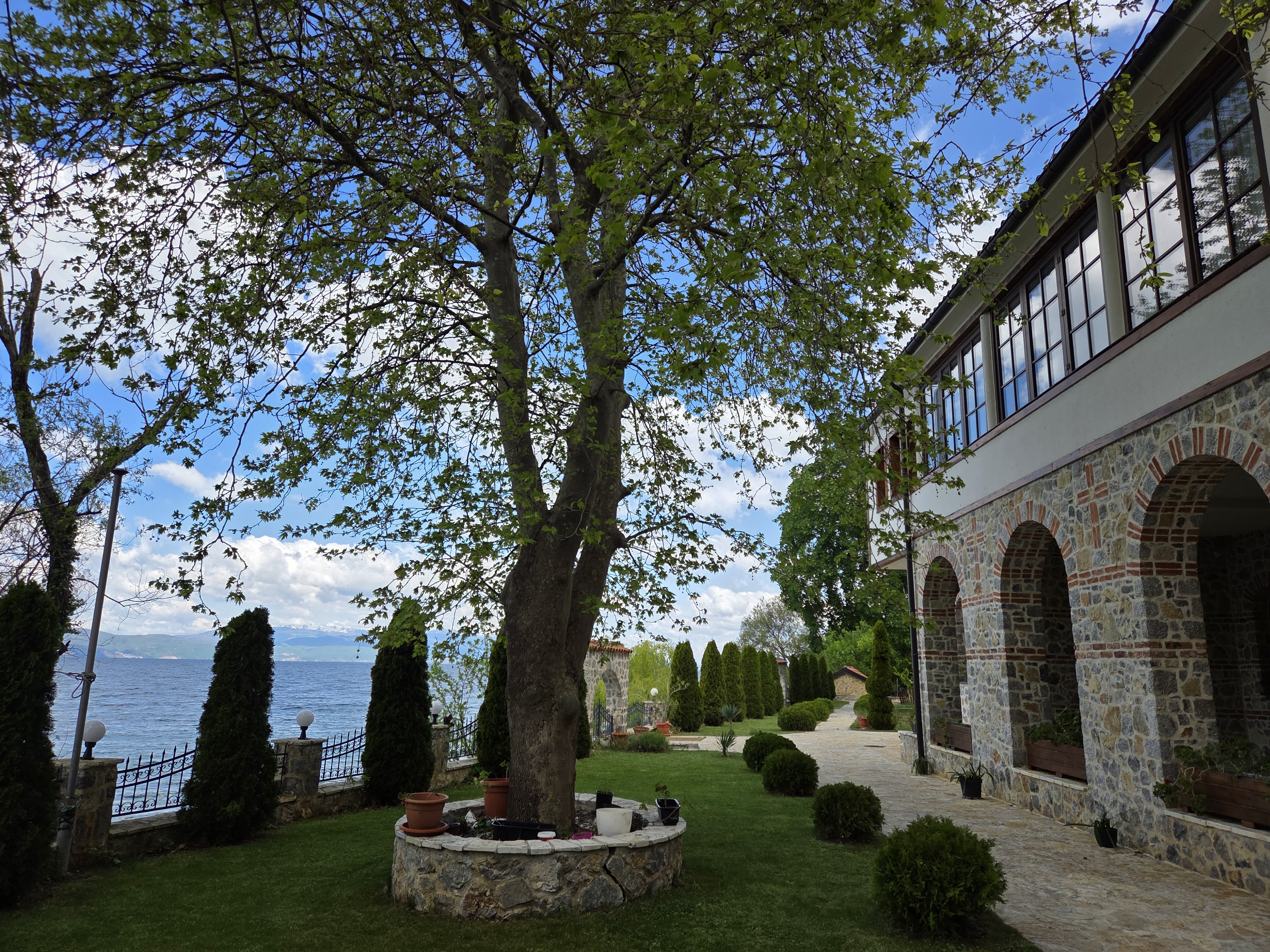
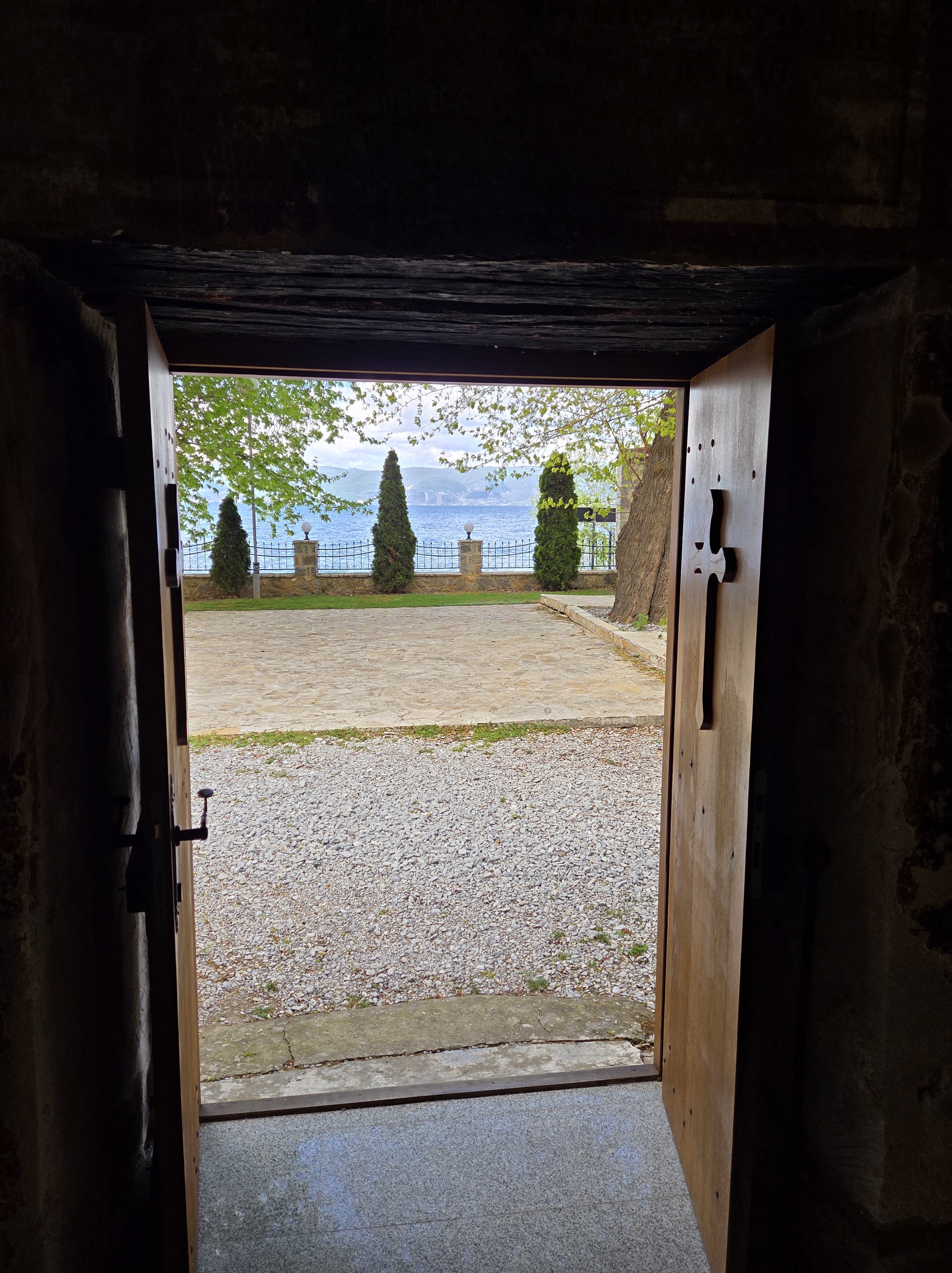
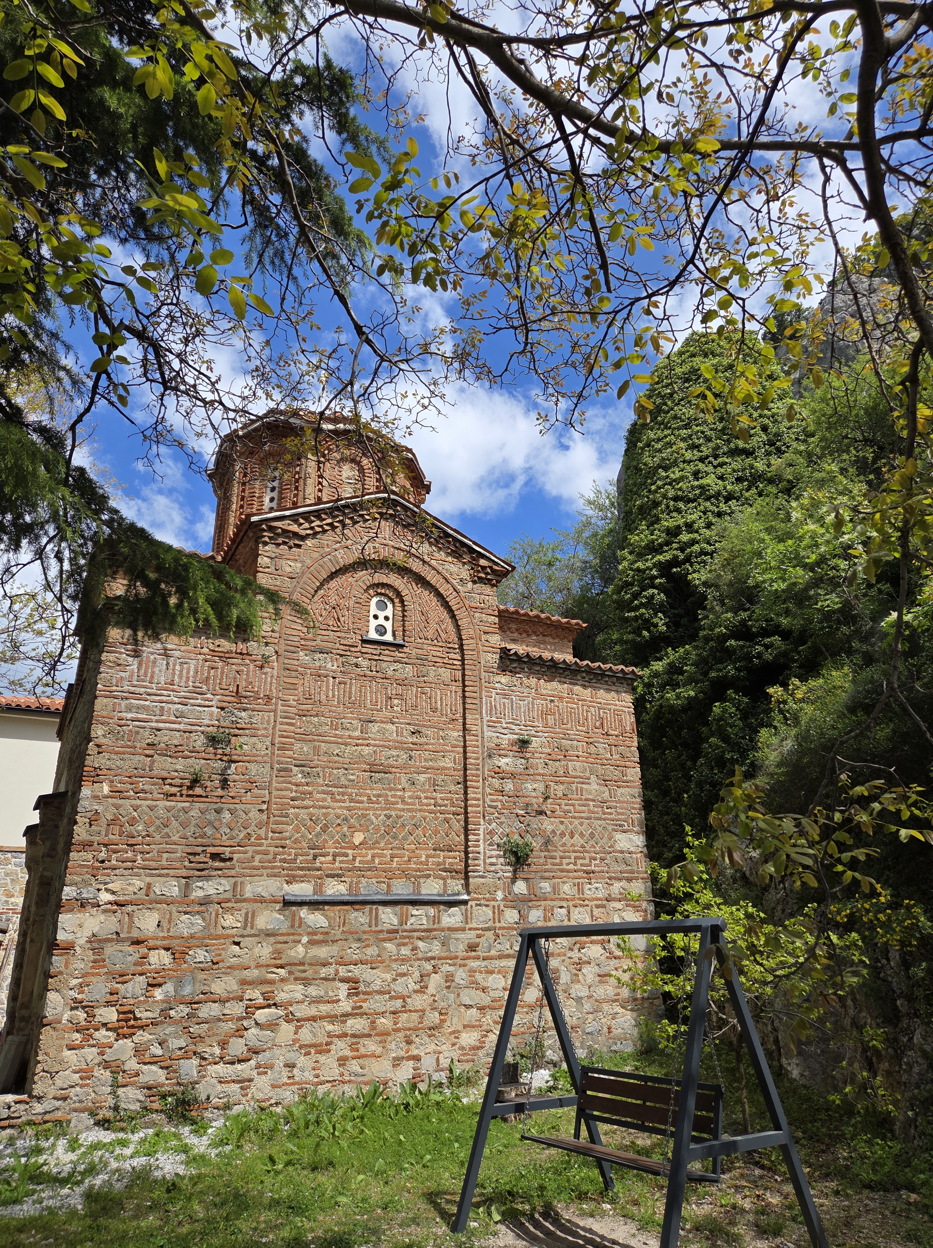
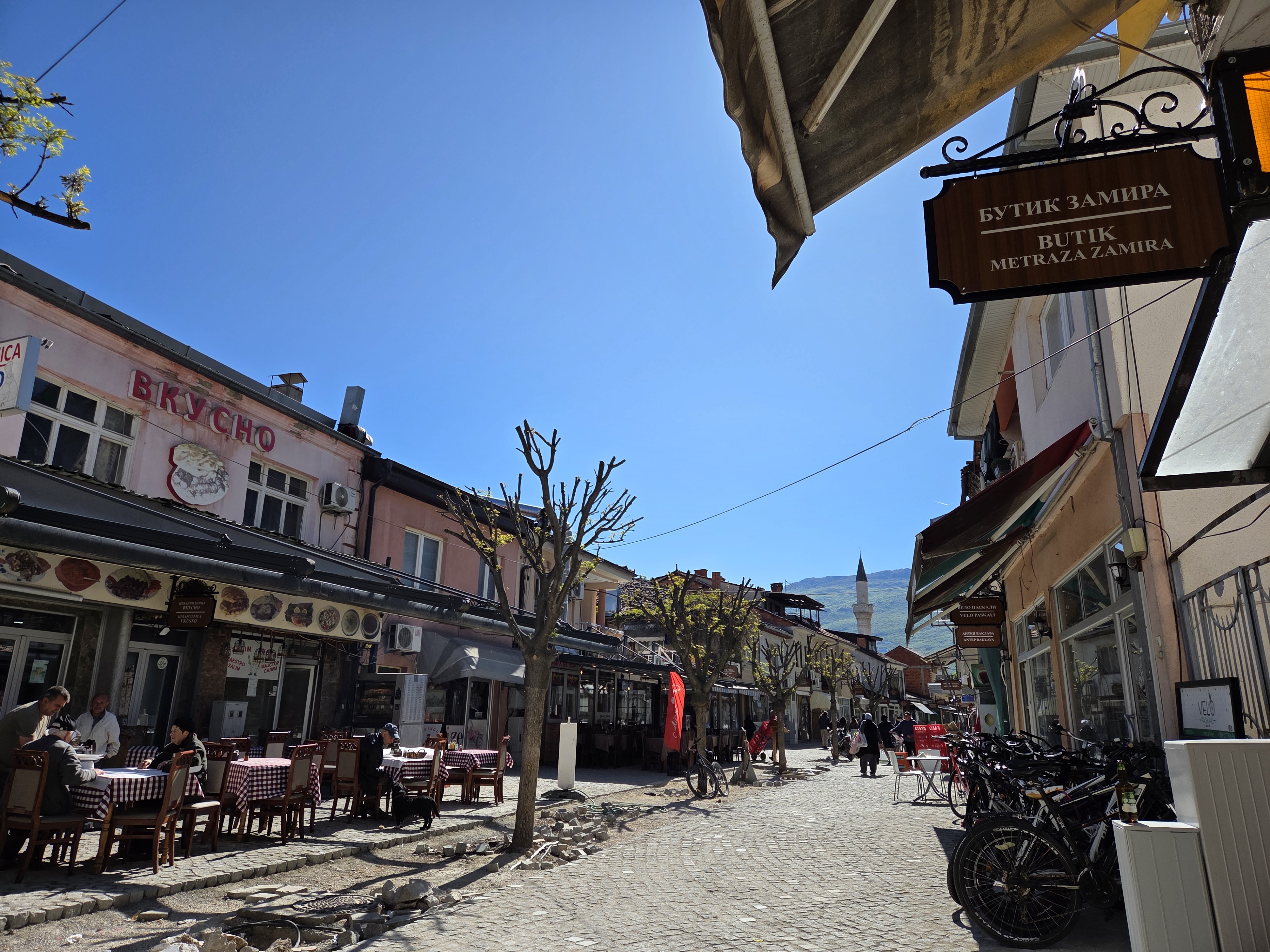
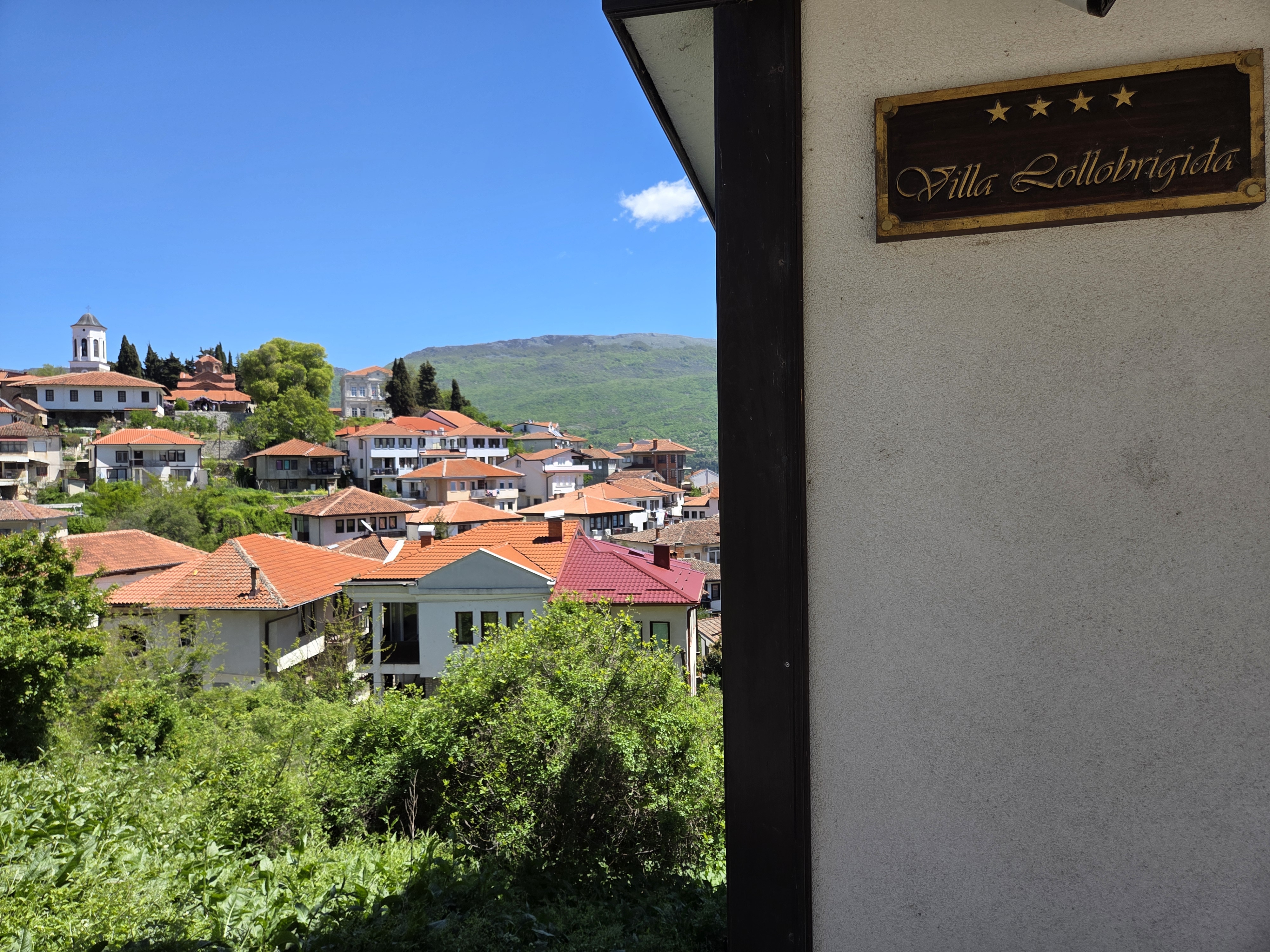
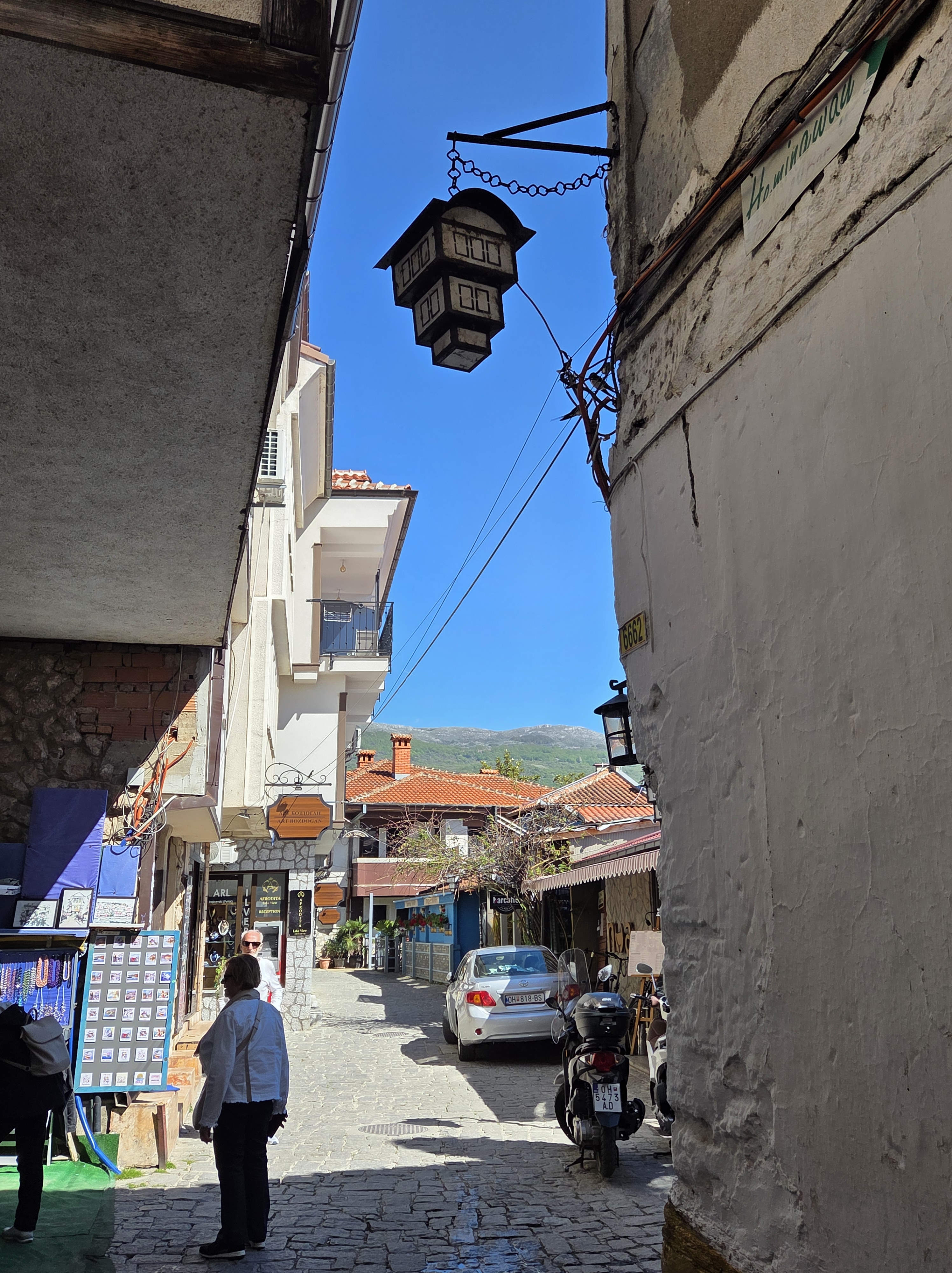
We’re back to Tsar Samuel’s Fortress, at the top of a lovely hill overlooking Ohrid City. The passage of time is evident in the nature of this building, and in the fact that it’s nearly two months since I first showed you this lovely location and well over a month since I returned to my regular work life in A’dam. The photos we showed in that prior post came from our first visit, when the fortress was closed. As you’ll see, on the day we could go in, the weather was a good deal moodier :-).
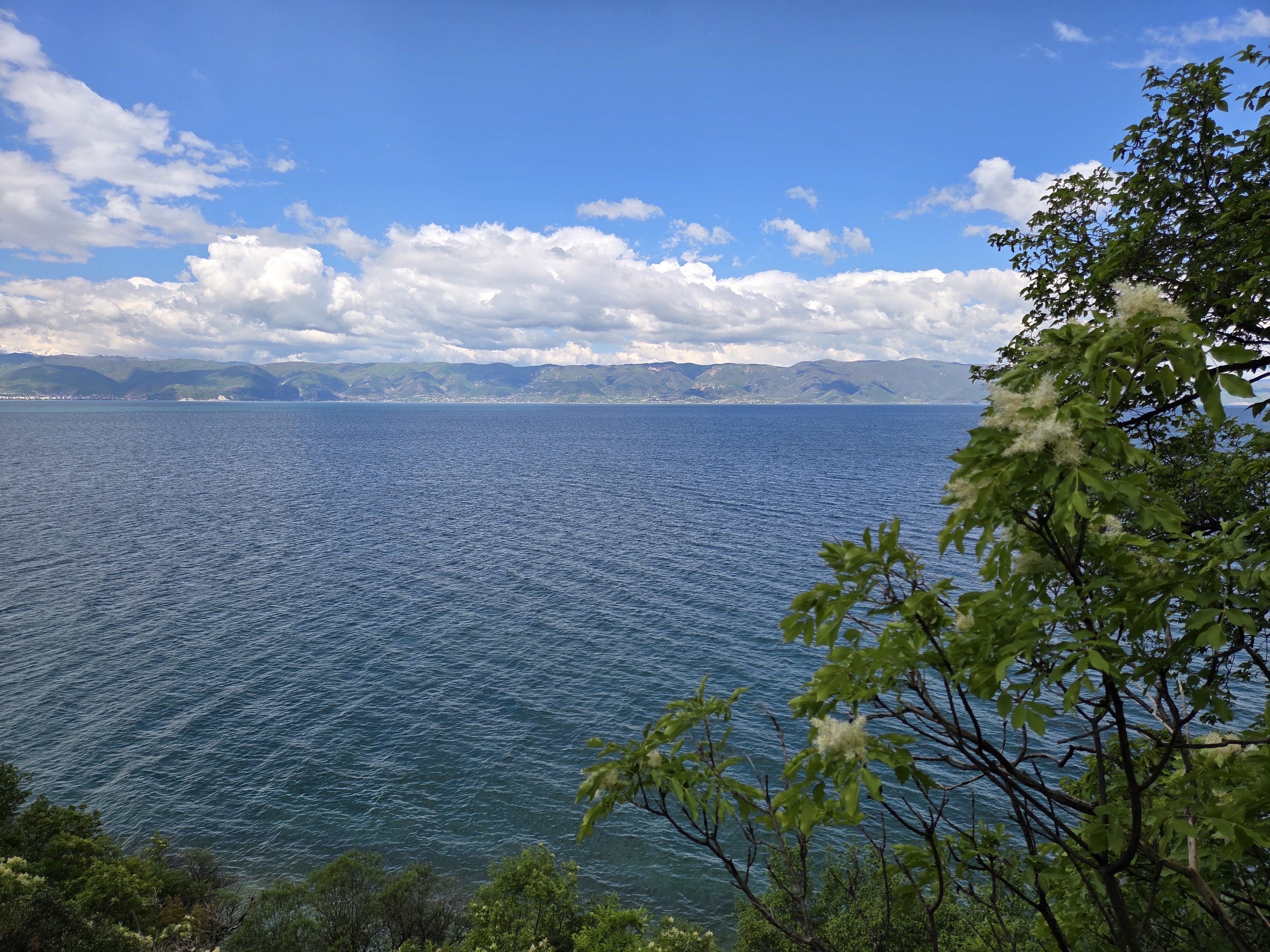
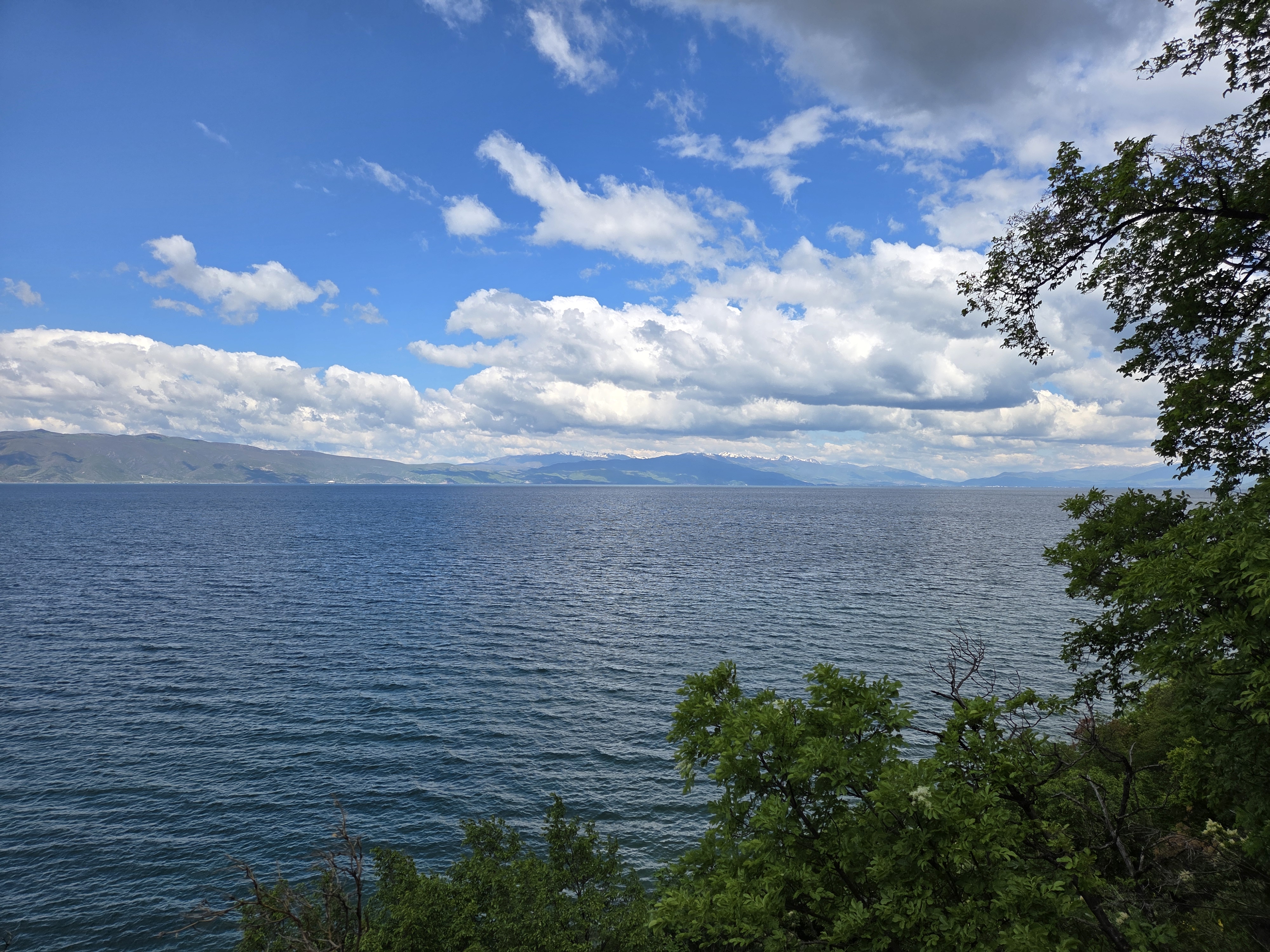
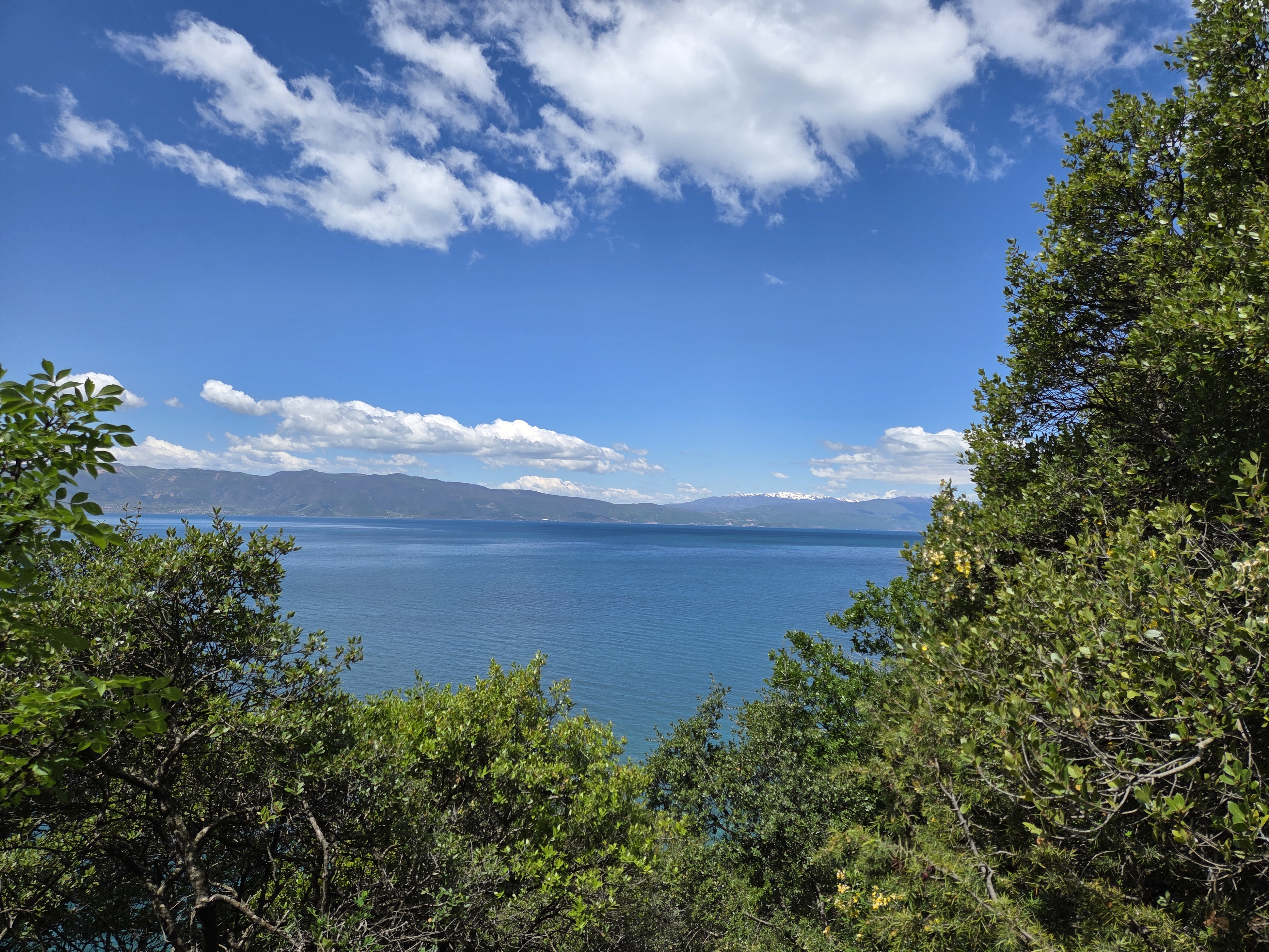
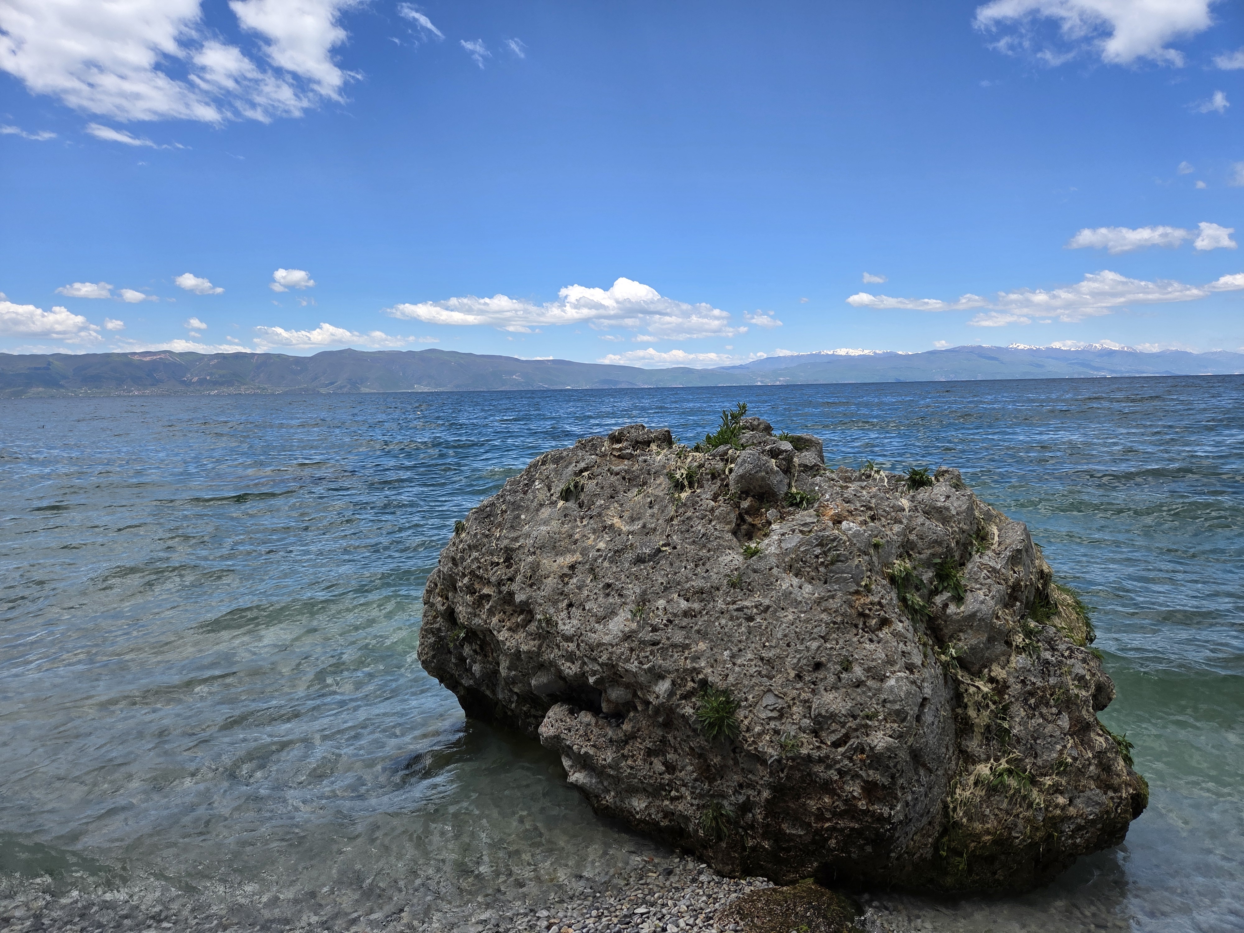
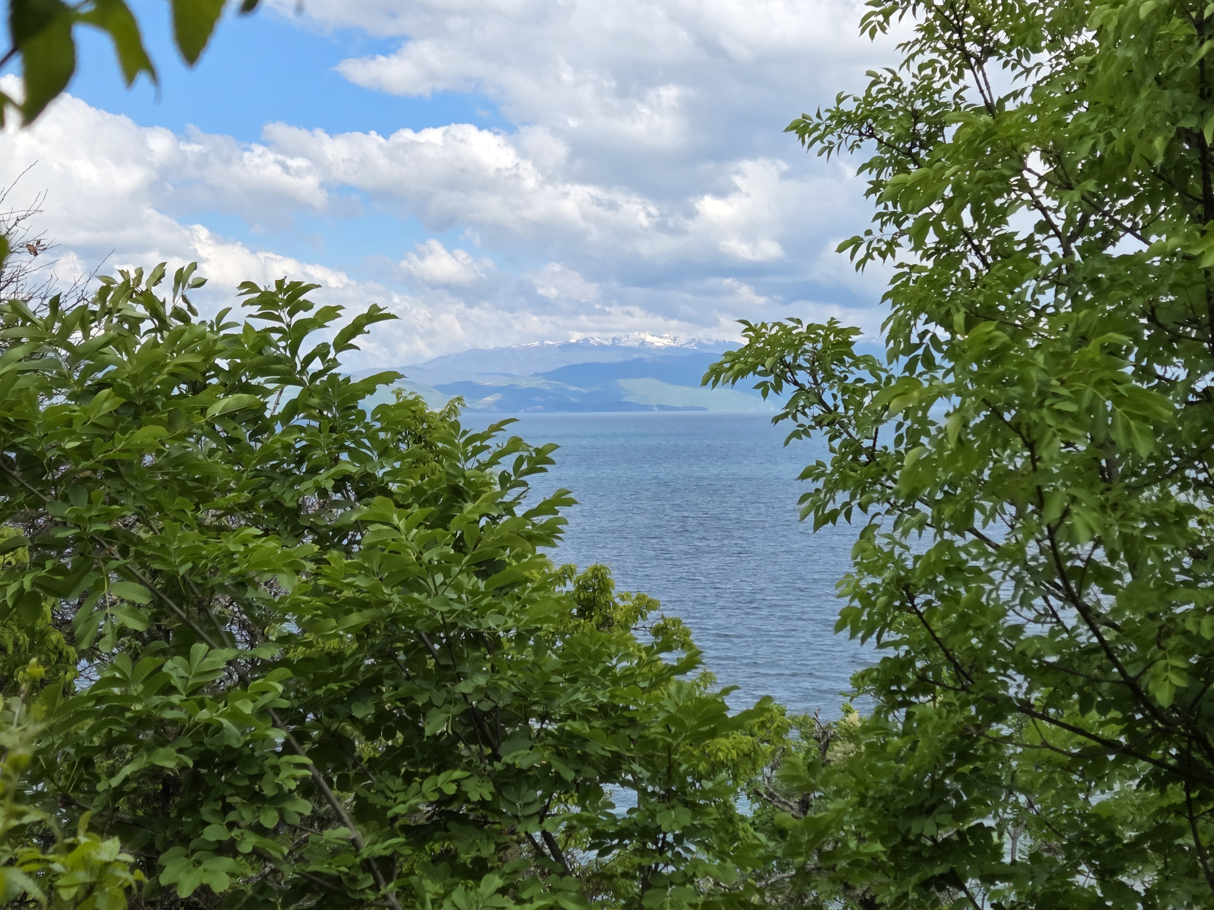
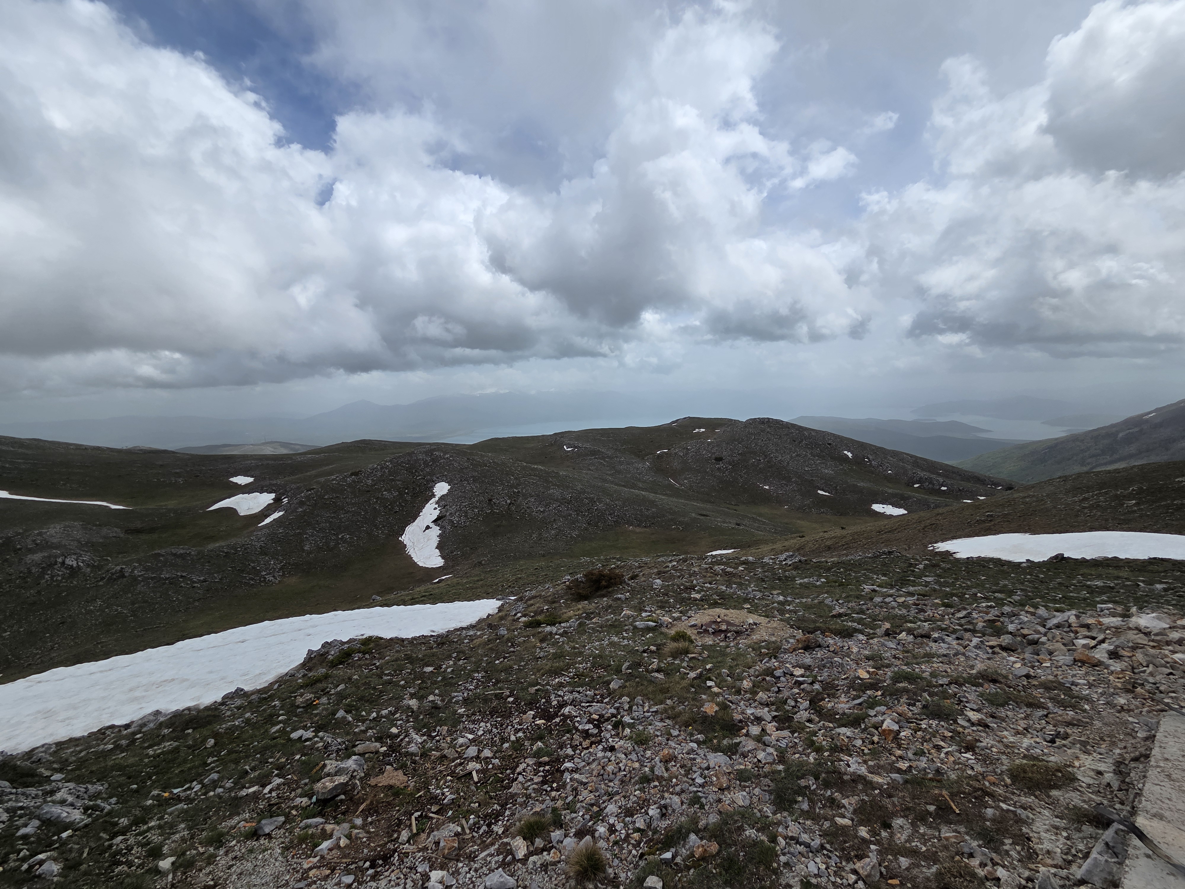
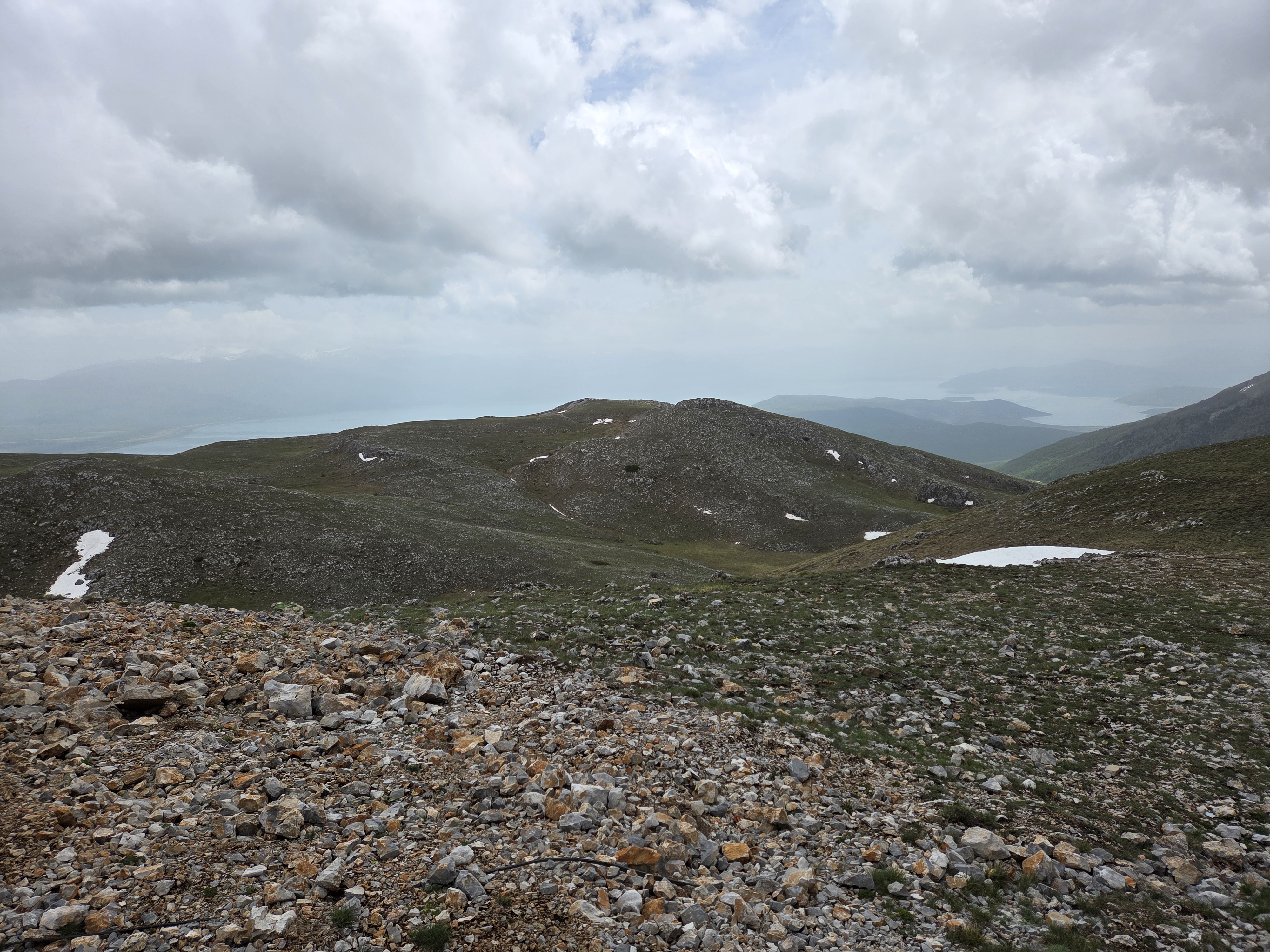
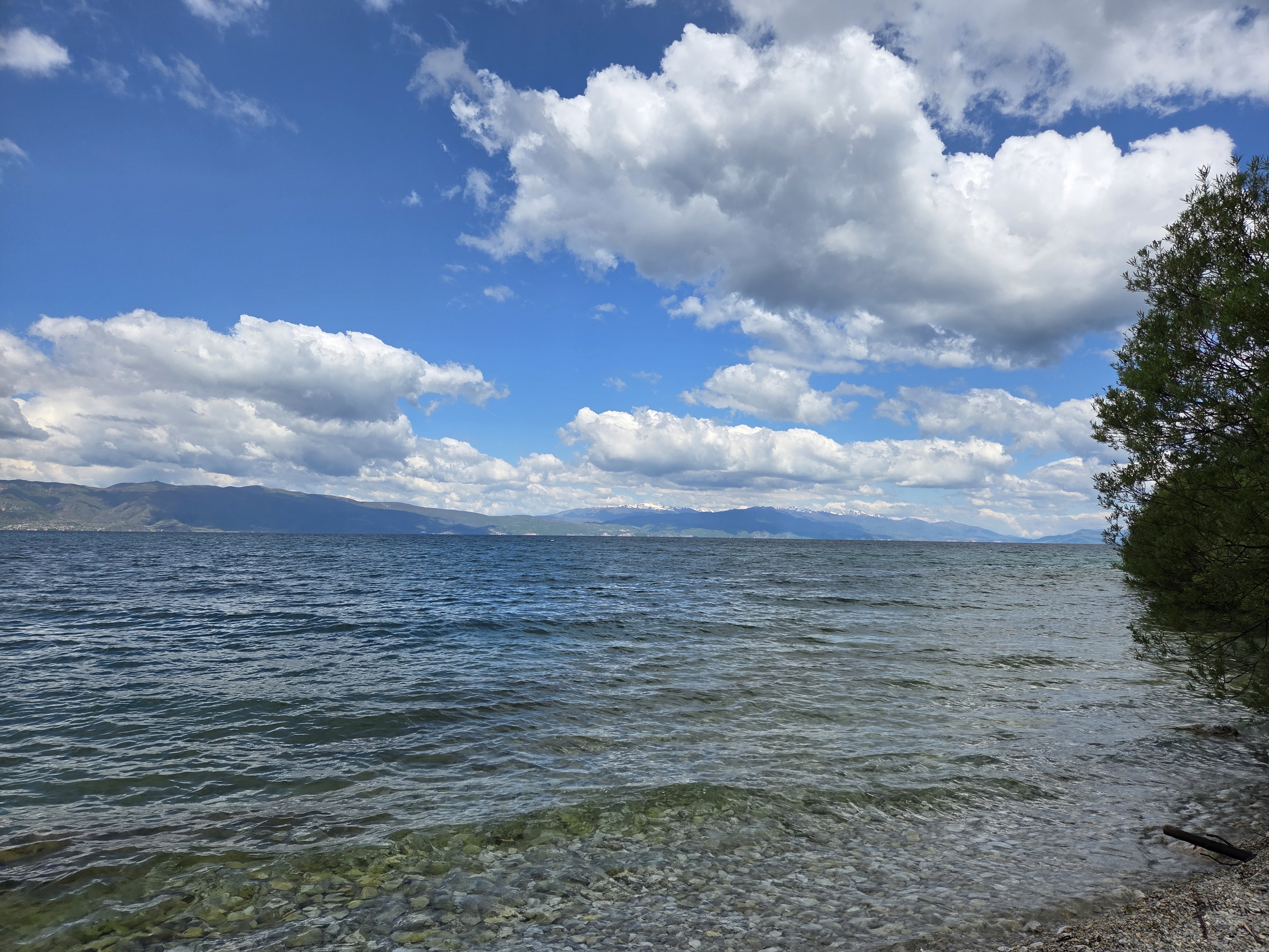
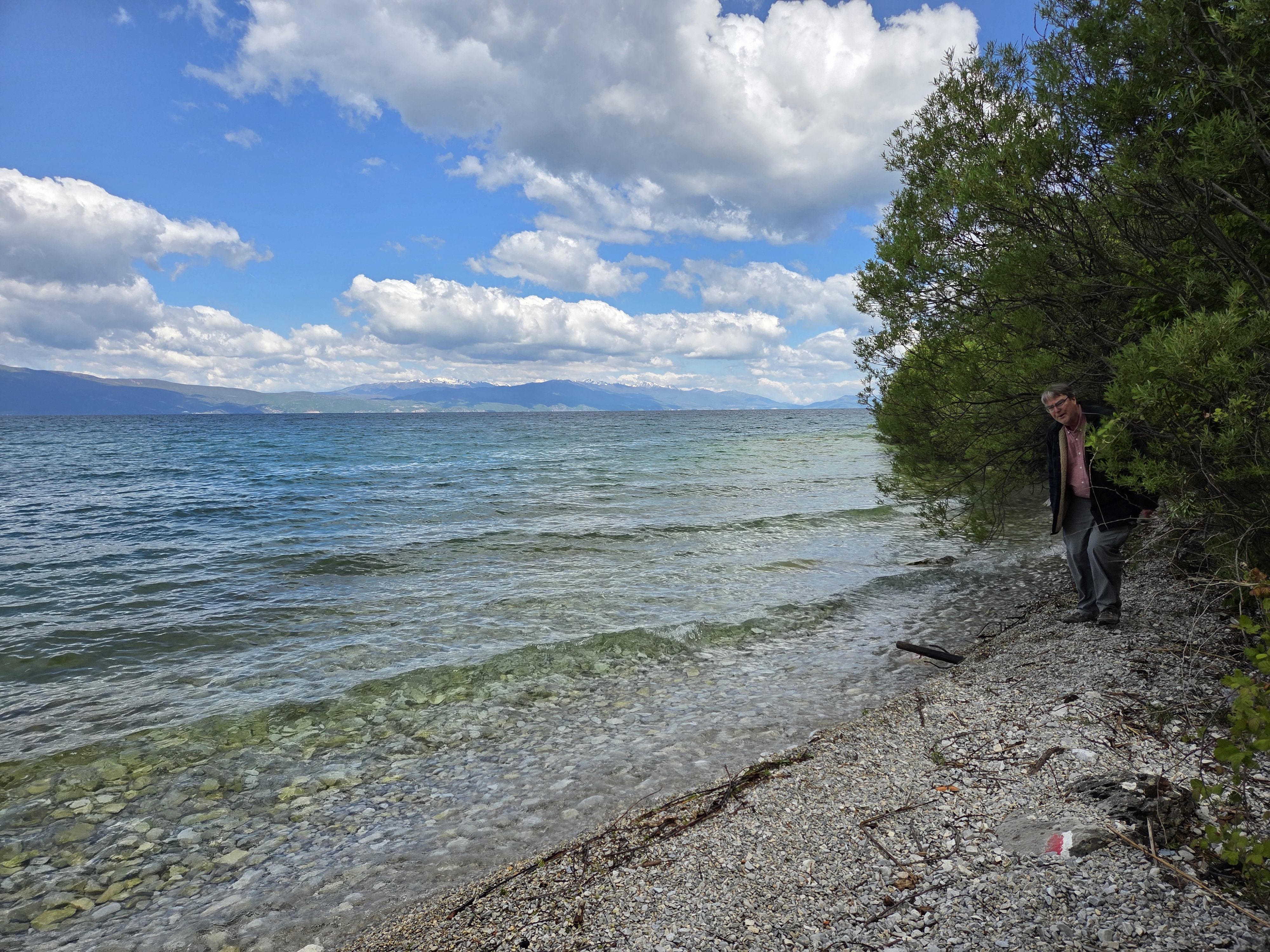
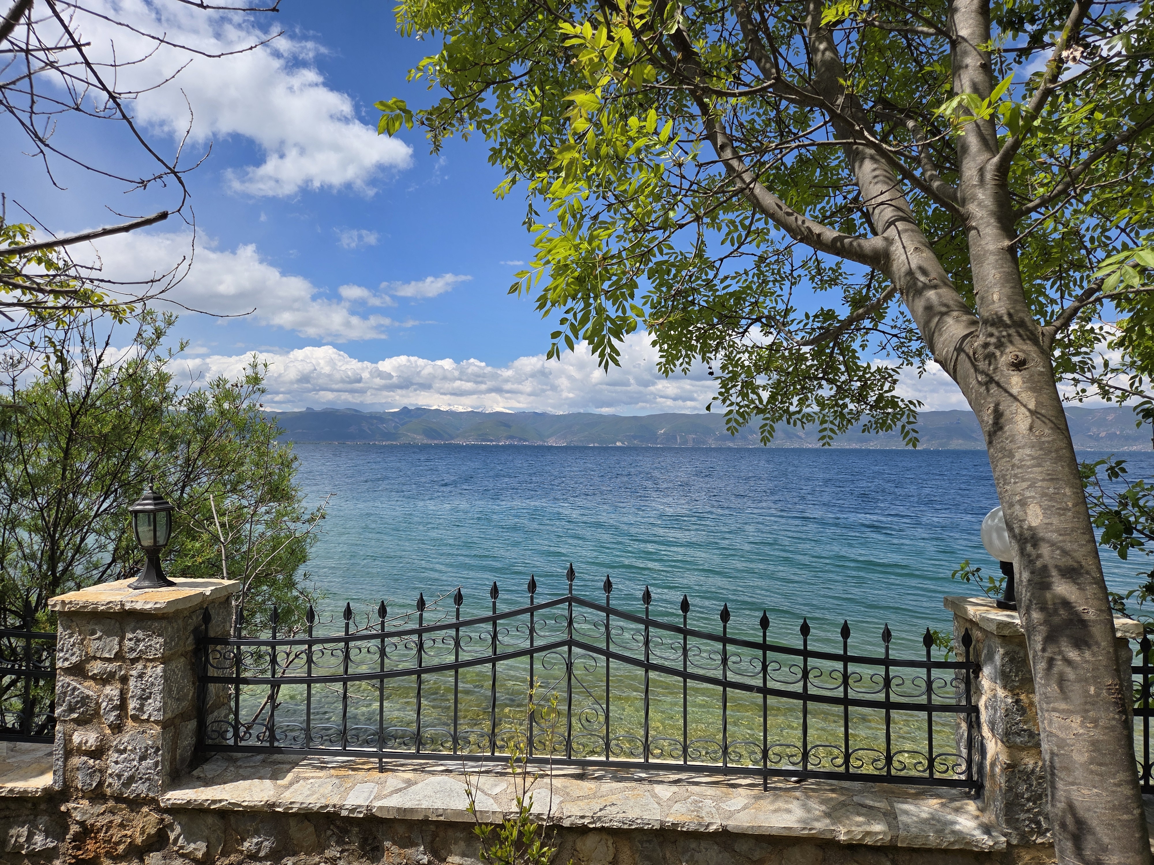
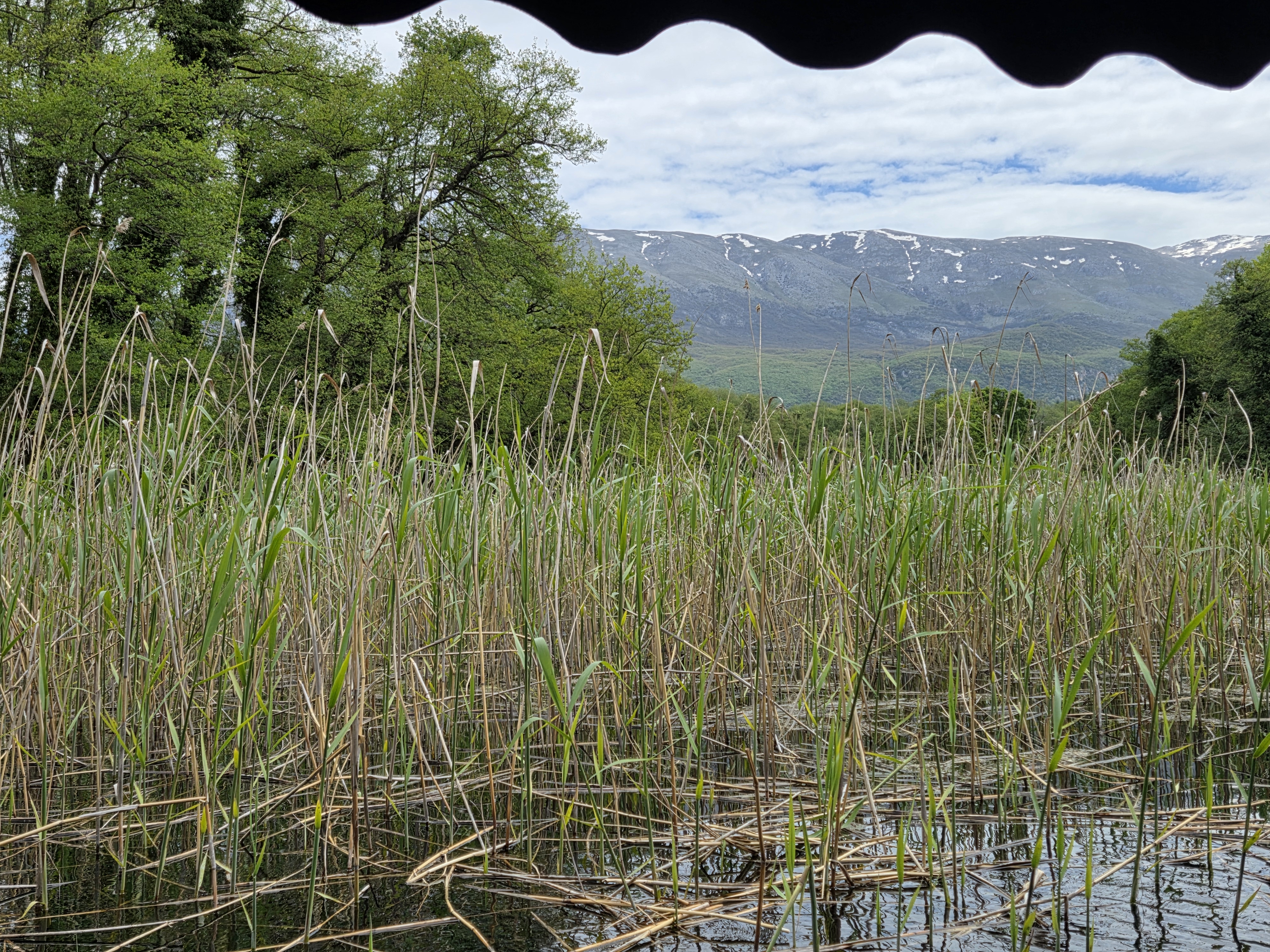
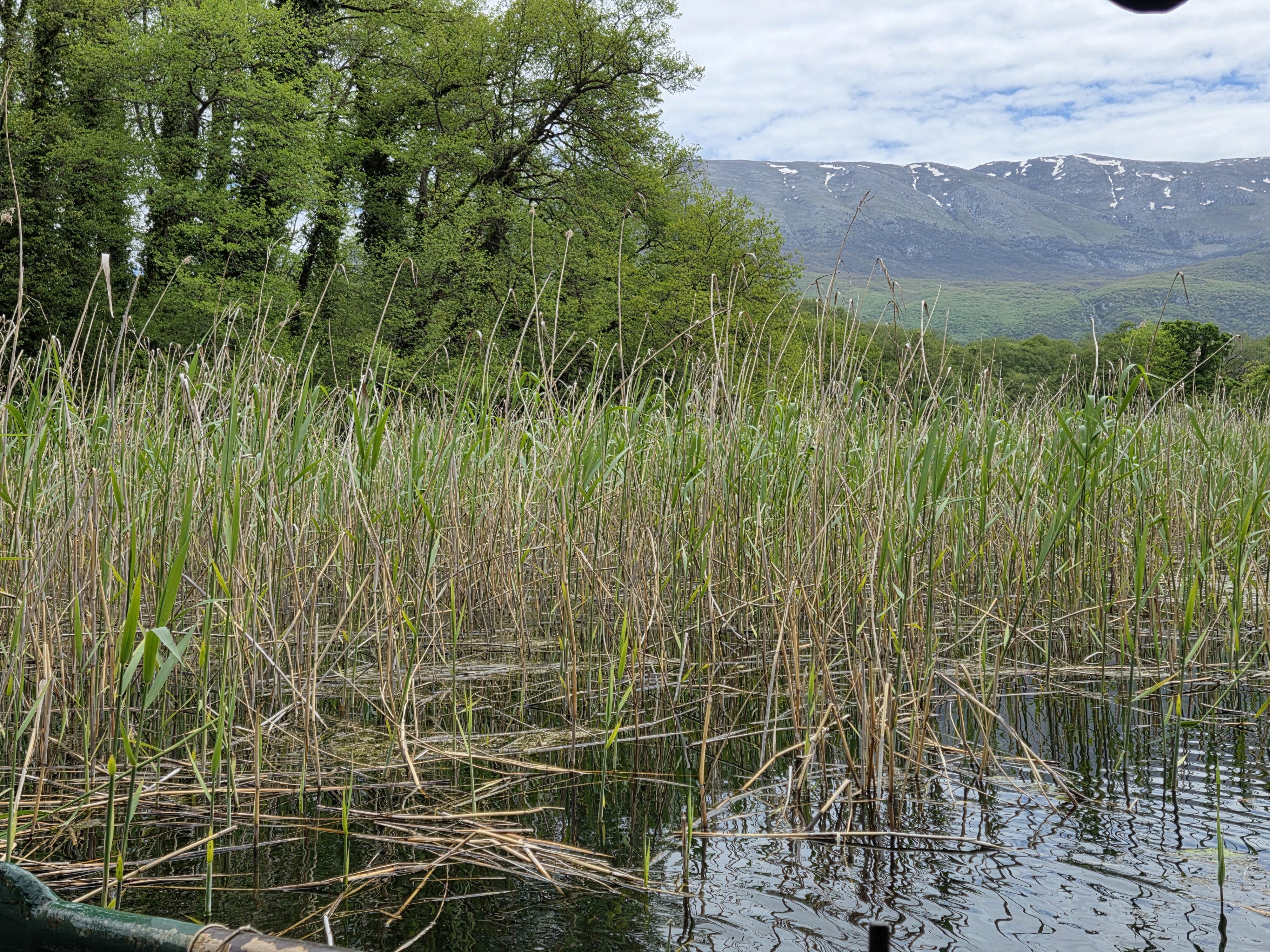
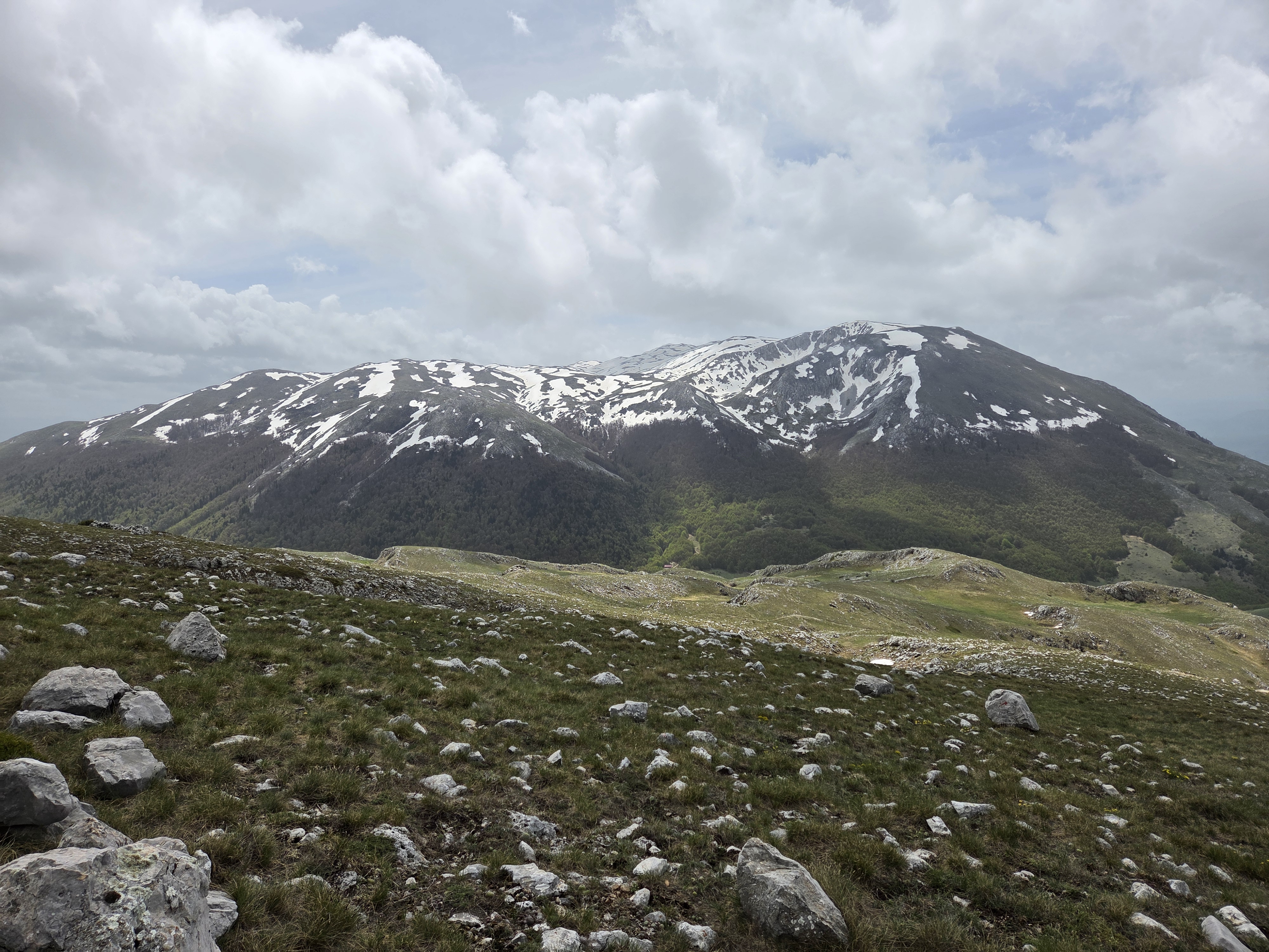
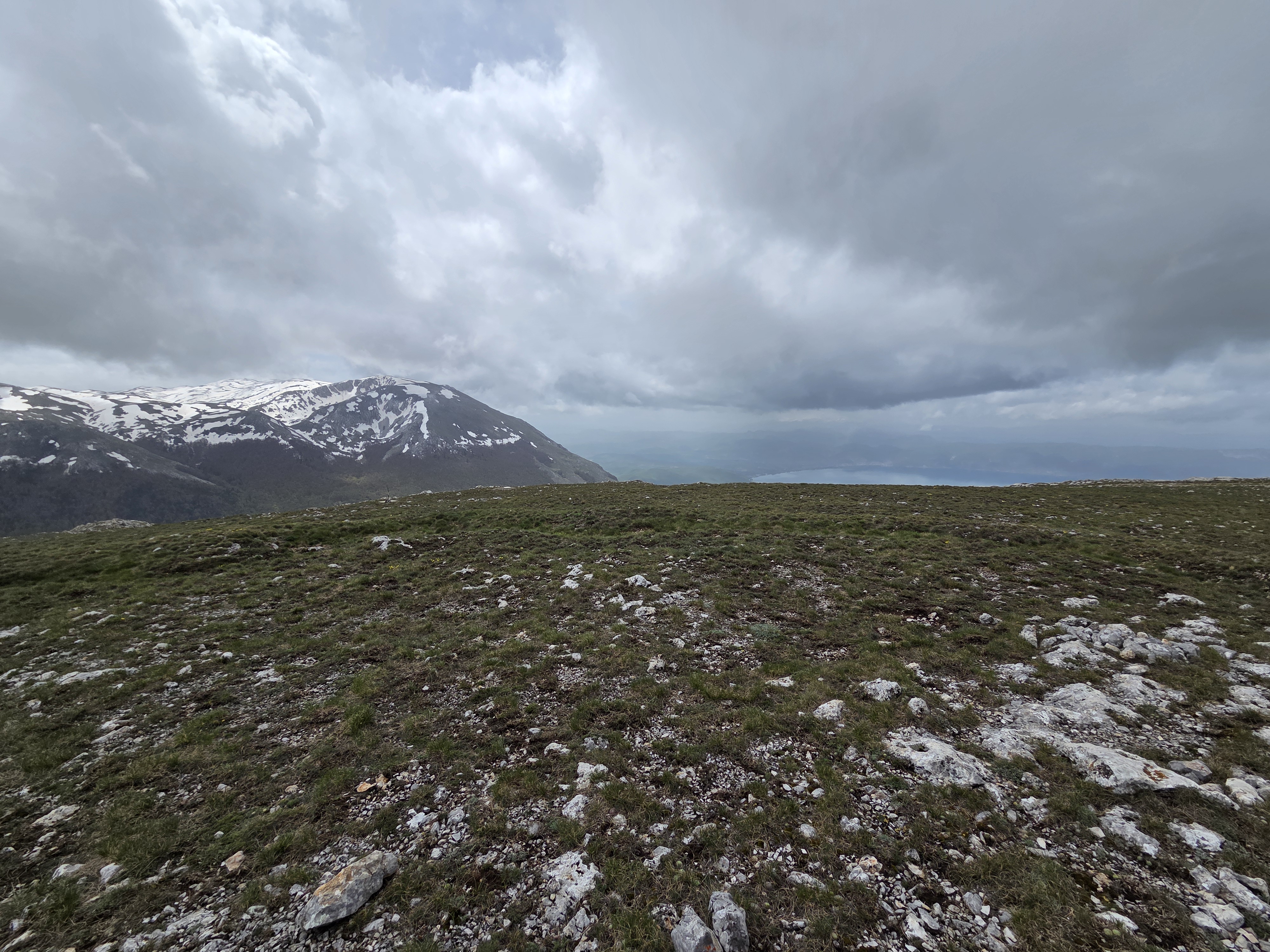
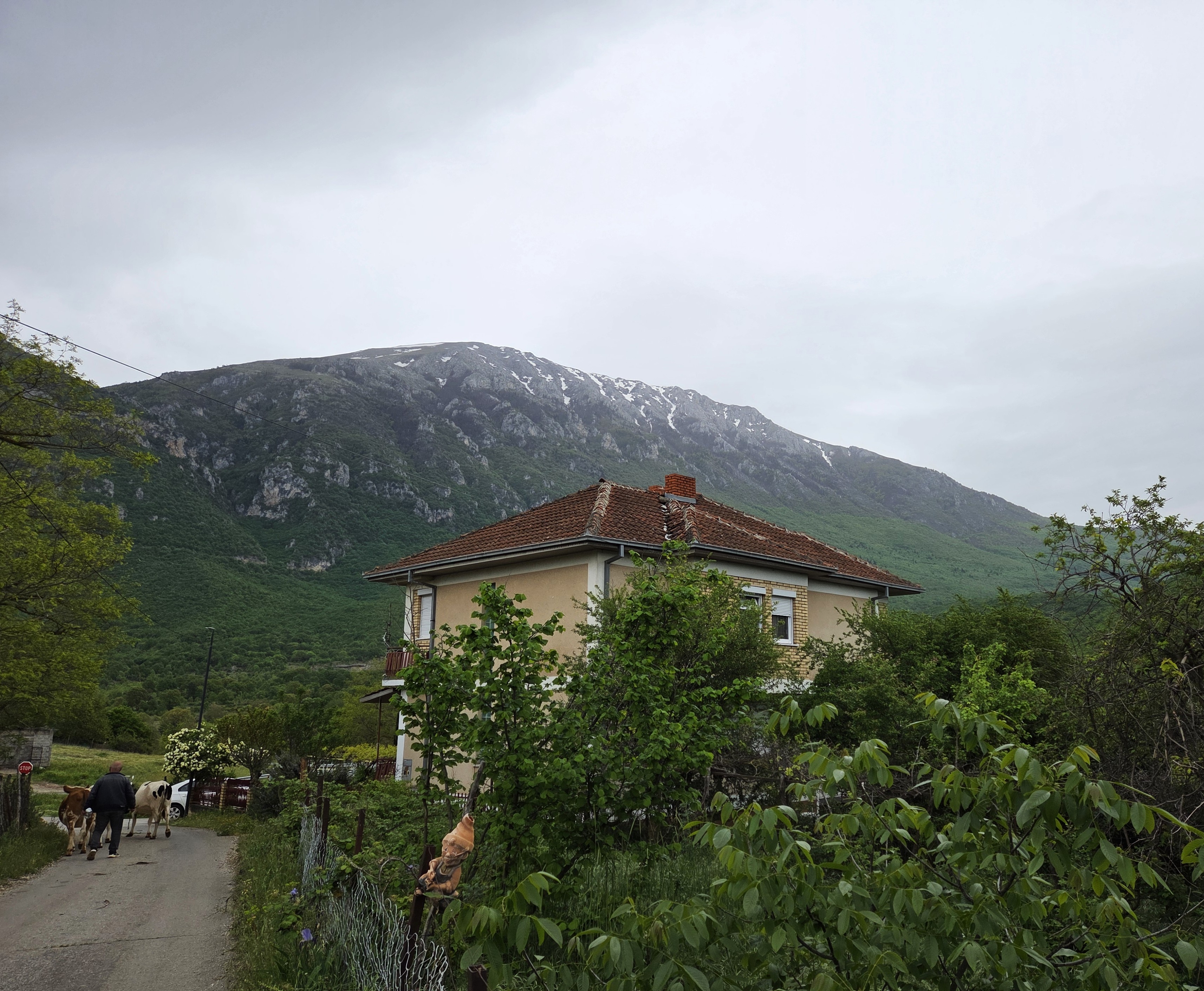
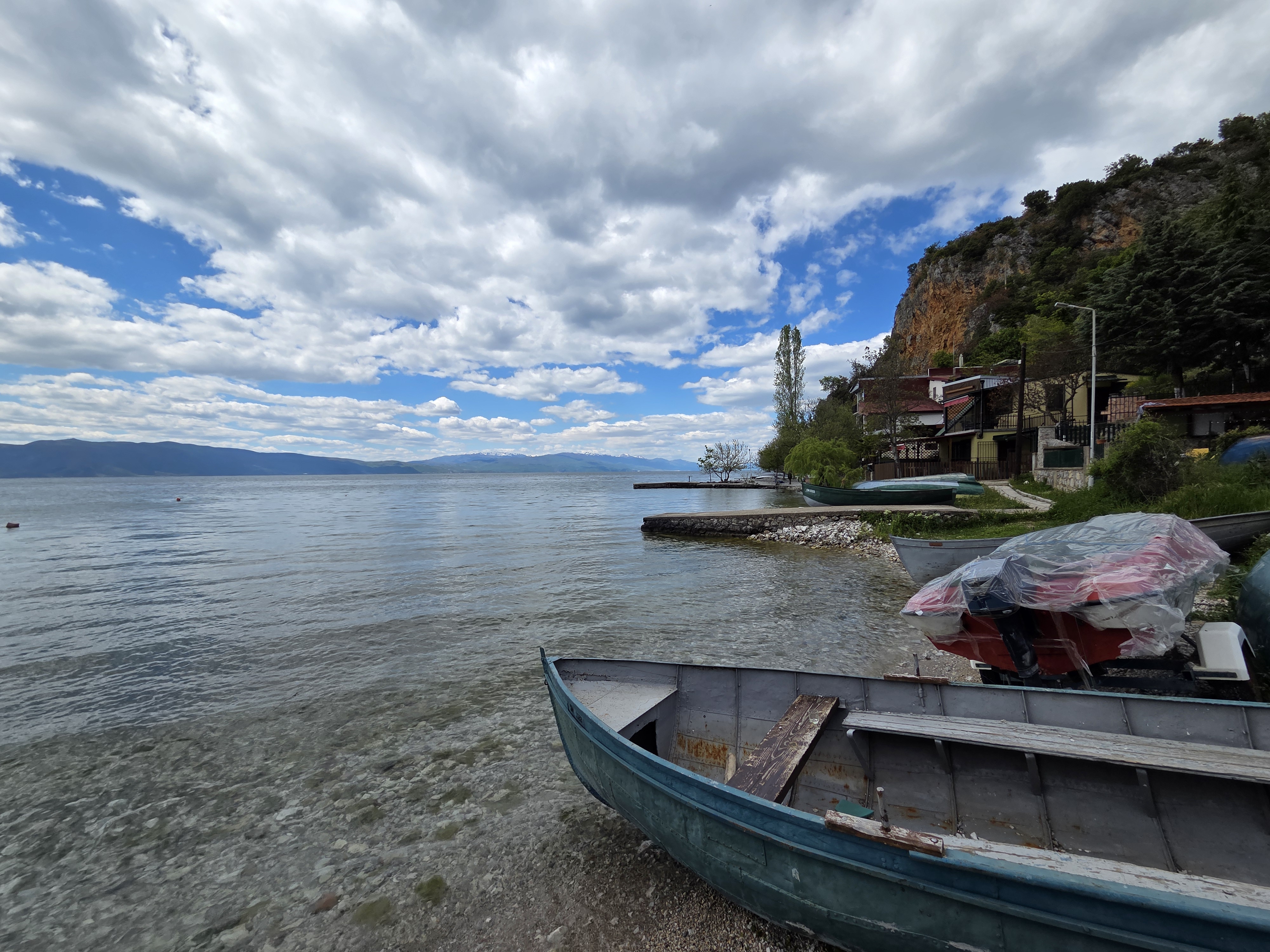
Here you’ve got it as vapor in the sky, solid on the ground and liquid down in the lake. Pretty amazing, H2O, really. And a correction: the whole mountain is Galicica. The peak behind me in the photo above is what’s called Magaro, a subset of Galicica. And in the gallery below, you’ll be seeing some of Lake Prespa as well as good ol’ Ohrid which we got to know better.
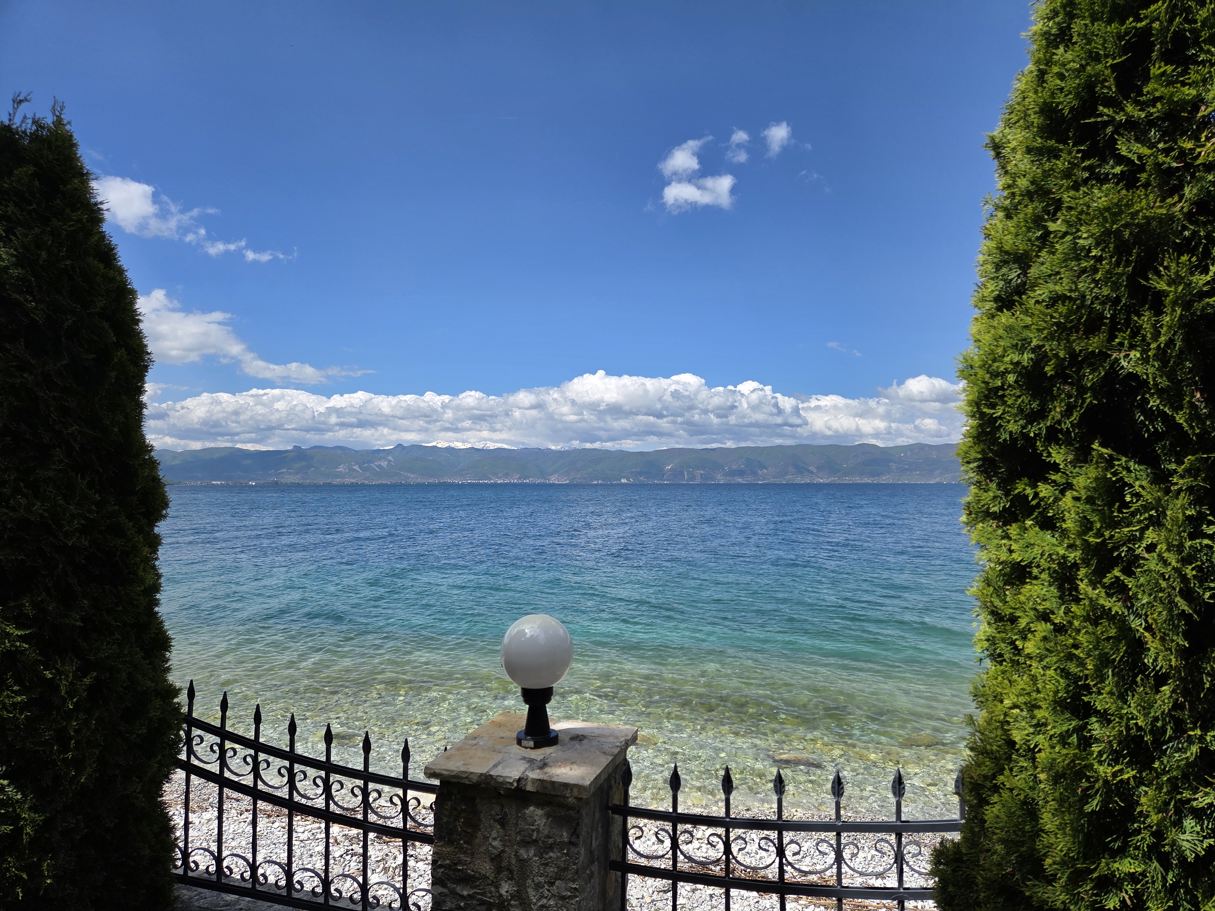
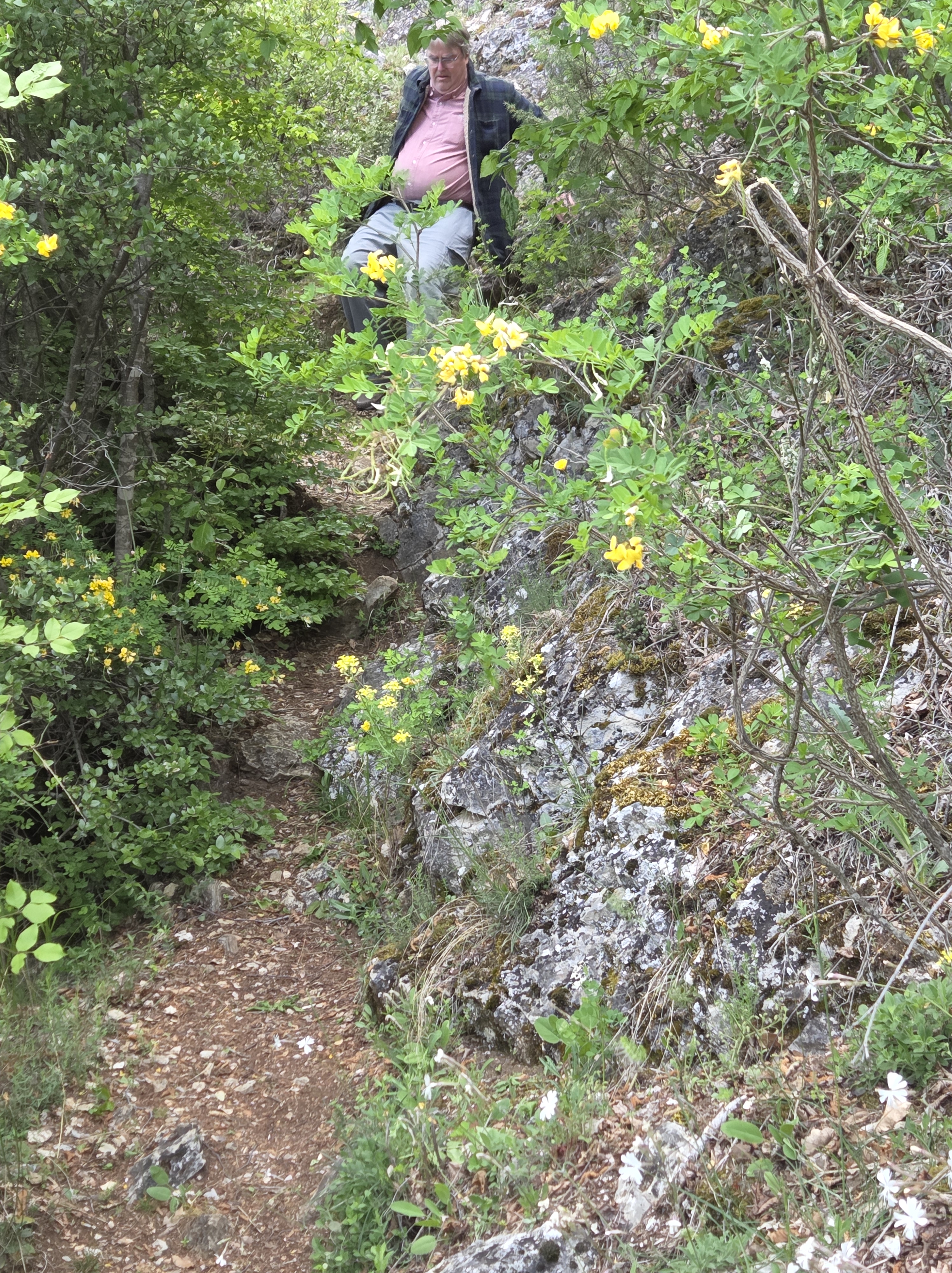
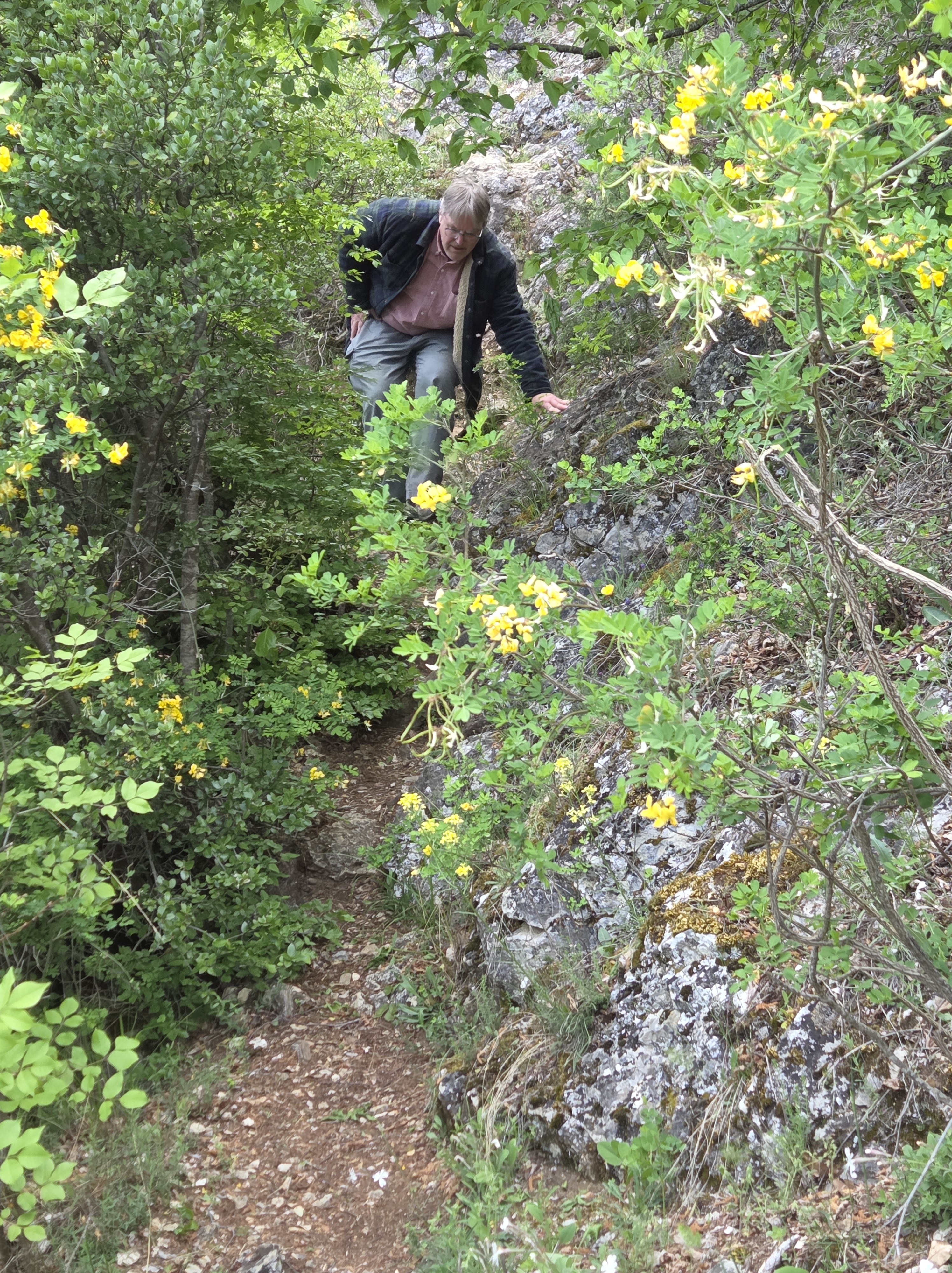
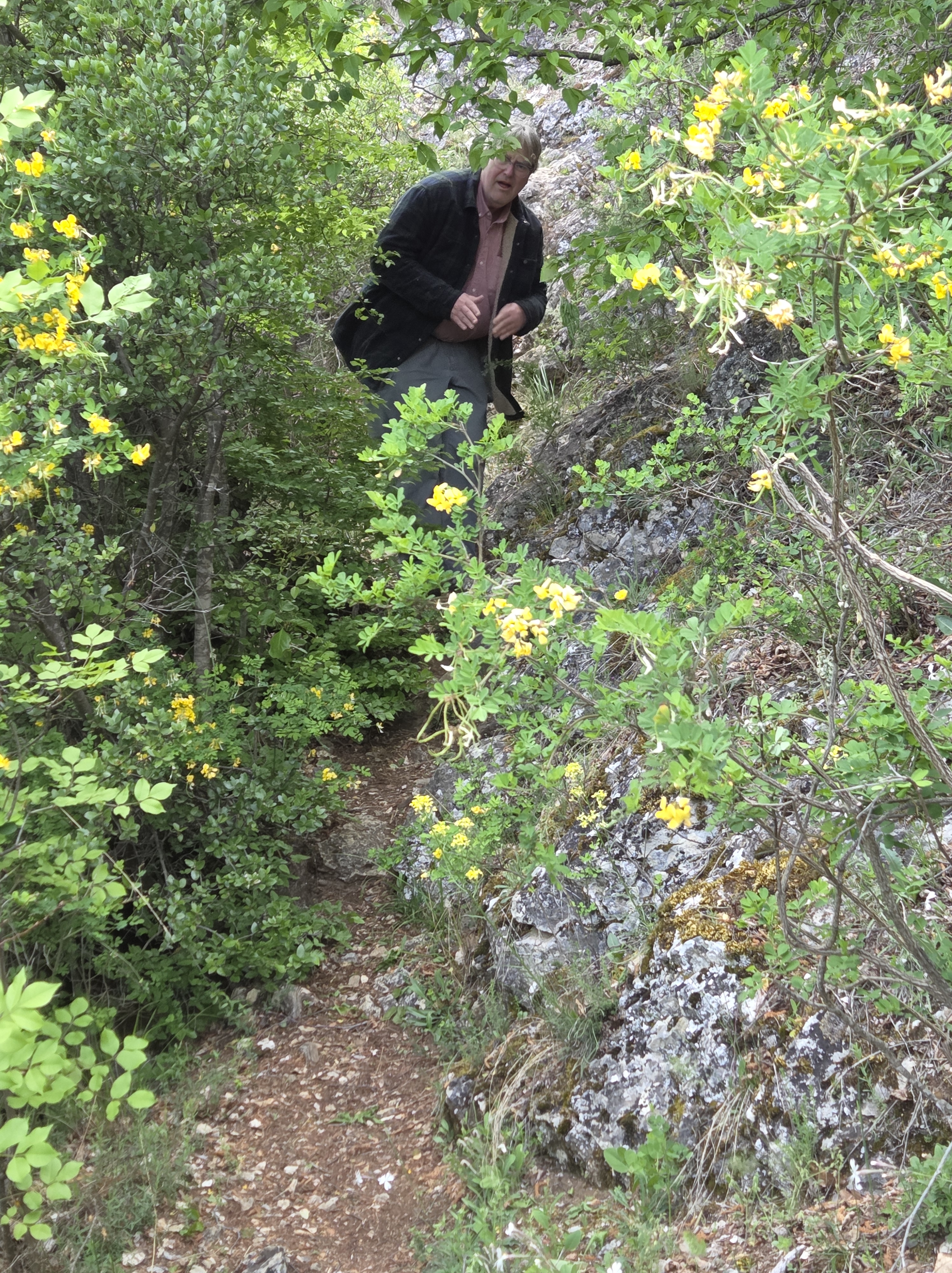
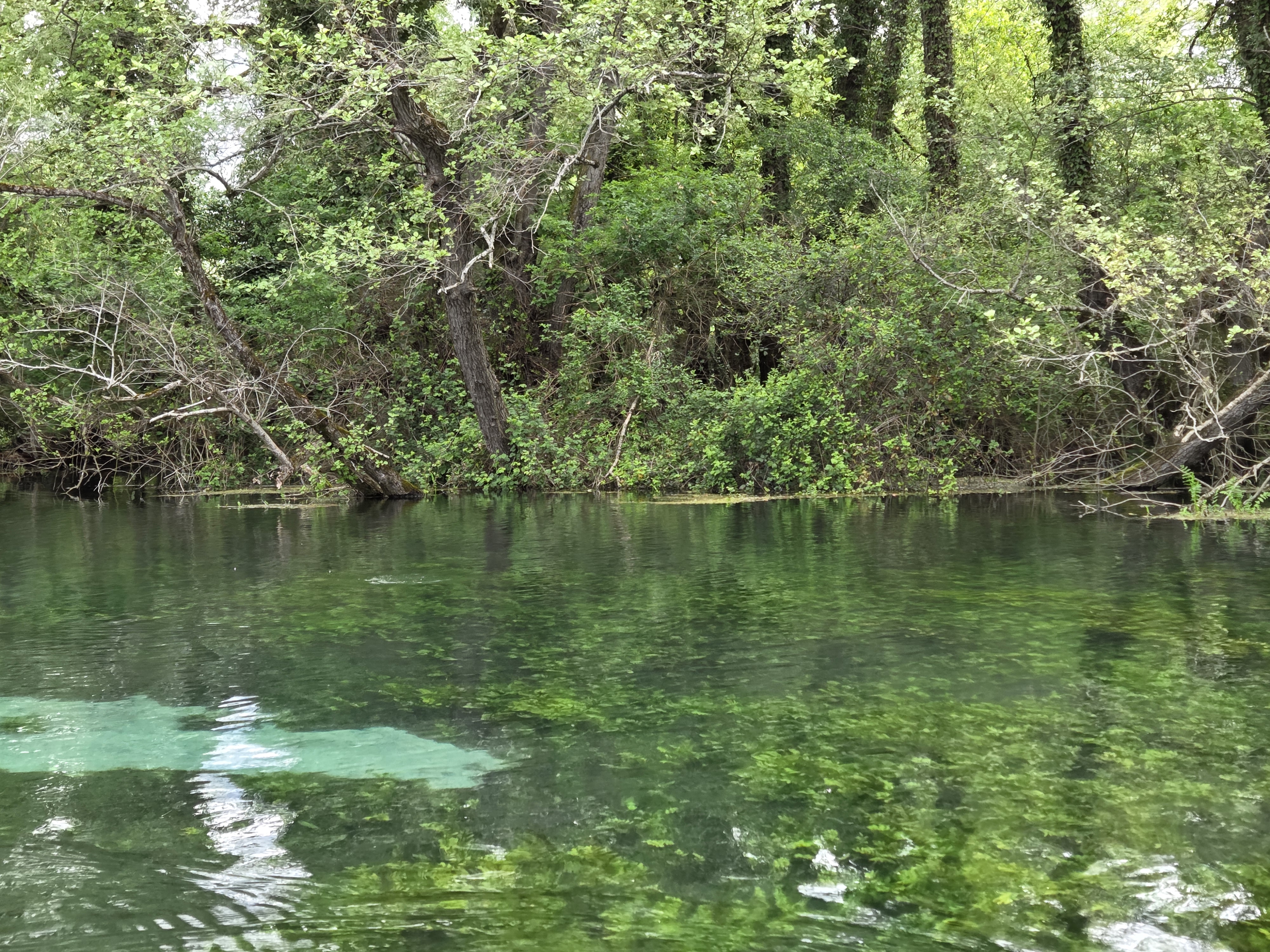
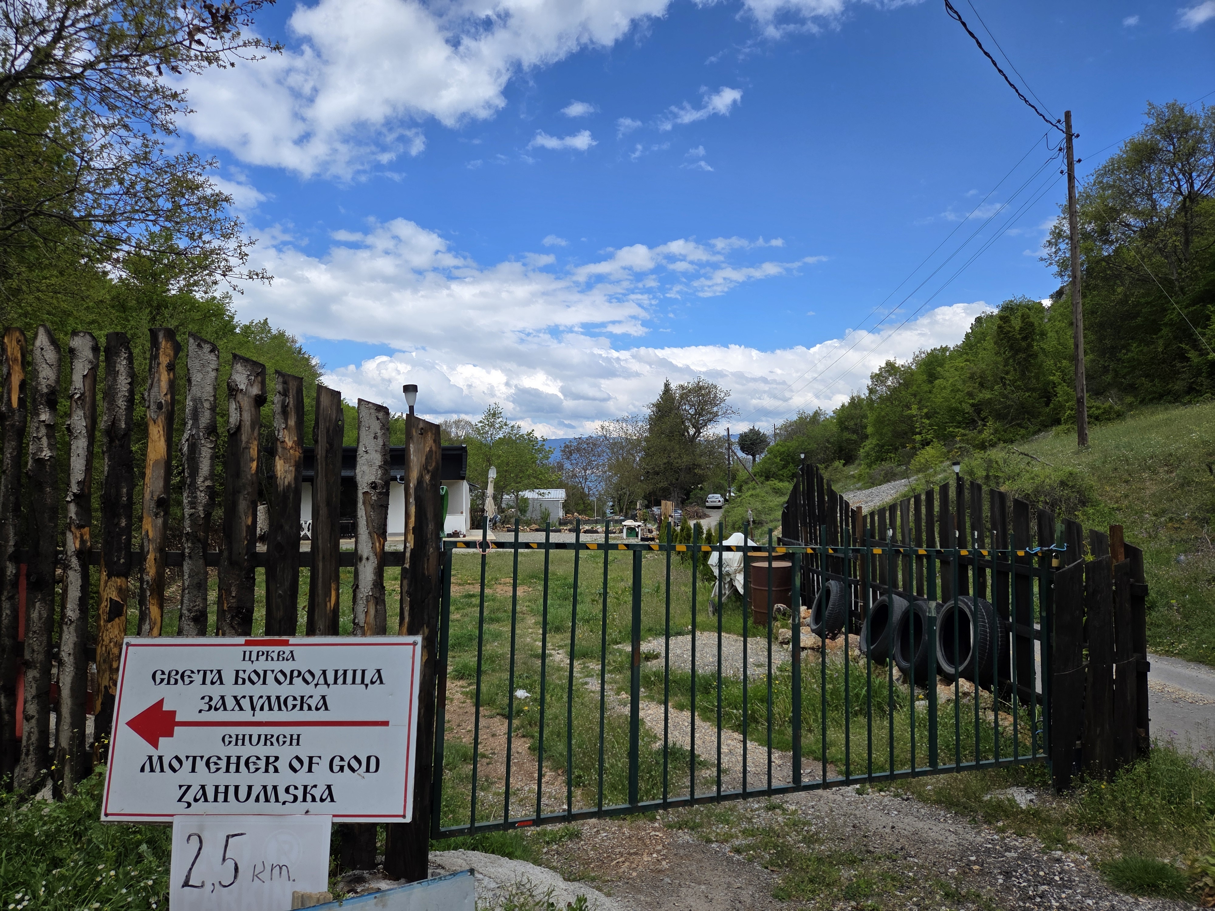
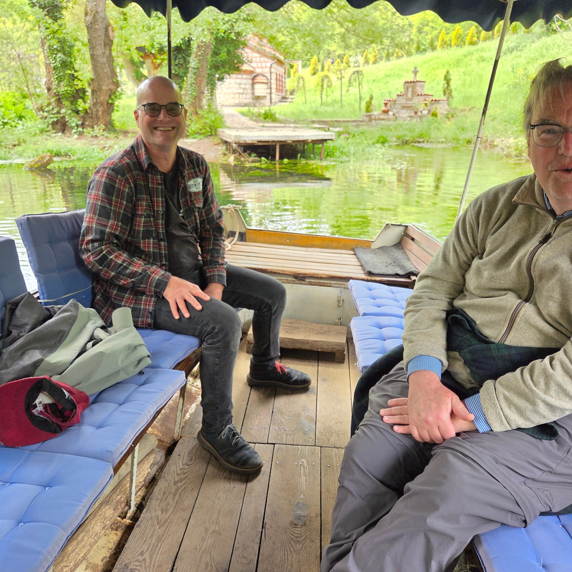
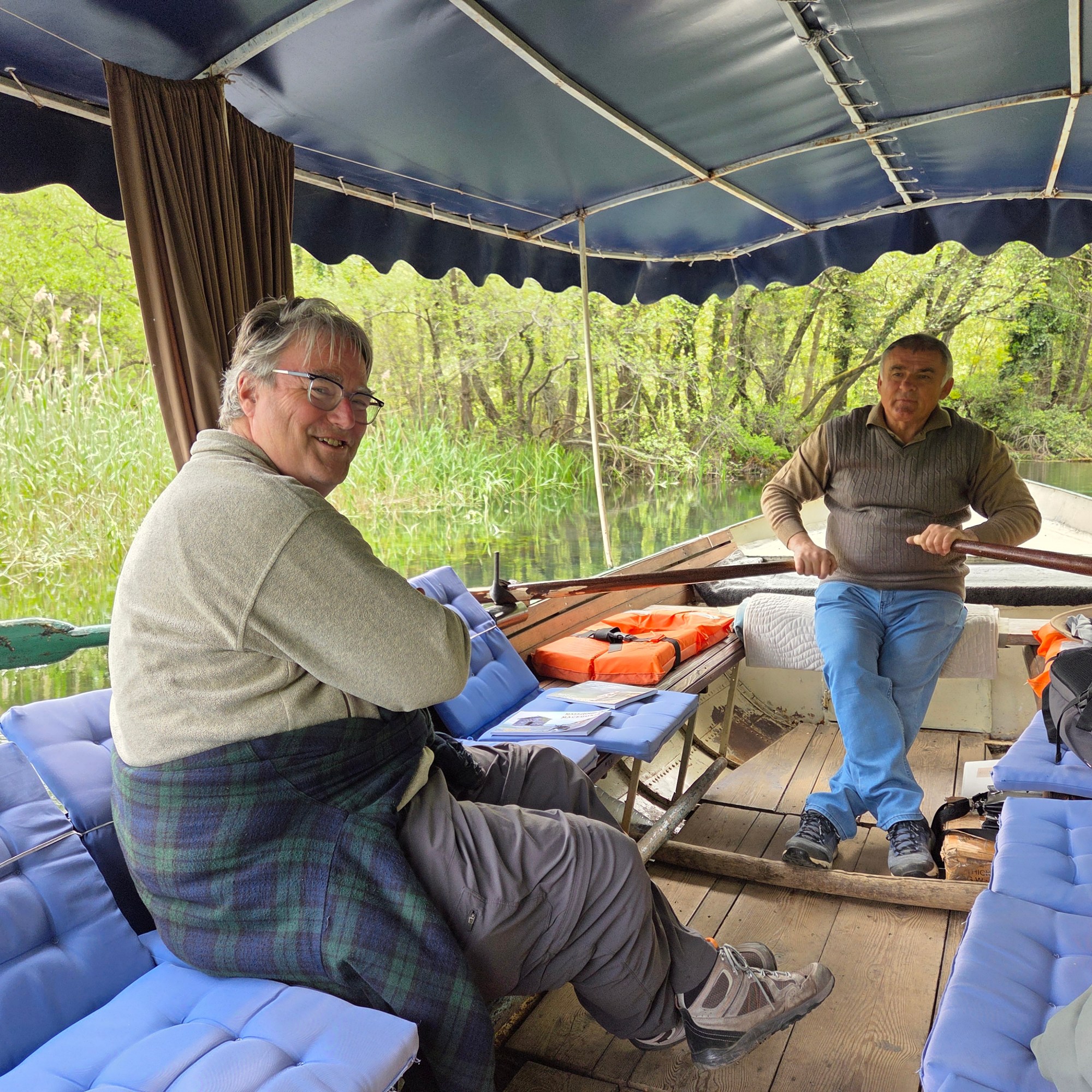
Only two ways to get to the Zahumska (or Zaum) monastery: by boat or foot over a fairly narrow footpath across steep terrain with stretches of lakeshore that are very narrow when the water is high – which it was when we talked the path two weeks ago, our first morning there.
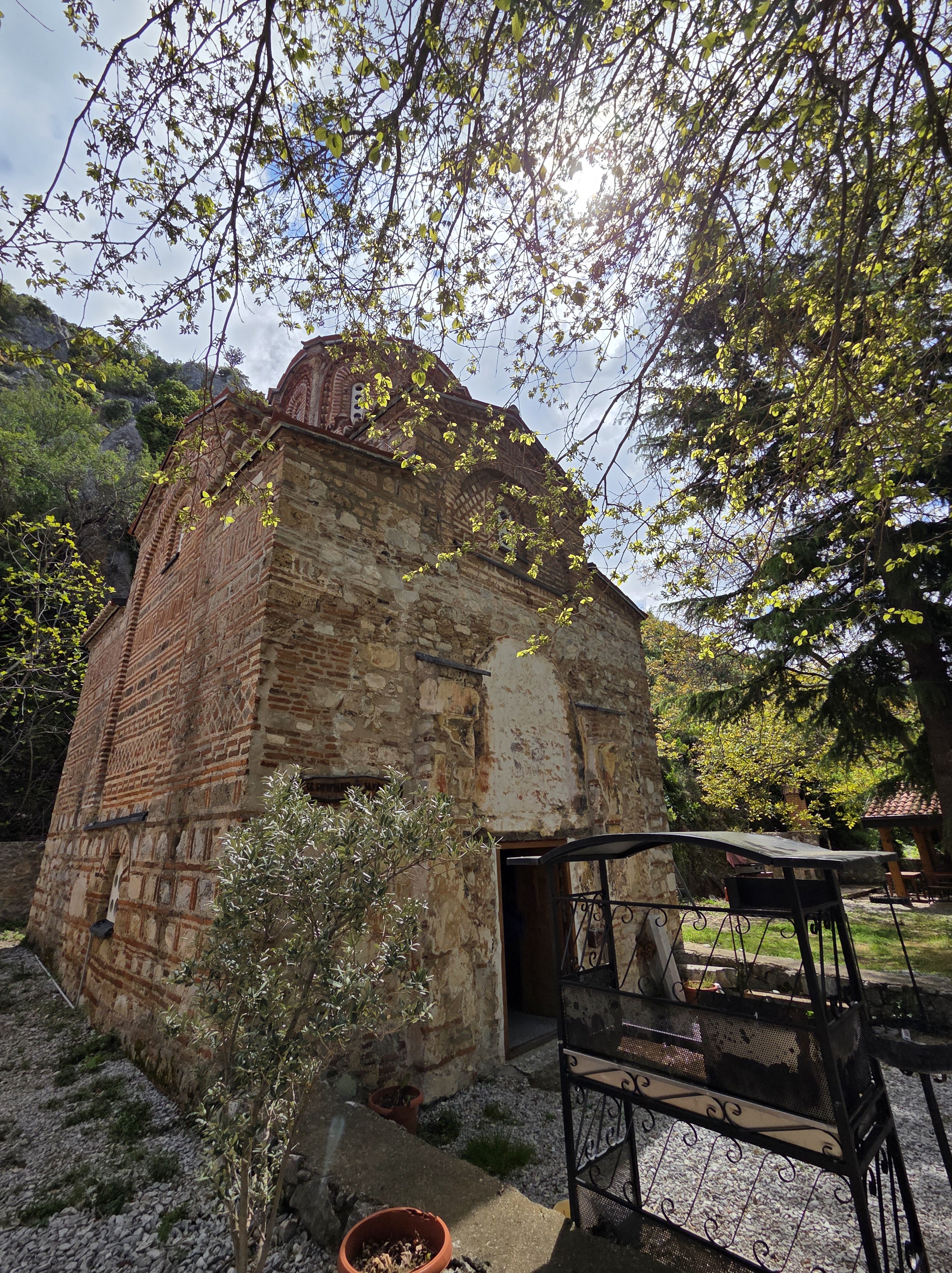
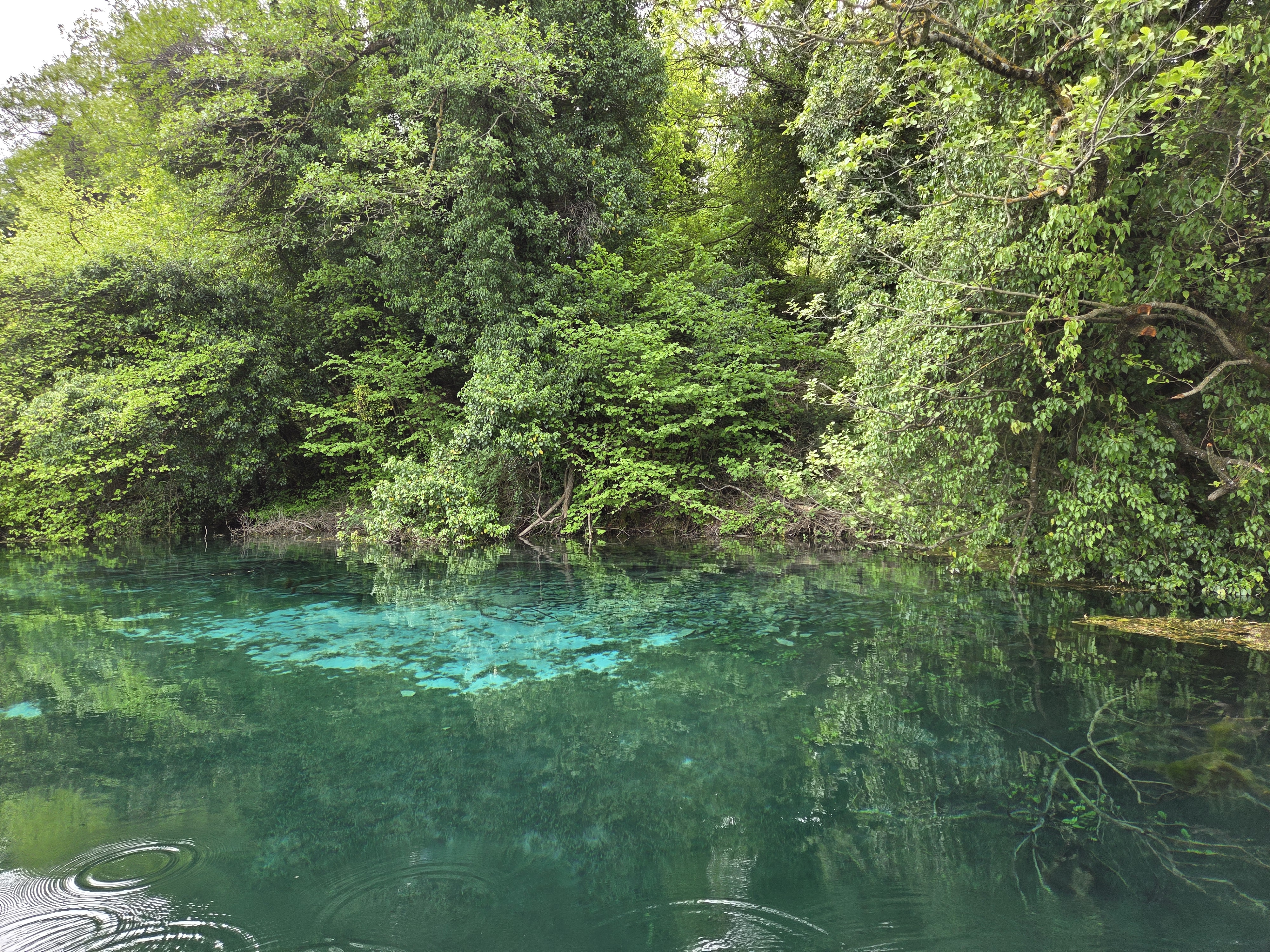
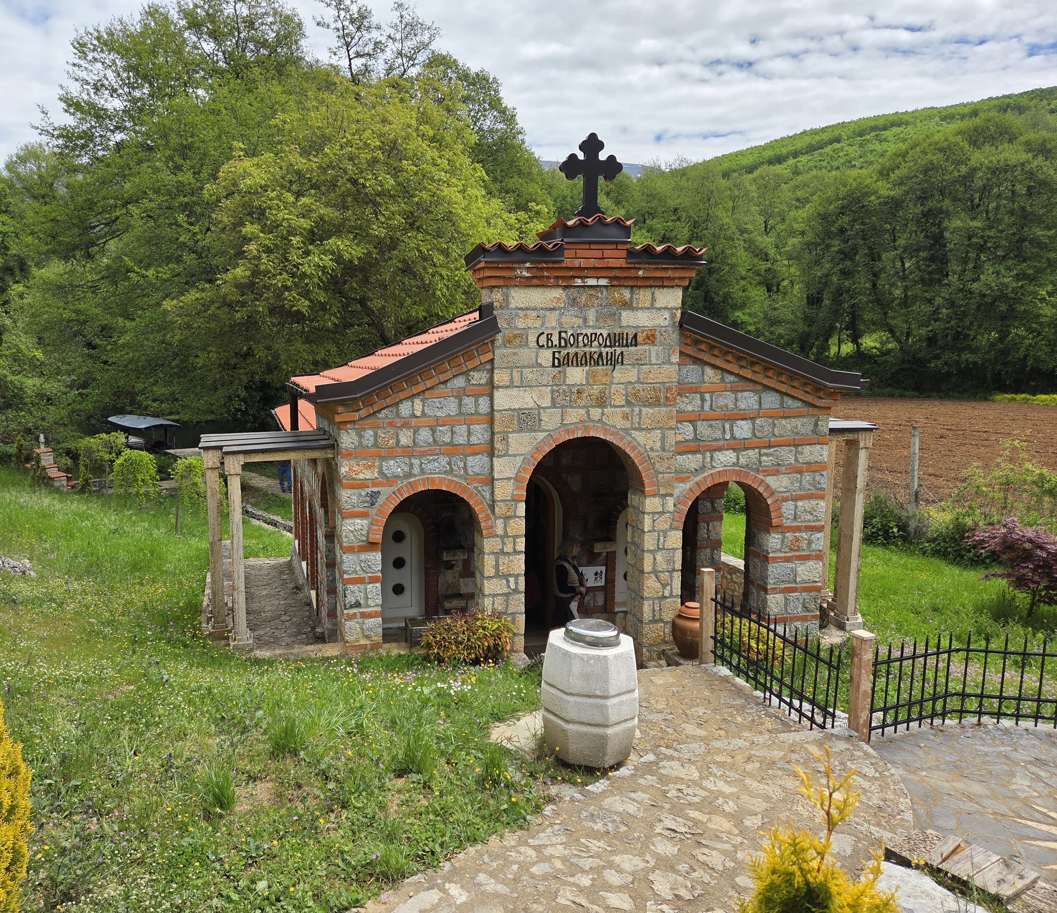
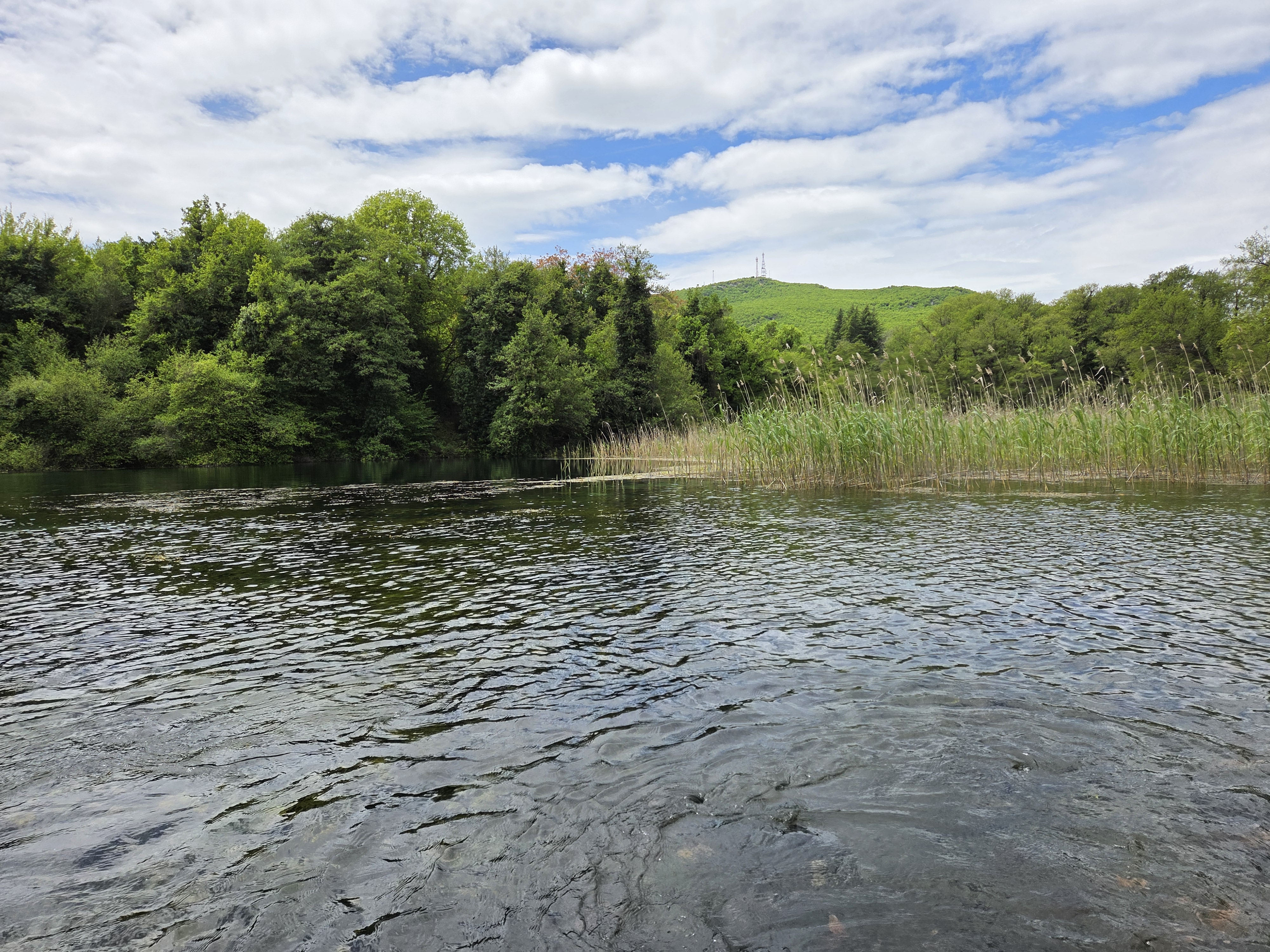
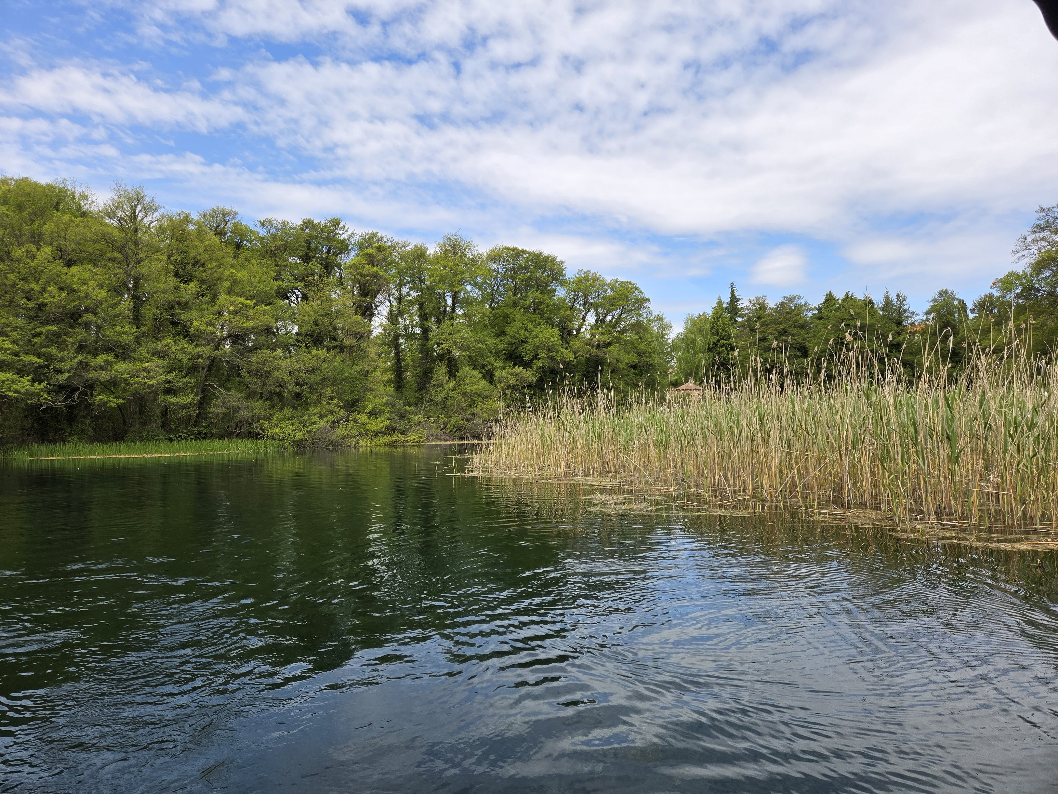
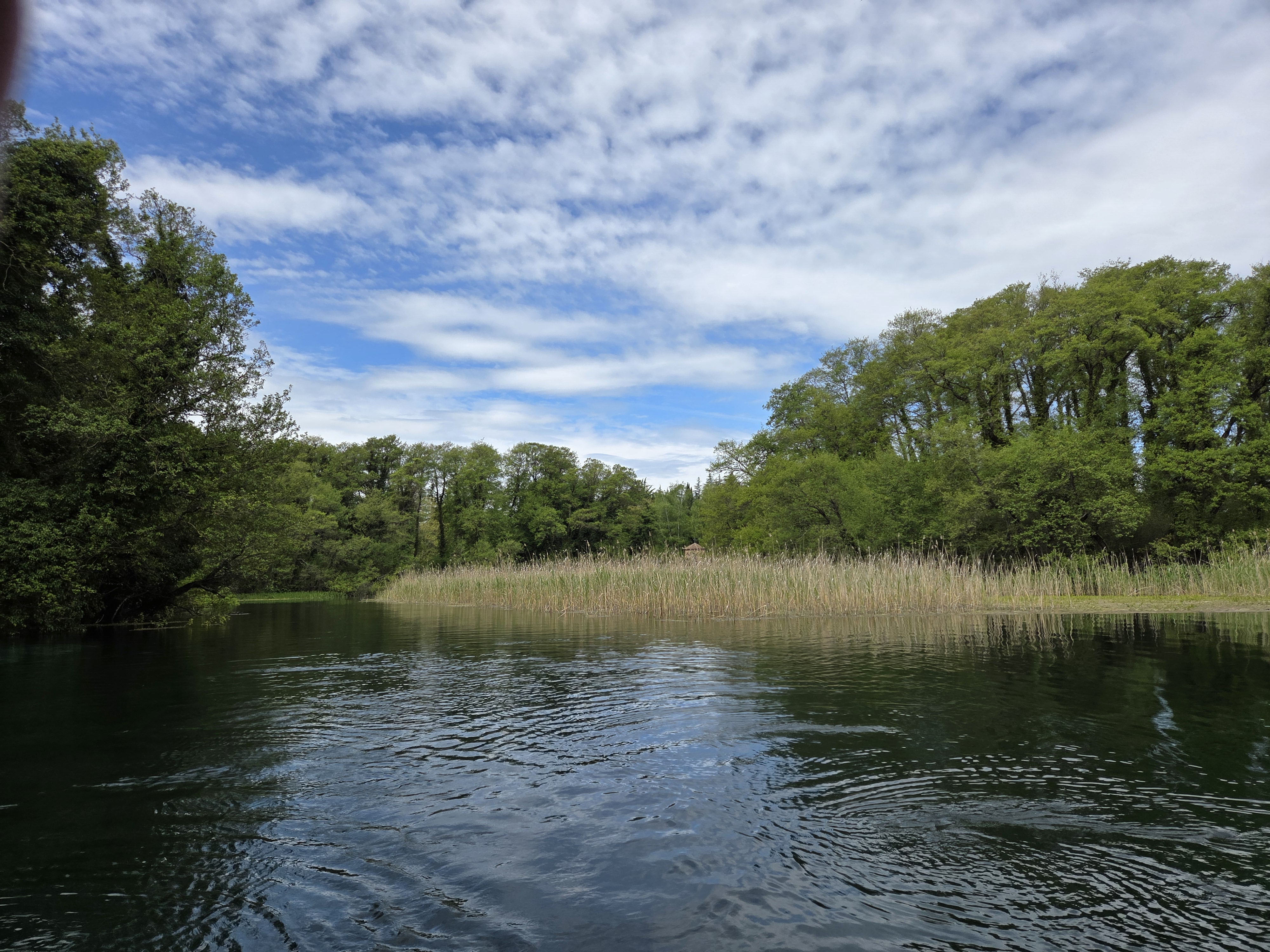
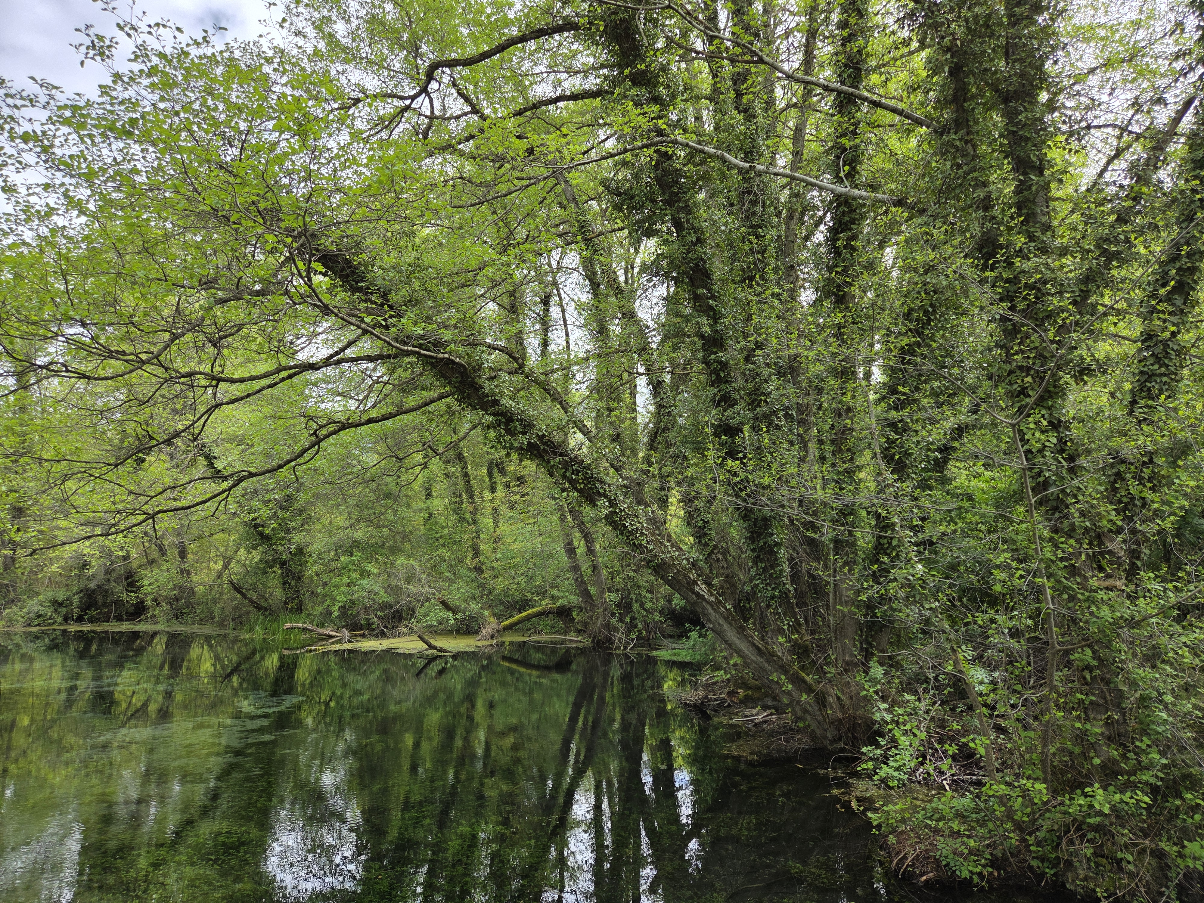
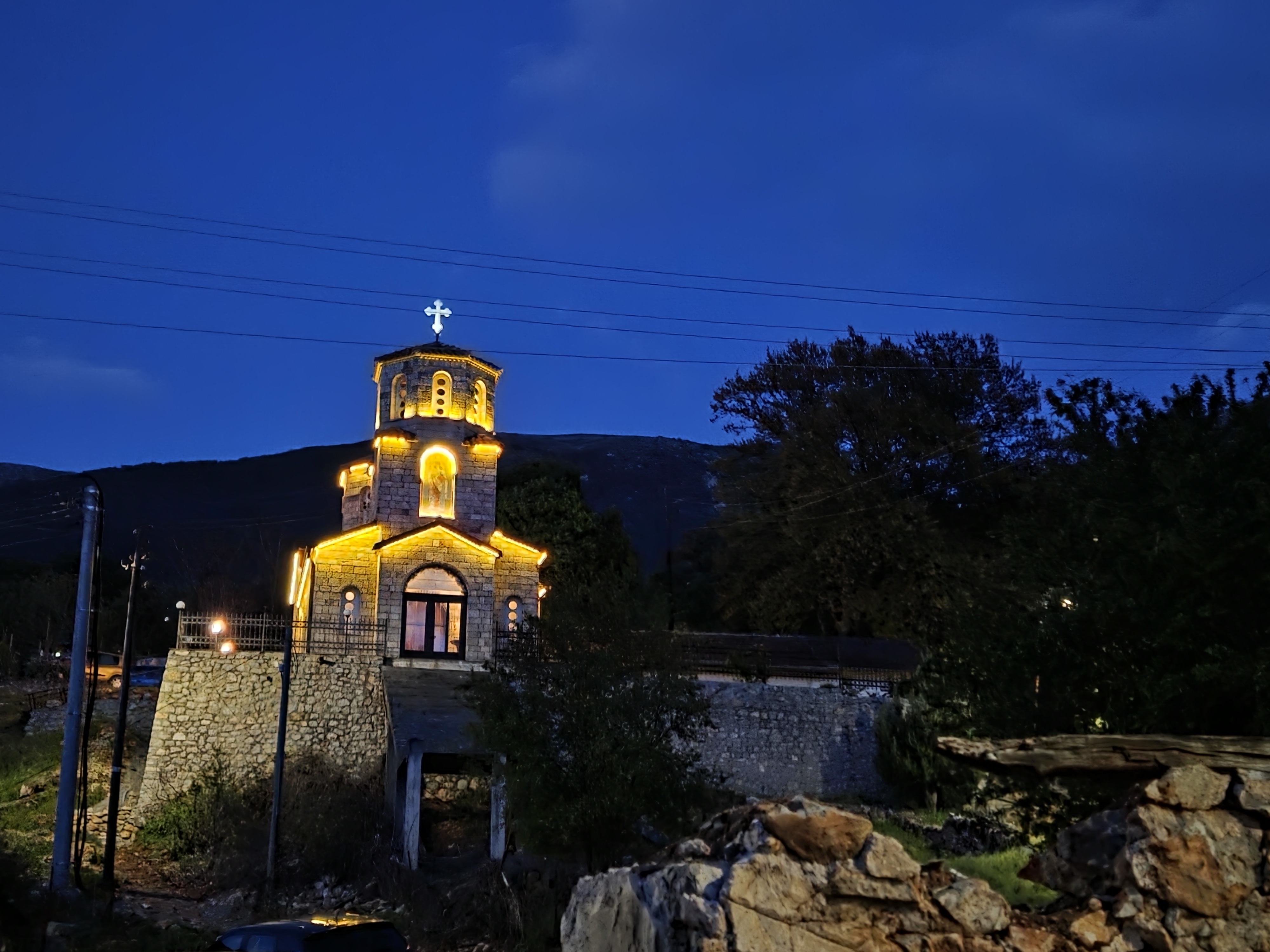
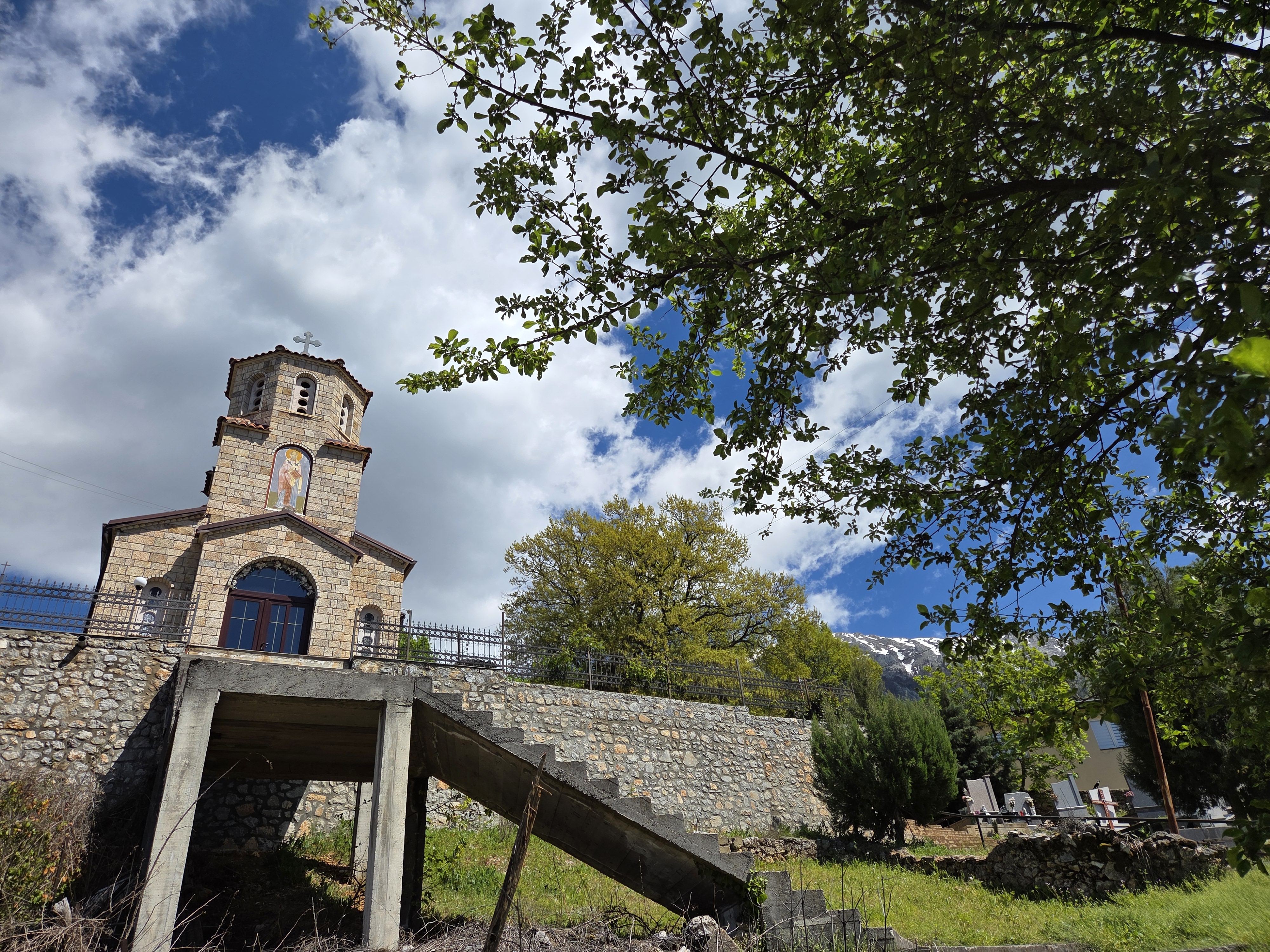
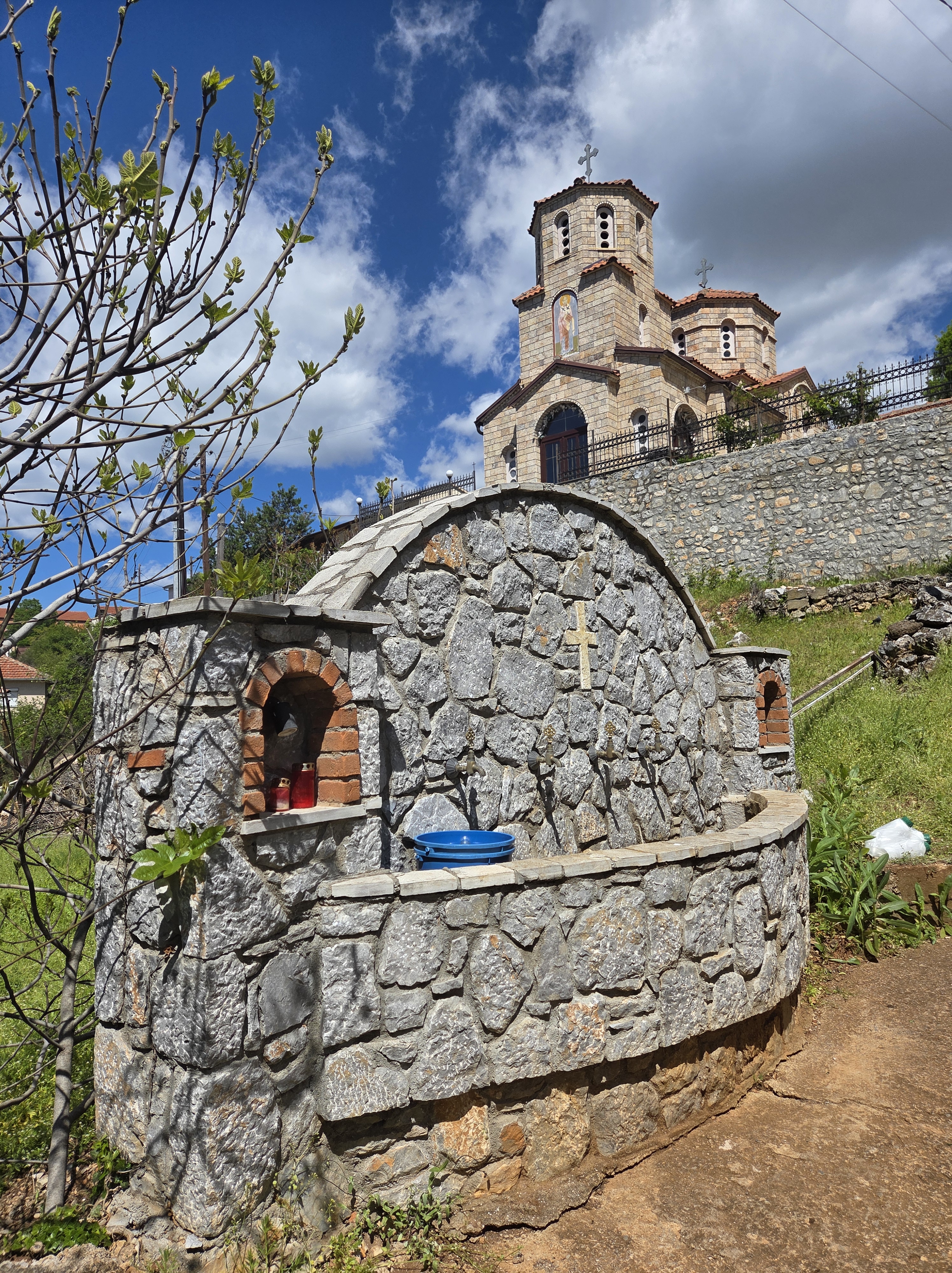
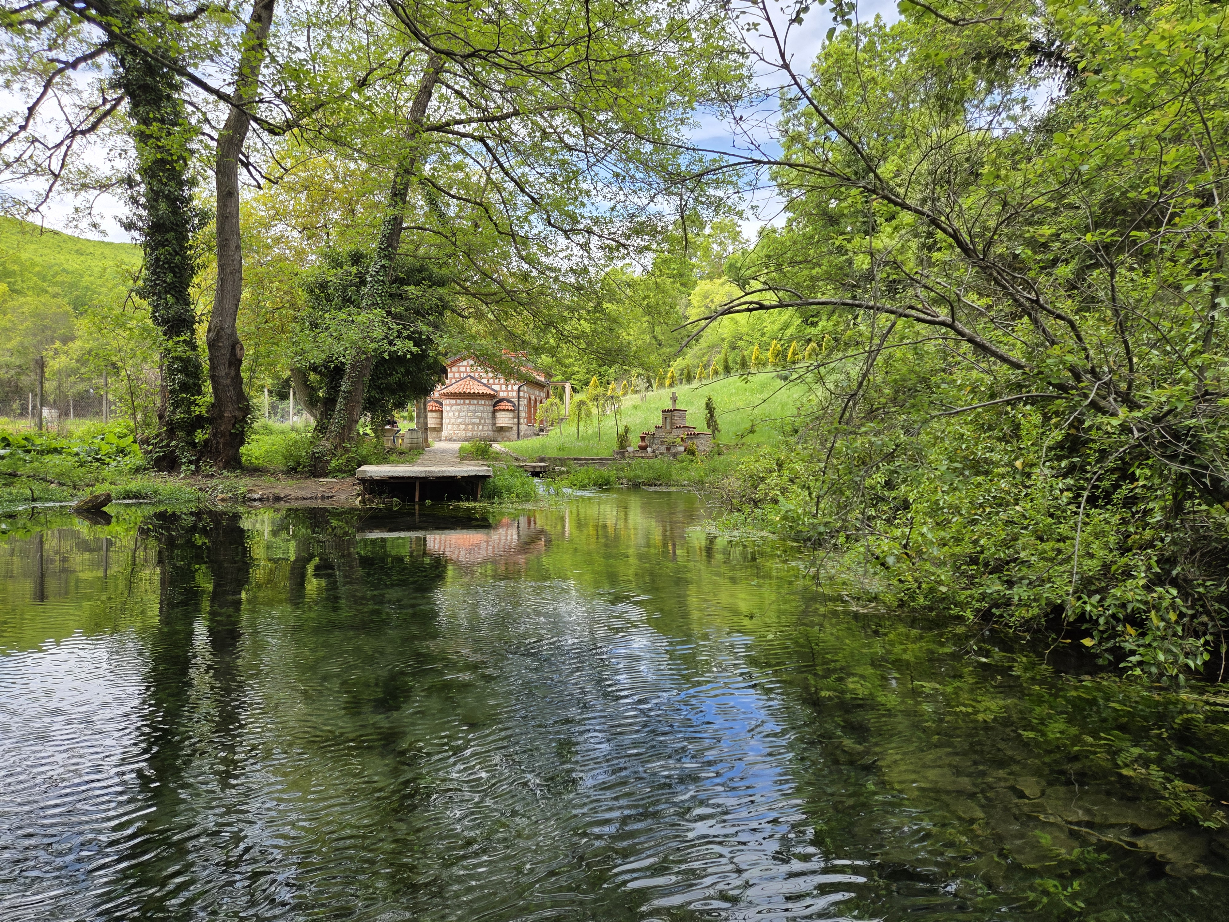
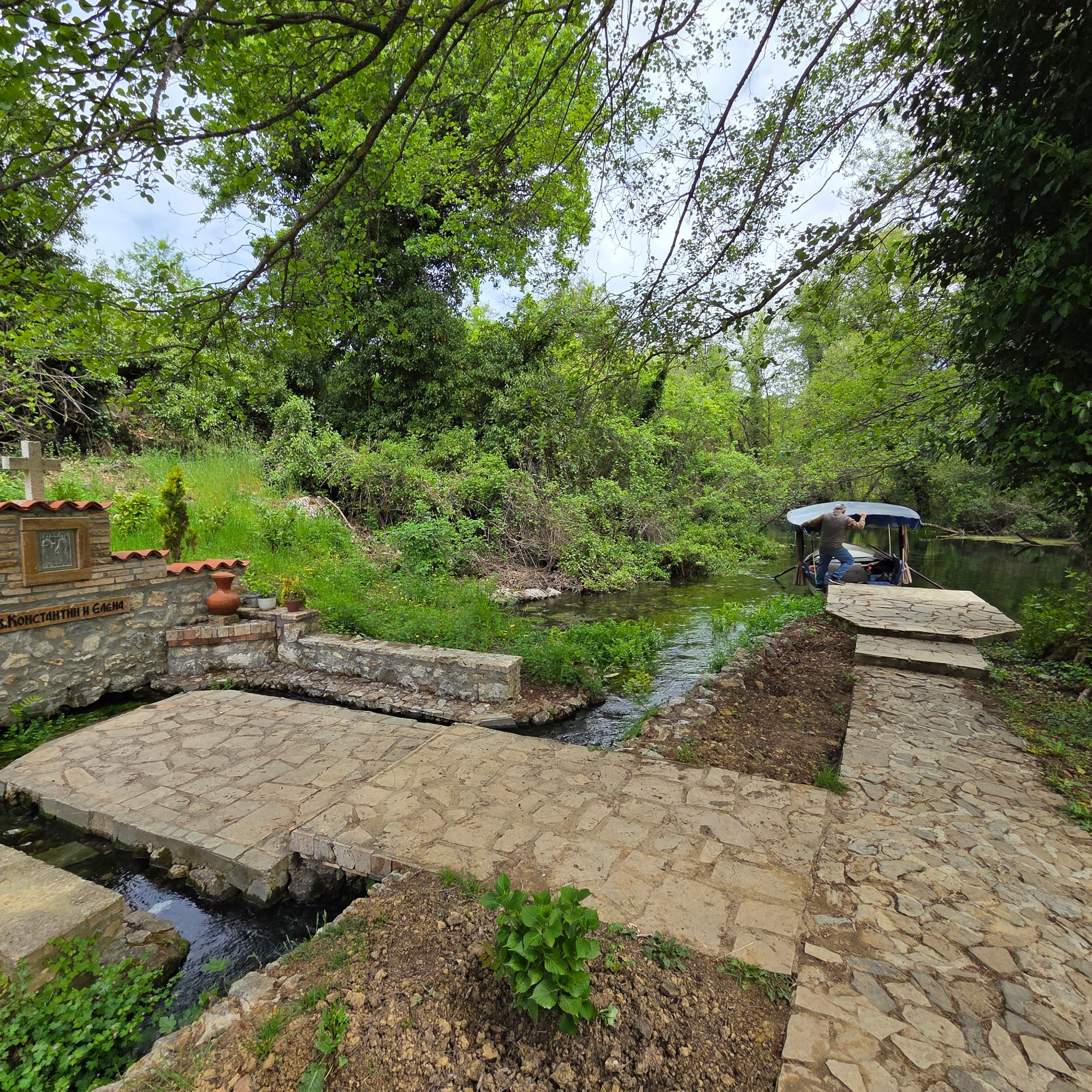
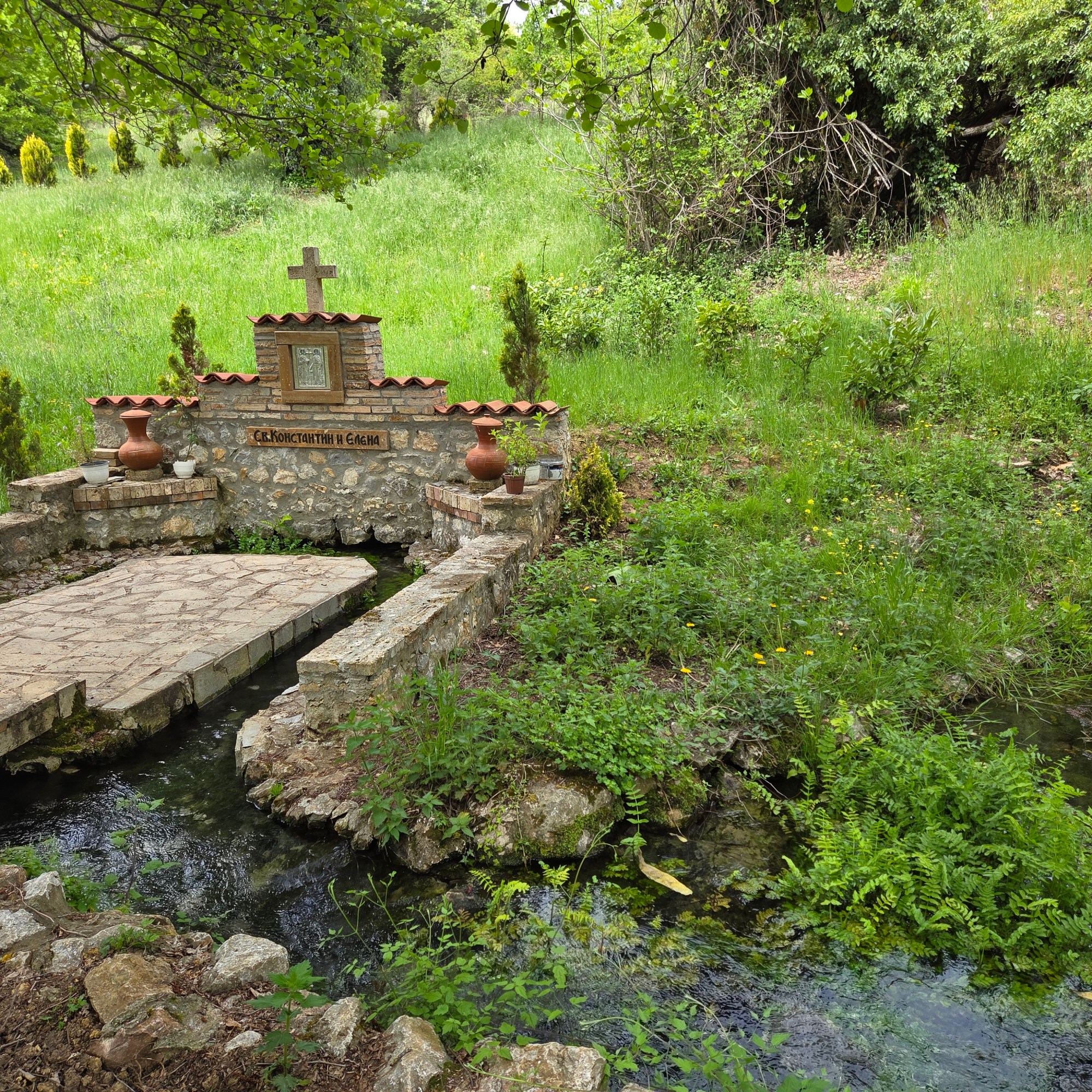
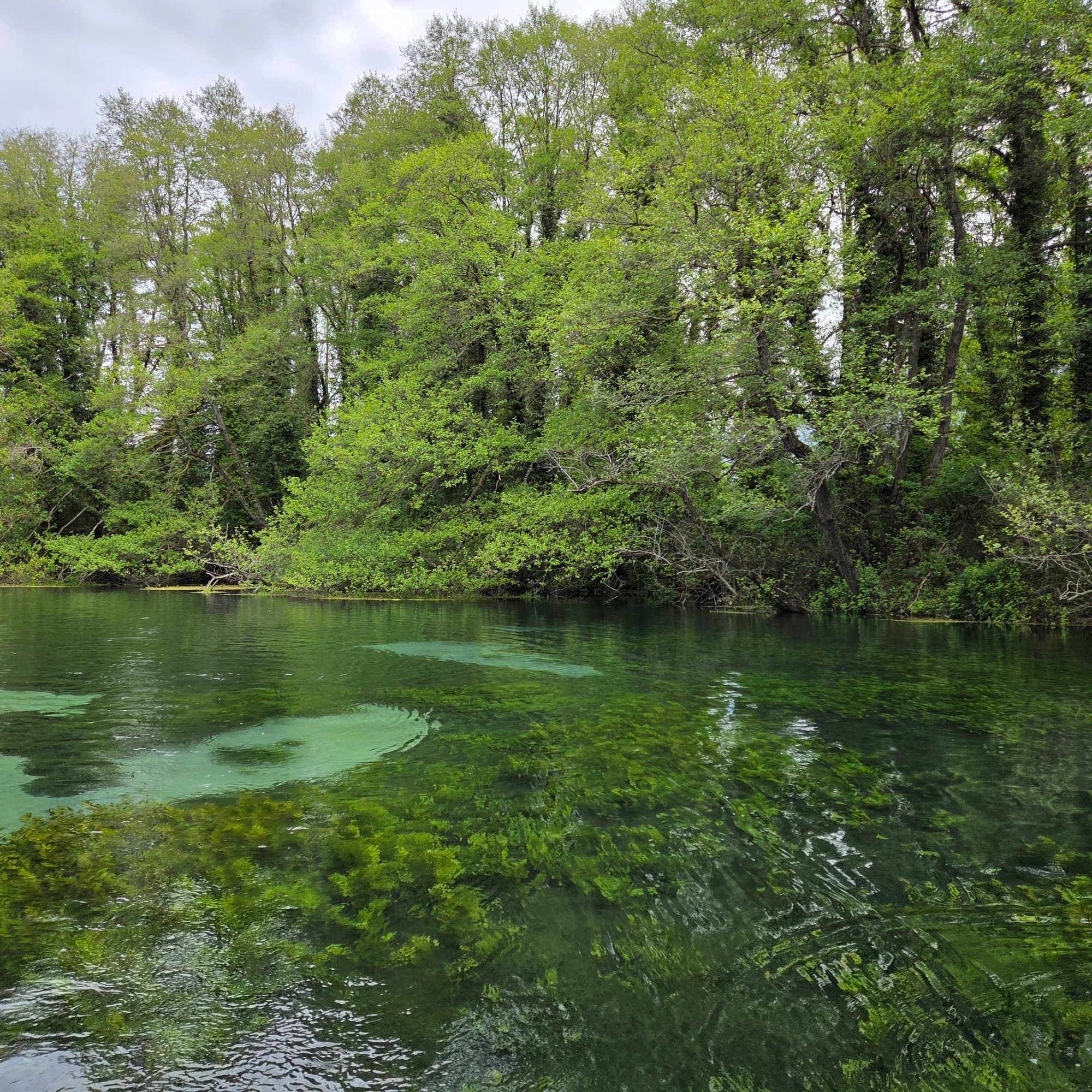
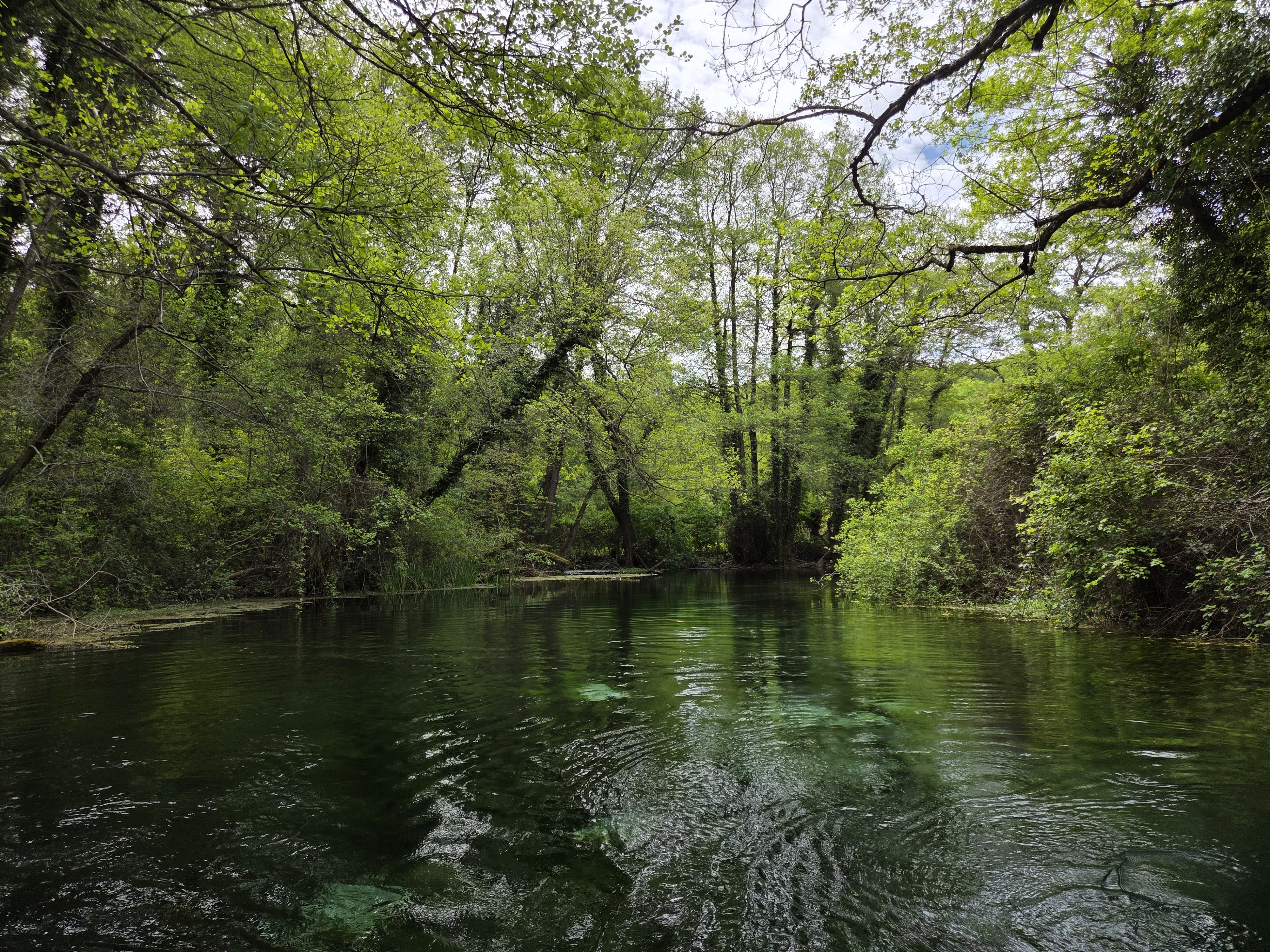
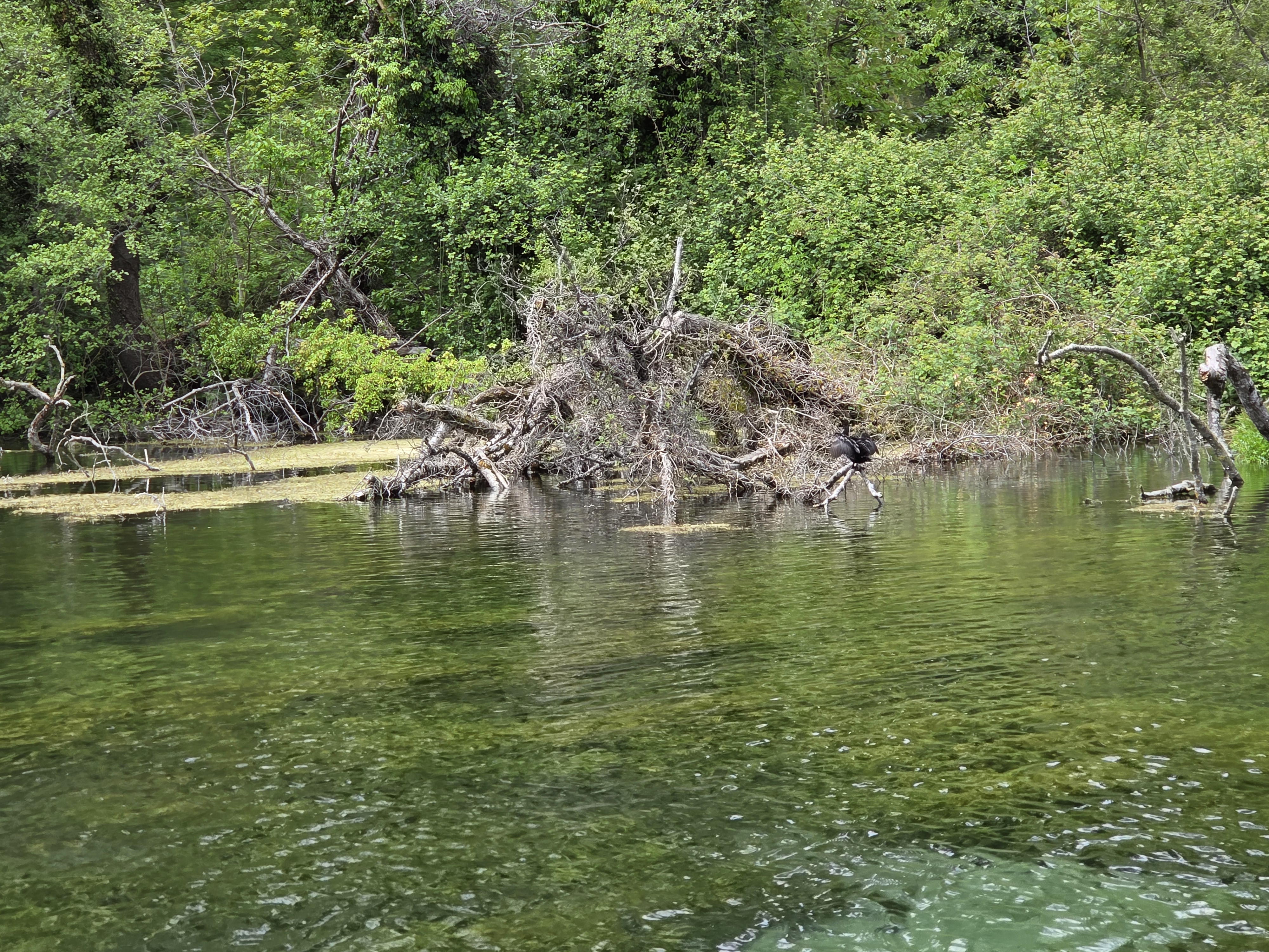
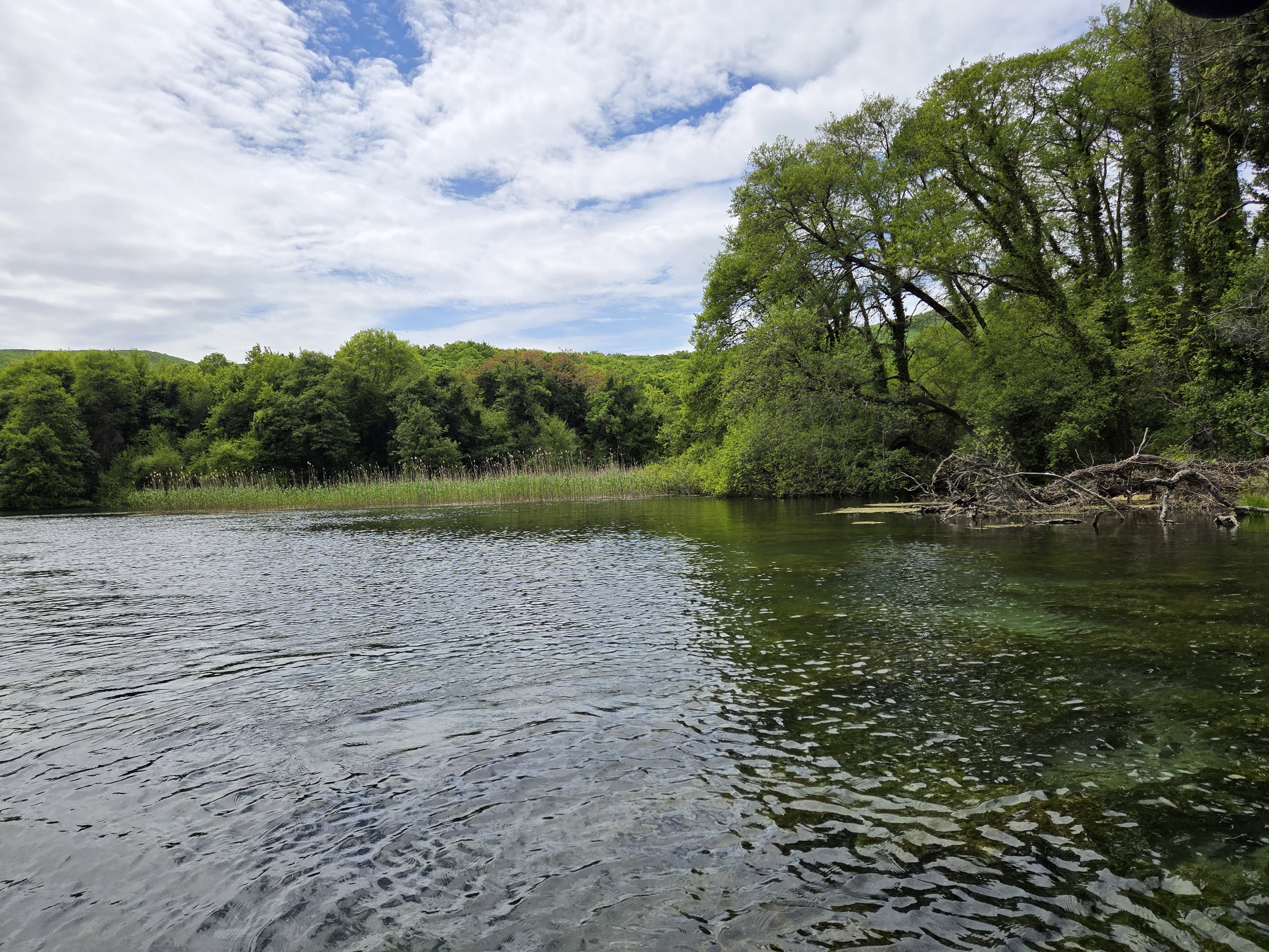
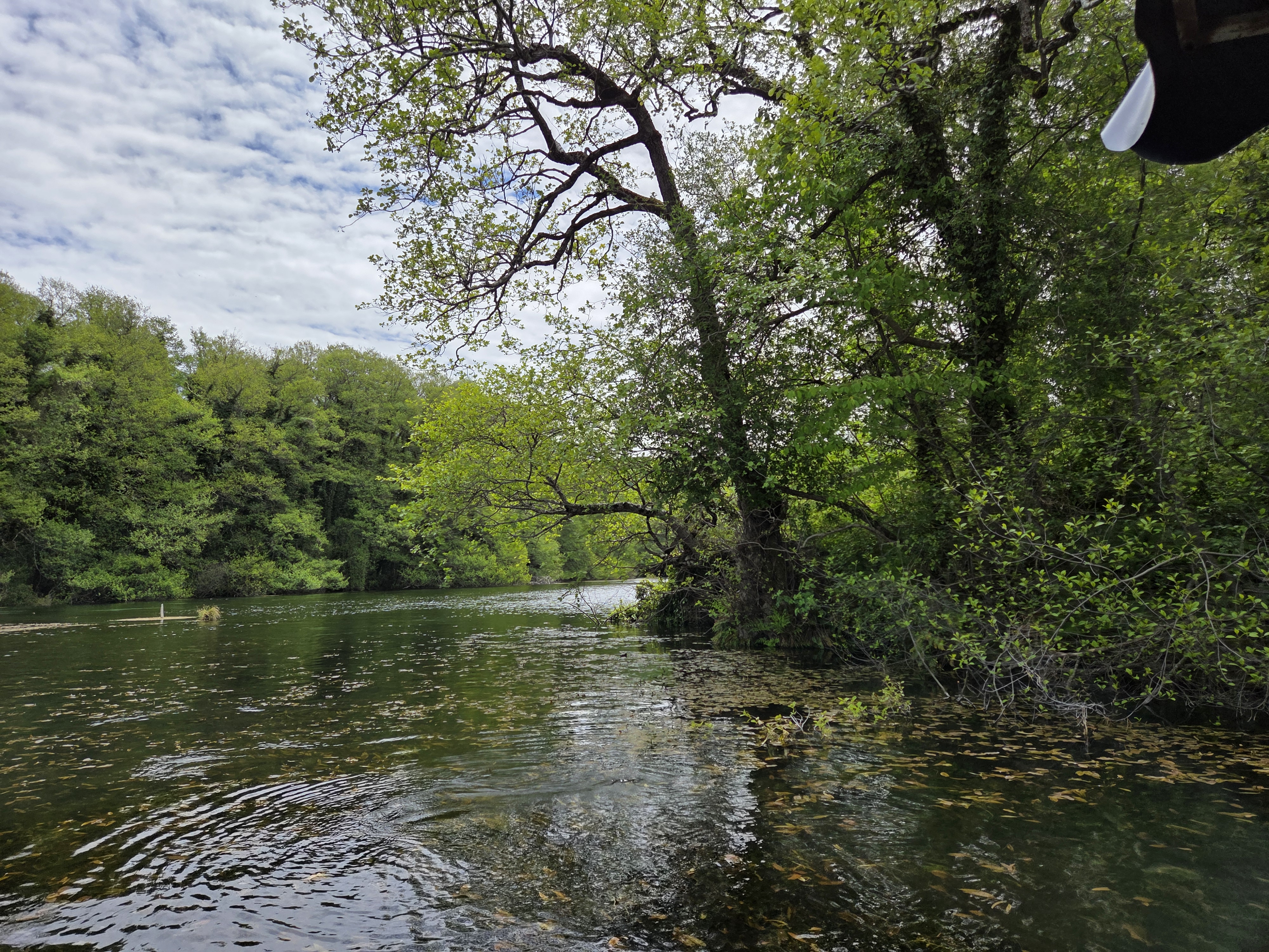
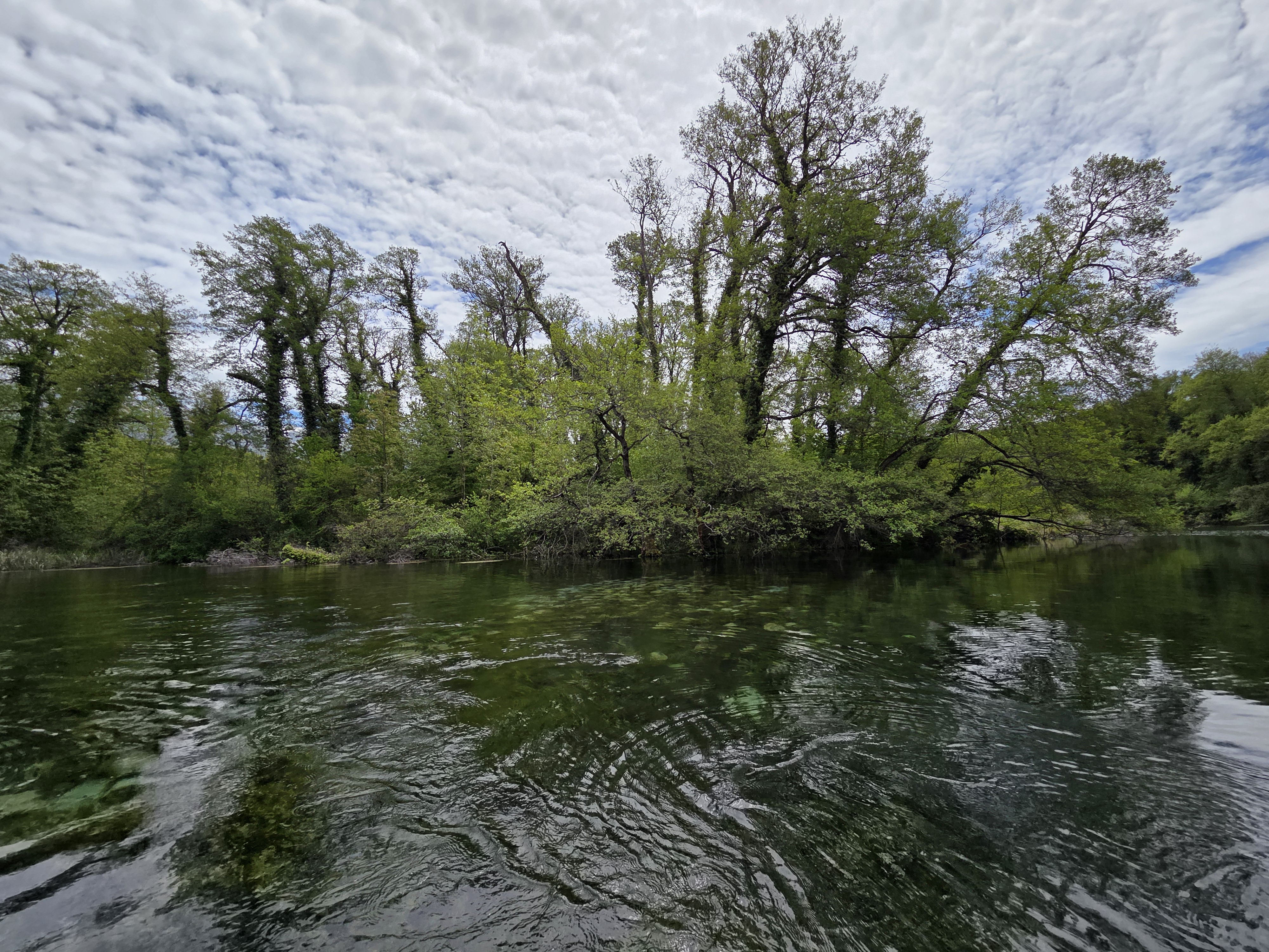
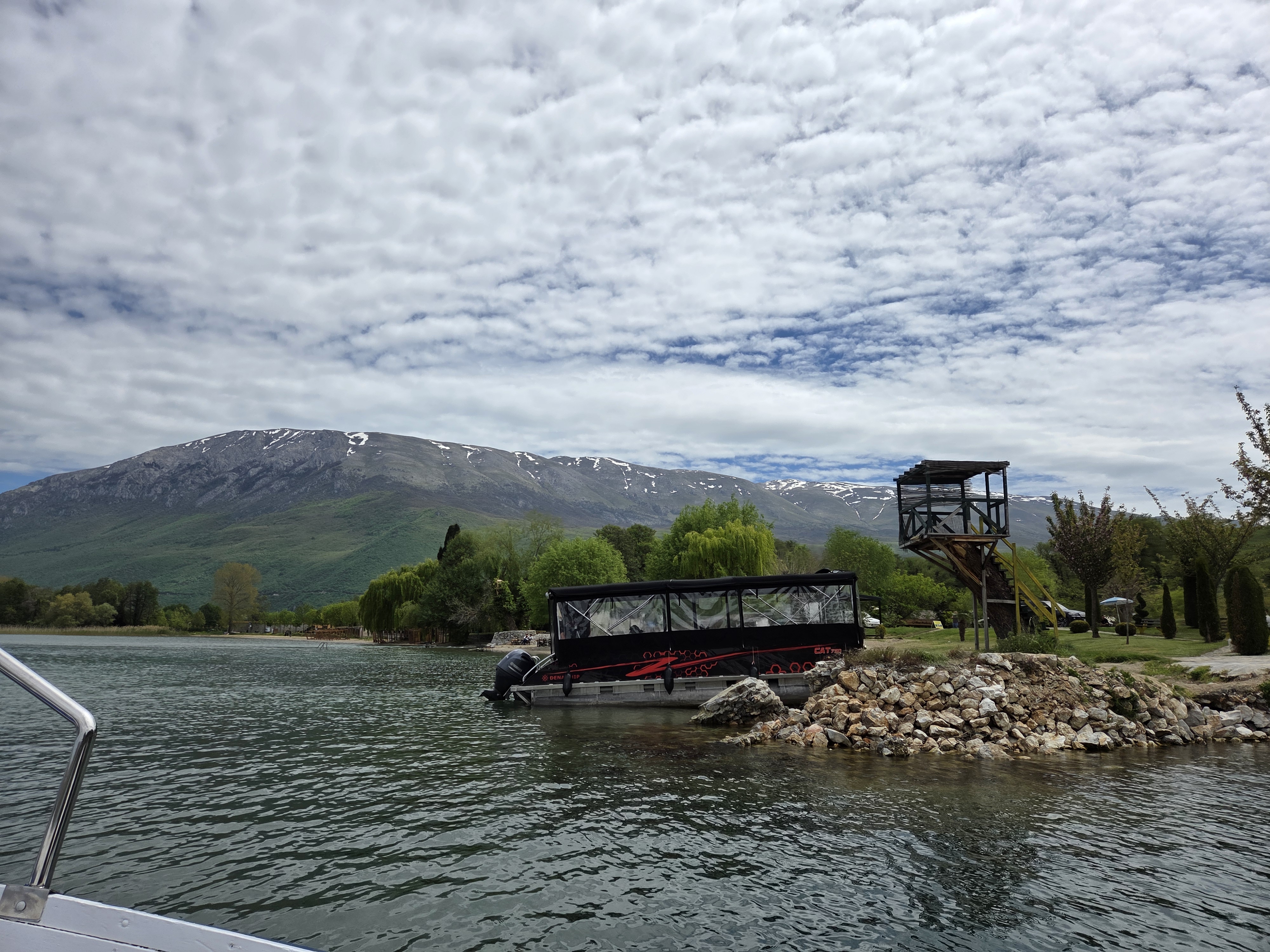
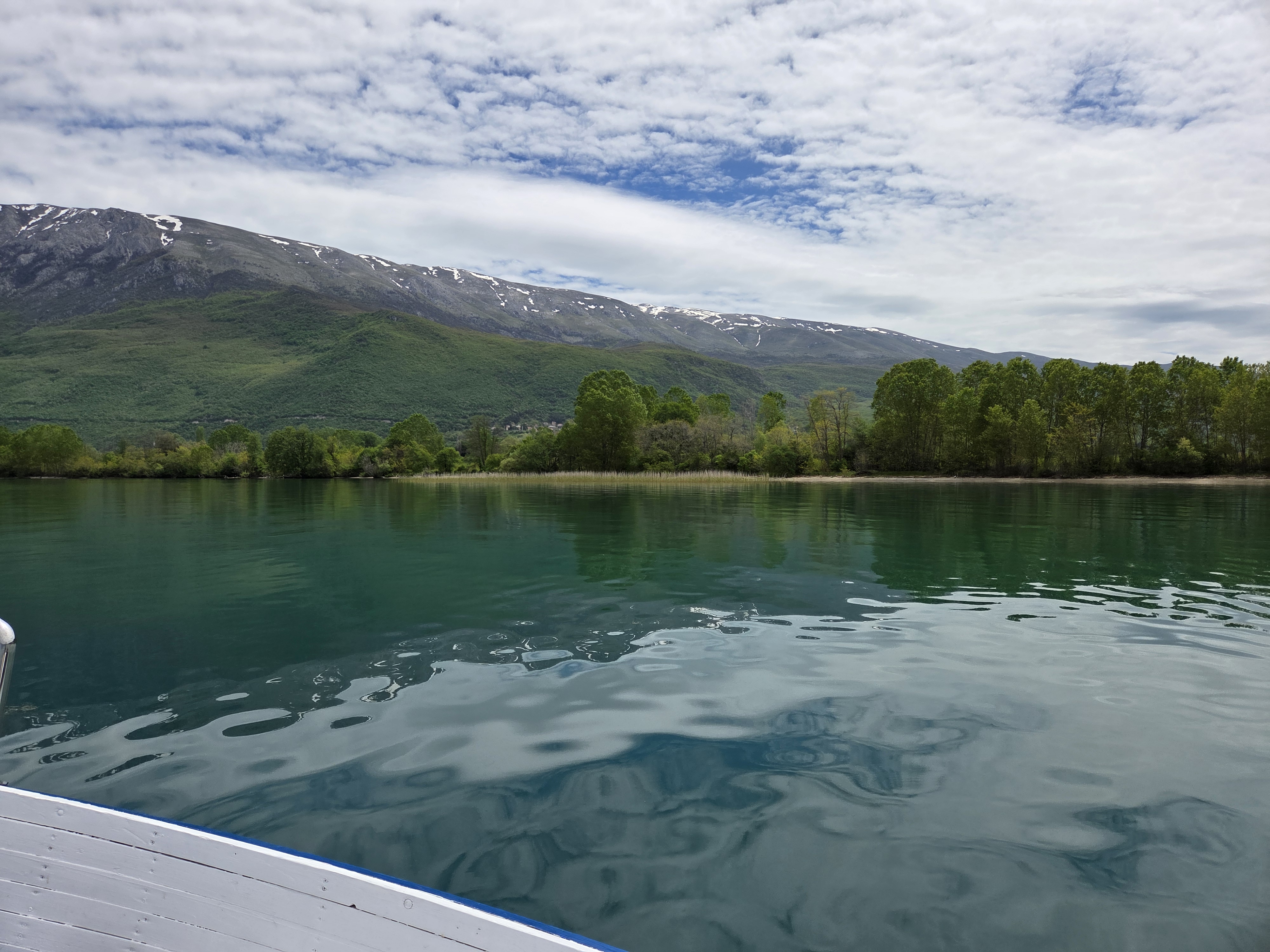
Though it’s beautiful and peaceful, this bit of water is actually carrying quite a bit of water downhill, from Lake Prespa on the south side of Mt Magaro, over to Lake Ohrid on the north side of Mt Magaro, via natural underground springs or rivers which emerge above ground in the place where you see this lovely chapel, first photo in the galler below. The others photos are all of the short (one km?) canal – lake – river that connects from the chapel to Lake Ohrid itself.
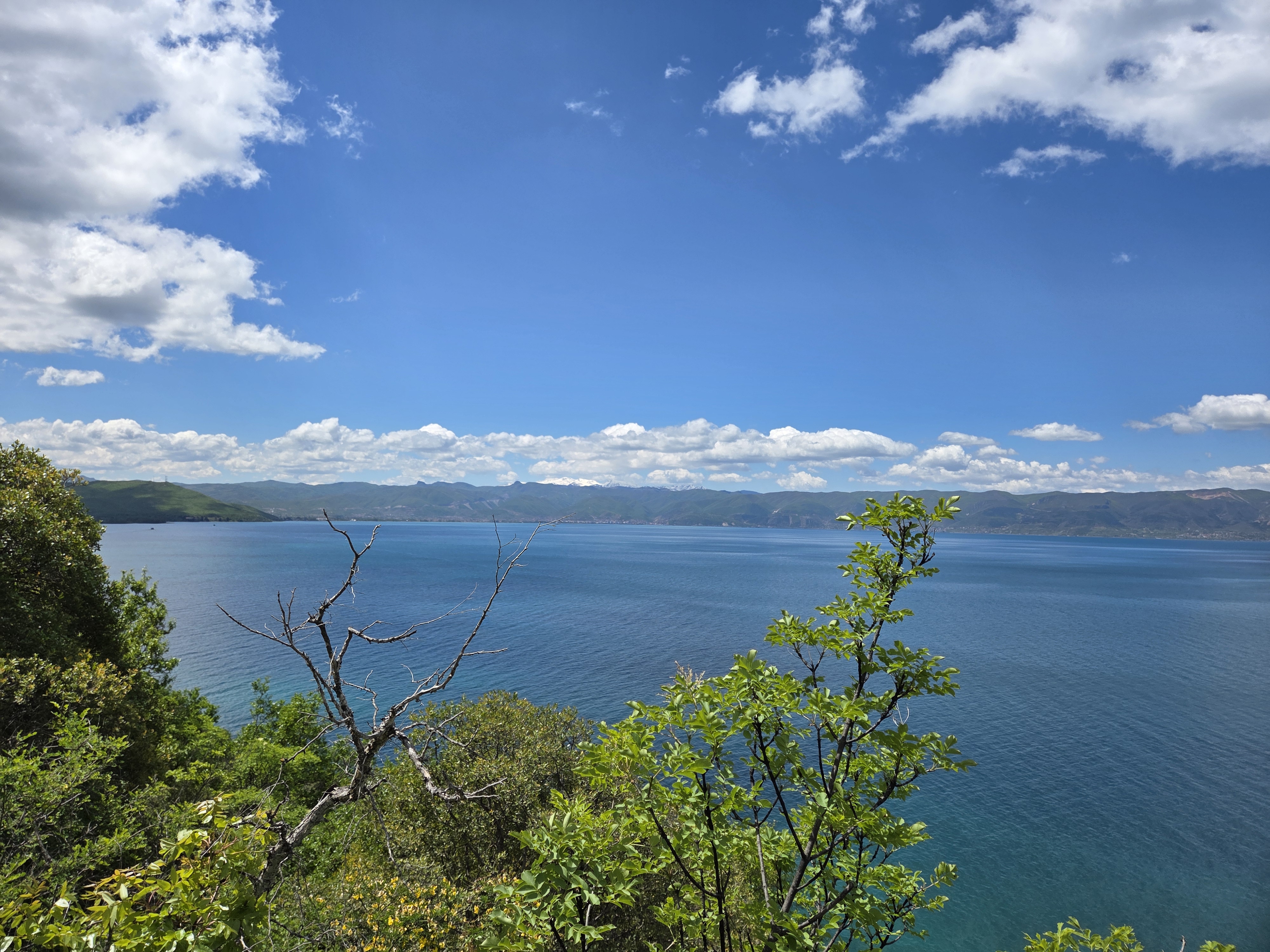
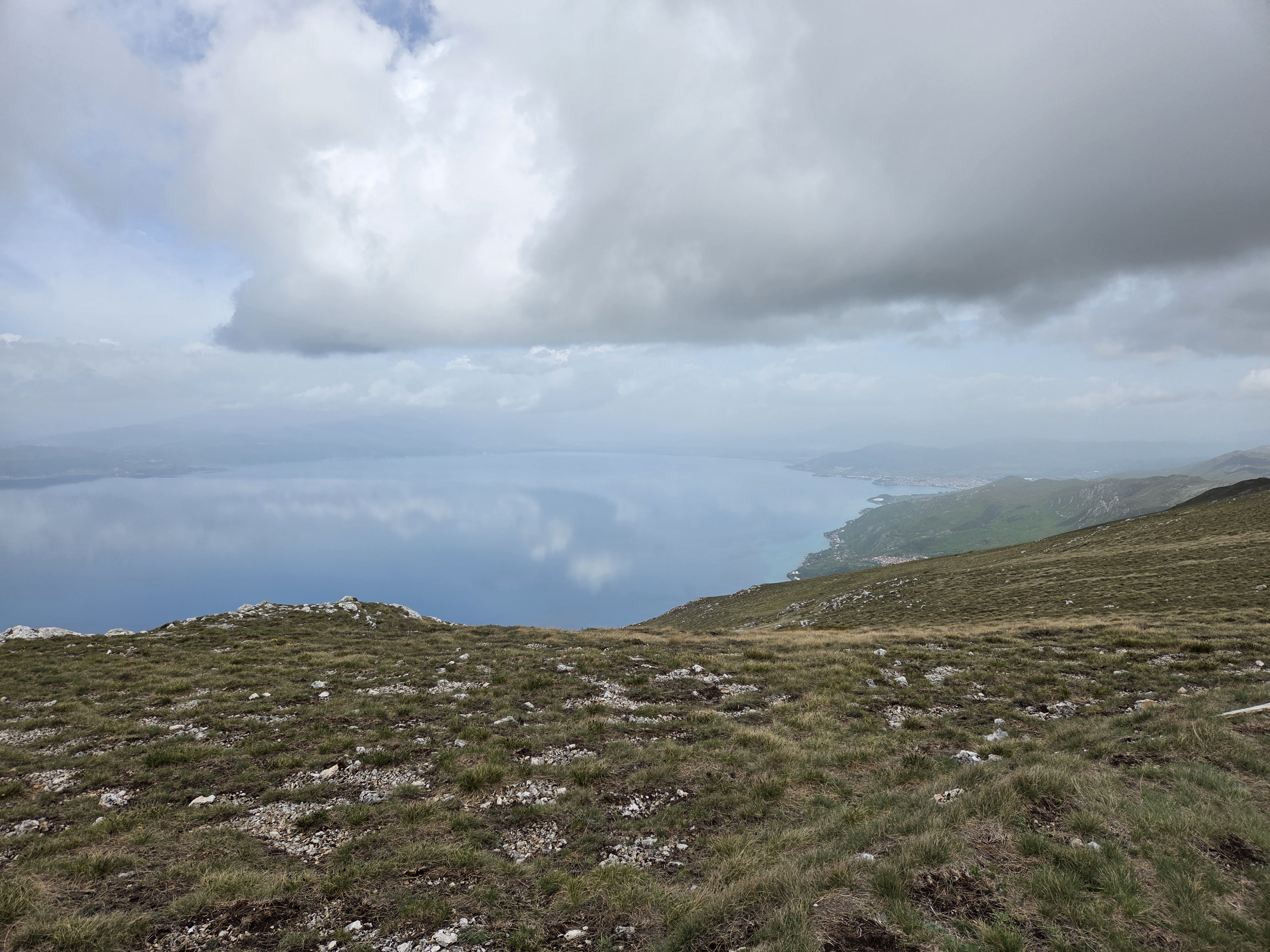
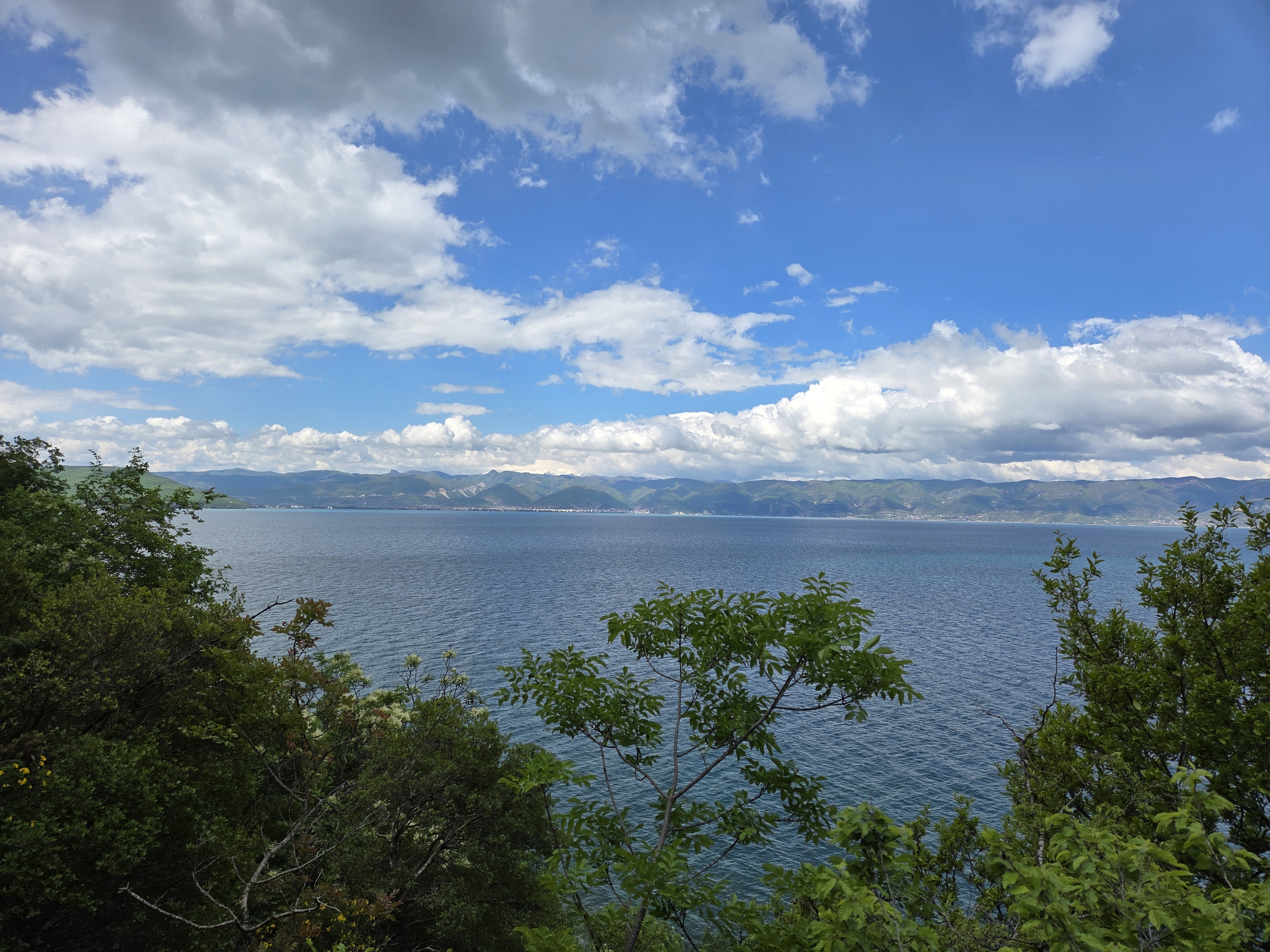
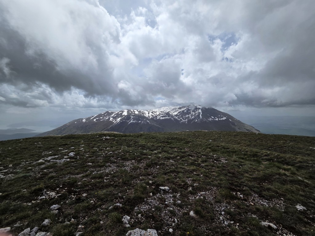
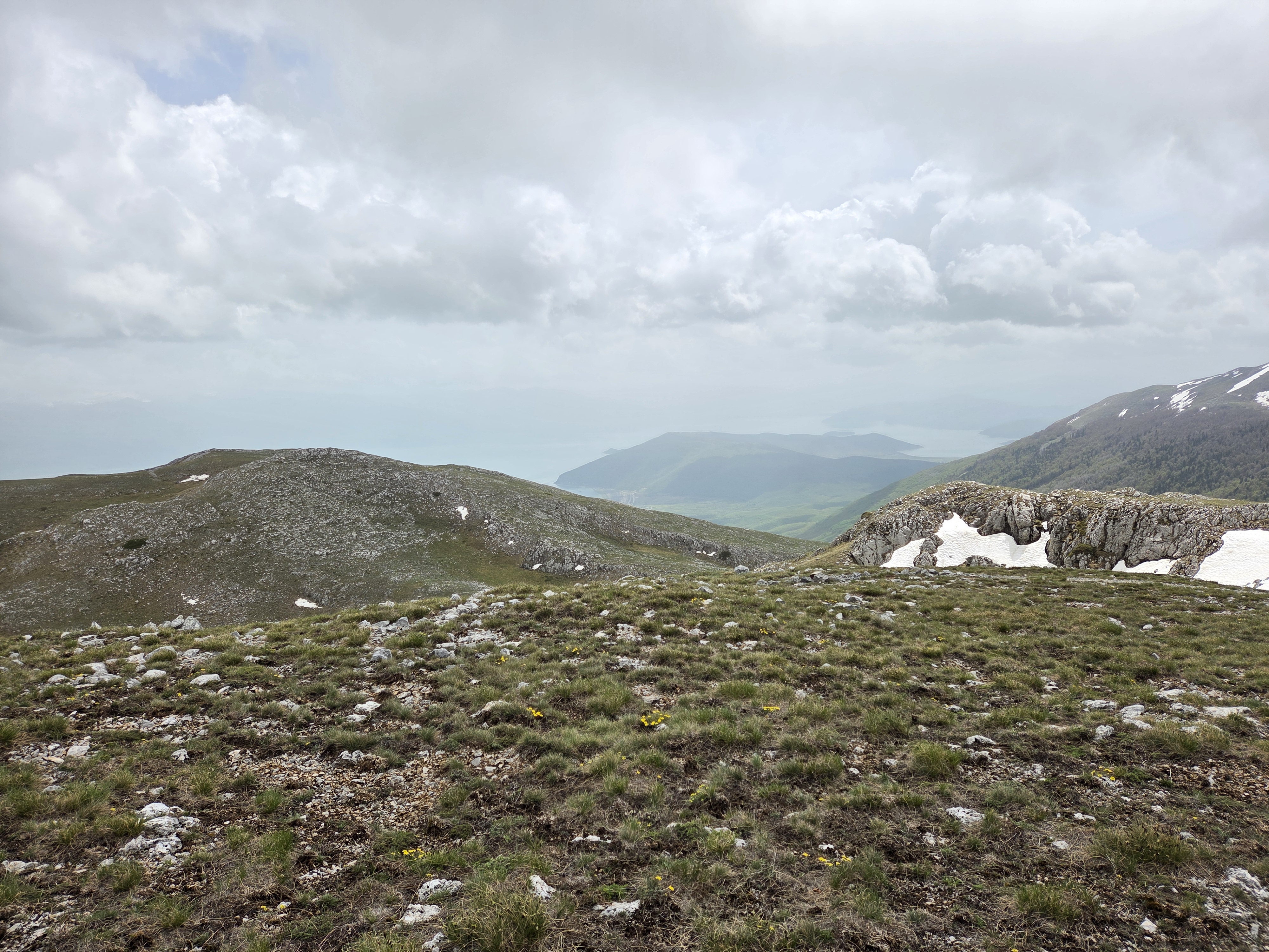
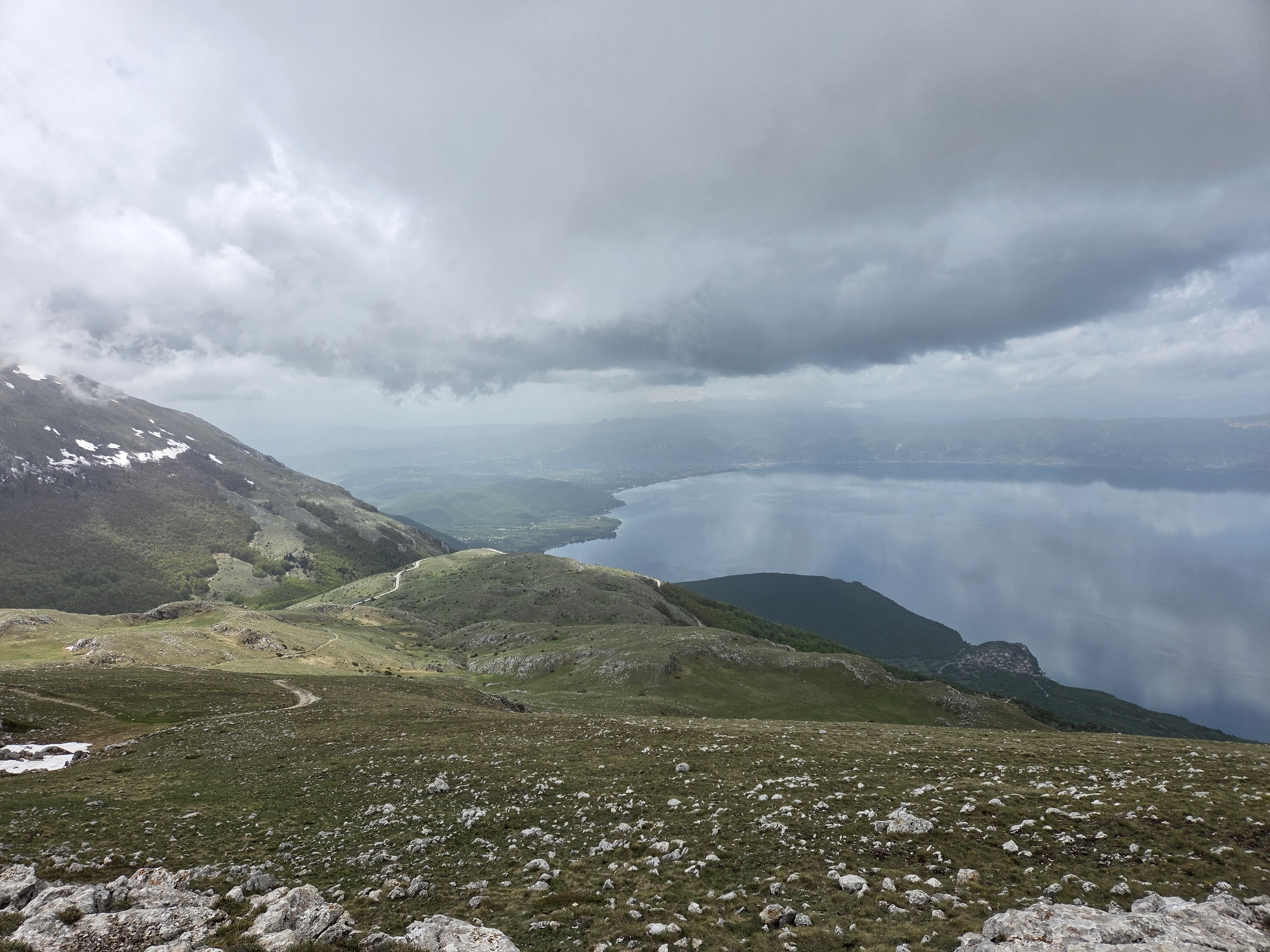
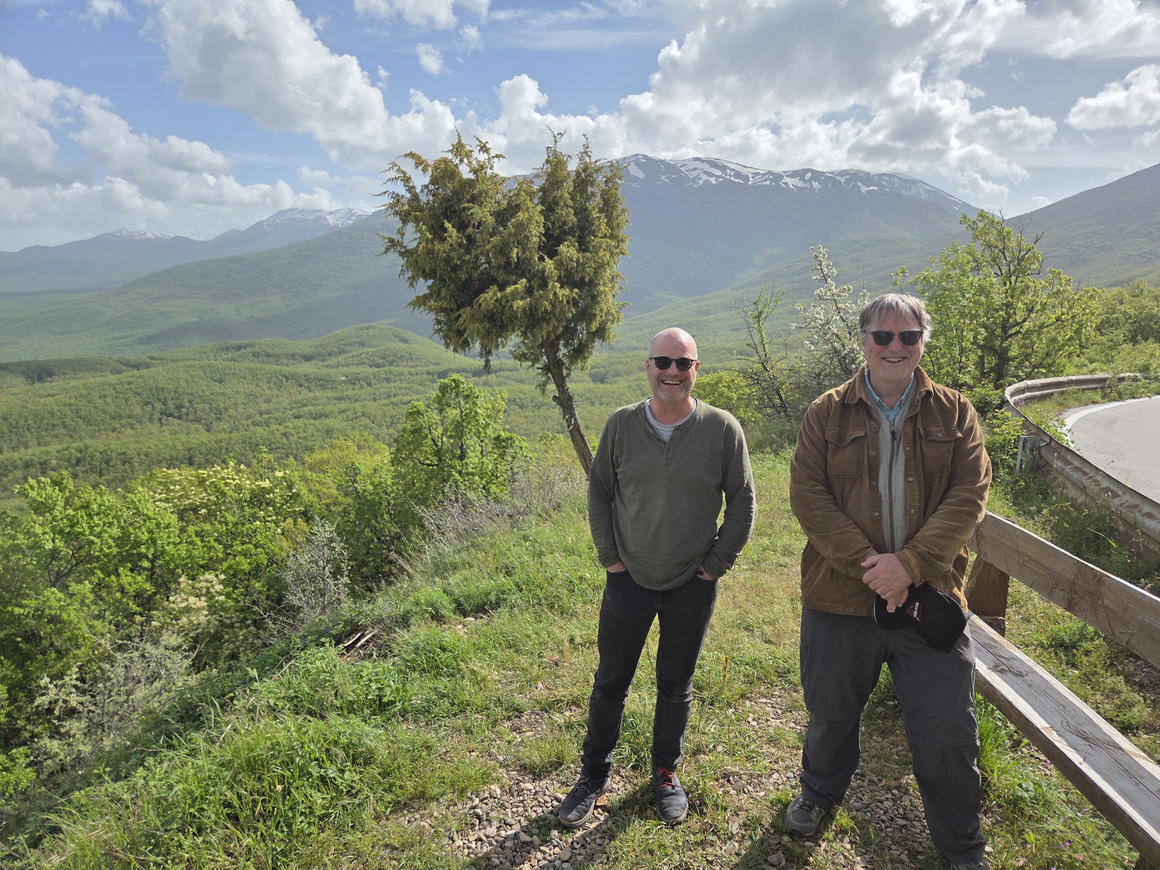
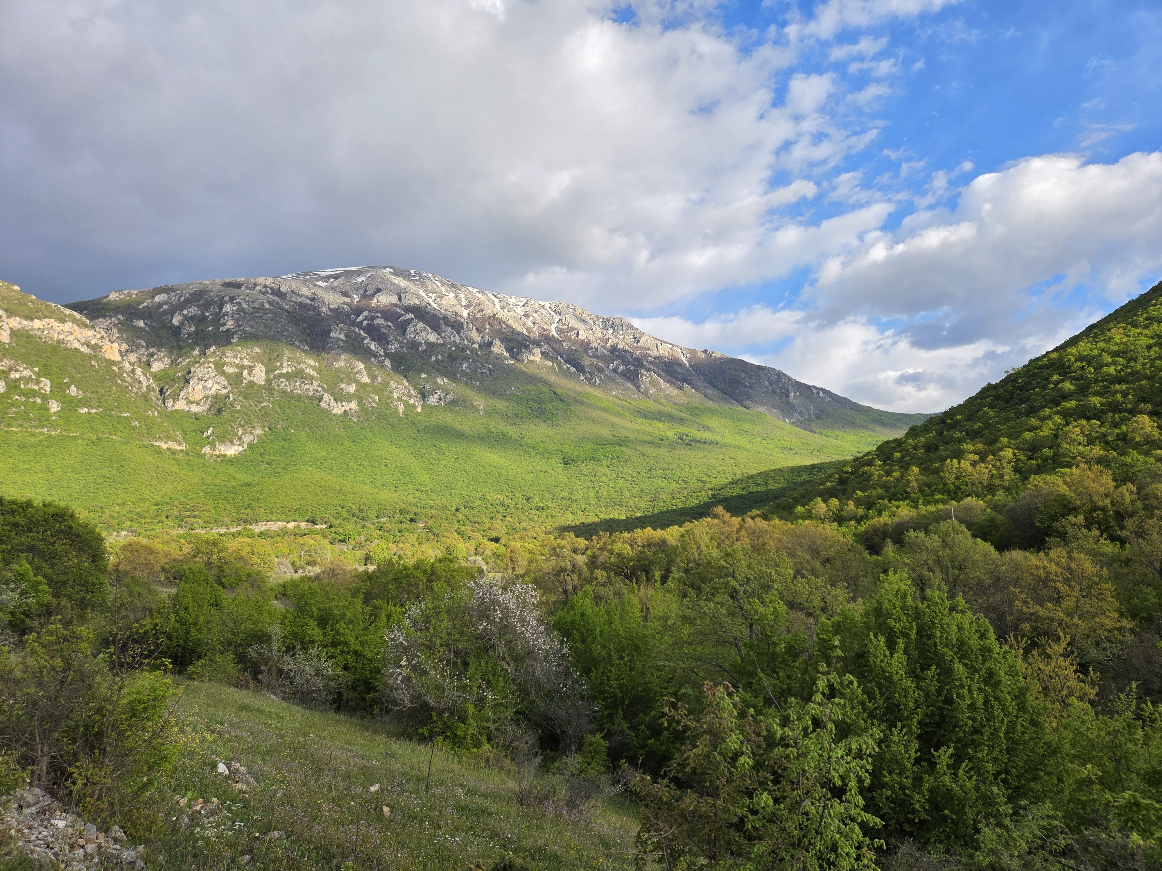
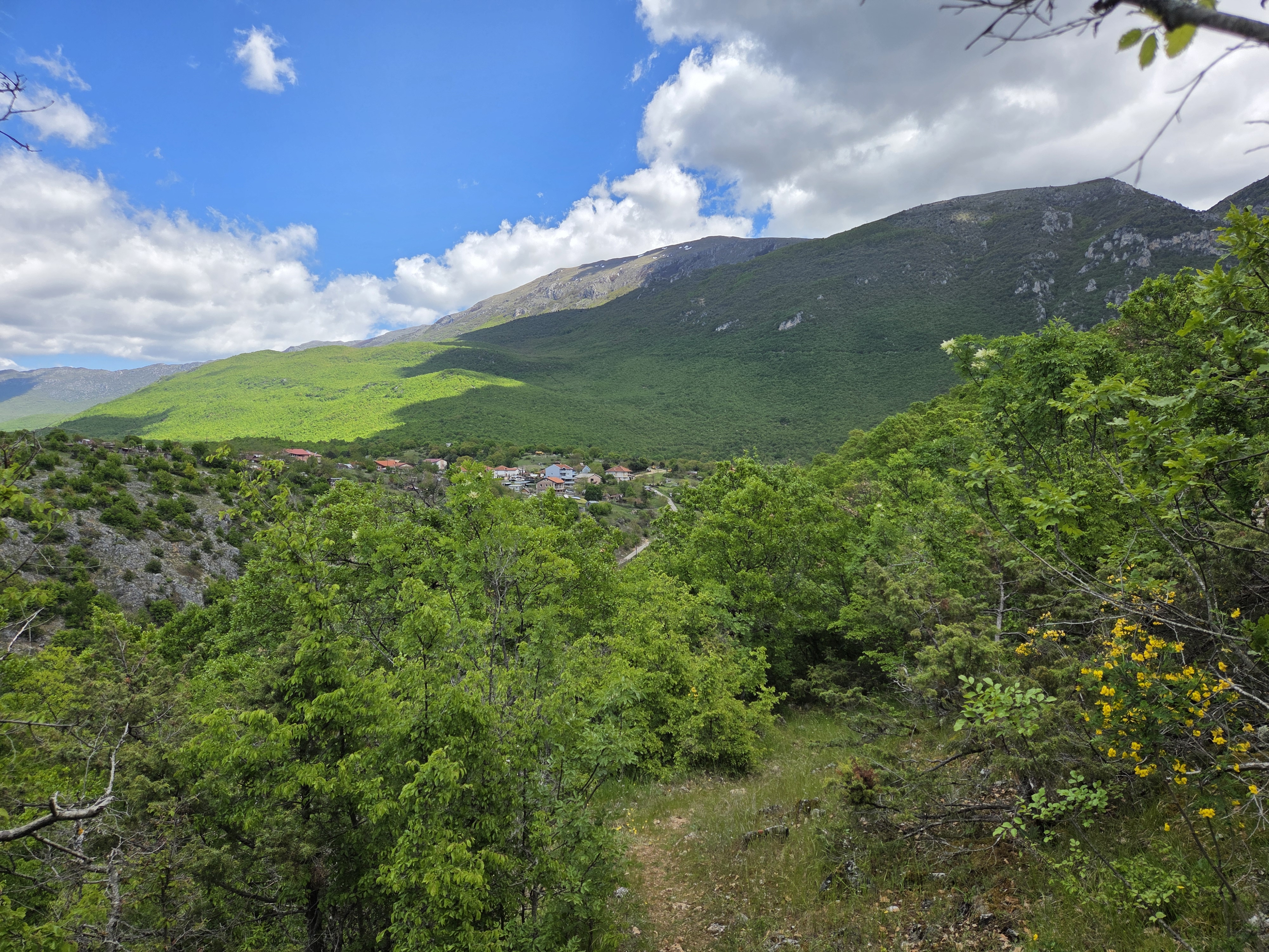
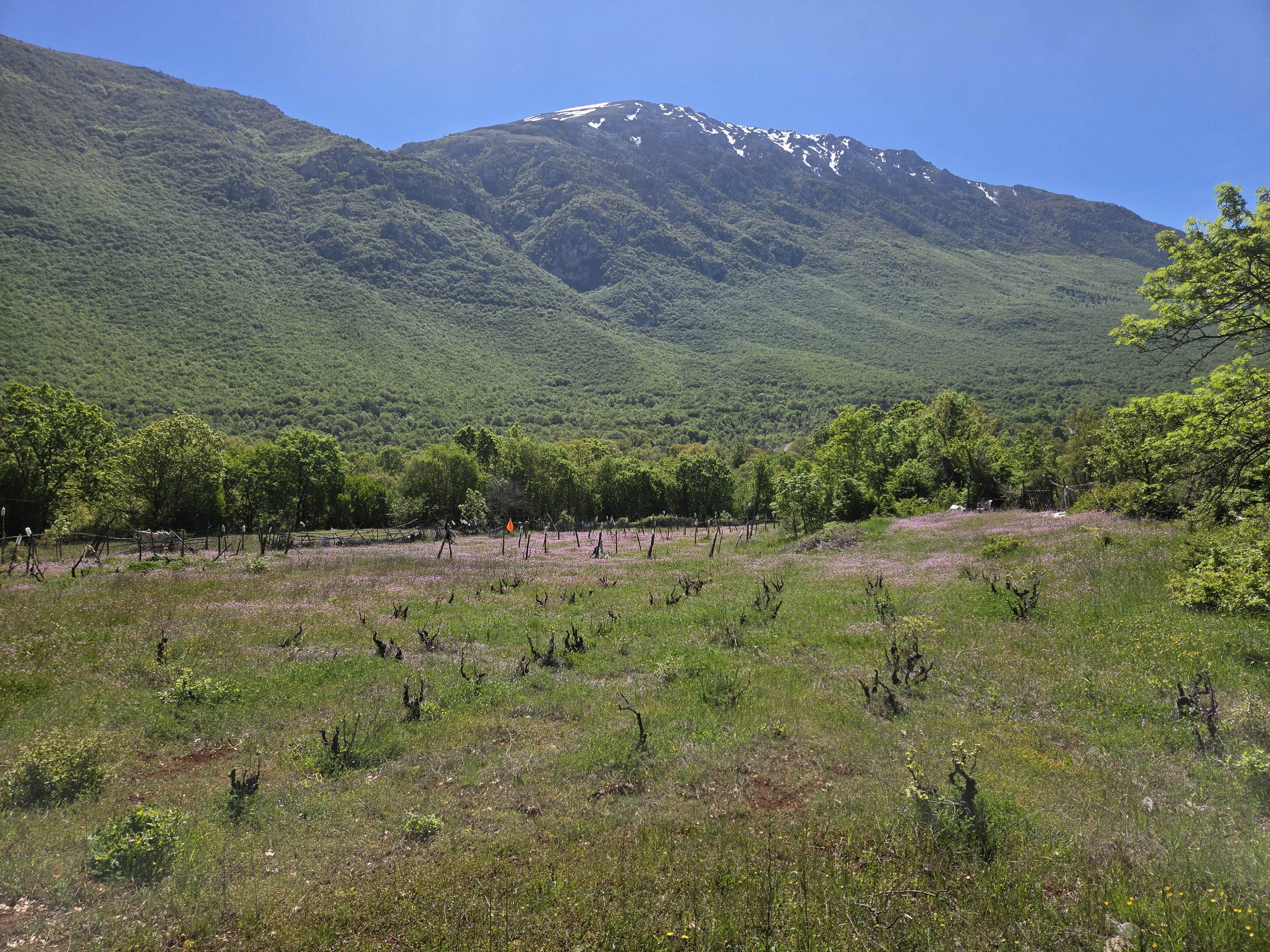
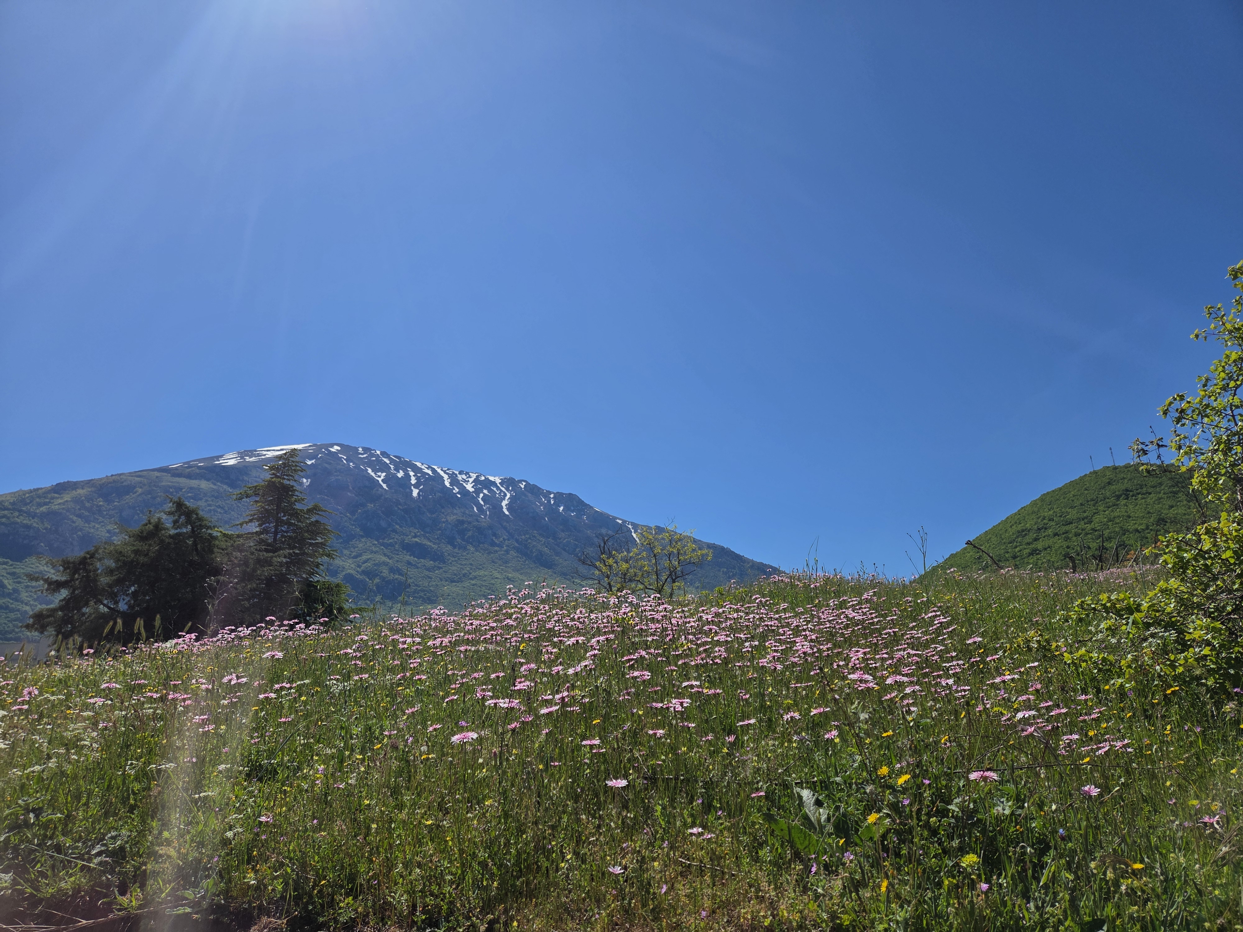
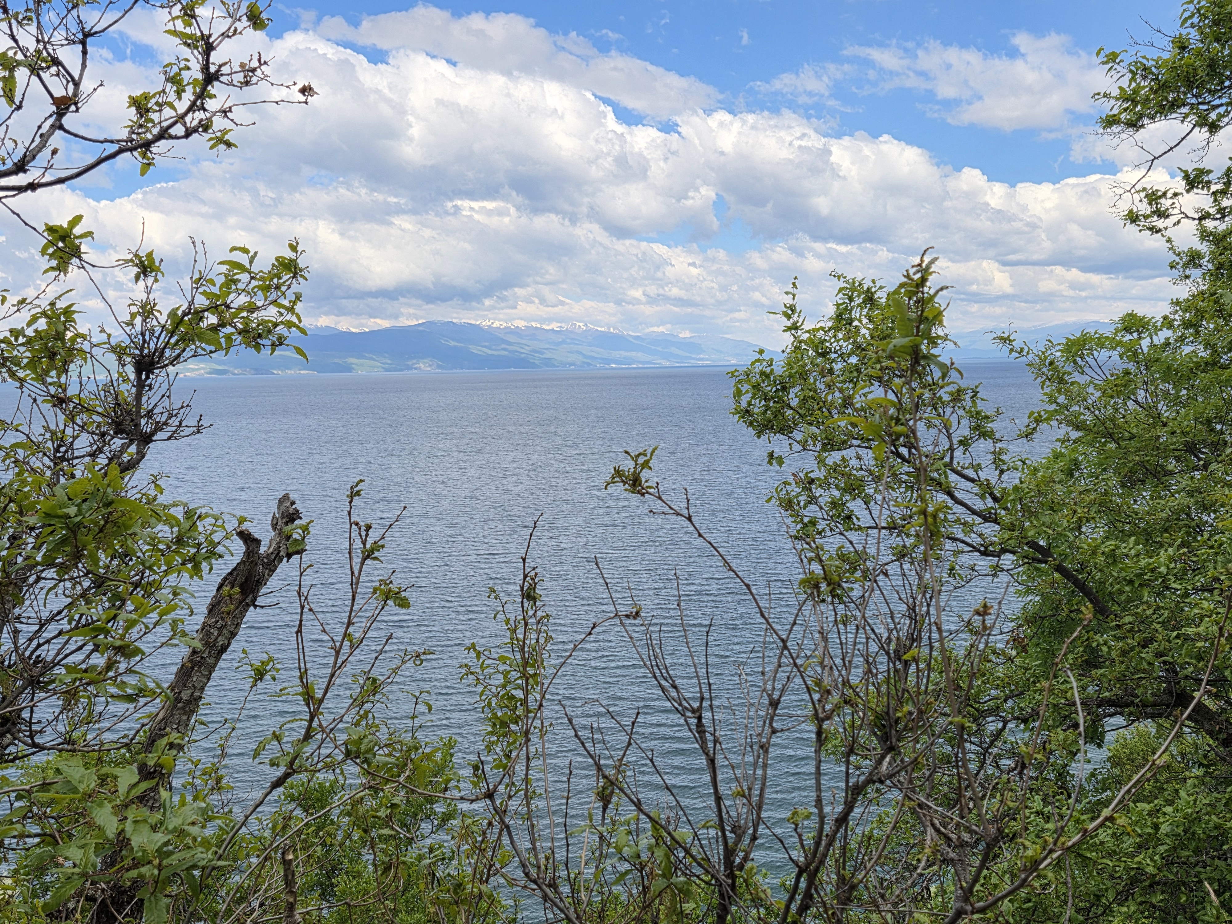
In case you’re keeping track, what you’re seeing above is 2200-meter high Mt Magaro, in this case as seen from the northeast on a 1987-meter prominence that I hiked up to early last week. We showed you this mountain in our first post from Macedonia, nearly three weeks ago. Here, we show you more of the lovely mountainous terrain between and around Magaro, Lake Ohrid (top right corner here, with probably a bit of Albania visible in the distance) and Lake Prespa (top left corner here, with probably bits of both Albania and Greece showing up, since all three countries share Prespa), where Steve and I spent a glorious day exploring, last week.
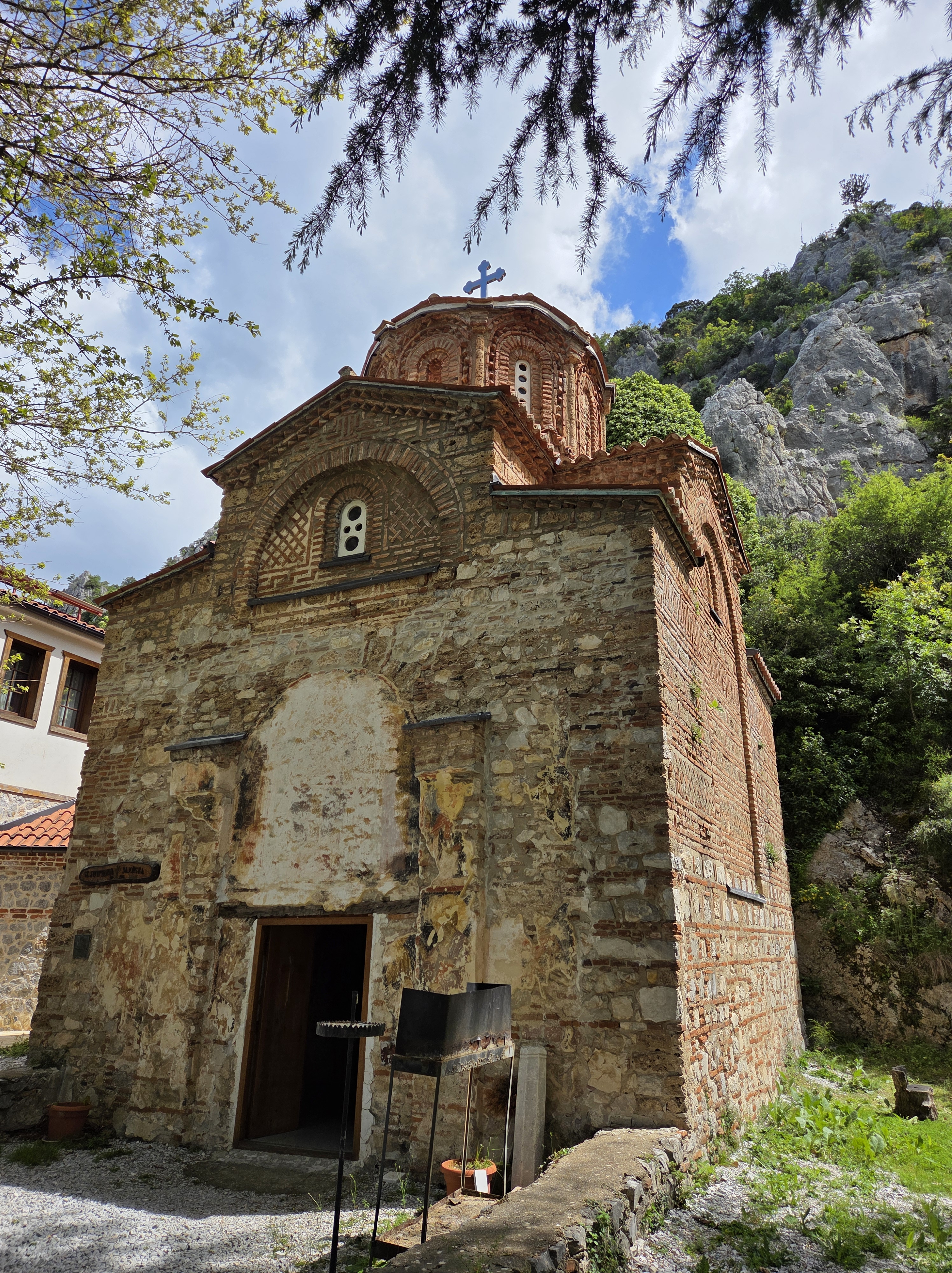
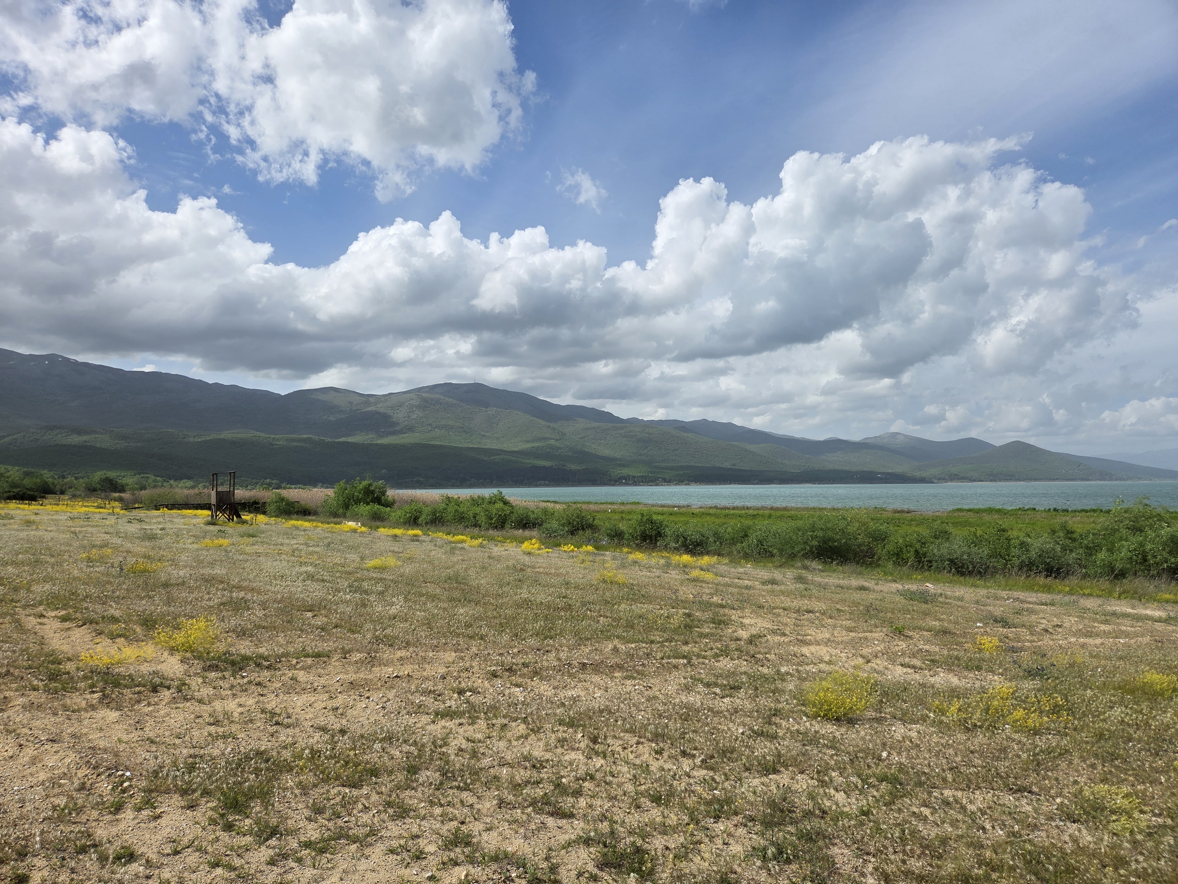
This is where the underground springs noted in a prior post emerge to feed the short streams carrying water from Lake Prespa into Lake Ohrid, here at its southern end.
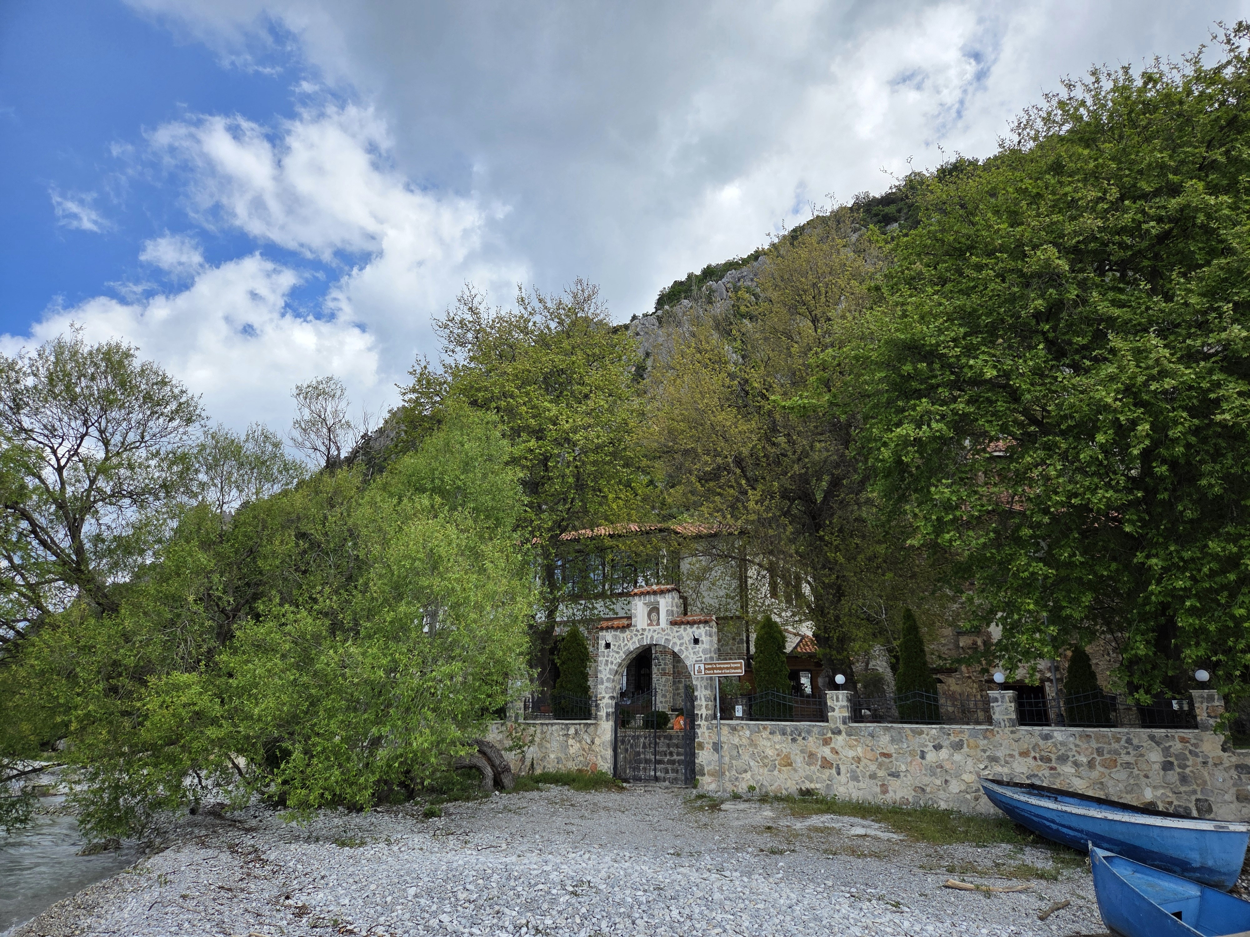
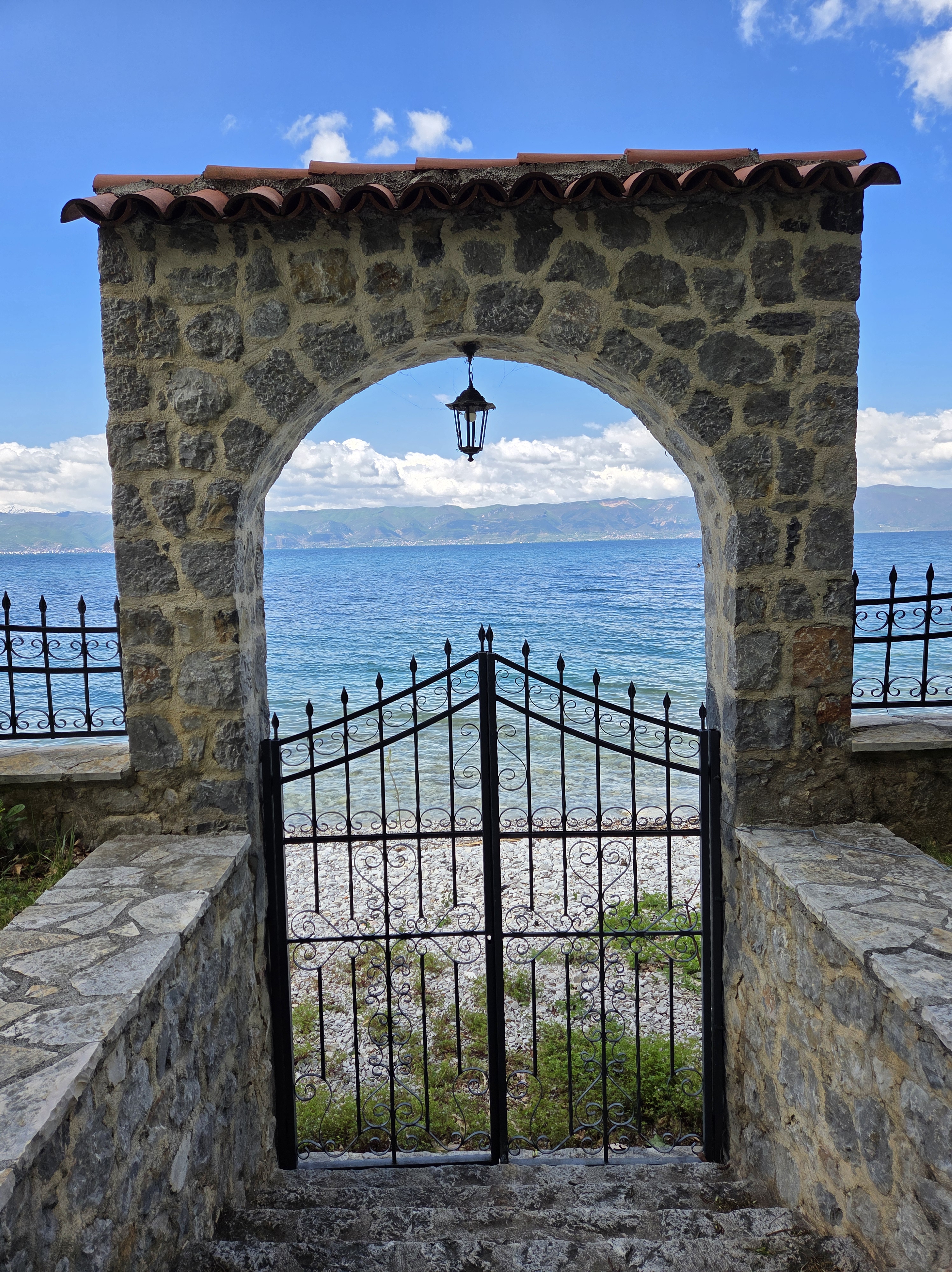
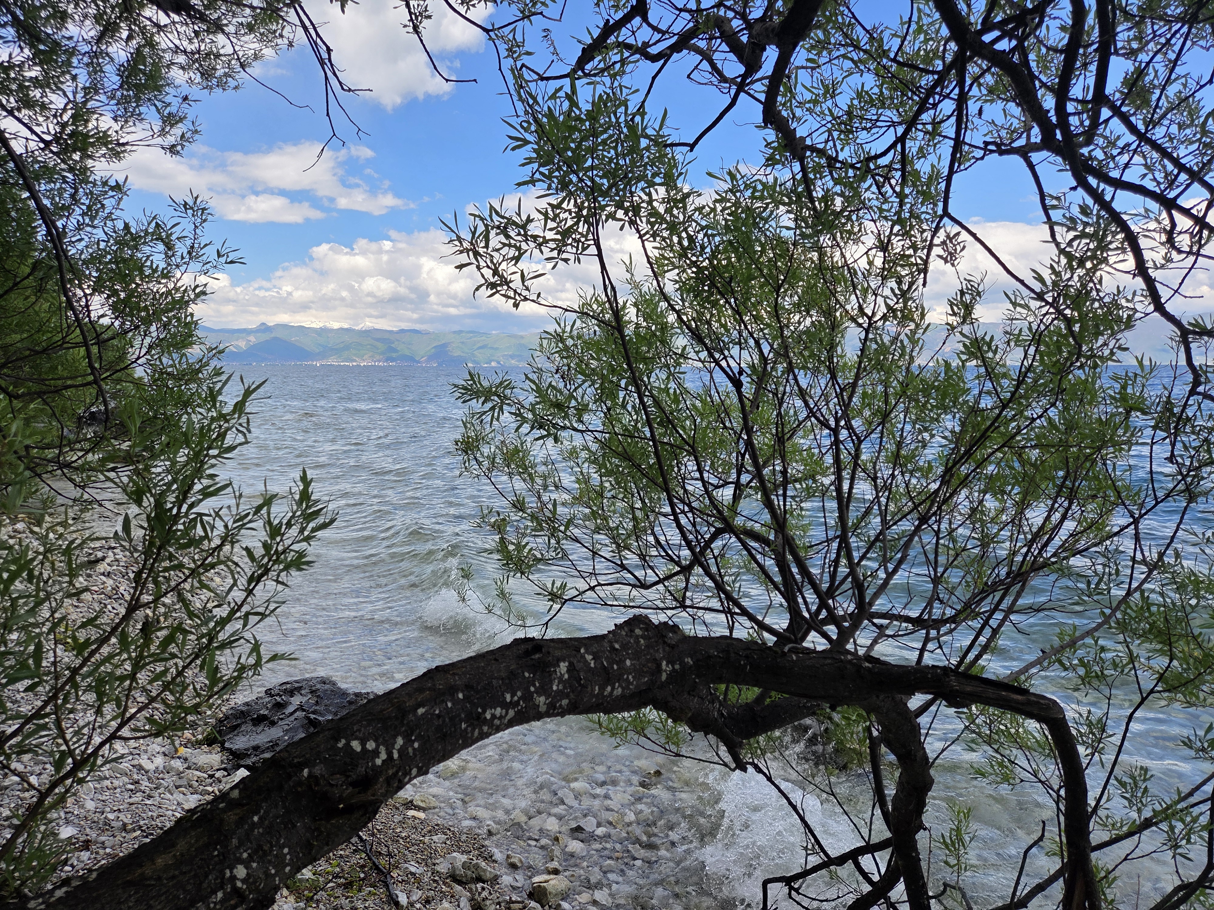
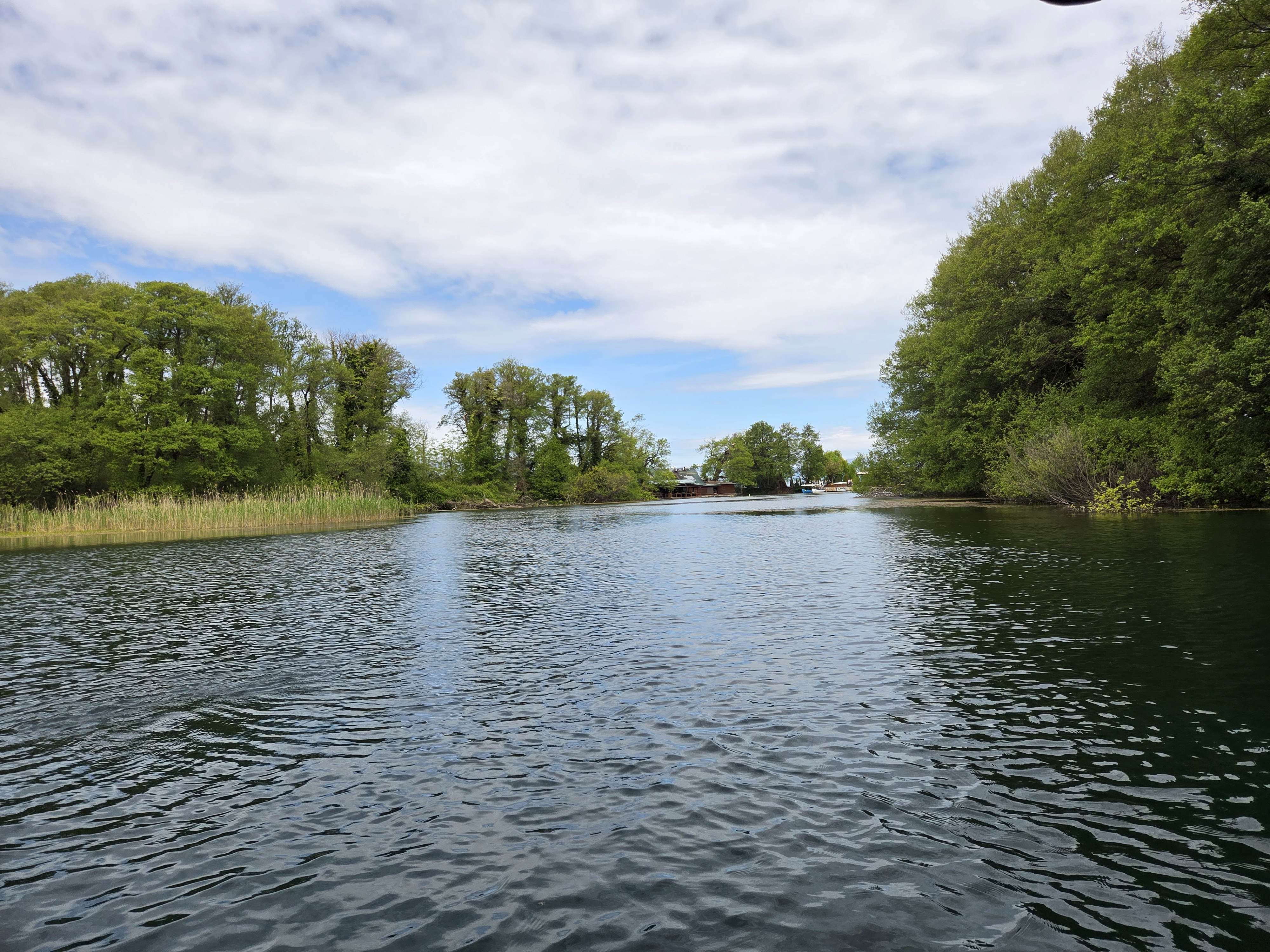
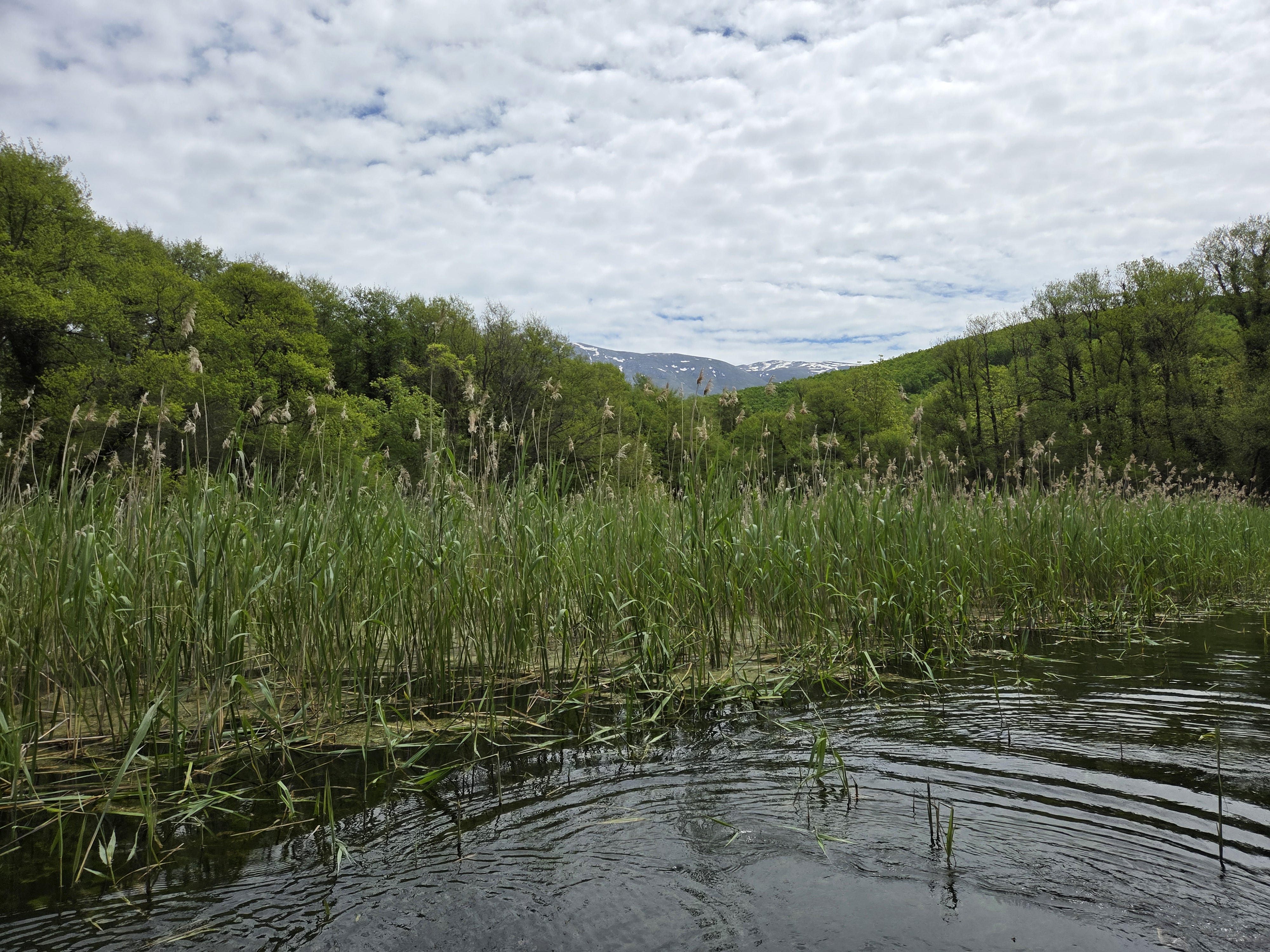
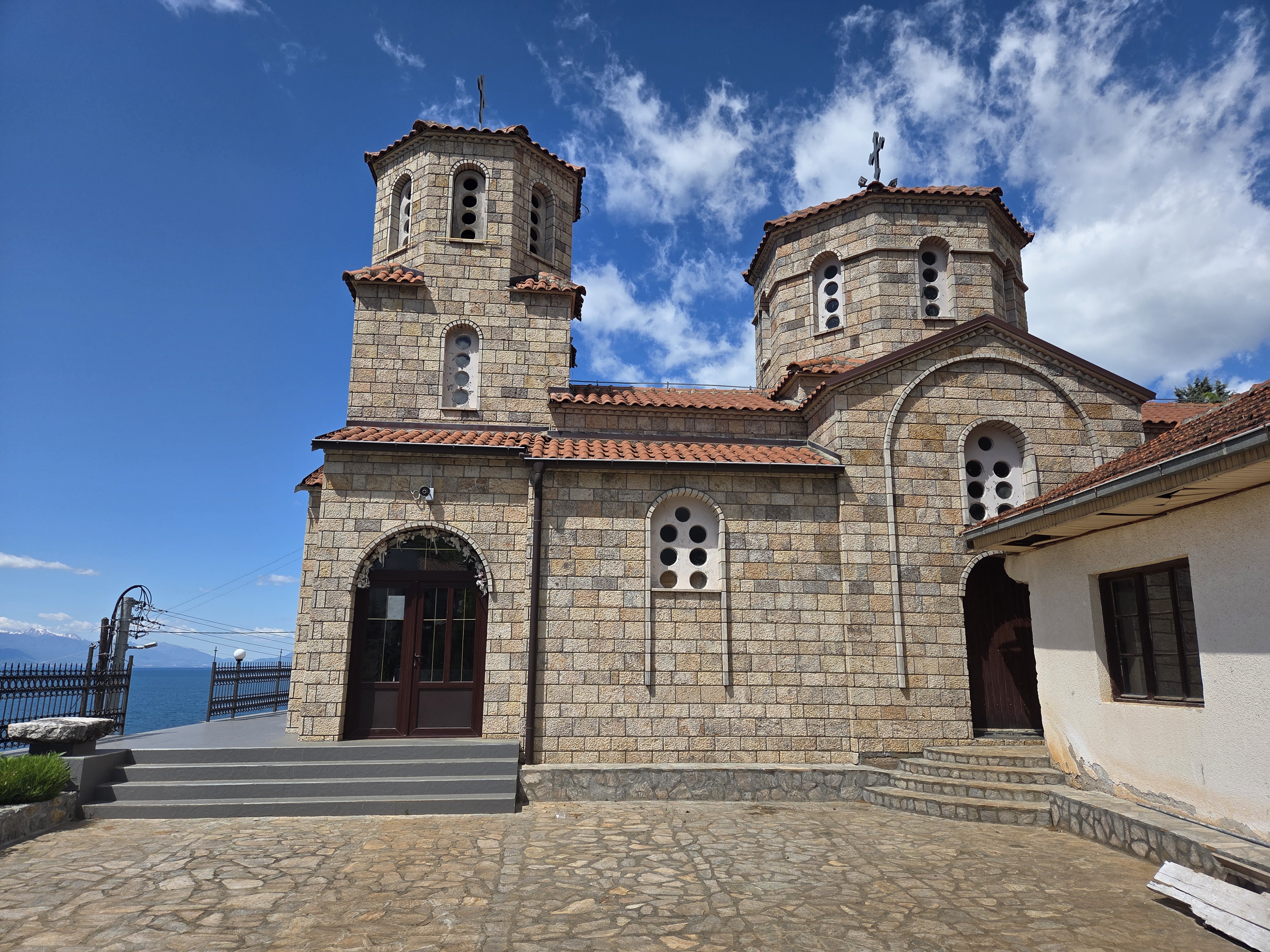
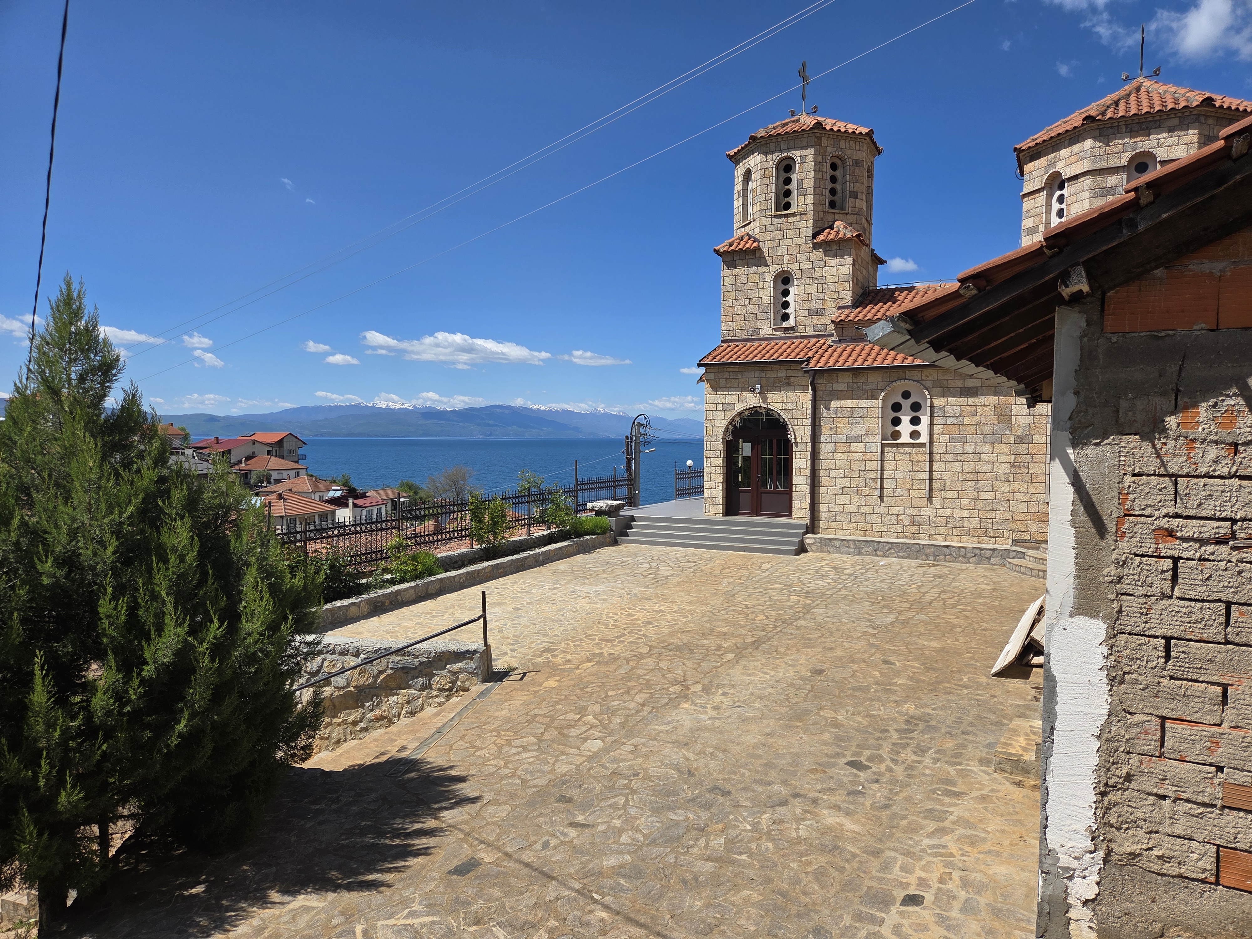
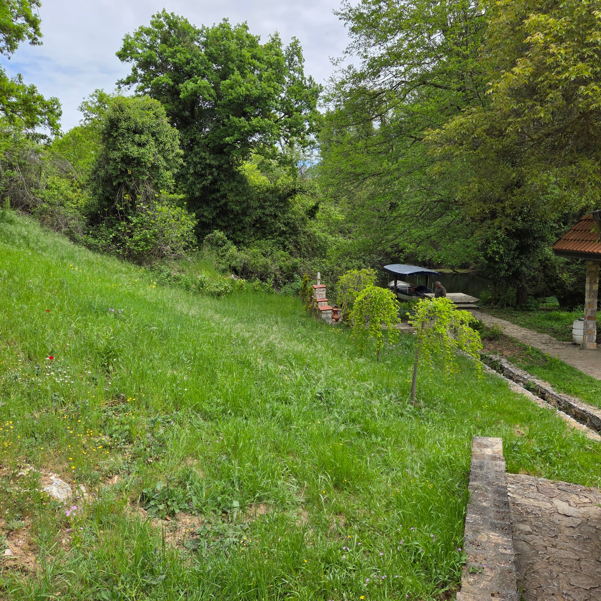
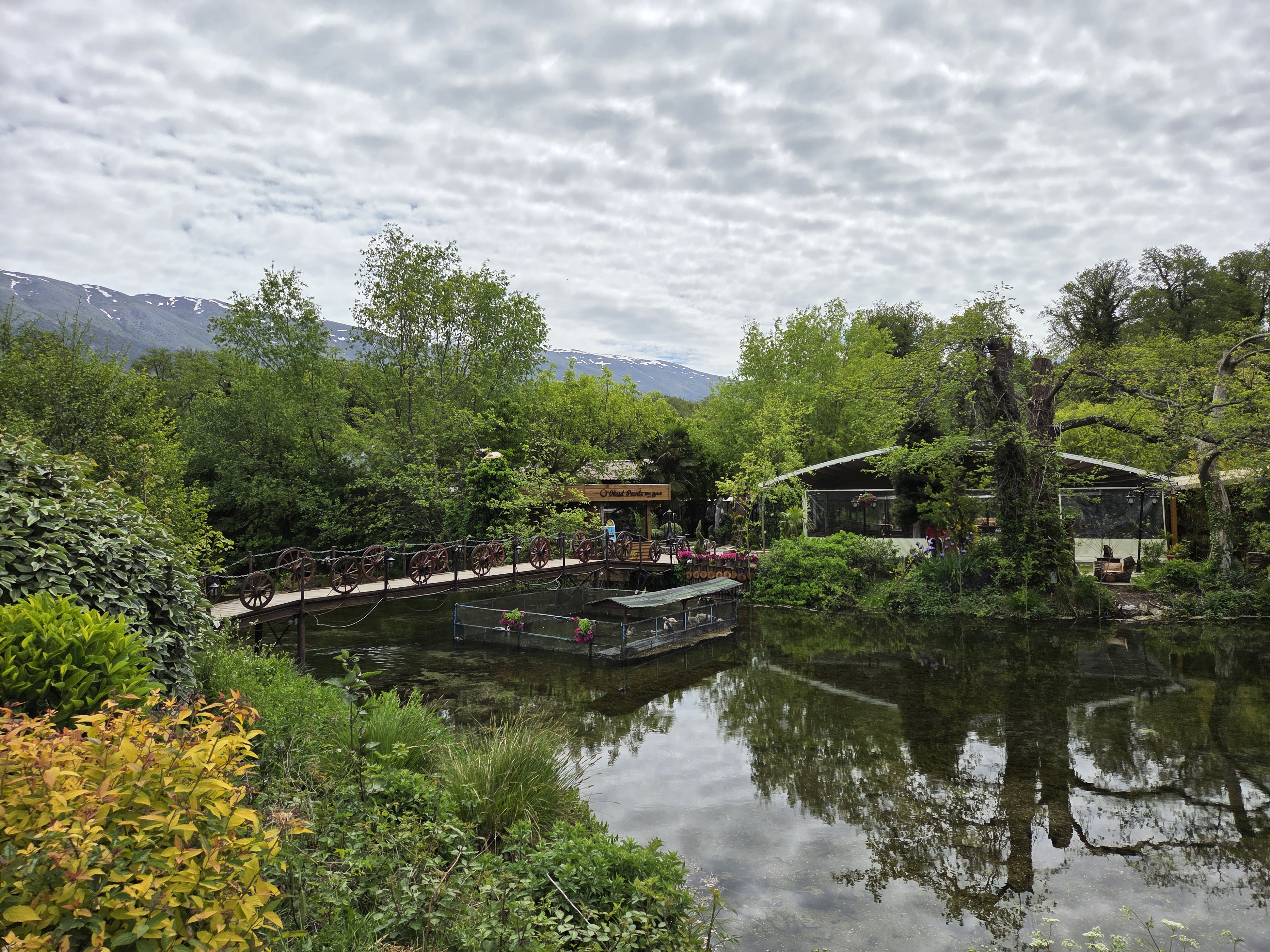
Just on the Macedonian side of the border with Albania lies the beloved monastery and church of St Naum. The island just above (with restaurant, far side of the bridge) sits where streams fed by natural springs which flow downhill from Lake Prespa, south and east of Lake Ohrid and higher in the mountains, flow into Lake Ohrid. These springs are remarkably clear and beautiful, running a short distance south (“inland,” as it were) to where they emerge from underground at a location where there’s another lovely little church which we’ll show in a future post. For now, views of the streams fed by the springs, and the two islands that sit at the south end. It’s all fairly protected as part of Gallicica National Park, as I understand.
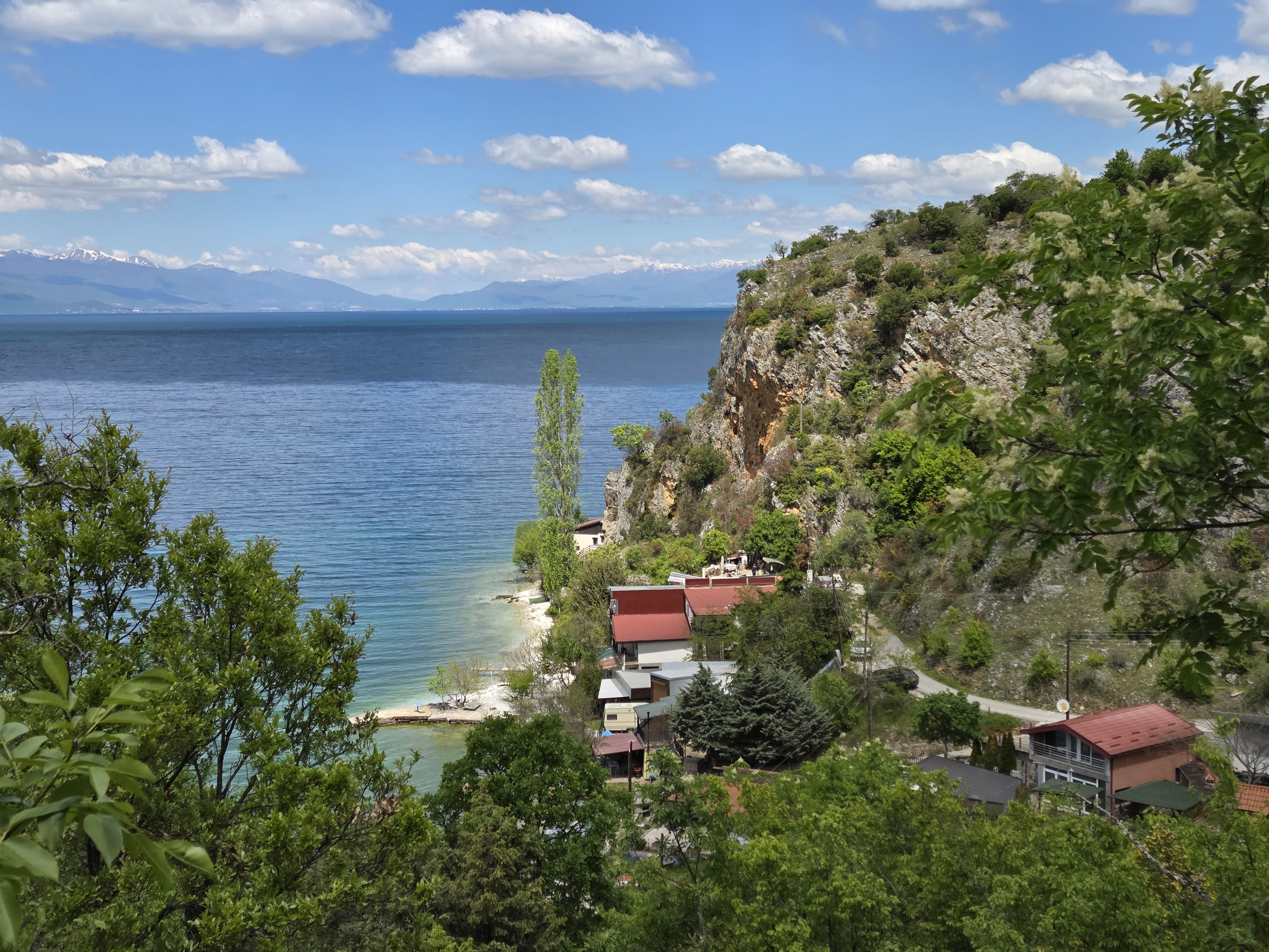
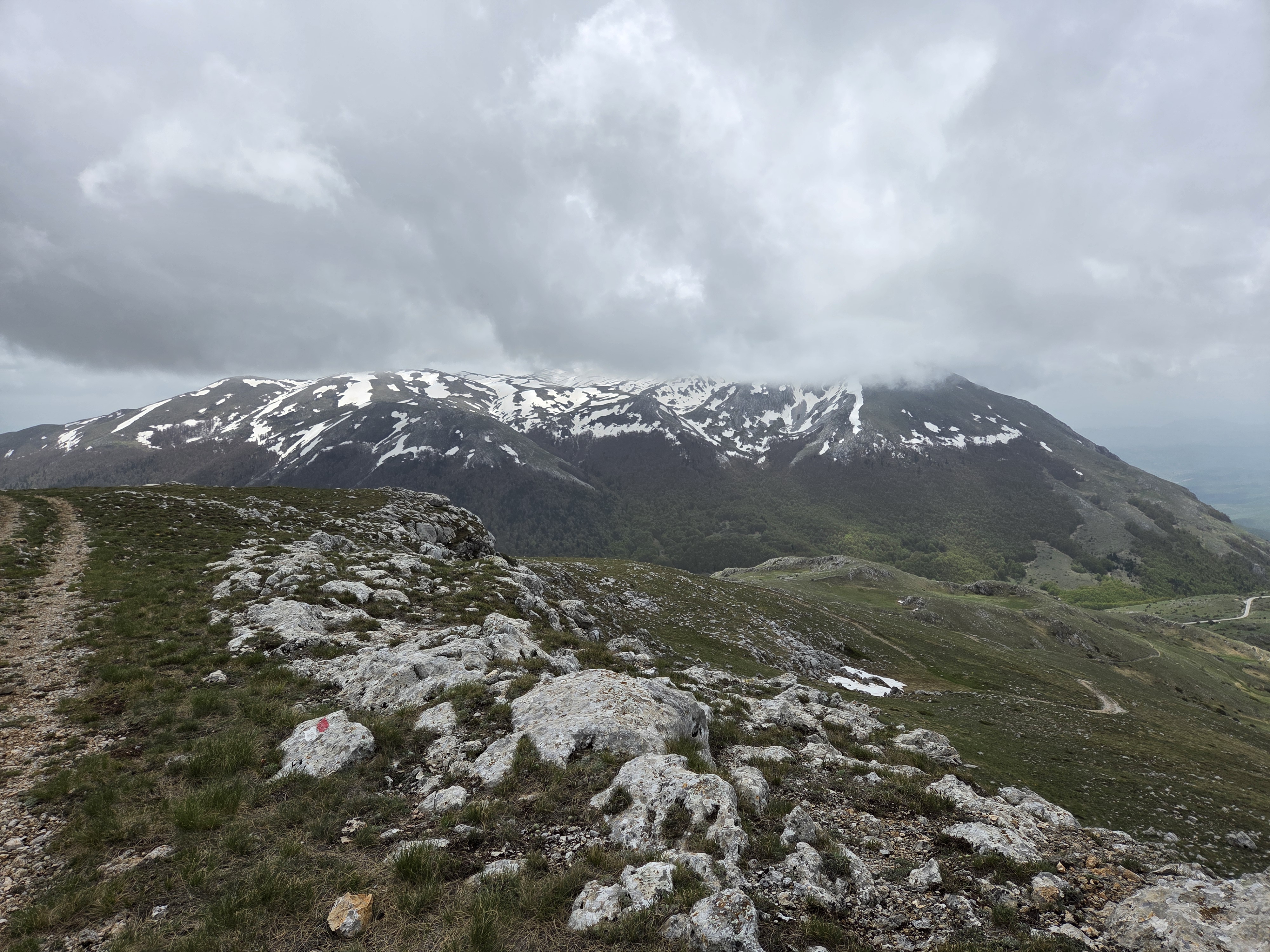
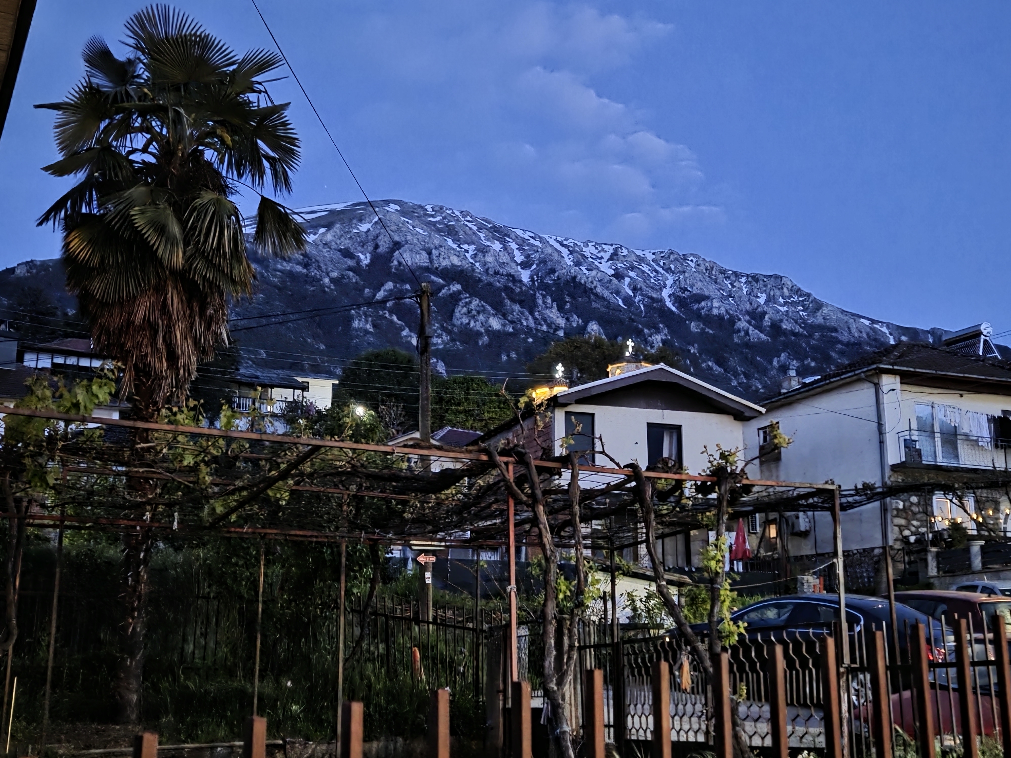
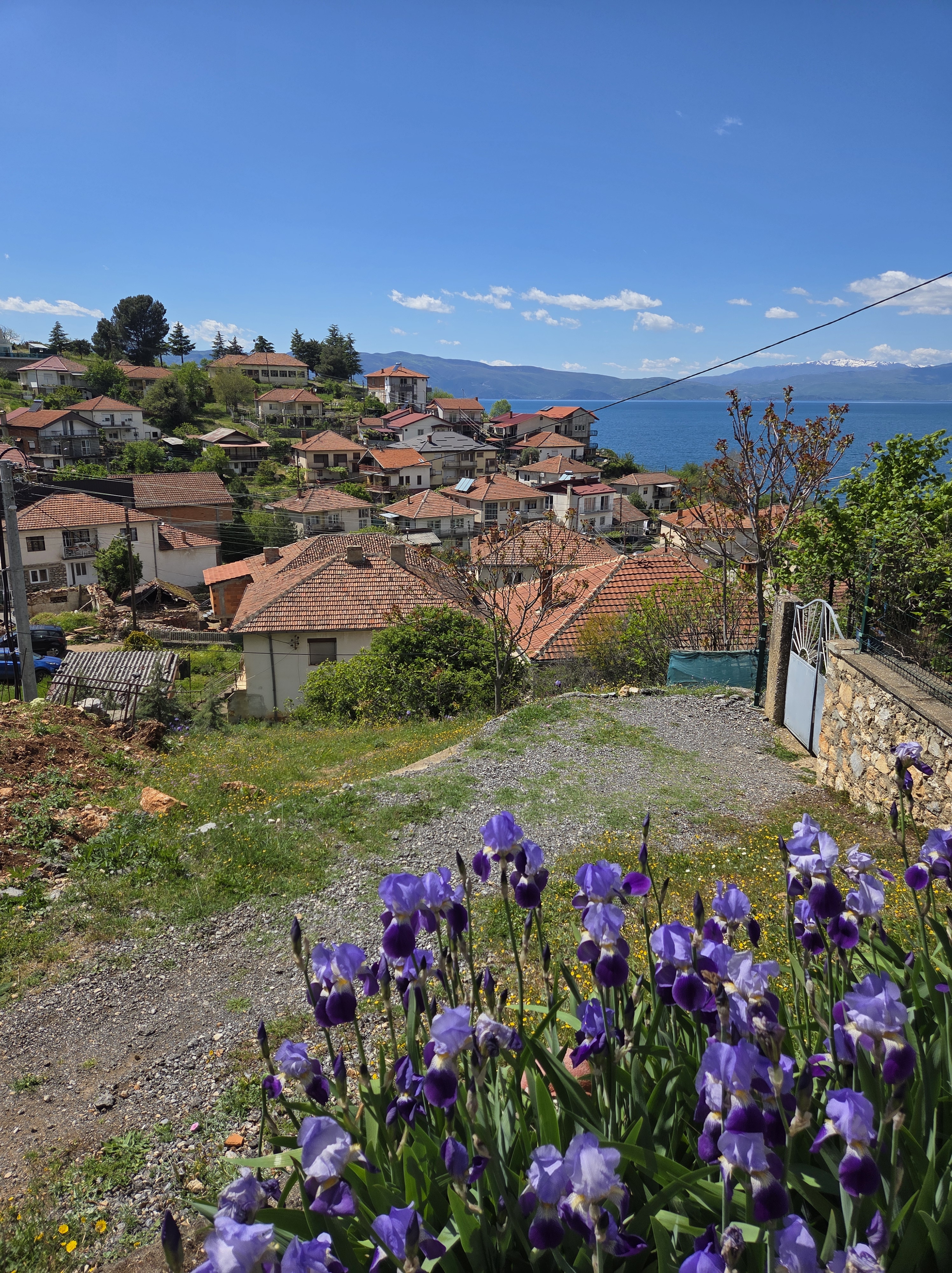
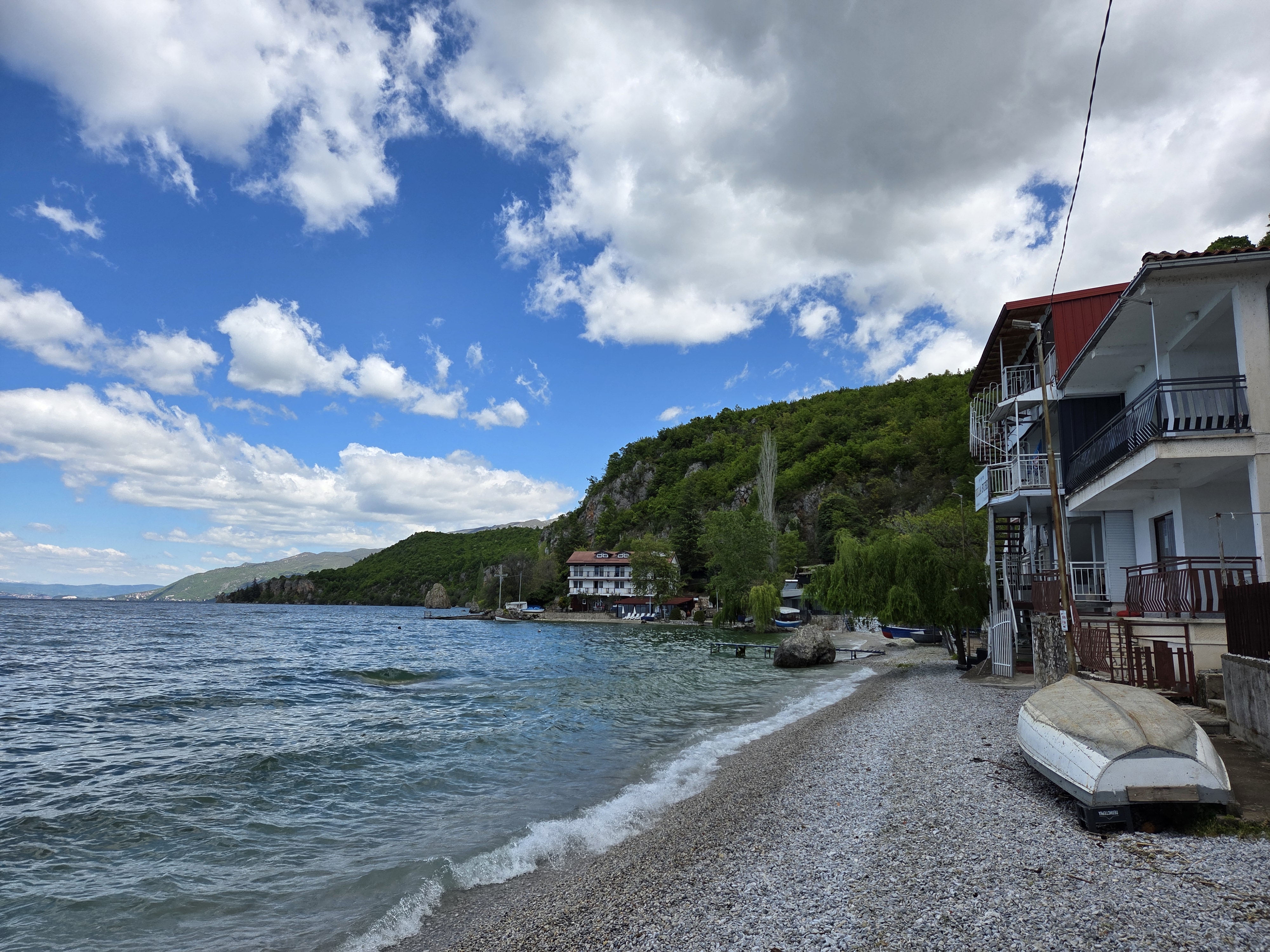
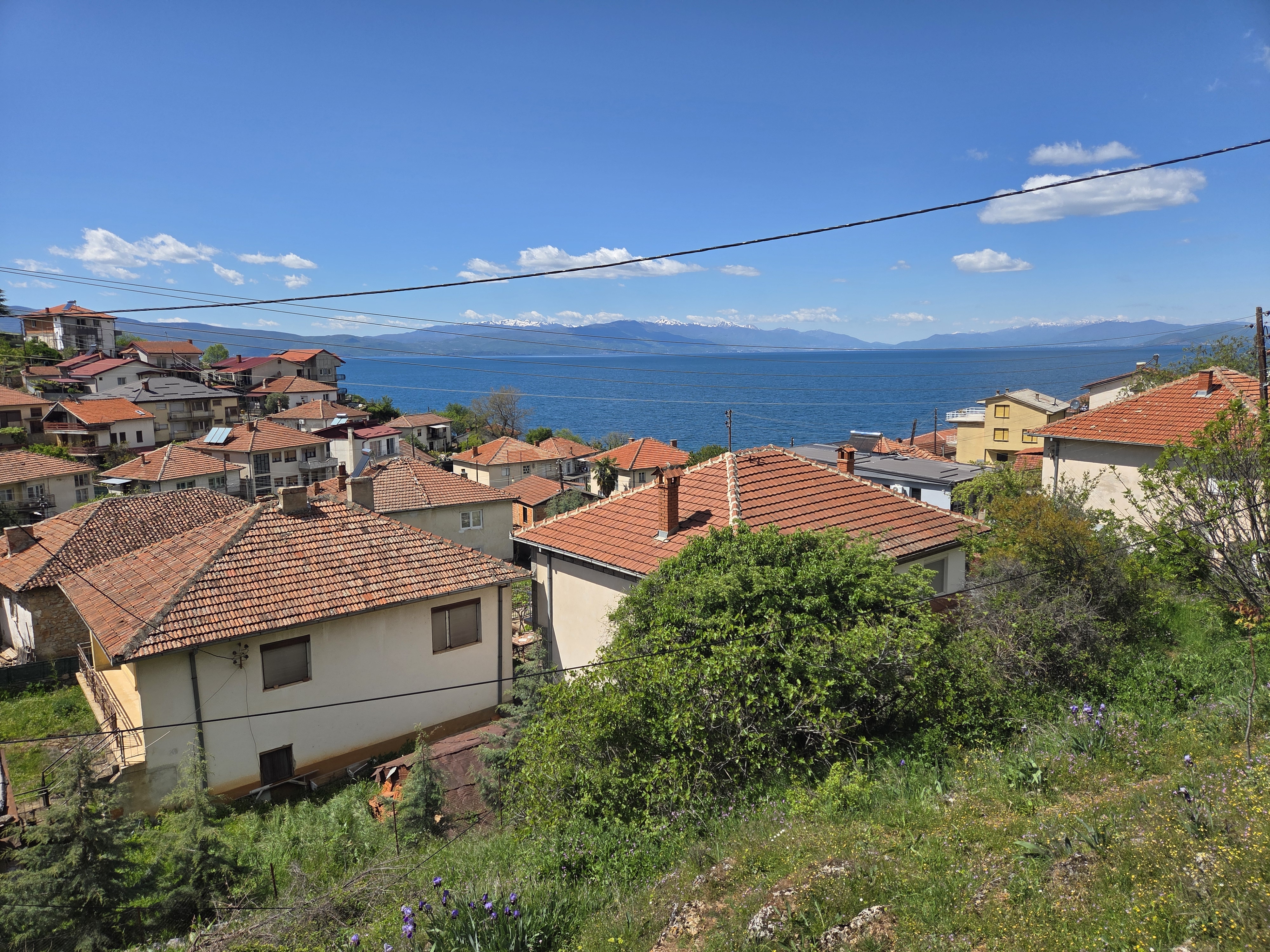
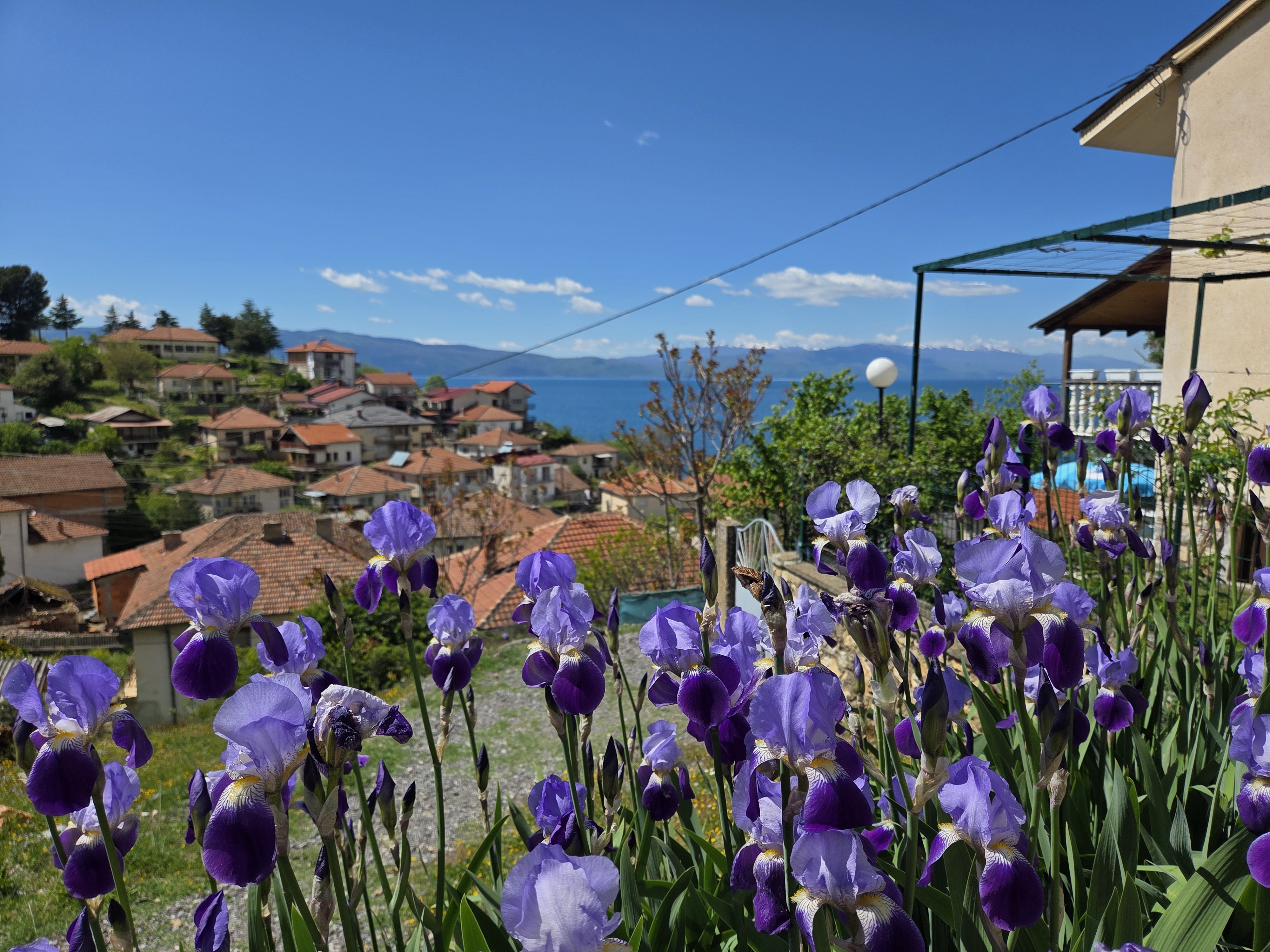
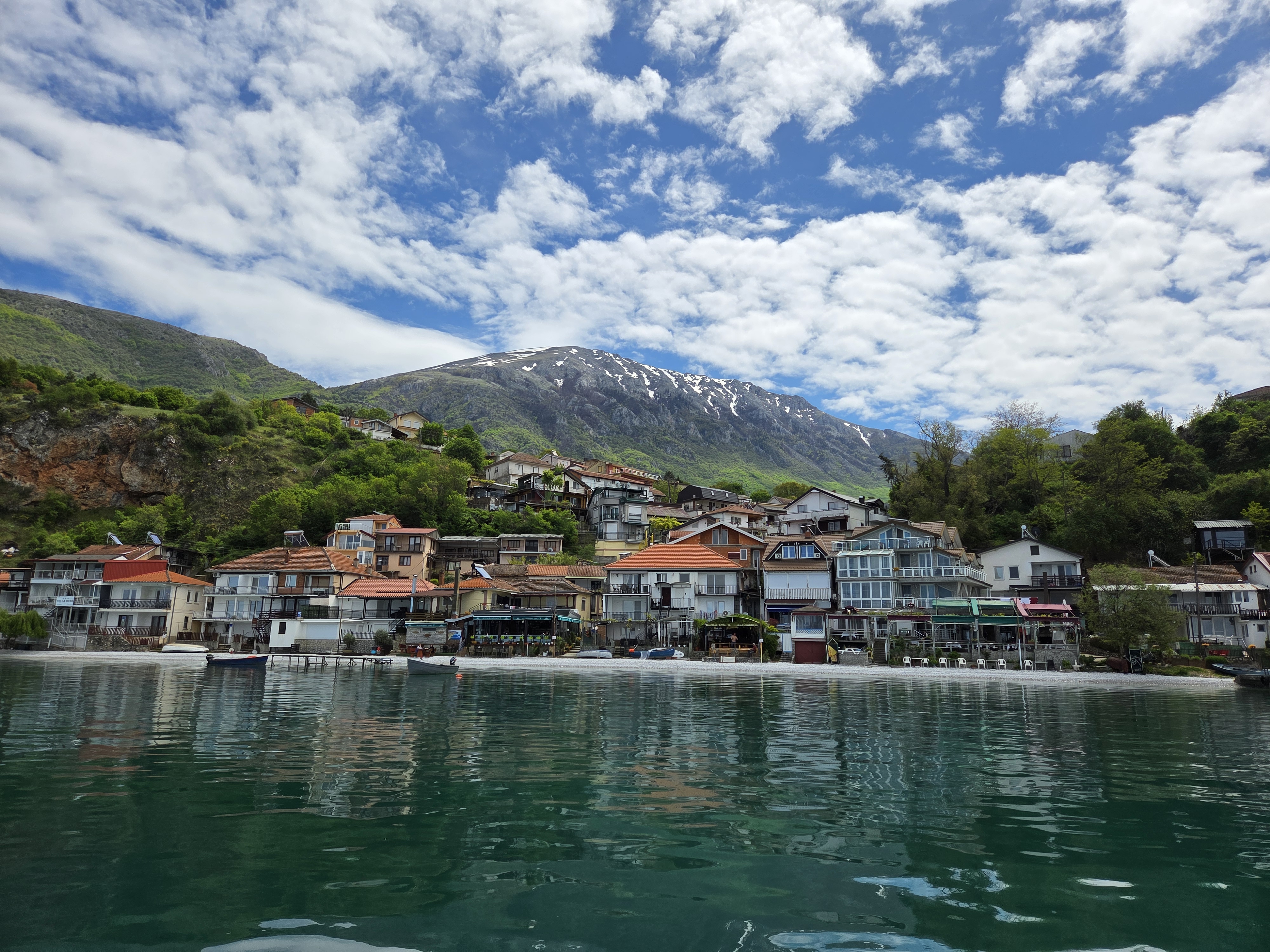
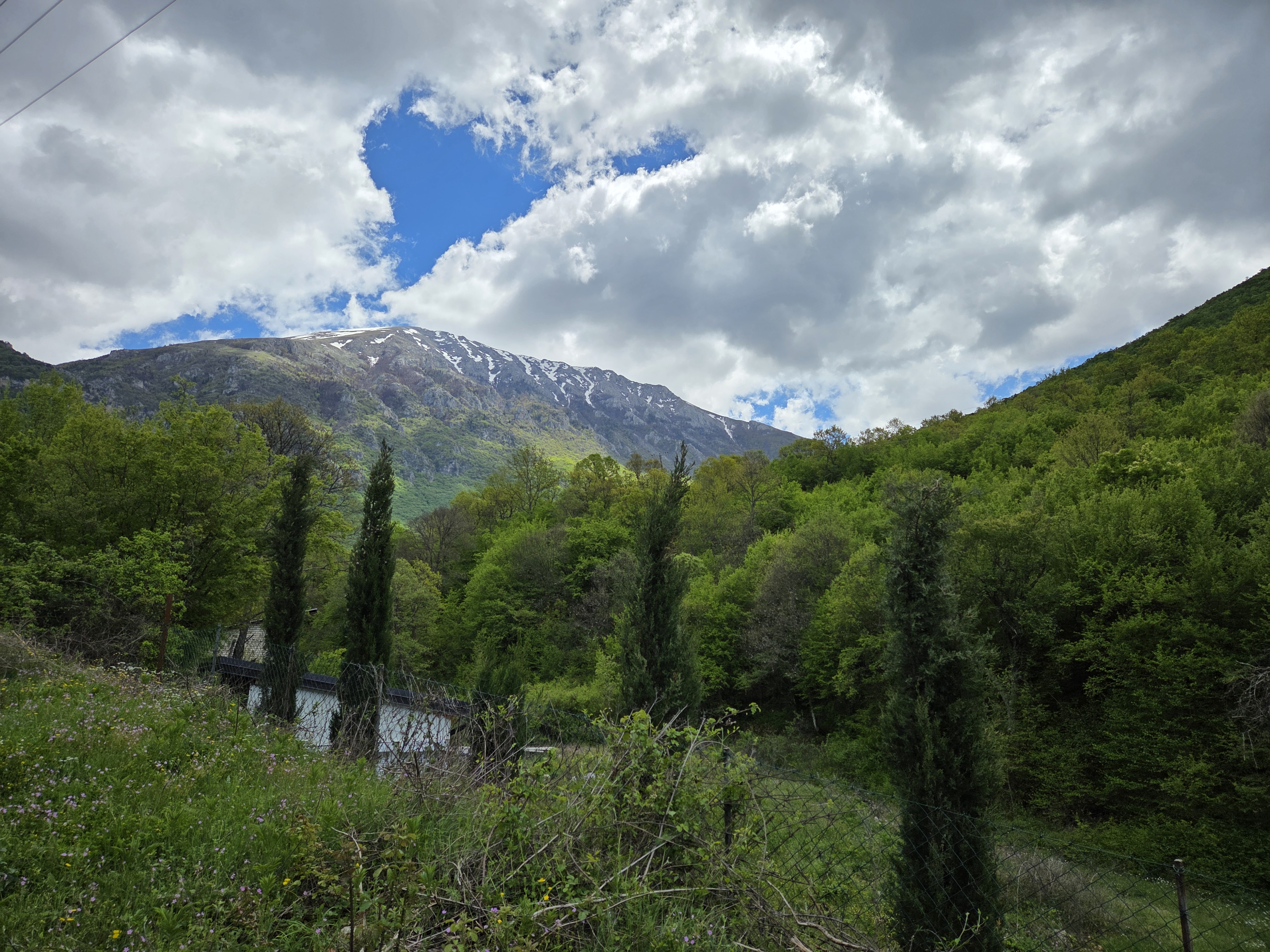
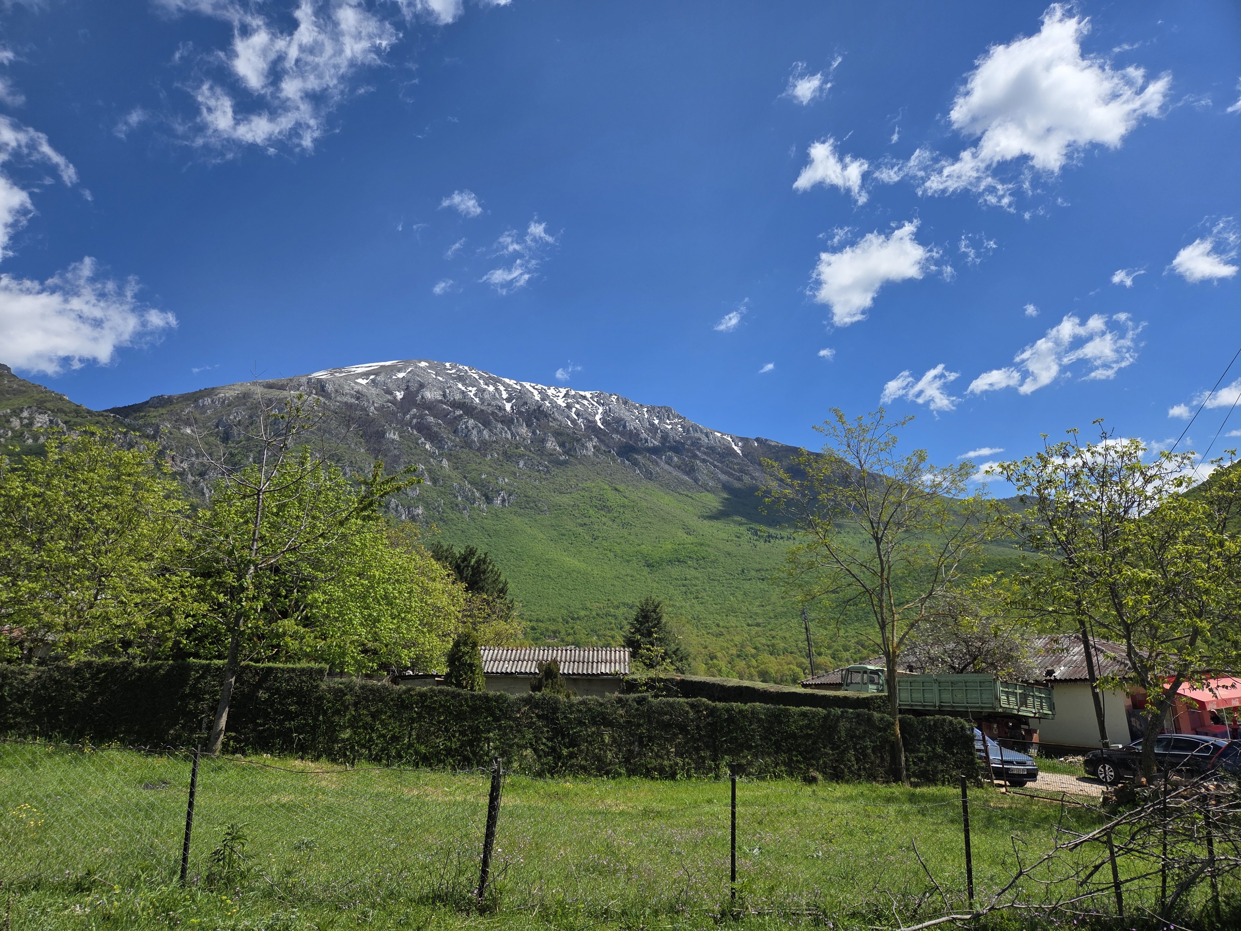
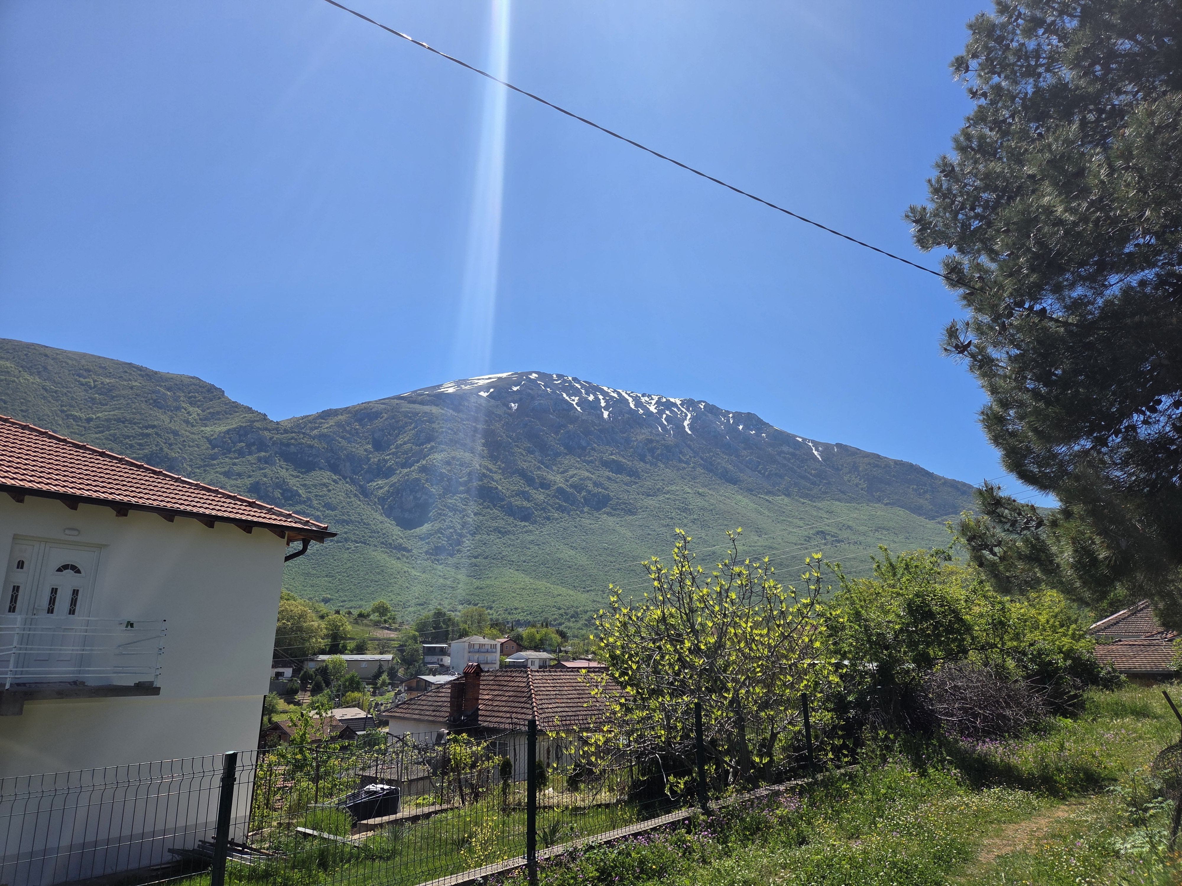
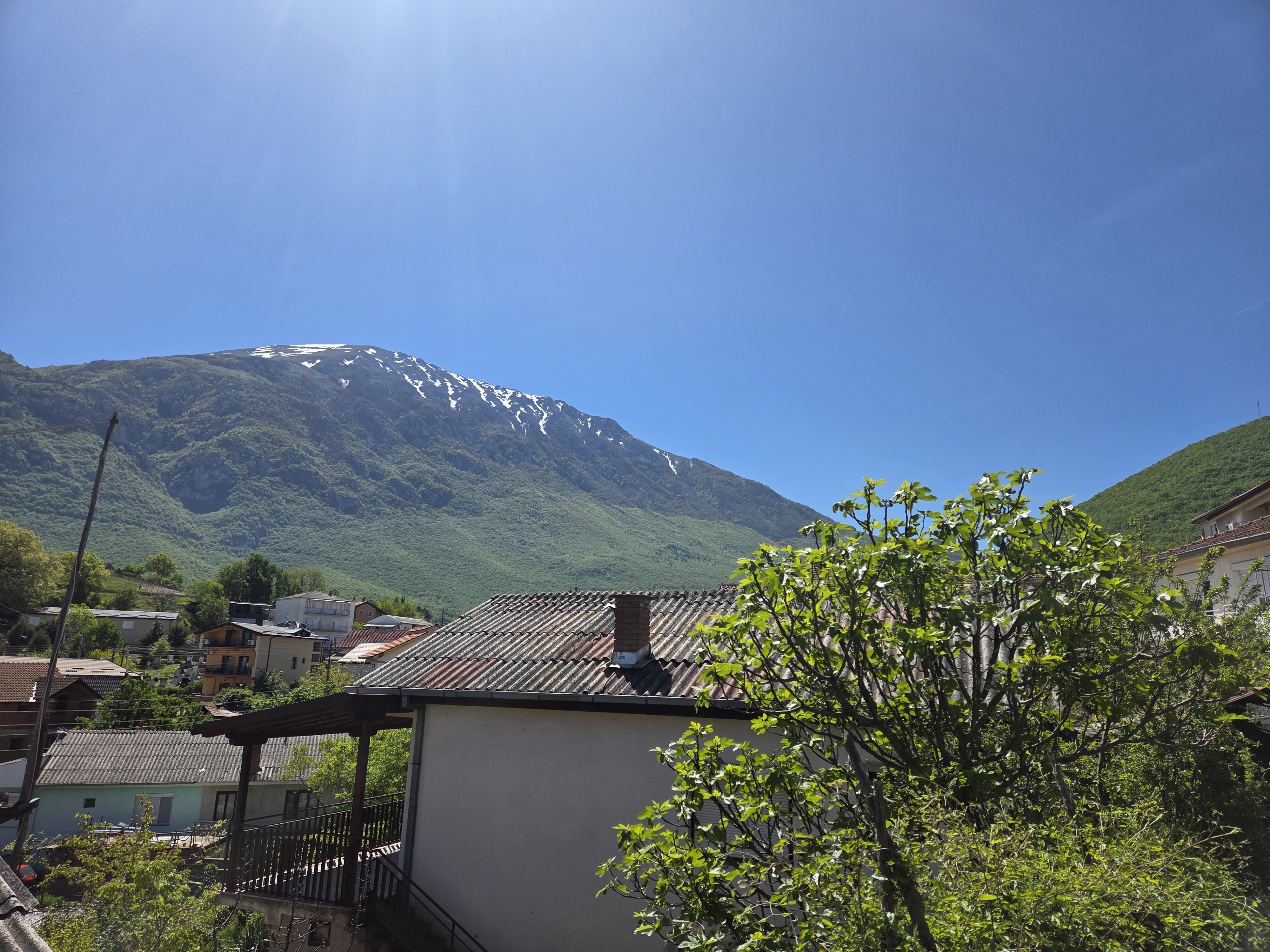
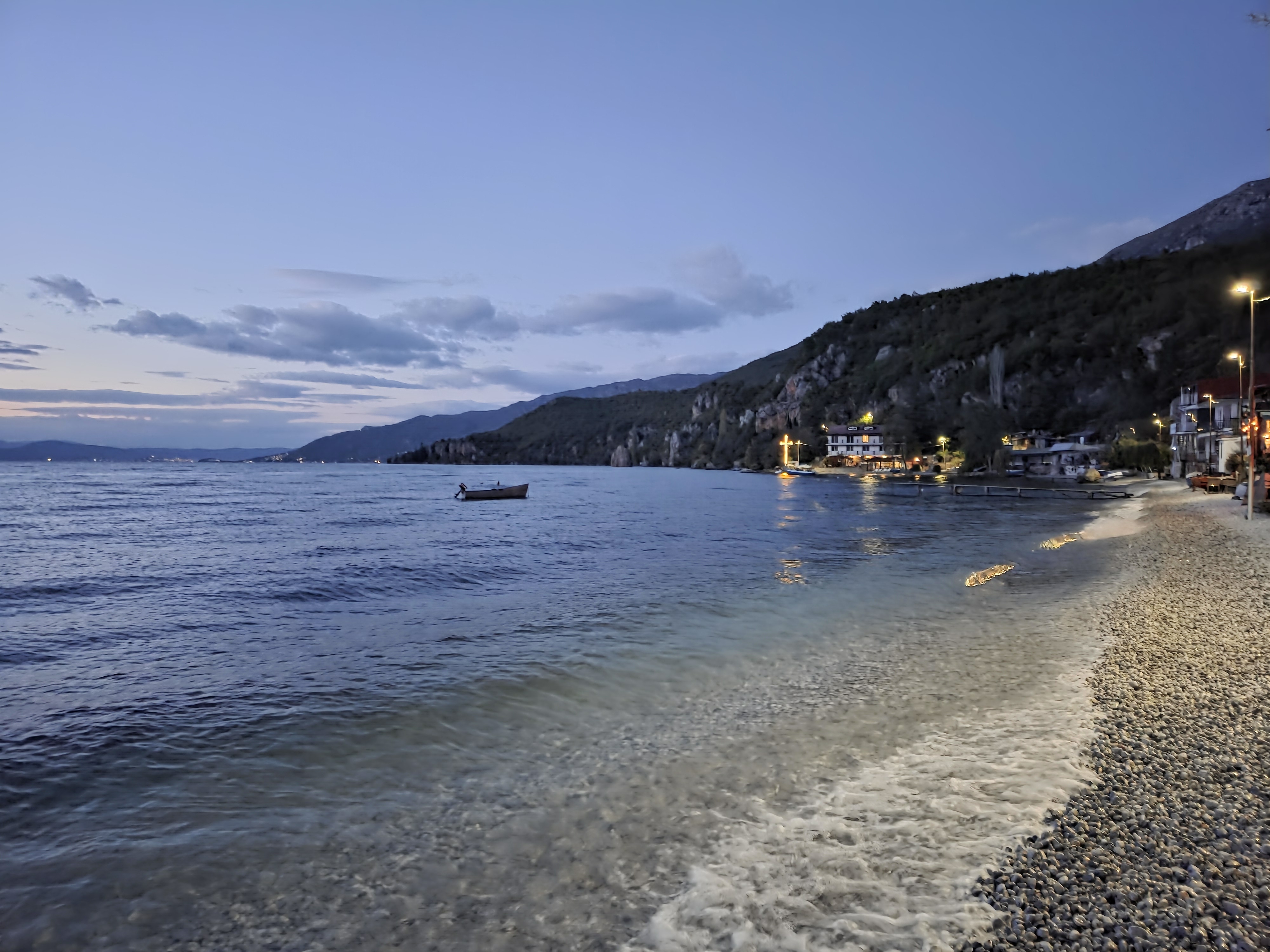
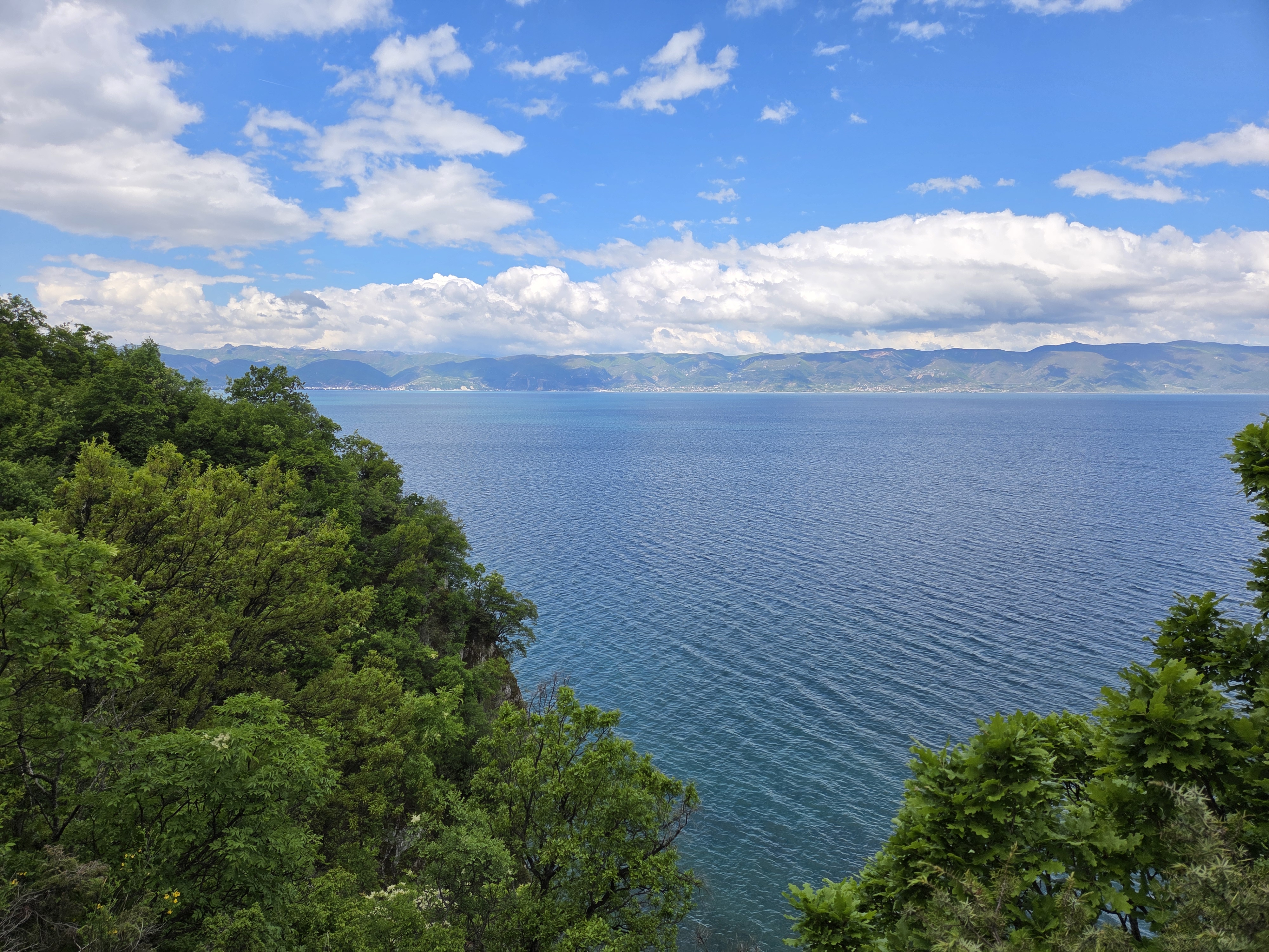
As regular readers know, I’ve lived for nearly five years now in a location quite devoid of mountains. So I’ll hope you understand in the delight I feel each time I walk out the door here in Trpejca and see this, our local 2200-meter mountain framing the horizon :-). In the gallery below, I’ve also included a shot of the village as seen from the water, with mountain backdrop. We’re staying to the right, out of the frame of that photo.