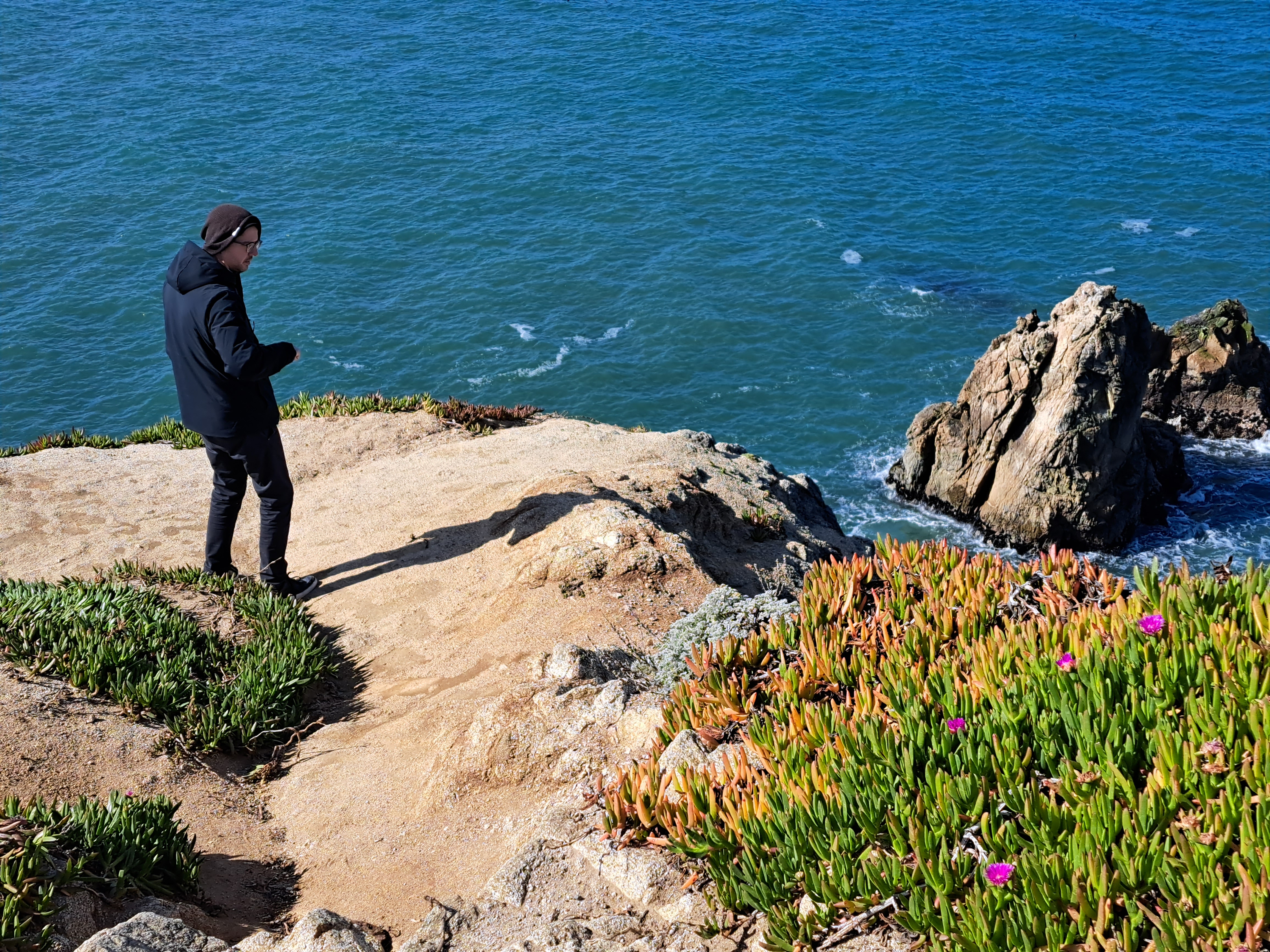
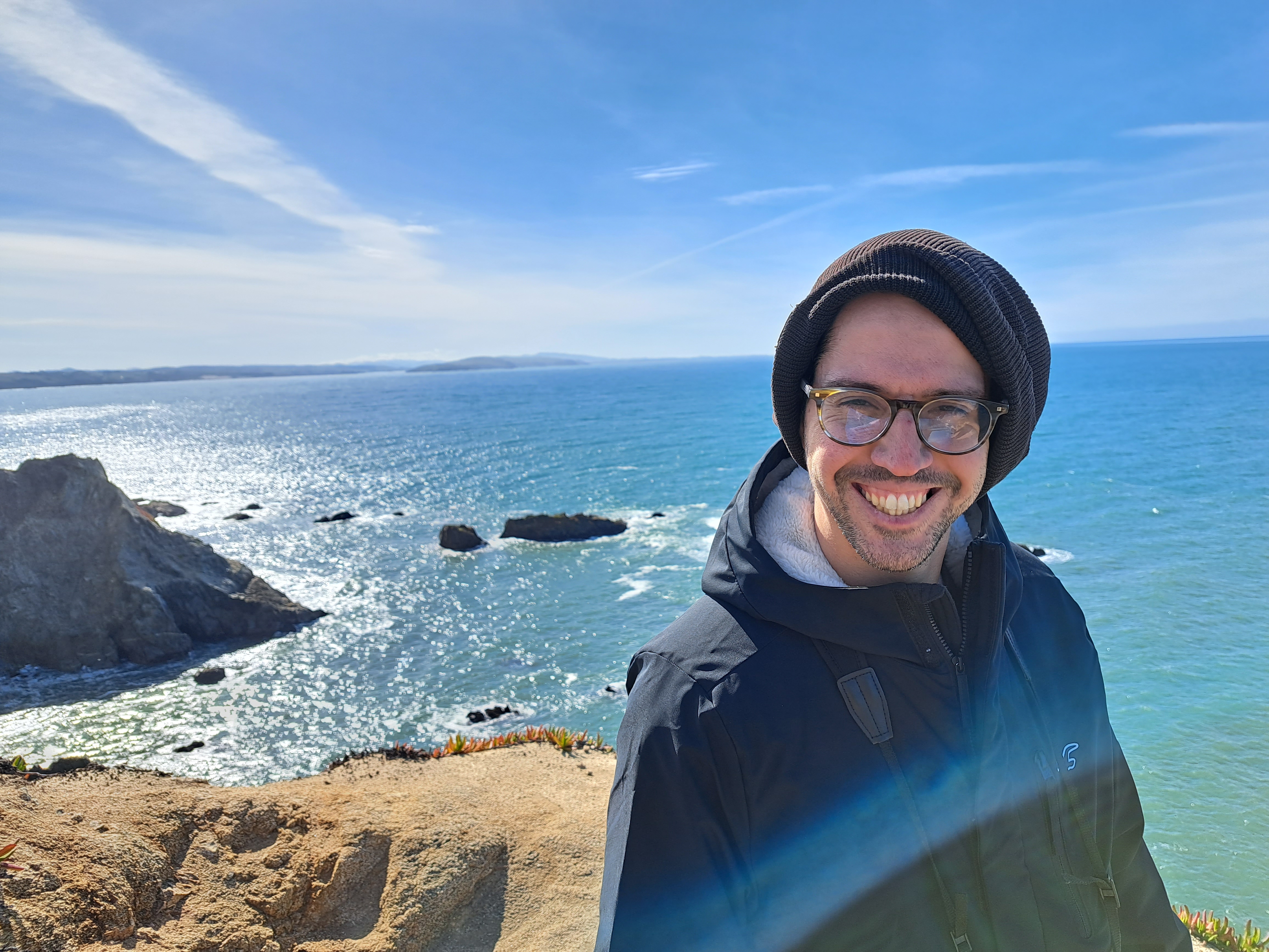
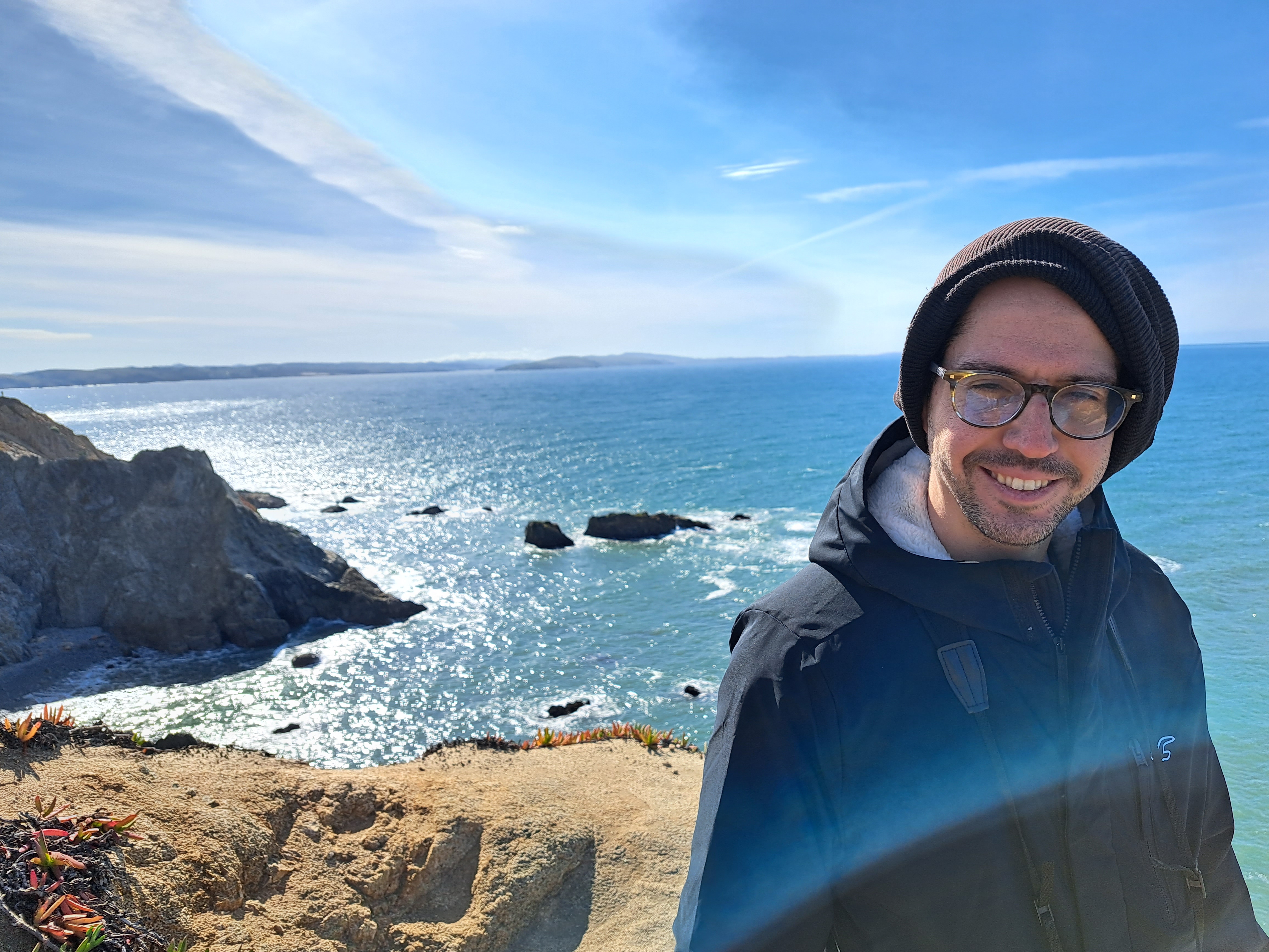
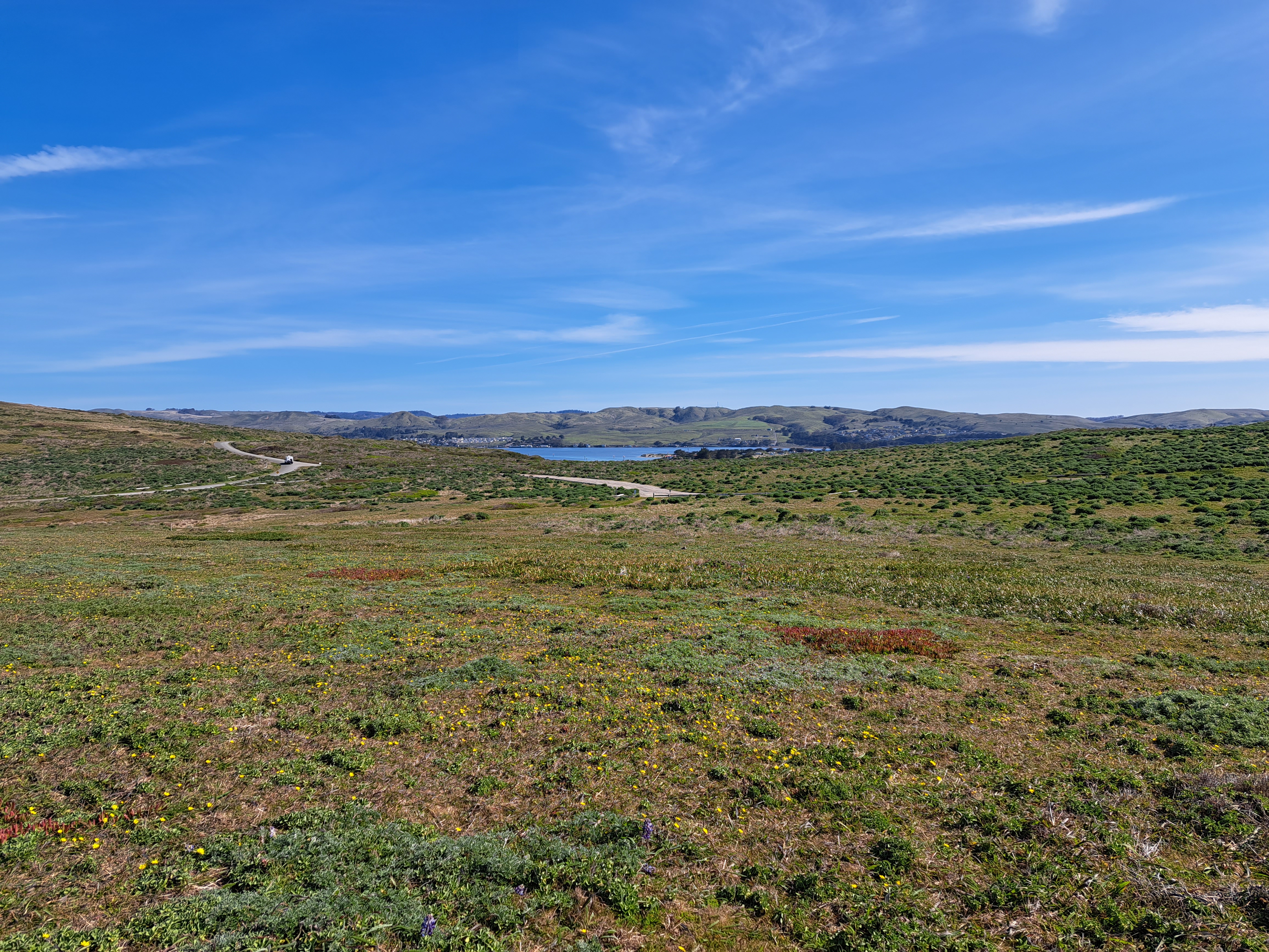
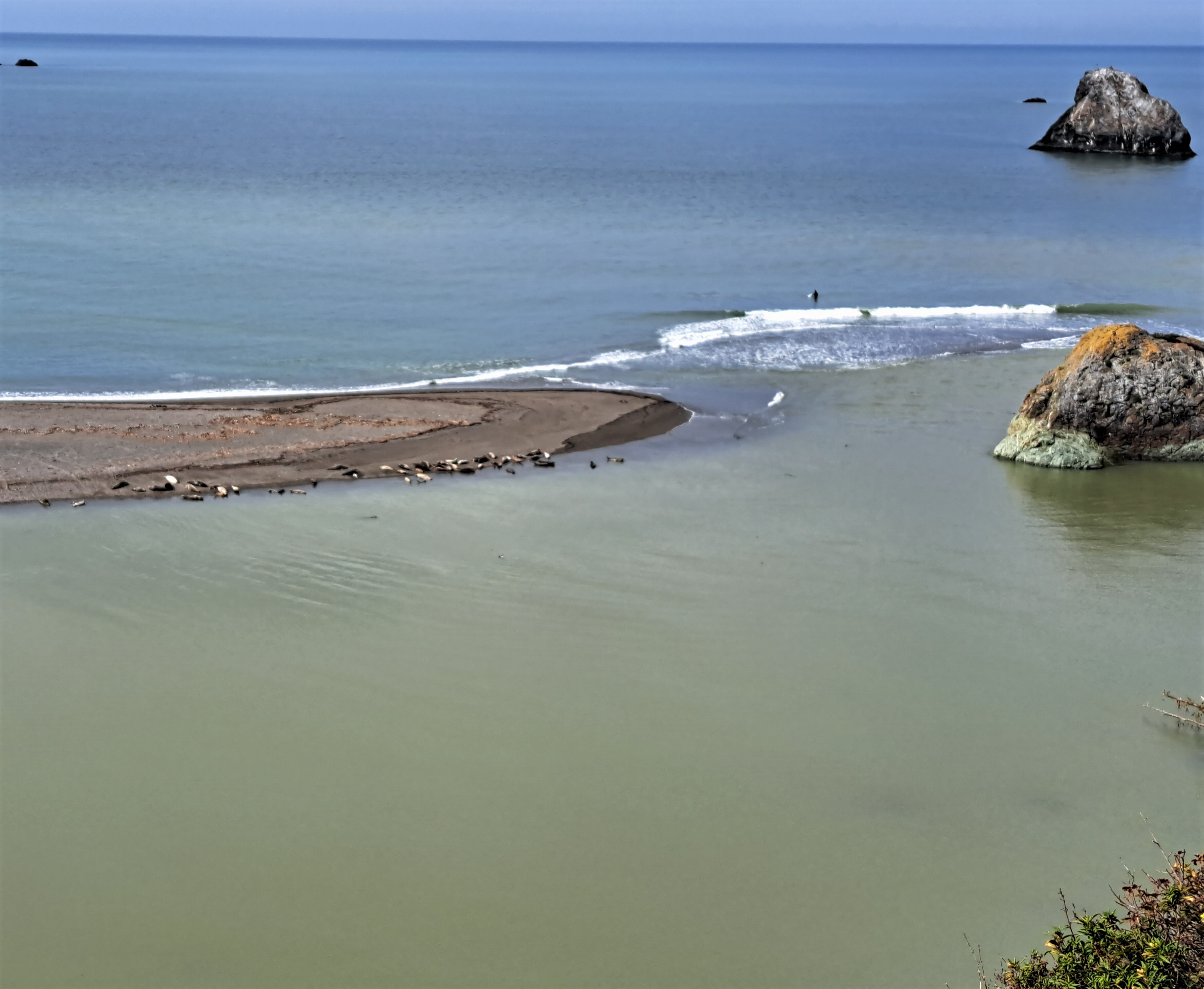
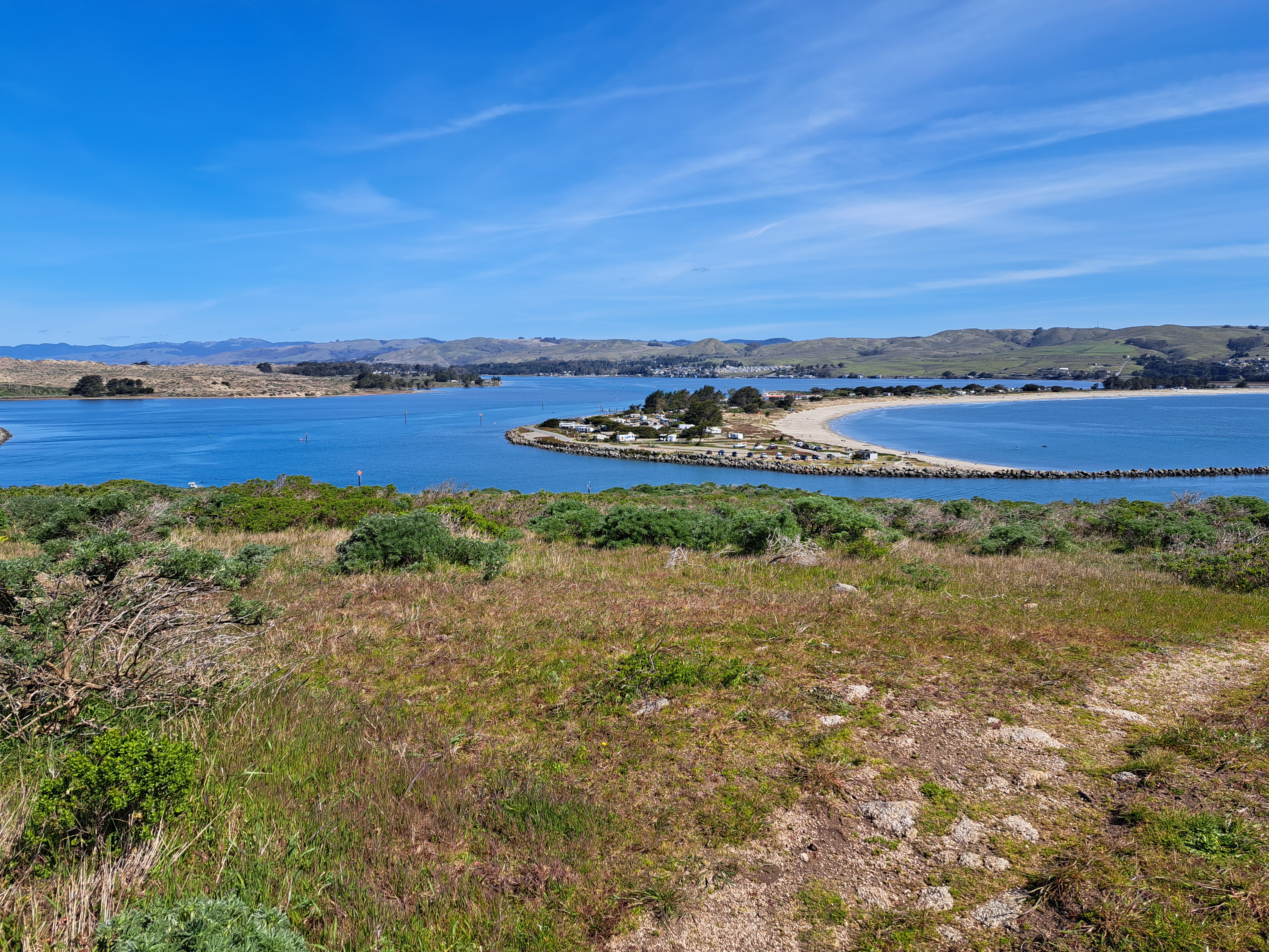
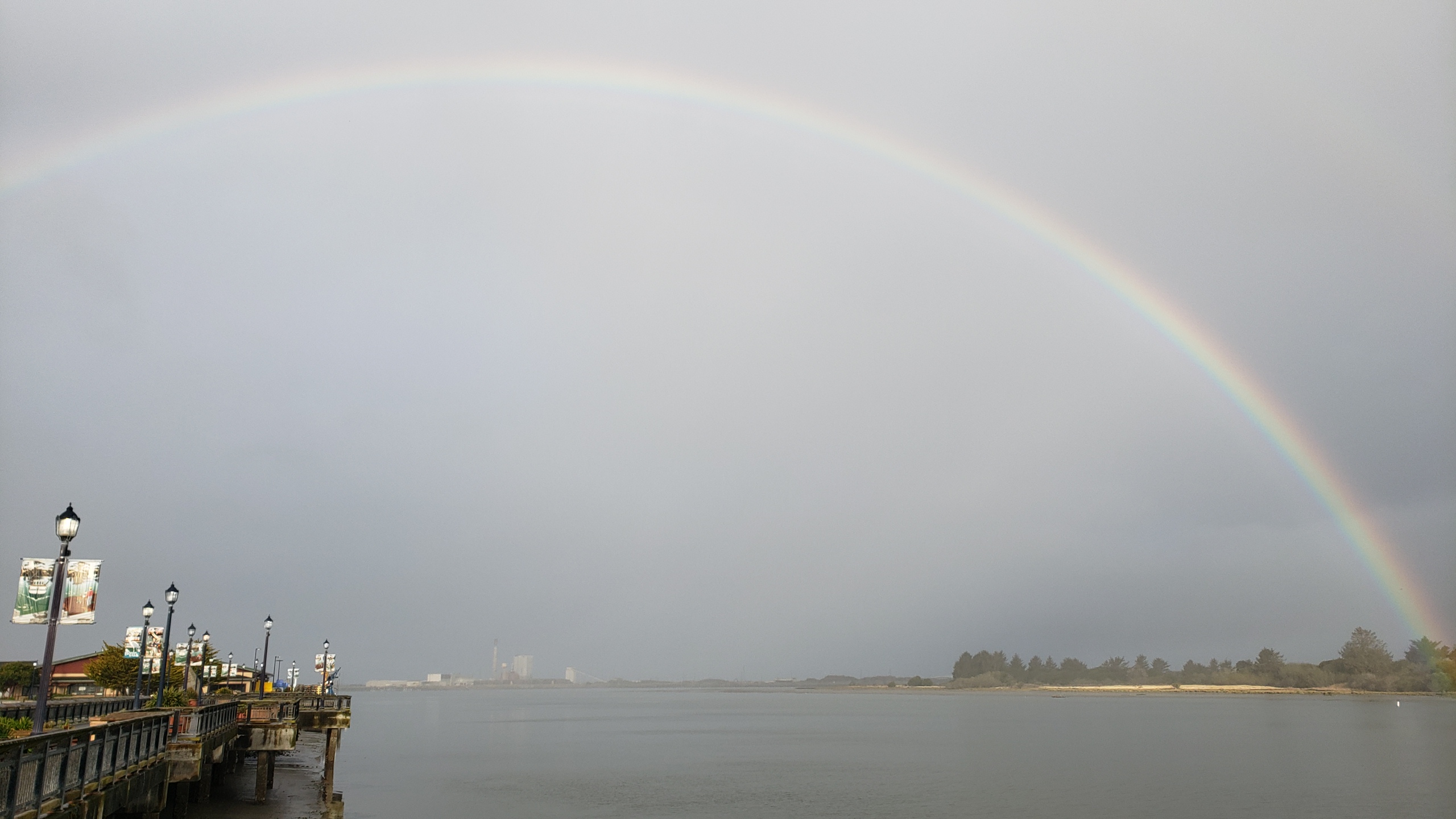
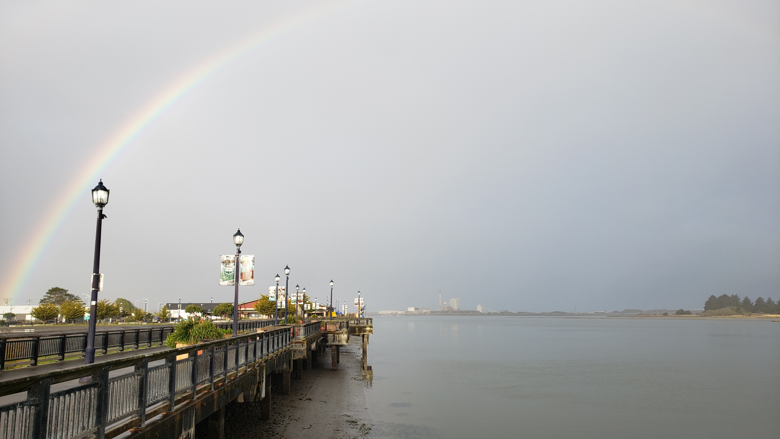
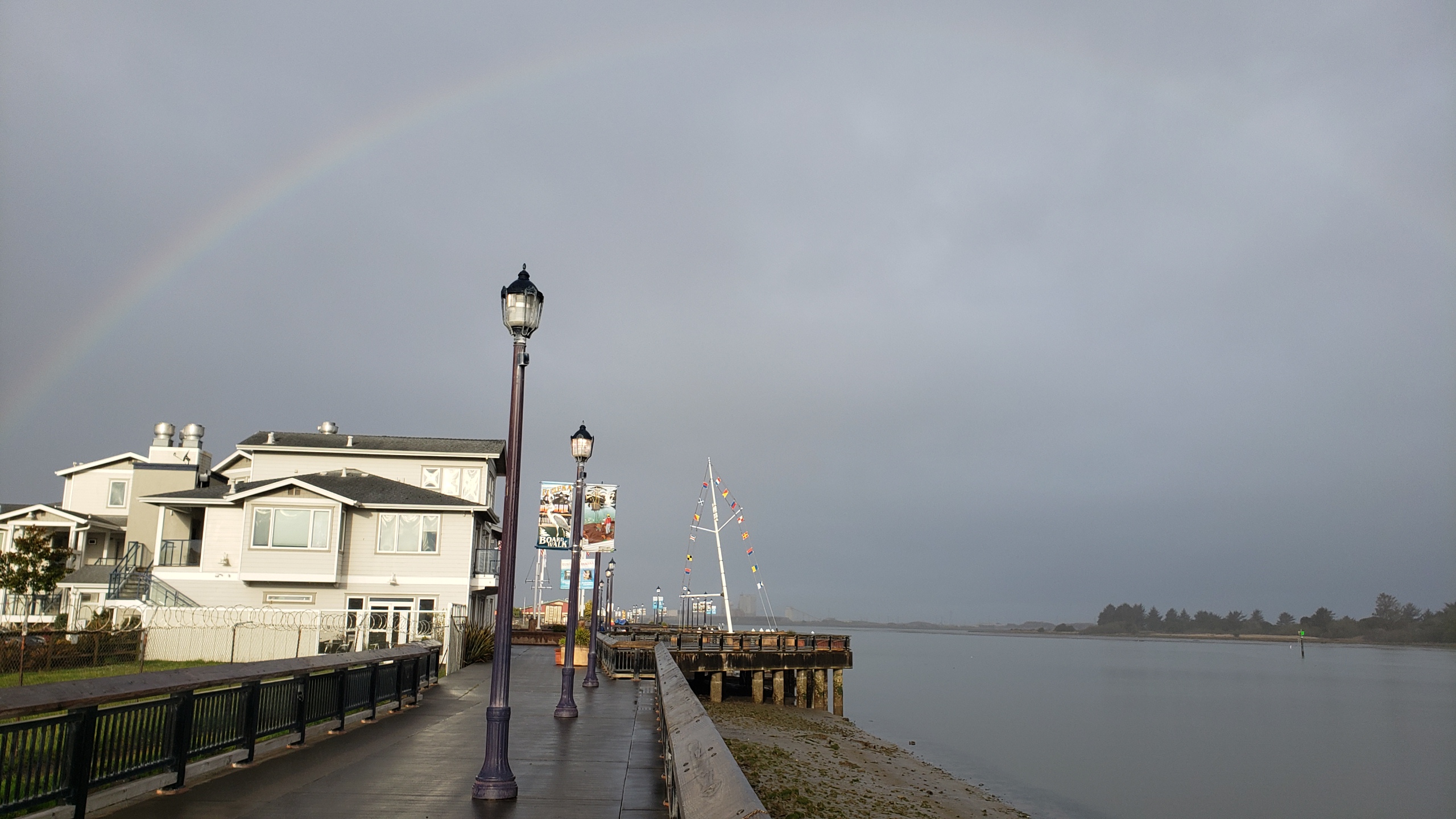
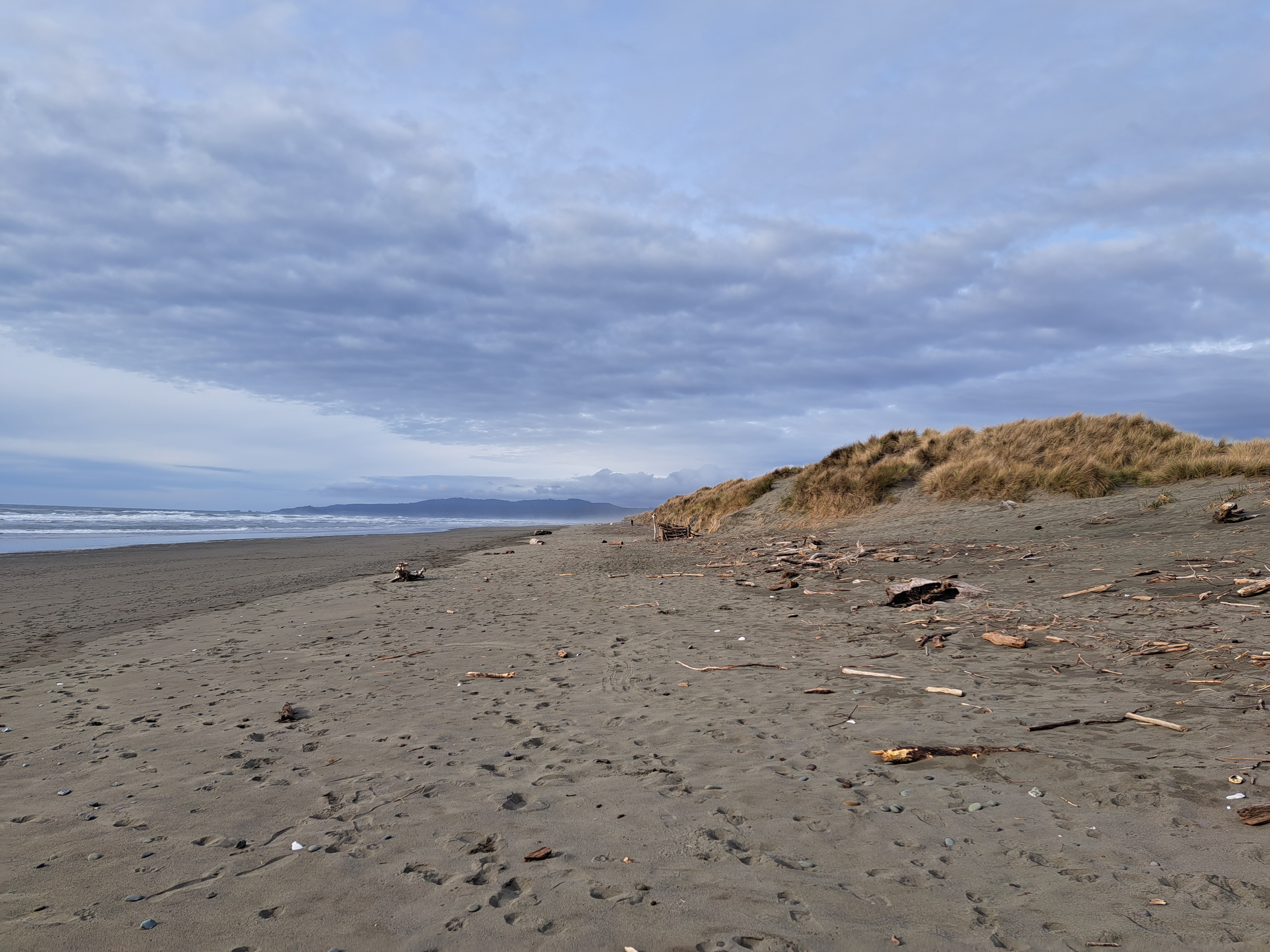
Last Pacific coastal shots for a while…though I might have something left from Hong Kong that I could drag out if I had to, but not a very high-quality shot, for sure :-). Bodega head, looking south toward Point Reyes peninsula in the shots below.
On the drive up to Humboldt, we took the coast road which meant we got to stop at one of my favorite county parks with its lovely seaside redwood forest :-).
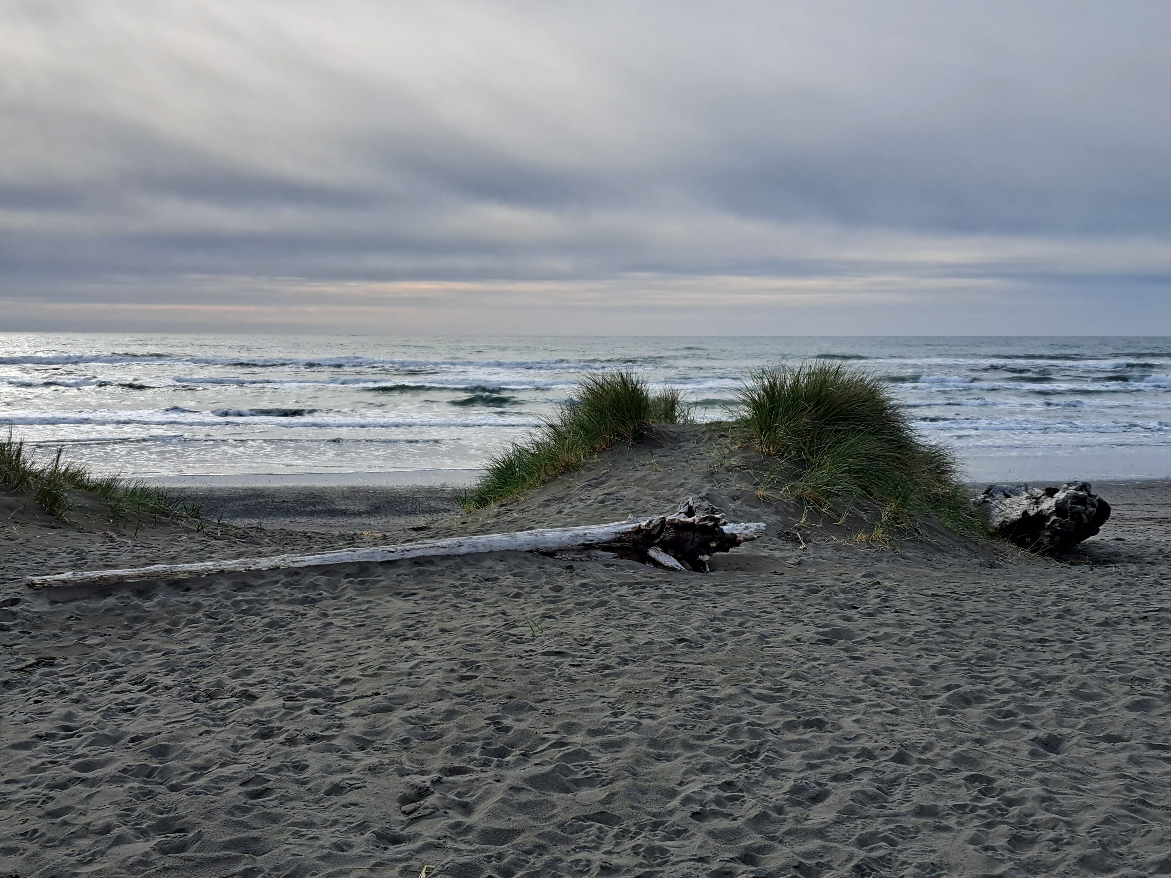
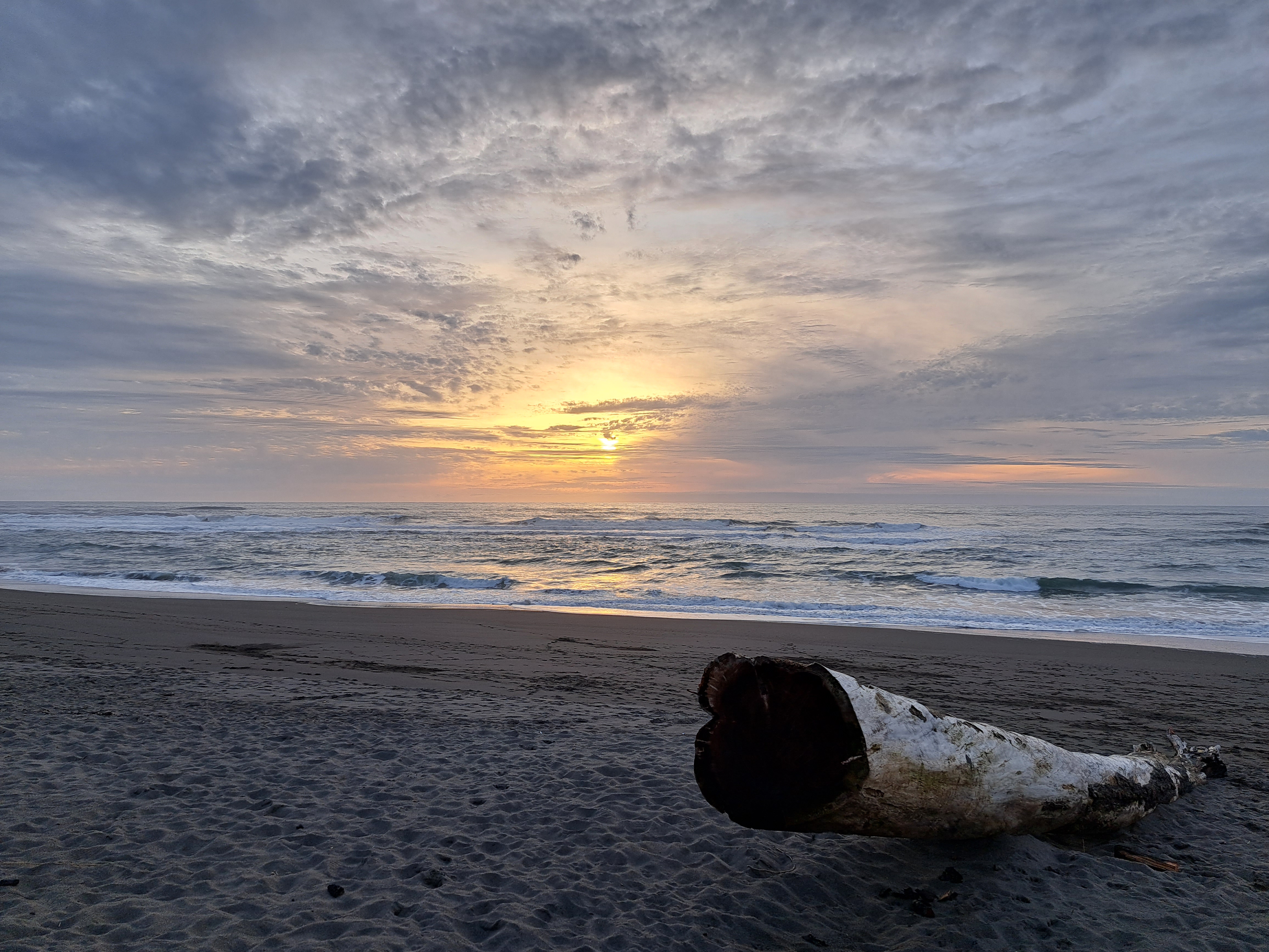
Herewith, sadly, the last photos from our few nights up in Humboldt County with my big(gest) brother last month, thus the end with a sunset. (Thanks for coming down, Chuck!) I don’t have a ton more “coasting-appropriate” photos left, so either I’ll need to get back to a visible coastline again soon, or this series will also go into hibernation like a few others for which photos are getting thin in the folders. Original reason I started these series: to get myself out the door looking for things to post! 🙂
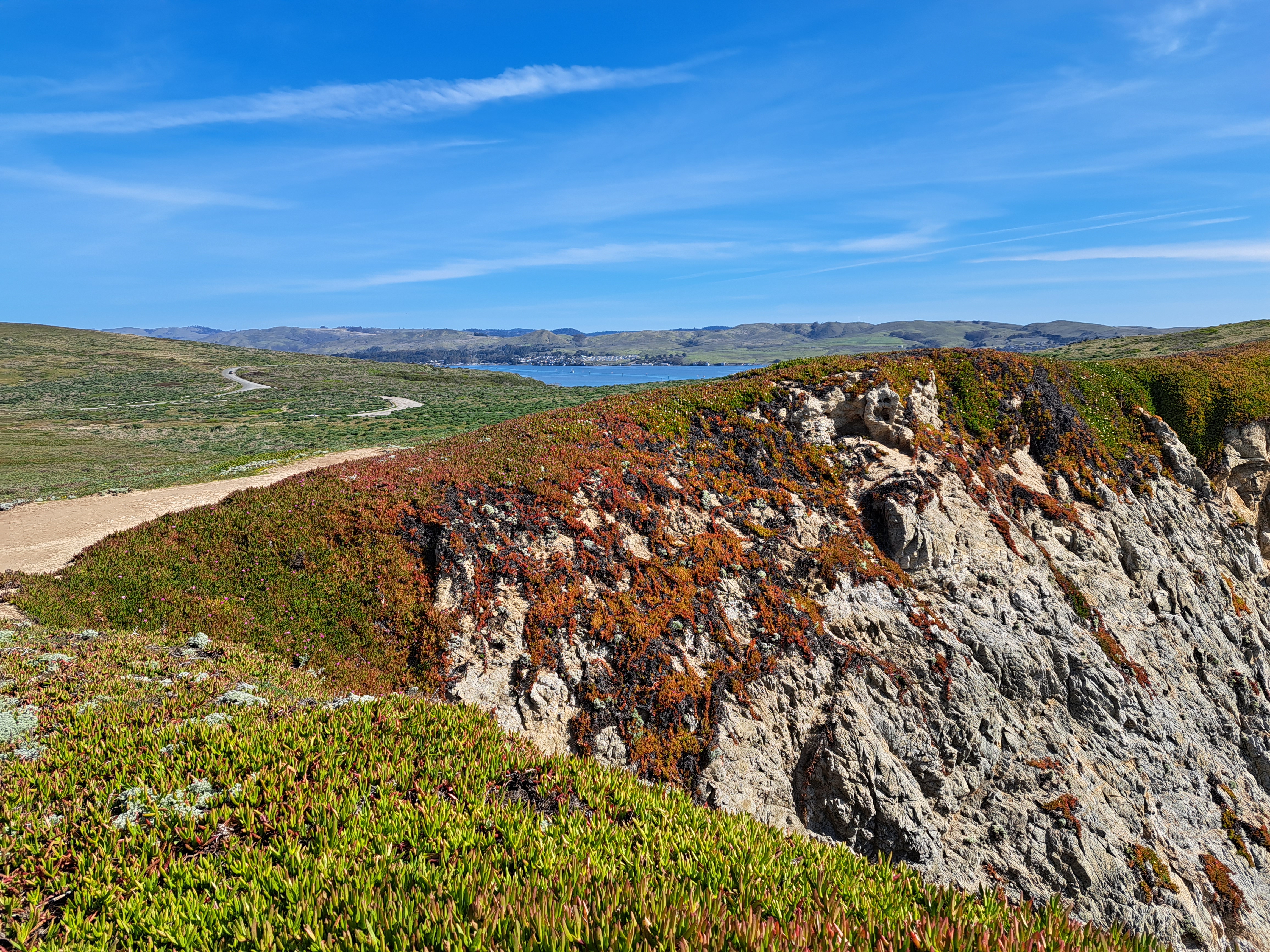
The cluster of houses in the middle distance, on the far side of Bodega Bay, is the village of the same name. This photo was taken from the high cliffs on the ocean-facing side of Bodega Head, some of which you saw in the last “Coasting” entry a bit further down.
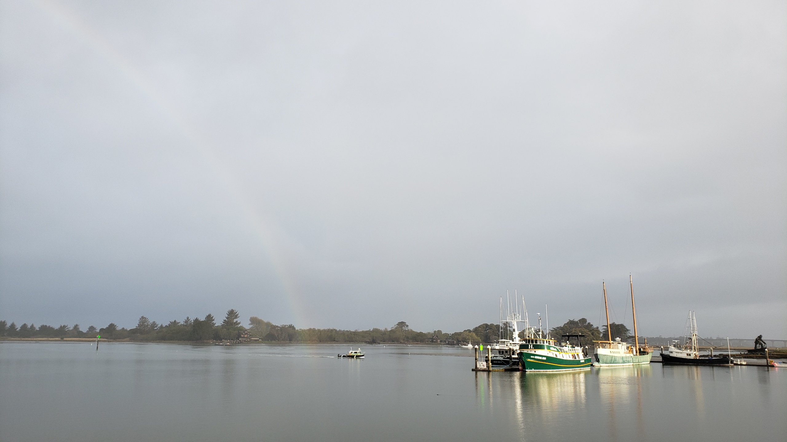
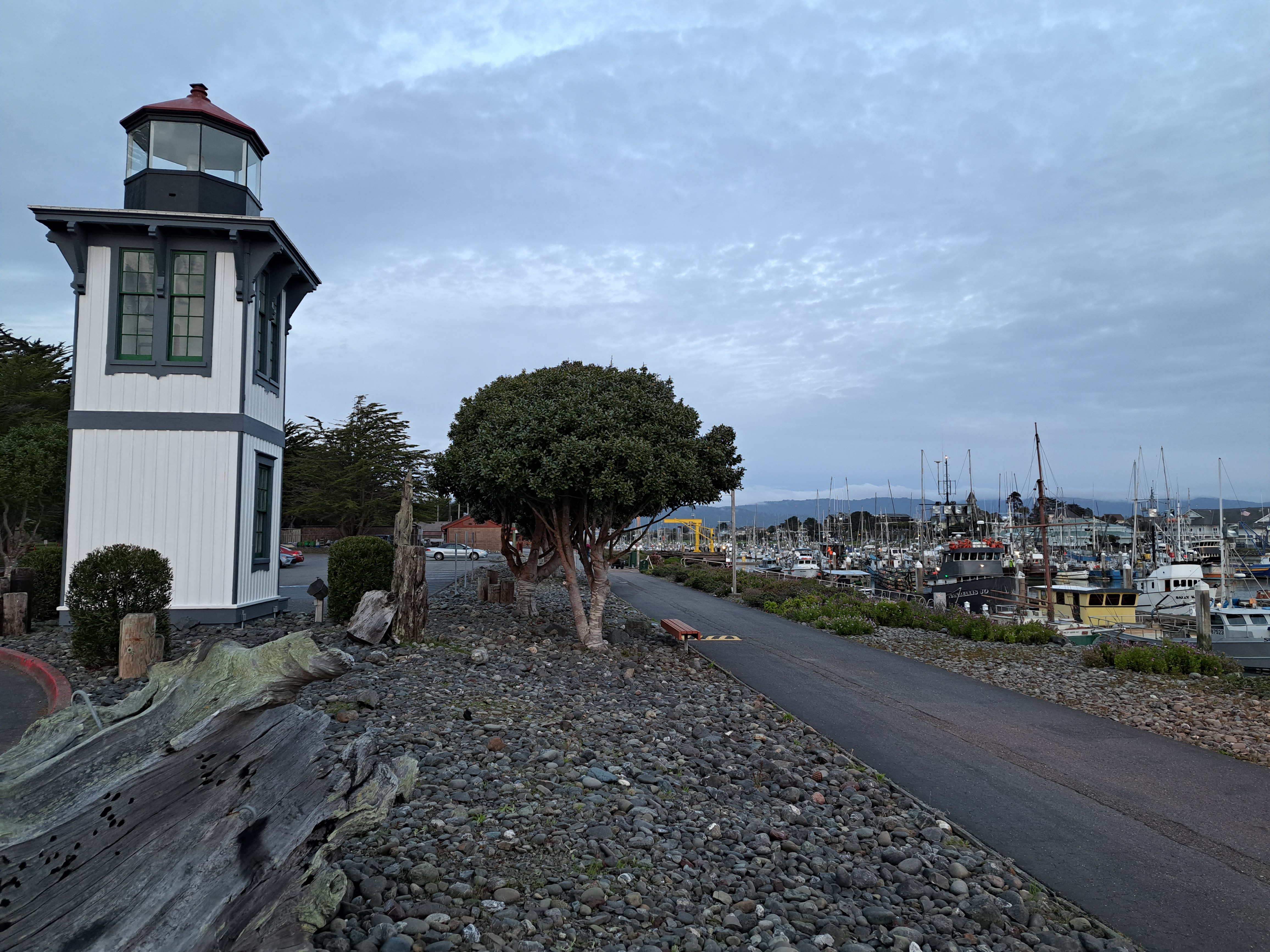
Last view of Woodley Island in Eureka’s harbor. You’re also seeing the relocated lighthouse-tower portion of what’s apparently the historic Table Bluff Lighthouse, which when operating and intact was located on the eponymous bluff south of Eureka, on Arcata Bay.