City Views.230


Mountains.40
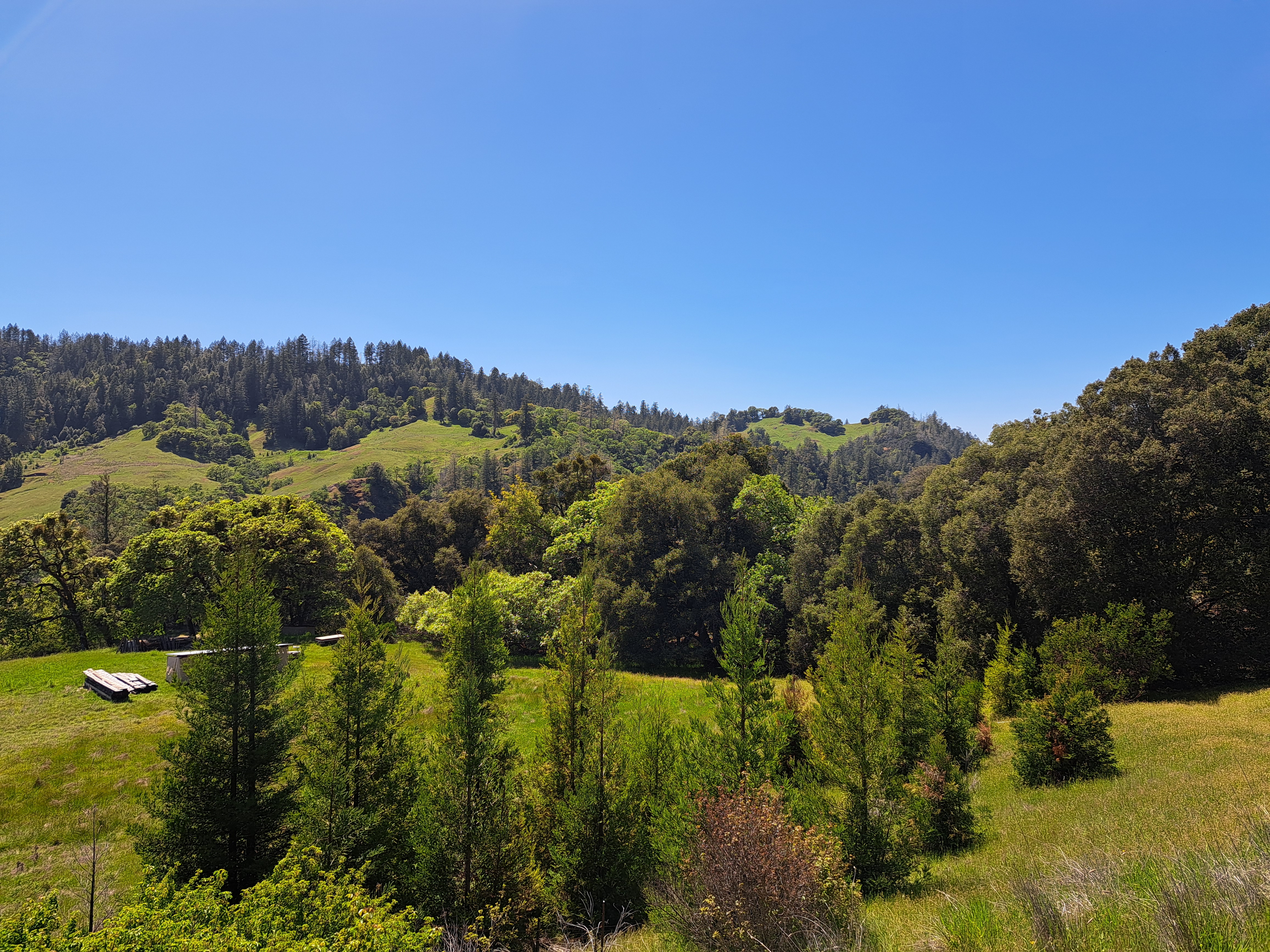
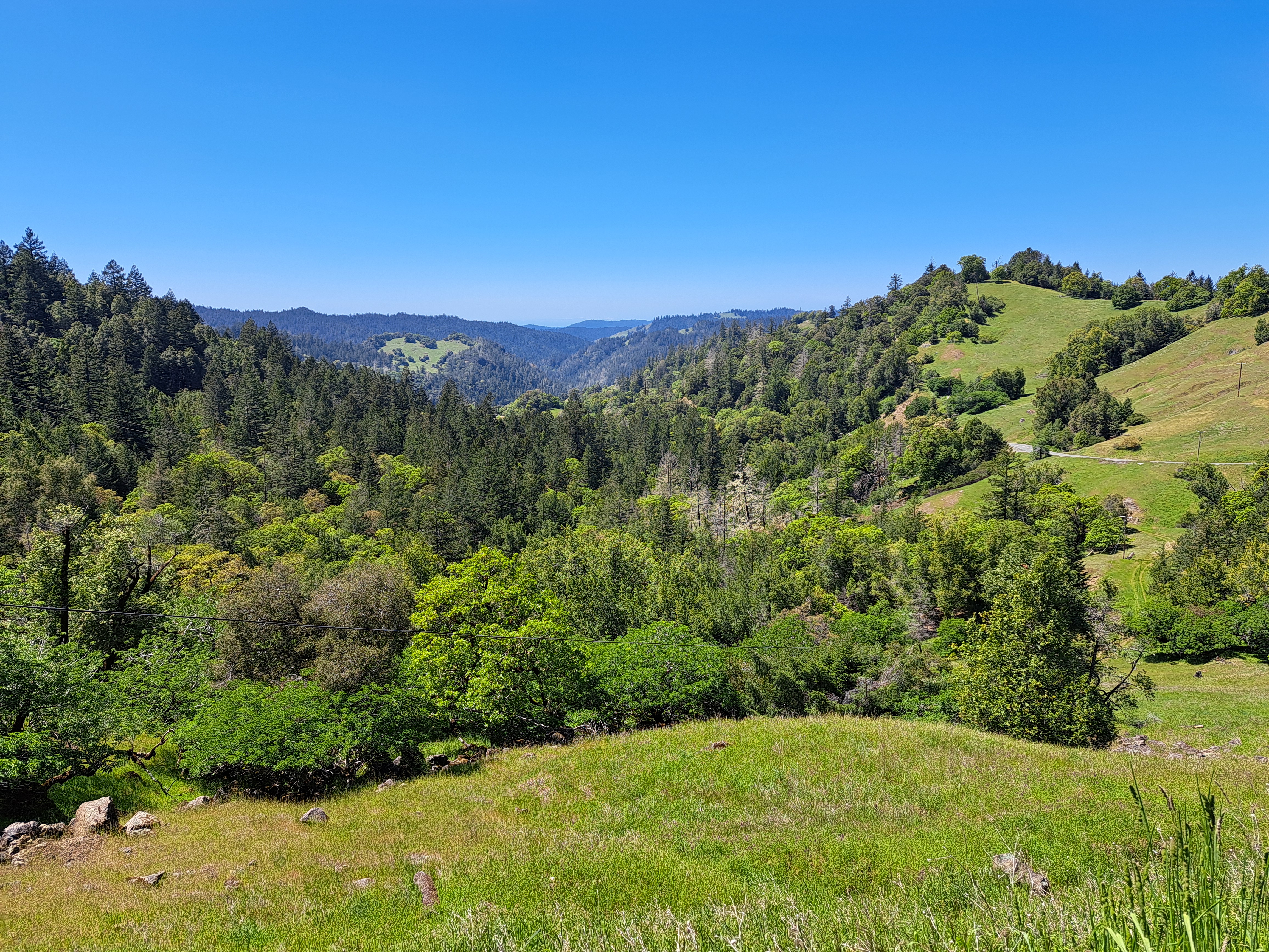 Mountain views and a few California poppies, all from a lovely day’s walk in central Mendocino County on the last day of April. If you’re on the full view website here, you can look for “Mendocino County” as a “tag” further down, and select it to view past Mendocino posts which explain a bit of what you’re seeing. Orr Hot Springs is tucked deep in a canyon in the photo above and some of the photos below.


From the Air.50
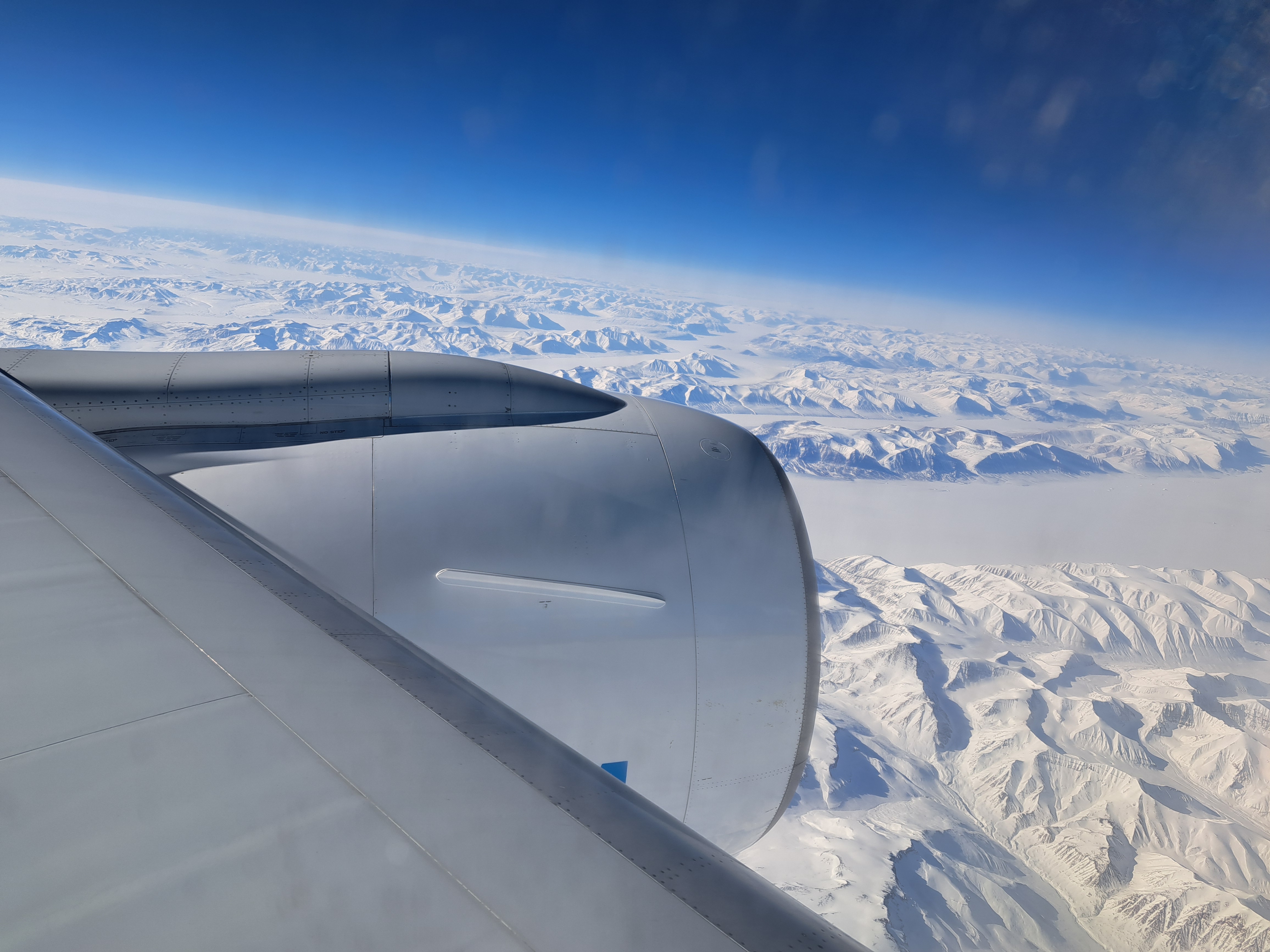
 If look closely at the above photo, you’ll see a bay coming in from the Pacific at the top right, carving inland to the top-center. That’s Monterey Bay. I’m posting all the remaining photos from our mid-April approach to SFO, following the flight from Amsterdam which, as we’ve shown you in prior posts, cut over the norther half of Greenland before plunging south along the Pacific Coast. This photo was taken in the midst of our complex circling in order to line up for (north-facing) approach to SFO. If you’re interested in better understanding the geography, just open a map and see how the “peninsula” sits between the (more enclosed) SF bay and the open, further south Monterey Bay. Here we’re beginning a clockwise circle from our southbound course, so I’m looking south and we’re still turning west and north. The shots below follow the rest of that trajectory in order, although the first shot was taken a minute or so before the one above. Enjoy 🙂


County Views.139


Small Wonders.239

Mountains.39
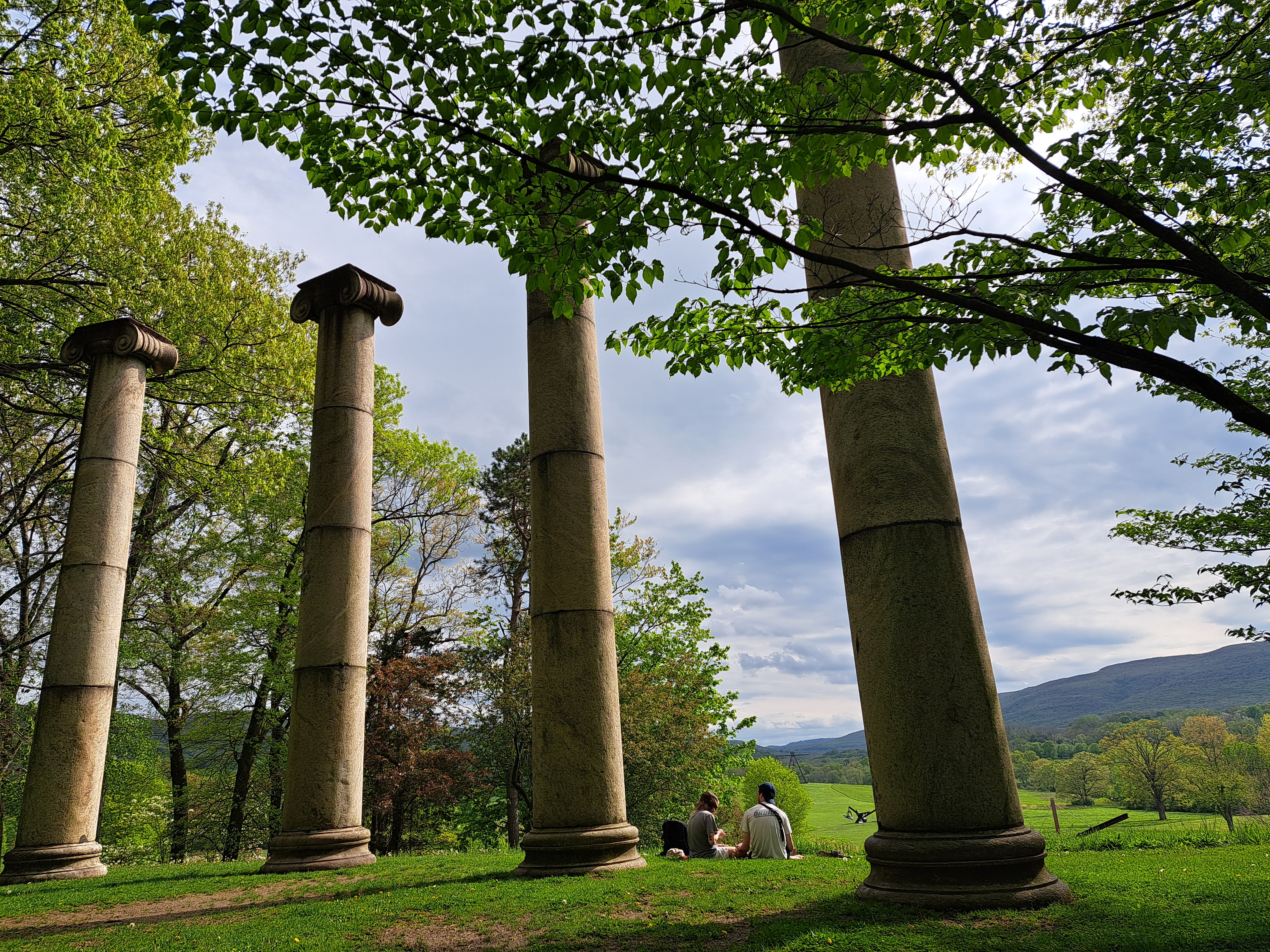
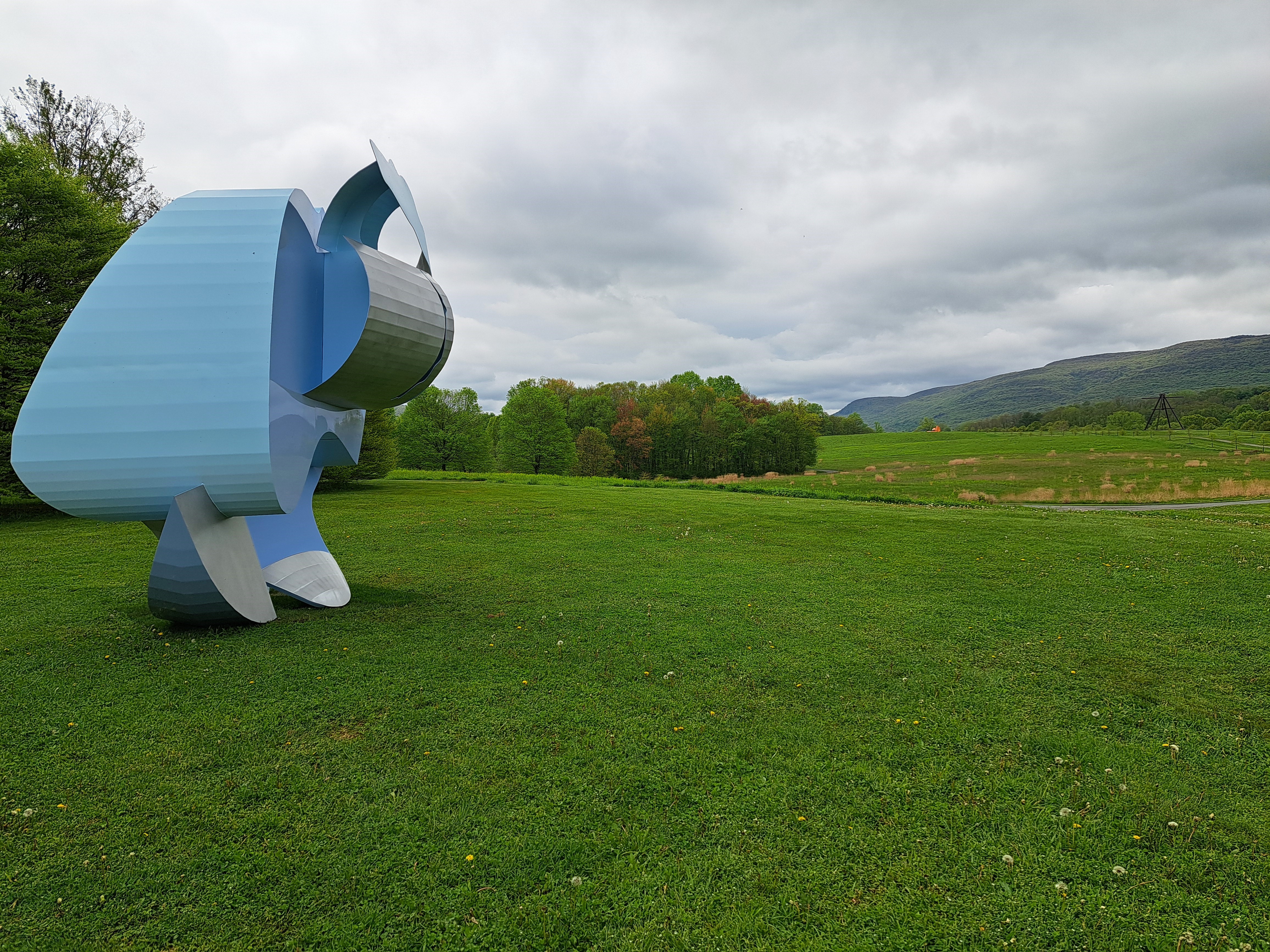 Since our last two posts have featured guest contributions from my cousin Sam, I thought perhaps we’d use this turn in the series-go-round to feature photos from our recent family outing in celebration of things Mom introduced us all to. These all come from probably her favorite place on earth, Storm King Art Center, which is named after nearby Storm King Mountain. Sam’s one of three Oberlin graduates you’ll find the gallery below, the other (thanks for joining, Chris) being an additional contributing photographer for some shots. Thanks, Mom, for helping more of us get to know this fabulous place.
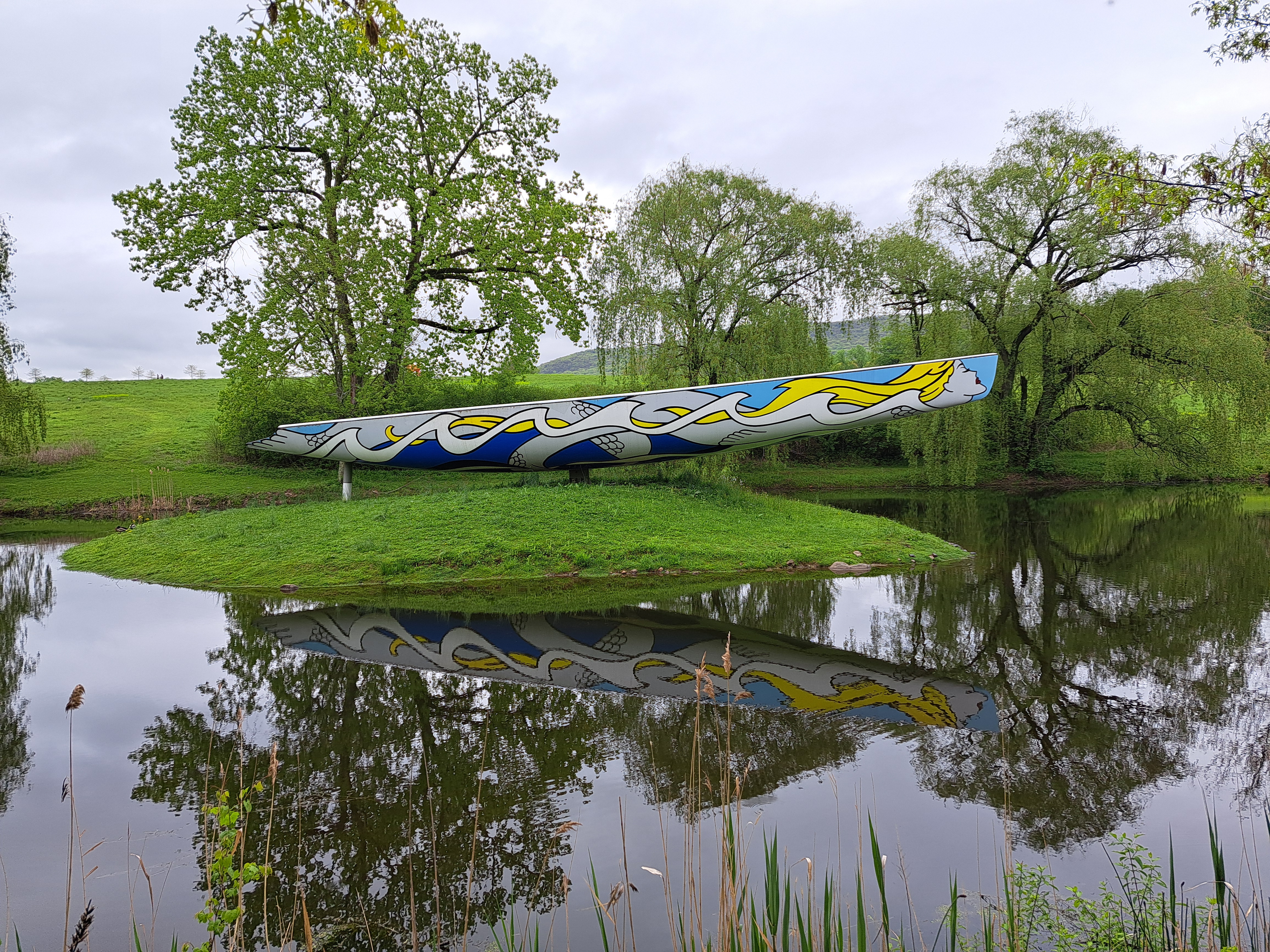


")


")


")


(Partial Guest) From the Air.49


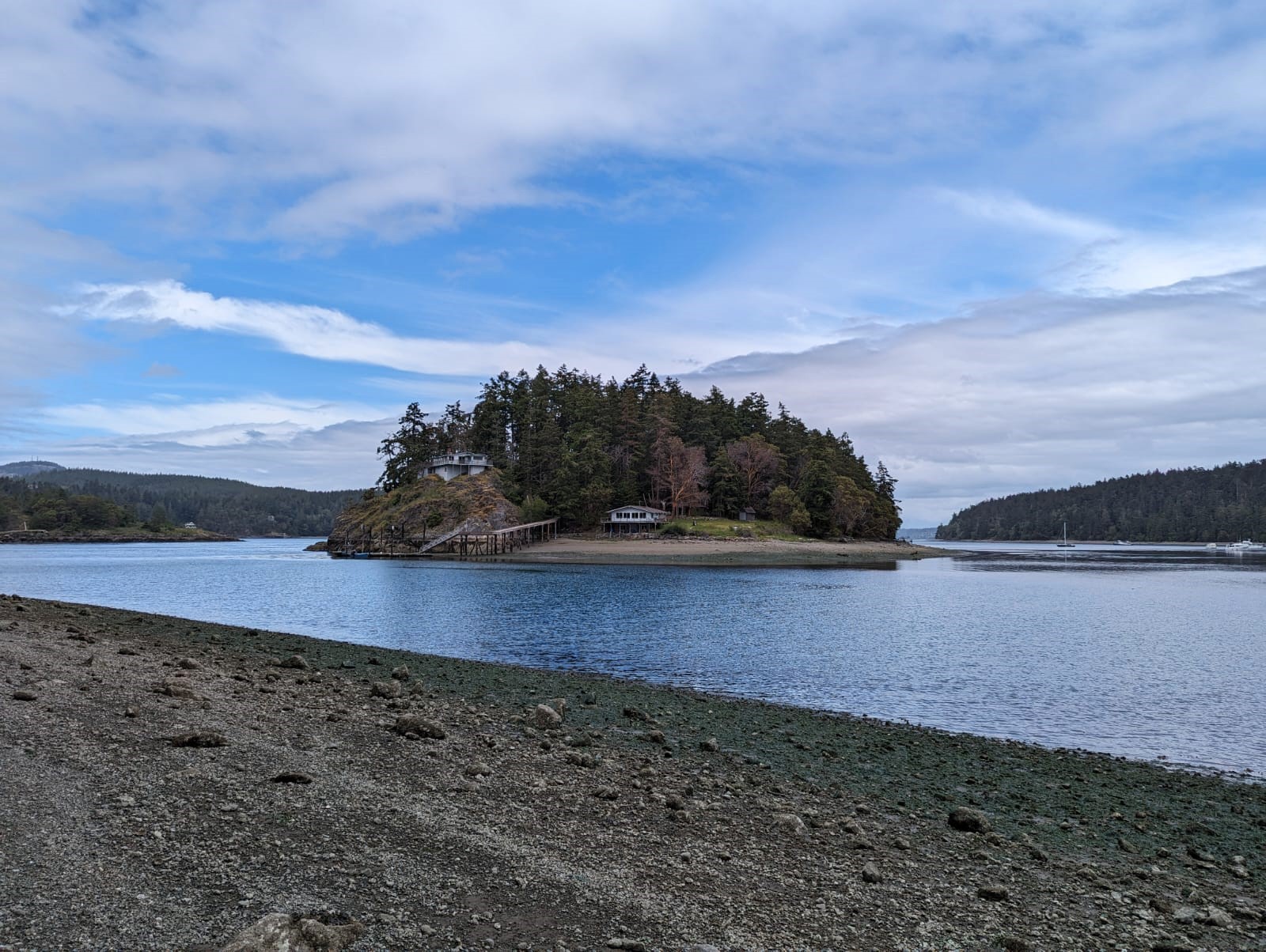
(Guest) Islands.59
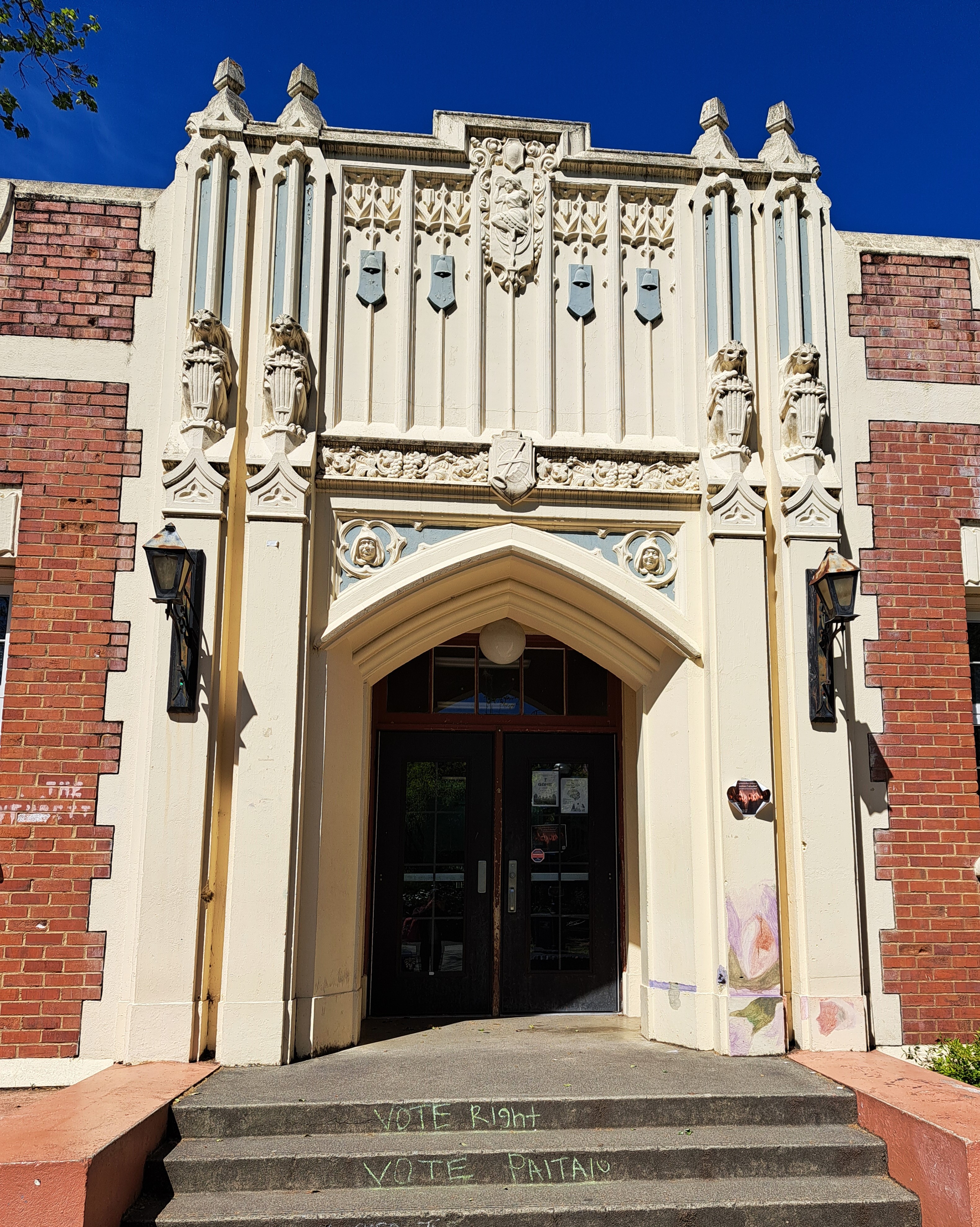
Village Views.79
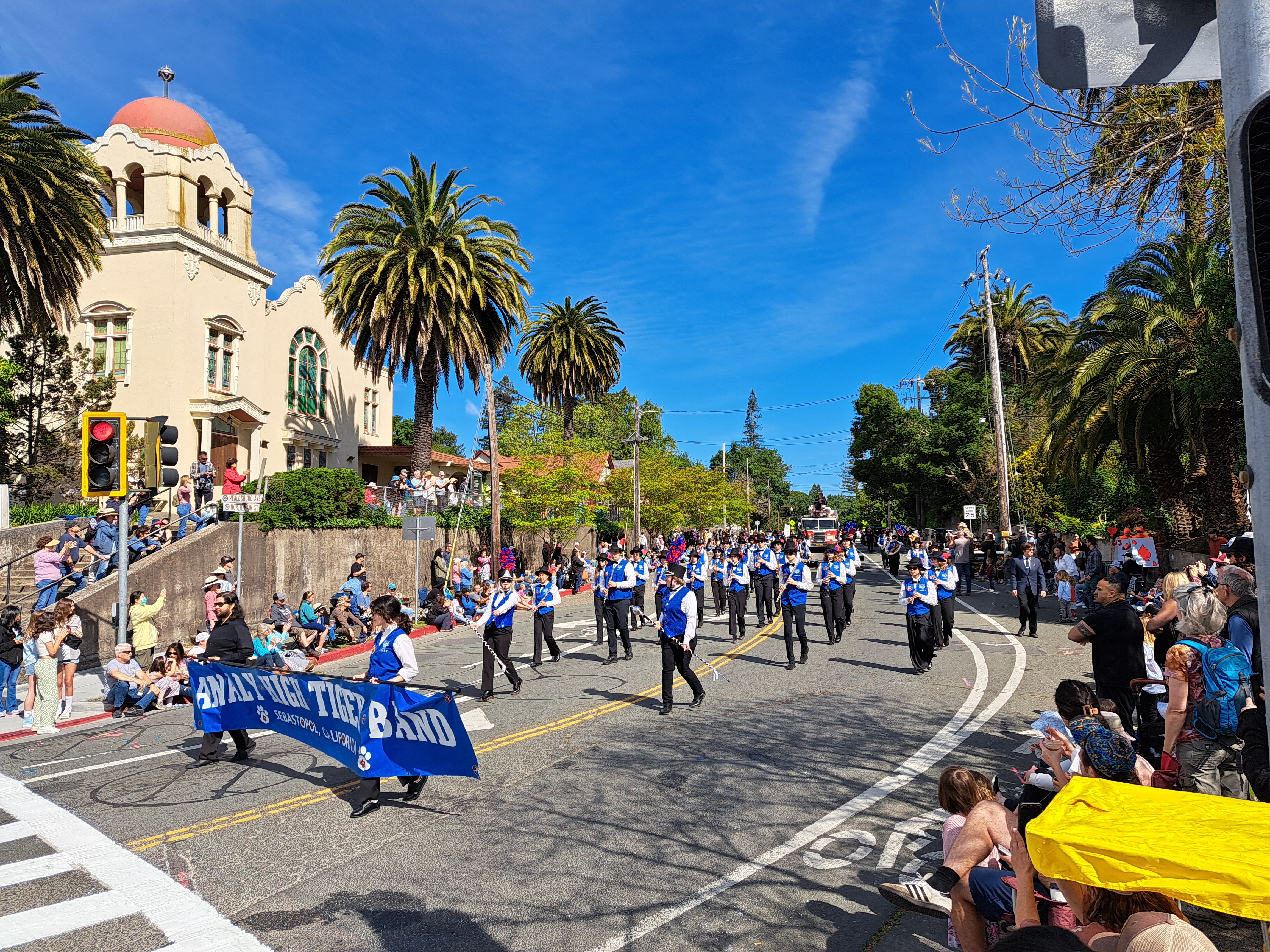
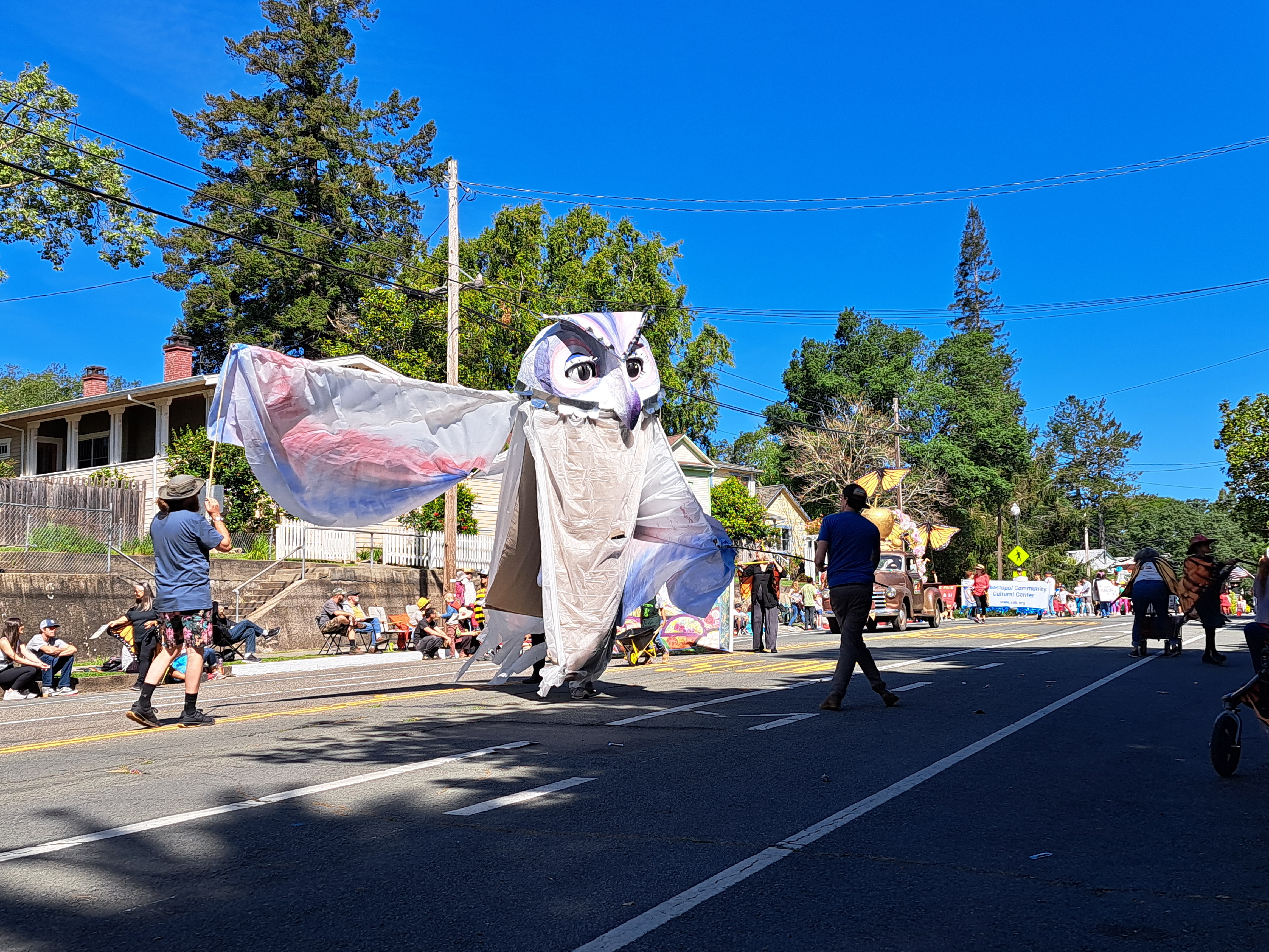
Sebastopol’s annual Apple Blossom Parade, during my visit in late April. Ah, the joys of small town parades 🙂