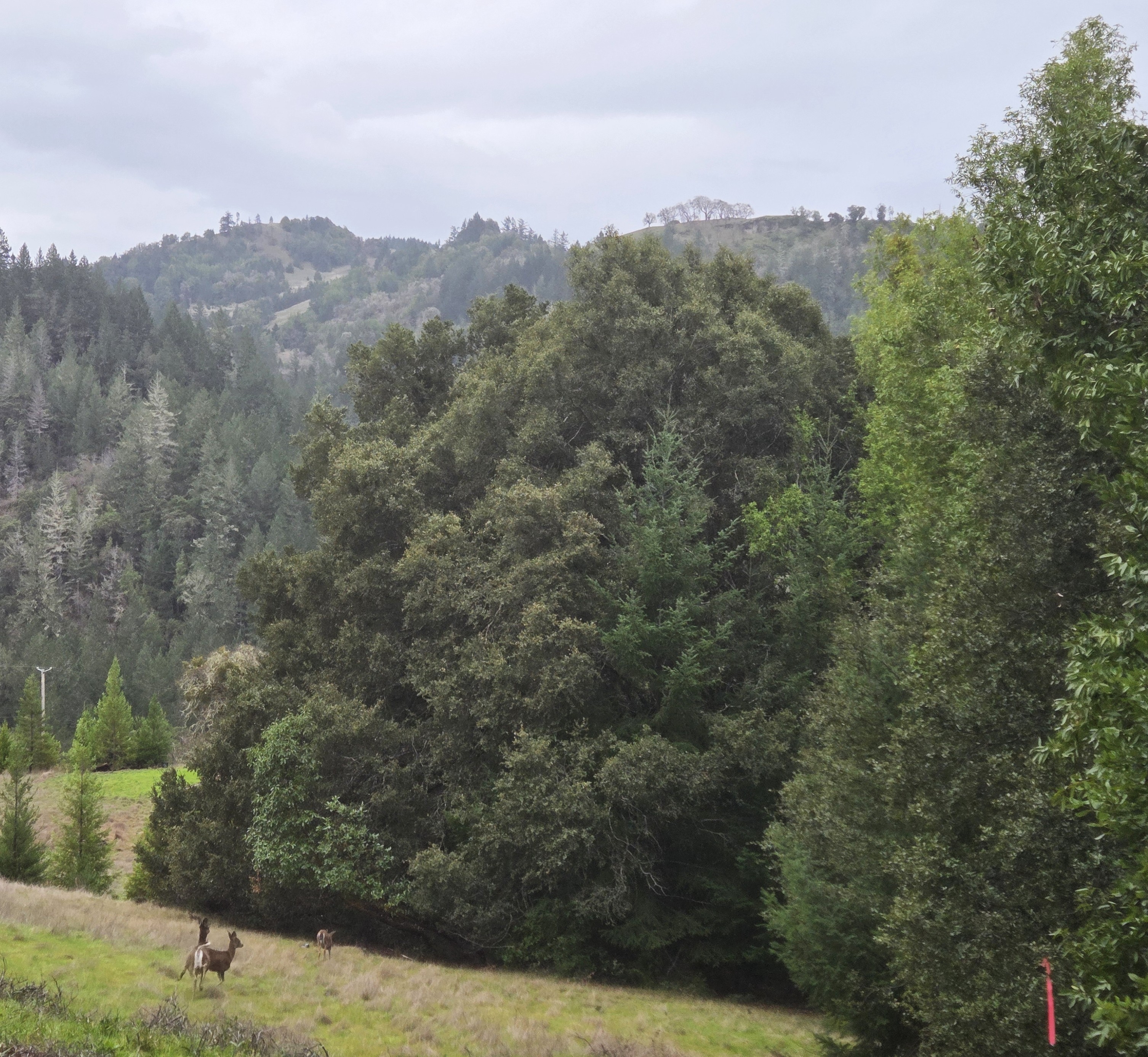
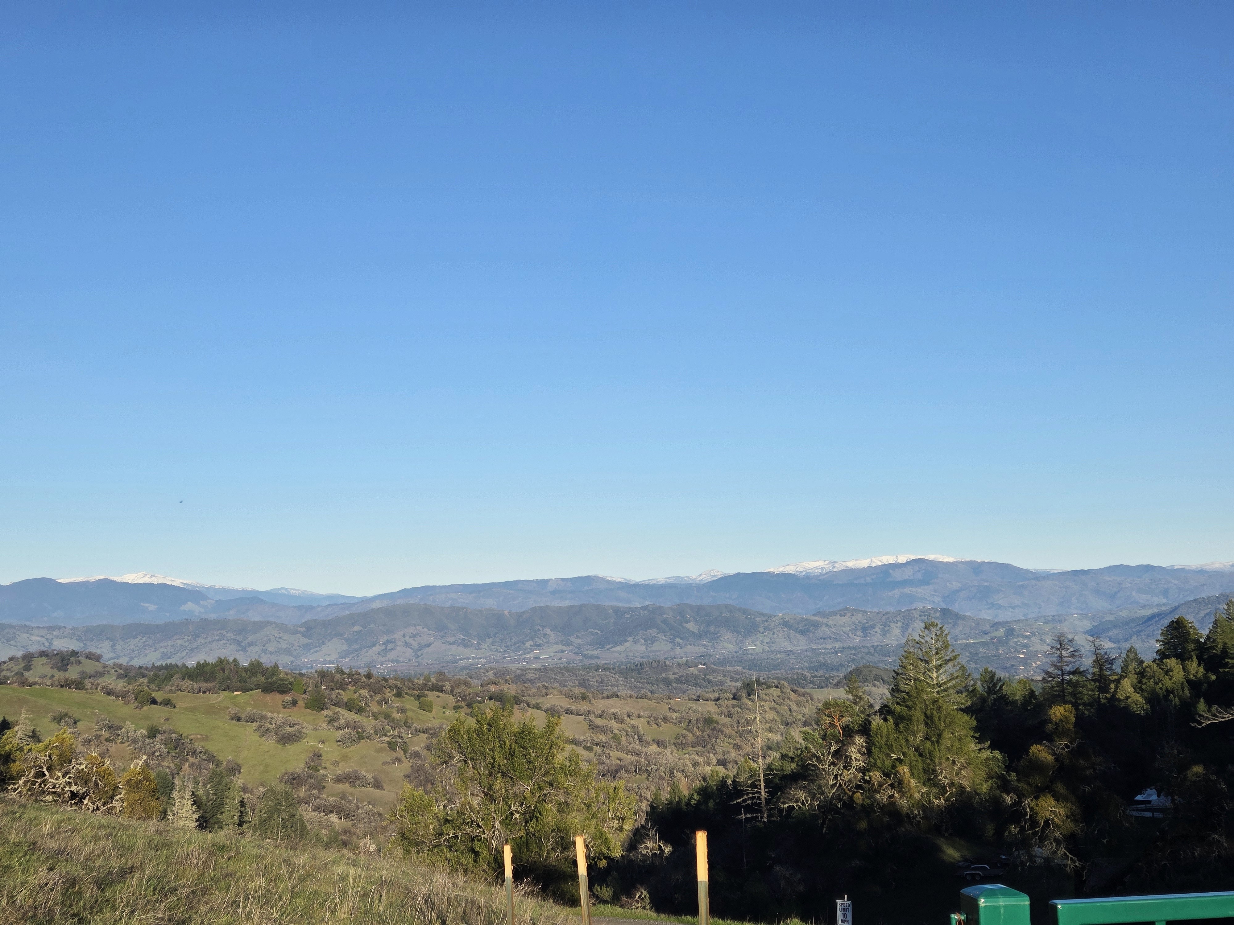
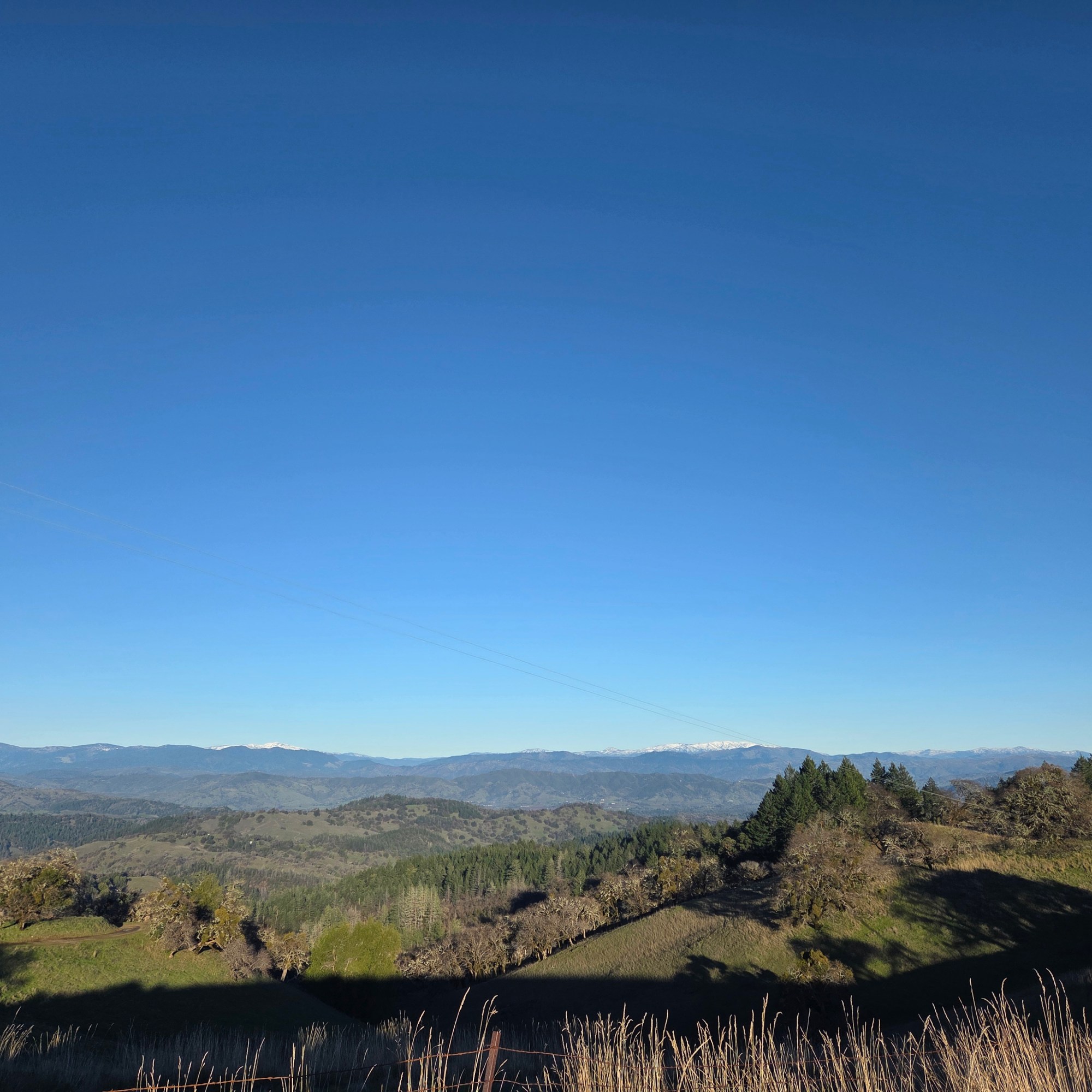
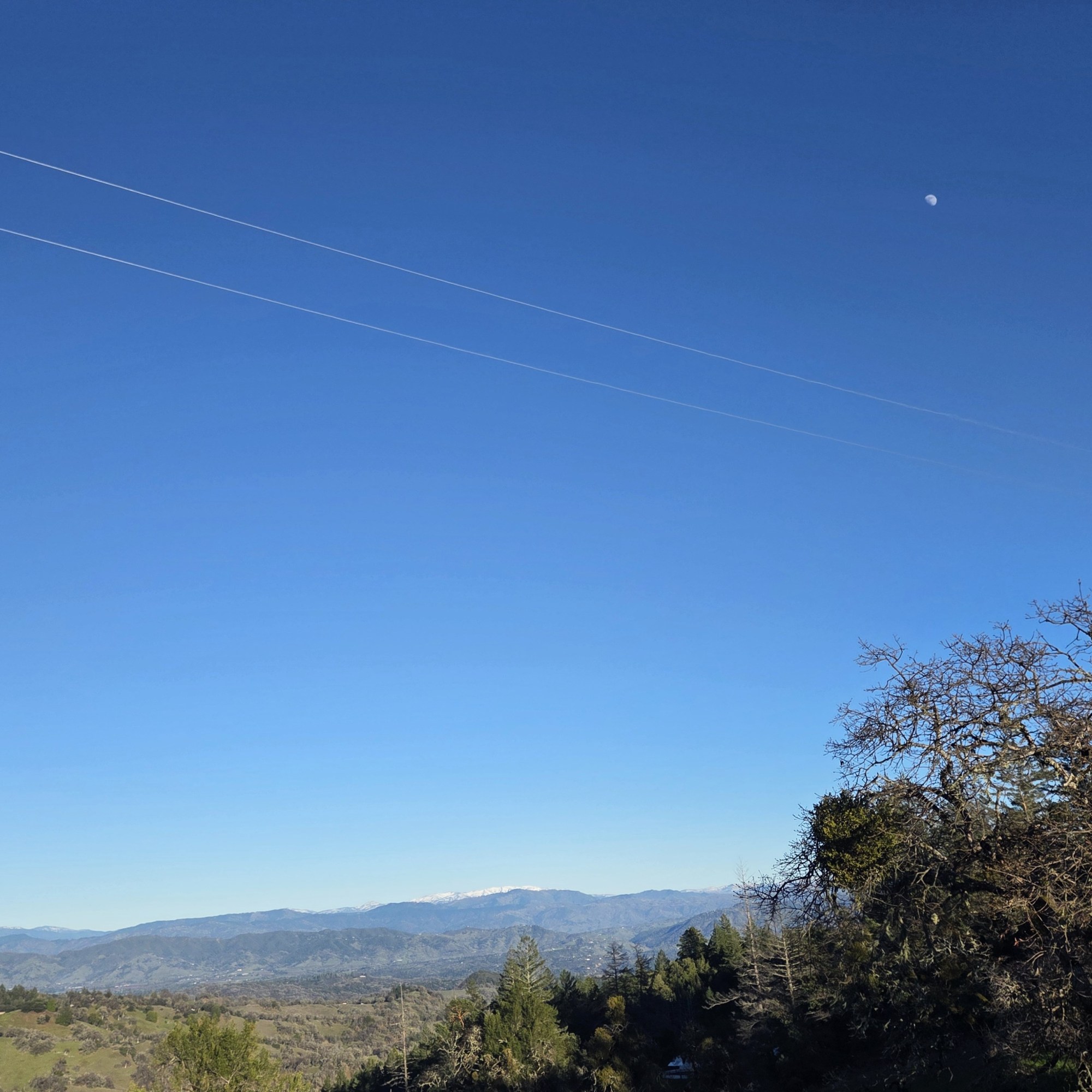
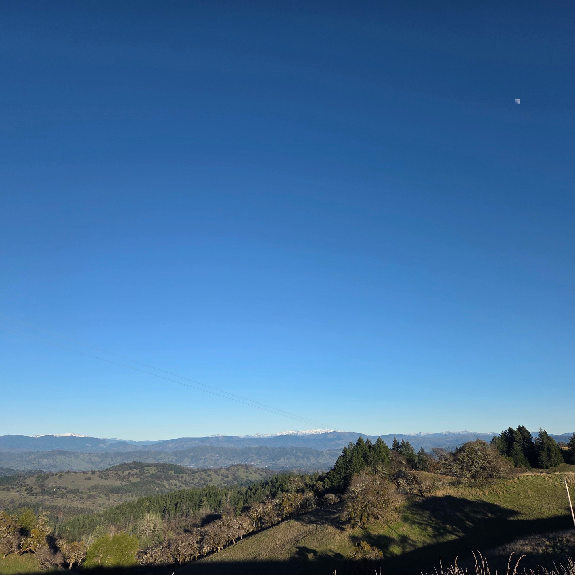
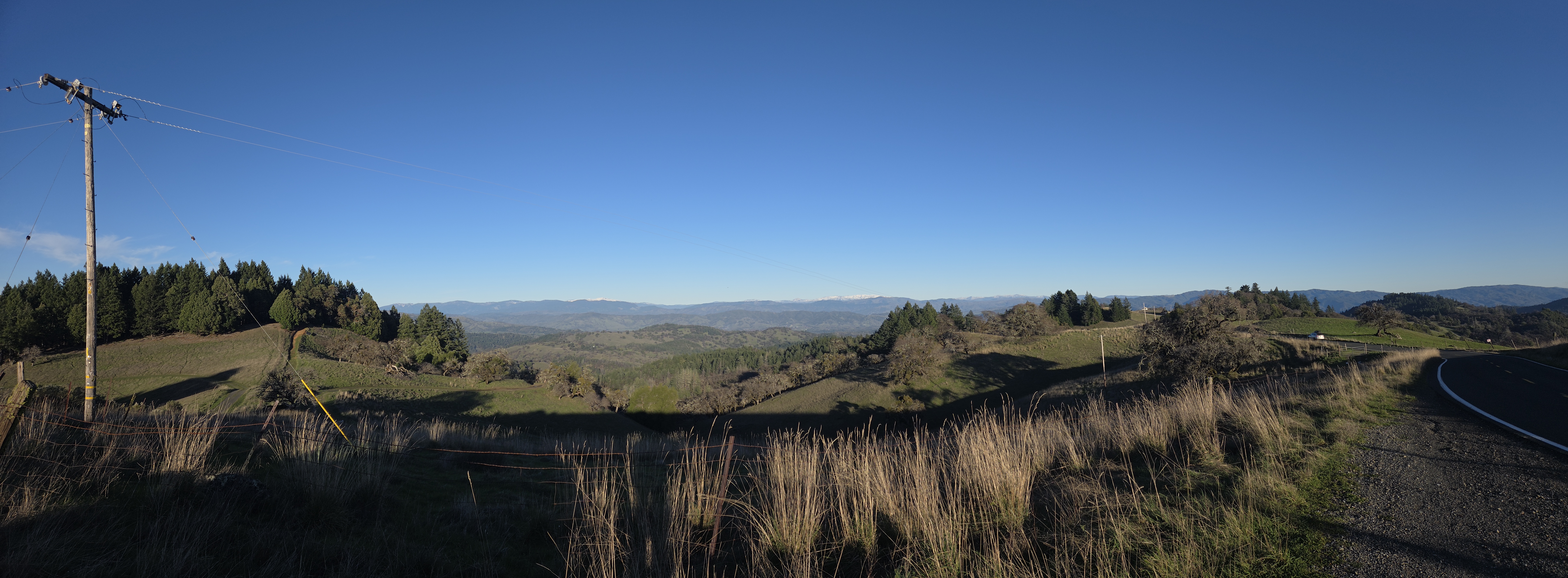
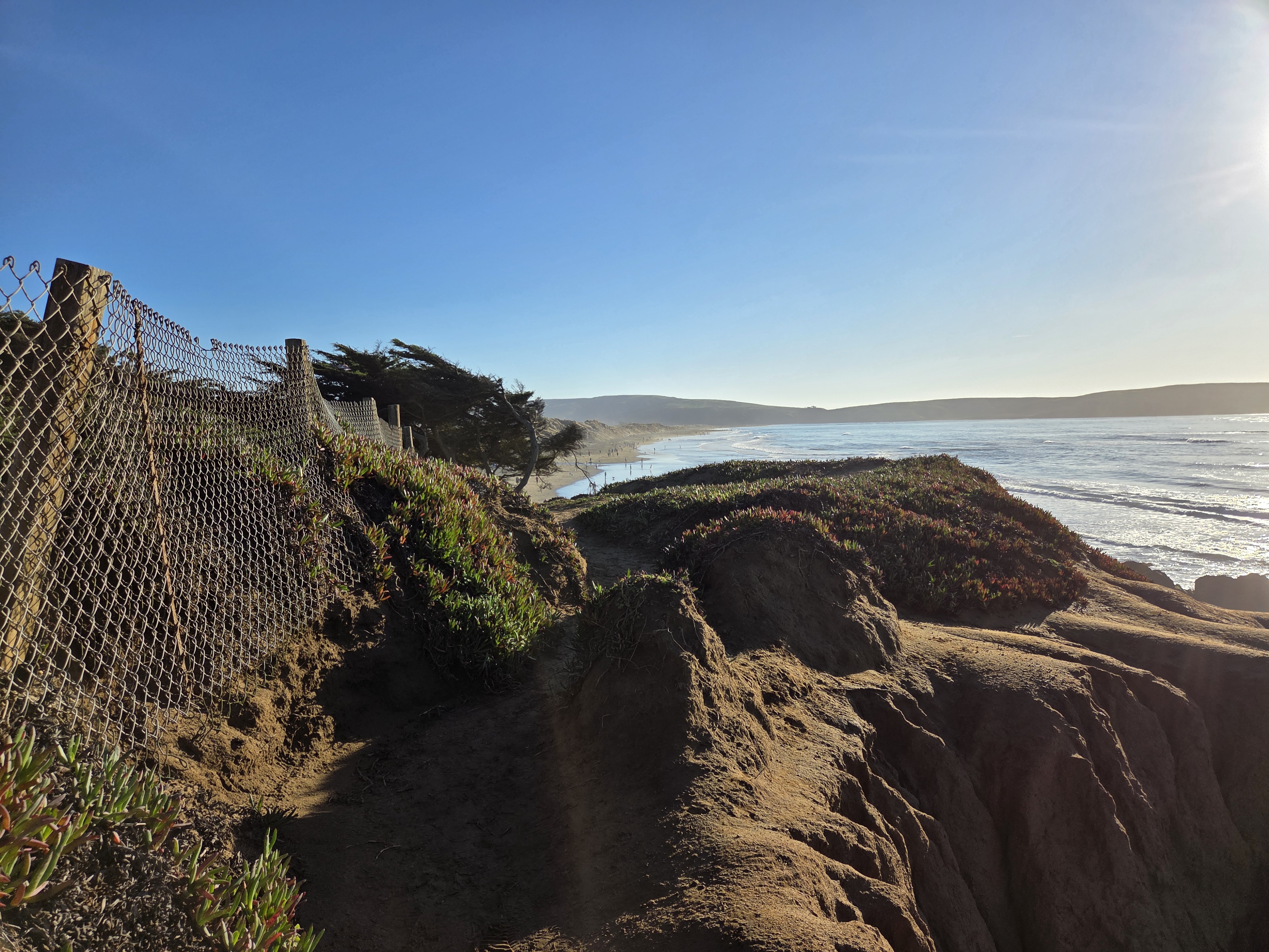
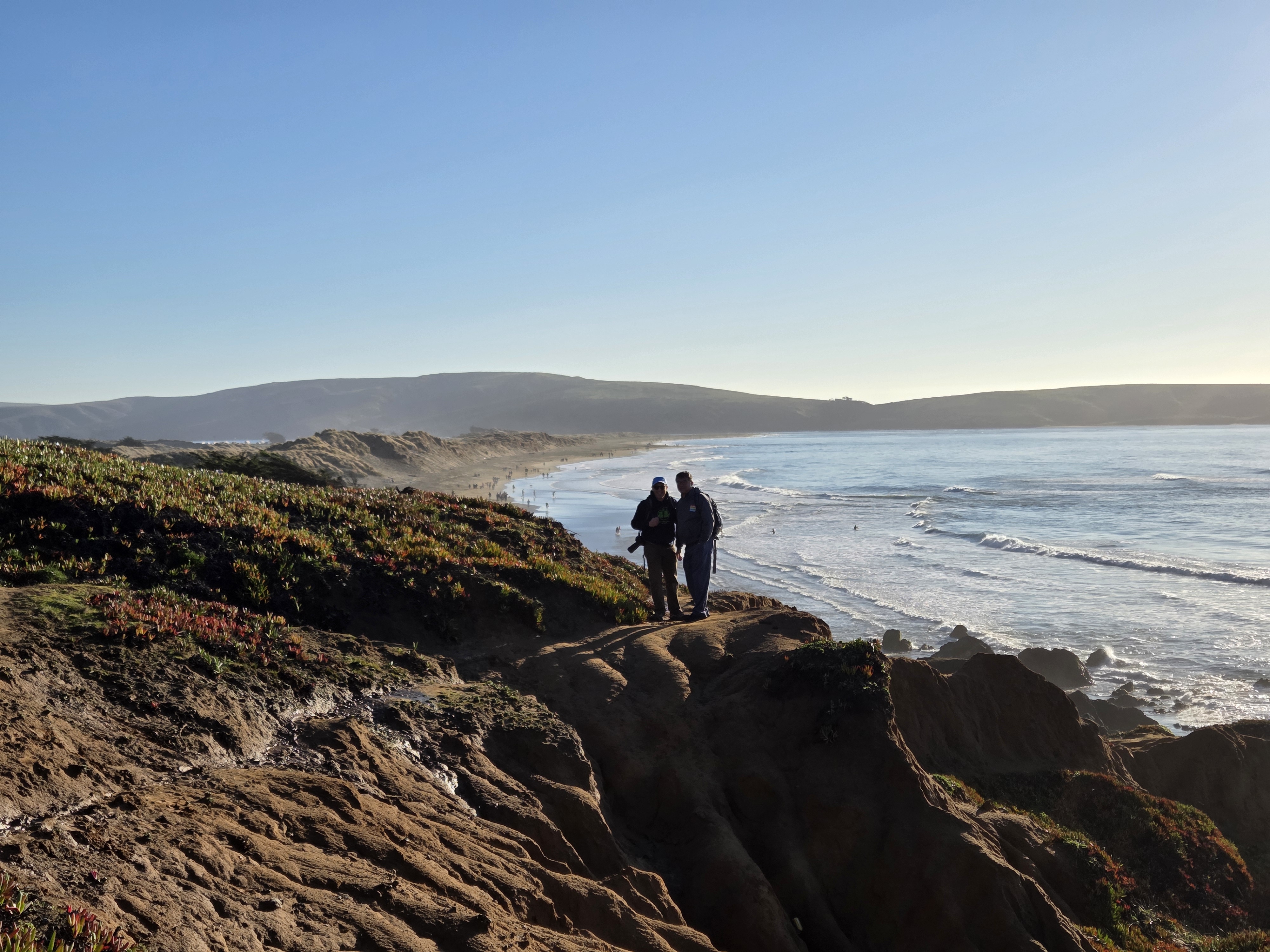
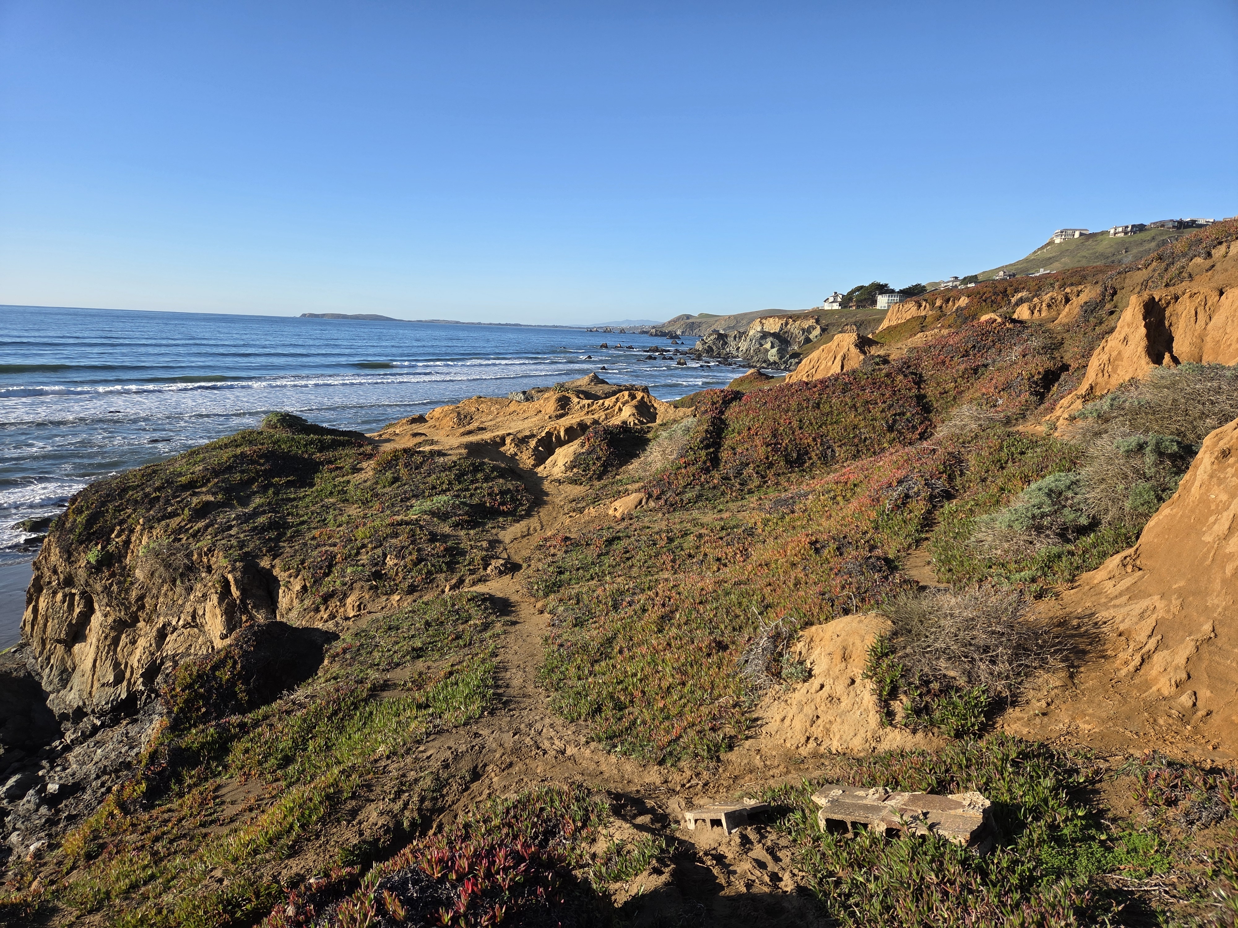
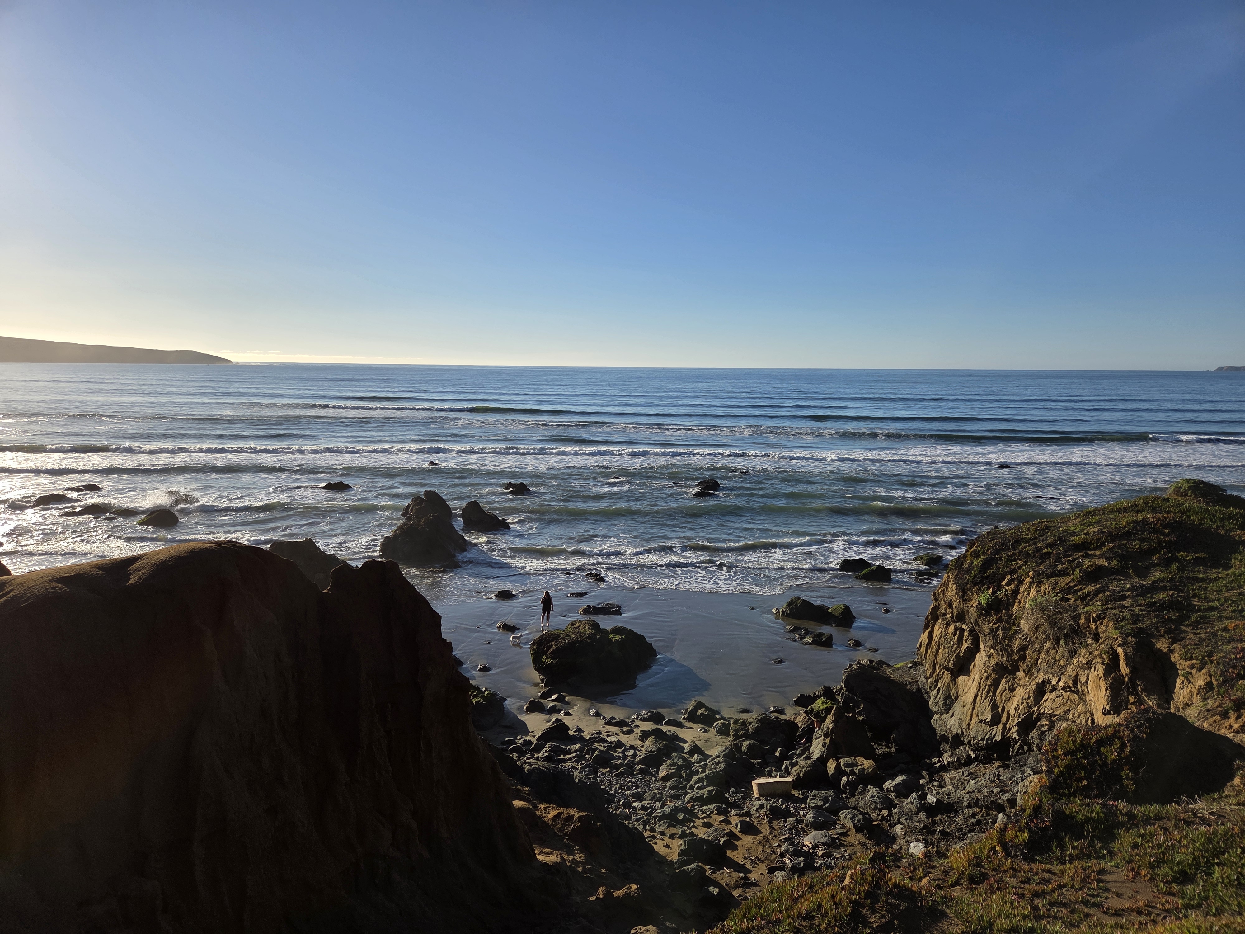
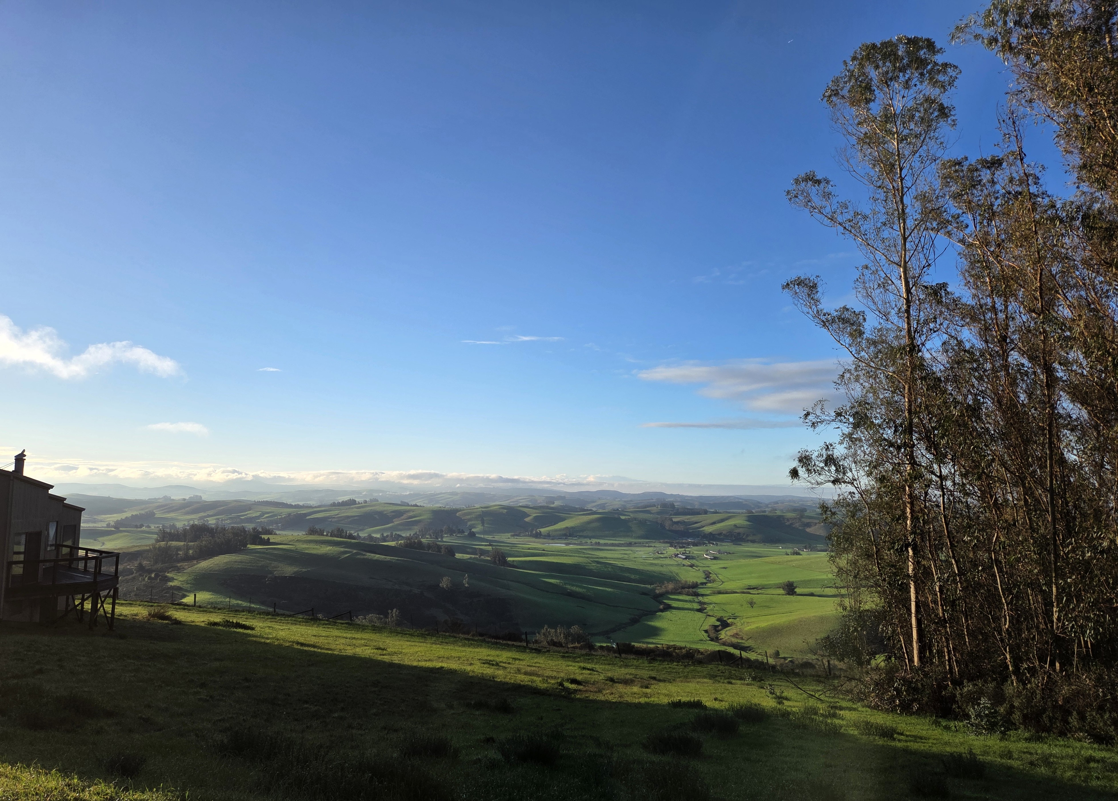
Since we resumed this series with (if I may say) rather spectacular shots of Yosemite Valley & Halfdome as seen from my airplane on the day I flew over toCalifornia in late December, we’ve shown you some of various spines of mountains that run through CA, starting with those Sierra Nevada photos, one earlier shot of these Snow Mountain and other higher parts of the “northern coastal range” in Mendocino National Forest, and of course the lower, closer to the coast coastal range further south as seen all around my Sonoma County home base. Naturally, I cherish mountain views when I find them outside NL, just as I cherish lovely canal views when here in NL 🙂