Coasting.100

From the Air.50
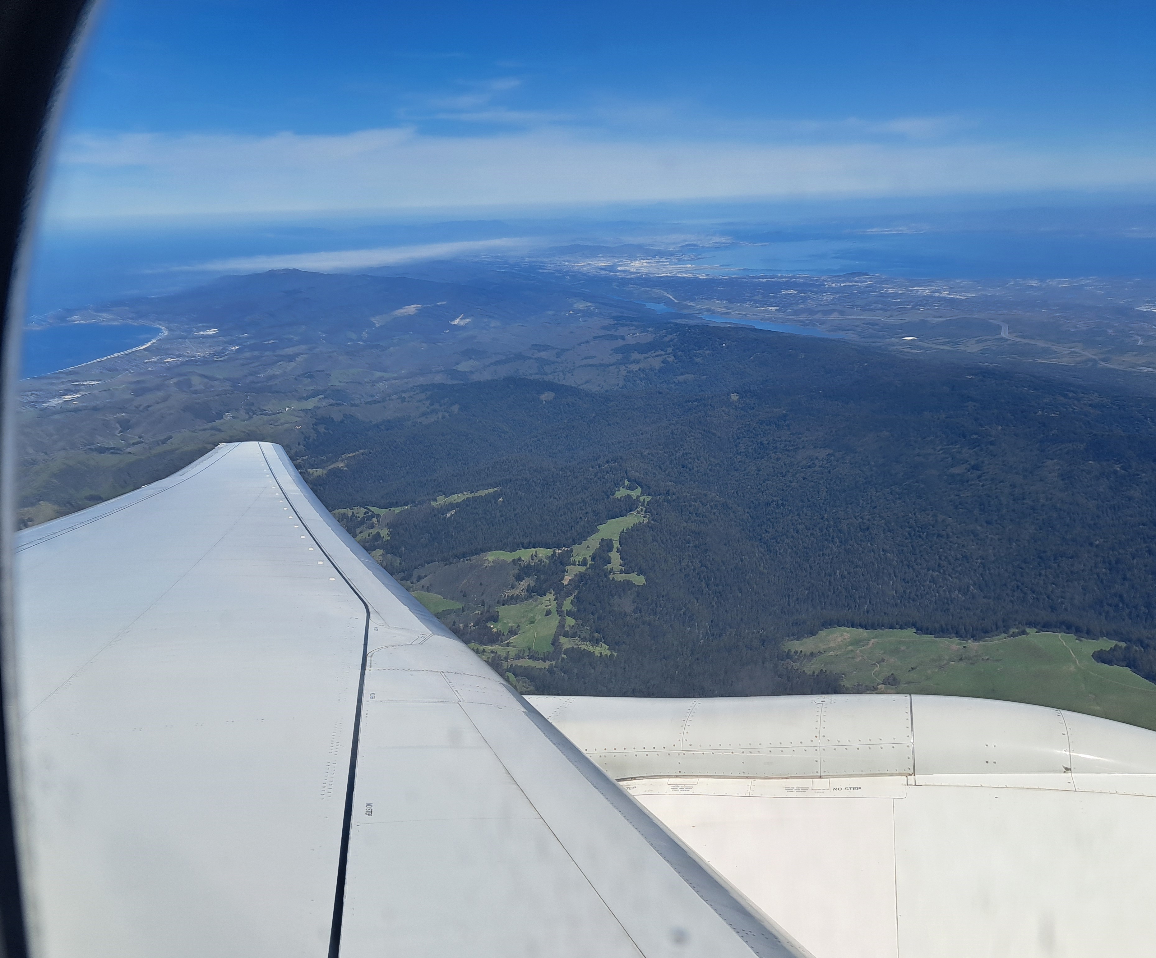
 If look closely at the above photo, you’ll see a bay coming in from the Pacific at the top right, carving inland to the top-center. That’s Monterey Bay. I’m posting all the remaining photos from our mid-April approach to SFO, following the flight from Amsterdam which, as we’ve shown you in prior posts, cut over the norther half of Greenland before plunging south along the Pacific Coast. This photo was taken in the midst of our complex circling in order to line up for (north-facing) approach to SFO. If you’re interested in better understanding the geography, just open a map and see how the “peninsula” sits between the (more enclosed) SF bay and the open, further south Monterey Bay. Here we’re beginning a clockwise circle from our southbound course, so I’m looking south and we’re still turning west and north. The shots below follow the rest of that trajectory in order, although the first shot was taken a minute or so before the one above. Enjoy 🙂


From The Air.47

From the Air.44

County Views.133
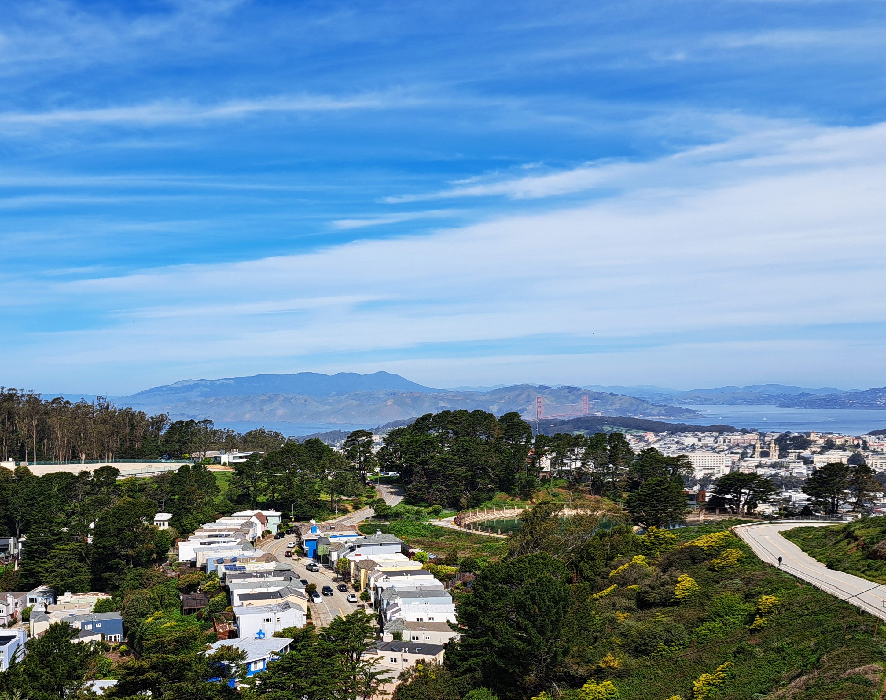
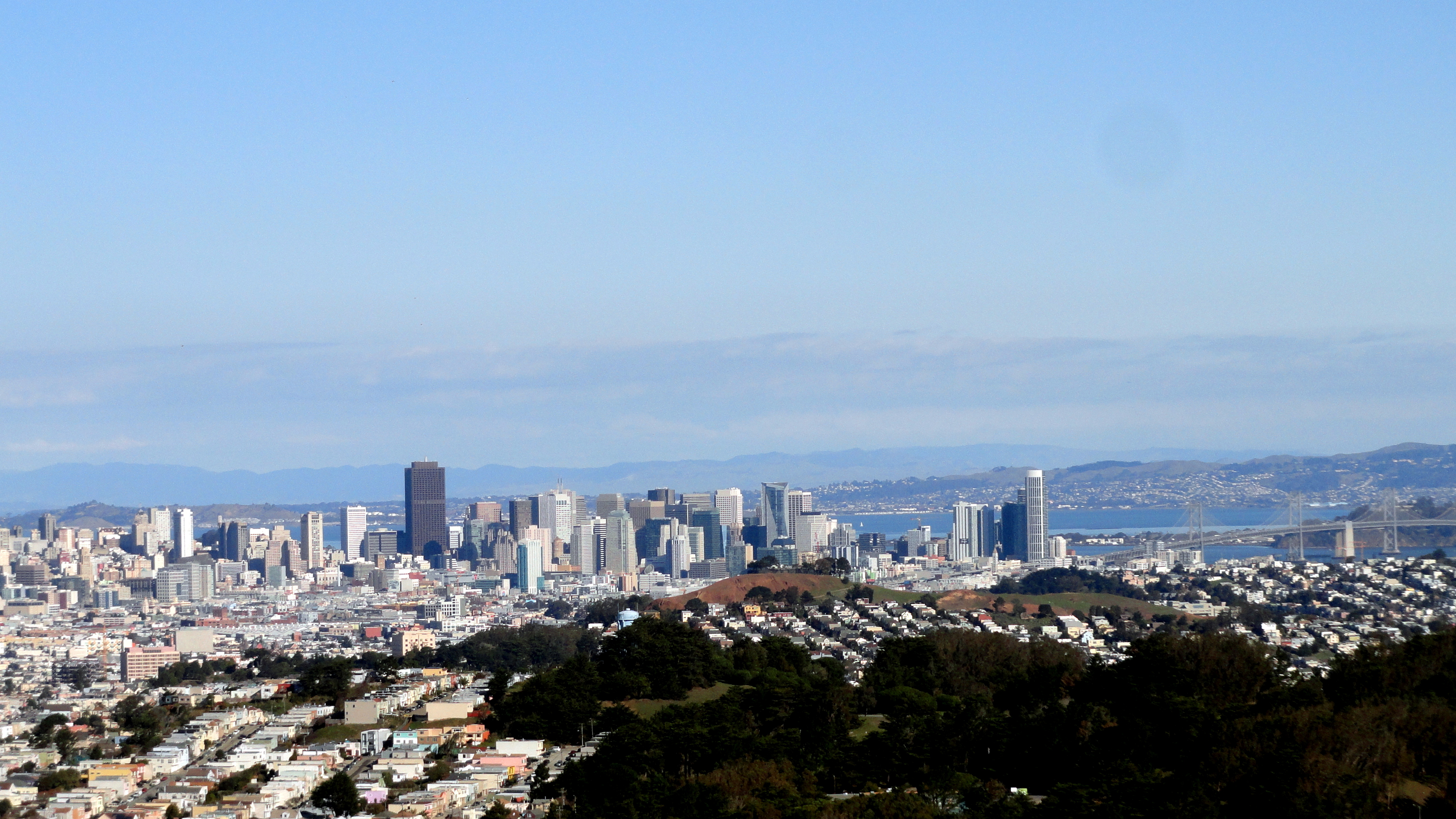
City Views.178
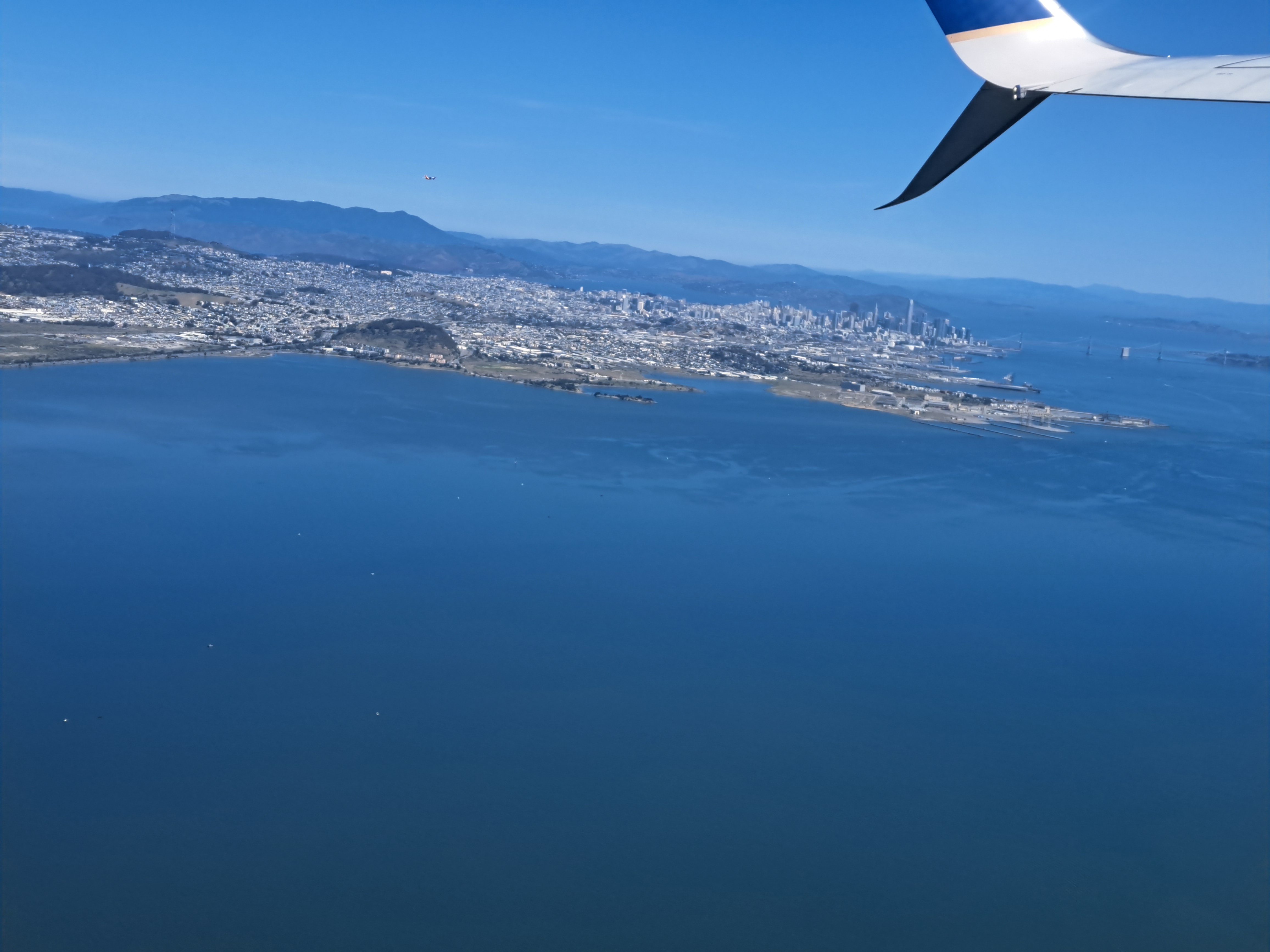
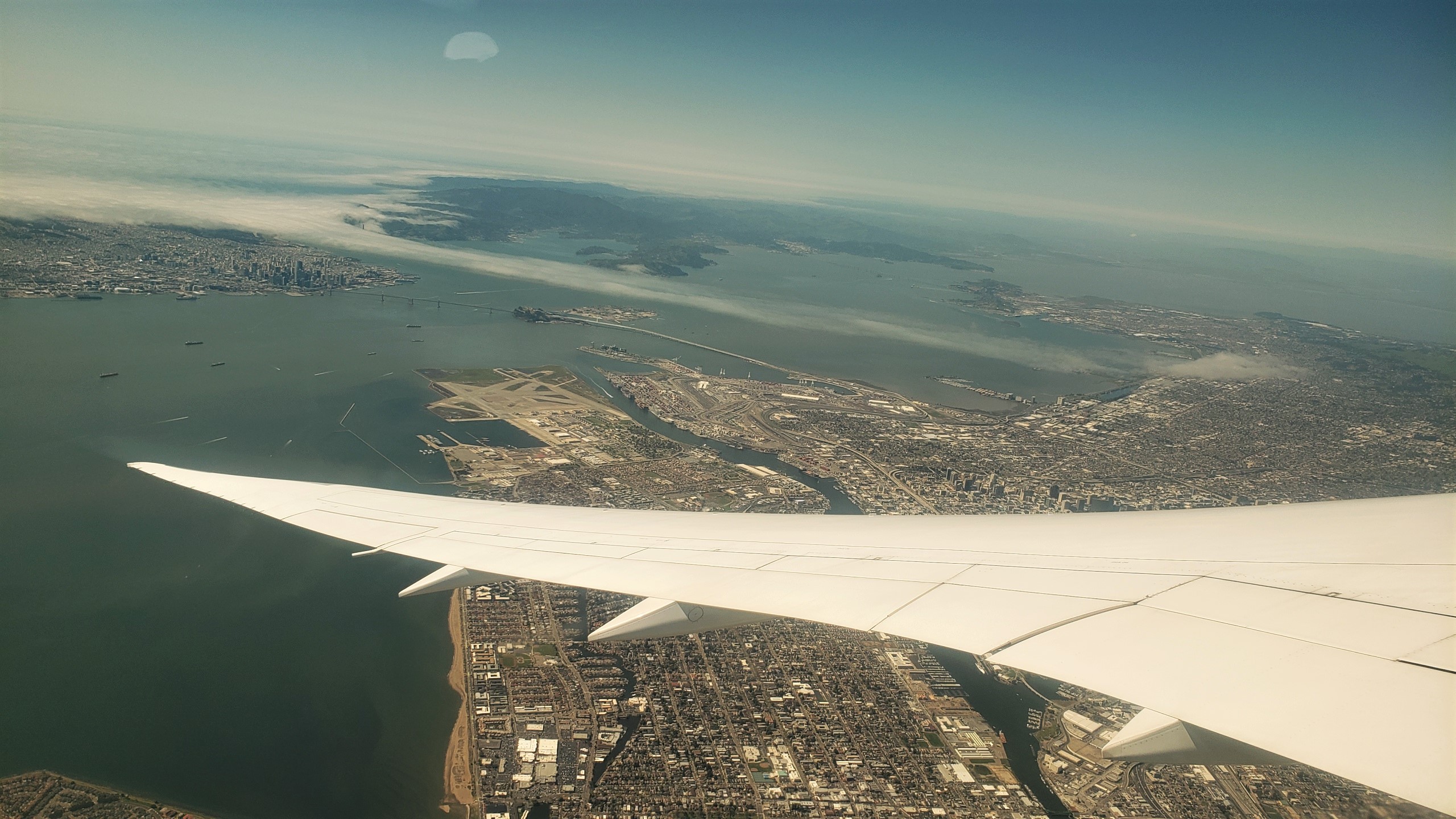 These views of SF and the greater region are from the take-off ascent when we flew back to Amsterdam two weeks ago. The photos at top and bottom were selected as highlights for two reasons. First, because they both show the atmospheric effect of heat in the central valley (more than 100km east – right – of what you see here) pulling cool, moist air — aka fog — in from the vast, cold and wet Pacific directly through the Golden Gate (not the bridge, but the small gap in the coastal mountains which the bridge spans) and then inland, following the river that drains the valley then flows into the bay, in the process flowing over both the city of San Francisco, and some of the surrounding cities to the north and east. Second, because they both also show you the lovely north bay and – if I had that degree of resolution – they likely look right over Sonoma Mountain and the other coastal-range mountains to show Santa Rosa, in its little bowl about 65km north of the Golden Gate. FYI, the bridge you do see is the Bay Bridge, its two spans connecting SF with Oakland and the east bay, forming the western terminus of Interstate 80, just as the George Washington Bridge forms its eastern terminus at the Hudson between NYC & NJ. The Golden Gate Bridge, by that particular Monday afternoon, was already well-wrapped in the fog you see :-).


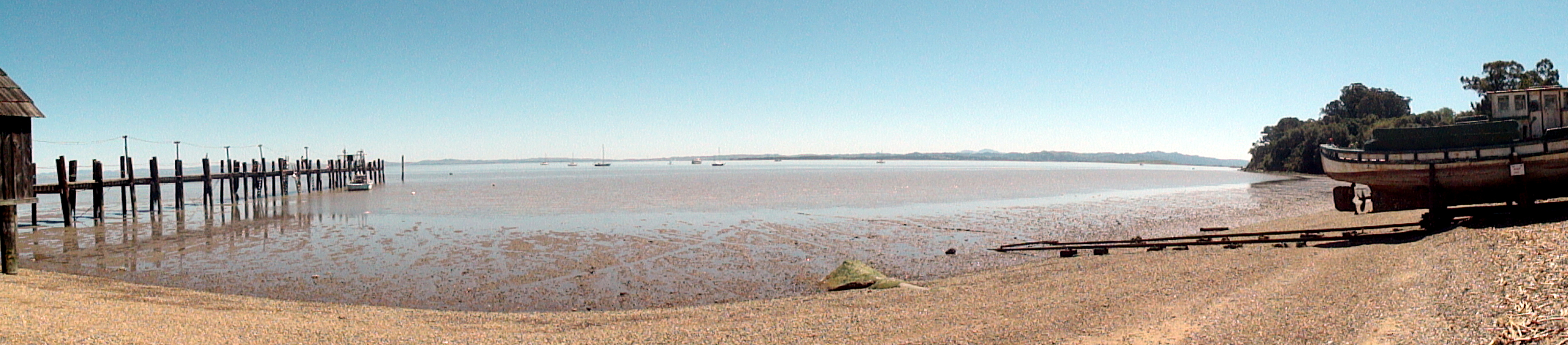
China Camp State Historic Park
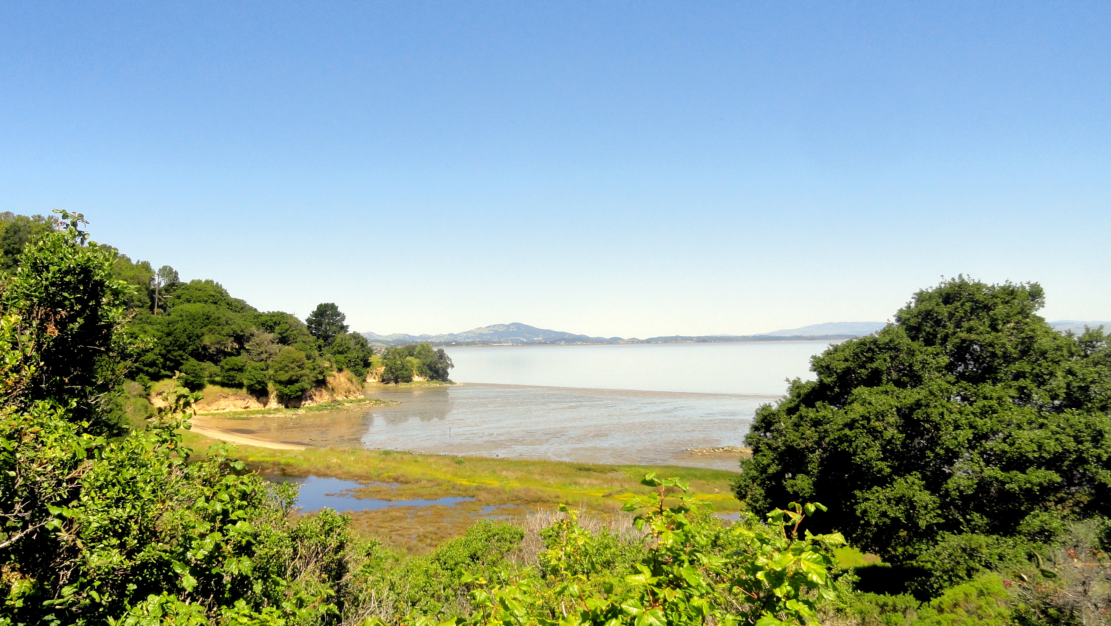
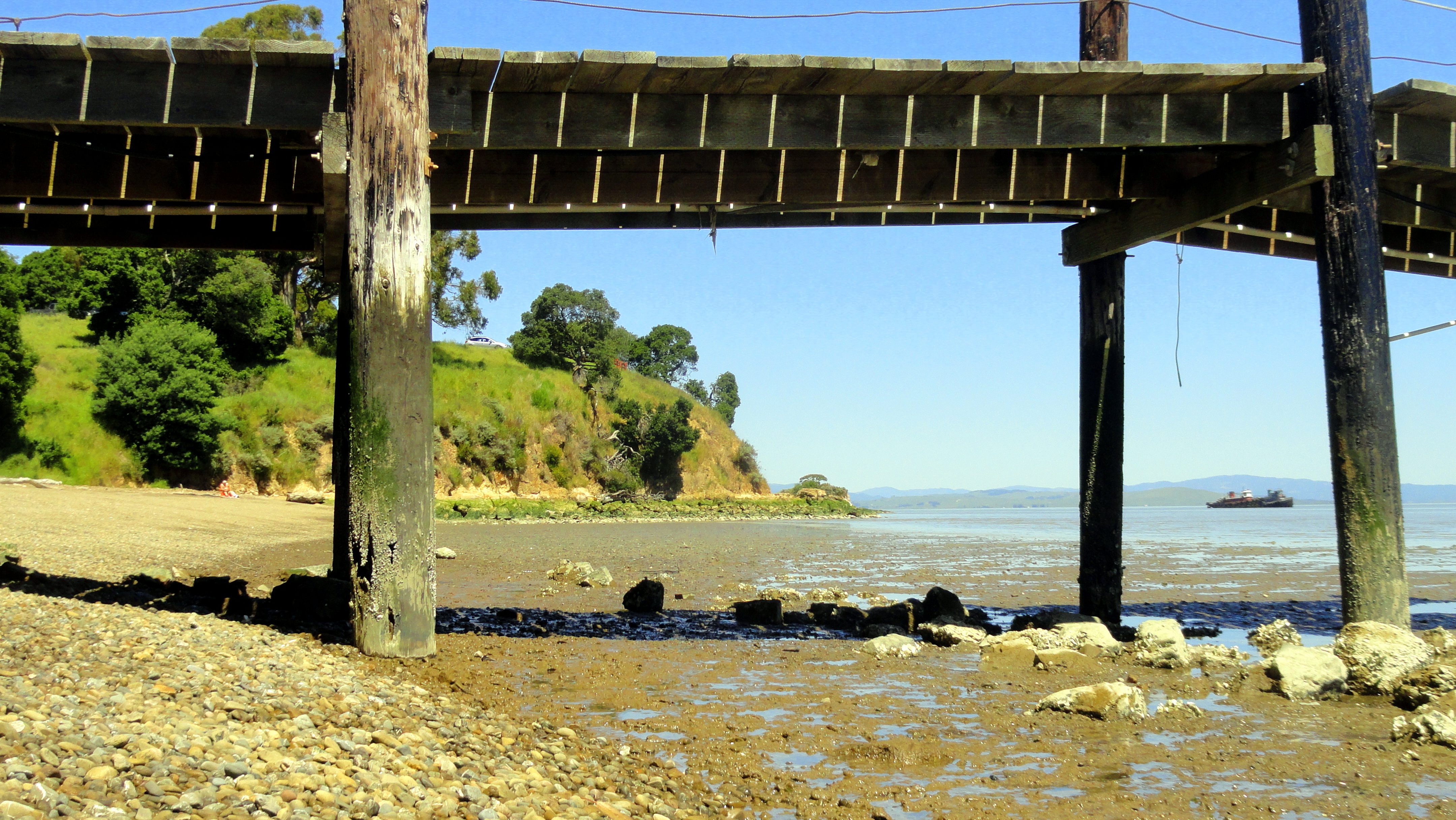
On a warm, bright day last May, I for the very first time took the freeway exit which would lead me, Amy & Nancy to China Camp State Historic Park on the shores of San Pablo Bay in the northern reaches of the greater San Francisco Bay. All along the freeway north of the iconic Golden Gate Bridge, one sees signs for state parks, state historic parks, significant historical or architectural landmarks…and too often one simply drives past with the internal monologue that says “I’ll visit next time.” It’s rather like New York City residents who see the Statue of Liberty out their subway window during elevated portions of the ride from Brooklyn into Manhattan but may actually visit the island itself only once a decade when visitors from out of town express an interest. In any case we three did finally visit on that bright morning in May, exploring a few short trails and enjoying the visitor center’s historical displays about the local shellfish harvesting done mostly by Chinese immigrants, and the local community and commercial culture that grew up around these camps. Yet another sad fact in the history of the western US is the sheer historical forgetfulness of too many anglo types around the essential, critical role played by so many non-anglo communities in making these places what they are today. This little park does its bit to remind us all, and I for one found it well worth a visit – try it yourself some time! And for anyone who’s curious: yes, I’m now back in the heart of Africa, writing this fairly close to the shores of the Oubangui river and I’ll just let you guess where that places me, if you don’t already know :-). At some point I might find a few things I can photograph and post from here, but for the time being I am still using my limited personal free time to dig through photos from some of my favorite outings during my extended inter-mission last year…I hope you enjoy them as they pop here every now and then in coming weeks, as the occasional lazy Sunday morning with sufficient internet bandwidth permits. Peace, health, thanks as always for visiting the site and sharing my photos with me … out.


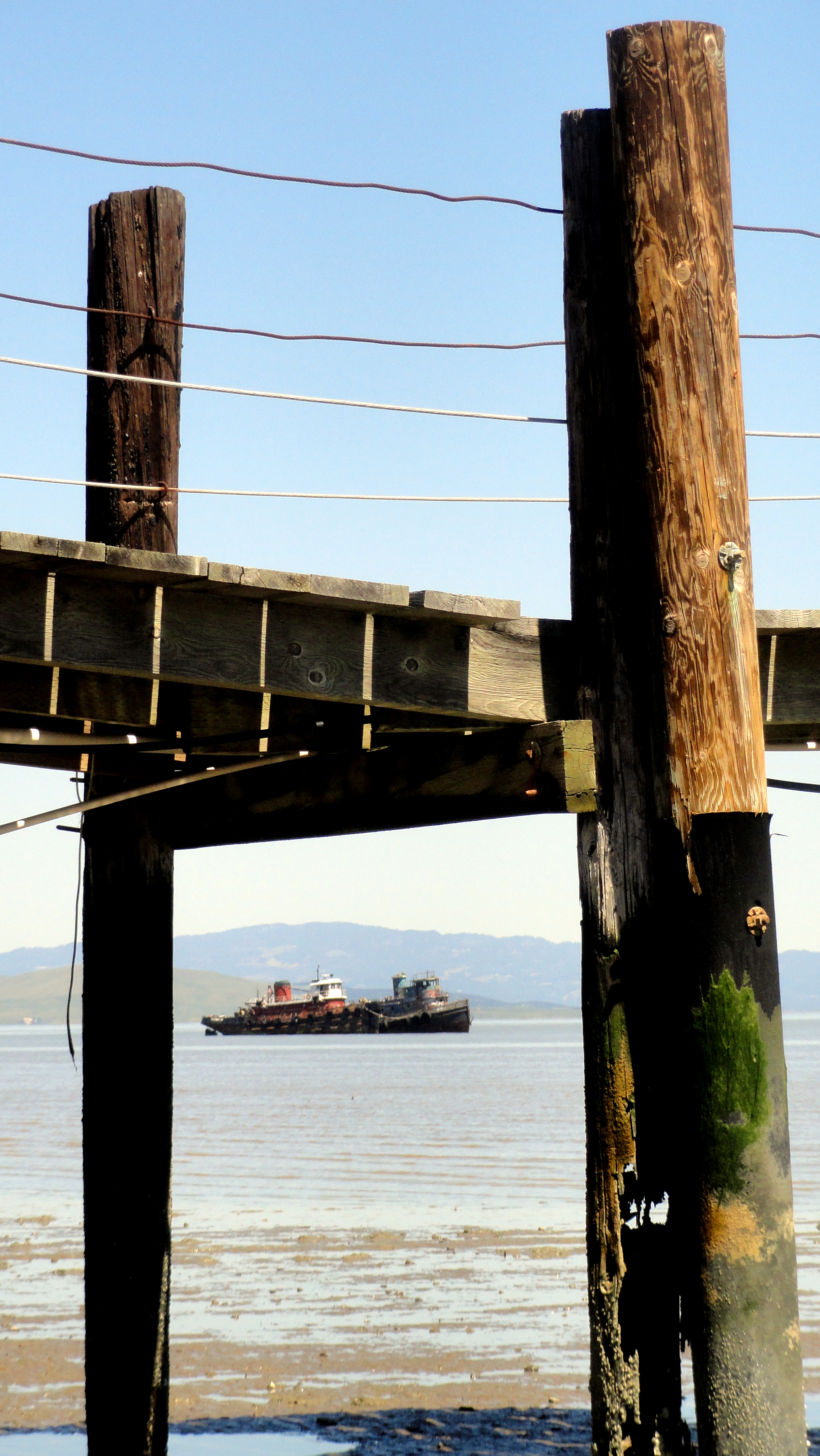
The Bay on New Year’s Day

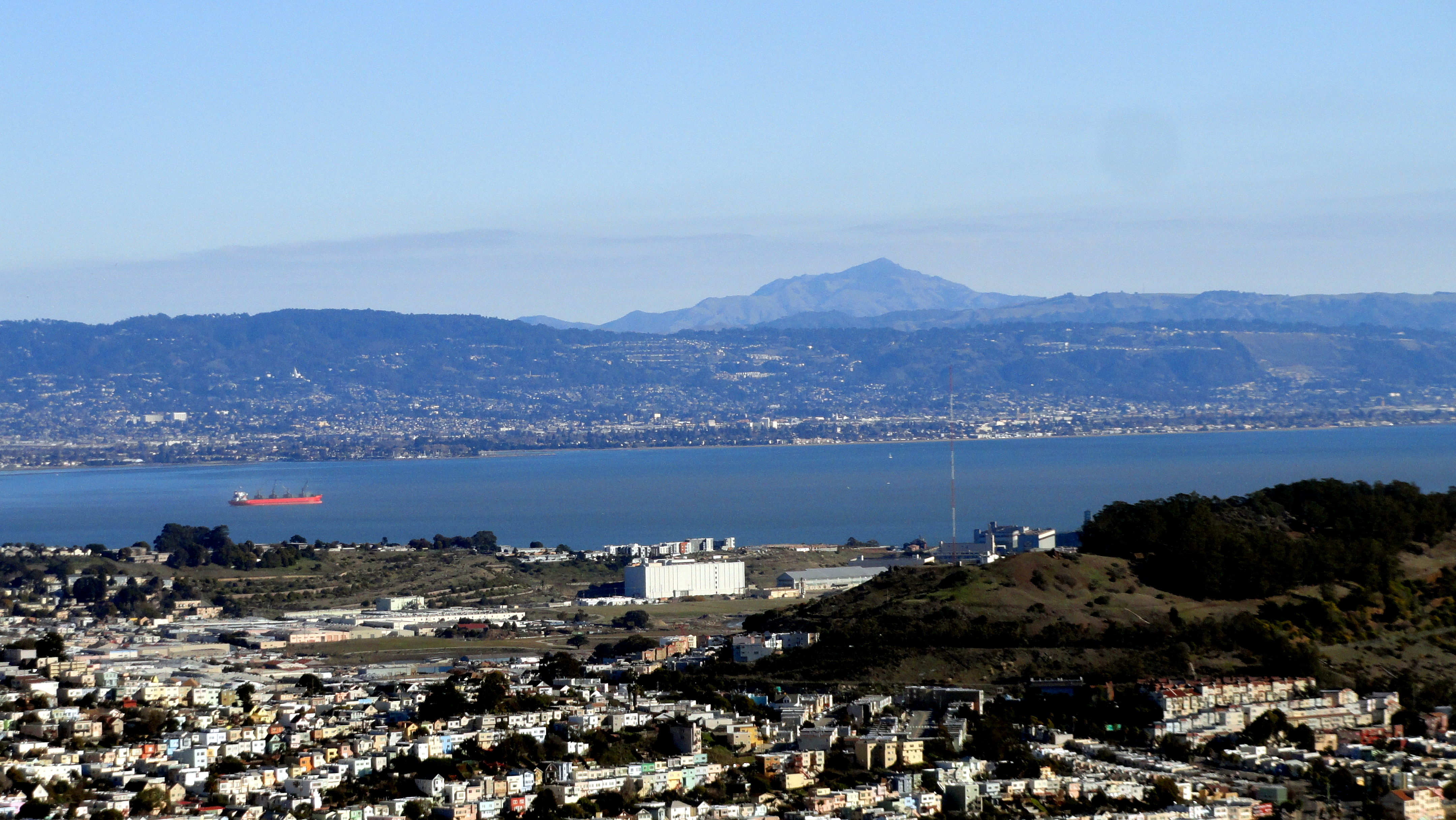
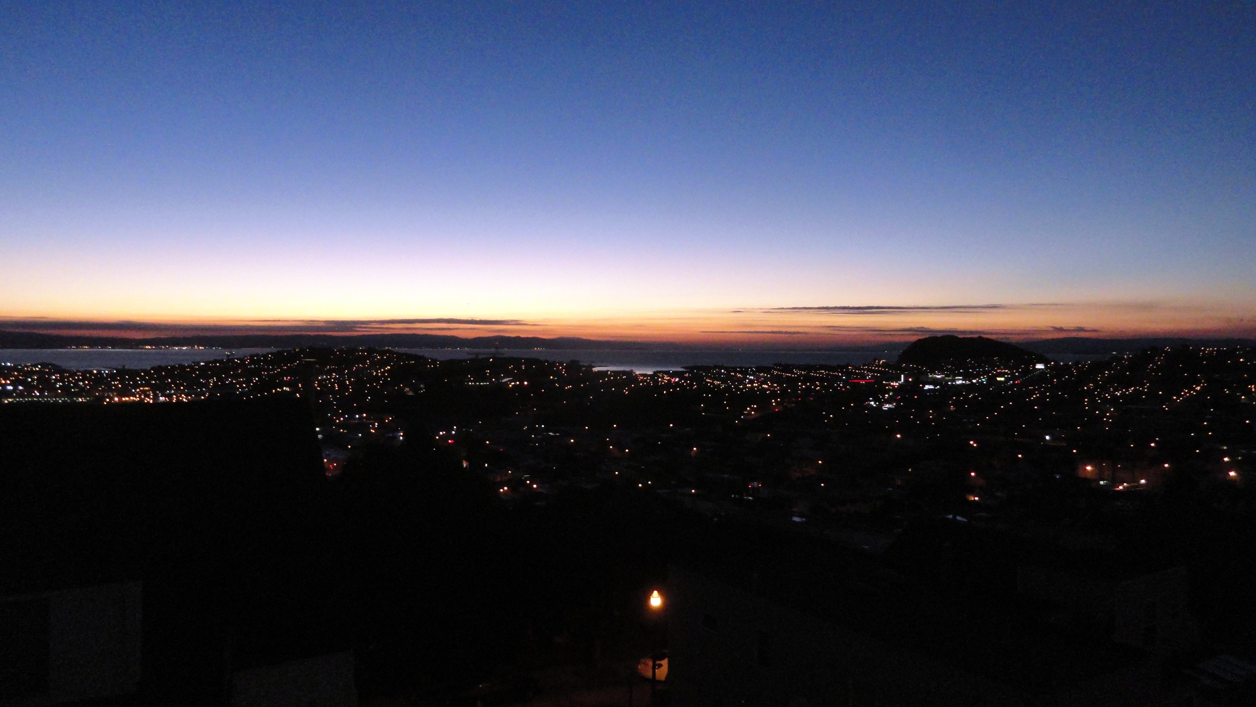
2016 dawned beautiful, bright and clear in and around San Francisco. And for the first time in many years, I saw my first sunrise of the new year in the bay area instead of out on another continent across a ocean or two. True, the next day I flew out again to head back to Haiti and my work here…which would be why it’s taken me nearly 1/6 of 2016 to get these put up: sorry! As you see, though – the view was clear enough to see easily and clearly all the way out to Mt Diablo, and all the way up to Point Reyes National Seashore. Enjoy these little views of my home region :-).