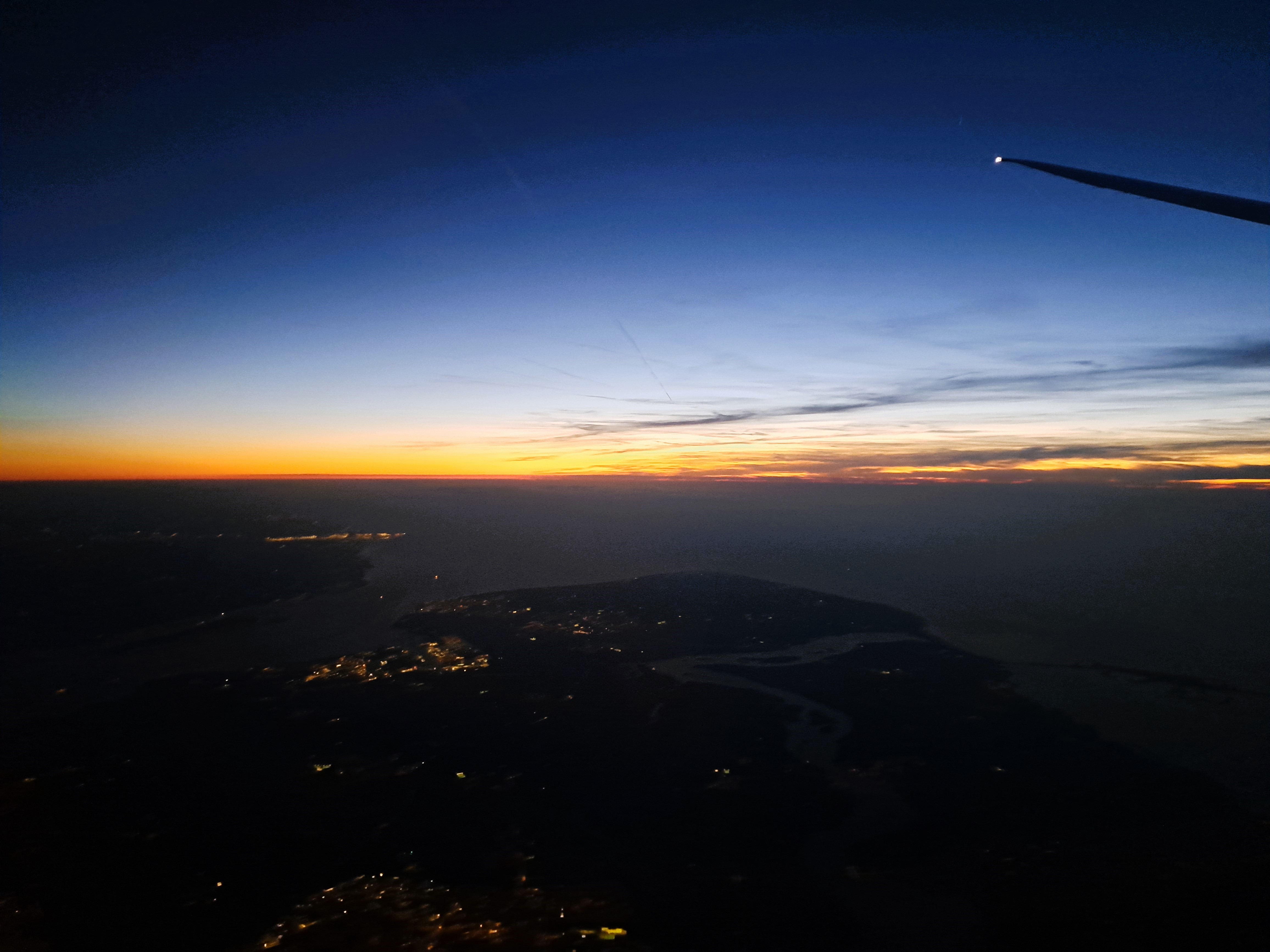
So after a very careful study of the map against this photo, I have concluded that I can at last legitimately add at least the category “Zeeland” to my blog, even though I’ve not yet been on the ground in Zeeland. (It’s now the only province in the Netherlands that I haven’t at least passed through in a train or car, and most I’ve now done some real activities such as overnights, culture, tennis, performances, museums, etc.) I’m confident that the land on the left is the beginning of Zeeland, as you head south, while the area on the far right under the wing-tip of the airplane is the end of Zuid Holland, just south of the port of Rotterdam which I showed you in a previous post from this flight back to A’dam from Geneva. If you also choose to study the map as I just did, you’ll no doubt agree that the image below, taken less than two minutes before the one above, shows the fingers of land just south, also in Zeeland – which, if you do study the map, you’ll notice is really a lot of peninsulas and islands between the various channels of water that represent the main end of what would be the delta of the Rhine, if the Dutch hadn’t been engineering it for centuries.


Pingback: From The Air.29 | (so much world, so little time....)