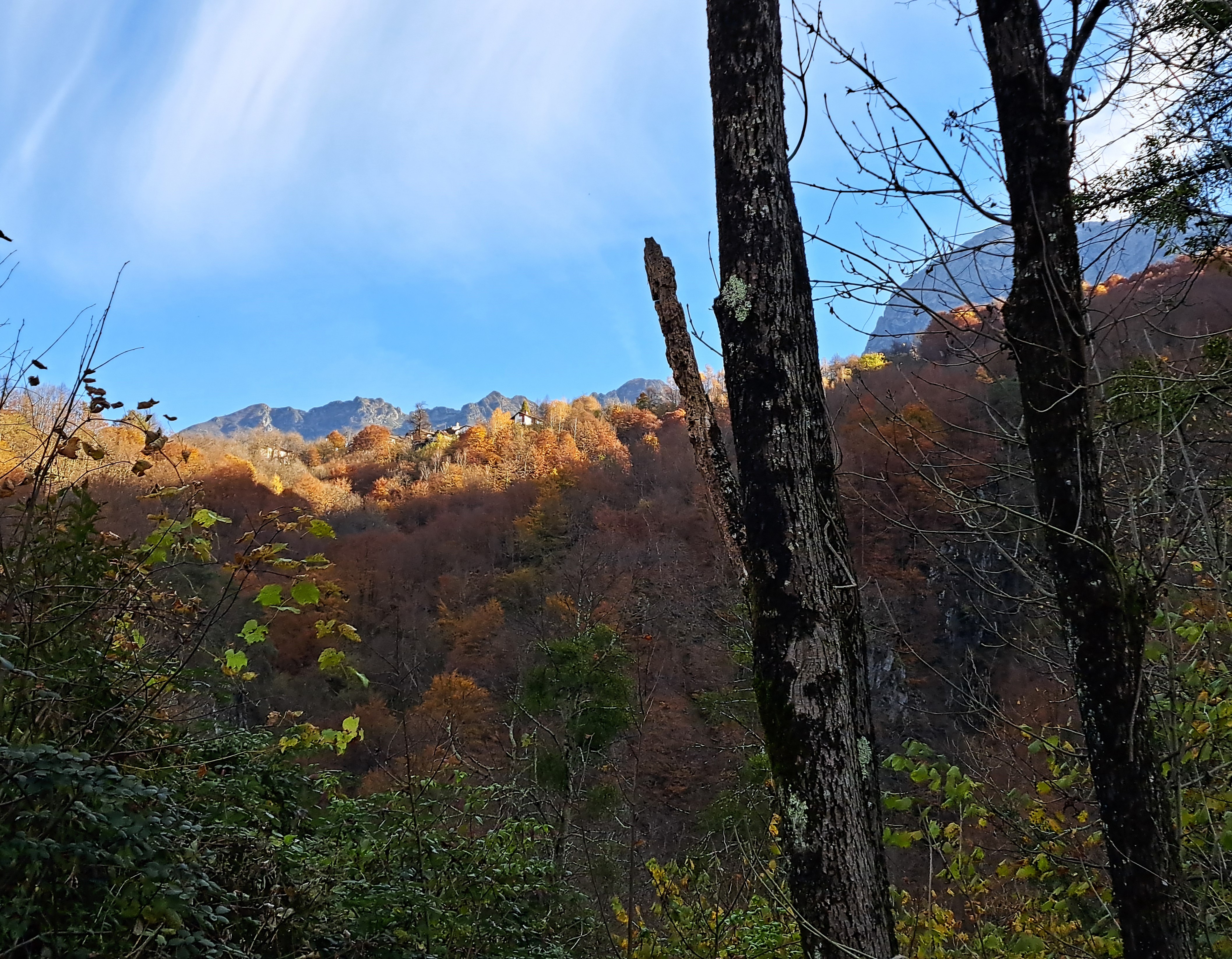
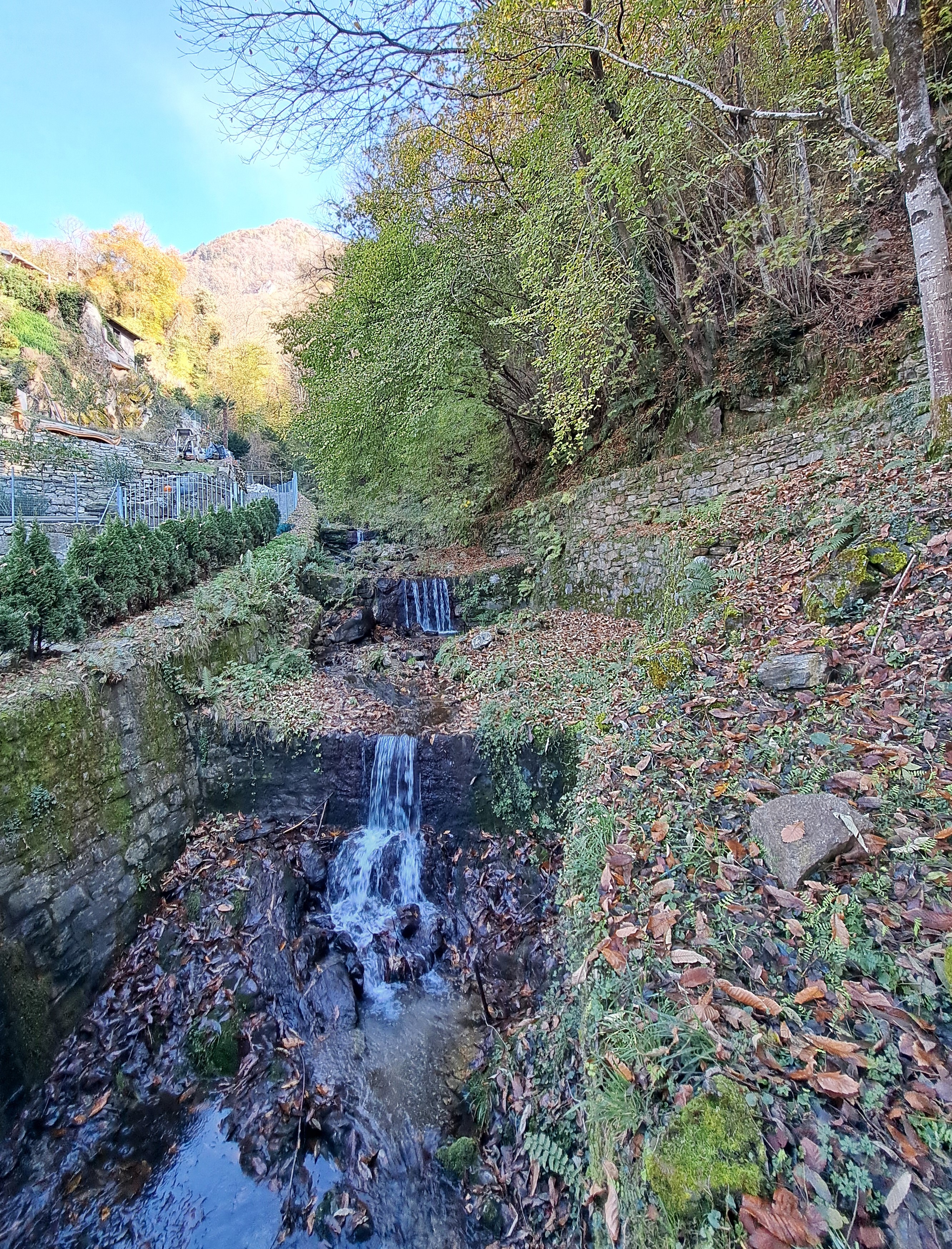
Goodness, these are the first images I’m showing you from my lovely out-and-back train ride from Locarno down to the remote, mountainous little village of Camedo, on the border between Italy & Switzerland and a bit west of Lago Maggiore. The area is called Centovalli because of all the steep, narrow valleys created by the side-streams that feed into the main valley-bottom river, the Melezza. This is a special line that runs between Domodossola and Locarno, serving quite a few tiny villages perched on the steep slopes along the way, and with (my guide book tells me) 17 impressive ironwork bridges along the way. I wish I’d had more time to explore it – but maybe next visit!
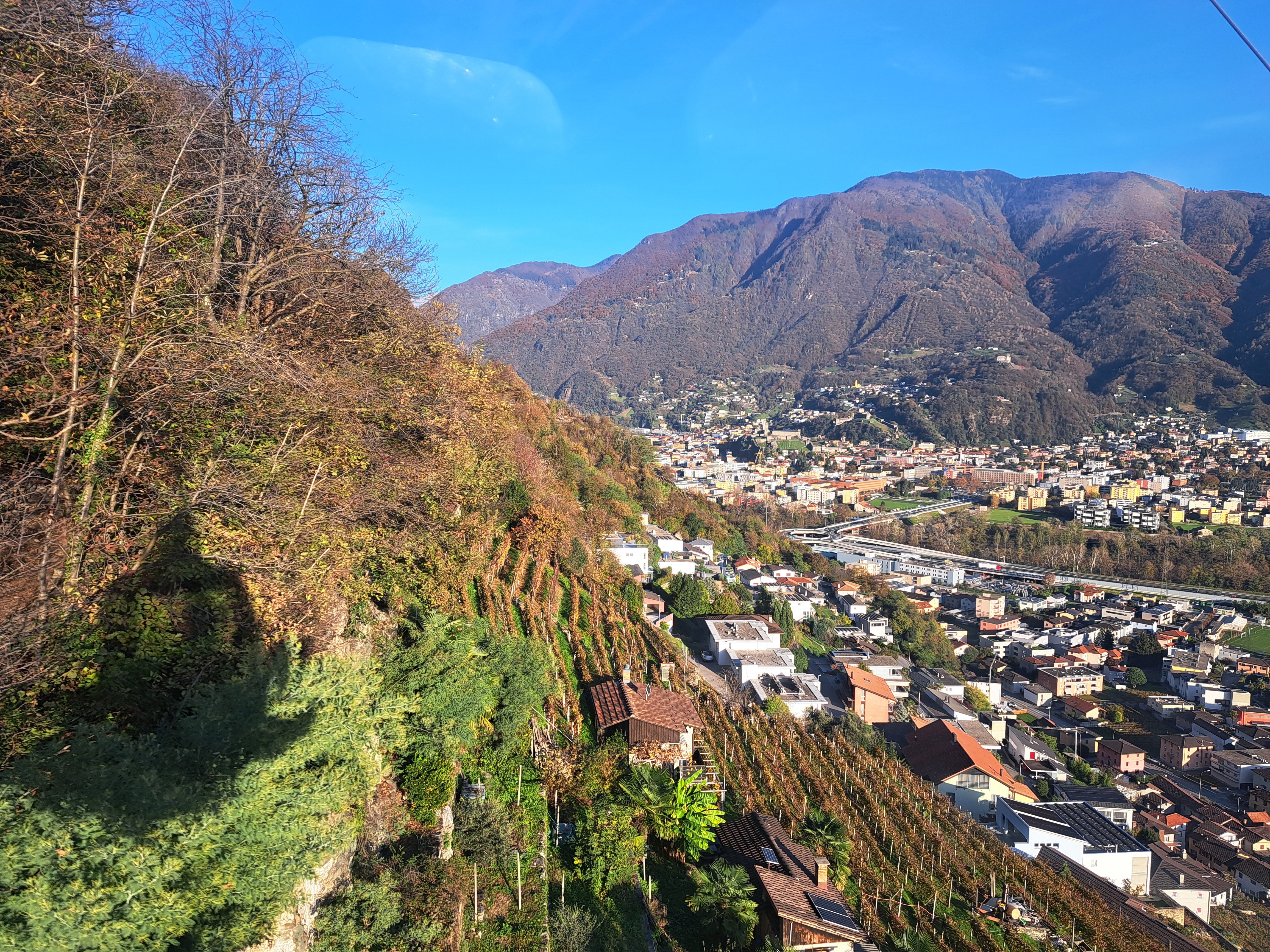
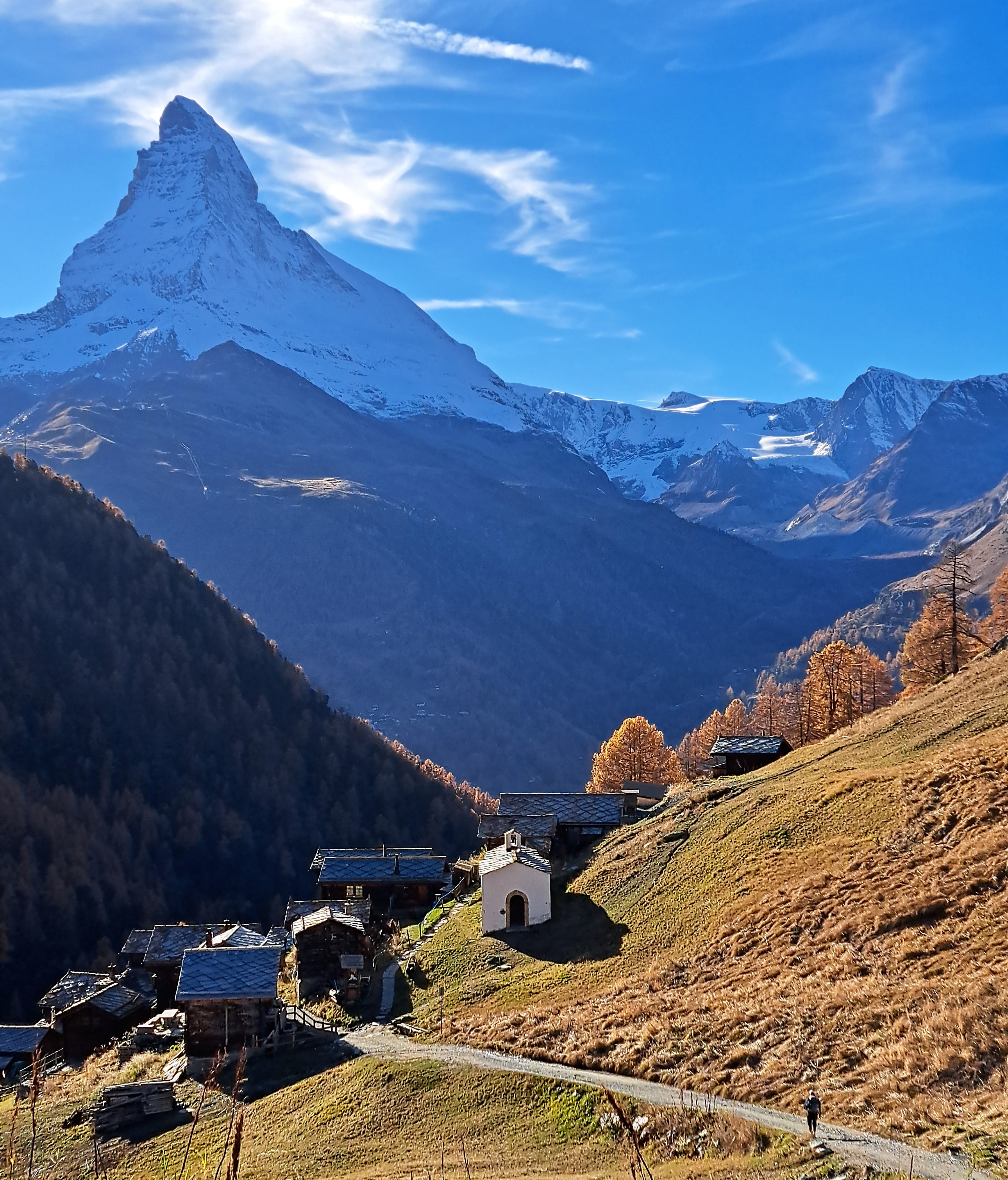
Above, your last shot of those Hajar Mountains over UAE on the Dhaka to Dubai run in September. Below, another of my new form of “in the air”-ness, taken from a gondola high above the valley of the Ticino river on my way to a mid-mountain stop that gave me access to a Tibetan hanging bridge that connected two villages without having to go up or down and around, not too long ago. You can see the shadow of my gondola on the mountainside, plus some of the city of Bellinzona in the center – left. Much more on both the Tibetan Bridge, and Bellinzona and its pivotal role in history, later… 🙂
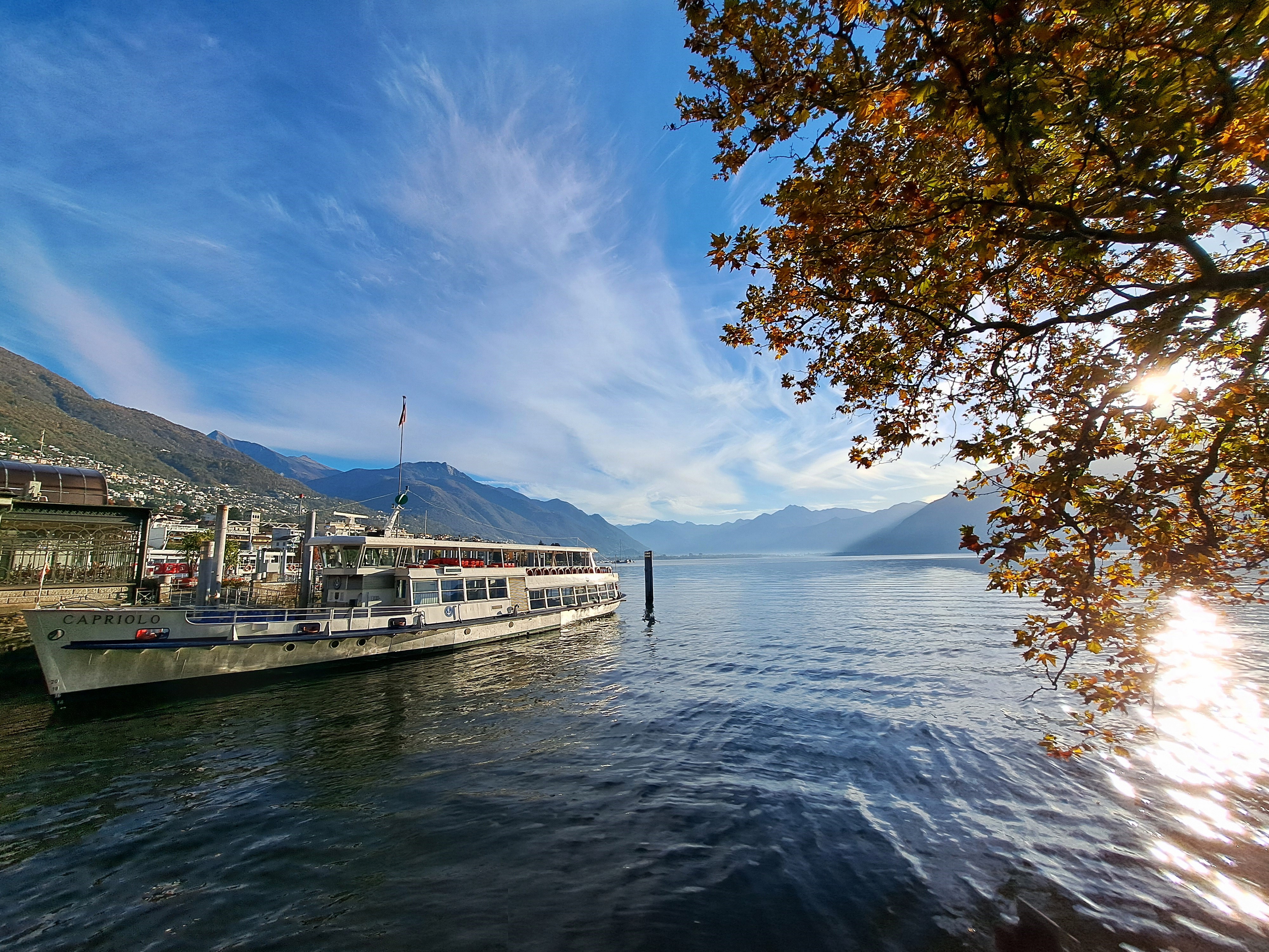
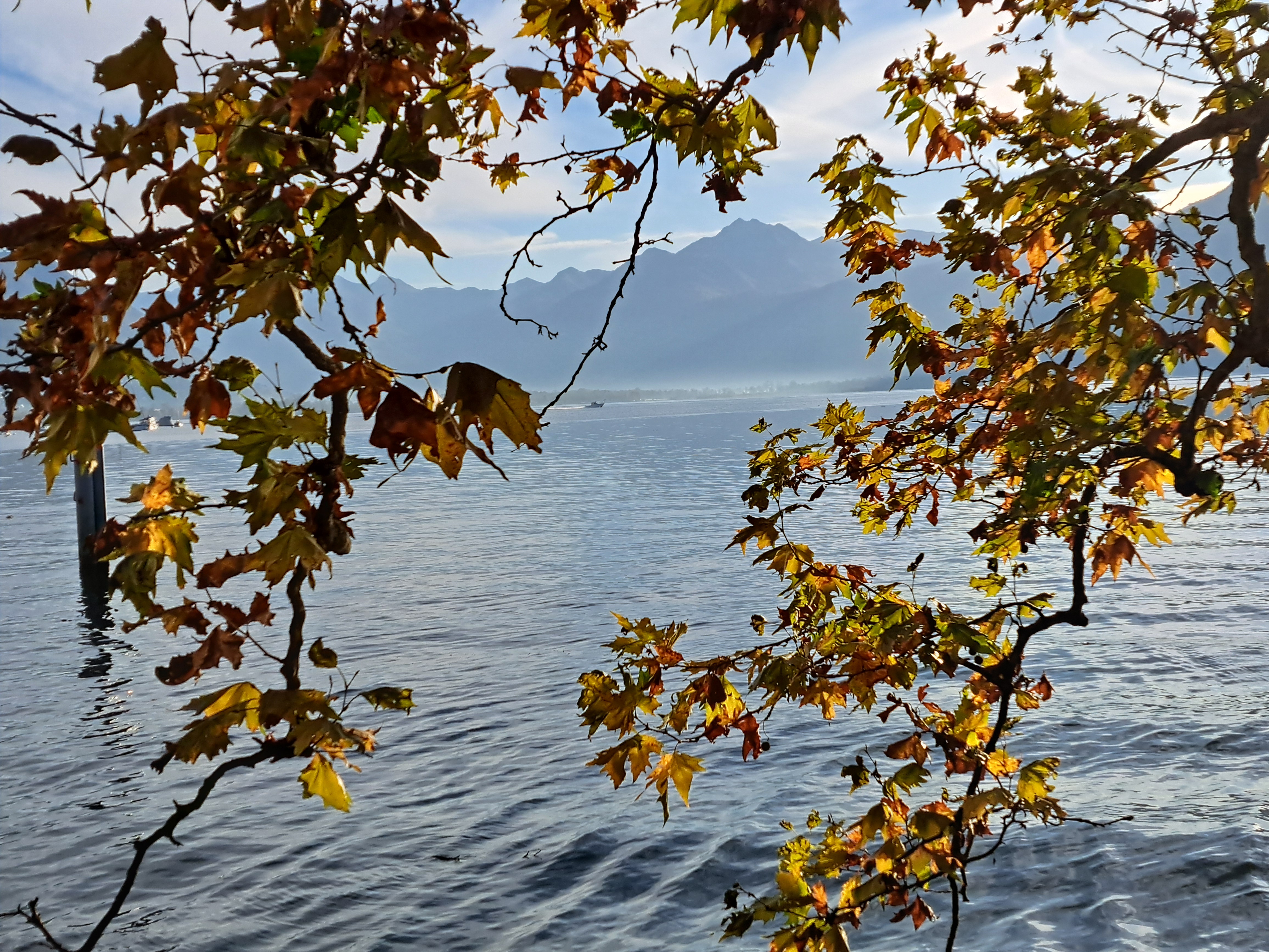
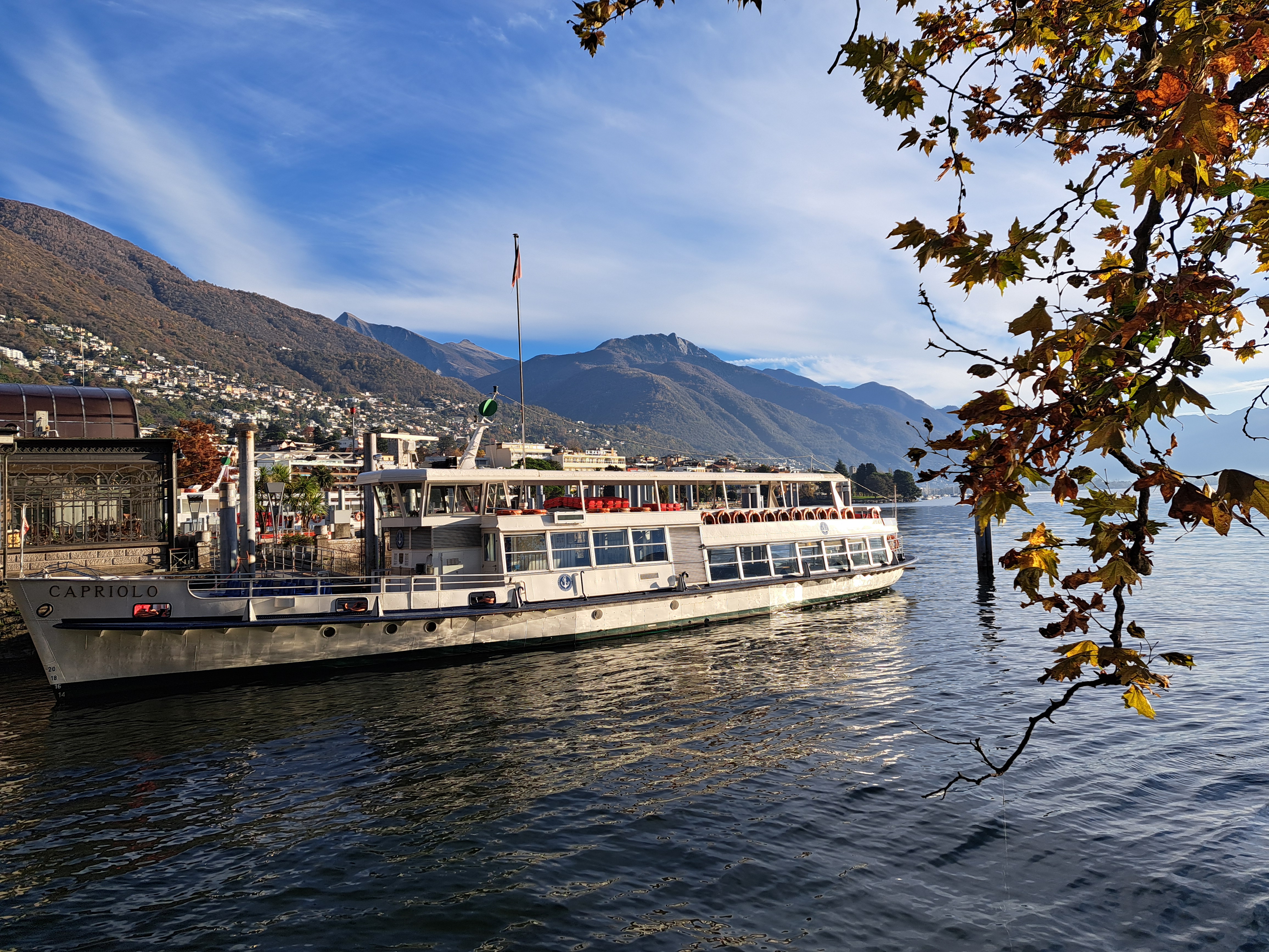
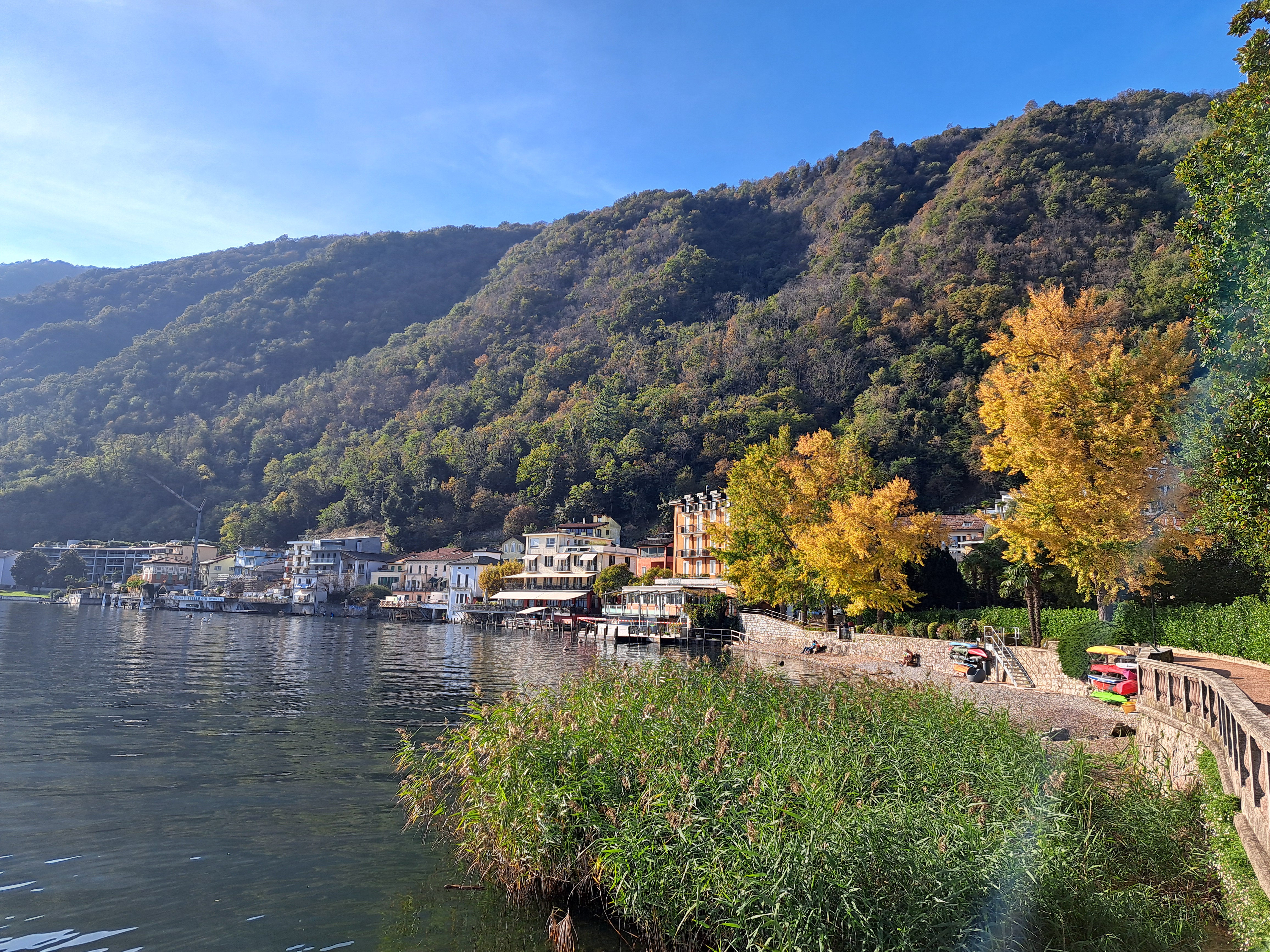
My last few days in Ticino I moved over to Locarno, at the northernmost part of Lago Maggiore where it’s Swiss. (I showed you a few views from the train of bits of the Italian parts farther south, a while ago.) Above and below middle, you can basically see from Locarno on the NW corner of the lake, to the northeastern corner which means these shots cover maybe half the Swiss parts of this enormous lake.
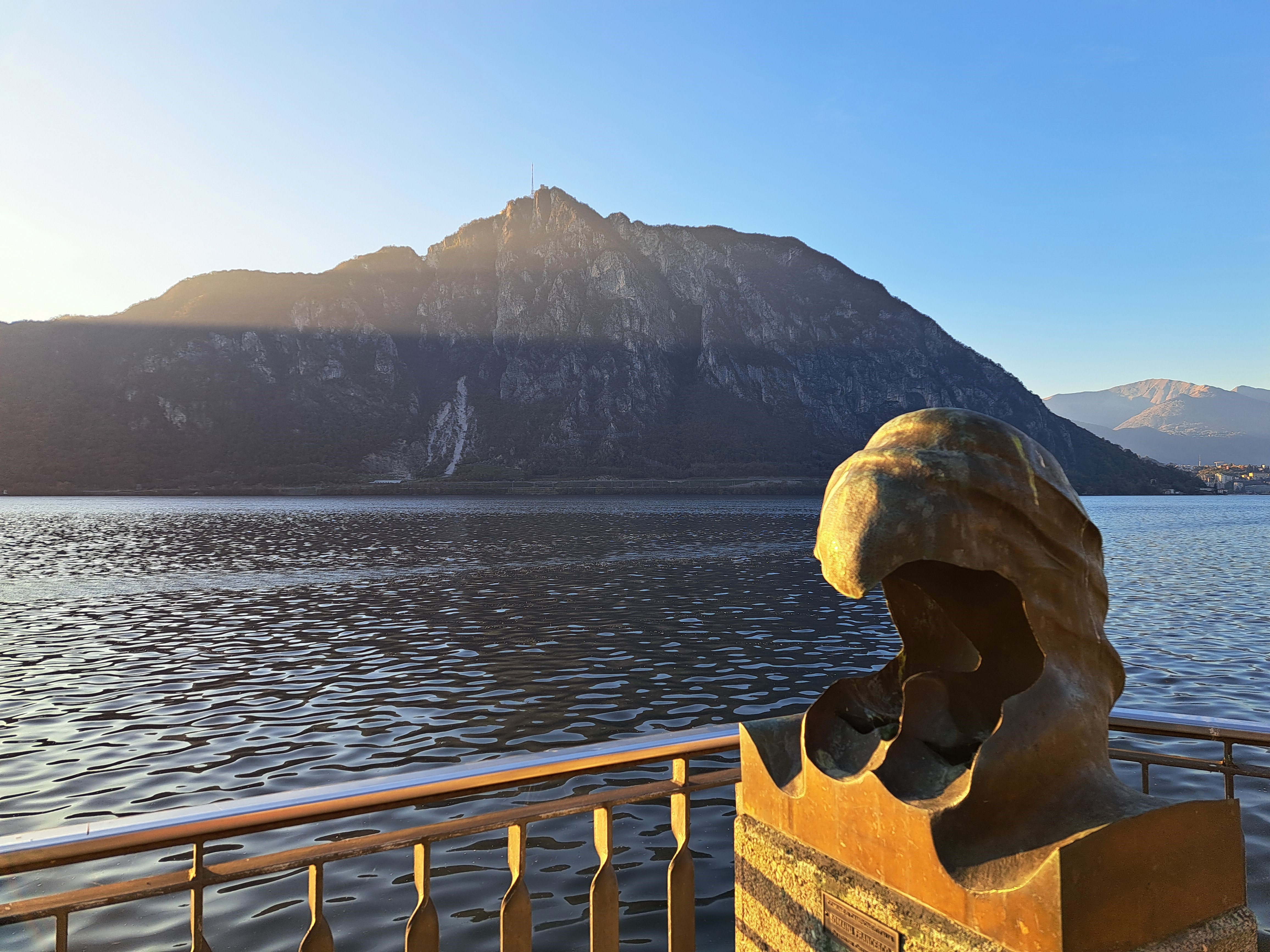
Not a camera error: the shadow versus light being shown past Monte San Salvatore by the setting sun managing to shine past some parts of other mountains south and west. As seen from the waterfront at Campione d’Italia, the exclave of Italy on this segment of Lake Lugano, after that cruise back from Morcote I mentioned in an earlier post :-).
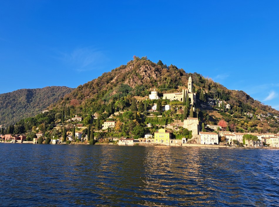
This is the gorgeous town of Morcote, at the southern tip of the peninsula that starts with Lugano, being wrapped around by two arms of Lake Lugano. At the bottom I’m showing you some of the towns streets, which are quite remarkable; the neighboring and smaller village of Vico Morcote has even more amazing little pedestrian staired streets and gorgeous houses built into the hillsides, which I’ll share at some point as well.
In the gallery below you’ll also see a “photo spot” which is part of something called the Grand Tour of Switzerland, and is apparently a thing. I’ve of course seen these, and folks posing for selfies or real photos by them, in many places…this time, with ten minutes to spare while I waited for the boat to take me back over to Campione d’Italia, I decided you might as well know you can do this as well, if you come to Switzerland. (More about that boat ride later, too: it went from Switzerland to Italy then back and forth another time while I was on it. Fun!)
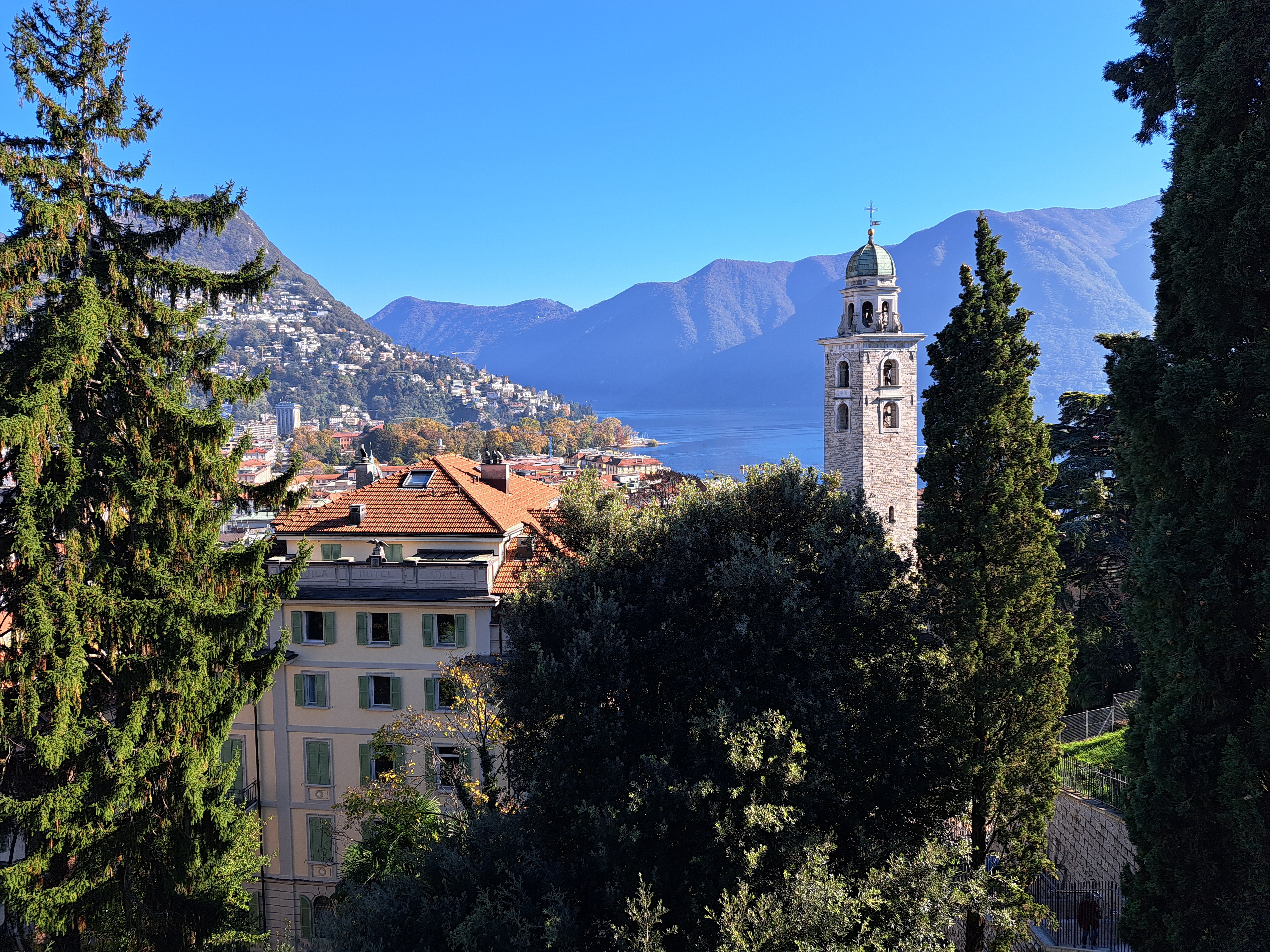
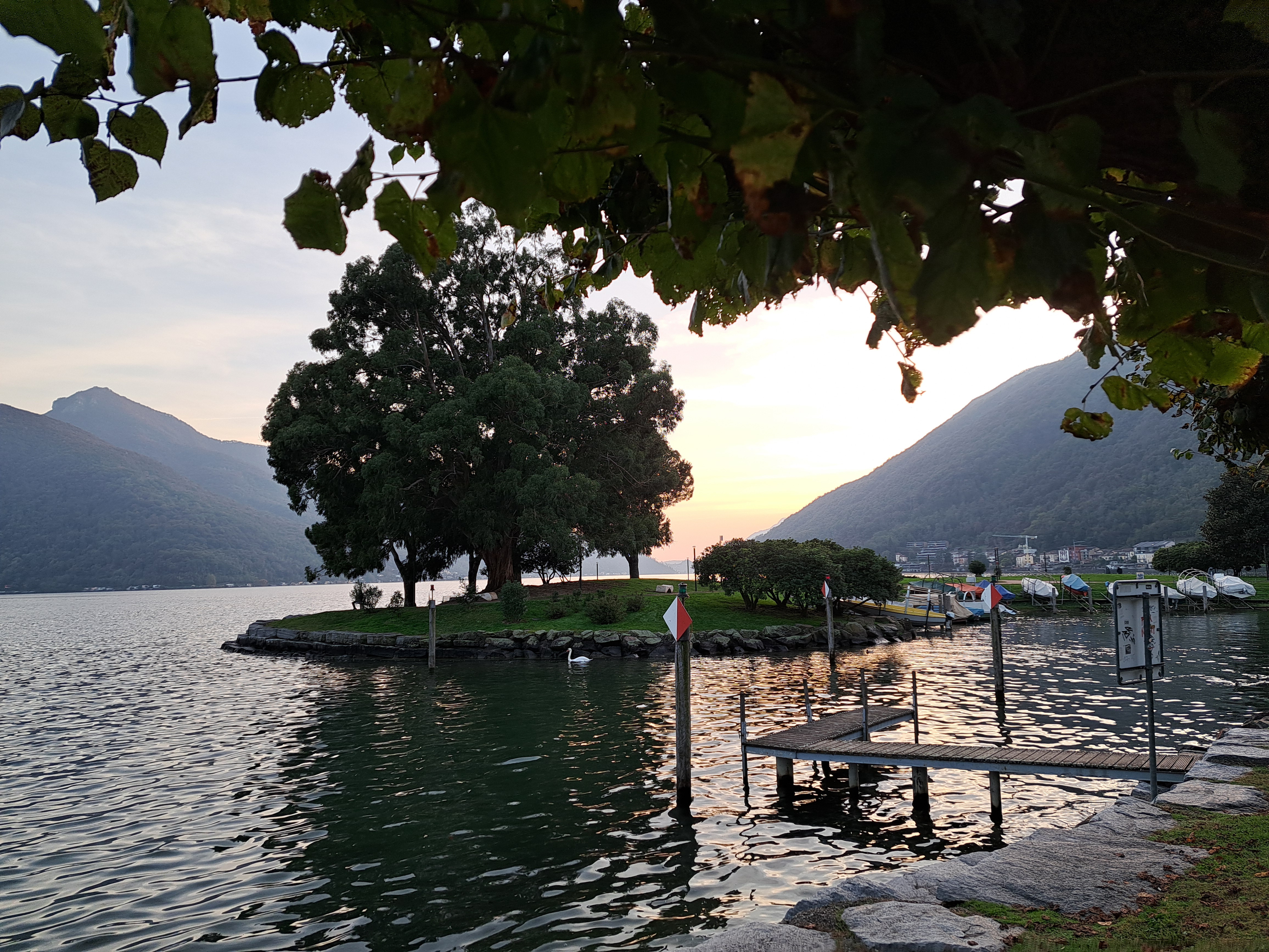
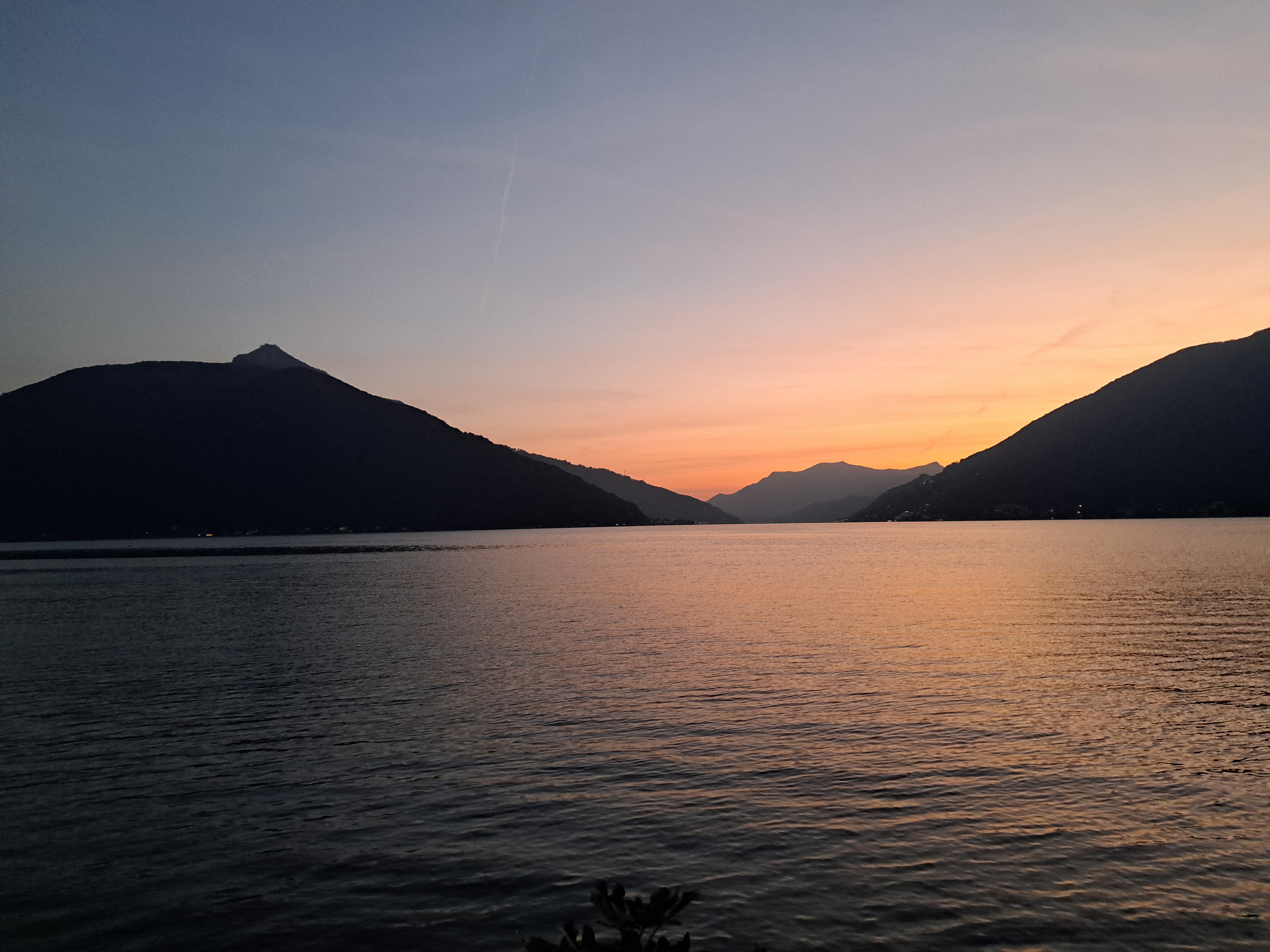
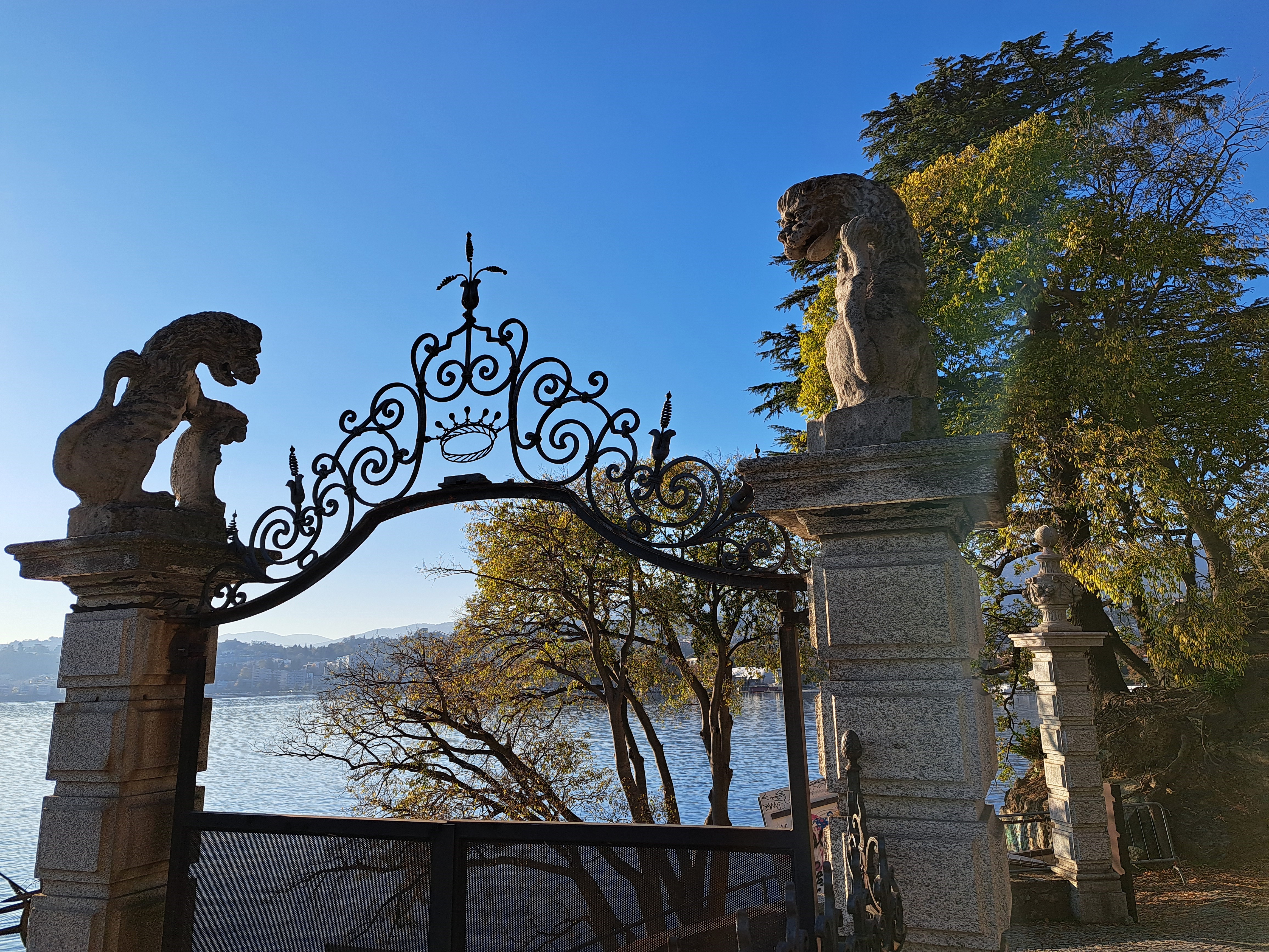
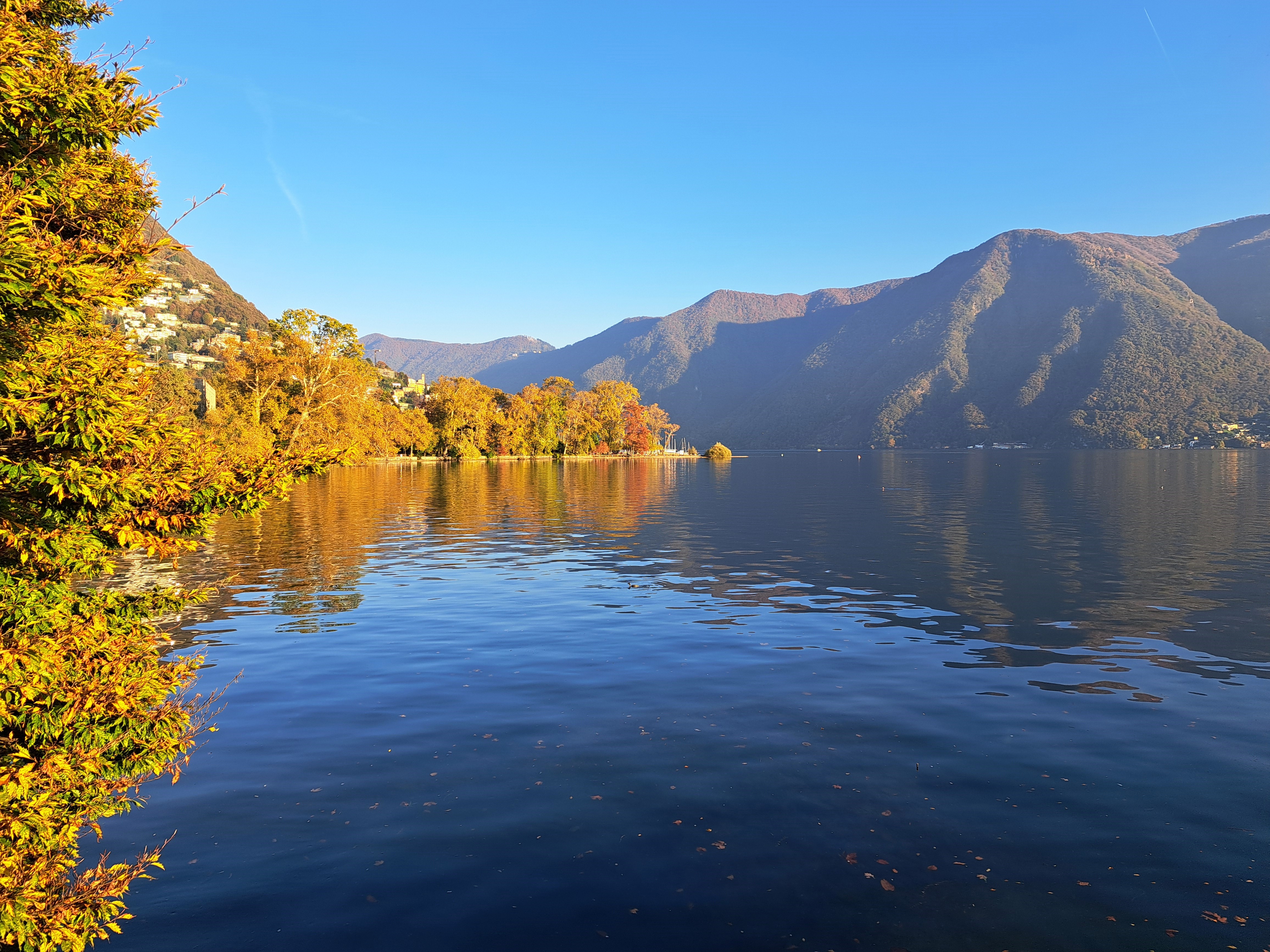
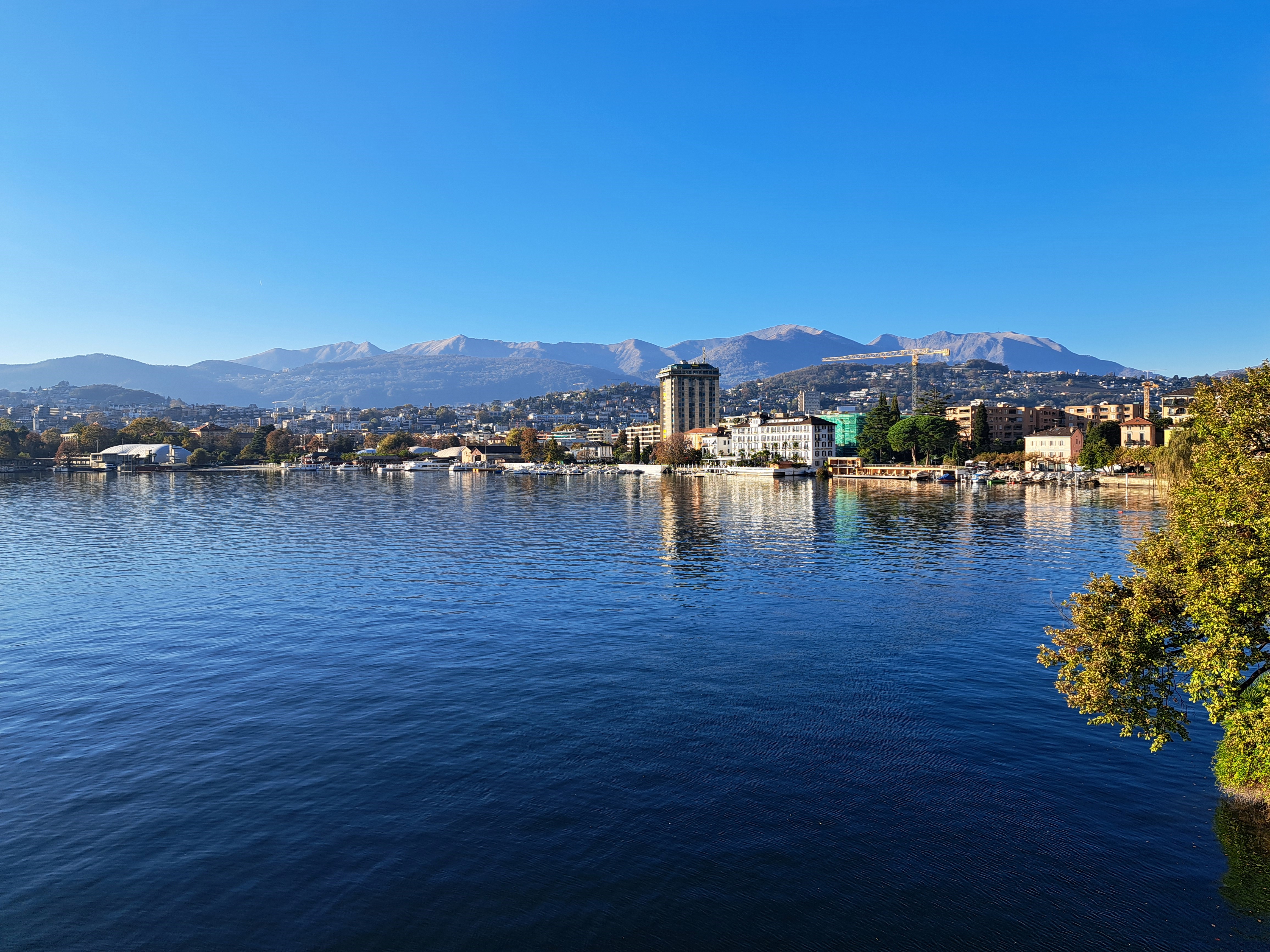
This and the last post are all from a lovely walk between Gandria, on the northern shore of the northeastern-most arm of the many-armed Lake Lugano, and the city of Lugano itself. (I’d taken a boat out to Gandria so I could walk back.) Below, you see a panorama which shows you the sunlit hill which marks the northeastern point of the bay on which Lugano sits, after which you get into that northeastern-most arm of which the majority is in Italy. As is the southwestern-most part, and also a wee exclave in the arm on which sits Bissone where I stayed. That arm, which connects to the rest of the lake further south & west, extends between the rounded mountain on the far right and the range in the middle (at the top of which it’s Italy again, fyi). Just sayin’ in case you wonder what you’re seeing or want to check it all out on a map :-). The photo at the top is looking from just below the sunlit hill (below) south towards the mountain that sits at the top of the arm I lived on. Sorry if this is TMI…