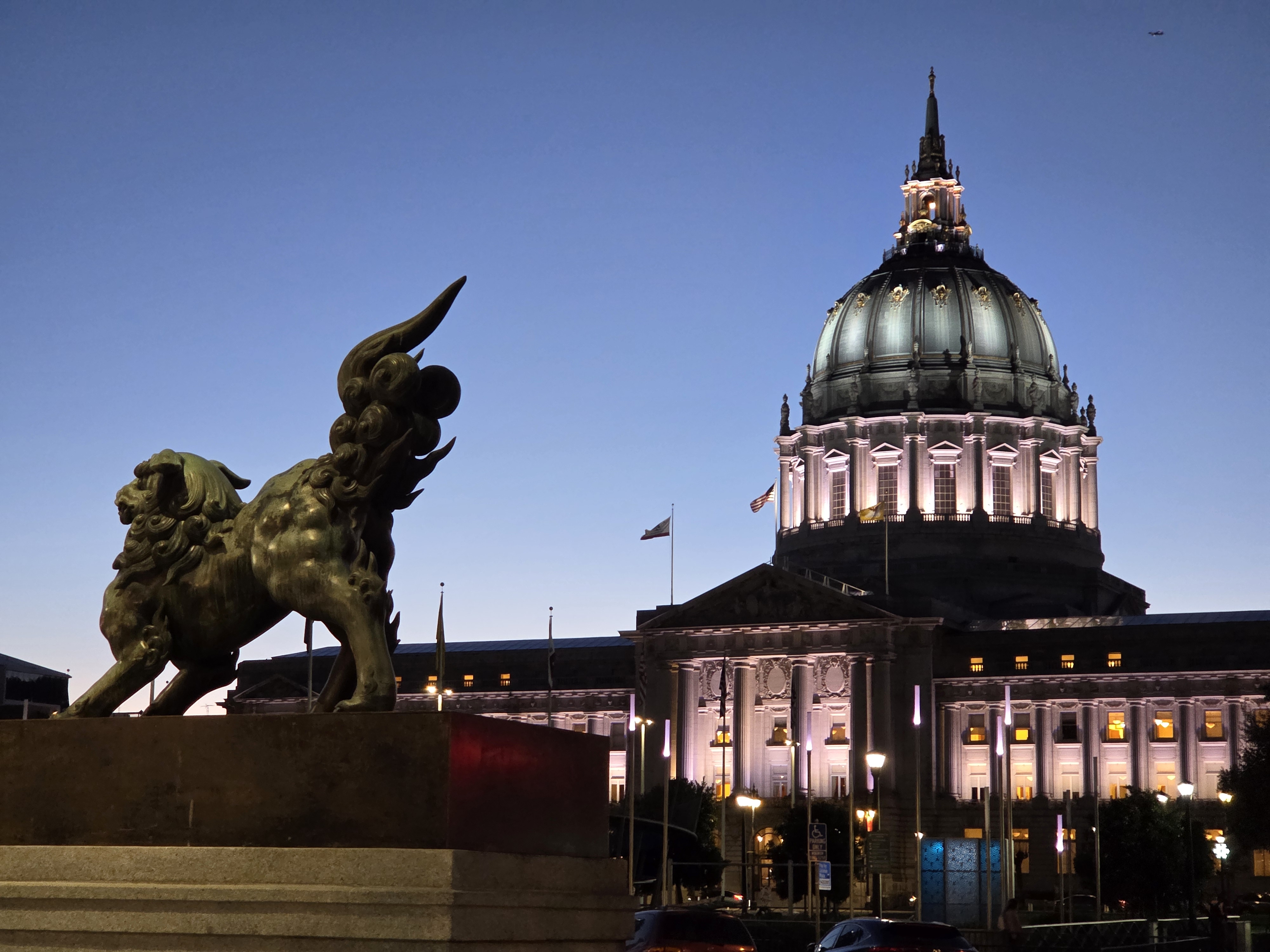
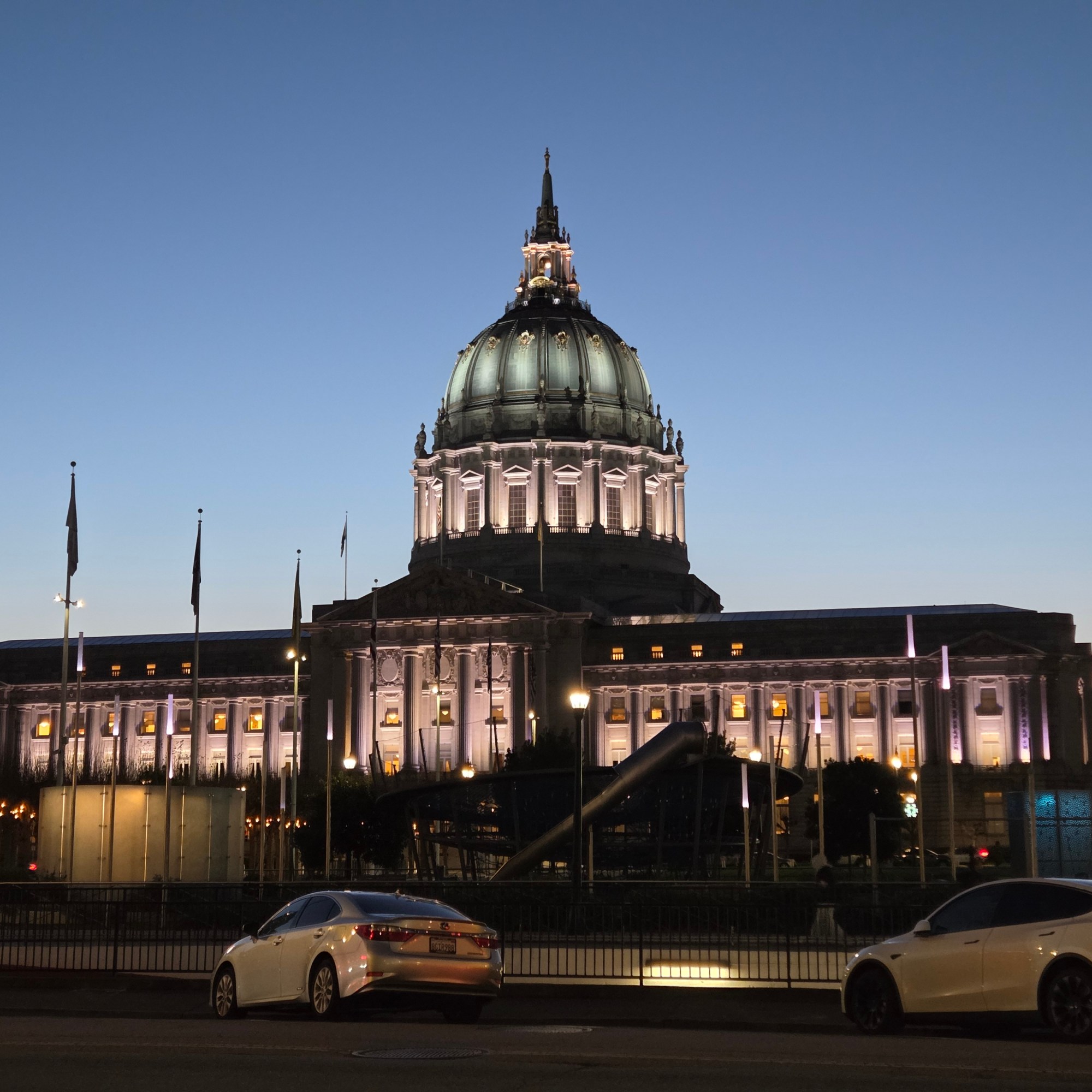
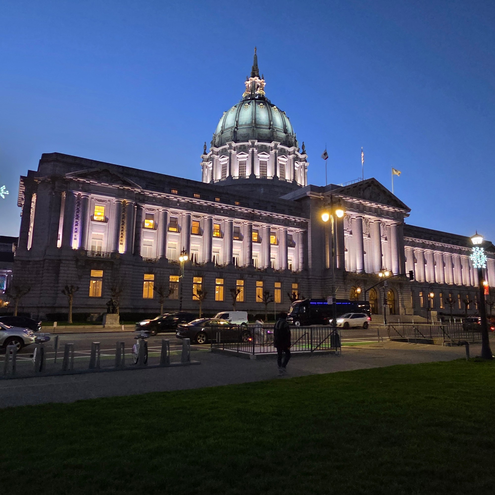
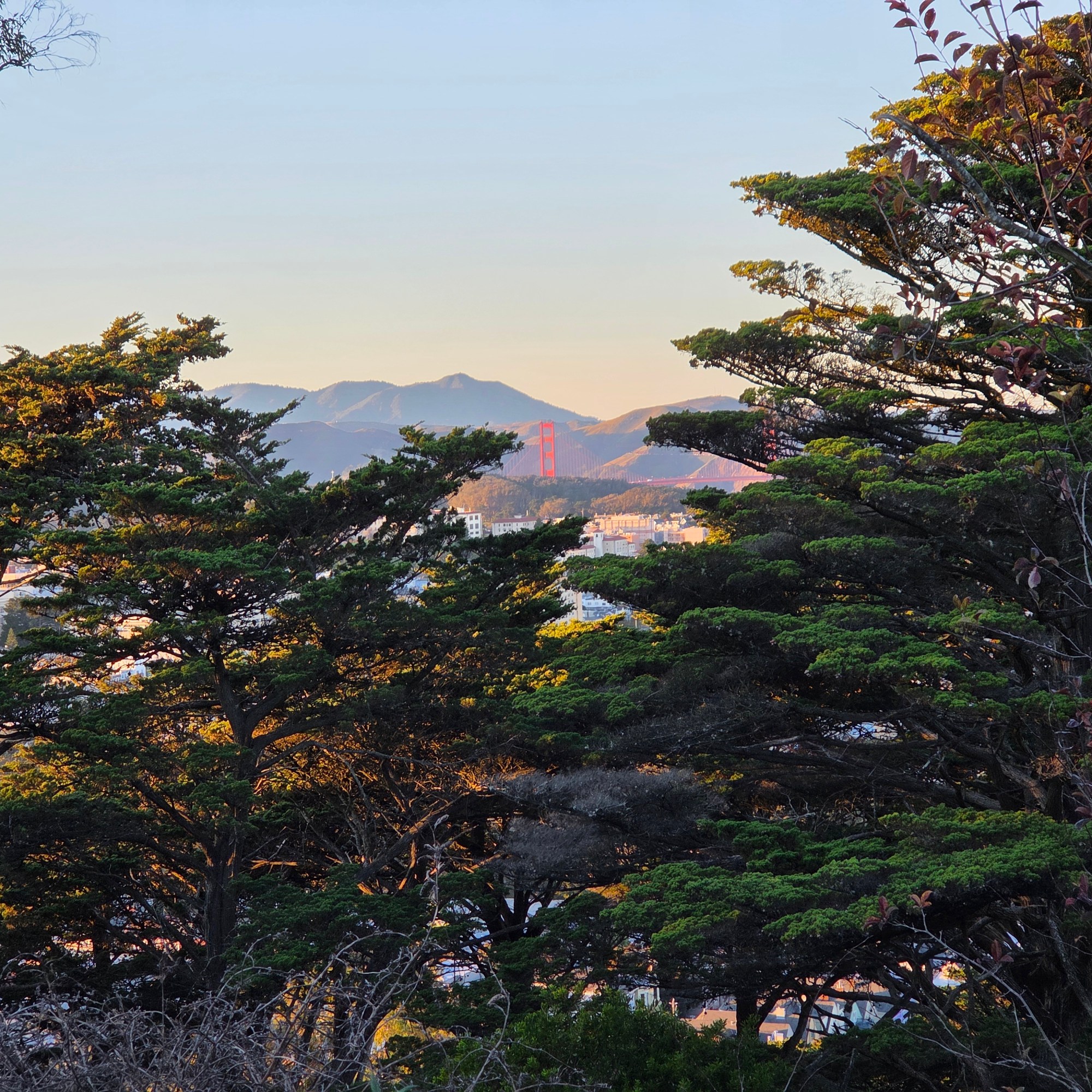
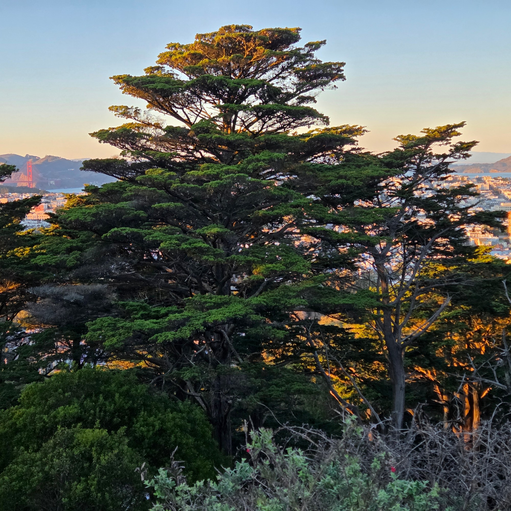
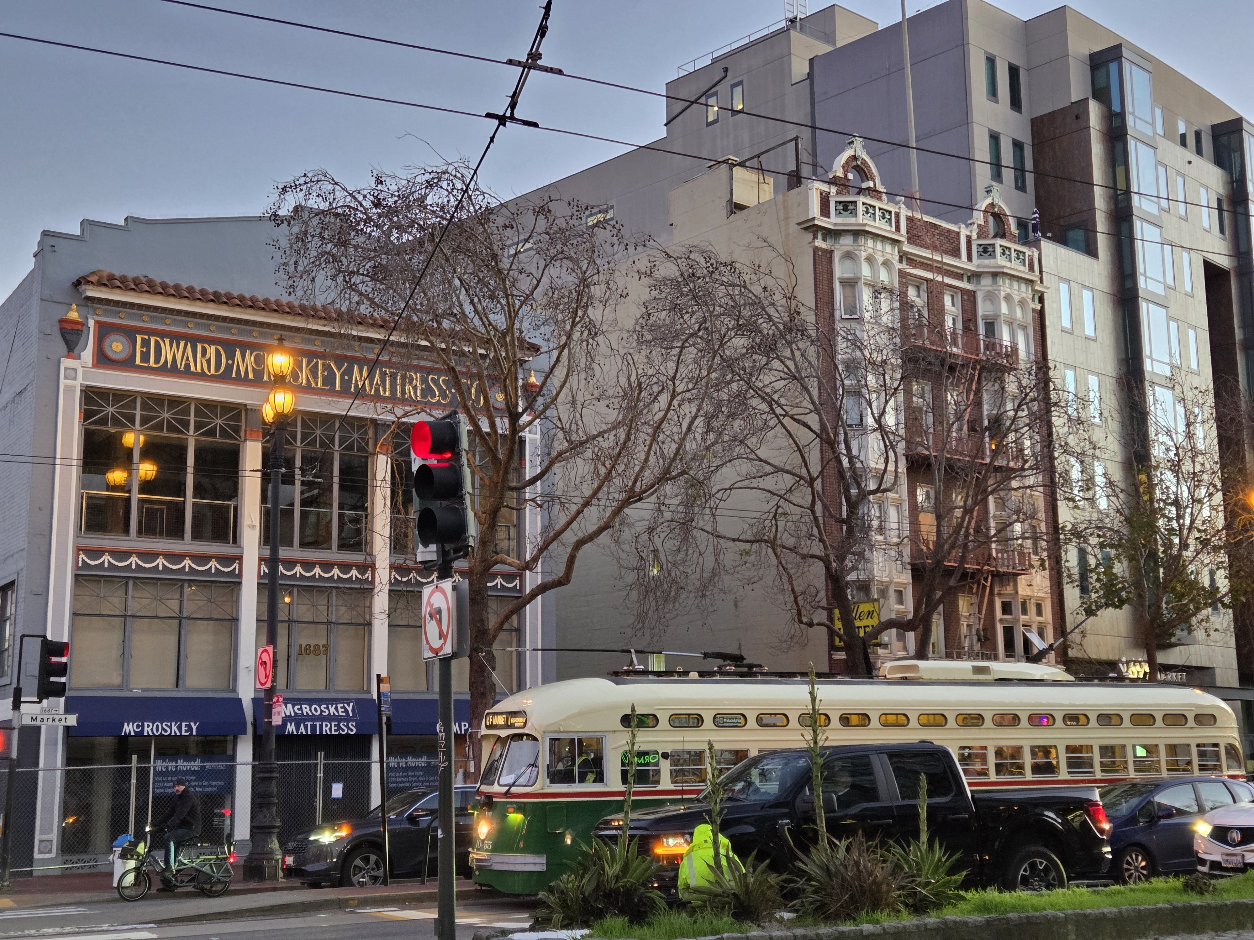
I spent only two nights in SF itself, this last visit, and mostly spent the one full day between down the peninsula watching elephant seals and enjoying time w/my friend Steve. So I collected only these very few shots that show you SF’s, and perhaps the US’s, most famous bridge.
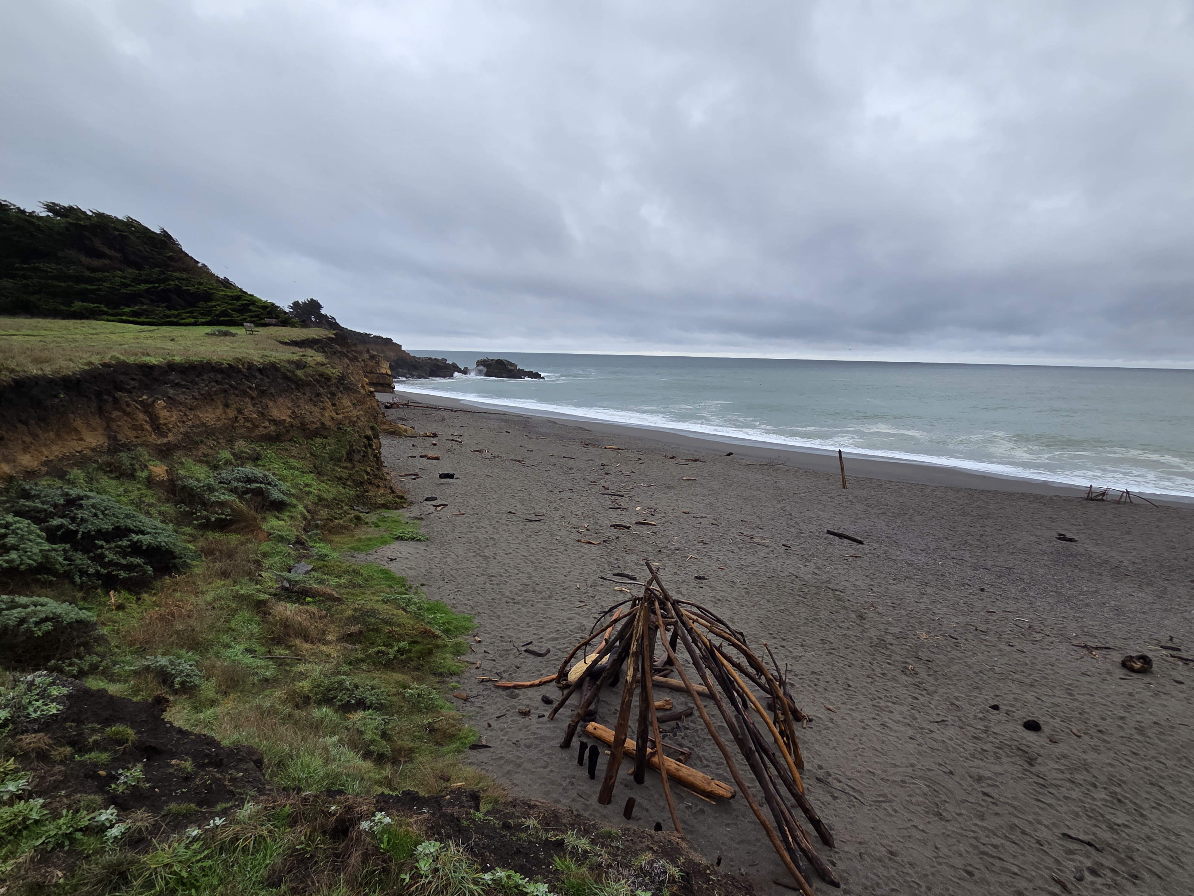
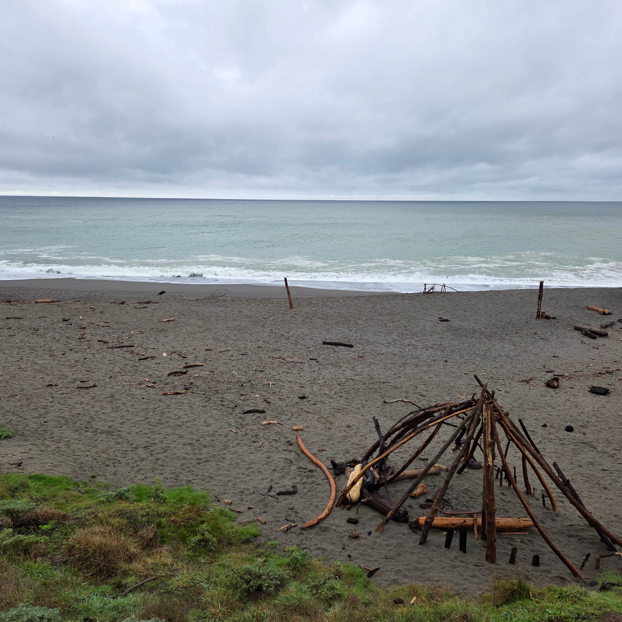
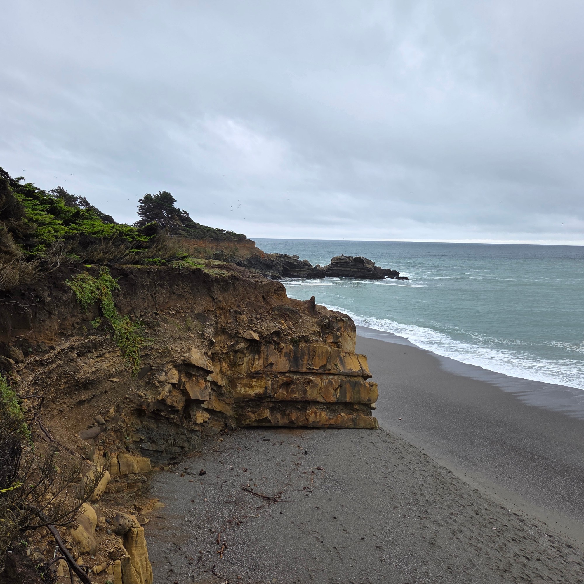
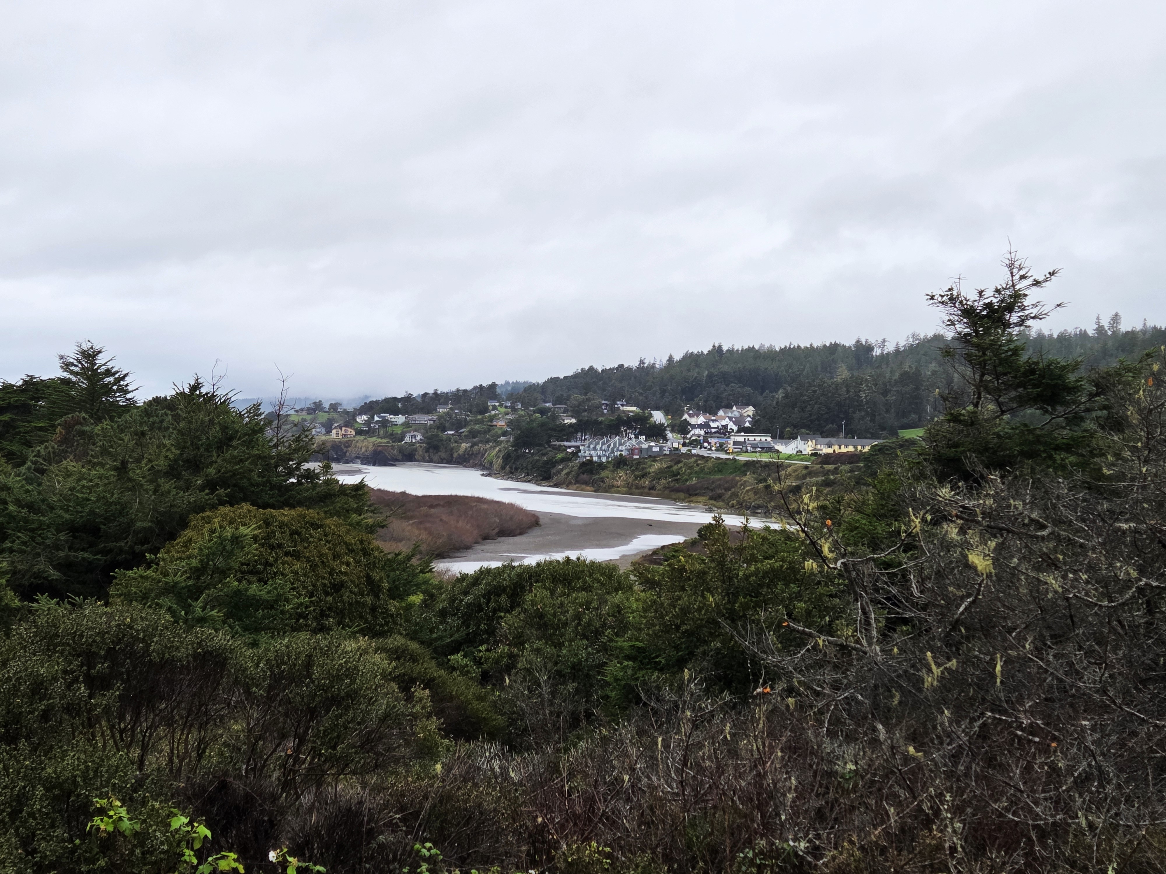
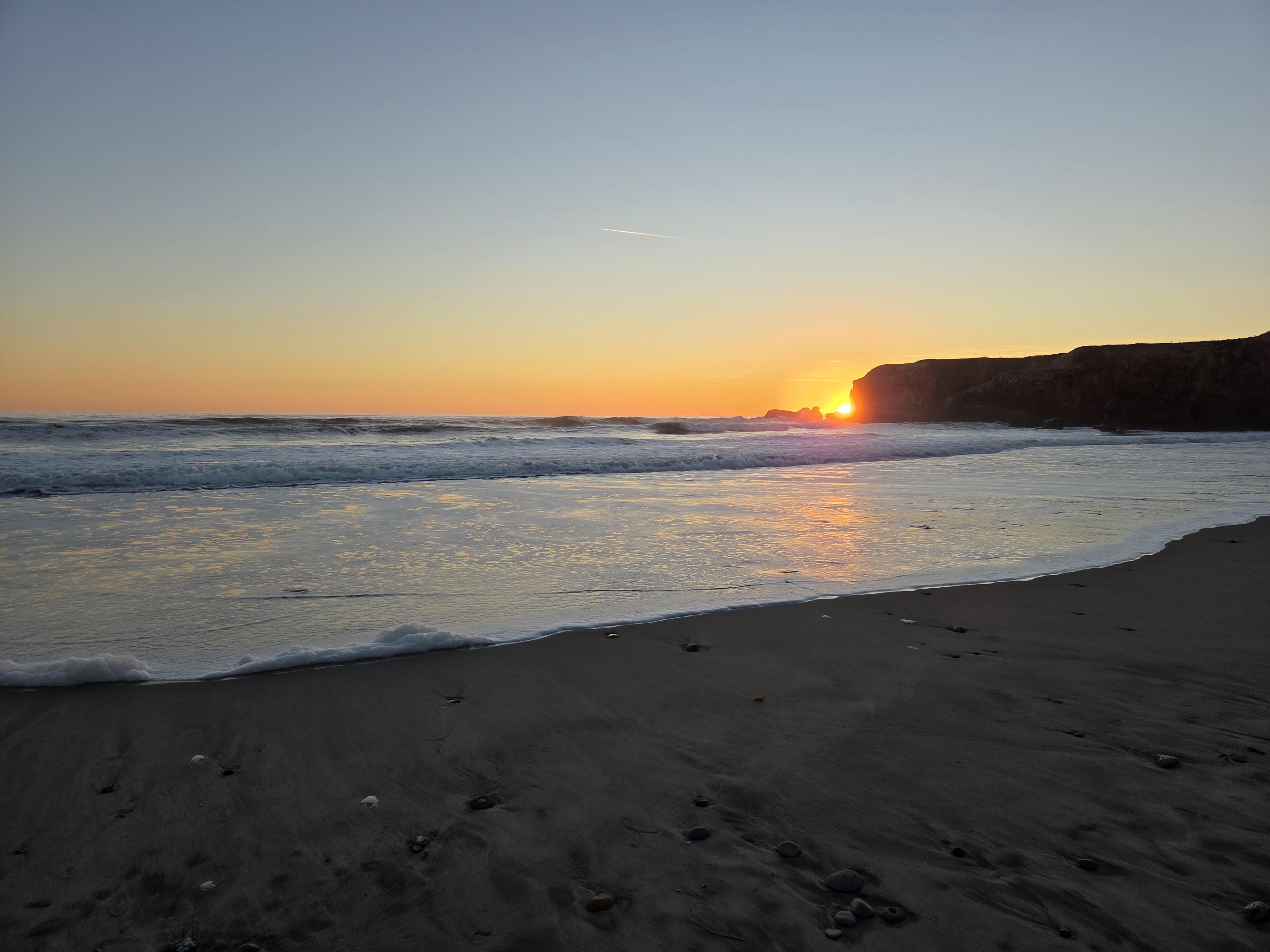
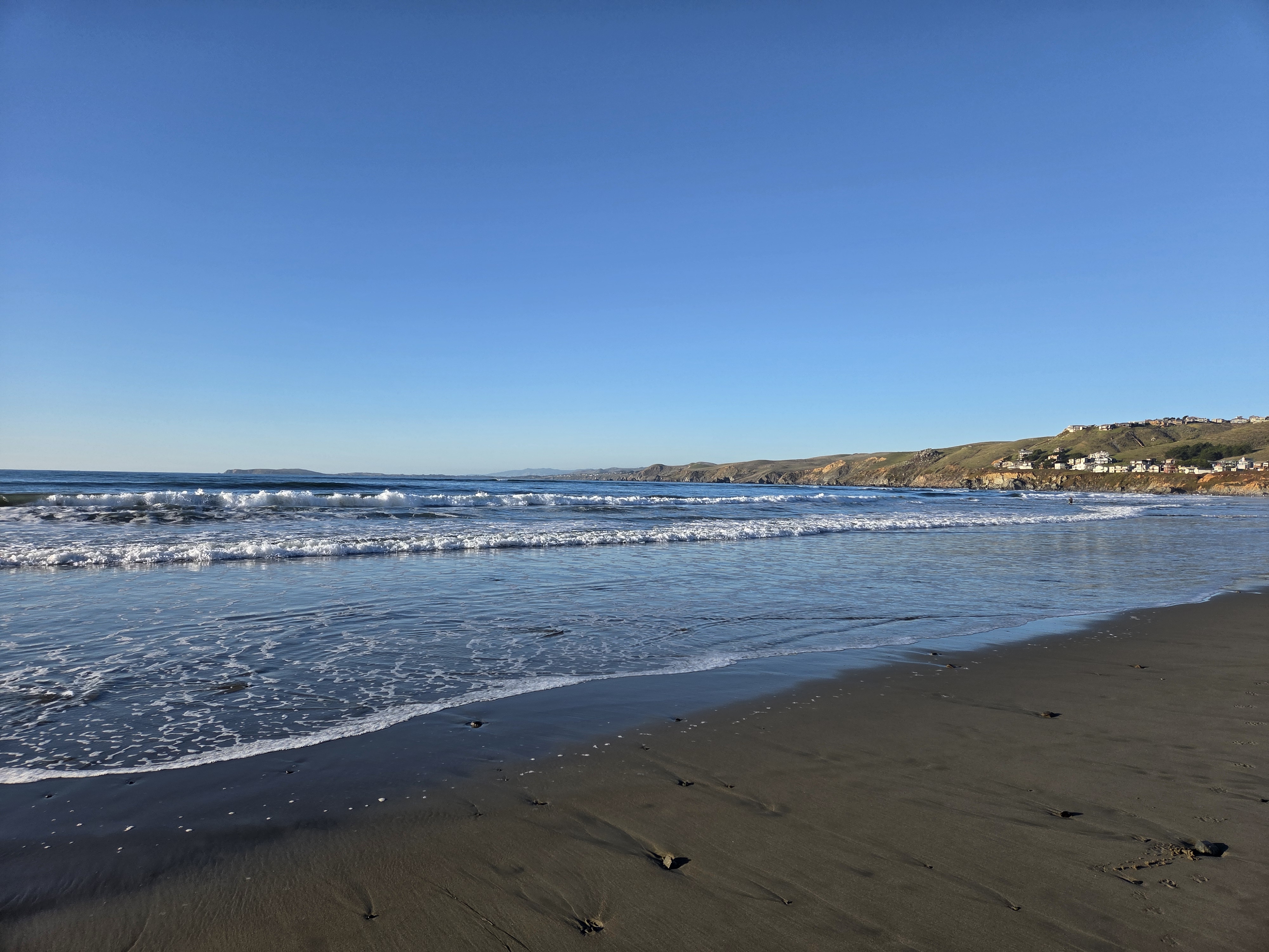
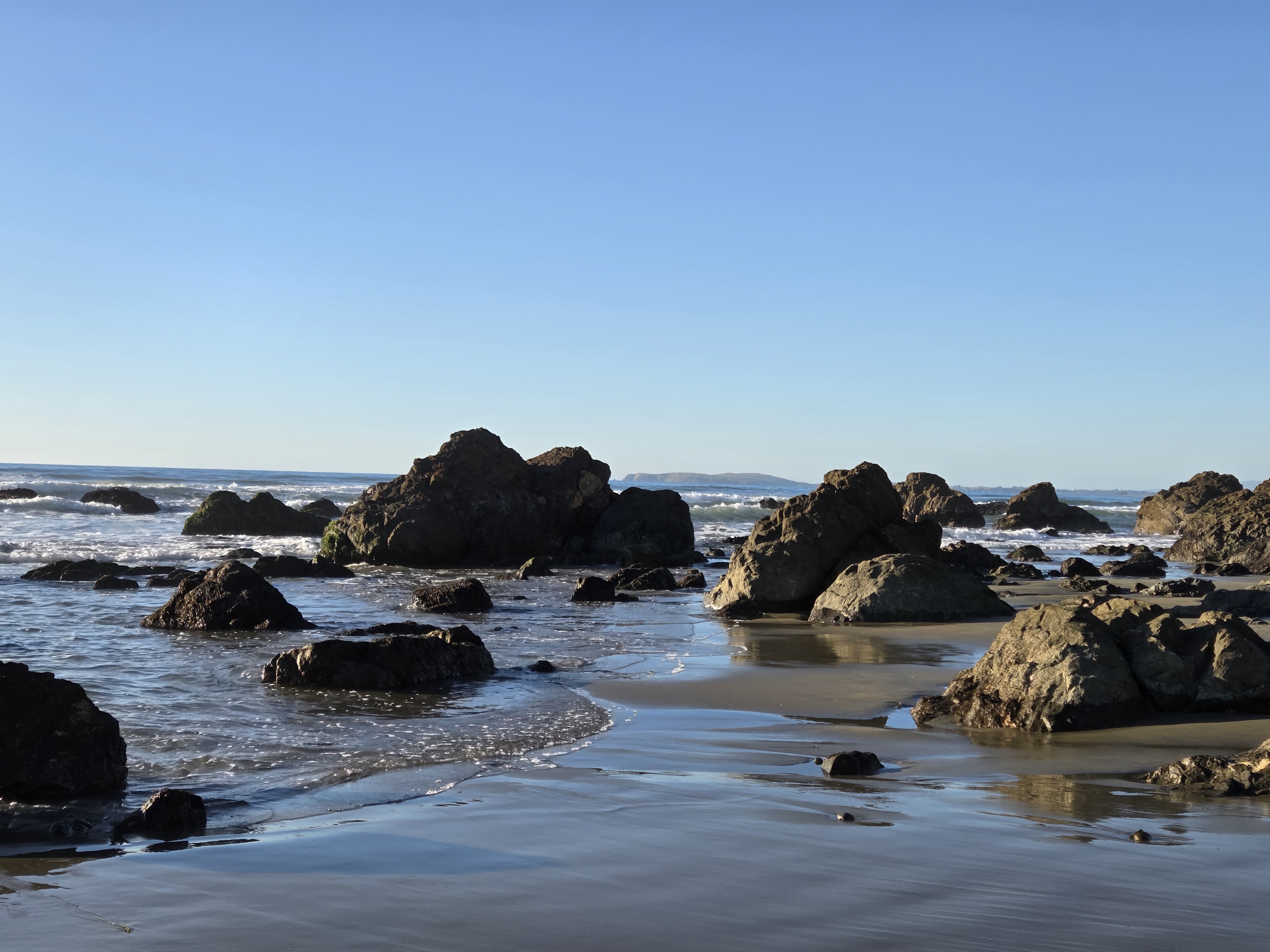
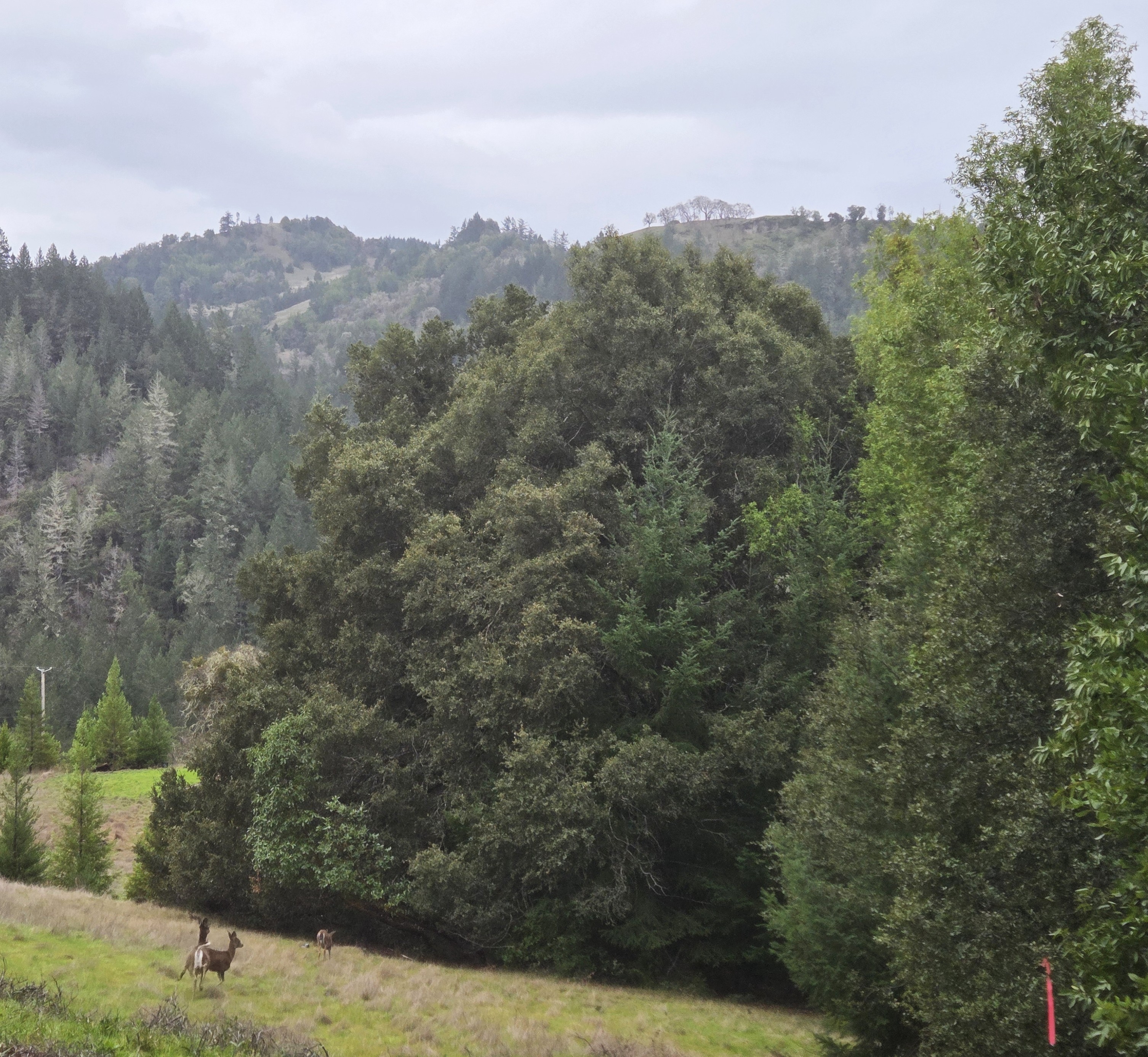
The Mendocino-county village of Gualala, as seen from the south side of the Gualala River, from Sonoma County. Lovely coastal drive to start my new year, followed by a lovely movie with dear friends. Already more than two months ago, yikes!