

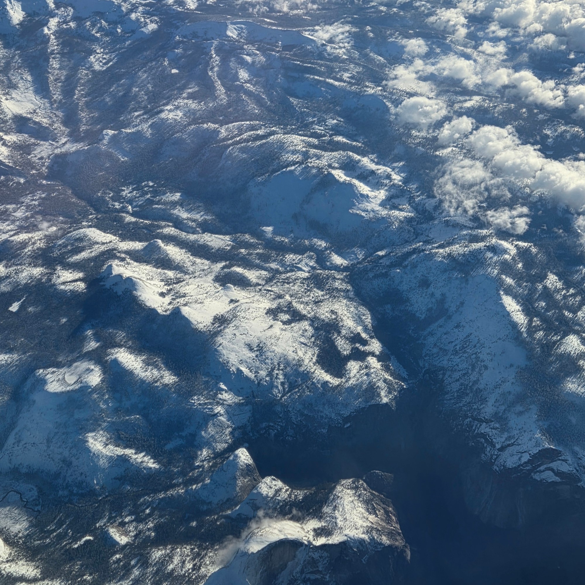
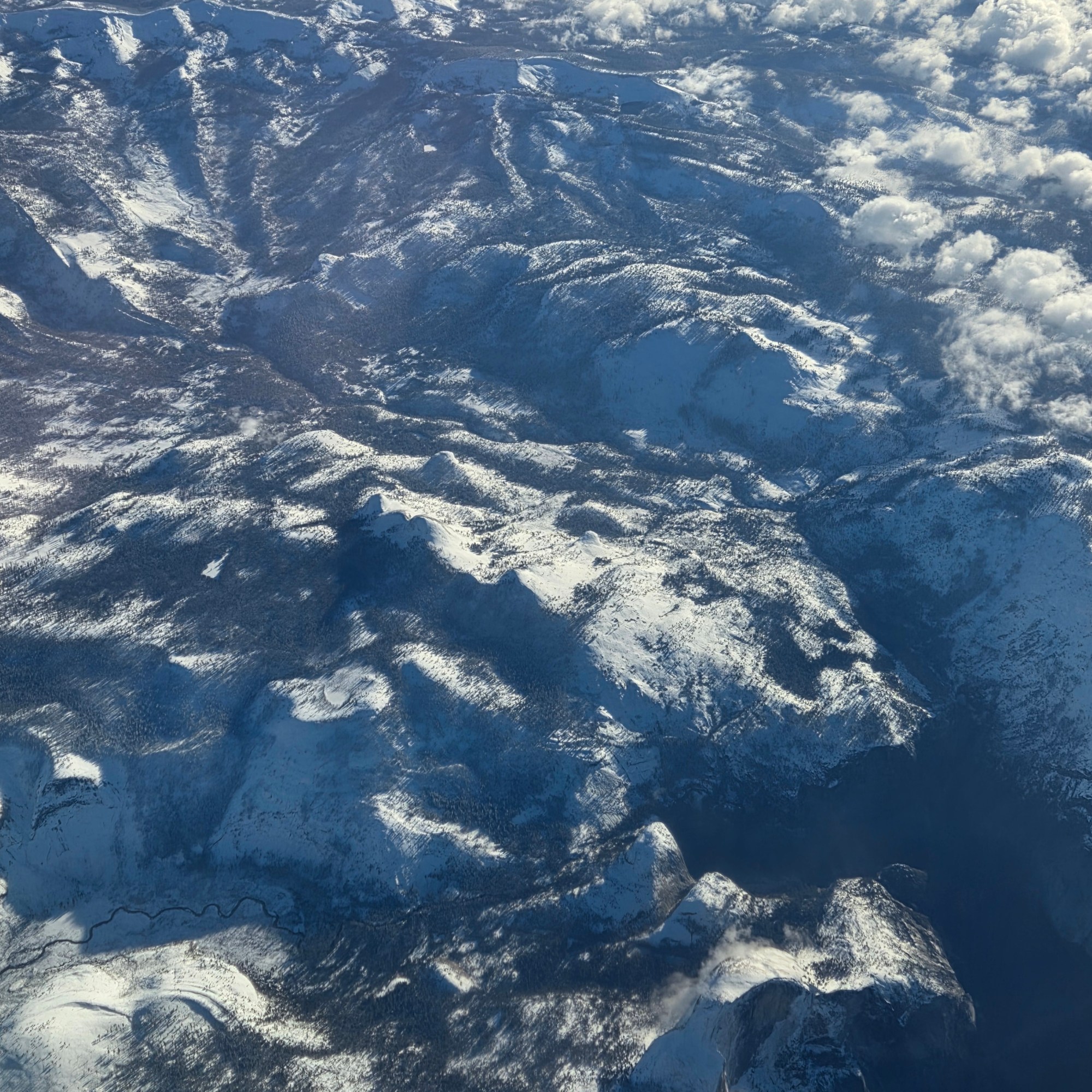
Mountains.89
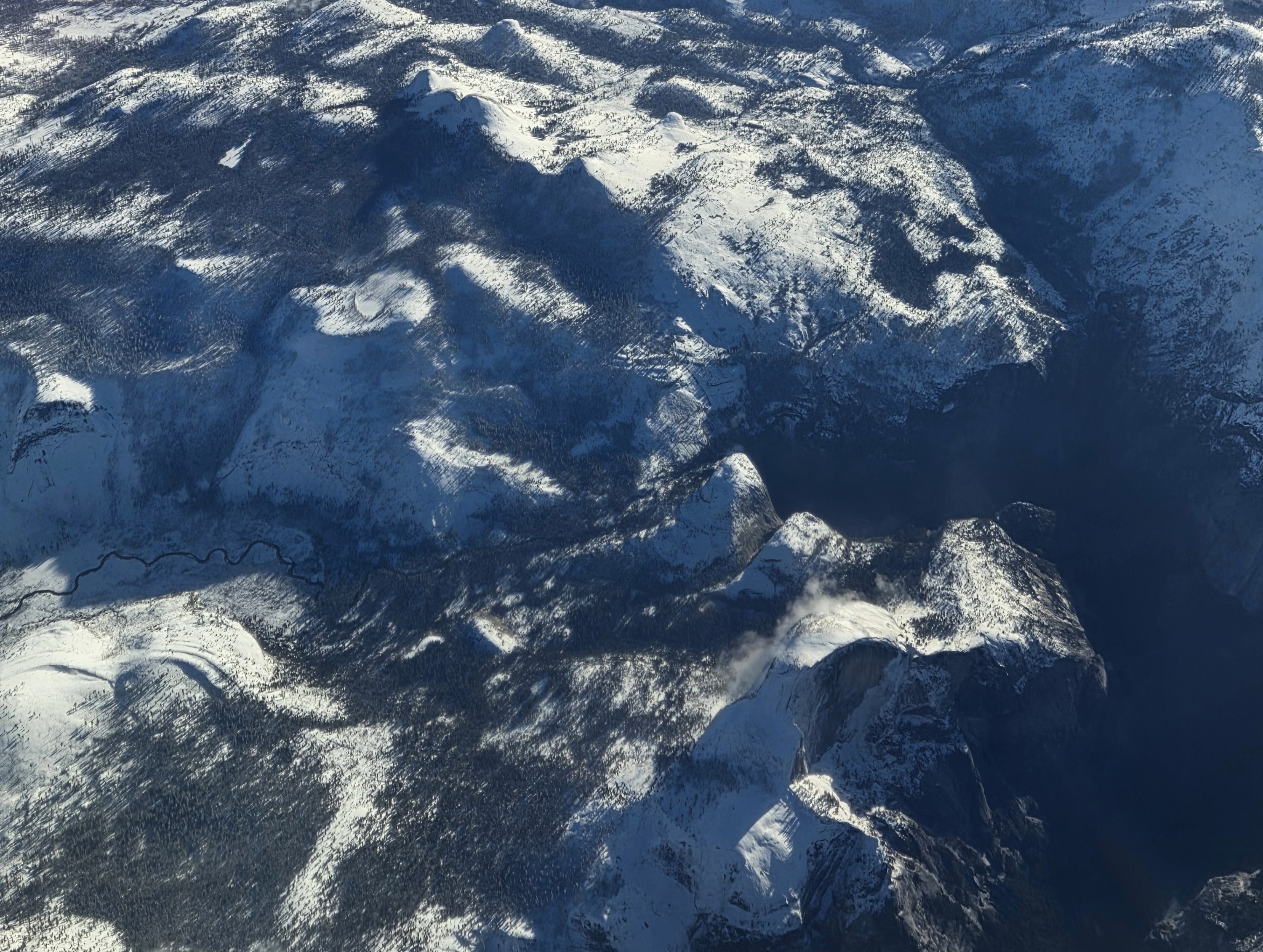
Fear not, we’ll soon be showing more mountain photos from ground level, but this is my way of saying – for those who can recognize the uniquely California landmark in the bottom right corner of these photos — that I’m back in California as of shorty before I took this photo at about 1:59 Friday afternoon, California time. The hint is that our flight path took us directly over Yosemite, and the Yosemite Valley. 🙂

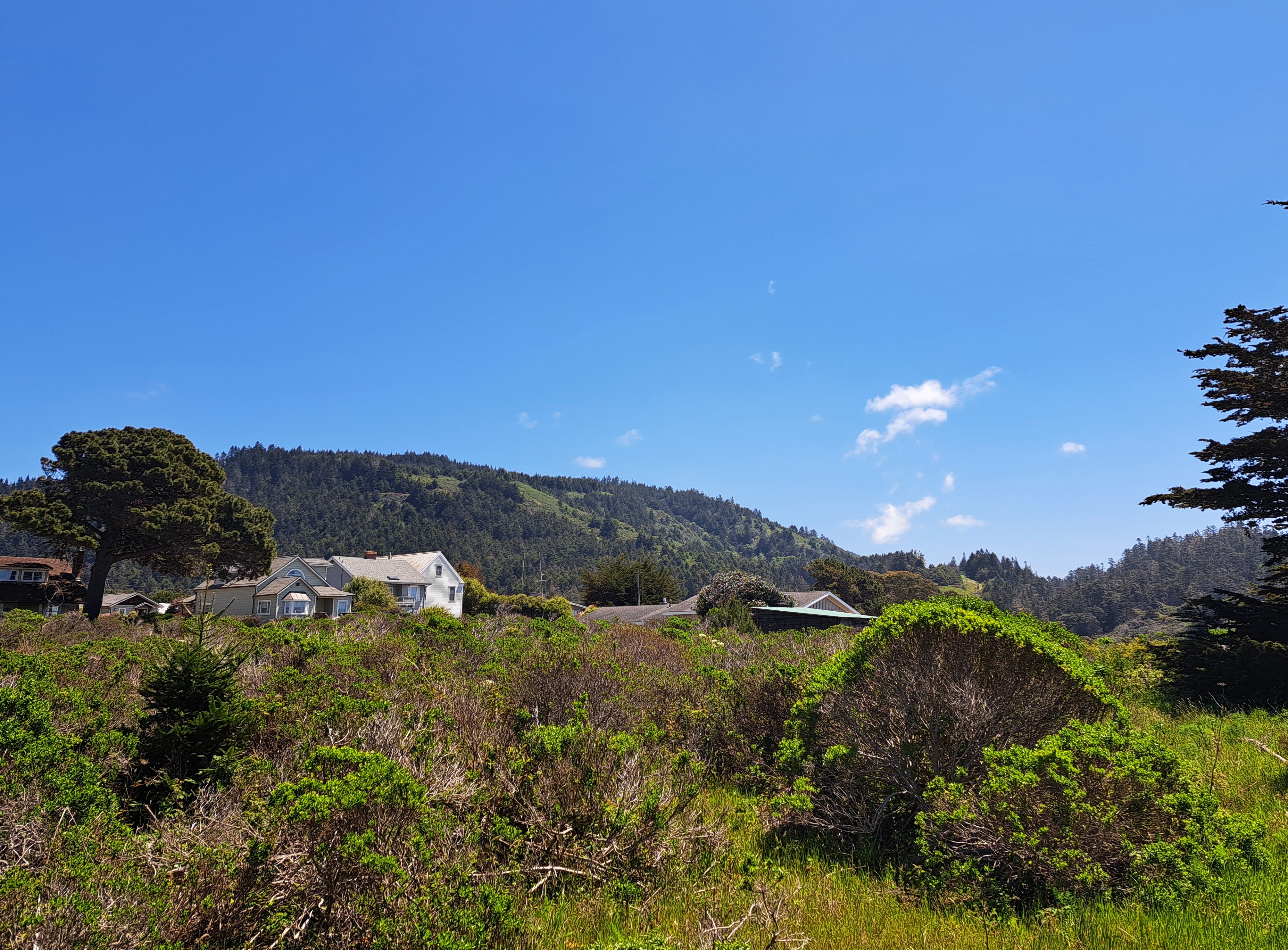
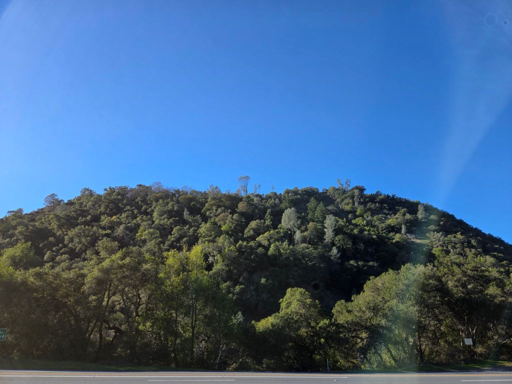
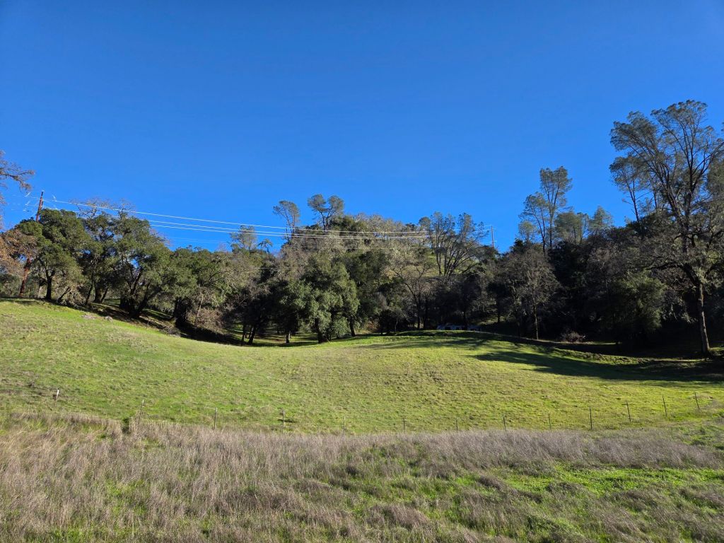
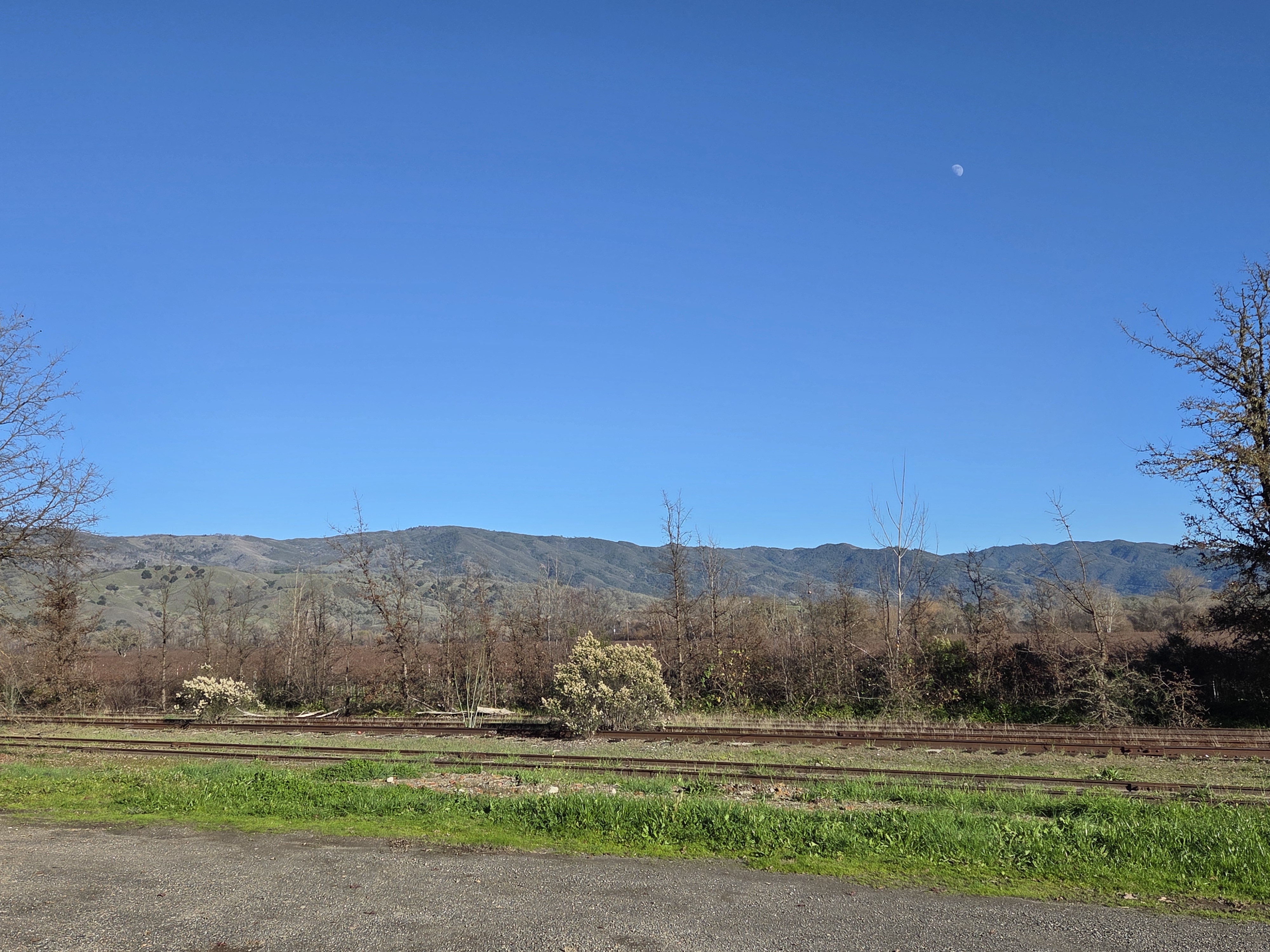
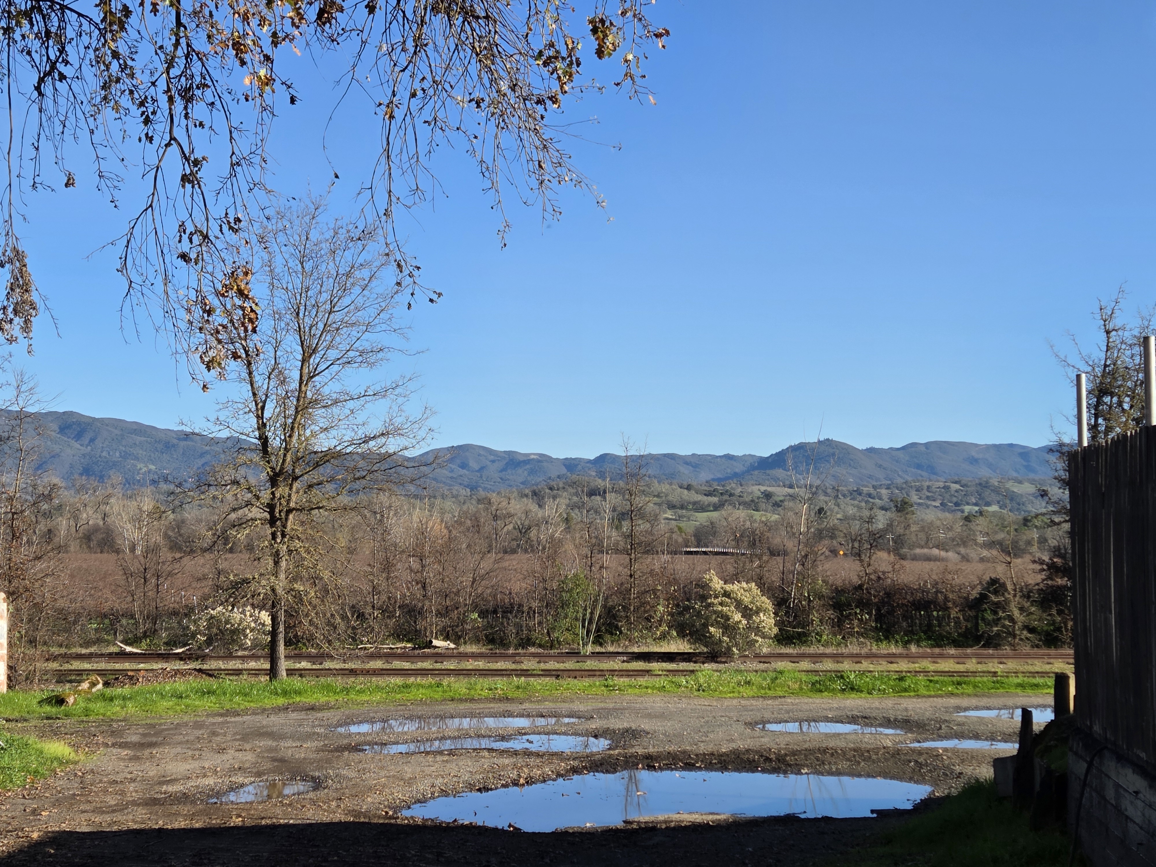
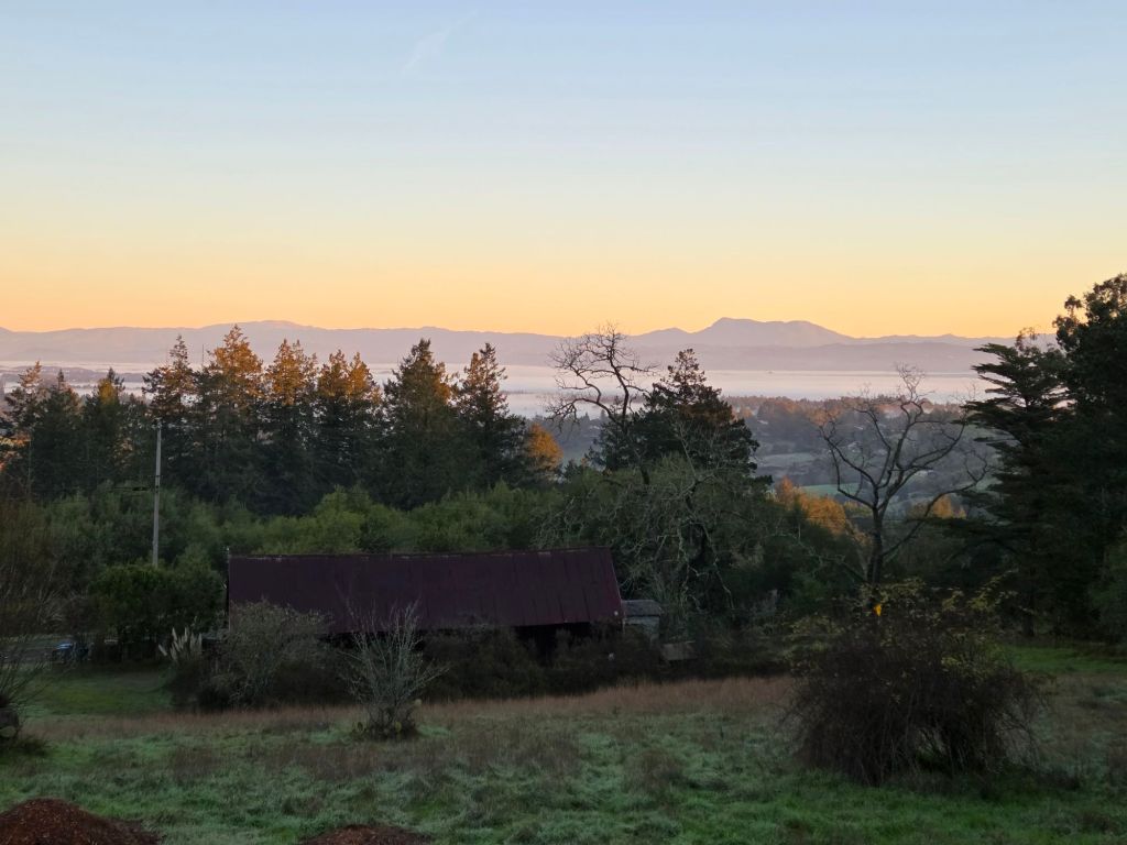
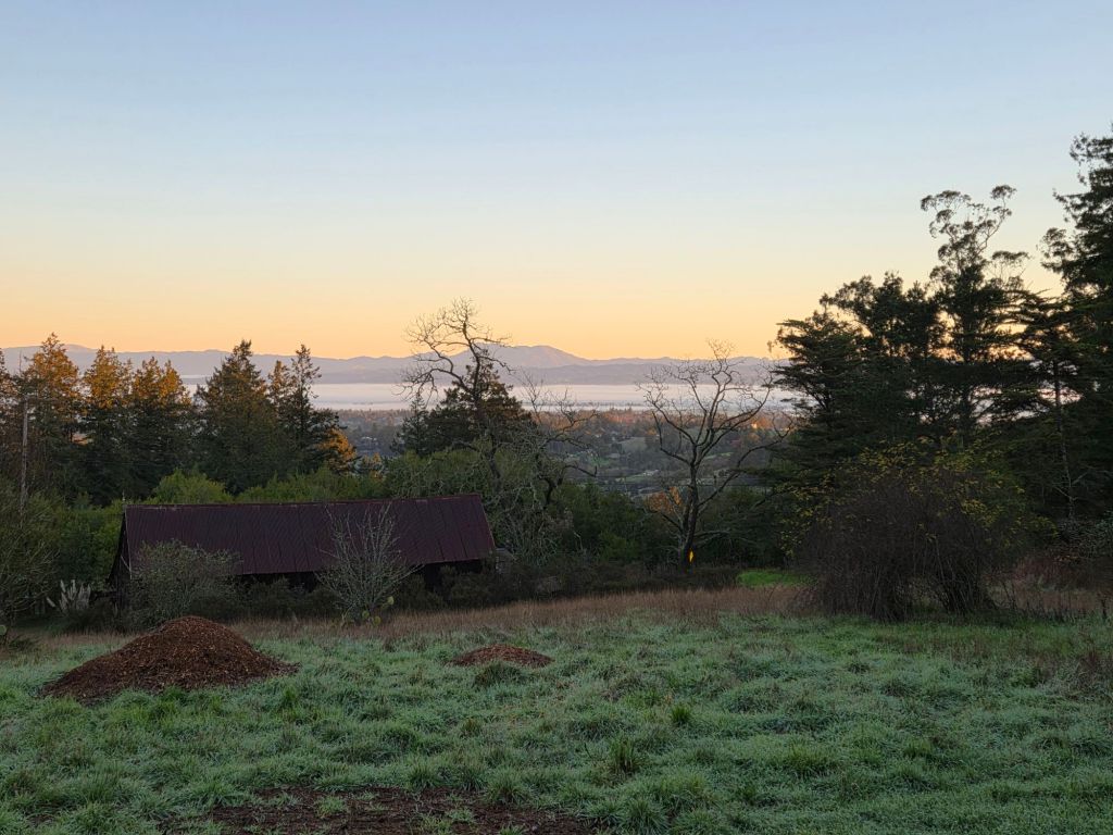
County Views.165

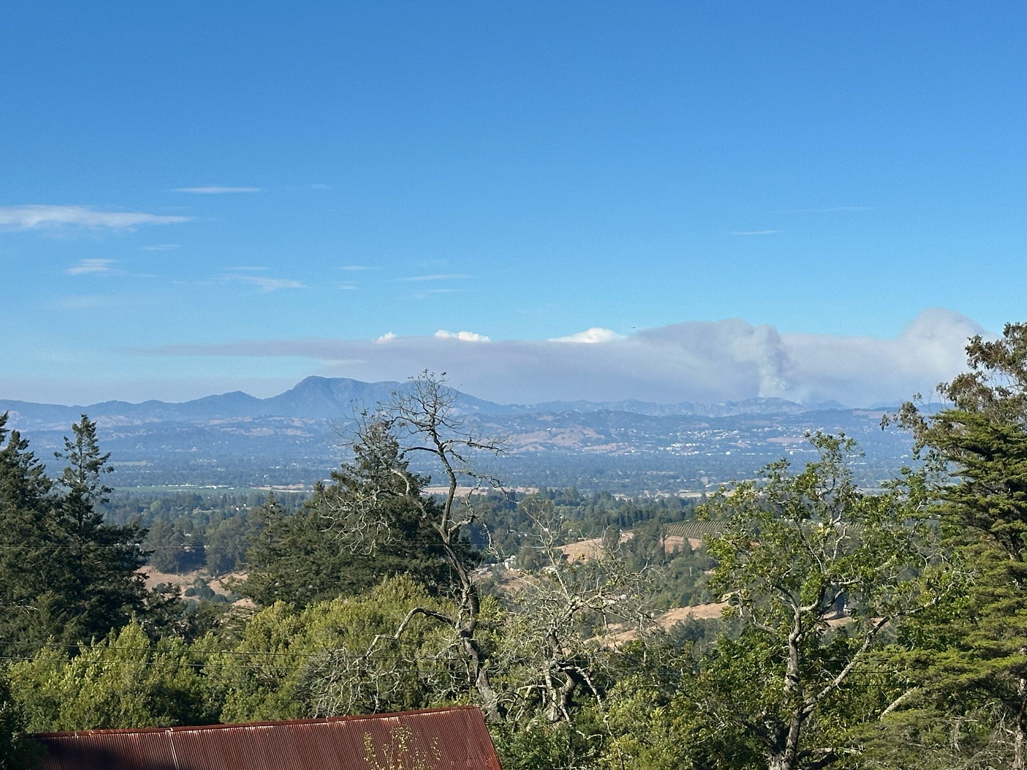
The Calfire site tells me that the Picket Fire started on August 21 and was 100% contained on the 7th of September. When my friend Howard sent me these photos of its smoke billowing near Mt Saint Helena on the 27th of August, he said residents in Santa Rosa could smell the smoke from it, but not in Sebastopol. I keep fingers crossed for a quiet rest of the fire season throughout North America, not only near my once and future home in SR ;-).
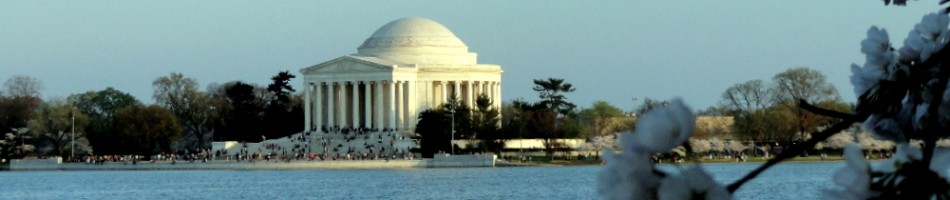
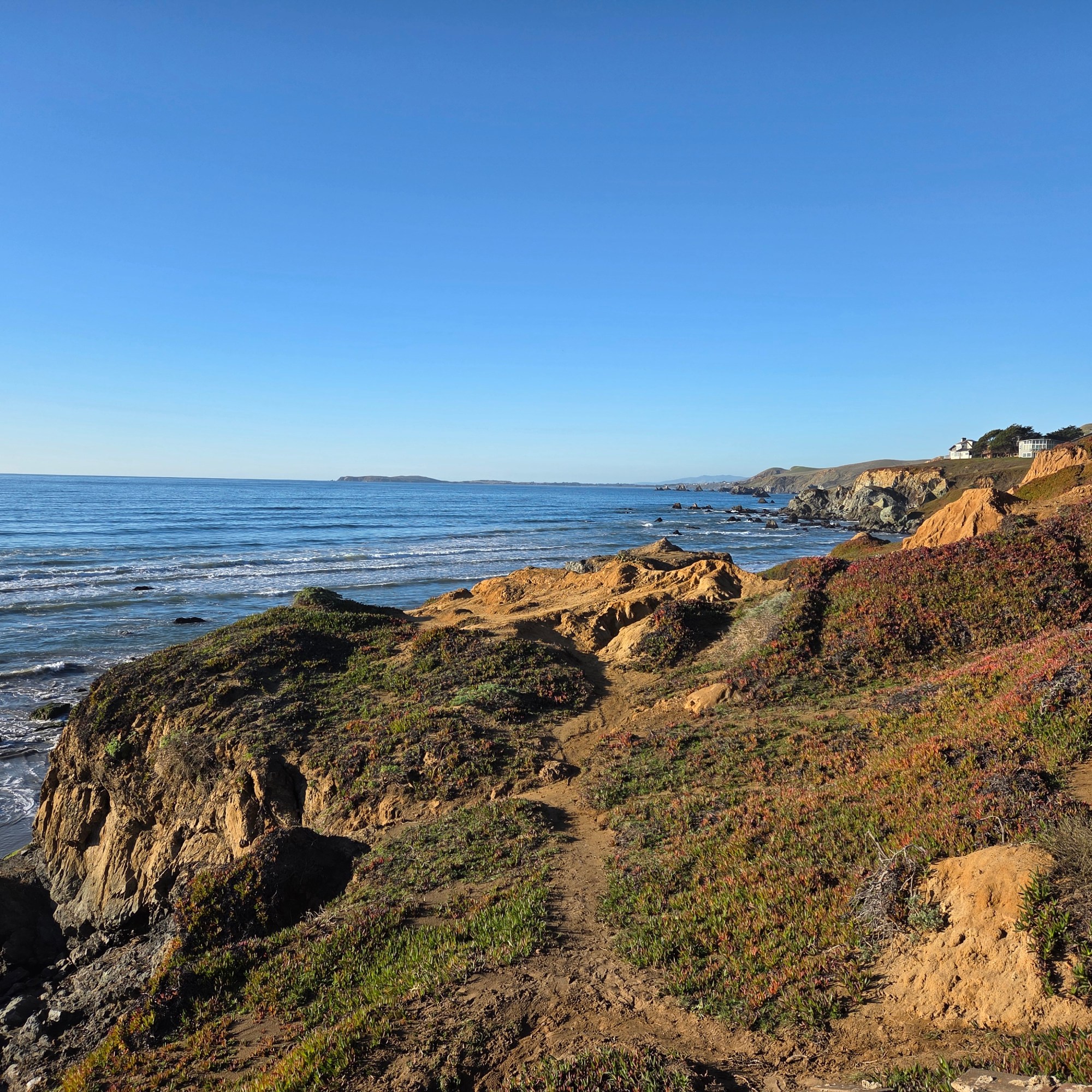
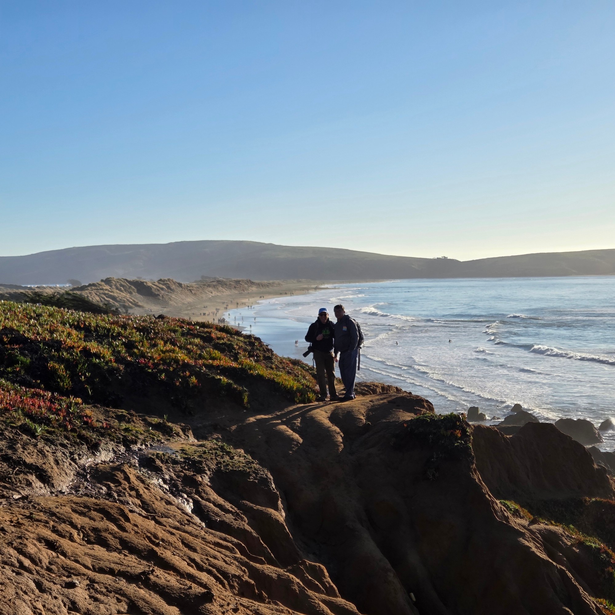
Coasting.112


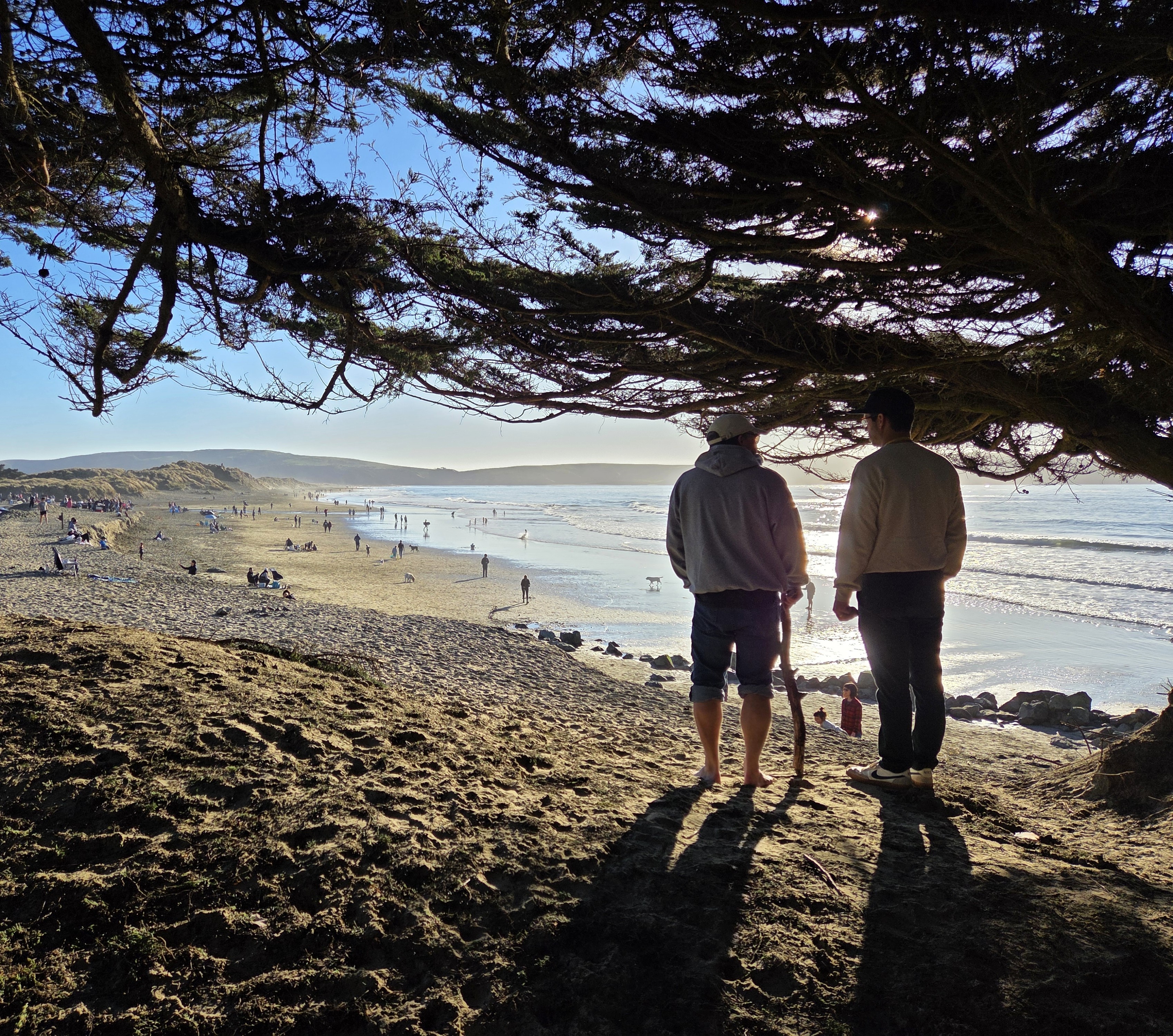
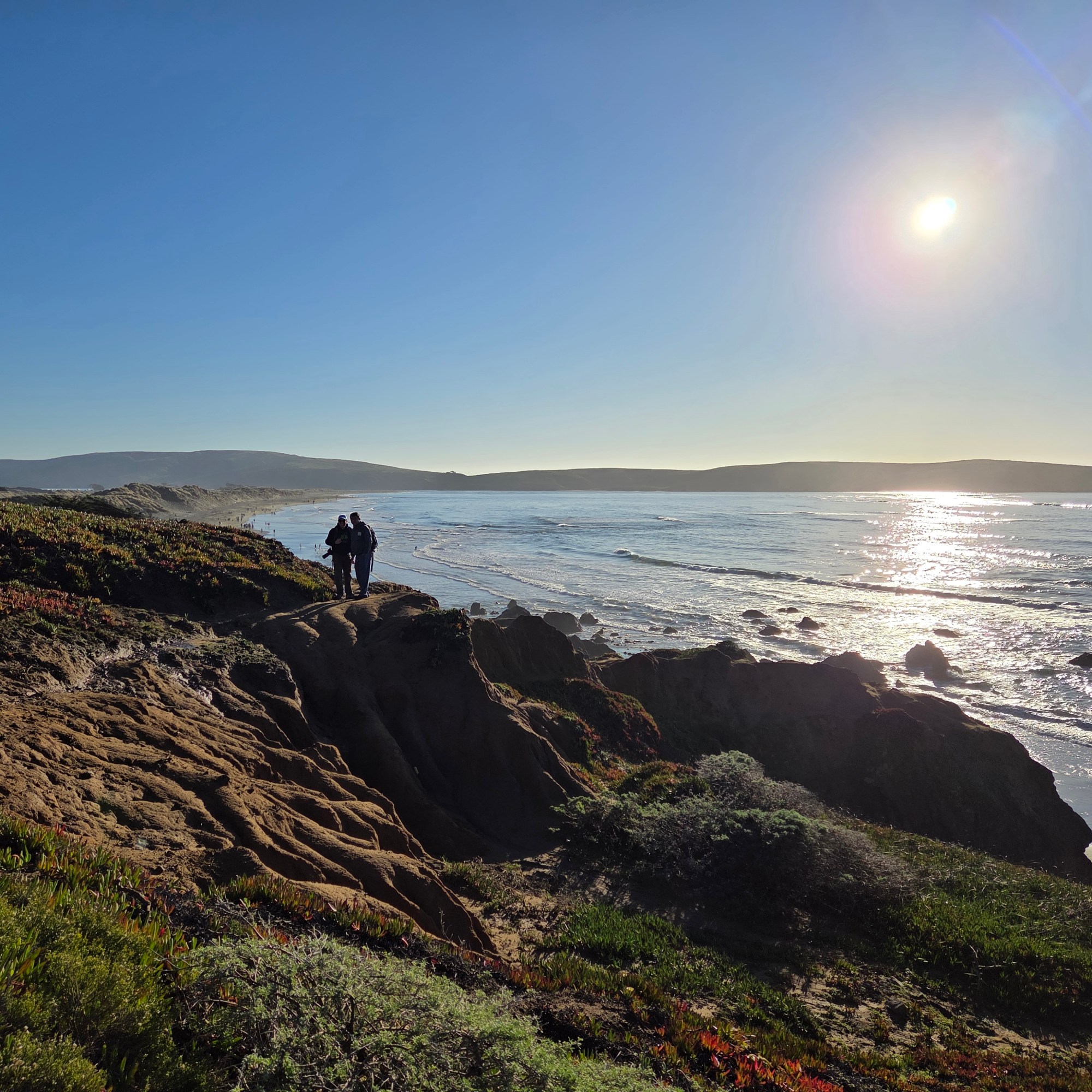
Small Wonders.248


Some lovely last images from the Montgomery Woods State Natural Reserve in Mendocino County…not quite yet the very last images from that April-May California swing, but getting close :-).