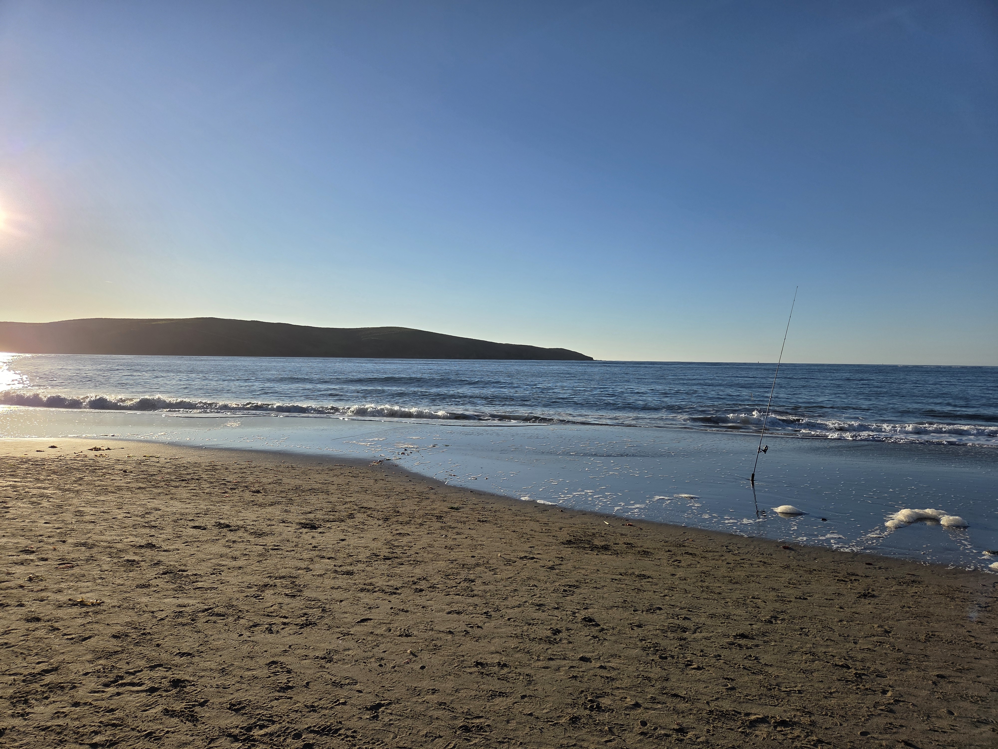
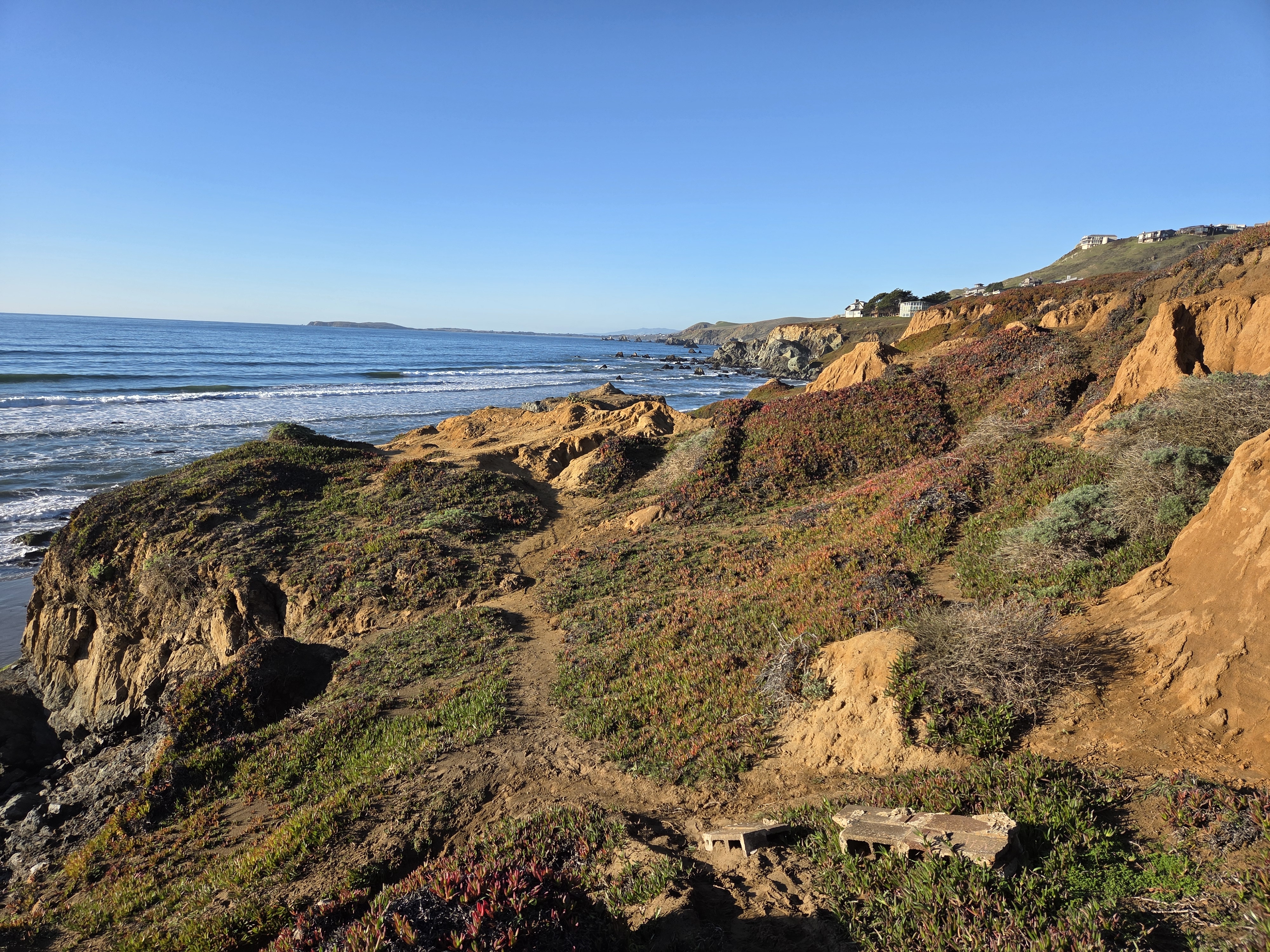
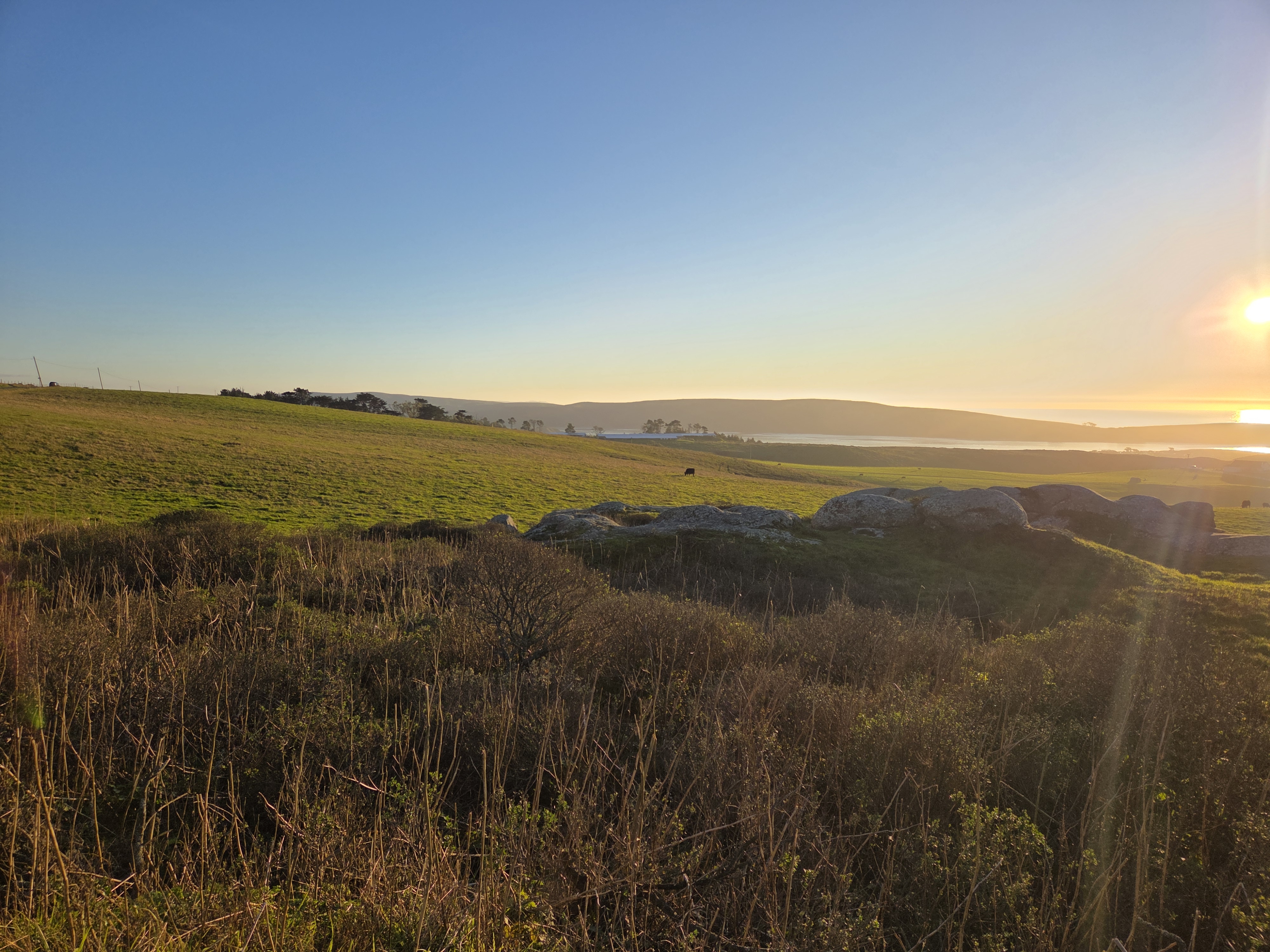
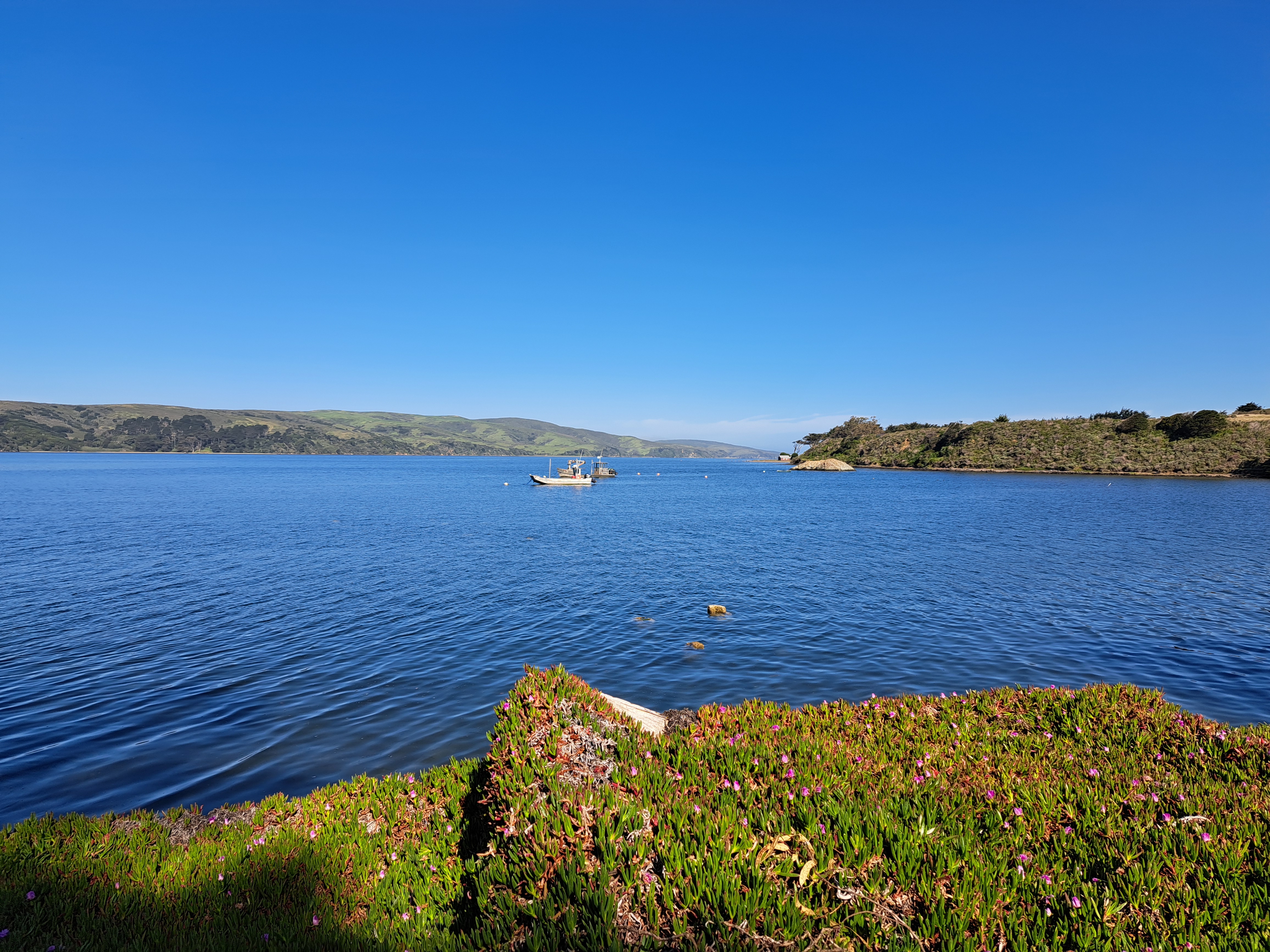
The top of Tomales Bay & Pt Reyes Peninsula as seen from PCH a bit uphill. For those unfamiliar with the region, the San Andreas fault runs right down the middle of Tomales Bay, and I believe is widening the bay by measurable inches per year, if memory serves.
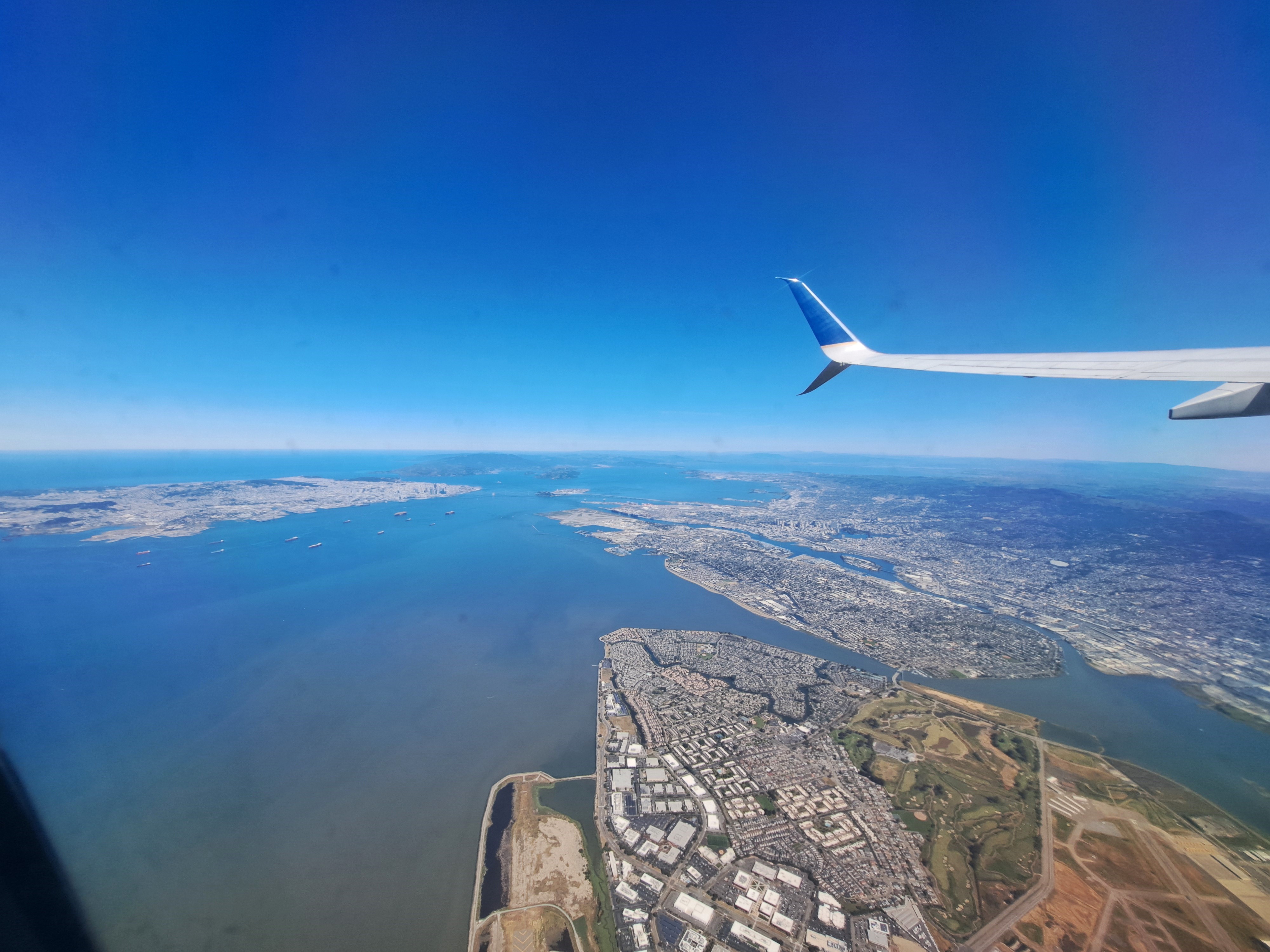
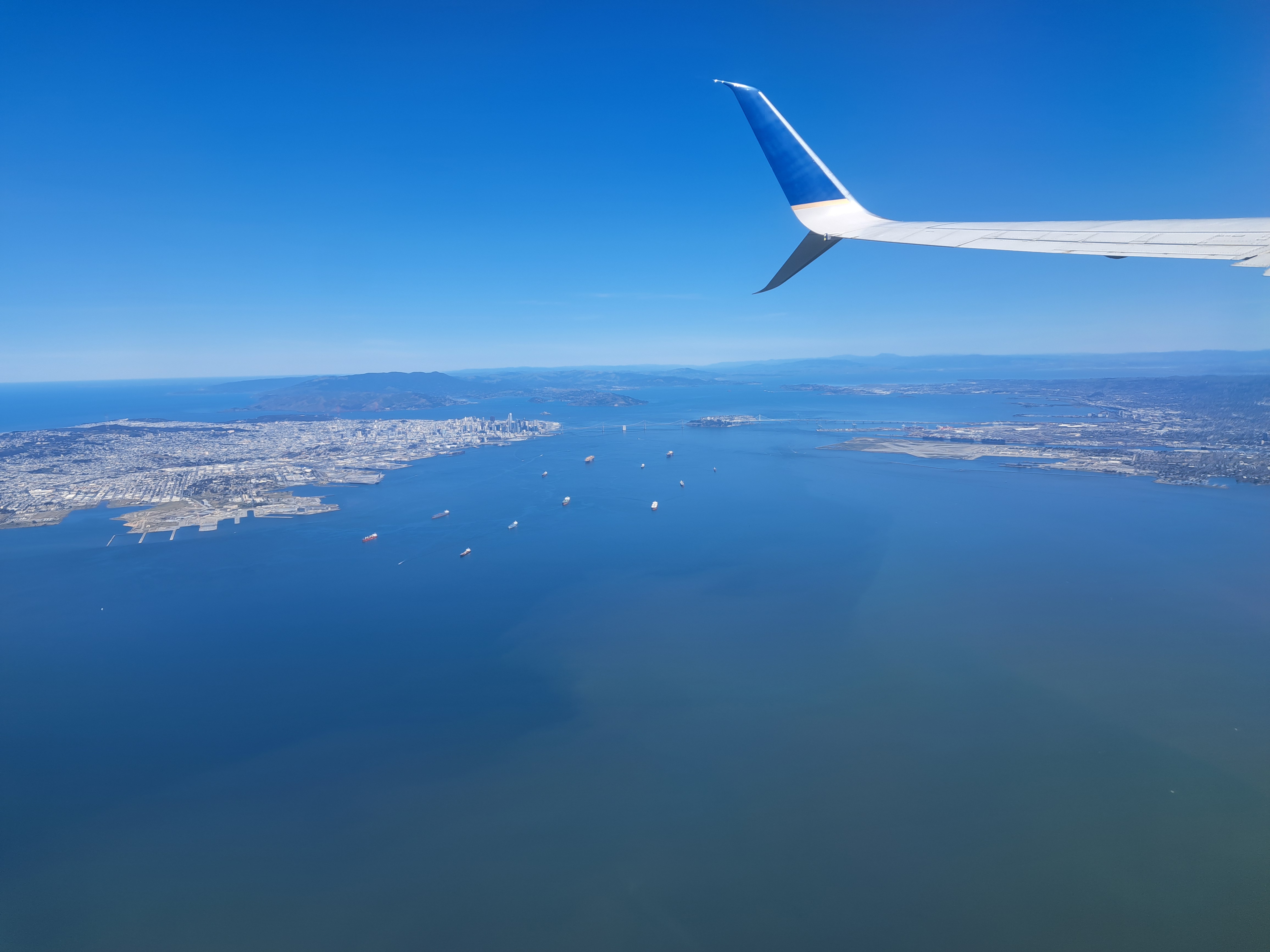
The last shots I’ve not yet posted from our May departure from SFO en route to Pittsburgh. Still plenty left, of snowy Sierra and Rocky mountains and so on. But this is another farewell to the bay-area shots from my most recent trip. For those unfamiliar — open a map of SF and the bay, and then it’ll make sense. SF city itself is that white area in the upper left, while Alameda island is in the middle right, below the wing. The rounded bay you to the top middle is San Pablo bay, which we’ve shown you before – it’s part of the SF Bay but separately named b/c as you see it’s a bit distinct, having various peninsulas and such to define it a bit more clearly.
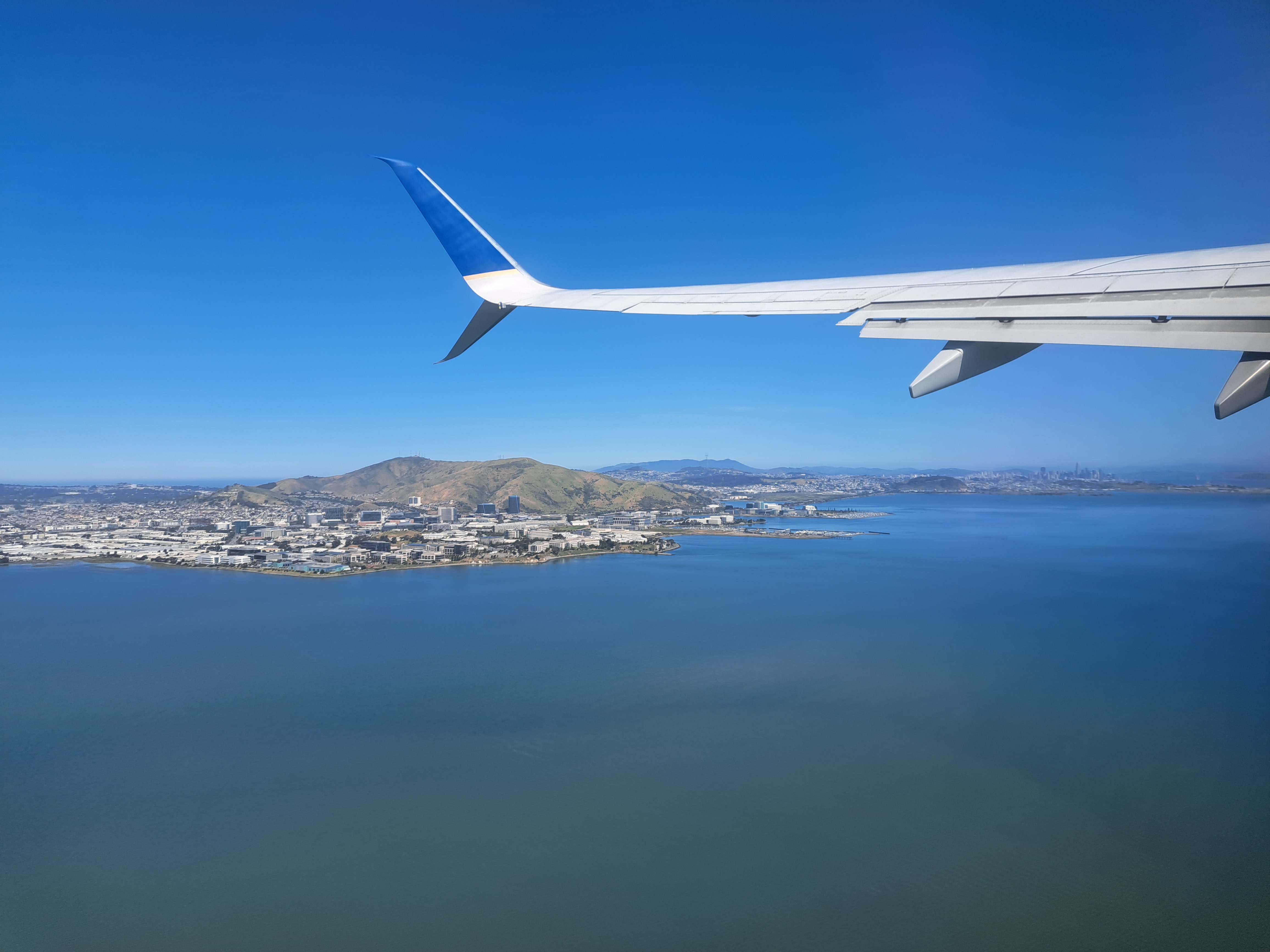
Since I’m scheduled shortly to be flying off again for very distant parts for work reasons, I thought I’d fondly remember another of these lovely moments as our plane gained altitude after departing from my beloved spiritual-home airport of SFO. If you follow the line of the lower fin on the plane’s tail, I’m pretty sure it’s Mt St Helena that you’ll see as a bump on the far horizon.
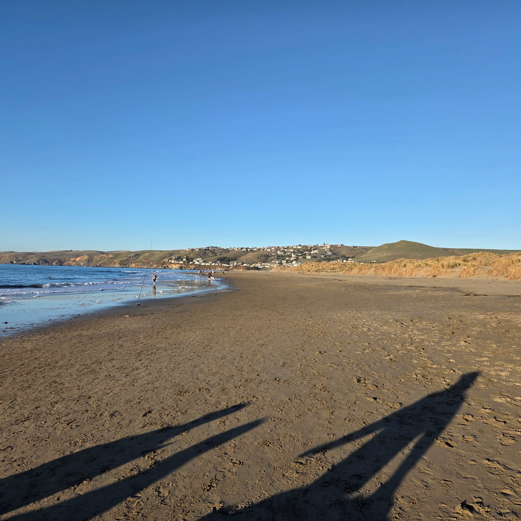
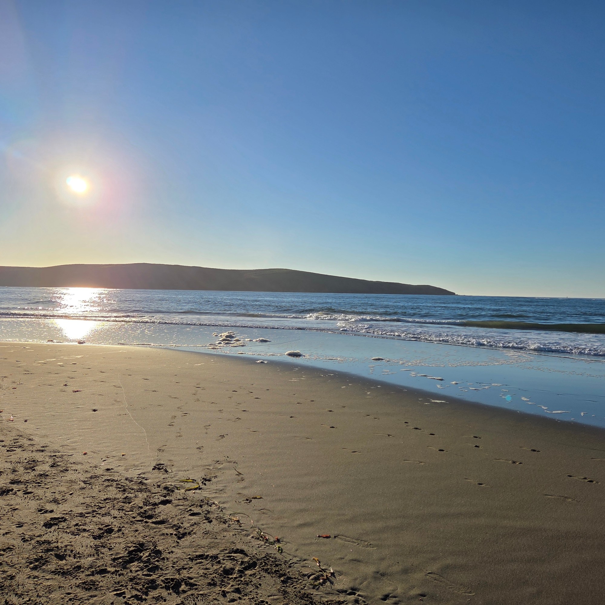
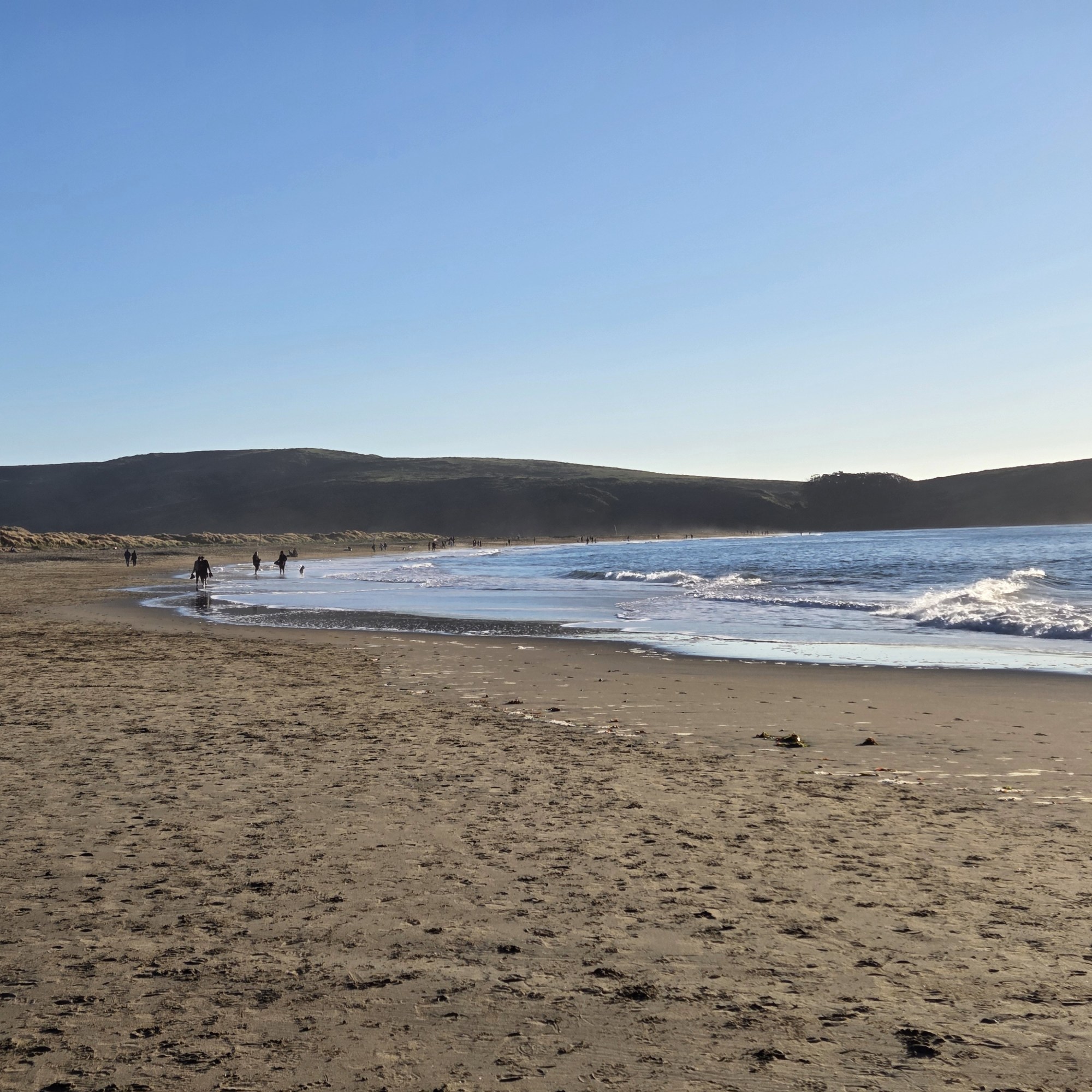
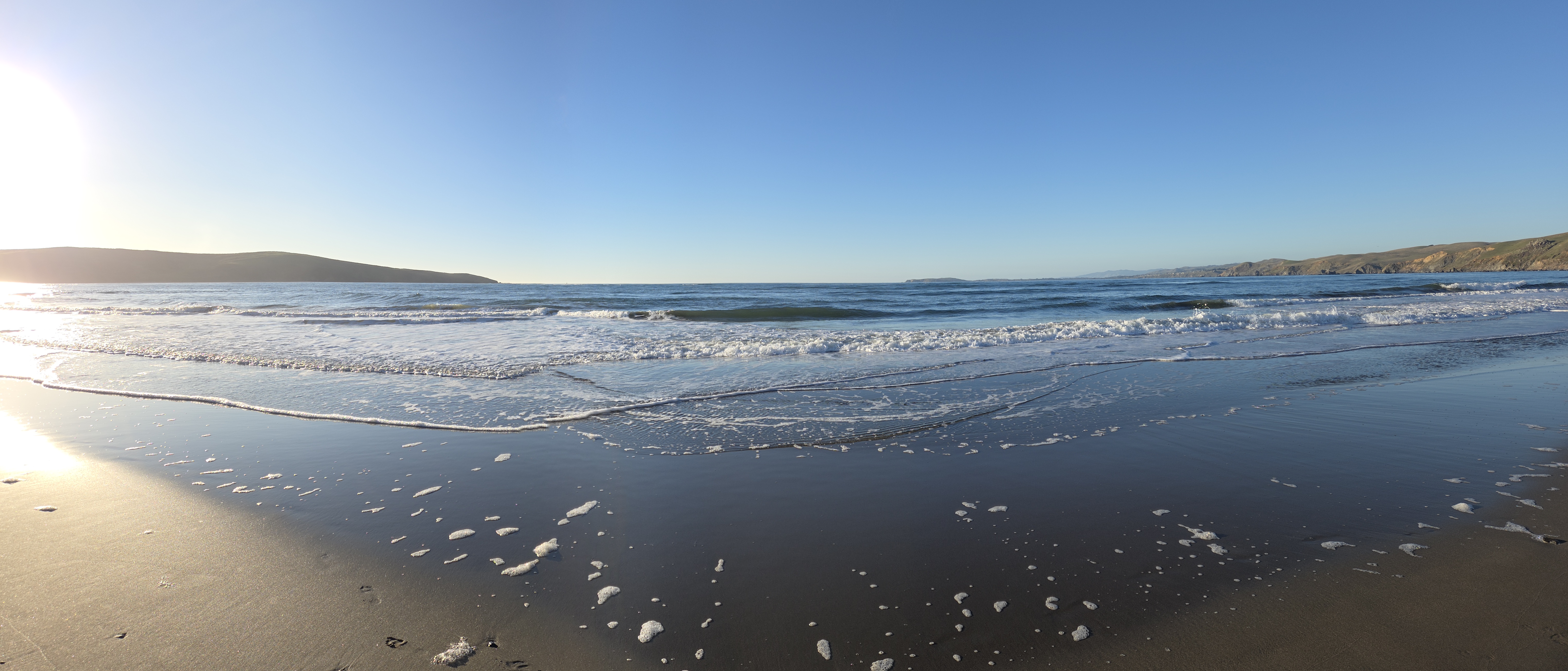
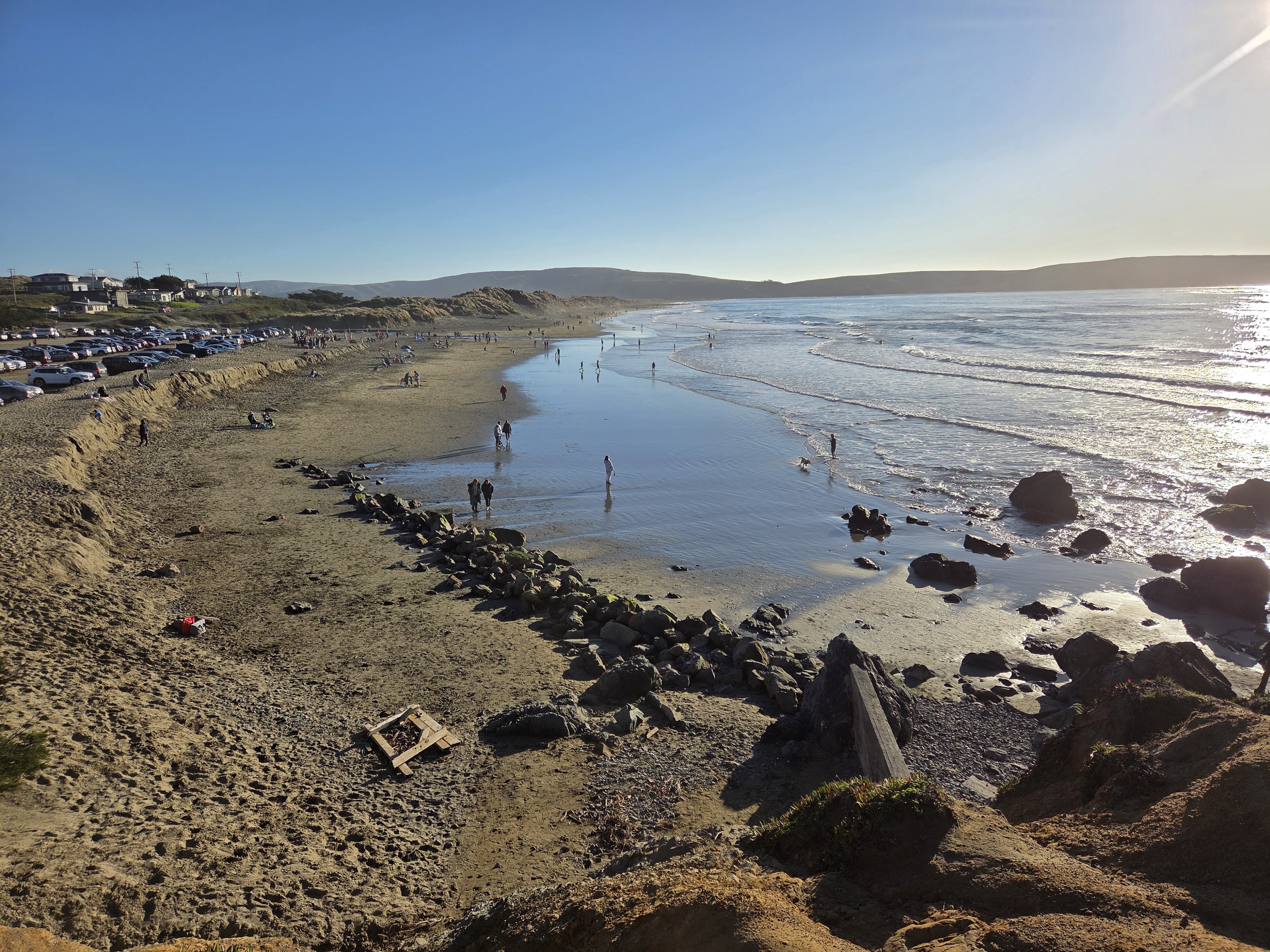
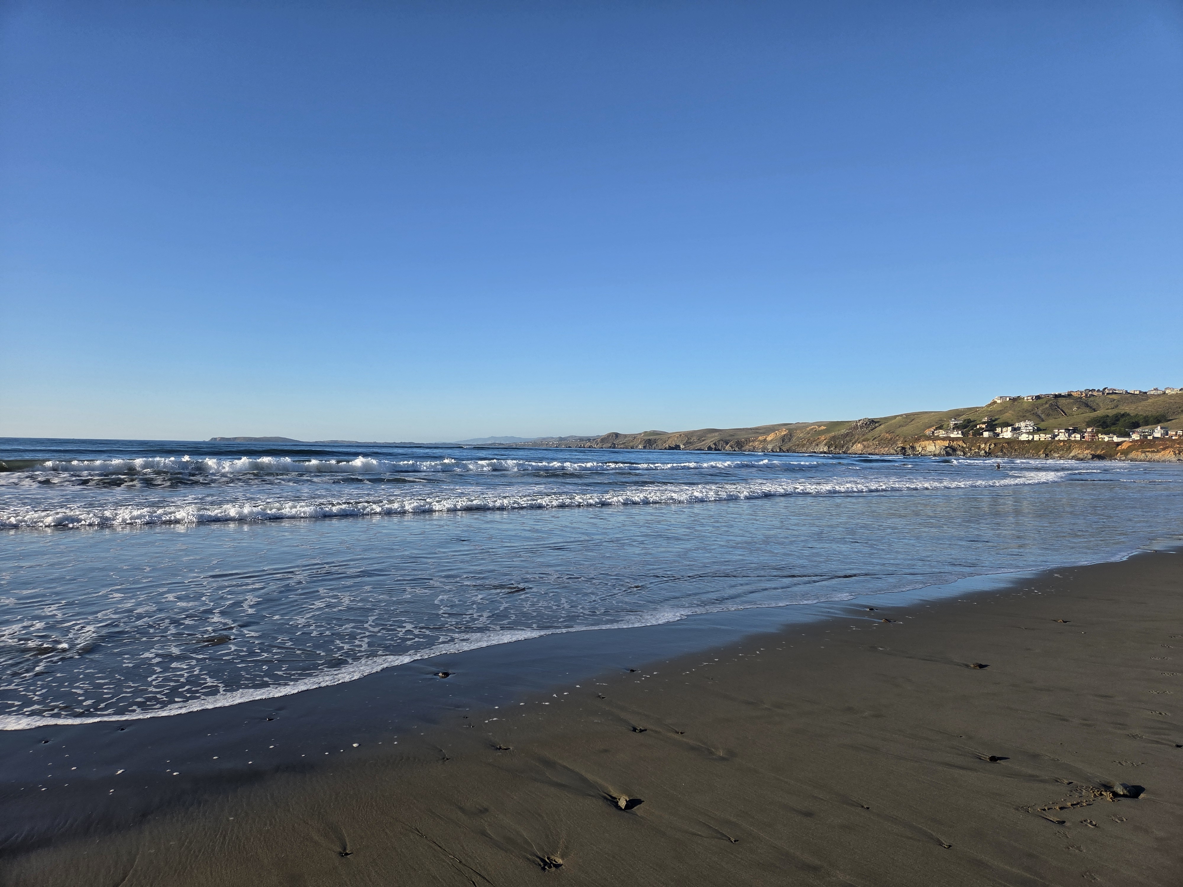
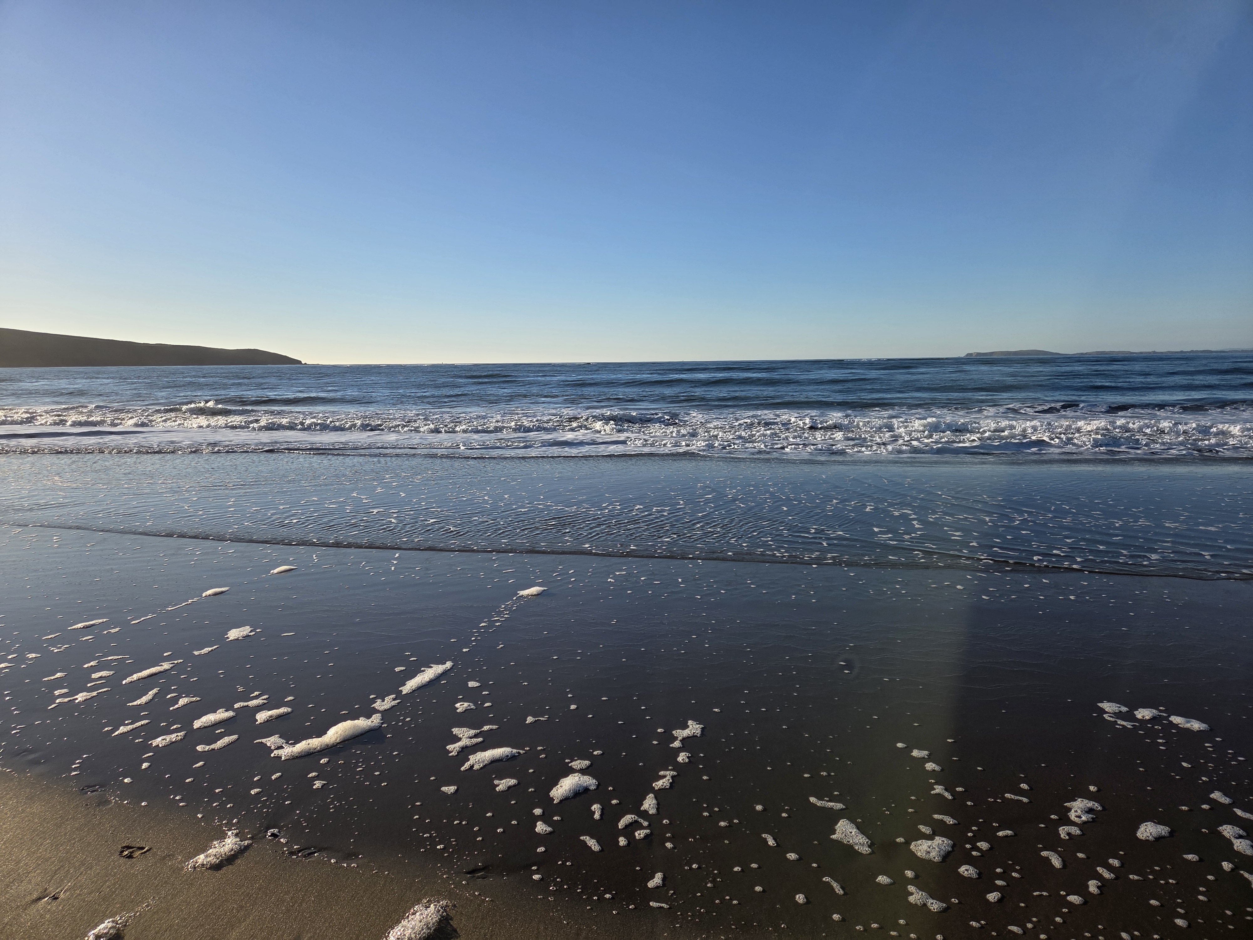
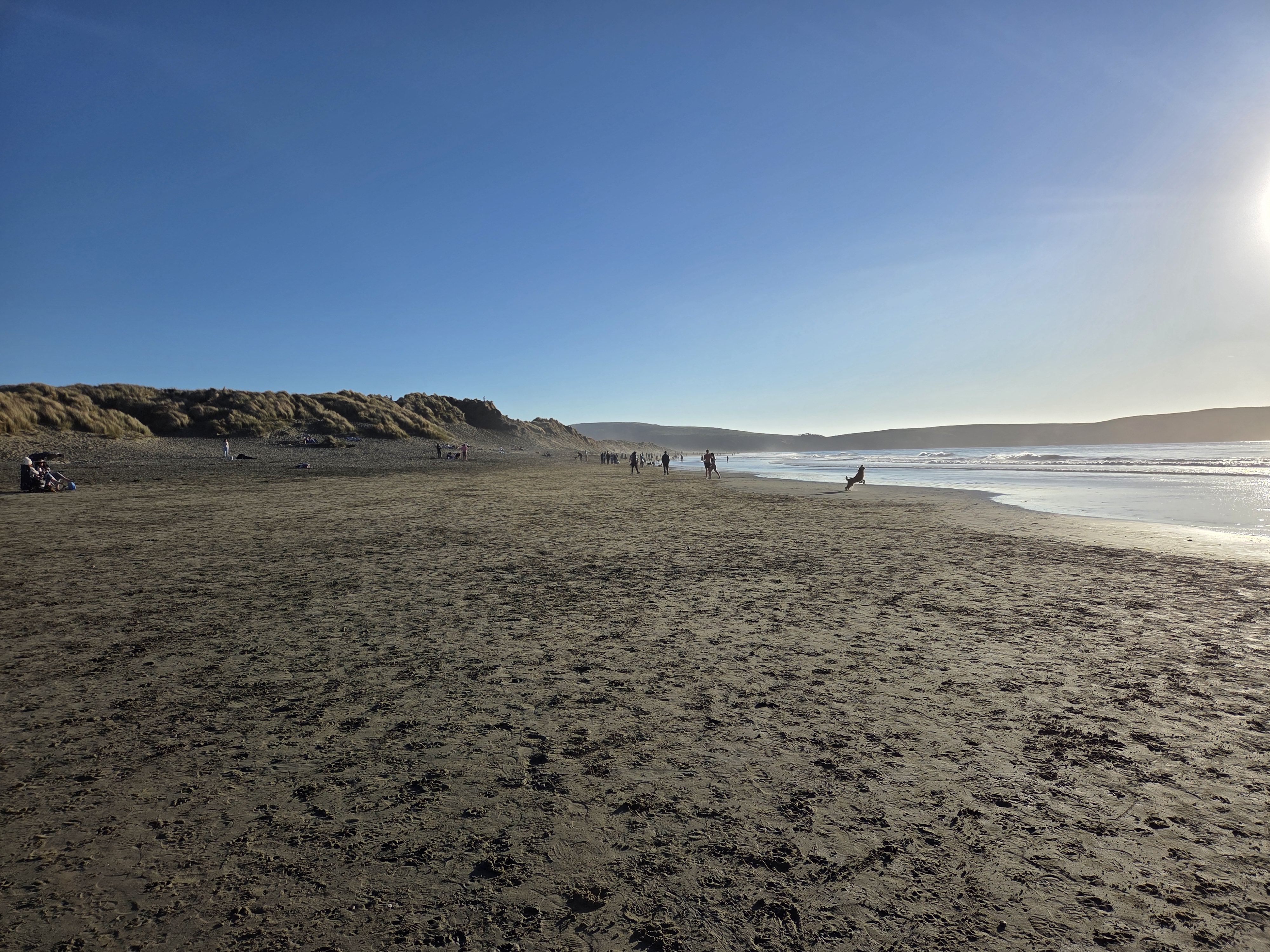
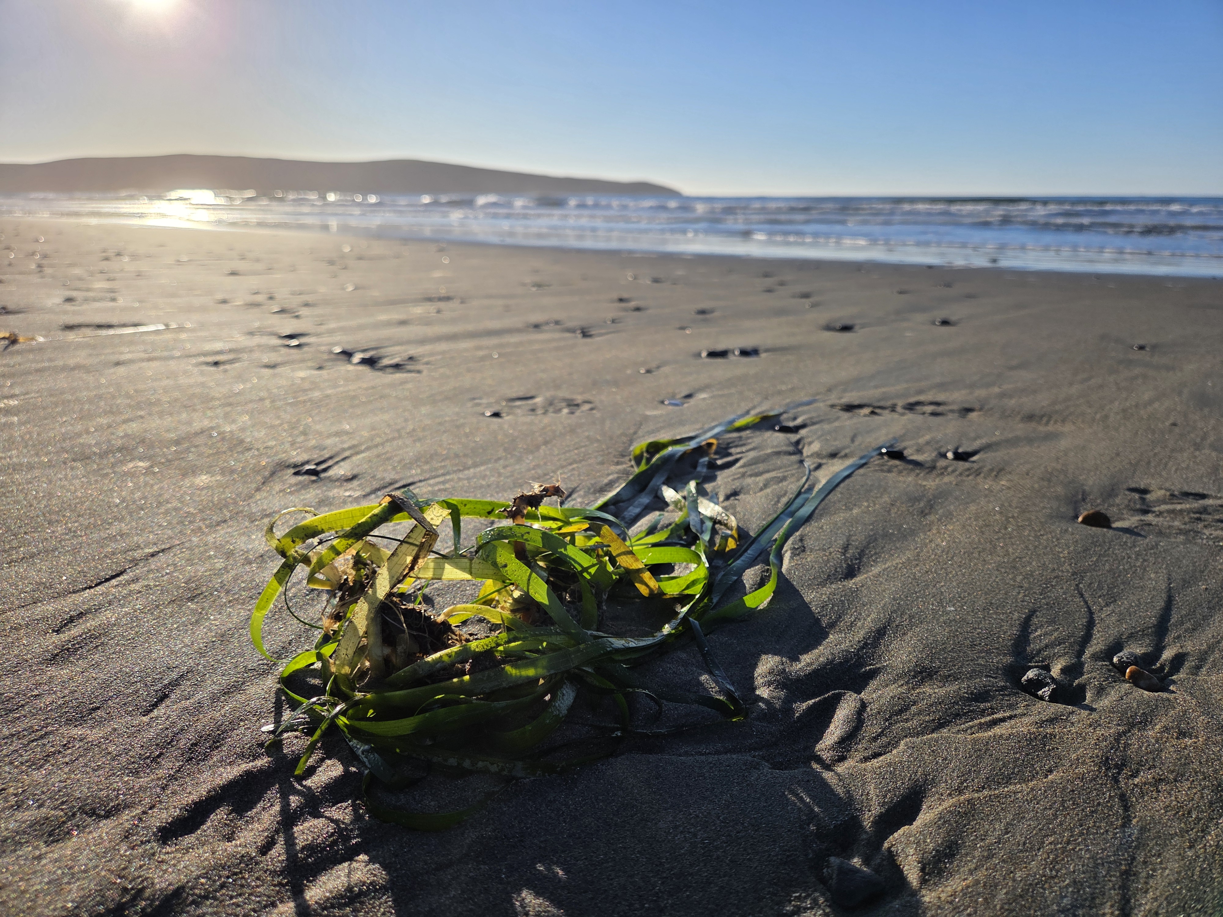
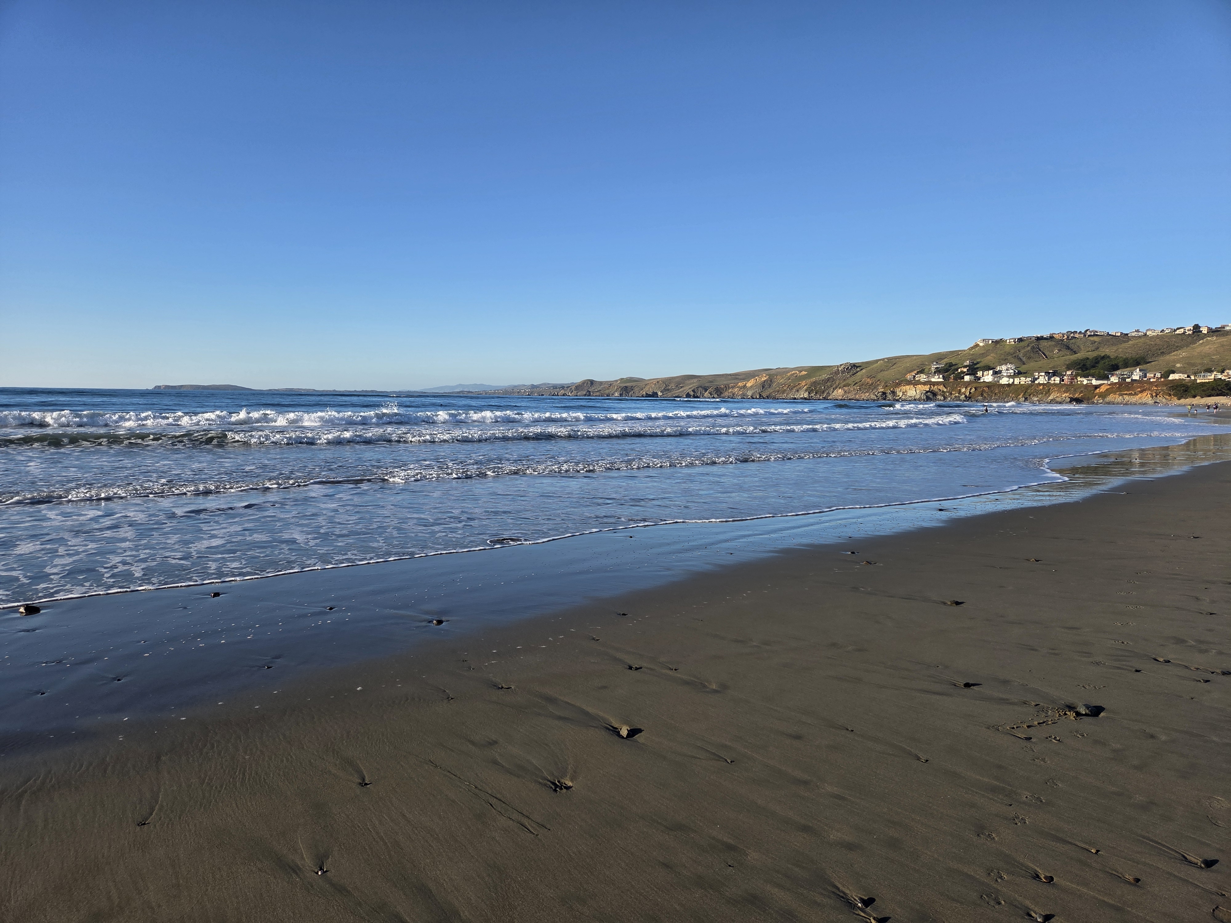
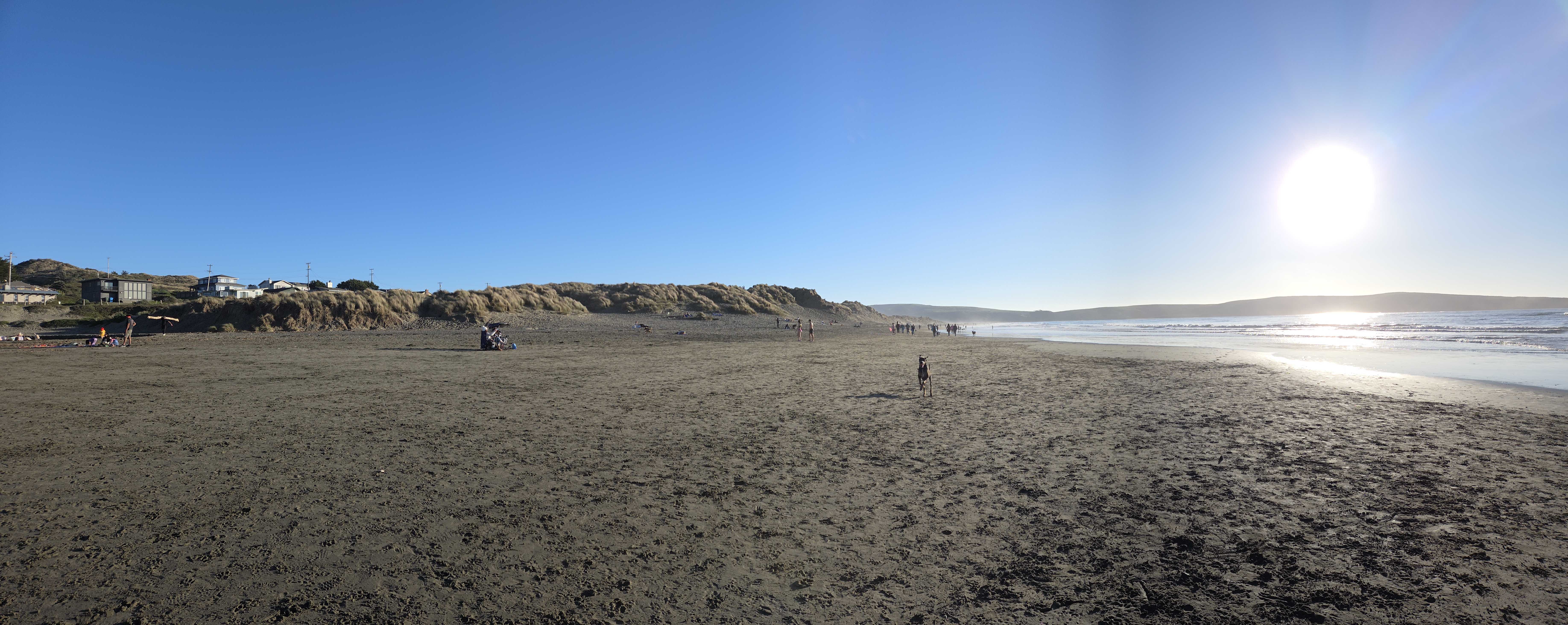
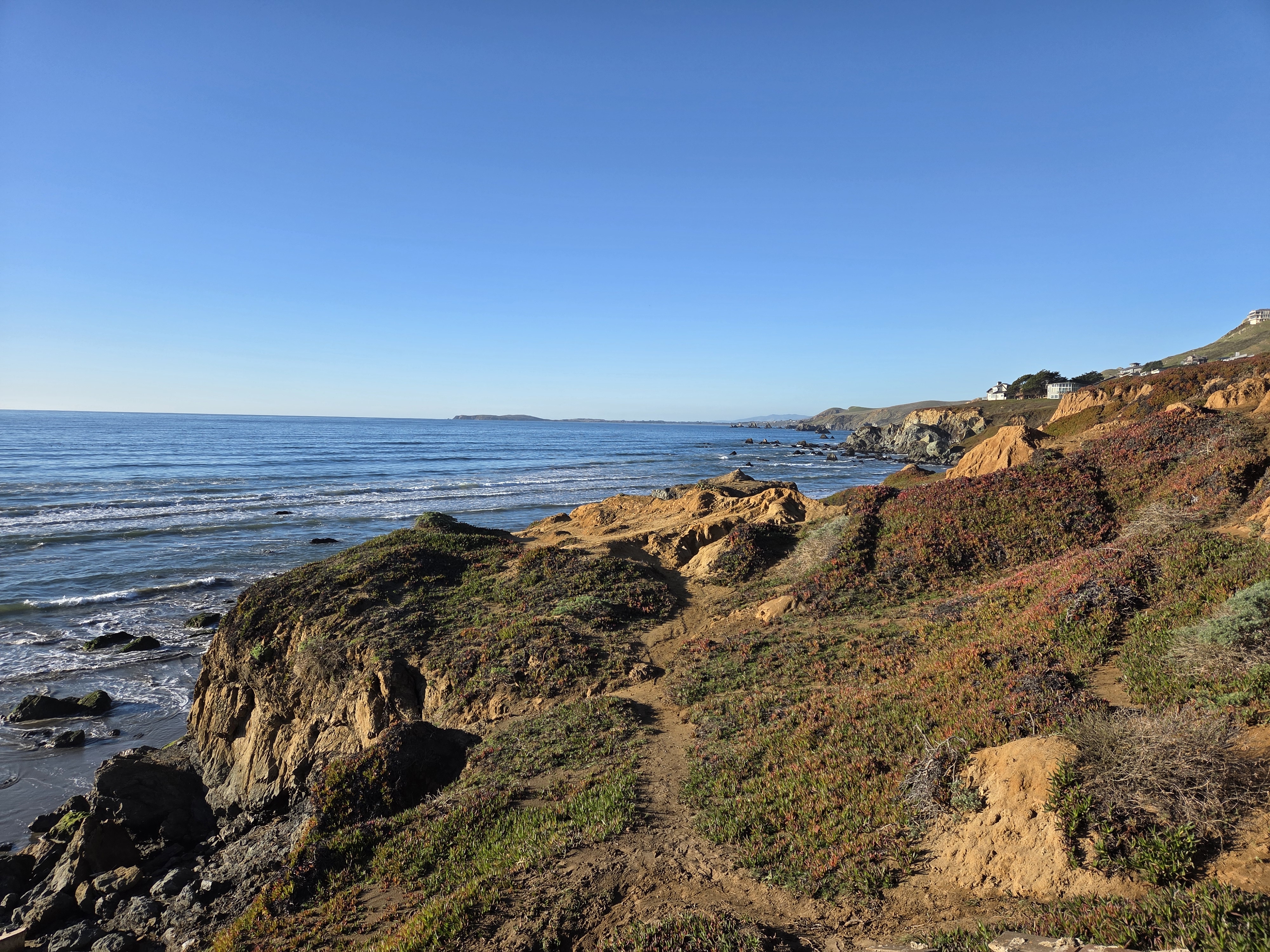
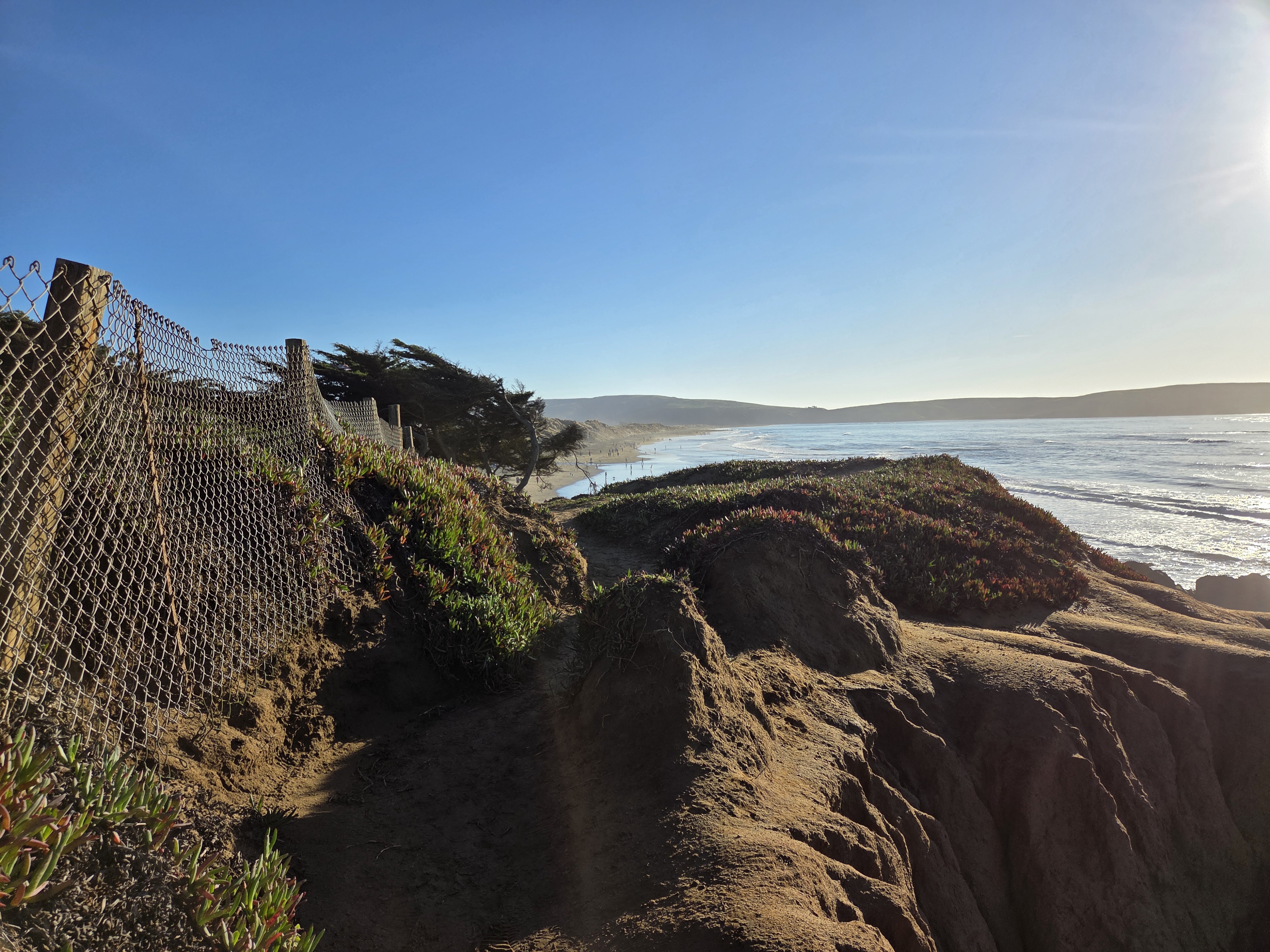
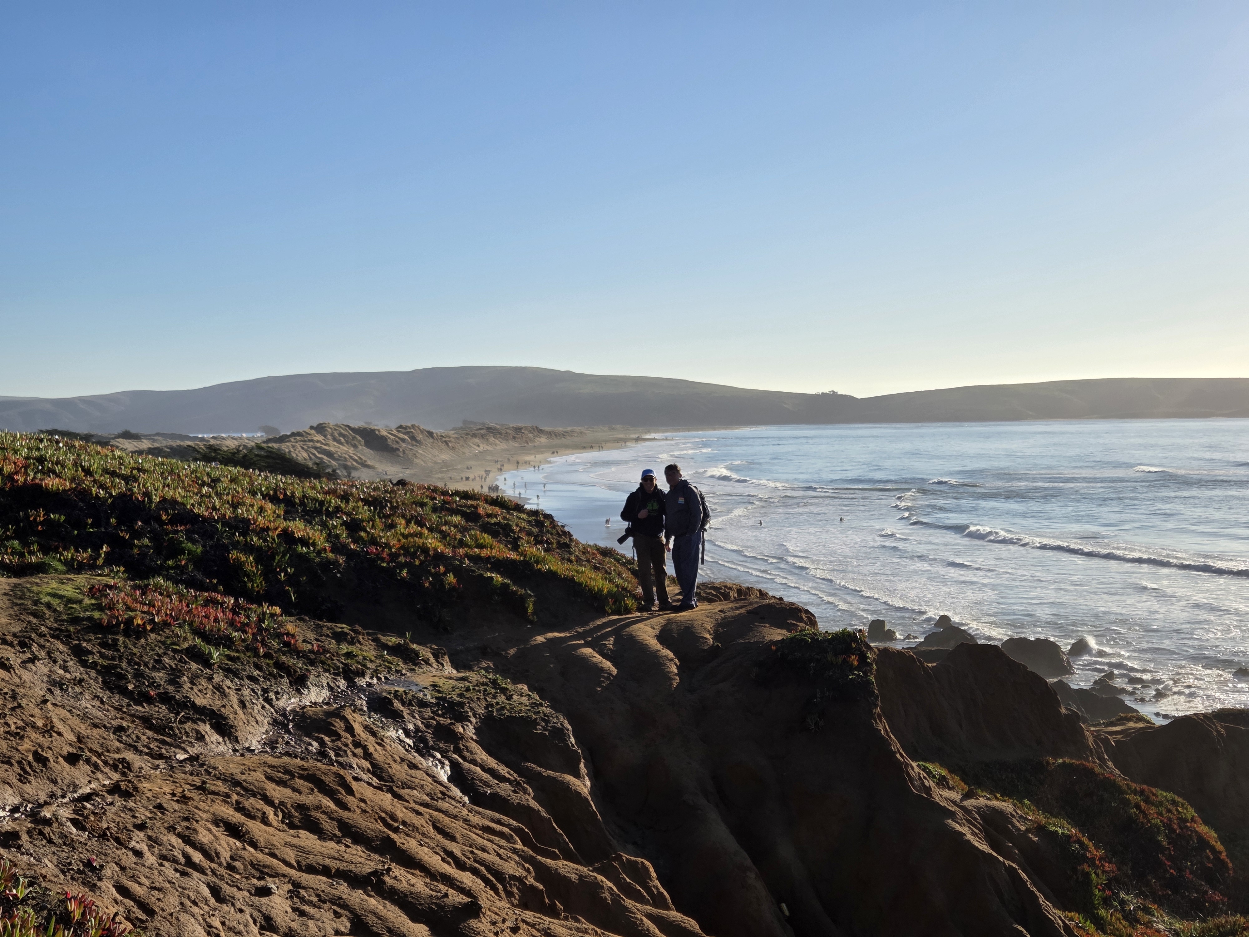
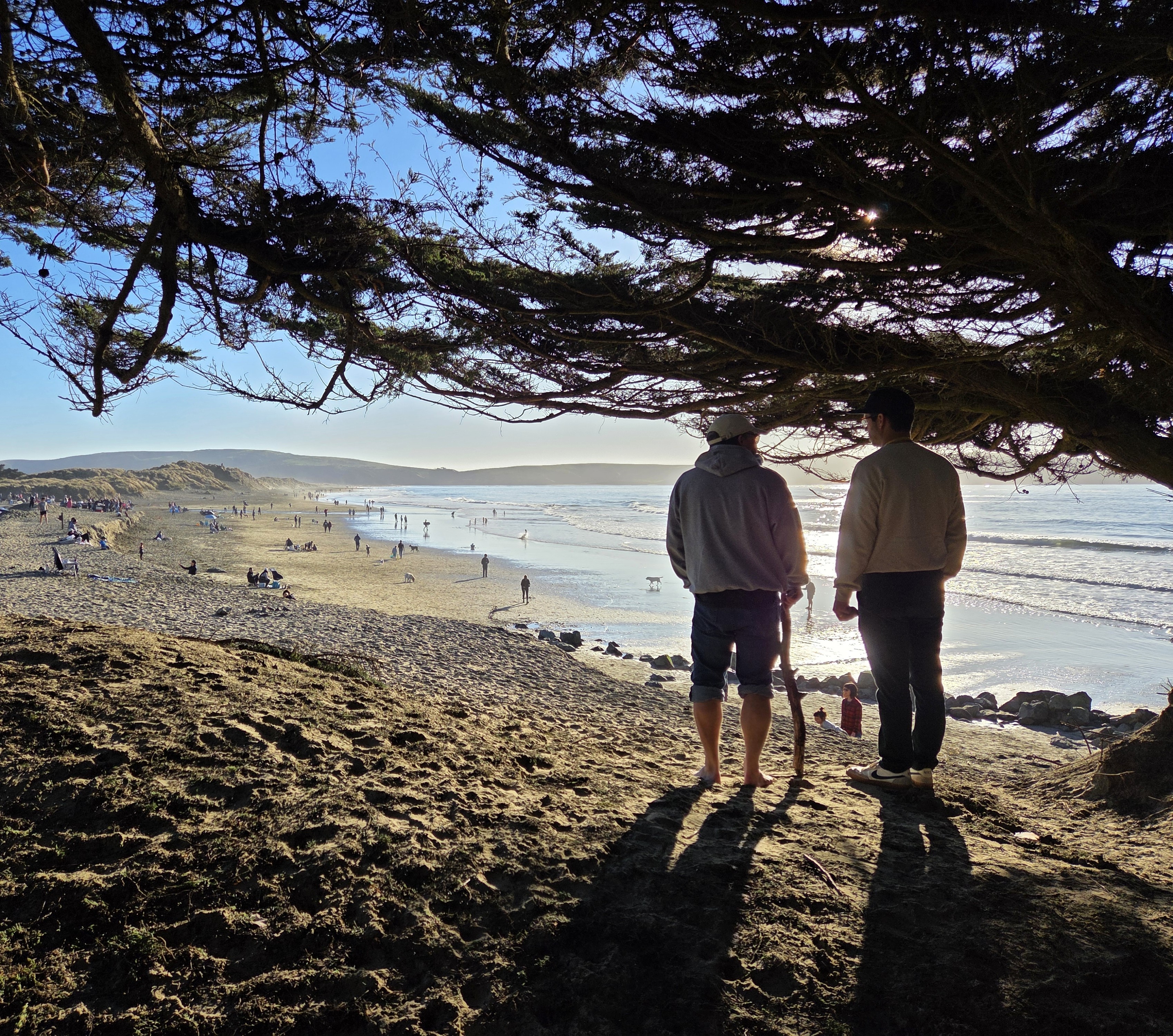
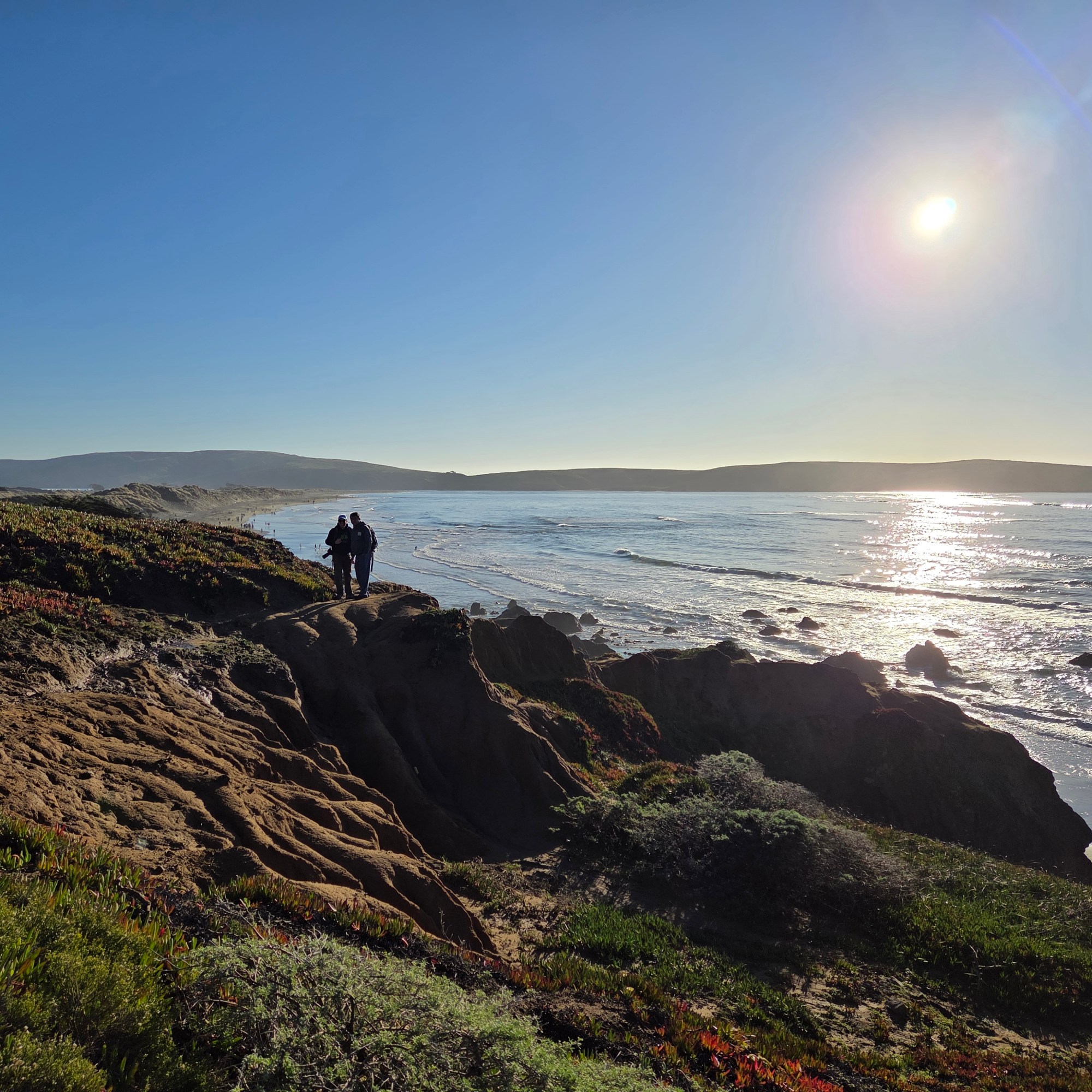
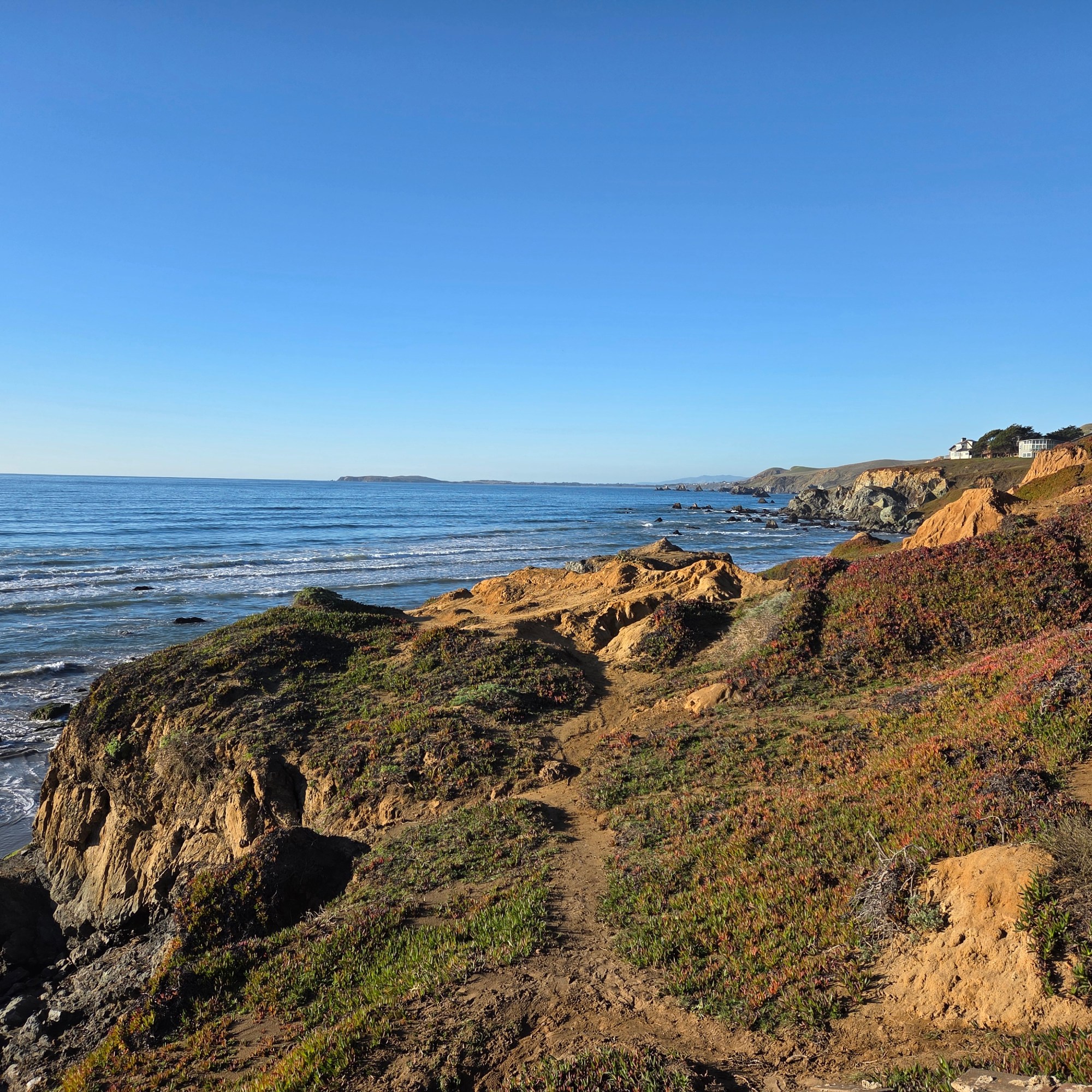
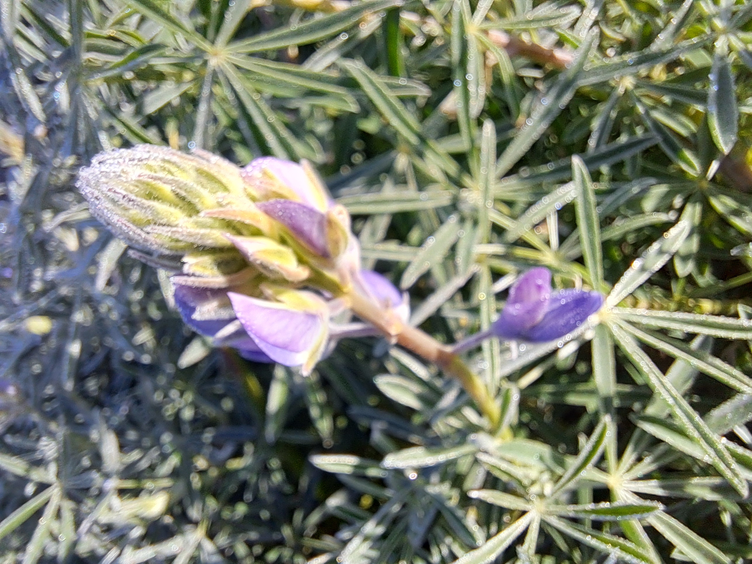
The remaining photos from my lovely drive along Rte 1 through Marin County, mostly along Tomales Bay in this case though I think the one above was along Bolinas Lagoon…
San Pablo Bay (north end of SF Bay), Richmond-San Rafael Bridge; Sacramento – San Joaquin River Delta stretching east from San Pablo to the Central Valley & Sacramento, with snow-capped Sierras in the distance; Mt Tam, Mill Valley, Sausalito & Marin County bottom right as we flew over on 16 April during that long, photo-productive approach to SF :-).
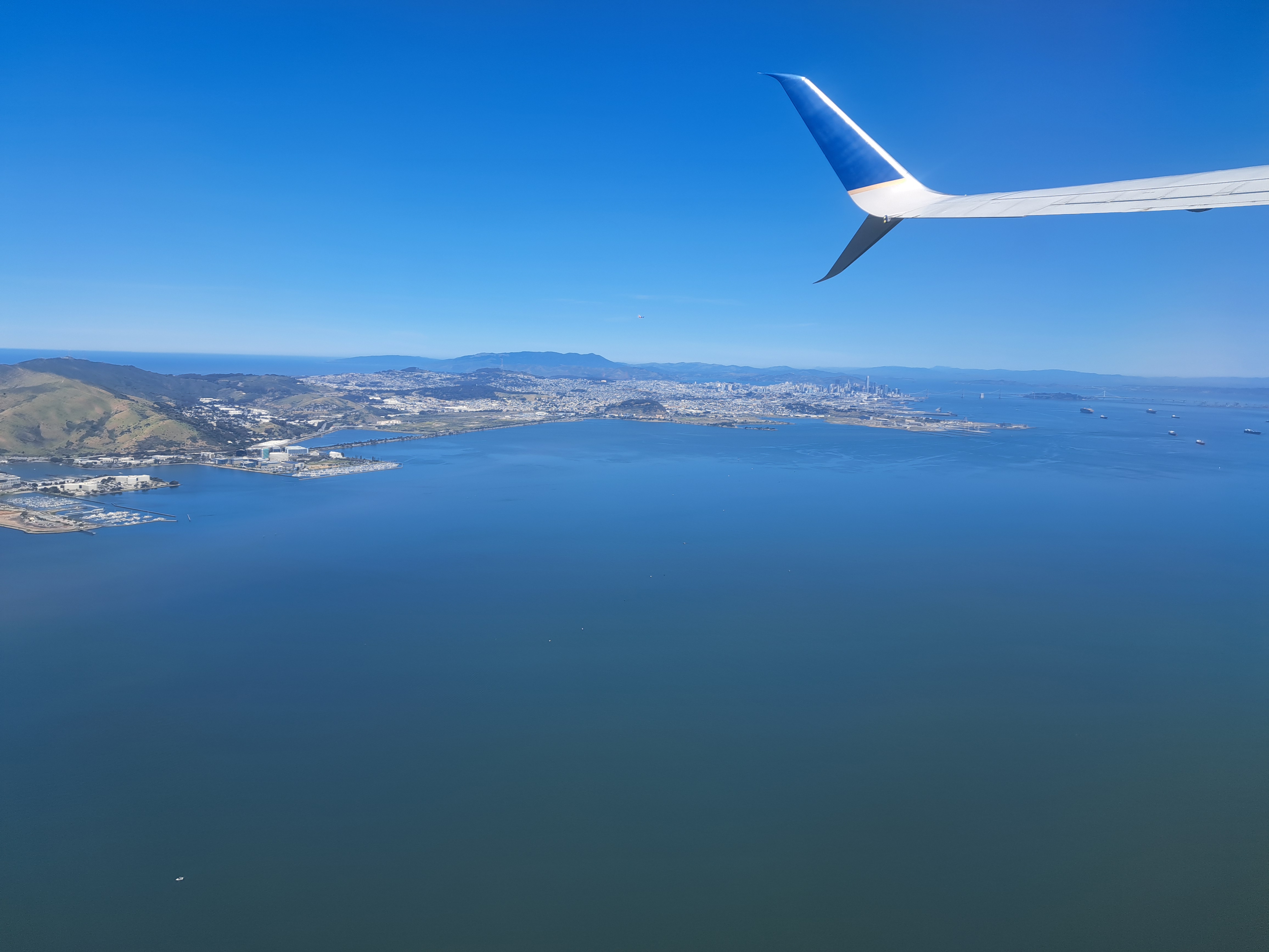
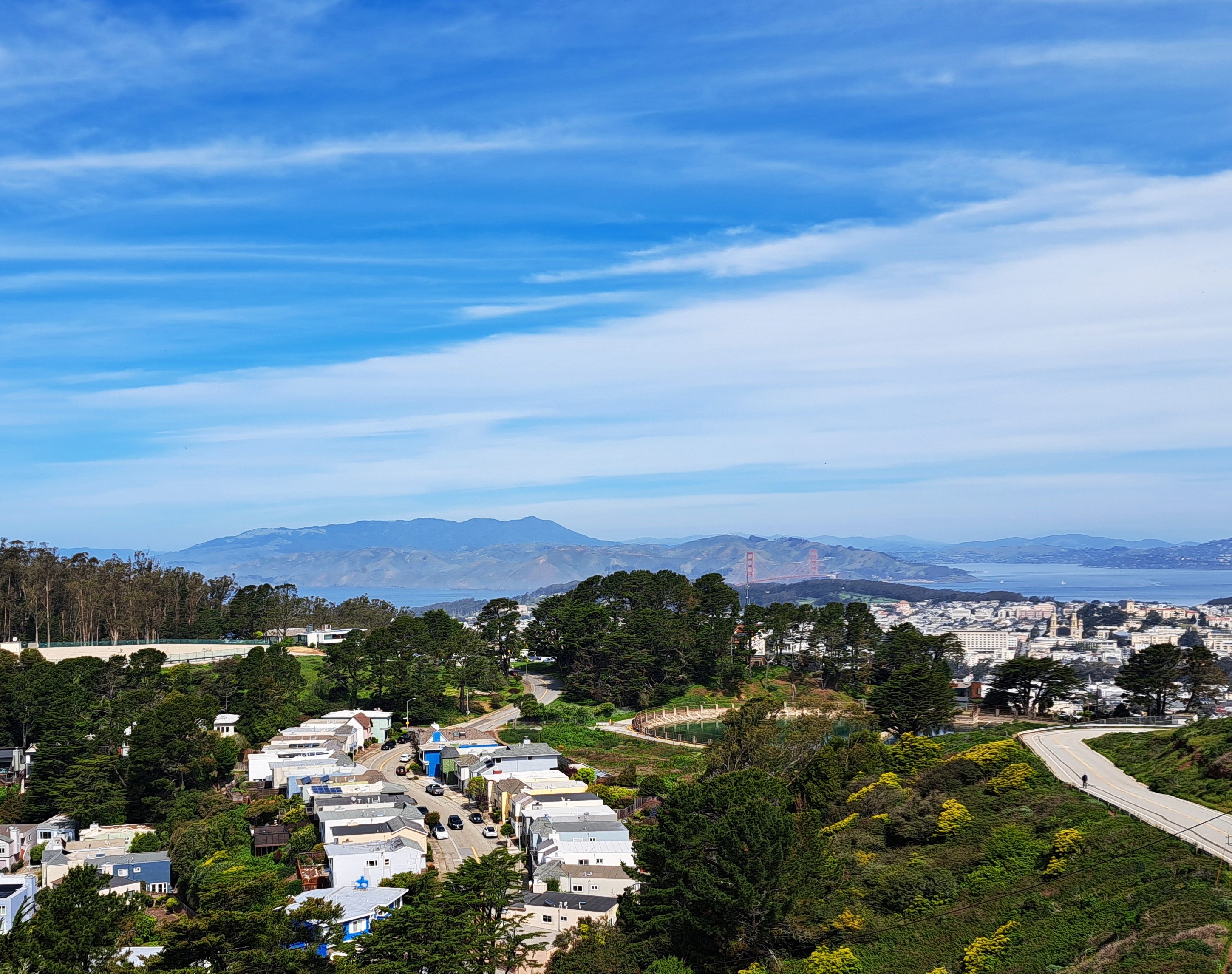
San Bruno Mountain on the left, marking the southern border of SF City & County; the ridges in the middle right are Mt Tamalpais in Marin County just north; and of course the city of SF on the far right middle. From my flight out of SF to Pittsburgh a bit more than a week ago.
City & County of SF in the foreground; Marin County on the far side of the GG Bridge, and bits of at least Alameda & Contra Costa counties on the eastern side of the bay (top right).
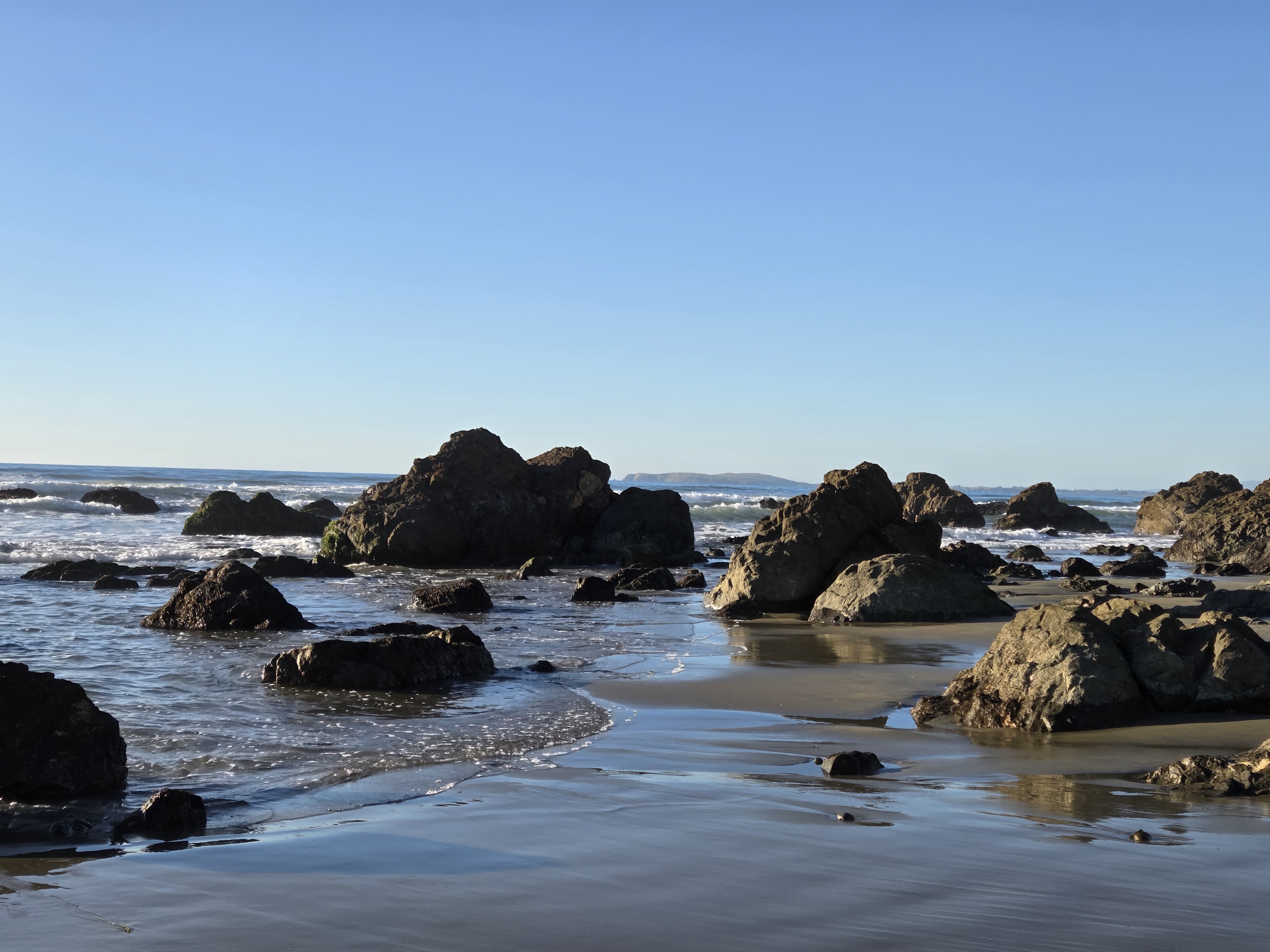
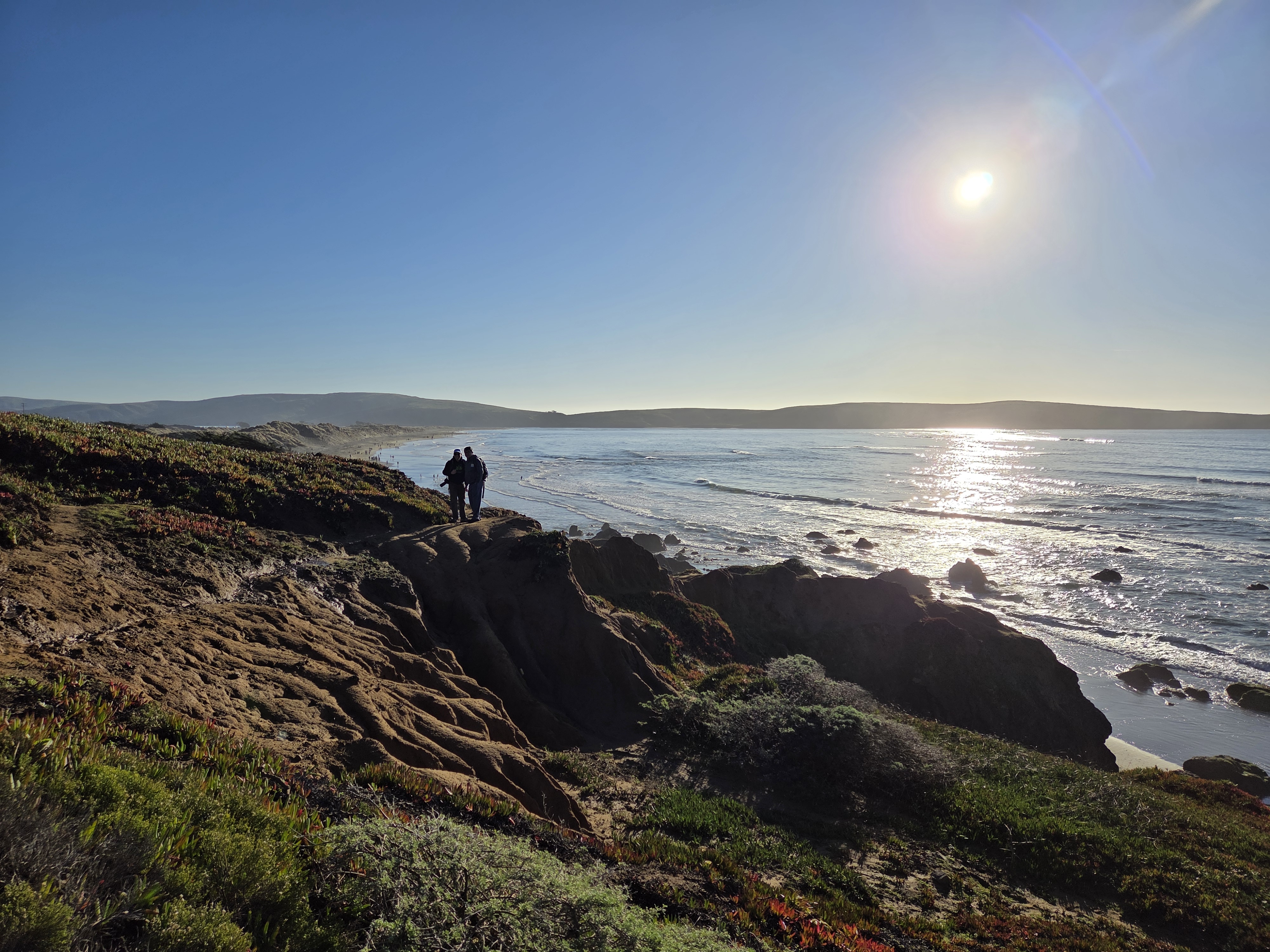
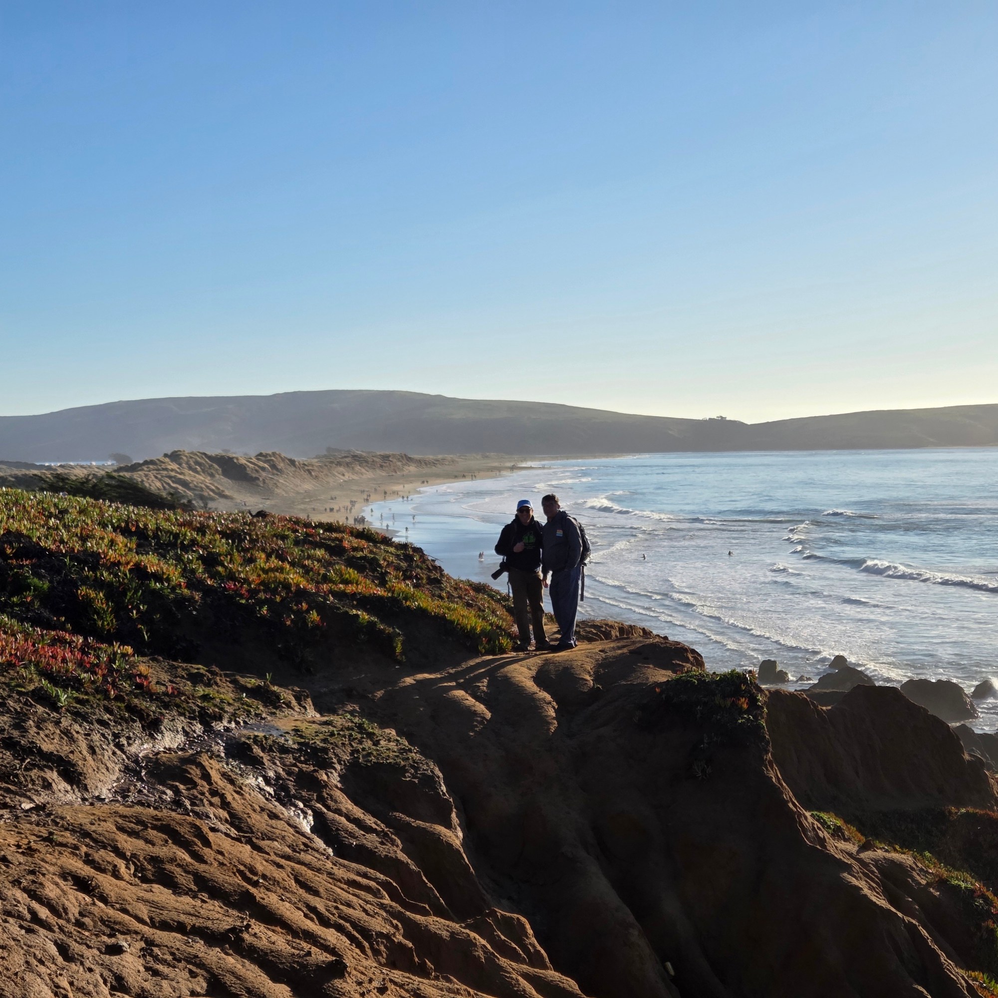
Tomales Bay, with Point Reyes Peninsula on the other side and its mouth to Bodega Bay to the right in the second photo below. For those who don’t know the region: the San Andreas Fault runs right down the middle of this bay, and the peninsula is measurably moving away from the shore from which I took the photo by inches each year. 🙂