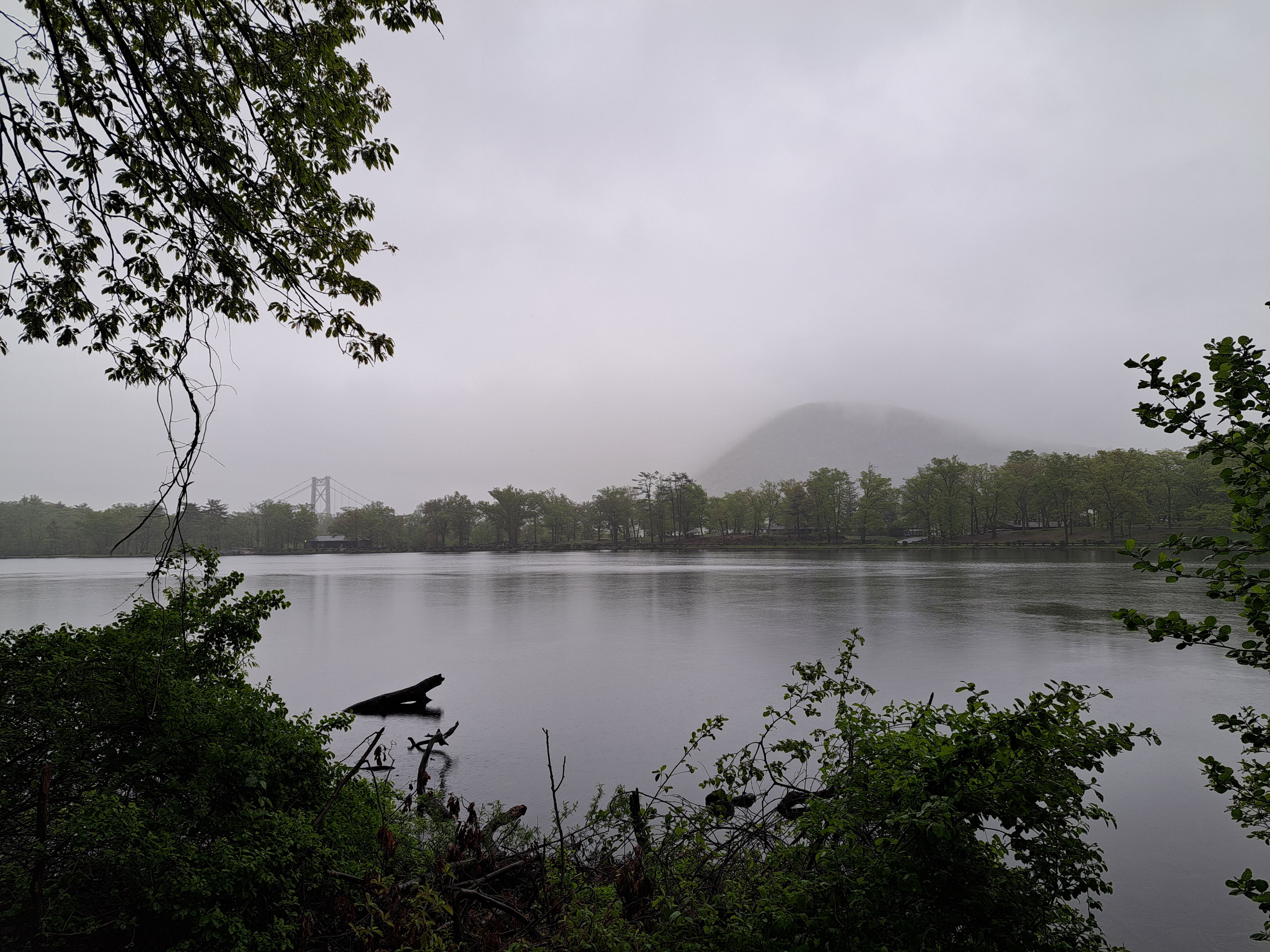
Above, the Bear Mountain Bridge with the mountain named Anthony’s Nose to its right, on the east side of the Hudson River. At the bottom, and in the gallery below, Bear Mountain Inn & the mist-shrouded Bear Mountain (on the east side of the river) as seen on the misty, drizzly afternoon of Sunday May 5th when Steve & I arrived. We were here for another personal celebration of our mother, who hiked us as teenagers across that bridge, where the Appalachian Trail crosses the Hudson River and immediately climbs to the top of the Nose, having already scaled Bear Mountain and various other peaks in both Bear Mtn Park & the neighboring Harriman State Park. To really focus on our memories of the trails and be close to Storm King (which, yes, we’ll be showing you also soon), we splurged to stay in this lovely old Inn – and were so happy that cousins Sam & Maria also joined for the Mom-celebration stuff, that Neal and Elizabeth came for an evening, and Chris for the Storm King day. Thanks, everyone and especially Mom who was certainly with us in memory and spirit :-).
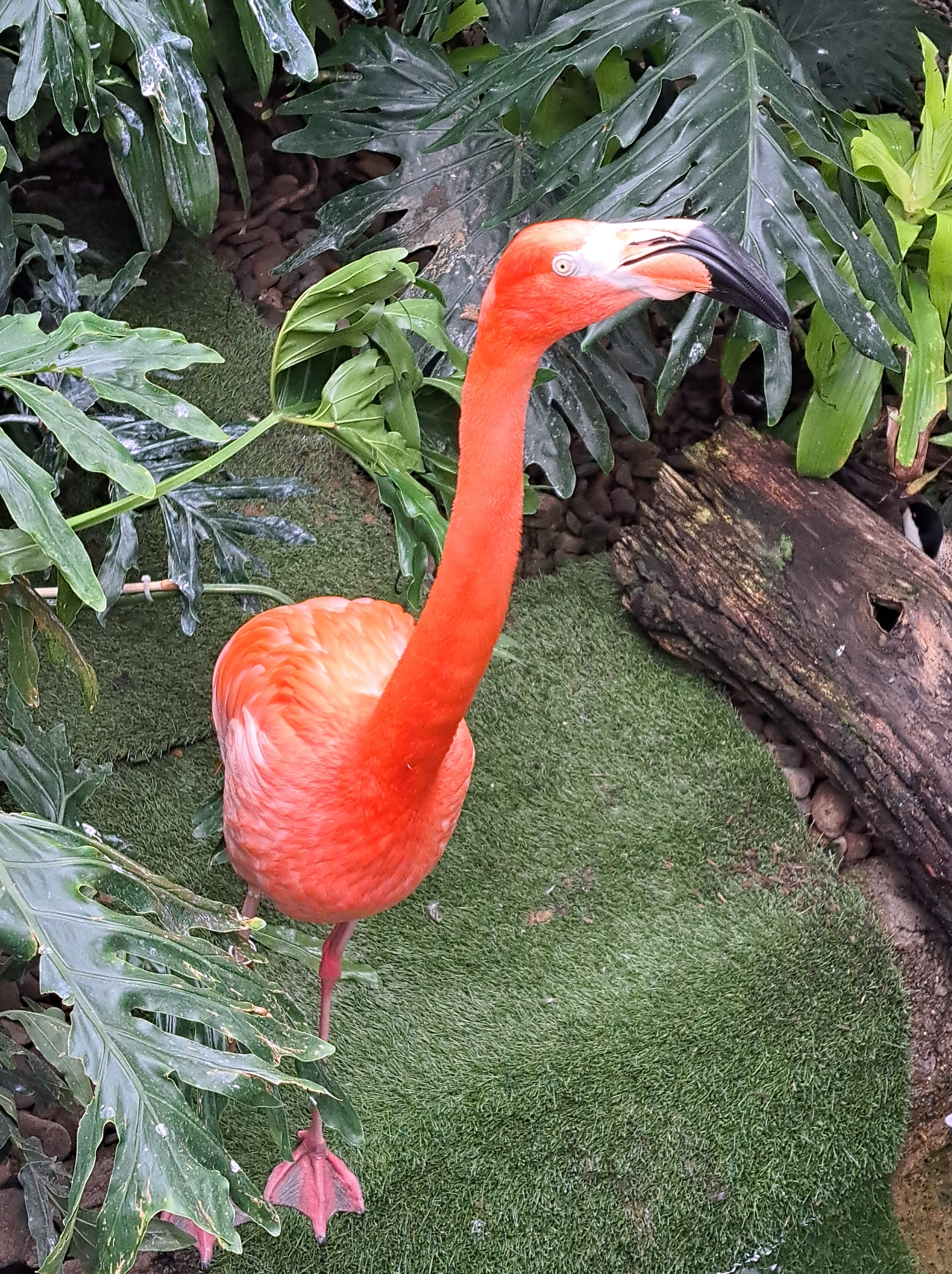
This was the most curious and human-sociable of perhaps a dozen flamingoes at the aforementioned National Aviary in Pittsburgh, Allegheny County, PA. He seemed very clearly to want to interact with the humans more than the other flamingoes, which a staff member said came from his having been orphaned and raised by humans. This allowed me to notice the detailed markings flamingoes have on their beaks and heads, which I’d never been close enough to see before! (If you click on the individual photos, you’ll see full-size versions without the head cut off.) Below, several of the other interesting birds we saw that morning.
The irises were abloom everywhere I went on that US visit in April and early May. This one was catching raindrops outside the National Aviary in Pittsburgh on May 4th :-).
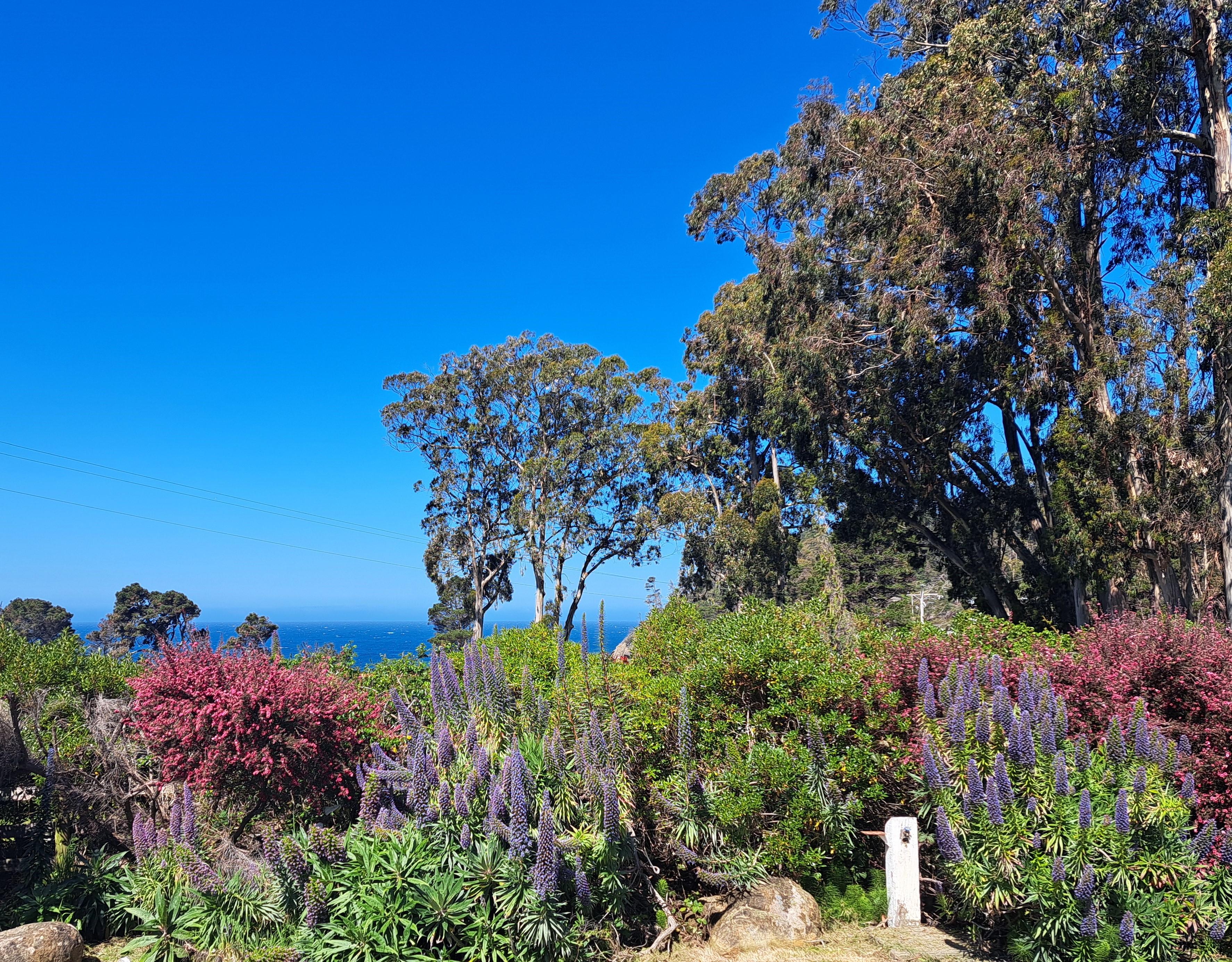
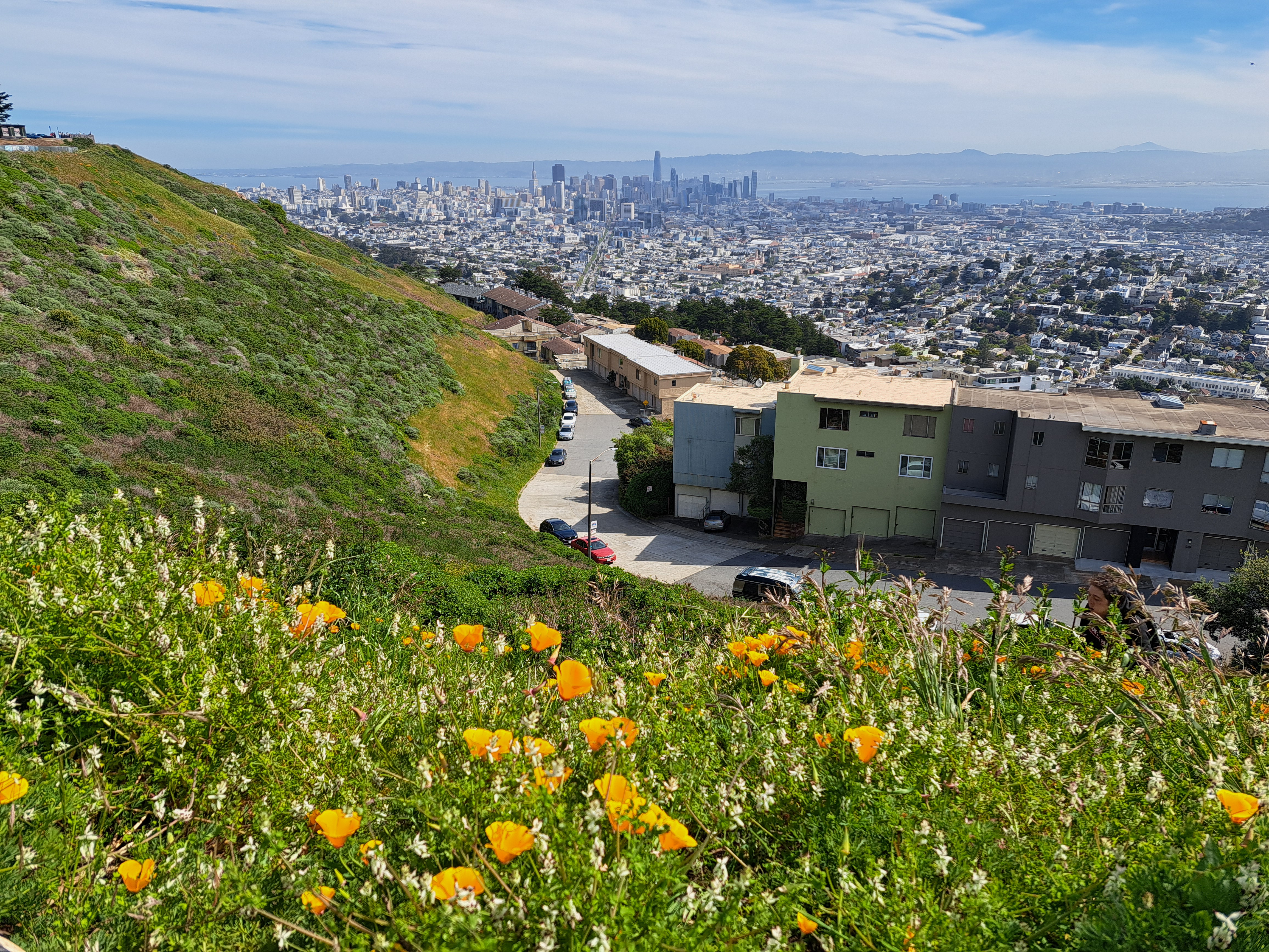
I took these two photos on my first full day back in SF (and the US) last month, near the top of Twin Peaks which contains three of the highest points in SF city itself, the higher of the twins clocking in at 282 meters (925 feet), making it nearly as high as the highest point in the Netherlands, to which I returned last week. The Vaalserberg’s peak is actually in Belgium (google “highest point in NL and see what you get – it’s a bit funny tbh), but before the hill crosses the border it becomes NL’s highest point at 322 meters. By comparison, at the top right above and top left below, you see the diamond-shaped top of Mt Diablo, second-highest point in the bay area (the counties which immediately border that bay you see down there). Diablo’s highest point is 1,173 meters. Later on I’ll share some lovely photos I took with Diablo as seen from the northwest in Sonoma County – very different profile, and we caught both Mt Tam and Mt Diablo in the frame :-). Anyhoo: lovely to be back in Amsterdam, but I do miss the mountains and the immediate proximity of open ocean.
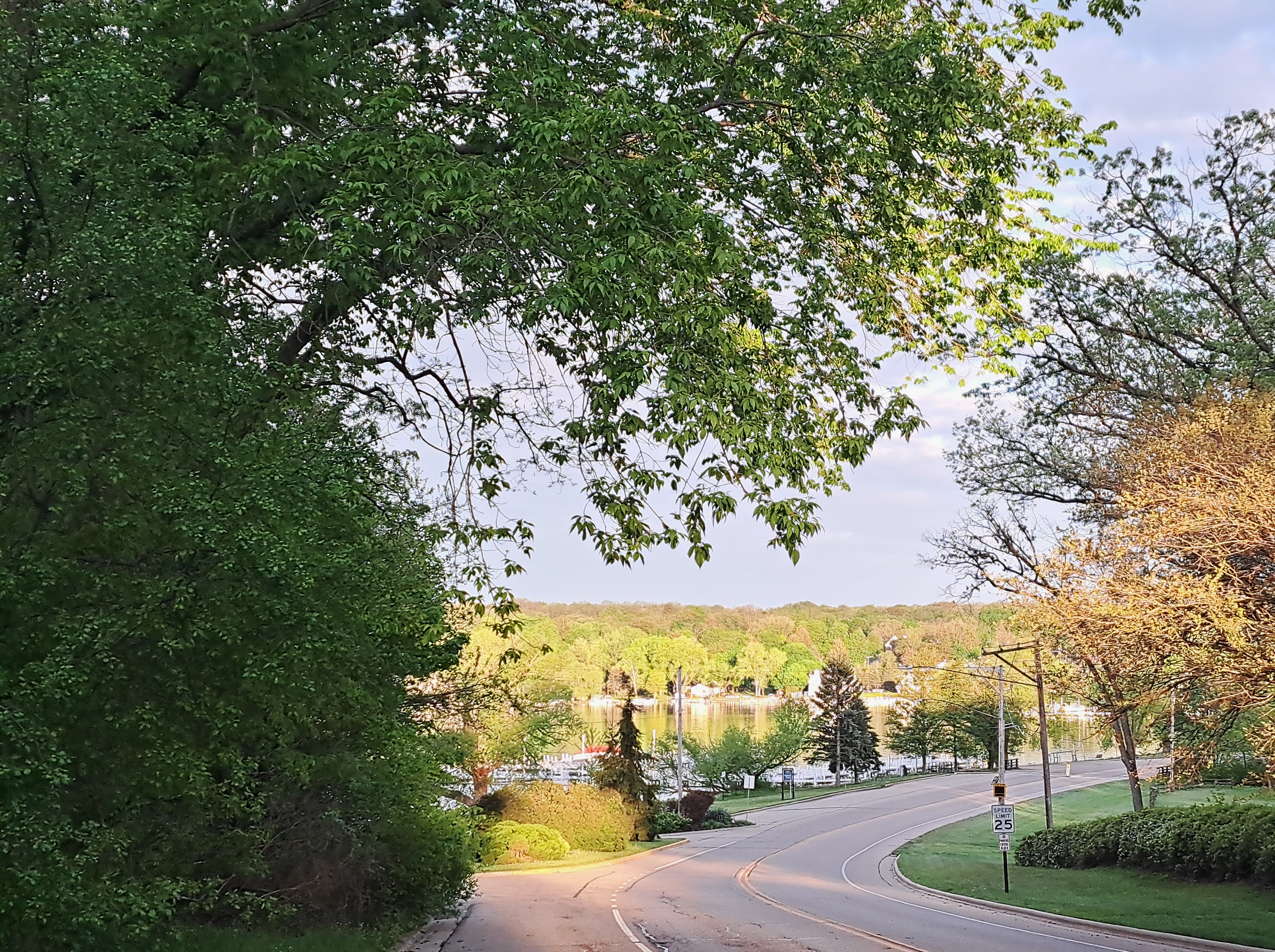
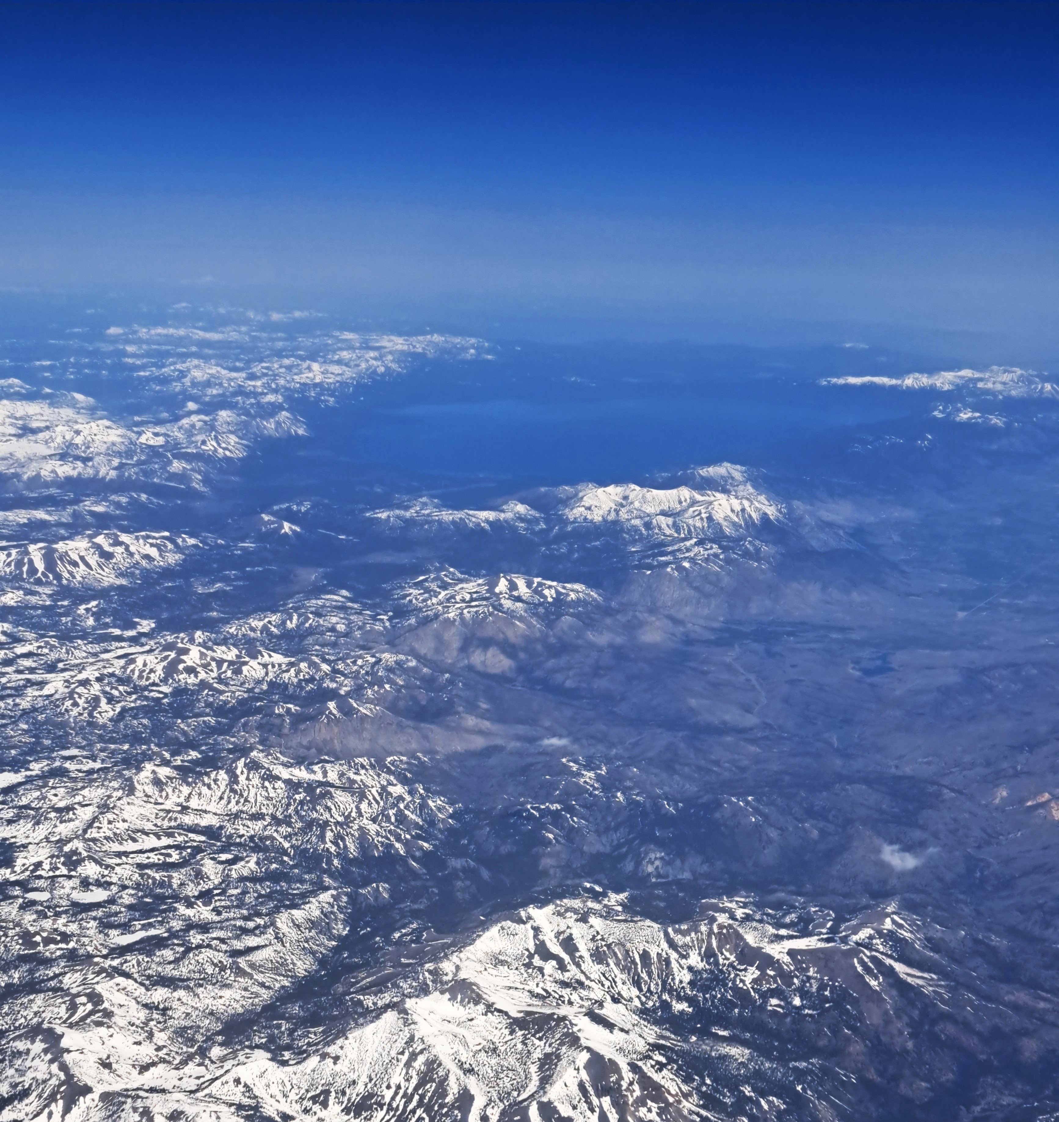
Lake Tahoe, surrounded by snow-capped Sierra Nevada peaks as our plane crossed that first major mountain range on our flight from SF to Pittsburgh on May 3rd. More Lake Living coming soon, as I’ve recently had the chance to spend with Steve and other friends on Lake Geneva, which first inspired this series.
 Above, the Bear Mountain Bridge with the mountain named Anthony’s Nose to its right, on the east side of the Hudson River. At the bottom, and in the gallery below, Bear Mountain Inn & the mist-shrouded Bear Mountain (on the east side of the river) as seen on the misty, drizzly afternoon of Sunday May 5th when Steve & I arrived. We were here for another personal celebration of our mother, who hiked us as teenagers across that bridge, where the Appalachian Trail crosses the Hudson River and immediately climbs to the top of the Nose, having already scaled Bear Mountain and various other peaks in both Bear Mtn Park & the neighboring Harriman State Park. To really focus on our memories of the trails and be close to Storm King (which, yes, we’ll be showing you also soon), we splurged to stay in this lovely old Inn – and were so happy that cousins Sam & Maria also joined for the Mom-celebration stuff, that Neal and Elizabeth came for an evening, and Chris for the Storm King day. Thanks, everyone and especially Mom who was certainly with us in memory and spirit :-).