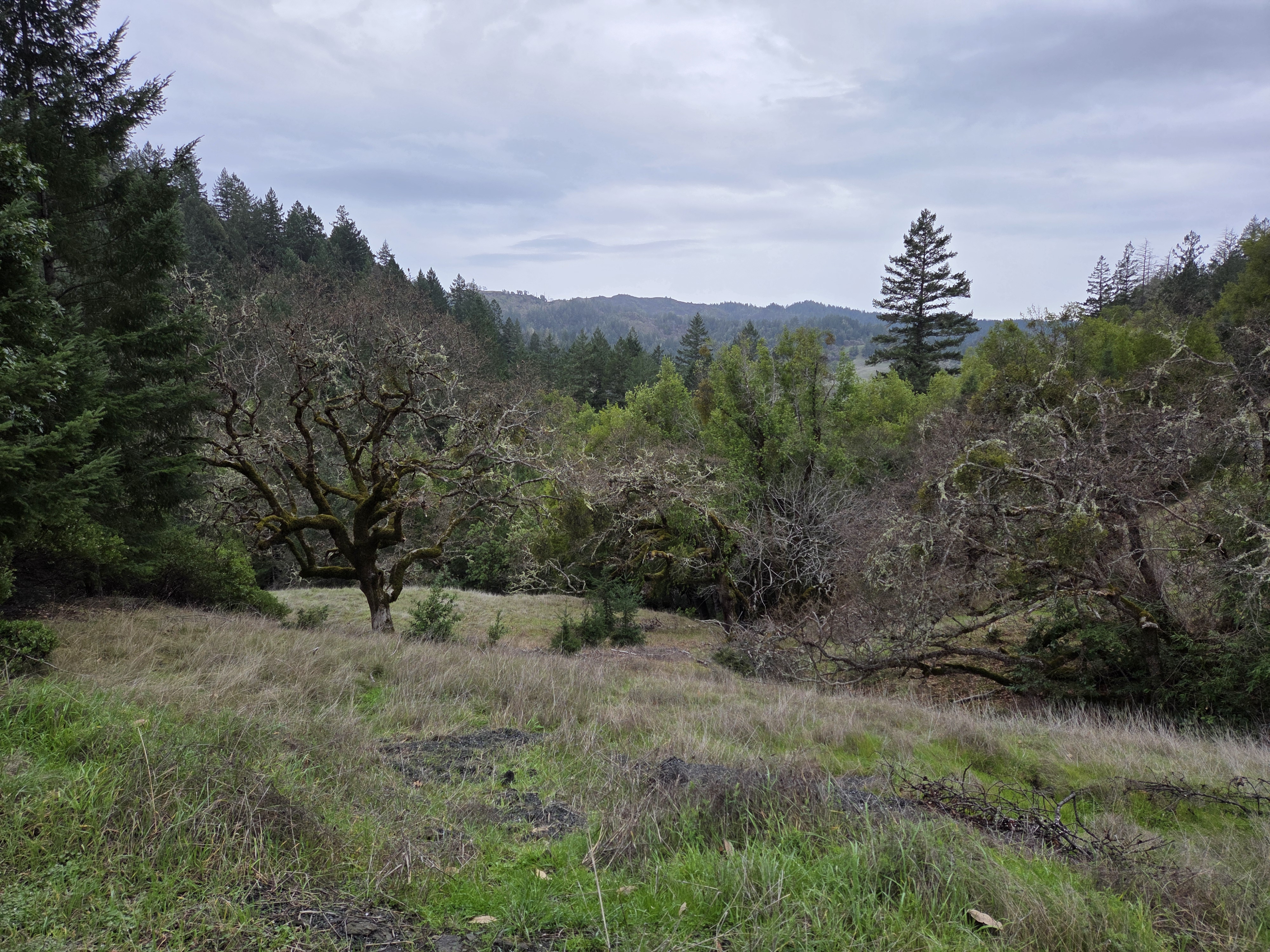
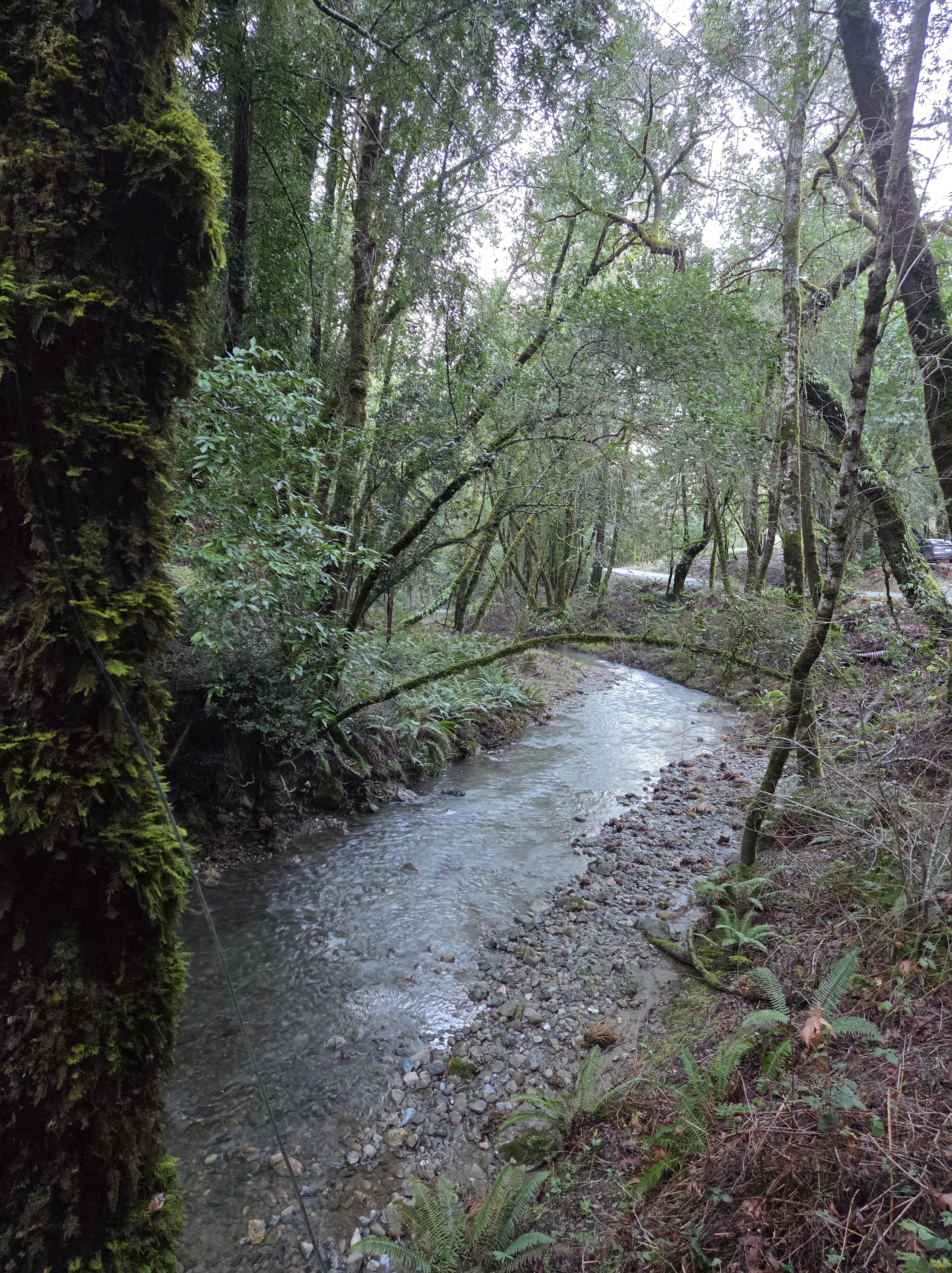
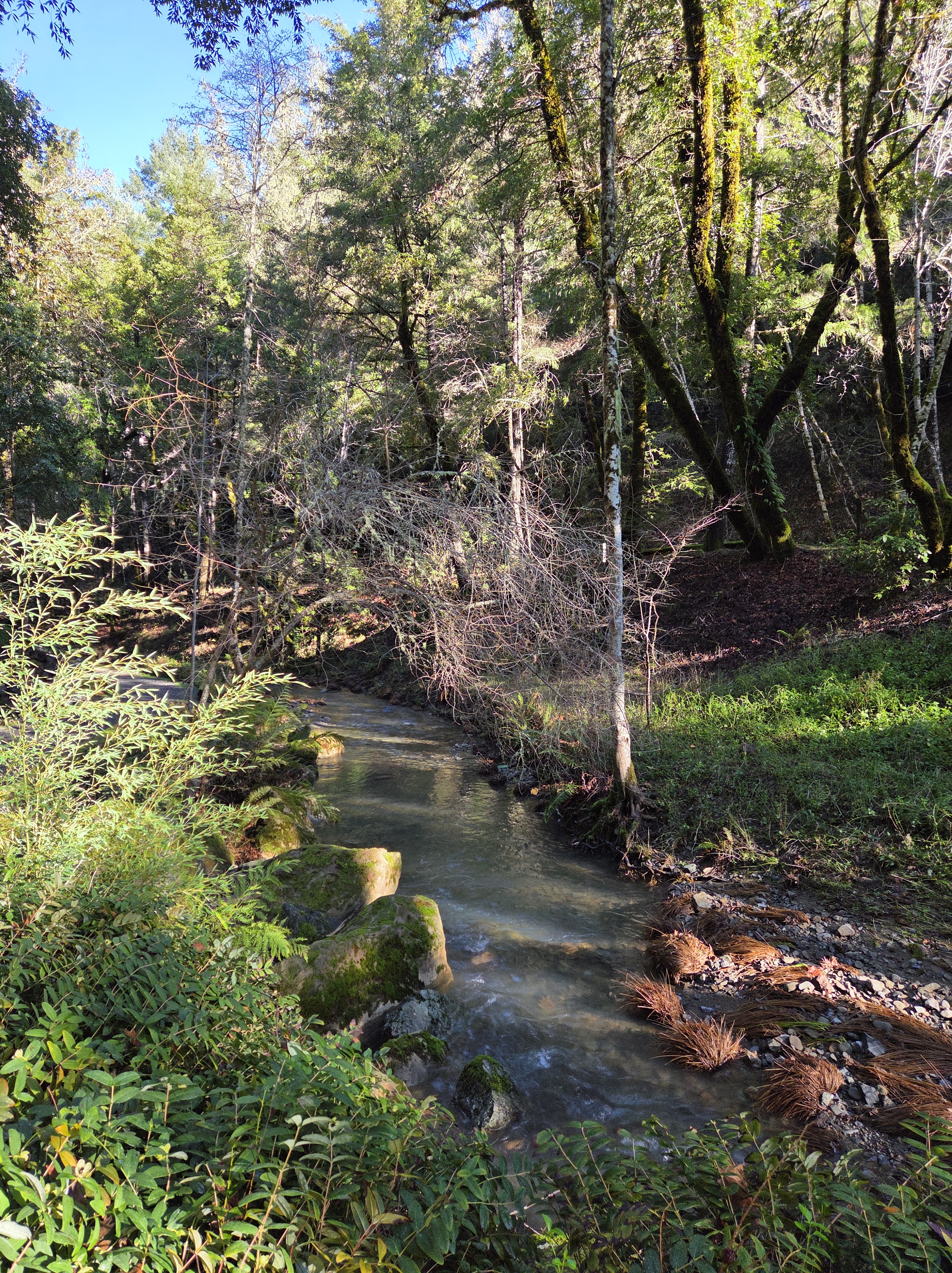
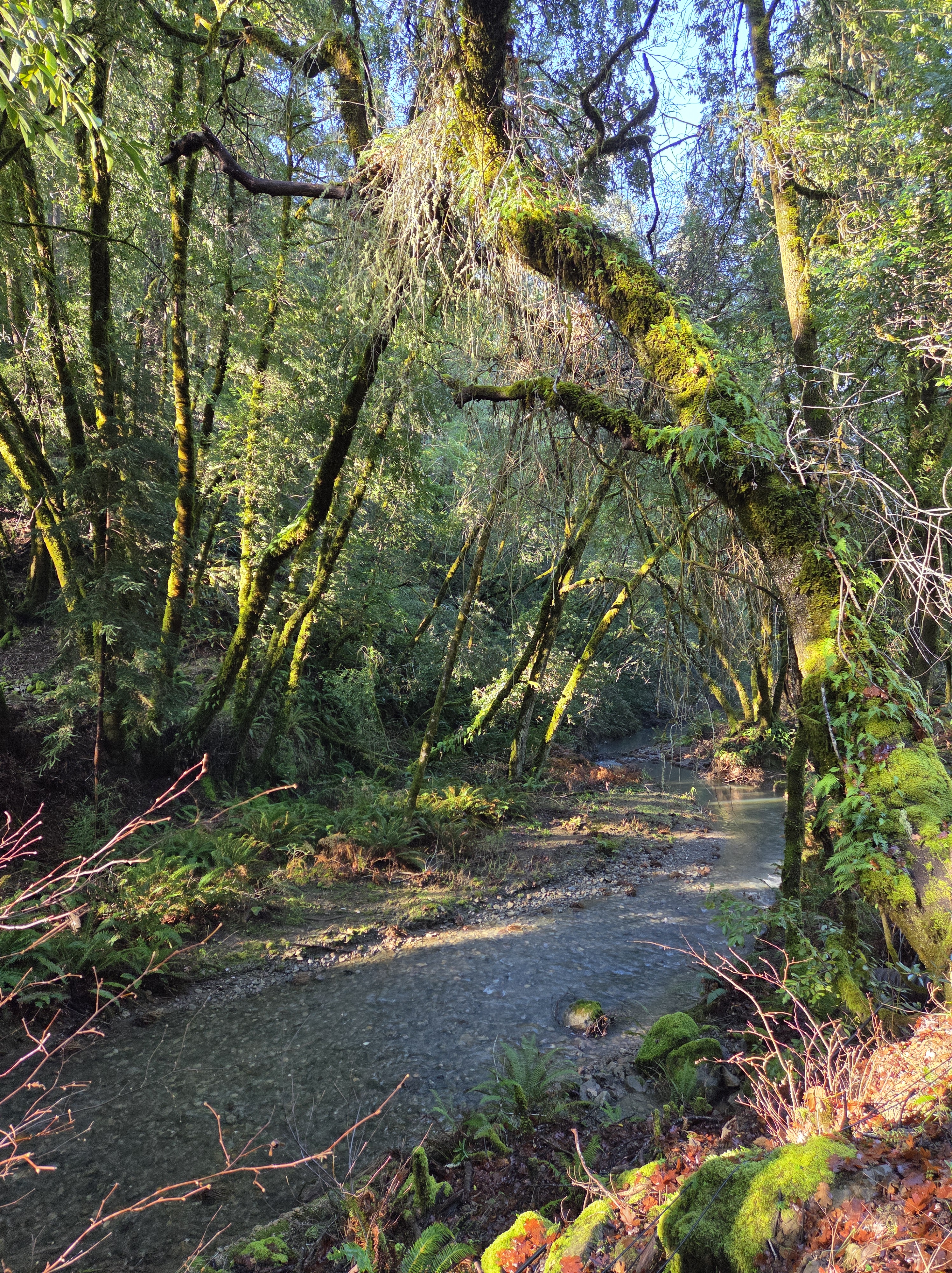
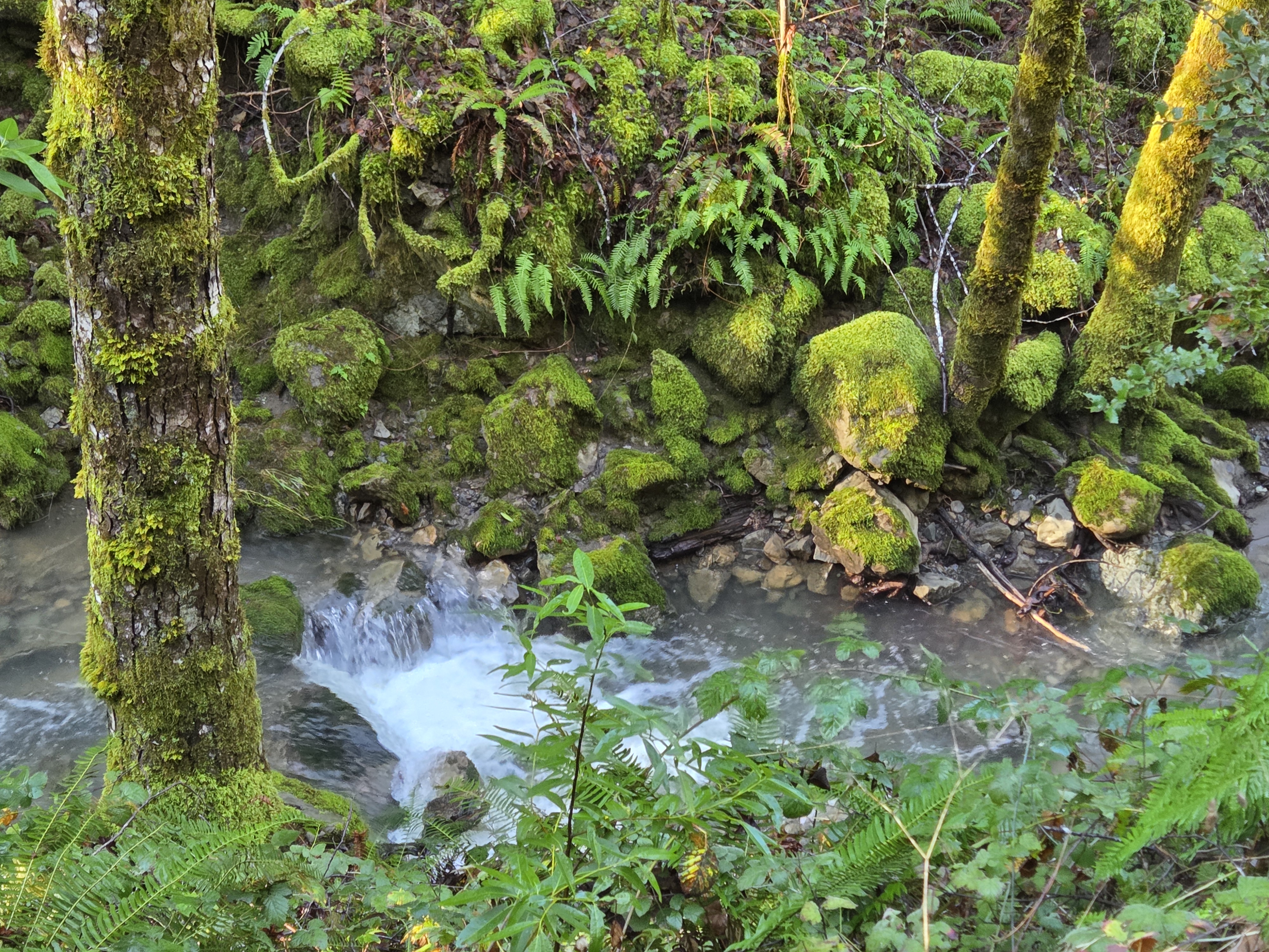
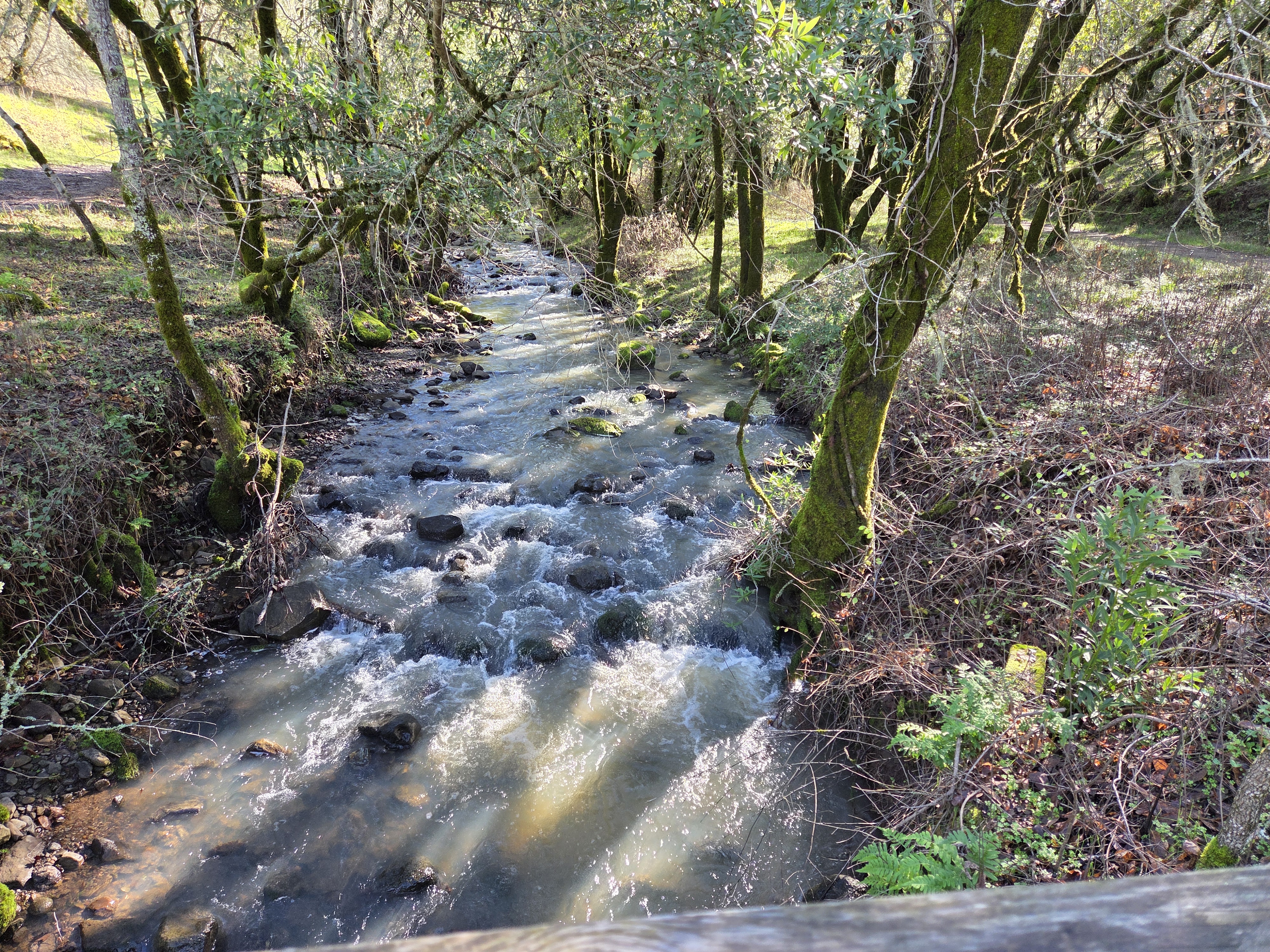
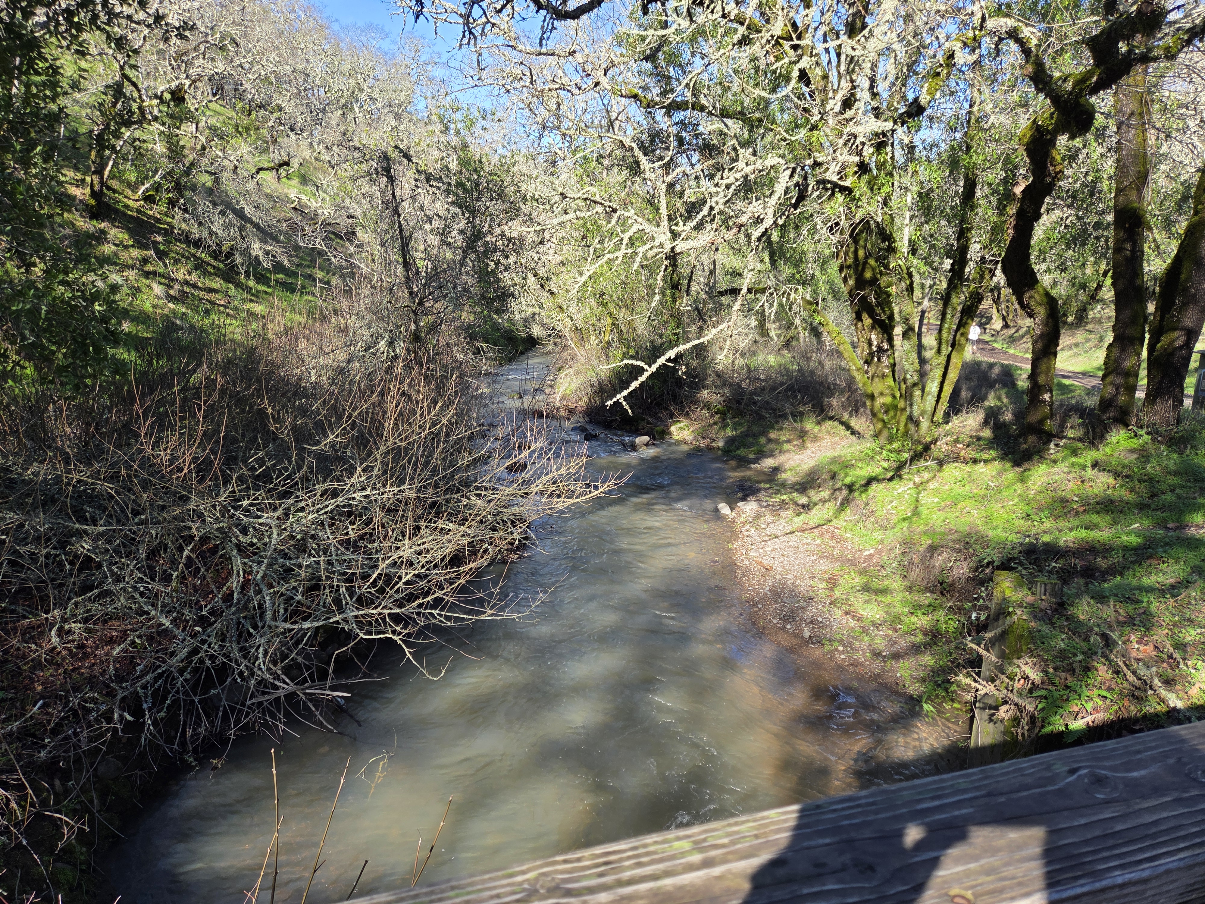
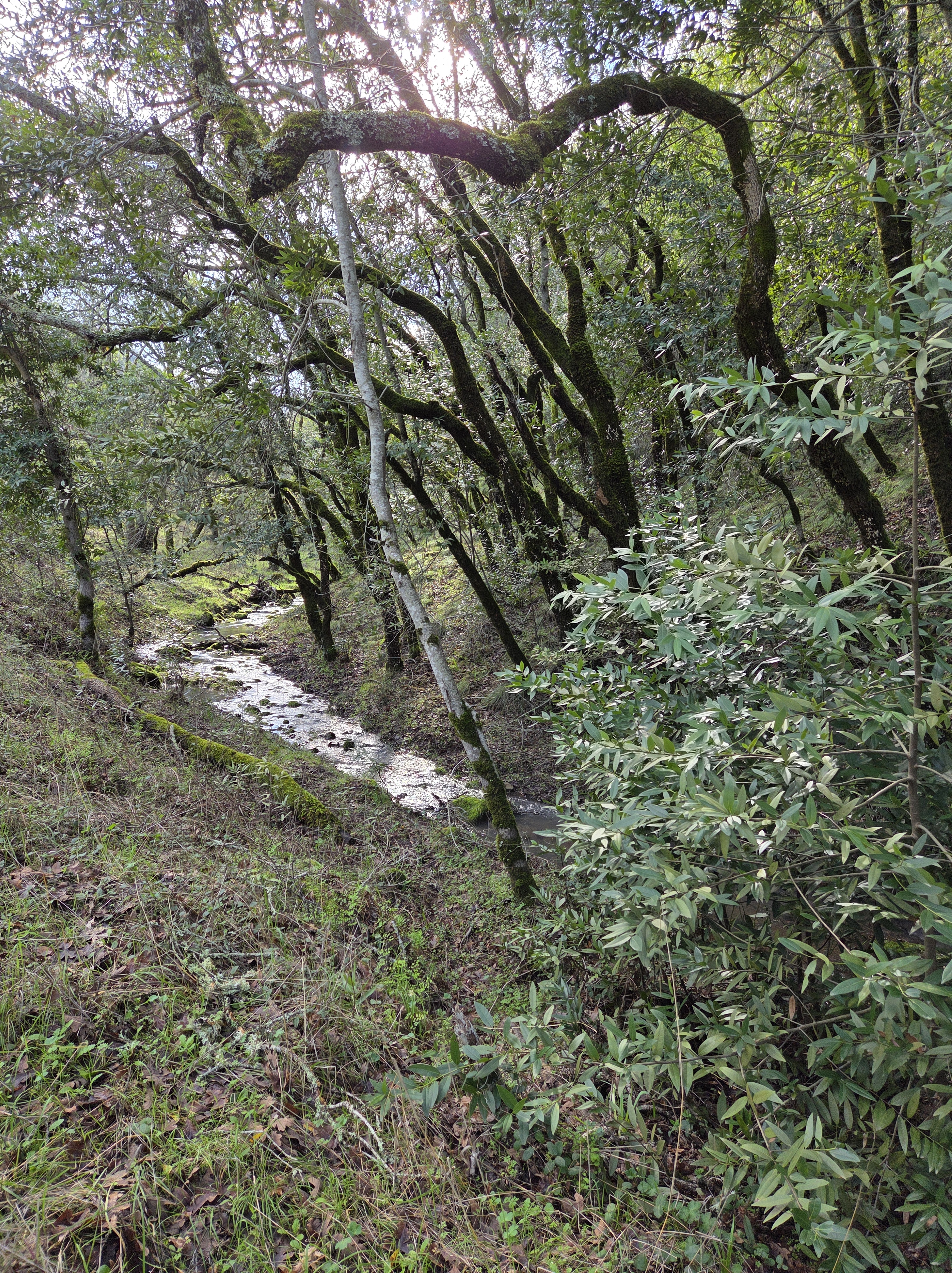
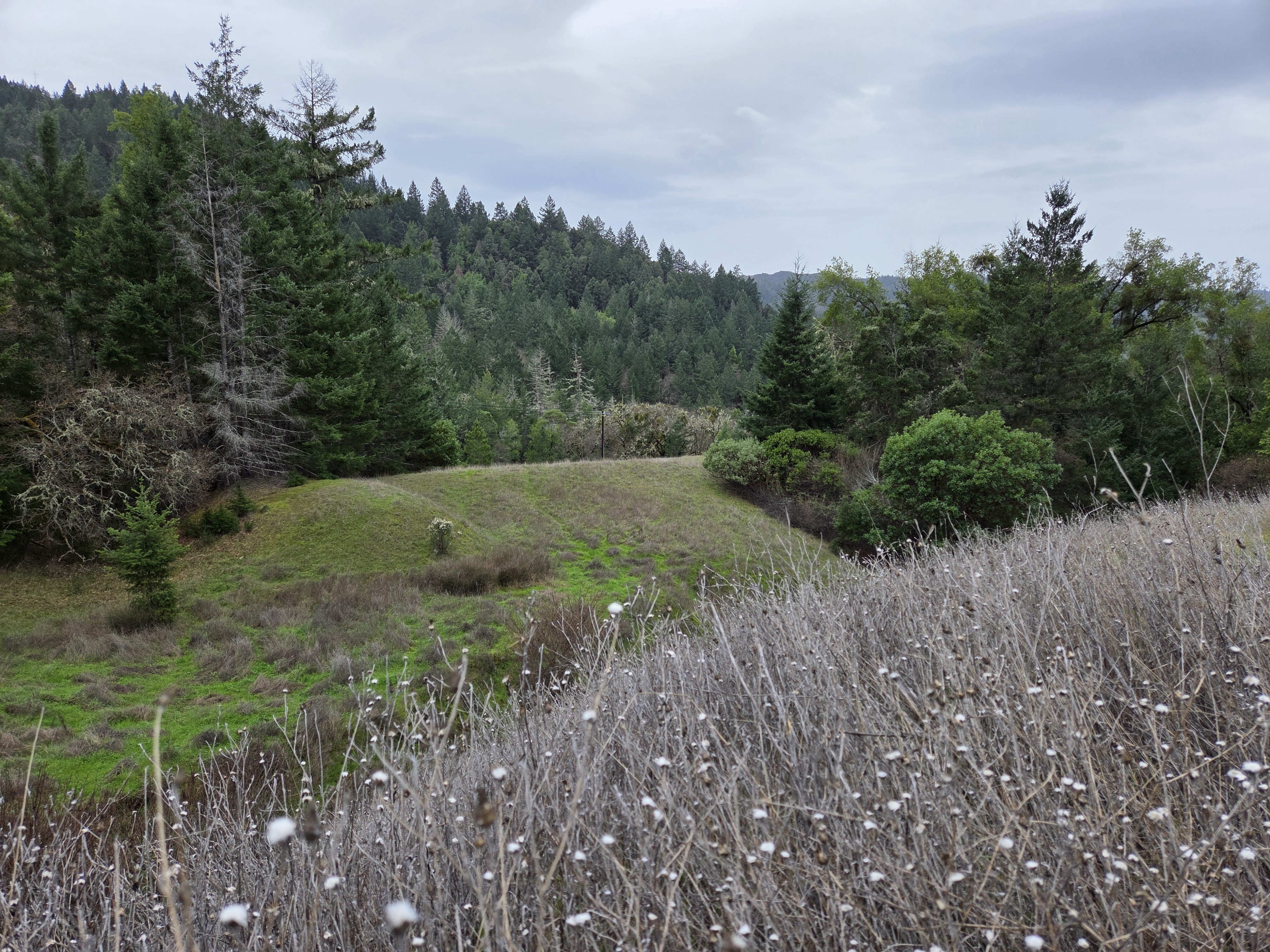
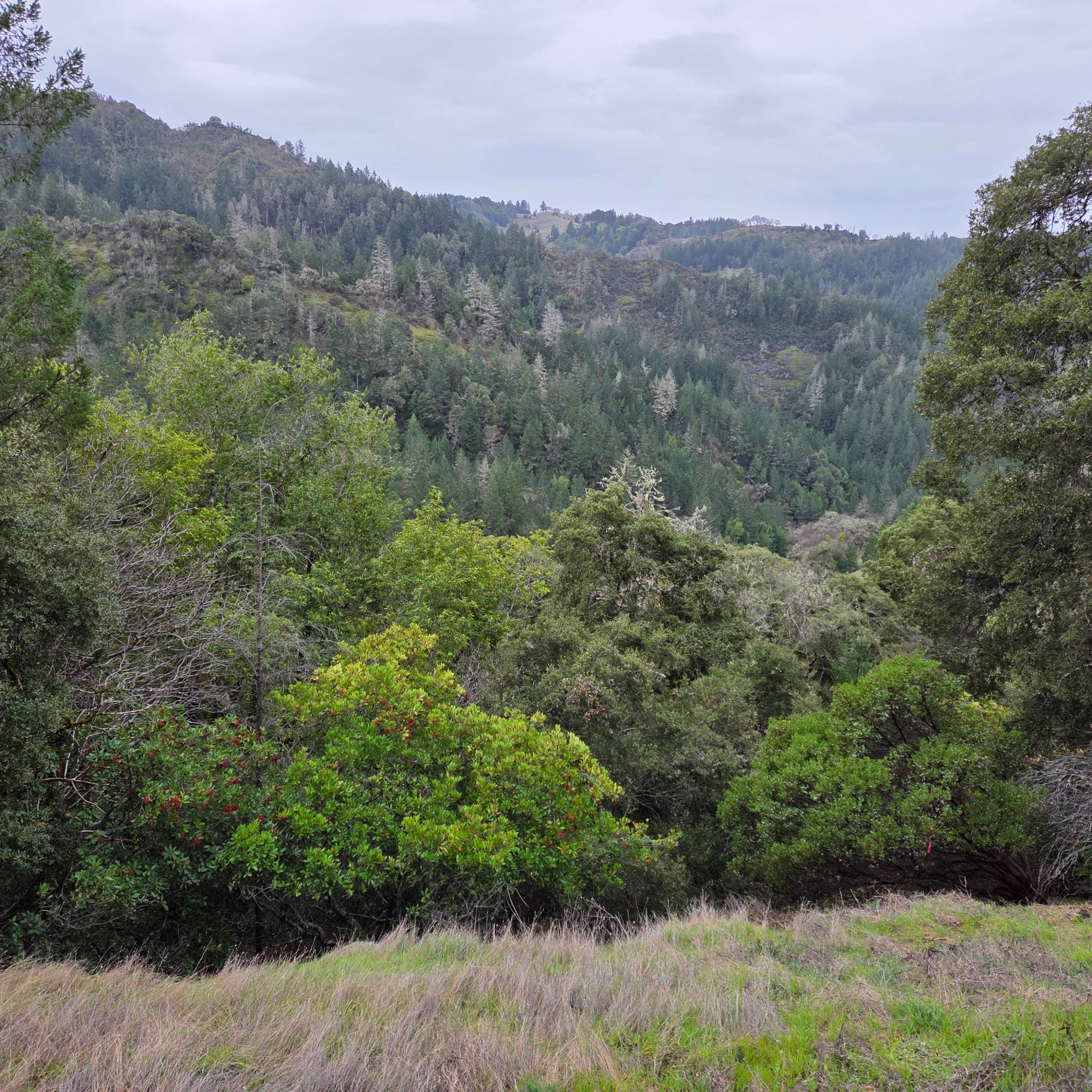
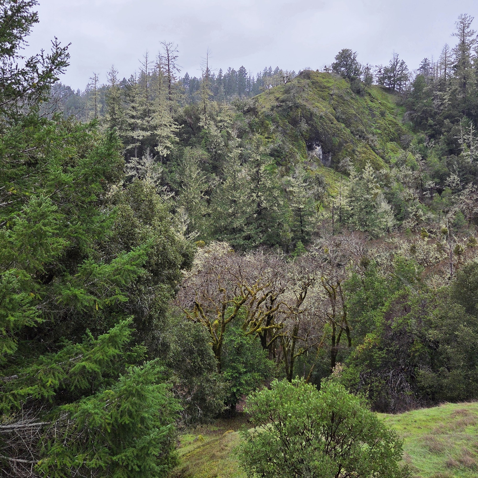
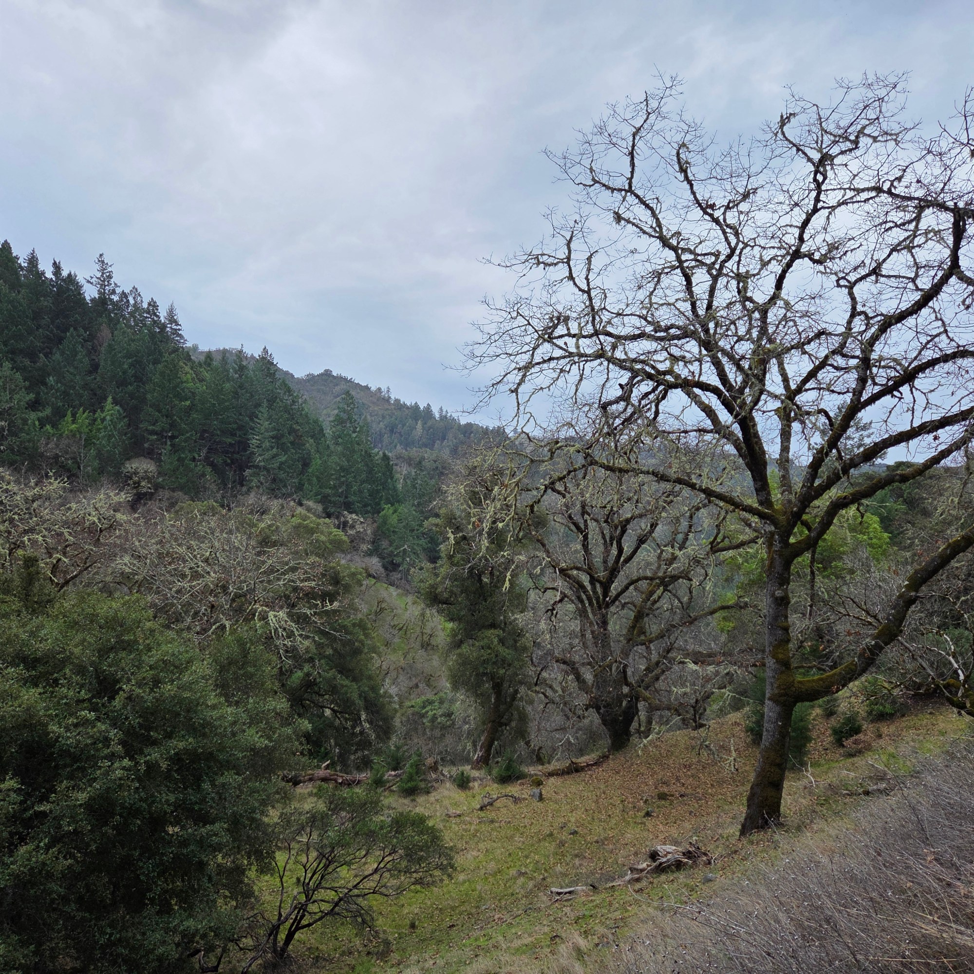
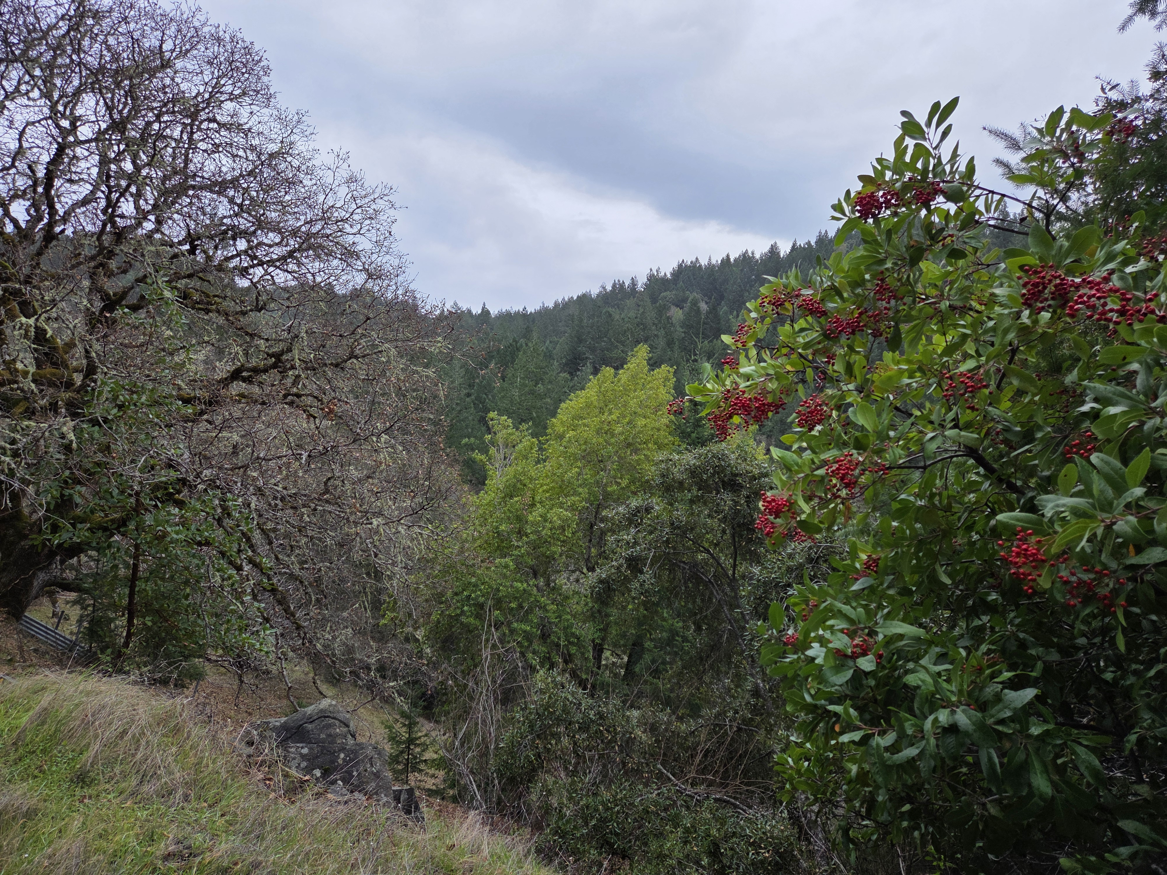
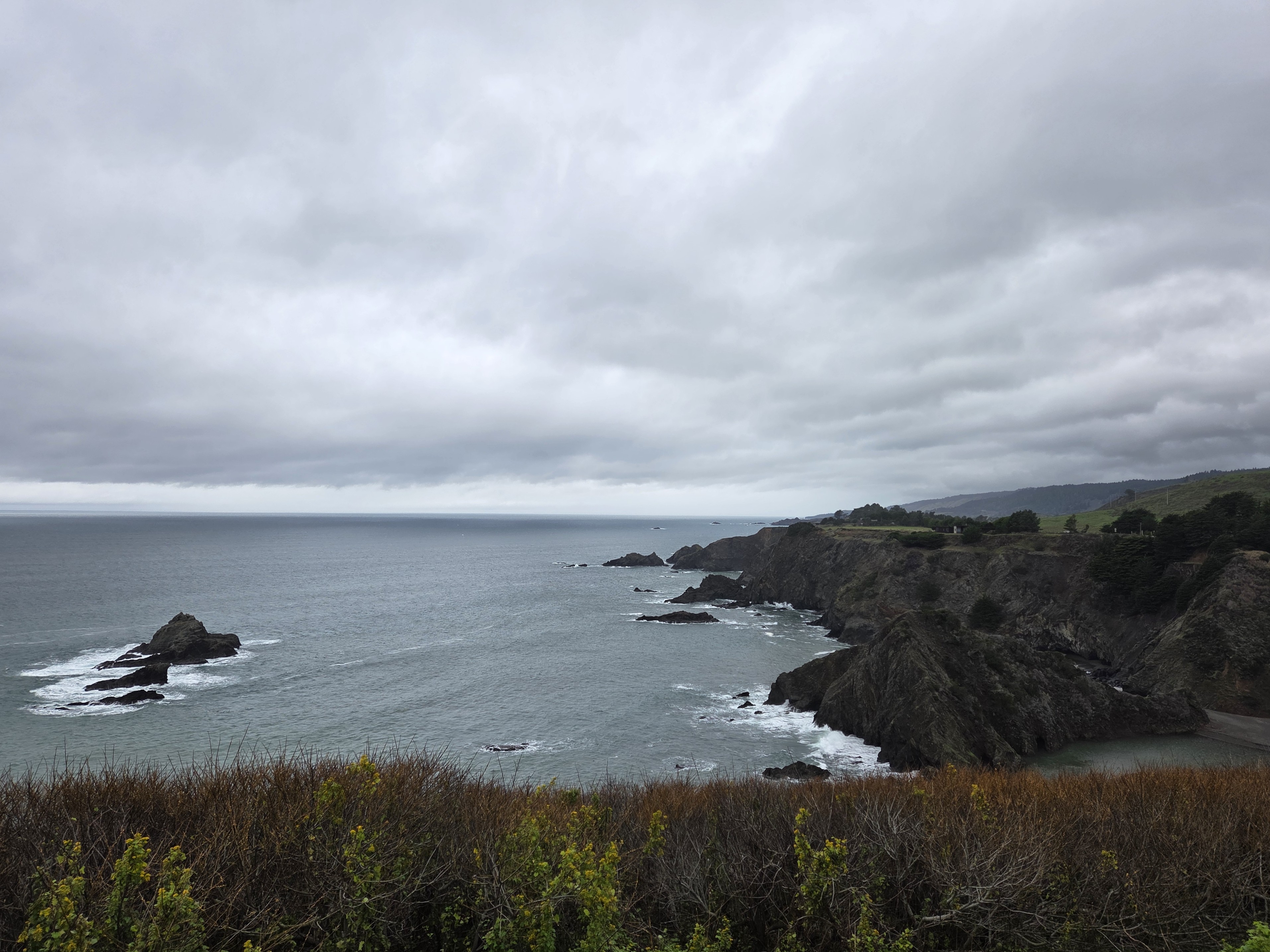
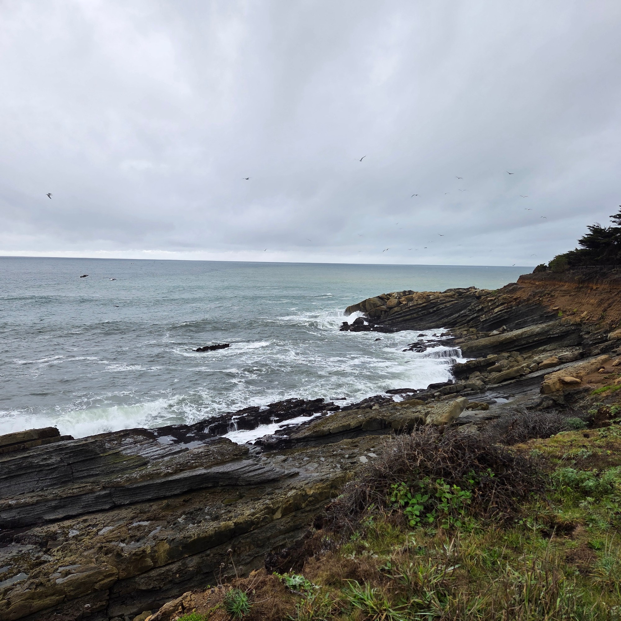
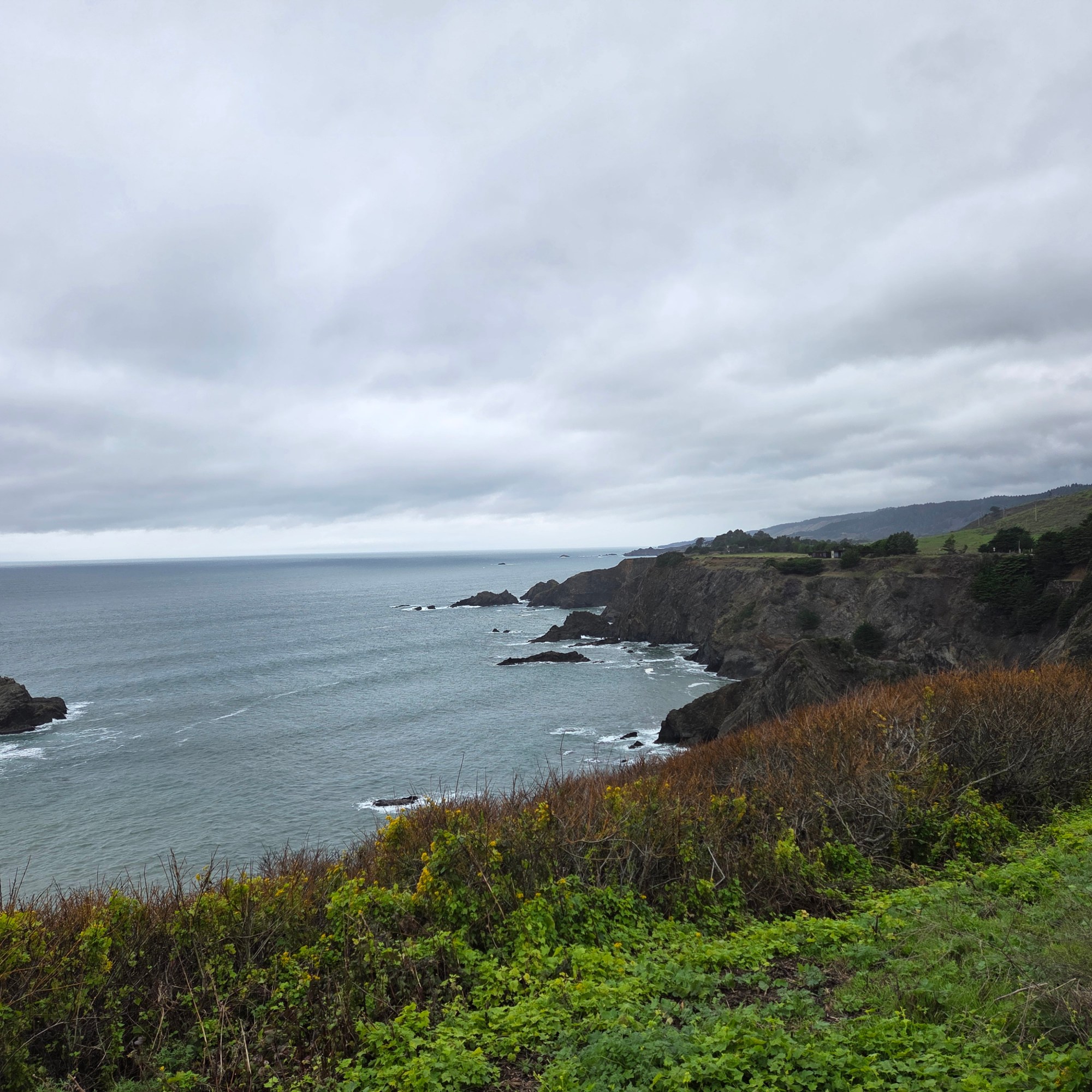
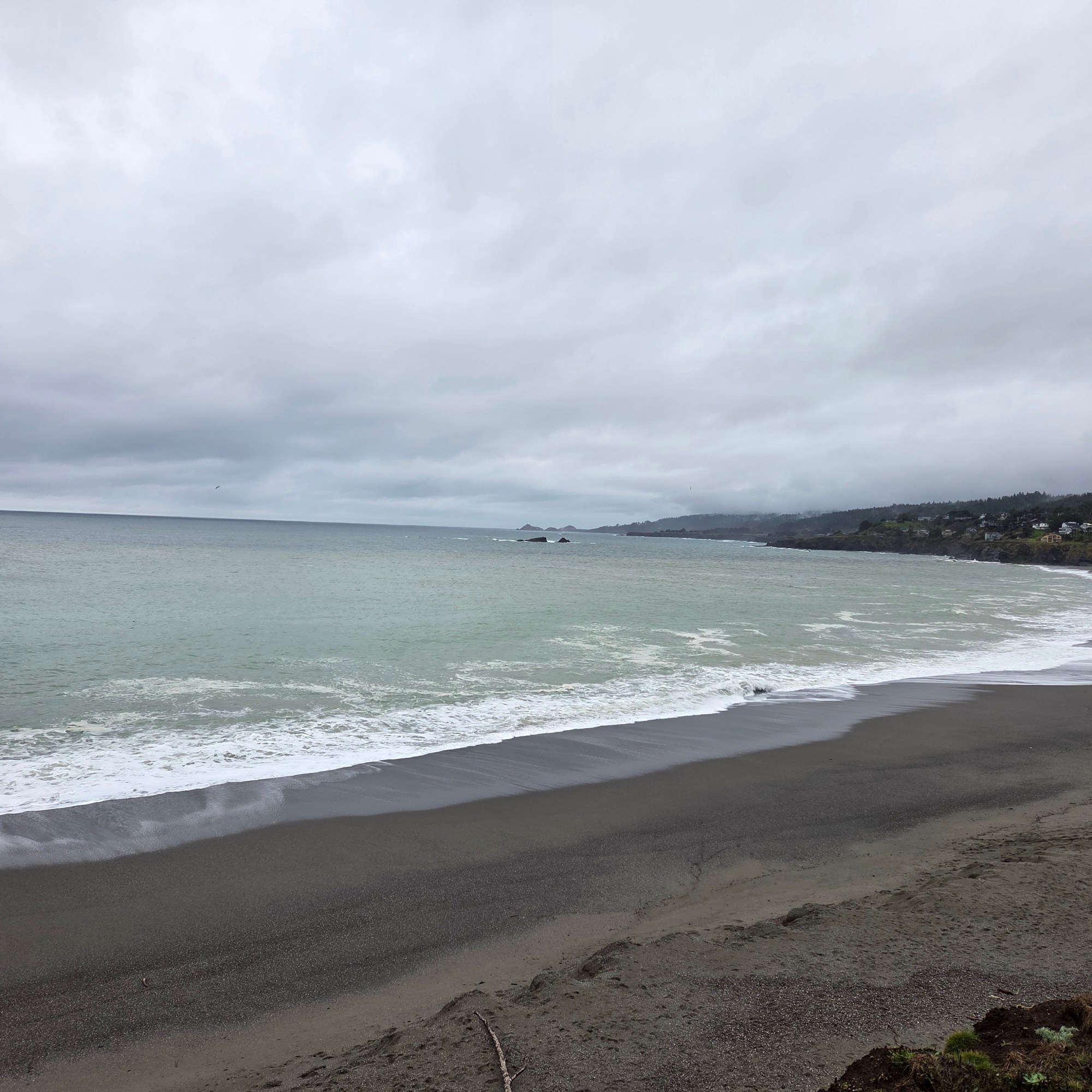
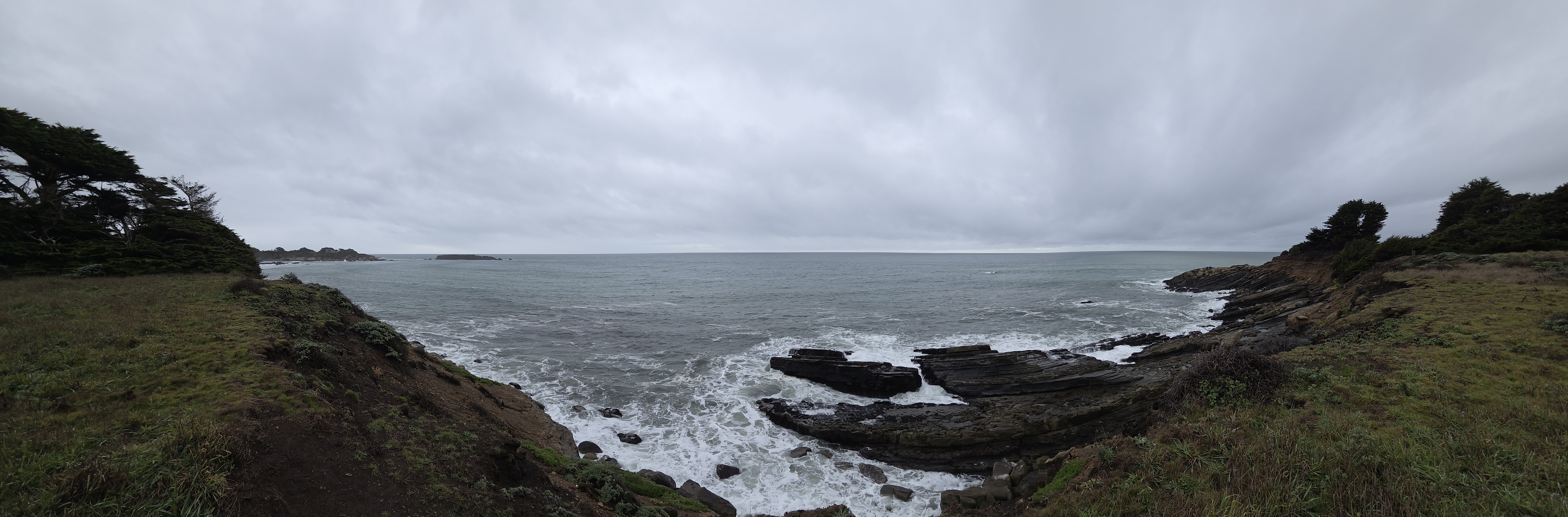
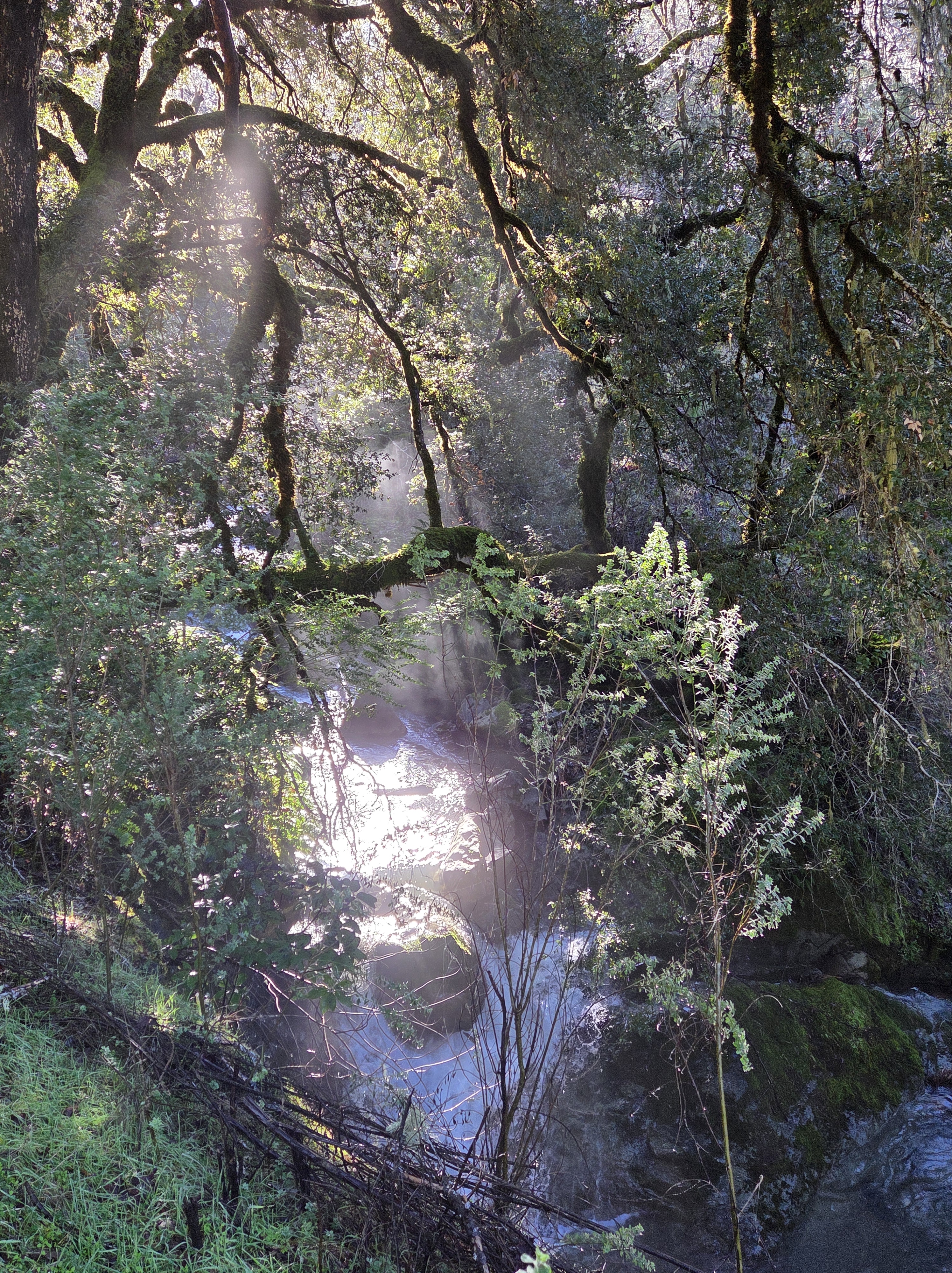
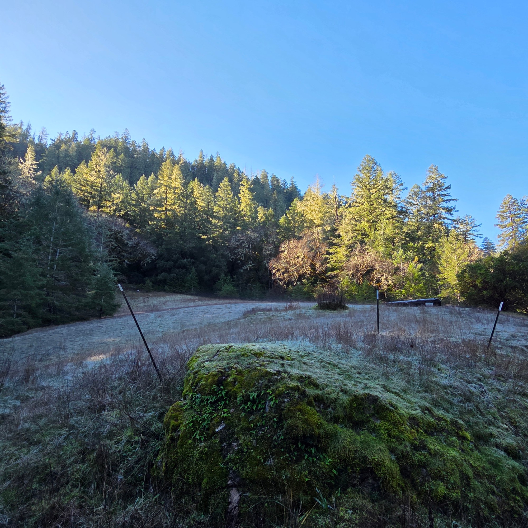
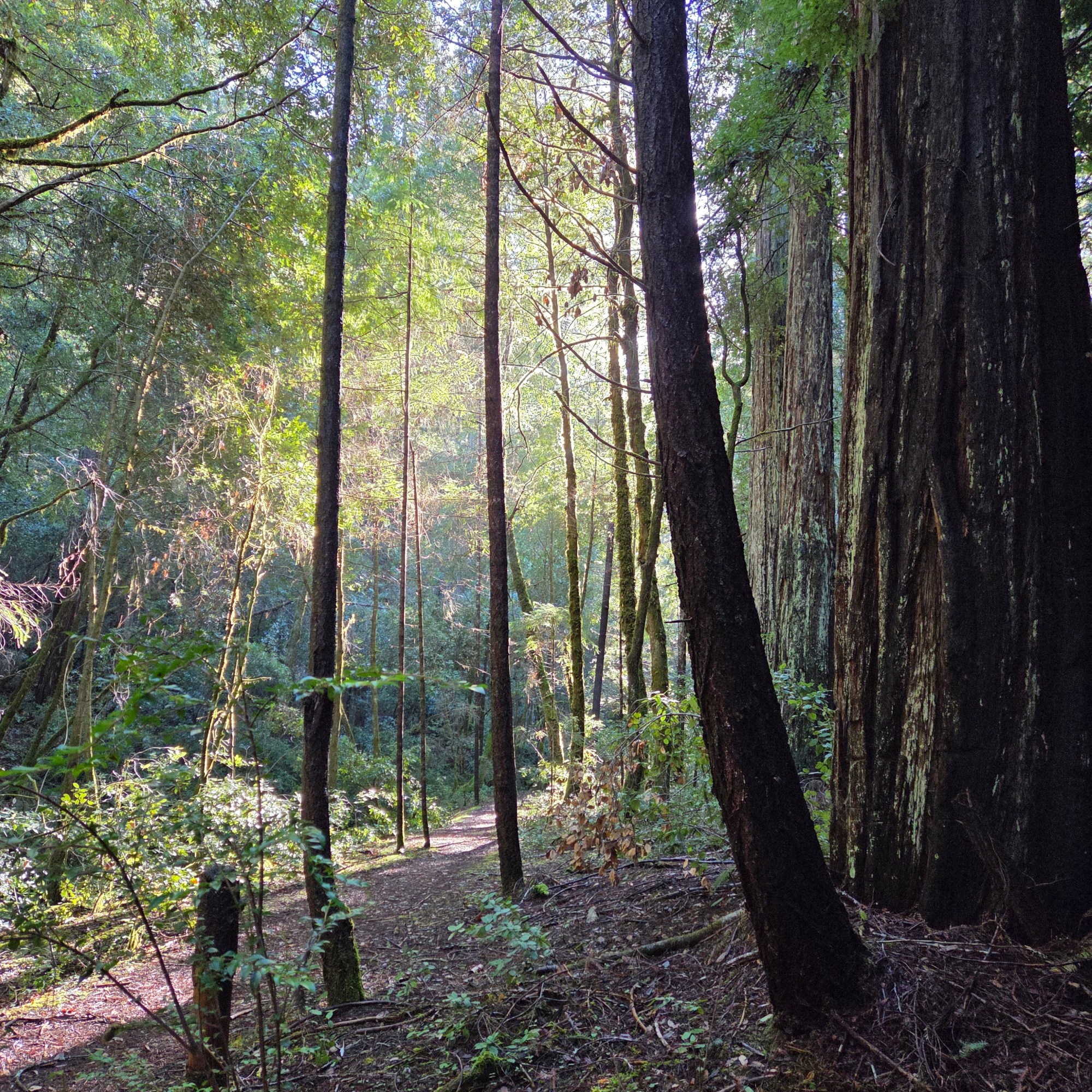
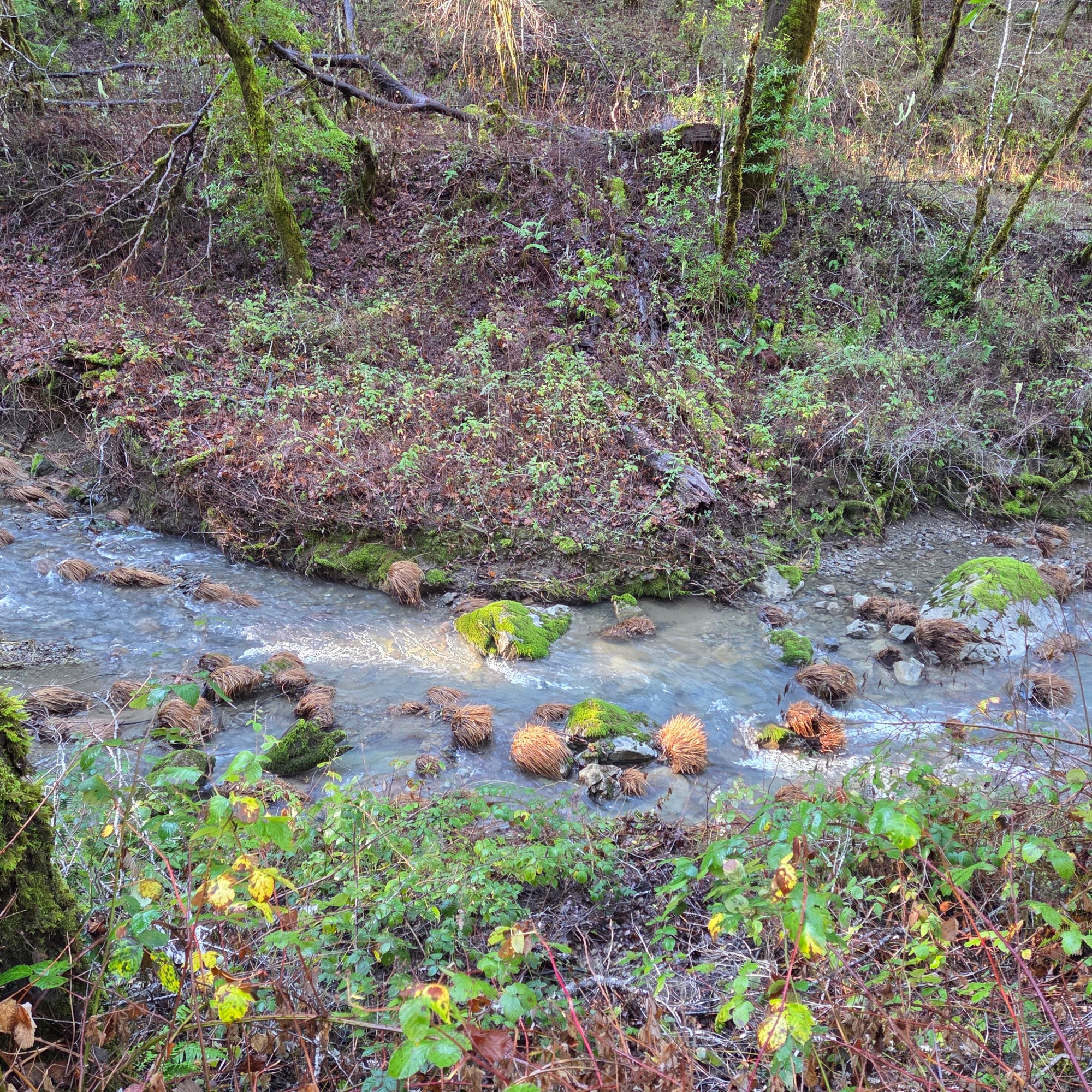
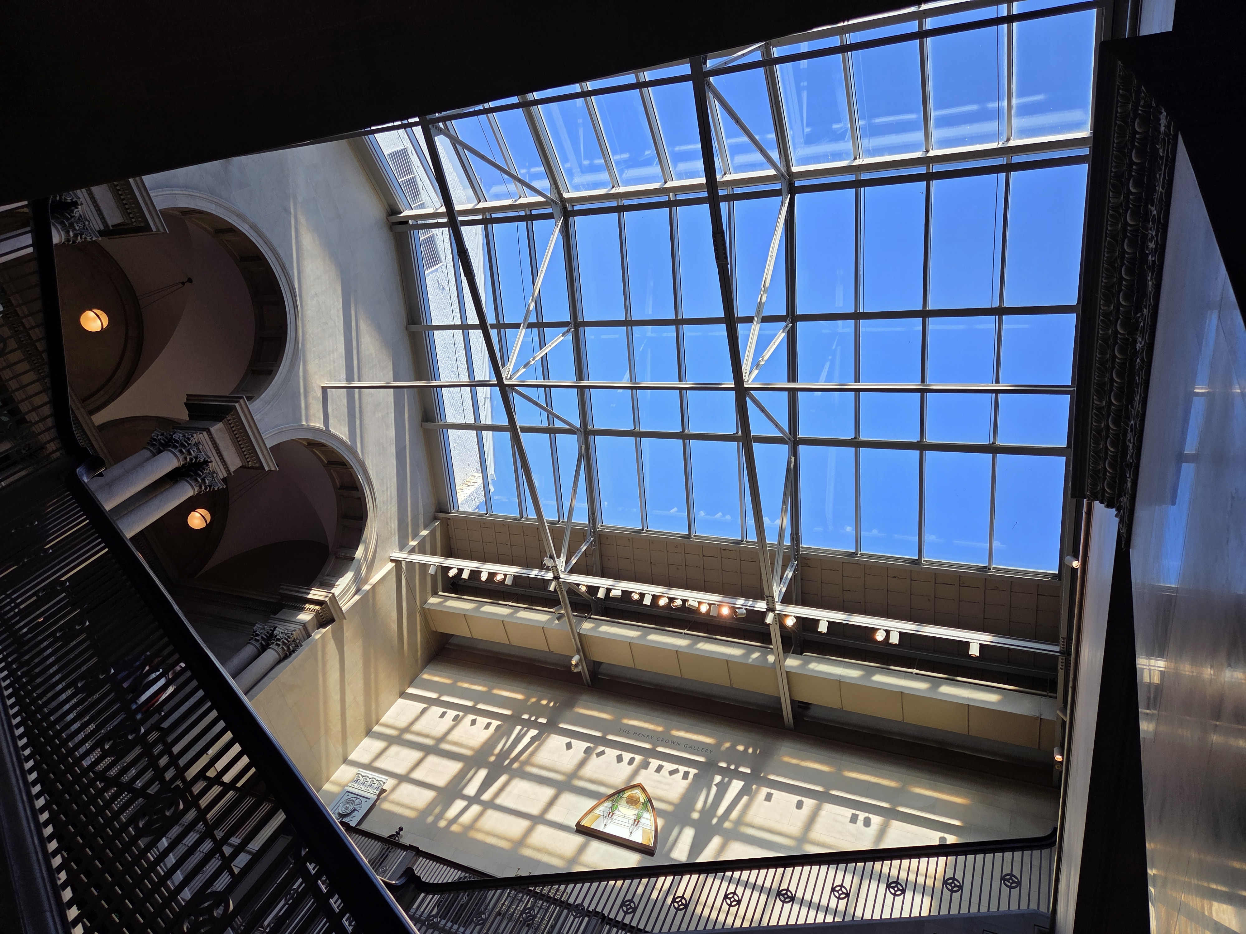
Somehow we’ve arrived in May, and my next vacation has brought me to another new area surrounded by mountainous countryside. So I’m splurging on a big post with all the remaining from my last days in 2025, all spent in the coastal range of Mendocino County.
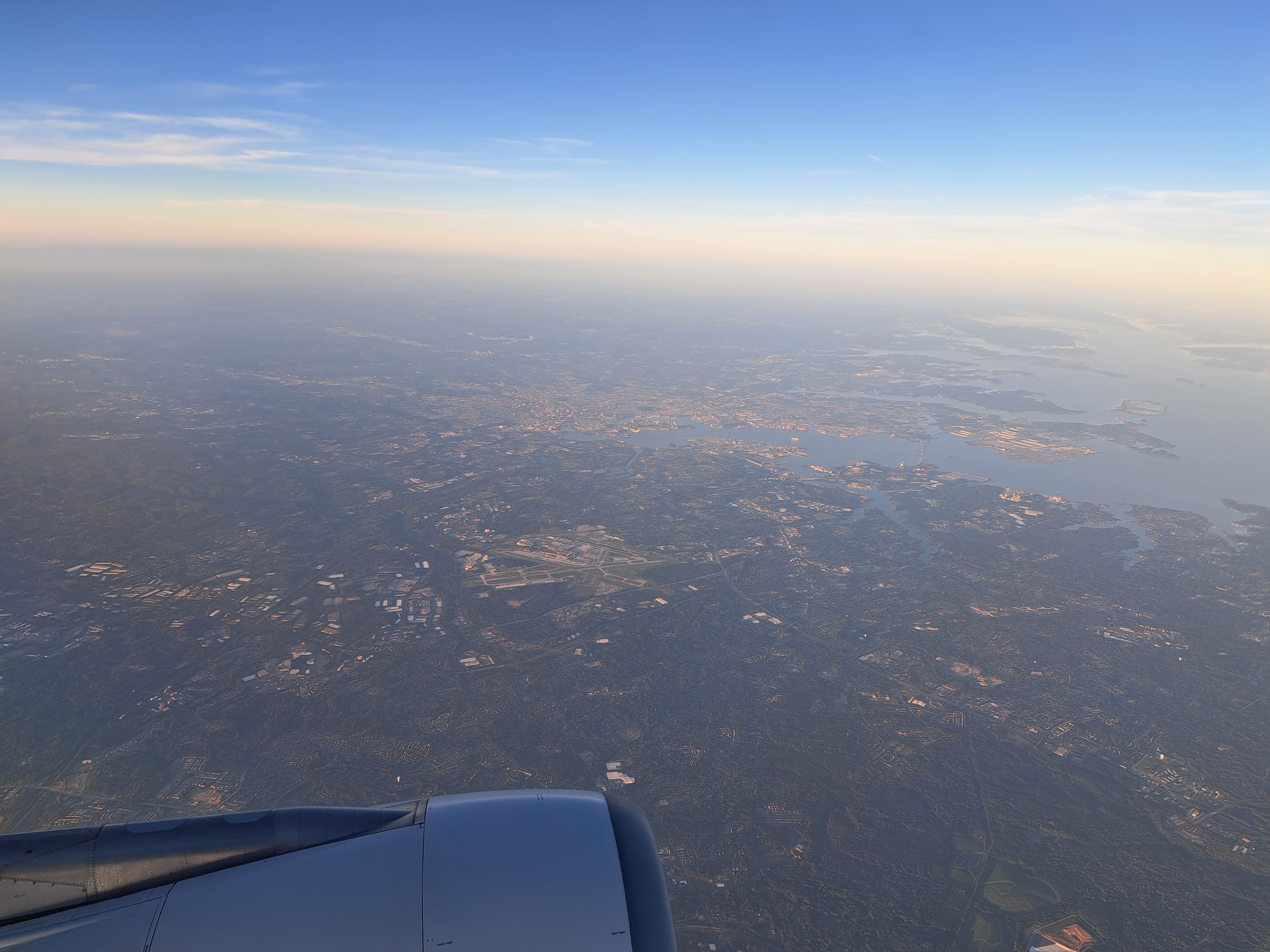
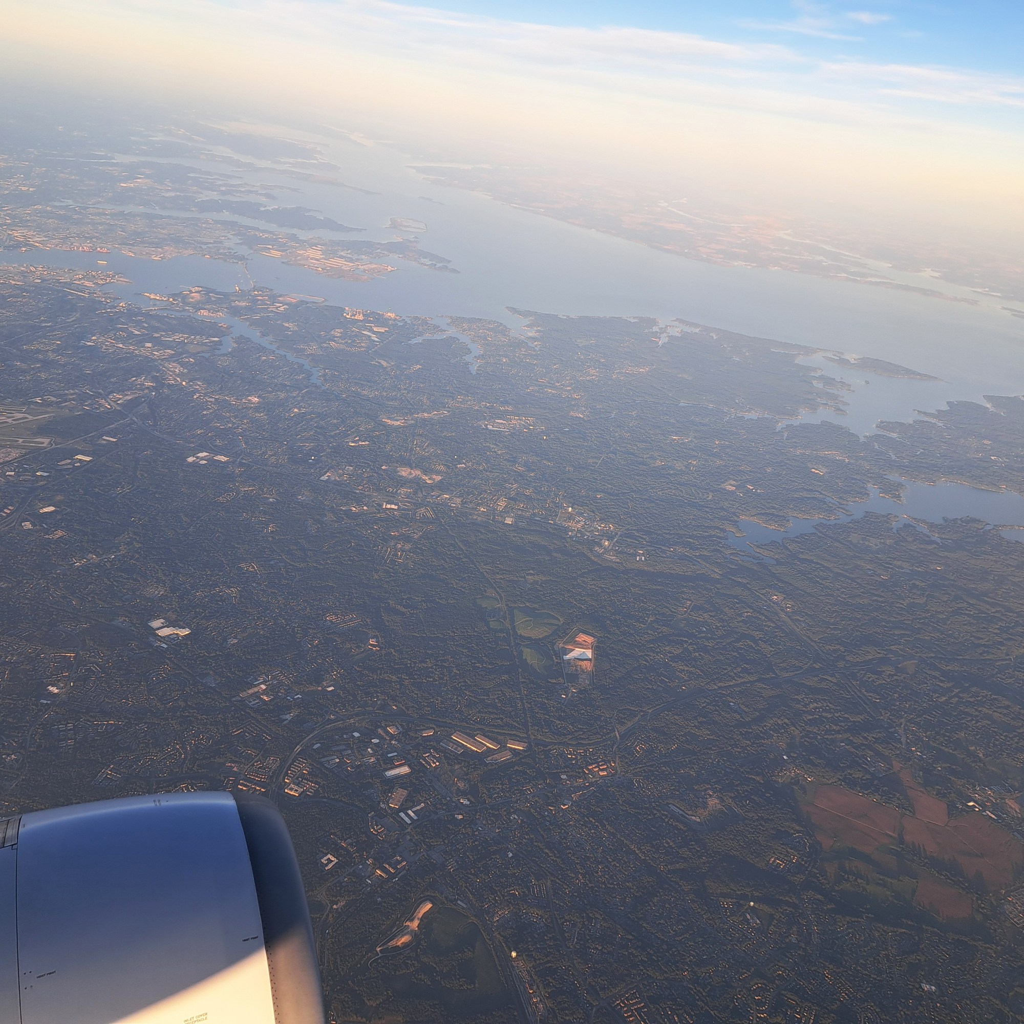
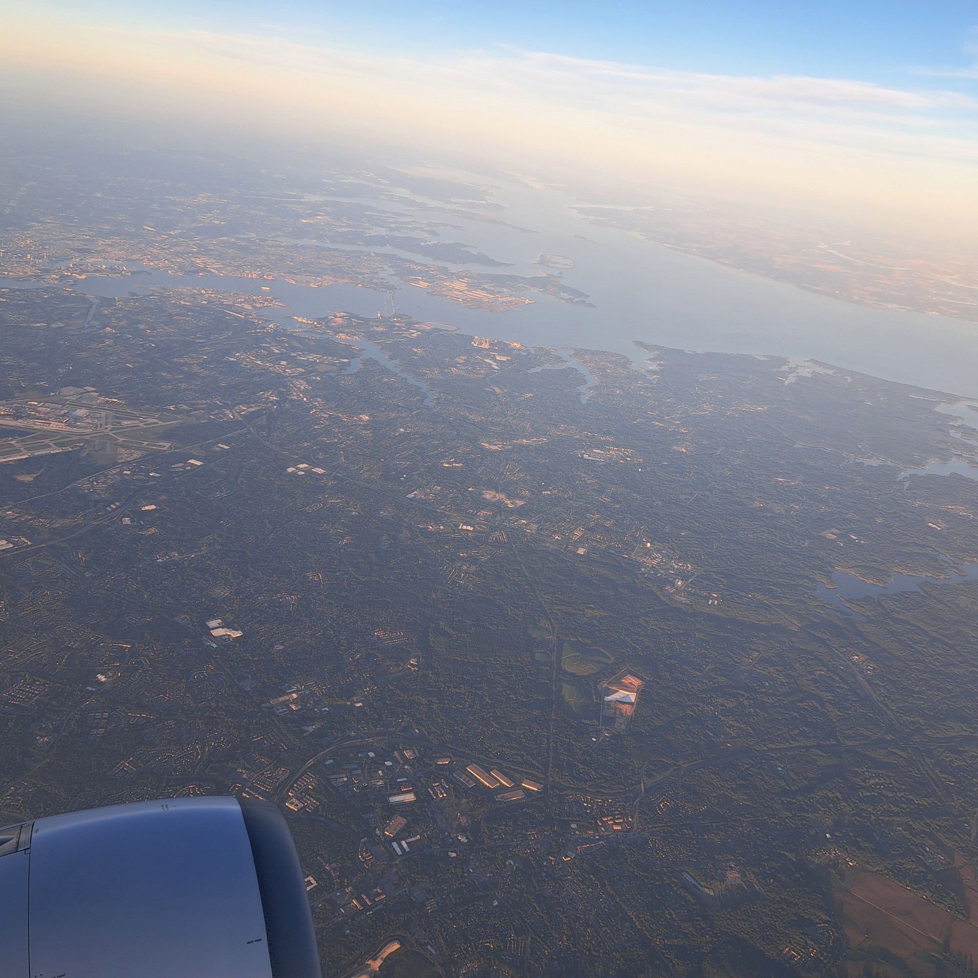
Last shots of that lovely early-October evening flight from Dulles back to Schiphol. Baltimore & BWI above. These landscapes feel like home to me, call up fond memories of visits and trips with family and friends, and make me slightly homesick, even at times when the ways the federal government is using our tax dollars to the sole benefit of that very military-industrial complex against which Eisenhower warned us all make me (and hopefully many of us) deeply ashamed and morally horrified.
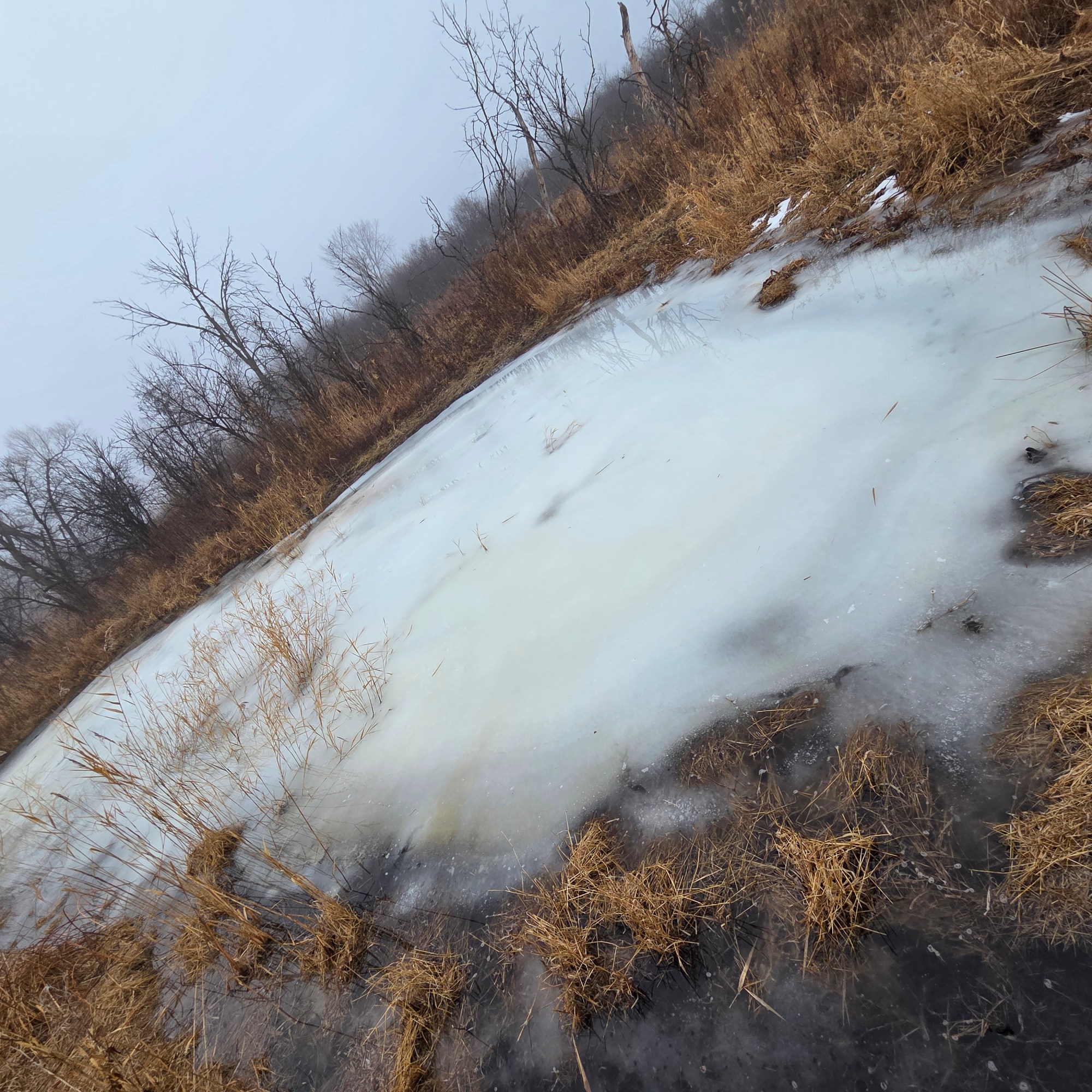
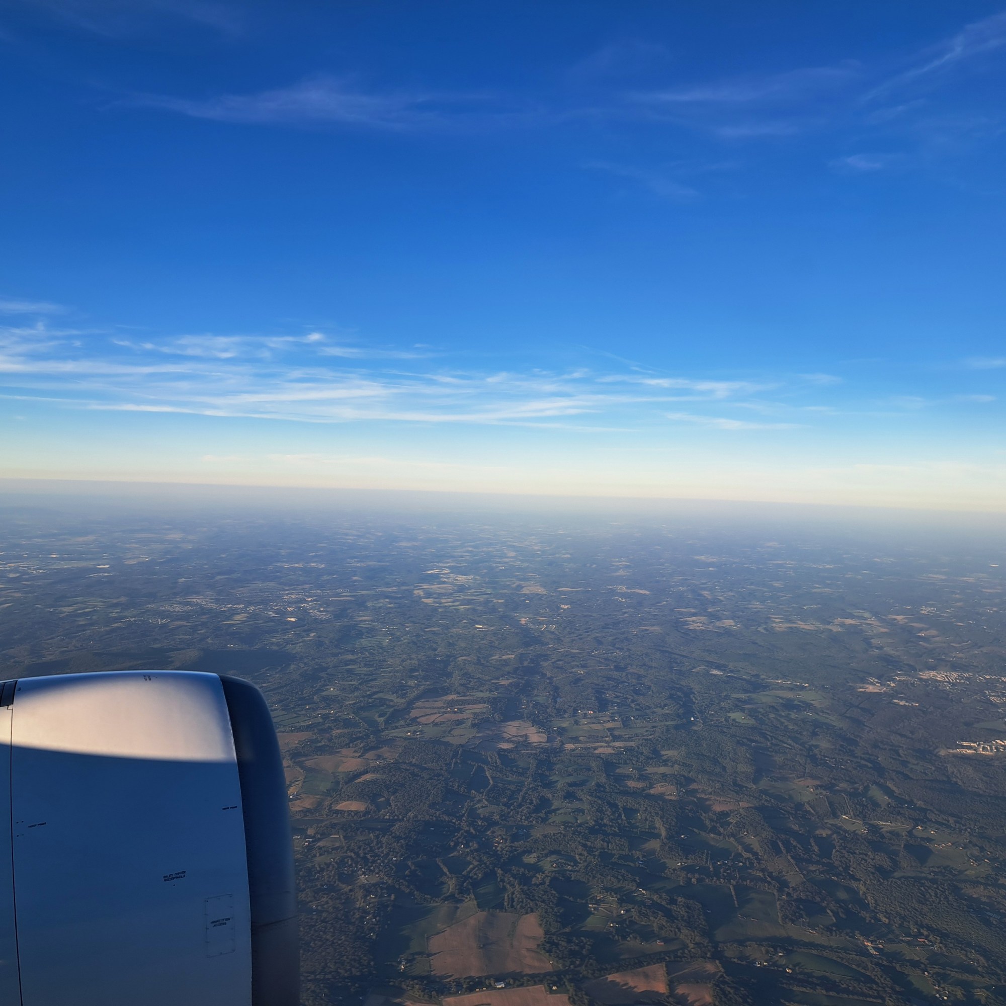
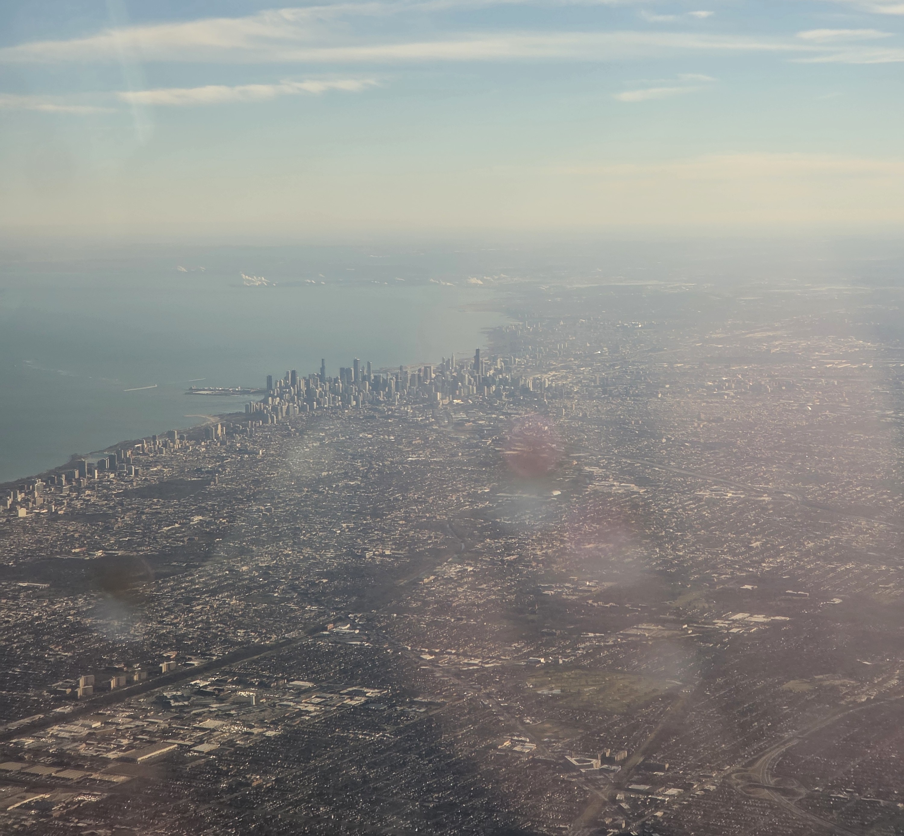
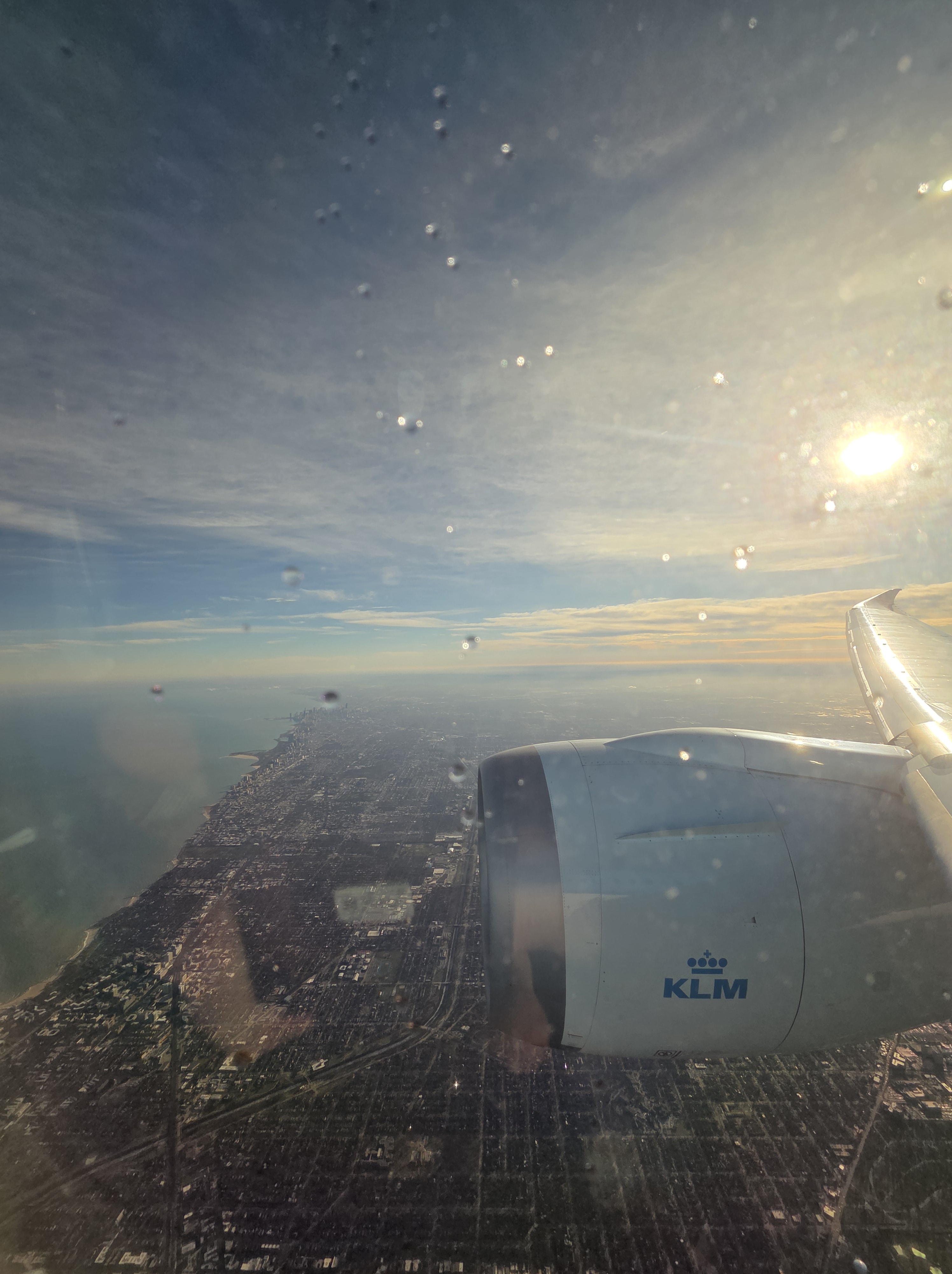
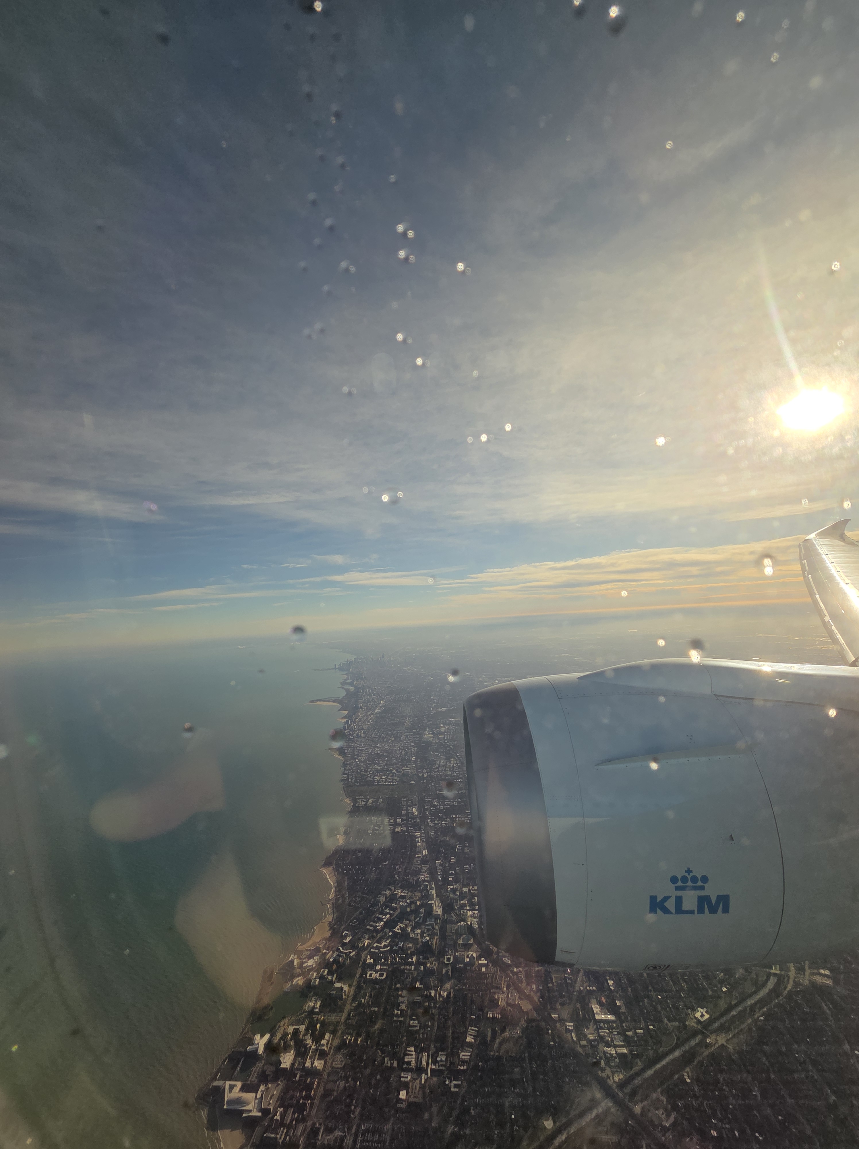
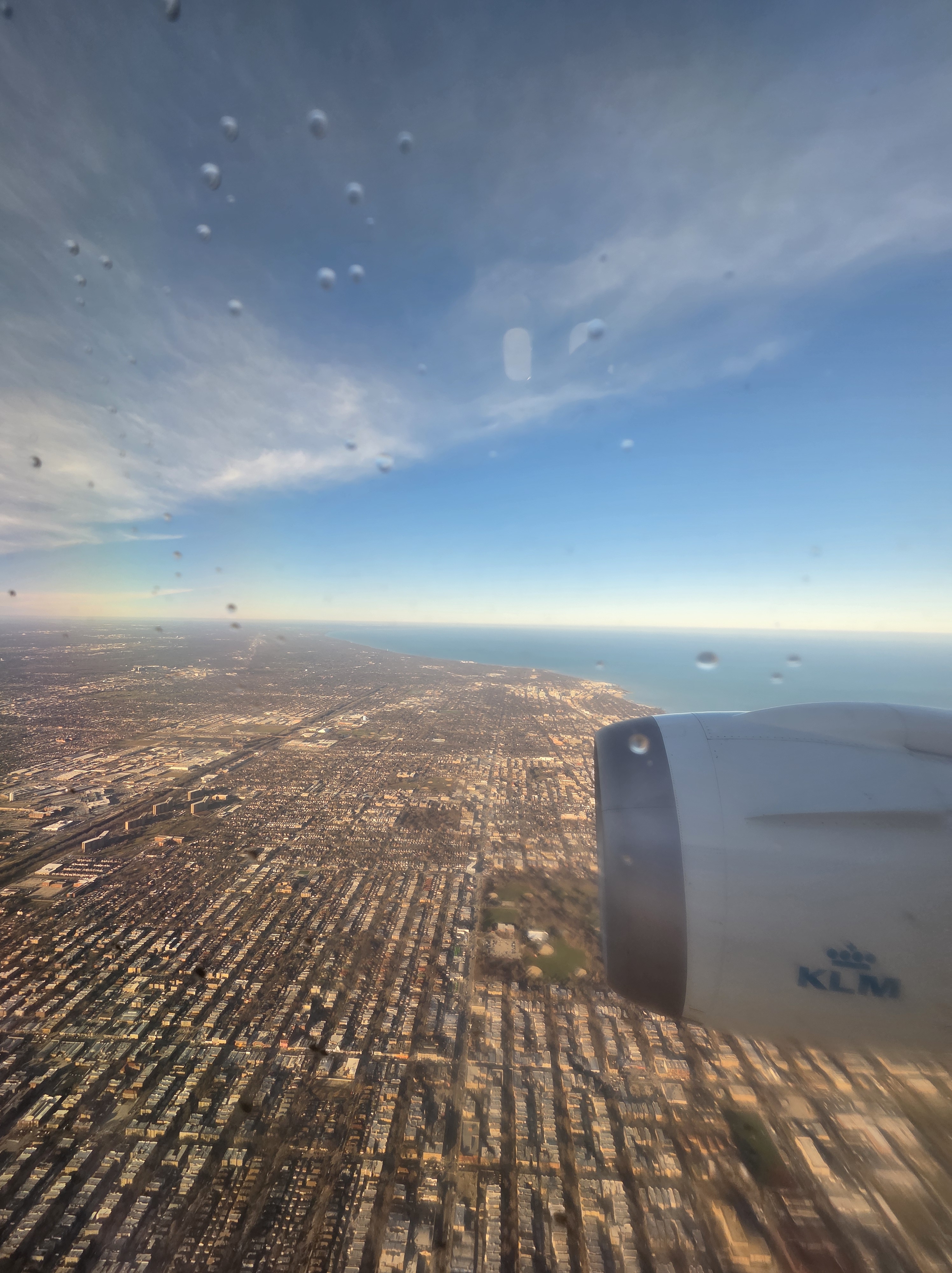
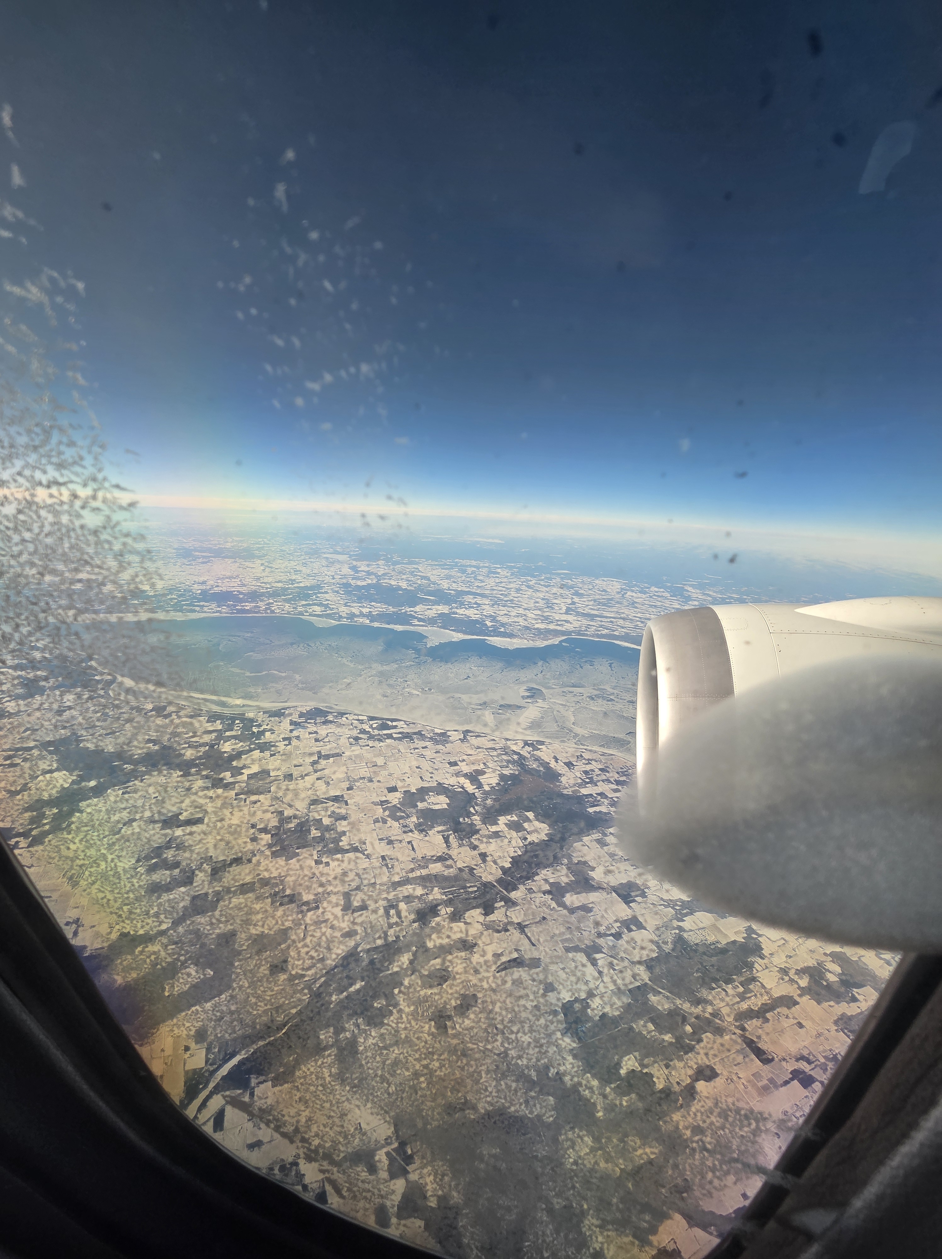
Chicago as our flight turned around and lined up for landing, back in December. Below right, 99% certain it’s Lake Winnebago on our way down. I also had a lovely view of Geneva Lake but couldn’t photograph it because the window was too iced over – in the shots you see below, that ice had melted as we descended and the sun won out :-).