
From the Air.97
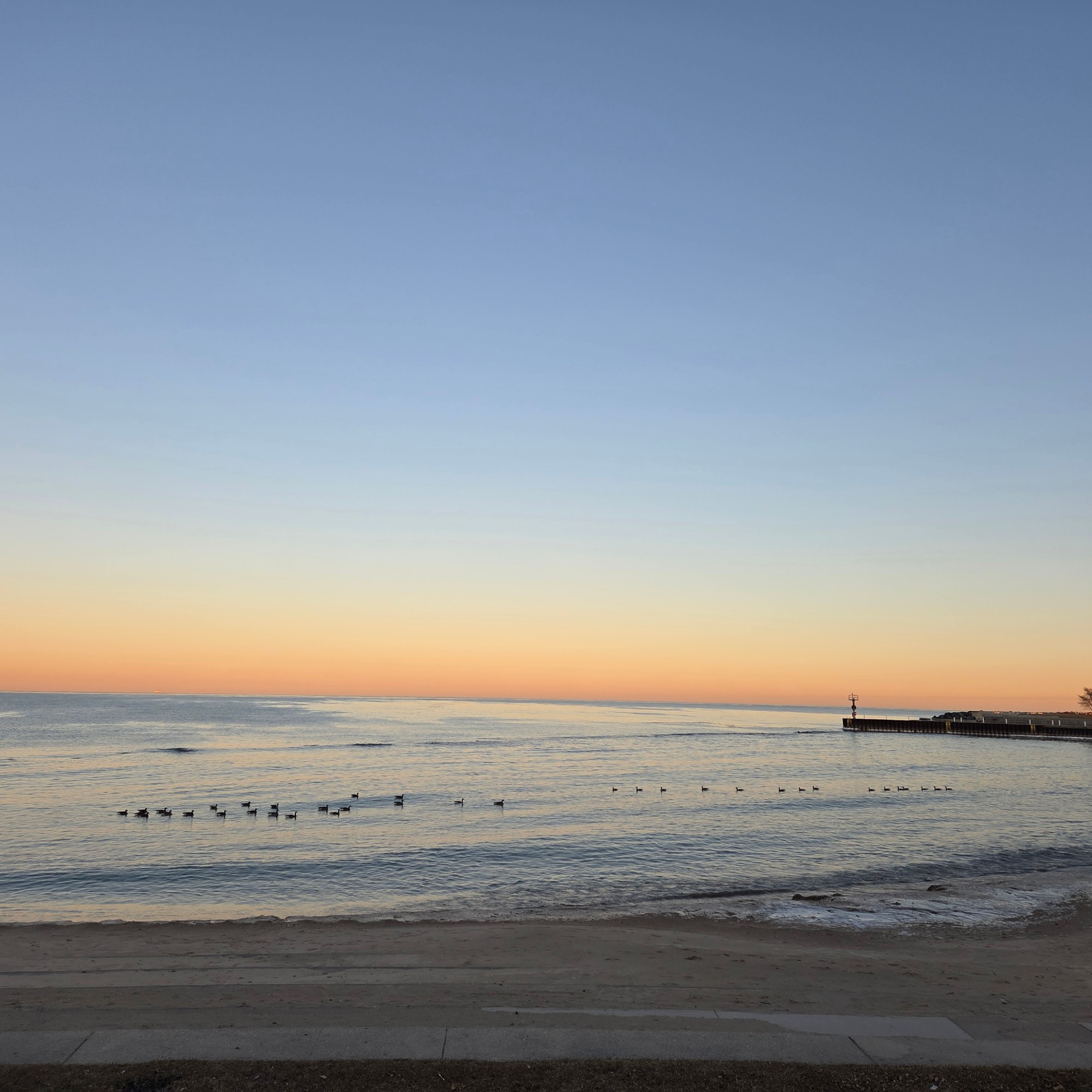
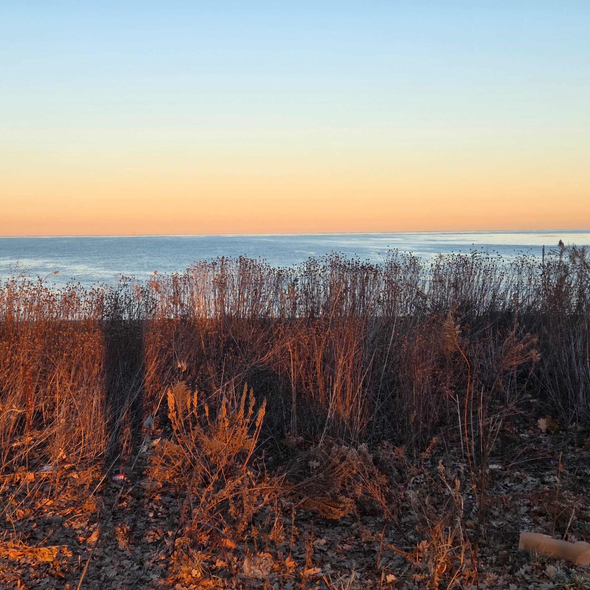
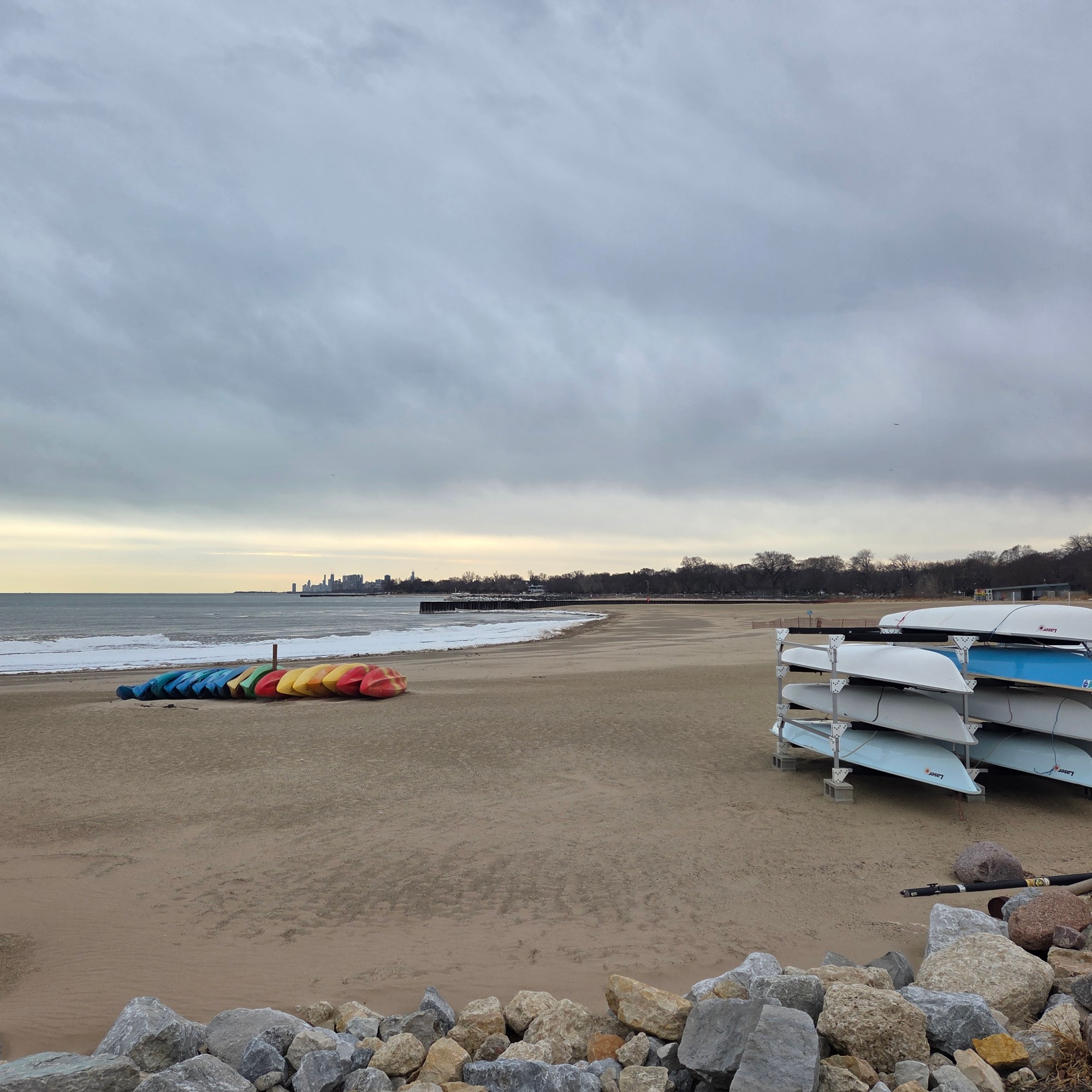
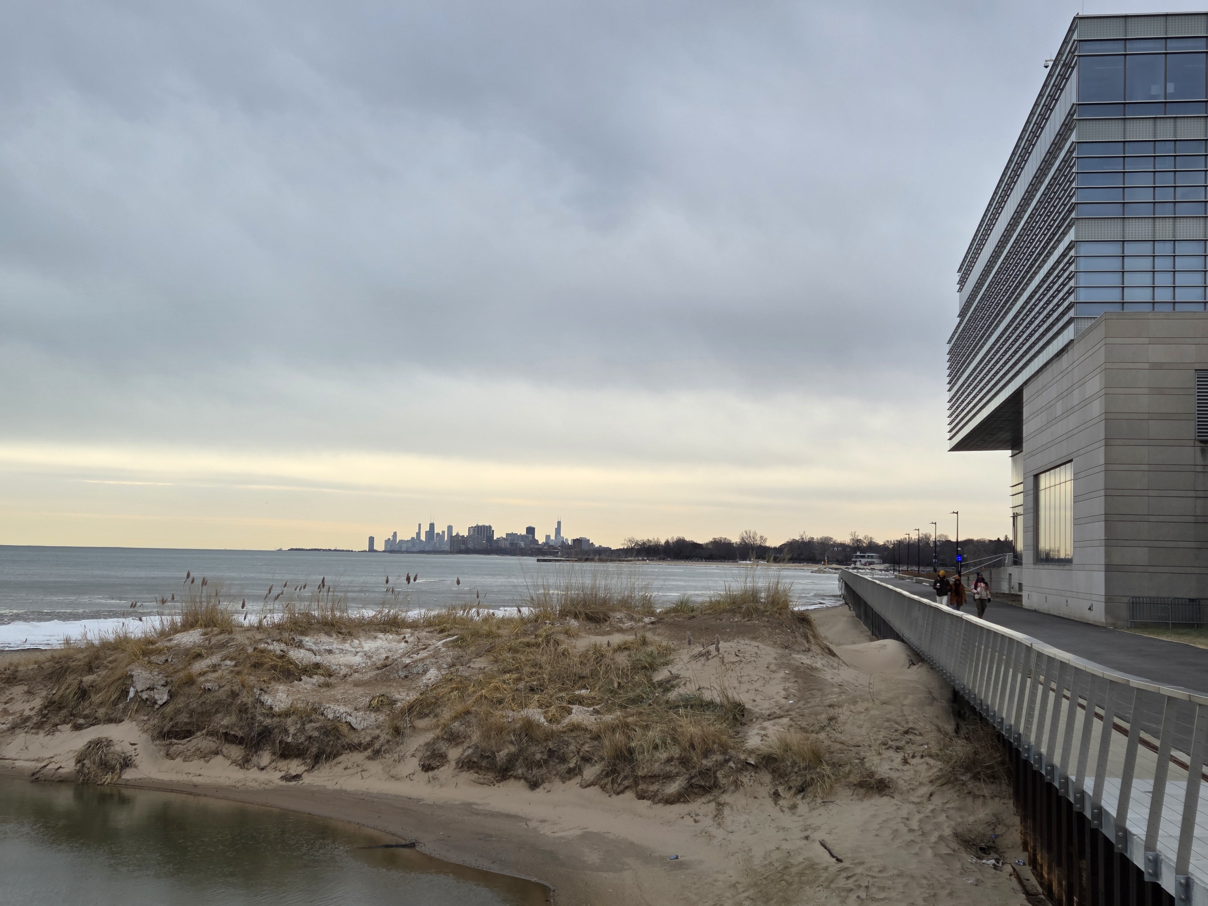
Lake Living.82
From The Air: Boston to Chicago
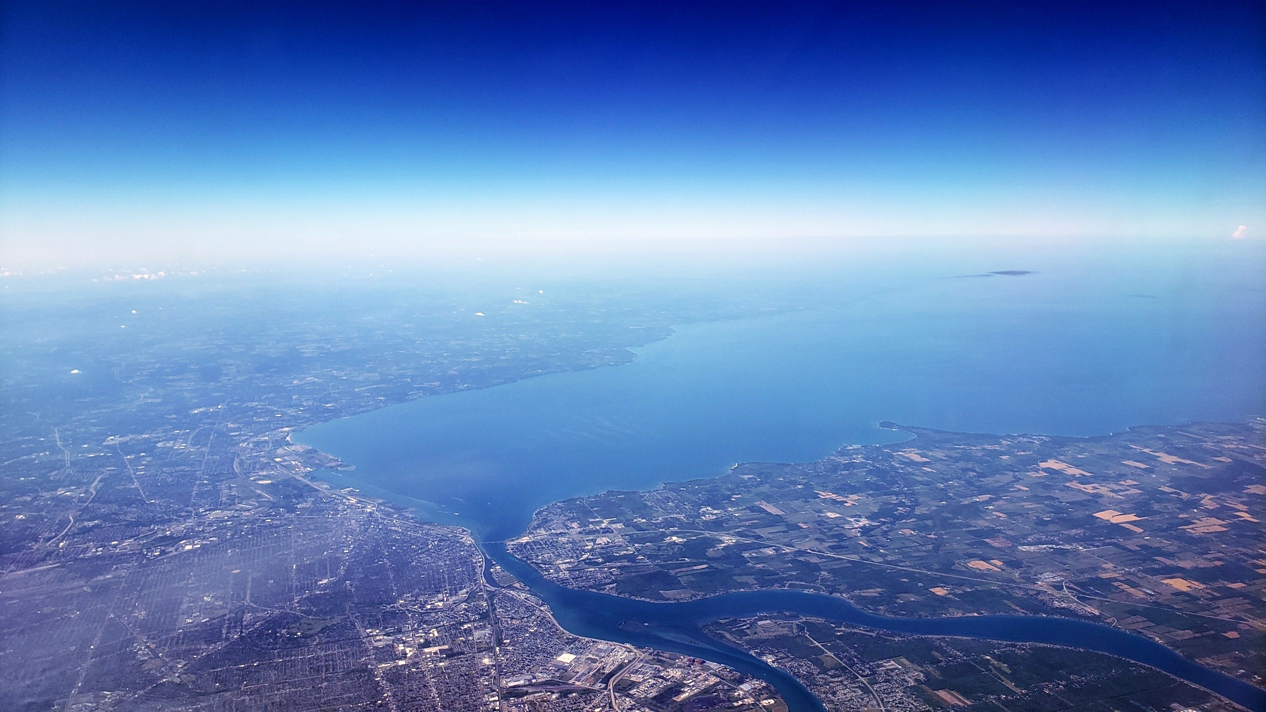

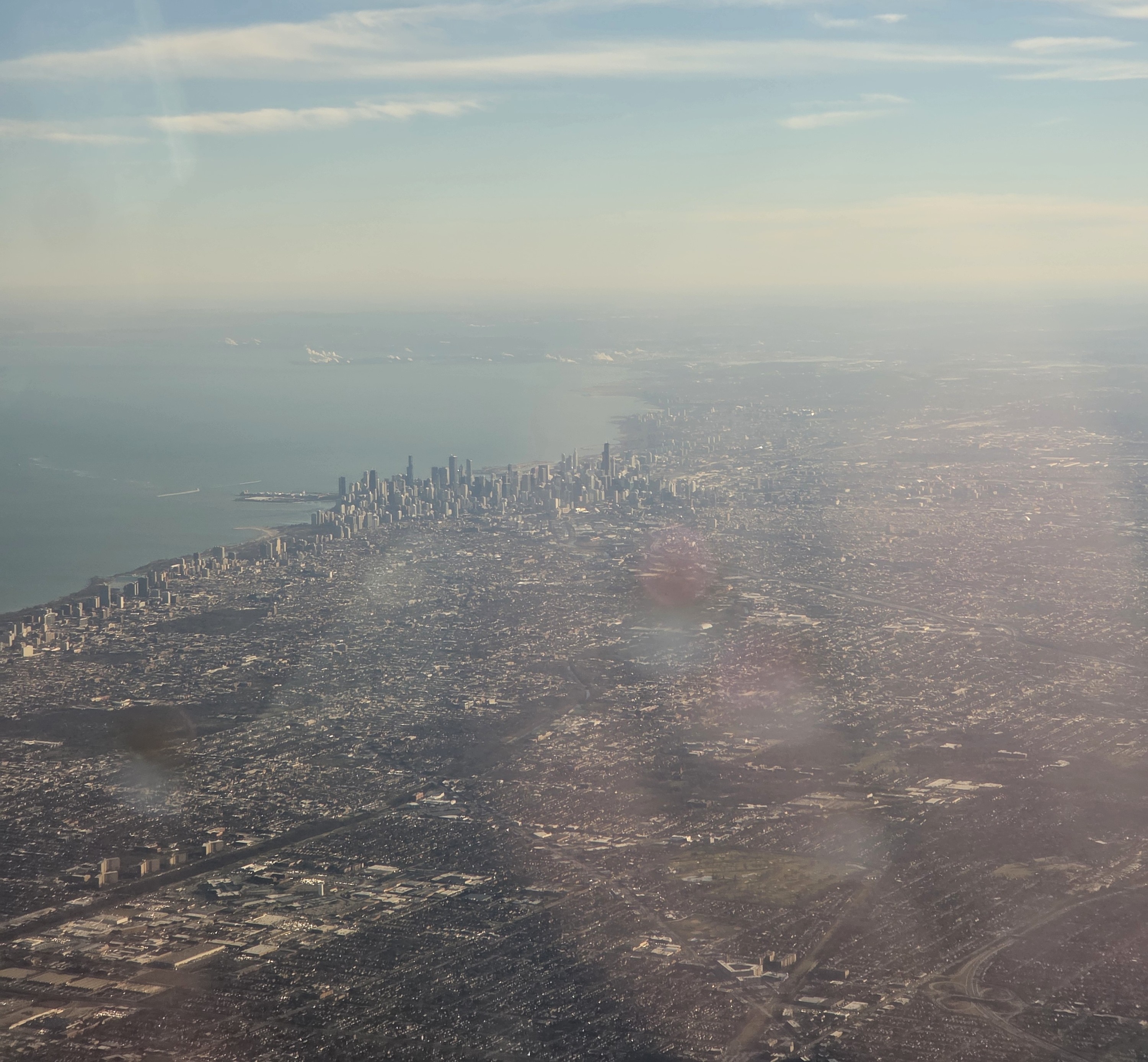
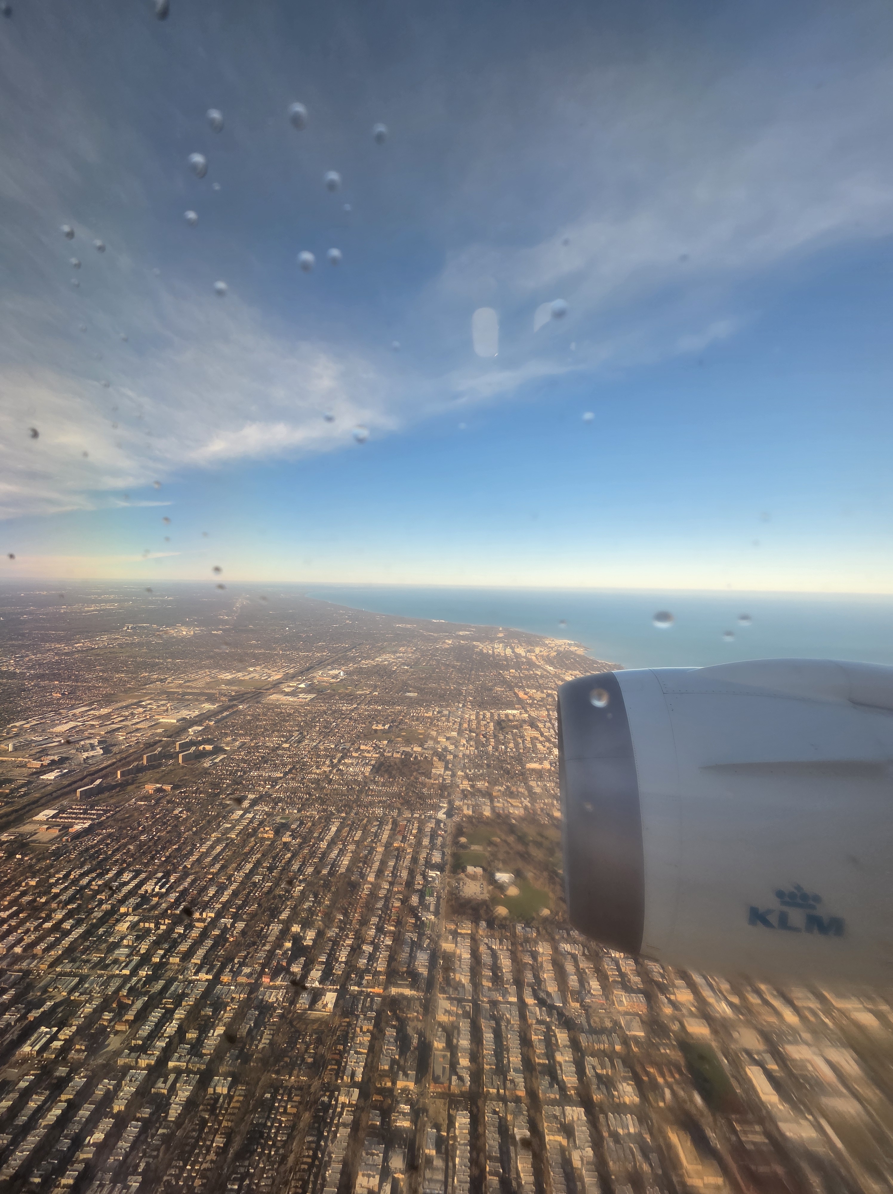
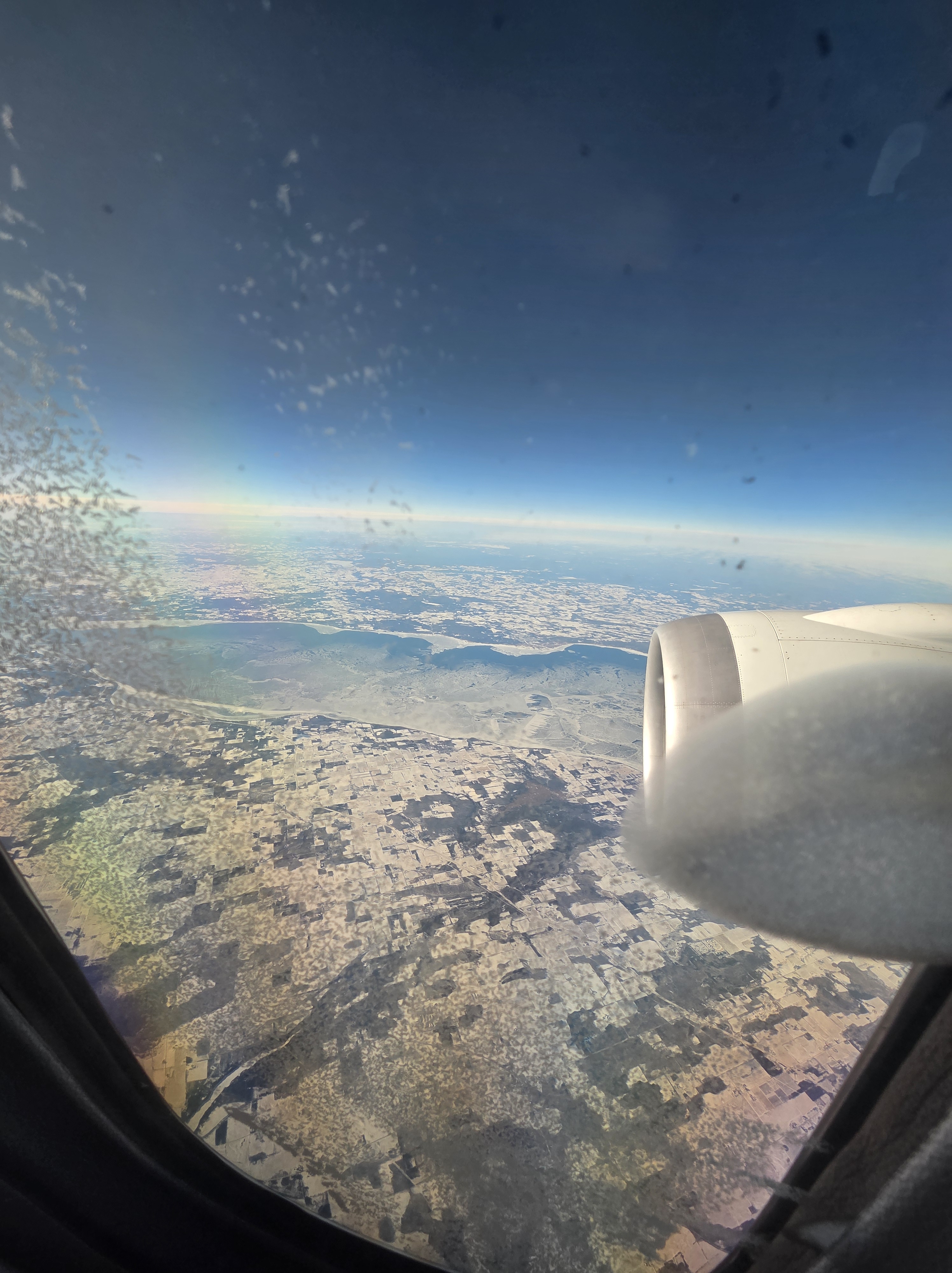
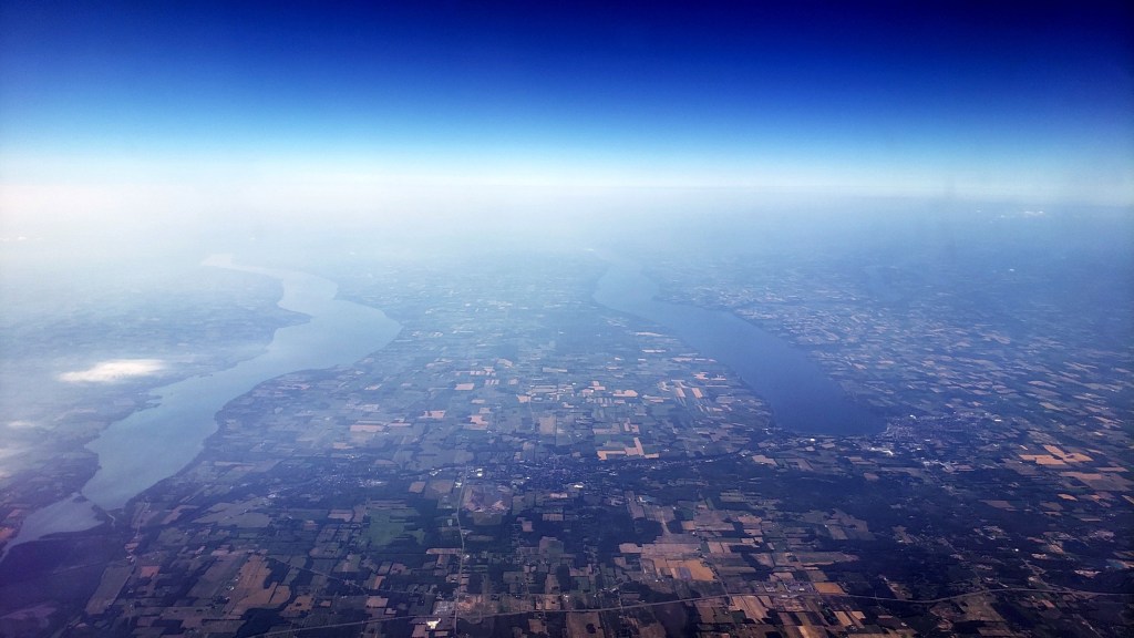
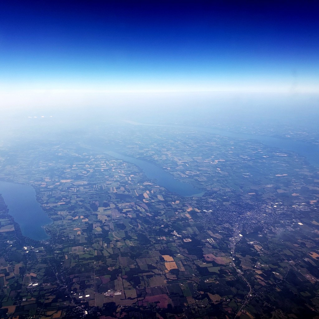
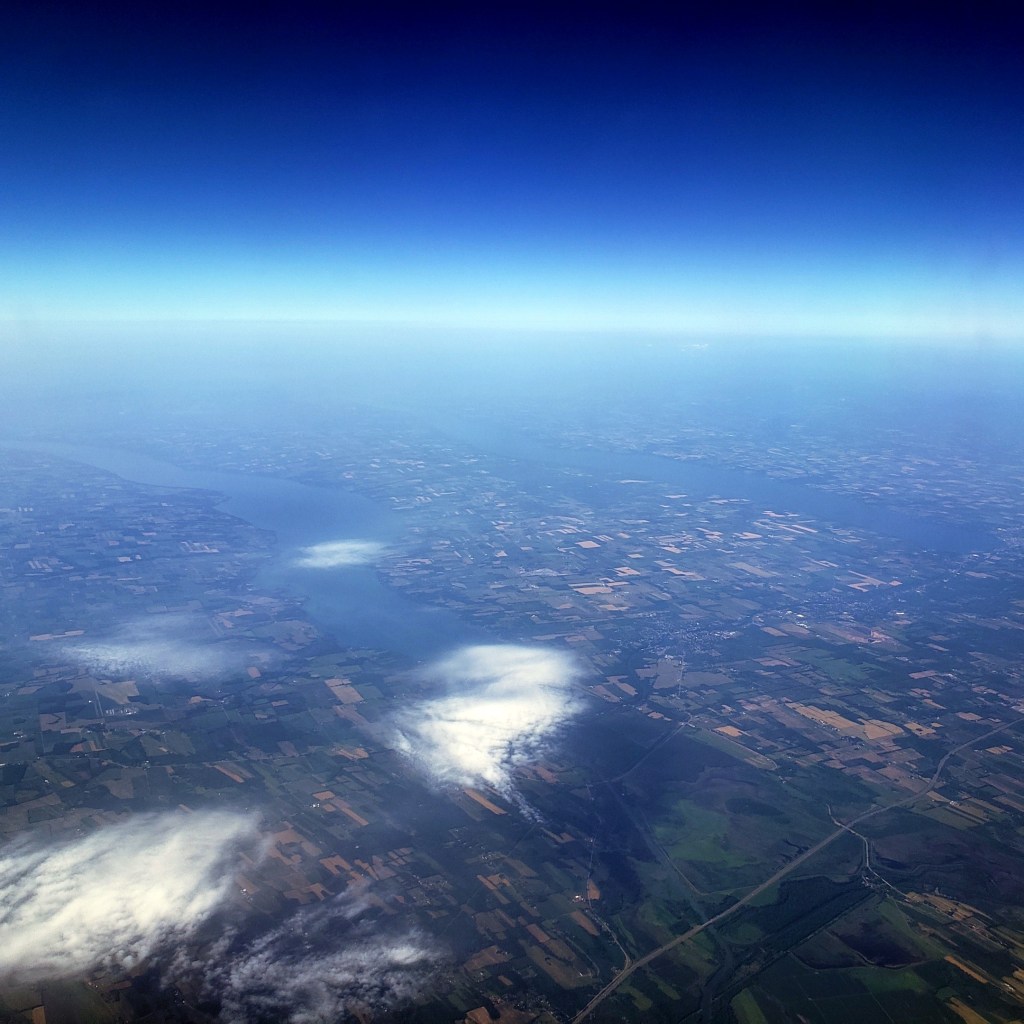
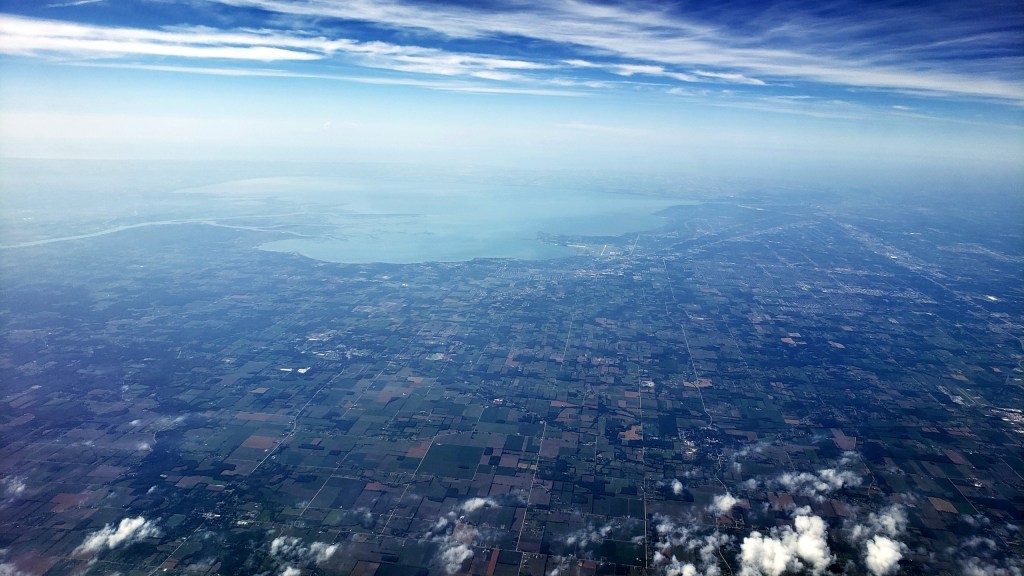
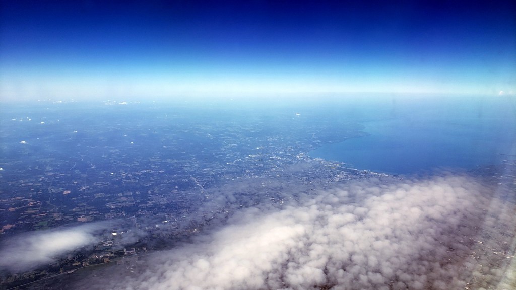
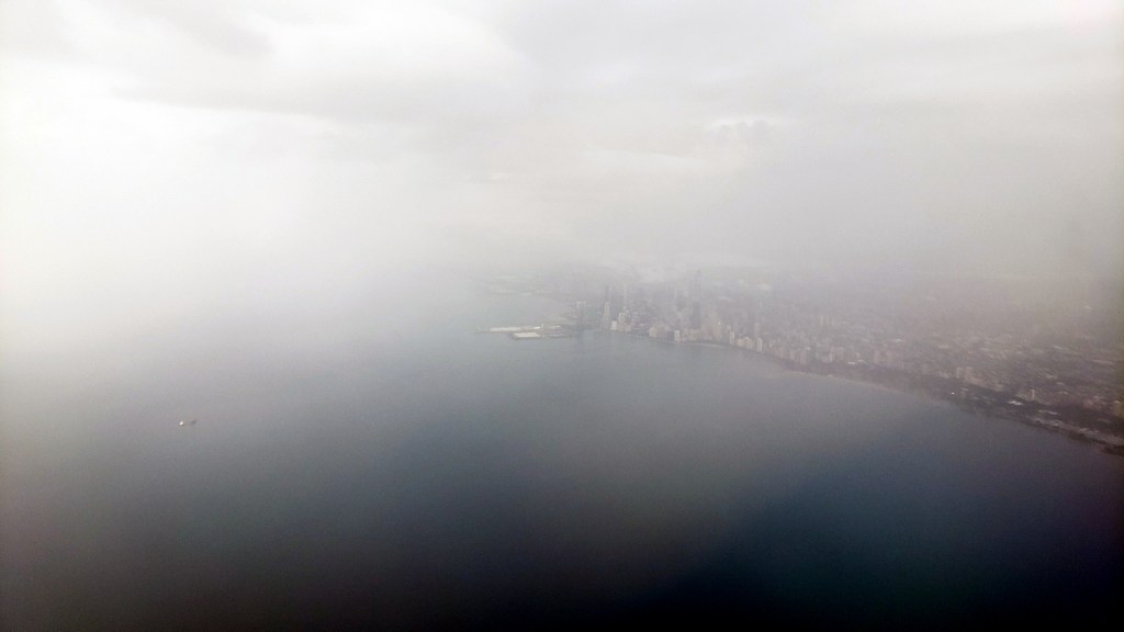
Regular readers and friends will have figured out that, in this smartphone-in-your-pocket era, I’m always on the lookout for views lovely, strange, new, interesting or otherwise engaging to photograph. Unlike most airplane travelers, I stare endlessly out the window when I’m fortunate enough to have a window seat. Below are shots, mostly in chronological sequence, as my plane from Boston to Chicago flew along the northern edge of the Finger Lakes in NY State, over Buffalo (pictured also in the out-of-sequence large photo at the top of this post), then over the southernmost part of Ontario in Canada, between Hamilton & Detroit, then across the US state of Michigan, the Great Lake named Lake Michigan…and north of a fog-and-rain-bound city of Chicago, into O’Hare airport. For readers who’ve not explored the Great Lakes regions of the US and Canada, or the Finger Lakes region of New York State – do. There’s a lot to see and do. 🙂

Travel Memories, Known & Unknown
 Imagine, if you will, boarding a series of flights at pretty much midnight in one time zone, to make connections in two different cities and end up landing halfway around the world, quite literally, about 36 hours later. Especially during covid, with all the uncertainties that implies. (For the record: I’m too lazy to capitalize that disease correctly. I also don’t want to give it any more of my time or energy than it’s already taken, nor do I feel it deserves the respect of me spelling it entirely properly. So there.)
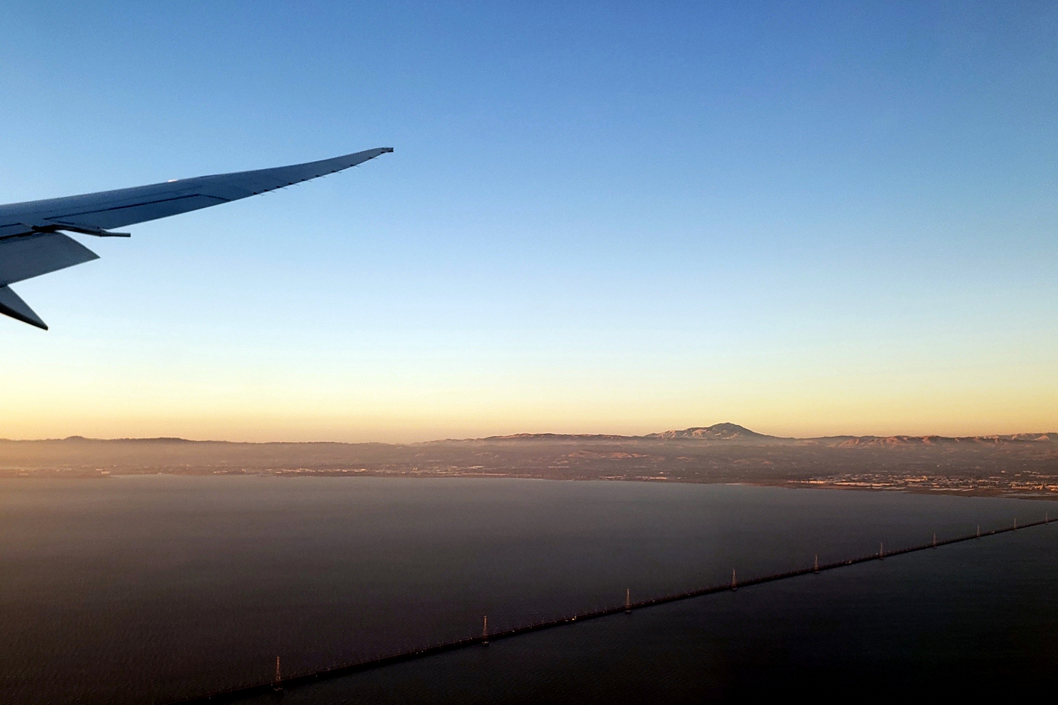
So anyway, one gets confused, and apparently one’s phone also gets confused! The phone believes the above photograph was taken before some of the ones below, which I know to be untrue because, well, it’s the only photo for which I have 100% certainty about what it shows: Mt. Diablo during a beautiful sunset on the evening of July 4th this year. Meaning it was taken as the last airplane I boarded that day was approaching the runway at SFO.


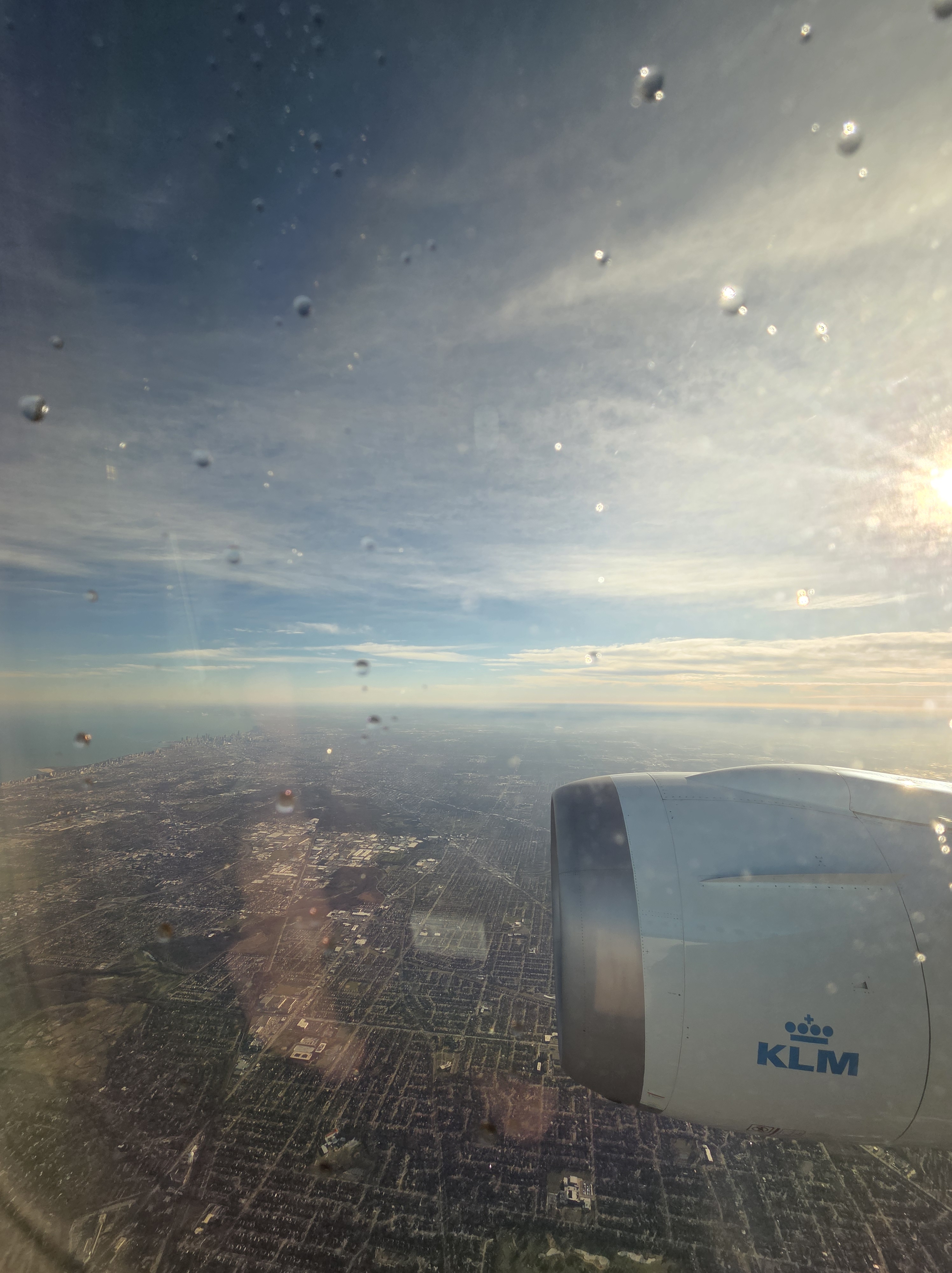
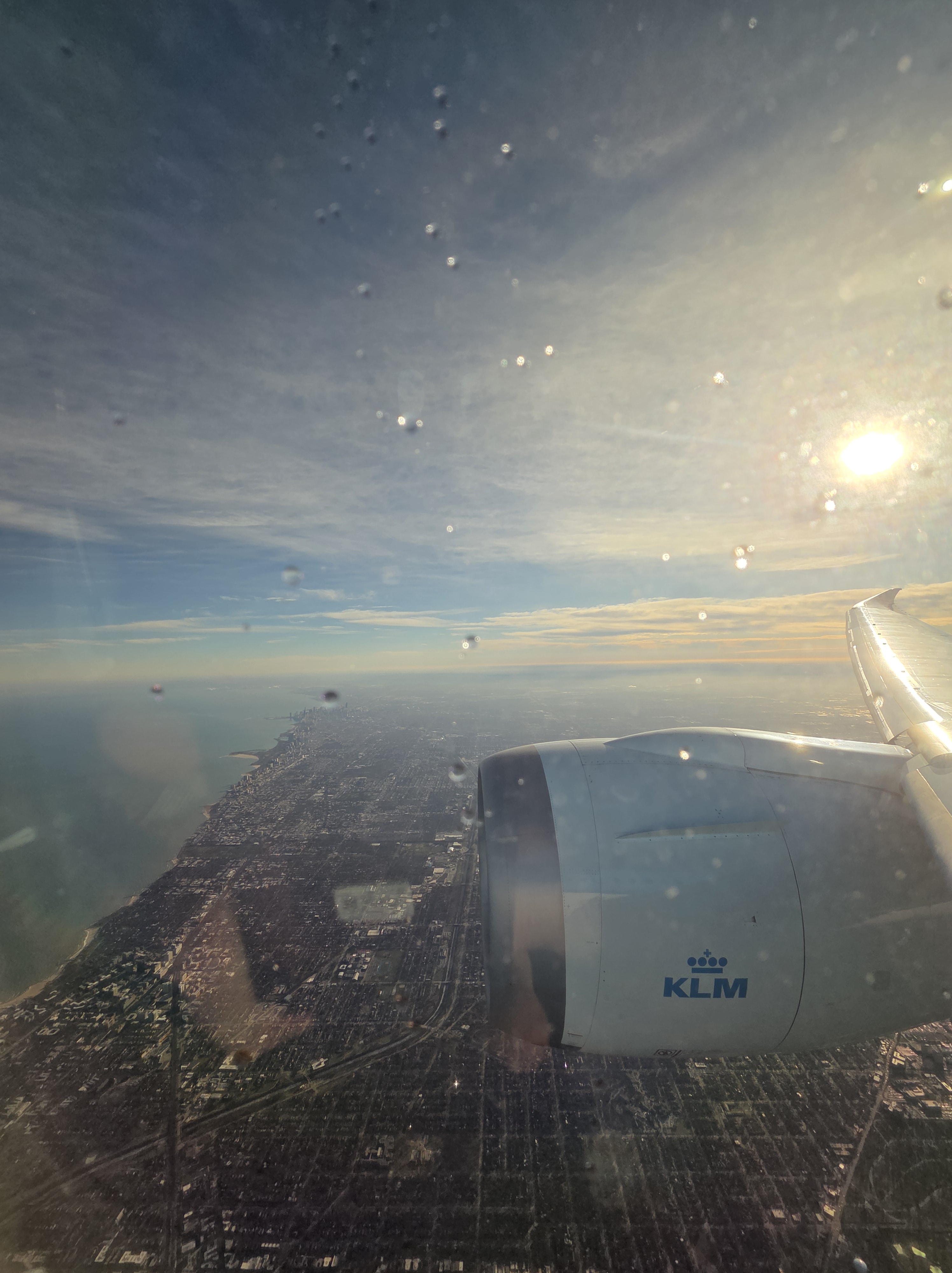
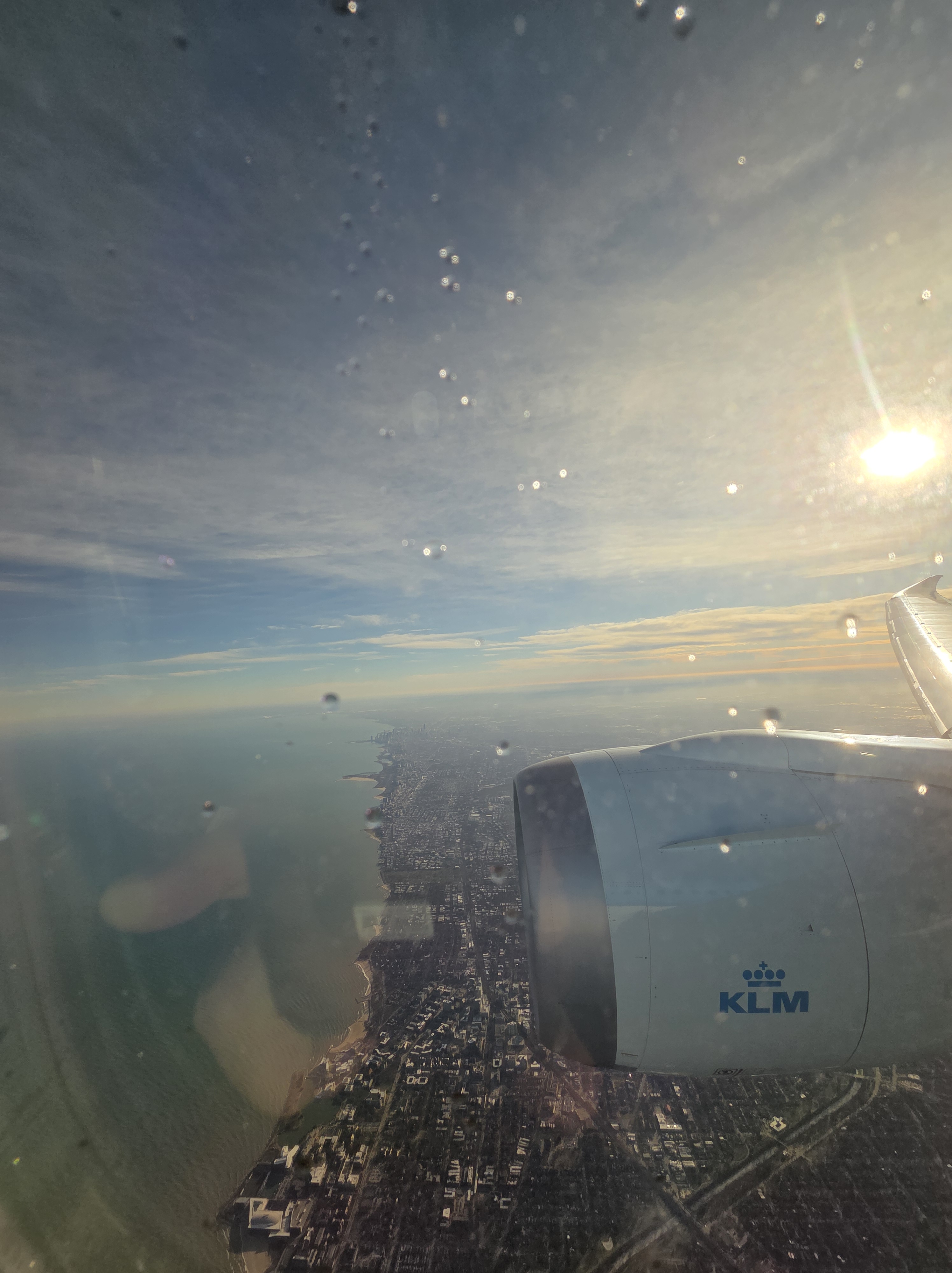
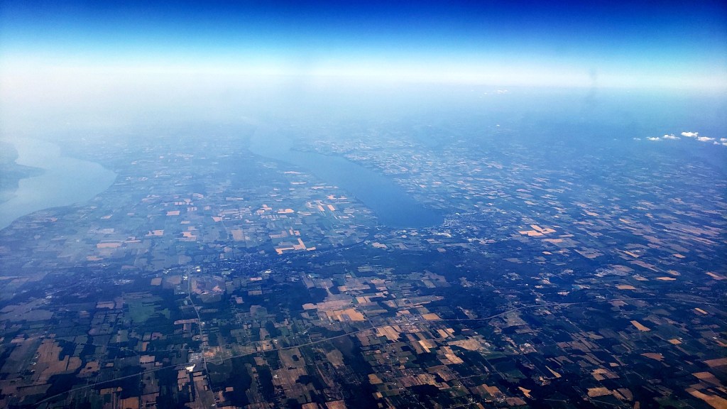
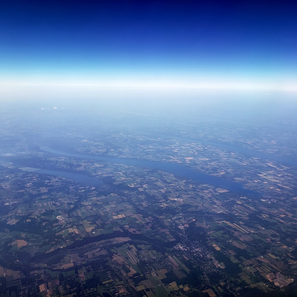
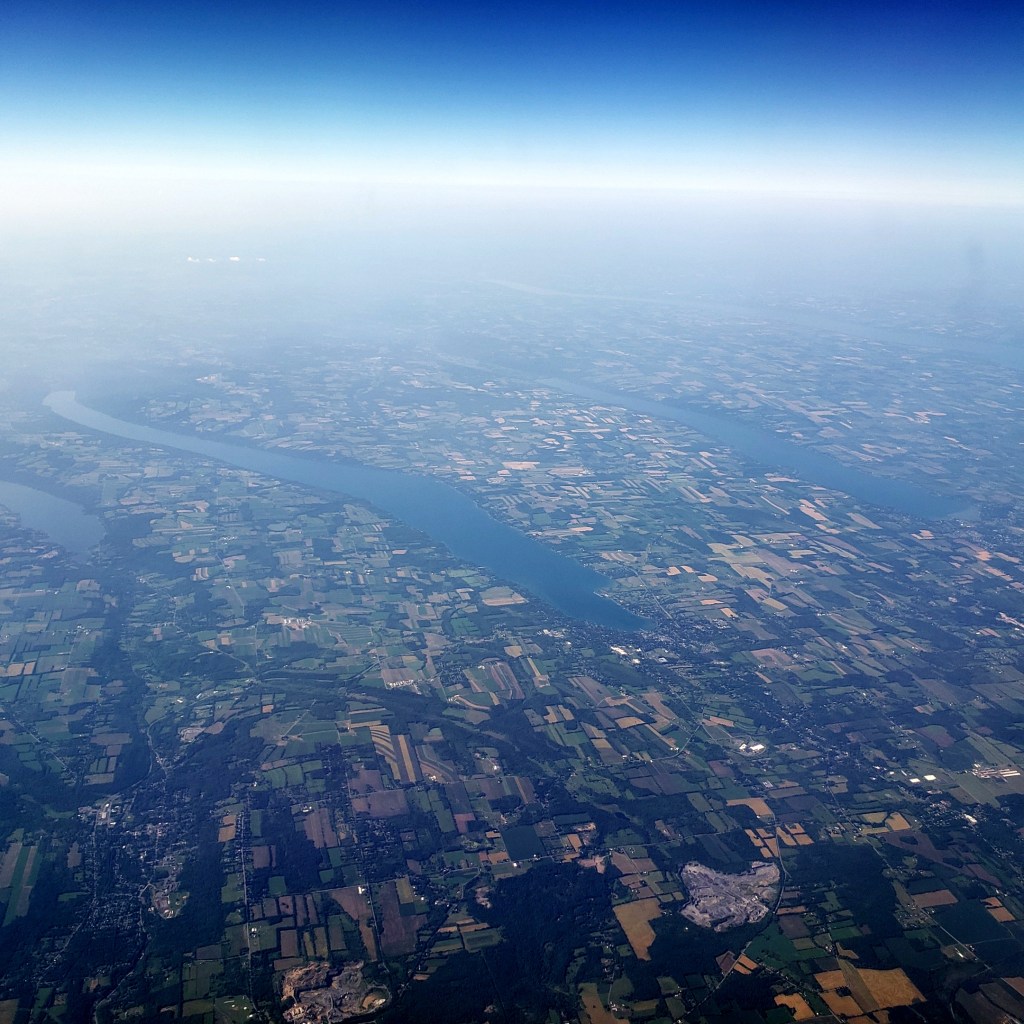
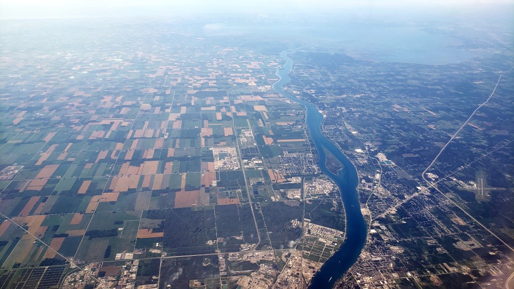
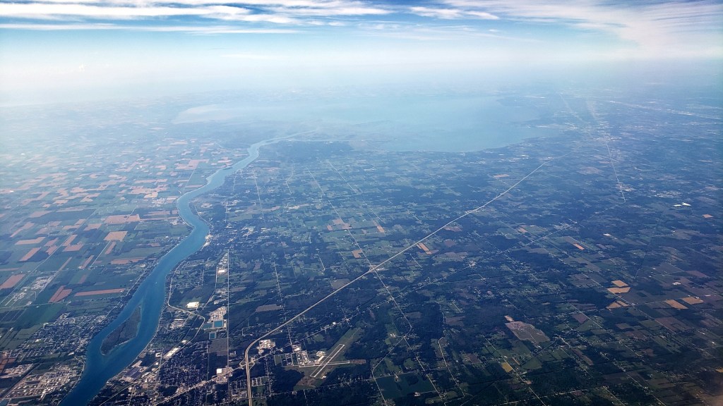
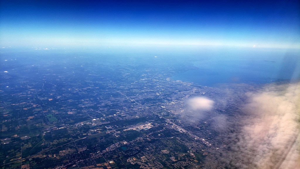
So with these three, I’m about 80% confident they all show the shores of Lake Michigan and the general sprawl of Chicago Metro, most likely as we made our approach to O’Hare earlier that same 4th of July. If you click the individual shots, you’ll see the phone’s time-stamp filenames. Which in this case means it looks like they were taken at nearly midnight, while the amount of natural daylight suggests otherwise. Ah, the confusions of time zones and international air travel…
And we finish with these two below, which I’m more than 50% confident were taken somewhere around the general shores-of-the-Black-Sea area, simply because I remember waking up, looking out the window to see a crumpled mountainous landscape, checking the flight-path screen to learn we were somewhere in the region of the Caucasus. That being a part of the world I’ve neither visited on-ground, nor flown over much, I thought “hey, let’s snap a shot or two.” And even though the camera thought it was middle of the day, my body sent me more or less immediately back to sleep and blissful forgetfulness.


Cruising Northern Shores

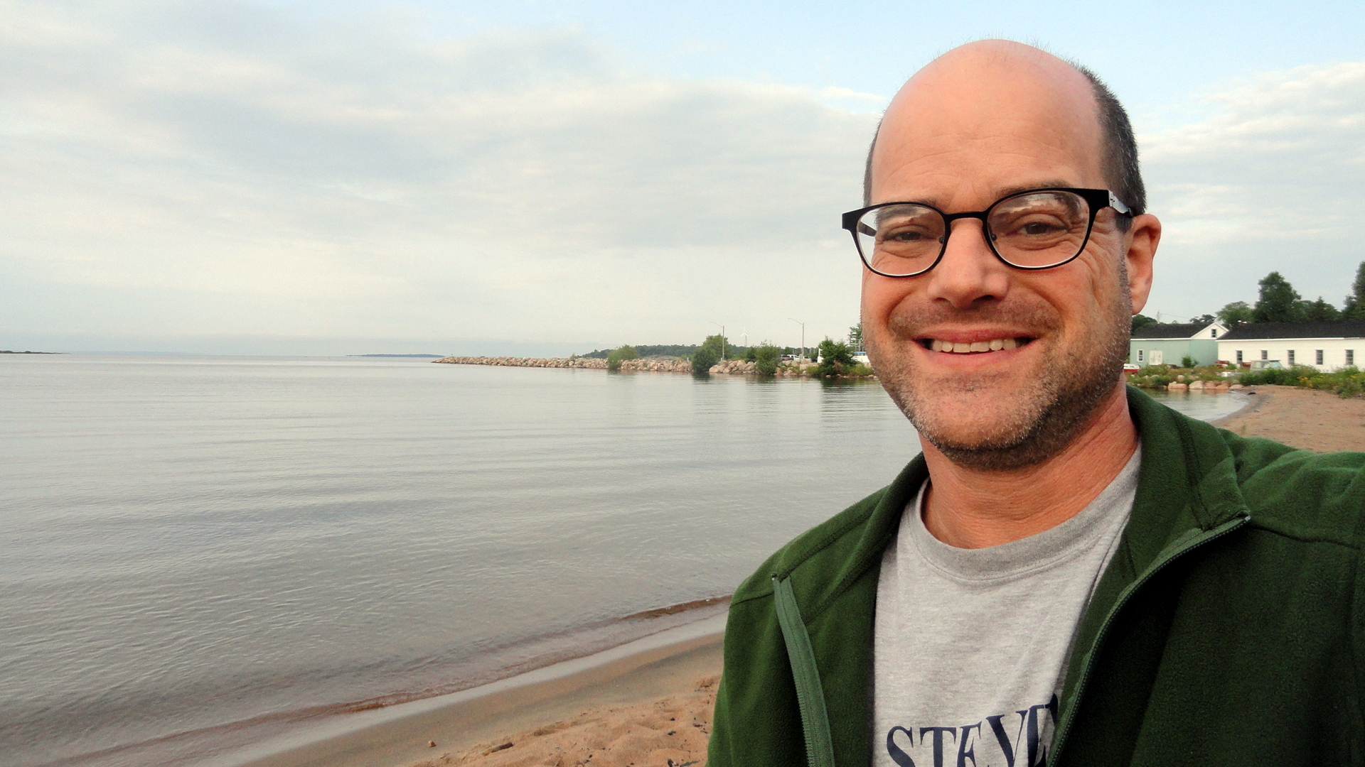
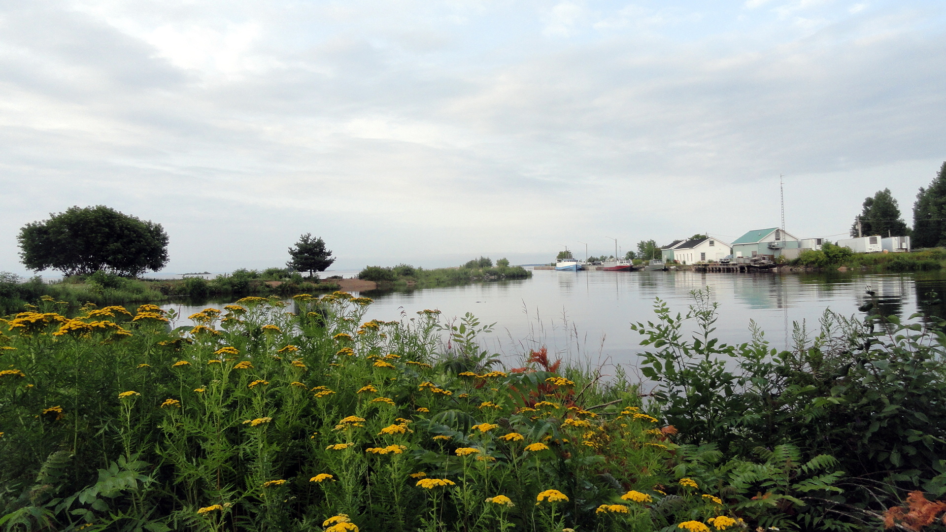
The road trip continued….although it takes me far longer than I’d wish to get these photos sorted and up here for you to enjoy! After leaving upstate New York, Mom and I decided that we simply couldn’t bear another trip along the usual I-80/I-90 corridor the follows the U.S. southern shore of Lakes Ontario, Erie, and Michigan — our goal was Wisconsin, where we were able to spend a few lovely days visiting my aunt and uncle; and we were departing from Rochester which – by U.S. standards – is quite a piece north…and this led to my crazy idea to explore the northern shore of Lake Huron through Ontario. What a lovely outing it was!

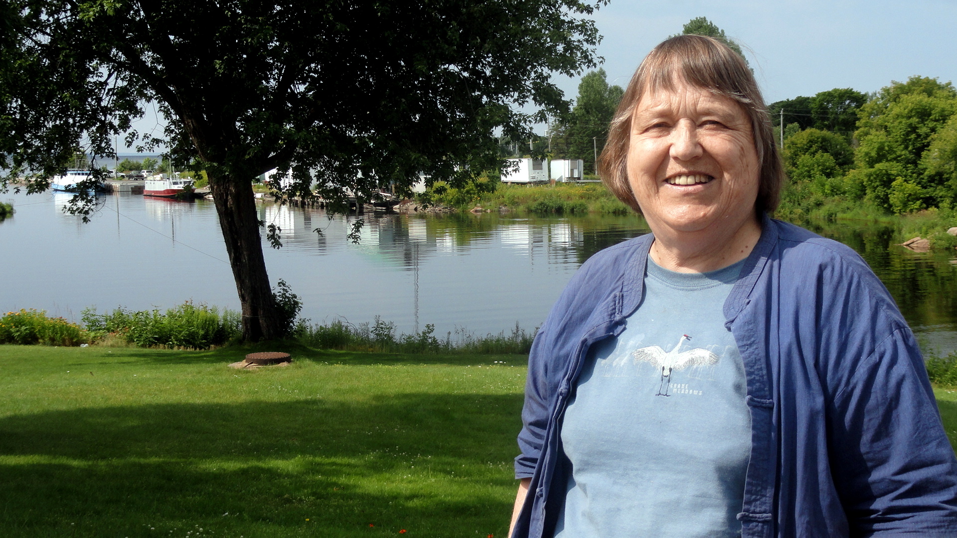
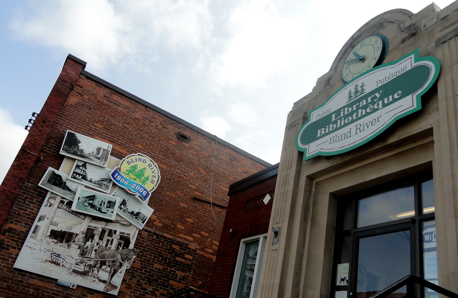
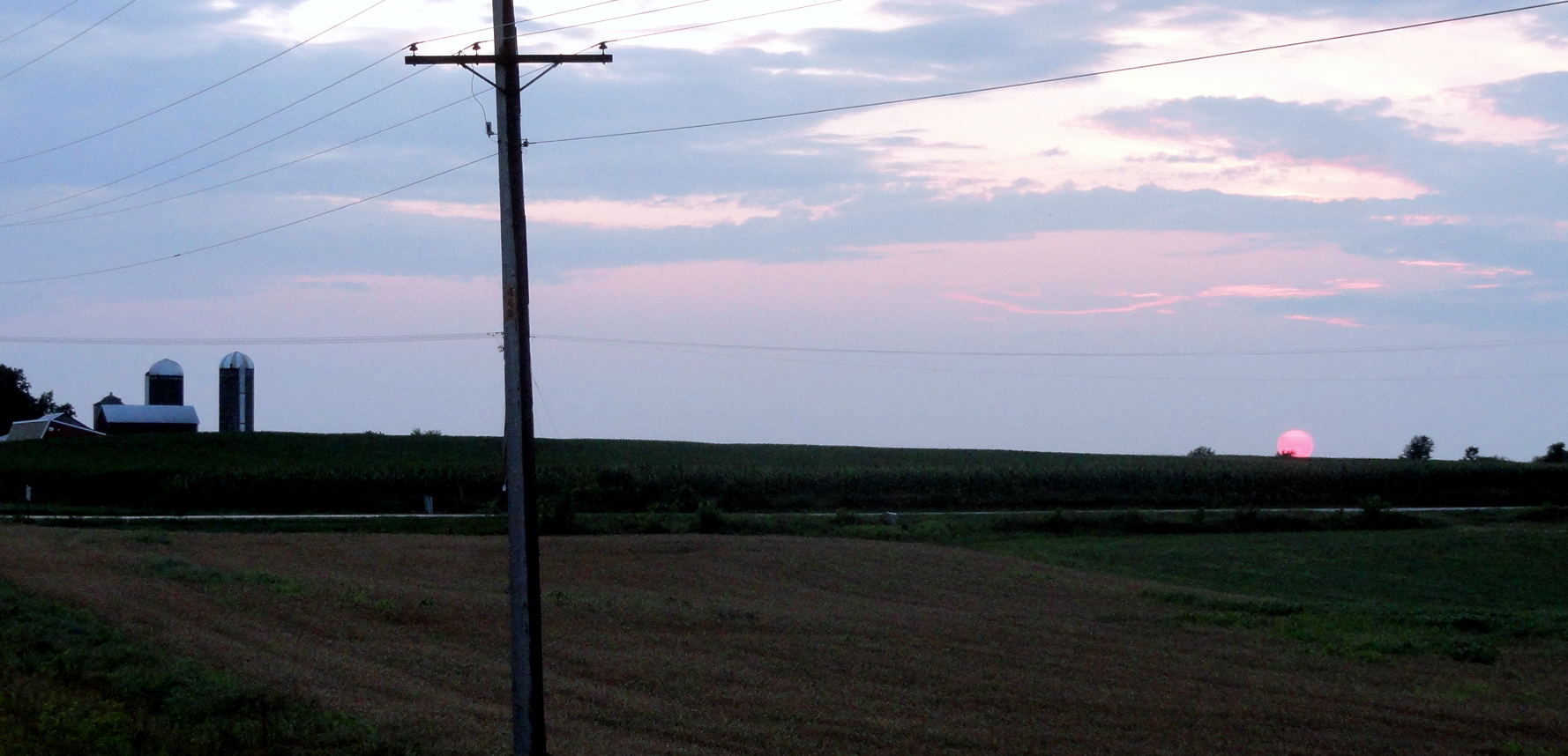
This enabled us to spend a night in the lakeside town of Blind River, ON and to explore portions of that enormous province that I’d never been anywhere near, previously – gaining a more visceral sense of the beautiful, rich rivers and waterways which the Ojibwe and Cree have traveled since long before my ancestors arrived near these shores. I really wish we’d had more time to stay, explore and enjoy high summer along the Canadian shores of North America’s Great Lakes — but the wedding date loomed ever nearer and we had many other people and places on the list before we intended to arrive in Albuquerque. So here, and without much further comment, you can enjoy shots from Blind River, some not-so-great but they are what they are shots taken by Mom as we drove across the international bridge from Canada back into the US where three lakes are all coming very close to one another, along the channel directly connecting Lake Superior to Lake Huron and quite close to where the Edumund Fitzgerald went down in stormy waters back in the 1970s as commemorated in that wonderful song by Gordon Lightfoot…and then some shots from the Lake Michigan shoreline along Michigan’s Upper Peninsula, and one beautiful farm-field sunset shot in Wisconsin. Didn’t get the camera out much more in Wisconsin and this shot doesn’t do justice to the huge midsummer sun sinking below corn fields in real time, but trust me – the upper great lakes region in high summer is pretty wonderful to spend time in.
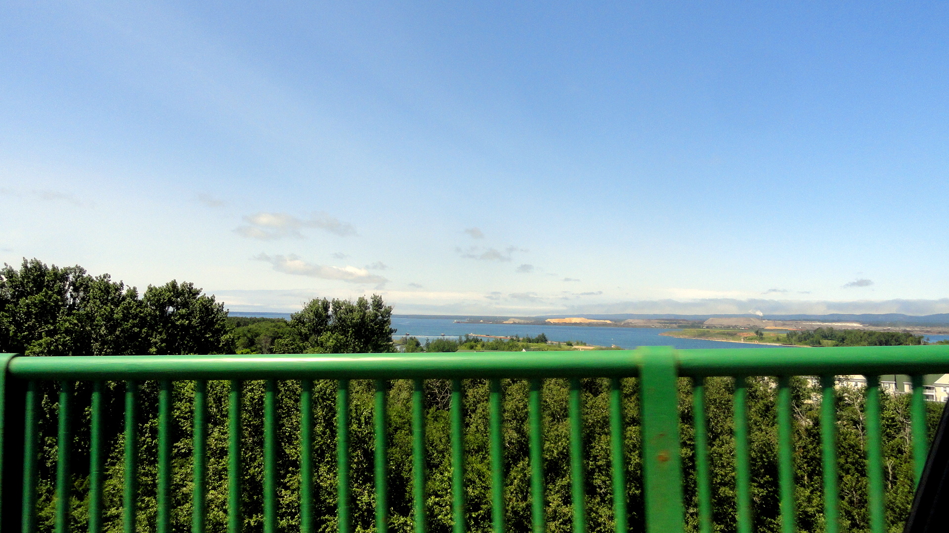


In the photo gallery and below, the three shots taken by Mom from the Sault Sainte Marie Bridge, which connects the nations of Canada and the U.S. across the locks and waterway which link Lake Superior with Lake Huron, you are looking west over Whitefish Bay and it’s maybe conceivable (what do I know?!) the camera sees as far as the water above the spot where the Edmund Fitzgerald was found.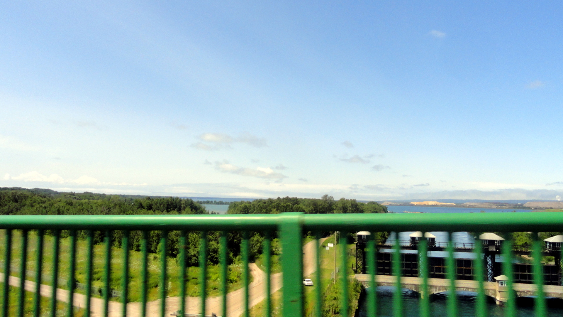
