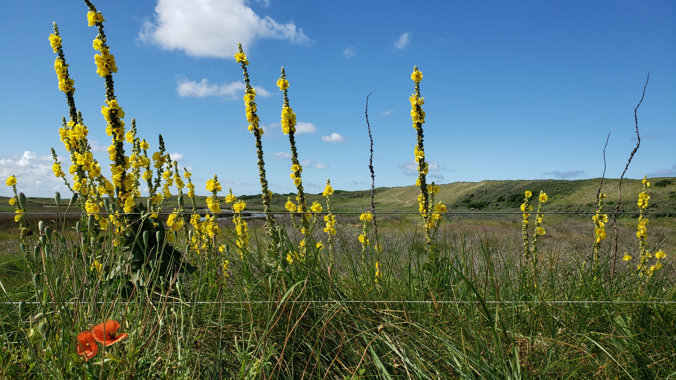
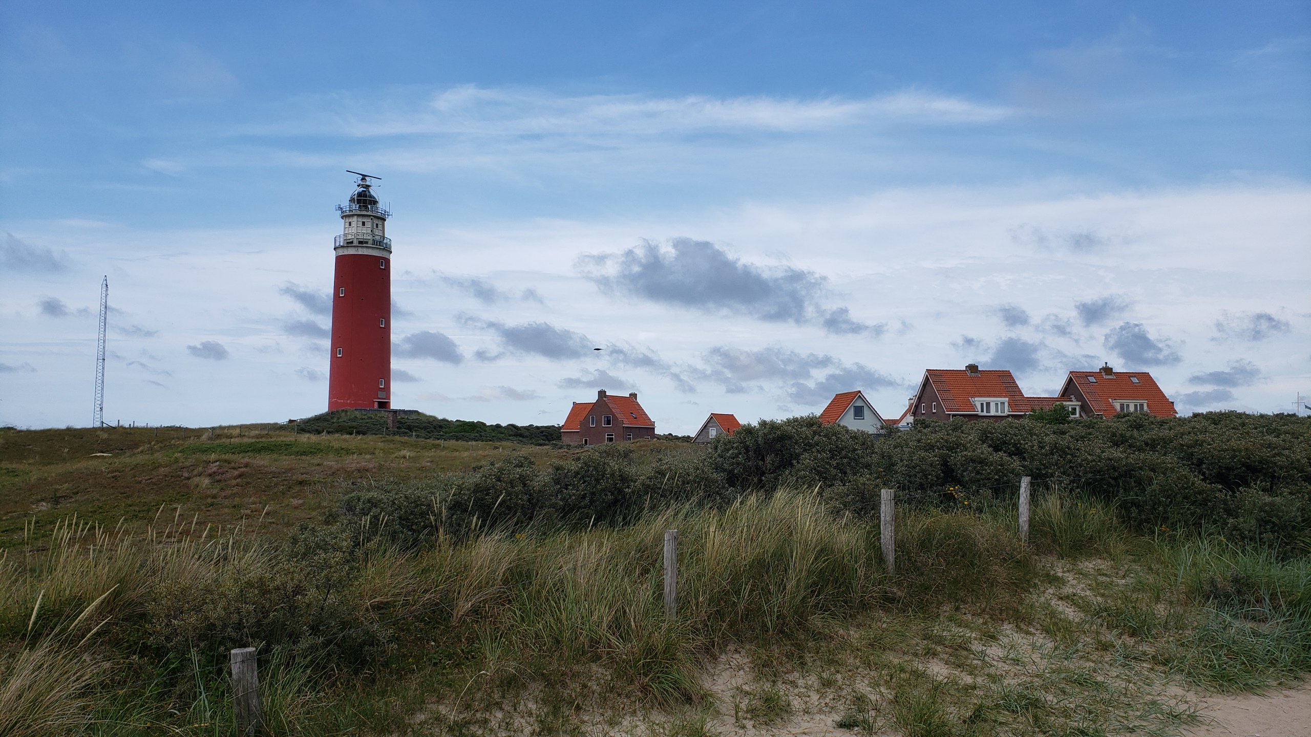
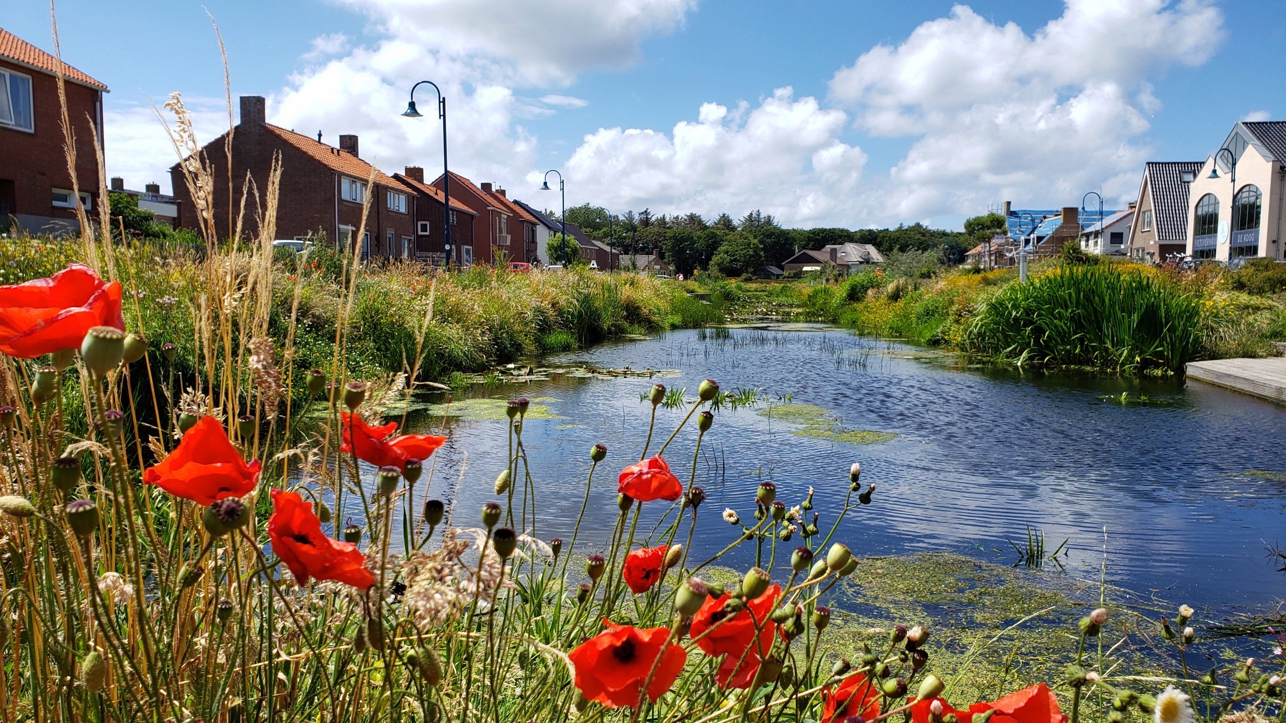
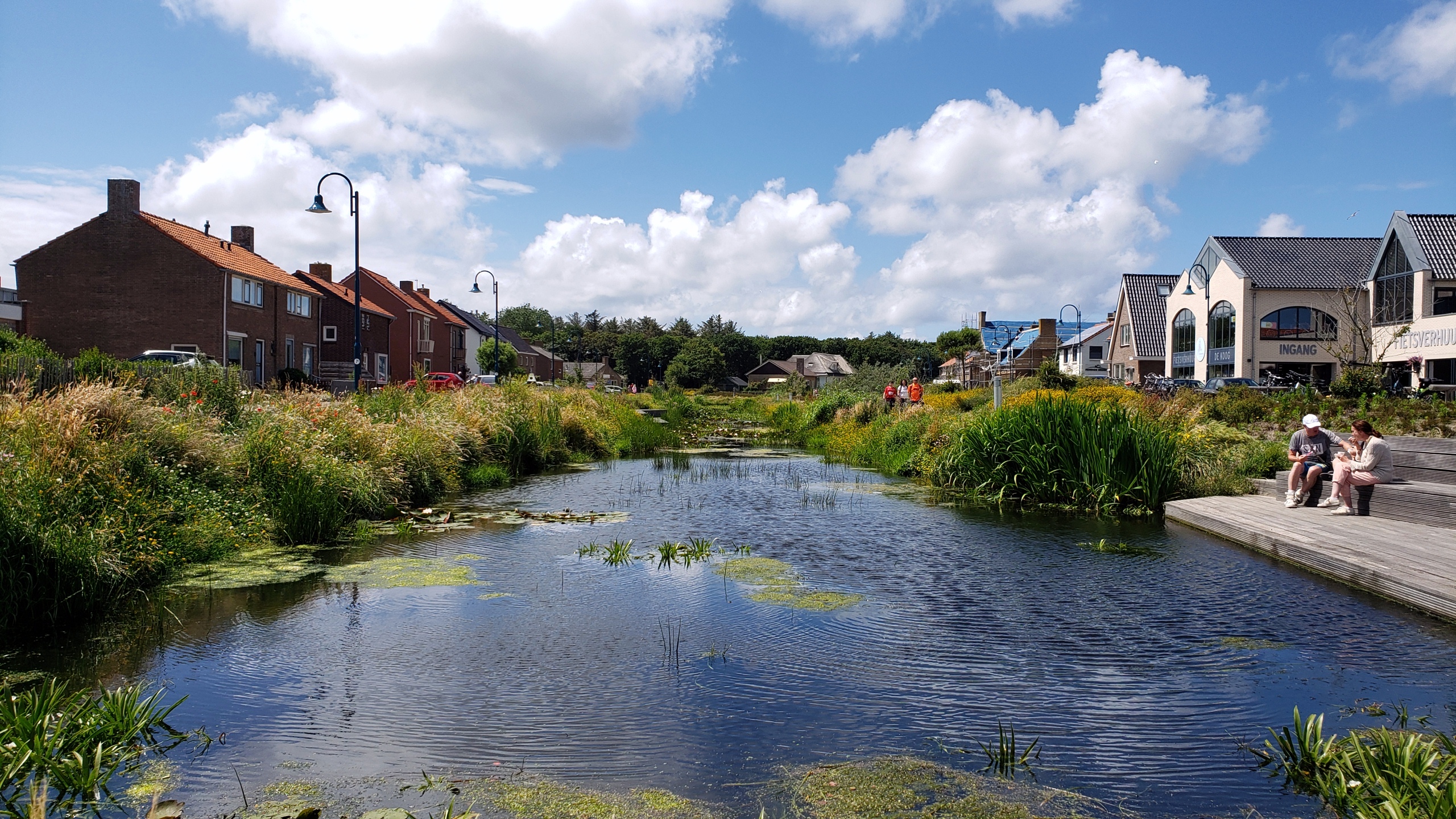
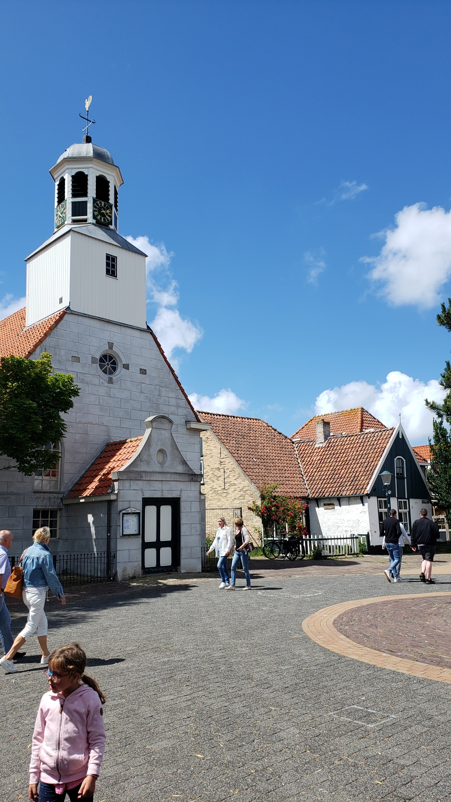
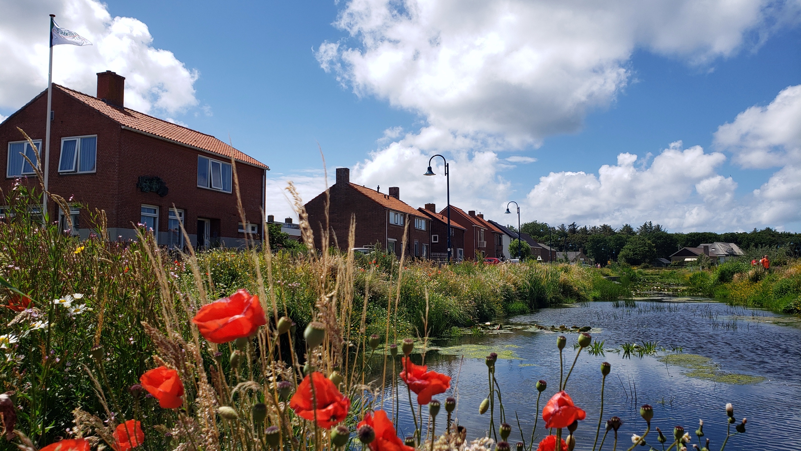
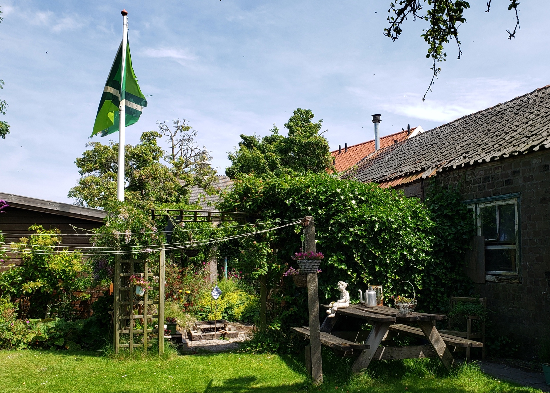
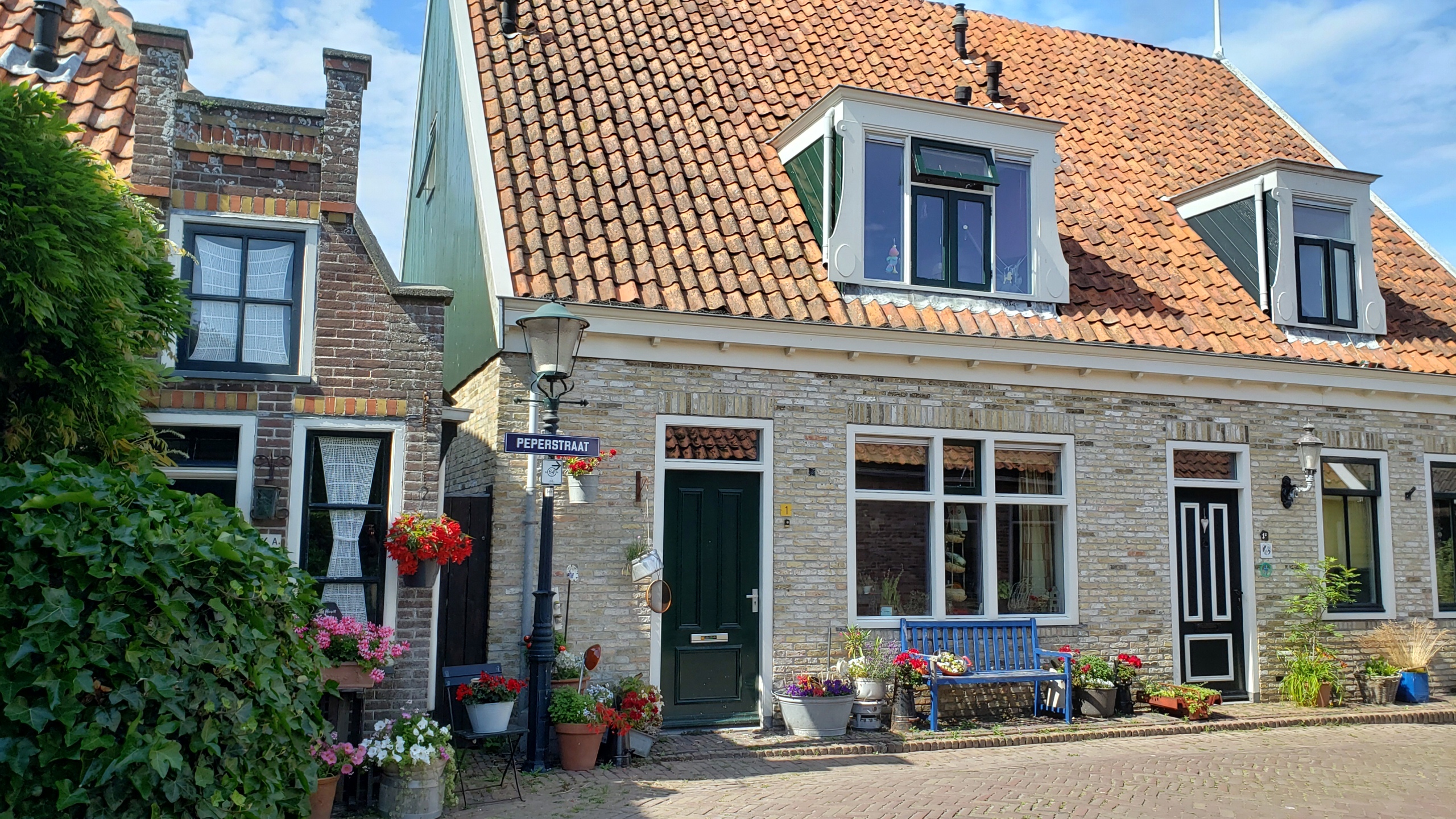
Summer is now well and truly gone here, so I’m piling all my remaining photos from that lovely early-summer visit to Texel into another post of my revived “coasting” series…since pretty much all of these are very much coastal in one way or another, eh? 🙂
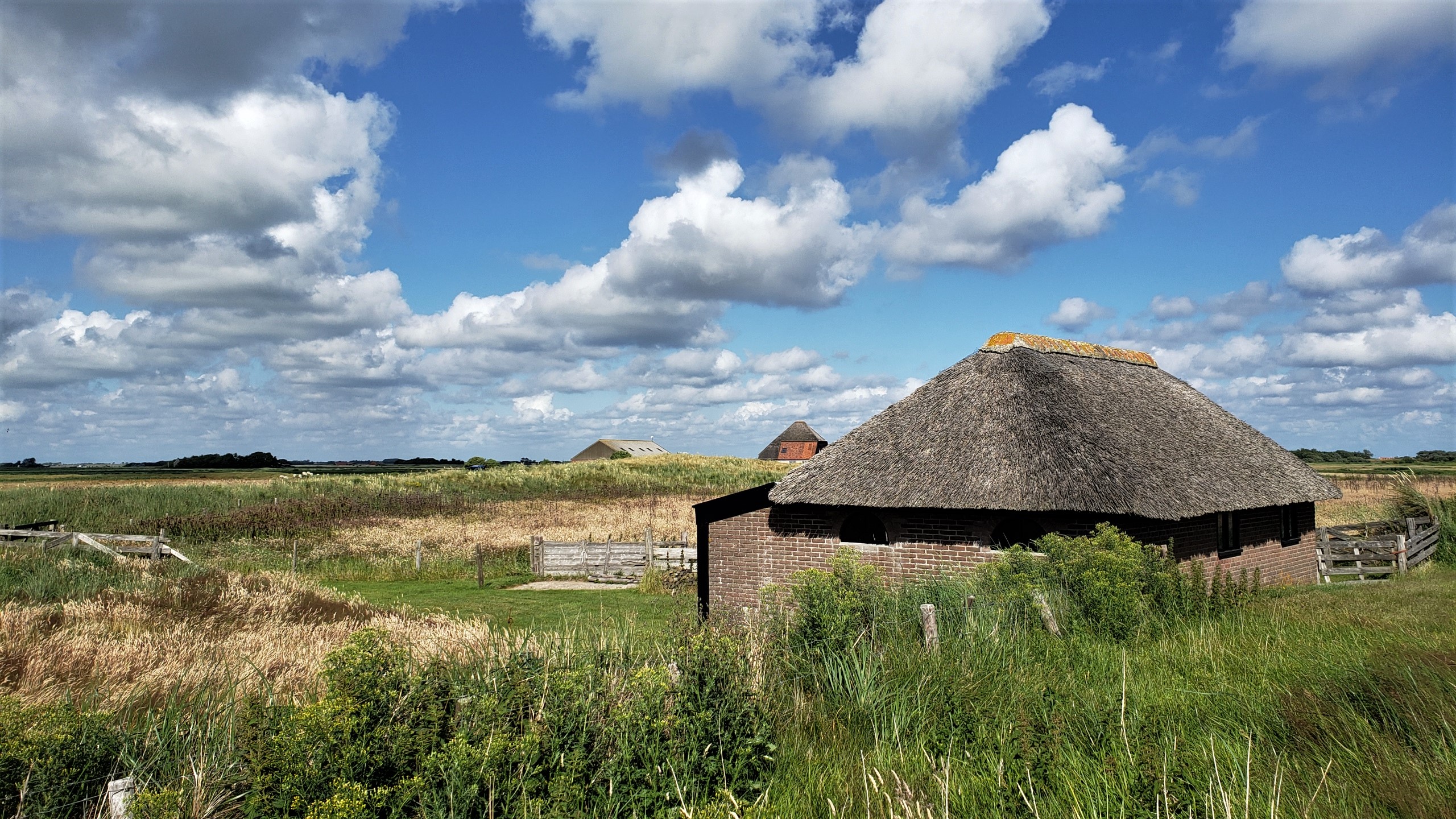
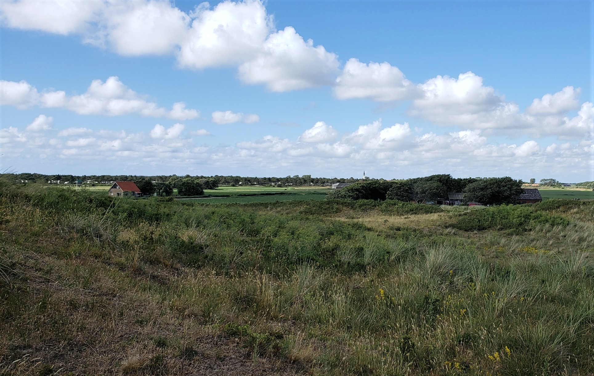
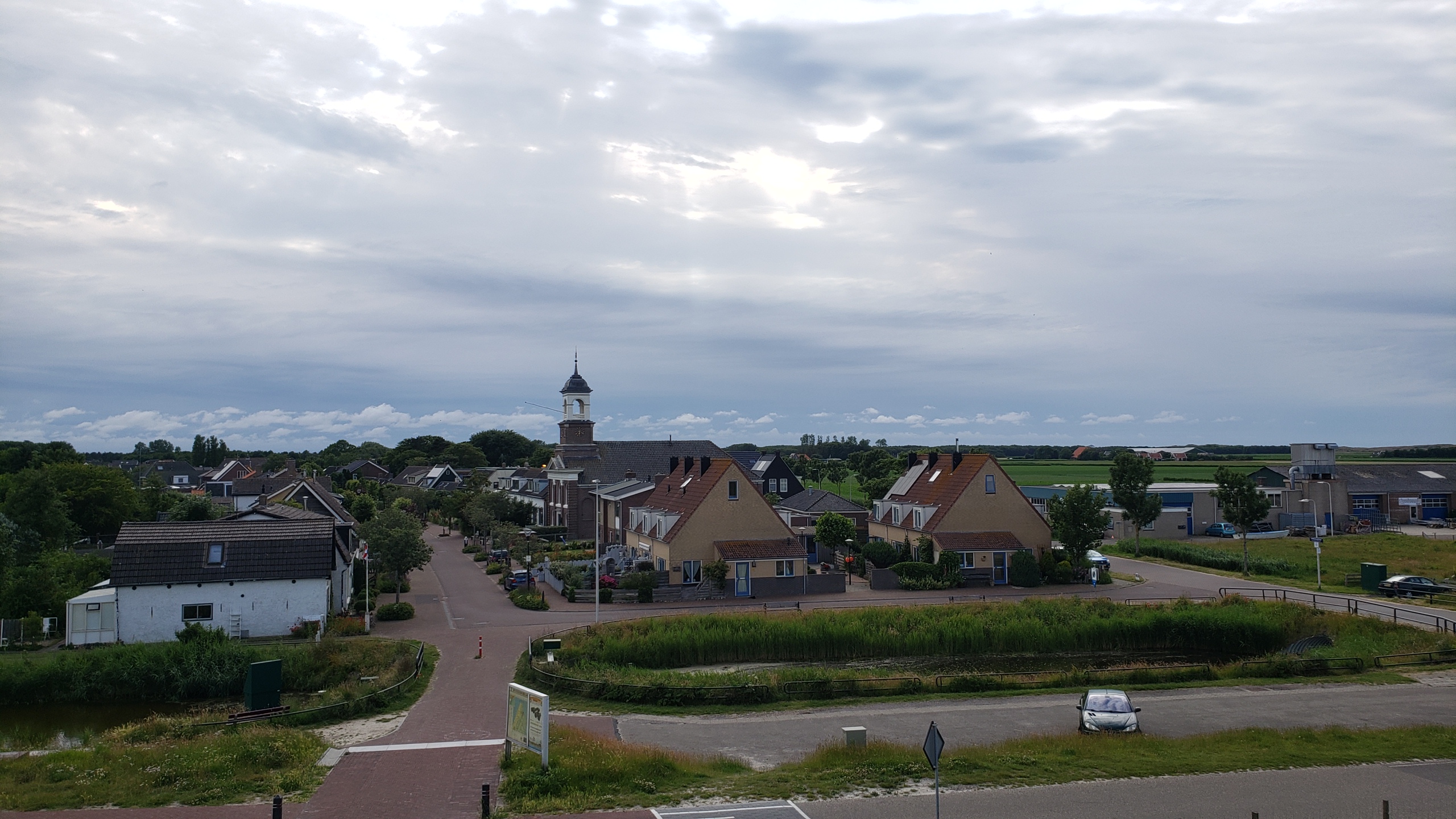
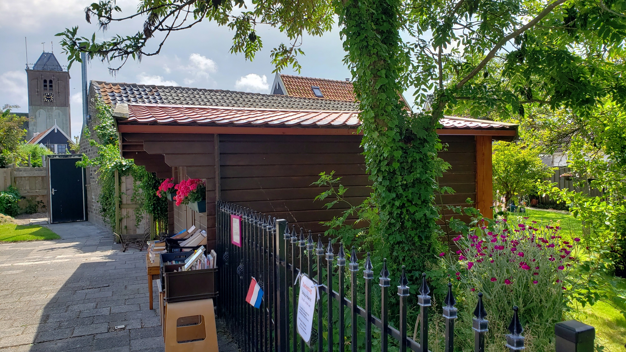
Farm buildings on the southern edge of the village of Den Hoorn, on Texel — with main village itself in the distance on the photo below. Hopefully this weekend, I’ll manage to figure out which Texel (pronounced “tessel,” it seems) photos I still haven’t posted, and get those ready for sharing in the day(s) ahead. I might have mentioned that I had a hard crash on my computer – mostly self-inflicted b/c there were some dialogues coming up which made me fear a virus had infected the computer, so I reinstalled everything, and thought I’d backed up up all the photos I’d already sorted and named…but turns out the backup was messed up and files didn’t open, so I’ve been recovering from my phone. At least one generally has several layers of backup in this digital world, eh? 🙂 Anyone coming to NL at a time when the weather is lovely should seriously consider a quiet day or two up on Texel. It’s really gorgeous 🙂
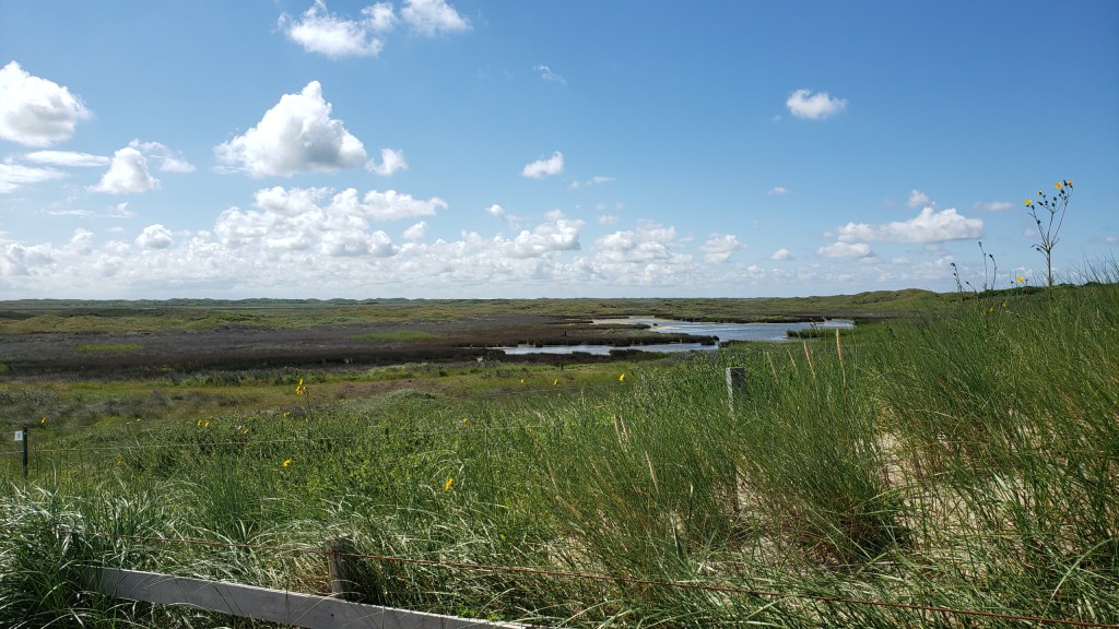
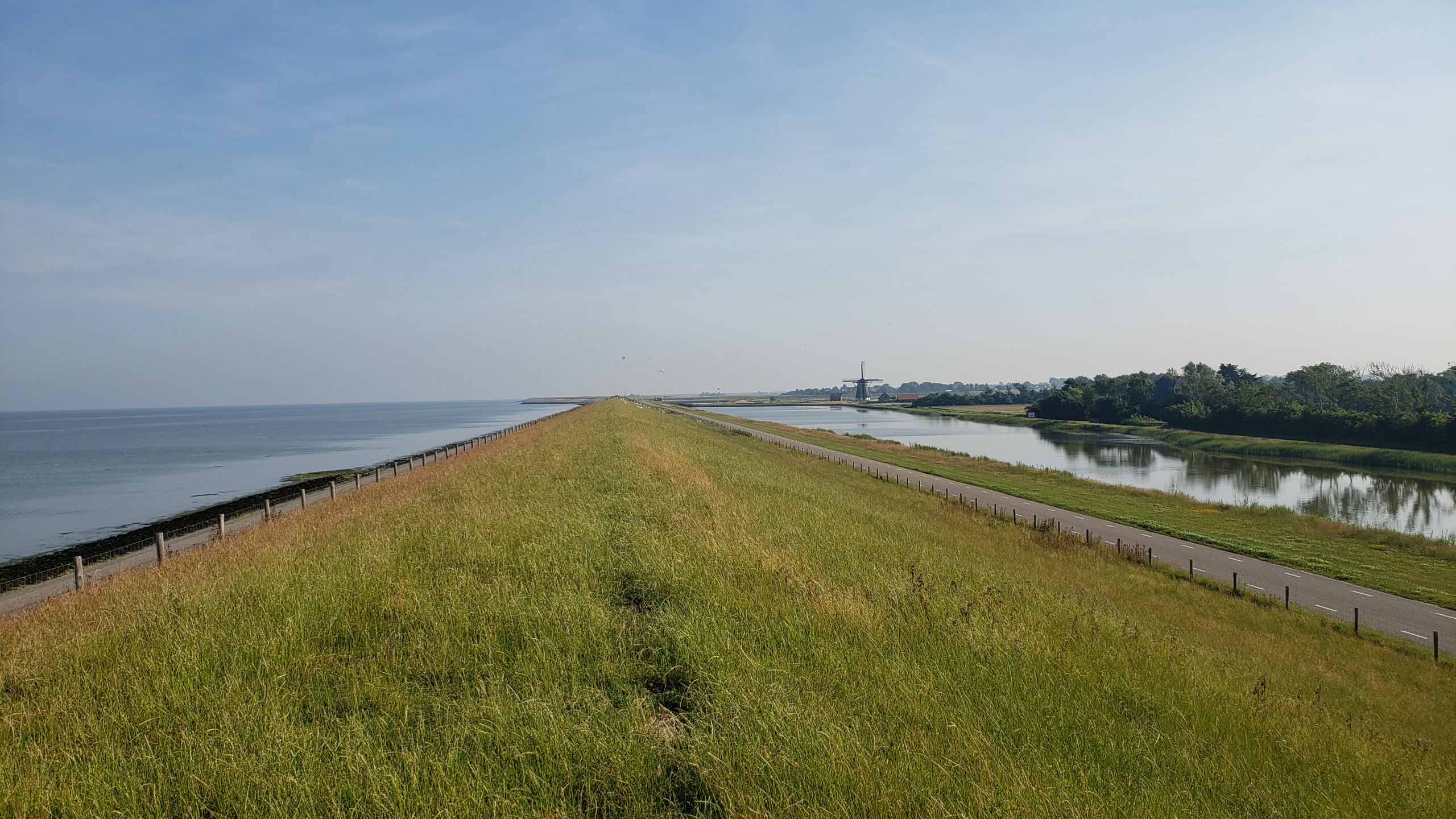
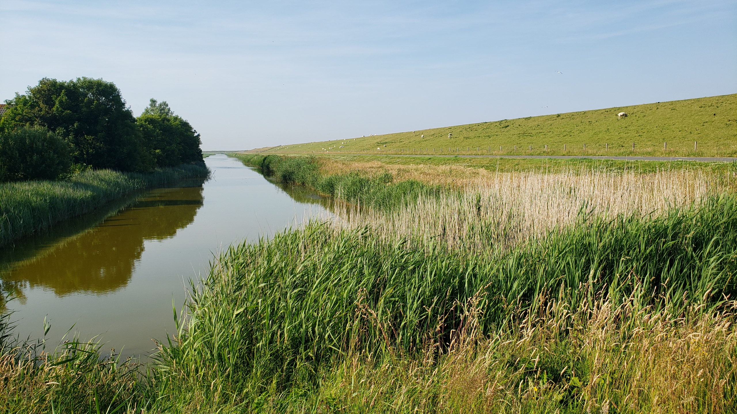
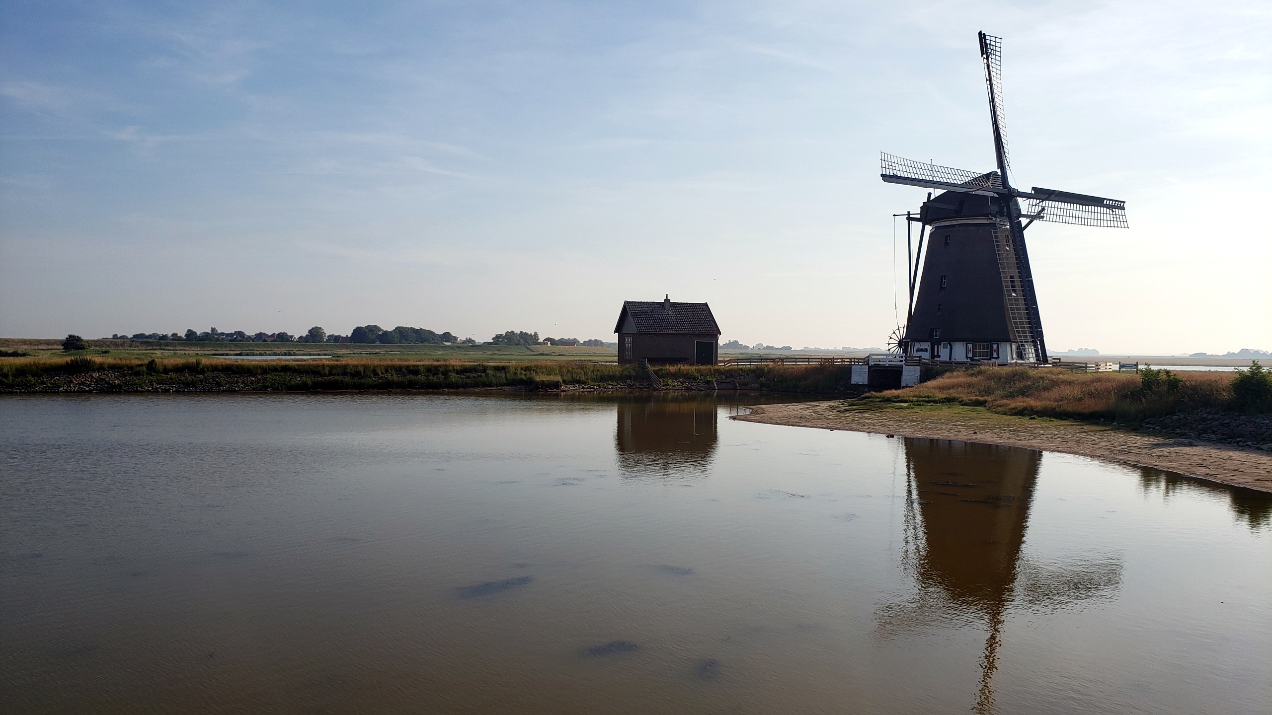
This is the dike about which my brother Steve asked me in a recent post. To the right is an inland (country) canal, to the left what I believe can already be called the Wattenmeer or Wadden Sea here, although most folks think of it as being much further east. Texel is the westernmost of the many Frisian islands which collectively – I believe? – form the outer boundary of the Wattenmeer. Correct me in a comment if I’m wrong, someone, please. This dike runs most of the length of the eastern edge of Texel, where natural dunes aren’t as prevalent as they are on the western (much windier!) side. The road – also named Lancasterdijk – runs up nearly to de Cocksdorp, which you’ll see again from this vantage point in our next post :-).


 Summer is now well and truly gone here, so I’m piling all my remaining photos from that lovely early-summer visit to Texel into another post of my revived “coasting” series…since pretty much all of these are very much coastal in one way or another, eh? 🙂