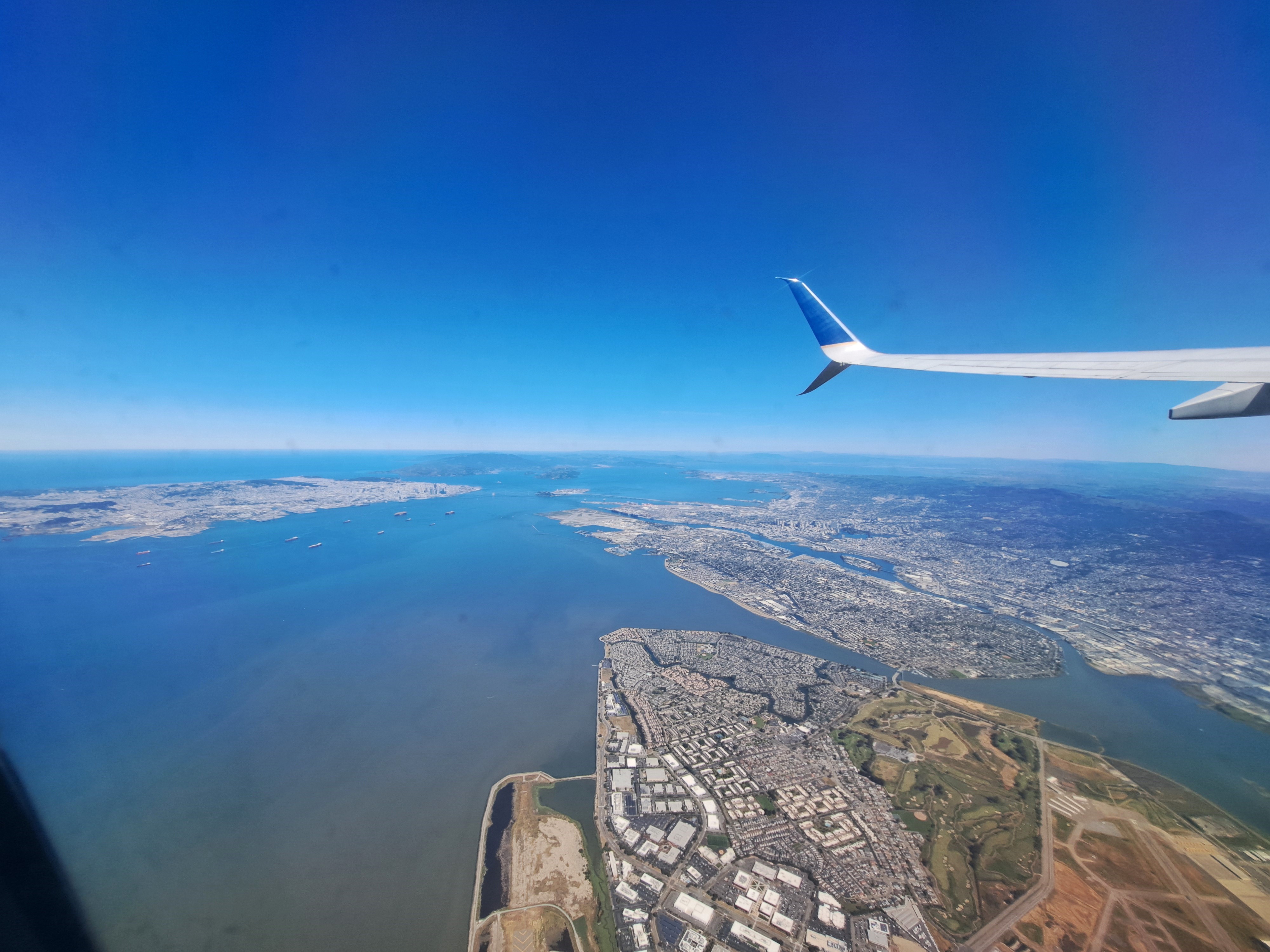
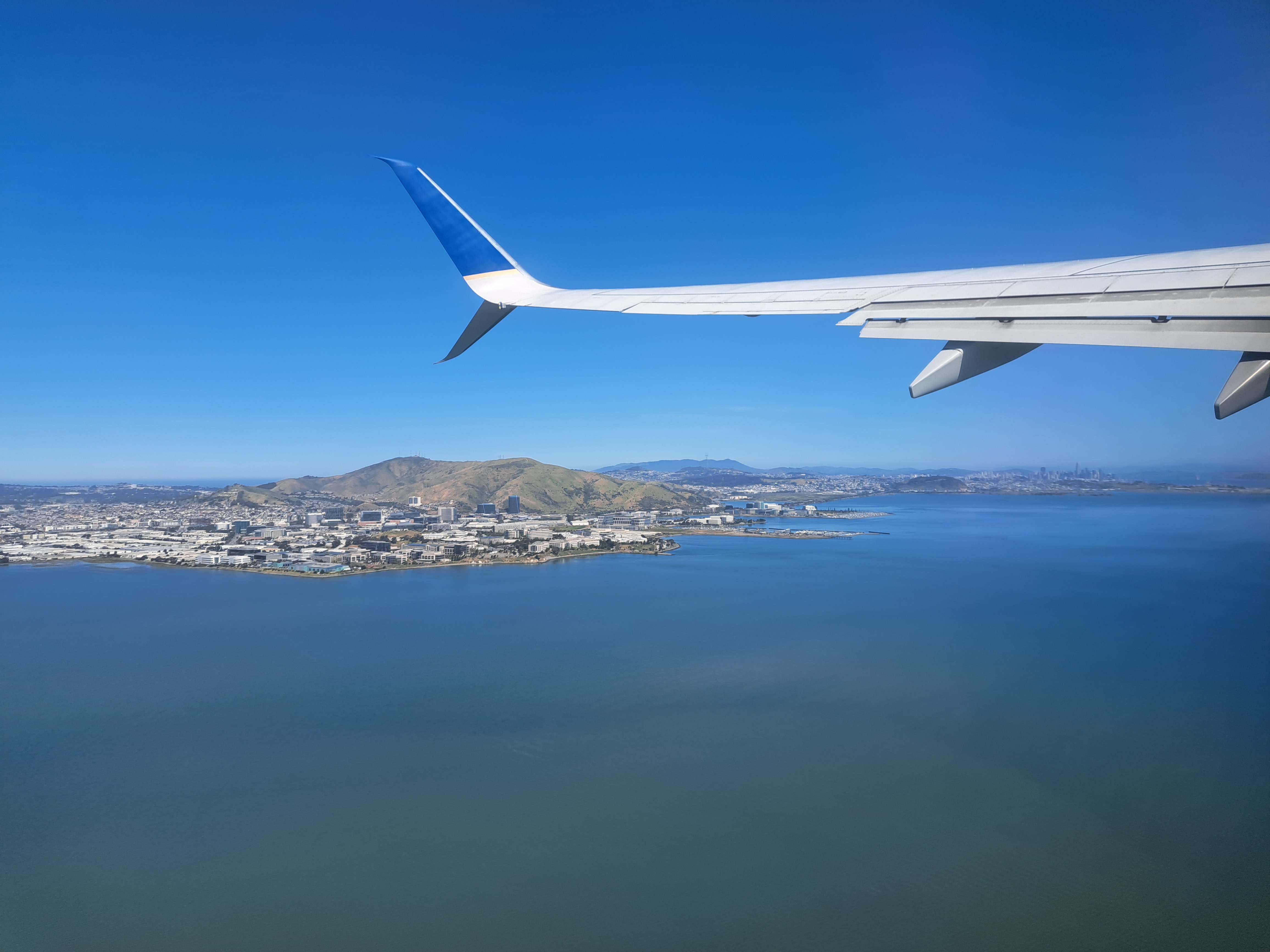
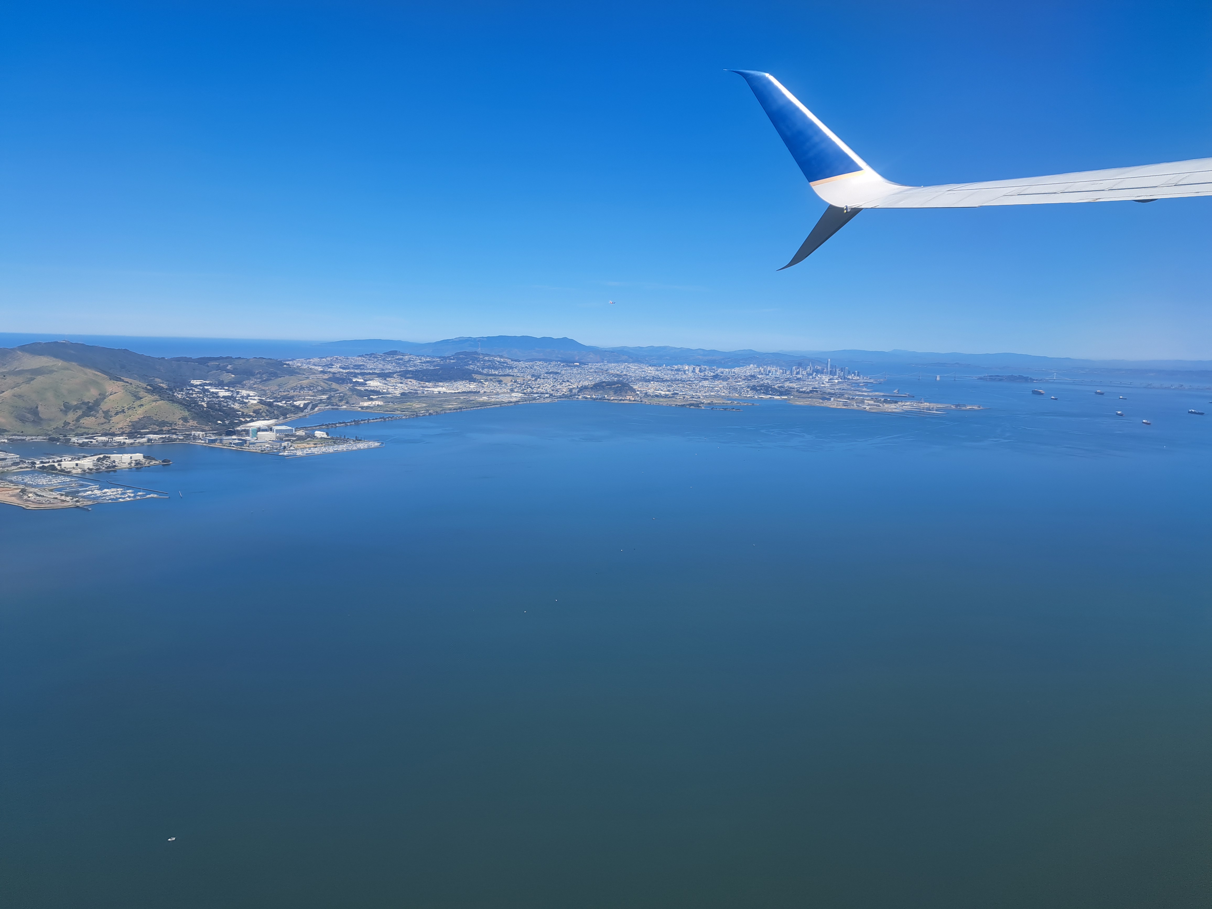
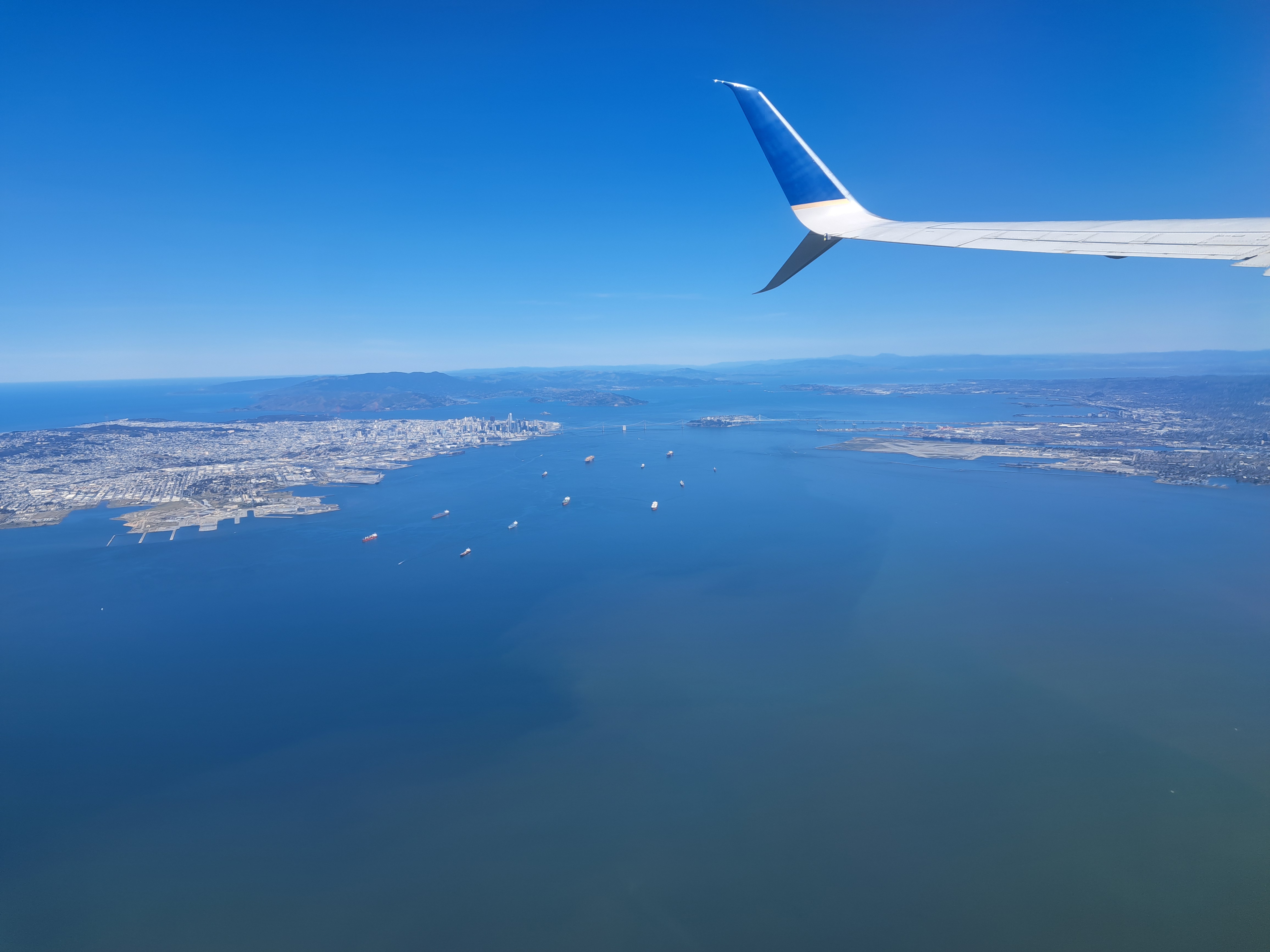
The last shots I’ve not yet posted from our May departure from SFO en route to Pittsburgh. Still plenty left, of snowy Sierra and Rocky mountains and so on. But this is another farewell to the bay-area shots from my most recent trip. For those unfamiliar — open a map of SF and the bay, and then it’ll make sense. SF city itself is that white area in the upper left, while Alameda island is in the middle right, below the wing. The rounded bay you to the top middle is San Pablo bay, which we’ve shown you before – it’s part of the SF Bay but separately named b/c as you see it’s a bit distinct, having various peninsulas and such to define it a bit more clearly.


Leave a comment