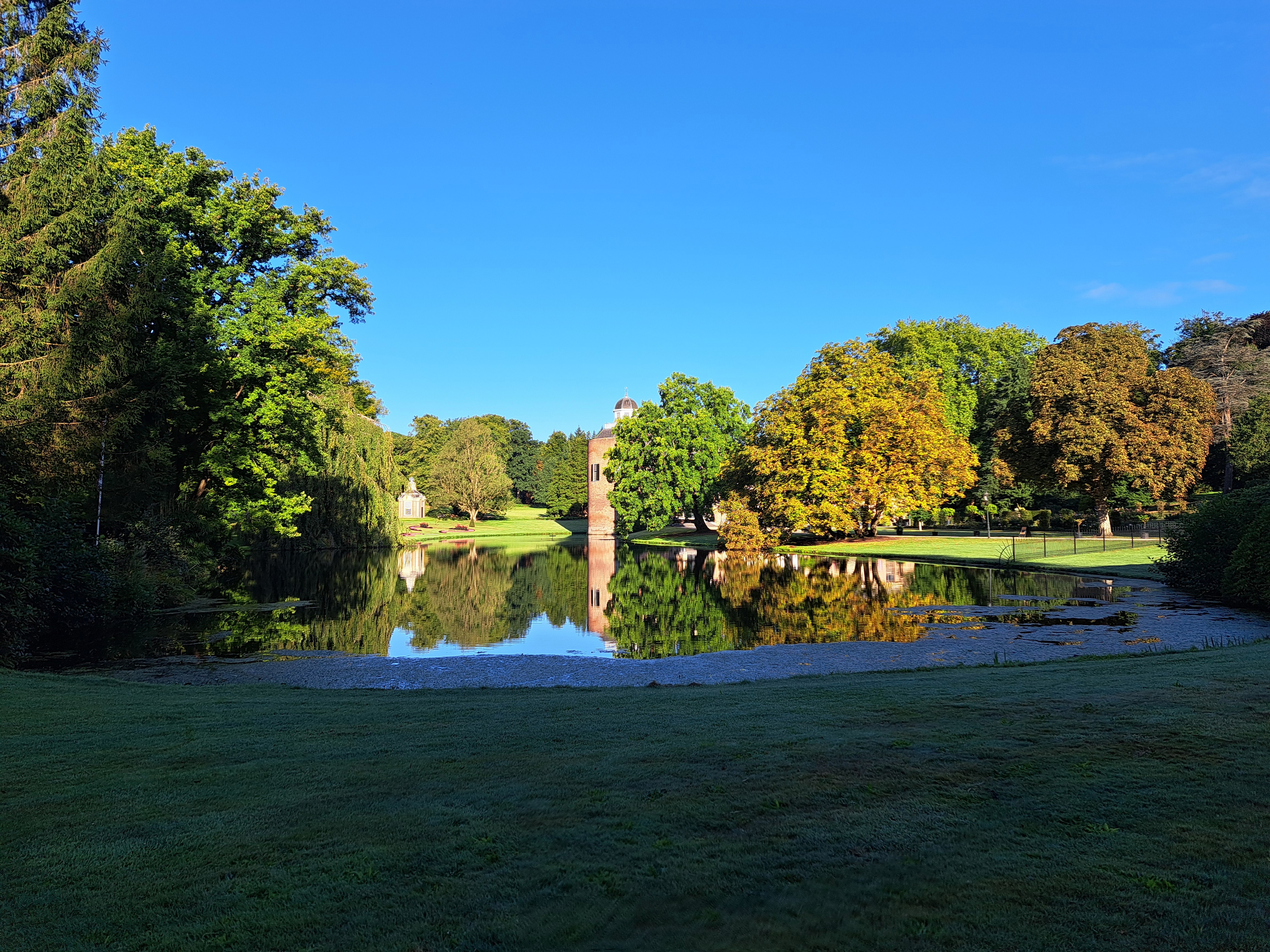
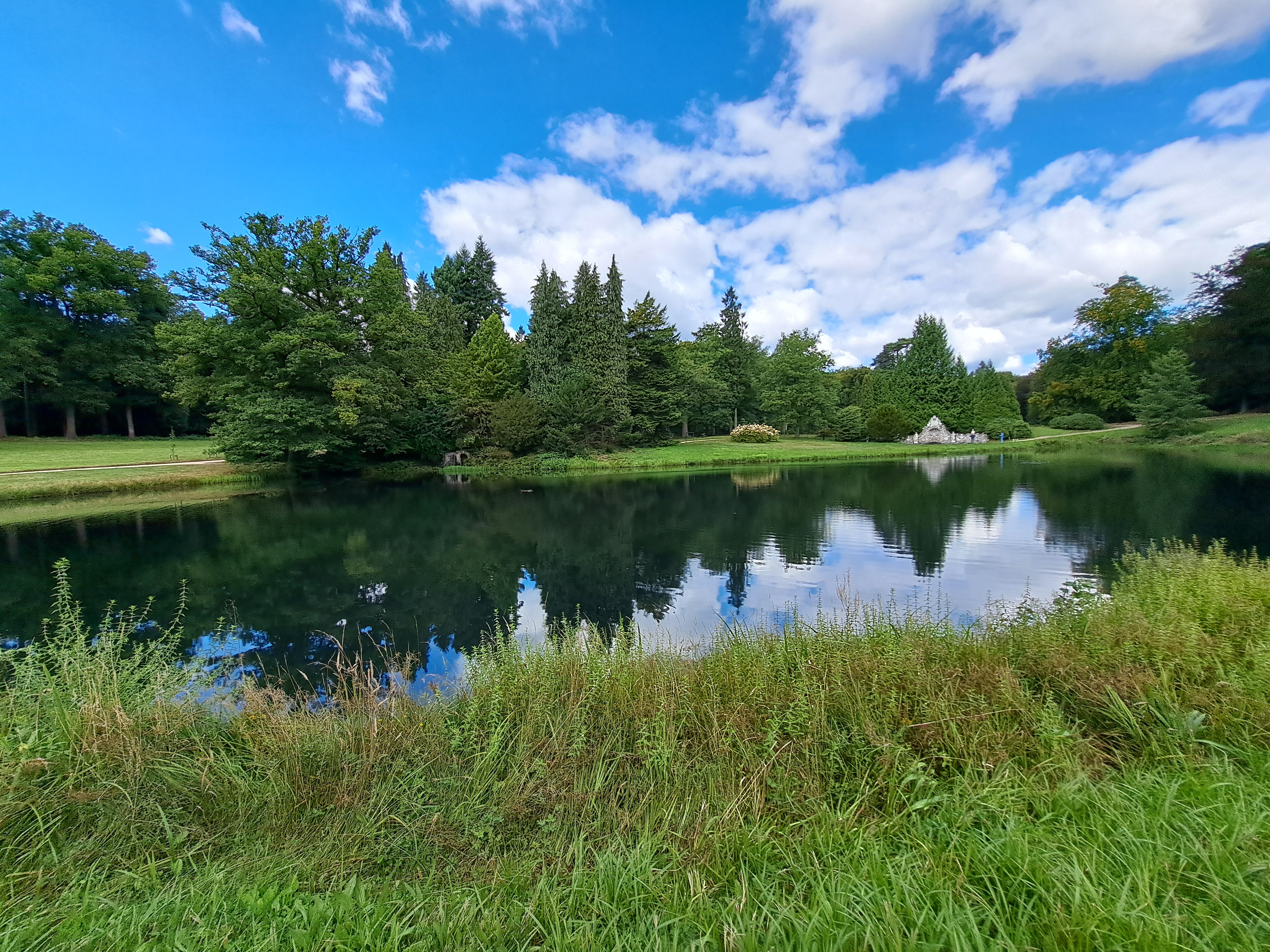
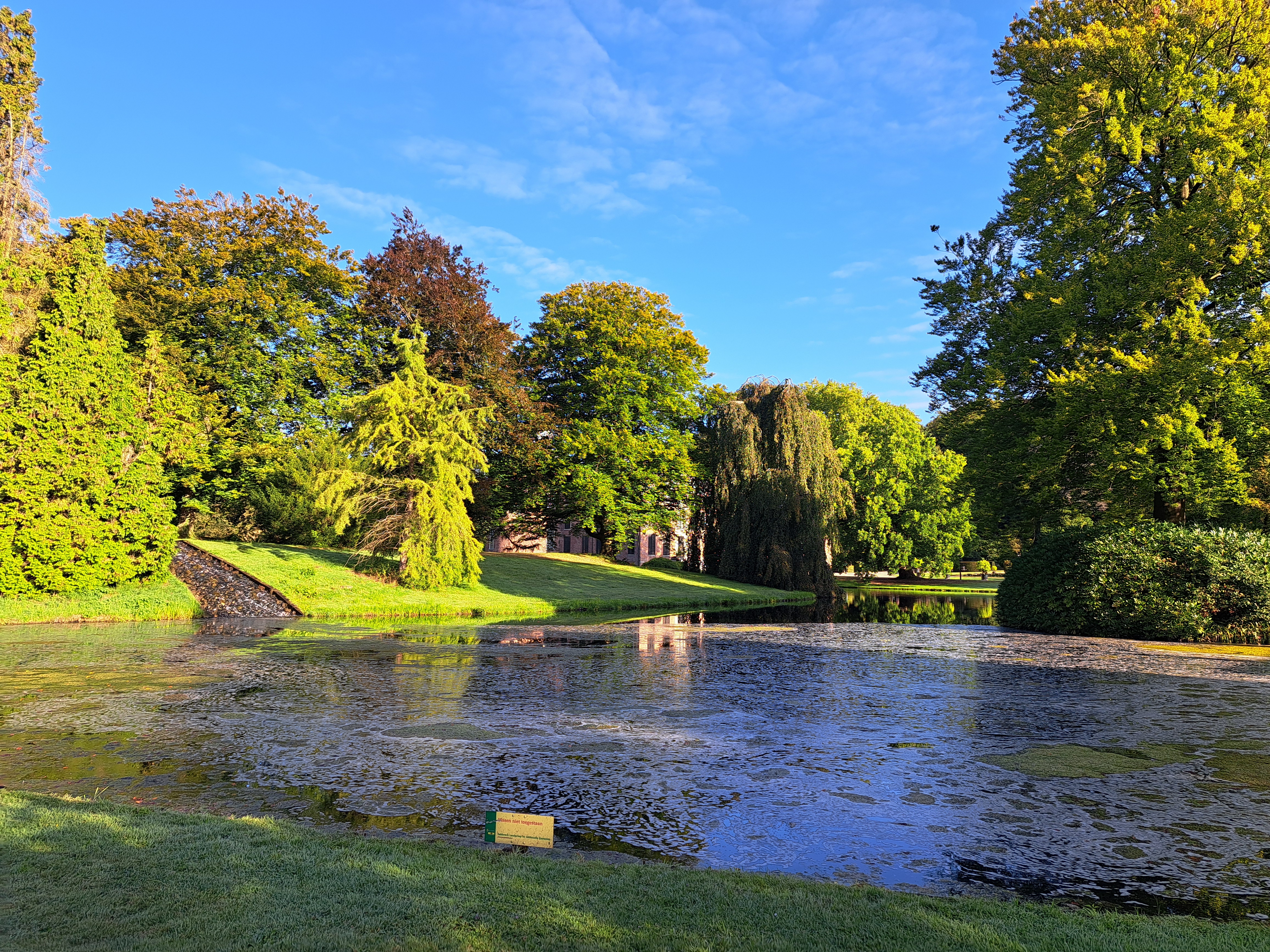
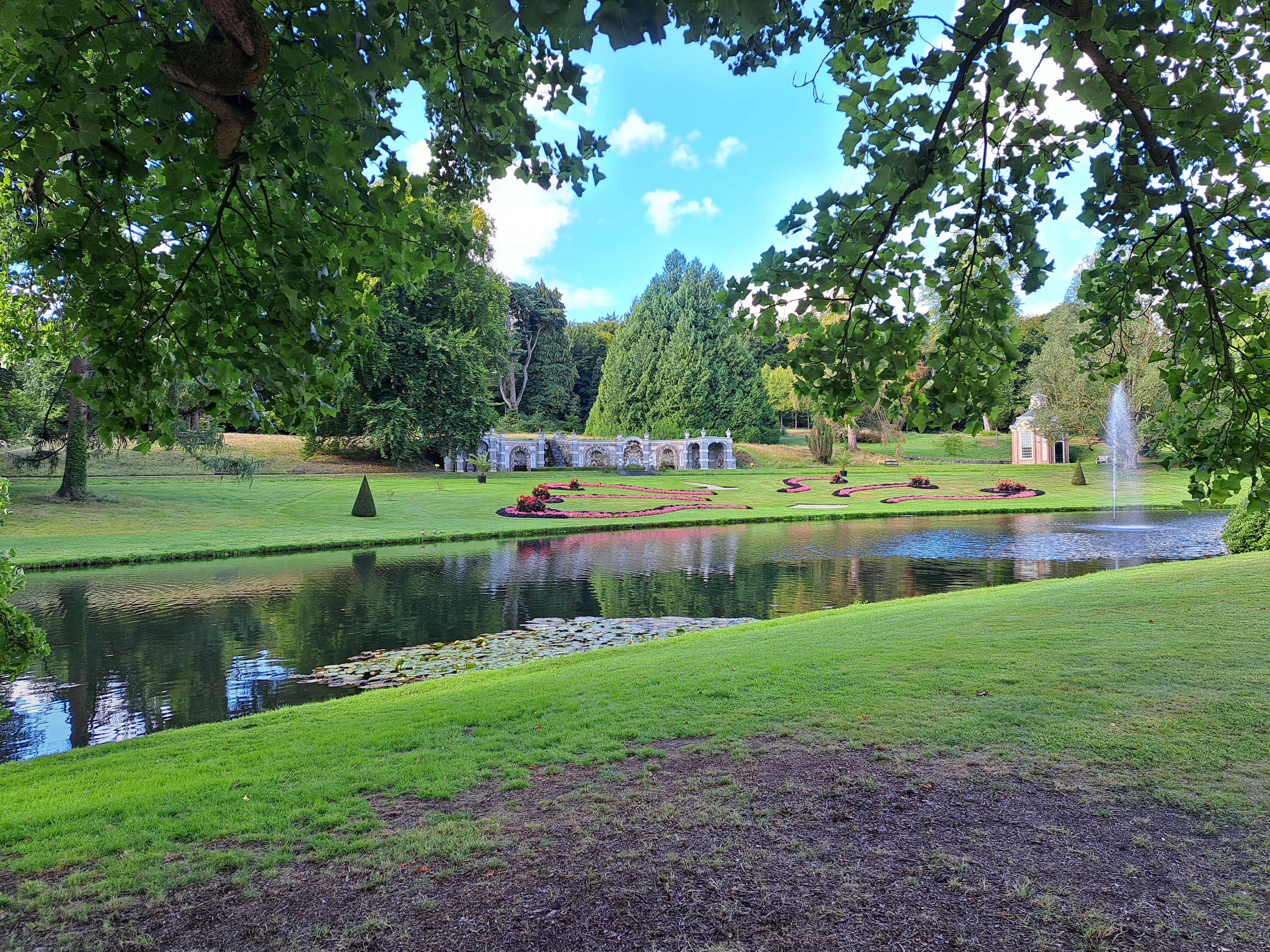
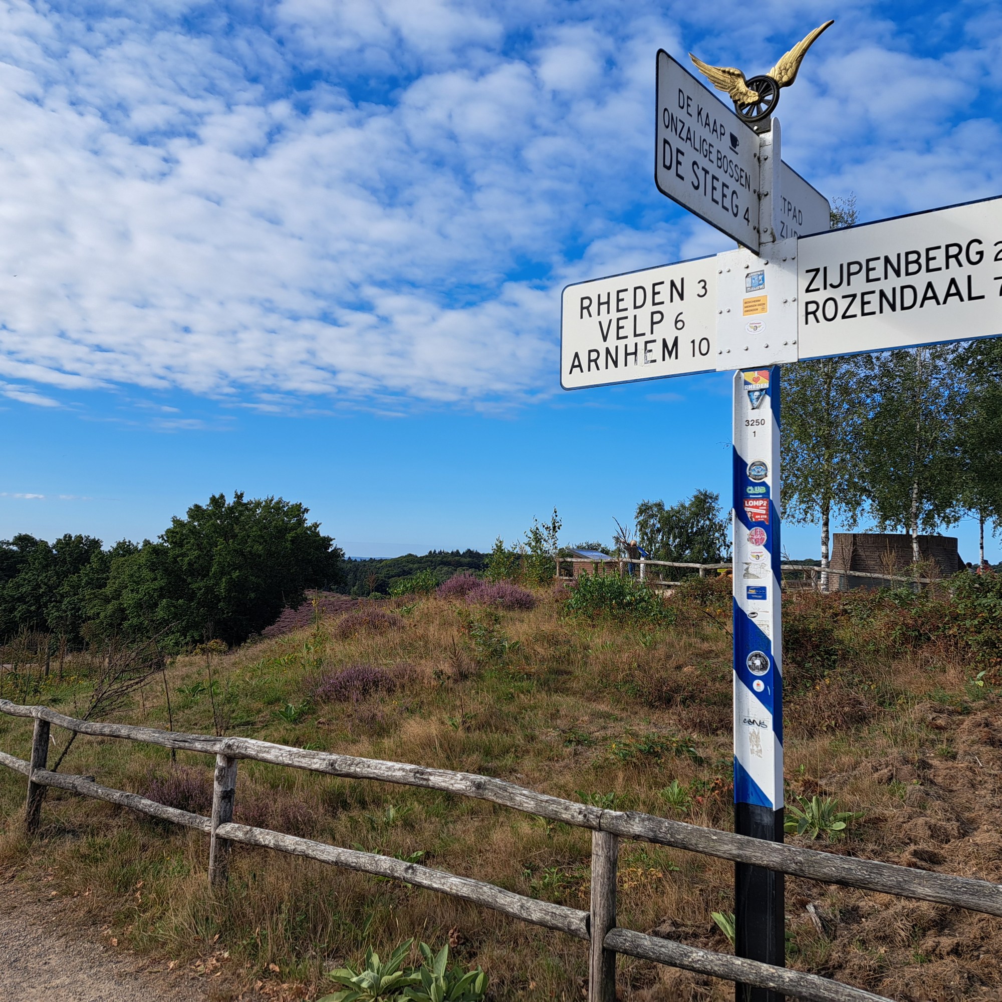
These are your first glimpses of the Castle and Park at Rosendael, a town just uphill from Velp where you may recall I spent two lovely nights at the end of my August bike tour of Central NL.
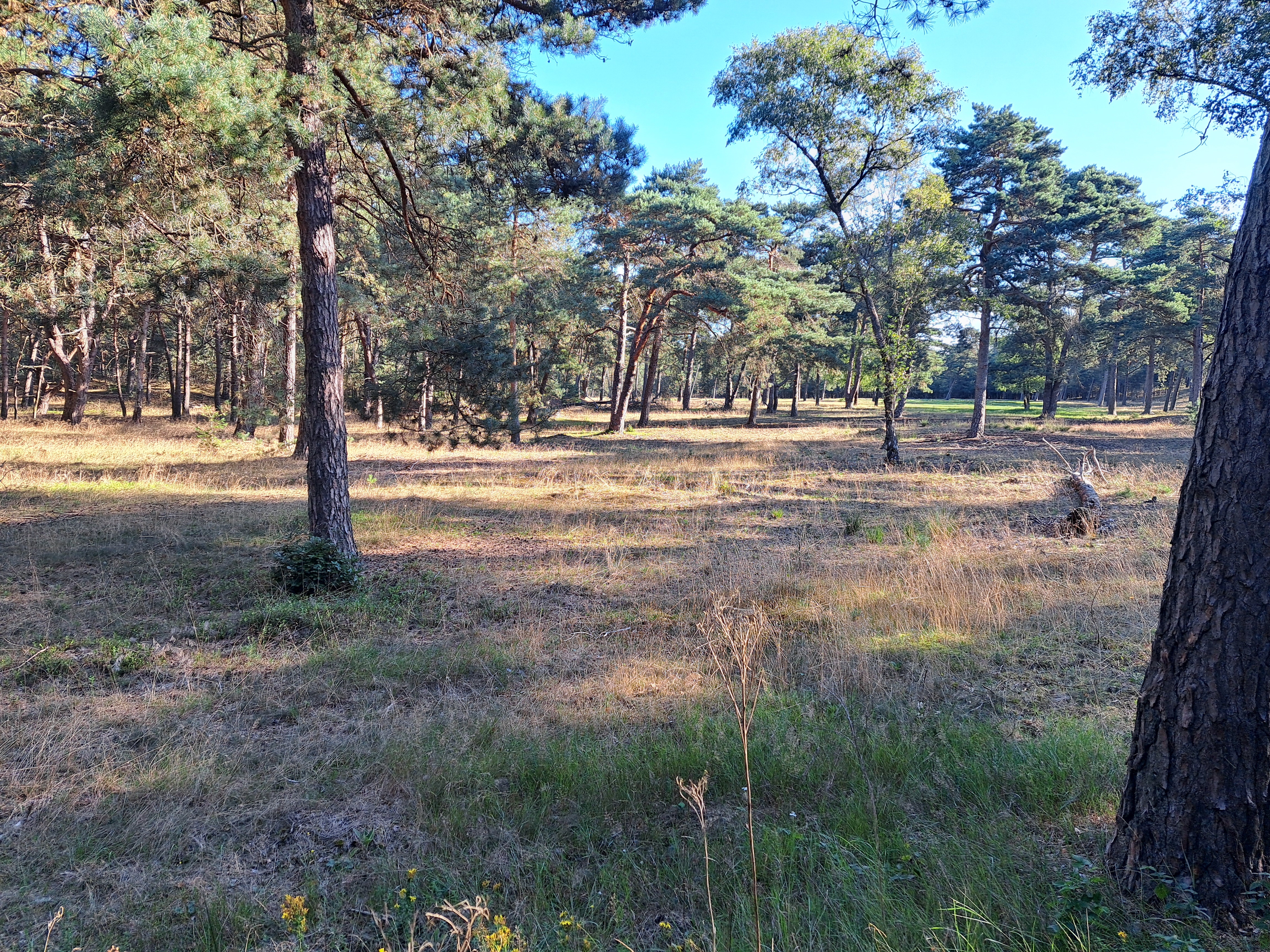
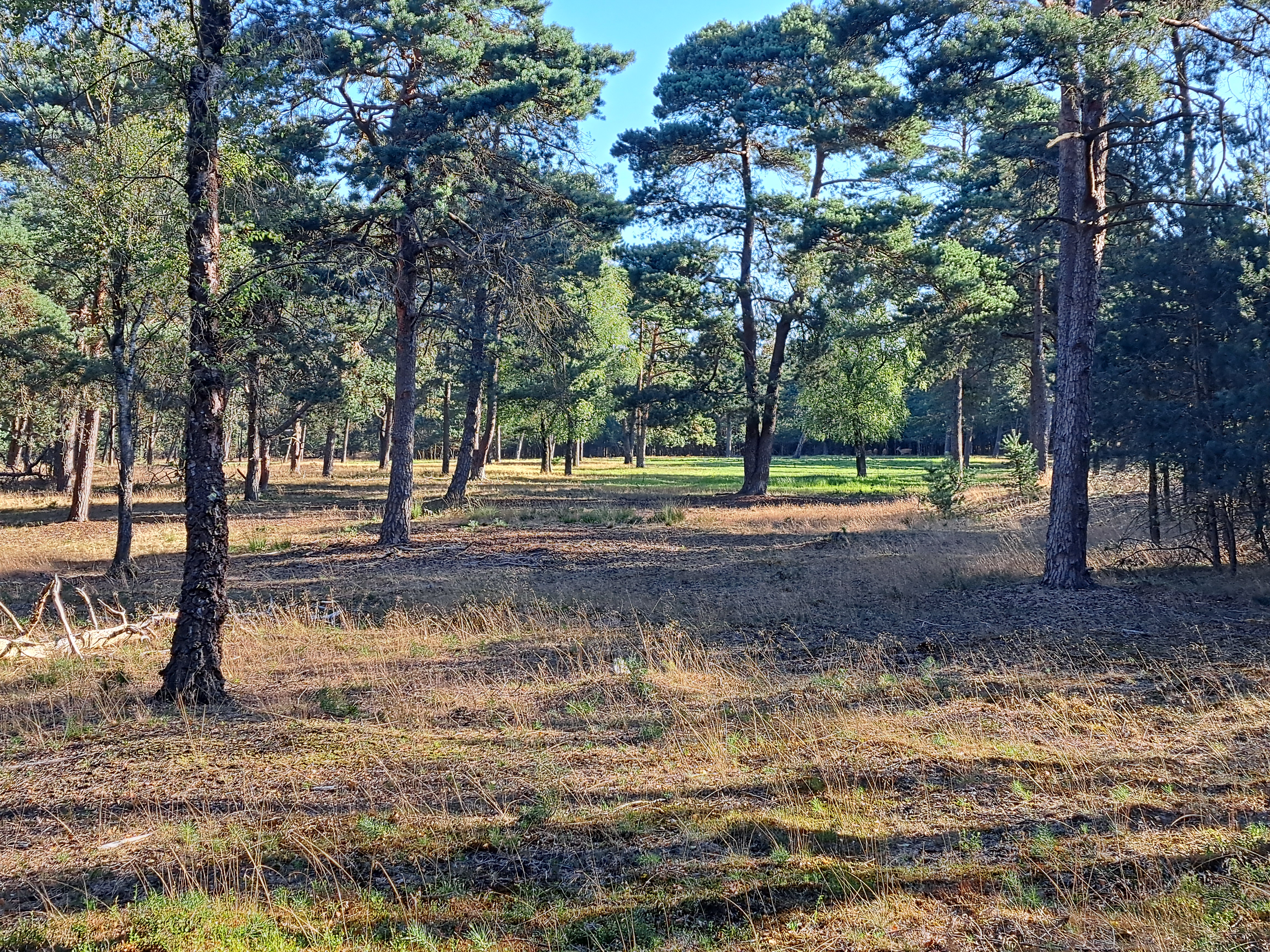
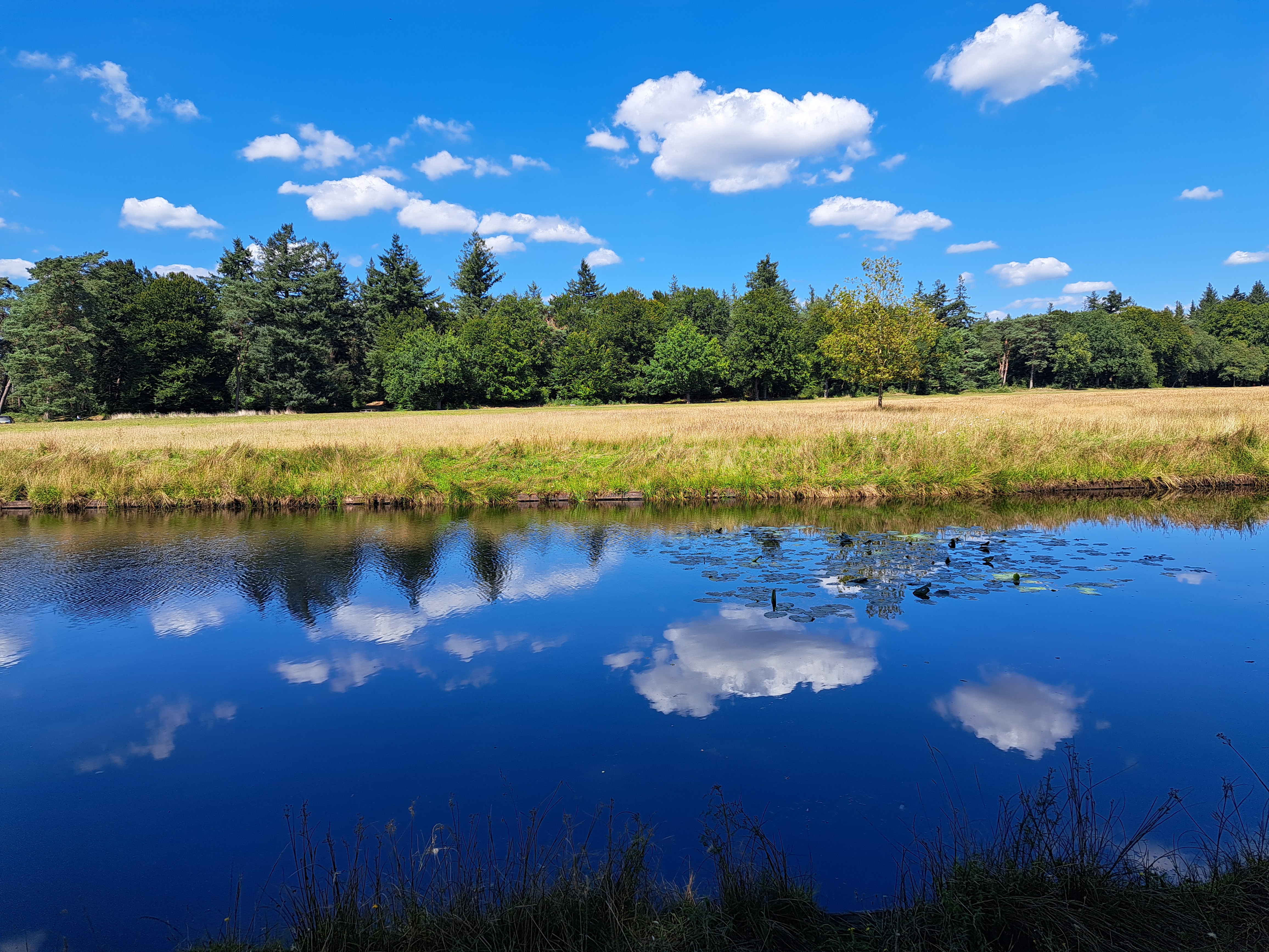
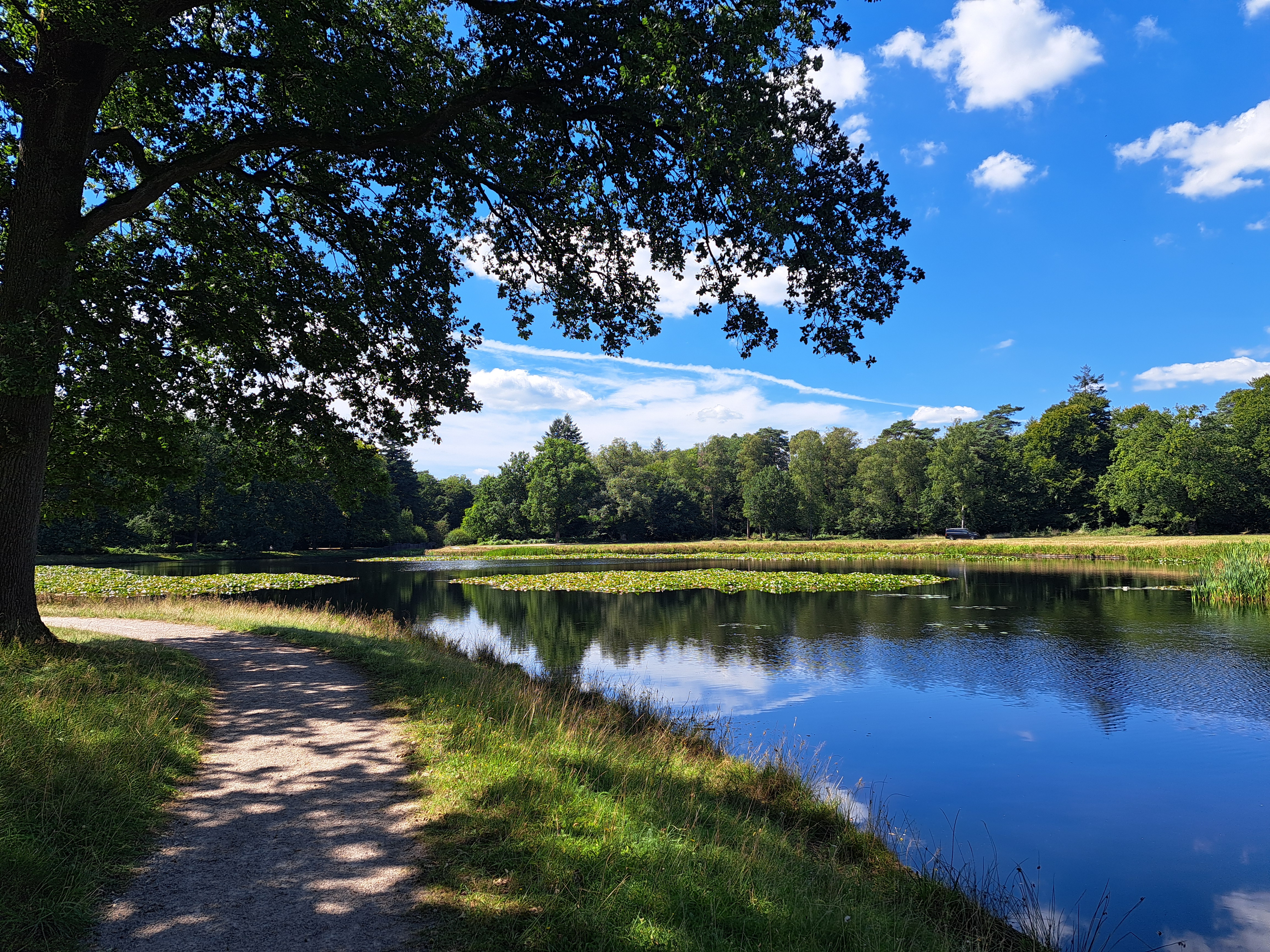
A few of the forest photos below contain some of the Hoge Veluwe’s wildlife as seen in the distance from a viewing blind during a quiet morning I spent watching young animals running in circles with much energy.
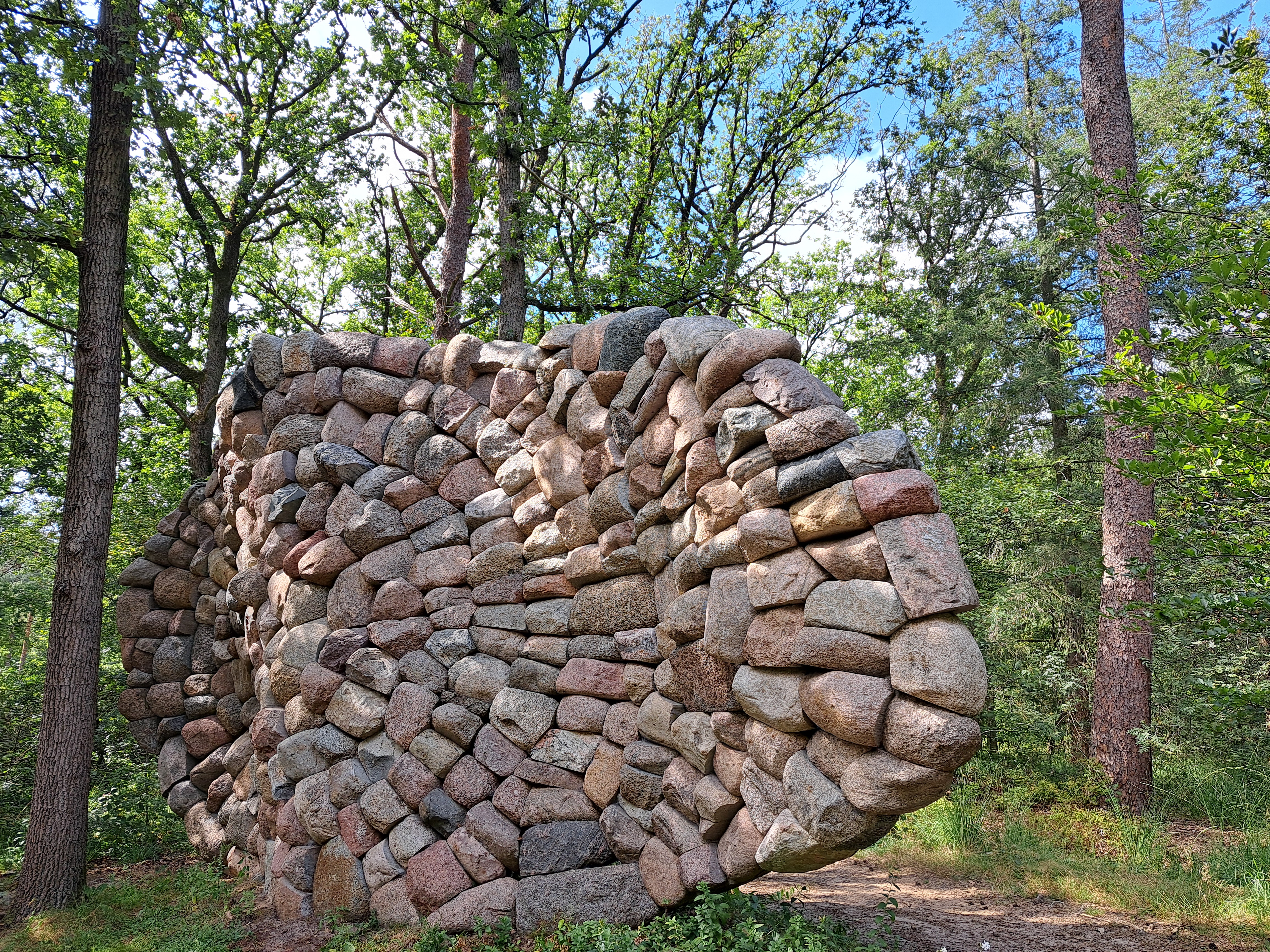
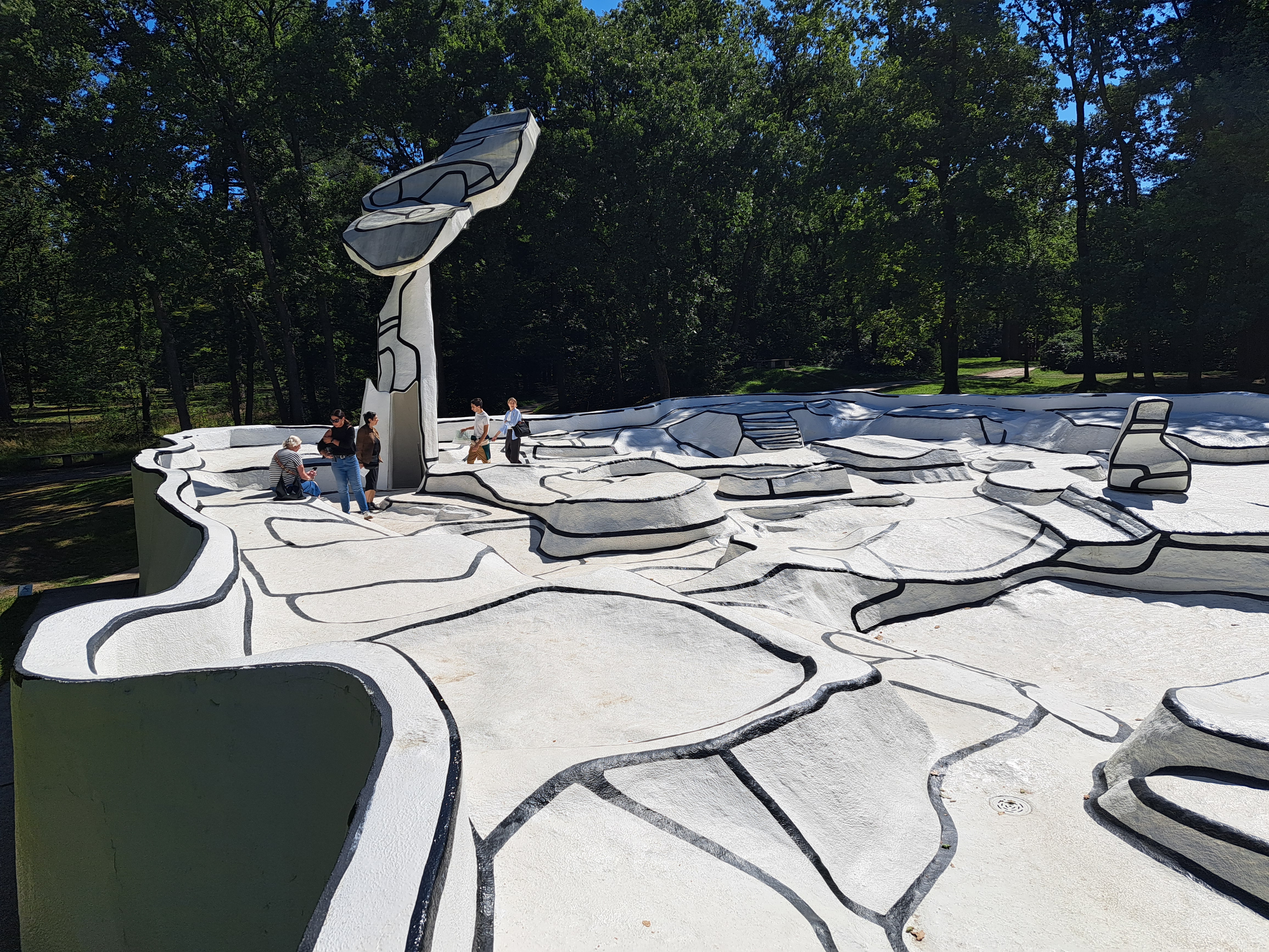
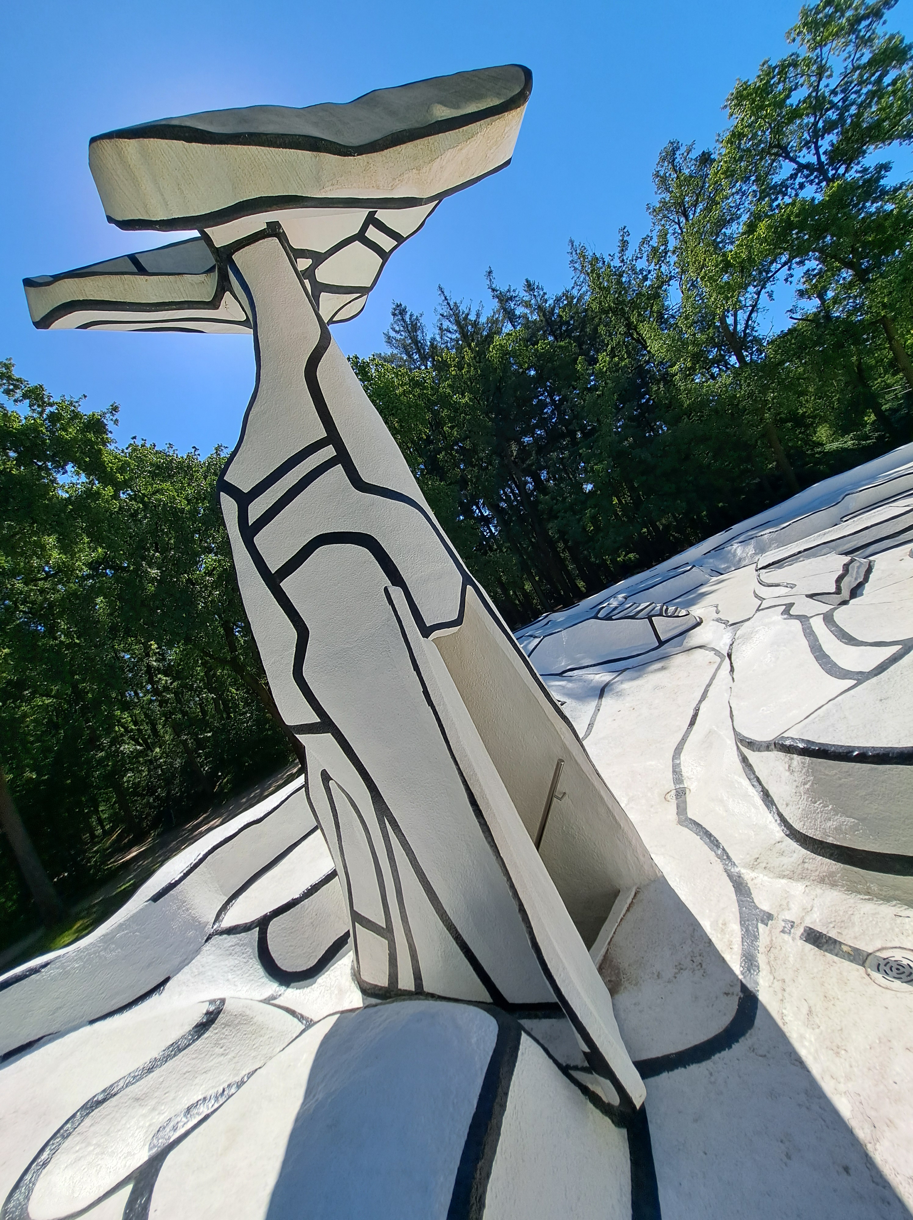
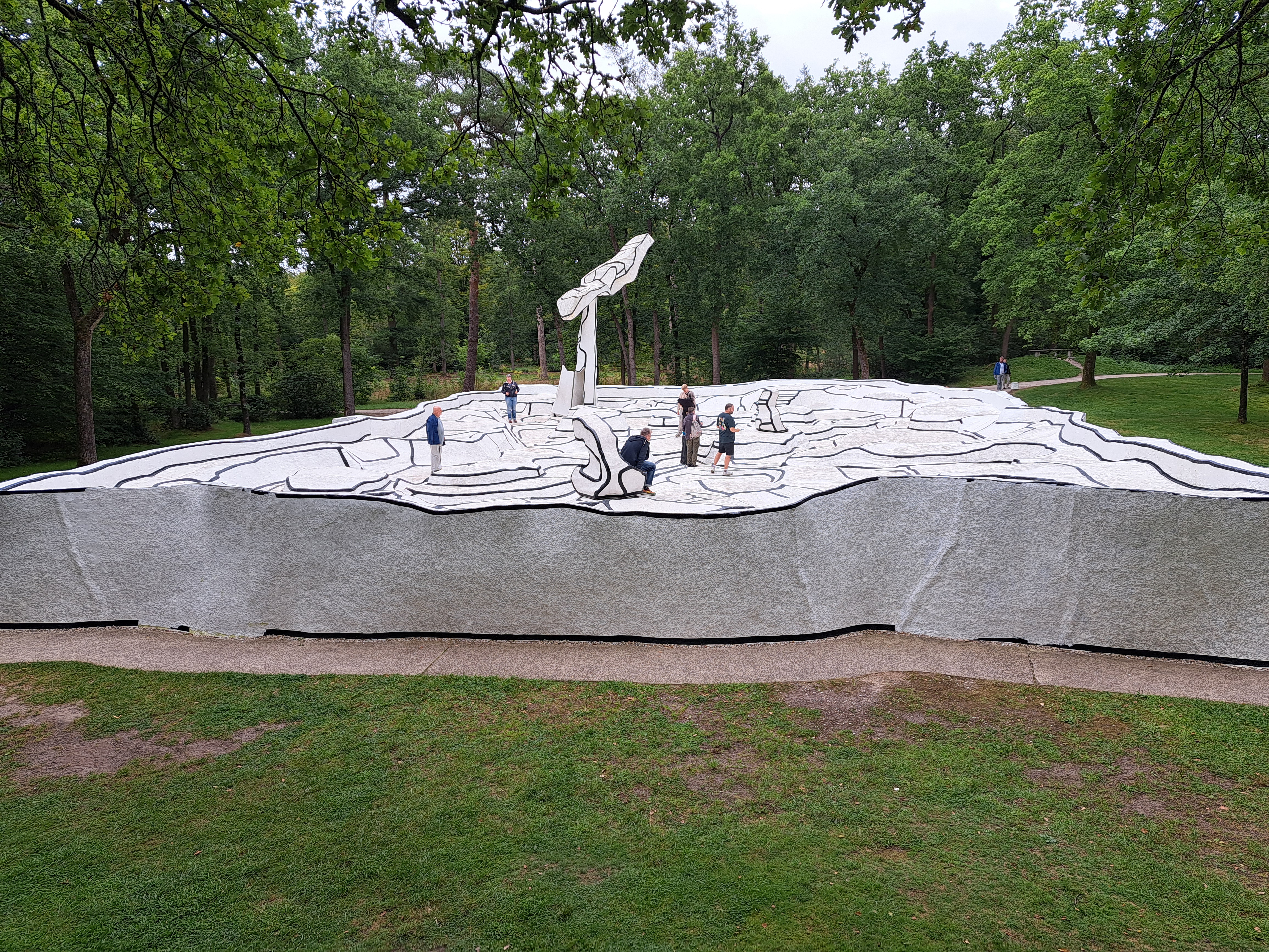
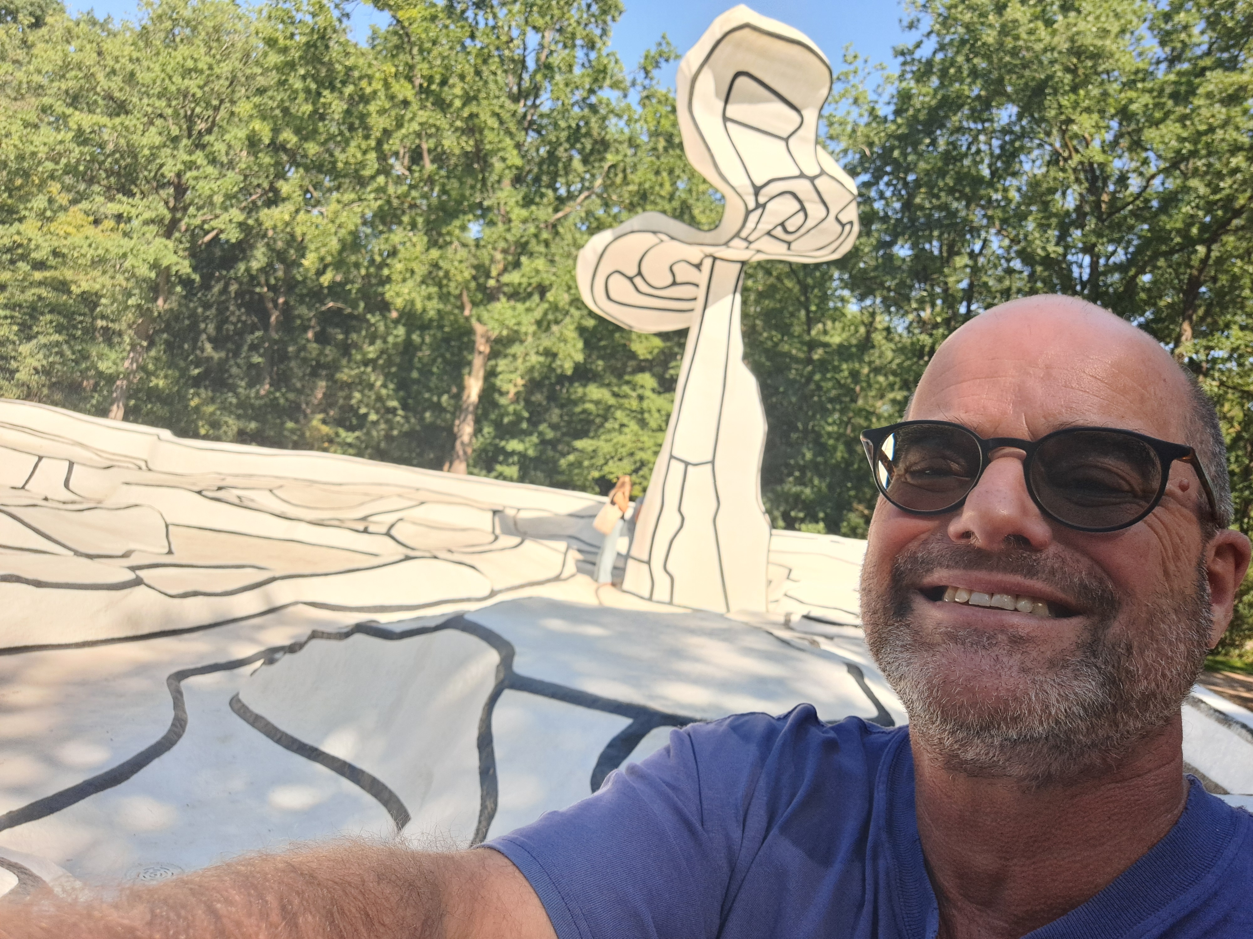
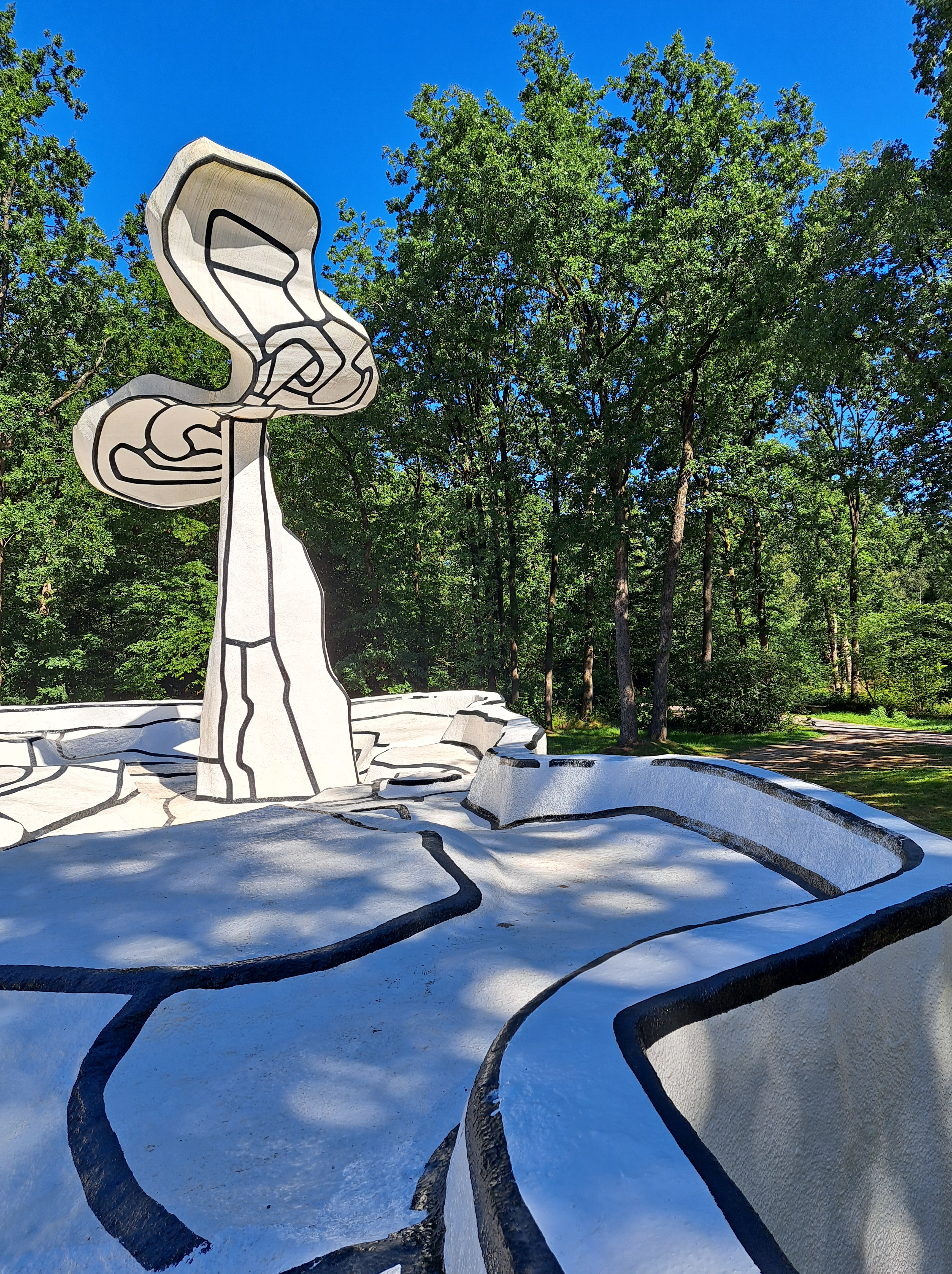
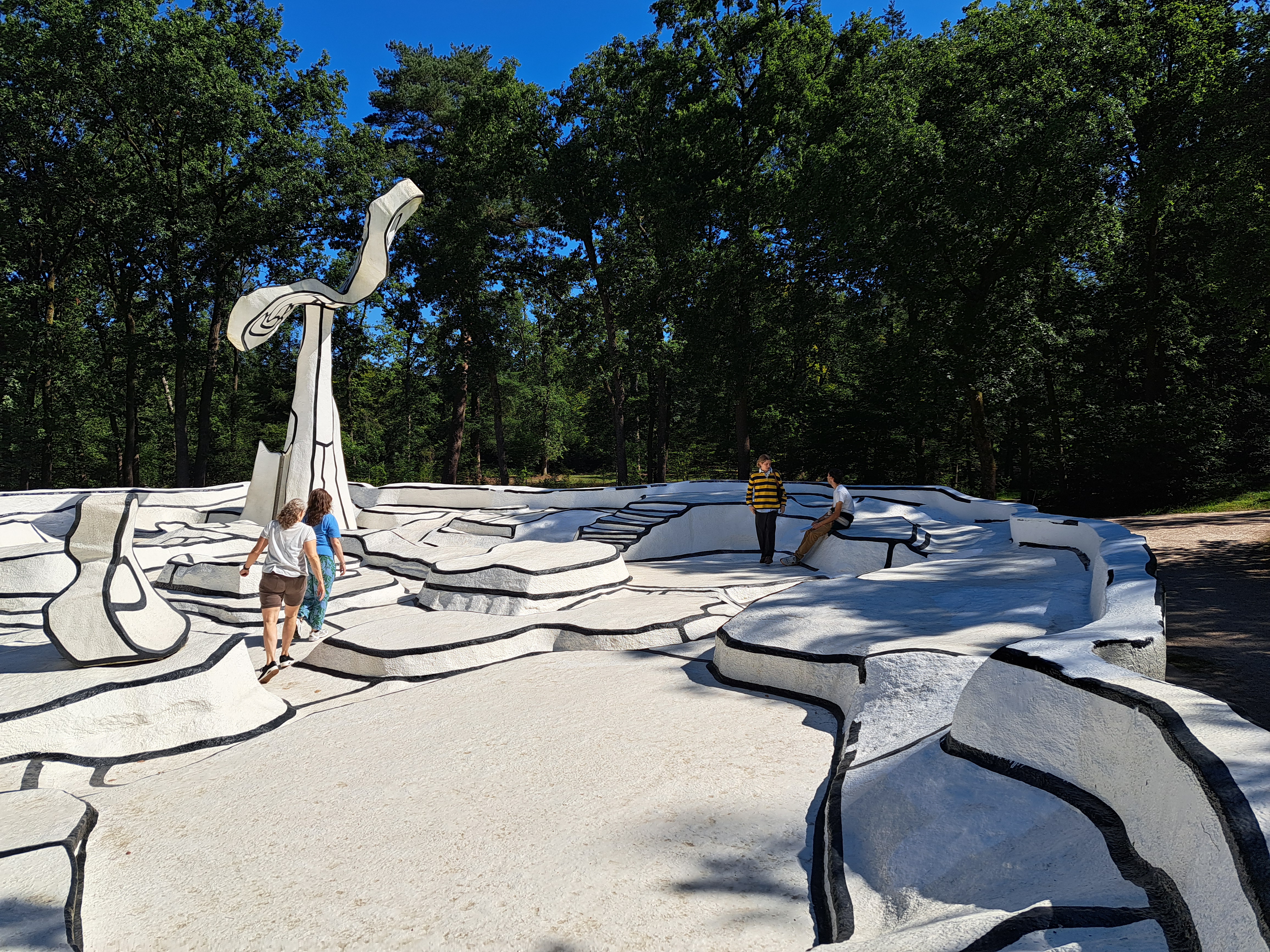
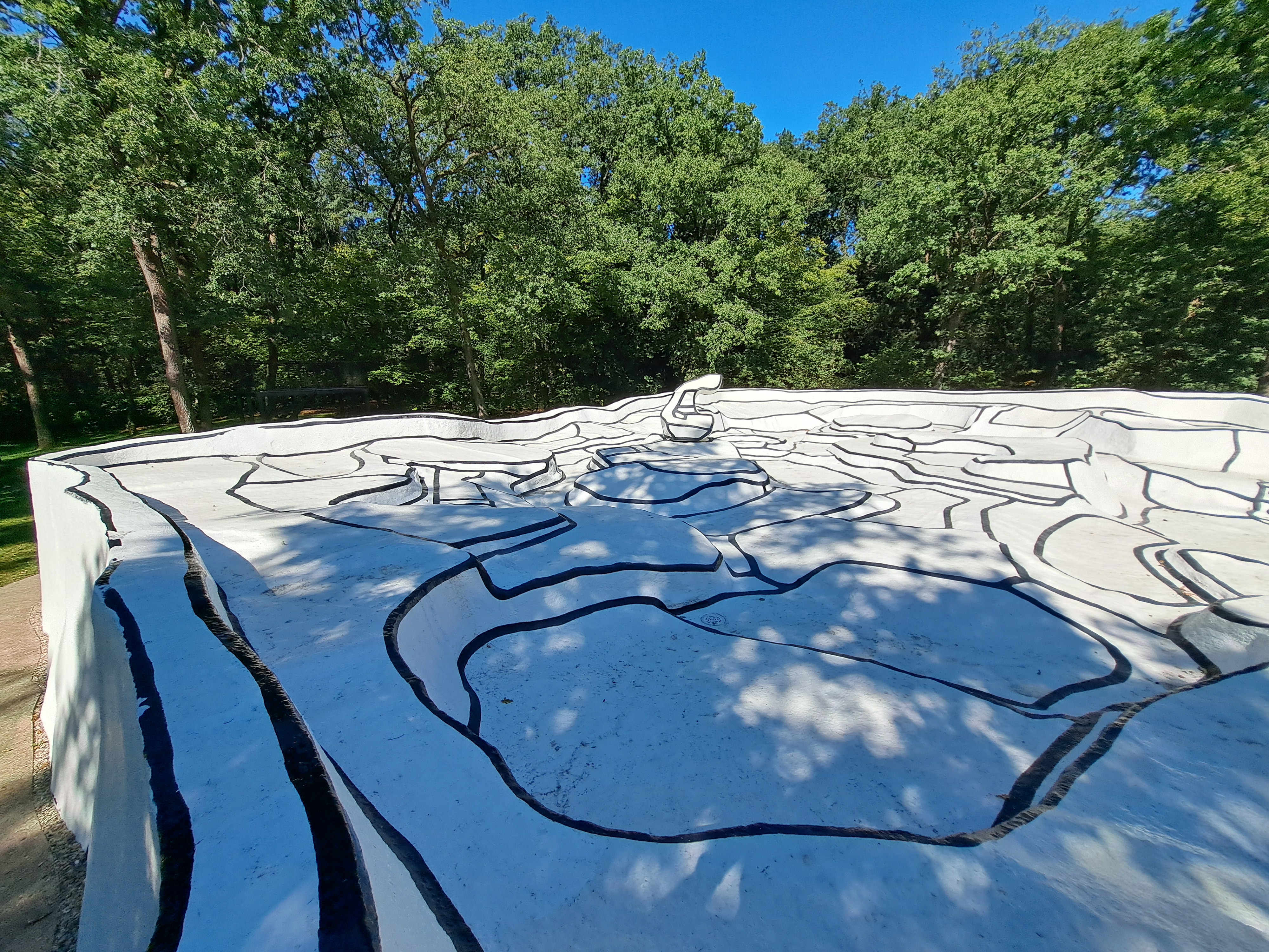
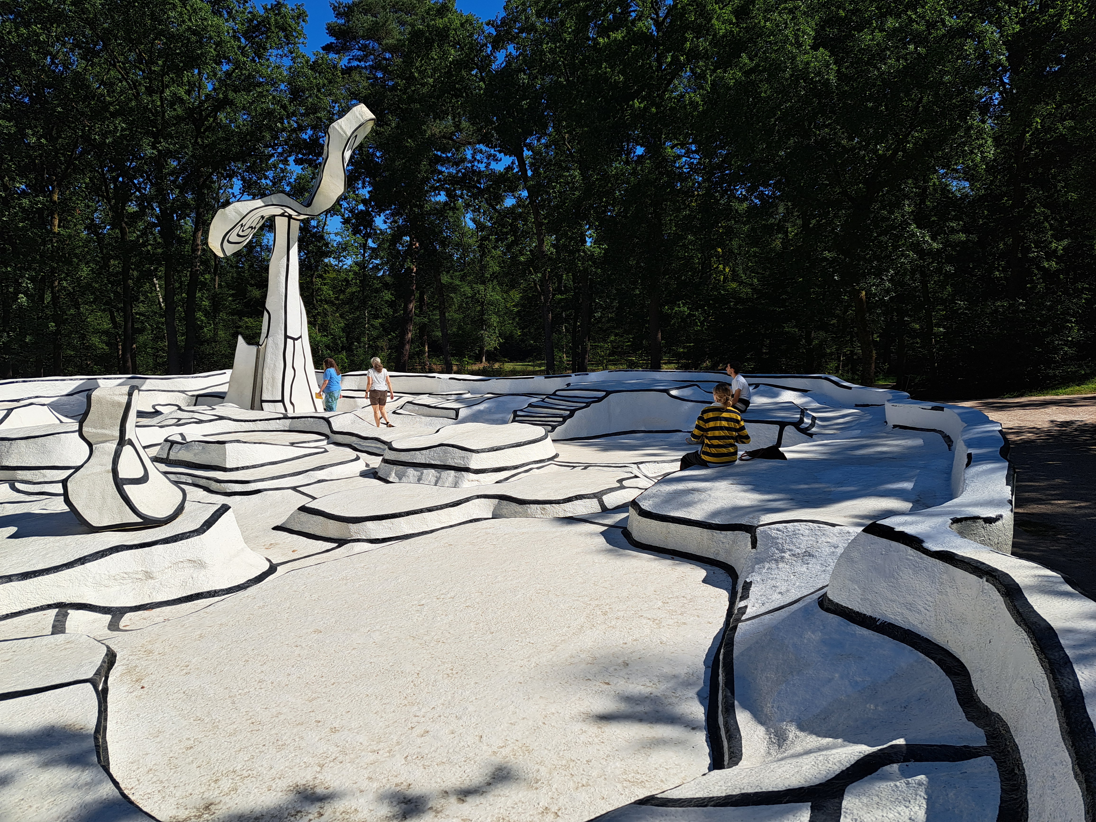
The remarkable work of art shown in this post is called “Jarden d’Email,” or “Enamel Garden” in English. It’s a 1974 creation by Jean Dubuffet, who clearly created it entirely as a site-specific work. Calling it a sculpture feels weak, because it feels like so much more. Even with all my wonderful experiences dating back the 1980s at Storm King, this particular, truly wonderful creation really took my imagination to new places. I visited it each of the three days on which I entered the museum & park.
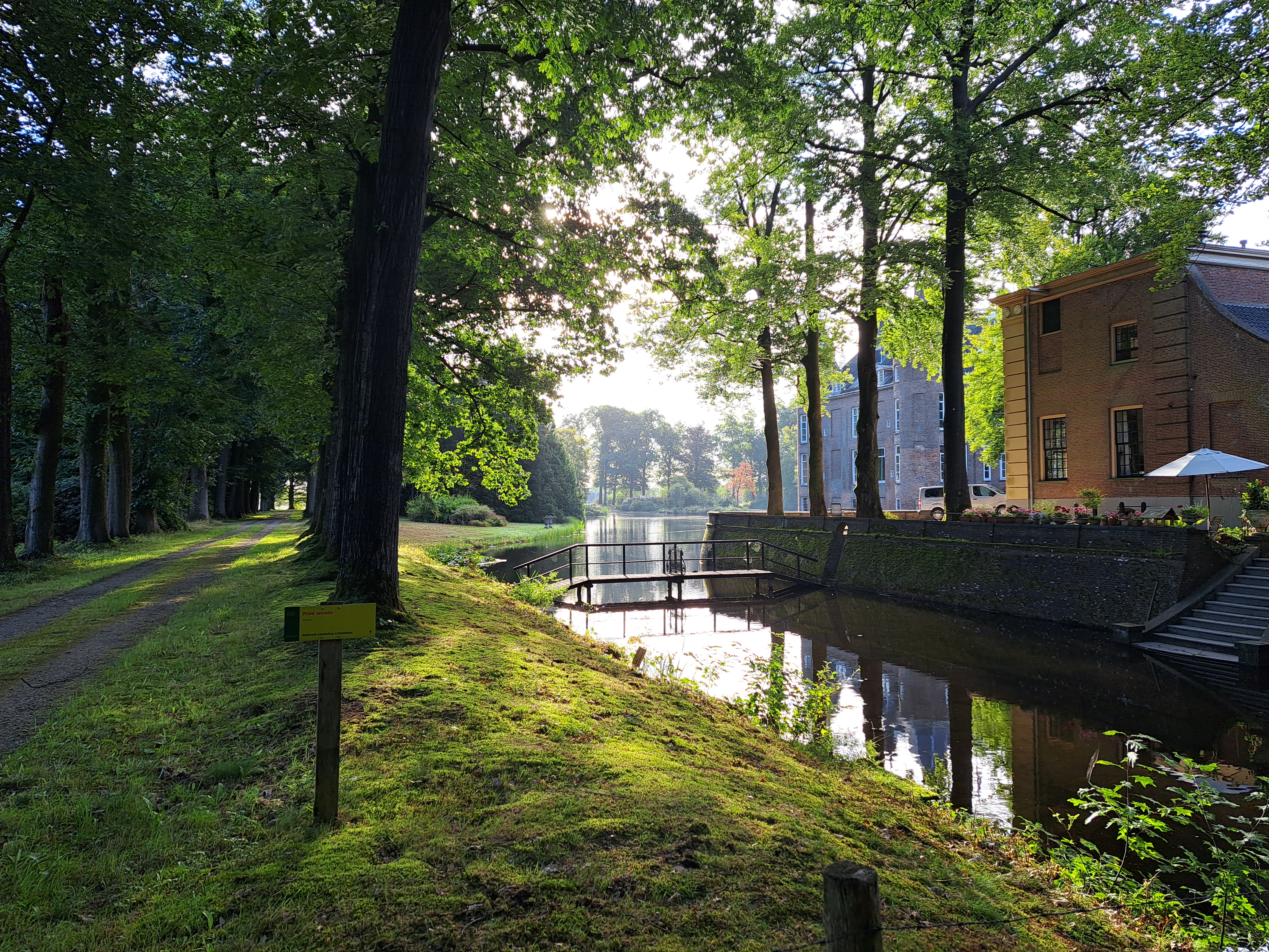
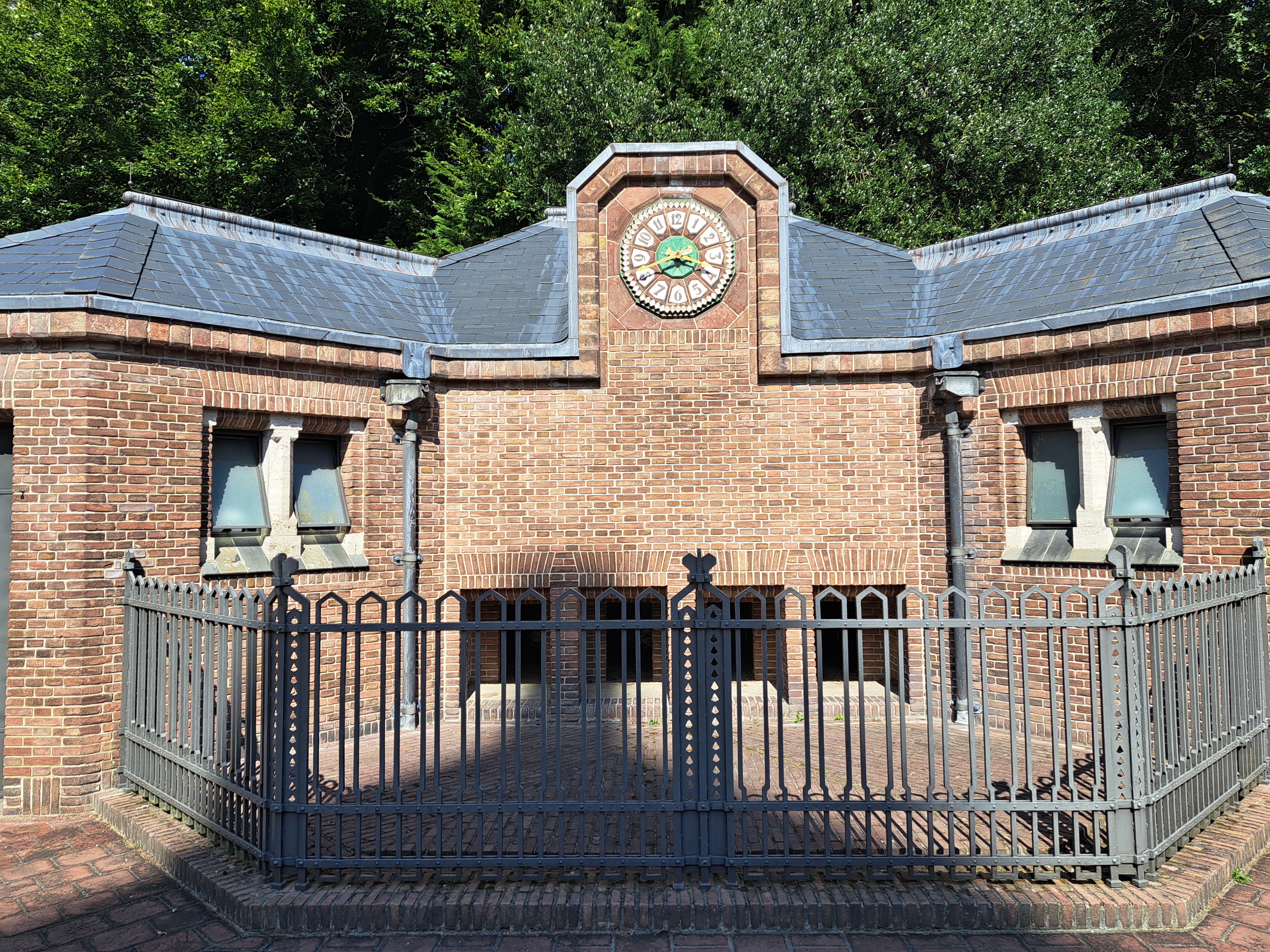
Biljoen castle & estate sit on the edge of Velp. Apparently first built and established in 1530 by one of Gelderland’s dukes or some such, it seems to have hosted Louis XIV and various other royals in the centuries since. Lovely park, too.
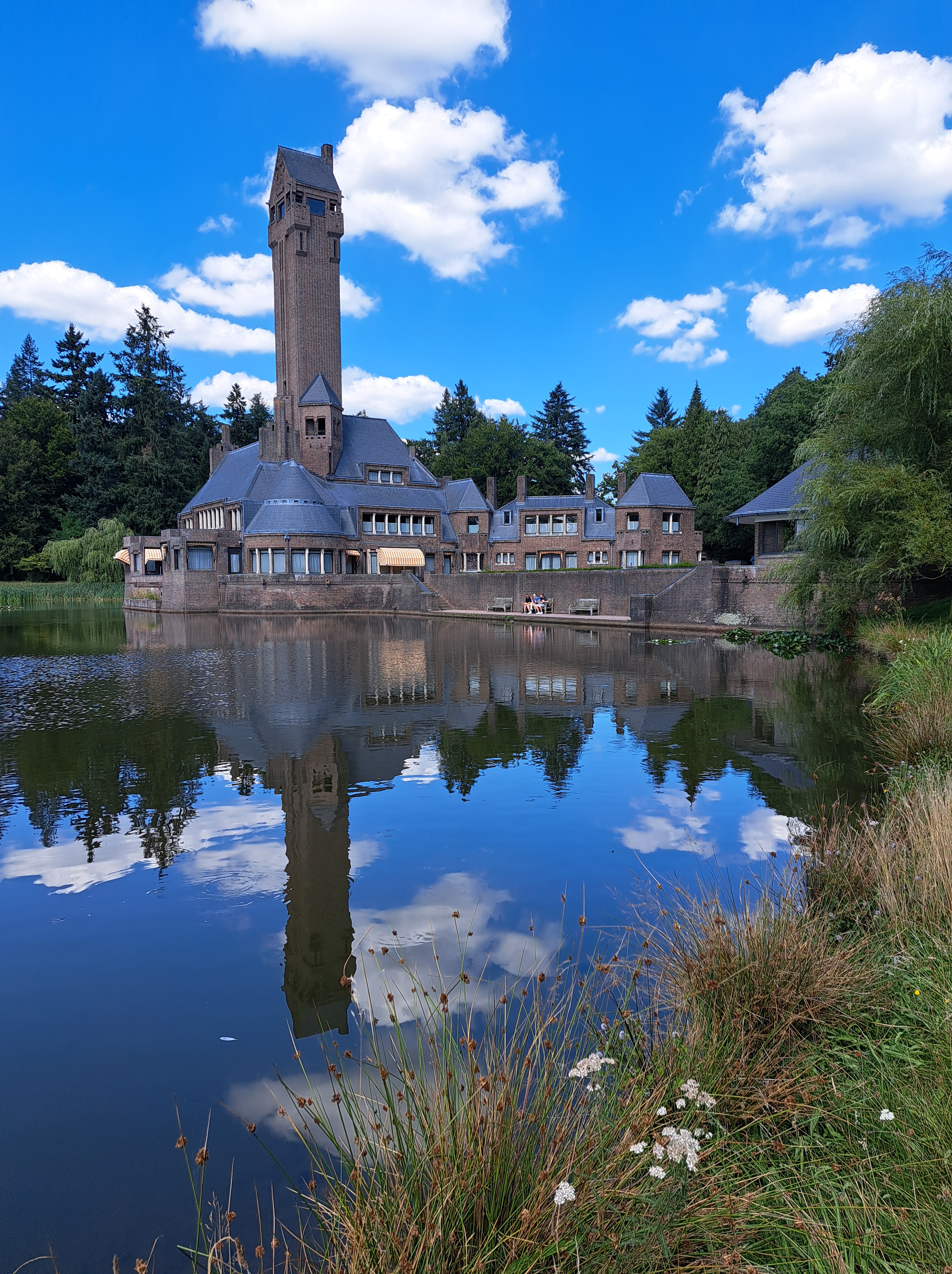
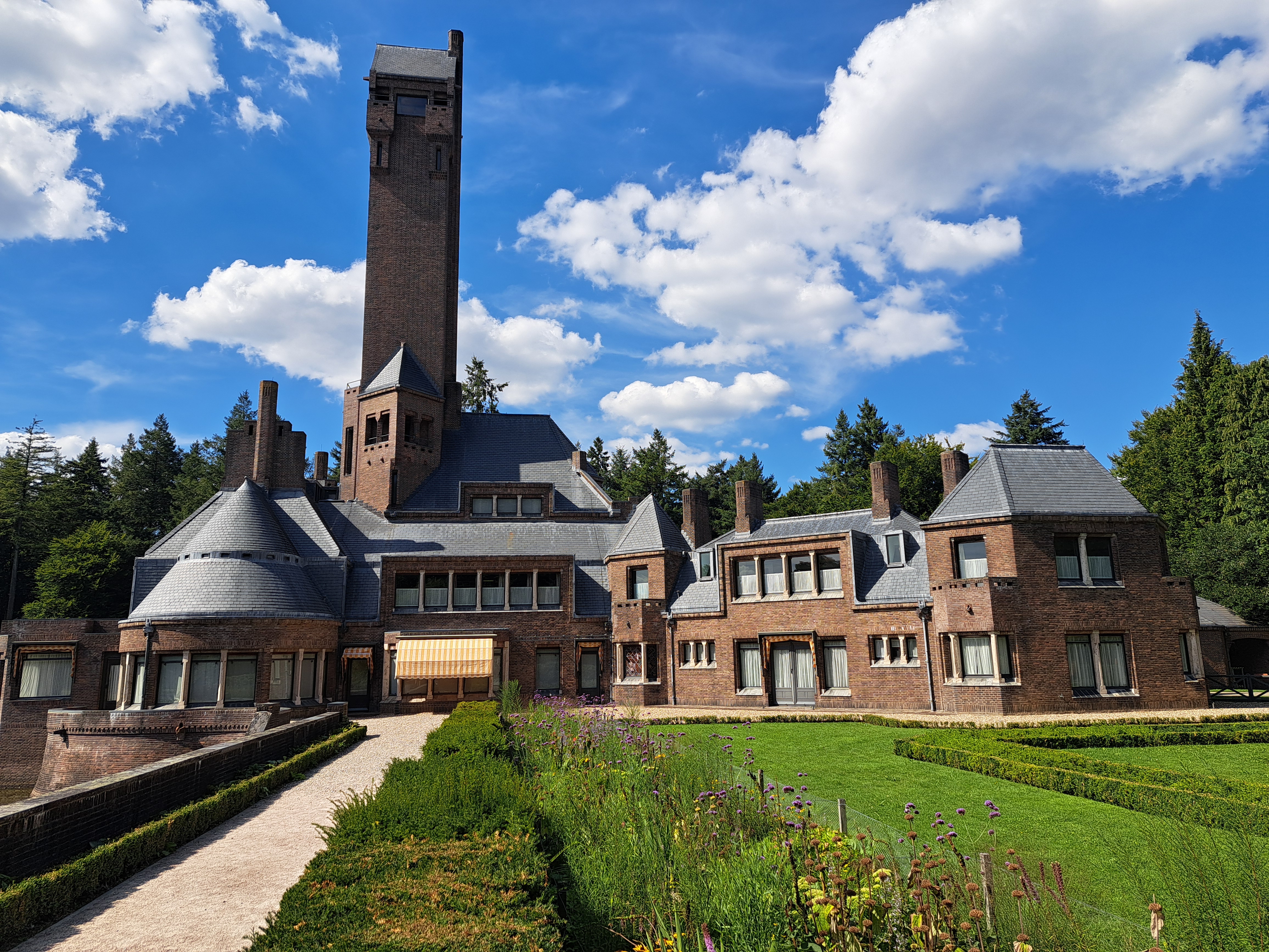
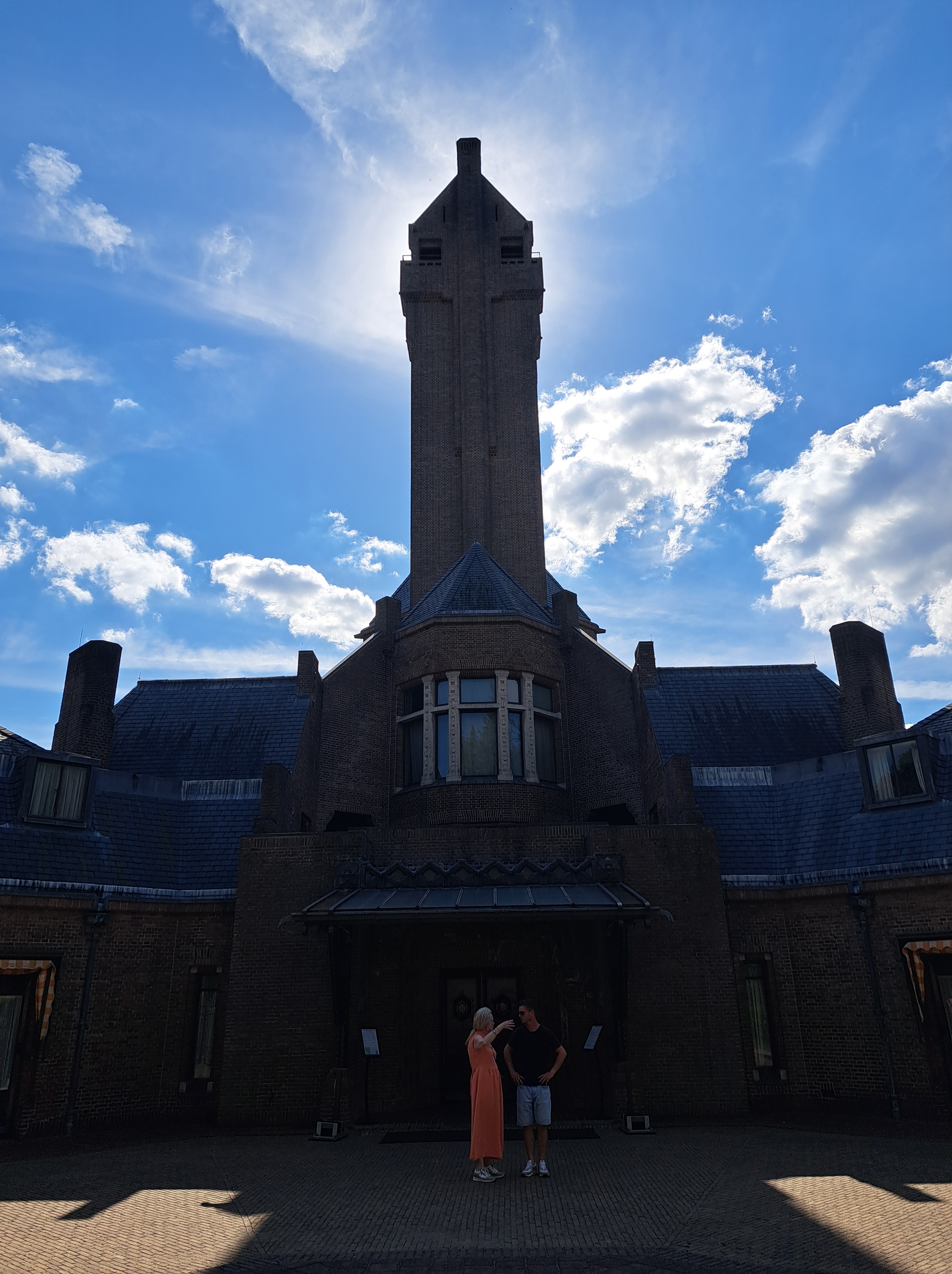
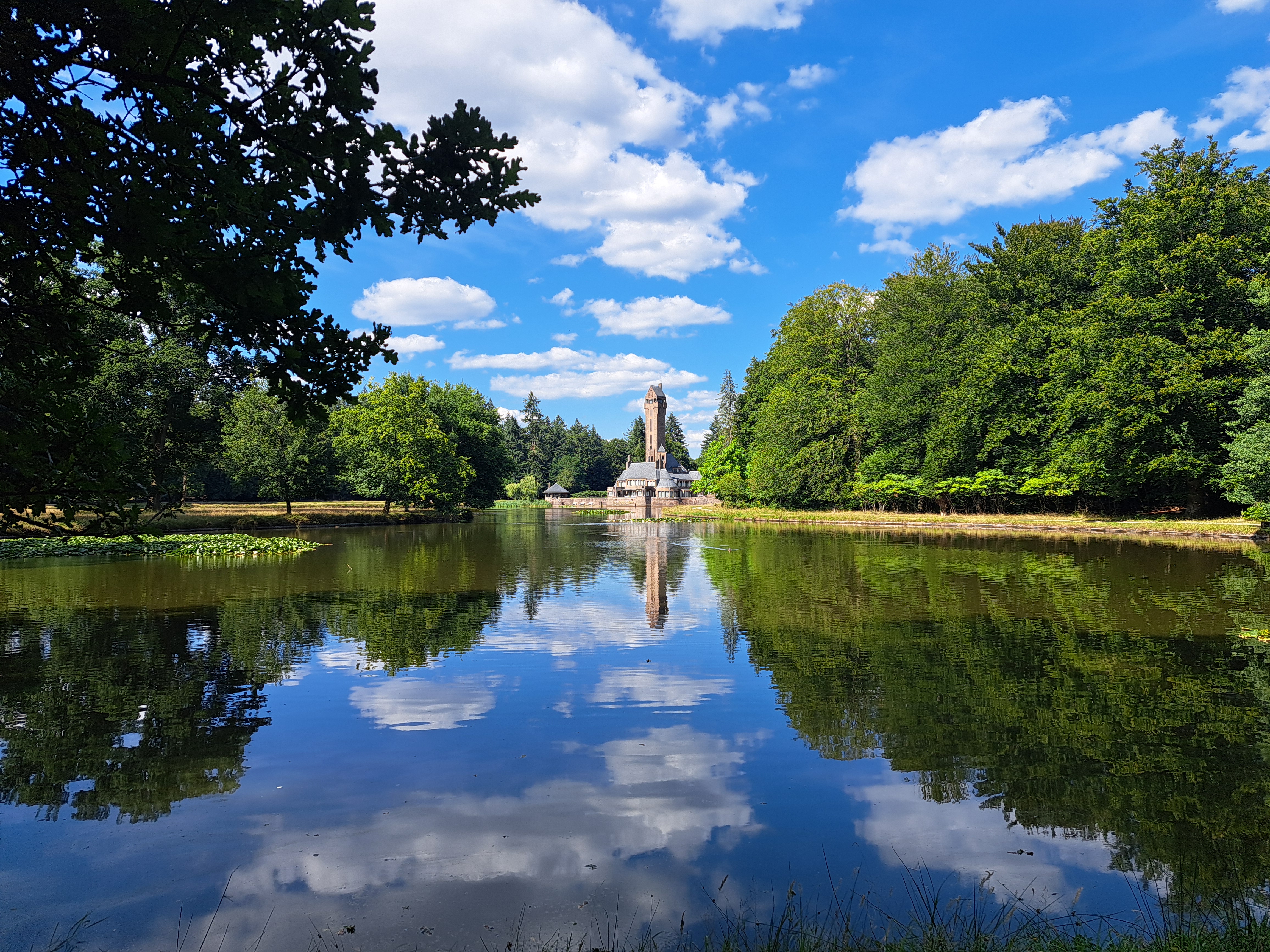
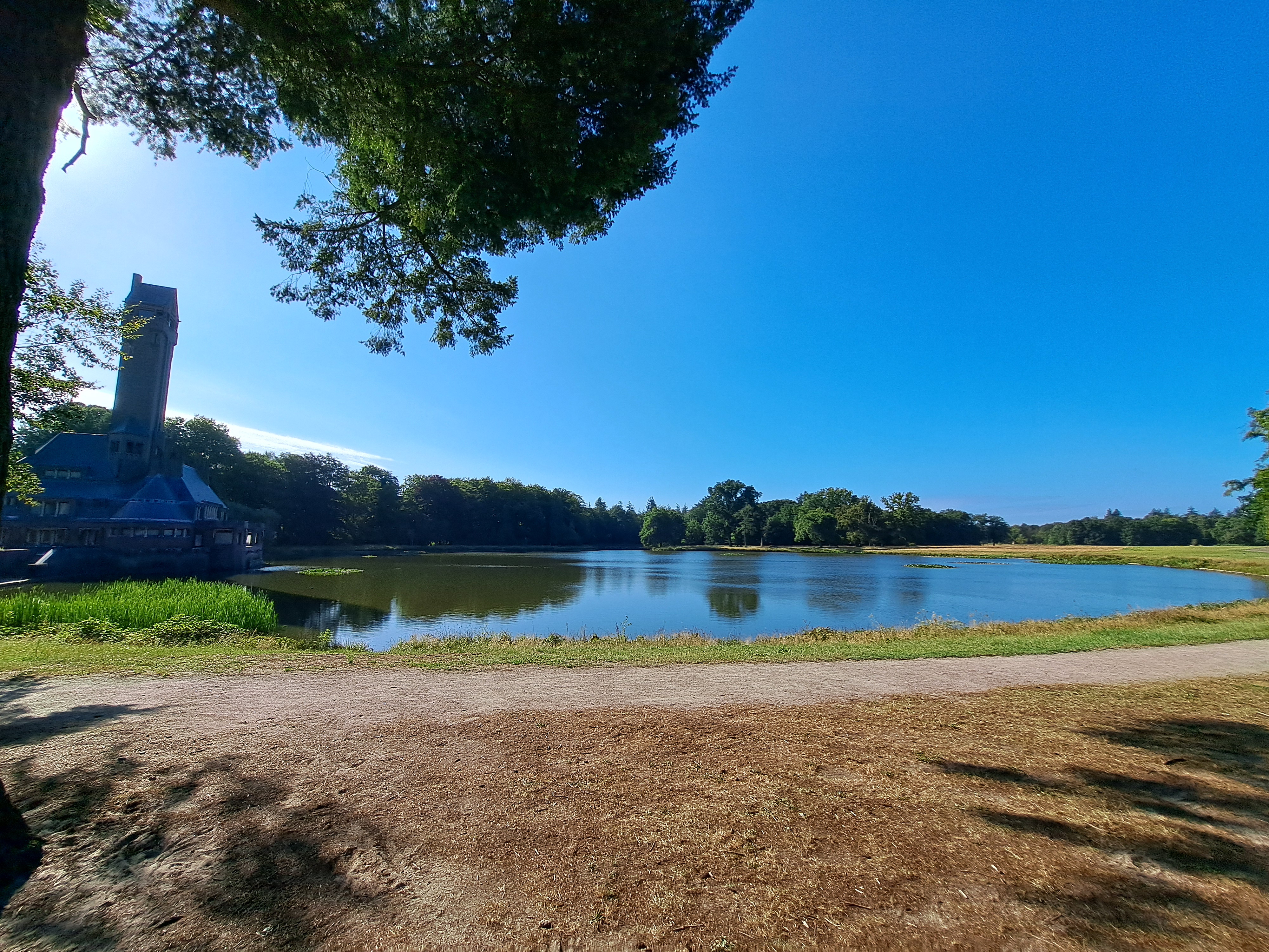
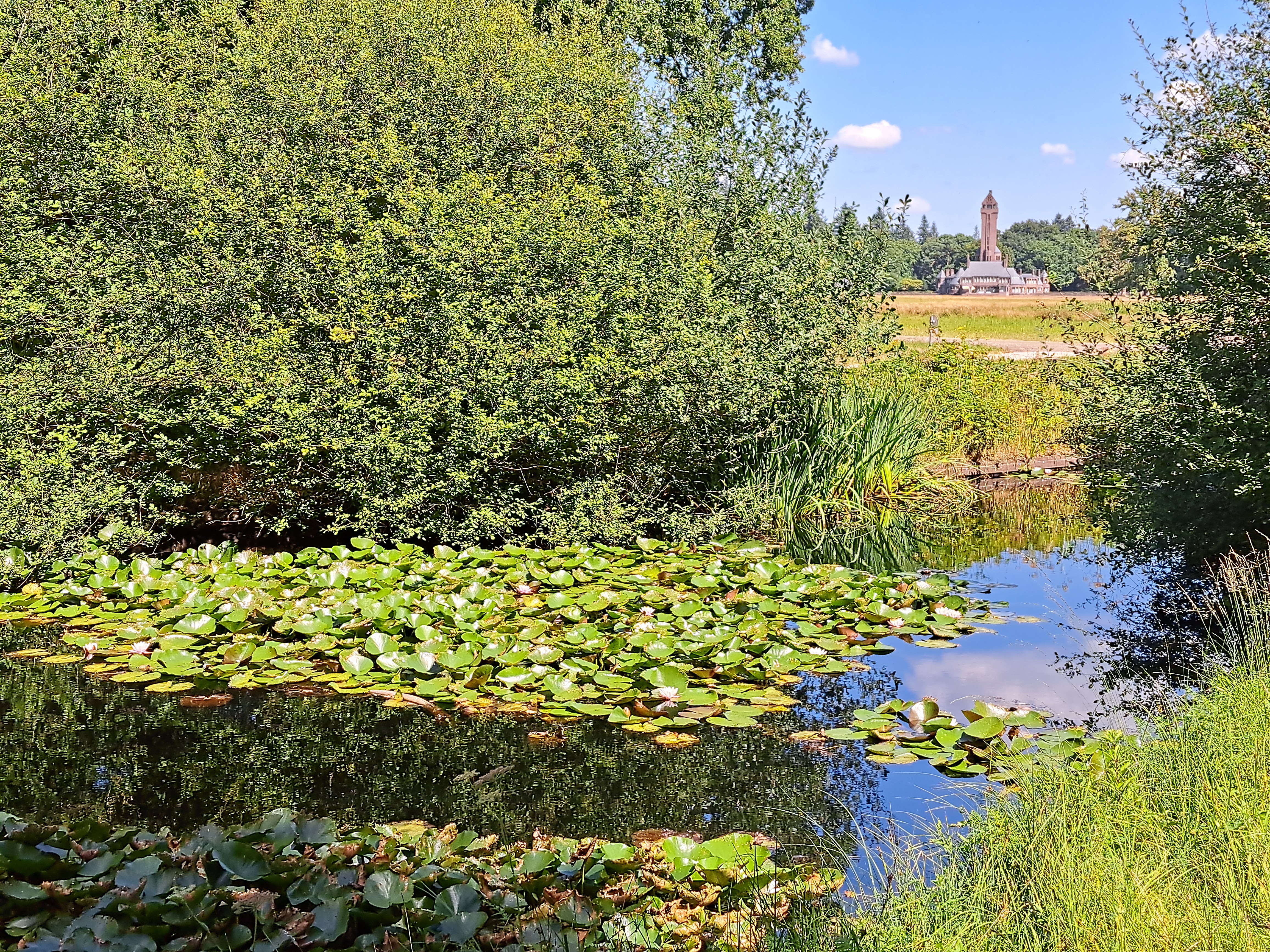
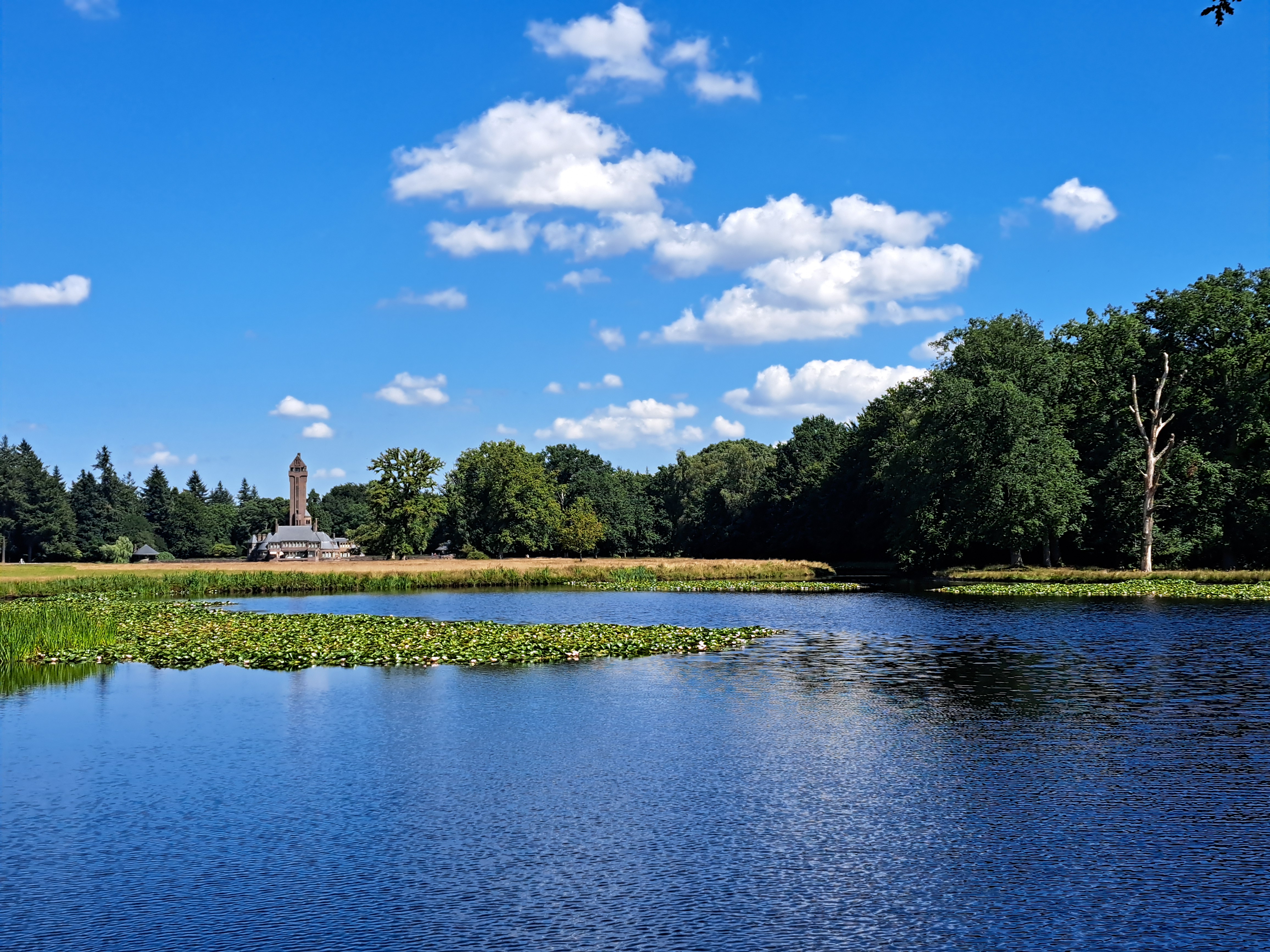
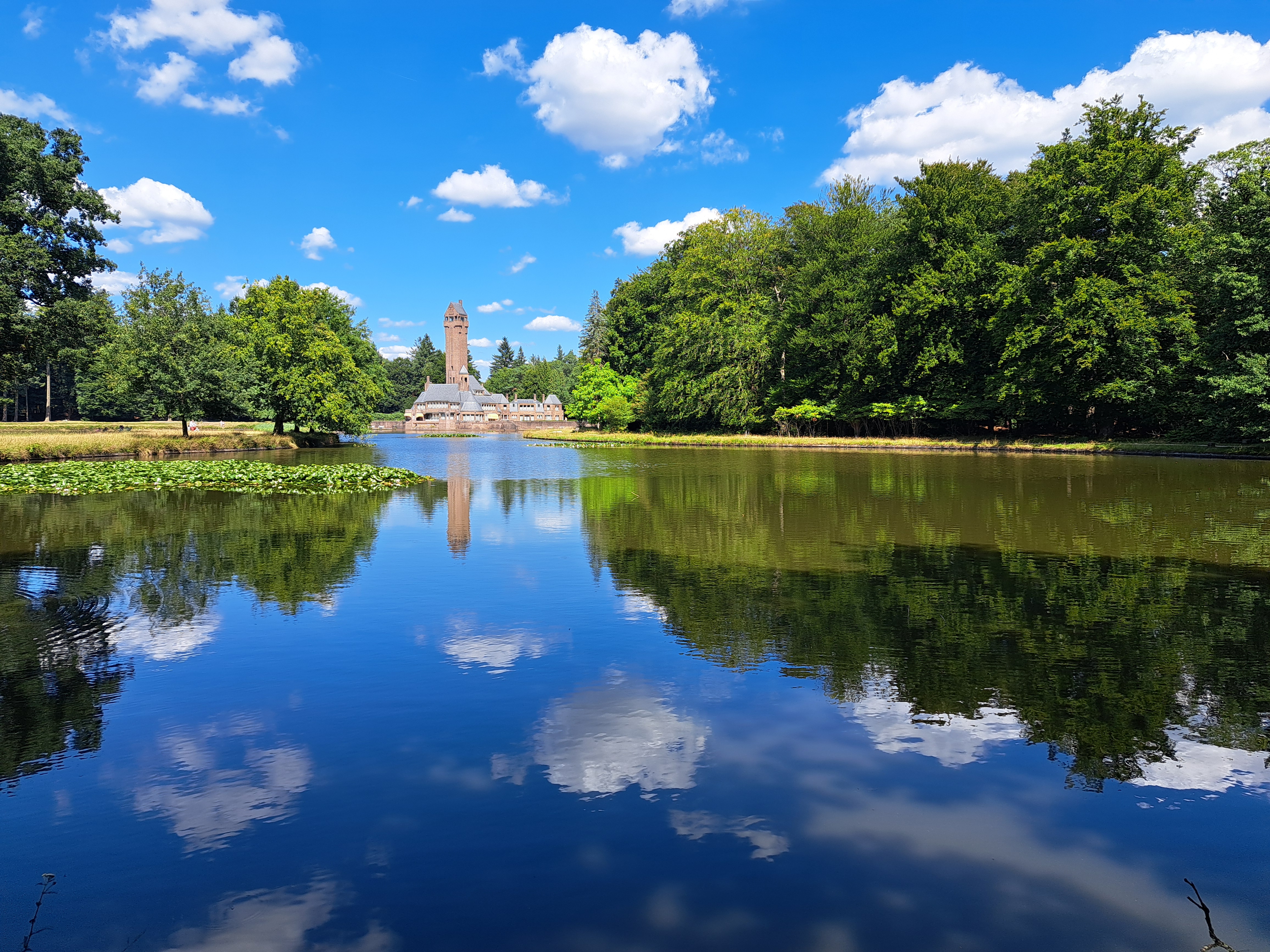
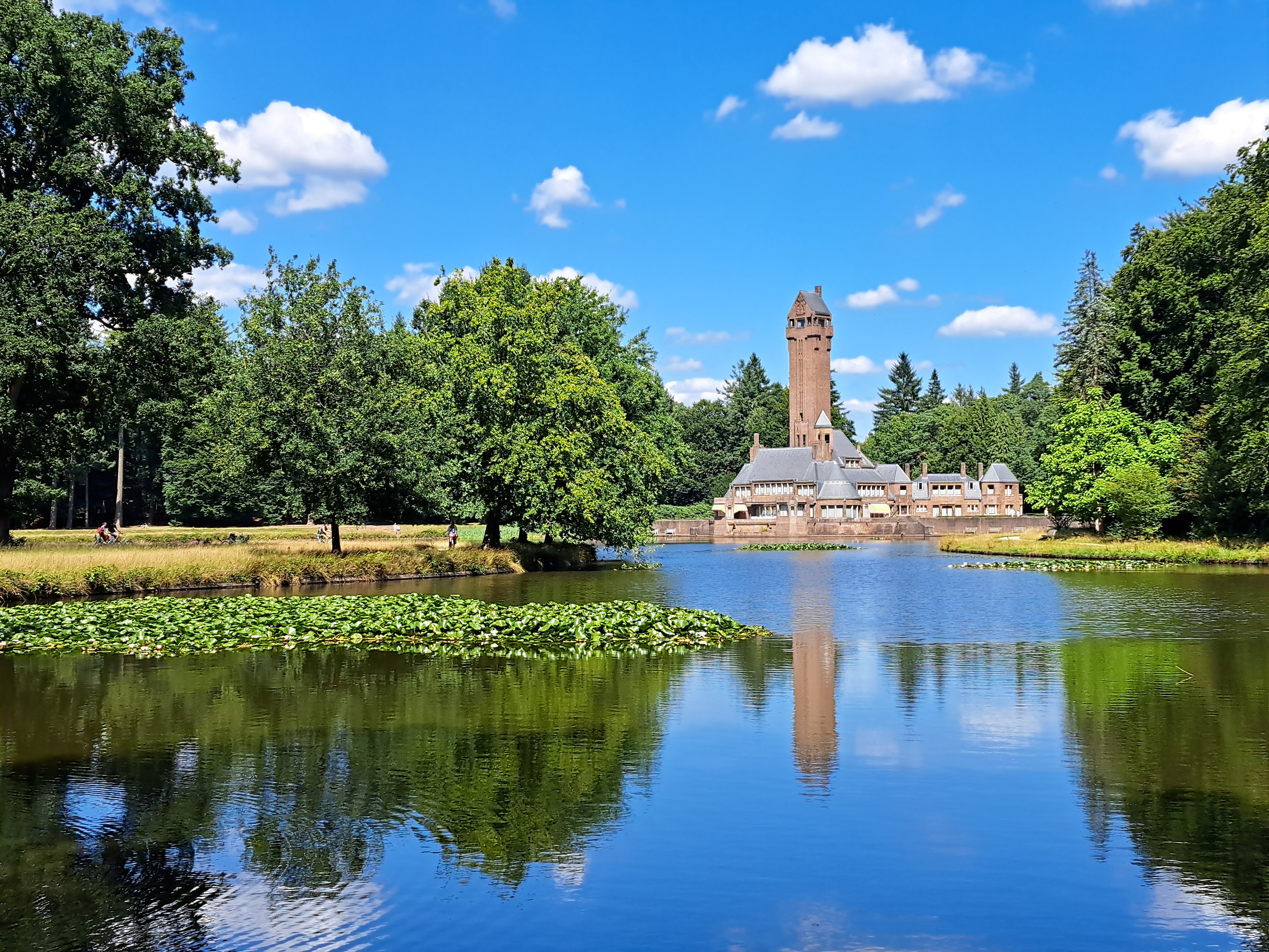
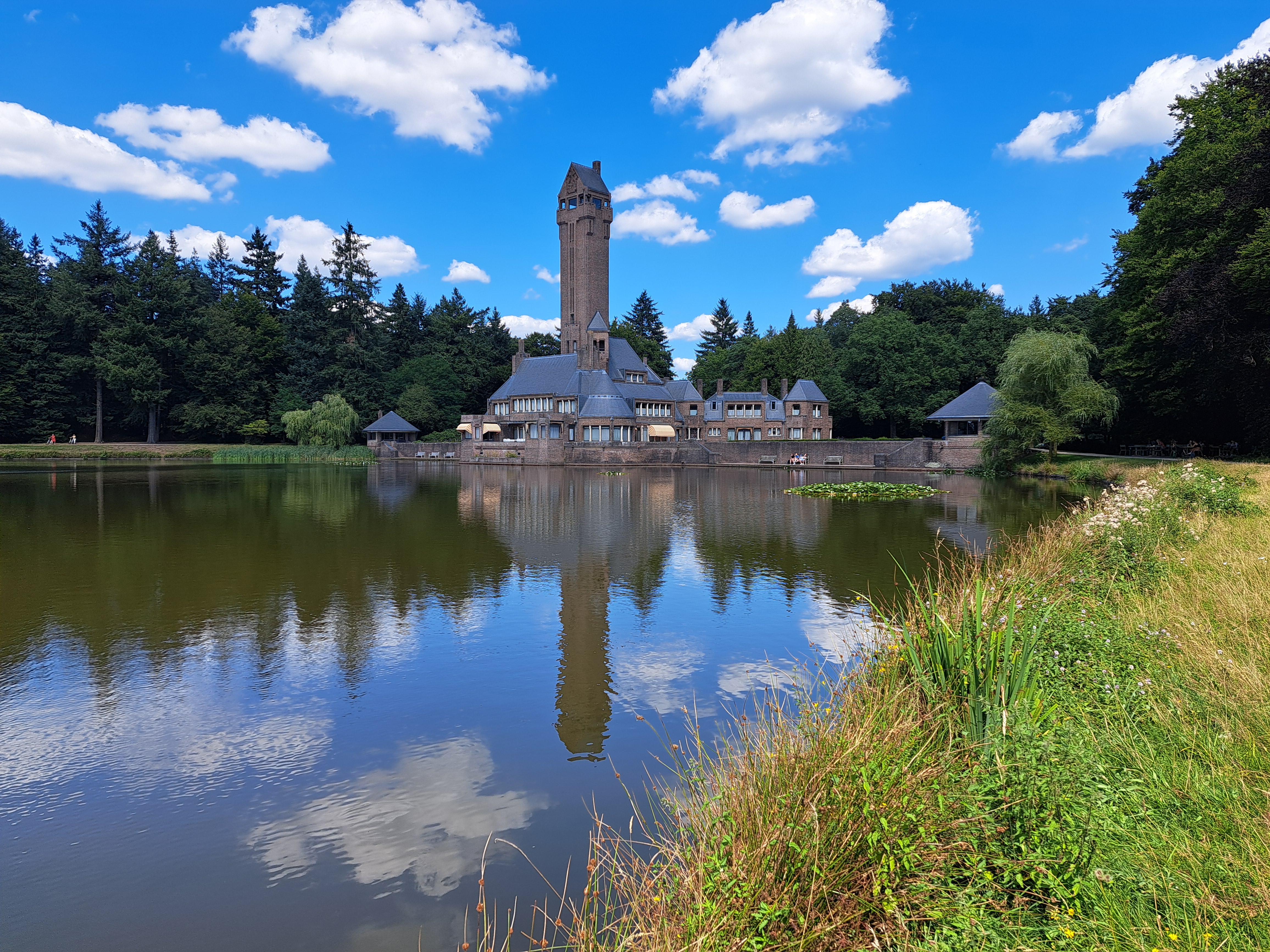
I’ve shared a few teaser glimpses of this lakeside residence built in the early 1900s for the Kroller-Muller family in two past posts, awaiting the right moment to share more images of this beautifully-situated building that’s quite impressive itself, too.
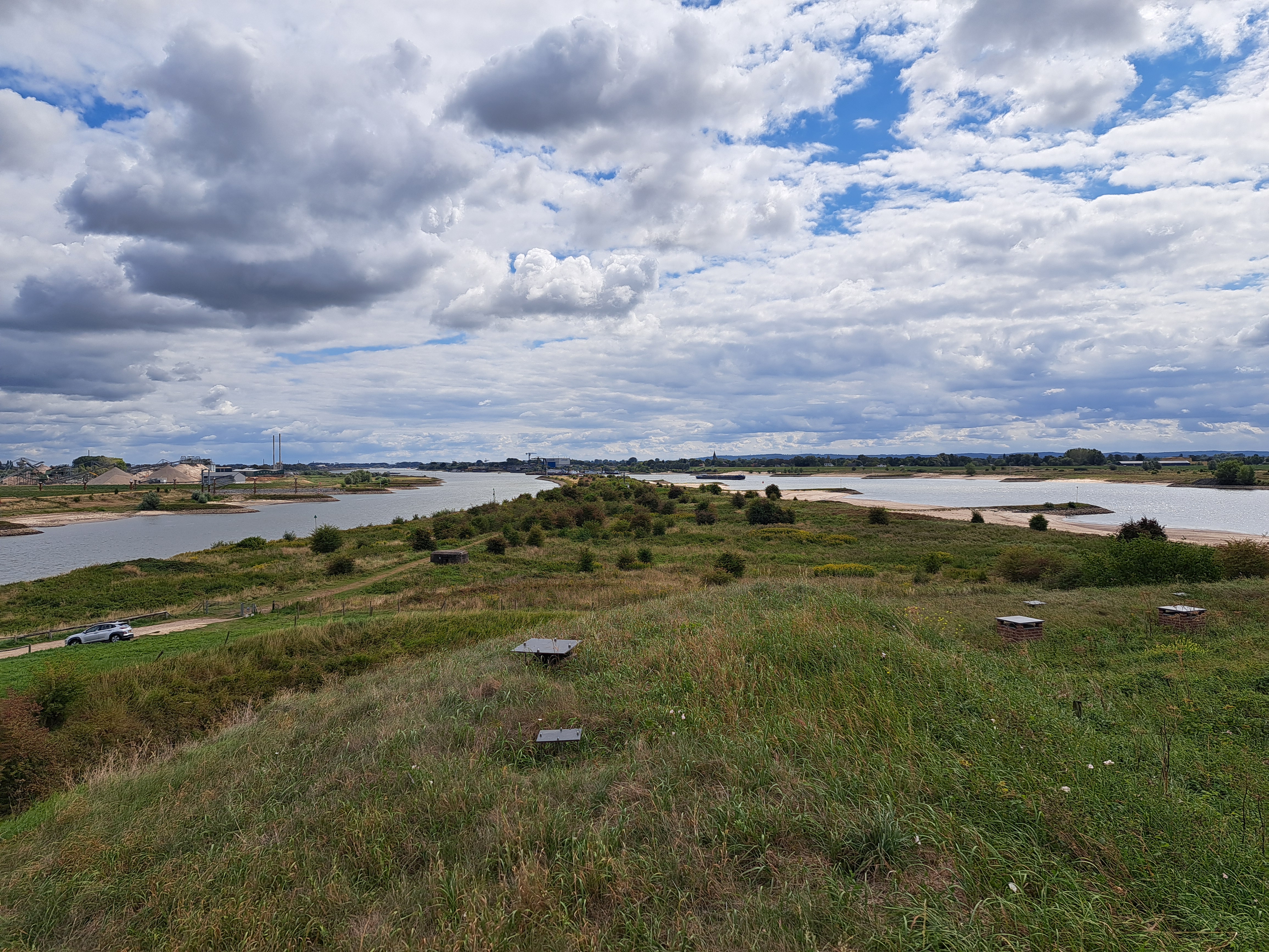
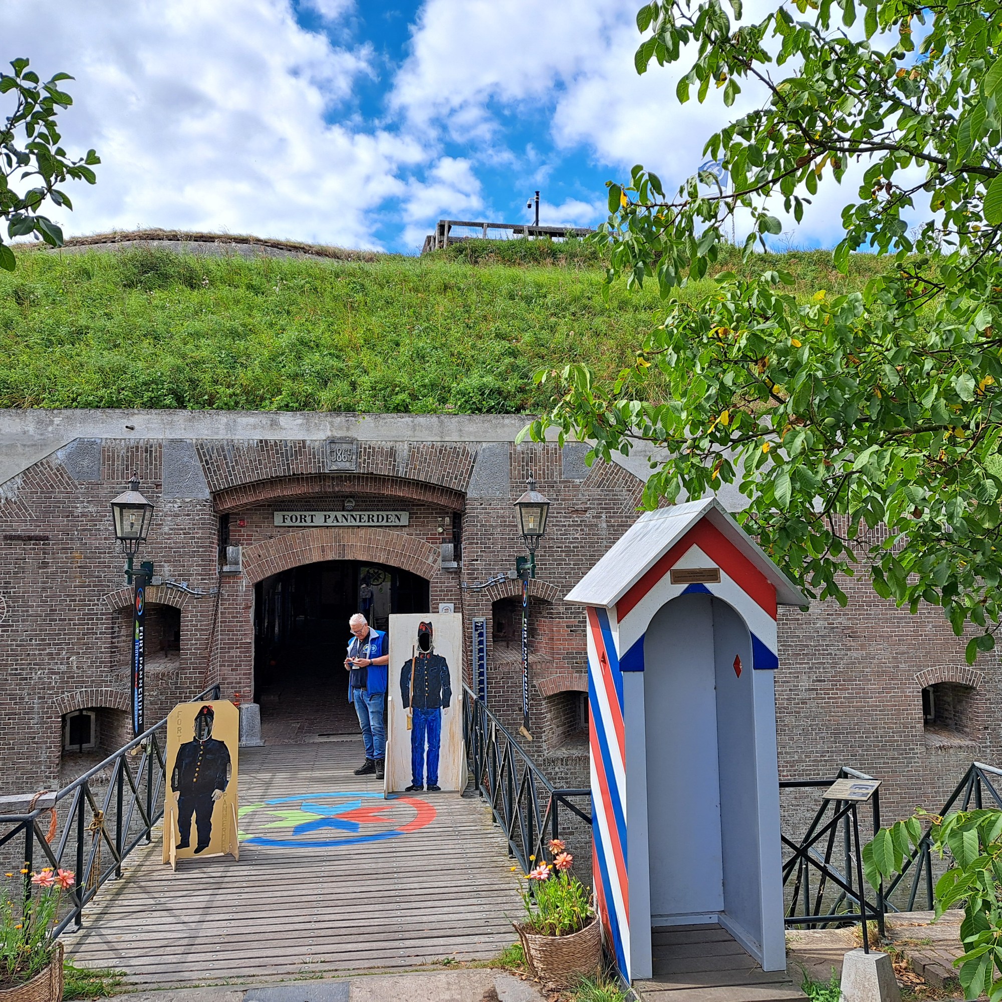
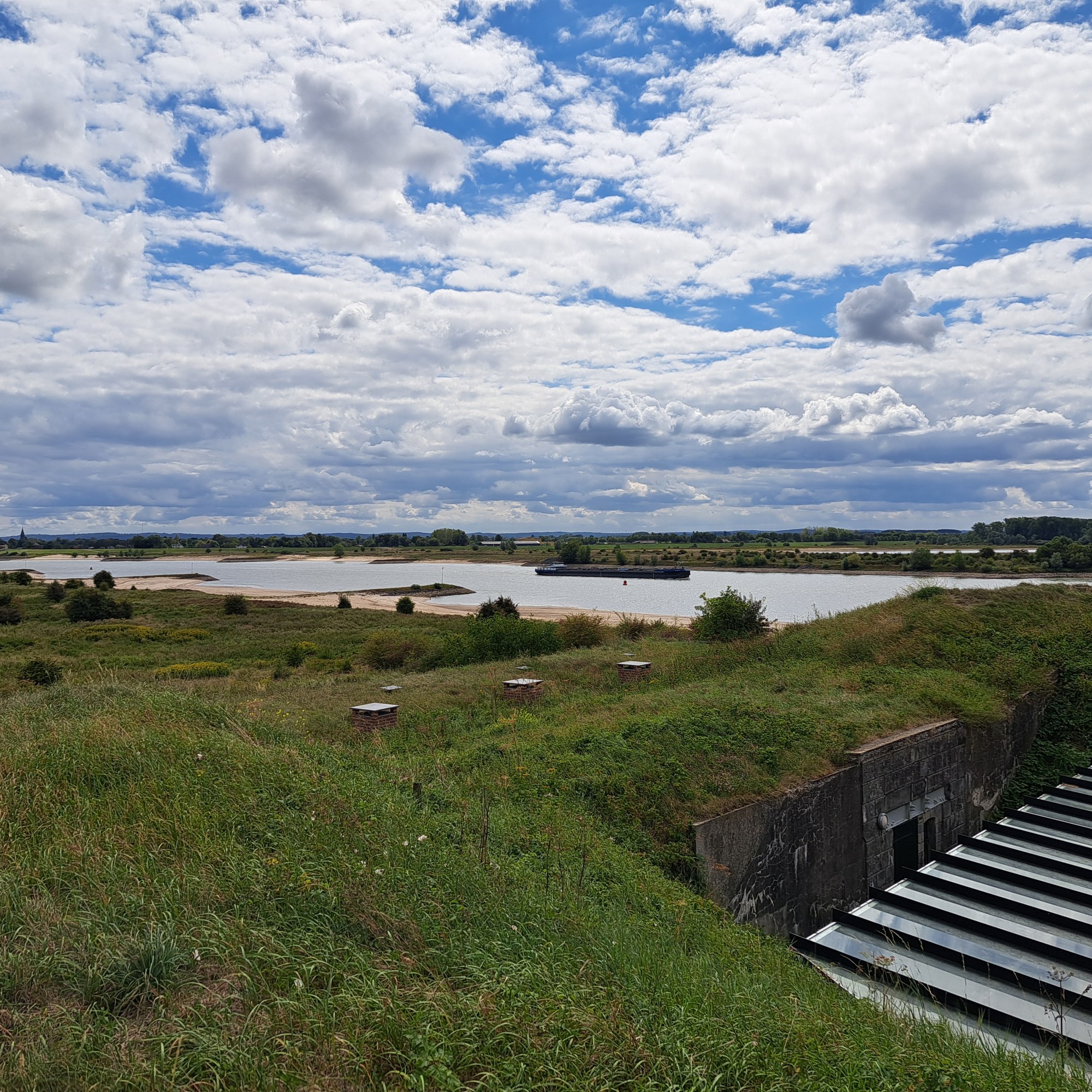
So even some of my Dutch friends aren’t quite aware of how much engineering has gone into the Rhine River over the years, once it enters NL out of Germany. So far as I know, from its origins in the Swiss Alps until both of its banks enter NL, it’s pretty much one river with occasionally a side channel so that they can make a lock on which boats can safely pass. (Think, for instance, of boats going past the Rheinfall which we’ve shown you in past posts.) Since NL is built on what would be the delta of this mighty river, it makes sense that it would branch out as it nears the north sea. In order to occupy and farm on this lowland, the Dutch over the centuries have adapted the natural channels into quite reliable shipping, boating, irrigation, and flood-control basins and channels. Above, you’re looking east to the point where the Rhine first divides up, with Germany definitely visible in the frame on the south side at least. The Waal – which carries most of the Rhine’s water over to the North Sea at the port of Rotterdam, with a name change or two en route — is to the right (south), and the Nederrijn (lower Rijn) is to the left (north)…although, for this particular stretch, it’s called the Pannerden Canal. It gets back to being called the Nederrijn a few miles upstream next to Westervoort & Velp, after the Ijssel branches off and carries more its water up to the North Sea via the various flood-control systems that have made the Ijsselmeer fresh rather than sea water, as explained in yet another past post. Anyhoo: while based in Velp I biked on down to see this spot of, for me, intense nerdly water-management interest. After all, the Rhine is a river I’ve known quite a long time and is certainly the most economically important river in Europe, being a primary reason Rotterdam remains one of the world’s largest ports. Just check out the barge traffic in the videos and photos below. And pardon my nerdlyness. Yeah, there’s also a museum in the old fort which I visited.