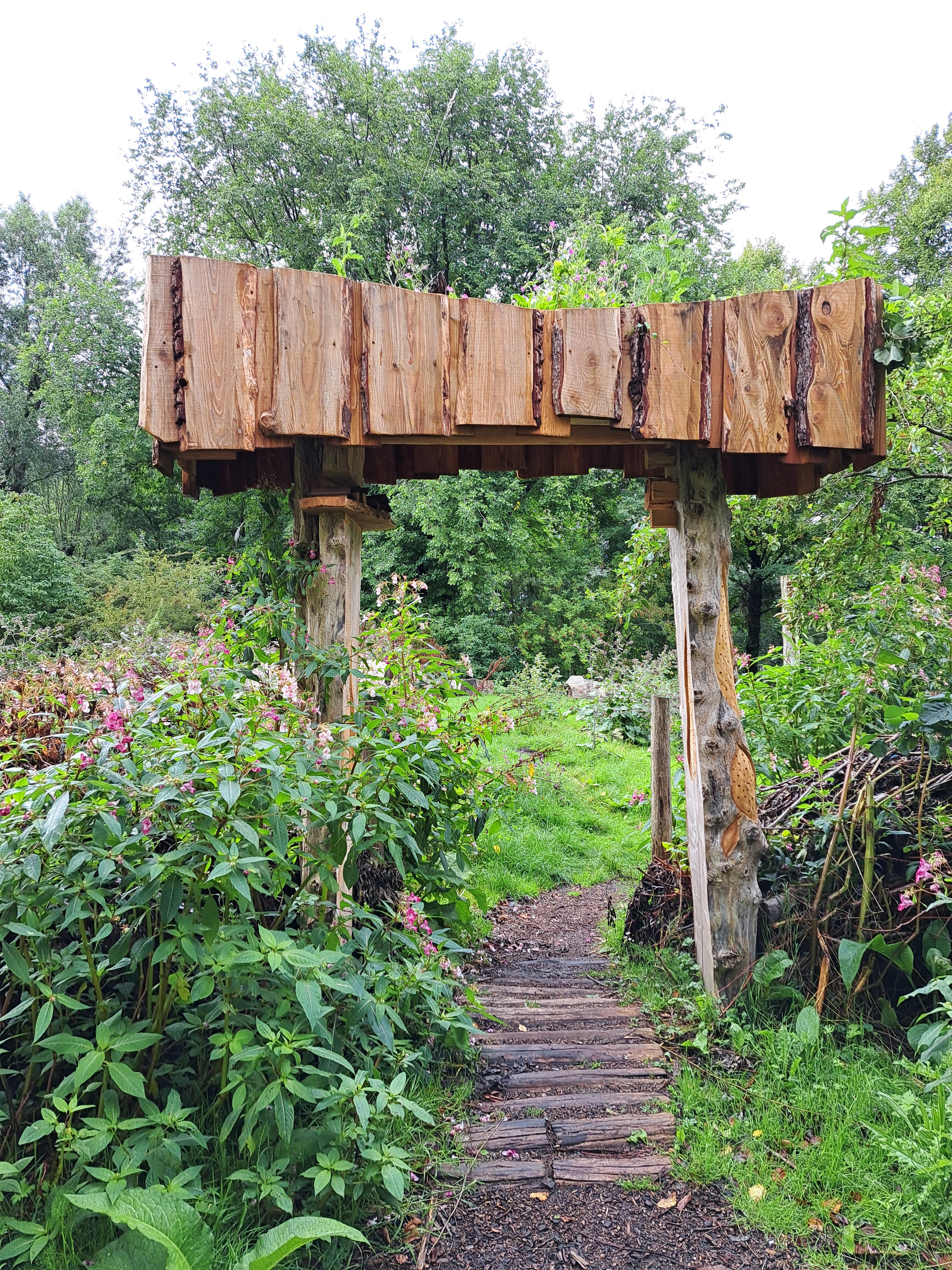
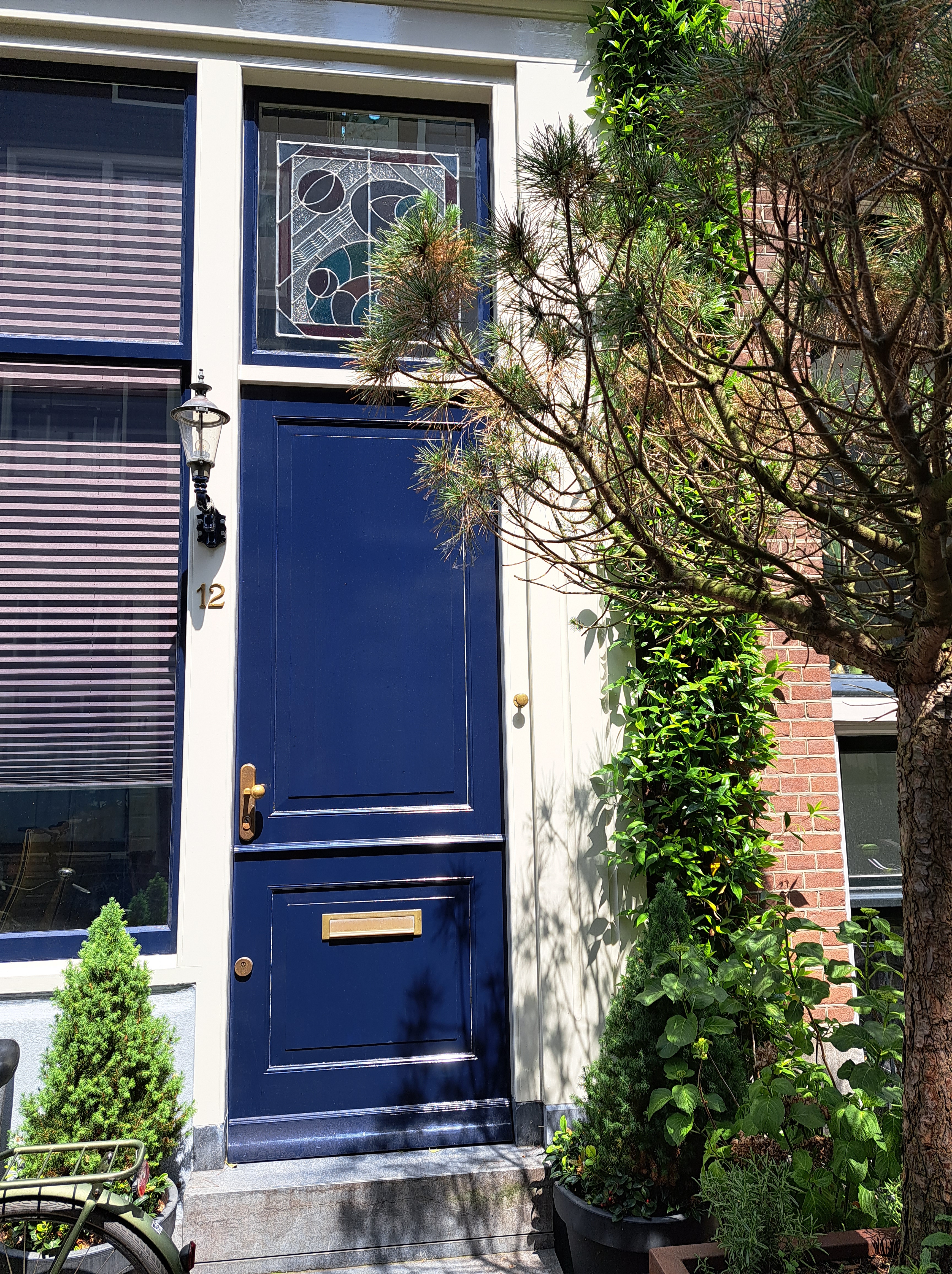
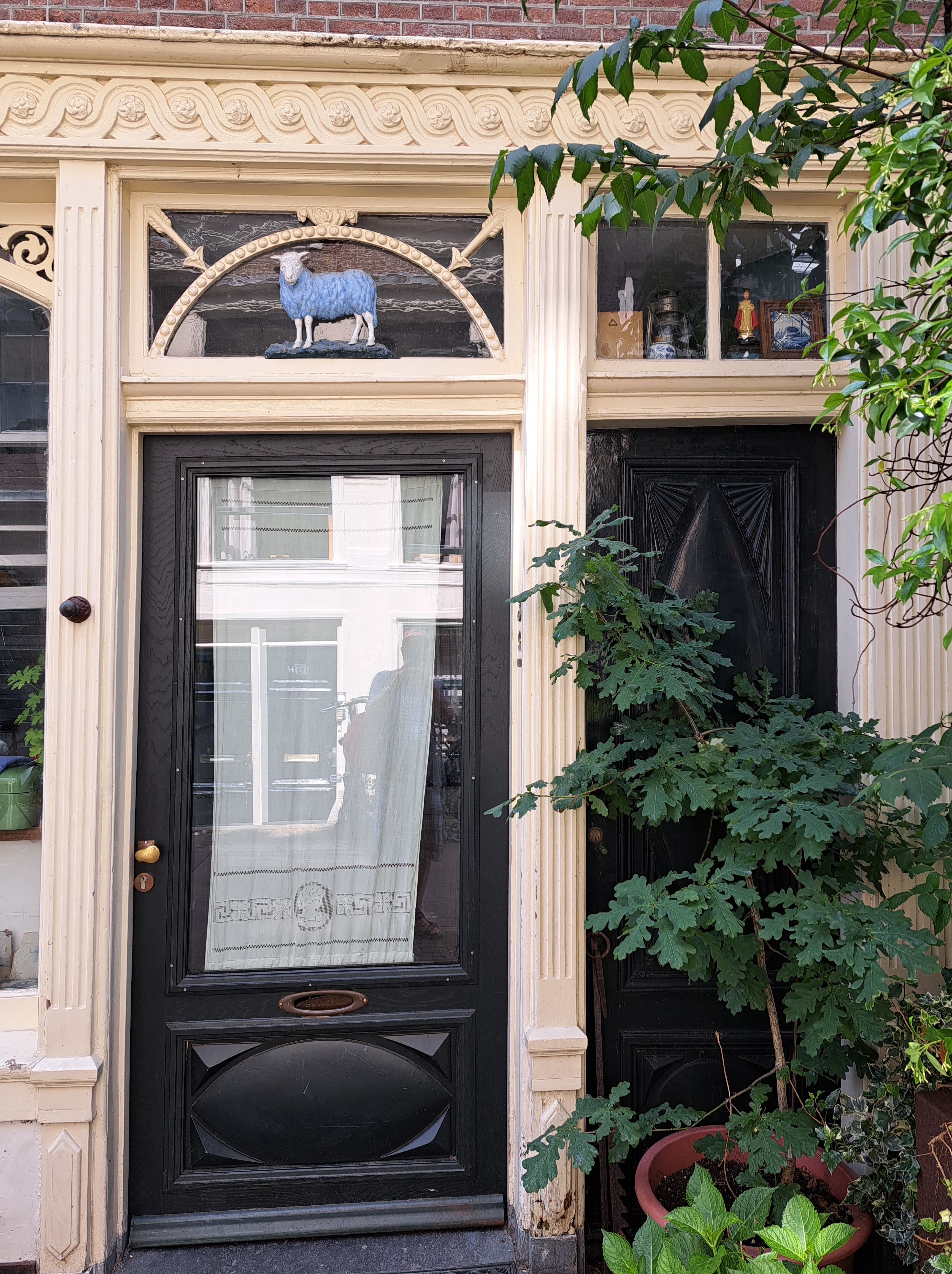
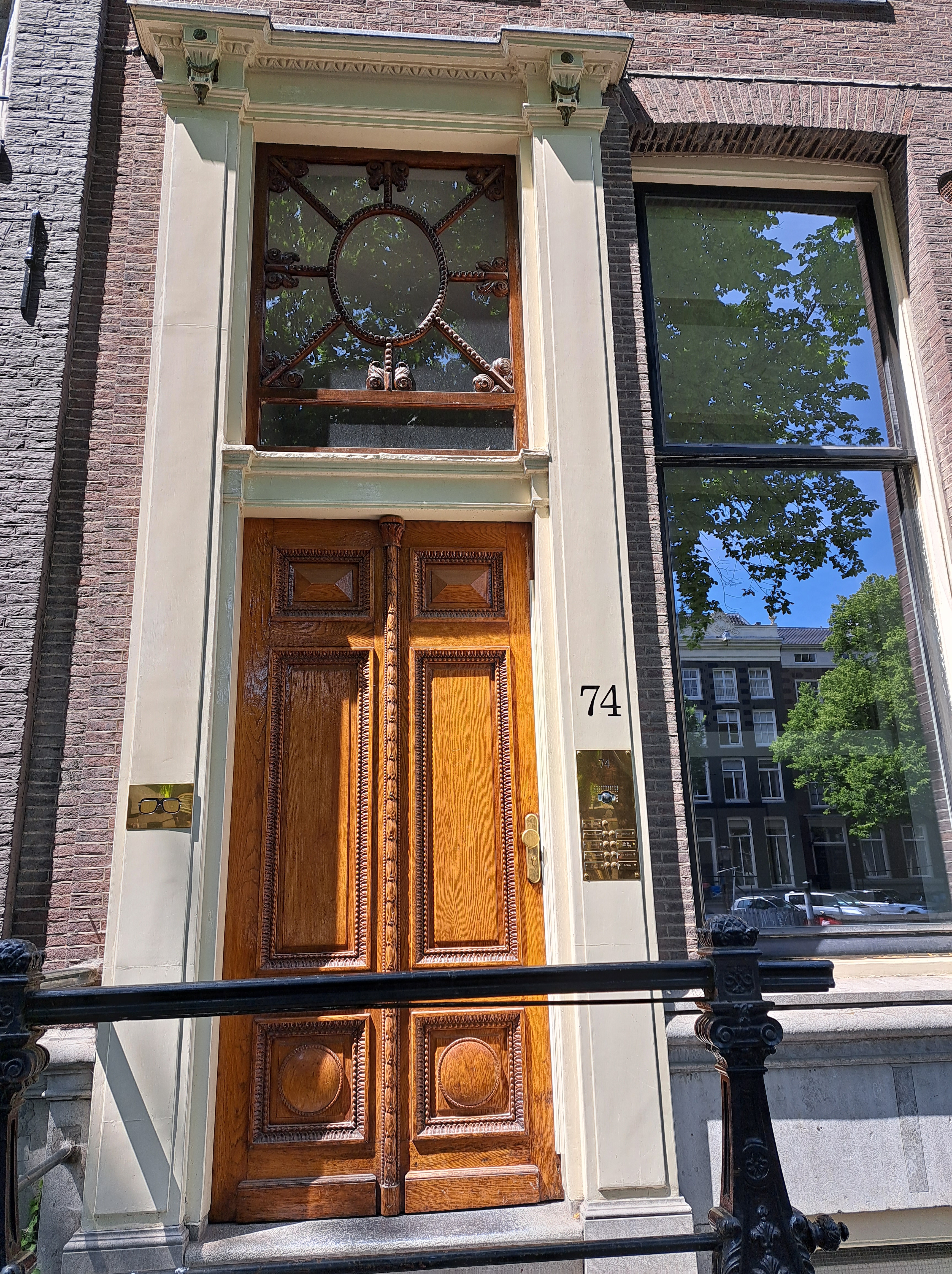
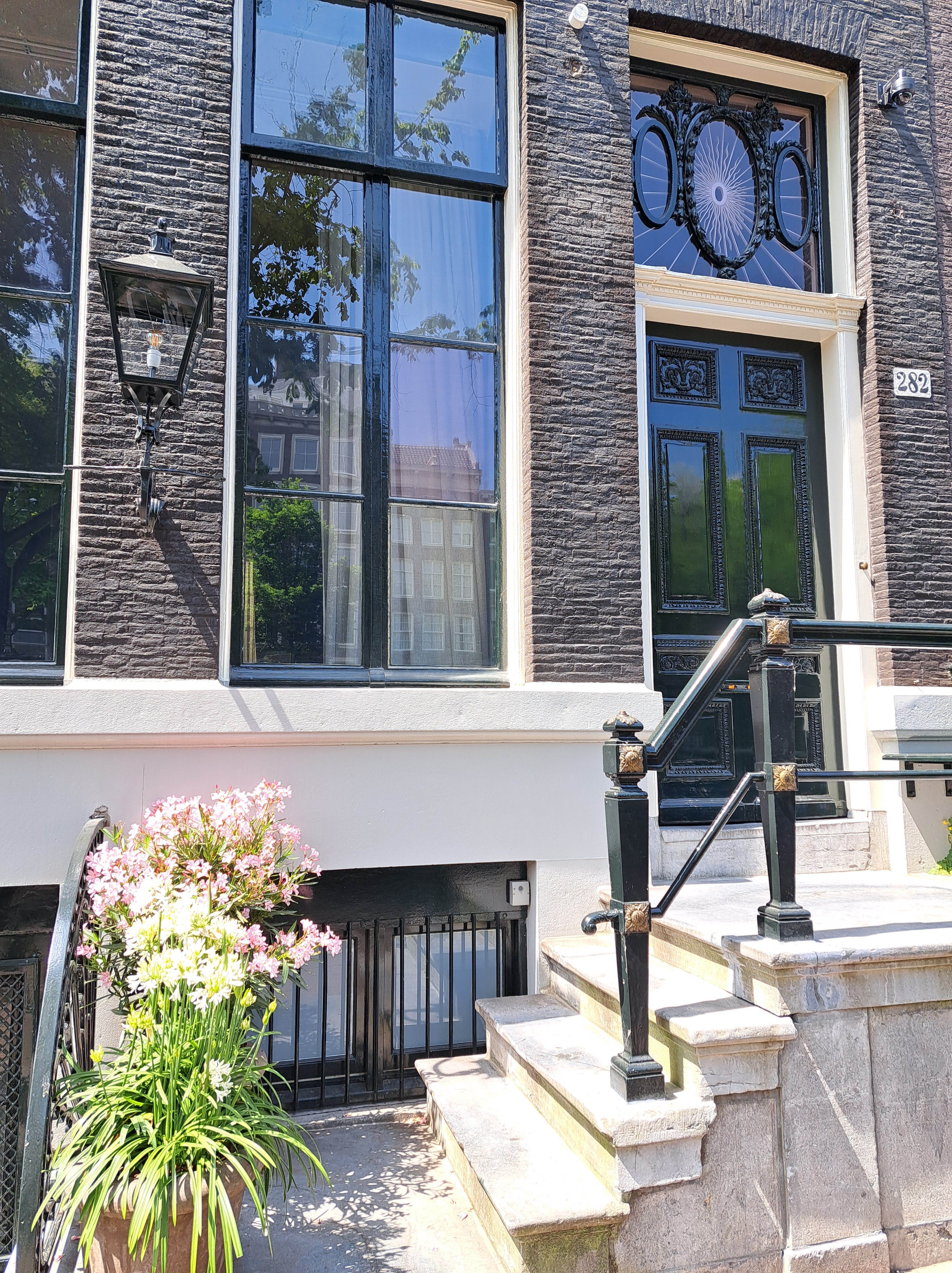
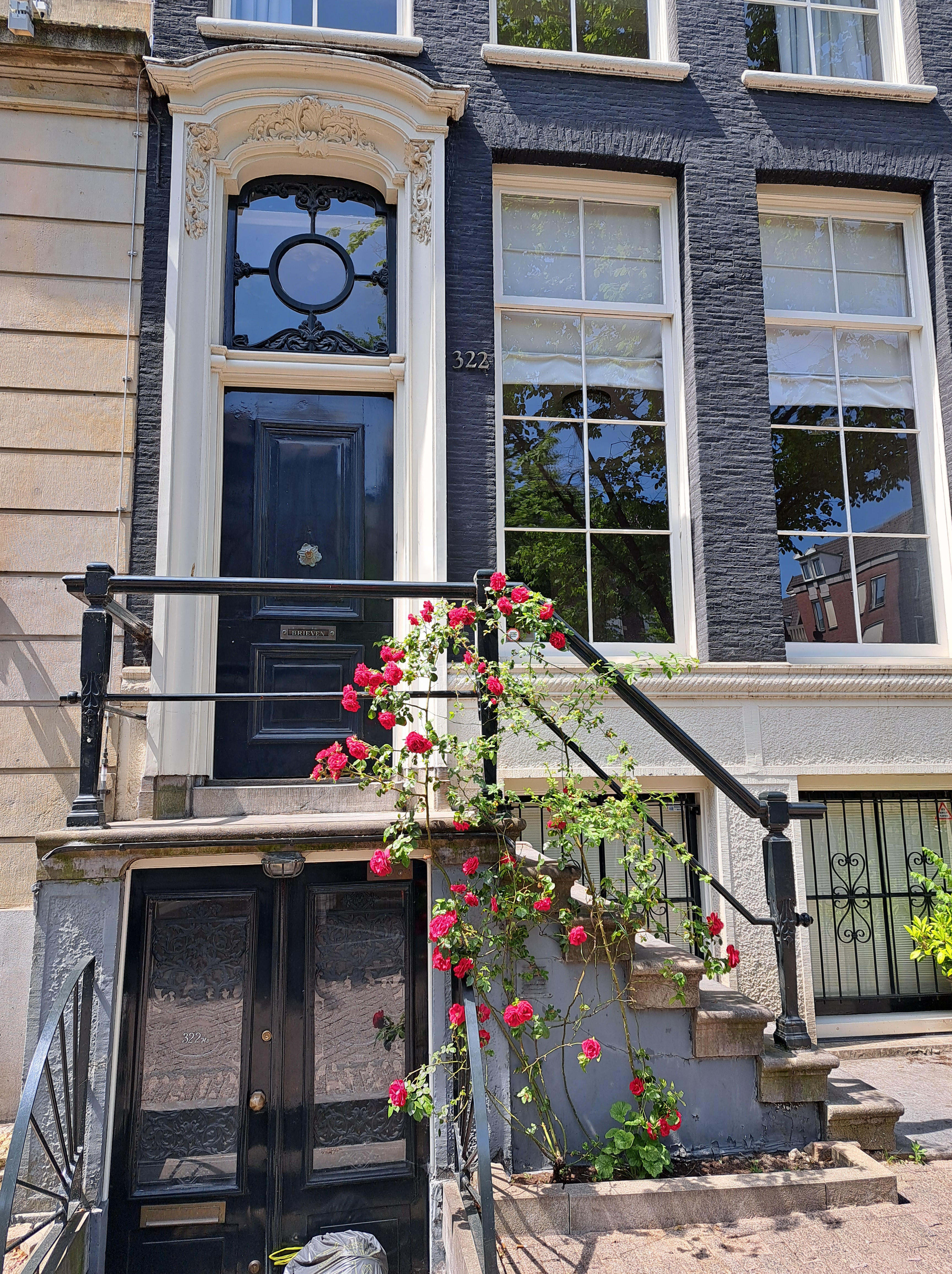
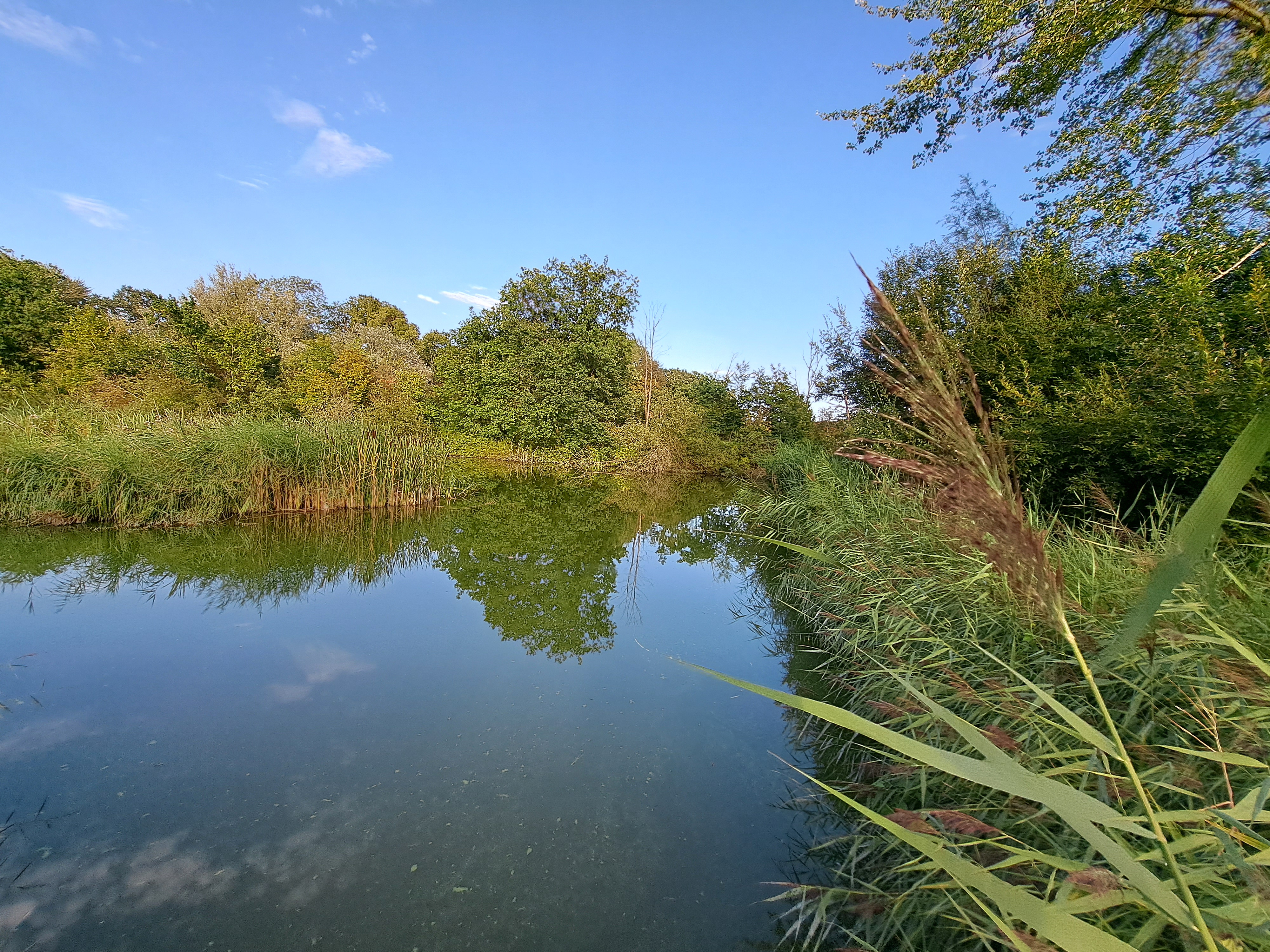
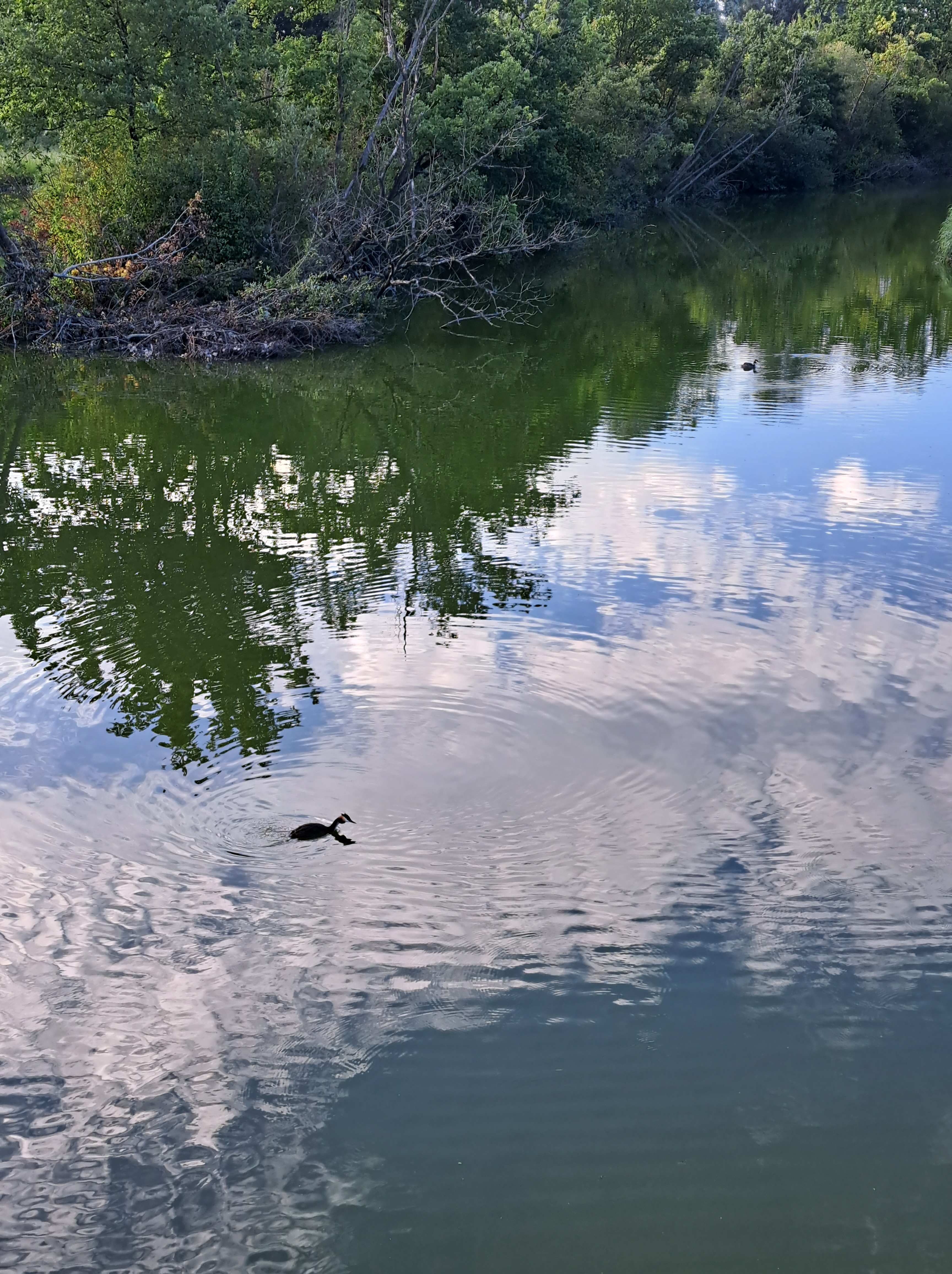
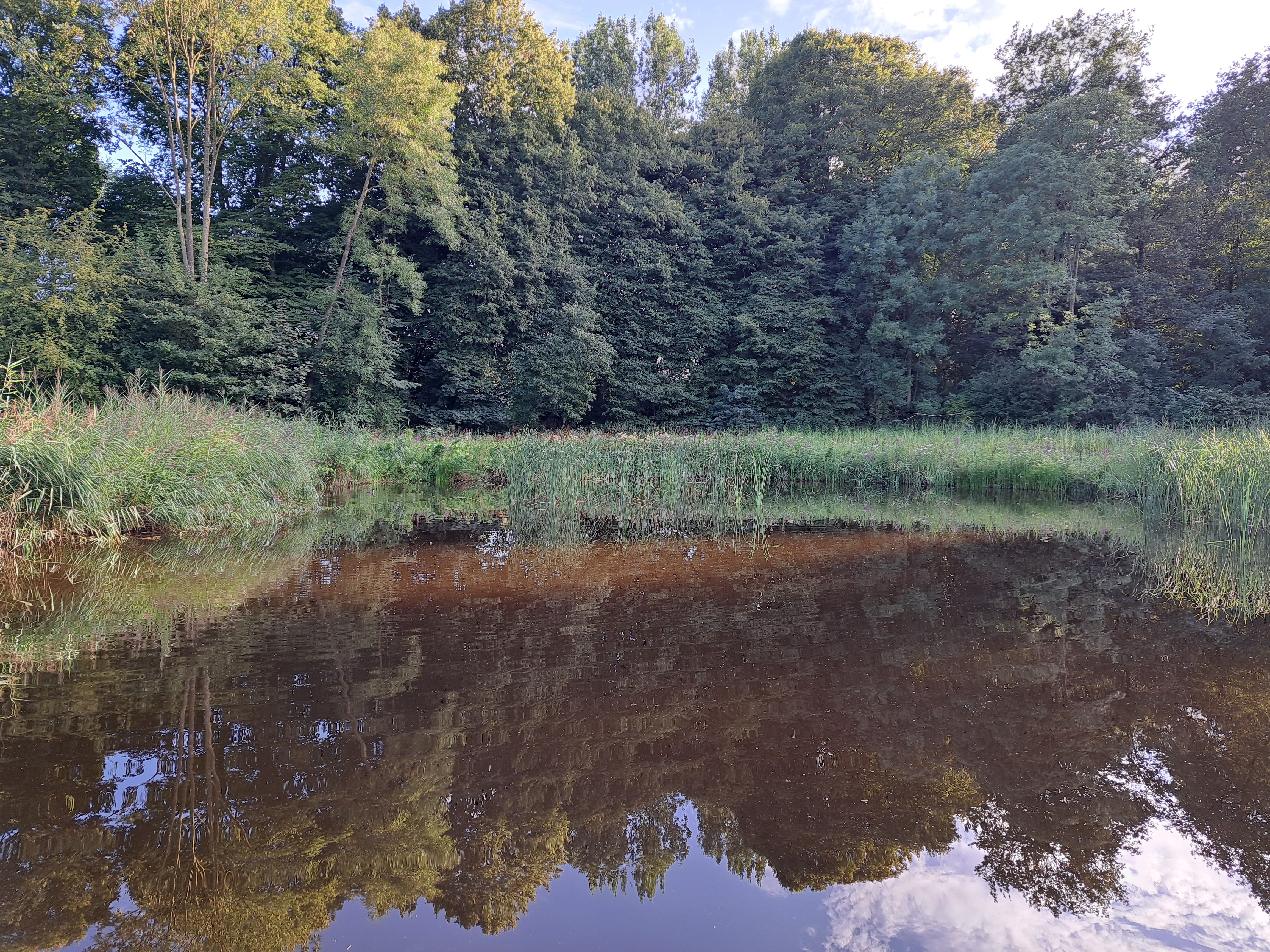
So if I still have sunny summer Amsterdam entrance photos left over from that lovely summer garden walk more than four months ago (remember all those private garden posts?), I think it’s time to double down on the entrances thing like I just did with the pics-from-planes thing. Hope you’re in a door mood, dear readers… 🙂
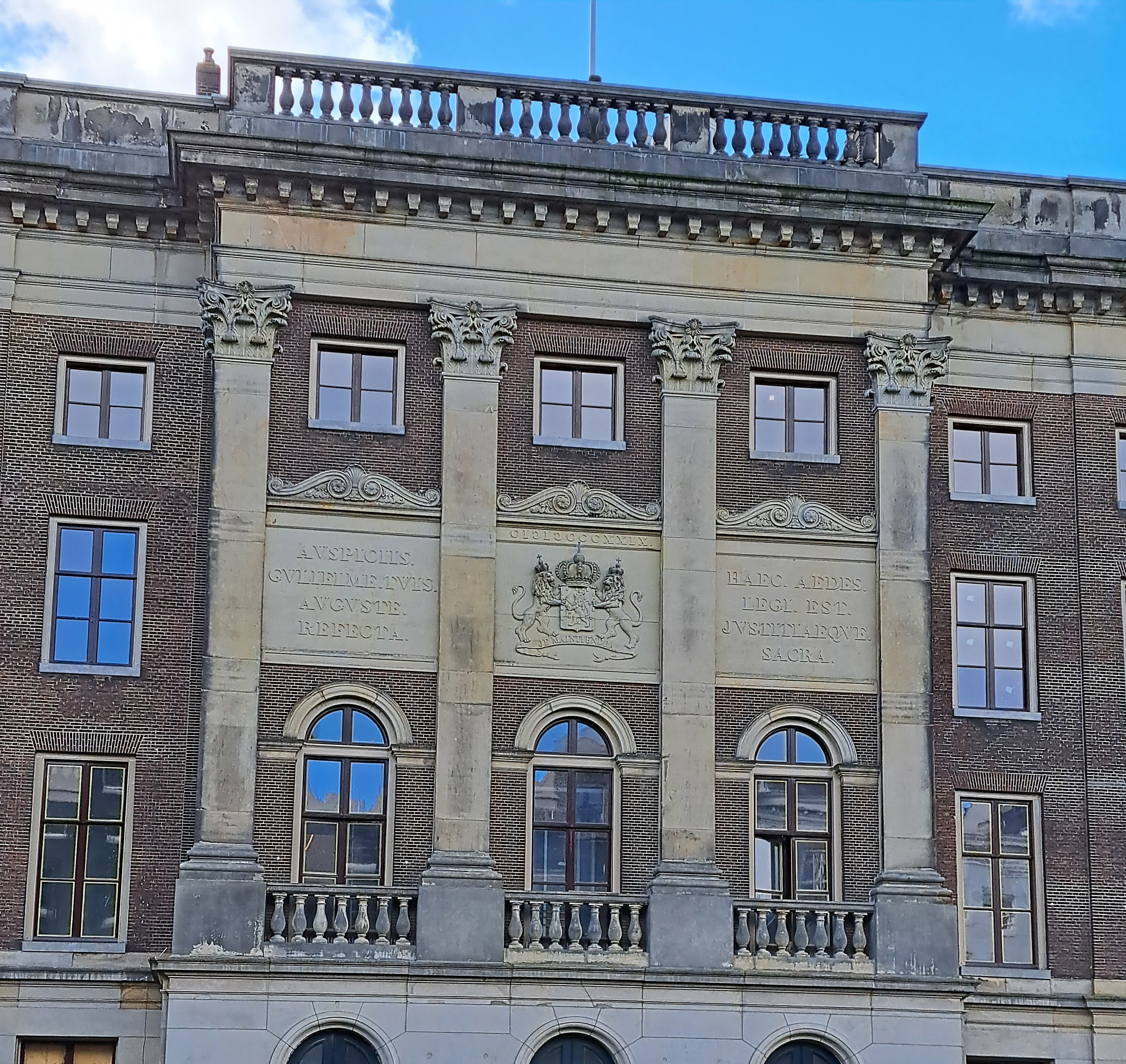
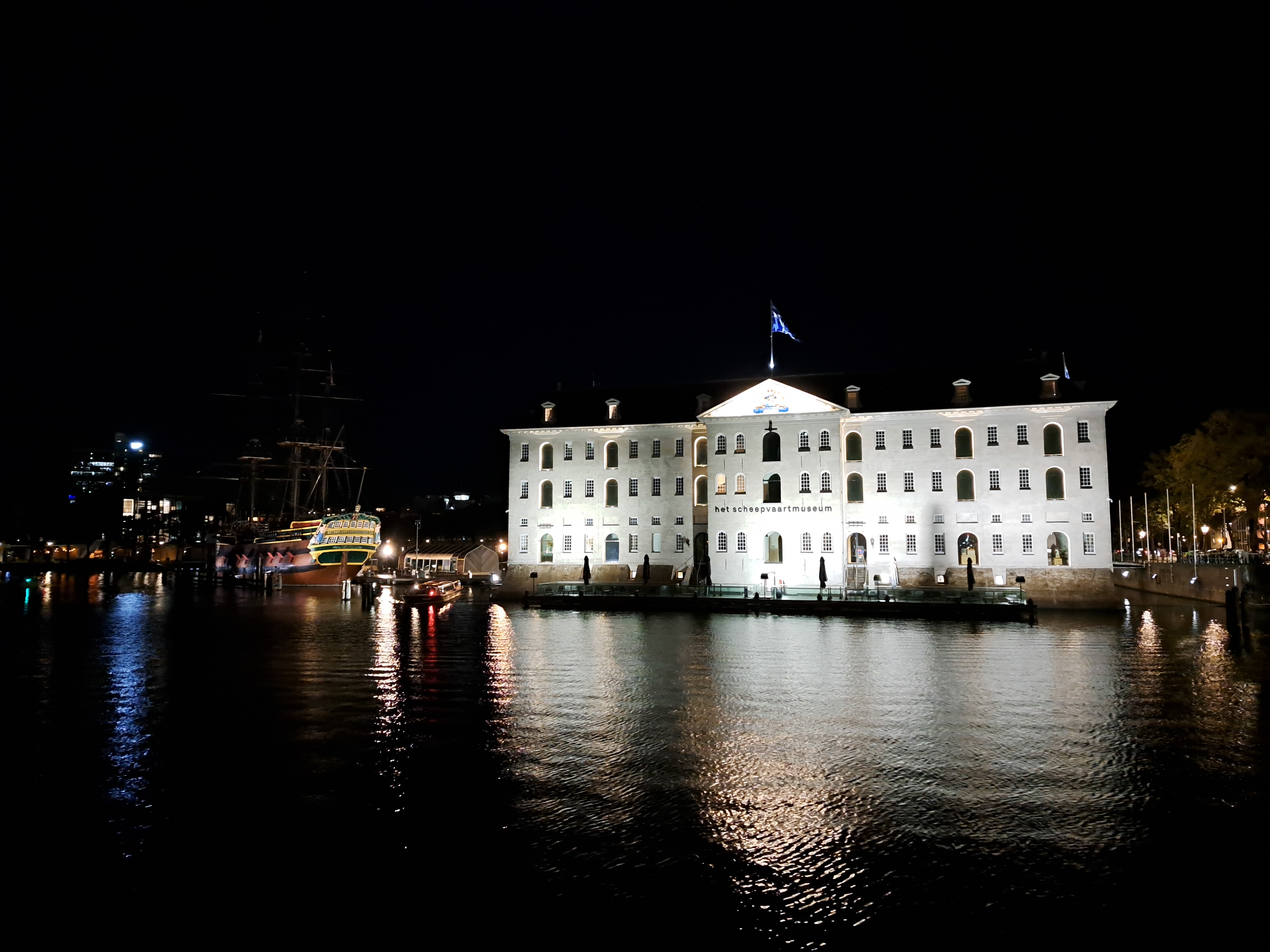
The royal coat of arms appears on any number of buildings in this town, and I’m really not quite sure why. Tried to do some research on this building, has building scaffolding and equipment around it, but gave up after half an hour of nothing…
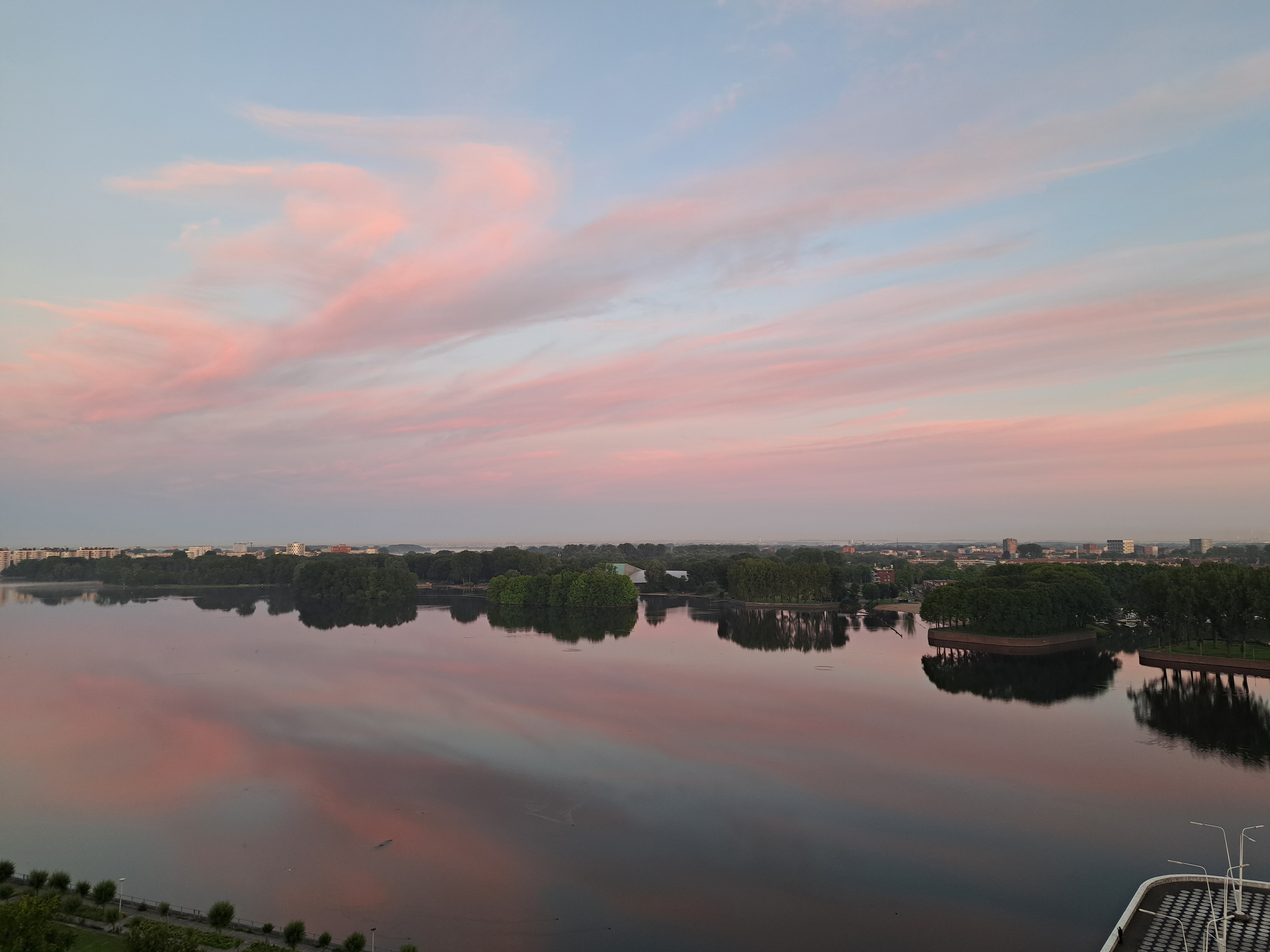
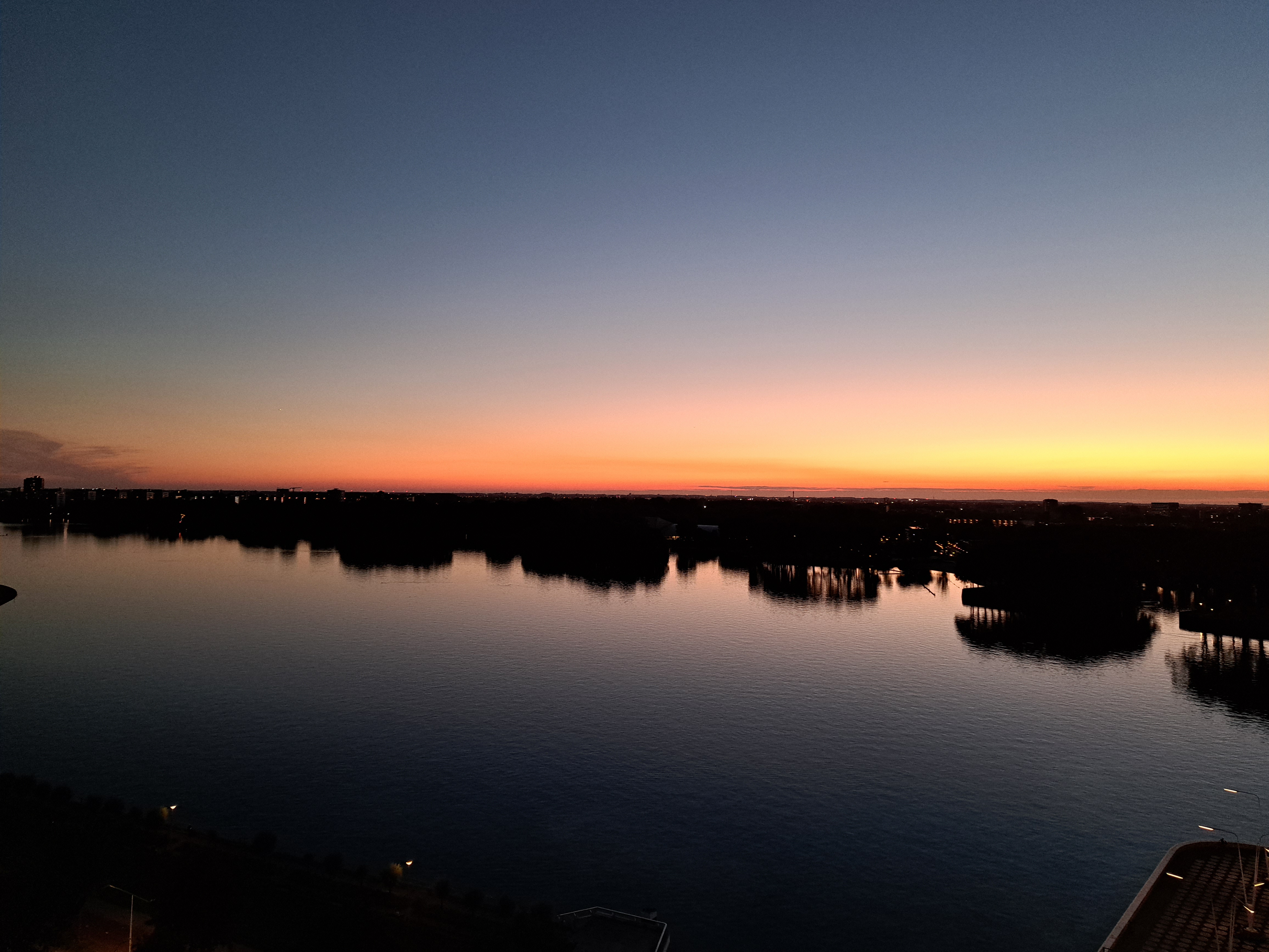
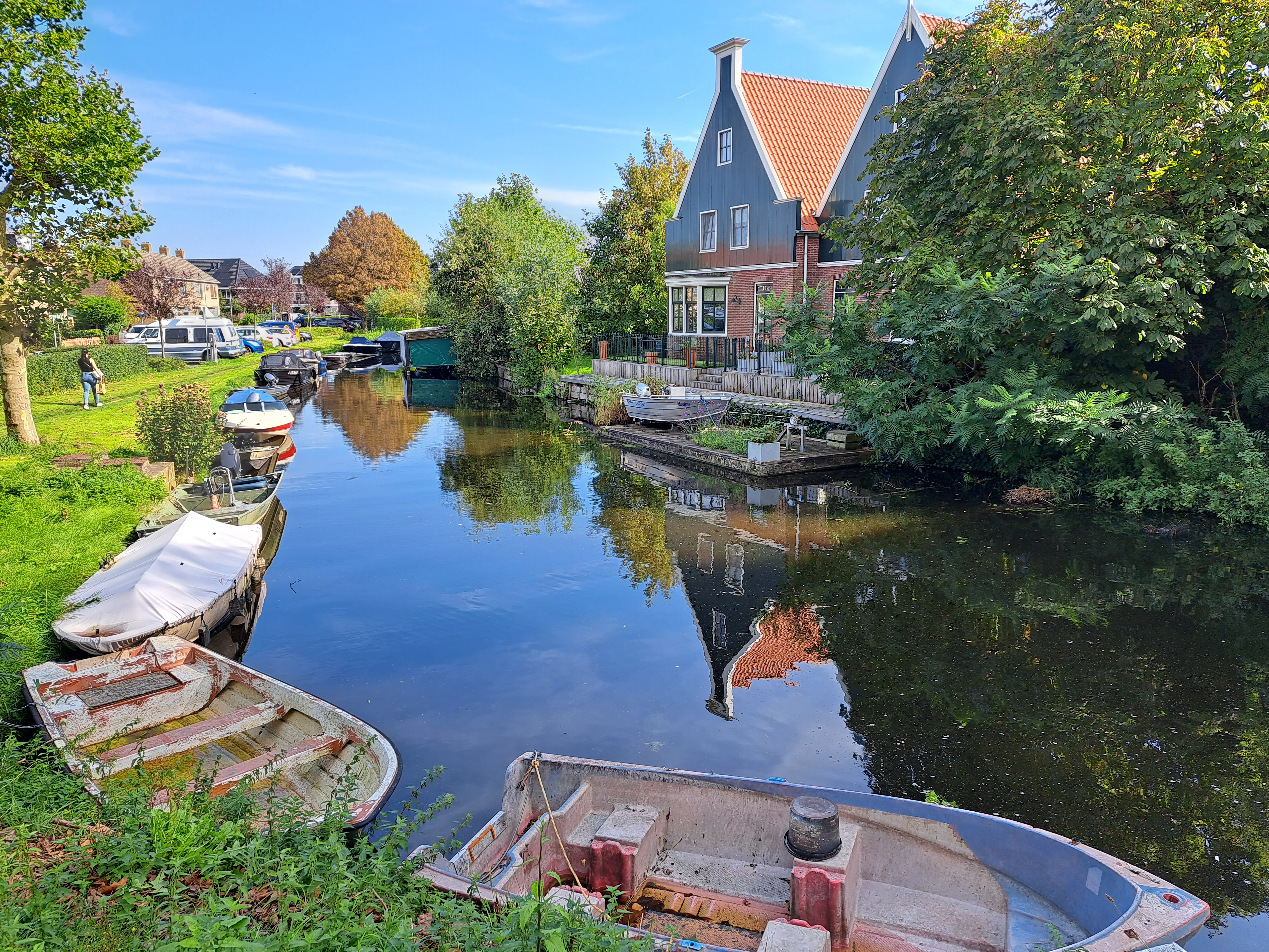
Indeed any time I’m desperate for an island to fill a slot in this particular series (it happens – remember this one?), my life got **way** easier when I moved into this place. There are two islands visible from this vantage in my current home: both are around the middle of the image, near the far shore of Sloterplas, which is the name of this lake. The closest one is immediately in front of the large lighted building above, which happens to be the swimming complex where the Dutch national team trains. Above was a pre-sunrise full moon in late September; just below dawn clouds the morning after the beautiful sunset at the bottom.
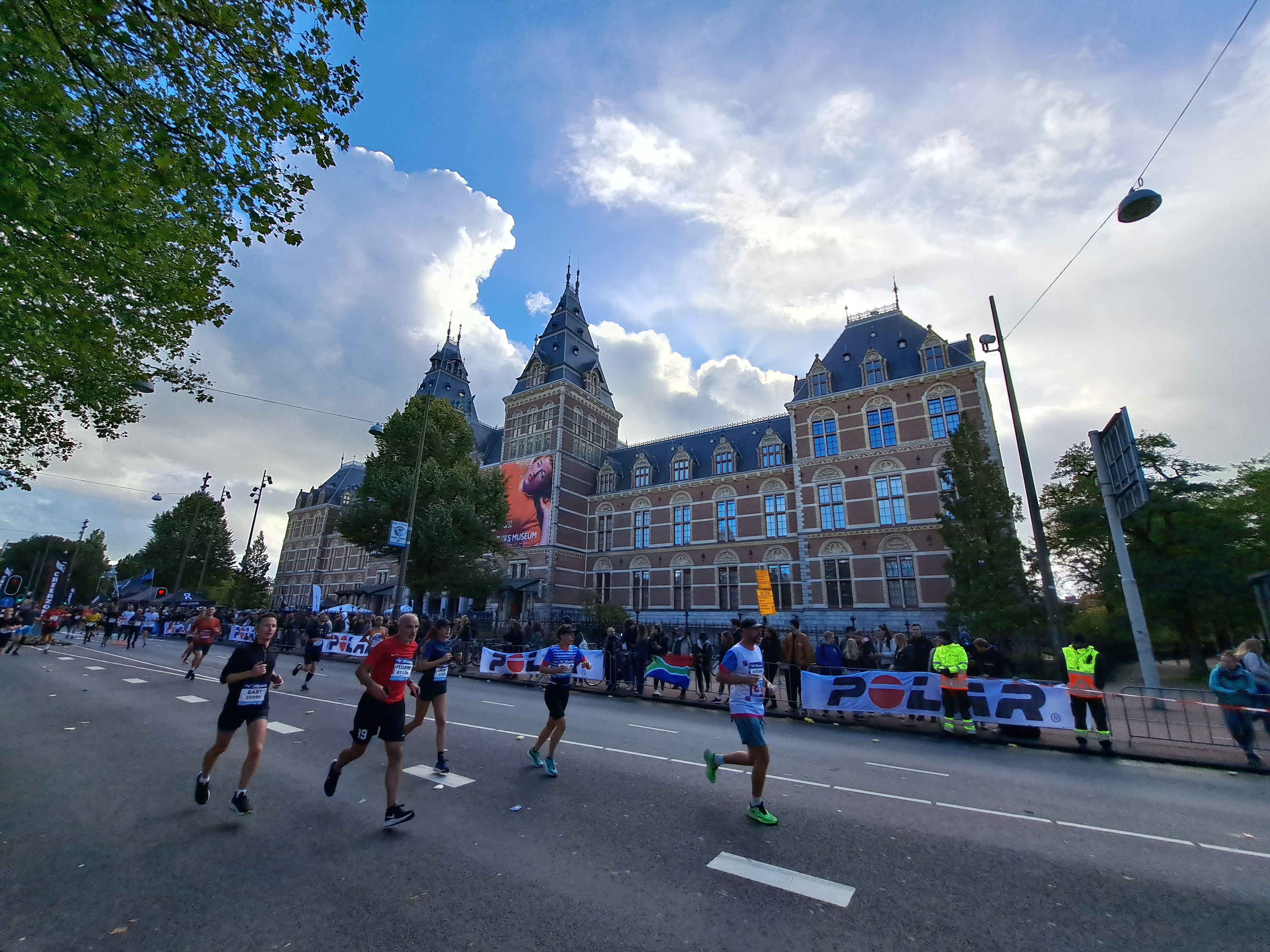
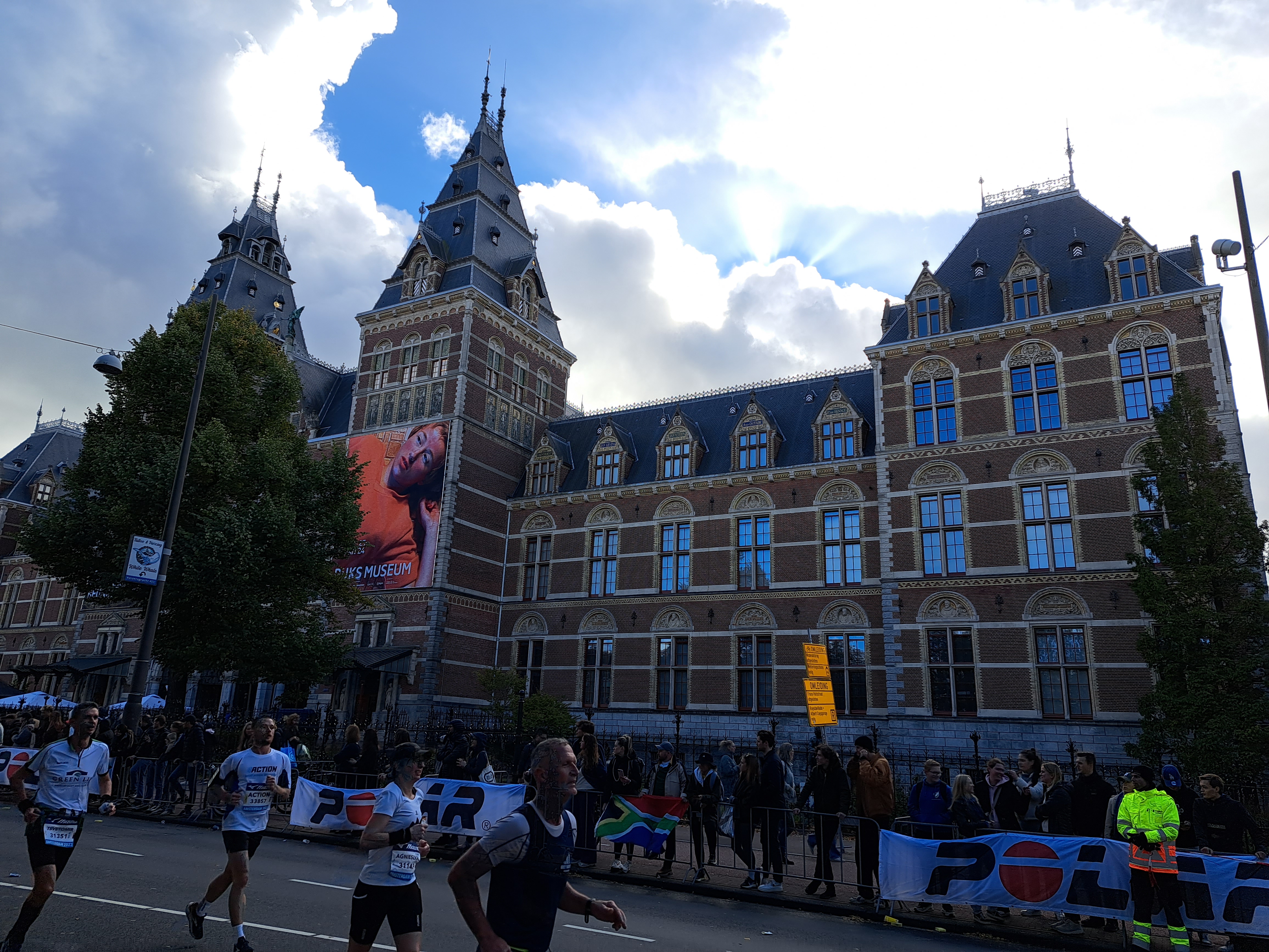
The past two weekends, my cousin(‘s son) Sam was on a visit with me here in Amsterdam. This meant I got out more as tour guide than I’ve been able to do lately, and on foot often enough that I saw things differently. Interestingly, the very last post in this particular series appeared just shortly before I flew out of Dhaka during covid, and in that post I actually referenced good ol’ Sam, who’d been a big fan of my various series and posts during the covid months in Dhaka. This is mostly half-marathoners passing the Rijksmuseum last Sunday, with a few of the last marathoners also reaching the last couple miles…