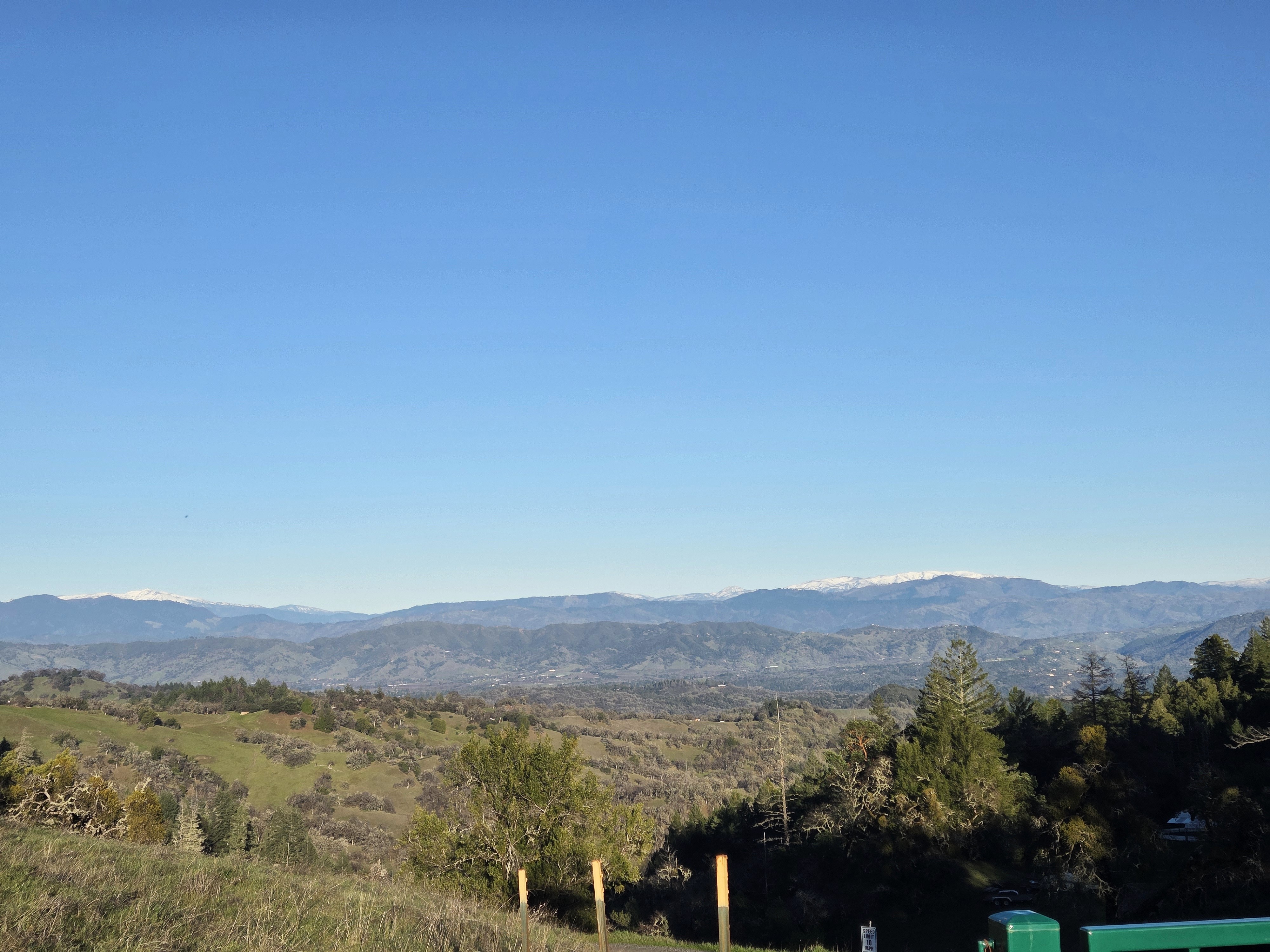
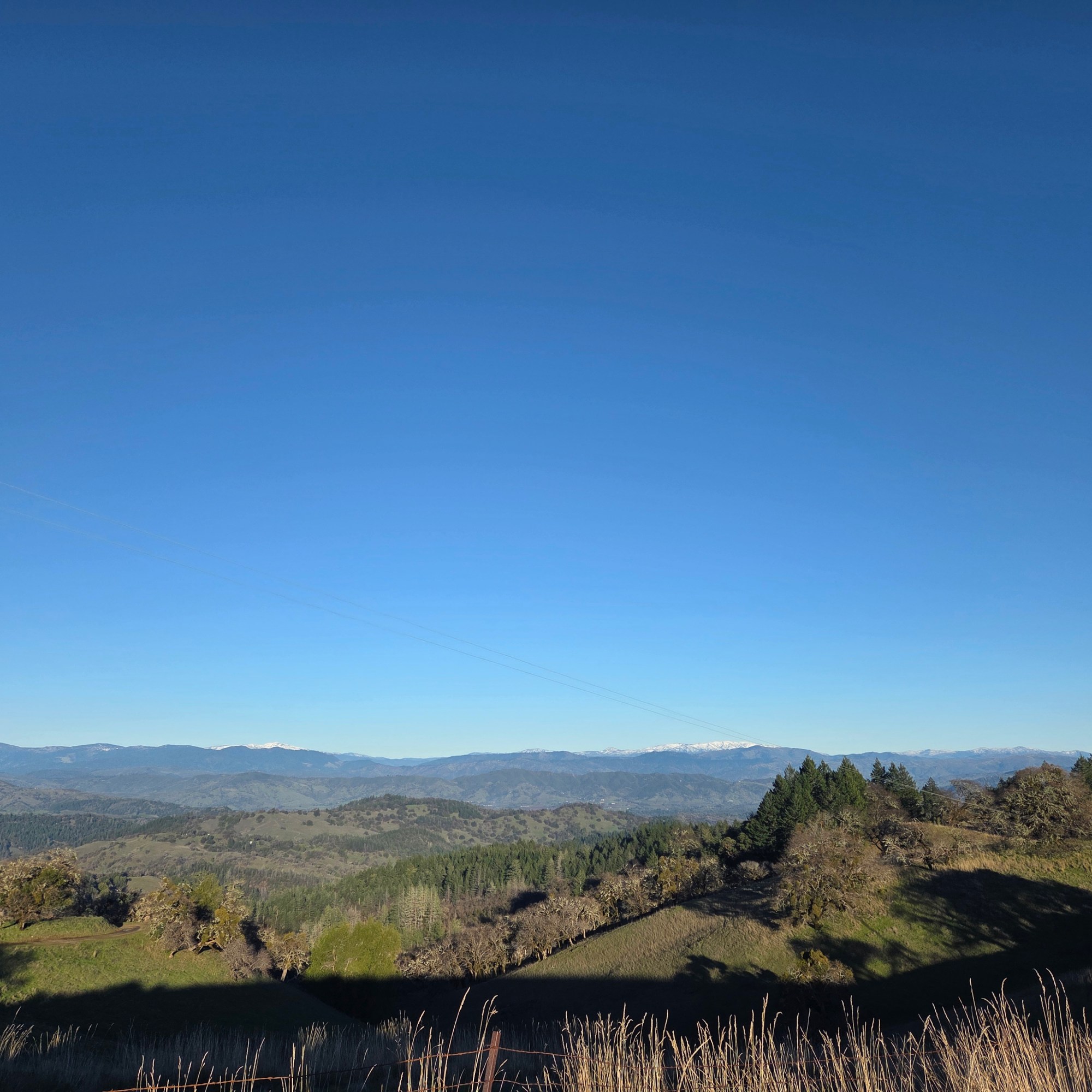
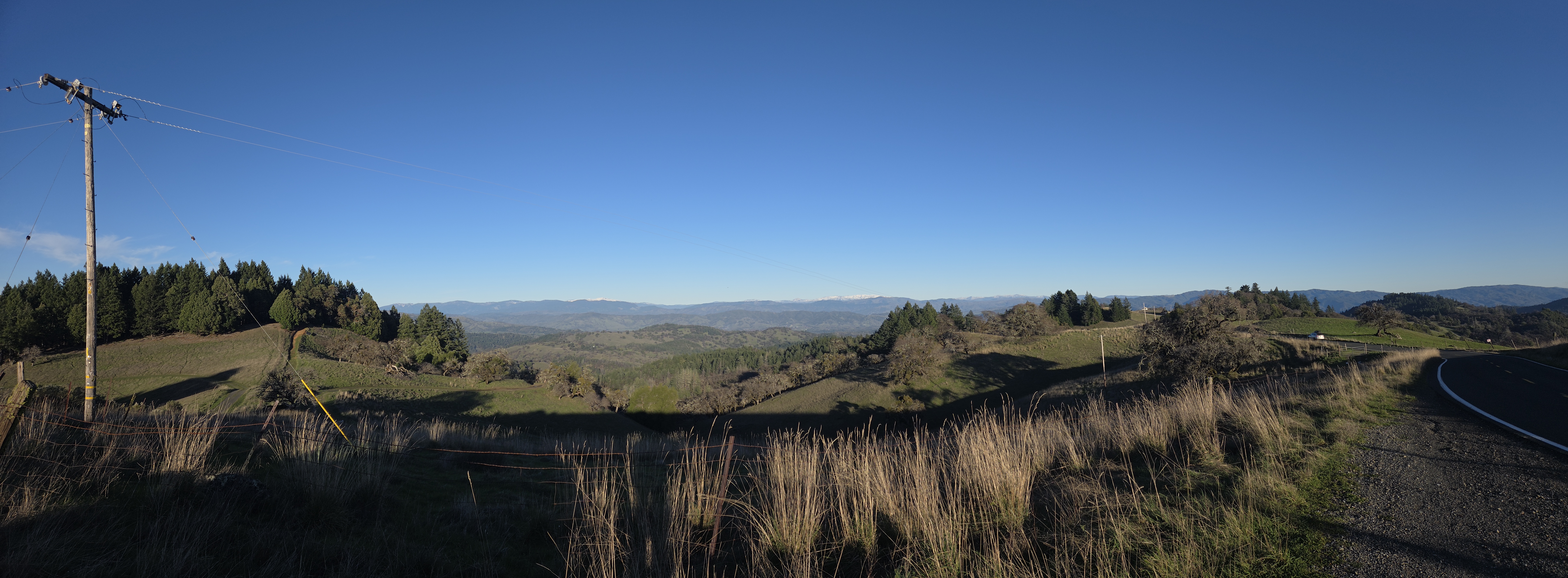
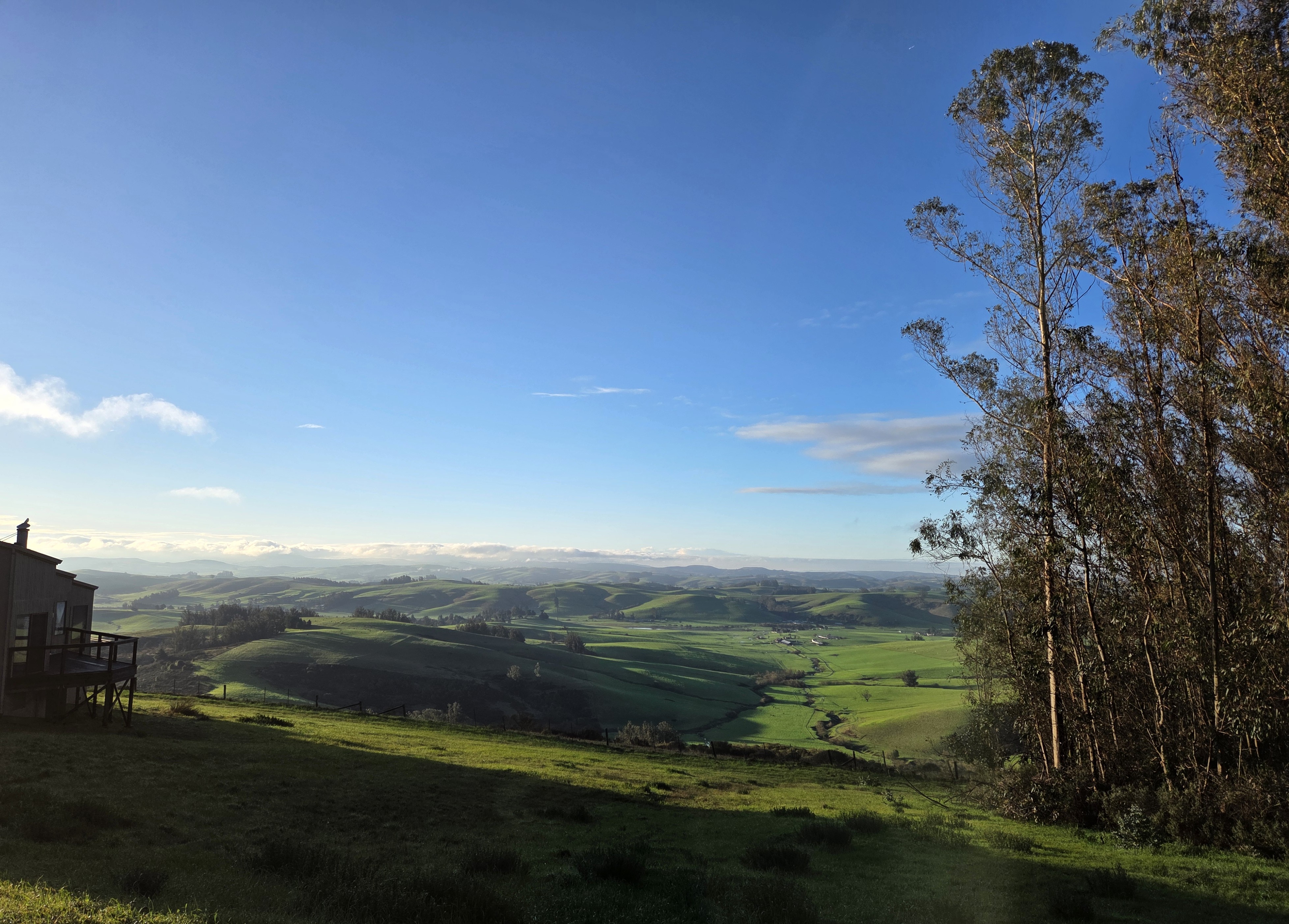
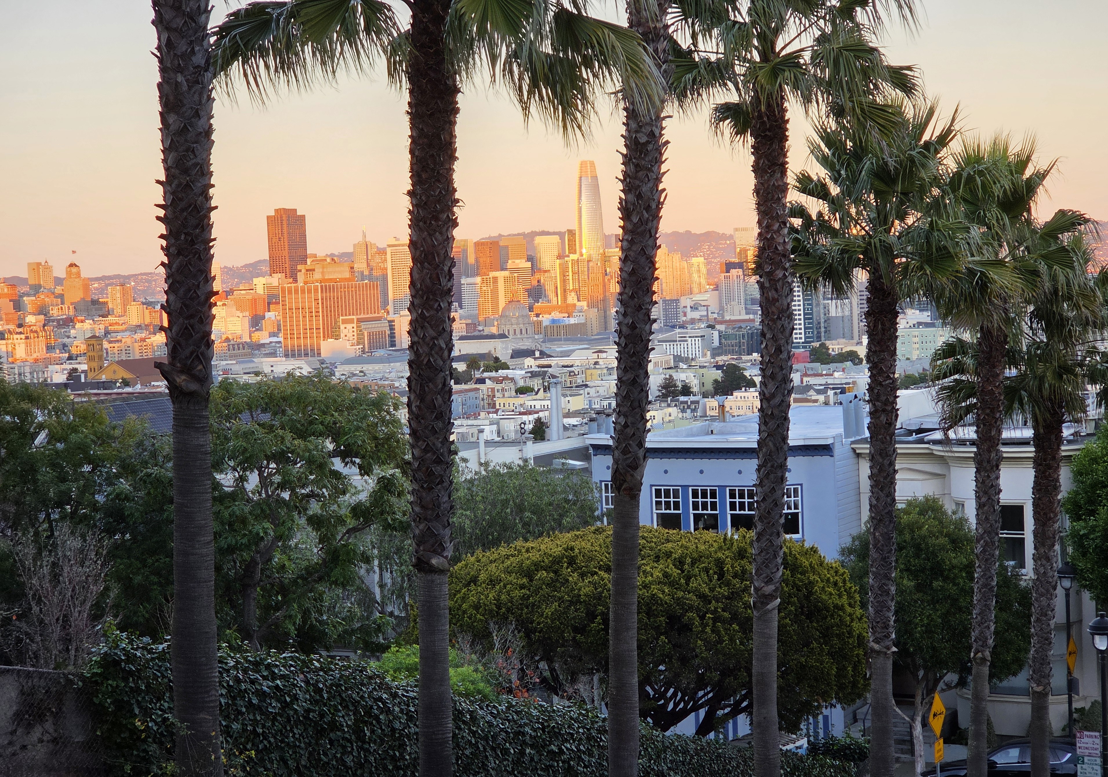
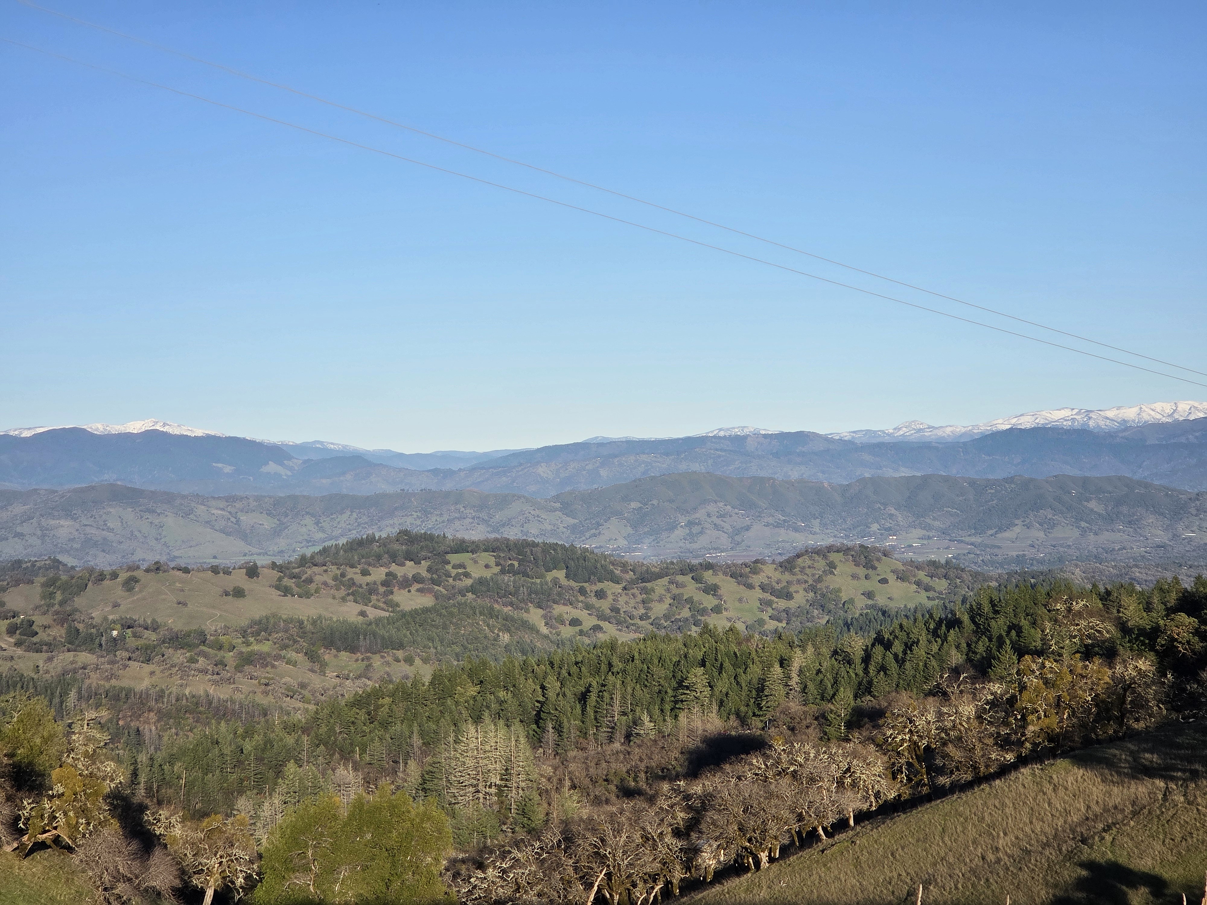
Since we resumed this series with (if I may say) rather spectacular shots of Yosemite Valley & Halfdome as seen from my airplane on the day I flew over toCalifornia in late December, we’ve shown you some of various spines of mountains that run through CA, starting with those Sierra Nevada photos, one earlier shot of these Snow Mountain and other higher parts of the “northern coastal range” in Mendocino National Forest, and of course the lower, closer to the coast coastal range further south as seen all around my Sonoma County home base. Naturally, I cherish mountain views when I find them outside NL, just as I cherish lovely canal views when here in NL 🙂
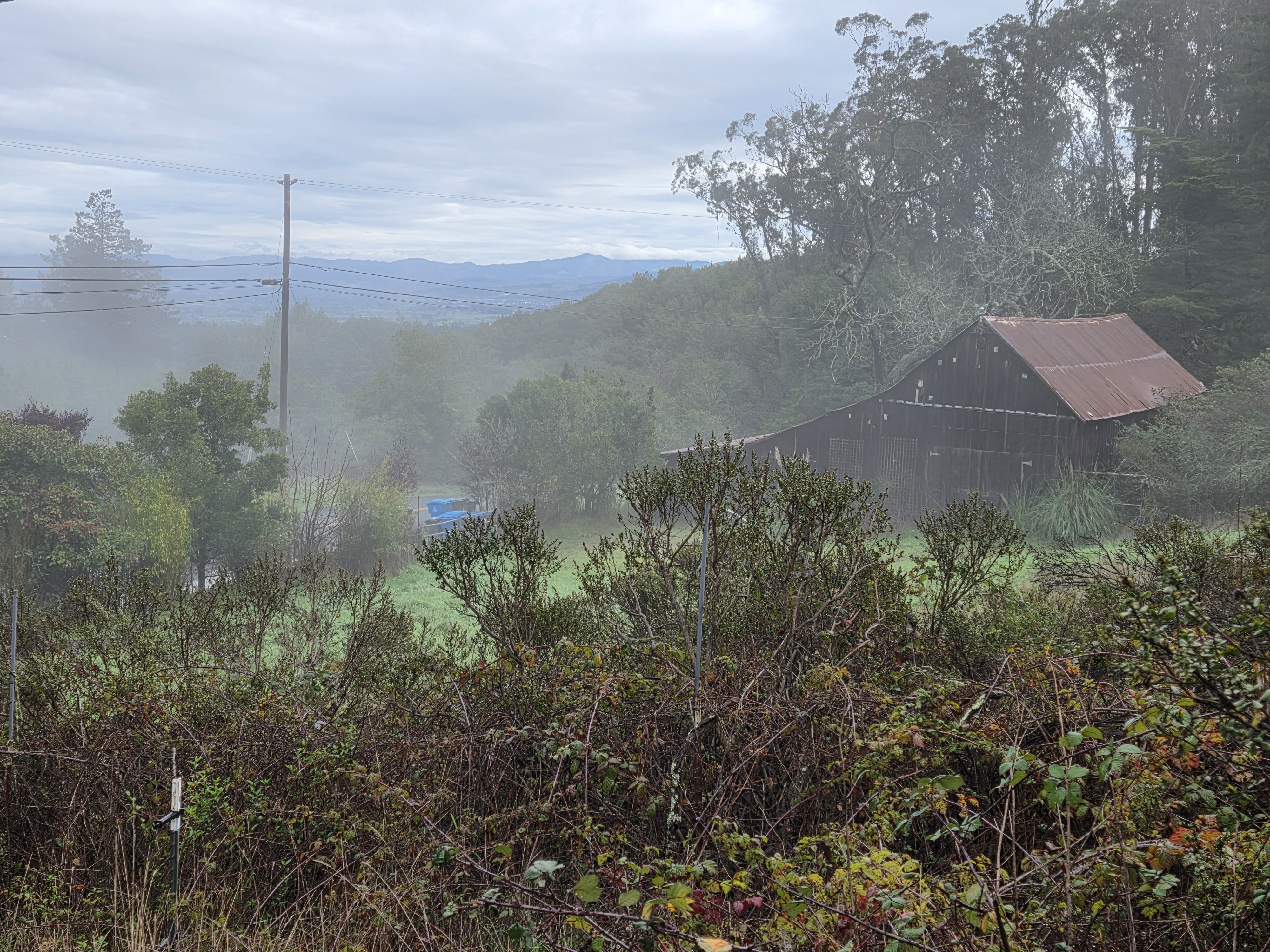
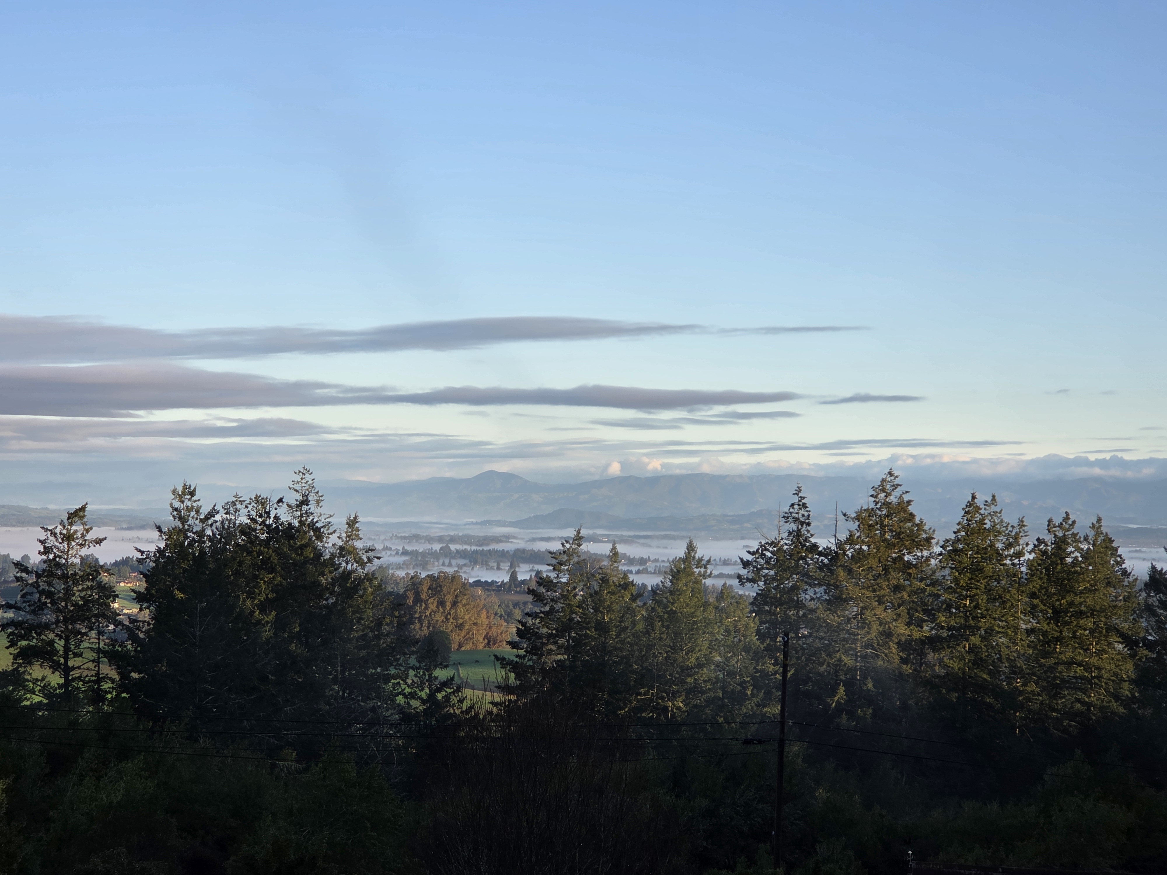
While in California I had several occasions to see the ol’ source in its vapor form, also known as mist, including the above as taken on a lovely walk w/Gary on the last day of his and Rick’s visit, and below that same morning.
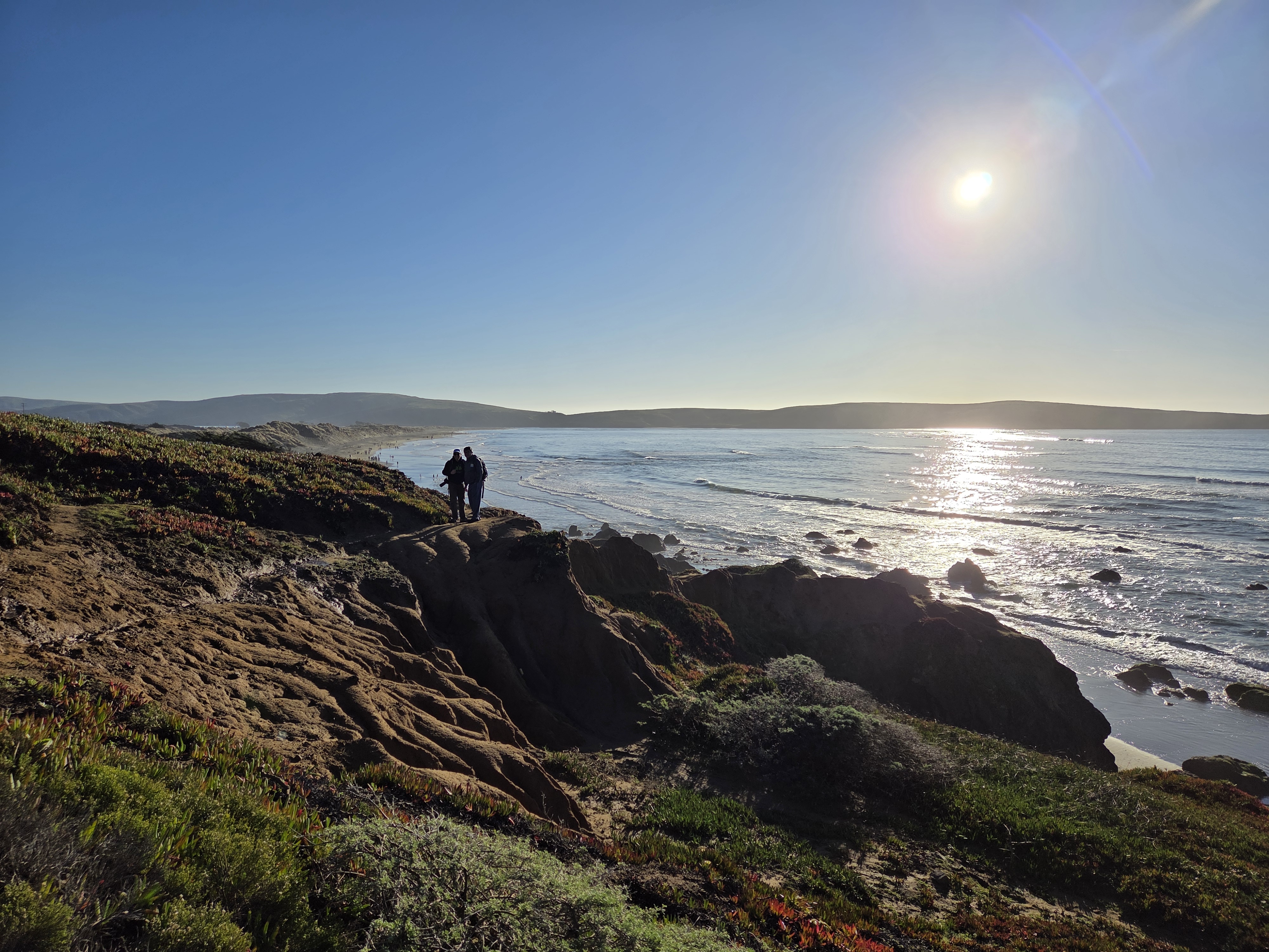
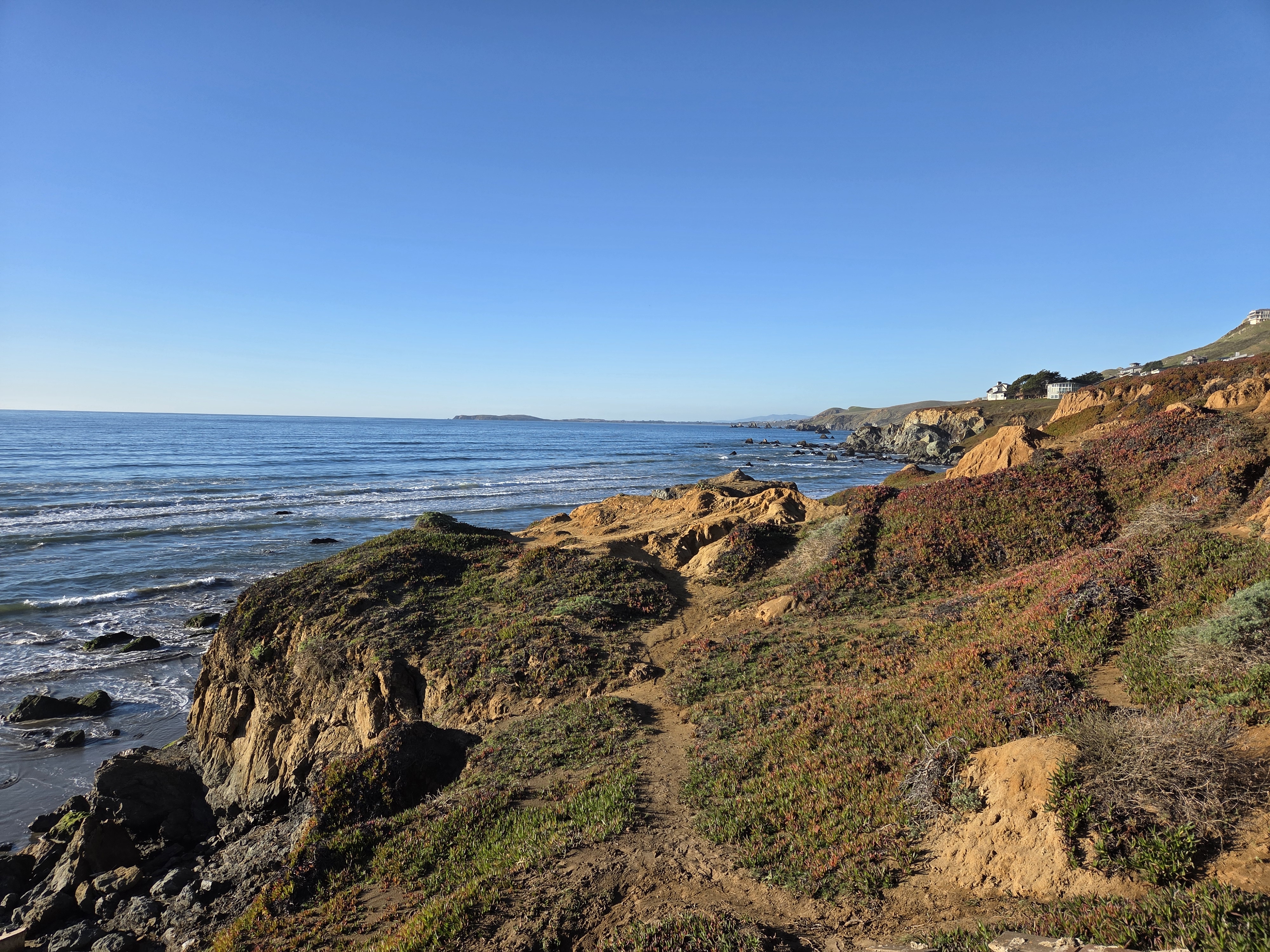
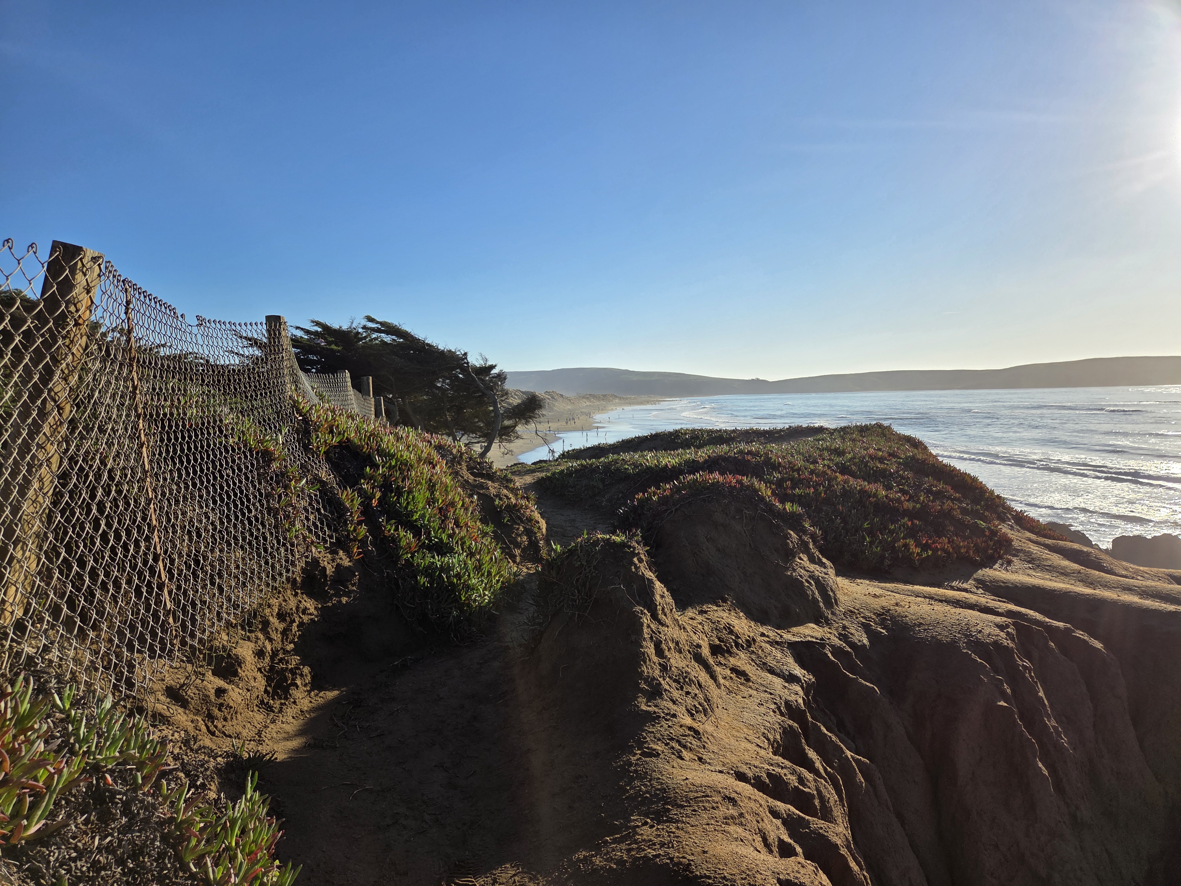
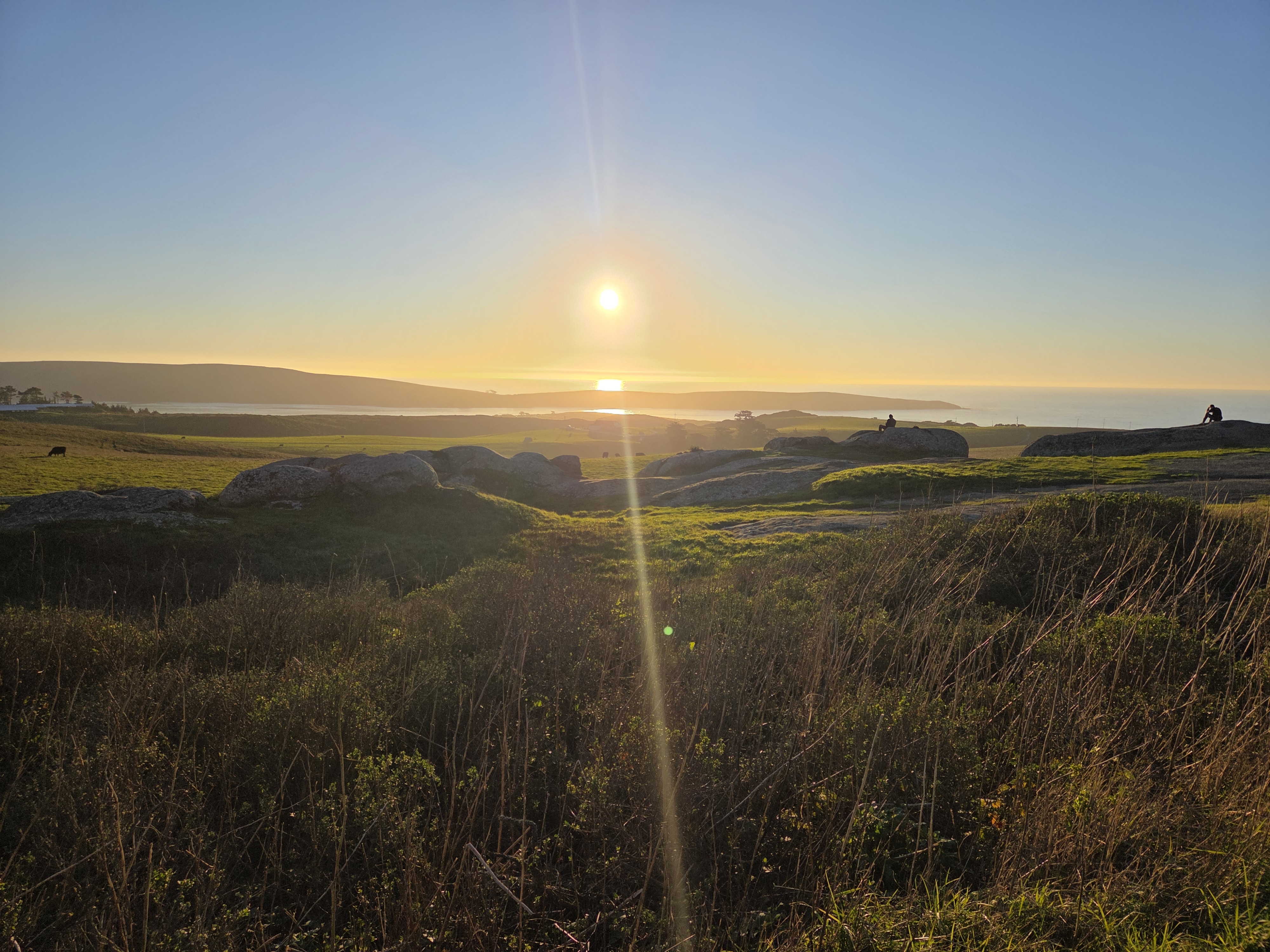
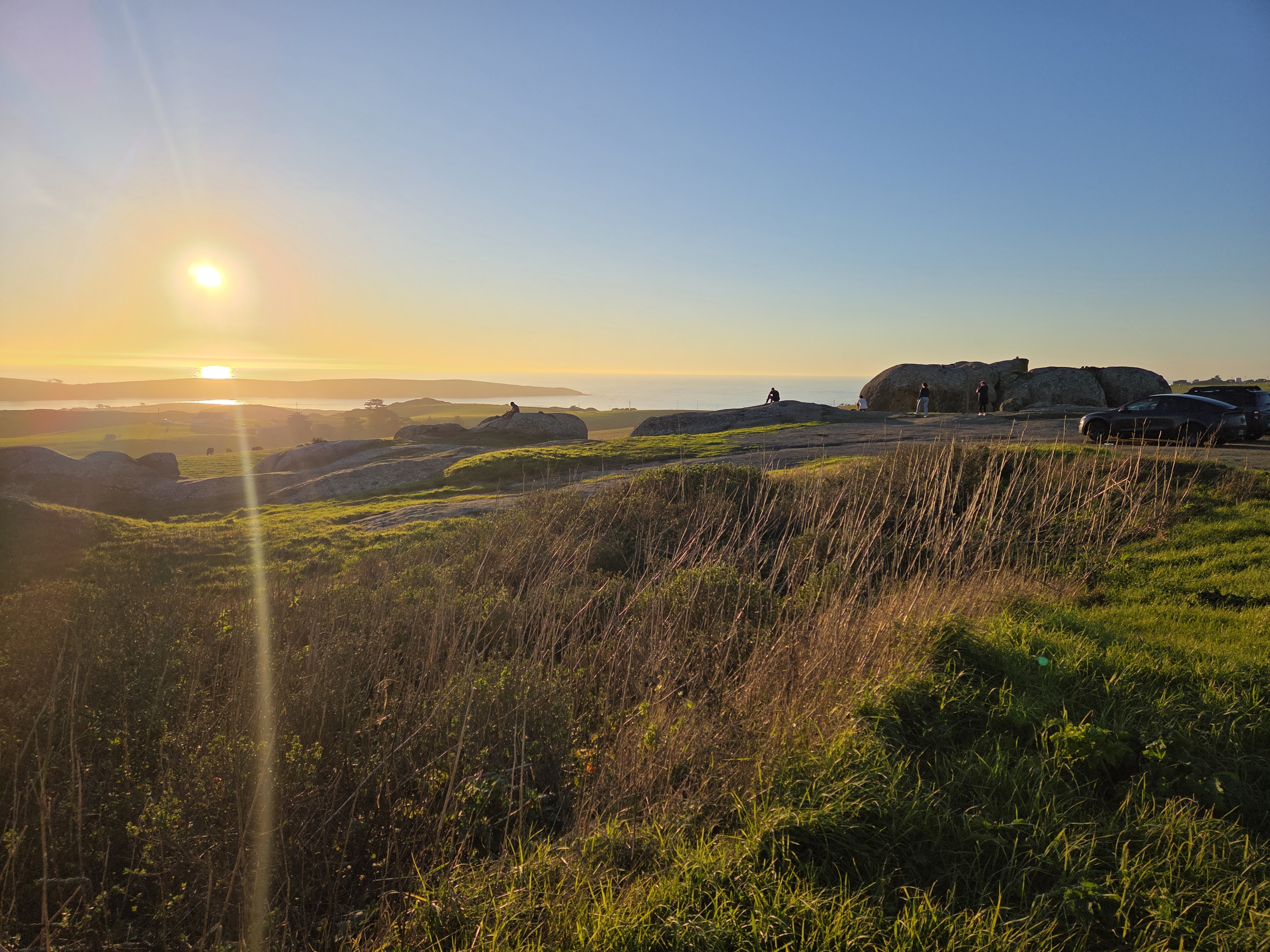
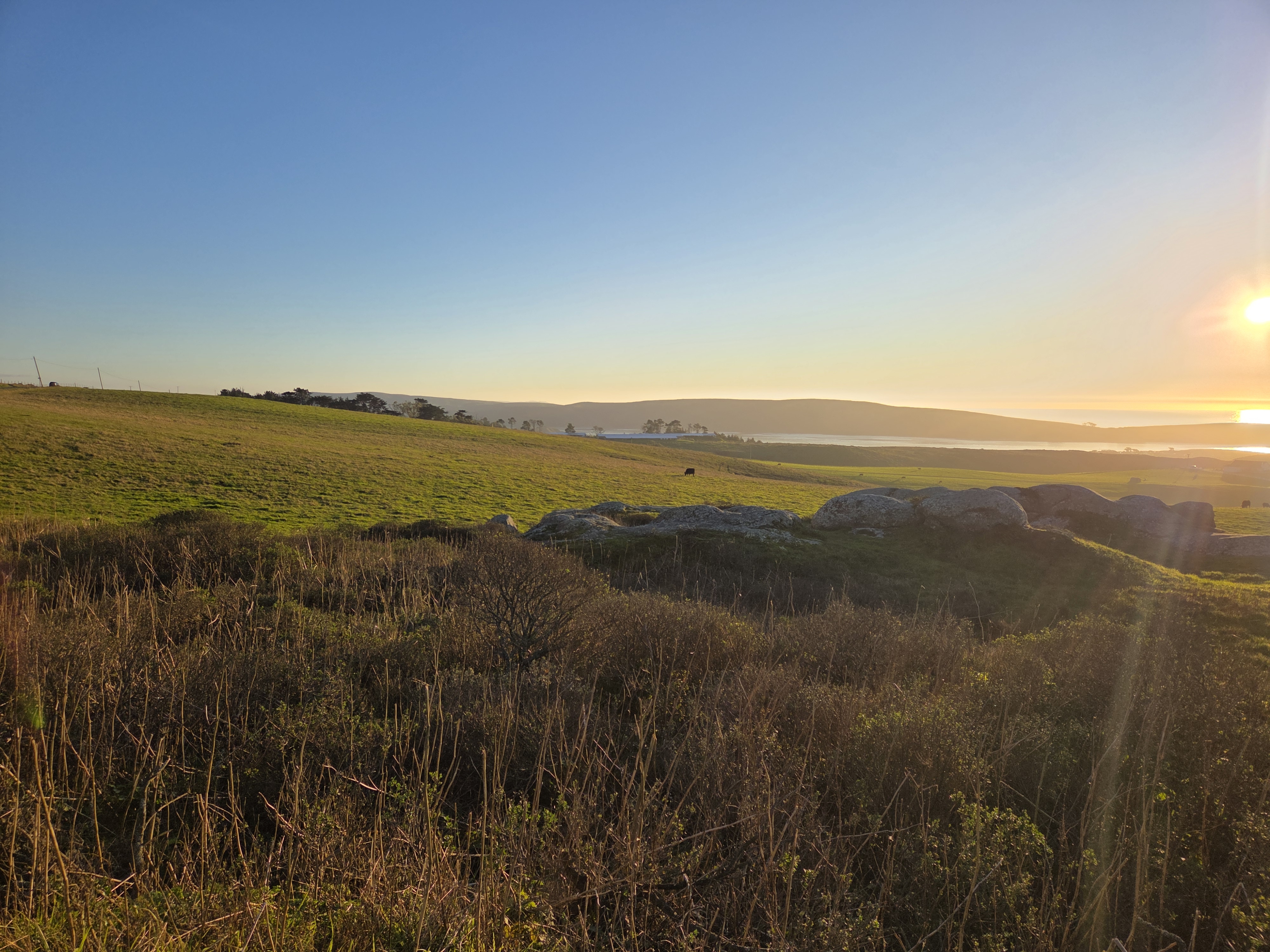
The top of Tomales Bay & Pt Reyes Peninsula as seen from PCH a bit uphill. For those unfamiliar with the region, the San Andreas fault runs right down the middle of Tomales Bay, and I believe is widening the bay by measurable inches per year, if memory serves.
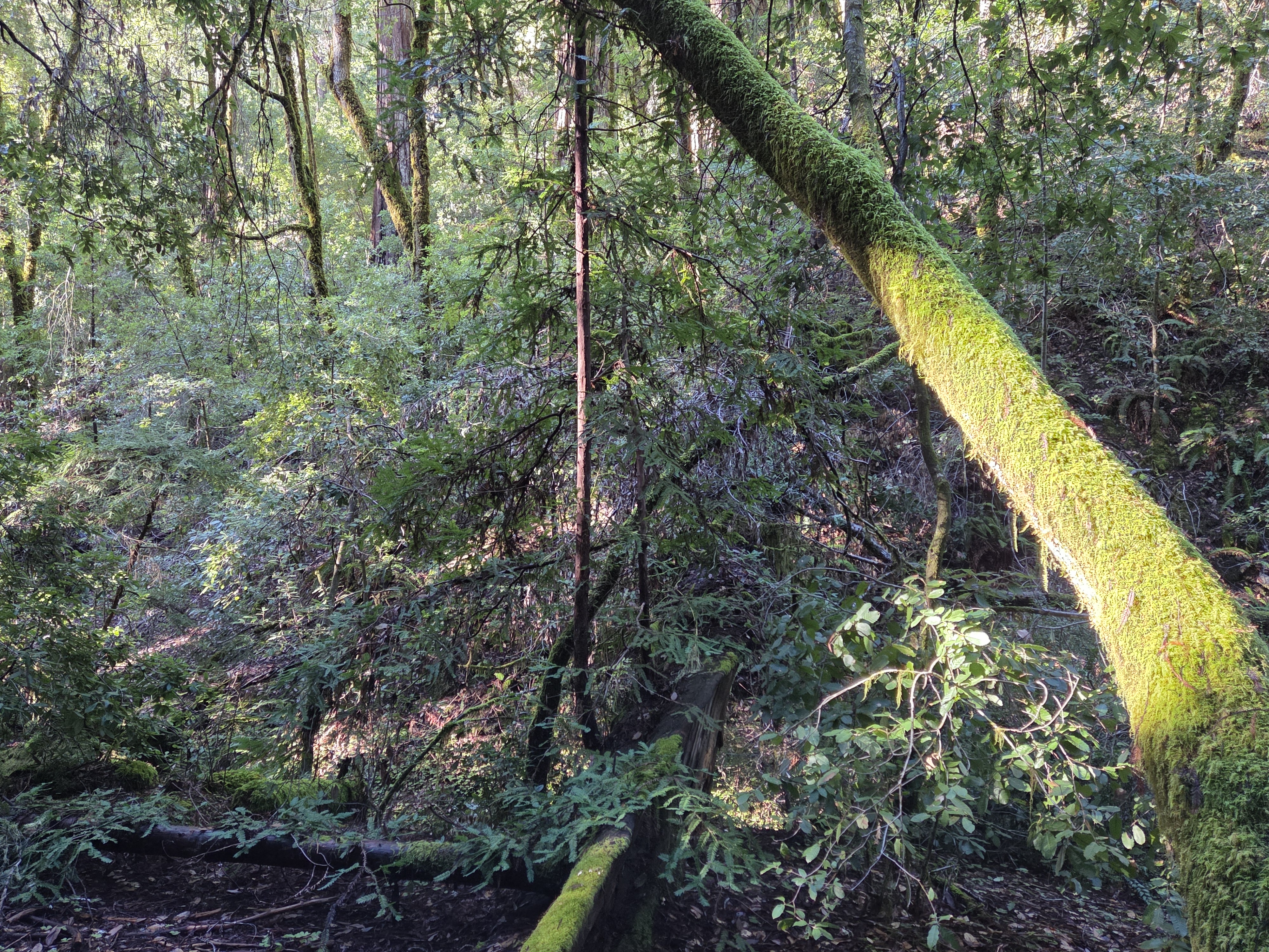
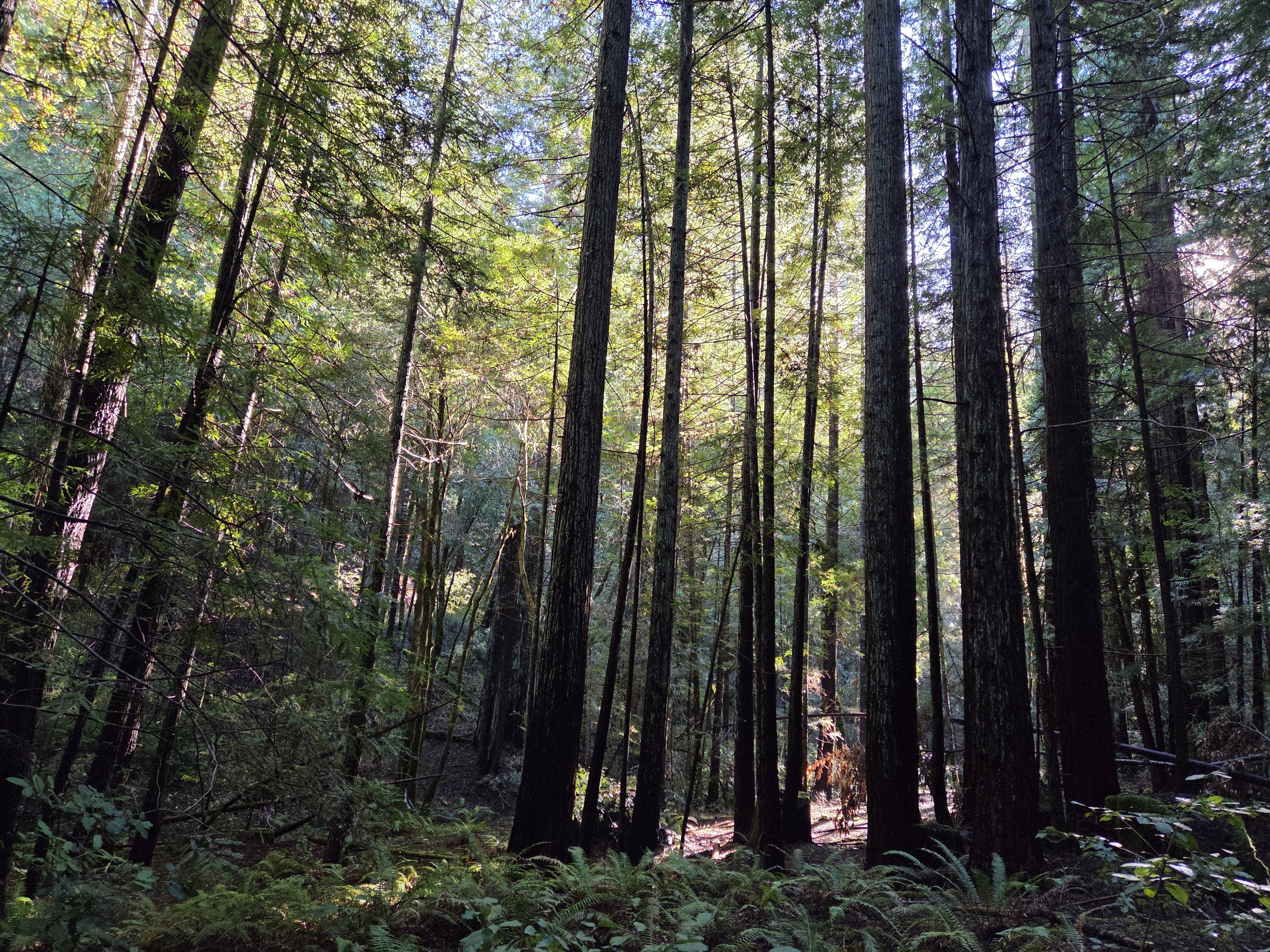
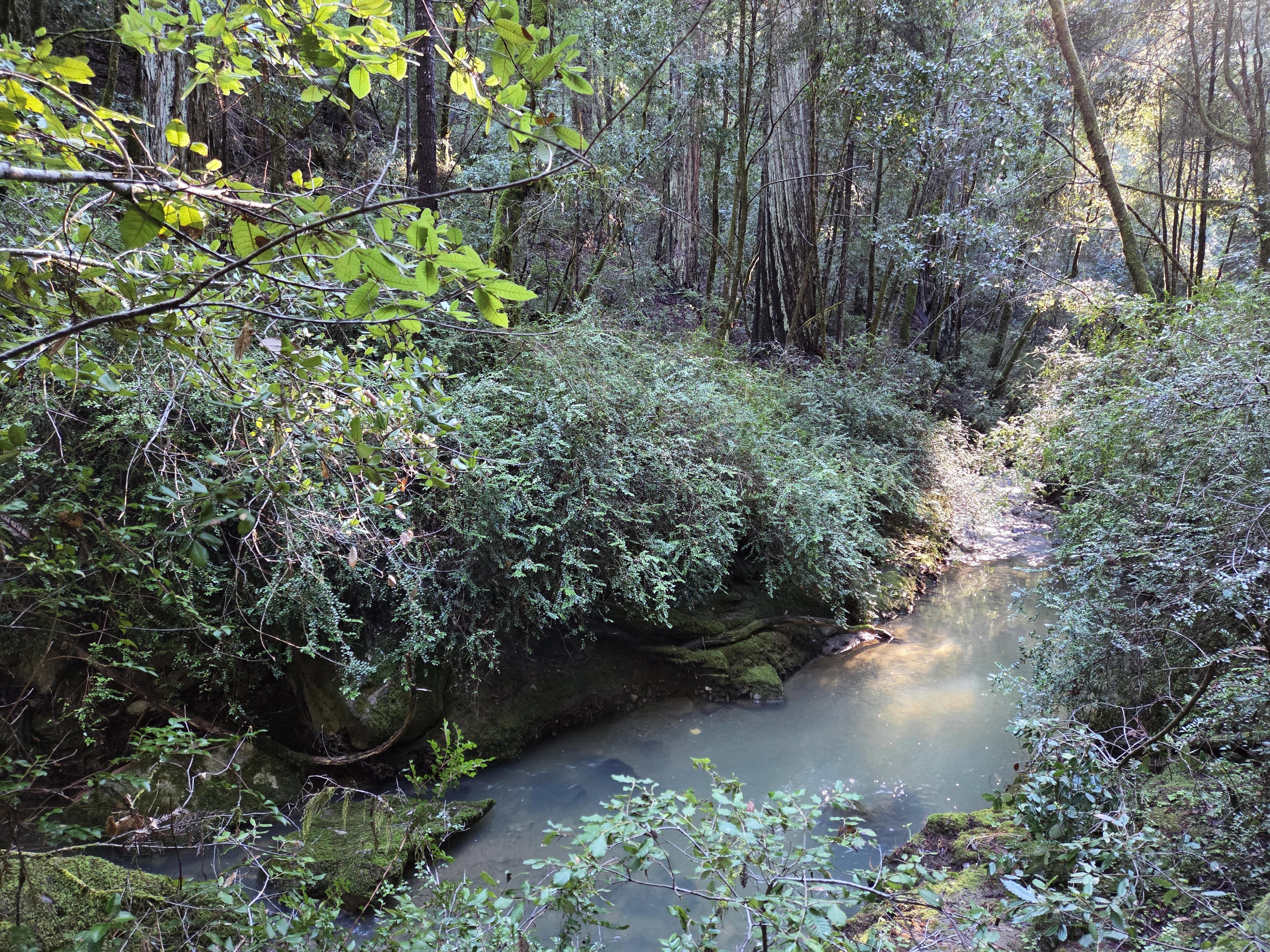
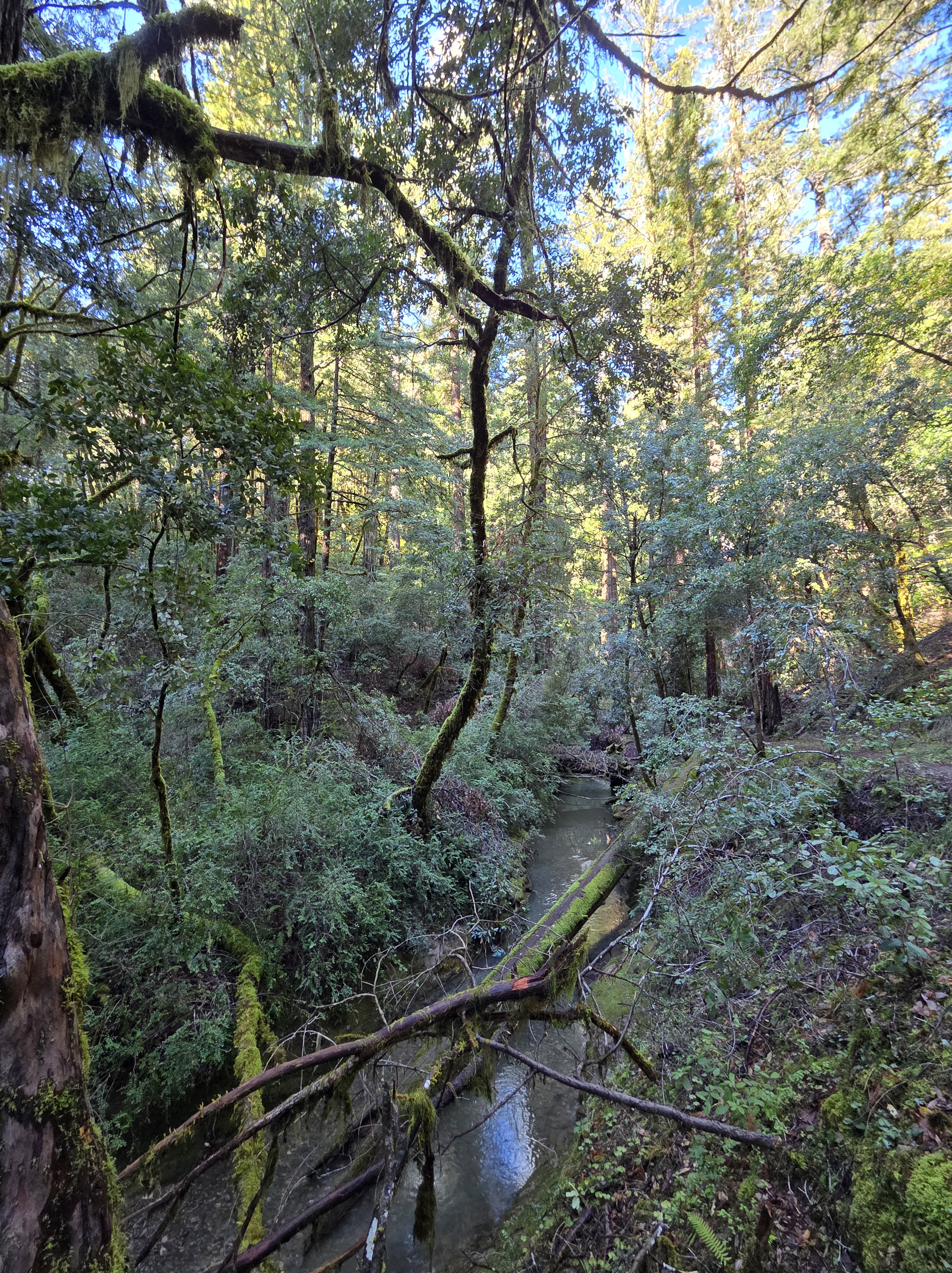
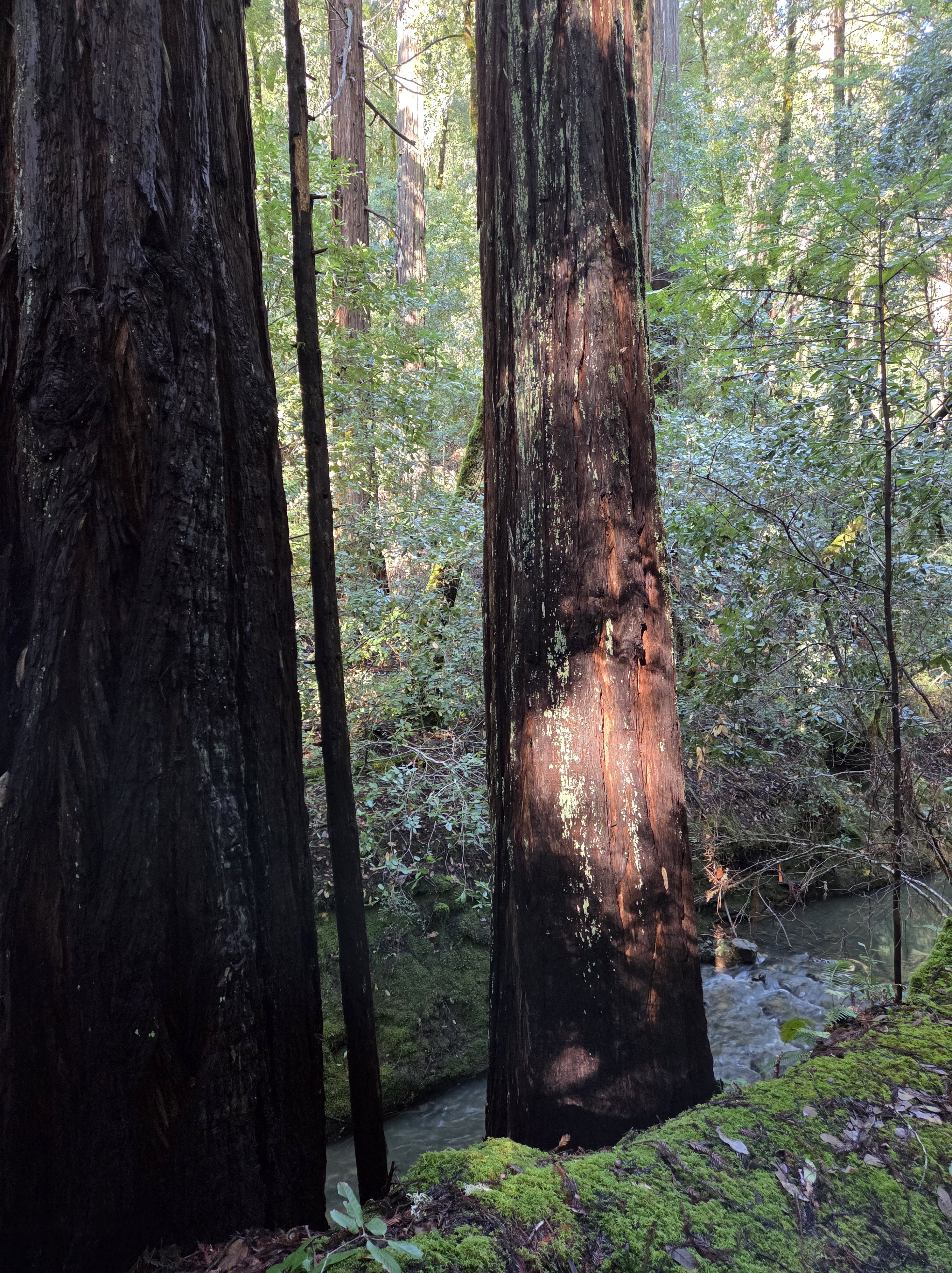
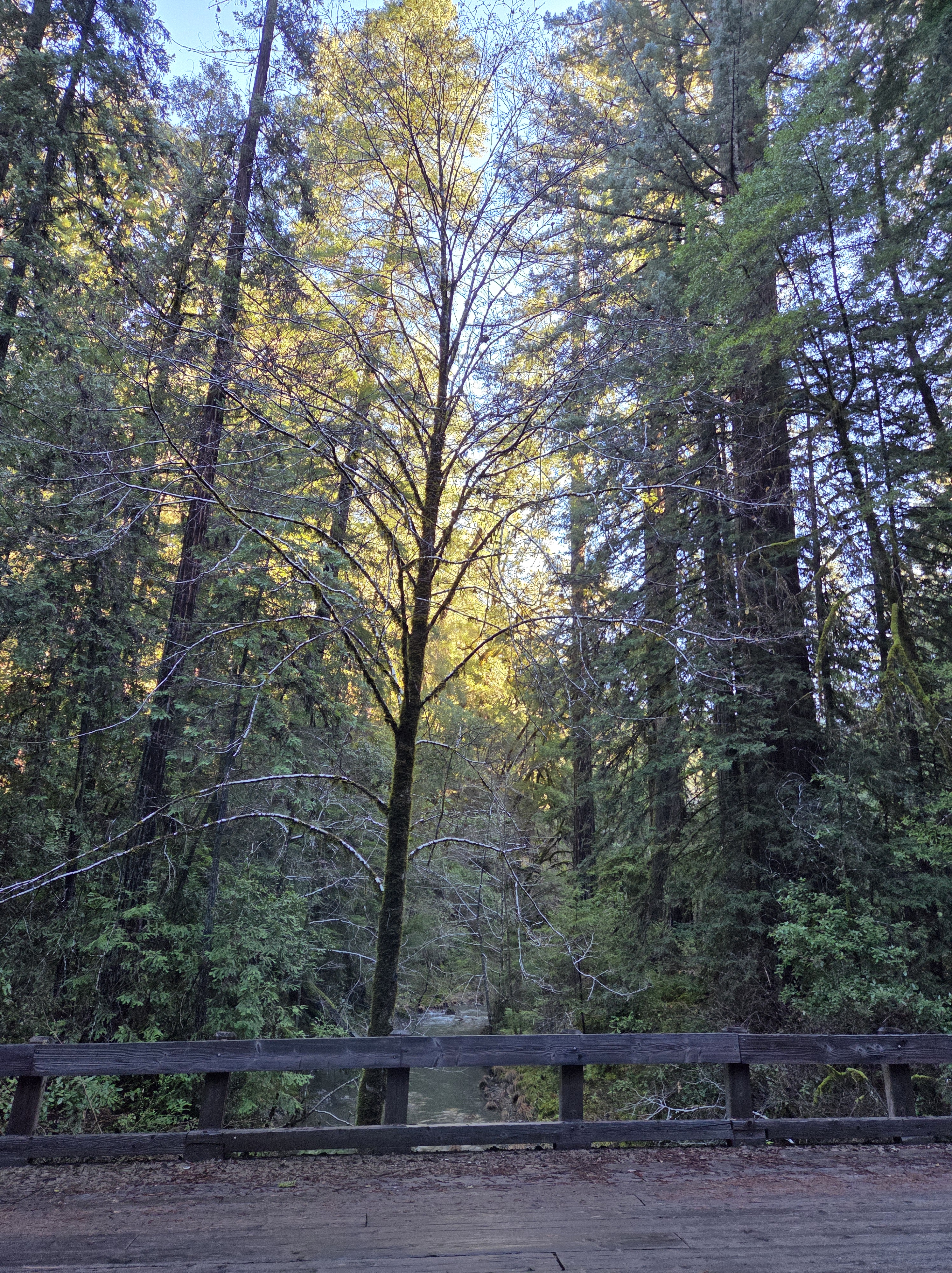
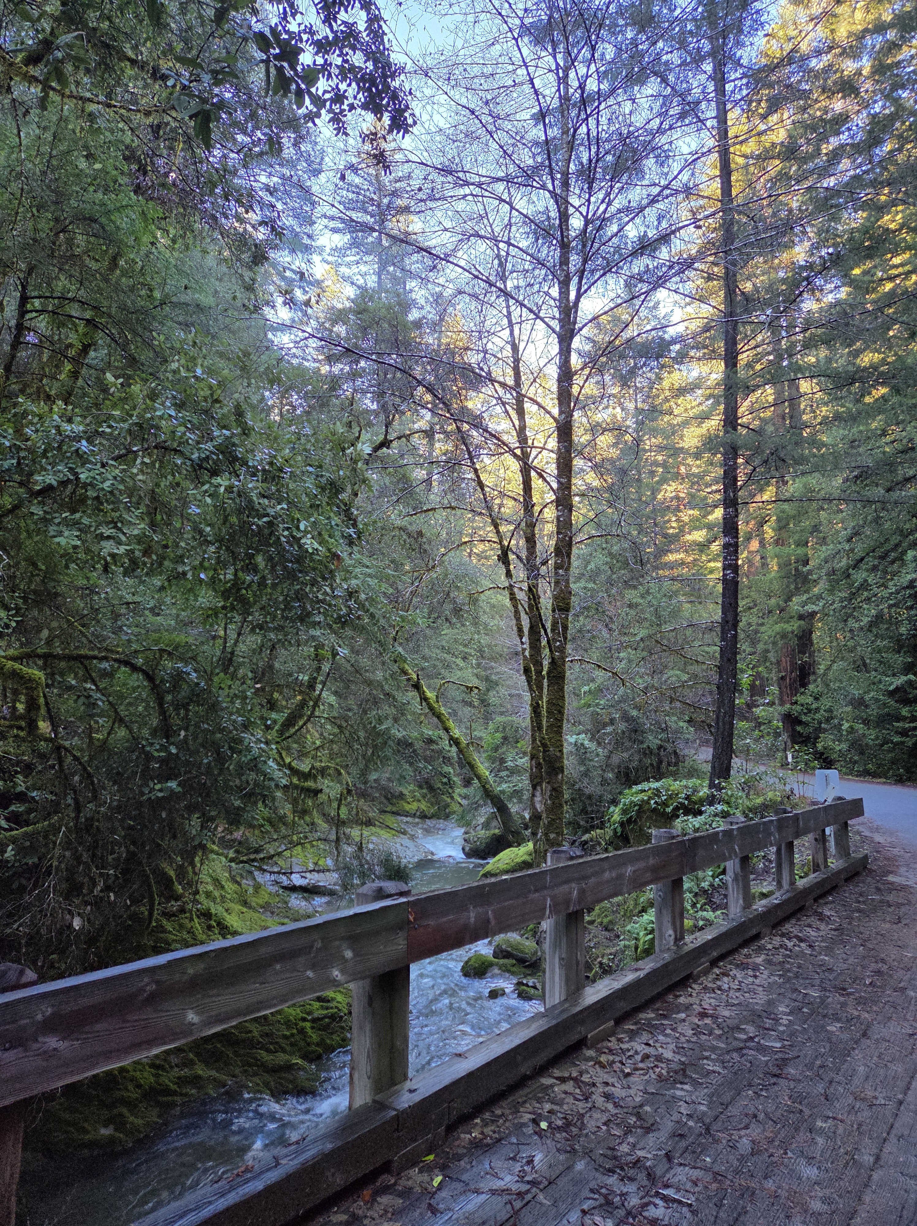
Readily admit that this stream within Montgomery Woods is a fully natural river, rather than an actual human-modified canal. In case Sam – or anyone else – is wondering :-). Back in NL now, so promise to mix in some more fully-legit canal-canals in the near future.
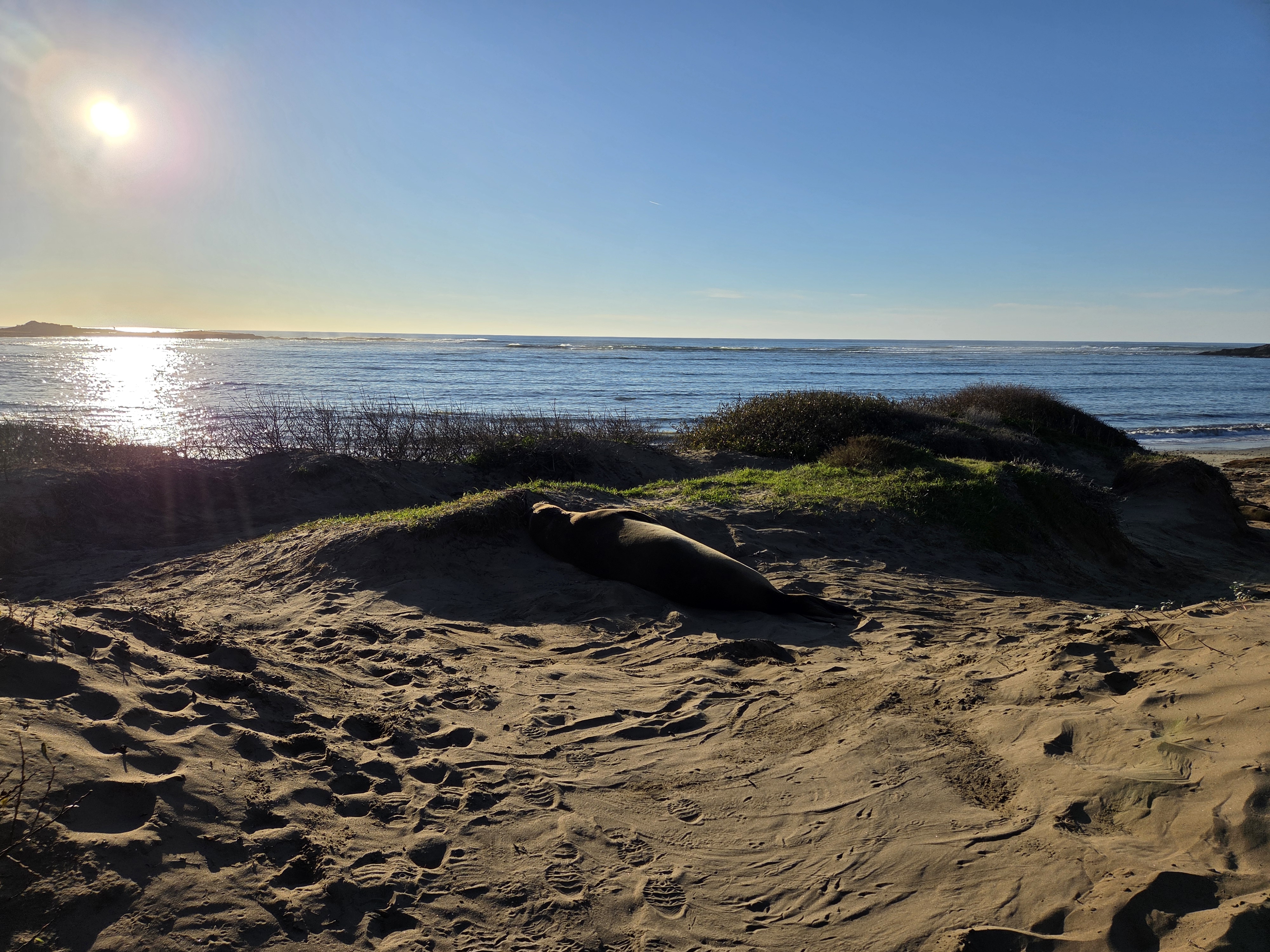
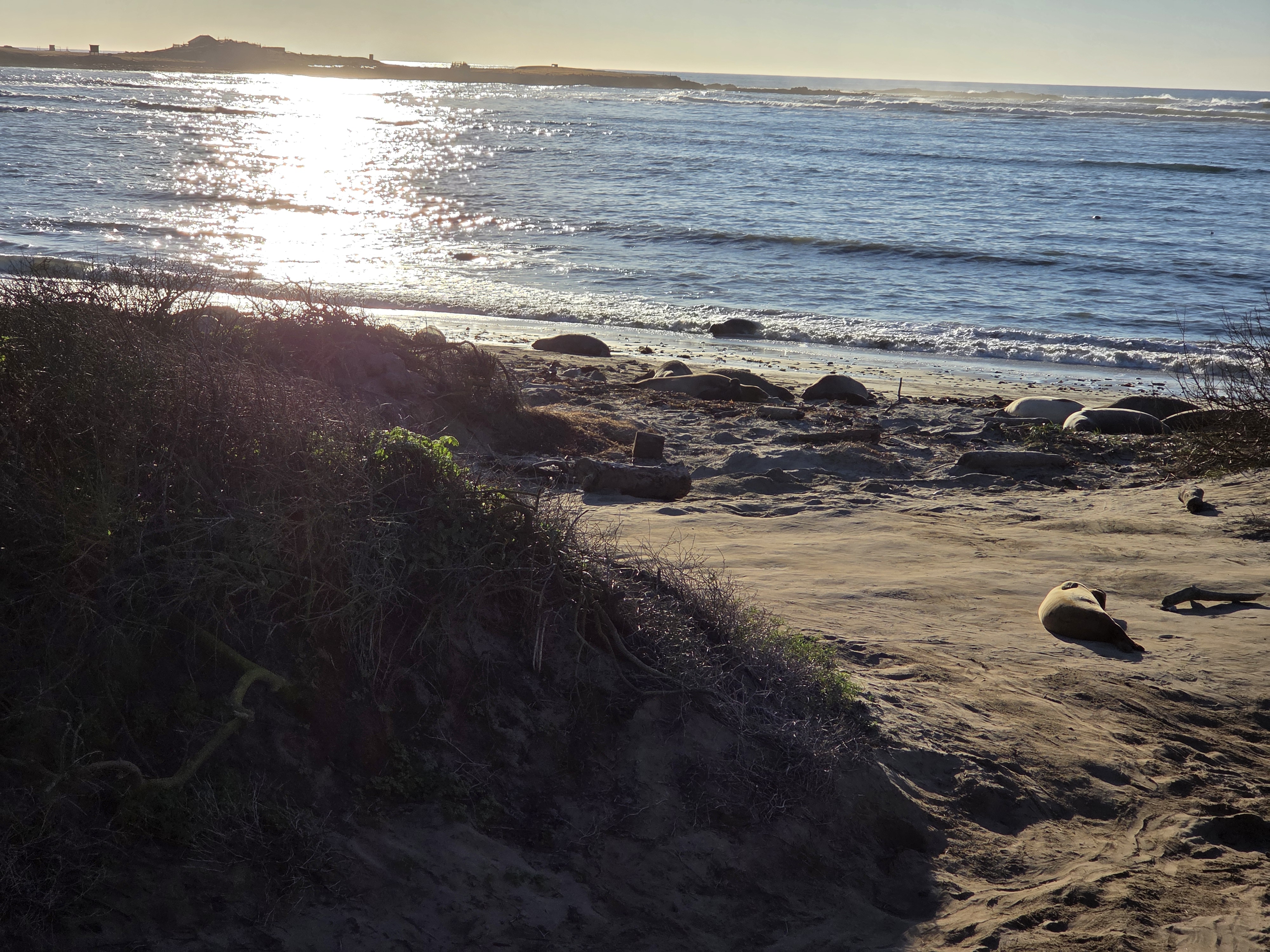
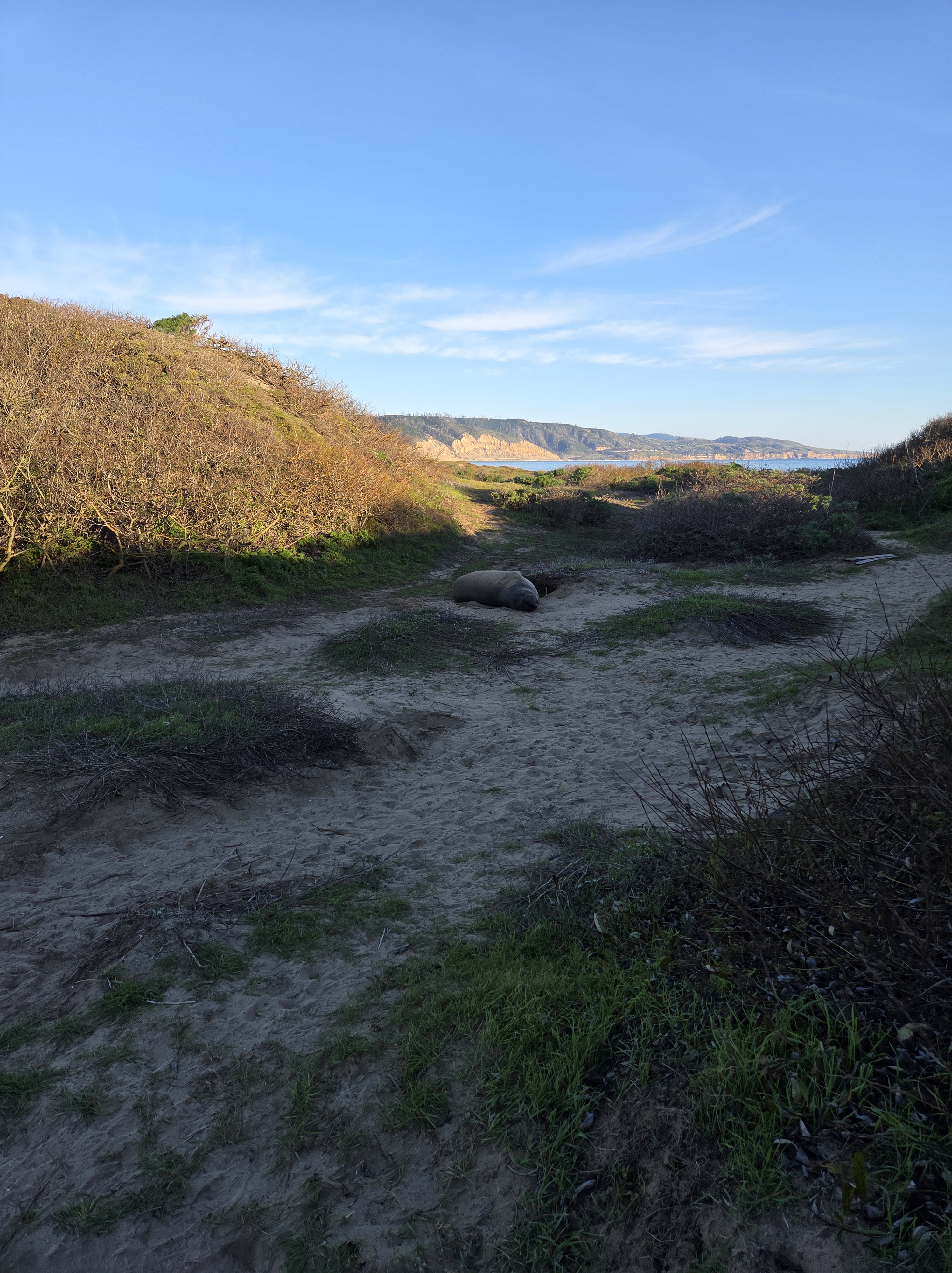
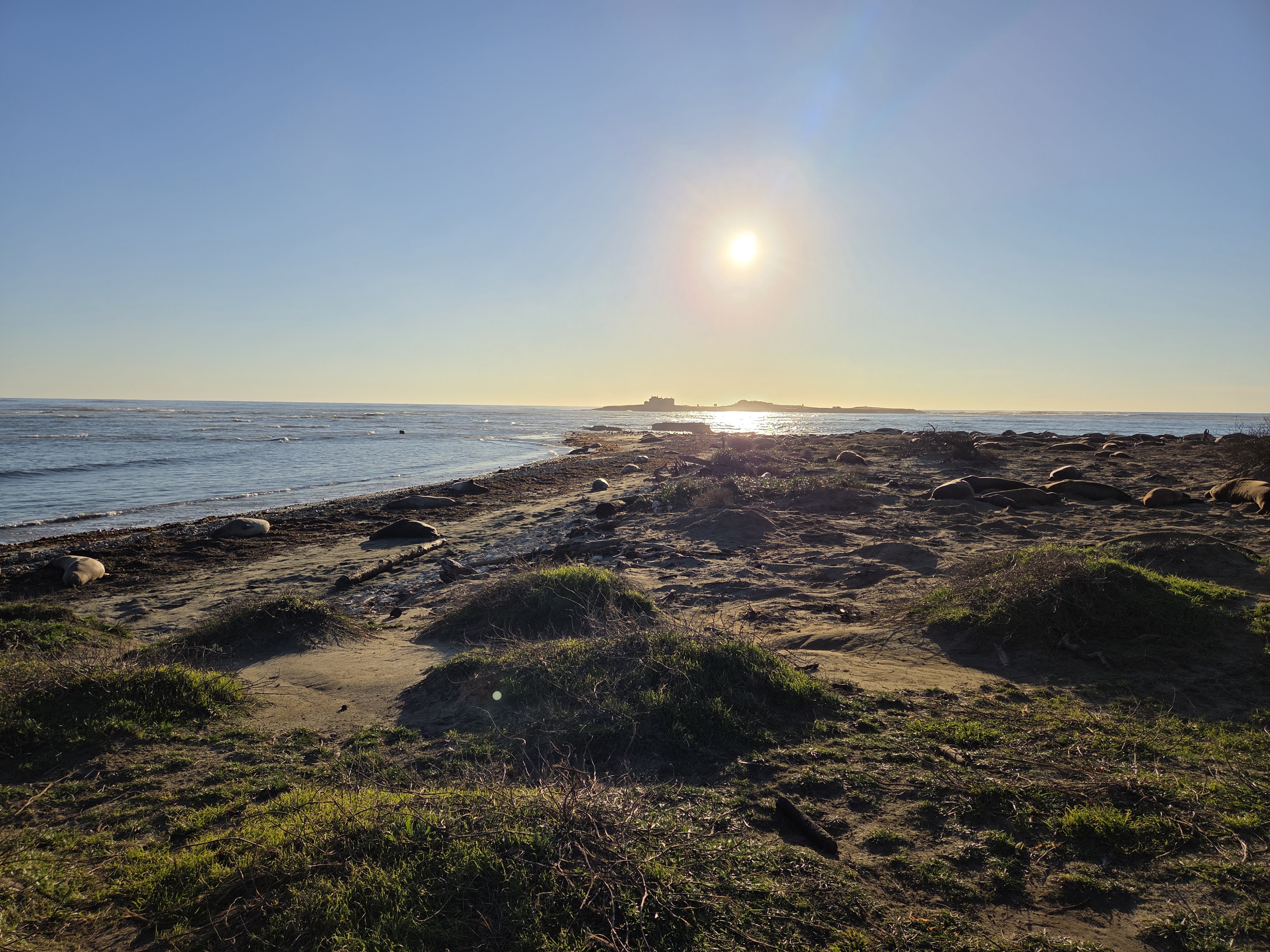
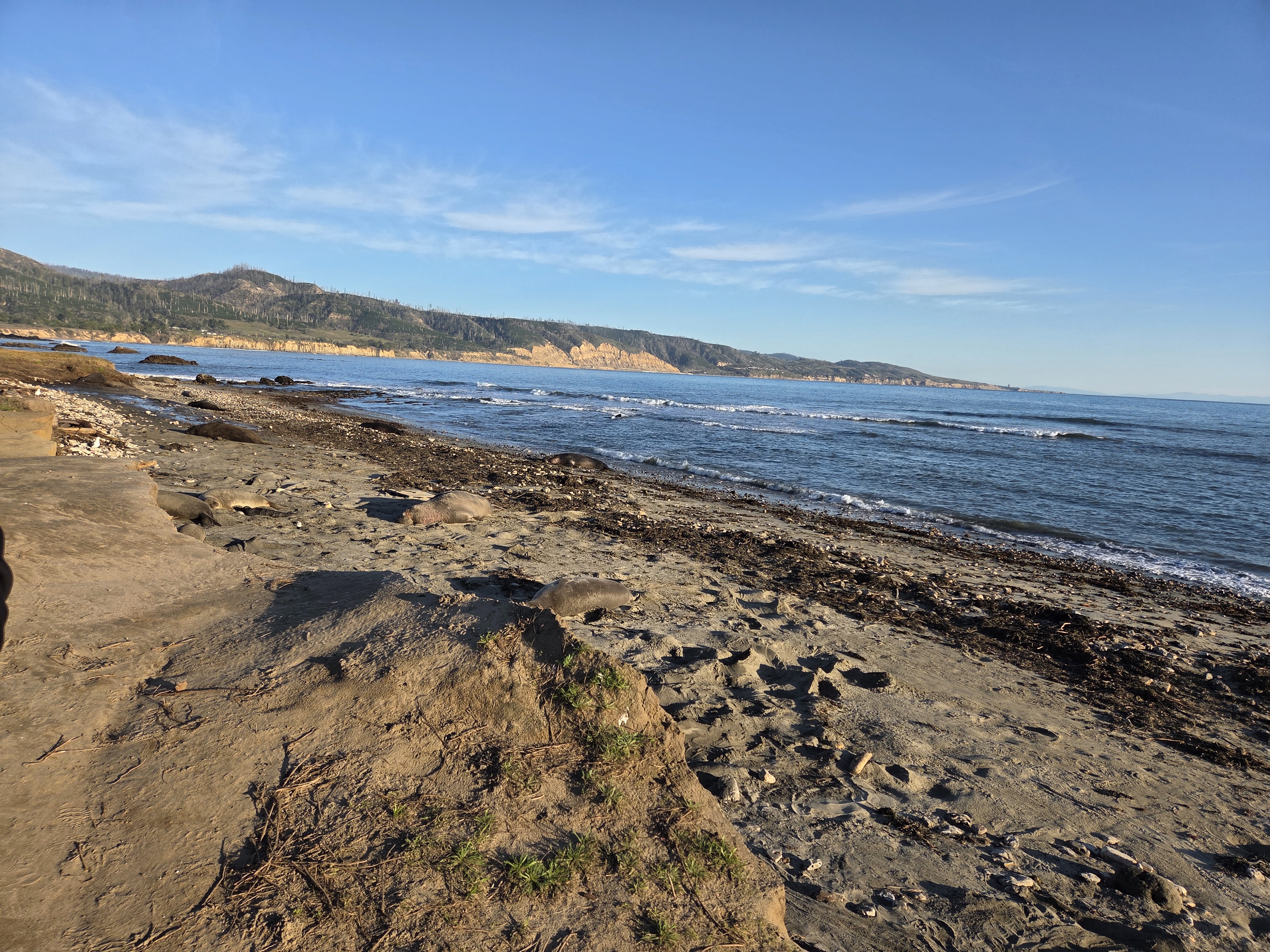
The island in question is directly beneath the sun, and that’s a mid-sized elephant seal in the middle of the shot. More of them, sometimes with more of the island in the background, below and to come in future posts. All from a lovely visit to Año Nuevo State Park with my dear old friend Steve on that last Friday in California :-).