San Bruno Mountain on the left, marking the southern border of SF City & County; the ridges in the middle right are Mt Tamalpais in Marin County just north; and of course the city of SF on the far right middle. From my flight out of SF to Pittsburgh a bit more than a week ago.
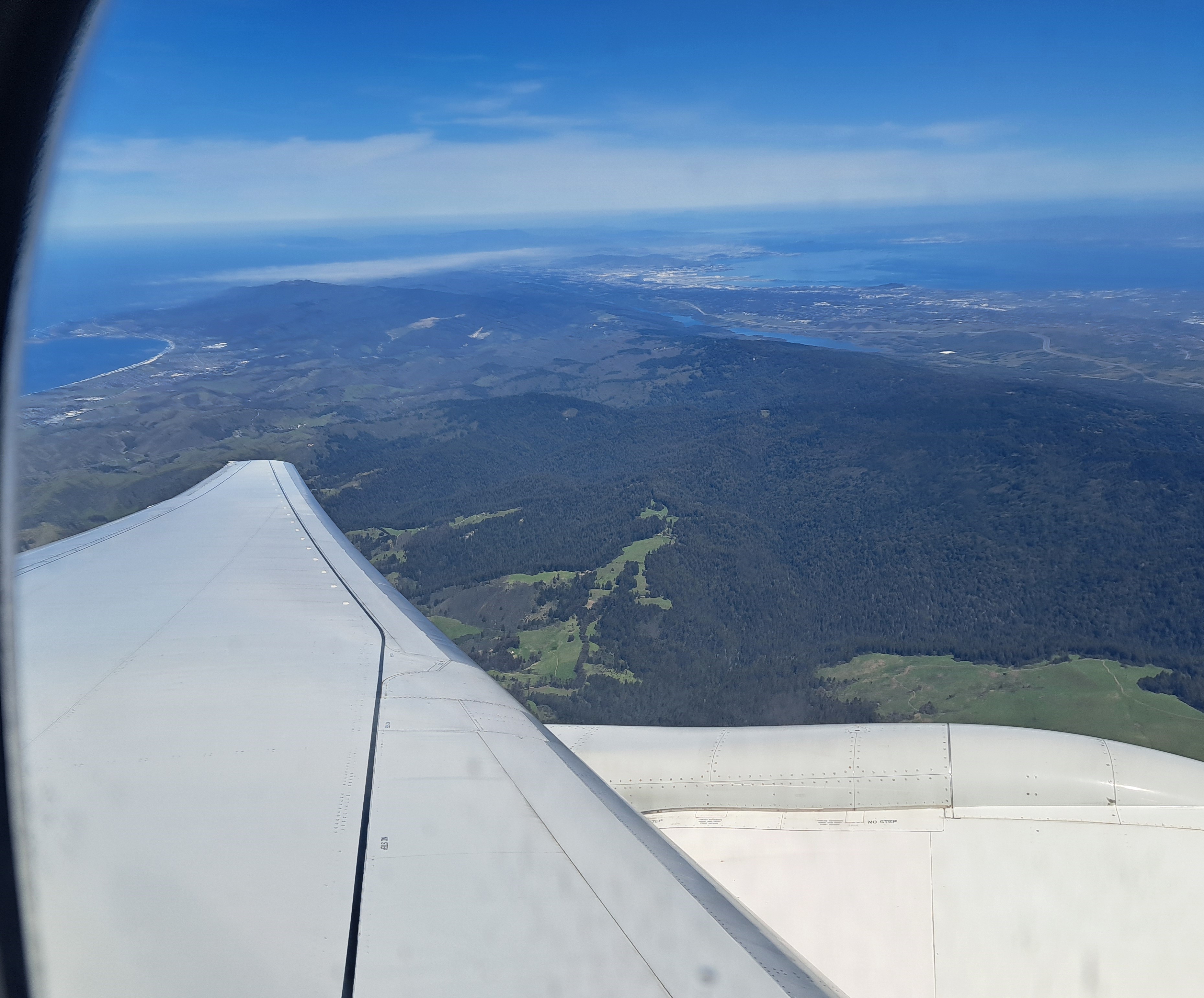
What you’re seeing here is a lot of Silicon Valley, and nearly all of the San Francisco Bay, the city of SF itself slightly visible in the hazy top left, Mt Diablo to the east, at the top right of the photo. This image – looking northeast as the plane banked – and the one below were taken in sequence. With apologies for the combination of window frame and airplane wing, I include as well the image below you since you can see the full width of the peninsula with SF at the top, Half Moon Bay (open Pacific) on the western side, and the bay to the east. The “silicon valley” of legend is pretty much the eastern side of the peninsula, along the bay down to the big city of San Jose which is south of the frame of either of these photos.
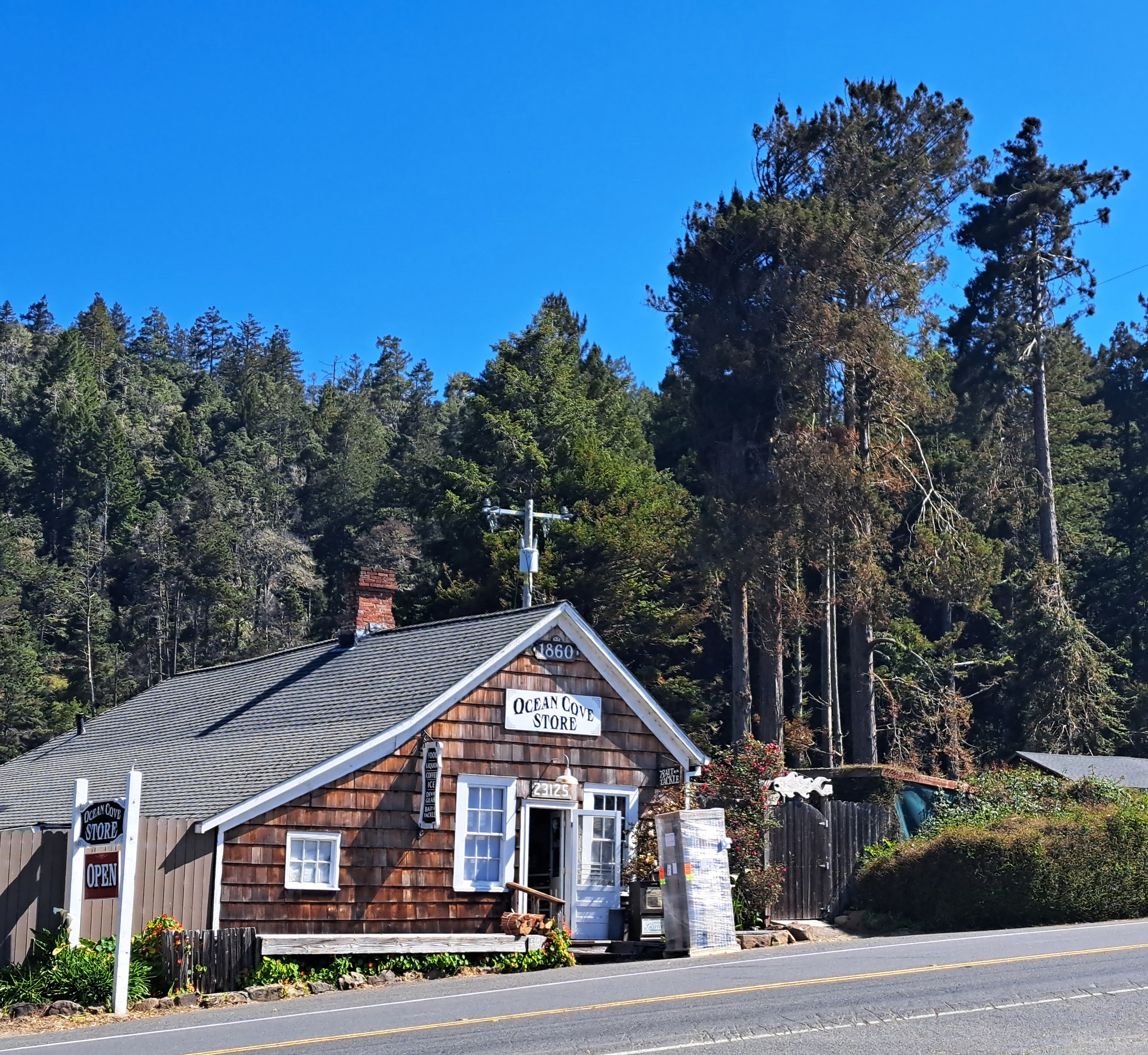
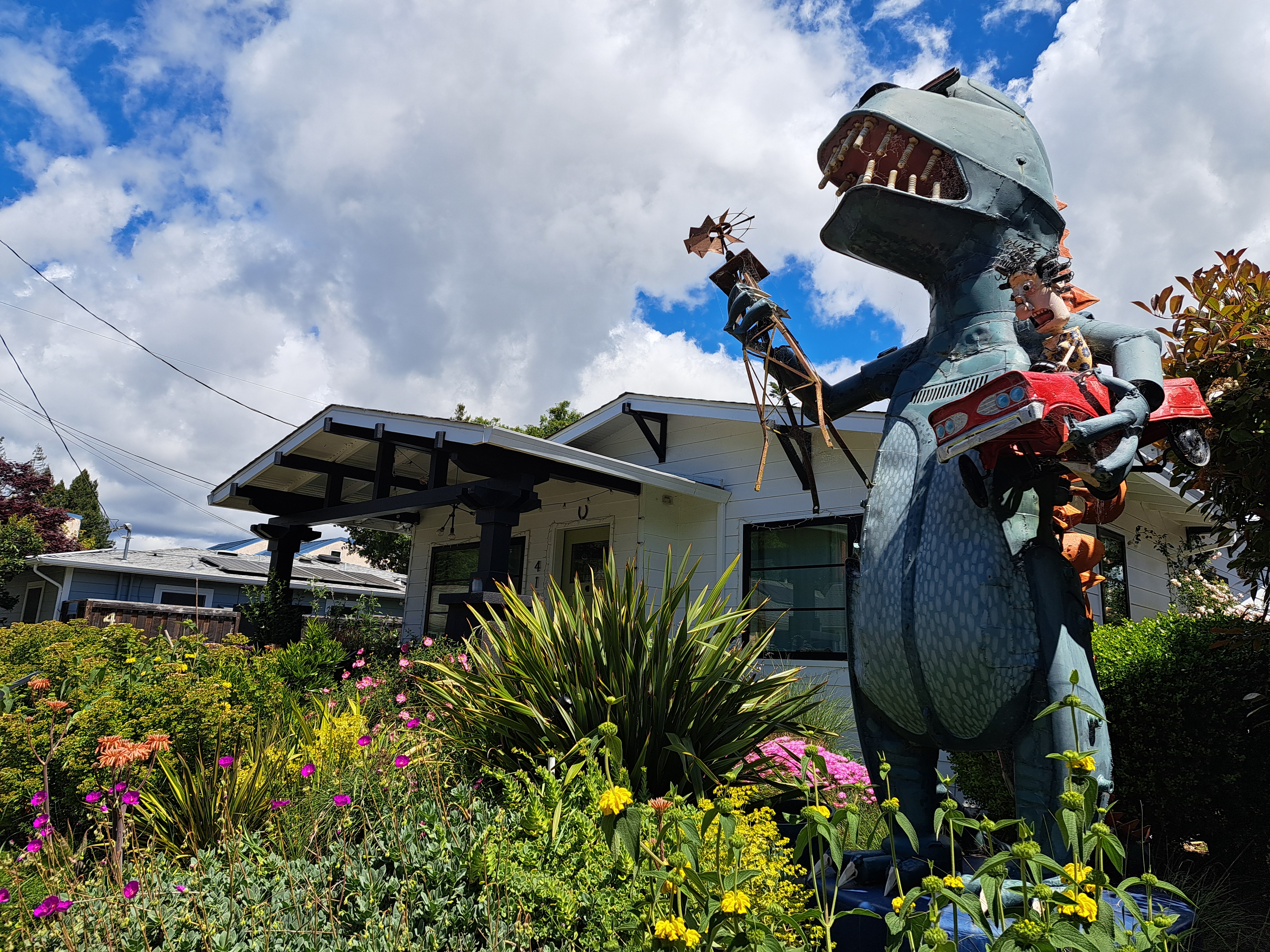
No, the Sonoma County village of Sebastopol has not been invaded by godzilla. 🙂 I finally managed on this last visit to spend time wandering a street or two that I’d previously only biked or driven through in a hurry but never managed to explore more fully. Among which, this street where nearly every yard (far more yards than I could photograph) had sculptures, all or most of which I believe were made by an artist who lives and works on the street.
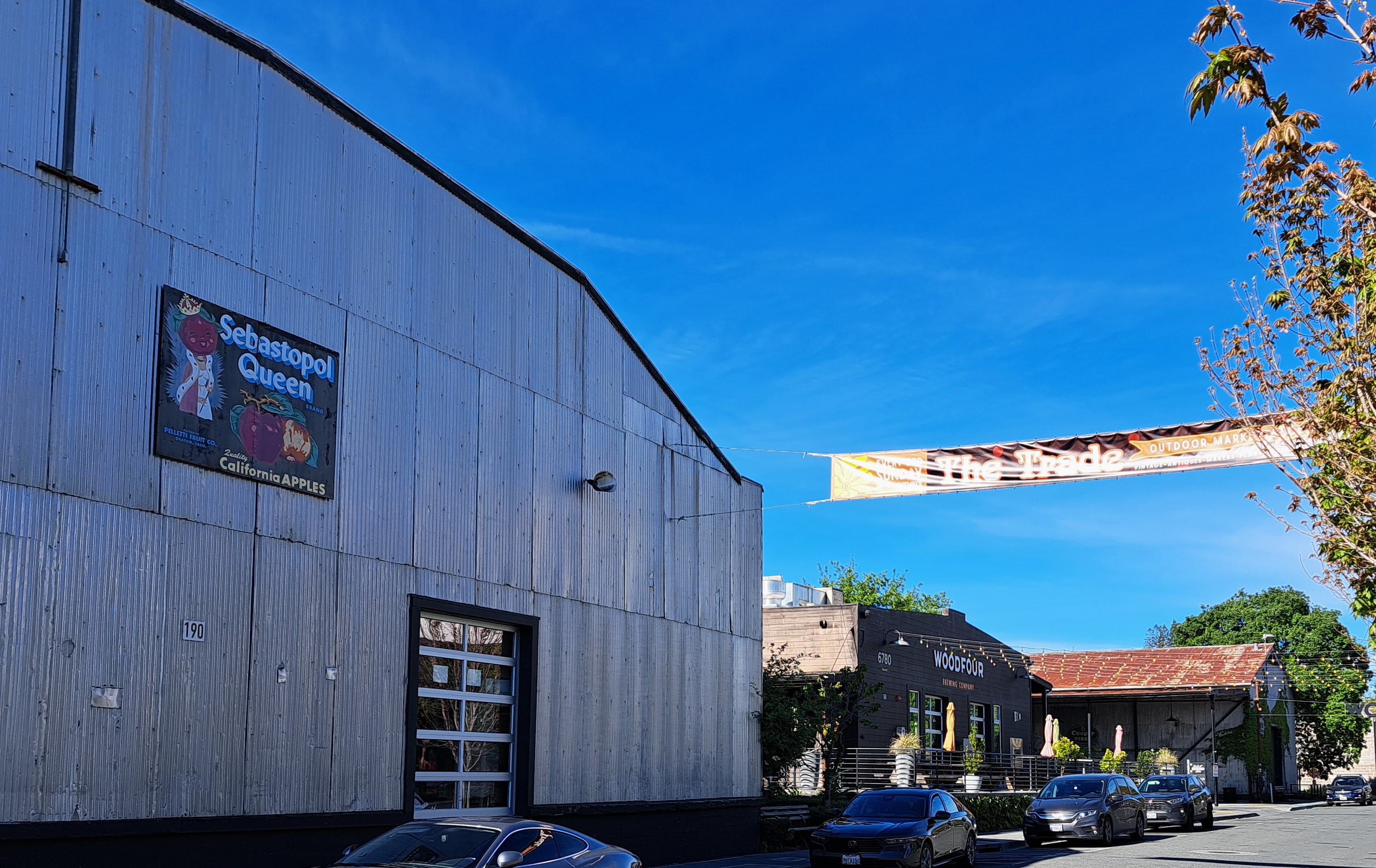
Apples did indeed once rule in lovely Sebastopol, but these days the noble wine grape has become both Queen and King. Still, the annual Apple Blossom Festival parade draws a good crowd and many floats, which we’ll be showing you in future posts 🙂
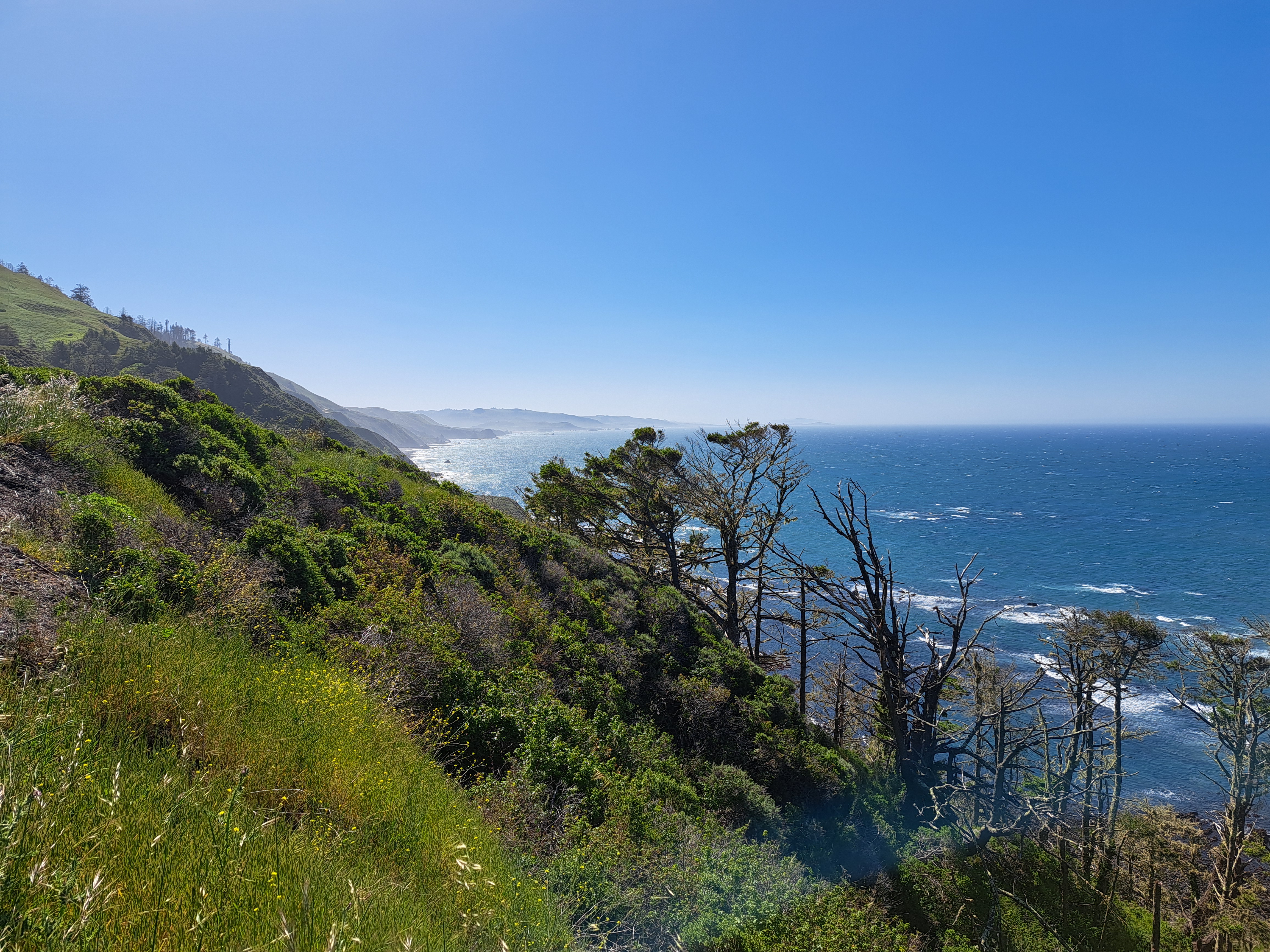
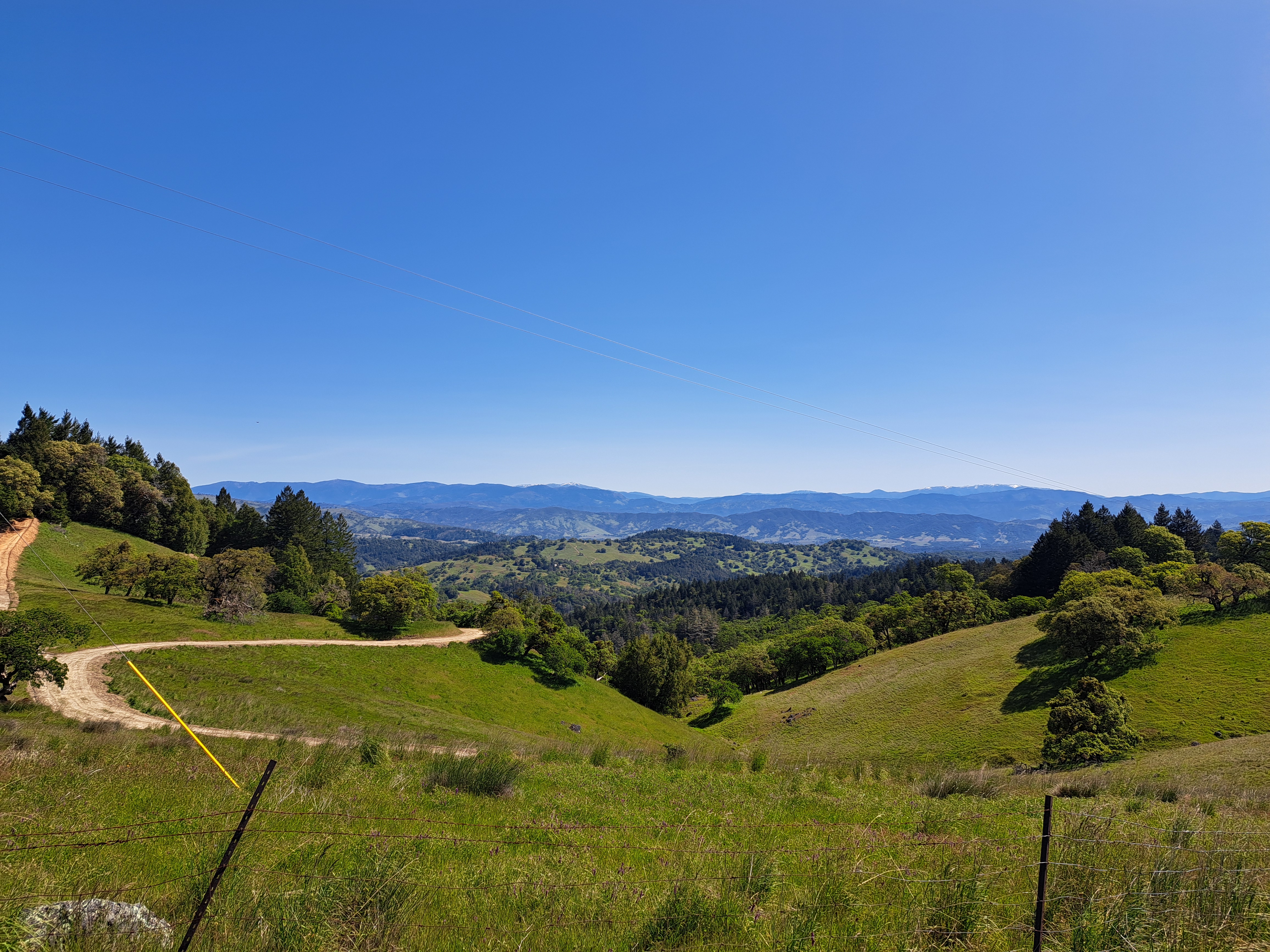
During my recent stay in California, I got as far north as central Mendocino County when I spent two glorious nights off-network or wifi at all-natural Orr Hot Springs. I took the coast road up from Sonoma County, but cut over to Ukiah and the freeway for the trip back. This photo is from the crest of the coast range west of Ukiah, and if you look closely above or below you will see what I’m 99% confident are the snow-capped east and west peaks of Snow Mountain (which we’ve shown you before), more or less E-NE of this spot. Both peaks are well over 2,100 meters (7,000 feet) high, and it’s good to see at least a bit of snow at that elevation this late in the season.
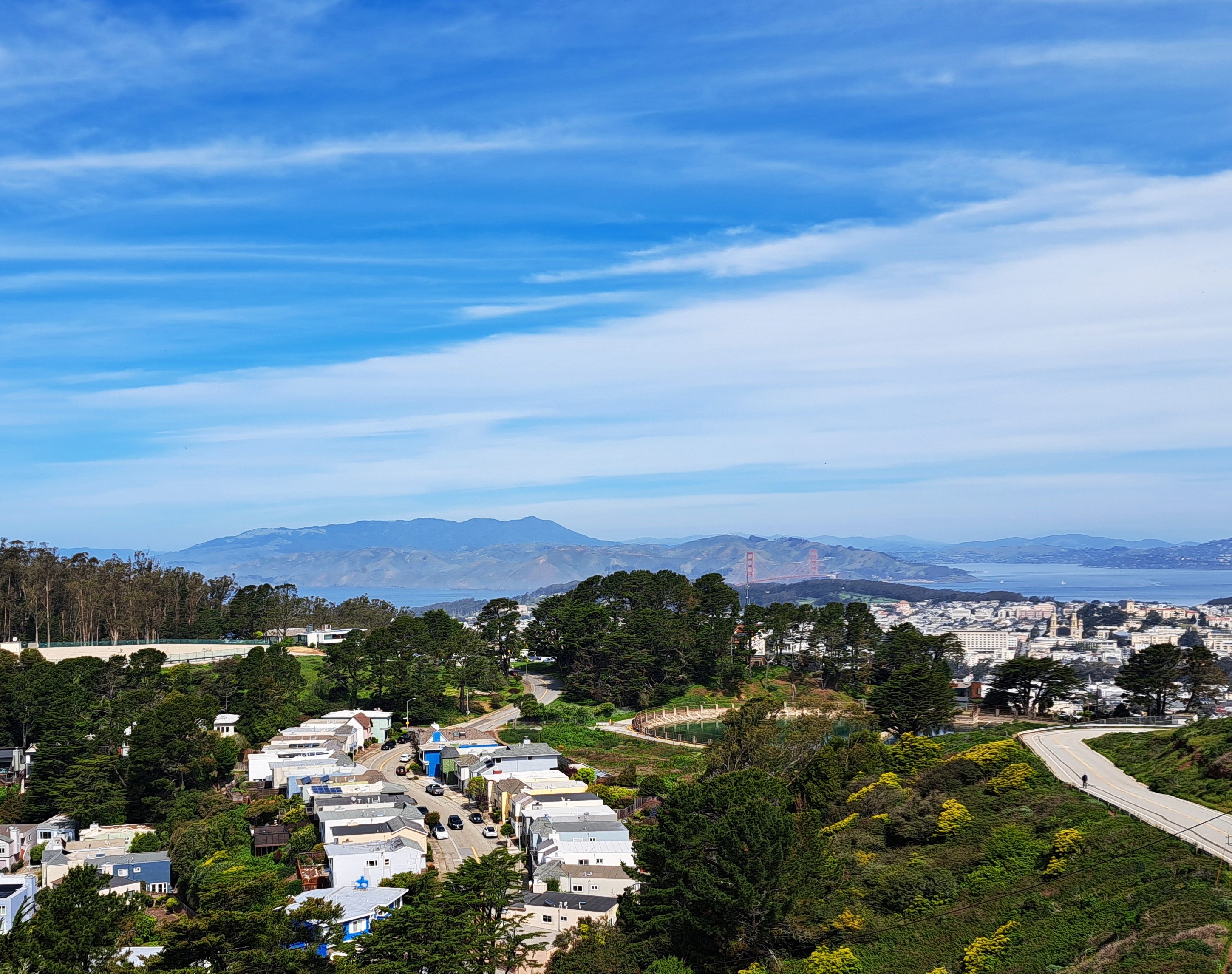
City & County of SF in the foreground; Marin County on the far side of the GG Bridge, and bits of at least Alameda & Contra Costa counties on the eastern side of the bay (top right).
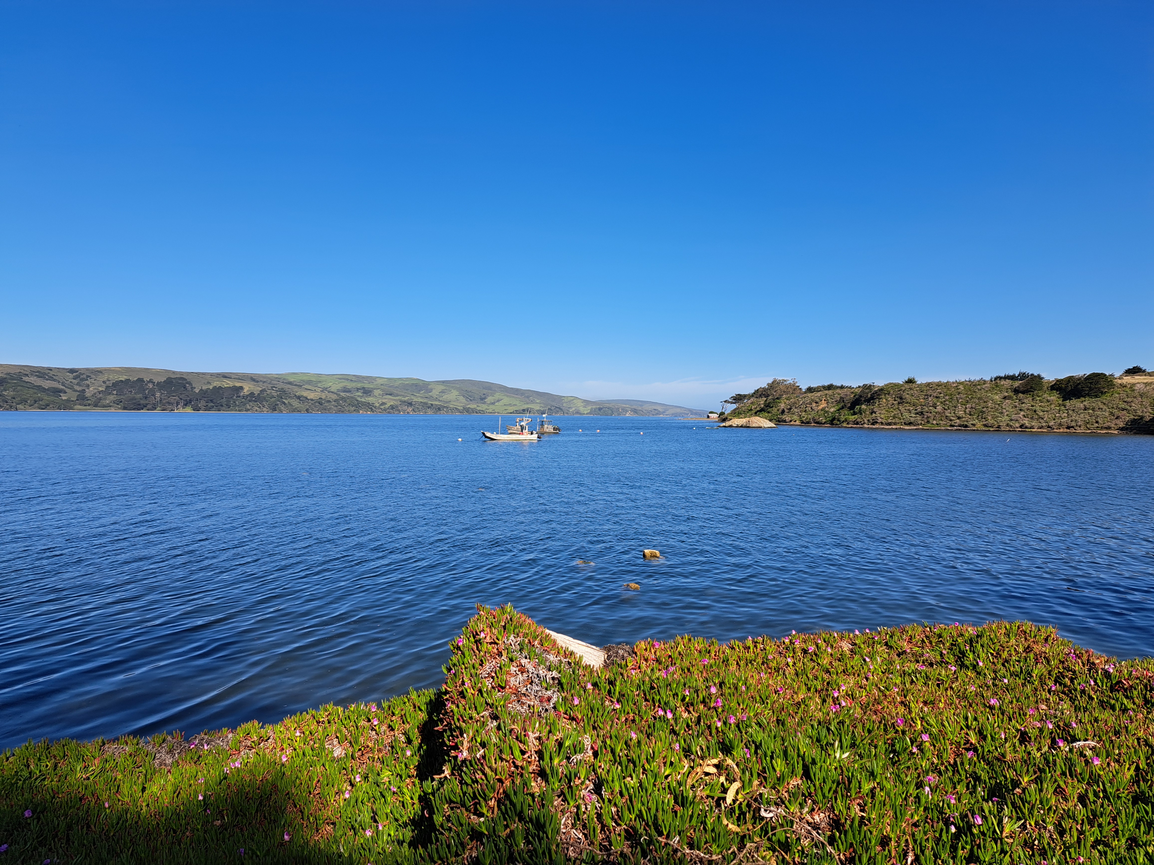
Tomales Bay, with Point Reyes Peninsula on the other side and its mouth to Bodega Bay to the right in the second photo below. For those who don’t know the region: the San Andreas Fault runs right down the middle of this bay, and the peninsula is measurably moving away from the shore from which I took the photo by inches each year. 🙂