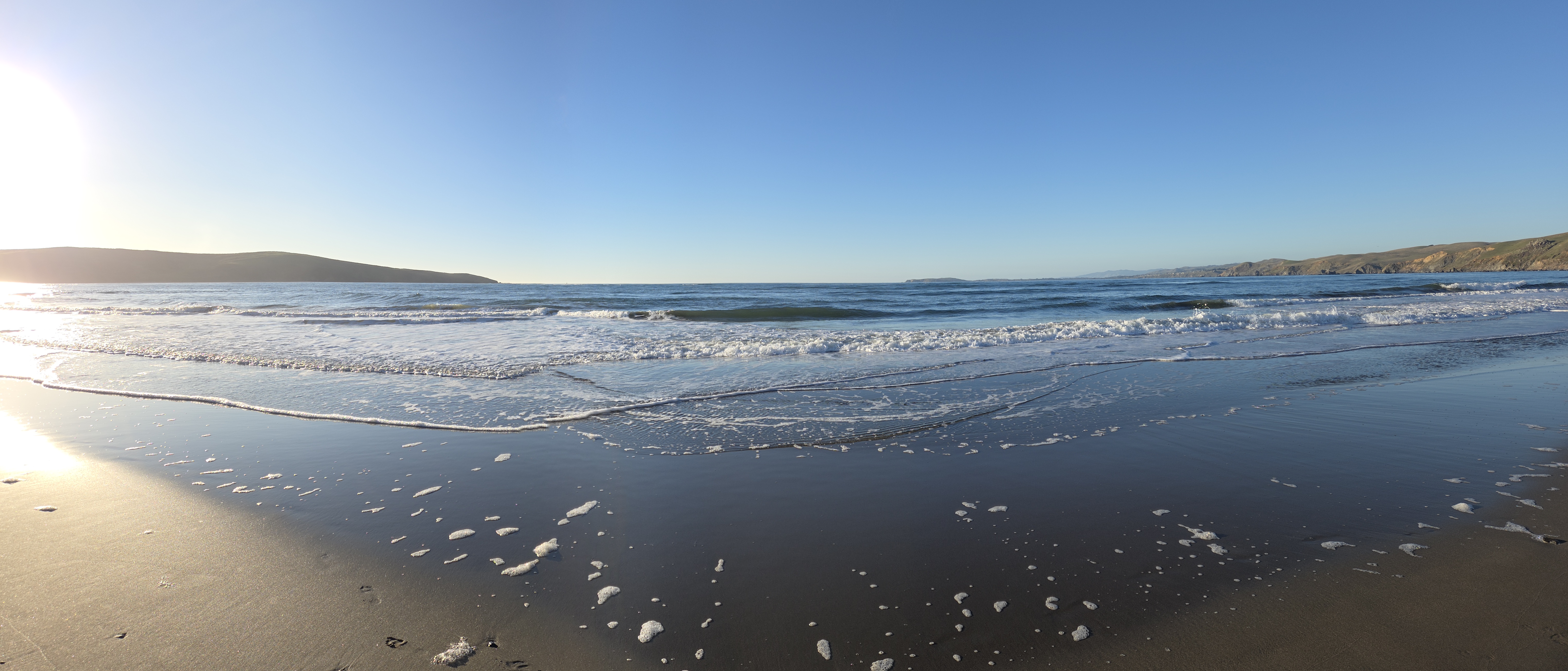
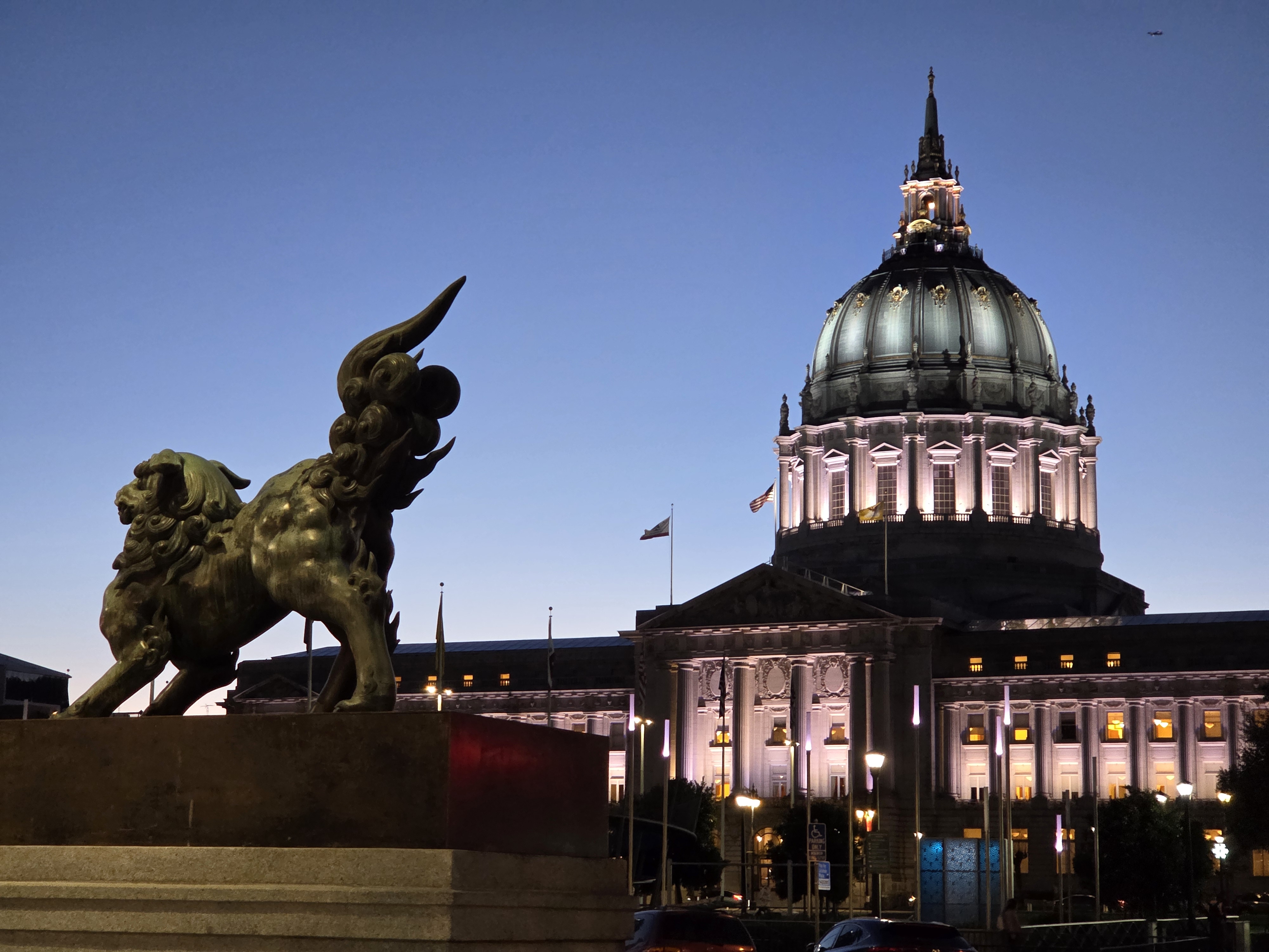
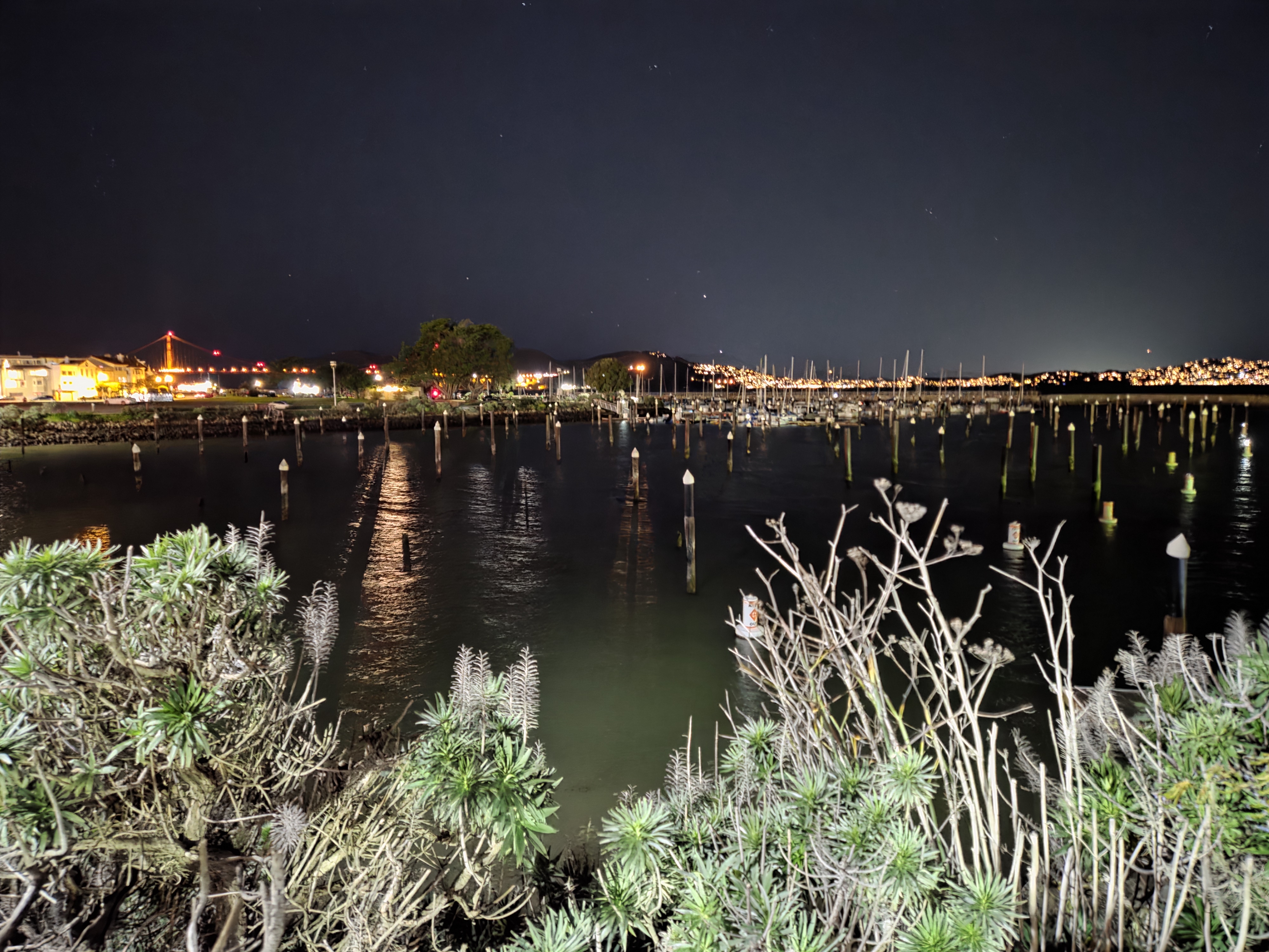
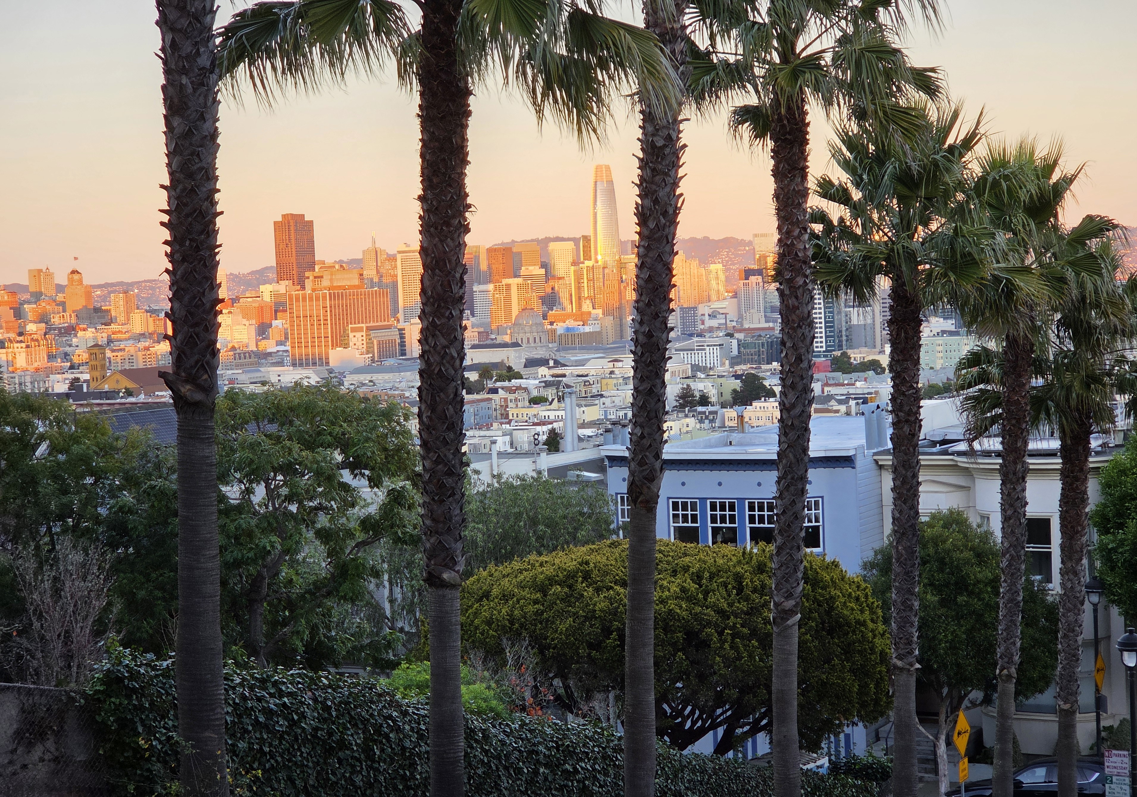
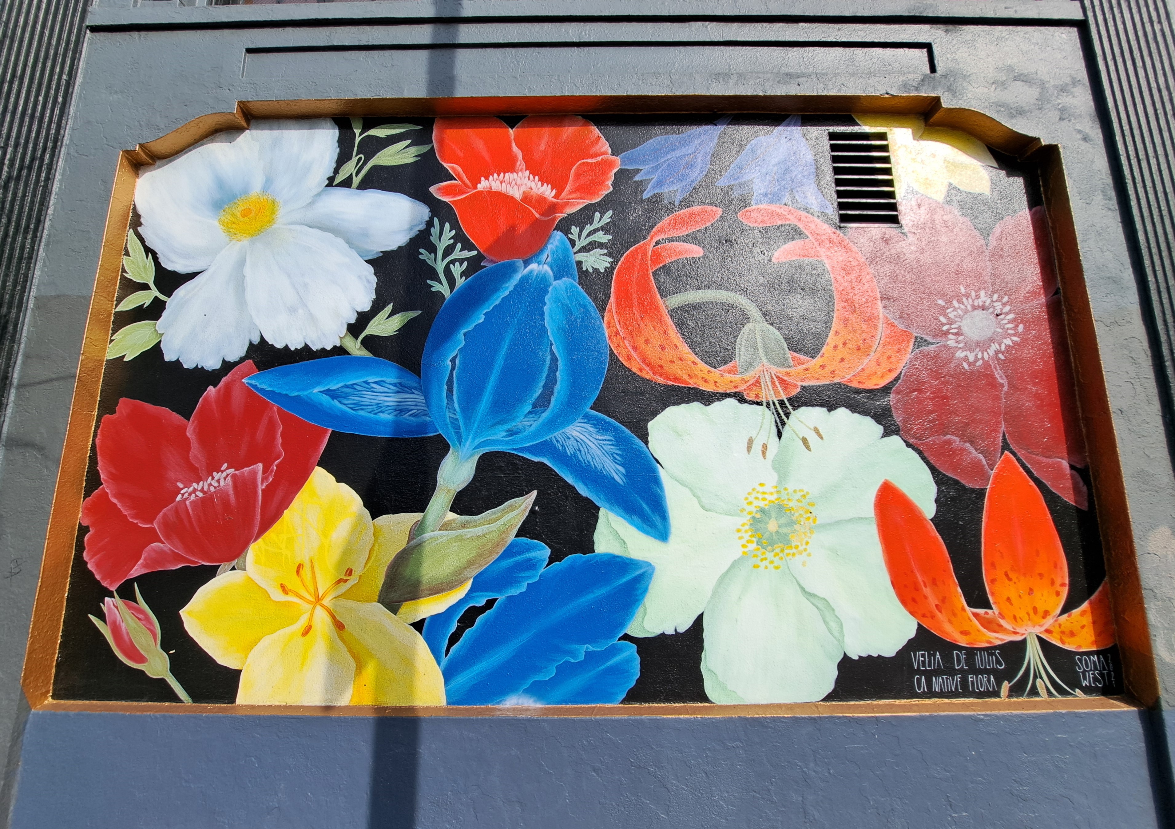
I spent only two nights in SF itself, this last visit, and mostly spent the one full day between down the peninsula watching elephant seals and enjoying time w/my friend Steve. So I collected only these very few shots that show you SF’s, and perhaps the US’s, most famous bridge.
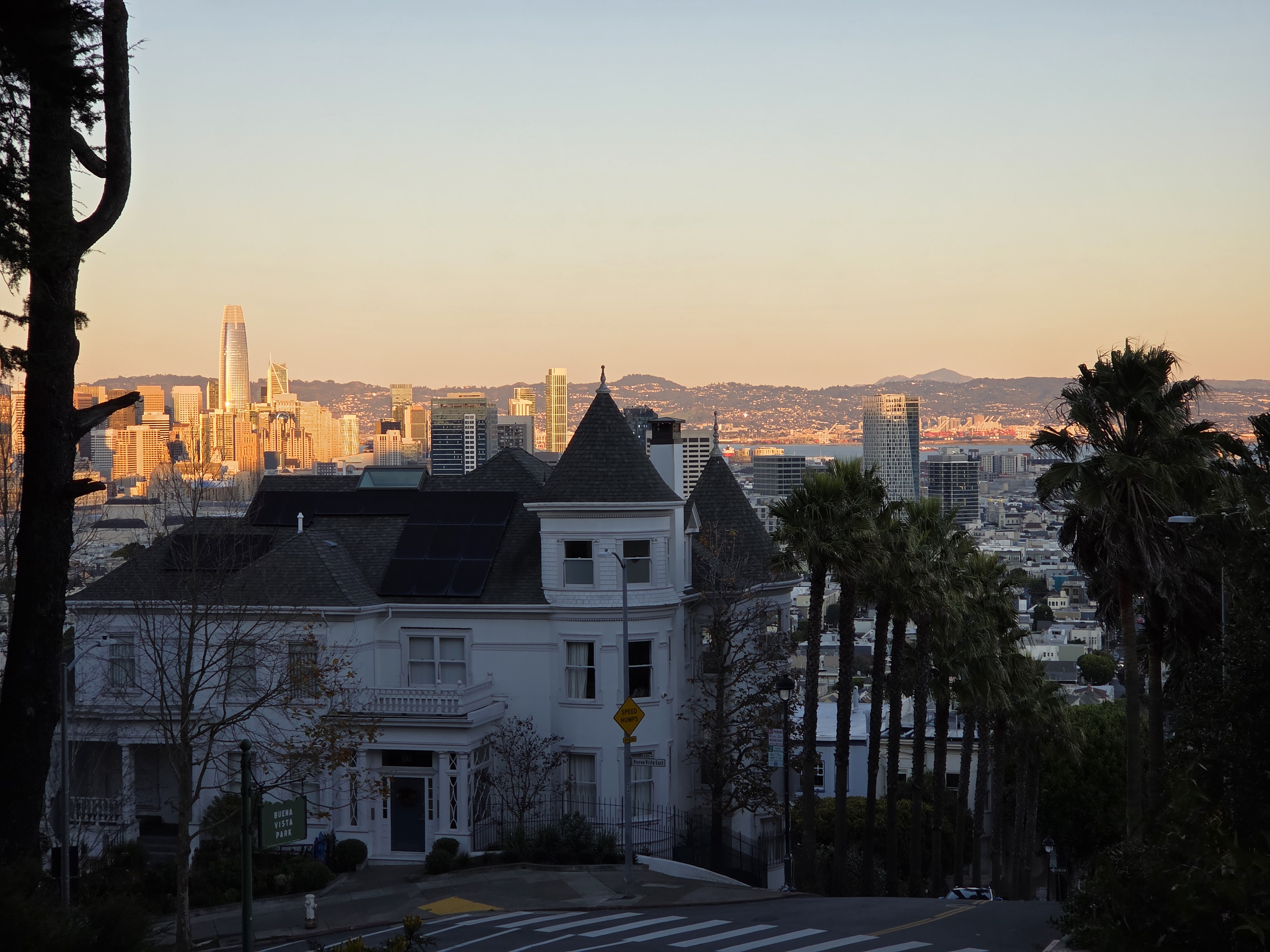
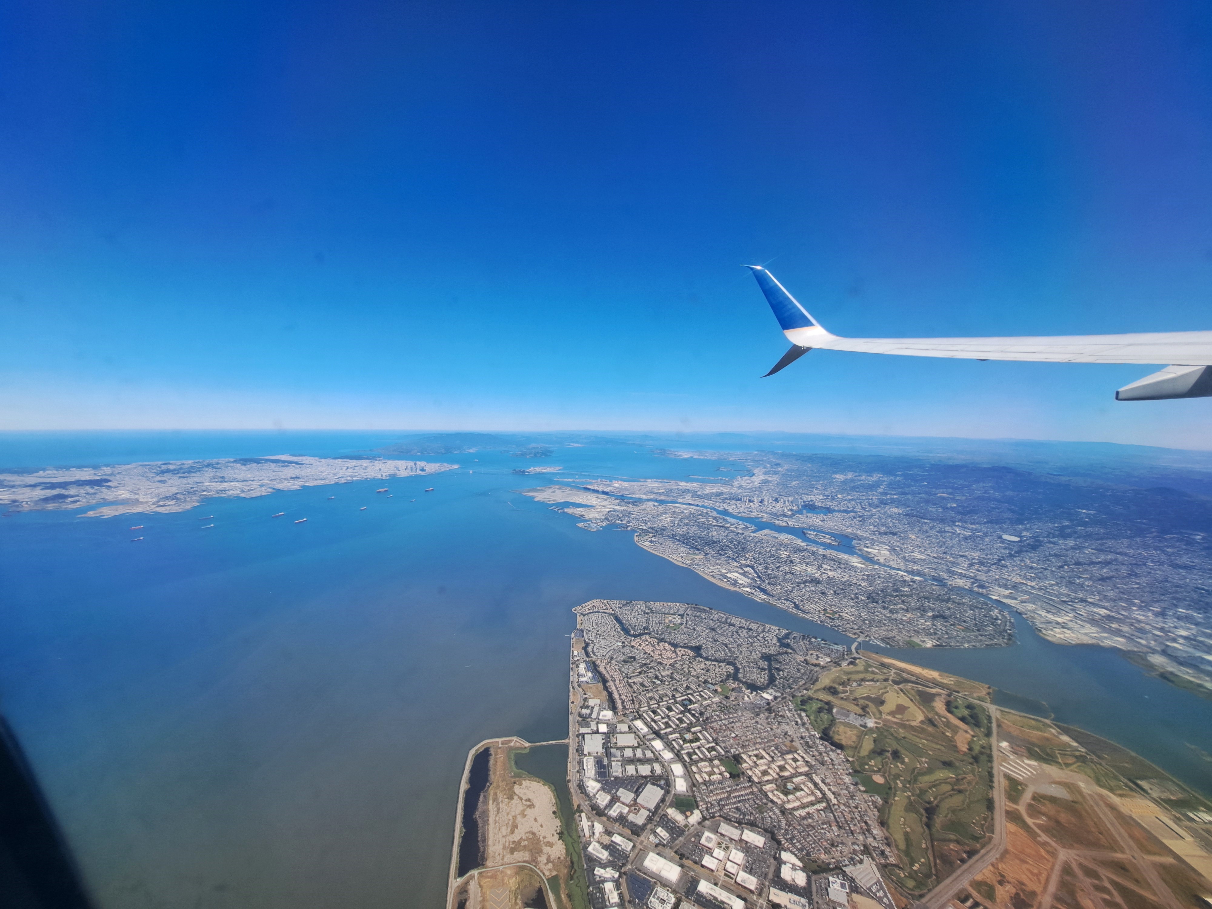
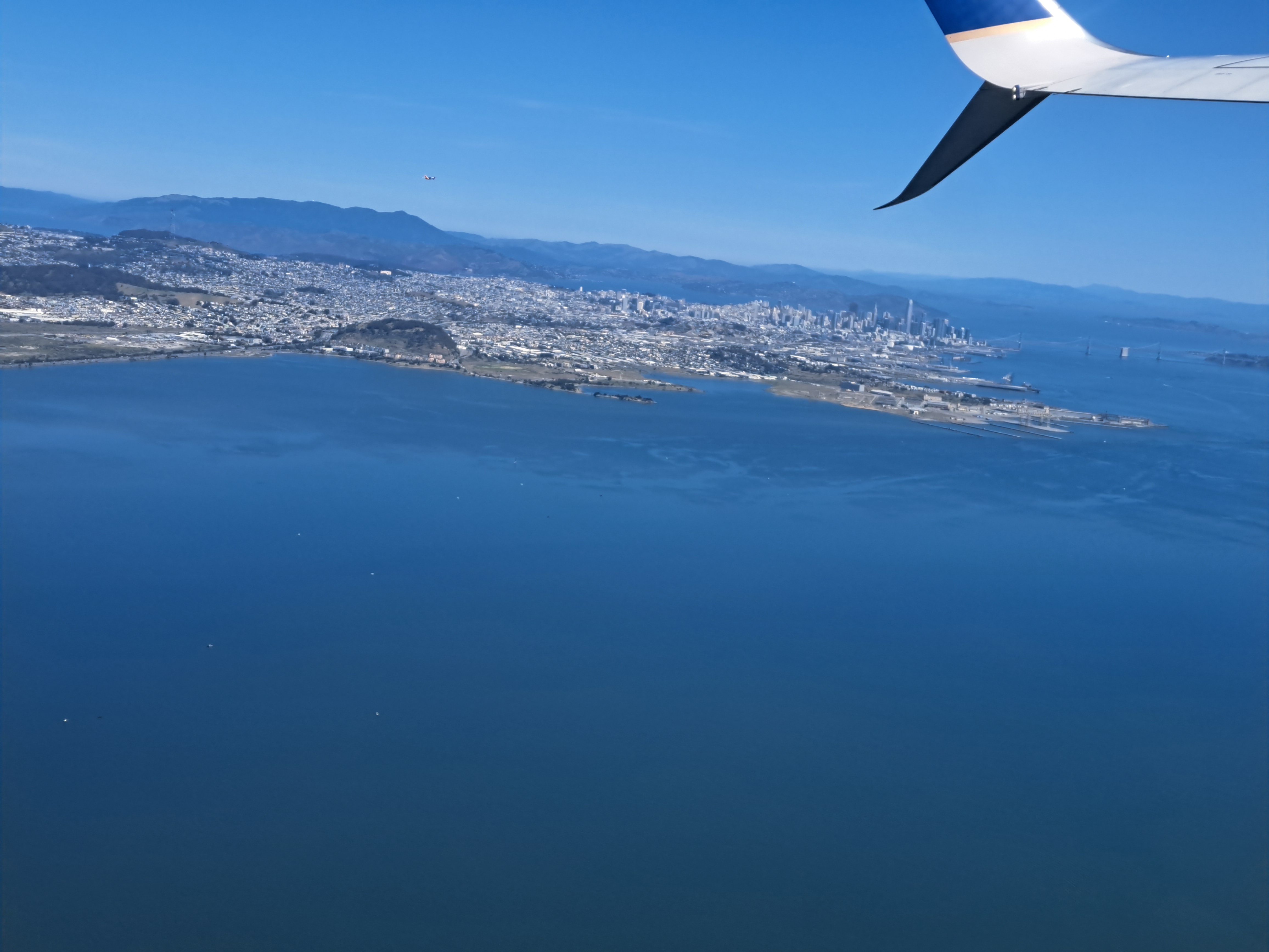
The last shots I’ve not yet posted from our May departure from SFO en route to Pittsburgh. Still plenty left, of snowy Sierra and Rocky mountains and so on. But this is another farewell to the bay-area shots from my most recent trip. For those unfamiliar — open a map of SF and the bay, and then it’ll make sense. SF city itself is that white area in the upper left, while Alameda island is in the middle right, below the wing. The rounded bay you to the top middle is San Pablo bay, which we’ve shown you before – it’s part of the SF Bay but separately named b/c as you see it’s a bit distinct, having various peninsulas and such to define it a bit more clearly.
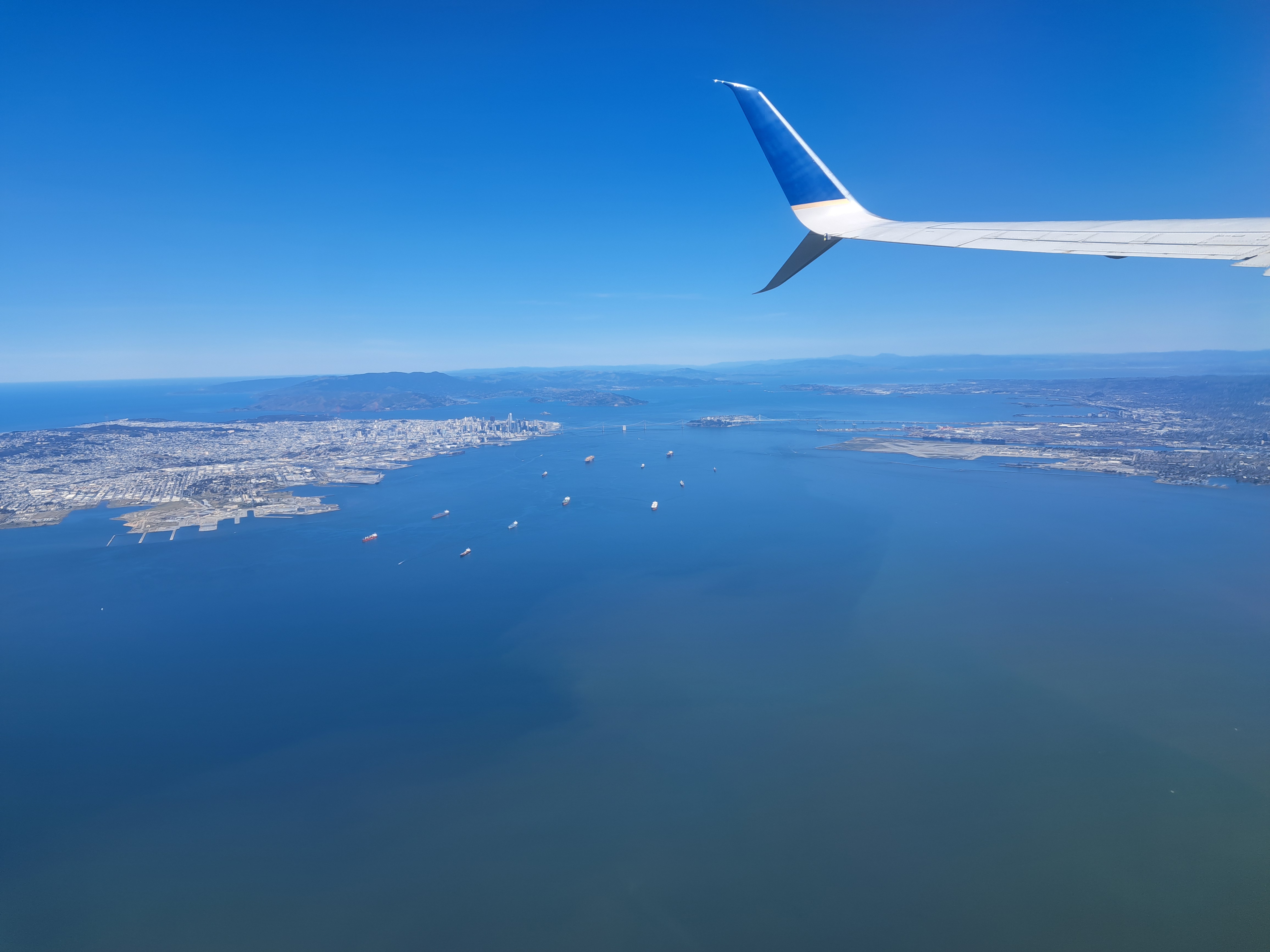
Definitely Mt St Helena top right corner – Mt Tam top left edge, and for anyone who doesn’t know the Bay Area, that’s the Bay Bridge connecting SF (left) to Oakland – Berkeley and the east bay then on to rest of the US. (That’s I-80, connecting from the GWB in NYC to the Bay Bridge right across the whole continent. Though, given how things are going in the US, one must consider that perhaps SF and the bay area might by next year prefer to not be so well connected to the rest of the US, which might make sense considering what so much of the rest of the US seems to think of our part of the country. Hmmm….any younger voters reading this who think there’s “no difference” between the two main choices you’ll have in November: please do not let the perfect be the enemy – and very possibly destroyer — of the good.)
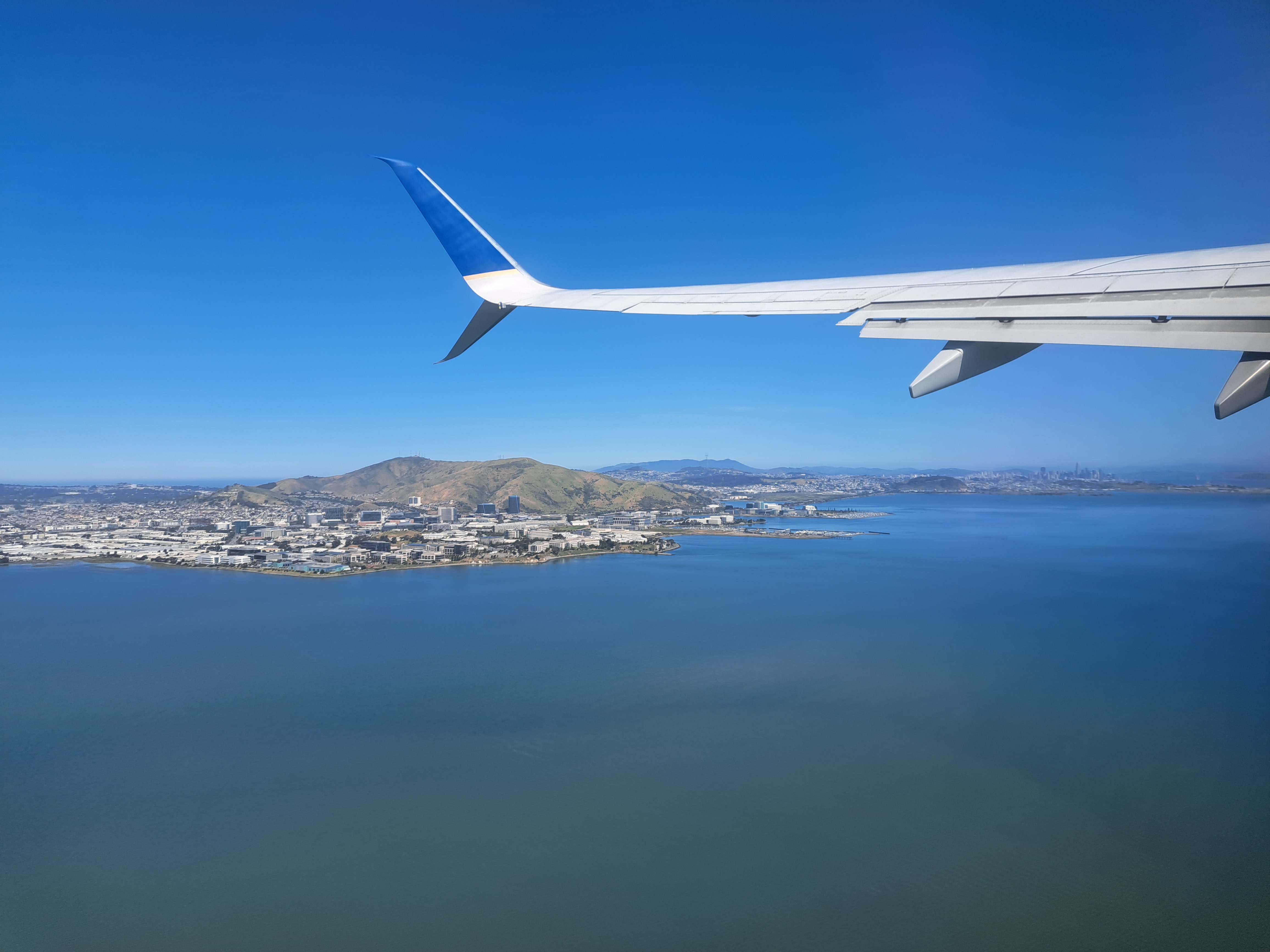
Since I’m scheduled shortly to be flying off again for very distant parts for work reasons, I thought I’d fondly remember another of these lovely moments as our plane gained altitude after departing from my beloved spiritual-home airport of SFO. If you follow the line of the lower fin on the plane’s tail, I’m pretty sure it’s Mt St Helena that you’ll see as a bump on the far horizon.
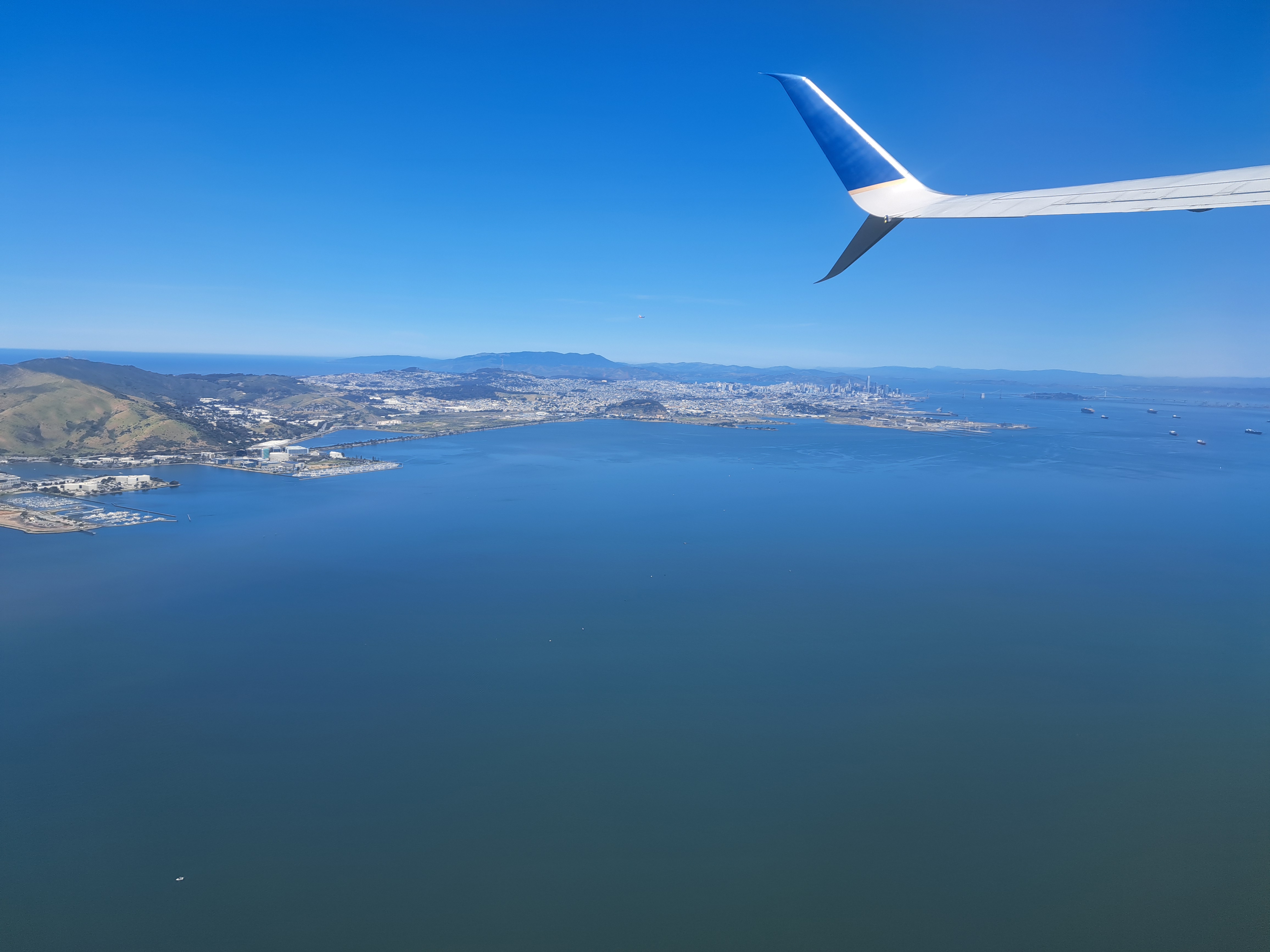
Pacific Coast top left, SF bay above and below, city of SF skyline quite visible below, to the right of Mt Tam(alpais) which is on the other side of the Golden Gate Bridge. Both from my flight out on May 3rd.