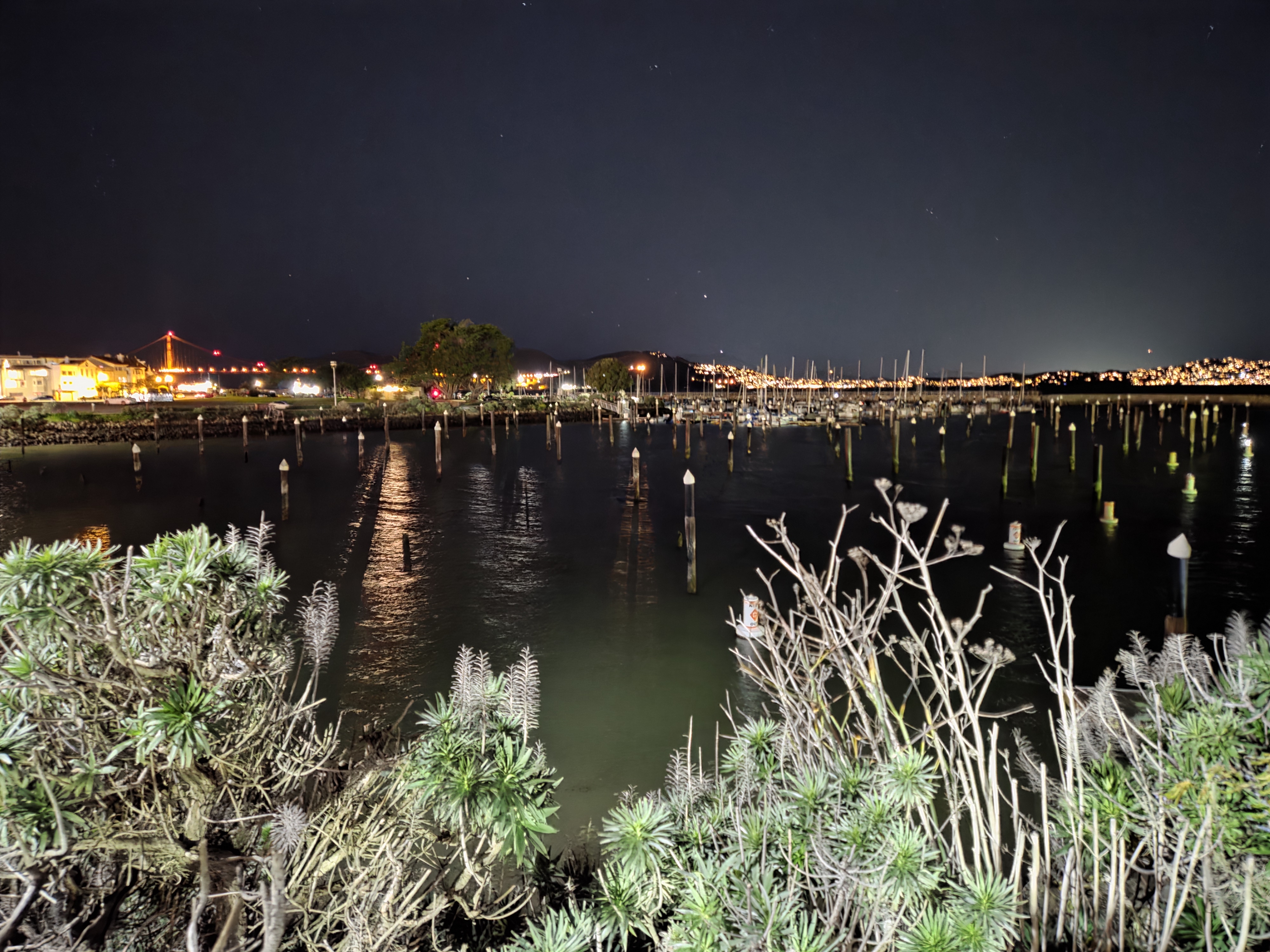
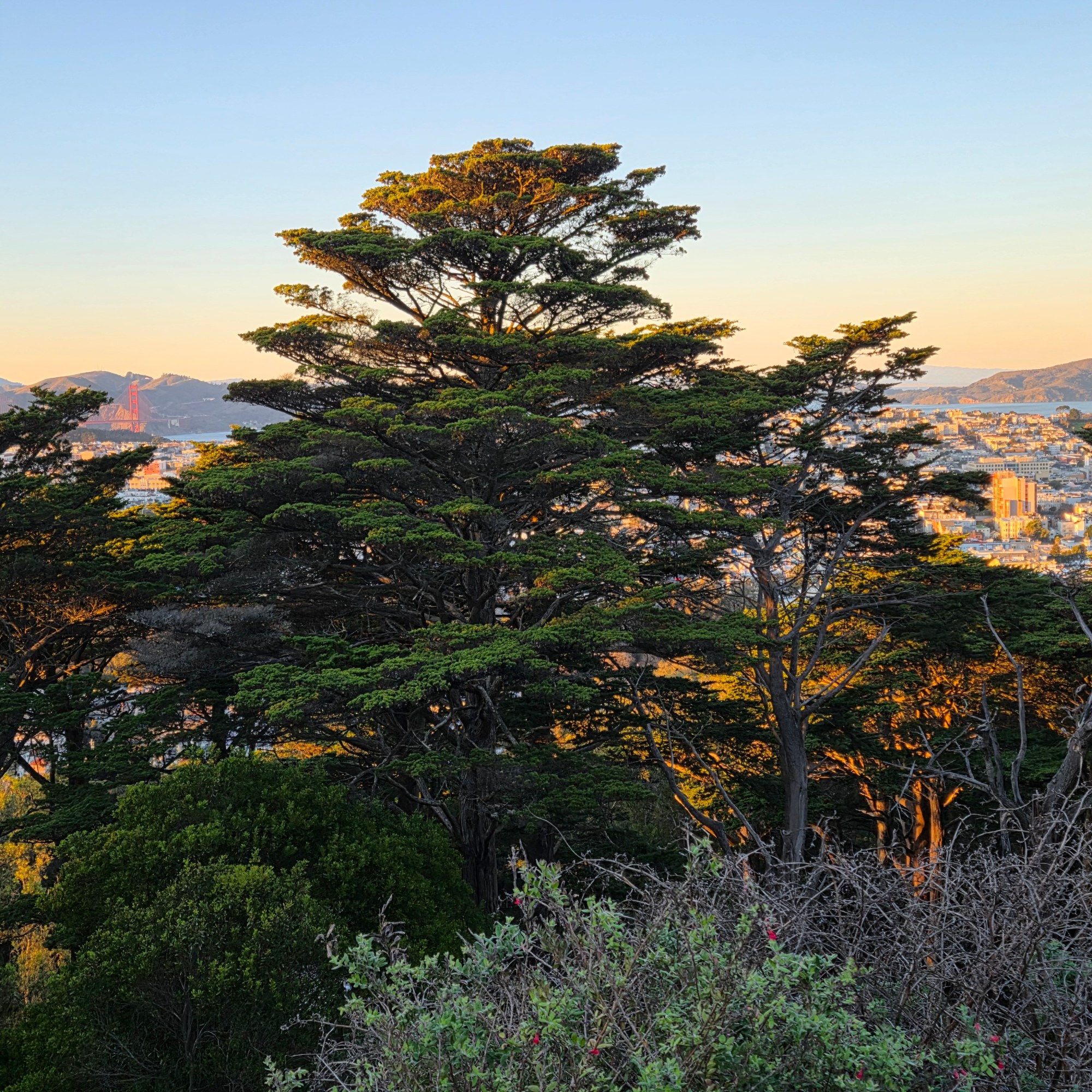
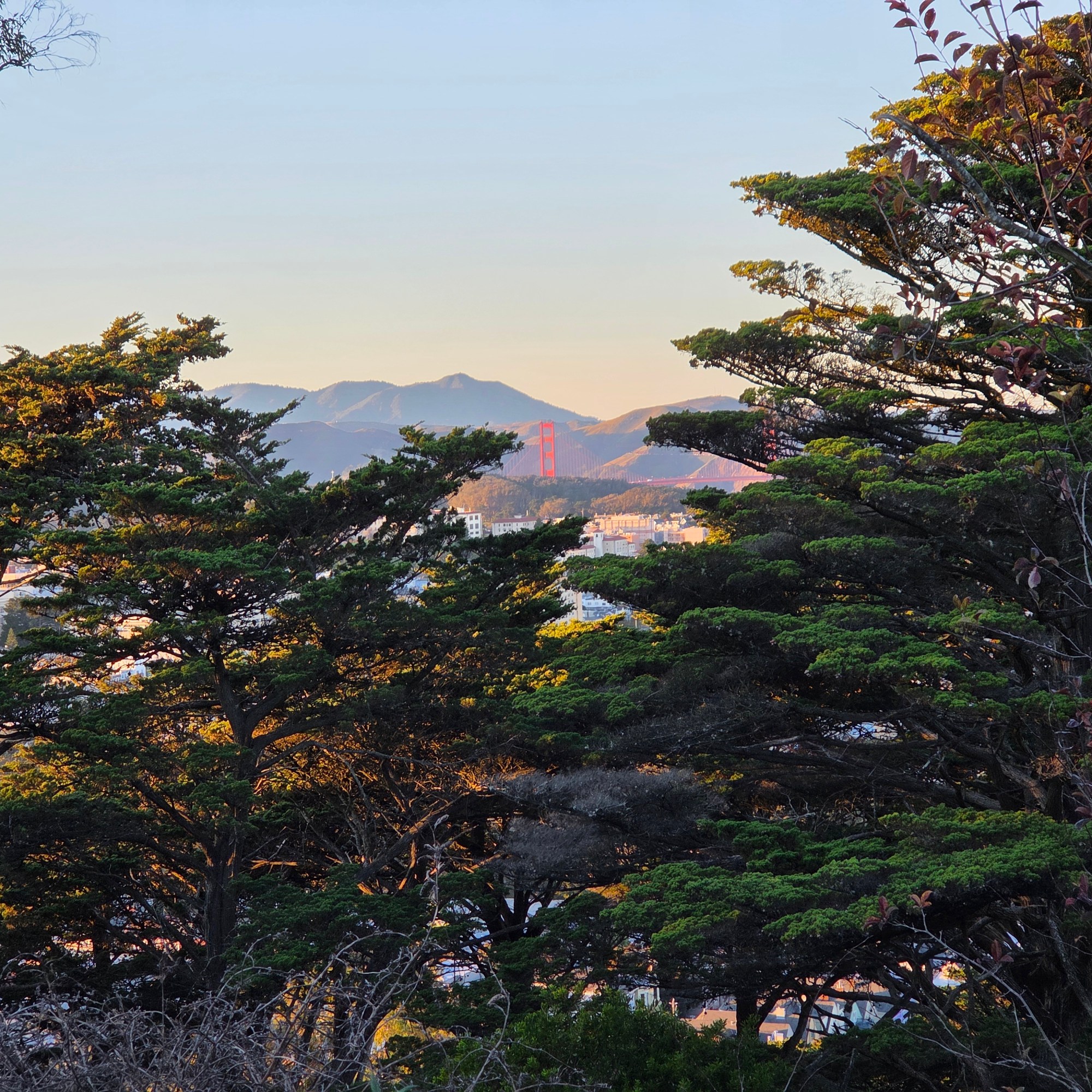
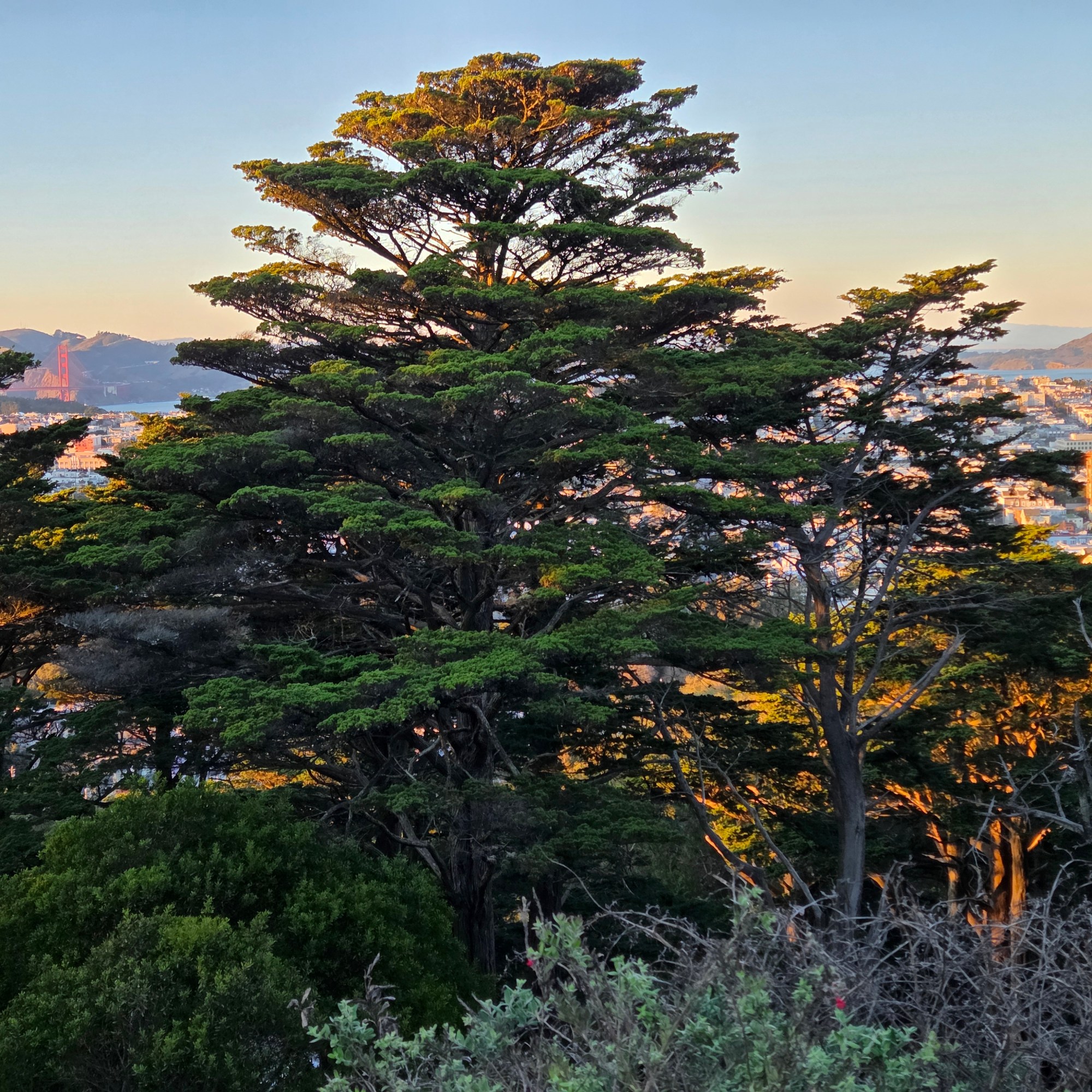
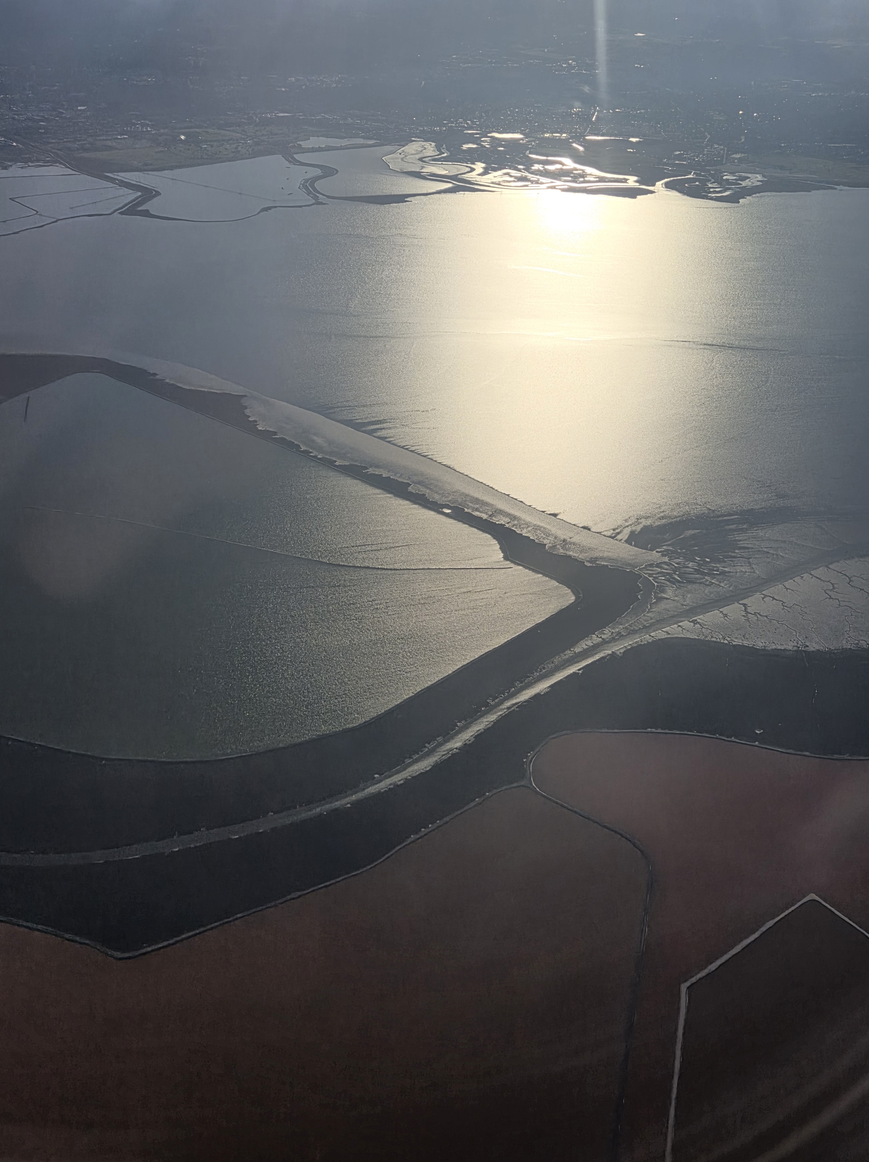
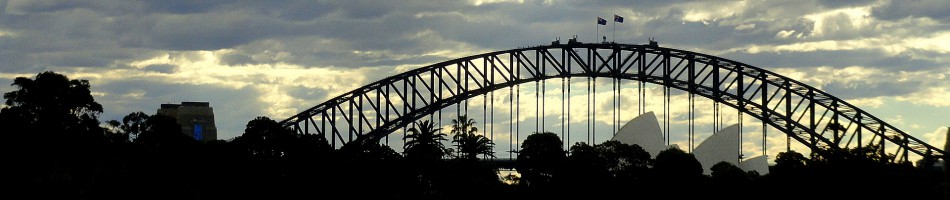
I spent only two nights in SF itself, this last visit, and mostly spent the one full day between down the peninsula watching elephant seals and enjoying time w/my friend Steve. So I collected only these very few shots that show you SF’s, and perhaps the US’s, most famous bridge.
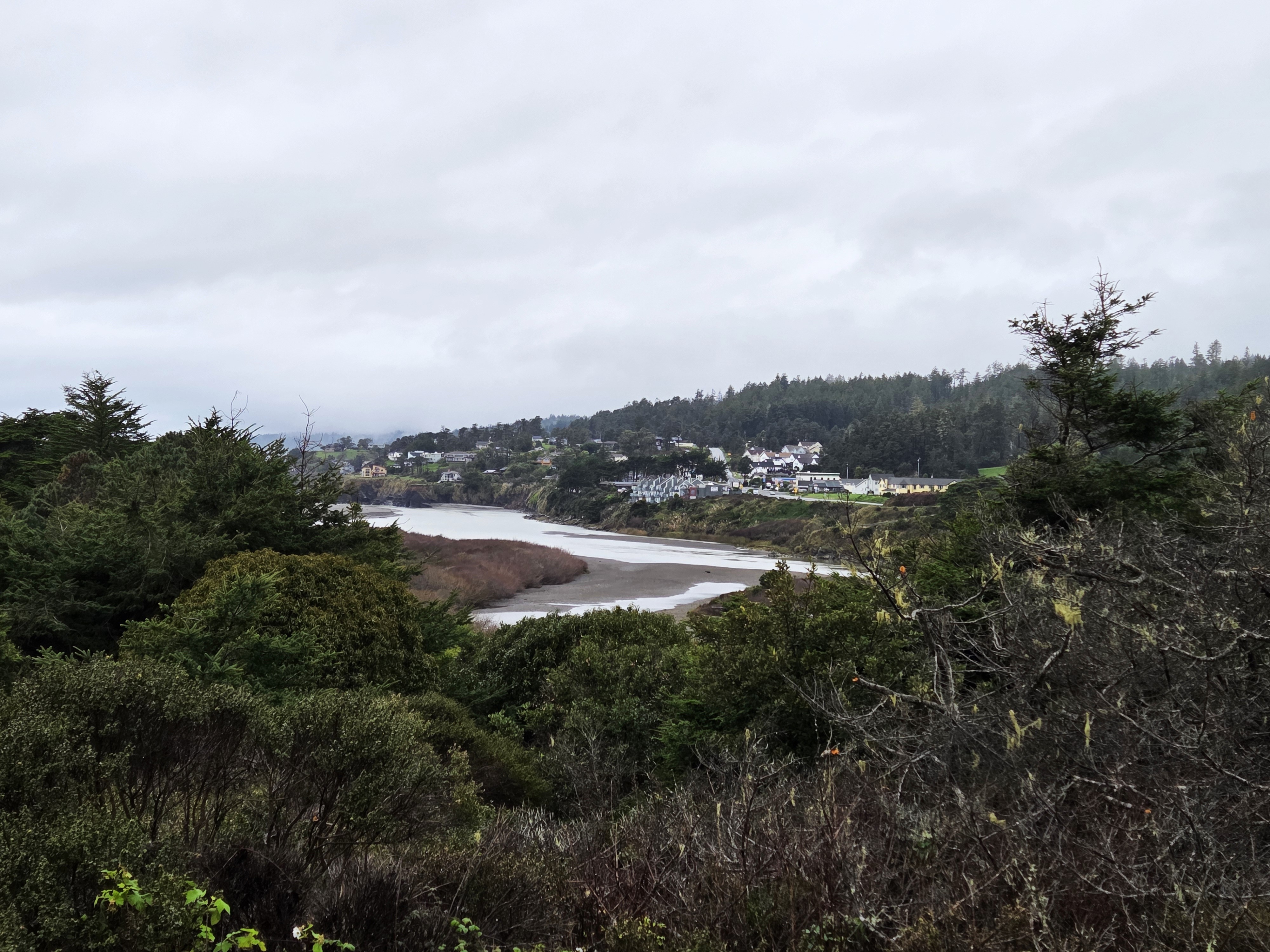
The Mendocino-county village of Gualala, as seen from the south side of the Gualala River, from Sonoma County. Lovely coastal drive to start my new year, followed by a lovely movie with dear friends. Already more than two months ago, yikes!
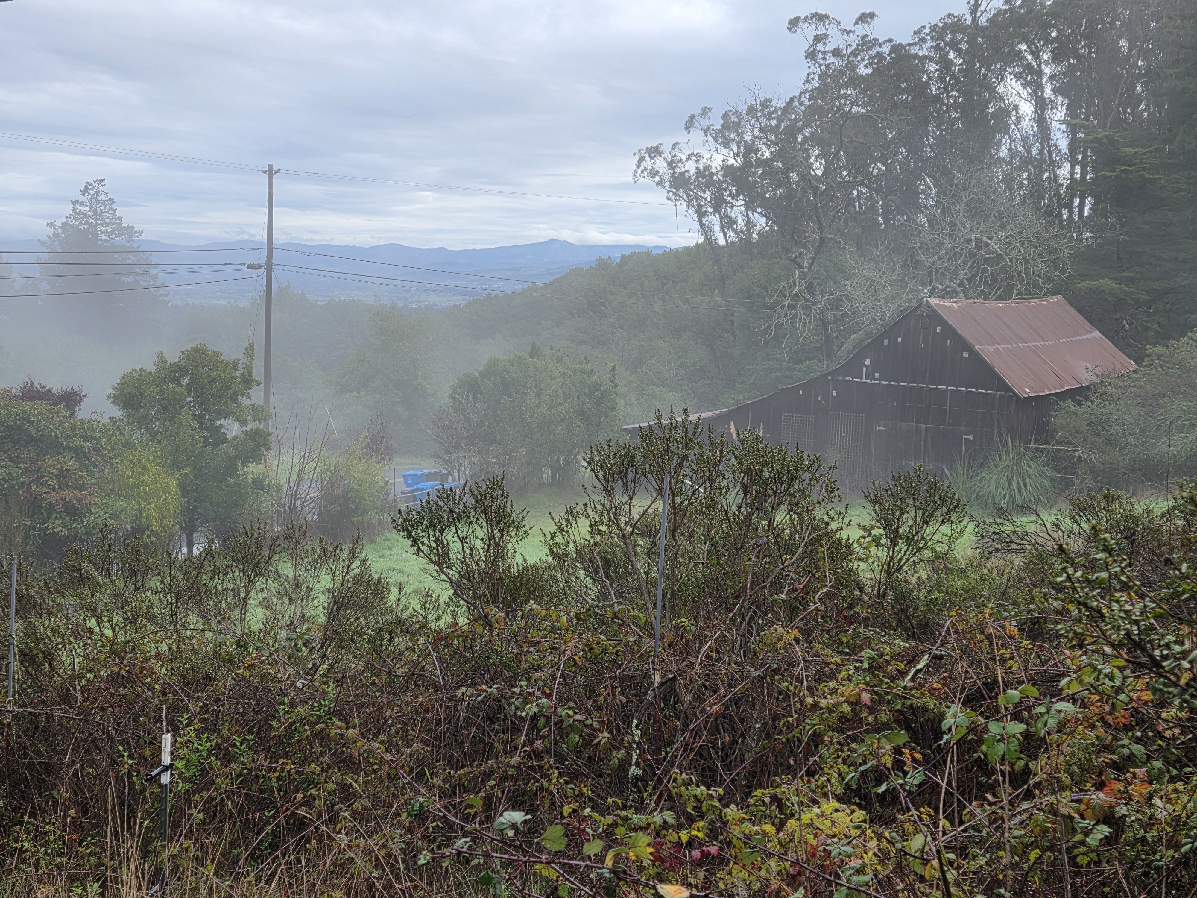
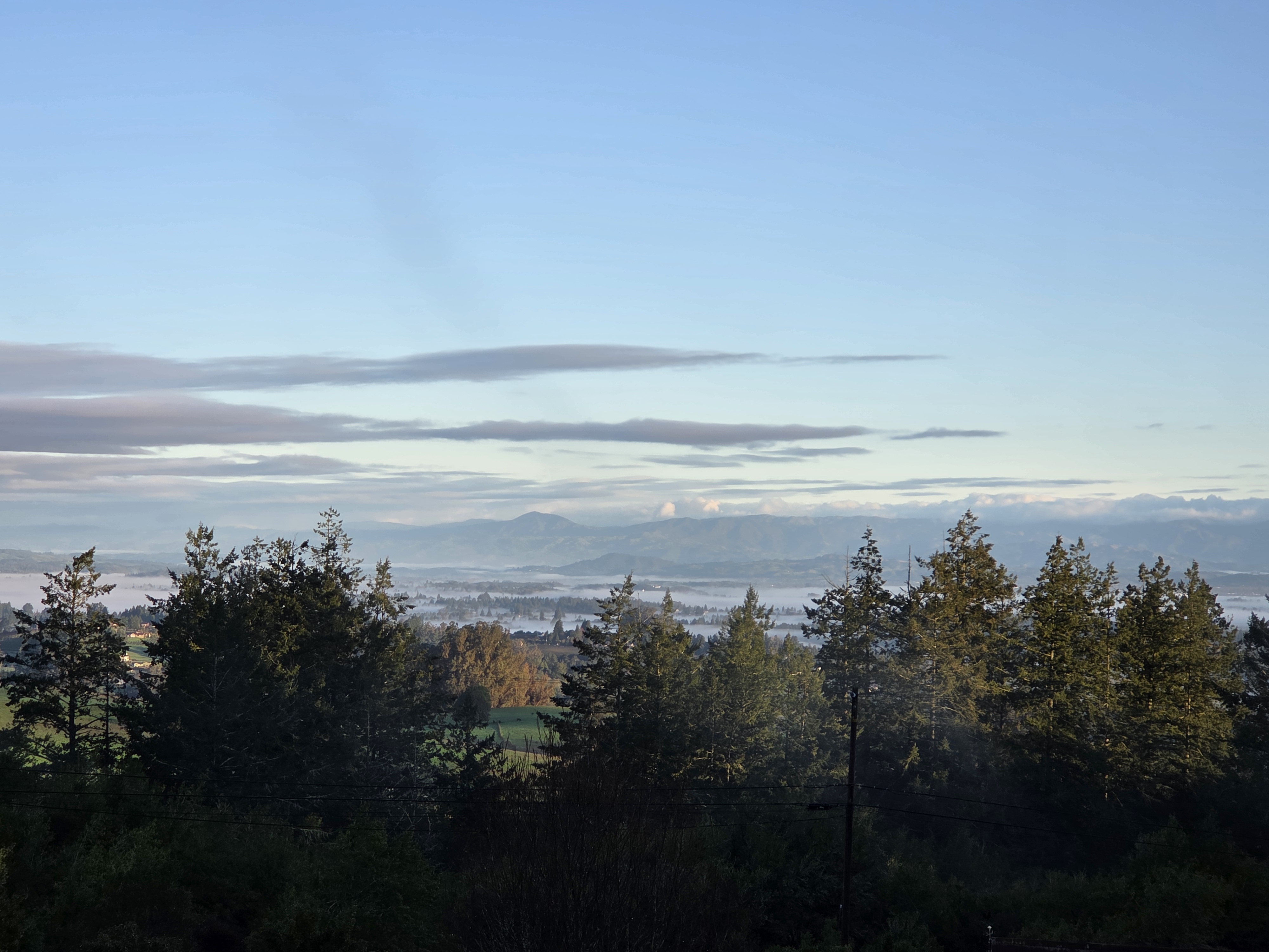
While in California I had several occasions to see the ol’ source in its vapor form, also known as mist, including the above as taken on a lovely walk w/Gary on the last day of his and Rick’s visit, and below that same morning.
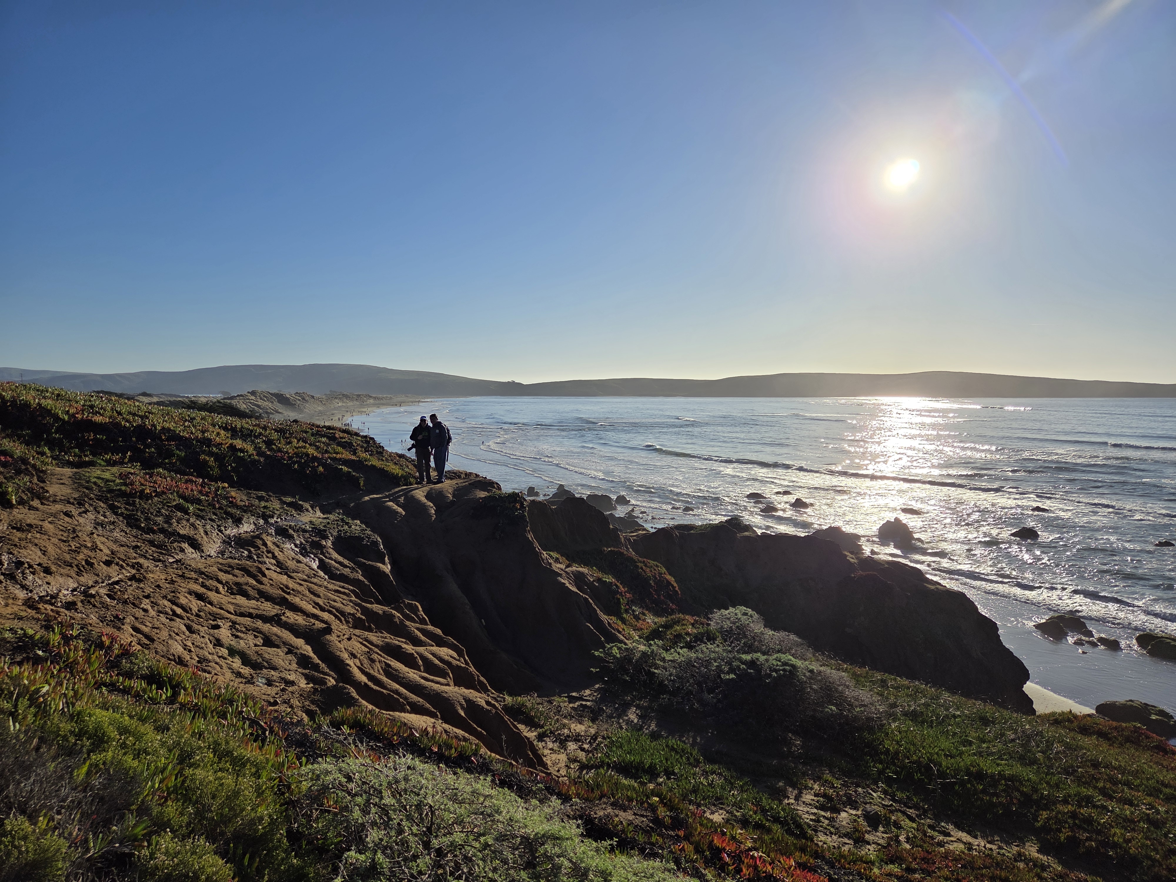
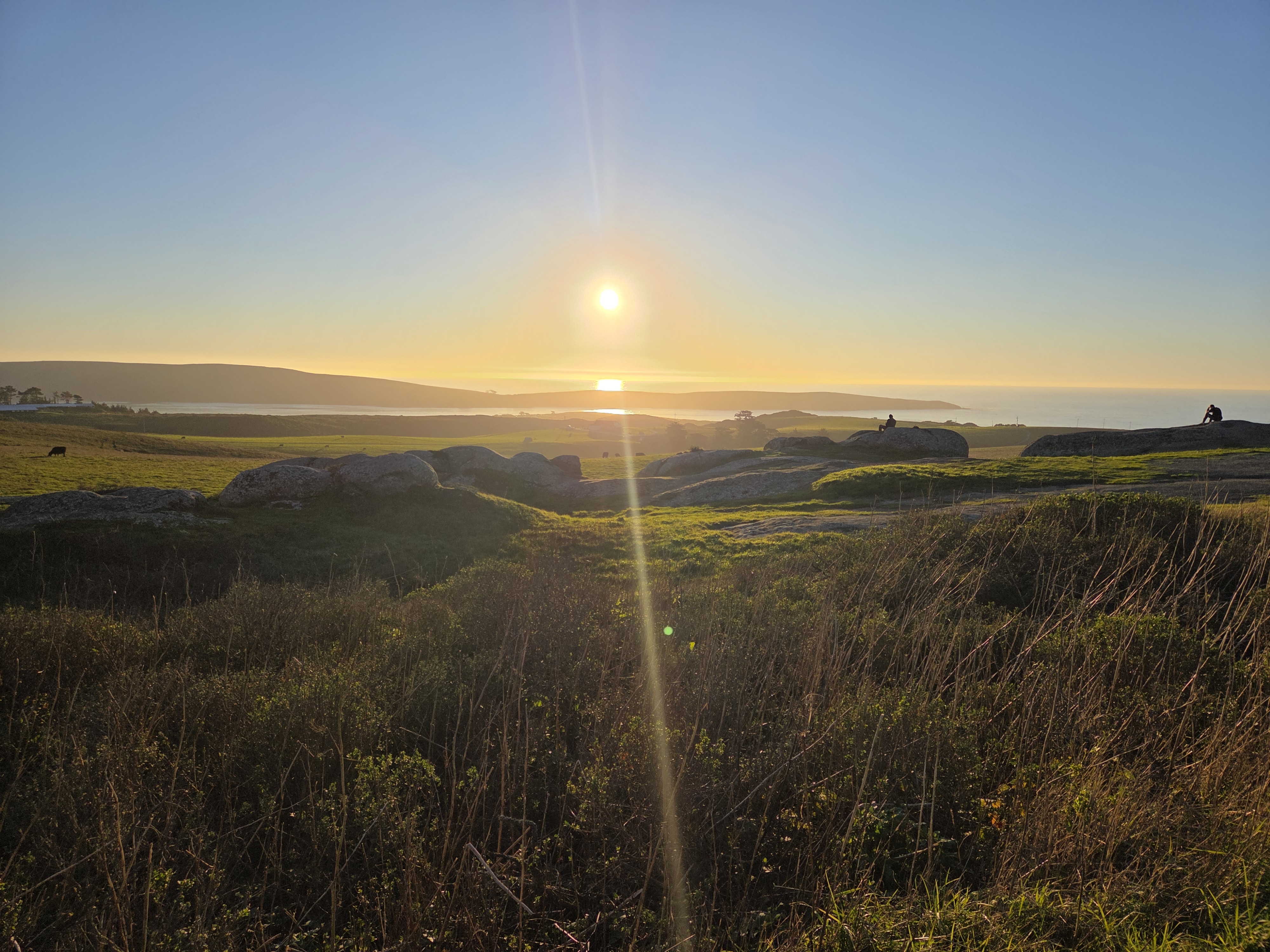
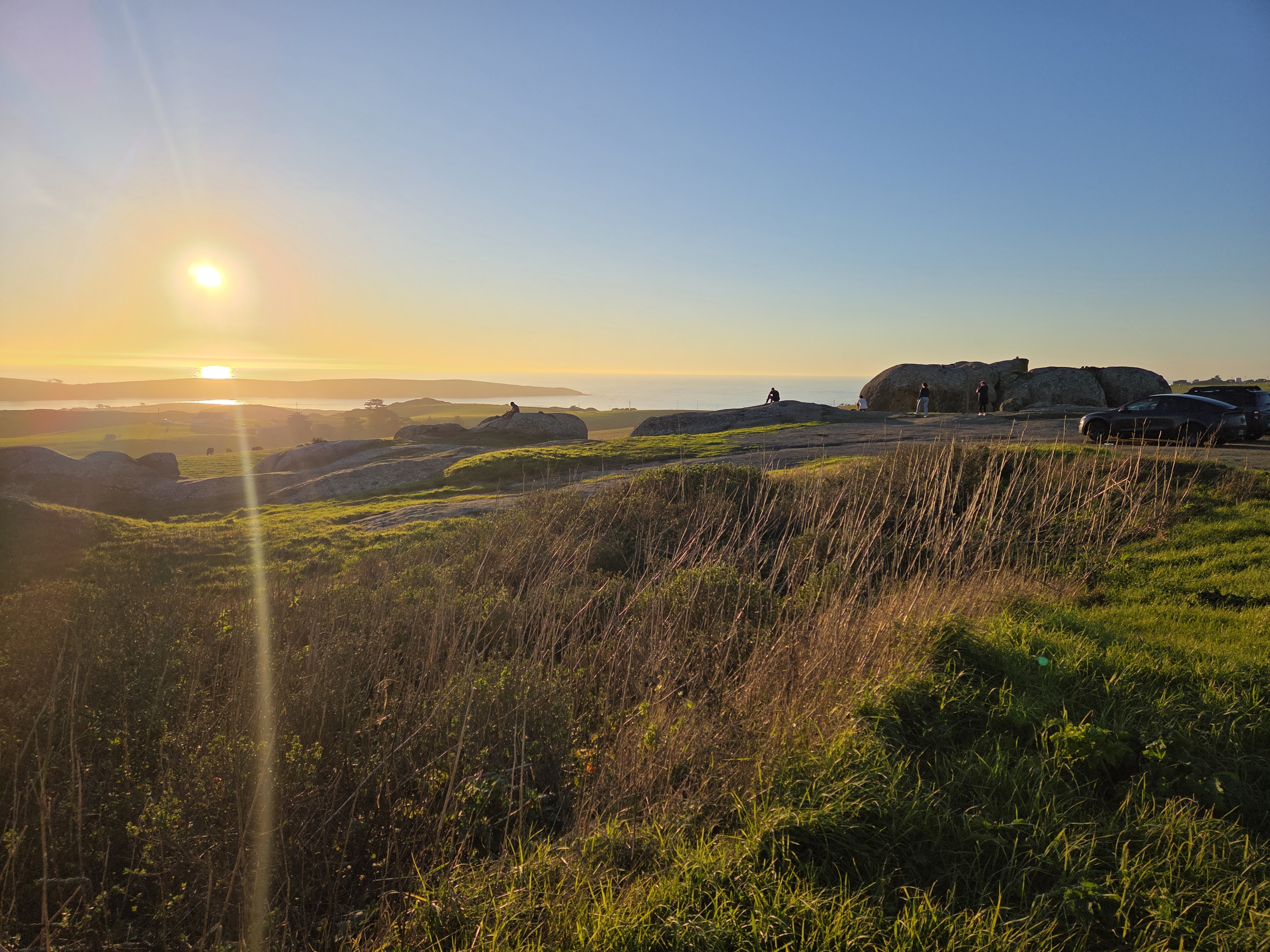
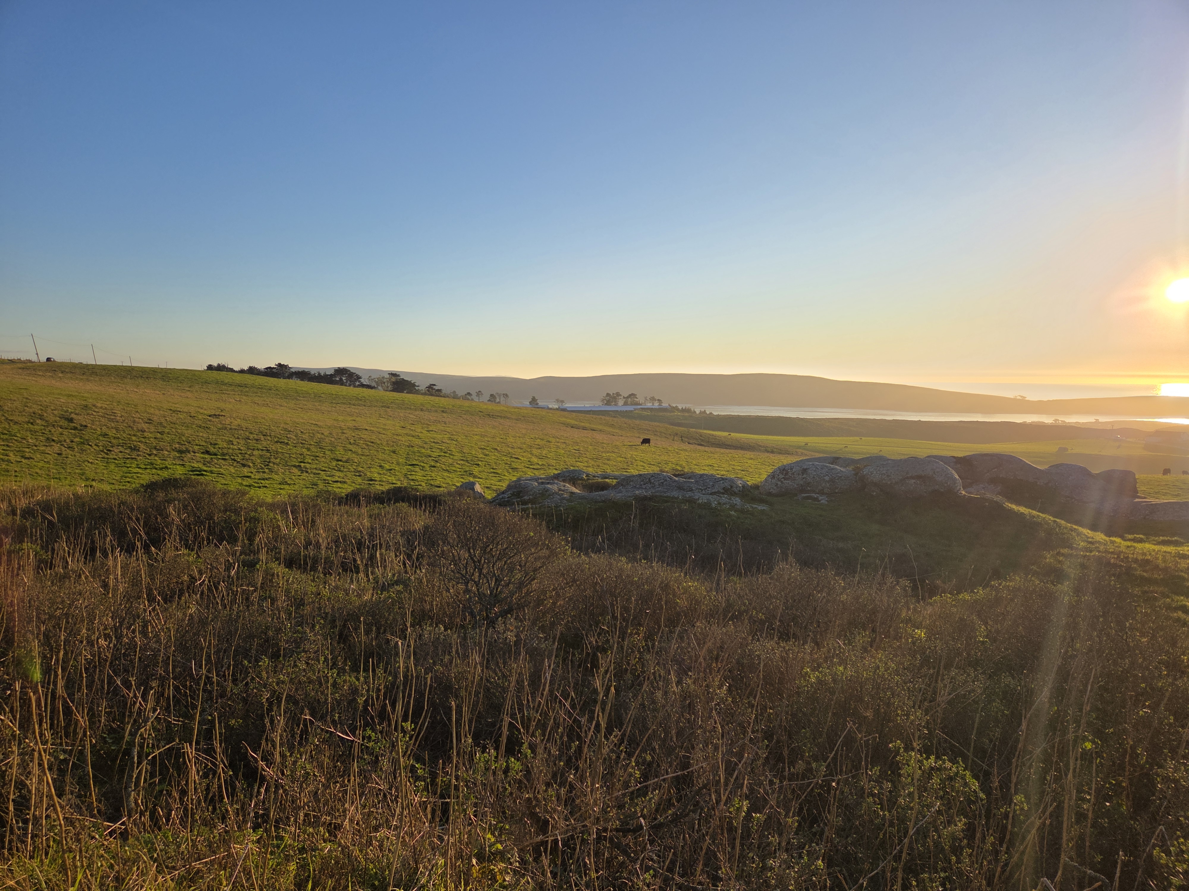
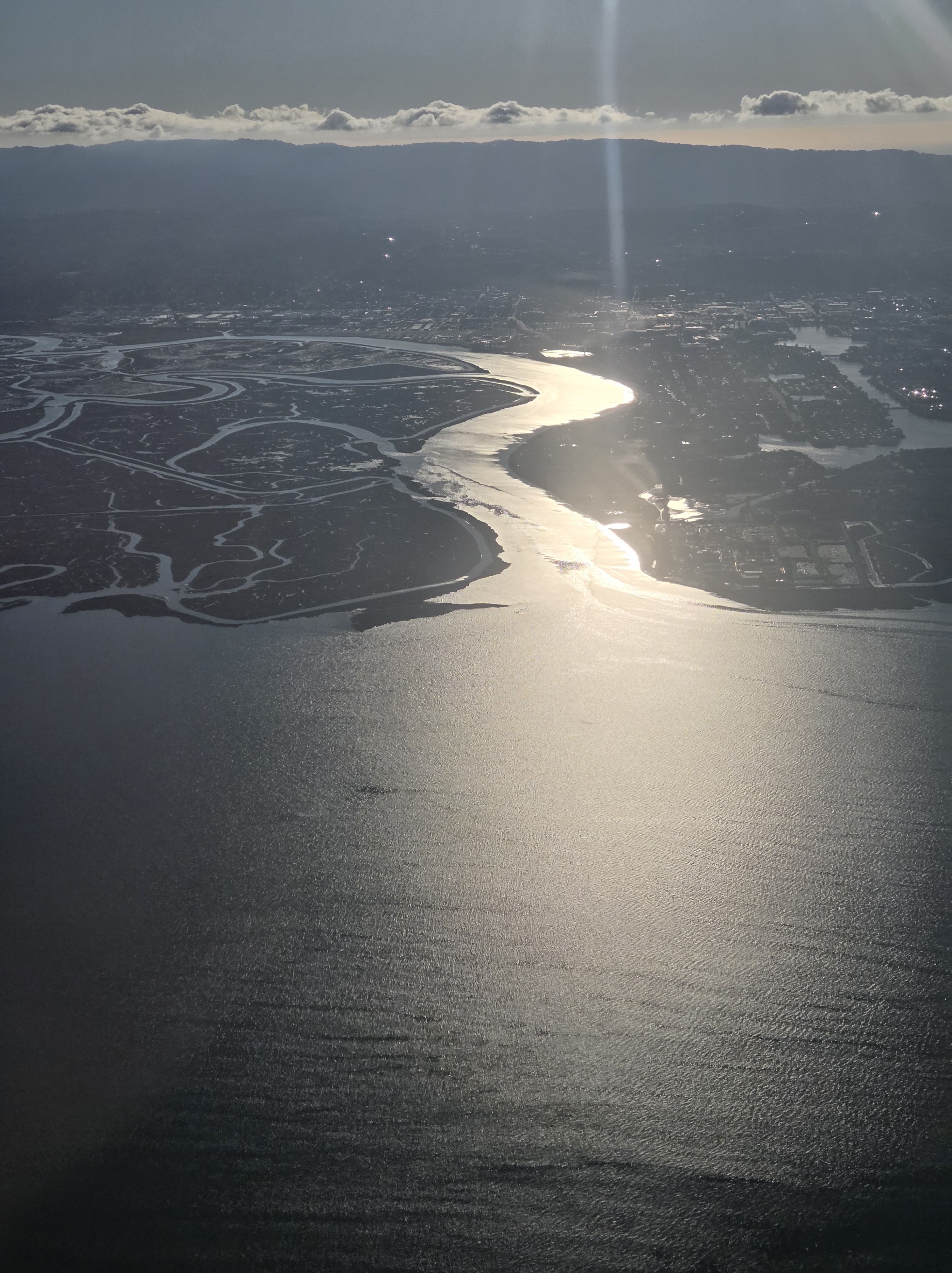
The top of Tomales Bay & Pt Reyes Peninsula as seen from PCH a bit uphill. For those unfamiliar with the region, the San Andreas fault runs right down the middle of Tomales Bay, and I believe is widening the bay by measurable inches per year, if memory serves.
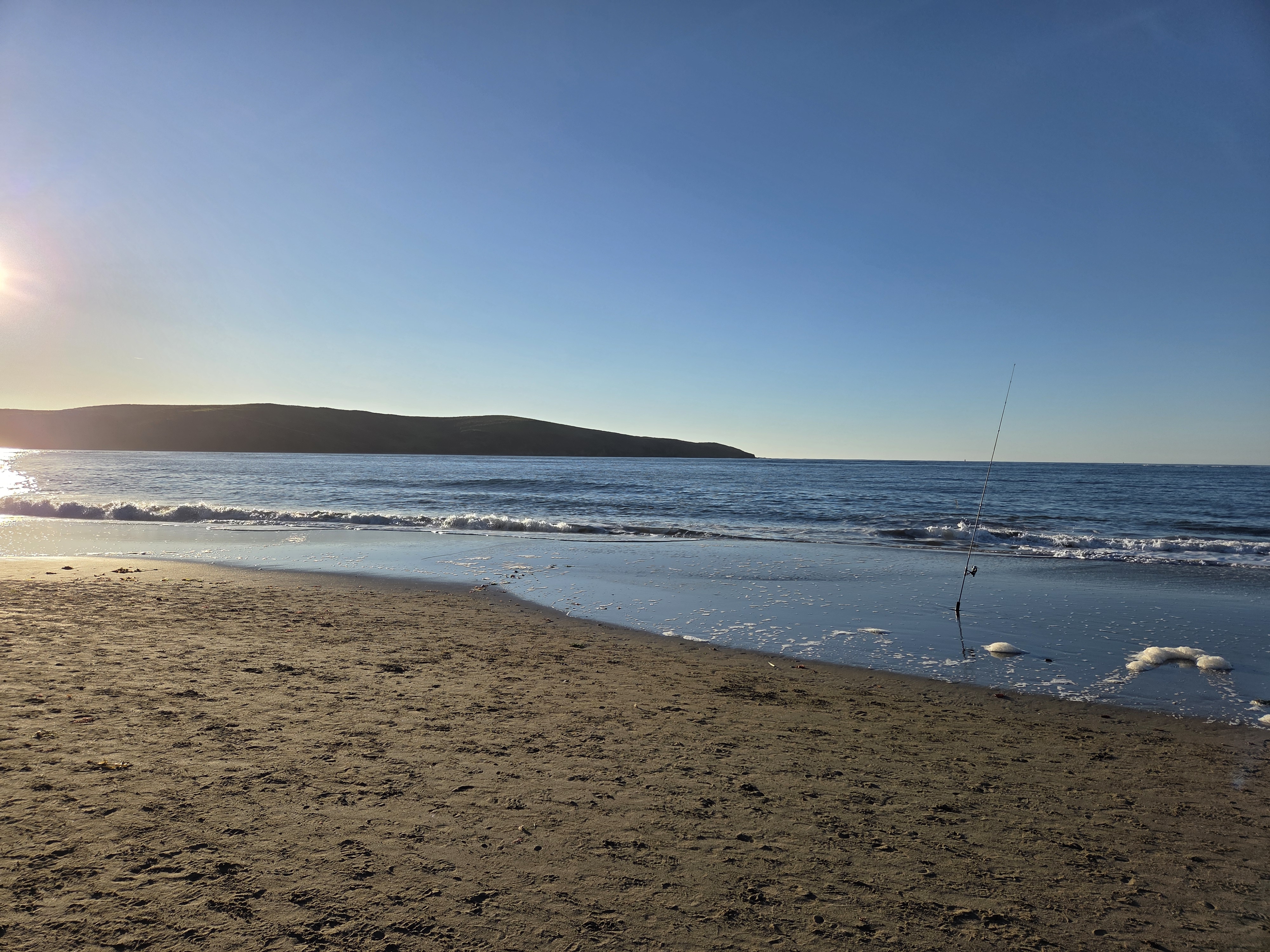
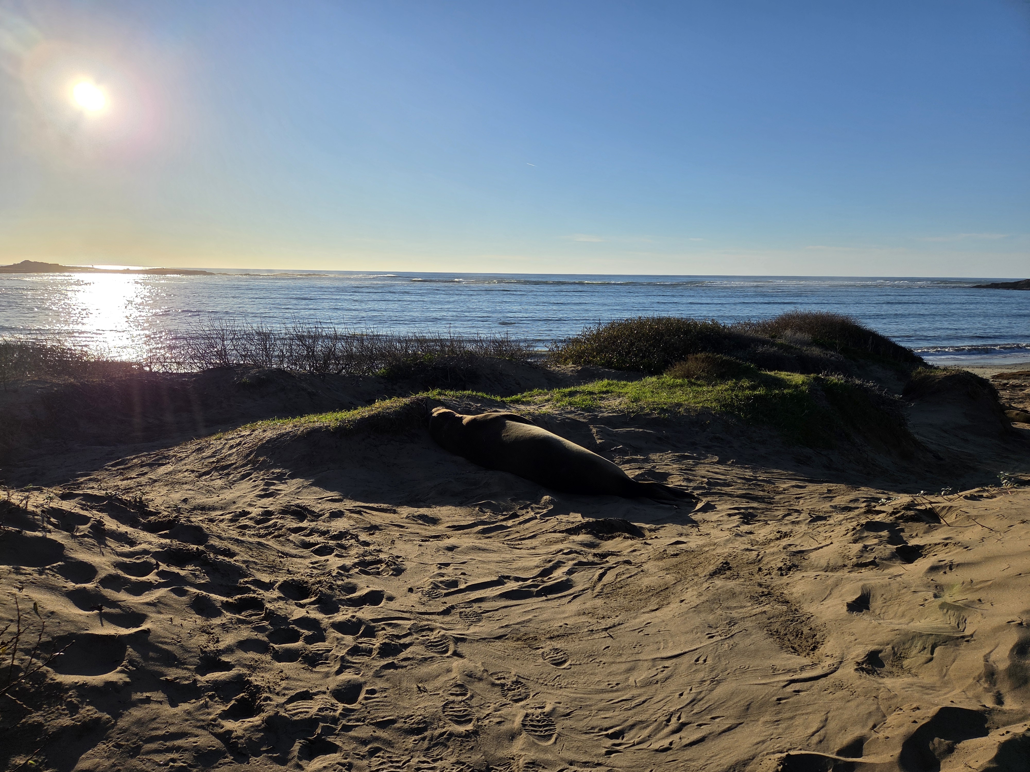
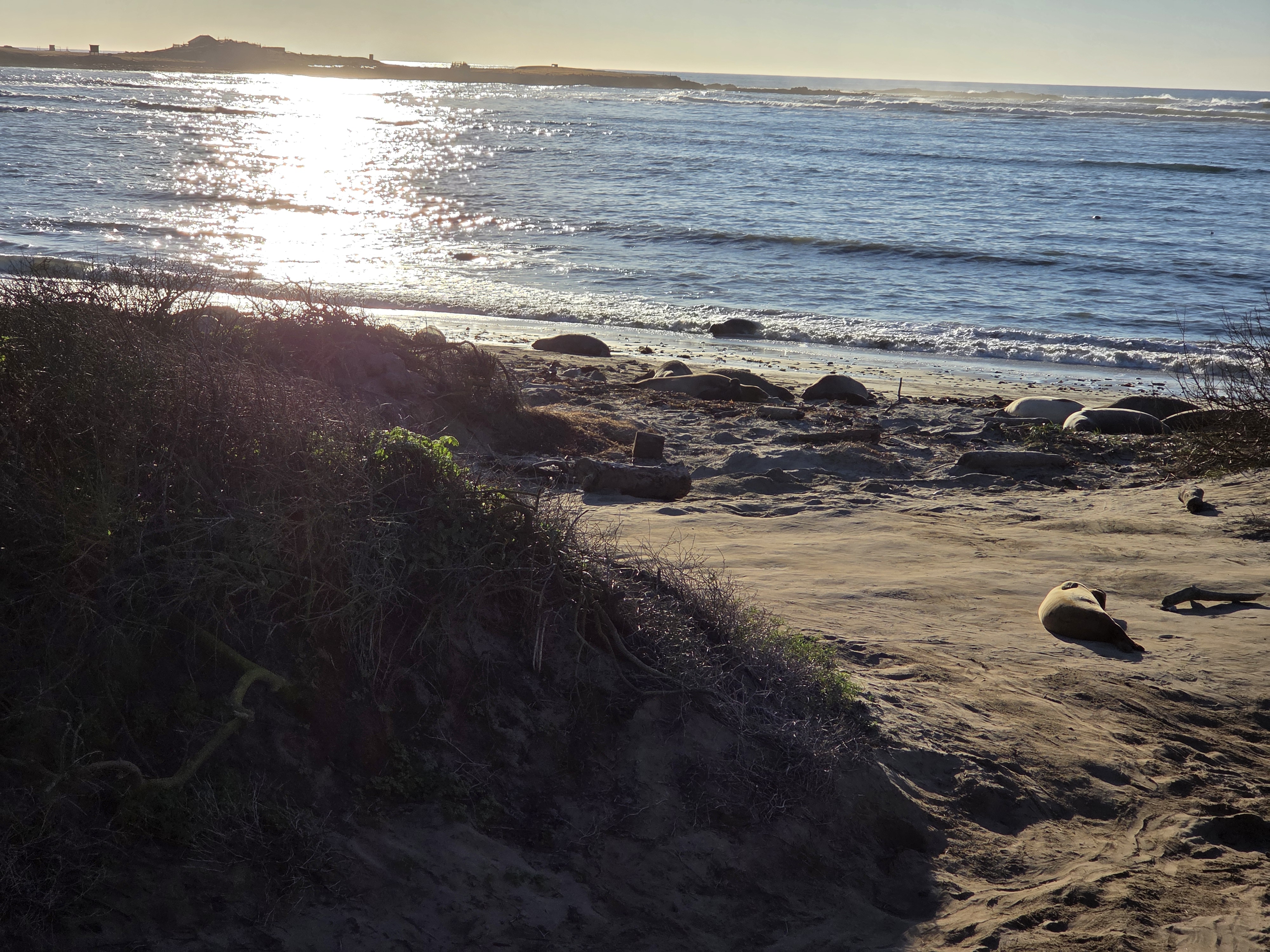
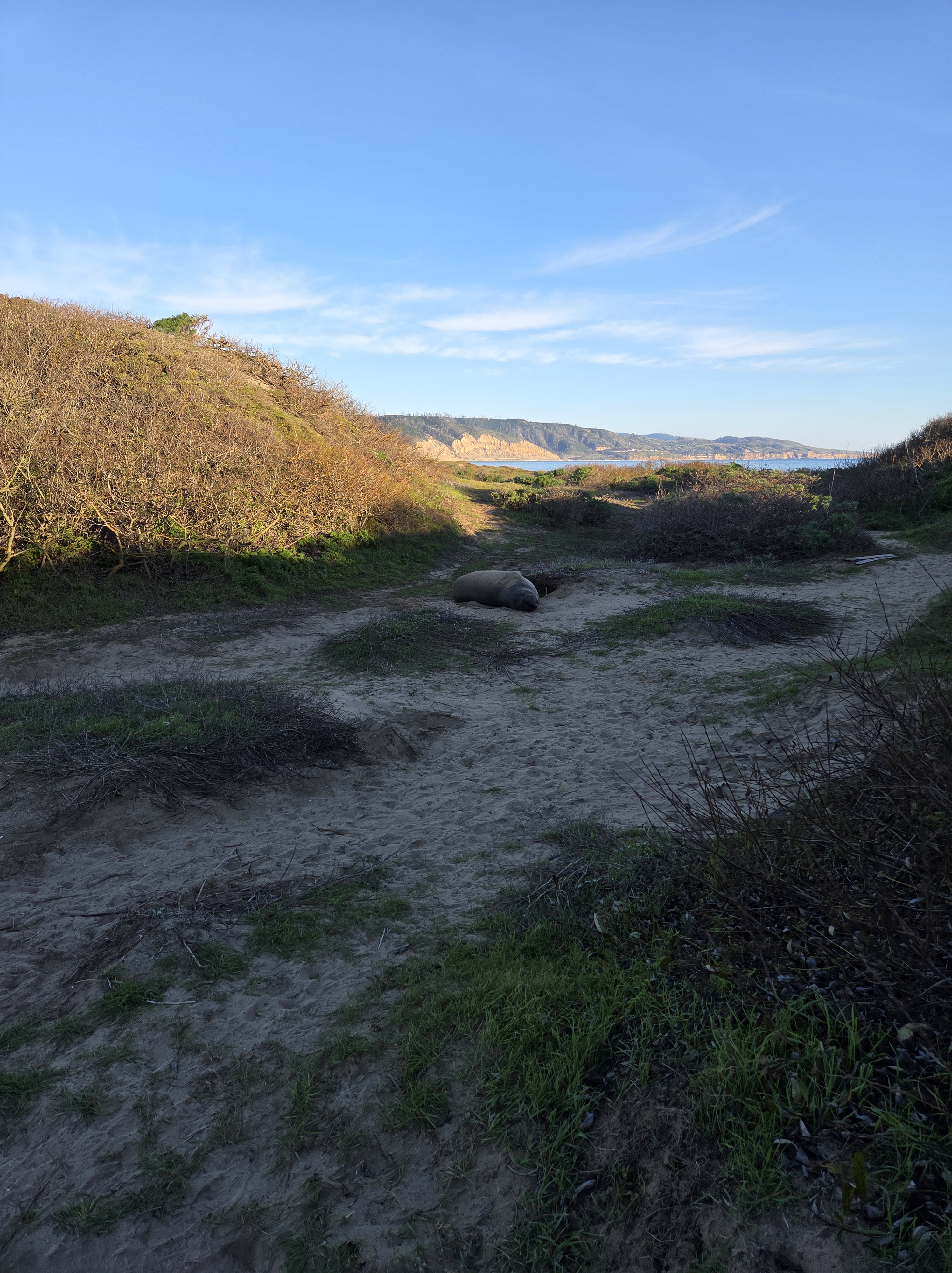
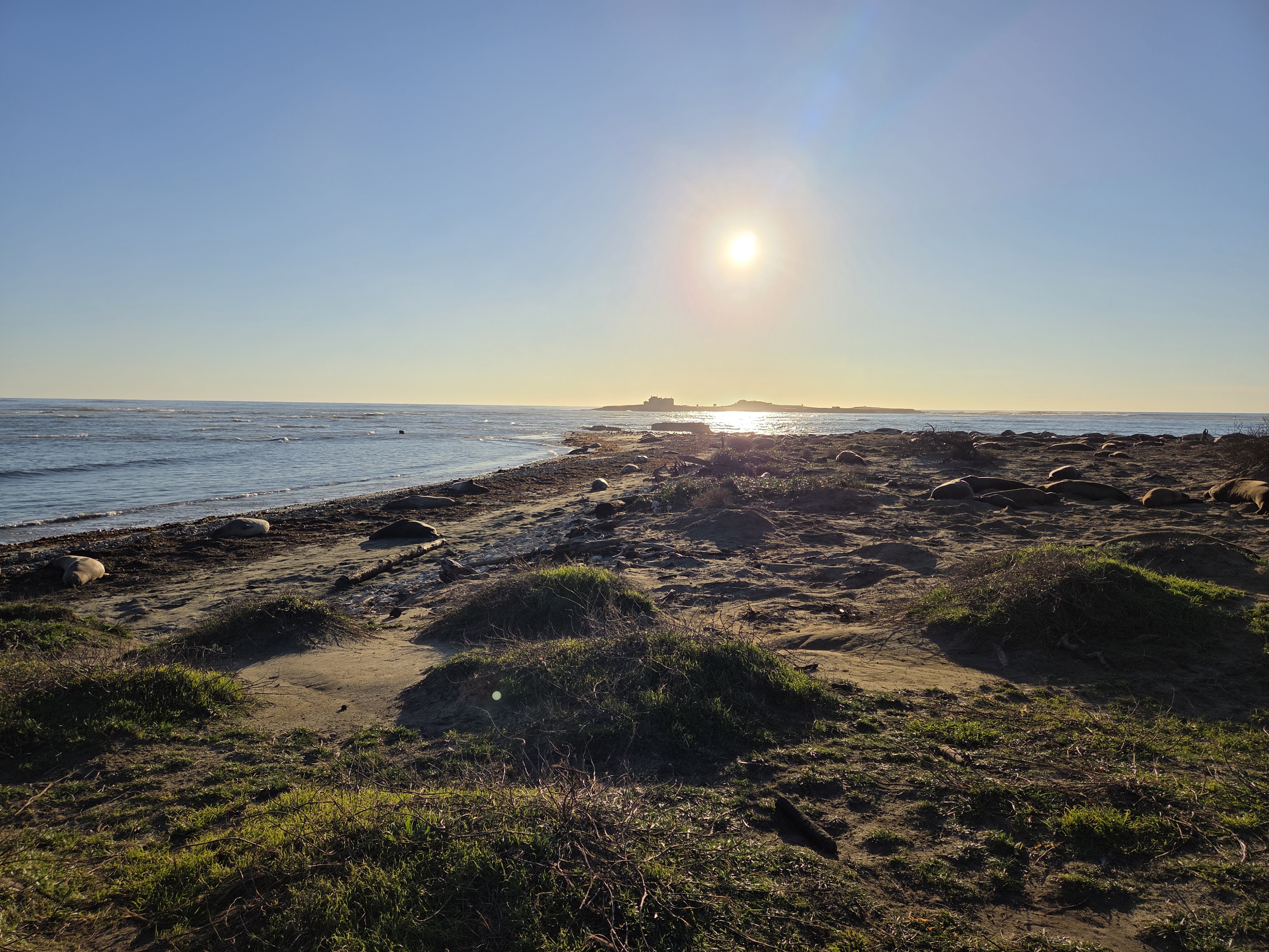
The island in question is directly beneath the sun, and that’s a mid-sized elephant seal in the middle of the shot. More of them, sometimes with more of the island in the background, below and to come in future posts. All from a lovely visit to Año Nuevo State Park with my dear old friend Steve on that last Friday in California :-).