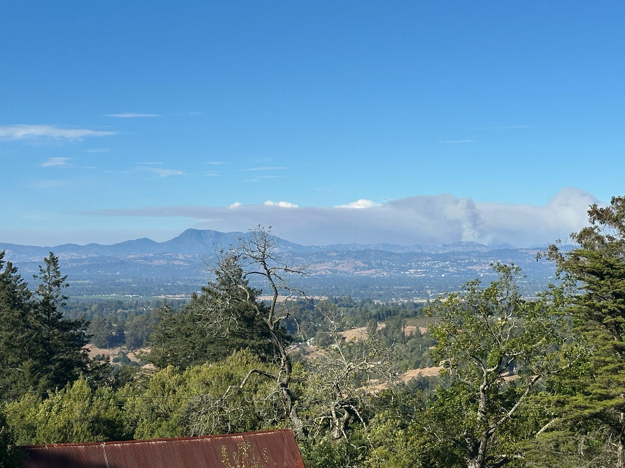
The Calfire site tells me that the Picket Fire started on August 21 and was 100% contained on the 7th of September. When my friend Howard sent me these photos of its smoke billowing near Mt Saint Helena on the 27th of August, he said residents in Santa Rosa could smell the smoke from it, but not in Sebastopol. I keep fingers crossed for a quiet rest of the fire season throughout North America, not only near my once and future home in SR ;-).
Turns out I did an even less thorough job of posting all my photos with images of Mt St Helena than I thought, a month or two ago. Good thing for this series, though, because I’ve really run through any other potentially-legit mountainous images (well, aside for a few from the air that I just posted or might still find…), so I might be able to keep this series in the rotation long enough to see something else I can call a mountain without too much embarrassment in time to re-stock with potential future entries. And if anyone wants to check the time stamps on these photos against past entries, do let me know if I’m inadvertently double-posting some of these images. I did a quick check myself and, no, it just seems I love to photograph this particular mountain, a lot.
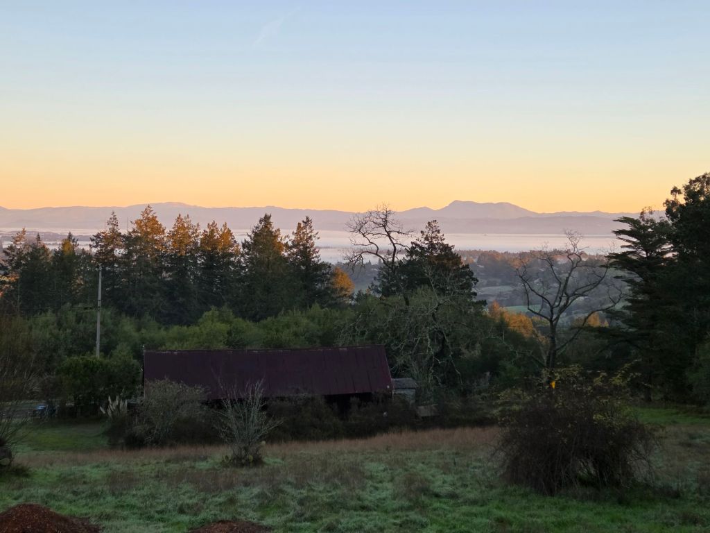
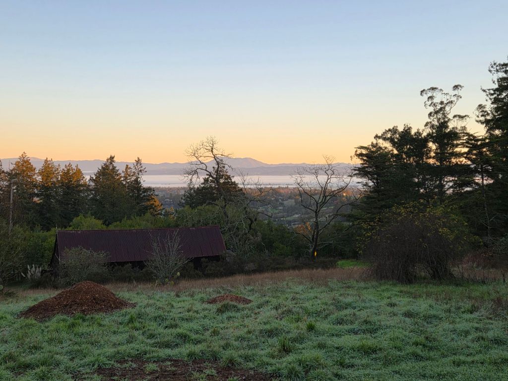
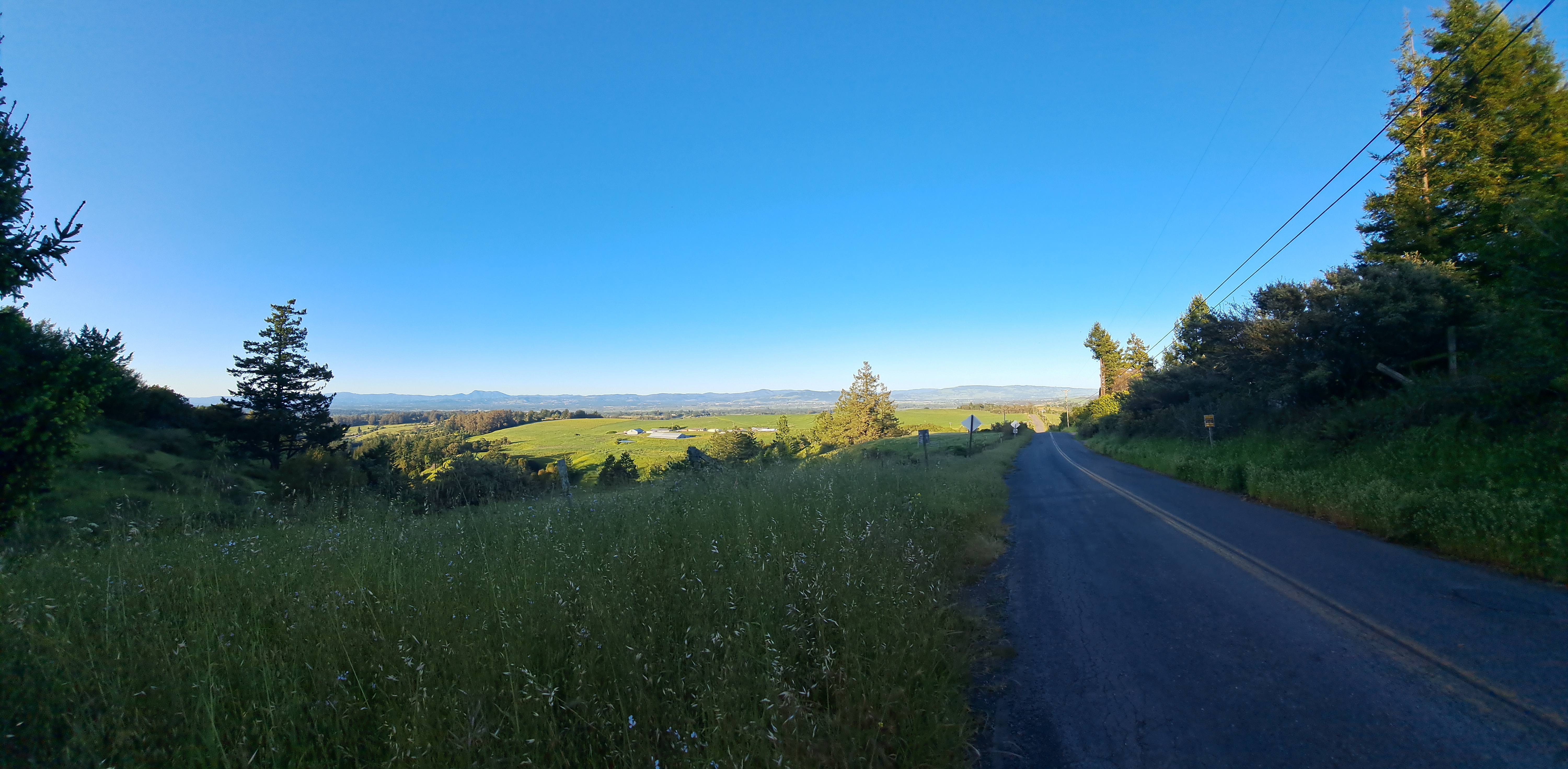
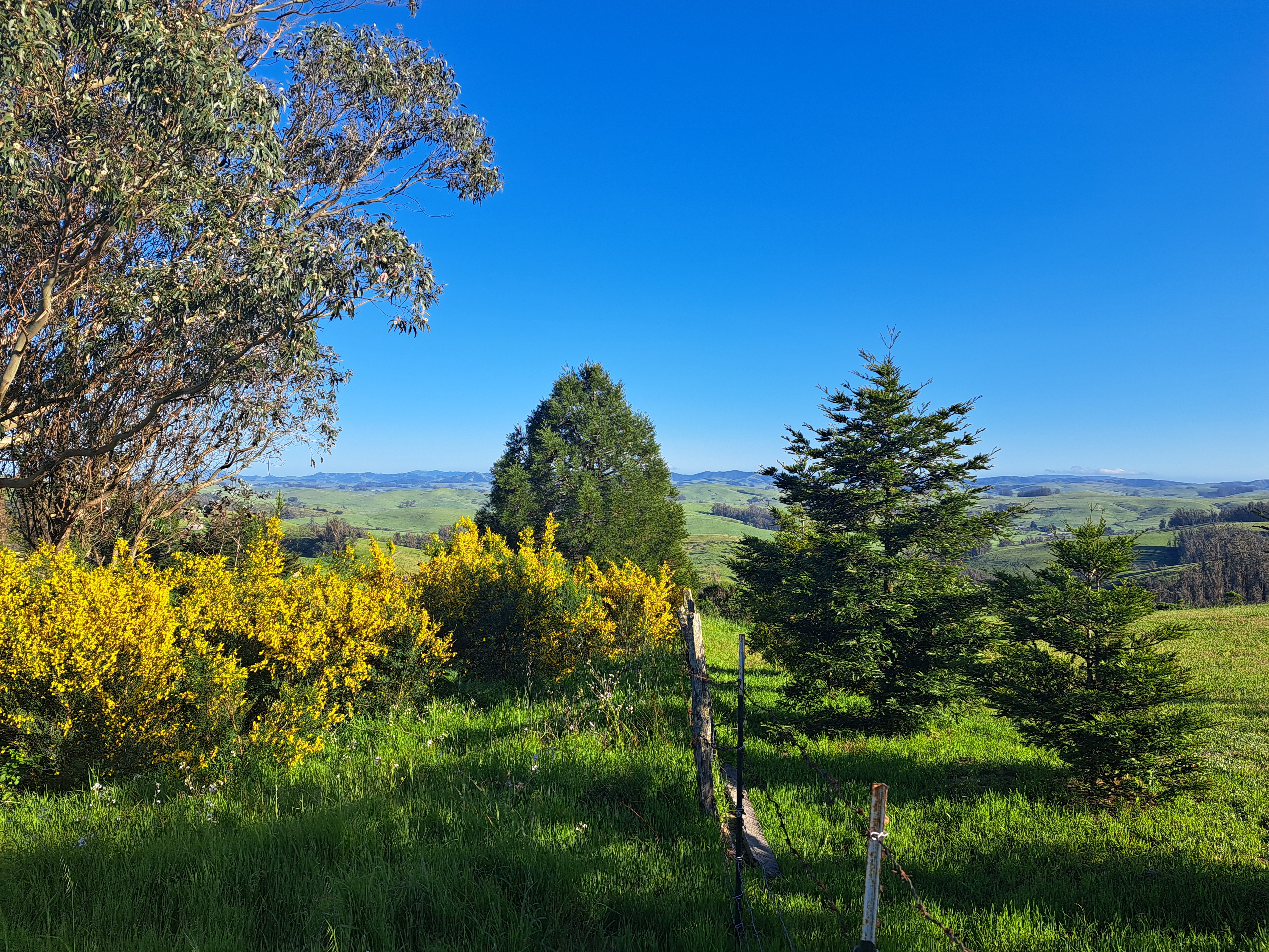
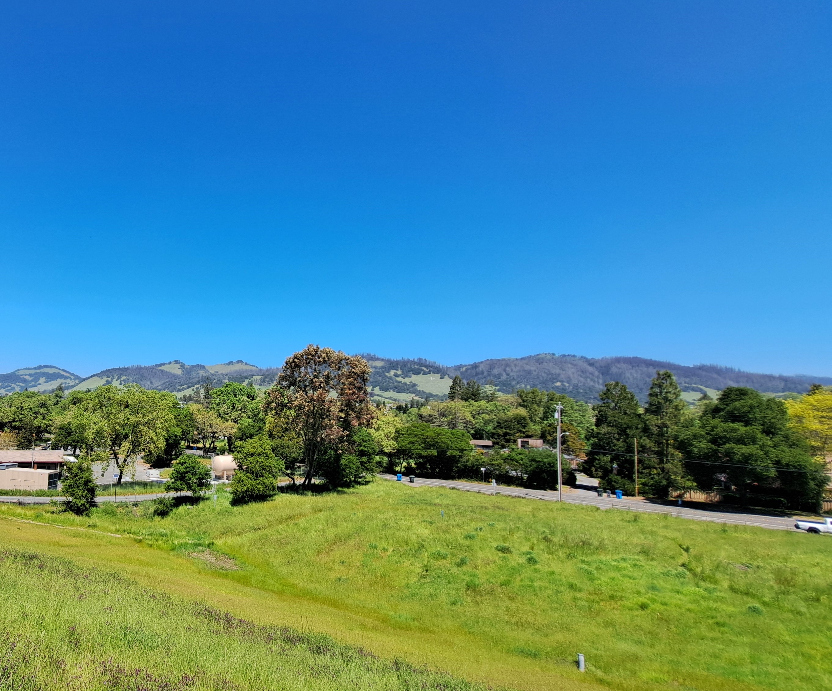
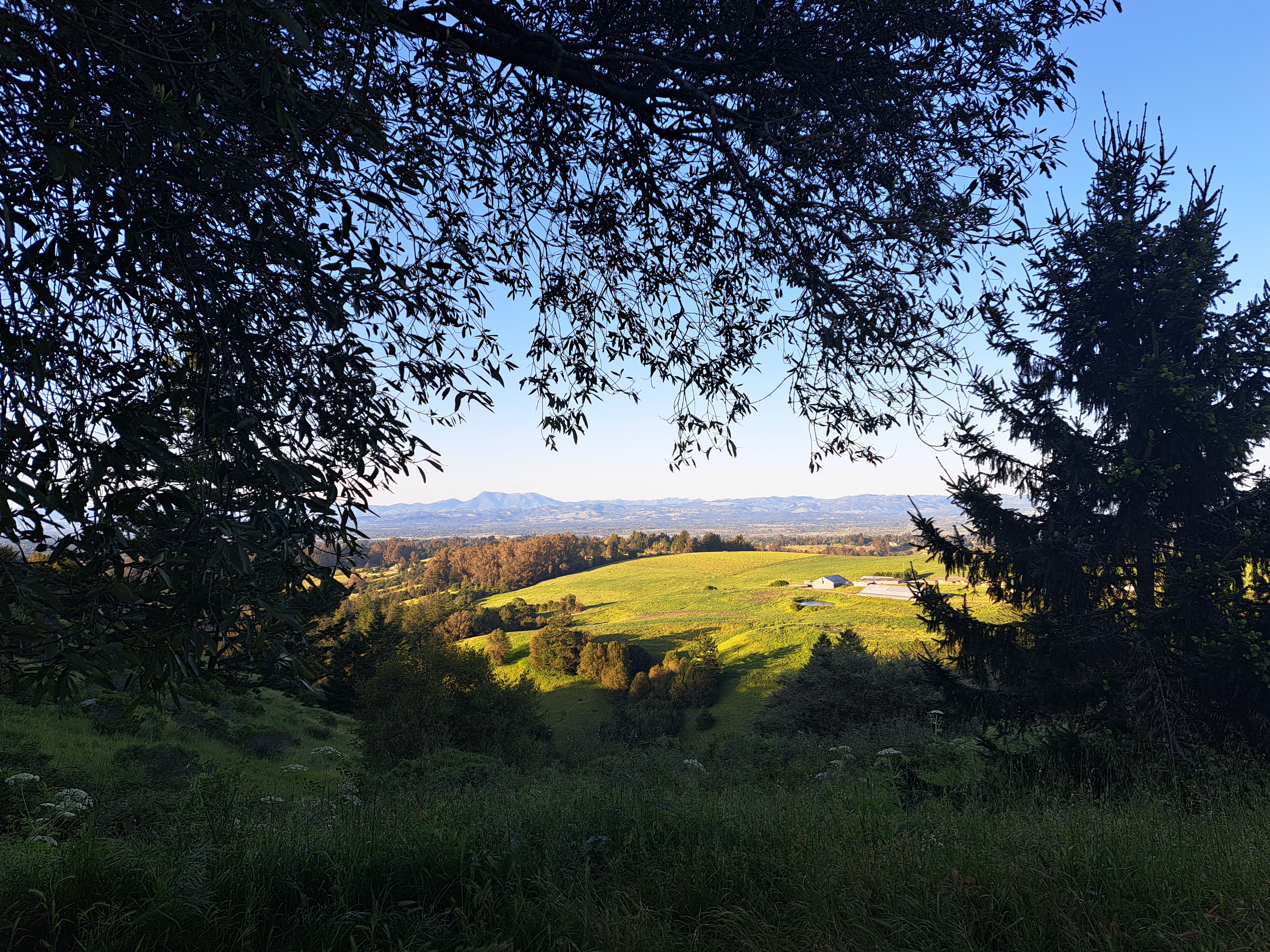
Enlarge the photo just above, and follow the peak of the roof up to see Mt Diablo as seen from the rolling hills of West County near Sebastopol. I referred to the photos I took on this last-evening walk w/Howard back in late April before I headed north to Mendocino County the following morning. If I managed to get both Mt Tam and Diablo in the same frame, as I mentioned in an earlier post, then it would likely have been the middle image just below, but I’m not sure I see it any more. Oh well.
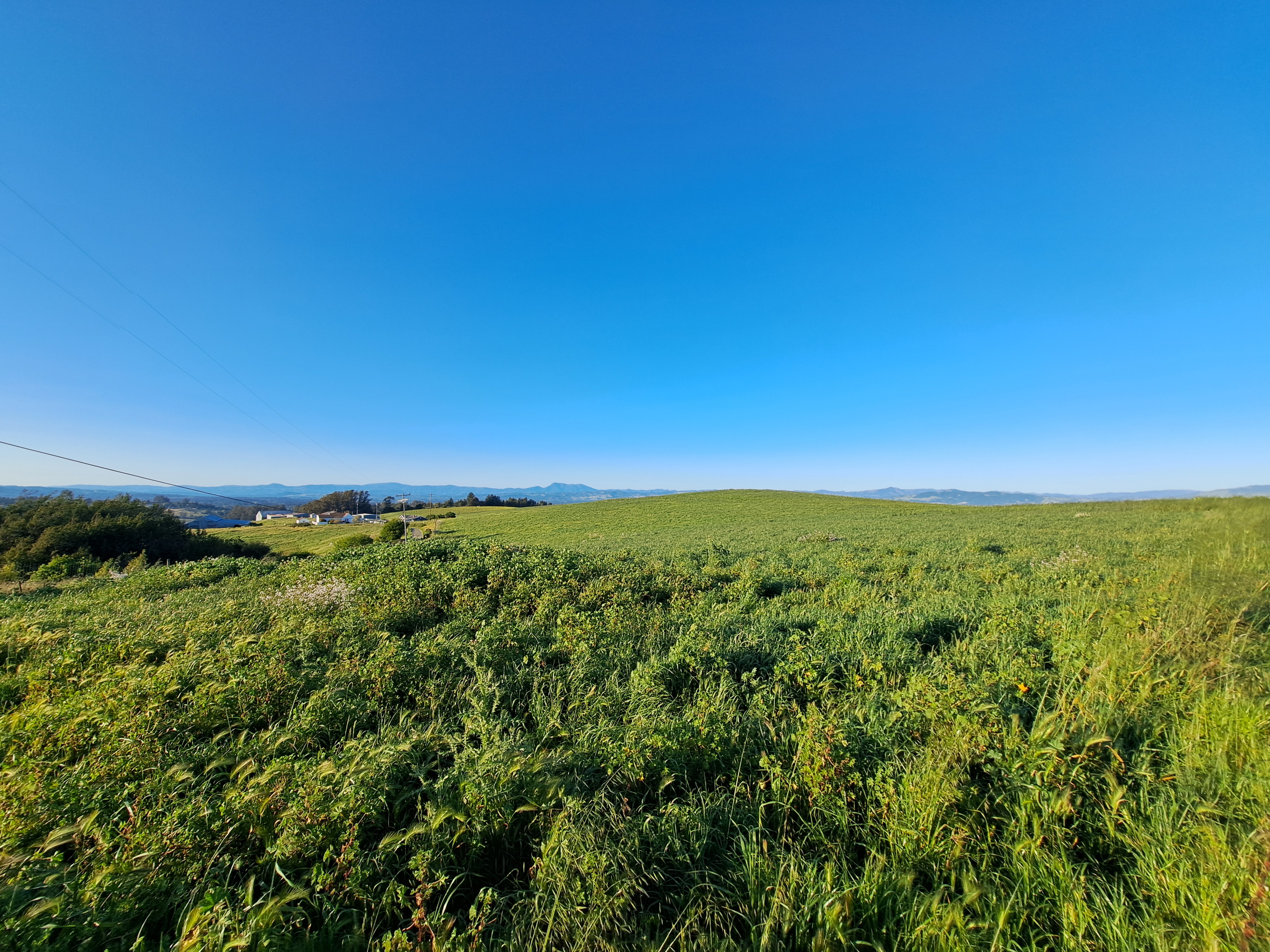
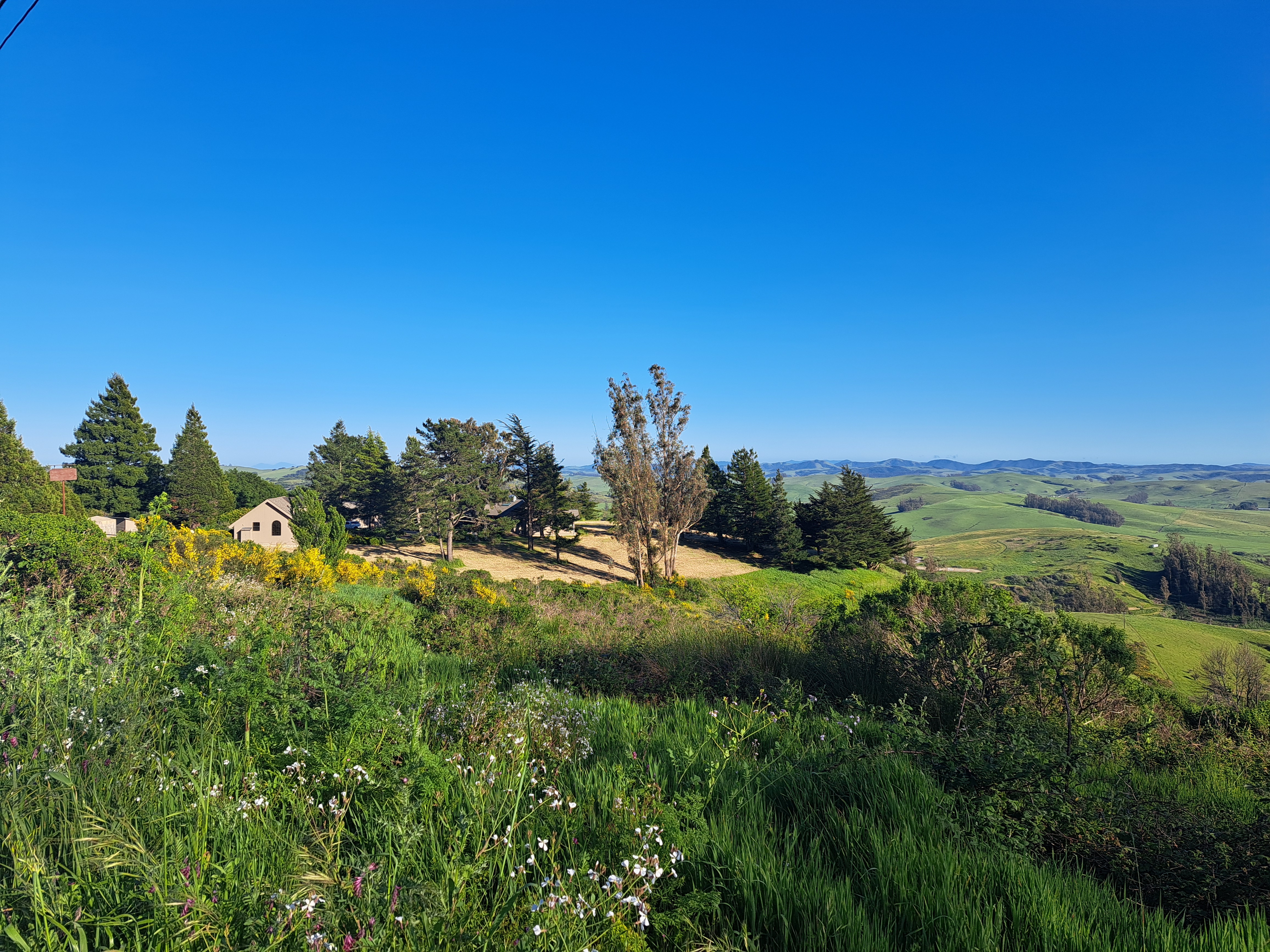
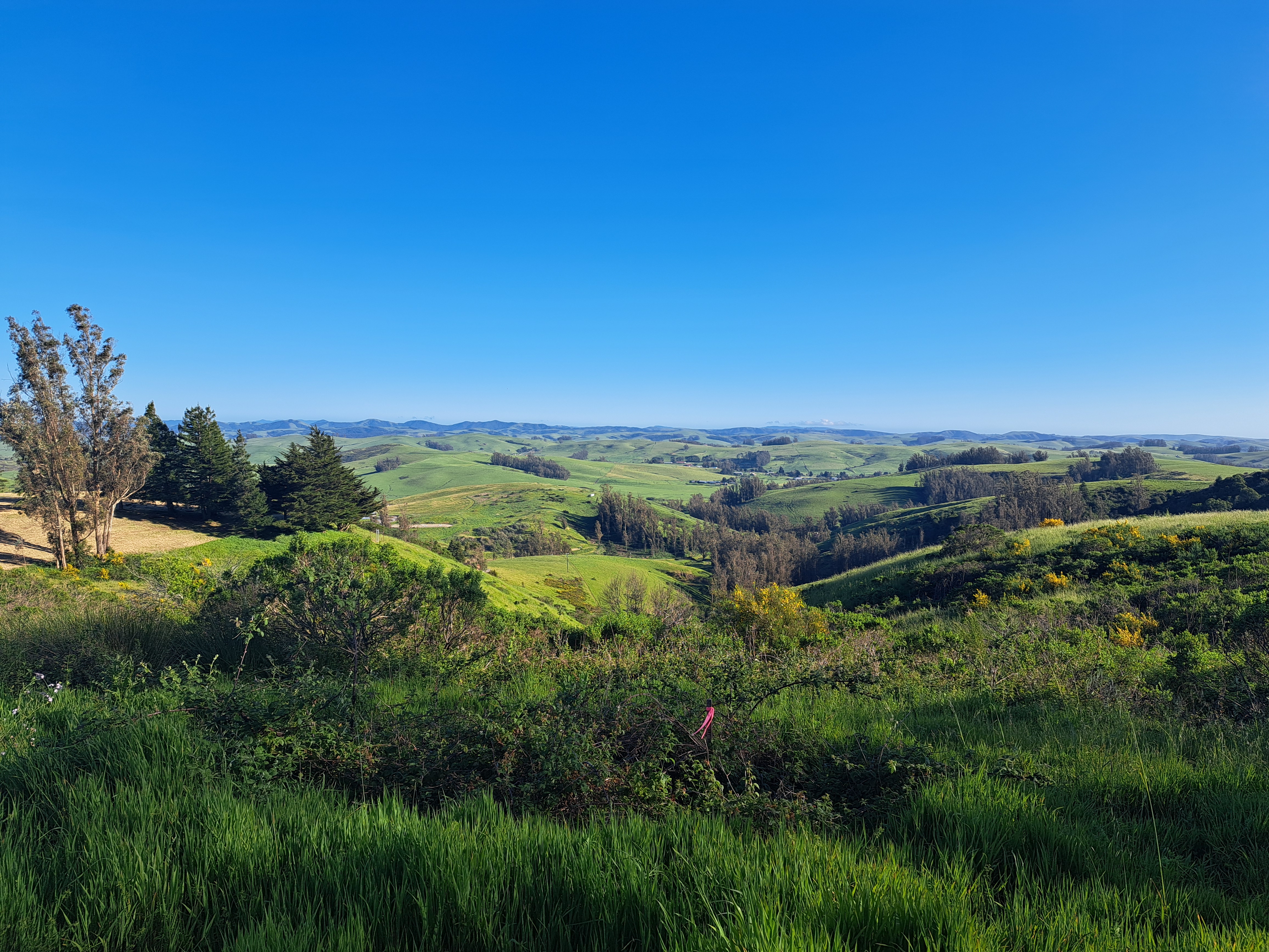
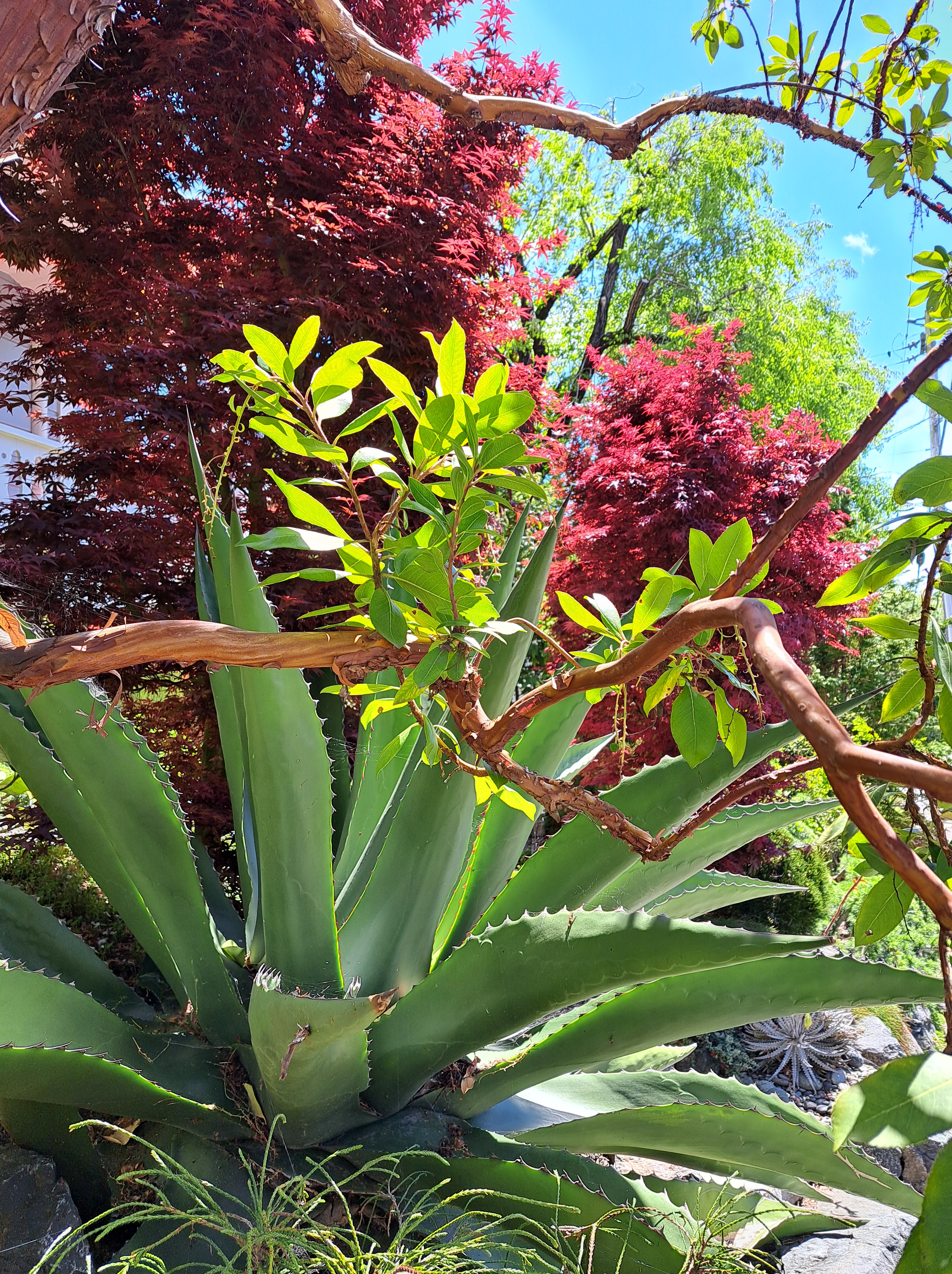
Since I unabashedly love (and repeatedly photograph) the rolling hills, vineyards and farms of West (Sonoma) County, there remain quite a few unposted photos which will carry this particular category forward for at least several more posts… 🙂
The last shots I’ve not yet posted from our May departure from SFO en route to Pittsburgh. Still plenty left, of snowy Sierra and Rocky mountains and so on. But this is another farewell to the bay-area shots from my most recent trip. For those unfamiliar — open a map of SF and the bay, and then it’ll make sense. SF city itself is that white area in the upper left, while Alameda island is in the middle right, below the wing. The rounded bay you to the top middle is San Pablo bay, which we’ve shown you before – it’s part of the SF Bay but separately named b/c as you see it’s a bit distinct, having various peninsulas and such to define it a bit more clearly.
Hood Mountain as seen from Annadel, above; other shots of the peaks and valleys in and around Annadel and Santa Rosa in these last photos from the time I spent in SR itself during that April visit. Plenty more from California still to come (think Redwood Forests in Mendocino and more of the coast line, etc.)…but these are my last visuals of my once and presumably future home for the time being 🙂
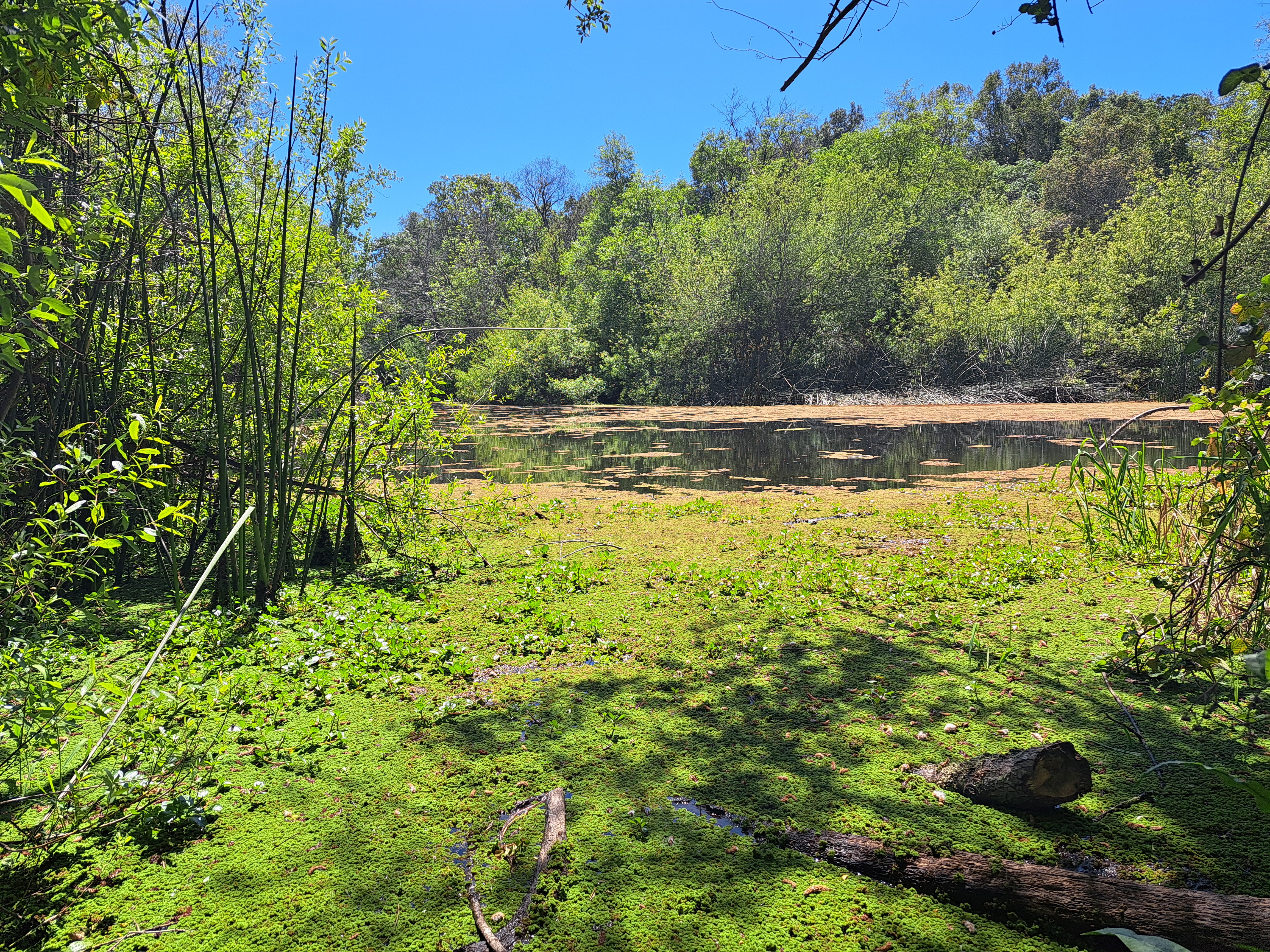
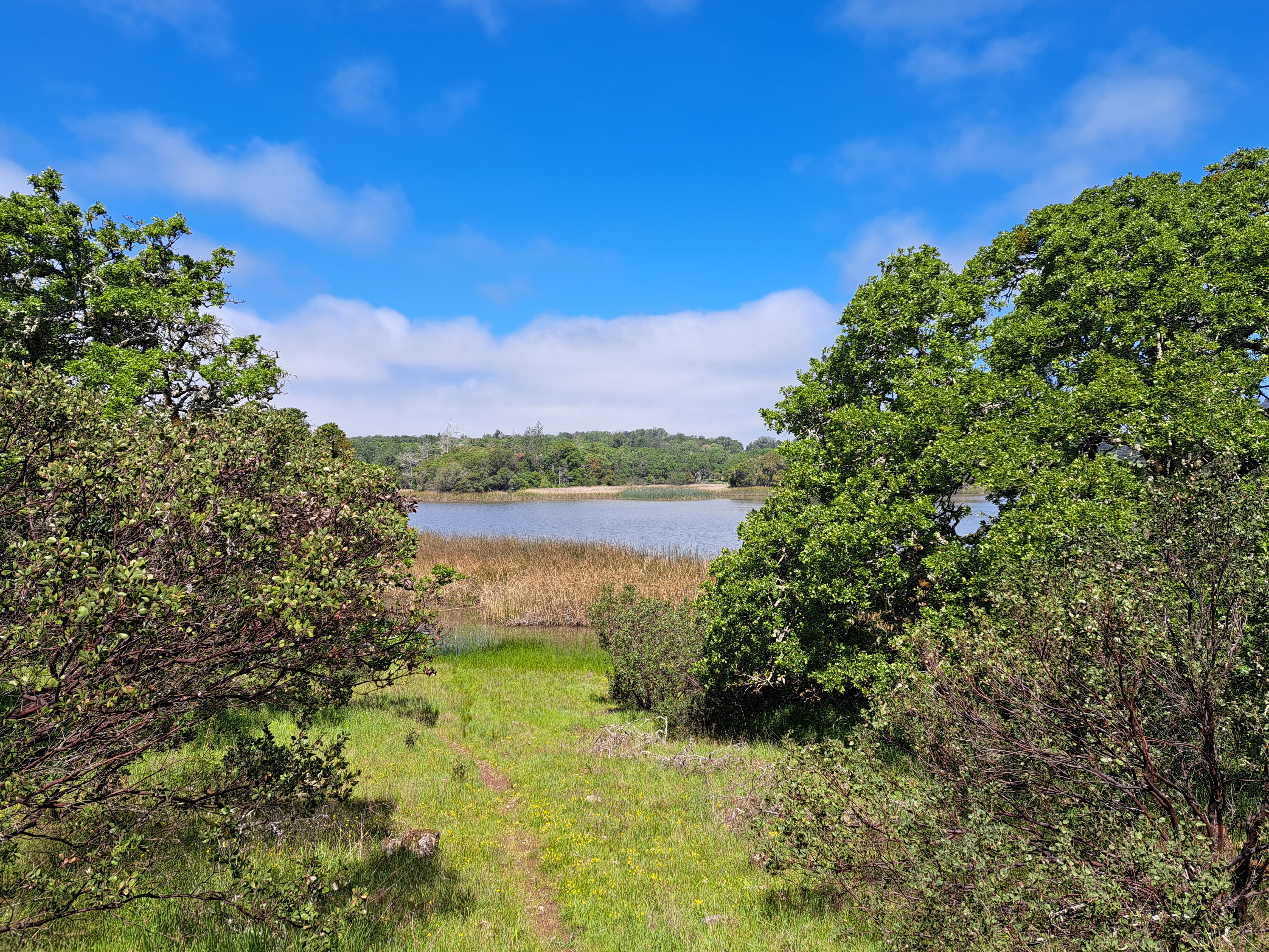
Above, Spring Lake; at bottom & in the middle below, Lake Ilsanjo as seen from close up and then near the top of one of my favorite trails. All from April, first day back in these parks whose hiking and biking trails I do so love, on that lovely visit in April and early May.
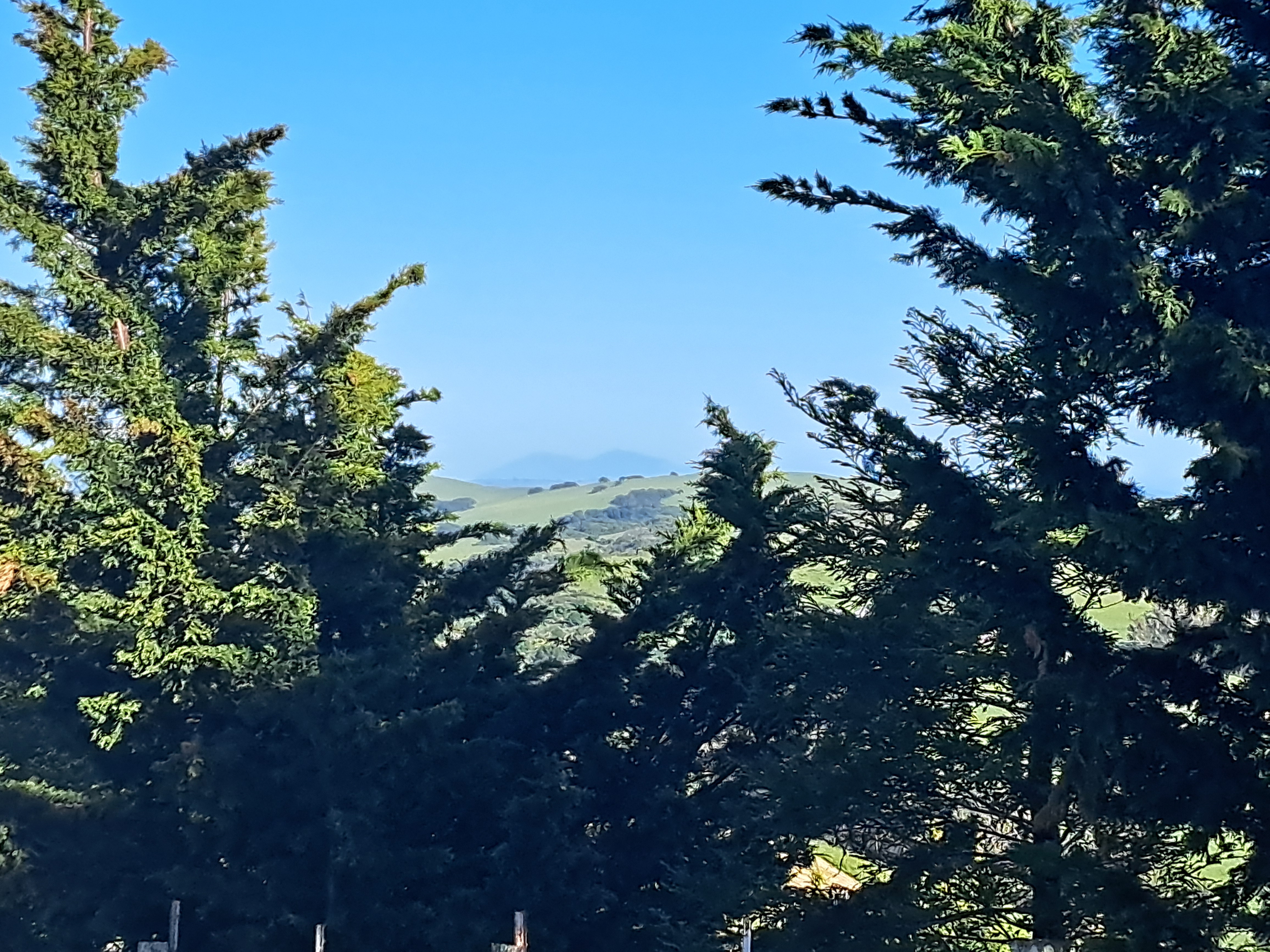
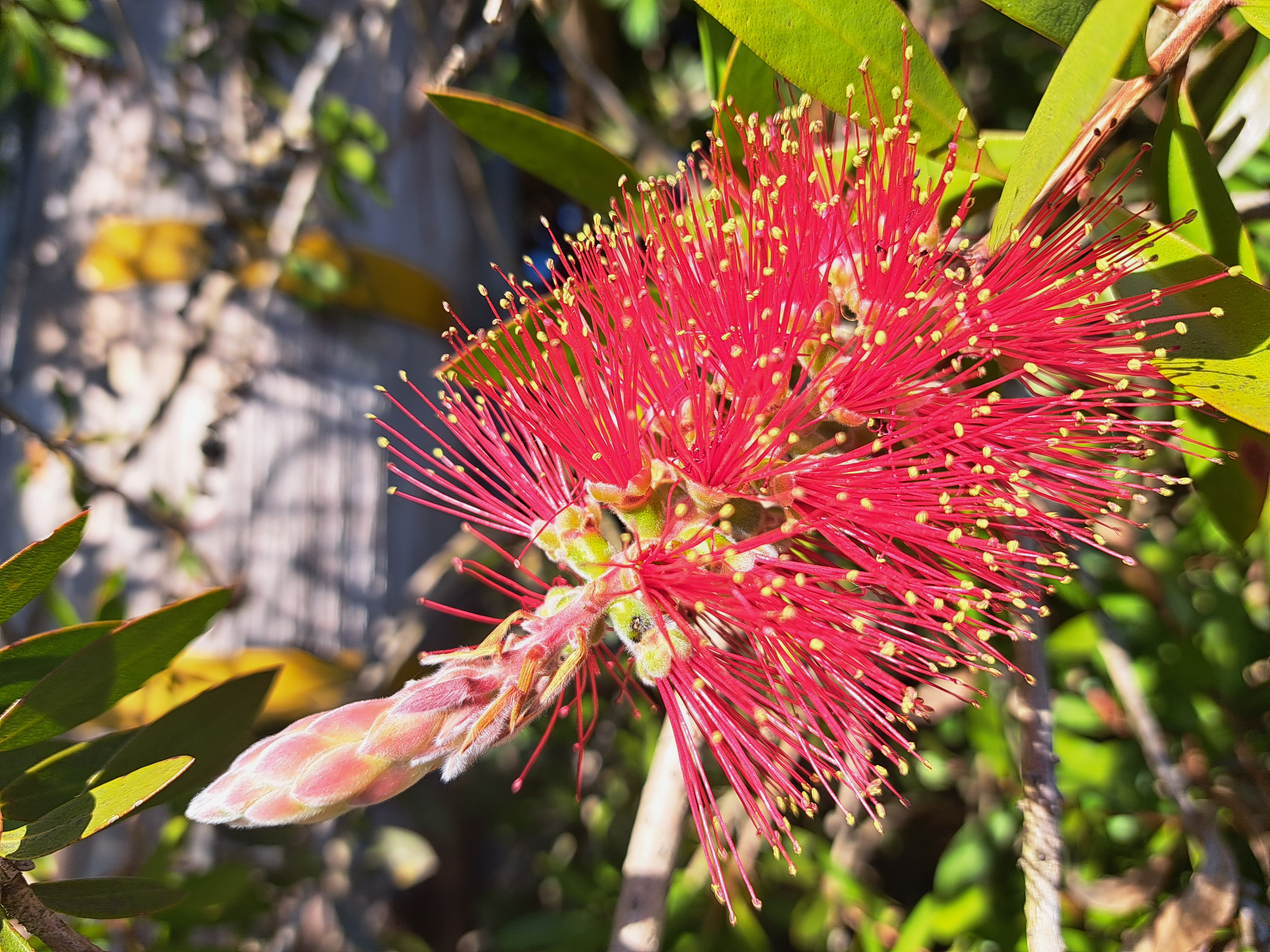
Sonoma County – turns out I didn’t manage to identify all the photos with Mt St Helena somewhere in them when I tried to put them all in one big post early last month. So herewith a few more images from the place that’s still the home of my heart 🙂