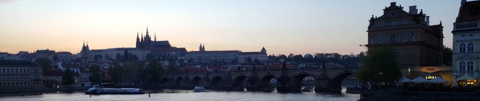
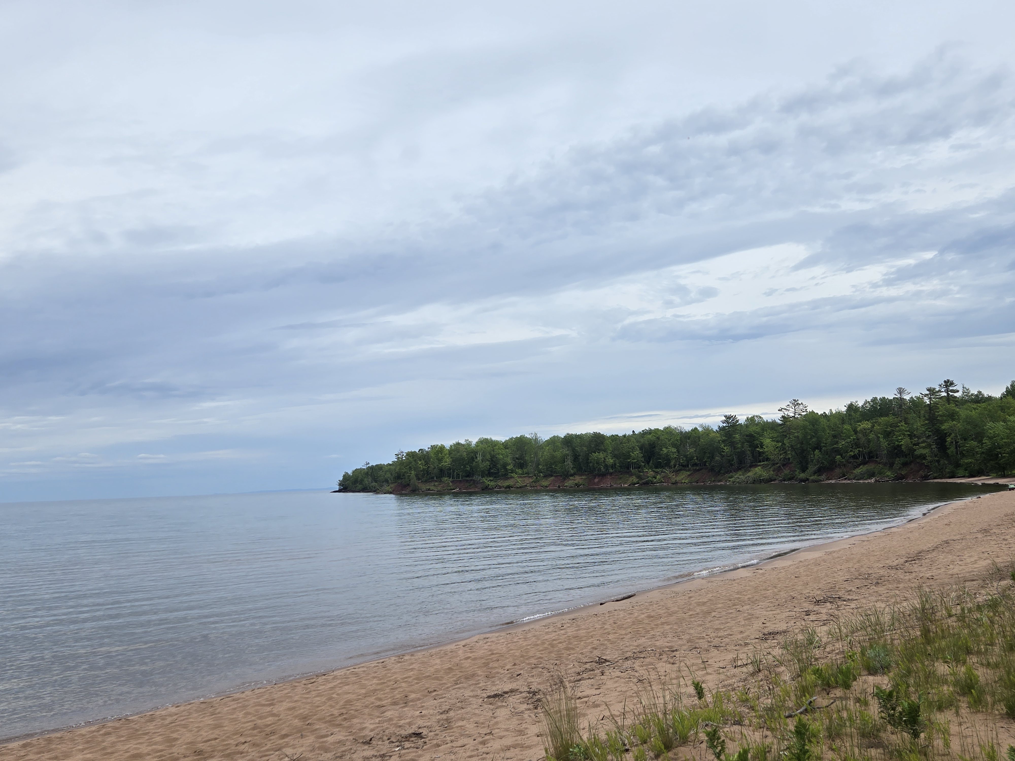
Madeline Island, Lake Superior – another corner I’ve never seen myself, courtesy of Sam. The only problem with Sam becoming a contributor is he’s making me want to visit some of these places myself…if I ever get the time and freedom to travel around the US again 🙂
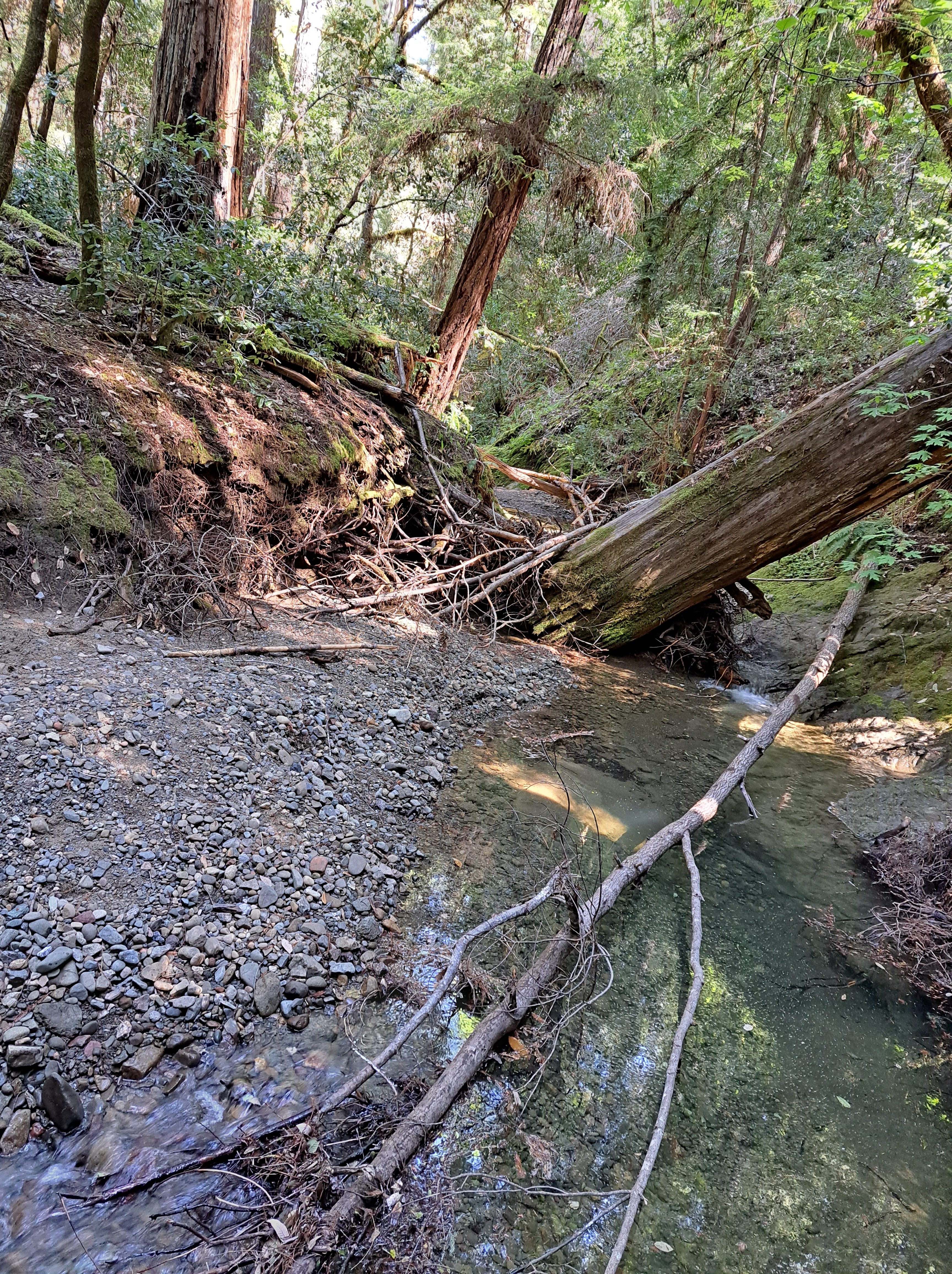
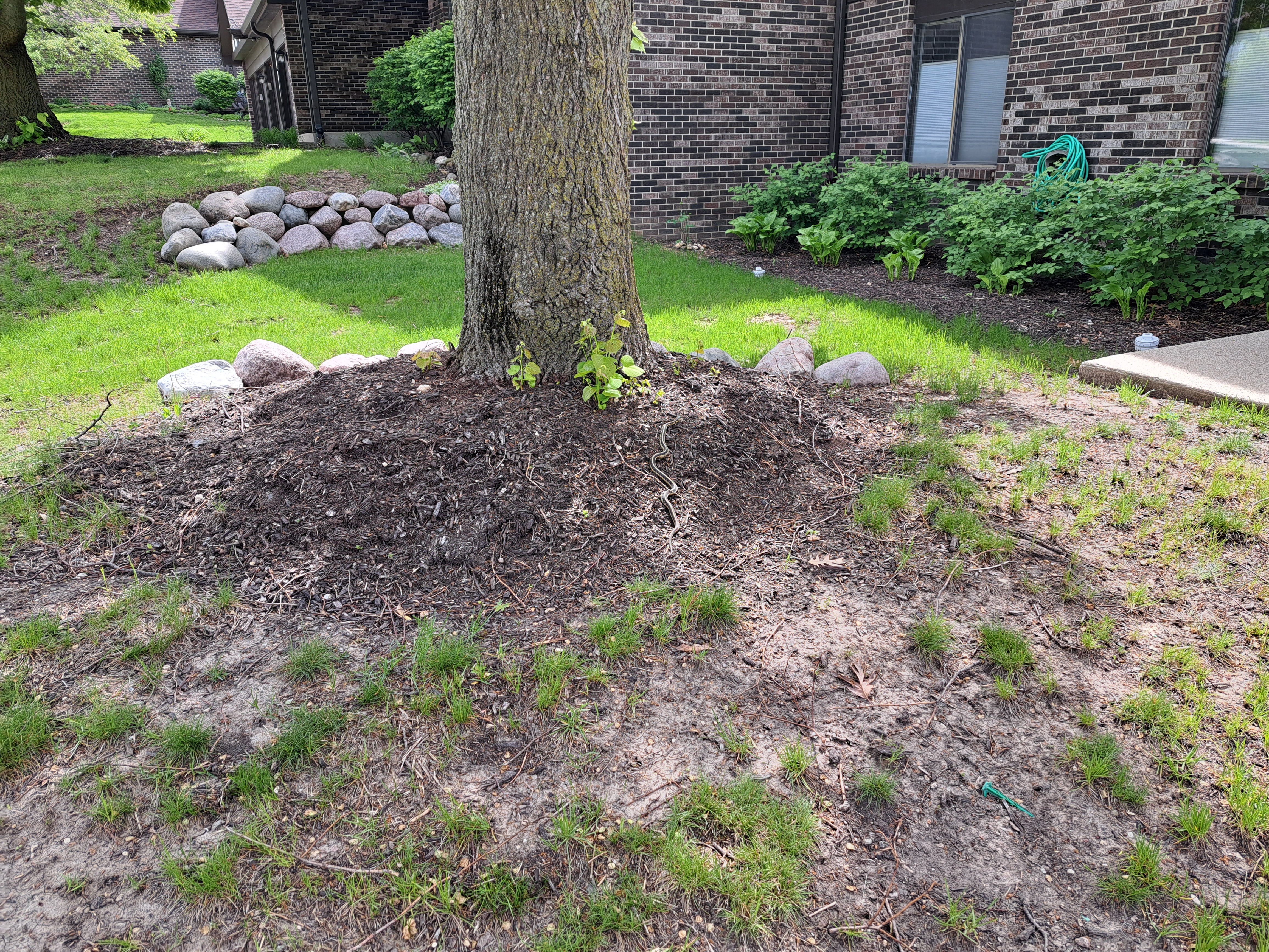
Three unusual “nature raw in tooth and claw” type images from that last visit to Wisconsin, this time around. Fear not, plenty of lovely flowers and even some great redwood bark and tree stumps waiting to be posted, so this may be the one and only time I’ll ever serve up snakes and dead fish on a lawn in this blog :-).
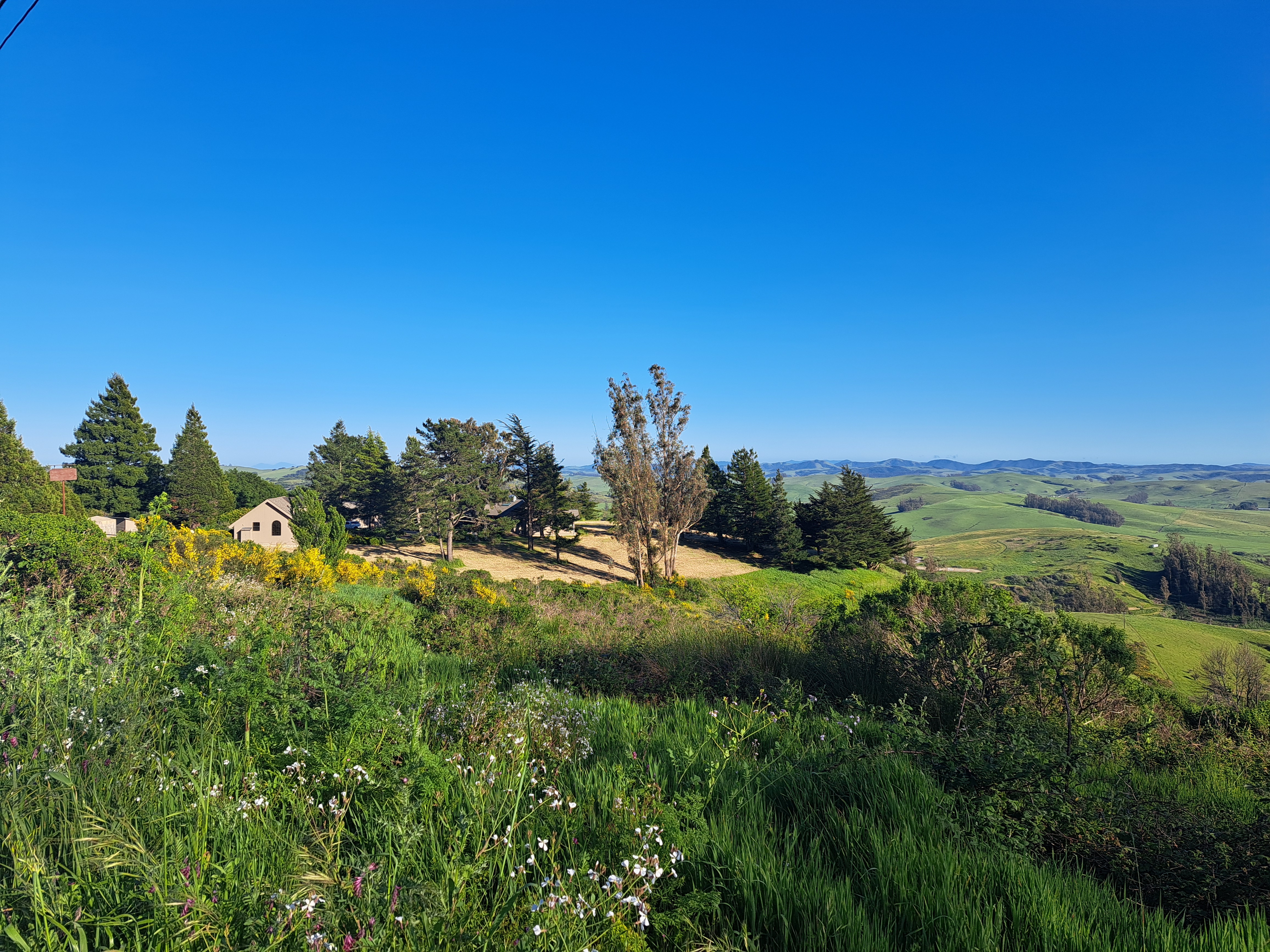
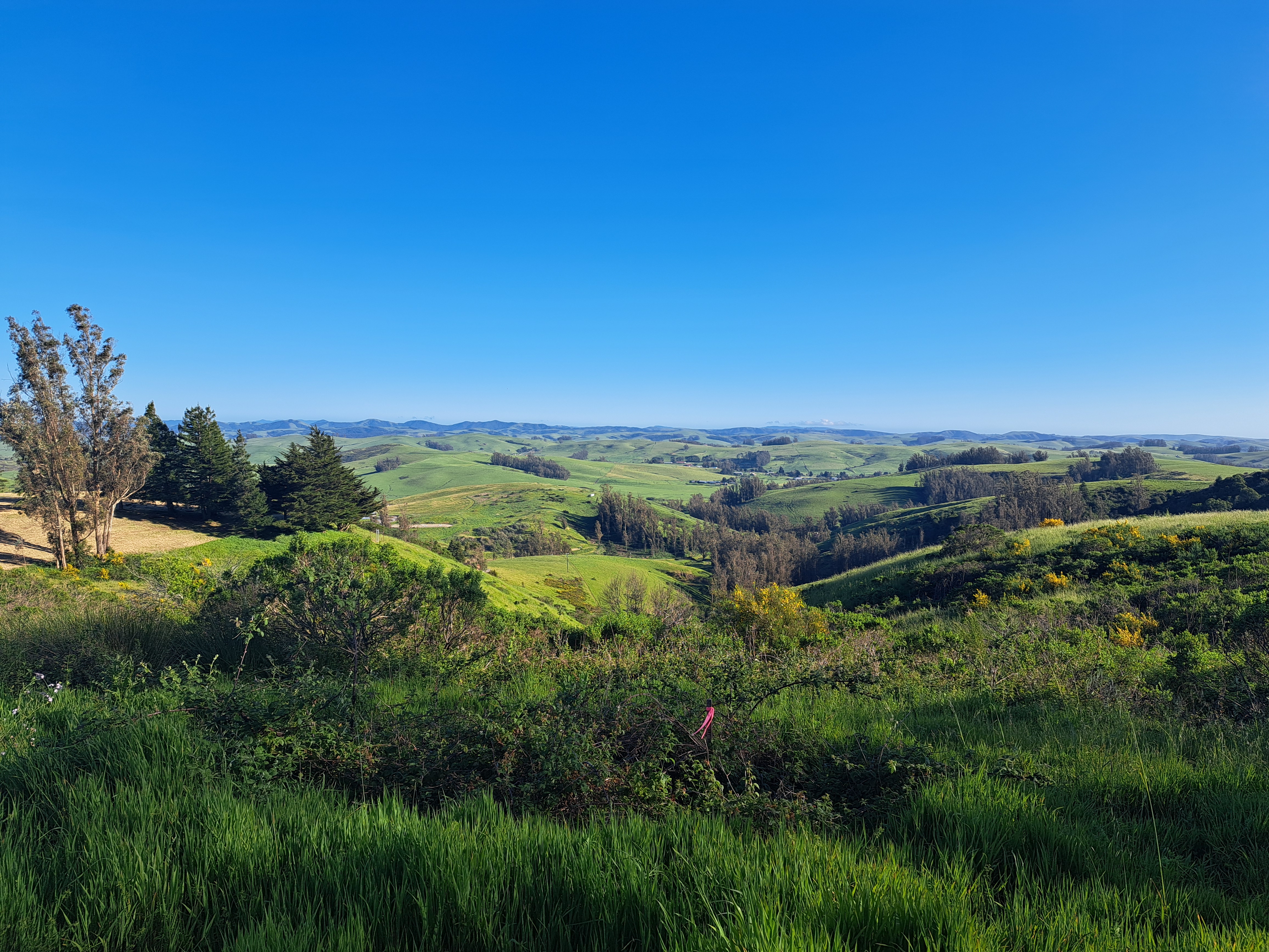
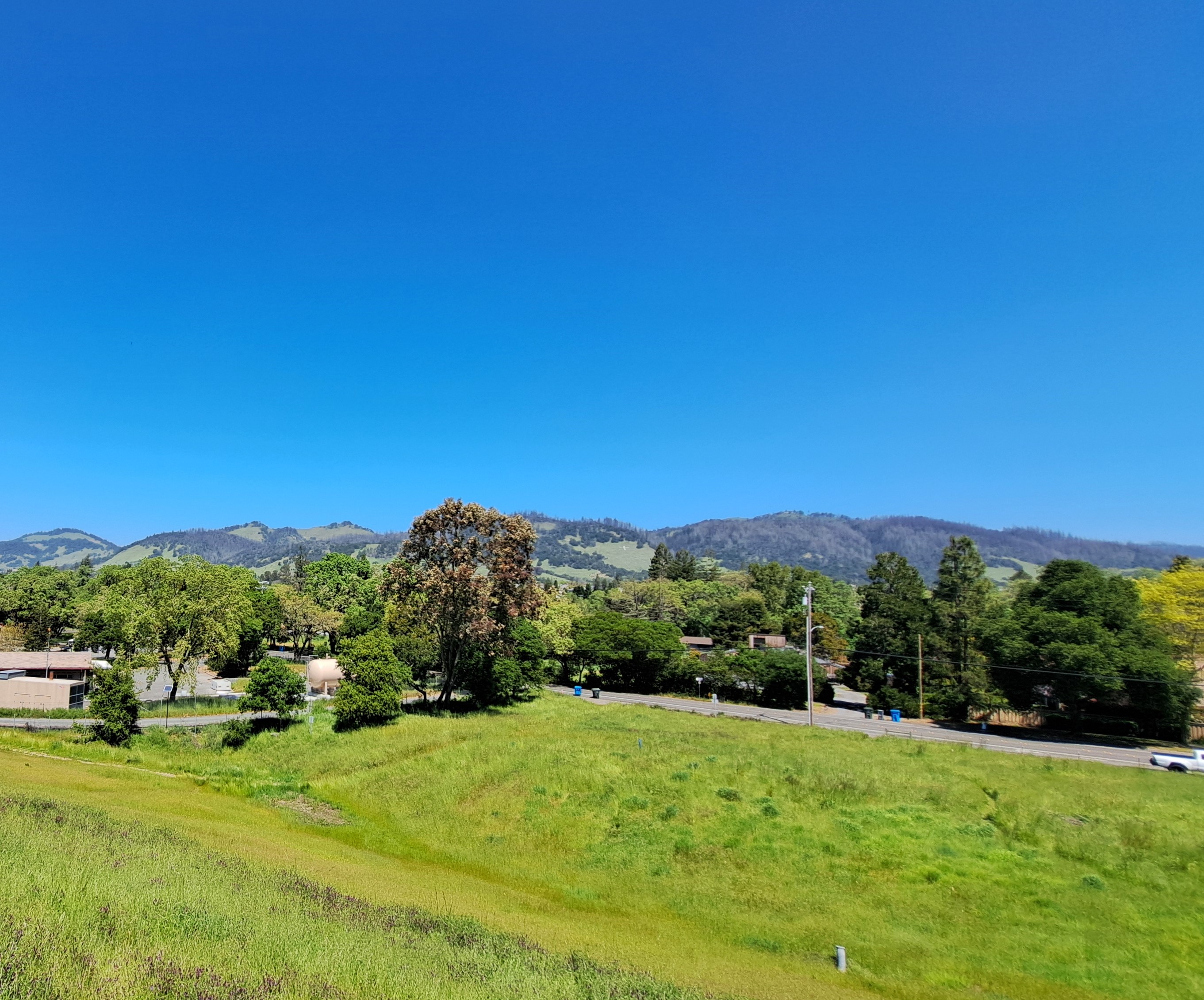
Enlarge the photo just above, and follow the peak of the roof up to see Mt Diablo as seen from the rolling hills of West County near Sebastopol. I referred to the photos I took on this last-evening walk w/Howard back in late April before I headed north to Mendocino County the following morning. If I managed to get both Mt Tam and Diablo in the same frame, as I mentioned in an earlier post, then it would likely have been the middle image just below, but I’m not sure I see it any more. Oh well.
These two were taken an hour apart as our plane flew east from SF to Pittsburgh, with Pittsburgh itself only coming into view more than three hours after the shot below. Since I now we flew just south of Provo not too much before the above shot, I’m guessing some river-junction town in eastern Utah for the one above, since I don’t think we flew this close to Grand Junction or had come far enough east yet. The one below…no clue, an hour east along the same flight somewhere in Colorado along the North Platte, most likely. No in-flight tracker on this plane, and my phone’s GPS wasn’t working very well or I’d have taken screen shots of where I was when I took each photo…
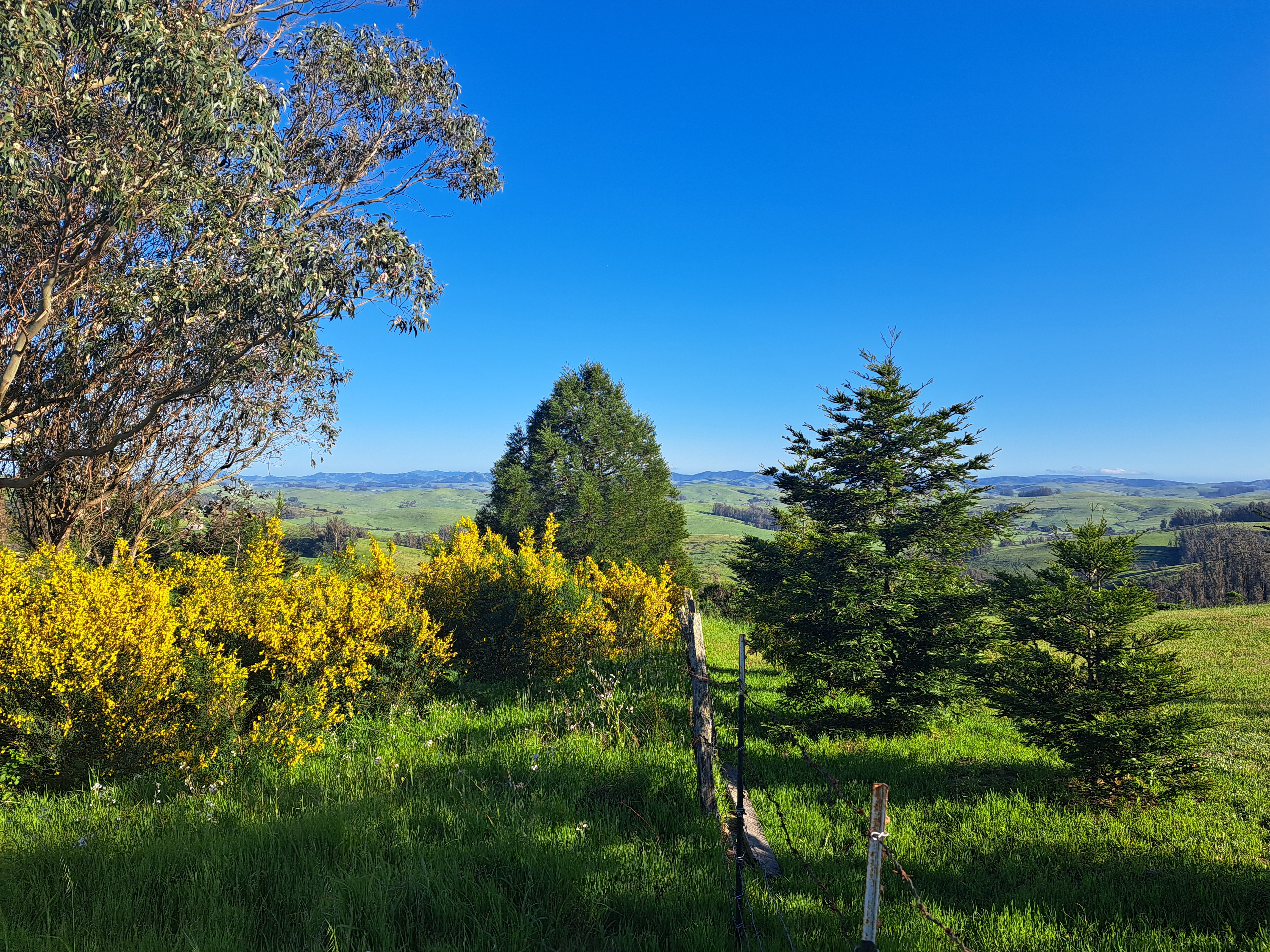
Since I unabashedly love (and repeatedly photograph) the rolling hills, vineyards and farms of West (Sonoma) County, there remain quite a few unposted photos which will carry this particular category forward for at least several more posts… 🙂
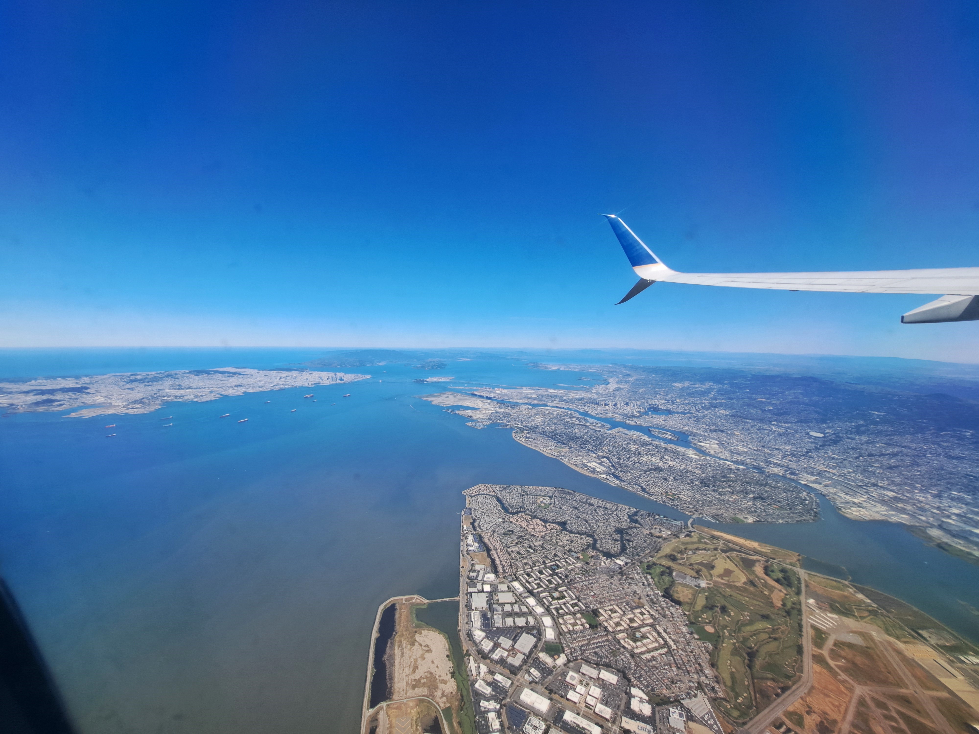
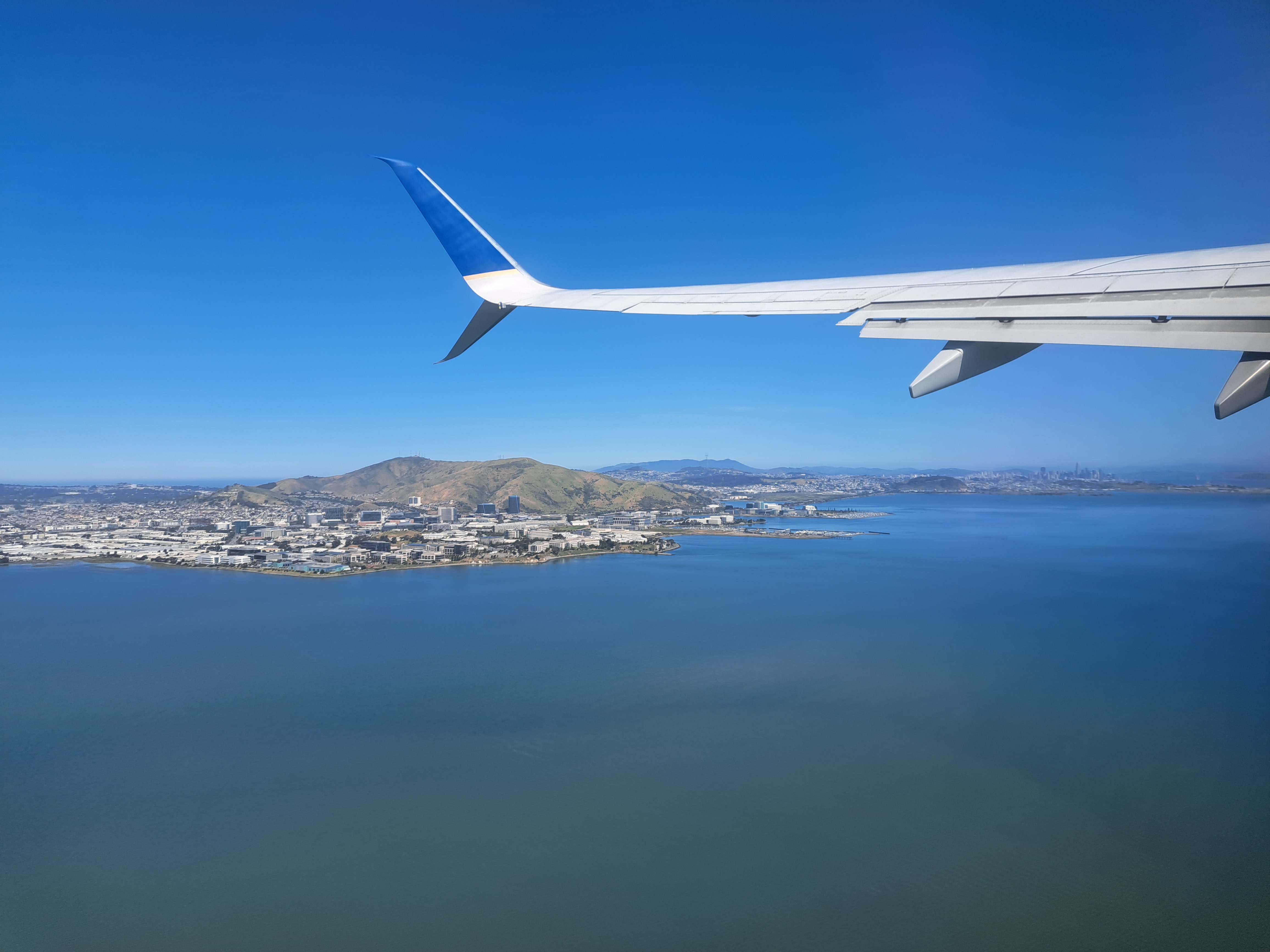
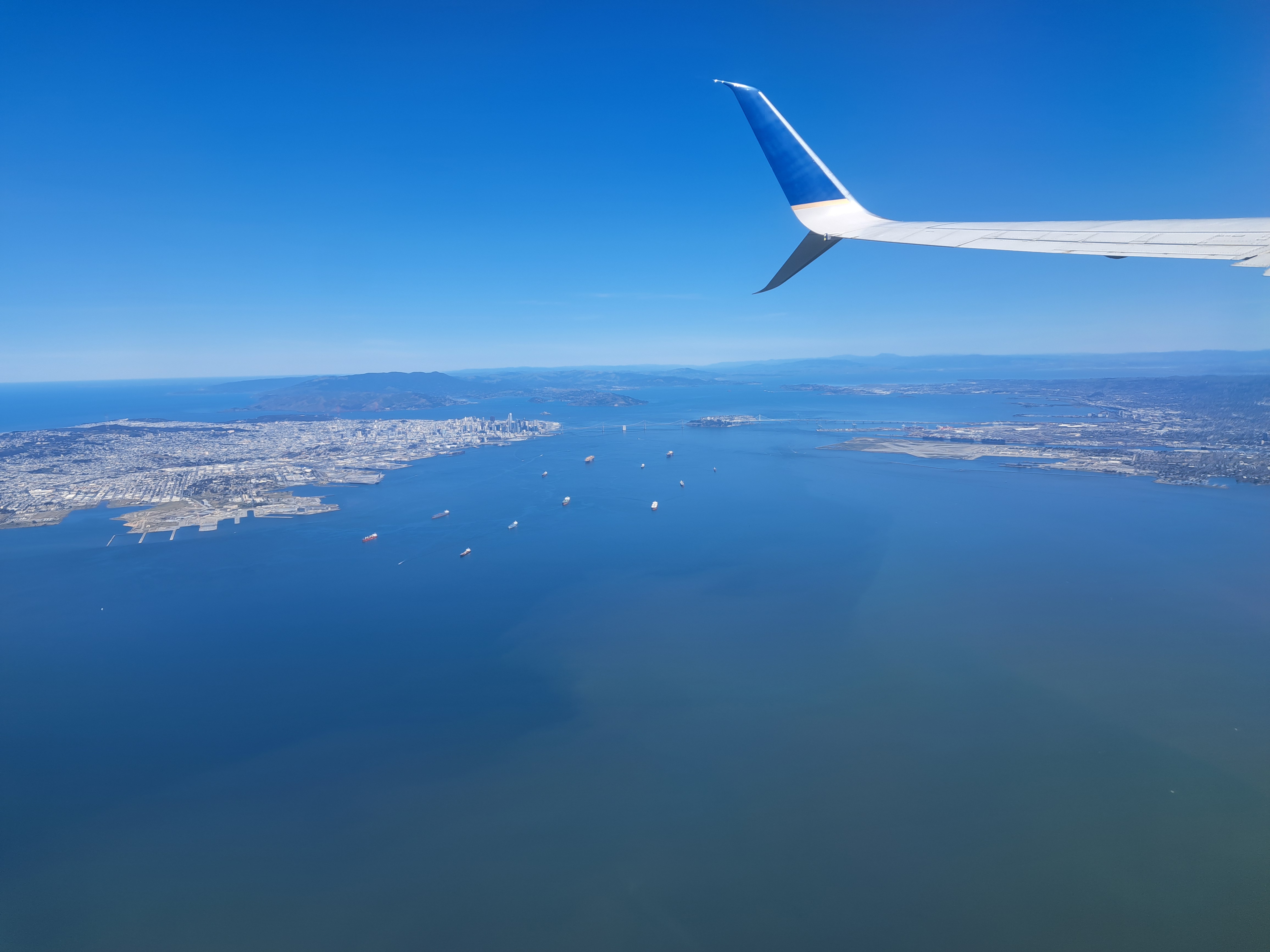
The last shots I’ve not yet posted from our May departure from SFO en route to Pittsburgh. Still plenty left, of snowy Sierra and Rocky mountains and so on. But this is another farewell to the bay-area shots from my most recent trip. For those unfamiliar — open a map of SF and the bay, and then it’ll make sense. SF city itself is that white area in the upper left, while Alameda island is in the middle right, below the wing. The rounded bay you to the top middle is San Pablo bay, which we’ve shown you before – it’s part of the SF Bay but separately named b/c as you see it’s a bit distinct, having various peninsulas and such to define it a bit more clearly.
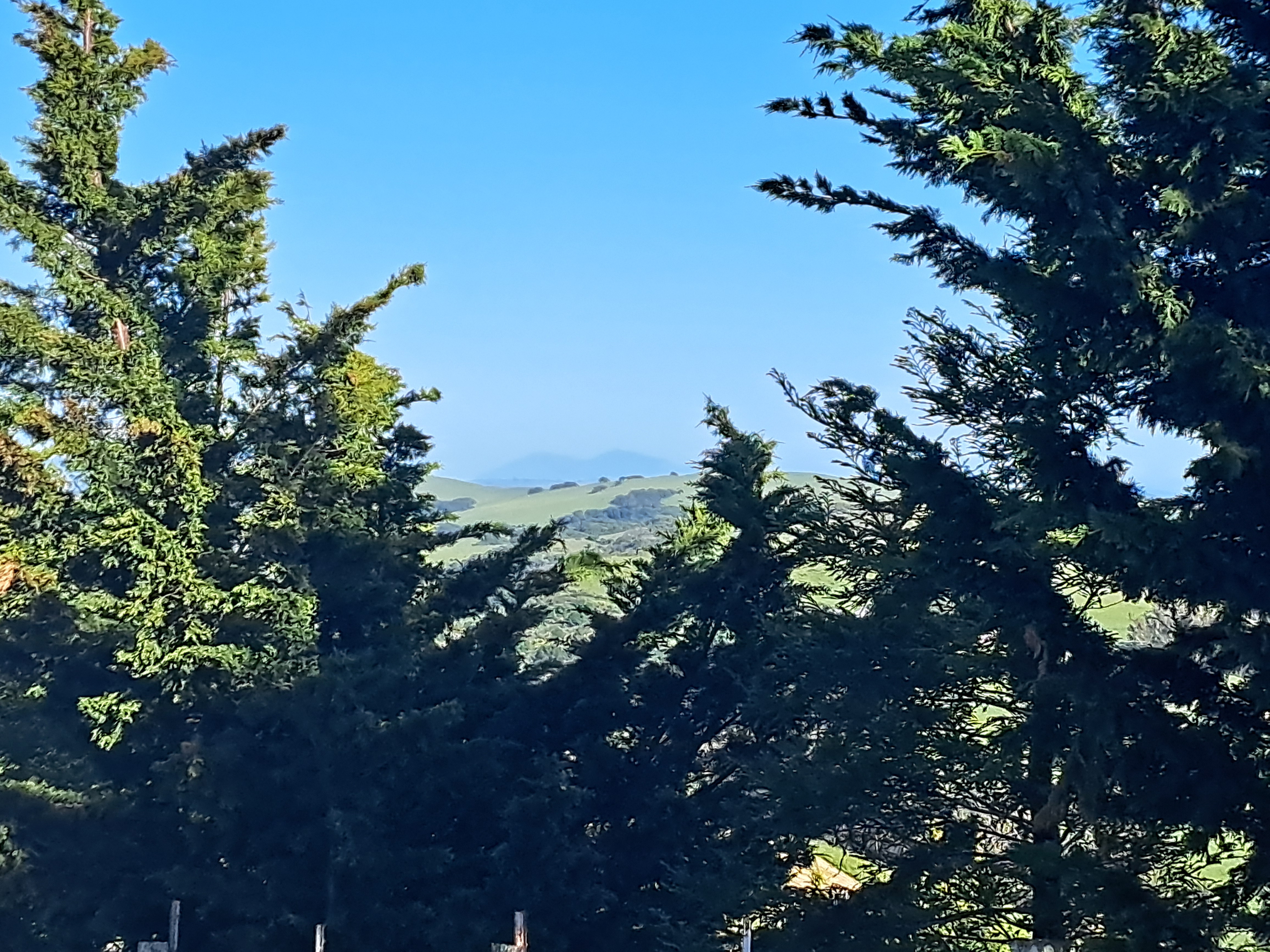
Hood Mountain as seen from Annadel, above; other shots of the peaks and valleys in and around Annadel and Santa Rosa in these last photos from the time I spent in SR itself during that April visit. Plenty more from California still to come (think Redwood Forests in Mendocino and more of the coast line, etc.)…but these are my last visuals of my once and presumably future home for the time being 🙂
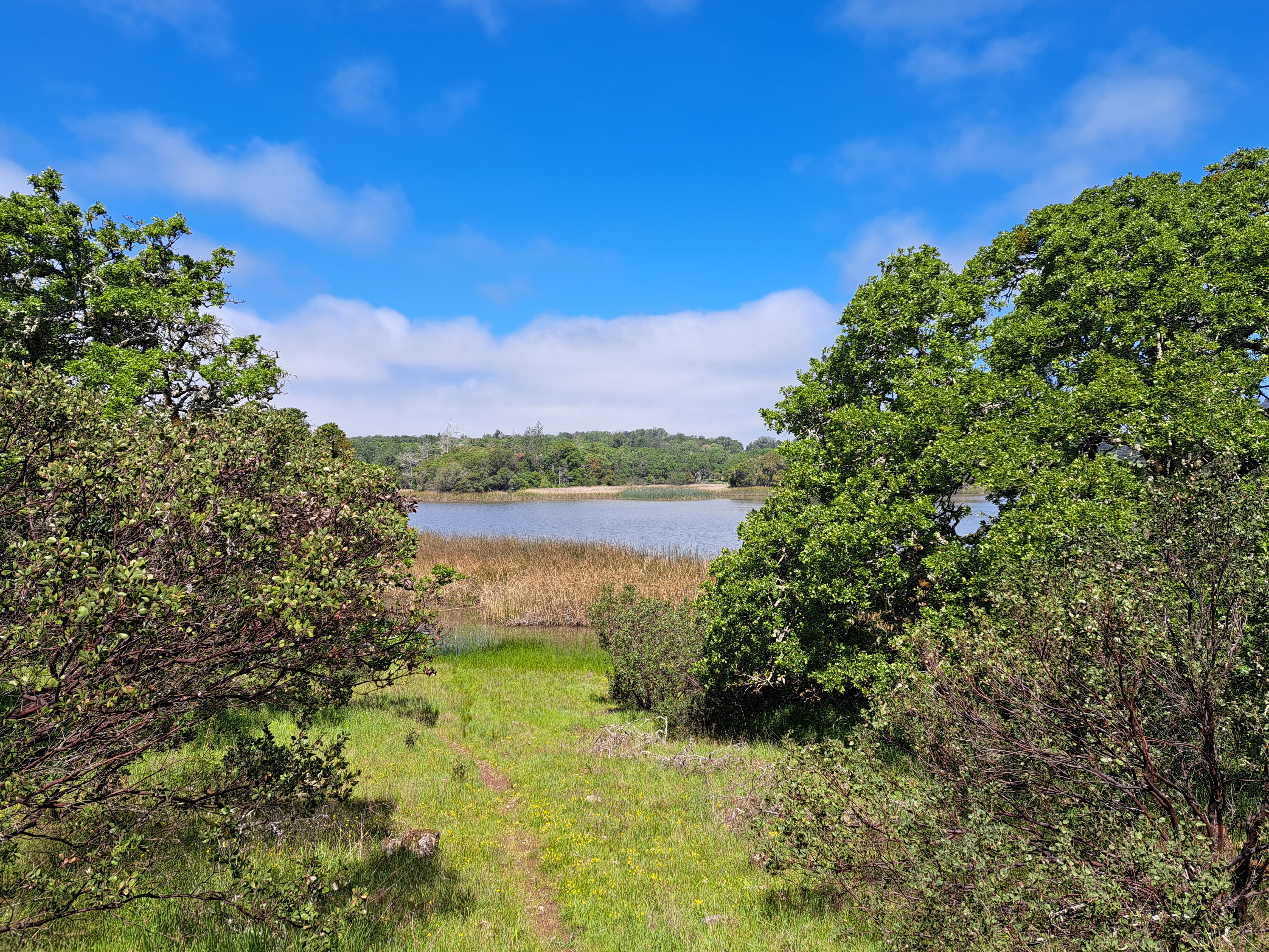
Above, Spring Lake; at bottom & in the middle below, Lake Ilsanjo as seen from close up and then near the top of one of my favorite trails. All from April, first day back in these parks whose hiking and biking trails I do so love, on that lovely visit in April and early May.