Latest

Image

Coasting.104

County Views.144

Montgomery Woods State Natural Reserve, Mendocino County, California

Small Wonders.244

Three unusual “nature raw in tooth and claw” type images from that last visit to Wisconsin, this time around. Fear not, plenty of lovely flowers and even some great redwood bark and tree stumps waiting to be posted, so this may be the one and only time I’ll ever serve up snakes and dead fish on a lawn in this blog :-).

City Views.234

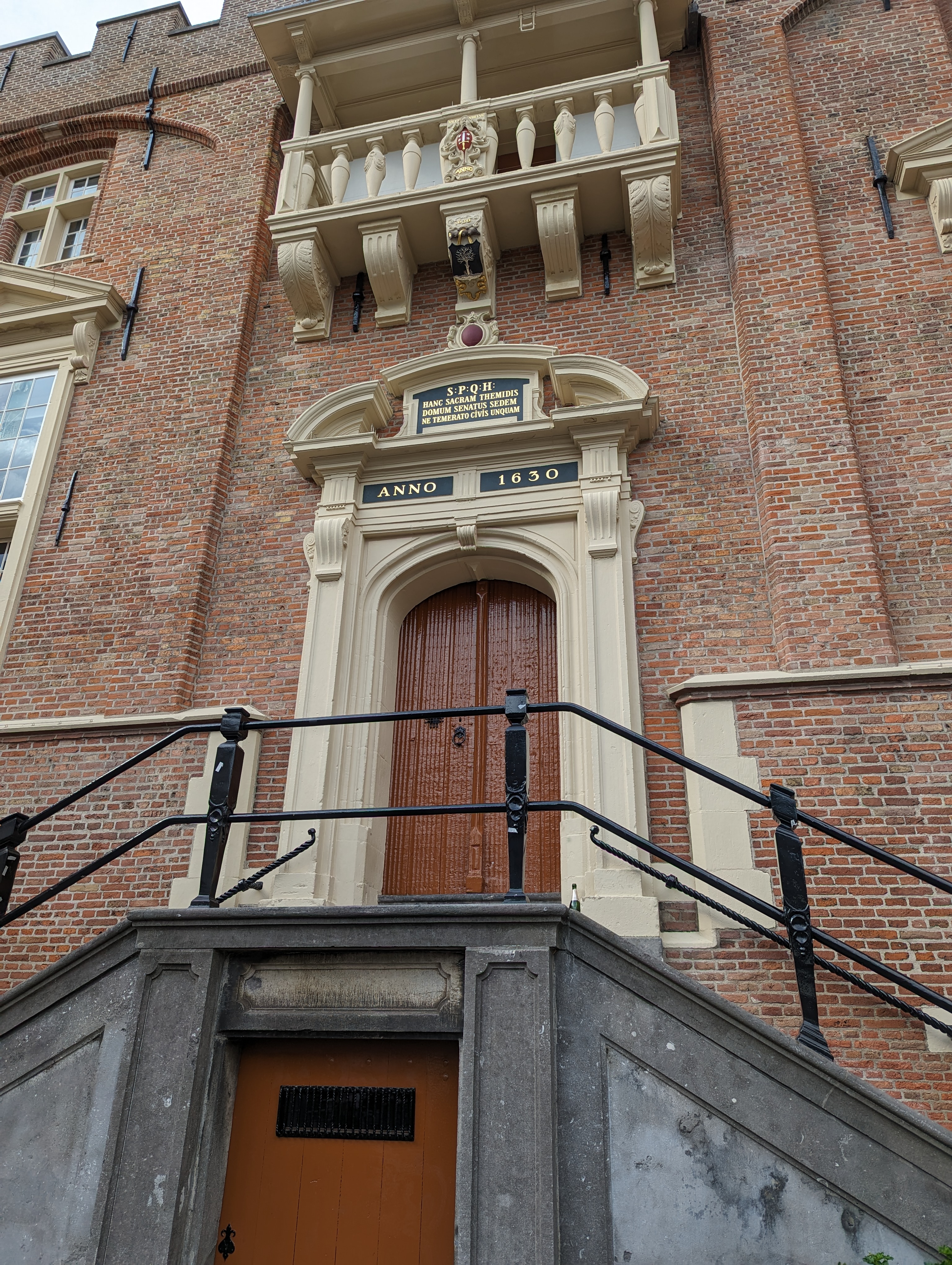
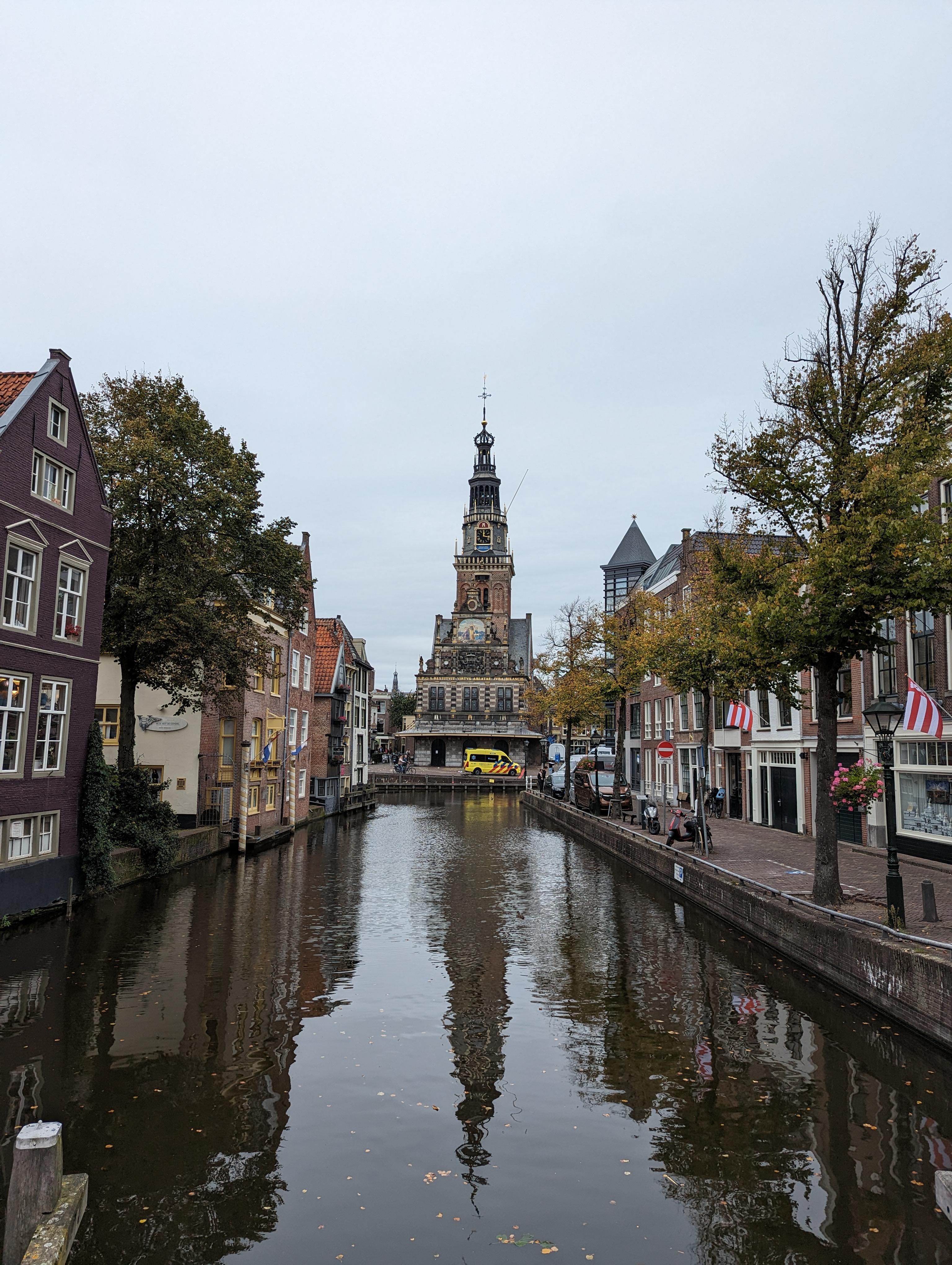
My recent post from the royal palace in A’dam caused cousin & occasional guest contributor Sam to point out that he’d seen plenty of SPQ “x” signs all over during his visit last year. Herewith two examples he sent, one from Haarlem (left), the other from Amsterdam. Thanks for the sharp eyes, Sam 🙂

Lake Living.34

From early to late, May 10th on Geneva Lake, Wisconsin — the place where this series began very nearly four years ago 🙂

Ah, Royalty.34

The earth is competing another rotation around the sun since the day I was born, so I’m self-featuring here to celebrate the beginning of another journey around the sun with the chance to explore places like Muiderslot’s “Prince’s Room” in which most or all of these photos were taken.

Mountains.44

Enlarge the photo just above, and follow the peak of the roof up to see Mt Diablo as seen from the rolling hills of West County near Sebastopol. I referred to the photos I took on this last-evening walk w/Howard back in late April before I headed north to Mendocino County the following morning. If I managed to get both Mt Tam and Diablo in the same frame, as I mentioned in an earlier post, then it would likely have been the middle image just below, but I’m not sure I see it any more. Oh well.

From the Air.54

These two were taken an hour apart as our plane flew east from SF to Pittsburgh, with Pittsburgh itself only coming into view more than three hours after the shot below. Since I now we flew just south of Provo not too much before the above shot, I’m guessing some river-junction town in eastern Utah for the one above, since I don’t think we flew this close to Grand Junction or had come far enough east yet. The one below…no clue, an hour east along the same flight somewhere in Colorado along the North Platte, most likely. No in-flight tracker on this plane, and my phone’s GPS wasn’t working very well or I’d have taken screen shots of where I was when I took each photo…

Islands.64

Off in the distance is Pampus, an island qua fort which at one time no doubt helped protect the lucrative trade-shipping lanes in and out of A’dam, back before this whole stretch of water was turned into a freshwater lake rather than part of the natural sea lanes that connected A’dam to NL’s various colonies from Indonesia to Surinam.
Image

City Lights.64