Coastal Flows & Highland Fields … from the Air


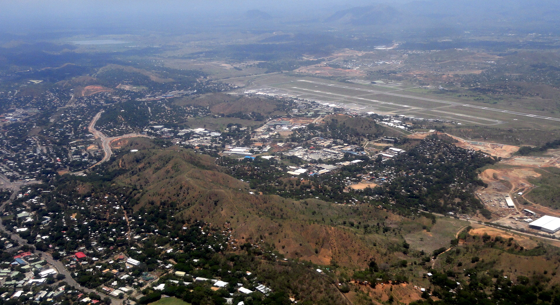



Flying from Port Moresby Jackson’s International Airport (the airstrip you see above) to Tari Airstrip in Hela Province (formerly part of Southern Highlands Province), in most seasons one takes off toward the water (into the wind; during dry season when the wind has turned to an offshore flow, one flies inland and that’s when I get to take aerial shots of the House of Parliament). This puts one over Bootless Bay, from whose surface I took the shots in this post: https://somuchworldsolittletime.wordpress.com/2013/09/26/cycles-seasons/ …just in case you’re curious enough about the geography and topography of the region to want to picture it all and how it fits together a bit better.
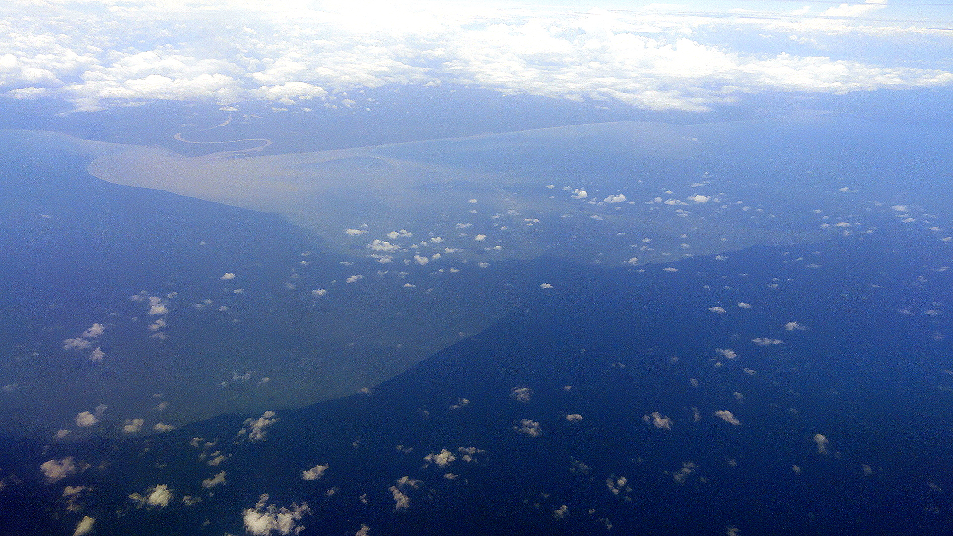
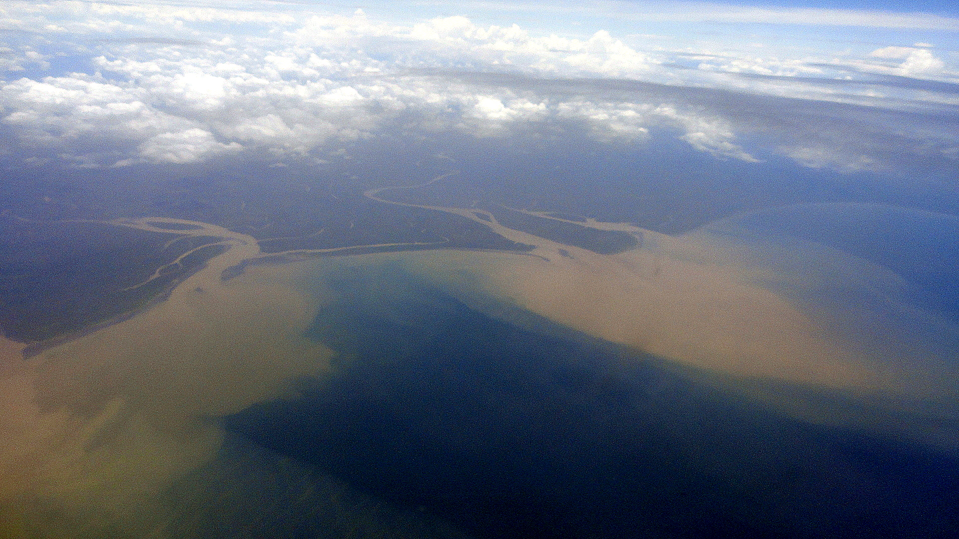
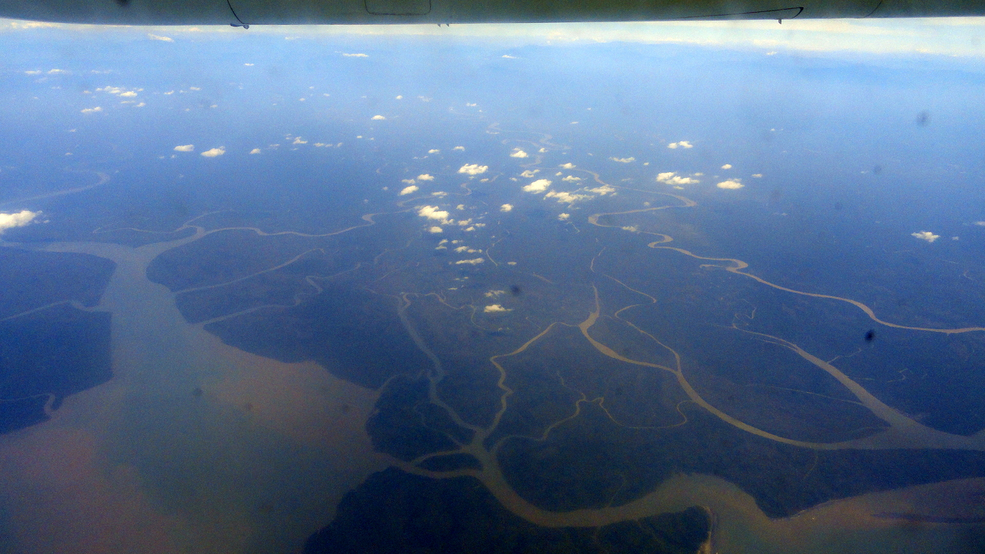
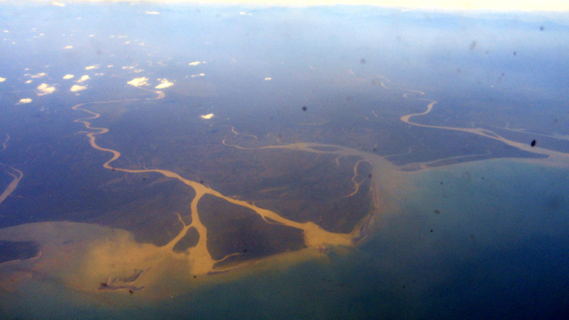
Thence, one turns right – sometimes offering excellent views of downtown POM if you’re seated on the right-hand side of the plane, though of late they’ve tended to cut directly over it which provides poor angles for good aerial shots (how rude, huh?…) – and heads along the coast of Central and Gulf Provinces until one cuts sharply inland to fly up into the Highlands and Tari Airstrip. Though Western Province — with the mighty Fly River — or East Sepik Province (with the mighty Sepik, previously showcased for you here: https://somuchworldsolittletime.wordpress.com/2012/08/06/along-the-sepik-river/) contain the estuaries of PNG’s mightiest and best-loved rivers, still I find the coastal estuaries of Central & Gulf fascinating to view from above. I find myself thinking about sedimentation, rising sea levels, the fertile highlands and all that soil slowly washing out to sea, and all the little fishies which I so loved viewing (you know the link…Neutrally Buoyant is what I called it…) being buried in waterborne mud.
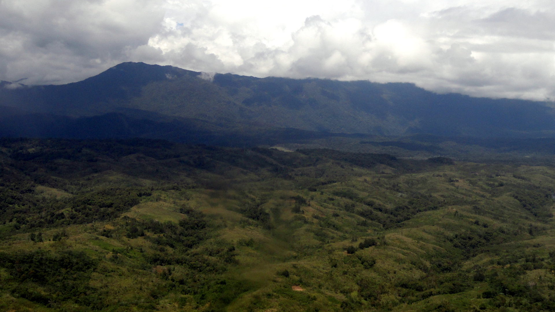
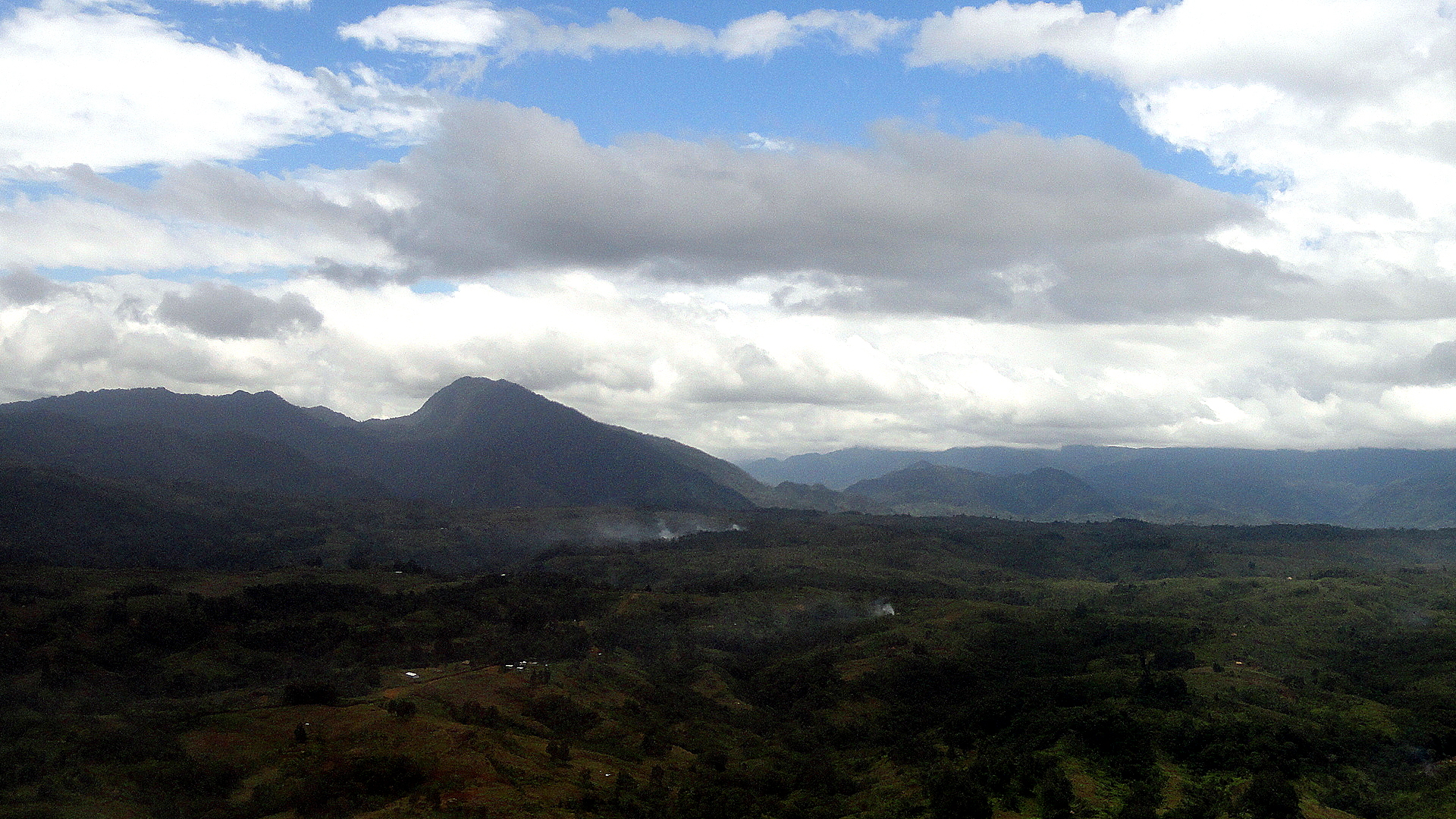
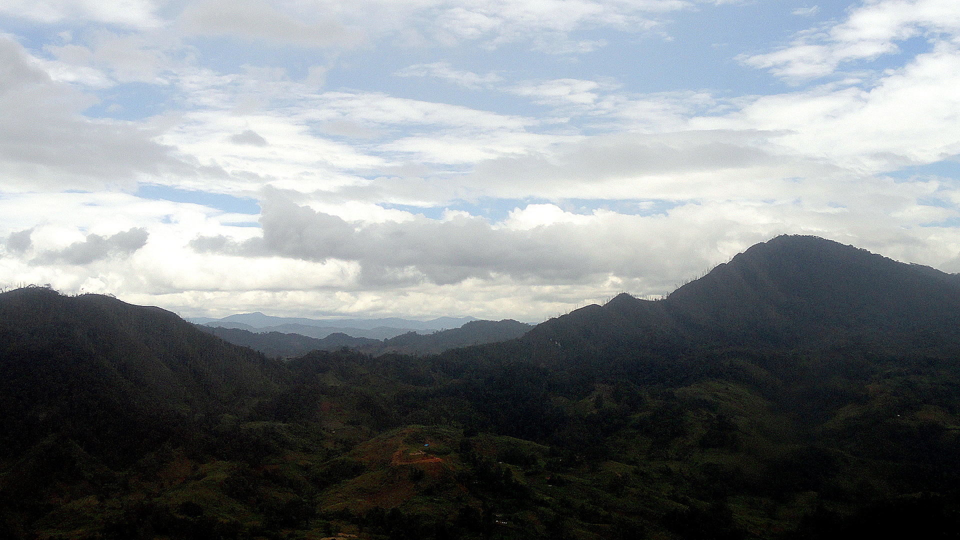
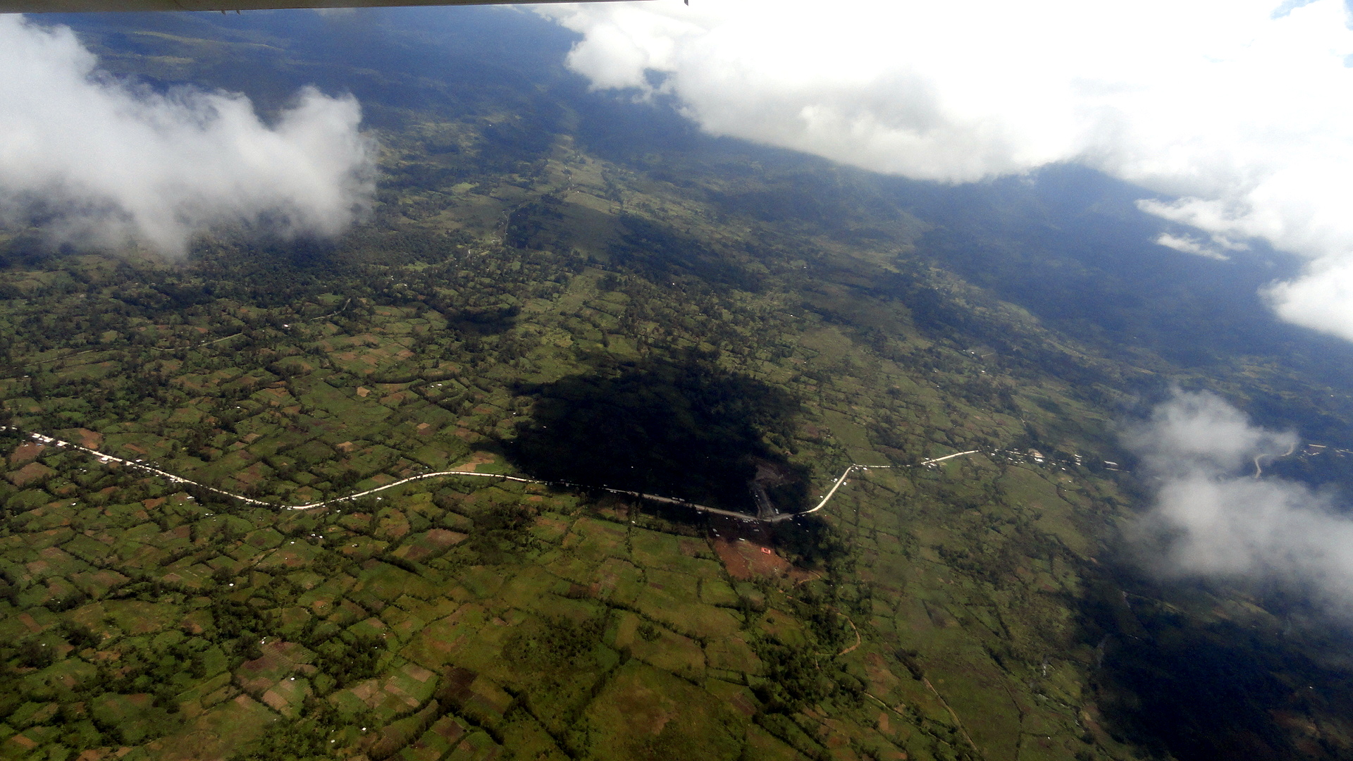
So anyway, in this post I take you on that journey as I myself went a few weeks ago – pretty much in order, from POM to the highlands. In the shots below, look for the little bumpy nubs in the landscape. Though Hela is the only Highlands region I’ve visited, I gather it is not unlike other highlands regions in that it’s both rural-agricultural by nature, and quite densely populated. As you’ll see, there are few roads but it’s in by no means wilderness. It’s highly worked landscape which has been shaped and tended by humans for 50,000 years or more. (Cultivation of taro many thousand years ago made PNG one of those places in the world where humans independently shifted from fully hunter-gatherer to at least partially agrarian.) Sweet potato, which came here via sea routes from South America several hundred years ago, is the primary crop — and I’ve tried to catch a few shots where you can readily see the nubs and bumps of a sweet-potato crop being cultivated. They are the dietary staple for most residents of the Highlands, so far as I can tell, and if you look closely in some of the shots below you will realize how omnipresent they are. Keep in mind these are nearly all Huli familial compounds, tucked away behind the lovely, well-maintained earthen ditches and walls which characterize the Huli landscape…and which, I’m told, are not so common in other Highlands regions. (If you’re not sure what I’m talking about, look at many of my past Tari posts, such as: https://somuchworldsolittletime.com/wp-content/uploads/2012/08/huli-walled-compounds-on-highlands-hwy.jpg
I figure that’s enough text, and enough of a mix of topography, ethnography and photography for one weekend. We’ve just finished a major conference here, and I’m entering the last phase of my assignment here – which brings on feelings of anticipatory nostalgia since my experiences and interactions with colleagues and communities have been so very rich here. If anyone’s curious, I’ll provide two links to coverage of the conference, the first audio (yours truly) and the other textual (the Guardian):
http://www.theguardian.com/society/2013/nov/26/papua-new-guinea-takes-steps-against-abuse
Enjoy the photos and any of the other links you choose to view. Peace, out. 🙂

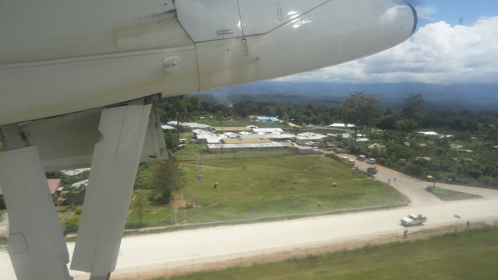
…btw, that’s sort of the entrance to the hospital as seen from a plane taking off (most of the hospital is to left of the frame).

Back Above Sea Level

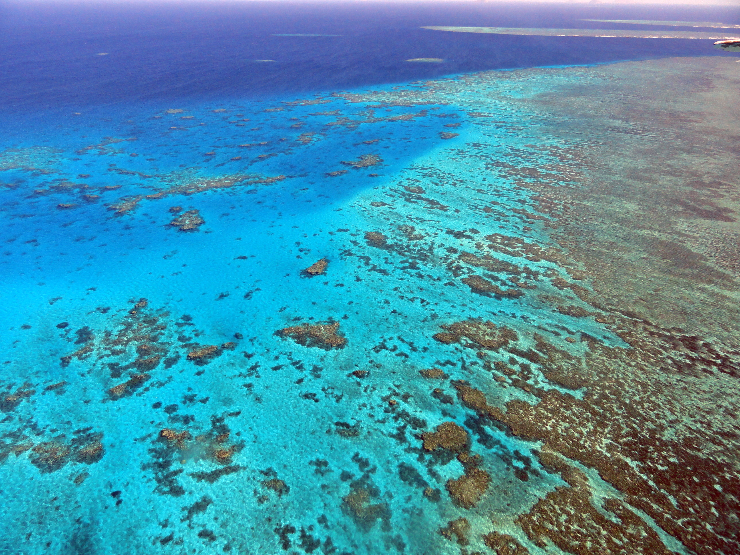
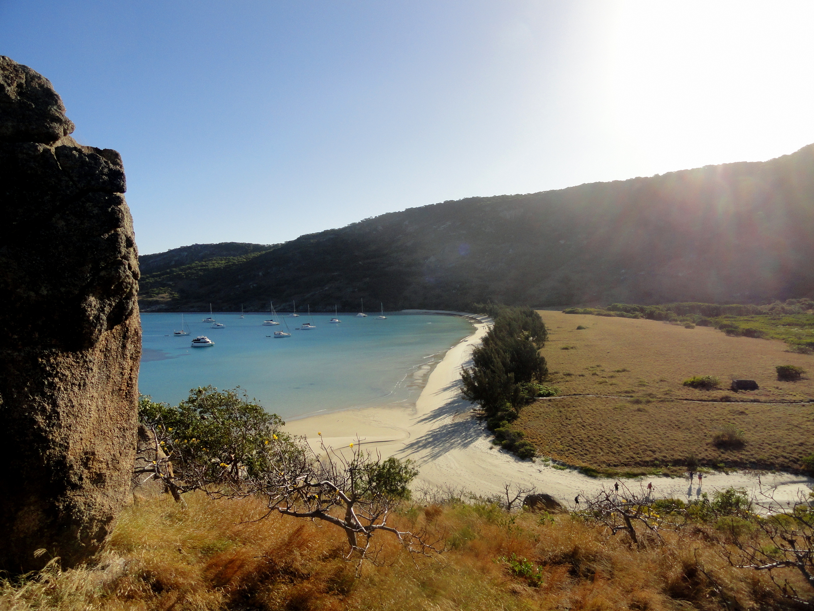
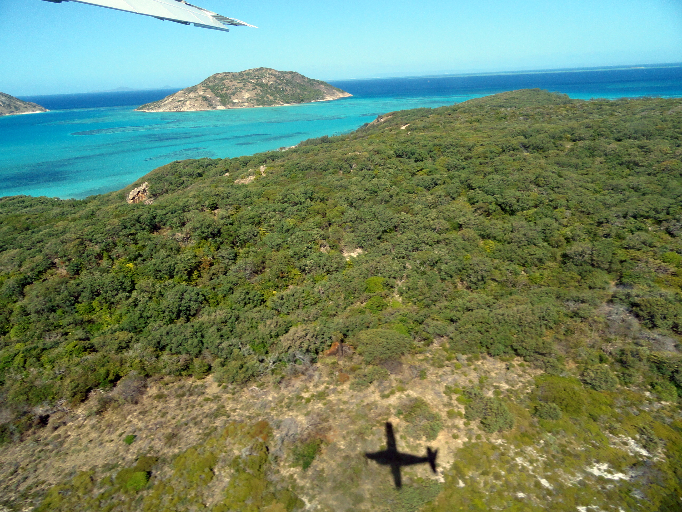
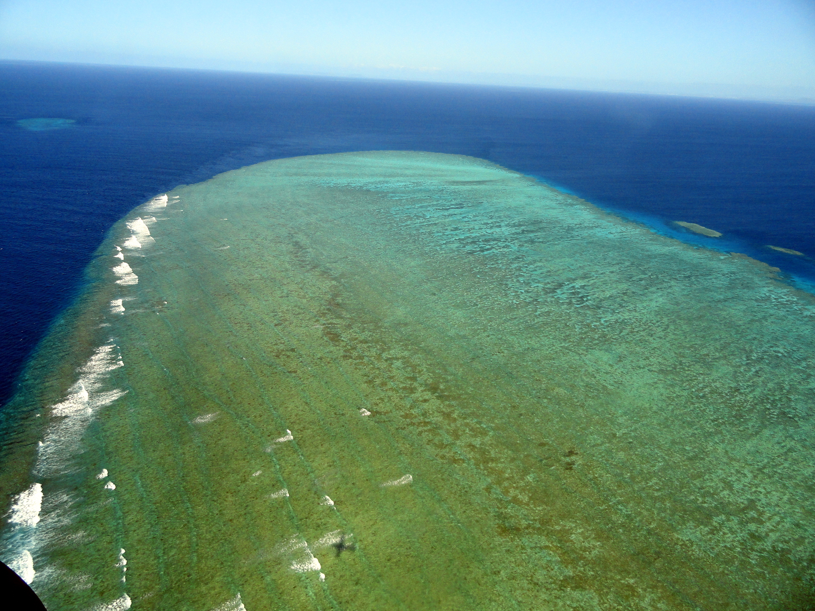
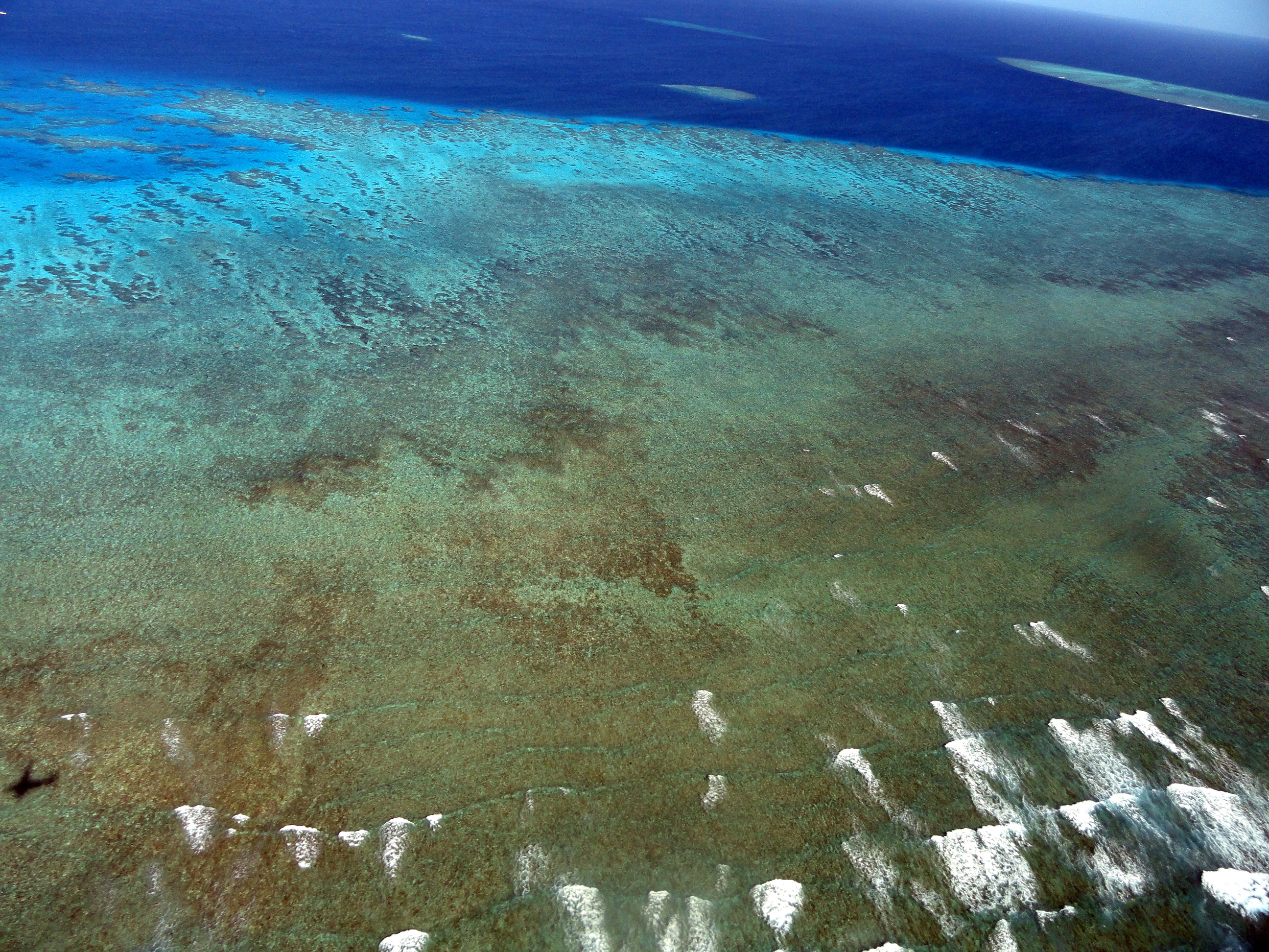
And now smw, slt has has enough relaxing days in Sydney to sort through the trove of aerial shots of the Great Barrier Reef and of the flora and vistas of LIzard Island and share with you some views of what life looks like above sea level out there in far northern Queensland. Naturally I’ve learned more about the GBR, which extends hundreds of miles both north and south even of the rather extended area covered on our cruise and in these aerial shots. There are dozens of what they call “Ribbon Reefs” scattered from the level of Cairns up to Lizard Island, and there are also other little reefs here and there. Then the whole thing continues a good chunk further south, and I believe even further north. Many of the shots from underwater which I posted earlier this week were taken at Osprey Reef, which is an overnight boat trip to the north and east of Lizard Island, out in the true Coral Sea and apparently not officially considered part of the GBR. Live and learn. Hope you enjoy these shots. Cheers.
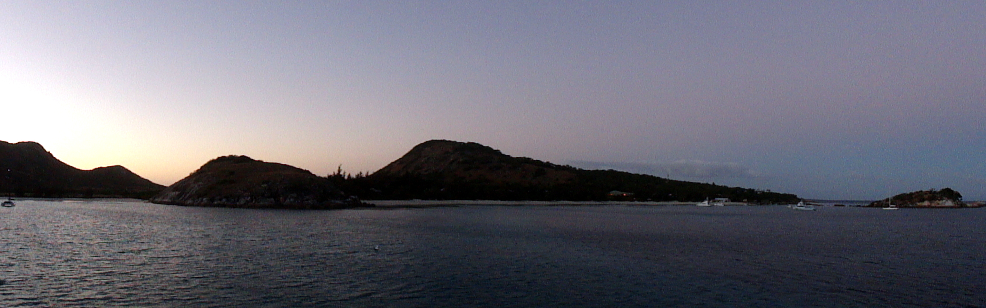

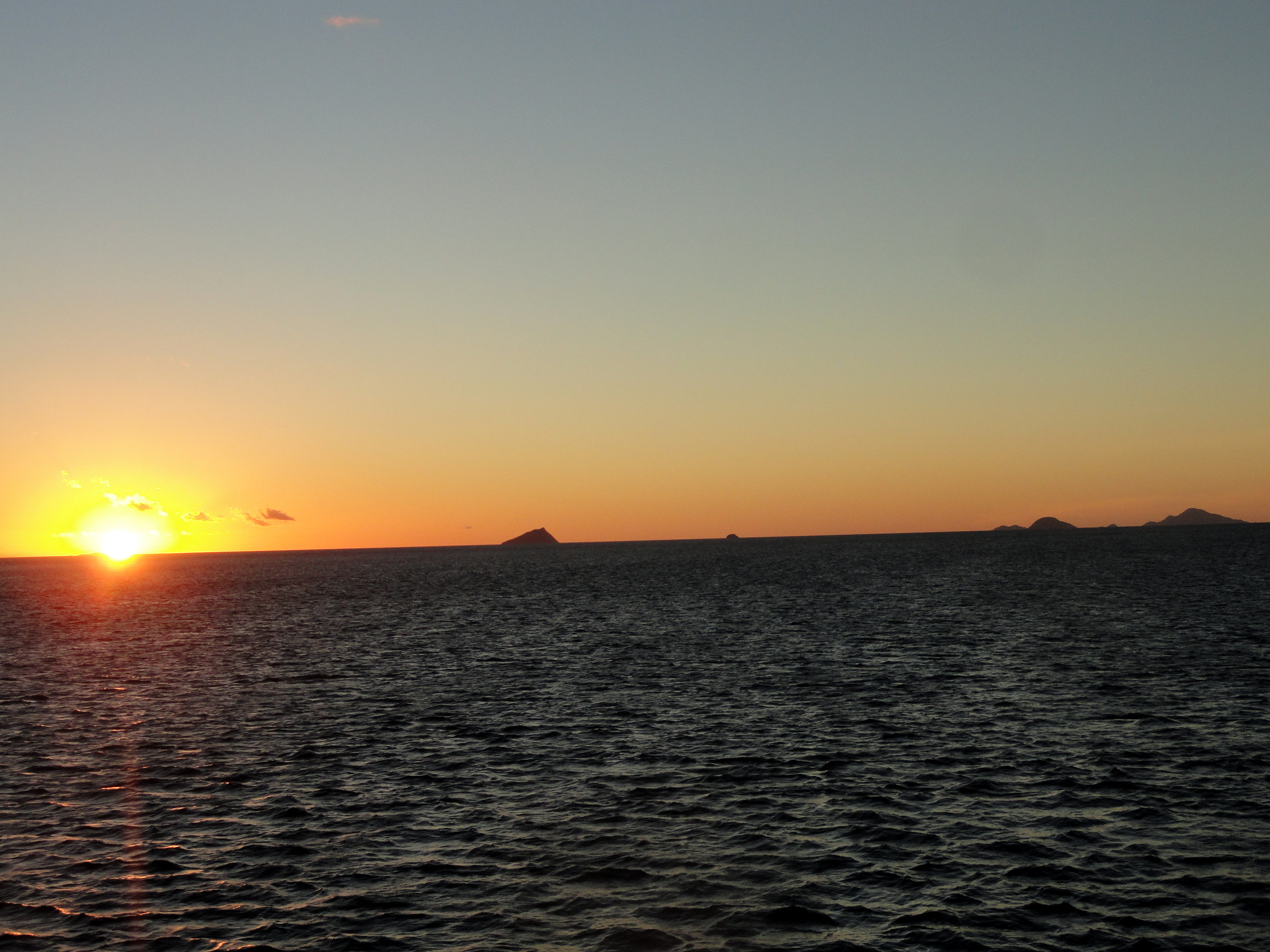
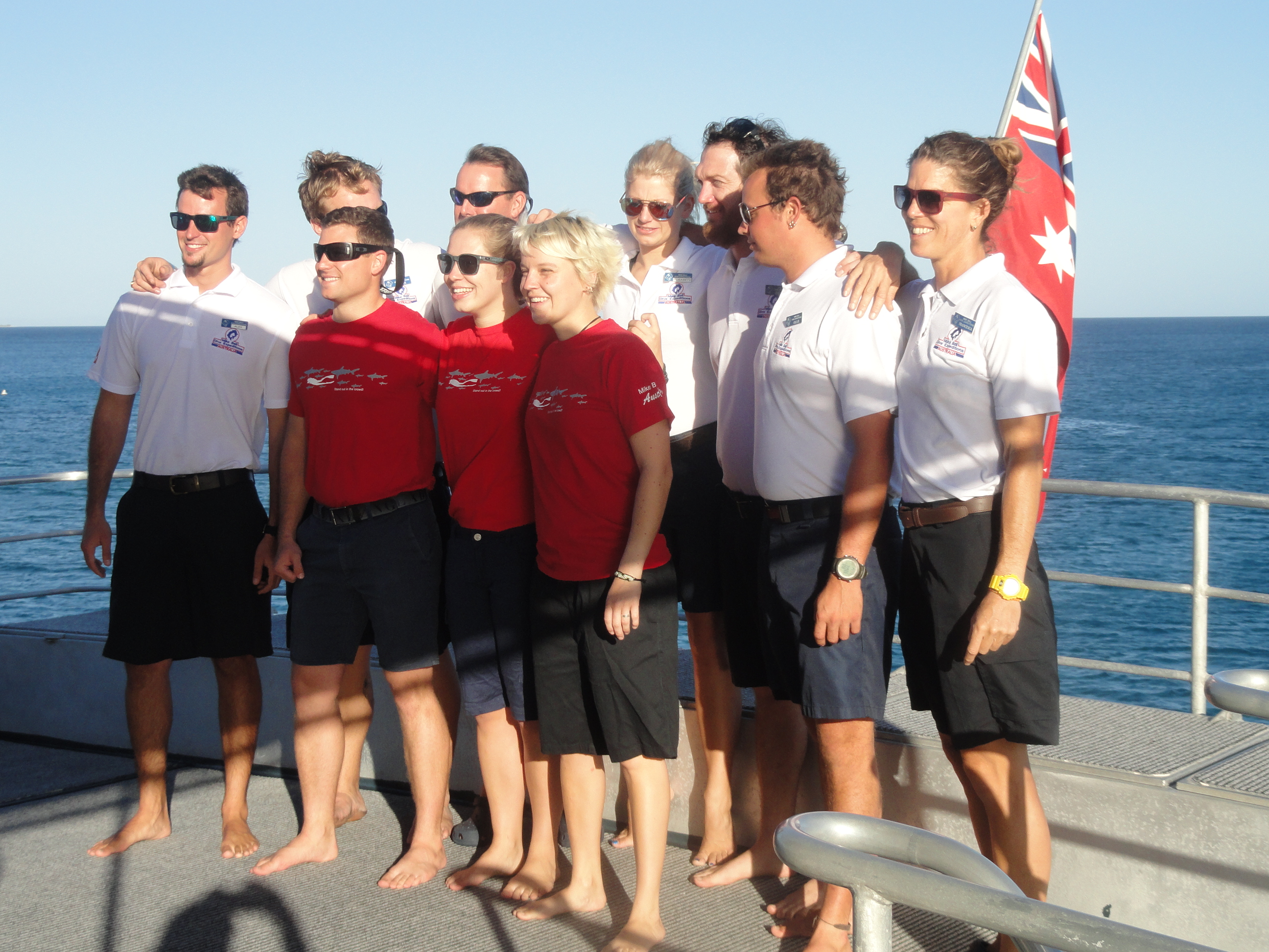
Below, the mandatory shot of our wonderful crew, and below that a shot of the 17 passengers on the leg that I joined. The ship does a weekly circuit and 7 of the folks this time stayed for the full out-and-back from Cairns, seven nights & six days; ten of us were on the four-night, three-day outward leg; and then more flew into Lizard Island on the planes that took us back. They + the seven who stayed will have worked their way back south toward Cairns, with dives along the ribbon reefs on Monday, Tuesday and Wednesday of this week and then docked at Cairns again Thursday AM, to board a whole new group again Thursday. This experience was quite wonderful and I really do recommend it for anyone who loves to dive. Do either the 7-night or the 4-night option though – Osprey Reef was amazing and isn’t part of the return leg.


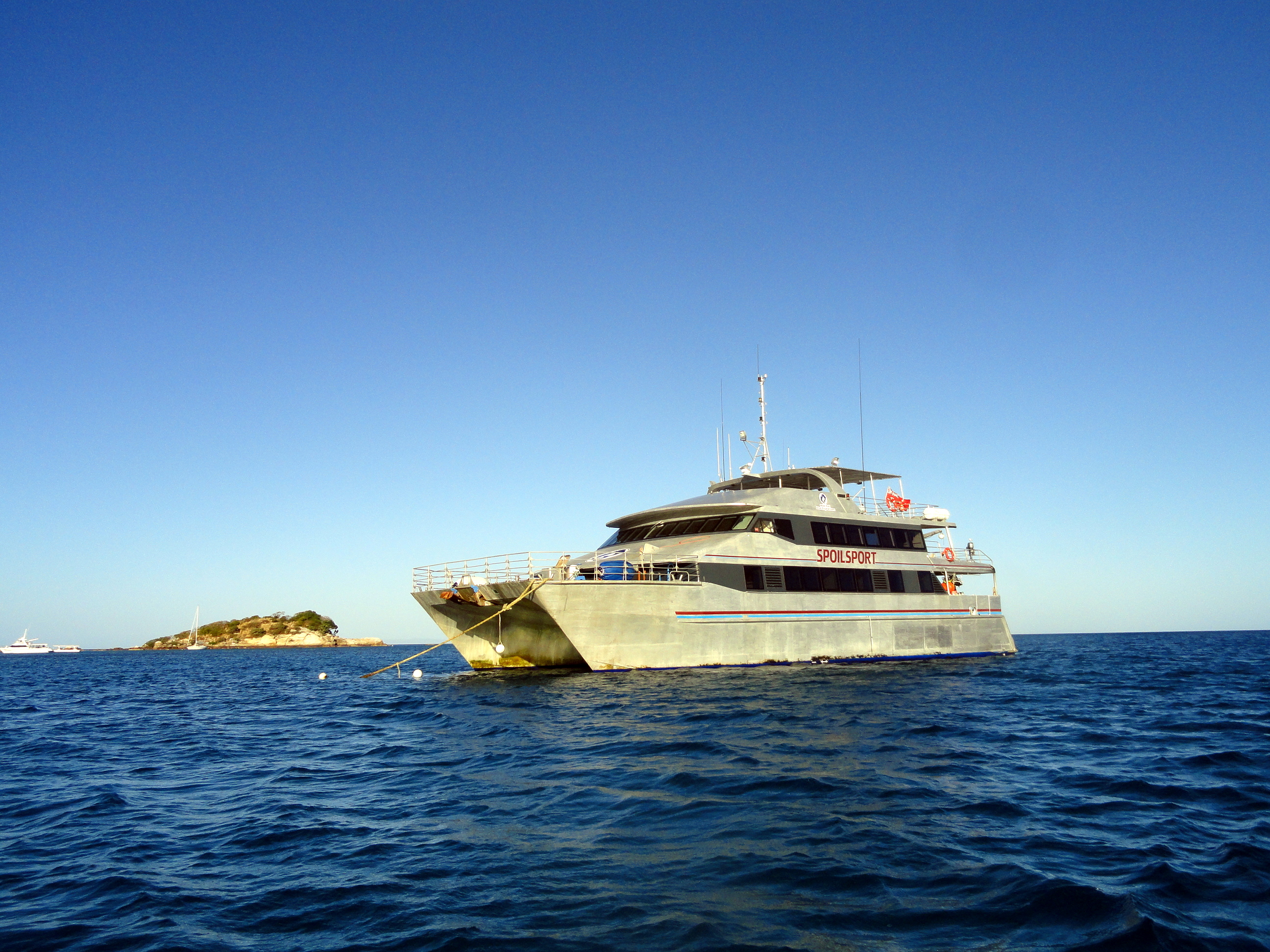
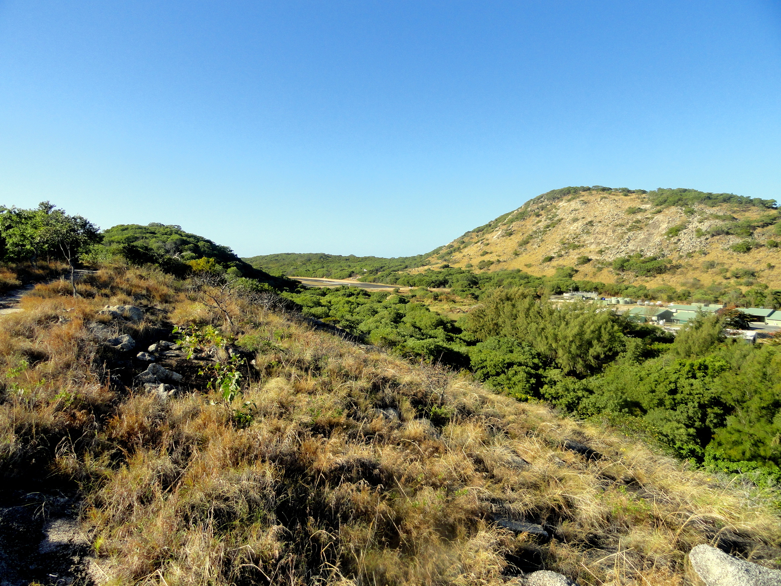
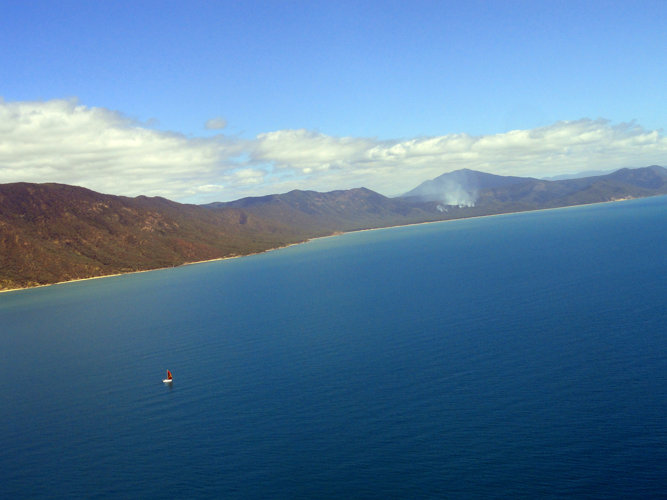
Look closely at the photo below, and you will see the airstrip from which we departed Lizard Island for our one hour+ low-altitude flight back along the ribbon reefs to Cairns. Along the way we saw two different groups of minke whales from the air- a wonderful sight because you see both the whales breaching, and the shadow of their bodies under the water in a clearer way than you can from the air. Both of those occasions passed too quickly for a photo…plus they were on the left side of the plane each time, while I was seated on the right. Ah well…memories. And above is the last shot of the boat which provided such a comfy and well-fed home for a few days.







Our charter flight ended up at a different side of the airport (literally across the runway from the commercial terminals), so I got to see this wonderful hangar and sign… 🙂
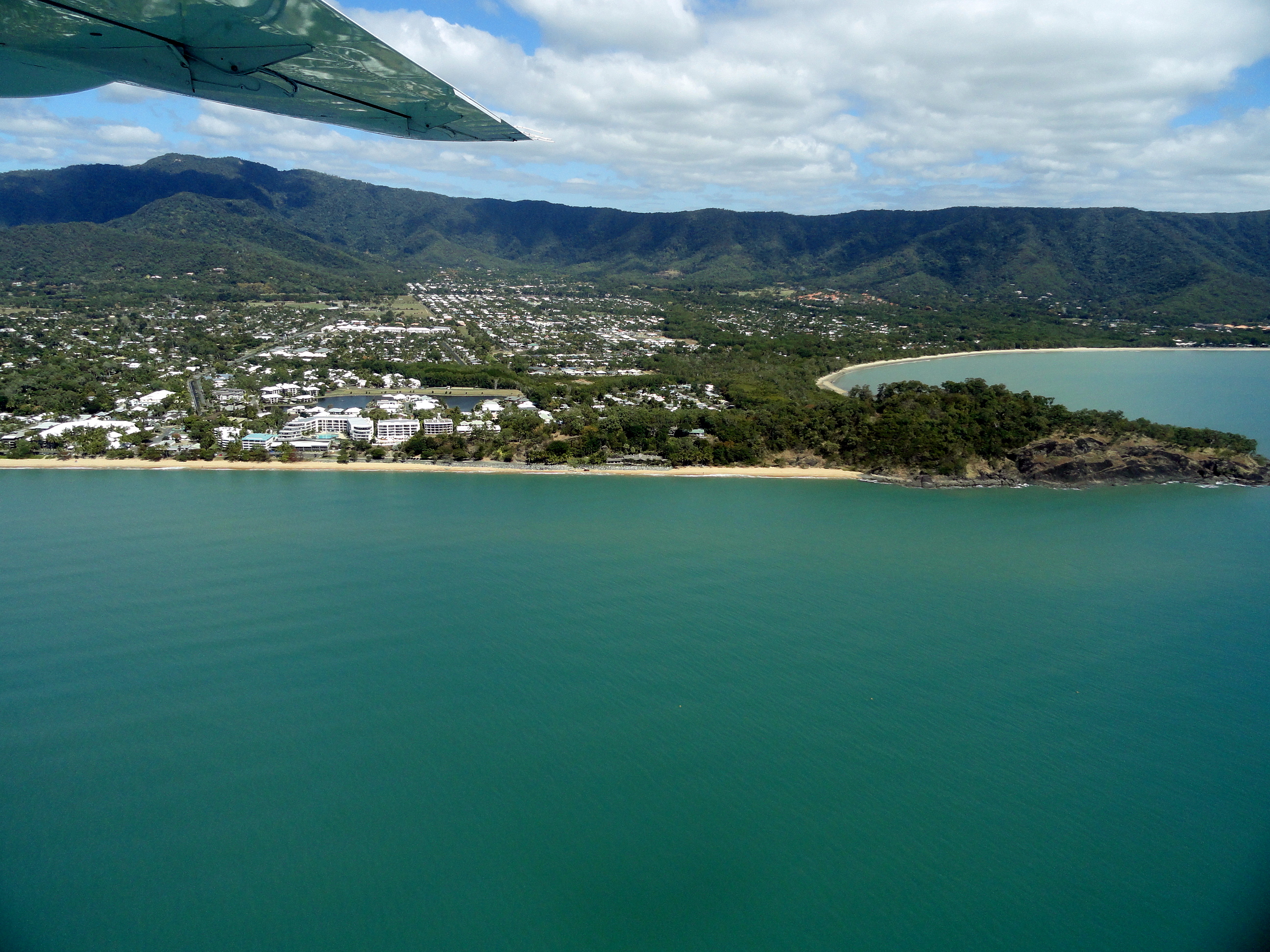
Immediately below, you see the coast of Trinity Beach where I stayed in January, during the trip from which came the shots in this blog post: https://somuchworldsolittletime.wordpress.com/2013/01/12/flora-fauna-waves-northern-queensland-beaches/
It was fun to fly right past this at the end of this current trip; the building in which I stayed is quite visible, as are the headlands and bays that gave me such pleasure on my long walks and runs back then. Cairns and its region begin to feel like an almost home-away-from-home-away-from-home for me, though deeper inside I still long to be biking along LA’s bike paths. 🙂
Coast & Highlands — Odds & Ends
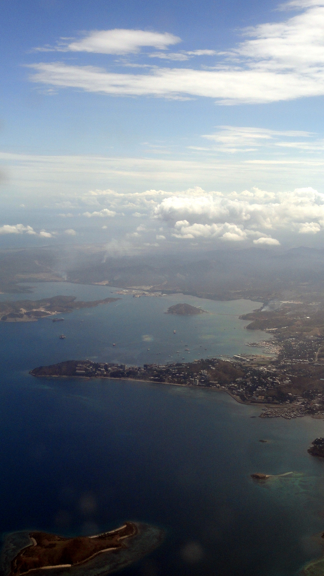
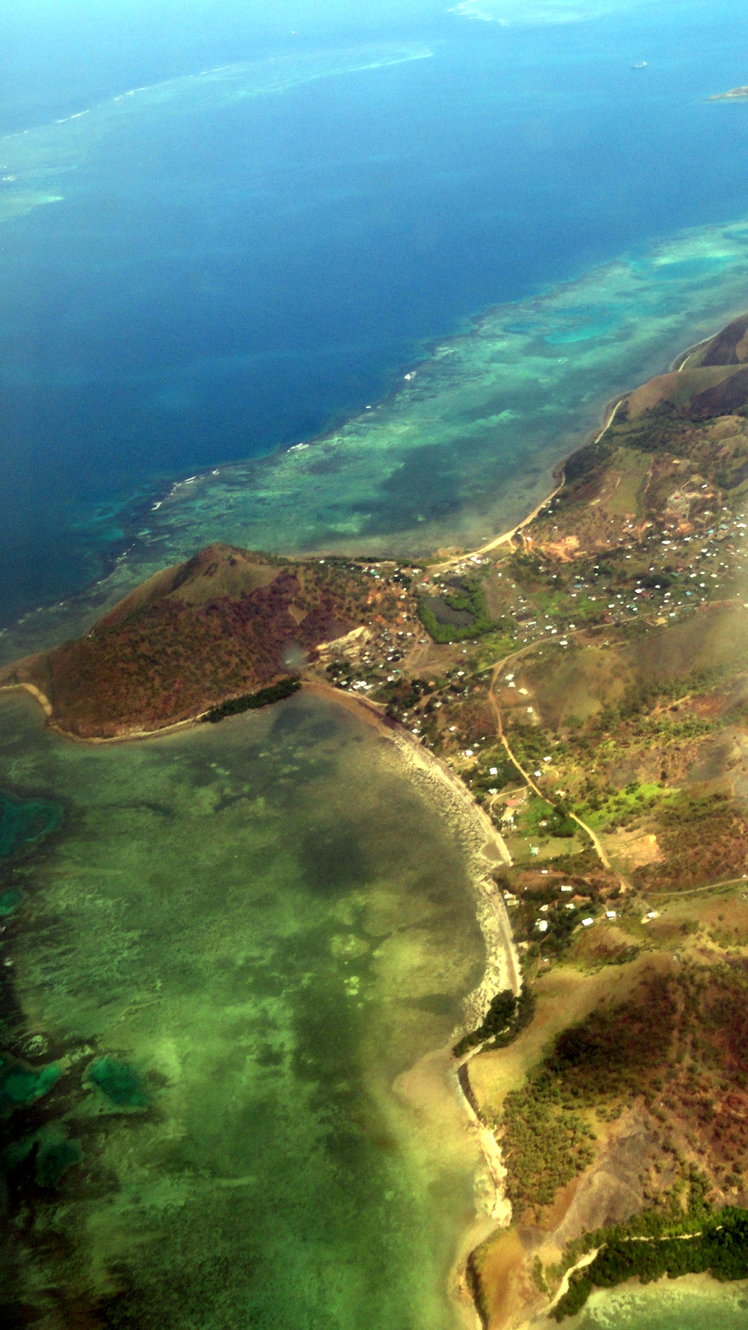
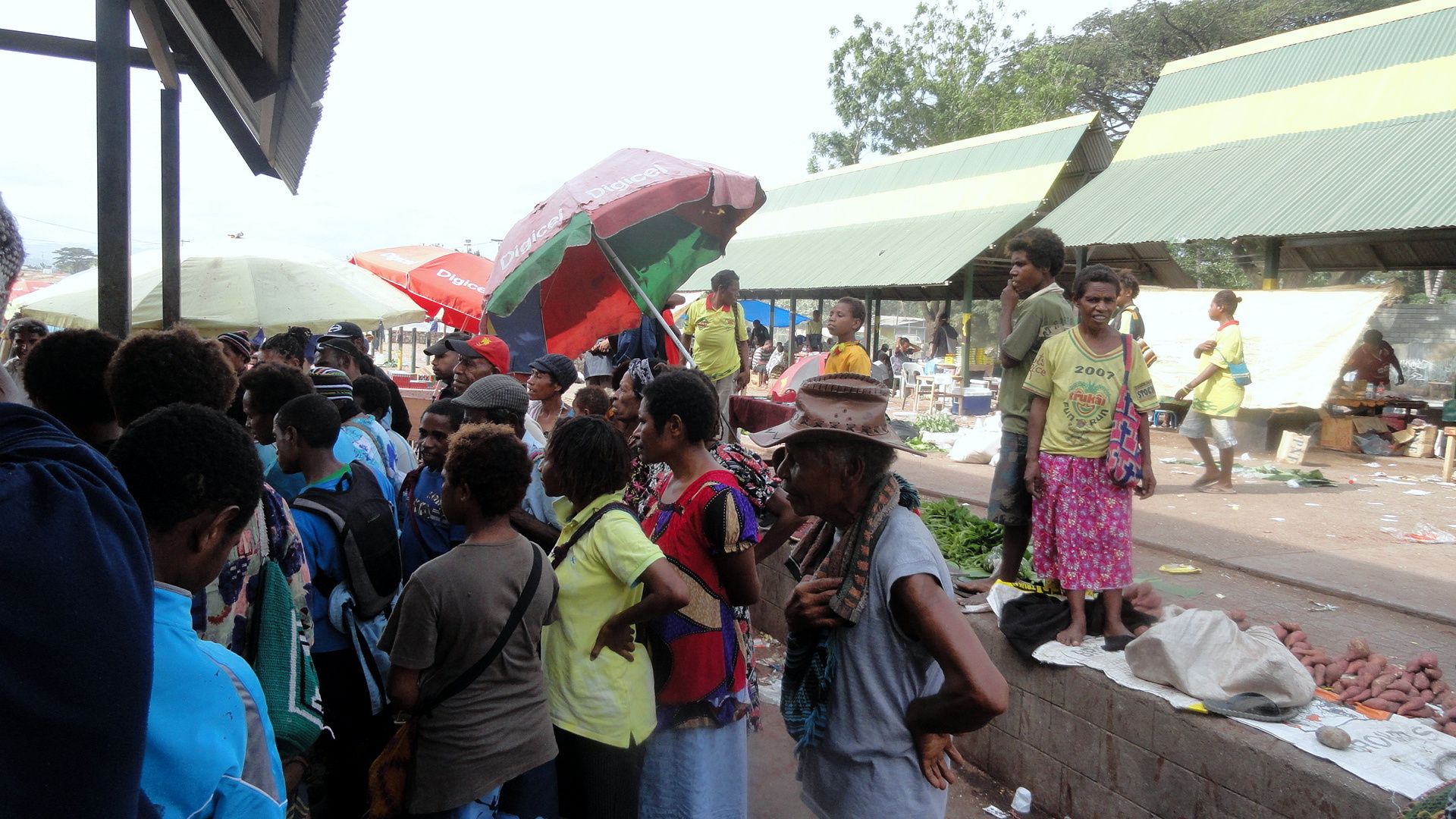
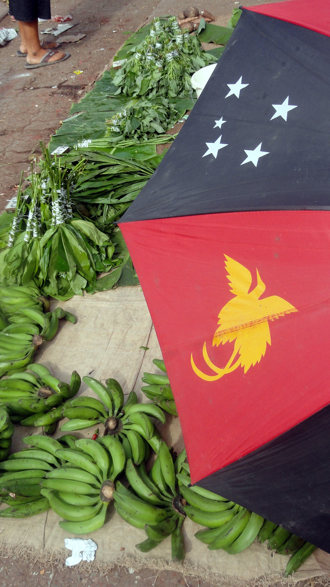 Here at smw, slt we’ve spent a few weeks away from home – first helping out at the base of our new project in Port Moresby, about which you can find links in our last post, and then visiting our longstanding project up in Tari. While at the new project I was able to ride along for a sensitization outing at 9-Mile market here in Port Moresby (pics above, and many shots below). While on the flight to Tari, I was able to get some better shots looking inland at Port Moresby & the coastline around us than I recall having a chance at before. I hope you’re not all getting bored with the aerial shots of Moresby and environs. As usual, not much story here, just pics of life and what I’ve been seeing. Btw, the umbrella above is modeled on the PNG flag.
Another note: since my personal computer died, I’ve been posting from a backup which has only firefox and not google chrome. I find that these posts read much better in chrome than firefox, so if you’re finding that photos overlap and you can’t see it all very well, I suggest that you consider another browser. Not that I want to shill for the g-word-company…but I do find chrome a bit better for viewing these than either firefox or explorer, for what it’s worth.
 Another note: if you wish to see links to the coverage of our new project, go to this post: https://somuchworldsolittletime.wordpress.com/2013/07/14/spiderwebs-on-a-misty-hike-and-one-dead-computer/ and if you are curious, the hike from which those photos came took us essentially from the top left corner on this photo immediately above (assuming your browser shows what I hope), along the ridge of hills you see, to just about where you see the big road hit the port in the center-right. From this angle, you’d never really imagine it could feel so remote & wild from inside it, huh?
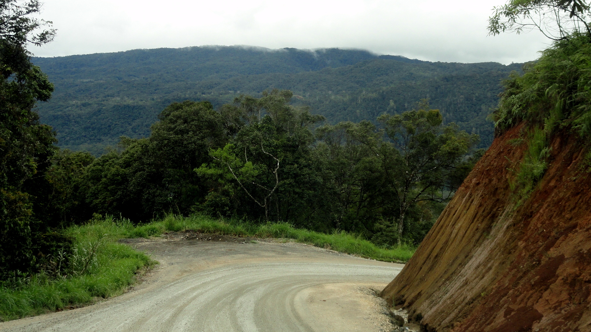
 Above: intoxicants are us at 9 Mile market (the green nut-looking things are buai aka betel nut); and below the intoxicatingly lovely highland mountains of Hela Province on a road trip I took down Komo, a district centre at the end of the Highlands highway just next to the massive PNG LNG project which has enormously affected development and the economy in most parts of PNG that I know — POM because of corporate workers etc., Lae because of the harbor which is at literally the other end of the road from what you’ll see here, and of course the highlands and especially Hela itself because…well, that’s where the LNG is physically being extracted.


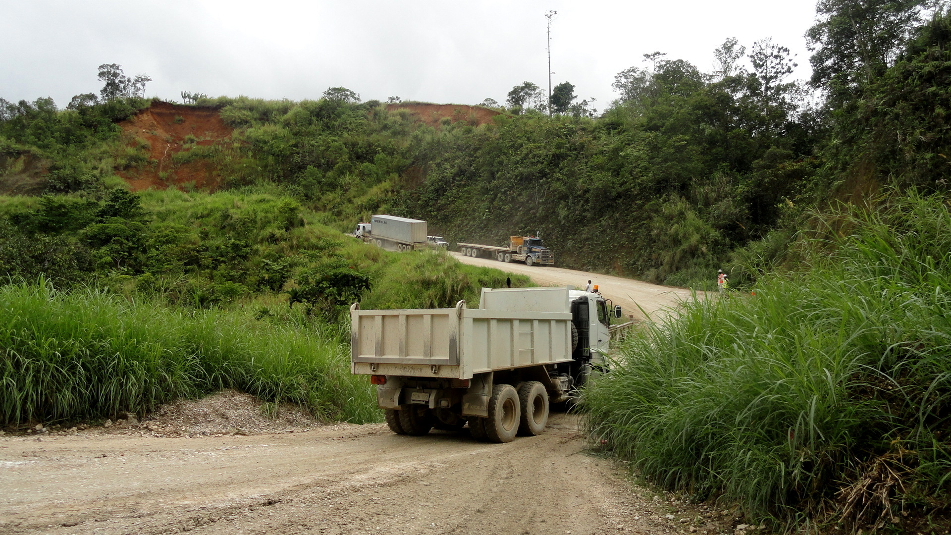


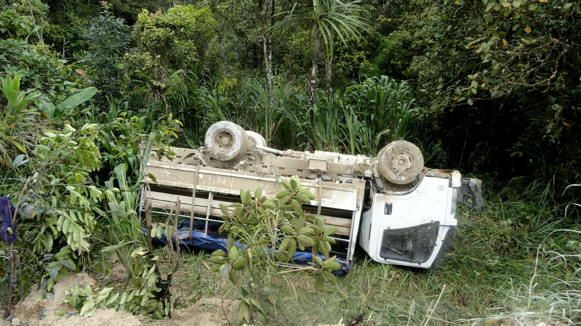
 When you see the big trucks carrying ocean-going freight containers over the one-lane bridge across the river which you see directly below (that river shot was taken from the bridge while it was temporarily closed to clear some planks or reinforcement of some sort or other), or the truck that’s gone off the edge of the road and overturned itself, keep in mind that until about 30 years ago there was no road here. I’ve not researched when the highlands highway reached Komo, but I sense it was roughly 30 years ago. The LNG construction started…about 3.5 years ago.

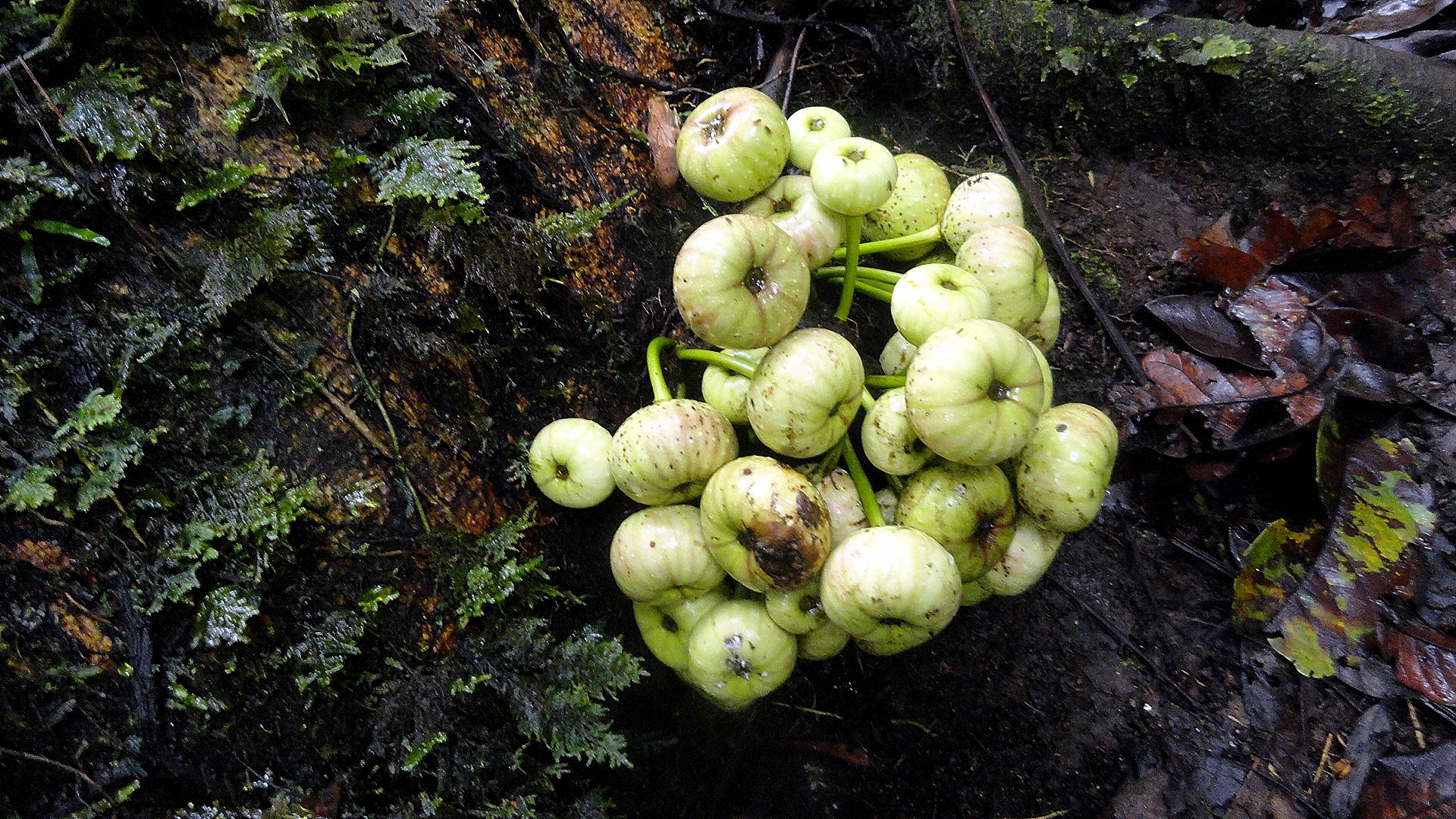
 Above: any time you get off the road for a nature call, you find amazing stuff — flowers or odd other growths that you’ve never imagined before. We heard a bird of paradise calling on this nature-stop, but only one of us (not me) saw the thing. I’ve heard them several times, but not seen one yet. Sheesh. Another colleague commented he’d seen then twice and killed one once for feathers for his head-gear…to which I pointed out it’s no big surprise they hide from humans now!
I had trouble getting a good focus on these tree flowers so I tried to make art out of it. Sorry. Below: the cooks seemed happy to welcome me back to Tari this time. 🙂


Peeks at the Streets of Port Moresby
…and a few shots from the air out of Lae. I say this often, but it’s been one helluva month, June 2013. I sorta figured it would be since we planned on the handover of the project in Lae back to the hospital it’s housed in – these transitions often mean some new work and unpredictability, but as alway, the added work hasn’t quite arrived in the ways or places one expected. Still, I did spend last weekend in Lae for an official handover ceremony which generated some lovely shots of the dancers at the ceremony, yours truly being official, and other such highlights. Once I get them all sorted, and figure out what I can reasonably post here, I’ll be sharing them with you.
But for now, to start sorting and clearing some pics off my camera, I’ve decided it’s time to show you all a bit of the street life of POM. I don’t walk around town much here – not really a great city to walk around, since quite aside from how hot it would be, I’d be uncomfortable walking around with a camera. Someone who just joined us after a stint over in South Sudan says a former colleague (now working there, she knows who she is and we’ll see if she reads this or not…) says an ex-mission-colleague had unpleasant things to say about my home town. So I decided it was time to show you all a bit of our town. It’s really not so bad – ok, no Paris, but really a place I’ve come to enjoy living in. Not ready for tourism – trust me on this – but really not a bad place to live if you’ve got some friends and a job that keeps you well occupied. Which mine does. So anyway, here you go, my mini-ode to POM. Ok, ok, I know my ode to LA and some of its neighborhoods was more convincing…but I’ve lived there longer. And, well, yeah, there are a lot more nice buildings and all. But still: enjoy.

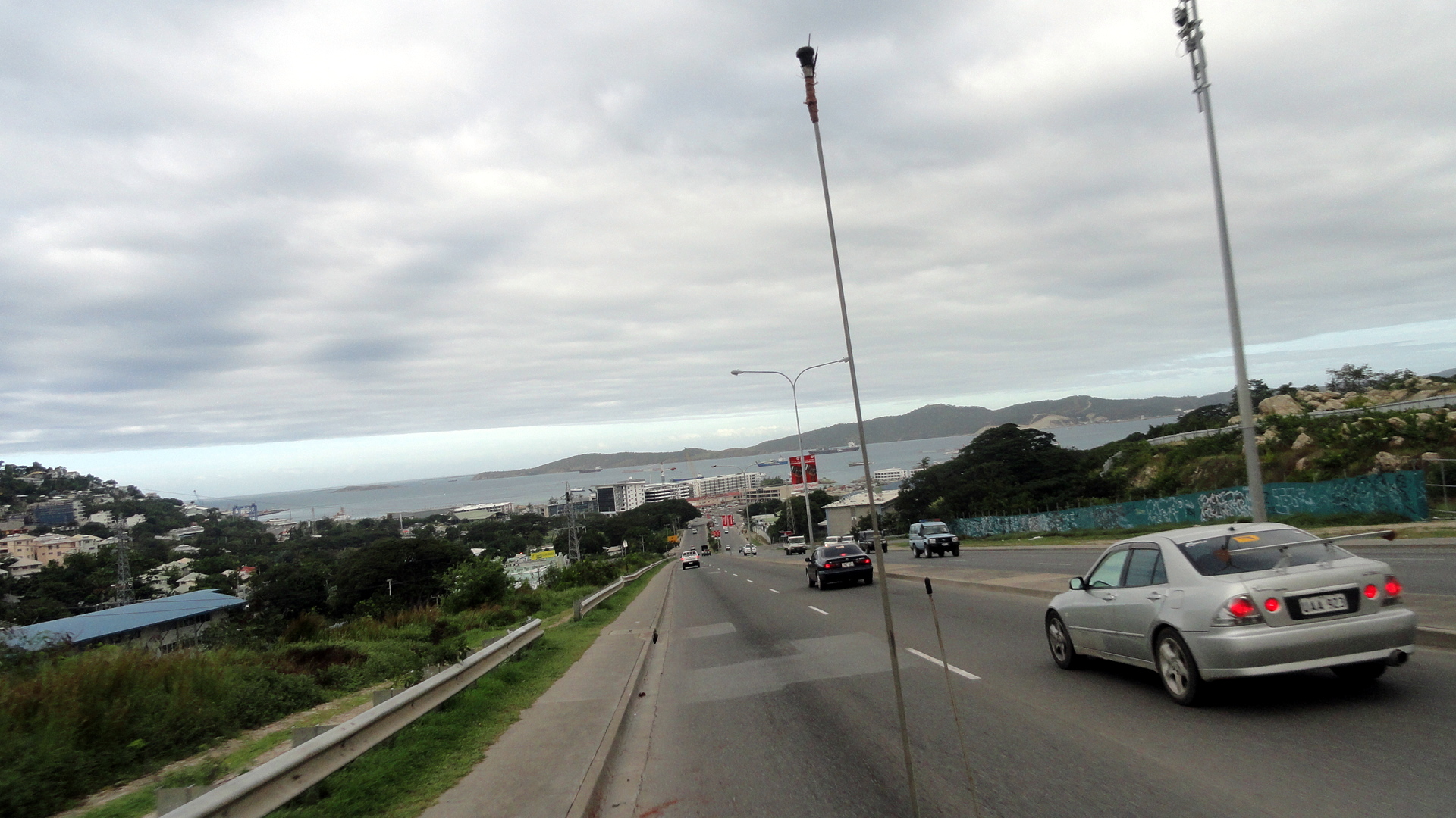
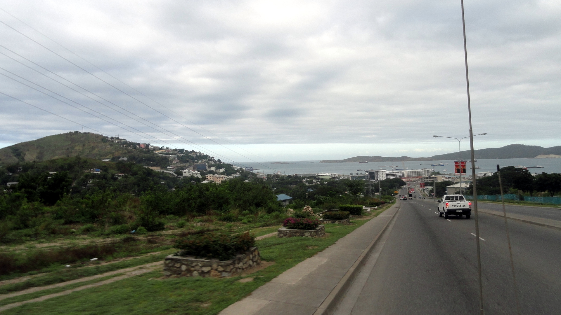
We started with my favorite view of the harbor from the Poreporena Freeway (also shown immediately below, built in the late 1990s to funnel traffic more rapidly from the suburban-and-government sprawl side of town up and over the ridge of hills to the heart of the older part of town by the water) – looking down at the harbor and the edge of town by the yacht cub. Immeidately above is my favorite traffic-circle sculpture in town: POM has many of these and I need to try to find a way to get out and get photos of more of them. This one’s still fairly new: went up late last year, maybe, and we all enjoyed trying to figure out how they were planning to paint it, as the coast of primer (dark brown) went on, then it got painted white (and we all thought: graffiti, here we come), and then they did this absolutely lovely realistic painting. And so far they’ve really been maintaining it: any time it gets graffiti’d, it’s painted over quickly. Someone is really dedicated to keeping this shell as lovely as it is now. Civic pride rules.
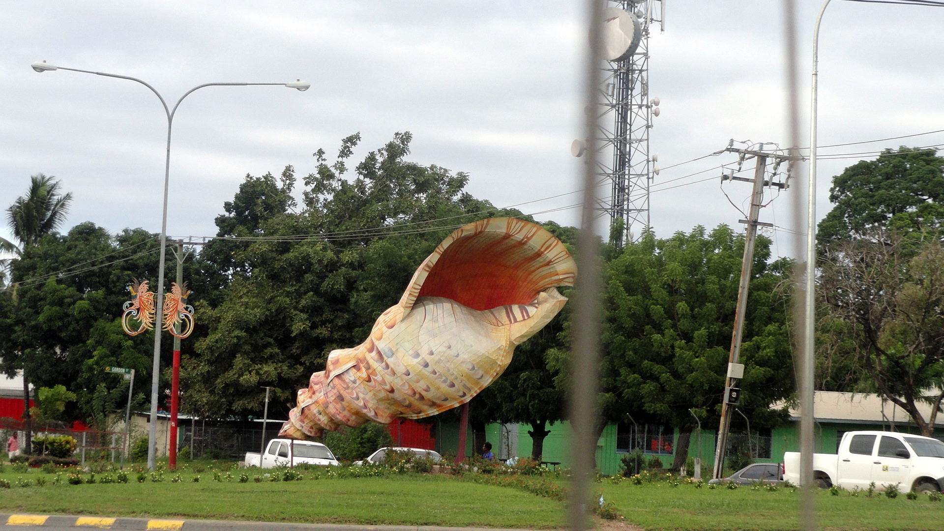
…and a closeup of the shell sculpture. These were all taken from a moving car. Sorry they’re not better.
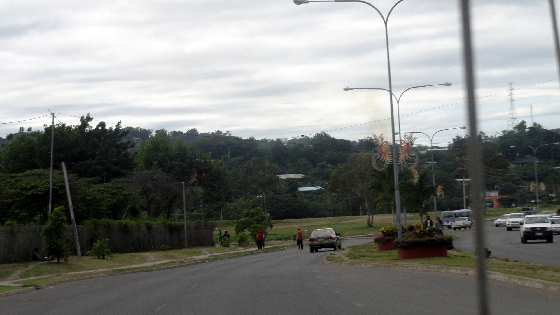
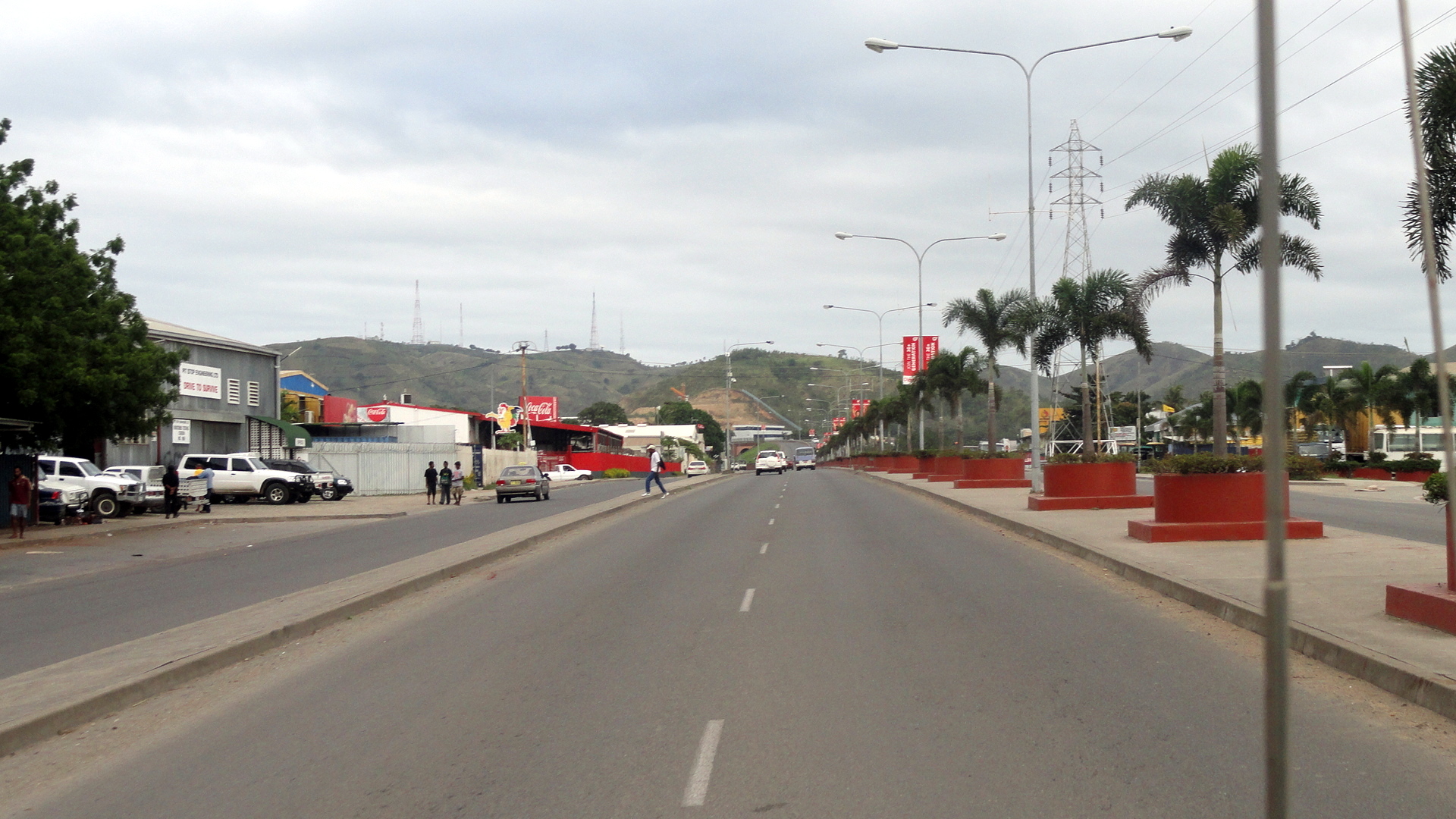
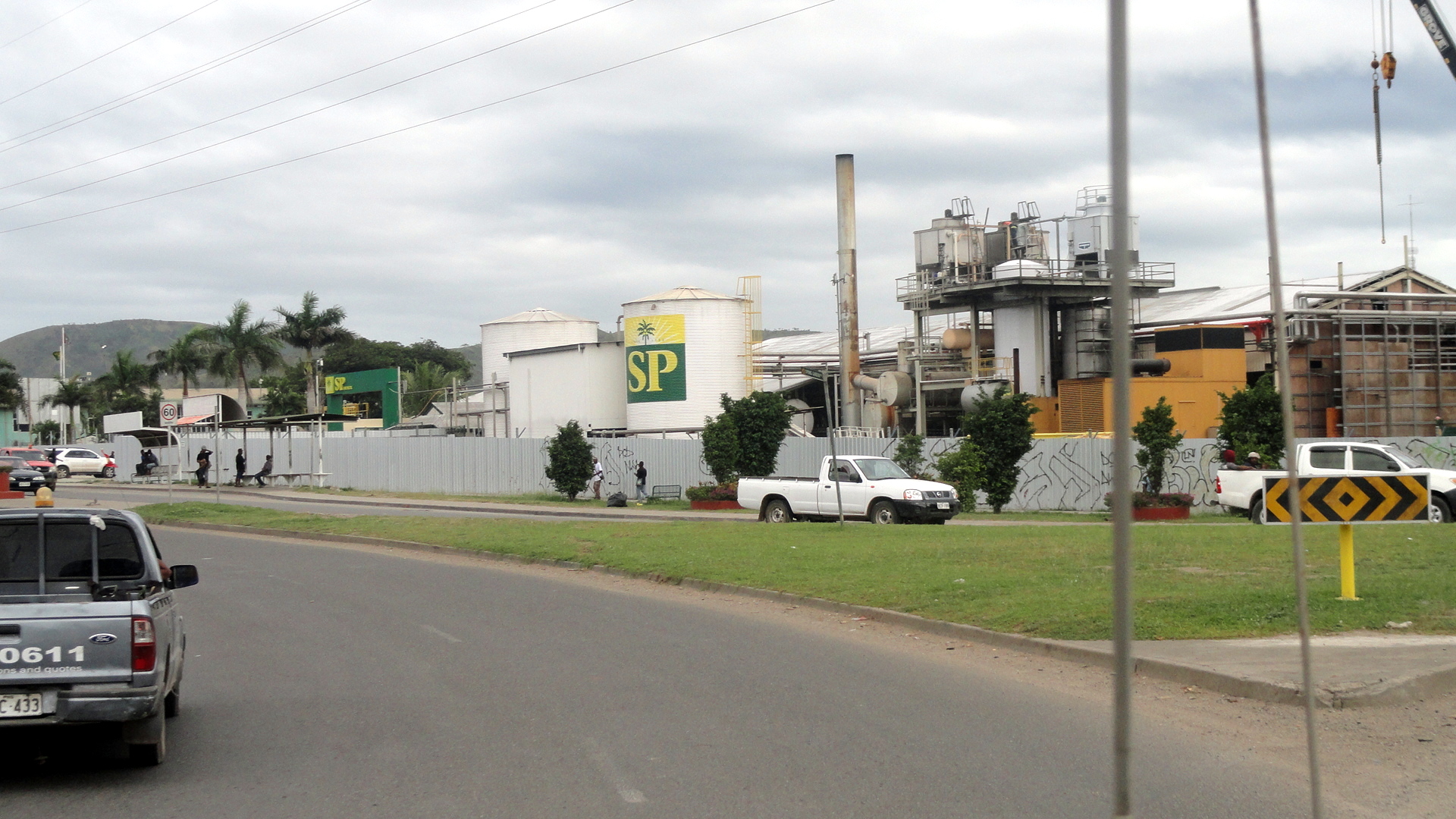 …and that it wasn’t a sunnier morning when I finally took my camera out and about. Now we’re just following my regular route from home, wave to the shell sculpture, past the SP (South Pacific) Brewery at the big traffic circle (home also to Sunny Bunny’s Kindergarten), onto the start of the Poreporena Freeway. You will be seeing pretty much all of its roughly 4km? length: it starts right by the brewery, runs the stretch below, into the hills you see ahead, turns a corner and then you get the harbor views you see below…and ends when it hits town. You will have noticed that the digicel mobile network advertises quite heavily.

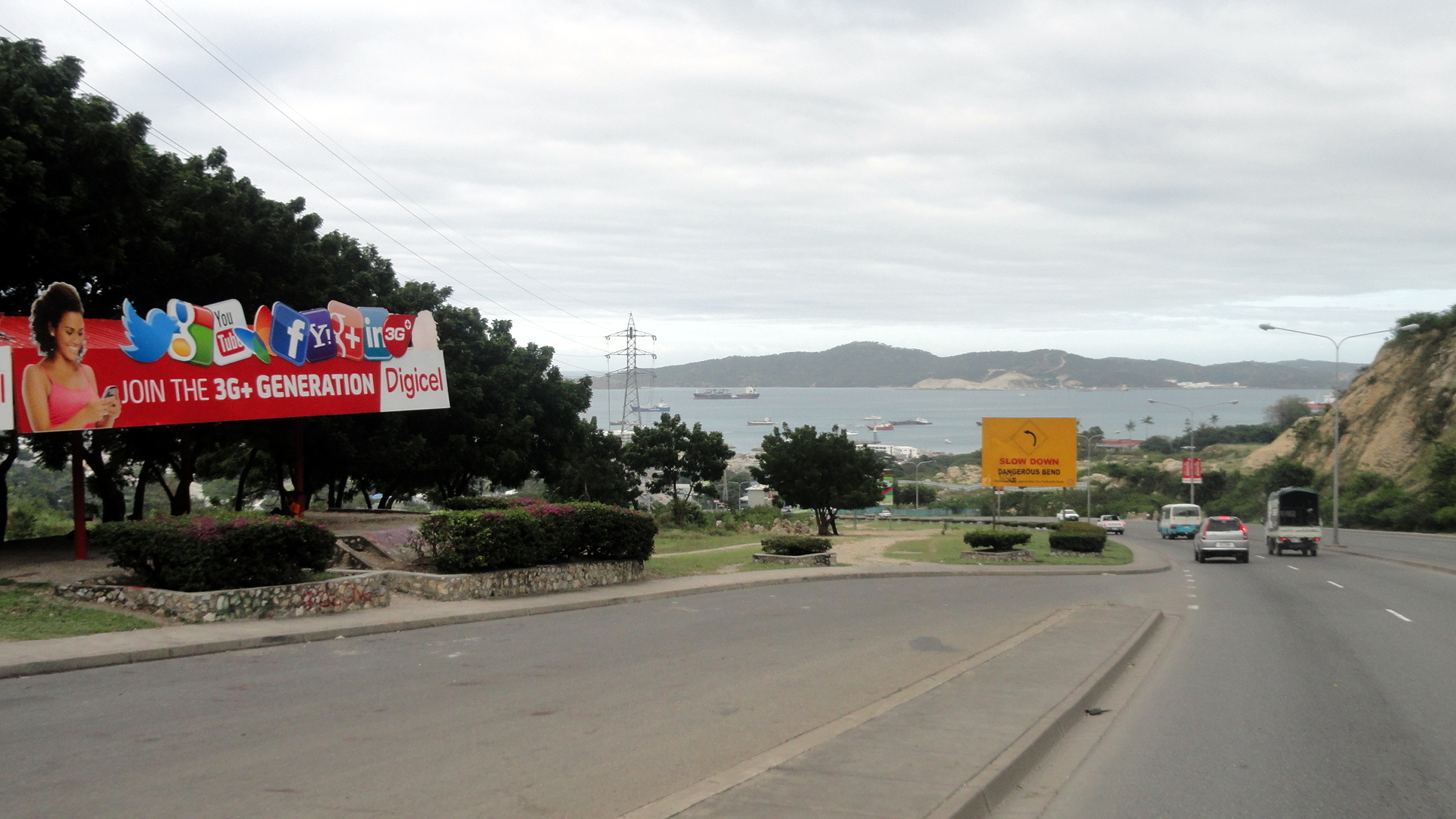
And
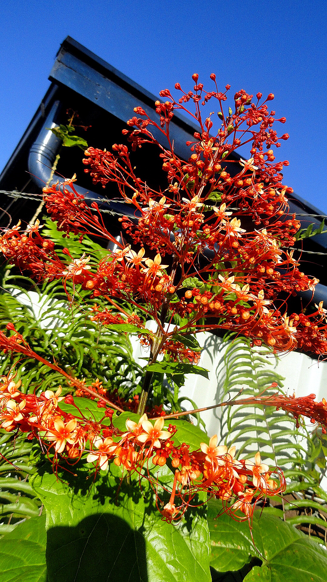
And that’s it for POM. Then there’s the flower photo that I rather feel I should try to include in every shot. The range of tropical flowers that just occur naturally in PNG is a constant amazement even after 15 months. I mean, you walk past a tree and realize that the flower clinging to it is the kind of orchid you pay $5 per stem for back home, and you realize here you’re sort of taking all the color and beauty for granted. I have to be careful here, because I don’t want to go and encourage too many more people to ask me about taking a vacation here. My main reason to discourage vacationers is actually that the quality for investment is too low: flight expense to get here is INSANE, and once here, the quality of hotels is mediocre and the cost INSANE. So you pay a boatload for a pretty crap hotel. If and when the country ever starts choosing to put more investment and support into the tourism sector, this place can dominate tourism in the Pacific-island region. Compared to, say, Fiji or Samoa or French Polynesia, I think PNG has a LOT more to offer, all the same as those other places in terms of tropical oceans, beaches and reefs, but with the addition of a vast island with high mountains, rivers, and hundreds of cultures tracing their history back tens of thousands of year. But right now this is not at all a tourism-friendly economy and infrastructure, in my opinion. I hope it will be. Then, aside from the poor value you get for your expensive rooms and flights, there are various notable security challenges. I needn’t go on about those; anyone who follows PNG in the websphere is aware that there are issues with crime and violence.
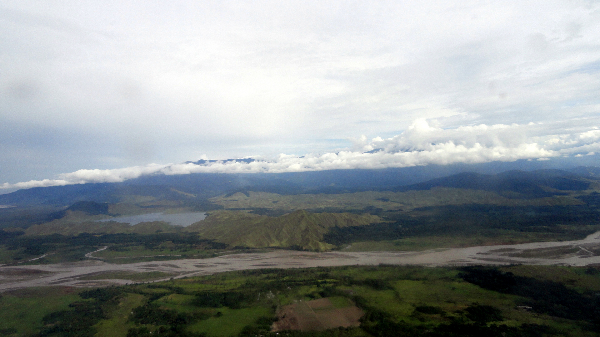
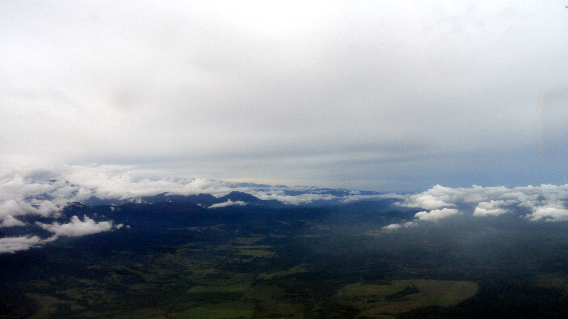
In any case, the rest are several shots I took flying out of Lae on Tuesday. On my way in, last Thursday, we flew over a lake I’d never flown over before and had gorgeous views directly down over it, nestled in its rumpled green setting of hills and with bits of algae giving it a green shimmer at the edges. Didn’t have my camera in my pocket that time, so remembered to keep it with me on the way out. So here’s what you get. It might have been my last flight into Lae – since we won’t have an active project there any more, I won’t have much reason to get there again. So this was a rather sad farewell, but also exciting b/c I feel we’re having some success with the work here. There may soon be some public links on that score to which I can refer you again. Cheers.
Coast, Highlands, Coral Sea…by Land and by Air

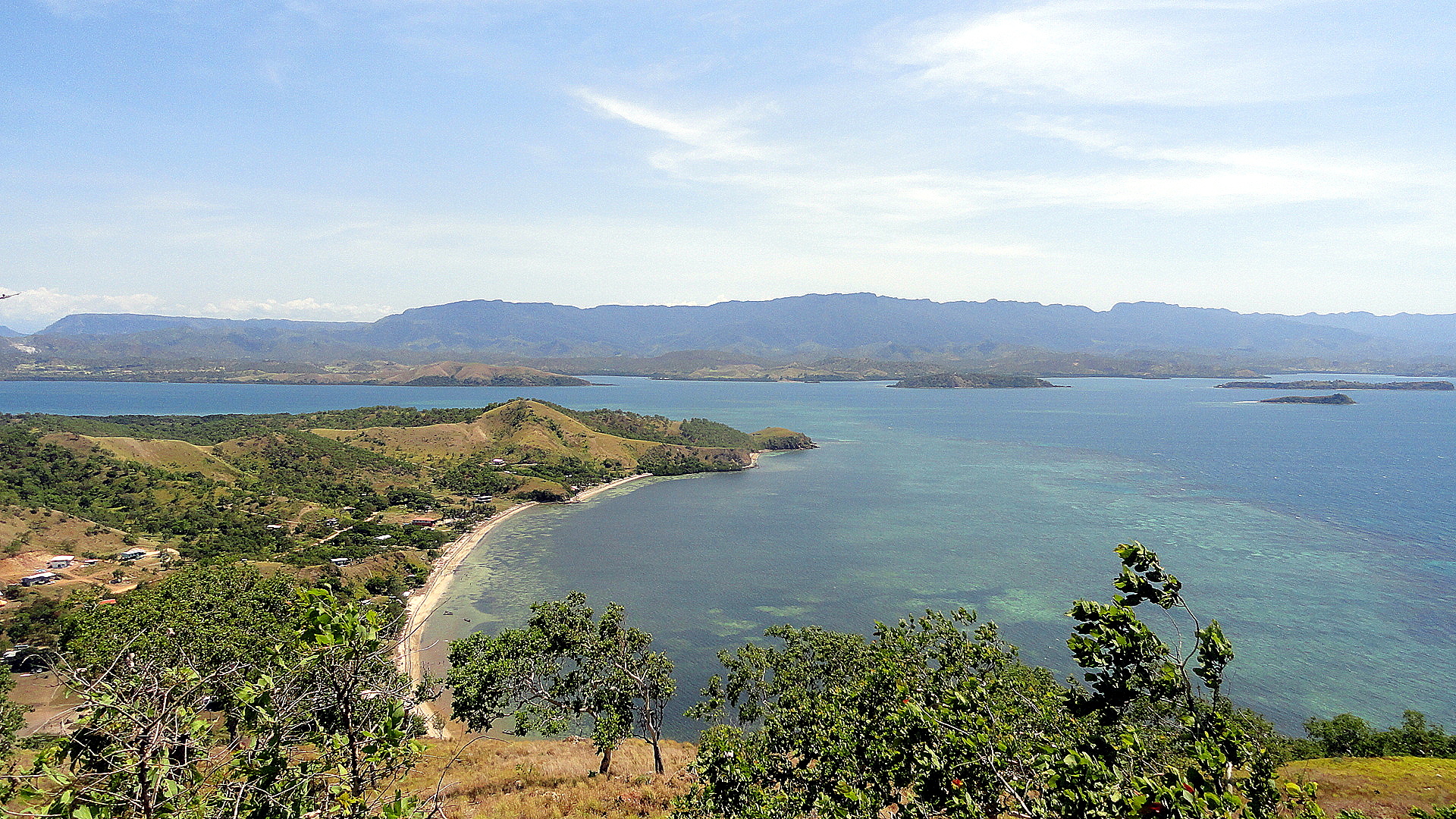

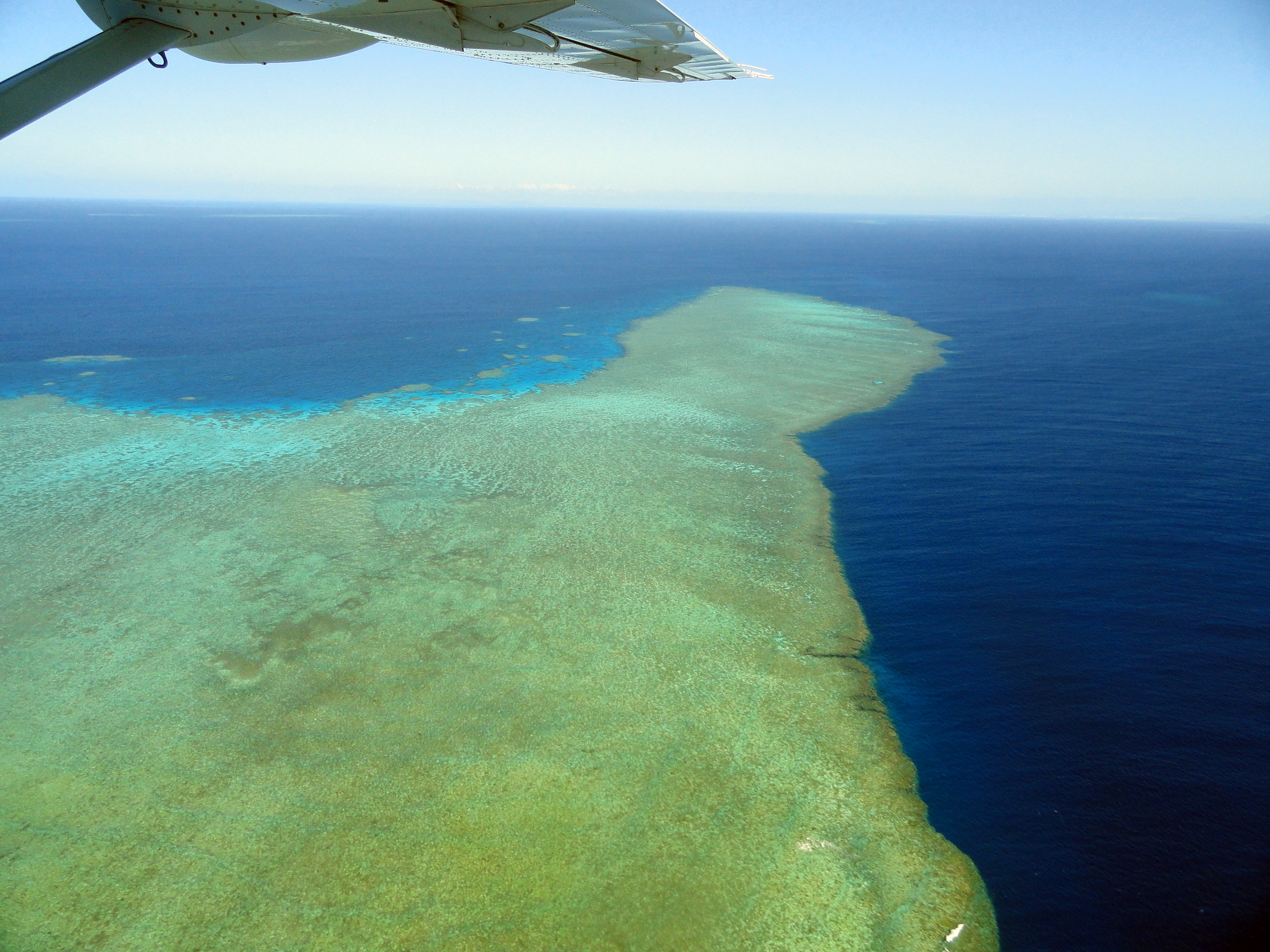
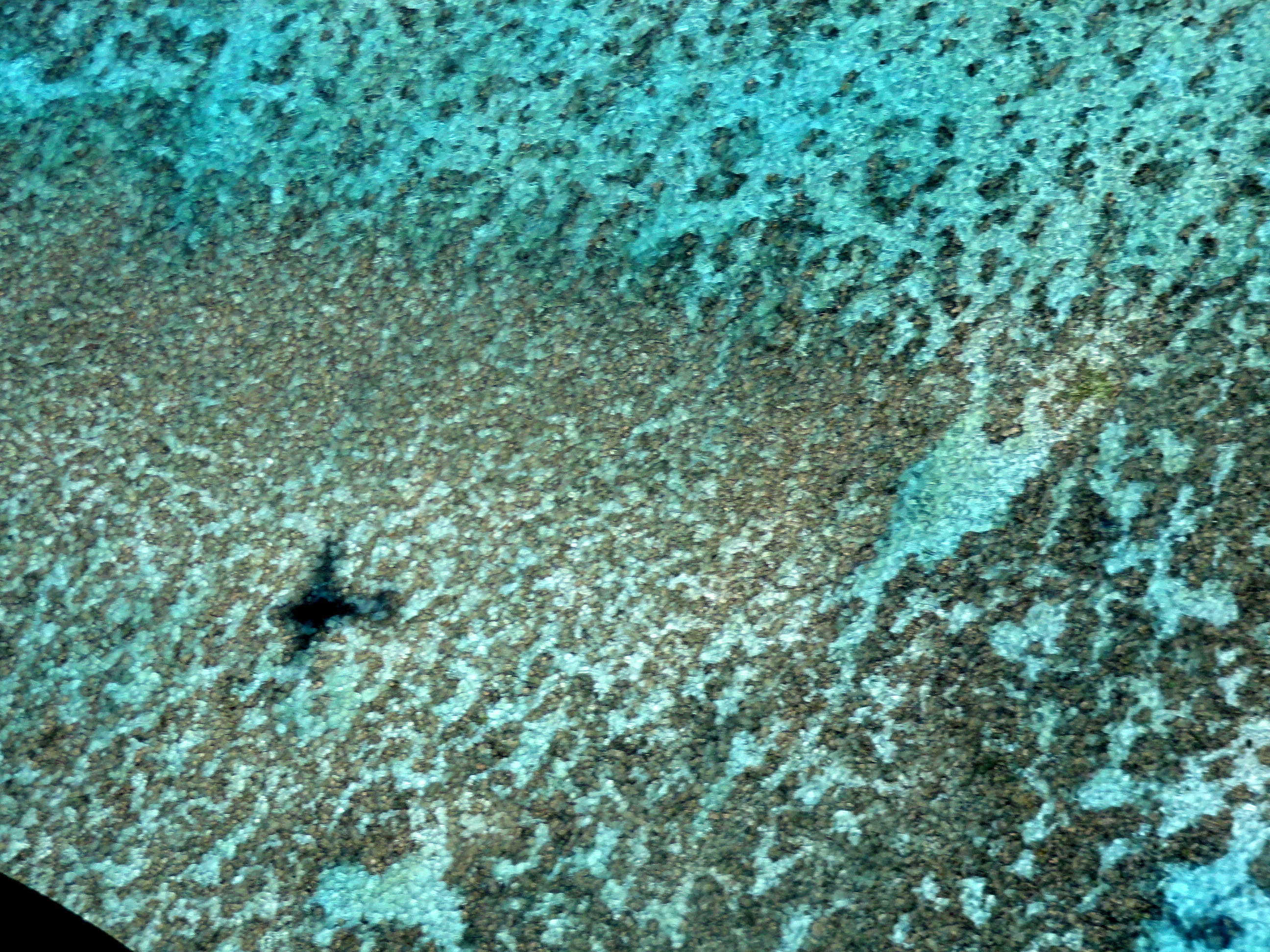
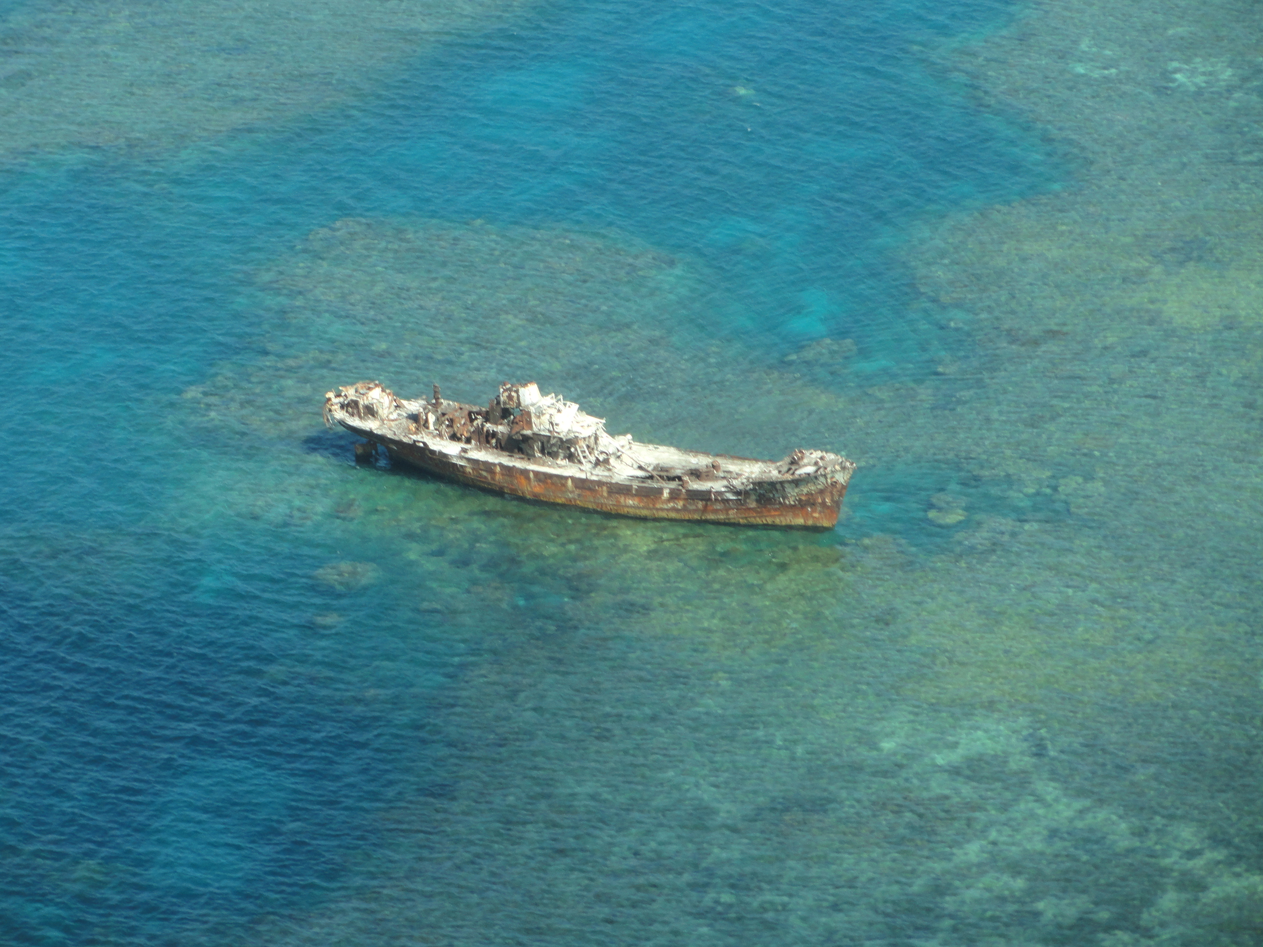
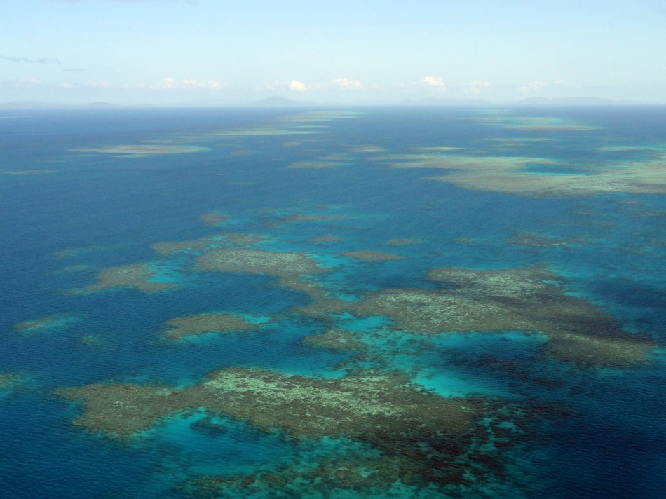
Those are not islands: that is coral just below the surface of the aptly-named Coral Sea, as I flew from POM to Cairns again yesterday – second time I’ve done that flight in this direction. God it’s a great view.
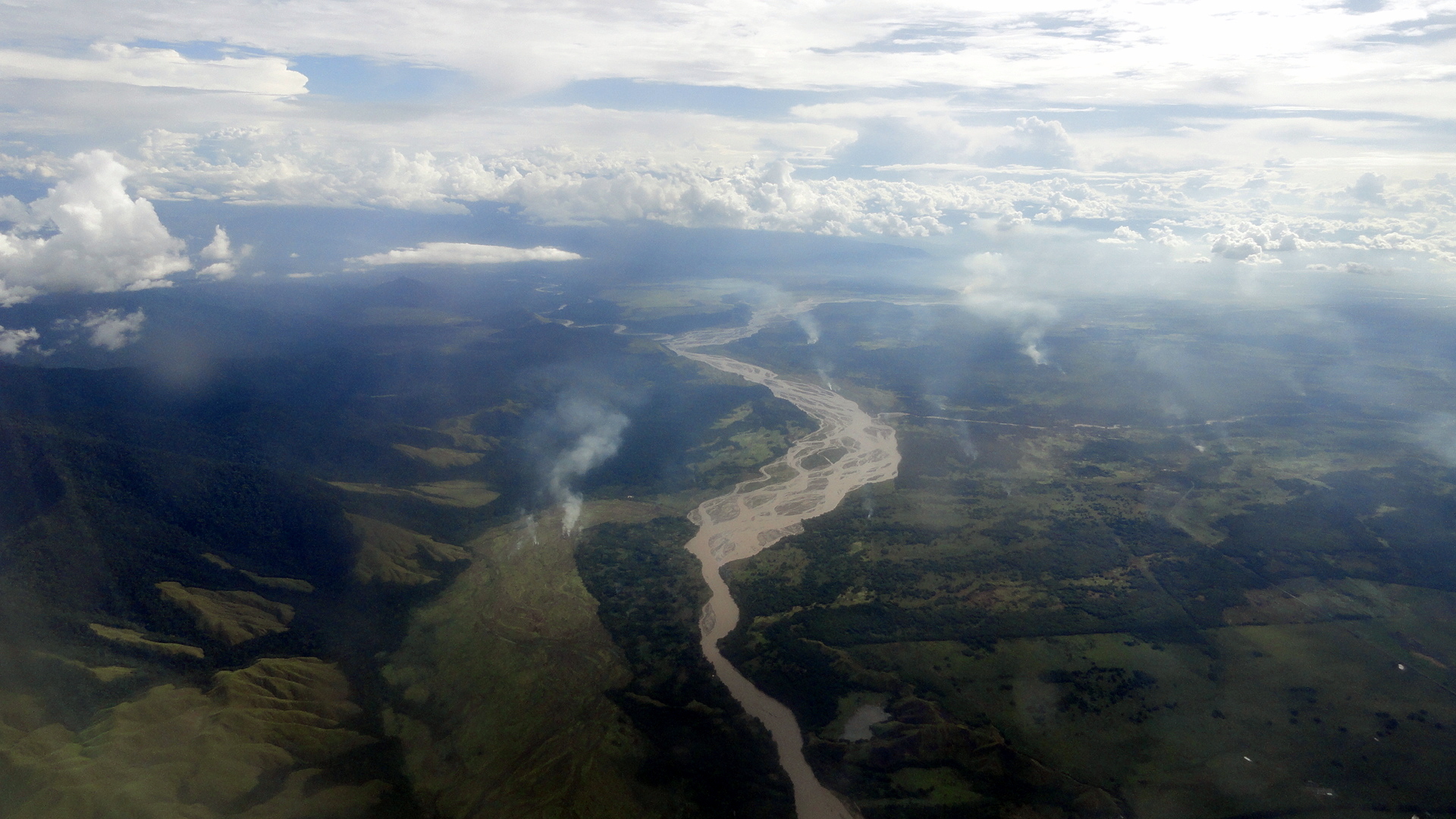
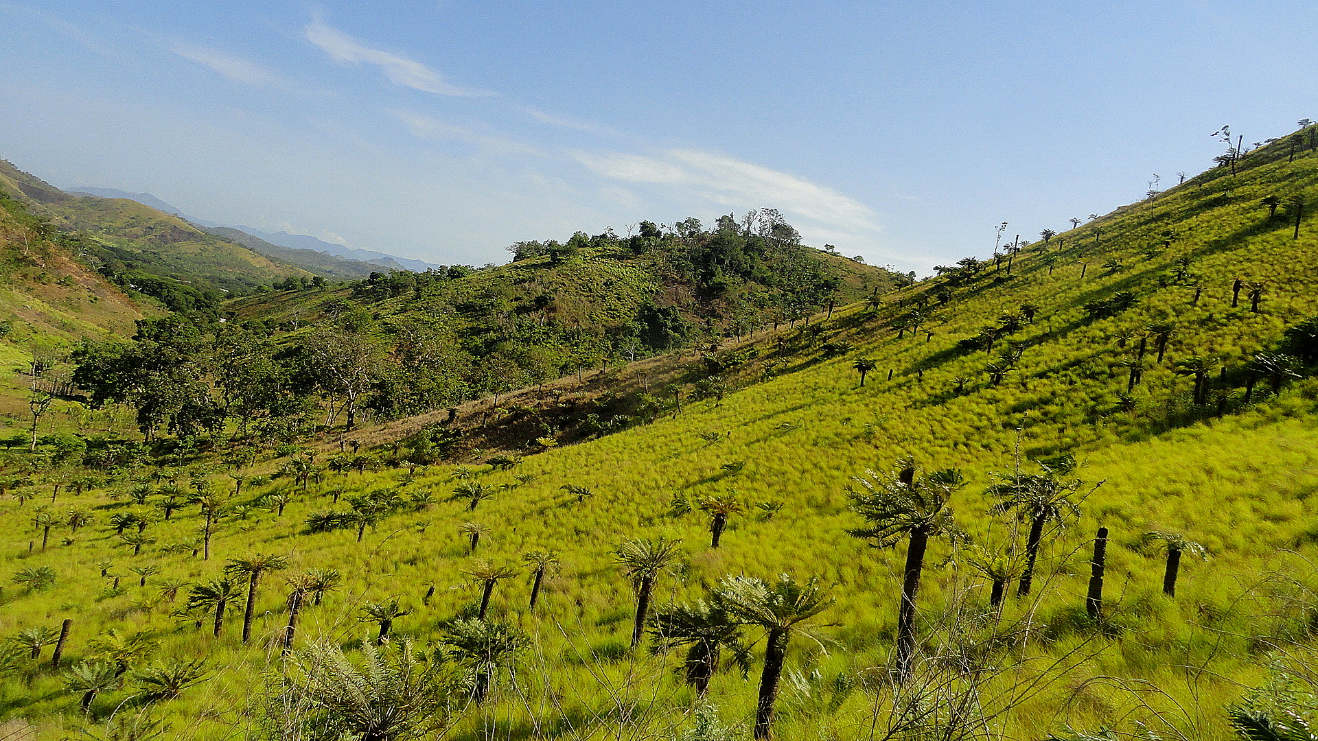
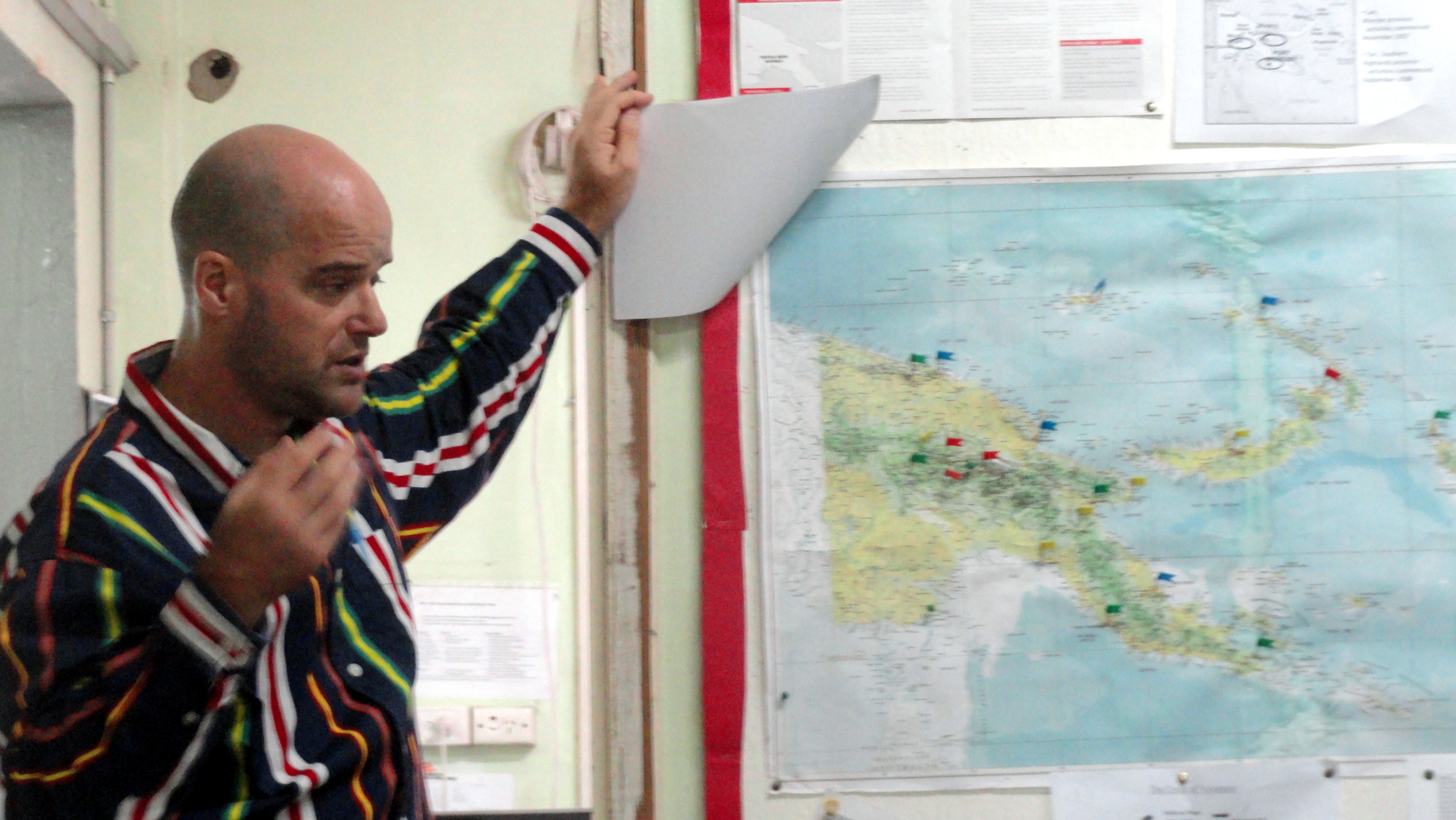
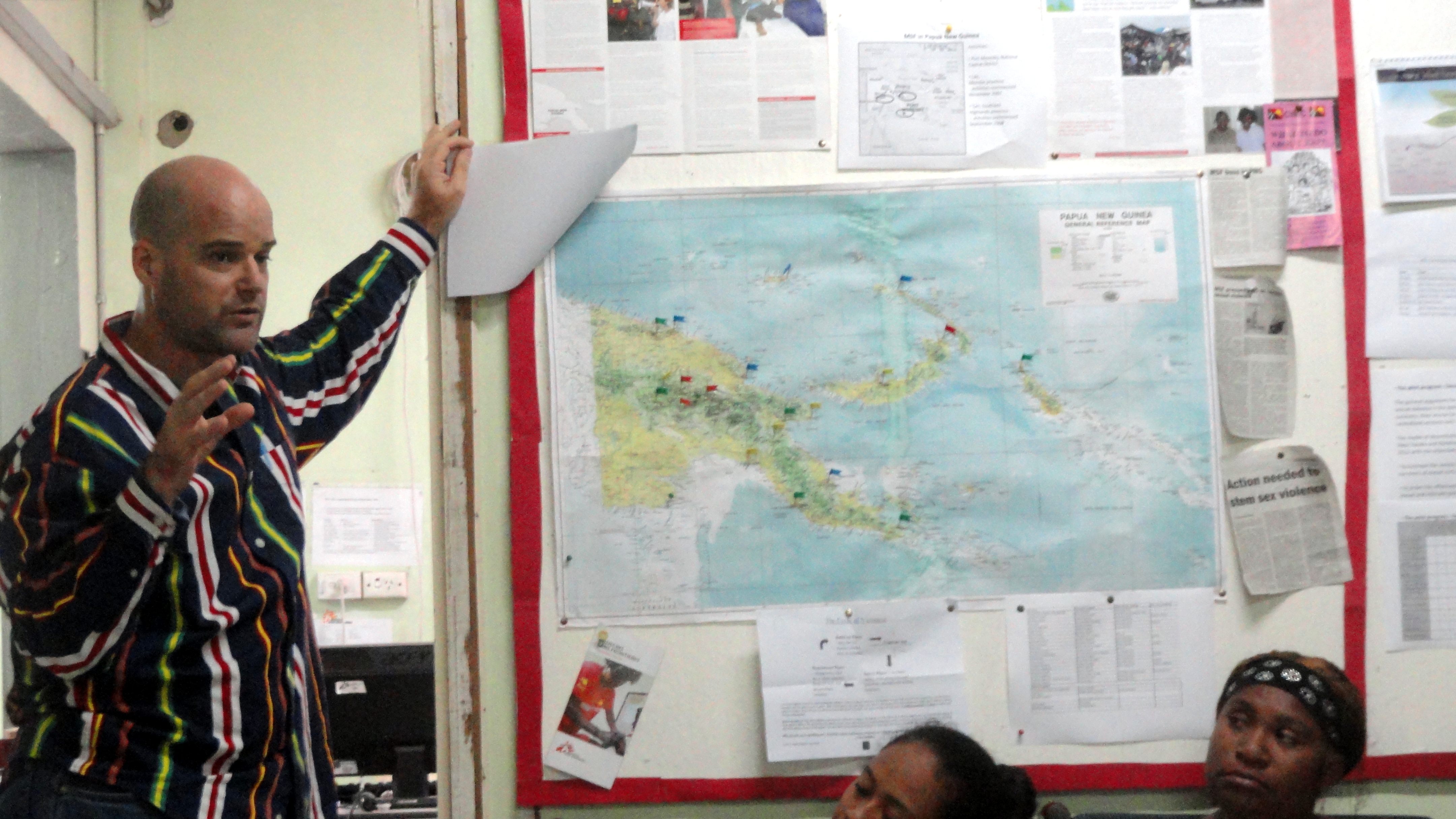
So if this text appears where I hope (this is never guaranteed, and can vary from browser to browser…so fingers crossed), then to the right & below is me at an office meeting; I put that there for the map! See the flag on the south coast, to the right side – that’s POM. The Coral sea is below it — all the stuff between Cairns — due south by southwest of POM, and where I sit watching the bright sun reflect on the ocean (that’d the Coral Sea ocean of course) as I write this — and all the pics in this entry were taken in and around POM, or in the air between Tari (left-most flag in the center of the island, of an appreciably different color) and POM in December, also from the air. Some of those shots are obviously rivers and river deltas of Gulf Province (to the left of POM, as you look at the map, and stretching inland a fair piece to abut Hela Provicne where Tari is located), but the one up above is, I think, the Highlands Highway as it stretches from Lae to Tari. (Lae is one of the flags on the map sorta due north of POM through a thick part of the island, and the HH starts there – not in POM. No roads to Highlands from POM, only planes.) Further up, you will note a photo of something I found truly stunning when I did the hike: a hillside of yellow grasses with short palms popping up out of the grasses, all sort of backlit by the sun which was just popping over the brim of the hill. It really was a stunning and unusual view.
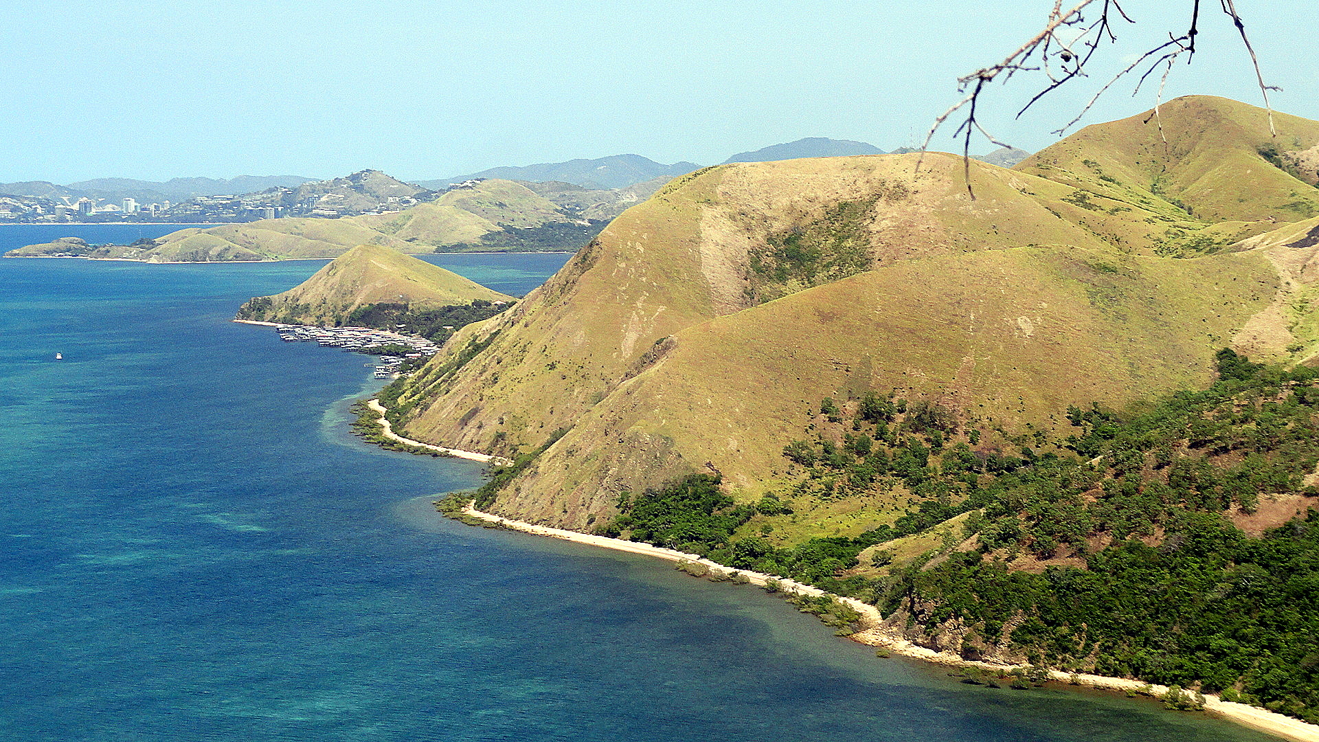
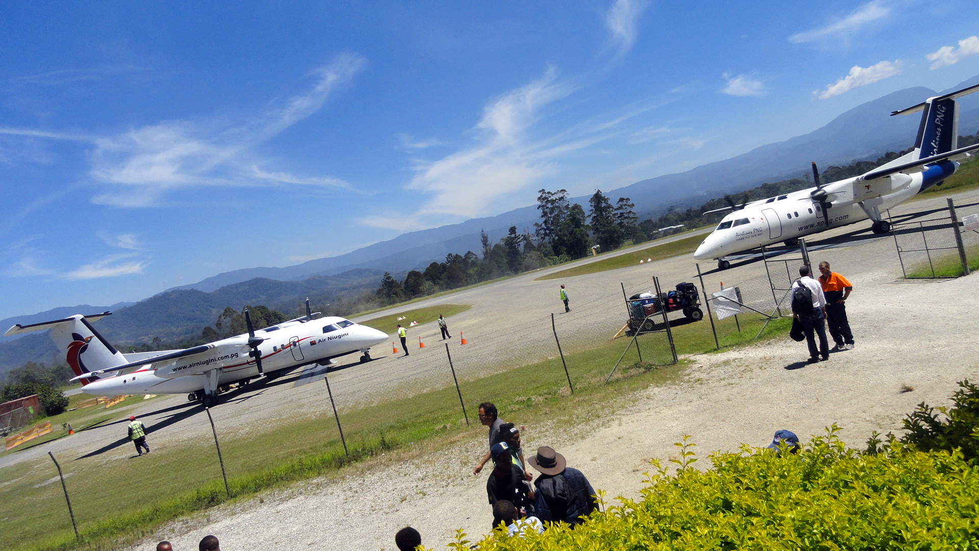
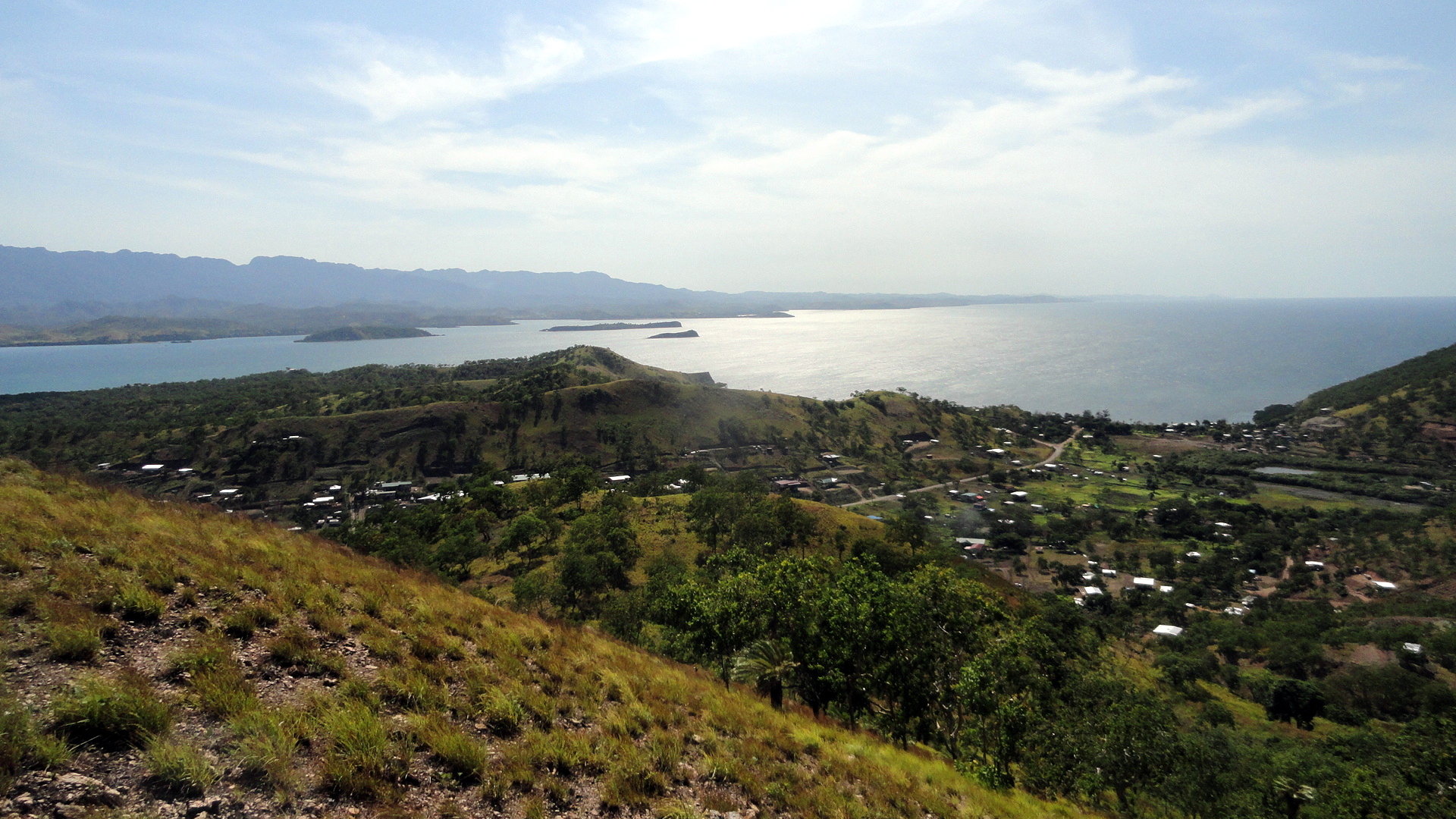
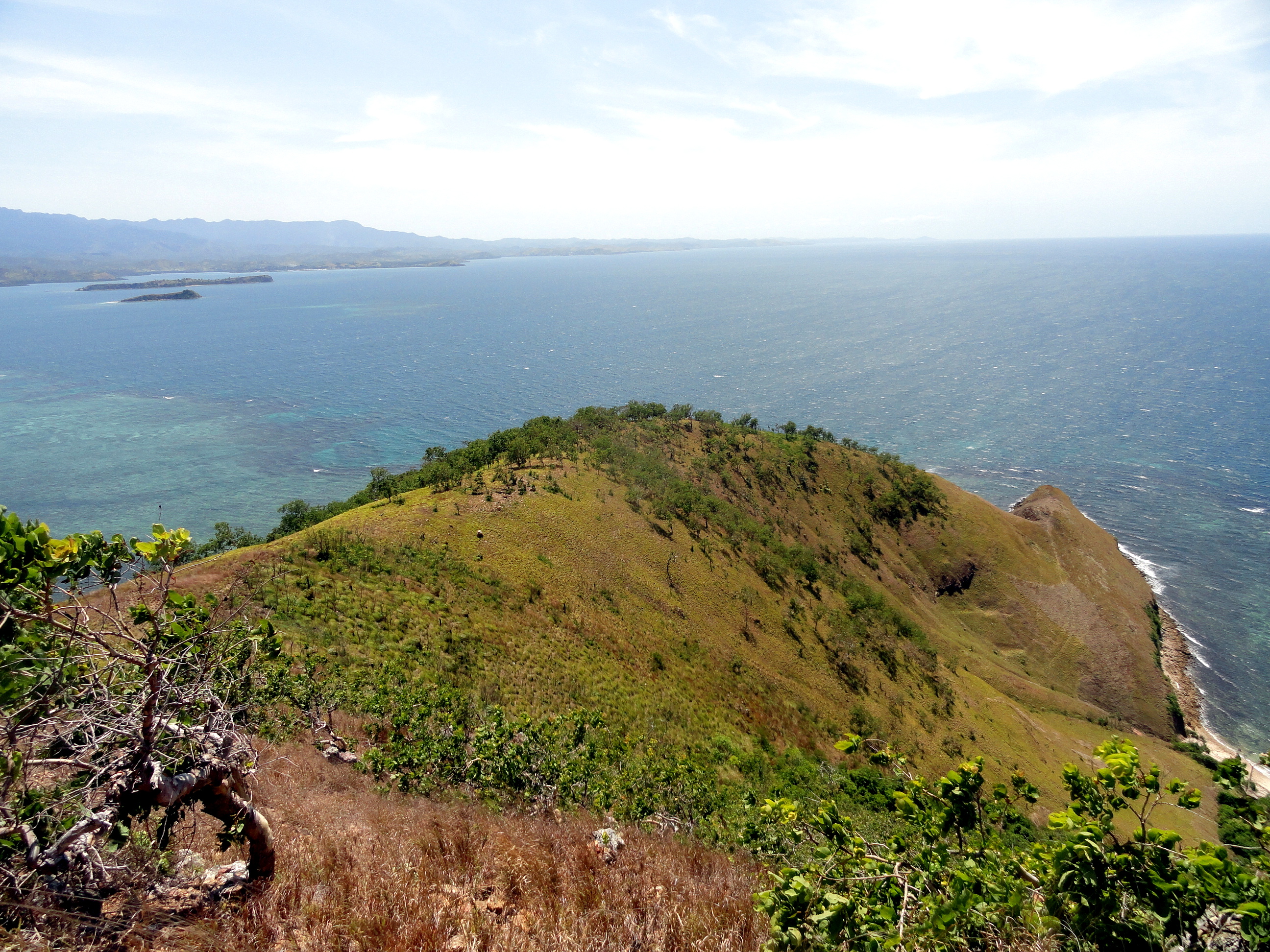
Now, again if this appears as planned: above is a coastal shot in which, if you look closely, you can see the (few) towers of downtown POM in the distance – from the same hike as the gorgeous yellow-grass hillside – and to the left you see both docking bays at the Tari airstrip. That Air Niugini plane is the one from which those other airborne shorts were taken.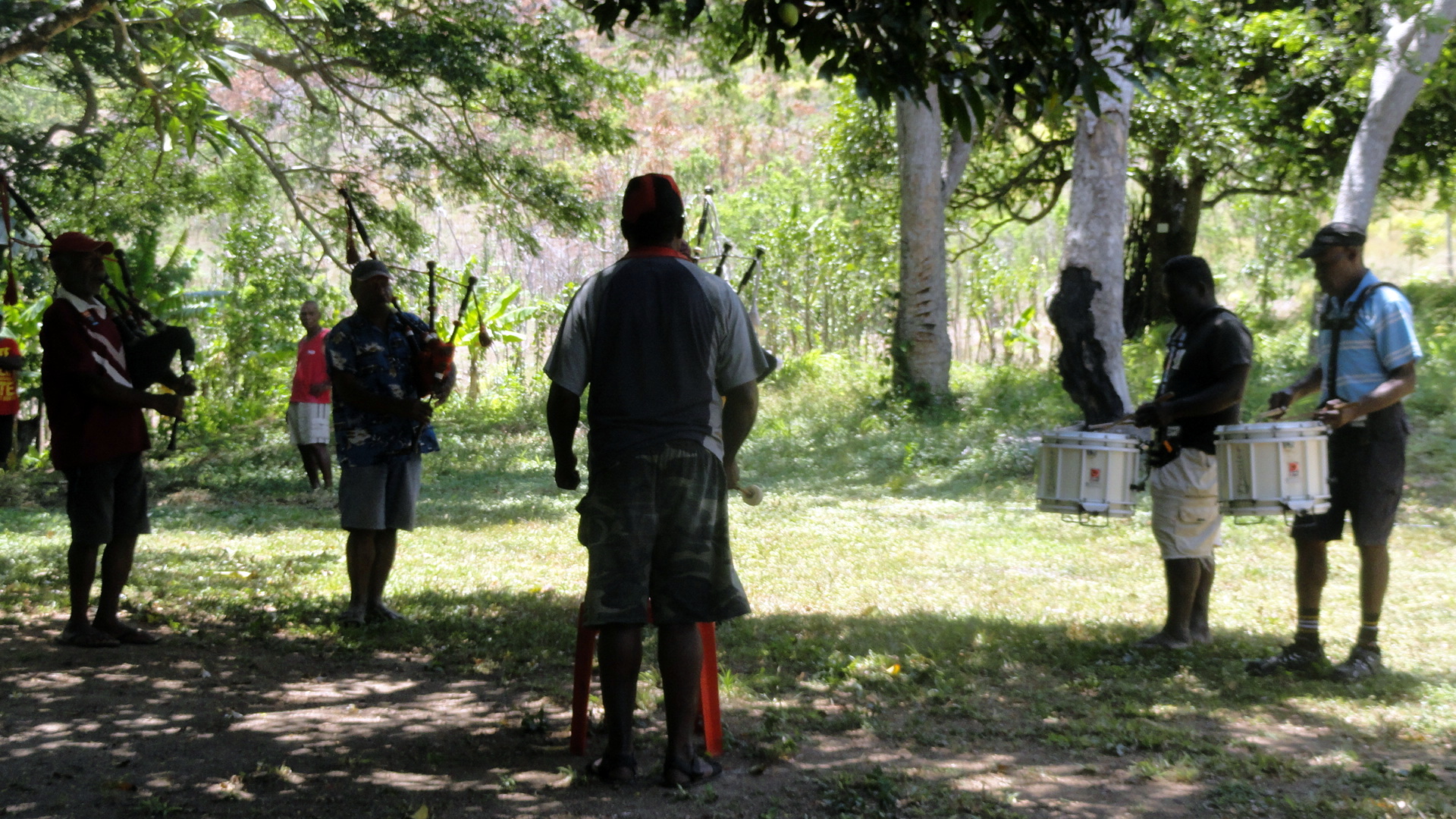

And yes, the drum-and-pipe band is part of the military barracks at Taurama, the start and finish point of our lovely coastal hike from which many of these shots come. After a hot hike in the blazing sun of tropical PNG, it was a classically where-am-I experience to sit and guzzle water while listening to militarily-precise drum-and-bagpipe music. Remember: the southern part of what’s now PNG was actually a direct British colony for a while, while the northern part became an Australian League-of-Nations mandate after it was taken away from Germany post-WWI.
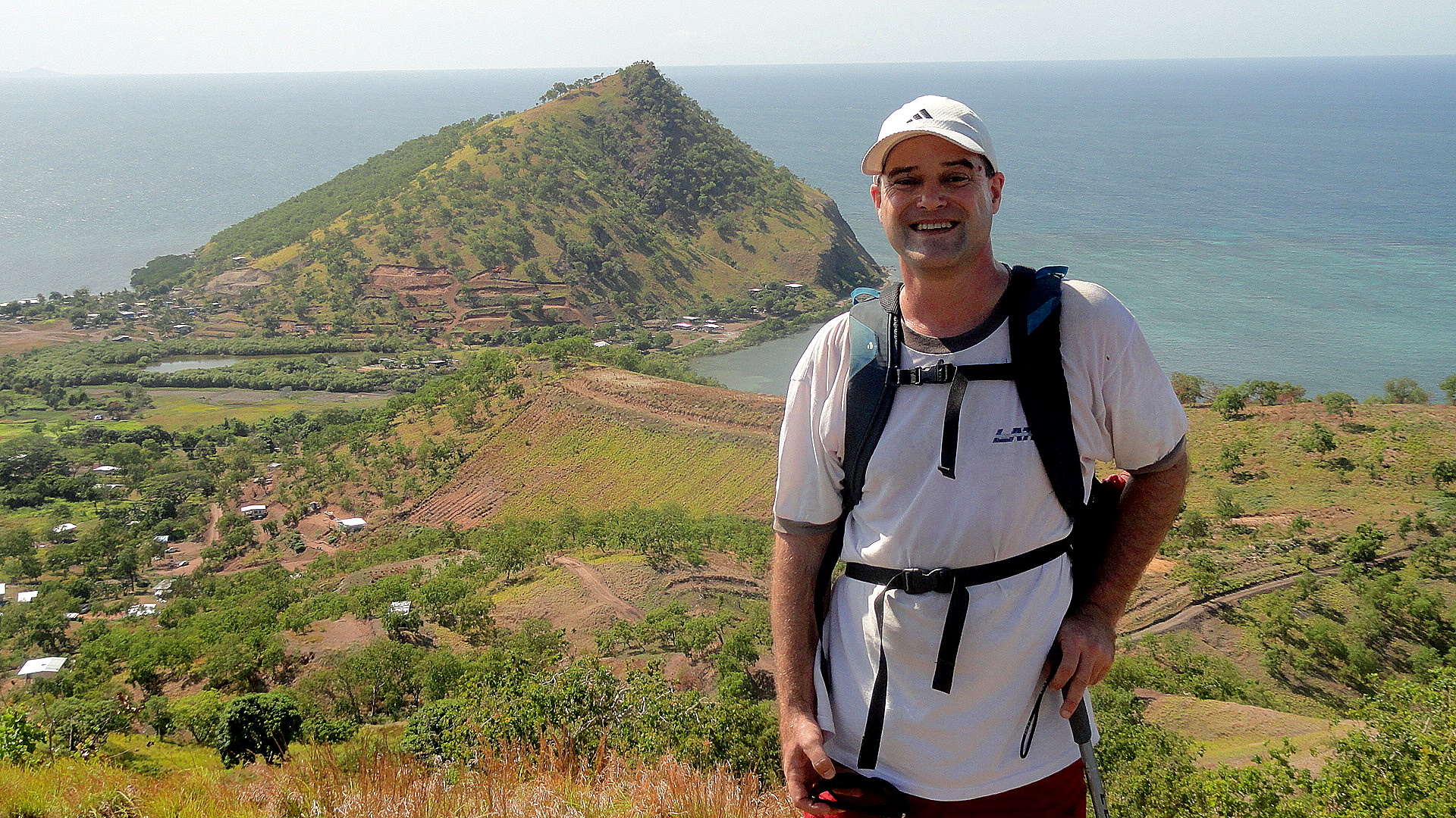


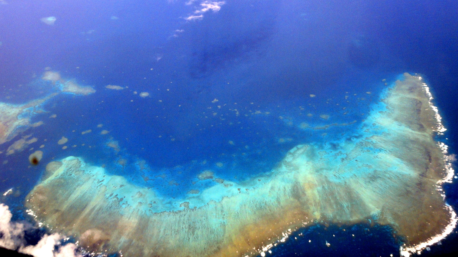
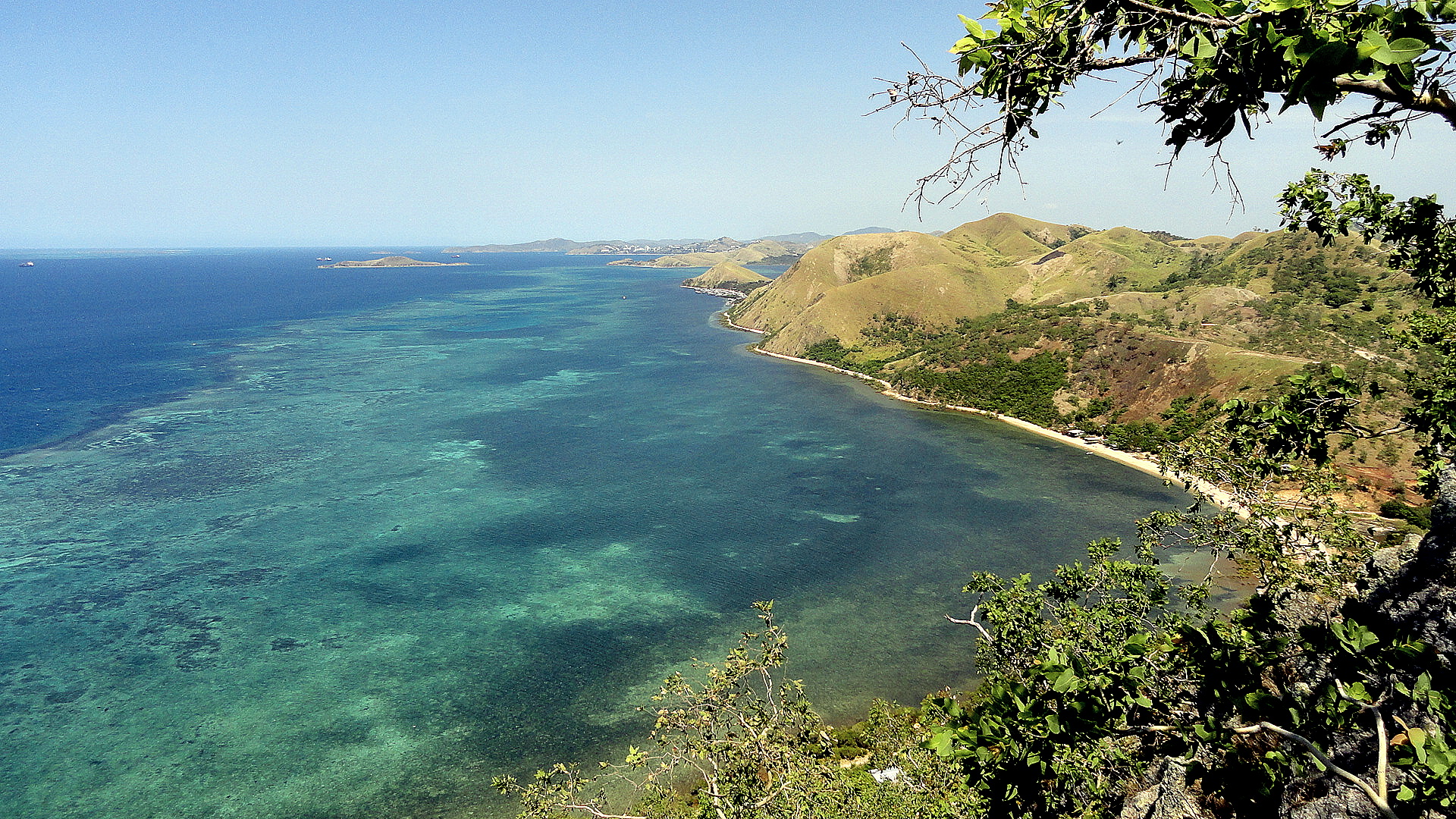

This seems as good a place as any for me to put some general text. So here it is a new year- how did that happen? it feels like just last month I was baking croissants for Christmas breakfast with Mom and Steve! – and here’s Paul being a lazy so-and-so in a spacious apartment full of the mod cons in Cairns for a week of much needed sleep and disconnection before I return to start thinking about how to make 2013’s plans come to fruition as we’ve … well, as we’ve planned them, to the extent that’s ever possible in life let alone this particular line o’ work. I haven’t much of a general nature to say: these are a collection of photos taken either on the last bushwalk group hike that I joined in 2012, plus some aerial shots from the plane taken between Tari and POM in December, and between POM and Cairns (the entire flight path, all one hour of it, is over the Coral Sea aka Great Barrier Reef, more or less) just yesterday.
As always when I leave POM and come to Australia, I find myself going philosophical about human development, the development of nation states, cultural expectations of what makes for a good life or a good community. The driver who took me from airport to condo was a friendly and professional guy who would have been born just after WWII, and whose attitudes towards those of quite different skin pigments and cultural assumptions were likely more mainstream at that time than now, though I suspect I do live in a bubble and such attitudes are more common even among “my sort” than I know. Having lived as a pigmental minority in various parts of Africa and Asia, I realize it’s unavoidably universally human to single out those different from us for extra attention. I worry about the tacit assumption among those of my own pigmental type and general late-capitalist developmental background that our own ways of life, belief, eating, etc. are inherently superior. Seems to me we’ve made a fair hash of things on a number of fronts, while having real successes on others, so rigorous self-righteousness is hardly in order. On the other hand, I am reminded that when westerners first showed up in Japan we were found quite smelly (butter-smellers, I think?) and barbaric…heck, this dismissal of those who look, smell and act differently from us may e the most universal cultural trait defining humans. So I held my peace and took my driver’s attitudes as a lesson in humanity, rather than a depressing view of cultural realities in contemporary Australia.
For those on my email list, there’ll be another bit coming out shortly with random thoughts, hopefully not too terribly long. I’ve chosen to stay on for a second year in PNG. I find the place endlessly fascinating and confounding, and the work we’re doing well worth another year of my trying to get better at helping it happen. May we all be as tolerant as our hearts and heads can permit, and may the world – oy, please! – find a bit more peace and reason in 2013, especially in places close to my heart like DRC and the US Capitol building.


Art, Architecture & Sydney’s Lovely Harbor

smw, slt has returned from a magnificent two-week vacation in Australia. The focus of this vacation was the Northern Territory and specifically Kakadu National Park. But since getting into and out of Port Moresby usually requires many connections and long waits in various airports, I chose to break up the trip by stopping in Sydney for a bit on the way in — where I took nearly all the shots in this particular post. In the floral section, below (yes, this blog post has different theme groups just so you can see I’m trying to keep it interesting and show a wee bit of editorial intervention…), you will see a few that were taken in Kakadu and one that was taken in Litchfield National Park…where, as Gene succinctly put it, we spent 1-1/2 hours on our way via Katherine Gorge (4 hours) to Kakadu. Where we spent four days. And could easily have spent another few without feeling bored, from my perspective. But it was a magnificent vacation, a great way to spend my birthday, and I am well rested and delighted to be back with my colleagues here in POM this Sunday evening, with what will no doubt be a full work week ahead of me. (The work inbox, which has now been turned on, is at about 133 emails I believe – actually not a bad toll for 15 nights away from my station!) Happy end o’ northern summer to those of you in the northern hemisphere – and hope you enjoy these.


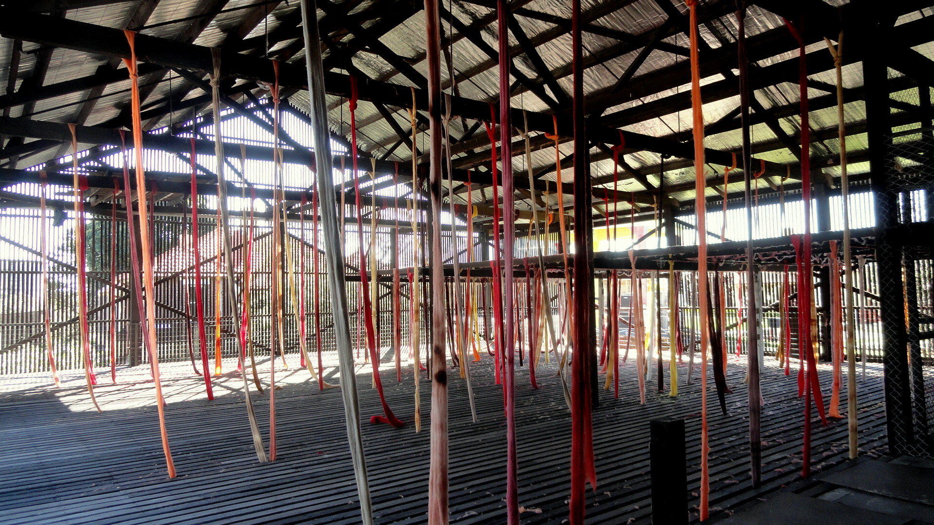
Above and in the following set of photos you see either Cockatoo Island in Sydney Harbor, or in some cases art installations, or the effects of art installations in the case of the mist on a clear sunny day above, at the Sydney Biennale. The Biennale is a fantastic large art show that takes place in many venues around the city, but with a major focus on this island well west of the main city, which over its post-European-arrival lifetime has hosted a prison and shipworks, and is now publicly held and open for tourism (great lodgings there, but not very easy access to restaurants etc.)…and, as you’ll see at the bottom, perhaps the best-located tennis courts I’ve seen. I’d have loved to play there.
You will notice that it was a day of bright sunlight and even though I arrived early, many shots were taken with bright mid-day sun so I just decided to go with the sharp-edged shadow look and try my own hand at a wee bit of artistic expression here and there. Hope you enjoy. 🙂



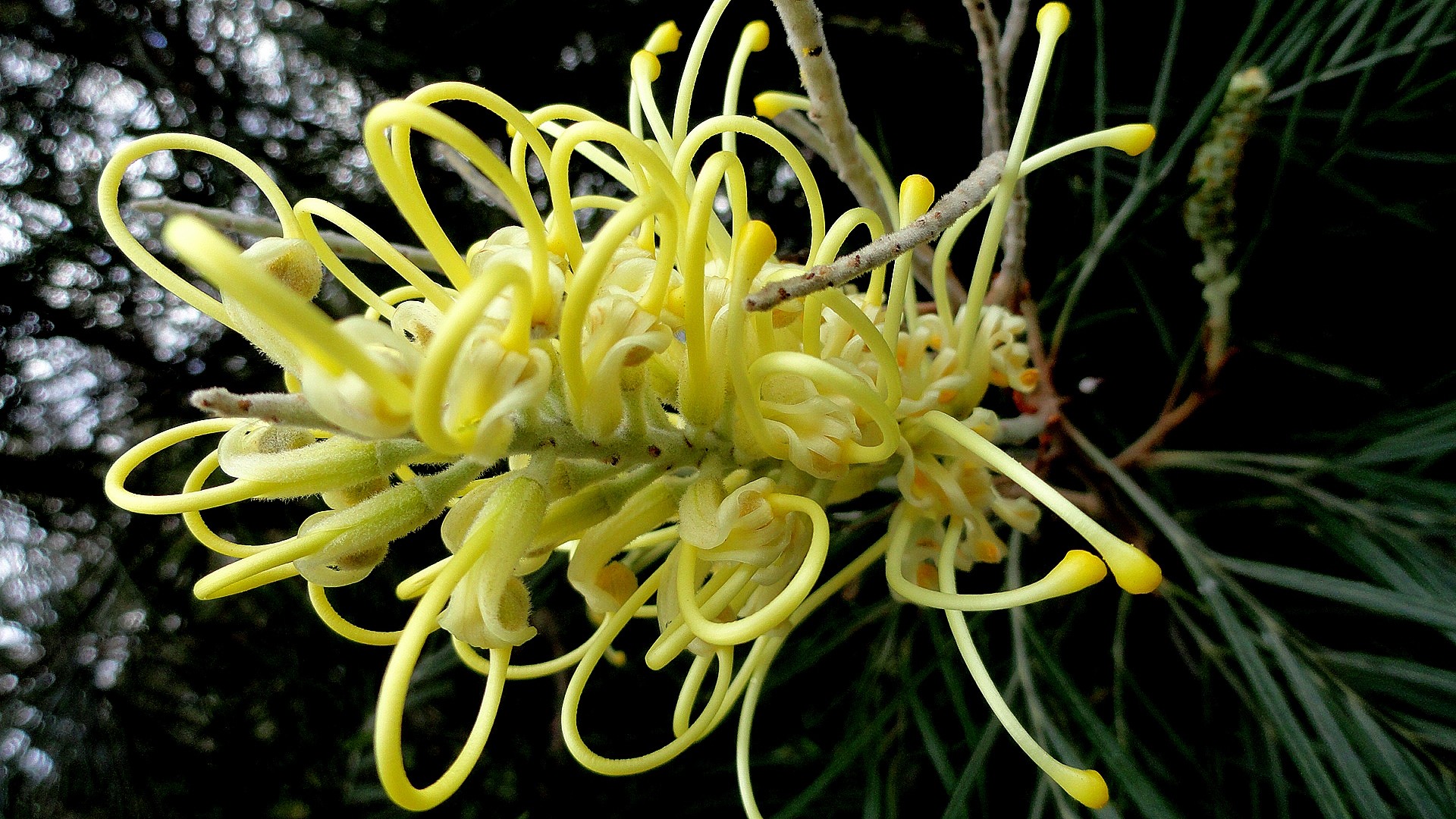
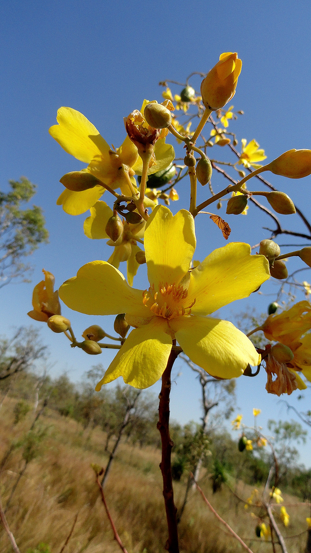
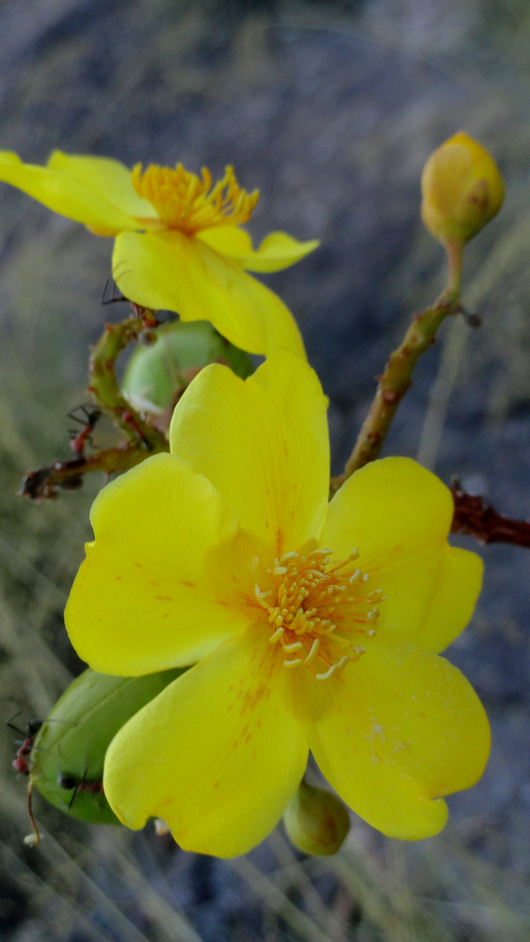
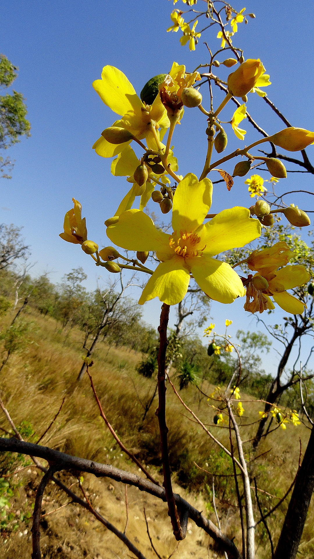
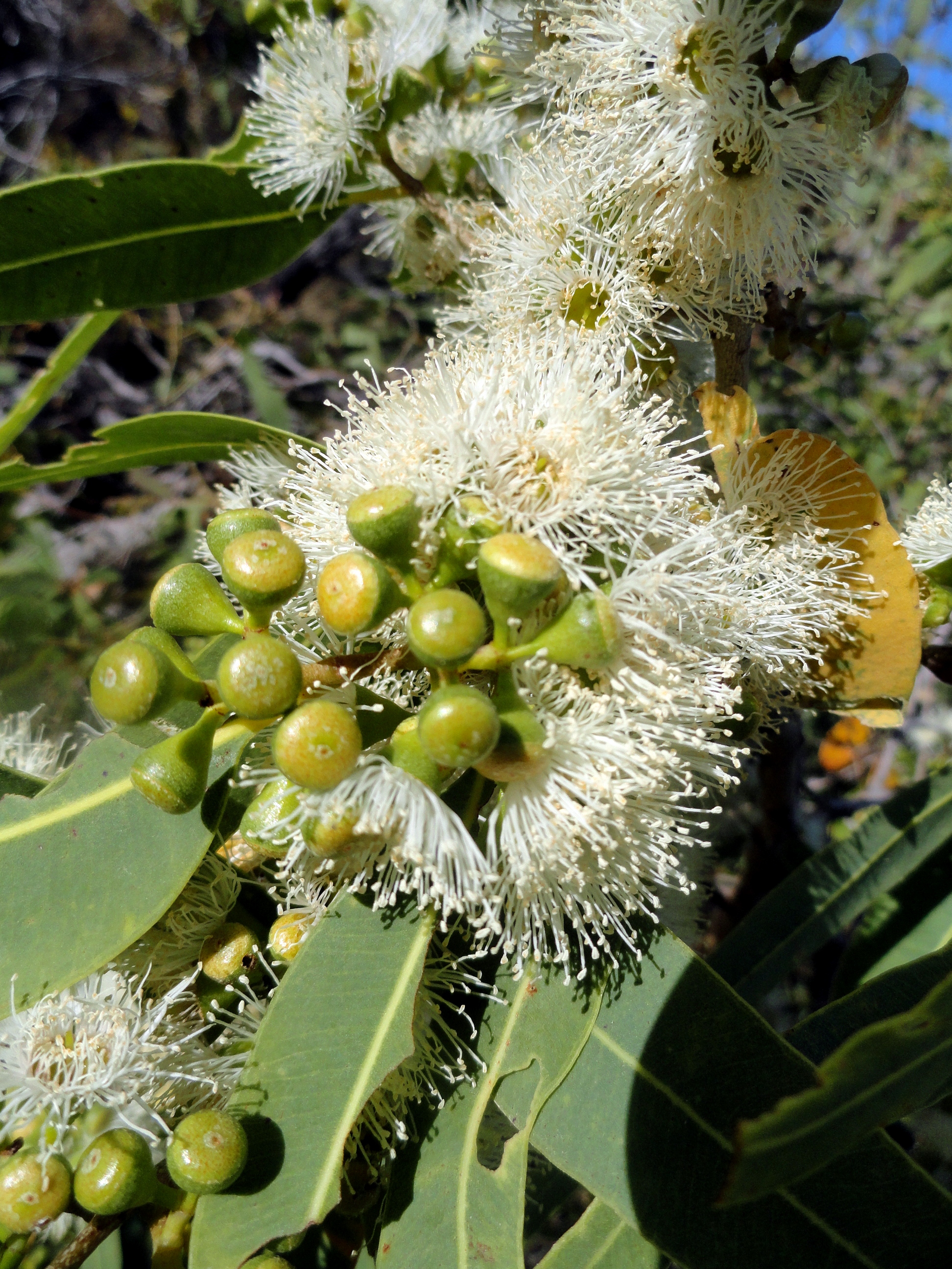
These yellow flowers appeared in every part of Kakadu where we traveled, so they are a teaser of the Kakadu photos that you’ll be able to see a bit later. We heard many times how they’re an important season indicator for aboriginal or traditional landownders — when they are blossoming is when the freshwater crocodiles have laid their eggs and people can go to the sandy riverbanks to dig for eggs.
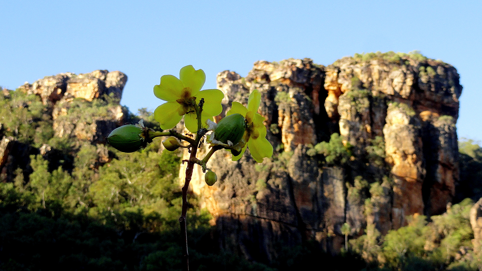
The shot immediately below shows the flowers in situ, at Ubirr in the north of Kakadu. There are many, many more shots of Kakadu to come – it was amazing. But I like to go about things in an orderly manner…
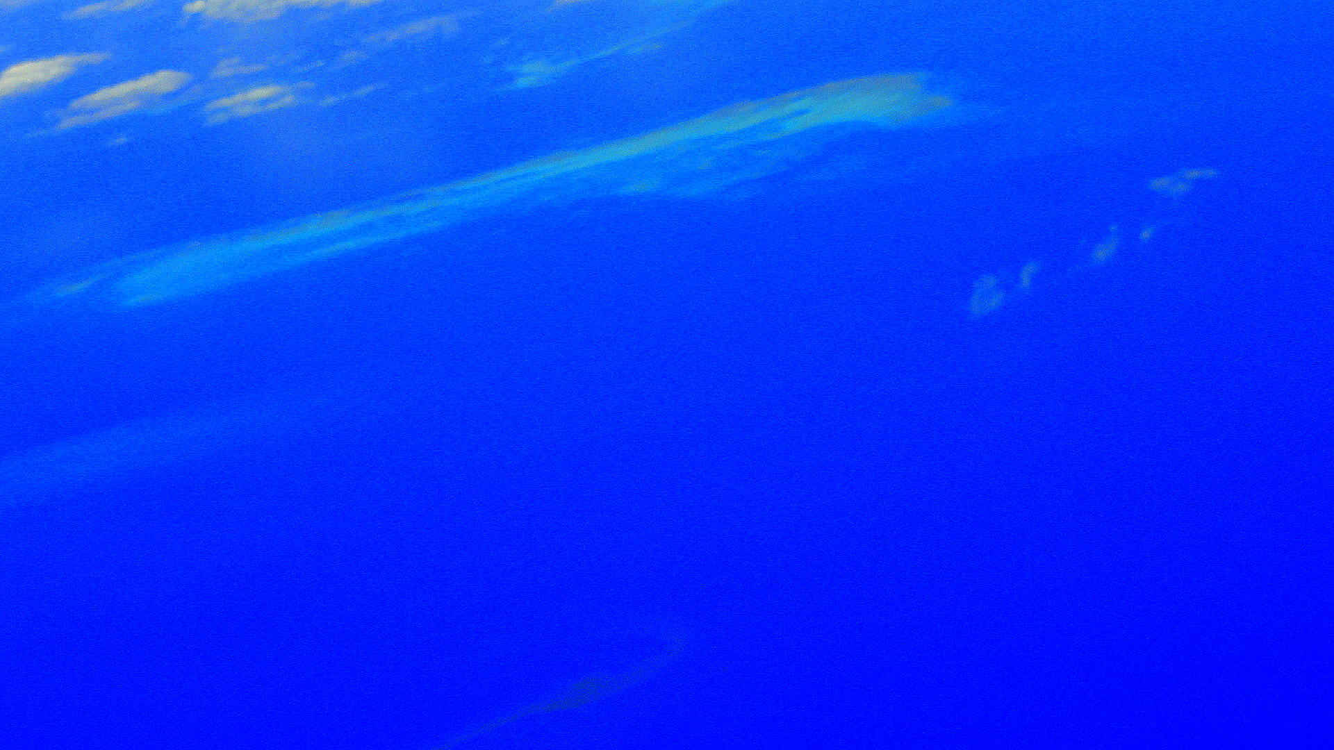
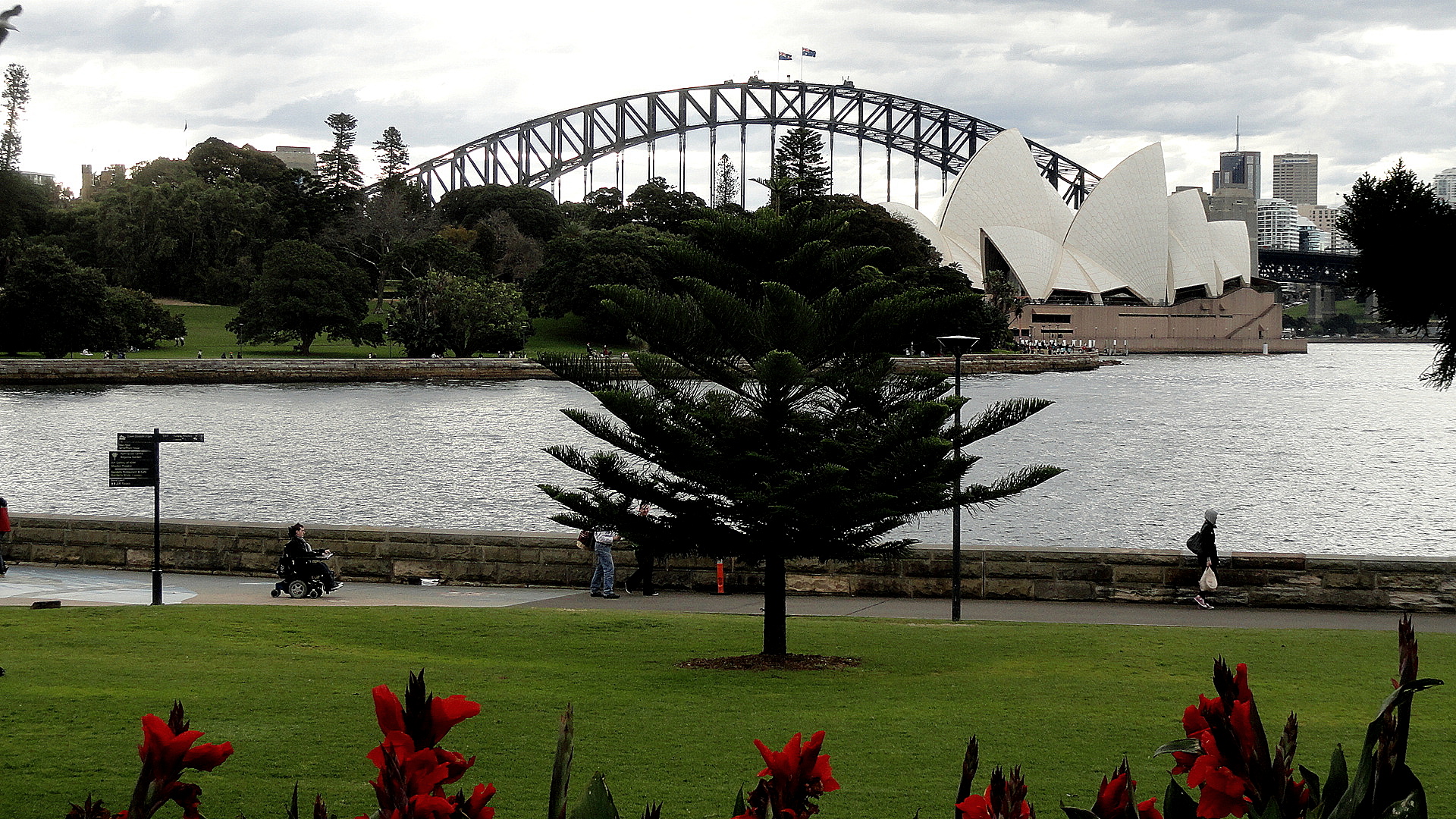
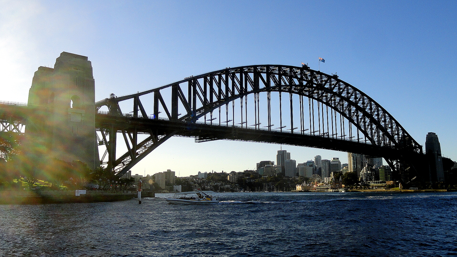
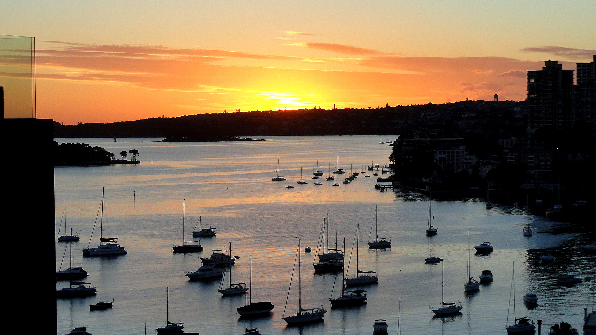
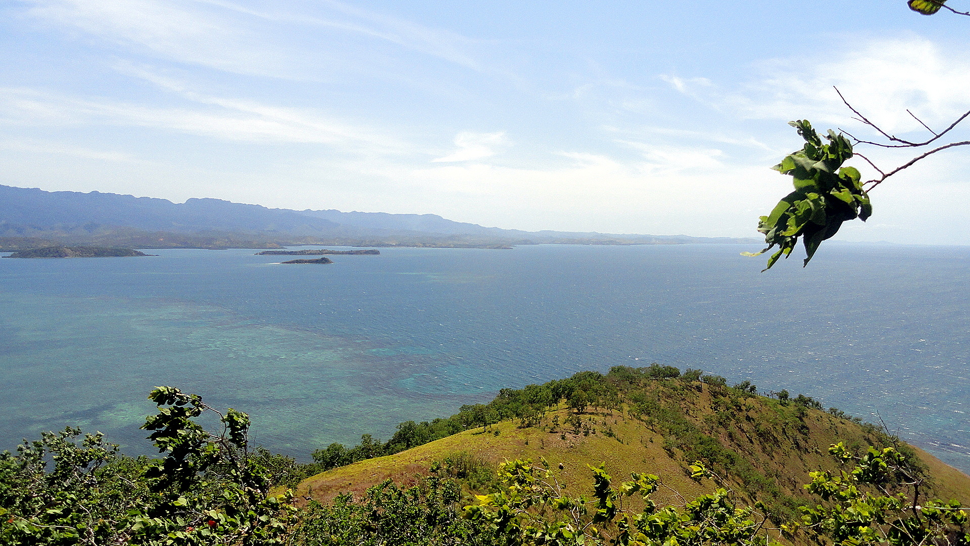
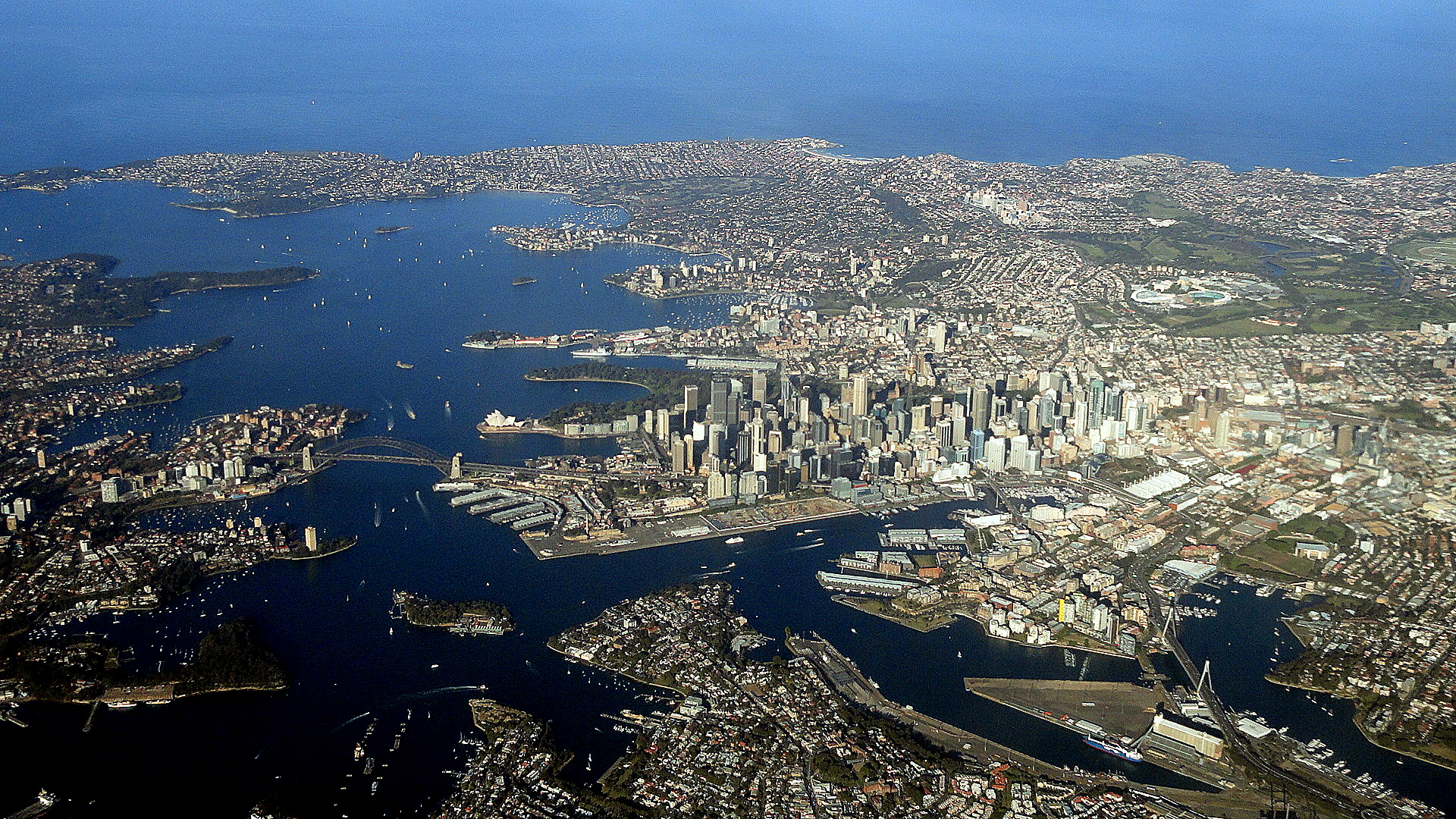
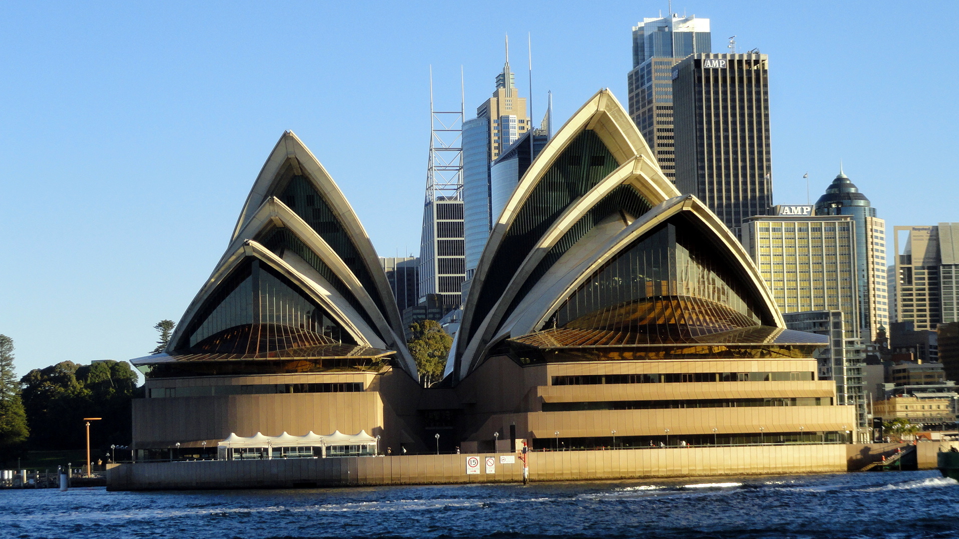
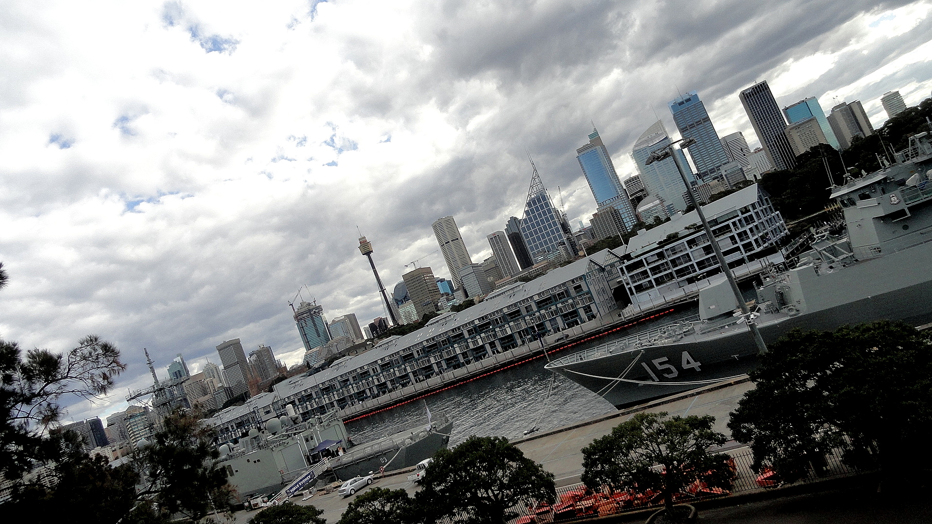
Having shown you my “artsy” cluster of photos and displayed yet again my fondness for flower photography, I will now show you what magnificent views I had from the window of my inbound flights on this vacation – first over the islands and reefs of the Coral Sea, above and two below (this is all basically in the area of the Barrier Reef), then of the coast just south of Sydney airport — I started the entry today with my favorite shot from my inbound flight. Then…well, who doesn’t love the Sydney Opera House? Perhaps I’ve overdone it, I’ll readily admit…but I do find it endlessly interesting from all angles and in all weathers. Close second is the harbor bridge, and just the Sydney harbor generally which I really do think is lovely. Hope you enjoy. Cheers til next entry…