From The Air.52

Islands.55
City Views.178
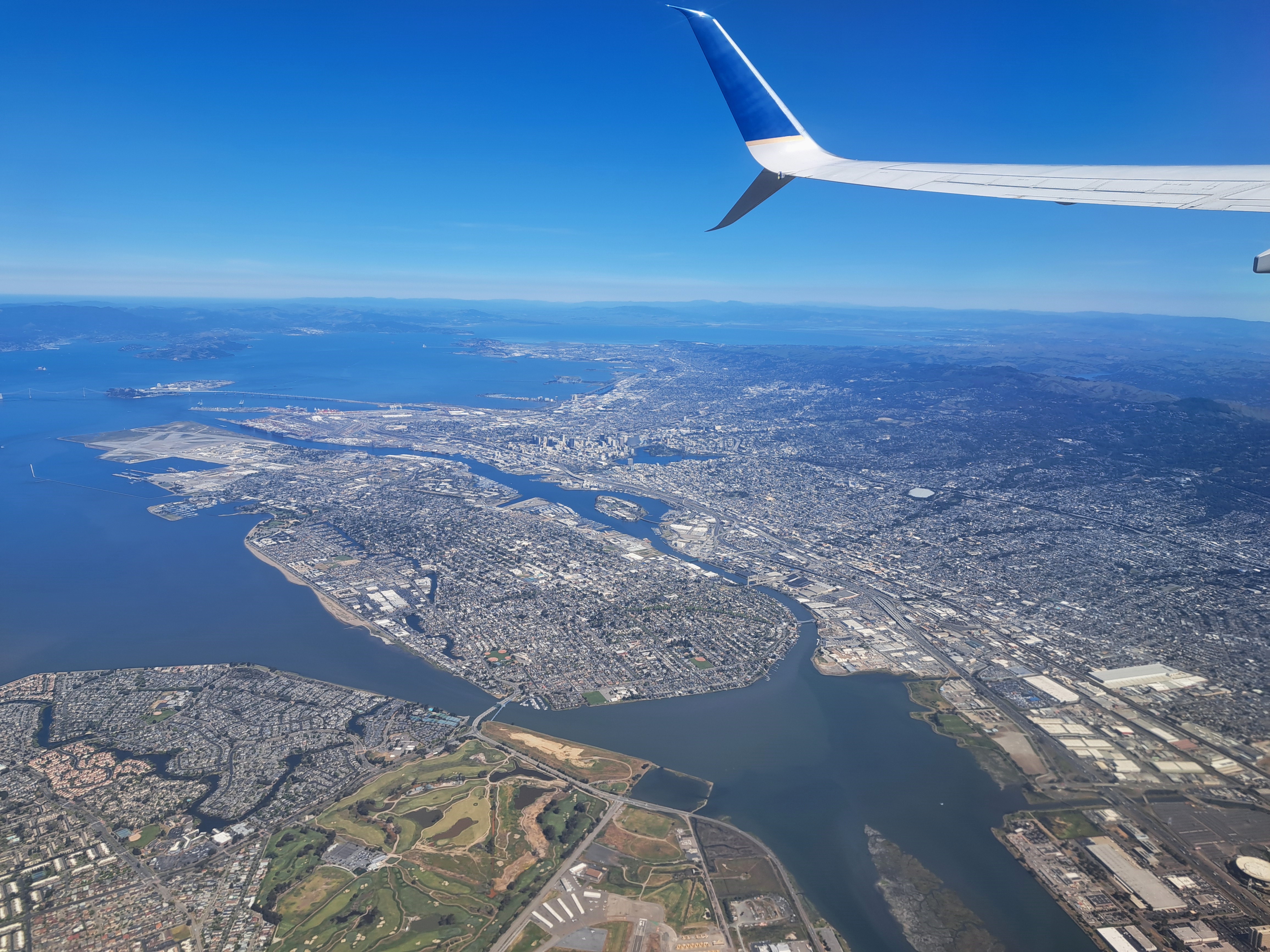
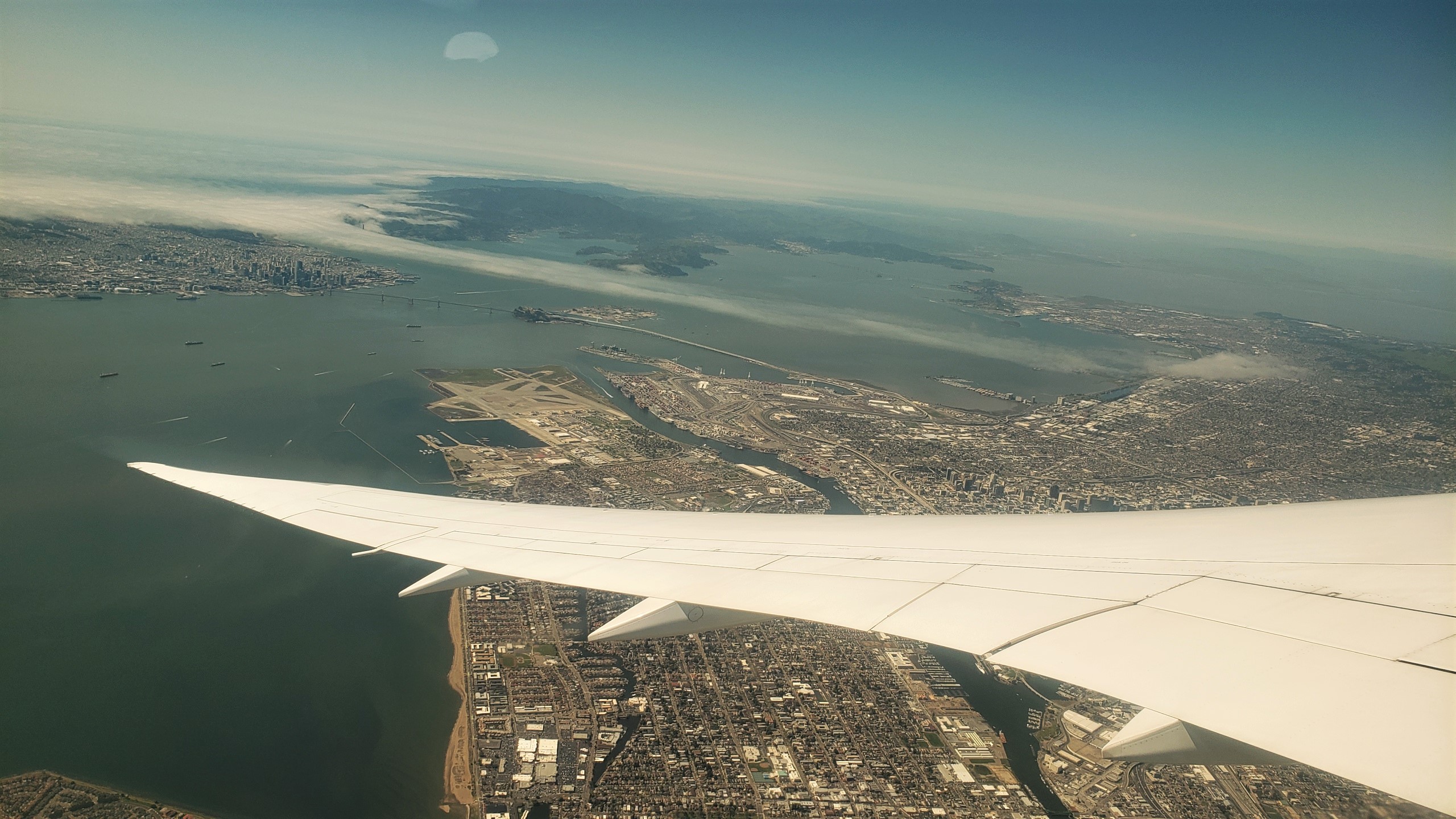 These views of SF and the greater region are from the take-off ascent when we flew back to Amsterdam two weeks ago. The photos at top and bottom were selected as highlights for two reasons. First, because they both show the atmospheric effect of heat in the central valley (more than 100km east – right – of what you see here) pulling cool, moist air — aka fog — in from the vast, cold and wet Pacific directly through the Golden Gate (not the bridge, but the small gap in the coastal mountains which the bridge spans) and then inland, following the river that drains the valley then flows into the bay, in the process flowing over both the city of San Francisco, and some of the surrounding cities to the north and east. Second, because they both also show you the lovely north bay and – if I had that degree of resolution – they likely look right over Sonoma Mountain and the other coastal-range mountains to show Santa Rosa, in its little bowl about 65km north of the Golden Gate. FYI, the bridge you do see is the Bay Bridge, its two spans connecting SF with Oakland and the east bay, forming the western terminus of Interstate 80, just as the George Washington Bridge forms its eastern terminus at the Hudson between NYC & NJ. The Golden Gate Bridge, by that particular Monday afternoon, was already well-wrapped in the fog you see :-).


On & Around San Francisco Bay

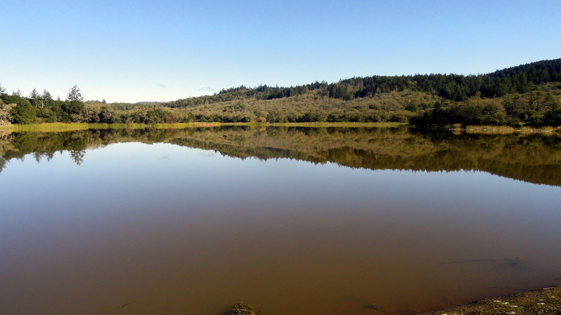
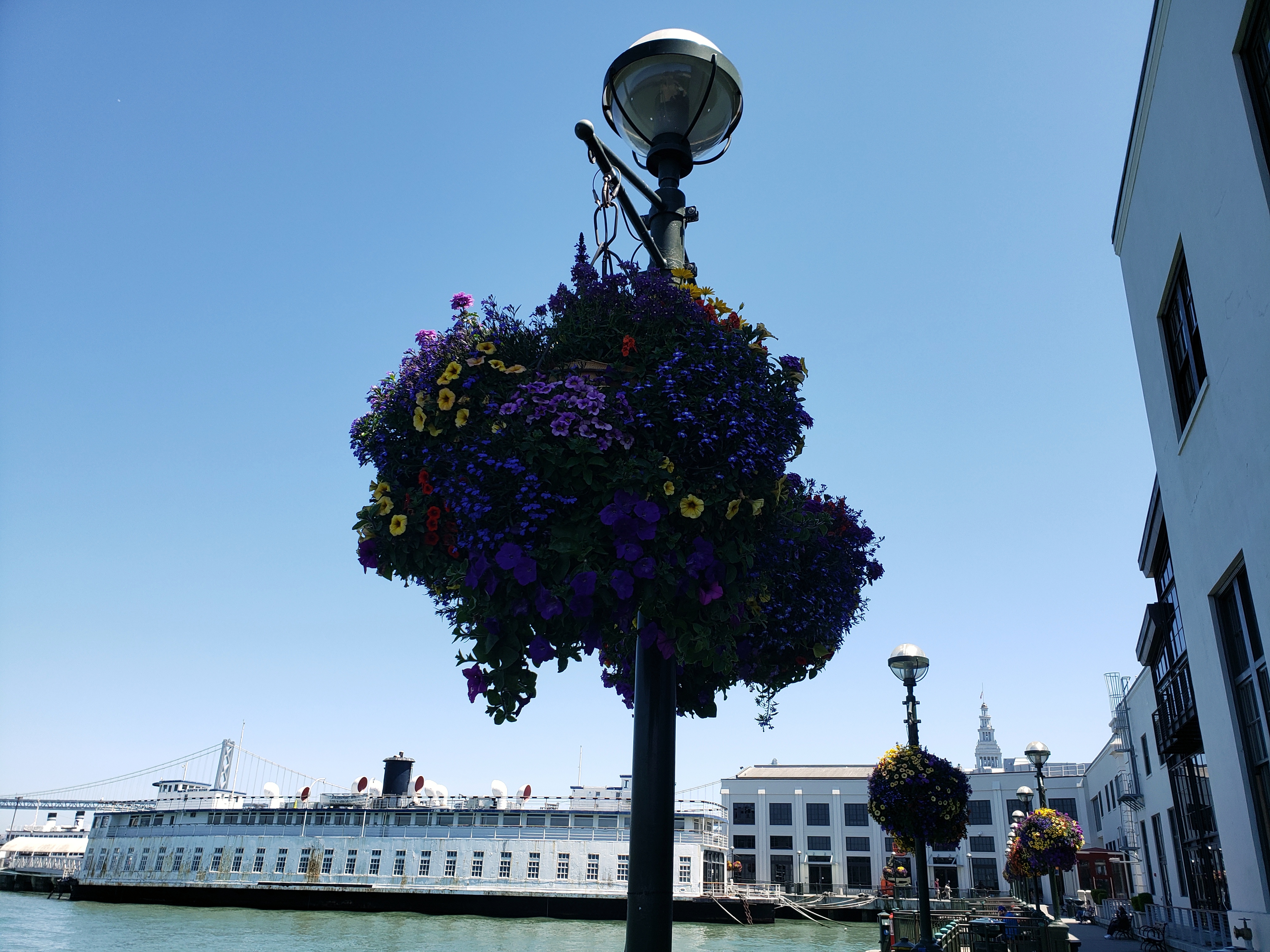
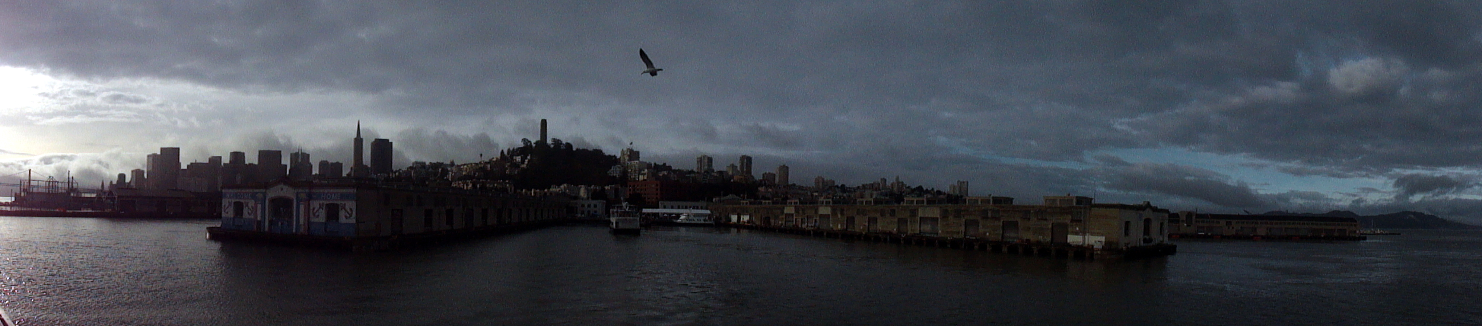 …plus a few remnants from a series one might call ‘airports of the world.’ smw, slt has not gotten out and about with the camera much these past weeks, but I did realize there was a small cache of photos from some boat trips on the bay, and some hikes in Marin and Sonoma counties, that had not yet been posted. Since I get a bit homesick sometimes when I’m so far away, I’m putting these up so that I have an easy way to scan over them from time to time and remind myself what home looks like. Maybe some of you will enjoy it as well. All the photos have descriptive file names that show up if you hover over them or open them separately, I think. In the slide show below, you’ll see a panorama which goes from the Bay Bridge on the left (east), across the full waterfront of northern SF, to the Golden Gate Bridge & Marin Headlands on the right (west). Further down you’ll see some hiking shots from the trails in Tennessee Valley (Marin county), and Annadel State Park & Hood Mountain Regional Park (Sonoma County). In one of them you’ll see frost on the ground in the shadowy foreground: that was Christmas day last year – ah, how I long for frost on a hot afternoon here in Port au Prince! At the end are some photos of me and friends – at Wolf House in Jack London State Historic Park (Sonoma County) … and, well, me looking as lost as I felt, with some colleagues in Casablanca airport on my way home from Sierra Leone, last December. Our flight out of Freetown had been at some crazy hour like 2 am or 3 am or something, so we took the ferry over to the airport at 10pm or so, and snoozed in the waiting area and then flew for three hours to Casablanca to land at something like 8 in the morning. Oy, airports in which we have waited listlessly: might be a future series, what do you think?