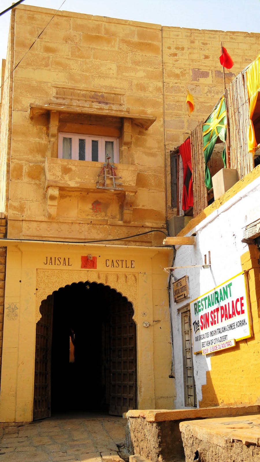
Welcome to Jaisalmer: Havelis & A Golden Fort

In the fort at Kumbalh Garh, I heard again the soft swish of a camel’s feet across the ground, and got to share it with Howard to whom I’d been describing it as we saw wild or feral camels wandering the desert from our car as we traversed the desert from Jodhpur to Osian to Jaisalmer and back again, then down to Kumbalgarh en route to Udaipur. Accustomed to the sharp clippety-clop of horses’ hooves — or, in India, of the myriad cows around whom we’ve wended our way through the streets of all those towns — this sound brought me up short the first time I heard it, several years ago in a very different place. Here by the Great Thar Desert, near where the tides of history and colonialism sliced a tense and bloody new international border back in 1947, it’s more than just the camel’s swish that takes me back to those days at the edge of another great desert far to the north.

 I’d never heard the camel’s swish until I was walking back to my little guest house by the banks of the Yellow River in Zhong Wei, in Ningxia near Inner Mongolia where the red dunes of the Tengger Desert meet irrigated fields and a minor tourist attraction that mixes riding the dunes (sled, camel, you name it) with riding the river (raft) plus the usual range of Chinese tourist kitsch. That particular trip was my first vacation in this MSF life – a lovely, lonely exploration of remote zones at the fringe of Mongolia’s desert, and Tibet’s roof-of-the-world Plateau (in southwestern Gansu). It feels long ago and far away, but those swishing feet took me right back in a heartbeat to how enchanted I was, as the line of riding camels being led back to their stables swished past me along the asphalt road that walked me slowly home to my bed for the night after a hot day of wandering in the desert and enjoying the big sky.
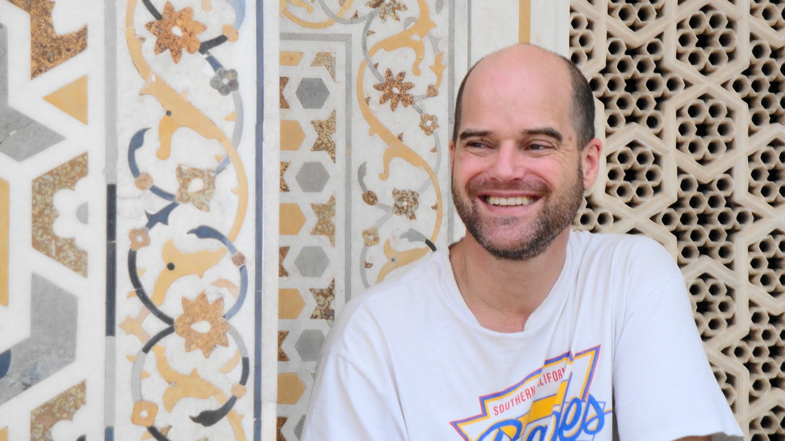
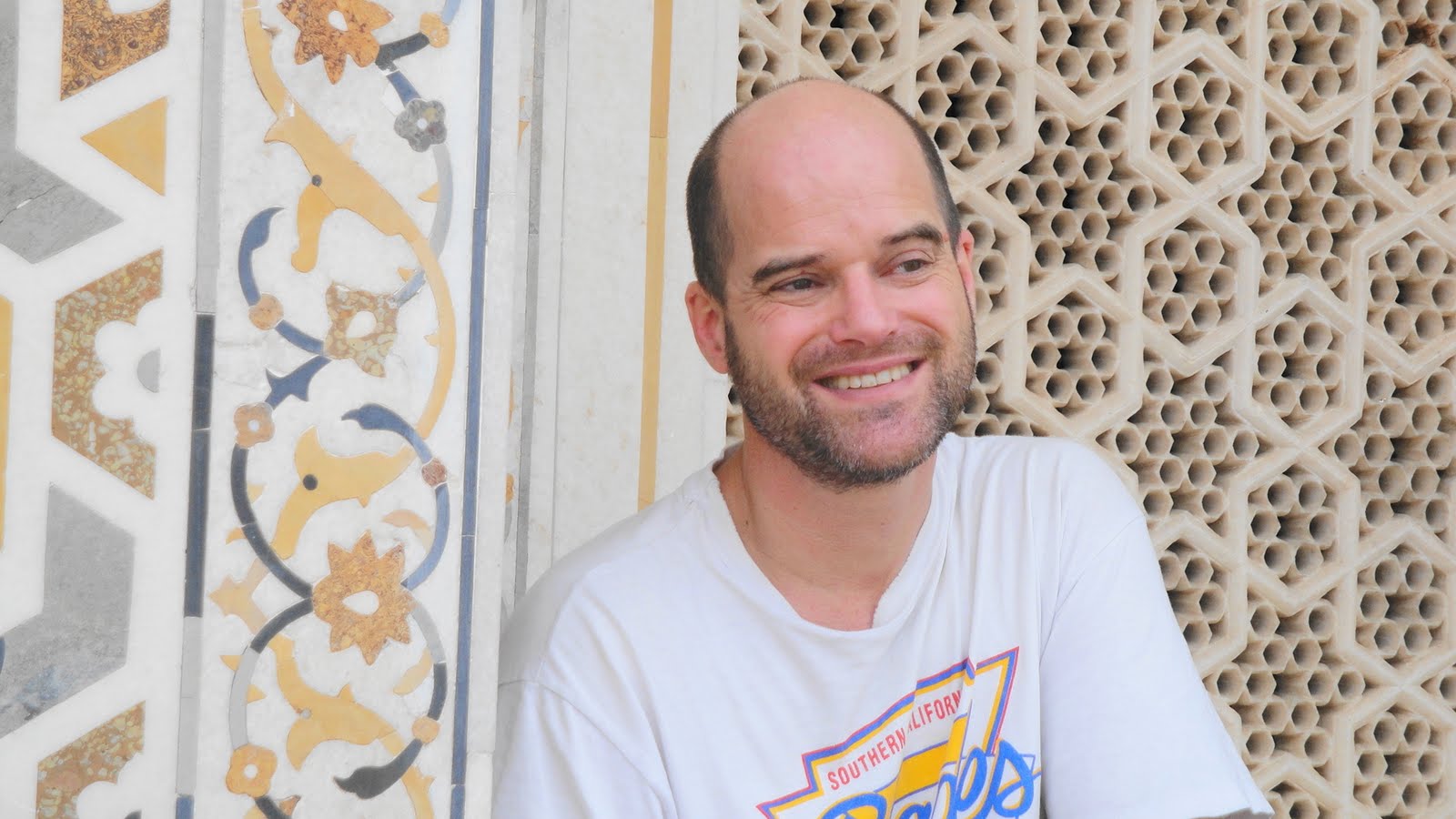
 Though I’ve flown over the Sahara a few times, and driven through parts of the Sonoran Desert en route from Ohio to LA a few years ago, this is the first time I’ve really spent any quality desert time since my sojourn in the sands of the Tengger. It feels right for this to be my first vacation during my time in India — I work about as far east as you can get in India, and now I’m vacationing about as far west as you can get; I’ve left an area few people from outside (and some inside) don’t even know IS part of India, and come to towns that utterly epitomize the idea of romantic, royal, historic India. As you see in these photos, we’ve seen everything from desert forts to city palaces, from little Jain temples to the most famous tomb of all time.

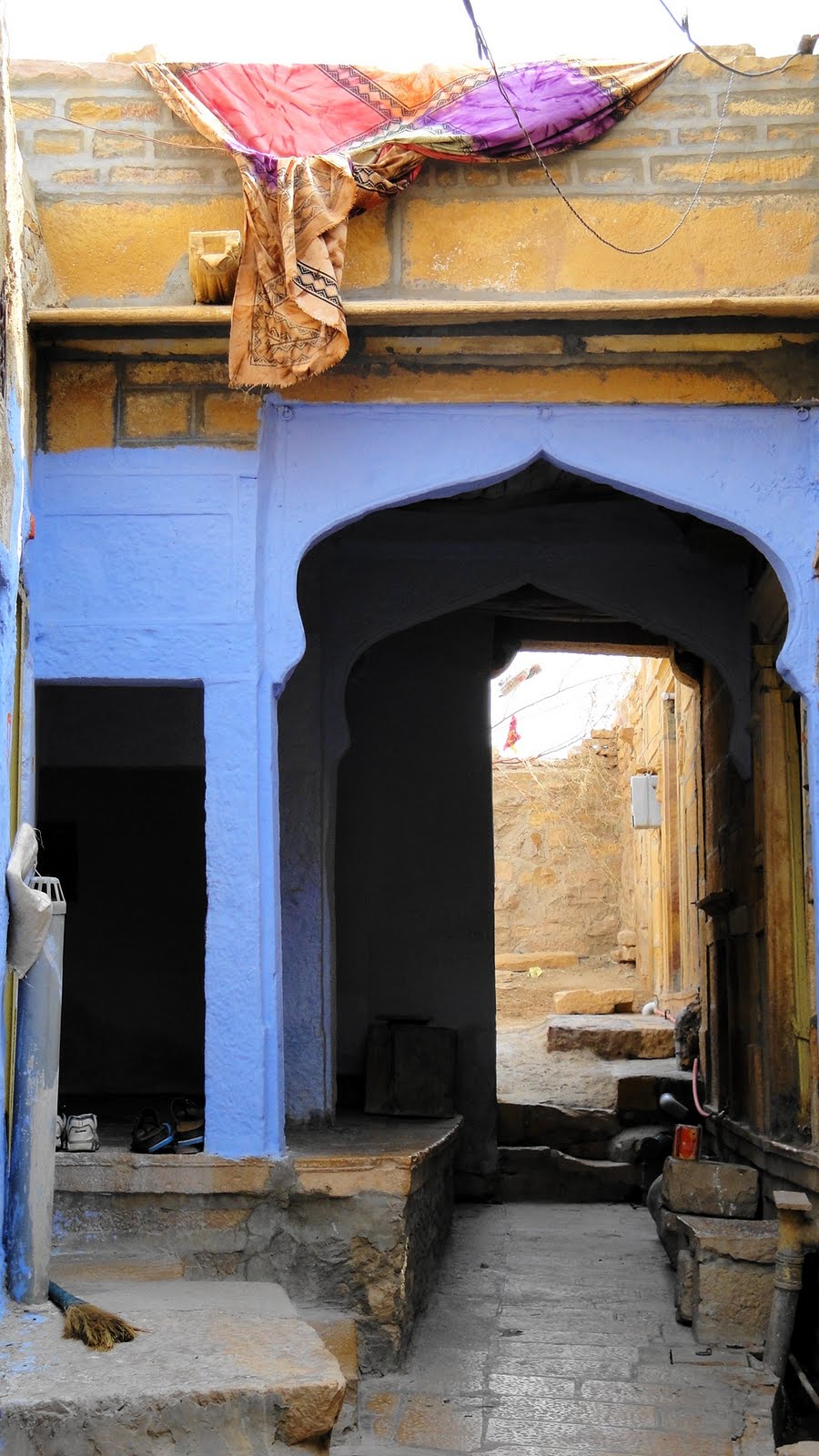
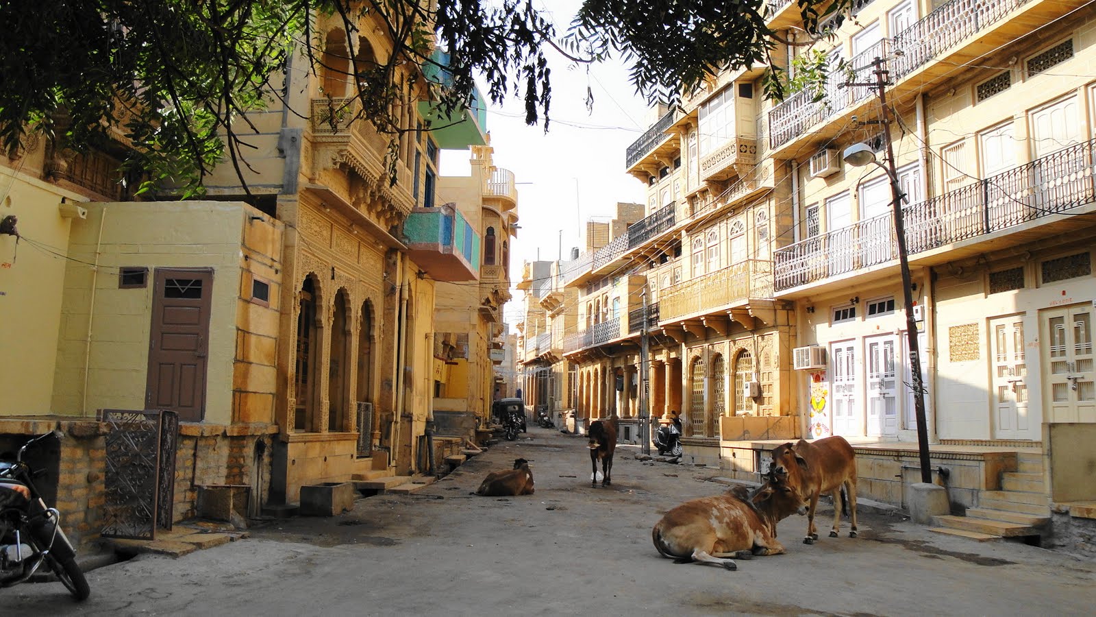
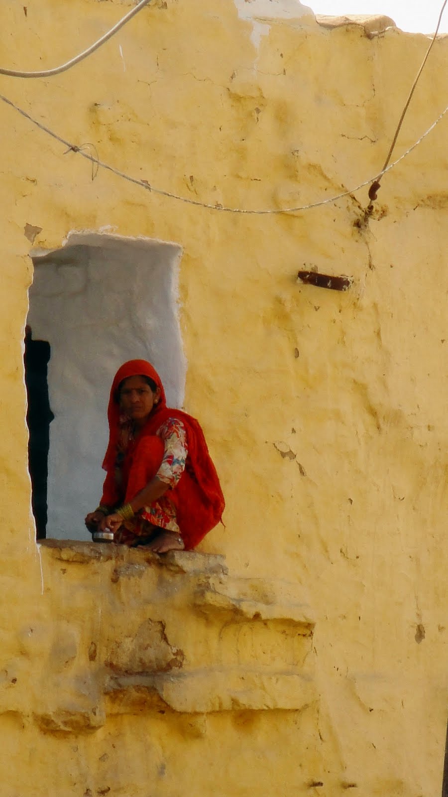
 But for some reason I suspect these aren’t the images that will evoke my own memories years from now. I think – I hope – that those will be the more life-sized memories, like the camel’s swish. Already I think of the rows of women and men on the winding back roads we drove through the Aravalli Hills balancing enormously outsized bundles of dried stalks (corn stalks? I think?) on their heads — though obviously light since they were dried stalks of a lovely tan color, standing out nicely against the often colorful saris of the women and turbans of the men, these bundles were really quite enormous, perched there on people’s heads. Since all we did was drive past dozens of such pedestrians as we rattled along the bumpy hill roads from Jodhpur to Udaipur, I never had a chance to take any photos but I suspect the images will linger. Or the round earthen huts with conical roofs of branches and thatch, dotted around the Thar Desert countryside before Jaisalmer — usually with a few scattered camels munching from trees (you never imagined that camels can look almost like giraffes when they eat chew on a tree, did you?) as well. Repeated swerving to avoid not only jillions of motorbikes and motorcoaches and cows crossing, but camels as well. These and other impressions – dusty dryness, bumpy roads, dodging cow pies on the streets of every town we’ve walked through, fending off touts and endless streams of children who wanted nothing more than to repeat hello and ask ‘where you from?’ a few million times as we wandered the back streets of Old Jaisalmer below the fort…these images will have to live in my memory since most of my photos were devoted to the more typically touristic and photogenic themes.

 I needed this break from my work in Manipur. For all kinds of reasons, I really don’t like to talk shop here on the blog. (But if you’re in the US and interested in understanding more about what we do here in the field, by all means go soon to www.doctorswithoutborders.org/livinginemergency for a film about our work.) But work is, after all, just about the only thing I do when I’m back in Manipur; and as I’ve said to many colleagues and friends over the years, we don’t go somewhere to provide medical care because it’s so easy everyone else is doing it and we just had to join the rush. As it were. BTW the 2008 activity report for India features a b/w photo from one of our clinics at the top, and talks about our clinical work in Manipur, though it’s already outdated since we started working in a fifth location during September. Link is

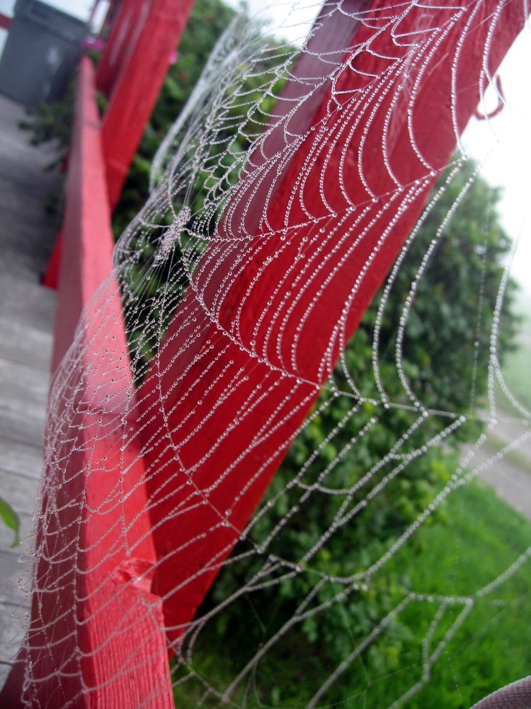
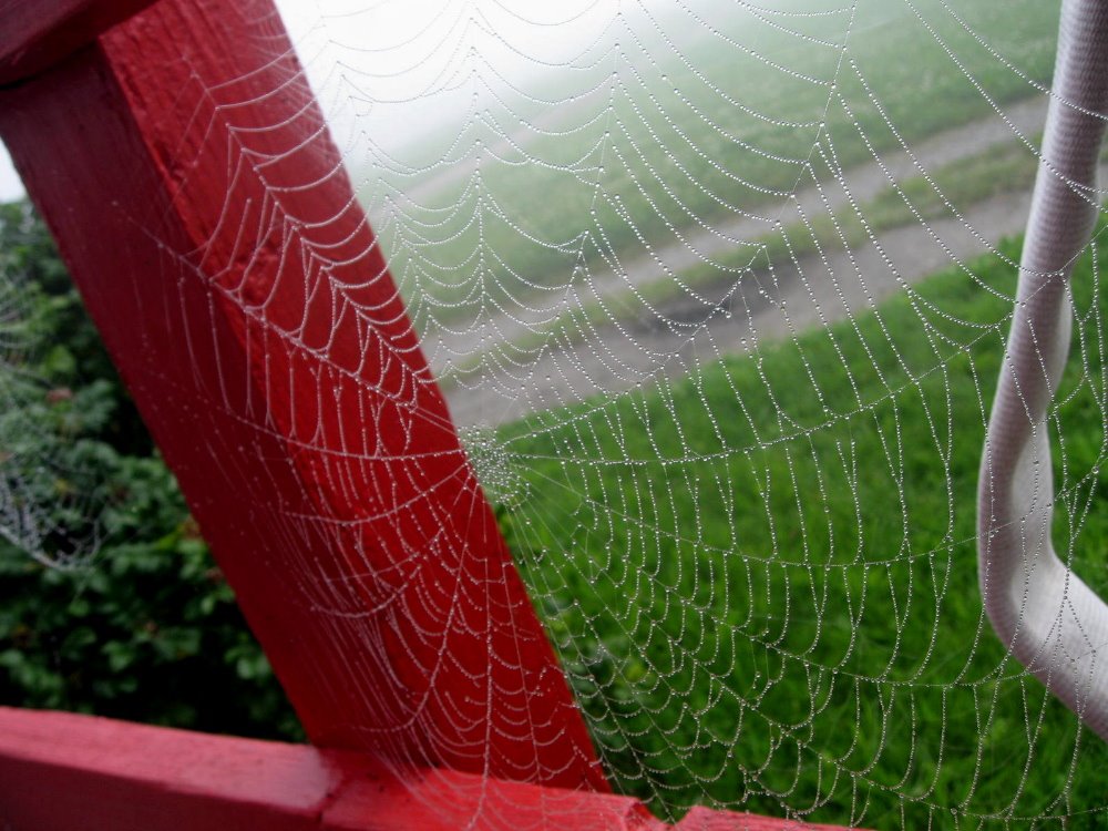
 My first three months of work at Manipur have likely been the most tangibly productive work months I’ve ever logged (even stretching back to the hardest days of my business career), and I’m very proud of the work we’re doing, of the fantastic team and colleagues we have, of the support we receive from the many communities with which we work. I think I’ve worked harder and more intensely than ever before during these months, and I suspect I’ve had some depression side effects from the malaria prophylaxis I was taking for a few months. I was really pretty darn exhausted, and if I’m honest with myself I’ve often thought a nice quiet job waiting tables in some lovely seaside joint in coastal California sounds like a nice change of pace. I also have a sneaking suspicion I might have rushed into this work a bit more rapidly, after completing the work with Mom’s house, than I really ought to have. Oh well, done’s done and it’s a great thing I’ve been able to take nearly two weeks as a break from the daily work in Lamka. I’ve written this note on a rare rainy November morning (there’s a cyclone that just missed Mumbai and has brought unseasonal but welcome rain to southern Rajasthan) in Udaipur, while Howard & Gene have done a four-hour roundtrip drive to another palace south of town. Given the time I spend bumping over remote roads in my work life, somehow the chance to hang out in this lovely hotel retreat in the hills south of town (photos at the end of the Udaipur section) struck me as a special chance to unwind further before my return to work. I hope you enjoy the photos. As always, drop a line if you’d like. Peace.

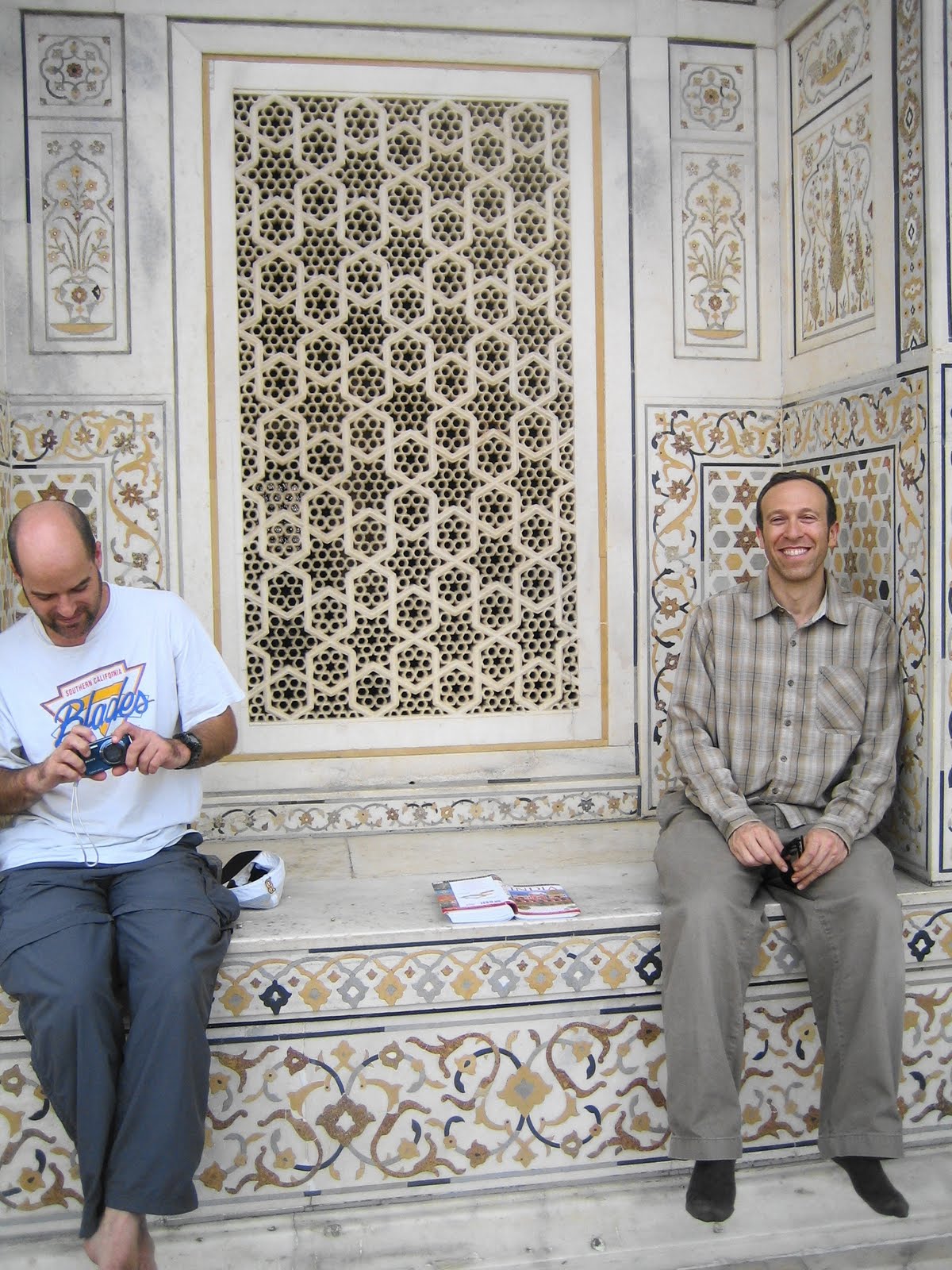
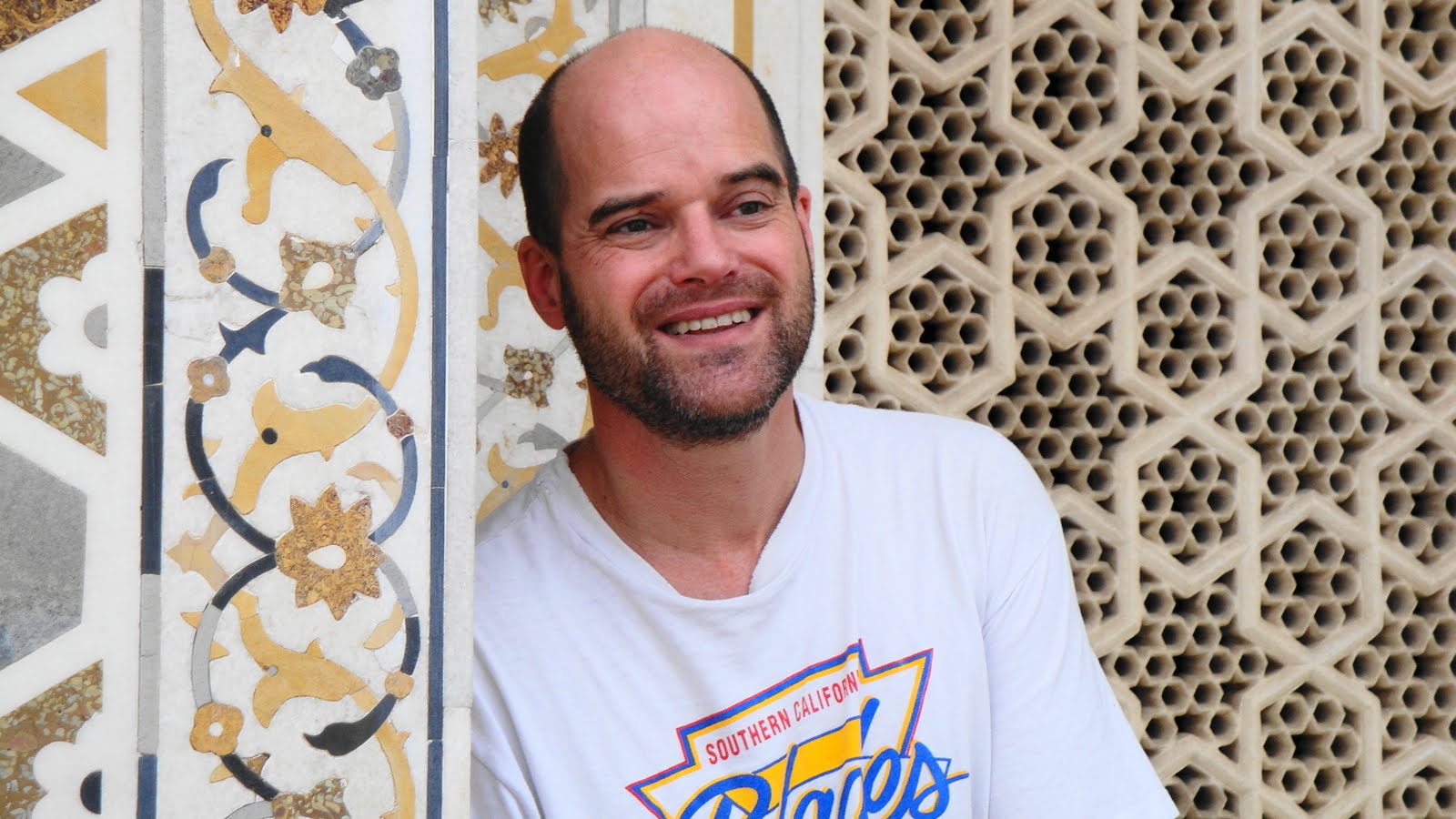
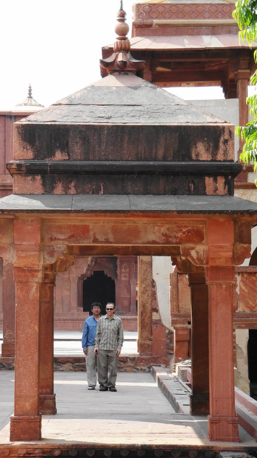
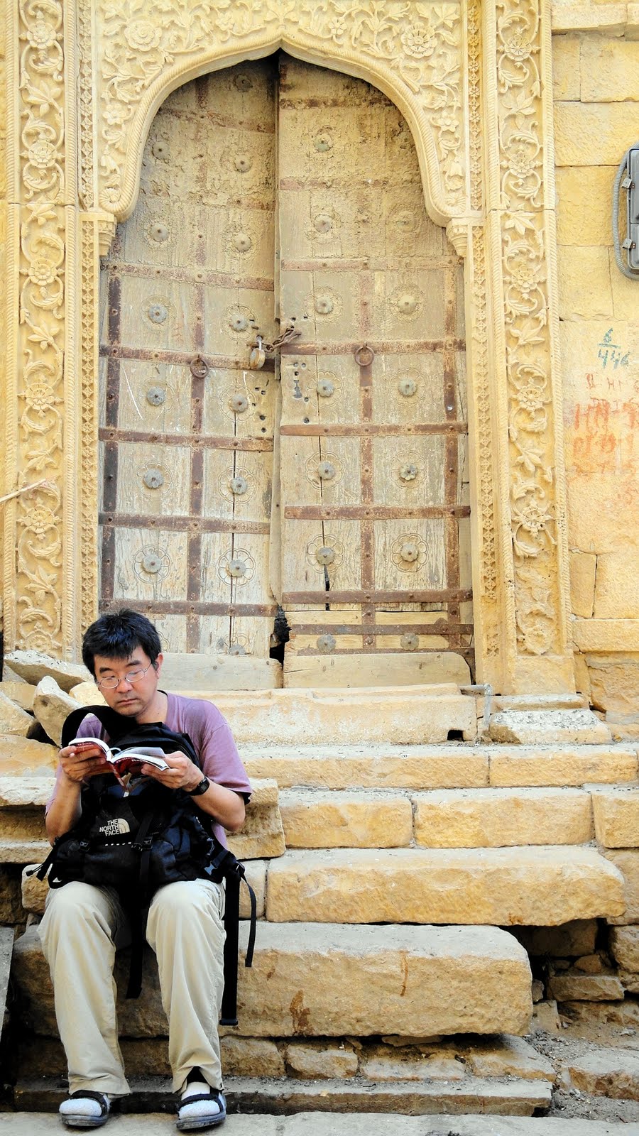 …Gene likes his guidebooks. Howard likes his temples.


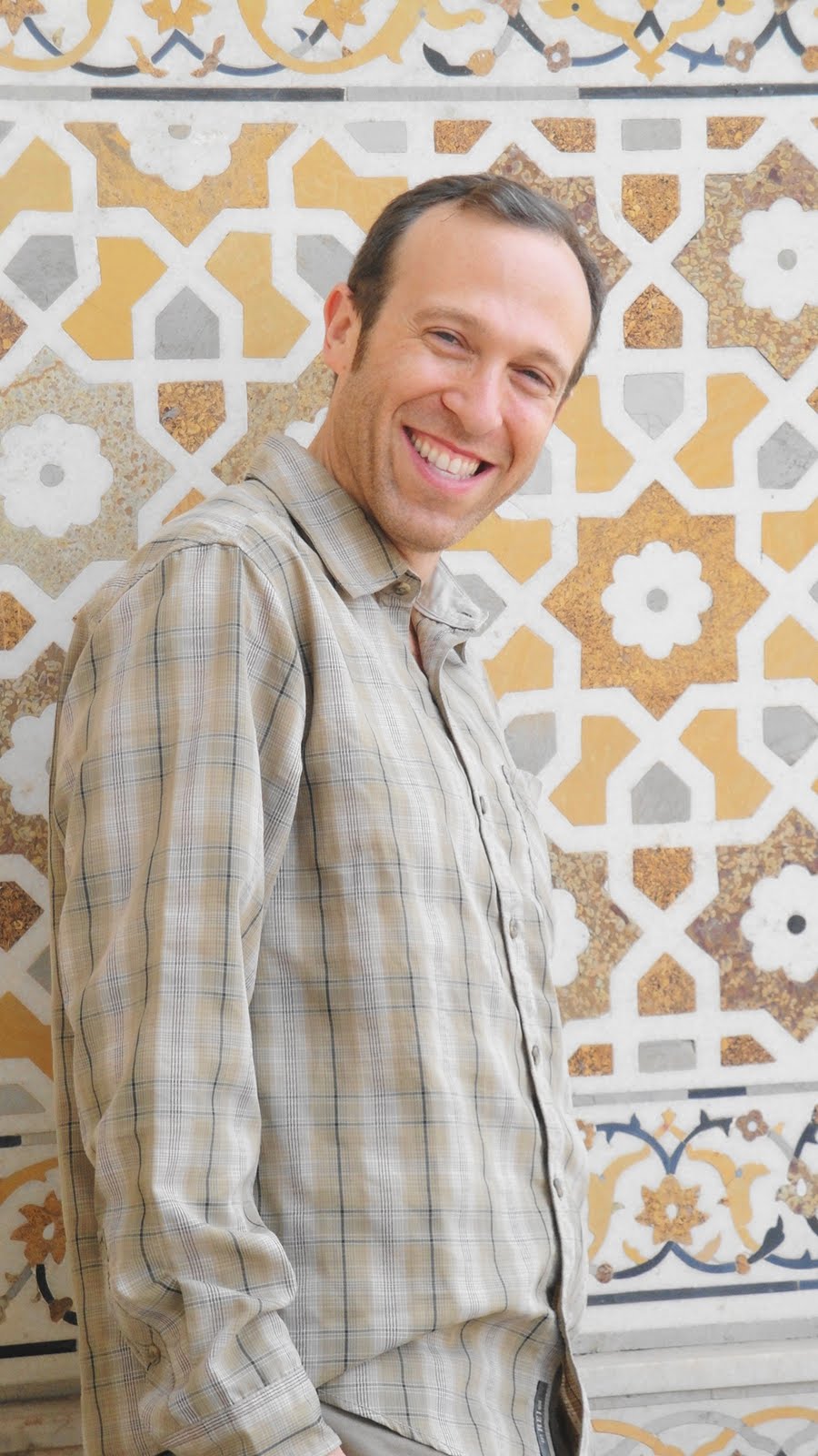
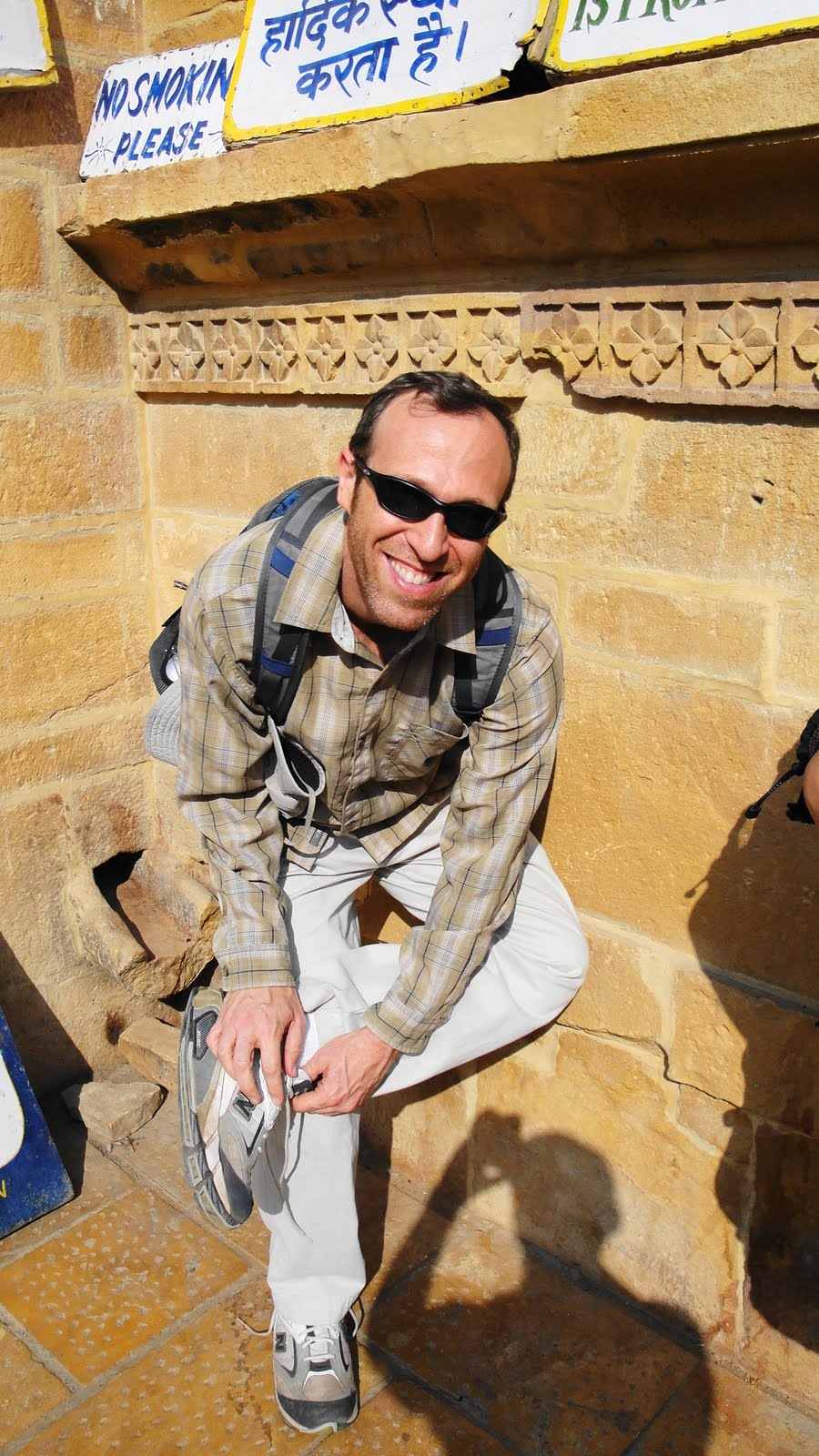 Howard does the shoe-dance after visiting the Fort’s Jain temples.
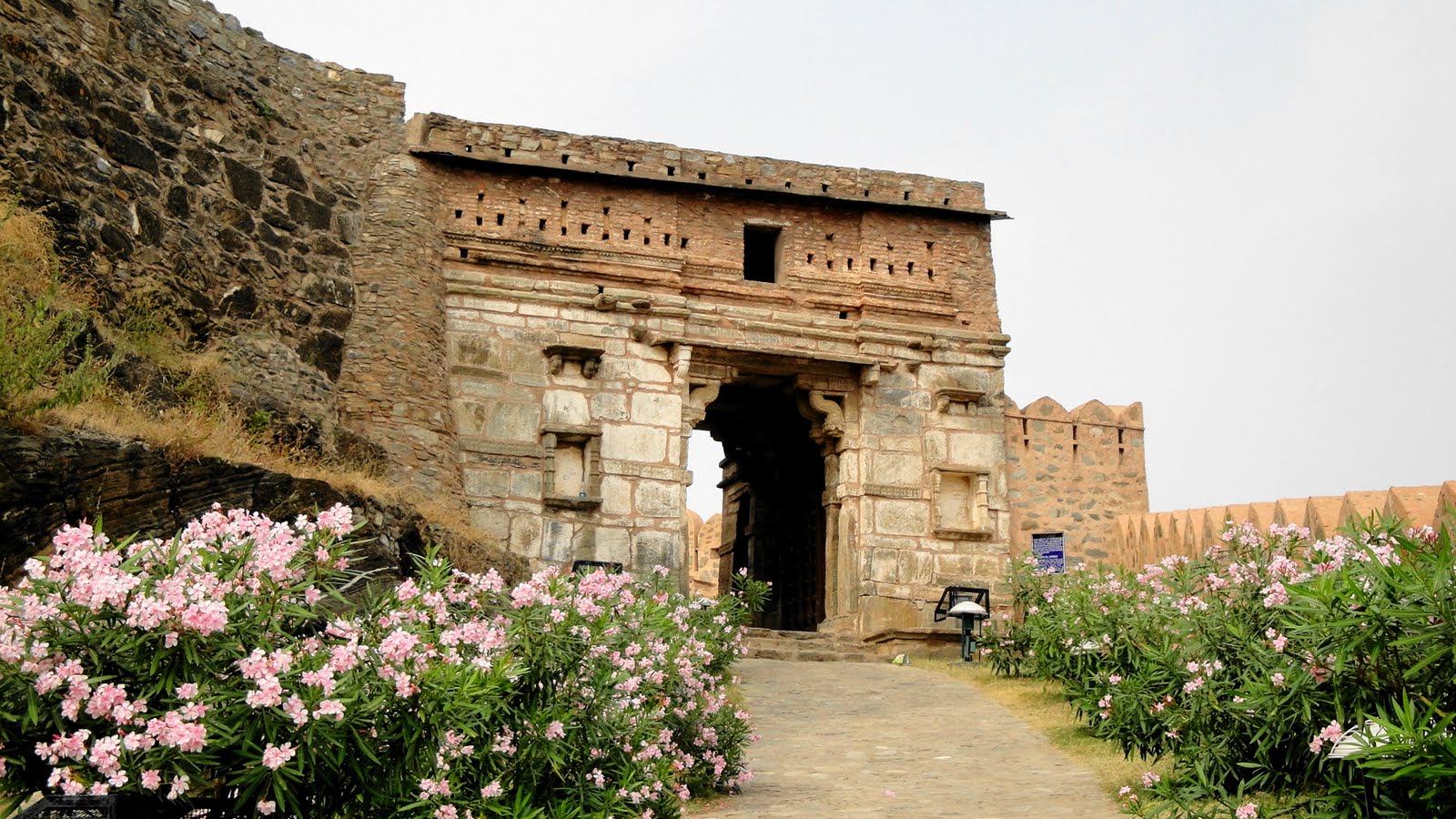
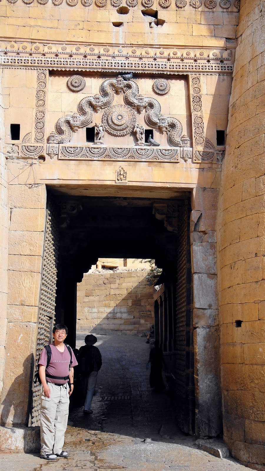 Gene at the gate to the fort complex.
 Never saw camels as haulers before…
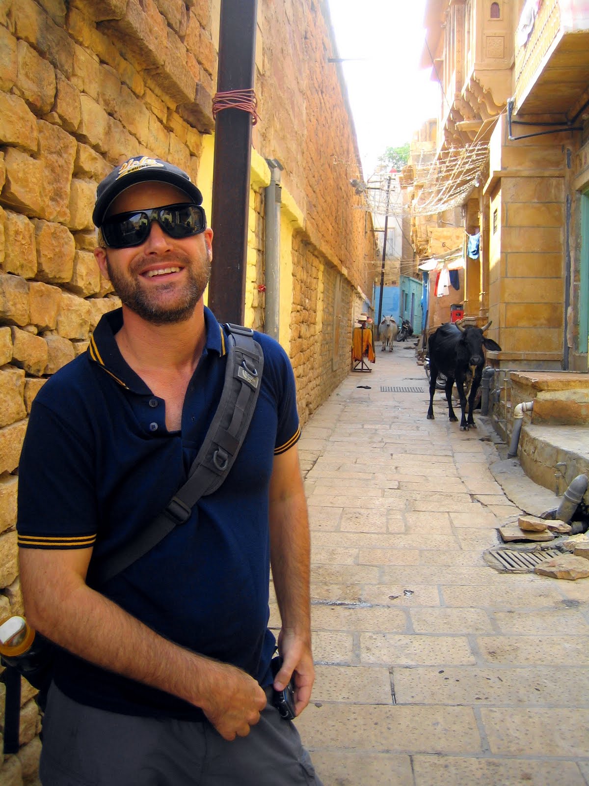
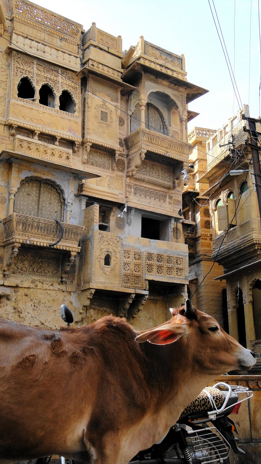 …cows are quite omnipresent on the streets of Rajasthan, but every now and then one finds a juxtaposition that quite captures the imagination.
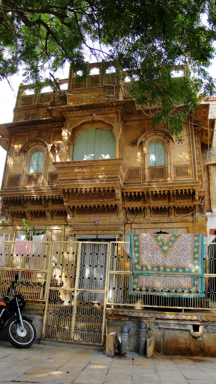
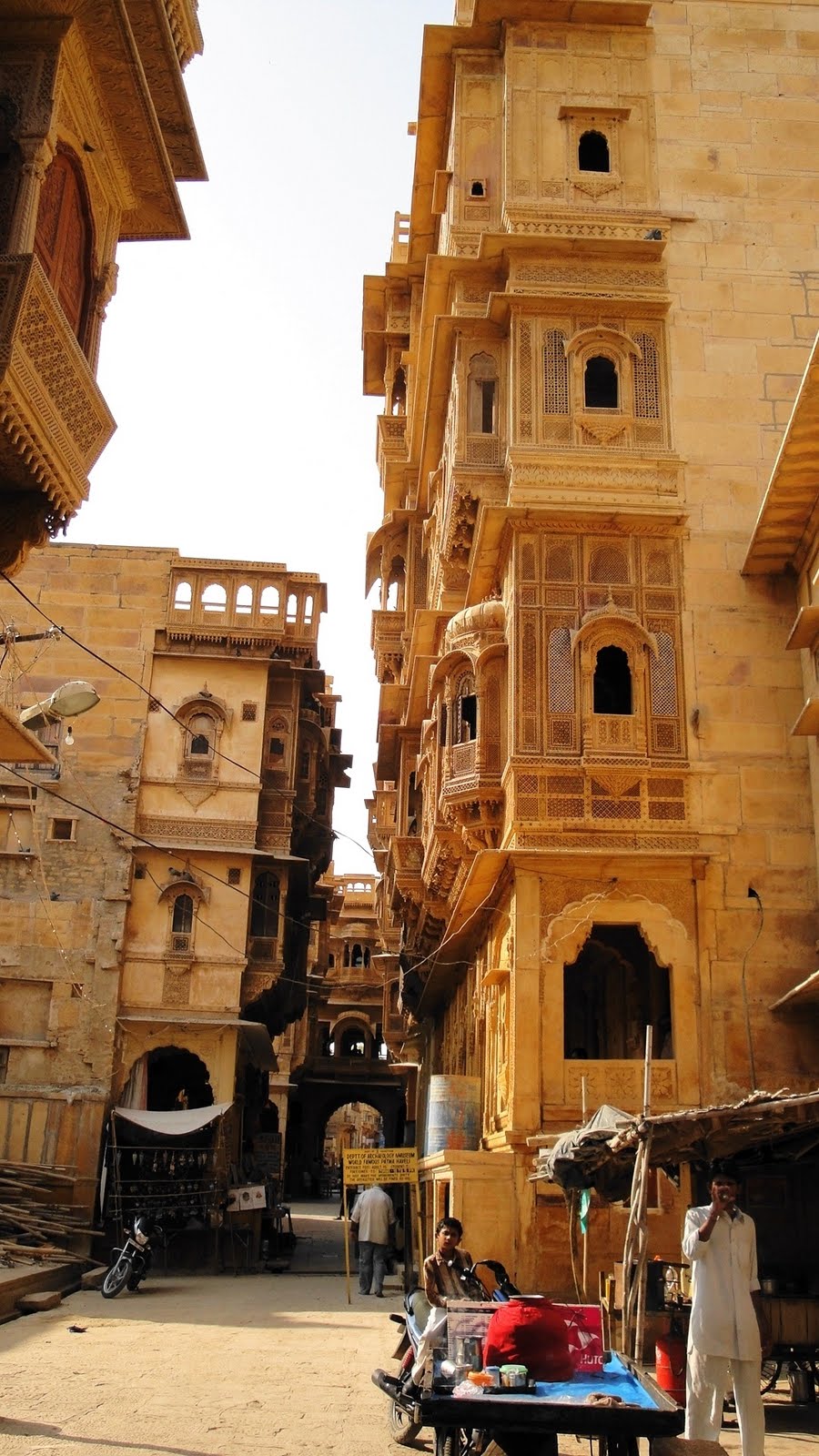
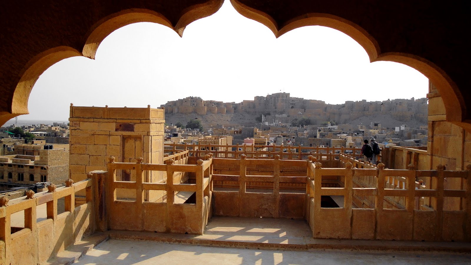

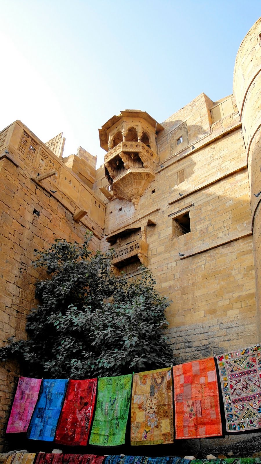
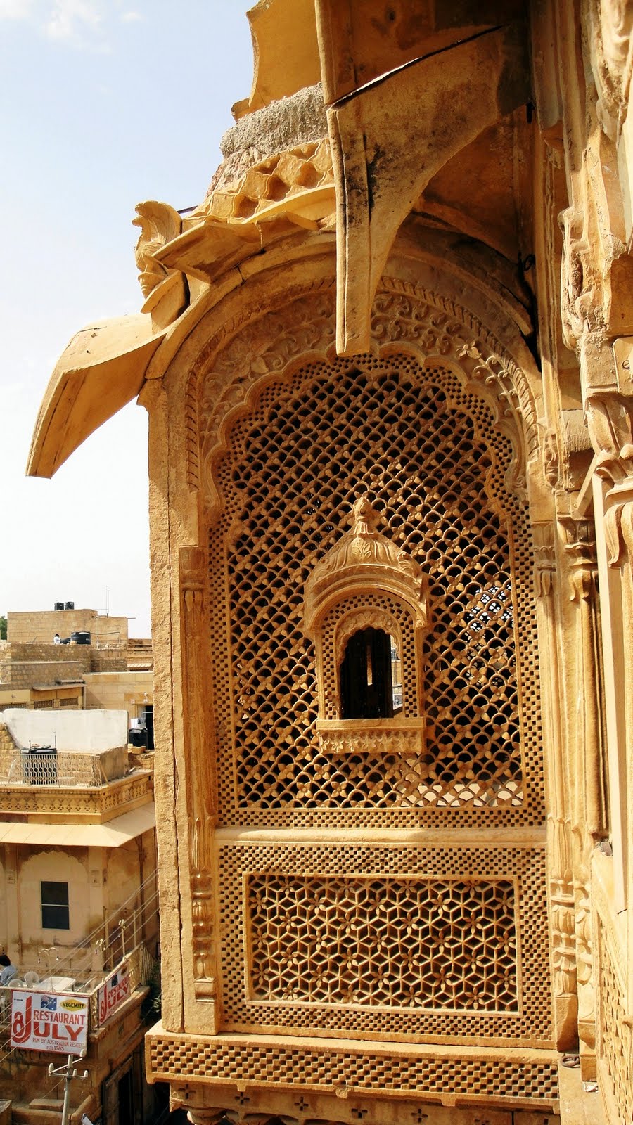
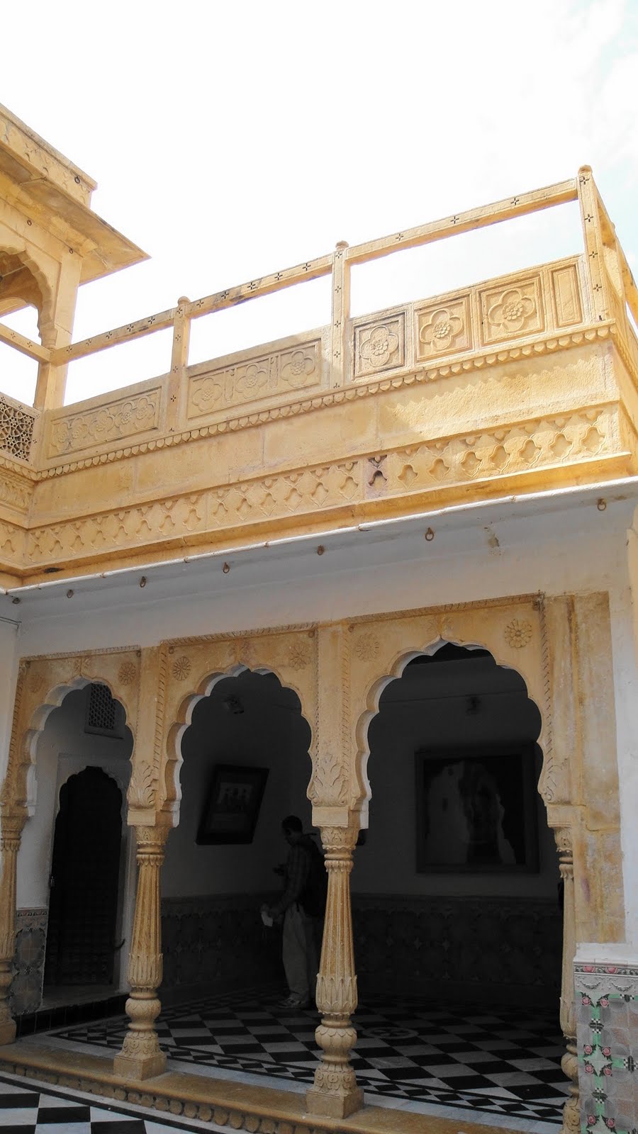
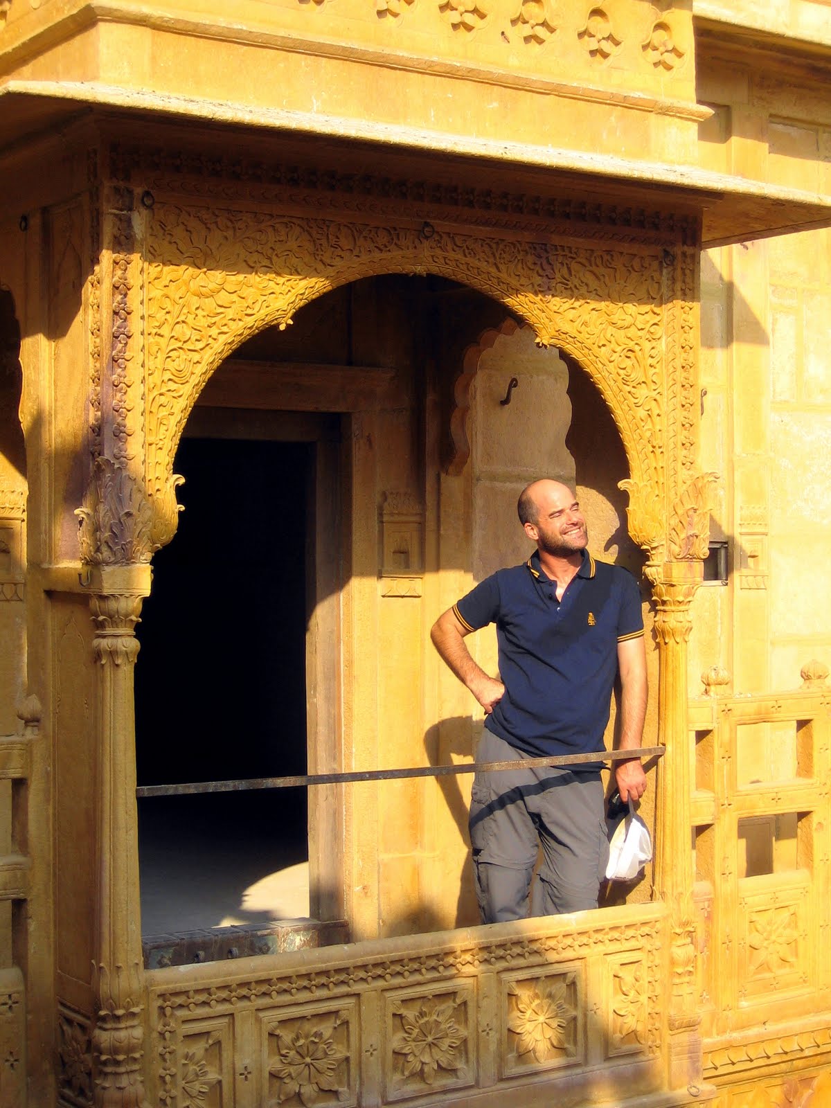
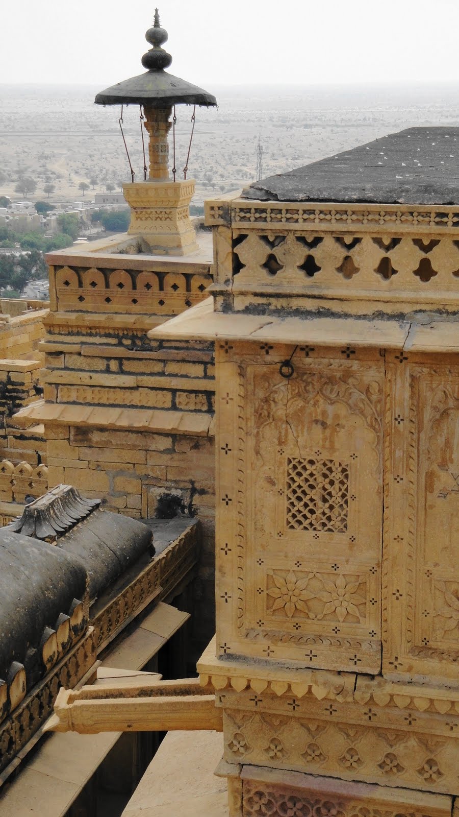
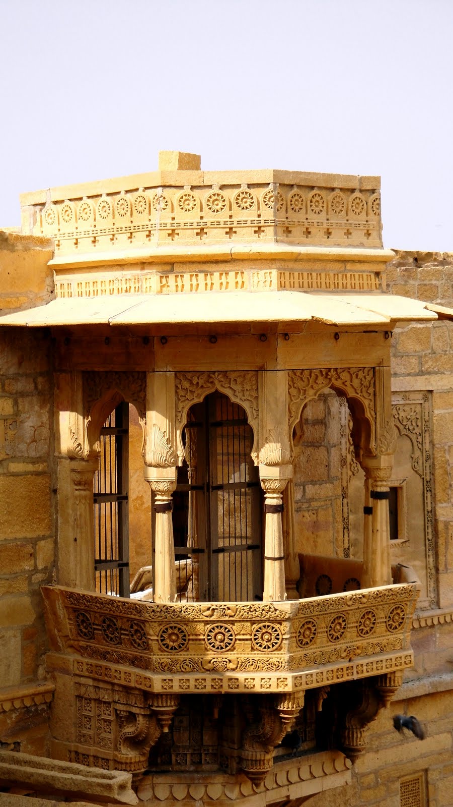
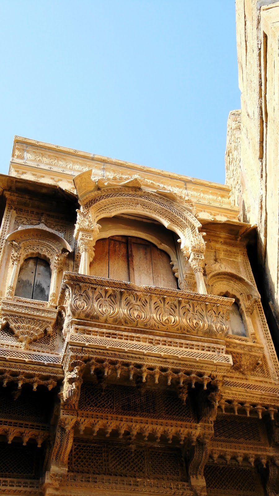
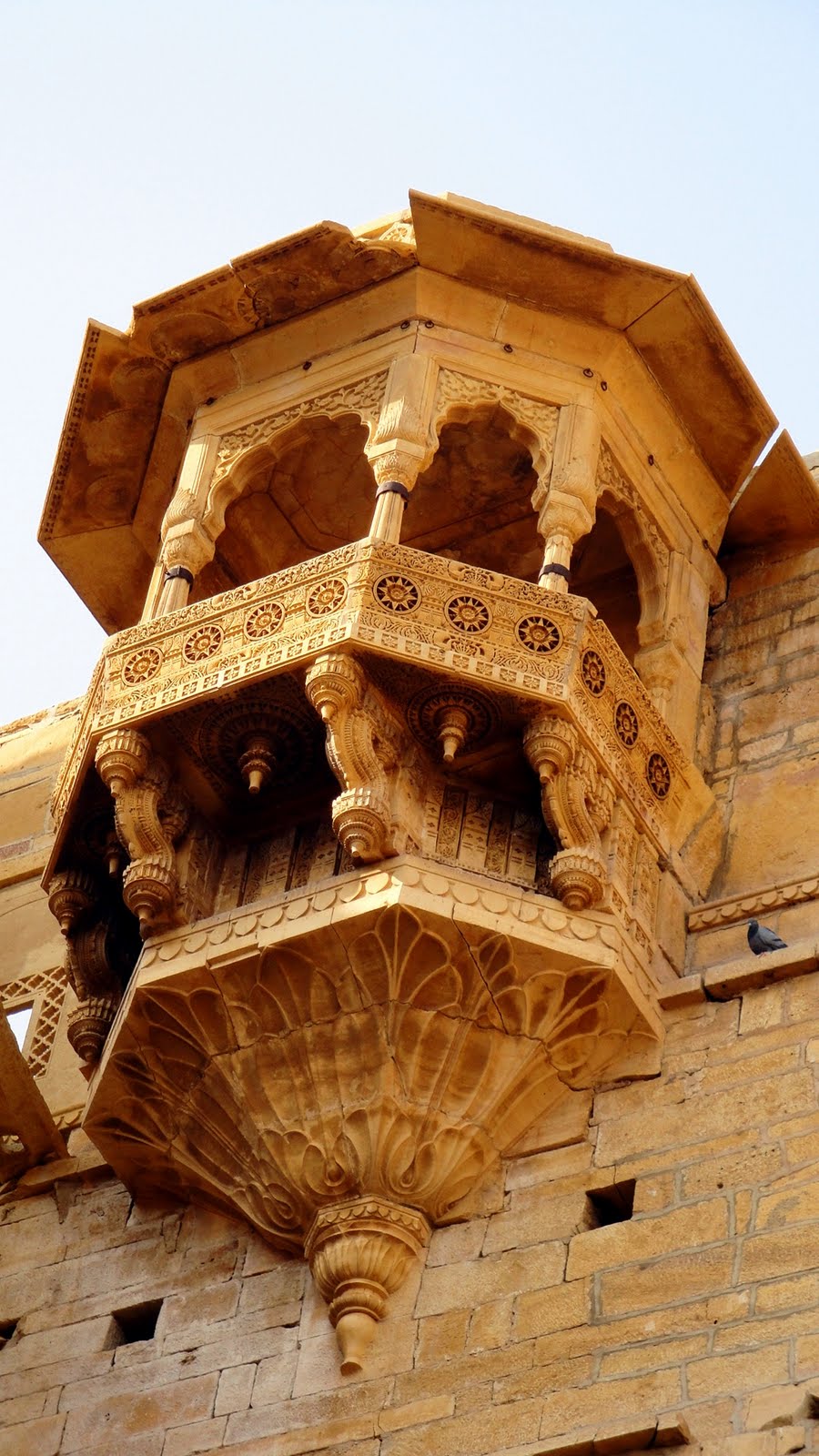
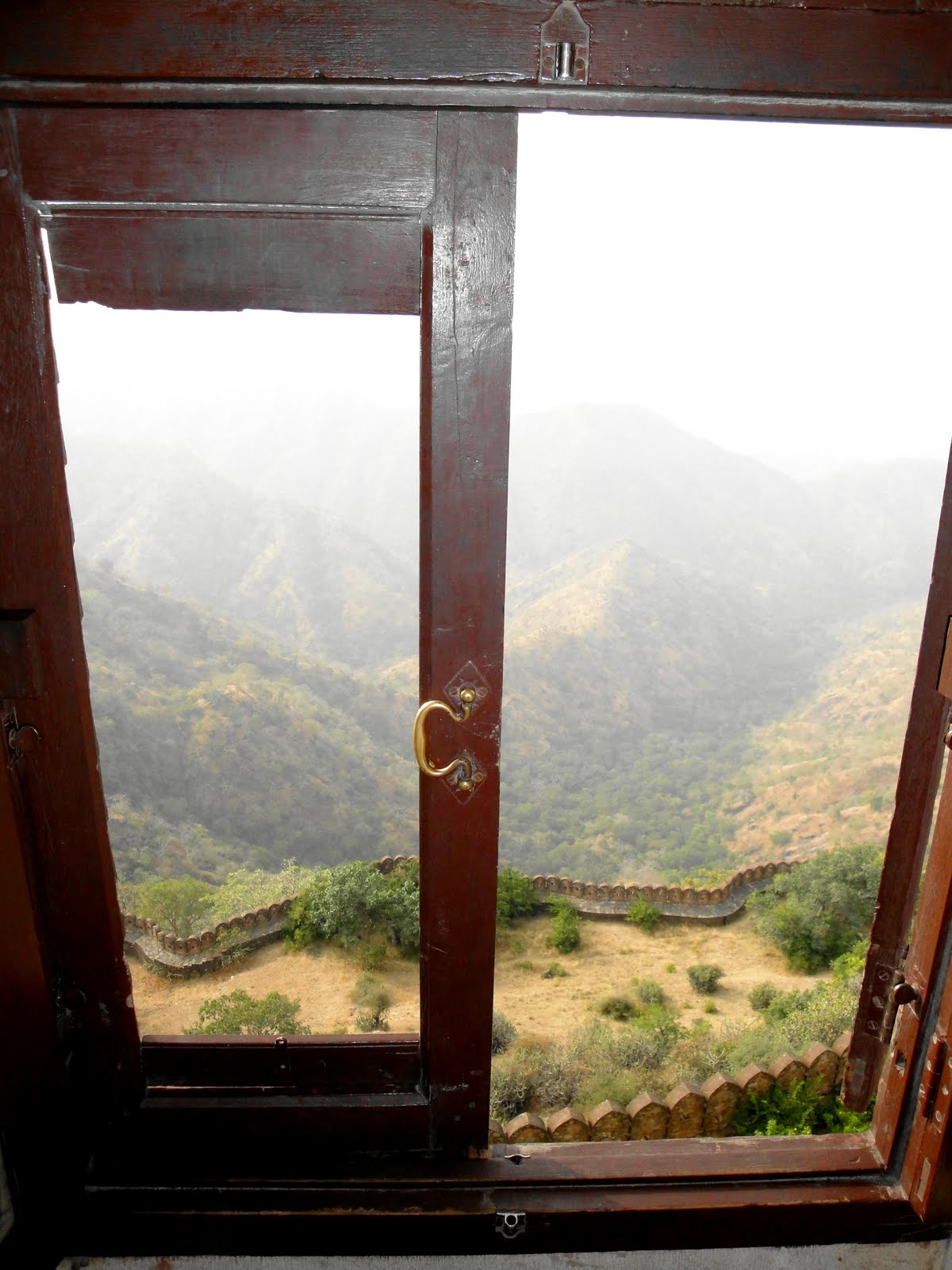
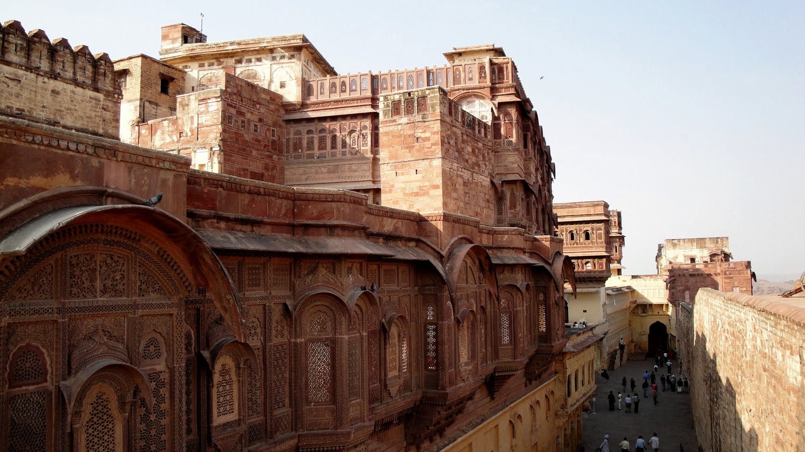
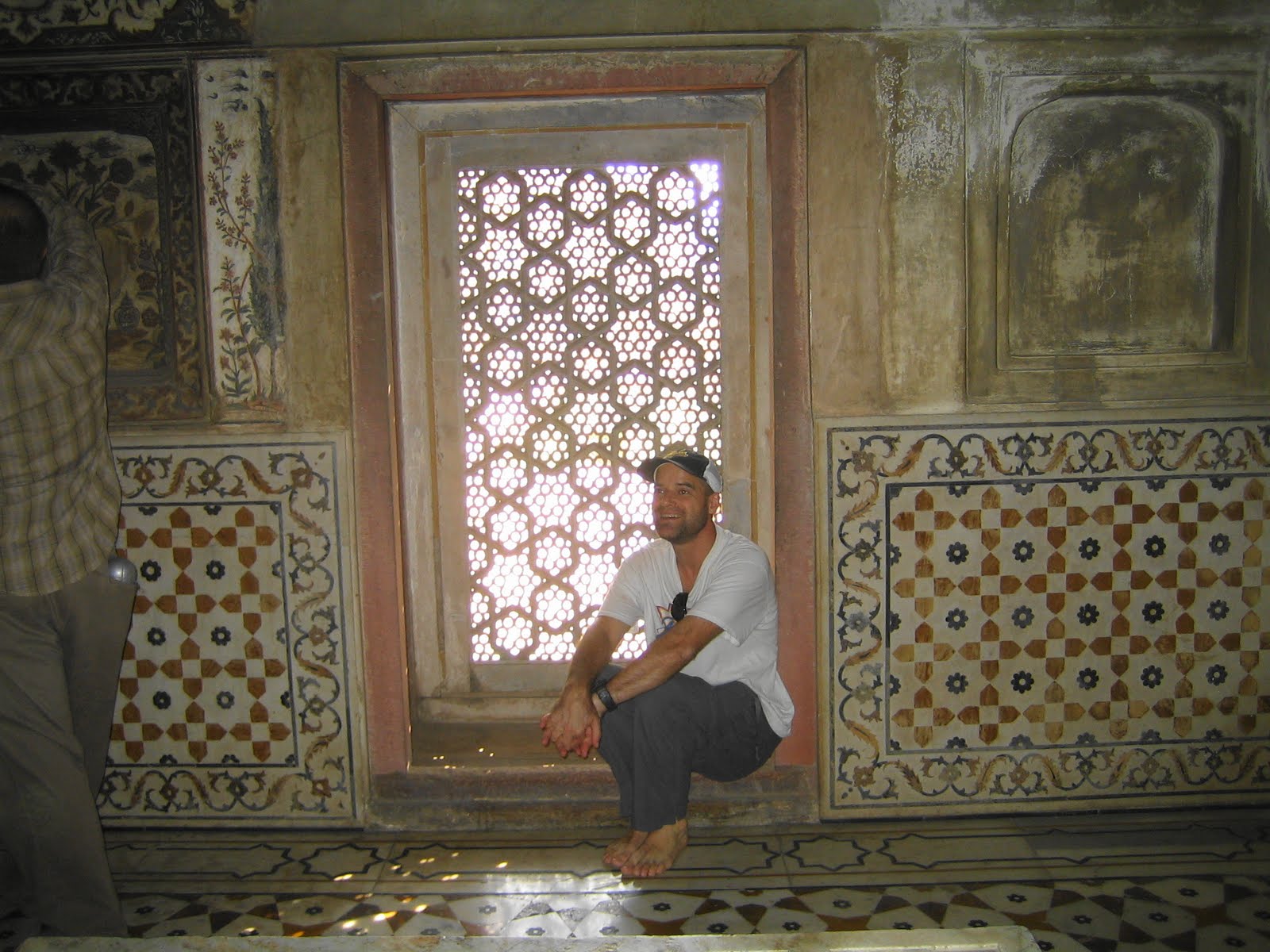
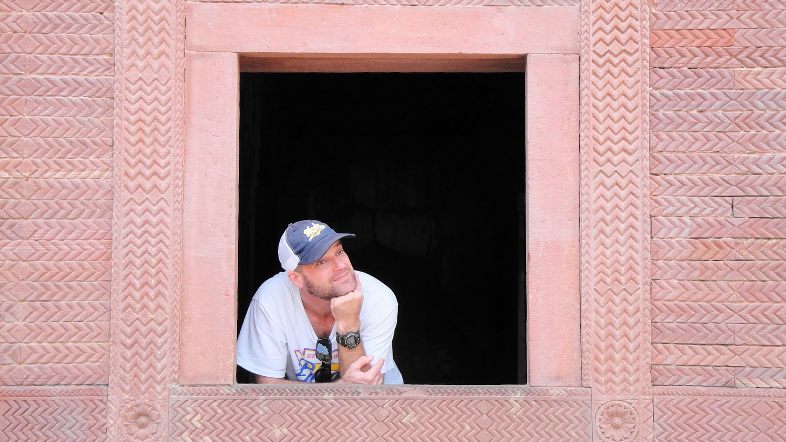
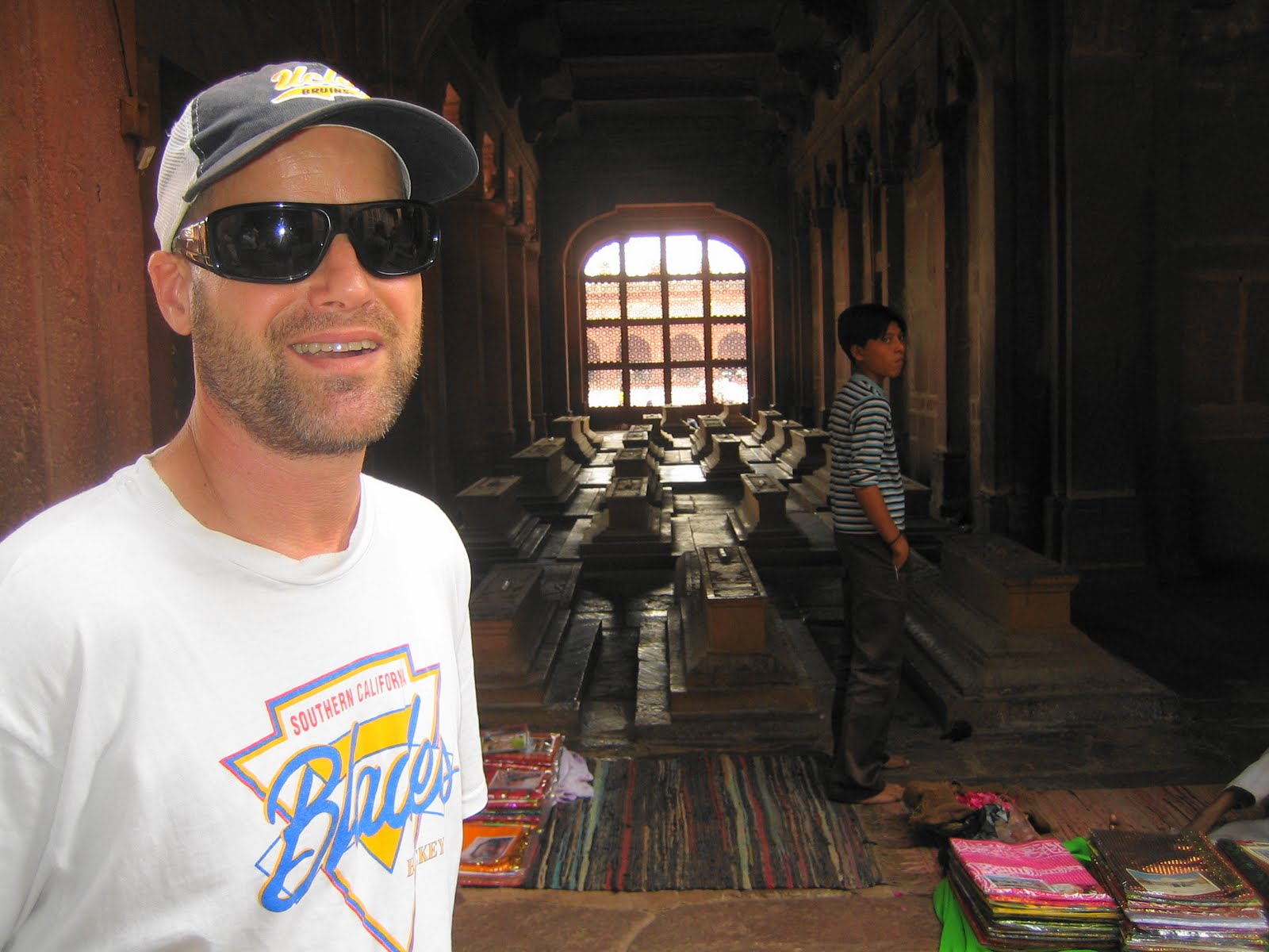
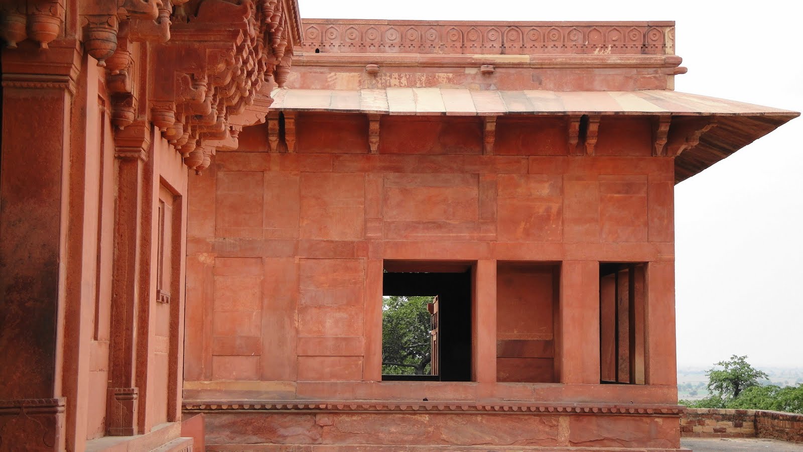
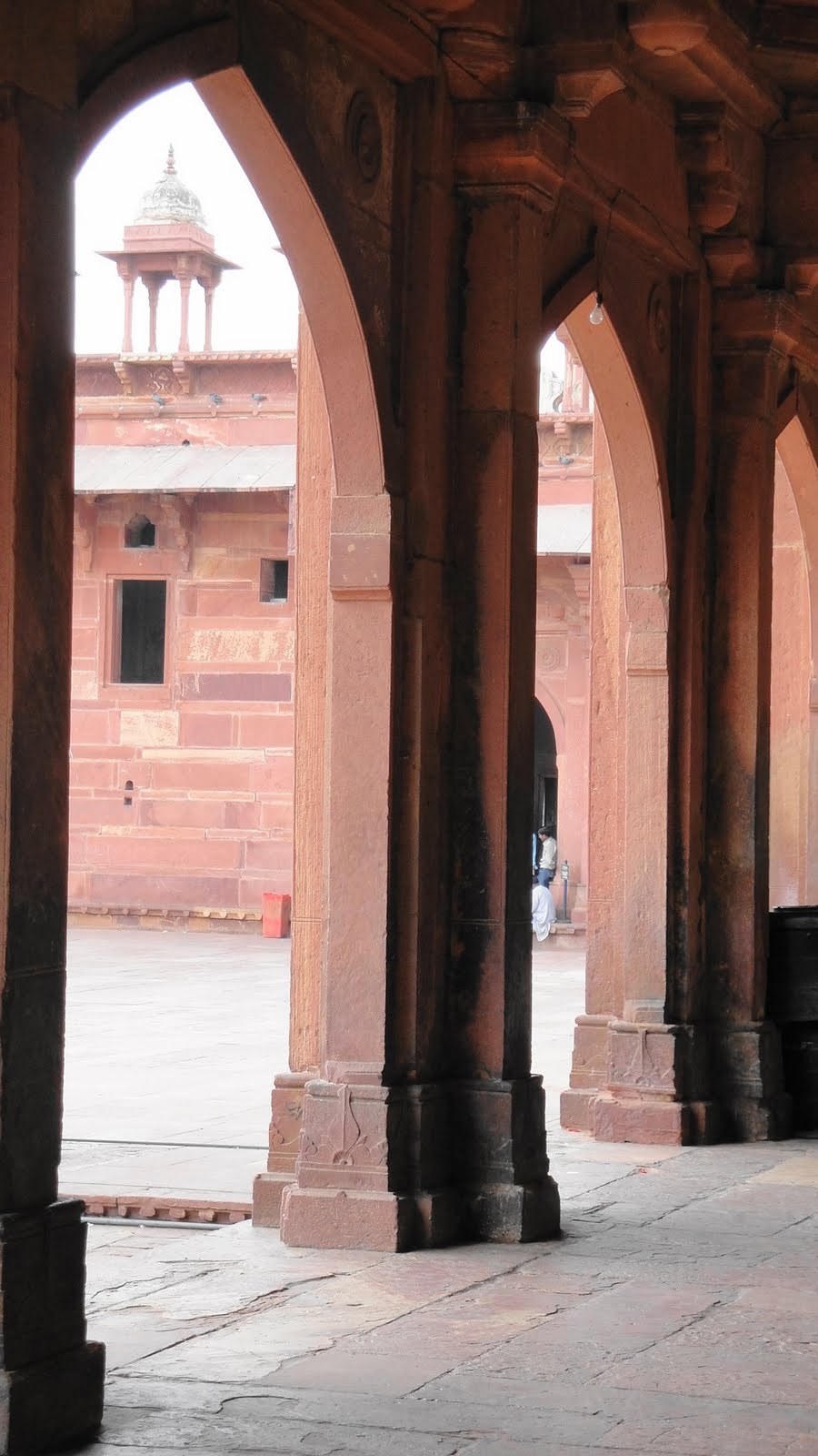
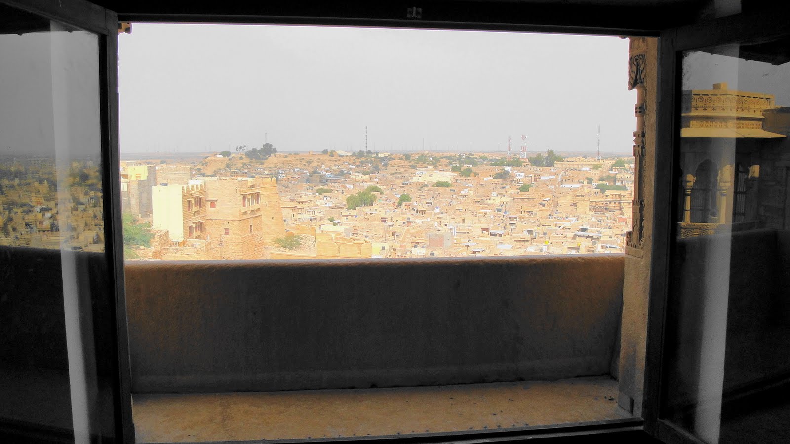 …wouldn’t that be the coolest window seat in which to lounge with some pillows and a cold drink? The royal life must have been sweet. The pics above and below are a mix from the fort & palace, and the havelis and streets of the town below the fort.

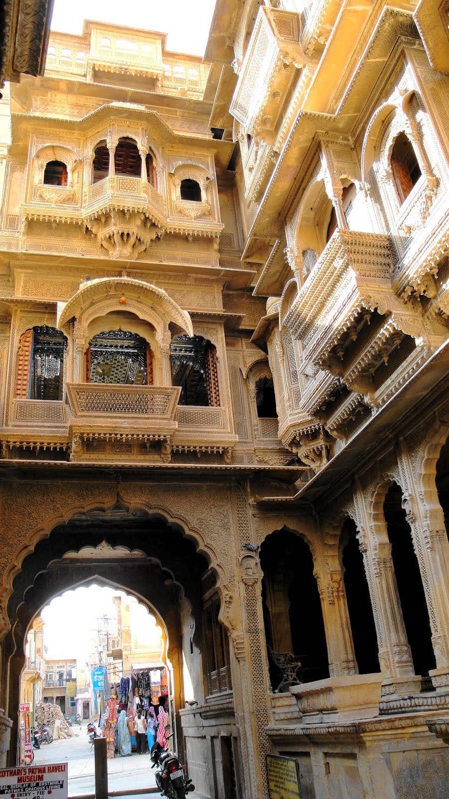
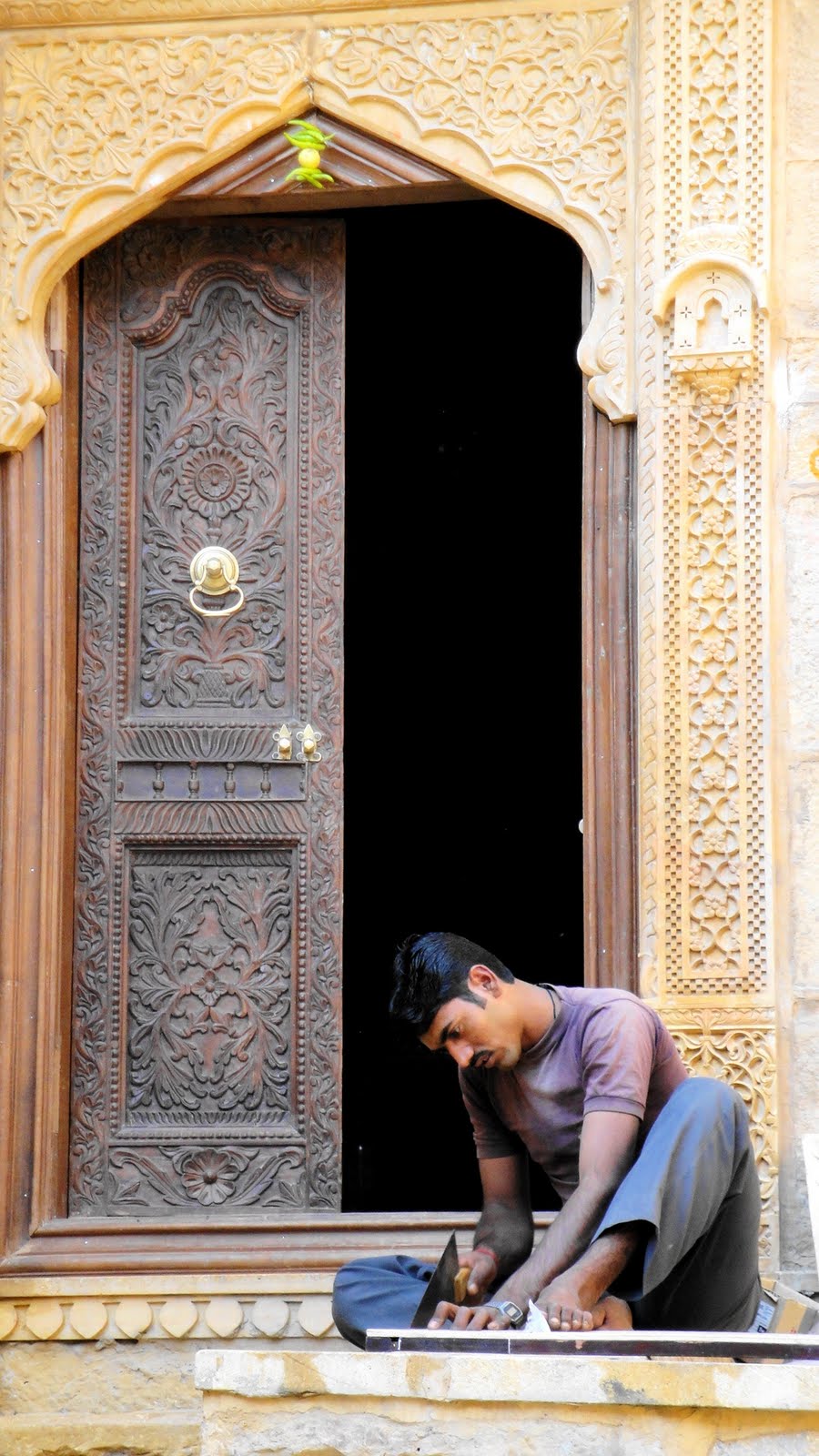
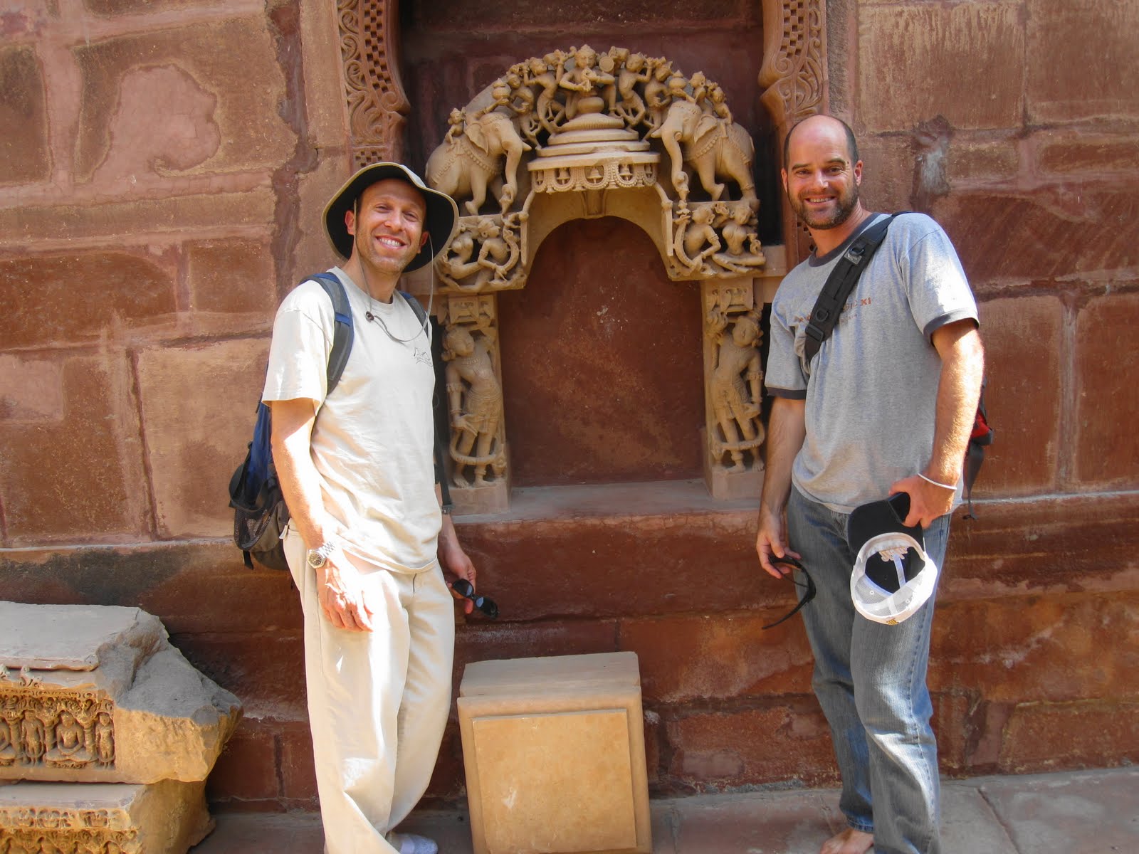
 Friendly architecture students whom we met at the Patwon ki Haveli, one of many simply stunning merchants’ houses built in the late 19th and early 20th centuries in the city the developed around the base of the fort.
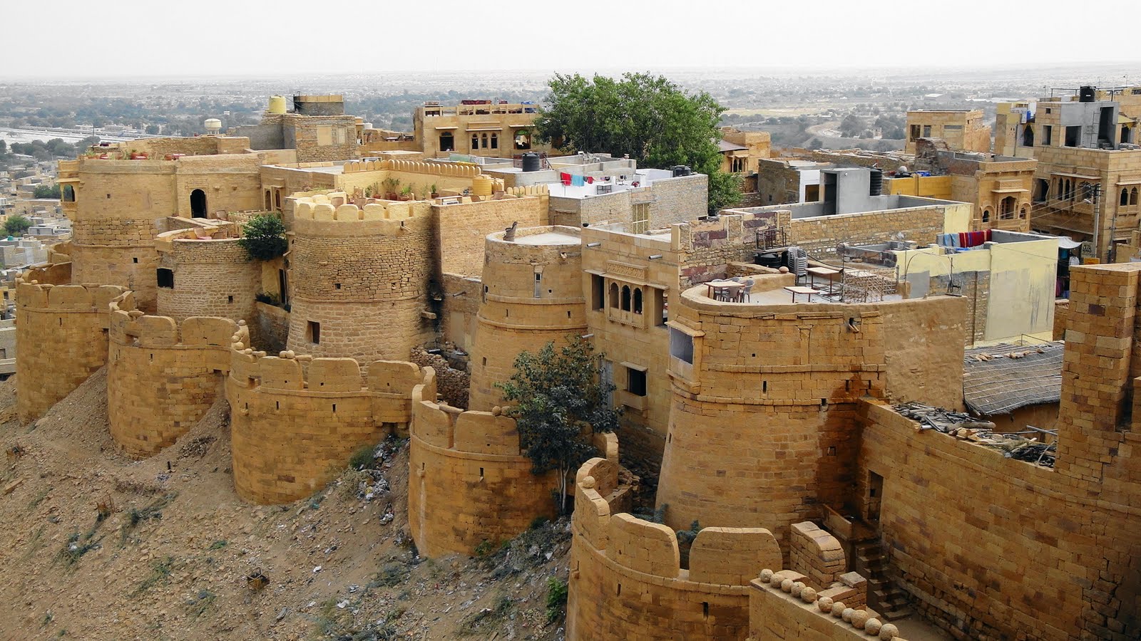
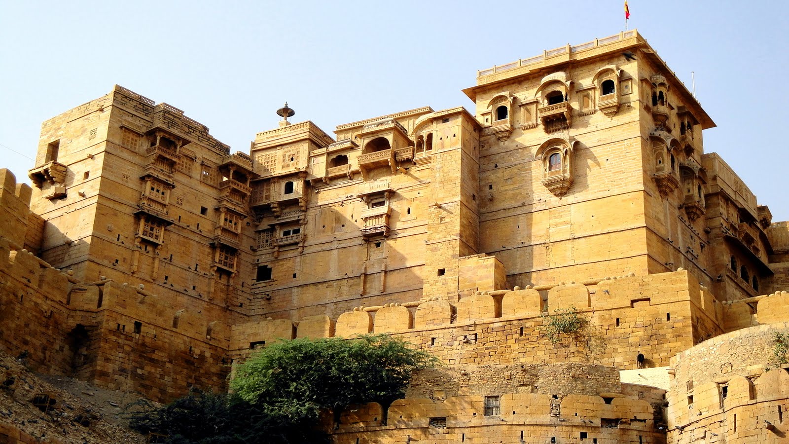
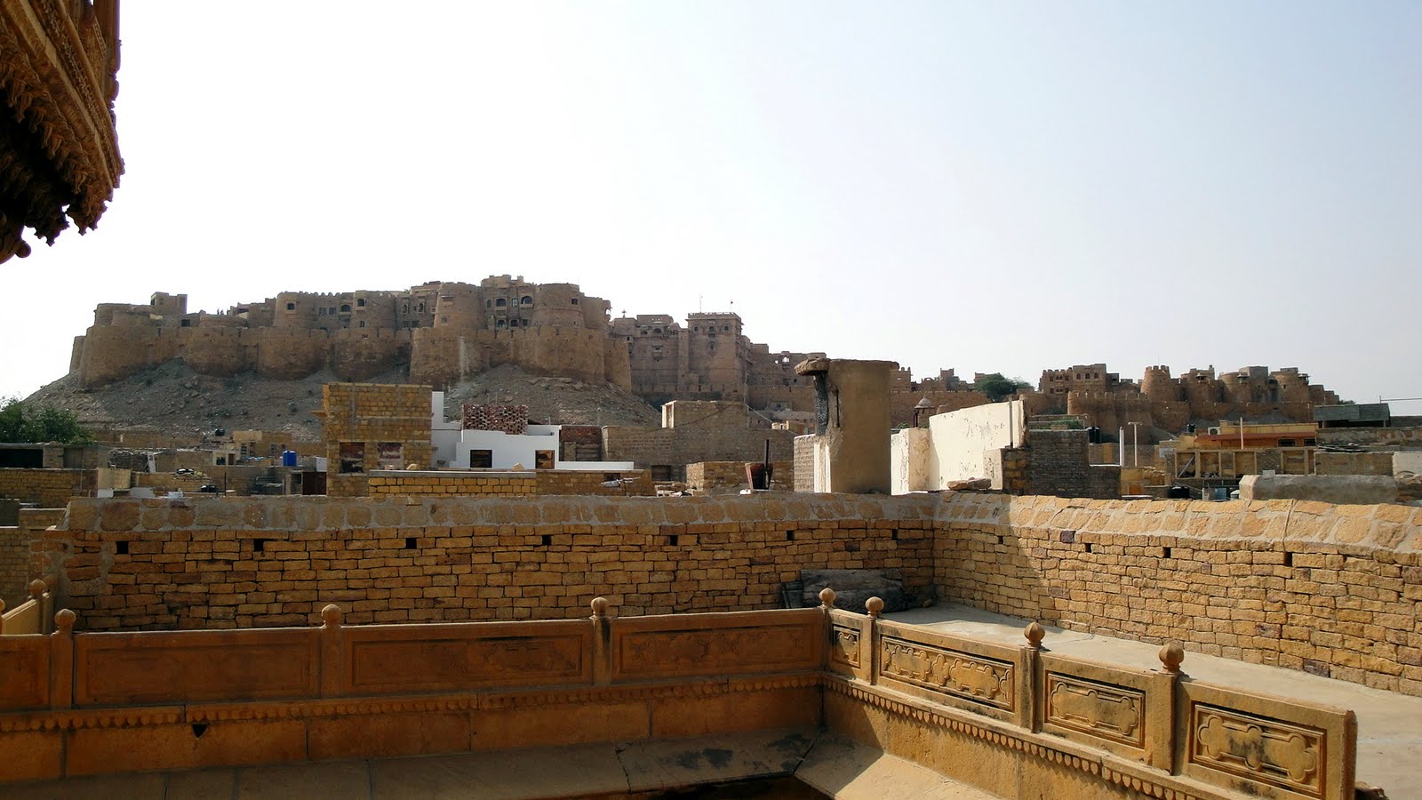
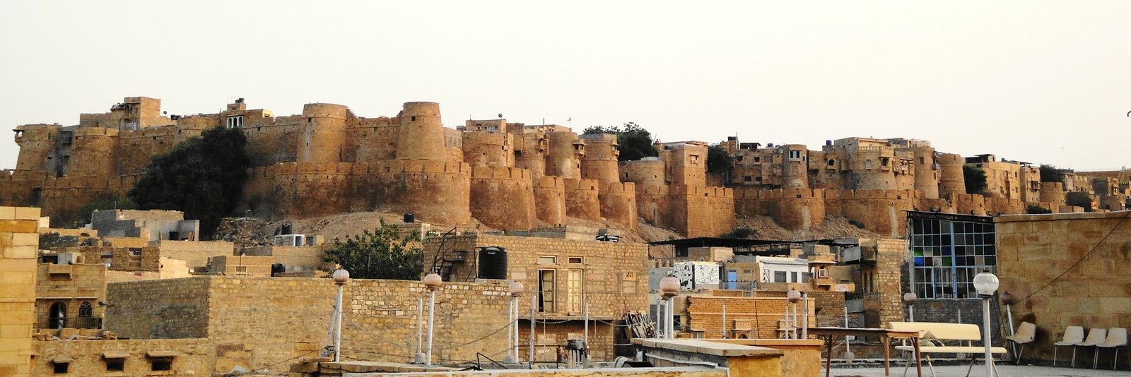
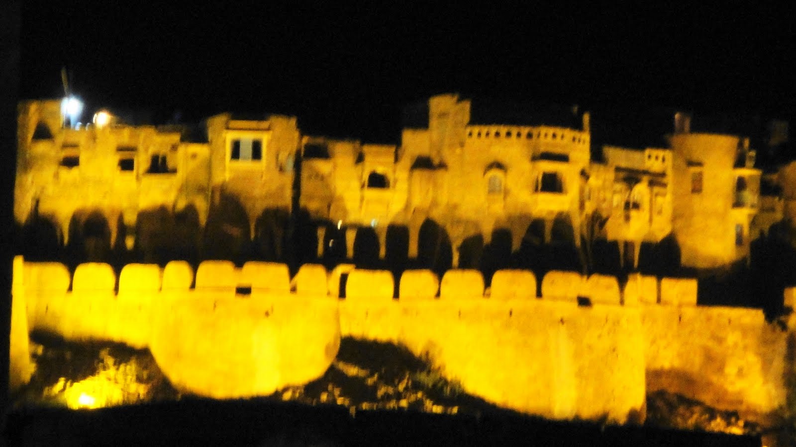
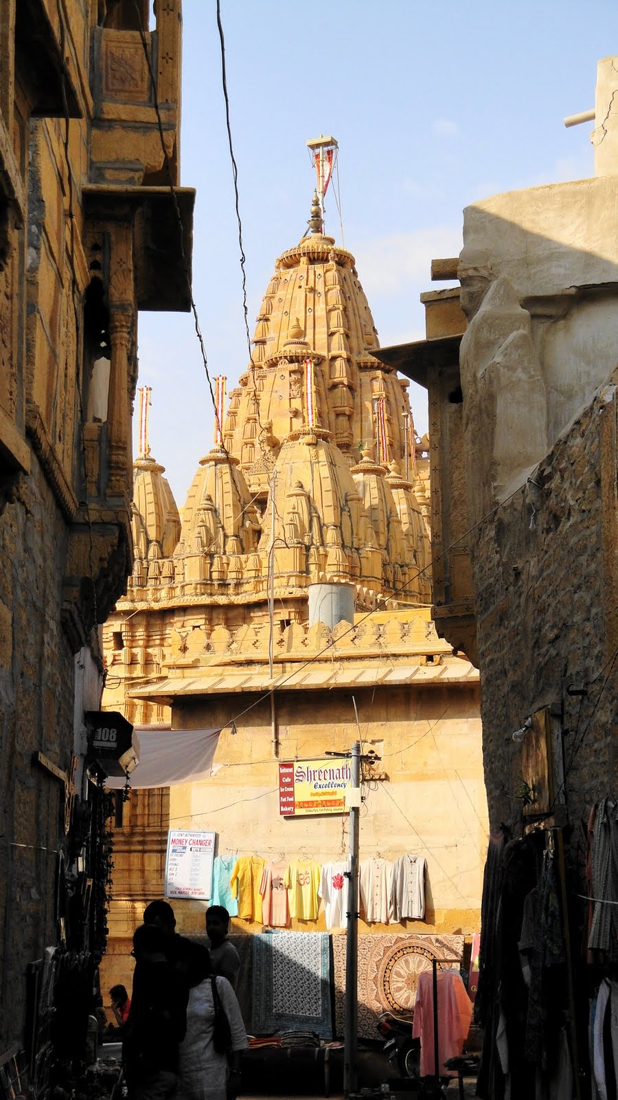
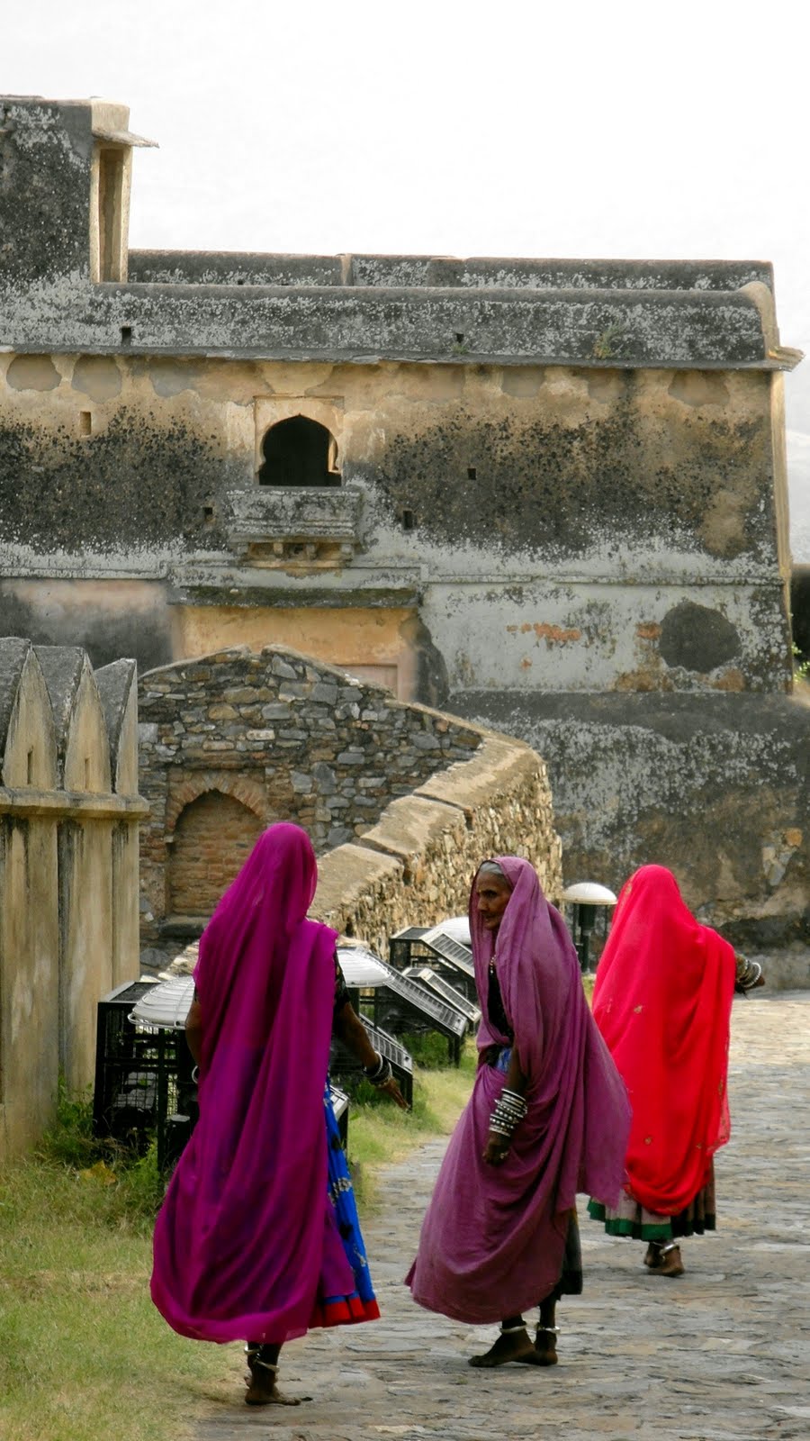
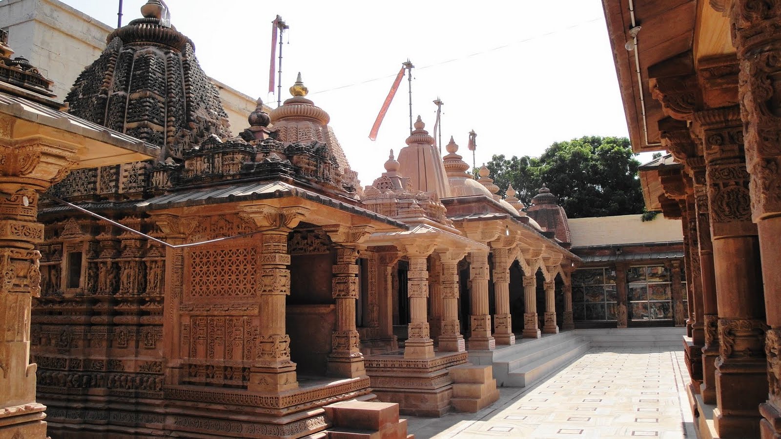
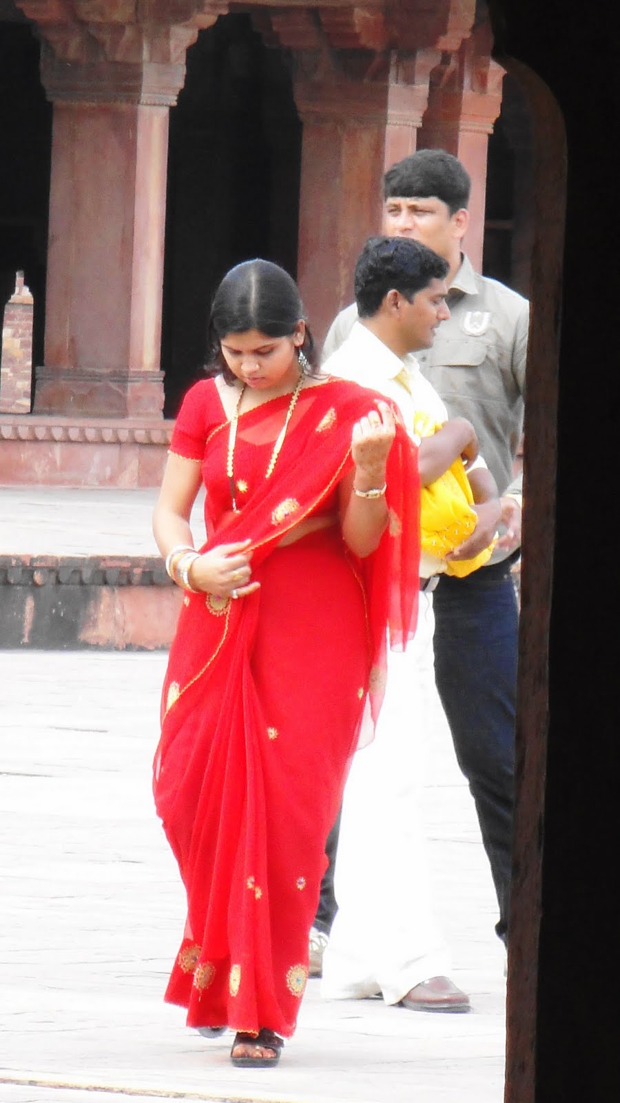
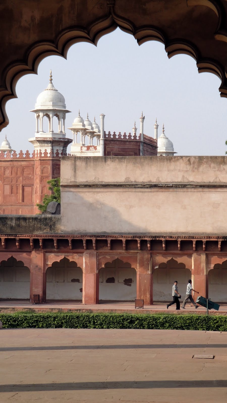
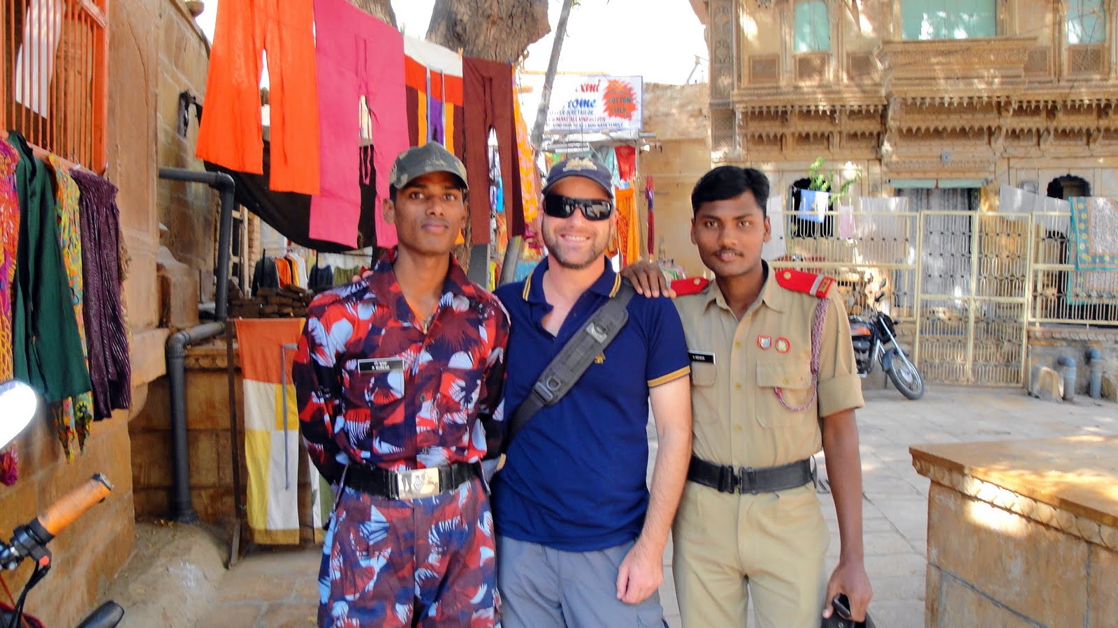 Jaisalmer’s fort, unique for being the only still-inhabited and active fort in India, is quite the popular destination for domestic tourism.
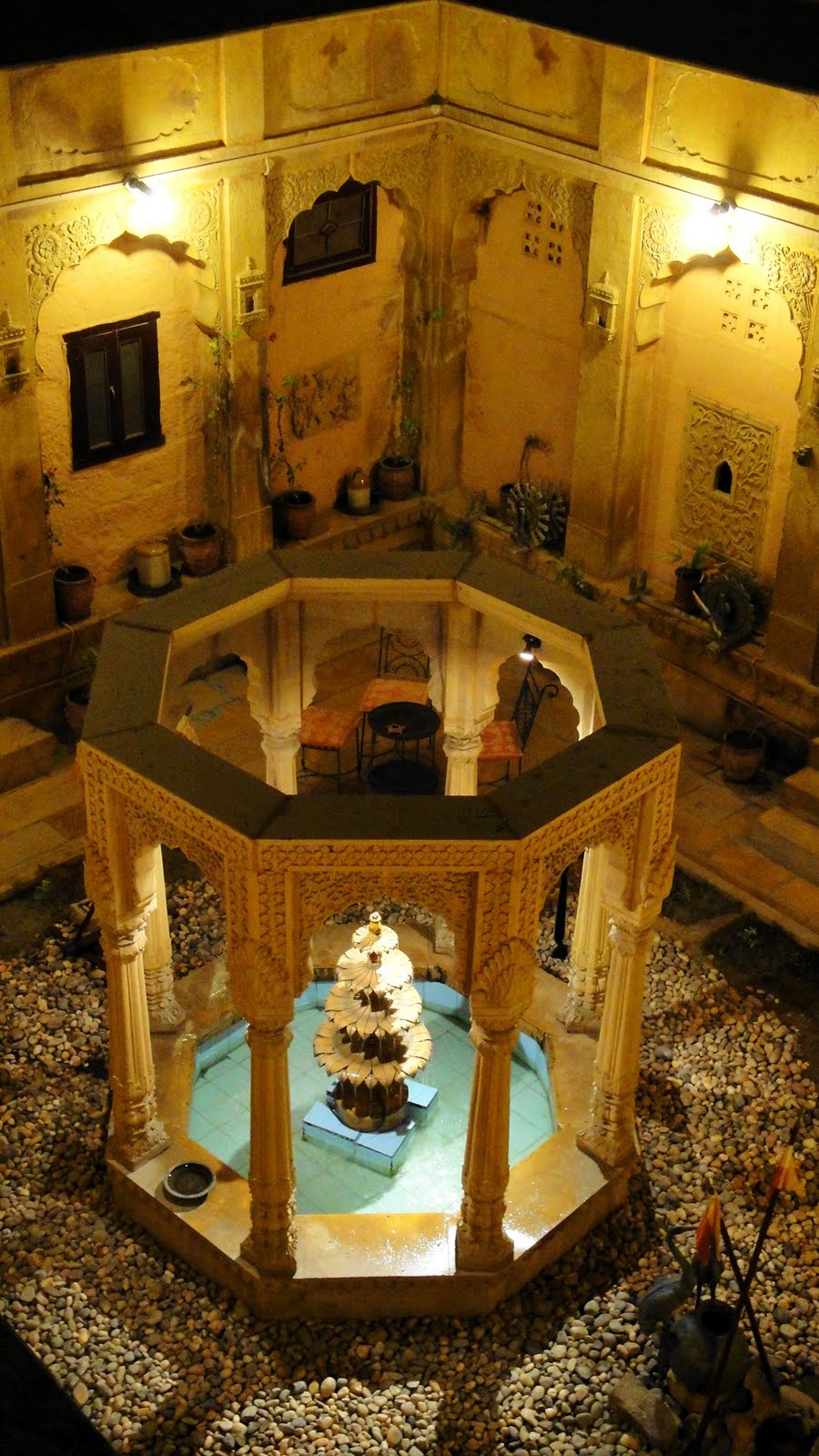
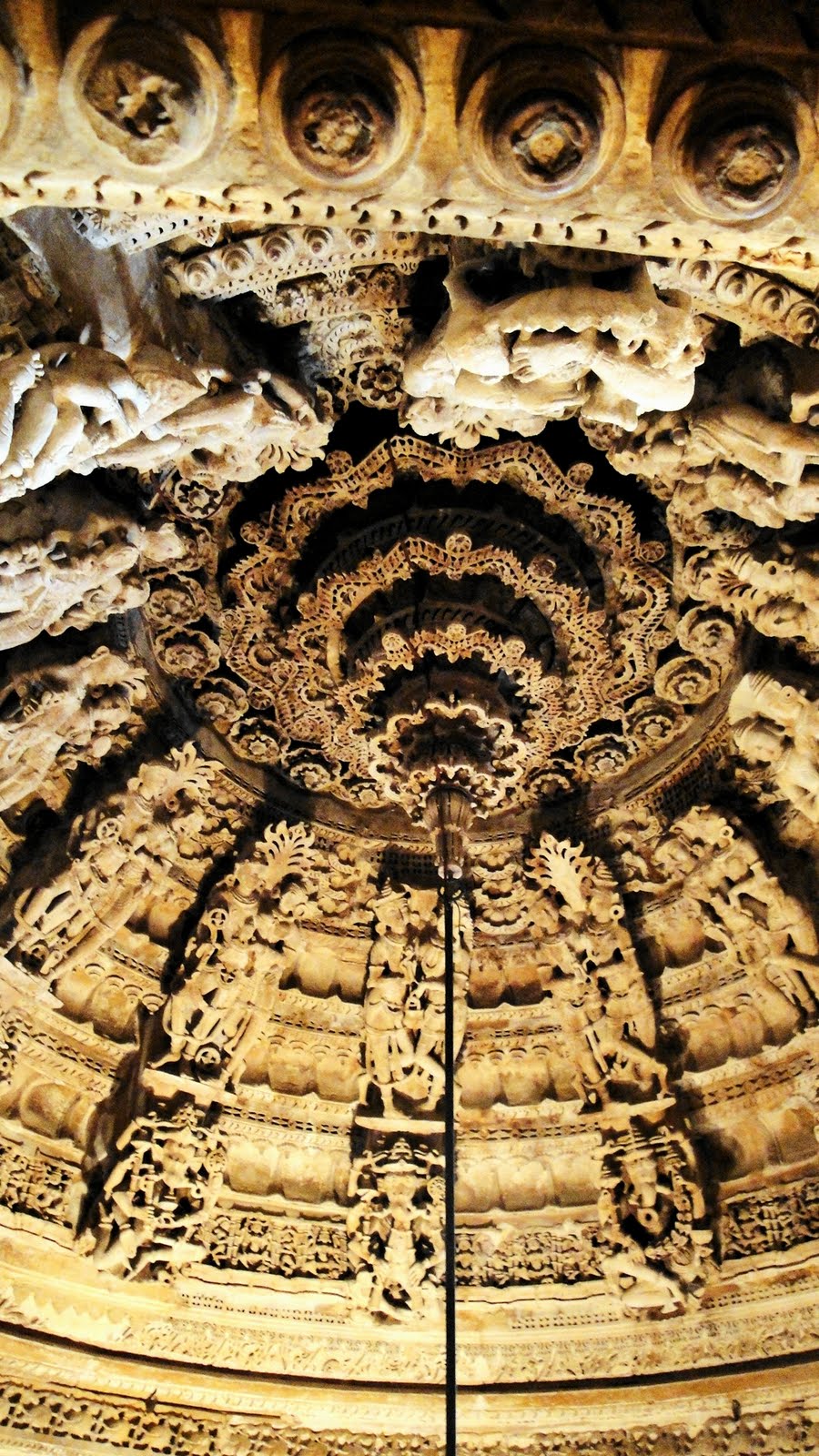
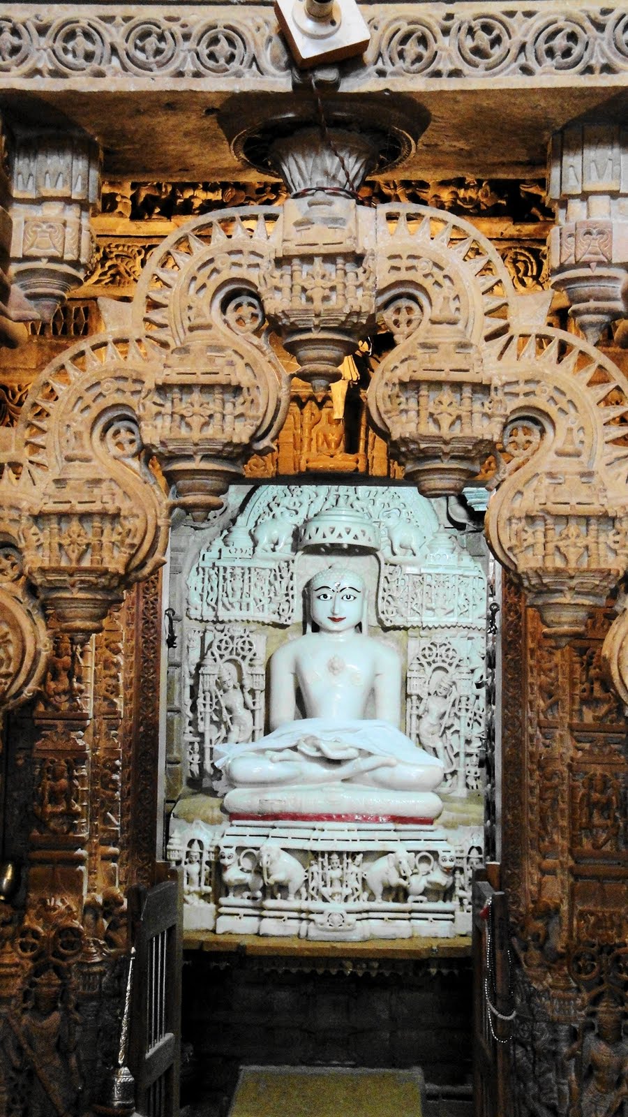
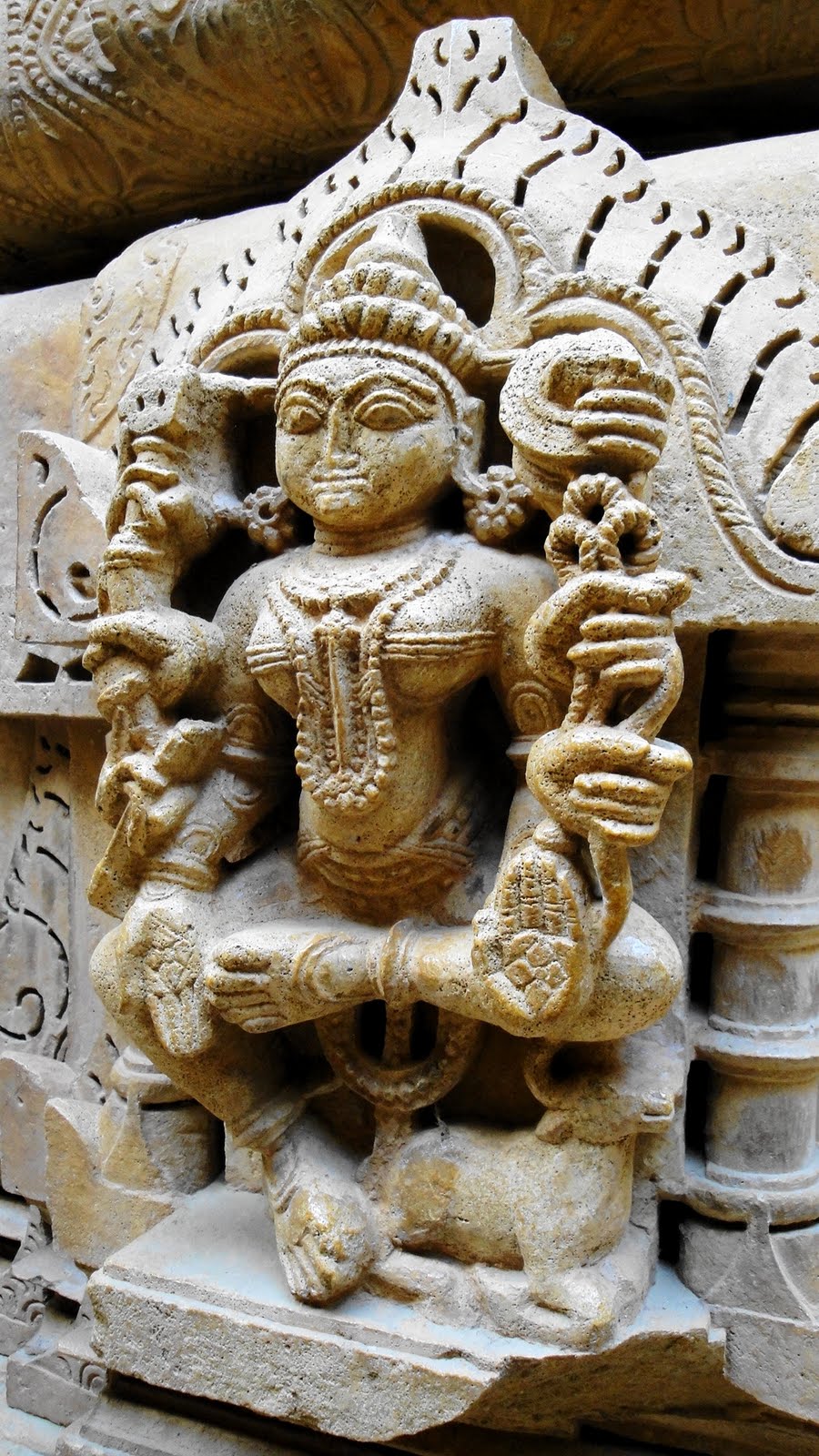
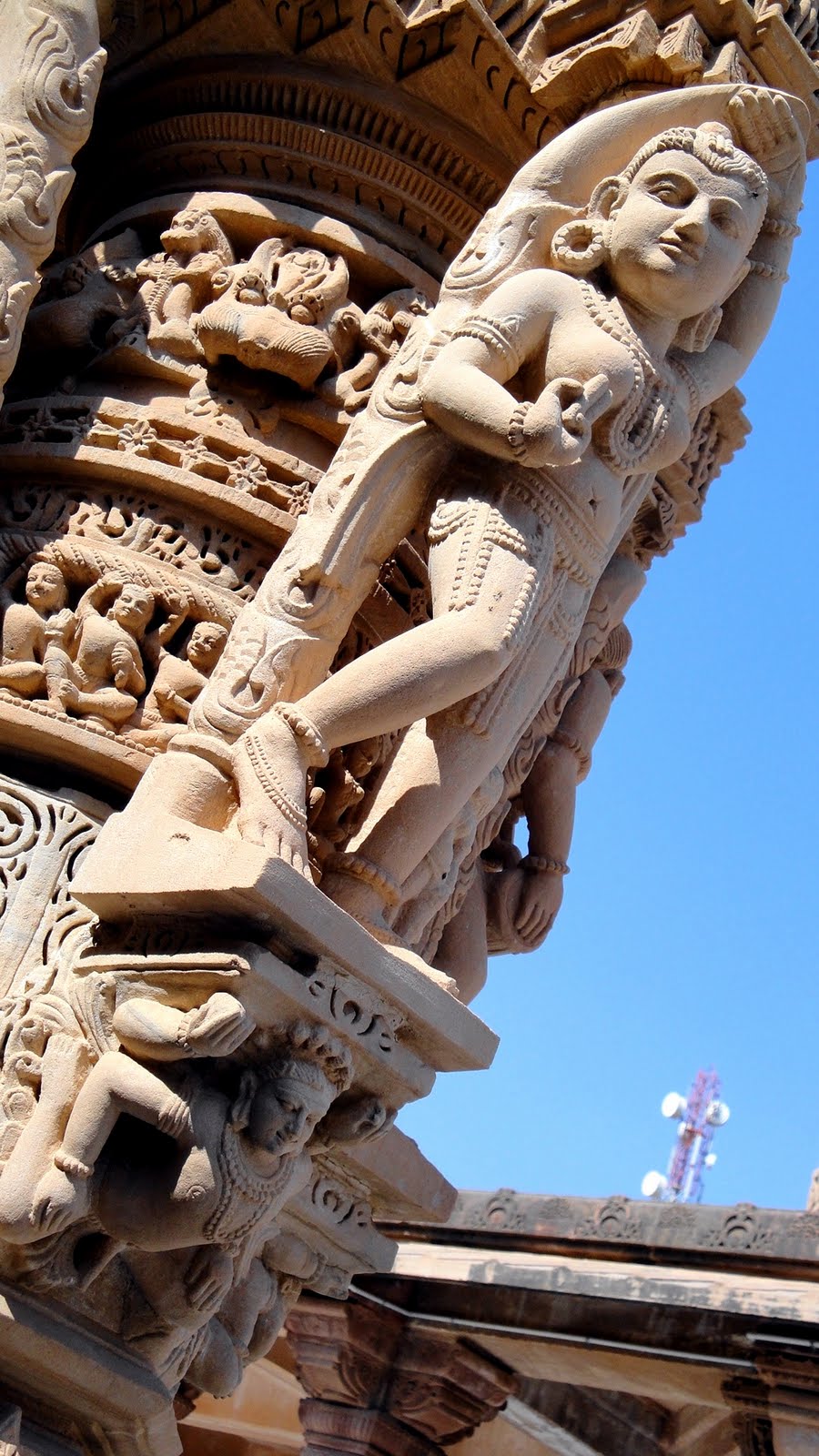
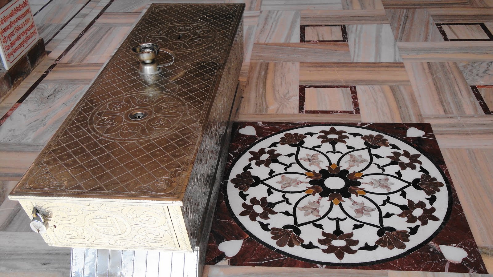
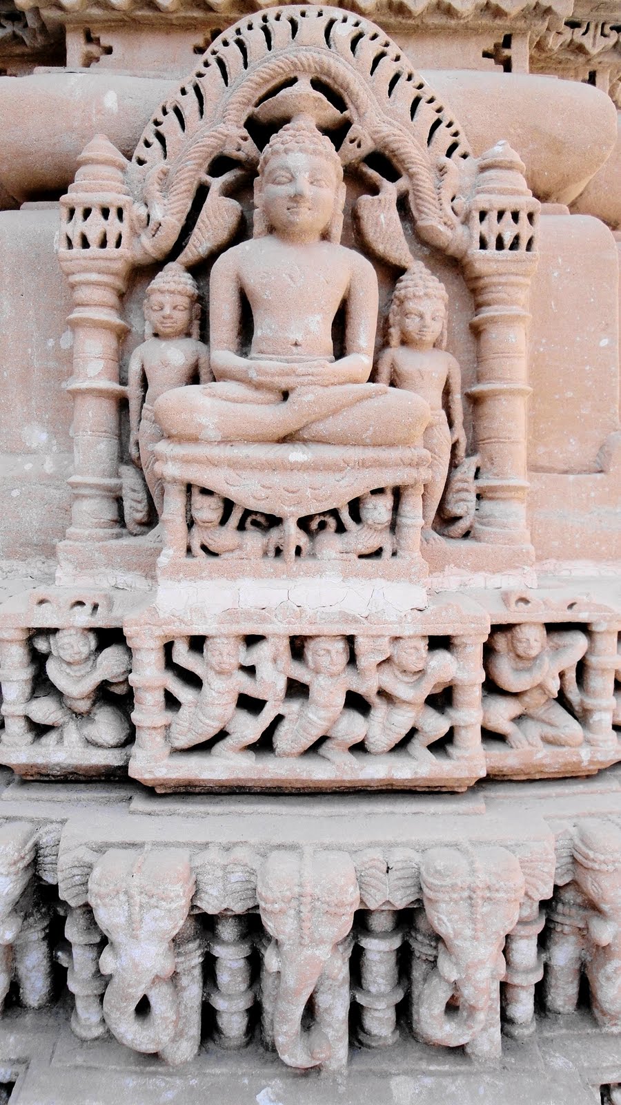
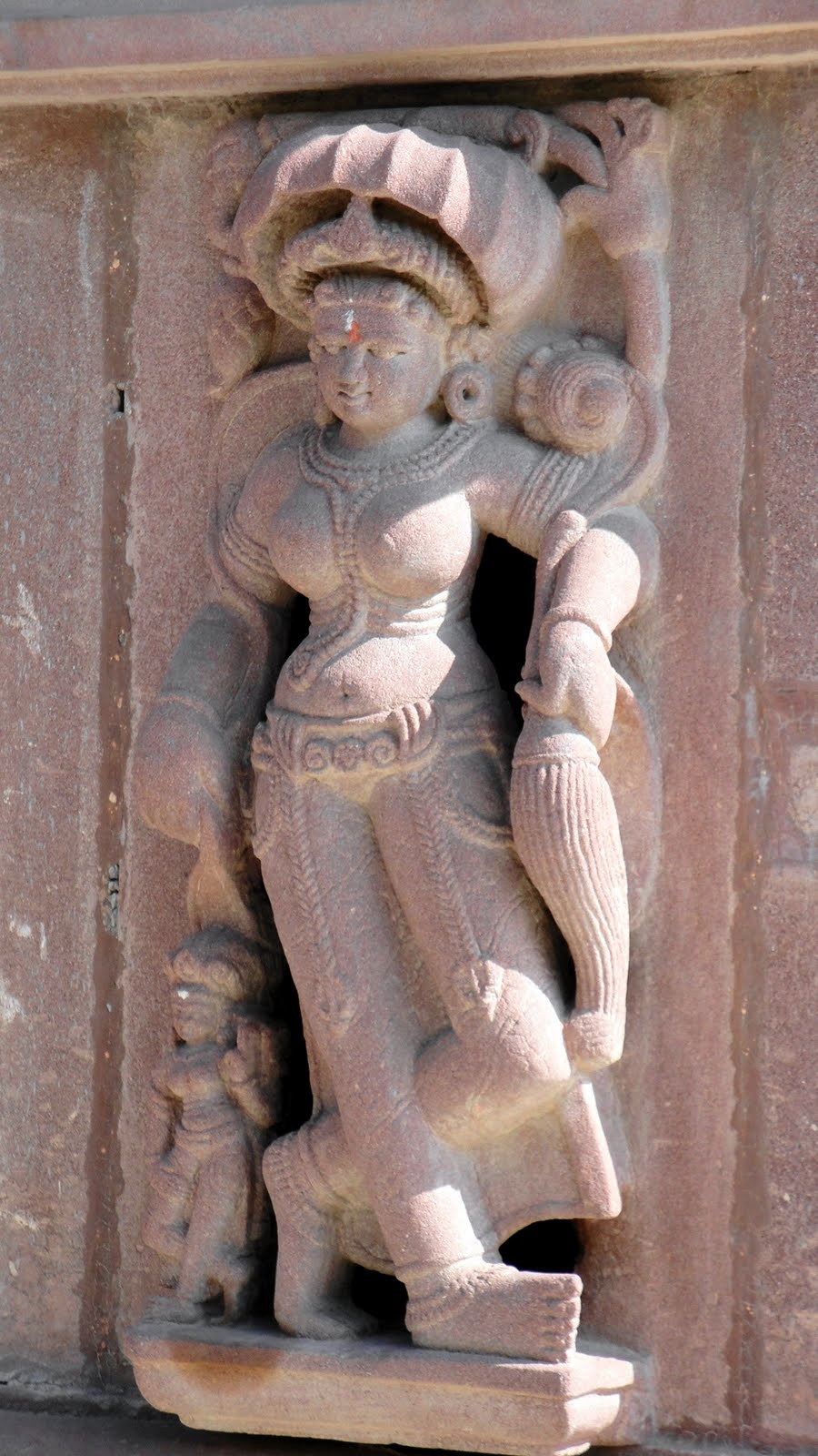
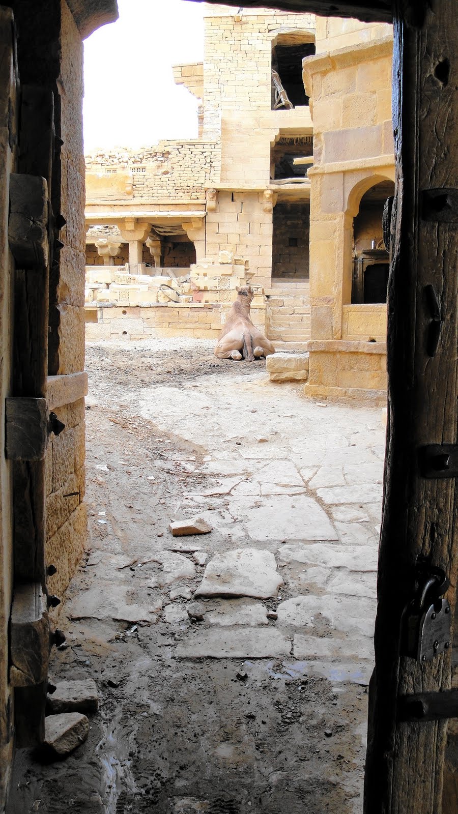 …above: camel at rest in a random courtyard up in the fort at Jaisalmer; below: waterspout in fantastic shape within Jain temple; further below: the white statue is one of the 24 Jain prophets, about whom you can read more in the Osian section down below.

Kumbalgarh: The Camel’s Swish
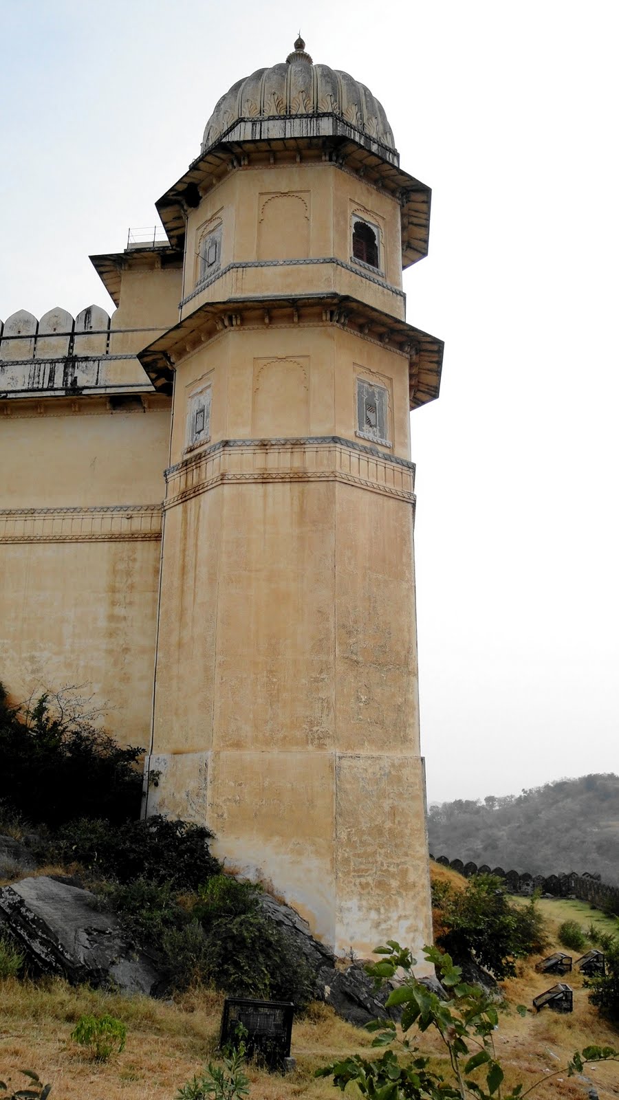
 Kumbalh Garh (fort at Kumbalh is what it means) sits high up above rows of ramparts in the hills north of Udaipur. It’s not one of the top forts of Rajasthan, but it’s certainly quite impressive. There’s a story in why we saw it: as we departed Jodhpur for Udaipur in the morning, Gene mentioned to our driver the temples Rankapur, which we were to see that day according to the schedule. He hadn’t checked the schedule, our driver, so was unaware of Ranakpar and what are supposed to be stupendous white-marble Jain temples that are pretty much tops in their category for Rajasthan. As we drove ever further and saw signs that Udaipur was ever closer, we asked again about Ranakpur and got unclear answers. Finally, certain that we were past Ranakpur and nearly to Udaipur, with dusk in the foreseeable future (one doesn’t drive most roads after dark in the Indian countryside), we asked again and finally got the car turned around…only to be brought to Kumbalhgarh, which we decided must have been our consolation prize: backtracking to Ranakpur, by then, would have meant arriving far too late in Udaipur, so we got a lovely and atmospheric fort instead. Oh well: next time for Ranakpur.
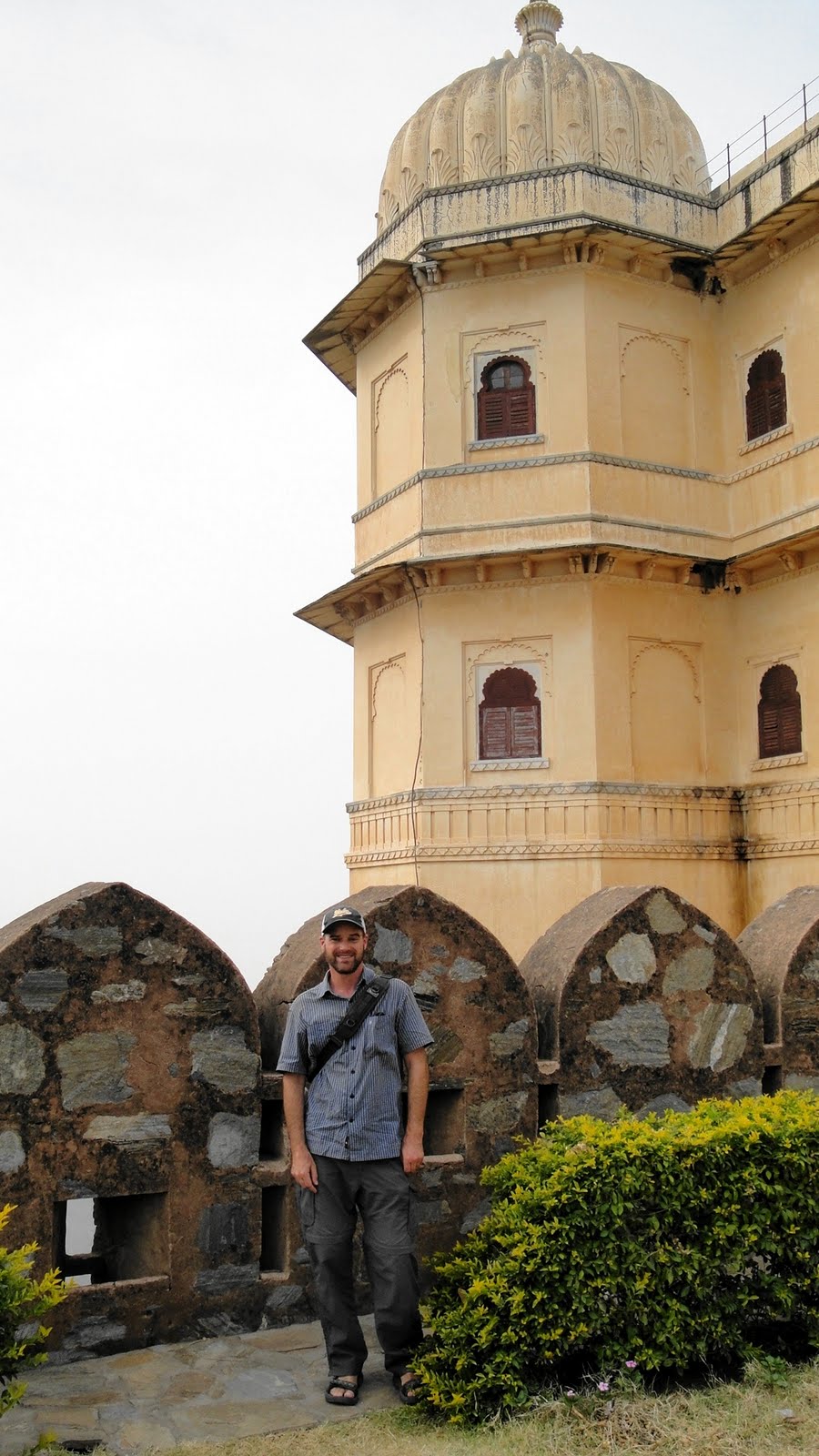


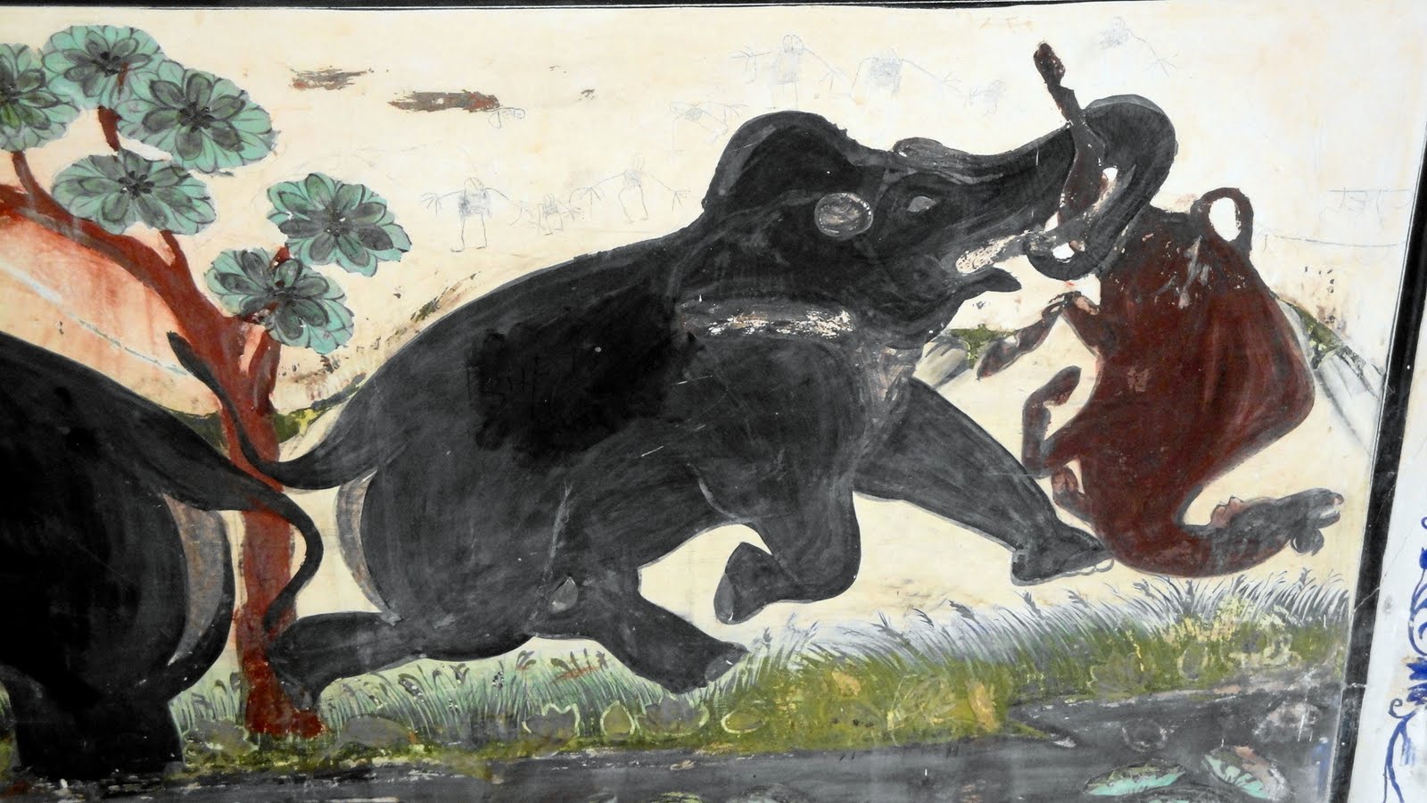
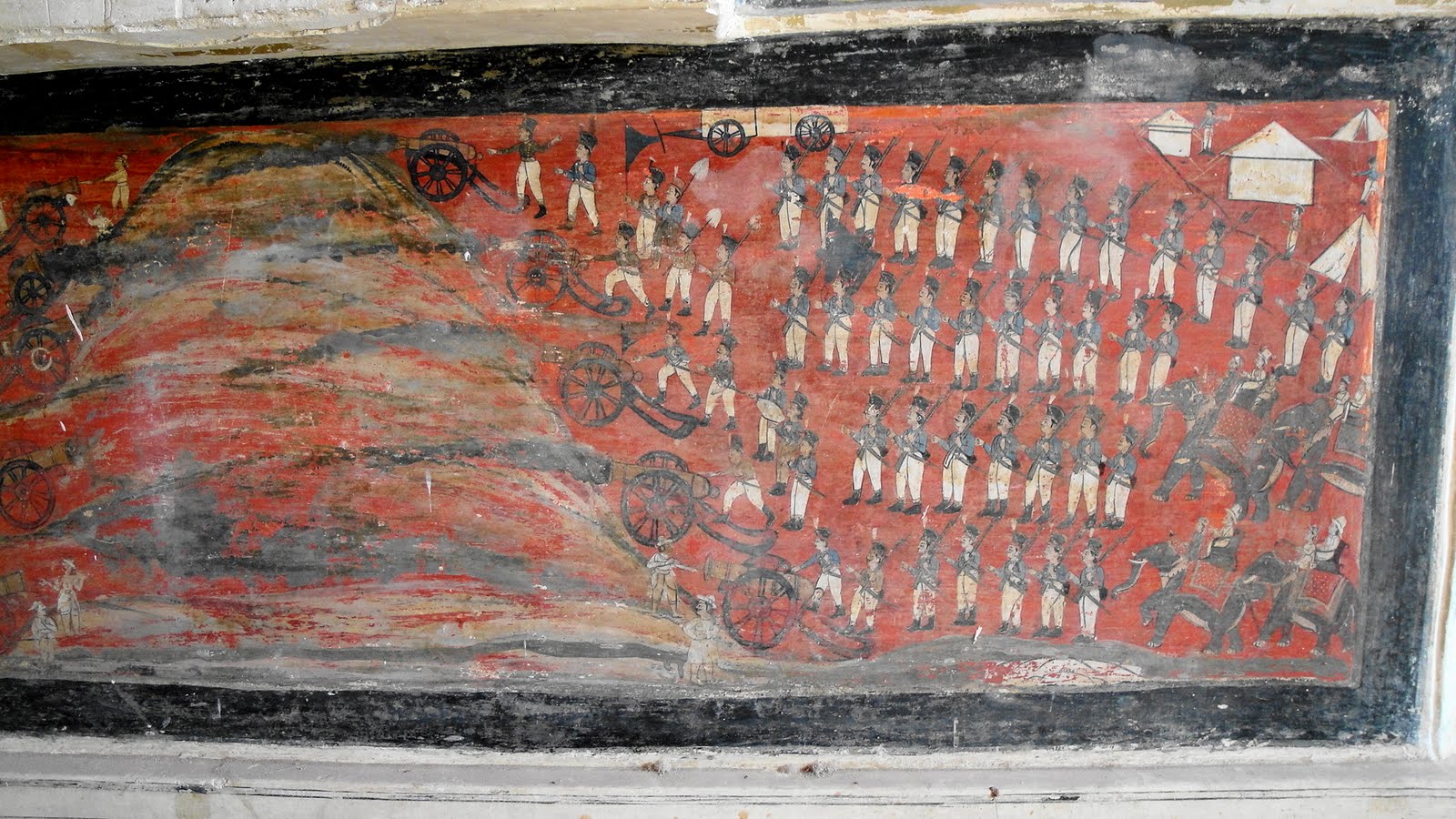
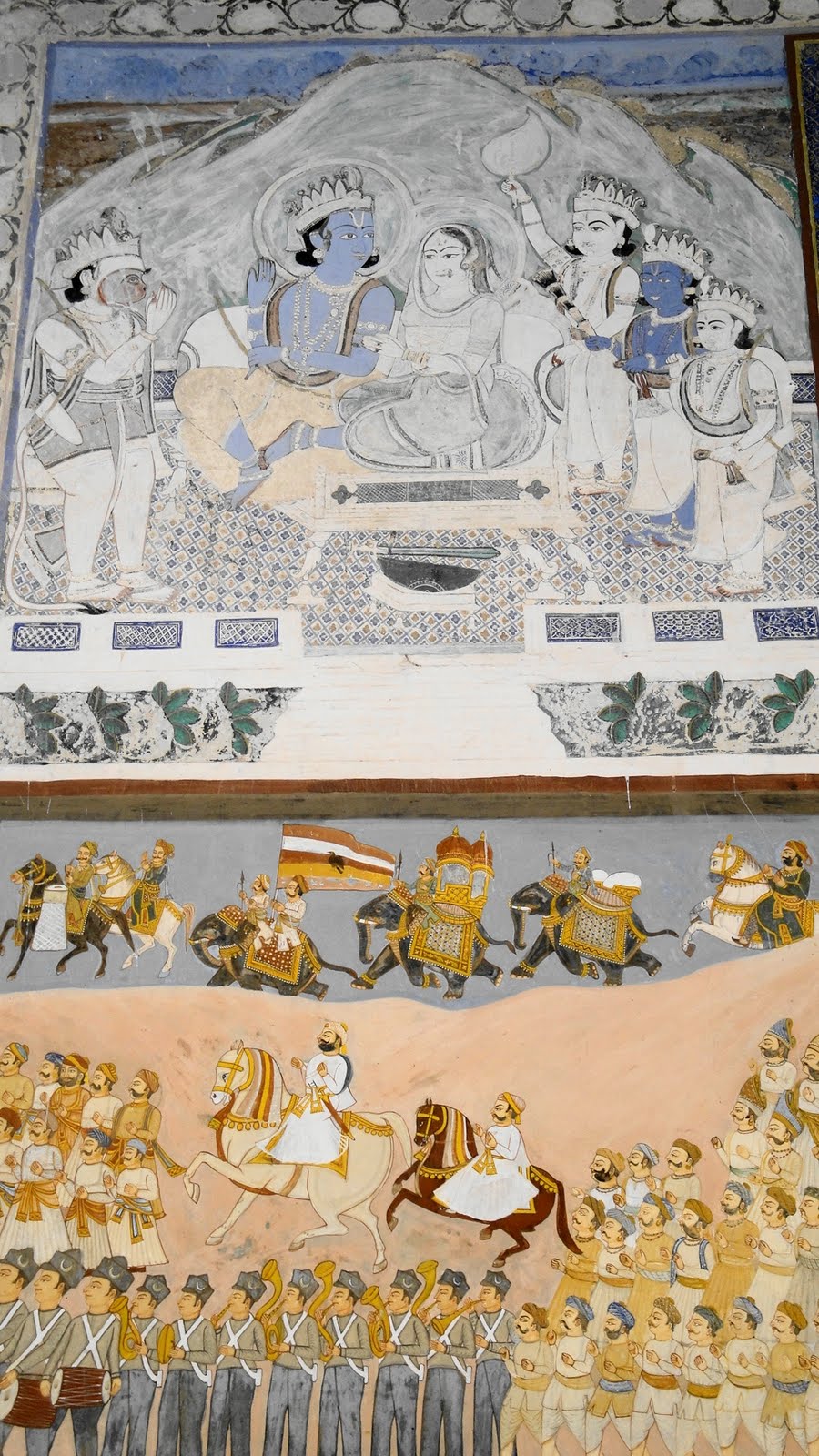
 Elephants as beasts of war, above & below.

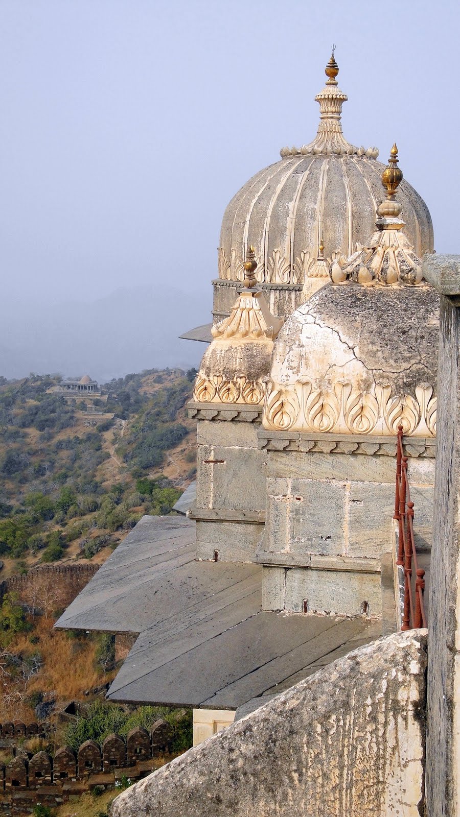
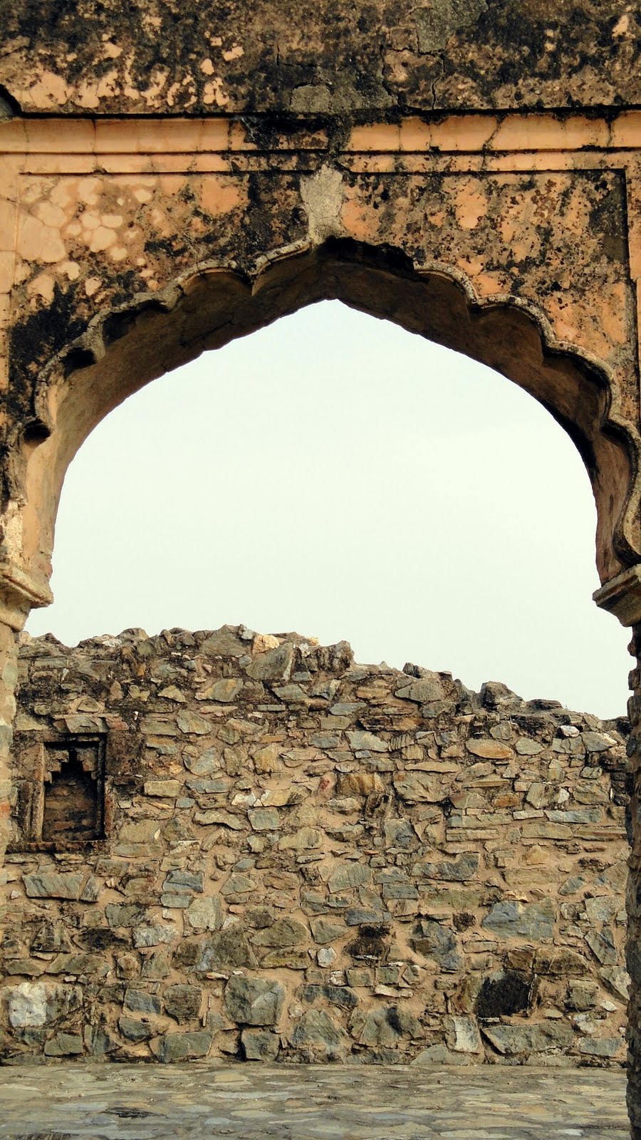

 …the huge, snaky ramparts and how they dwarf any people around them really grabbed me.
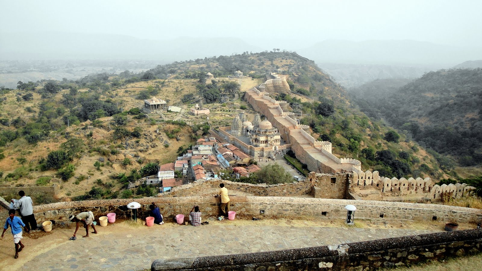

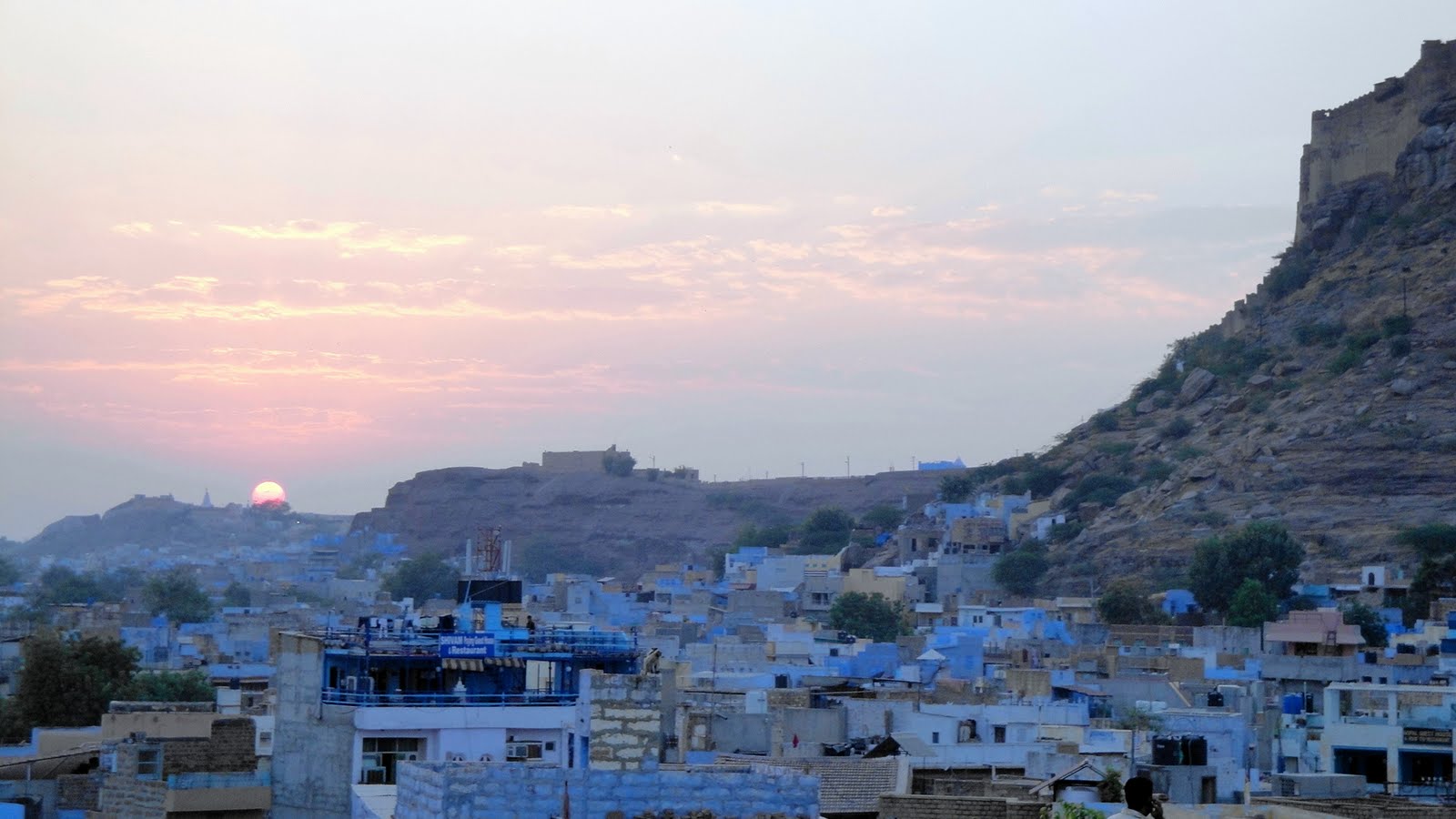
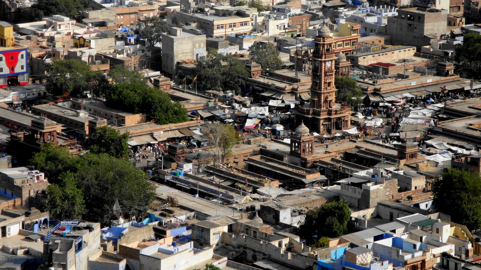
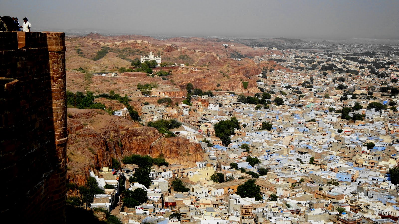
Marvelous Mehrengarh & The Blue City
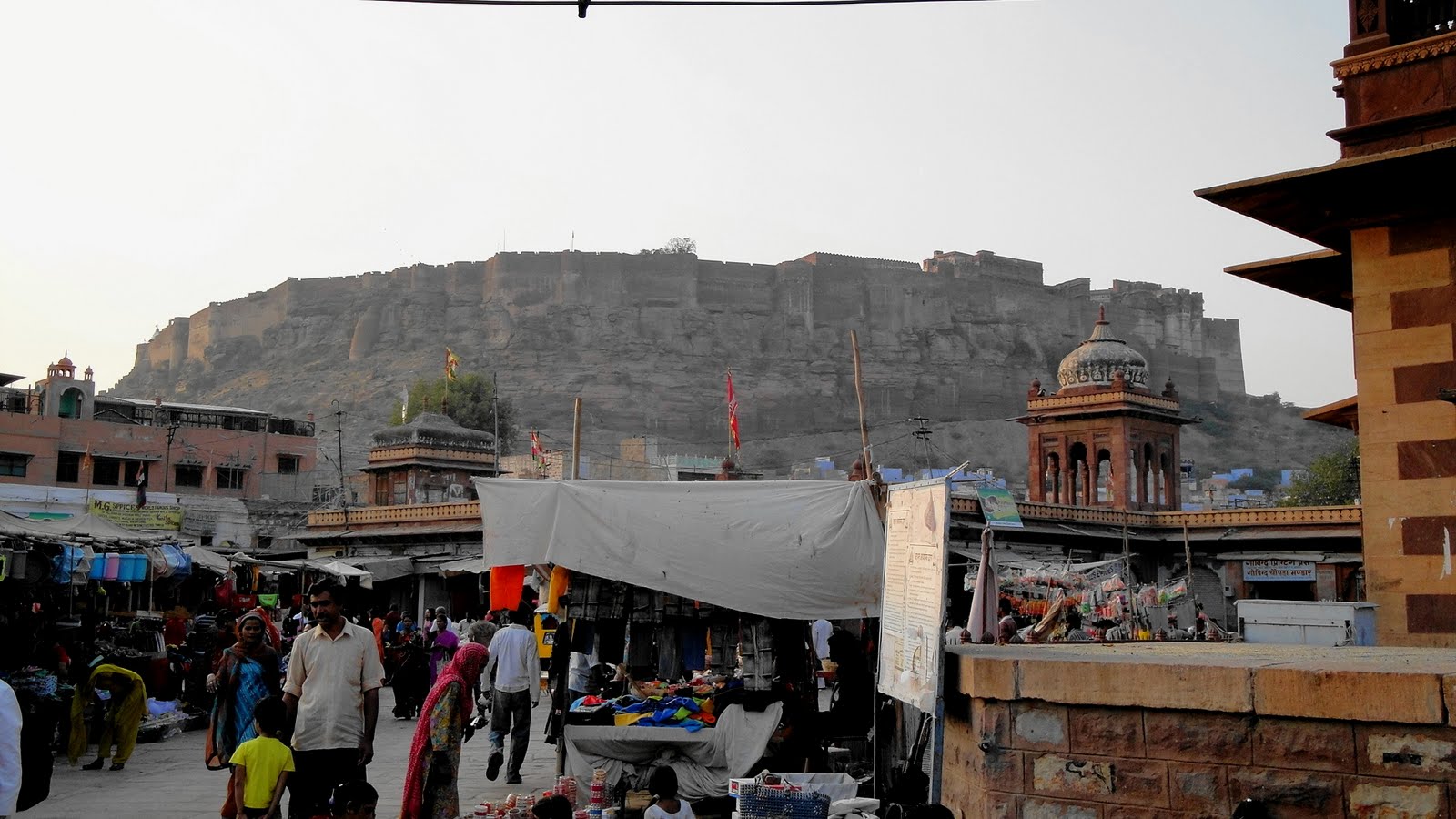
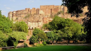
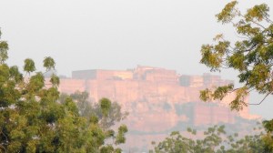
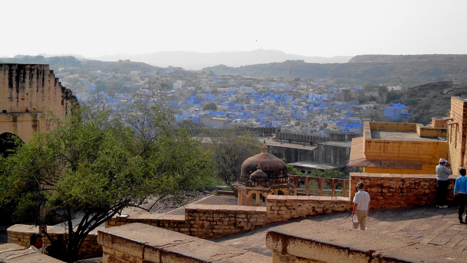
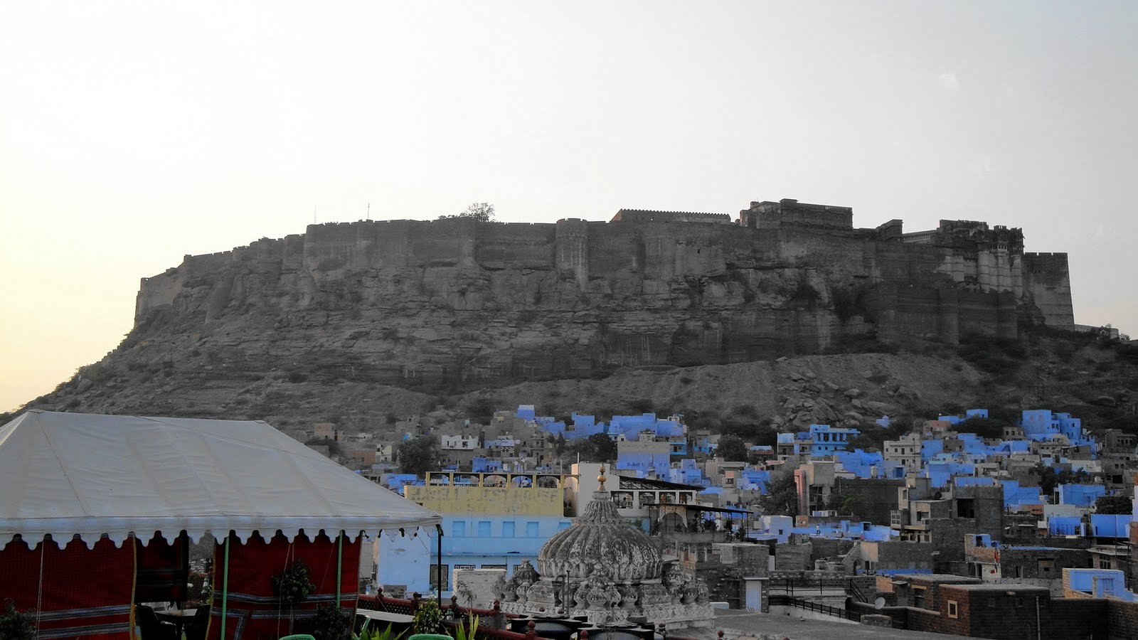
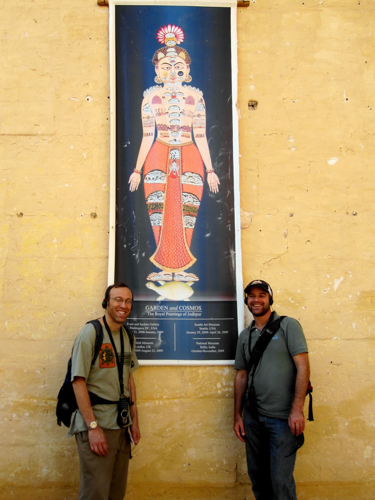
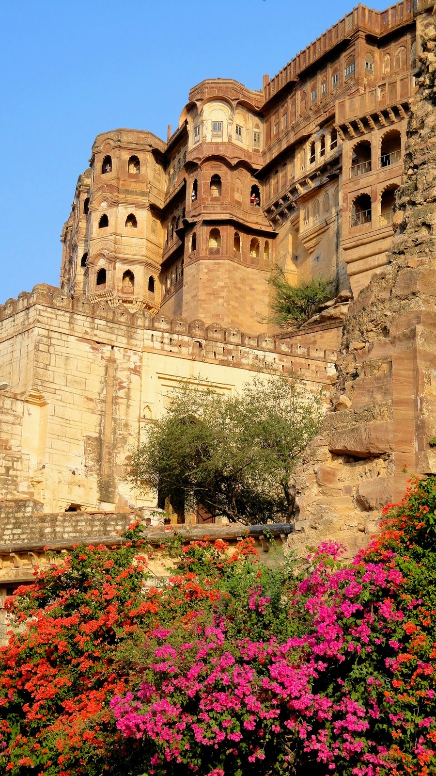
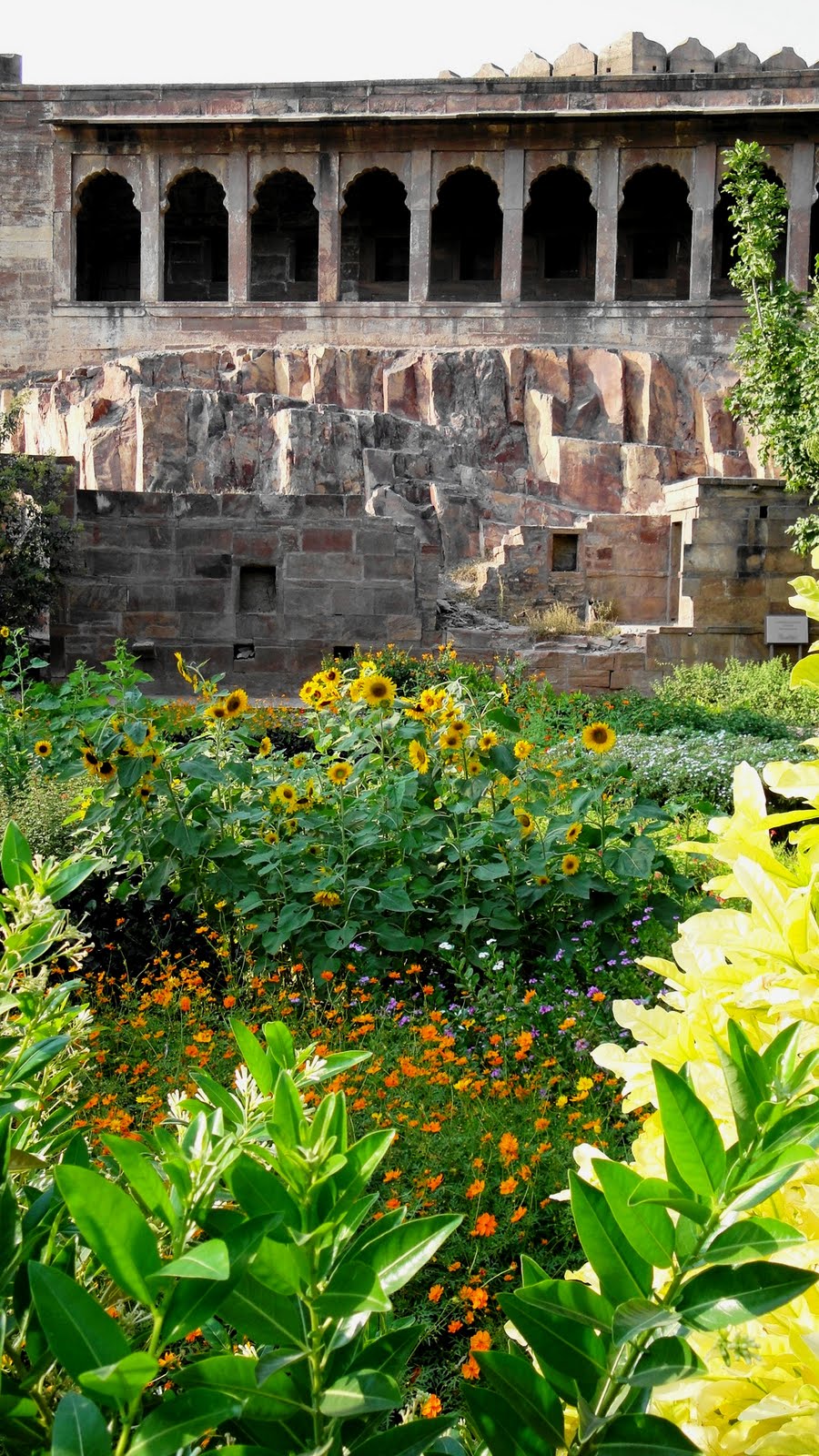
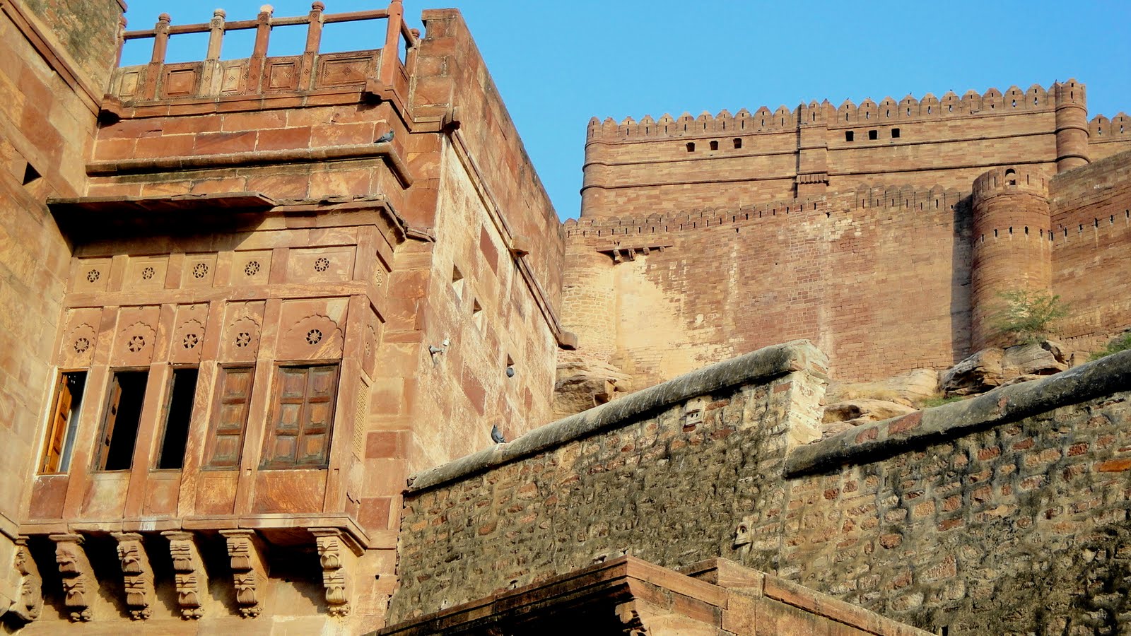
 At the center of the modern state of Rajasthan, on the eastern edge of the Great Thar Desert, lies Mehrengarh Fort surrounded by the blue city within the outer walls. Our travel books were quite correct when they told us that the Fort is magnificent – rising high above the surrounding city and plain, a beautiful and impenetrable fort that never once fell to an enemy army during centuries of Rajput fighting outsiders, and Rajput fighting Rajput. Sadly, after taking the first photo you see above, the battery in my camera died. I did borrow one of Gene & Howard’s cameras and seem to recall taking jillions of photos of the opulent and beautifully-decorated rooms and battelements throughout the palace. At the very end, Gene ensured I had their cameras to take photos, but by then my camera complication at Jodhpur had faded into the past after all those gorgeous experiences in Jaisalmer and Udaipur that you’ve been seeing…and so I only took those shots of myself or us that looked good: e.g. Howard and me by the art-exhibit poster below.
Oh well: take it as stated that the interior of the fort & palace is as impressive and beautiful as the exterior. And enjoy the shots that I took on an afternoon return trip, post-Jaisalmer, of the battlements and gardens at Mehrengarh. Though they already had the spectacular Fort, this particular royal family decided to build themselves an even more opulent and sumptuous palace called Umaid Bhavan – no military fort, this confection built in the 1930s as a ‘public works program’ for the waning days of British colonial rule in India. This is the palace I mentioned in my comments up above about the tension in my own mind between the beauty of these buildings and their history, and the enormous social inequality and maldistribution of resources that they represent. It’s good for Americans to be reminded that, in this epoch on the global scale, we’re the modern equivalent of these Rajahs building themselves pleasure palaces while the poor are starving. Not a sustainable system, my friends.
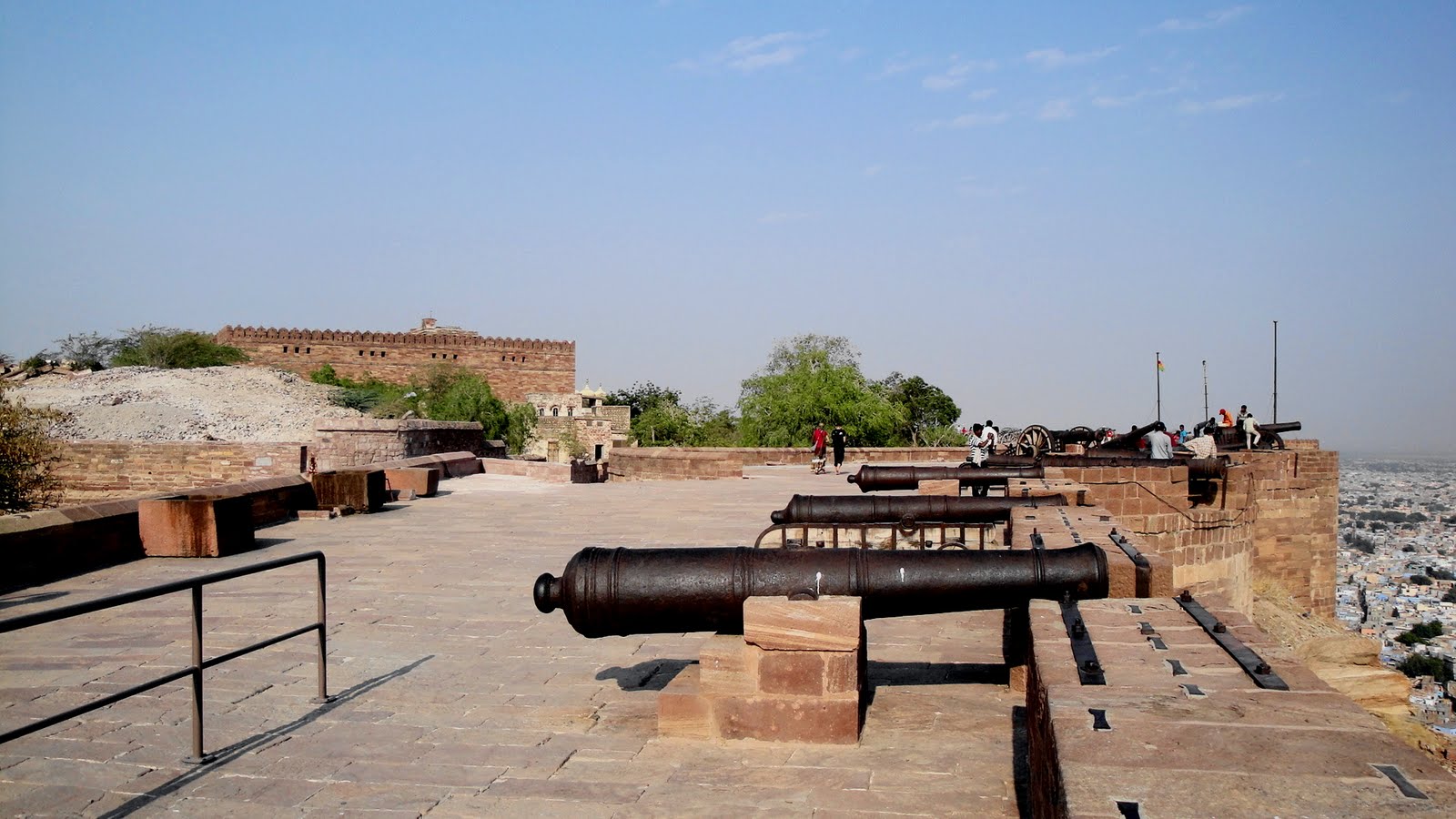


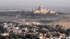
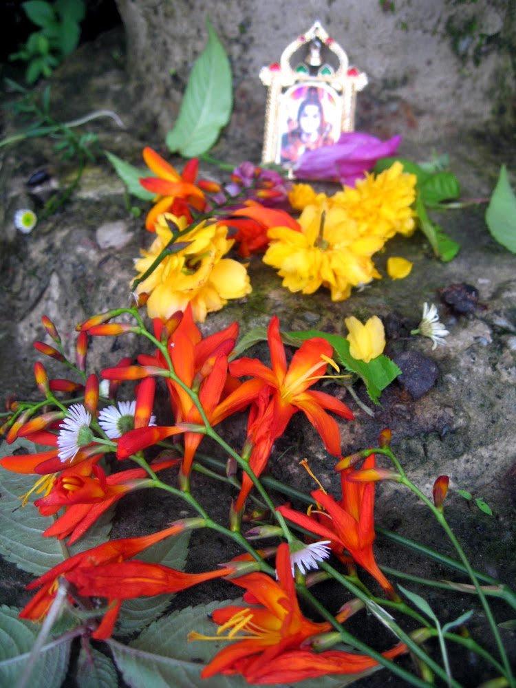
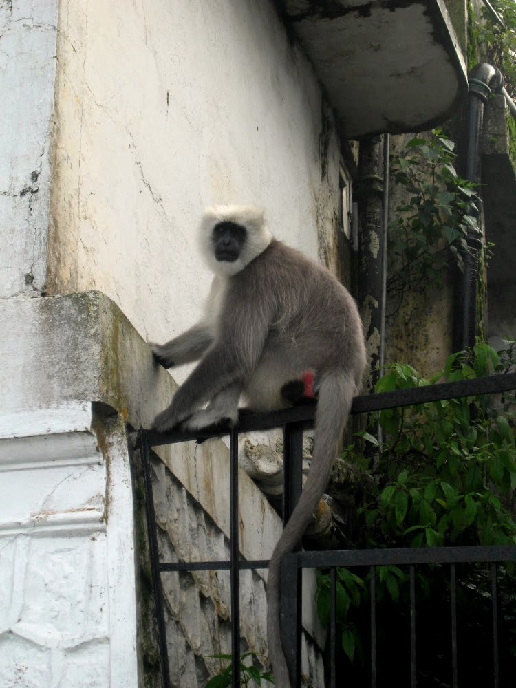
…that’s the above-mentioned, offending but opulently gorgeous Umaid Bhavan Palace; and yeah, the aim of the cannon below rather represents my feelings about such spending, beautfiul as it is, when I know there were folks starving and dying needlessly of disease. Further down (and some above as well, flora and fauna – the hanuman langur, a black-faced and playful primate whose relatives I first met in bouncing around on the roof of my hotel in Sri Lanka years ago – of the gardens & pleasure palace, a delightful oasis down below Mehrengarh, from which many of the looking-up-with-flowers-in-the-frame pictures were shot.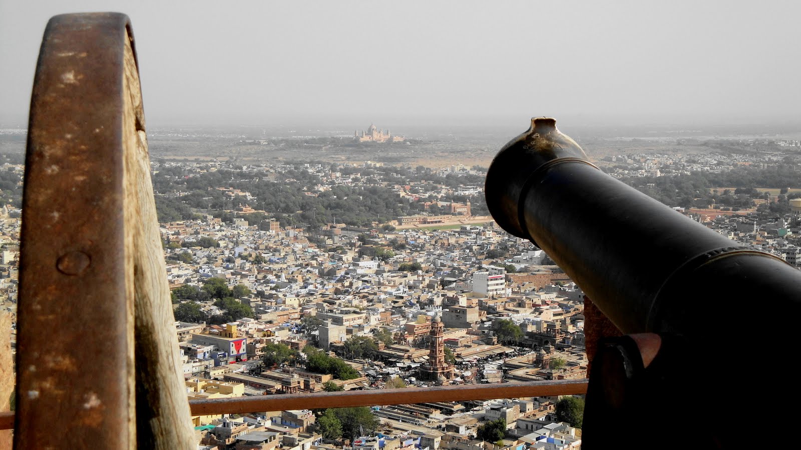

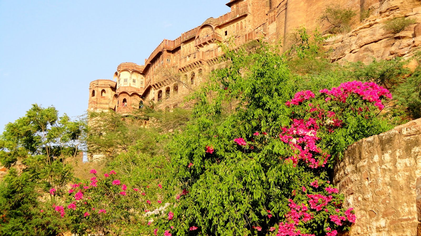
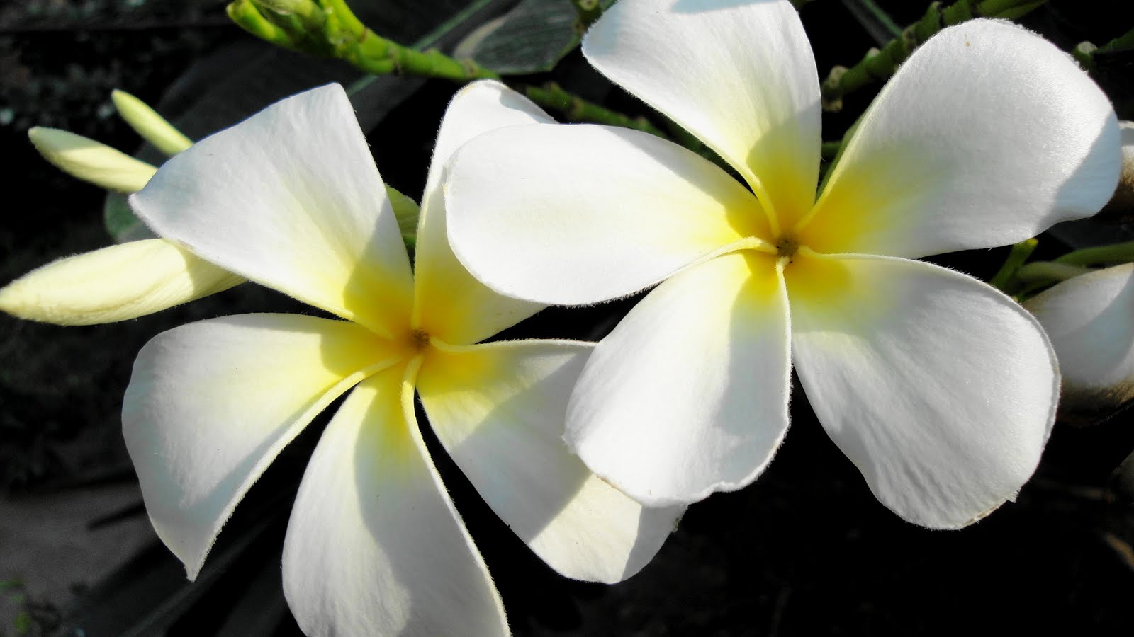 …every now and then my Ohio-boy roots show up despite the many voyages I’ve undertaken since those days on the banks of seven-mile creek — and any time I see these particular, beautifuly fragrant flowers, I’m always reminded of my first exposure to them in Key West on my very first adult semi-tropical-type vacation. And I just can’t help thinking how cool it all is, and how very far from the banks of seven-mile creek.
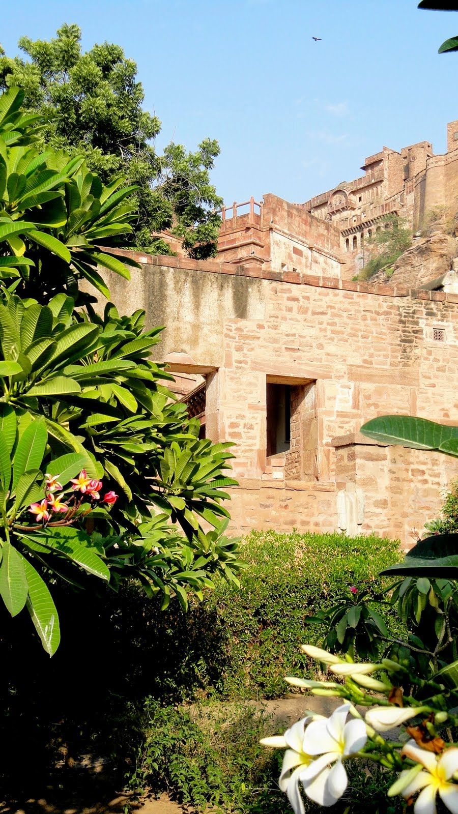


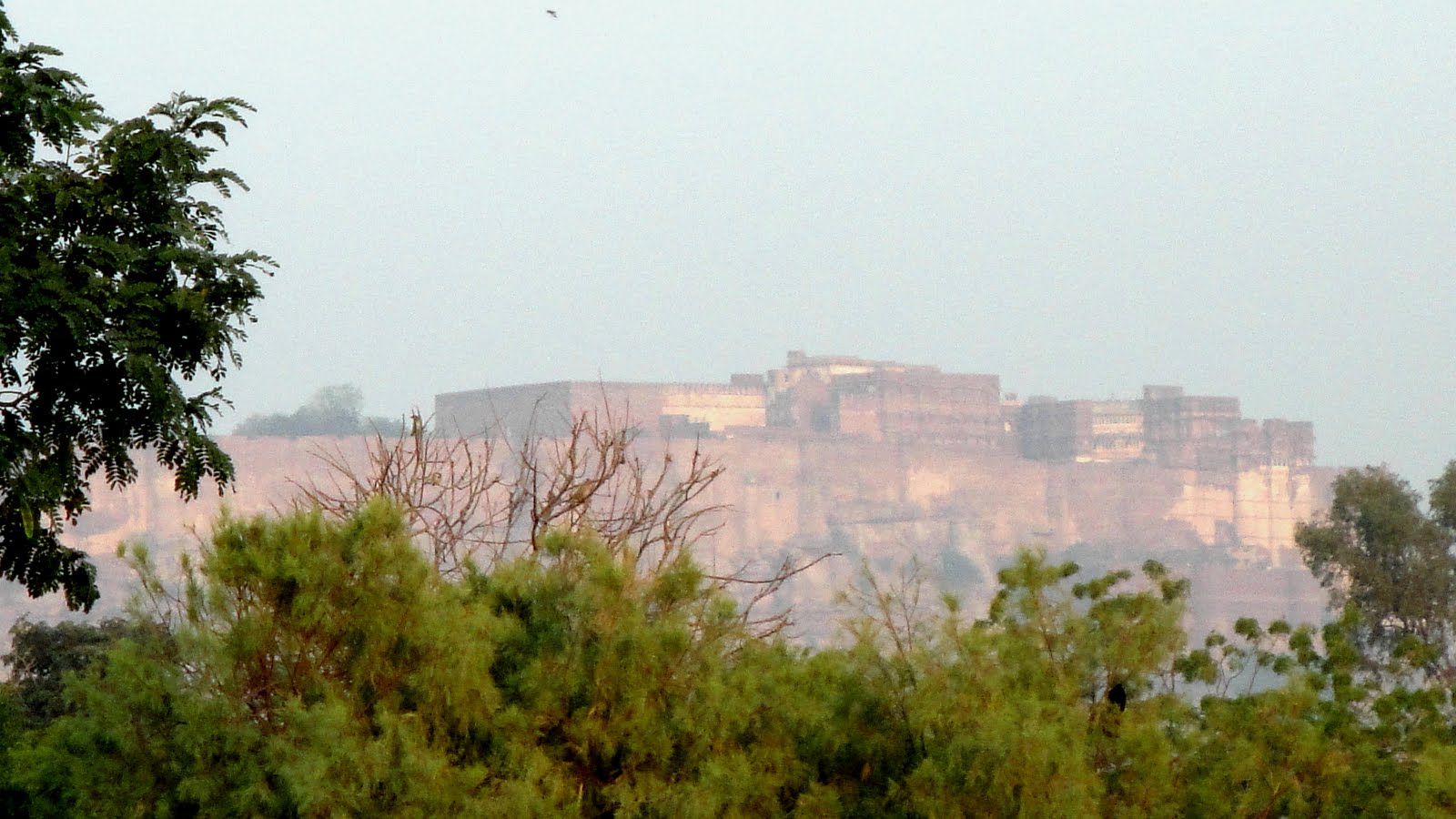
 Above, courtyard restaurant at our hotel with Mehrengarh in the far distance (we were sort of across the street from the Umaid Bhavan palace compound), and below…well, we did this little desert village tour and part of that was seeing how long the turbans are that Rajashtani men wear. Is it my color?
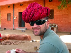
Osian – Town of Temples
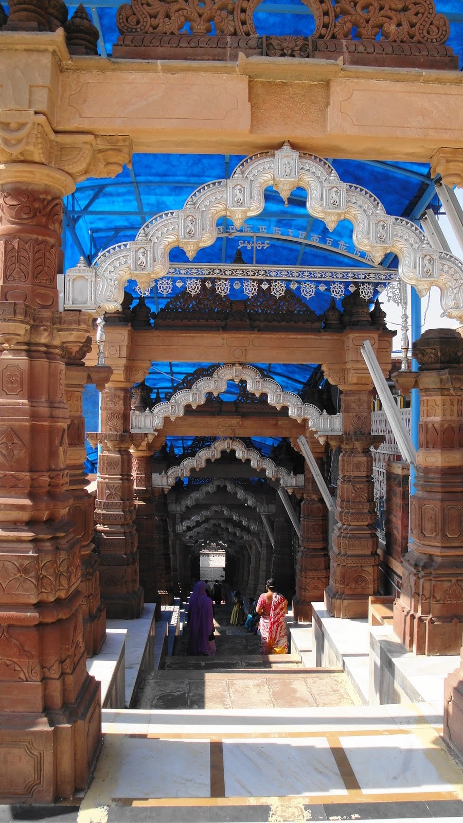
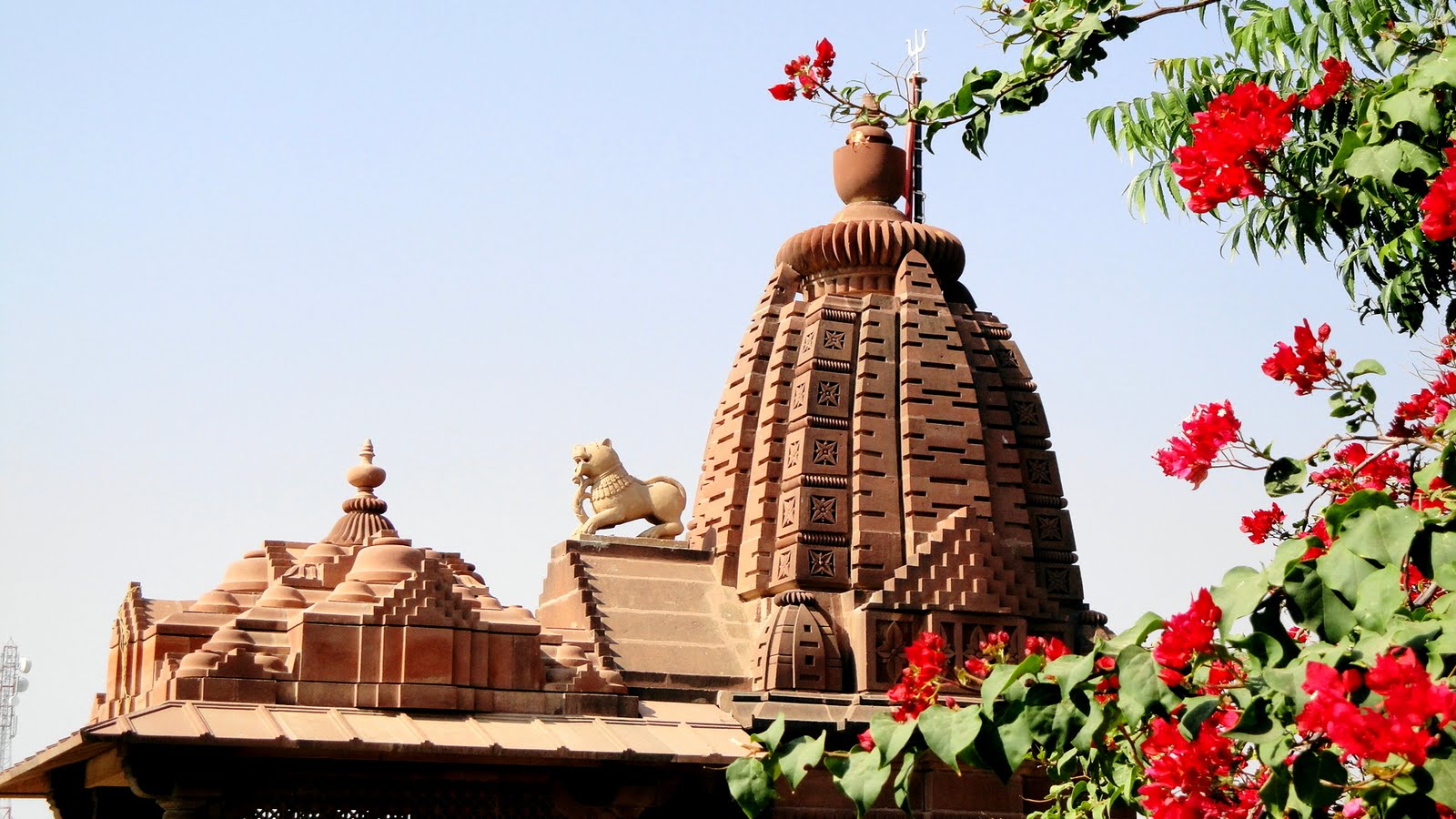
 Osian is a small town halfway between Jodhpur & Jaisalmer. Sitting in the middle of the desert, somewhat off the faster but longer road that connects Jodhpur up to Jaisalmer, its tourist magnets are two lovely temples built during Osian’s years as an important trading center, roughly 12th to 18th century CE. Since we were three traveling together, we had the luxury of our own car & driver, so we were able to stop at Osian on our way up to Jaisalmer…no long story to this one as there was with the temples at Ranakpur, north of Udaipur, which our driver had not understood were on the program until it was a wee bit too late to be practical — hence the Kumbalgarh-and-drive-through-lovely-countryside consolation prize.
 …that peacock was photographed with you in mind, Robin. 🙂

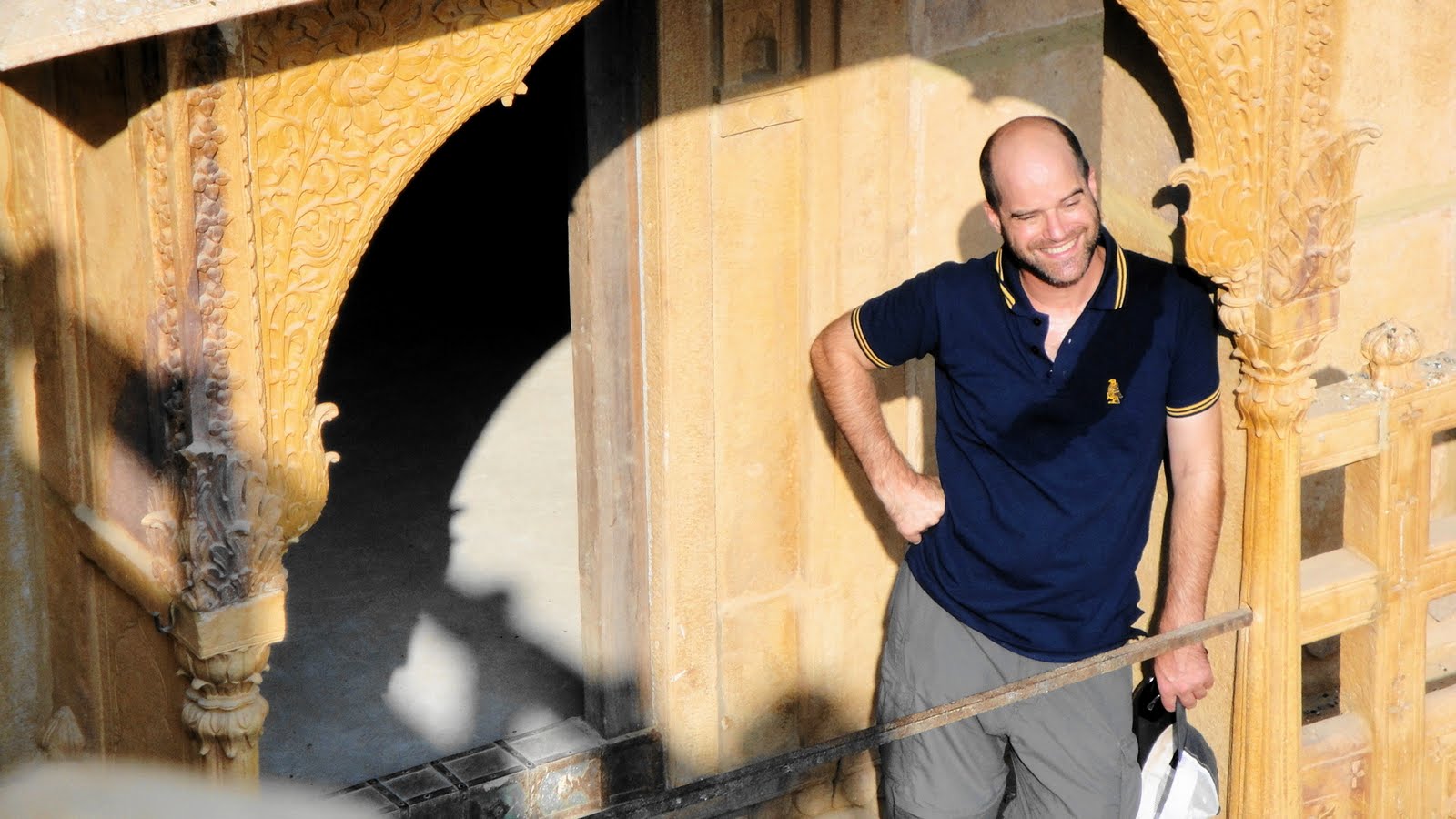
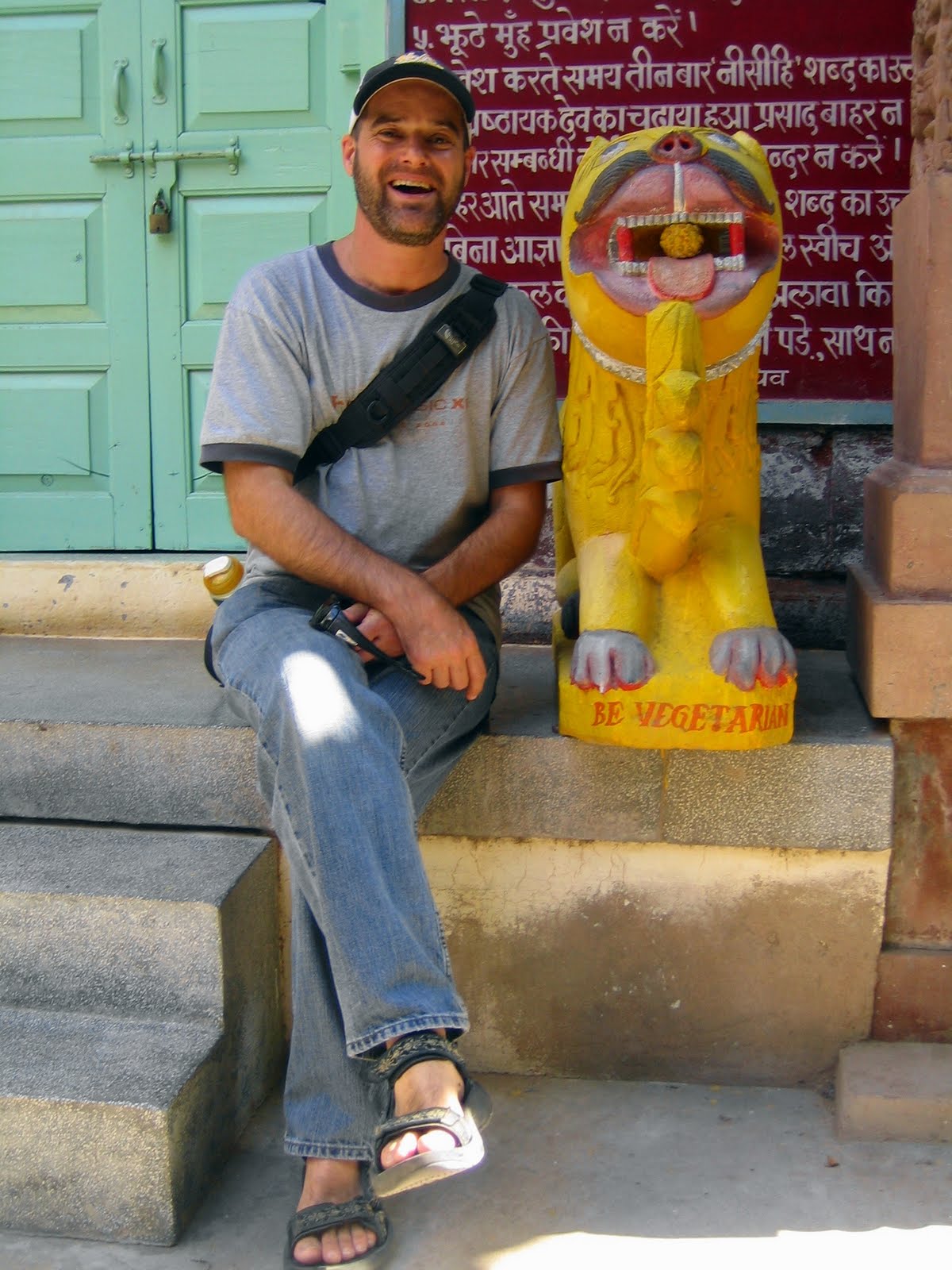 …above, Paul sitting by the ‘Be Vegetarian’ lion (?) at the Jain Temple. Jains, for those who don’t know, believe even more than Hindus in not harming any living being; Jain thalis contain no butter or milk products. They also believe the nature of reality was revealed over the milennia by 24 different prophets, culminating in the 24th who established the Jain religion. Jains were often a very important trading and business presence in the towns and cities of what are now Rajasthan and Gujarat.


Agra & Fatehpur Sikri: Seats of Empire
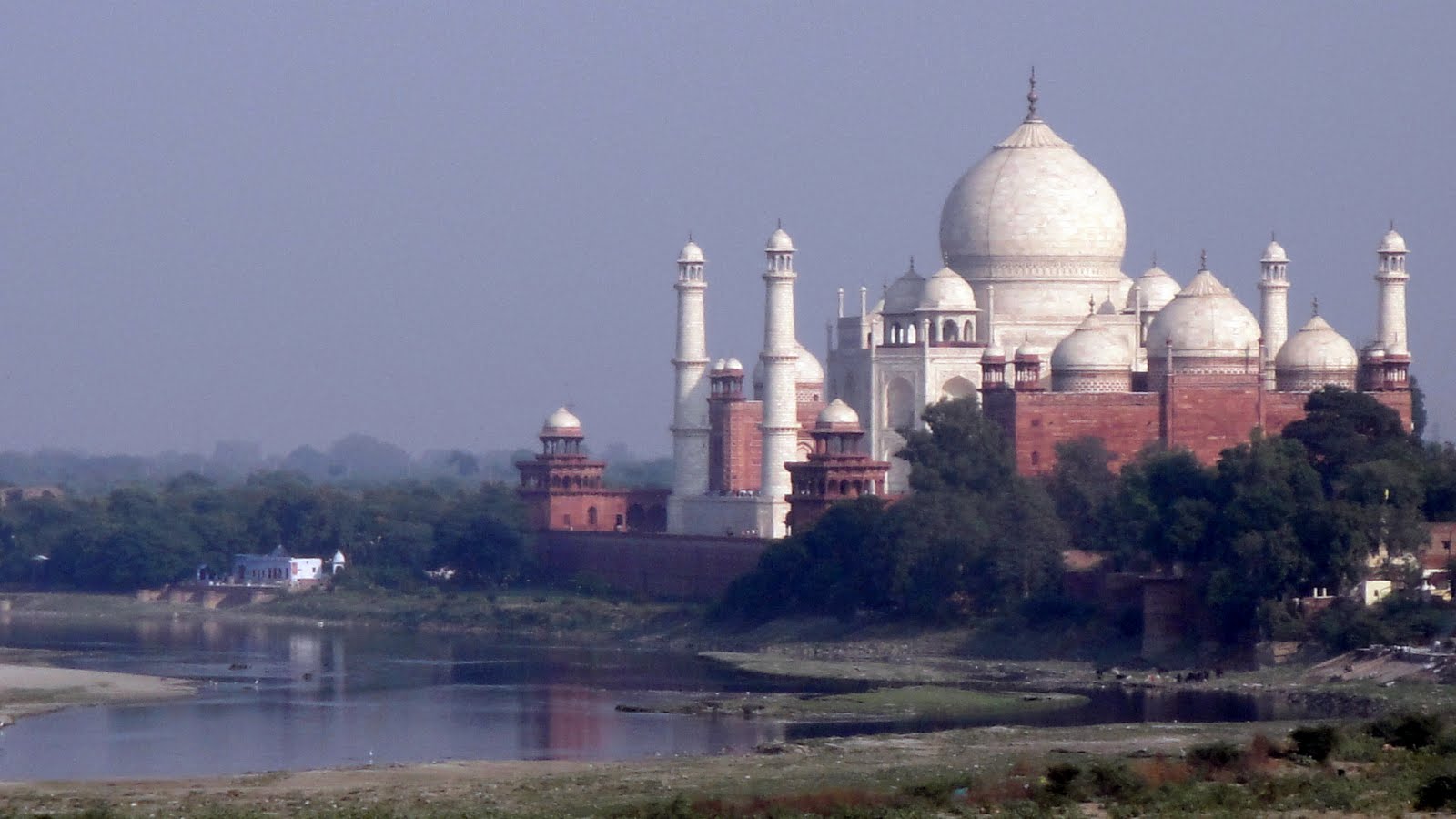
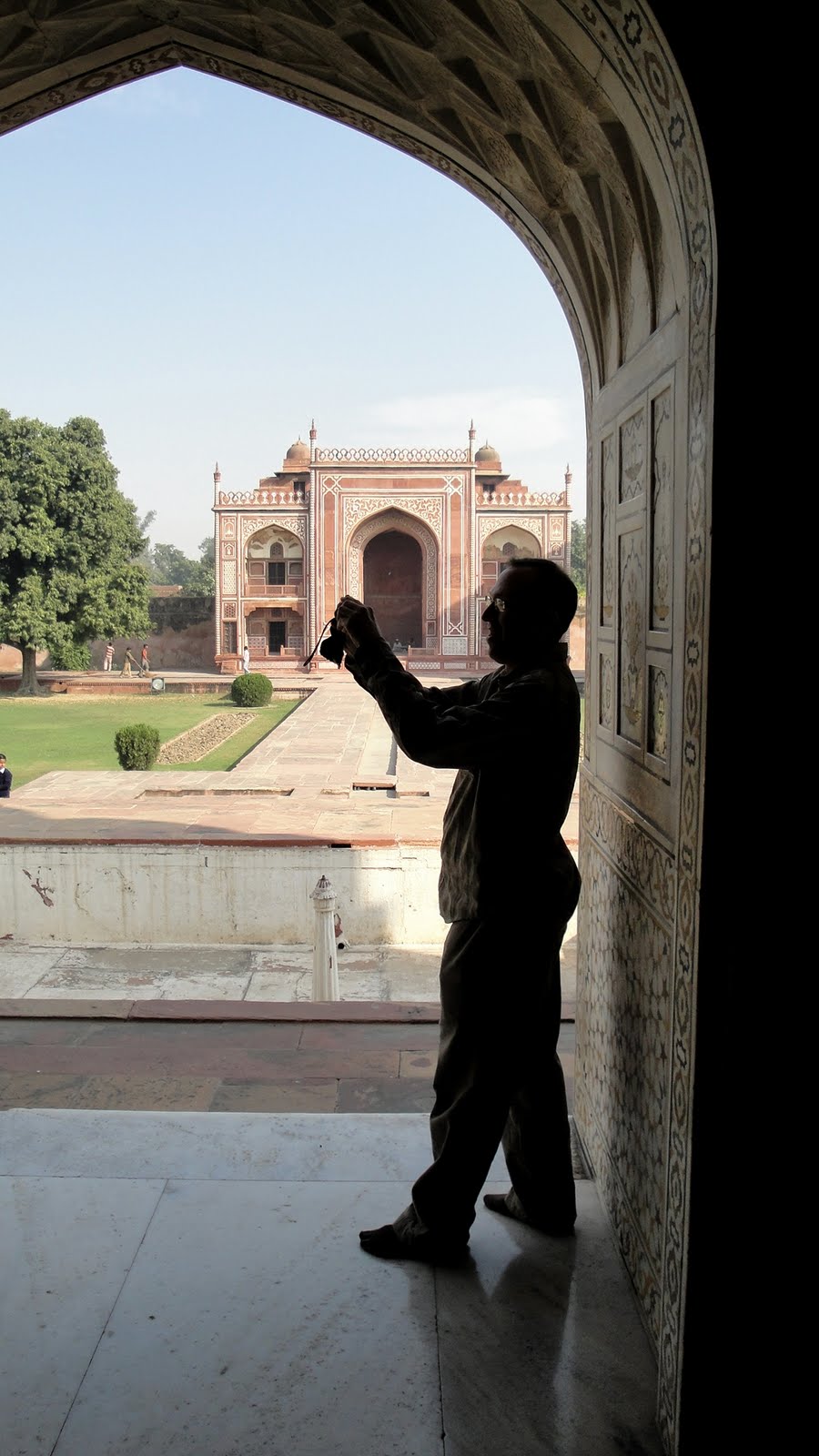
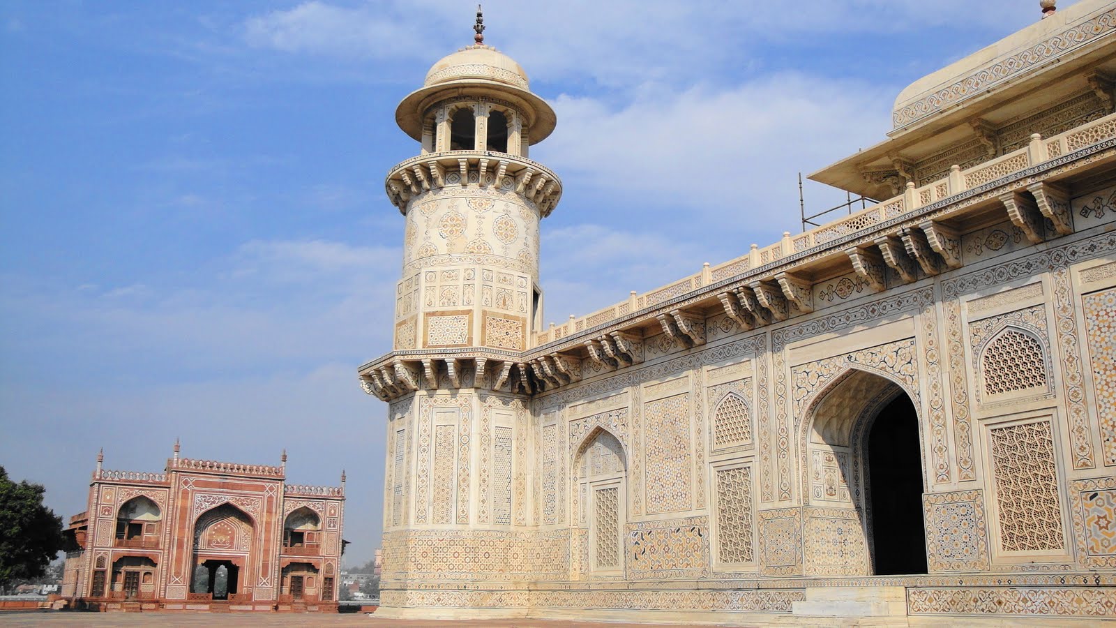
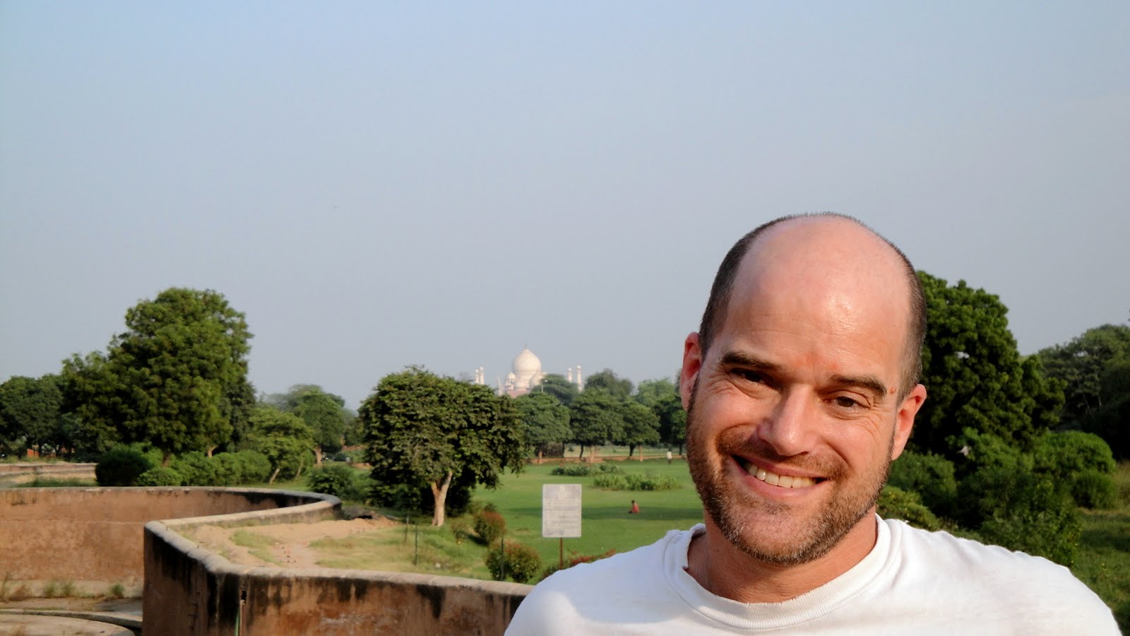
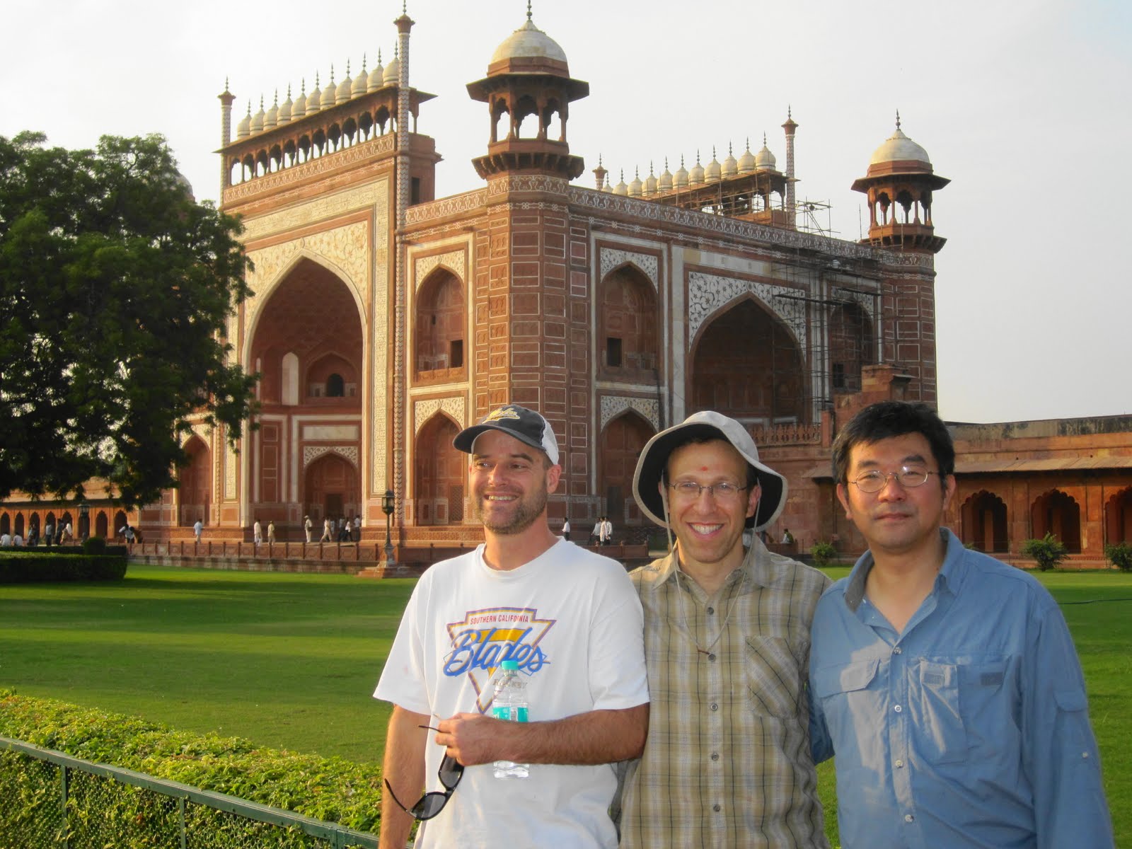
 Though I must have known at one point or another, I was surprised anew that the great Mughal empire, of which I’ve heard and read so much and whose art and architecture have so inspired my imagination, really only encompassed the reign of six different rulers — naturally, there were still some Mughal rulers after Aurangzeb more or less destroyed the empire through his religious intolerance and costly expansion of empire. (Hmmm…sound like anyone in recent American history?) But the glory days of the Mughals were clearly over by the time Aurangzeb’s reign ended. In any case, the capital moved back and forth between Delhi and Agra a few times, and once it popped down to Fatehpur Sikri for fourteen years, where Akbar (still revered for his skill at enlarging his own rule while respecting differences of religion and philosophy among his diverse subjects) built a new capital in honor of a local Sufi saint who’d predicted the birth of an heir to the empire after a worrisome dry spell on the heir-production front. This set of shots are all from the main sites at Agra — the Taj, of course, but also the lovely tomb of Itimad ud Daulah and the Agra Fort — as well as the religious and governmental structures at Fatehpur.
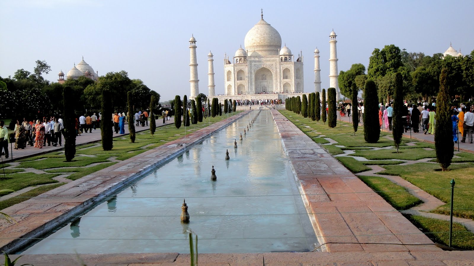
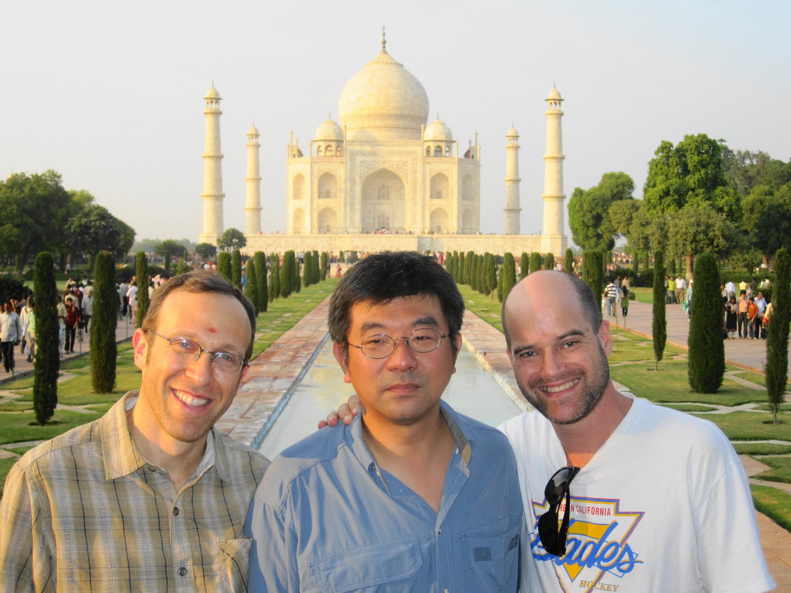
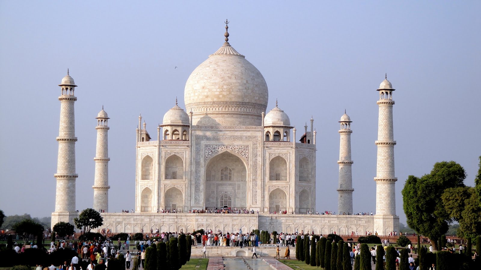
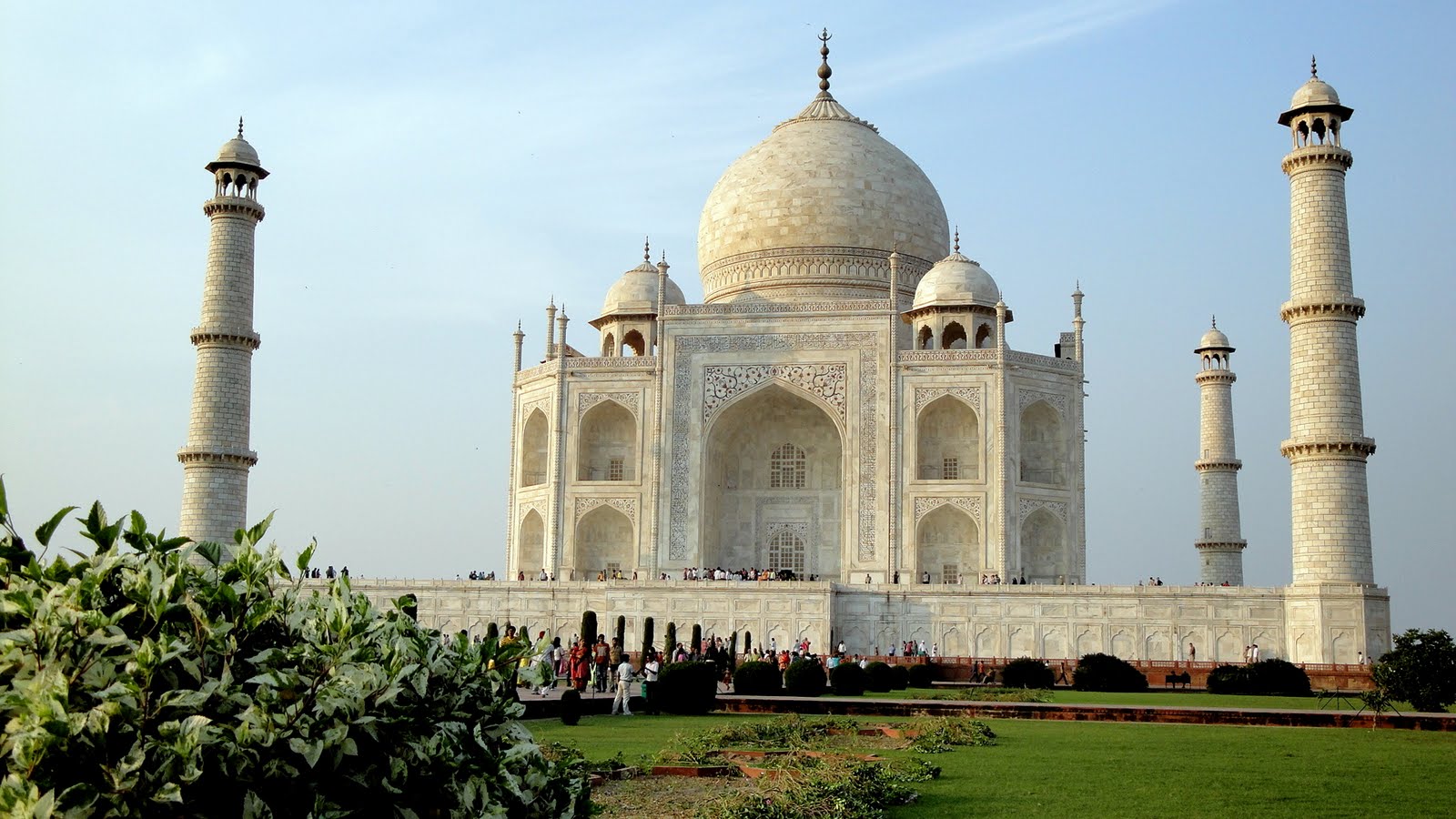
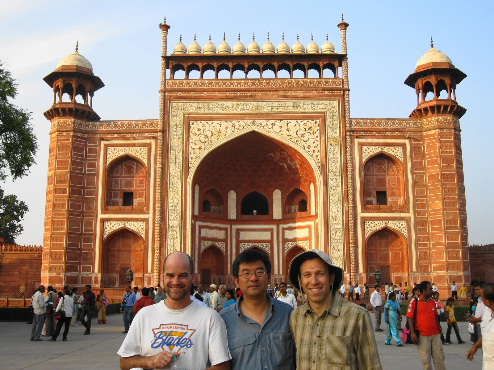
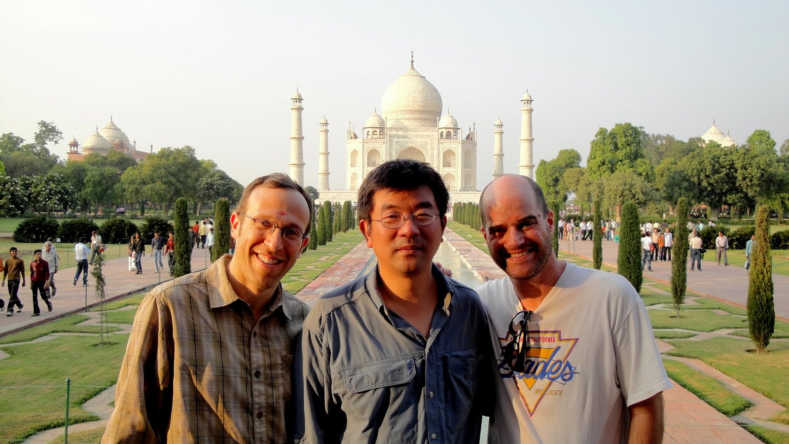
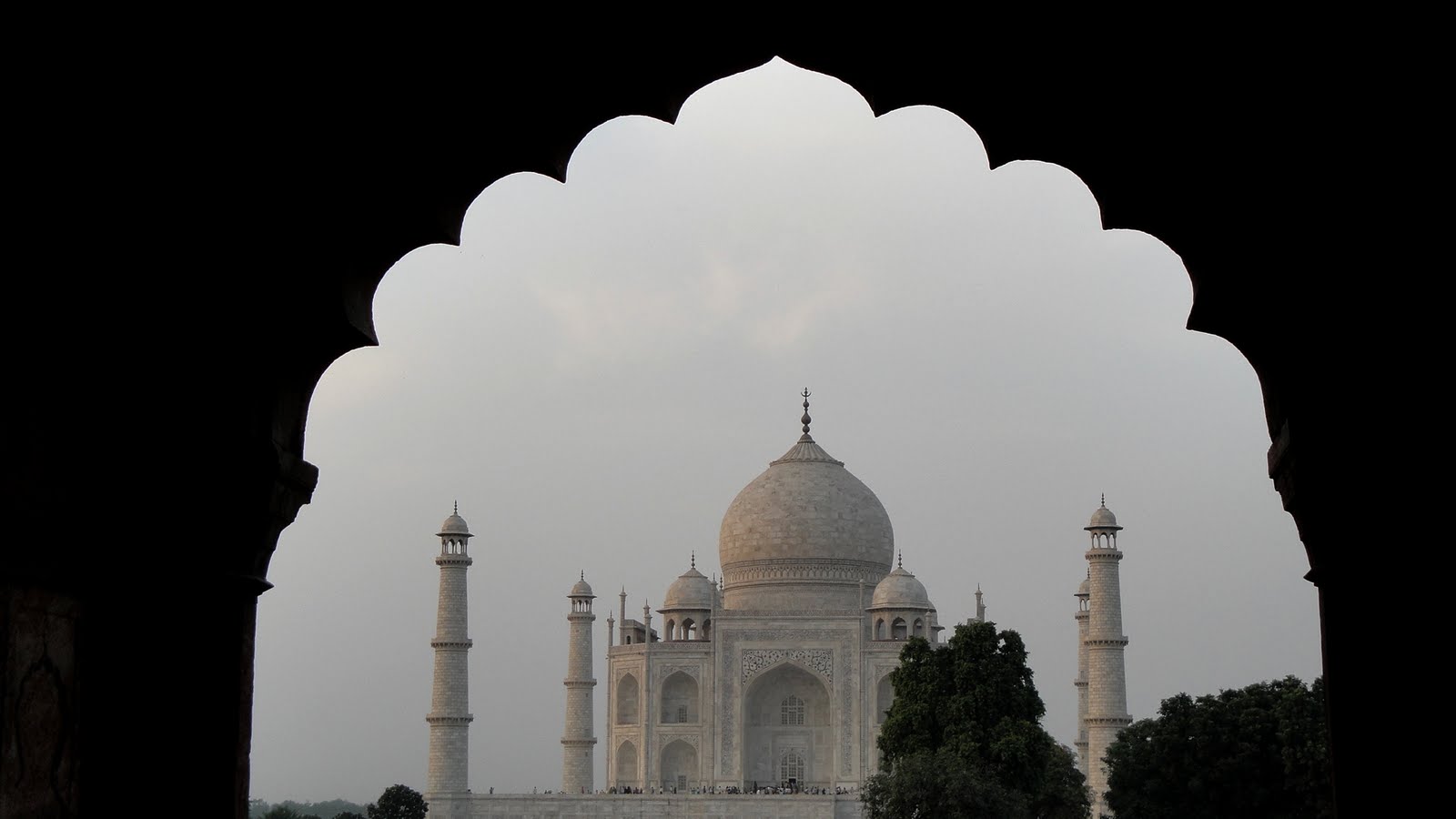
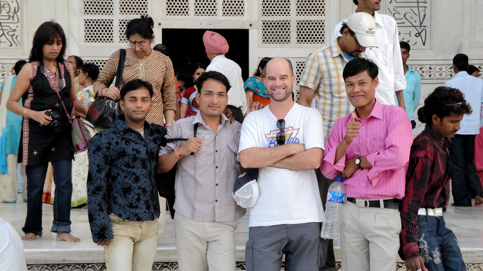
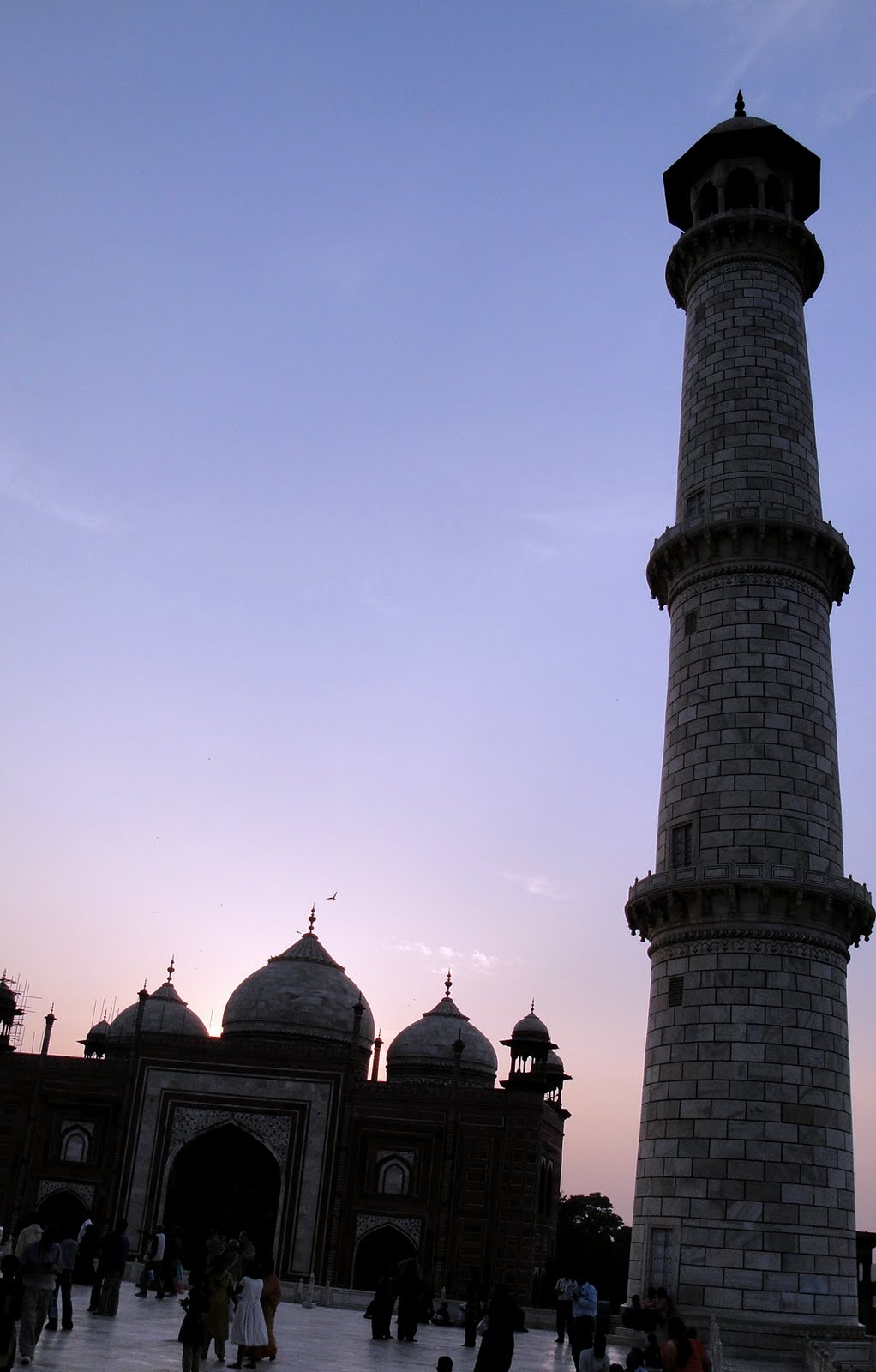
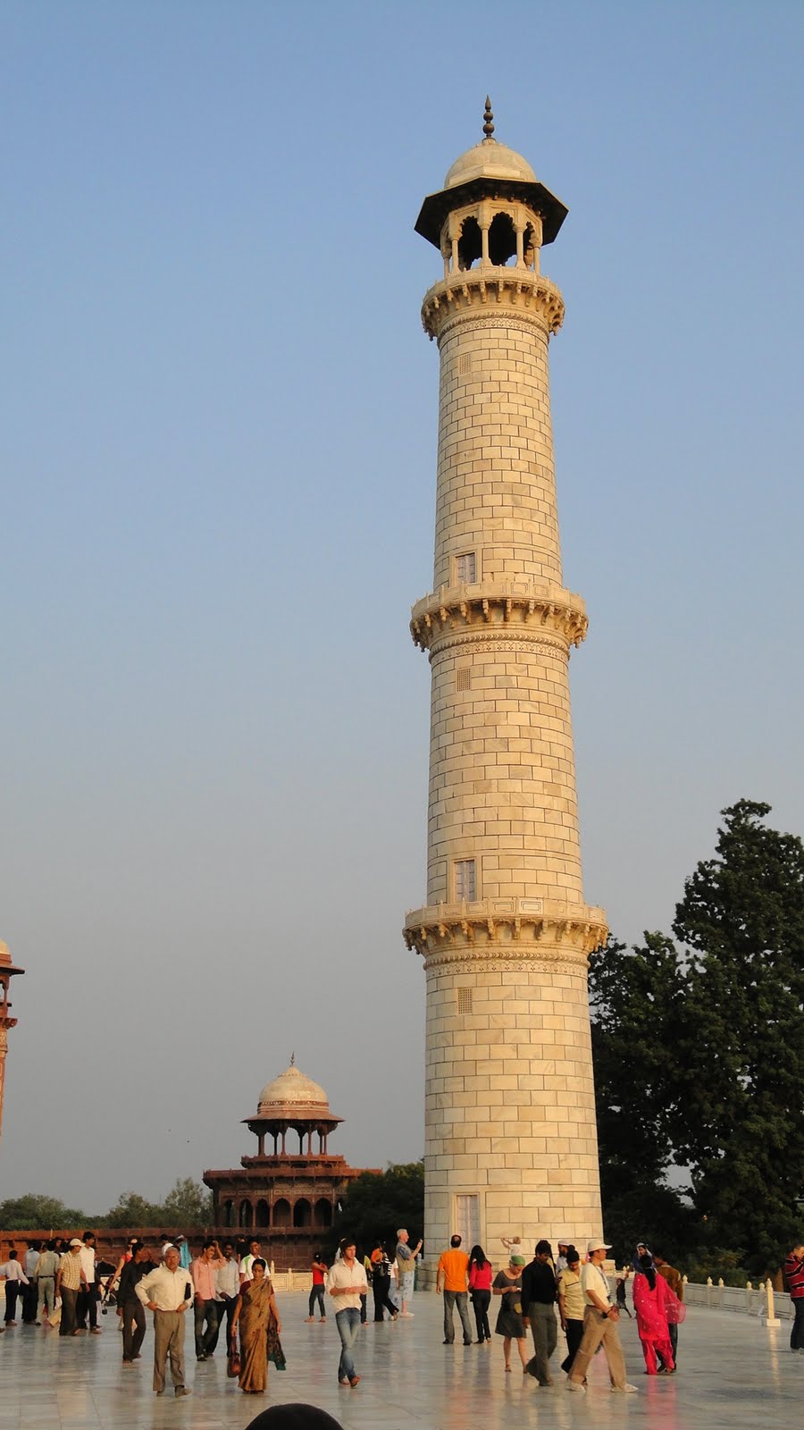
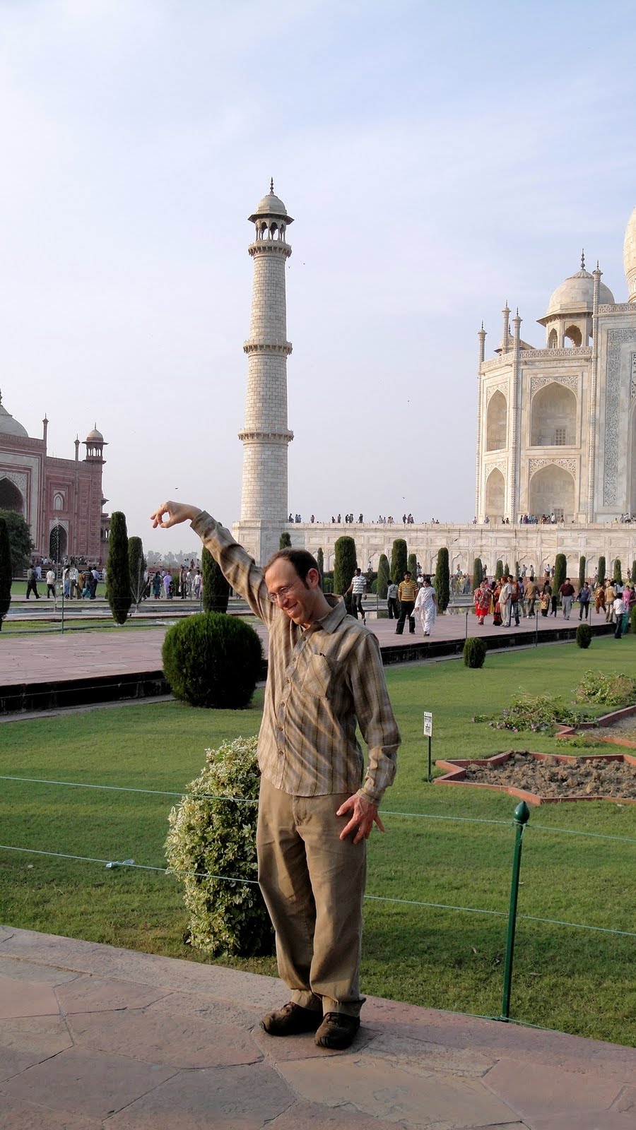 …ah, the Taj. It’s obviously India’s most famous icon, and as these photos attest yet again, it’s magnificent. For all that, it’s not the thing I enjoyed most in our twelve day tour, nor even in Agra — honors for that go to the tomb of Itimad ud Daulah or the complex at Fatehpur Sikri, both shwown in excruciating (no doubt) detail below. My problem was both the crowds and the guide that our agency had arranged for us; since this was our first day on the tour we didn’t know enough to turn down the guides. (When I travel alone, I bypass such guides and travel agencies, but they helped us schedule a lot of places in a short time as you’ve figured out…without me needing to do much other than list where we wanted to go.) In any case, the guide suggested the silly shot above — taken from the correct angle, it looks like Howard has has hand on top of the side tower and is really kinda cute — and the nifty sunglass reflection below. Both are nice ideas, and indeed the guy did a fine job…but he rushed us through so fast!
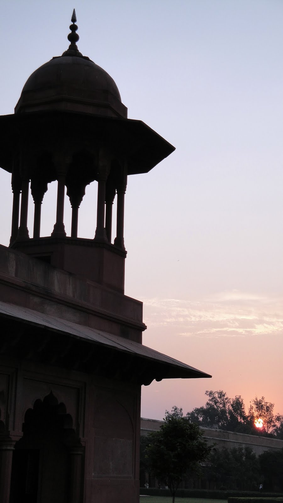
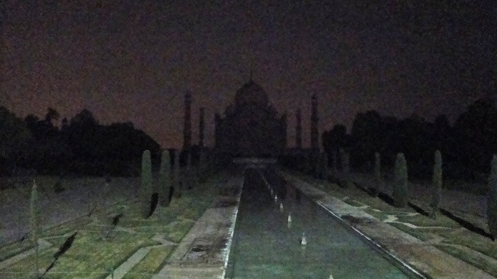
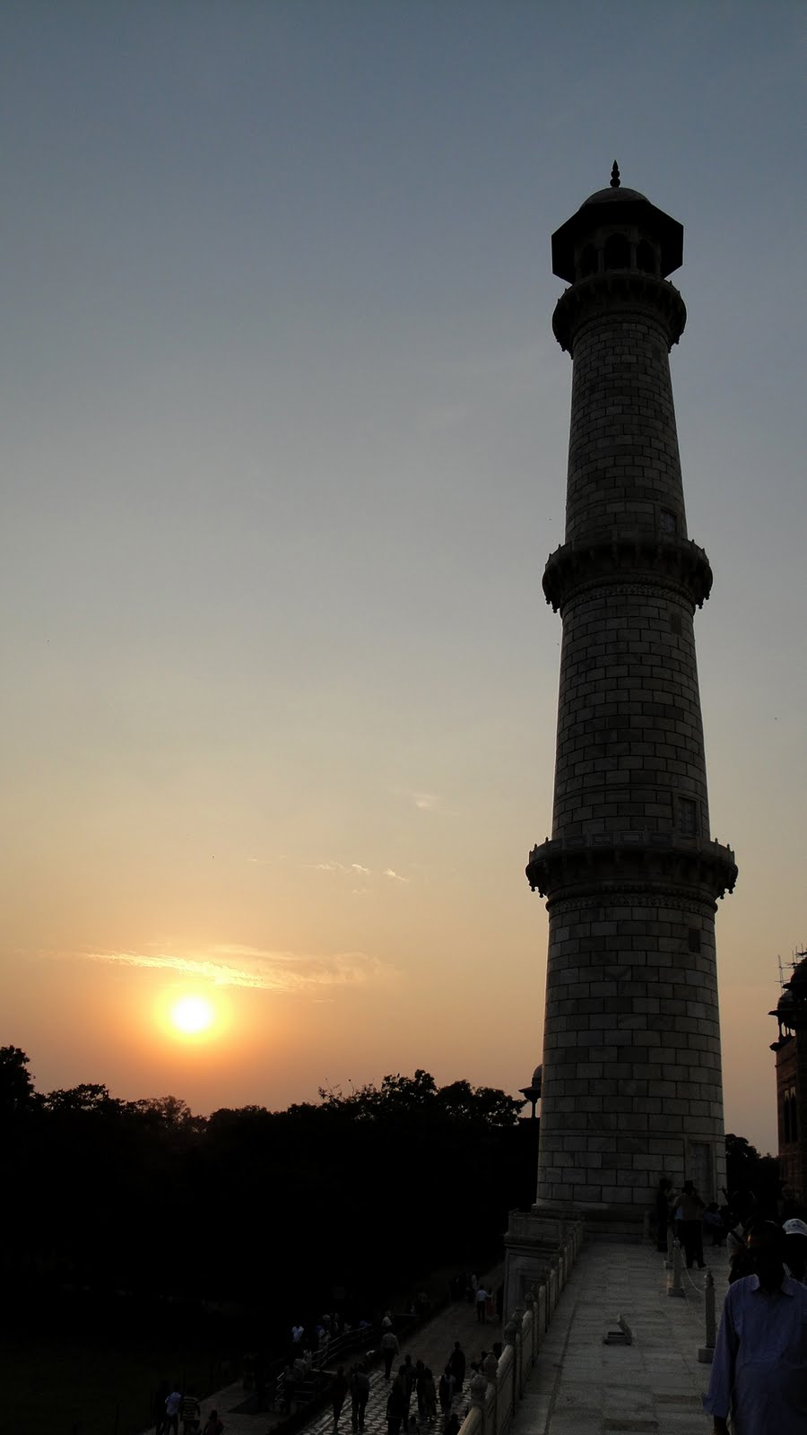
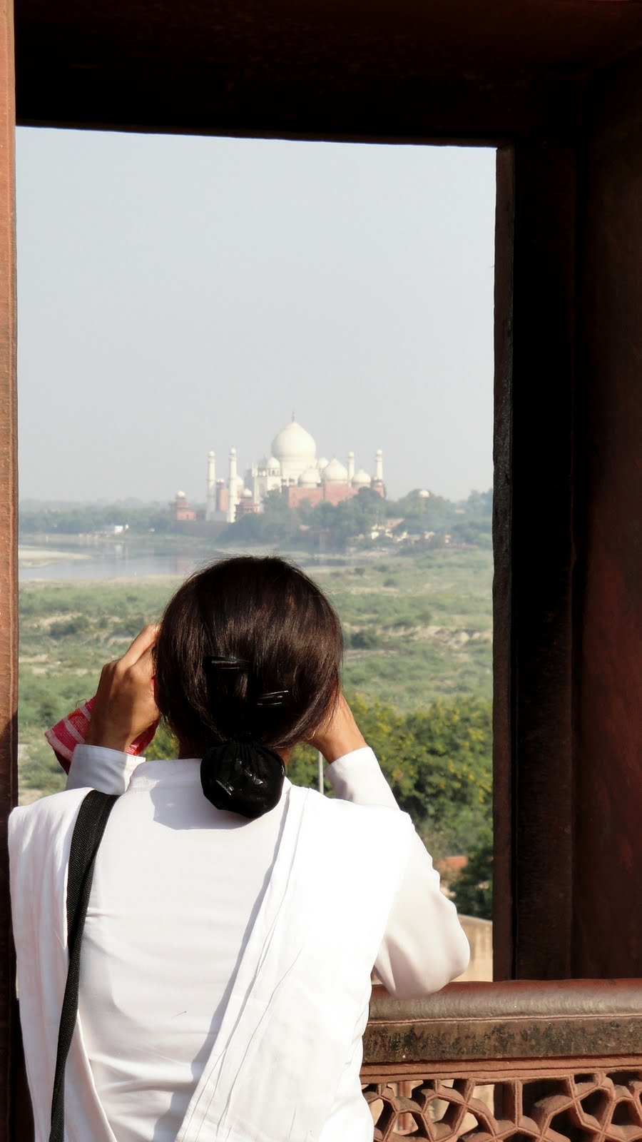
 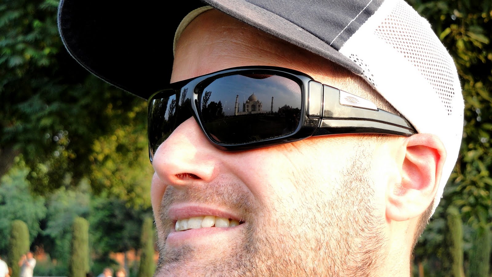 My advice to anyone planning a visit: skip the guide, take yourself there at the crack of dawn and go through the interior tomb area when it seems as uncrowded as it’ll be, then just linger on the grounds and watch the changing light for a long long time — take a book, take some water; you can’t take much more really (check the rules on that before you leave your car or hotel!). Or go before sunset, as we did. IF you get moonlight (full moon — five nights per month, full moon plus the two nights and after) tickets, then be sure to go for an early morning or a sunset viewing before you go at night — it won’t make as much sense to you otherwise. Our moonlight, as you’ll see below, was a bit hazy from the pollution. Still, it’s very uncrowded, very atmospheric, and utterly memorable.
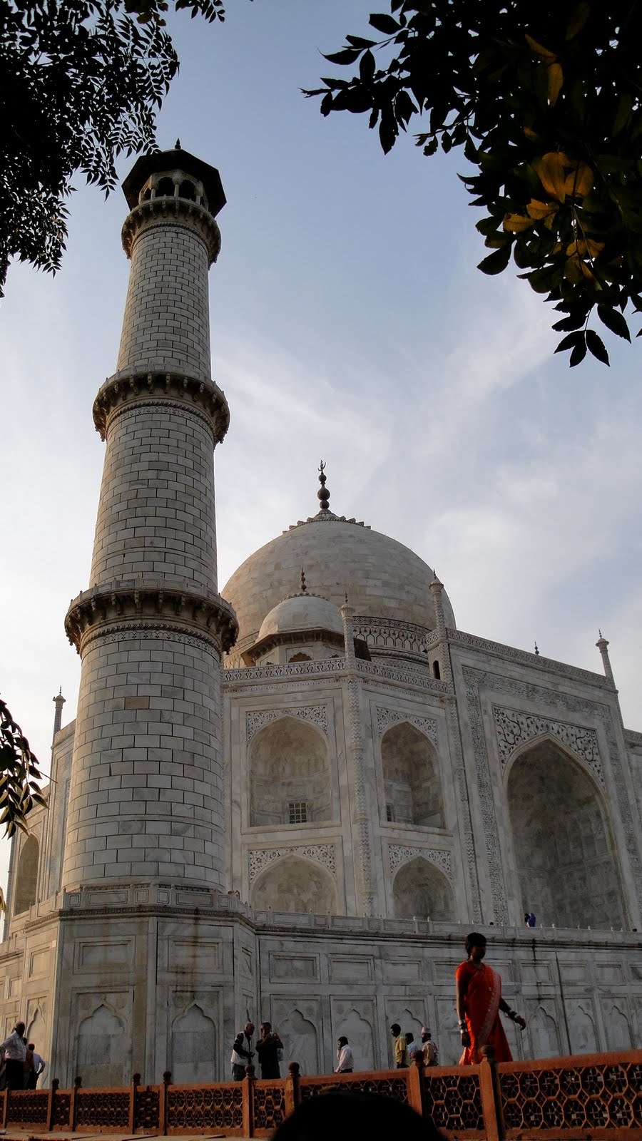
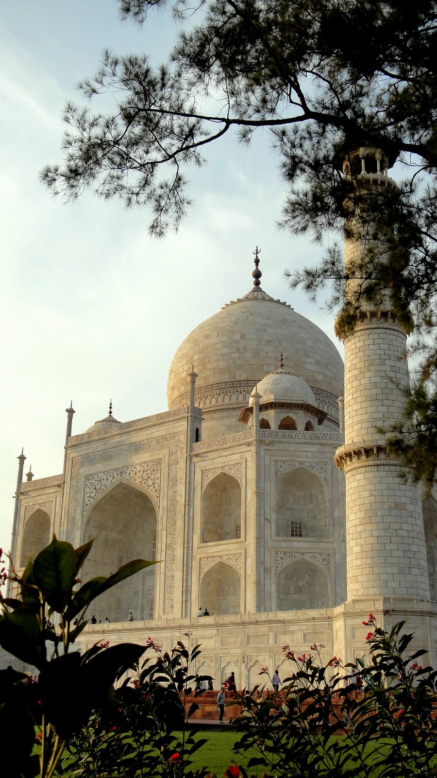
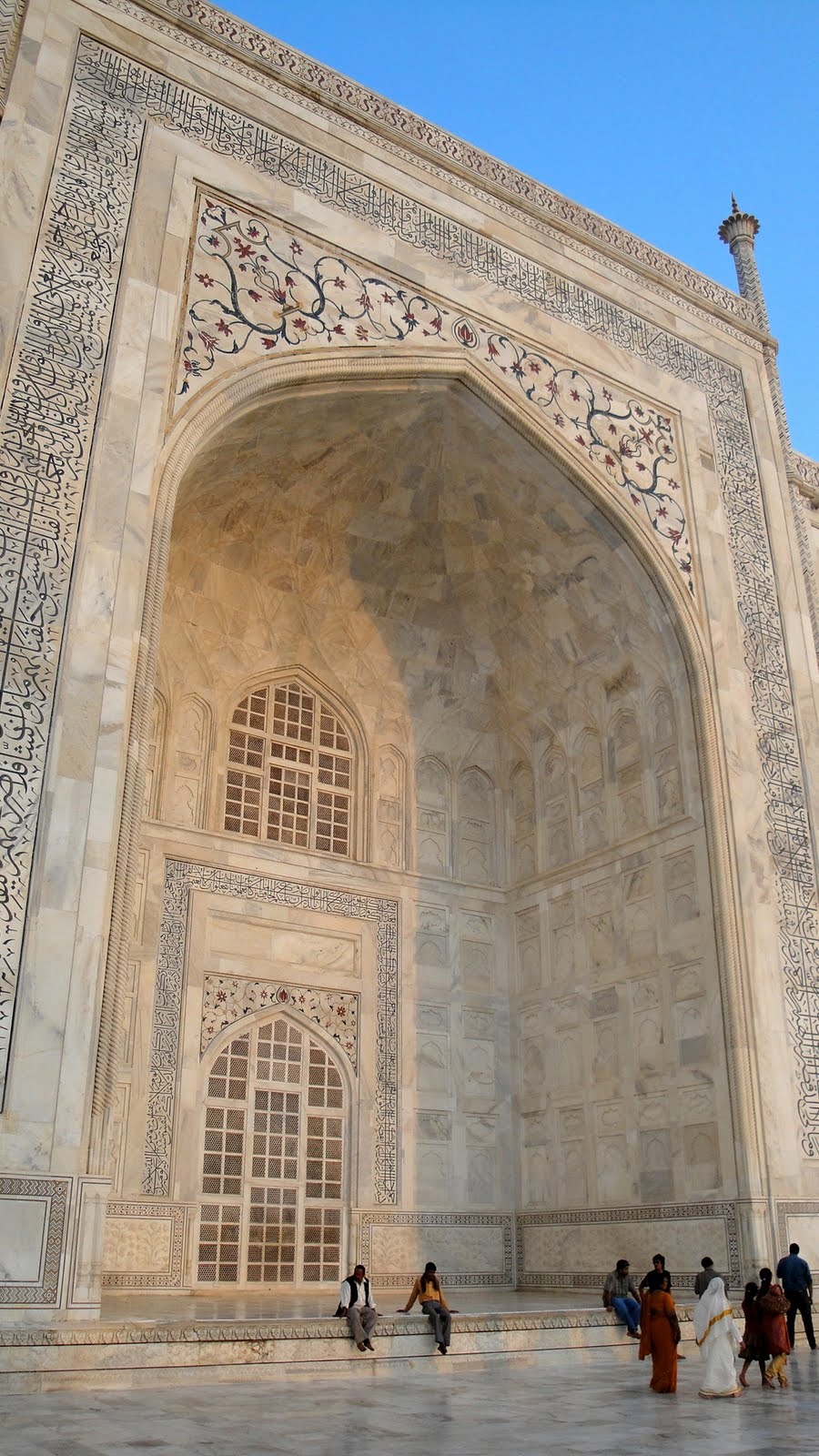
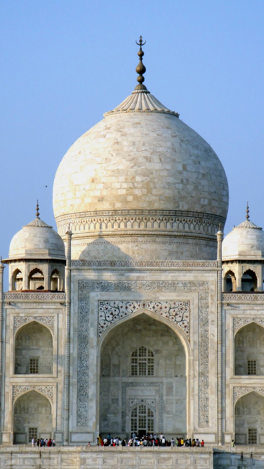
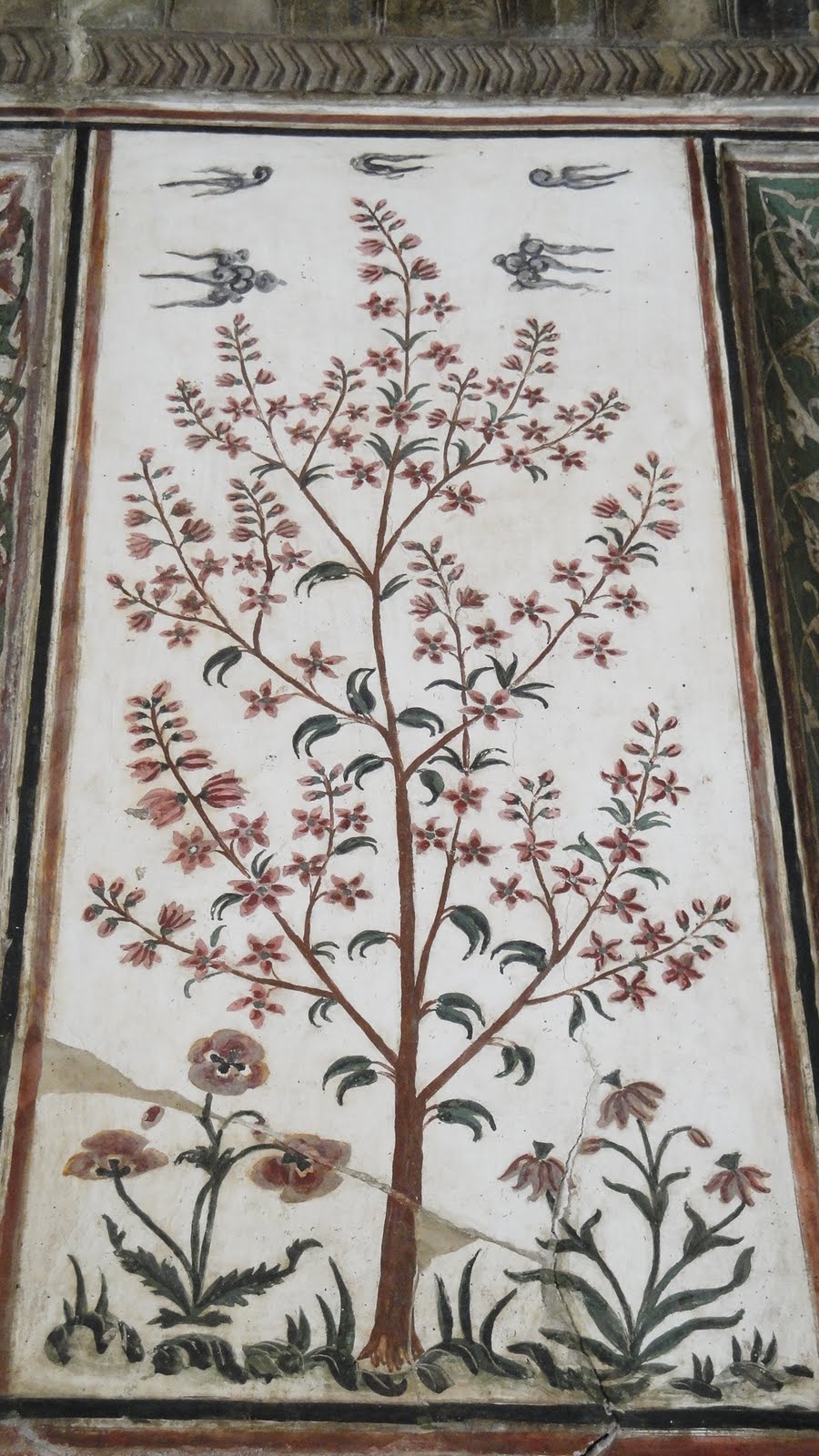
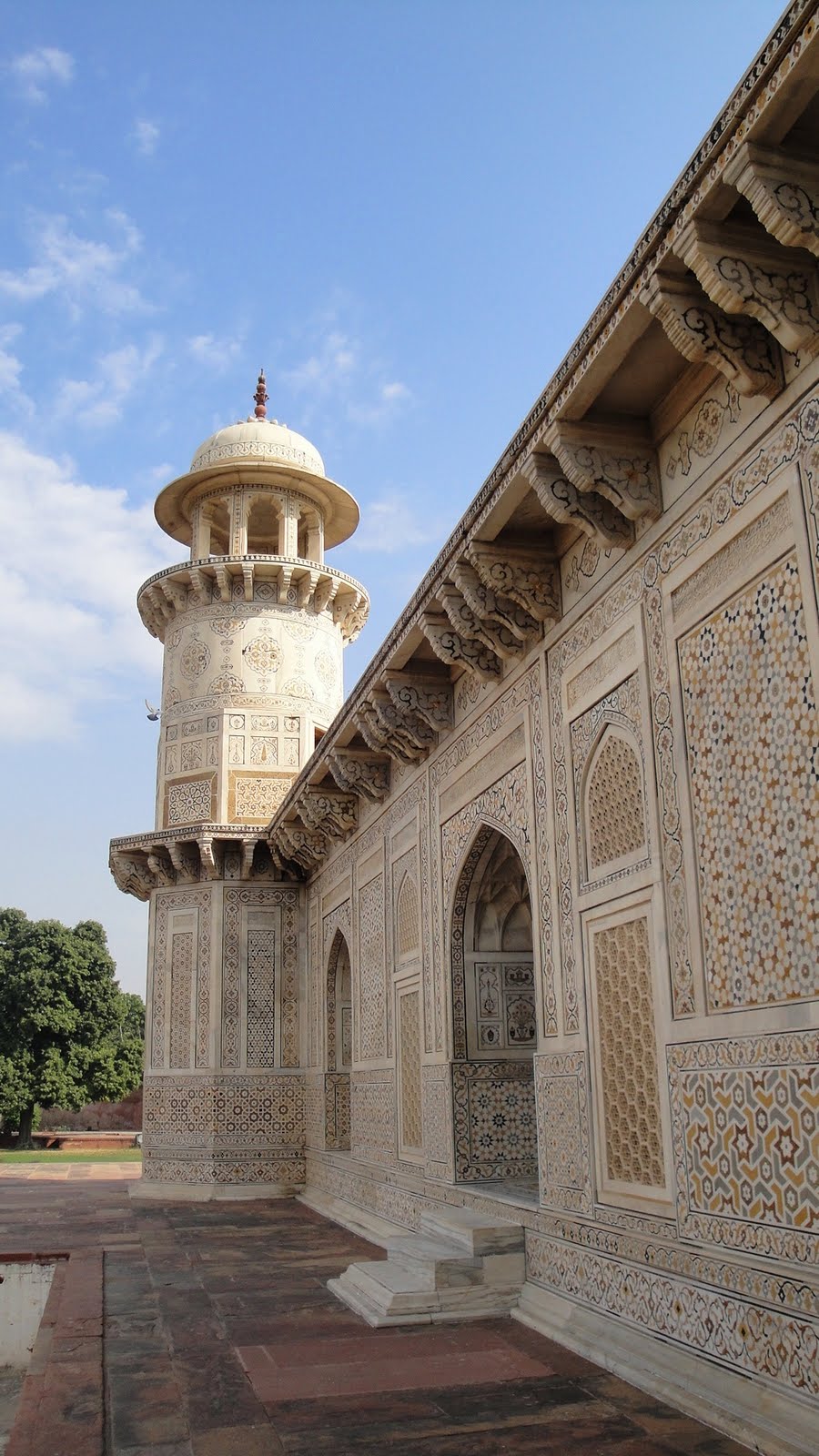
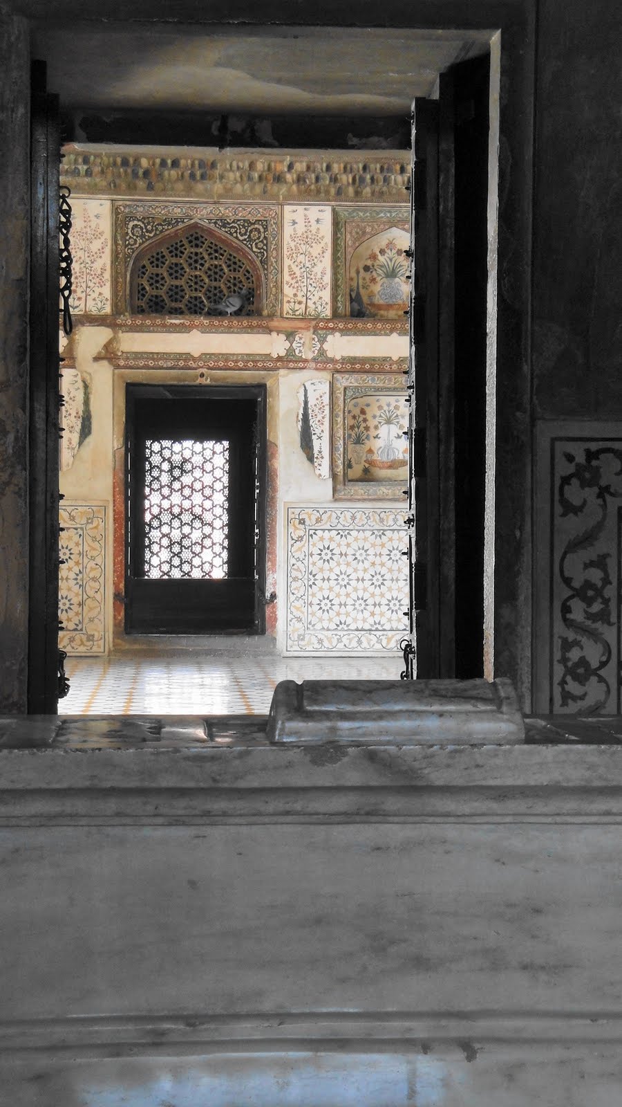
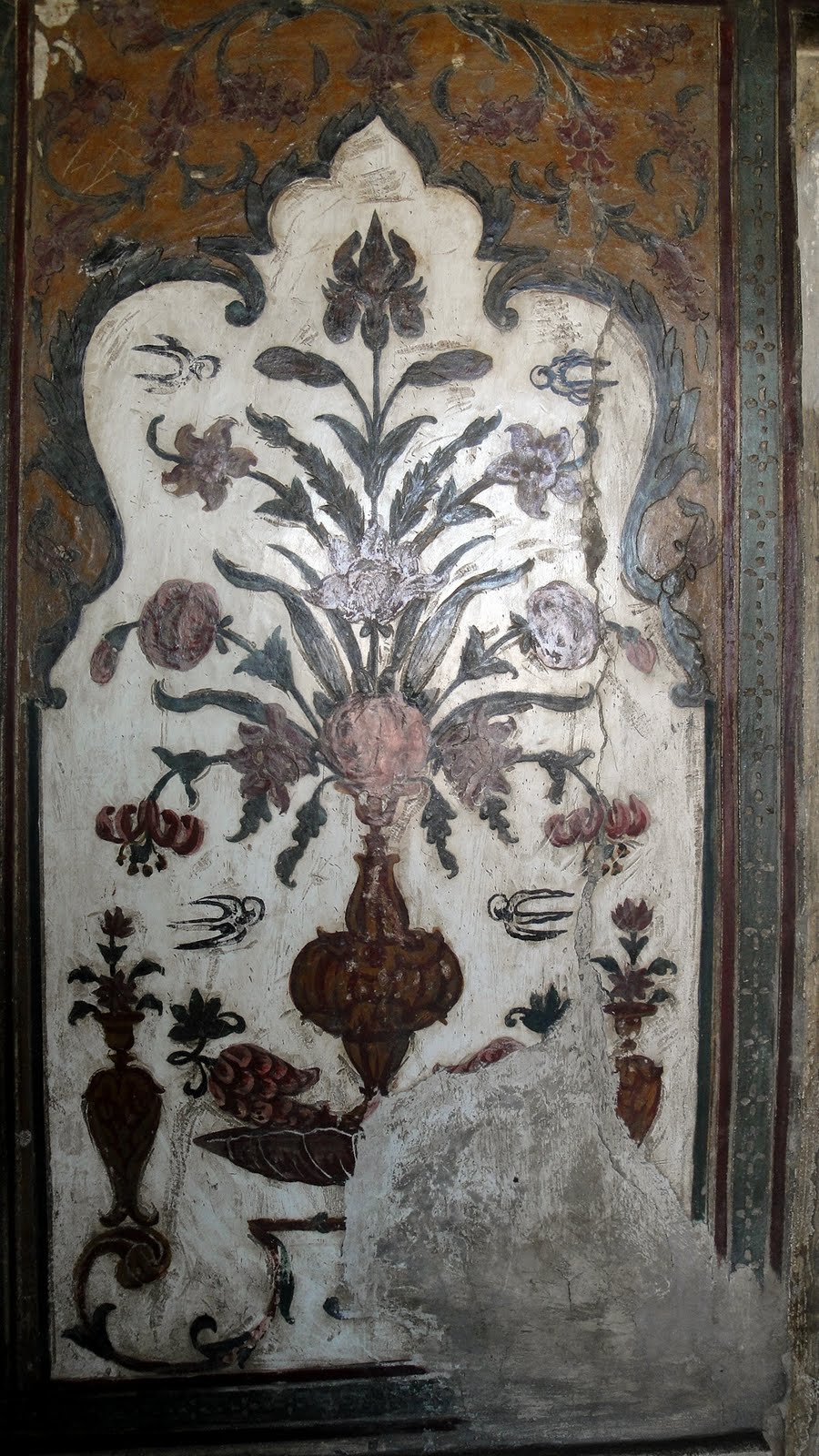
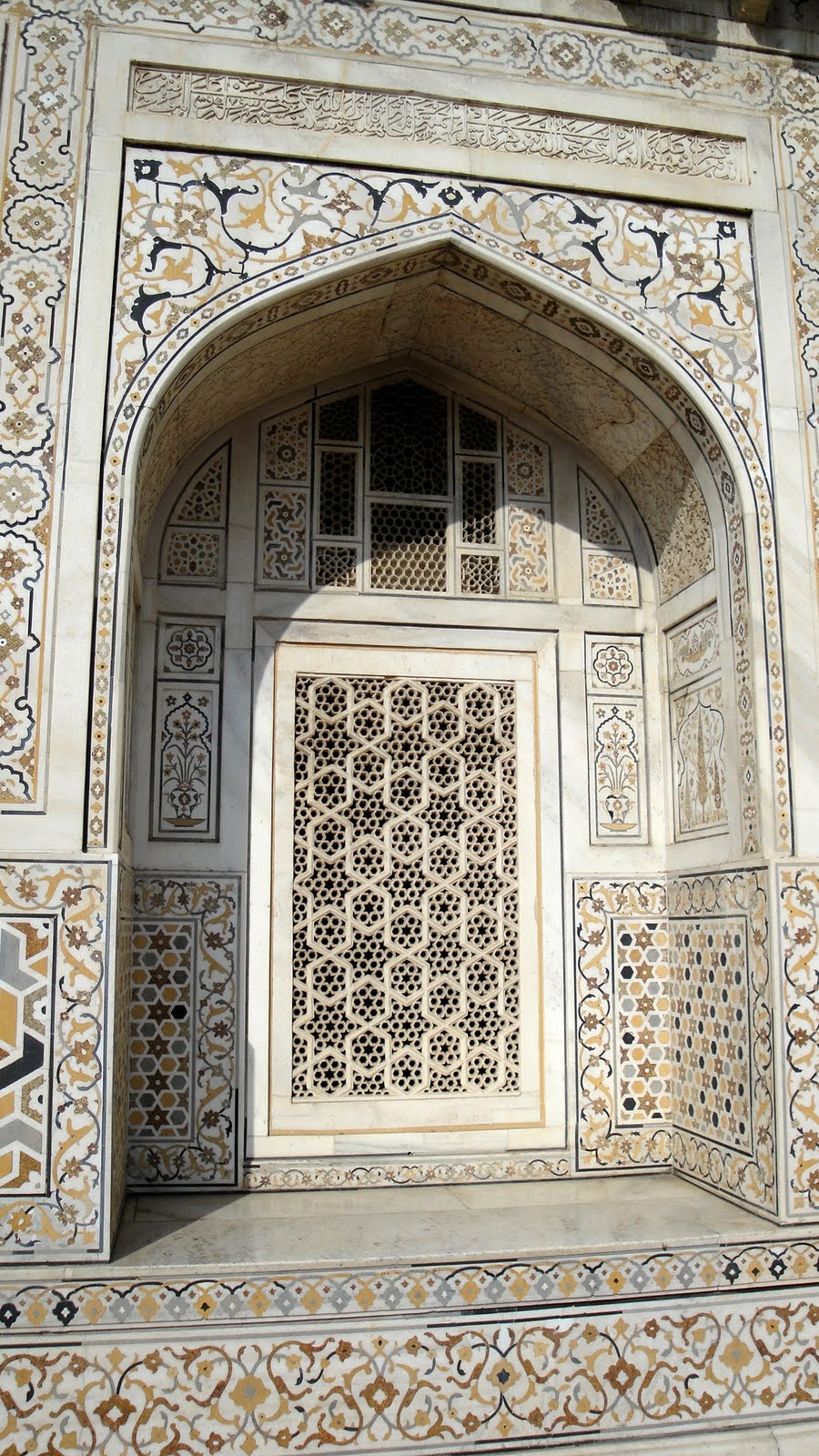
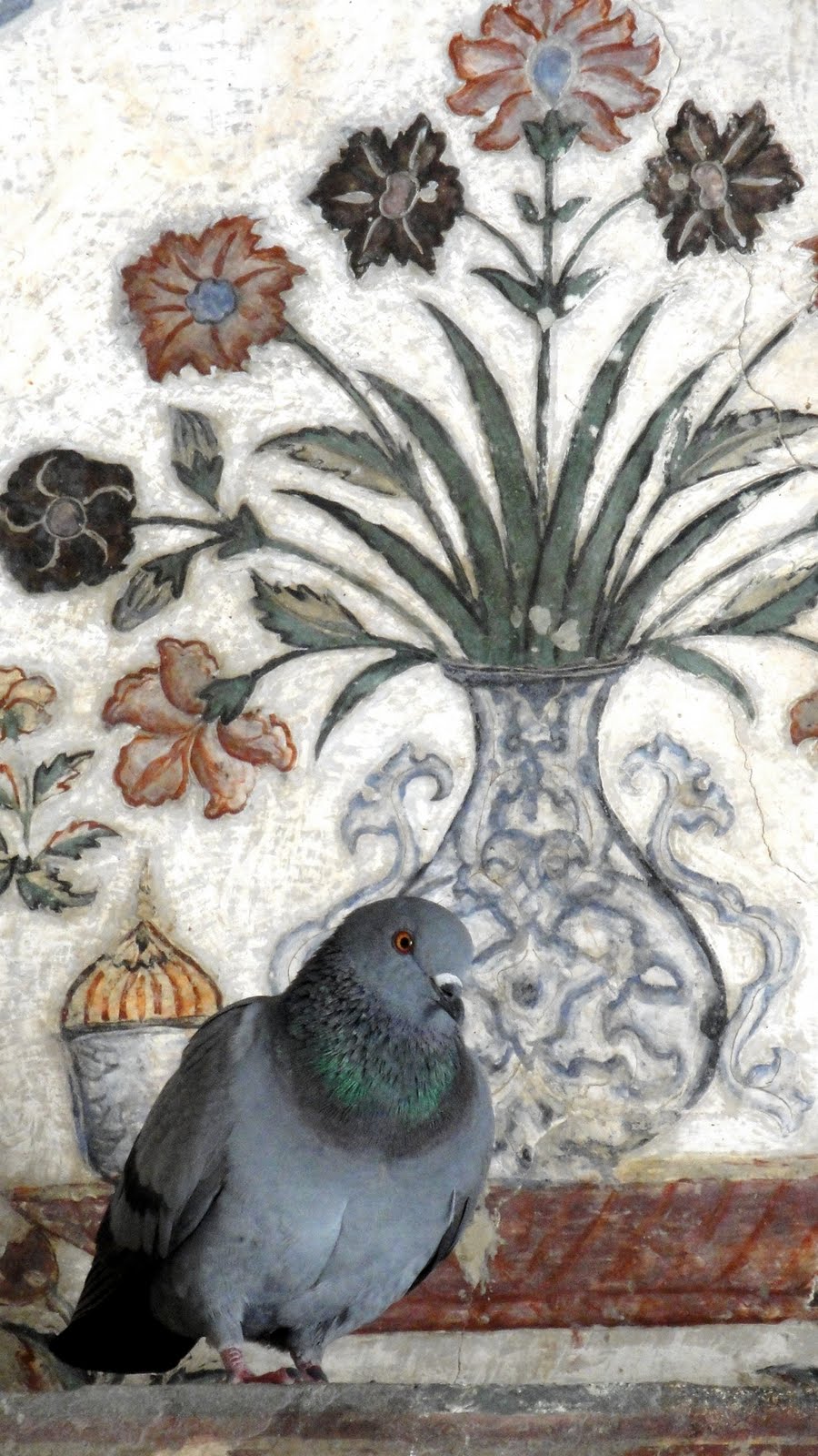
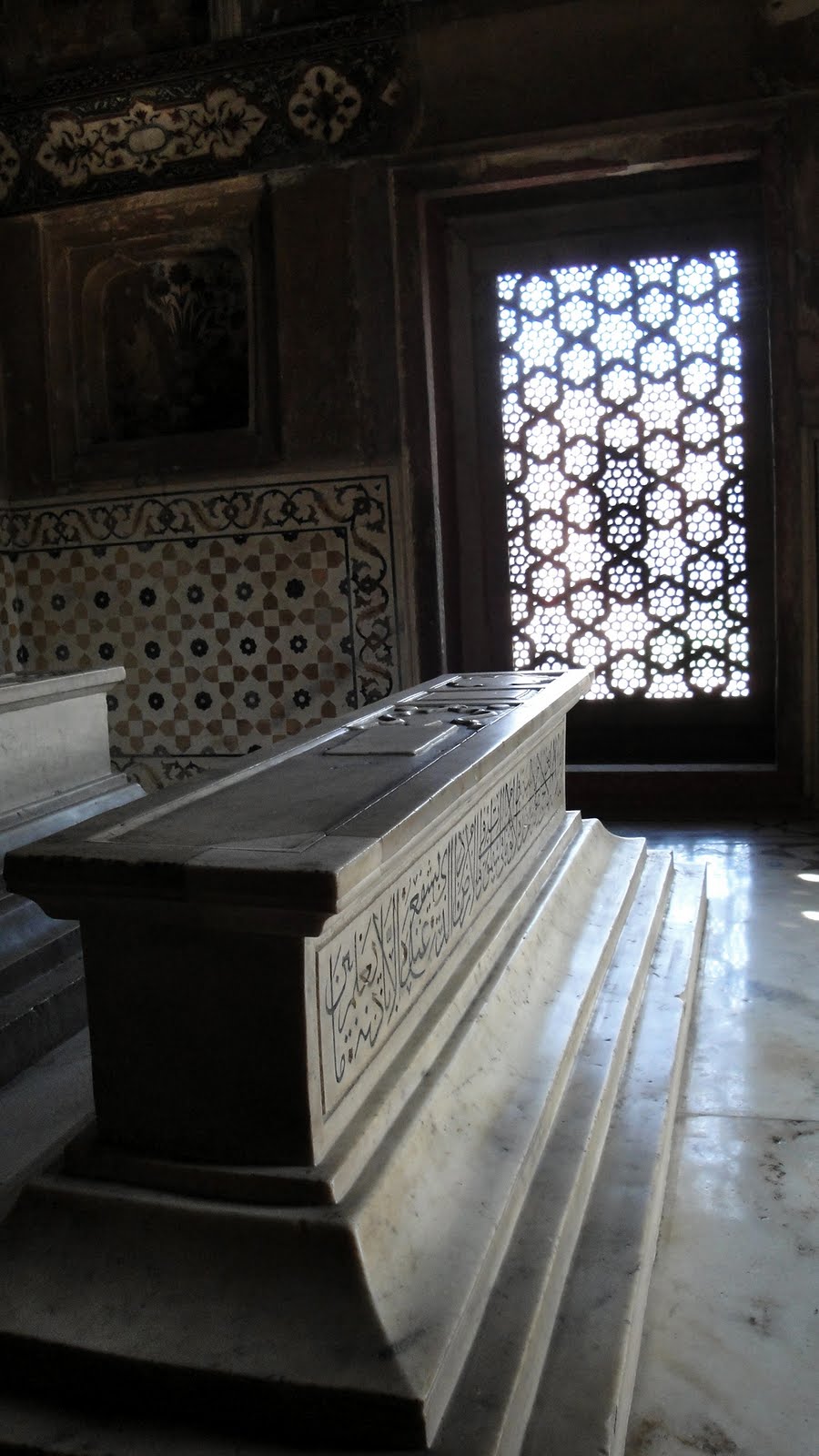
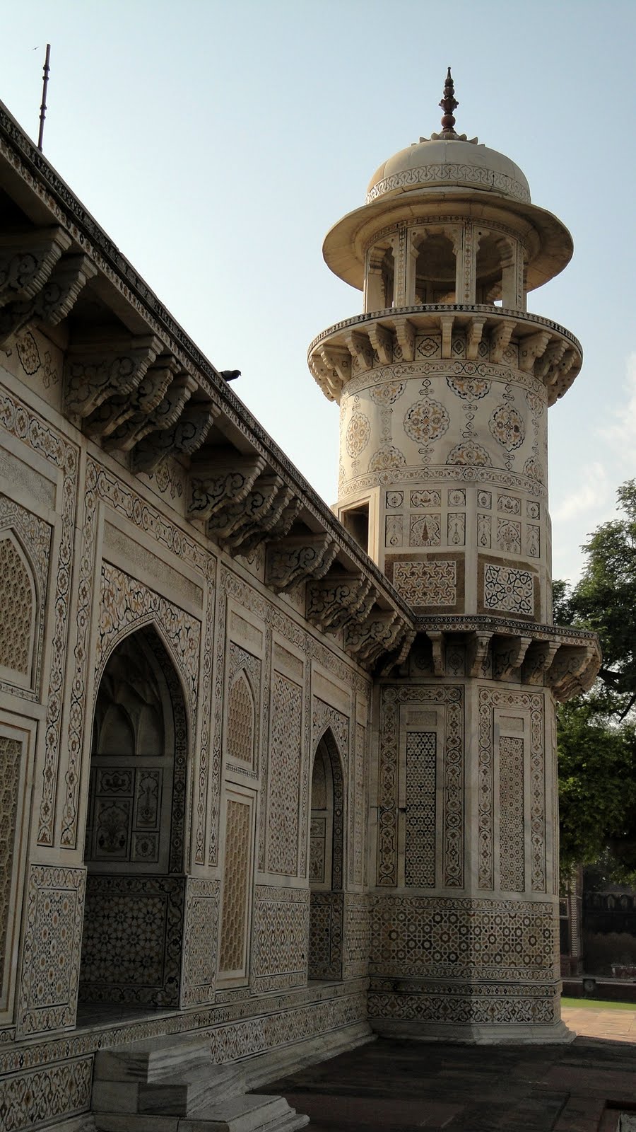
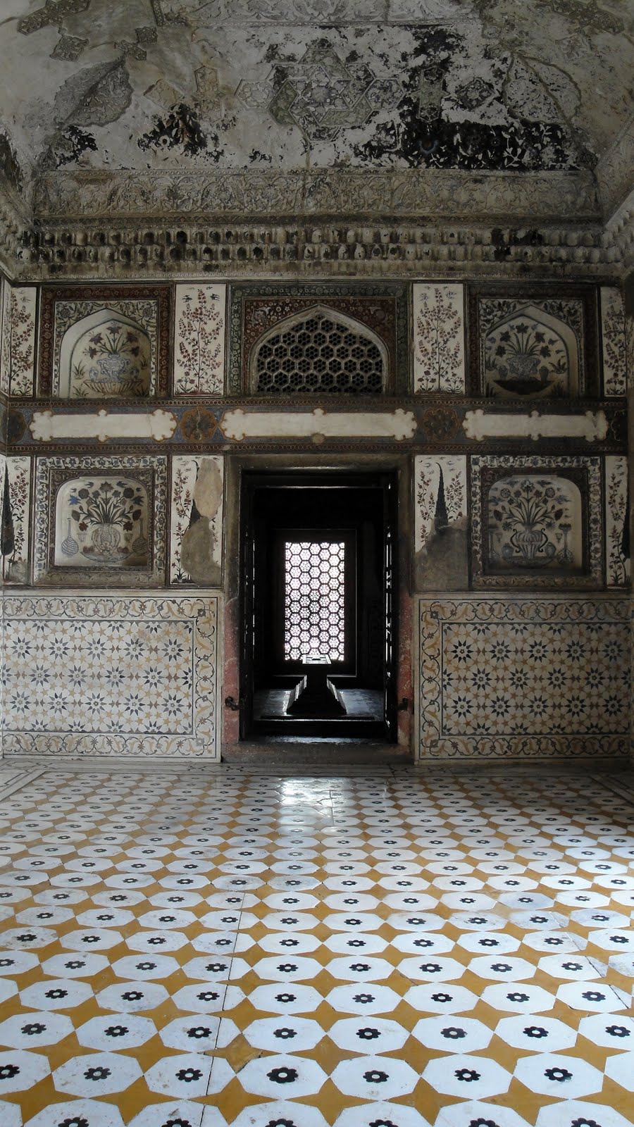
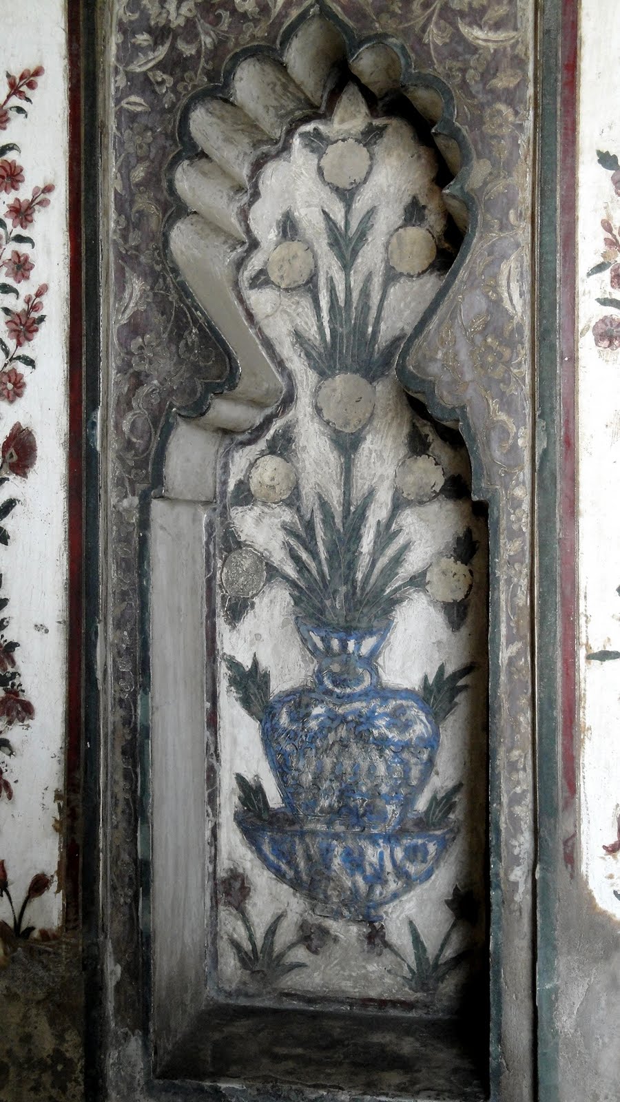
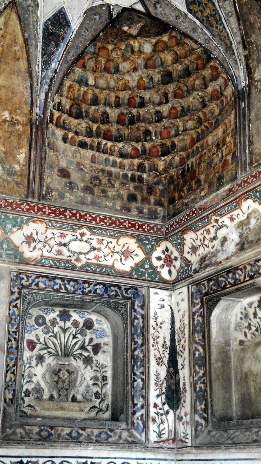
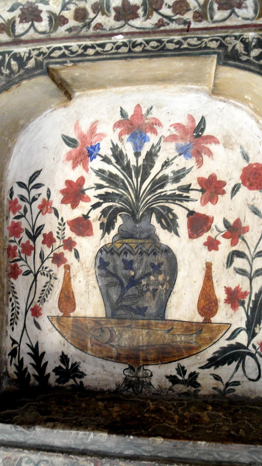
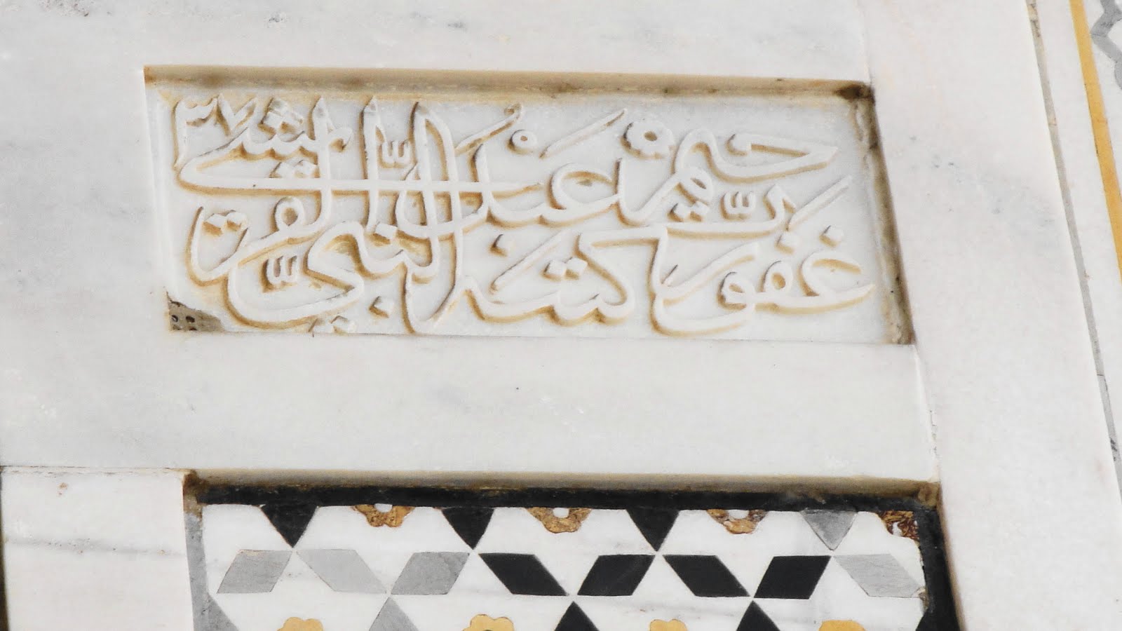
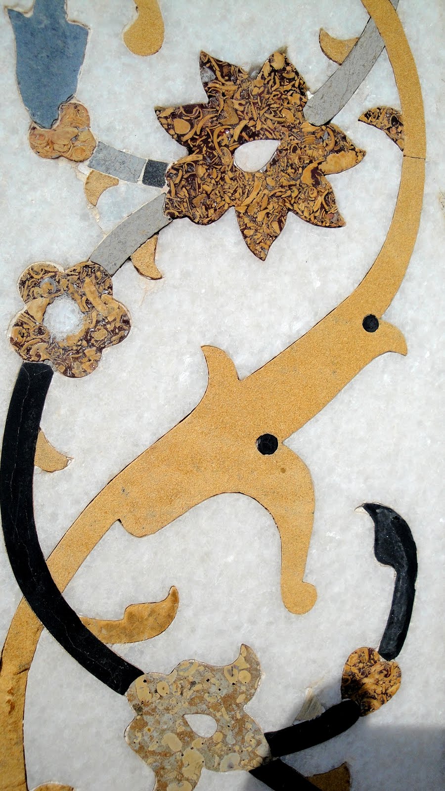
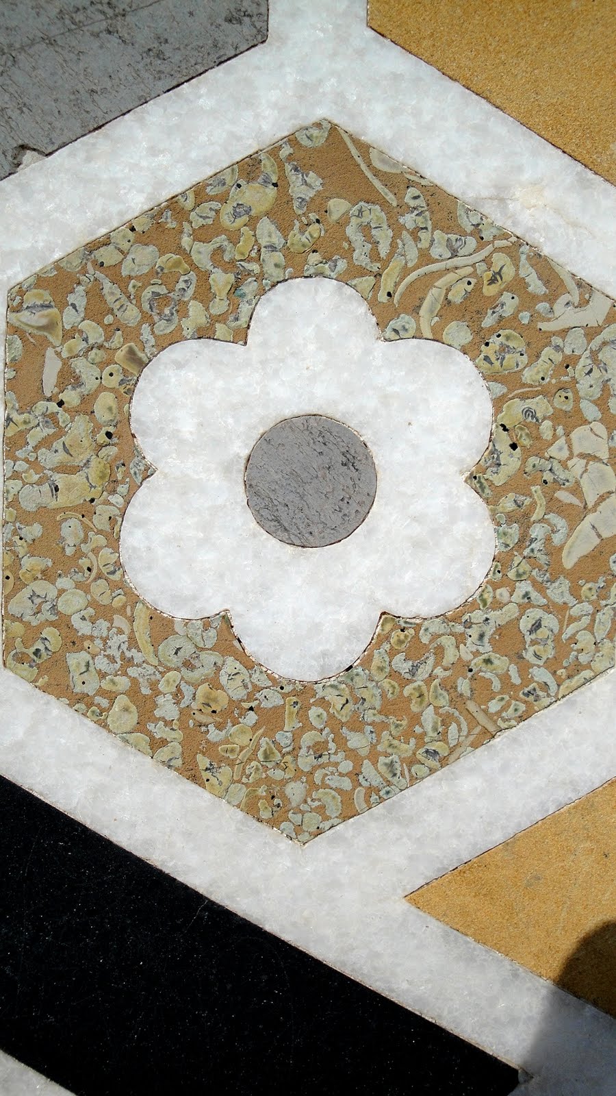
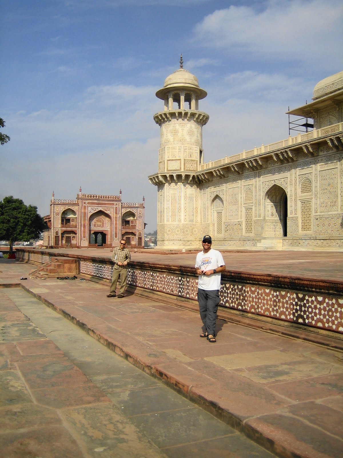
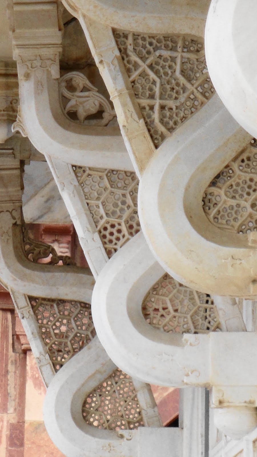
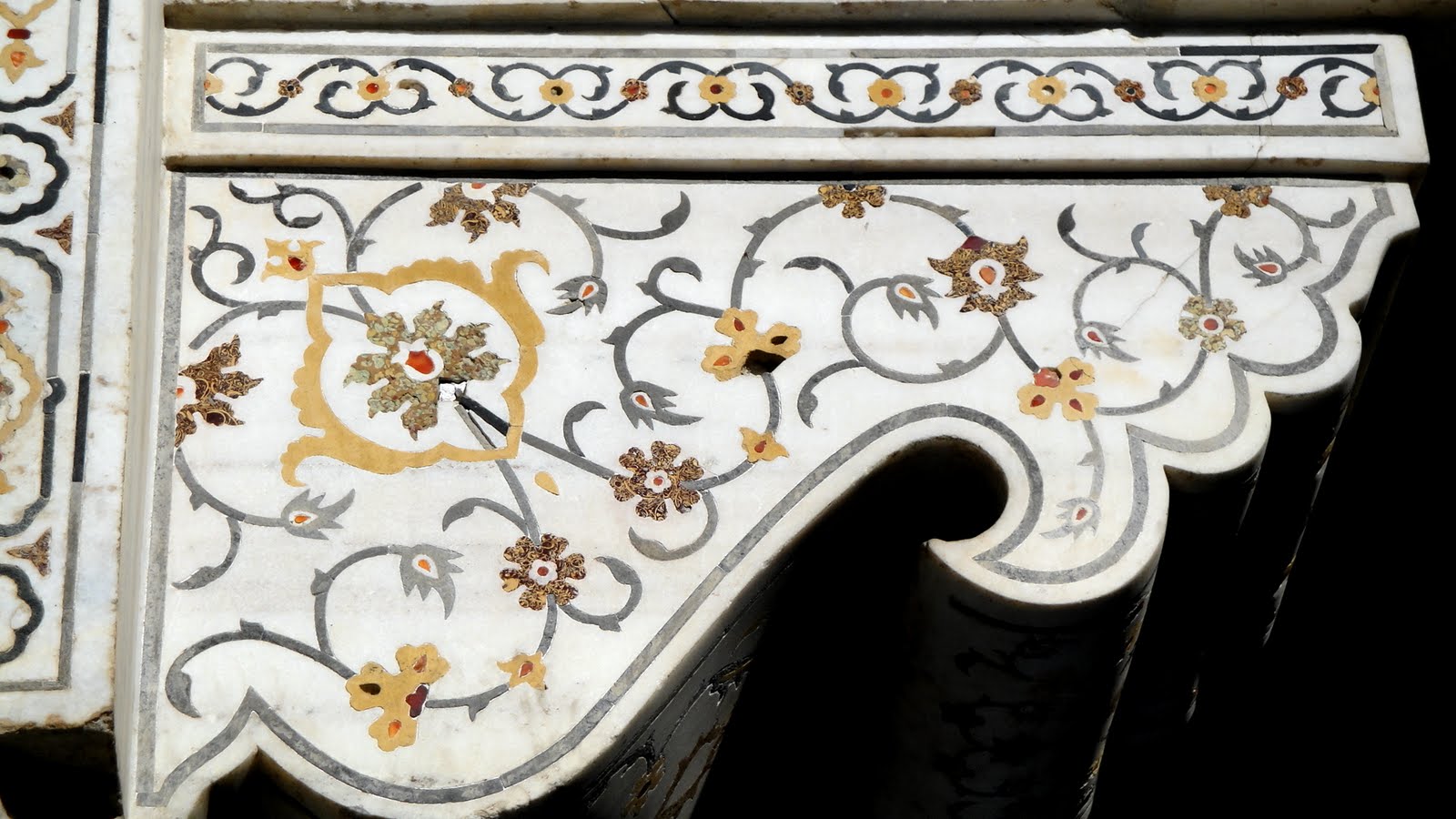
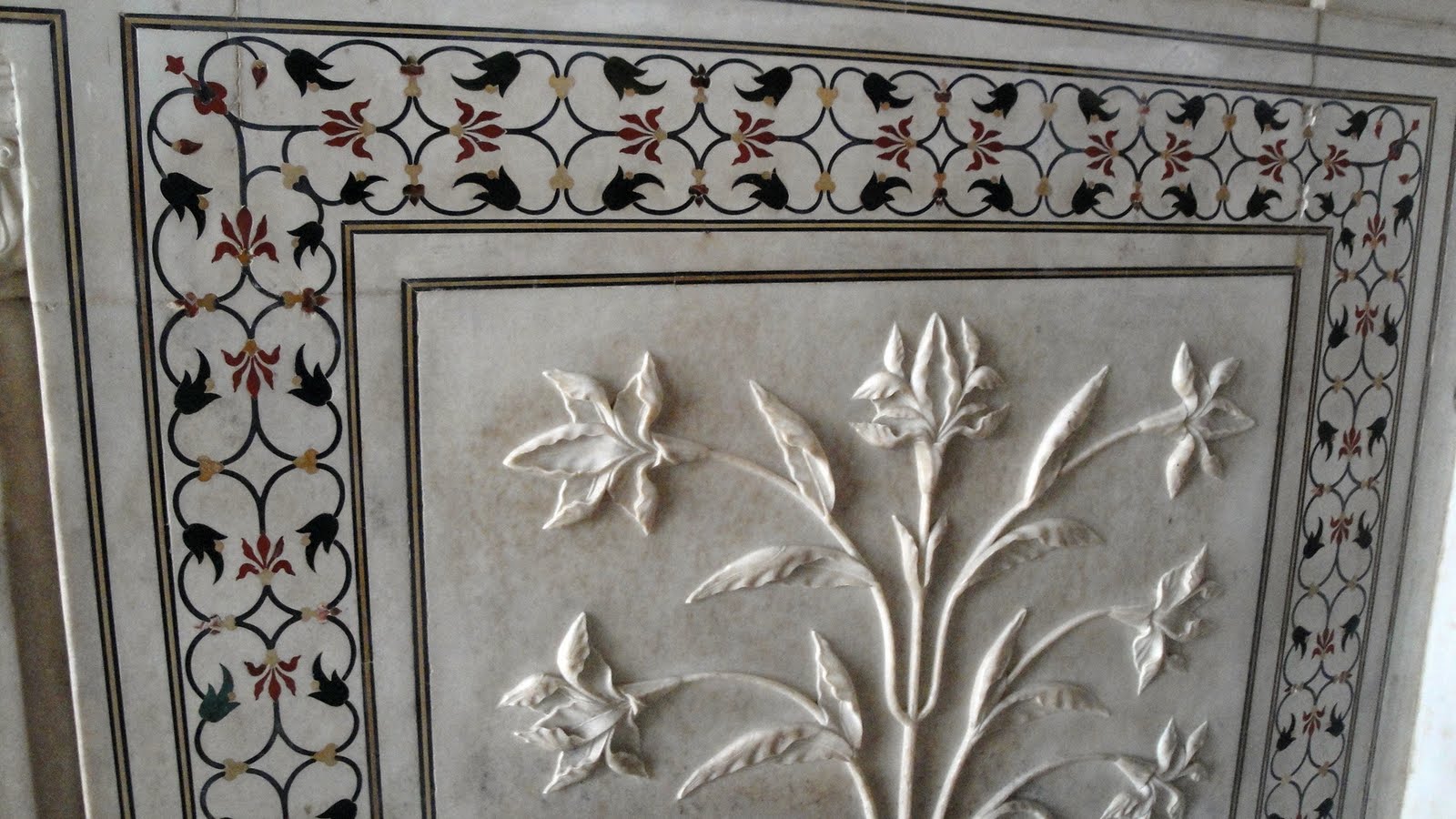 One aspect rarely captured in the classic photos of the Taj Mahal which we’ve all seen is the exquisite detailed carving and tilework inlaid into the glowing white marble: most shots capture its elegant proportions with shots taken from a distance against lovely blue skies, which don’t allow for close-up inspection of its details (like most of my shots, which in my case relates more to the above-mentioned crowd & guide-related hustle). I made up for missing the time to enjoy Taj’s details by savoring a luxurious morning taking in lots of little details in a long morning visit to the tomb of Itimad ud Daulah, across the river and fondly called the ‘Baby Taj.’ It was built earlier than the Taj in honor of her father by Nuur Jahan (for whose tomb the Taj was built by her husband Jehangir, fourth Mughal emperor). In any case, above is the one decent detail image I have from Taj, and below are tons of photos from Itimad ud Daulah – no doubt too many, but I’ve trimmed what I could, honest.
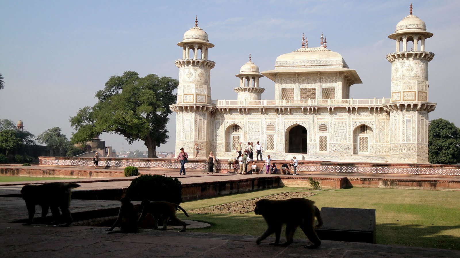 .
.


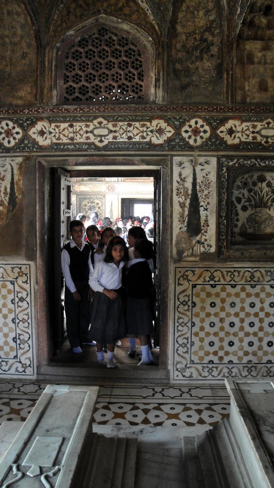
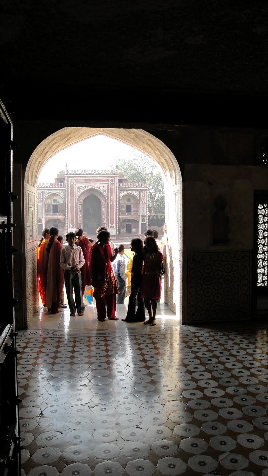


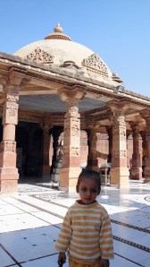
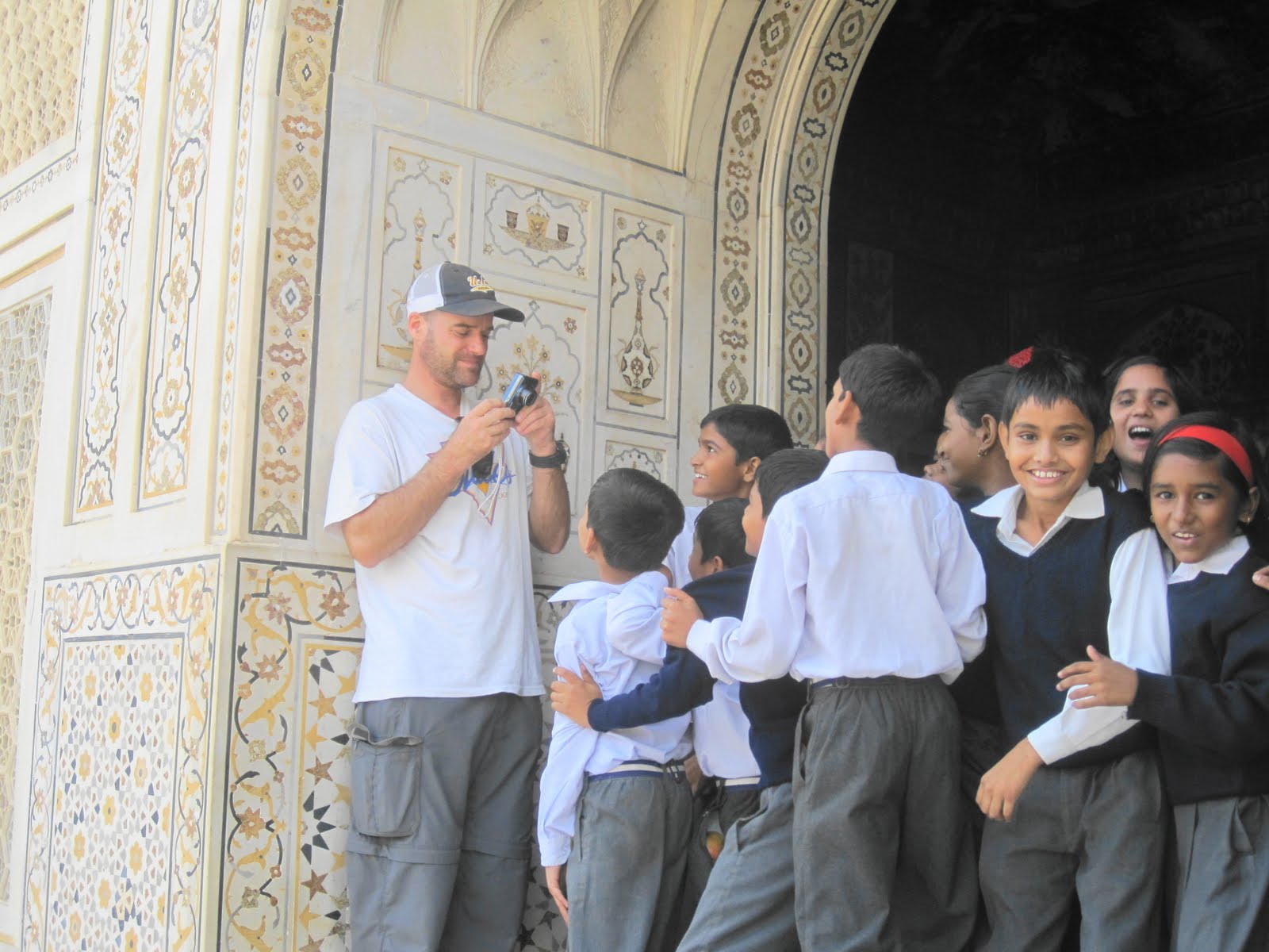
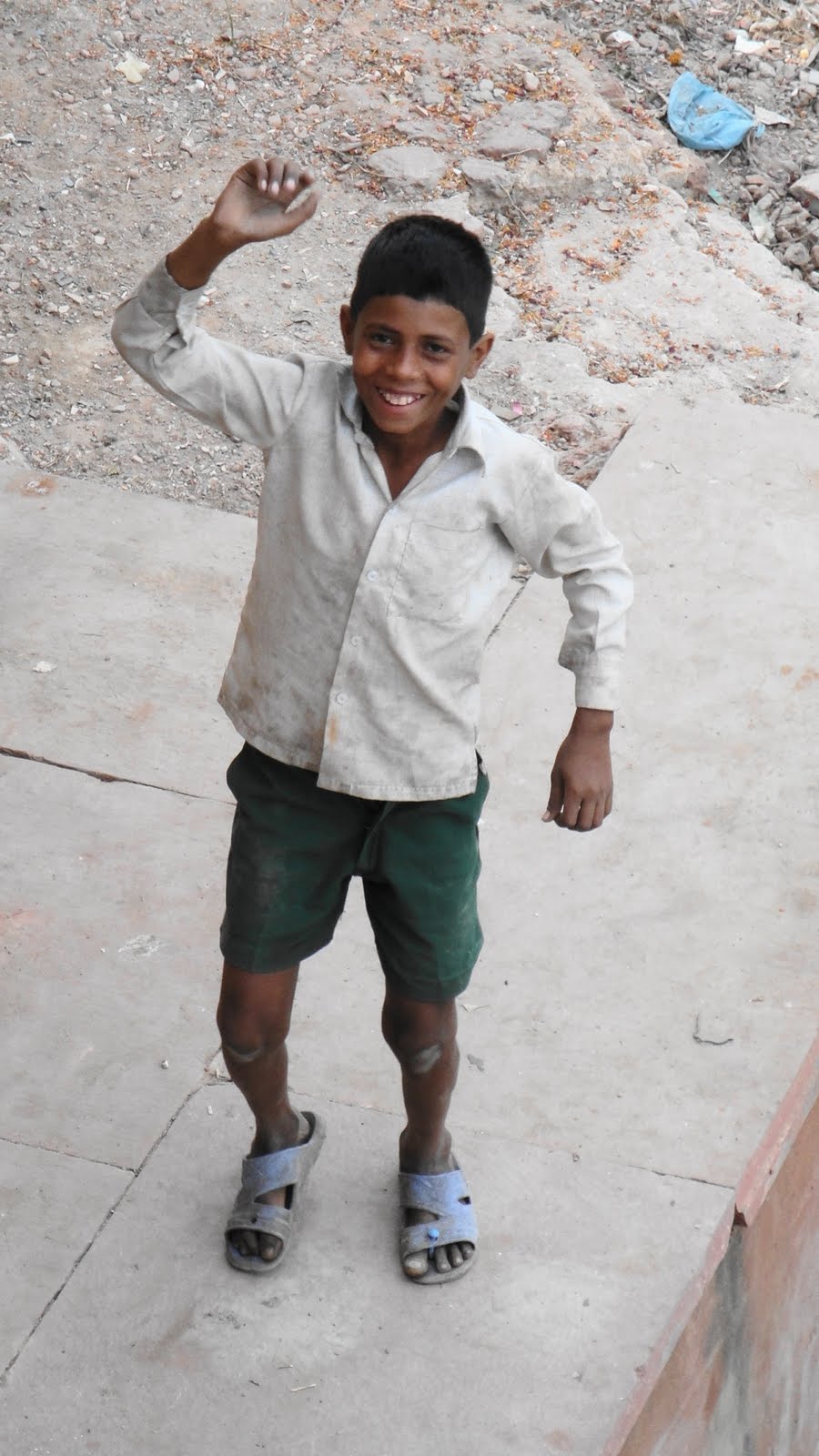 …this is not one of the private-school kids. He was wandering outside the compound by the river and is no in their income bracket, by all indicators.
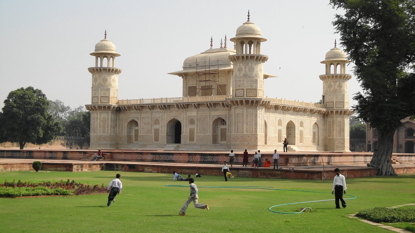


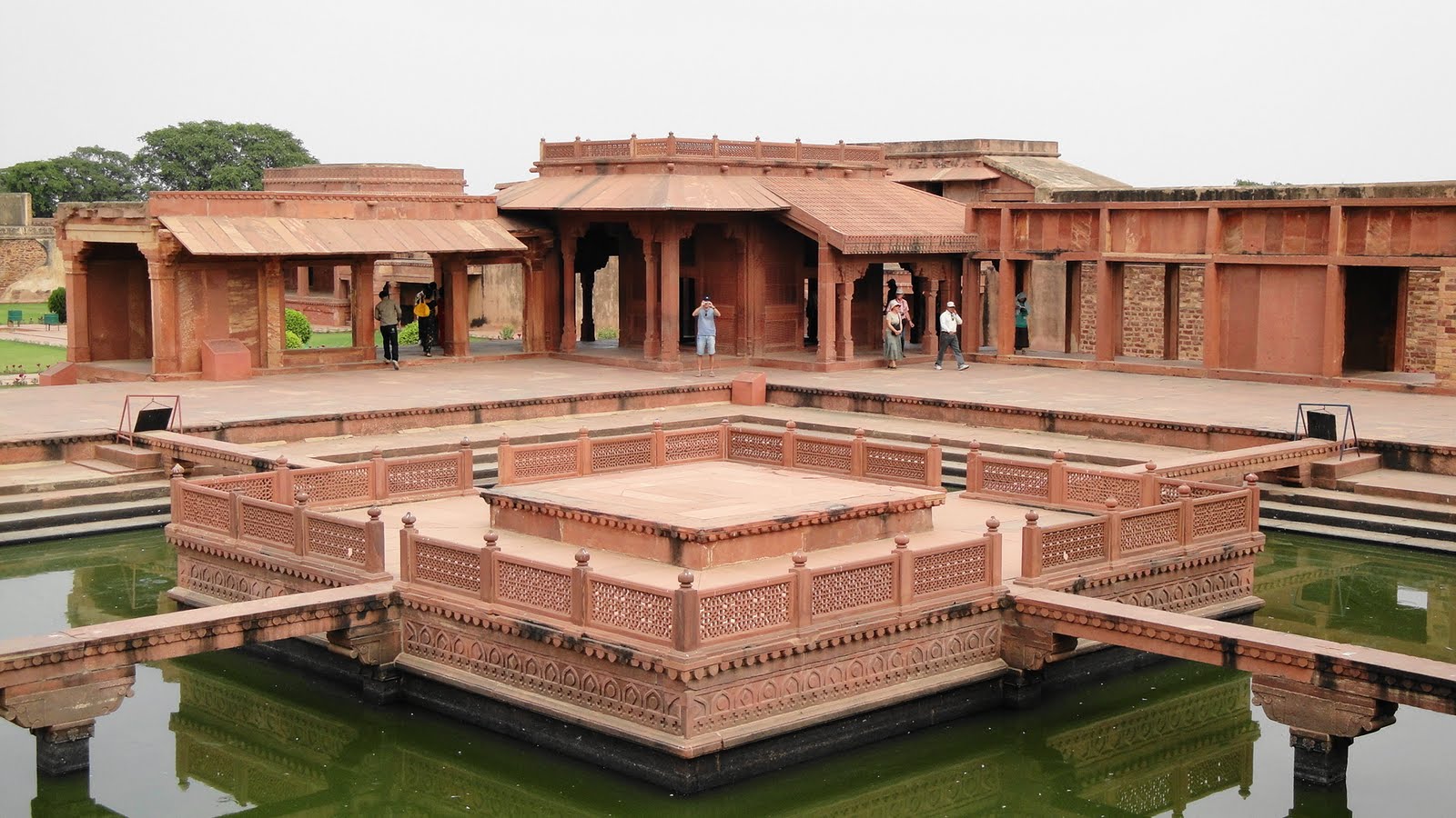
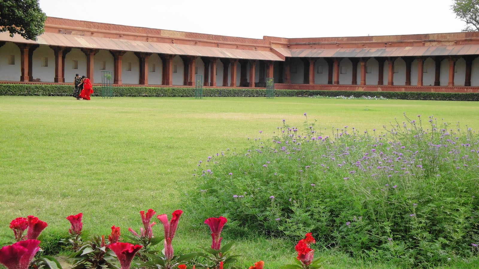
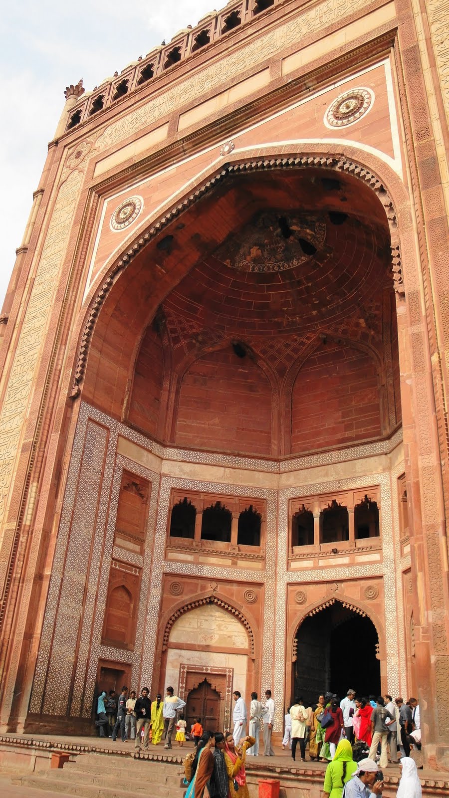
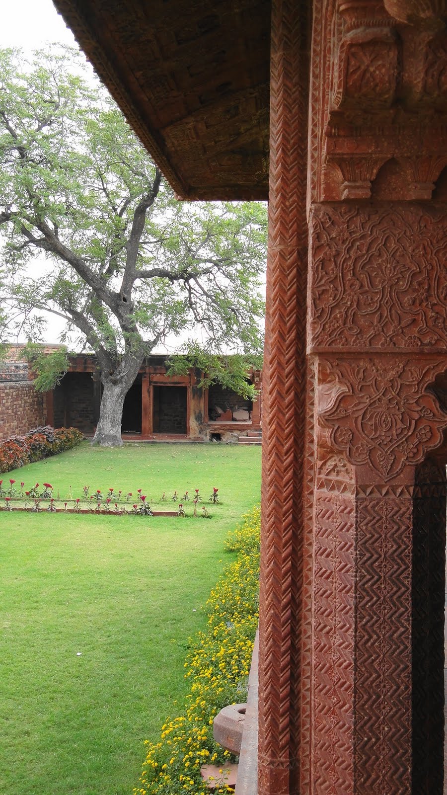
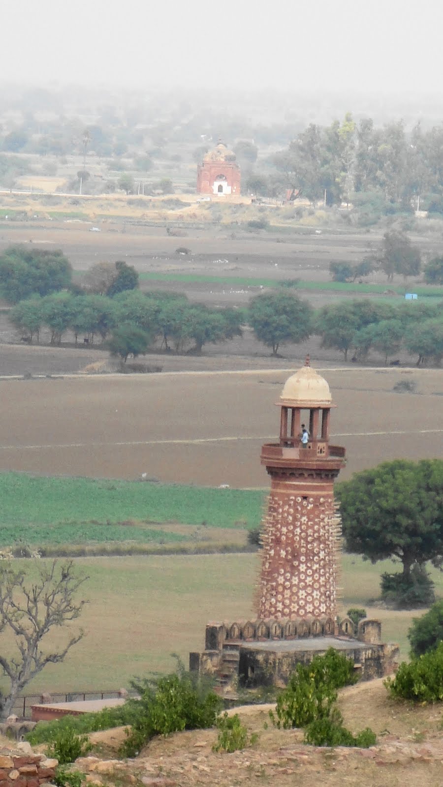
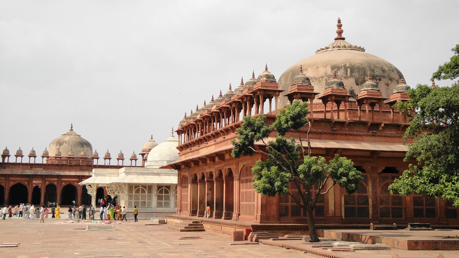
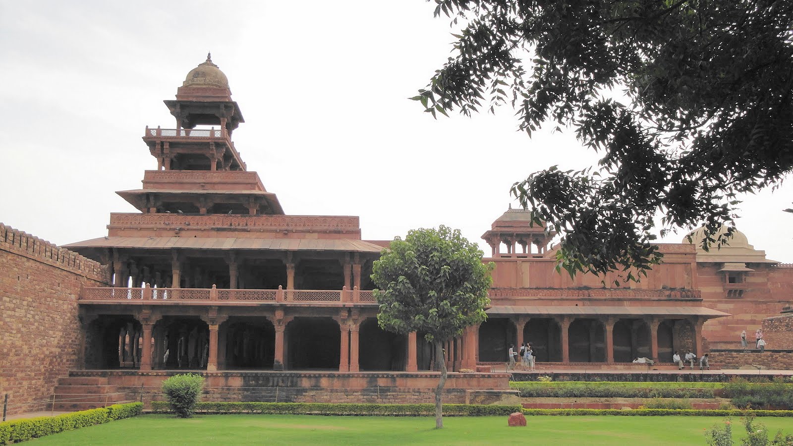
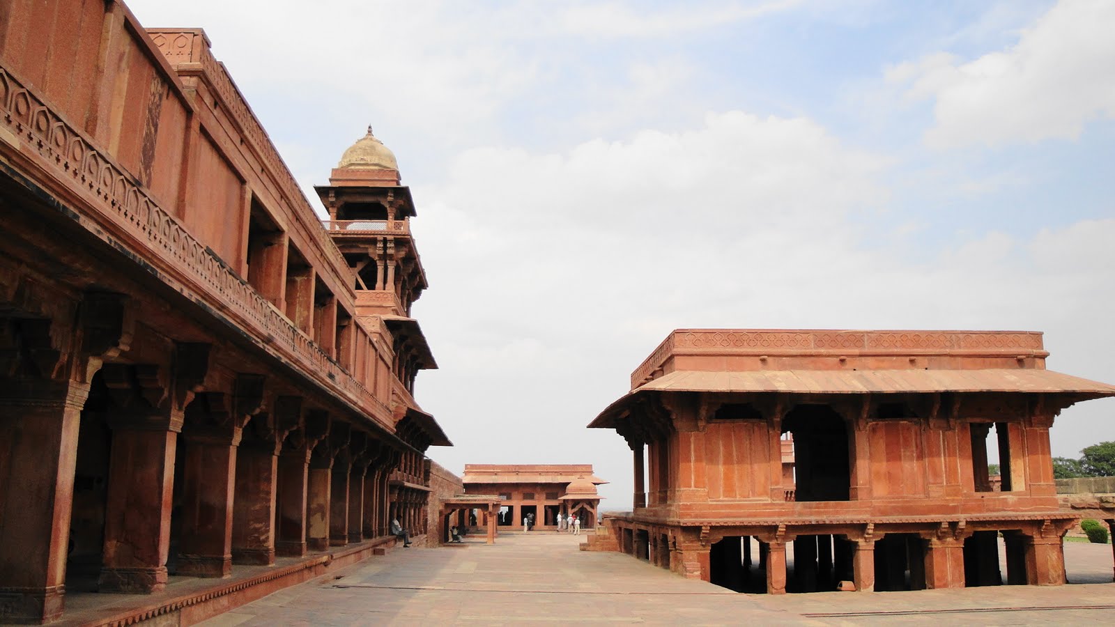
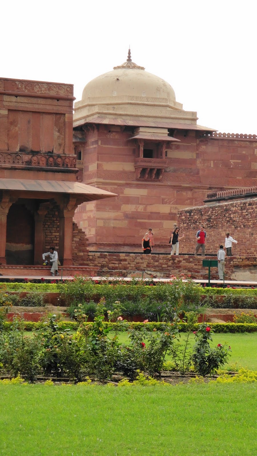
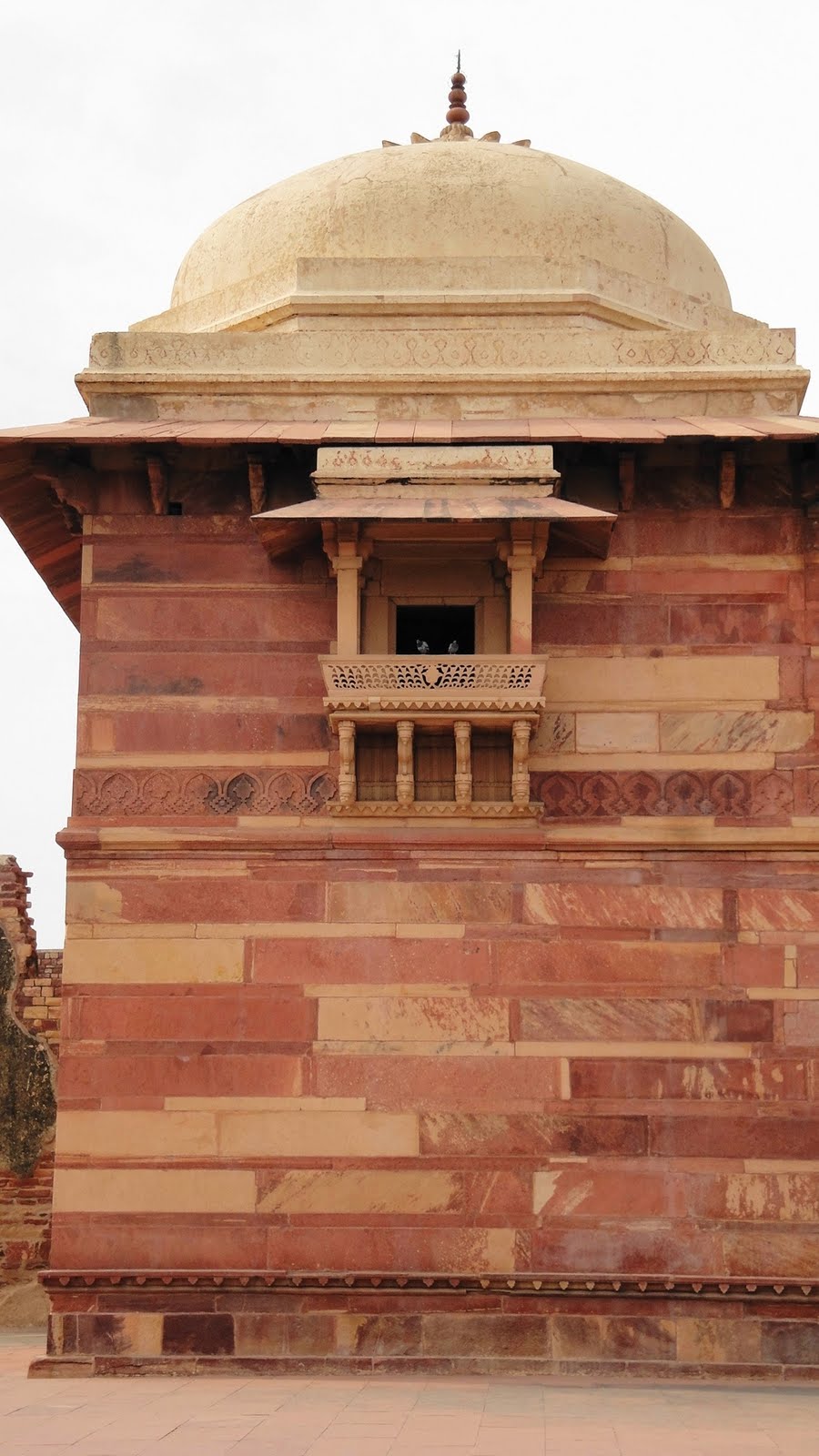
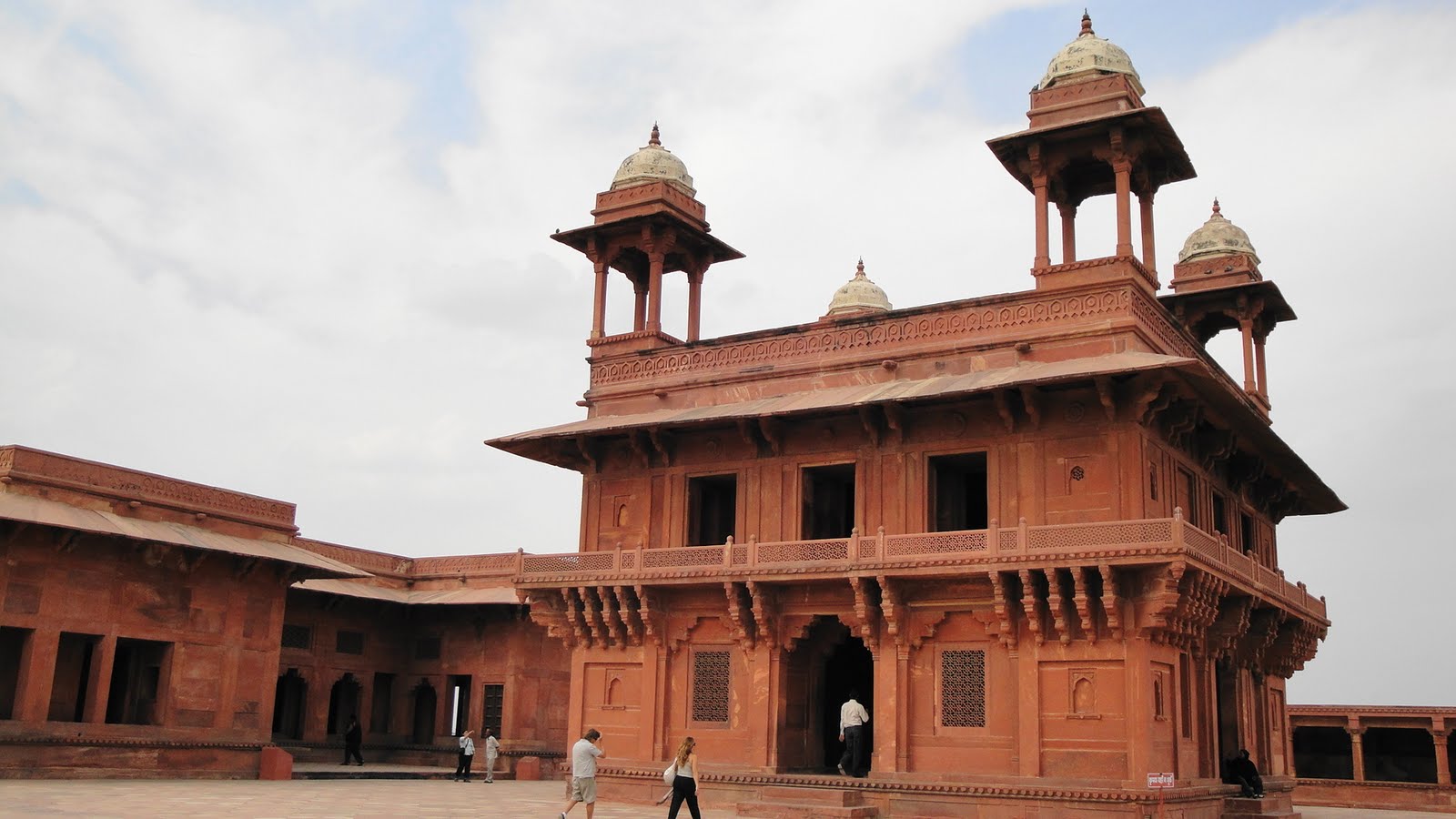
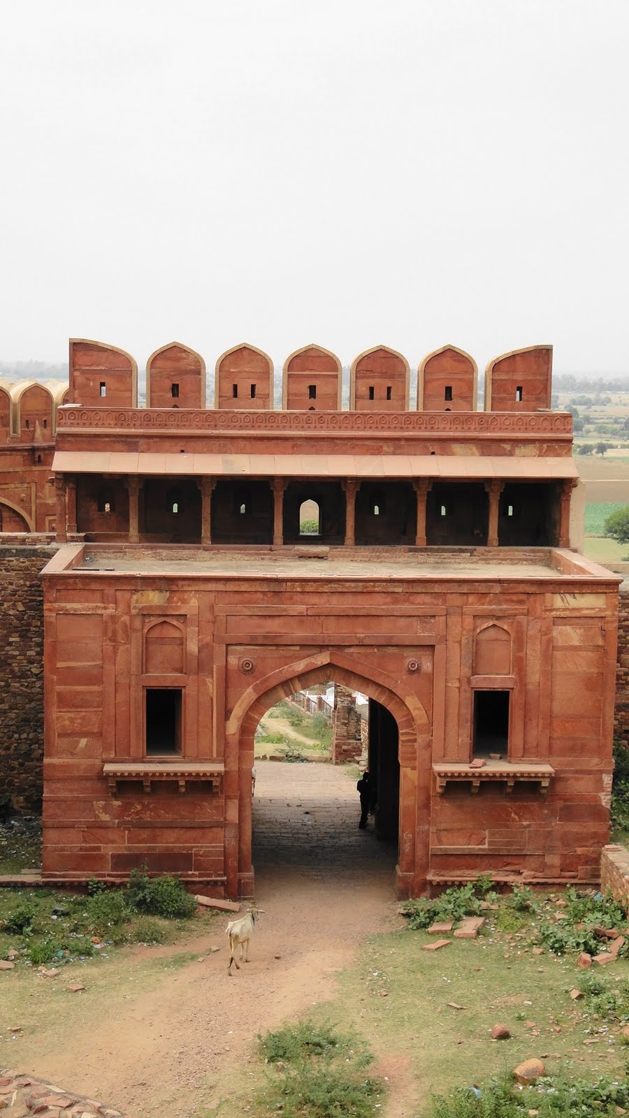
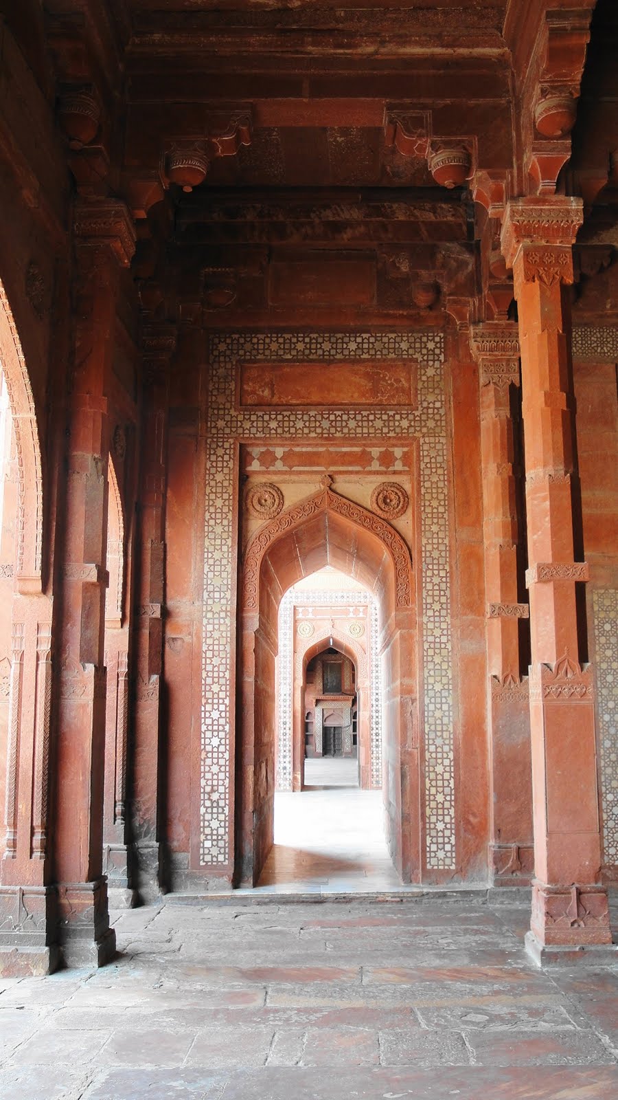
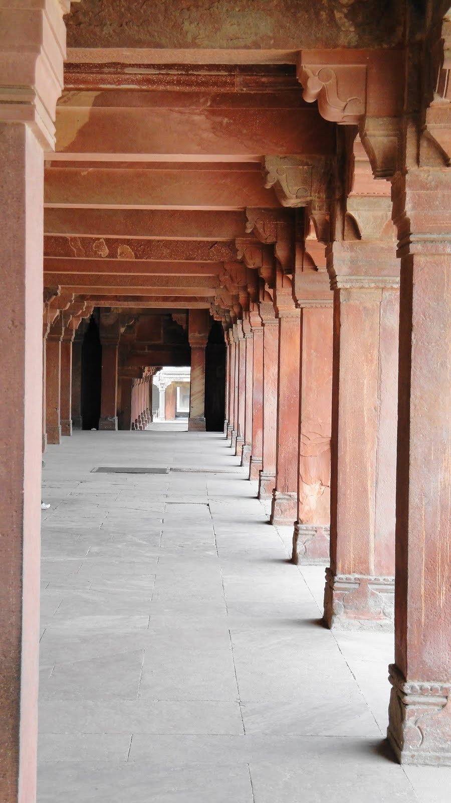
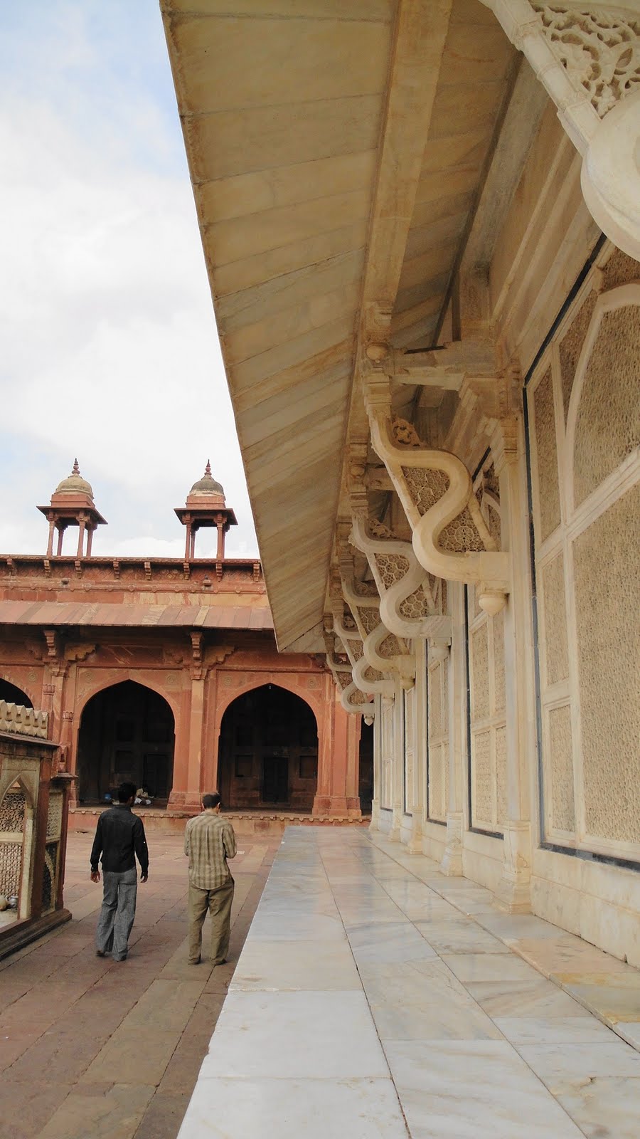
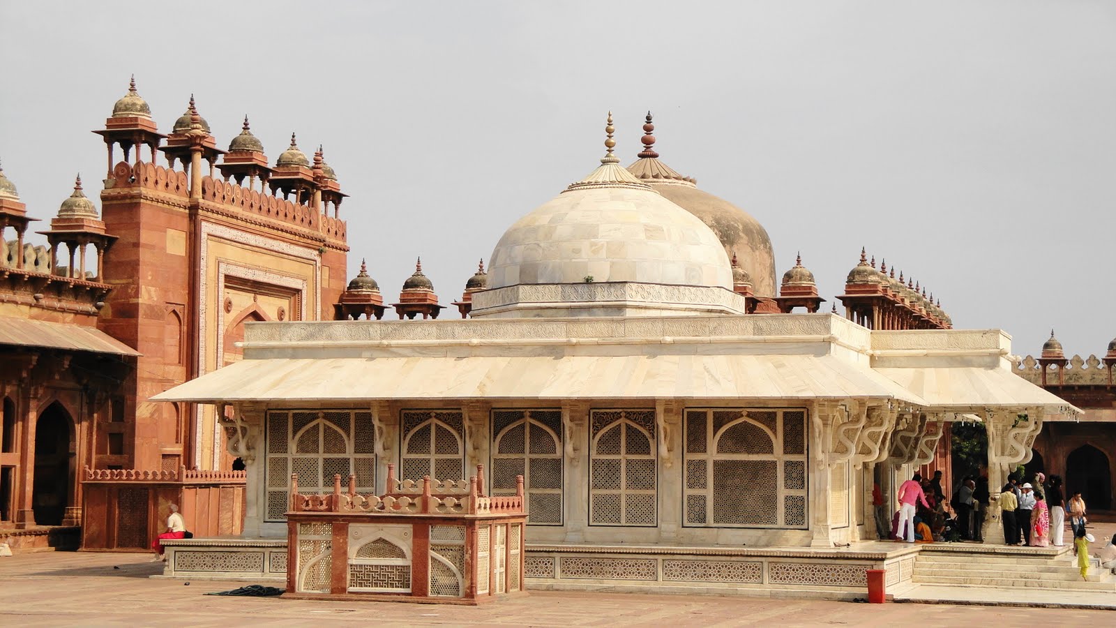
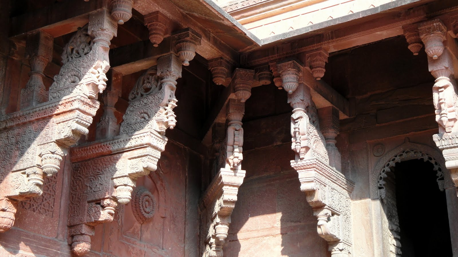
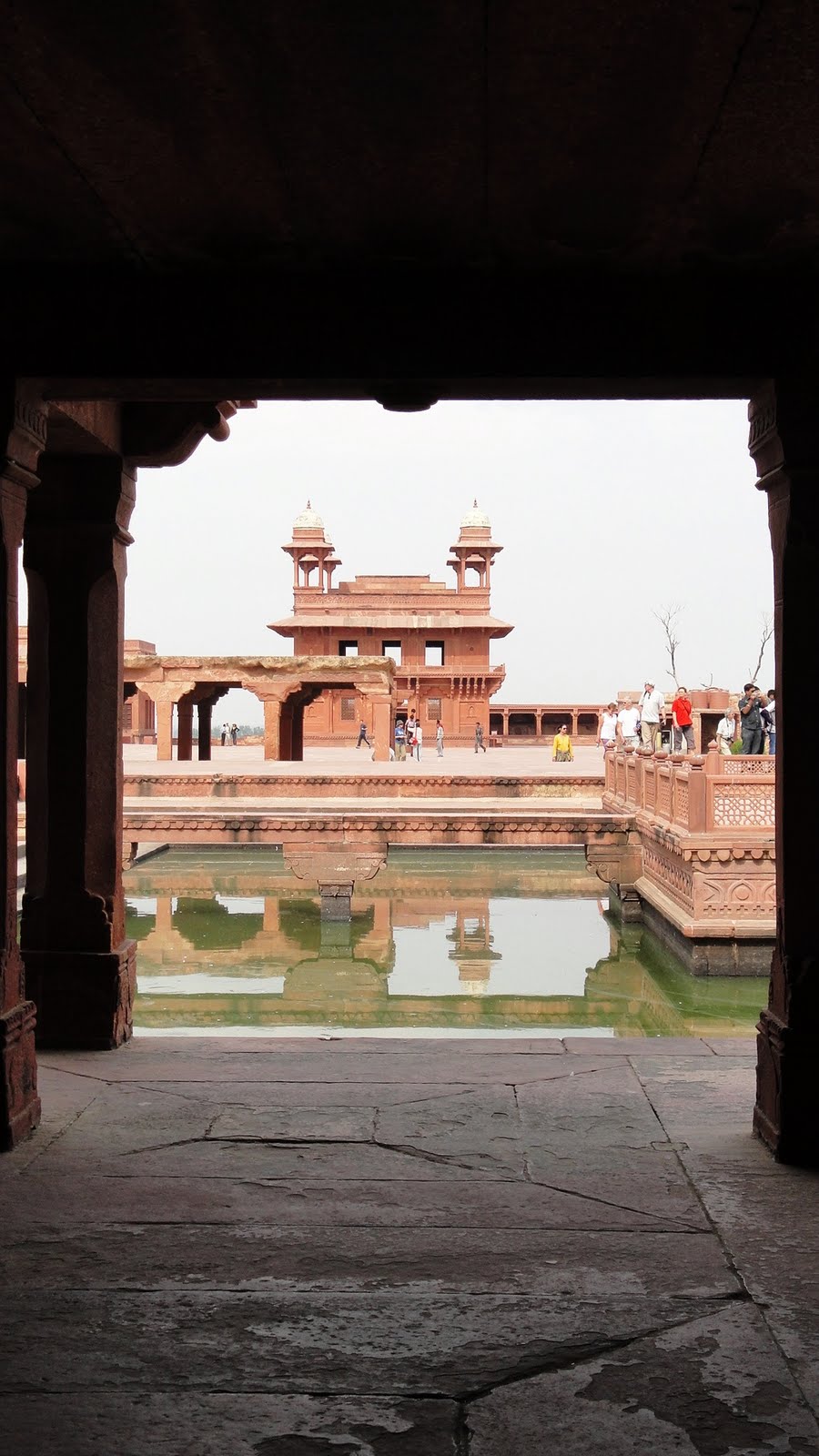 Just above & below are shots of Fatehpur Sikri, which served for a short time as capital during Akbar’s long reign. Not much is known any more about what purpose all the buildings served, nor even necessarily why the capital was abandoned — though shortage of water seems the strongest hypothesis.
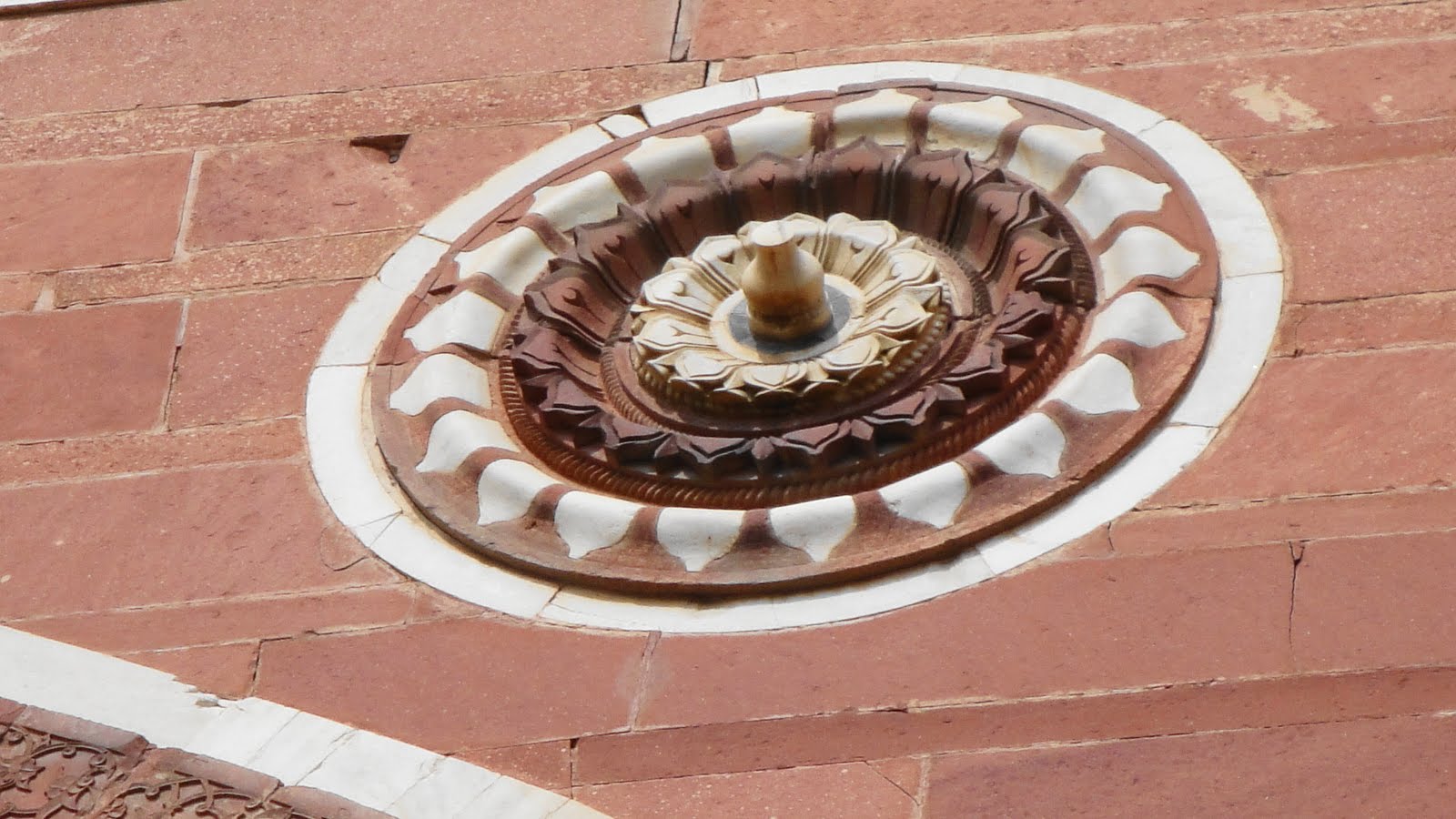


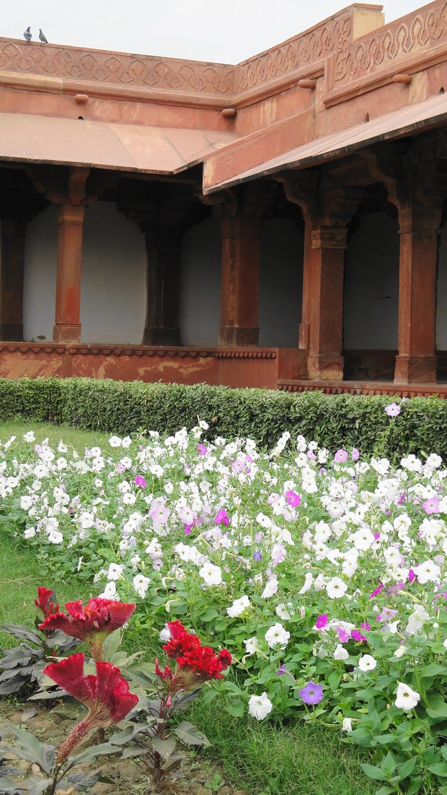
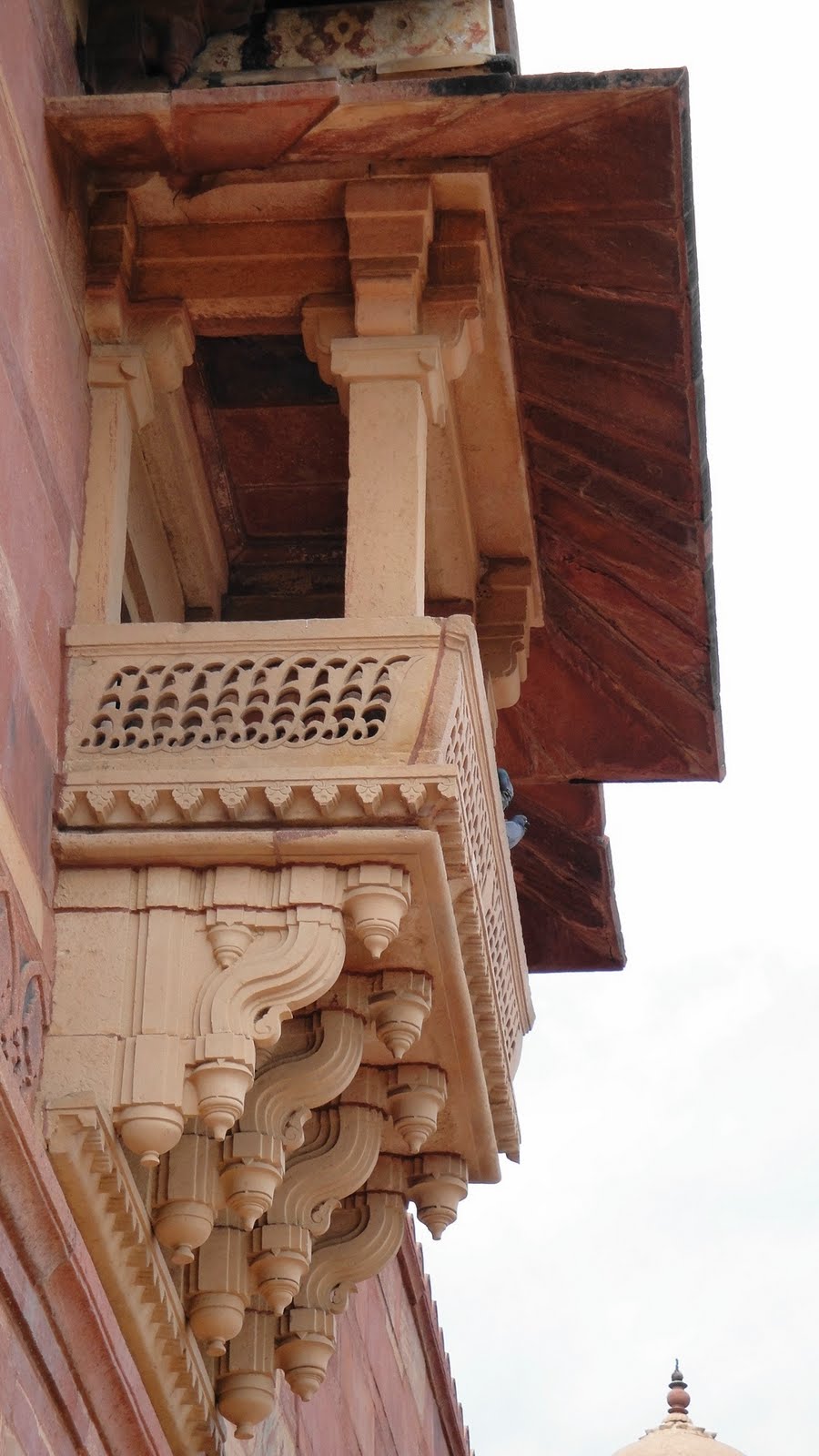
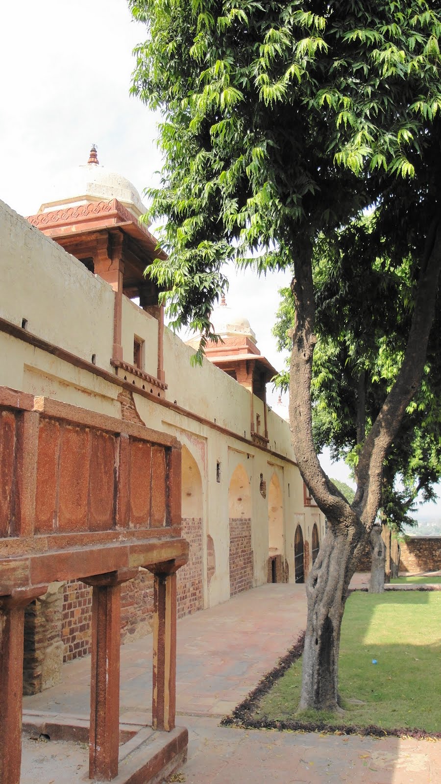
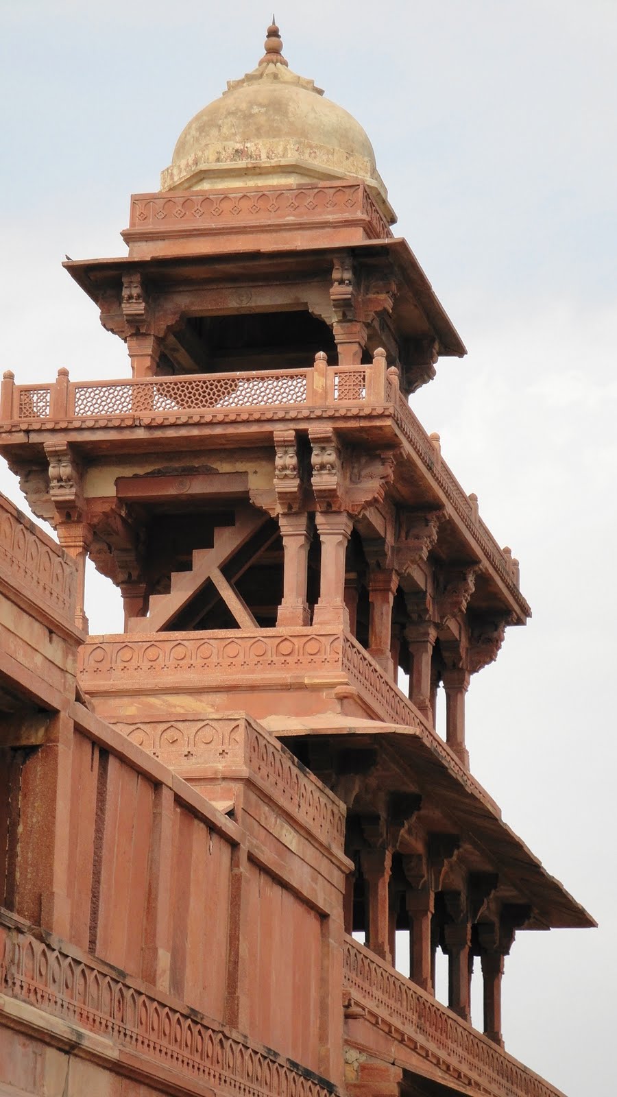
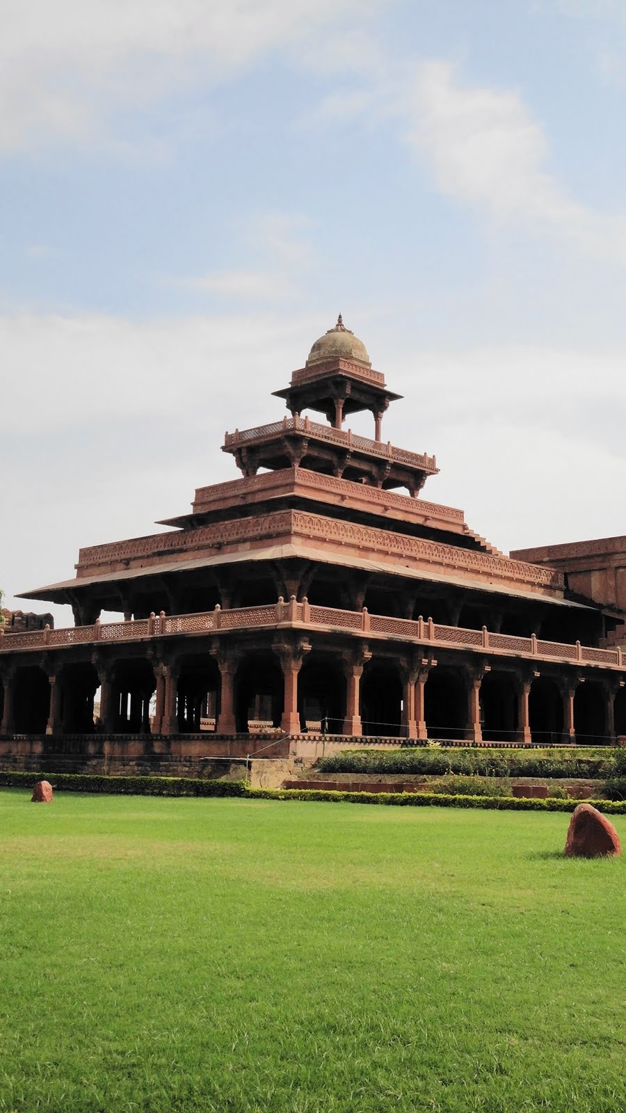

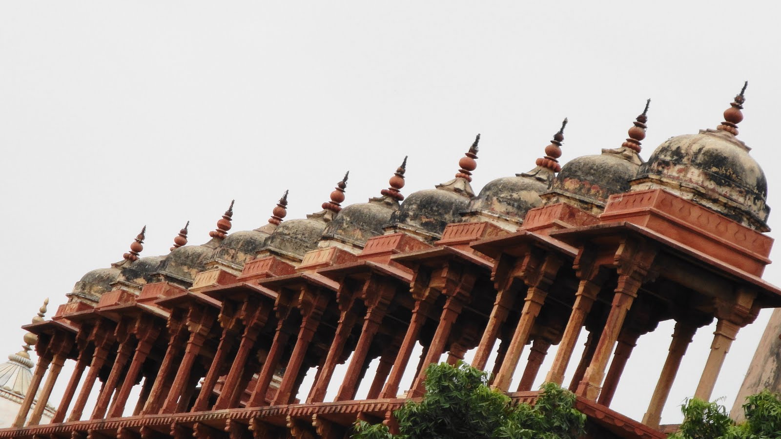
I know I went a bit shutter-happy in these places, but the symmetry and beauty of the stonework and the buildings really never ceased to amaze me…regardless of how many such remarkable buildings I saw!


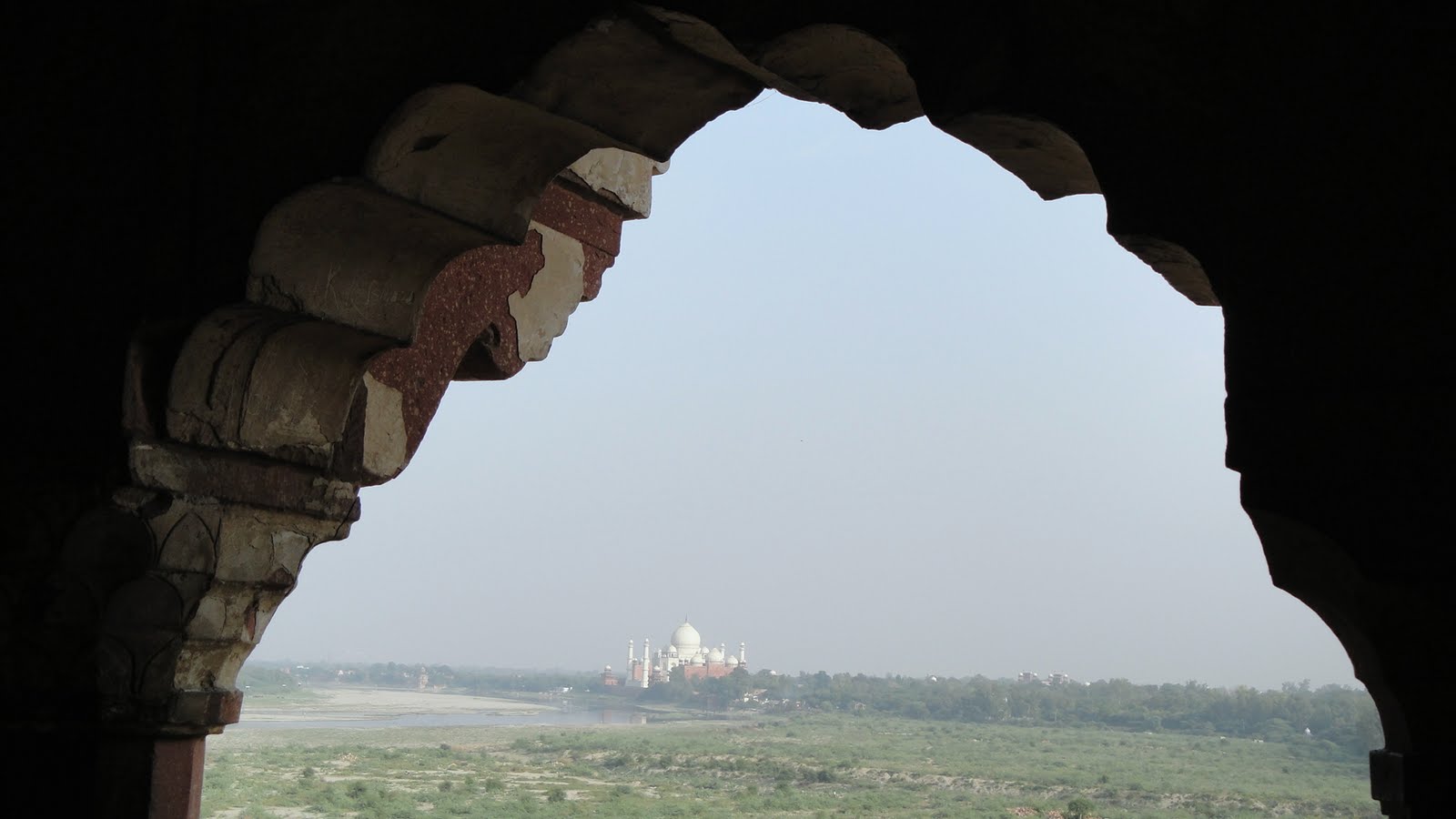
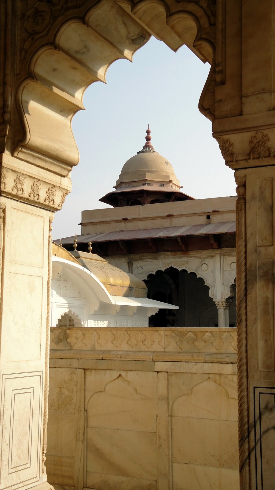
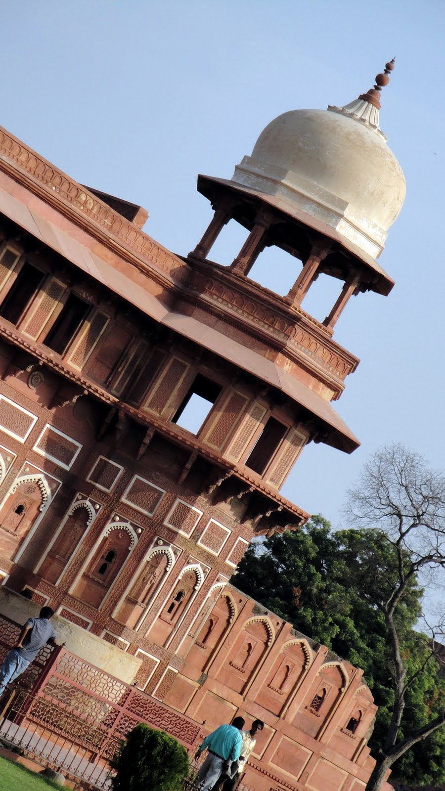
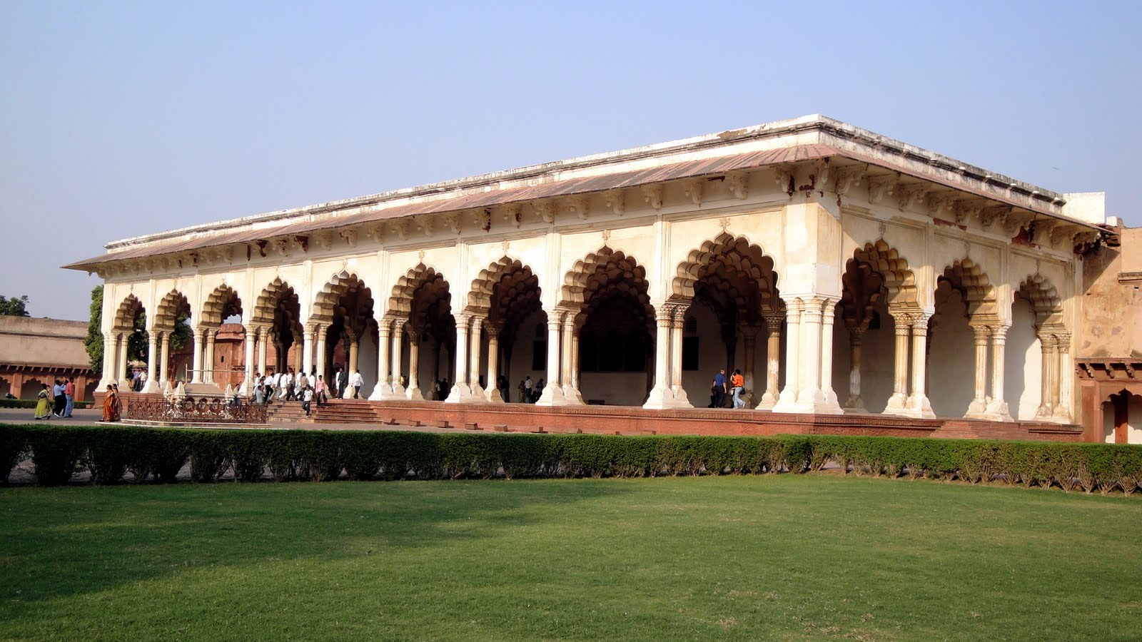
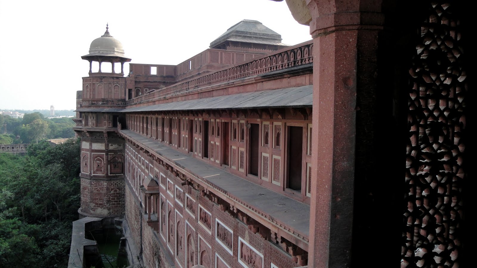
 …and below, we have the Redfort at Agra, seat of government while the capital was in Delhi; it’s an impressive building, but as you’ll see it was the views of the Taj which most capitvated me. The government buildings at Fatehpur Sikri the following day (shown above) impressed me more. But one thing you’ve noticed: Itimad & Taj were made of white marble; most of the other stuff is red sandstone. It was with Itimad’s tomb that white marble with such gorgeous inlays and carving detail were first introduced. Before that most buildings were made of local red sandstone. The white marble for Taj and Itimad’s tombs came from the areas of Southern Rajasthan (Udaipur, etc.) that we visited later in our trip. Driving into Udaipur I sas firsthand lots of the marble being cut down and trucked around.
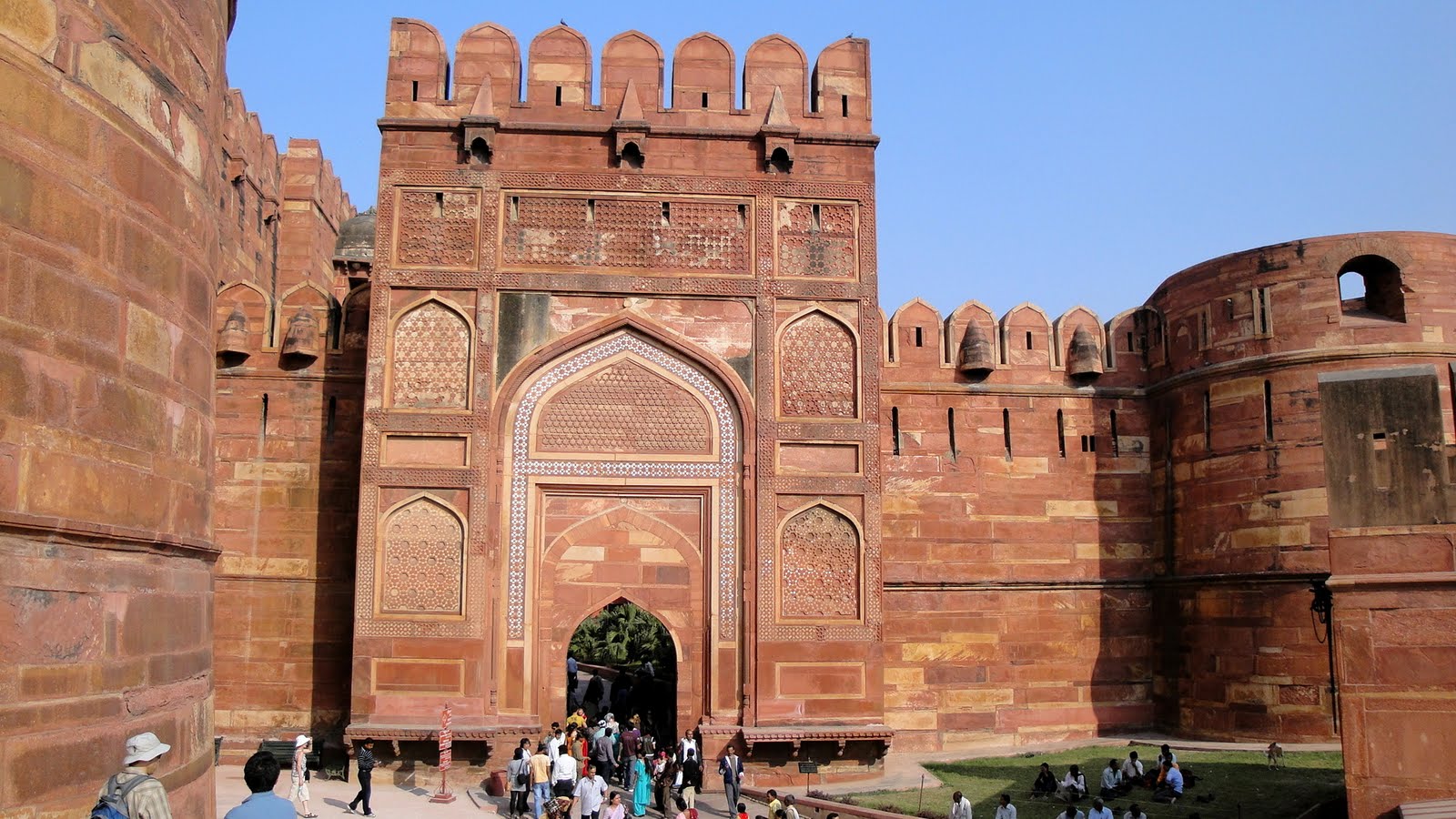


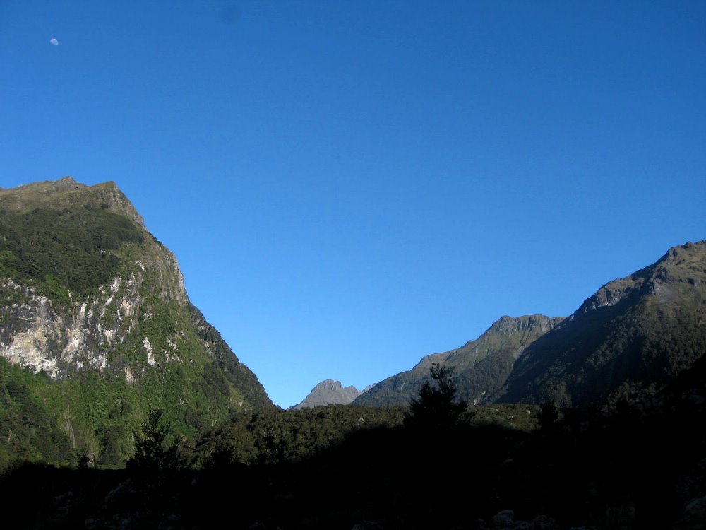
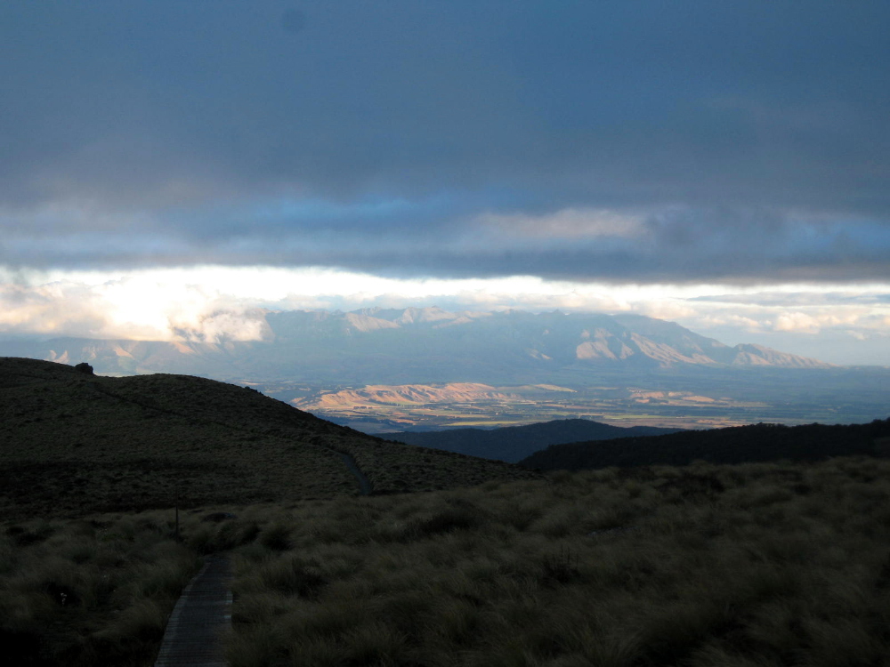
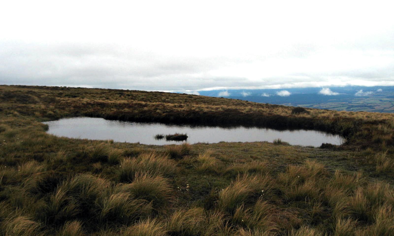
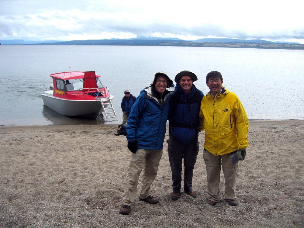
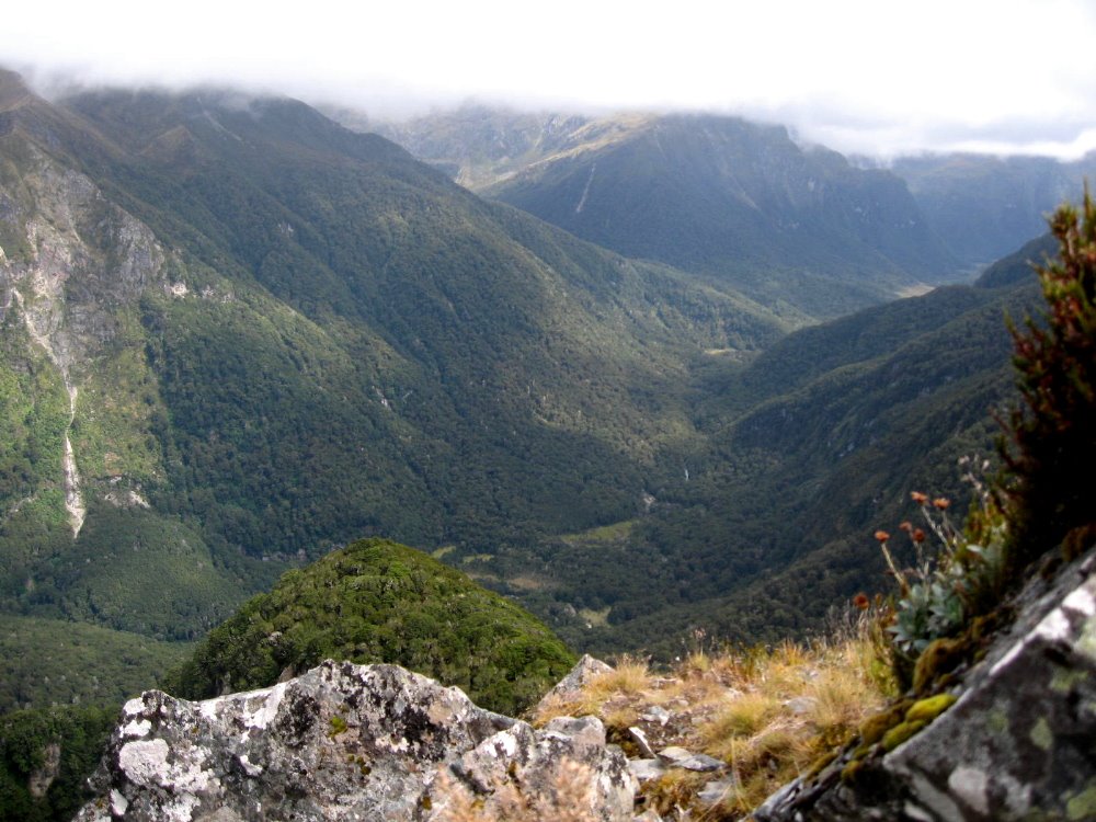
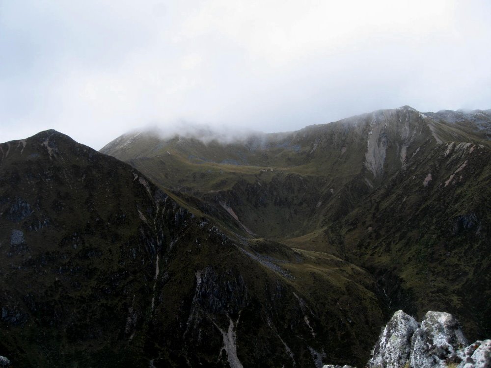
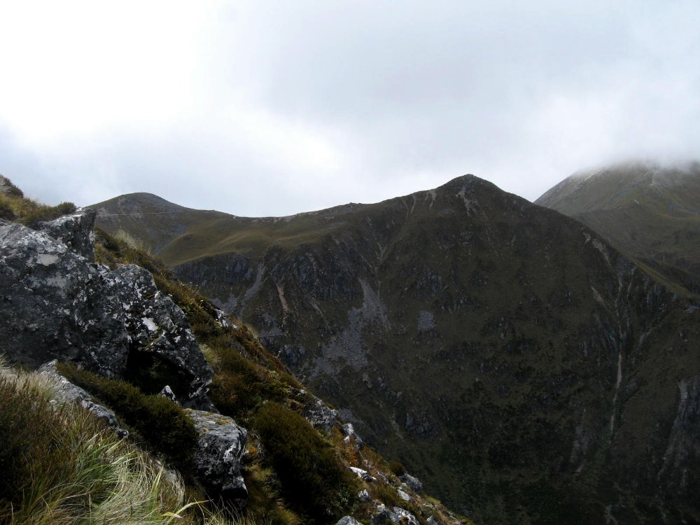
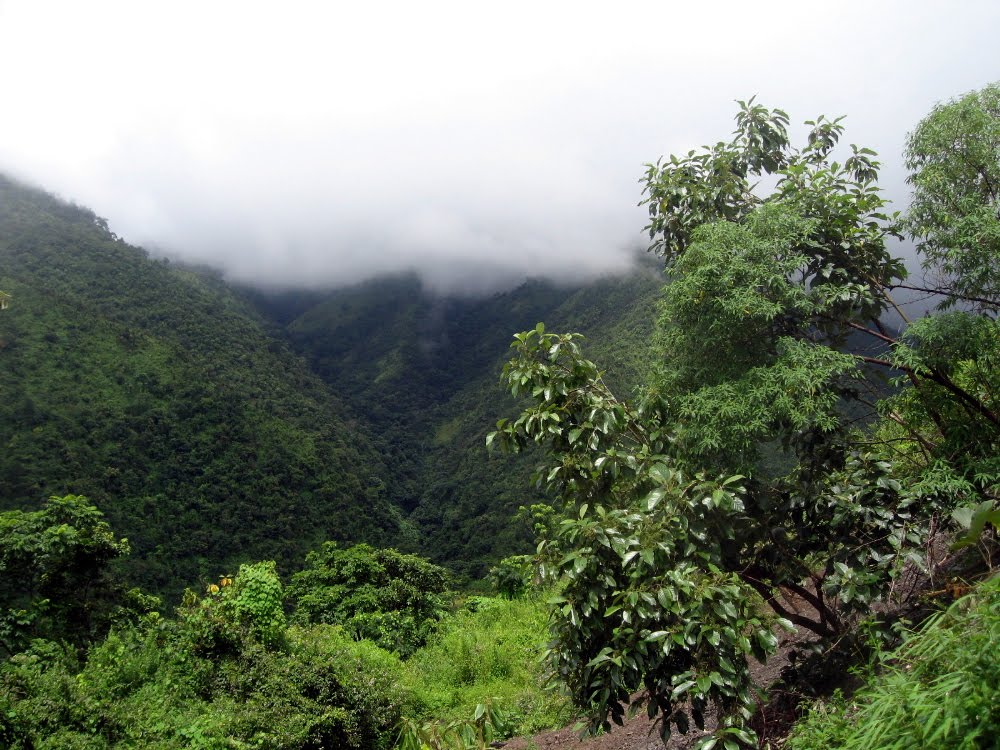
The Green Hills of Manipur
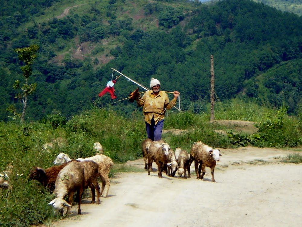
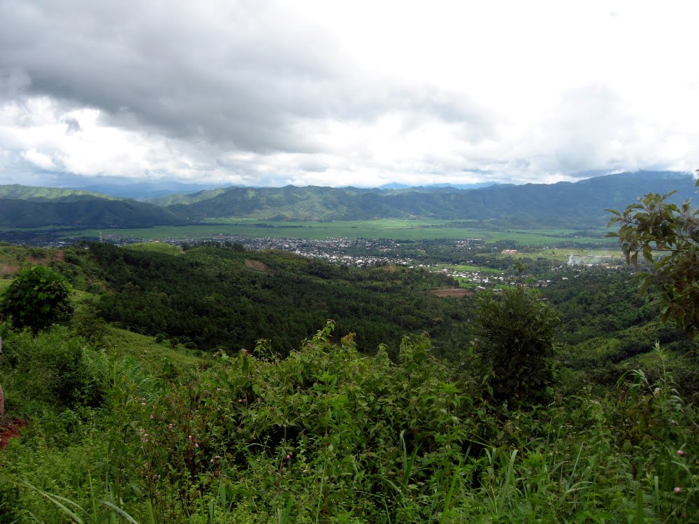
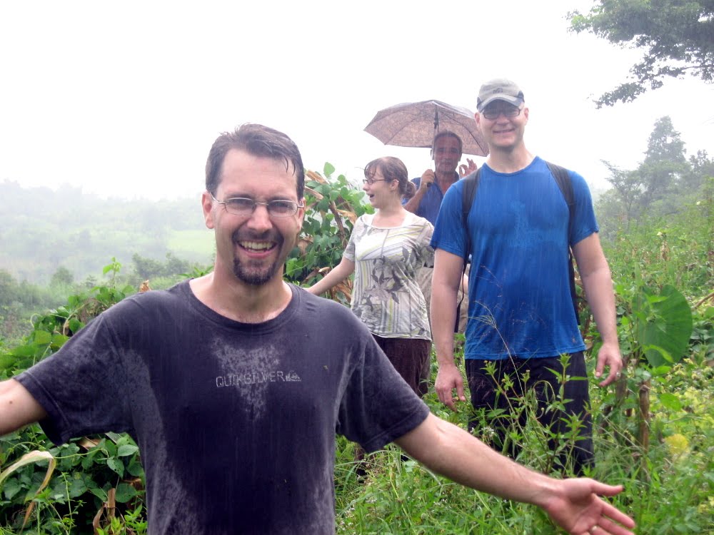
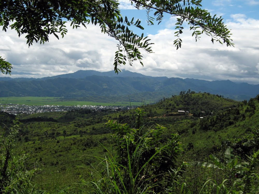 smw, slt is proud to present your first views of where we’re now based. Just about all of the photos above and below were taken on the several long Sunday rambles I and my colleagues here at MSF-Manipur have taken in recent weeks. You’ll notice that we’ve once or twice experienced the monsoons first-hand; you’ll also notice that we’ve been befriended by some local youth at a waterfall and even a shepherd in the hills. Well…the shepherd tolerated it when my colleague Fiona asked if he’d pose for a photo, then had to scramble after his sheep to get them back in line. Fiona and I felt pretty guilty about that little bit of touristic enthusiasm. I’ll throw in the occasional caption, but mostly I’m gonna let the photos speak for themselves. Above, what you see is Lamka Town, aka Churachandpur Town, sitting in its little bowl of a valley as seen from the hills that we’ve been hiking most Sundays, and doing brief runs through on many a morning. It’s truly a lovely place, and so far so good with the work: keep those fingers crossed that all continues well, please. Thanks.
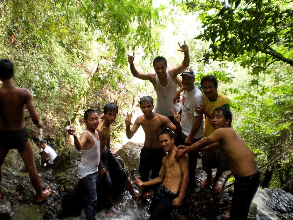 …that’s me in the ball cap, on the right. They all wanted the pic – it wasn’t my idea, honest! And oh by the way, immeiately behind us is about a 15-meter waterfall.

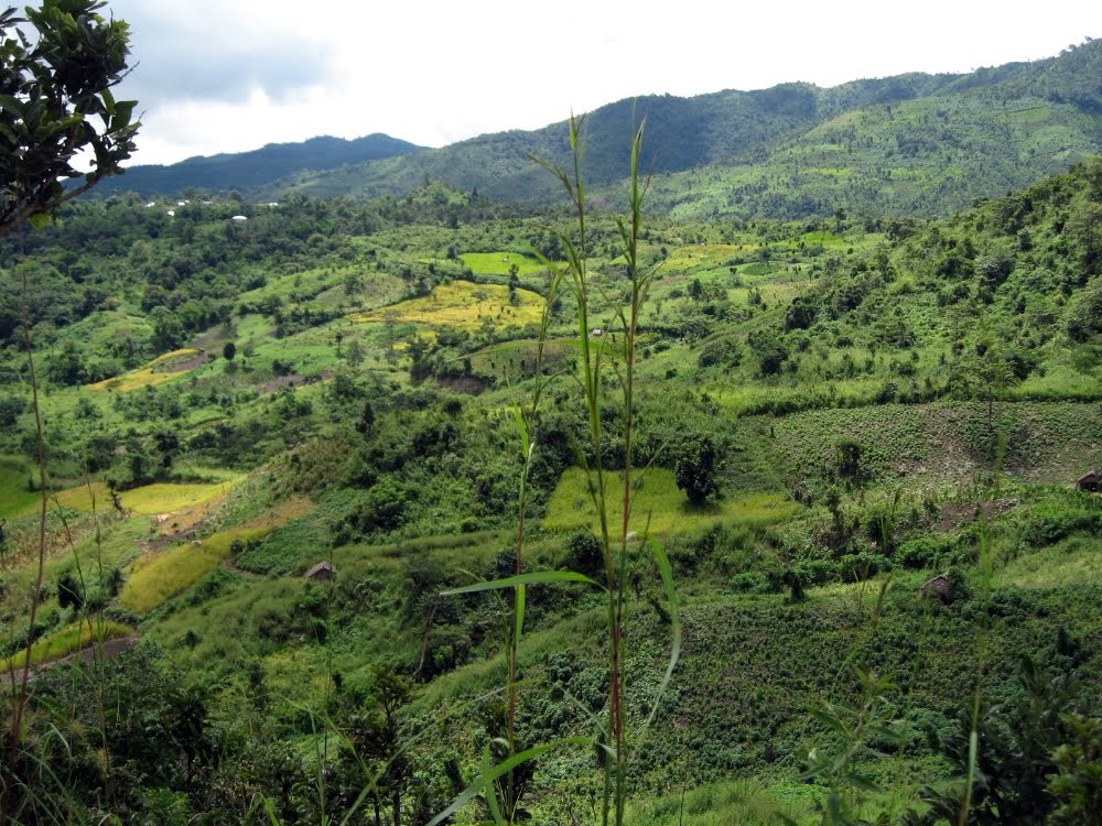


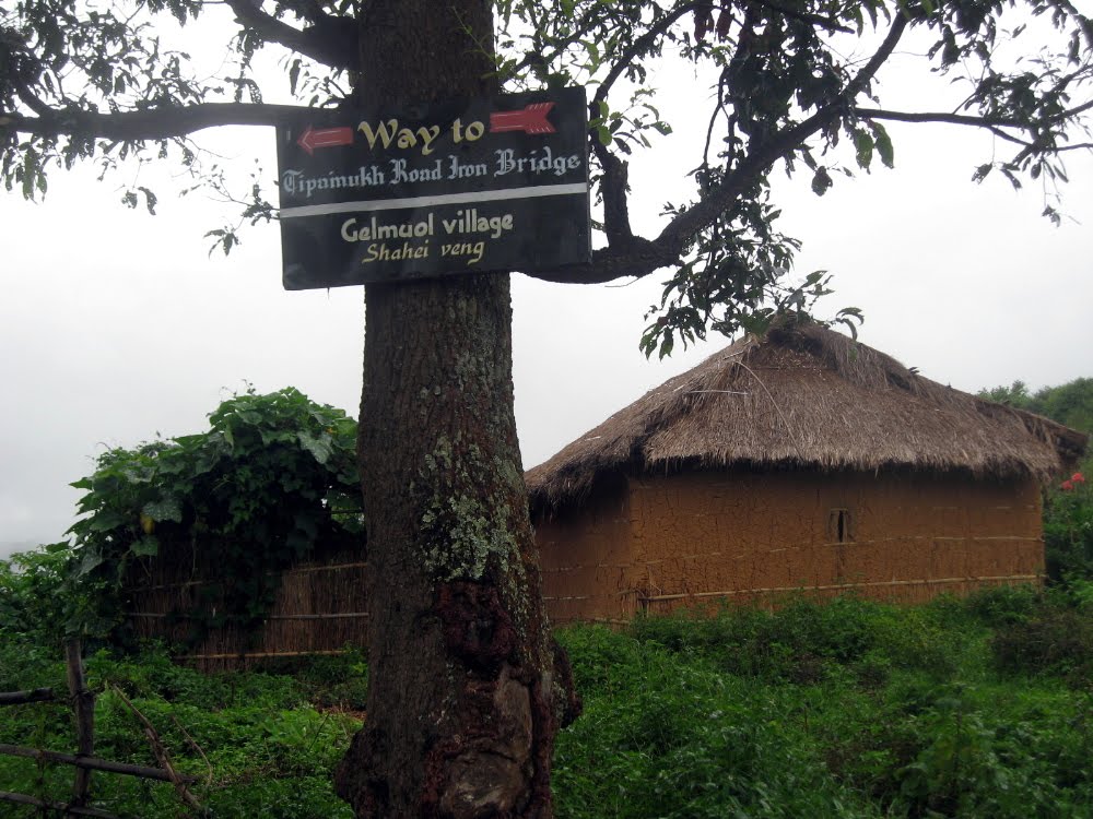
 Everywhere you walk in these hills, you chance across these little villages — this one was at the back side of the ridge we climbed in taking many of the views of Lamka that you’ve been seeing above. When Fiona, Phil and I reached the ridge and looked down, she said ‘How do the kids get to school?’ Good question.
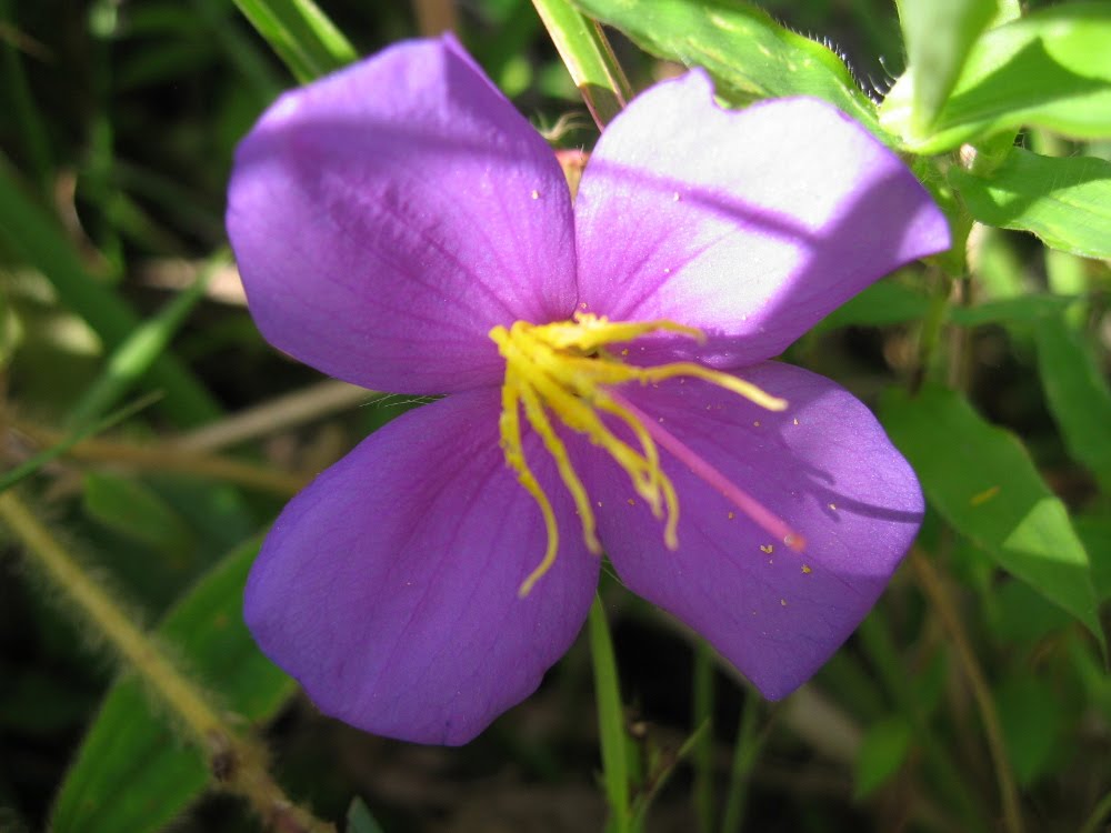


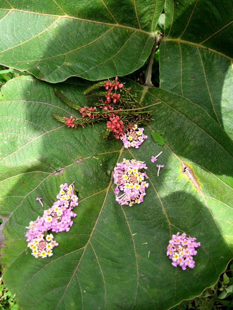
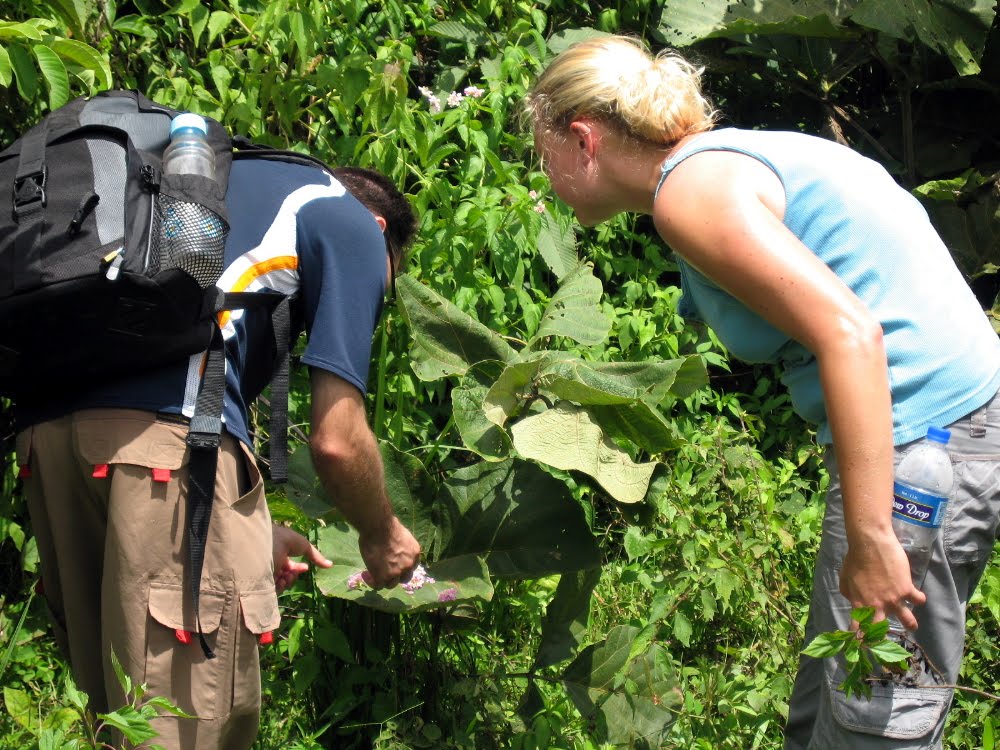 That’s Phil and Fiona making art: in honor of Phil’s and my great fondness for environmental art (he’s a longtime fan of Richard Long, I of Andy Goldsworthy), we turned one hike into an ongoing art experiment: see walking banana peels below, and flower art, further down…
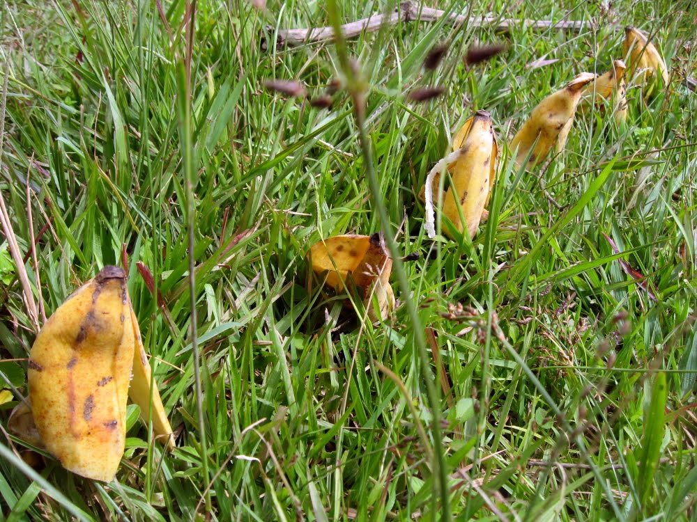


 …that’s Michelle. It was raining pretty darn hard but for some crazy reason we were all having a ton of fun.
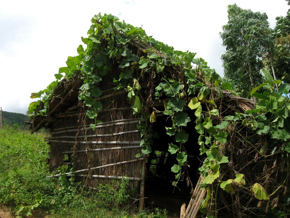
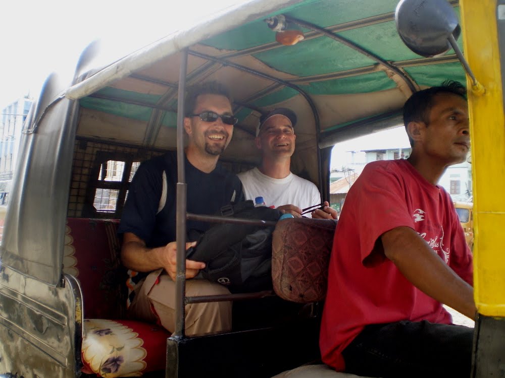 …Phil & Paul take a load off en route to our usual post-hike restaurant outing.
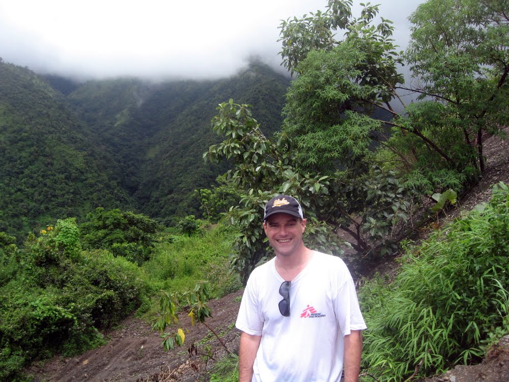
 …what there is to do on a day off in CCpur.
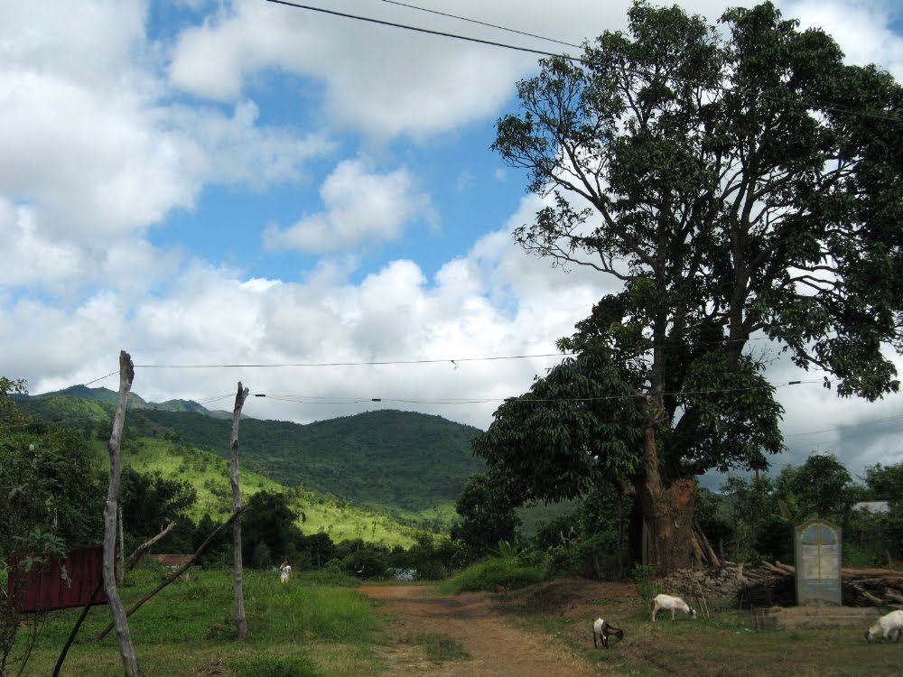 This is a little village on the outskirts of town that’s both on one of our favorite morning run routes, and figures in the early km’s of several of our favorite walking routes. Sorry I don’t have much more to show you yet: I’ve been working long days, but as you see, at least I get out every now and then. Cheers.
Aging Gracefully (One Hopes) in Mussoorie
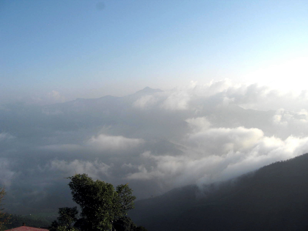
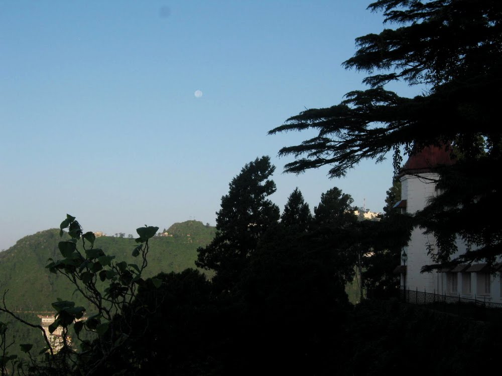
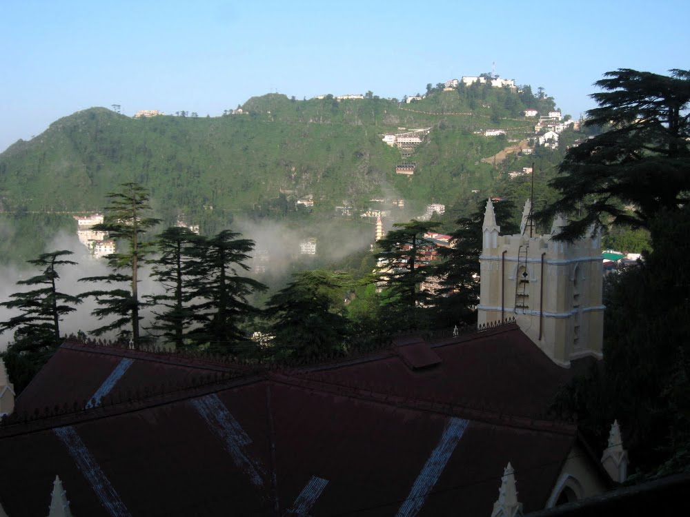
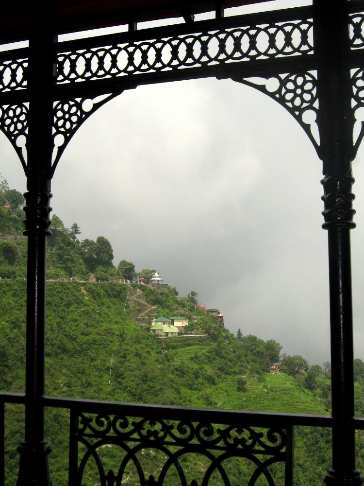
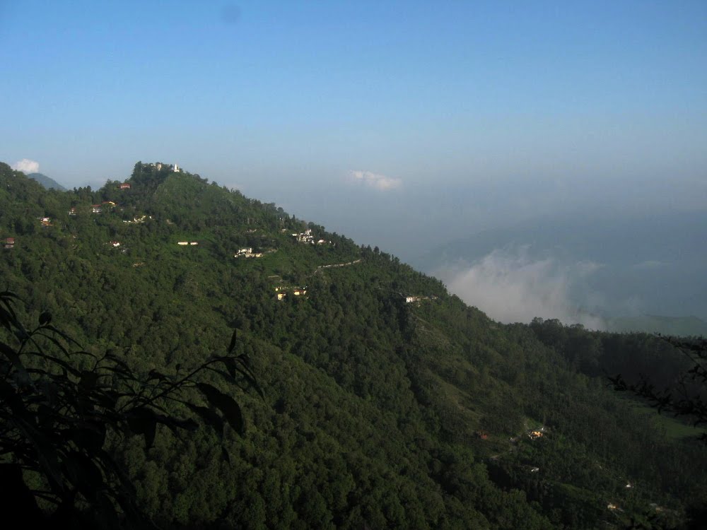
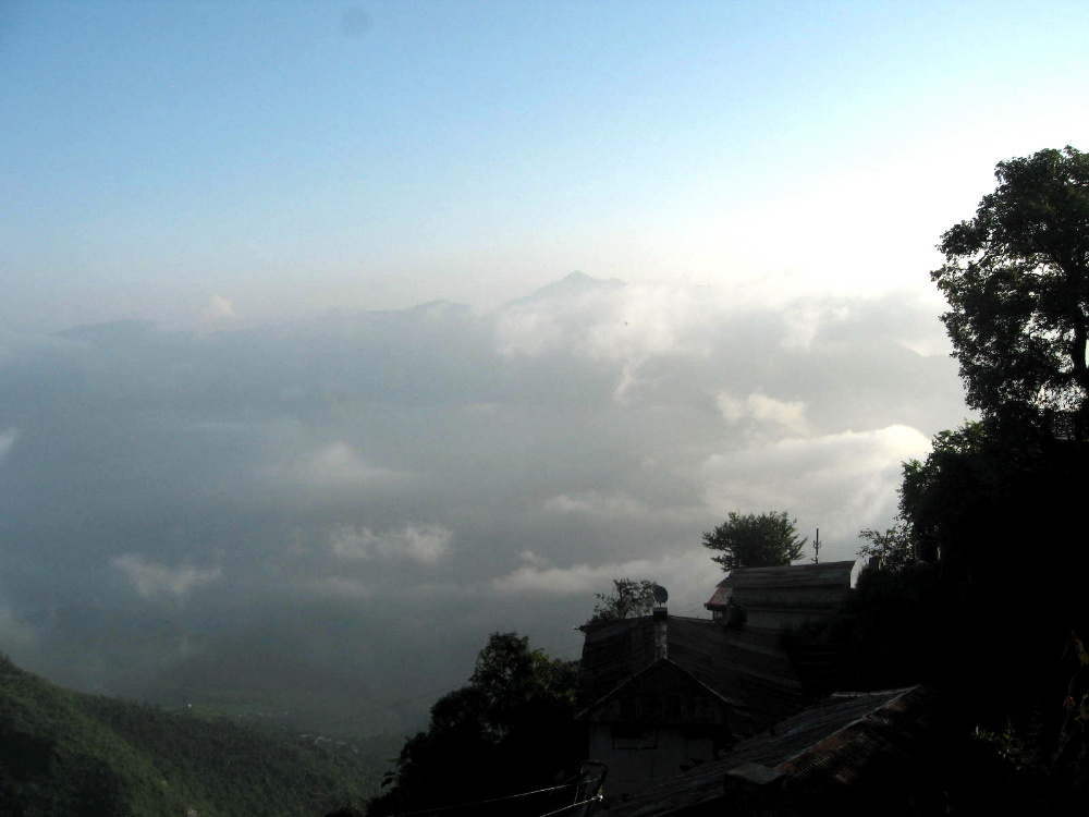
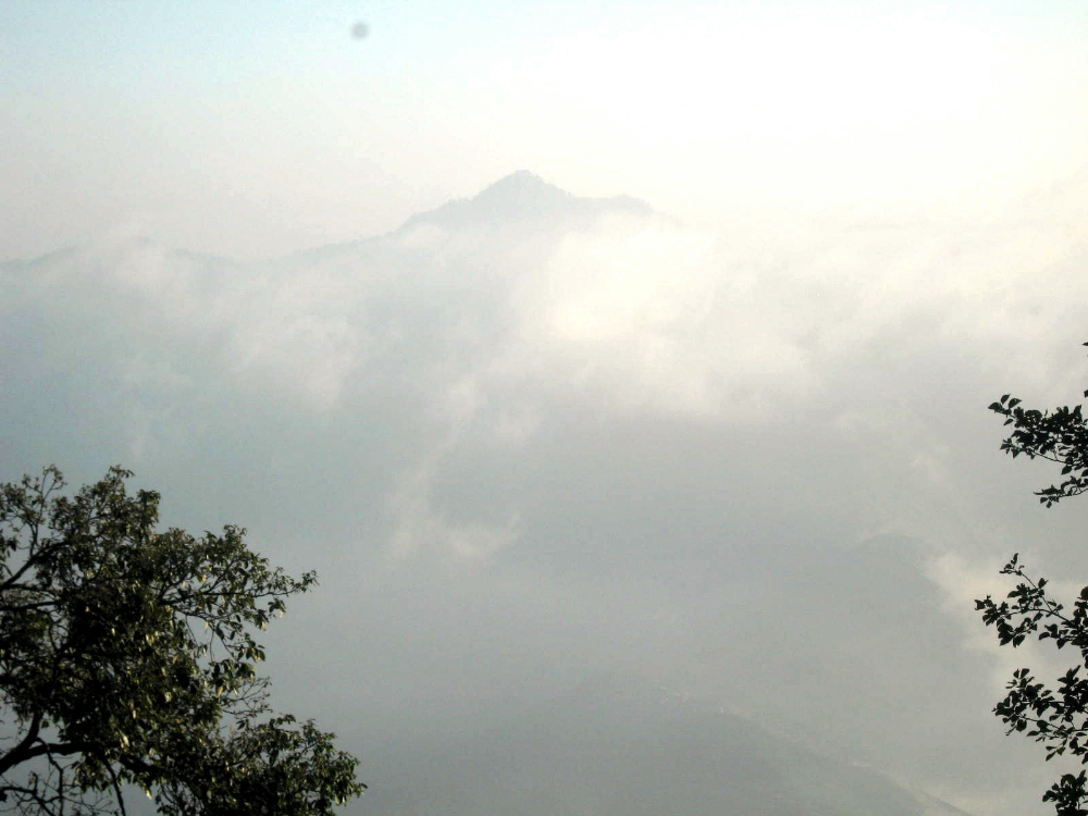
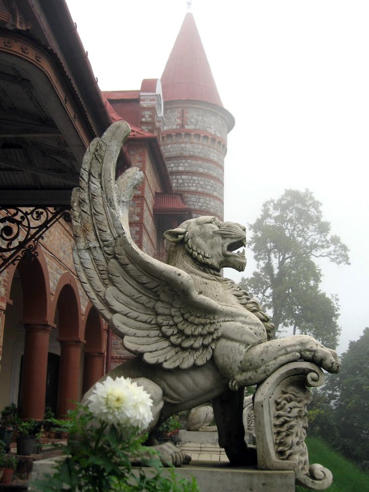
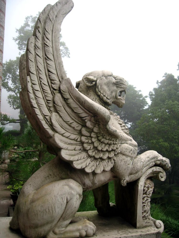
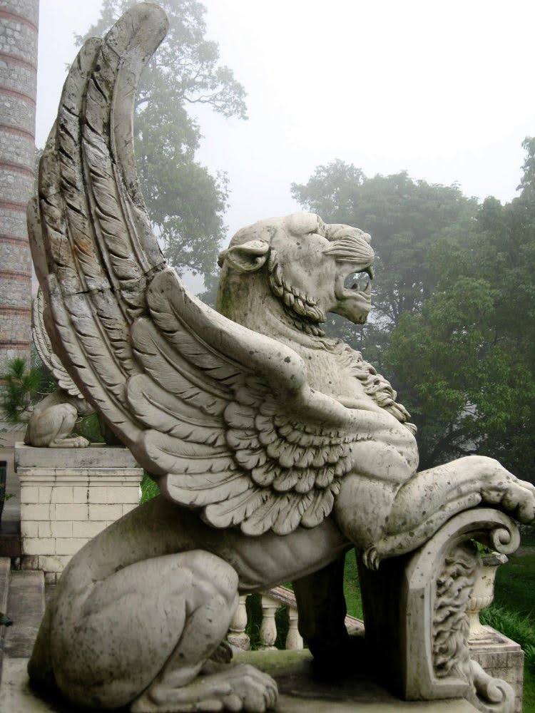
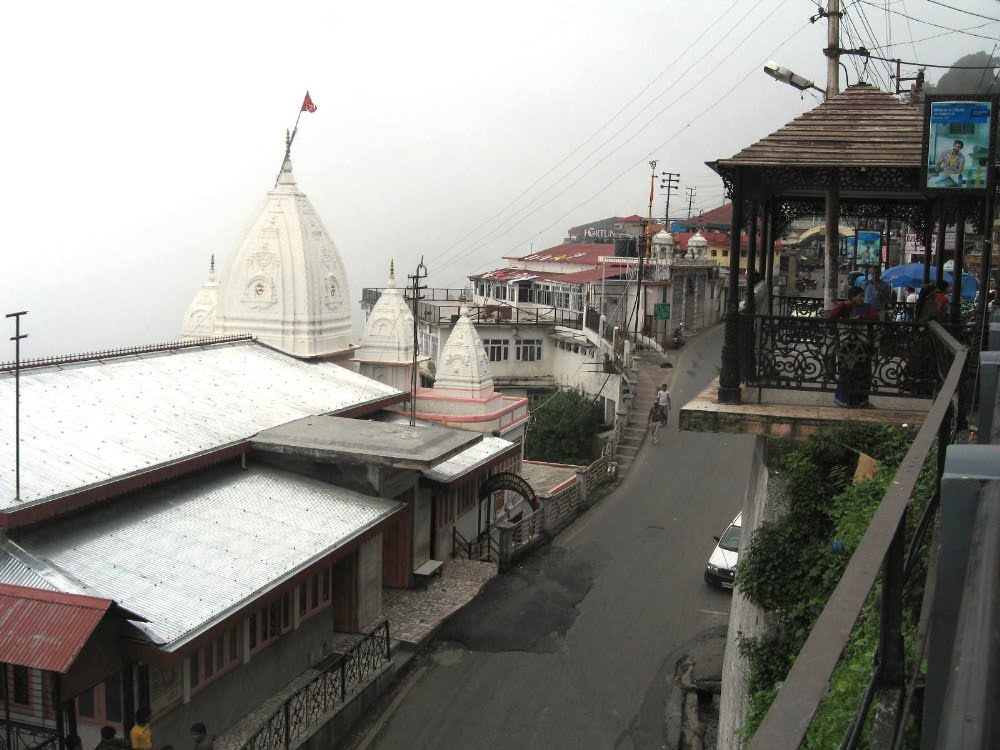
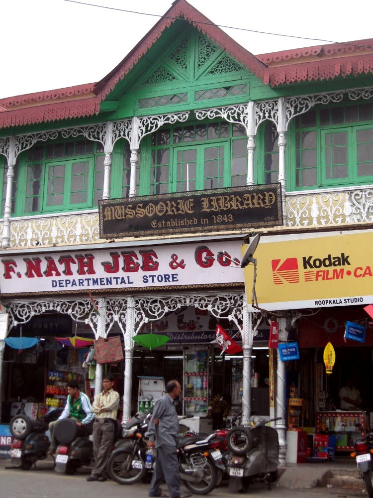
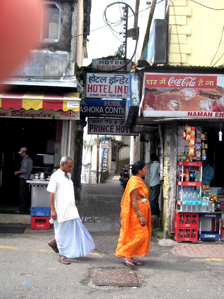
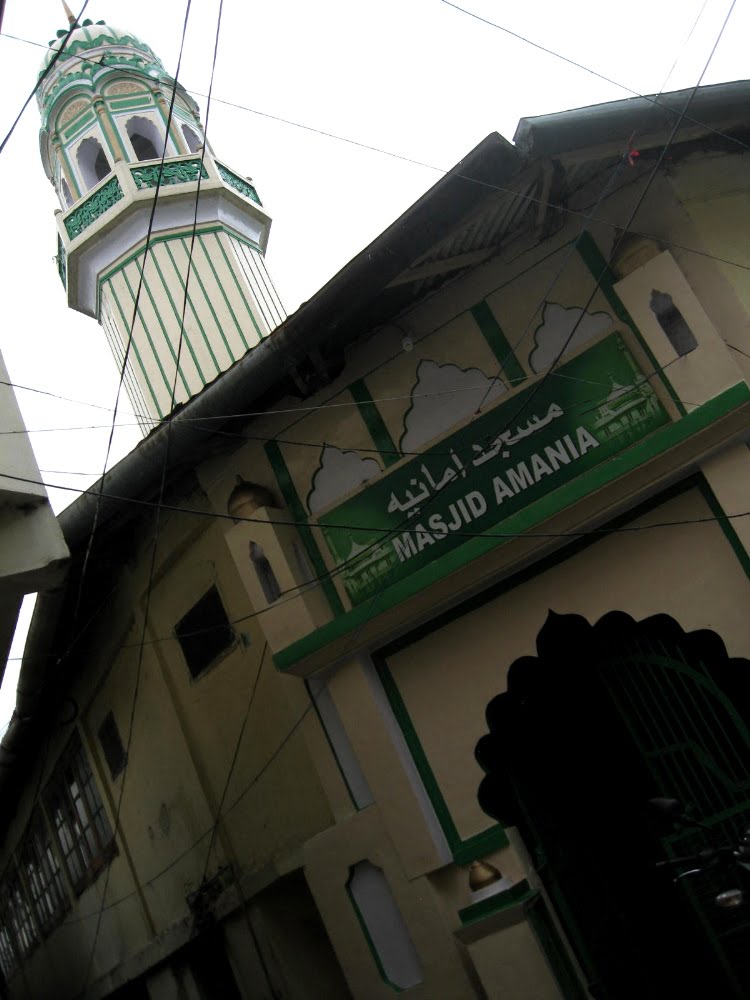
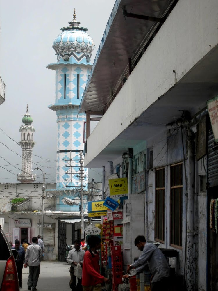
 OK, peeps, it’s been a month or so since last I put up a bit of what I’ve seen or done since arriving in India five weeks ago. As some of you may know or recall, I had about a ten-day wait in Delhi while the paperwork was finalized to allow me to come over and work here in truly lovely (but really not yet tourist-ready, trust me) Manipur. The second weekend of my Delhi sojourn was … well … the weekend on which this boy from Ohio finished his 47th complete cycle around the sun, to borrow a concept from my friend Gary. Unable to tolerate the idea of smoggy, hot and loud Delhi that weekend, I and two colleagues who were also waiting for the green light to head east all decided to hire a car and drive the six or so hours up to the foothills of the Himalayas to Mussoorie: described by at least one gentlemen as THE hill station to see and be seen in during the British Raj. It’s certainly lovely. We were there during the rainy season, not the high (and dry) season, so sadly you won’t see images of the snow-capped Himalayas, but perhaps you can imagine them and still get a sense of the grandeur of this truly lovely and remarkable town.
smw, slt is not able to publish with regularity these days — I’m experiencing a lot, and working hard, but have limited internet access and even more limited free time and energy. Bear with me; it’ll unfold over time. Enjoy these images in the meantime.
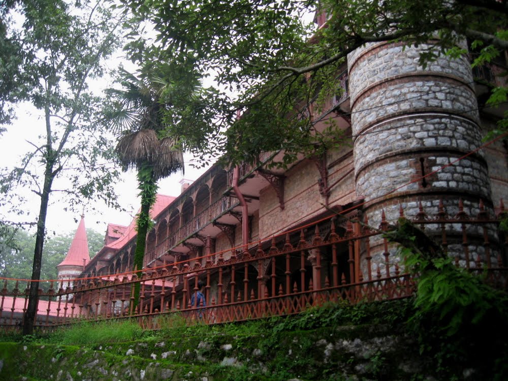
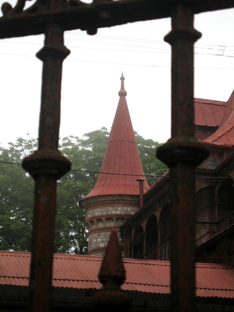
 …ummm….that’s our hotel. We kinda broke the bank and splurged in honor of my bday on a gorgeous legacy hotel. It was worth it. A tad musty, a tad shabby perhaps in that elegant old-school way but the food at the restaurant was excellent and the people working there were delightful.


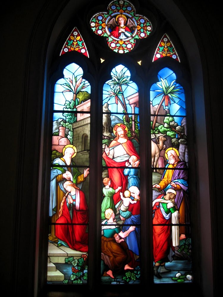
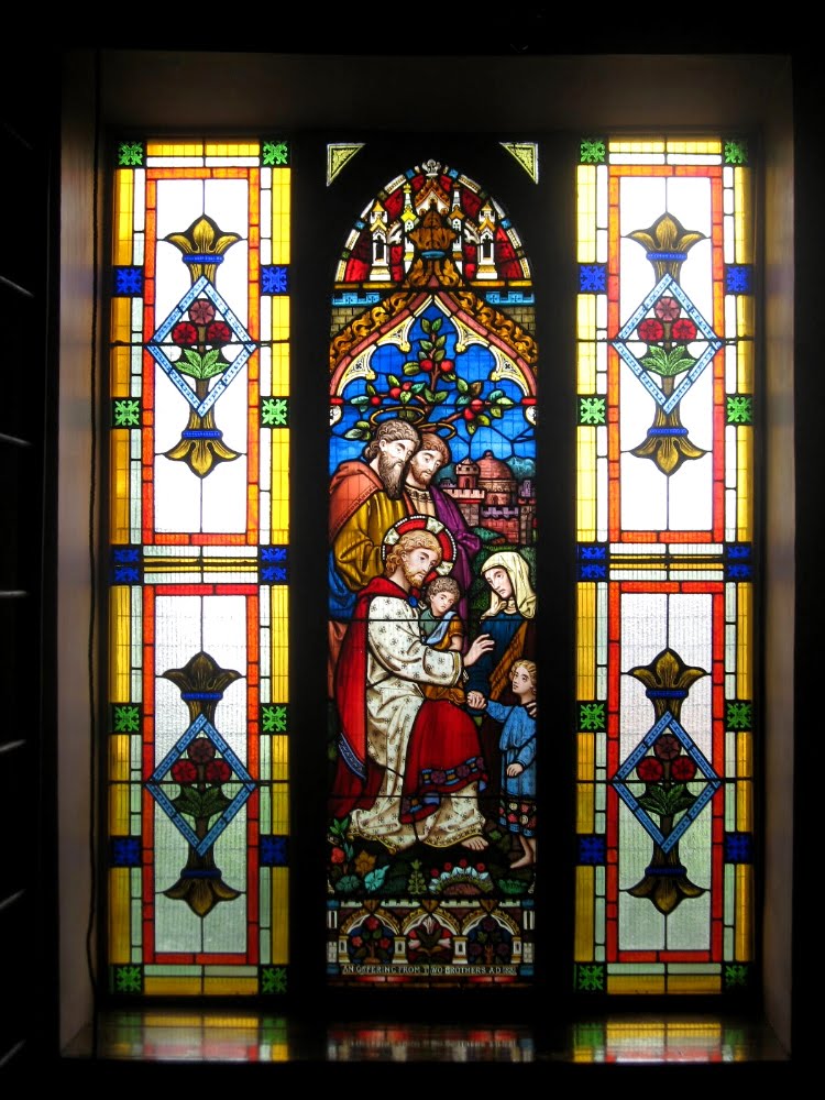

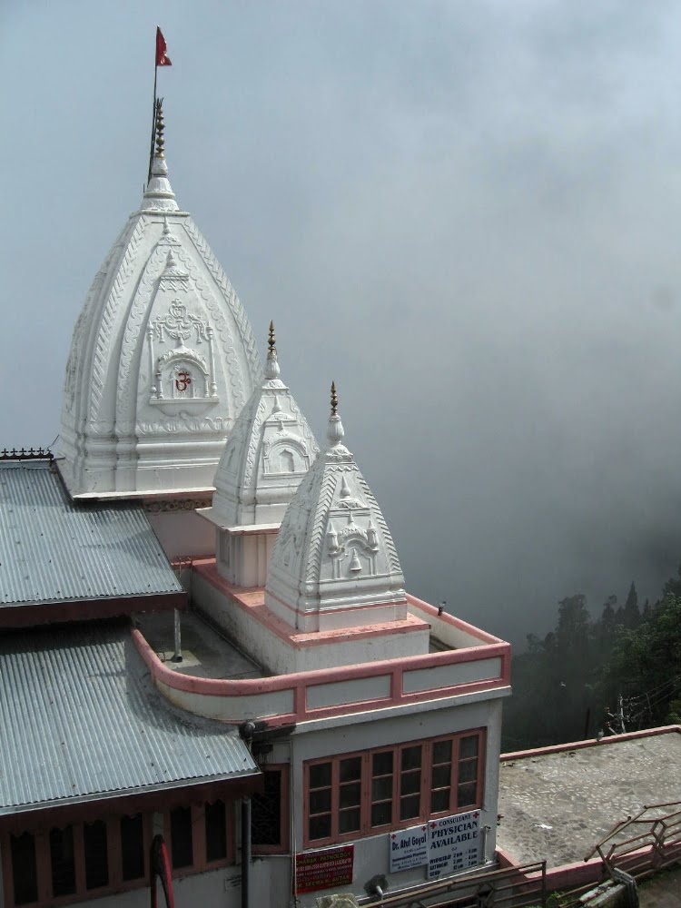
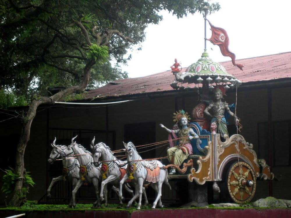 …I believe that’s a scene from the Ramayana, but I’m often wrong when it comes the density and complexity of Hindu iconography etc. Still, pretty cool statue at the temple entrance, no?
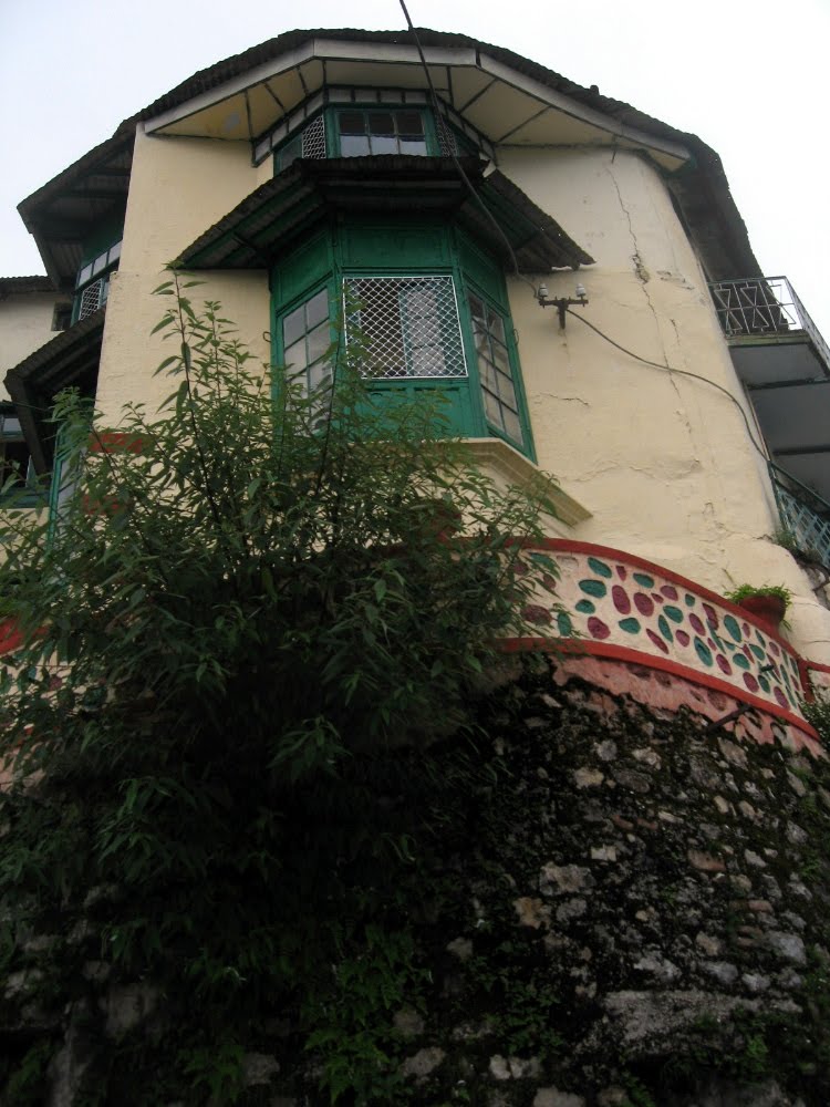


Dallying in Delhi
 After a lifetime of reading about India, admiring its history and art and culture and food, wondering how I’d like it if I actually ever physically visited, and generally allowing my imagination to linger long and often on this corner of the world which has been birthplace to many great religions, cradle of many important cultures and historical developments, and so on…well, smw, slt is simply delighted to announce we’ve made it to India and shall be showing you some of our impressions of this subcontinent in the coming months, if all goes as hoped & planned. At the moment we happen to be hanging out in Delhi waiting for the right moment to travel onward to Manipur, where we expect to be working for the next period of time; were you to chance a quick search through Reuters or BBC News online with “Manipur” as your search word, you might get some idea of events that might be extending my chance to tour Delhi a bit. We shall see. In the meantime, I have tried to make something of time in Delhi, as the photos below (classically touristic i.e. without too many real people, for which I apologize; but I’ve not yet had time to get a sense of do’s and dont’s for photographers in India) will attest. Enjoy. And be well, and enjoy the last of northern summer, or the waning southern winter, as may be the case.
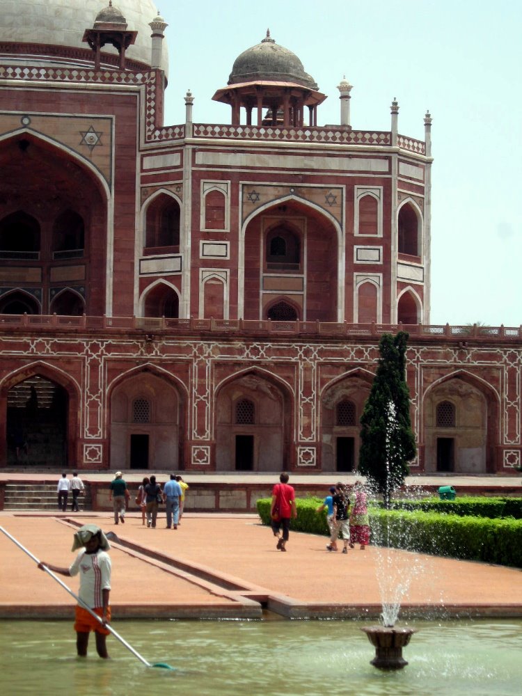
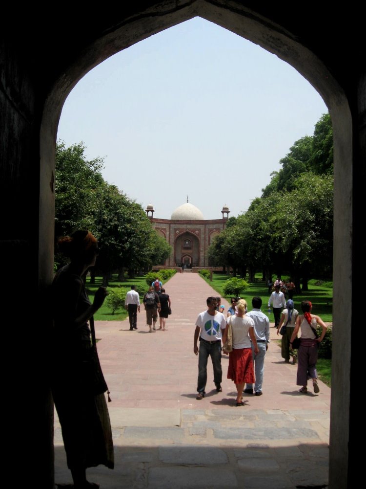
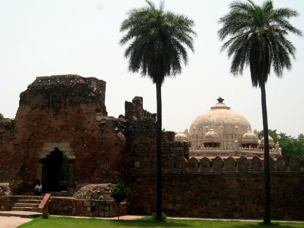
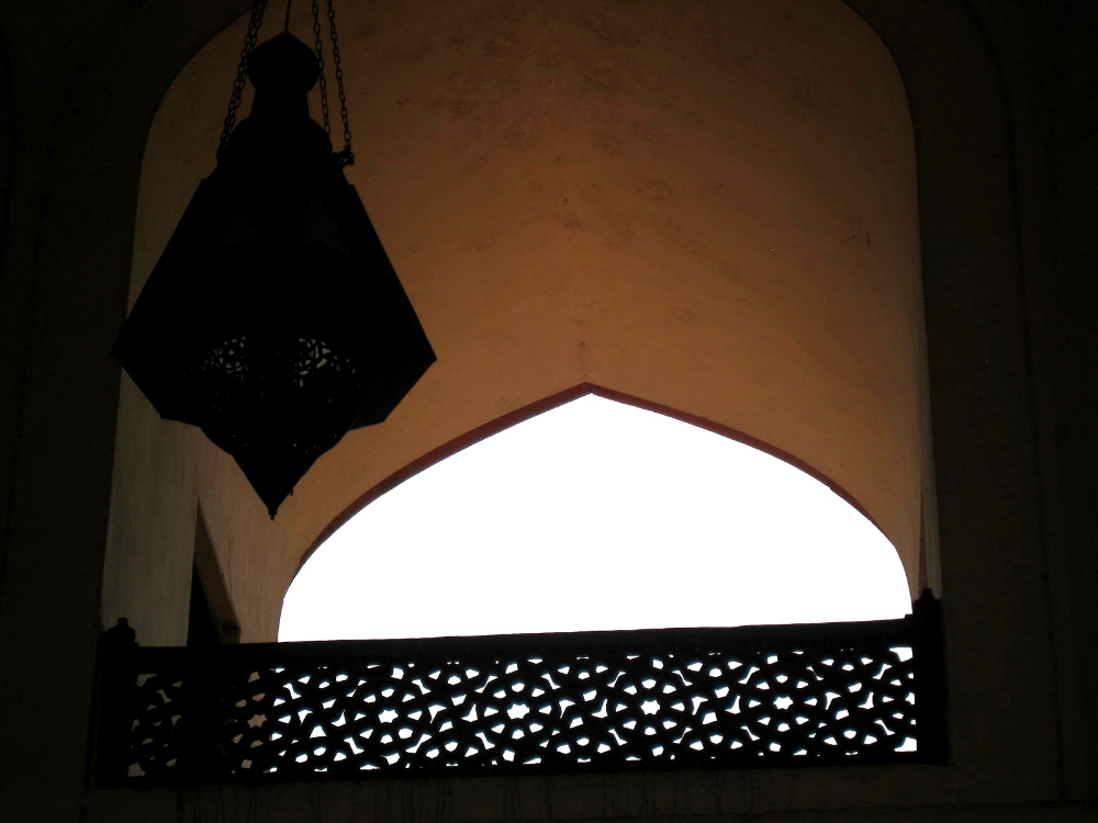

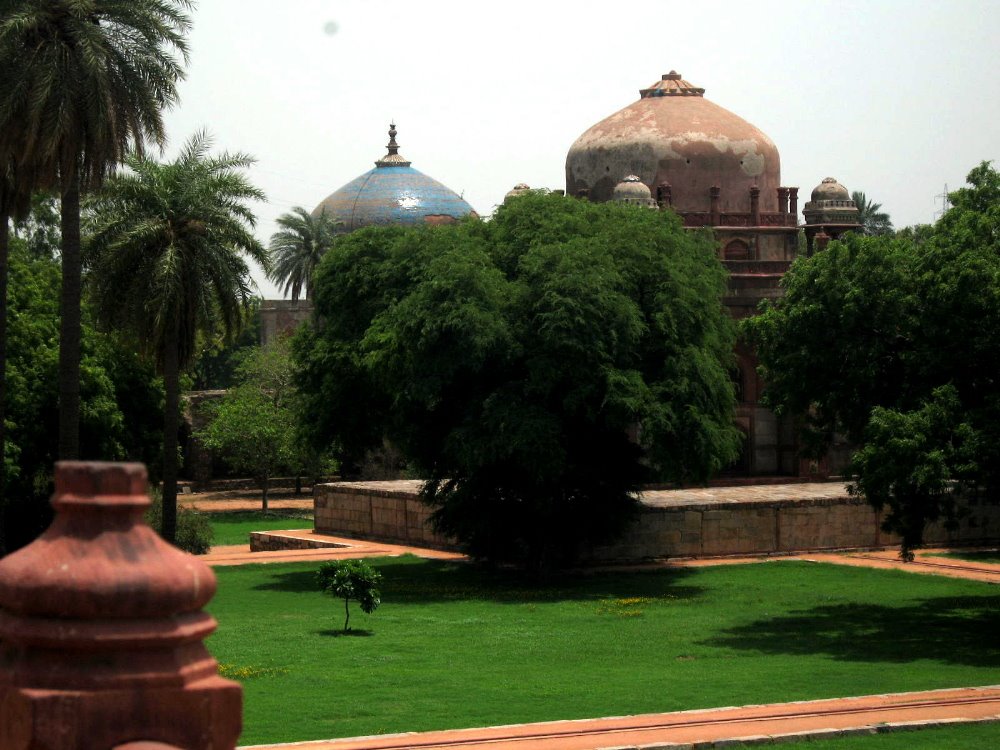

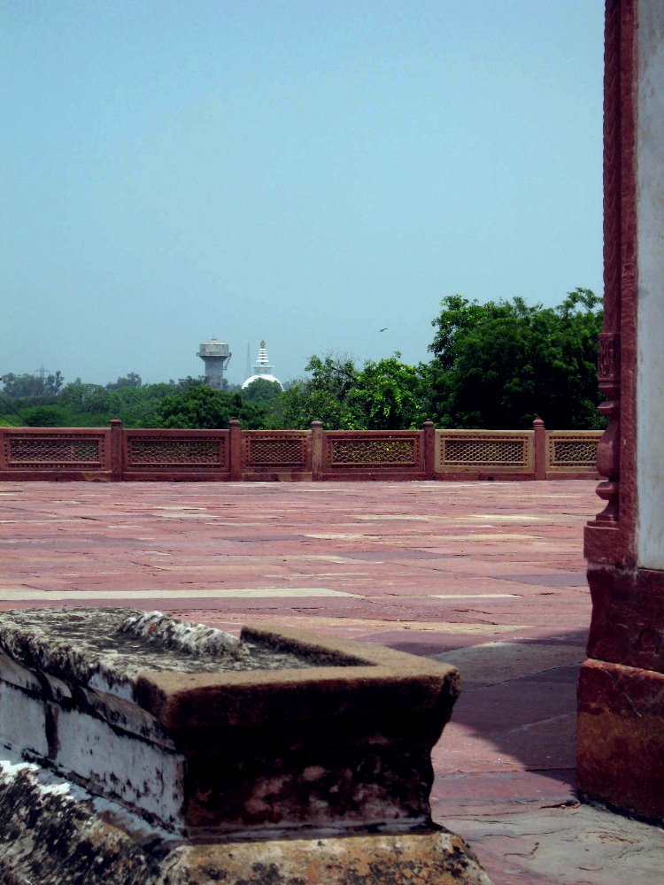
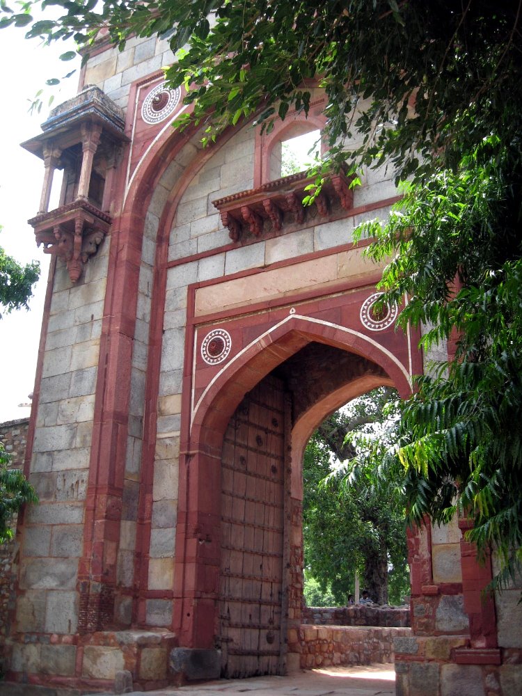
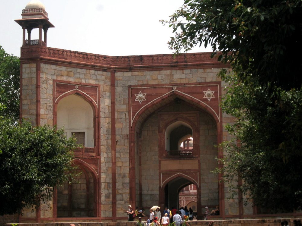
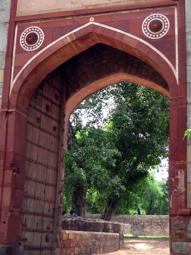
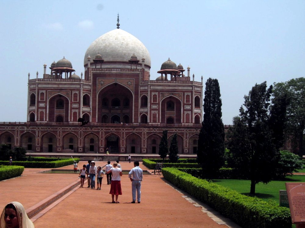
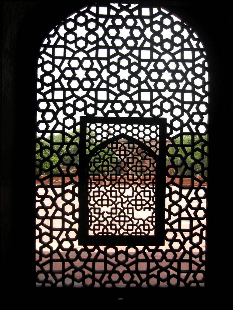
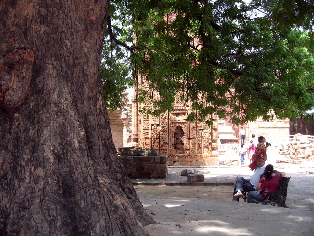
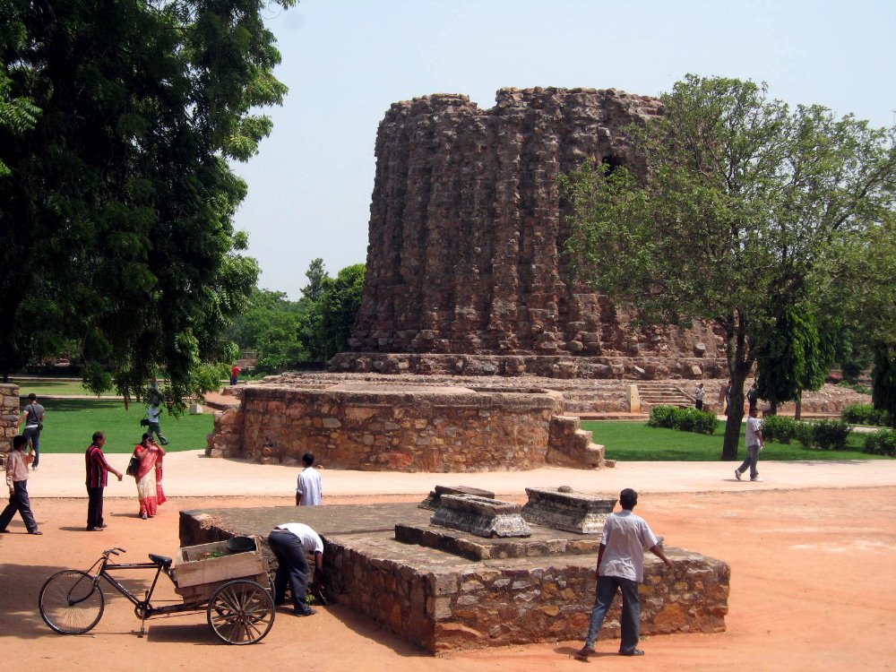
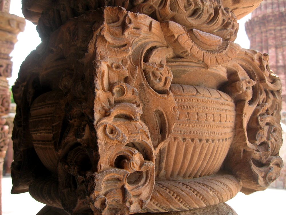
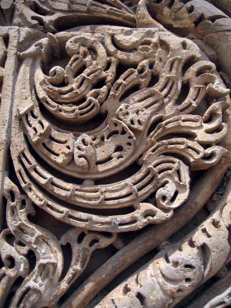
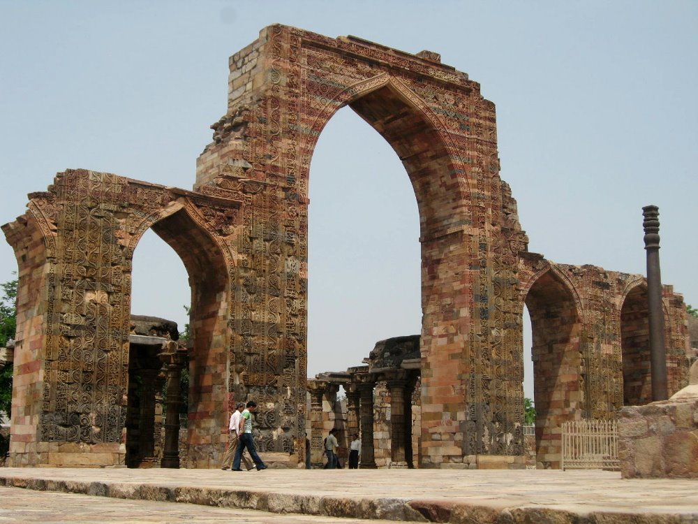
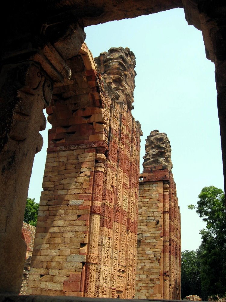
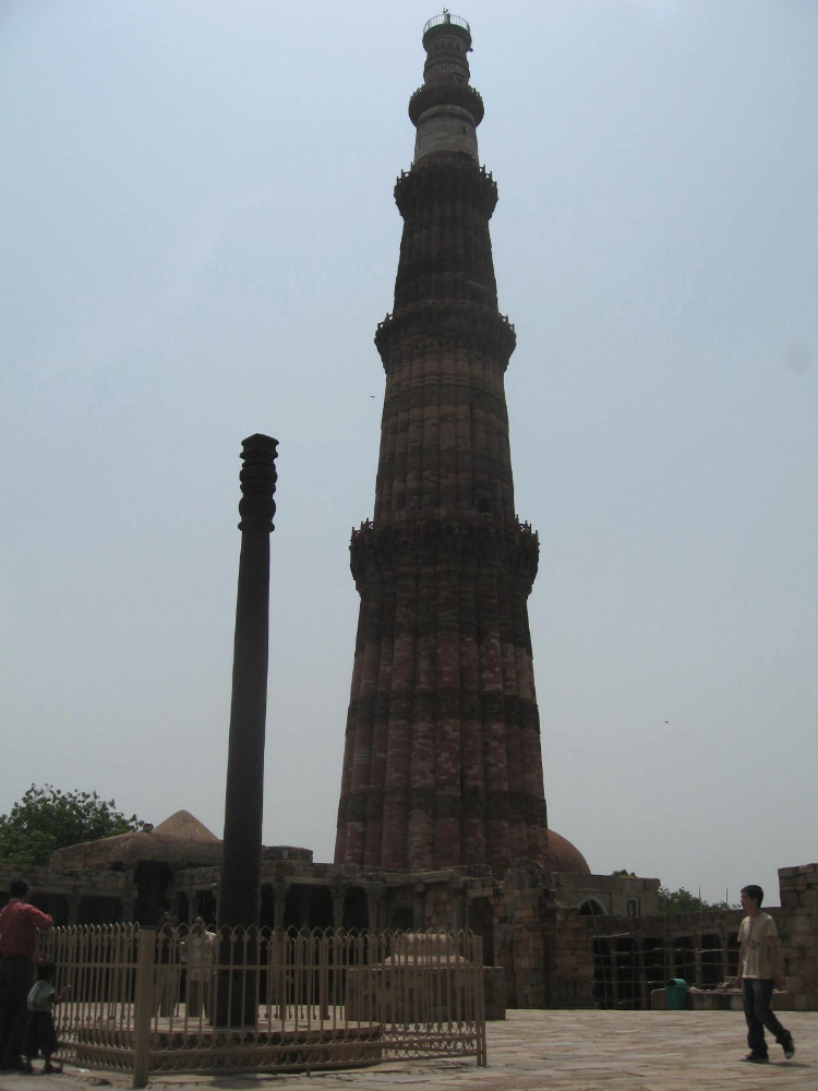
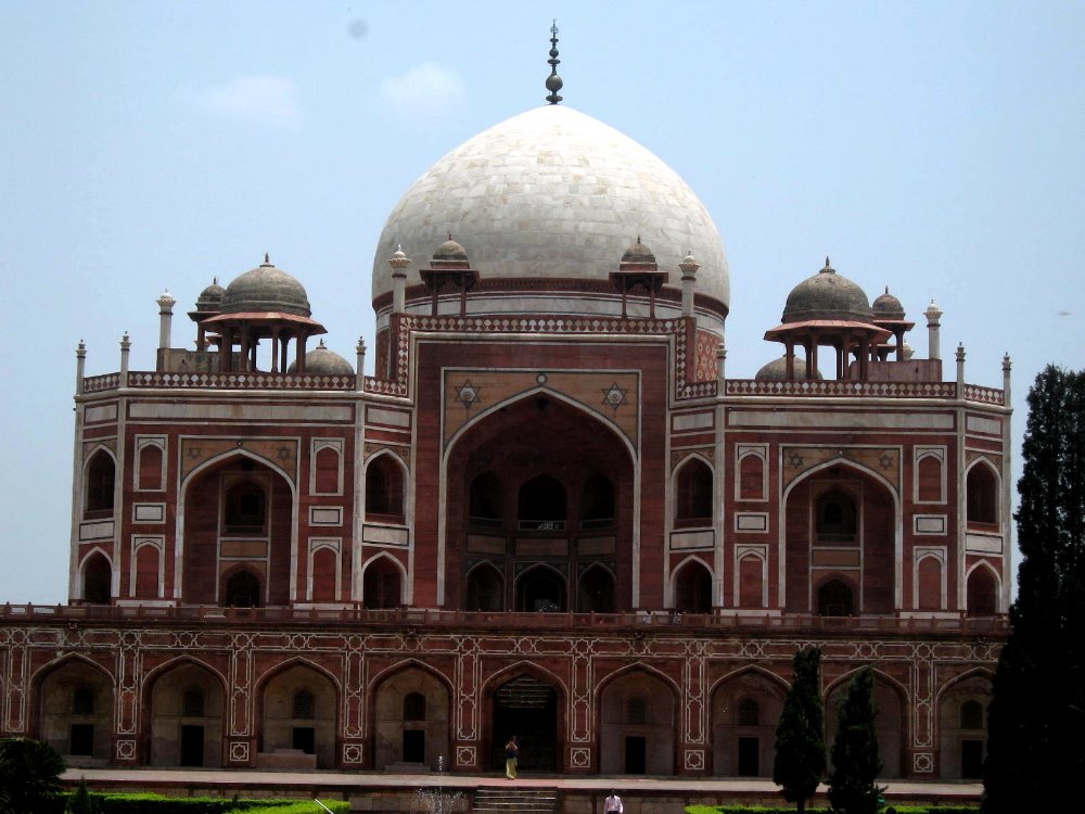 …yes, we complain about how much text you write, Paul…but still, what’s with the minimalism? Will you tell us what we’re seeing, I hear you asking. Very well, I will tell you: above and below, (too many, no doubt) shots in and around the complex of Humayun’s Tomb. Humayun, I think, was the father of the guy who built Taj Mahal; several other folks (including, apparently, his favorite barber) are buried with him in the complex, the impetus for building which came, one understands, from his main wife. I admit up front that I’ve been too lazy to really read up on the history, but you can search Wikipedia on your own for more info; pretty much all the stuff I’m showing you here is Mughal-era and colonial-era, i.e. not at all the oldest of stuff, but from some of the cultural and historical golden ages here. As you scan further down, a section introduced by an angular photo of a tall and lovely column shows you many views of Qutb Minar and the complex around it, which also includes a tall iron column which is much older and a good example of the heights to which pre-Mughal metalwork has climbed in India. It was once topped by an image of Garuda, Vishnu’s carrier, and faced a temple to Vishnu. In this part of the world, they often re-purpose art and architecture from earlier eras, rather than painting over, melting down, or otherwise destroying it. (For more examples, refer my 2007 entries from Cambodia and Sri Lanka.)
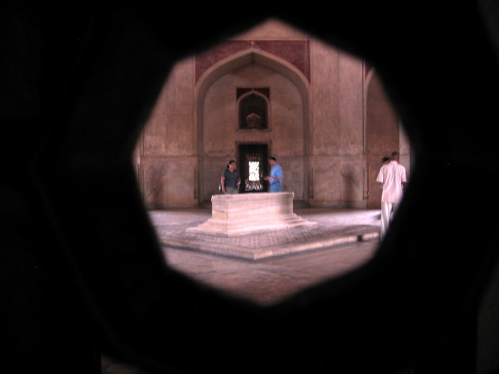

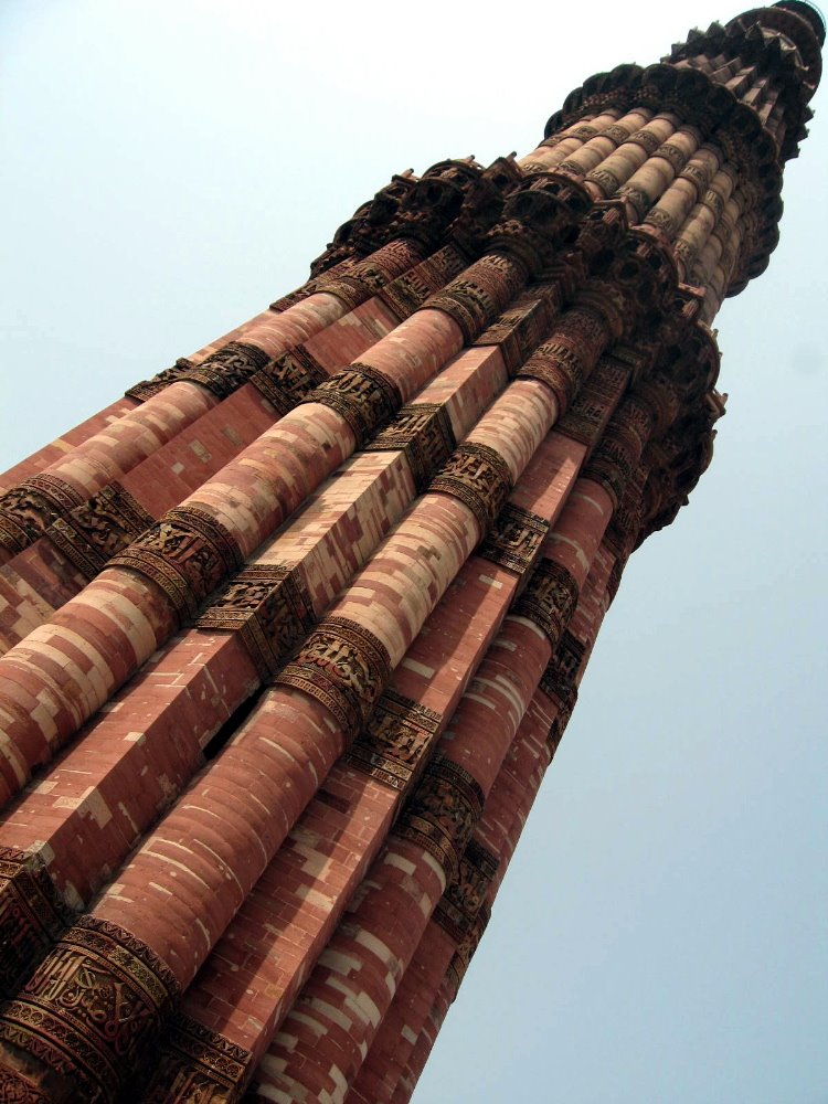
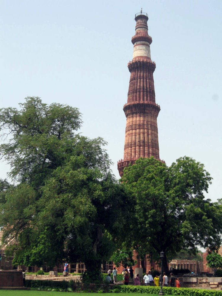
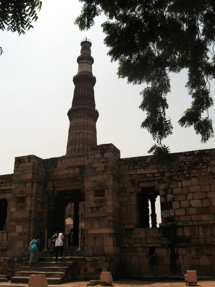

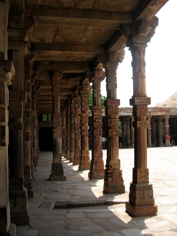
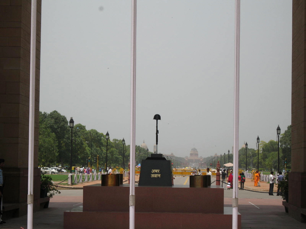
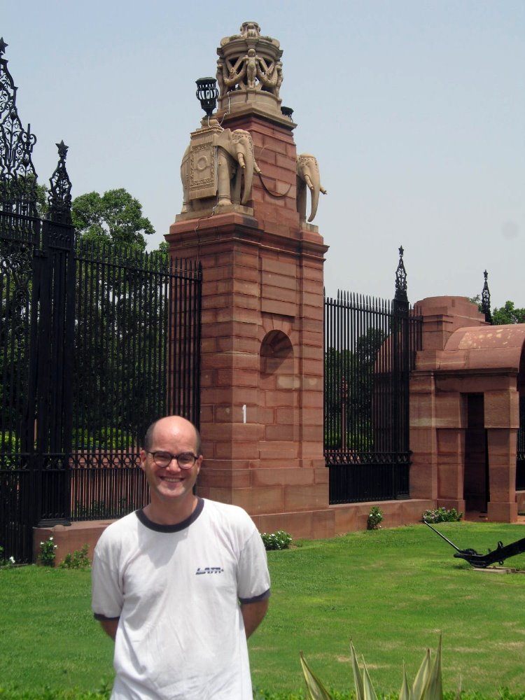
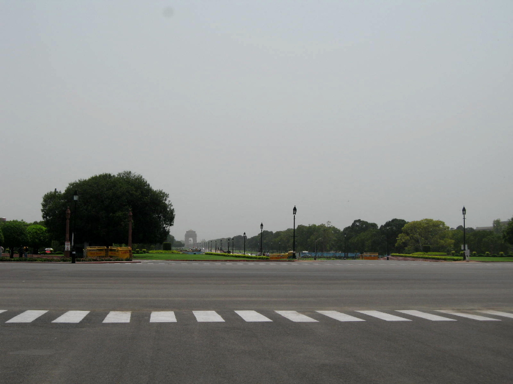
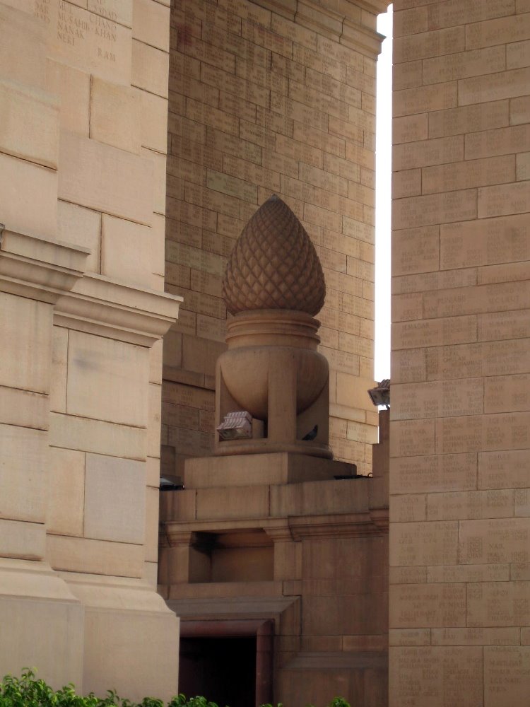
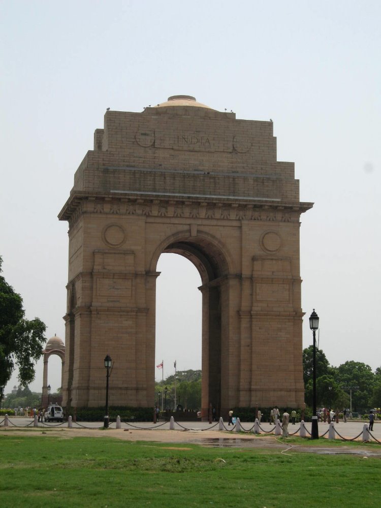
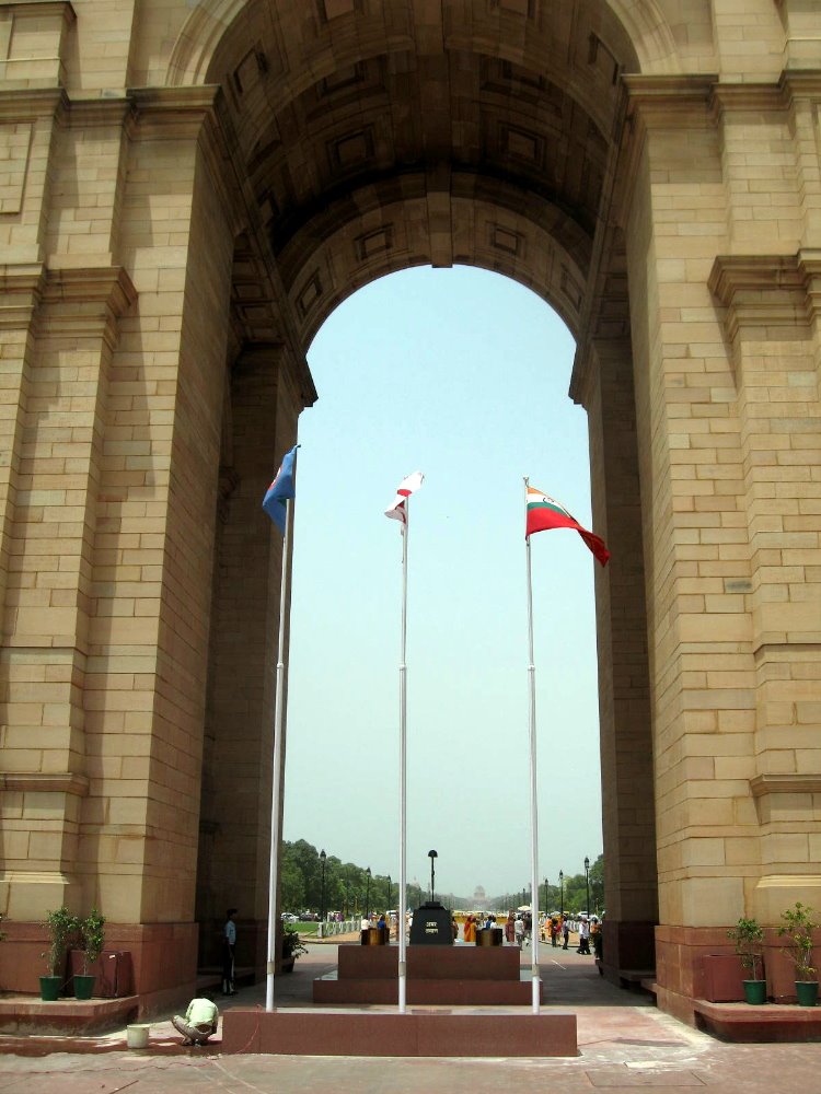
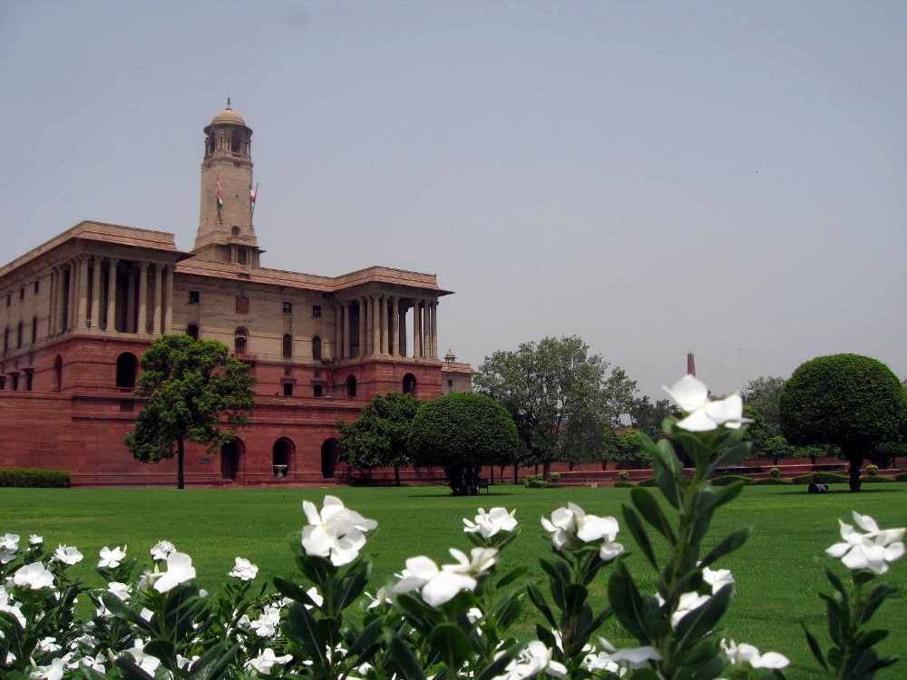
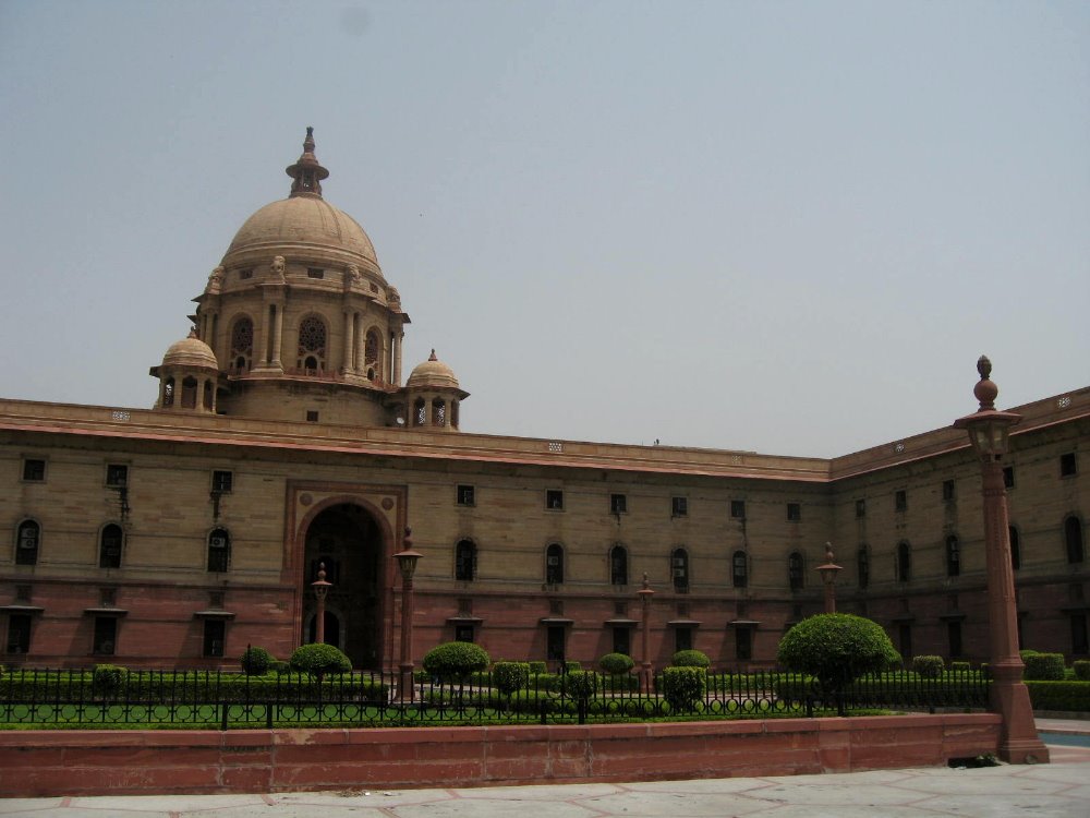
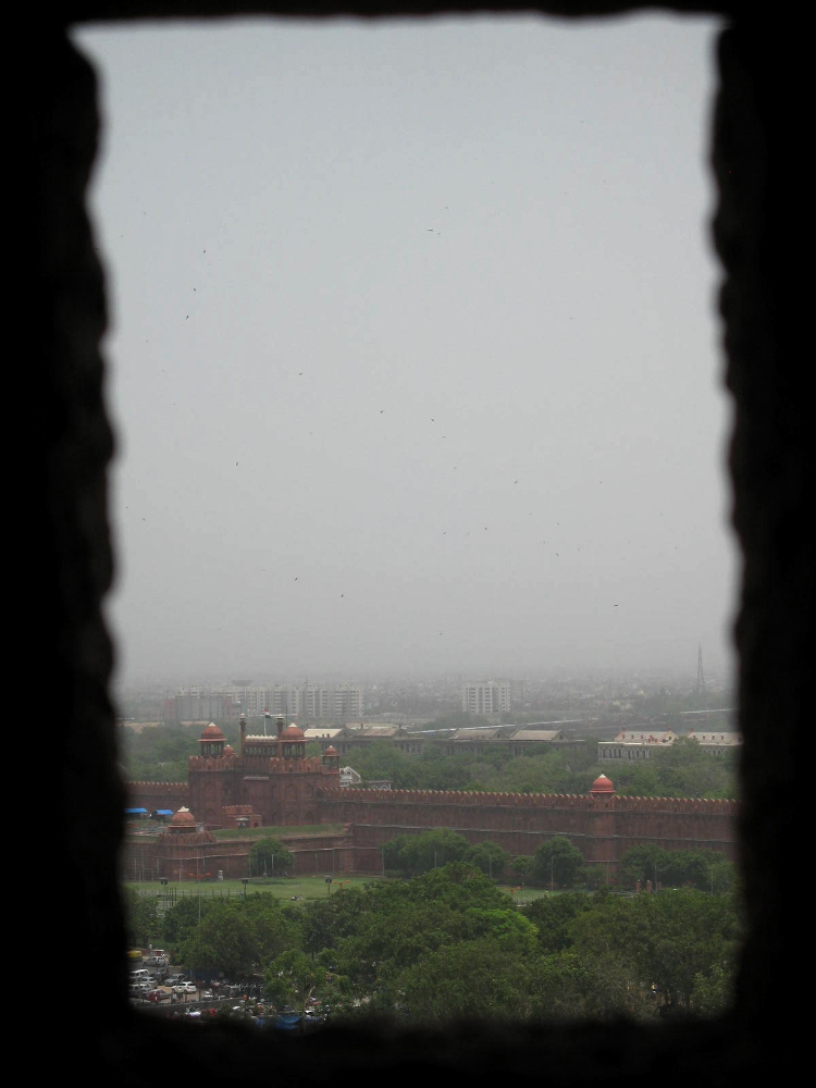
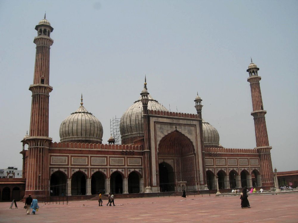
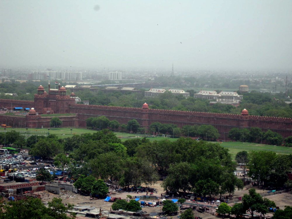
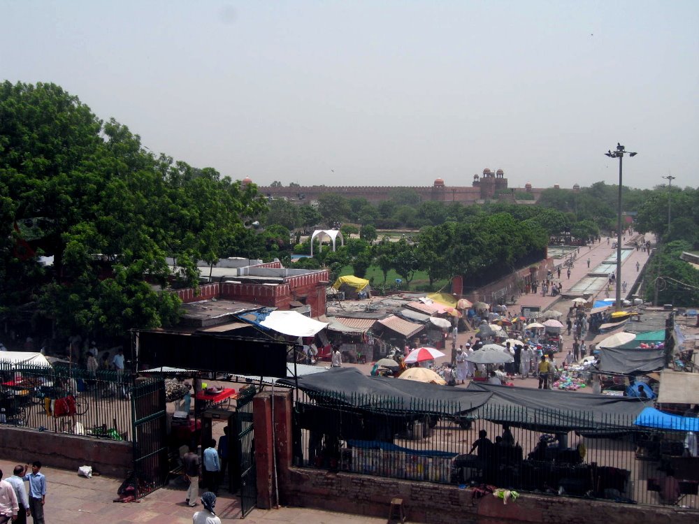
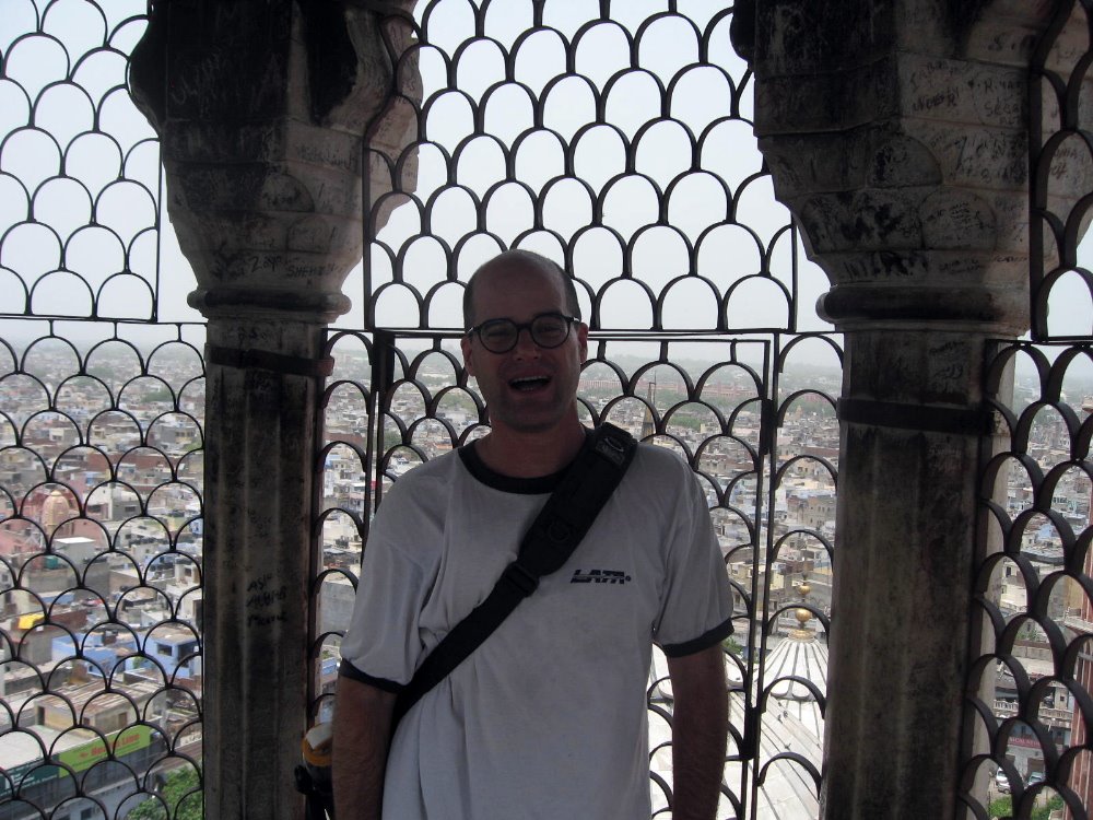
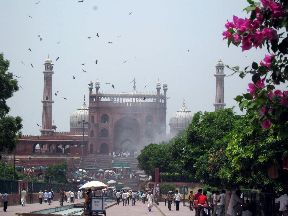
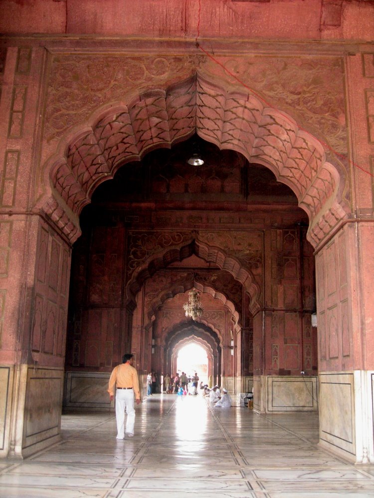
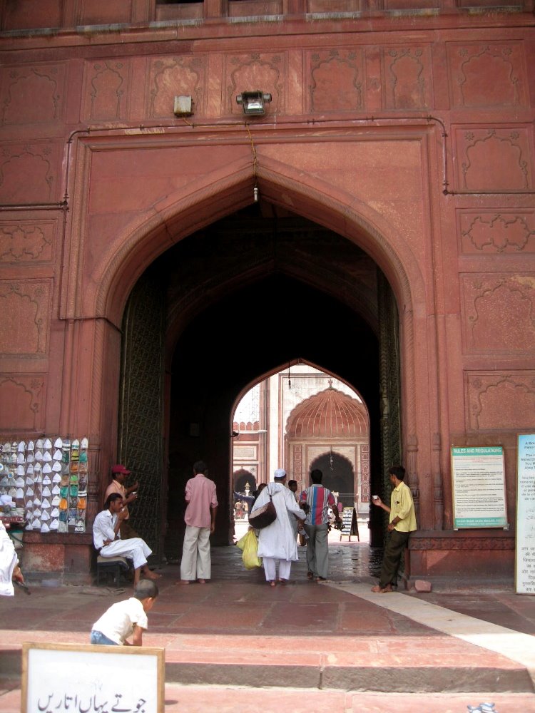
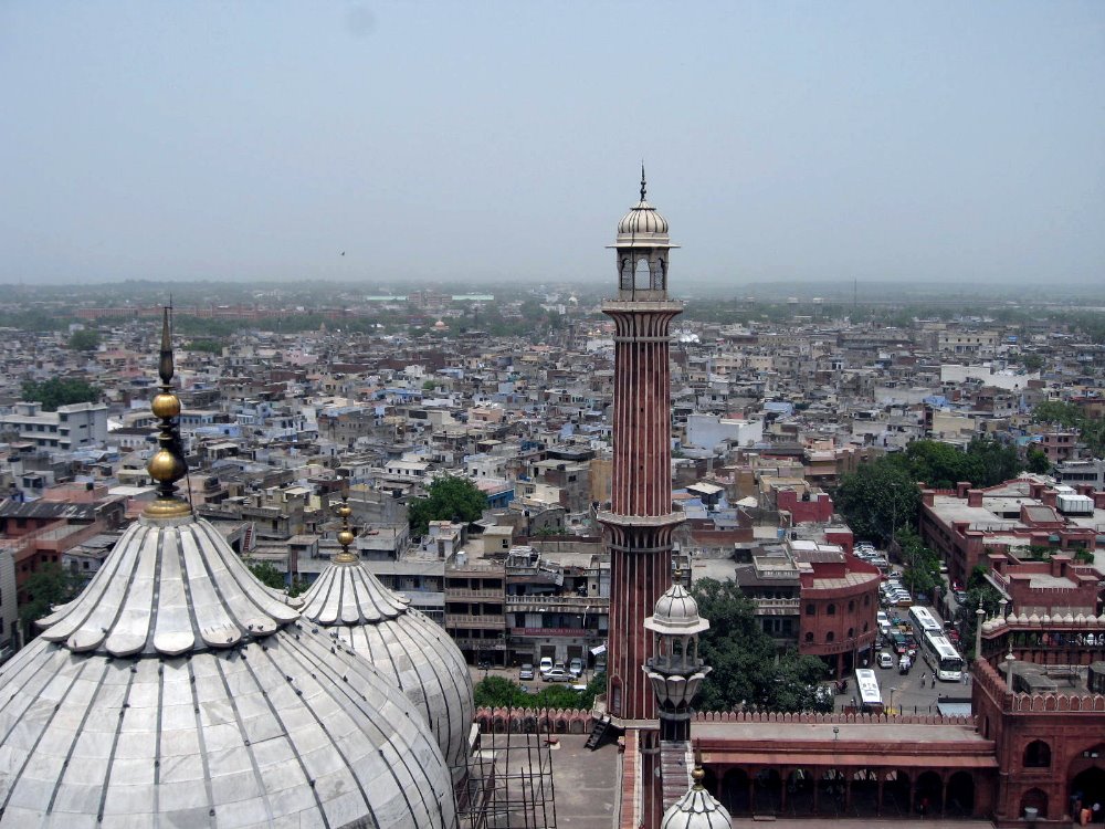
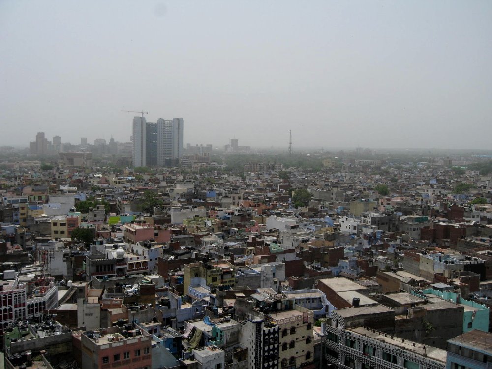
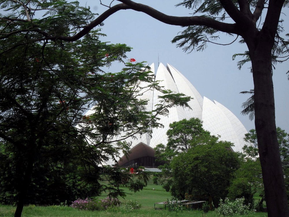
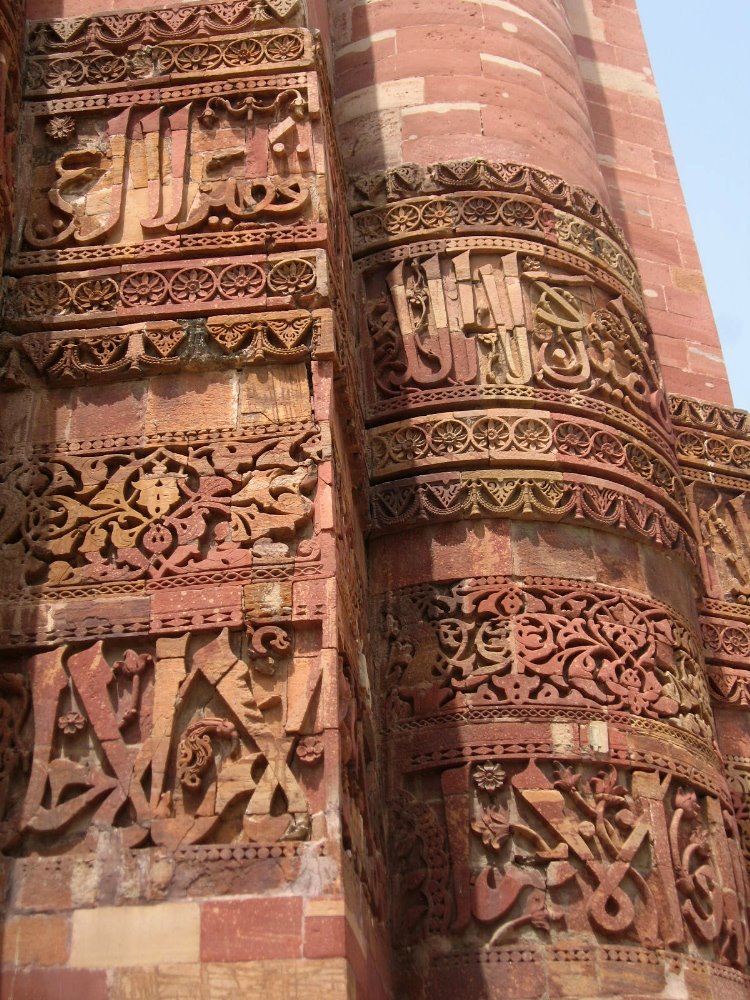 These are all shots from Qutb Minar and the complex around it. Next down, after one final shot of the two tall columns (Qutb Minar and the tall iron column together in one shot), is a small array of photos taken around India Gate (built as a monument to Indians killed in WWI but now, I believe, representing those lost in later wars as well; like the American tomb of the unknowns, India Gate includes an eternal flame which is present but hard to make out in these photos), and around the government secretariats – ministry buildings and the President’s palace, all built between WWI and WWII and designed by Luttyens, who was trying to merge best elements of British and Indian architecture. After that, shots taken in, around and from the top of Jama Masjid, the largest mosque in India and the last great architectural gem built by Shah Jahan (one of the Mughal greats, and perhaps [?] the man behind Taj Mahal — I’ve only been here five days and busy with other things, give me some time!), as well as the Red Fort, another imposing and impressive historic building that dominates old-town Delhi. Finally, two shots from the modern Lotus Temple, a 1980-81 Bahai’i construction that is certainly impressive.


Ambling in Amsterdam

 For anyone curious about the sequence of flights and stays that brought me where I am now, it was: boat from Star Island to mainland NH, bus to Boston, plane to Cleveland with connection to LA, some time in LA, plane to JFK, a day in NYC, plane to Paris with connection to Amsterdam, several days of meetings and such in Amsterdam, plane to London with connection to Delhi. Whew, I get tired even saying it, and we’re not quite done yet with the whole plane thing. I cannot wait for that happen.
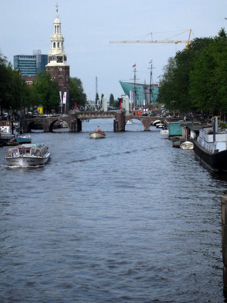
Still, one major plus to all these flights was a chance to enjoy the lovely canalscapes and streetscapes of Amsterdam, a city which combines in a compact little package so very much history, art, archtiecture, cuisine, culture, contemporary western adult life in all its various manifestations, and just plain general-audience fun. It being high summer, with Amsterdam so far north, I enjoyed gloriously long evenings after work to wander the streets and canals of the cities enjoying the sites; I spent my final evening before flying out relishing fine food and live jazz in a cozy canalside cafe, then found the westernmost sky still tinged with deep blue from the sun’s last light, at nearly 23:00. Though my first long evening was blessed with tremendous sunny warm weather, I was too lazy to take along my camera. These photos were taken on subsequent days, when the weather had reverted to more typically mixed North Sea standard weather.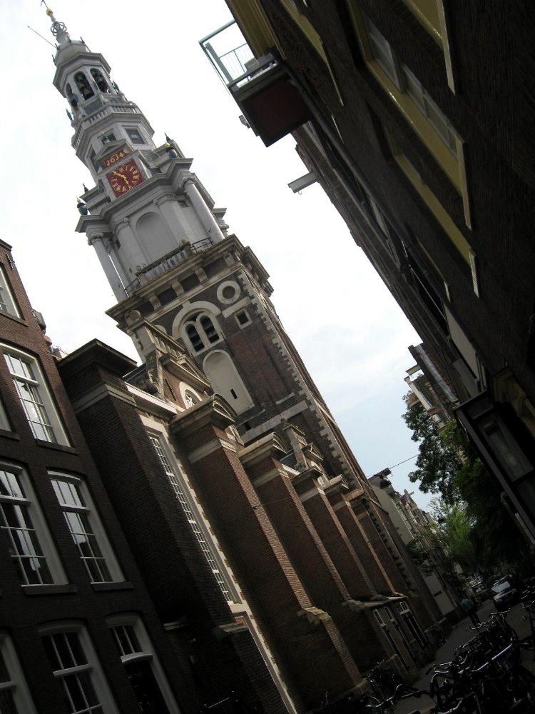
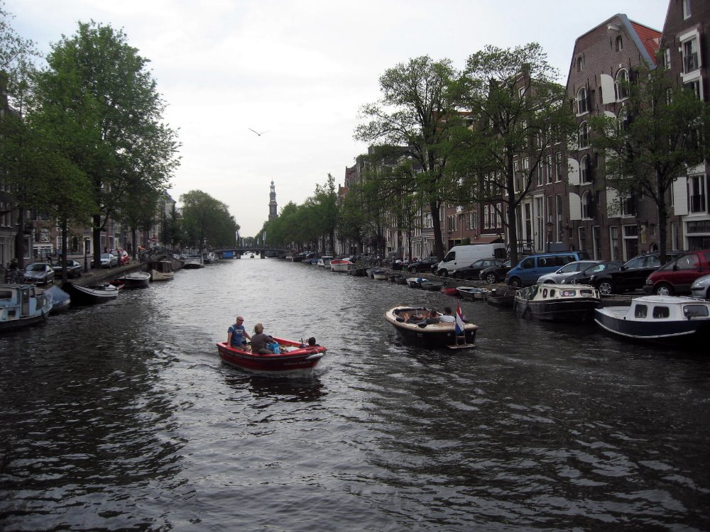


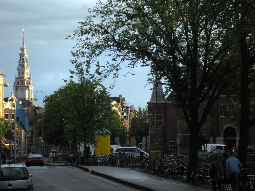
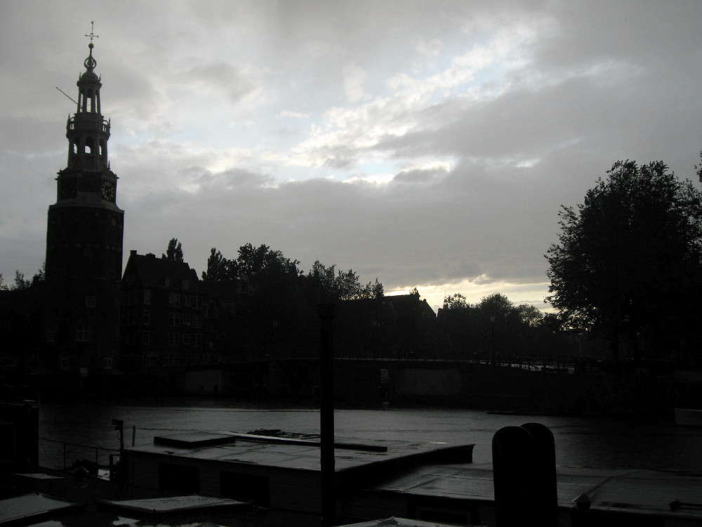
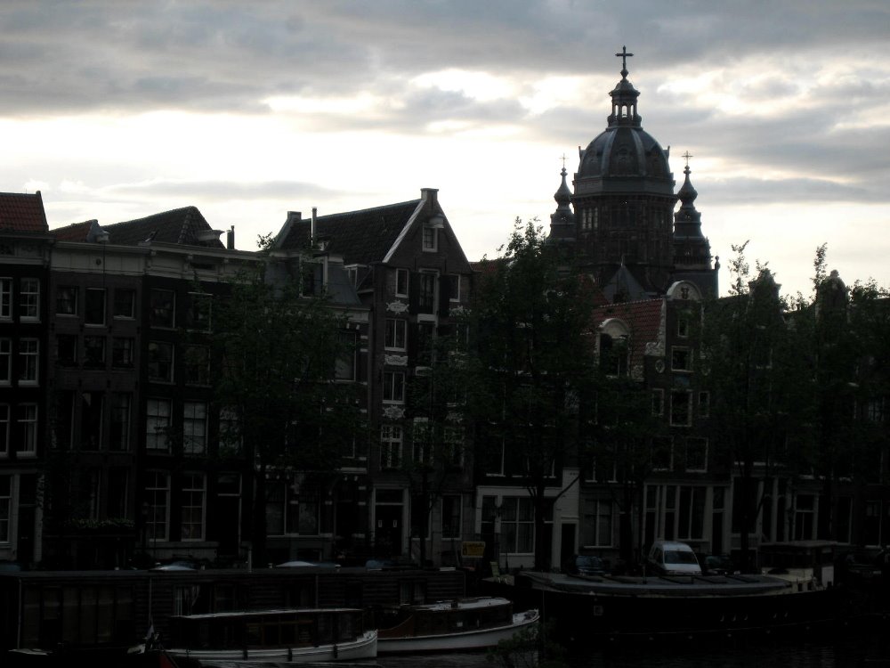
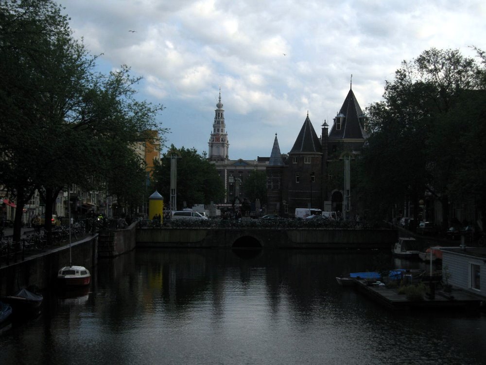
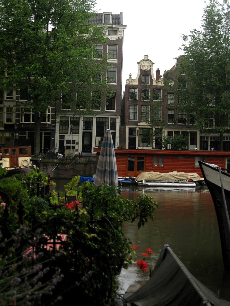
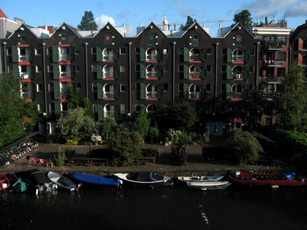 That’s right out the window in my hotel room: is that cool, or what?!
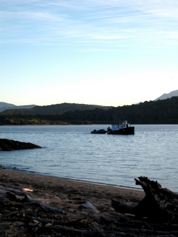
Coastal New England: Meditating on Star
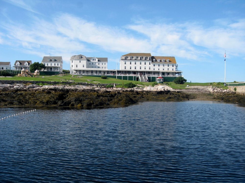
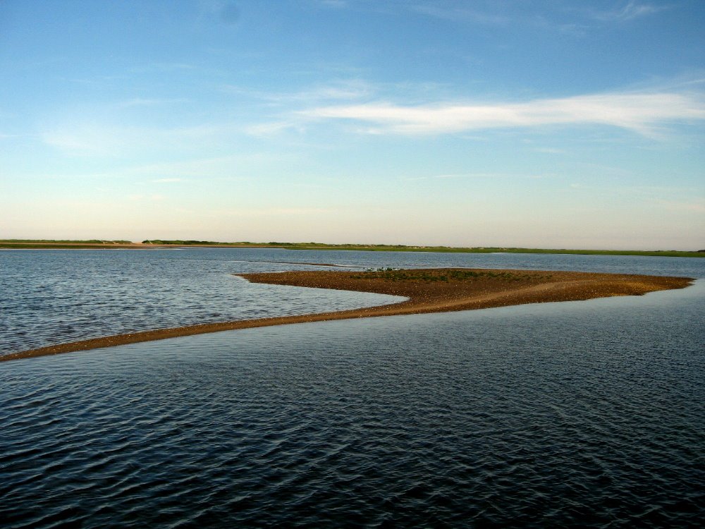
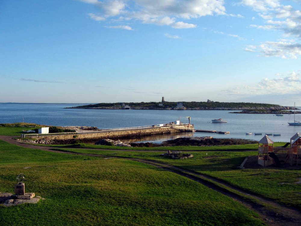 …which title simply means that smw, slt has spent a stupendously wonderful week at a meditation retreat on Star Island, Isles of Shoals, off the rocky windswept coast of New Hampshire and Maine. To be precise, in the photo above, all the foreground is in New Hampshire, but once you get to the end of the pier, the dock and everything past it — the other islands — are in Maine. Anyhoo: I’ve left NYC. The house is done. I’m briefly in LA, doing the usual mix of checking in with my storage space to justify my sense that I still have a home base here in beloved SoCal, playing tennis with my wonderful friends down here, seeing movies on the big screen because I suspect such chances will be fewer in my life soon, hanging out with my other friends all over town from UCLA to Silver Lake and between, and generally reminding myself why I love California, messed up politics and budgets notwithstanding. You’ll hear from me next, most likely, from India, to which I’m headed next week to begin my next assignment with MSF. A wikipedia search for Manipur will lead you to an interesting and informative entry about the state where I should be working for the coming period, along with many nice hyper-links to such terms as ‘Seven Sisters,’ which I found most useful myself. Expect a return to the usual posting pattern from field assignments…and if you’re new to my blog, go to the archives from June 2008 and before and you’ll figure out what I mean. I look forward to keeping in touch with you all from the start of this, my next adventure in learning more about this beautiful, challenging, fractious, ineffable (wink to any meditators reading this) world we live in. But now…enjoy some shots of the ineffably beautiful coastline of the northeastern US.
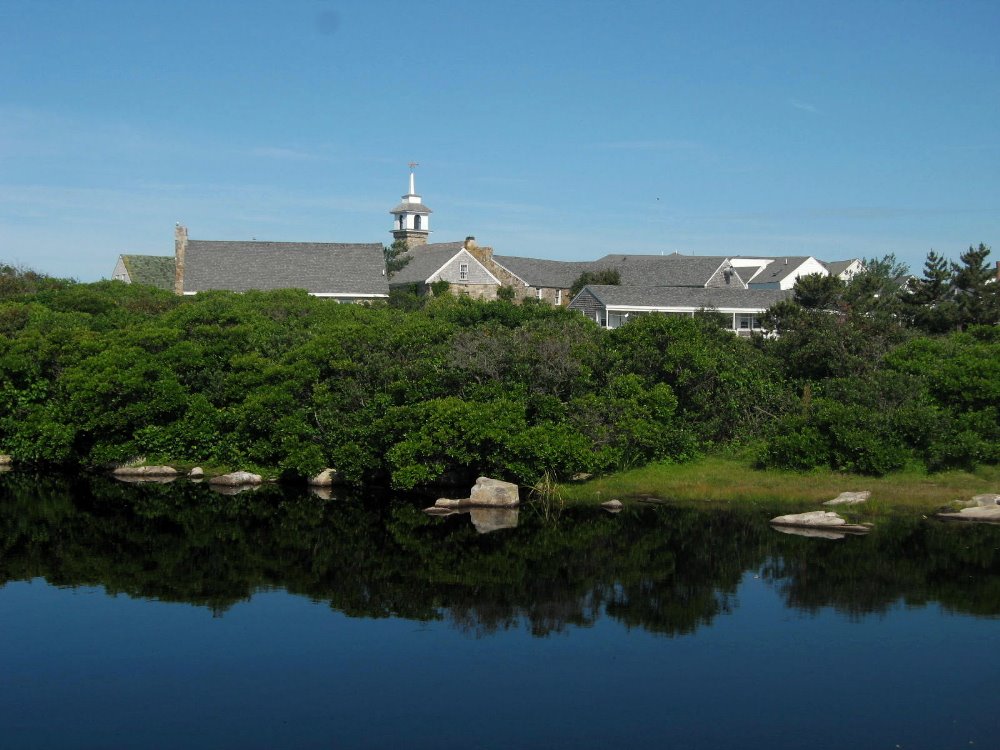 (Oh, and with a nod to Elizabeth, a correction to my last entry on civil-war NYC: the ruling class loved the war because it was industrial north fighting for primacy over agrarian south; the working class, drafted to feed the cannons and crows on the battlefields, were not quite so enamored of the concept and organized the largest anti-draft riots ever seen; though I’ve not studied the issue I am told that there was often tremendous violence to suppress resistance to the draft, and/or to resist the draft. I believe it may have been complicated by some sense among white working-class immigrants they didn’t so much want to fight to free black folks from slavery’s yoke, so you see the issue becomes complicated for those who like simple stories…)
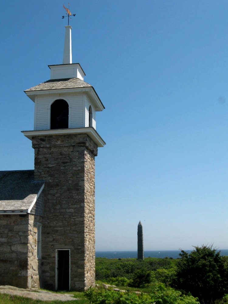
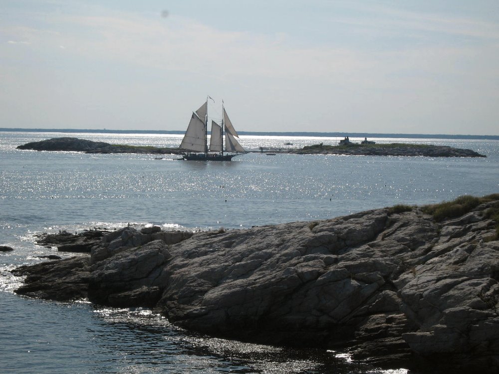
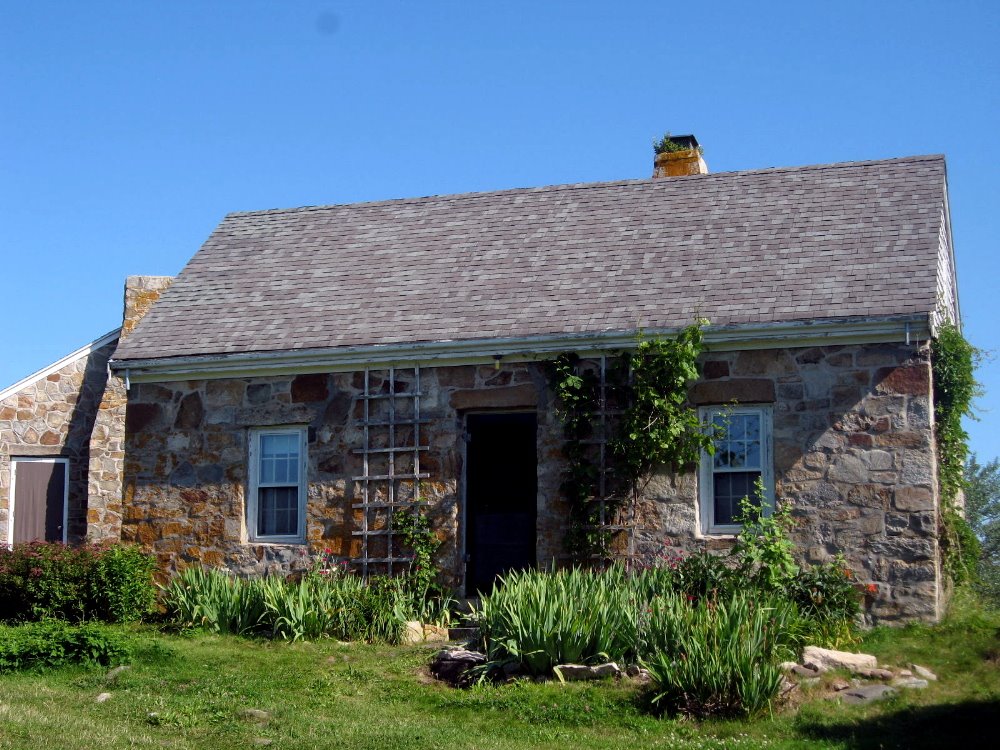
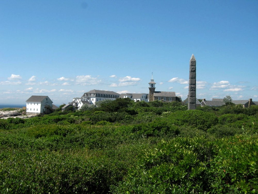
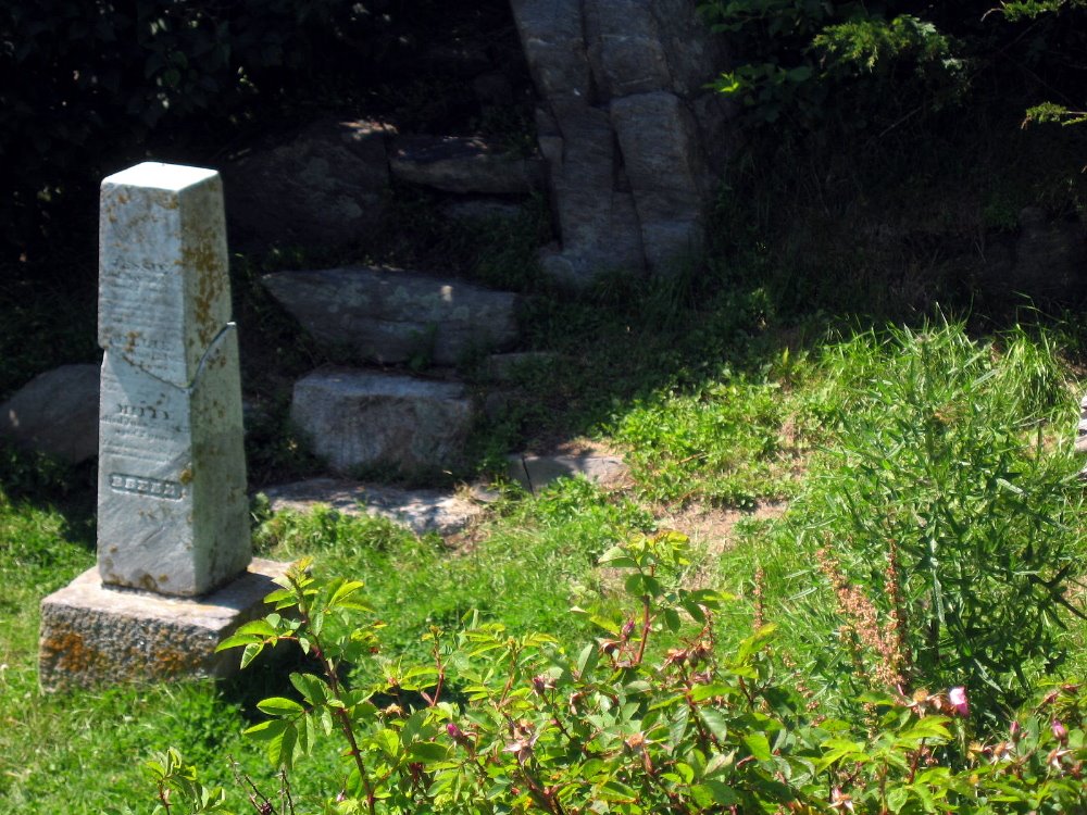
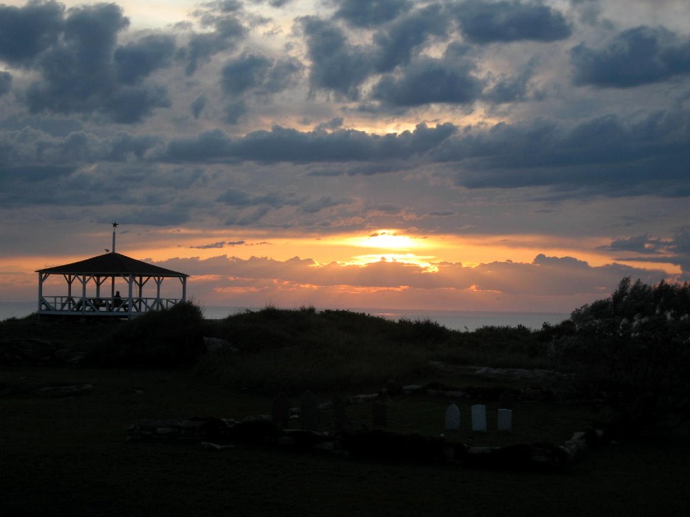
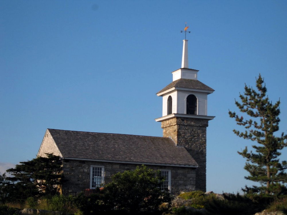
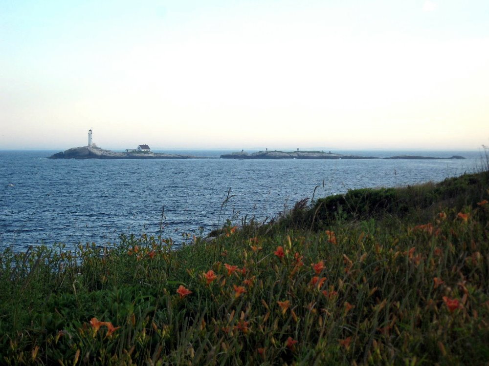
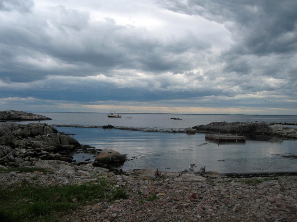
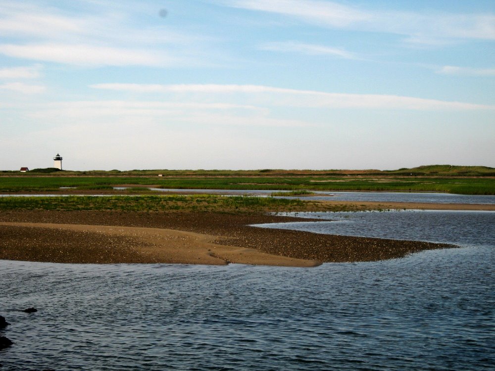
 Star Island is the most actively used/inhabited of the Isles of Shoals, a handful of islands 7 or 8 miles out to sea off the coast of New Hampshire and Maine. Located in the heart of coastal North America’s prime cod-fishing grounds (cf photos of Provincetown below; for those who hadn’t pondered it, there’s a REASON the colonists named Cape Cod as they did!), these rocky, windswept isles were among the earliest European settlements on this continent – they sported active year-round fishing villages in the 1600s, I believe. In the photos below, you’ll see indicators of a few small graveyards scattered around Star Island; none of the islands ever supported large populations (they’re small and rocky, and mighty cold and windy in the winter!), so we’re talking small little family plots or memorial stones scattered here and there, more picturesque than spooky or overwhelming.
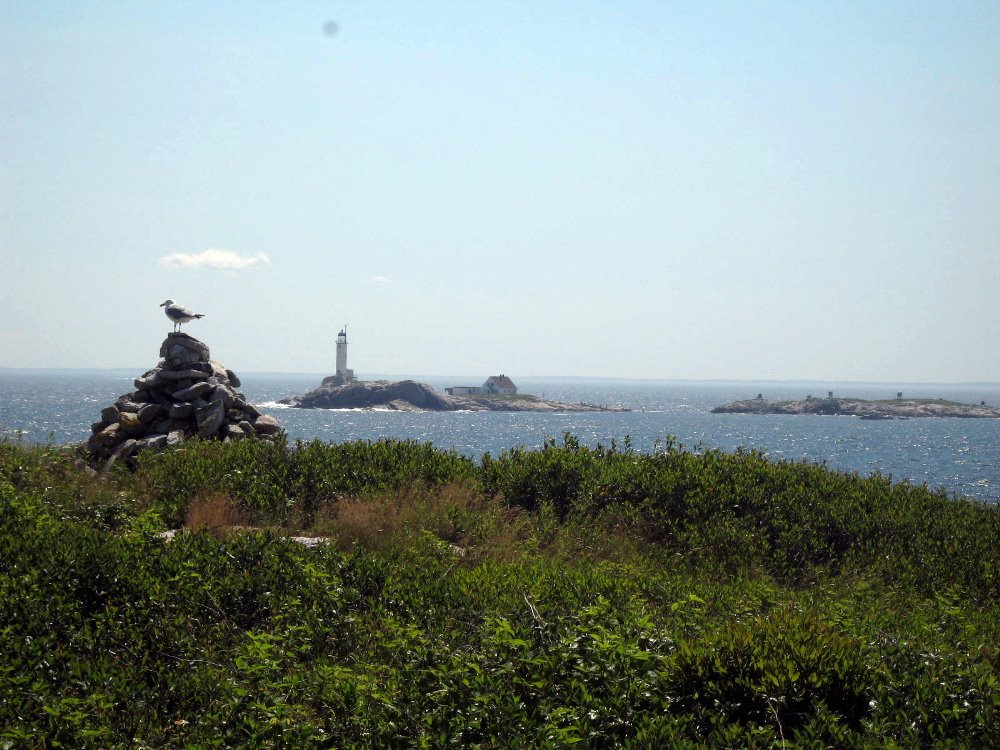
 Anyhoo, so I decided that en route to LA to touch home base before heading out again, I might as well check in with parts of New England I’d not seen in more than a decade – a week’s meditation on Star, and a sadly short stop at Provincetown. On Star, which I’d not visited since a day trip in the 1970s, I found beauty, good company, mental and spiritual renewal through a very enriching program of morning meditations and quiet afternoons walking the island or reading a book, and social evenings with my partners in meditation. I won’t bother saying much more about it all; group meditation can’t be described but only experienced, and the pictures demonstrate Star’s uniqueness far better than anything I can write. Only one small story: sometime in the late 1600s or early 1700s, New Hampshire – which, along with Maine, was part of the Massachusetts Bay Colony – split off to become New Hampshire colony on its own. When that happened, Appledore Island (photos below) lost most of its inhabitants to Star: Appledore (then called Hog Island) remained in Mass Bay Colony (now Maine, which split off after independence), where the taxes were higher, so the fisherfolk left for the attractively lower taxes of the new colony of New Hampshire. The first instance of Americans moving to lower their taxes?!

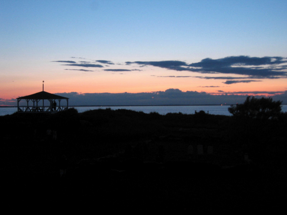
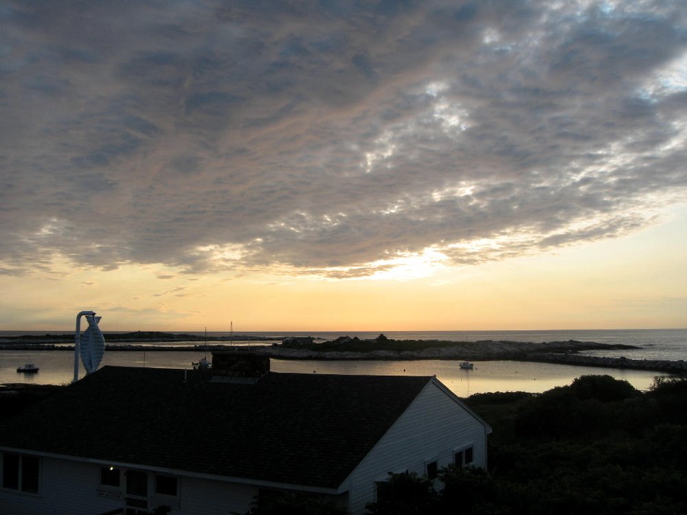 Above and below are sunrises; the rest are sunsets. I know, I know – been there, seen that, done that, what’s more typical than an ocean sunset photo. But the minute we lose our ability to be awe-struck by a beautiful sunrise or sunset, we’ve lost something essential in ourselves. At least I think so. And we had an absolute string of gorgeous rises and sets on Star…so many that one was tempted to begin taking them for granted, in fact. 🙂

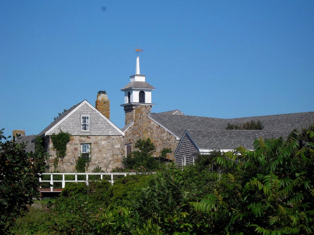
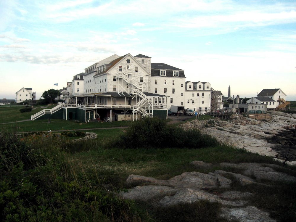
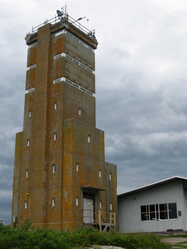
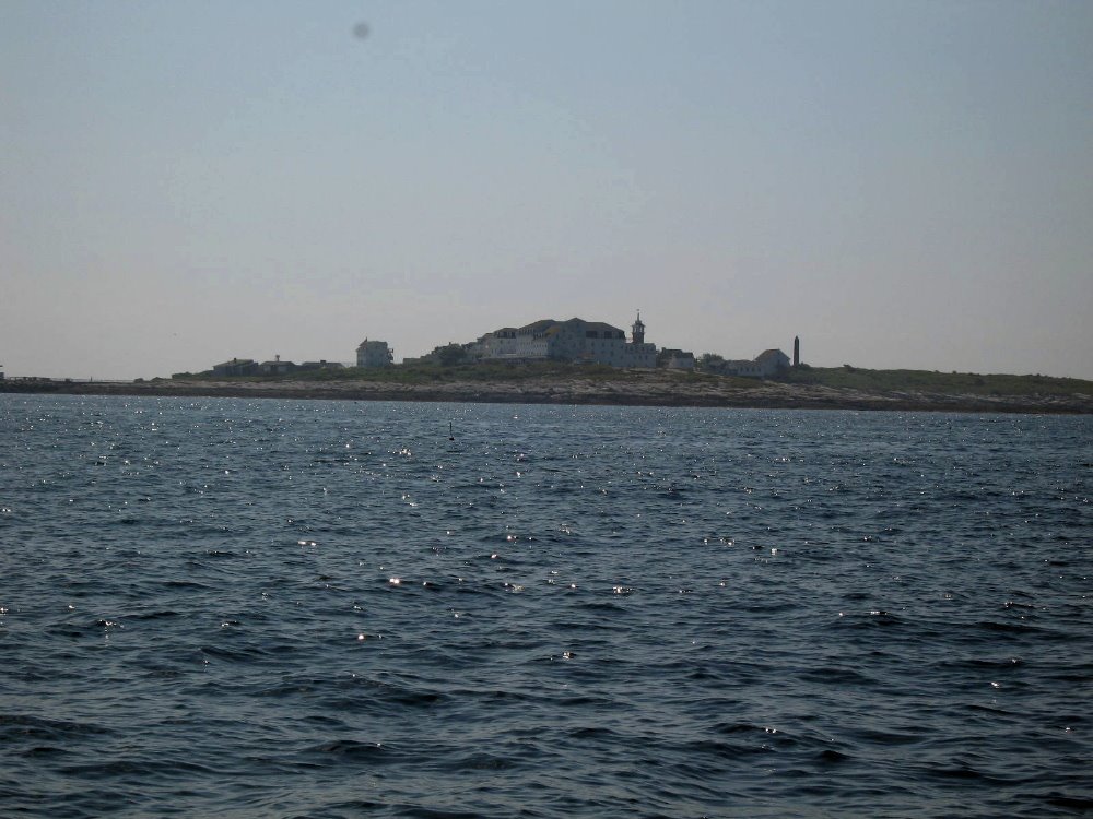 …Star seen from the sea on the mainland side: you can make out the tower of the church and the granite spire of a monument to some important early colonist, as well as the large bulk of the Oceanic Hotel.
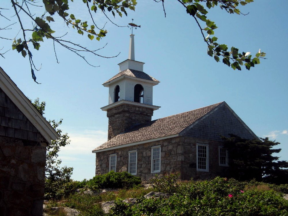

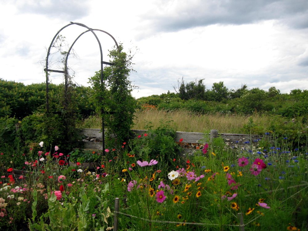 Above and below: Celia Thaxter’s (check her out in Wikipedia: great stories!) garden on Appledore Island. This was a big New England resort in the late 1800s, but social and economic changes cut its popularity, then a devastating fire utterly destroyed the hotel and left the island pretty much abandoned and deserted until the 1960s and 1970s, when Cornell and UNH launched the Isles of Shoals Marine Laboratory there — site of summer courses in marine biology for undergraduates, as well as adult and family learning courses in marine topics and even such fascinating themes as historic gardening, based on Celia’s garden among other things.
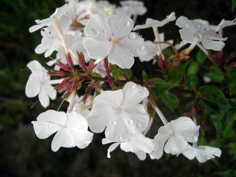

Coastal New England 2: At Cape Cod’s Tip
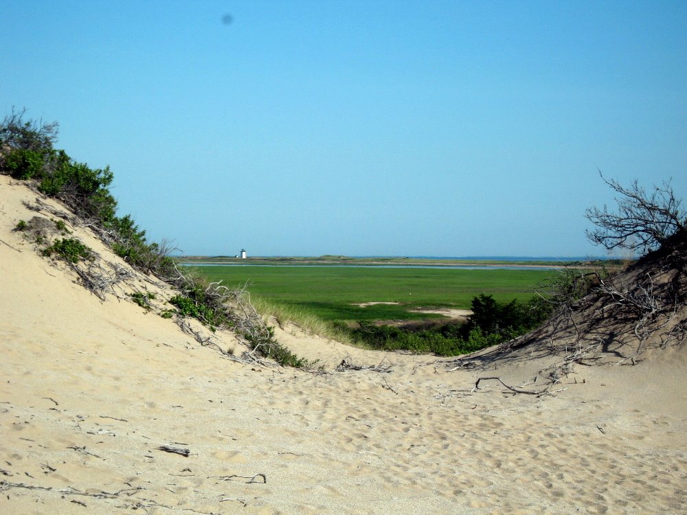
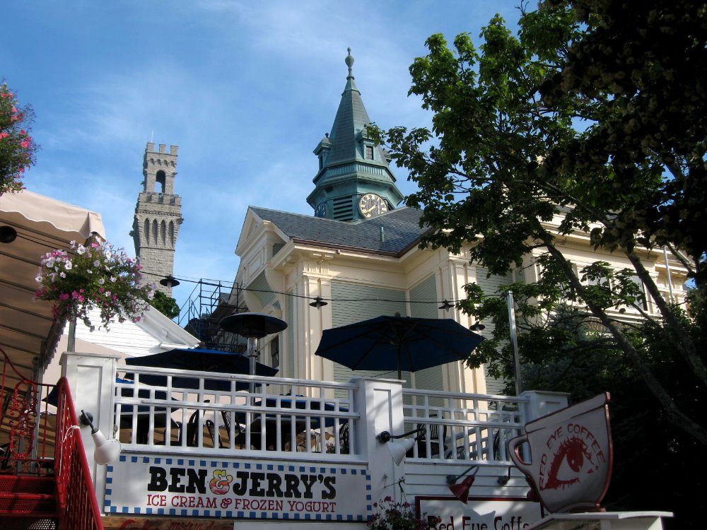
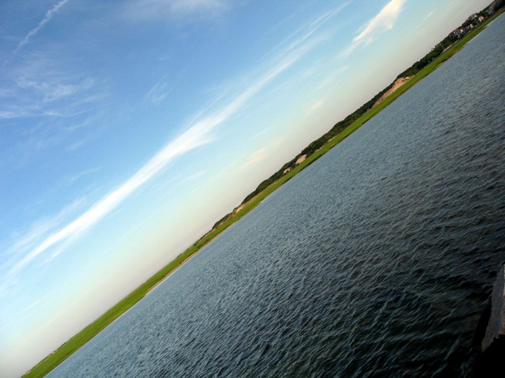
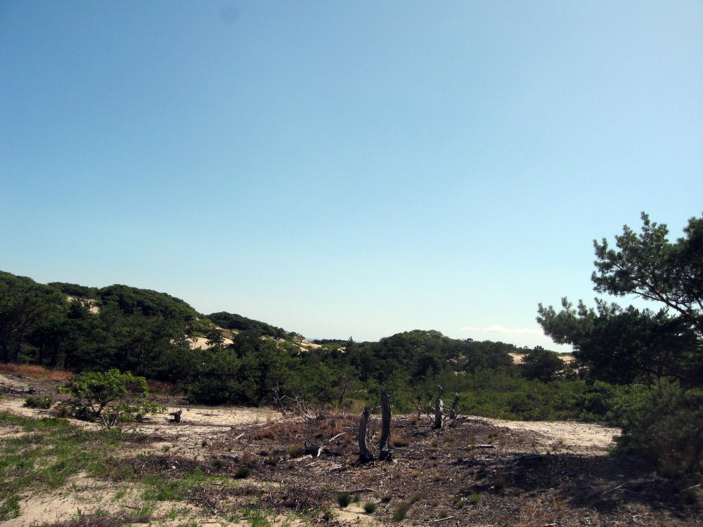
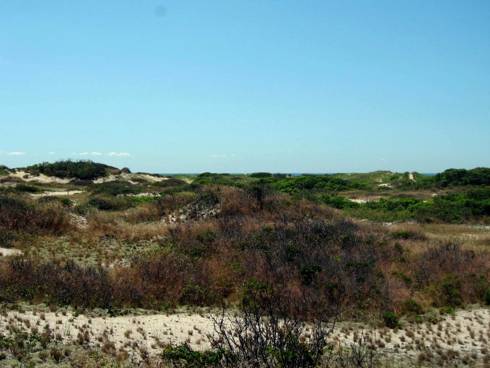
 I like to say that Provincetown, a combination old-colonial fishing village, national seashore town and artsy high-concept tourist resort catering to a very wide range of tourists from whale-watching families to lesbian bikers to gay circuit boys and most things in between, is my single favorite spot on the US East Coast. The sand dunes and tidal mudflats of the national seashore are crisscrossed by bicycle and foot paths for endless exploration, and there are reliably inspiring views of clouds, water, grass, sand and sky mirroring and reflecting each other in all weather conditions, from highest flood tide to lowest ebb tide. All this, great restaurants, excellent art galleries and an endless broad array of interesting and curious people strolling down Commerce Street from dawn til well after dusk — all with the town and environs packed into a manageably small space — you can imagine why I love it so much. Why did I let eleven years lapse between my last visit and the two fleeting days I permitted myself here on my way to Star Island?
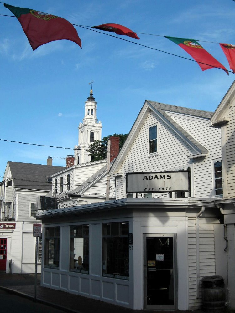 …Portuguese sailors and fishermen were an important early component of Provincetown’s European settlement. I think this is why Portuguese flags shared pride of place on the streets with the stars and stripes, the week after July 4 when I was there.

I Love NYC In the Spring
 This is it, folks…smw, slt is leaving NYC after a year on these shores. Tomorrow I’ll start moving again, exploring a few parts of the US before I leave in late July to take up my next post with MSF. There’ll be more information later about where I’m going, and probably another blog entry from my travels in the US before I leave for briefing in Amsterdam, but I want to take a moment to honor the city which I knew so well from the 70s through the 90s, but haven’t spent more than a week in since 1997. Having spent the 12 years since then largely in mediterranean climates (LA and SF) or in the tropics, I’d truly forgotten the robust bursting expressions of life and color that characterize the temperate spring. So herewith an ode to NYC in spring, now that summer has come and I’m leaving NYC. Enjoy. Stay tuned for more regular updates and photos since I’ll be traveling again.
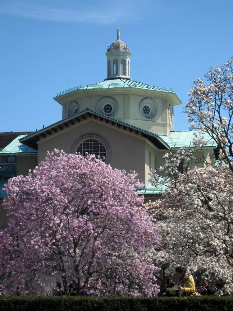
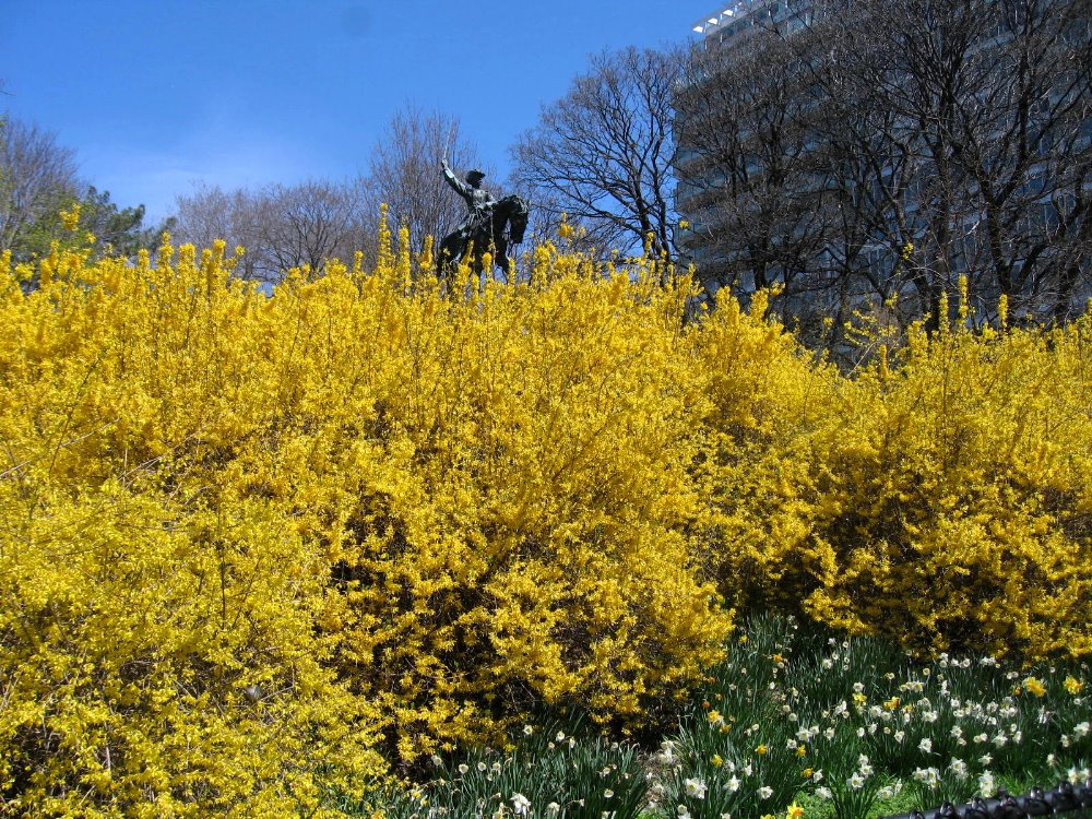
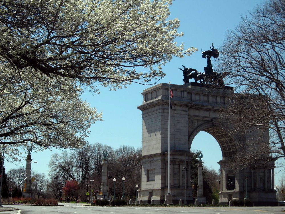
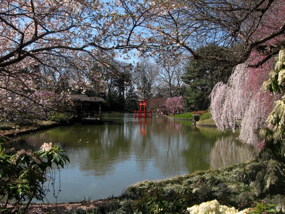 …Yes, Brooklyn is part of New York City and dear to my heart as my home for a decade. Above and below – Brooklyn Botanic Garden during cherry blossom season, and Grand Army Plaza in the heart of Brooklyn by Prospect Park & the Brooklyn Public Library.
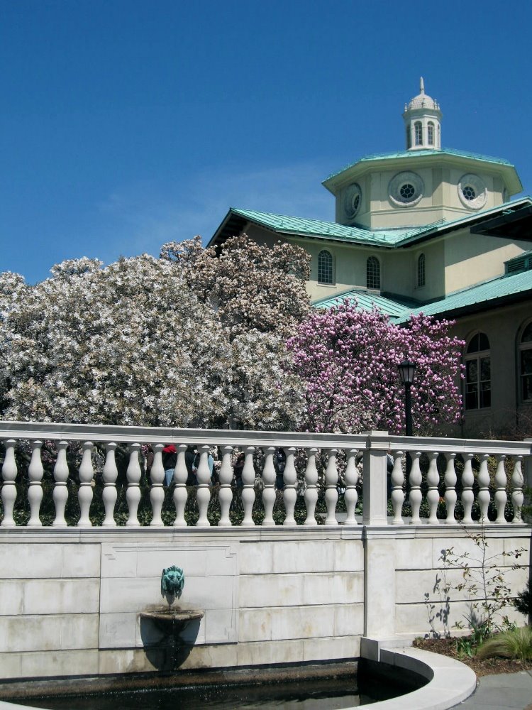
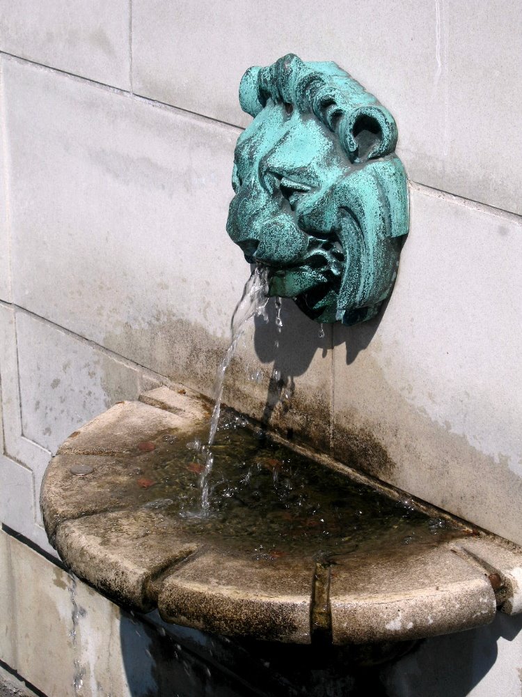
Some of my readers haven’t been to NYC and I’ve mostly aimed my NYC blog posts at folks outside the US who might consider visiting some time. I’ve always told European friends, in particular, that American cities are nothing special compared to European cities, and I stand by that; it’s our vast natural landscapes of endless variety and (underfunded) national parks that make the US a top-notch tourist destination, in my view. That said, the US has several cities that are chock full of great architecture, museums, parks, restaurants and people – even if none can hold a candle to ‘old-world’ cities like Athens, Istanbul, Varanasi or Beijing when it comes to history. The Brooklyn Botanic Gardens were one of my favorite weekend haunts when I lived in NYC. You see why, I’m sure.

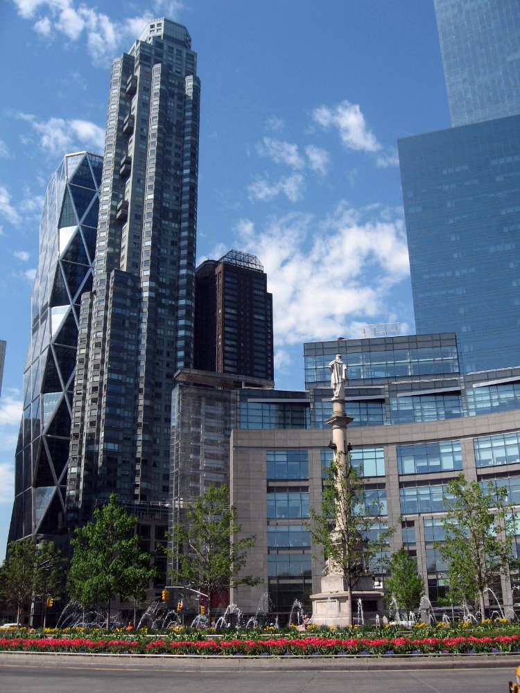
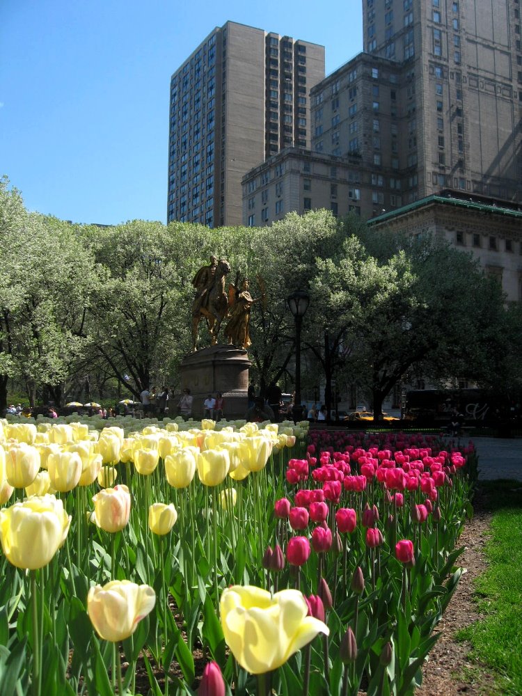
 Since April I’ve taken a weekly conversation class at the Alliance Francaise – French Institute in NYC – another of those great NYC resources that everyone should check out, with really excellent classes and good membership benefits and programs. Every Saturday morning I’ve taken the A train to Columbus Circle, beautifully renovated and now a lovely magnet for strollers and walkers at the southwestern corner of Central Park, and walked through the park to my class over on Madison Avenue, past (Manhattan’s) Grand Army plaza at the southeast corner of Central Park, home to NYC’s famous Plaza Hotel and, on the day I took the photos below, many beautiful April tulips. (American history lesson for the curious: the Grand Army was the Grand Army of the Republic, aka the Union or northern army which deafeated the Confederate Army in the American Civil War, which for those of you who don’t know was an indescribably deadly and prolonged war from which the country took many decades to recover, and in some ways still has not. NYC’s population and economic might were important assets for the Union side, the city supported the war effort, and thus NYC has two famous Grand Army Plazas in the boroughs of Manhattan and Brooklyn, which until 1896 was a separate city. The history of the names is more complicated, but go to Wikipedia if you want more.)
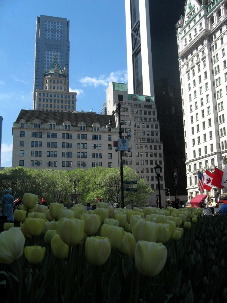


Hyde Park in the Hudson Valley
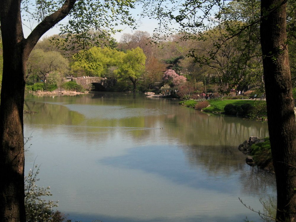
 The Hudson Valley is a great visual joy north of New York City, and one of its historical highlights is Hyde Park, home of Franklin Delano and Eleanor Roosevelt. Hop on Metro North from Grand Central or 125/Harlem for a gorgeous ride that takes you into the Bronx and along the riverbanks with views of Manhattan and New Jersey as the train tracks hug the shoreline nearly all the way up to Poughkeepsie, nearly two hours north of the city. Any train ride on the Hudson River line is a pleasure; on a spring day with sparkling blue skies and fresh green leaves bursting on all the trees up this hills and mountains that slowly rise as you move north, it’s a treat. I can’t recommend it enough.
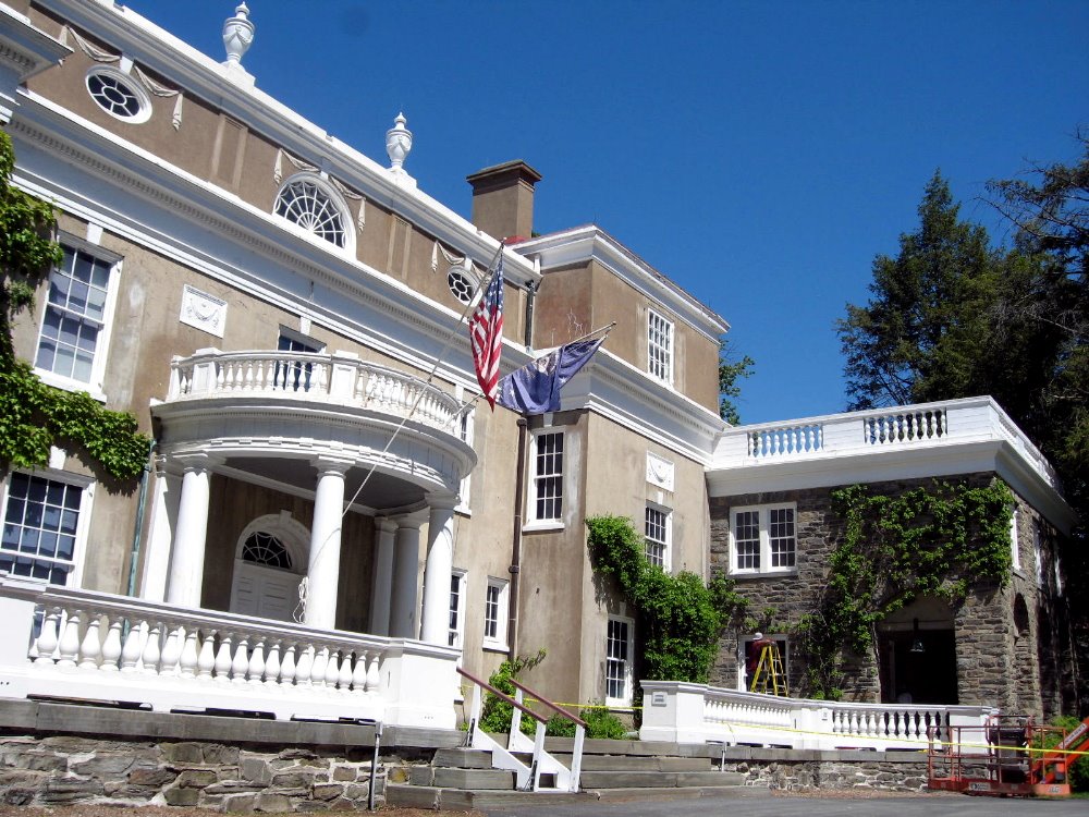
 Once you reach Poughkeepsie, there are usually shuttles that can take you the few miles farther north to the Franklin Delano & Eleanor Roosevelt national historic sites. I was tempted to wax political – after all, FDR was one of the masters of 20th Century American politics – but will limit myself to reminding everyone that the country had 50 years without a banking collapse, for the very first time in its history, after new regulations were put in place and enforced under FDR and subsequent administrations. (They’d been happening every 10 to 20 years from the 1780s until then.) It wasn’t until 1989 that we had another banking collapse, after eight years of Republican presidents who philosophically disapproved of government regulating business.
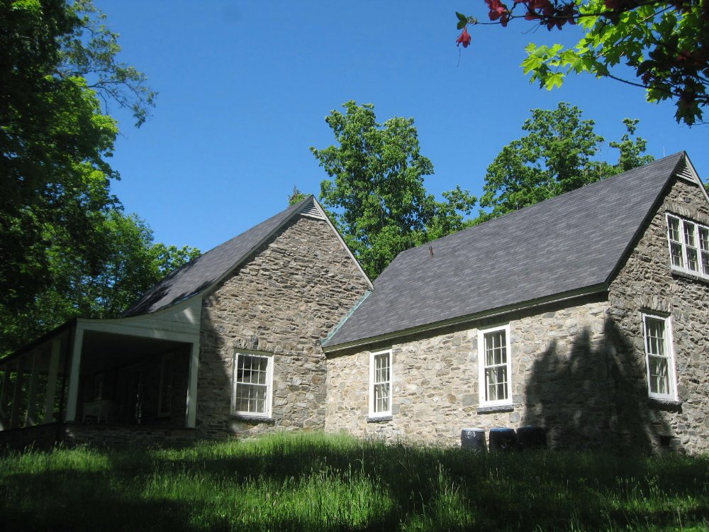
So in Hyde Park you have something for everyone: political history and the presidential library of FDR; the Eleanor Roosevelt historical site, which highlights her leadership in the drafting of the universal declaration of human rights (if you’ve never read this document, please do – it’s very visionary and though often ignored and disrespected, it represents admirably high aspirations), education, civil rights & integration, rights of women and children, and so on. There’s colonial history, colonial architecture, the chairs and tschotschkes the Roosevelt family collected, and simply lovely views over the Hudson Valley. A very enjoyable day trip from the city on a clear day – keep it in mind next time you have a free day in NYC!
 Above and below are photos of Top Cottage, FDR’s truly private retreat up a high hill inland from the main Roosevelt family house. Roosevelt was an amateur architect, and designed some local post offices as well as this house, a visit to which is a real treat that gives a sense of how Roosevelt gave himself quiet space as he directed the rejuvenation of the American economy and the war effort. Since they’ve either made replica furniture that very closely matches what was once there, or brought back actual pieces that were there at the time Franklin & Eleanor hosted, for example, the King & Queen of the UK, it was a real treat for Mom & me to pose for a photo in the same spot as some pretty famous folks.
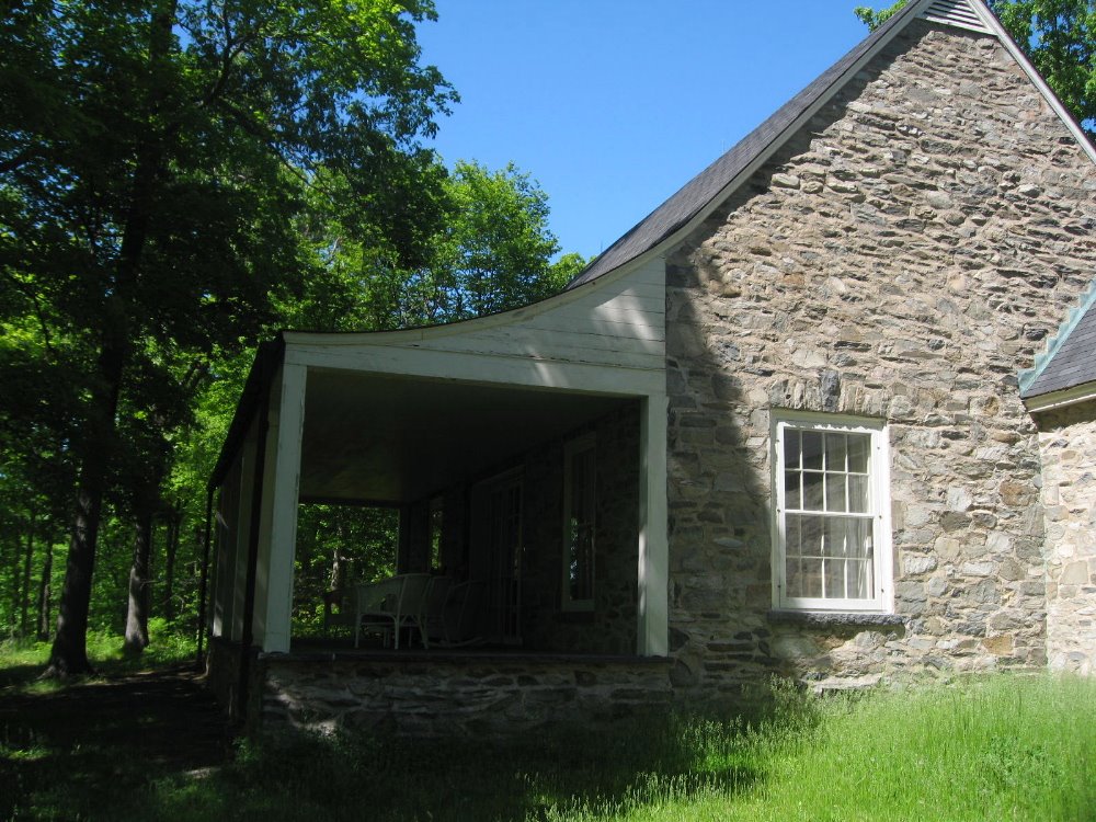
 …the view from the porch of Top Cottage. You can sit there and hear…nothing but the sigh of wind in these trees. For a man directing the war effort in Europe & the Pacific, such a retreat must have been priceless.
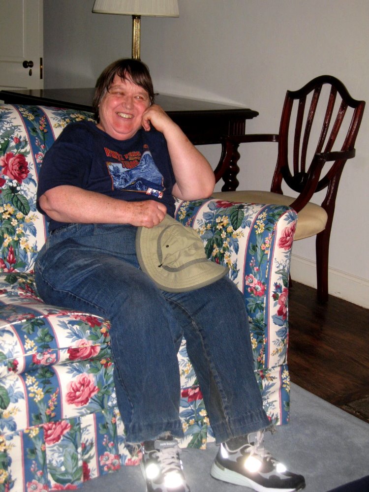

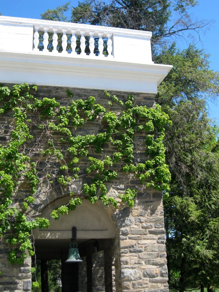
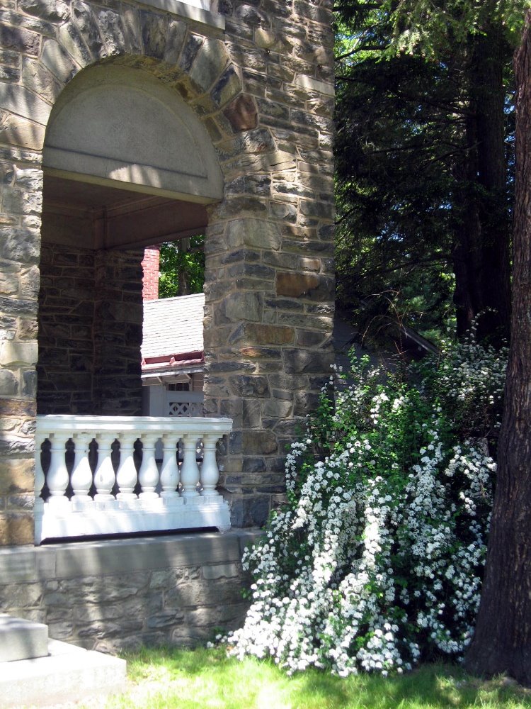
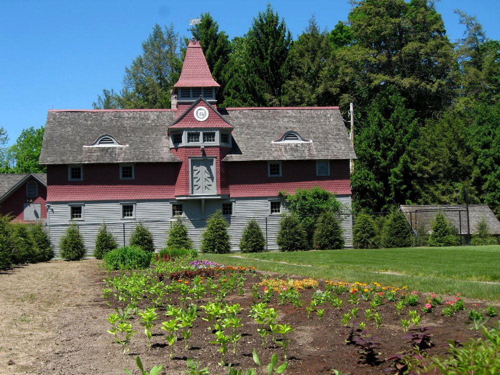 Above, the Roosevelt barn & garage in classic Dutch colonial style. Below: 2009 is the 500th anniversary of Henry Hudson’s voyage up the Hudson, which made him the first European to explore and map the region. This ship is a close replica of Henry Hudson’s ship Half Moon, which is doing a tour of historic towns in the Hudson region from Albany south, in honor of the 500th anniversary of European arrival on these shores. As you can see, I fell in love with how the rigging of the ship looked against the rigging of the (Franklin Delano Roosevelt) Mid-Hudson bridge, which connects Poughkeepsie (east side) to Highland (west side).
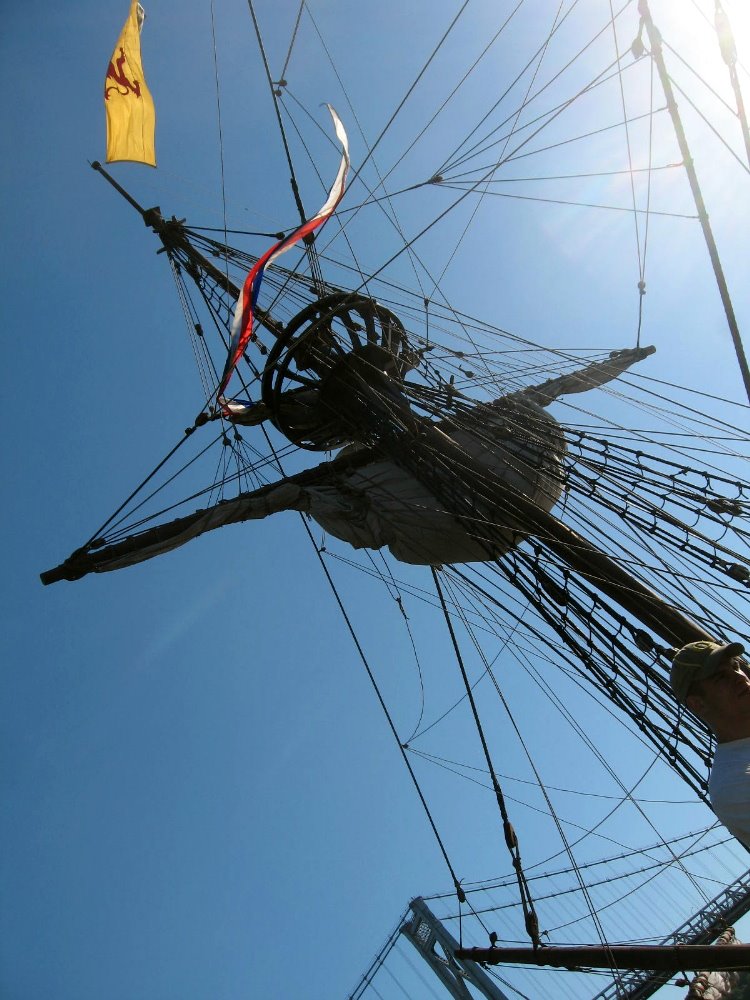
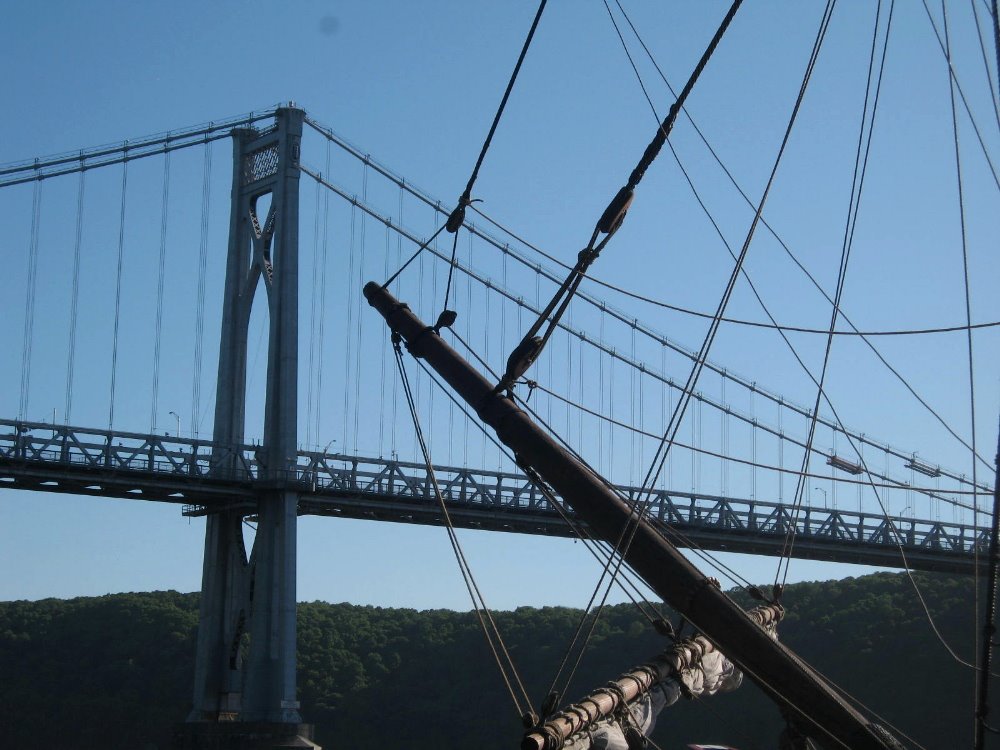
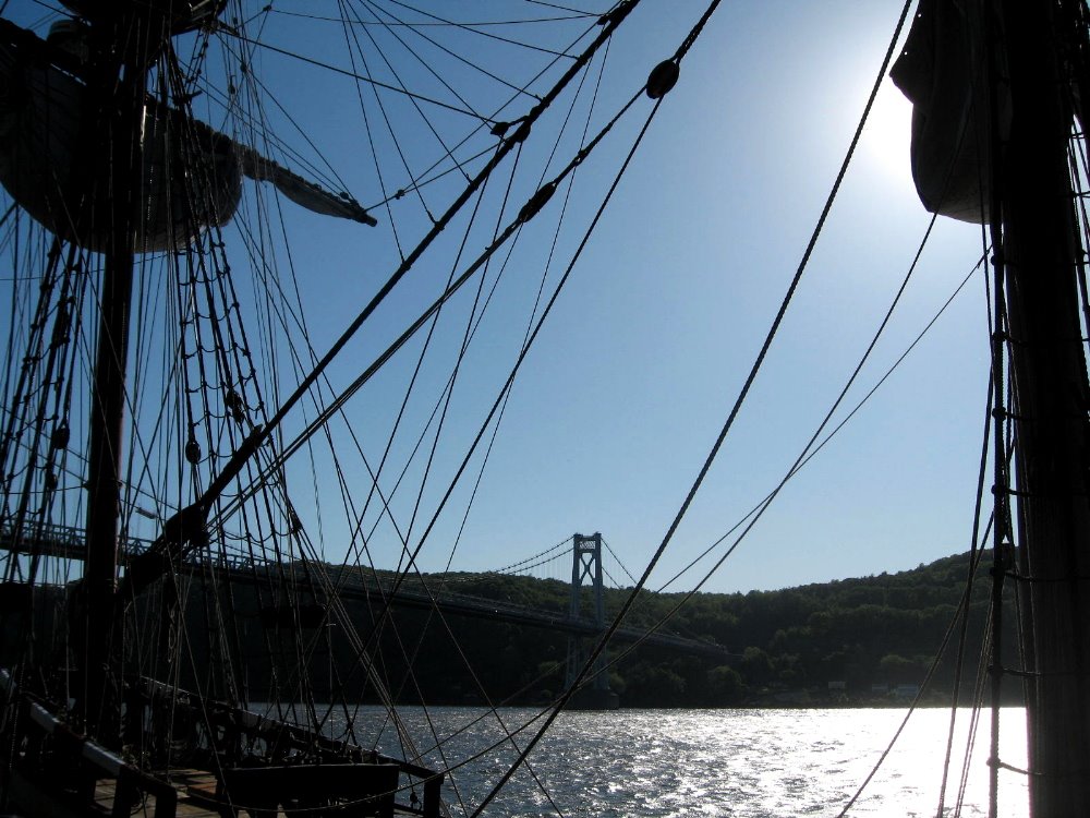
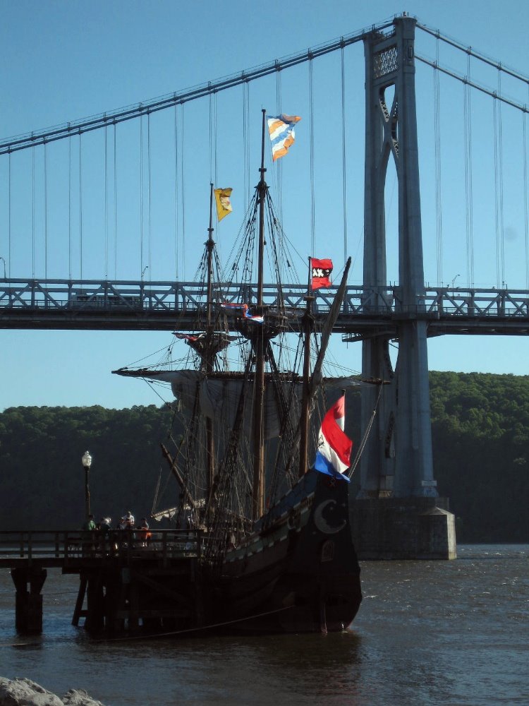
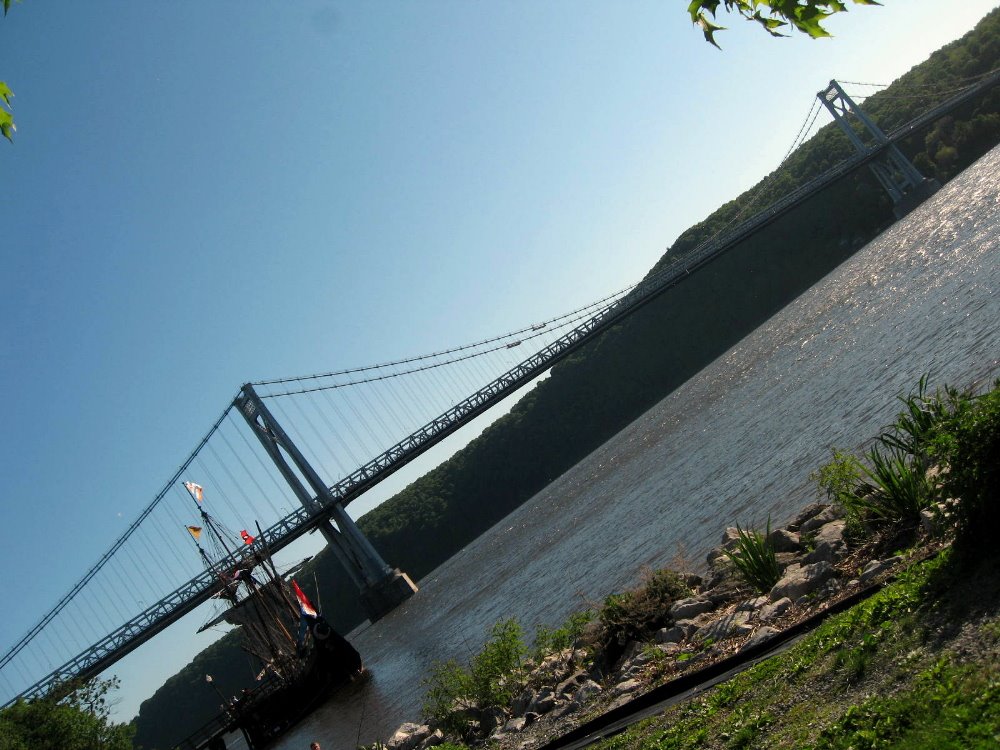
Tongariro Crossing – The Summit of Mt Doom :-)
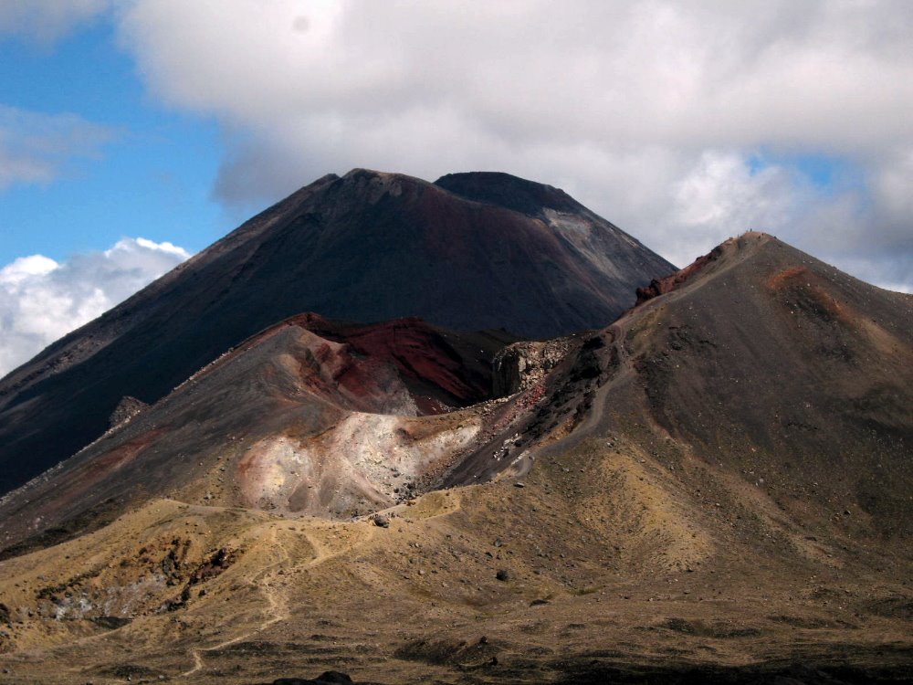 So that’s it, folks. Two months in Australia and New Zealand (plus the bonus couple nights on Tahiti) over and done with, back to the life I was leading last year in NYC and environs. Here are all the pics I’m gonna give you from New Zealand. (There were more, but you’re glad I’ve pared it down even this far, aren’t you?) I was gonna wax political, about carbon footprints and how even comparatively well-off Aussies and Kiwis hang their clothes to dry and don’t even own a dryer; about how it seems the whole world gets what too many Americans still don’t, that Obama is our best hope and we as a people really need to rise above the narrow commercialism and blind xenophobia (masquerading as patriotism) that’s come to dominate our culture and society, and rediscover some social and cultural values like caring for our world, community, and honesty and quality of life that don’t have to do with someone’s quarterly bottom line. But that’s boring. Or I was gonna explain what I’ve given up in order to save the money to do this kind of trip, rather than working a regular corporate job and doing the daily commute. But that’s even more boring. These pics are interesting, so I’ll leave you to them. May this year and many to come be full of more hope than we’ve had recently. I will, just by way of grandstanding, leave you with two quotes, below…they say it all better than I could. Peace, out.
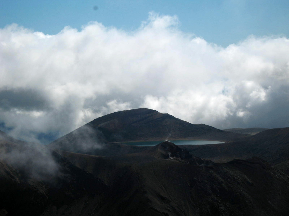 “…FlexPetz…rents out well-trained dogs to busy professionals in several California cities. [One] customer…feels like an uncle to the dog he borrows for $39.95 a day… Meanwhile, dog and cat owners who travel frequently now have another option for their pets… Posh digs for pets are available in airports… Amenities for dropped-off animals include piped-in music, individual suites, gourmet treats and Web cams so distant owners can check in on their pampered pets.” (High Country News)“Smallpox ravaged us quick, tuberculosis killed us slow, liquor made us stupid, religion meddled with our souls, but the bureaucracy did the worst and finally bored us to death… Along with rules, there came another affliction. Acquisition, the priests called it. Greed. There was no word in our language to describe this urge to own things we didn’t need. Where before we always had a reason for each object we kept, now the sole reason was wanting it. People traded away their land for pianos they couldn’t play and bought clothing too fancy for their own everyday use. They bought spoons made of silver when there wasn’t food…Where before we gave our things away and were admired for our generosity, now we grew stingy and admired ourselves for what we grabbed and held.” (Louise Erdrich, Four Souls)
 Of the three active volcanoes in Tongariro National Park, Ngauruhoe is the second highest but by far the most classically-proportioned. It’s a pretty imposing sight, isn’t it? Imagine seeing it as I did: Climbing up a ridgeline from a bright-yellow stream (made yellow by all the minerals in the water, like at Yellowstone), suddenly at the top of the ridgeline I can look across a sparse scrubland of alpine plants to the towering even cone of Ngauruhoe, whose summit and cone are shrouded in cloud. Hearing the rotors of a helicopter clack-clacking away to my right, seemingly on the snowy slopes of tallest Mt Ruapehu, I look over and see that the helicopter is trailing some kind of long flat payload from a cable hanging below it. Has someone been evacuated after a fall while climbing to the 2800-meter summit of Ruapehu? Or is it something more mundane, like logs being dropped somewhere for trail maintenance? Then I look again ahead of me at the summit of Mt. Doom, no Orodruin, no Ngauruhoe (yes: a digitally-altered image of Ngauruhoe was indeed the image of Mt Doom/Orodruin the Lord of the Rings movies – small wonder, huh, seeing it in real life here!), and…wait a minute, the cloud has cleared a bit, but isn’t that a small trail of steam rising directly up out of the cone? Is that helicopter, perhaps, part of some general evacuation? Is all hell about to break loose with flowing lava and an explosion on the summit of one or all of these volcanoes? 🙂
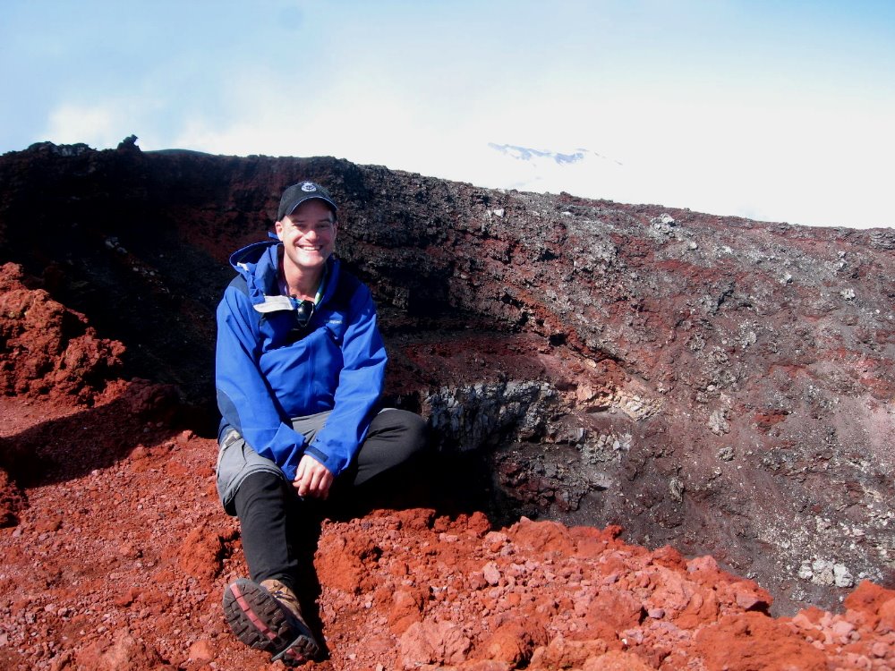
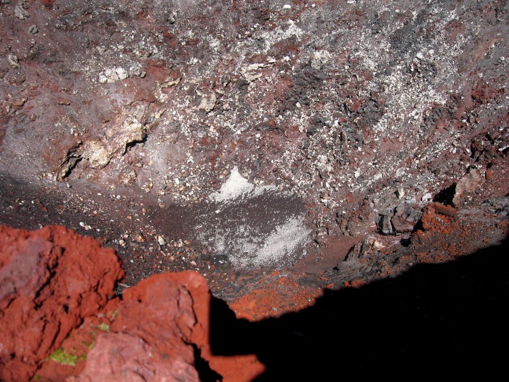 That there is looking down into the actual crater, from the summit. The text I wrote above is really about what I did on the rainy day before I did the official “Tongariro Crossing,” which is an almost 20km day hike almost all above tree line that goes from the west side of Mt Ngauruhoe up and over to the north side of Mt Tongariro; to clarify: Ruapehu, at about 2800m, is the southernmost, most active, and most snow-covered of the mountains; Ngauruhoe, at about 2200m, is in the middle and the most obviously volcanic, seen from a distance; and Tongariro, after which the whole park is named, is at about 1800m the shortest of the three but very large with several active craters over and around which we walked, and is the northernmost of the three.
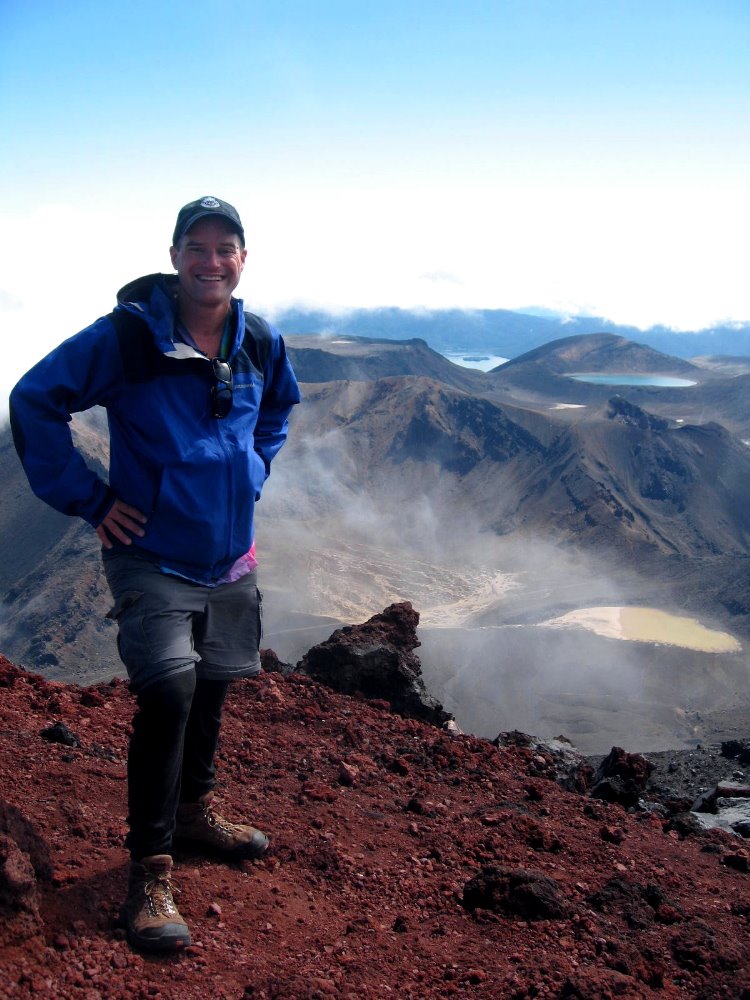 Indubitably the best decision I made in one month here was, upon arriving in National Park by train (lower down for that story) and learning that weather was forecast rainy the next day, to extend my stay by a day and do the hike on the following day, forecast mostly clear and sunny. Having done the alpine sections of the Kepler Track (next section down…) in snow and fog, I just wanted some clear views from these highest sections of North Island.
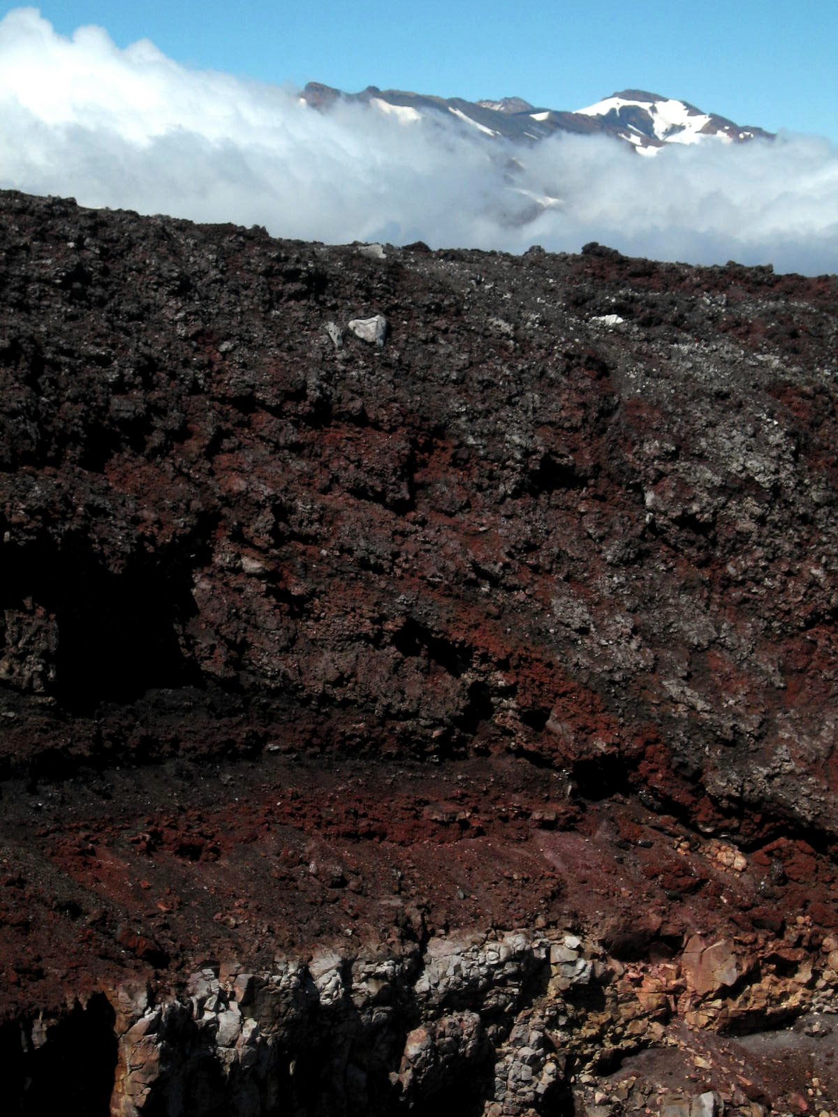 That’s snowy Ruapehu, highest peak on North Island, behind the crater of Ngauruhoe; and two shots down, look to the left of the crater, and you’ll see a plume of steam coming off. Atmospheric, no?
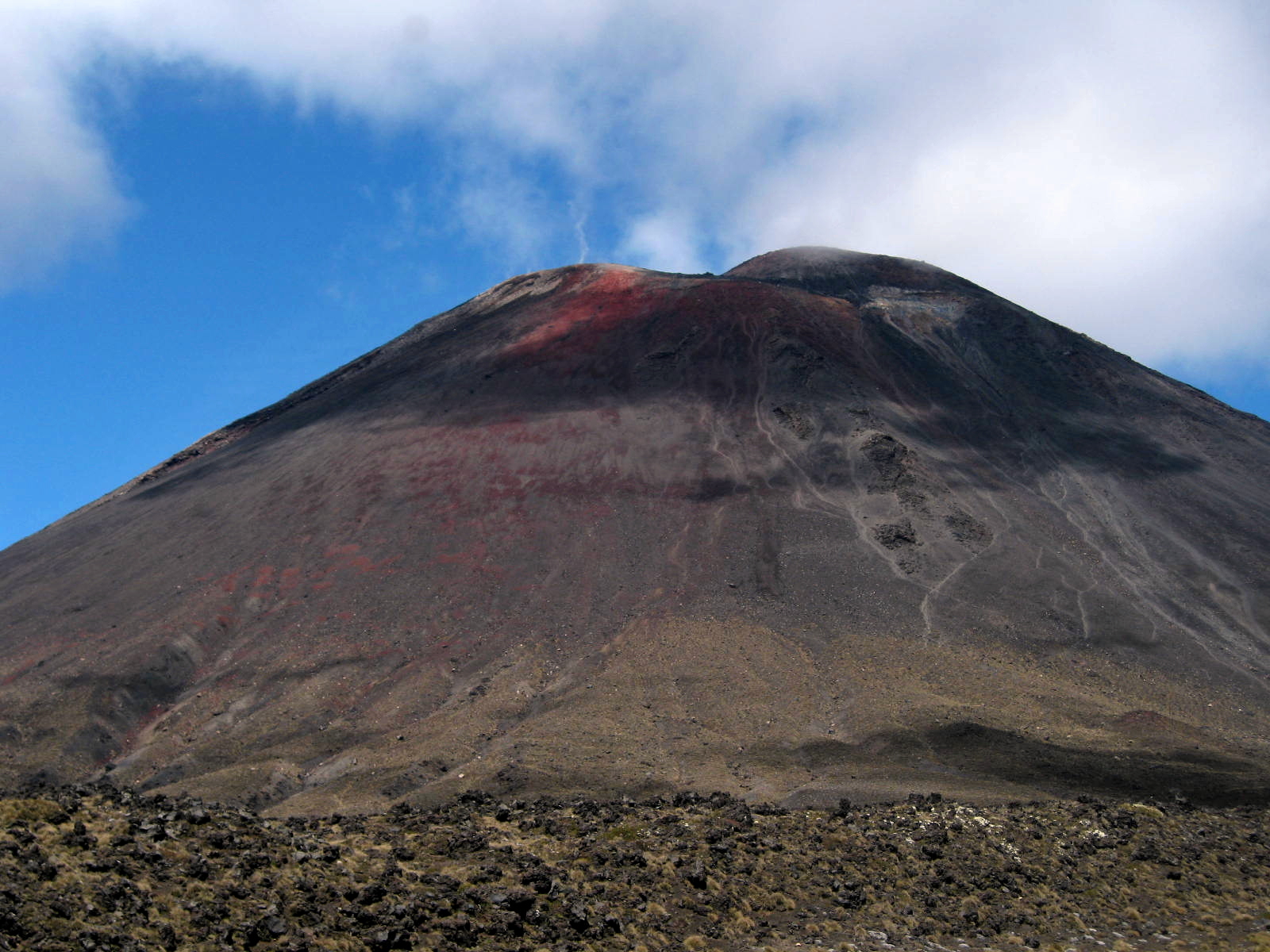
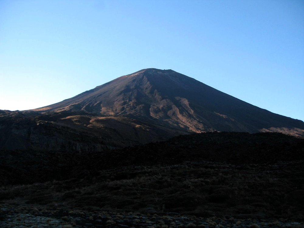
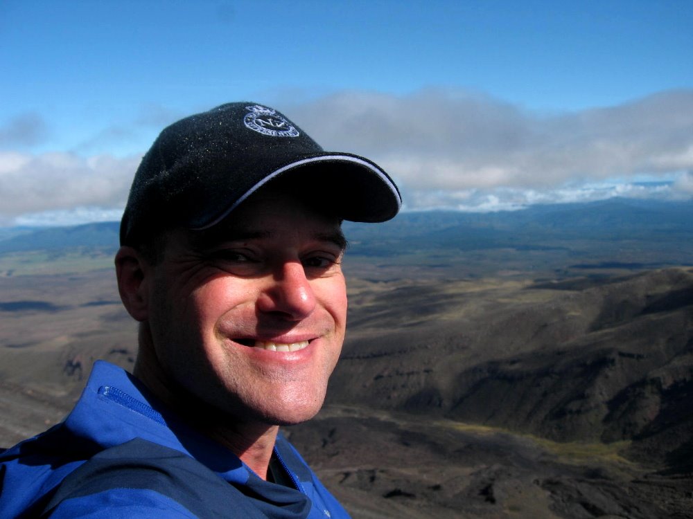
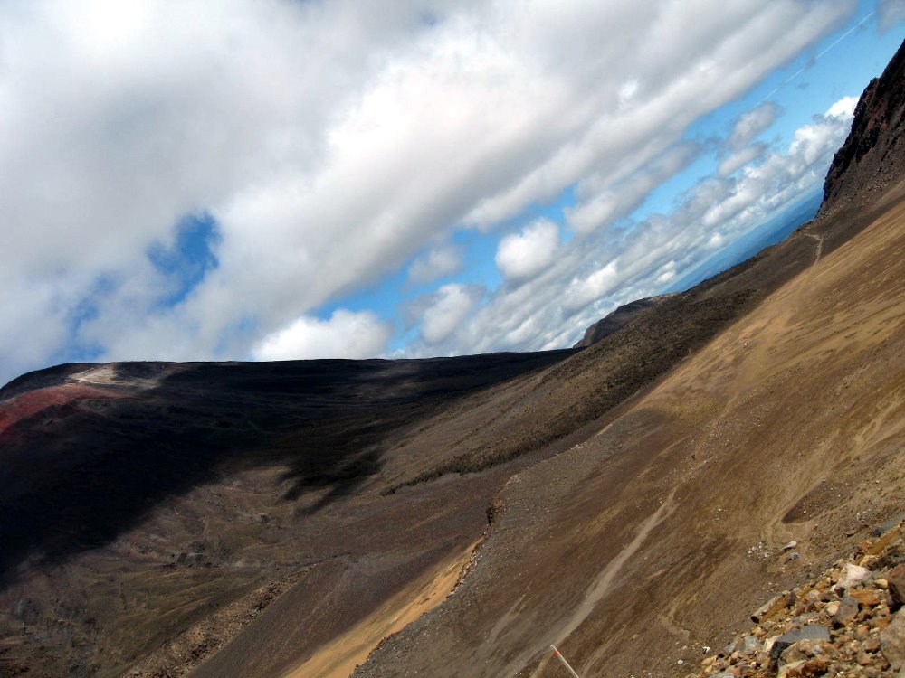
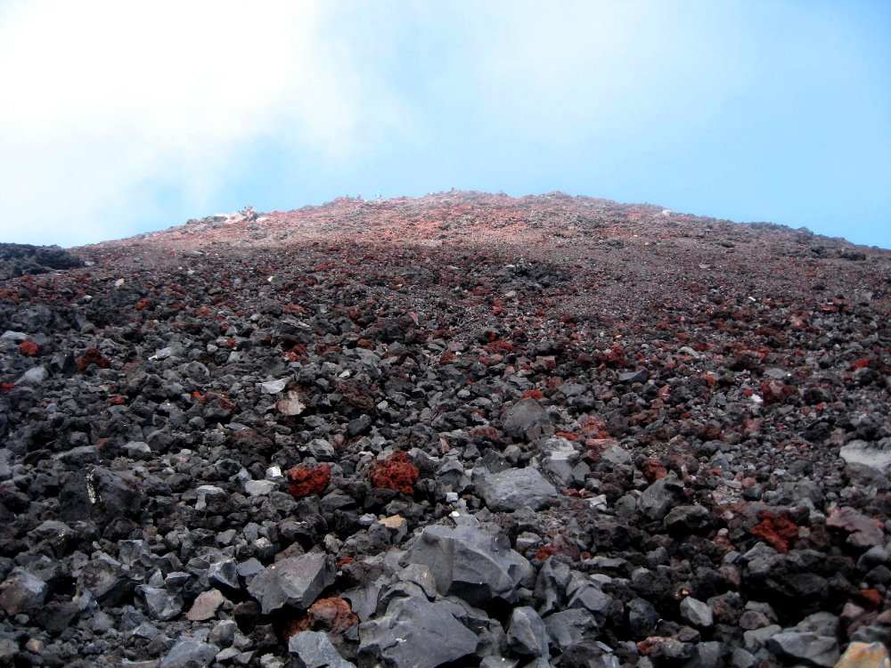
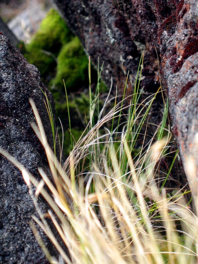 The main Crossing track doesn’t include ascending to the summit of Ngauruhoe — up which, in fact, there is no marked trail. All those little rocks with blue sky at the top of the photo, above? You wonder why they’re there? They’re the summit of Ngauruhoe. That’s the trail. It’s 1000m up, and then 1000m back down to the main trail – which itself includes some serious ups and downs for the recreational walker – and a lot of it is this slippery slidy stuff. The rest is sharp volcanic boulders — thank goodness I had my gloves to shred, or I’d have needed skin grafts afterwards. But, given the chance to ascent Mt Doom, could I really have said no? 🙂 Most of these plant shots are from the summit ascent on Ngauruhoe. The greenest one is from near Silica Rapids, lower on the slopes of Ruapehu and thus a bit greener.
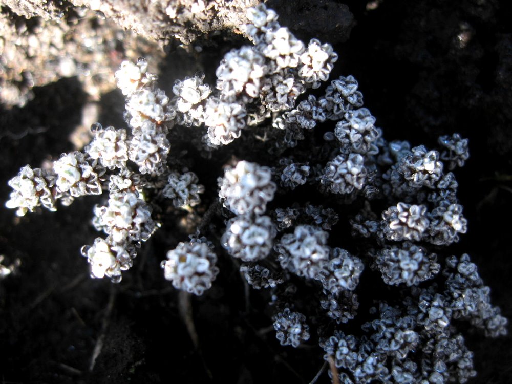
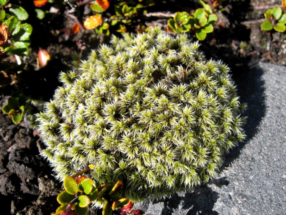
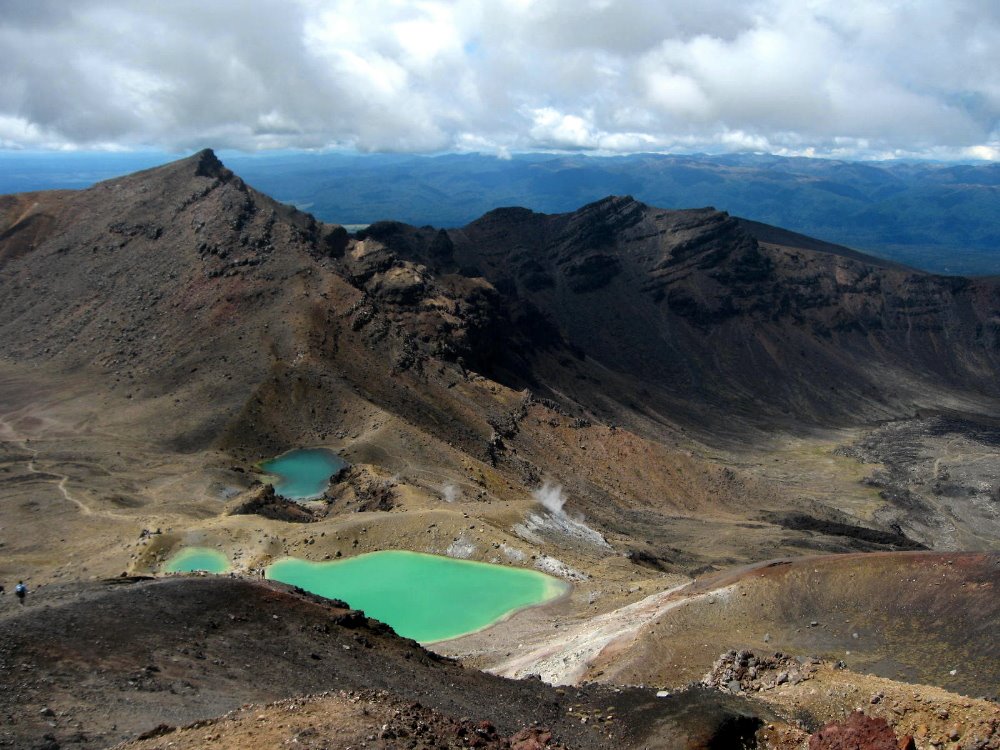 Emerald Lakes. Guess how they got their name? They smell as you might guess.
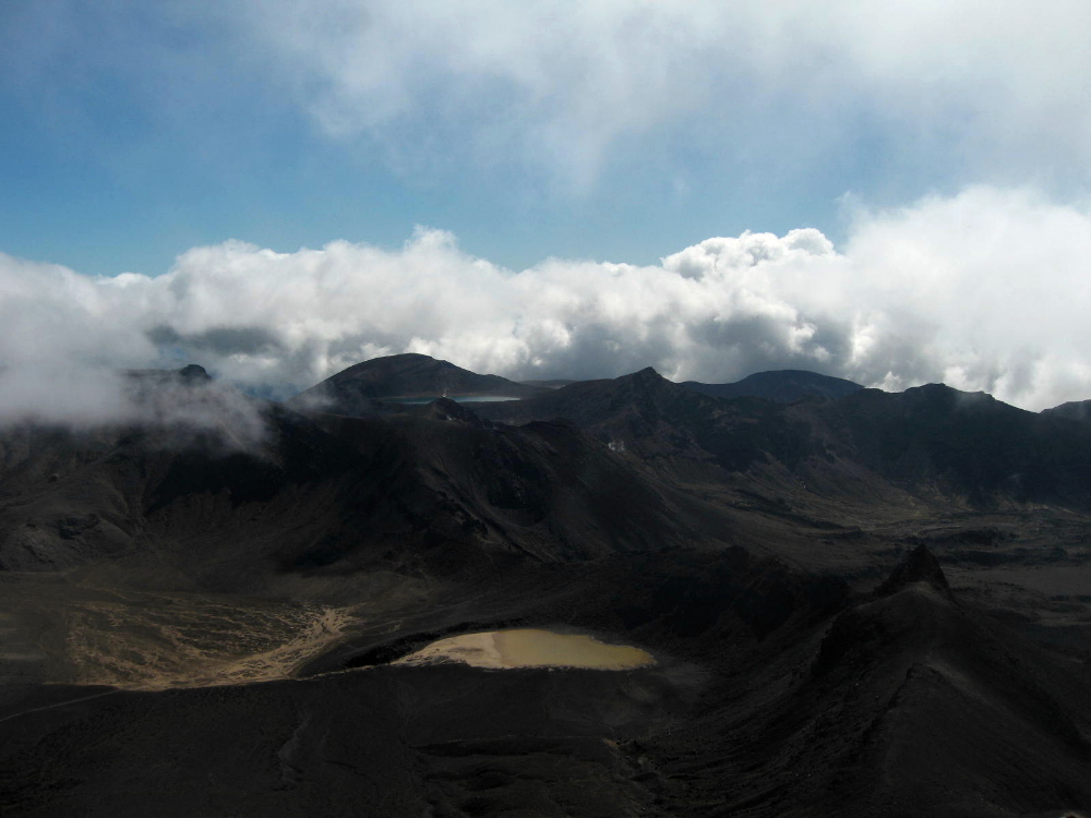
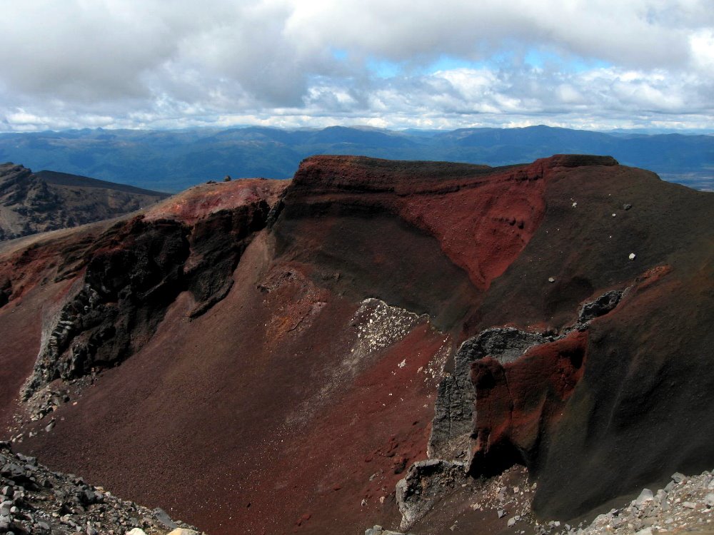
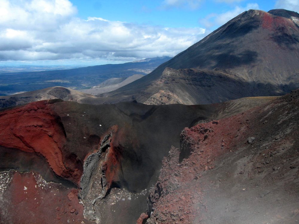
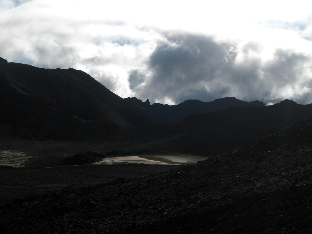
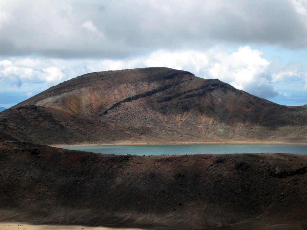 Look closely and you’ll see a lot of little figures along the trail silhouetted against the lake there: a large group of school kids on start-of-school-year camp, who spent days hiking, mountain biking, rock climbing and rafting around the area. Kids in NZ have a great life, it seems…
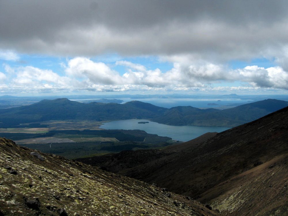 That’s Lake Taupo in the distance, the largest in New Zealand, apparently. No Lake Superior, that; but then NZ is two moderate-sized islands with spectacular variety and scenery, when you get right down to it.
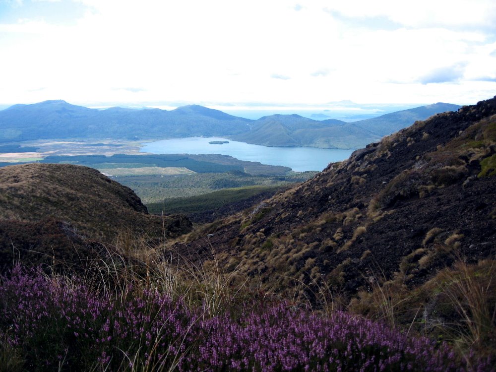

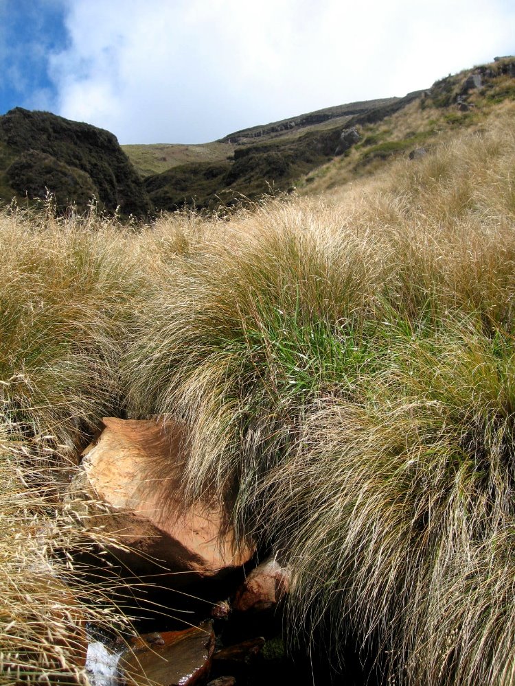
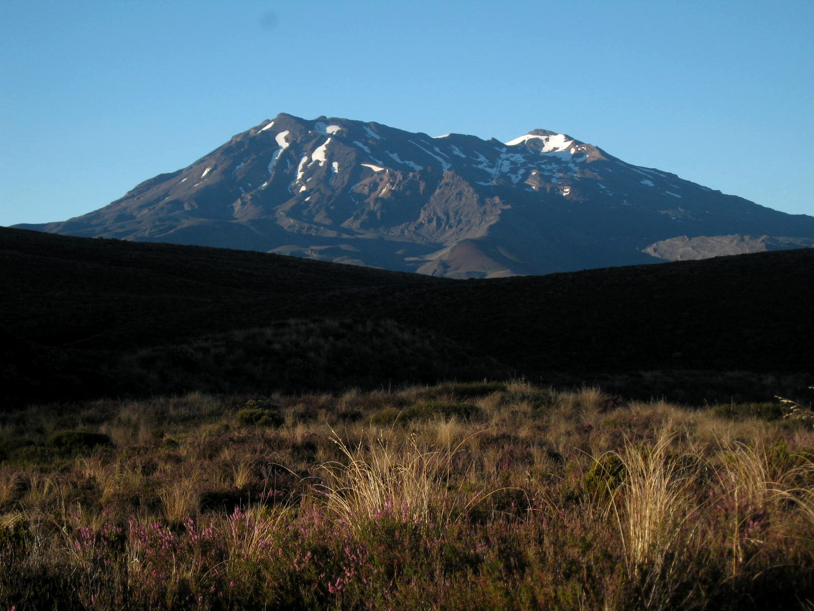
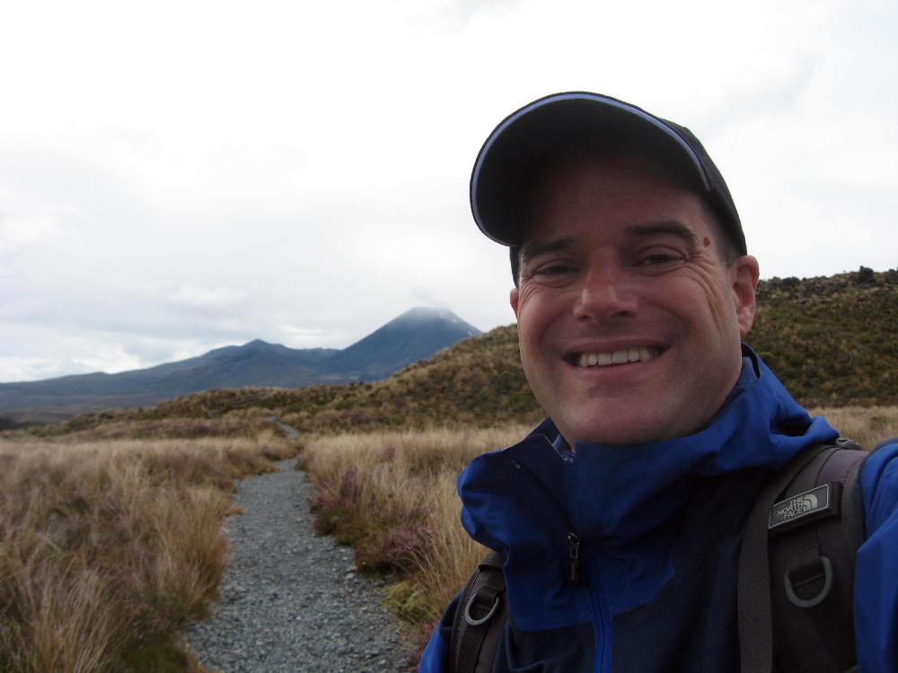
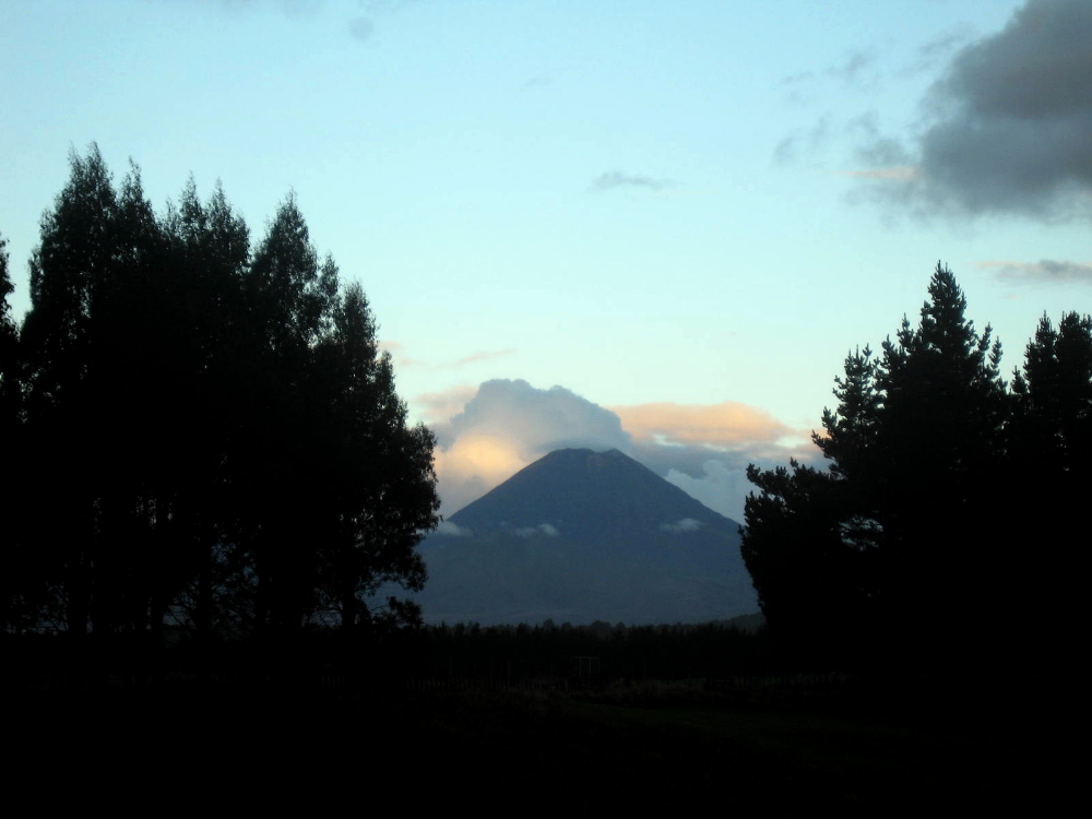
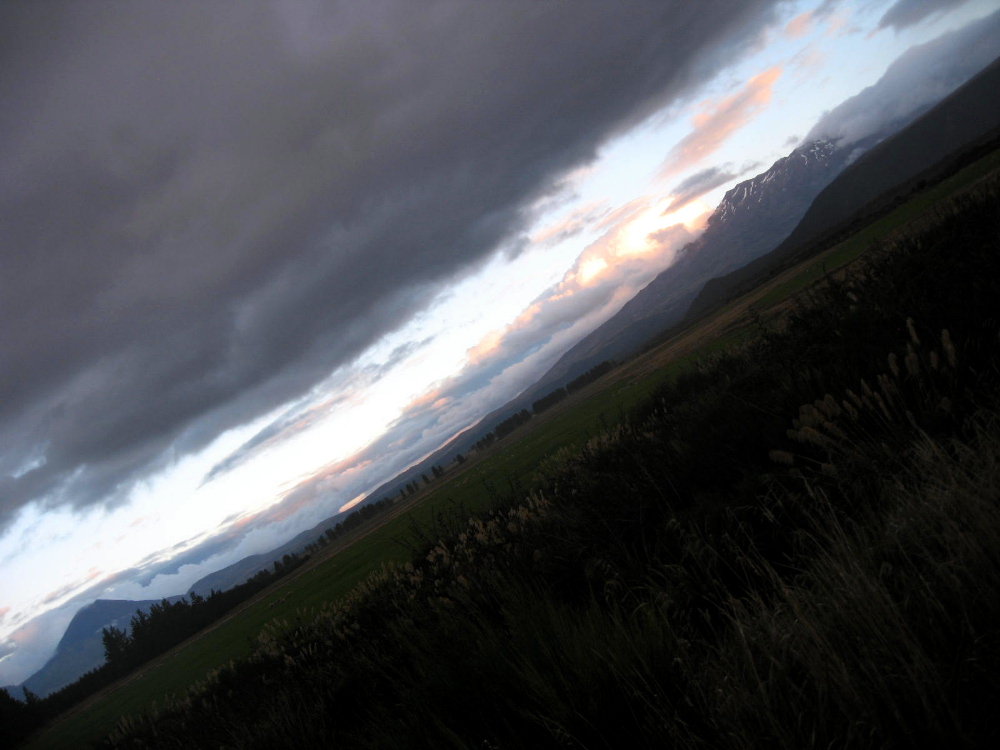
 …have you noticed how captivated I was by Ngaurhoe’s cone? It’s my own xx Views of Mt Ngauruhoe ode to Hokusai. But seriously — I found Ngauruhoe as captivating as I find Half Dome — though not the tallest of the three, it ruled my imagination when I was in its range.
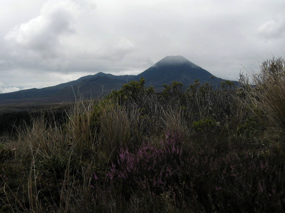
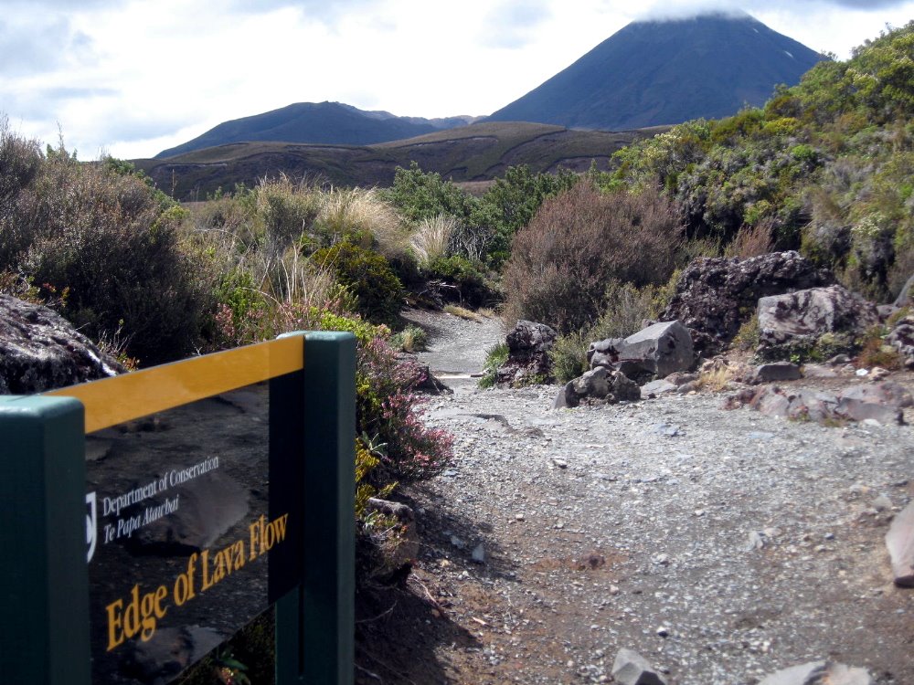

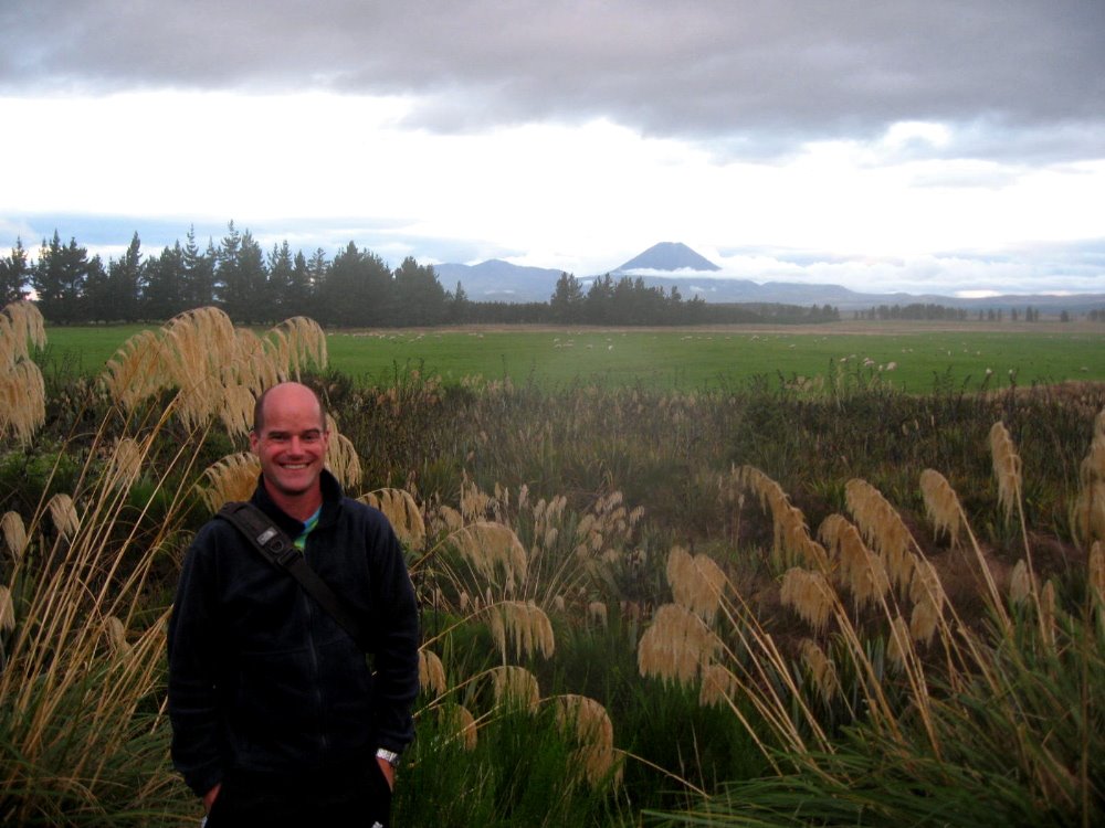
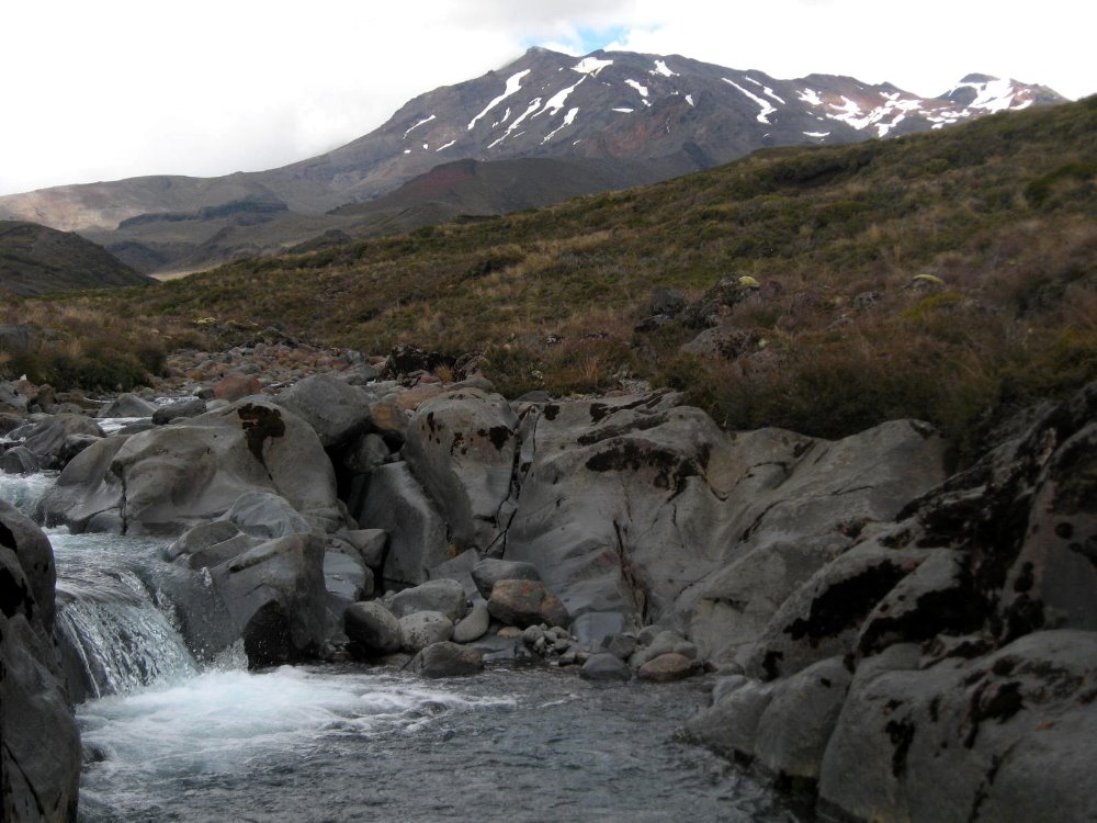

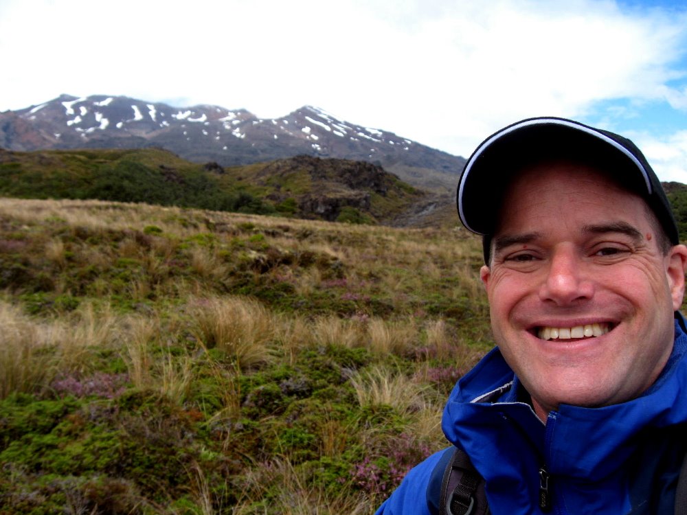
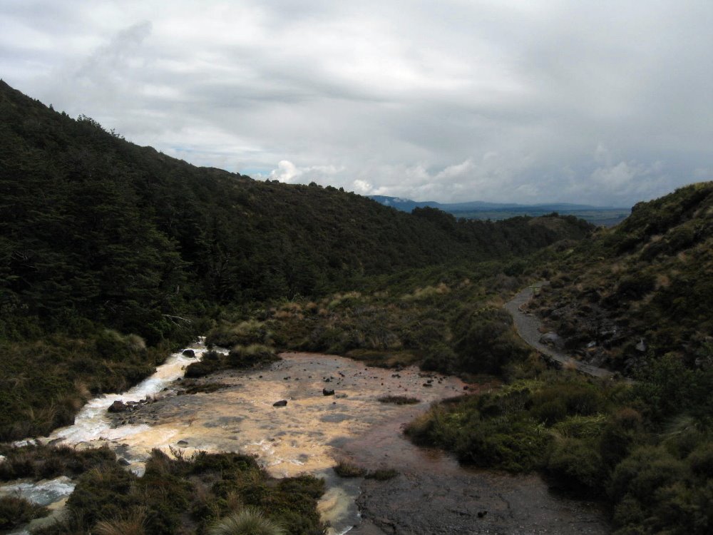 And that would be silica rapids, full of colorful minerals washed out of the stones solidified from the magma belched by Ruapehu, on whose slopes this was shot.
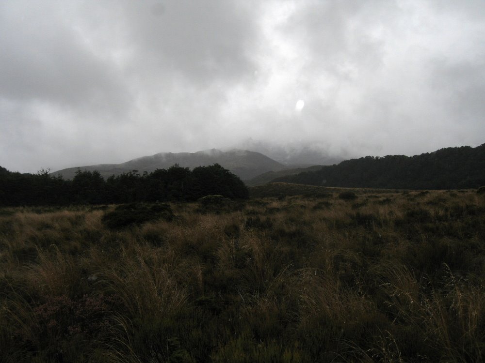
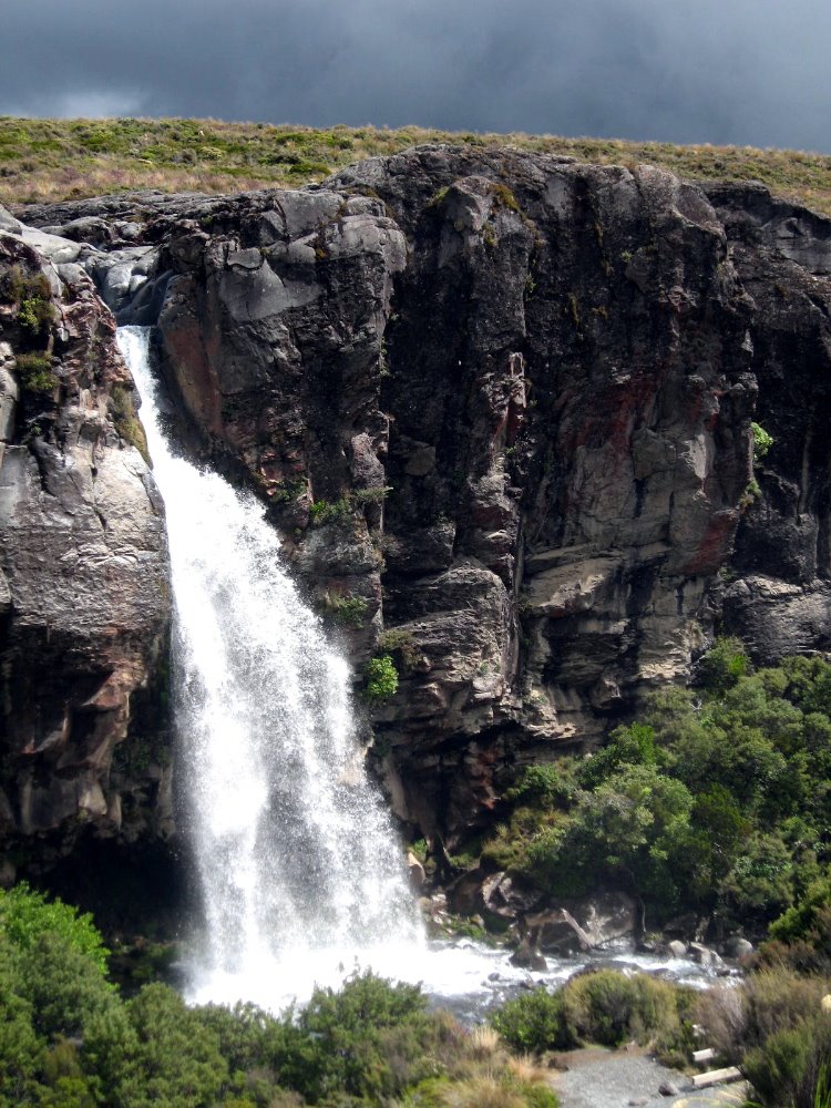
Kepler Track & Fiordland National Park

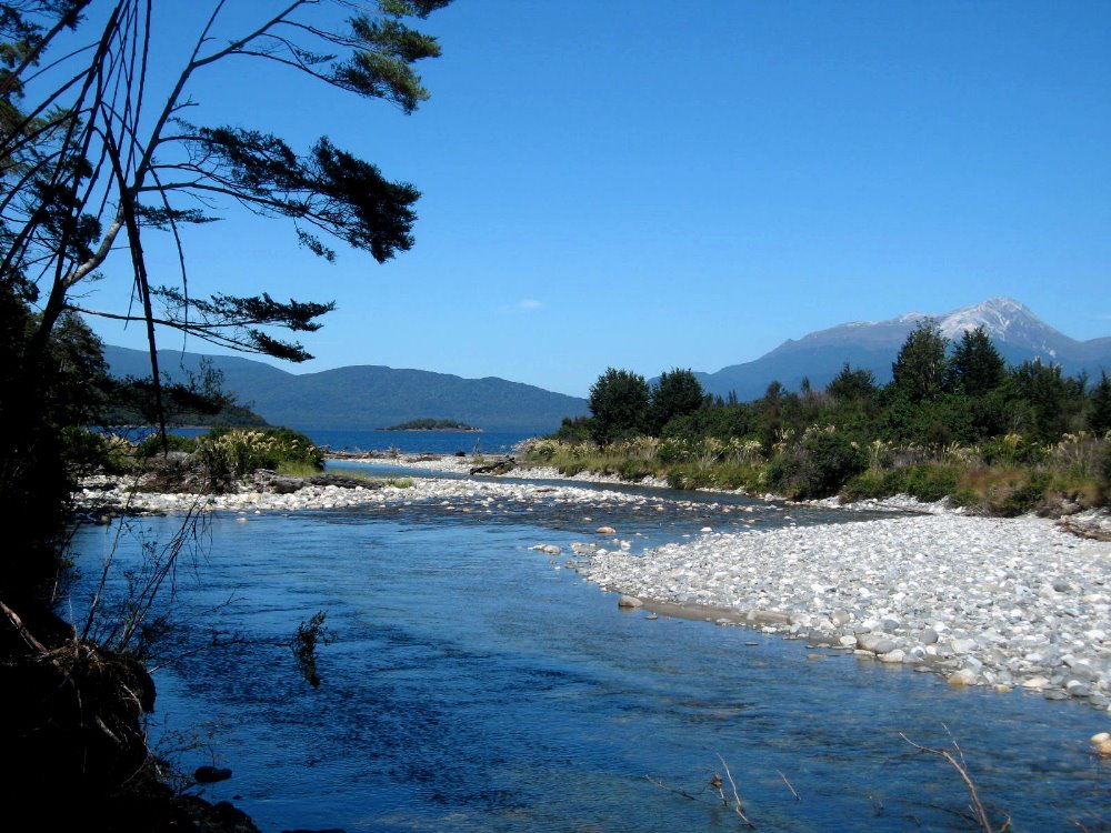
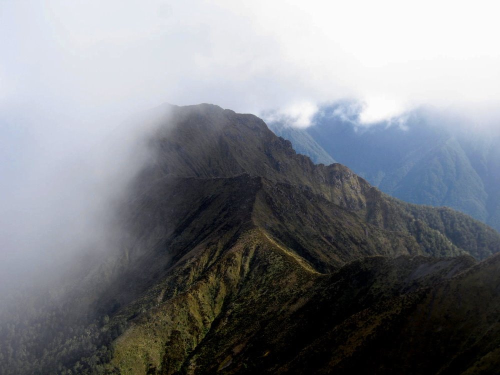 As Tongariro Crossing – and the summit of Ngauruhoe – was the literal and figurative peak of my personal experience in New Zealand, the Kepler Track was the climax of my first two weeks, which were spent with my dearest bestest friends Howard & Gene. This is a four-day, three night trek from hut to hut; in high season the huts have gas burners so you don’t have to carry your stove, just your cooking eqiupment; they have bunks so you just bring your sleeping bag and no tent; and they have – oh luxury – flush toilets! Day two, as we hiked it, is almost all above the tree line, while day one is hiking from the western shore of Lake Te Anau (a long and many-armed mountain lake of classical proportions) up a steady and well-made trail to the higher reaches of Mt Luxmore. Day three is along a verdant river valley, into which one looks at the very end of the alpine section before a steep and many-zigzagged descent; and day four is peaceful and pleasant stroll along the river which connects Lakes Manapouri and Te Anau. Even in clear weather, the alpine section would be otherworldly — much of it is along steep ridgelines with sharp drops on both sides, and if some of this looks like Middle Earth, it’s because various scenes from the LOTR films were shot in this area. For good reason, obviously. It was an extraordinary hike, and the fact that much of our alpine crossing was made in snow and ice, in high summer, made it even more extraordinary.
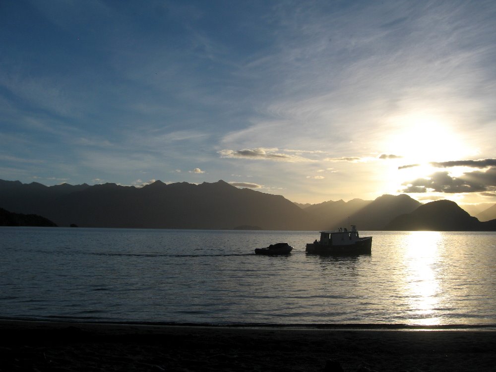
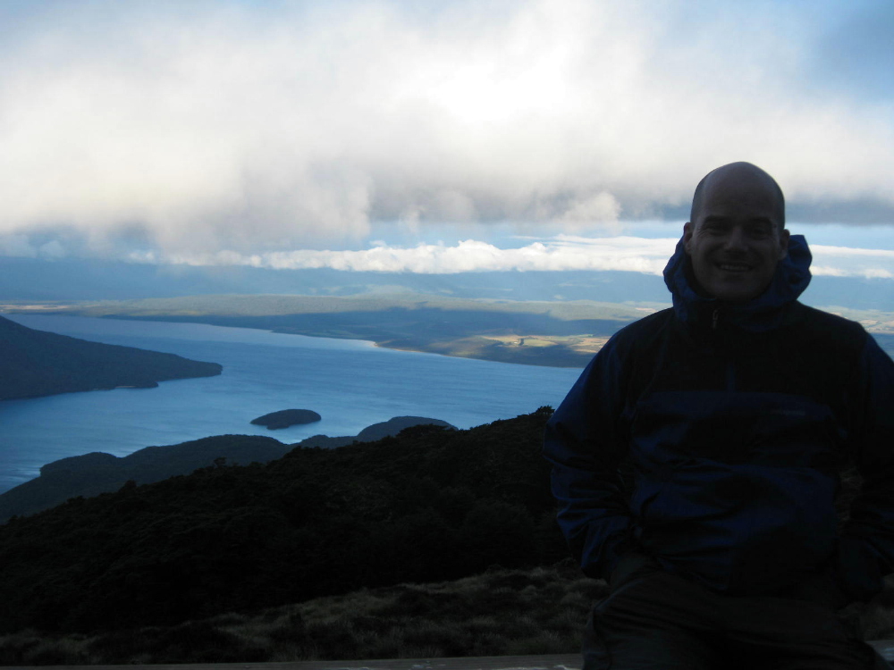
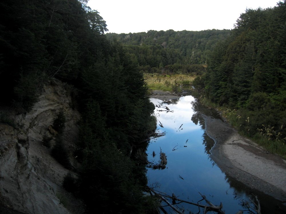
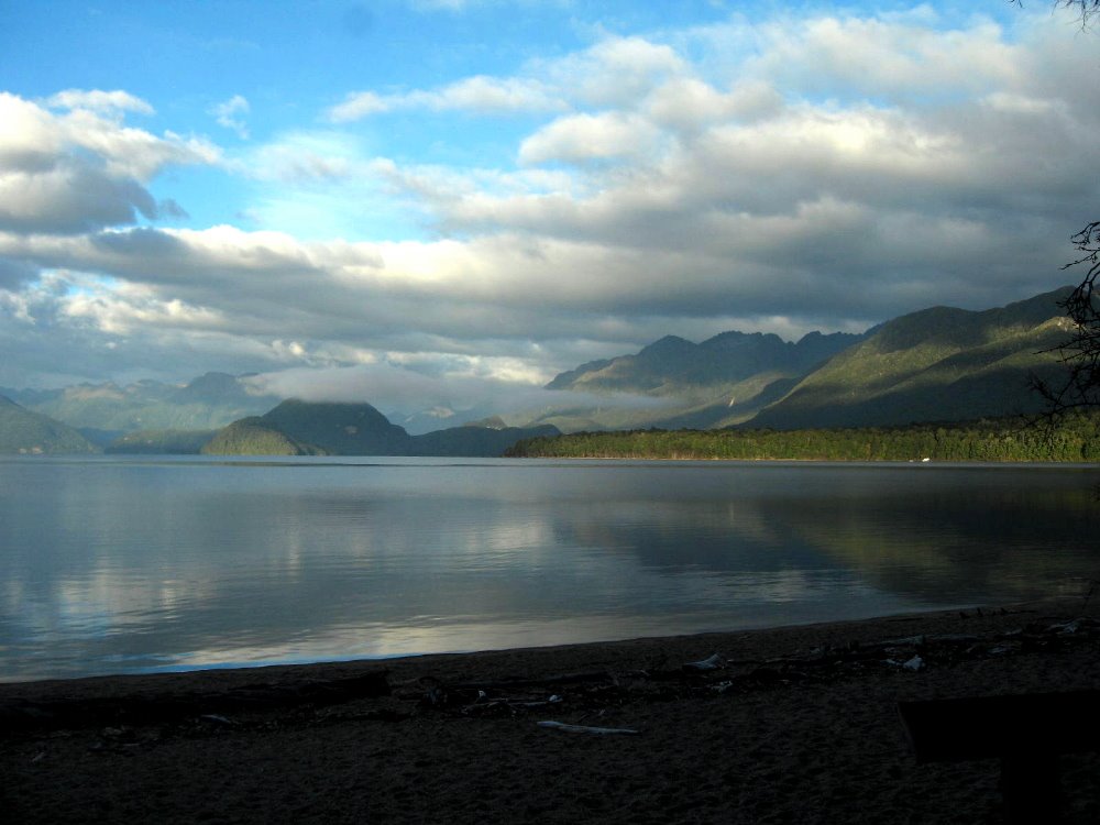
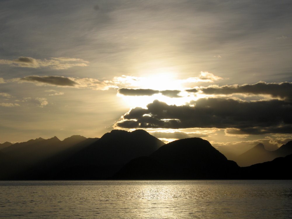
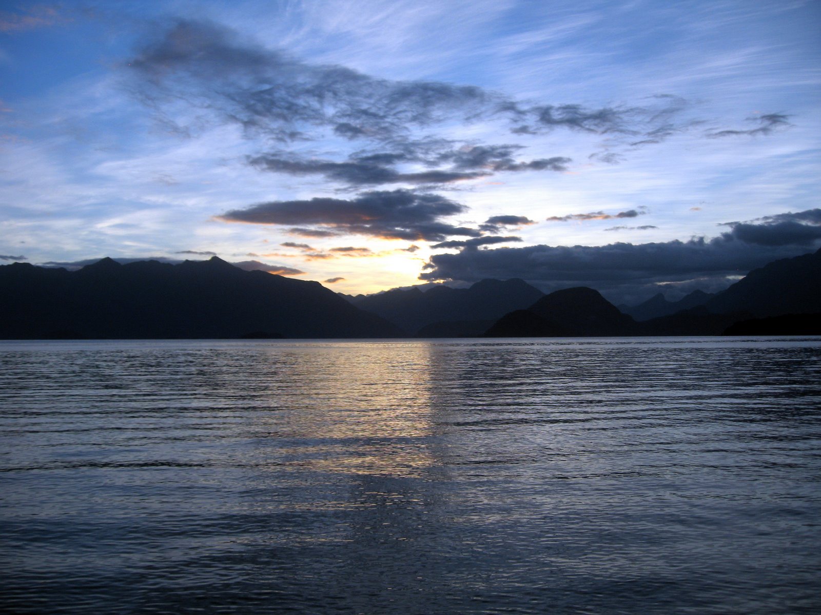
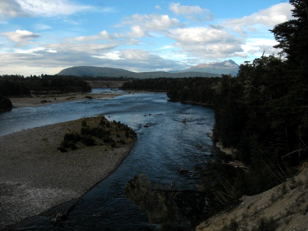

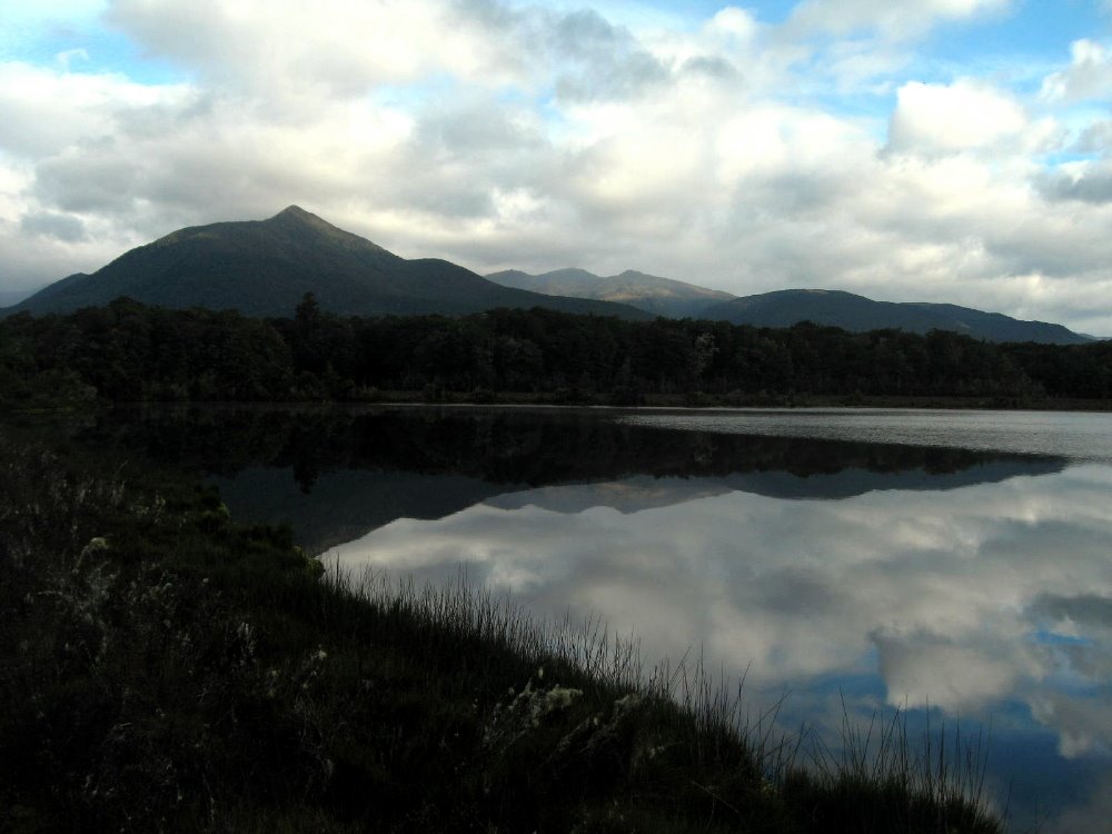
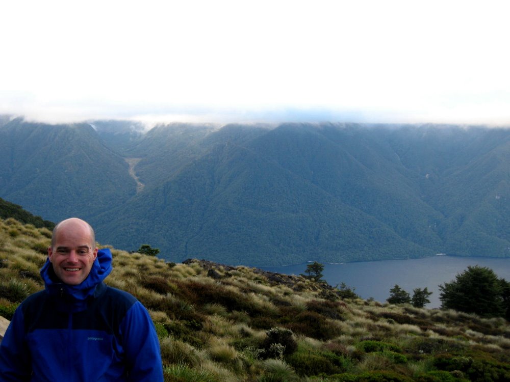
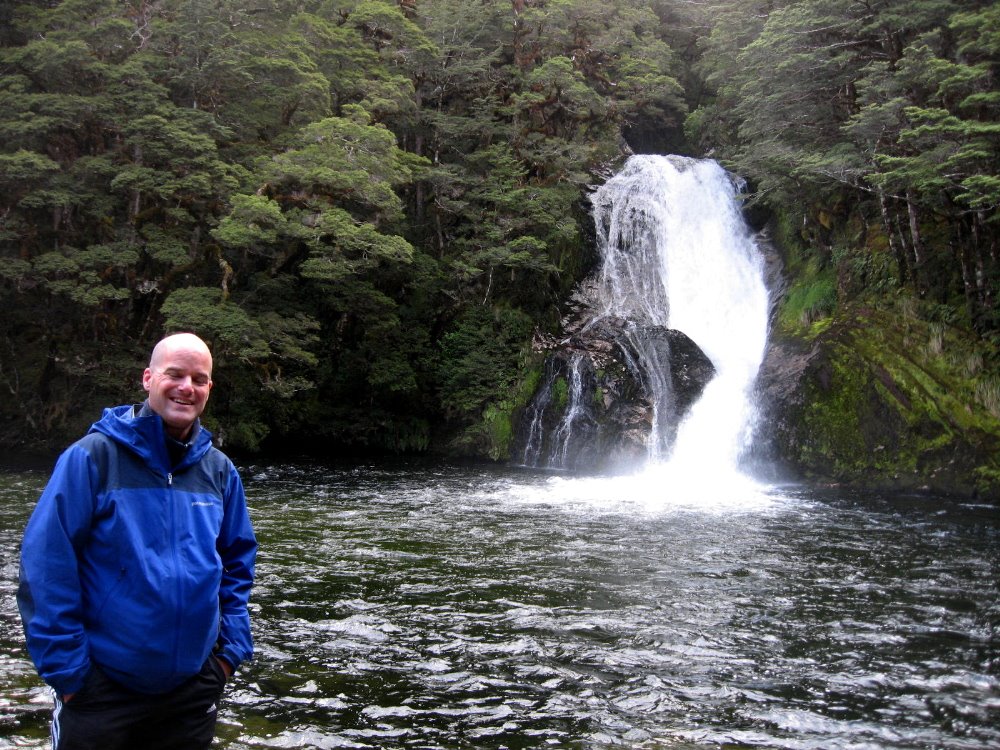
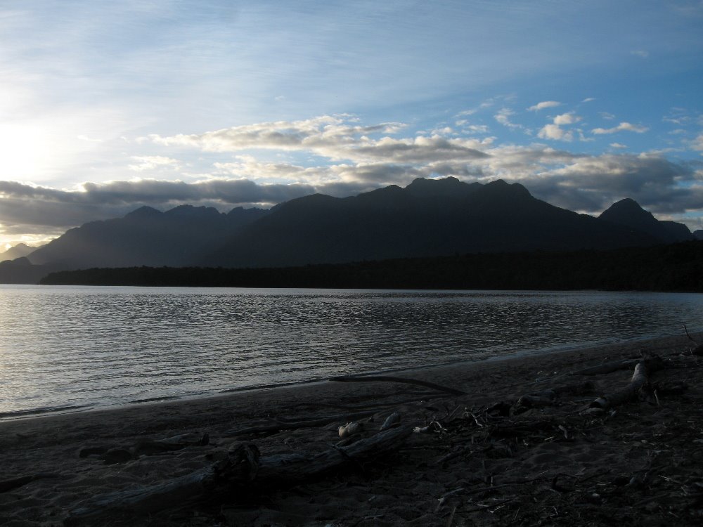

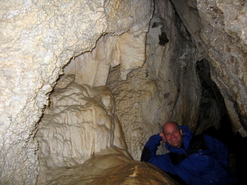
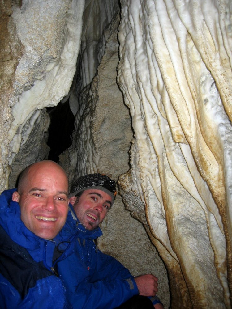 A ridge or two down from the summit of Mt Luxmore — which is only at about 1500m or so, not really that high, but it’s well above the tree line at this southern latitude — is a large system of caves which we explored along with two nice guys we met in the hut, Jamie (aka Luther, with me above, a mighty fine bass player also I might add) and Bob. The Luxmore Hut is situated on a ridge above the tree line, surrounded by small alpine ponds and stunning views over the lake and the Murchison Range to the north. I’m nearly certain this shot below captures the ridge on which Luxmore Hut sits, if you look at the tallest notch (that being summit of Mt Luxmore, where I’m photographed in snowy fog a few shots down) and just come down a bit. I took it from a boat on the lake the night after I finshed the track.
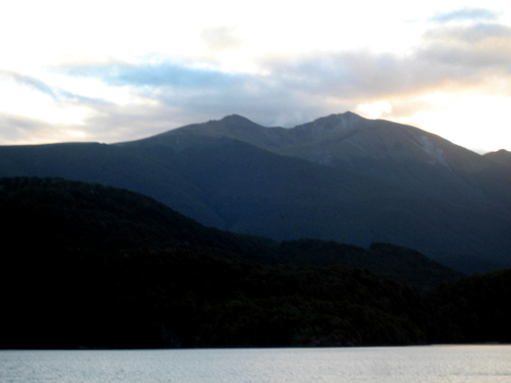

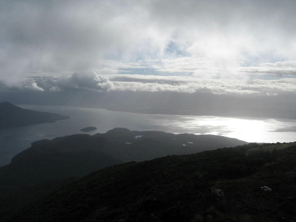 Above and below, clearly the same view (south arm meets main body of Lake Te Anau, looking across from Mt Luxmore toward the Te Anau town side) and shot almost the same time but with very different fog or cloud cover, when Howard & I took a break from our card game with some of the folks at the hut to check out the apparent break in the clouds and nice sunset views. Throughout the day and a half or so of alpine (above tree line) crossing on this track, we’d have periods where dense clouds and fogs or snows would suddenly part to allow a glorious glimpse of just amazingly beautiful vistas on all sides…and we’d all rush our cameras out, knowing that soon it would be fogged over like the shot of me at the summit of Mt Luxmore, a few down from here.
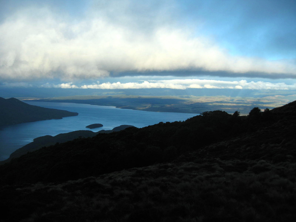
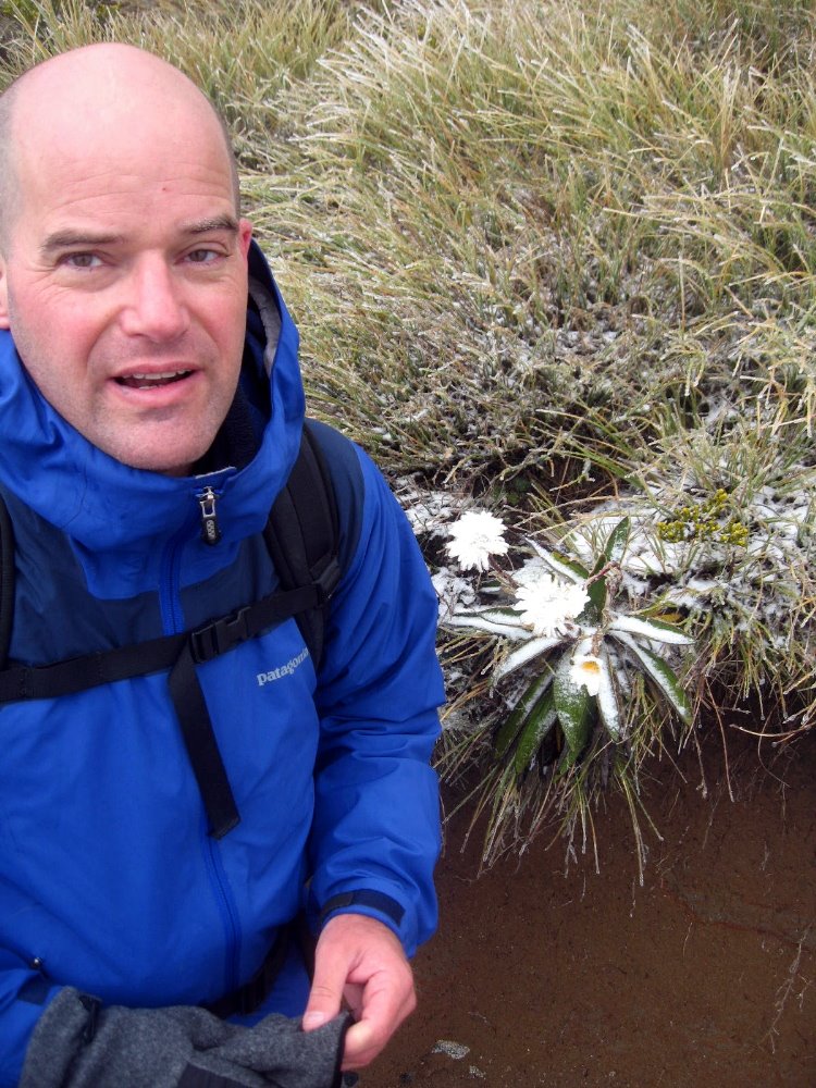
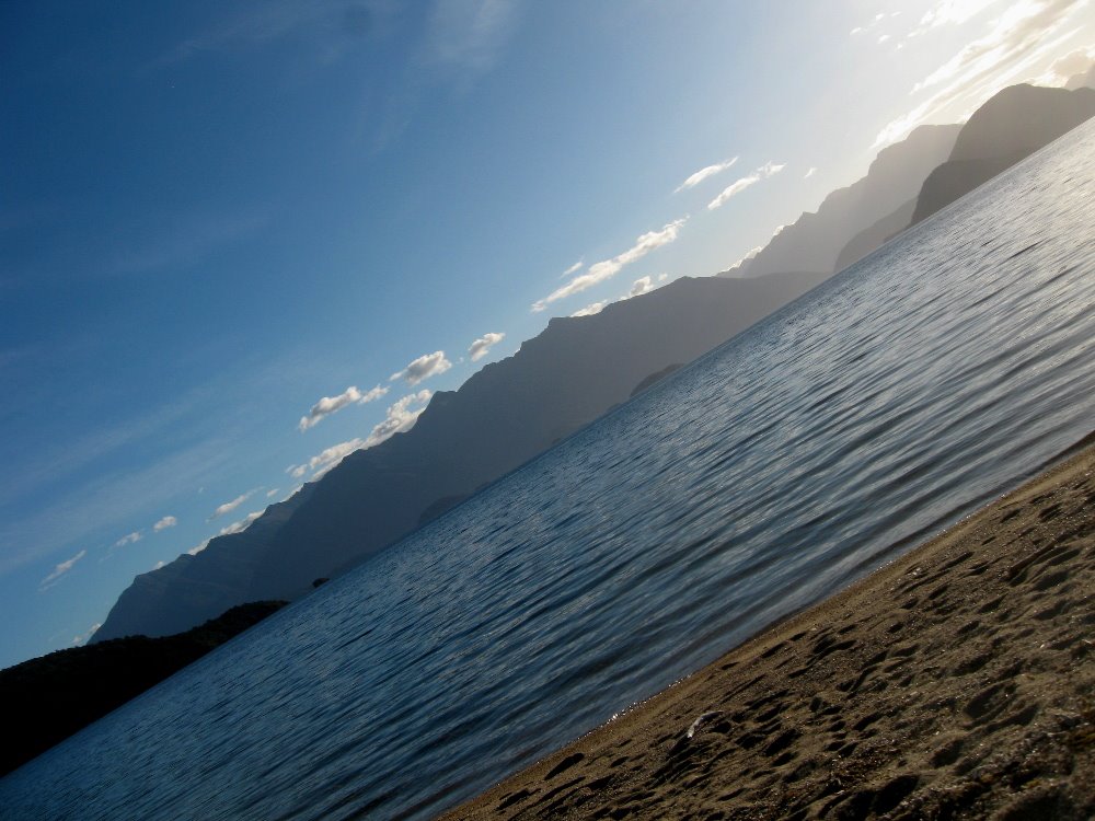
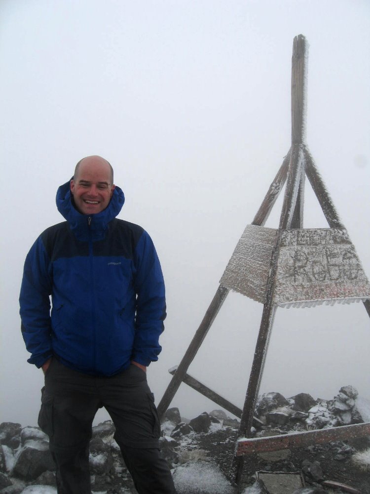
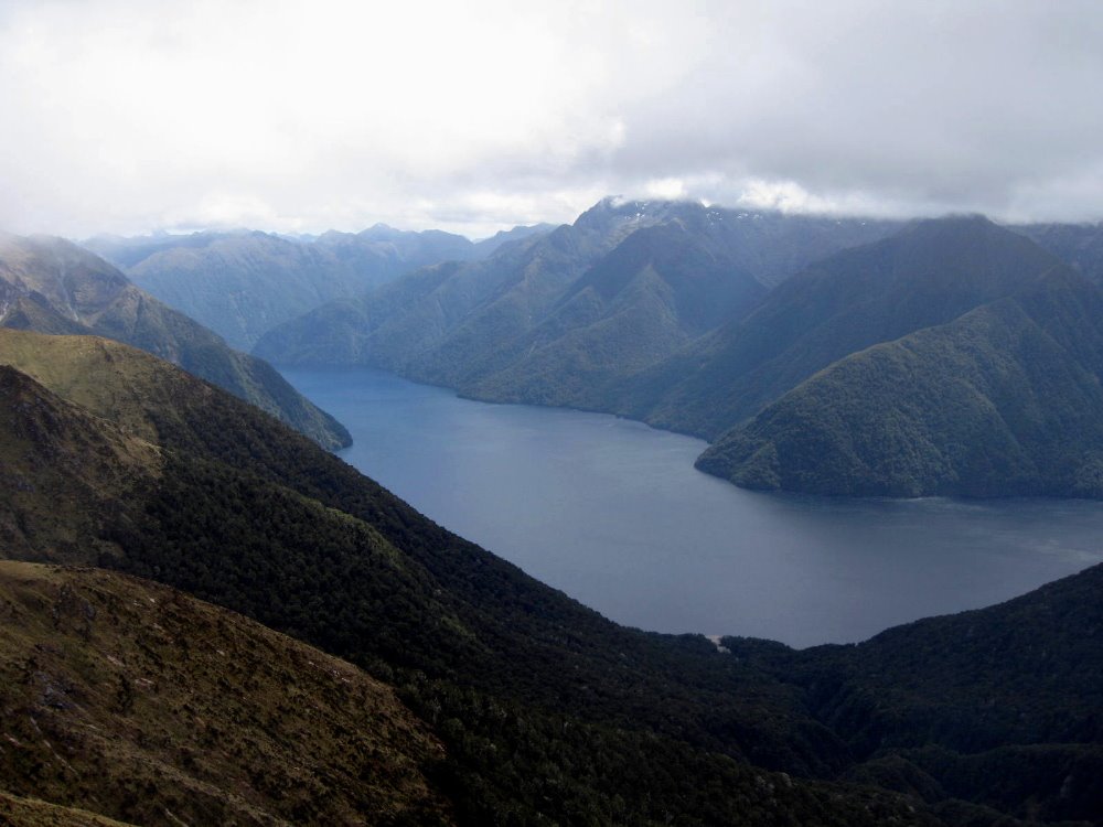
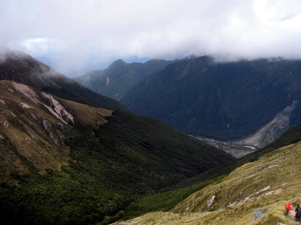
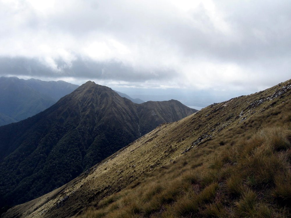
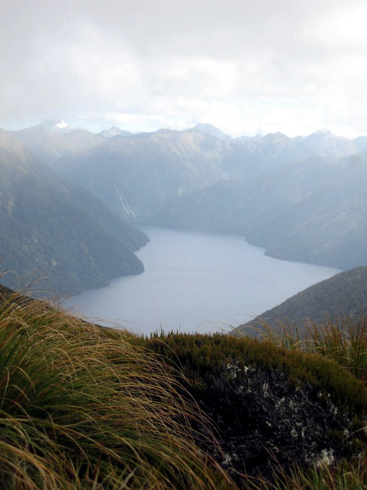
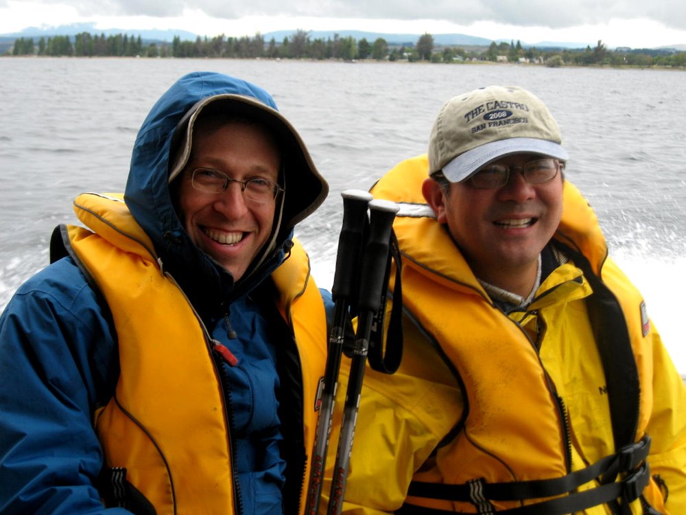
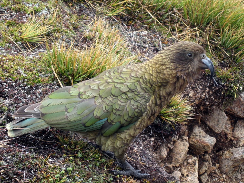
As you’ve seen, this track includes strolls through lovely verdant valleys and clambers along dramatic alpine ridgelines with sharp, breathtaking drops on either side. Since it’s quite far south and in an area of rapidly changing weather, small changes in exposure (the south face is the colder, darker side down here) or elevation can lead to radical changes in vegetation and micro-climate. Below, a small green mossy trickle on a hillside barely a hundred meters below the treeless alpine zone that, when I crossed it, was characterized by icy plants — and yes, these shots were taken within less than an hour of each other but at different elevations. That bird up there is one of the world’s few alpine parrots, the Kea: NOT people-shy and rather mischief-prone if one’s careless enough to leave a backpack lying around; and as you can imagine that beak is sharp. Mercifully I only heard stories and didn’t directly experience a Kea raid on my own pack.
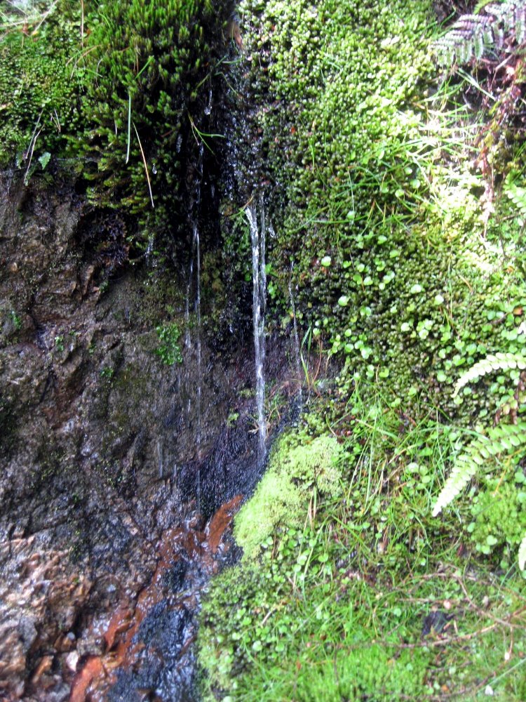
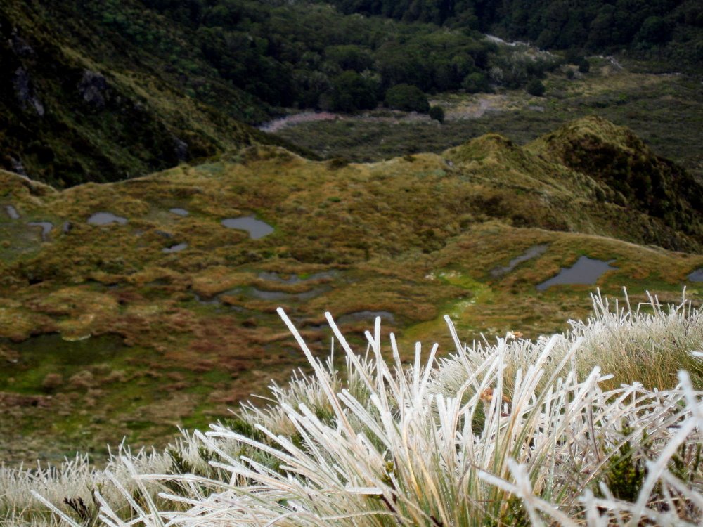
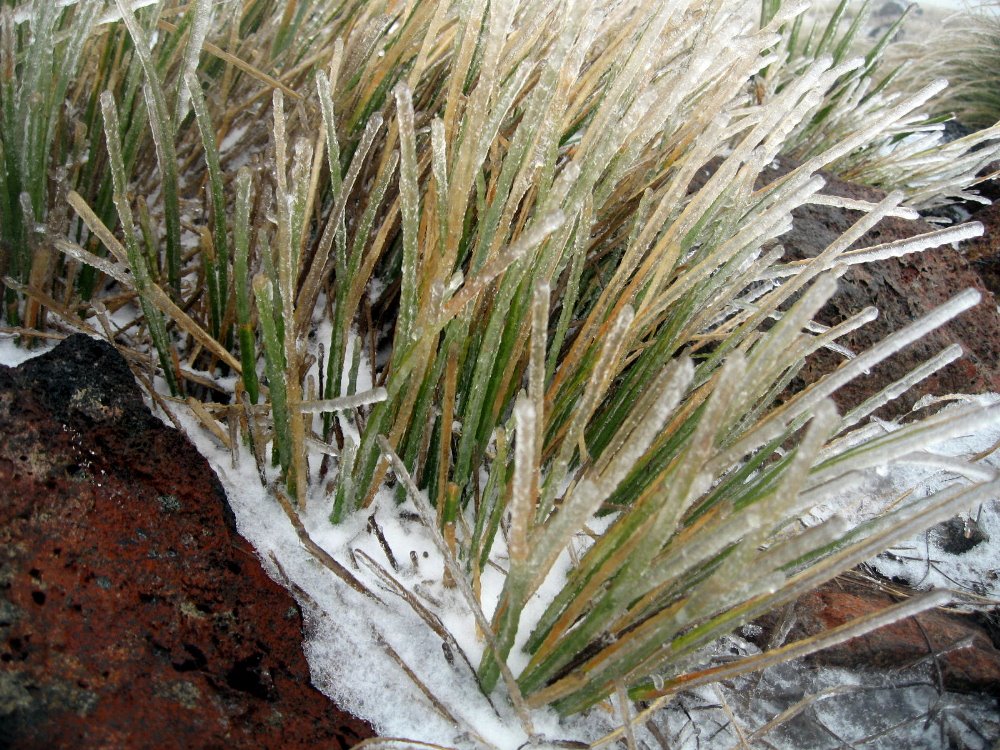
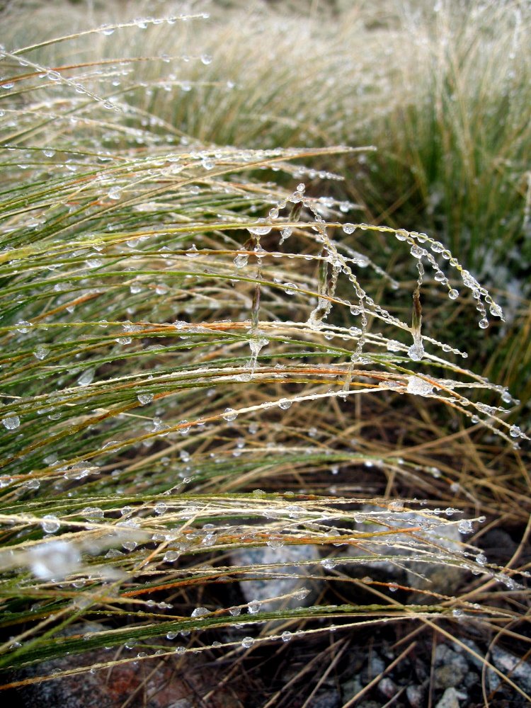
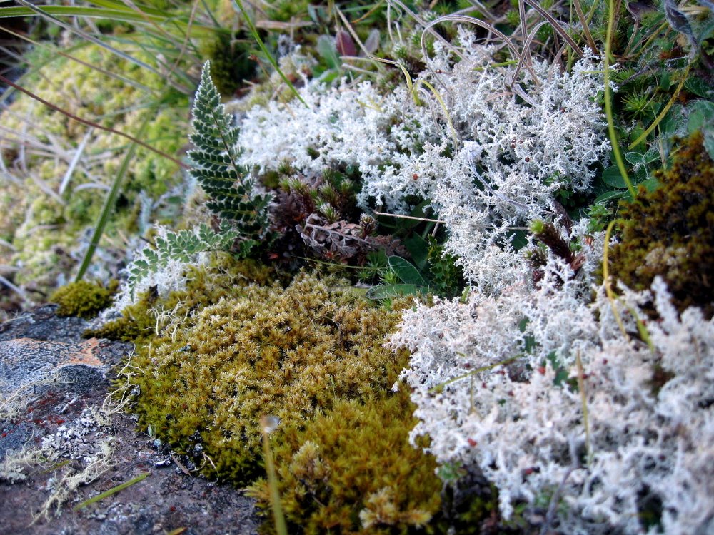 …the number of different mosses found in fiordland staggers the imagination. I heard the number — was it many dozen, or many hundred, I just can’t remember; but I do know they’re all mighty beautiful to look at and enjoy, and I’m sure they’re very enviornmentally beneficial.