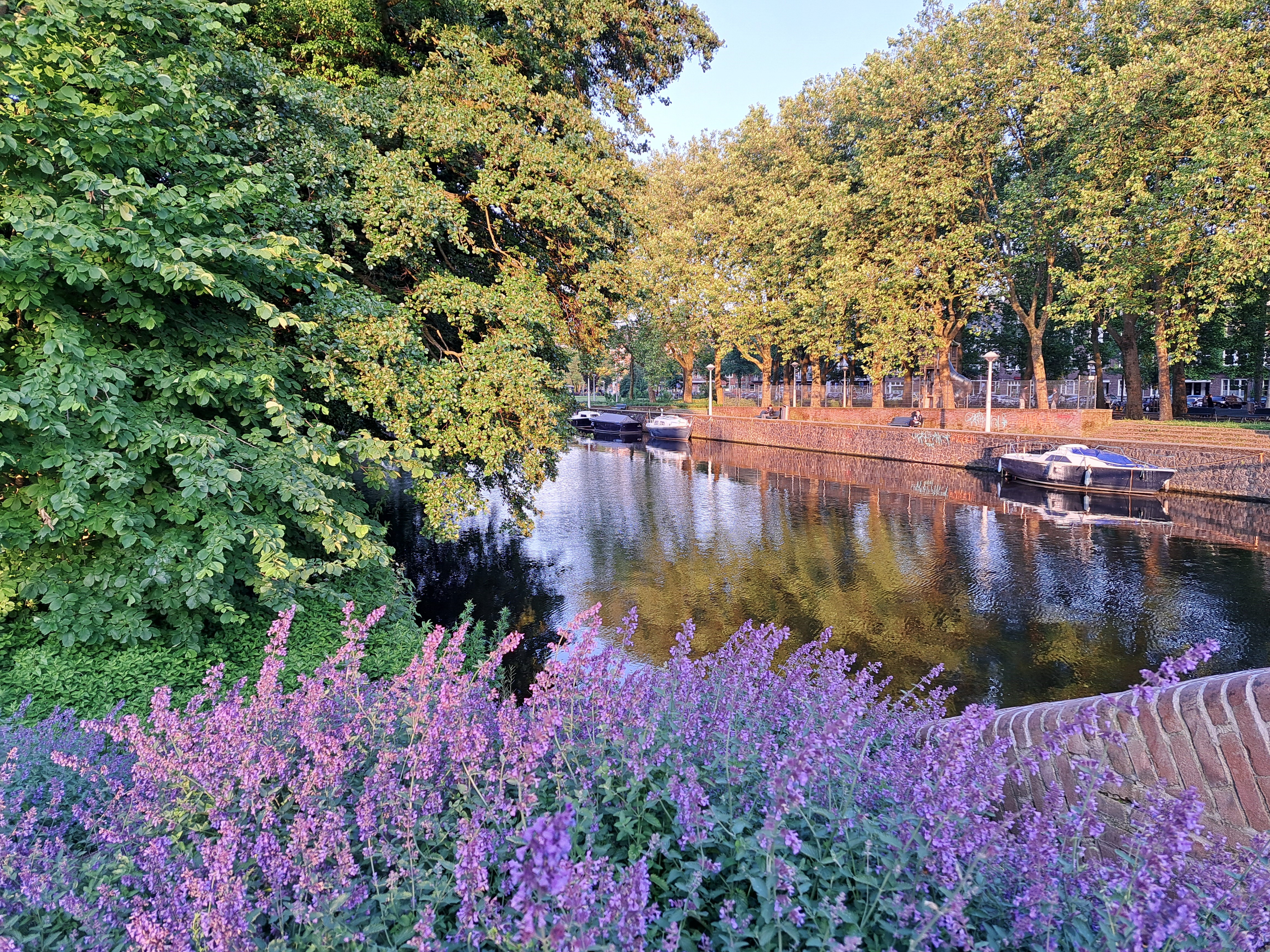

City Views.234
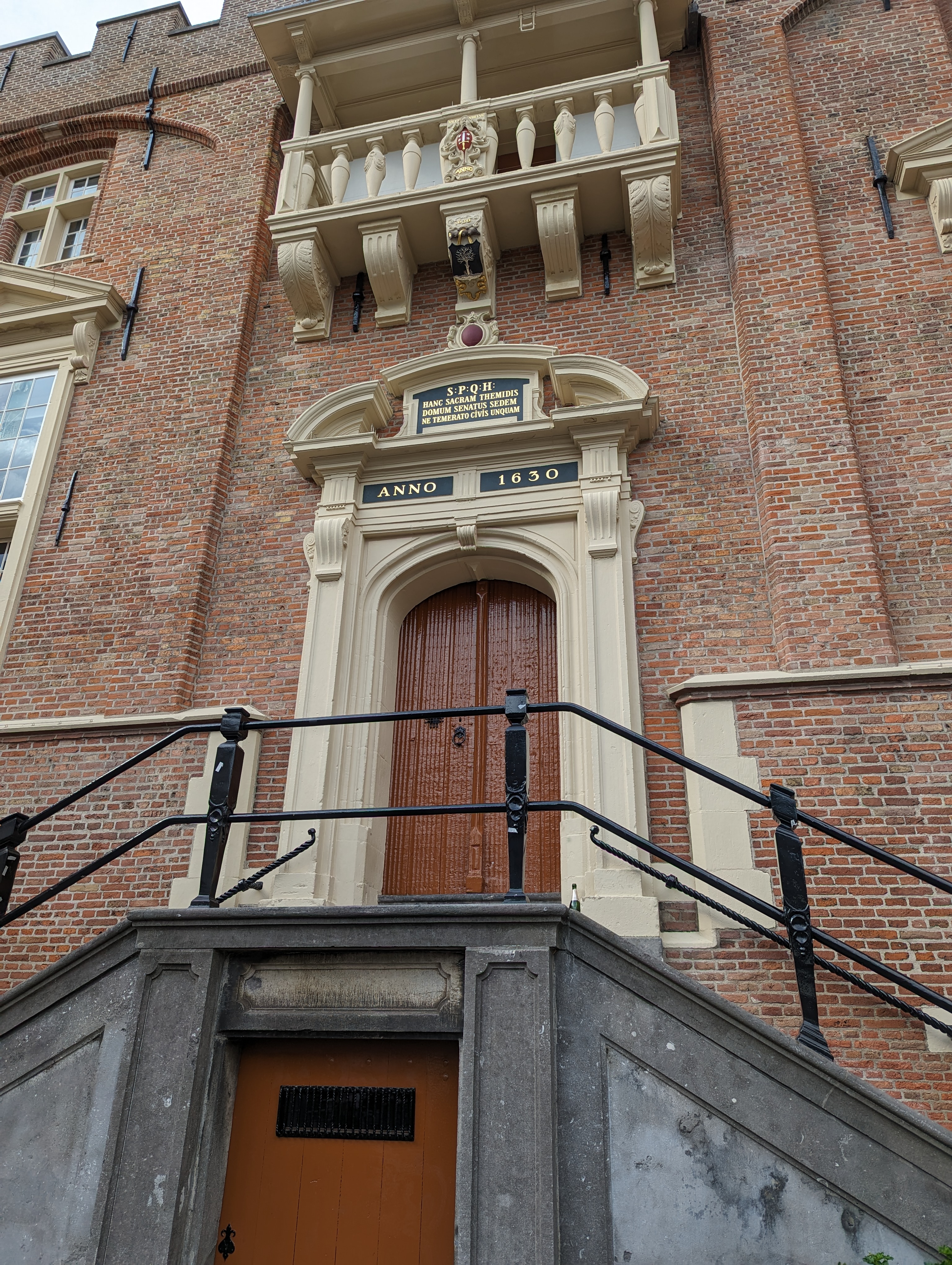
My recent post from the royal palace in A’dam caused cousin & occasional guest contributor Sam to point out that he’d seen plenty of SPQ “x” signs all over during his visit last year. Herewith two examples he sent, one from Haarlem (left), the other from Amsterdam. Thanks for the sharp eyes, Sam 🙂
Ah, Royalty.34

Islands.64
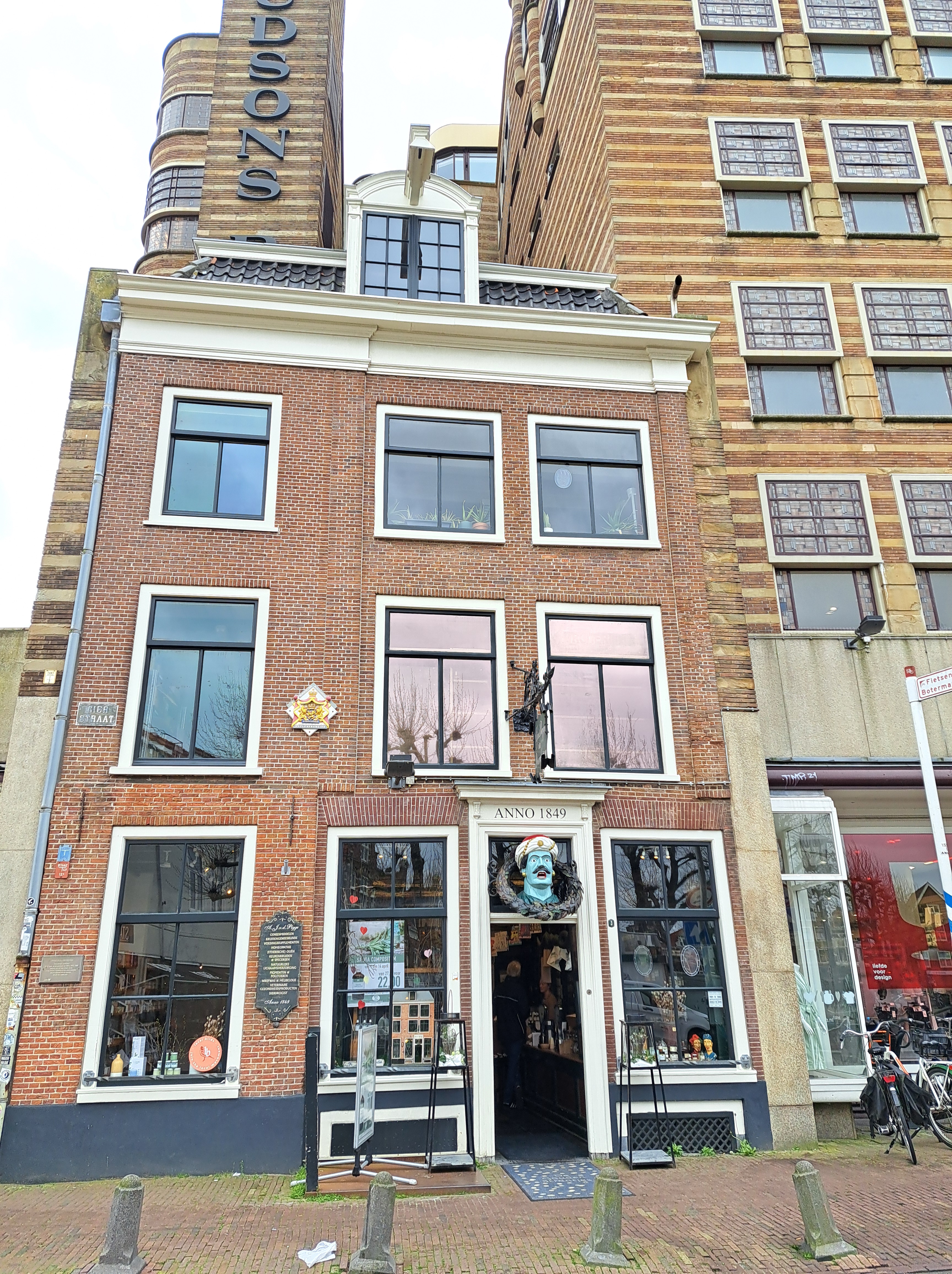
Signs of the City.93


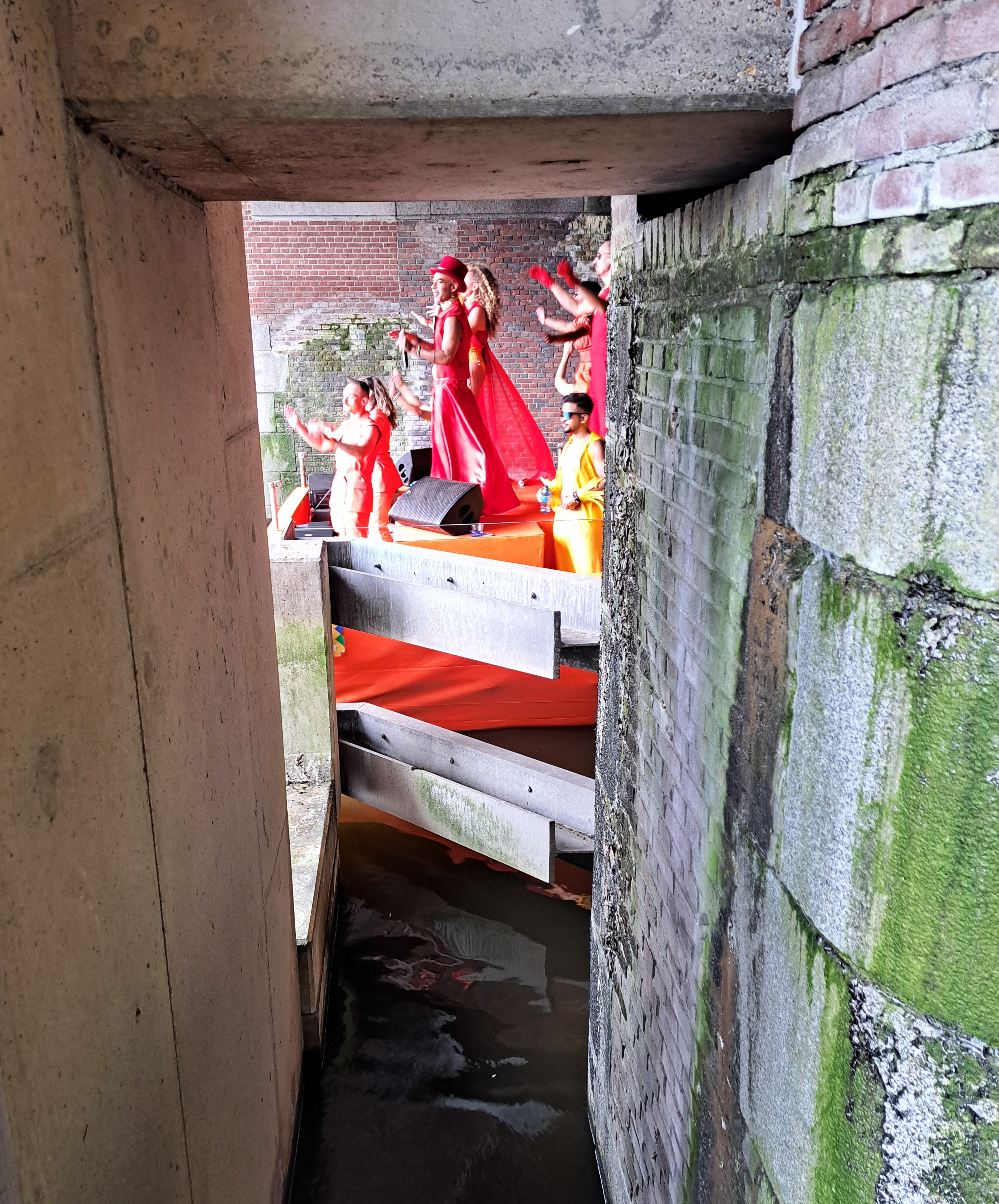
Amsterdam Pride centers around 3 weekends in late July and early August, this year with a “Pride Walk” the first weekend, this post’s featured “Pride March” the second, and the “Pride Boat Parade” the third weekend. I finally joined or observed all three this year, including the boat parade this weekend just past. So nice to live where one is legal and less fearful of physical, social or legal harm and threats.


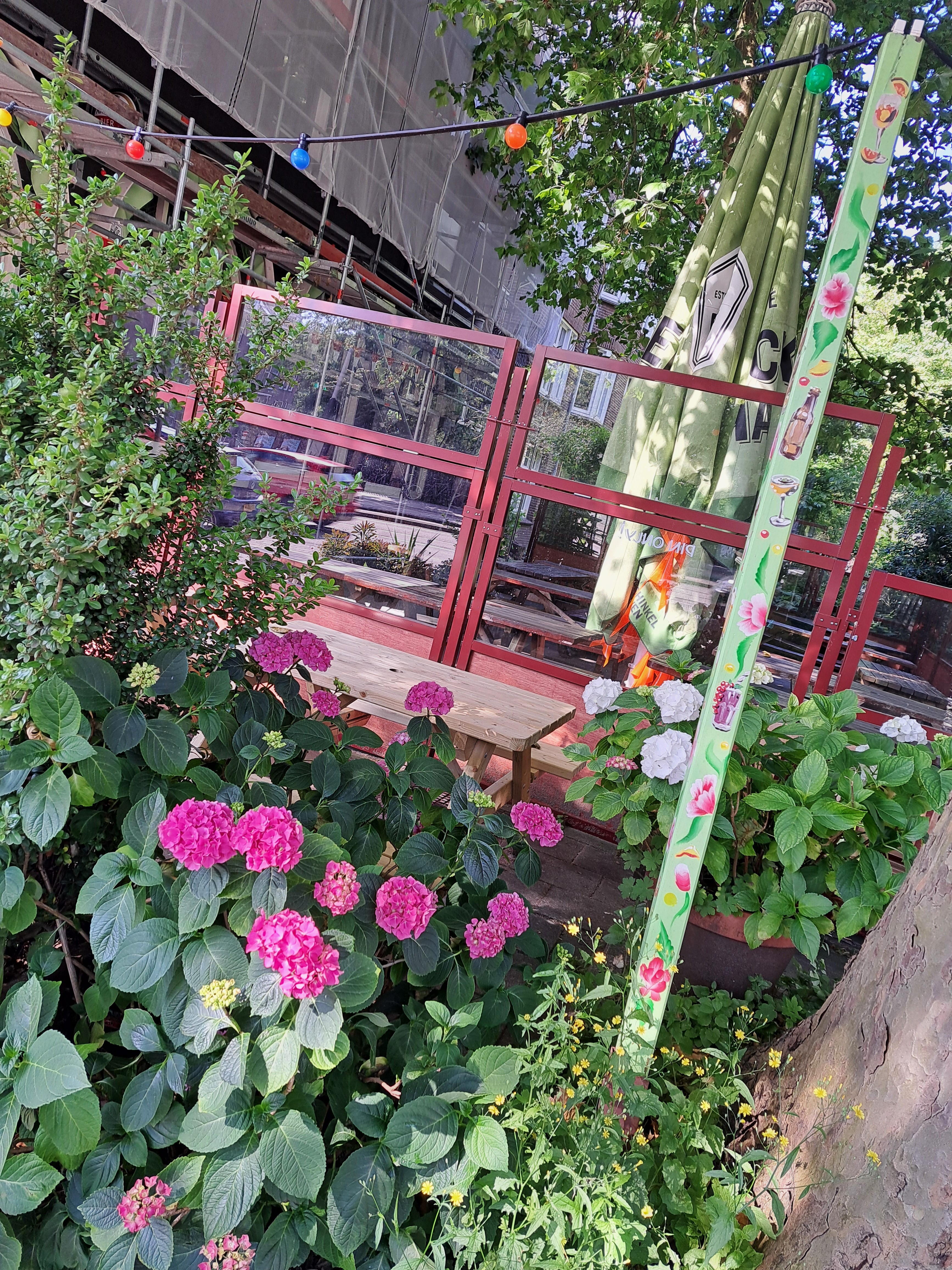
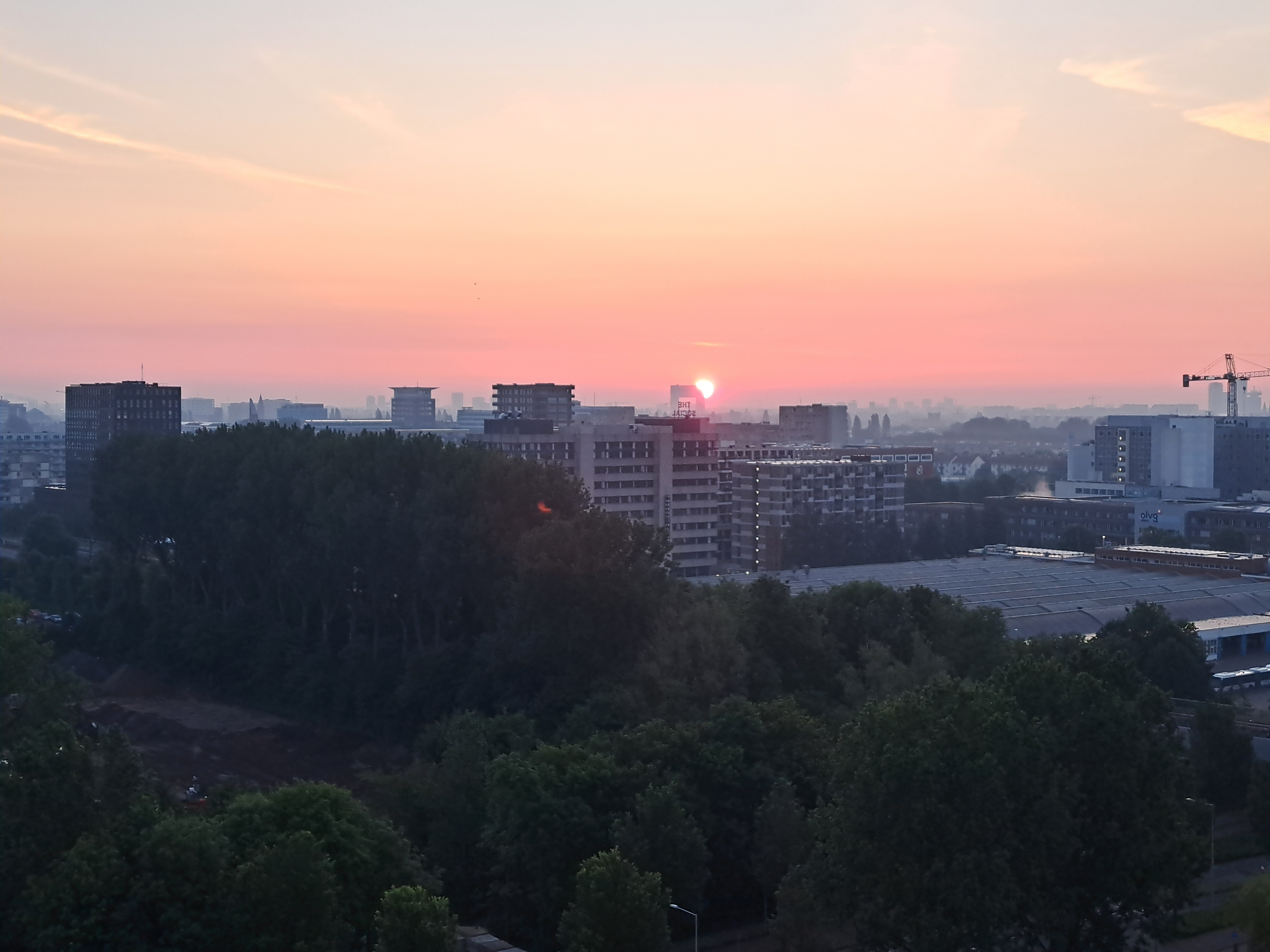
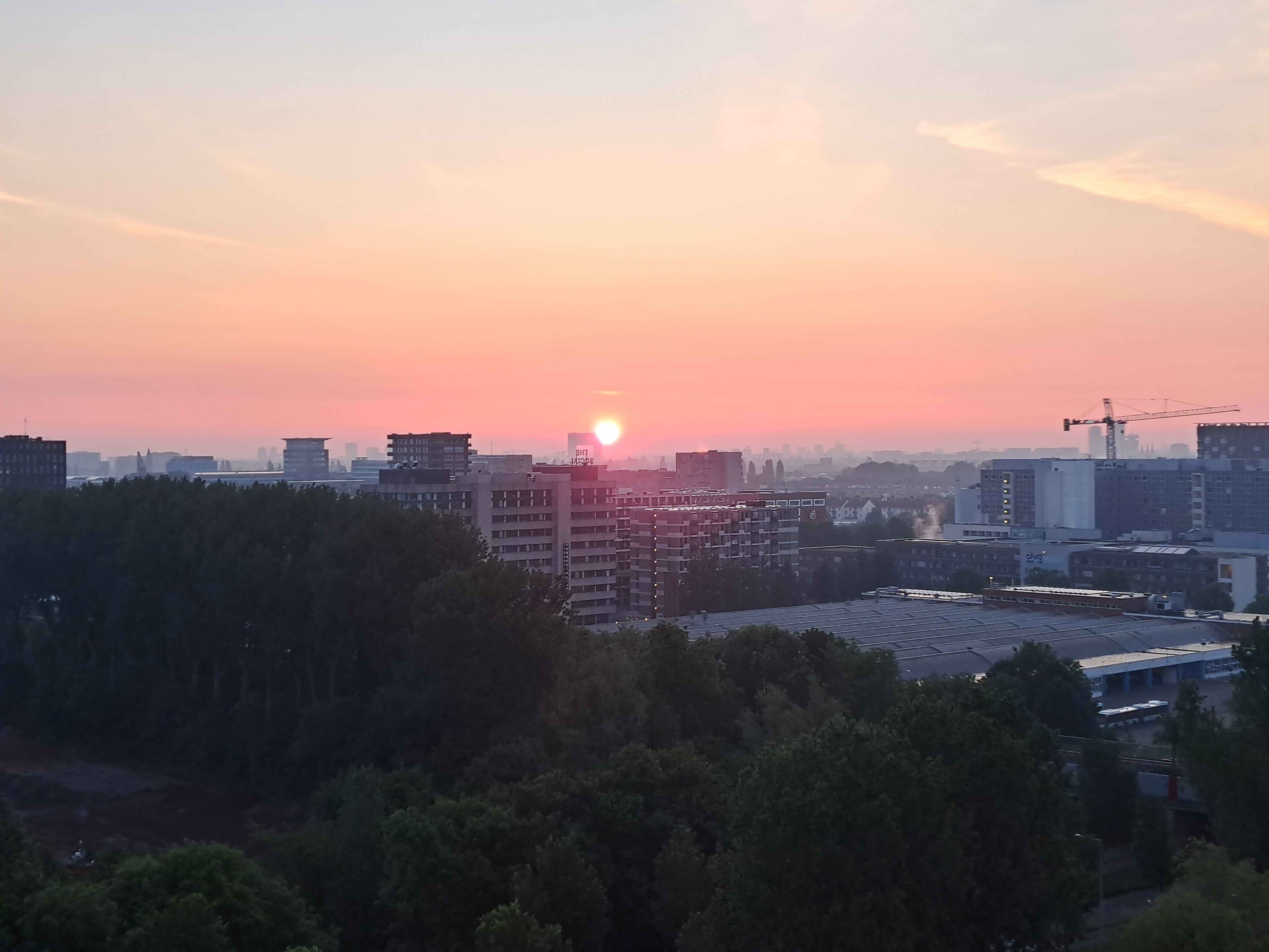
City Views.233

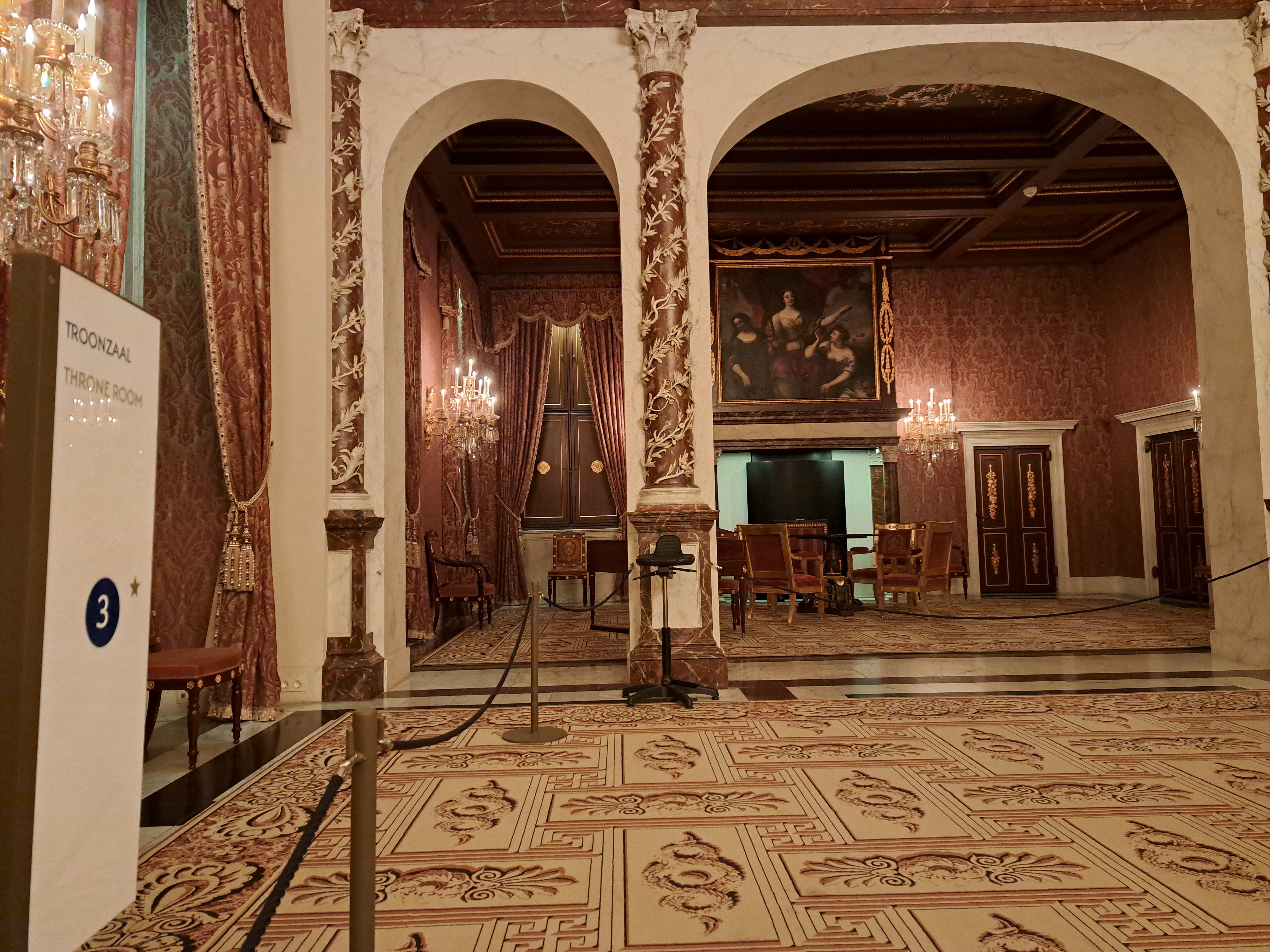
Ah, Royalty.33

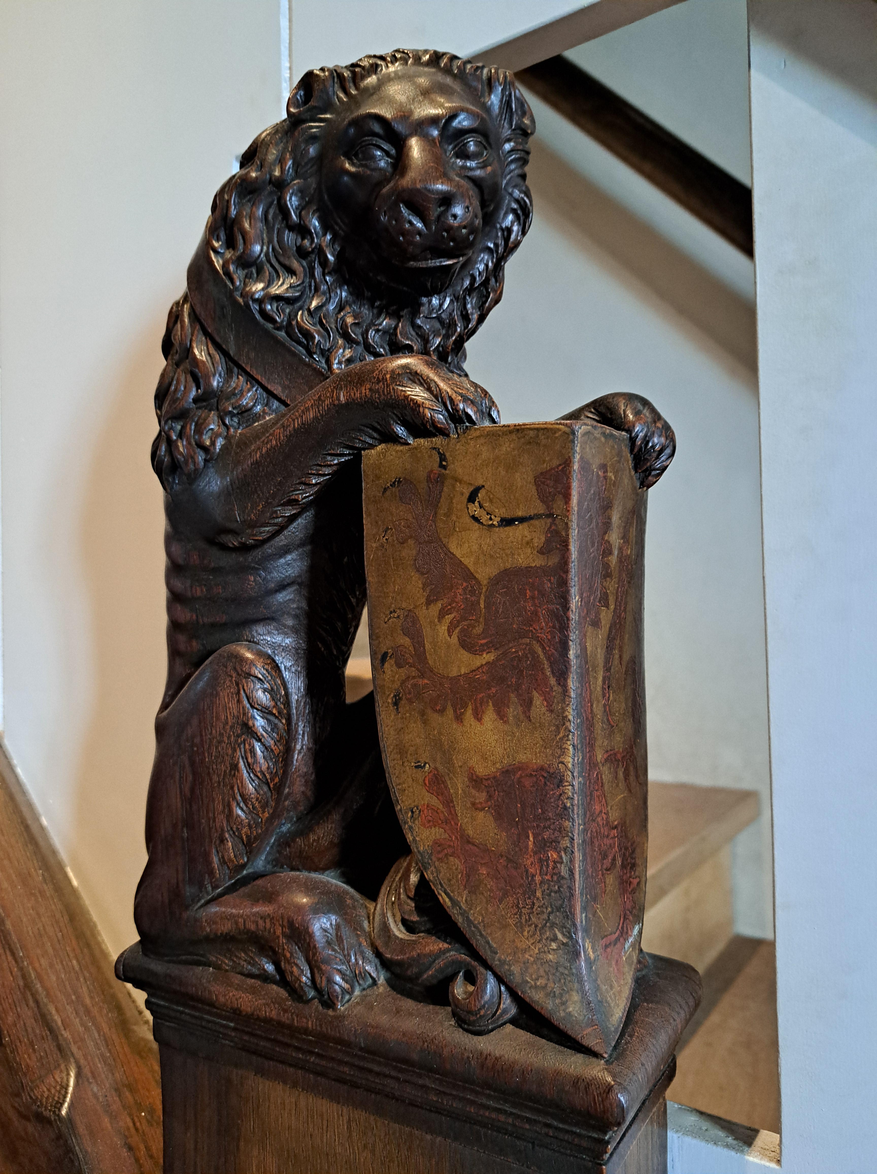
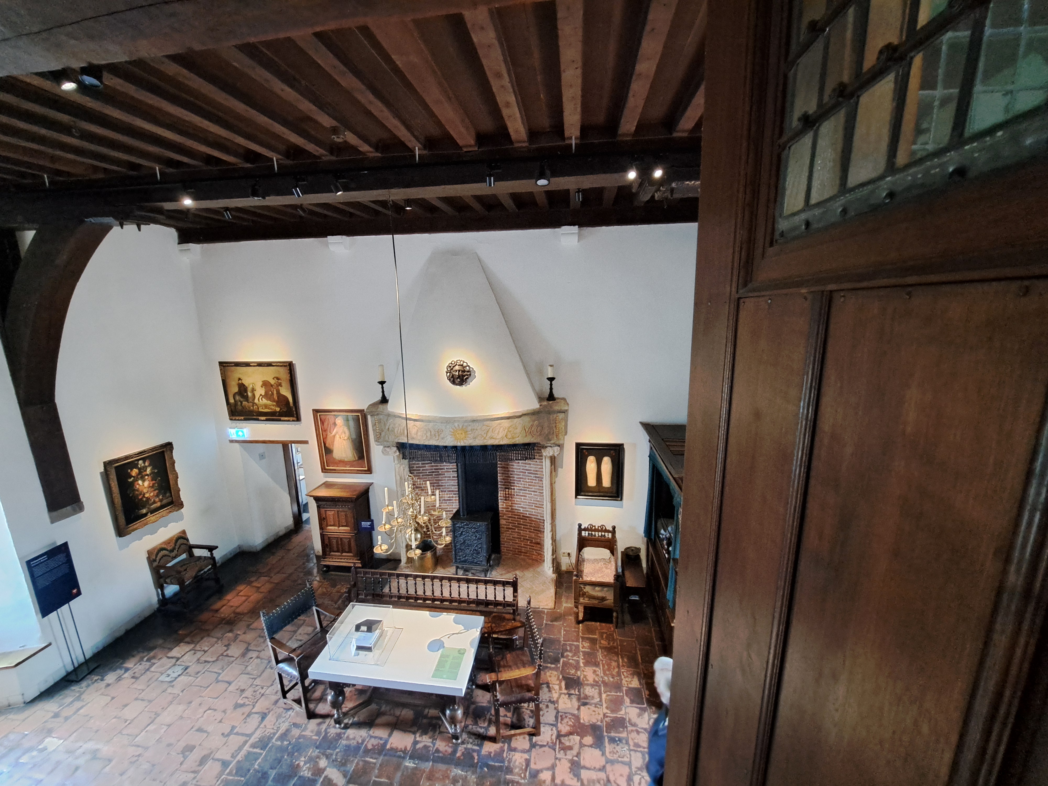
All from the Royal Palace in A’dam, which we showed you once before when we’d just returned from the US and had no backlog of remotely legit “royal-ish” stuff to share with you. I’ve now stocked up on royal stuff from Berlin as well as a few different corners of NL so I can just share all these overly-impressive and imposing doorways, sitting rooms, waiting rooms, etc. etc. all in one big post. Fascinating are all the coats of arms in the gallery below, with SPQA at the top. (As in, Senate & People of the City of Amsterdam in direct imitation of classical Rome’s SPQR.) I’d never noticed that before, but have since seen the same thing on a bridge or two around town. One thing I will say about constitutional monarchies such as this one: they allow the State (by which int’l law means Nation State, not New Jersey or Alaska) itself to retain a certain dignity that rises above the politics of the moment. IMHO the US has lately tended to test the value of a single person being both head of state and head of government, often with disconcerting results when it comes to the dignity of the State itself… 


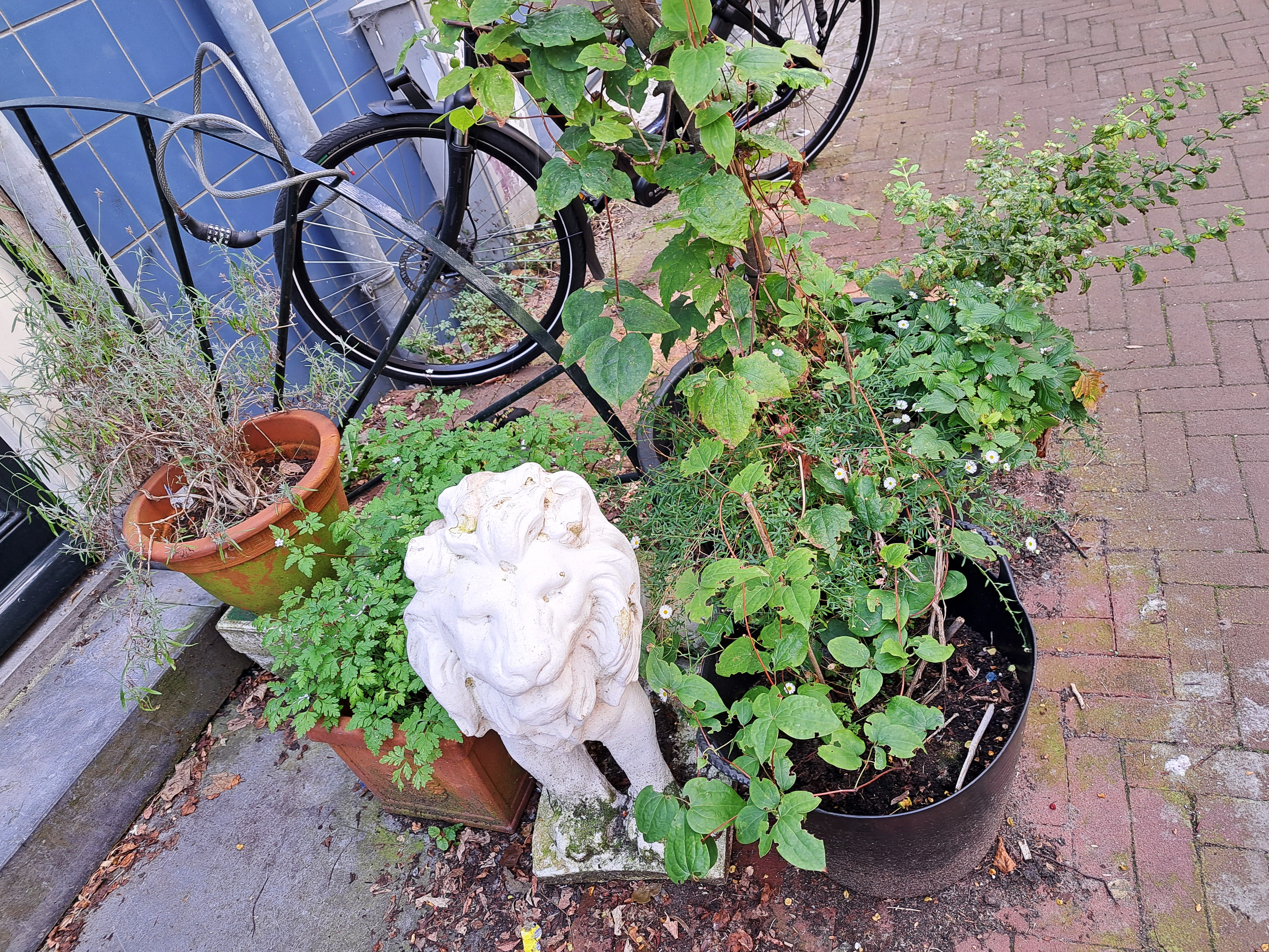
City Lights.61