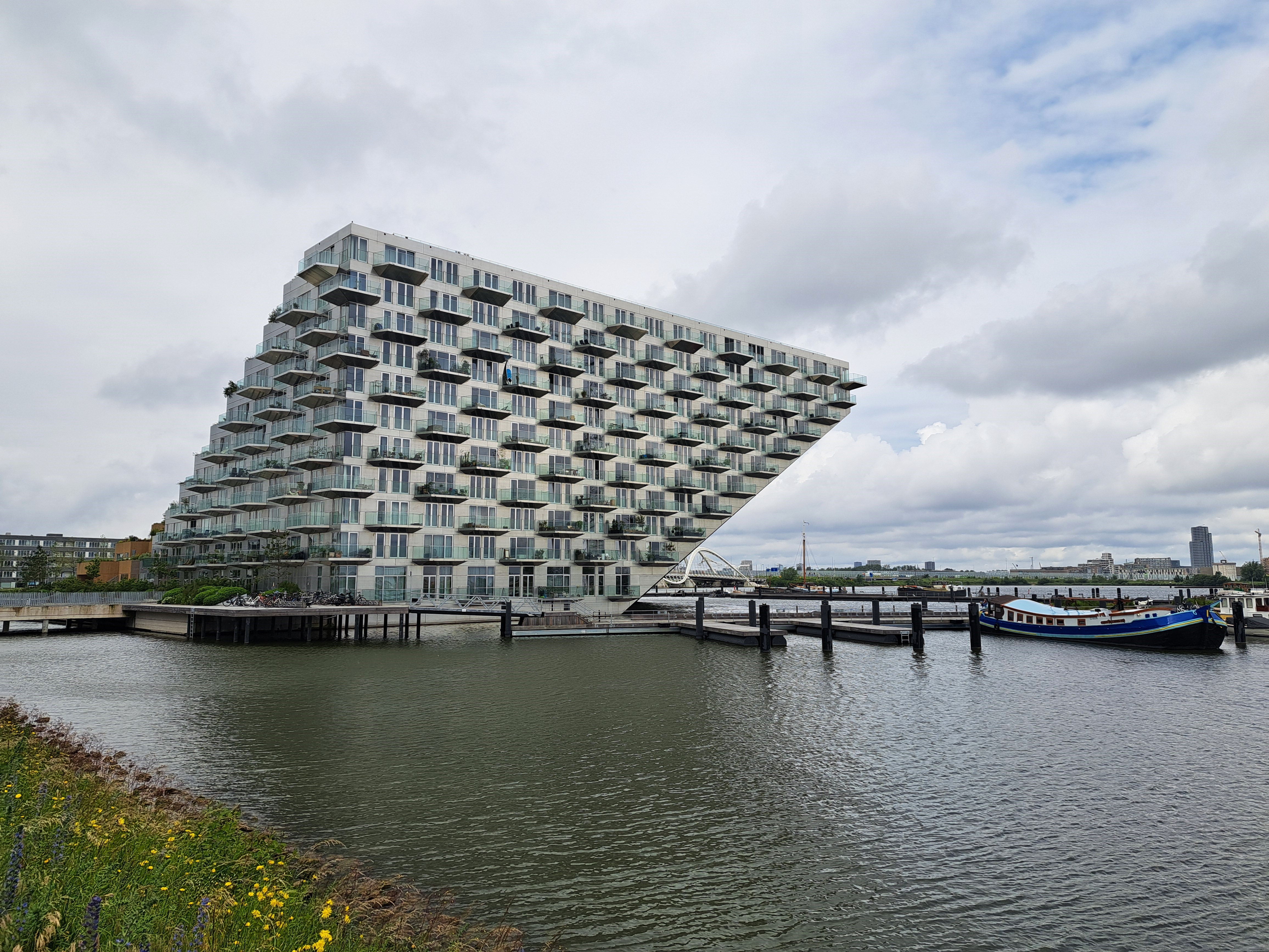
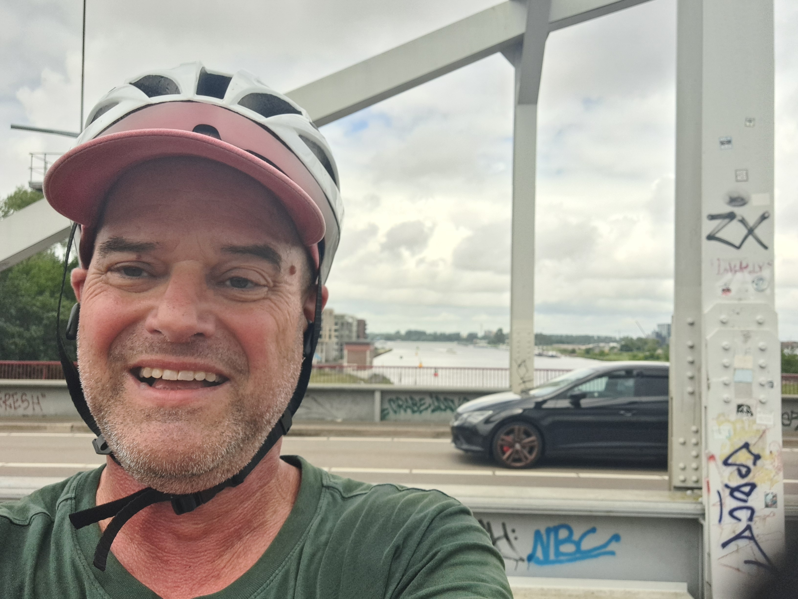
I first took the photo below while biking across the bridge en route to Muiderslot, which you’ve now seen twice before. I figured I was focusing on the island farther out in what I (and you, depending how much you read this text) now know is the Markermeer and not in fact a bay…I was pondering whether I could call it “coasting” or not :-). But then I got all the way across the bridge and saw up closer that this building is an island unto itself. You’re seeing it from two sides — the bridge you see below right and above center is the same bridge. Me further down is a different bridge that I’m just adding so you see I wear a helmet and am thus considered weird, here.
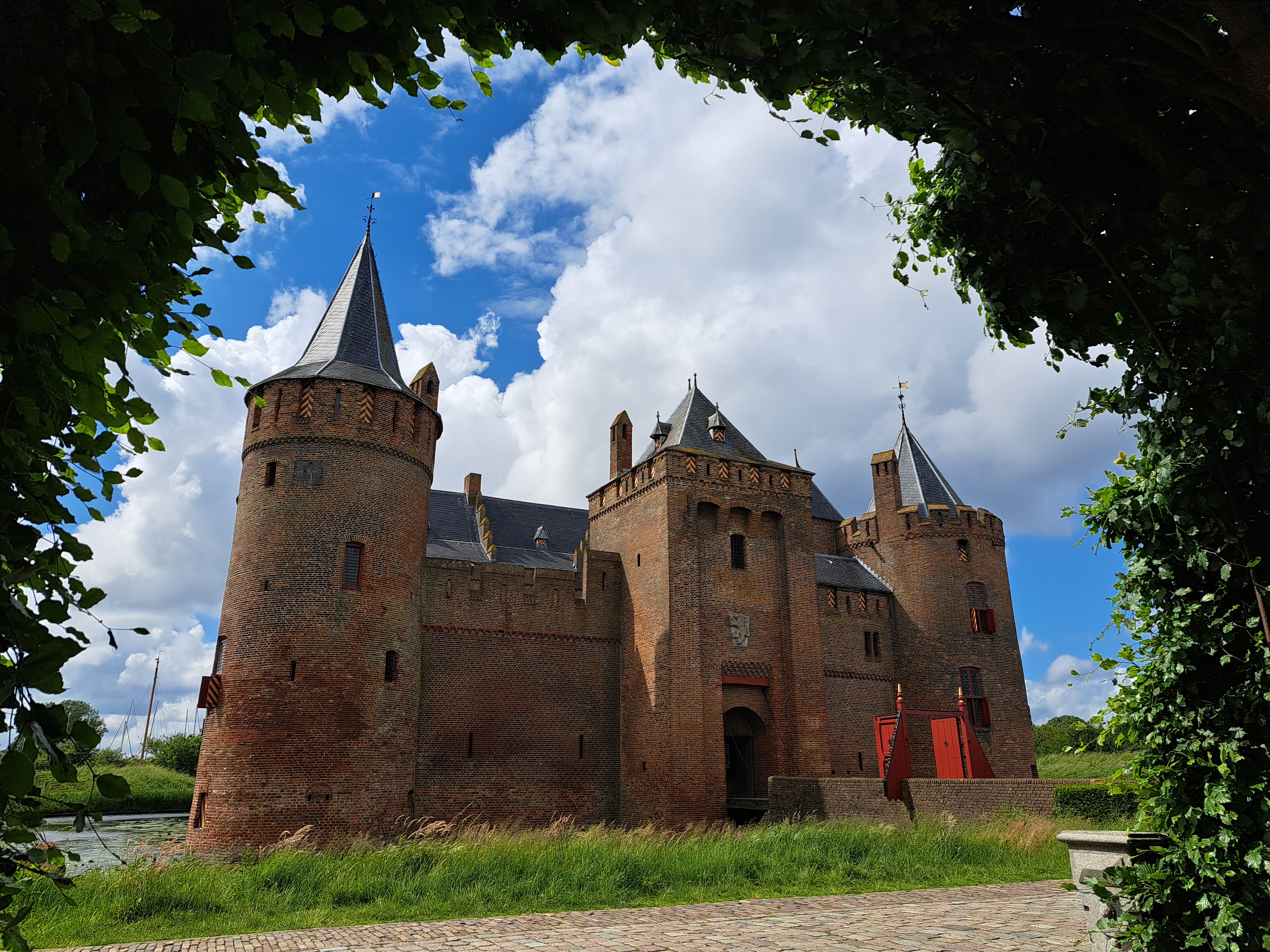
When we first showed you Muiderslot, this castle to the east of Amsterdam, we didn’t bother introducing it. If you’re open to a bit of geeky text on Dutch water-management, read on. Otherwise, just enjoy the photos taken when I biked out and back (a lovely full day only possible this time of year when the days are long enough) both to the see it and to re-stock for this series with images taken in places that can legitimately lay some claim to being at least royalty-related. 🙂
The two photos above right and left show you the narrow channel by which the Vecht River enters what is now the Markenmeer, which is now an almost-entirely freshwater lake. But if you click or tap to open and enlarge the map in the middle, from a display in the castle, you’ll see that until 90 years ago, both the Markenmeer and Ijsselmeer to its north used to be the Zuider Zee which was an open bay off the North Sea, with open flow of water both fresh and salty in and out. First, the Dutch built the Afsluitdijk (which I’d assume is the biggest of the many dikes the Dutch have built over the years – but haven’t yet confirmed) at the far north end, mostly for flood protection though it now also provides a direct road connection between North Holland and Frisia or Friesland. Then, in the 1970s, they did yet another dike that separated that larger former-bay-now-lake into two lakes, Ijsselmeer and Markenmeer and also connected parts of North Holland more easily with the newly-drained polders that are now in the province of Flevoland, without having to go through or around Amsterdam over land.
Both are now almost entirely fresh water reservoirs and flood-control areas that are huge enough to be significant ecosystems and watery playgrounds in their own right. When I first moved here nearly three years ago, I rapidly concluded, as to Amsterdam’s street grid and public engineering, that “it’s all about the water.” The longer I live here, the longer I realize just how right I was, and that it’s ain’t just the capital city but the whole country that’s all about the water. Links above will tell you more, but if you just search for Ijsselmeer on google maps, you’ll see confirmation in their one-sentence summary.
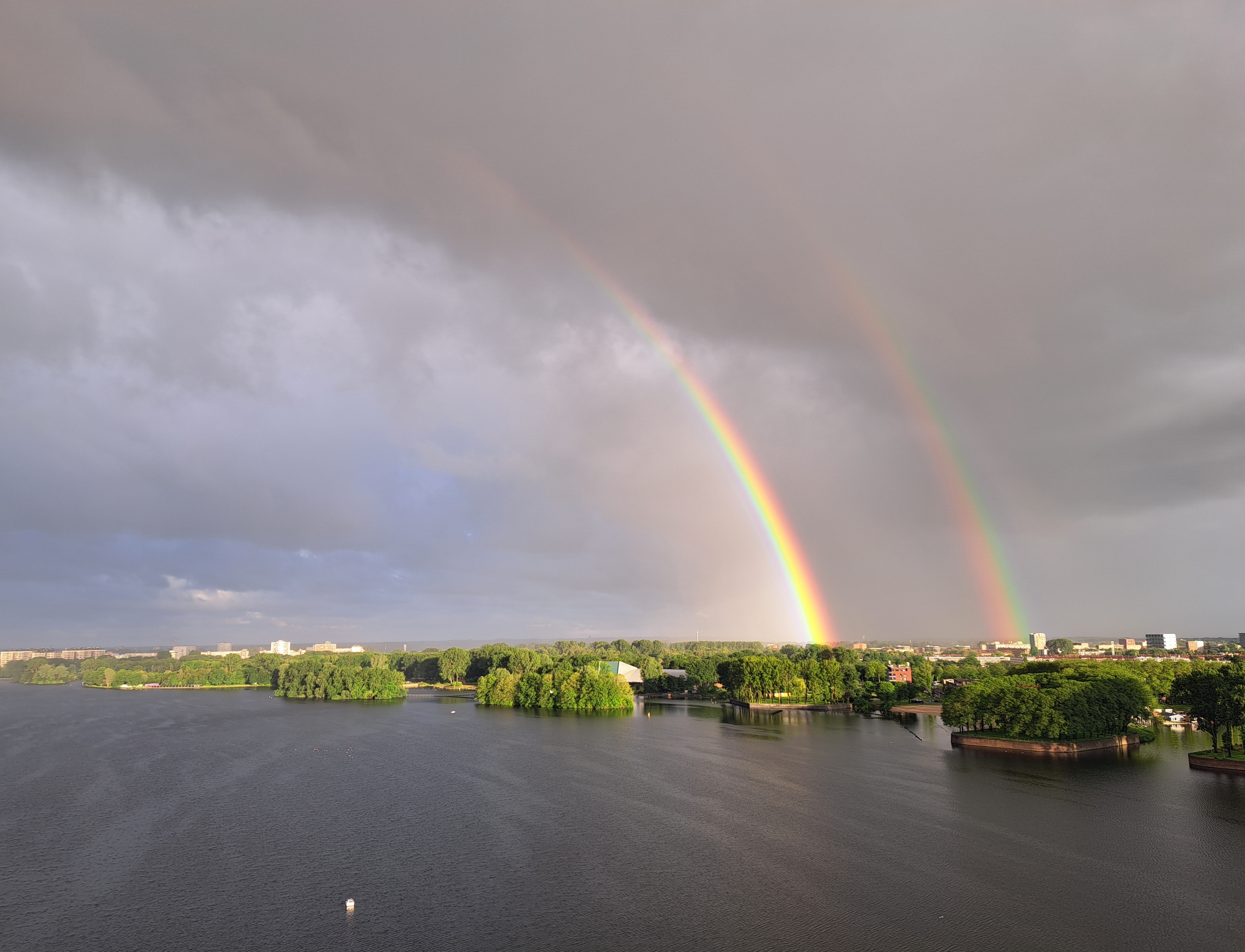
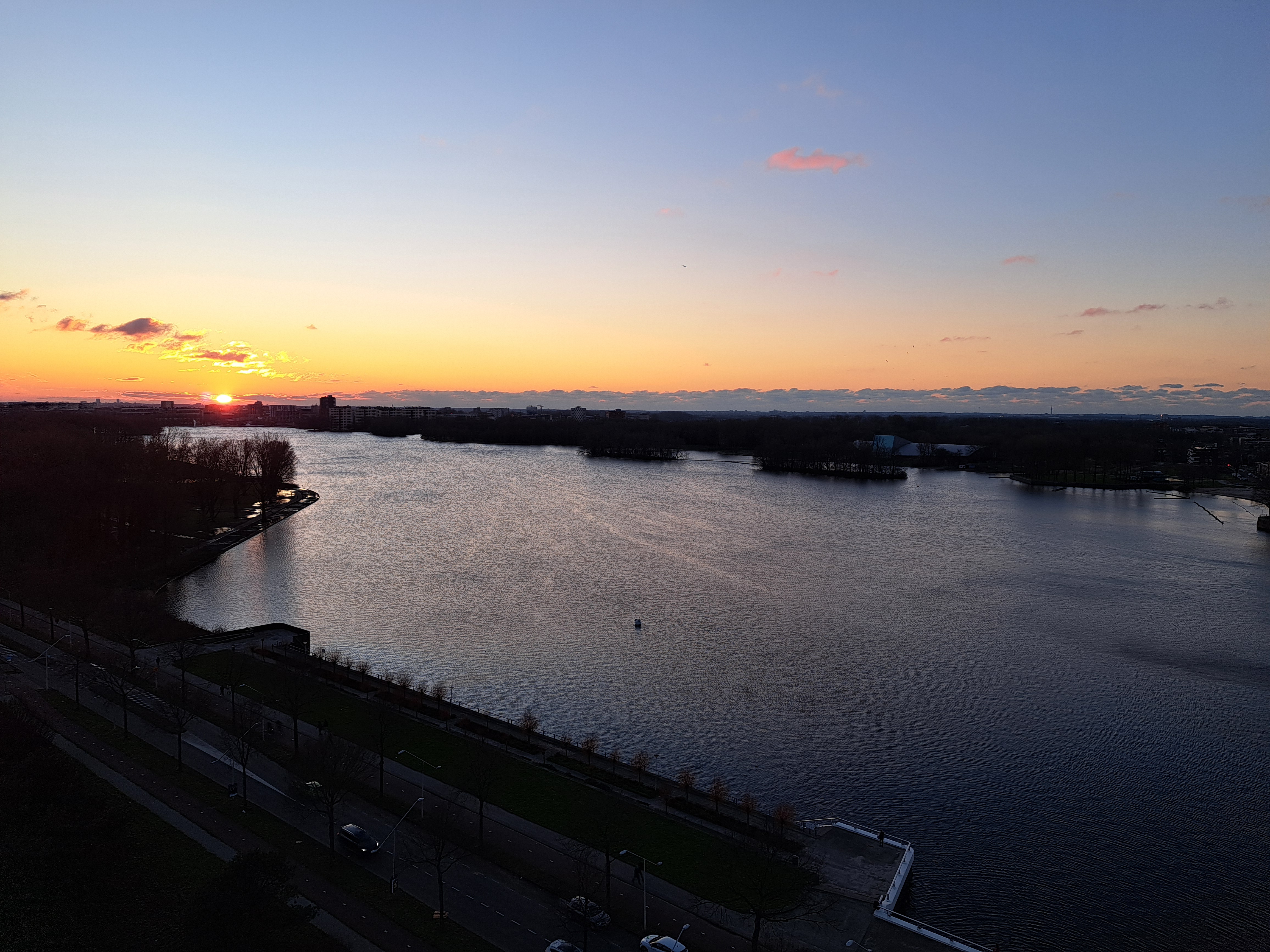
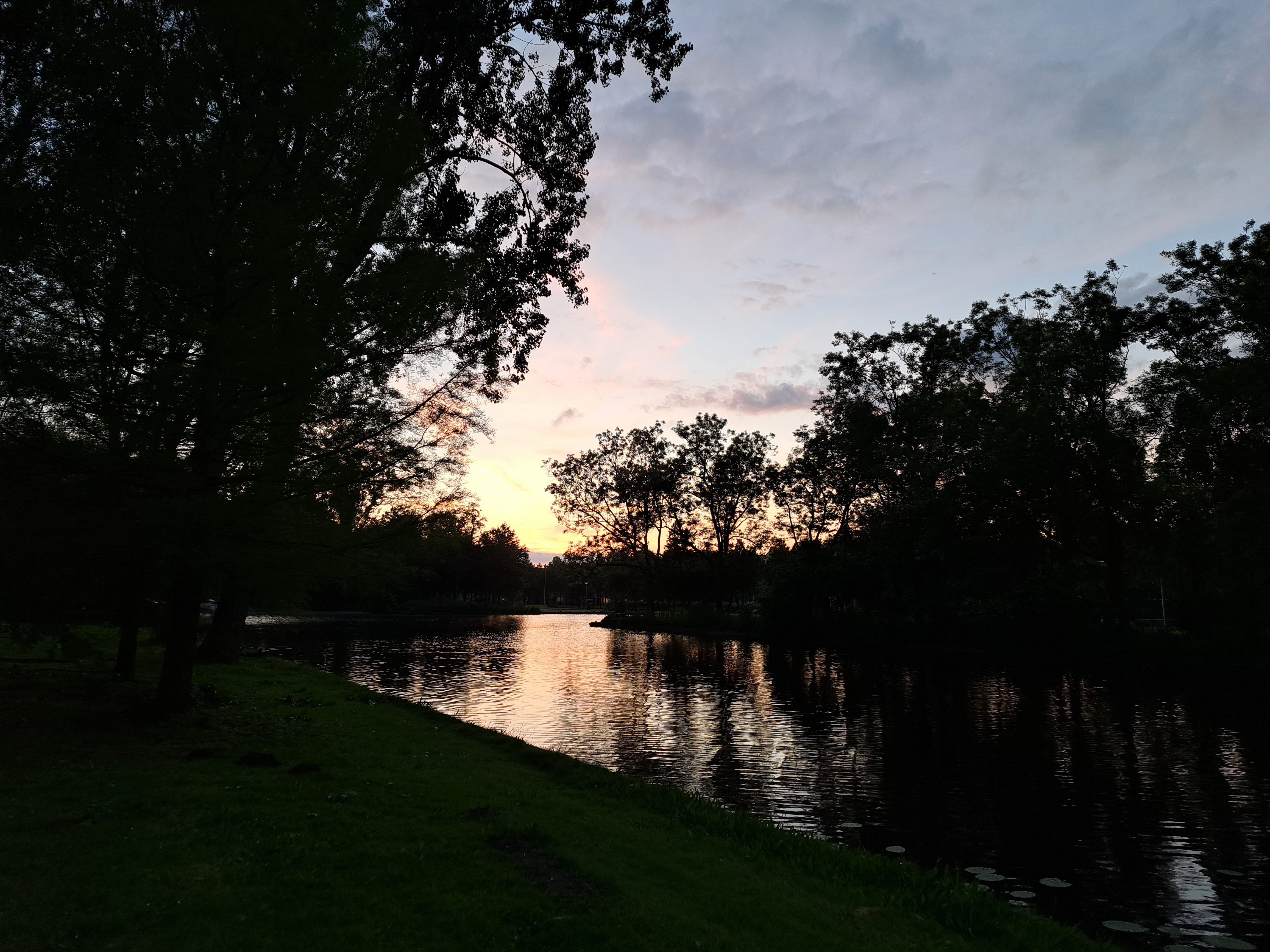
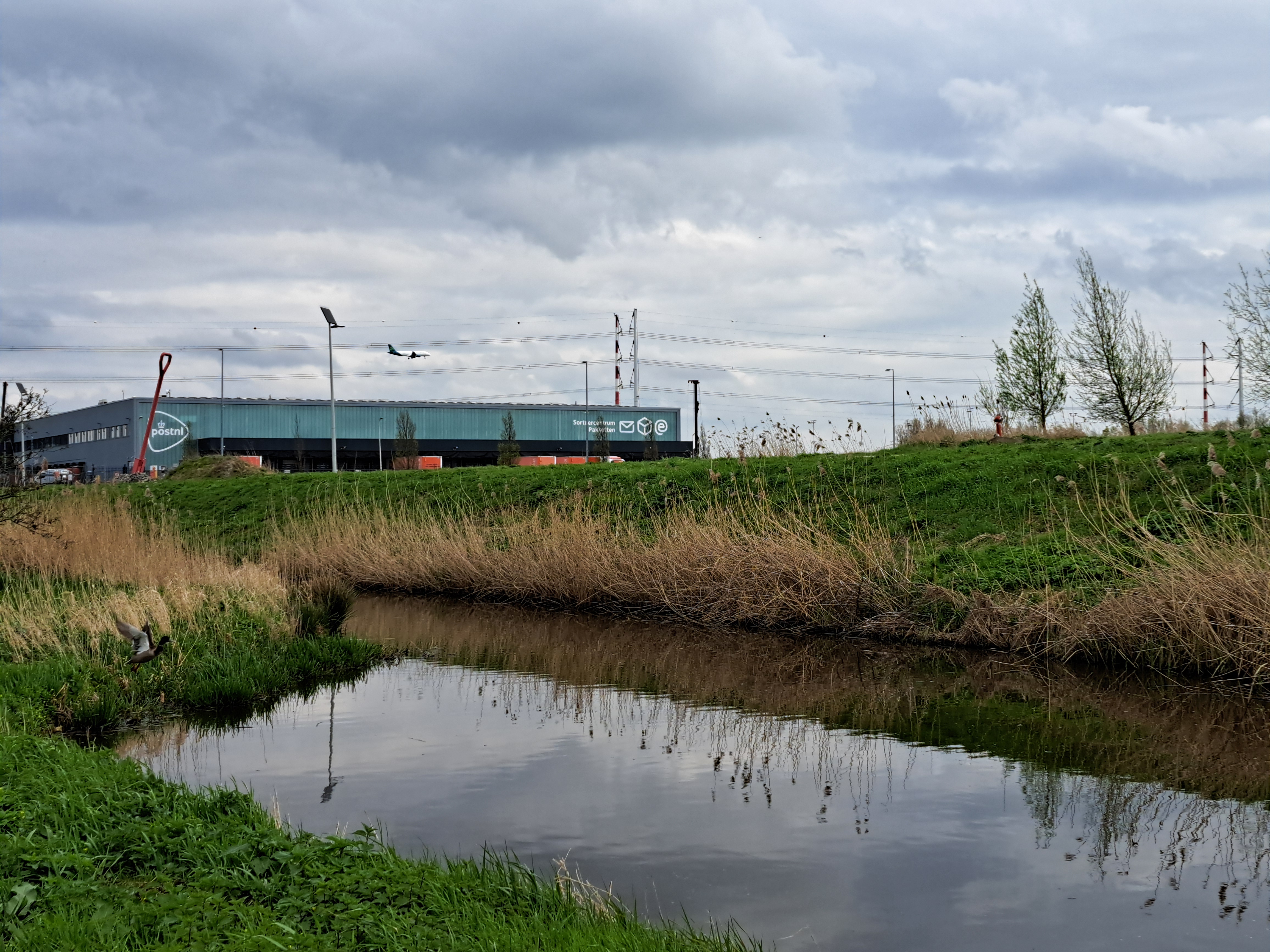
Taken four minutes apart early last Wednesday, my first week back at work after the long break. Rainy and cold weather lately, but some consolations like this 🙂
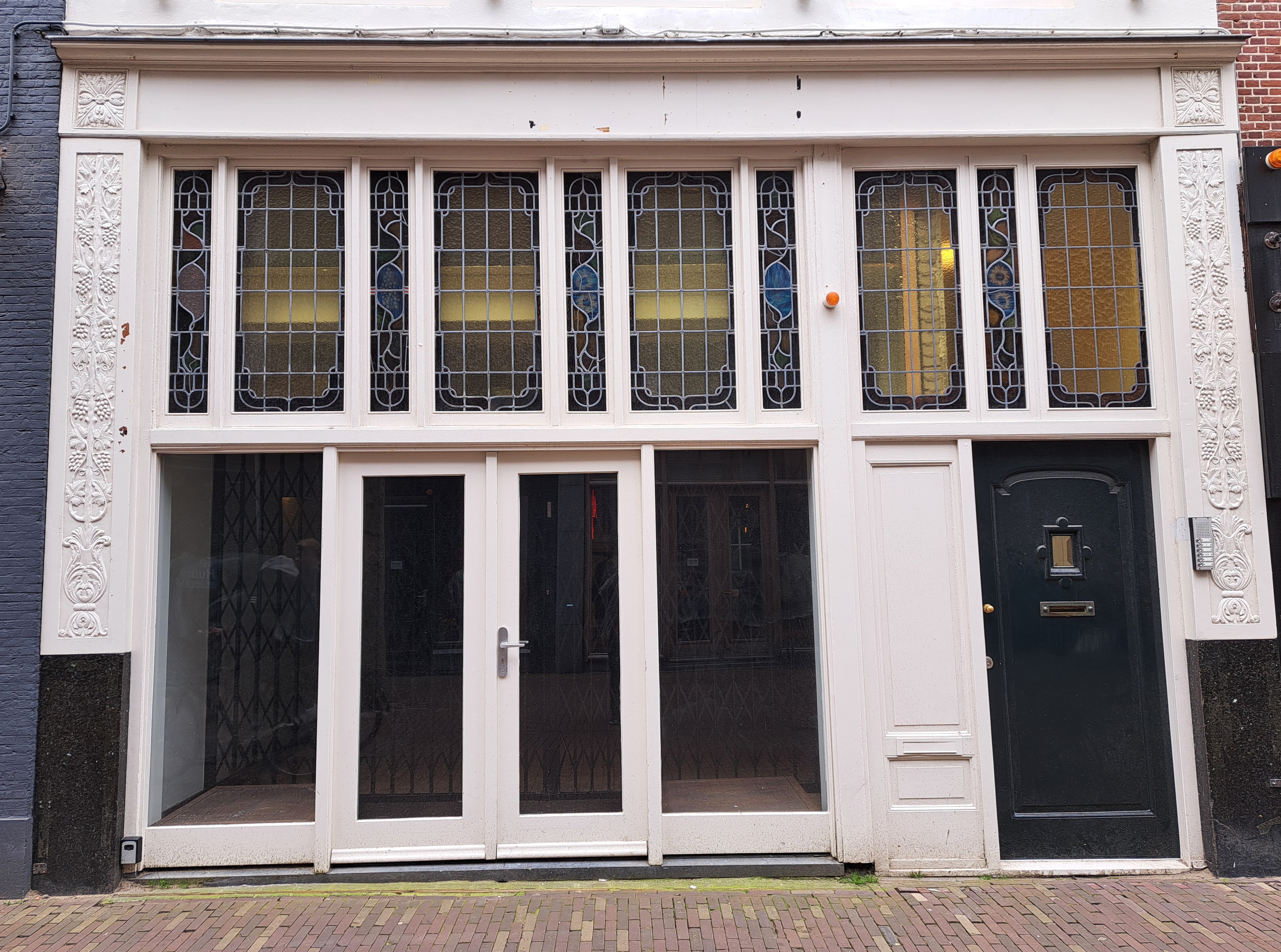
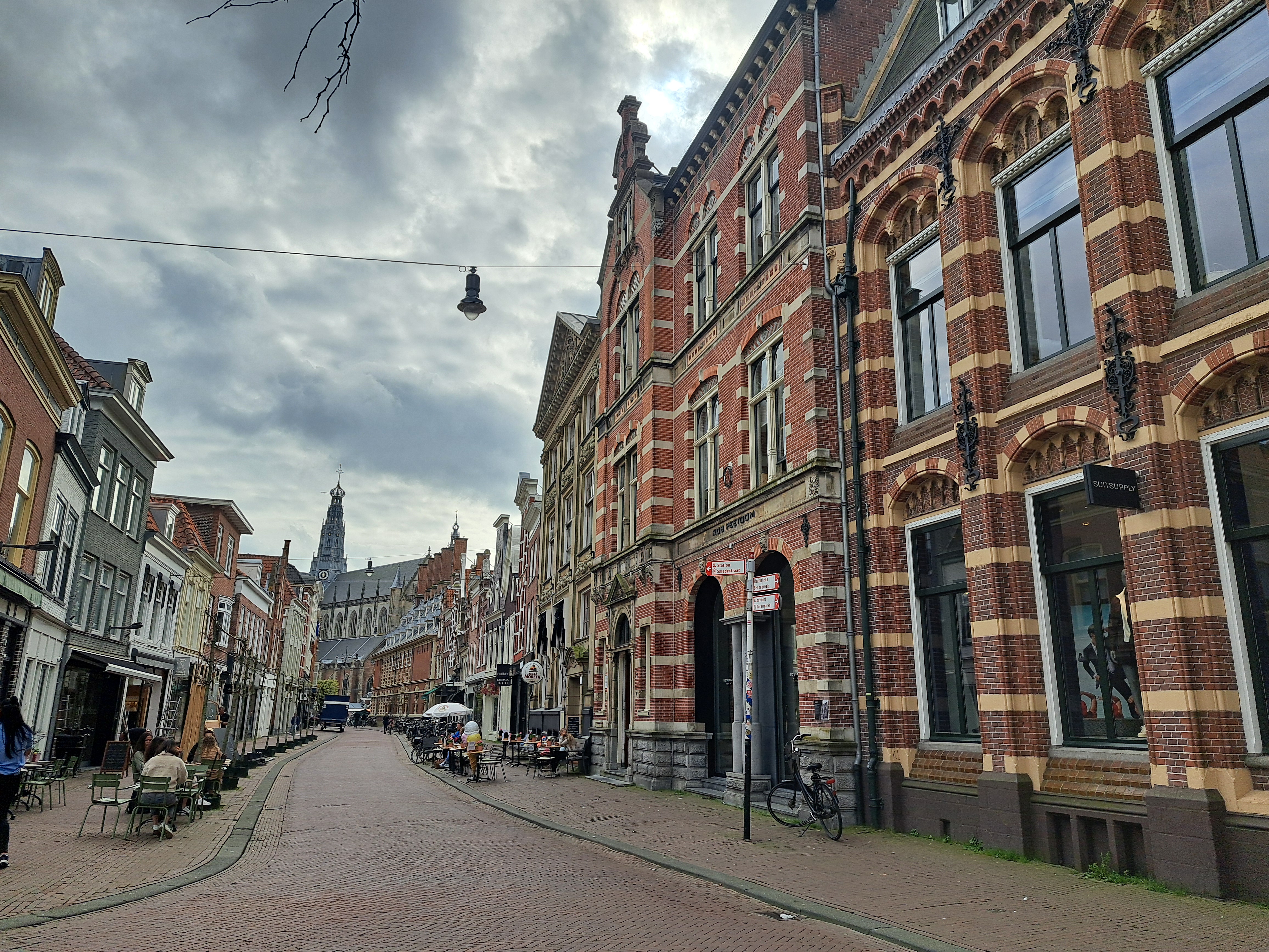
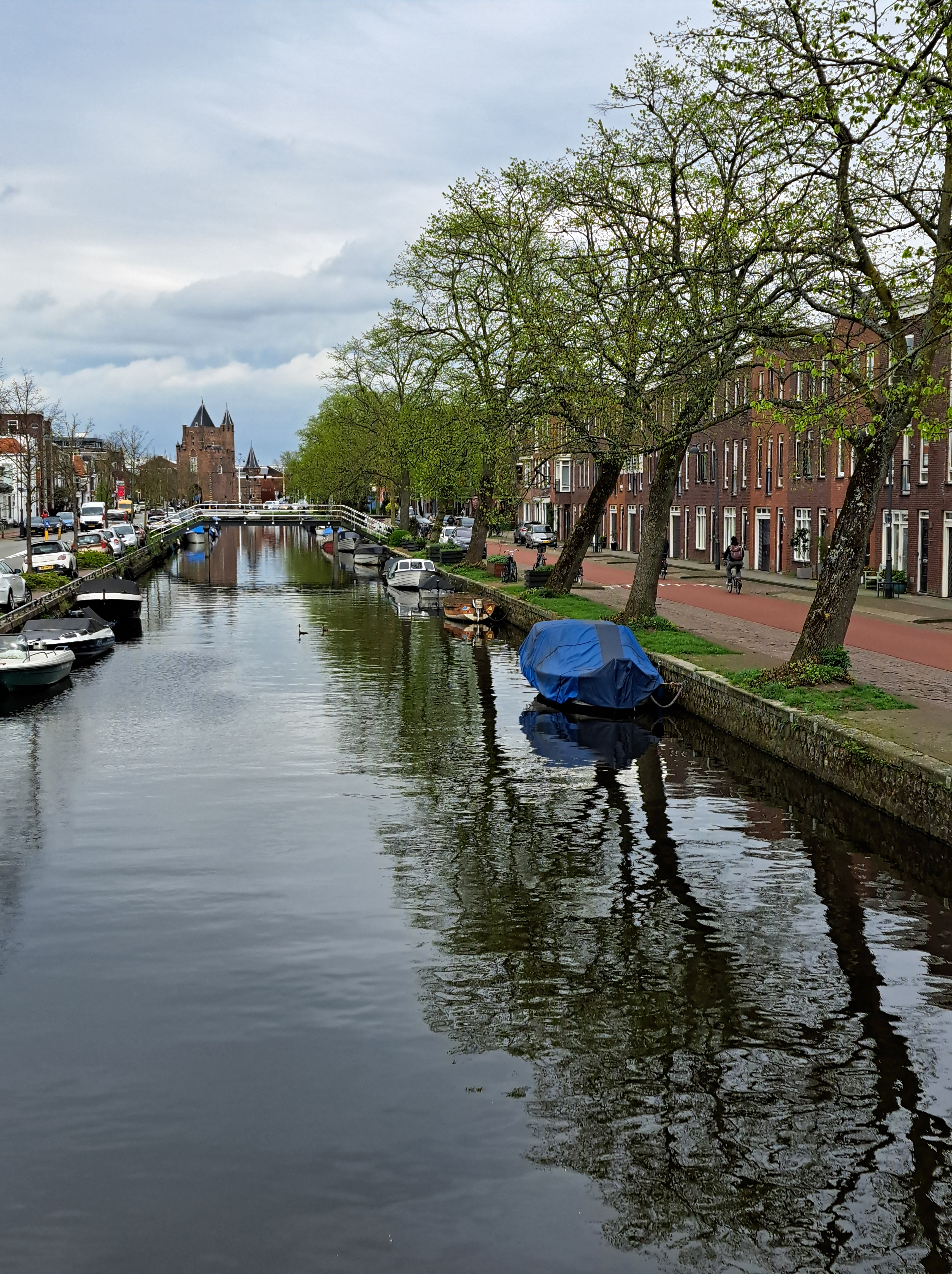
a) This canal’s actually well within the city of A’dam, so it’s urban even if it’s doesn’t look like it; b) Oops, I skipped this series on the last run of numbers :-/.
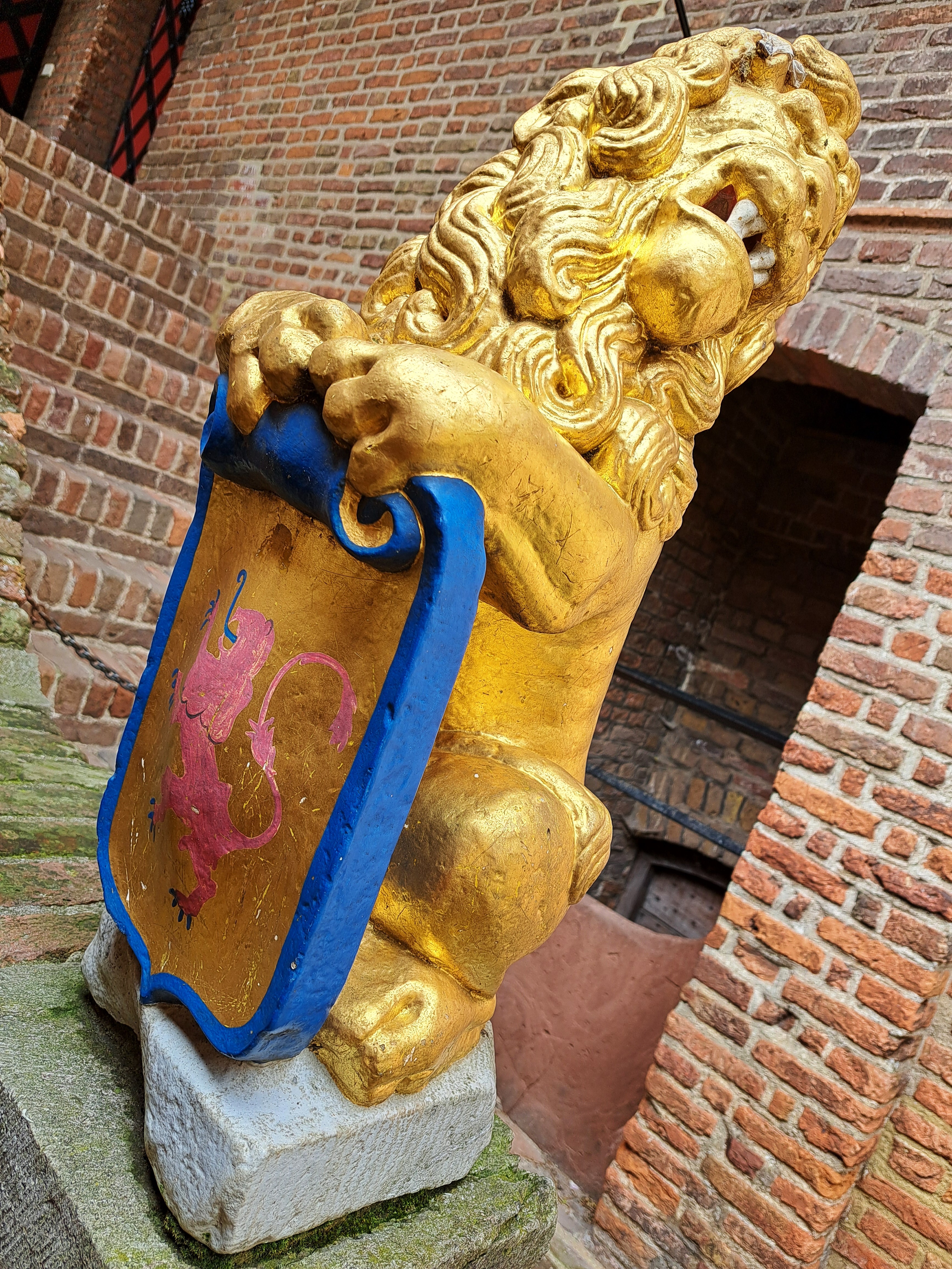
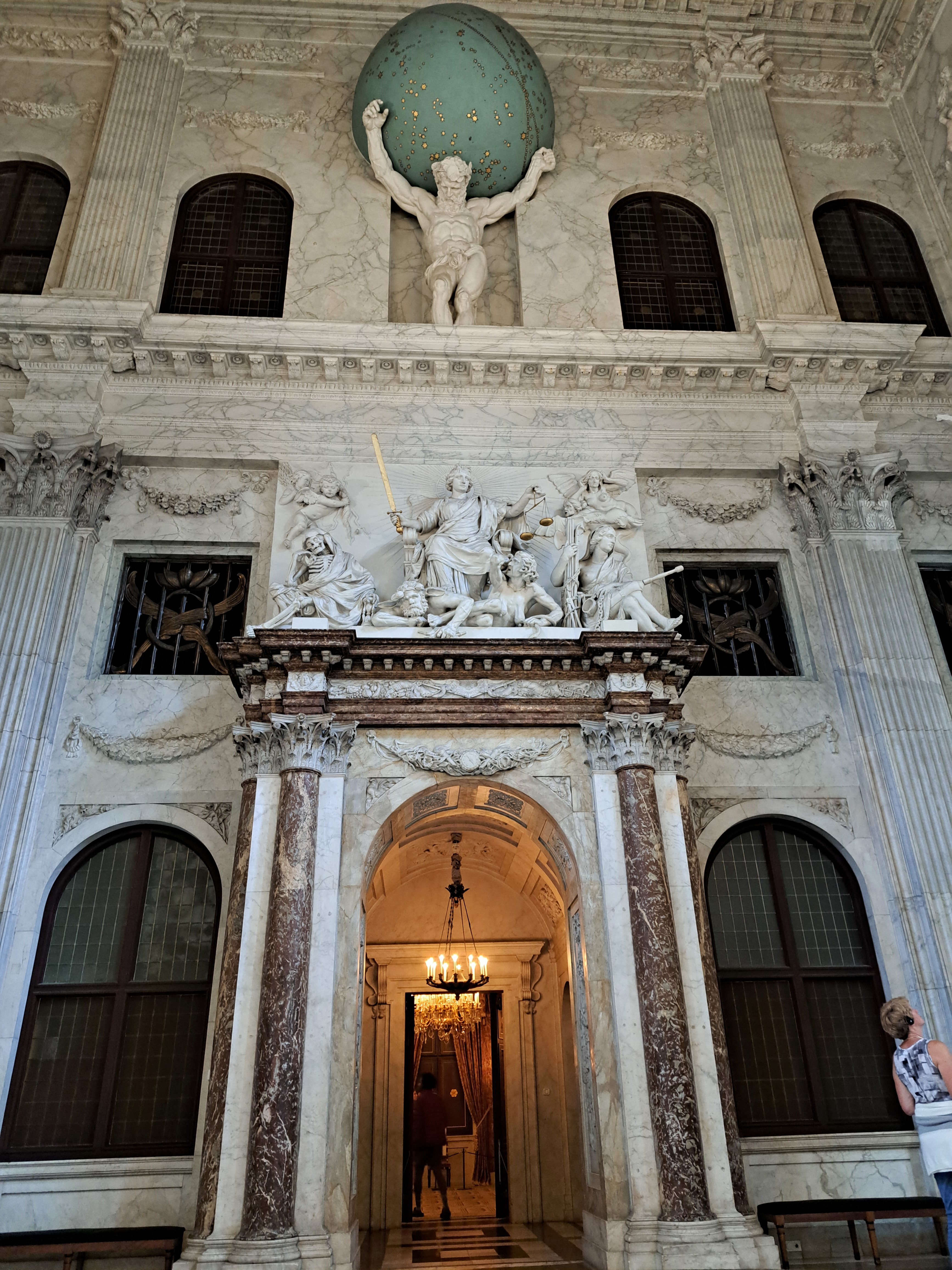
At the Royal Palace in A’dam (which started life as city hall back in the 1600s or so), one walks through the impressively intimidating doorway in order to pass from the main hall into the throne room. Which, on the day of my recent visit, had nothing I could identify as a throne, thus this as the most impressive royal-symbolic image from that visit: we’ve got Atlas carrying the world, and justice being meted out just below…and it’s past those eyes you must enter the throne room. I think that upstart, wannabe bus we featured in our prior post would fit easily within this hall, plenty of room to spare. Ah, the symbolism of it all, eh? 🙂
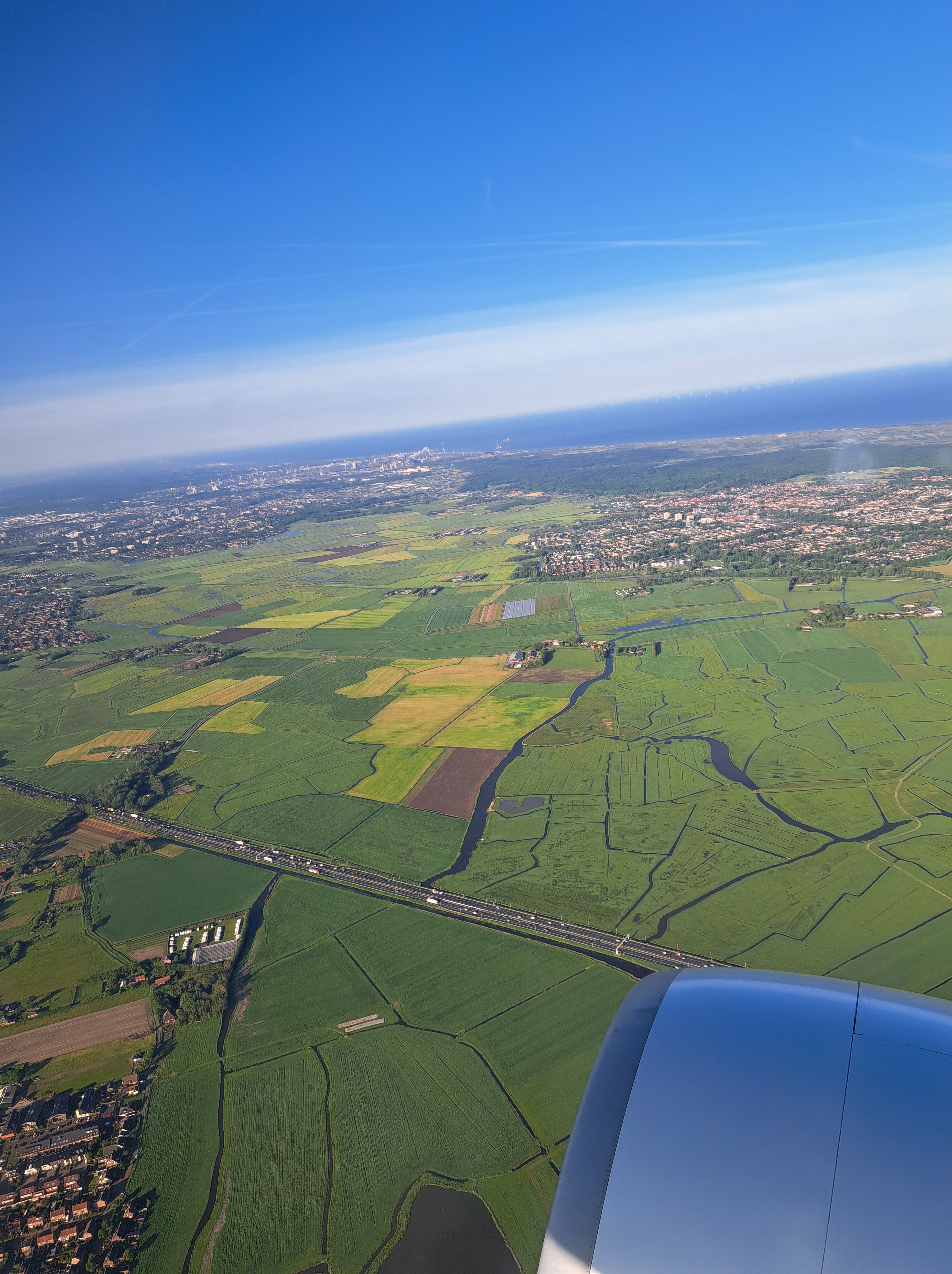
That’s the coast of North Holland at the top, with the port of Ijmuiden (“mouth of the Ij,” which is the industrial-sized canal that runs from Amsterdam directly over to the North Sea) in the top-left quadrant and the lovely town of Castricum to the right. All as seen on Tuesday morning as our plane oriented itself towards the runway at Schiphol.