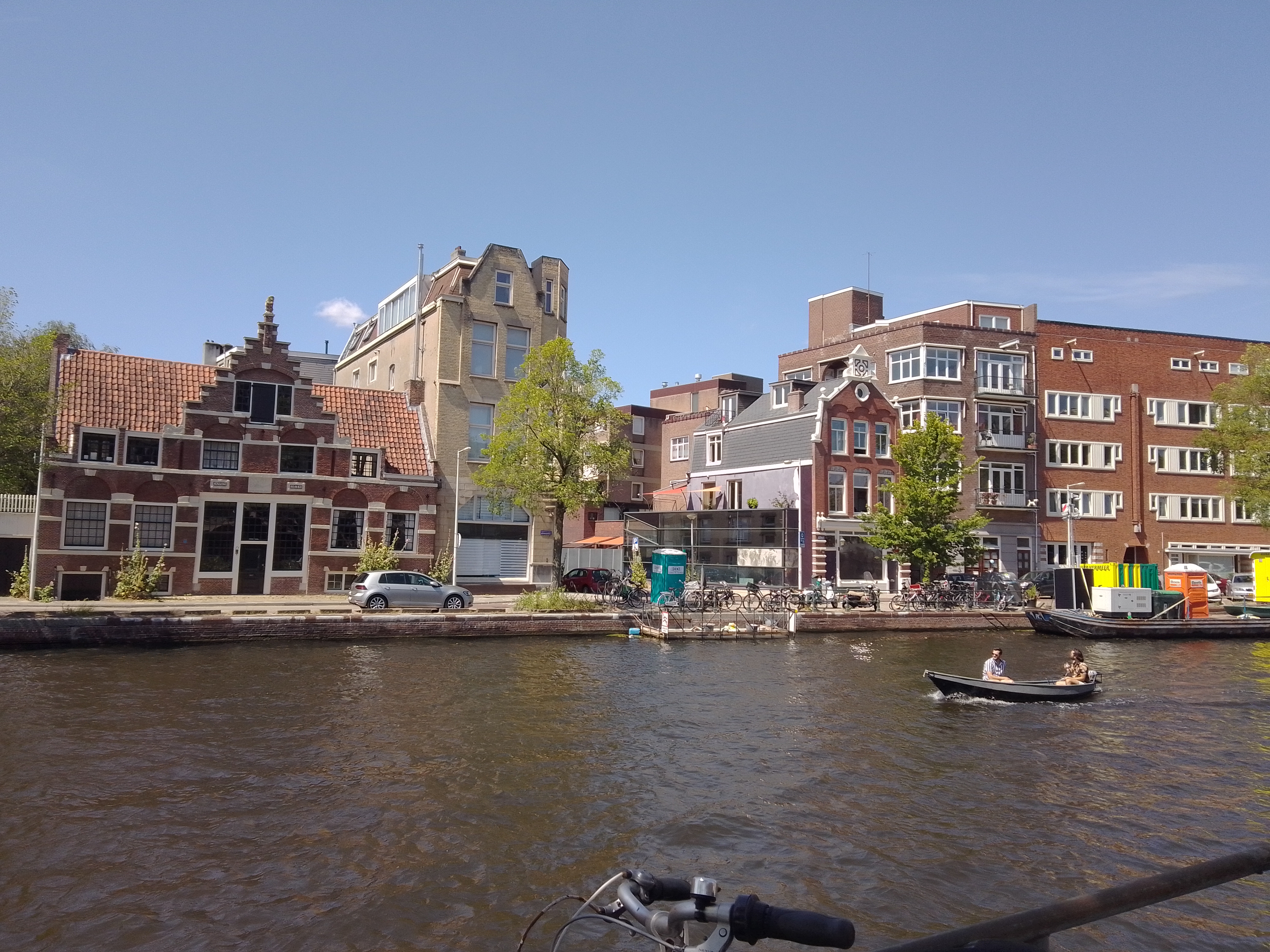
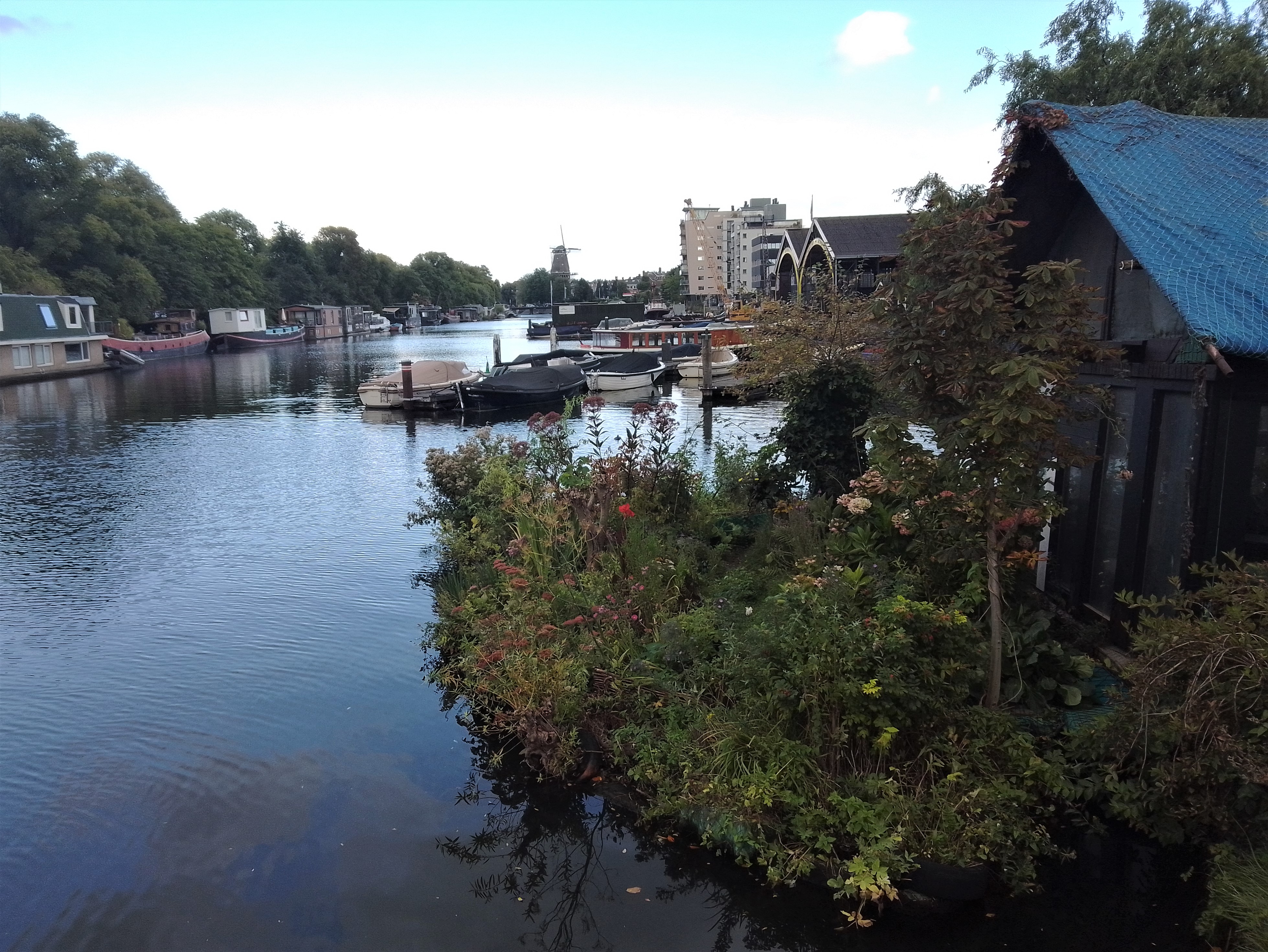
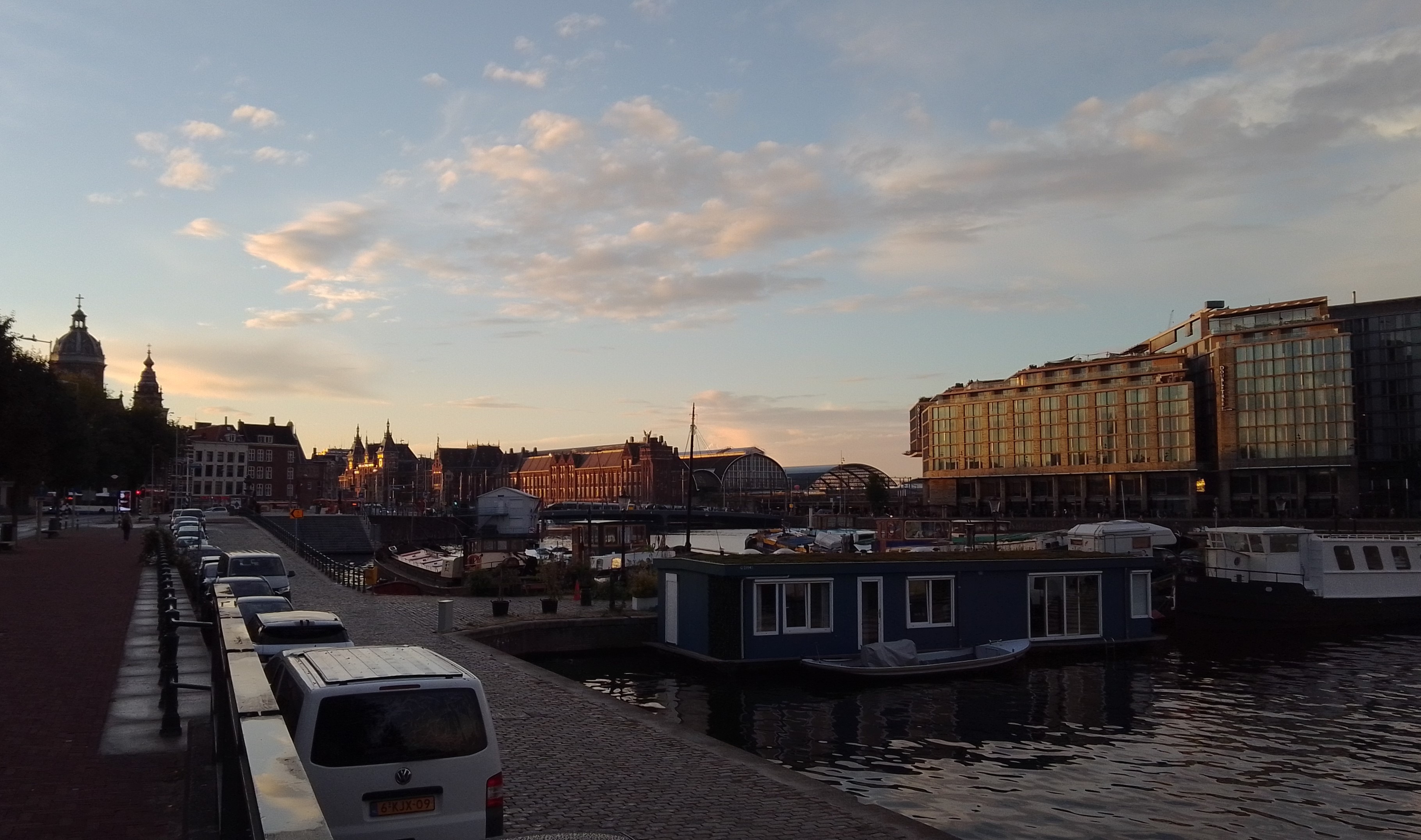
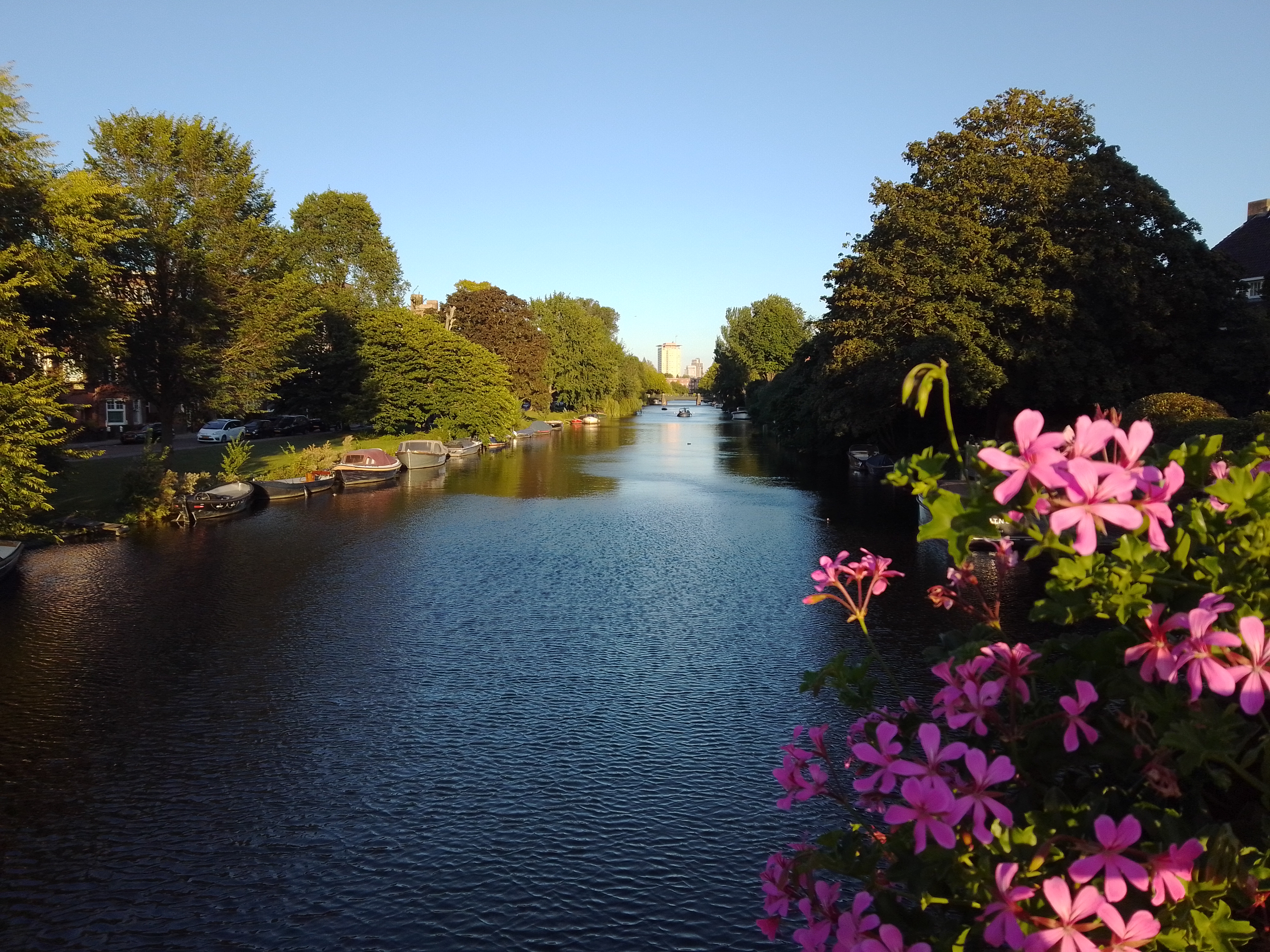
Last Monday evening after I biked home from work was one of those glorious “last day of summer” type evenings where the sunlight angled in and lit up everything beautifully, so that I simply had to get out for a walk. These are canals & gardens in one :-). Happy almost-equinox, all.
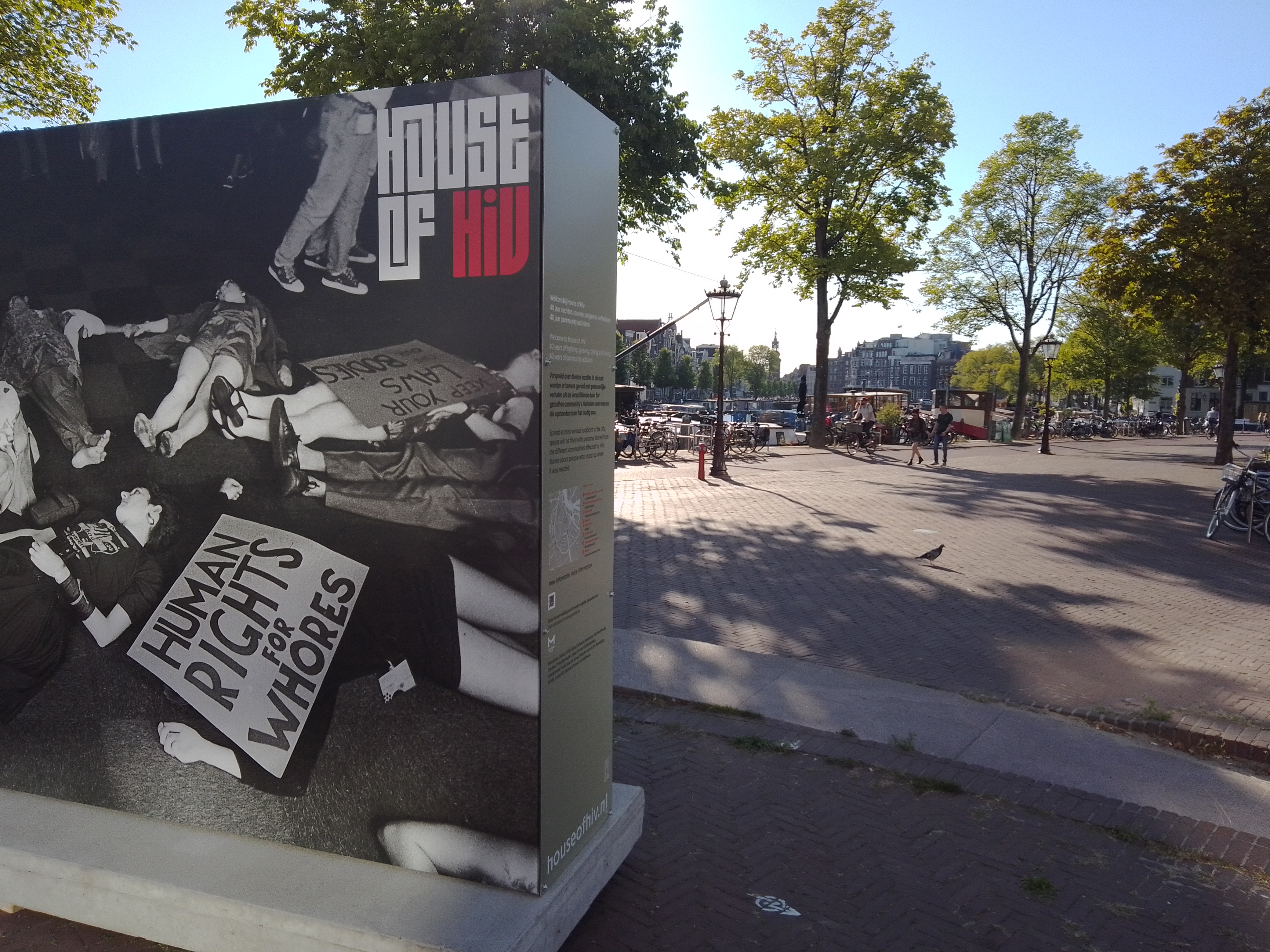
I need to post this — from an exhibit at city hall A’dam timed for LGBTQI+ Pride Month — before we get too much further away from said month, which here is in August 🙂
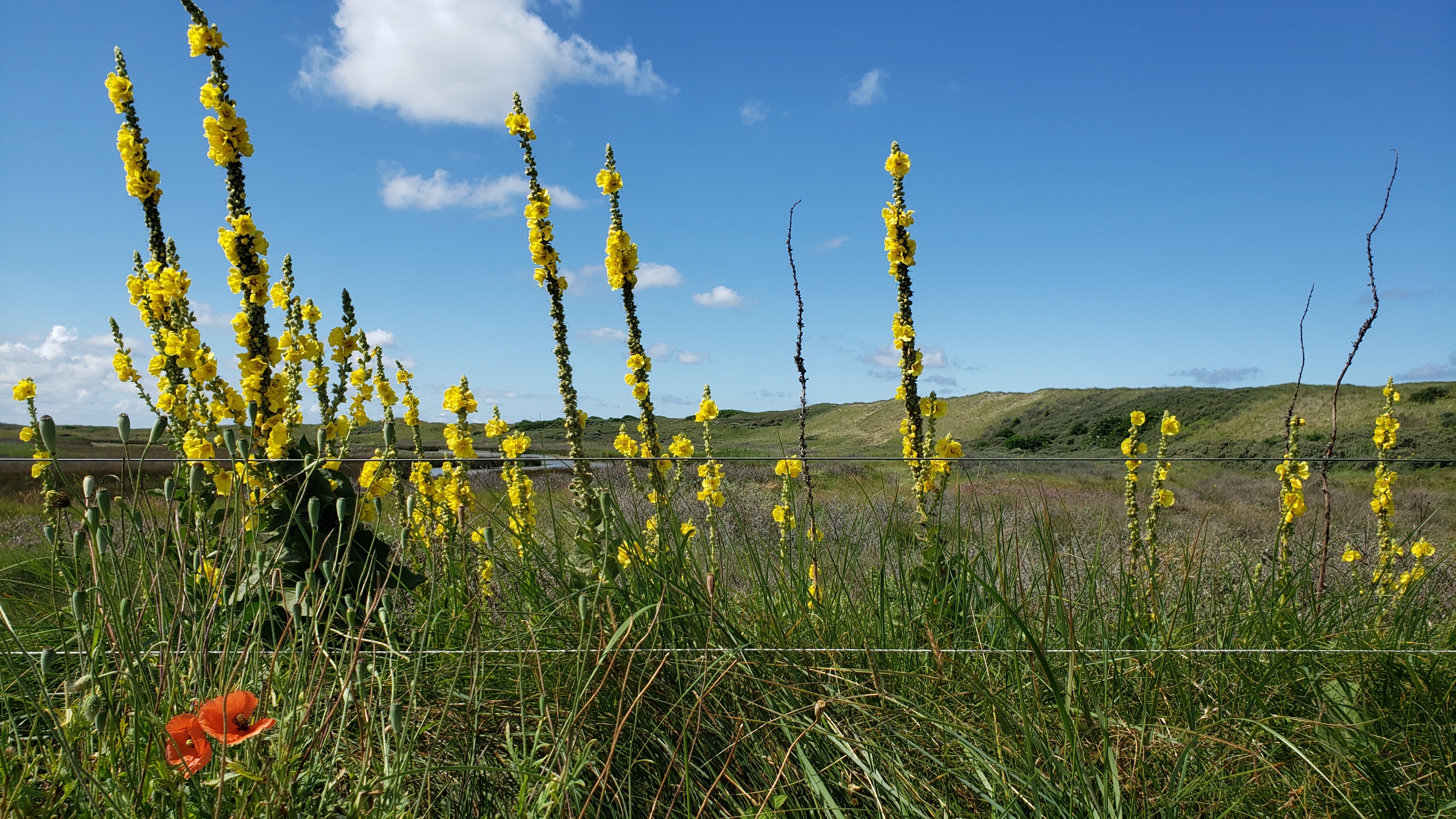
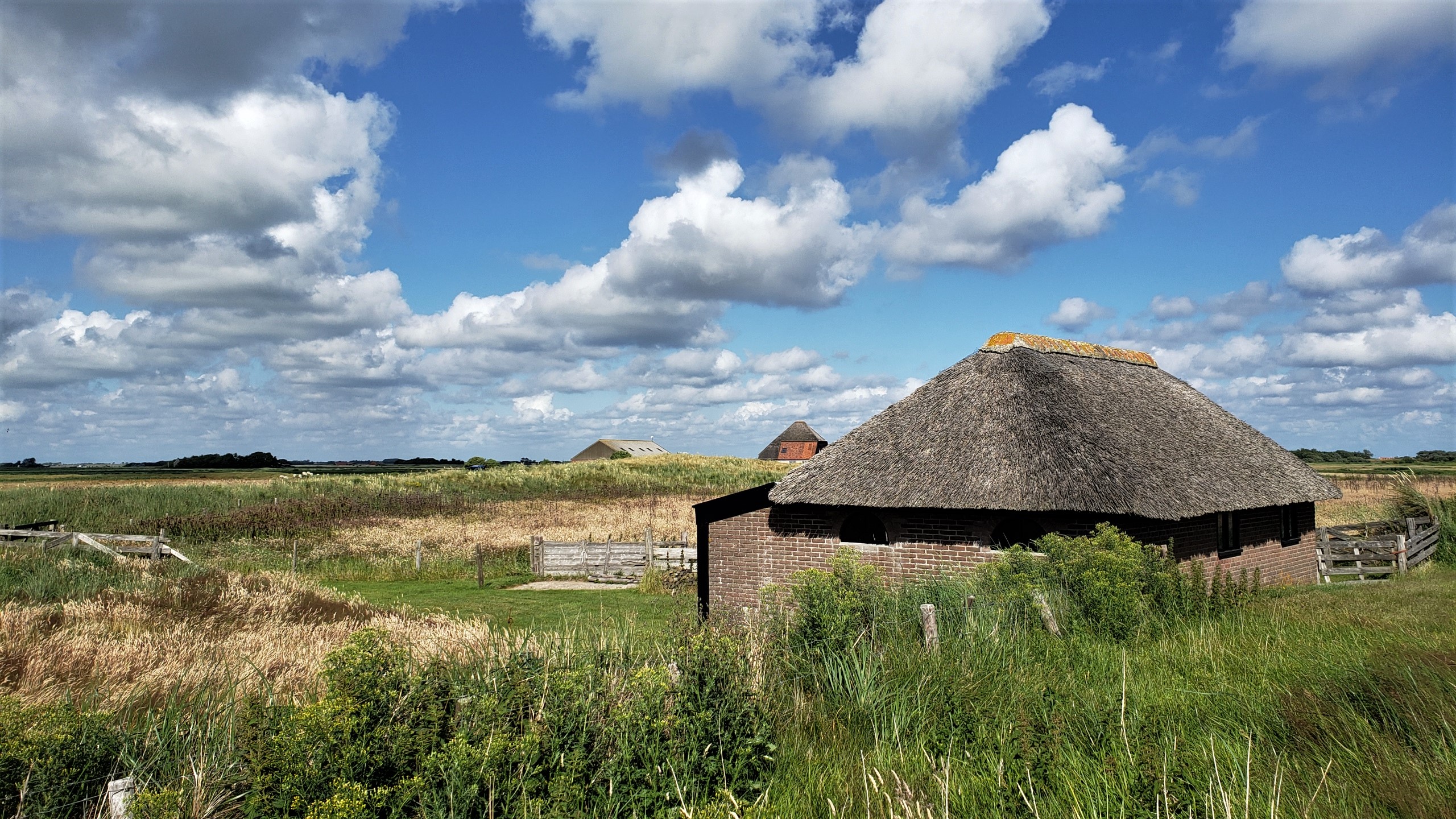
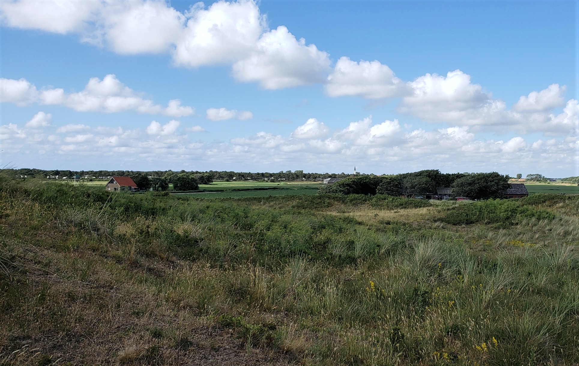
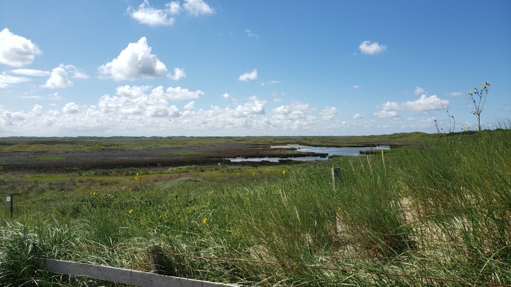
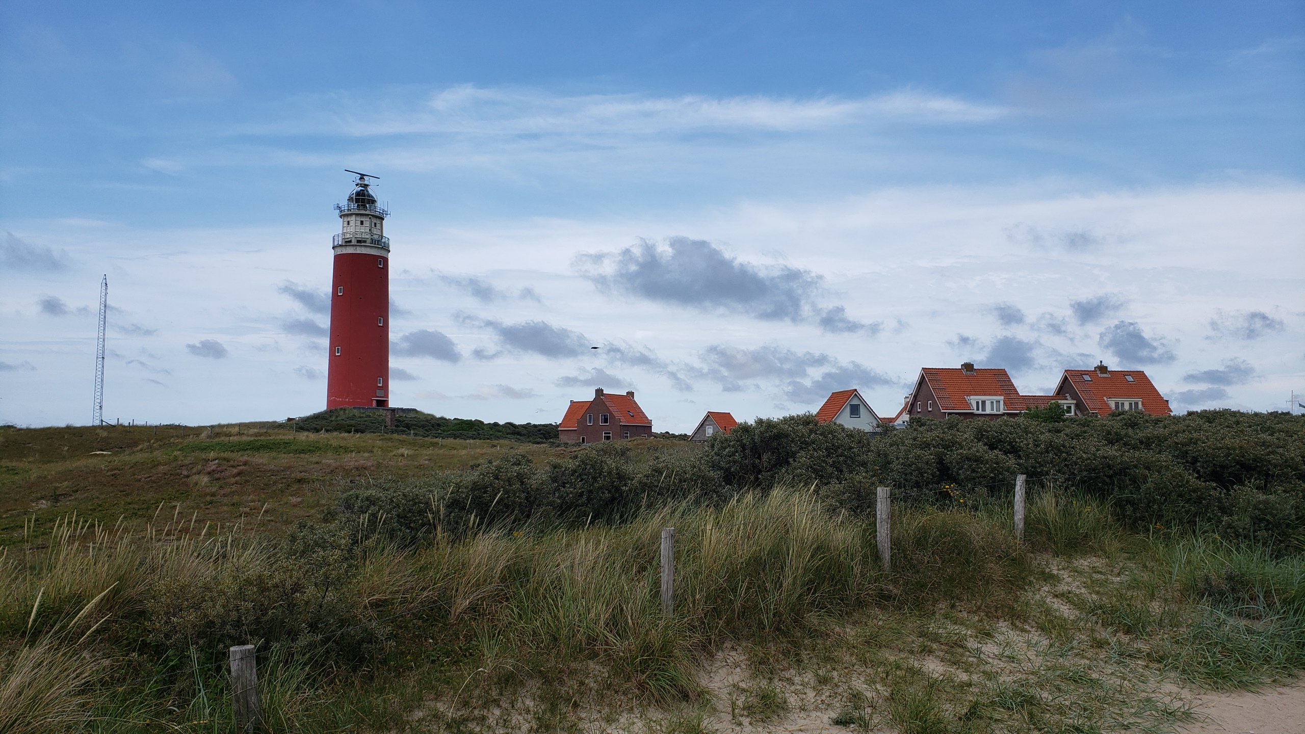
Farm buildings on the southern edge of the village of Den Hoorn, on Texel — with main village itself in the distance on the photo below. Hopefully this weekend, I’ll manage to figure out which Texel (pronounced “tessel,” it seems) photos I still haven’t posted, and get those ready for sharing in the day(s) ahead. I might have mentioned that I had a hard crash on my computer – mostly self-inflicted b/c there were some dialogues coming up which made me fear a virus had infected the computer, so I reinstalled everything, and thought I’d backed up up all the photos I’d already sorted and named…but turns out the backup was messed up and files didn’t open, so I’ve been recovering from my phone. At least one generally has several layers of backup in this digital world, eh? 🙂 Anyone coming to NL at a time when the weather is lovely should seriously consider a quiet day or two up on Texel. It’s really gorgeous 🙂
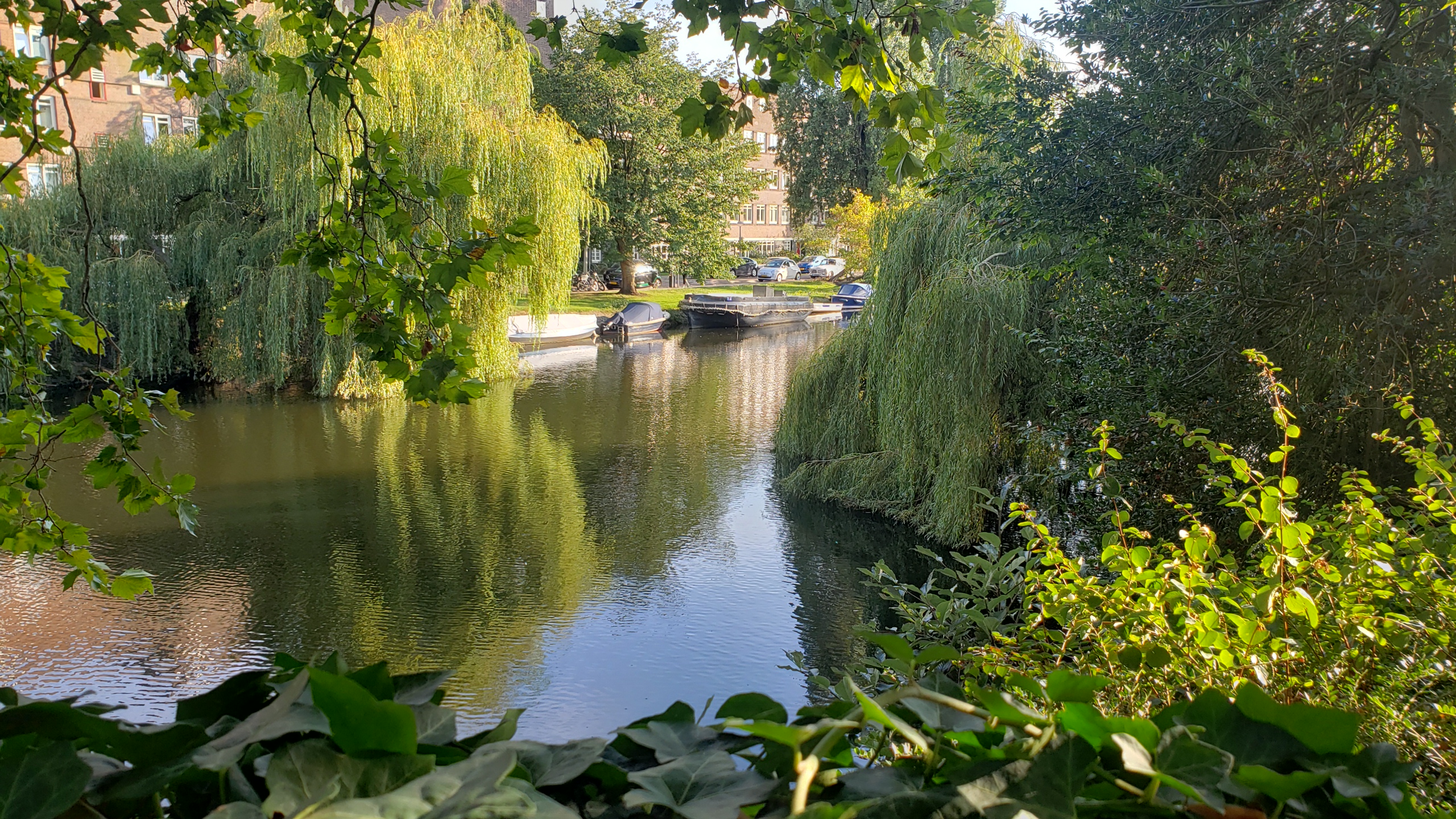
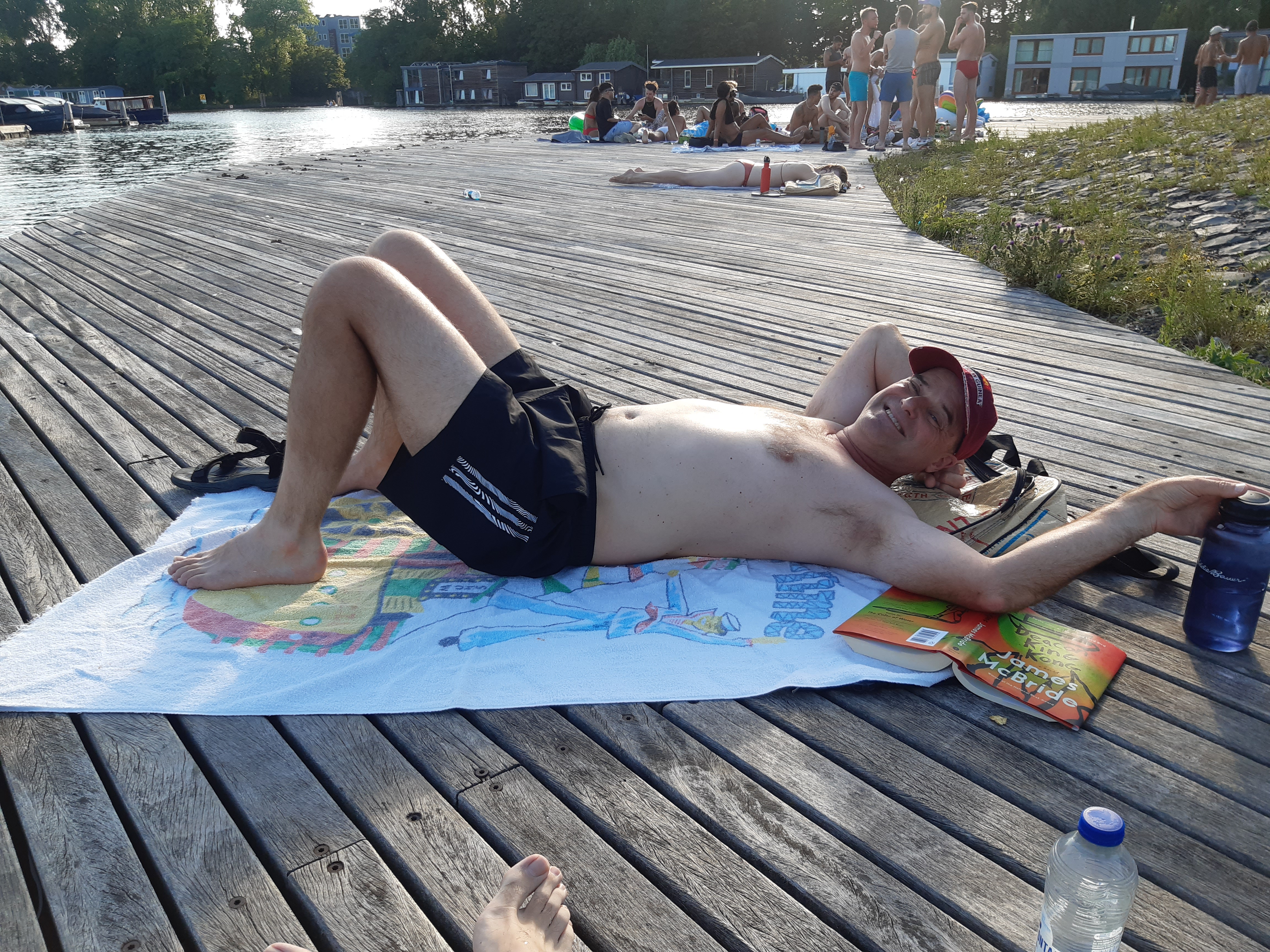
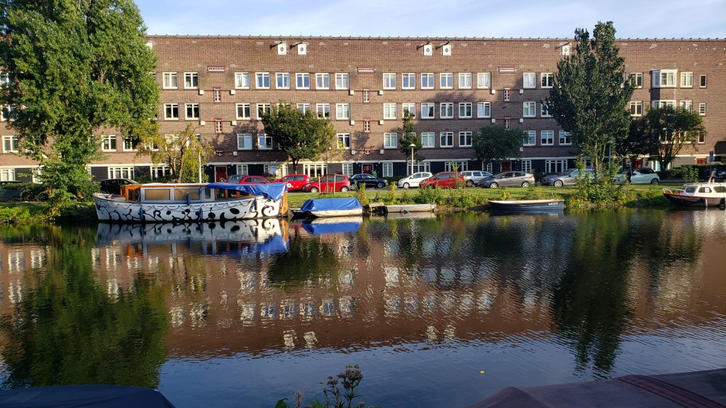
With warm weather, we’ve discovered that the canals of Amsterdam are wonderfully swimmable :-). At least one brother o’ mine will recognize both of these beach towels – ah, memories we bring with us from other times and places 🙂