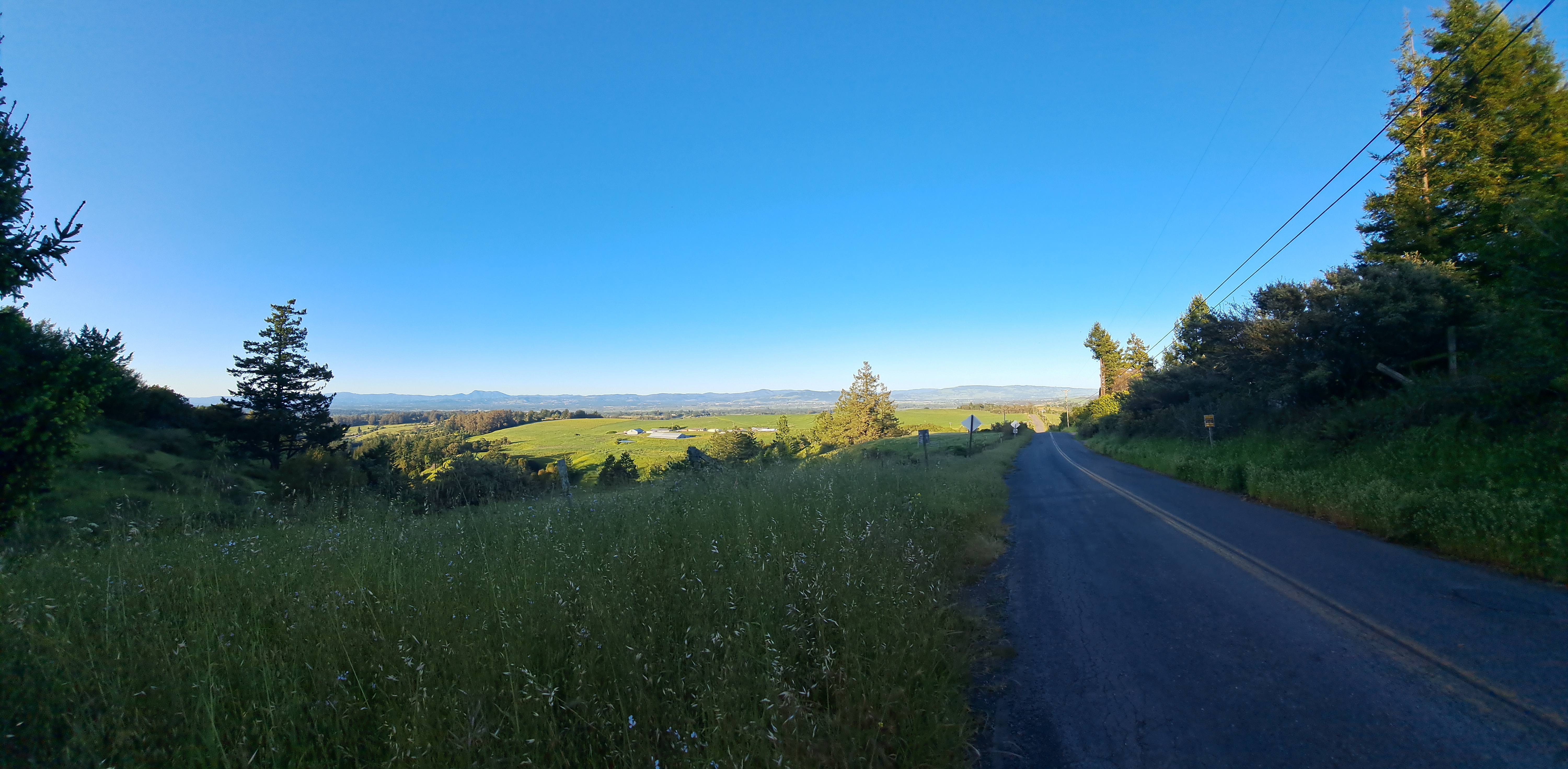
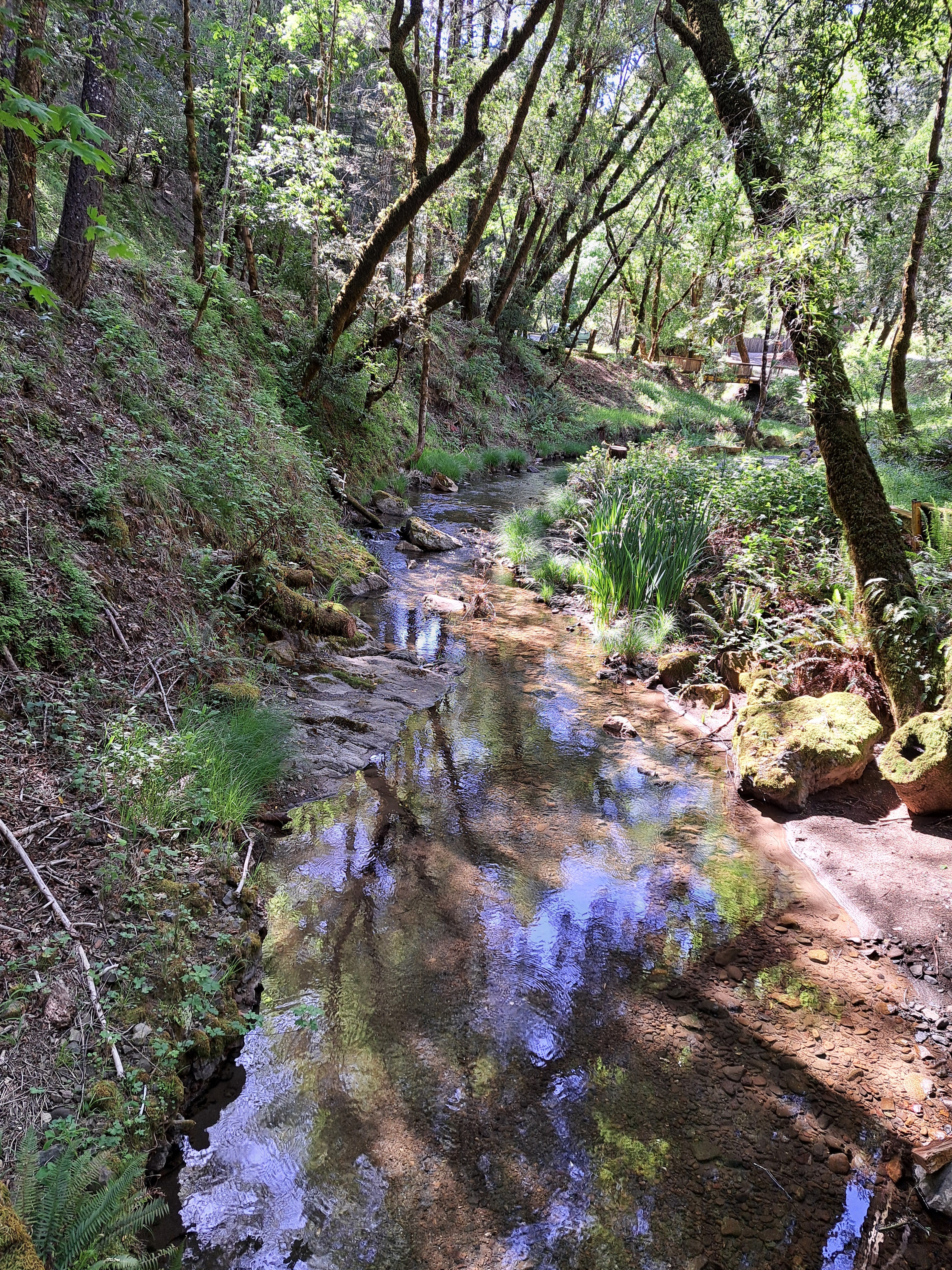
Pretty sure this is the stream that flows out from Orr Hot Springs, as taken from the road during my morning walk there a few months ago. We’re nearly out of ‘county’ photos so the series will dry up unless Sam sends me a few that fit nicely. Most of the countries I visit these days don’t have administrative units that call themselves to or correlate well with the ‘county’ concept. But I’ll check a few dictionaries for translation and might determine that, for example, a Kreis in Germany can also fit this category. Hmm…
Turns out I did an even less thorough job of posting all my photos with images of Mt St Helena than I thought, a month or two ago. Good thing for this series, though, because I’ve really run through any other potentially-legit mountainous images (well, aside for a few from the air that I just posted or might still find…), so I might be able to keep this series in the rotation long enough to see something else I can call a mountain without too much embarrassment in time to re-stock with potential future entries. And if anyone wants to check the time stamps on these photos against past entries, do let me know if I’m inadvertently double-posting some of these images. I did a quick check myself and, no, it just seems I love to photograph this particular mountain, a lot.
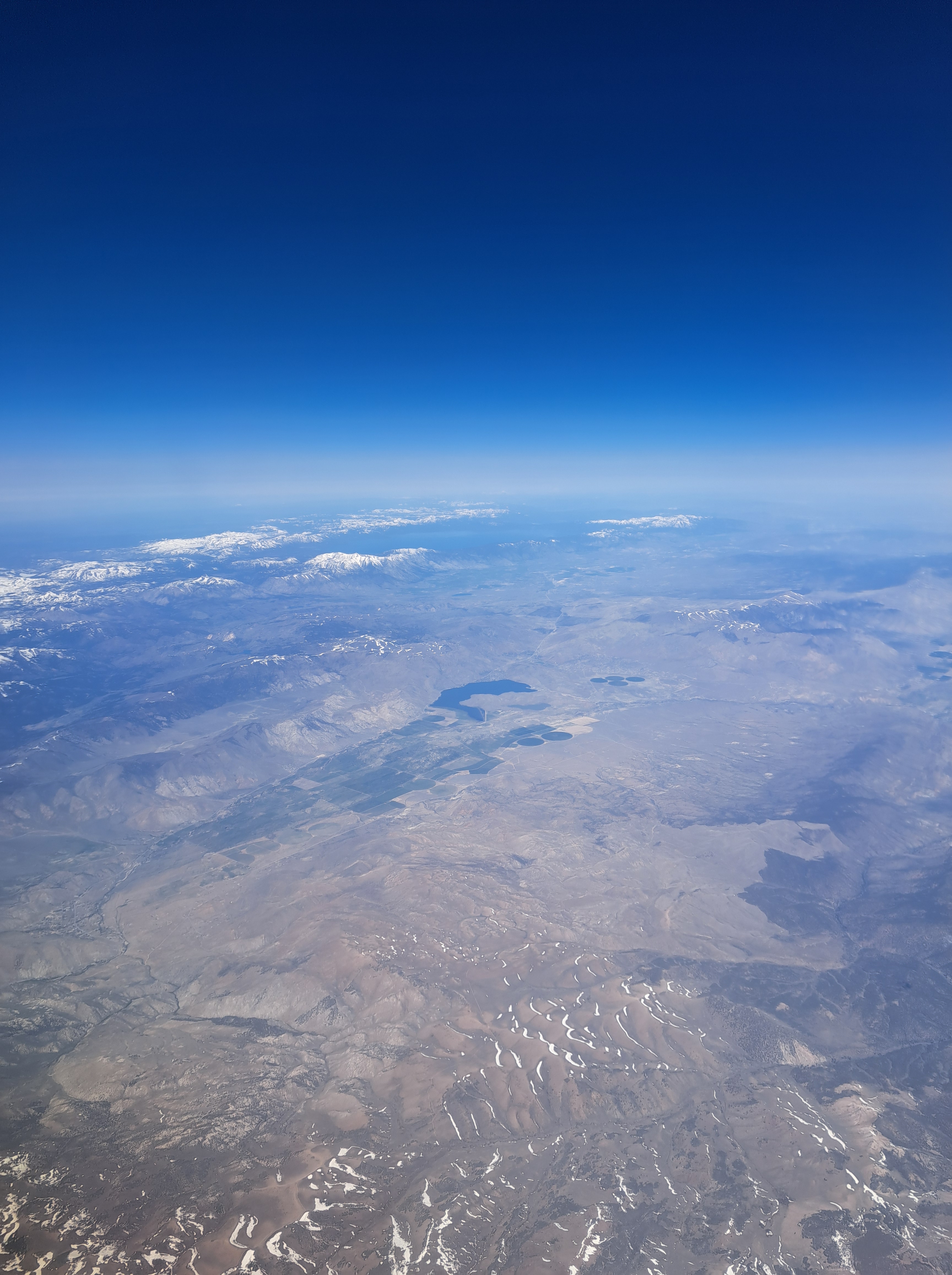
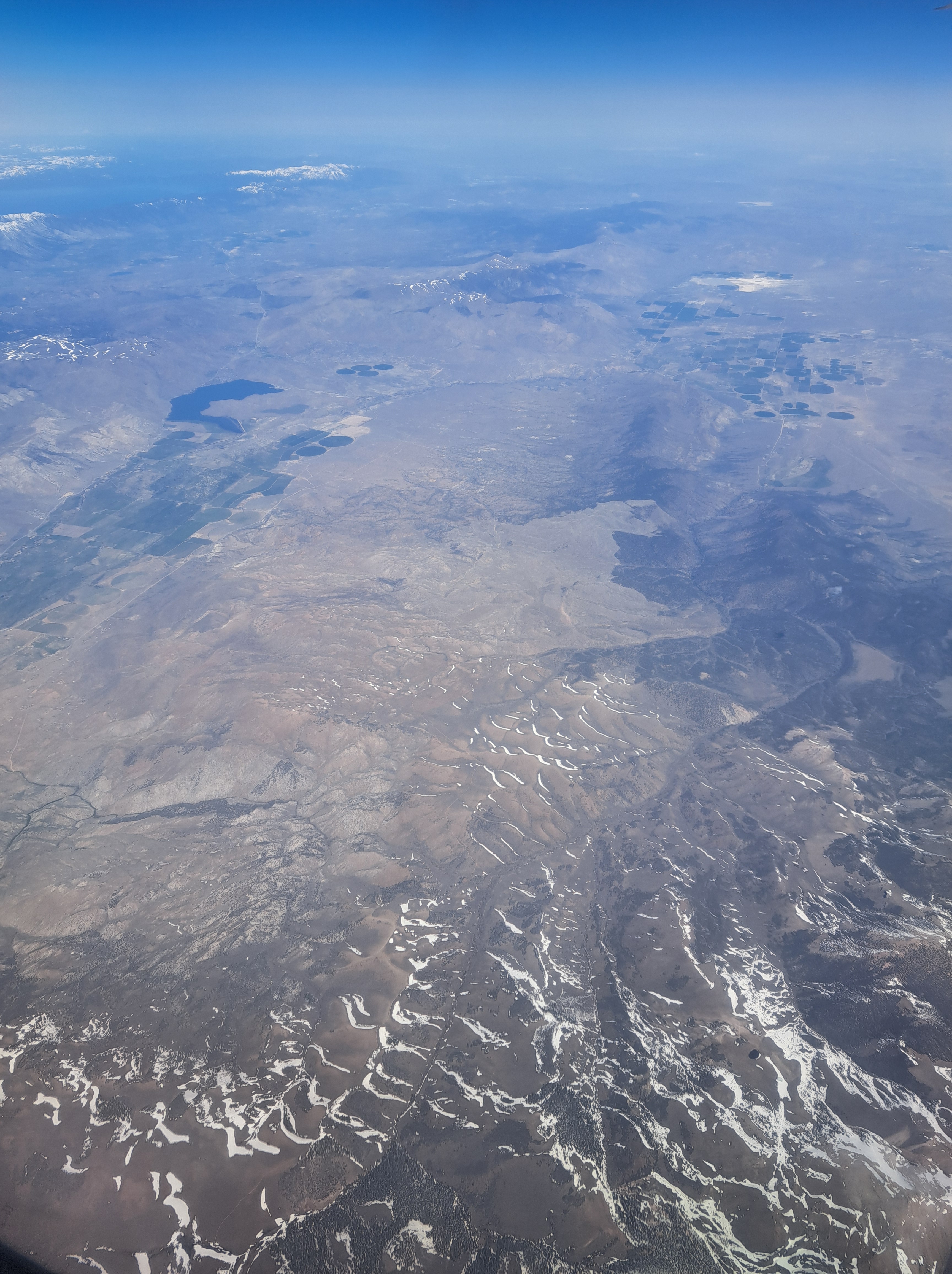
At the top is one last photo looking back at Lake Tahoe, which somehow escaped my attention in the last “From the Air” entry which was meant to get us from California fully across the Sierra Nevadas and into the state of Nevada. The gallery above the and image below show you more of that Nevada landscape including the easily identifiable Walker Lake. All from the my SF to Pittsburgh flight in early May.
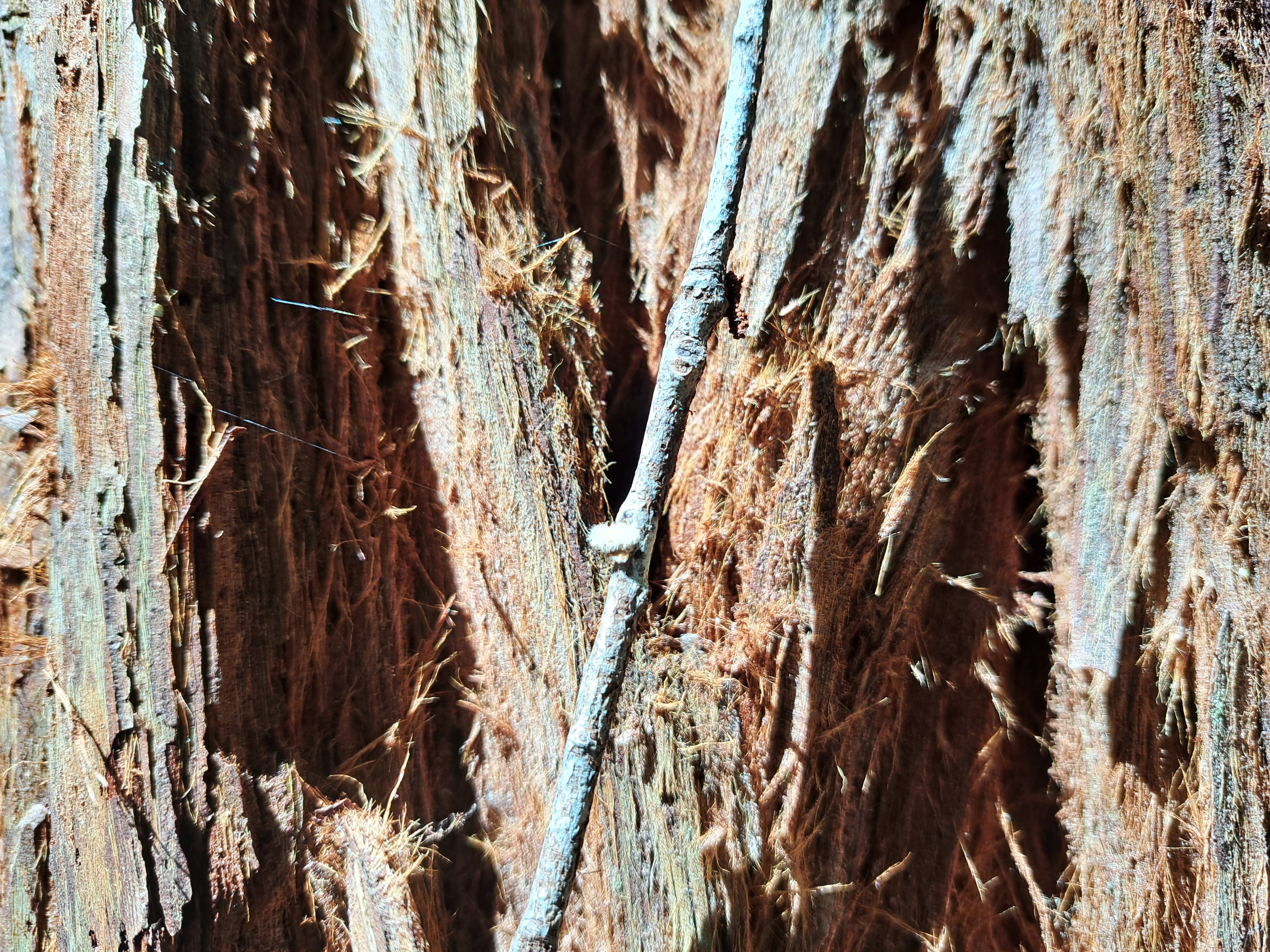
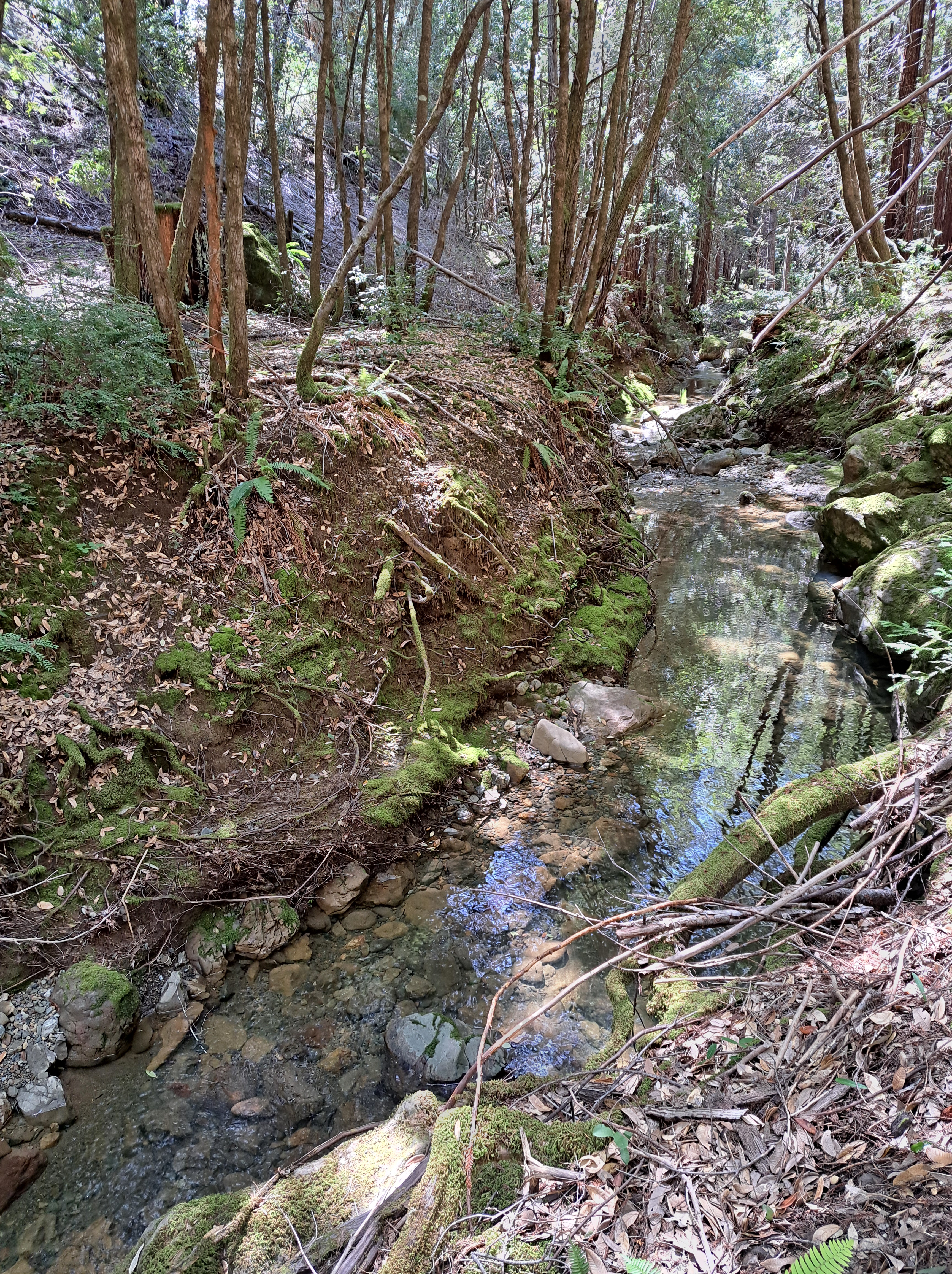
Montgomery Woods State Natural Reserve in Mendocino County, California where I spent a lovely morning exploring the redwoods and other trees, creeks, trunks and stumps.
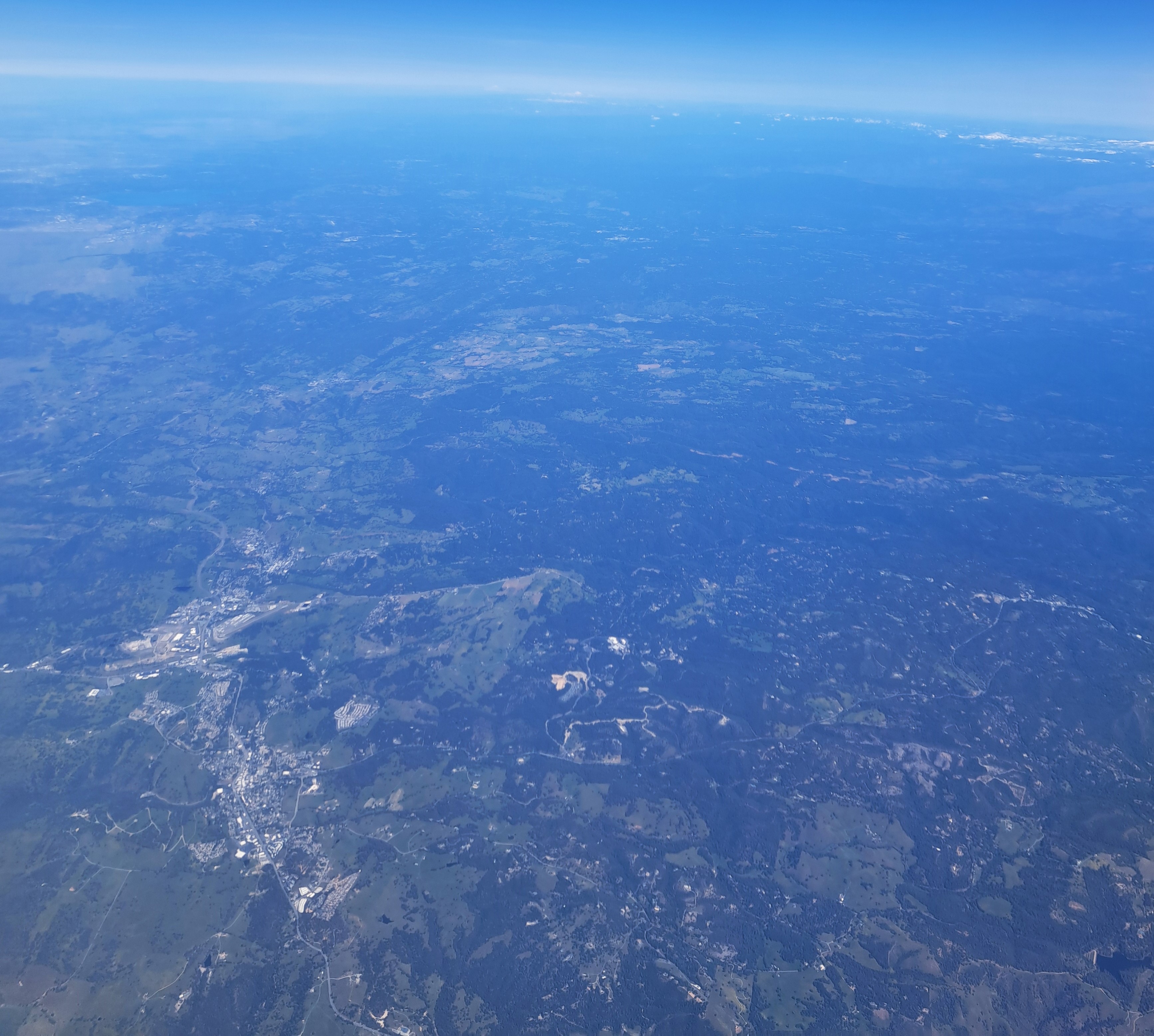
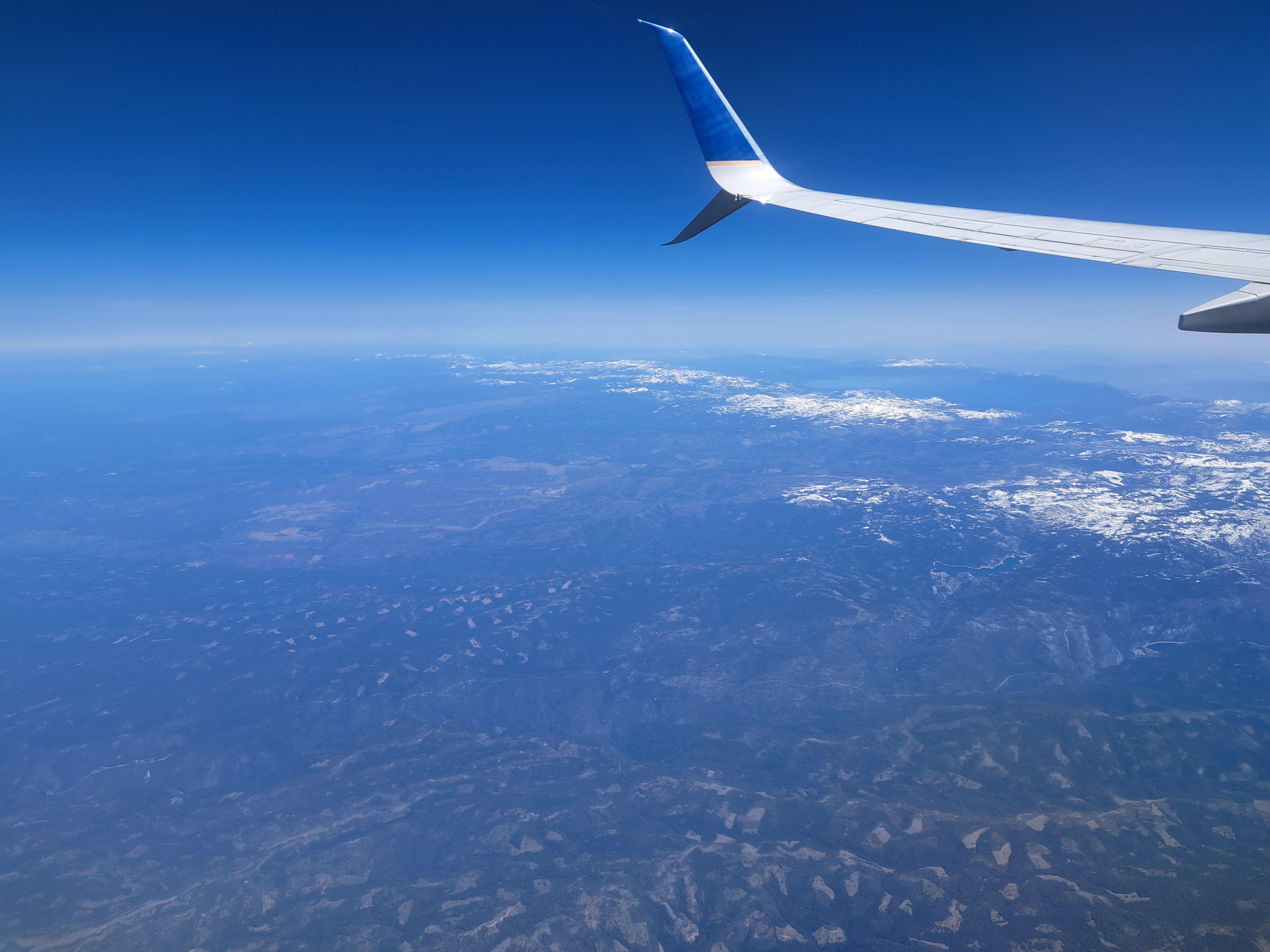
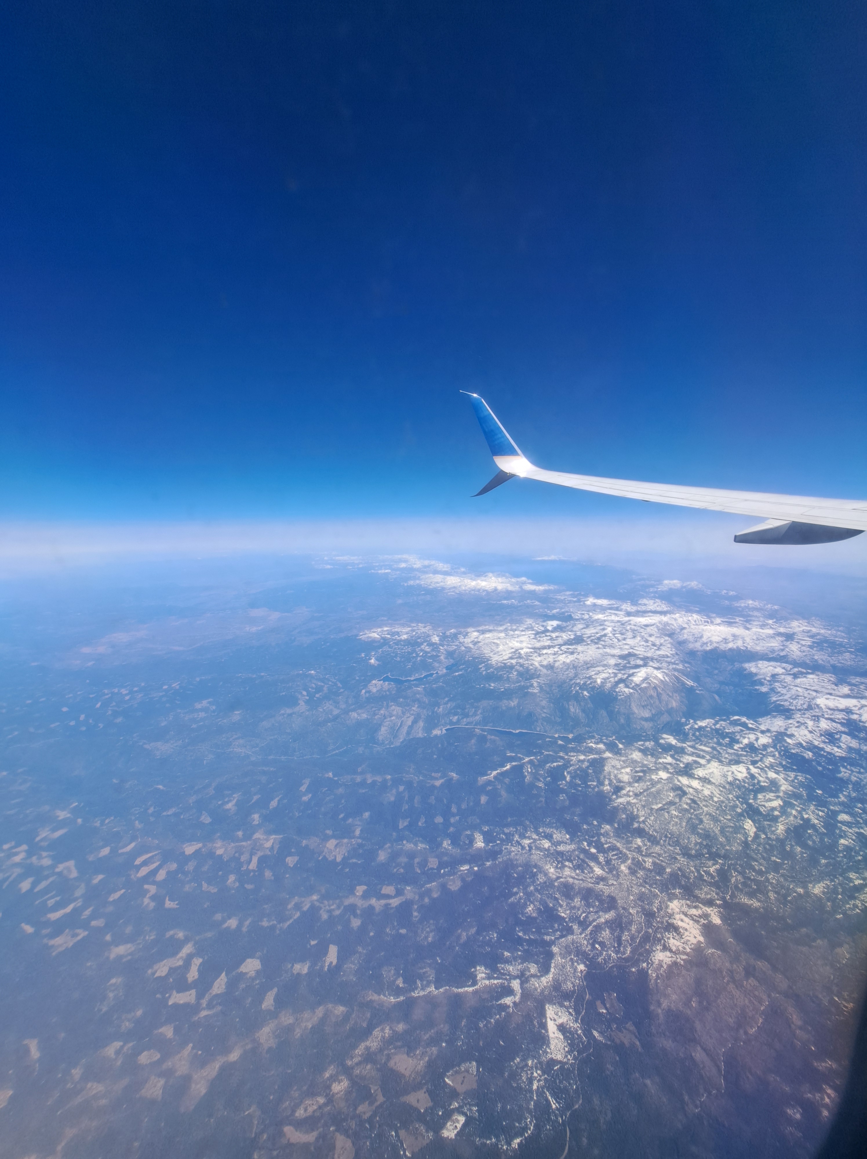
If your browser loads this as I hope, you’ll see one large photo above that shows Lake Tahoe at the top (north) and the snowy Sierra Nevadas below it; one large photo at the bottom which looks back west and north across the arid western Nevada landscape, to Lake Tahoe and the Sierras. And in between, ten photos I took during the six minutes that elapsed as our plane flew across the Sierra Nevadas, leaving behind California and beginning its flight across Nevada.
Central Valley with west slope of the Sierra Nevada hoving into view at the top right; below, the next two shots with the snowy Sierras in view and I think that’s Lake Tahoe at the top.


 If your browser loads this as I hope, you’ll see one large photo above that shows Lake Tahoe at the top (north) and the snowy Sierra Nevadas below it; one large photo at the bottom which looks back west and north across the arid western Nevada landscape, to Lake Tahoe and the Sierras. And in between, ten photos I took during the six minutes that elapsed as our plane flew across the Sierra Nevadas, leaving behind California and beginning its flight across Nevada.