On & Around San Francisco Bay

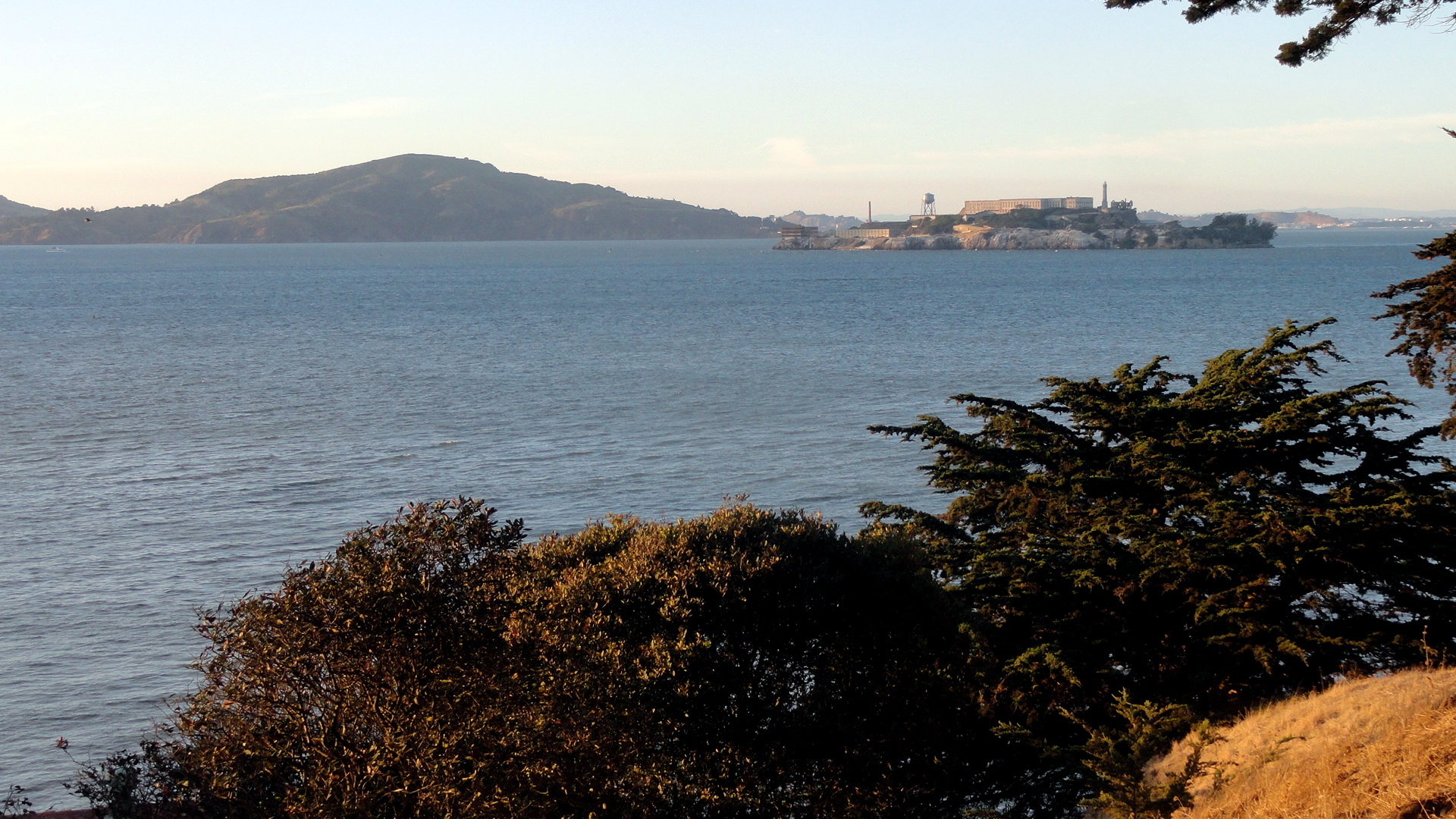
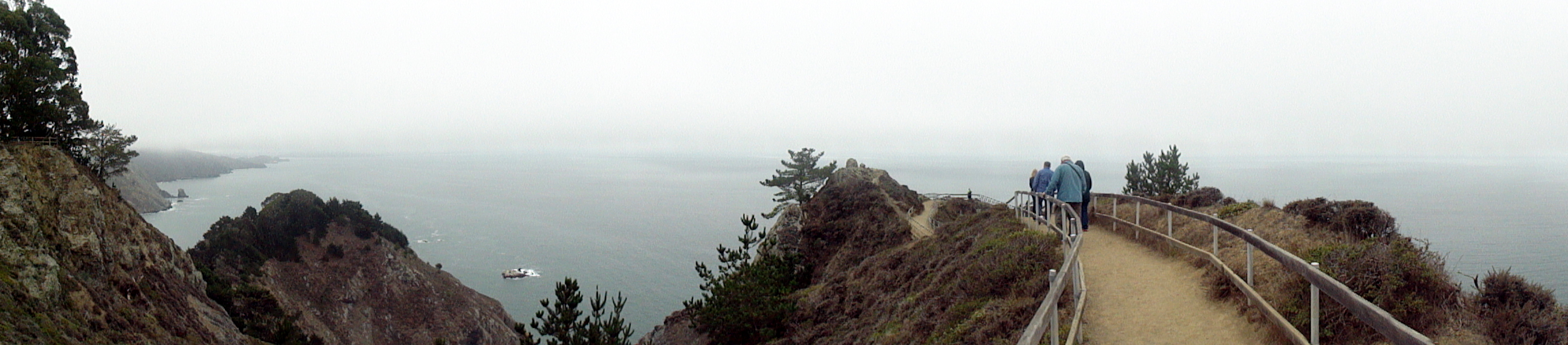
 …plus a few remnants from a series one might call ‘airports of the world.’ smw, slt has not gotten out and about with the camera much these past weeks, but I did realize there was a small cache of photos from some boat trips on the bay, and some hikes in Marin and Sonoma counties, that had not yet been posted. Since I get a bit homesick sometimes when I’m so far away, I’m putting these up so that I have an easy way to scan over them from time to time and remind myself what home looks like. Maybe some of you will enjoy it as well. All the photos have descriptive file names that show up if you hover over them or open them separately, I think. In the slide show below, you’ll see a panorama which goes from the Bay Bridge on the left (east), across the full waterfront of northern SF, to the Golden Gate Bridge & Marin Headlands on the right (west). Further down you’ll see some hiking shots from the trails in Tennessee Valley (Marin county), and Annadel State Park & Hood Mountain Regional Park (Sonoma County). In one of them you’ll see frost on the ground in the shadowy foreground: that was Christmas day last year – ah, how I long for frost on a hot afternoon here in Port au Prince! At the end are some photos of me and friends – at Wolf House in Jack London State Historic Park (Sonoma County) … and, well, me looking as lost as I felt, with some colleagues in Casablanca airport on my way home from Sierra Leone, last December. Our flight out of Freetown had been at some crazy hour like 2 am or 3 am or something, so we took the ferry over to the airport at 10pm or so, and snoozed in the waiting area and then flew for three hours to Casablanca to land at something like 8 in the morning. Oy, airports in which we have waited listlessly: might be a future series, what do you think?


Springtime in Sonoma County
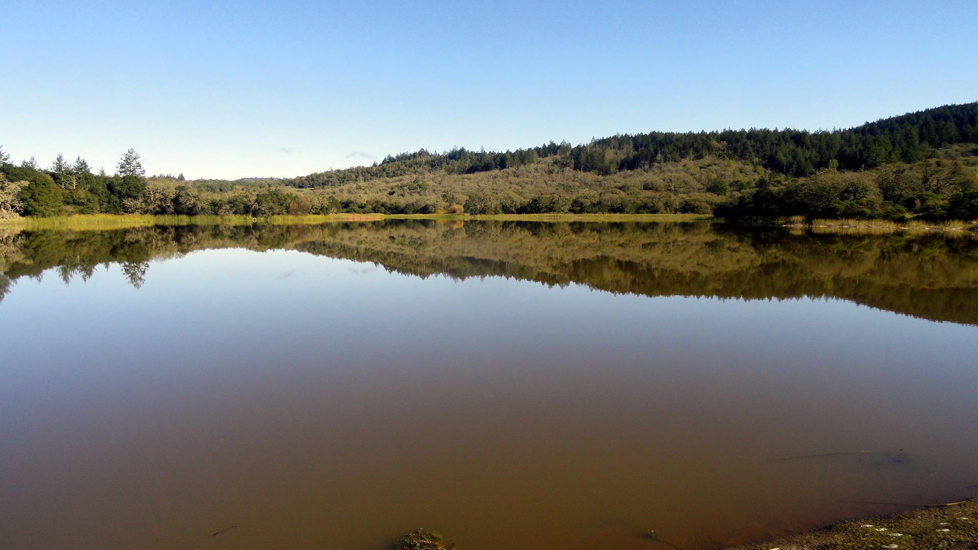
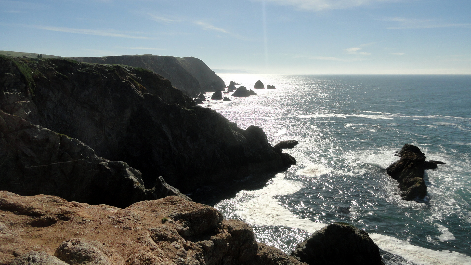
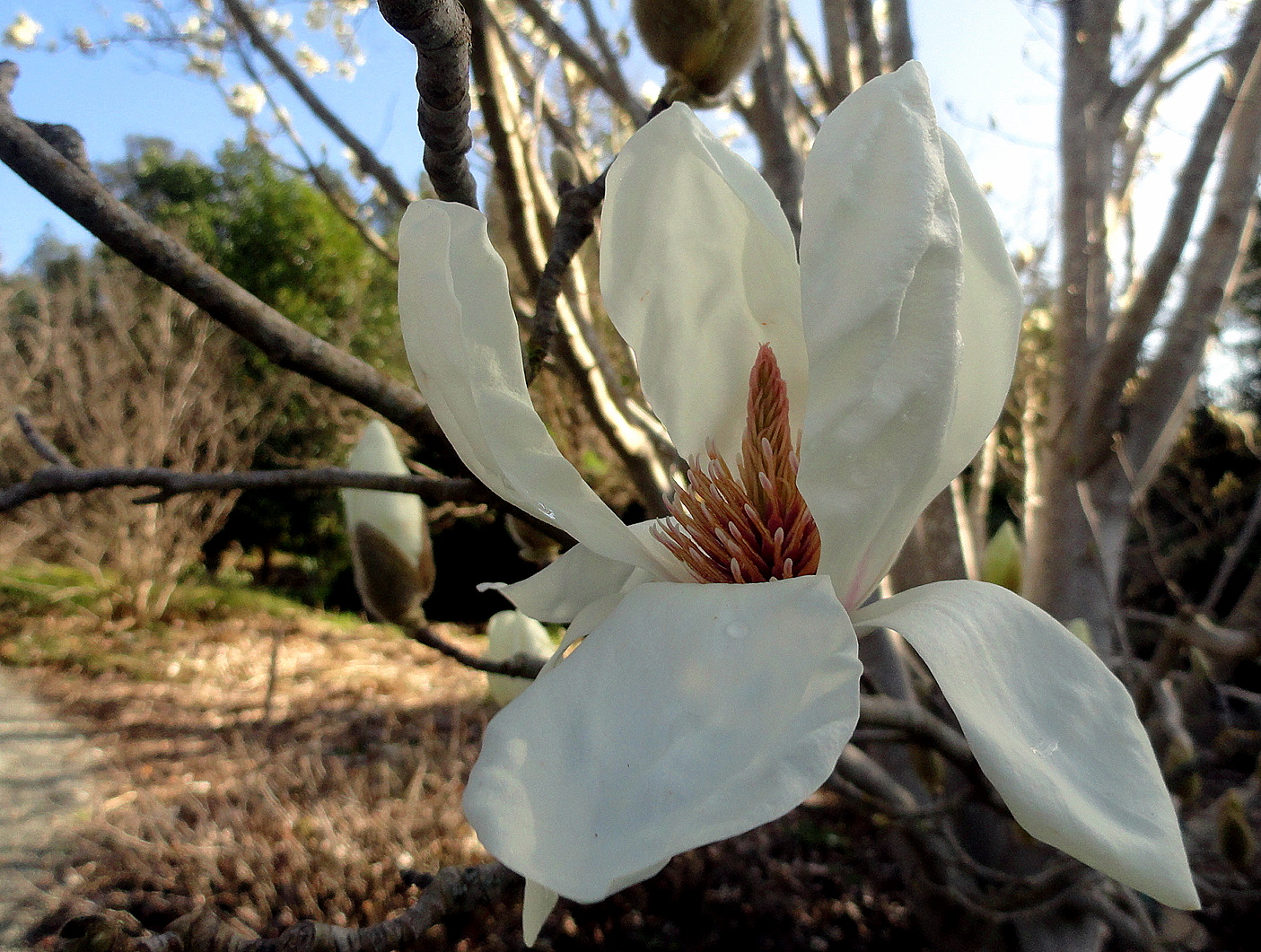
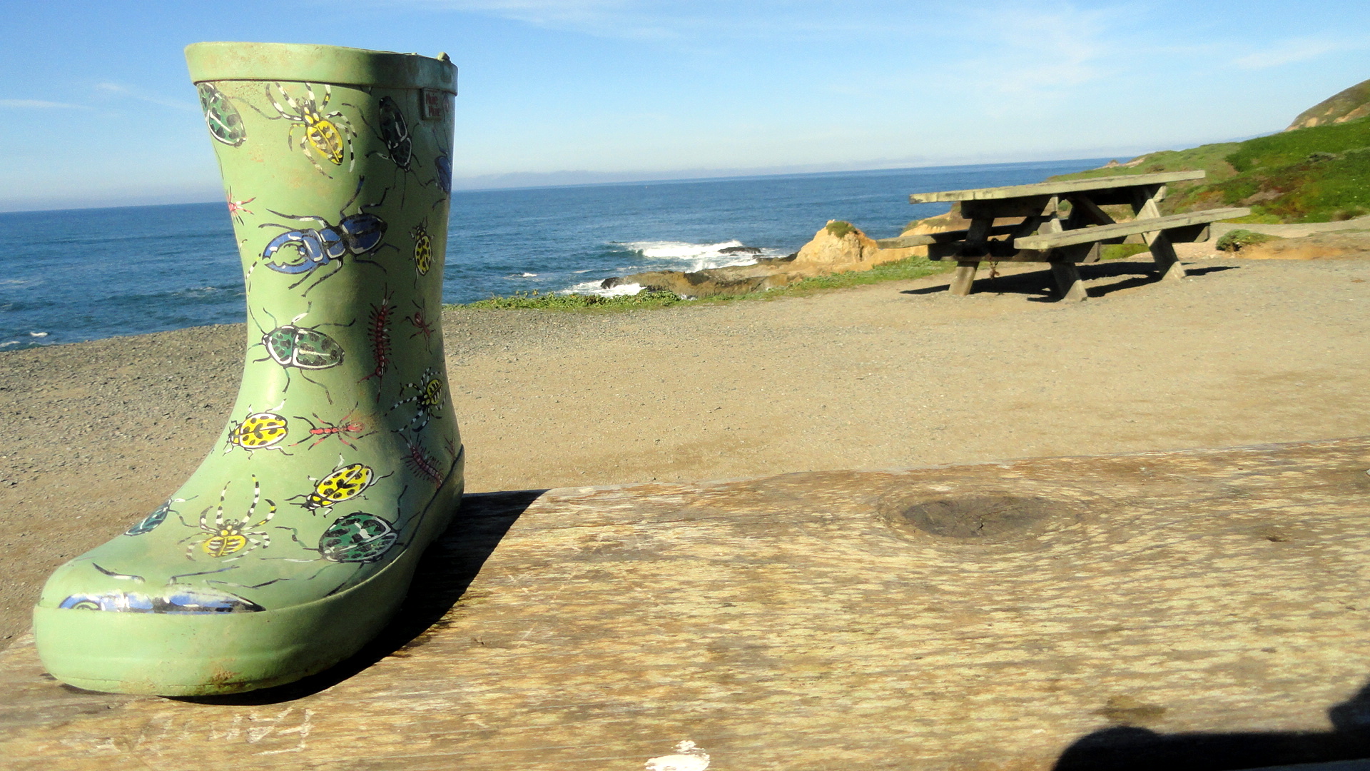 For several months now, smw slt has been calling Sonoma County, in the northern sector of California’s lovely Bay Area, home. It’s an area I’ve always loved and now hope to return to regularly in coming years…during breaks from the upcoming long assignment that’s about to begin. Yep, that’s right, after more than two glorious months of biking, hiking, cooking and quietly attending to the business of having and making friends and pursuing a relatively quiet life, I’m about to pack the bags and hit the airport circuit for more of my beloved work. But before I go, I figured I should pop a few of the scenes I’ve been enjoying these recent months up on the blog, both for myself to scan when I’m feeling homesick, and for anyone who wonders what life looks like an hour’s drive of the city of SF itself. These were all shot between January and March along the coast and in towns and spots around Sonoma County – sadly, I forgot my camera often when I went out by bike or in the car when my mother visited, so for example I have no photos of our lovely day at Fort Ross and at Jenner, where the Russian River meets the ocean. Oh well – that’s called down time for me, to forget the camera! Enjoy, and look for future updates when I get the chance. (And for the record, the painted boot was just sitting there on the picnic table; I did not stage that one. If you don’t see it, try launching this page in a different browser.) Thanks :-).


California Scrapbook


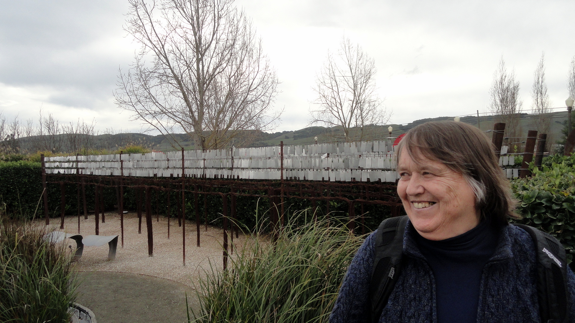
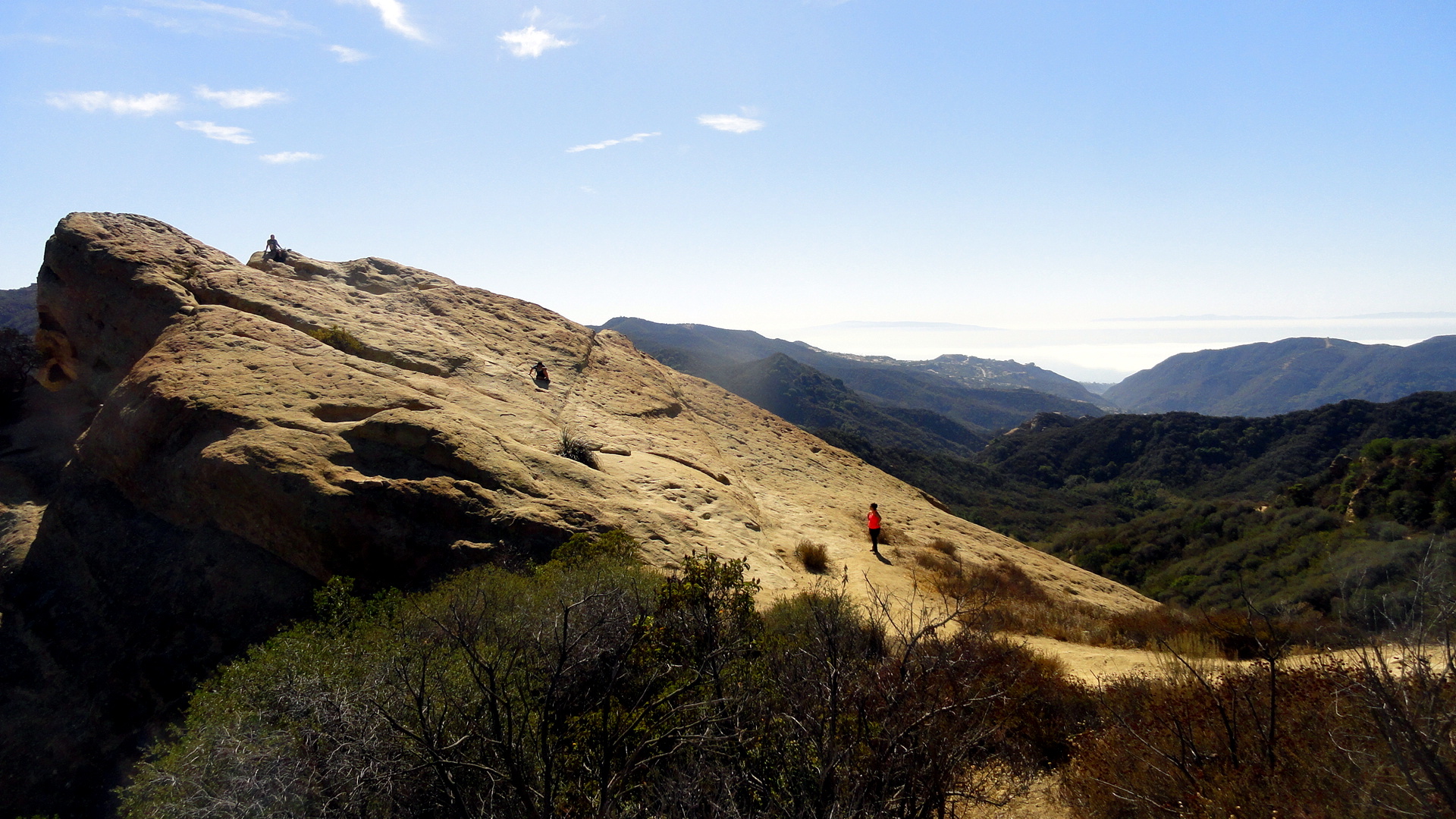
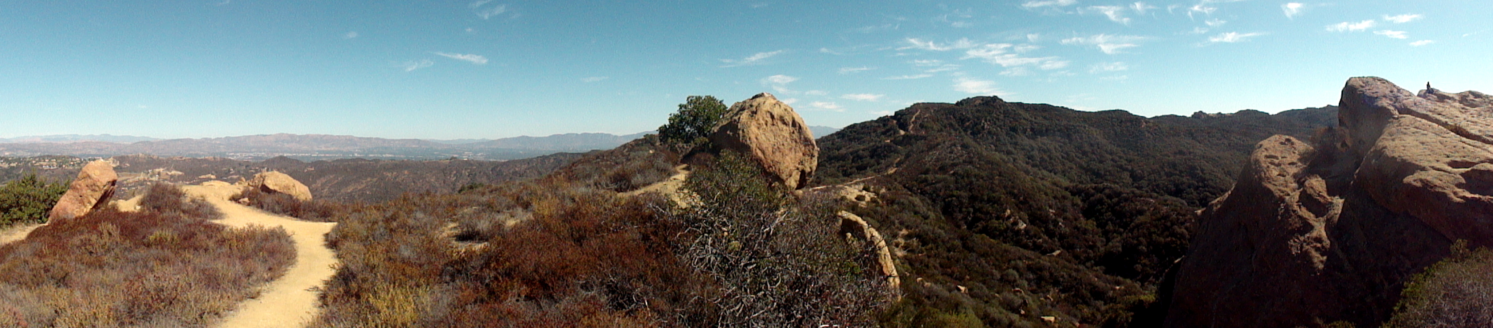
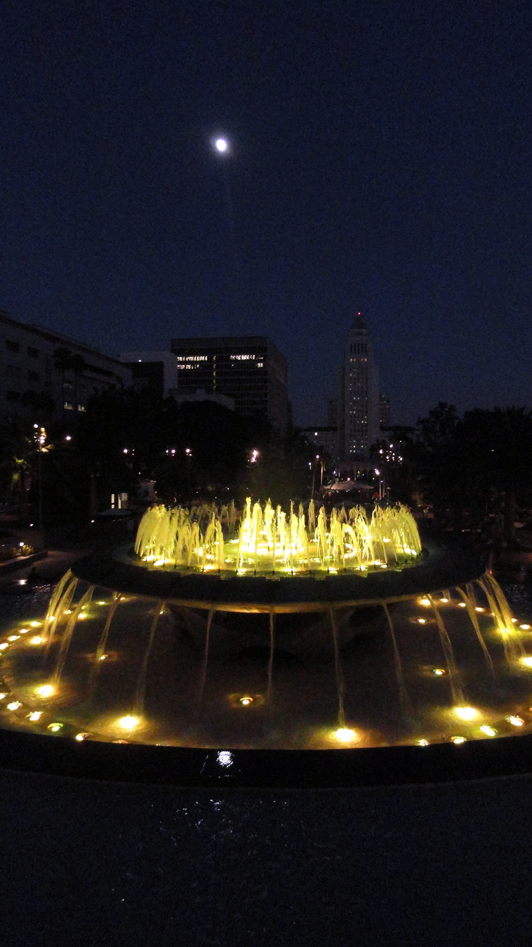
So smw, slt has again left the continent and headed off to work. This time our work really won’t be anything we document on here, so both to clear my own to-do list, and to leave my friends with a sense of how well-rested I’ve become from these past two months in my spiritual and now literal home of California (well, literal in the sense I actually have a home there waiting for my return, not in the sense I’m there at the moment or expect to be for the next few months…), I’m giving a you a scrapbook of shots that piled up since my return from the ABQ wedding in mid-August. The bay, the golden gate bridge and Marin headlands as seen from Fort Mason; various scenes of Napa and Sonoma counties as seen from hikes & bikes around new new home base; some shots from a couple days last week (!) in Los Angeles – back to Topanga Canyon & the fountain in Grand Park on a nearly-full-moon night (the next night, we stood out on my balcony up north to watch the lunar eclipse at 3AM, how cool was that?!)…and scenes of the bay’s wetlands around Palo Alto as seen when I had the privilege of riding along for some training with my friend Amy who’s getting herself trained to fly a small plane.
If you’re curious about the work, there was a PBS frontline documentary filmed in early August at that project where I’ll very soon be working; from Europe I’m unable to launch the link but I’m fairly sure if you’re in the US you can find it here: http://www.pbs.org/wgbh/pages/frontline/ebola-outbreak/
As the man says, be well, do good work, and keep in touch. It’s certainly what I plan to do! Cheers.


Music, Missions & Mountains Around the Bay
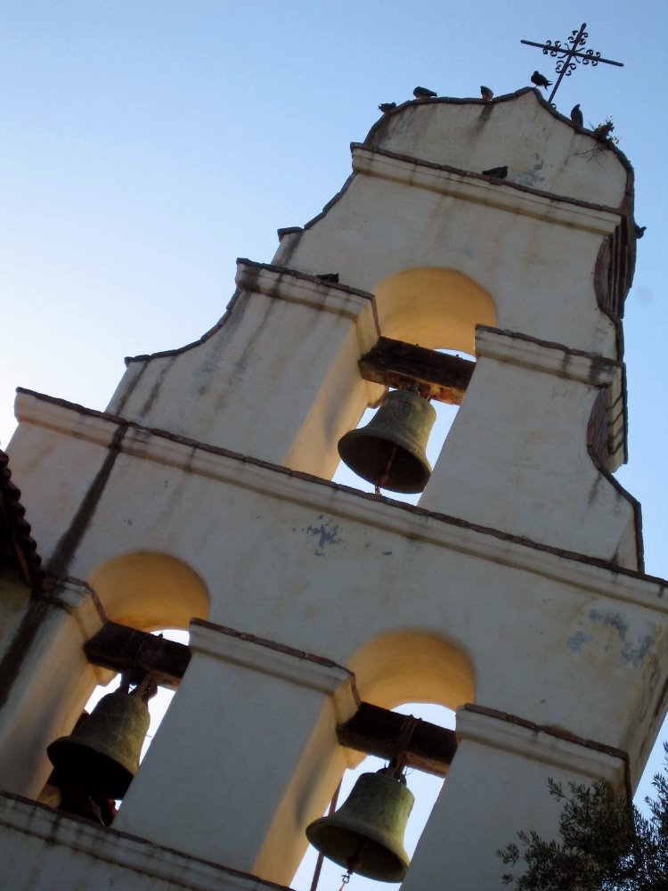
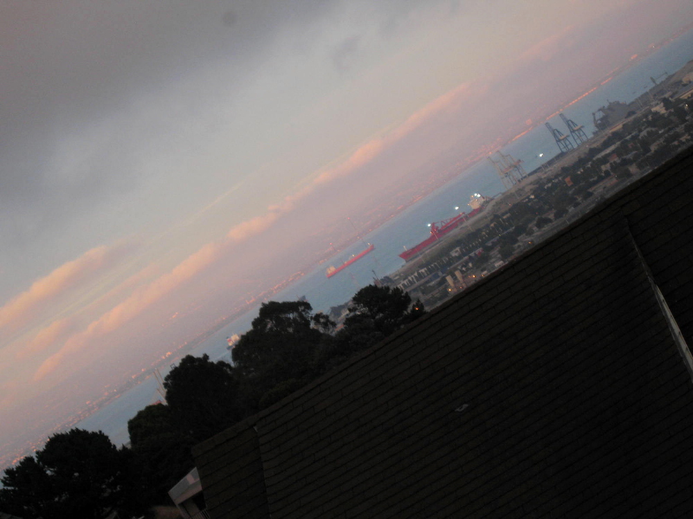
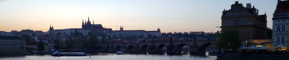
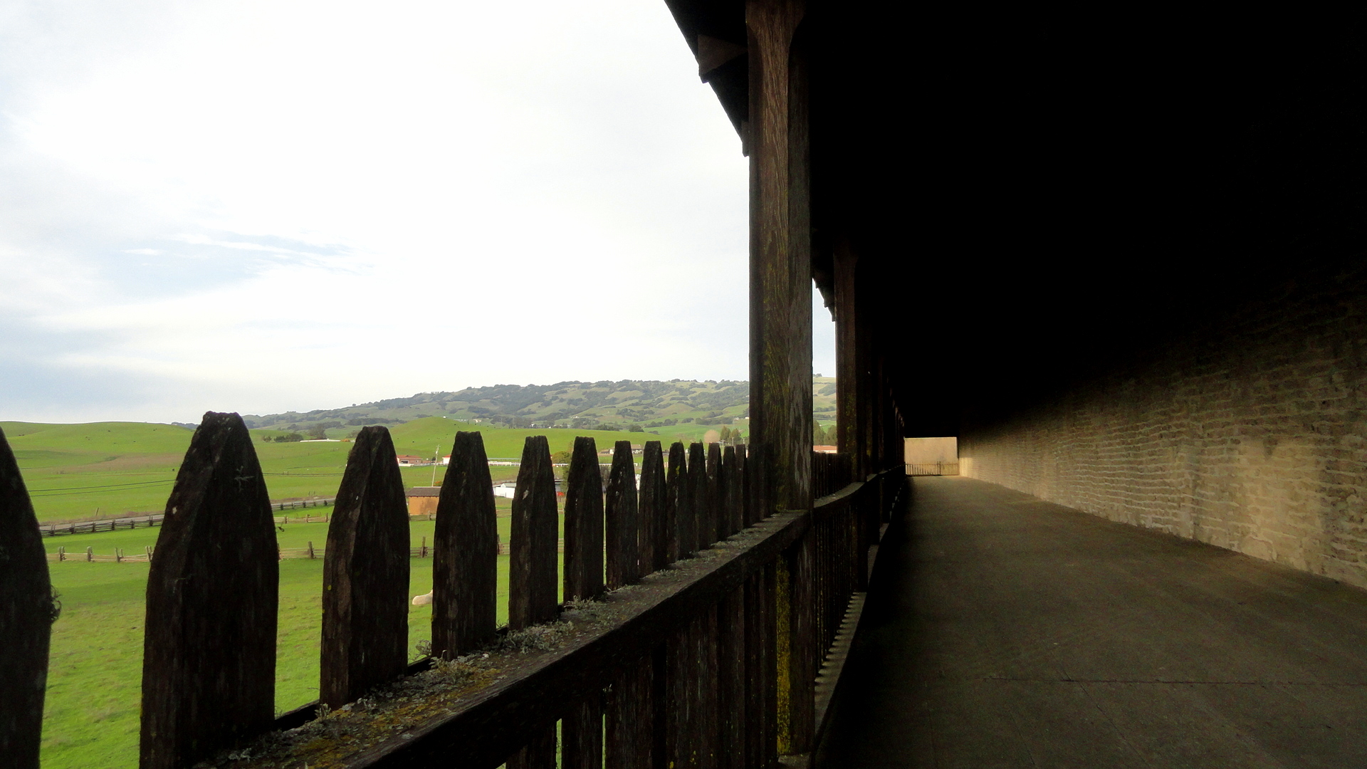
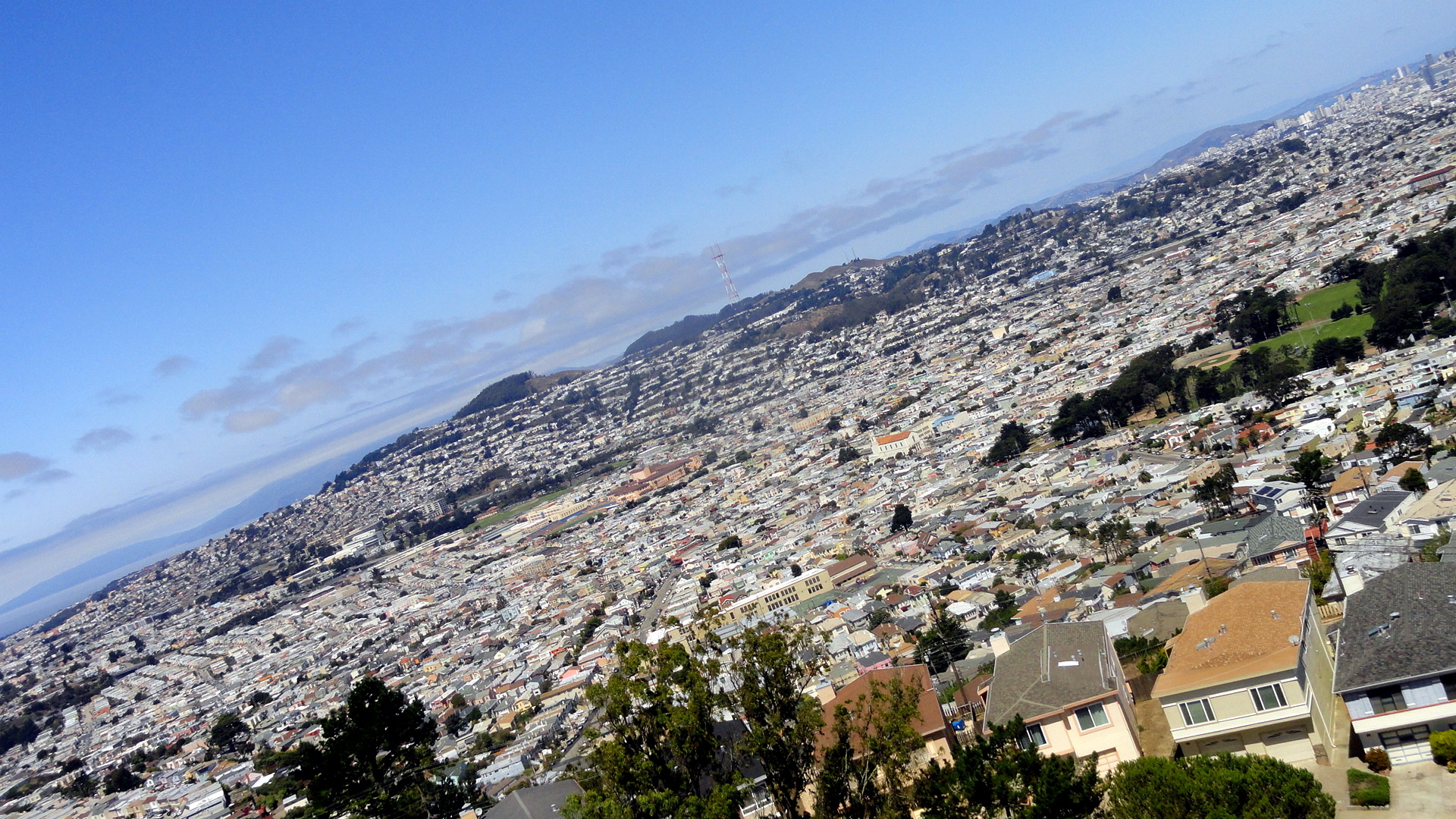
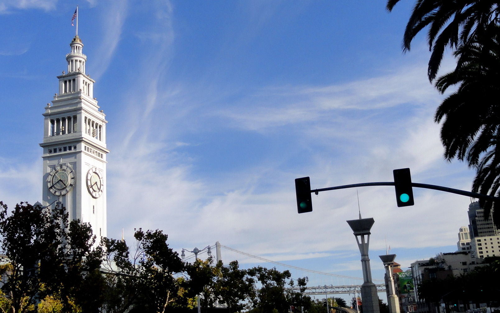
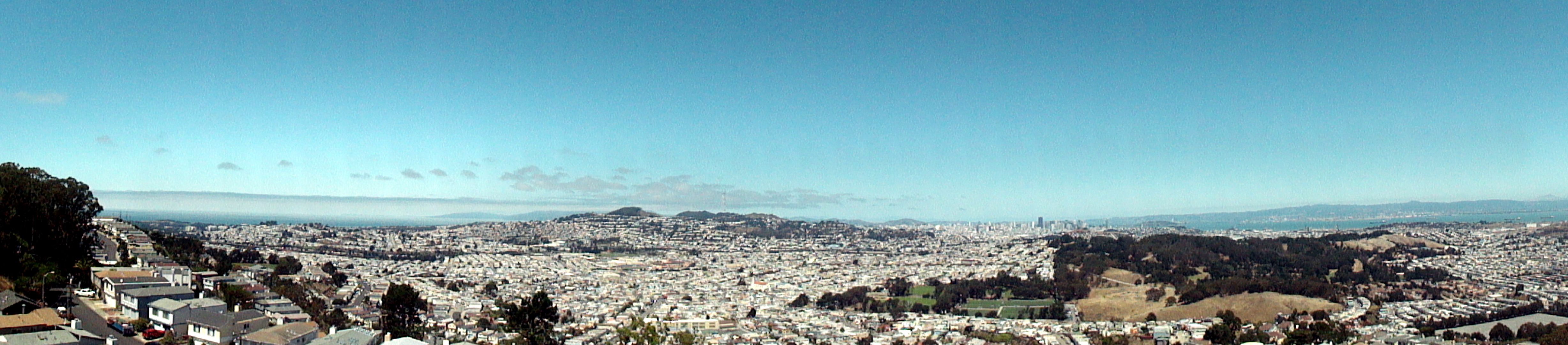
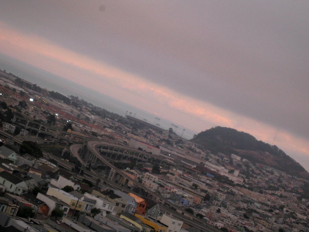
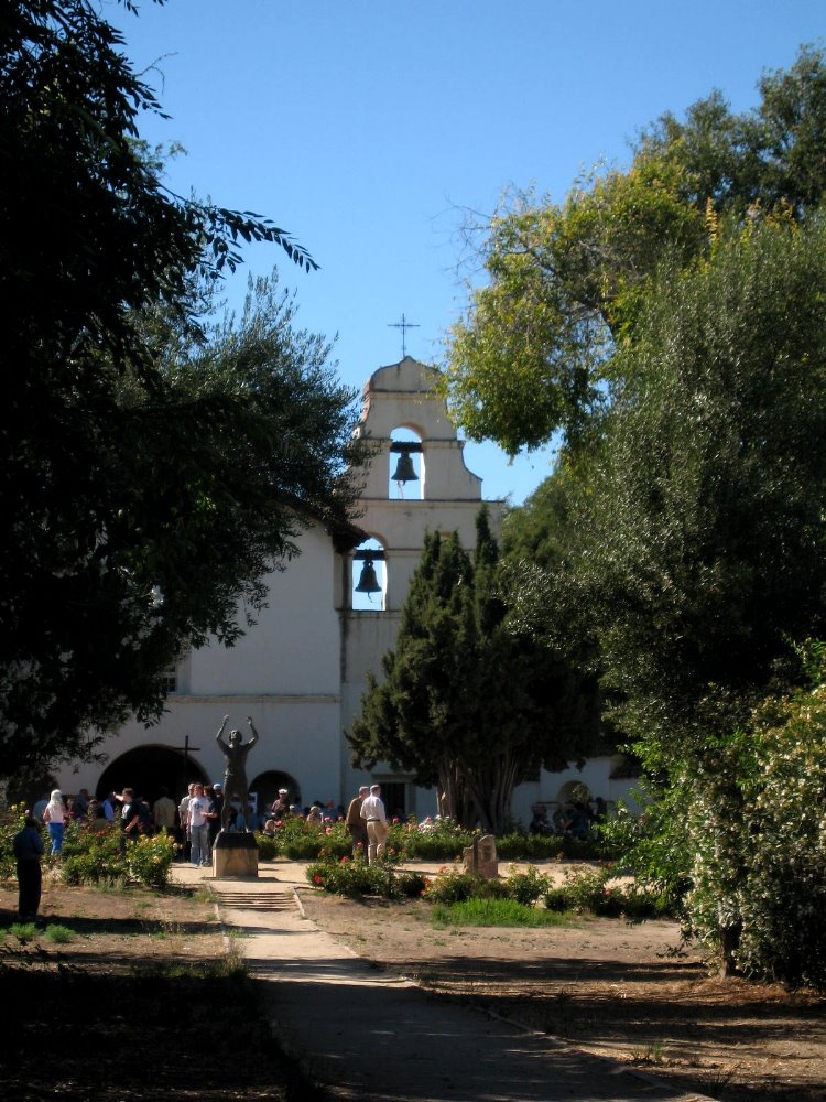
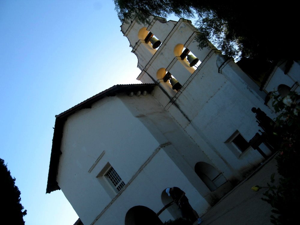
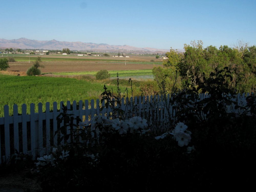
 If it’s early August, the Cabrillo Music festival is happening in Santa Cruz and other areas in and around Santa Cruz, just south of the SF Bay Area. My friends Howard & Gene go most years, and I join them whenever I’m close enough to make it feasible. The final concert each year takes place at the old Spanish mission at San Juan Bautista, a small town south of San Jose — hence the bell tower, above. I take advantage of the week in between the two main festival weekends to enjoy SF and see my friends Amy, Nancy & Kip — from whose lovely hilltop neighborhood of Bernal Heights these sunset shots of the bay and city, above and below, were taken.

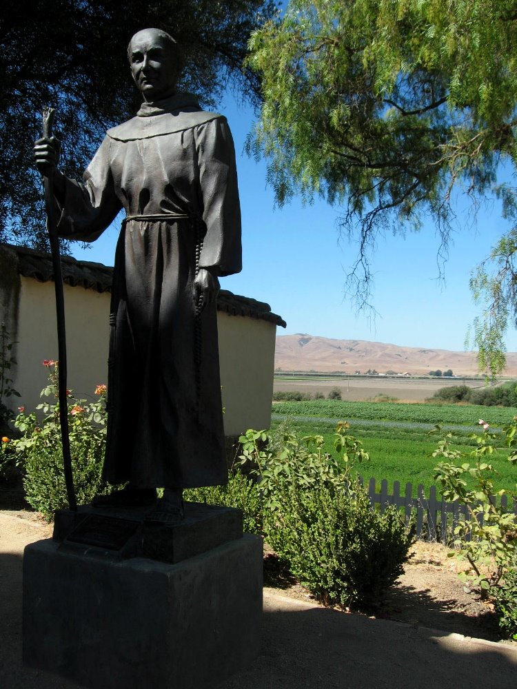 Junipero Serra was the Catholic priest who decided to set up missions a day’s ride from each other all up the coastline of what was then Alta California, part of the Spanish colony of Mexico. These days the missions serve as parish churches in many places, and historical points of interest from San Diego in the south all the way to Sonoma in the north. Considering the history of near-utter extermination of the native inhabitants of California (surely an earthly garden of eden in the pre-European-invasion era, I’d think) in very short order after their exposure to Europeans and their diseases and culture, I personally think Junipero Serra’s legacy is as freighted with death and destruction as that of the rest of the church. But that’s just me. He’s certainly an important historical figure, and the missions certainly add interest and history to California. OK, soapbox time, with apologies to those who’ve heard it before: what is it about American liberals that allows them to feel comfortable driving around in cars with “free Tibet” stickers while living in big houses in the hills of California, on land that’s far more stained with blood and cultural genocide than Tibet? I know, we can’t roll back history here in the US – or can we? is there some creative we could retroactively create a little more justice and space for the first nations that remain and whose land, culture, languages and resources we have shamelessly stolen since our ancestors first landed on these shores? – but could we at least be a bit more humble, a bit more nuanced in our approach to the complex histories of territorial expansion and conflict occurring on the other side of the world, in regions with millennia of history that make our own expunging of native Americans from most of their former homes and zones seem like a highly-efficient blitzkrieg?
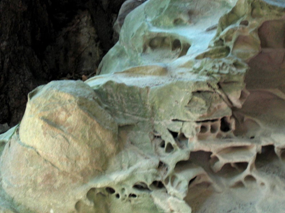 No, these are not Anasazi dwellings in the US southwest. They’re formations in a big limestone rock that’s been eroded by rain and water to form these fascinating images. I forget the name of the this particular type of rock formation: help me out, someone.
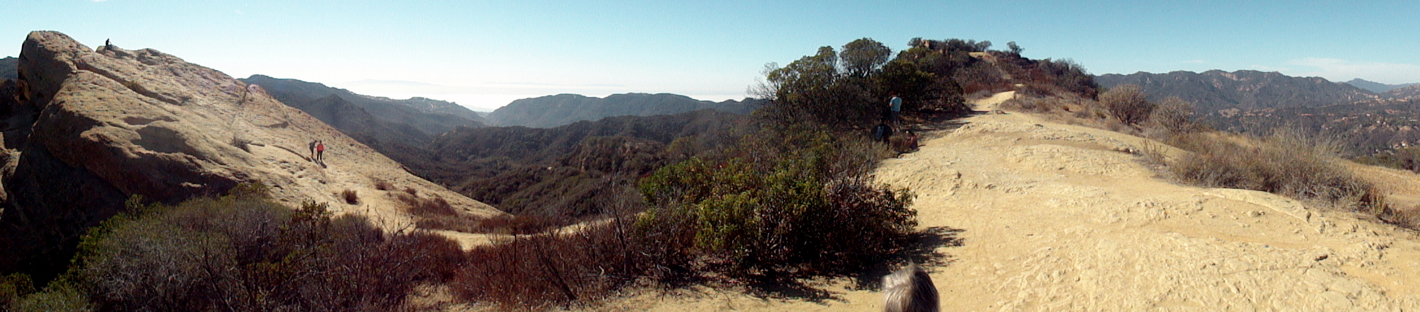
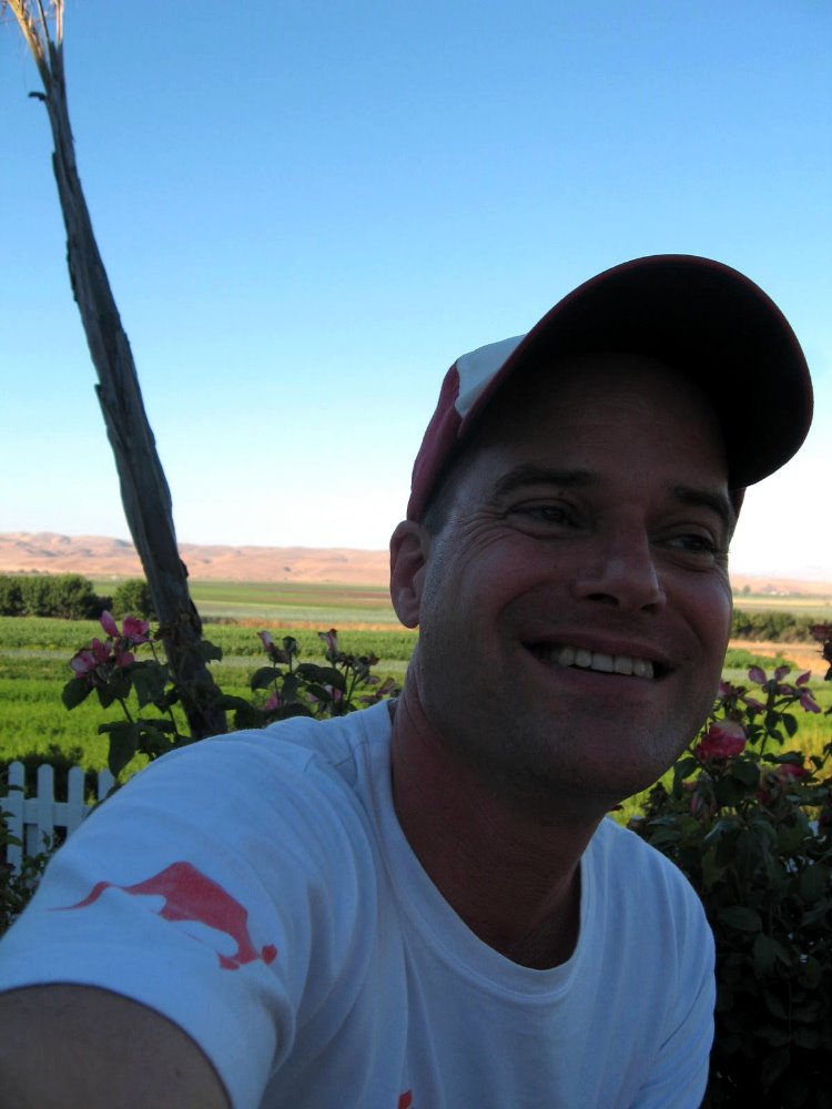
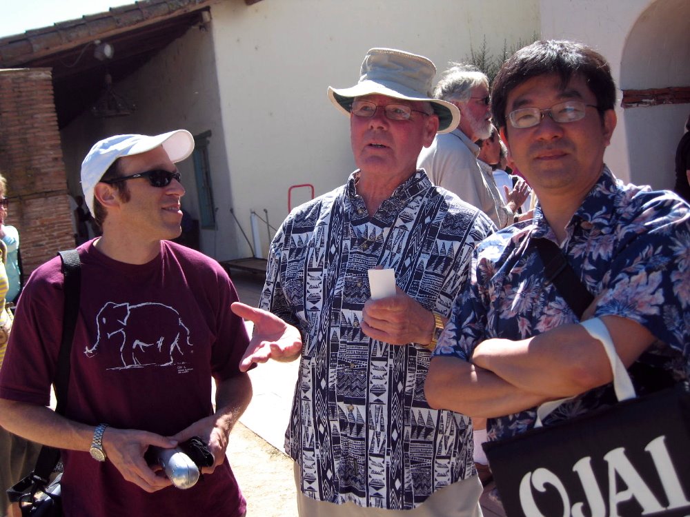
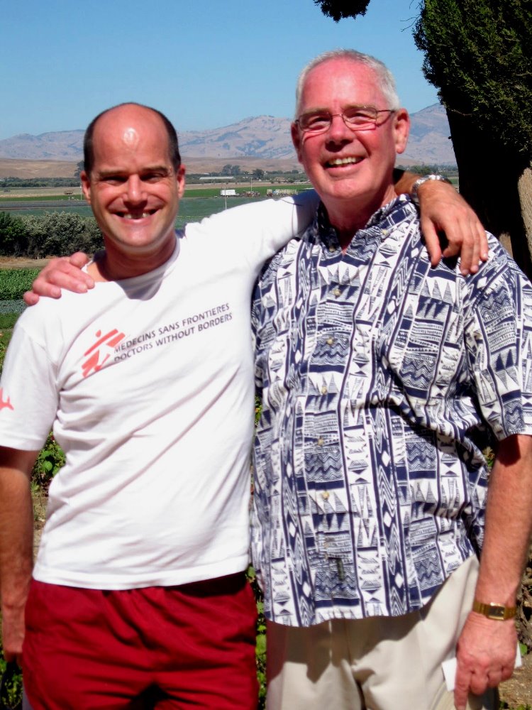 Above & below, me & Russ at the mission concert; Howard, John and Gene on the hike; Howard, Russ and Gene at the mission.
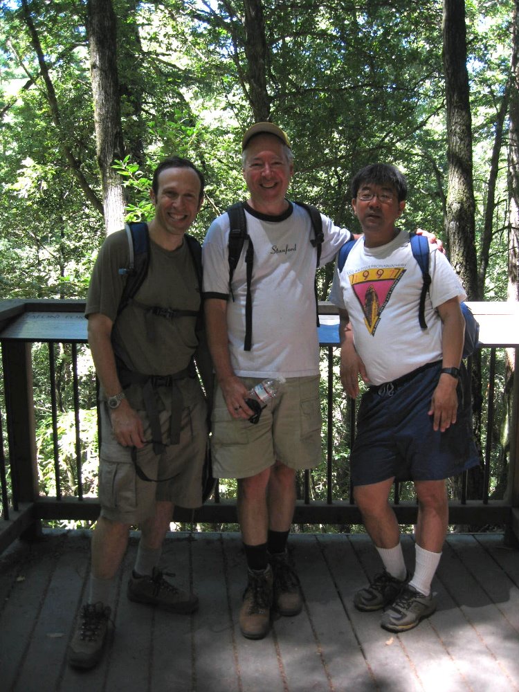
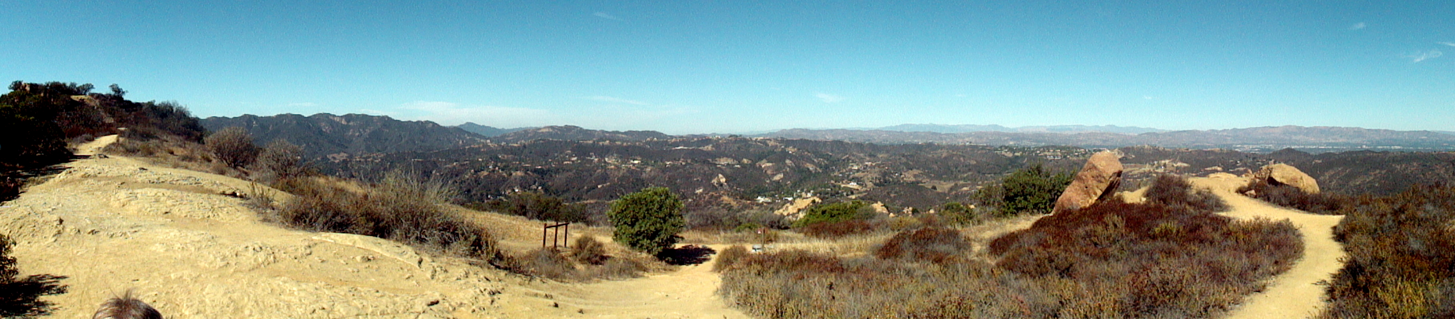
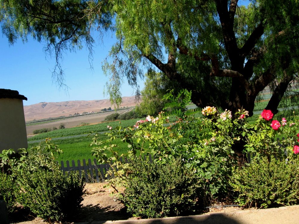 …you are looking, though you may not know it, at the San Andreas fault, which runs right through the valley next to San Juan Bautista.
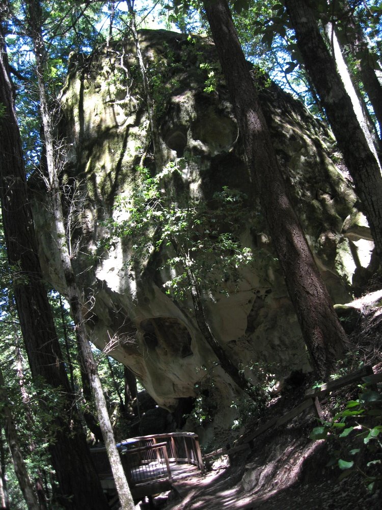
