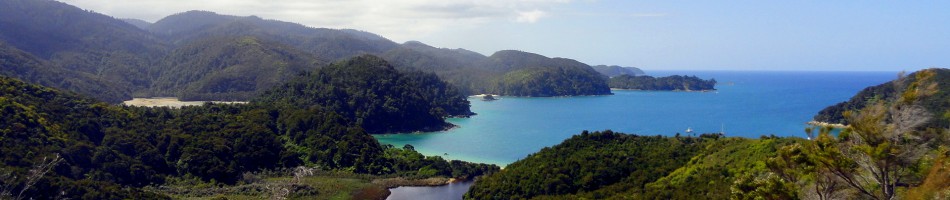
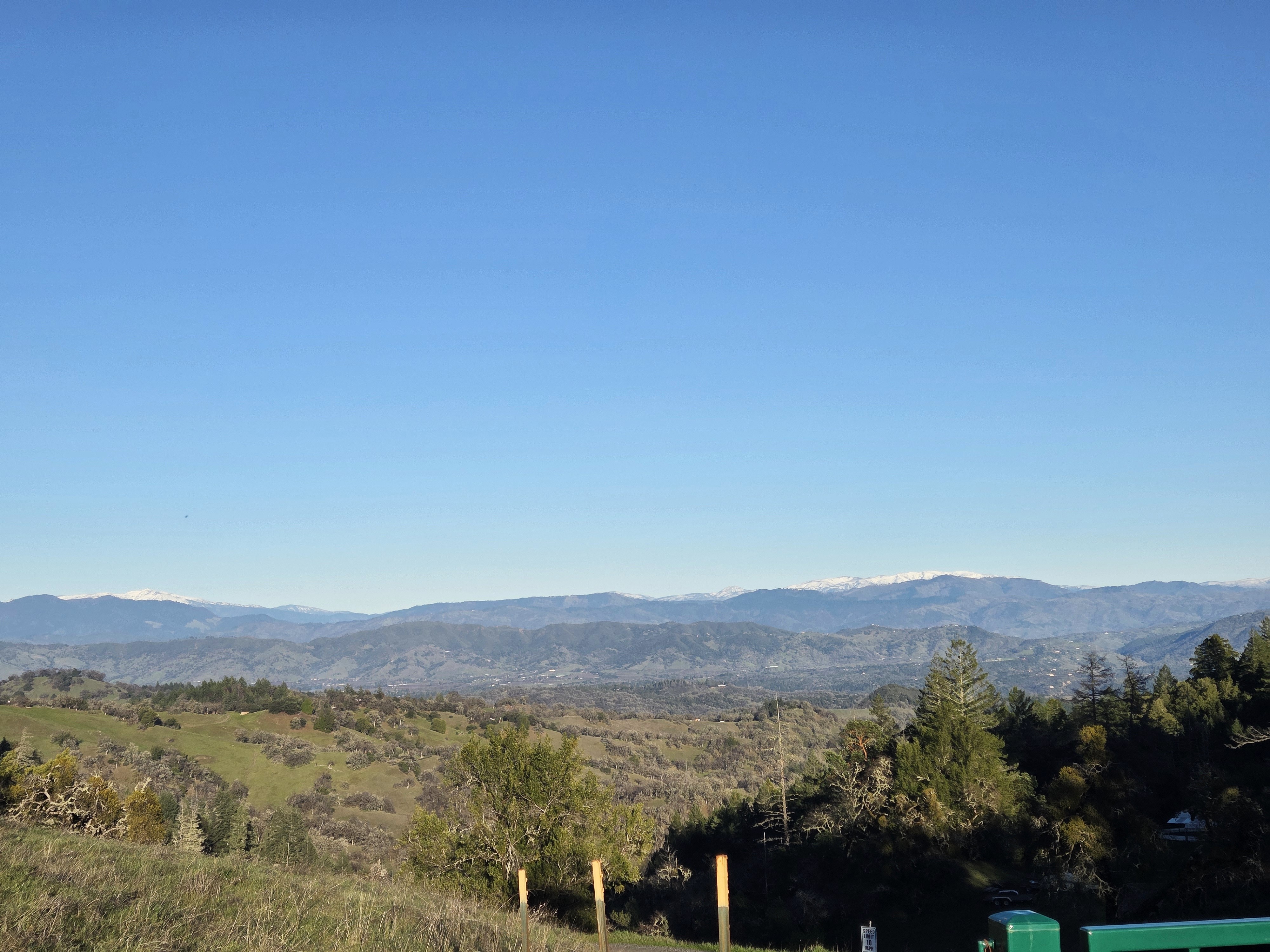
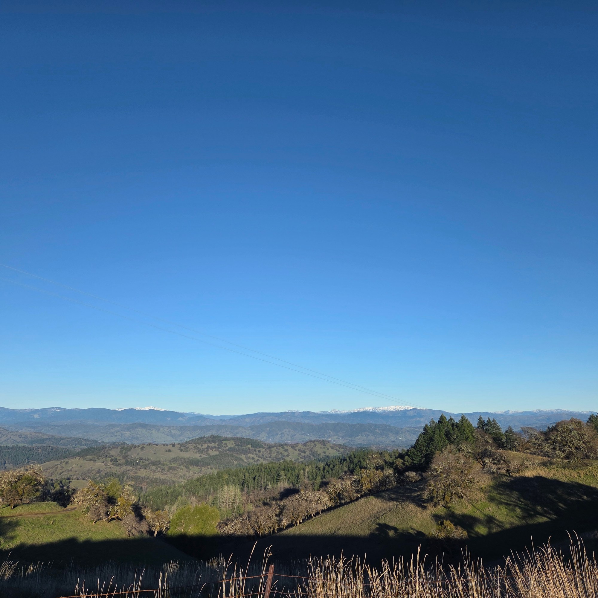
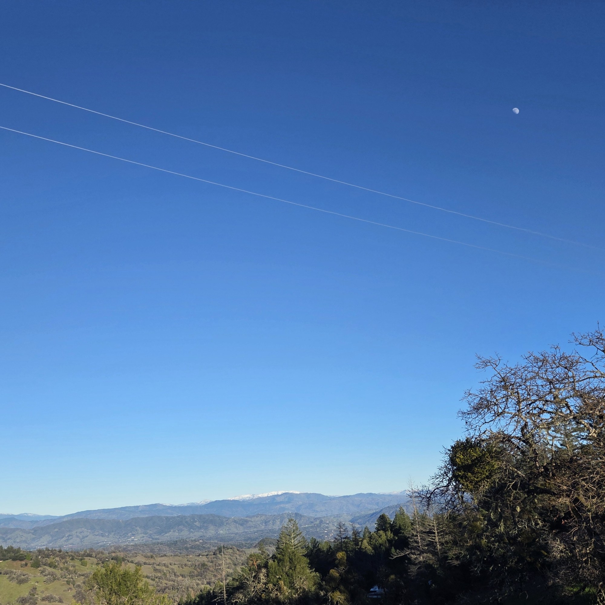
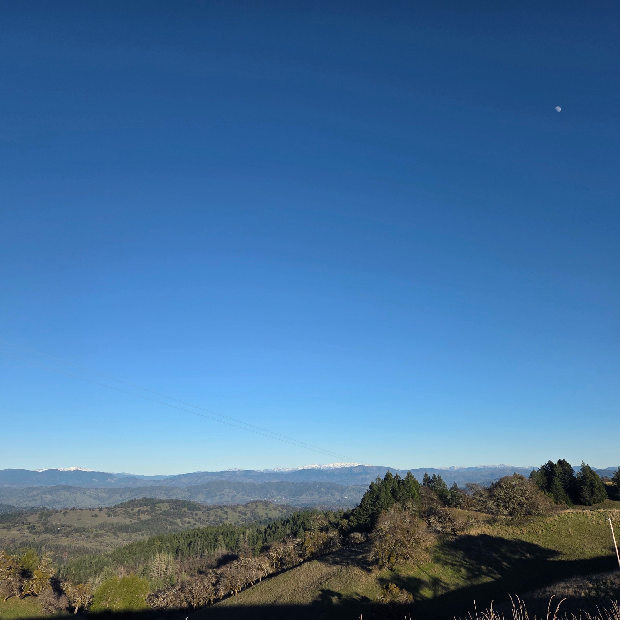
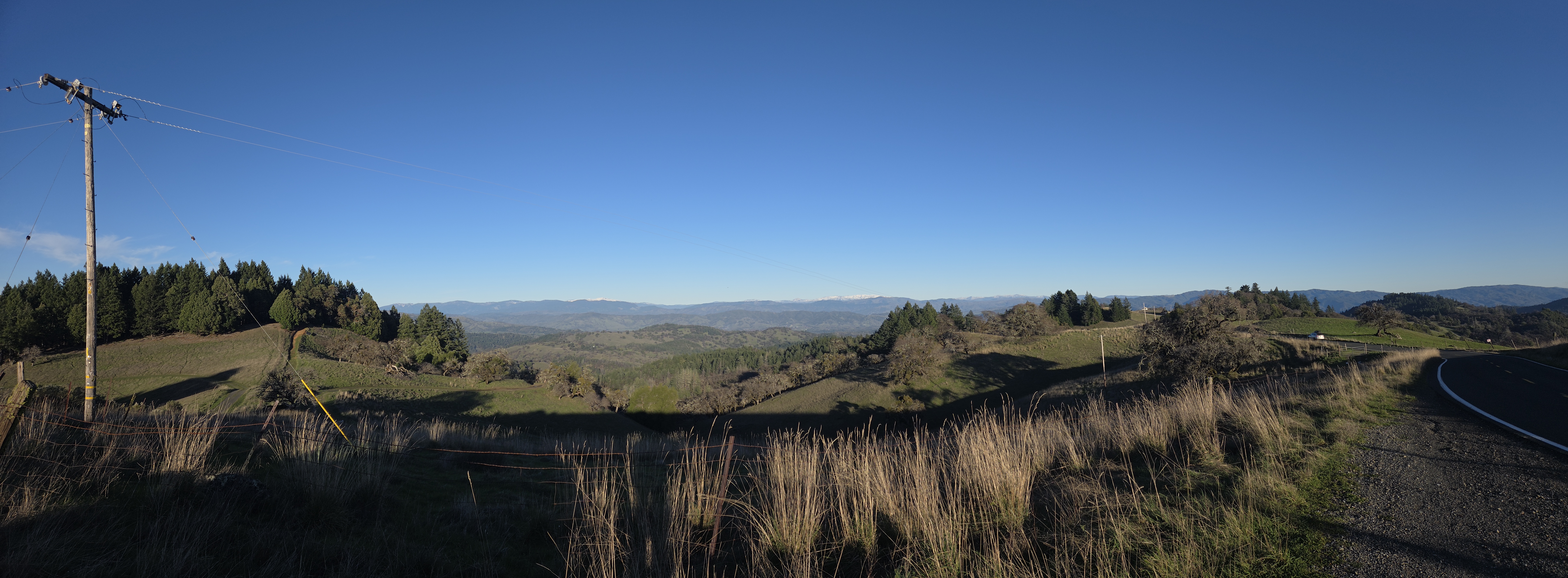
Since we resumed this series with (if I may say) rather spectacular shots of Yosemite Valley & Halfdome as seen from my airplane on the day I flew over toCalifornia in late December, we’ve shown you some of various spines of mountains that run through CA, starting with those Sierra Nevada photos, one earlier shot of these Snow Mountain and other higher parts of the “northern coastal range” in Mendocino National Forest, and of course the lower, closer to the coast coastal range further south as seen all around my Sonoma County home base. Naturally, I cherish mountain views when I find them outside NL, just as I cherish lovely canal views when here in NL 🙂
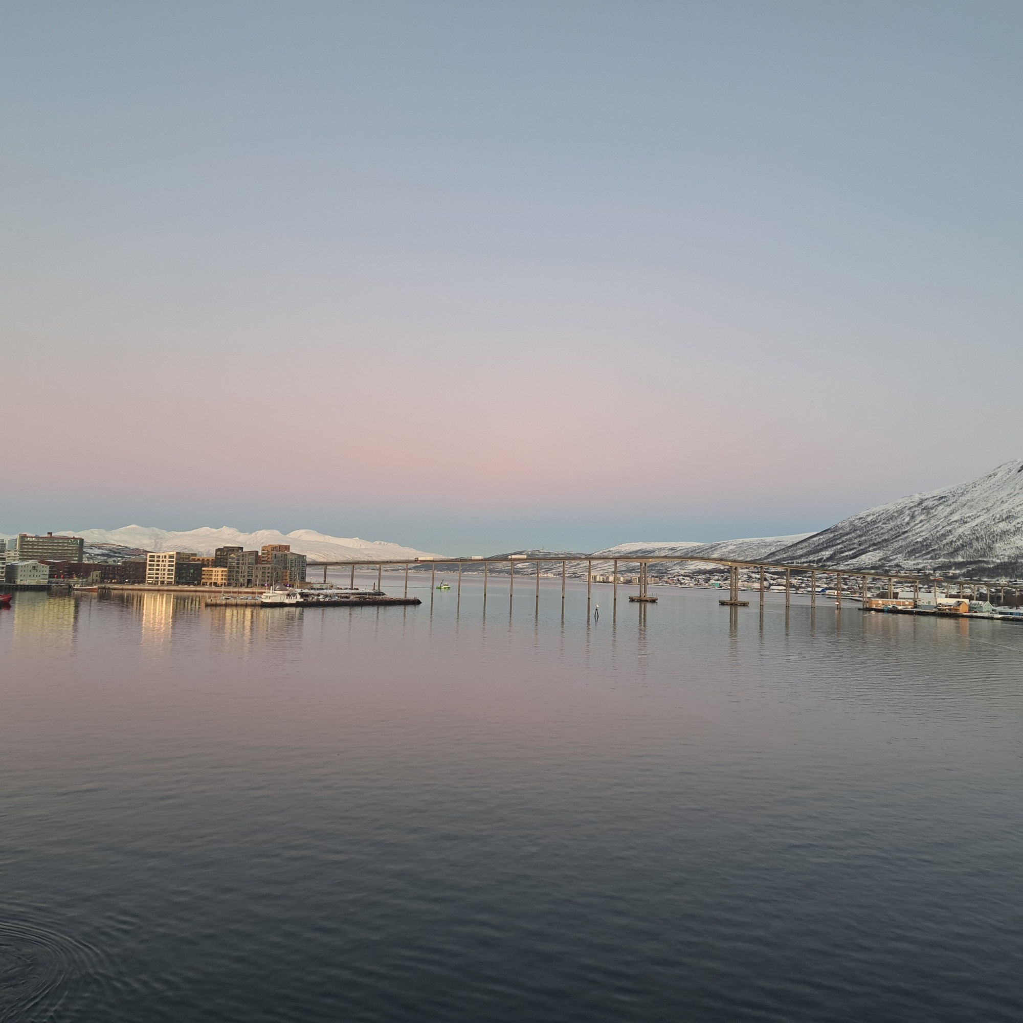
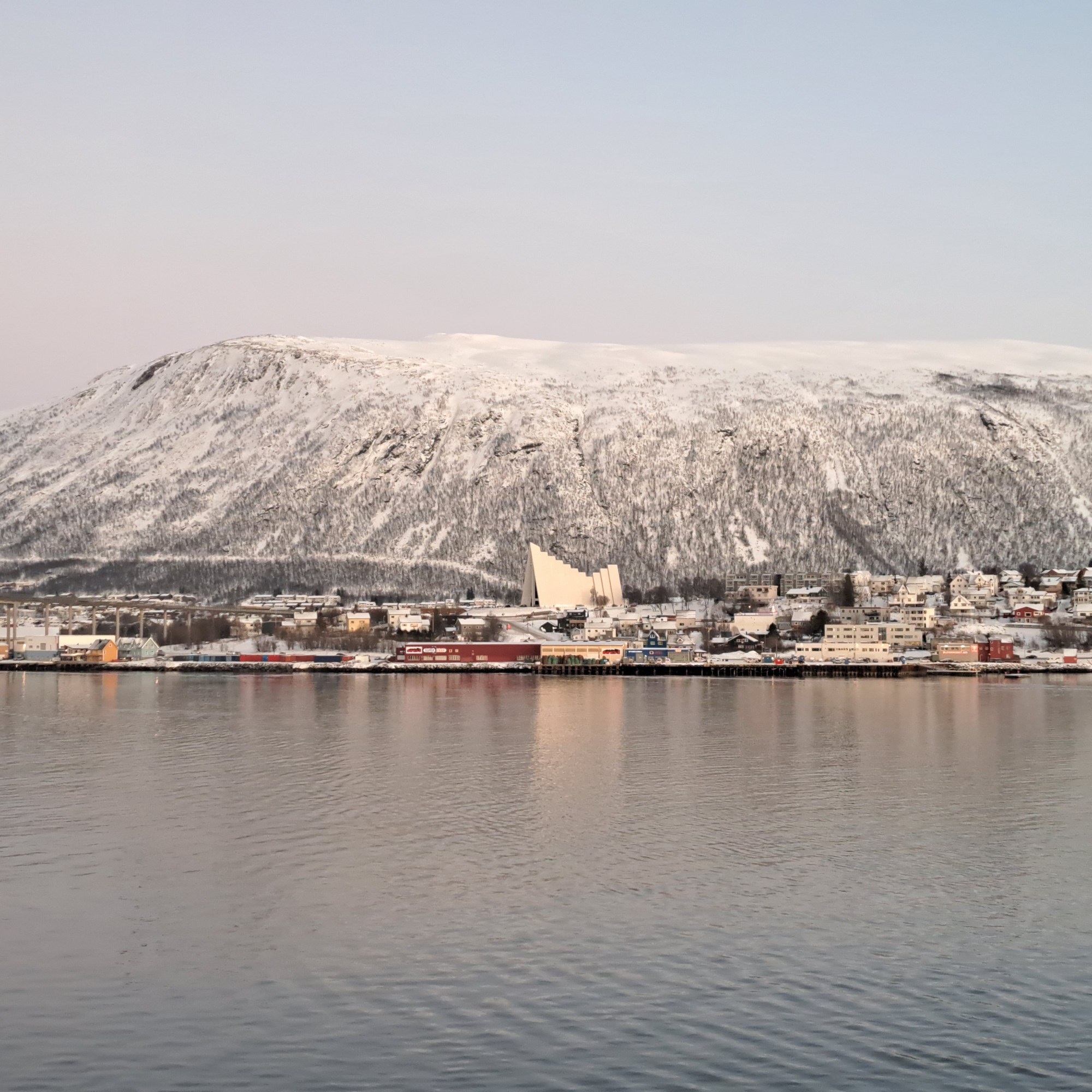
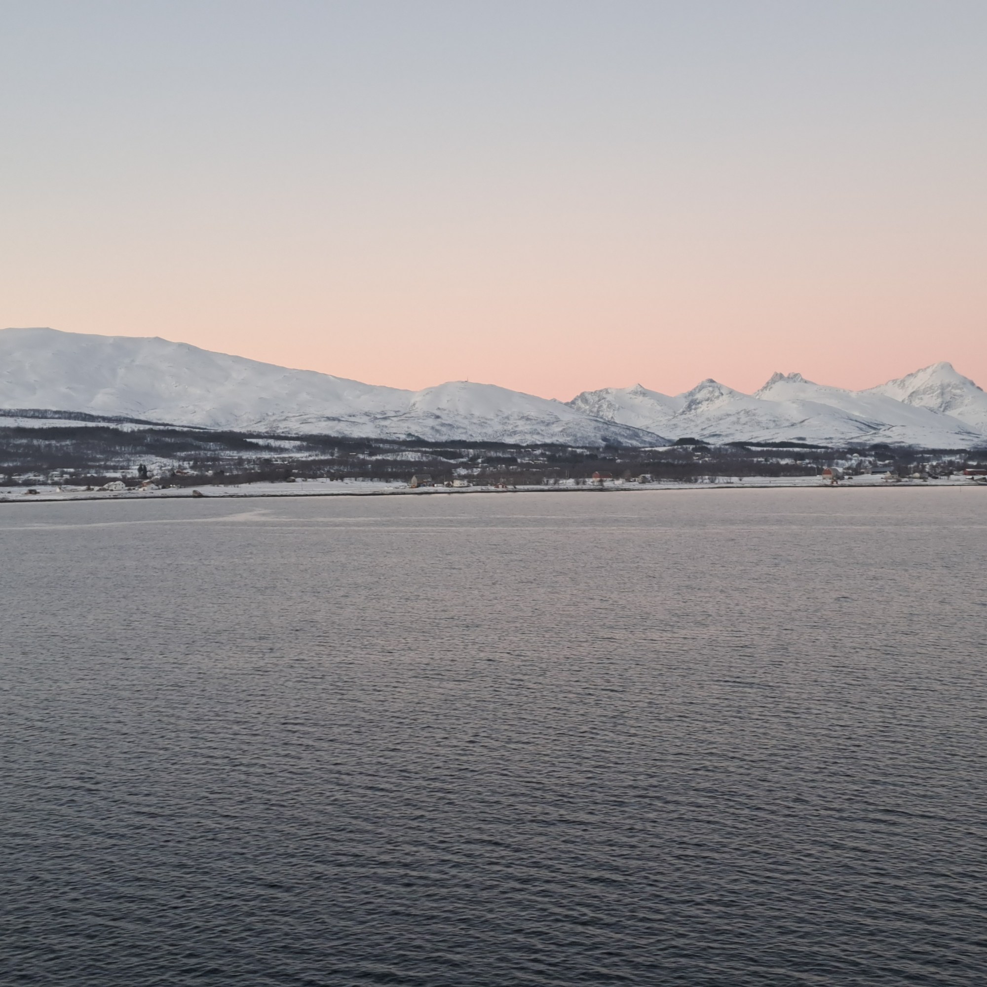
The main city center of Tromsø is actually on the island of Tromsøya (Romssasuolu in the Northern Sami dialect of its first nation inhabitants). In the photo above, the island and thus main city center is to the left, taken as we pulled into the port. Leaving, a few hours later, we passed under that bridge you see above, and during our several-hour port call we walked a bit more than halfway across that bridge, on the other (mainland) side of which is the iconic church you’ll see in some photos below.
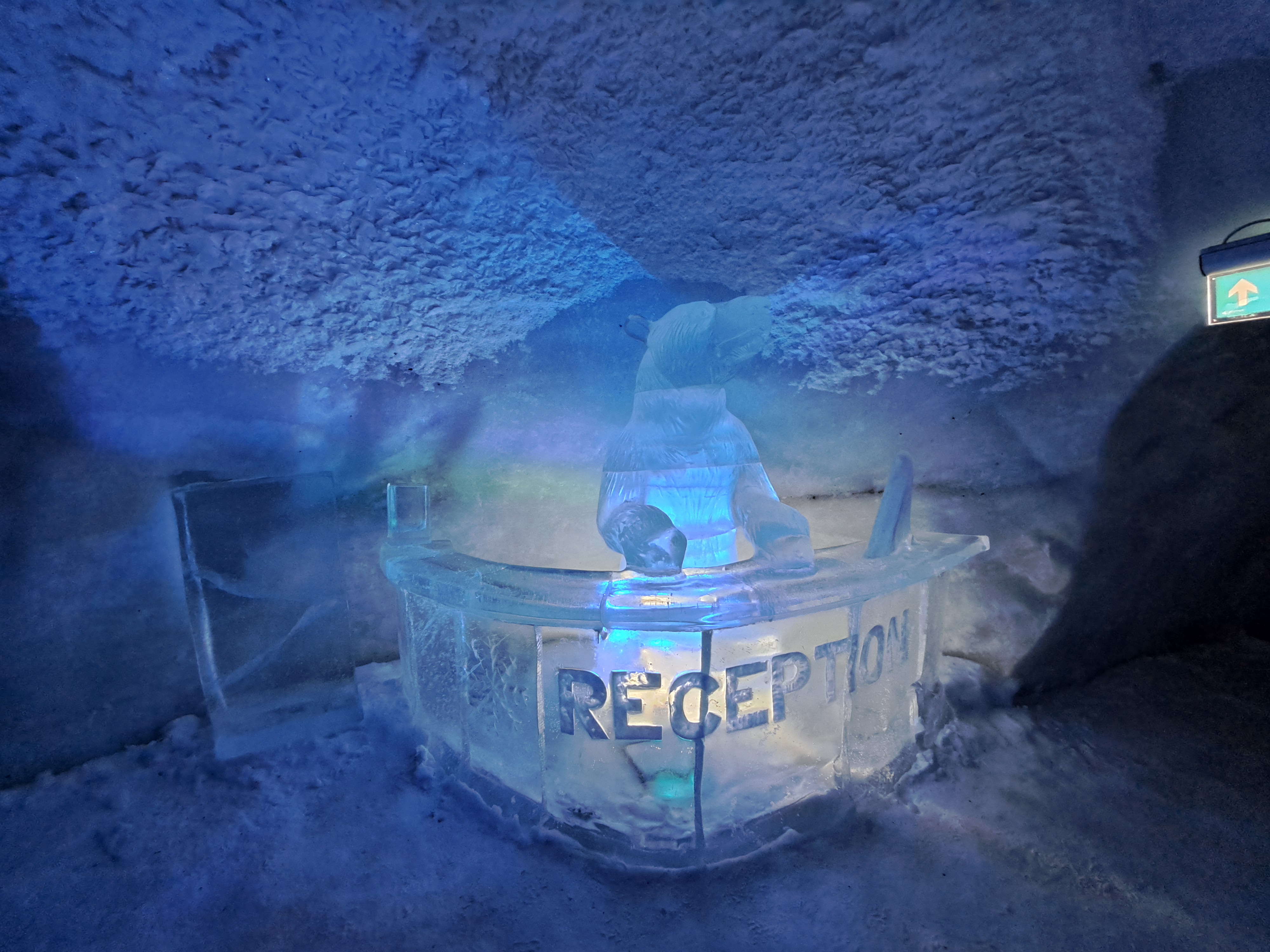
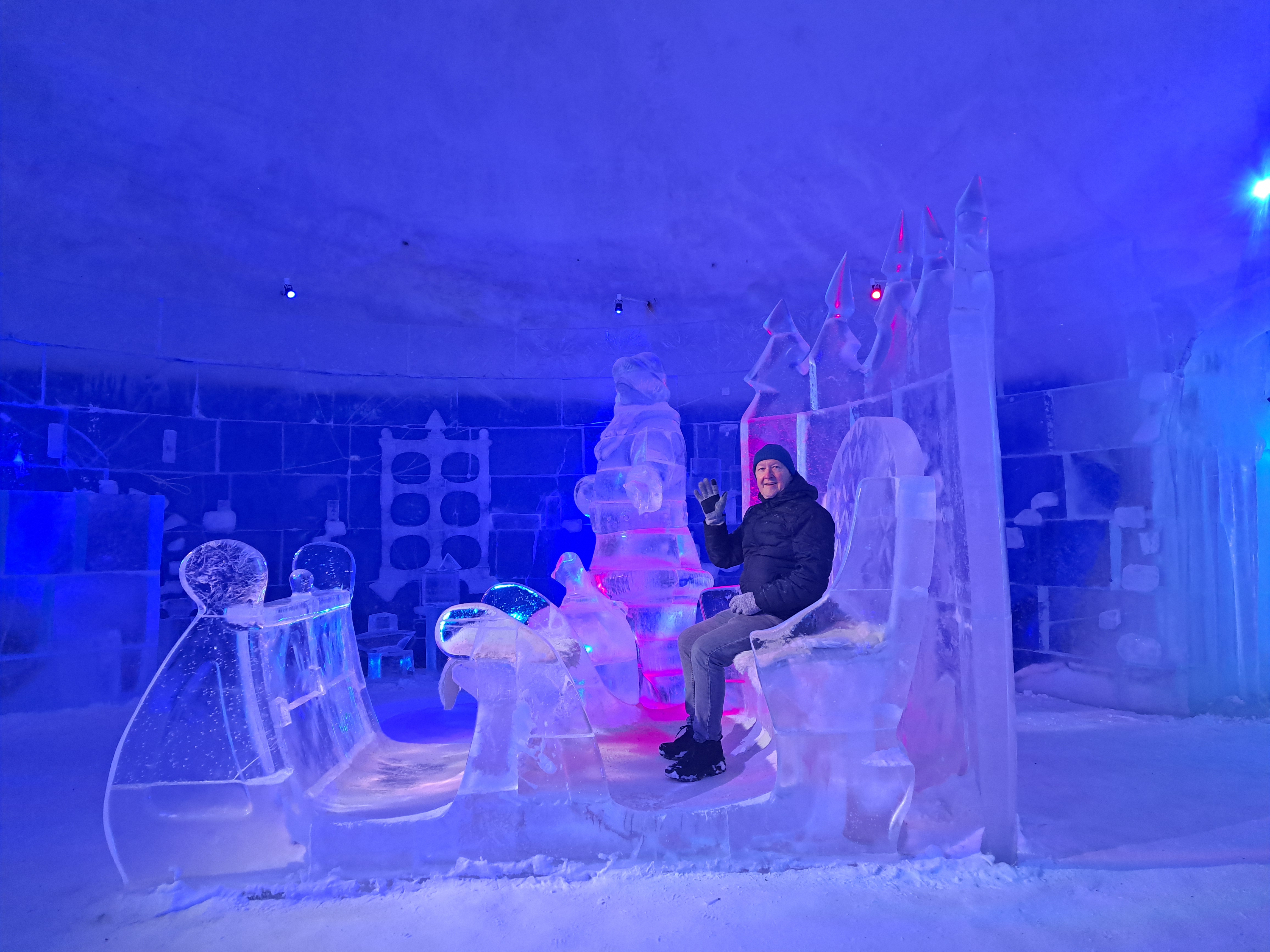
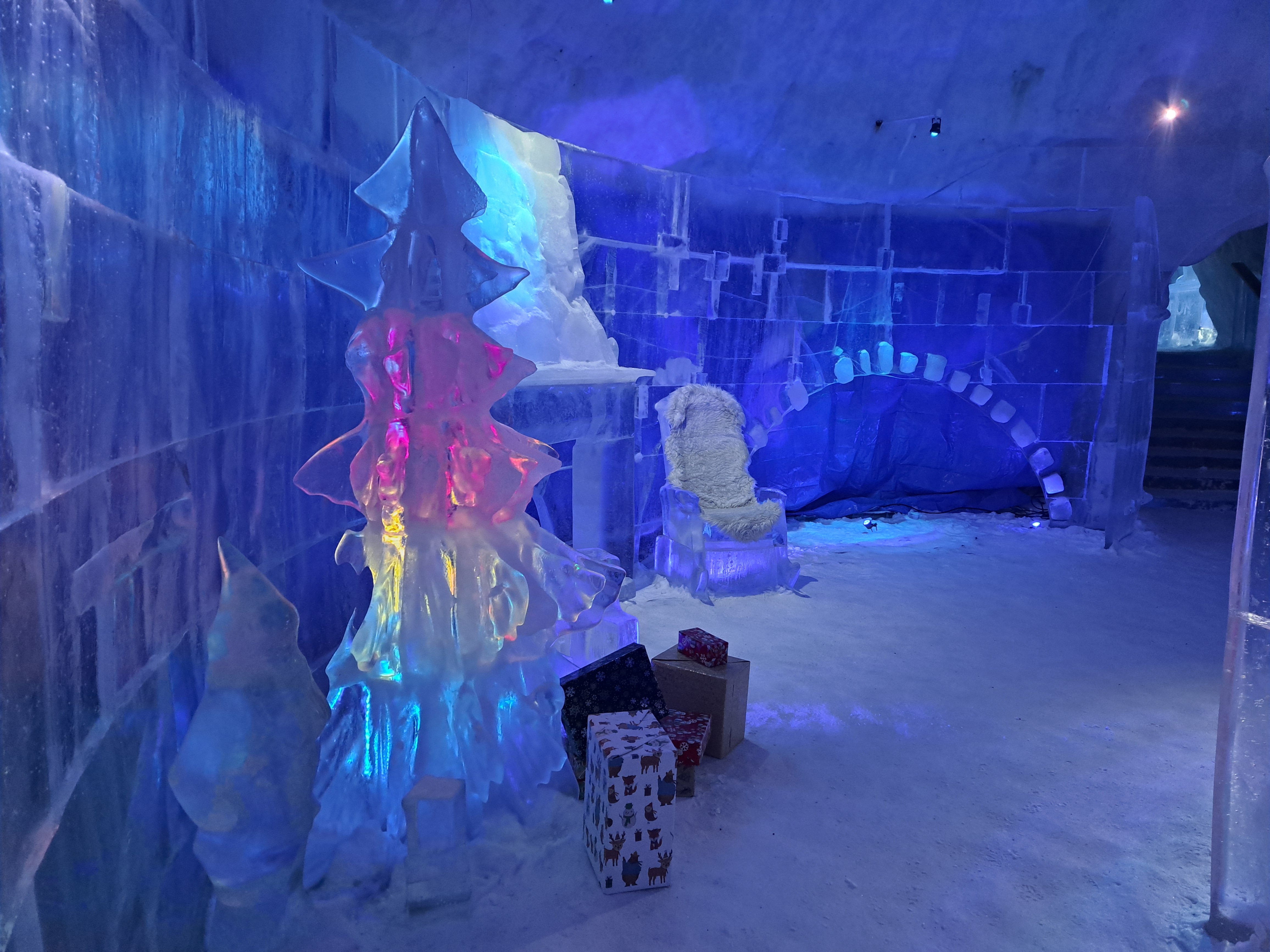
No, that ice bear is not staffing the actual reception at the Snowhotel Kirkenes – that happens in a brick and mortar type building with heating, computers and so on. But this is the entrance the actual place you sleep on your actual (literal) ice bed. (Ice = water = source, as a reminder of this weird little series I’ve begun.) When I first showed you Kirkenes, I promised a photo of said ice beds. But it turns out I neglected to photograph the actual beds themsevles- sorry. I really thought I’d done so. Allow the various other ice furniture shown below to spark your imagination, along with the instruction manual from the (regular building, heated) changing room. For orientation, the ice sculptures below are just inside the entrance in the snow mound you see at the bottom. That mound is the thing itself, but to be clear: one only sleeps in the room; one does not linger in it during the rest of the non-sleep time of one’s stay. One instead catches King Crab or hangs out in the heated guest lounge drinking hot tea :-)…or feeds the reindeer, pets the huskies or sits by the outdoor fire, all of which we’ll show you in future posts.
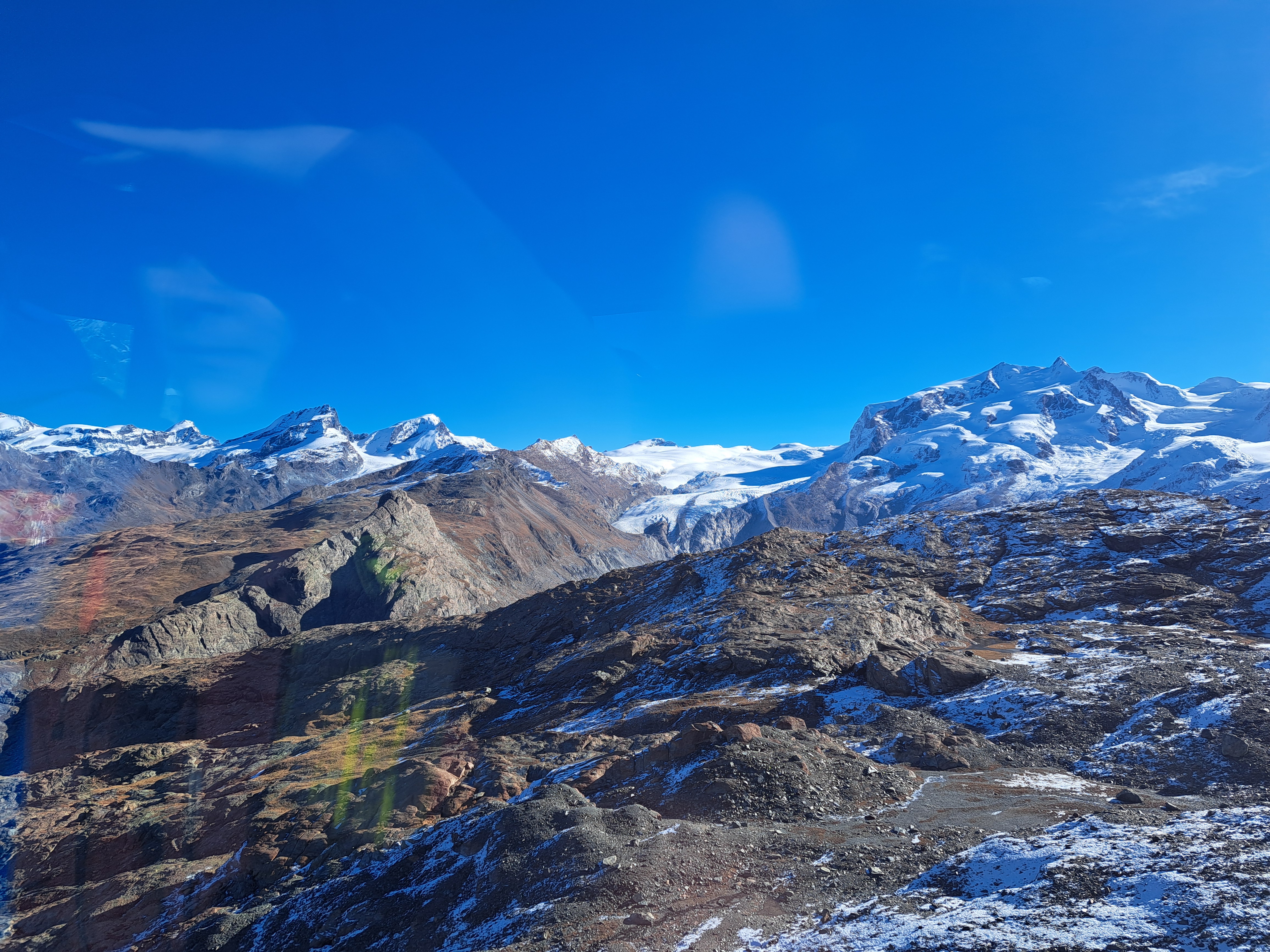
All these shots come from the viewing platform at the top of the building into which the gondolas arrive, and from which skiers ski down year ’round, because indeed up here there’s year-round skiing, though when I was there only as far as the middle station. In the right-hand shot with me just above, I’m pointing at a mountain I sort of thought might be Mont Blanc because of how big it is both in height and mass. I couldn’t get anyone to solidly confirm or deny my idea. And yes, that pyramidal mountain on my other side is the Matterhorn seen from the southeast and not too far below its peak. On the left, notice the sign showing which mountains are which. As I recollect, the similar sign on the other side was weather-worn enough that one could not definitively confirm or deny my hypothesis.
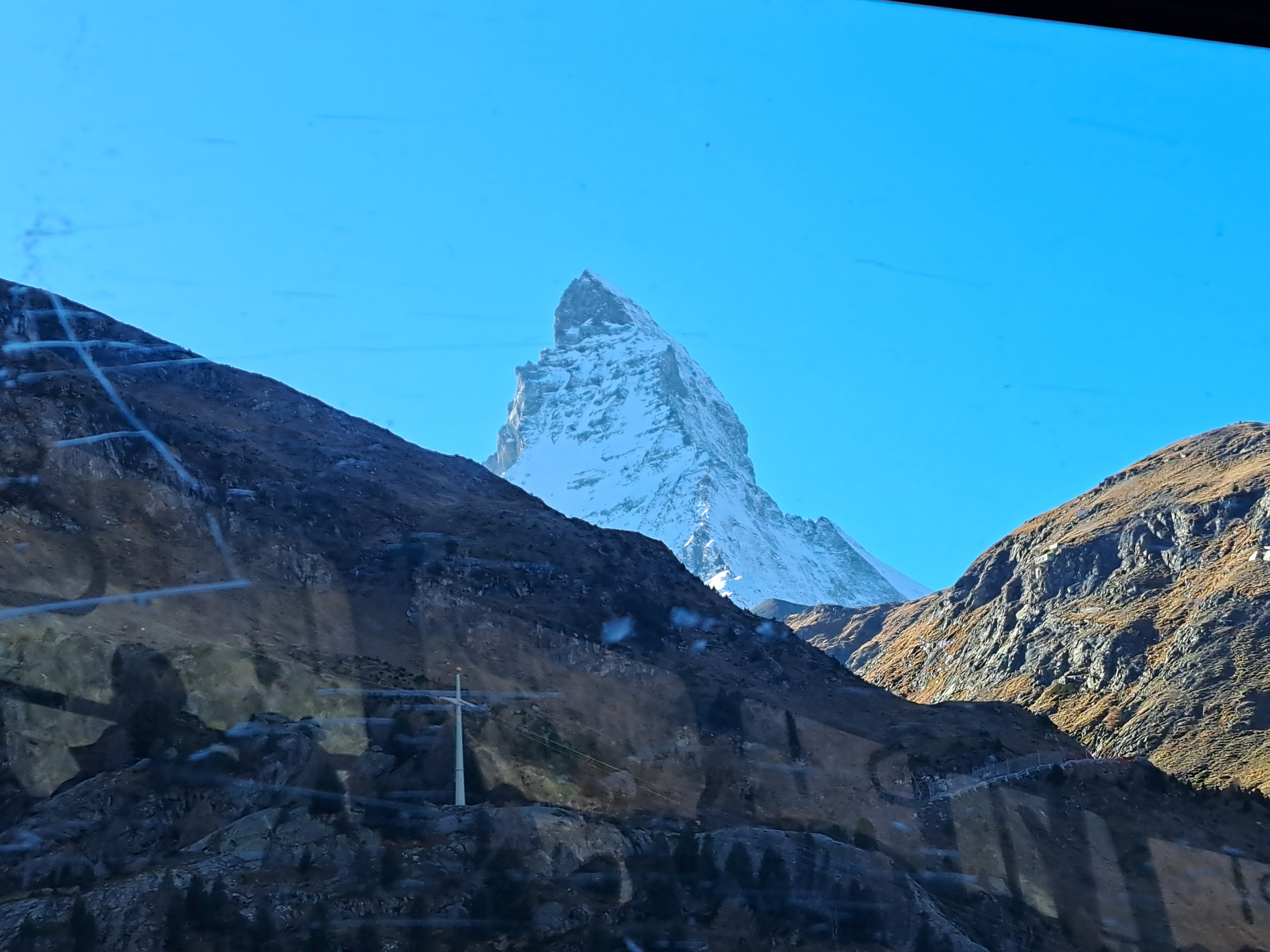
Honor between blogger and reader: I might have given you the impression that you wouldn’t see more mid-air photos from the gondola ride between Zermatt & the top. I just re-read that post and I did, fortunately, tell you I was posting the last photos taken during the ride from Zermatt up. Which was true: I don’t have any more planned from the ride up! So if you go to that last post, you will see a similar photo to the one just above – but with noticeable differences linked to the fact that, just above, I’m nicely positioned at the very front of a gondola that’s just begun its descent from the top to the middle station. You’ll see probably one more post, from the middle heading down.
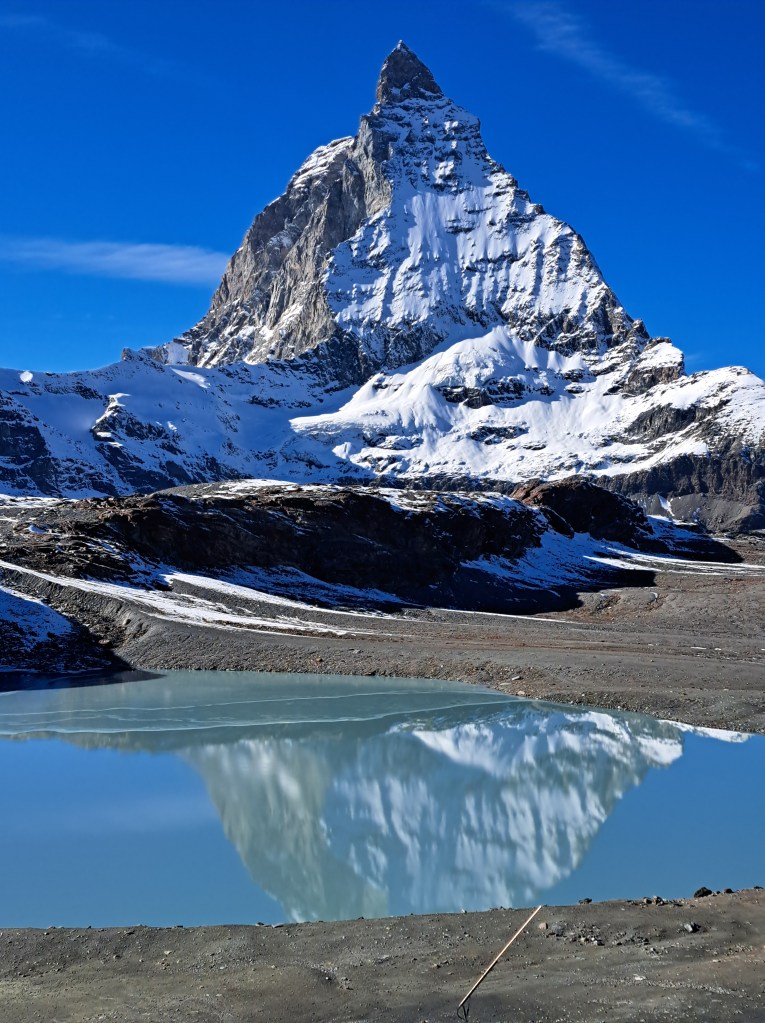
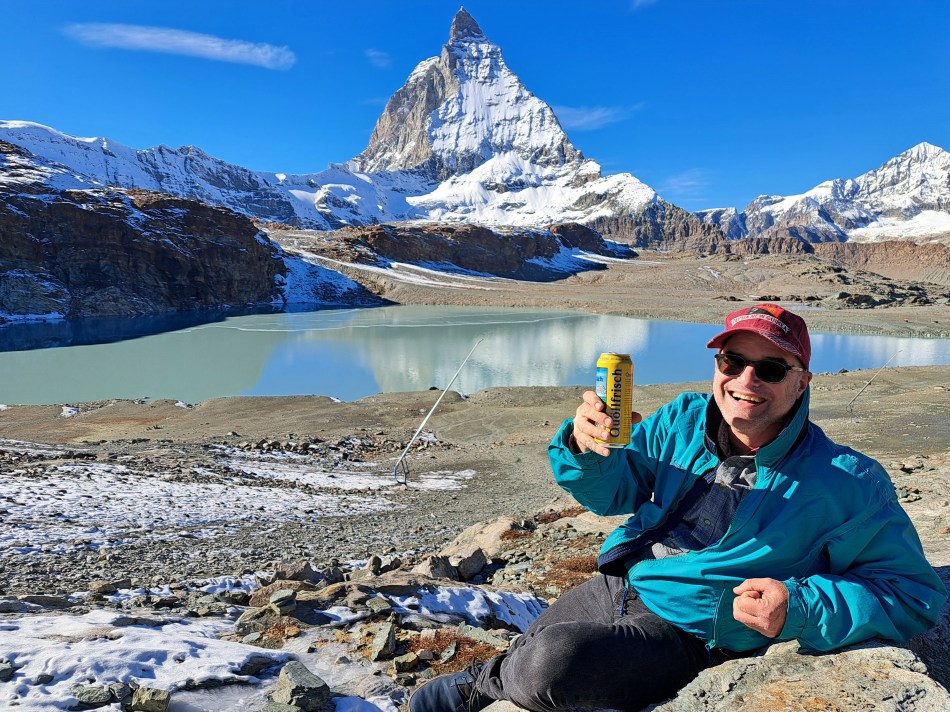
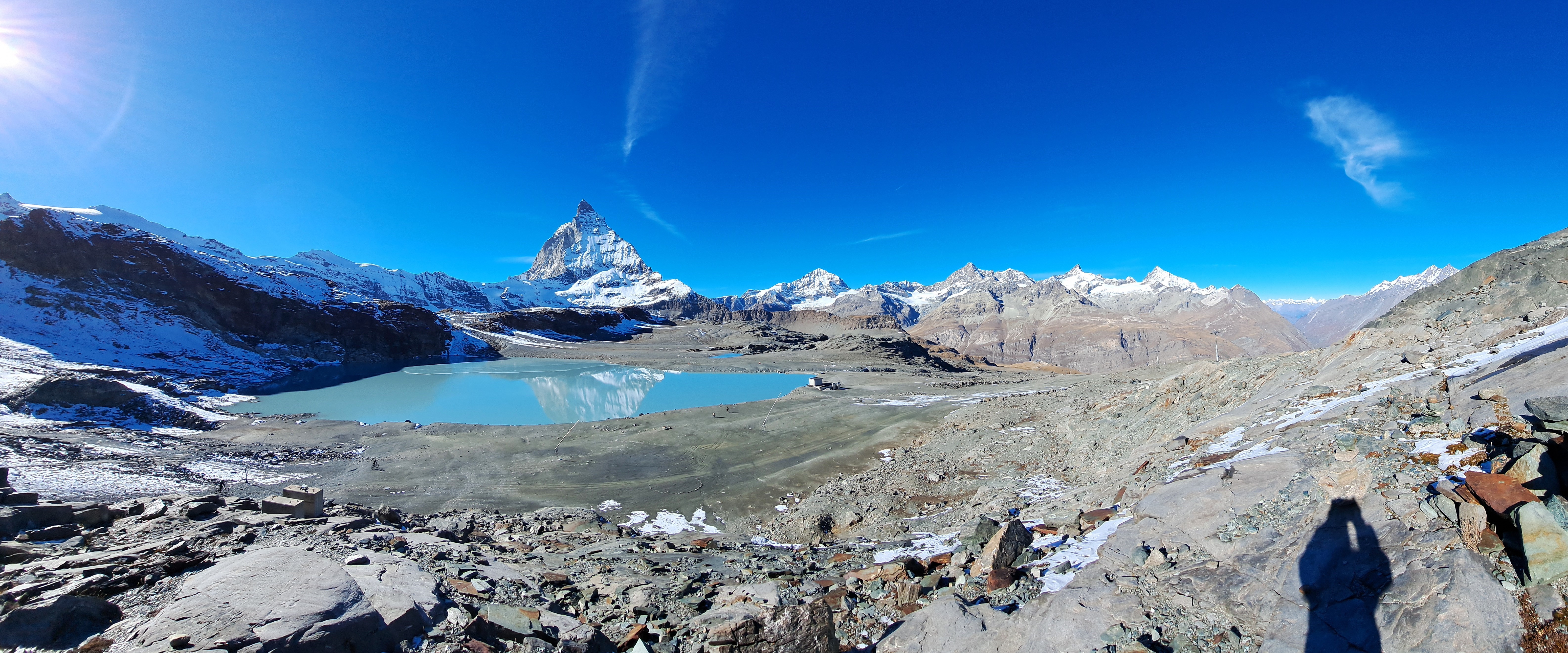
This is the closest I got to the actual mountain; as you see, it’s actually starting just across this lake. The last “From the Air” claimed I was posting all the remaining gondola-ride photos from the trip up to the “Little Matterhorn,” which may be technically true, but then there was also the ride back down, from which you’ll see one shot below and likely more in future iterations of “From the Air.” In any case: during that ride up, I stood just next to a rather strikingly red-headed chap with whom I struck up a conversation and turned out he lives in San Diego, a city I know fairly well. Since we were both solo travelers, he and I then shared our explorations up top, and then decided we’d jointly wander over to this lake just downhill from the bottom of the first transfer station going down. He’d packed beer and snacks with the hope of having his photo taken drinking beer in the snow, but up top there weren’t good spots so we found a suitable spot with just enough snow here, lower down. You’ll see the pics he took of me enjoying one of his beers lower down, as well as a gallery of air bubbles trapped in ice around the lake as well.
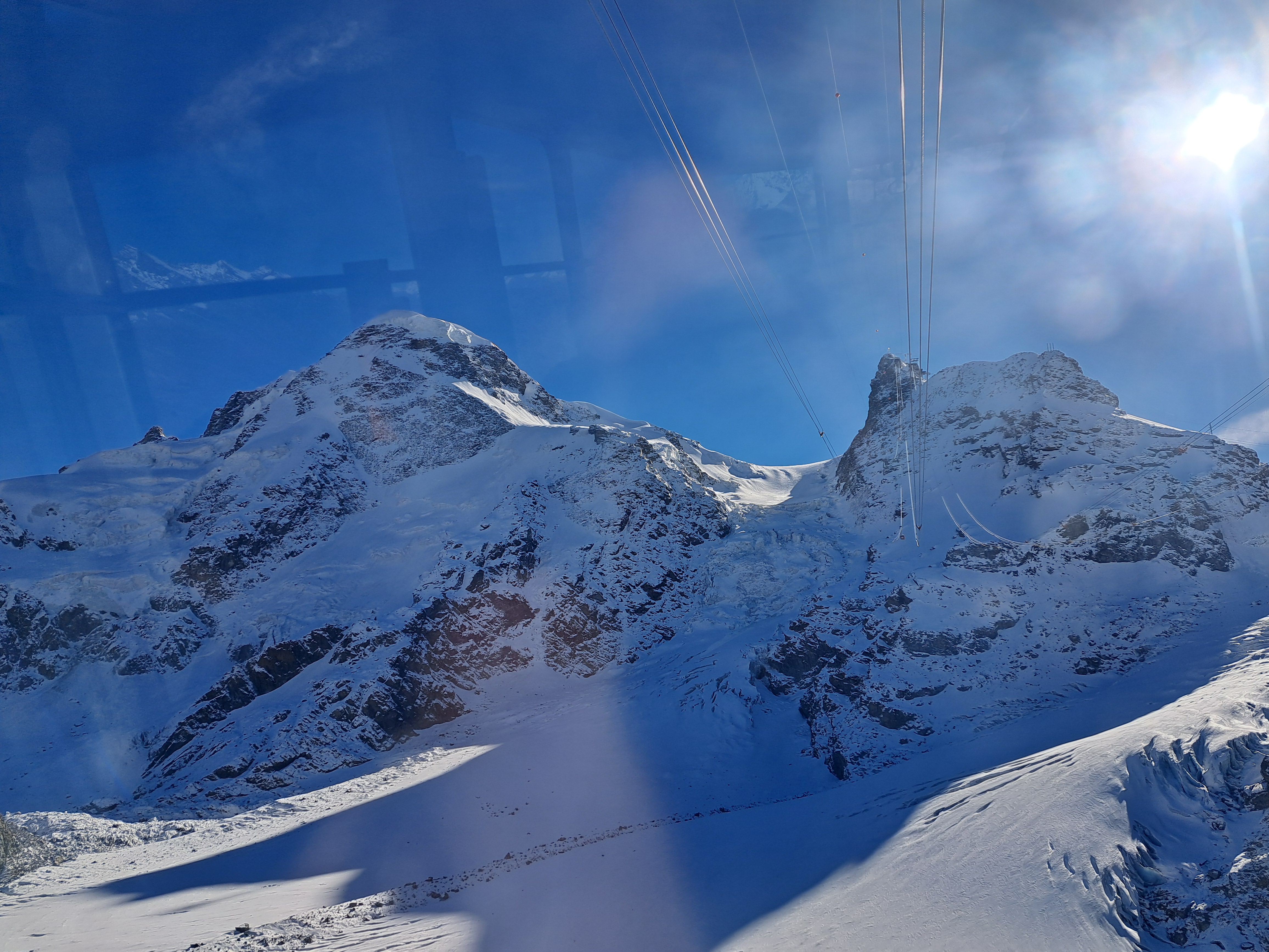
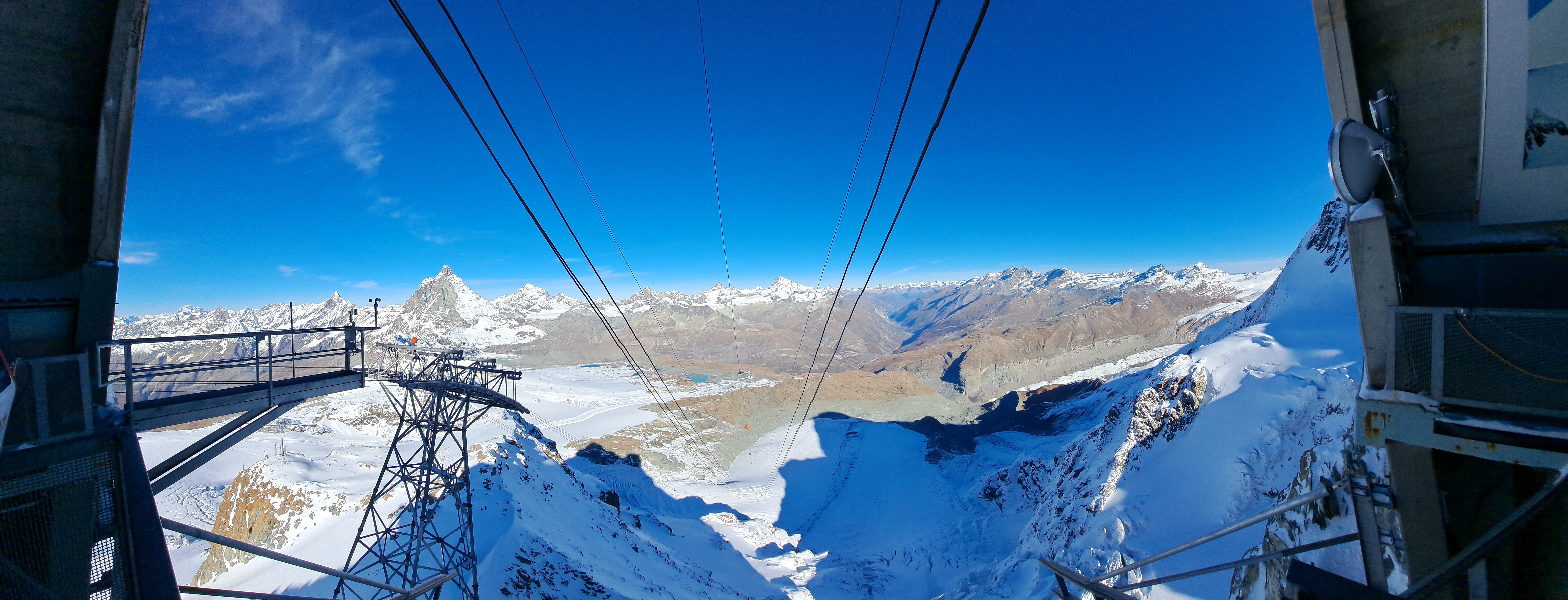
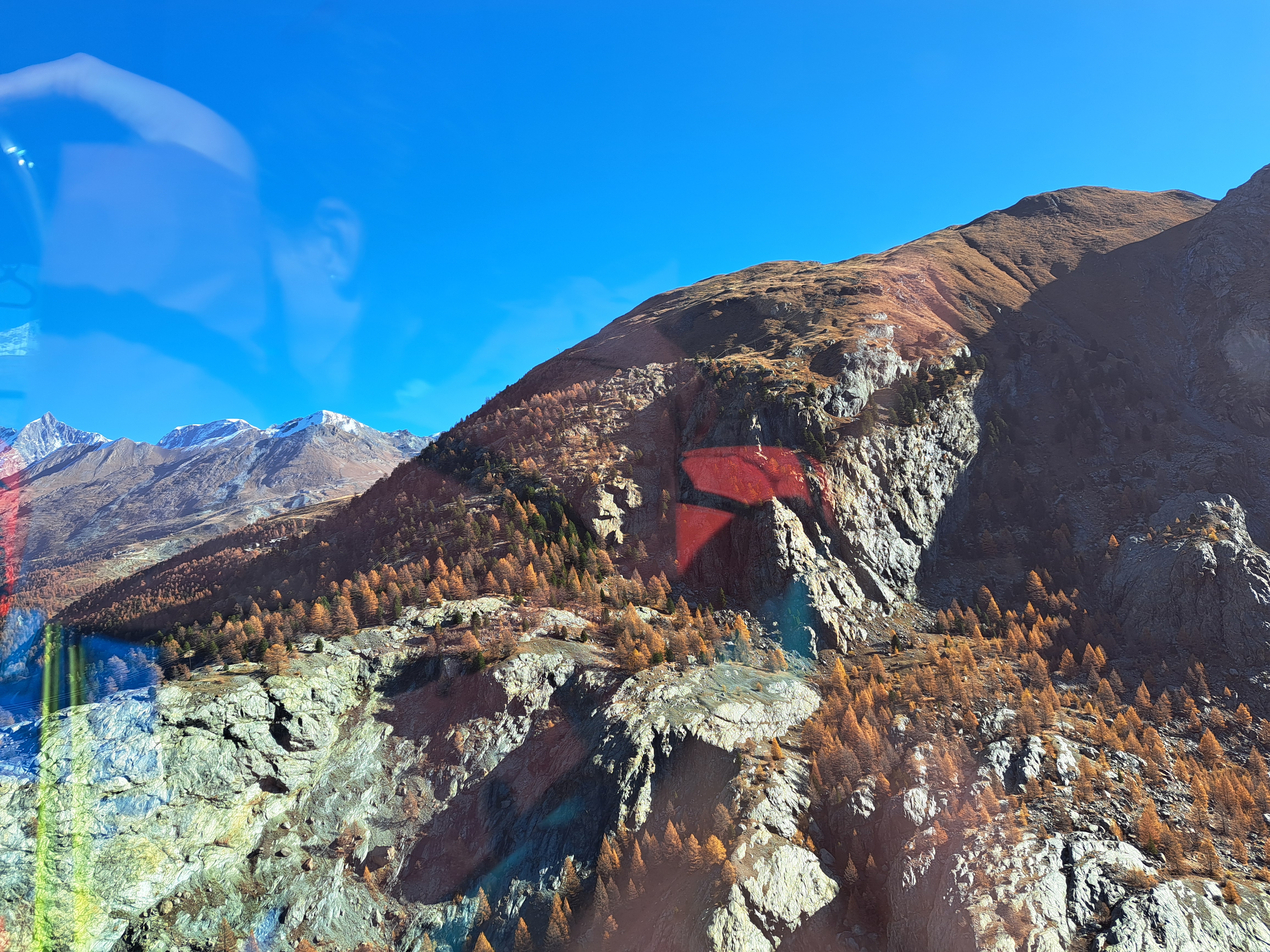
Taken as the Gondola swung towards its doc up at the top of what they call, I believe, the “Little Matterhorn” which is the highest gondola station or in the alps, or maybe the only year-round skiing option in the alps, or something of that sort. (I could verify it all in guidebooks or online, but will leave readers to do so if you choose.) Suffice for now to say these three photos were all taken while swinging in a different kind of metal enclosure in mid-air 🙂 en route to another high point looking at the alps – and yes, that’s the real Matterhorn again to the left of the left line of cables.
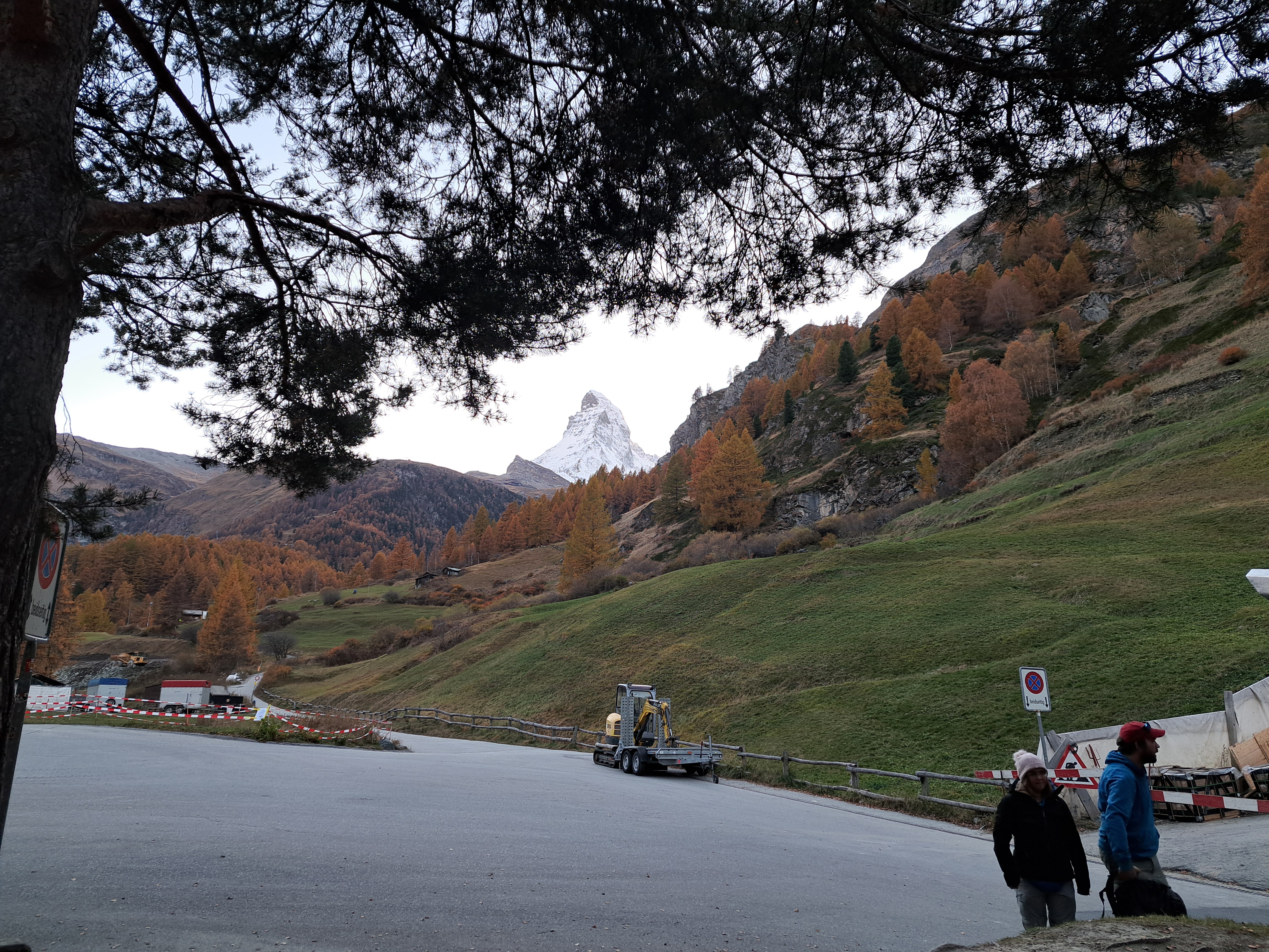
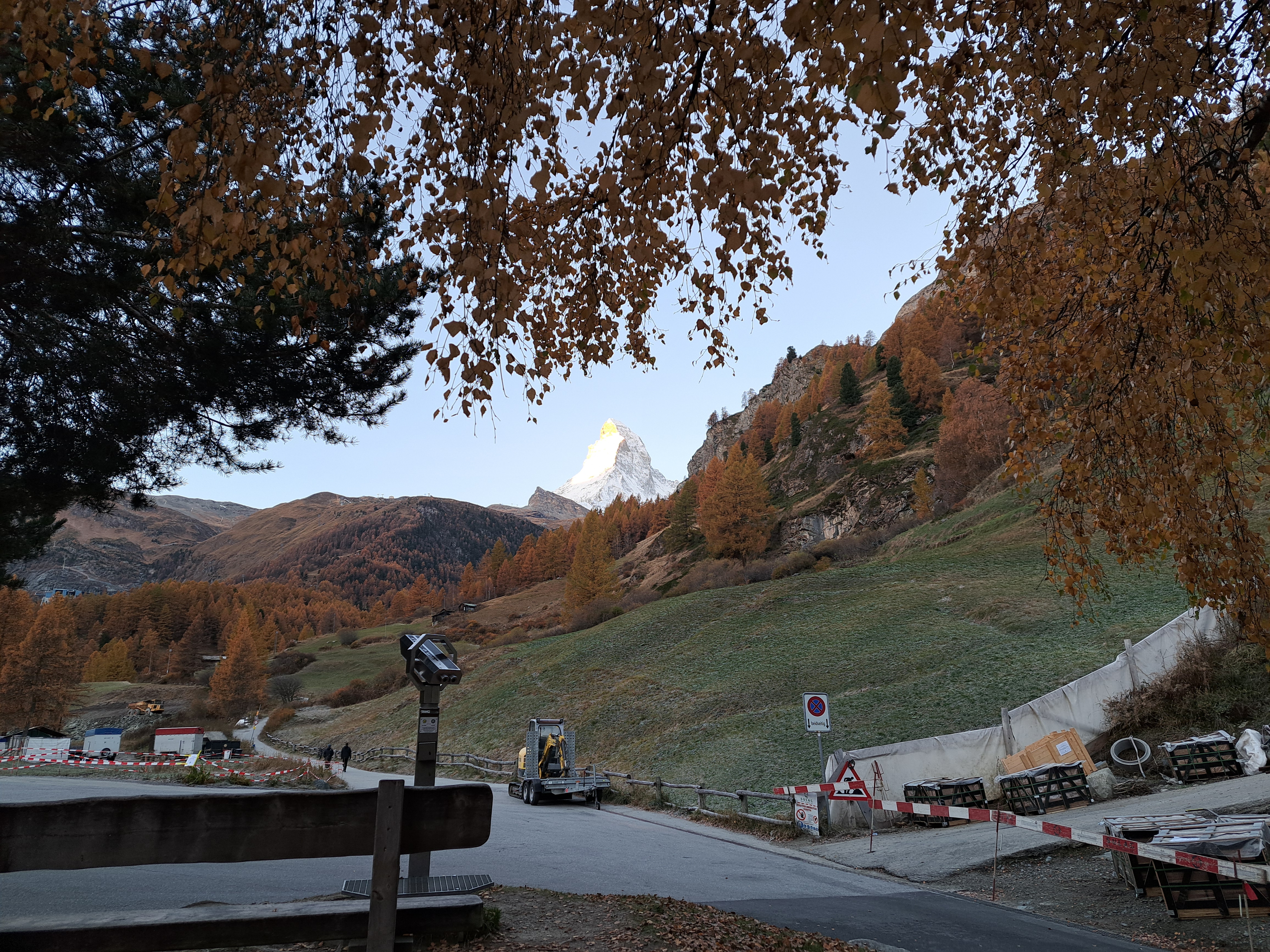
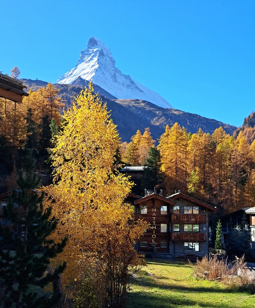
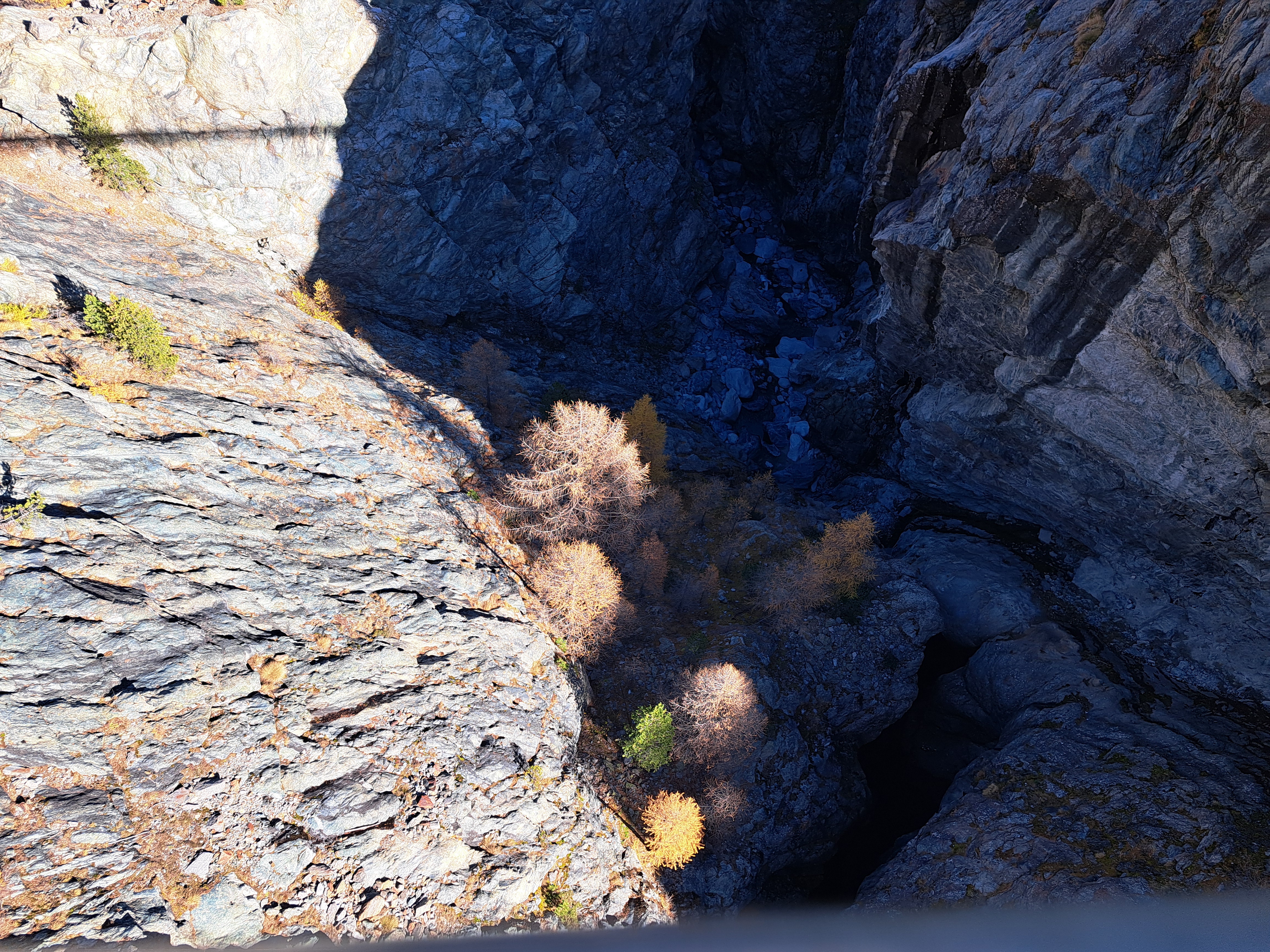
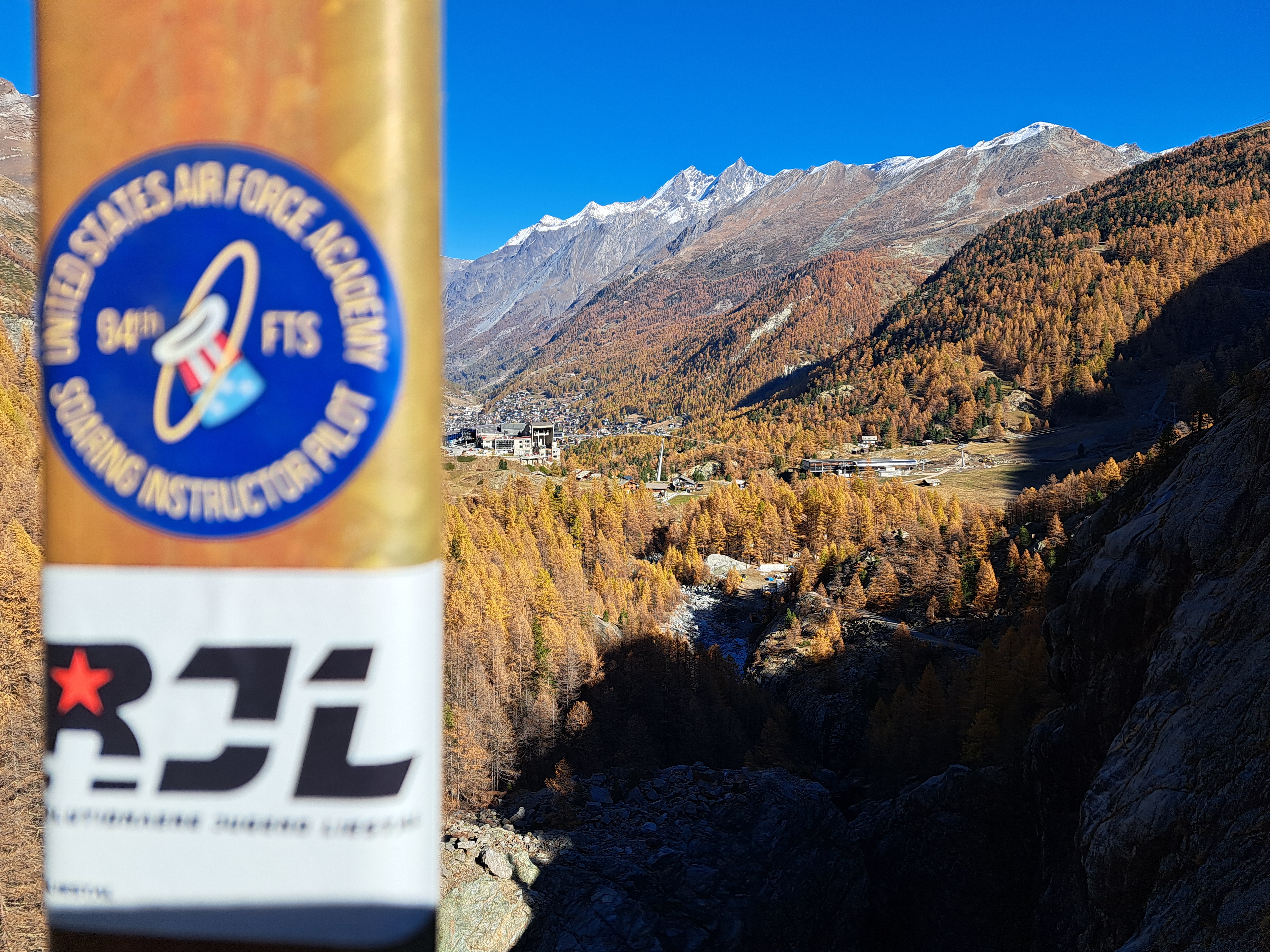
As I mentioned yesterday, I was heading to Switzerland from Paris. This is me today in Switzerland … in mid-air on a suspension bridge. Looking directly down from said bridge, you’d see what I show you next. Thereafter, a few more scenic shots all from mid-air on that bridge :-). The village in the valley is Zermatt, my home for a few more nights this week. Some of you may be able to deduce what this means you’re likely to see next…
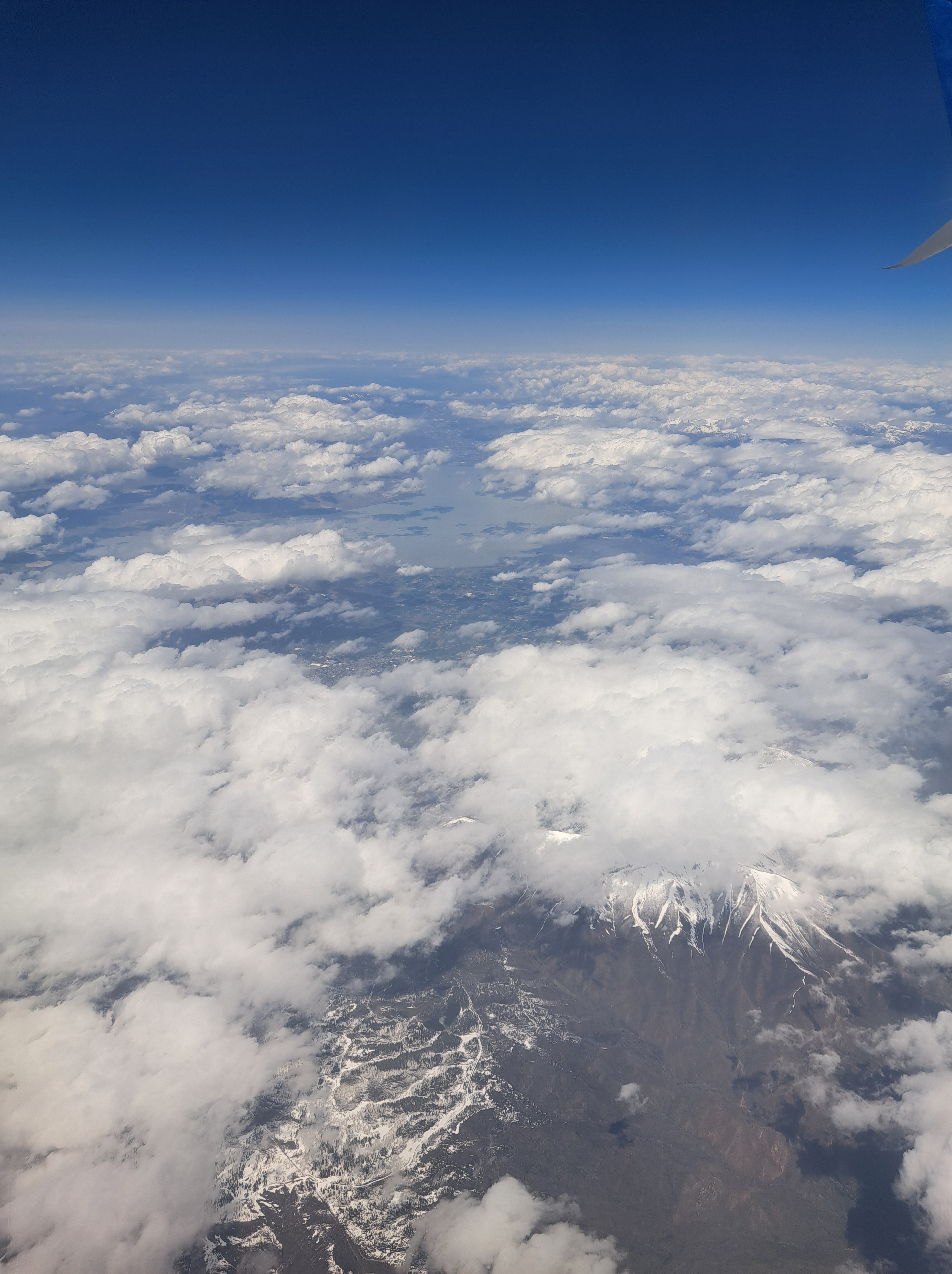
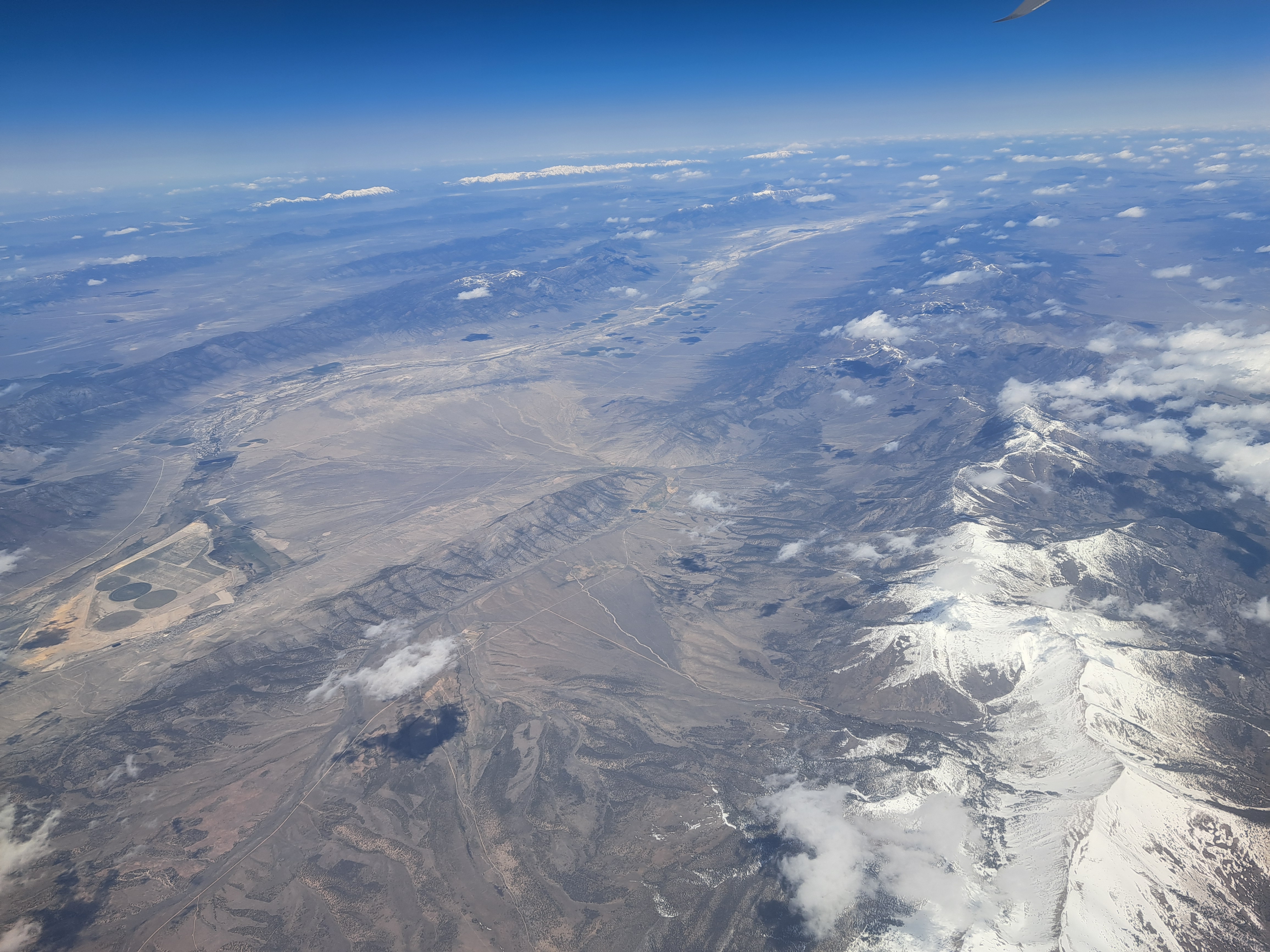
Reasonably confident that’s Utah above, along with most of the images below, but I think by the final couple we may have reached Colorado. I remember straining to catch a glimpse of the Great Salt Lake which was well to the north of our trajectory, and it might be in some of these, but it’s long enough ago that I’m sorry to stay I’ve forgotten :-). No more shots remaining from that 3rd May flight, fear not.
I’ve a feeling that’s a ski area peaking out from behind the clouds over Colorado during the May flight, and below are a few last ones from either eastern Utah or Western Colorado, same flight.
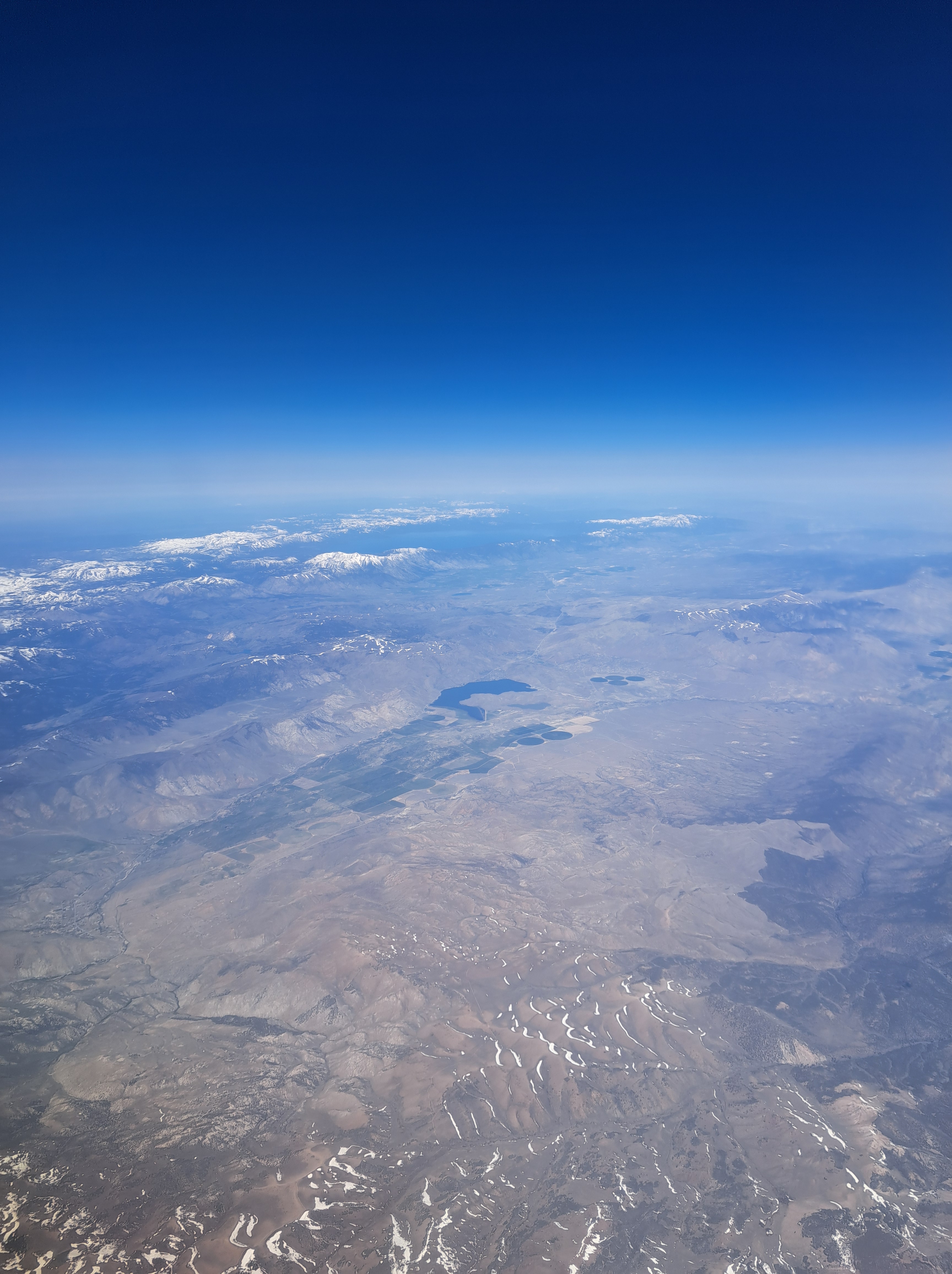
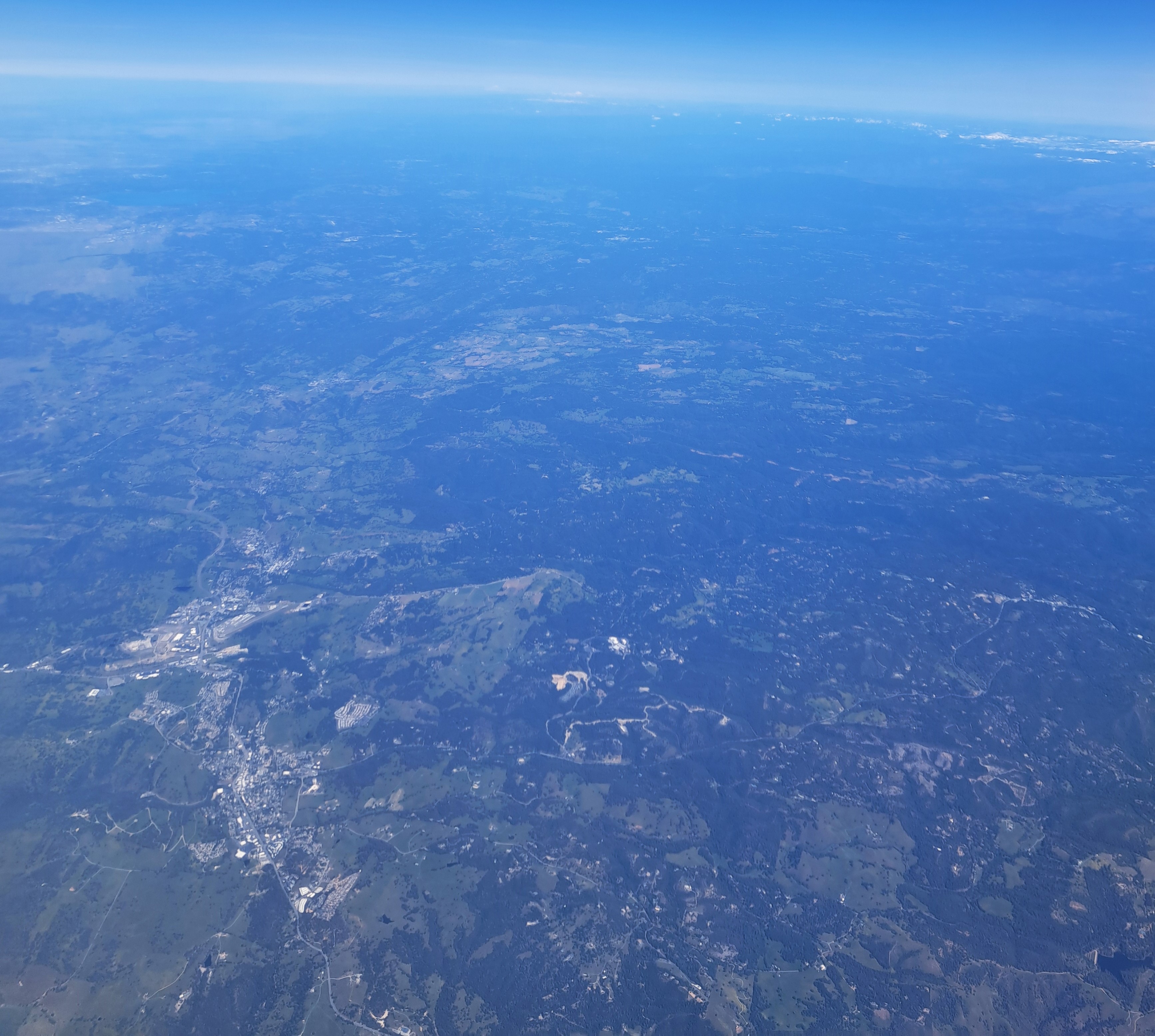
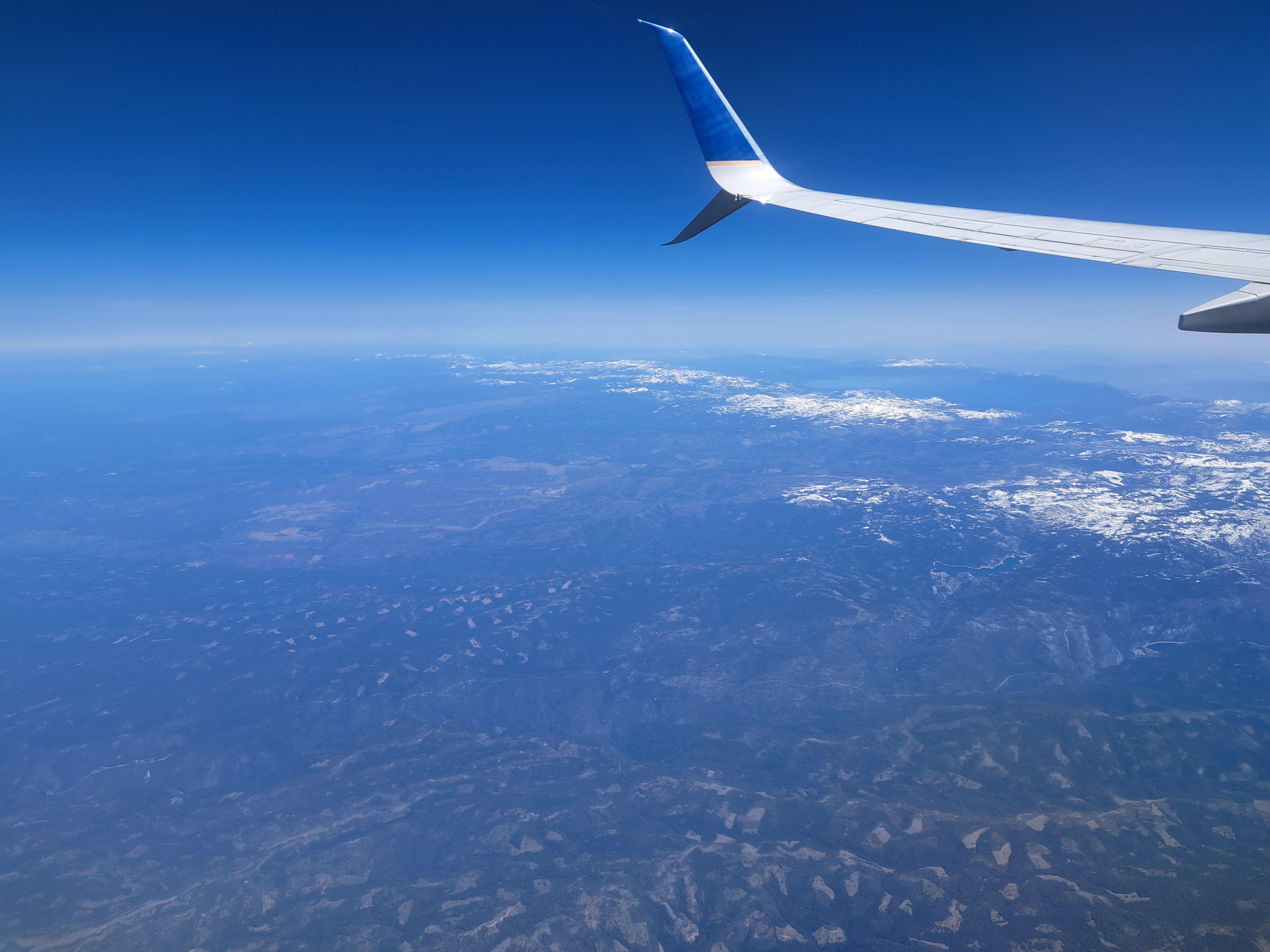
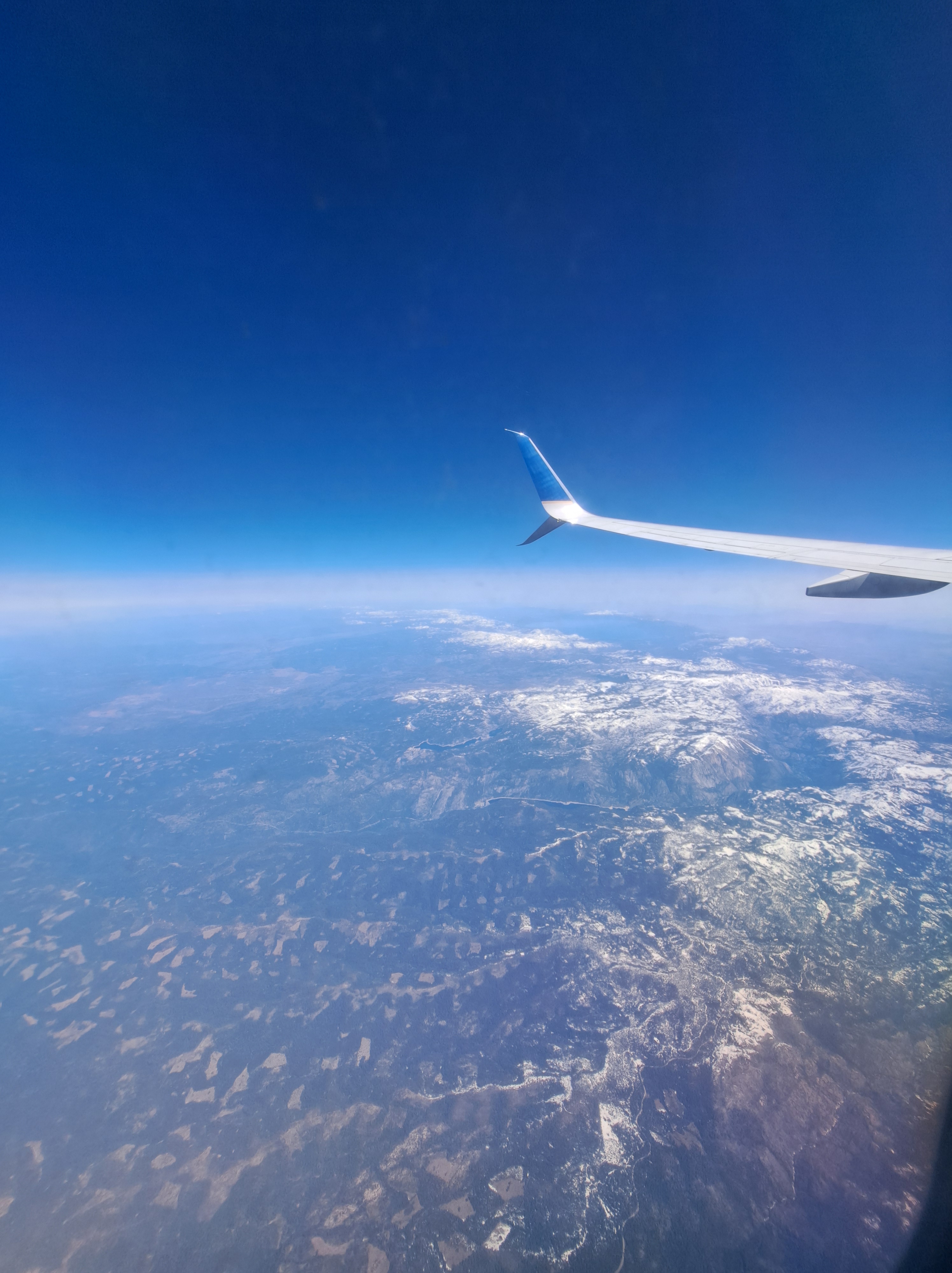
If your browser loads this as I hope, you’ll see one large photo above that shows Lake Tahoe at the top (north) and the snowy Sierra Nevadas below it; one large photo at the bottom which looks back west and north across the arid western Nevada landscape, to Lake Tahoe and the Sierras. And in between, ten photos I took during the six minutes that elapsed as our plane flew across the Sierra Nevadas, leaving behind California and beginning its flight across Nevada.
Central Valley with west slope of the Sierra Nevada hoving into view at the top right; below, the next two shots with the snowy Sierras in view and I think that’s Lake Tahoe at the top.


 This is the closest I got to the actual mountain; as you see, it’s actually starting just across this lake. The last “From the Air” claimed I was posting all the remaining gondola-ride photos from the trip up to the “Little Matterhorn,” which may be technically true, but then there was also the ride back down, from which you’ll see one shot below and likely more in future iterations of “From the Air.” In any case: during that ride up, I stood just next to a rather strikingly red-headed chap with whom I struck up a conversation and turned out he lives in San Diego, a city I know fairly well. Since we were both solo travelers, he and I then shared our explorations up top, and then decided we’d jointly wander over to this lake just downhill from the bottom of the first transfer station going down. He’d packed beer and snacks with the hope of having his photo taken drinking beer in the snow, but up top there weren’t good spots so we found a suitable spot with just enough snow here, lower down. You’ll see the pics he took of me enjoying one of his beers lower down, as well as a gallery of air bubbles trapped in ice around the lake as well.
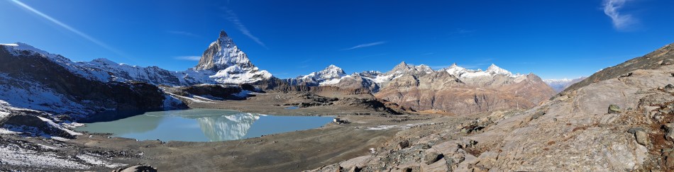


 Reasonably confident that’s Utah above, along with most of the images below, but I think by the final couple we may have reached Colorado. I remember straining to catch a glimpse of the Great Salt Lake which was well to the north of our trajectory, and it might be in some of these, but it’s long enough ago that I’m sorry to stay I’ve forgotten :-). No more shots remaining from that 3rd May flight, fear not.


 If your browser loads this as I hope, you’ll see one large photo above that shows Lake Tahoe at the top (north) and the snowy Sierra Nevadas below it; one large photo at the bottom which looks back west and north across the arid western Nevada landscape, to Lake Tahoe and the Sierras. And in between, ten photos I took during the six minutes that elapsed as our plane flew across the Sierra Nevadas, leaving behind California and beginning its flight across Nevada.