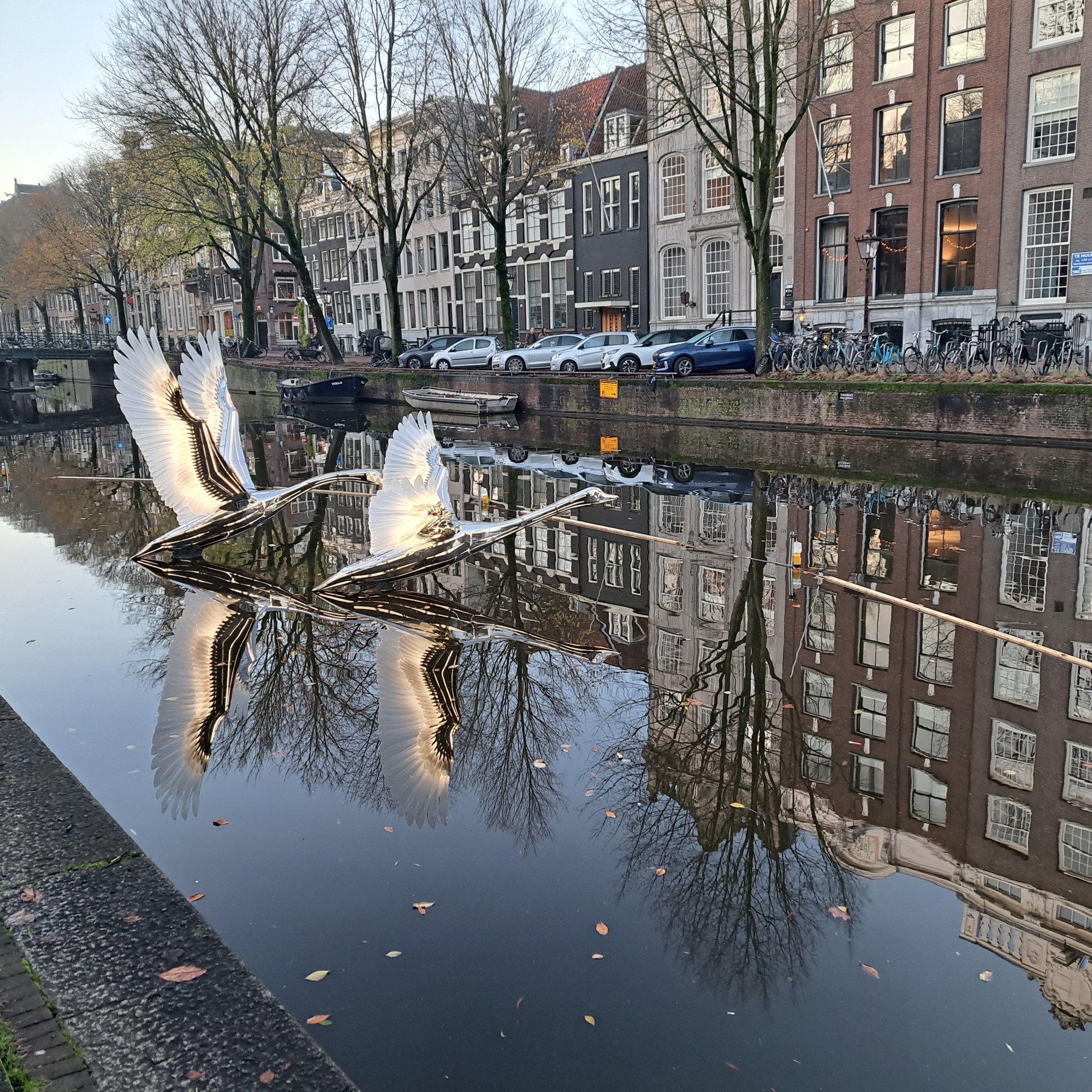
This year’s edition of the light festival opened a few days ago, and I took these photos of one beautiful entry during my bike ride to the office the prior week, as the various light sculptures were being installed. Eager to see the rest as soon as I can get out for a cruise :-).
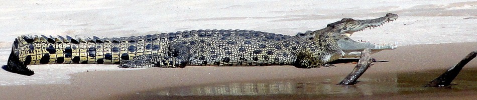
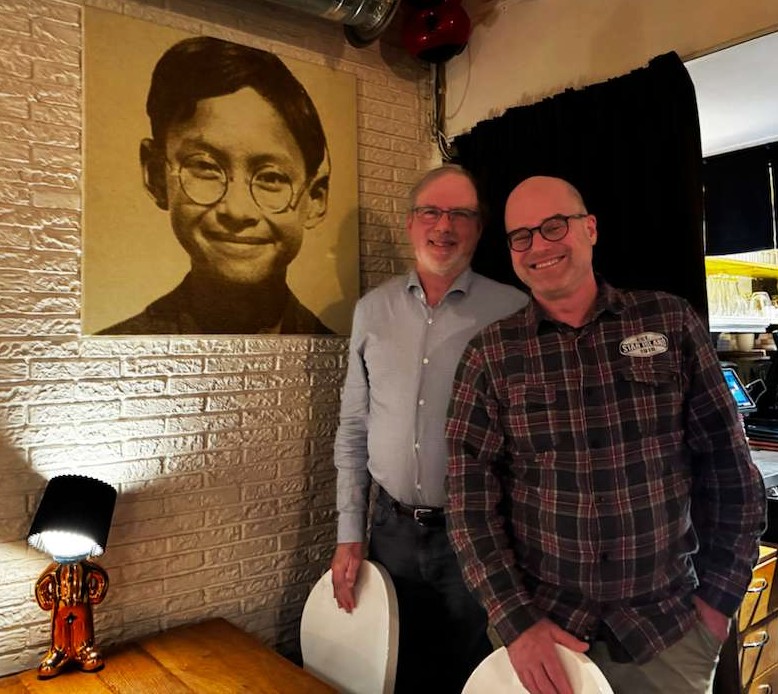
Above, the former King of Thailand in his youth as seen on the wall of a restaurant here in A’dam where I had dinner with an old friend last month. Below, his son the current King of Thailand as seen from my boat en route to Wat Arun :-).
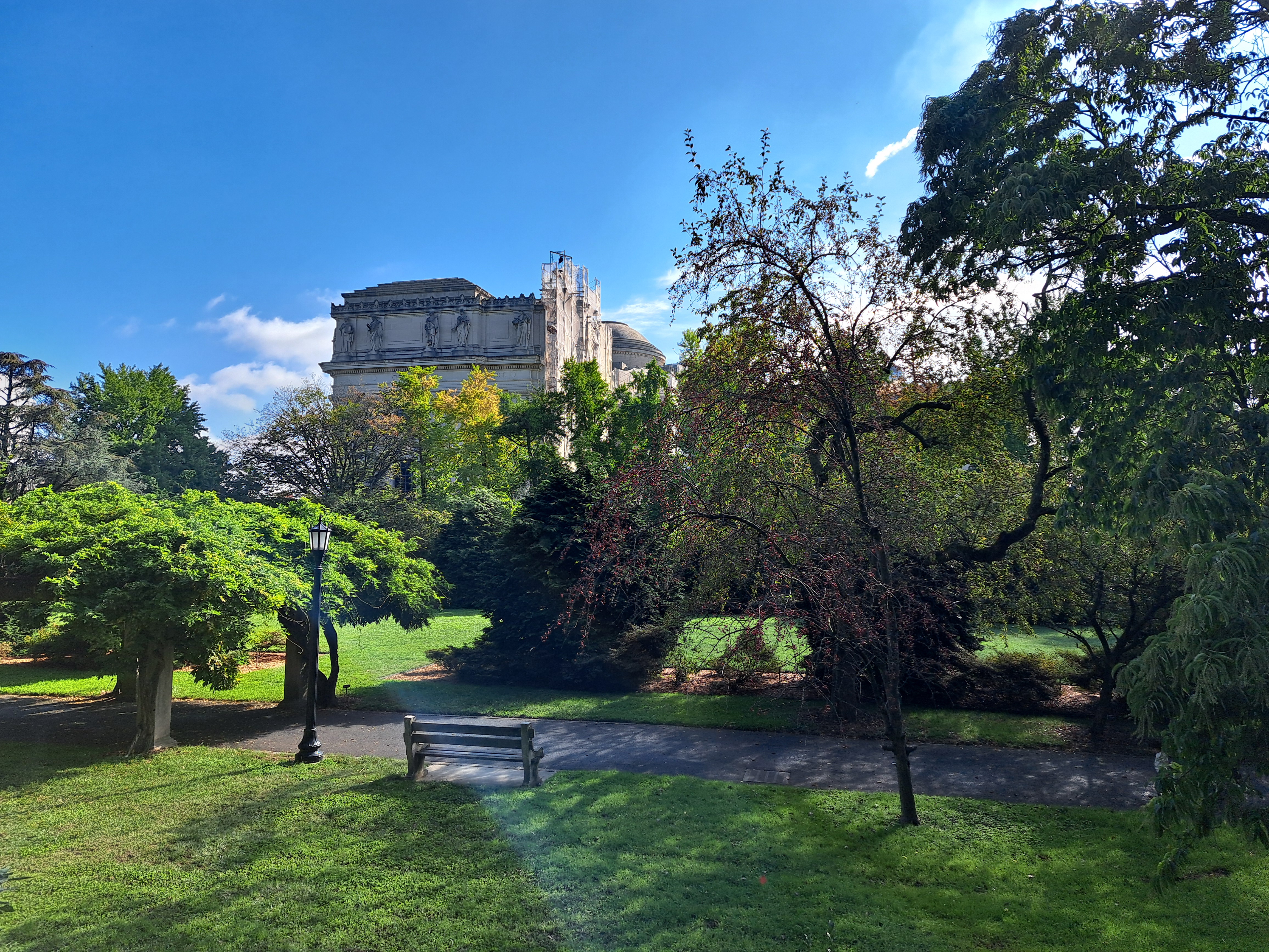
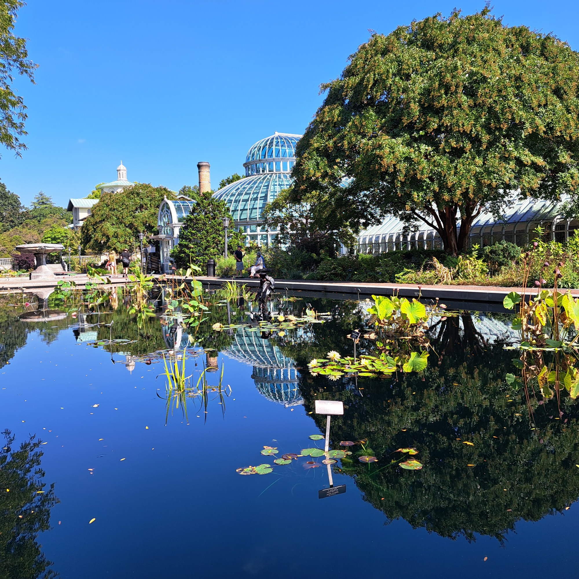
The Brooklyn Museum, above, as seen from the Brooklyn Botanic Gardens, of which more below and still to come. All in Kings County, New York. (For the geography / administrative nerds out there: five counties make up NYC, which I think makes it the only such city in the US, where usually counties are bigger than cities in the sense that a given county nearly always includes multiple cities. SF is a city and county; LA county is way bigger than LA city, and Cook County bigger than Chicago. Comments (kind ones, please) that add to my knowledge base are most welcome :-).
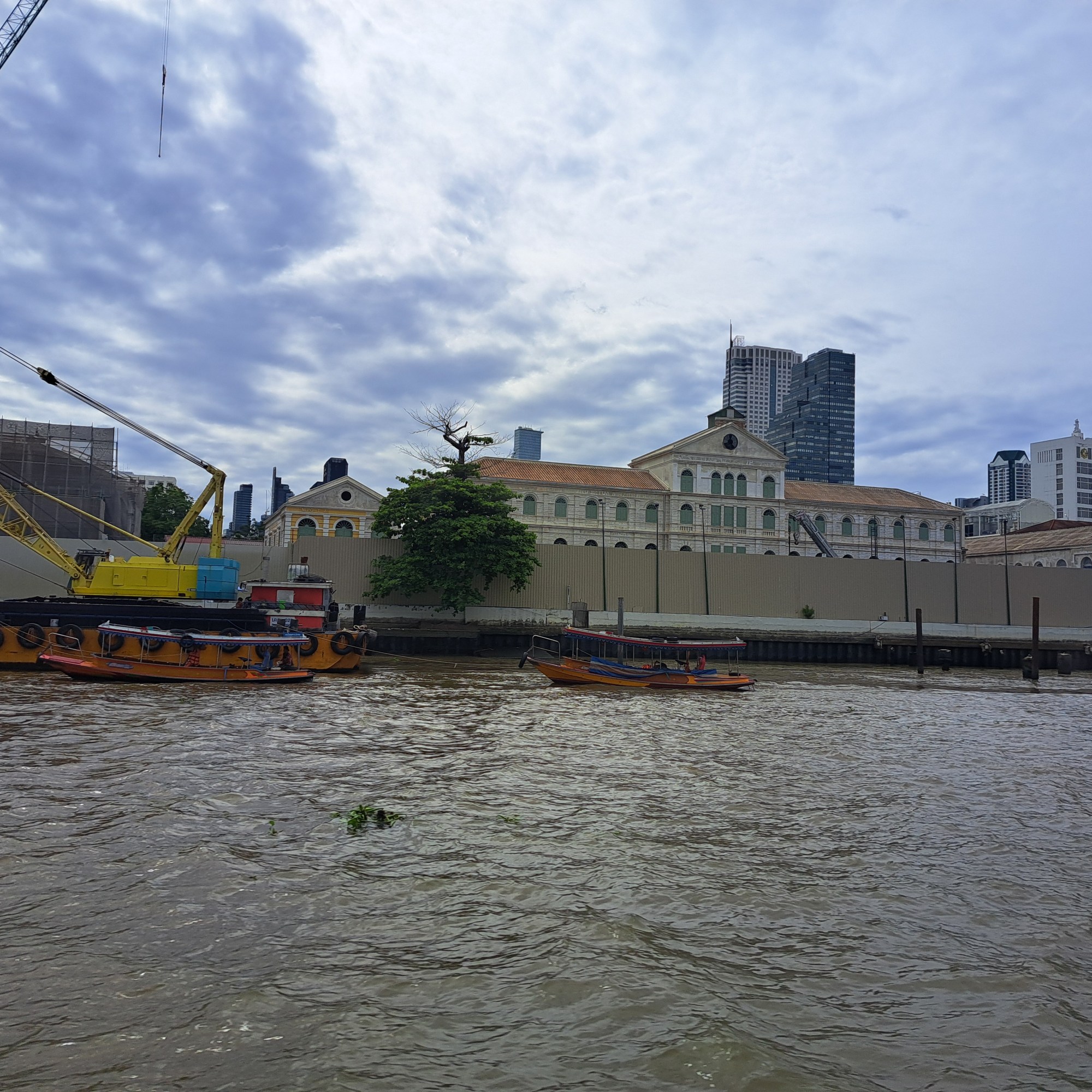
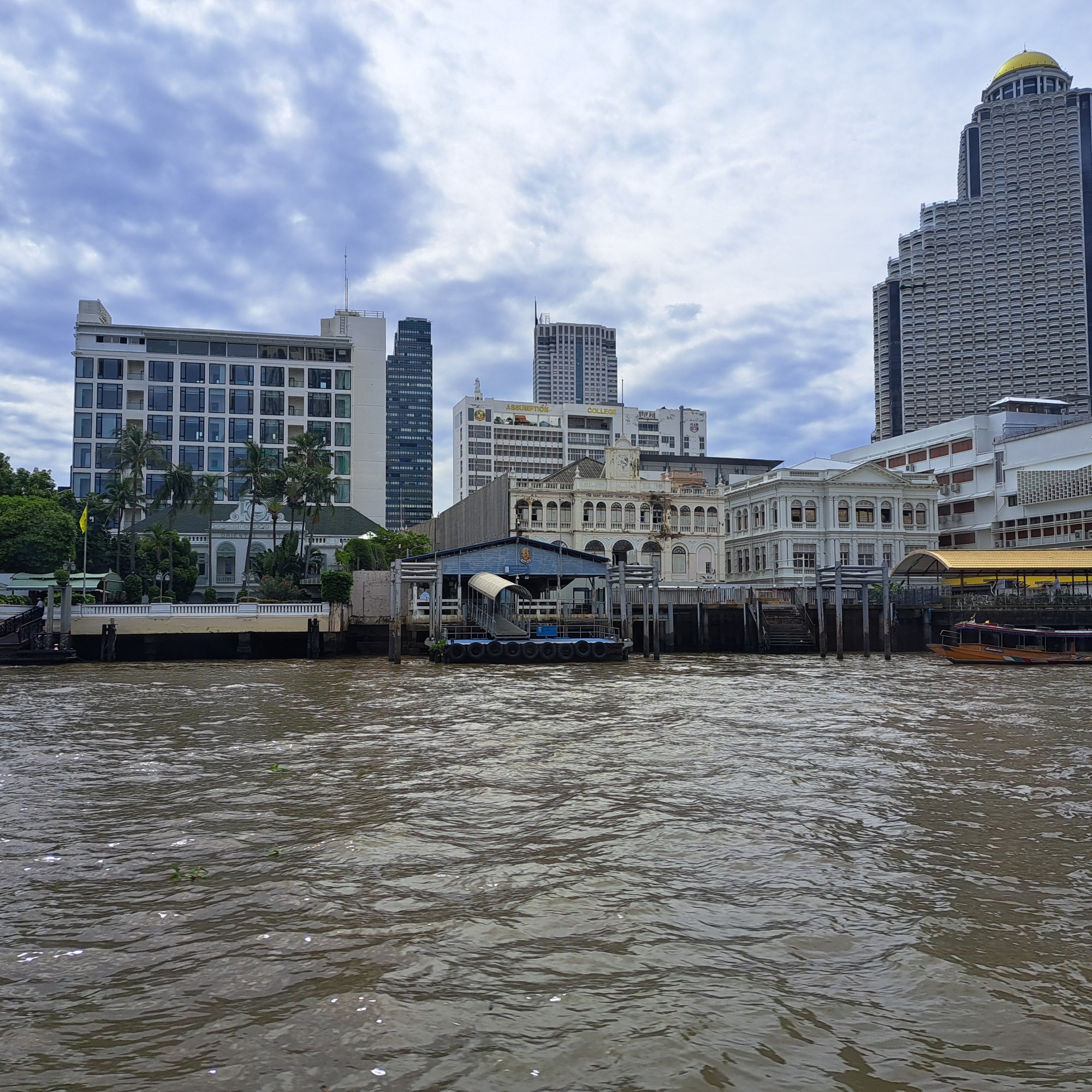
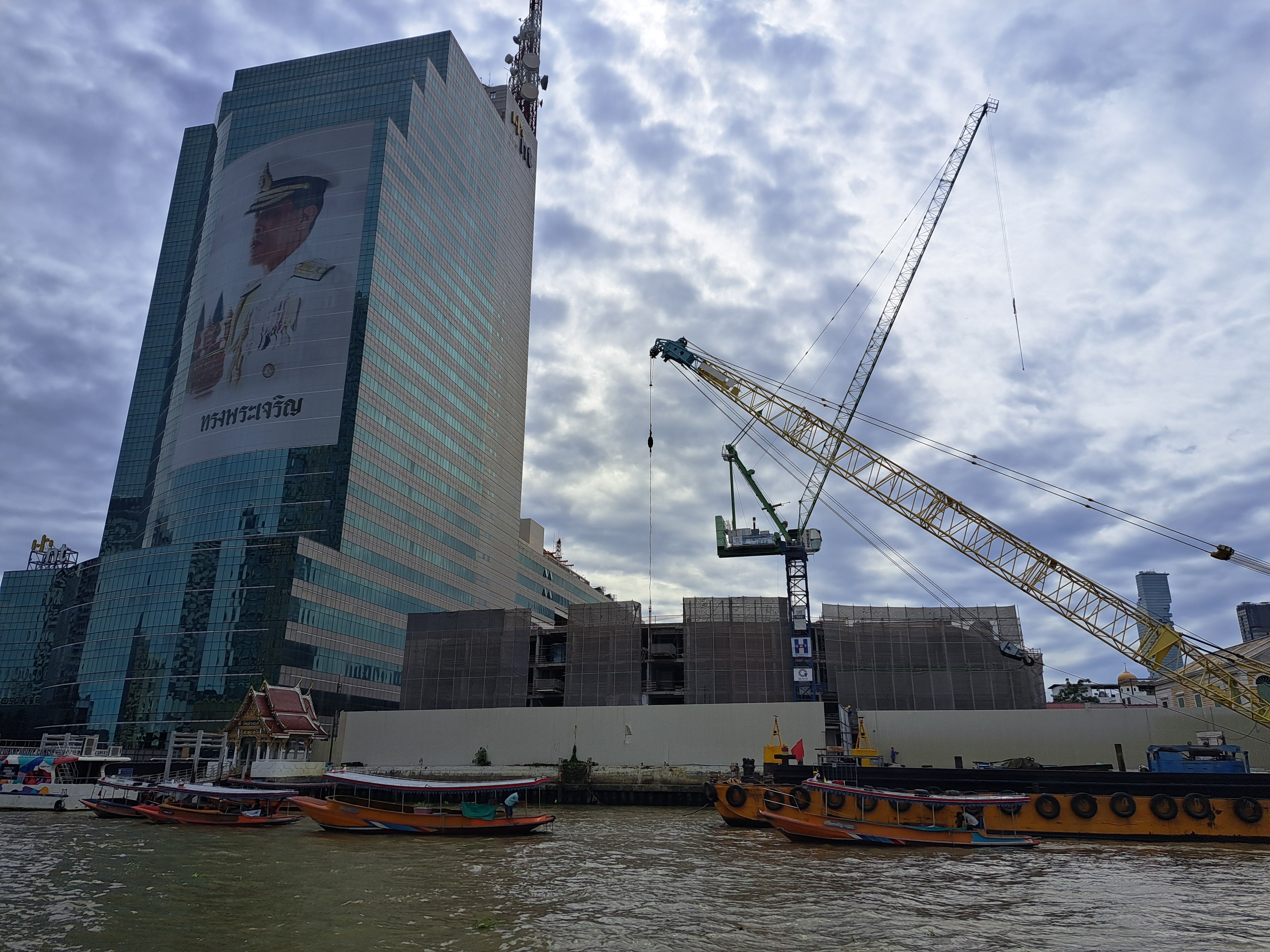
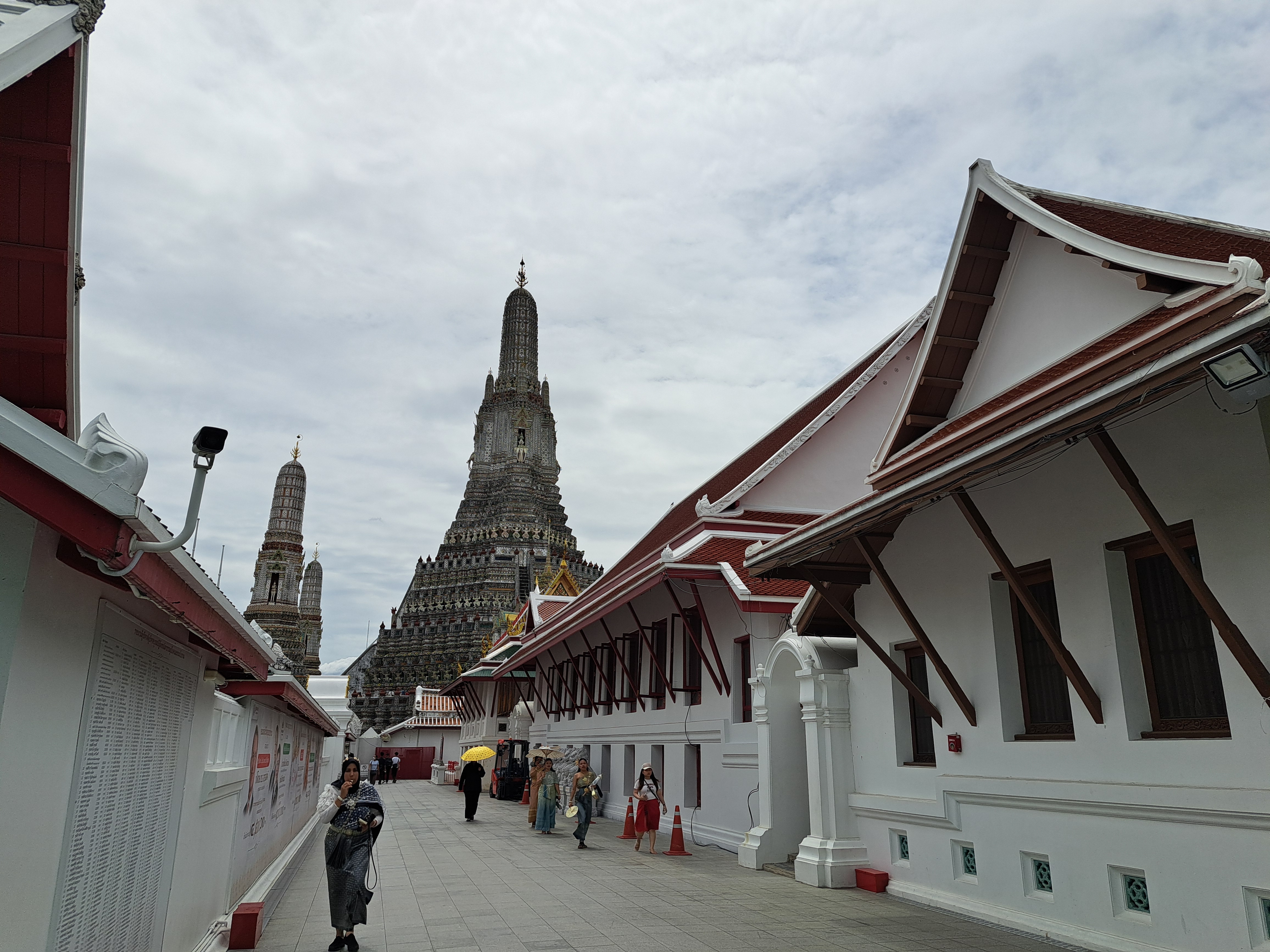
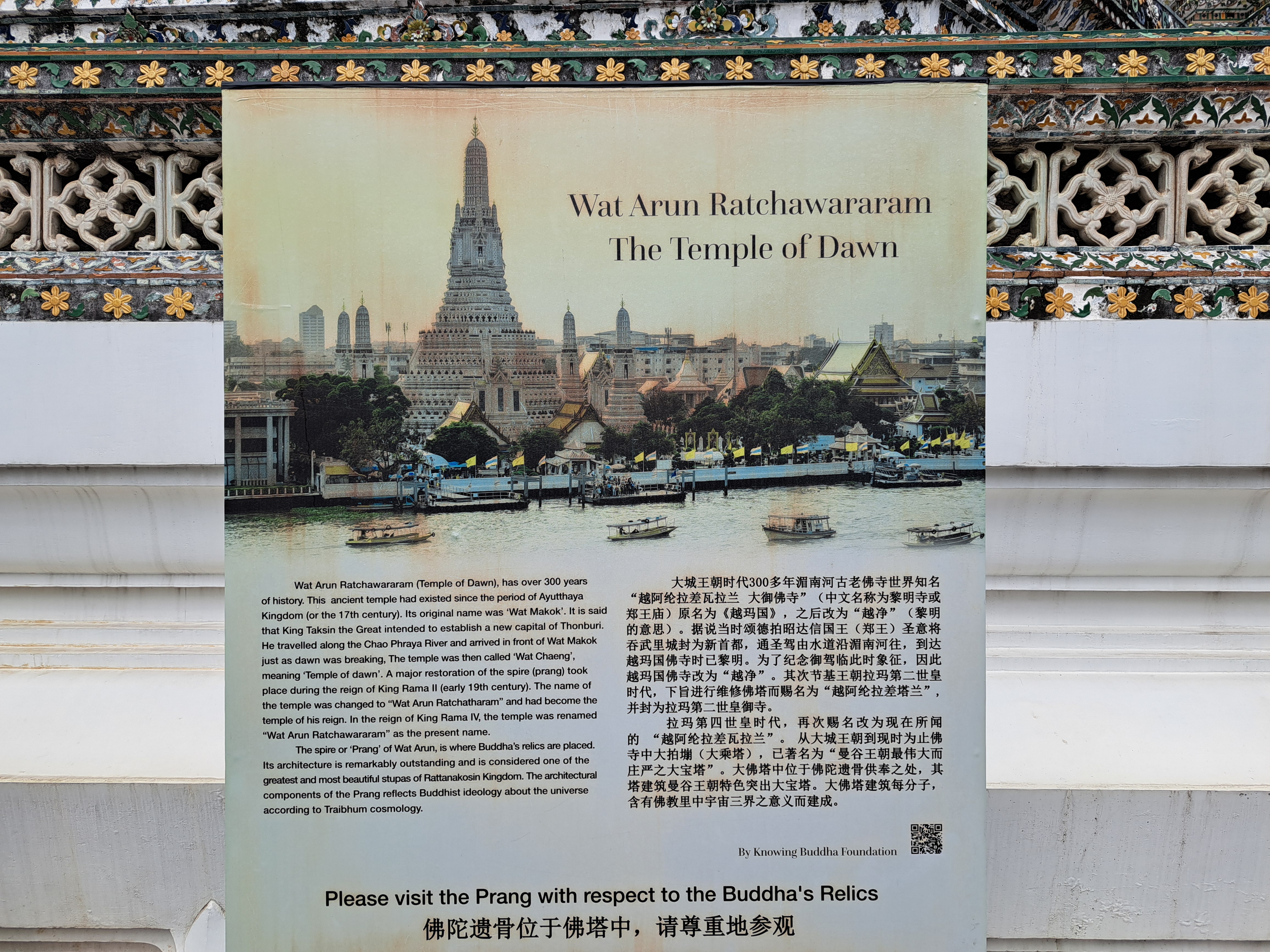
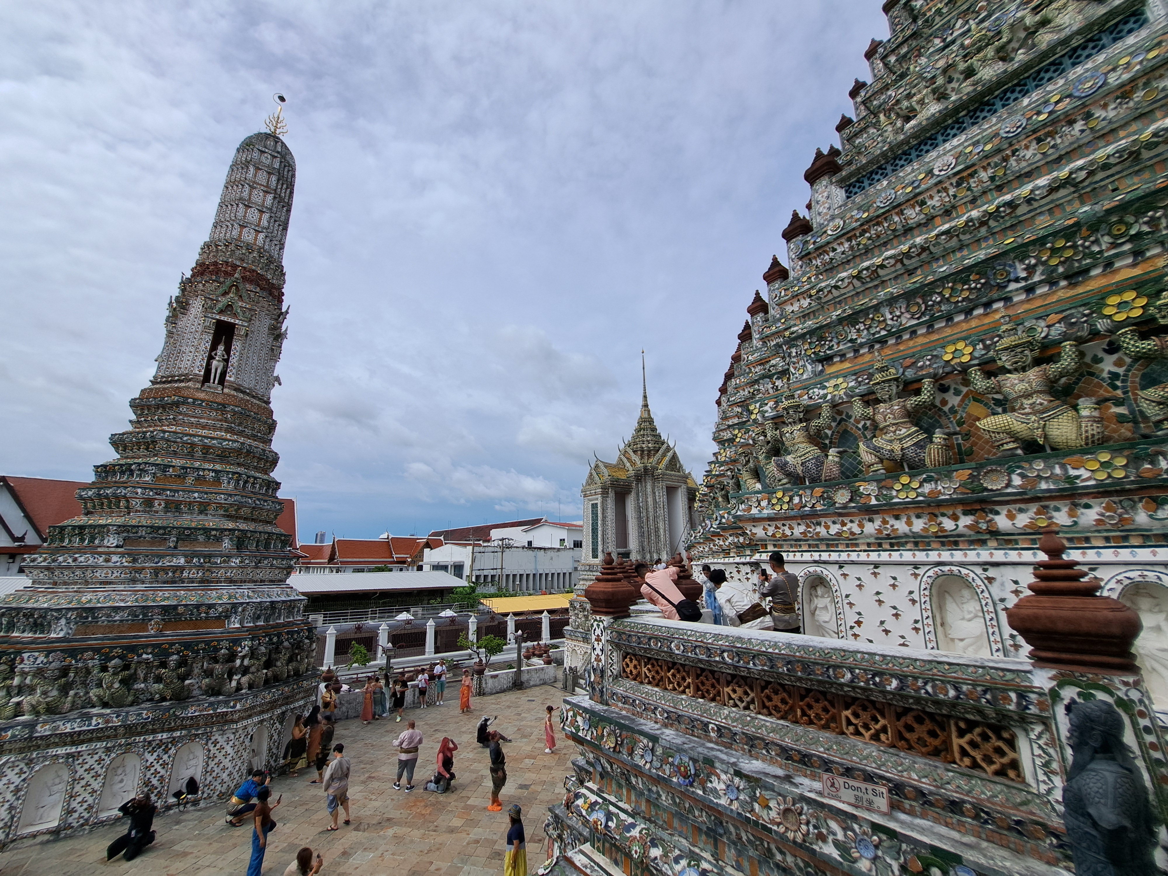
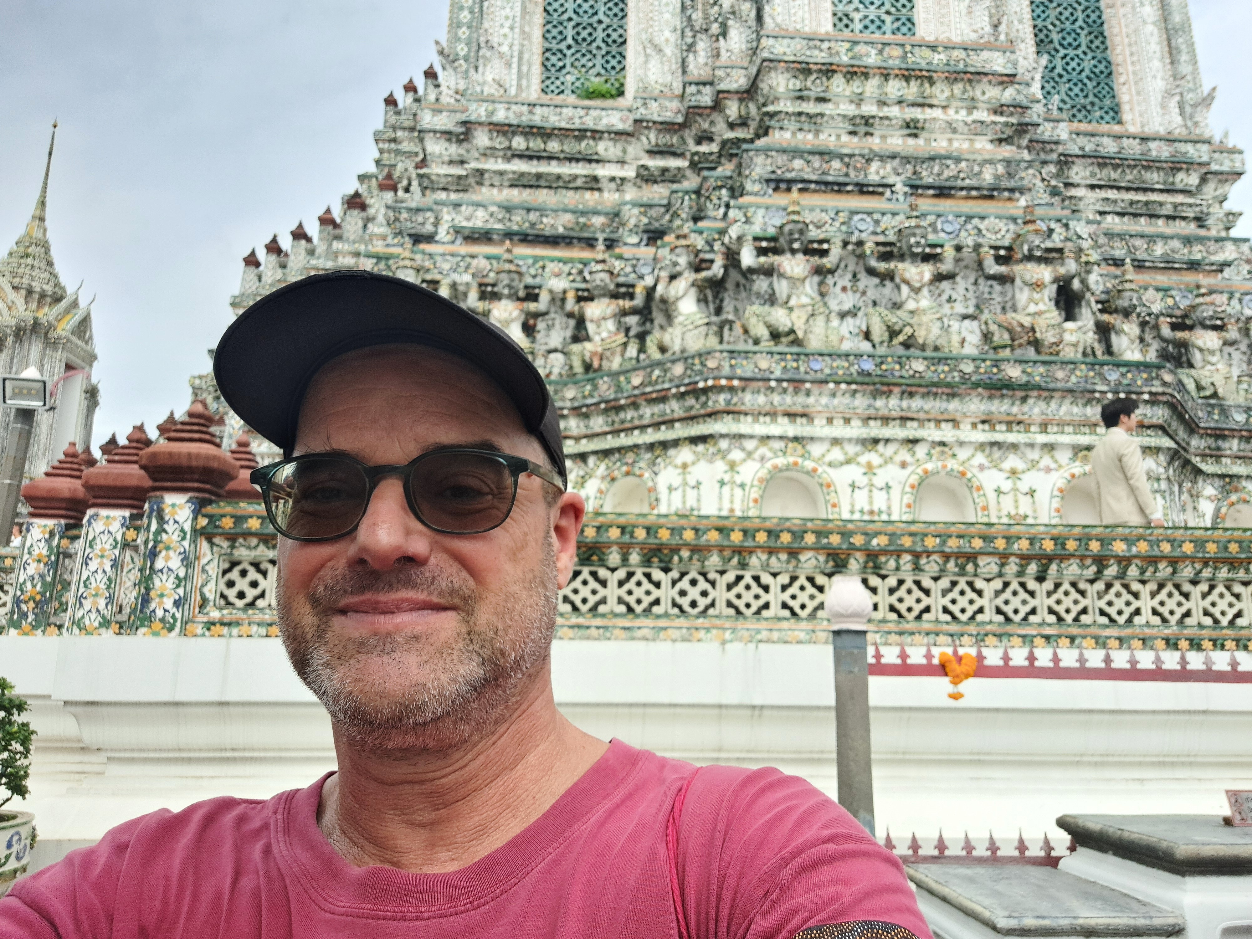
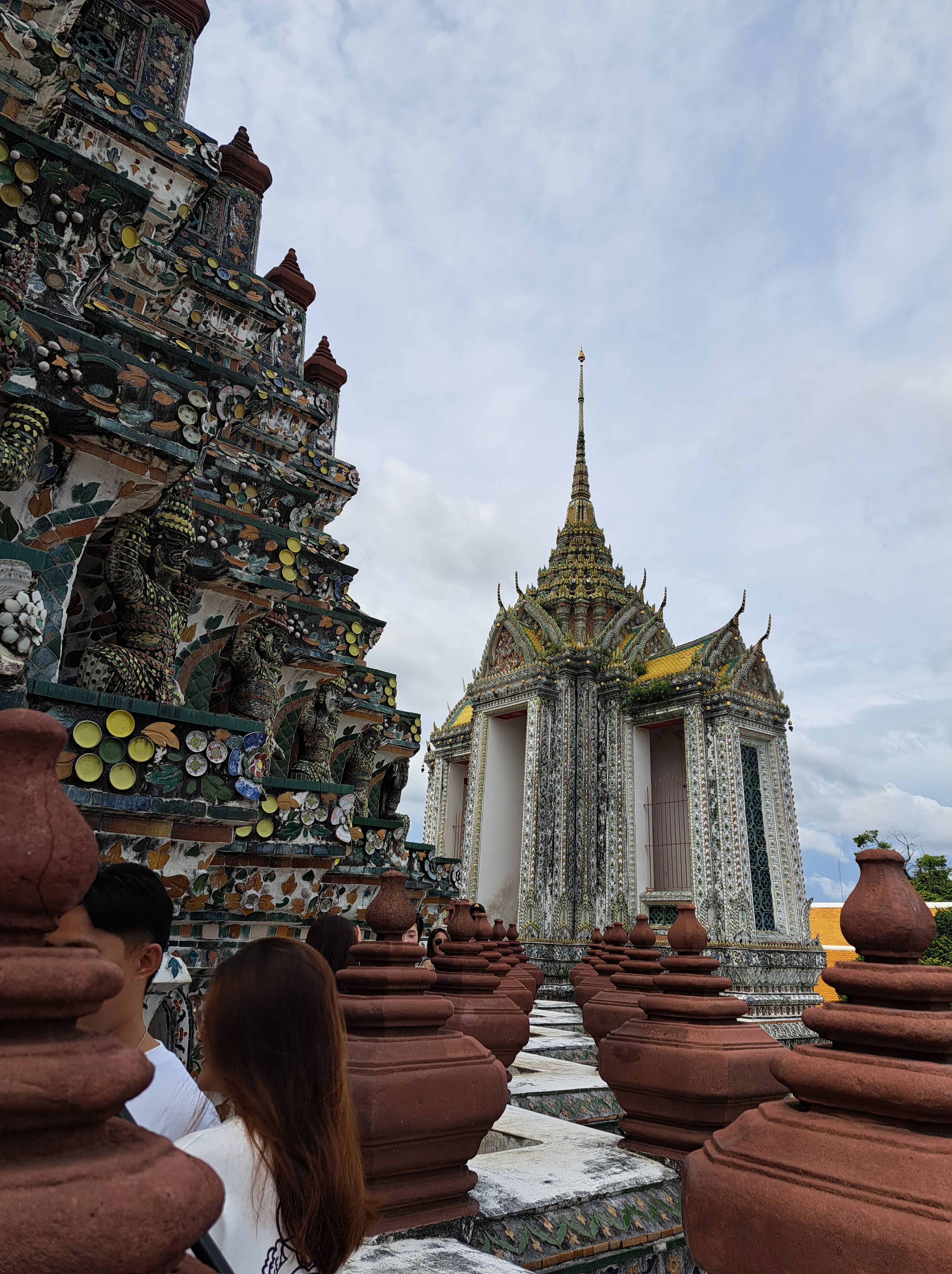
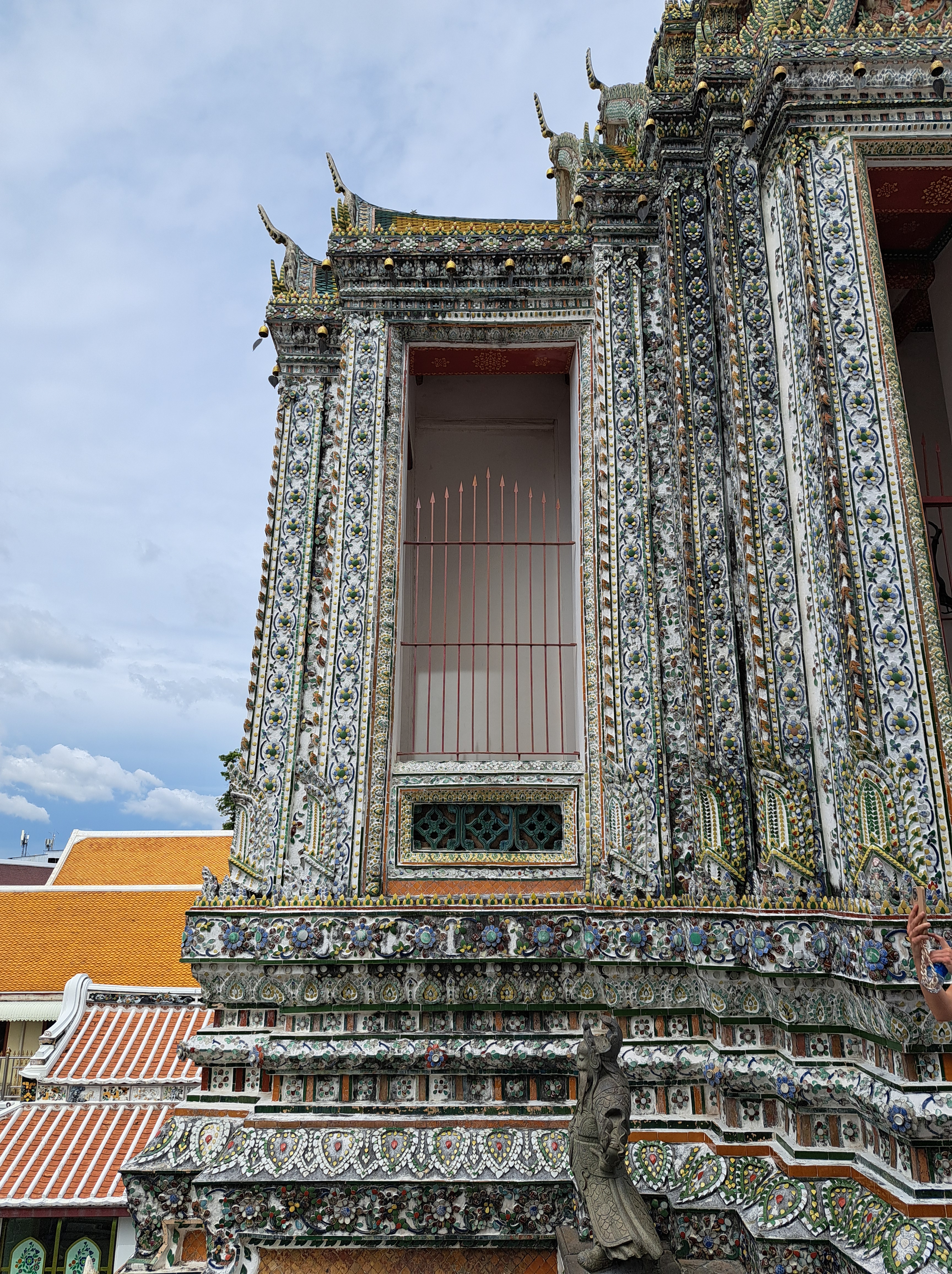
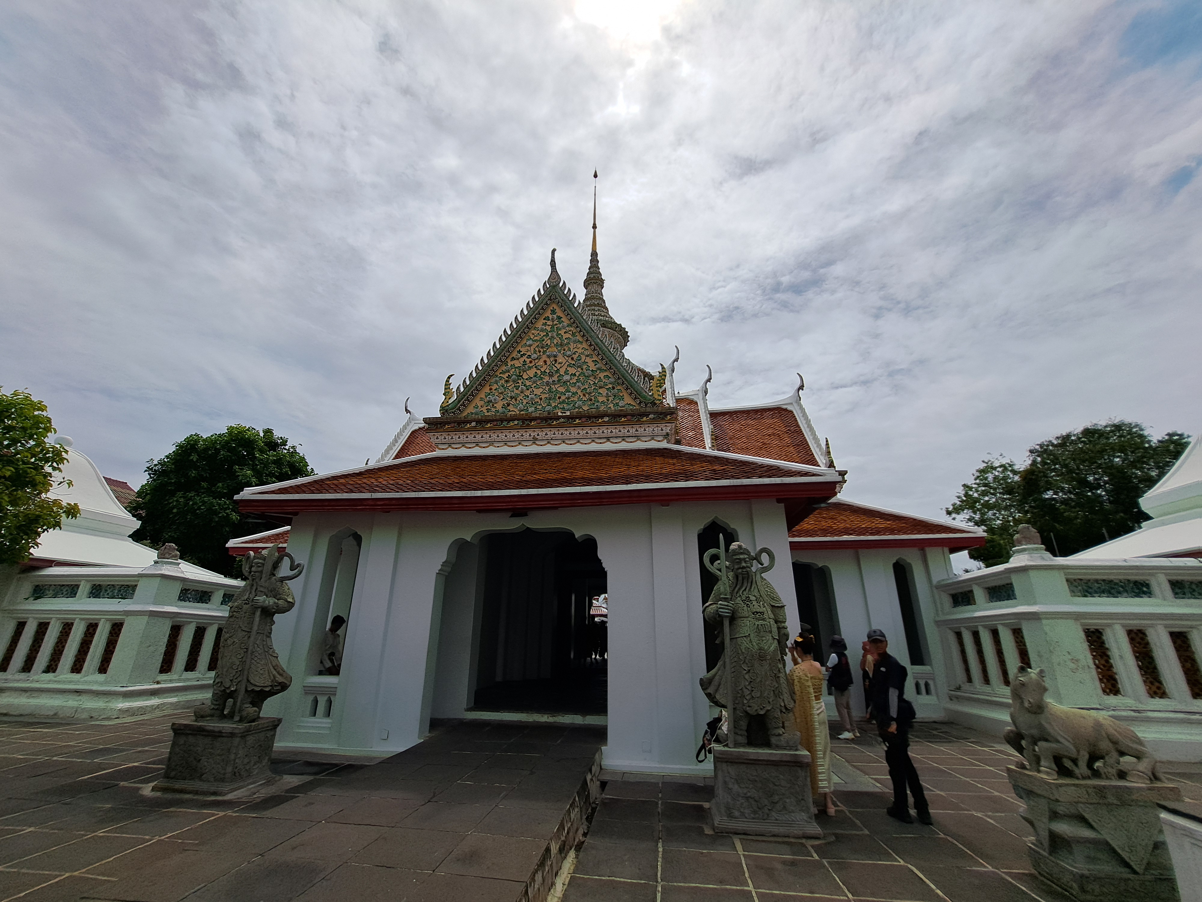
We’re sharing the rest of our Wat Arun photos in this post. I’m staring with the photo above so that you understand just how remarkable all the big buildings you’re seeing in the gallerie below are: they’re pretty much all faced with this level of delicate and beautiful terra cotta. This was perhaps my eighth visit to Bangkok since 2005, yet for some reason my first ever exploration of this fabulous place. Just outside the main pedestrian / street entrance are several stores that rent period costumes, which you can see many people wearing as they do their tour. It’s a photo opportunity for social media folks. 🙂
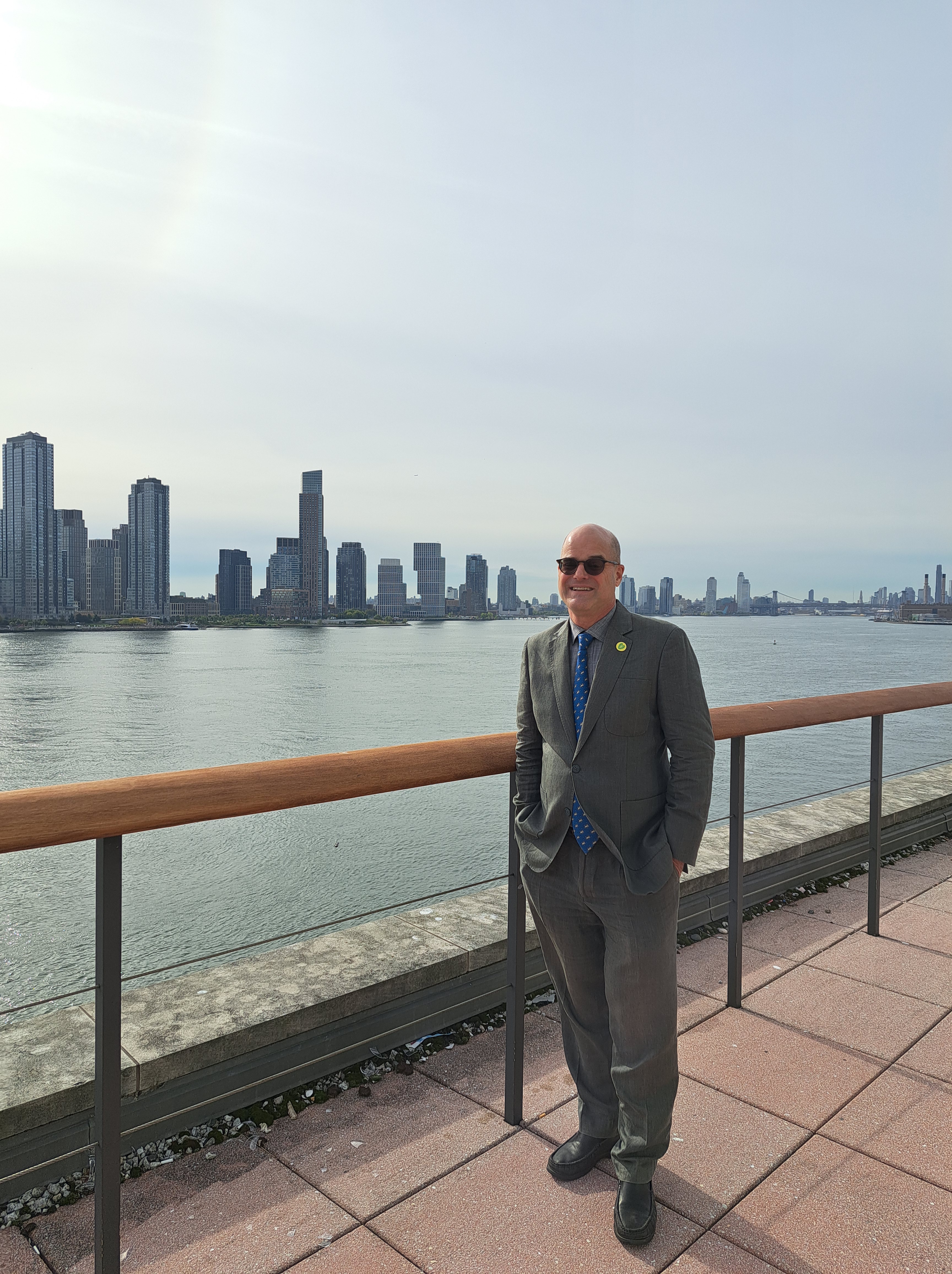
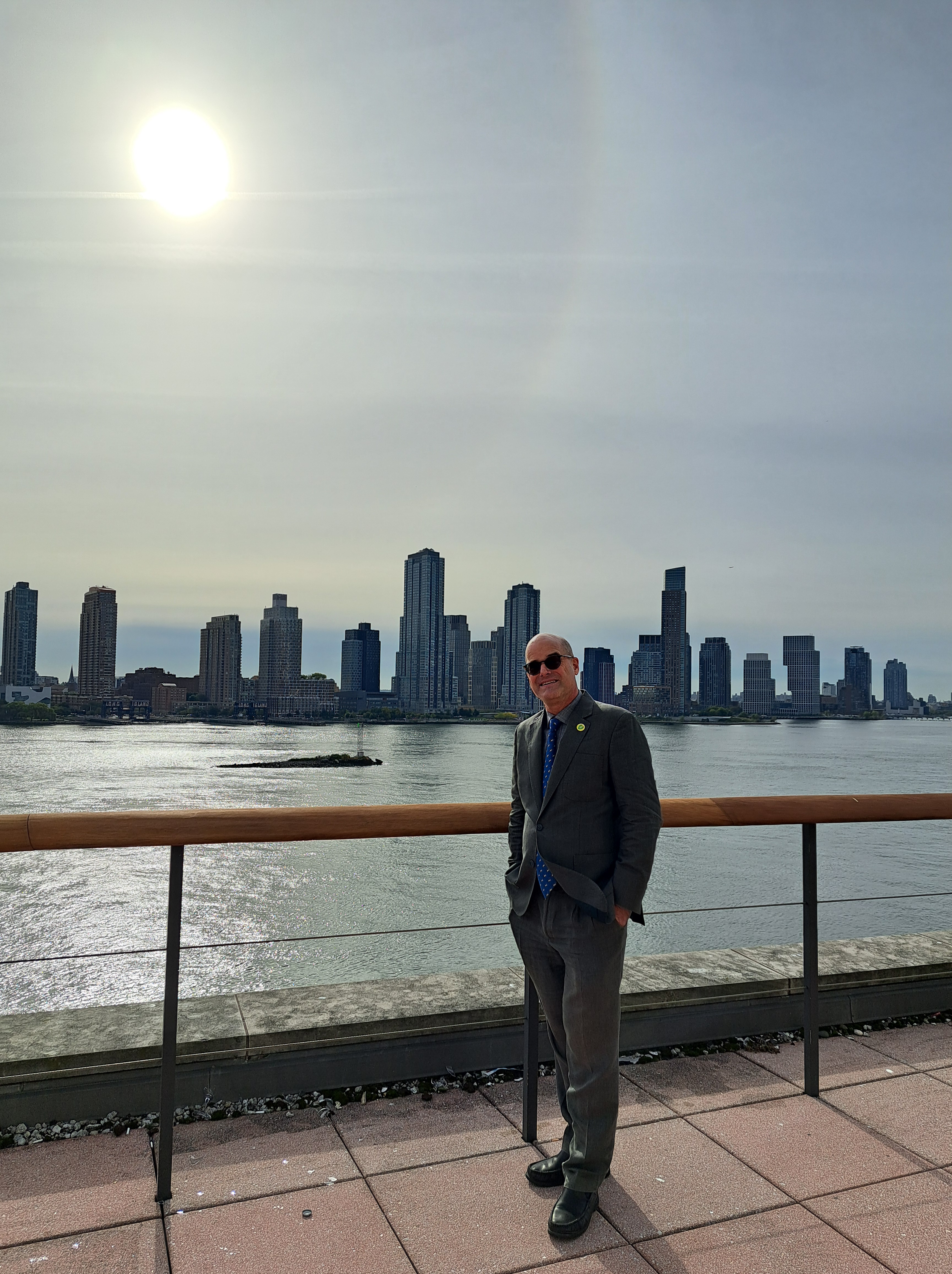
Taken in NY County (though on a diplomatic compound) with views of New York, Kings & Queens counties (left), and just Queens County across the river, right. And yes, I did feel I dressed up rather well that day, thanks 🙂
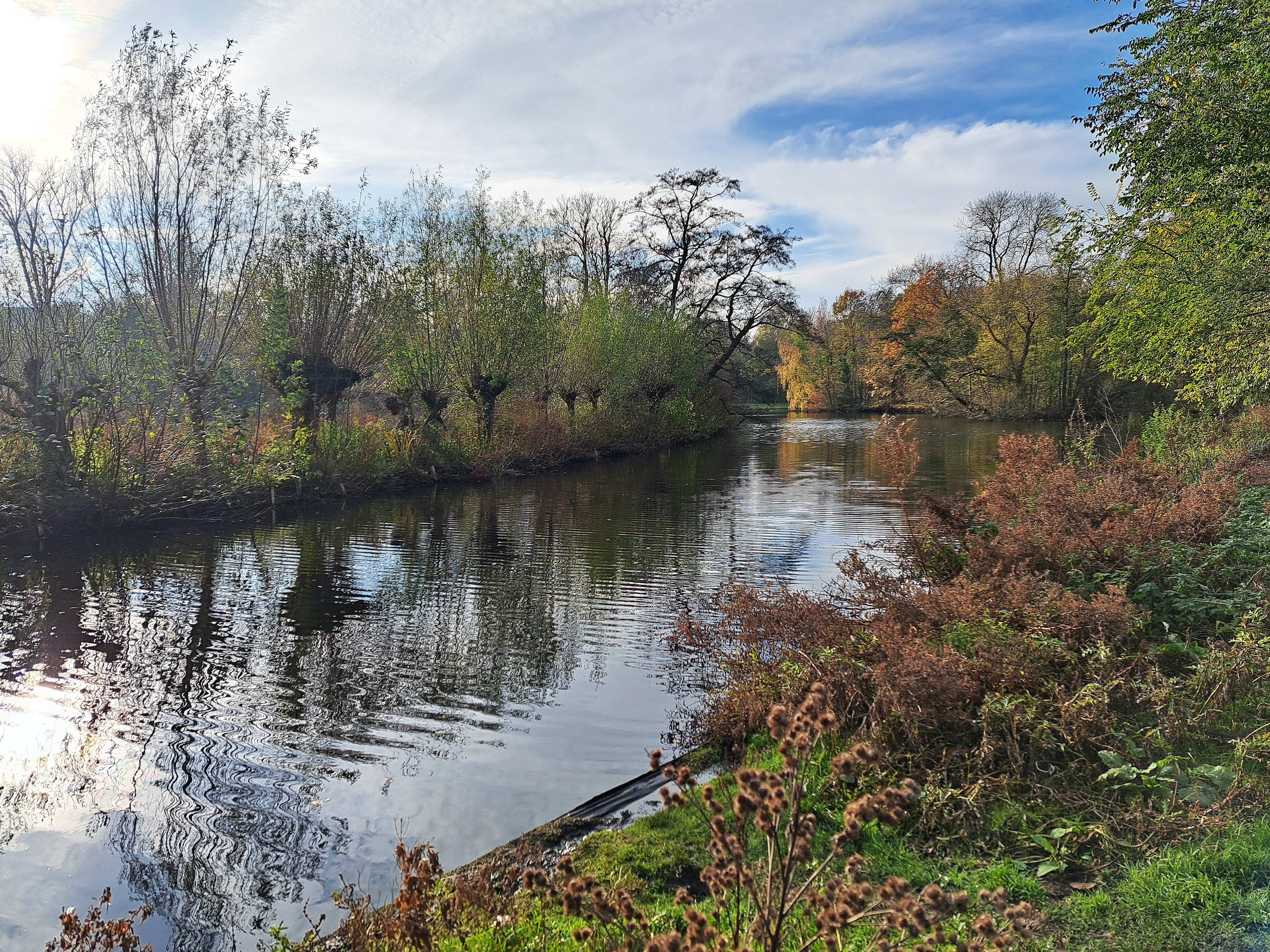
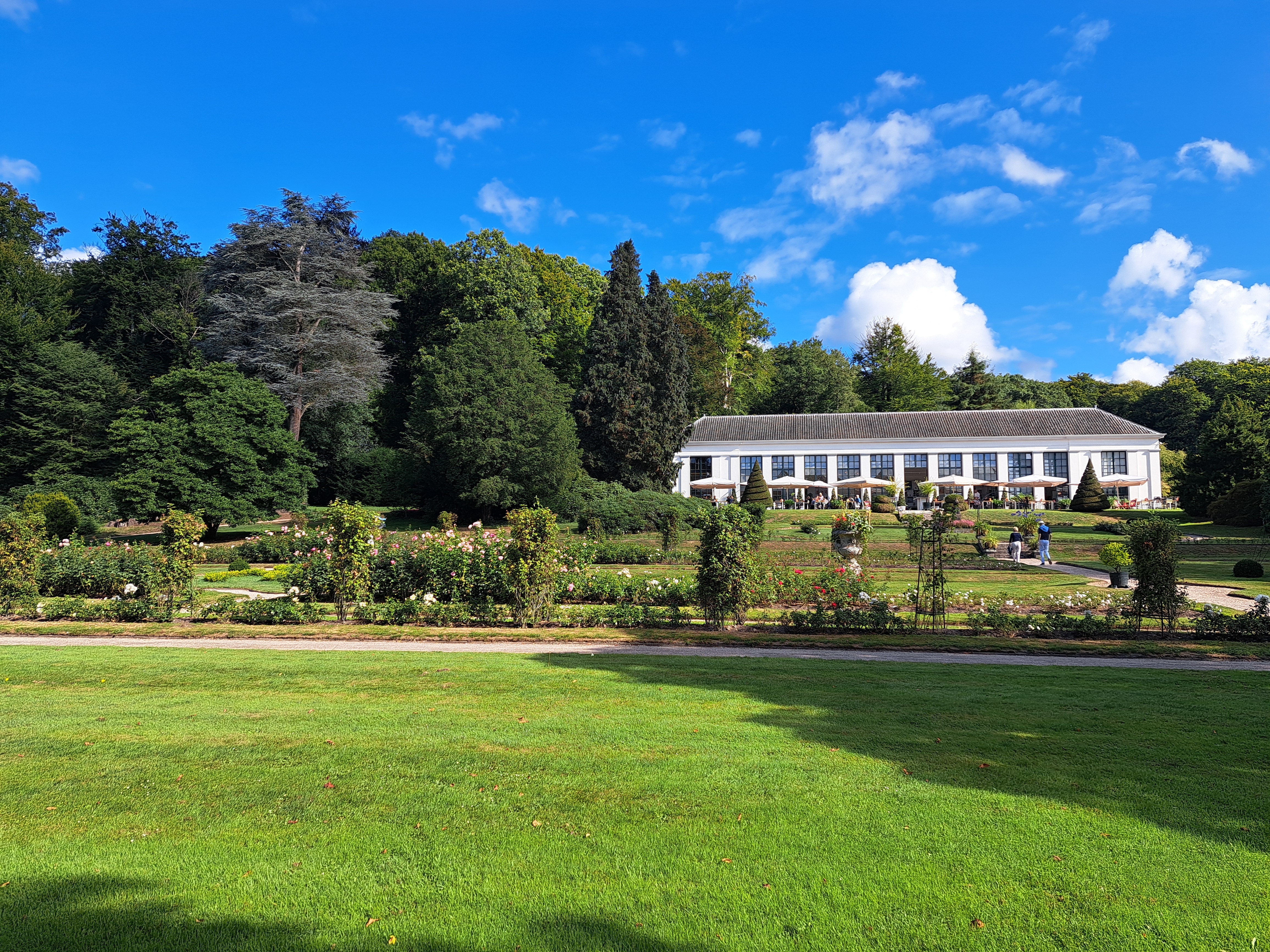
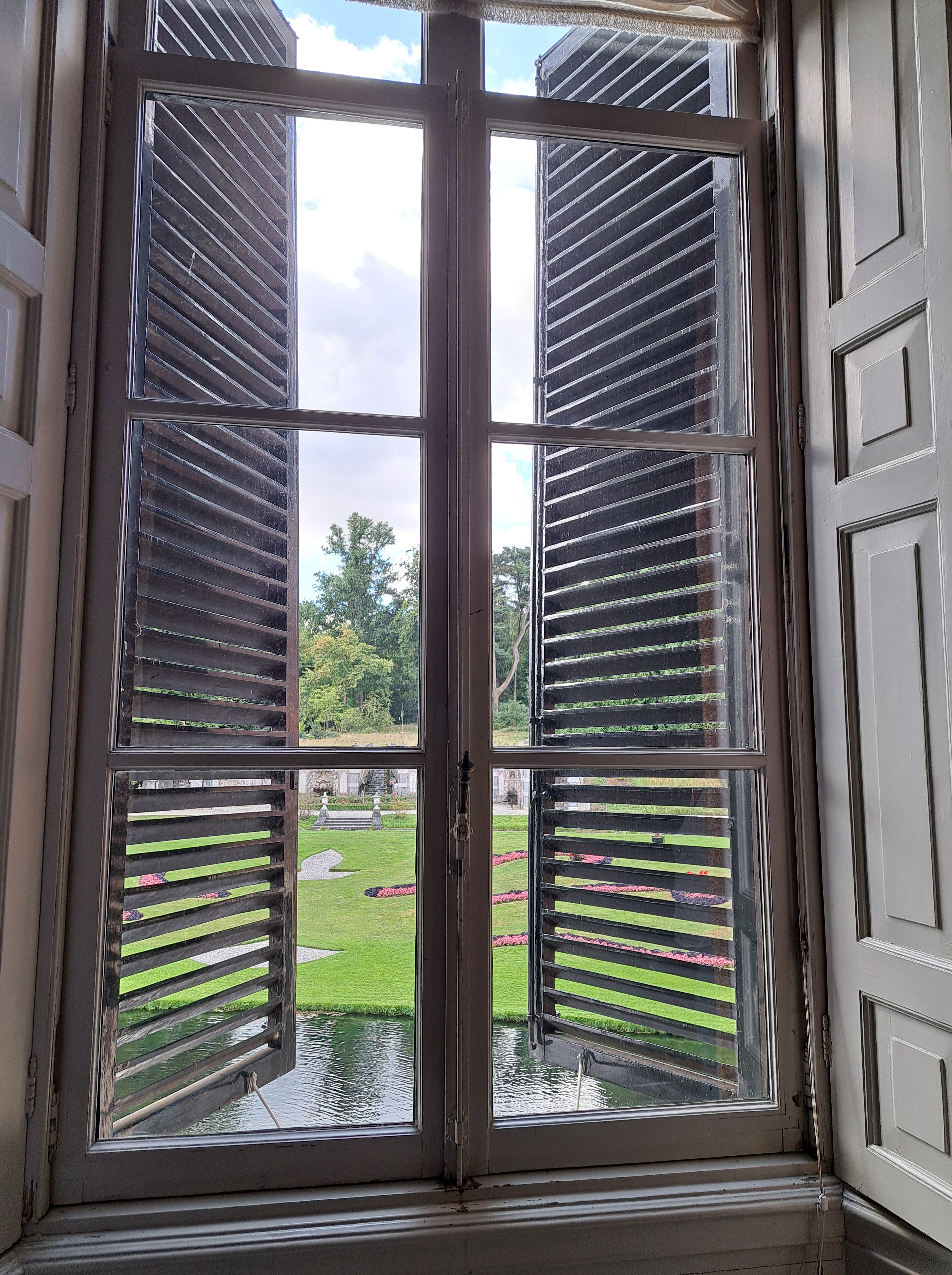
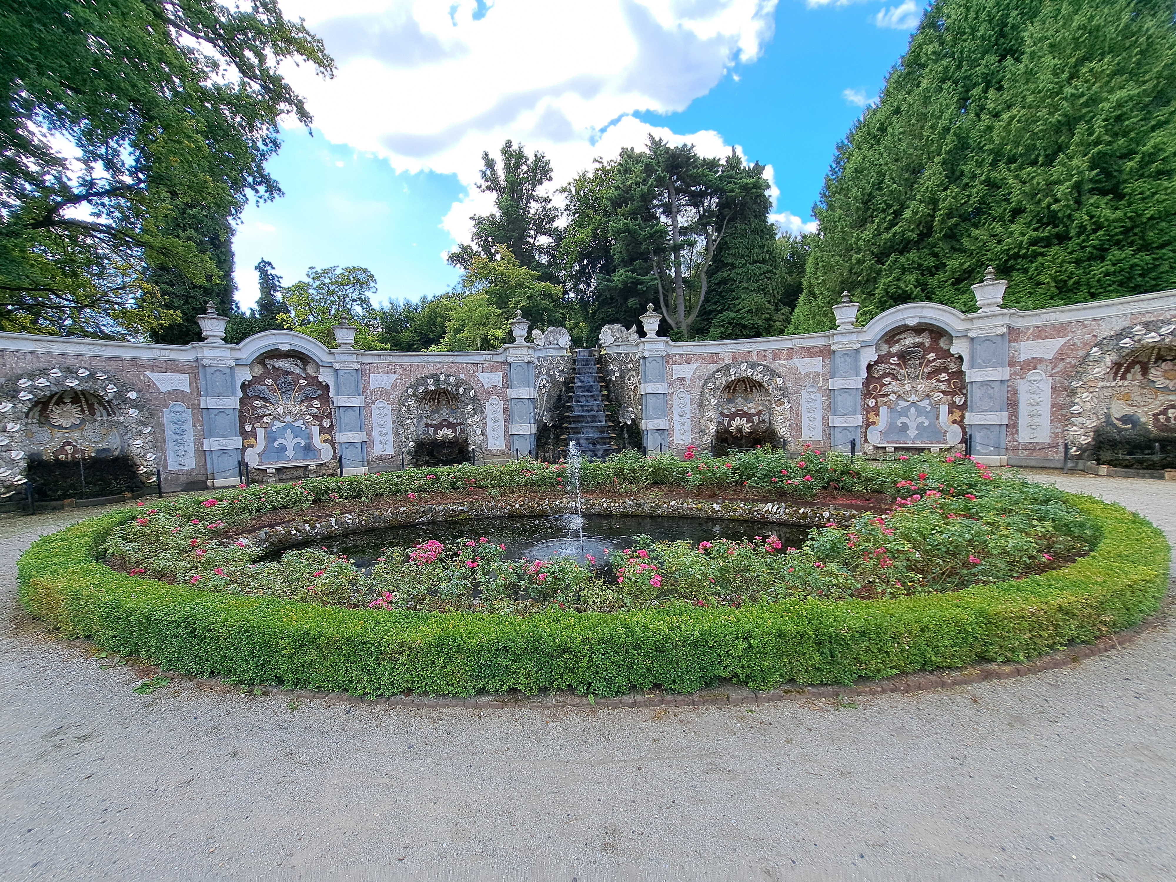
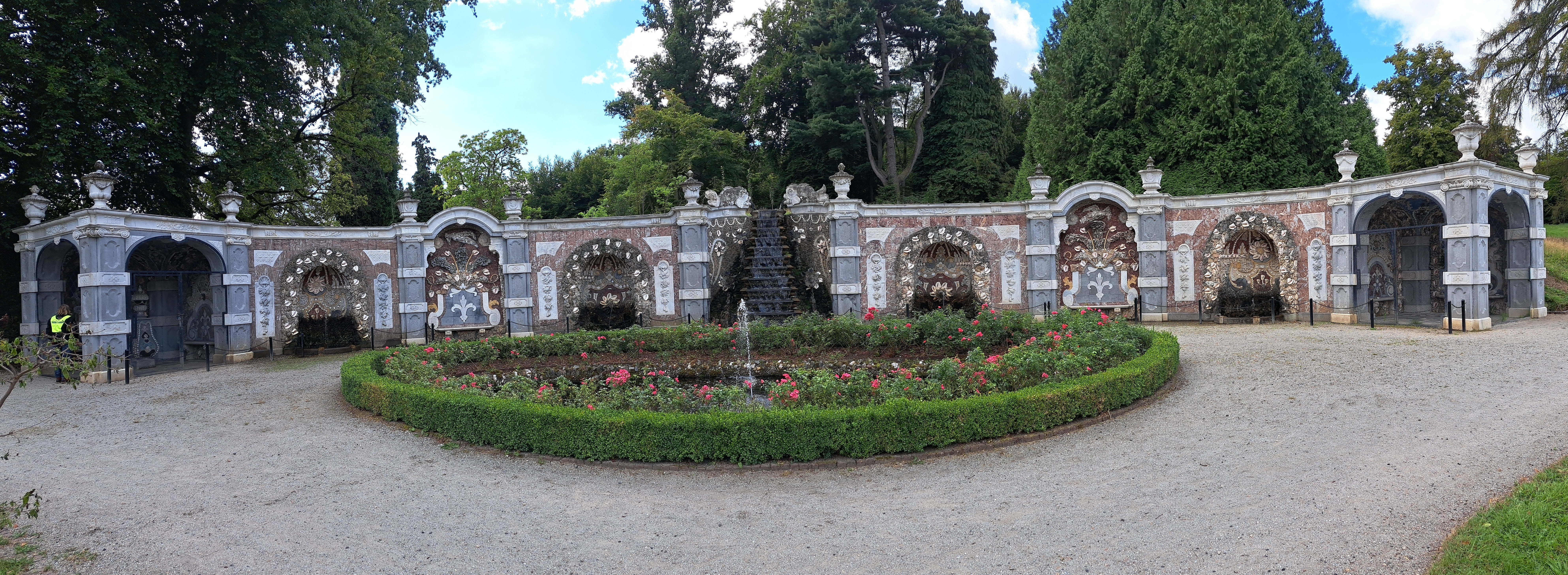
A gazebo or something on the grounds of the Castle & Park at Rosendael, to which we introduced you a couple weeks ago. One thing that epitomizes having more money and power than you really need is building lovely but mostly useless little side-rooms like this, and fountainy displays such as those you’ll see below, which were apparently wondrously appealing at parties. (They were an early example of semi-automated, animated fountains that spirted in patterns, assuming I followed the Dutch only tour guide’s narration well enough. Which, to my pride, I think I actually did.) Still, it’s lovely – note the eagle on top! – and I’m the parties were enjoyable for those invited.