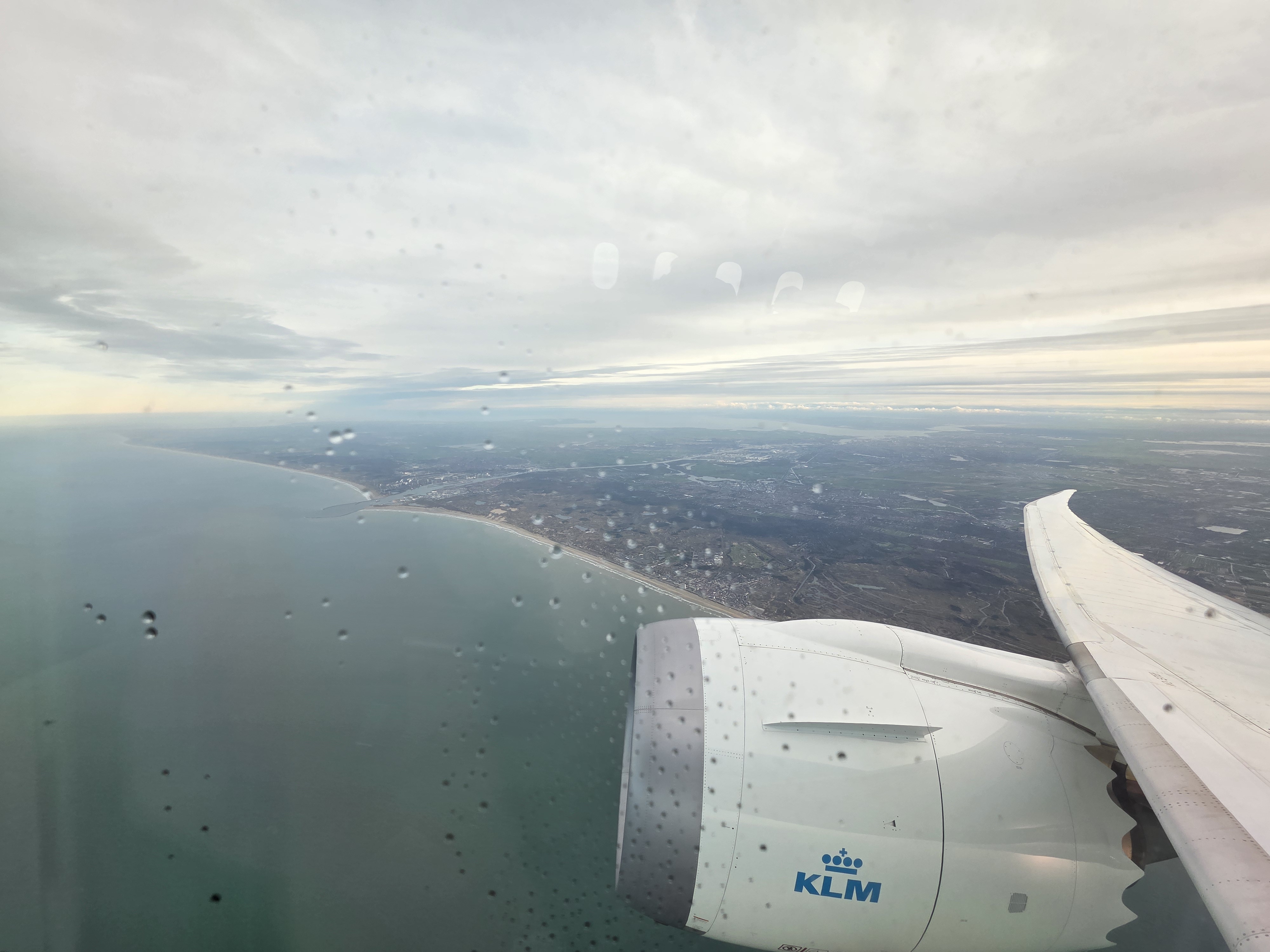
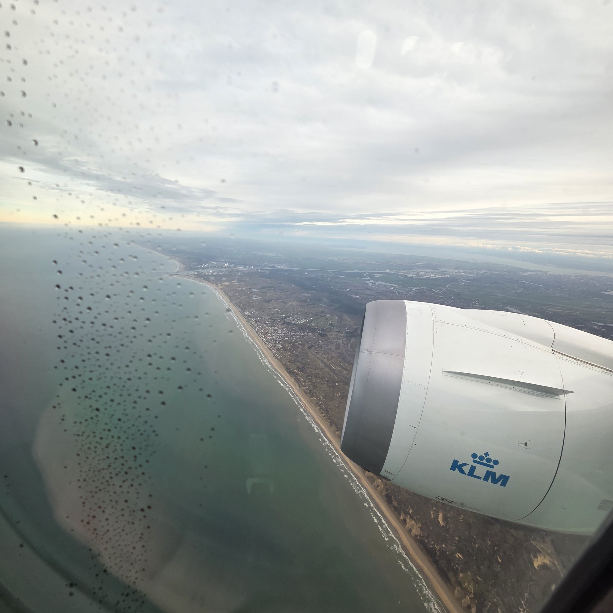
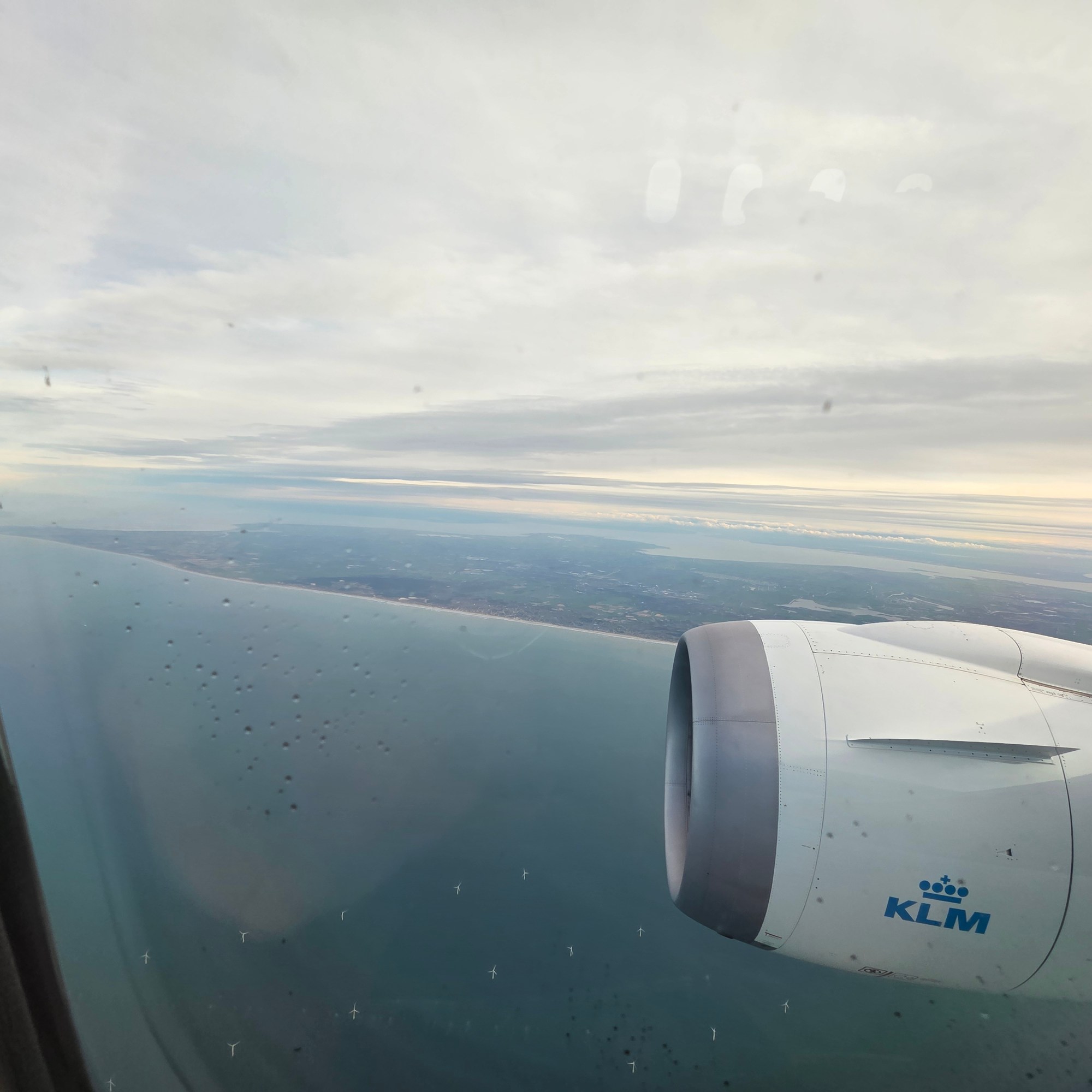
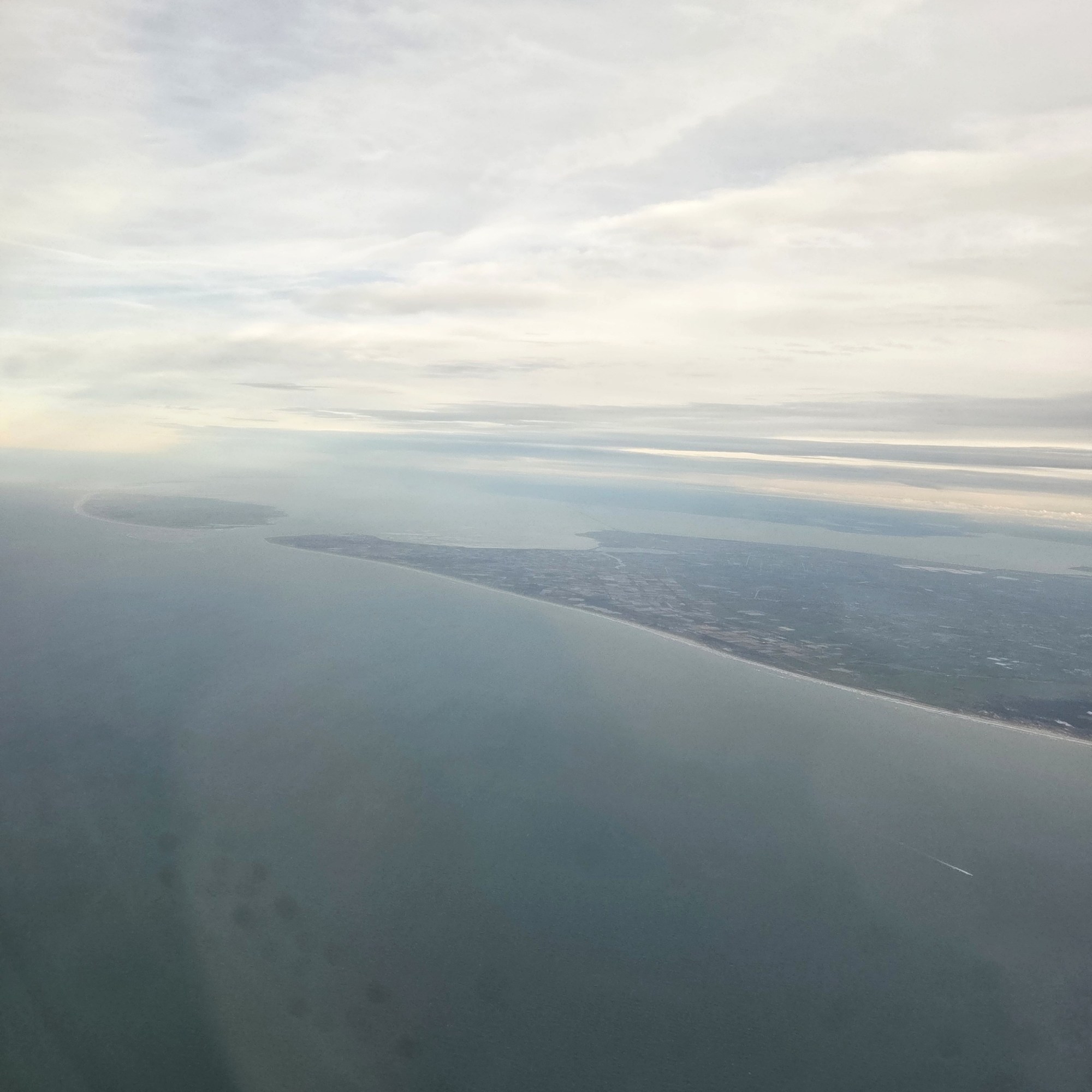
I’ll apologize for the condensation drops and reflections in the window, but I still think it’s worth the view. Here you see pretty much all of Noord-Holland, as well as the Ijmeer, Markermeer and Ijsselmeer, including of course the entire city and surroundings of Amsterdam, all the way up to Texel at the north (left) end. Below some more shots – all from my Ams-ORD flight last December.
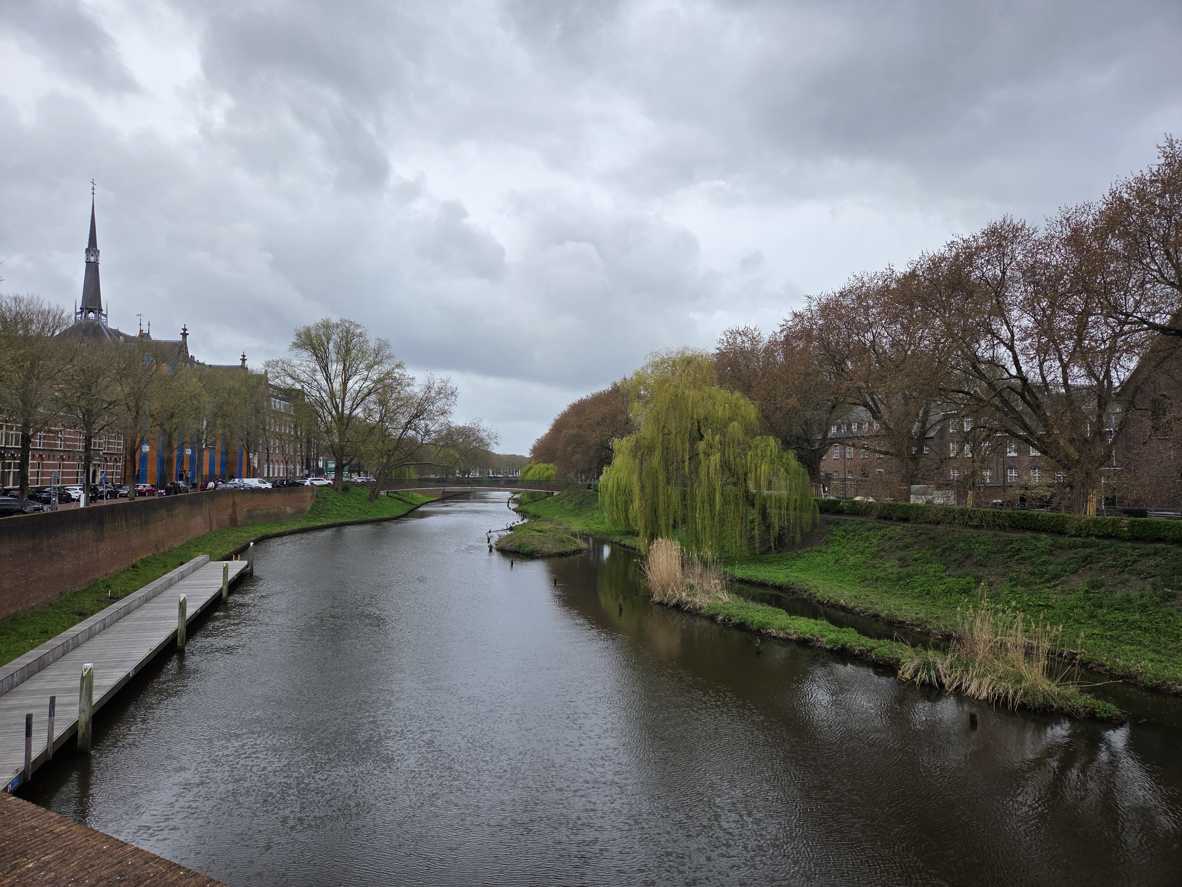
Gotta admit, I really do like Arnhem! Btw if you want to keep track, the building with the odd virus and micro-biology sculptures on the walls and sidewalk is one side of Eusebius Church, which we’ve shared a few times before.
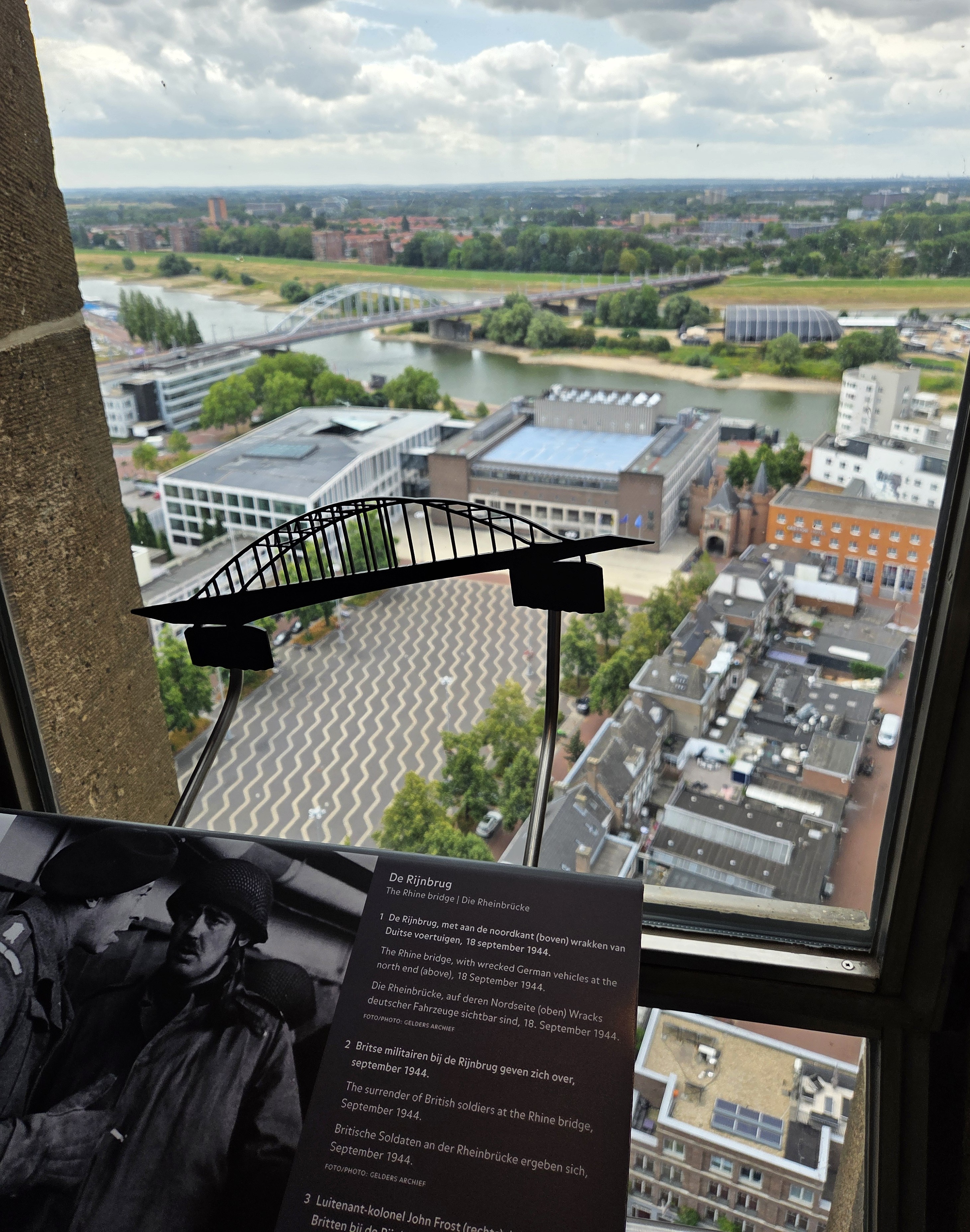
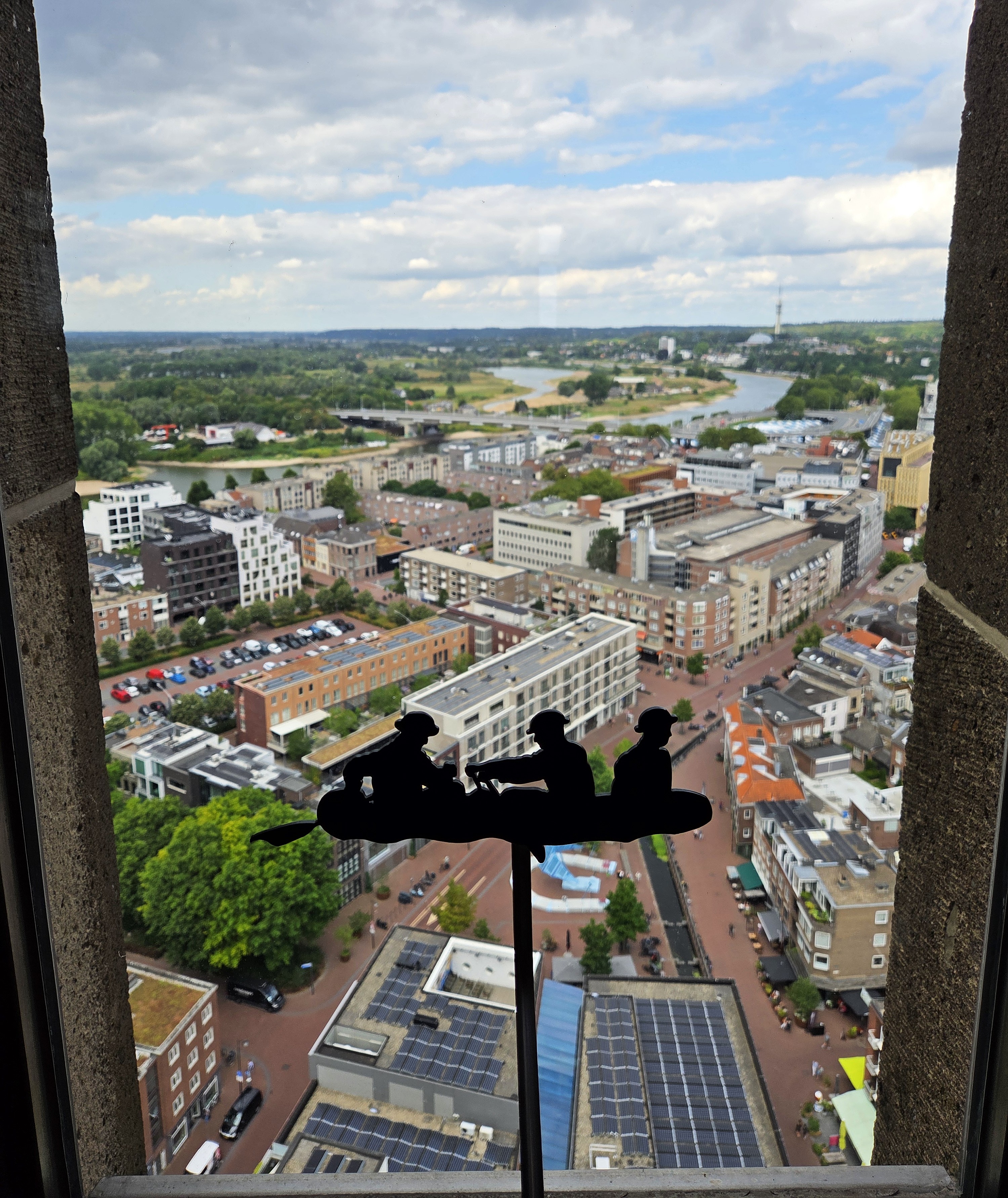
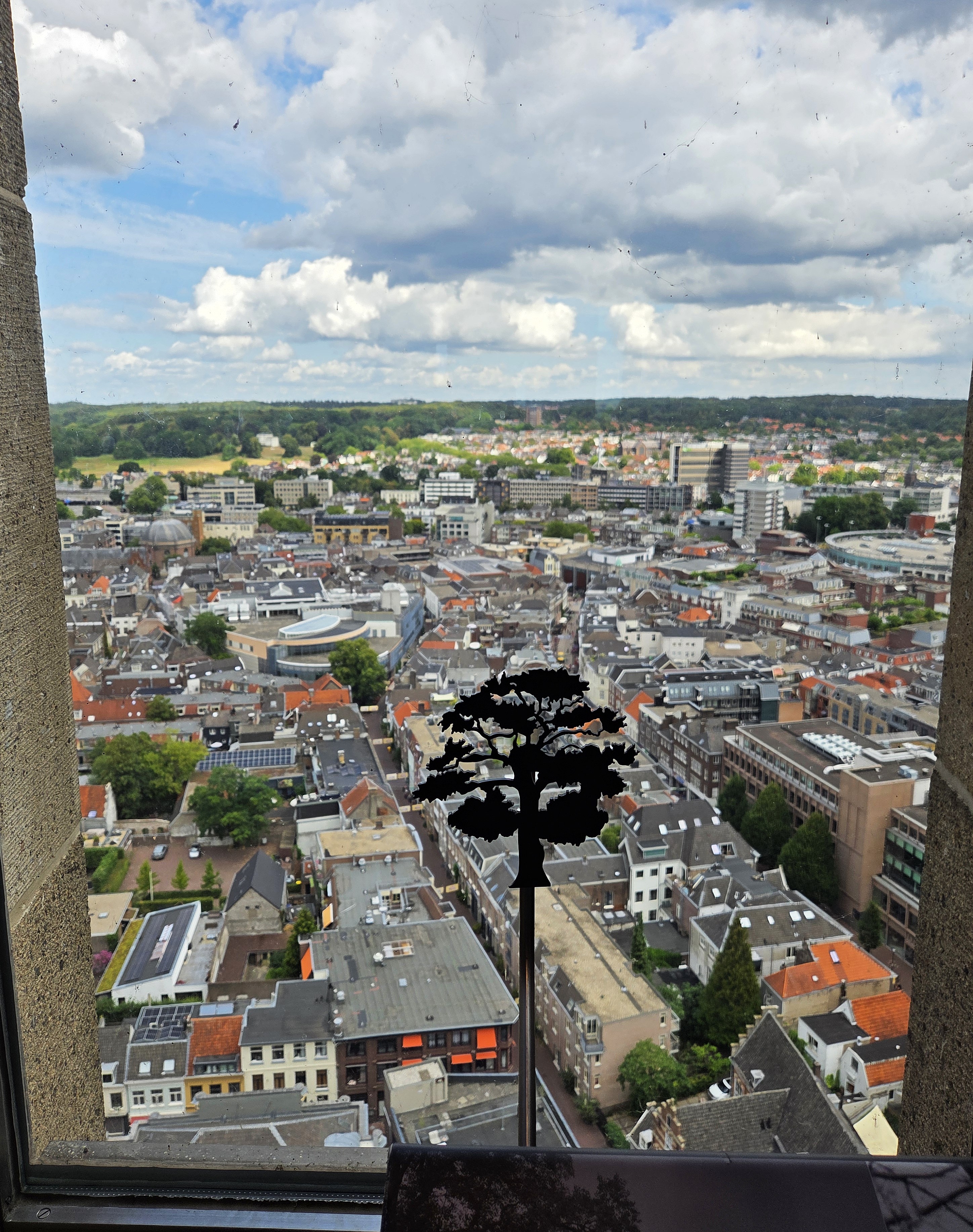
We’ve shared views of Arnhem’s Eusebius churchseveral times before. This was my second trip up to the top of the tower that was rebuilt following a competitive design bid process after the church’s partial destruction at the end of WWII. As you see both above and below, Arnhem lies on what’s called the “Lower Rhine” here, or the Nederrijn, one of two main shipping channels that run from the Rhine’s entry into NL over to the west. During the allied advance in late 1944 and early 1945, this city and its inhabitants were very heavily affected by the tides of war. Here I’m showing you some views looking out the windows high up in the tower, with a sense of the panels explaining history and what you see out the windows. I highly encourage visitors with enough time to get down to this region for its mix of history, beautiful parks, and as always here, great bike trails and museums, public transit and so on :-).
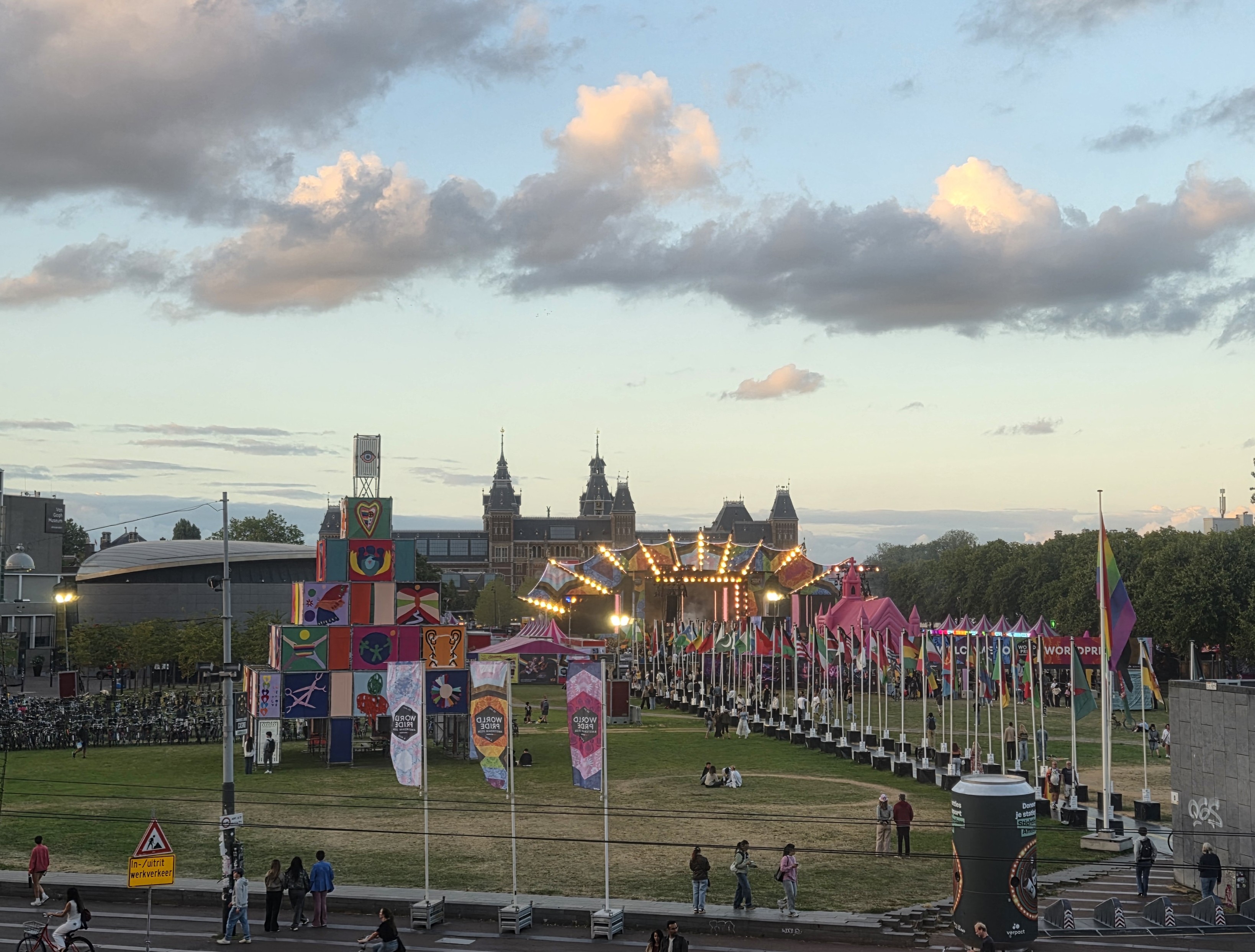
Whilst Sam and I were enjoying a lovely concert by the US National Youth Symphony inside the Concertgebouw, across the street from us on Museumplein, World (LGBTQIA+) Pride was holding a wonderfully energetic outdoor concert and celebration. I expect that, as usual, the row of flags indicates the many countries where queer folks risk imprisonment or death. In case anyone was in doubt about what kind of world we’re still living in.